Trails in Italy
25,219 hiking trails, each with its route, climb, walking time and grade.
All trails, page 317 of 526
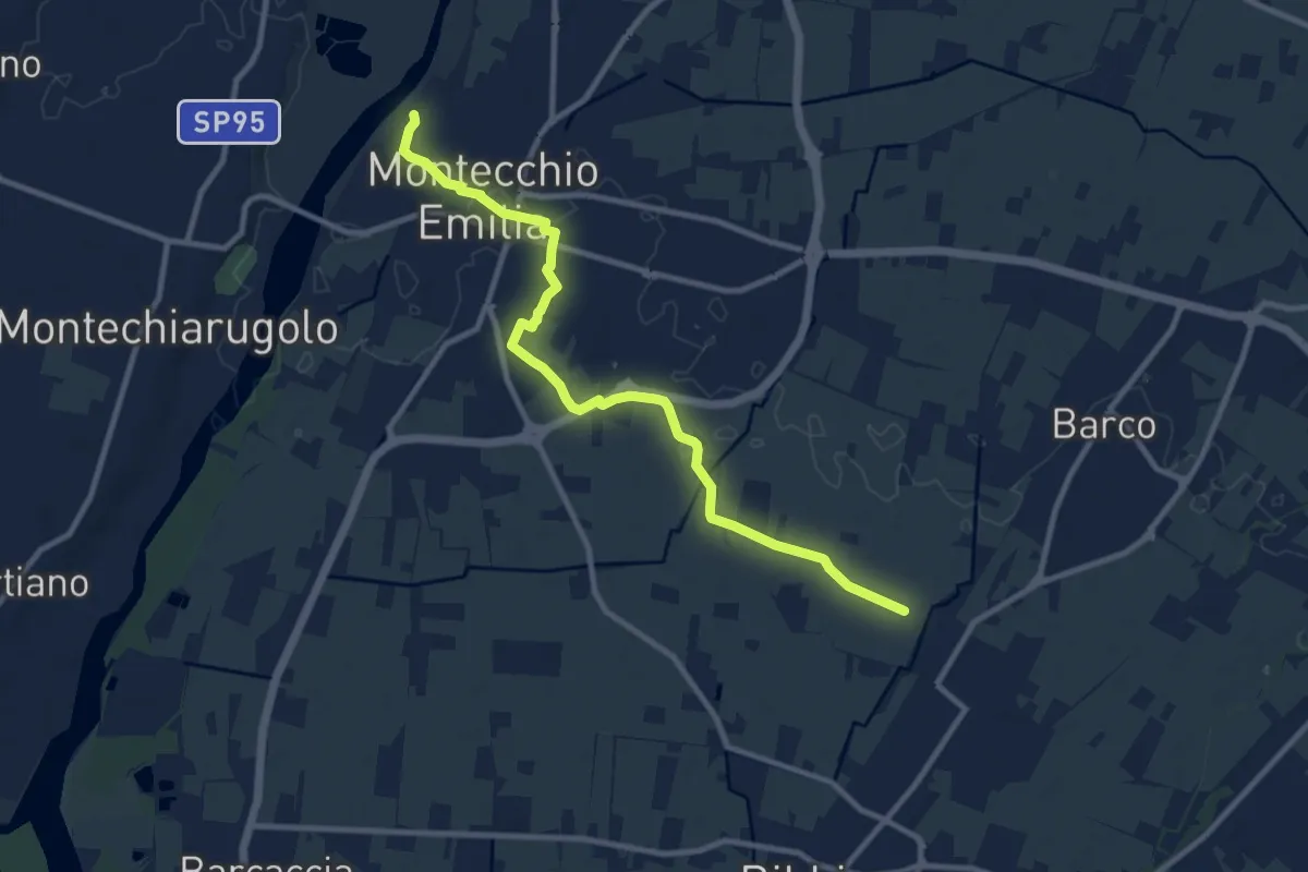
Medium · Trail
Fossa Barco – Percorso 672
10.9 km · ↑ 21 m · 2 h 37 min
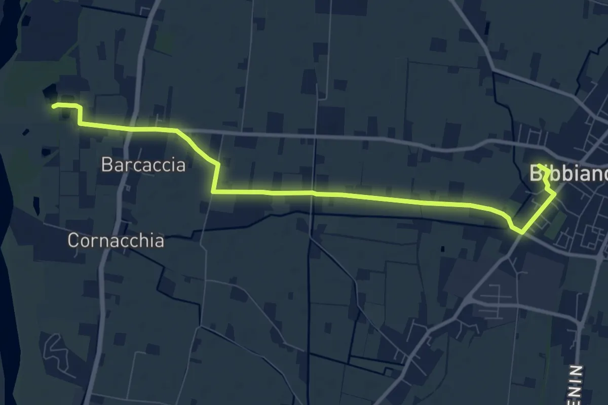
Medium · Trail
Bibbiano – Percorso 672
9.9 km · ↑ 21 m · 2 h 24 min
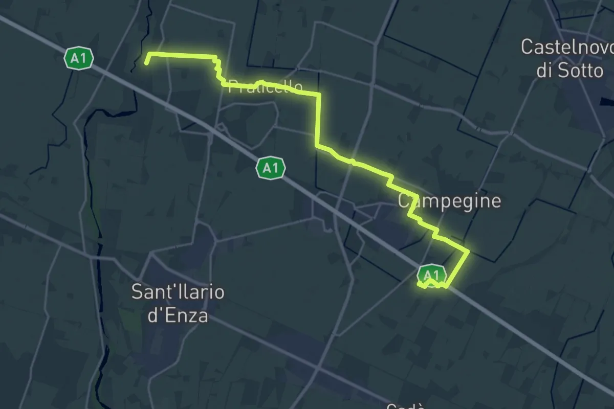
Demanding · Trail
Corte Valle Re – Percorso 672
25.6 km · ↑ 21 m · 6 h 5 min
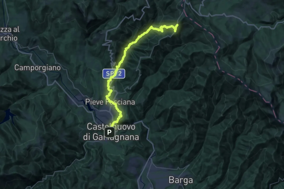
Medium · Trail
San Pellegrino in Alpe – Castelnuovo Garfagnana
17.7 km · ↑ 367 m · 5 h 50 min
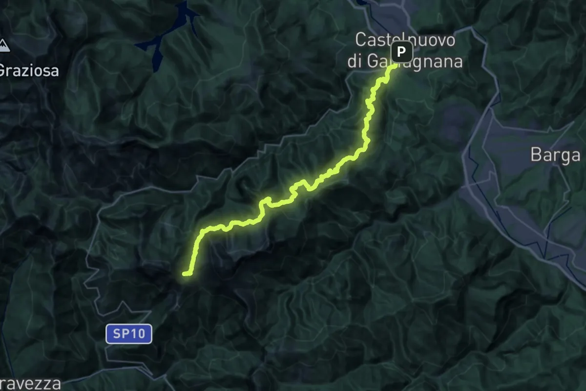
Demanding · Cabin
Castelnuovo Garfagnana – Rifugio CAI Del Freo
17.5 km · ↑ 1578 m · 7 h 20 min
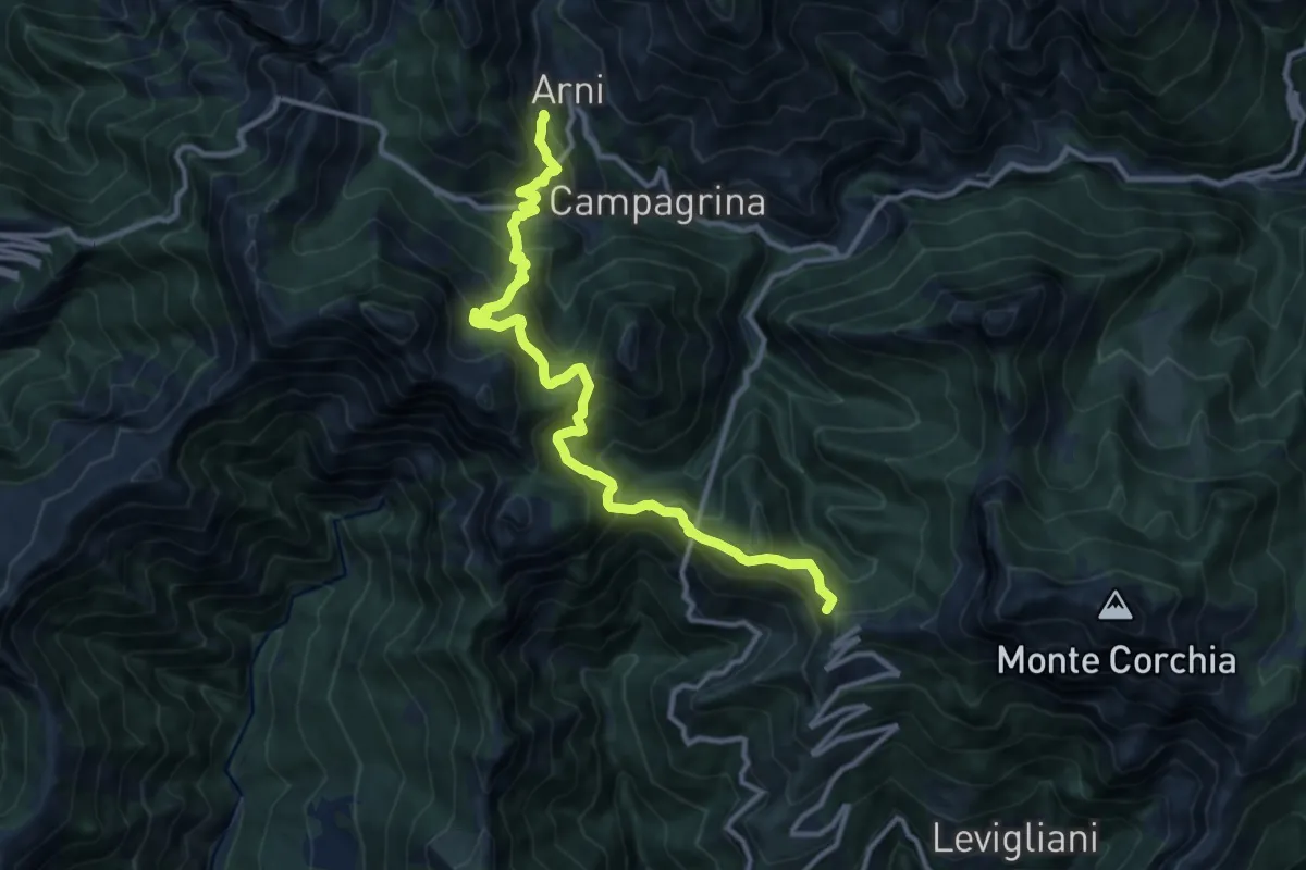
Demanding · Summit
Rifugio CAI Del Freo – Rifugio CAI Puliti
12.9 km · ↑ 1058 m · 5 h 20 min
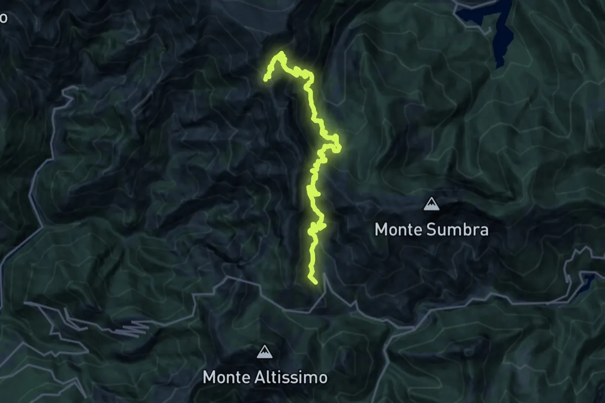
Demanding · Summit
Rifugio CAI Puliti – Rifugio CAI Nello Conti
19.2 km · ↑ 1895 m · 8 h 38 min
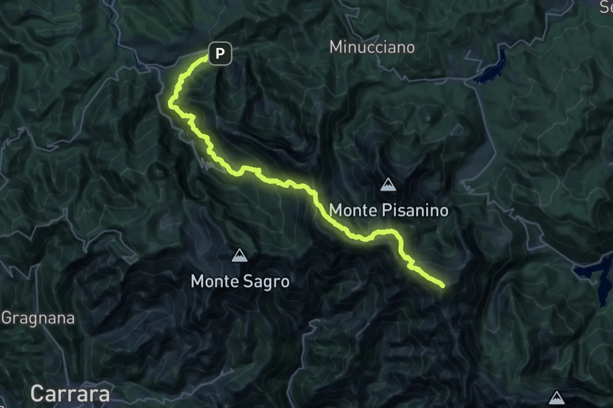
Demanding · Summit
Rifugio CAI Nello Conti – Equi Terme
30.4 km · ↑ 2755 m · 13 h 9 min
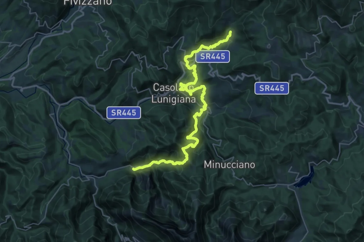
Demanding · Trail
Equi terme – Regnano Villa
16.1 km · ↑ 1051 m · 6 h 7 min
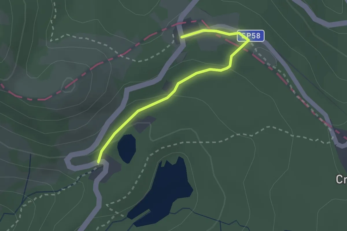
Easy · Trail
Regnano Villa – Passo del Cerreto
2.2 km · ↑ 64 m · 39 min
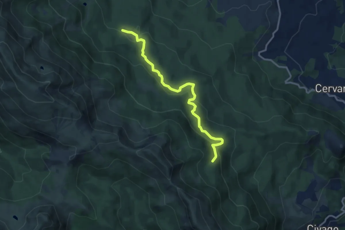
Medium · Trail
Pian Vallese – Percorso 681
8.5 km · ↑ 427 m · 2 h 57 min
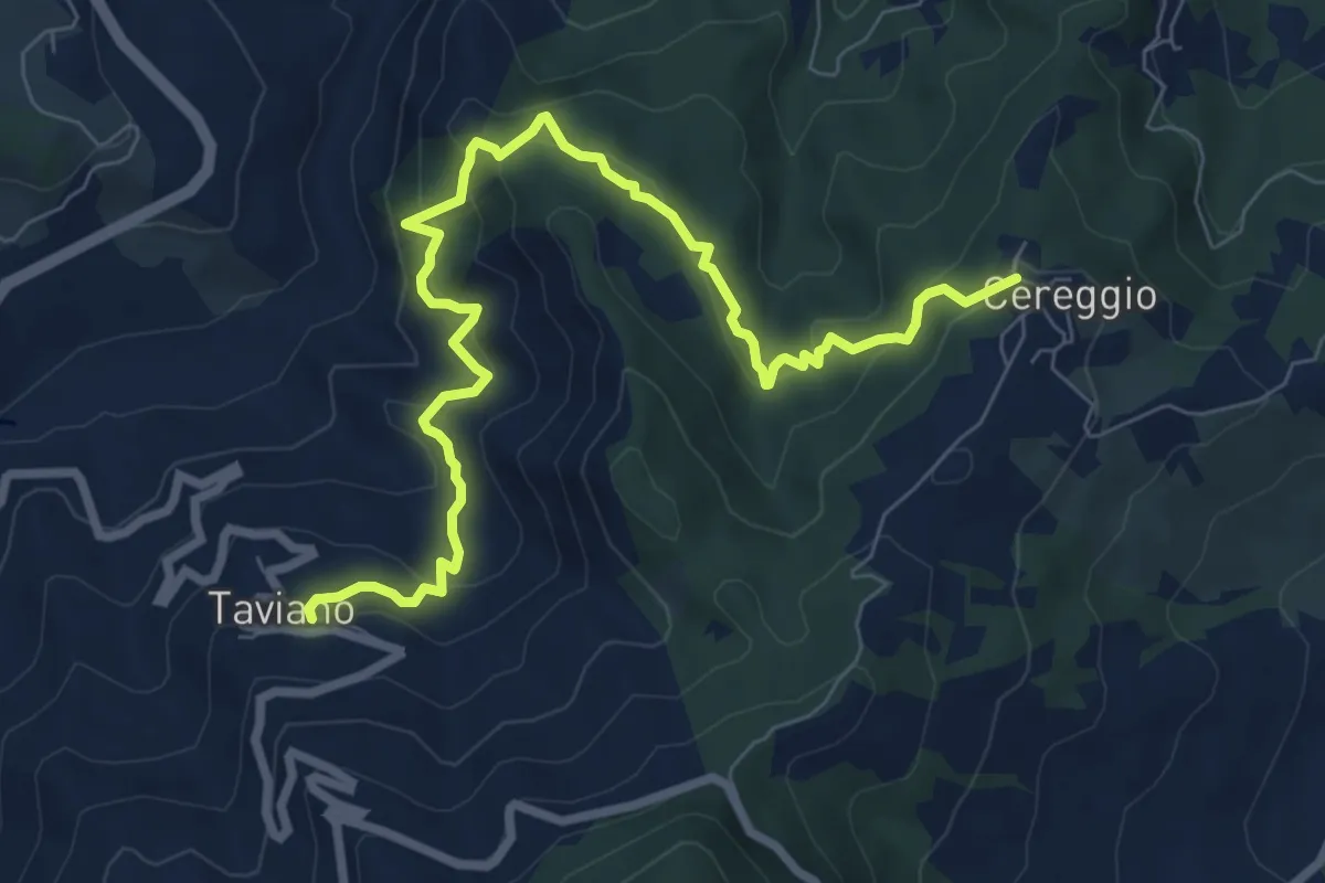
Medium · Trail
Cereggio – Taviano
9.4 km · ↑ 658 m · 3 h 39 min
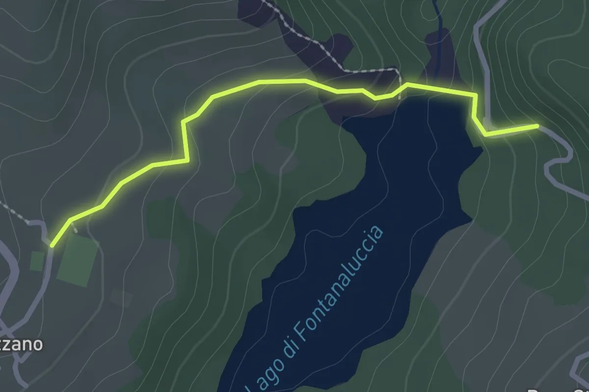
Easy · Trail
Gazzano – Diga di Fontanaluccia
2.3 km · ↑ 119 m · 48 min
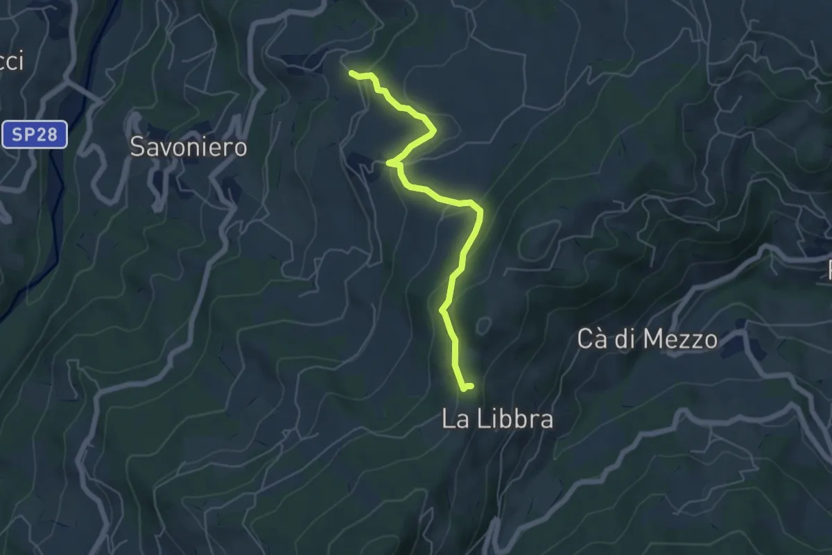
Easy · Trail
Ca d'Andrea (Percorso 578) – La Libbra (Percorso 574)
5.2 km · ↑ 254 m · 1 h 46 min
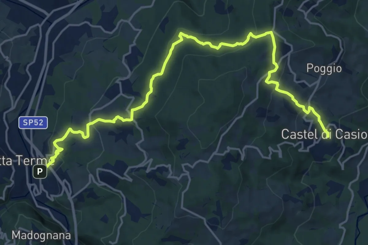
Medium · Trail
Porretta (Berzantina) – Castel di Casio
17.4 km · ↑ 783 m · 5 h 48 min
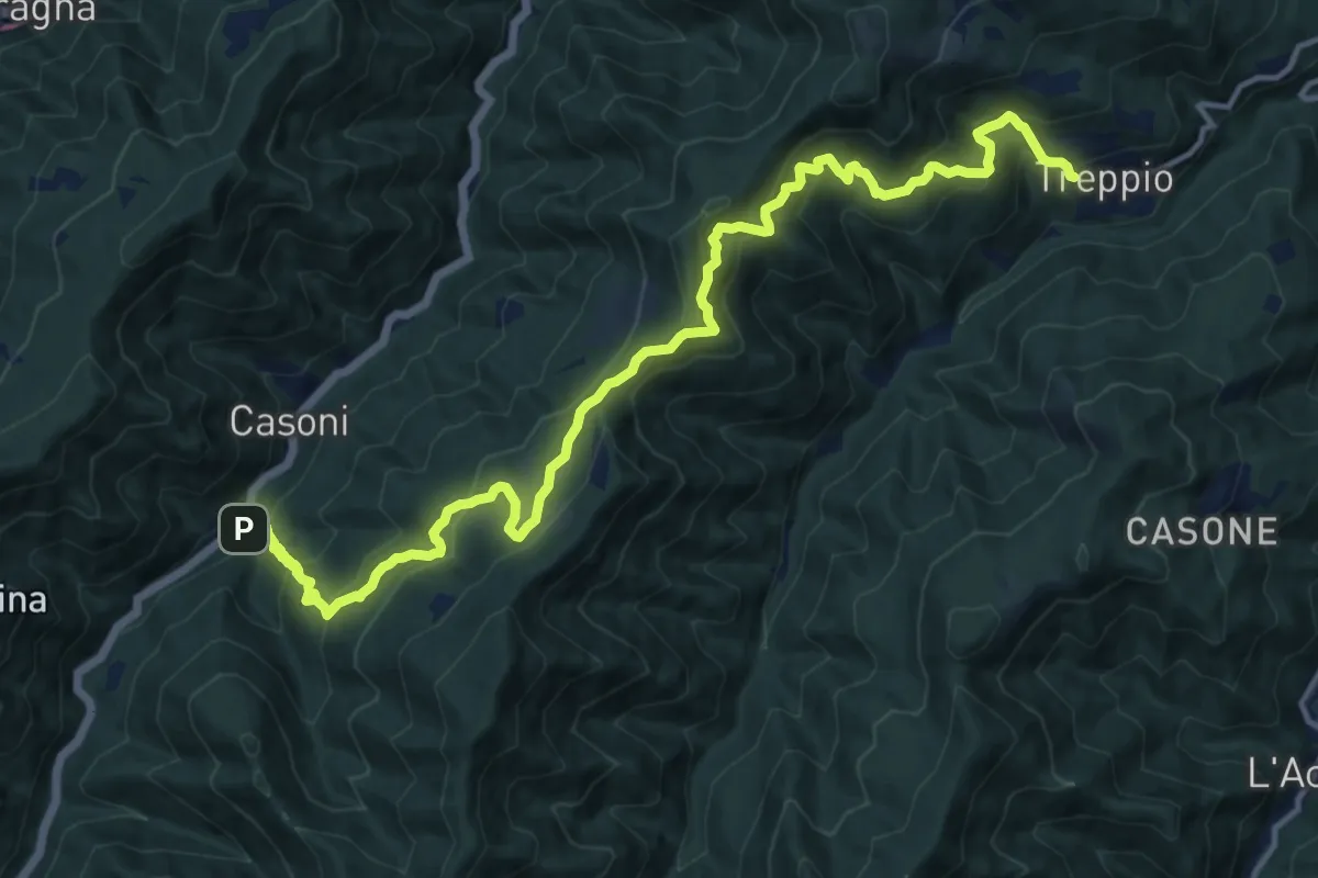
Demanding · Trail
San Pellegrino – Treppio
17.3 km · ↑ 1294 m · 6 h 53 min
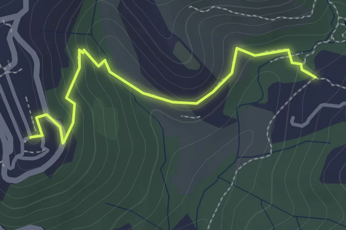
Easy · Trail
Sentiero 301 – Sentiero 302
2.6 km · ↑ 109 m · 50 min
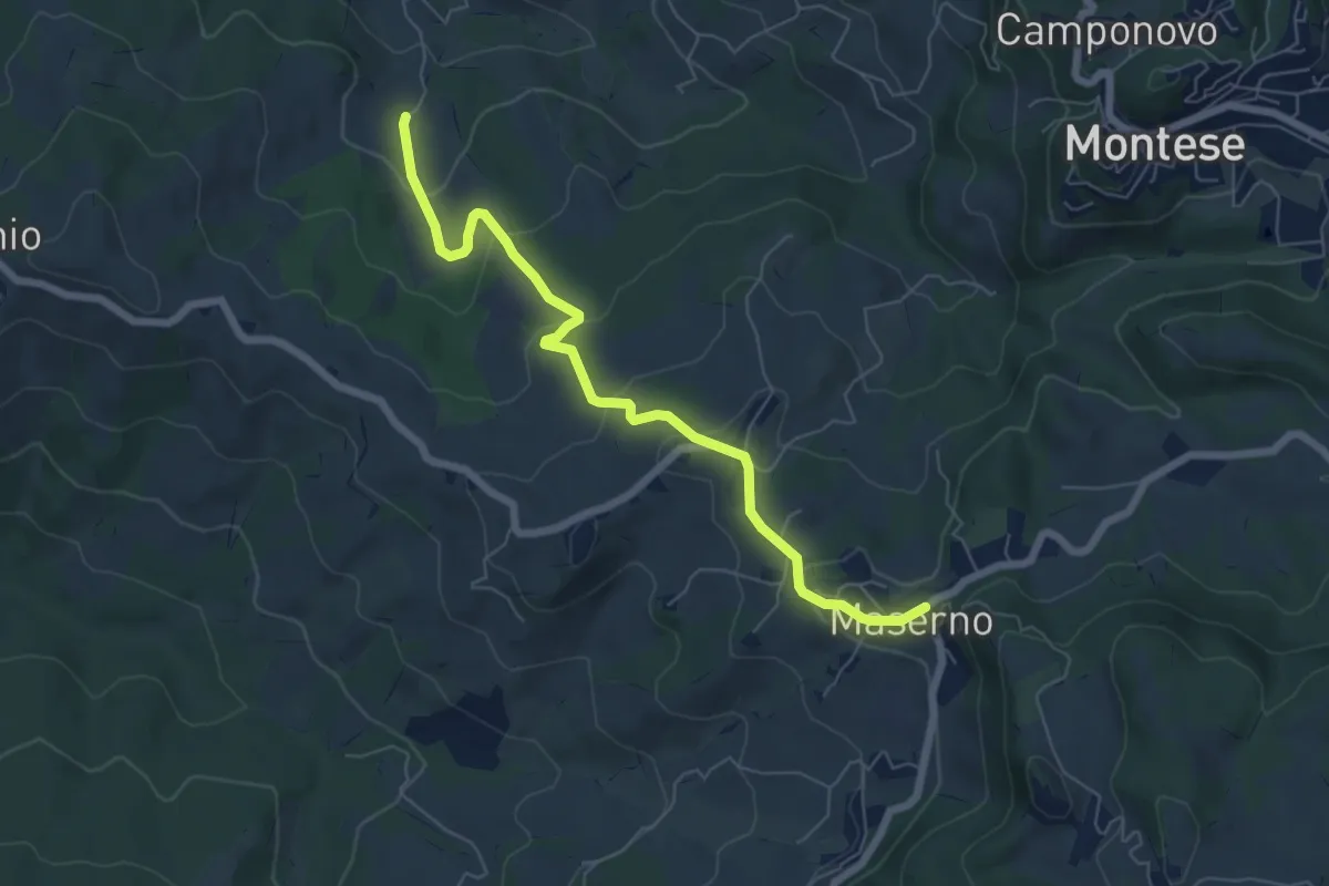
Easy · Trail
Via dei Montecuccoli – Maserno
6.9 km · ↑ 291 m · 2 h 15 min
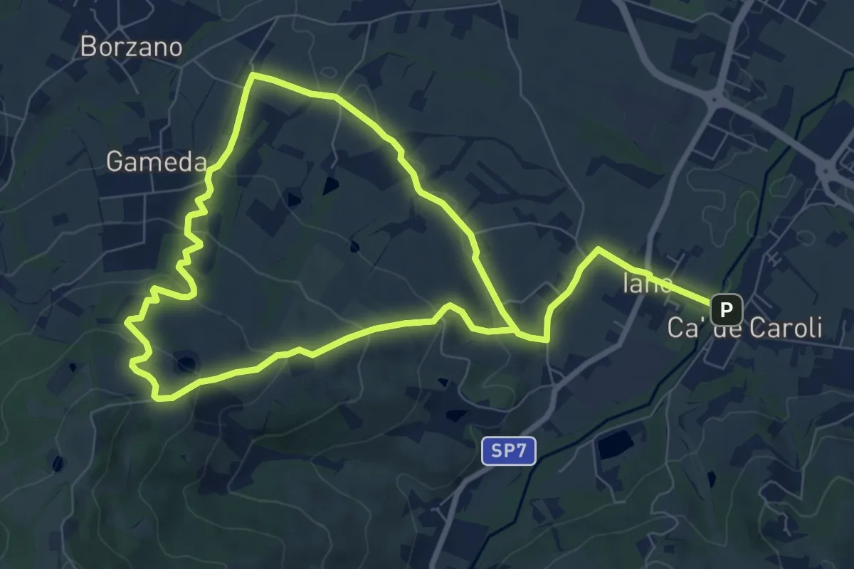
Easy · Trail
Cà de Caroli – Cà de Caroli
7.6 km · ↑ 275 m · 2 h 29 min
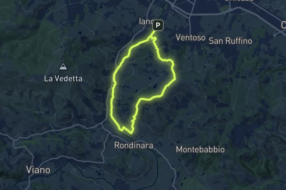
Medium · Summit
Ca' de Caroli – Ca' de Caroli
9.9 km · ↑ 296 m · 3 h 7 min
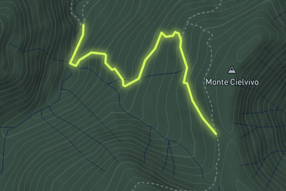
Medium · Trail
Pian della Zucca (percorso 113) – Monte Cielvivo (percorso 111)
3.5 km · ↑ 329 m · 1 h 32 min
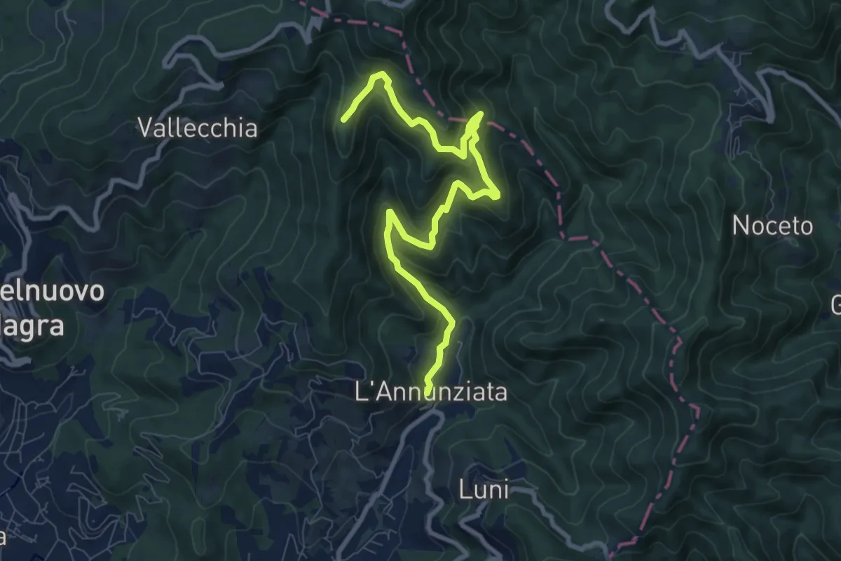
Medium · Trail
Percorso 364 - Località Annunziata – Percorso 304
9.3 km · ↑ 643 m · 3 h 36 min
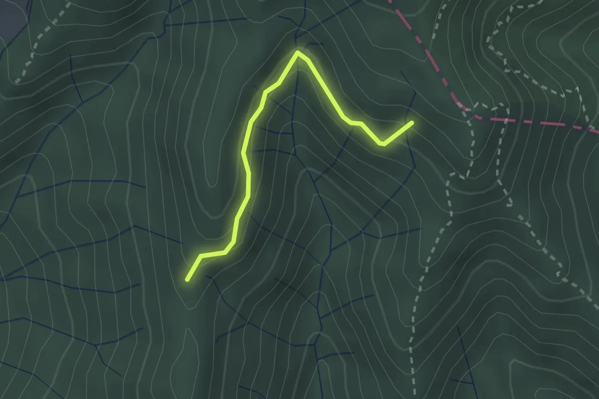
Easy · Trail
Percorso 373 – Percorso 304
2.2 km · ↑ 131 m · 48 min
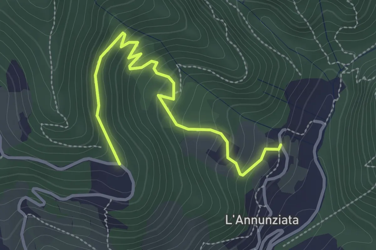
Easy · Trail
Percorso 373 – Percorso 304
3.2 km · ↑ 217 m · 1 h 14 min
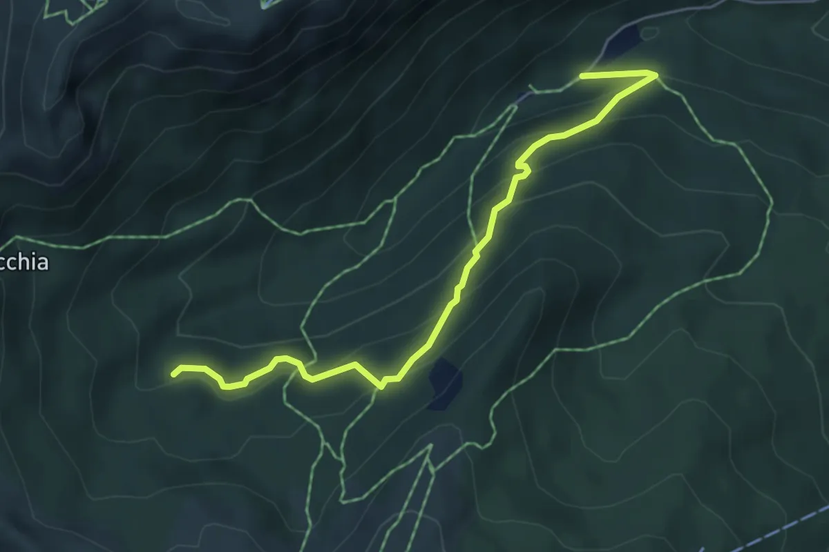
Medium · Trail
Orto Botanico – Sentiero 506
5.3 km · ↑ 417 m · 2 h 10 min
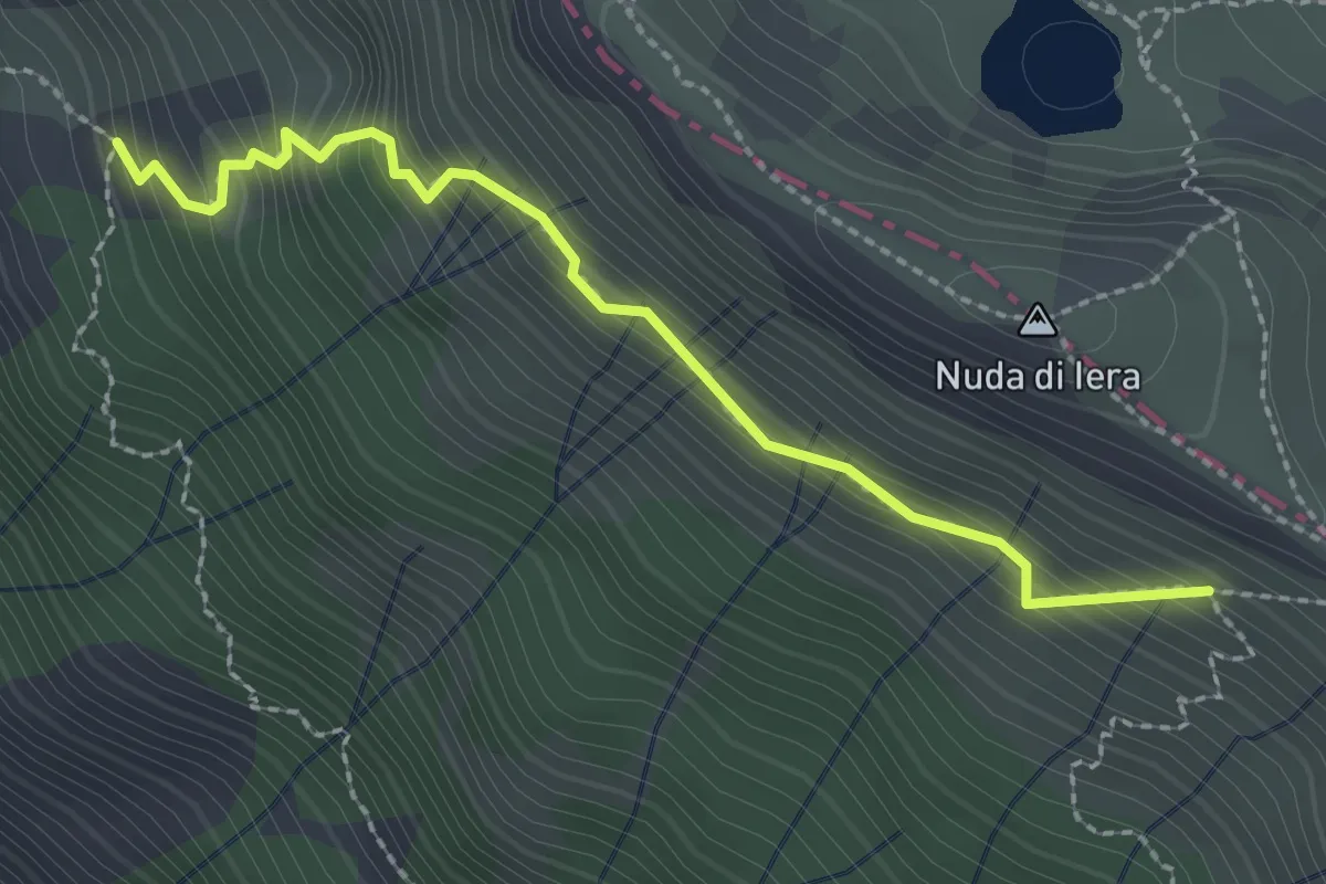
Medium · Trail
Capanne in Garbia – Passo Compione
2.5 km · ↑ 329 m · 1 h 18 min
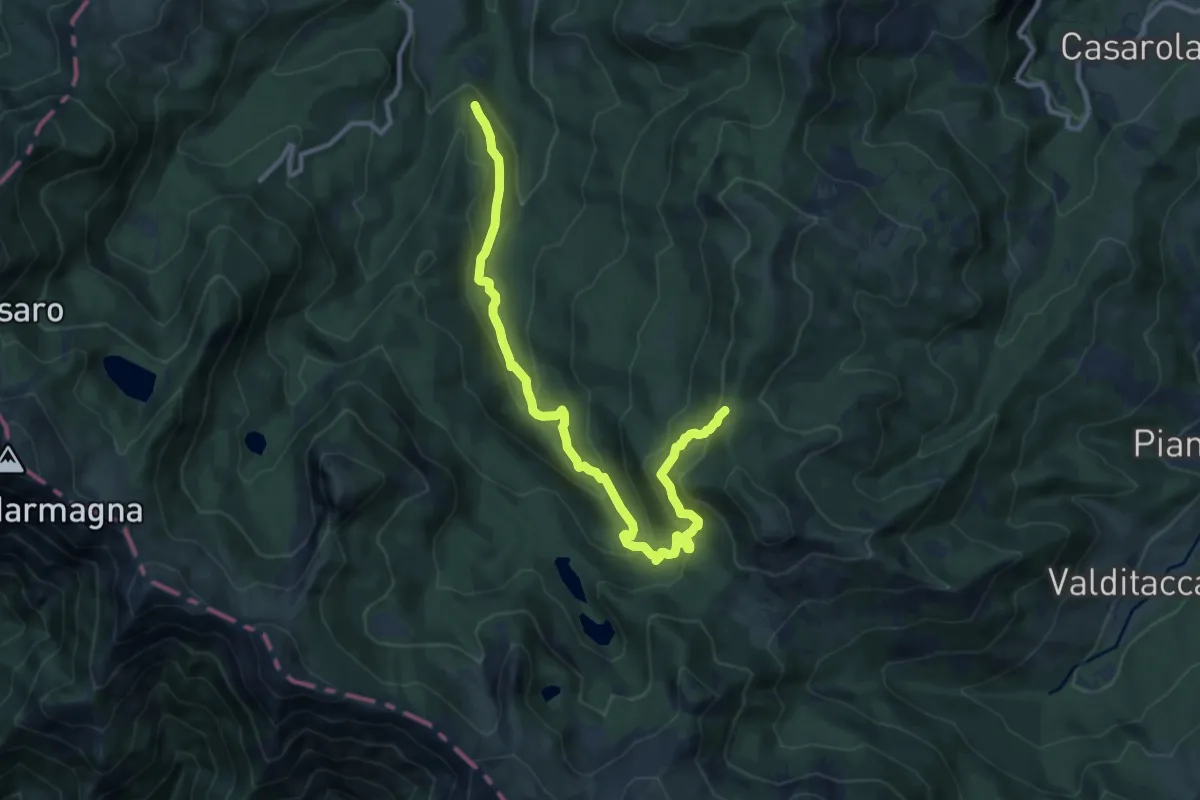
Medium · Trail
Bivio 721 – Pian del Freddo
12.3 km · ↑ 668 m · 4 h 21 min
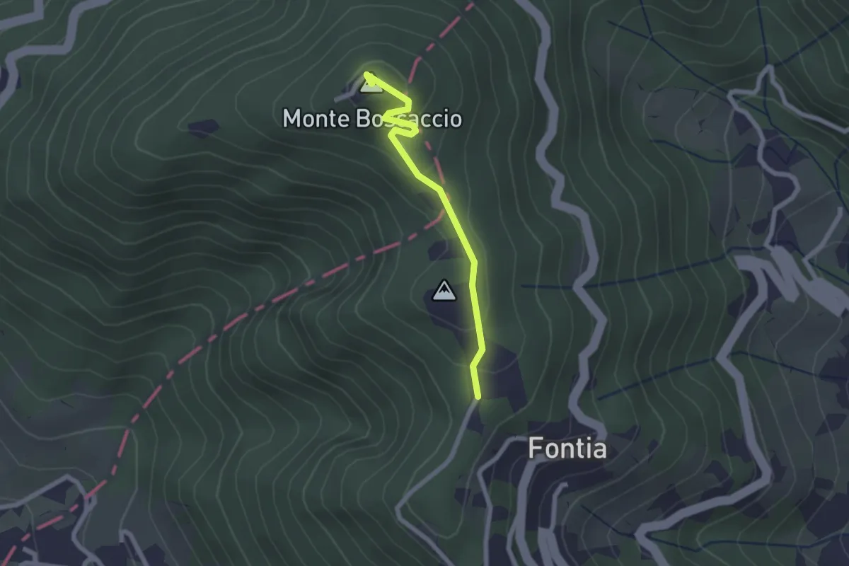
Easy · Summit
Percorso 370 – Percorso 368
2.0 km · ↑ 87 m · 39 min
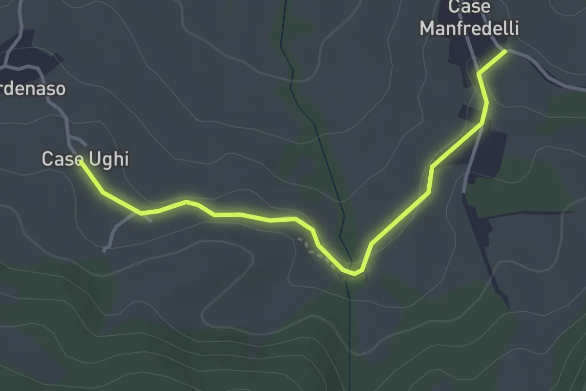
Easy · Trail
Case Ughi – Case Manferdelli
3.5 km · ↑ 37 m · 54 min
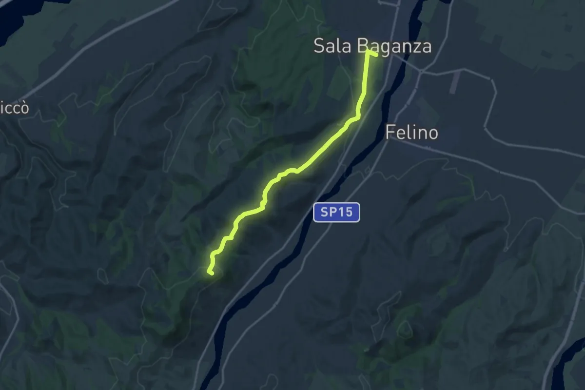
Medium · Summit
Sala Baganza – Monte Milano
14.1 km · ↑ 400 m · 4 h 12 min
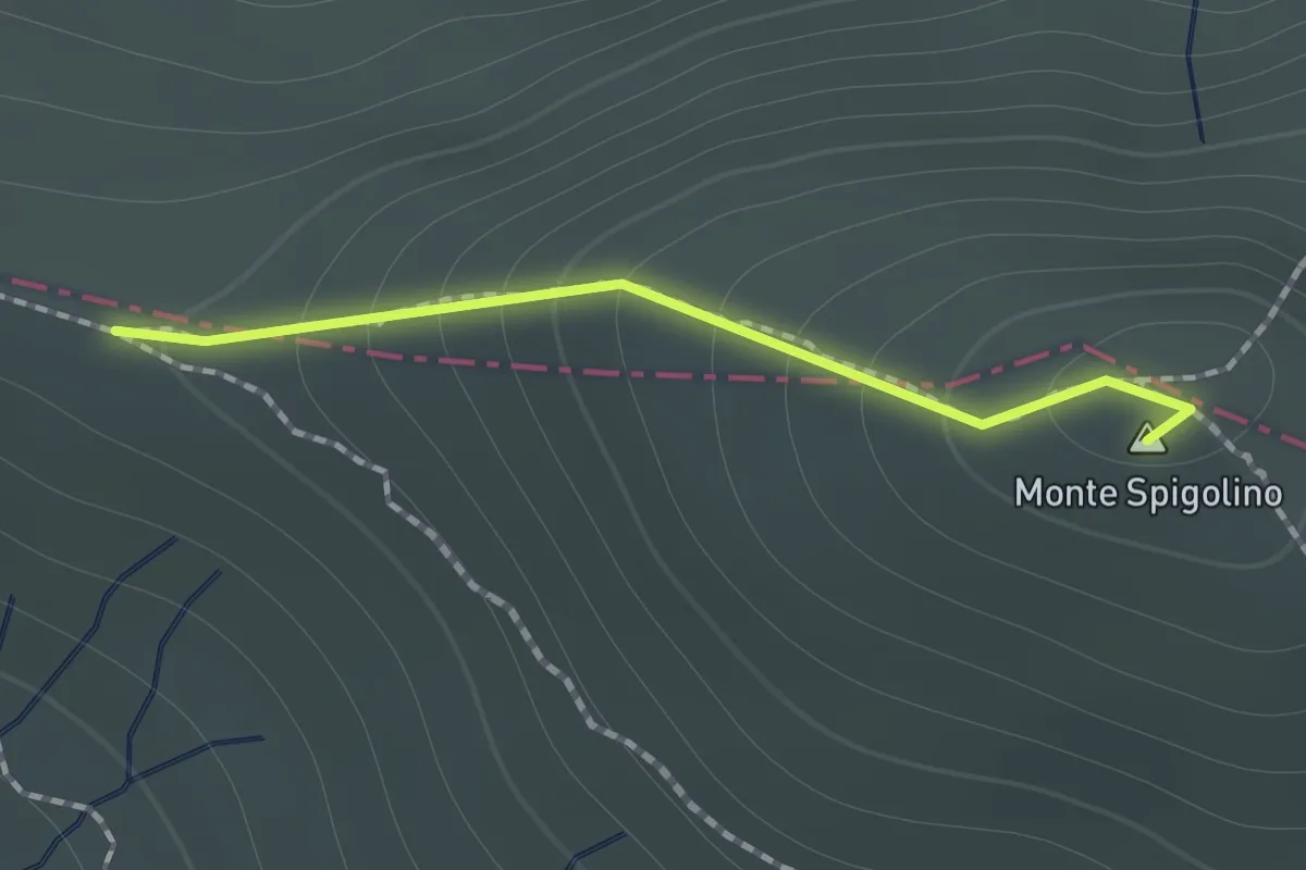
Medium · Summit
Passo della Calanca – Rifugio Manzani
1.0 km · ↑ 110 m · 28 min
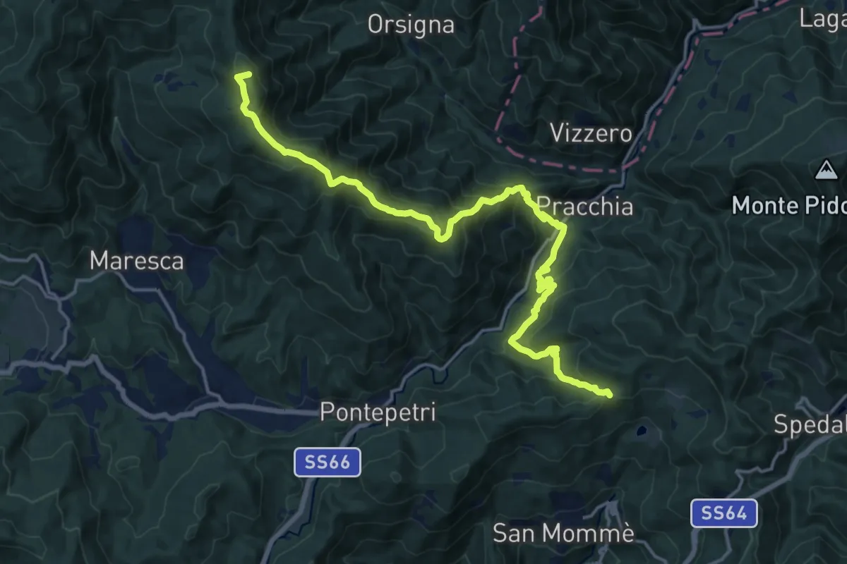
Demanding · Summit
Passo Piastreta – Rombiciaio
18.5 km · ↑ 1321 m · 7 h 13 min
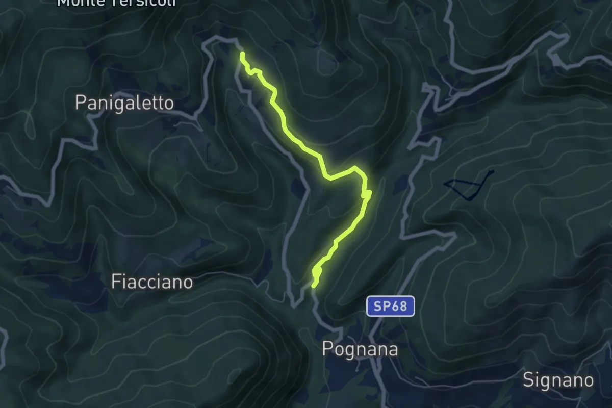
Easy · Trail
Rosara – Cotto
5.4 km · ↑ 222 m · 1 h 45 min
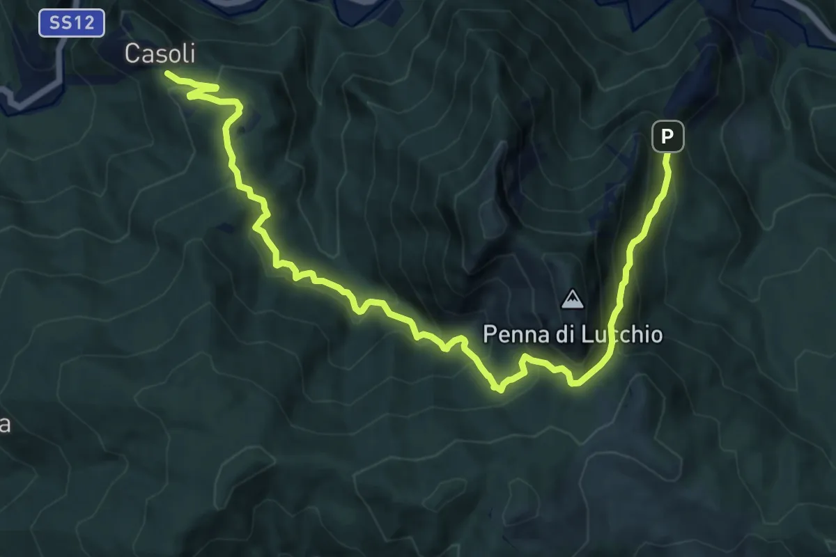
Demanding · Trail
Casoli – Lucchio
14.1 km · ↑ 1040 m · 5 h 35 min
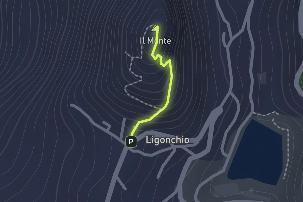
Easy · Summit
Ligonchio – Il Monte
1.0 km · ↑ 86 m · 26 min
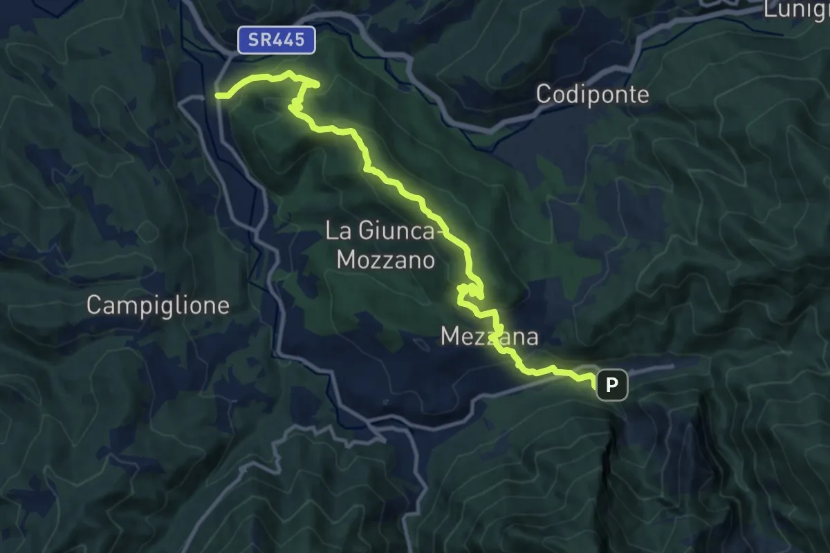
Medium · Trail
Gragnola – Equi Terme
13.7 km · ↑ 608 m · 4 h 33 min
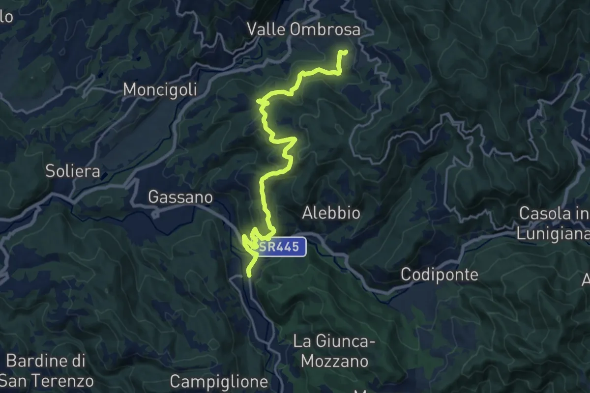
Medium · Trail
Colle Cerignano – Gragnola
15.8 km · ↑ 629 m · 5 h 6 min
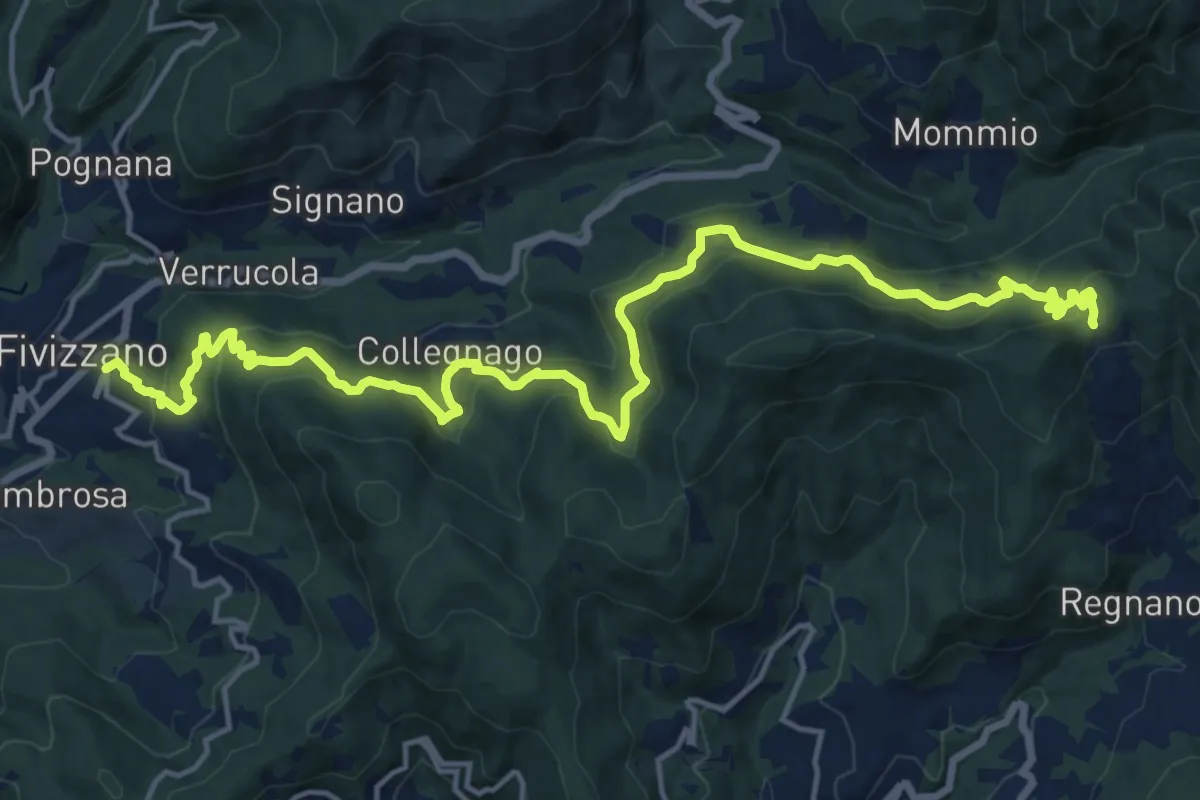
Demanding · Trail
Fivizzano – Passo Cadin
20.3 km · ↑ 1077 m · 7 h 8 min
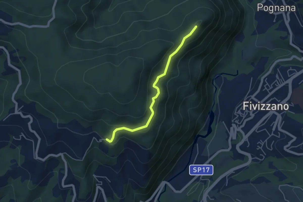
Easy · Trail
Virolo – Chiesina Tergagliana
4.0 km · ↑ 215 m · 1 h 25 min
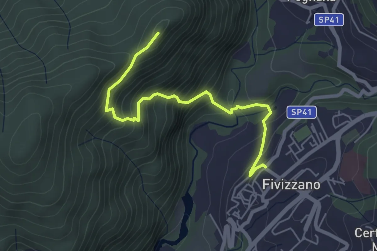
Medium · Trail
Fivizzano – Chiesina Tergagliana
5.0 km · ↑ 397 m · 2 h 2 min
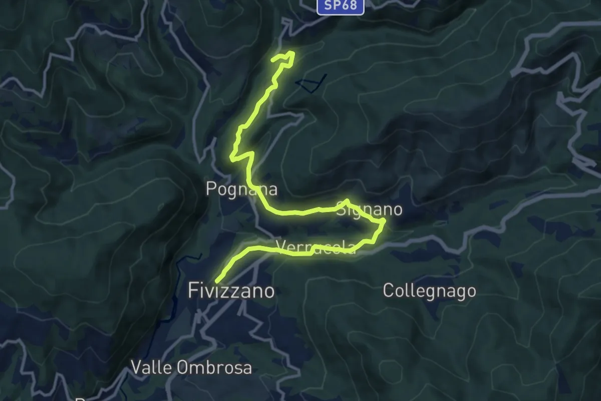
Medium · Trail
Fivizzano – Mulino Arlia
13.0 km · ↑ 454 m · 4 h 2 min
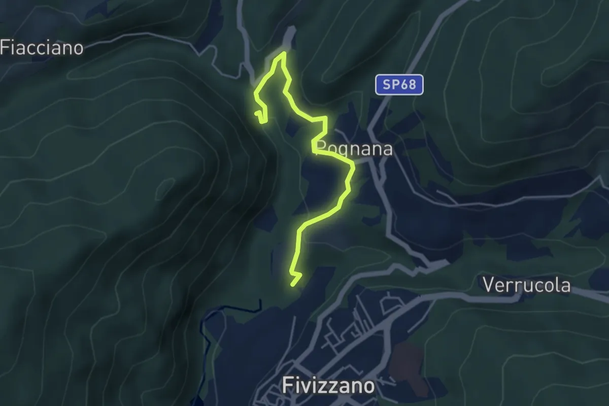
Easy · Trail
Fivizzano – Cascate delle fate
4.1 km · ↑ 131 m · 1 h 16 min
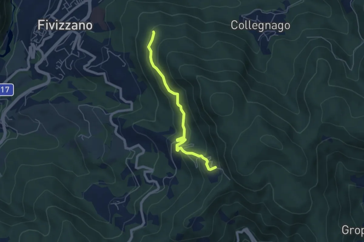
Easy · Trail
Fivizzano – Turlago
4.7 km · ↑ 263 m · 1 h 41 min
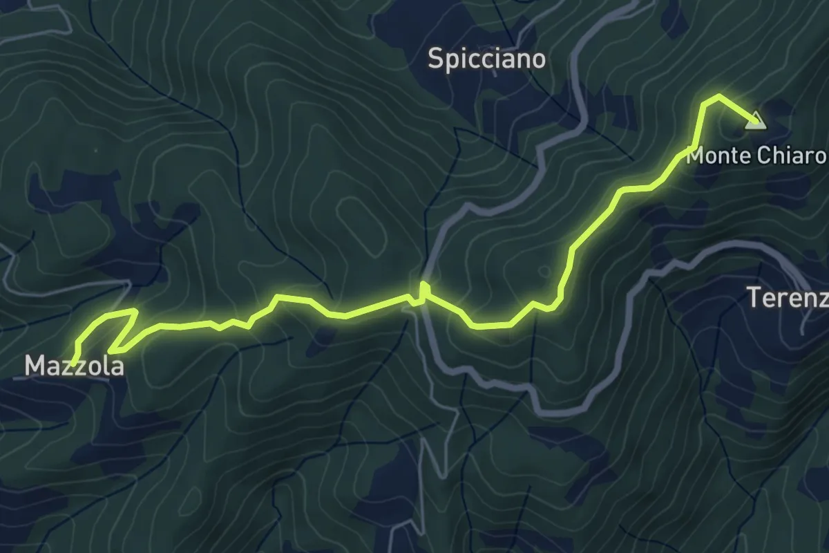
Easy · Summit
Mazzola – Turlago
6.6 km · ↑ 308 m · 2 h 13 min
Easy · Trail
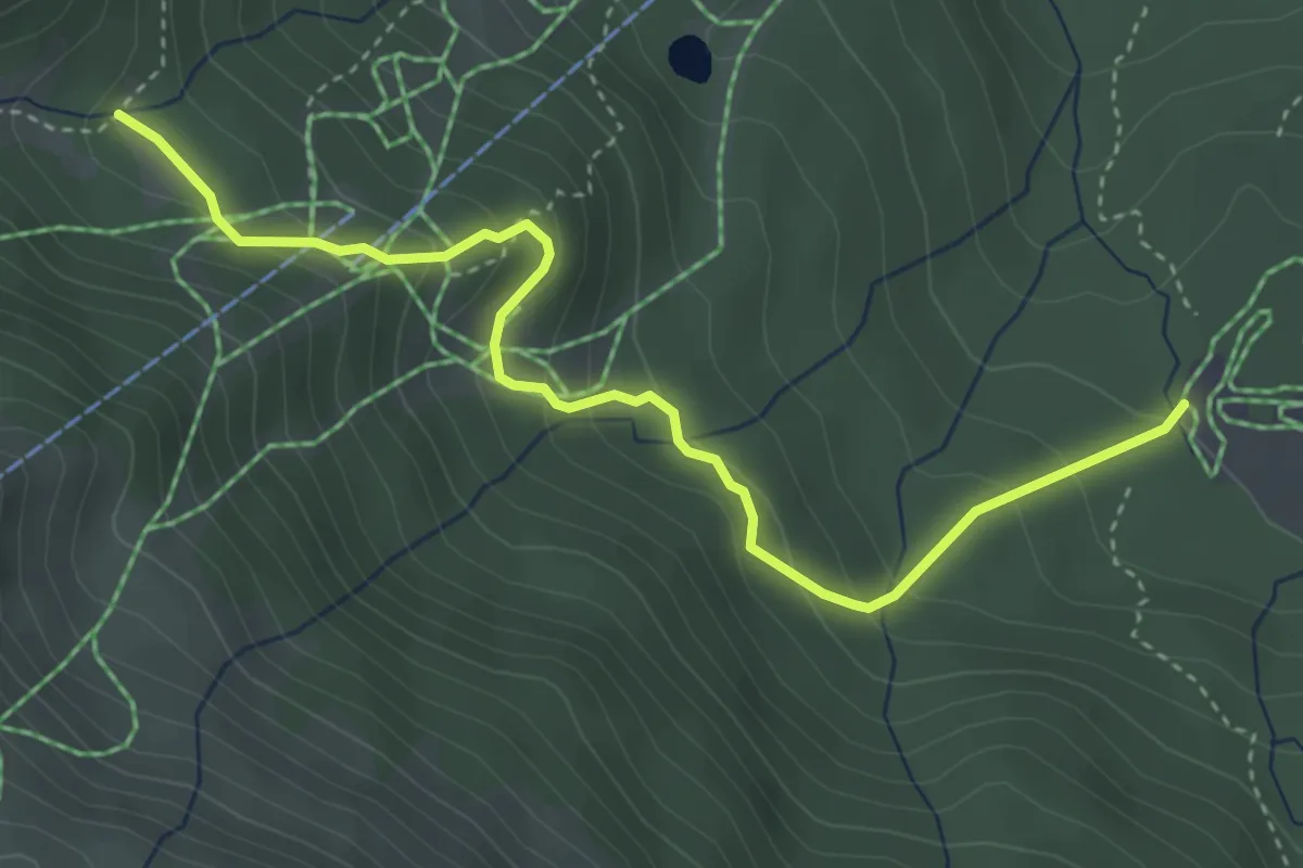
Pian Vallese – Percorso 617
4.3 km · ↑ 264 m · 1 h 36 min
Medium · Trail
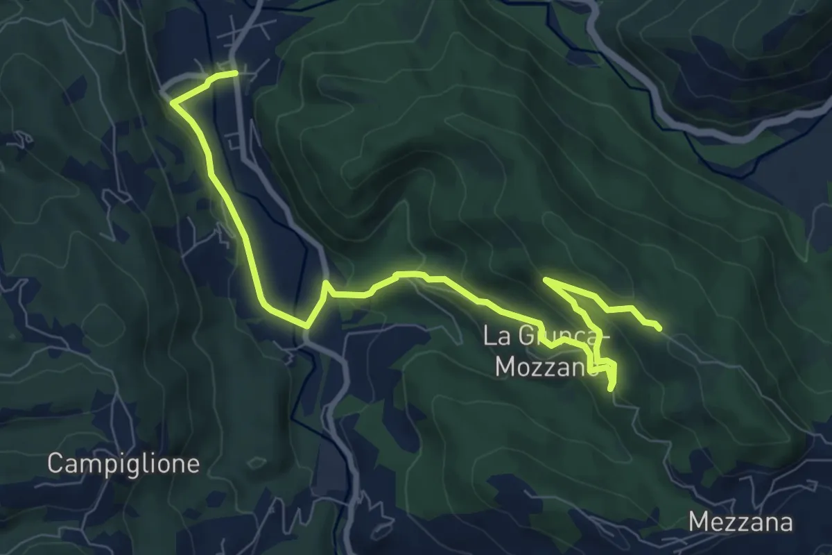
Gragnola – Fazzano
10.0 km · ↑ 381 m · 3 h 11 min
Medium · Trail
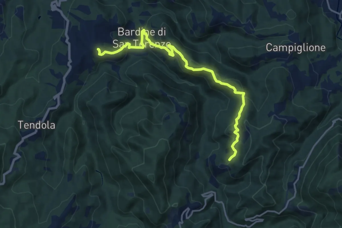
San Terenzo – Cecina
12.4 km · ↑ 595 m · 4 h 13 min
Demanding · Summit
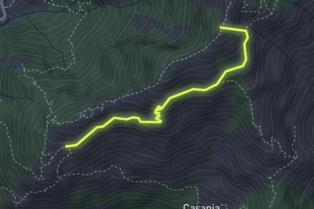
Pian dei Santi – Percorso 161
3.4 km · ↑ 356 m · 1 h 35 min