Trails in Italy
25,219 hiking trails, each with its route, climb, walking time and grade.
All trails, page 322 of 526
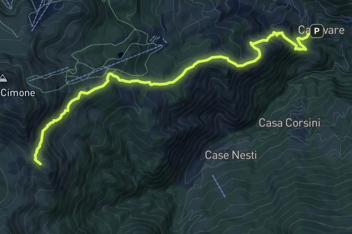
Demanding · Summit
Canevare – Monte la Piazza
13.6 km · ↑ 1071 m · 5 h 32 min
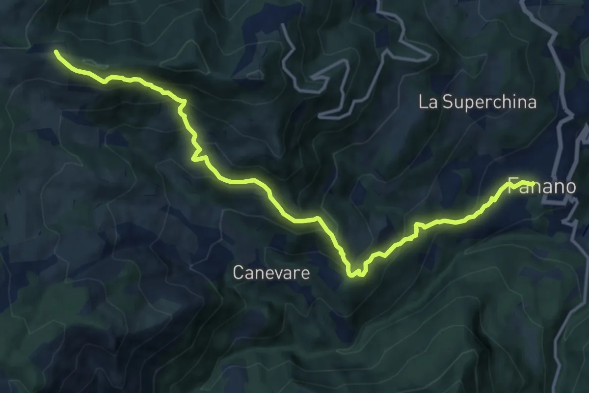
Demanding · Trail
Fanano – Passo Serre
12.8 km · ↑ 937 m · 5 h 4 min
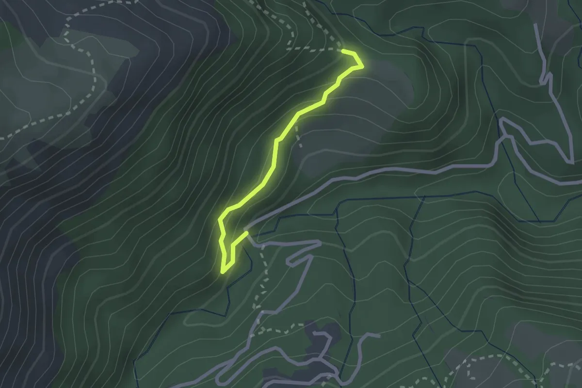
Easy · Trail
Percorso 439 – Strada di Fellicarolo
2.0 km · ↑ 150 m · 48 min
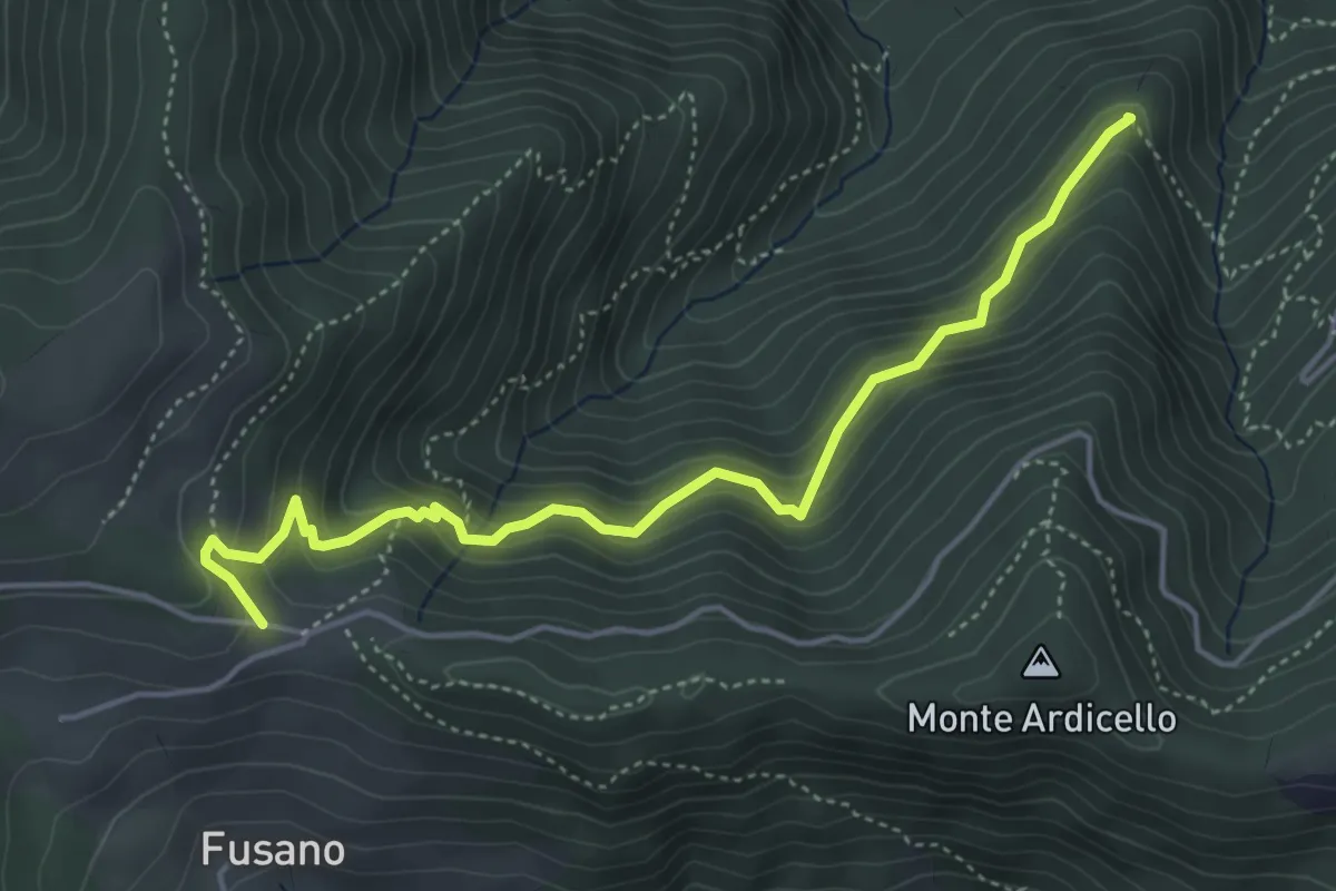
Medium · Summit
Sestola – Passo Serre
5.0 km · ↑ 486 m · 2 h 14 min
Medium · Trail
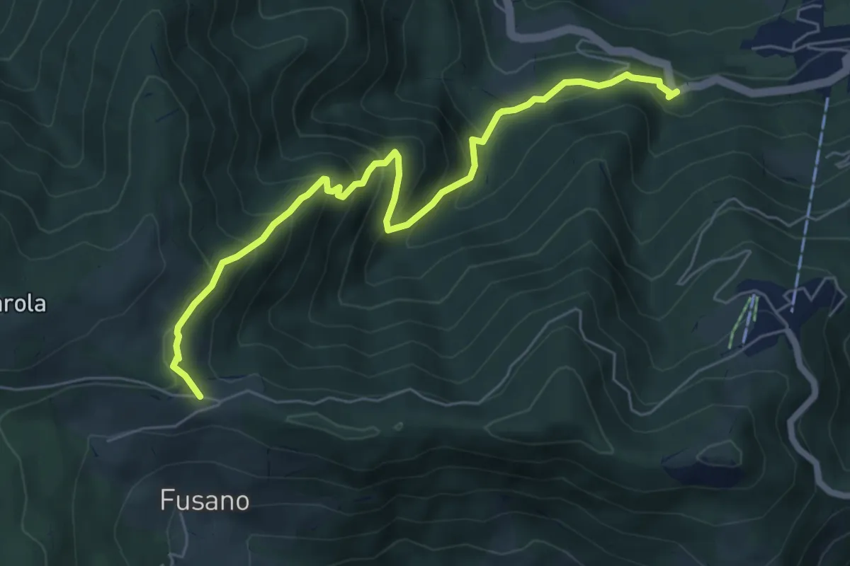
La Rasola – Passo Serre
6.7 km · ↑ 553 m · 2 h 47 min
Medium · Trail
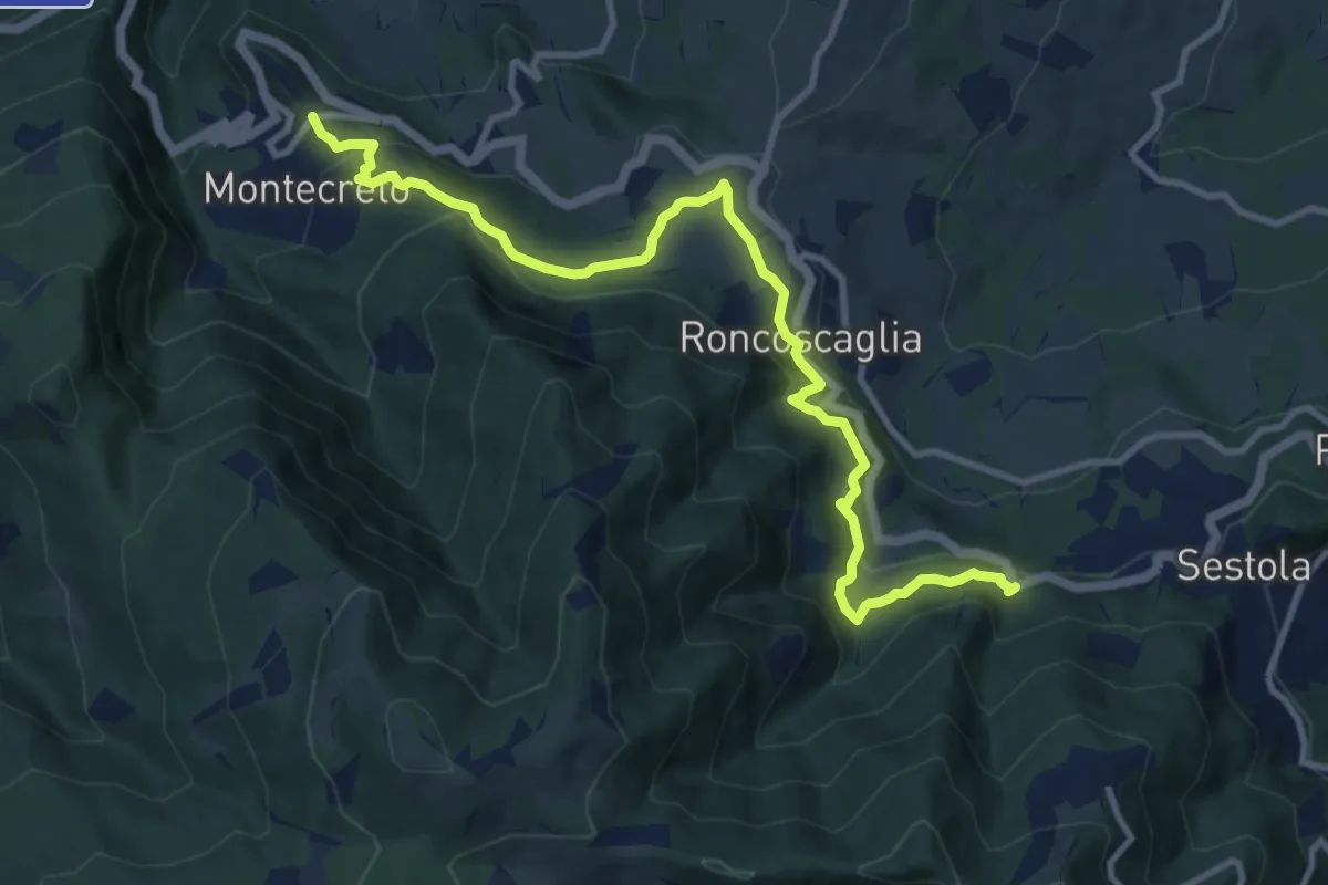
Montecreto – La Rasola
12.2 km · ↑ 539 m · 4 h 3 min
Medium · Trail
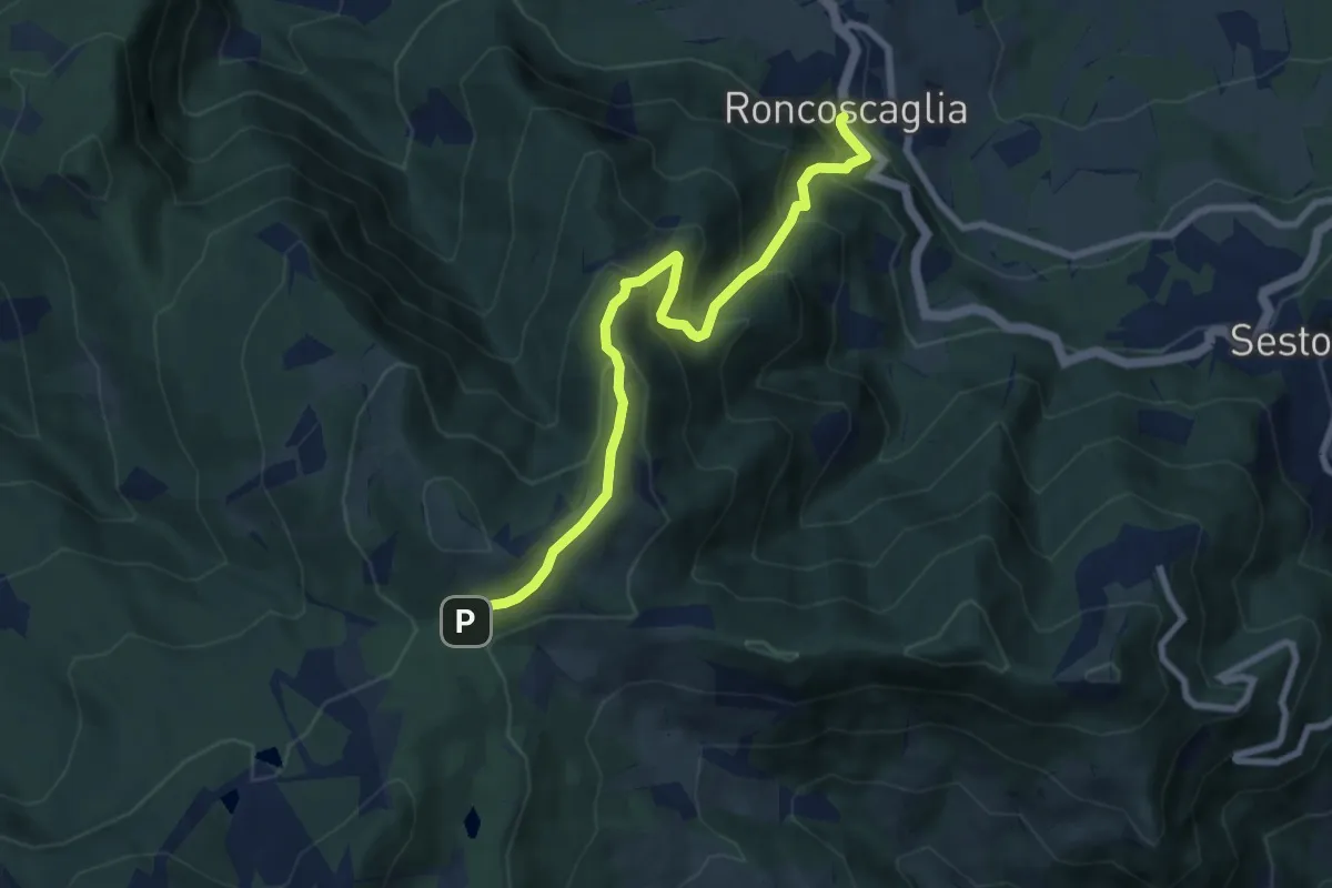
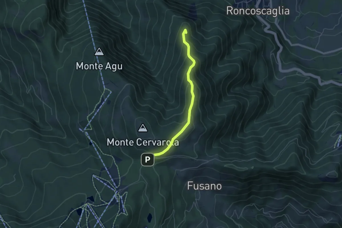
Roncoscaglia – Passo Serre
8.2 km · ↑ 771 m · 3 h 37 min
Easy · Summit
Montecreto – Strada Lago della Ninfa
5.0 km · ↑ 302 m · 1 h 50 min
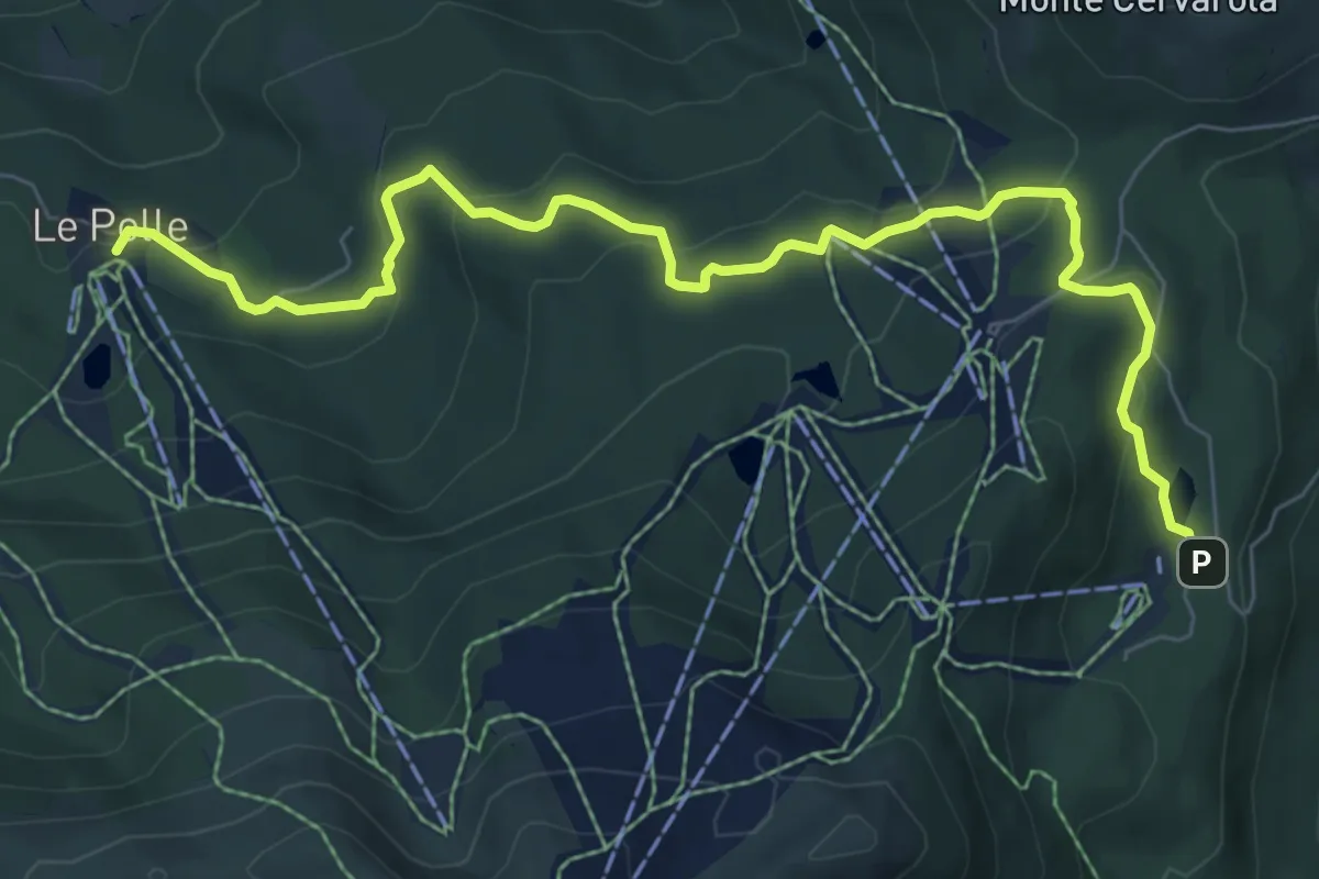
Medium · Trail
Rifugio Le Polle – Lago della Ninfa
8.8 km · ↑ 360 m · 2 h 51 min
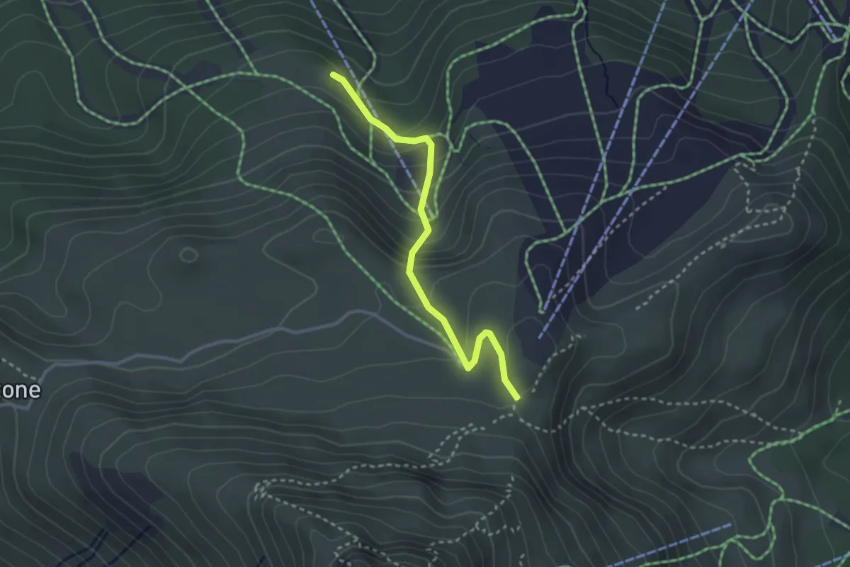
Easy · Trail
Percorso 477 – Pian Cavallaro
3.0 km · ↑ 236 m · 1 h 13 min
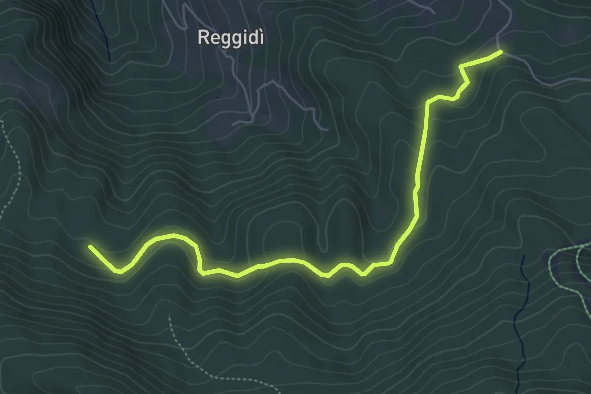
Easy · Trail
Strada delle Polle – Val d'Olanda
5.9 km · ↑ 237 m · 1 h 55 min
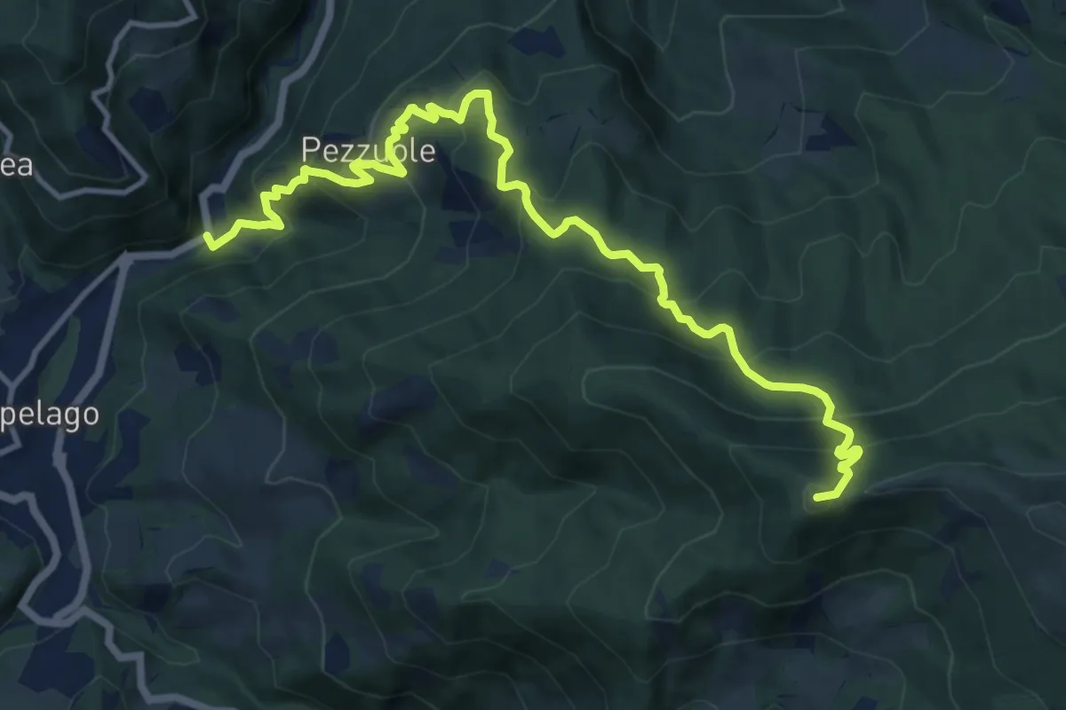
Demanding · Summit
Ponte Vecchio della Fola – Alpicella del Cimone
13.5 km · ↑ 1000 m · 5 h 22 min
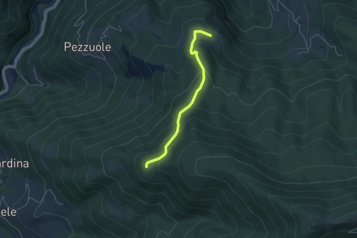
Easy · Trail
Le Vaglie – Il Ballone
3.8 km · ↑ 246 m · 1 h 26 min
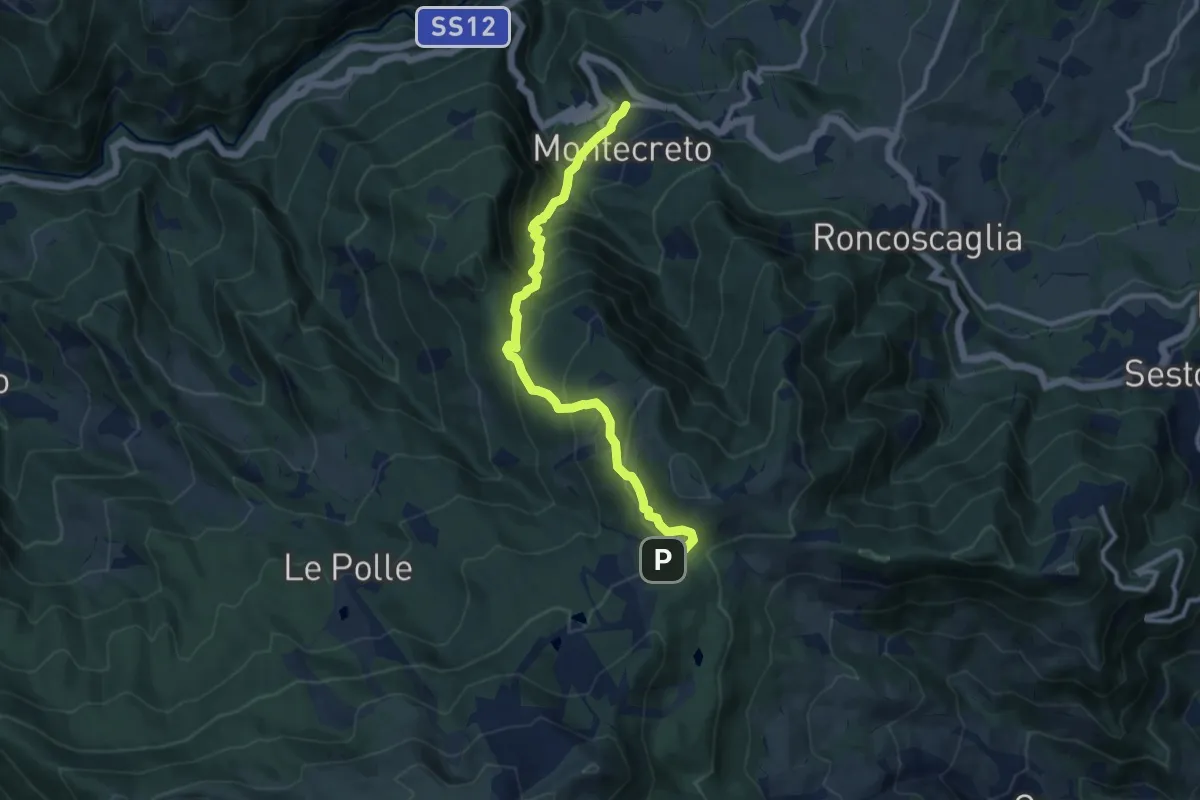
Medium · Trail
Montecreto – Giardino Esperia
10.4 km · ↑ 758 m · 4 h 6 min
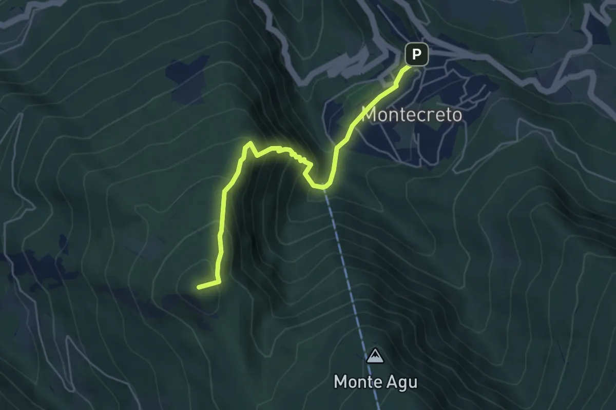
Demanding · Summit
Montecreto – Serra Golara
5.0 km · ↑ 500 m · 2 h 16 min
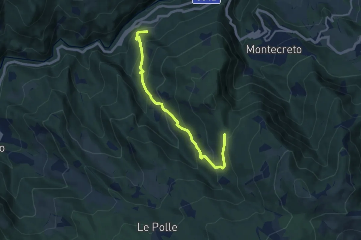
Medium · Trail
Magrignana – Serra Golara
8.5 km · ↑ 638 m · 3 h 24 min
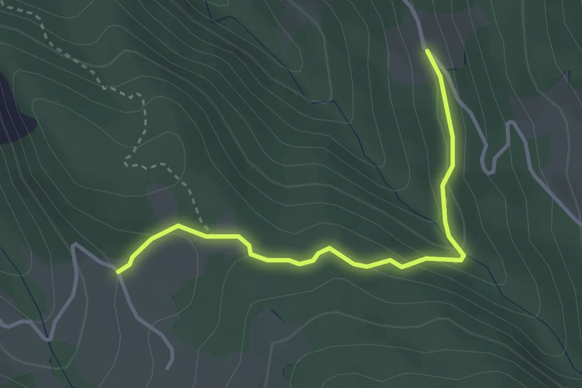
Easy · Trail
percorso 467 – fontana gelata
3.2 km · ↑ 140 m · 1 h 3 min
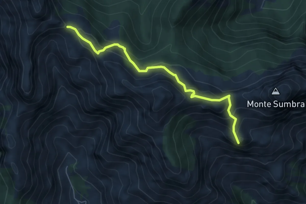
Demanding · Summit
Arni – Passo Sella
5.7 km · ↑ 476 m · 2 h 23 min
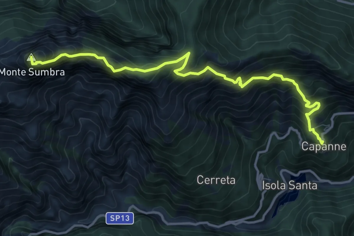
Demanding · Summit
Capanne di Careggine – Passo Fiocca
10.6 km · ↑ 1285 m · 5 h 17 min
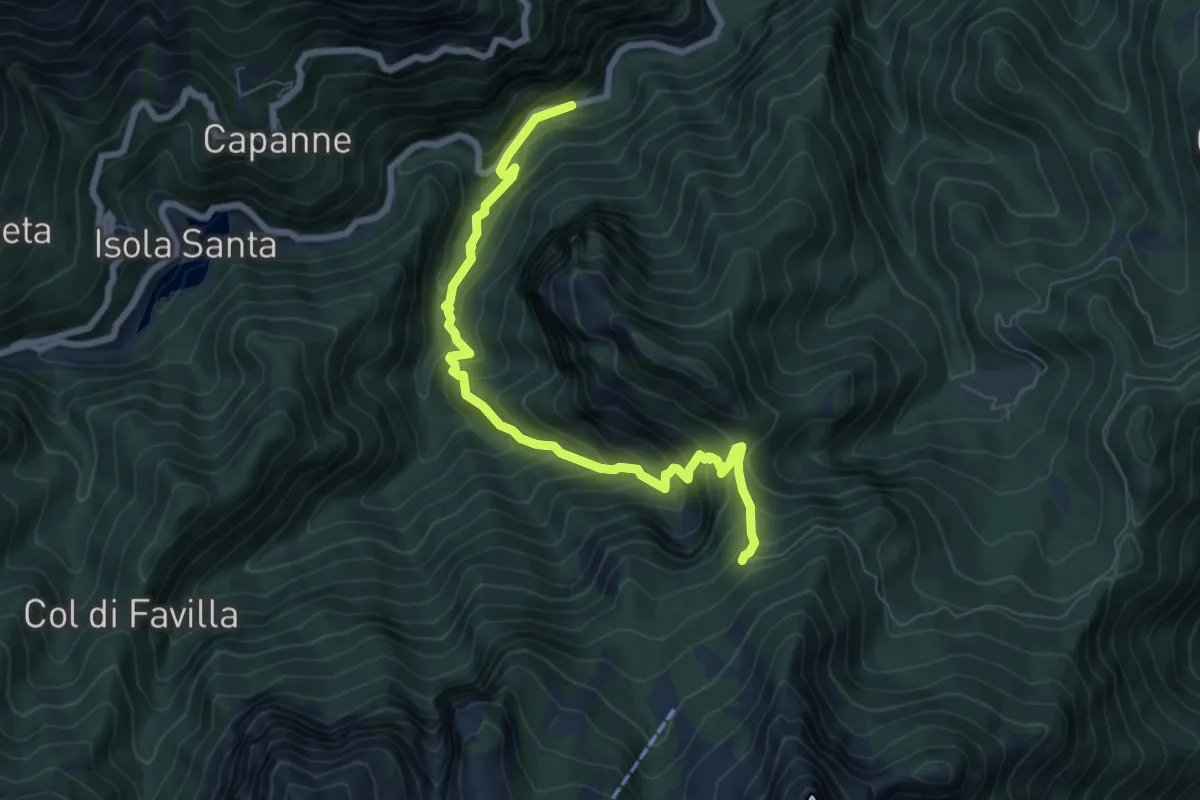
Medium · Trail
Pizzorno – Piglionico
7.9 km · ↑ 751 m · 3 h 29 min
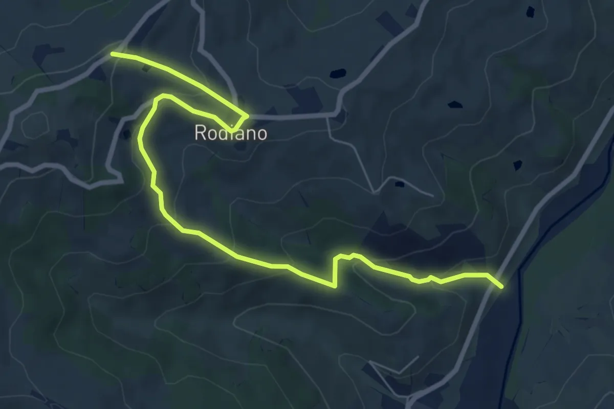
Medium · Trail
SP4 – Percorso 412
7.7 km · ↑ 400 m · 2 h 41 min
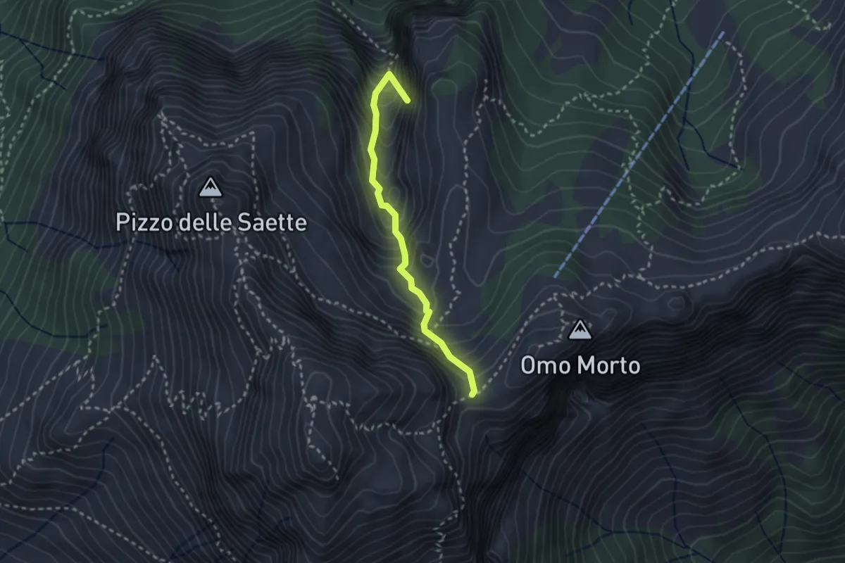
Demanding · Summit
Percorso 127 – Focetta del Puntone
2.5 km · ↑ 345 m · 1 h 20 min
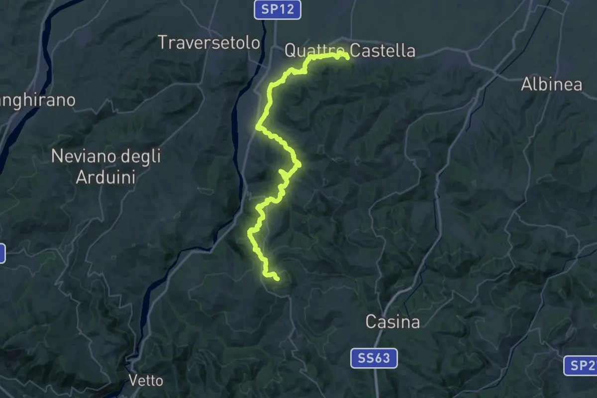
Demanding · Trail
Quattro Castella – Montale
22.1 km · ↑ 653 m · 6 h 47 min
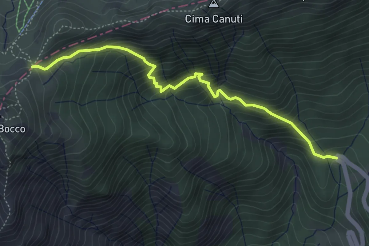
Medium · Trail
Lagastrello – Foce Banciola
5.0 km · ↑ 595 m · 2 h 28 min
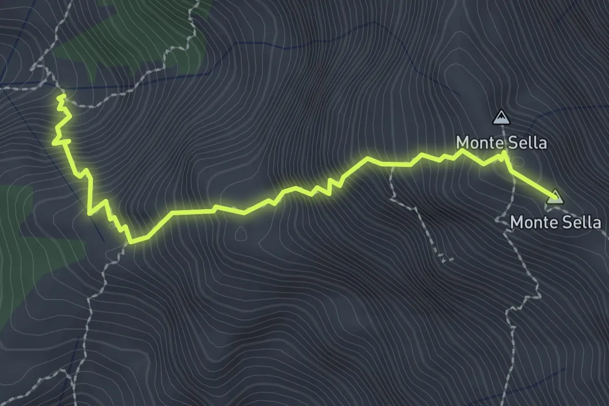
Demanding · Summit
Percorso 165 – Monte Sella
2.8 km · ↑ 558 m · 1 h 52 min
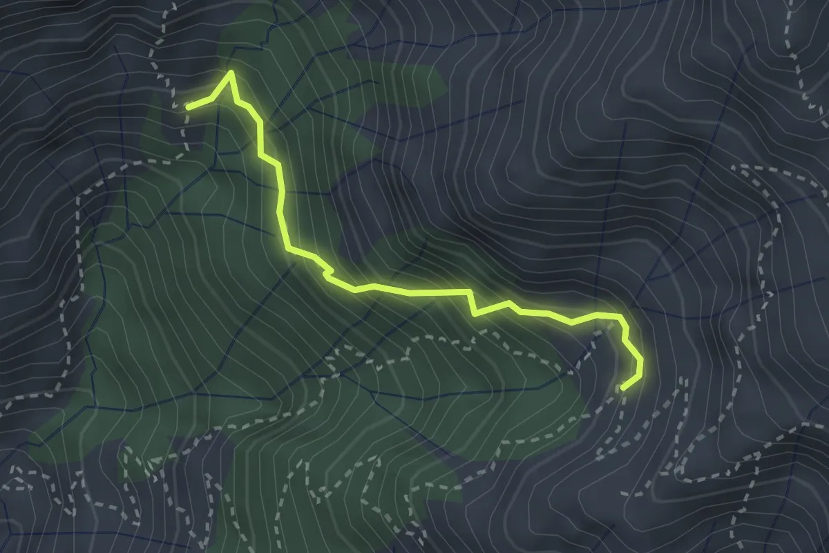
Demanding · Trail
Via Vandelli (Percorso 135) – Quota 1000 Canal Pianone
2.6 km · ↑ 389 m · 1 h 27 min
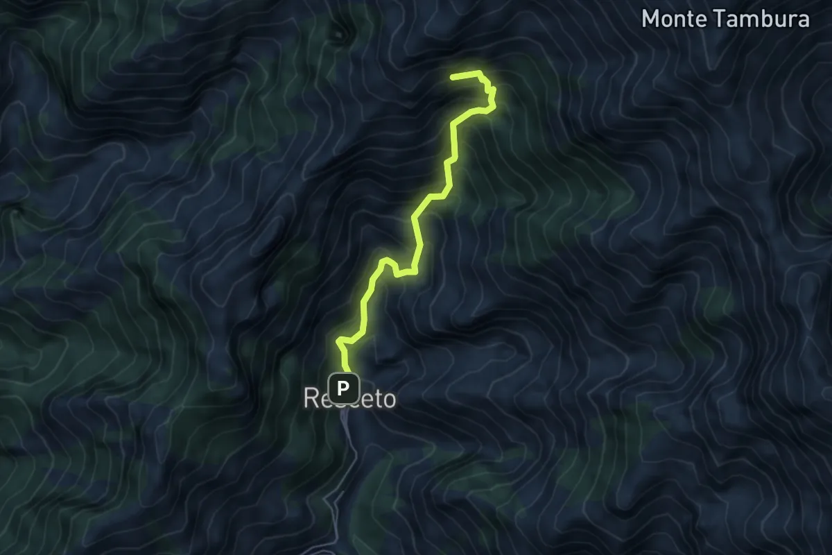
Demanding · Summit
Resceto – Sentiero CAI 162 ex 36
4.8 km · ↑ 701 m · 2 h 40 min
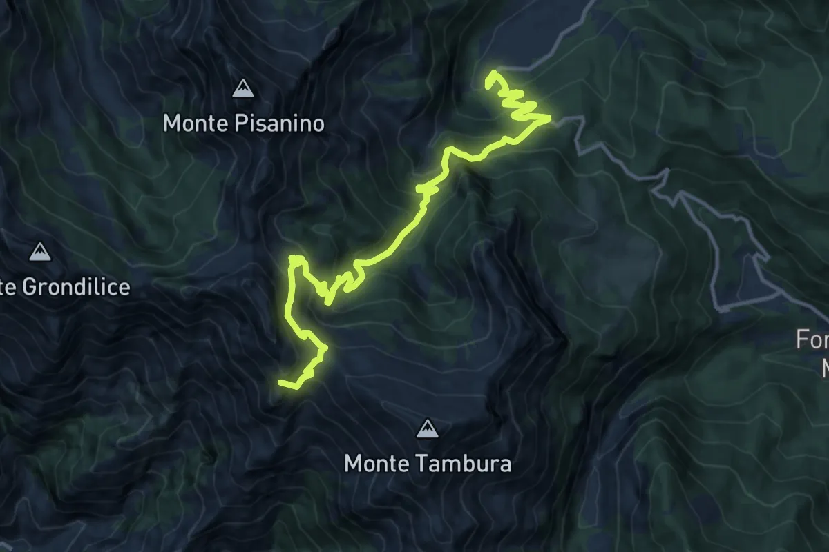
Demanding · Summit
Biforco – Gorfigliano
15.3 km · ↑ 1288 m · 6 h 24 min
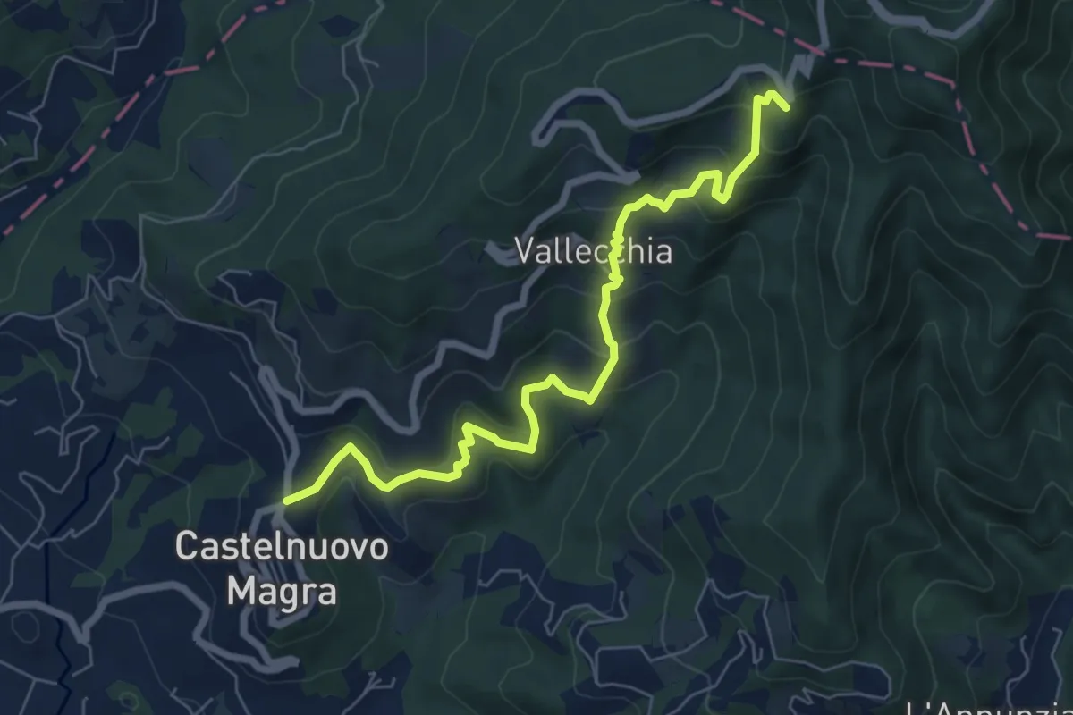
Medium · Trail
Castelnuovo Magra – Case Bertella
7.3 km · ↑ 567 m · 2 h 57 min
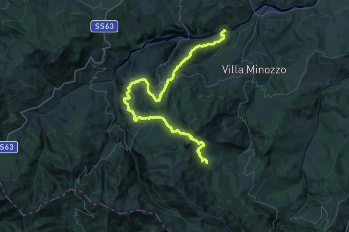
Demanding · Trail
Fonti di Poiano – Peschiera Zamboni
24.9 km · ↑ 1653 m · 9 h 26 min
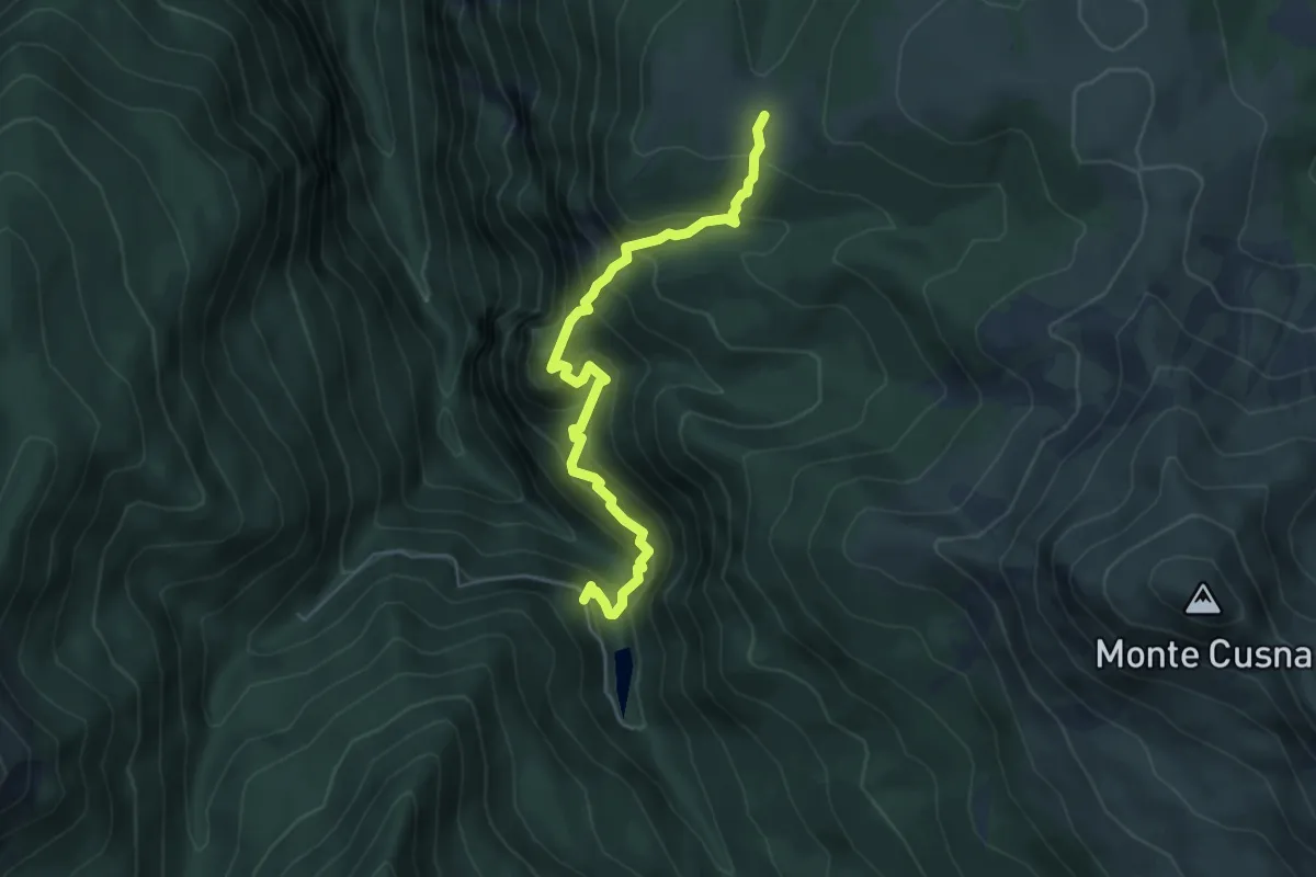
Medium · Trail
Presa Alta – Prati di Sara
5.7 km · ↑ 603 m · 2 h 39 min
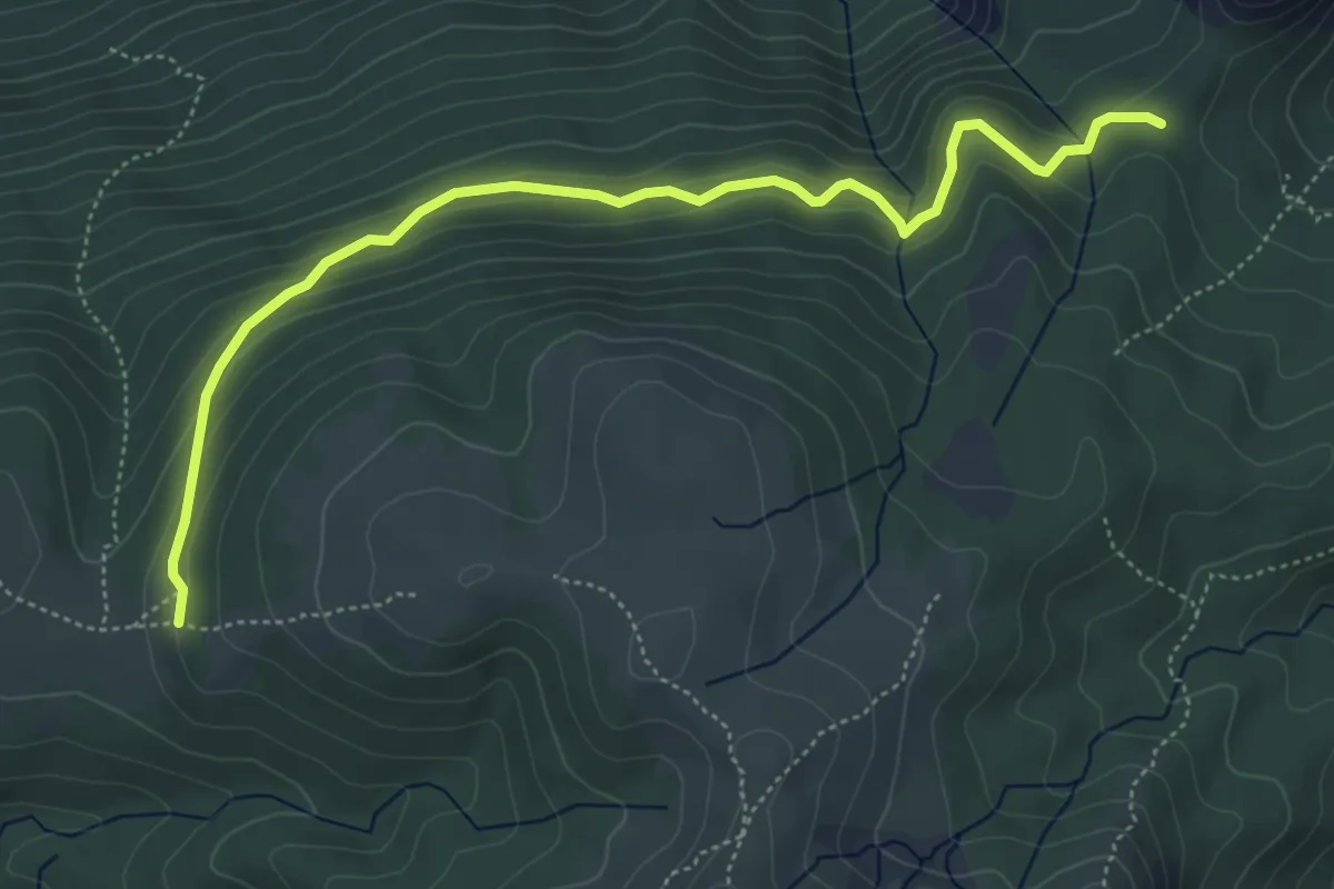
Demanding · Trail
Passo della Cisa – Prati di Sara
5.8 km · ↑ 257 m · 1 h 56 min
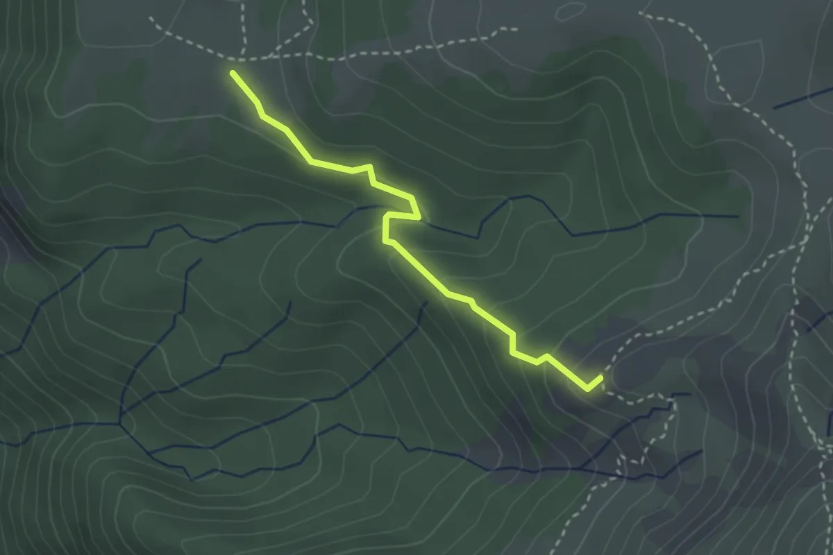
Easy · Trail
Prati di Sara – Percorso 623
2.8 km · ↑ 165 m · 1 h 1 min
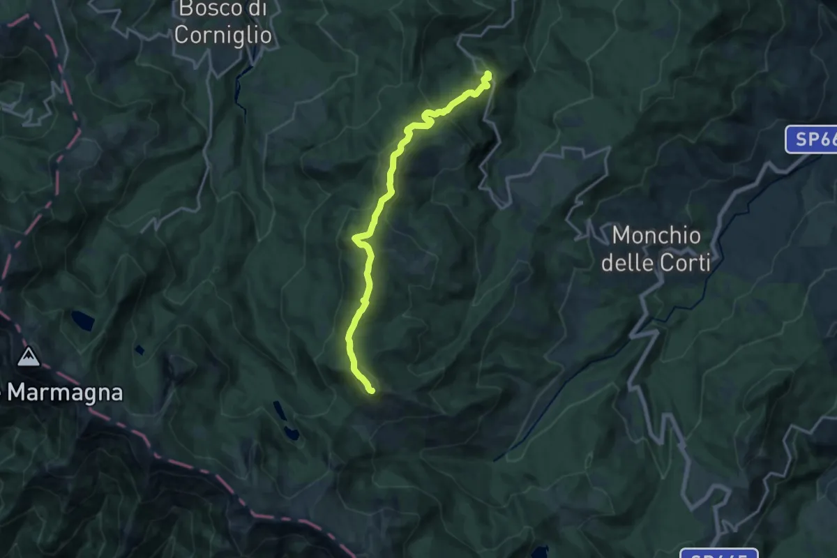
Demanding · Summit
Grammatica – Percorso 737
14.5 km · ↑ 850 m · 5 h 16 min
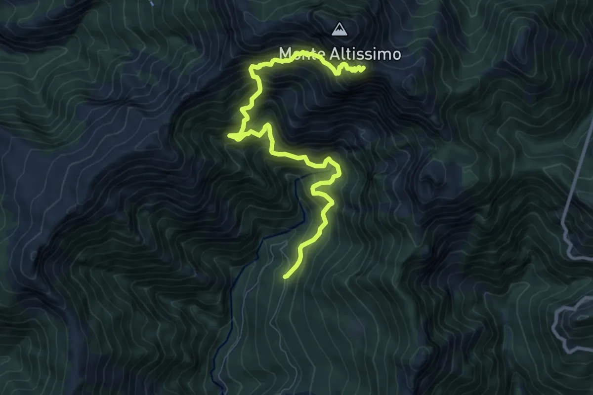
Demanding · Trail
Azzano (Cancello Cava Henreux) – Foce dell'Onda (Monte Altissimo)
9.6 km · ↑ 1647 m · 5 h 50 min
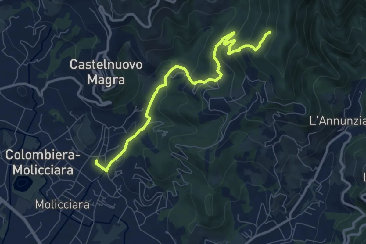
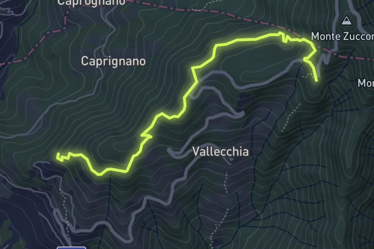
Medium · Trail
Molino del Piano – Vallecchia
7.9 km · ↑ 389 m · 2 h 43 min
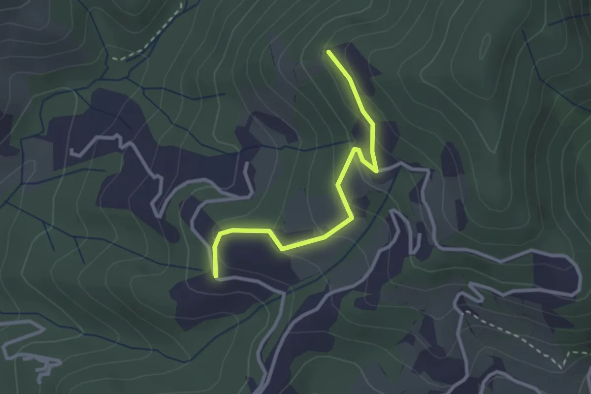
Medium · Trail
Monte Doglio – Case Bertella
6.4 km · ↑ 351 m · 2 h 17 min
Easy · Trail
Santa Rosa (Percorso 308) – Orbagnano di Sopra
2.5 km · ↑ 130 m · 52 min
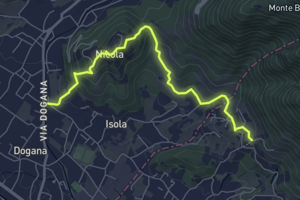
Easy · Trail
Isola – Fossola
6.3 km · ↑ 287 m · 2 h 6 min
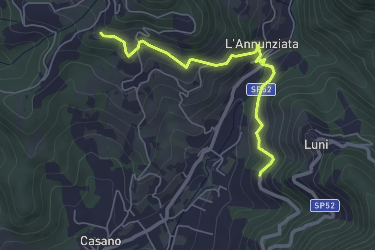
Easy · Trail
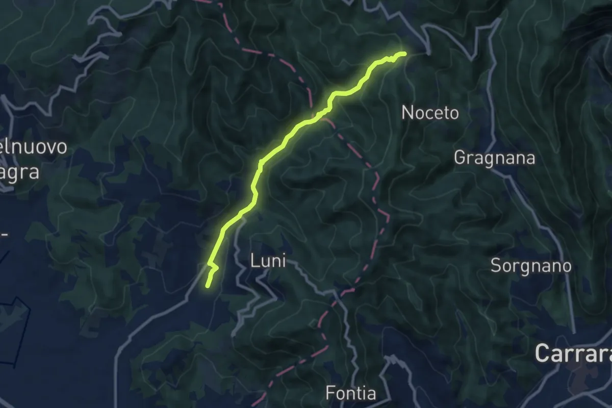
Santa Maria – Noceto
4.7 km · ↑ 307 m · 1 h 46 min
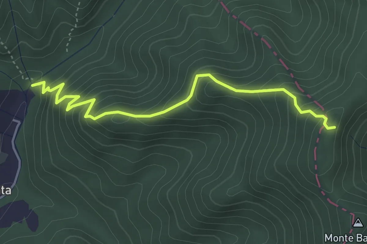
Medium · Trail
Casano – Castelpoggio
7.9 km · ↑ 422 m · 2 h 47 min
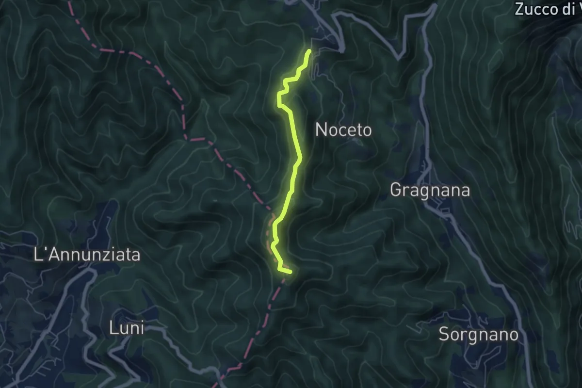
Medium · Trail
Molino del Lucco – Volpiglione
4.1 km · ↑ 419 m · 1 h 53 min
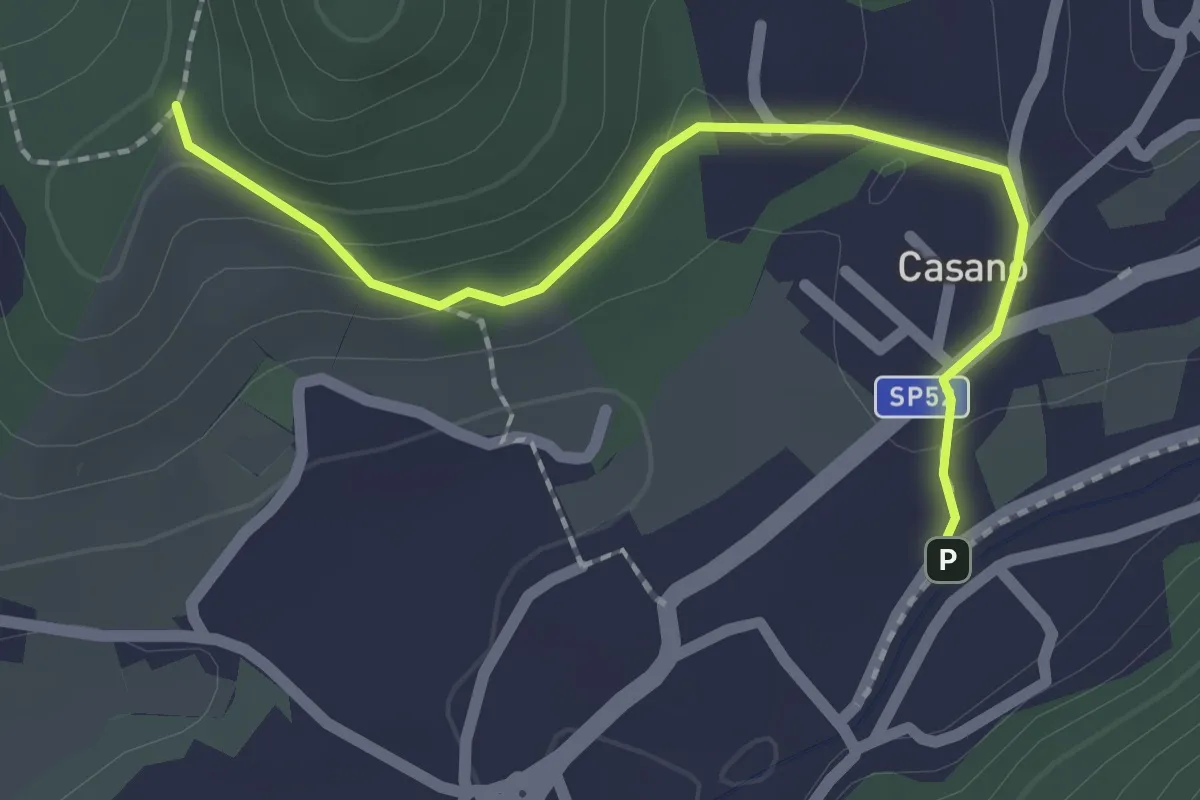
Easy · Summit
Ortonovo – Castelpoggio
4.5 km · ↑ 206 m · 1 h 30 min
Easy · Trail
Serravalle – Monte dei Frati
2.2 km · ↑ 63 m · 40 min
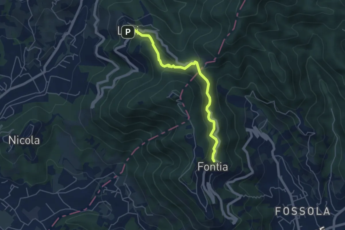
Easy · Trail
Ortonovo – Percorso 362
4.6 km · ↑ 238 m · 1 h 37 min
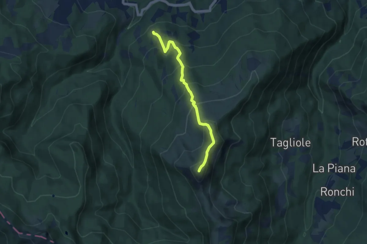
Medium · Summit
Vaccareccie – Passo Boccaia
7.1 km · ↑ 673 m · 3 h 8 min
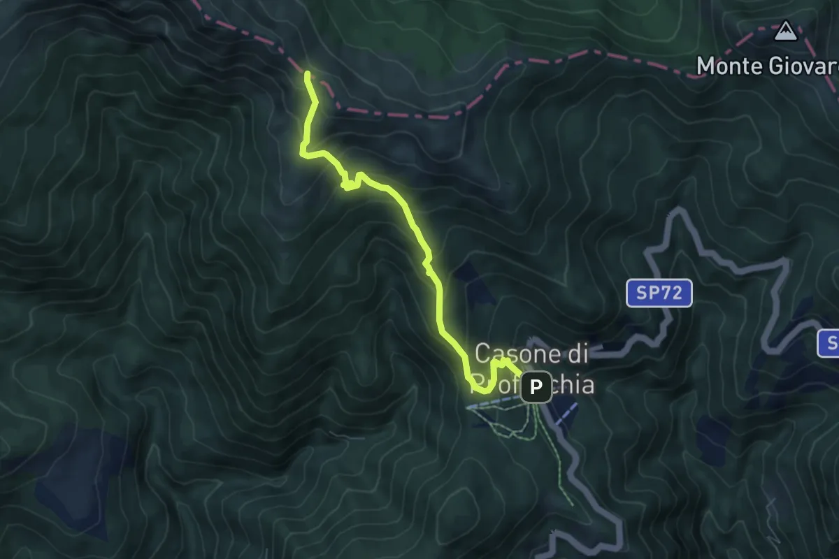
Medium · Trail
Casone di Profecchia – Bocca di Massa
6.8 km · ↑ 486 m · 2 h 40 min
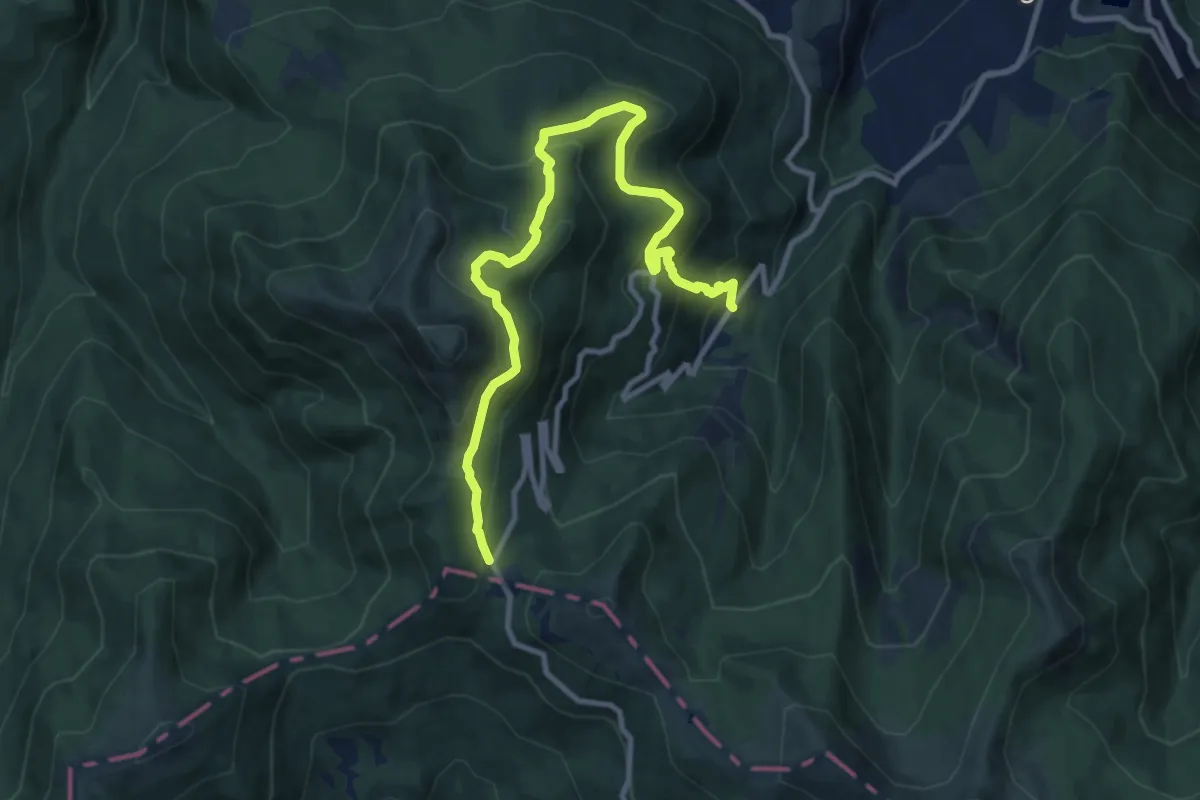
Medium · Trail
Ospitaletto – Passo di Pradarena
11.7 km · ↑ 692 m · 4 h 15 min