Trails in Italy
25,219 hiking trails, each with its route, climb, walking time and grade.
All trails, page 323 of 526
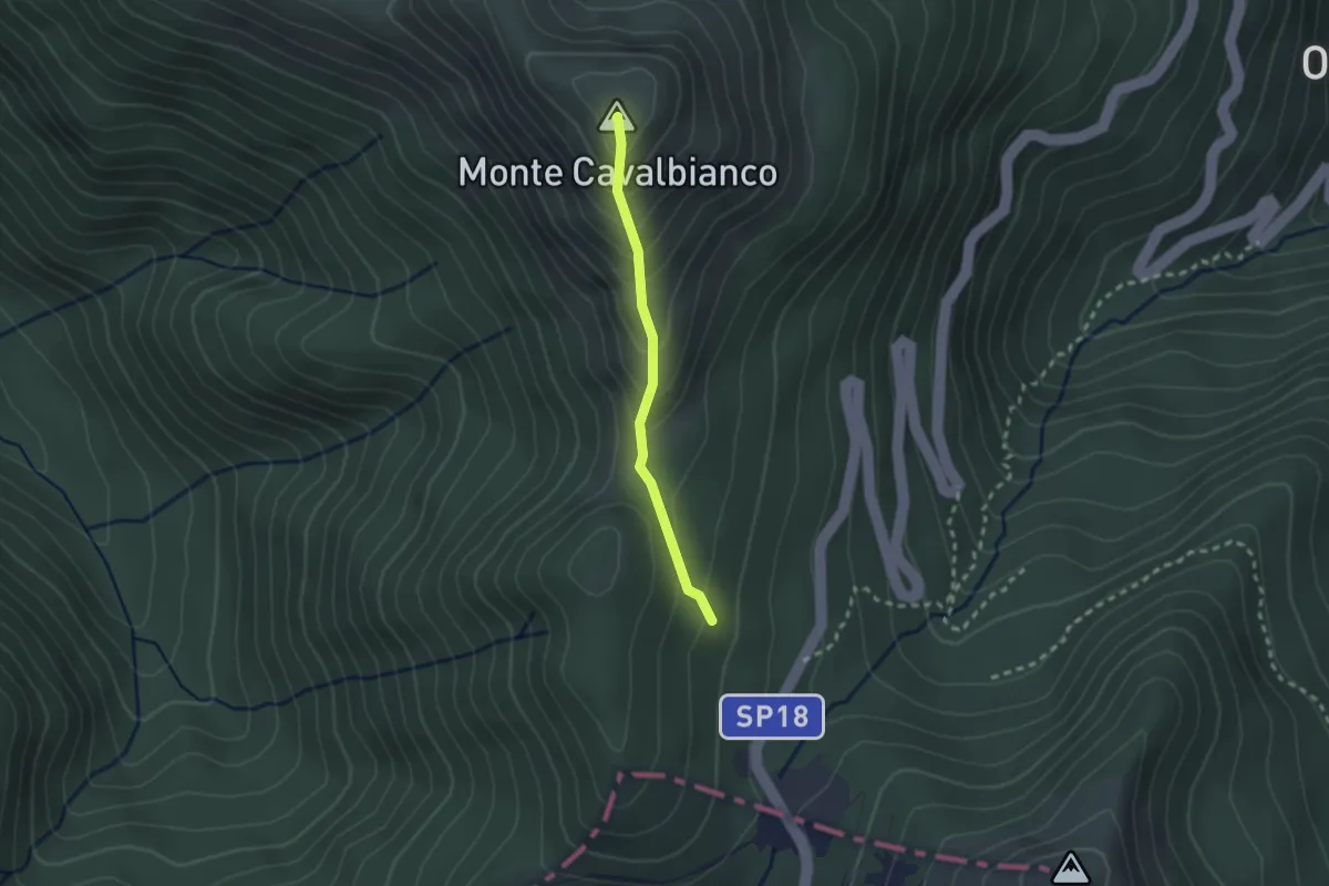
Easy · Summit
Percorso 643 – Monte Cavalbianco
2.1 km · ↑ 226 m · 59 min
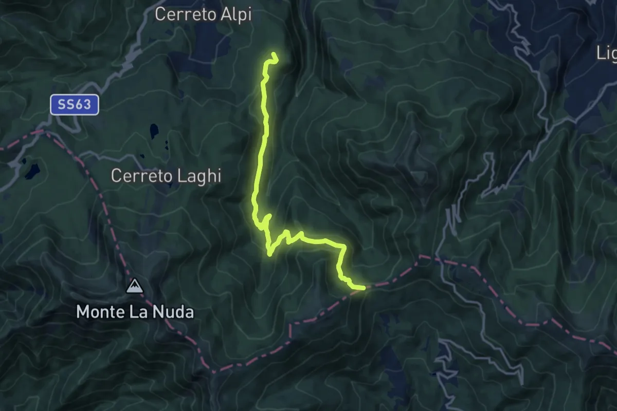
Medium · Summit
Cerreto Alpi – Passo di Cavorsella
13.7 km · ↑ 558 m · 4 h 27 min
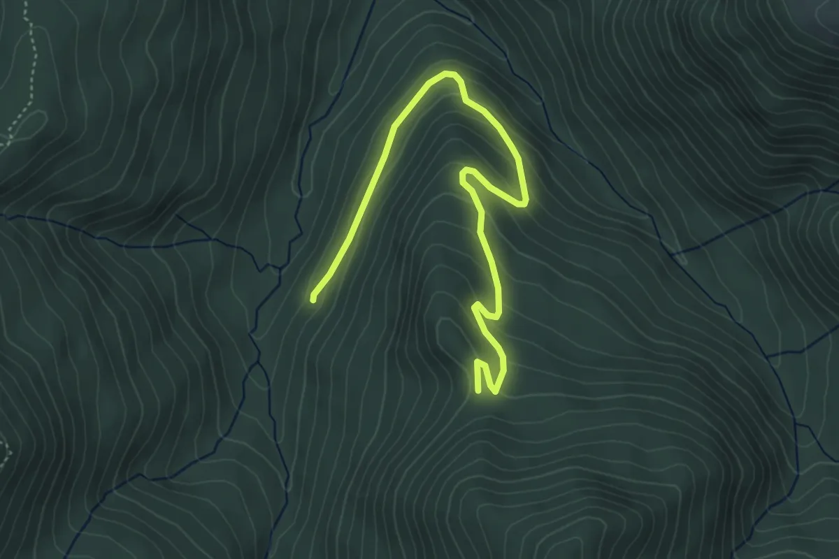
Easy · Trail
Percorso 647 – Passo del Lupo
5.4 km · ↑ 281 m · 1 h 54 min
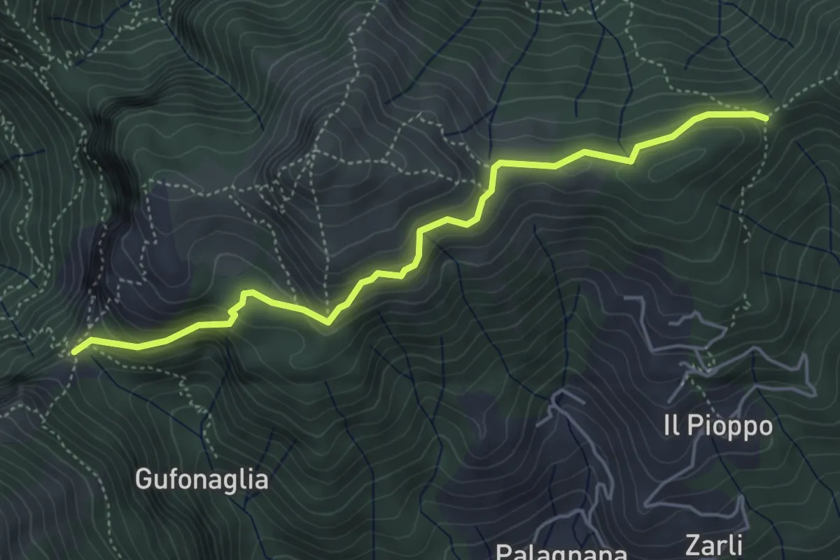
Demanding · Trail
Foce delle Porchette – Il Termine di Palagnana
5.1 km · ↑ 299 m · 1 h 51 min
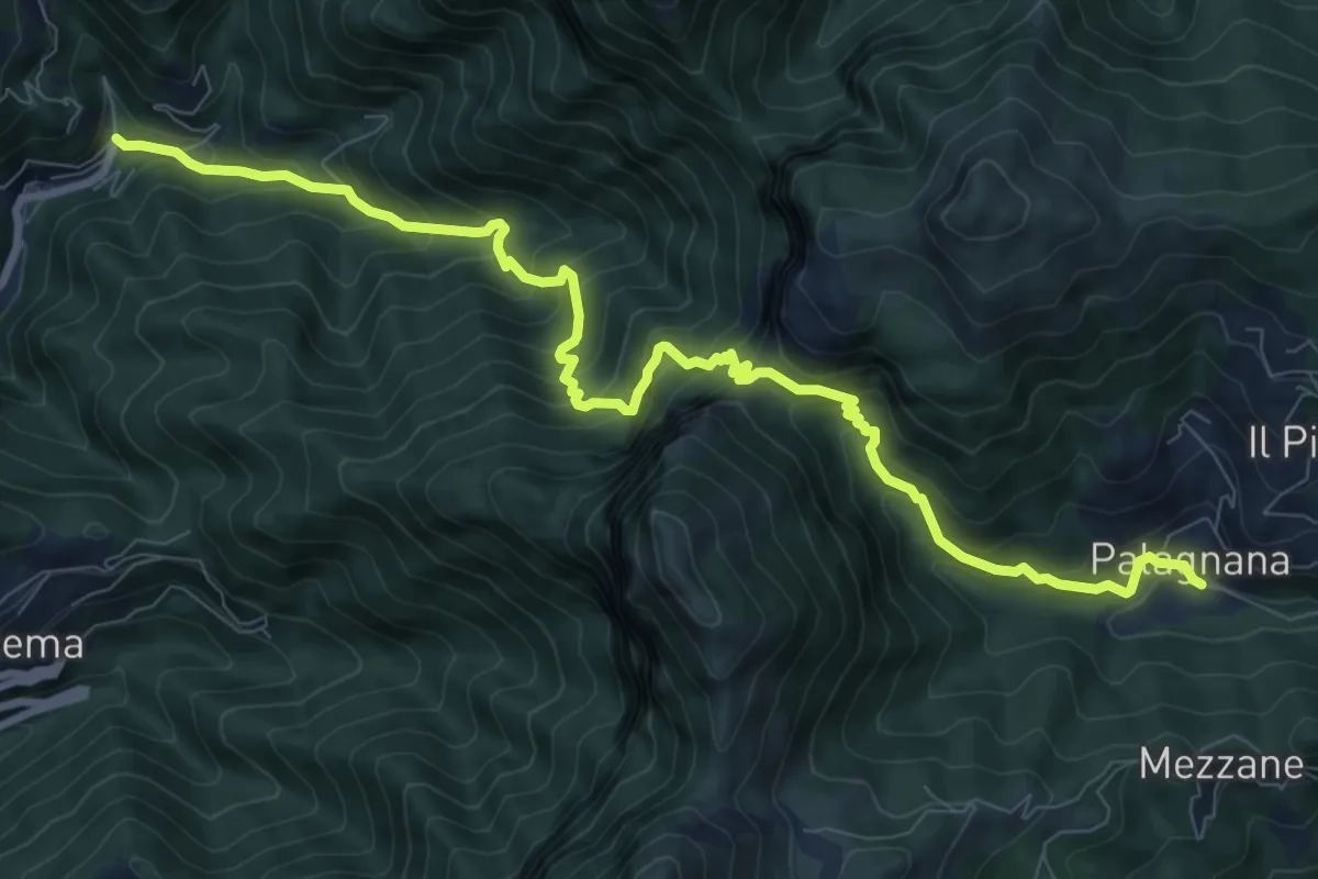
Demanding · Trail
Cardoso – Palagnana
10.8 km · ↑ 1052 m · 4 h 50 min
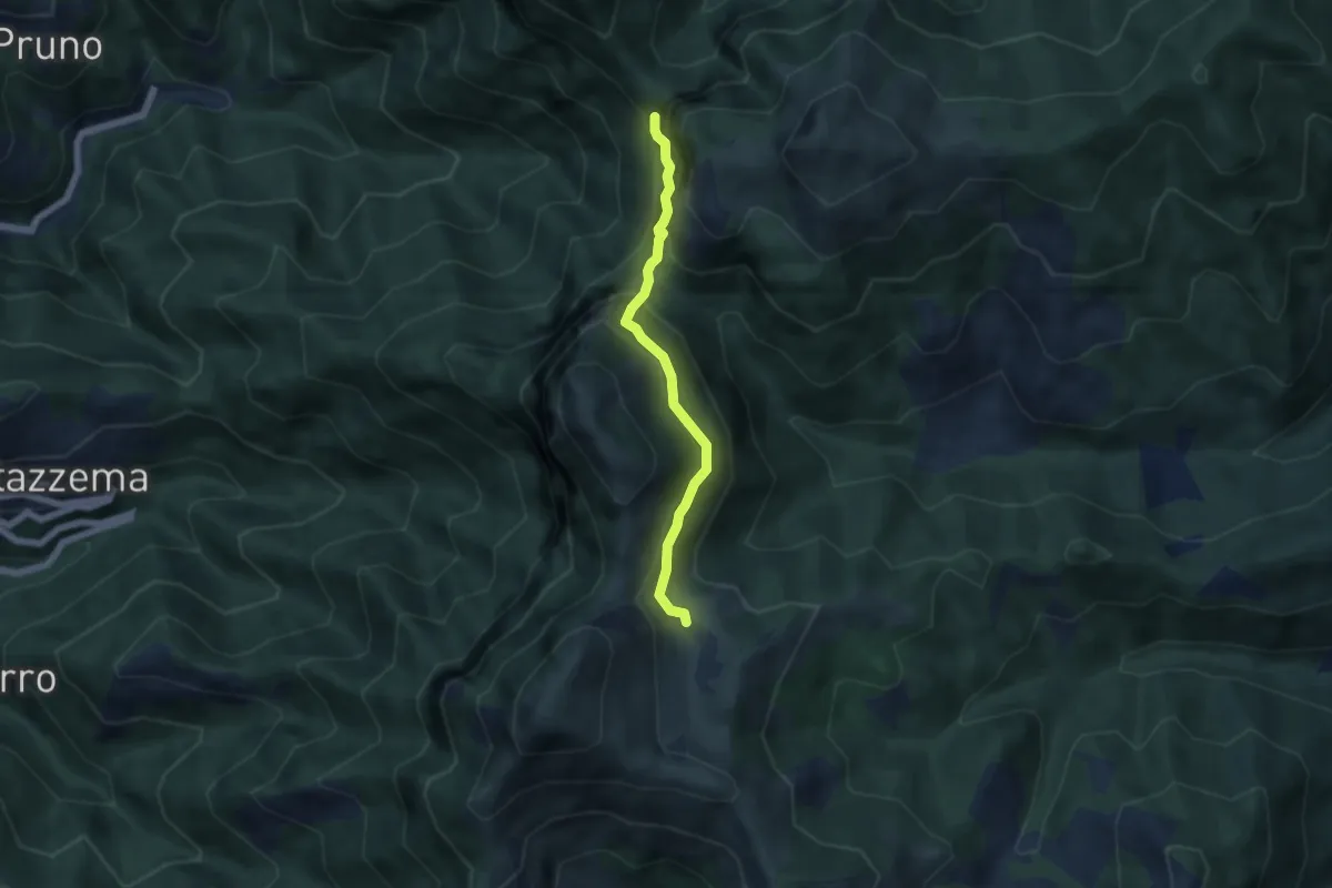
Demanding · Cabin
Rifugio Alto Matanna – Sentiero 6
5.0 km · ↑ 338 m · 1 h 55 min
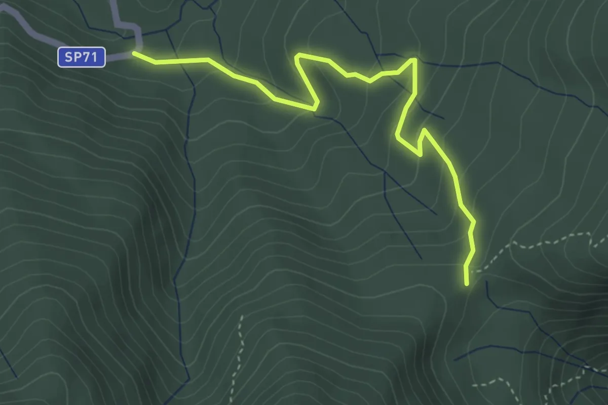
Easy · Trail
Rio Rì – Sboccata dei Bagnadori
4.1 km · ↑ 244 m · 1 h 30 min
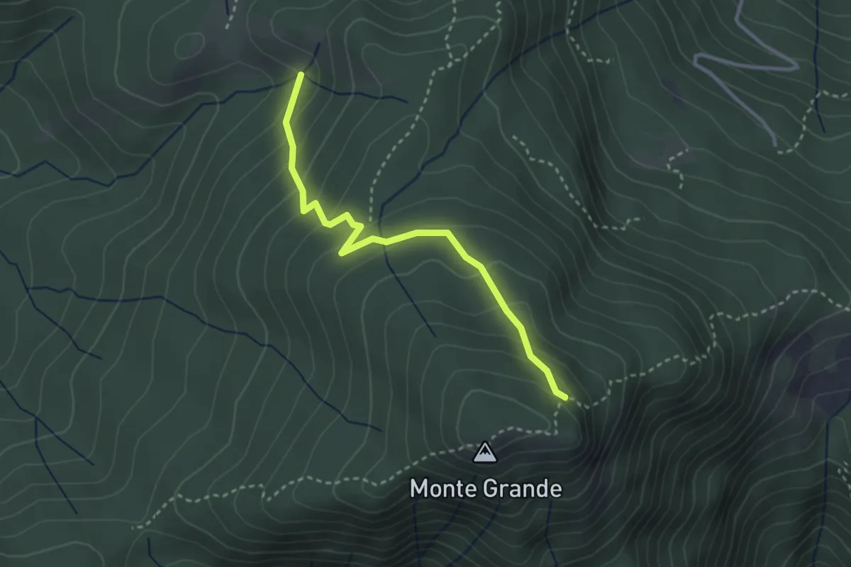
Easy · Trail
Passo di Saltiolo – Sentiero 125
3.1 km · ↑ 226 m · 1 h 13 min
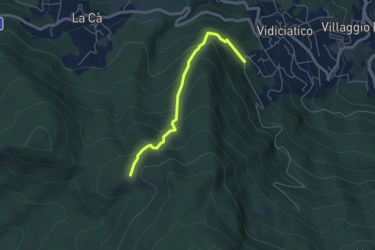
Medium · Trail
Vidiciatico Fontana d'Affrico – Croce dei Colli (Percorso 129)
4.1 km · ↑ 347 m · 1 h 43 min
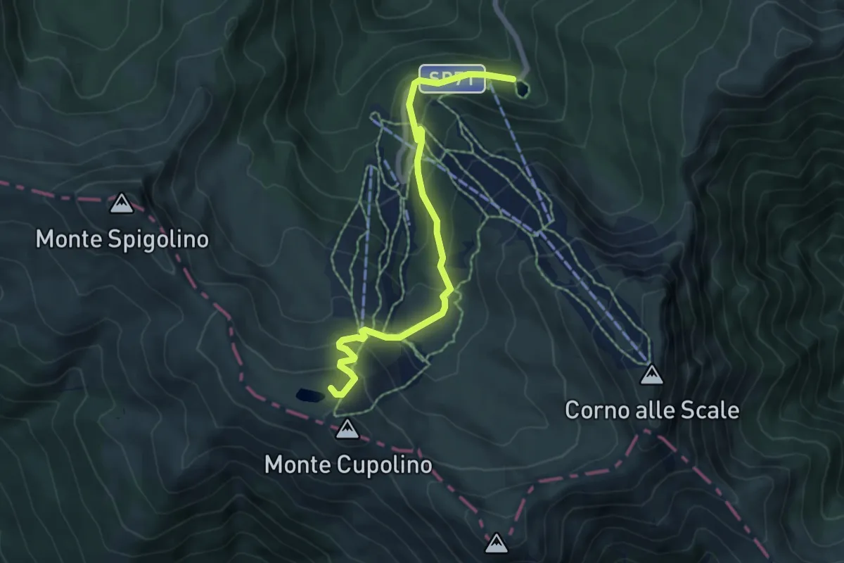
Medium · Cabin
Cavone – Rif. Duca degli Abruzzi al Lago Scaffaiolo
6.2 km · ↑ 365 m · 2 h 15 min
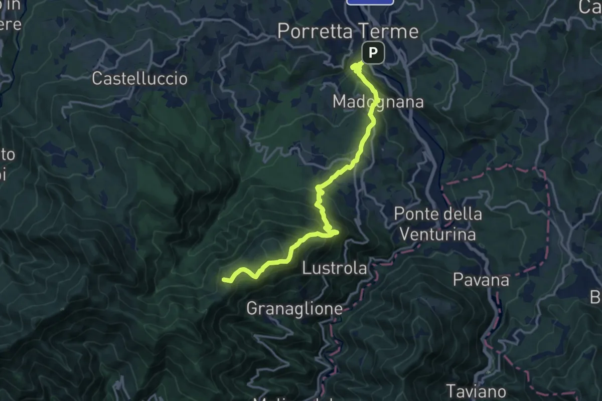
Demanding · Summit
Porretta Terme – Rifugio Monte Cavallo
14.4 km · ↑ 967 m · 5 h 29 min
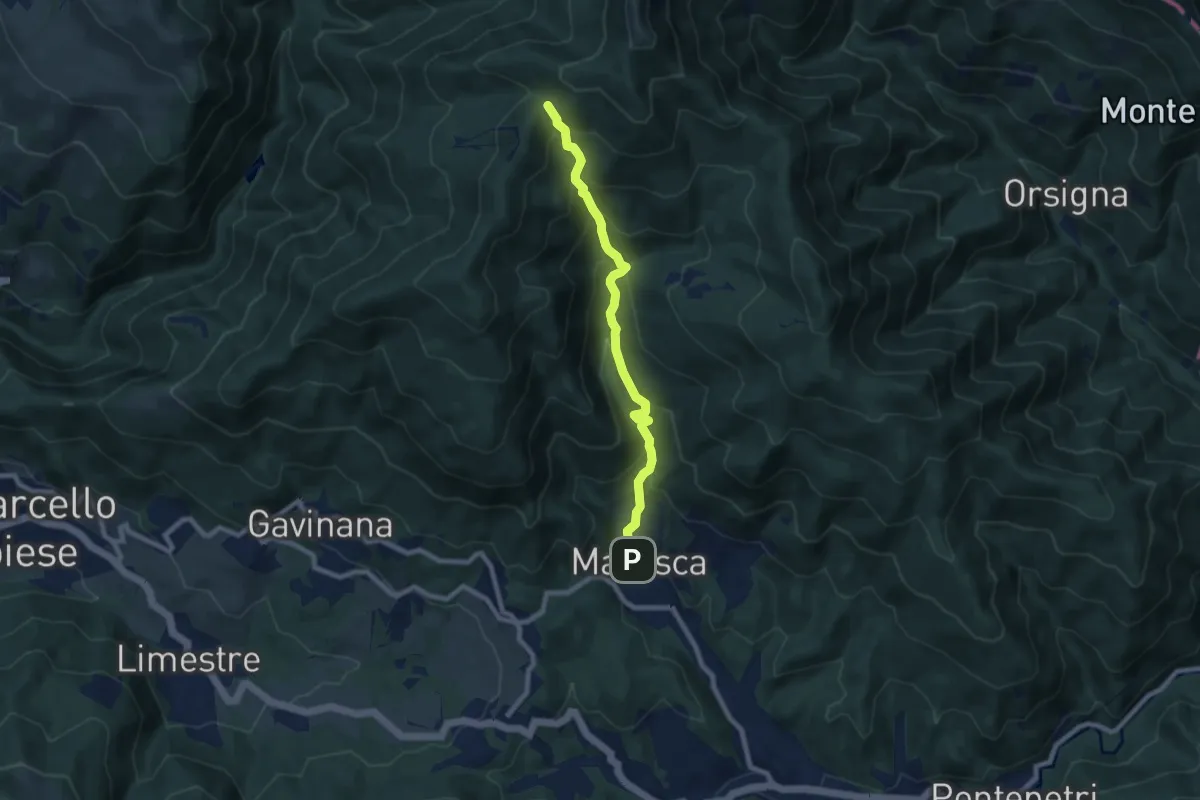
Medium · Trail
Maresca – Maceglia
7.8 km · ↑ 654 m · 3 h 16 min
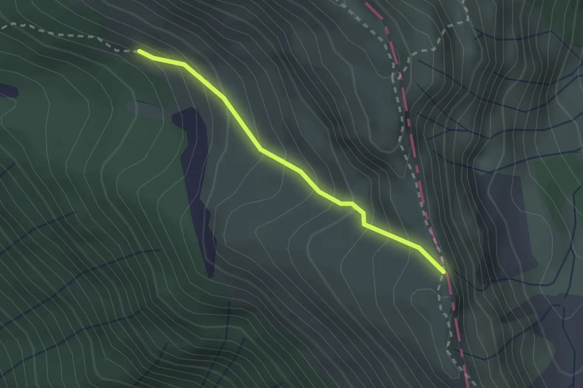
Medium · Trail
Vetricia – Monte Altaretto
2.0 km · ↑ 204 m · 55 min
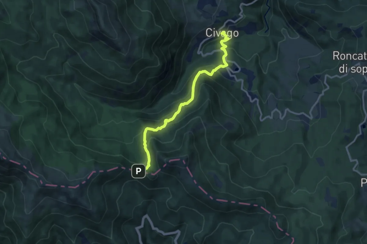
Medium · Trail
Civago – Passo delle Forbici
9.2 km · ↑ 766 m · 3 h 49 min
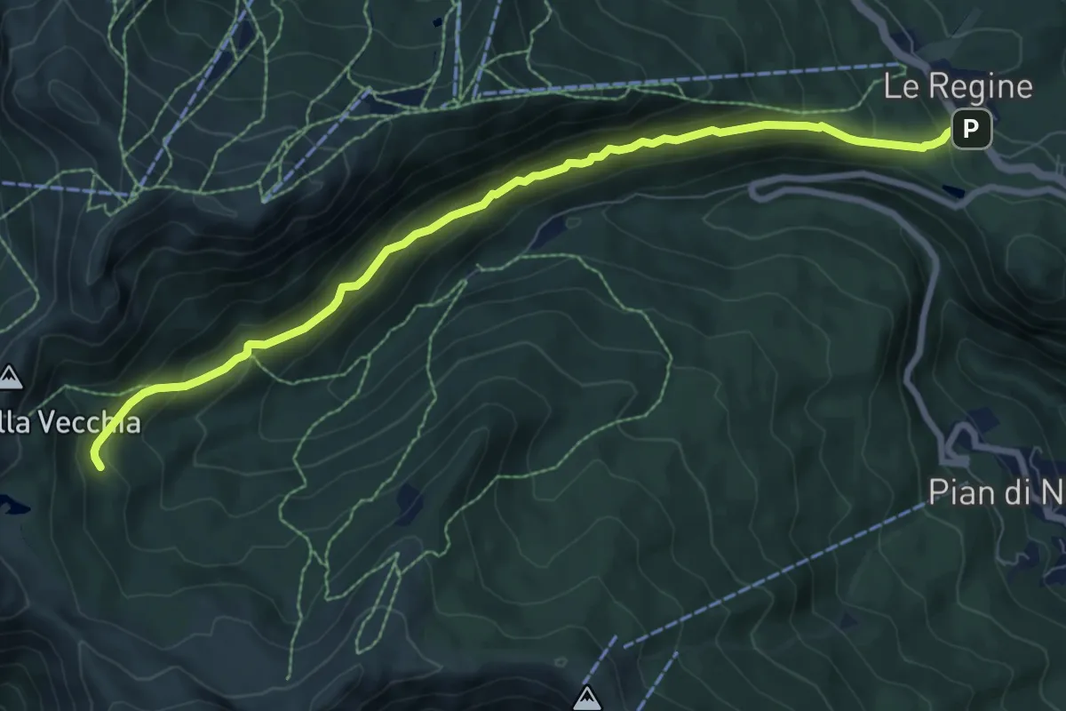
Medium · Trail
Le Regine – innesto sentiero 504
8.8 km · ↑ 525 m · 3 h 12 min
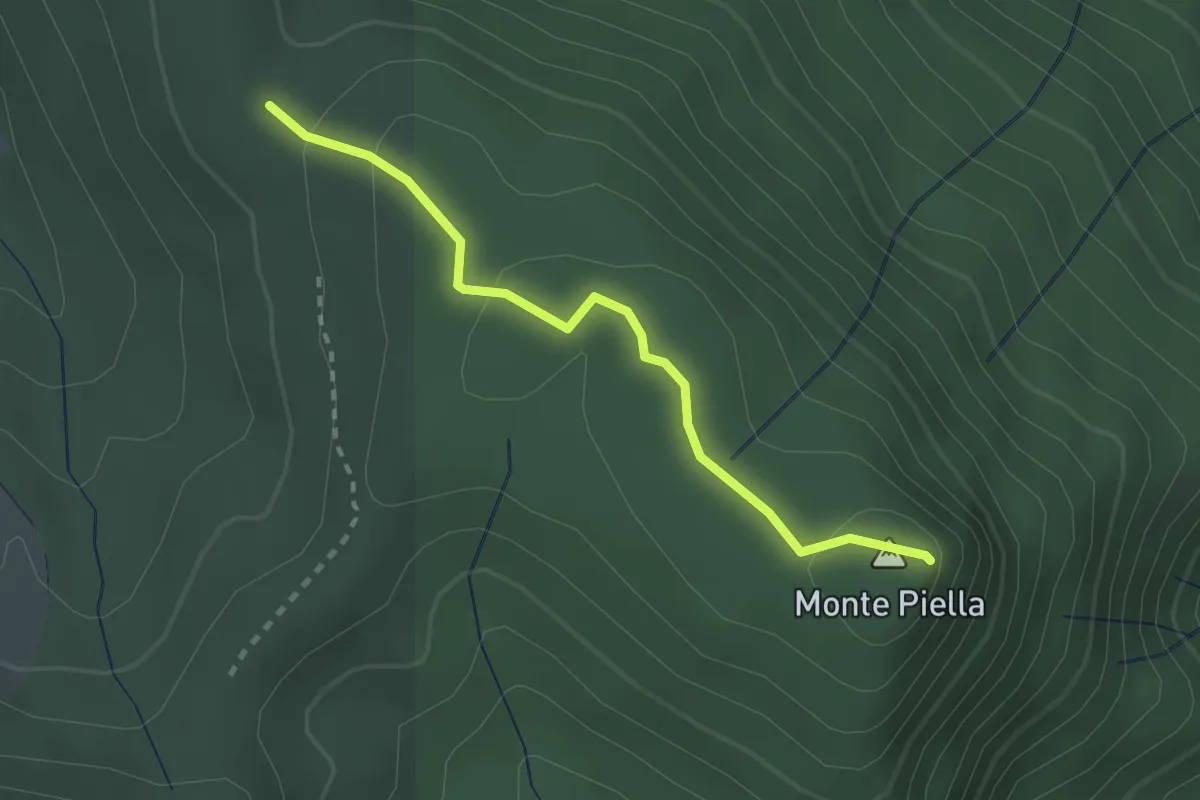
Easy · Summit
Percorso 107 – Monte Piella
2.5 km · ↑ 83 m · 46 min
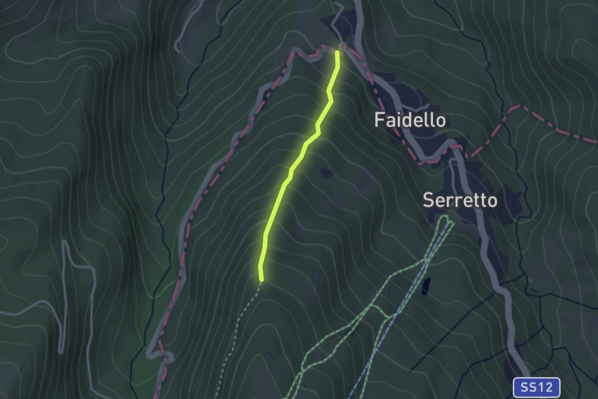
Easy · Trail
Faldello – Monte Gomito
2.1 km · ↑ 264 m · 1 h 4 min
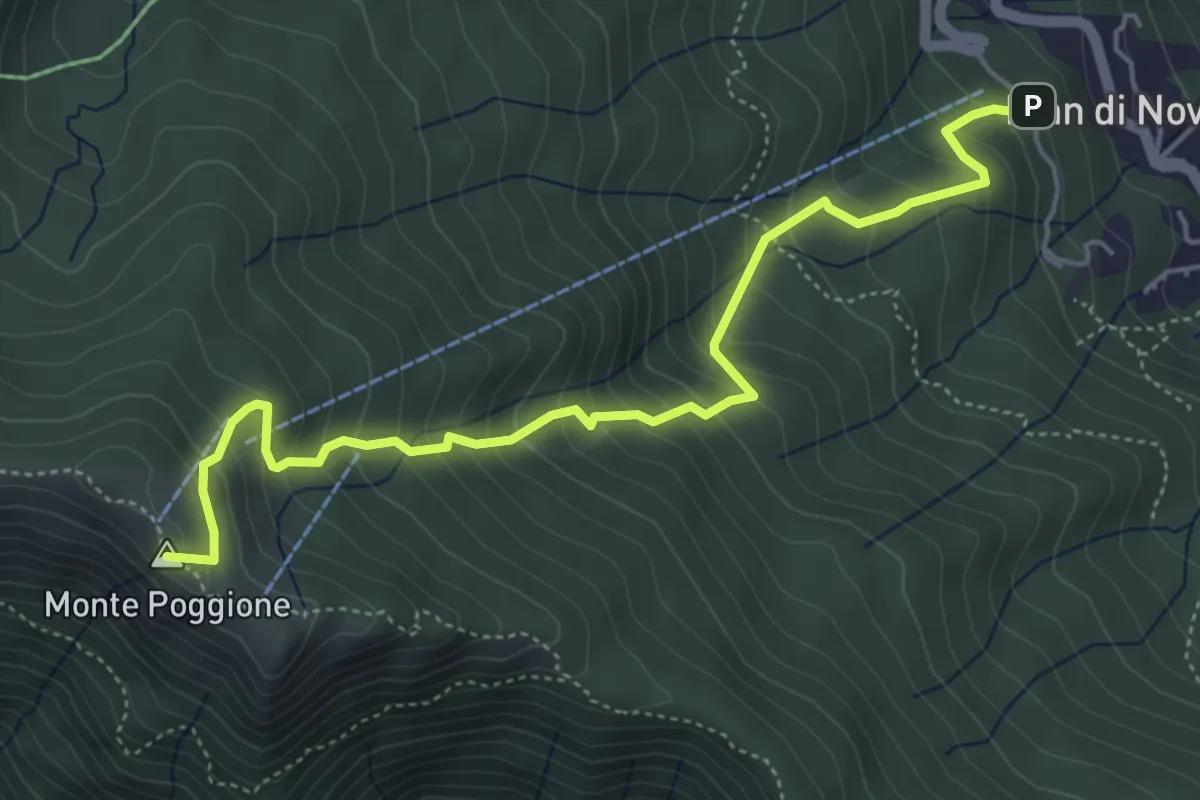
Medium · Summit
Pian di Novello – Monte Poggione
5.7 km · ↑ 547 m · 2 h 32 min
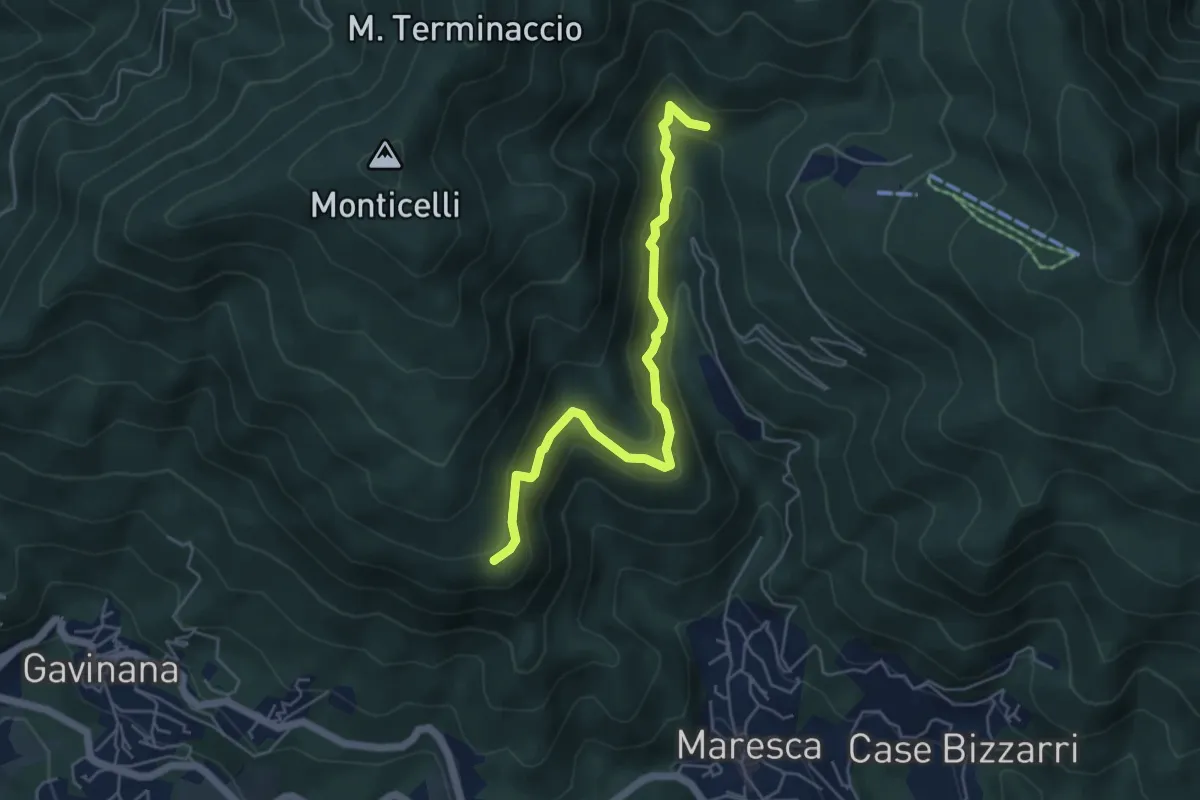
Medium · Trail
Merizzino – Monte Peciano
5.2 km · ↑ 372 m · 2 h 2 min
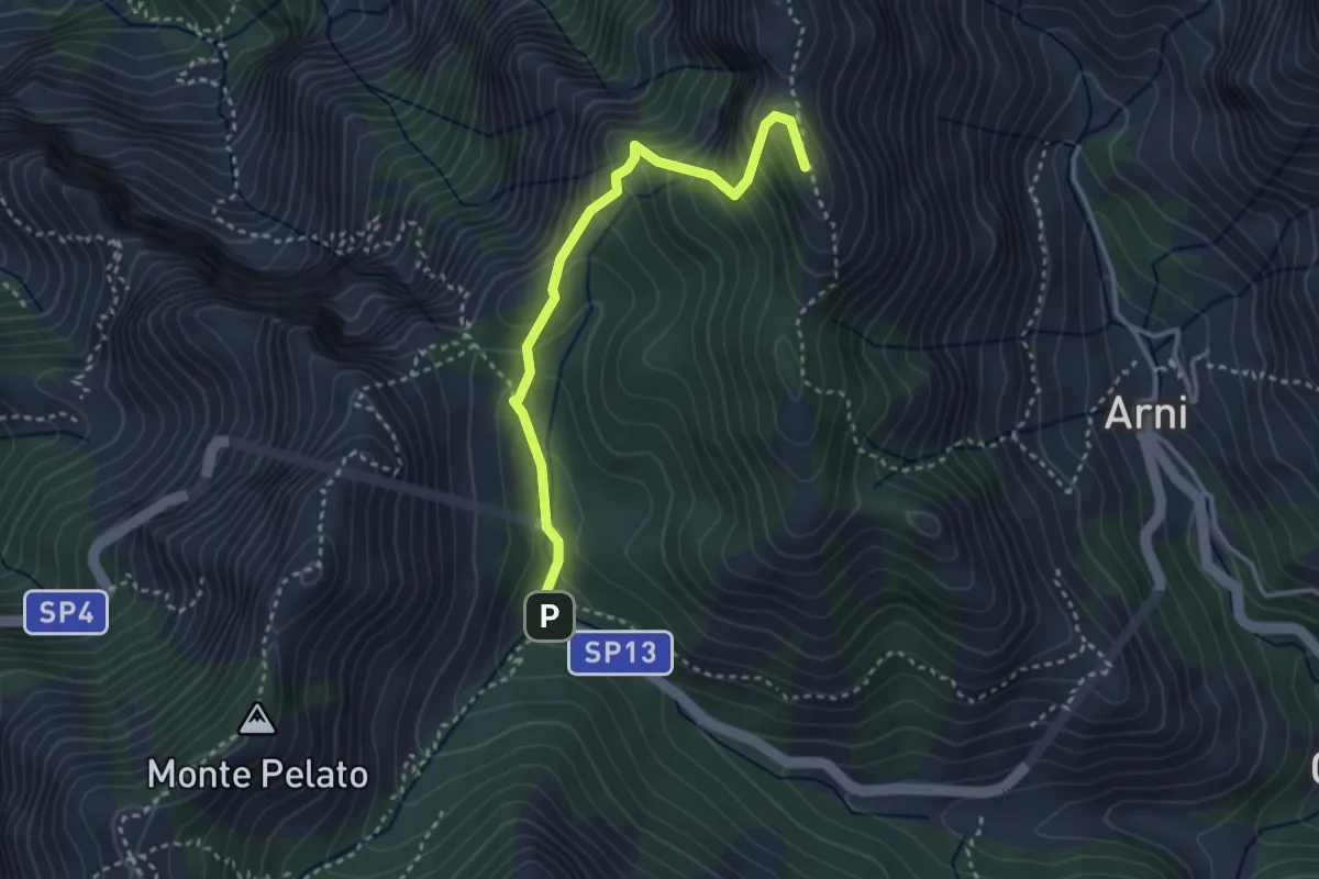
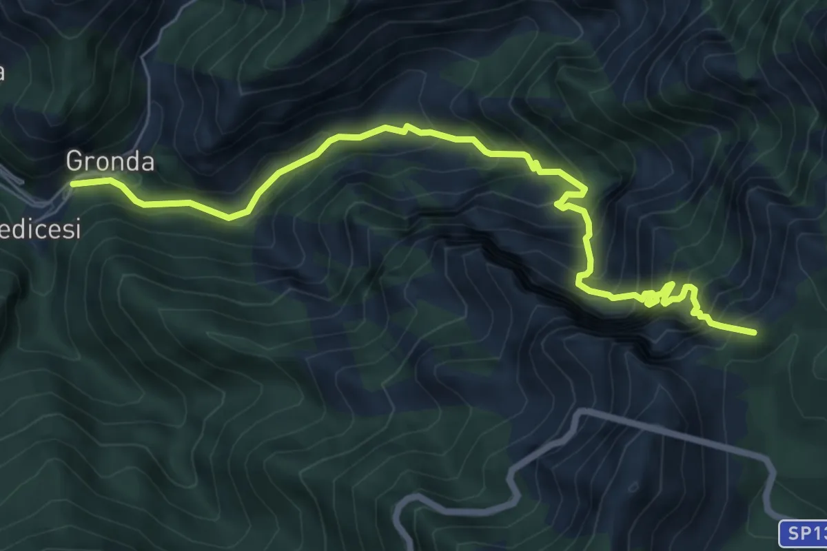
Expert · Summit
Le Gobbie – Passo Sella
3.3 km · ↑ 320 m · 1 h 28 min
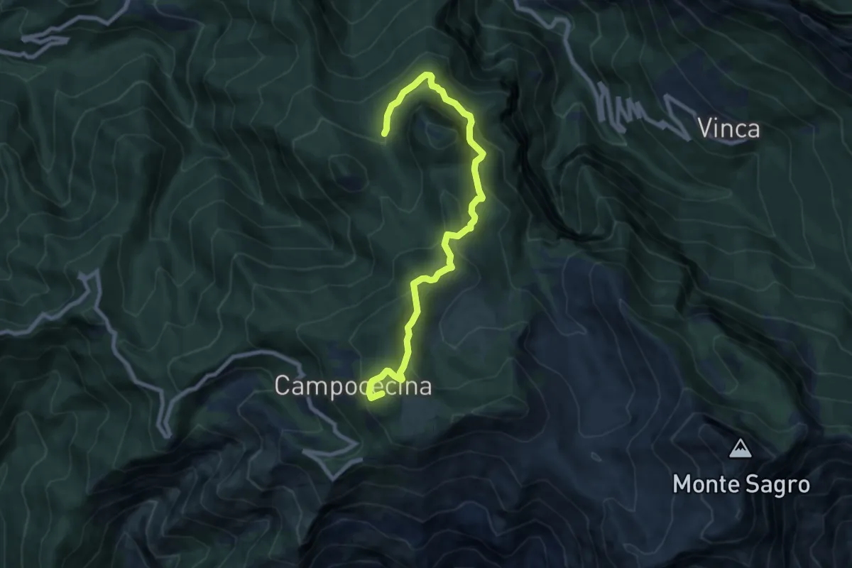
Demanding · Summit
Renara – Le Gobbie
7.4 km · ↑ 924 m · 3 h 45 min
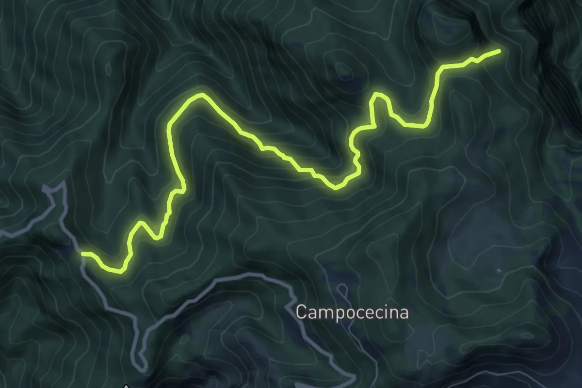
Medium · Summit
Rifugio Carrara – Bivio Monzonara - Innesto Sentiero 40
8.5 km · ↑ 565 m · 3 h 15 min
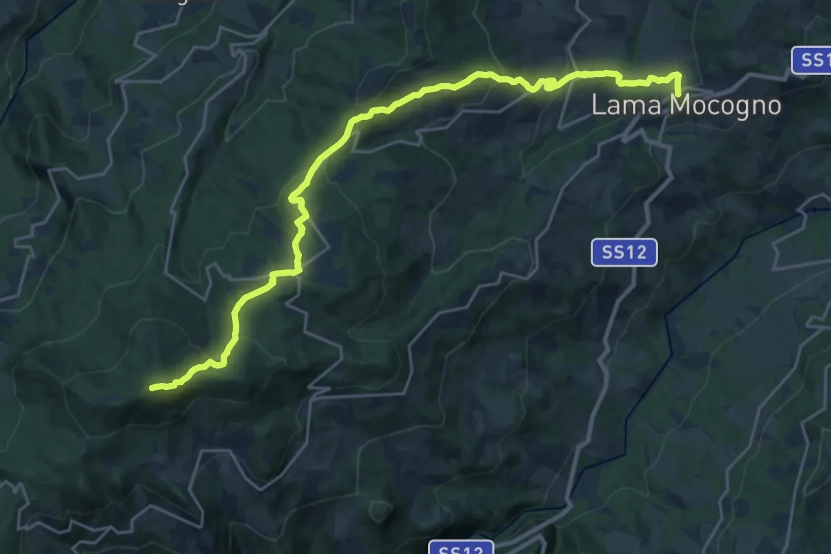
Demanding · Trail
Gabellaccia – Case Respettolo
11.0 km · ↑ 839 m · 4 h 24 min
Demanding · Summit
Lama Mocogno – Monte Cantiere
22.4 km · ↑ 1057 m · 7 h 34 min
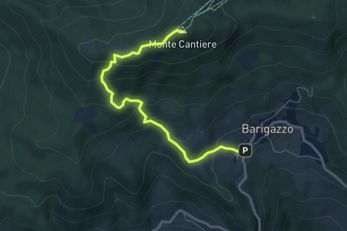
Medium · Summit
Barigazzo – Monte Cantiere
5.8 km · ↑ 373 m · 2 h 11 min
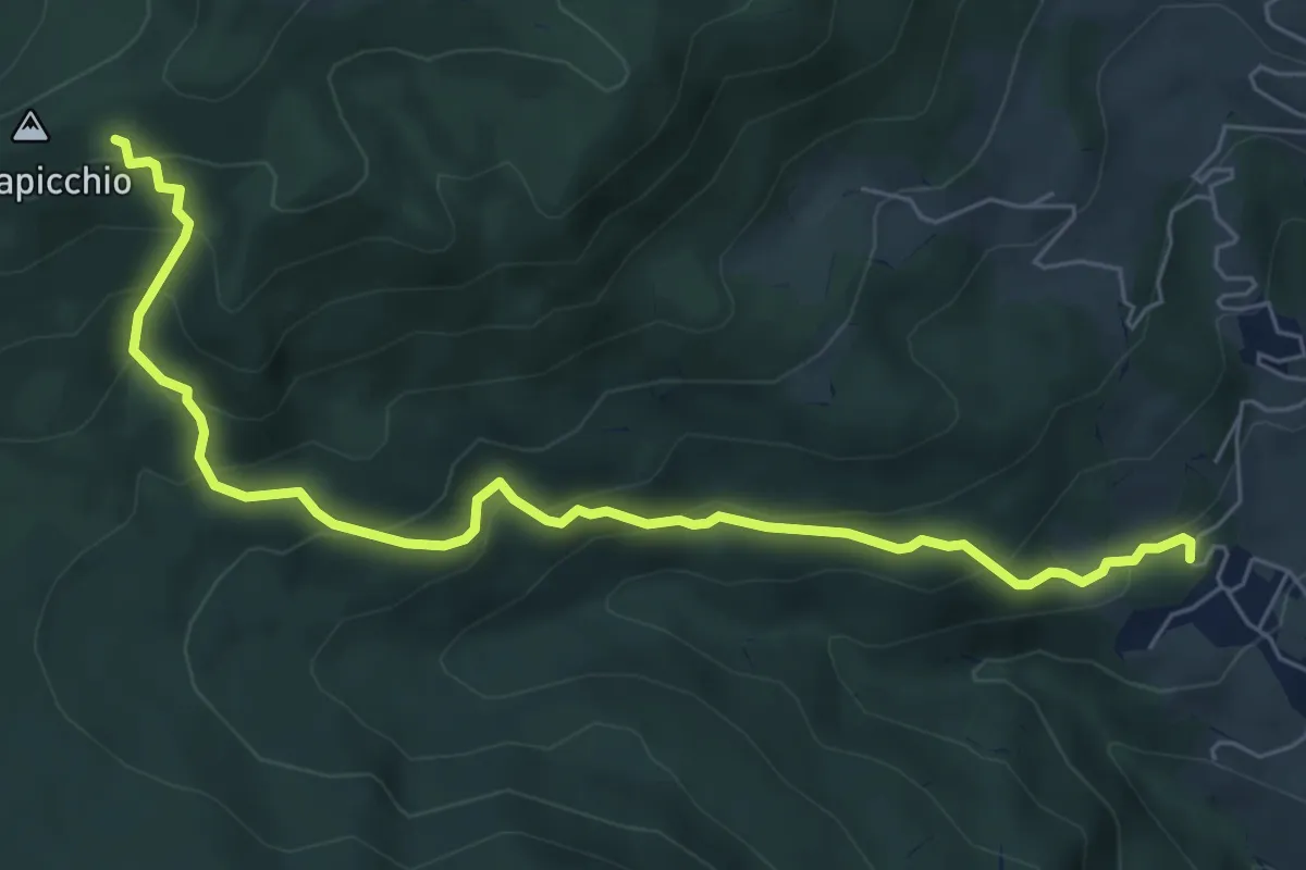
Medium · Trail
I Casoni – percorso 567 presso Cagapicchio
7.5 km · ↑ 528 m · 2 h 54 min
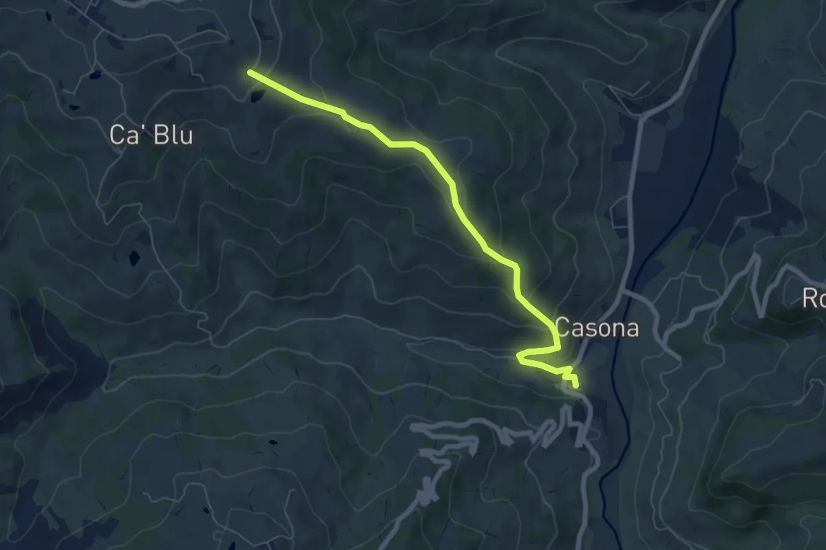
Medium · Trail
Osteria Nuova – Percorso 412
6.8 km · ↑ 326 m · 2 h 19 min
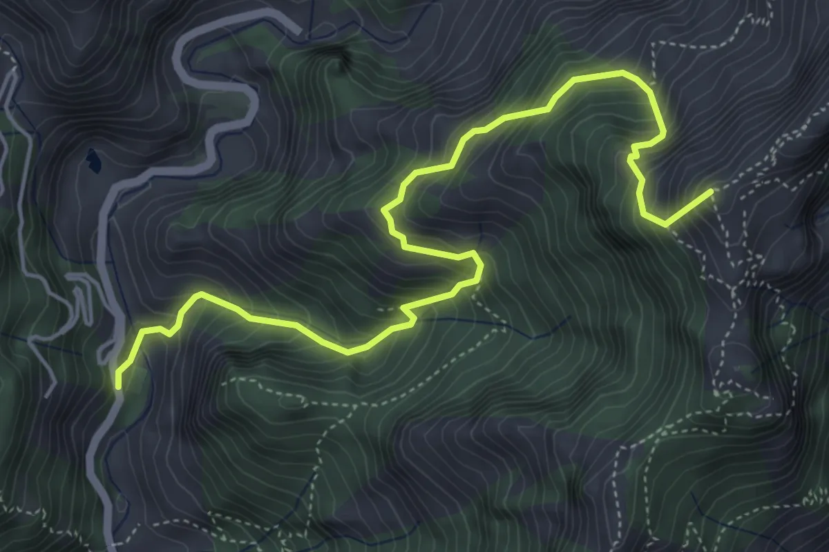
Medium · Summit
Resceto – Forno
6.0 km · ↑ 747 m · 3 h 2 min
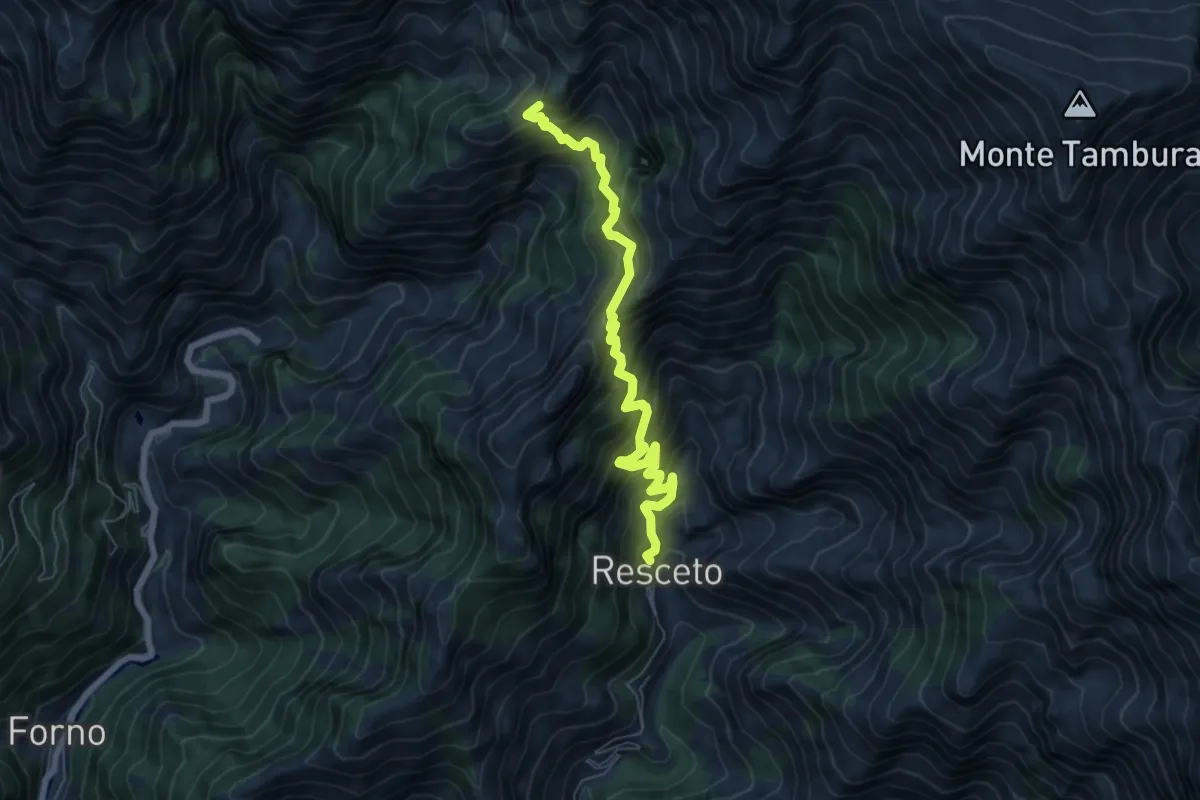
Demanding · Trail
Resceto – Case Carpano
6.9 km · ↑ 918 m · 3 h 38 min
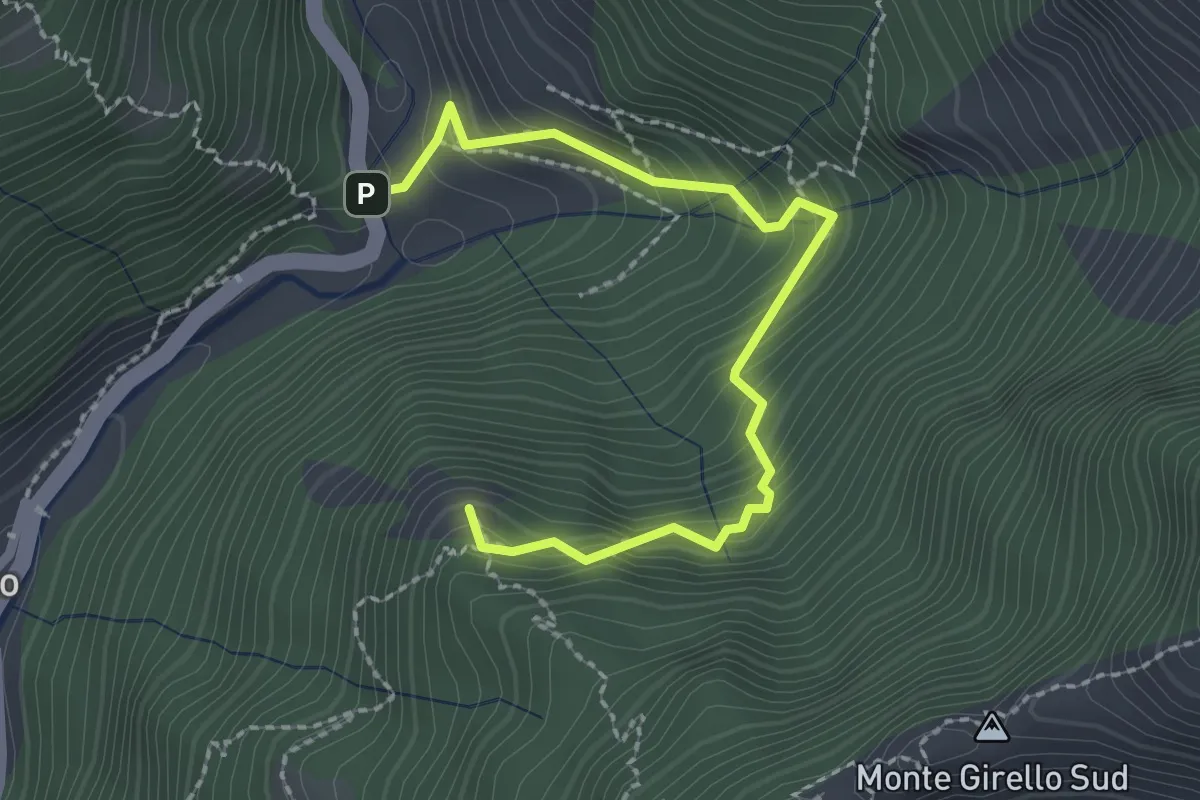
Medium · Summit
Forno – Casania
2.6 km · ↑ 270 m · 1 h 12 min
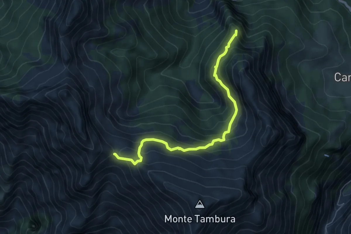
Demanding · Summit
Vagli Sopra – Passo della Focolaccia
6.3 km · ↑ 525 m · 2 h 38 min
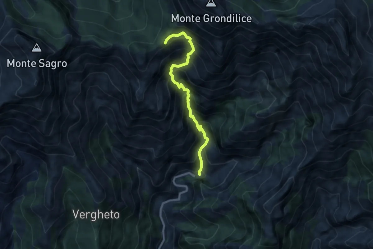
Demanding · Trail
Biforco – Foce Rasori
6.5 km · ↑ 1081 m · 3 h 53 min
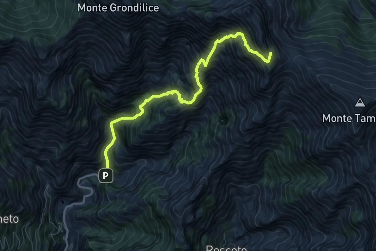
Demanding · Summit
Biforco – Passo della Focolaccia
9.3 km · ↑ 1427 m · 5 h 17 min
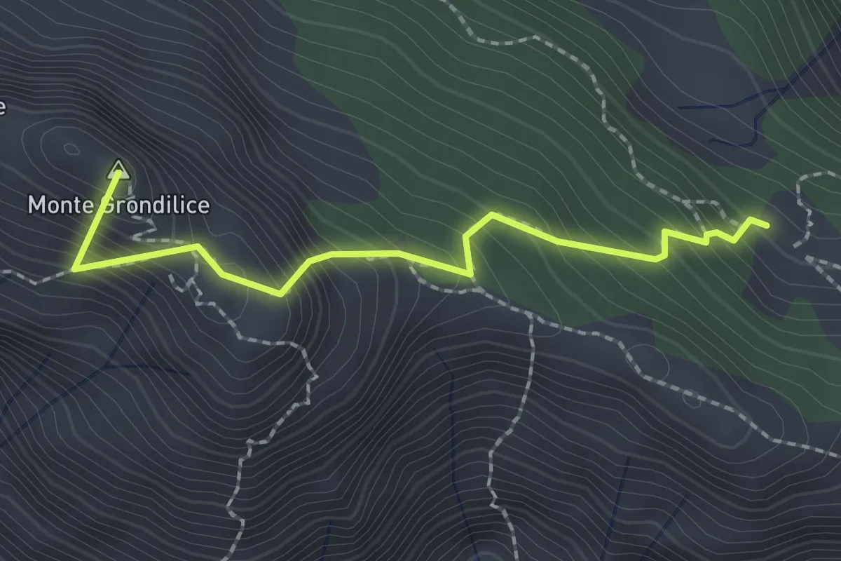
Demanding · Summit
Foce di Rasori – Orto di Donna
2.1 km · ↑ 266 m · 1 h 4 min
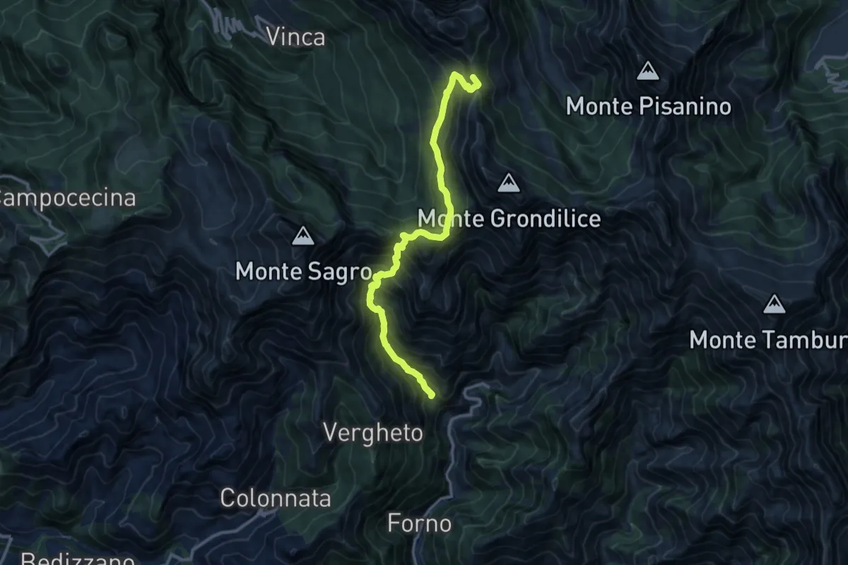
Demanding · Summit
Località Mozziconi (Forno) – Val Serenaia
12.2 km · ↑ 1328 m · 5 h 46 min
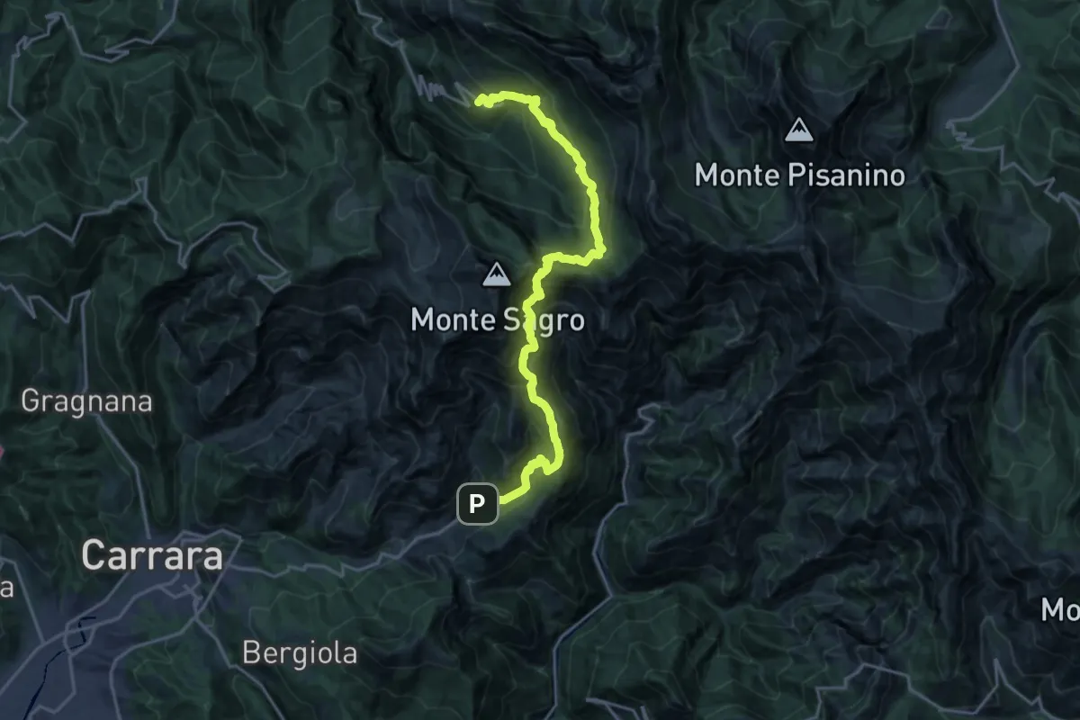
Demanding · Trail
Colonnata – Vinca
10.3 km · ↑ 1020 m · 4 h 40 min
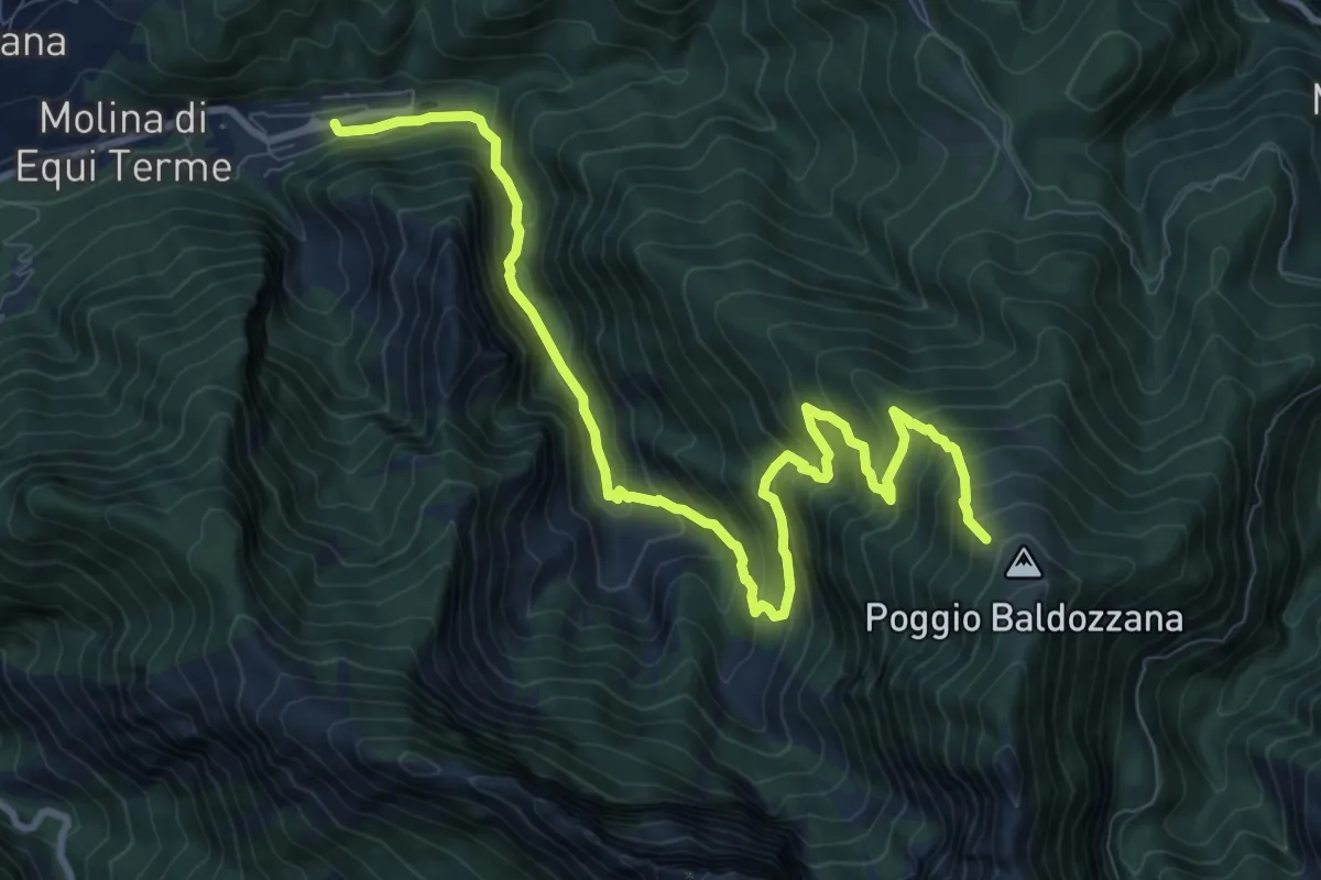
Demanding · Trail
Equi Terme – Innesto Percorso 181
12.0 km · ↑ 1145 m · 5 h 18 min
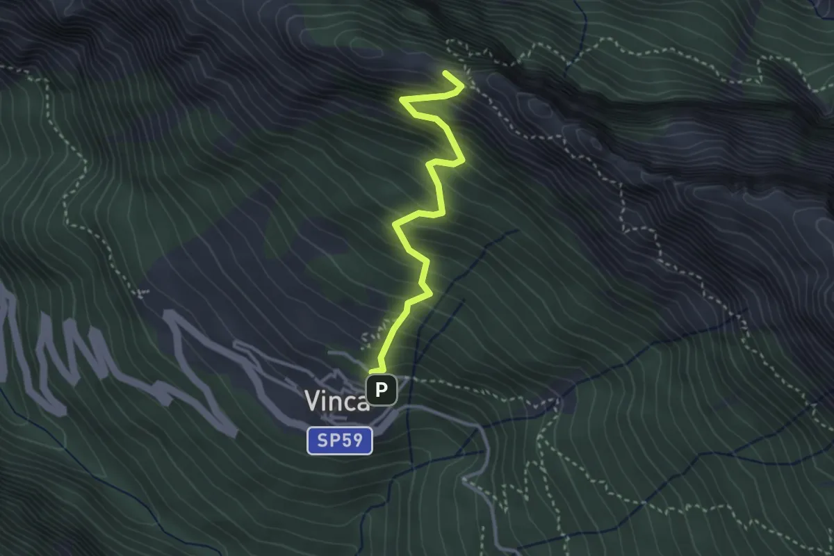
Demanding · Summit
Vinca – Cave del Cantonaccio
3.1 km · ↑ 451 m · 1 h 43 min
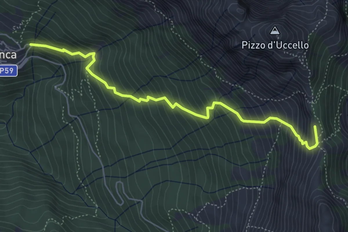
Medium · Summit
Vinca – Foce di Giovo
5.7 km · ↑ 712 m · 2 h 54 min
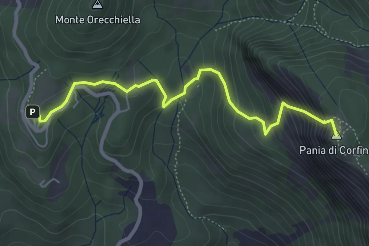
Medium · Summit
Orecchiella – Sella Campaiana
5.1 km · ↑ 441 m · 2 h 10 min
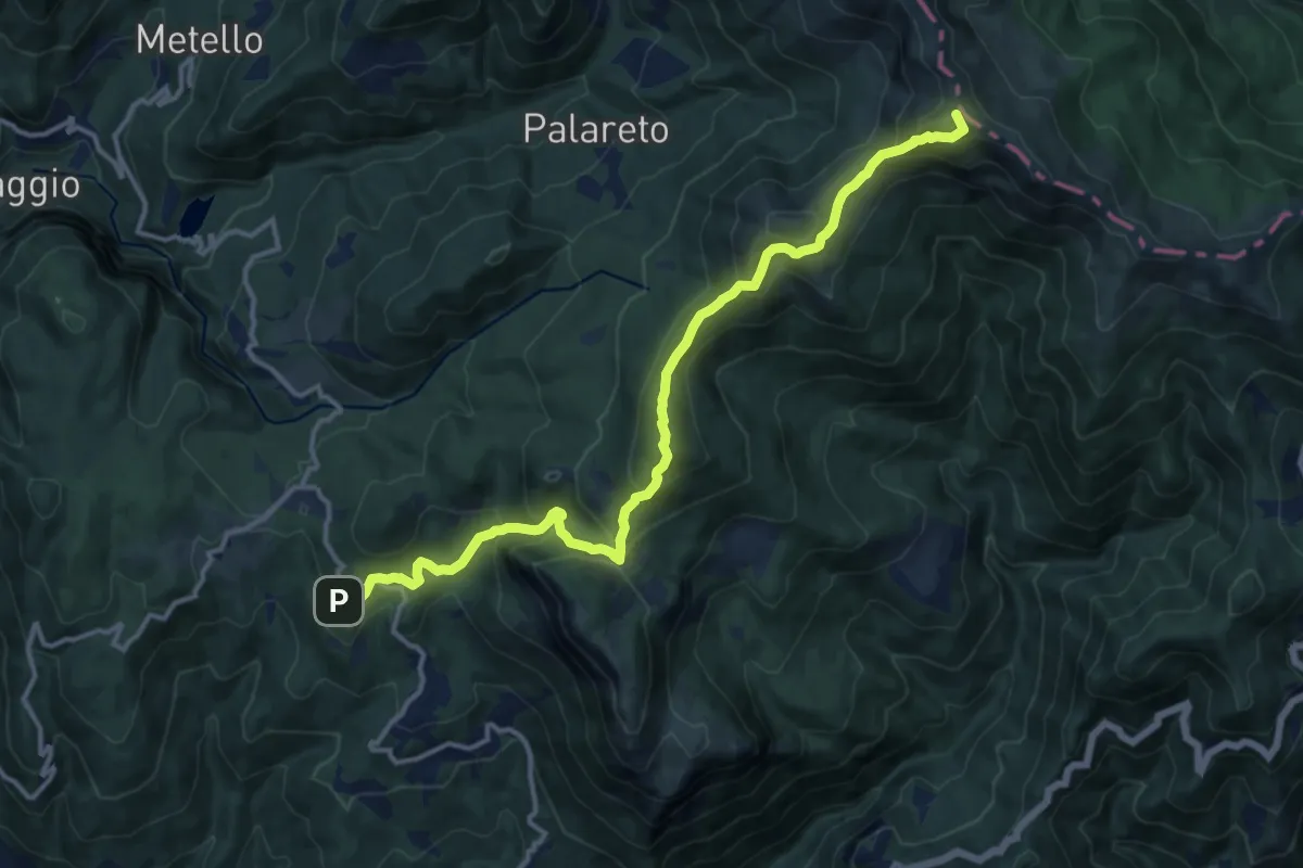
Demanding · Summit
Orecchiella – Gli Scaloni
15.0 km · ↑ 957 m · 5 h 37 min
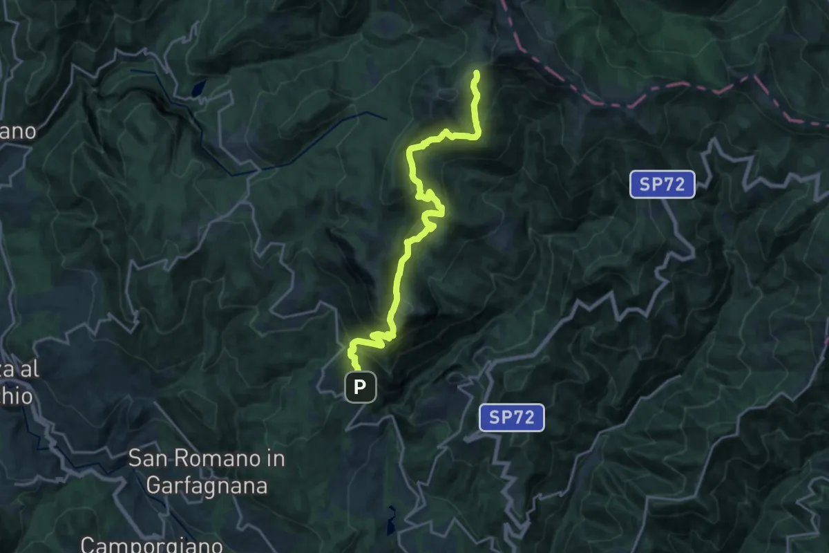
Demanding · Trail
Corfino – Innesto sentiero 564
18.5 km · ↑ 1368 m · 7 h 20 min
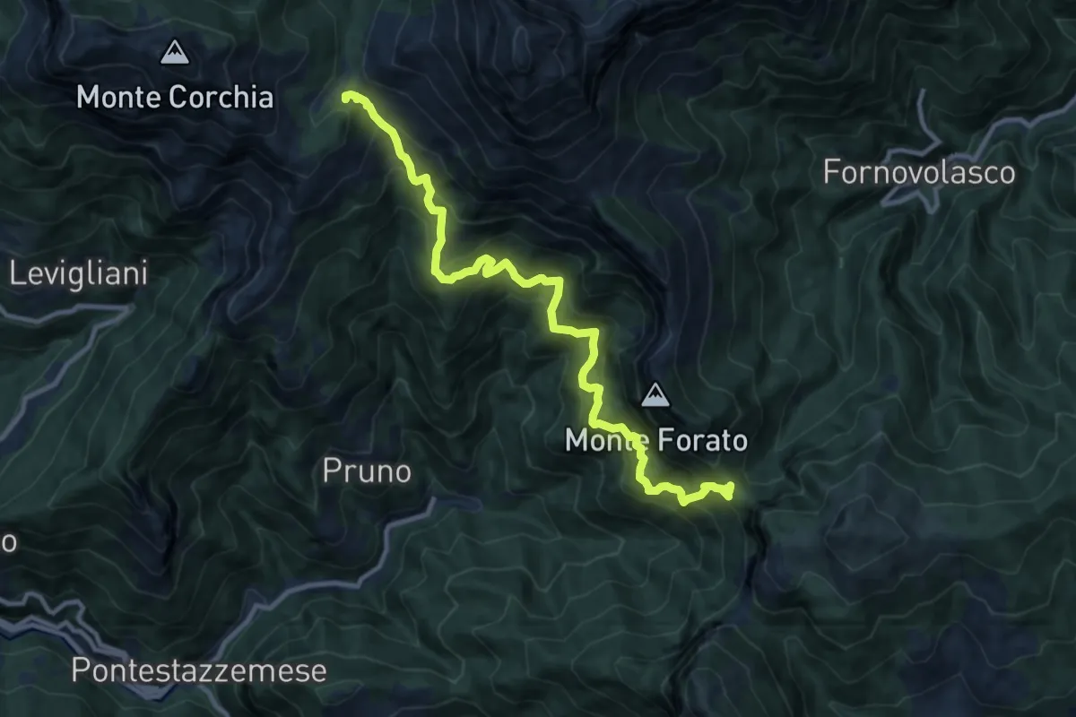
Demanding · Trail
Foce di Mosceta – Foce di Petrosciana
11.8 km · ↑ 1248 m · 5 h 29 min
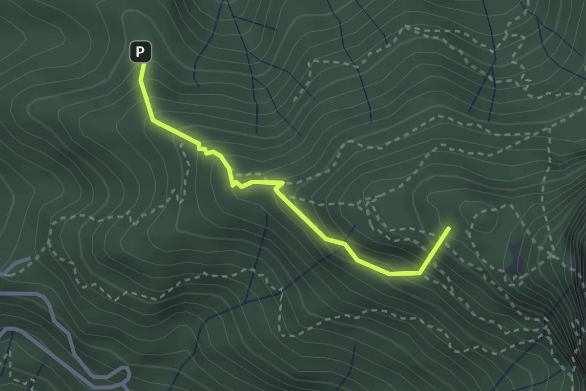
Medium · Summit
Stazzema – Alpe della Grotta
2.5 km · ↑ 285 m · 1 h 12 min
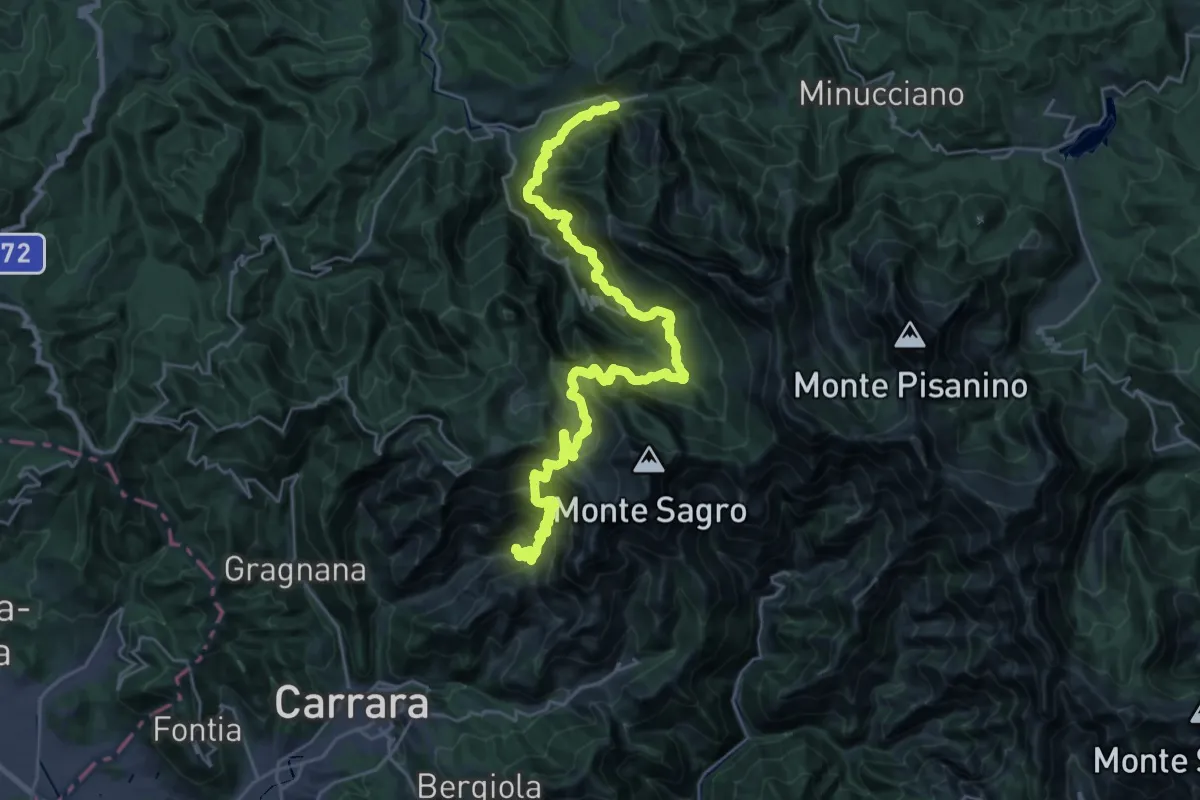
Demanding · Trail
Ravaccione – Equi Terme
17.2 km · ↑ 1454 m · 7 h 33 min
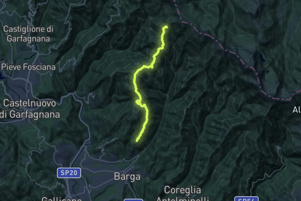
Demanding · Summit
Sommocolonia – Passo del Saltello
19.7 km · ↑ 1340 m · 7 h 33 min
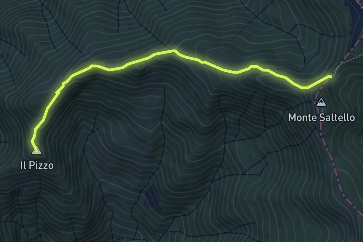
Easy · Summit
Capraia – Bassa del Saltello
5.6 km · ↑ 305 m · 1 h 59 min
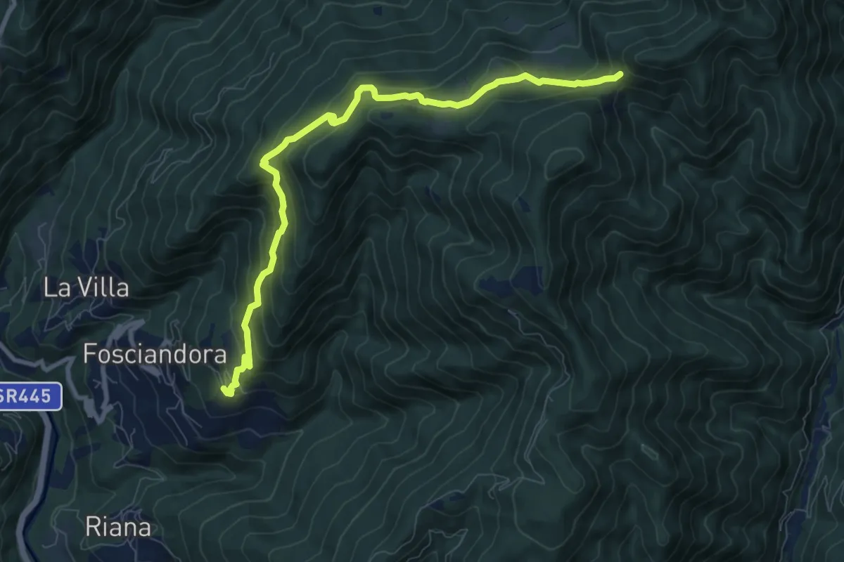
Medium · Trail
Lupinaia – Innesto sentiero 22
9.3 km · ↑ 603 m · 3 h 31 min