Trails in Italy
25,219 hiking trails, each with its route, climb, walking time and grade.
All trails, page 324 of 526
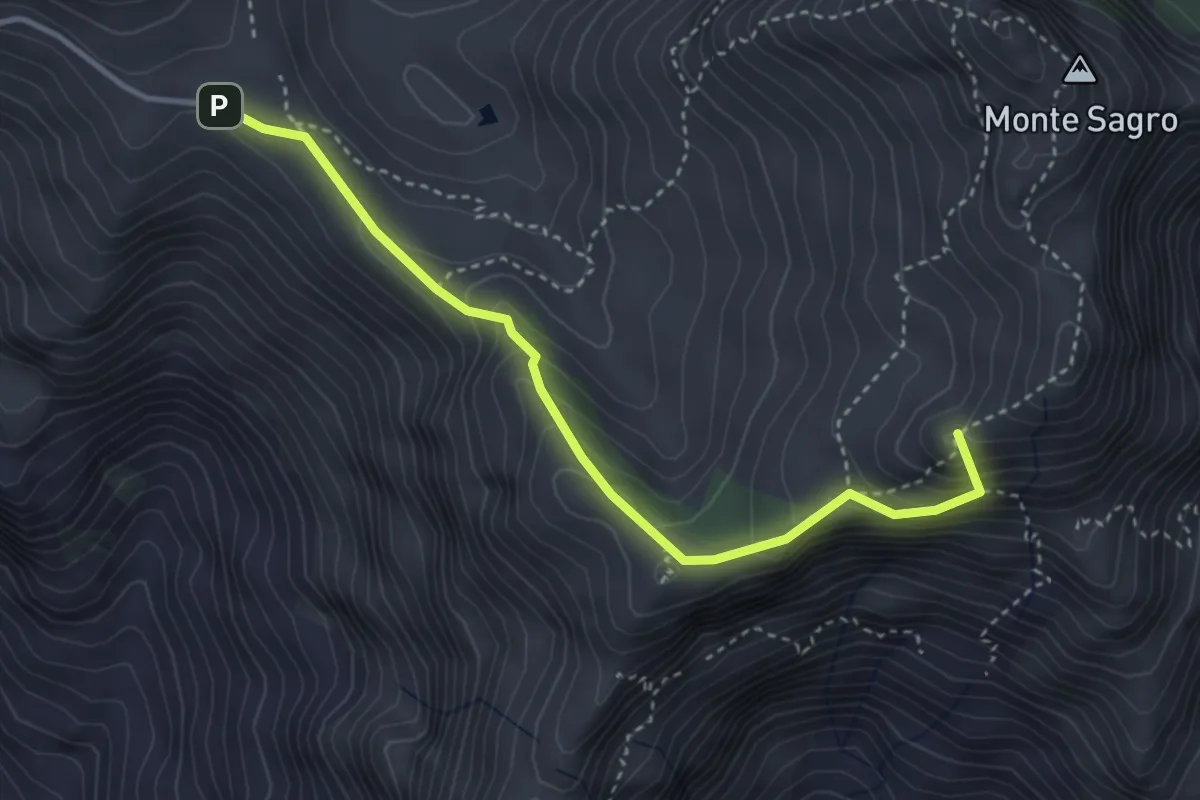
Demanding · Summit
Foce di Pianza – Foce Luccica
3.8 km · ↑ 302 m · 1 h 33 min
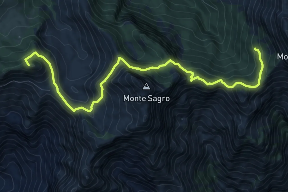
Demanding · Summit
Rifugio Carrara – Capanna Garnerone
12.4 km · ↑ 912 m · 4 h 54 min
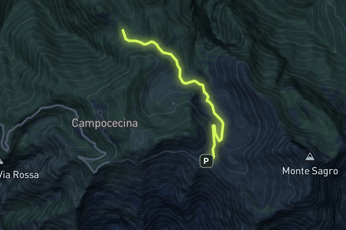
Medium · Trail
Foce di Pianza – Casa Cardeto
7.0 km · ↑ 327 m · 2 h 22 min
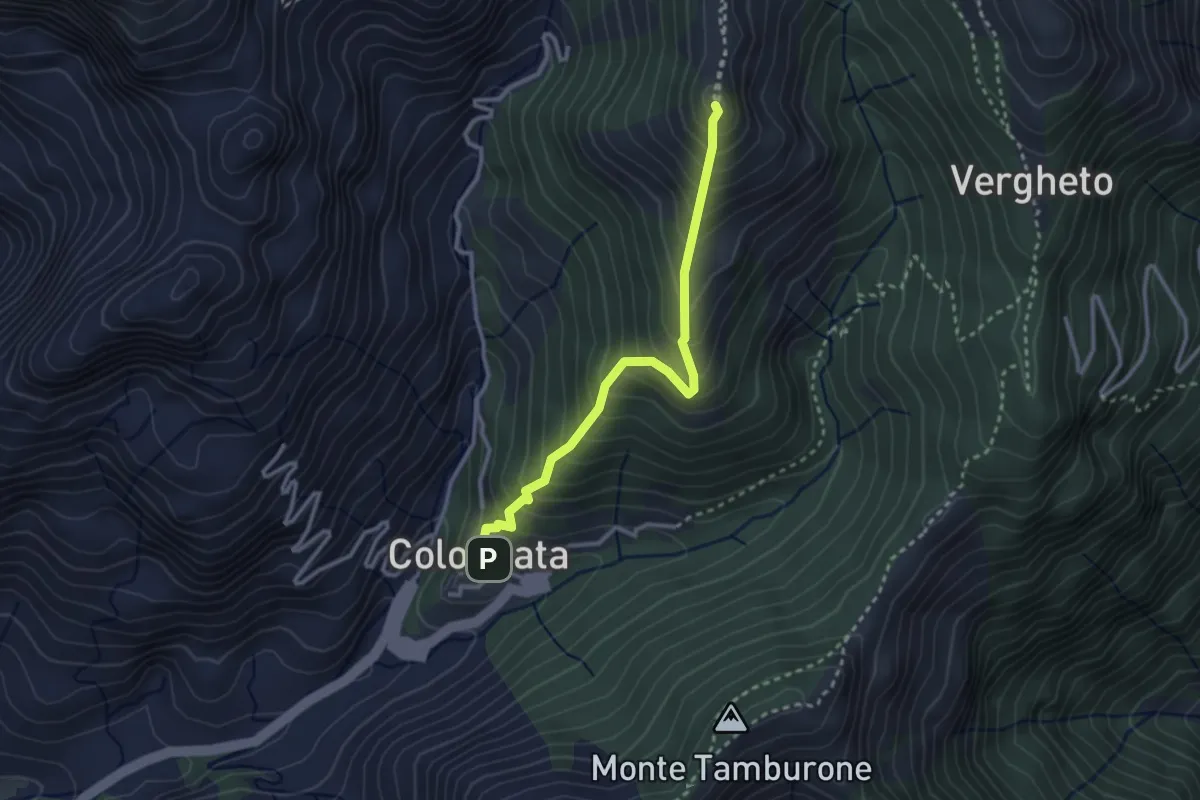
Medium · Summit
Colonnata – Vergheto
2.9 km · ↑ 404 m · 1 h 34 min
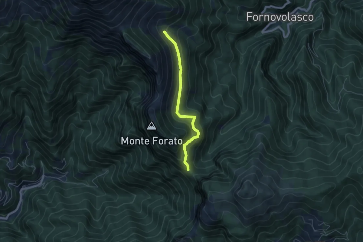
Medium · Trail
Foce di Petrosciana – Innesto sentiero CAI 130
4.8 km · ↑ 280 m · 1 h 45 min
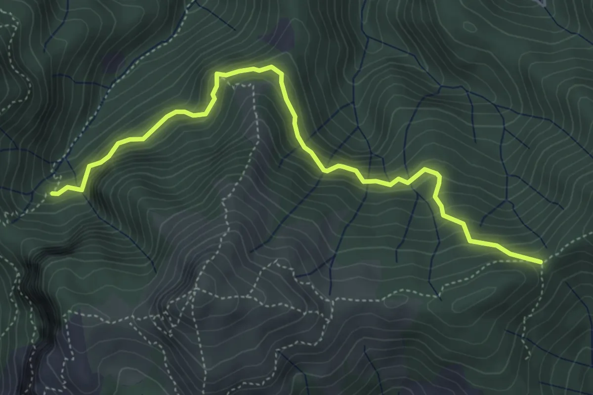
Demanding · Trail
Il Termine – innesto Sentiero 6
5.5 km · ↑ 583 m · 2 h 33 min
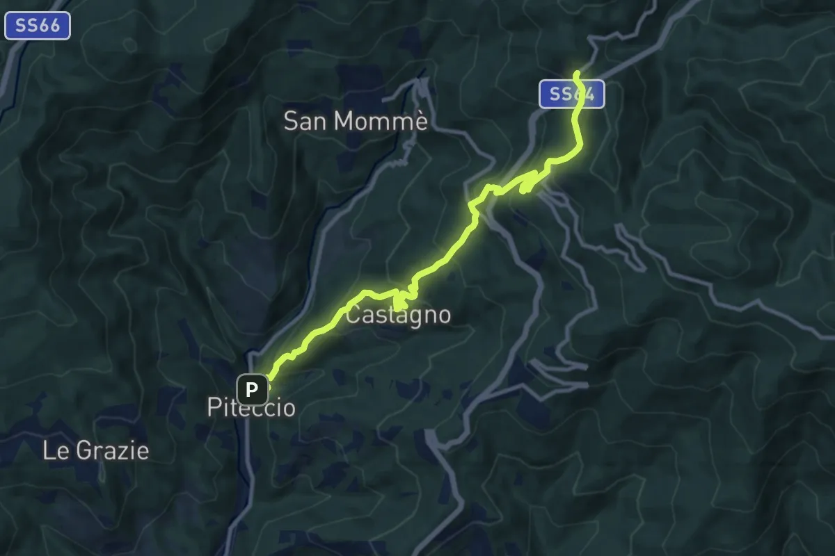
Demanding · Trail
Piteccio – Passo della Collina
10.9 km · ↑ 832 m · 4 h 23 min
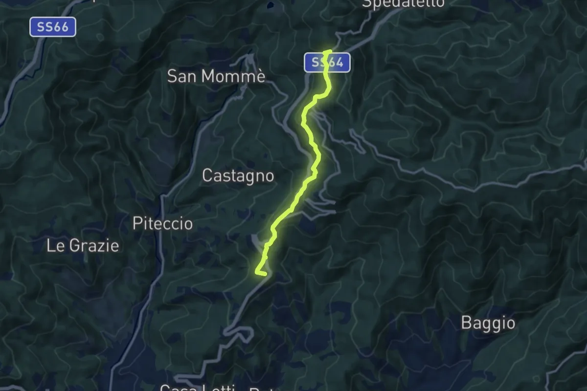
Medium · Summit
Valdibrana – Passo della Collina
9.2 km · ↑ 449 m · 3 h 9 min
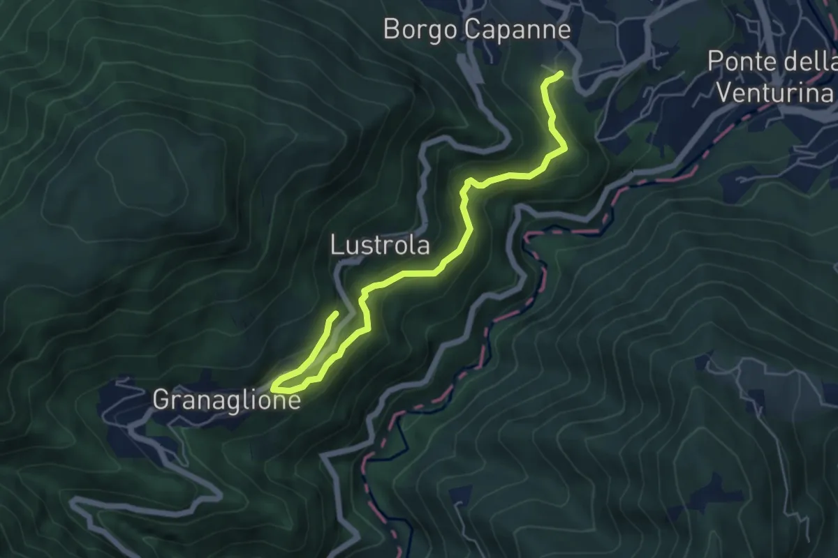
Medium · Trail
Pieve di B. Capanne (Percorso 131) – Granaglione Cimitero (Bivio perc. 103A)
5.8 km · ↑ 404 m · 2 h 15 min
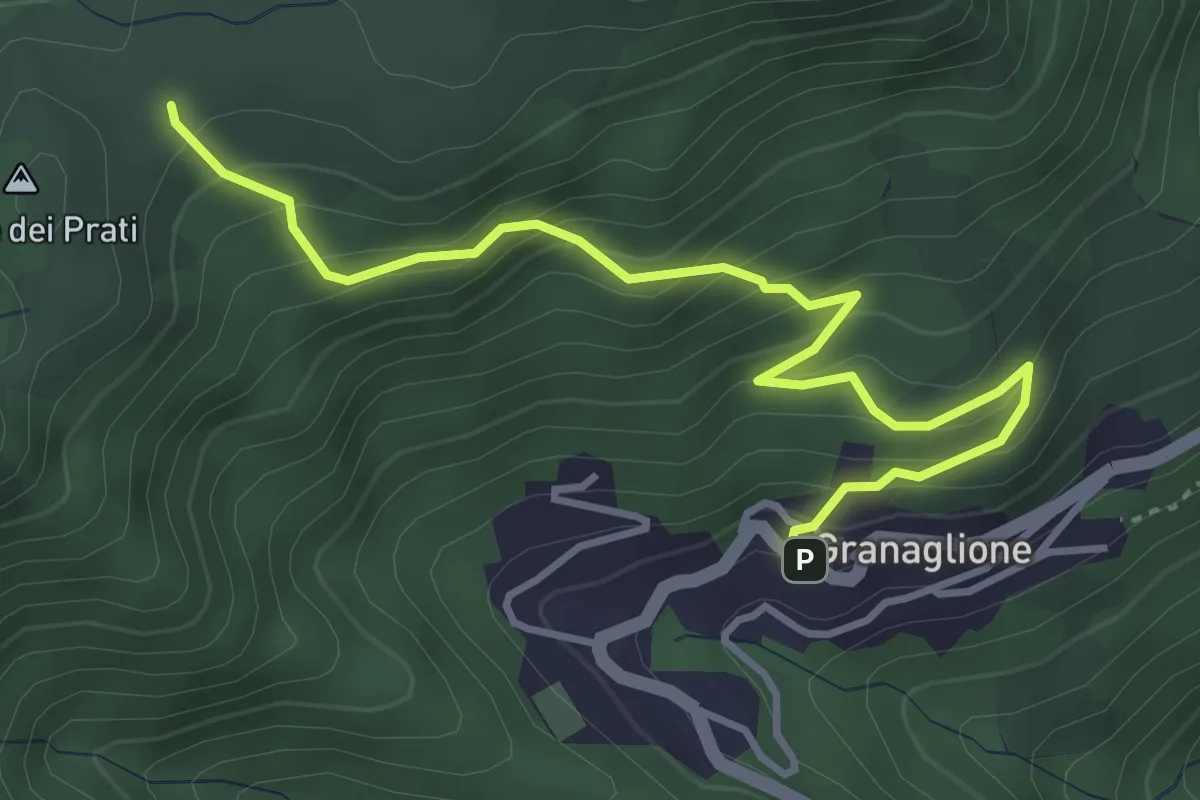
Medium · Trail
Granaglione – Percorso 103
4.3 km · ↑ 356 m · 1 h 48 min
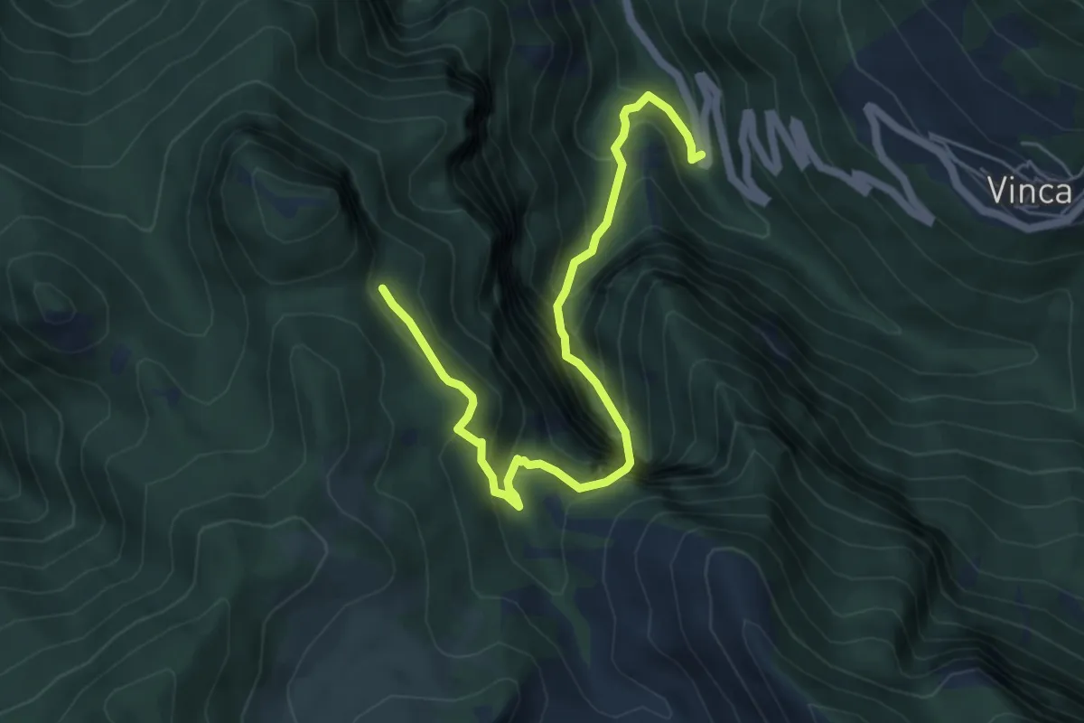
Demanding · Trail
Vinca – Innesto percorso 183
6.1 km · ↑ 880 m · 3 h 21 min
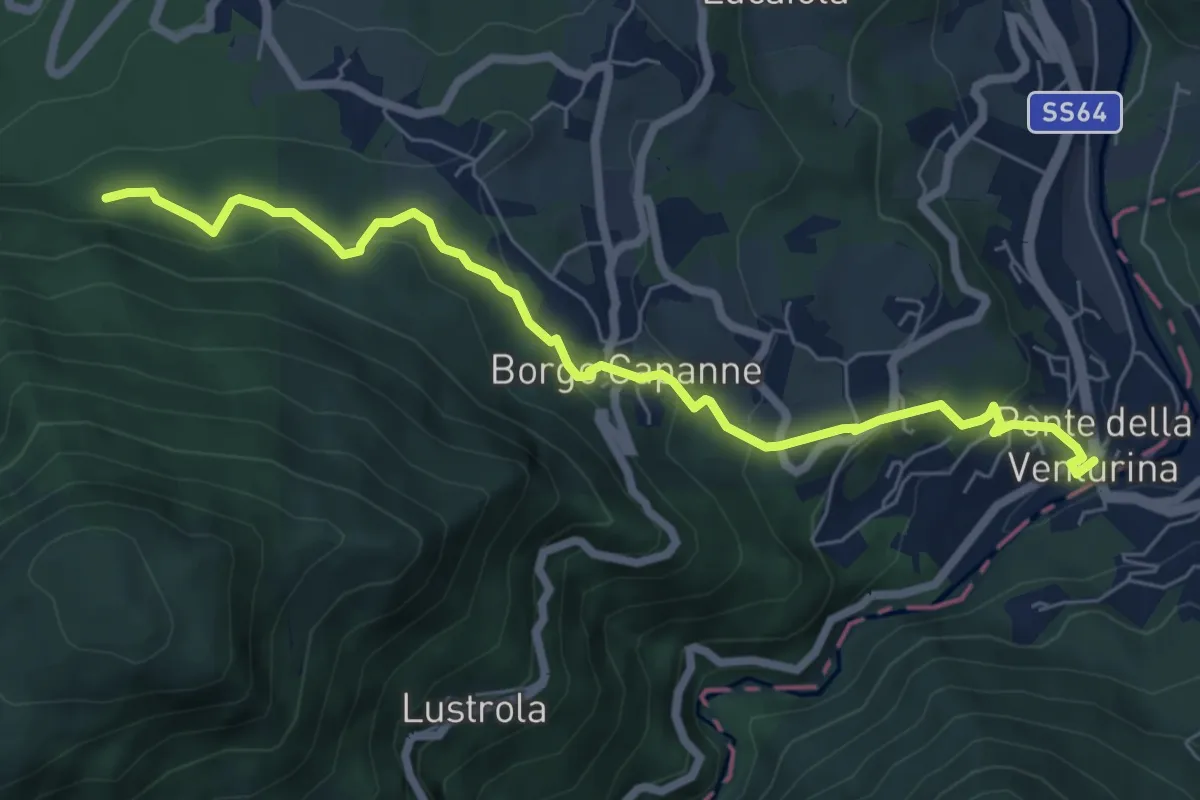
Medium · Trail
Ponte della Venturina – Tre Casoni (percorso 101)
7.4 km · ↑ 345 m · 2 h 29 min
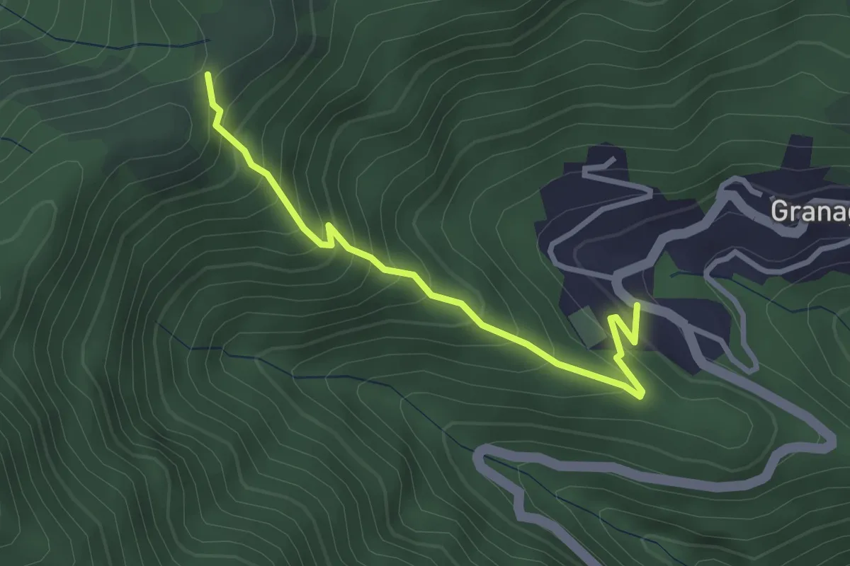
Medium · Trail
Granaglione – Percorso 103 (Monte Prati)
2.9 km · ↑ 353 m · 1 h 27 min
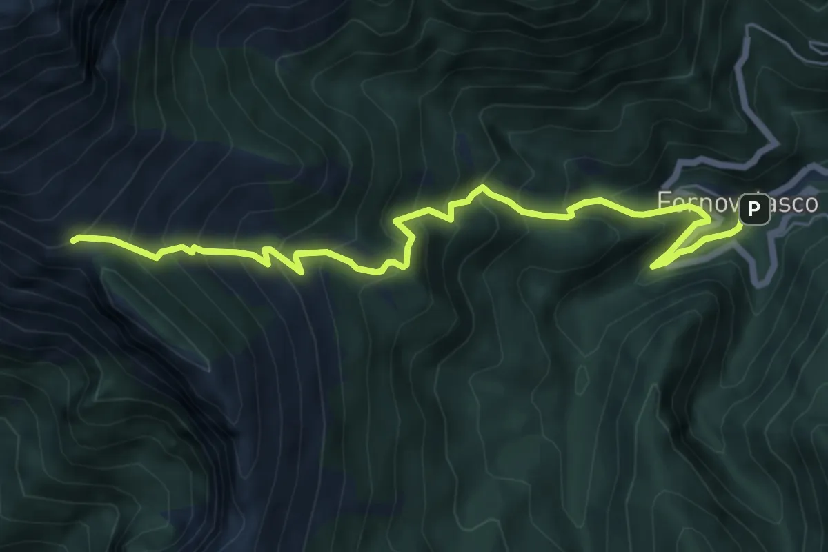
Medium · Trail
Fornovolasco – Foce di Valli
7.2 km · ↑ 800 m · 3 h 26 min
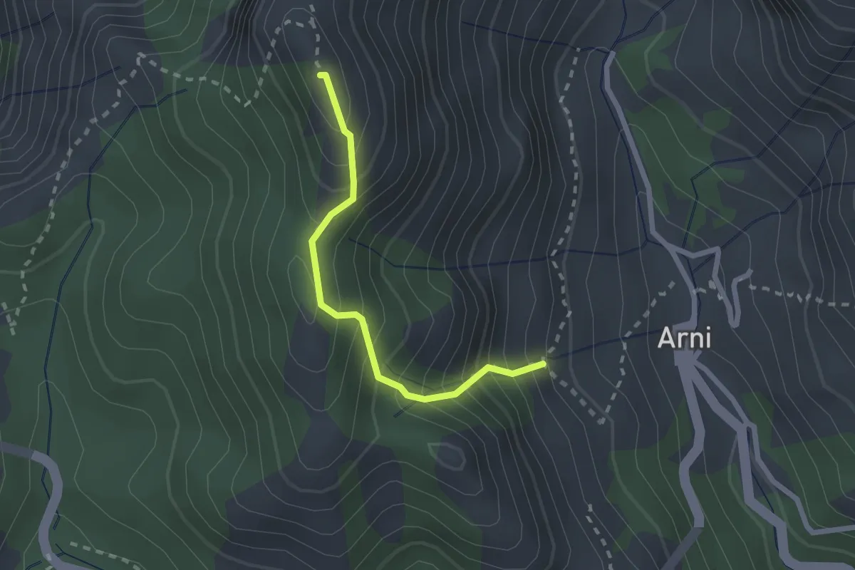
Medium · Summit
Rifugio Adelmo Puliti (Percorso 141) – Schienale dell'Asino (Pecorso 150)
2.1 km · ↑ 294 m · 1 h 8 min
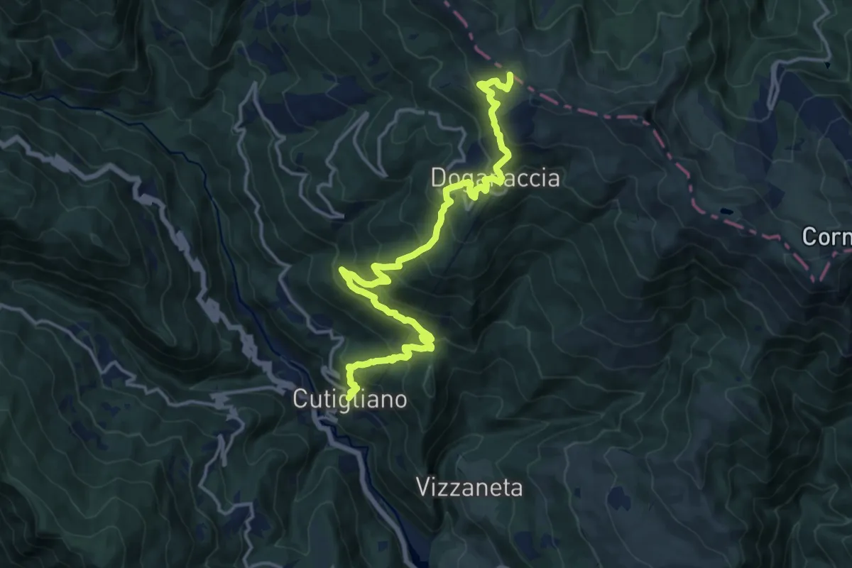
Demanding · Trail
Cutigliano – innesto sentiero 00
16.7 km · ↑ 1081 m · 6 h 17 min
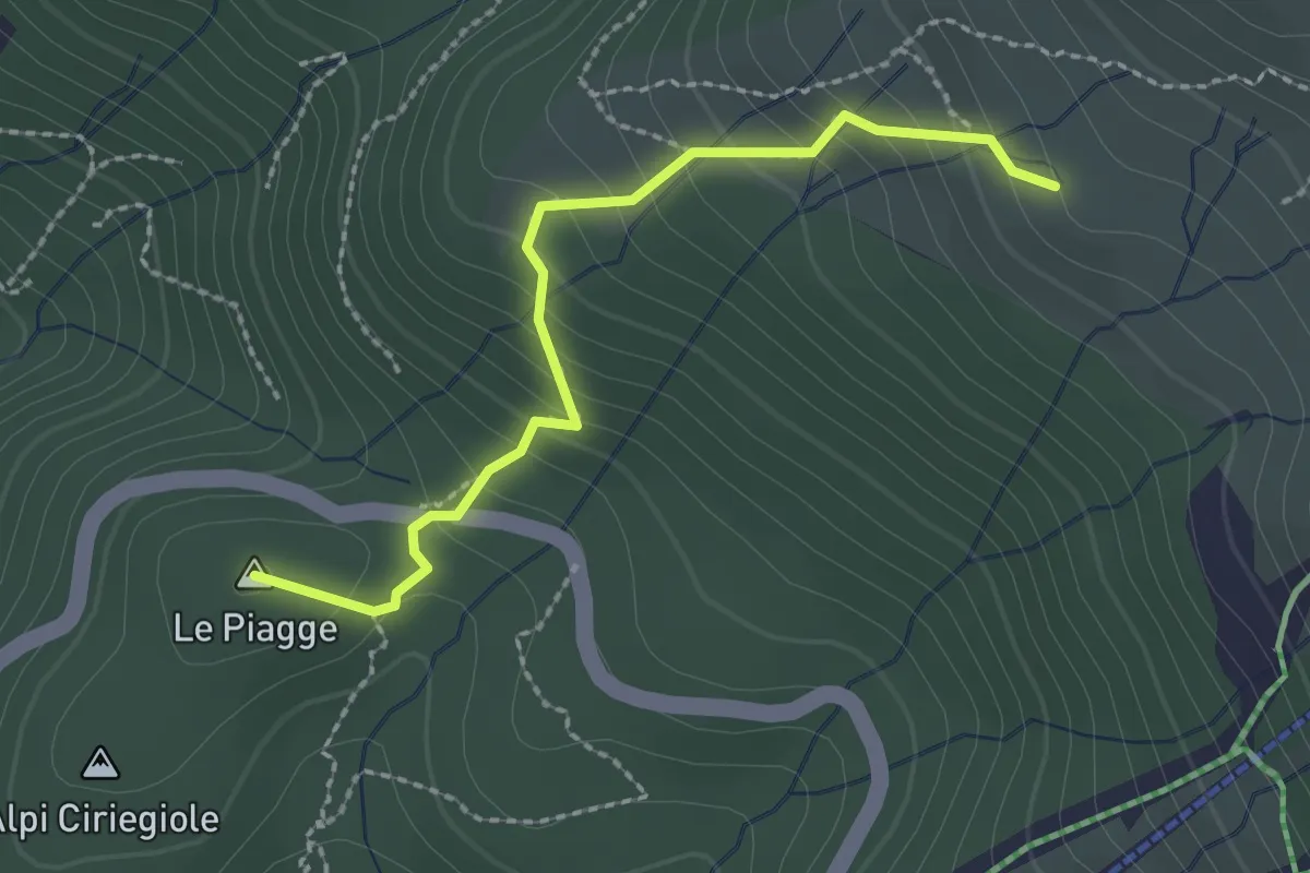
Easy · Summit
Percorso 286 – Passo delle Croce Arcana
2.4 km · ↑ 200 m · 1 h
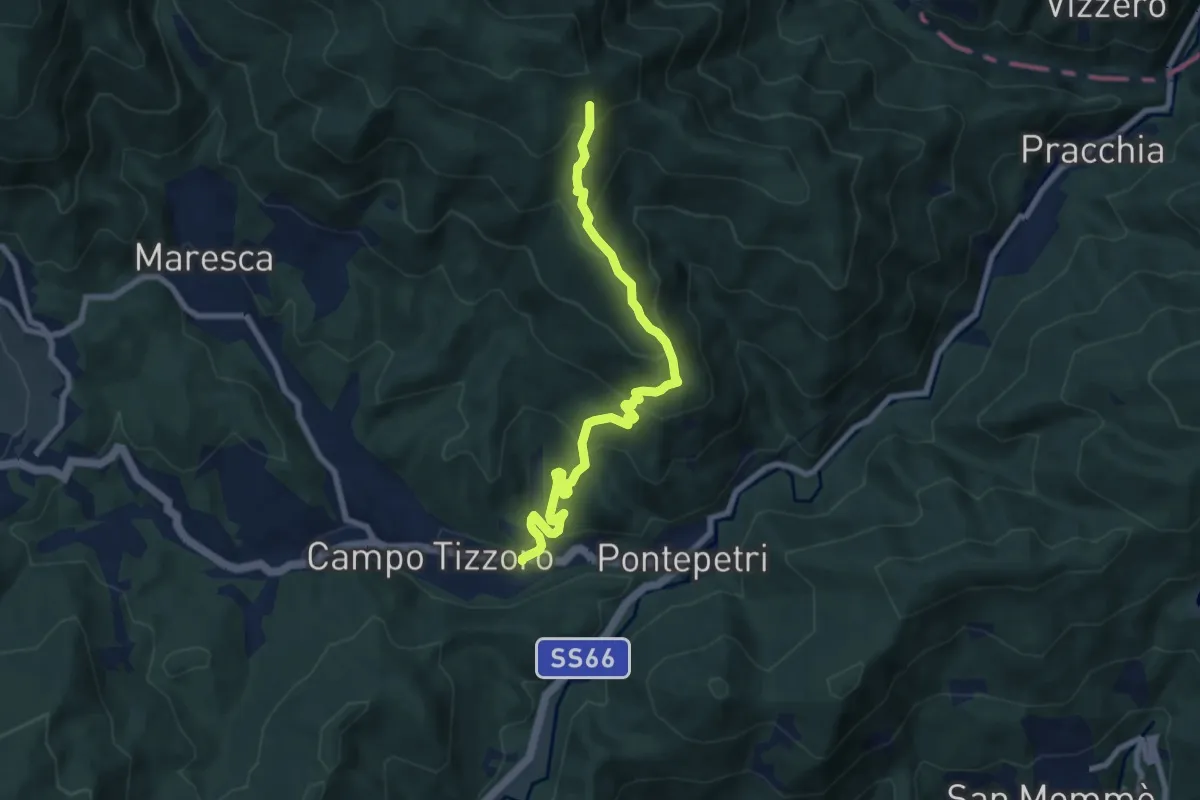
Medium · Trail
Campo Tizzoro – Fontanelle
8.5 km · ↑ 604 m · 3 h 19 min
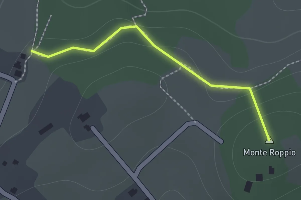
Medium · Summit
Percorso 428 – Percorso 426
1.2 km · ↑ 46 m · 23 min
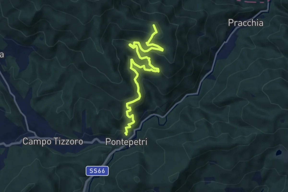
Medium · Summit
Pontepetri – Poggio del Ronco
10.8 km · ↑ 755 m · 4 h 11 min
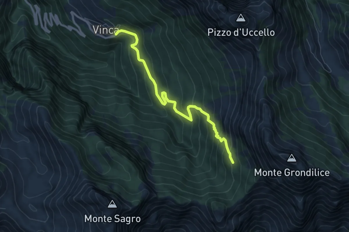
Demanding · Cabin
Vinca – Capanna Garnerone
7.6 km · ↑ 582 m · 3 h 3 min
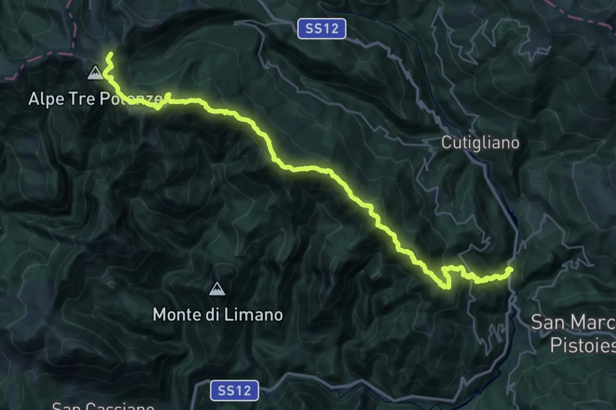
Demanding · Summit
La Lima – Percorso 00
33.2 km · ↑ 2319 m · 12 h 52 min
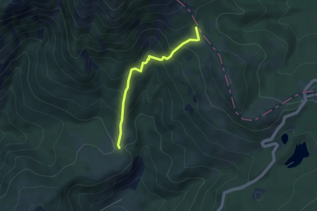
Medium · Trail
Sassalbo – Passo dell'Ospedalaccio
3.9 km · ↑ 340 m · 1 h 39 min
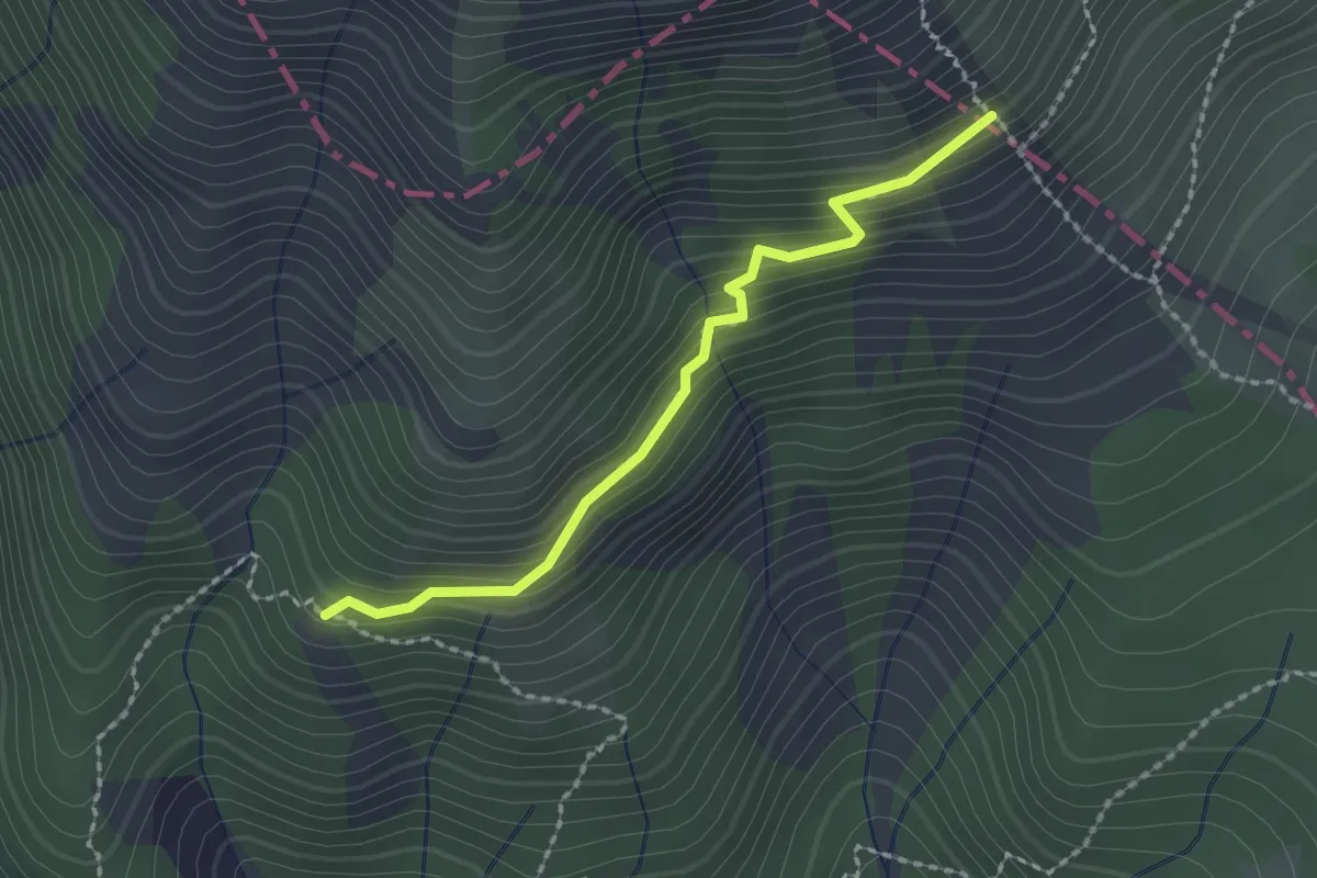
Medium · Trail
Camporaghena – Raccordo 00
2.0 km · ↑ 180 m · 52 min
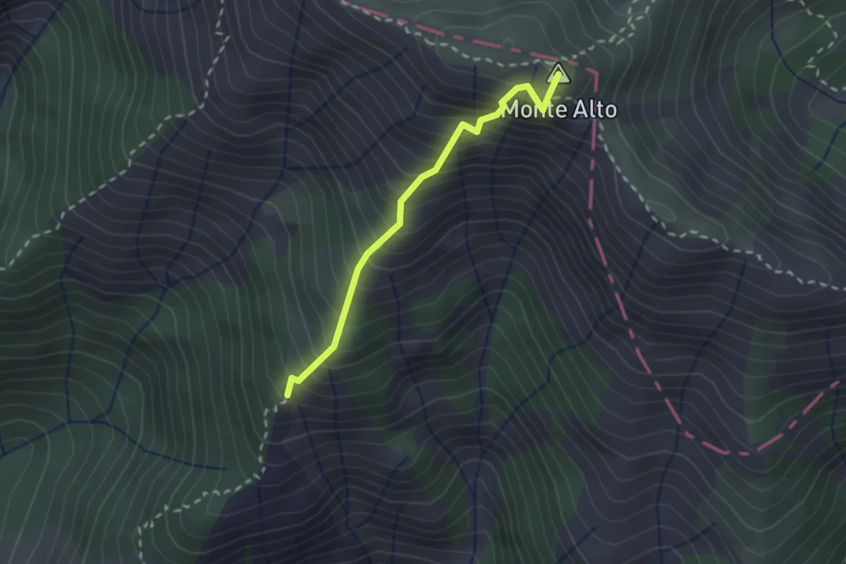
Demanding · Summit
Camporaghena – Monte Alto
2.1 km · ↑ 471 m · 1 h 31 min
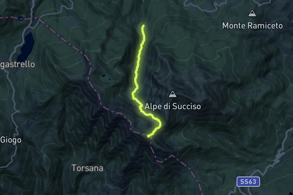
Demanding · Summit
Torrente Liocca – Monte Alto
9.0 km · ↑ 803 m · 3 h 52 min
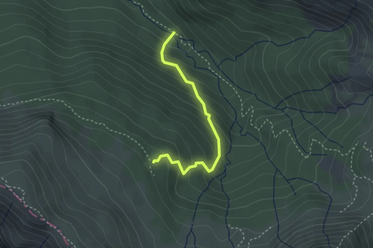
Easy · Cabin
Forcone – Rifugio Bargetana
2.8 km · ↑ 272 m · 1 h 16 min
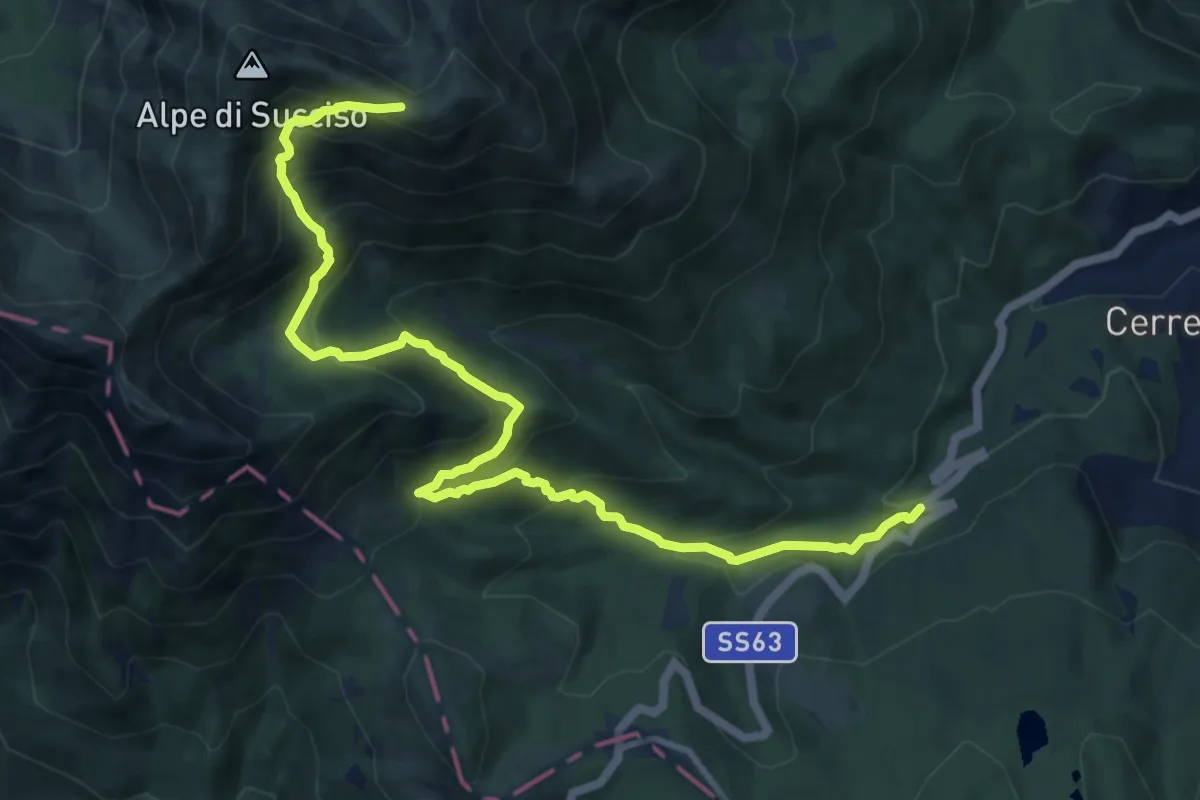
Demanding · Trail
La Gabellina – Sella Monte Casarola
12.7 km · ↑ 975 m · 5 h 7 min
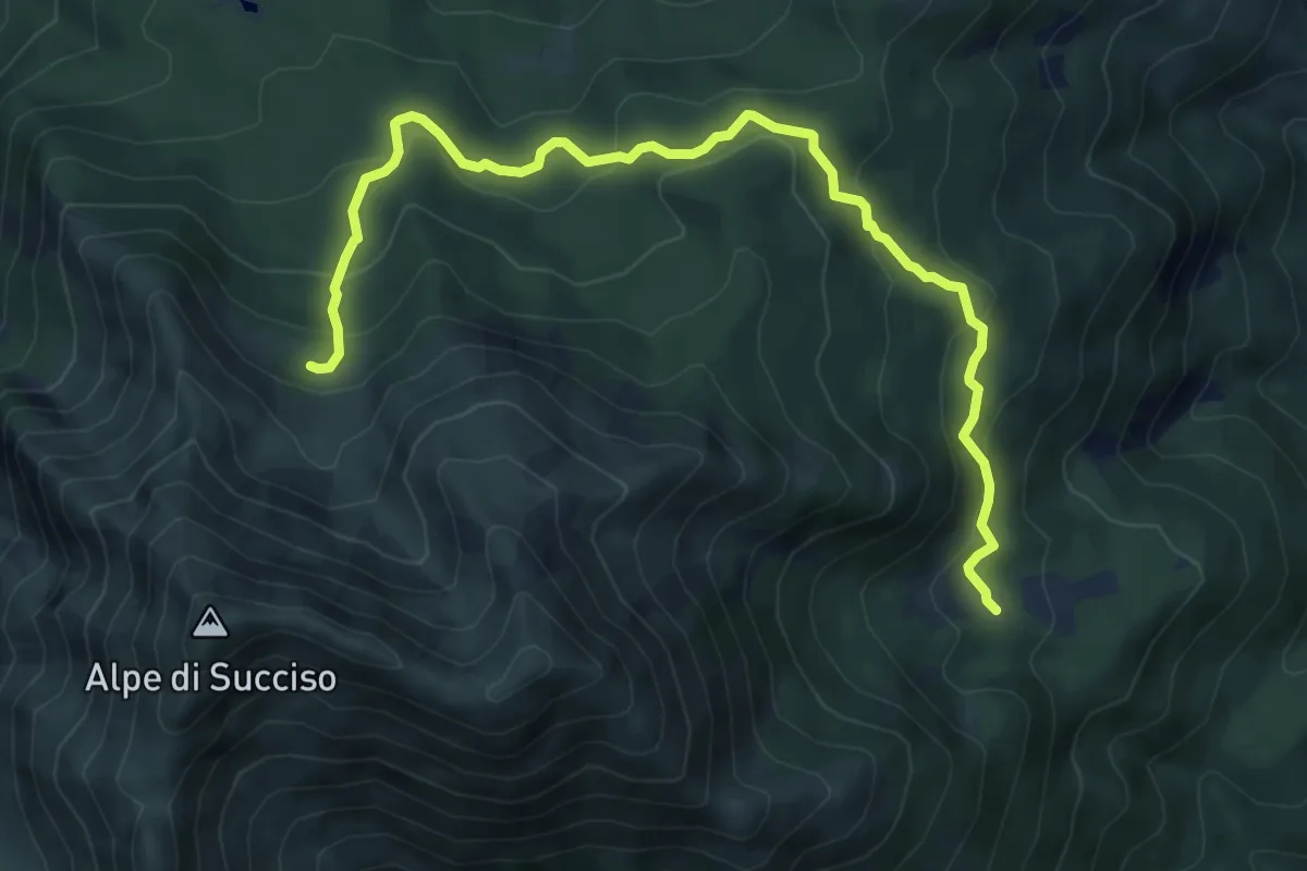
Medium · Cabin
Capiola – Rifugio Rio Pascolo
8.5 km · ↑ 474 m · 3 h 2 min
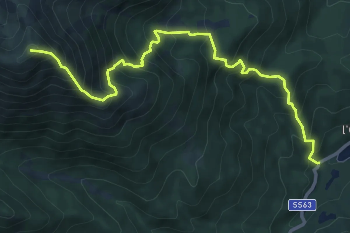
Demanding · Summit
Cerreto dell'Alpi – Monte Casarola
9.1 km · ↑ 1050 m · 4 h 26 min
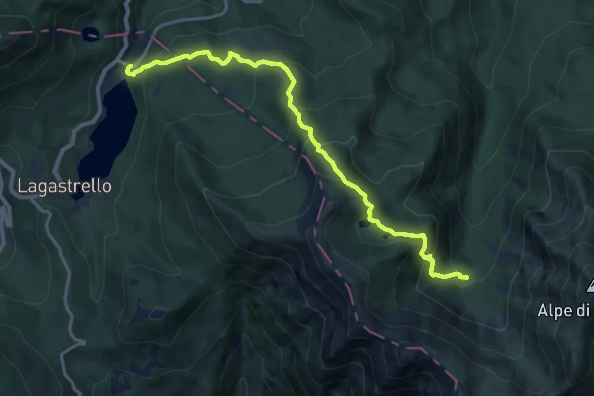
Medium · Cabin
Diga del Lagastrello – I Ghiaccioni
10.0 km · ↑ 690 m · 3 h 52 min
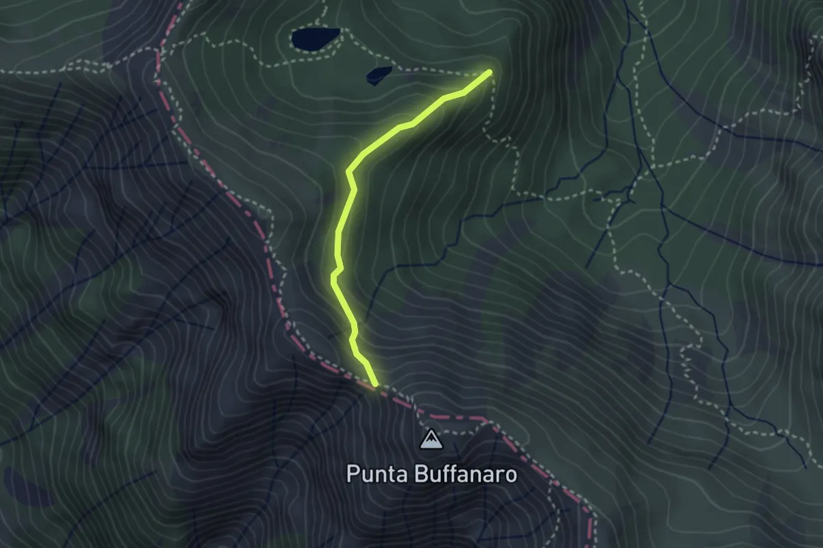
Demanding · Trail
Percorso 659 – Sella di Punta Buffanaro
2.5 km · ↑ 183 m · 59 min
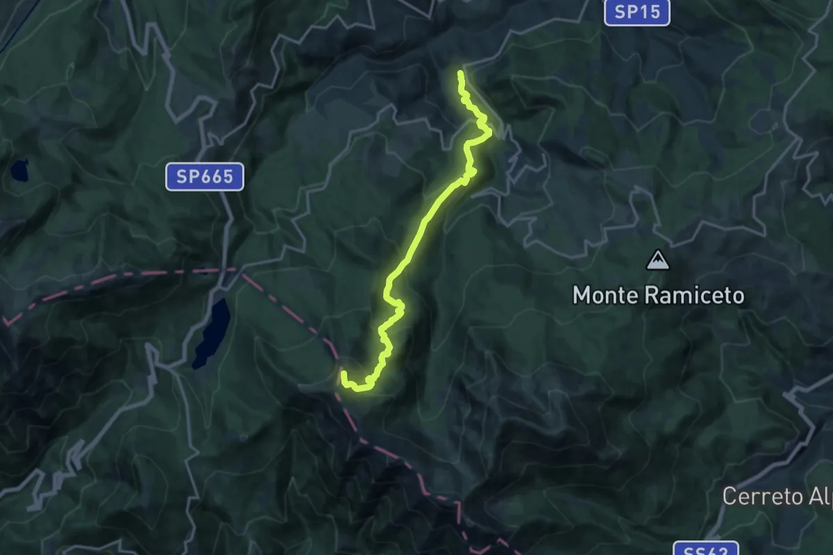
Demanding · Summit
Cecciola – Sella del Monte Acuto
15.2 km · ↑ 1020 m · 5 h 47 min
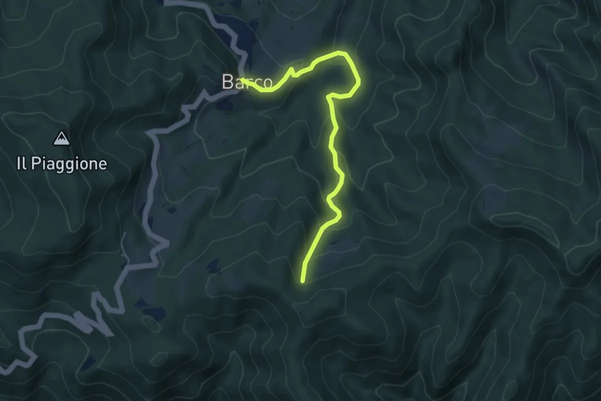
Medium · Trail
Barco – Sentiero 00
5.5 km · ↑ 366 m · 2 h 5 min
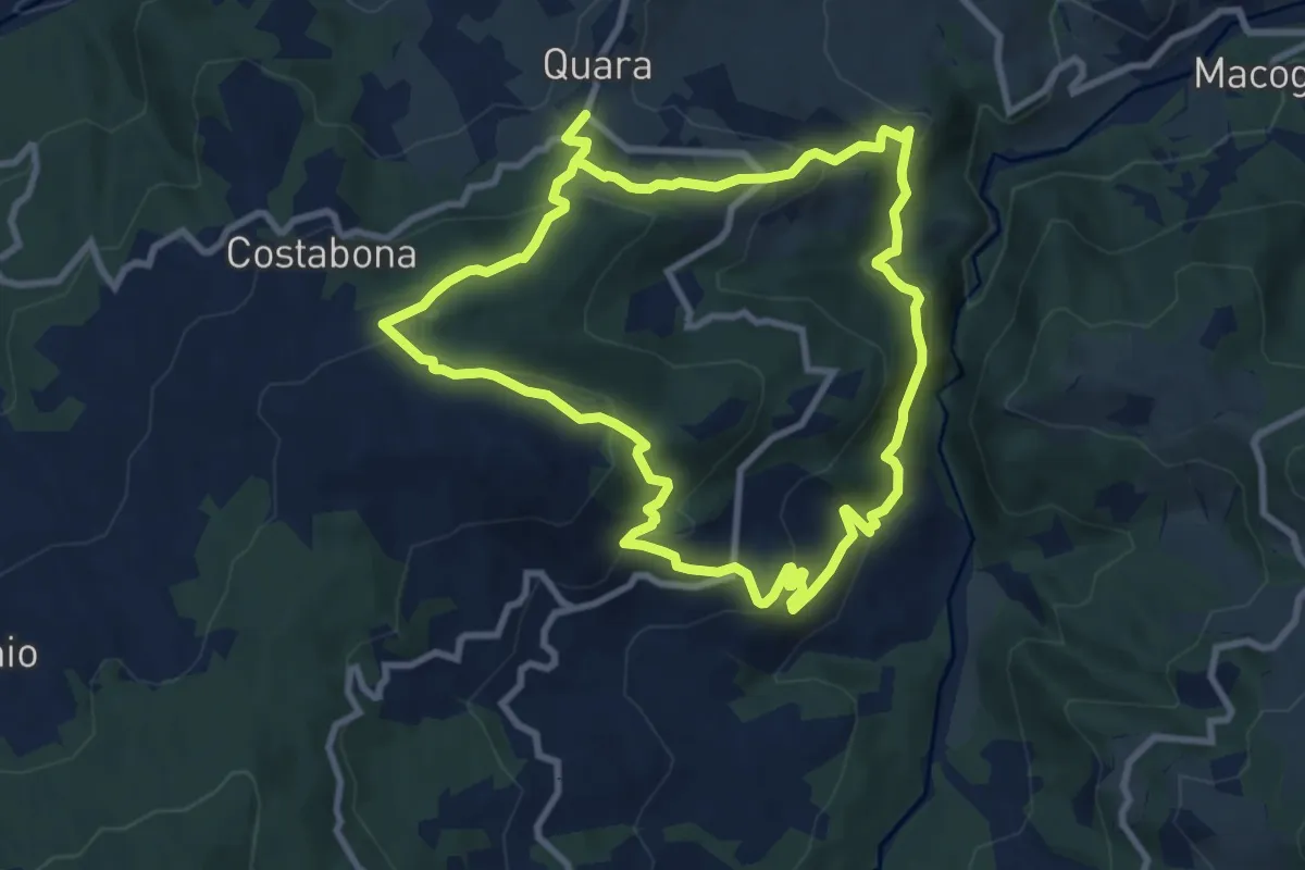
Medium · Trail
Quara – Quara
9.1 km · ↑ 458 m · 3 h 17 min
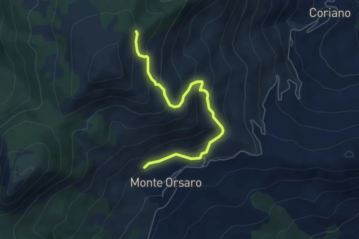
Medium · Cabin
Rifugio Monteorsaro – Crinale del Prampa
5.1 km · ↑ 398 m · 2 h 5 min
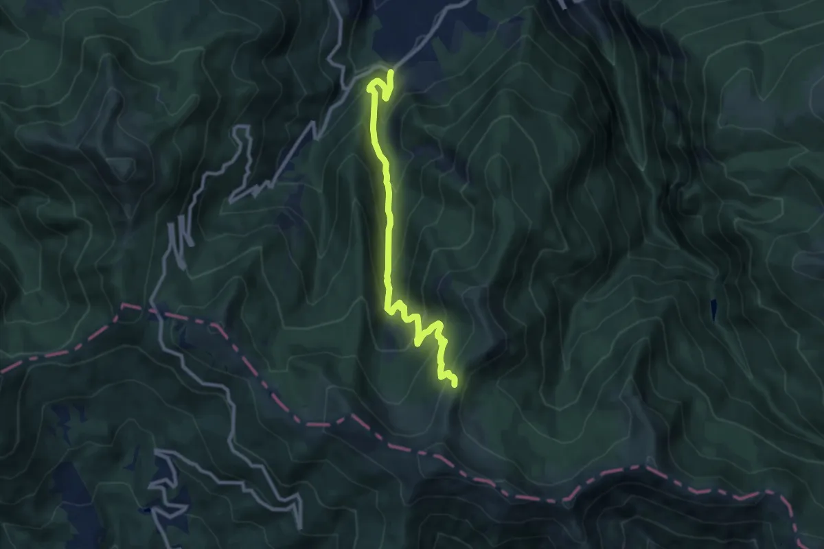
Medium · Trail
Laghi di Ligonchio – Sella Lama di Mezzo
9.4 km · ↑ 721 m · 3 h 46 min
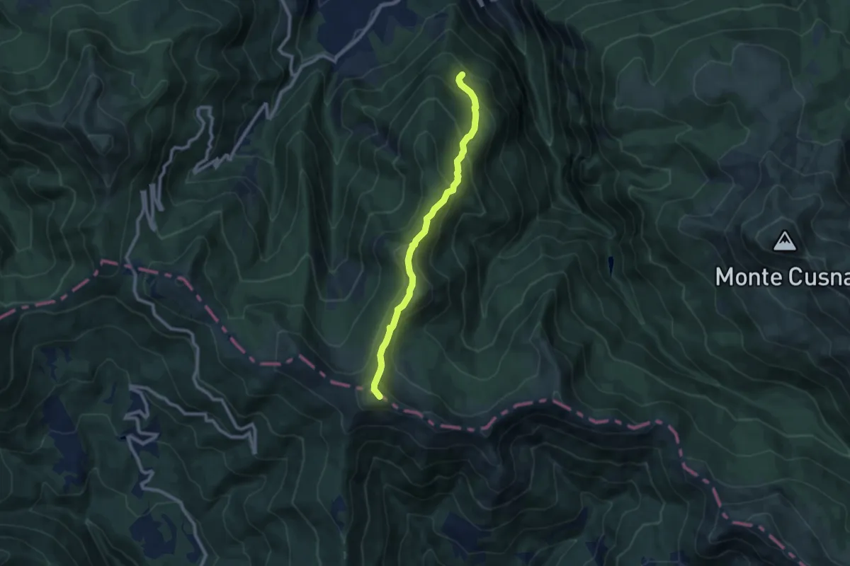
Medium · Summit
Tarlanda – Monte Sillano
8.3 km · ↑ 621 m · 3 h 18 min
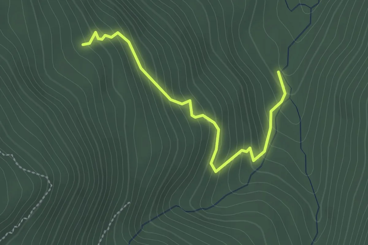
Easy · Trail
Percorso 647 – Percorso 649C
2.7 km · ↑ 245 m · 1 h 10 min
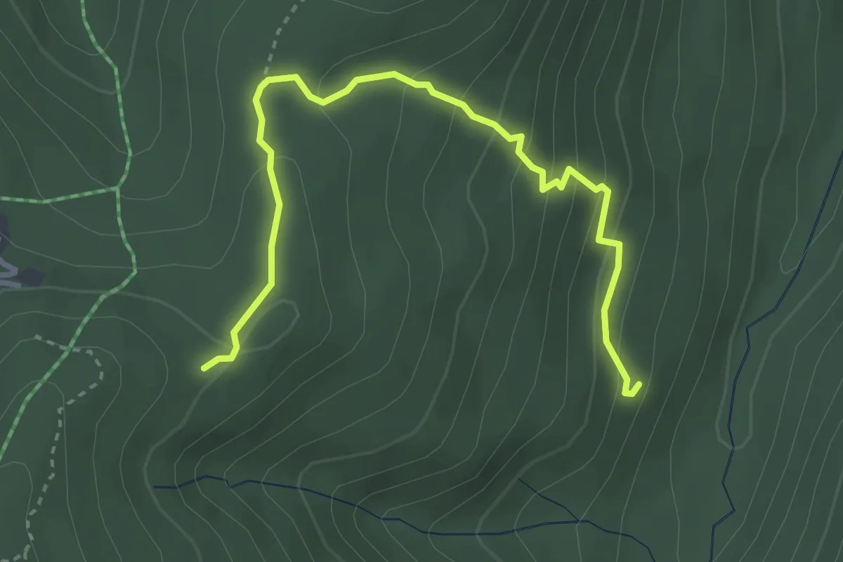
Easy · Trail
Percorso 647 – Percorso 649C
3.9 km · ↑ 235 m · 1 h 25 min
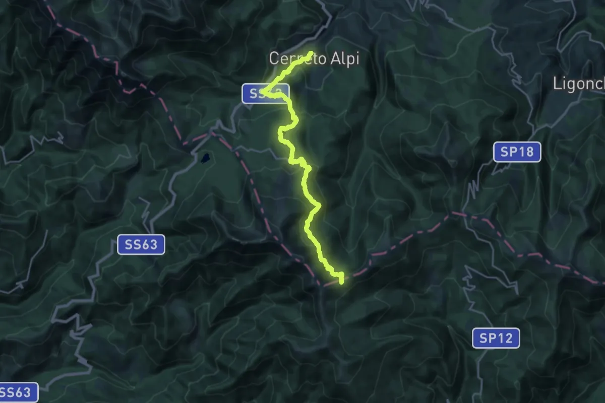
Demanding · Trail
Cerreto Alpi – Passo di Belfiore (sentiero 00)
19.7 km · ↑ 989 m · 6 h 48 min
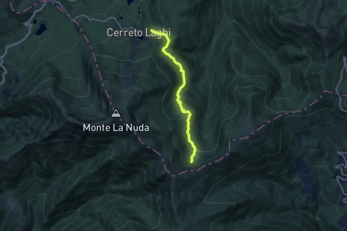
Medium · Trail
Cerreto Laghi – Percorso 649 Passo Belfiore
8.0 km · ↑ 374 m · 2 h 42 min
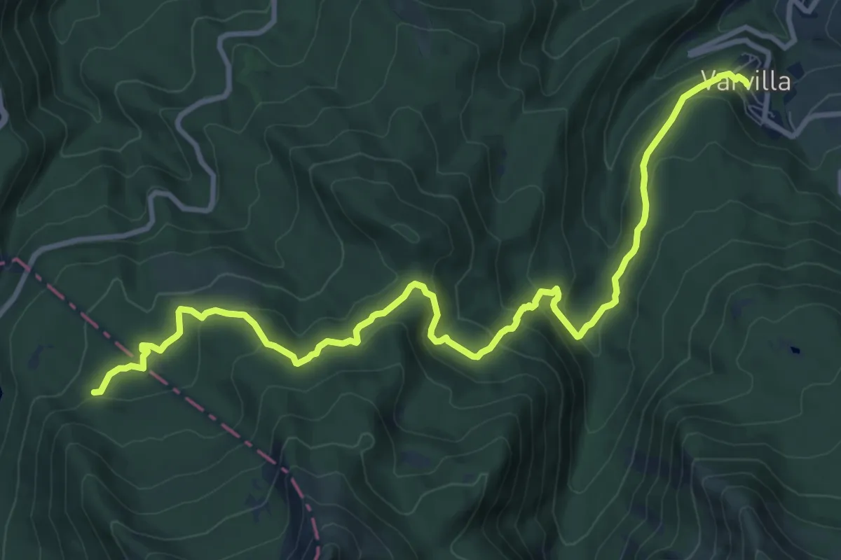
Medium · Trail
Succiso Nuovo – percorso 109
12.3 km · ↑ 586 m · 4 h 11 min
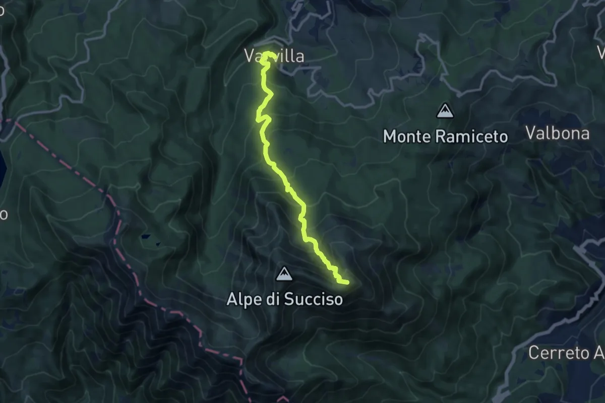
Demanding · Summit
Succiso Nuovo – Sella del Casarola
10.2 km · ↑ 996 m · 4 h 34 min
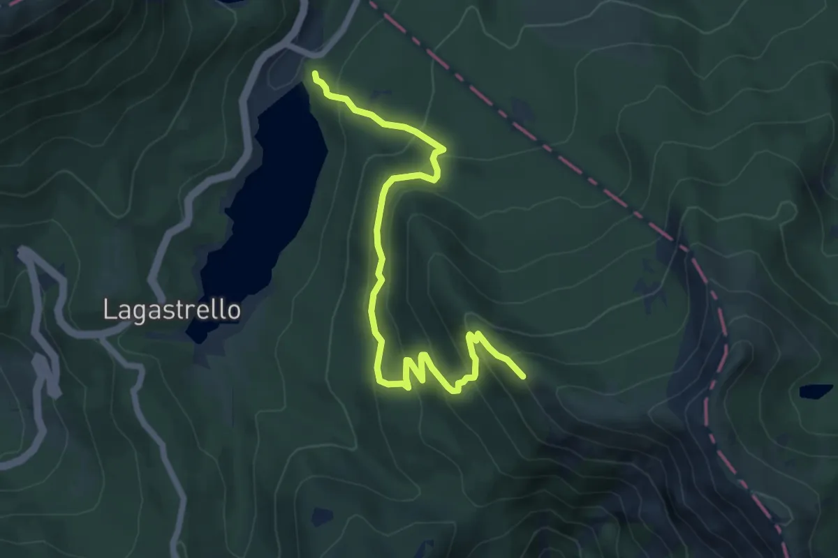
Medium · Trail
Diga di Lagastrello – sentiero 00
6.7 km · ↑ 529 m · 2 h 43 min
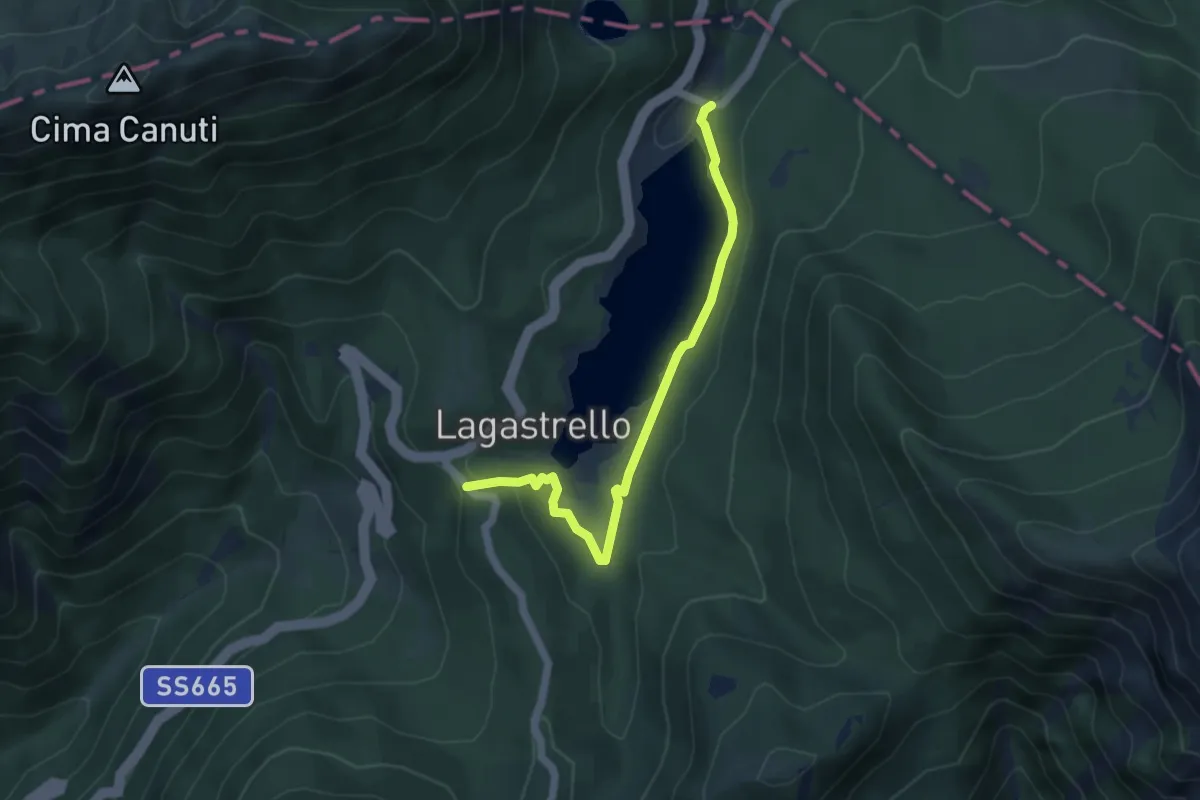
Easy · Trail
Diga del Lagastrello – Percorso 00
5.0 km · ↑ 91 m · 1 h 22 min
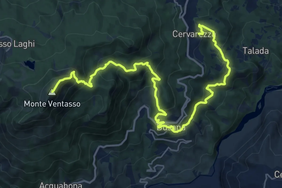
Demanding · Summit
Cervarezza – Percorso 667
22.1 km · ↑ 1325 m · 8 h 6 min
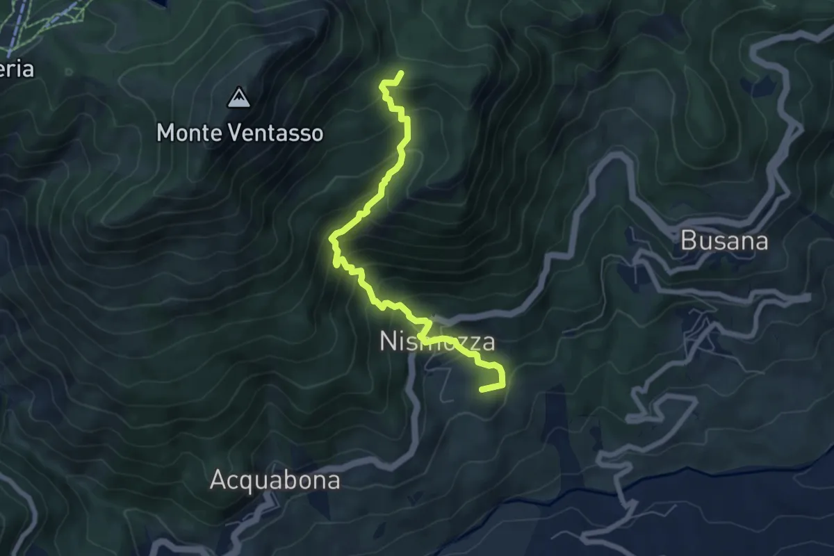
Medium · Summit
Busana – Percorso 661
6.6 km · ↑ 607 m · 2 h 52 min