Trails in Italy
25,219 hiking trails, each with its route, climb, walking time and grade.
All trails, page 325 of 526
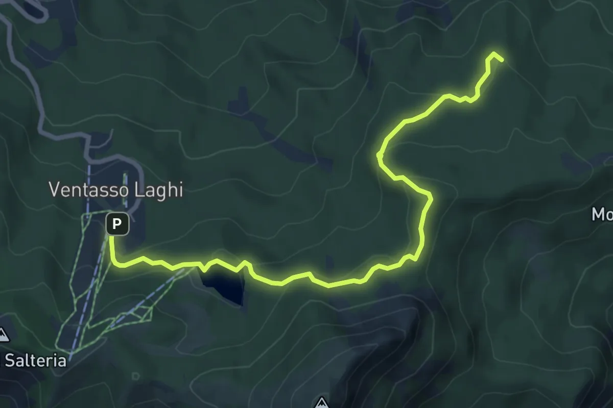
Medium · Summit
Cervarezza – Parcheggio Ventasso Lago
7.7 km · ↑ 313 m · 2 h 29 min
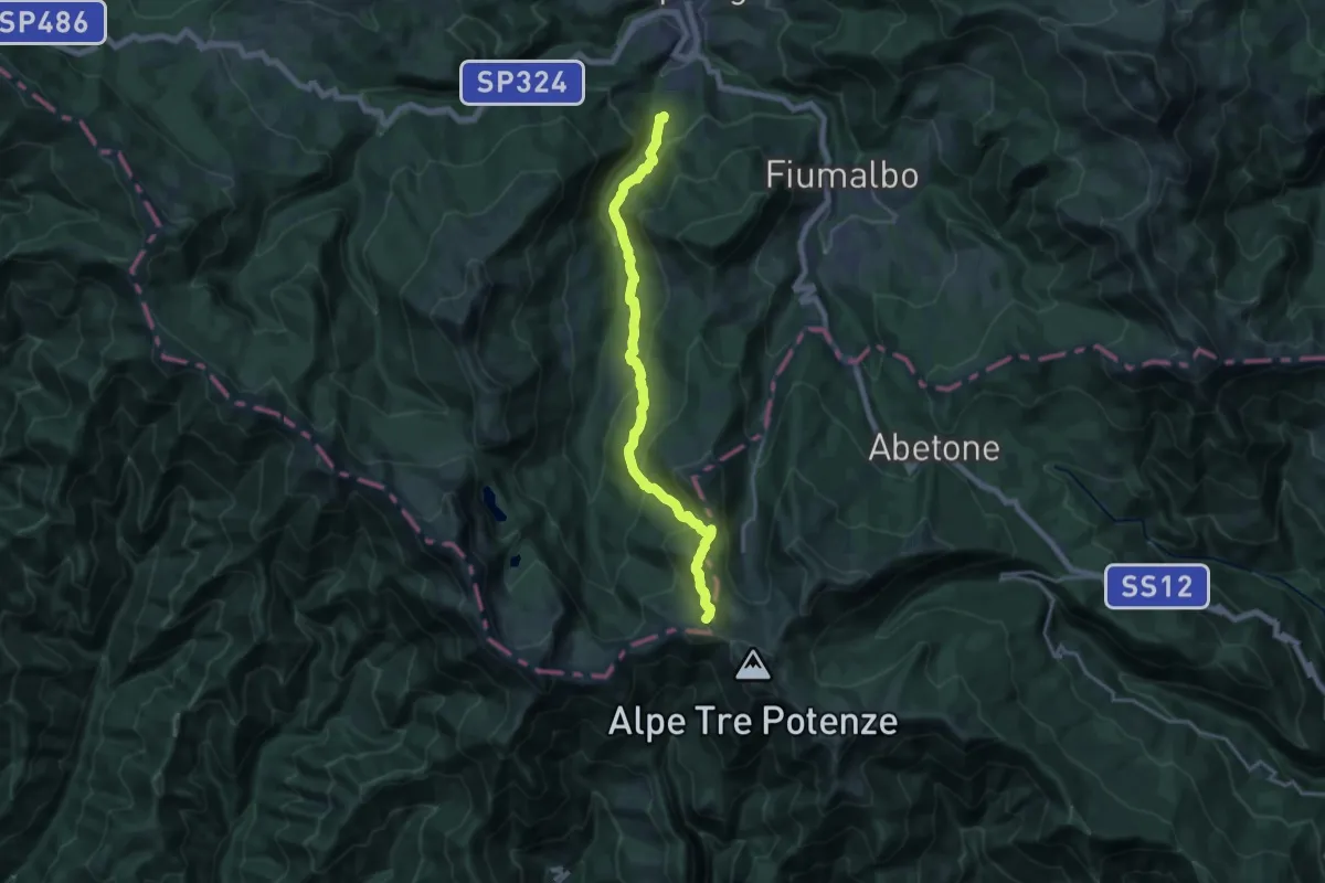
Demanding · Trail
Capannella – Passo D'Annibale
17.7 km · ↑ 1028 m · 6 h 25 min
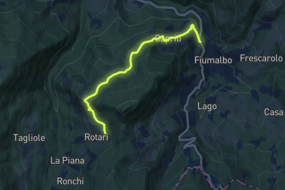
Medium · Trail
Caprili – Rotari
9.0 km · ↑ 539 m · 3 h 18 min
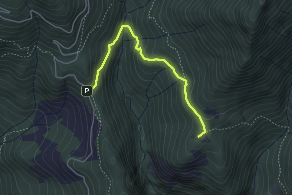
Medium · Summit
Rifugio Casentini – Fontana a Troghi
3.7 km · ↑ 171 m · 1 h 15 min
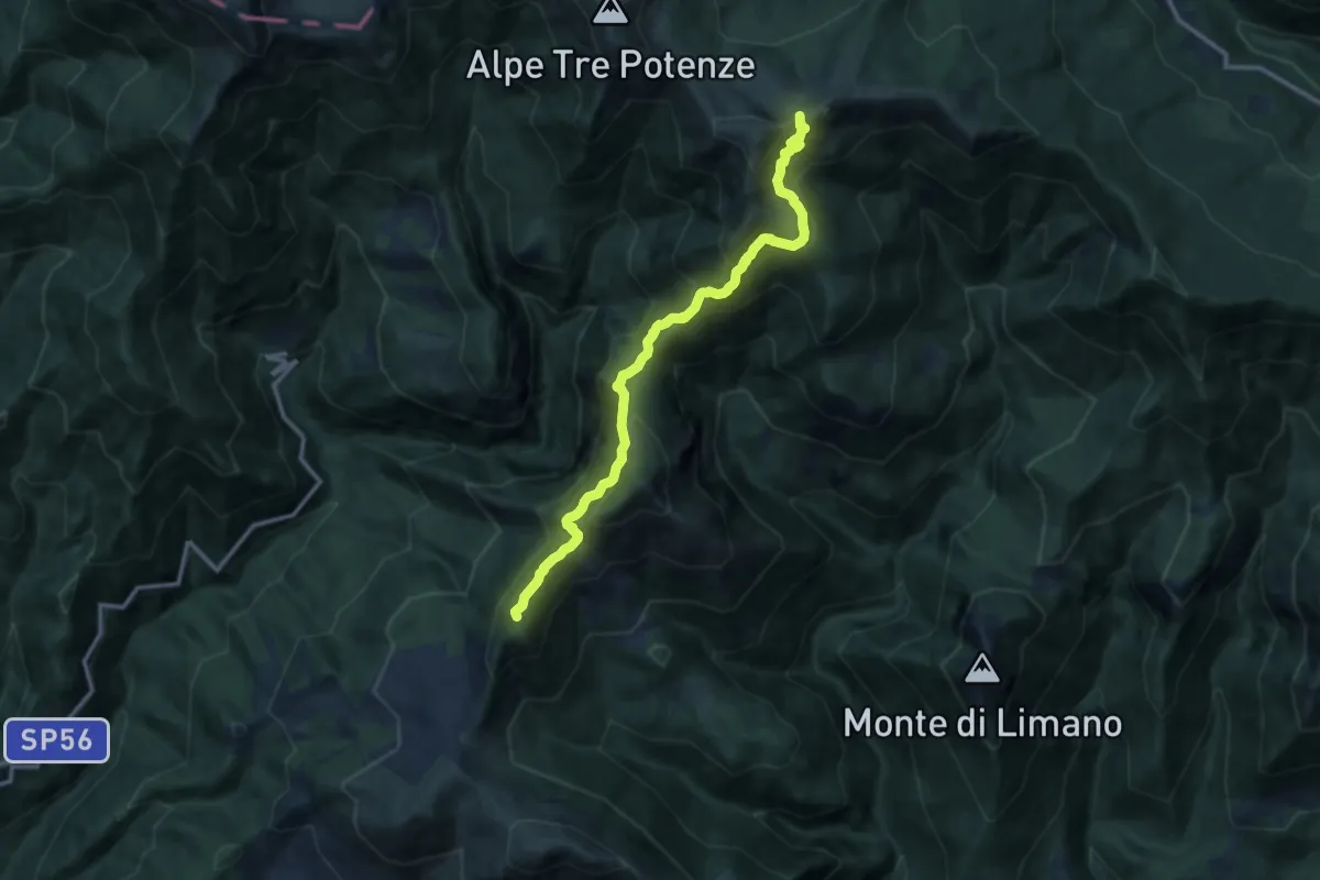
Expert · Summit
Foce al Lago – Foce di Campolino
12.6 km · ↑ 1011 m · 5 h 10 min
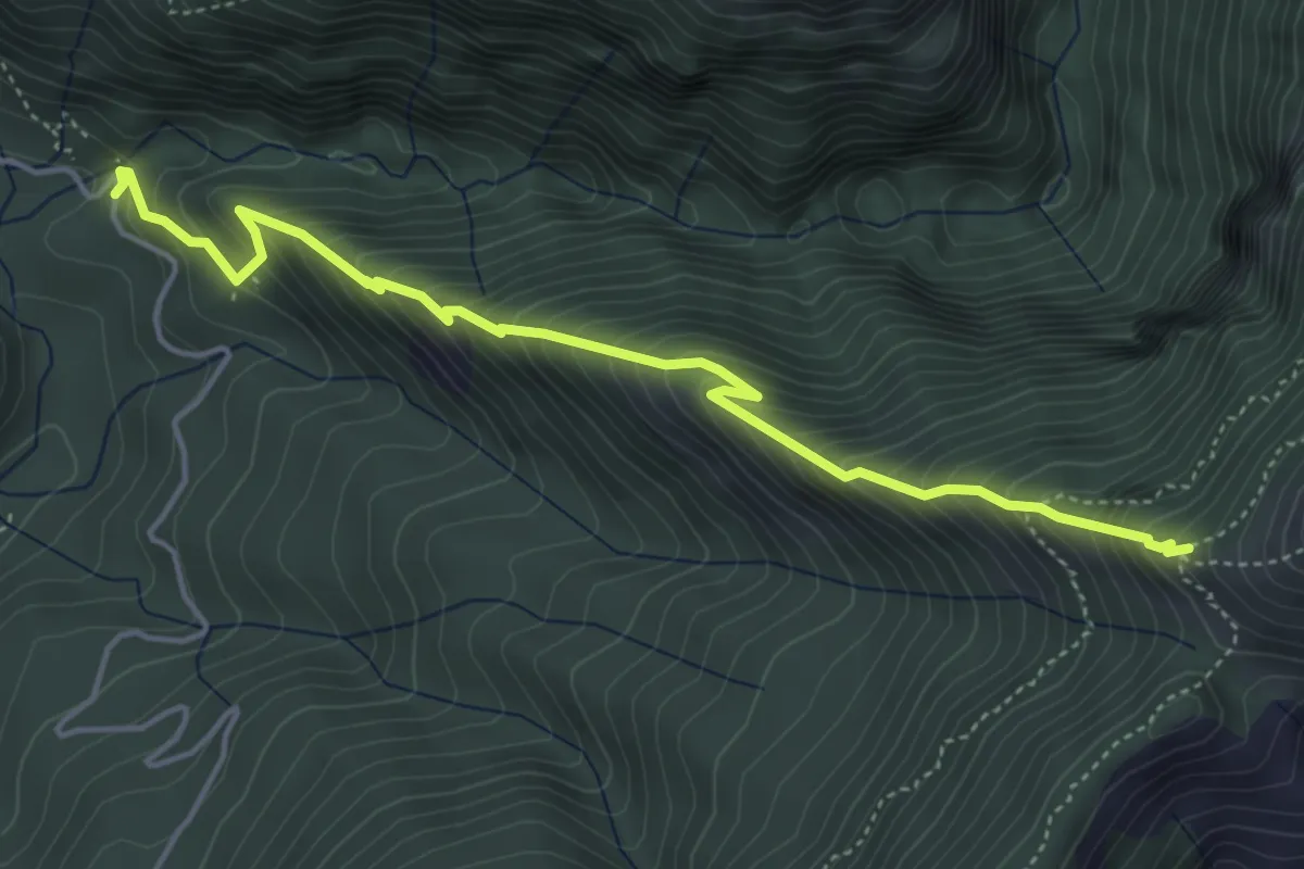
Medium · Trail
Ponte a Gaio – Colle del Gabbro
5.2 km · ↑ 738 m · 2 h 49 min
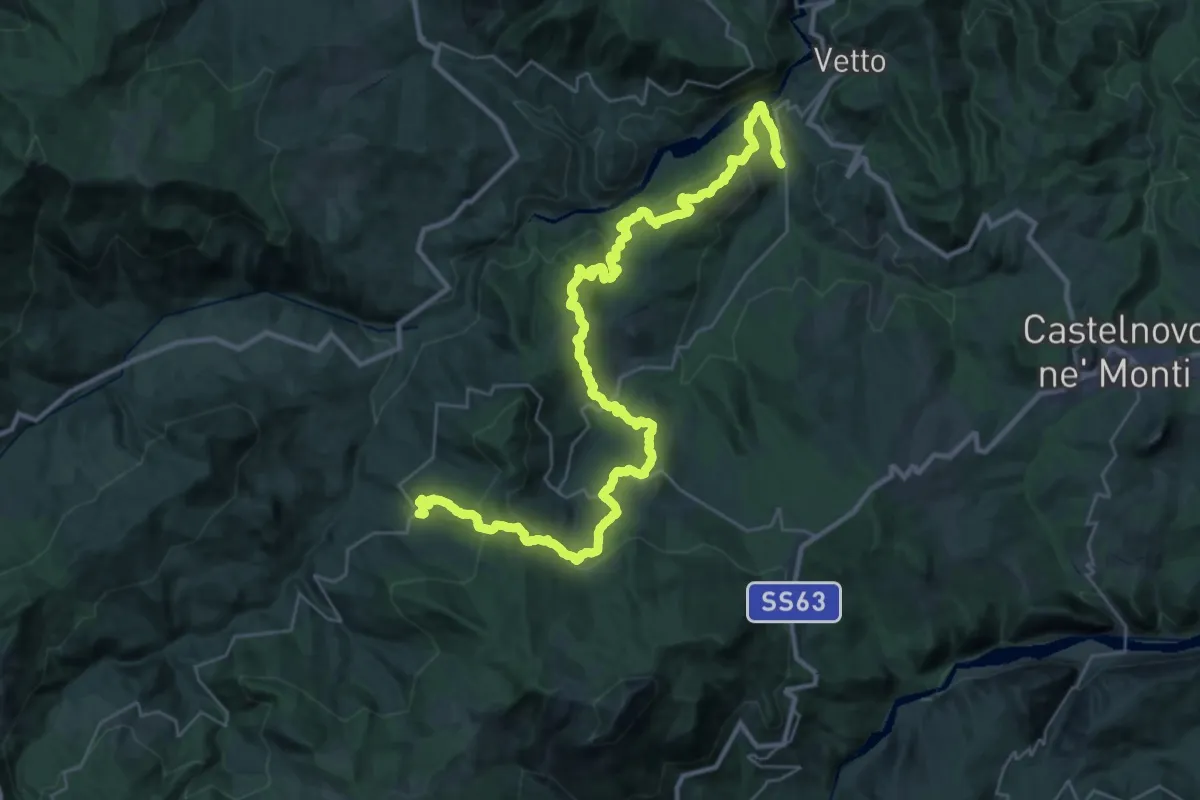
Demanding · Trail
Ponte Lonza – Castagneto
21.2 km · ↑ 1193 m · 7 h 41 min
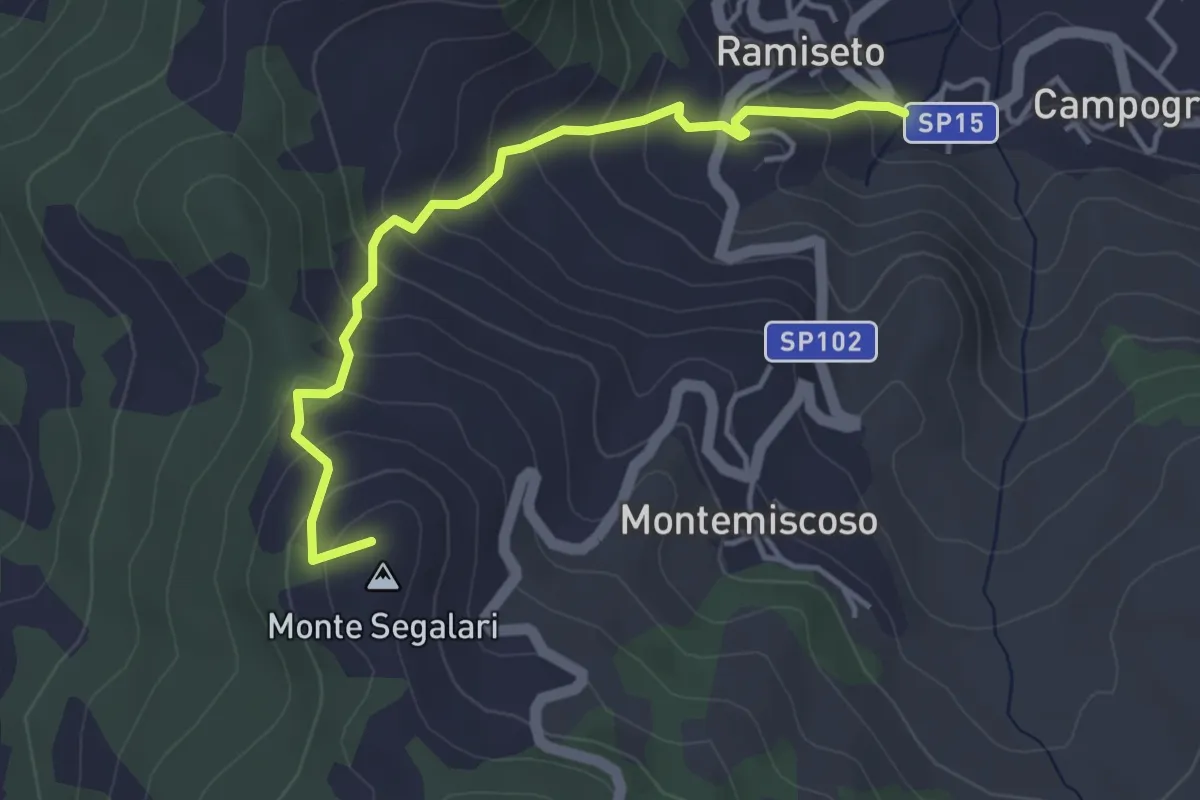
Easy · Summit
Ramiseto – Bandita
4.2 km · ↑ 315 m · 1 h 41 min
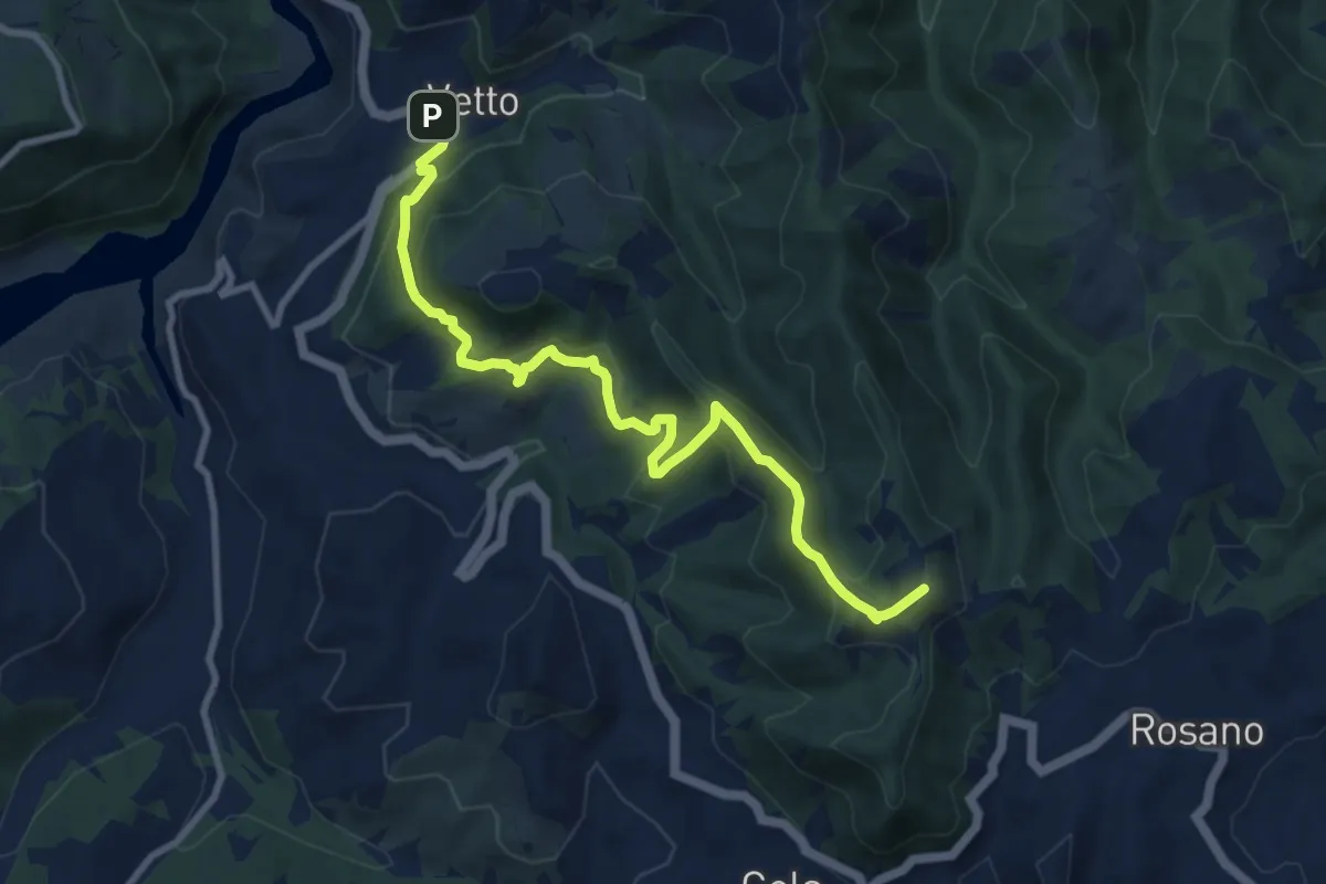
Medium · Summit
Mulino di Chichino – Vetto
10.4 km · ↑ 620 m · 3 h 49 min
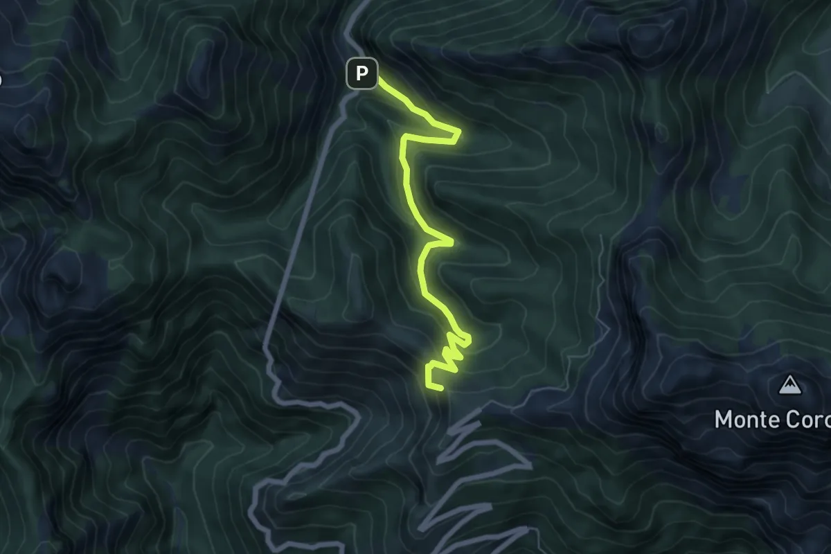
Medium · Summit
Ponte dei Merletti – Terrinca
6.4 km · ↑ 404 m · 2 h 24 min
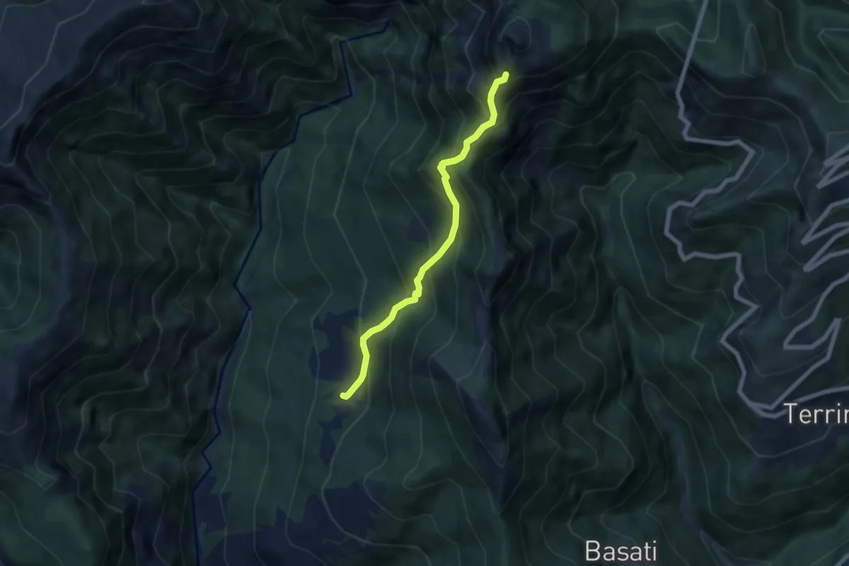
Medium · Trail
Azzano – Cava delle Cervaiole
5.7 km · ↑ 701 m · 2 h 52 min
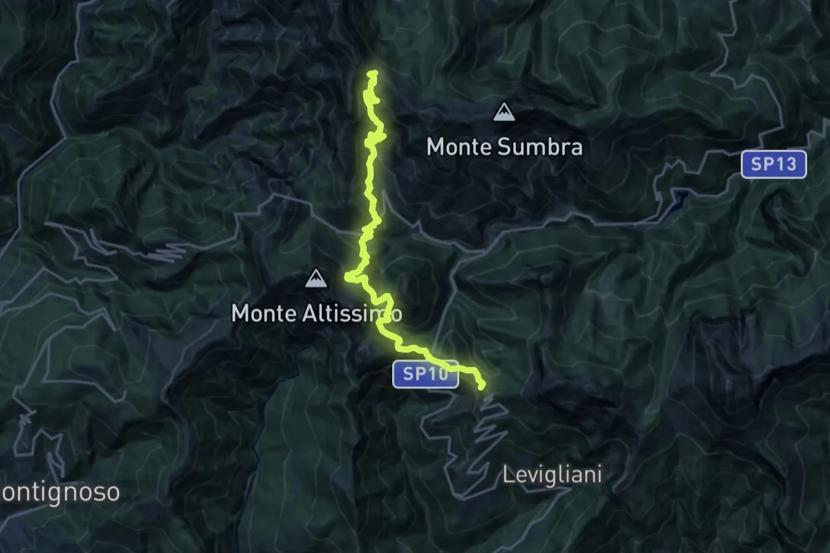
Demanding · Summit
Foce di Mosceta – Passo Sella
20.3 km · ↑ 1754 m · 8 h 35 min
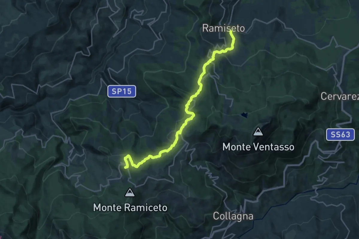
Demanding · Summit
Ramiseto – Ospedalaccio
18.8 km · ↑ 874 m · 6 h 21 min
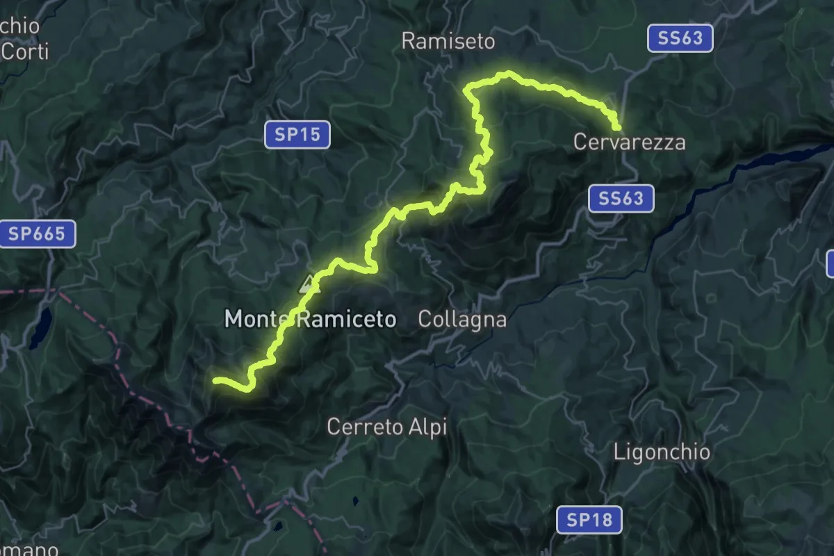
Demanding · Summit
Cervarezza – Alpe di Succiso
42.5 km · ↑ 2448 m · 15 h 21 min
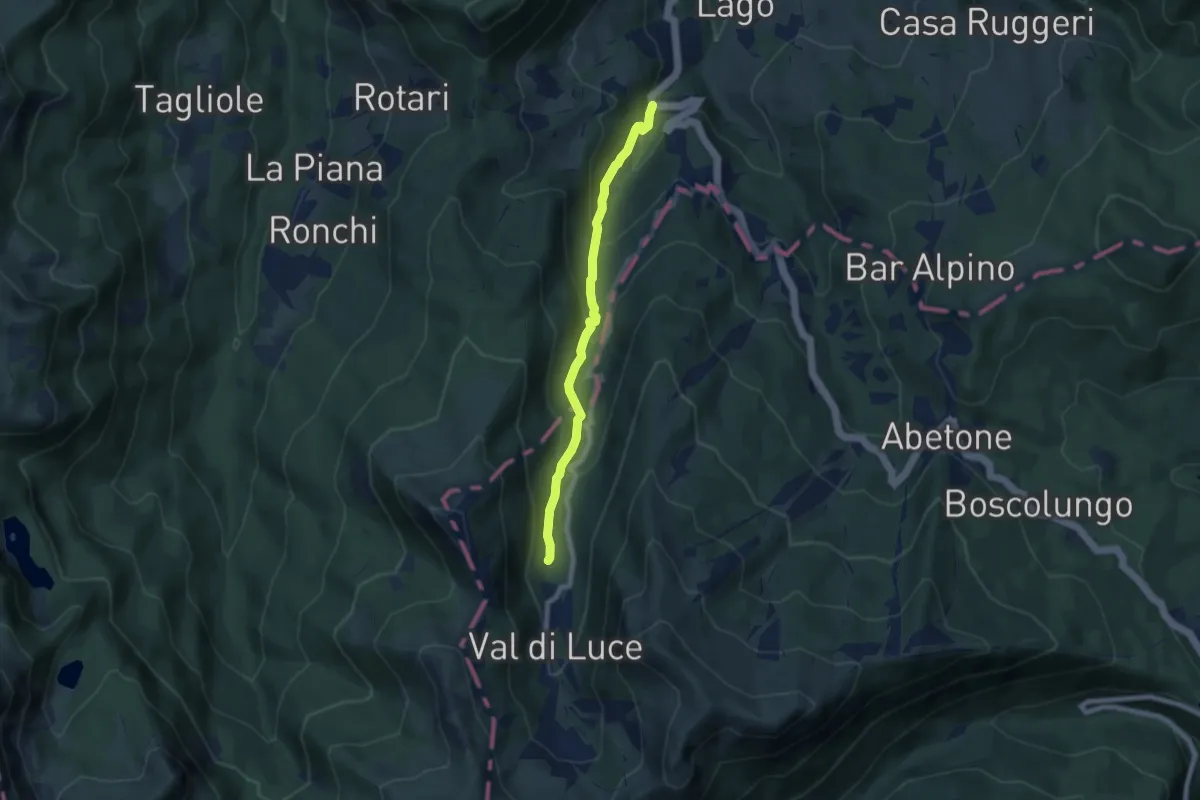
Medium · Trail
Dogana – Lago Piatto
7.0 km · ↑ 383 m · 2 h 29 min
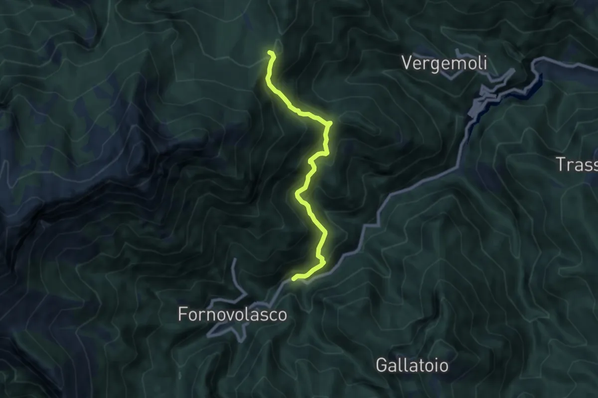
Medium · Trail
Boscaccio (Fornovolasco) – Le Rocchette
6.7 km · ↑ 647 m · 2 h 59 min
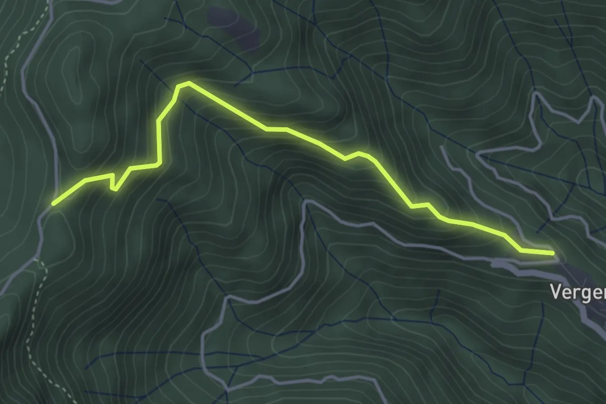
Medium · Trail
Vergemoli – Le Rocchette (strada del Piglionico)
4.1 km · ↑ 376 m · 1 h 48 min
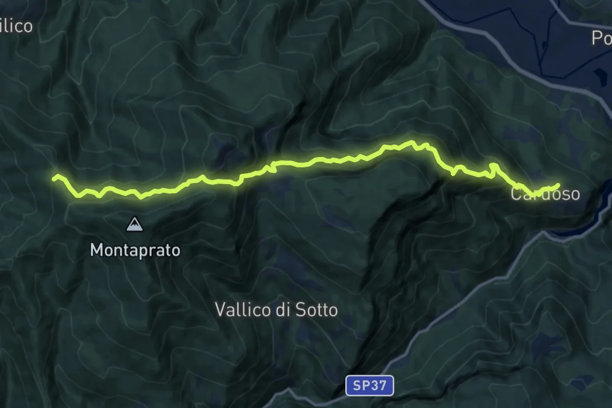
Demanding · Trail
Cardoso di Garfagnana – Foce Pompanella
13.6 km · ↑ 1423 m · 6 h 18 min
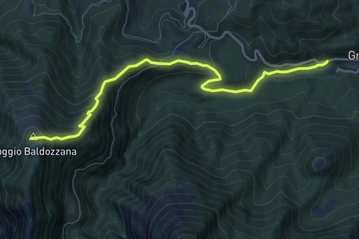
Medium · Trail
Gramolazzo – Poggio Baldozzana
9.0 km · ↑ 629 m · 3 h 30 min
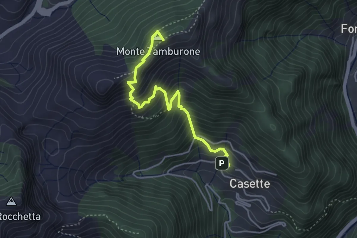
Medium · Summit
Forno (via Bassa Tambura) – Casette
3.9 km · ↑ 516 m · 2 h 3 min
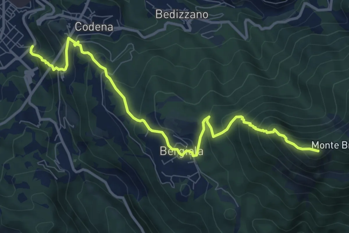
Demanding · Summit
Carrara – Monte Brugiana
9.3 km · ↑ 847 m · 4 h 2 min
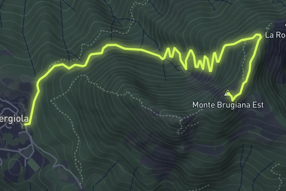
Expert · Summit
Bergiola Foscalina – Monte Brugiana
7.7 km · ↑ 572 m · 3 h 4 min
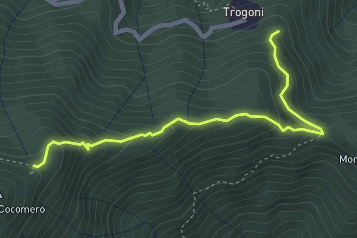
Medium · Trail
Trogoni (innesto perc. 153) – Monte Cocomero (innesto perc. 143)
3.7 km · ↑ 370 m · 1 h 41 min
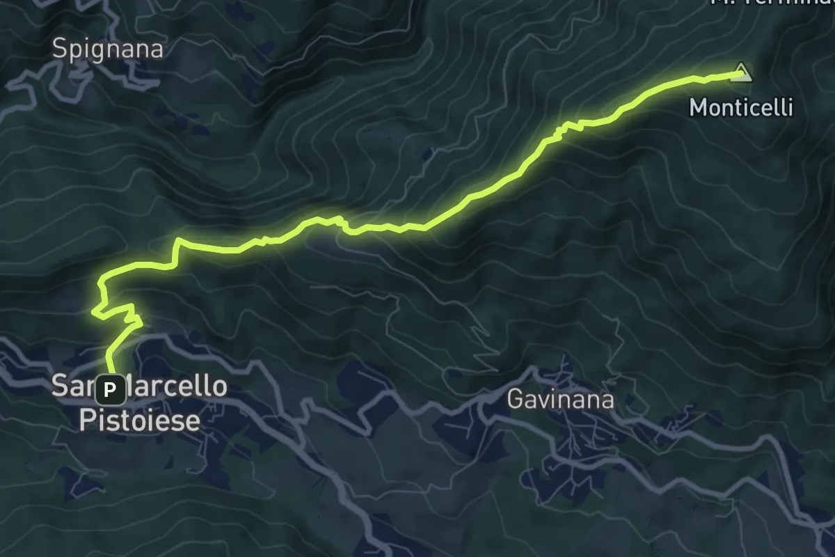
Demanding · Summit
San Marcello – Monticelli
10.6 km · ↑ 824 m · 4 h 17 min
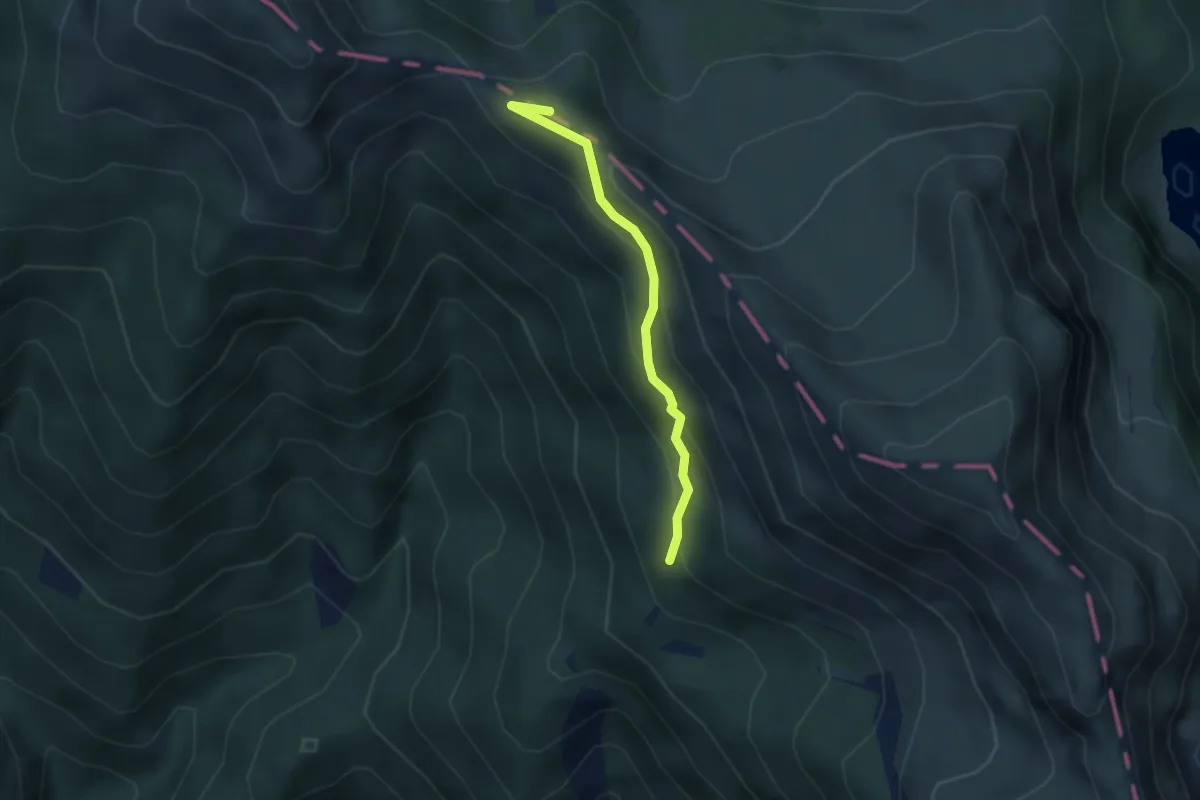
Medium · Summit
Colle Bacchionero – Porticciola
2.9 km · ↑ 205 m · 1 h 8 min
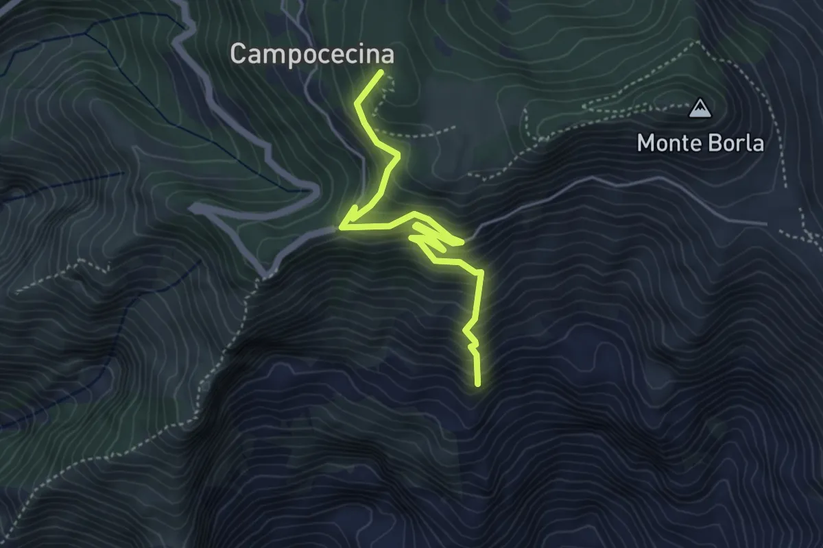
Medium · Summit
Torano – Rifugio Carrara
4.5 km · ↑ 586 m · 2 h 20 min
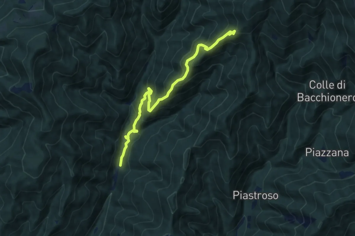
Demanding · Summit
Montebono – Vetricia
10.3 km · ↑ 867 m · 4 h 18 min
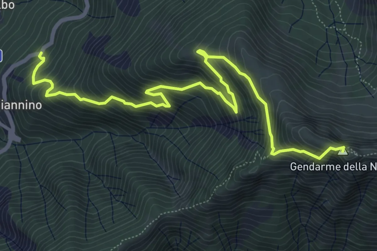
Expert · Summit
Sassalbo - Località Casa Giannino – Incrocio 00 GEA c/o Sella del Gendarme
8.9 km · ↑ 856 m · 3 h 58 min
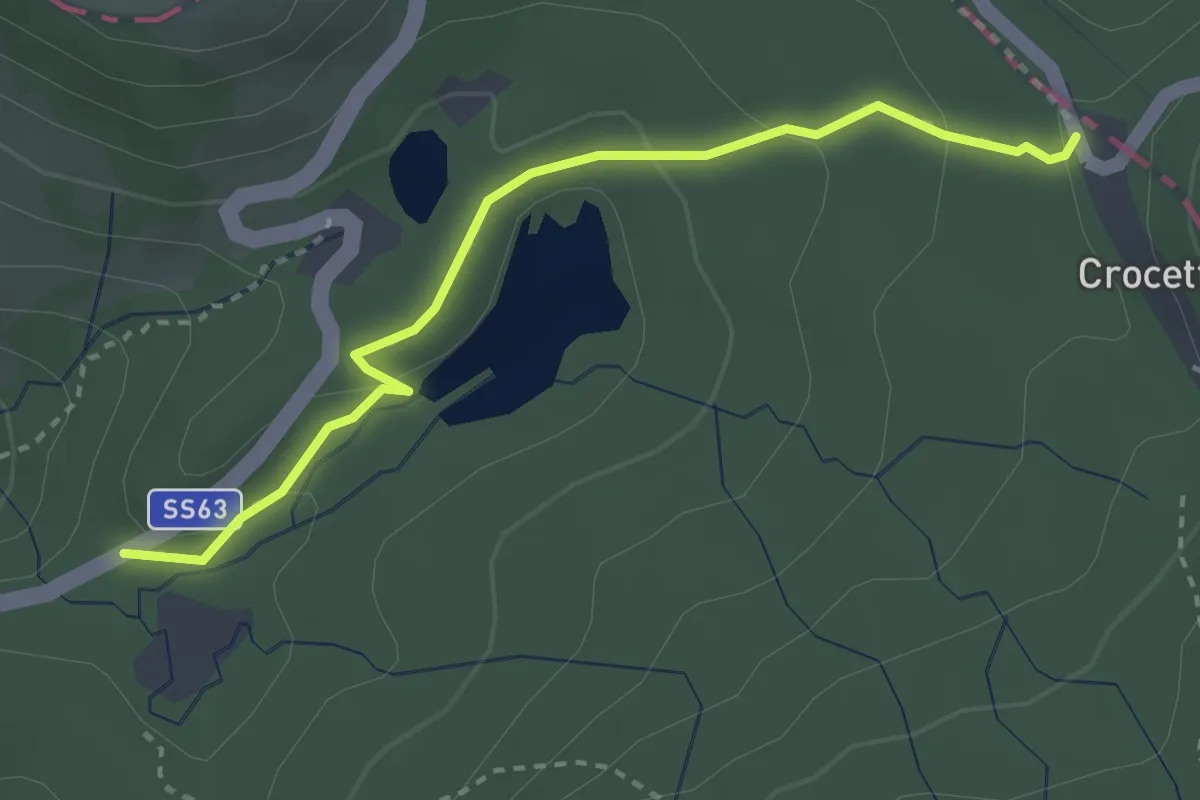
Easy · Trail
Casa Cantoniera – Crocetta
3.2 km · ↑ 117 m · 1 h
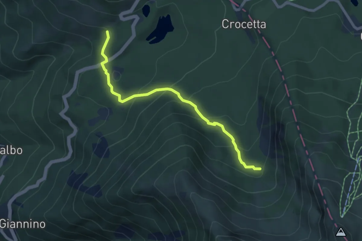
Medium · Trail
Sassalbo- Località Casa Cantoniera – Incrocio 00 GEA c/o Vallone dell'Inferno
5.1 km · ↑ 304 m · 1 h 51 min
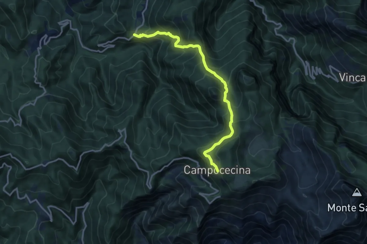
Demanding · Trail
Tenerano – Rifugio Carrara
10.7 km · ↑ 936 m · 4 h 33 min
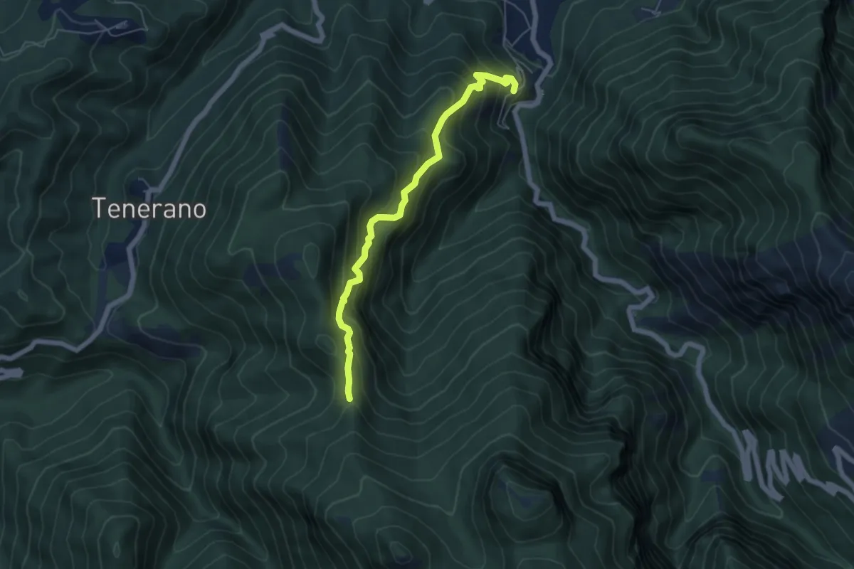
Medium · Trail
Monzone Alto – Foce Sant'Antonio
5.5 km · ↑ 635 m · 2 h 40 min
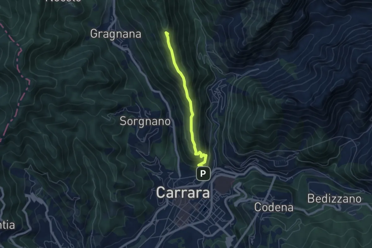
Medium · Summit
Carrara (San Rocco) – La Pianaccia
4.8 km · ↑ 356 m · 1 h 54 min
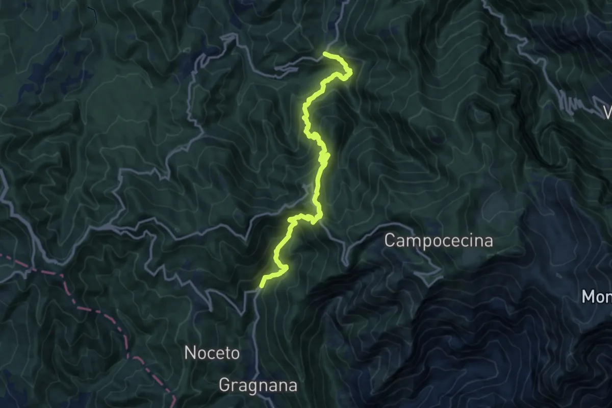
Demanding · Trail
Ponte Storto – Maestà della Villa
13.5 km · ↑ 1285 m · 5 h 58 min
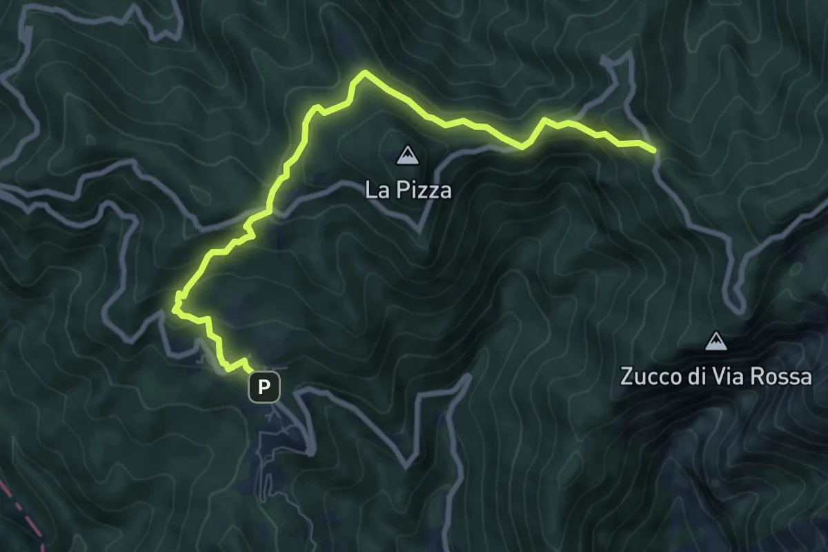
Medium · Trail
Castelpoggio – Gabellaccia
8.4 km · ↑ 454 m · 2 h 58 min
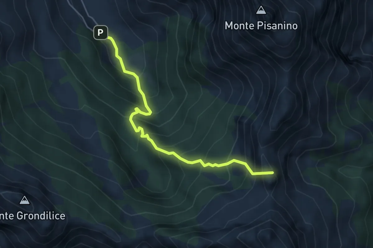
Demanding · Summit
Val Serenaia – Innesto Percorso 179 (Foce di Cardeto)
4.6 km · ↑ 565 m · 2 h 19 min
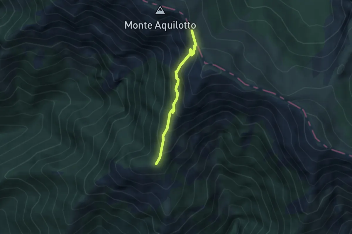
Medium · Trail
Vignolo di Lusignana – Passo dell'Aquila
2.9 km · ↑ 227 m · 1 h 10 min
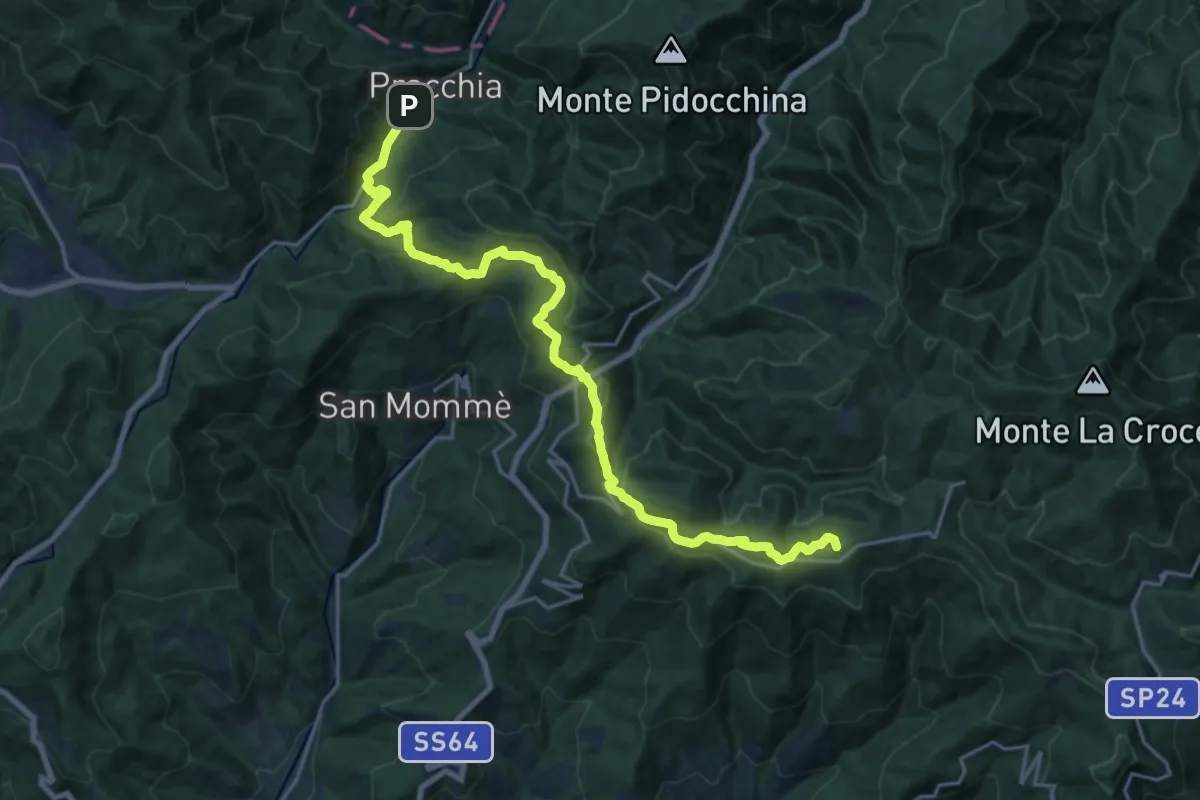
Demanding · Summit
Cascina di Spedaletto – Pracchia
22.6 km · ↑ 1024 m · 7 h 33 min
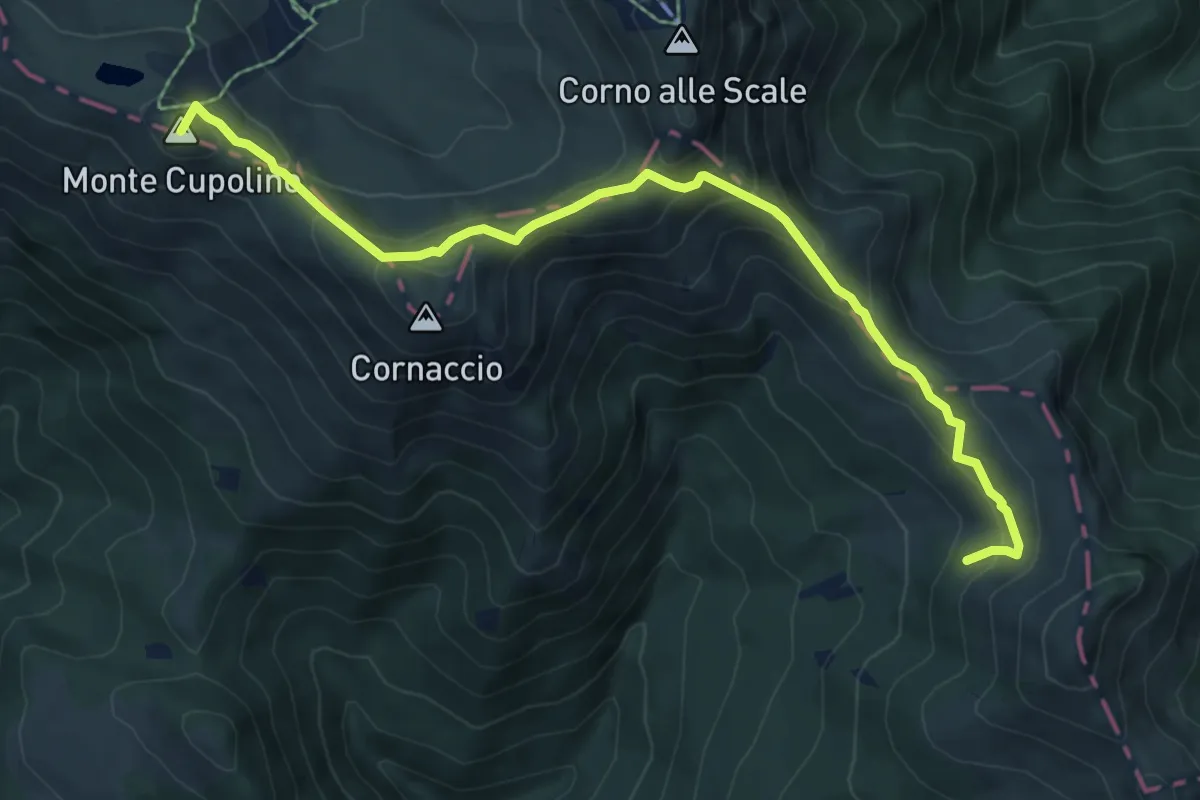
Medium · Summit
Pracchia – Lago Scaffaiolo
7.8 km · ↑ 533 m · 2 h 59 min
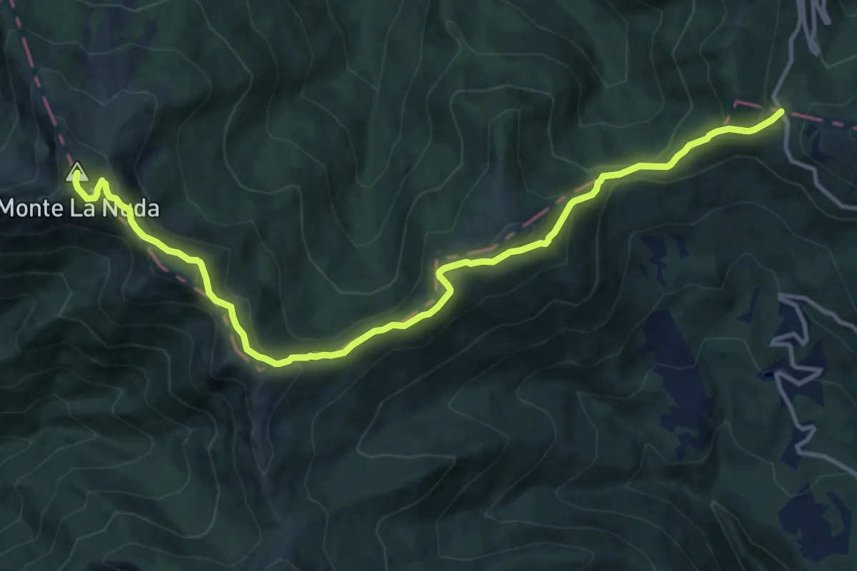
Medium · Summit
Passo di Pradarena – Passo del Cerreto
13.8 km · ↑ 741 m · 4 h 51 min
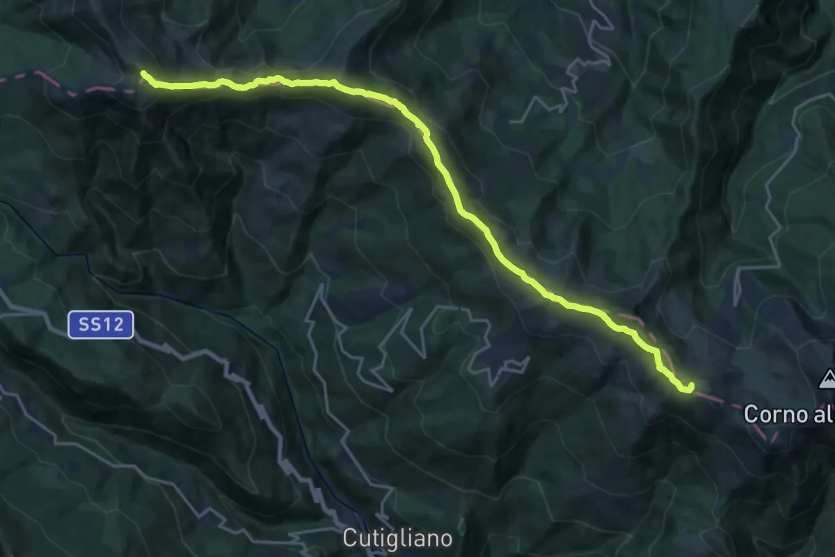
Demanding · Summit
Lago Scaffaiolo – Abetone (Boscolungo)
19.9 km · ↑ 1079 m · 7 h 2 min
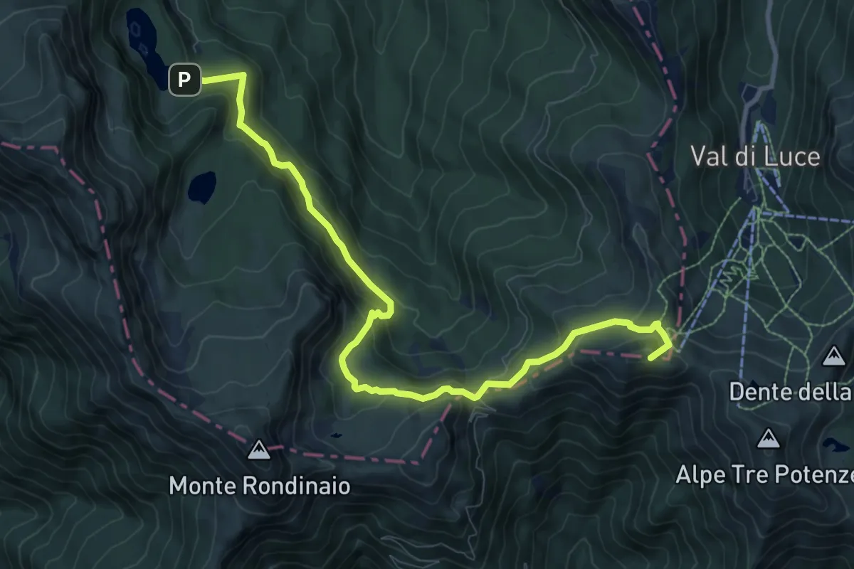
Medium · Summit
Abetone (Boscolungo) – Lago Santo Modenese
10.6 km · ↑ 600 m · 3 h 48 min
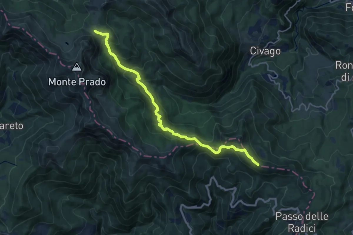
Medium · Summit
San Pellegrino in Alpe – Passo di Lama Lite
15.0 km · ↑ 785 m · 5 h 15 min
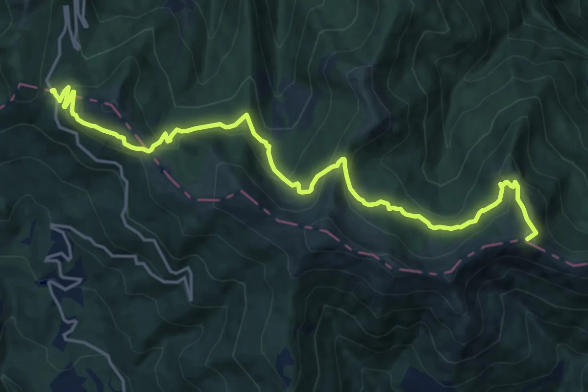
Medium · Summit
Passo di Lama Lite – Passo di Pradarena
15.5 km · ↑ 720 m · 5 h 14 min
Demanding · Summit
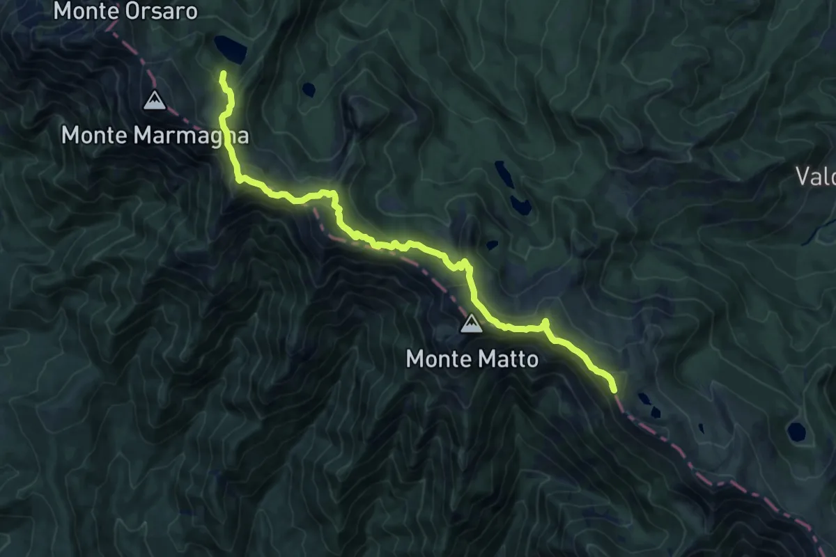
Pratospilla – Bivio Lago Santo Parmense
15.6 km · ↑ 1147 m · 6 h 10 min
Medium · Trail
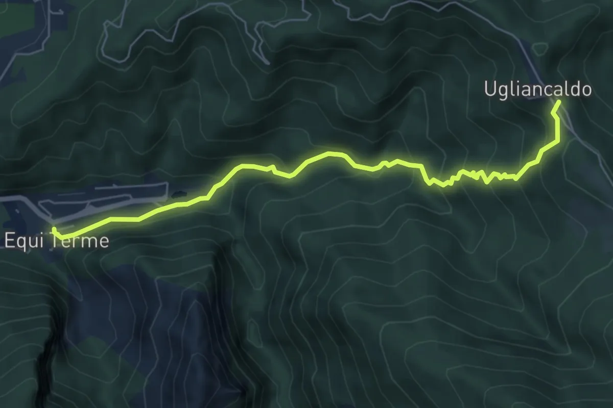
Equi Terme – Ugliancaldo
6.4 km · ↑ 512 m · 2 h 37 min
Demanding · Summit
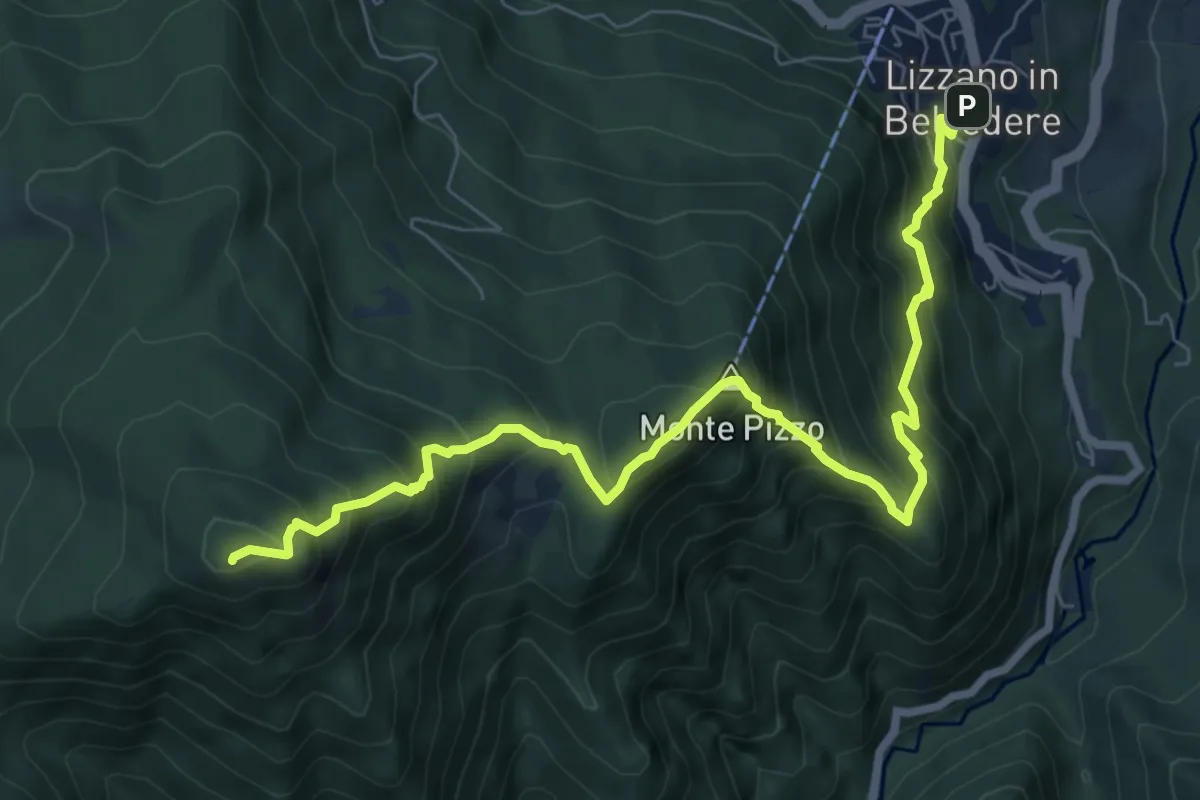
Lizzano in Belvedere – Sboccata dei Bagnadori
9.1 km · ↑ 996 m · 4 h 18 min
Medium · Trail
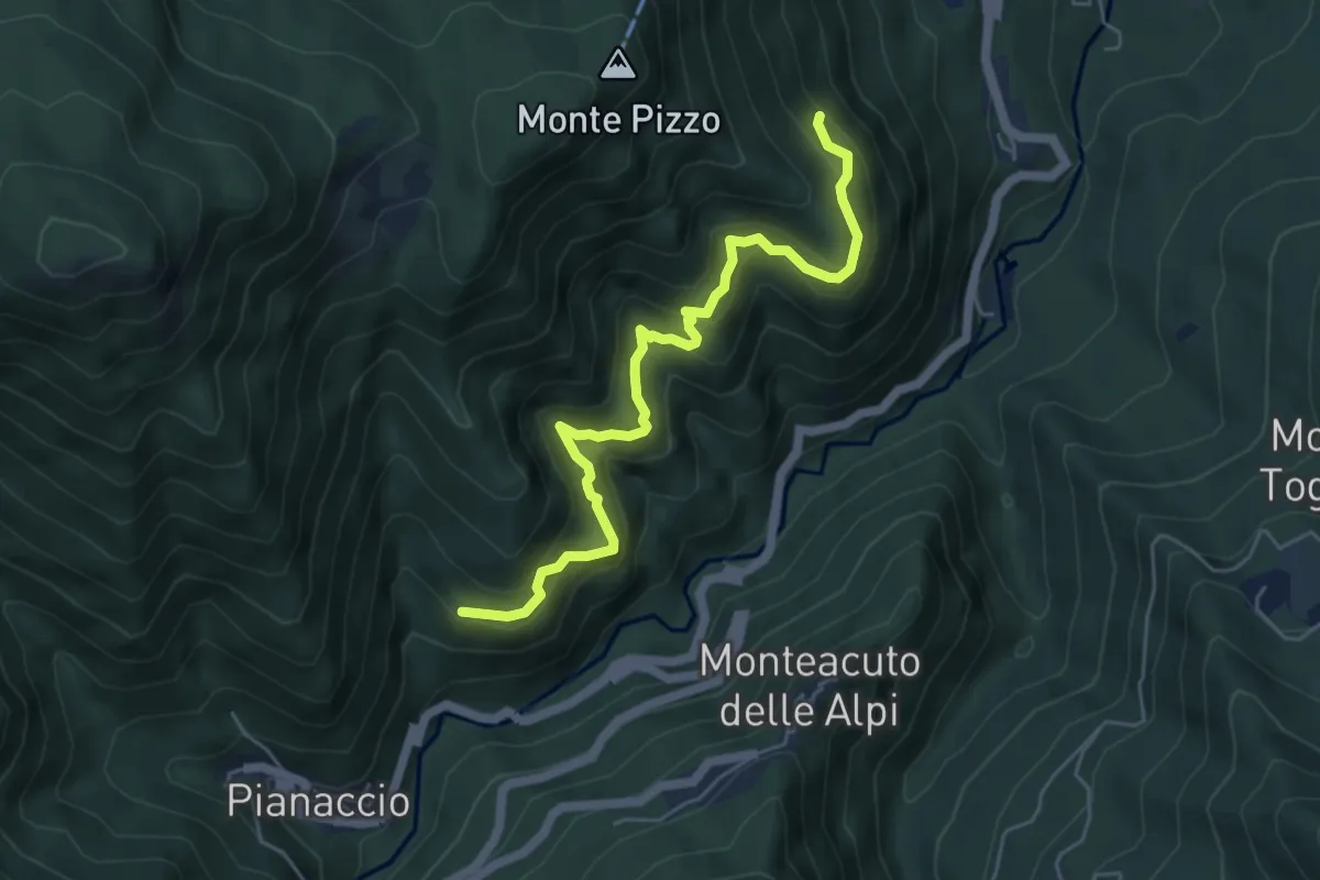
Fiammineda – Percorso 125
5.8 km · ↑ 578 m · 2 h 37 min