Trails in Italy
25,219 hiking trails, each with its route, climb, walking time and grade.
All trails, page 326 of 526
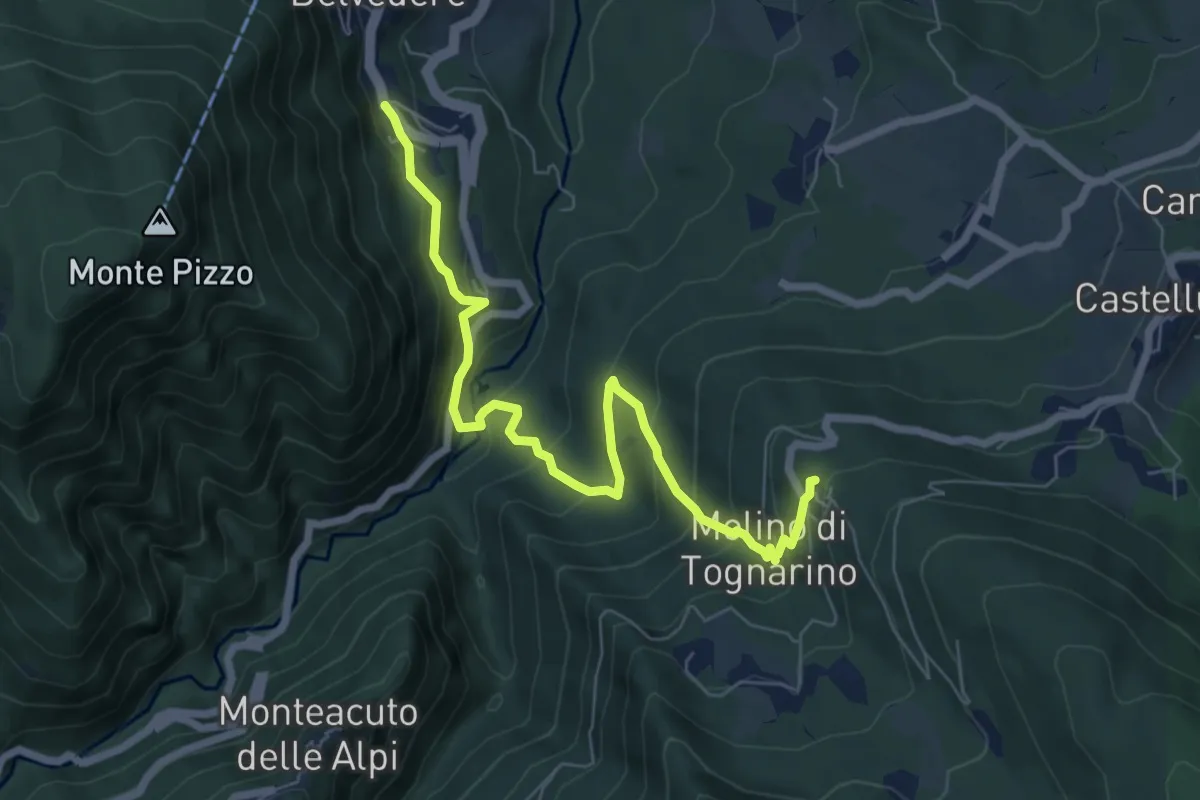
Medium · Trail
Lizzano in Belvedere – La Pennola (perc. 147)
7.6 km · ↑ 516 m · 2 h 54 min
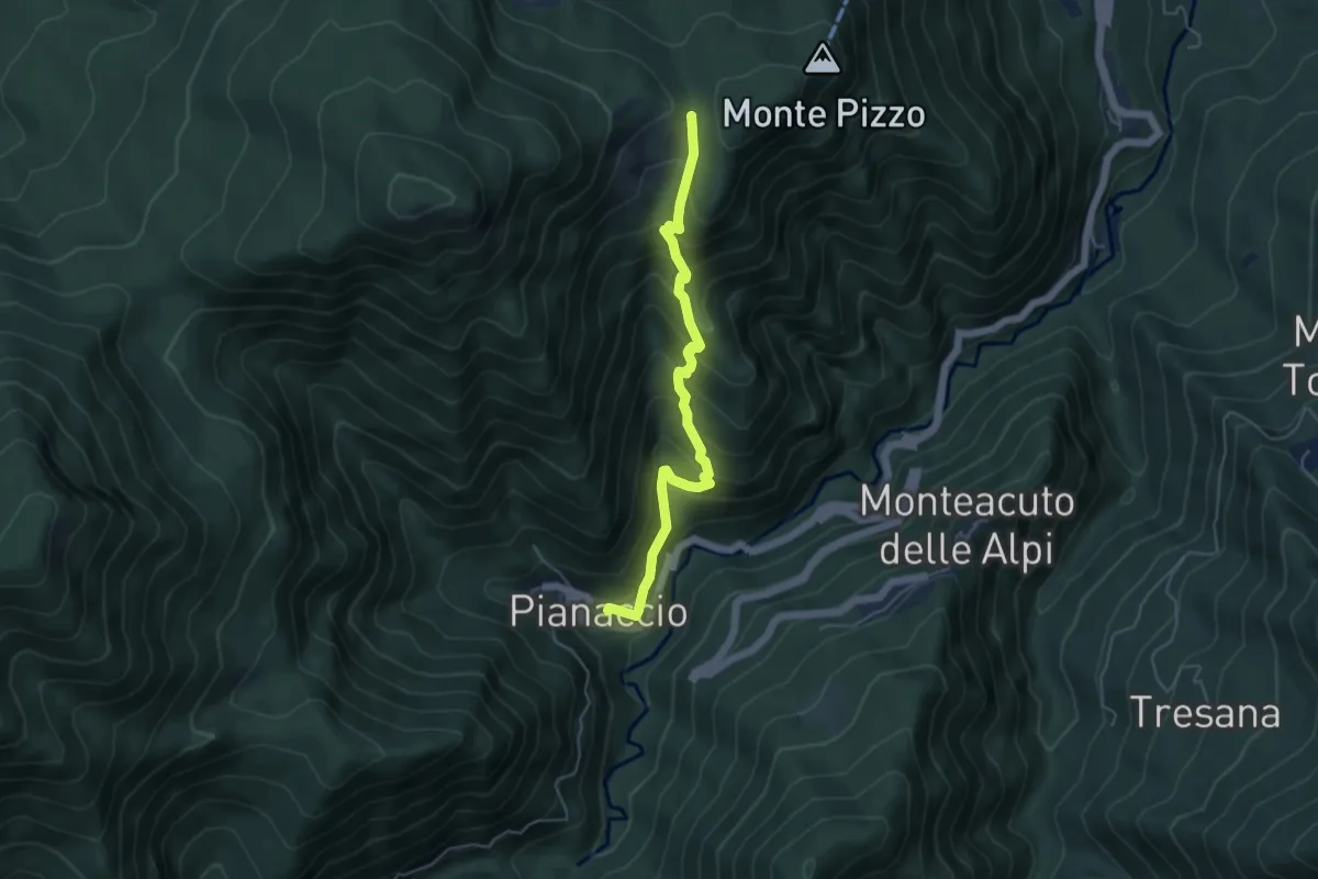
Medium · Trail
Pianaccio – Bocca delle Tese
5.1 km · ↑ 515 m · 2 h 19 min
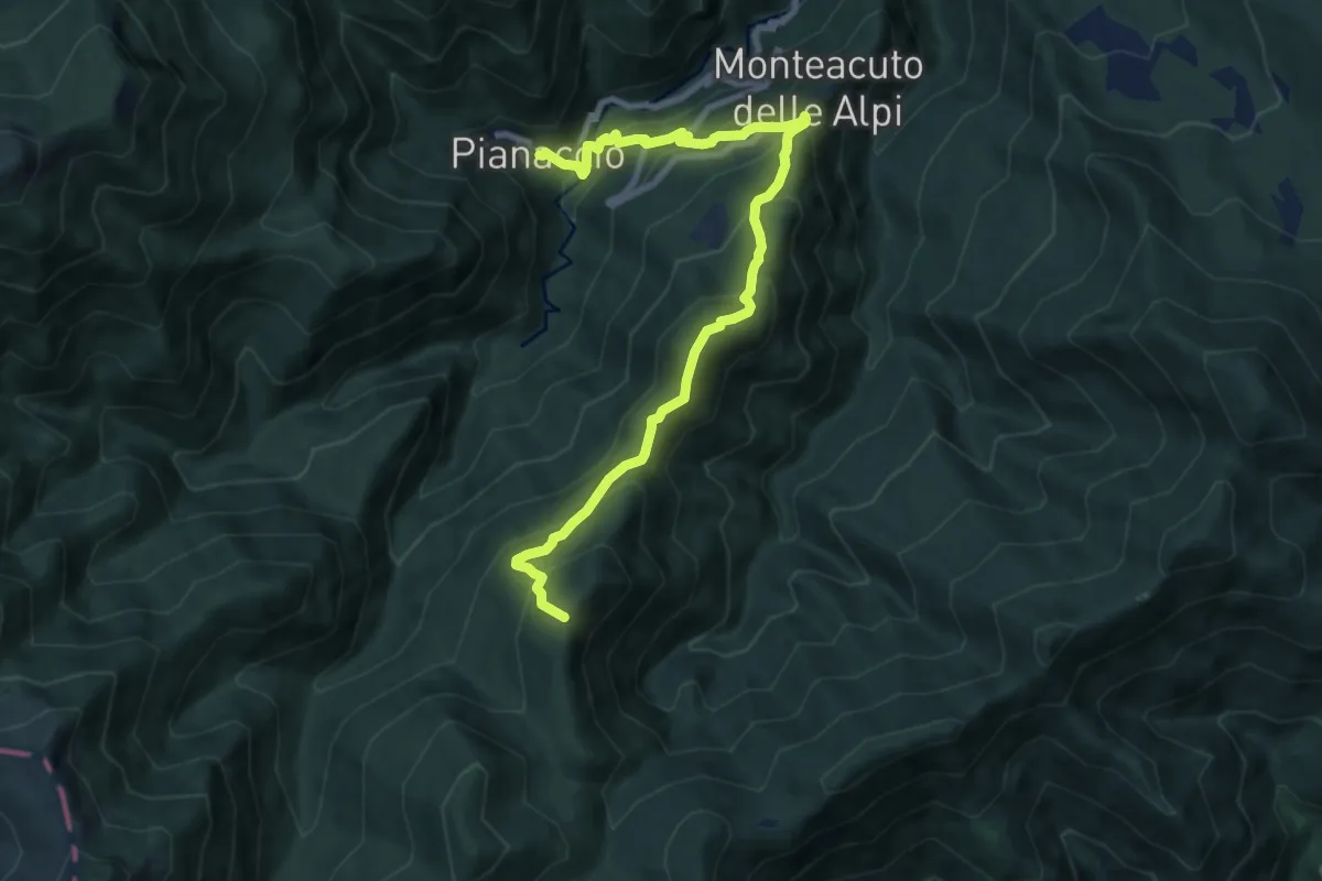
Demanding · Summit
Pianaccio – Percorso CAI n. 205
10.2 km · ↑ 838 m · 4 h 13 min
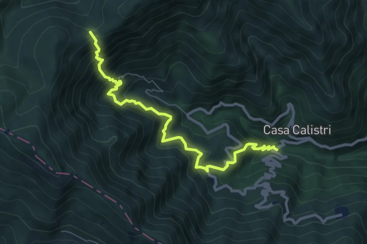
Demanding · Trail
Casa Roversi – Pian dello Stellaio
7.1 km · ↑ 882 m · 3 h 36 min
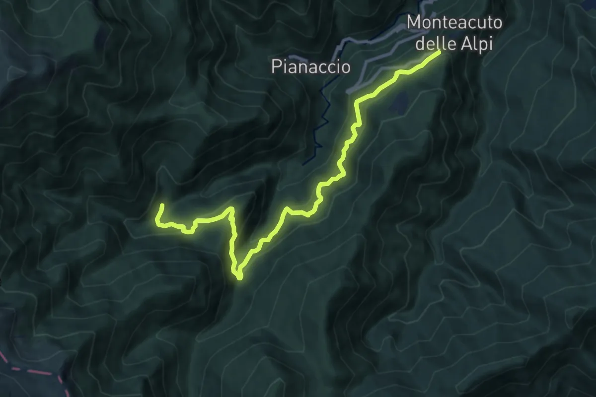
Demanding · Cabin
Monteacuto delle Alpi – Rifugio Segavecchia
10.5 km · ↑ 827 m · 4 h 17 min
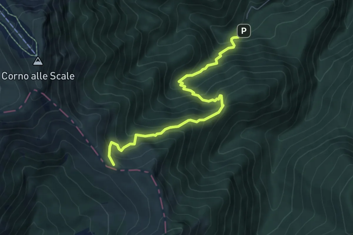
Medium · Trail
Rifugio Segavecchia – Passo del Cancellino
6.7 km · ↑ 708 m · 3 h 7 min
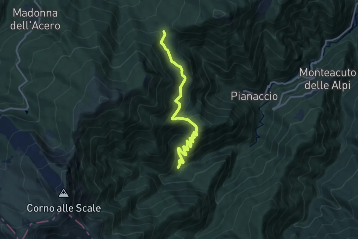
Medium · Cabin
Rifugio Segavecchia – Sboccata dei Bagnadori
9.0 km · ↑ 549 m · 3 h 19 min
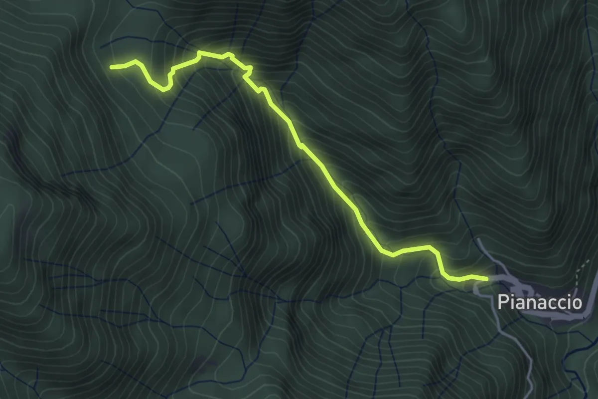
Medium · Trail
Pianaccio – Bagnadori (percorso 123)
4.3 km · ↑ 494 m · 2 h 5 min
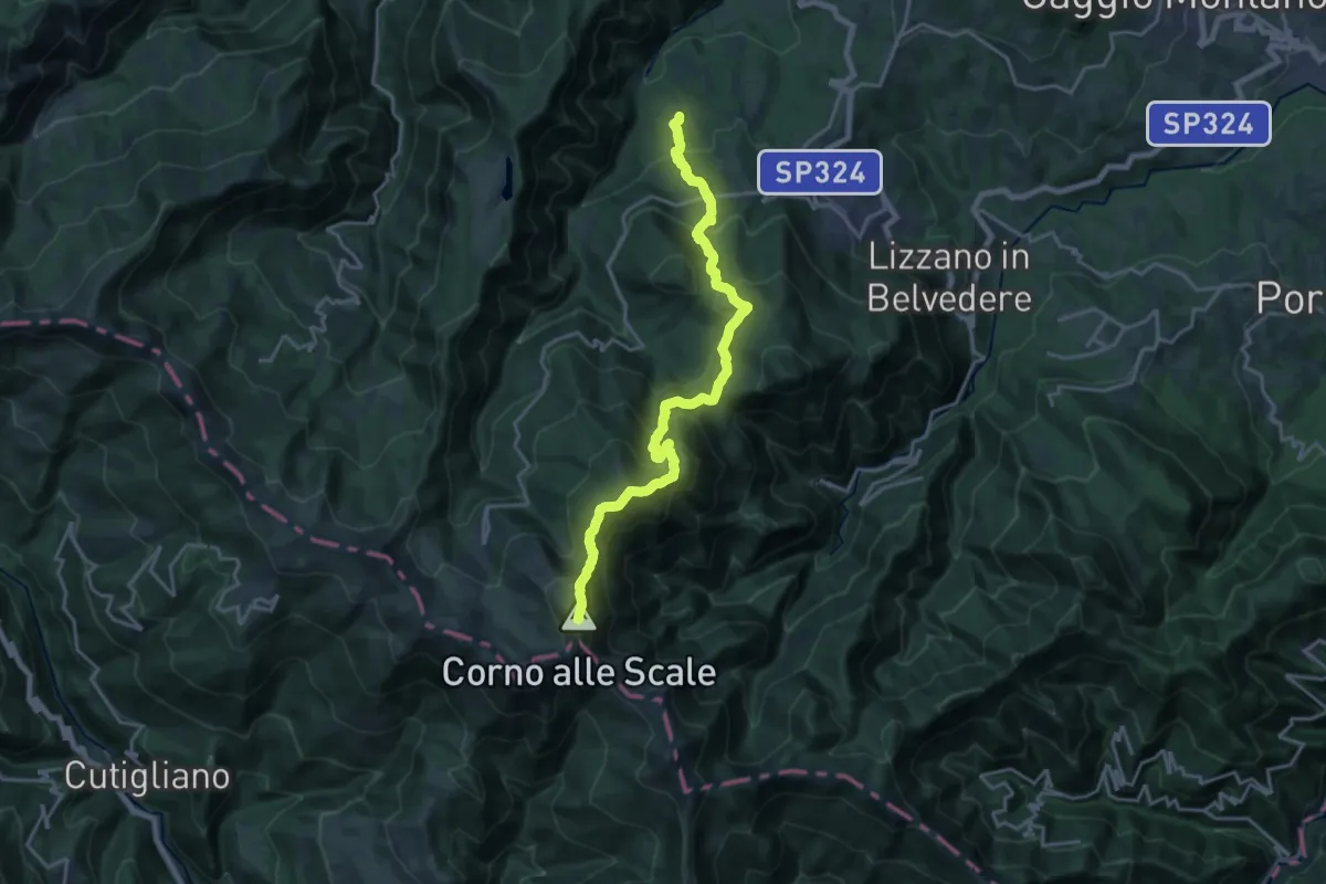
Demanding · Summit
Farnè – Passo dello Strofinatoio
20.5 km · ↑ 1582 m · 8 h 16 min
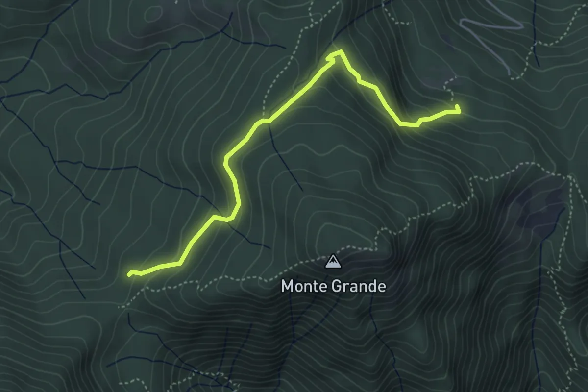
Easy · Trail
Prati di Budiara – Sboccata dei Bagnadori
4.7 km · ↑ 279 m · 1 h 43 min
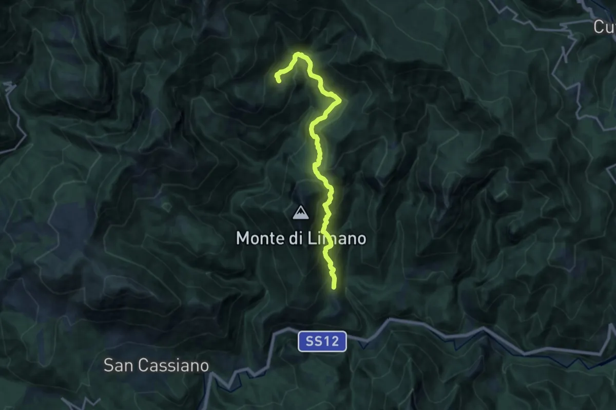
Demanding · Trail
Limano – Siviglioli
14.2 km · ↑ 1107 m · 5 h 44 min
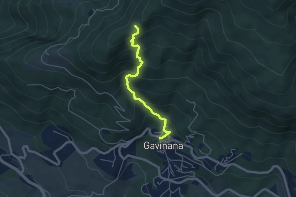
Medium · Trail
Gavinana – Monte Terminaccia
3.5 km · ↑ 374 m · 1 h 39 min
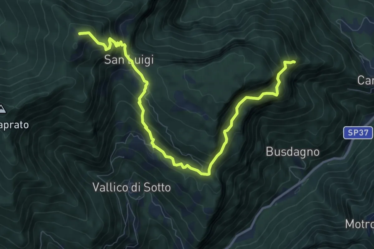
Demanding · Summit
La Piazzola – Foce Palodina
10.5 km · ↑ 1102 m · 4 h 51 min
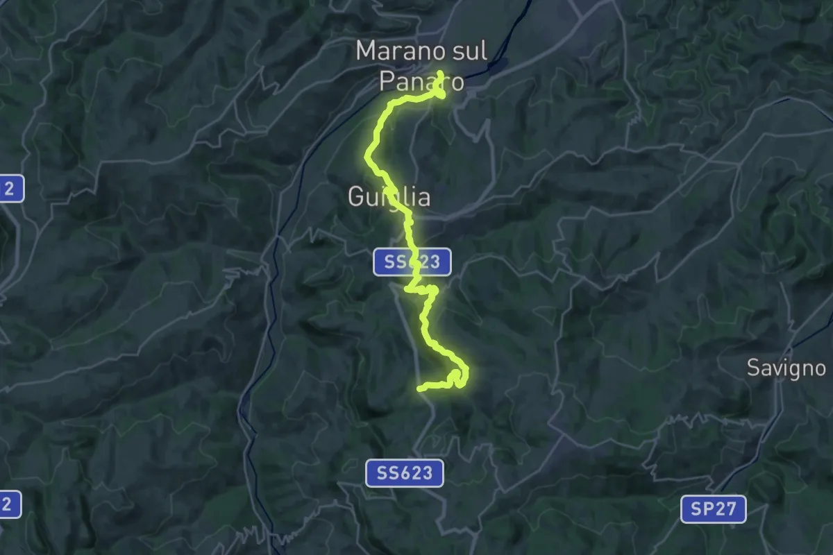
Medium · Trail
Marano sul Panaro – Roccamalatina
13.3 km · ↑ 629 m · 4 h 30 min
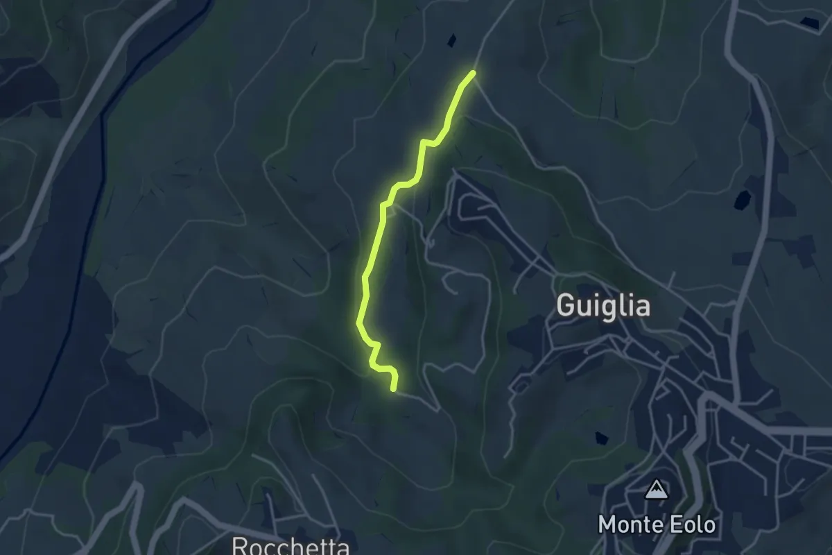
Medium · Trail
Percorso 406 – Percorso 408A
3.1 km · ↑ 88 m · 56 min
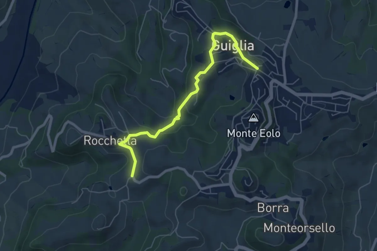
Medium · Trail
Percorso 410 – Guiglia
5.8 km · ↑ 208 m · 1 h 49 min
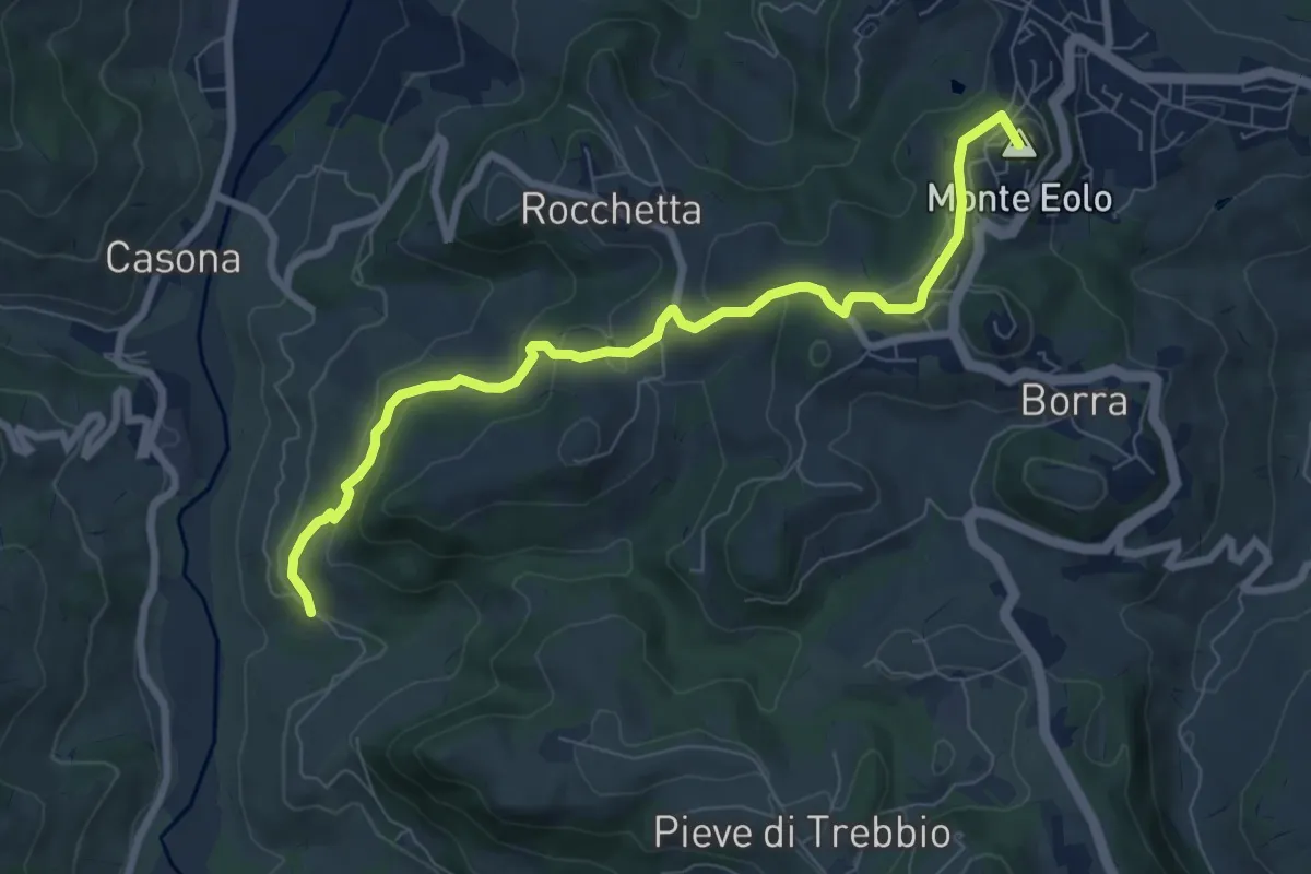
Medium · Summit
Percorso 400/2 – Guiglia
8.3 km · ↑ 330 m · 2 h 40 min
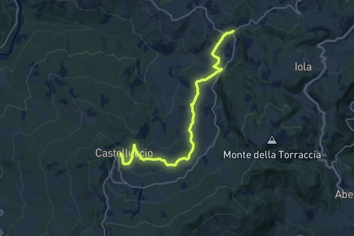
Medium · Trail
Maserno – Castelluccio
13.3 km · ↑ 454 m · 4 h 8 min
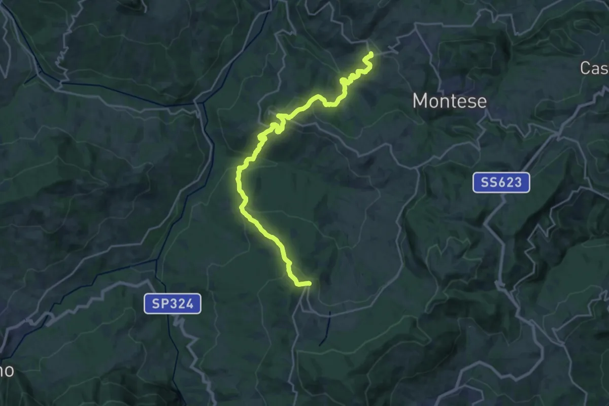
Demanding · Trail
San Martino – Castelluccio
21.7 km · ↑ 1222 m · 7 h 46 min
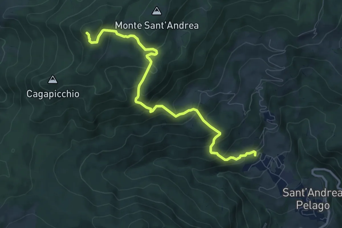
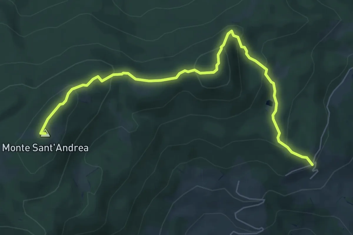
Medium · Summit
I Casoni – Alpesigola
9.3 km · ↑ 632 m · 3 h 34 min
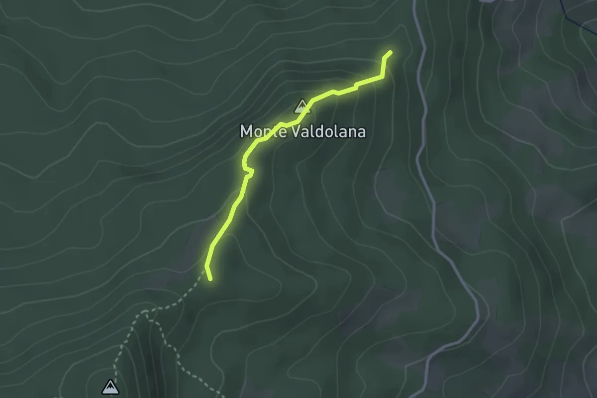
Medium · Summit
Percorso 579 – percorso 573 nei pressi Lagaccione
7.0 km · ↑ 402 m · 2 h 32 min
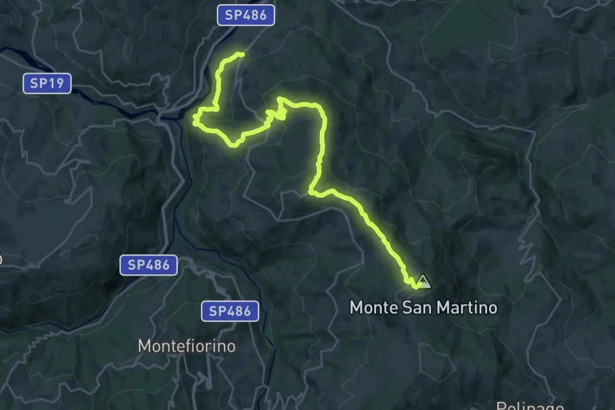
Easy · Summit
Percorso 573 – Monte Valdolana
2.4 km · ↑ 172 m · 56 min
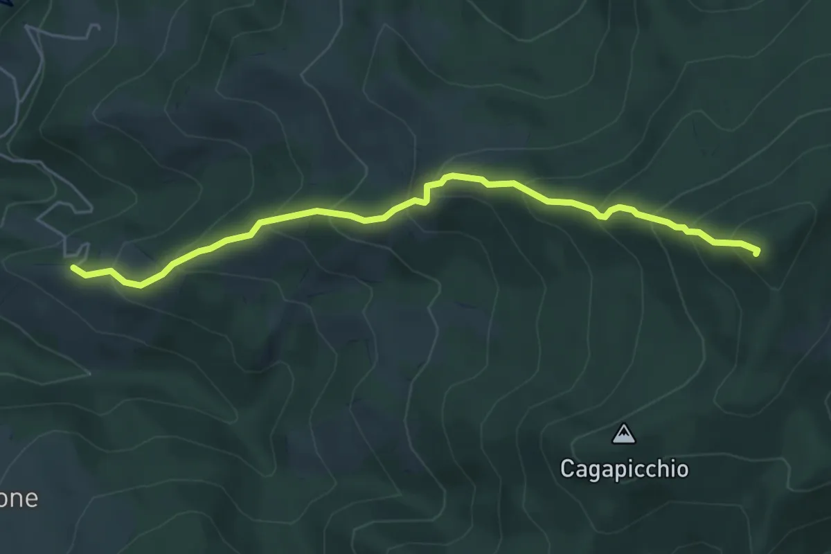
Demanding · Summit
Saltino – Passo Centocroci
26.8 km · ↑ 1031 m · 8 h 34 min
Medium · Summit
Le Caldie – Alpesigola
5.4 km · ↑ 543 m · 2 h 27 min
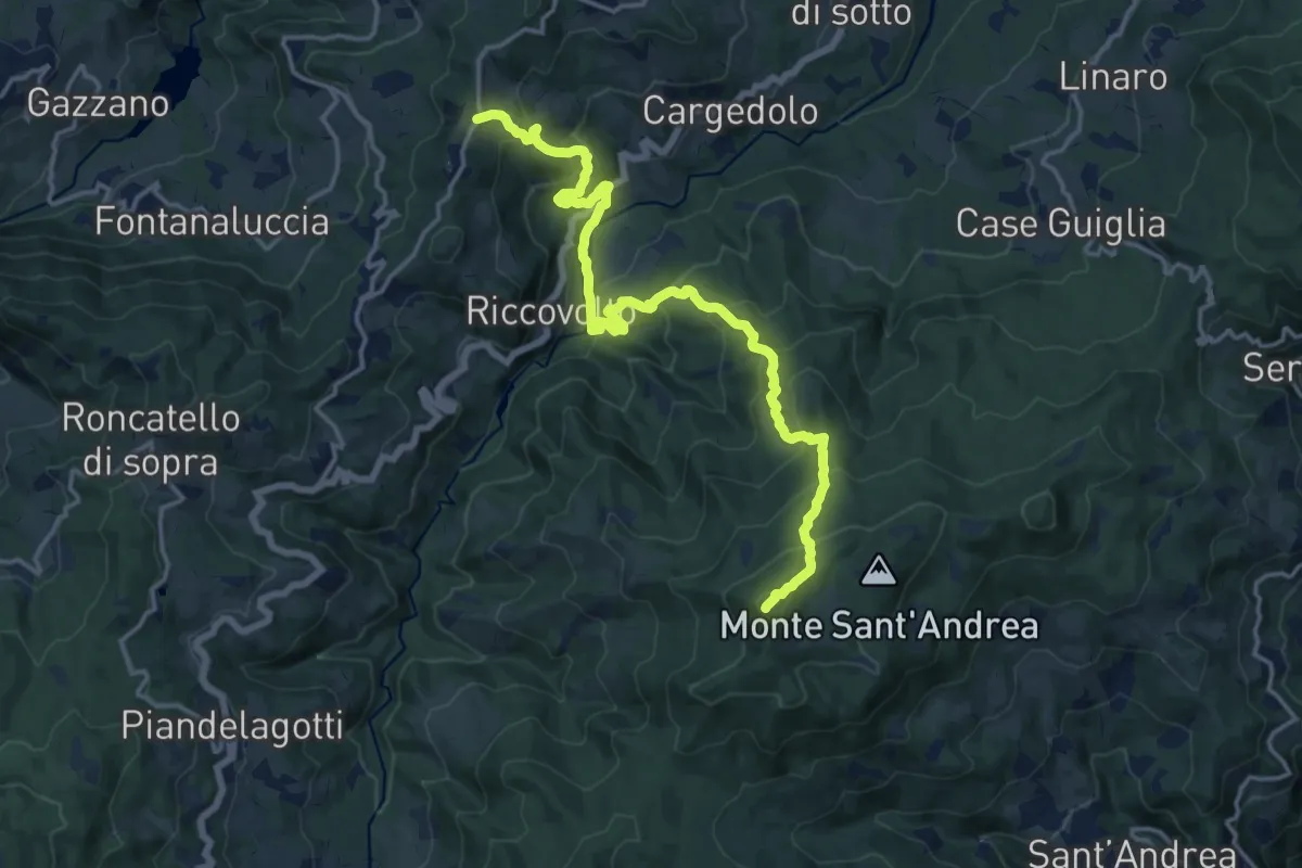
Demanding · Summit
frazione il Monte incrocio col percorso 593 – Alpesigola
17.8 km · ↑ 1109 m · 6 h 37 min
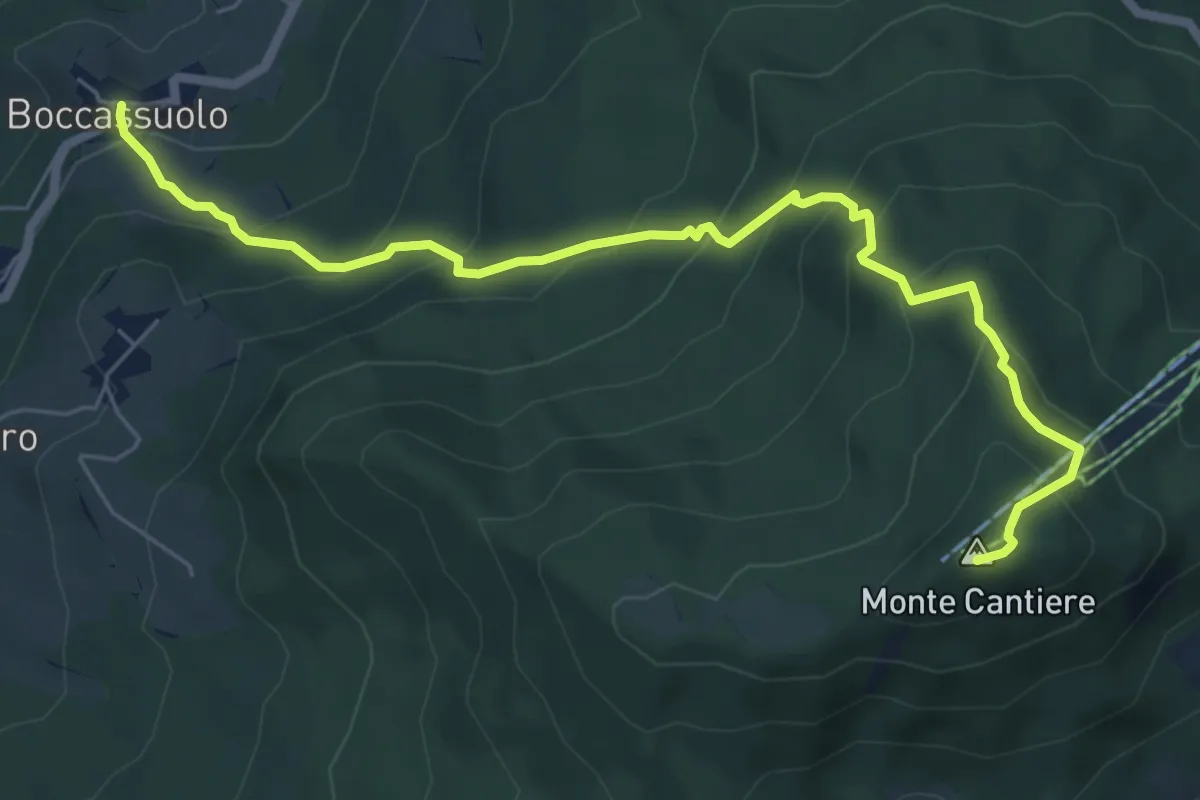
Medium · Summit
Boccassuolo – Monte Cantiere
7.4 km · ↑ 630 m · 3 h 7 min
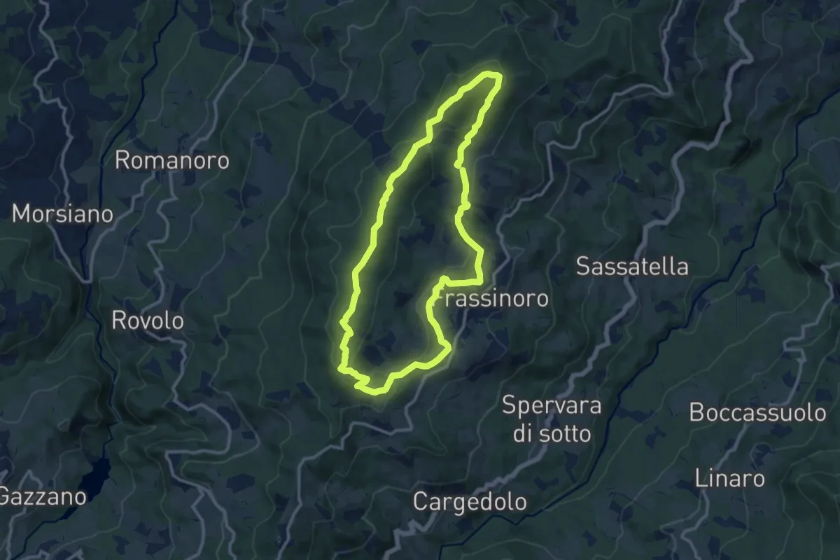
Medium · Summit
Ca' Vanni – Ca' di Giannasi
10.9 km · ↑ 394 m · 3 h 35 min
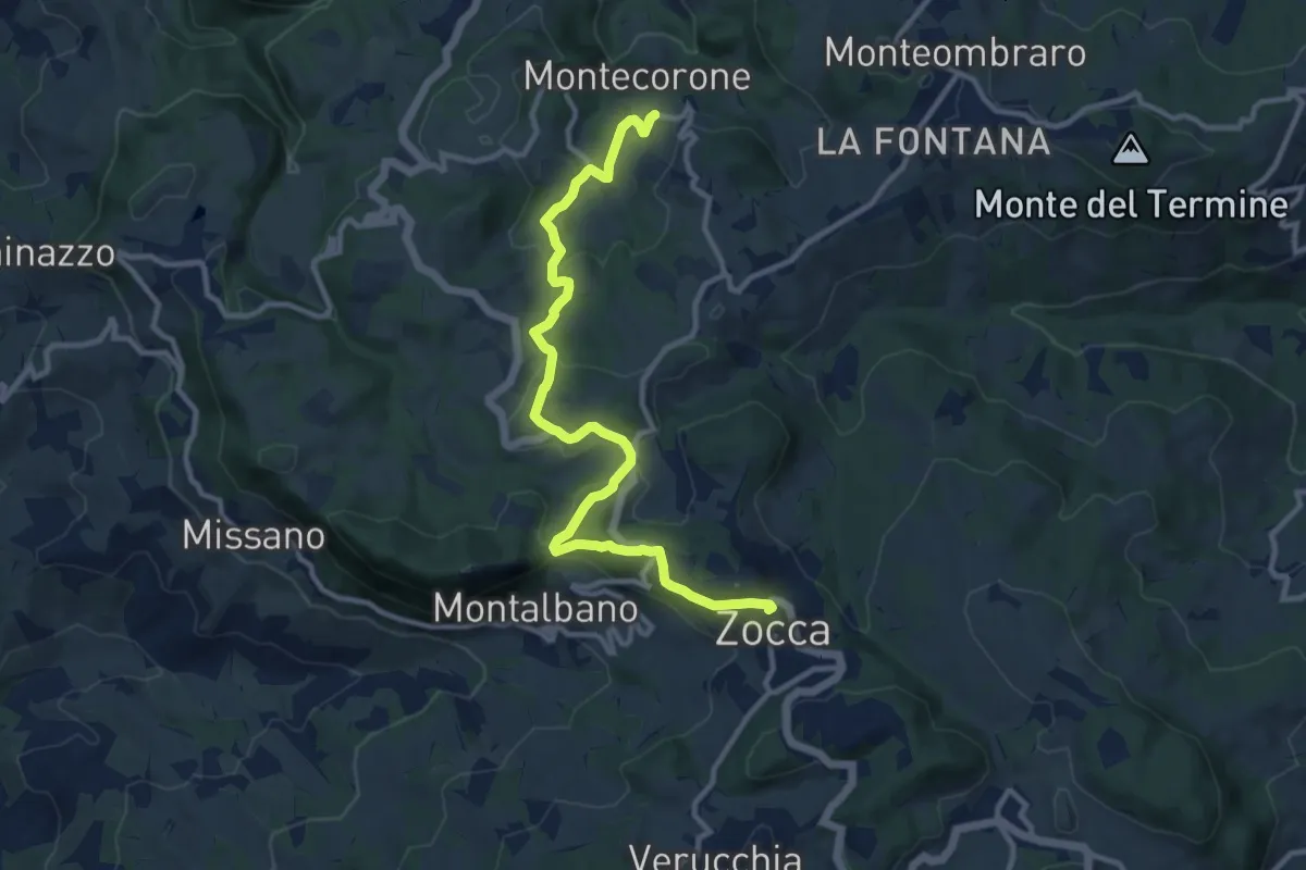
Medium · Trail
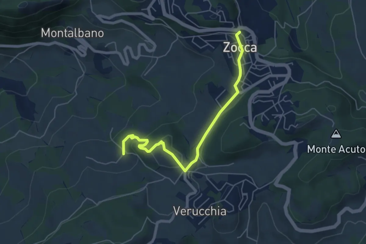
Montecorone – Zocca
12.1 km · ↑ 366 m · 3 h 38 min
Easy · Trail
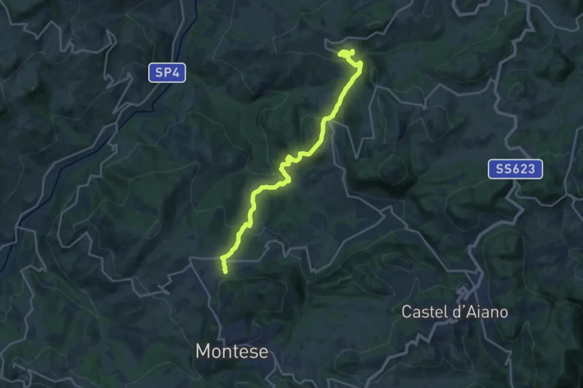
Zocca – Percorso 400/3
5.2 km · ↑ 159 m · 1 h 34 min
Medium · Trail
Rosola – Percorso 440
14.7 km · ↑ 745 m · 5 h 5 min
Demanding · Trail
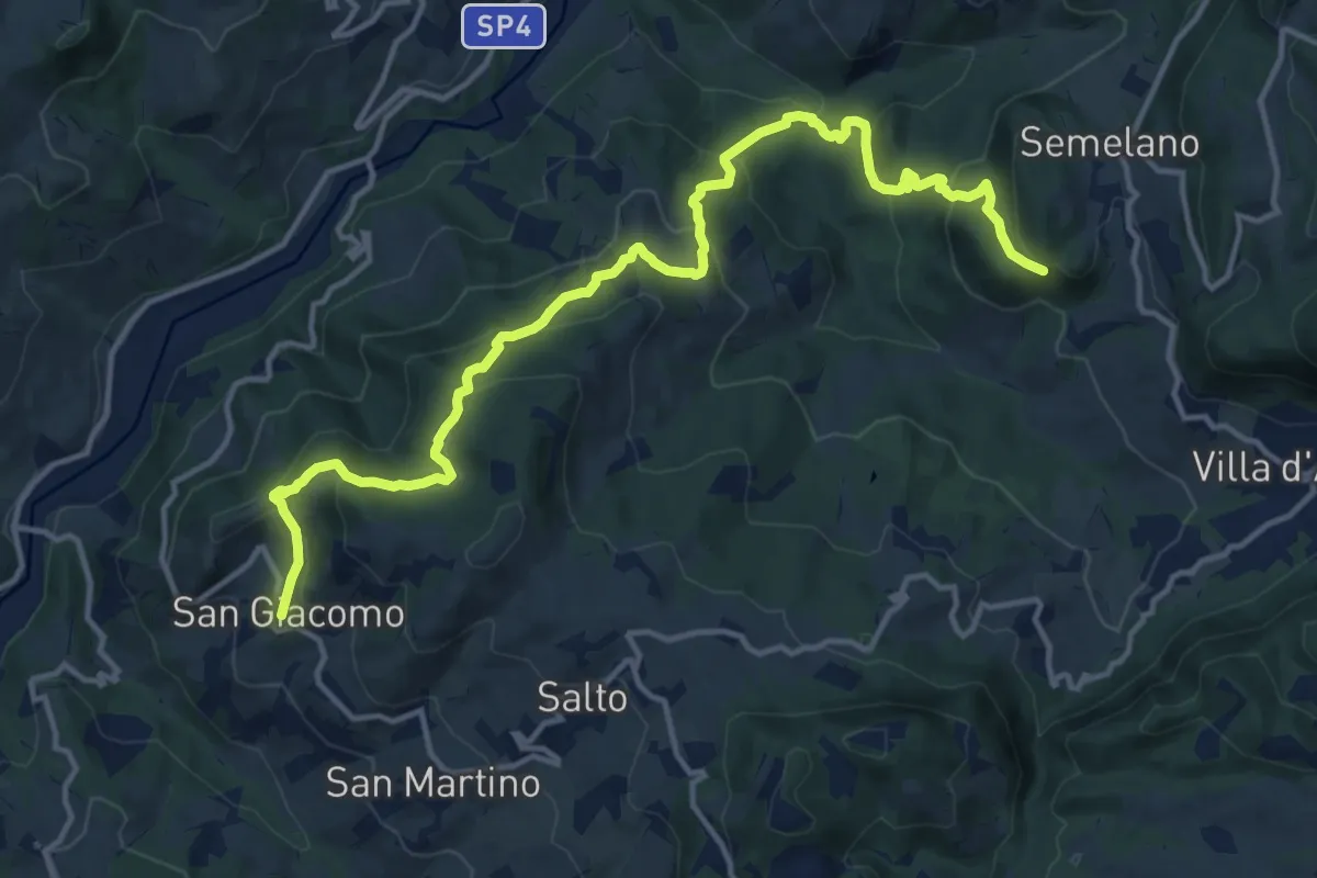
Semelano – San Giacomo
16.8 km · ↑ 920 m · 5 h 58 min
Medium · Trail
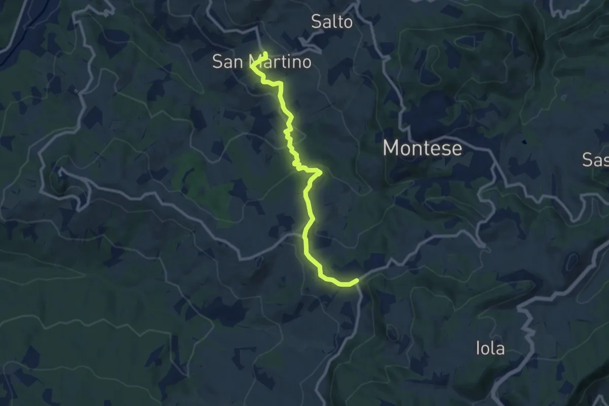
Maserno – San Martino
8.7 km · ↑ 384 m · 2 h 53 min
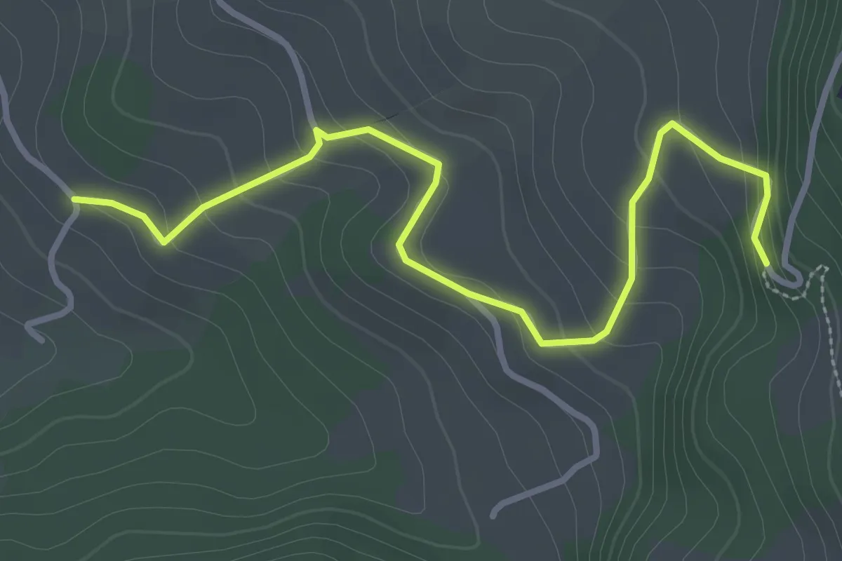
Easy · Trail
Percorso 440 – Percorso 436
3.6 km · ↑ 200 m · 1 h 17 min
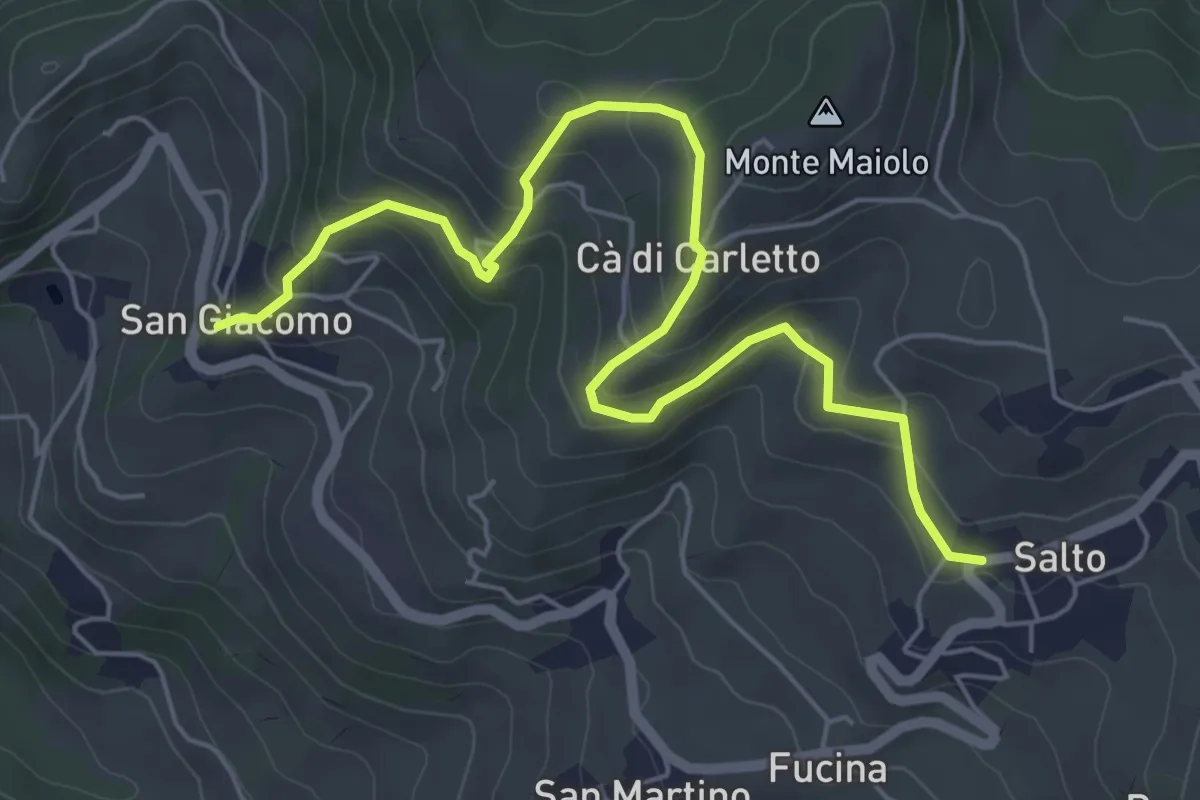
Medium · Trail
Salto – SP della Docciola
6.7 km · ↑ 343 m · 2 h 20 min
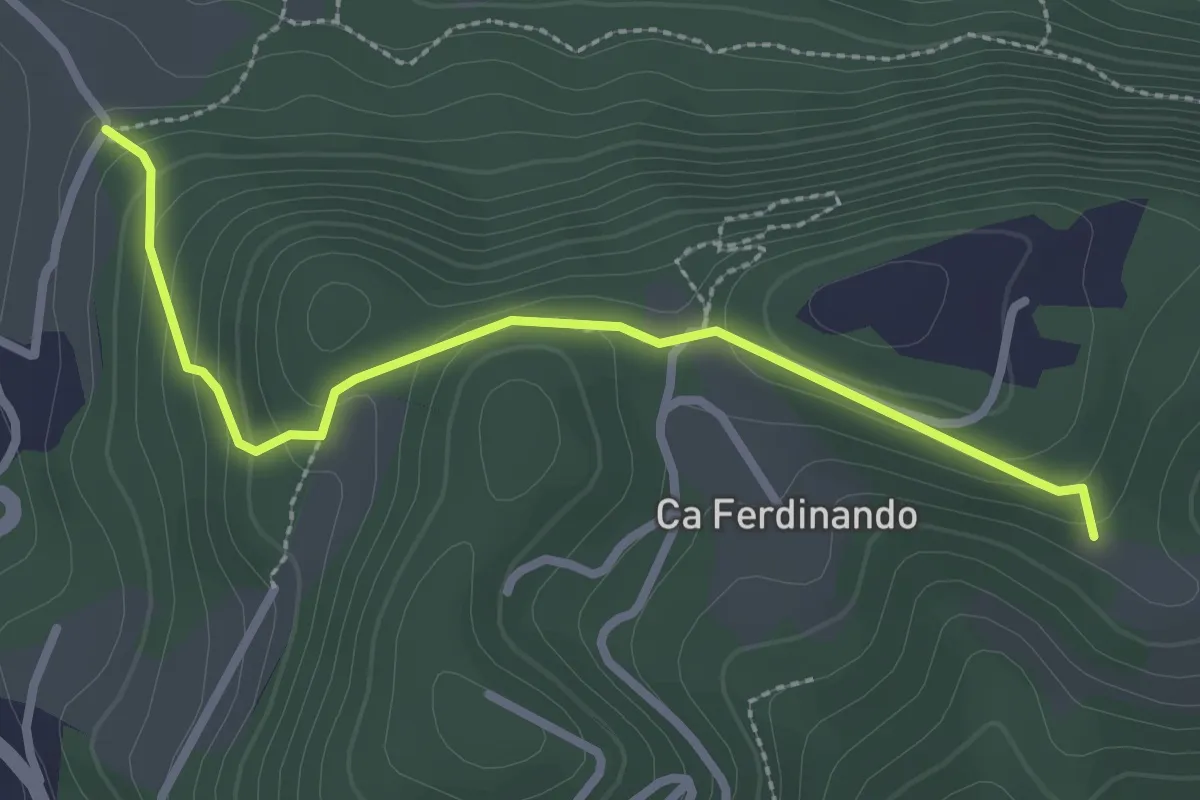
Easy · Trail
Ca' Beretta – La Lianda
2.9 km · ↑ 144 m · 59 min
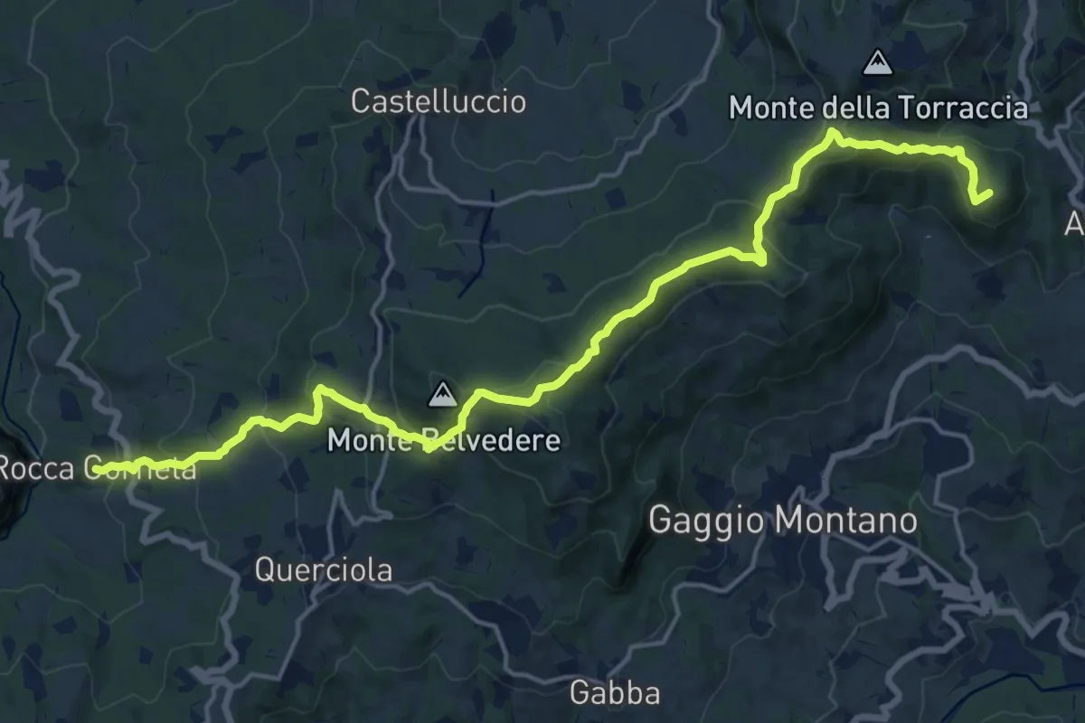
Demanding · Summit
Rocca Corneta – Abetaia
20.0 km · ↑ 889 m · 6 h 39 min
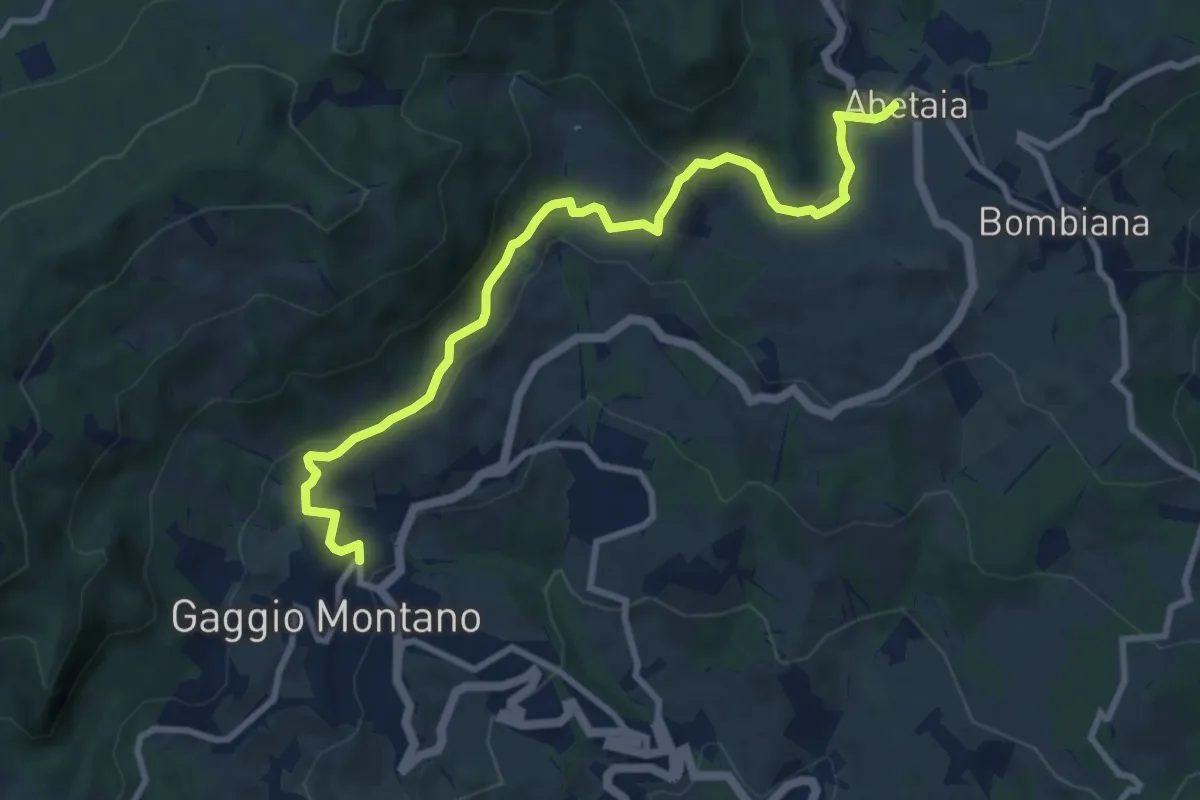
Medium · Trail
Gaggio Montano – Abetaia
10.2 km · ↑ 377 m · 3 h 14 min
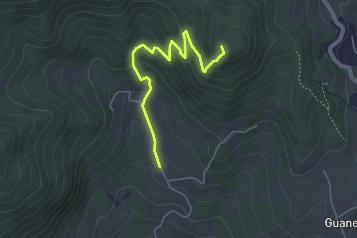
Easy · Summit
Lagacci (percorso CAI 347) – Monte Castello
4.1 km · ↑ 242 m · 1 h 29 min
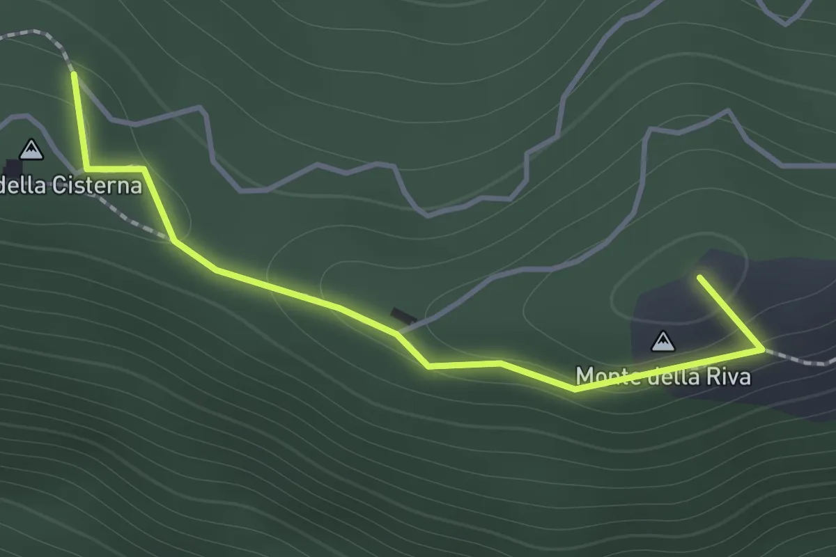
Medium · Summit
Monte della Cisterna – Serra di Montalbano
1.4 km · ↑ 54 m · 27 min
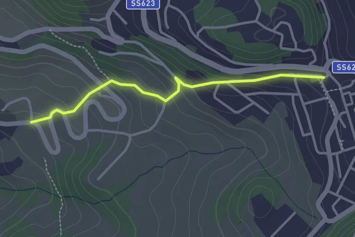
Easy · Trail
Percorso 400/3 – Zocca
2.5 km · ↑ 142 m · 54 min
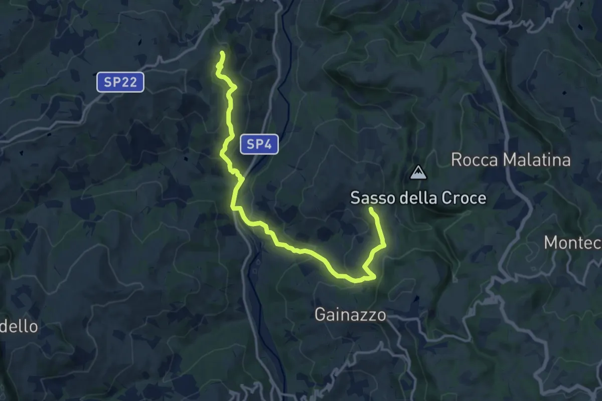
Medium · Trail
Festà – Sant'Apollonia
14.2 km · ↑ 614 m · 4 h 41 min
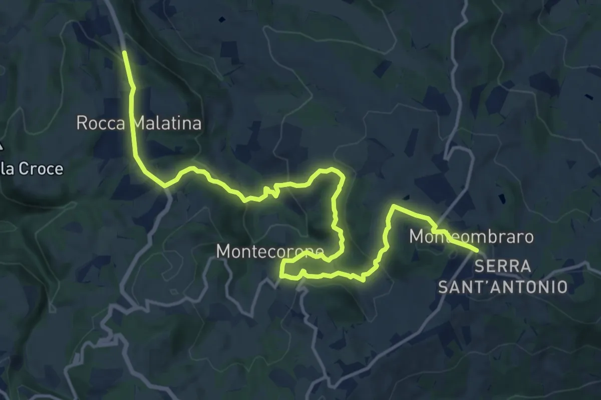
Medium · Trail
Rocca Malatina – Monteombraro
16.6 km · ↑ 571 m · 5 h 10 min
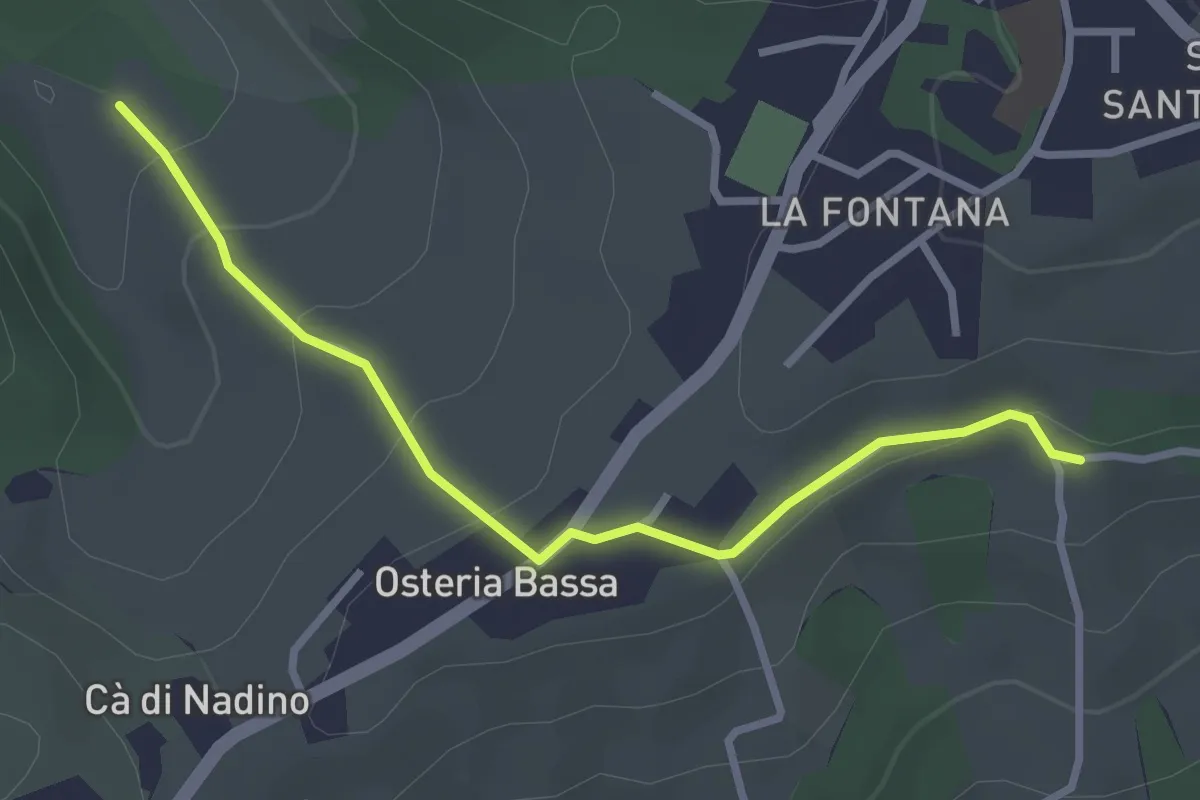
Easy · Trail
Percorso 422/1 – Percorso 422/2
3.1 km · ↑ 122 m · 59 min
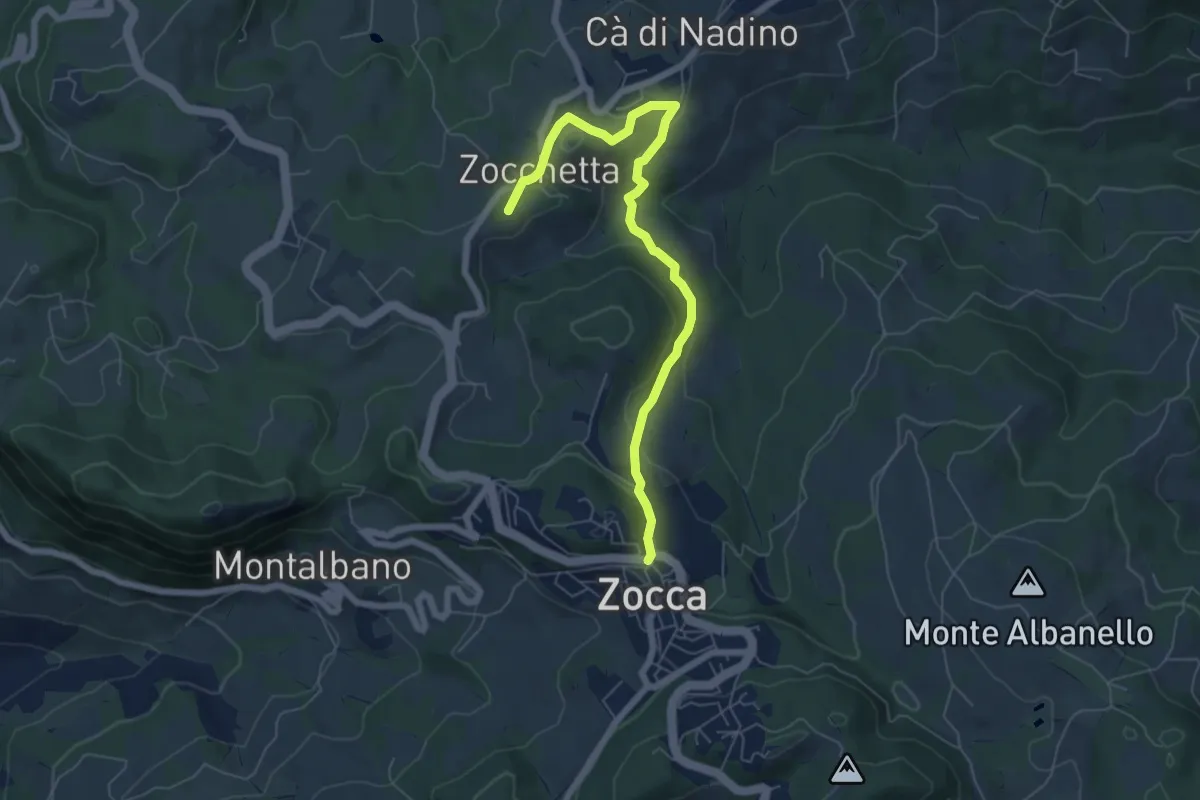
Easy · Summit
Campazzo – Zocca
6.9 km · ↑ 236 m · 2 h 8 min
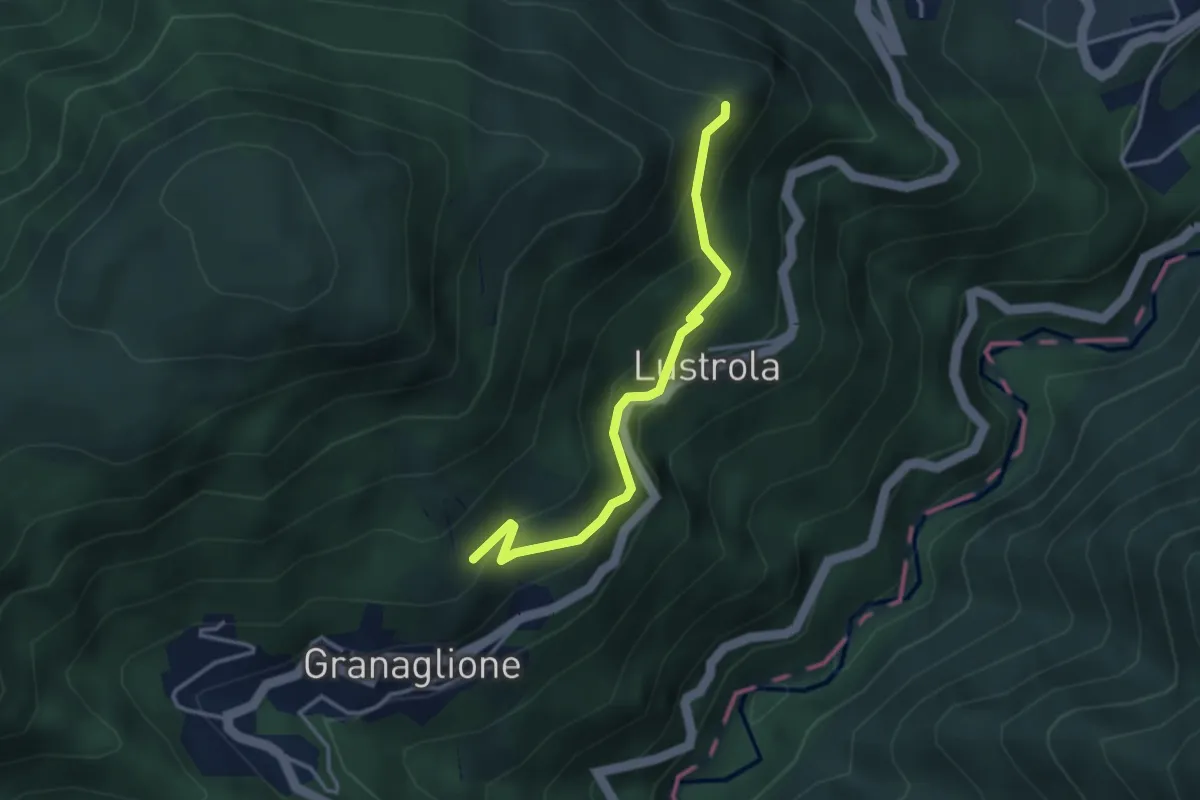
Medium · Trail
Granaglione (bivio 103A/133) – Tre Querce (bivio 103/103A)
3.3 km · ↑ 306 m · 1 h 27 min
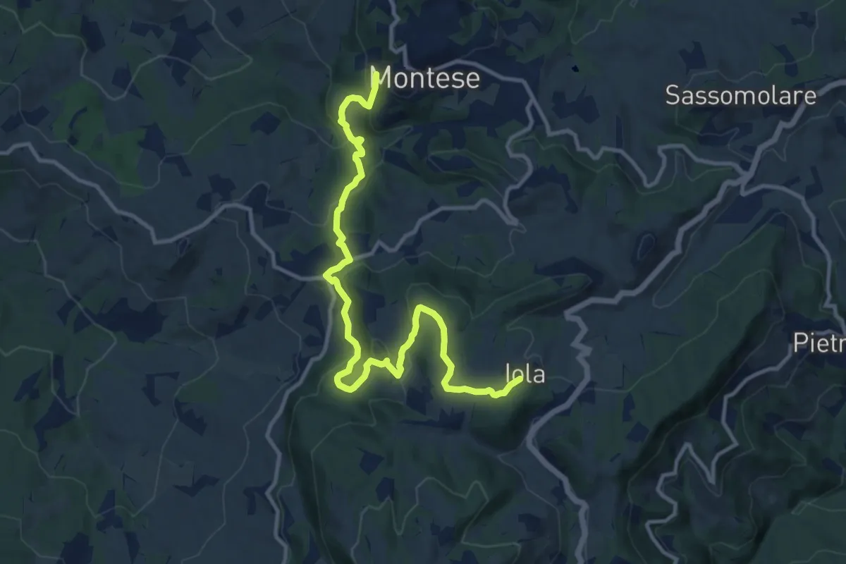
Medium · Trail
Montese – Iola
13.0 km · ↑ 617 m · 4 h 25 min
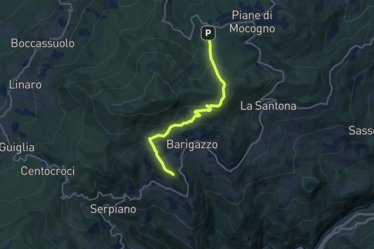
Demanding · Summit
Diga di Riolunato – Piane di Mocogno
8.8 km · ↑ 405 m · 2 h 58 min
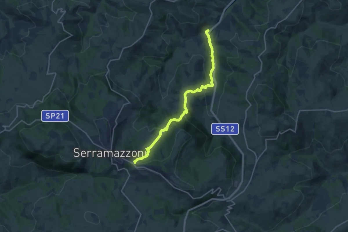
Medium · Trail
Oglio di Sopra – Serramazzoni
14.0 km · ↑ 622 m · 4 h 39 min