Trails in Italy
25,219 hiking trails, each with its route, climb, walking time and grade.
All trails, page 327 of 526
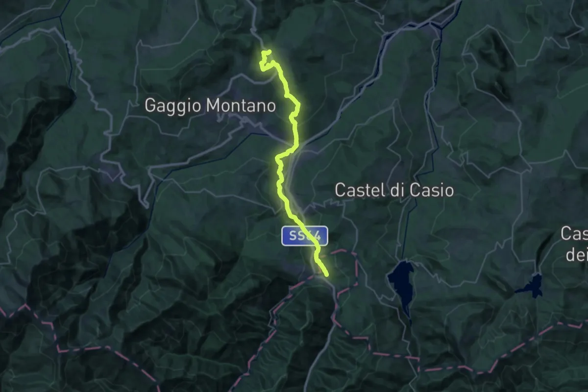
Medium · Trail
Abetaia – Passo della Collina
14.0 km · ↑ 221 m · 4 h 10 min
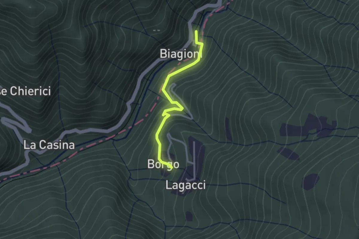
Easy · Trail
Biagioni – Casoni SS64 (percorso 159)
2.4 km · ↑ 126 m · 51 min
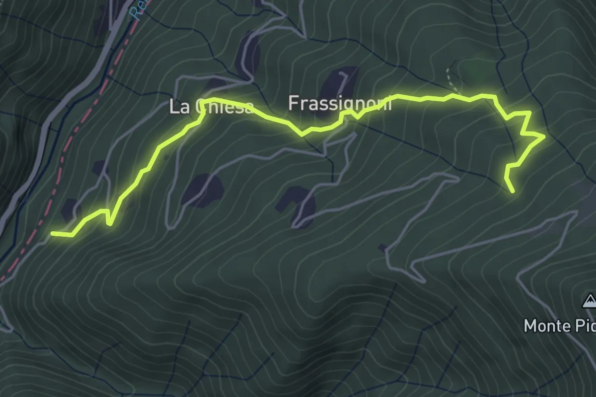
Medium · Trail
Frassignoni Bambocchia (Perc. 169) – Il Poggiaccio (Percorso 163)
5.4 km · ↑ 447 m · 2 h 14 min
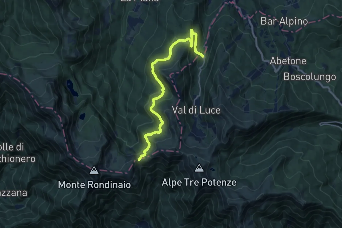
Medium · Trail
Casa Coppi – Foce a Giovo
14.3 km · ↑ 550 m · 4 h 34 min
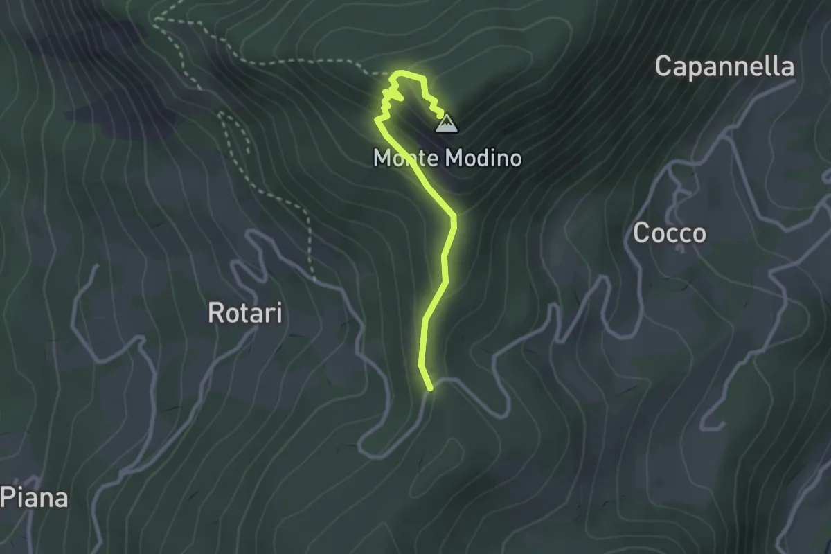
Medium · Summit
La Fiancata – Monte Modino
2.5 km · ↑ 163 m · 56 min
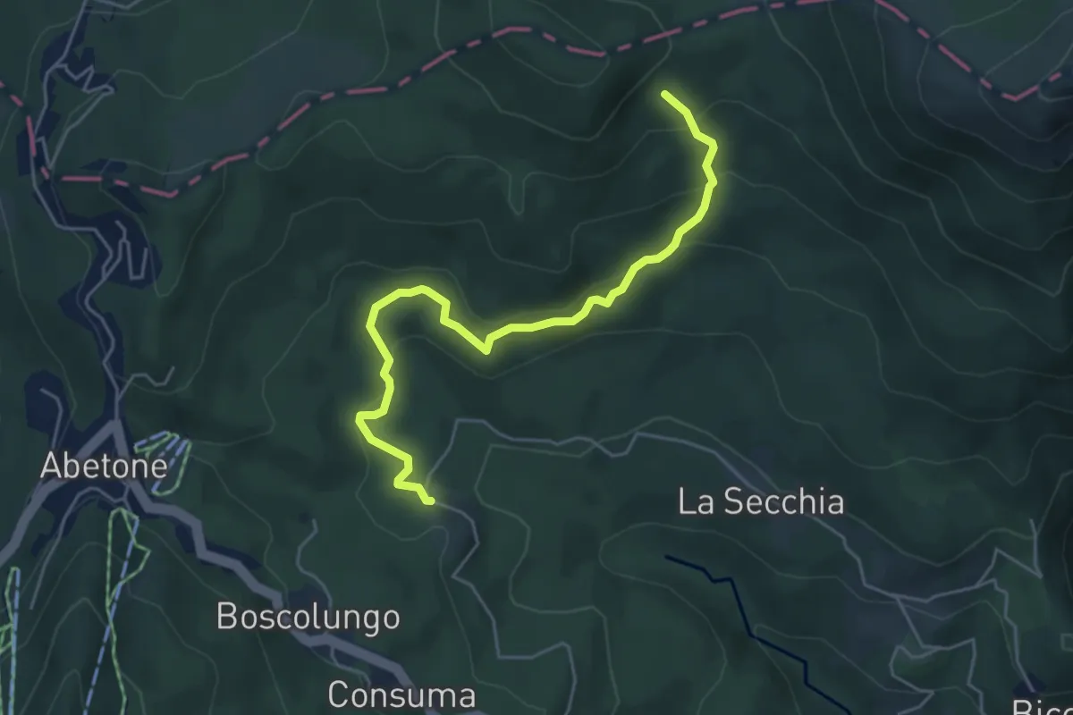
Medium · Trail
Vivaio – Percorso 280
5.3 km · ↑ 269 m · 1 h 50 min
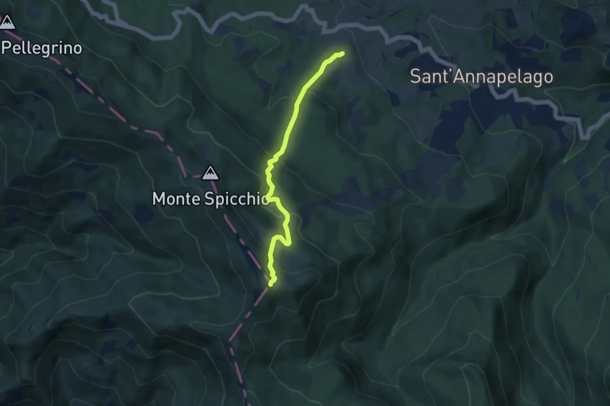
Medium · Trail
Ca' del Duca – Monte Albano
6.3 km · ↑ 439 m · 2 h 27 min
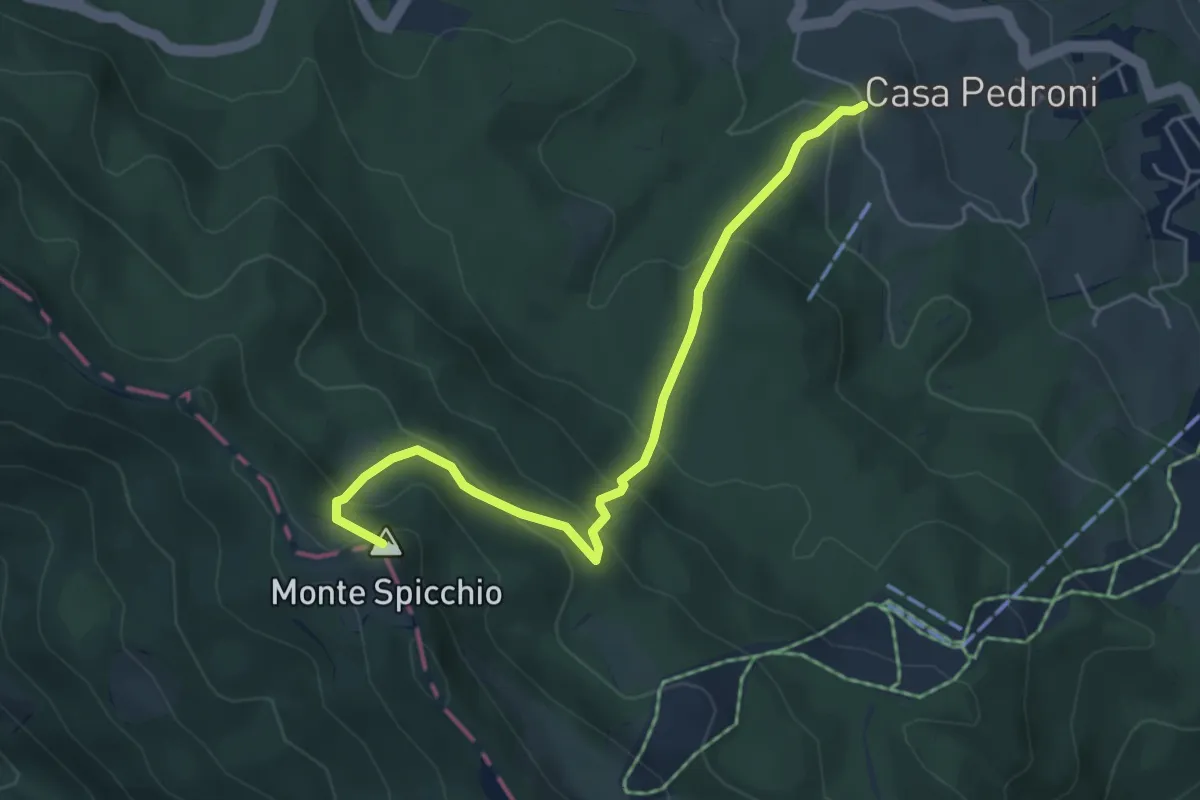
Medium · Summit
Sentiero 555 – Monte Spicchio
5.4 km · ↑ 409 m · 2 h 10 min
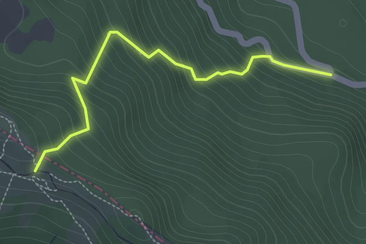
Easy · Trail
Imbrancamento – Giro del Diavolo
2.8 km · ↑ 277 m · 1 h 16 min
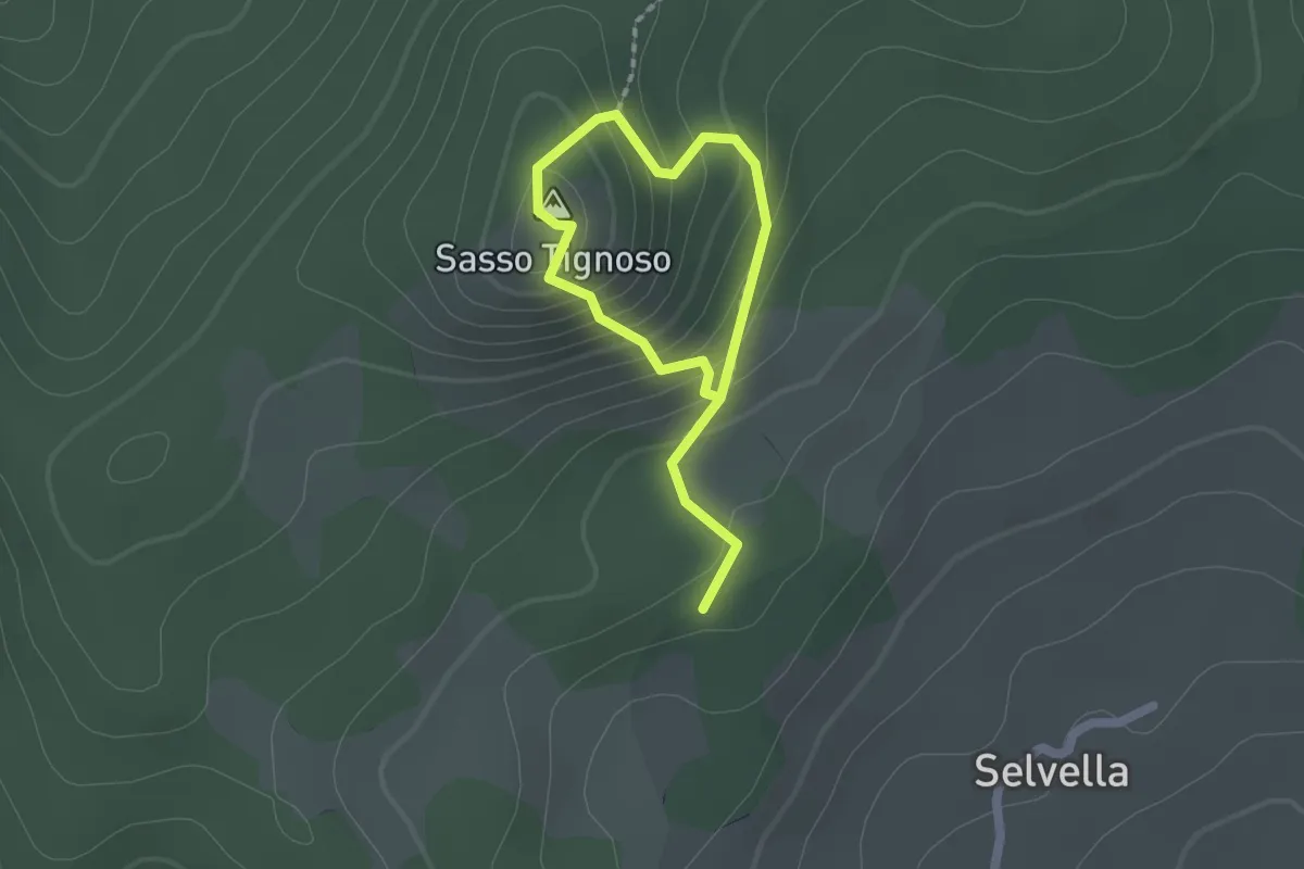
Easy · Summit
percorso 579 – percorso 565 stesso
1.2 km · ↑ 123 m · 33 min
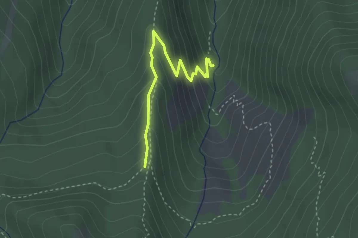
Easy · Cabin
Rifugio Rio Re – Percorso 639
2.8 km · ↑ 208 m · 1 h 7 min
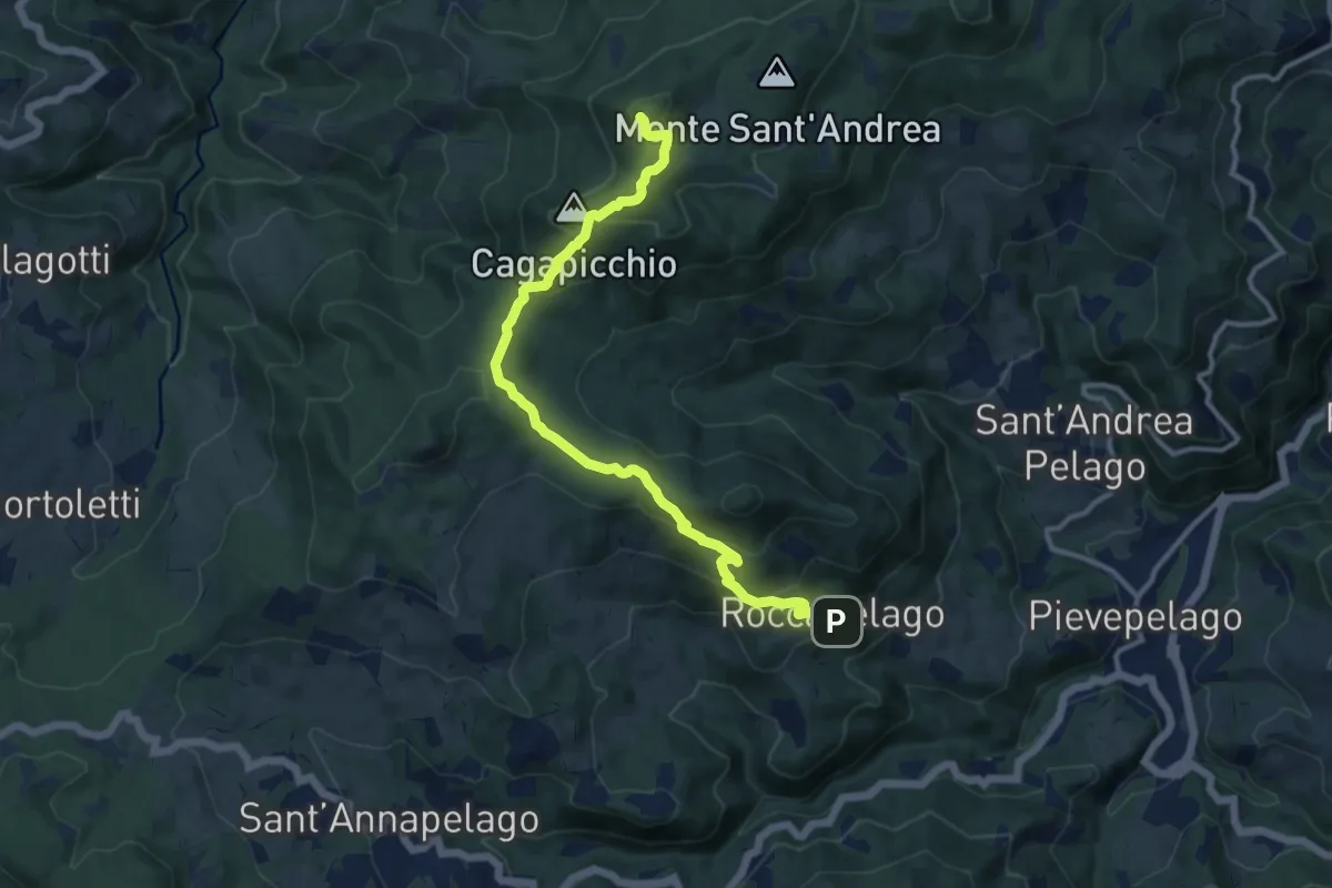
Medium · Summit
Roccapelago – Alpesigola
12.5 km · ↑ 606 m · 4 h 15 min
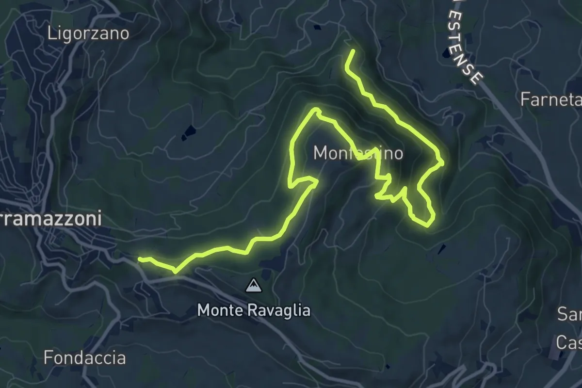
Medium · Trail
Ca' Tonini – Serramazzoni
13.9 km · ↑ 629 m · 4 h 38 min
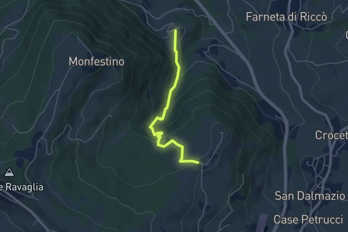
Medium · Trail
Granarolo – Casa Alfieri
4.2 km · ↑ 219 m · 1 h 27 min
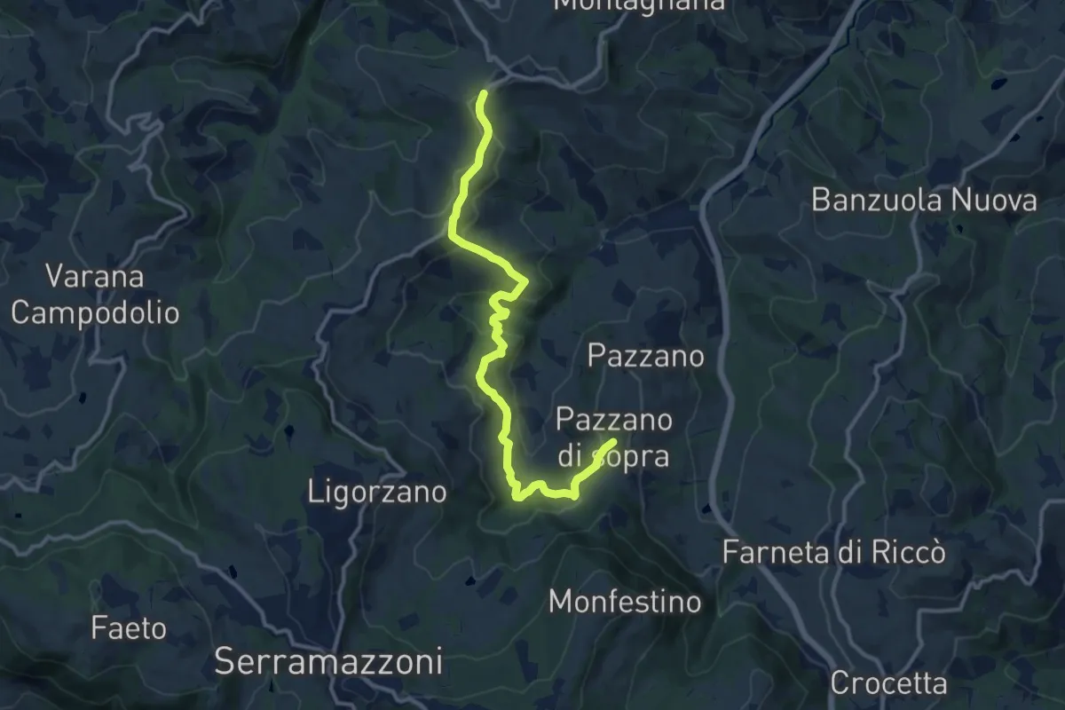
Medium · Trail
Montardone – Pazzano
12.4 km · ↑ 433 m · 3 h 52 min
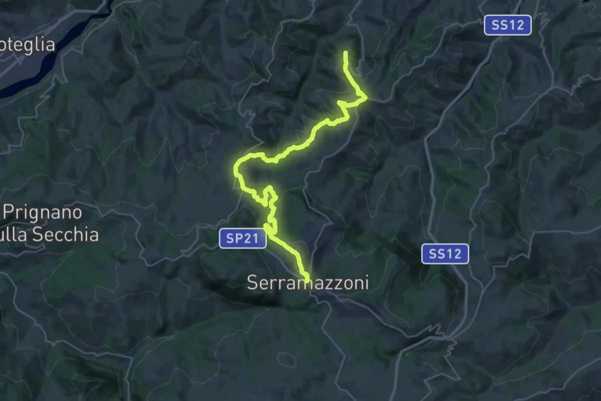
Medium · Trail
Serramazzoni – Rocca Santa Maria
13.7 km · ↑ 332 m · 4 h 20 min
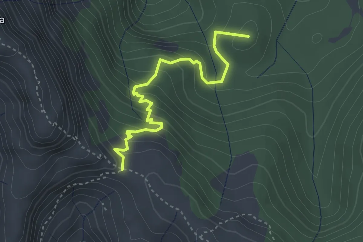
Medium · Summit
Arnetola – Cave delle Cervaiole
3.3 km · ↑ 287 m · 1 h 24 min
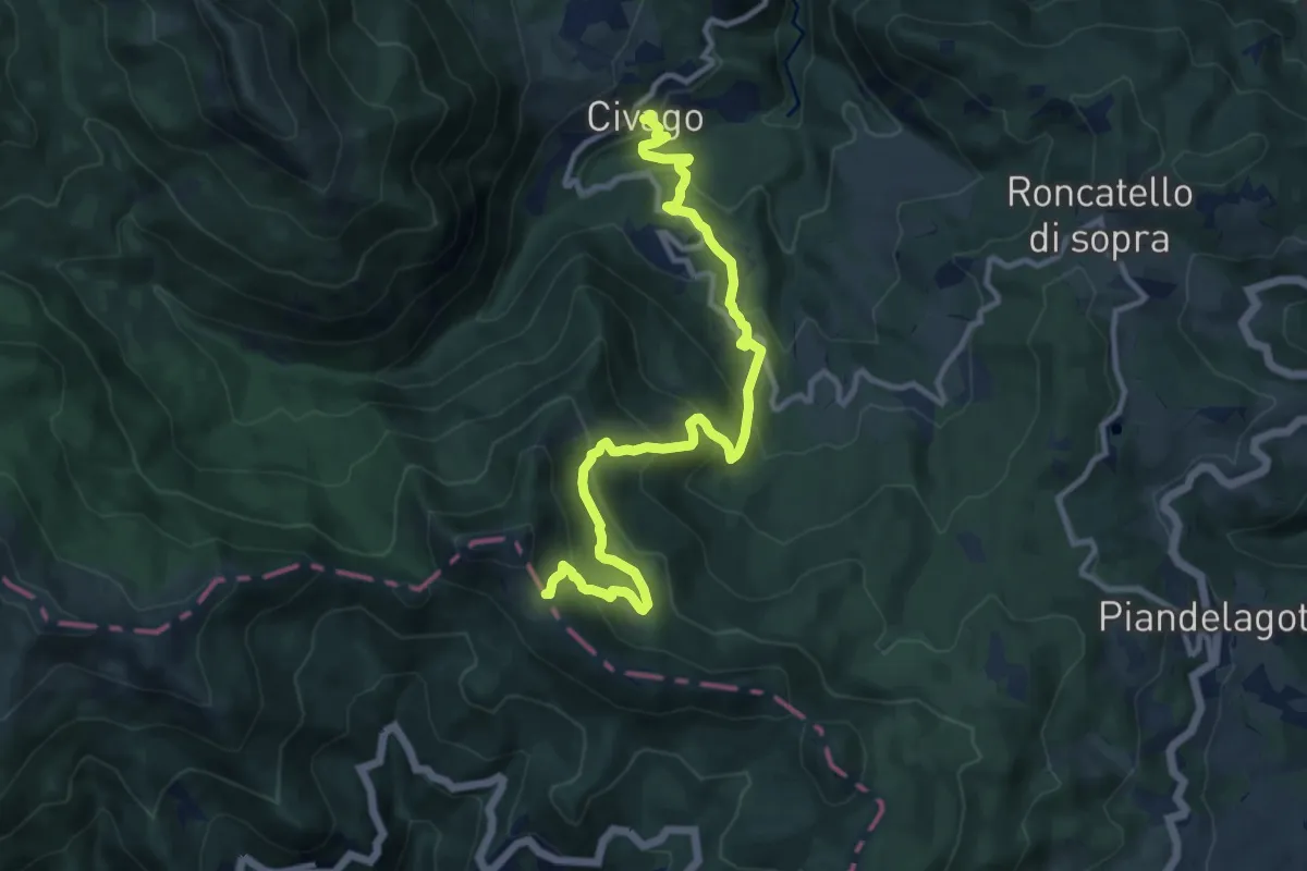
Medium · Trail
Civago – Passo del Giovarello
12.4 km · ↑ 765 m · 4 h 35 min
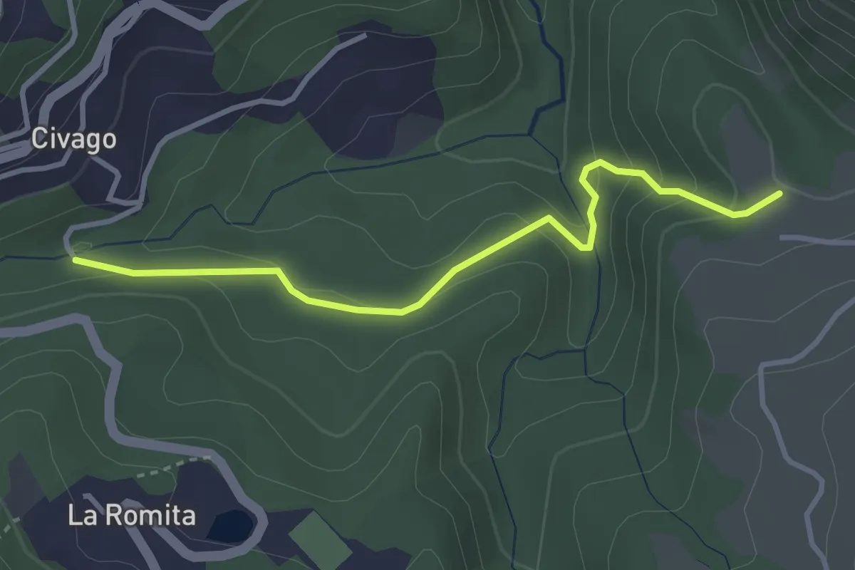
Easy · Trail
Mulino di Civago – Prati di Fontanaluccia
3.3 km · ↑ 151 m · 1 h 6 min
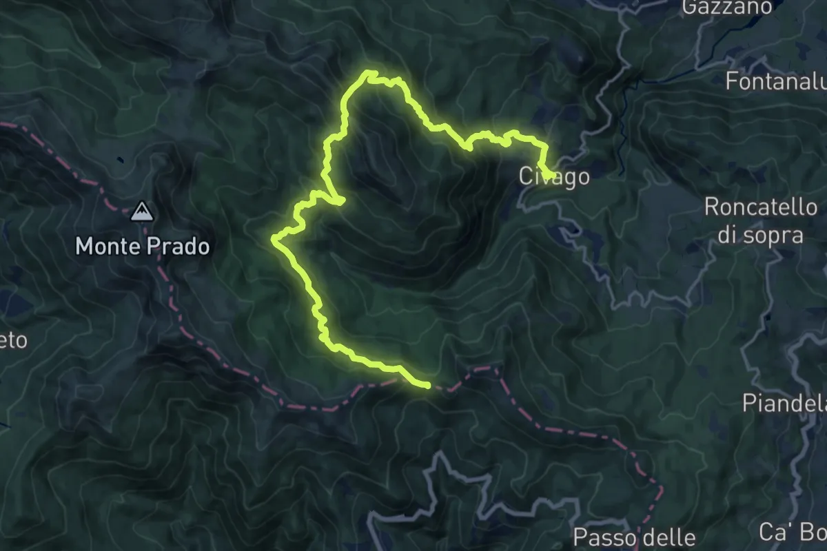
Demanding · Trail
Civago – Passo delle Forbici
11.3 km · ↑ 1032 m · 4 h 47 min
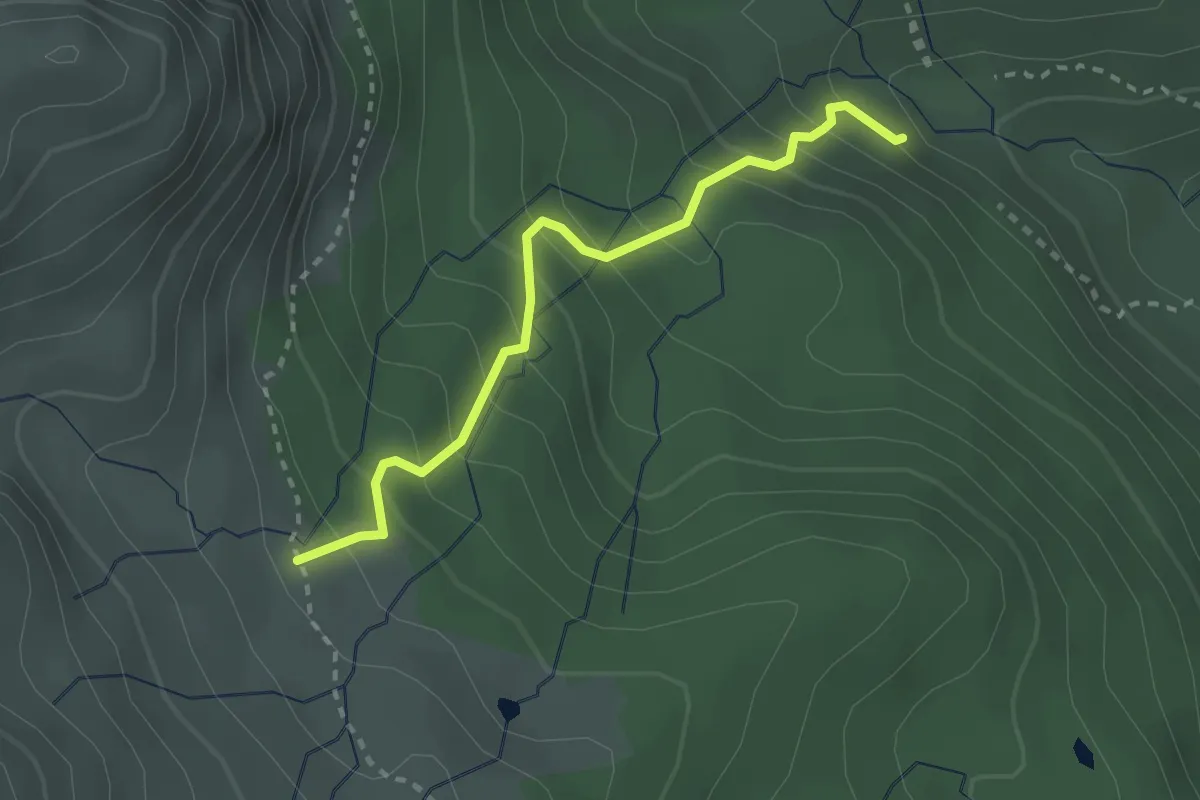
Easy · Cabin
Rifugio Abetina Reale – Percorso 633
2.7 km · ↑ 304 m · 1 h 17 min
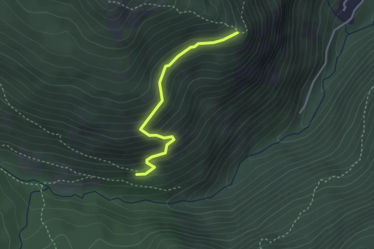
Easy · Trail
Case del Dolo – La Penna
2.8 km · ↑ 236 m · 1 h 10 min
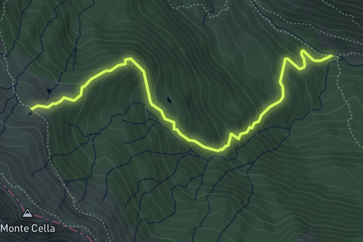
Medium · Cabin
Rifugio San Leonardo – Lago di Monte Vecchio
6.3 km · ↑ 509 m · 2 h 35 min
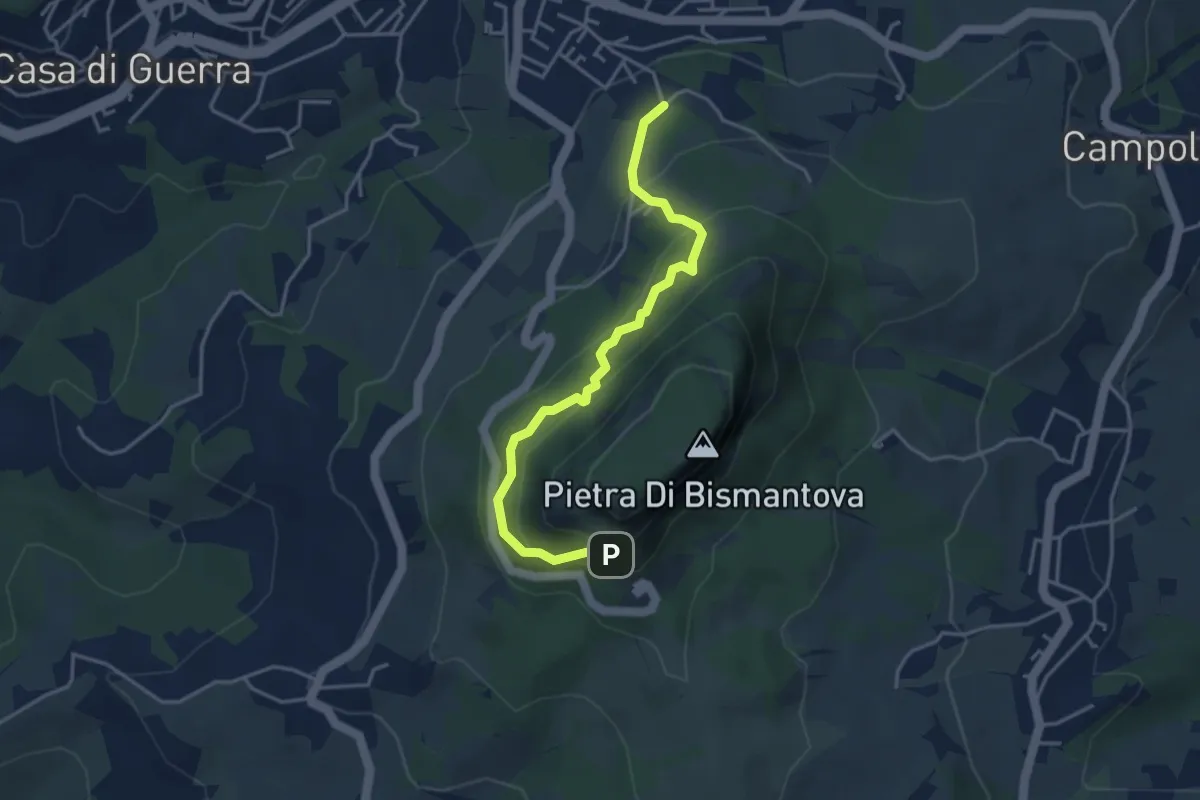
Easy · Trail
Castelnovo ne' Monti (Via Comici) – L'Eremo (bivio con 697)
4.1 km · ↑ 280 m · 1 h 34 min
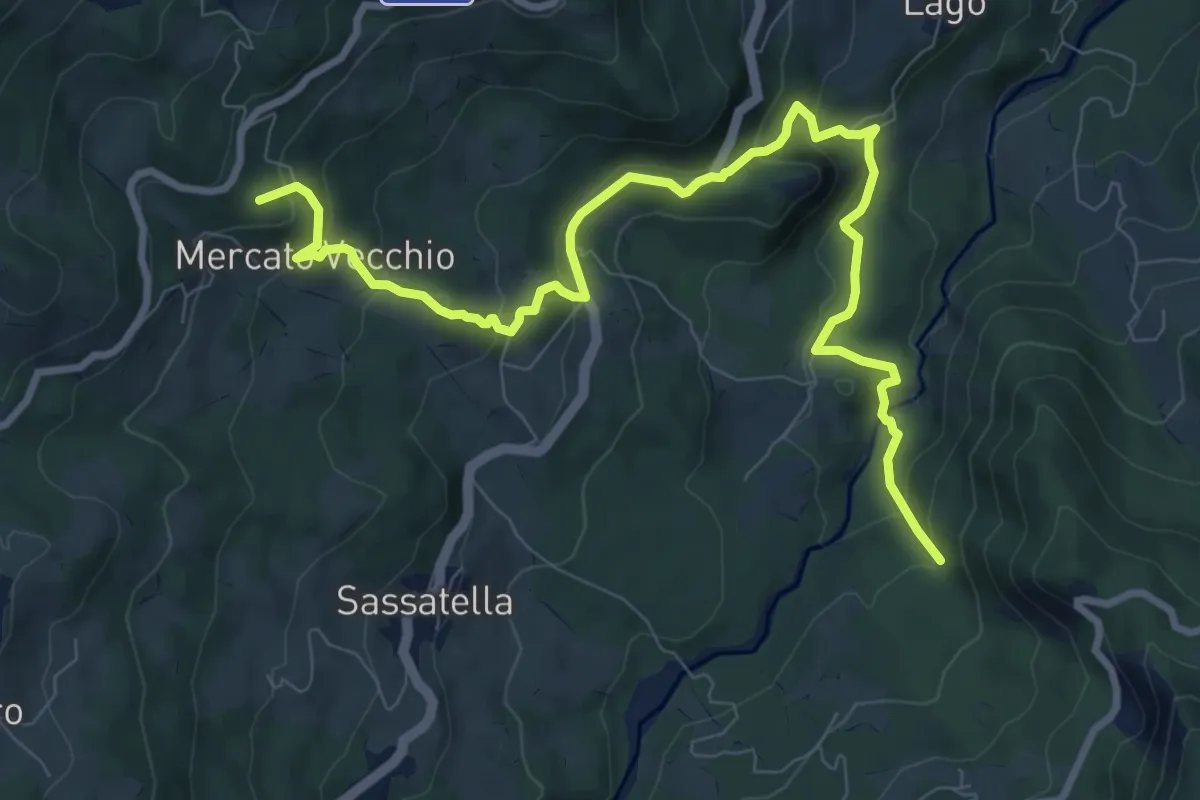
Medium · Summit
Torrente Dragone – Caselle
10.9 km · ↑ 585 m · 3 h 51 min
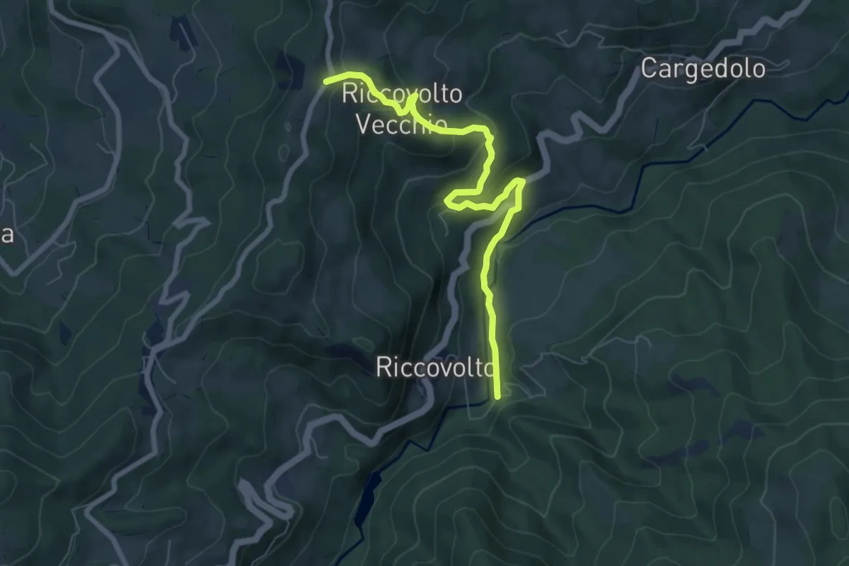
Medium · Trail
Molino Giovannetti – Il Monte
7.2 km · ↑ 325 m · 2 h 24 min
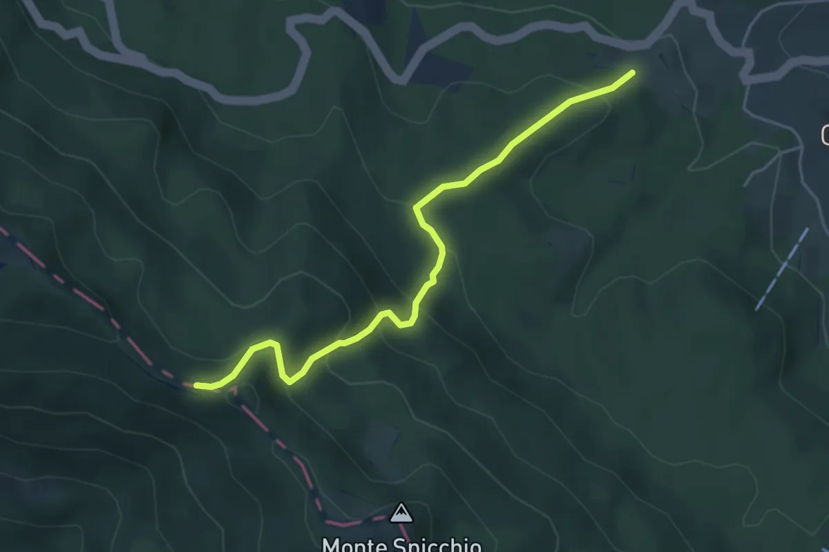
Medium · Trail
Percorso 579 – Percorso 00
4.6 km · ↑ 329 m · 1 h 48 min
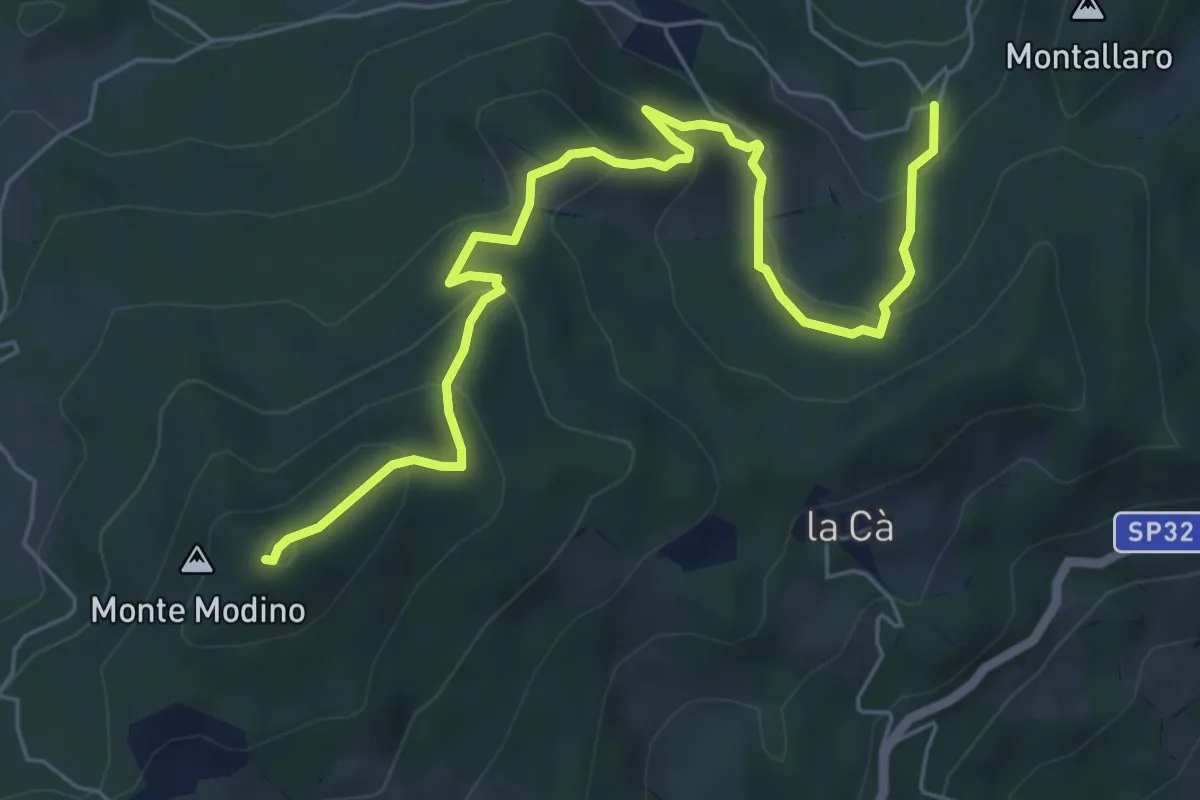
Medium · Summit
Strada per La Verna – Monte Modino
7.4 km · ↑ 453 m · 2 h 44 min
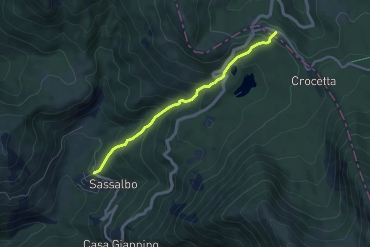
Medium · Trail
Sassalbo – Passo del Gatto
5.6 km · ↑ 397 m · 2 h 11 min
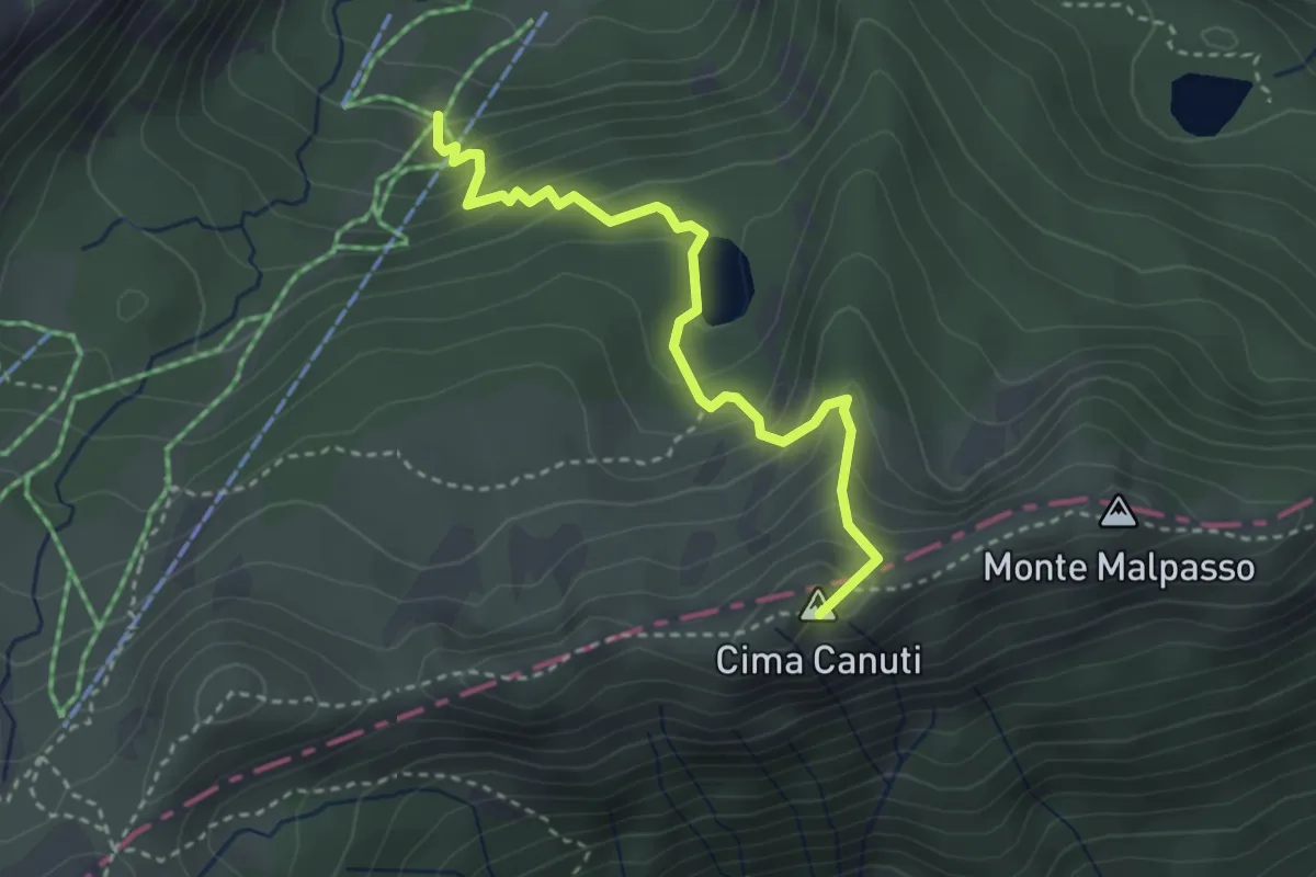
Medium · Summit
Percorso 705 – Monte Malpasso
3.4 km · ↑ 321 m · 1 h 30 min
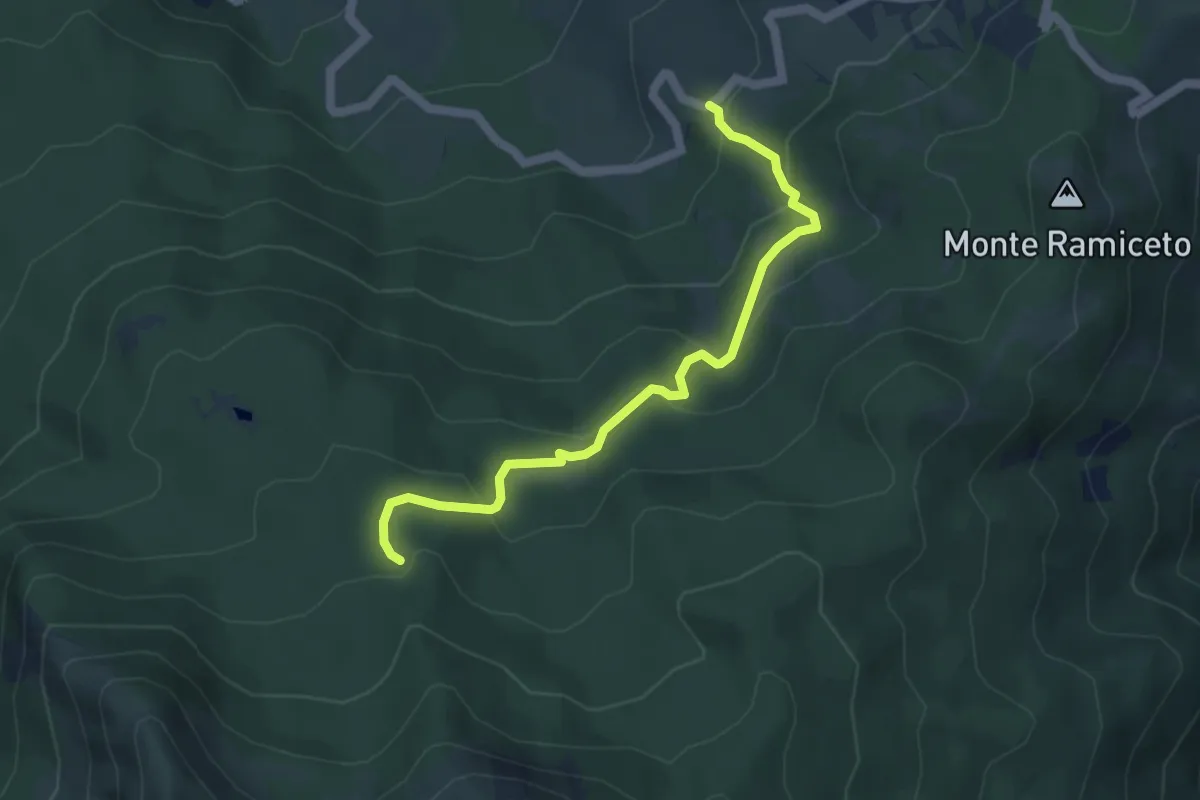
Easy · Trail
Codana – Percorso 669
5.0 km · ↑ 257 m · 1 h 44 min
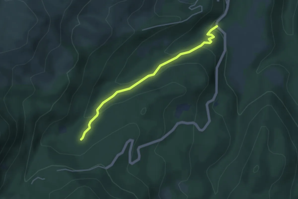
Easy · Trail
Ponte del Cogno – 725B
3.7 km · ↑ 174 m · 1 h 15 min
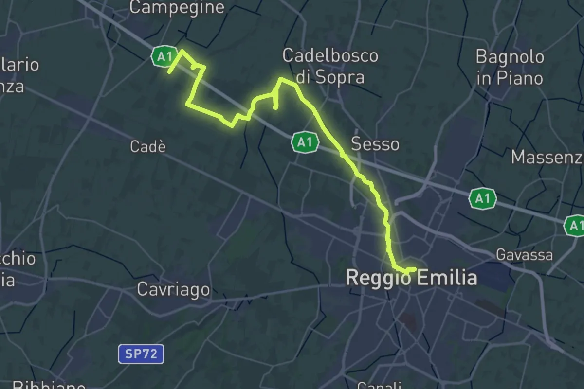
Demanding · Trail
Reggio Emilia – Valle Re
18.2 km · ↑ 9 m · 4 h 36 min
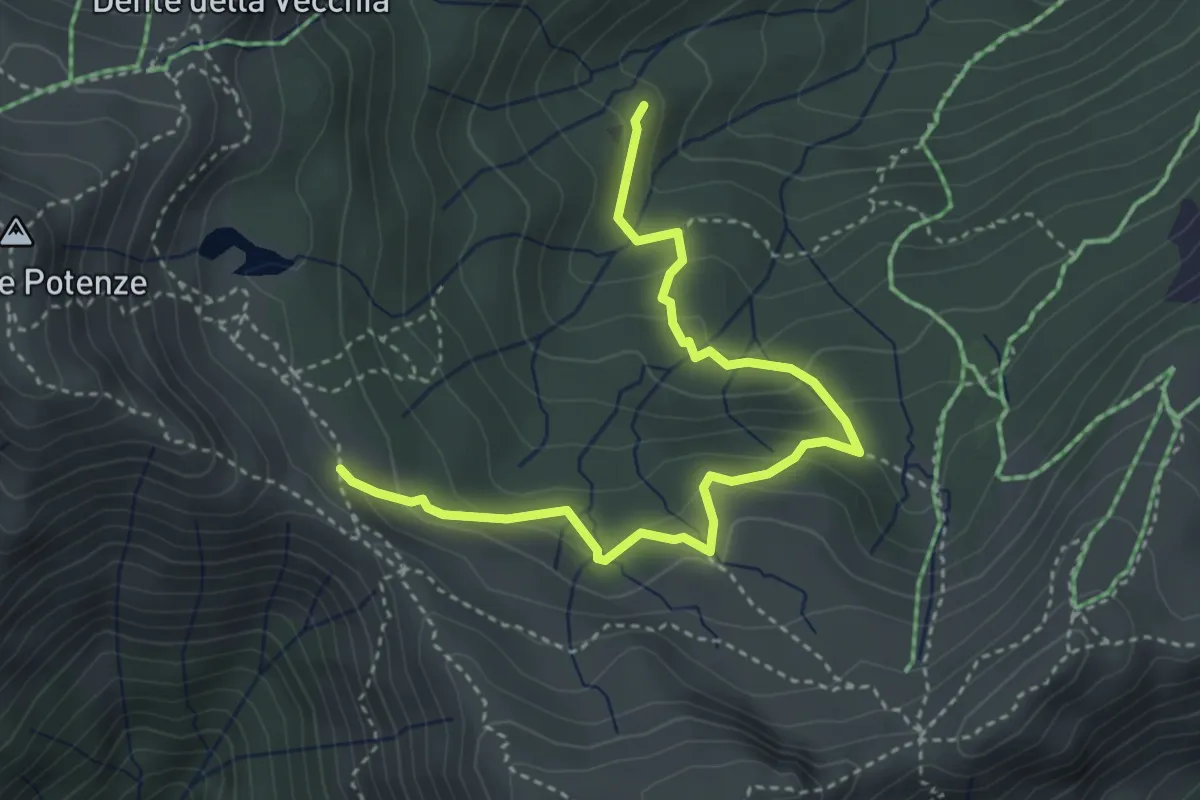
Medium · Cabin
Capanna dei Pastori in Val Sestaione – Sentiero 500
4.3 km · ↑ 269 m · 1 h 36 min
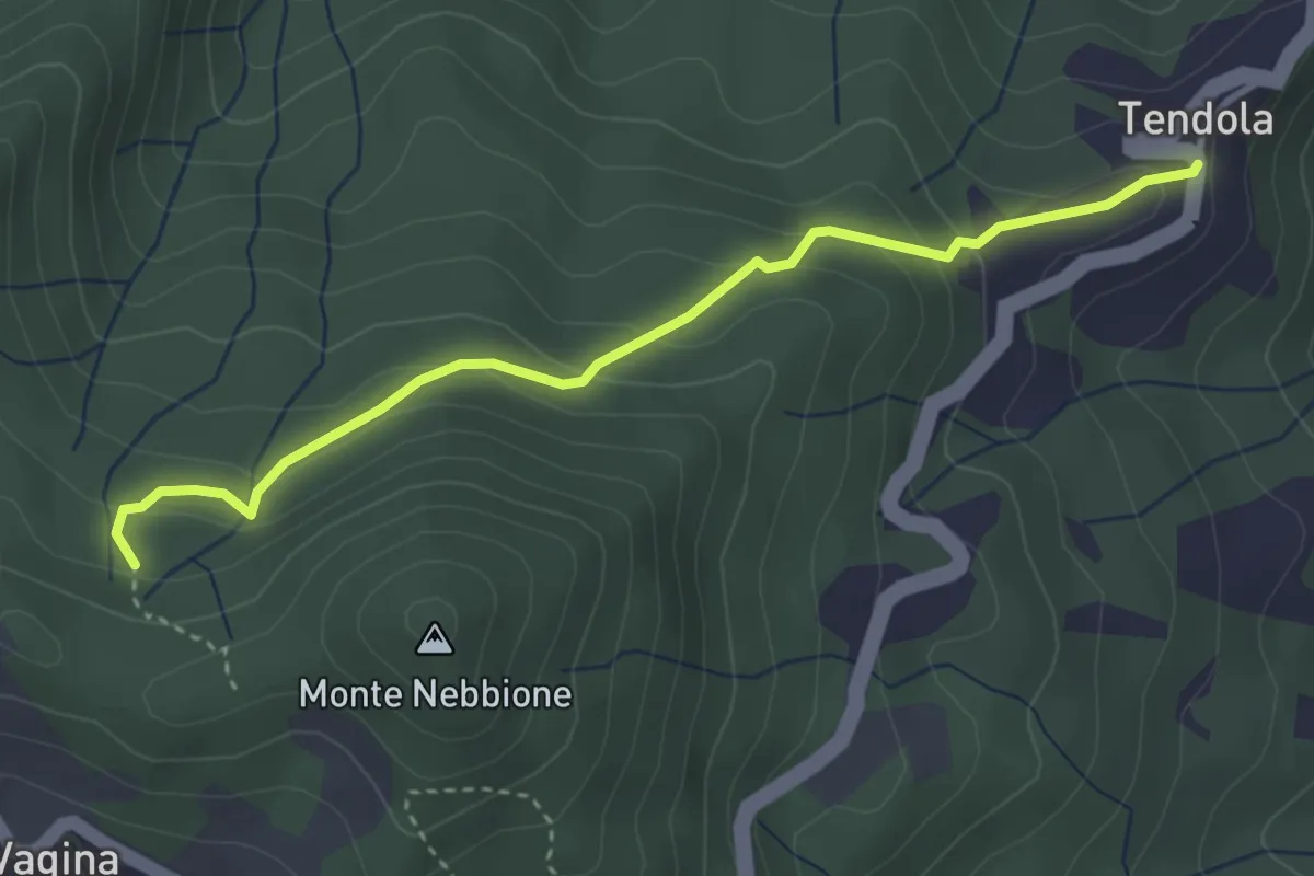
Easy · Trail
paese Tendola – Sentiero CAI 290
3.7 km · ↑ 221 m · 1 h 21 min
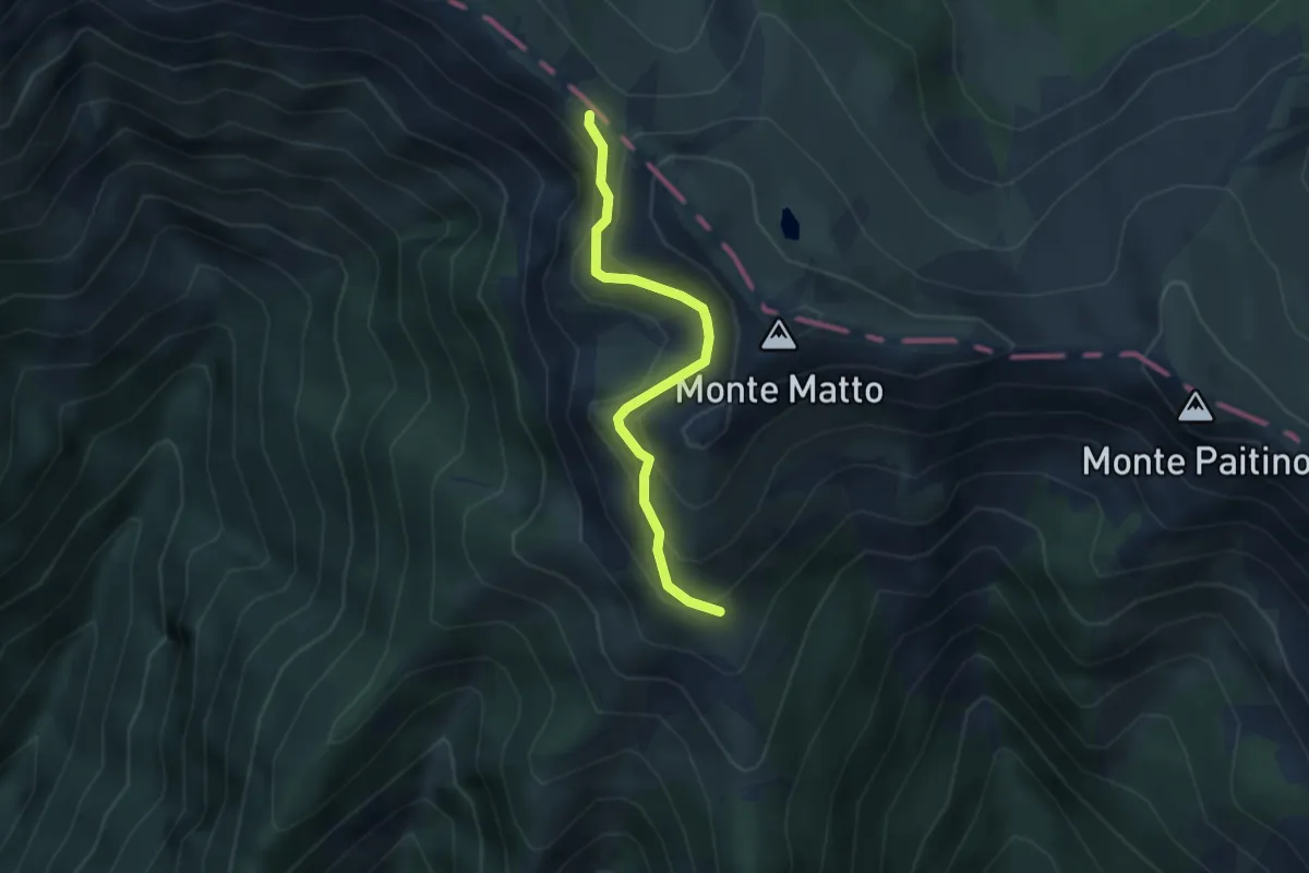
Demanding · Trail
Treschietto – Passo Di Badignana
3.1 km · ↑ 311 m · 1 h 24 min
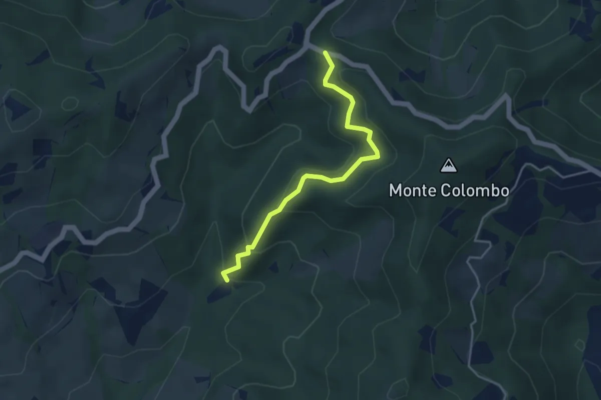
Easy · Trail
Sent. 431 Casetta – Sent. 401 M.te Colombo
3.5 km · ↑ 233 m · 1 h 20 min
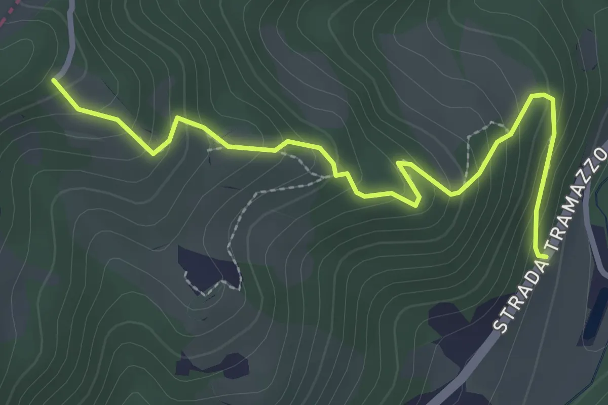
Easy · Trail
SP 86 – Percorso 553
2.9 km · ↑ 232 m · 1 h 11 min
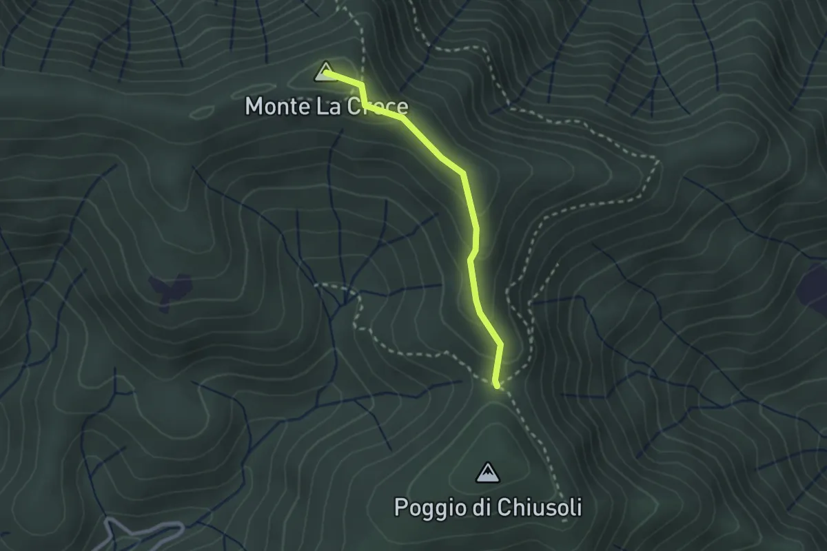
Medium · Summit
Poggio alla Forca – Sasso della Pasqua
2.2 km · ↑ 129 m · 48 min
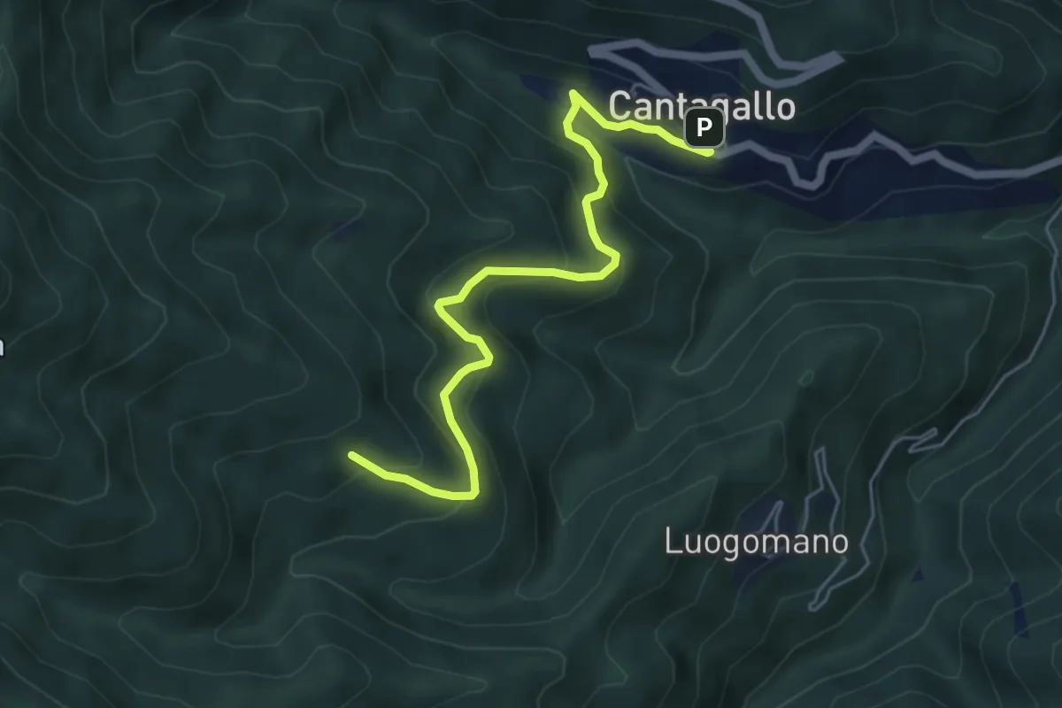
Medium · Cabin
Cantagallo – Cerliano
5.7 km · ↑ 388 m · 2 h 12 min
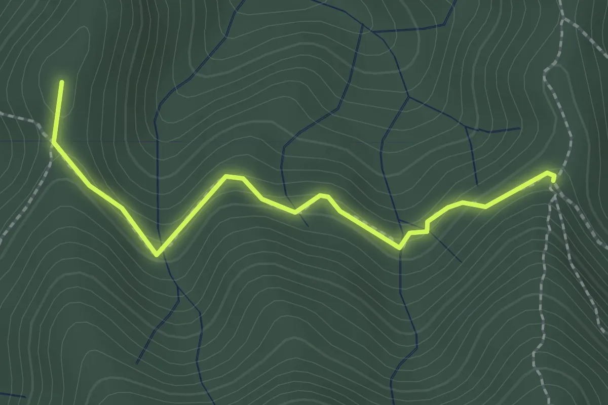
Medium · Summit
Sella della Scavata – Fregionaia
2.3 km · ↑ 98 m · 45 min
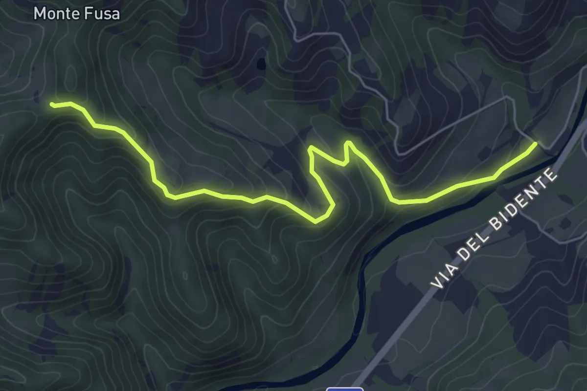
Easy · Trail
Mulino Mastalsò – Sentiero 301
6.1 km · ↑ 313 m · 2 h 7 min
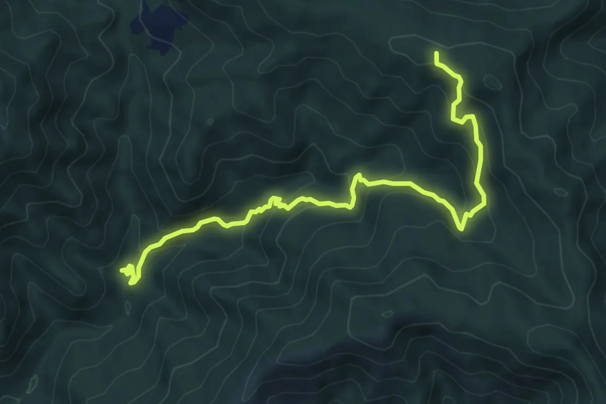
Medium · Trail
Fornello – Poggio degli Allocchi
8.6 km · ↑ 585 m · 3 h 19 min
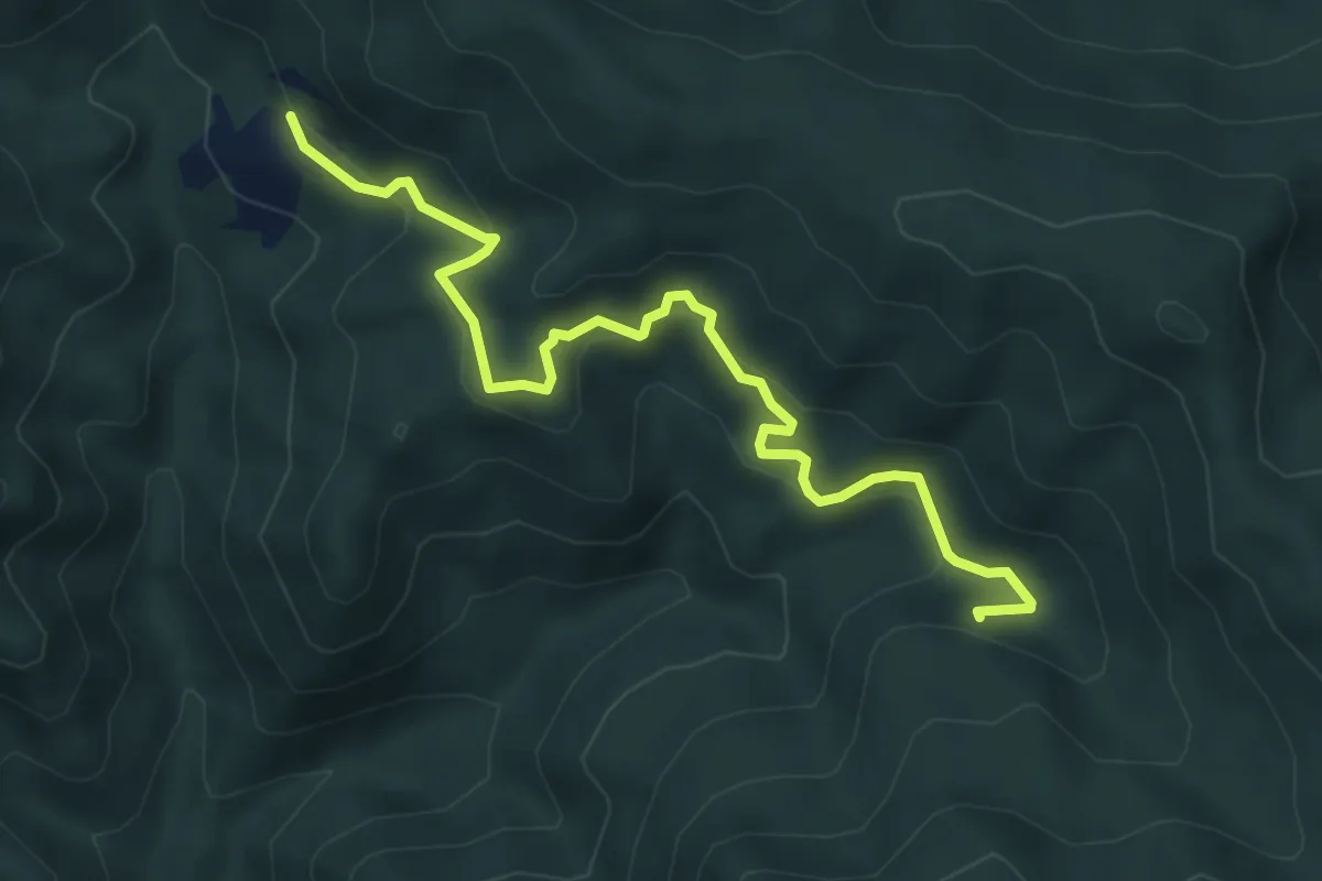
Easy · Trail
Le Casette – Brancolabardi
6.0 km · ↑ 300 m · 2 h 5 min
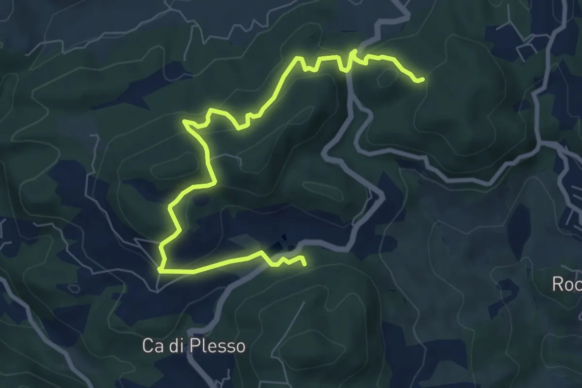
Medium · Trail
L'Ombrina – Percorso 186
8.4 km · ↑ 469 m · 3 h
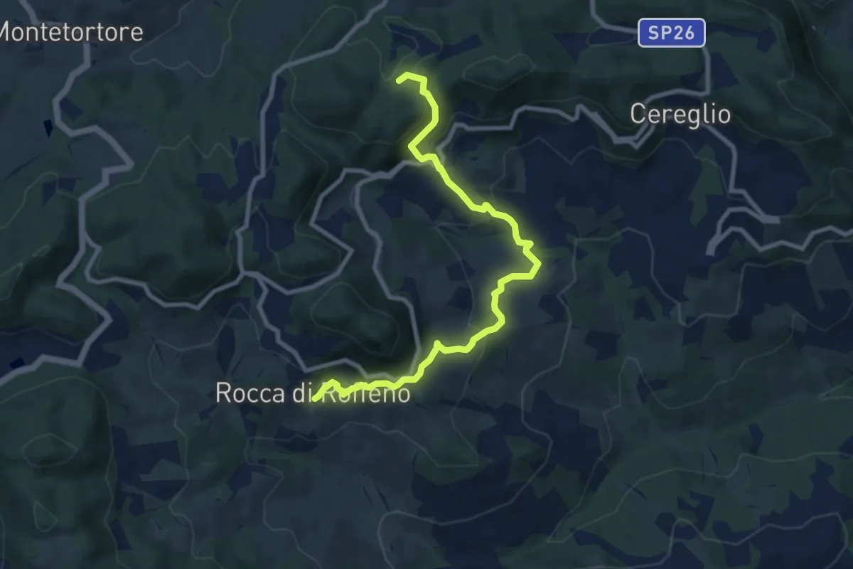
Medium · Trail
Ville di Roffeno – Percorso 201
8.8 km · ↑ 522 m · 3 h 12 min
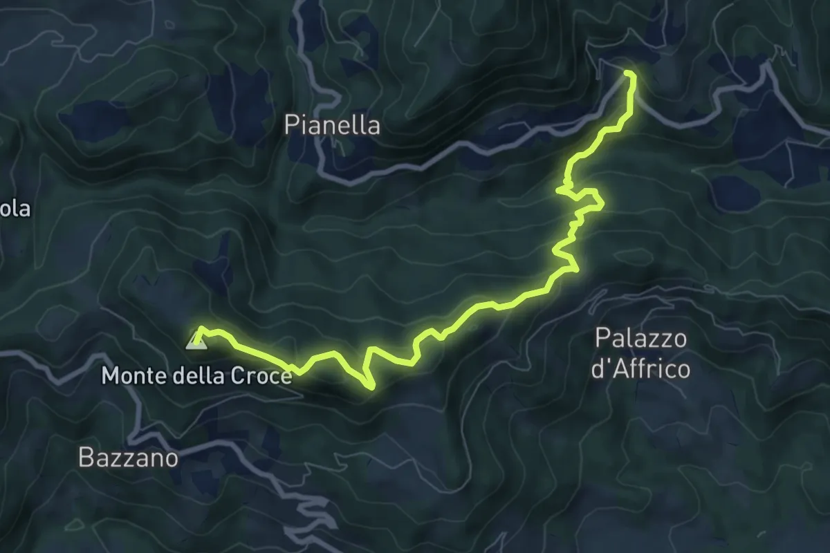
Medium · Summit
San Cristoforo di Labante – Abetaia Casellino di Romano (perc. 170)
9.2 km · ↑ 554 m · 3 h 23 min
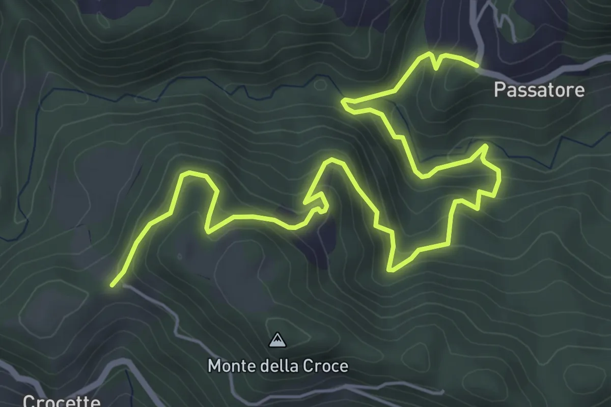
Medium · Trail
Percorso 166 – Chiesina del Passatore
7.9 km · ↑ 522 m · 2 h 59 min