Trails in Italy
25,219 hiking trails, each with its route, climb, walking time and grade.
All trails, page 328 of 526
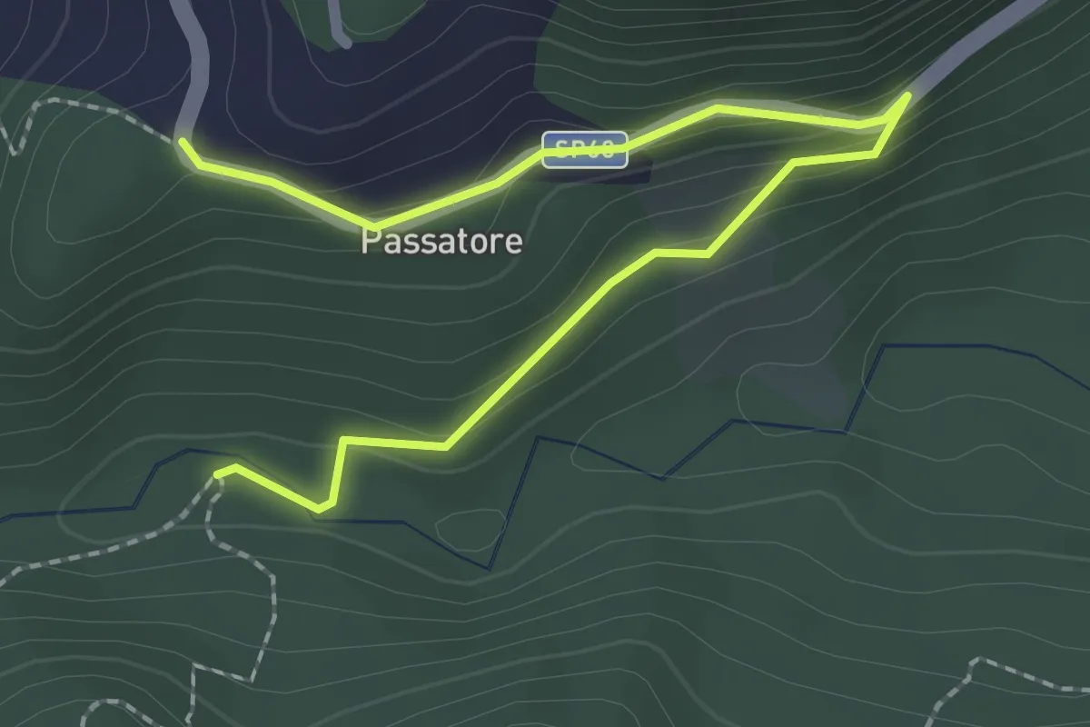
Easy · Trail
Chiesina del Passatore – Percorso 182
2.7 km · ↑ 124 m · 55 min
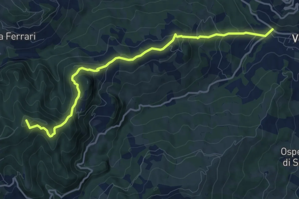
Medium · Summit
Ca' Venezia – San Cristoforo di Labante
11.2 km · ↑ 680 m · 4 h 8 min
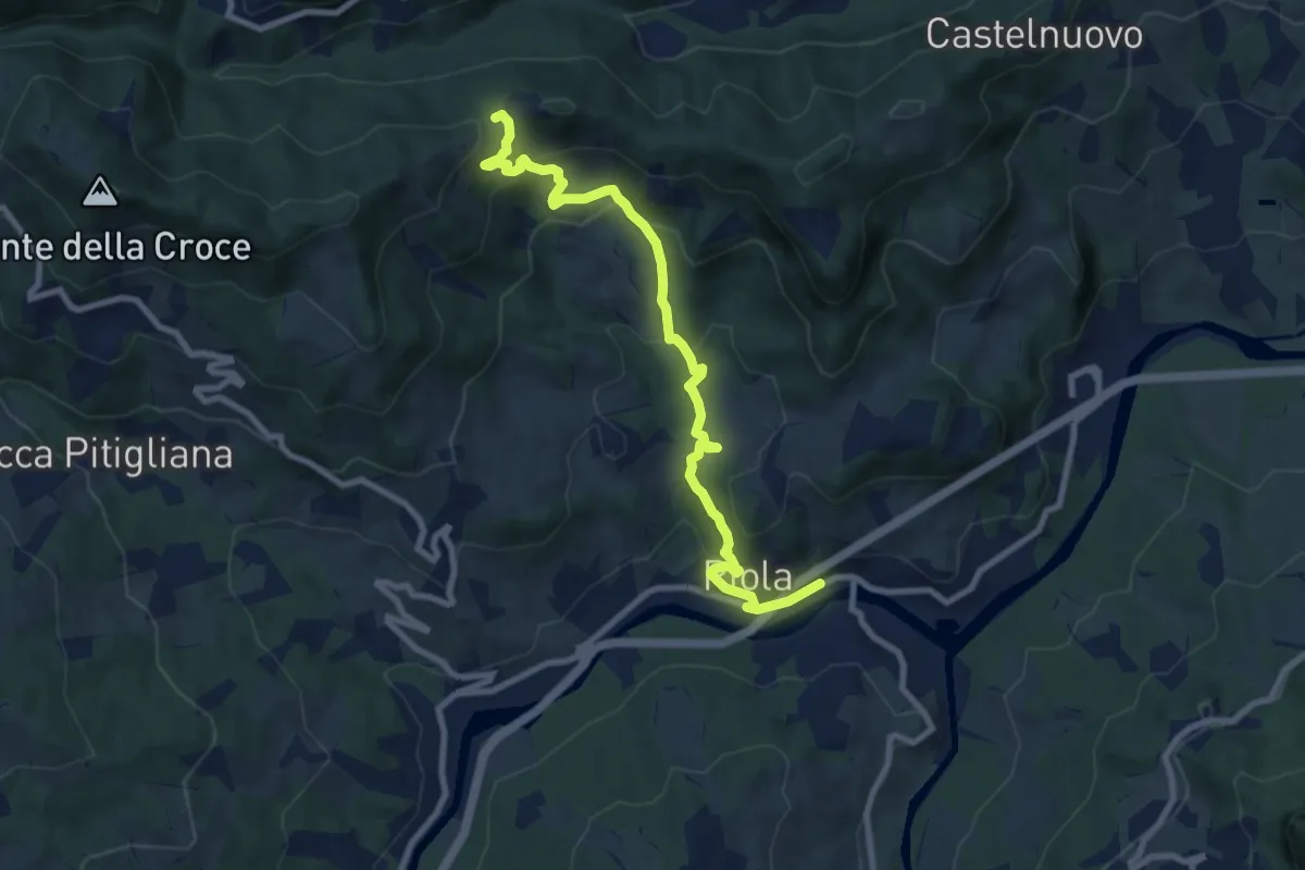
Medium · Trail
Riola – Torre di Nerone (percorso CAI 166)
9.7 km · ↑ 506 m · 3 h 23 min
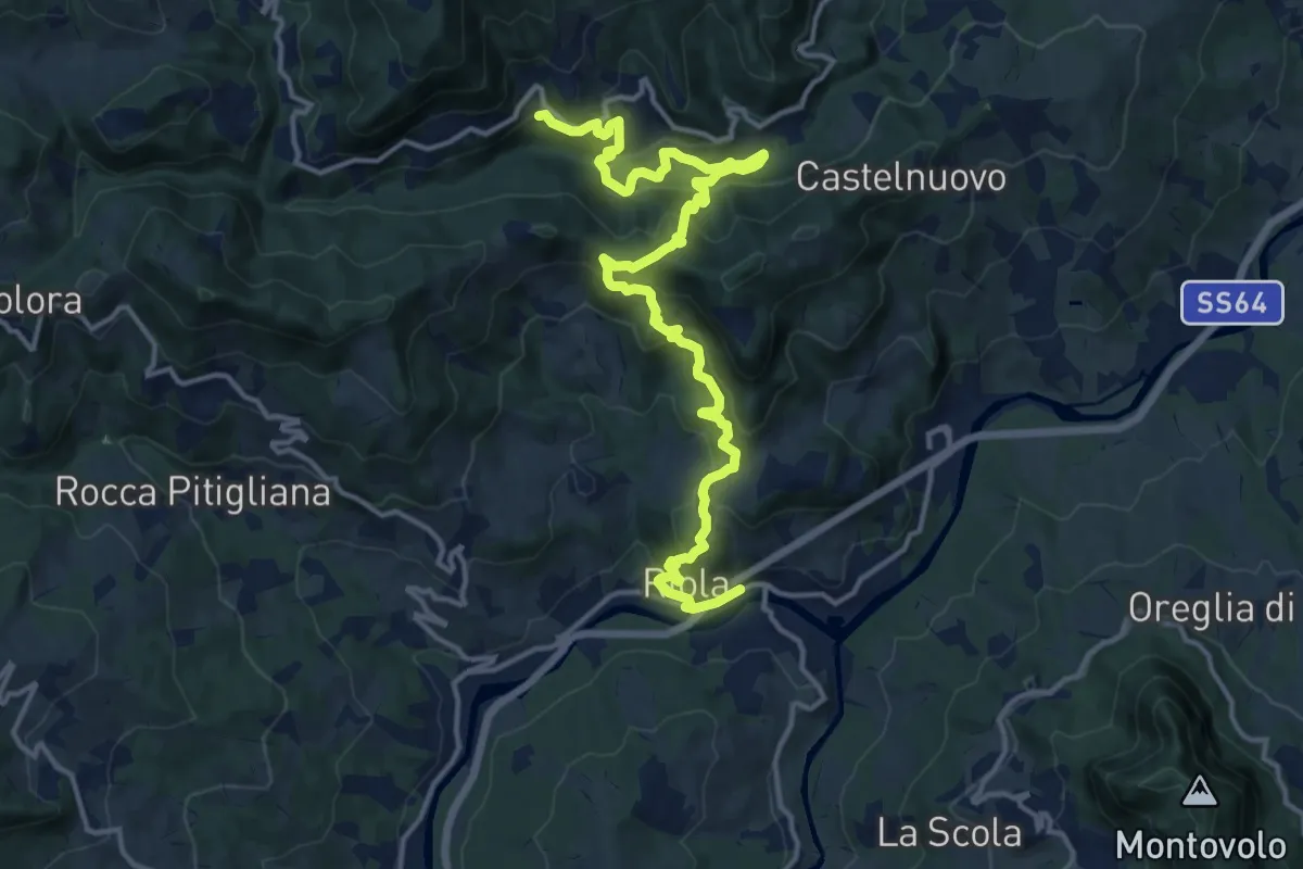
Demanding · Trail
Riola – San Cristoforo di Labante
17.9 km · ↑ 979 m · 6 h 21 min
Easy · Summit
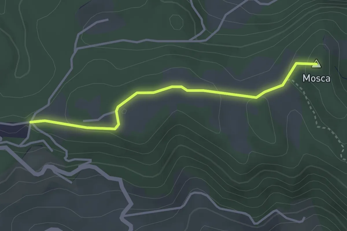
Percorso 134 – Percorso 136
3.1 km · ↑ 86 m · 55 min
Easy · Trail
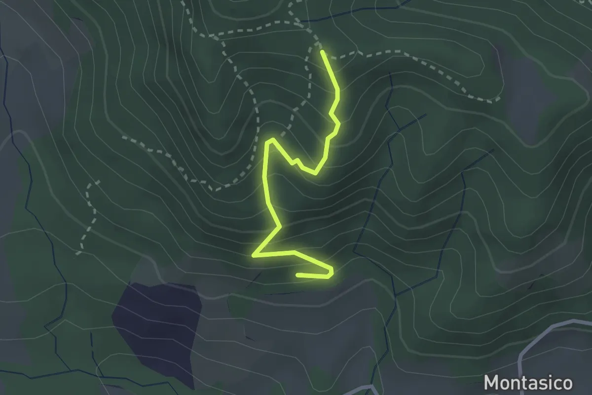
La Costa (Percorso 138) – Percorso 142
2.4 km · ↑ 272 m · 1 h 9 min
Easy · Trail
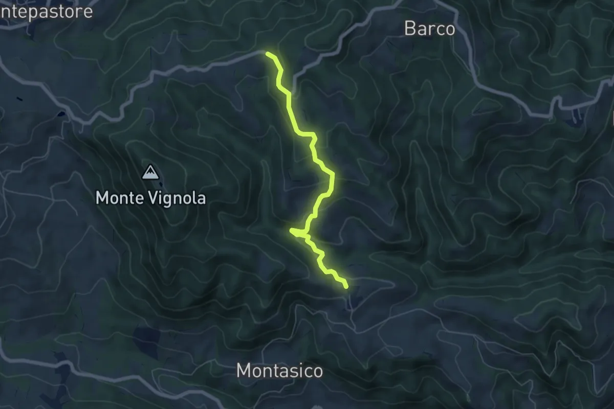
Lago di Montasico – San Giacomo
5.6 km · ↑ 270 m · 1 h 54 min
Medium · Trail
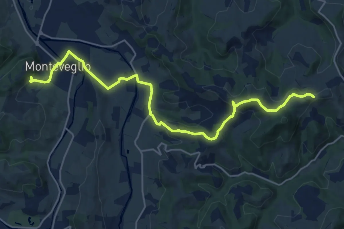
Monteveglio – Ca' Bianca
15.4 km · ↑ 443 m · 4 h 36 min
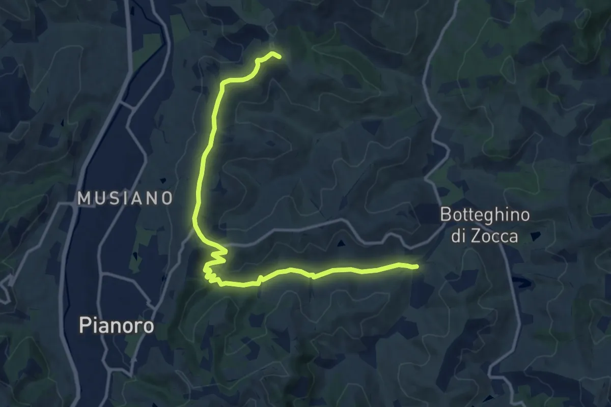
Medium · Trail
Brinello – Bivio percorso CAI 819 (Case Prati)
13.4 km · ↑ 228 m · 3 h 39 min
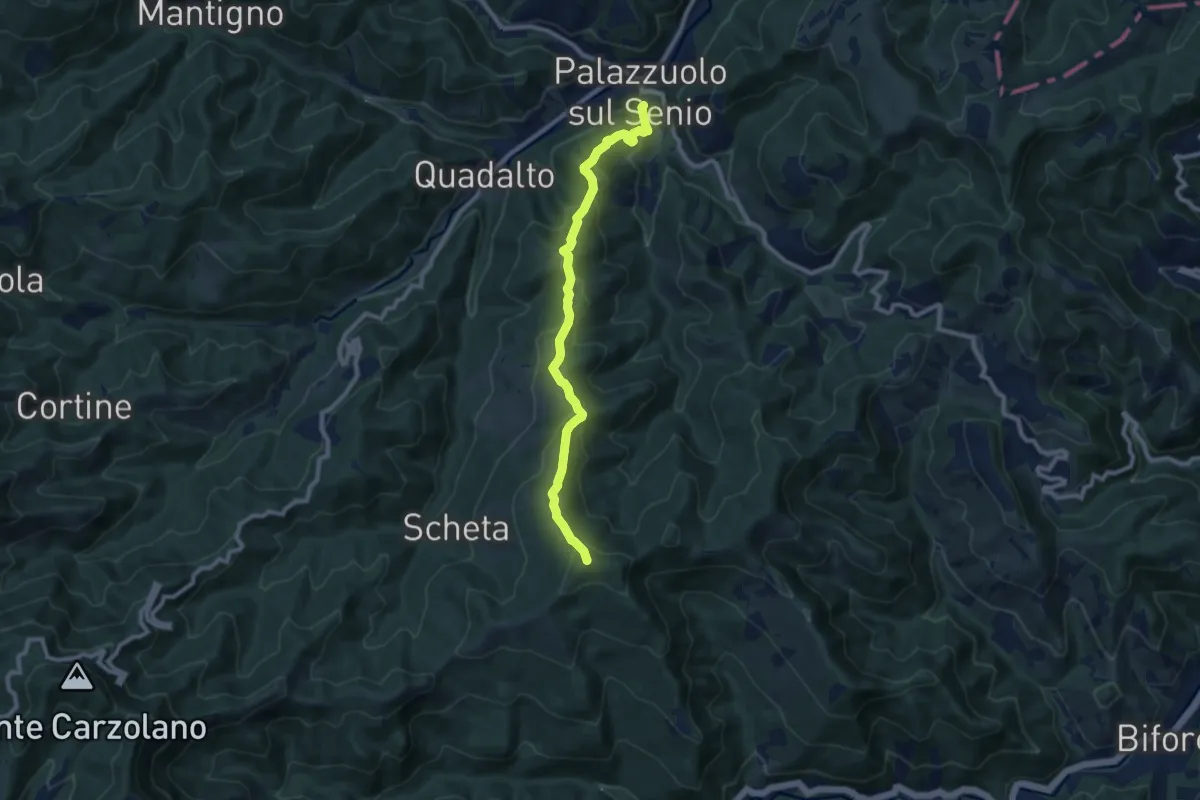
Medium · Summit
Palazzuolo sul Senio – Acquadalto
9.3 km · ↑ 536 m · 3 h 21 min
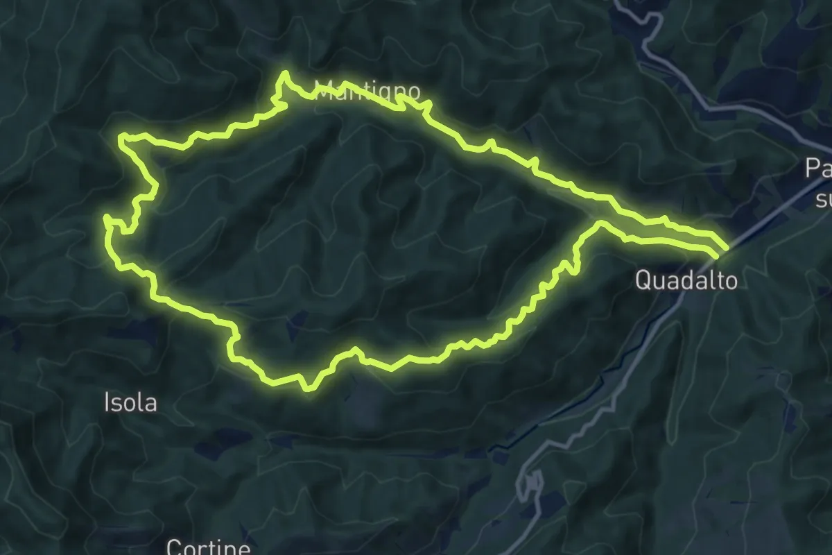
Medium · Summit
Acquadalto – Acquadalto
13.0 km · ↑ 791 m · 4 h 58 min
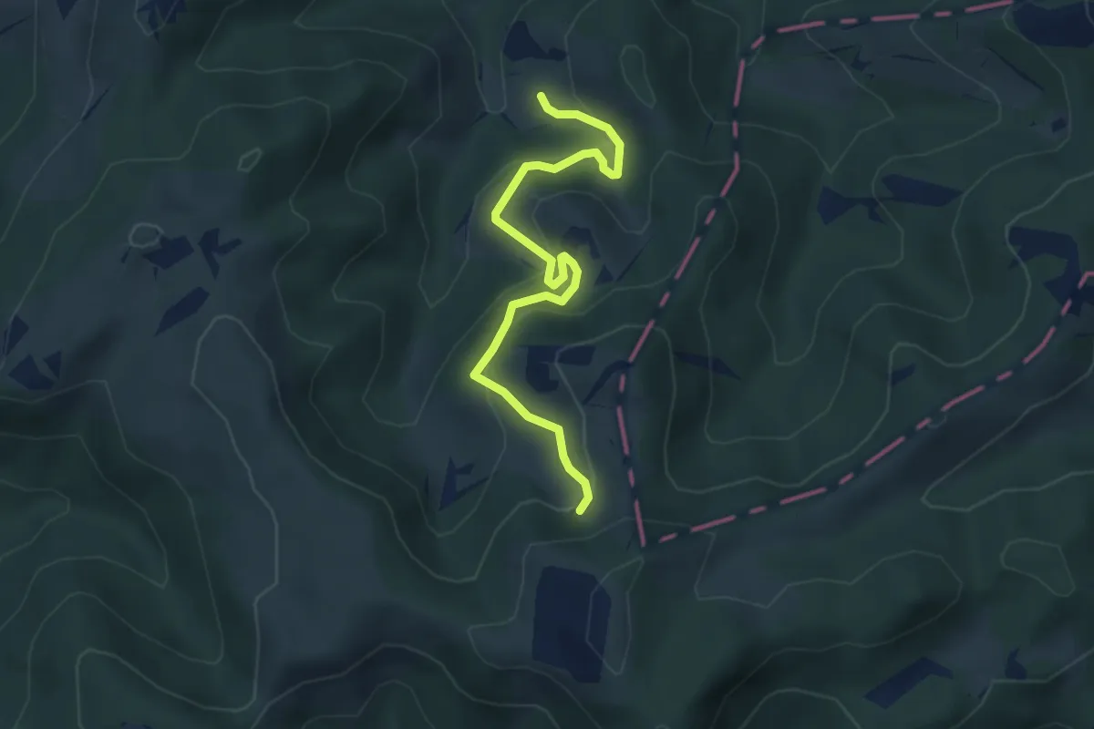
Easy · Trail
Salecchio – Palazzuolo sul Senio
4.3 km · ↑ 276 m · 1 h 36 min
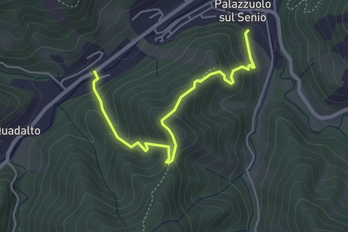
Medium · Trail
Palazzuolo sul Senio – Palazzuolo sul Senio
4.4 km · ↑ 307 m · 1 h 42 min
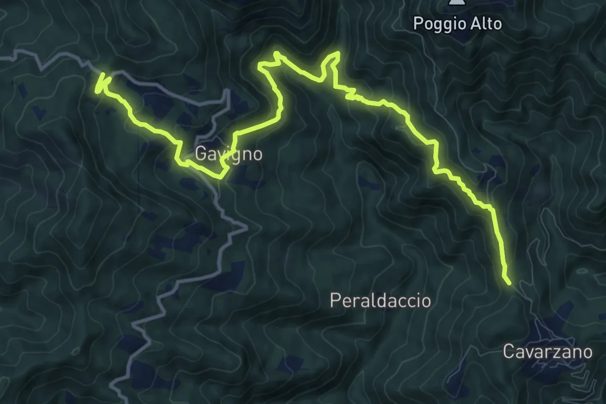
Demanding · Trail
Tabernacolo della Tavoletta – Gavigno
14.1 km · ↑ 937 m · 5 h 21 min
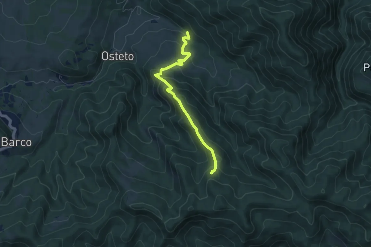
Medium · Trail
Moscheta – Sentiero 00
6.2 km · ↑ 394 m · 2 h 20 min
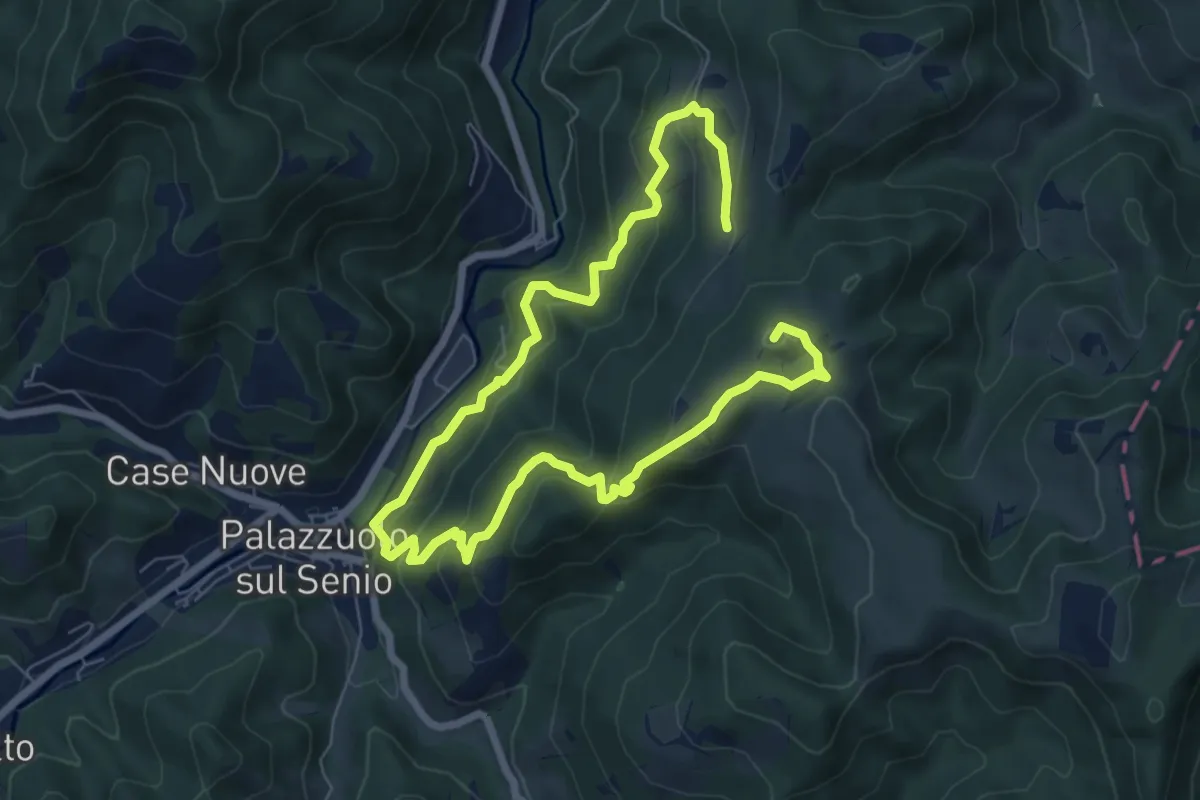
Medium · Summit
Palazzuolo sul Senio – Palazzuolo sul Senio
6.0 km · ↑ 375 m · 2 h 17 min
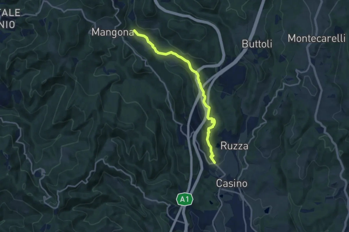
Medium · Trail
Cirignano – Bocca di Rio
10.2 km · ↑ 305 m · 3 h 4 min
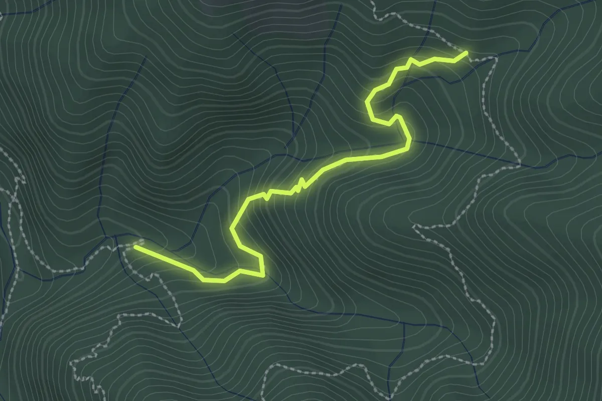
Easy · Trail
Ca' di Cicci – Diacci
2.8 km · ↑ 234 m · 1 h 10 min
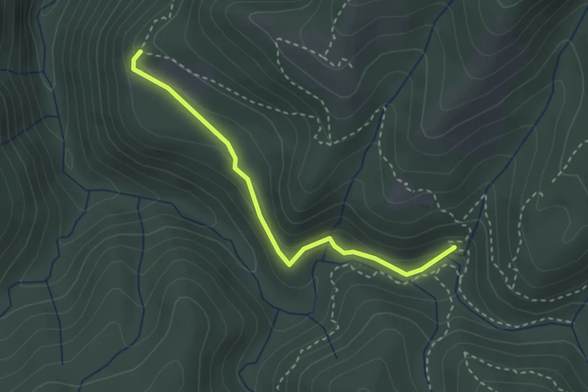
Medium · Trail
Pian di Rovigo – I Diacci
2.8 km · ↑ 120 m · 55 min
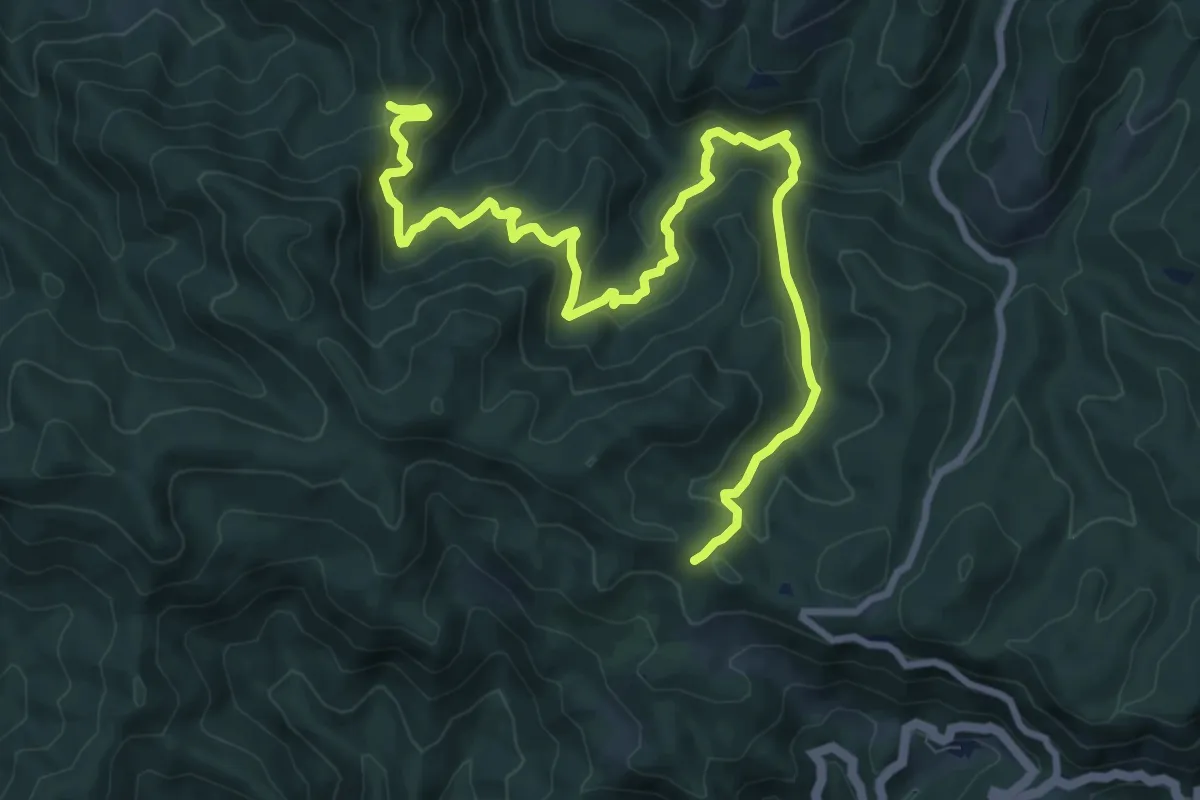
Medium · Cabin
Capanna Marcone – La Serra
11.6 km · ↑ 678 m · 4 h 12 min
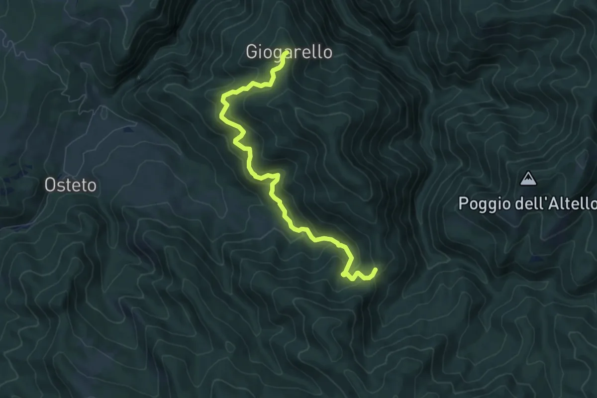
Medium · Trail
Giogarello – La Serra
7.8 km · ↑ 500 m · 2 h 56 min
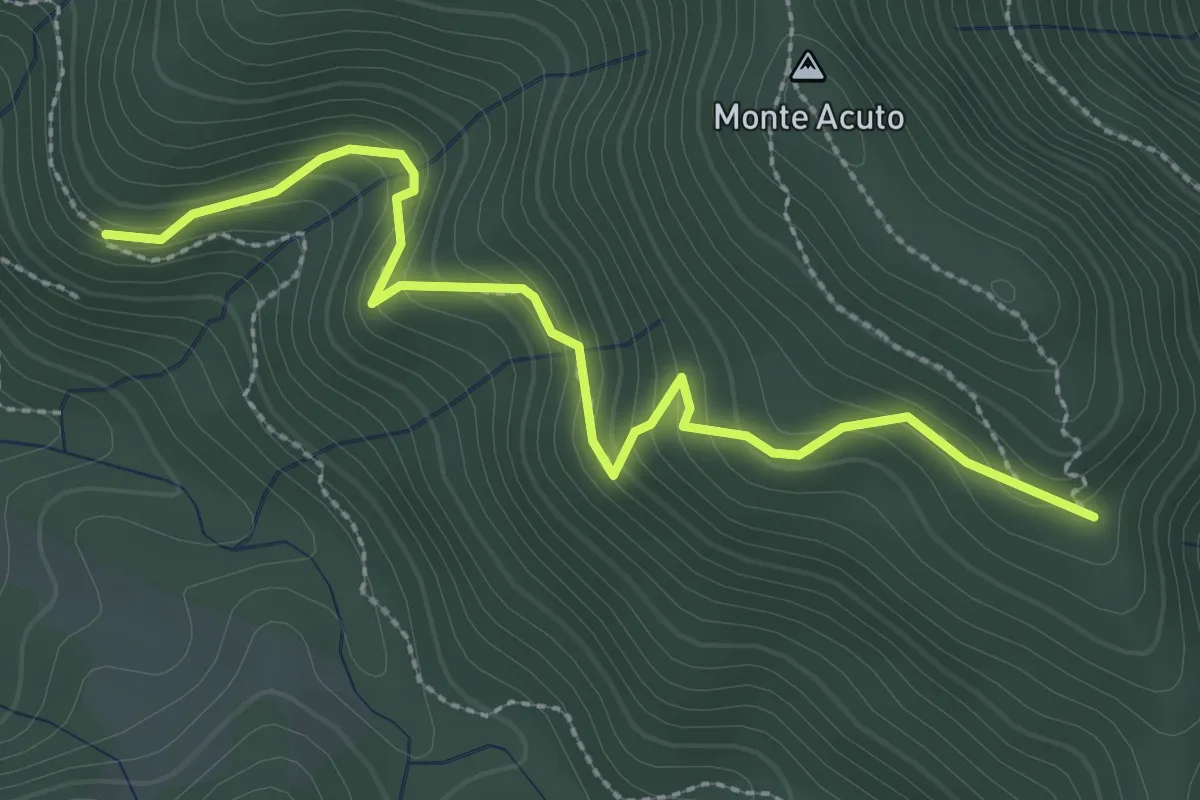
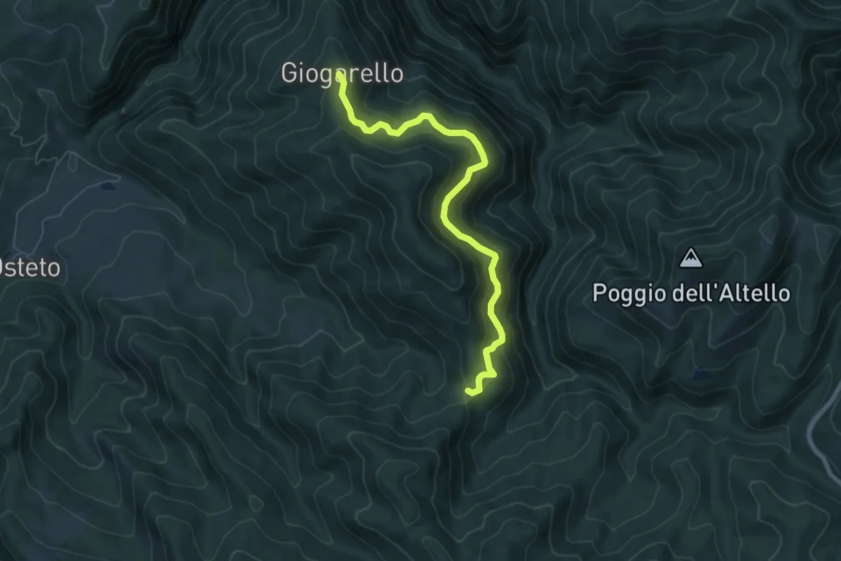
Easy · Trail
Poggiaccio – La Serra
3.1 km · ↑ 243 m · 1 h 16 min
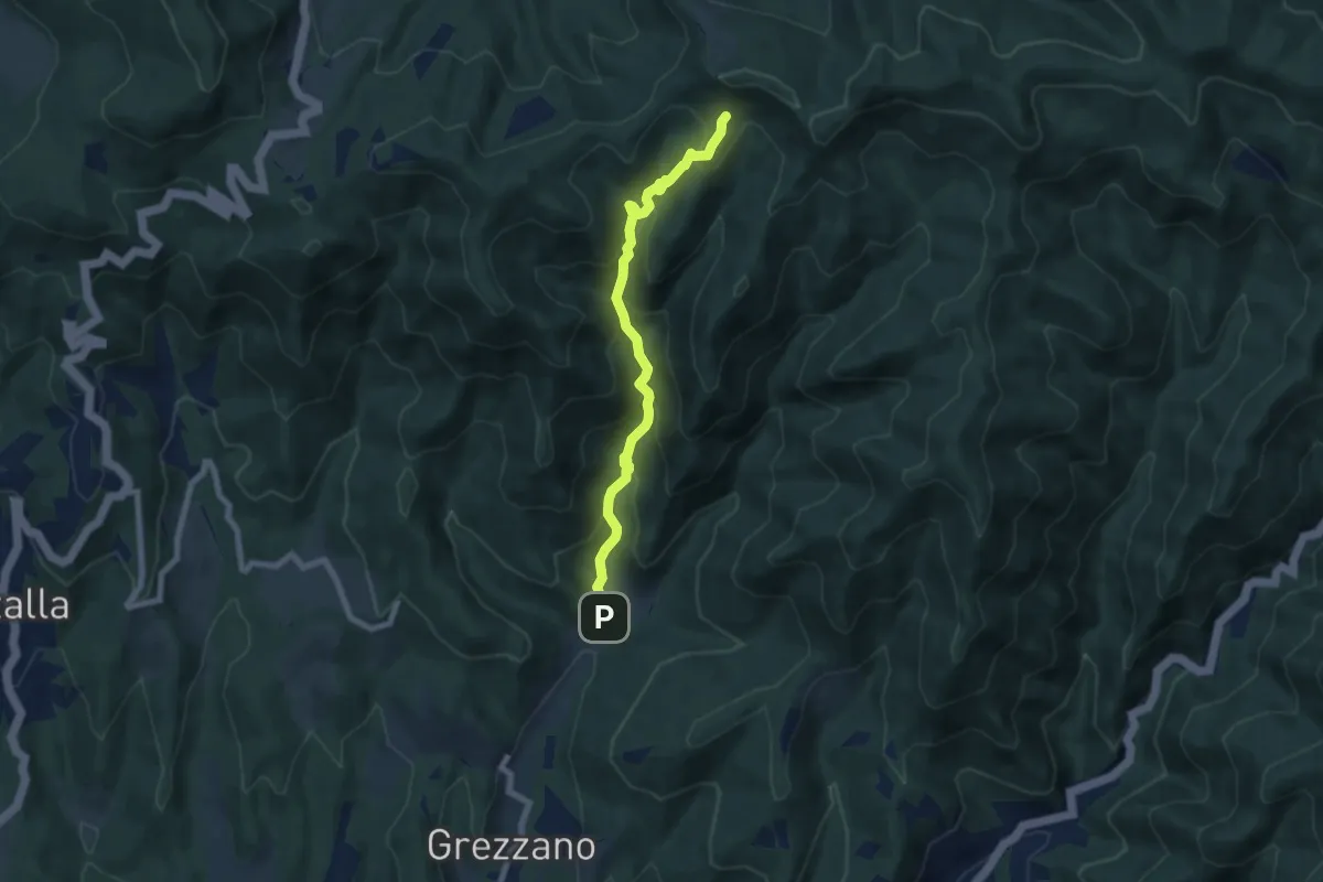
Medium · Trail
Giogarello – La Serra
6.7 km · ↑ 446 m · 2 h 33 min
Medium · Trail
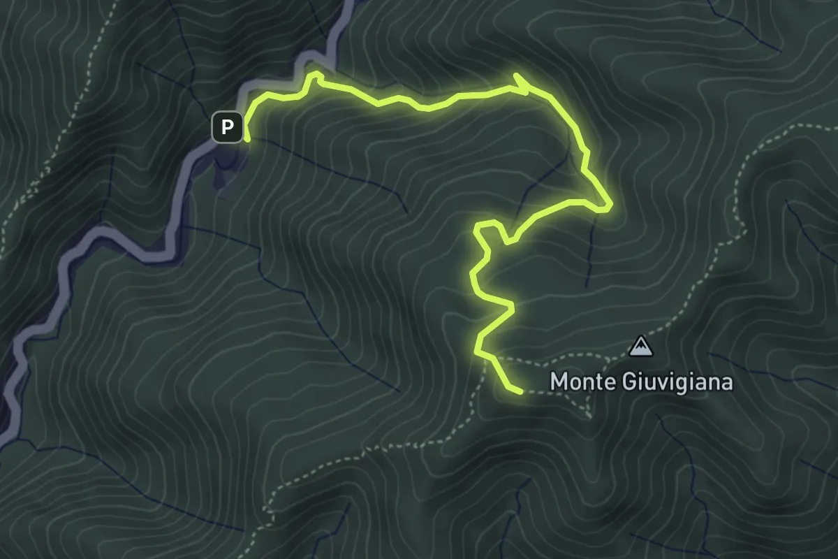
Case di Risolaia – Sentiero 36/B
7.2 km · ↑ 557 m · 2 h 54 min
Medium · Trail
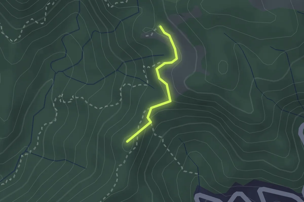
Razzuolo – Sentiero 34
5.4 km · ↑ 448 m · 2 h 15 min
Demanding · Summit
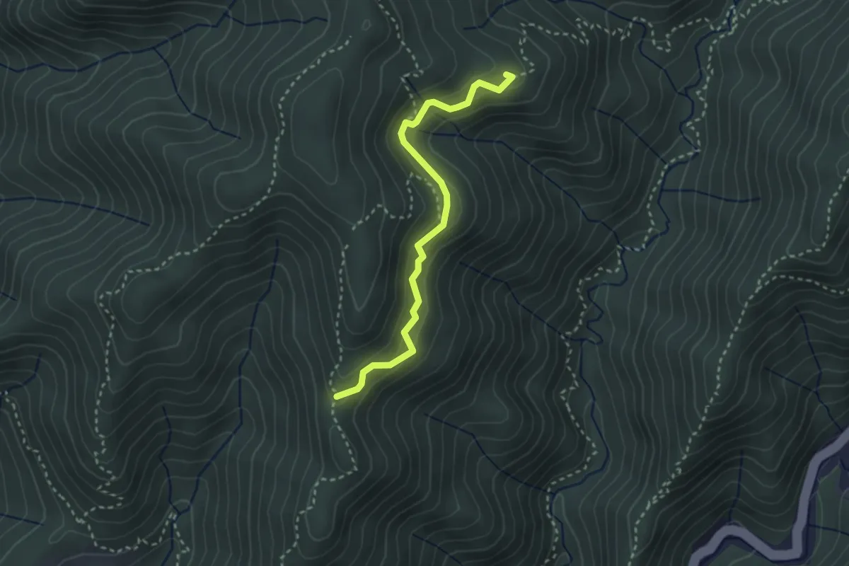
Razzuolo – Valdiccioli
1.5 km · ↑ 54 m · 28 min
Medium · Summit
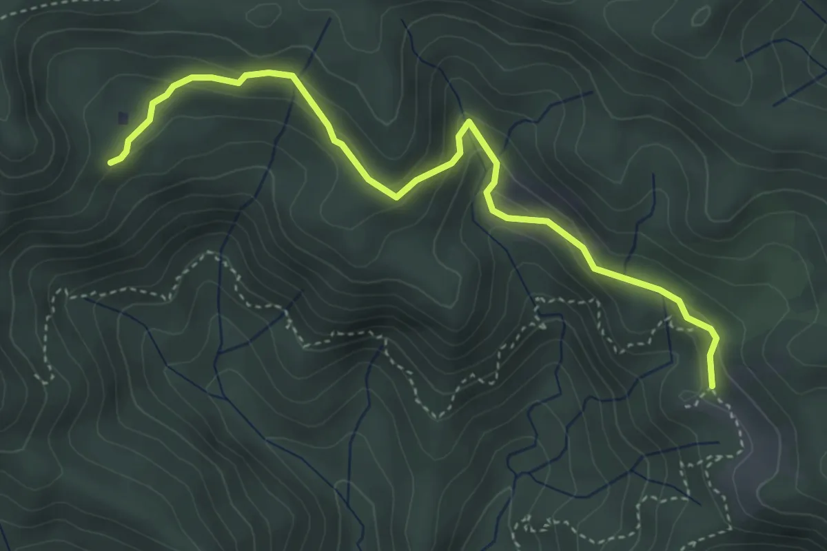
Valdiccioli – Sentiero 30
3.0 km · ↑ 221 m · 1 h 12 min
Medium · Cabin
Massalto – Valdiccioli
4.6 km · ↑ 213 m · 1 h 33 min
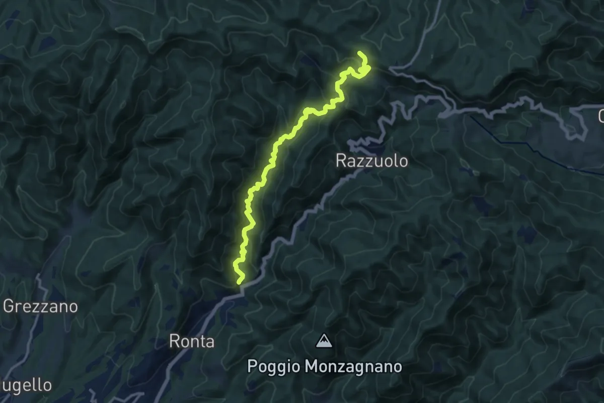
Medium · Cabin
Madonna dei Tre Fiumi – Capanna Marcone
12.2 km · ↑ 780 m · 4 h 35 min
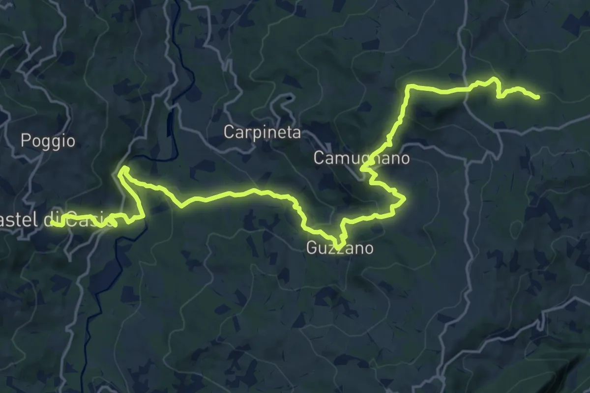
Demanding · Trail
Castel di Casio – Bivio Percorso CAI 039
24.6 km · ↑ 993 m · 7 h 57 min
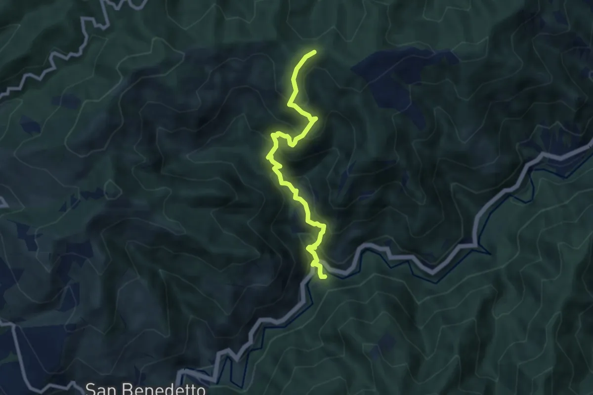
Medium · Cabin
Rifugio Prato Bovi – Sentiero 533 (M.te Collina)
7.1 km · ↑ 576 m · 2 h 56 min
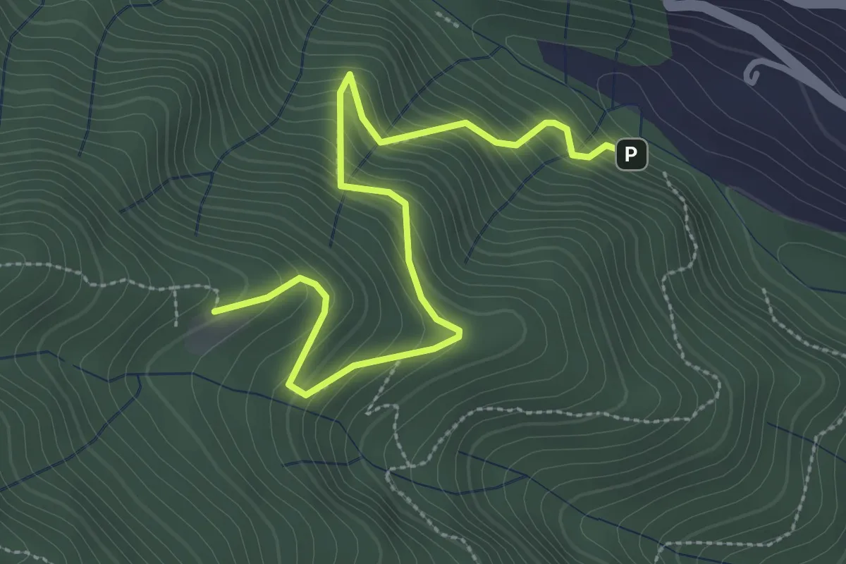
Medium · Cabin
Ponte di Cantagallo – Cascina di Cave
3.5 km · ↑ 398 m · 1 h 42 min
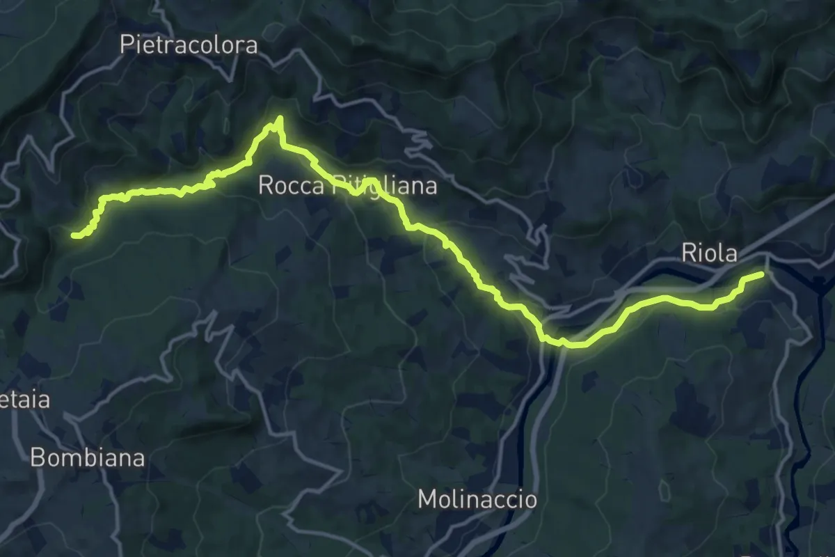
Demanding · Trail
Riola Ponte – Sassane
18.4 km · ↑ 632 m · 5 h 43 min
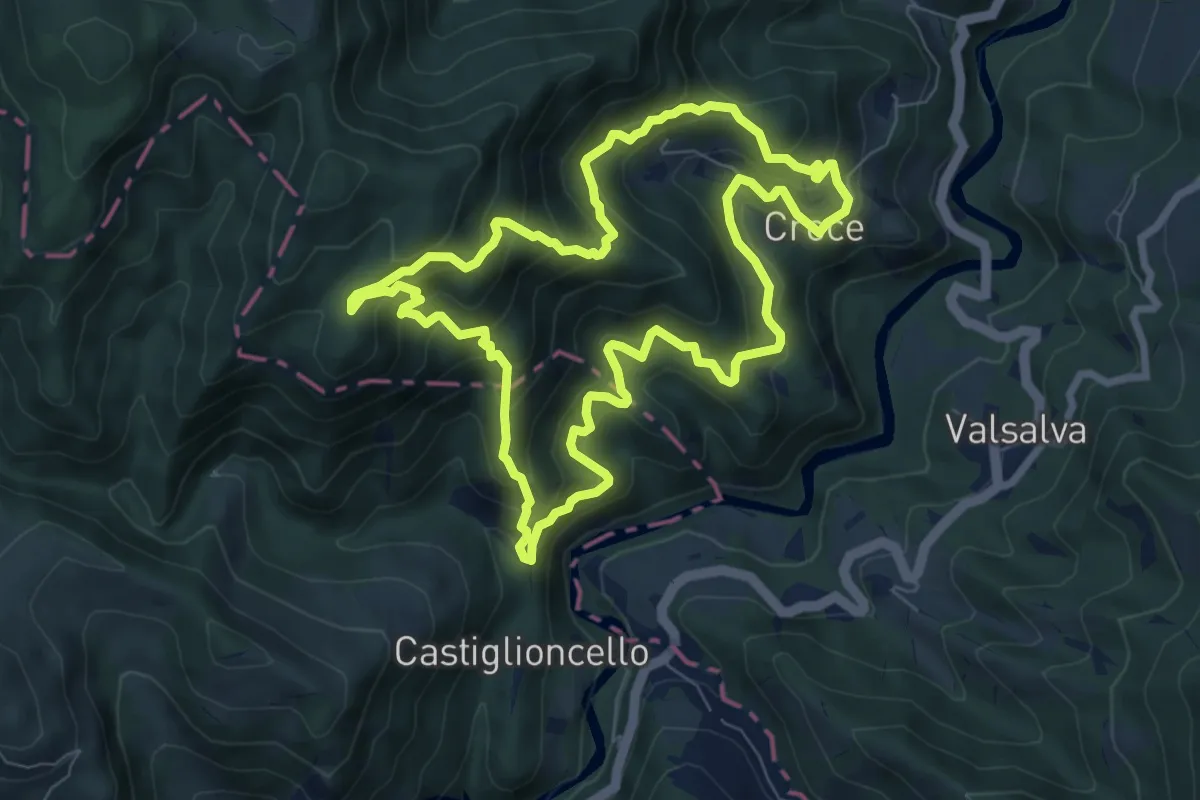
Medium · Trail
Sant'Andrea – Sant'Andrea
8.0 km · ↑ 687 m · 3 h 29 min
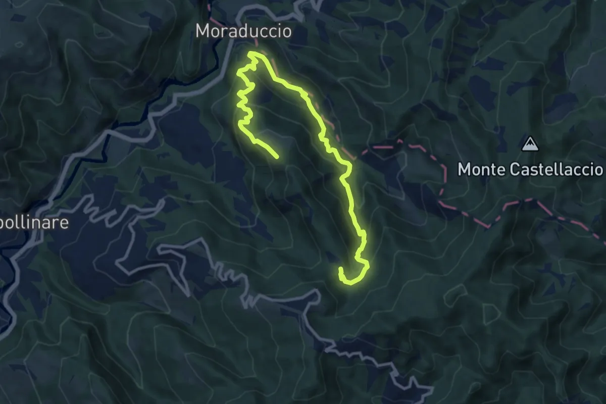
Medium · Trail
Moraduccio – Moraduccio
6.0 km · ↑ 452 m · 2 h 26 min
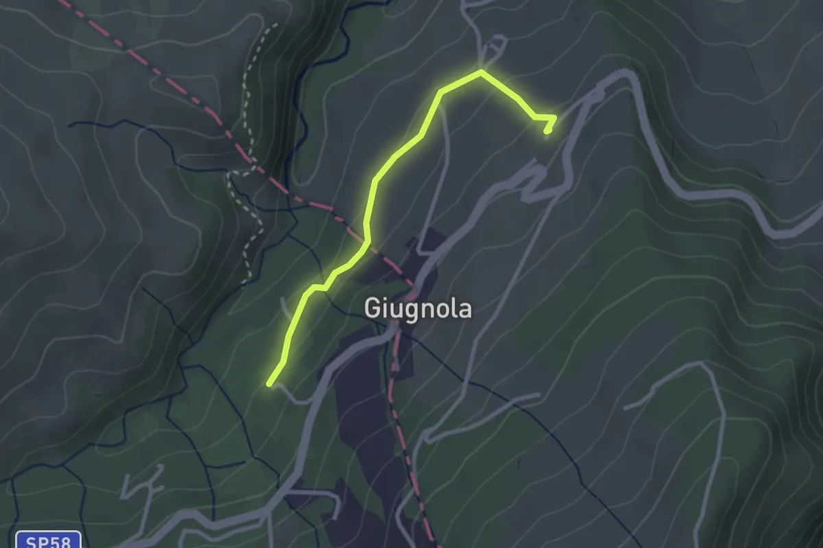
Easy · Trail
Montale – la Molina
2.6 km · ↑ 98 m · 50 min
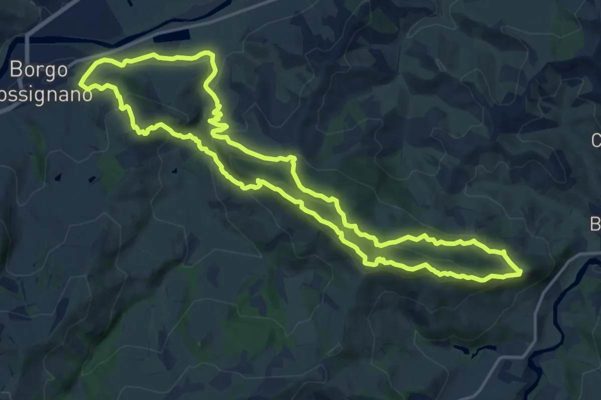
Demanding · Summit
Borgo Tossignano – Borgo Tossignano
13.7 km · ↑ 722 m · 4 h 59 min
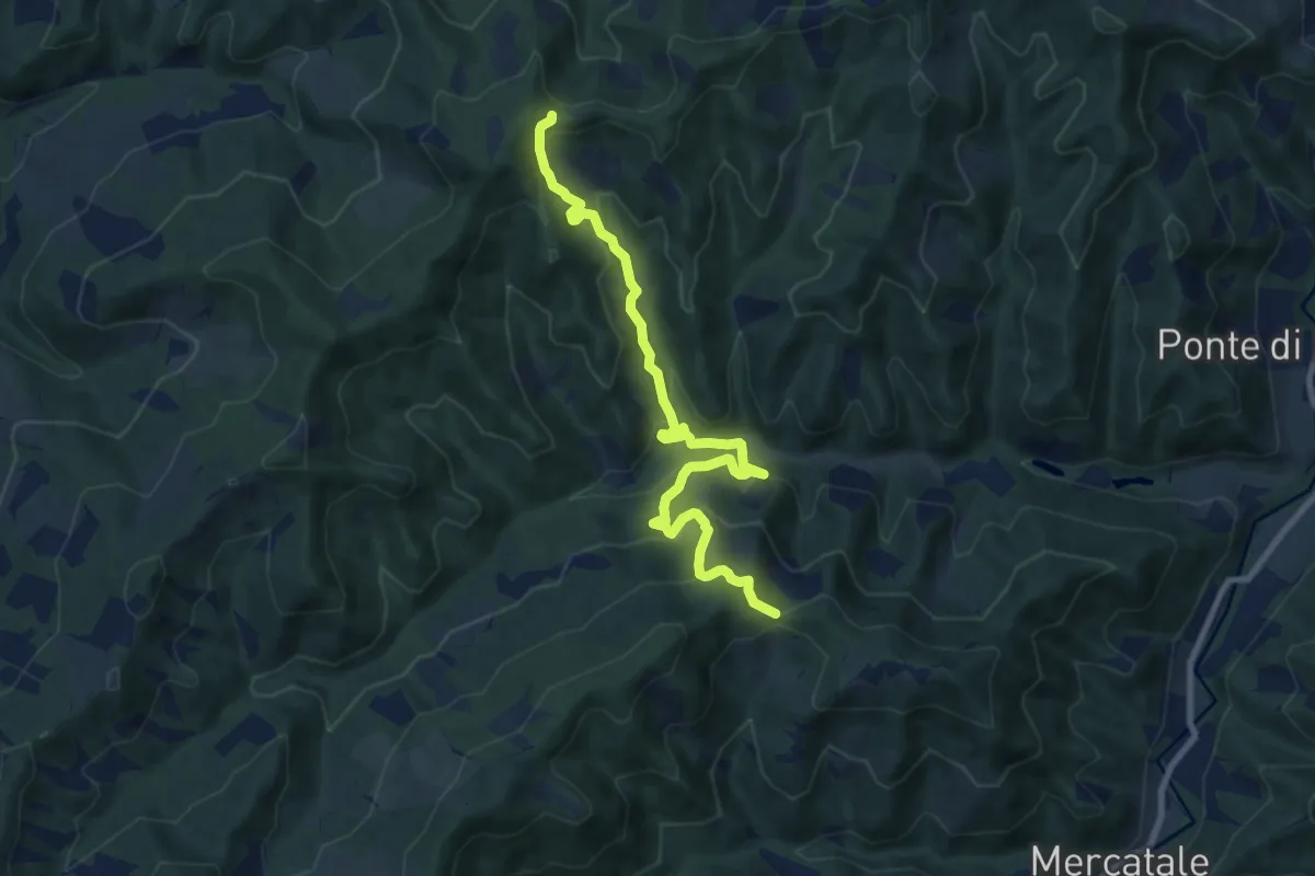
Medium · Trail
Collina – Sentiero CAI 701
9.9 km · ↑ 654 m · 3 h 45 min
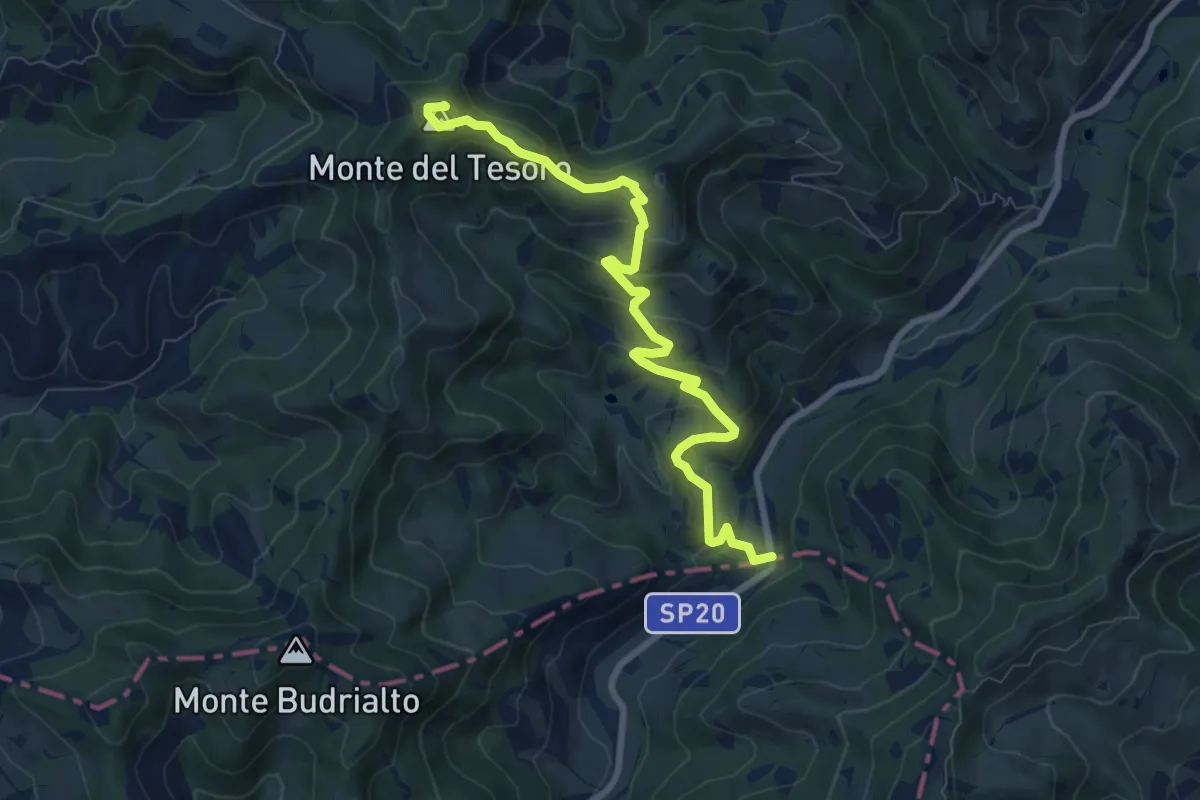
Medium · Summit
Modigliana – SP19
8.8 km · ↑ 432 m · 3 h 1 min
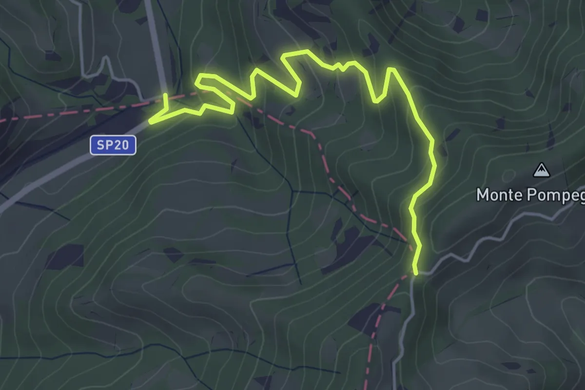
Medium · Trail
SP19 – Percorso CAI 572
5.2 km · ↑ 351 m · 1 h 59 min
Medium · Summit
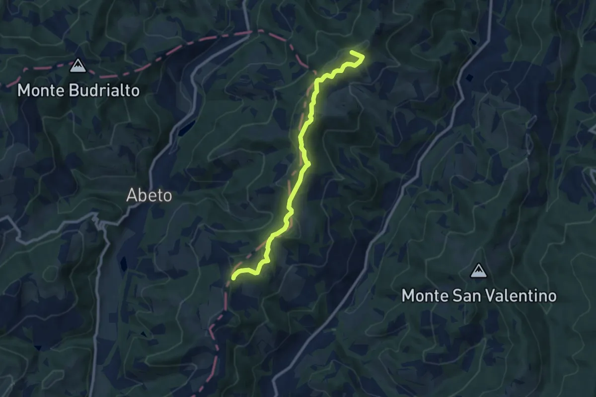
Modigliana – Percorso CAI 575
8.1 km · ↑ 311 m · 2 h 36 min
Medium · Summit
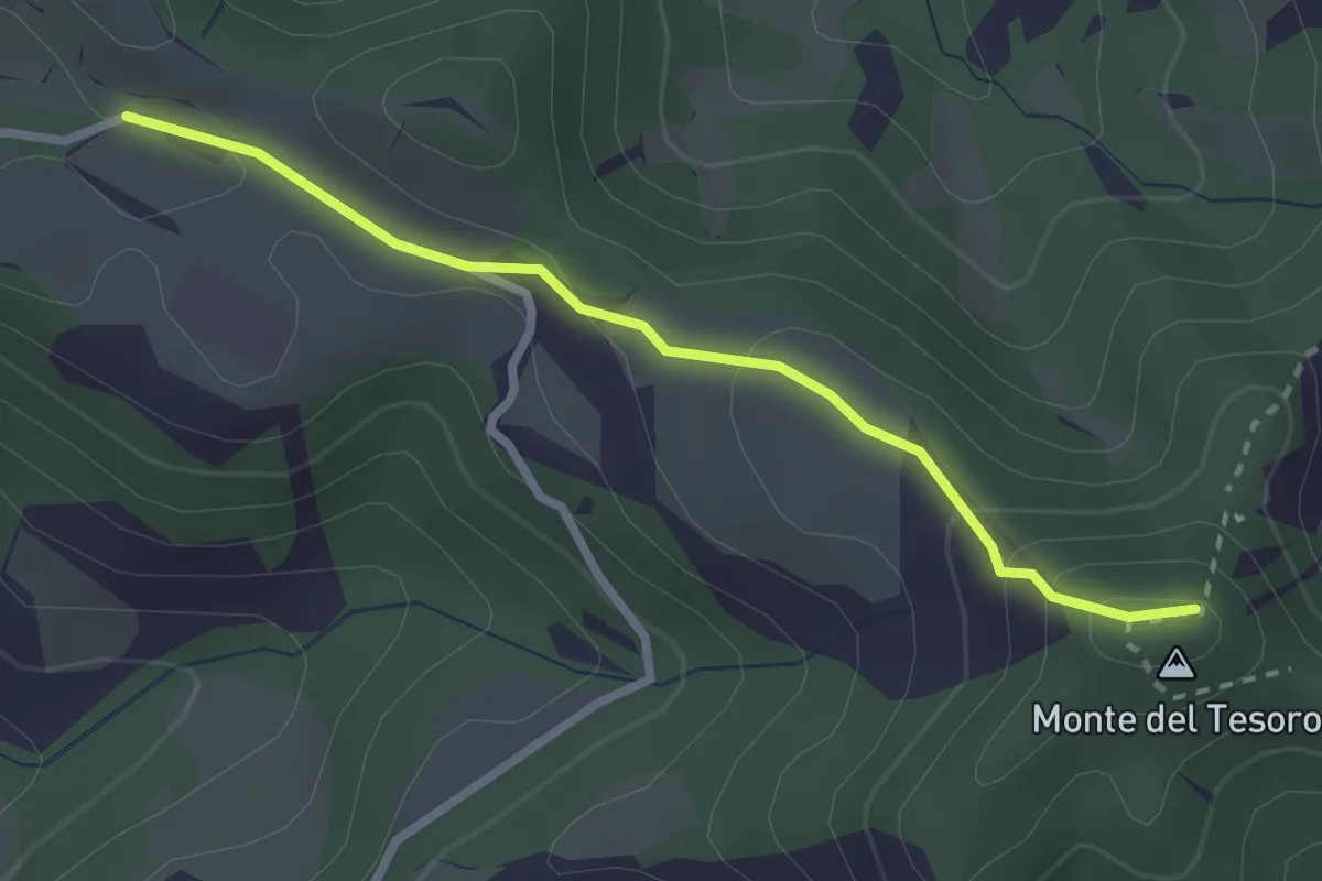
Percorso 570 (Monte del Tesoro) – Percorso 507
2.7 km · ↑ 116 m · 53 min
Demanding · Summit
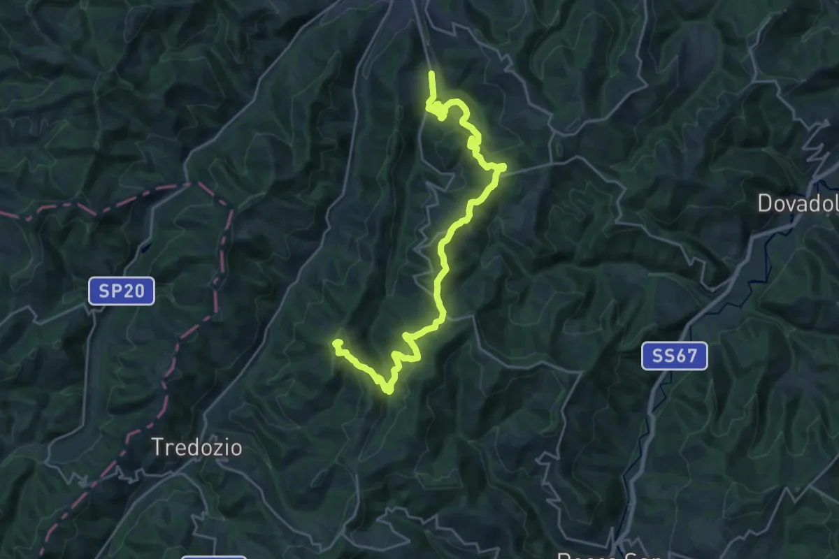
Percorso CAI 573 – Percorso CAI 573
25.0 km · ↑ 909 m · 7 h 52 min
Easy · Trail
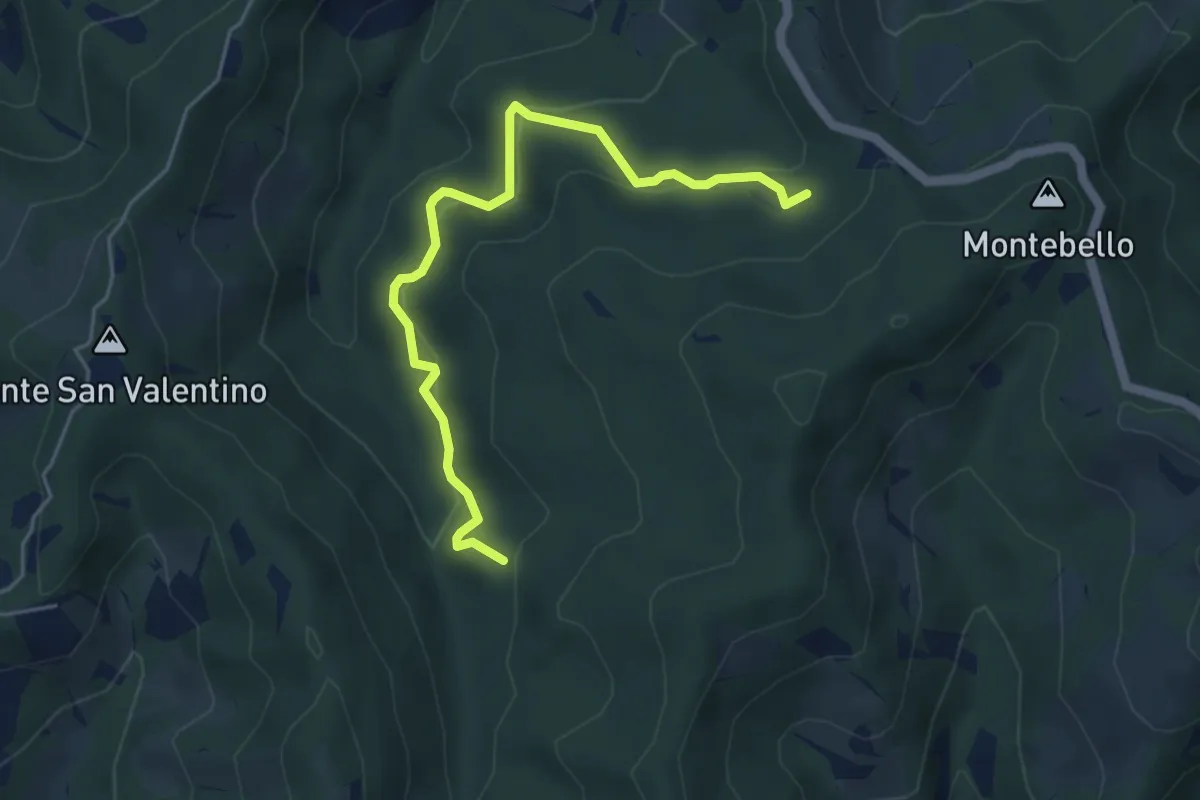
Percorso CAI 574 – Percorso CAI 574
5.2 km · ↑ 269 m · 1 h 49 min
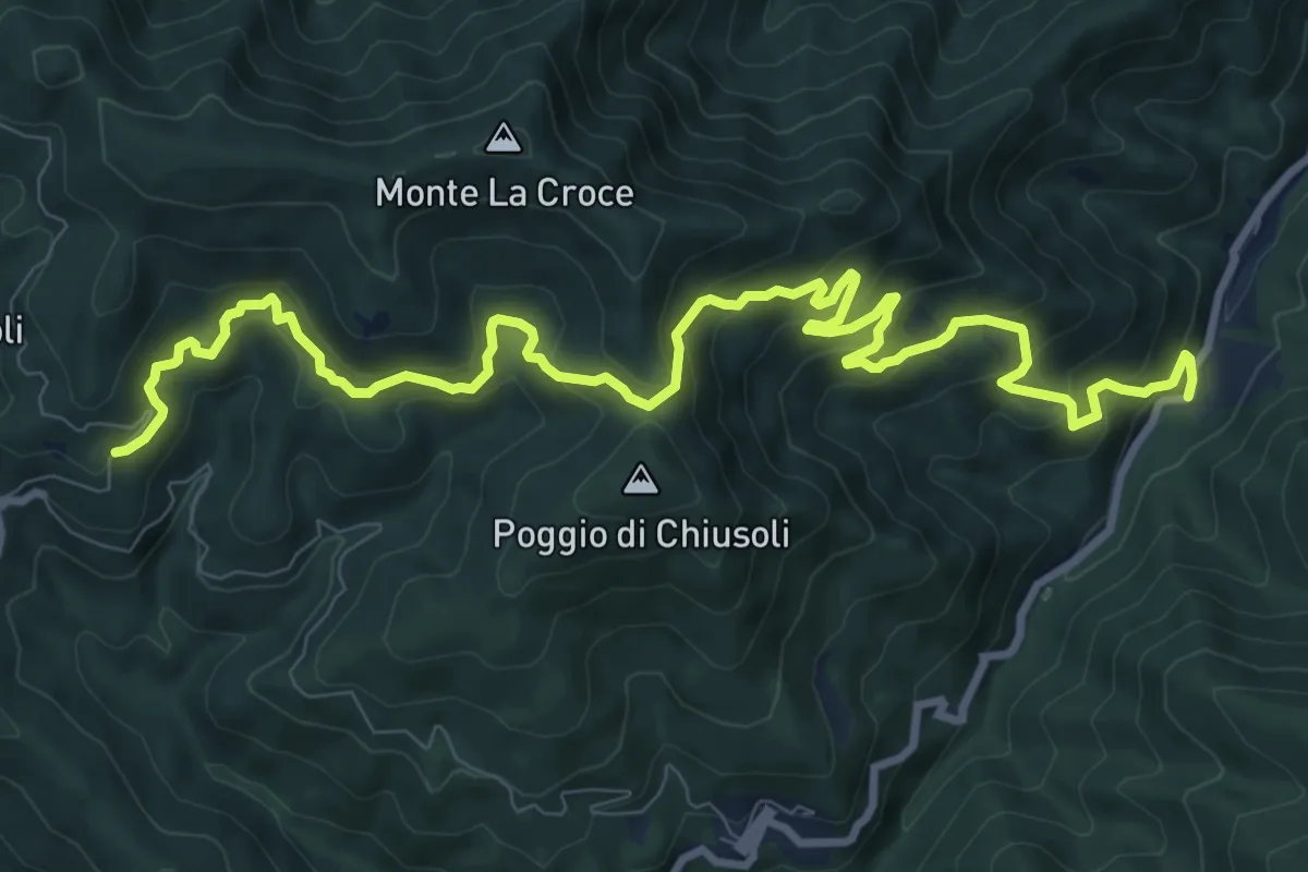
Demanding · Trail
Badia a Taona – Santo Stefano a Monachino
12.9 km · ↑ 801 m · 4 h 47 min
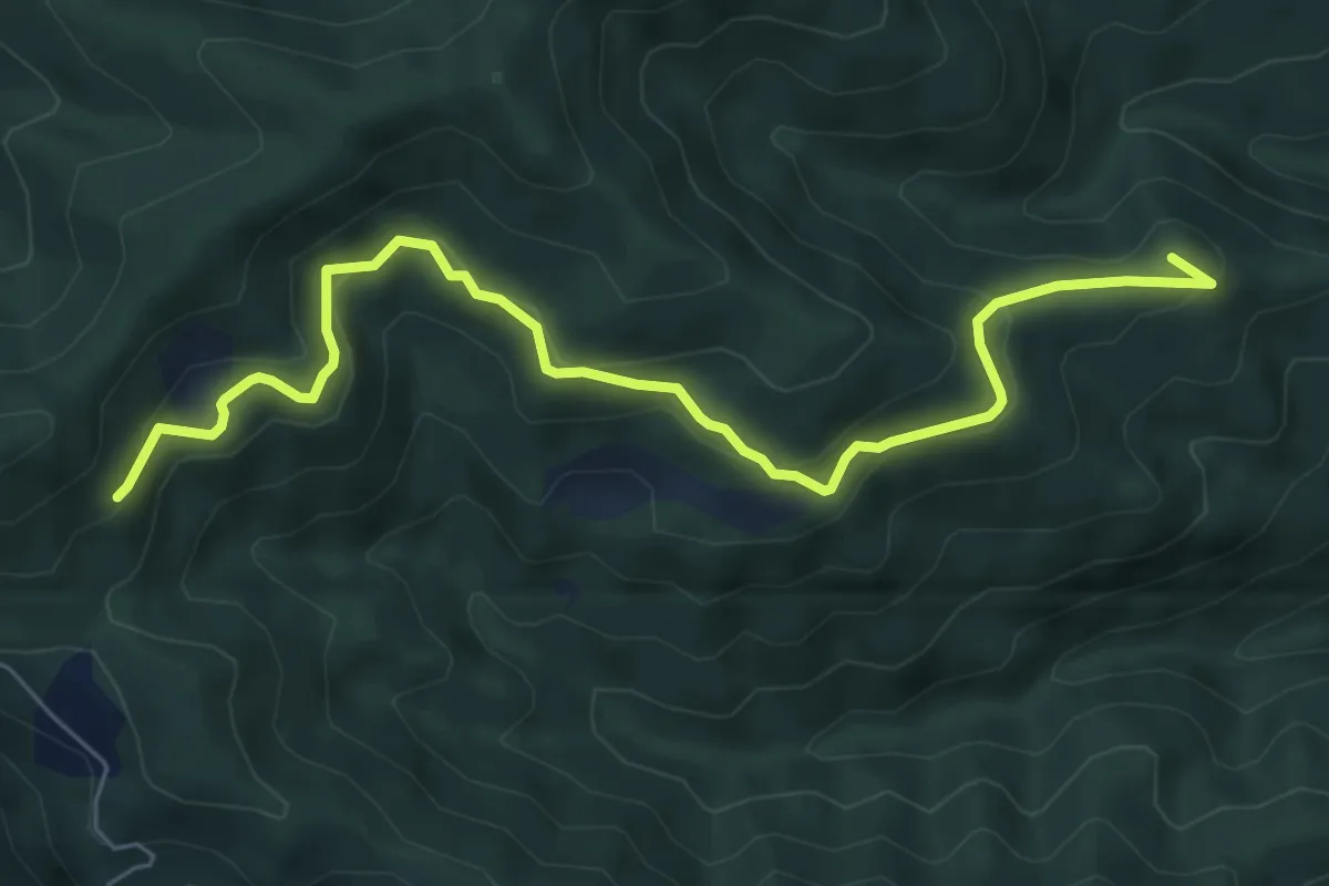
Medium · Summit
Straccalasini – Fregionaia/Le Cerchiaia
7.5 km · ↑ 379 m · 2 h 35 min
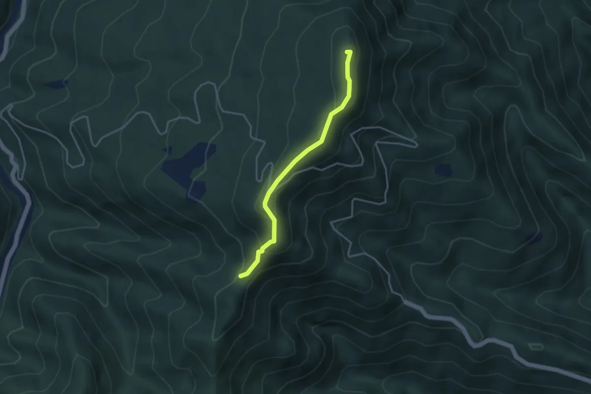
Easy · Summit
Passo di trebbio – Passo delle Pescine
3.2 km · ↑ 176 m · 1 h 9 min
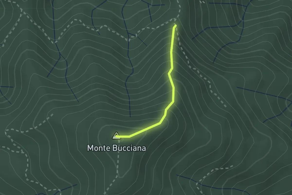
Demanding · Summit
foce di Cerbiancana – Le Cerchiaia/Fregionaia
1.5 km · ↑ 251 m · 54 min