Trails in Italy
25,219 hiking trails, each with its route, climb, walking time and grade.
All trails, page 335 of 526
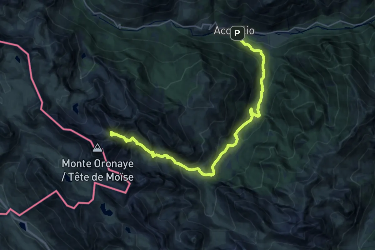
Demanding · Trail
Acceglio, bivio CNAS09, CNAS45 – Acceglio, Colle d'Enchiausa, bivio CNAS09, CNAS14
11.2 km · ↑ 1553 m · 5 h 25 min
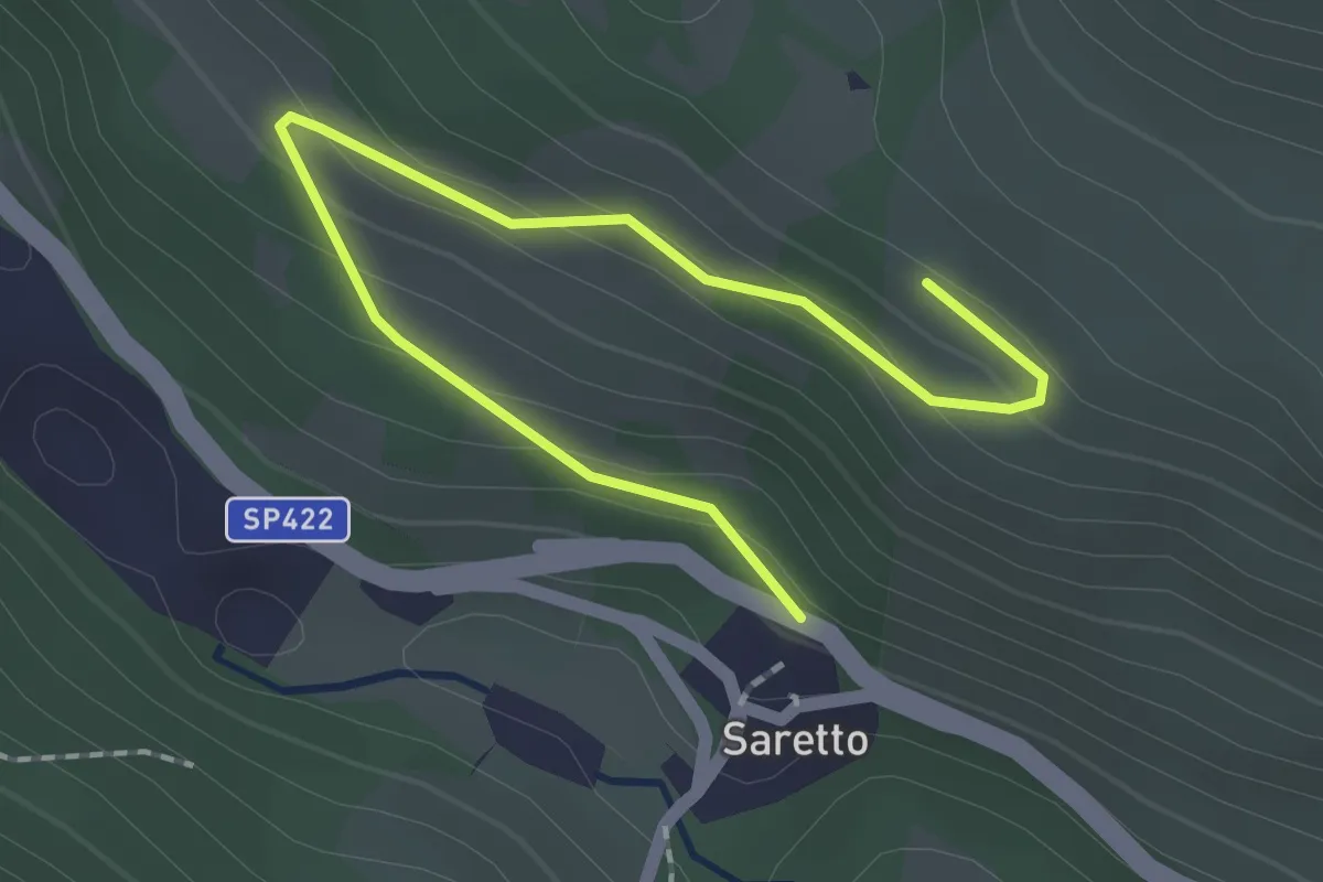
Easy · Trail
Acceglio, località La Crocetta, bivio CNAT35, CNAT35B – Acceglio, borgata Saretto, bivio CNAS16, CNAS35B
2.3 km · ↑ 100 m · 46 min
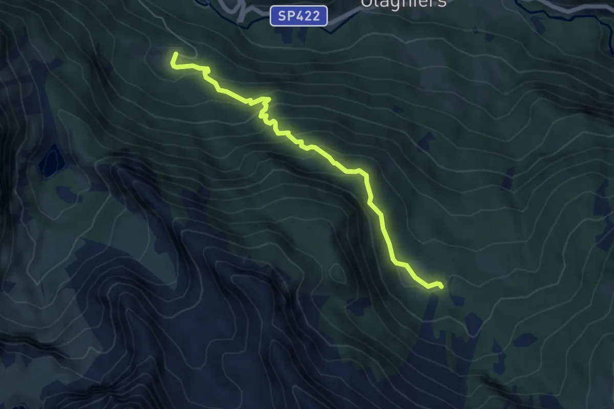
Medium · Trail
Acceglio, sorgente del Maira, bivio CNAS13, CNAS29 – Acceglio, località Fontefredda, bivio CNAS12, CNAS29
5.7 km · ↑ 403 m · 2 h 13 min
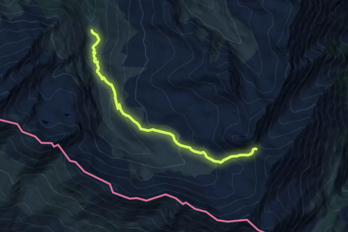
Medium · Trail
Pian della Milizia, bivio TOS607-TOS611 – Passo della Longia, bivio TOS209-TOS210
10.8 km · ↑ 726 m · 4 h 7 min
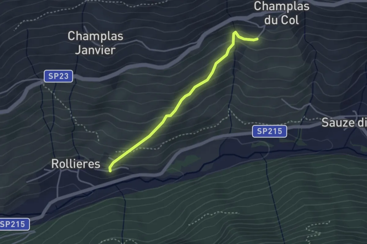
Easy · Trail
Sauze di Cesana, borgata Rollieres, bivio TOS617-TOS616B – Sestriere, bivio TOS616-TOS616B presso Borgata Champlas du Col
3.1 km · ↑ 249 m · 1 h 16 min
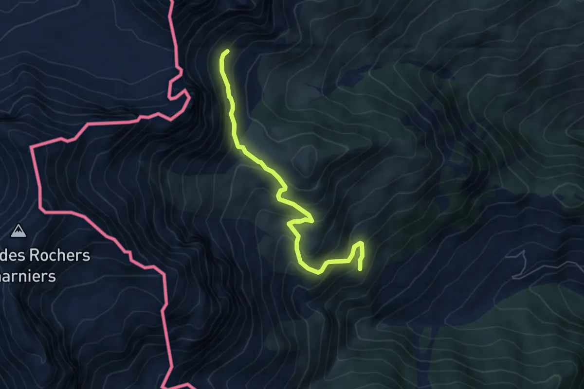
Medium · Trail
Cesana Torinese, bivio TOS602-TOS602A – Cesana Torinese, presso Col Desertes, bivio TOS601B-TOS602A
5.8 km · ↑ 431 m · 2 h 19 min
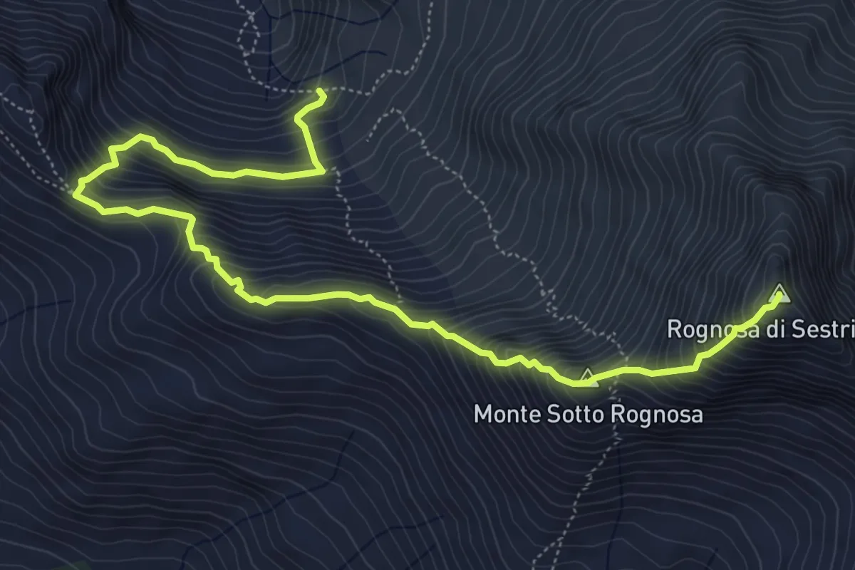
Expert · Summit
Bivio TOS613-TOS613A – Punta Rognosa
7.6 km · ↑ 907 m · 3 h 45 min
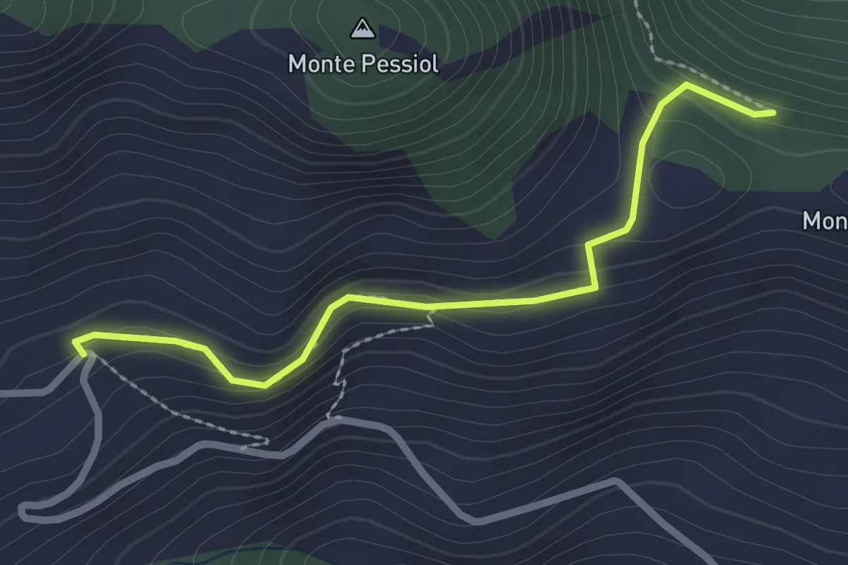
Easy · Trail
Bivio TOS602-TOS602B, Rifugio Chaberton (Pra Cloud) – Bivio TOS601-TOS602B, Colletto Grigio
2.4 km · ↑ 117 m · 49 min
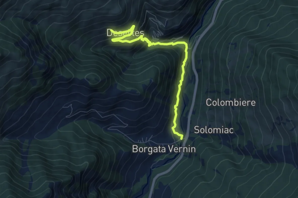
Medium · Trail
Bivio TOS603-TOS603A, Cesana Torinese, borgata Fenils – Bivio TOS603A-TOS601, Cesana Torinese, borgata Desertes
8.3 km · ↑ 496 m · 3 h 2 min
Easy · Trail
Bivio TOS603-TOS603E presso Bois de Autagne, Cesana Torinese – Bivio TOS603-TOS603E presso Le Iaset, Cesana Torinese
4.0 km · ↑ 244 m · 1 h 28 min
Medium · Cabin
Sauze di Cesana, Rifugio Alpe Plane, bivio TOS605-TOS609A-TOS608 – Sauze di Cesana, Colle di Rodoretto, bivio TOS212-TOS608
7.4 km · ↑ 664 m · 3 h 11 min
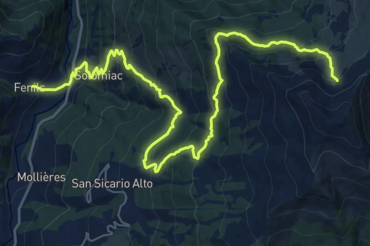
Medium · Trail
Fenils, bivio TOS601-TOS603 – bivio TOS616-TOS603
11.3 km · ↑ 199 m · 3 h 47 min
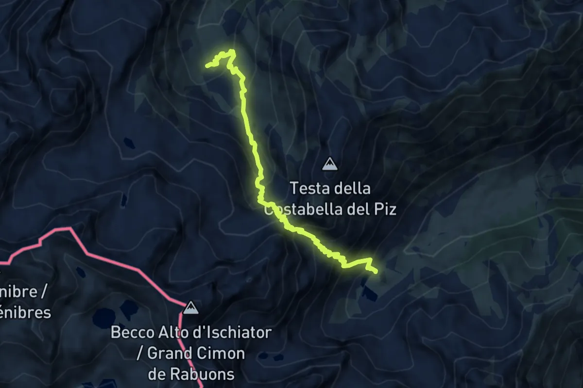
Demanding · Cabin
bivio CNAP27-CNAP26, Rifugio Migliorero – Gias del Piz, bivio CNAP27-CNAP30-CNAP27C
9.1 km · ↑ 951 m · 4 h 12 min
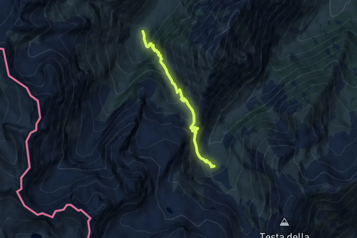
Medium · Cabin
Pietraporzio, Gias del Piz, bivio CNAP27-CNAP27C-CNAP30 – Pietraponzio, Prati del Vallone, bivio CNAP30-CNAP66
7.6 km · ↑ 700 m · 3 h 19 min
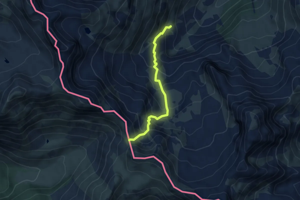
Medium · Trail
Vallone Rio Forneris, bivio sentiero P33 – Colle del Ferro
4.3 km · ↑ 464 m · 2 h 2 min
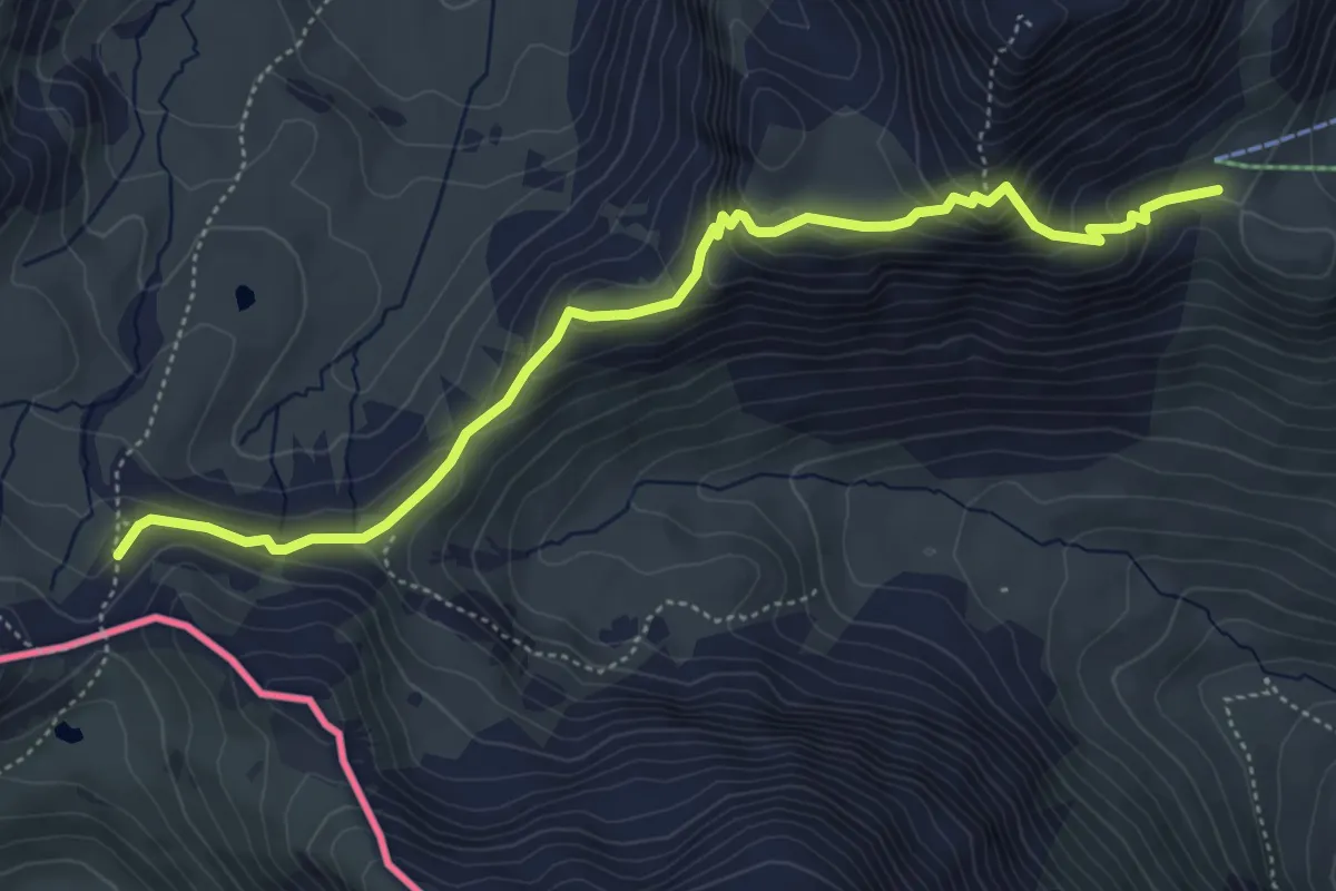
Medium · Trail
Colle Incianao – presso Colle di Puriac, bivio sentiero P42
5.6 km · ↑ 374 m · 2 h 8 min
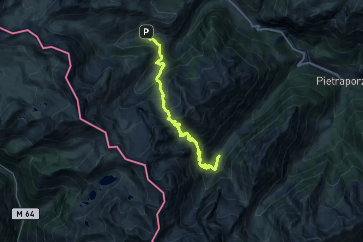
Medium · Cabin
Presso Ferriere, bivio P33-P65 – Prati del Vallone, bivio P33-P66
9.8 km · ↑ 754 m · 4 h 10 min
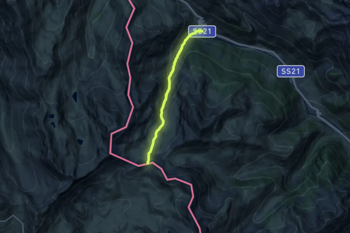
Medium · Trail
Argentera, bivio seriero P08, P41 – Colle di Puriac, bivio sentiero P42A
10.7 km · ↑ 749 m · 4 h 8 min
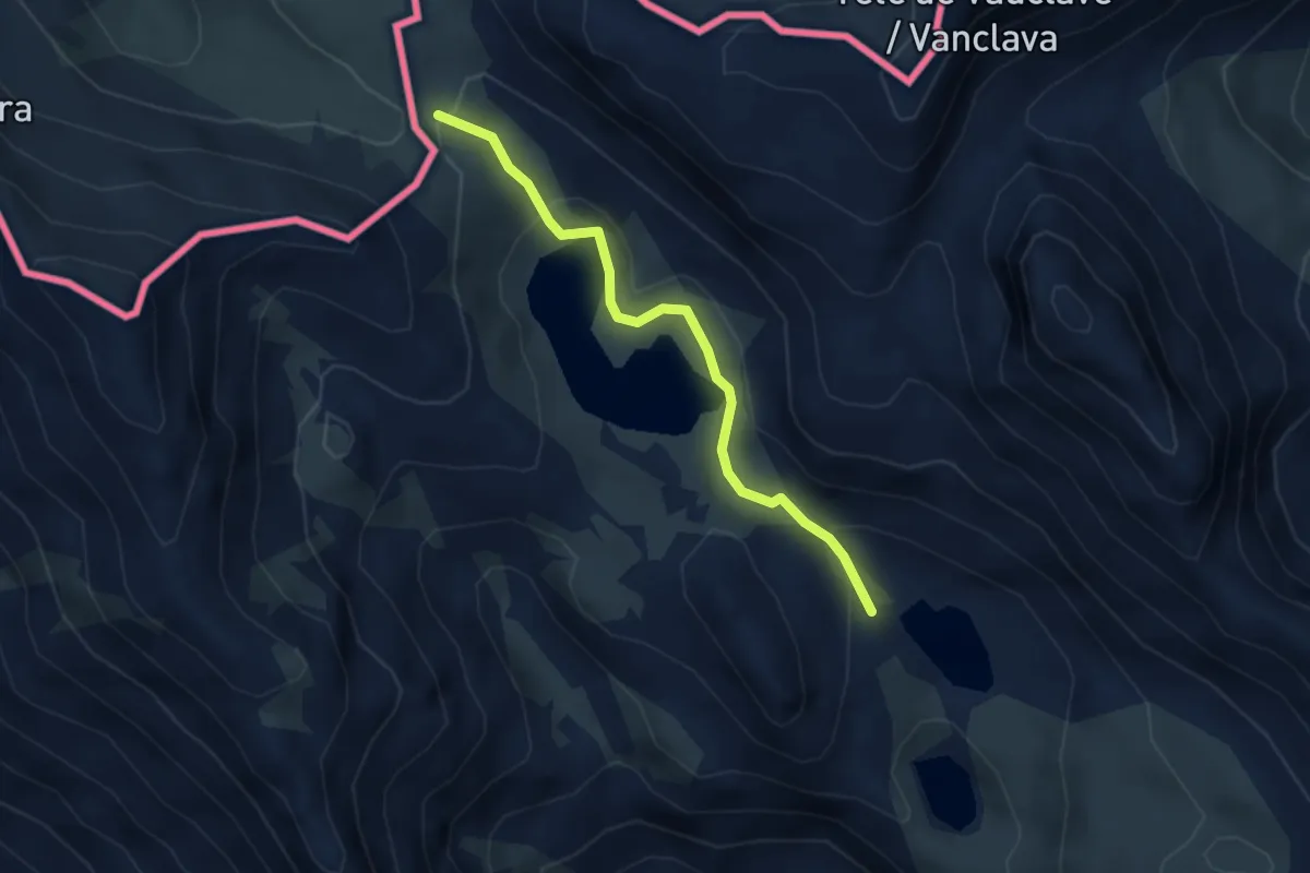
Medium · Trail
Argentera, bivio P08-P41 – Colle di Roburent
3.3 km · ↑ 120 m · 1 h 3 min
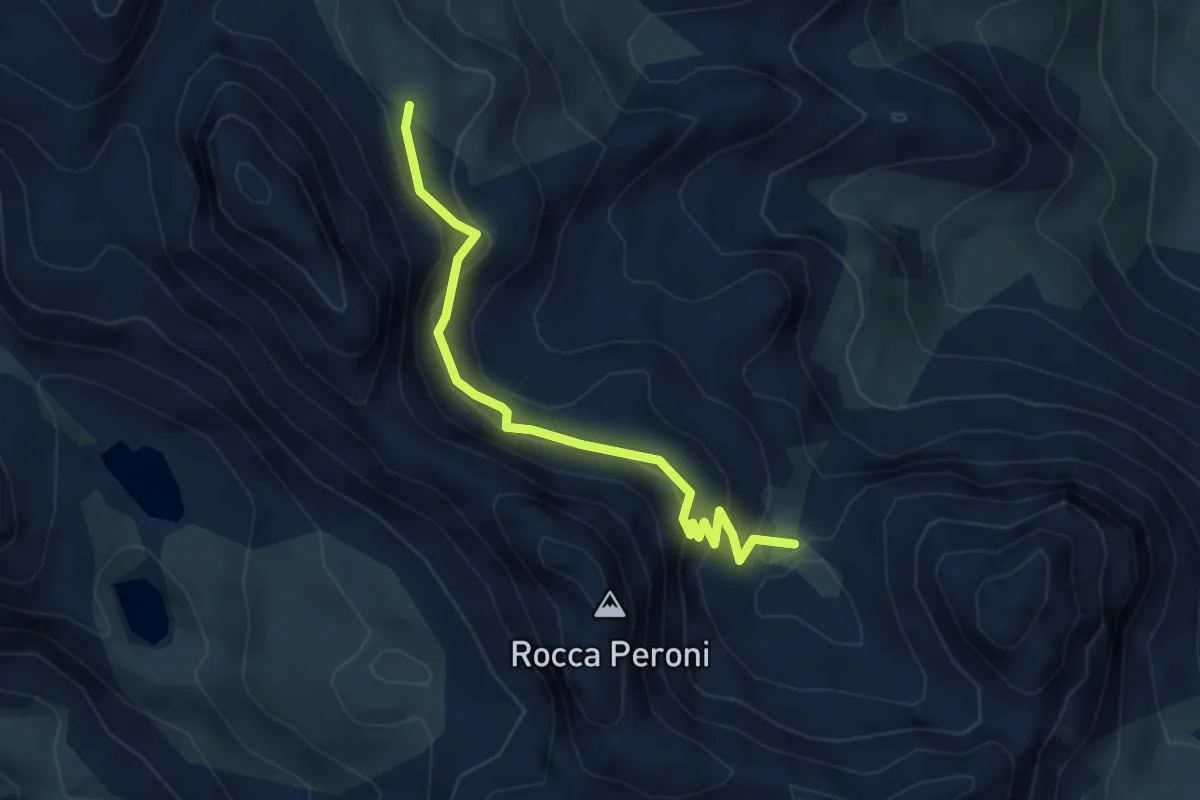
Medium · Trail
presso Ricovero Escalon, bivio CNAS27-CNAS28 – Passo dell'Escalon, bivio CNAS10-CNAS28
4.2 km · ↑ 270 m · 1 h 35 min
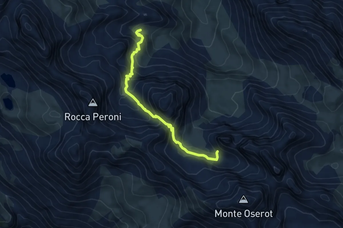
Medium · Trail
presso Ricovero Escalon, bivio CNAS10-CNAS11 – Risorgenza La Fonte, bivio CNAS27-CNAS11
6.2 km · ↑ 459 m · 2 h 28 min
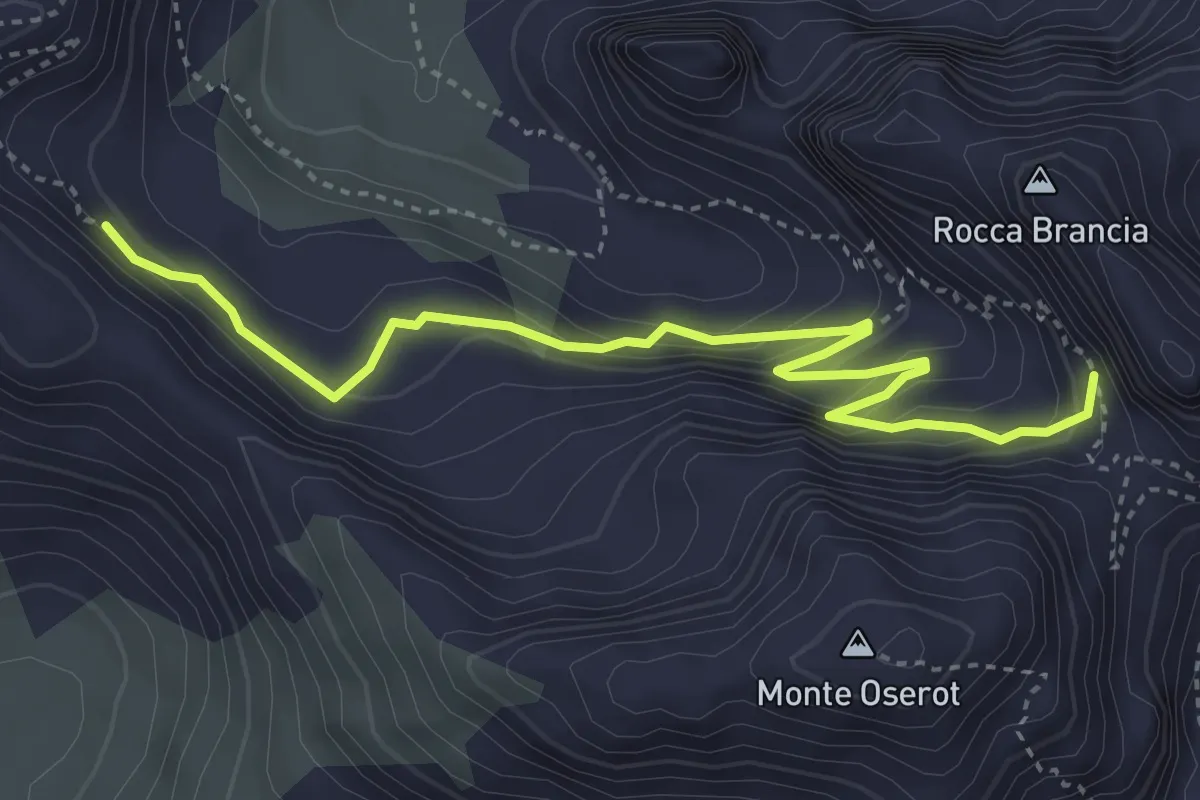
Medium · Trail
Colle Oserot, bivio sentiero S27 – Passo la Croce Orientale
4.4 km · ↑ 284 m · 1 h 39 min
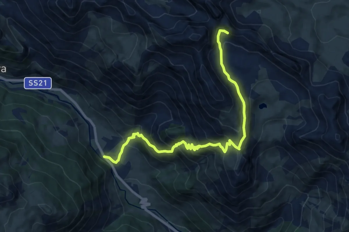
Demanding · Trail
Bersezio, bivio P08-P37 – Colle Oserot, bivio P36-P37
13.2 km · ↑ 1112 m · 5 h 31 min
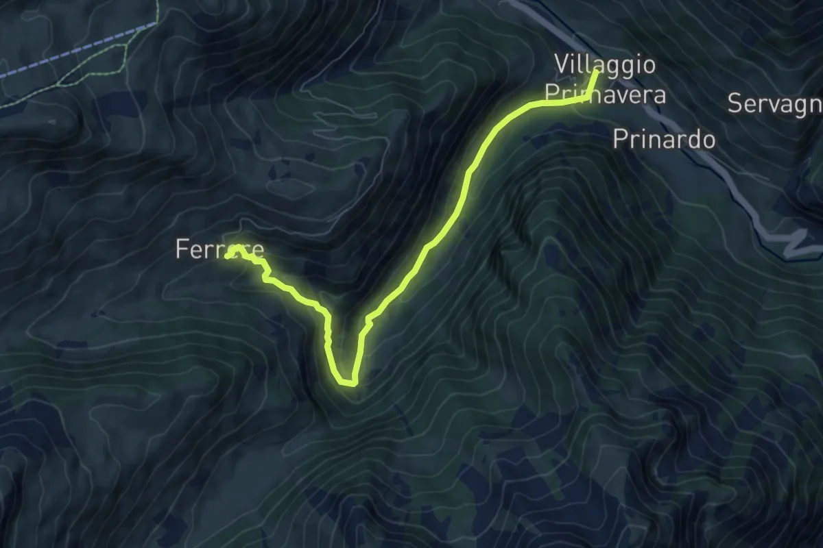
Medium · Cabin
Argentera, Villaggio Primavera, bivio CNAP08-CNAP65 – Argentera, Borgata Ferrere
8.0 km · ↑ 406 m · 2 h 46 min
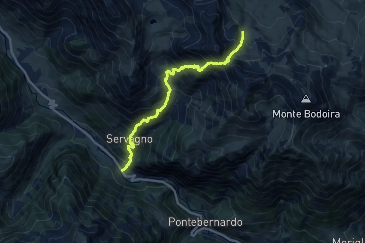
Demanding · Trail
Argentera, loc. Preinardo, bivio SS21 – presso Colle di Servagno, bivio CNAP35-CNAS43
12.1 km · ↑ 1343 m · 5 h 46 min
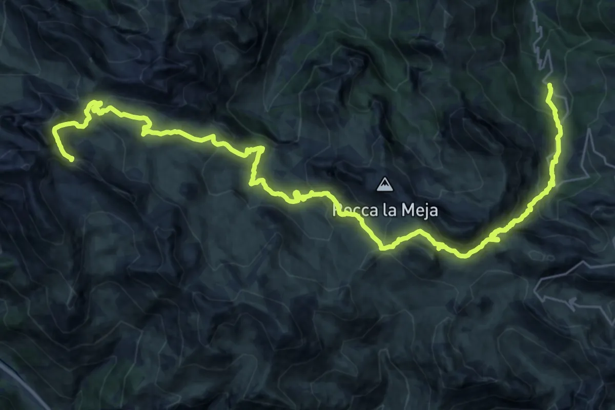
Medium · Trail
Bivio CNAS36-CNAS06 presso Gias Fontanile – Passo Rocca Brancia, bivio CNAP36-CNAS36
17.1 km · ↑ 597 m · 5 h 54 min
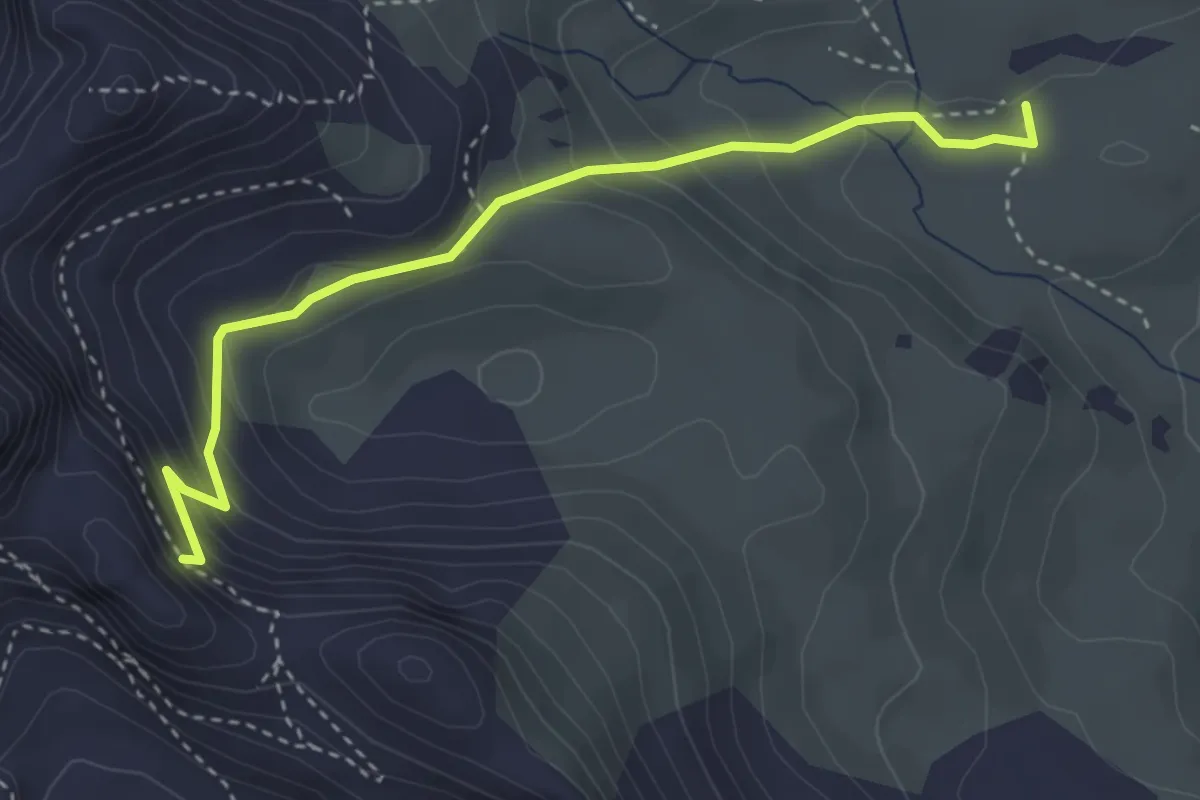
Medium · Cabin
Rifugio Gardetta, bivio CNAS36-CNAS36A – Passo Rocca Brancia, bivio CNAS36-CNAS36A
3.7 km · ↑ 293 m · 1 h 31 min
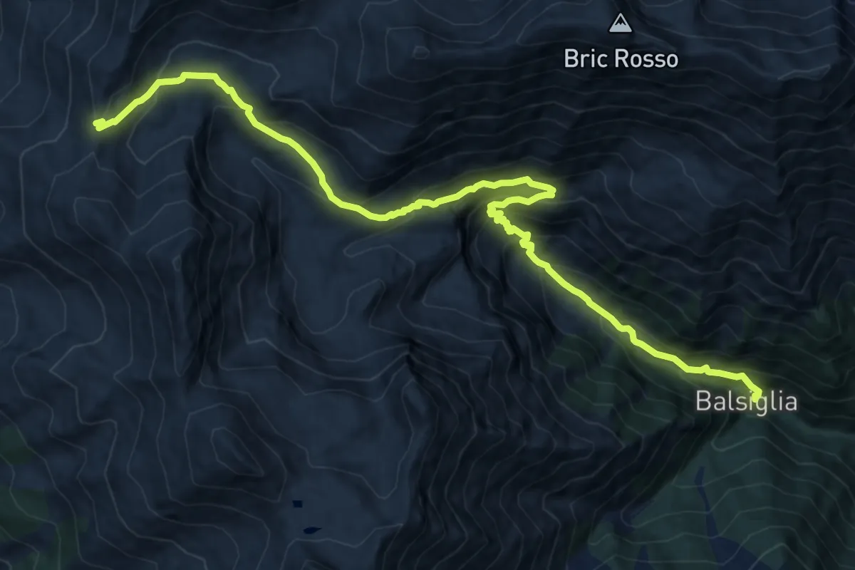
Demanding · Trail
Massello, Borgata Balsiglia, bivio TOS216-TOS237-TOS200 – Massello, Colle del Pis, bivio TOS216-TOS303
16.6 km · ↑ 1295 m · 6 h 44 min
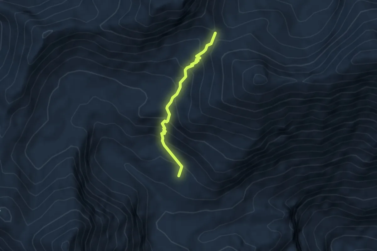
Medium · Trail
Massello, bivio TOS216-TOS218 – Colle dell'Albergian, bivio TOS313-TOS314-TOS218
3.8 km · ↑ 345 m · 1 h 39 min
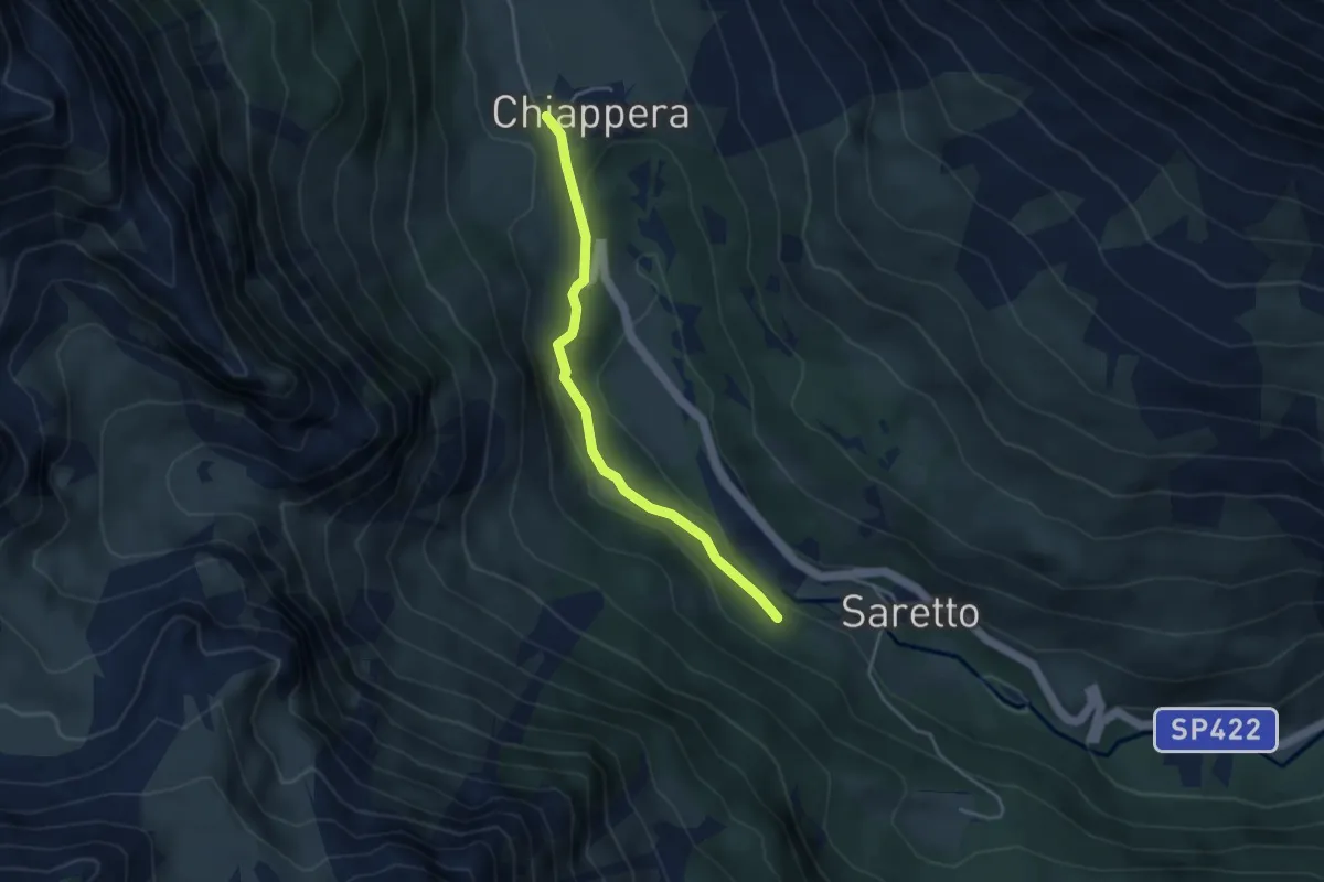
Medium · Trail
Bivio S16 - S44 – Chiappera (bivio con T15 e T35 / Sentiero per Miniera)
3.7 km · ↑ 107 m · 1 h 7 min
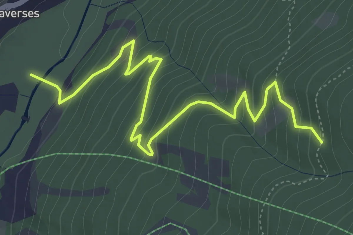
Medium · Trail
Pragelato, Fraz. Traverses, bivio TOS303-TOS303C – Pragelato, bivio TOS303B-TOS303C presso Grangia Germignan
5.6 km · ↑ 462 m · 2 h 20 min
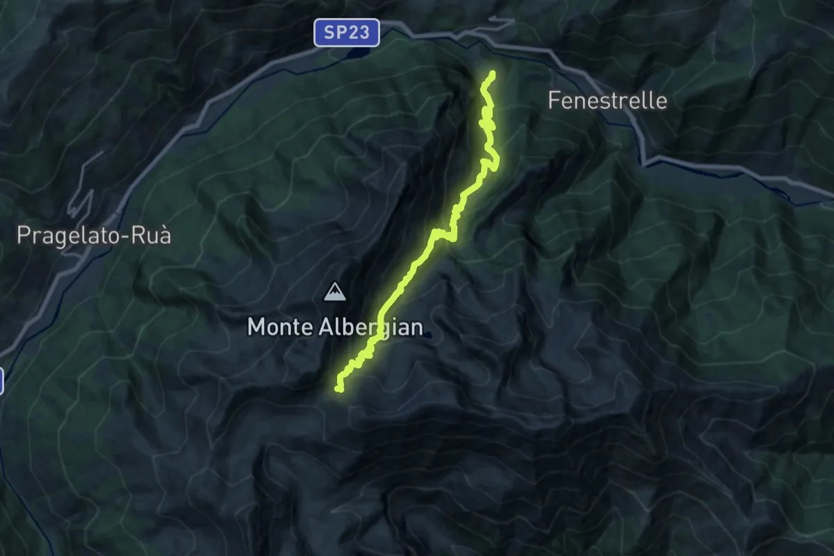
Demanding · Trail
Laux, bivio TO303-TOS314 – Colle dell'Albergian, bivio TOS313-TOS314-TOS218
18.1 km · ↑ 1442 m · 7 h 23 min
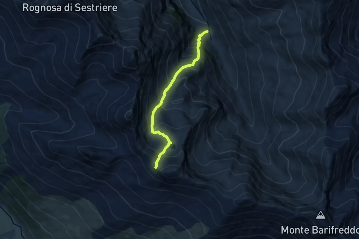
Expert · Trail
Bivio TOS319-TOS323 – Colle Fauri
6.6 km · ↑ 849 m · 3 h 24 min
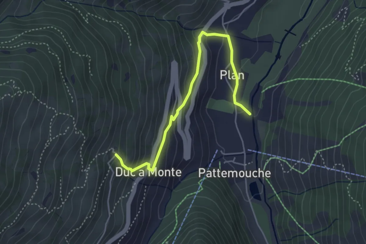
Medium · Trail
Pragelato, Fraz. Pattemouche, bivio TOS380-TOS379-TOS379A – Pragelato, Borgata Chezal, bivio TOS379-TOS379A
4.3 km · ↑ 283 m · 1 h 38 min
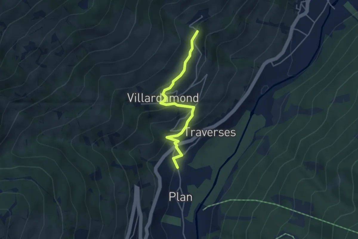
Easy · Trail
Pragelato, Fraz. Pattemouche, bivio TOS380-TOS379-TOS379A – Pragelato, Borgata Alleve, bivio TOS325-TOS325A-TOS379
3.8 km · ↑ 264 m · 1 h 28 min
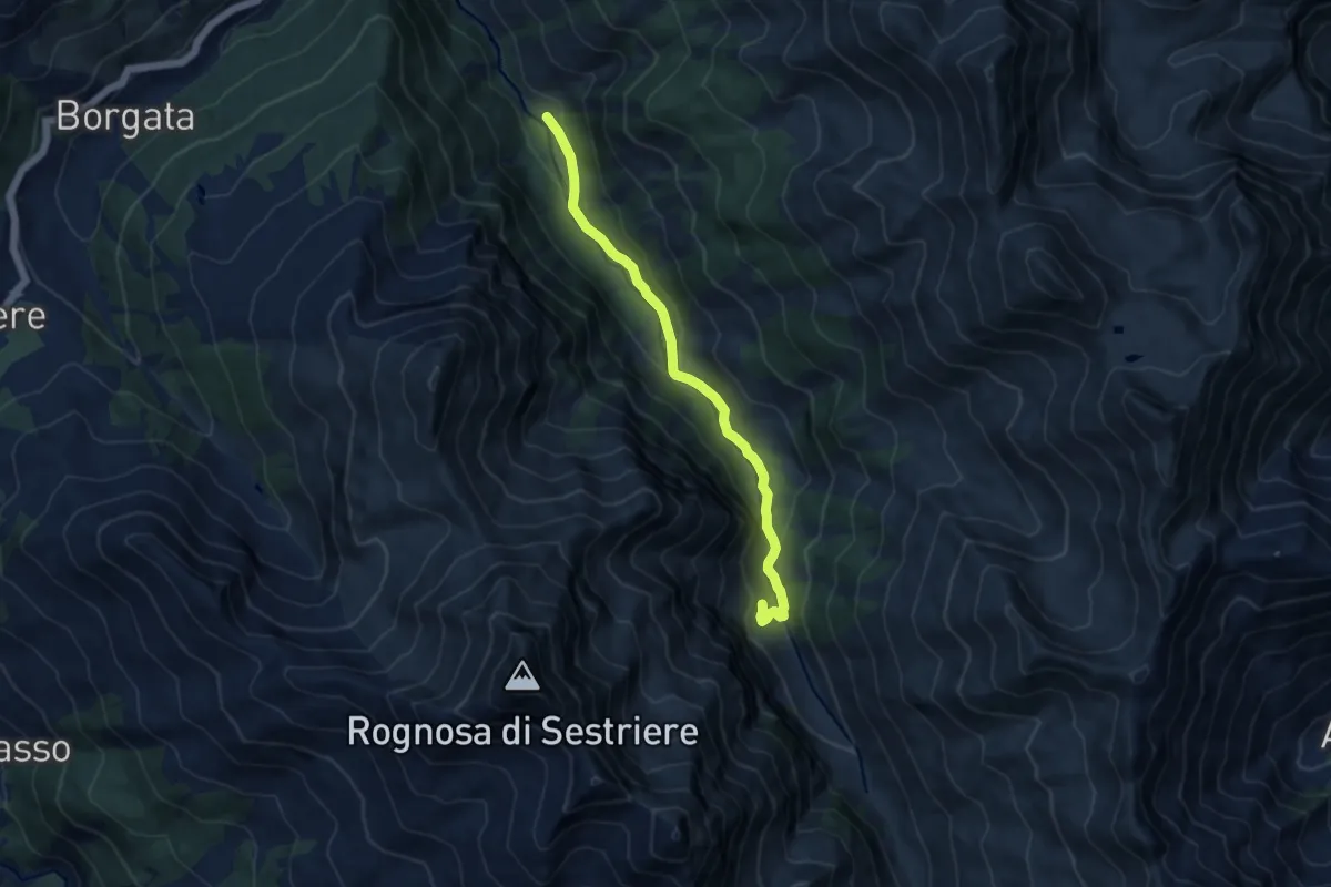
Medium · Trail
Pragelato, Frazione Pattemouche, bivio TOS303-TOS380 – Pragelato, Bergeria Lendeniere
9.5 km · ↑ 324 m · 2 h 56 min
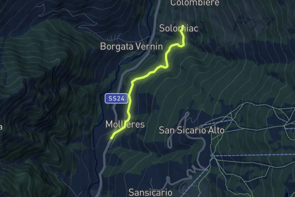
Easy · Trail
Mollieres – Solomiac, bivio TOS603-TOS603C
5.5 km · ↑ 269 m · 1 h 53 min
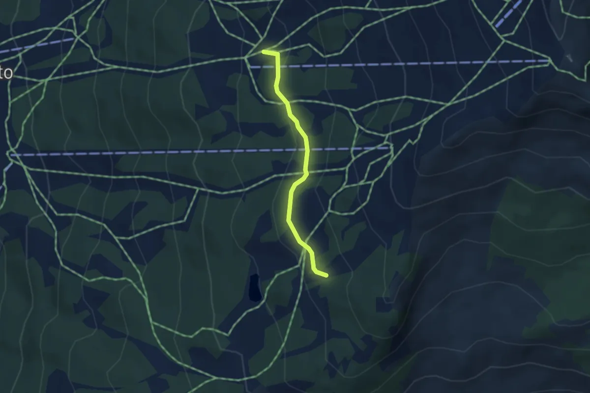
Easy · Trail
Bivio 616-616D – Bivio 616A-616D
2.8 km · ↑ 94 m · 51 min
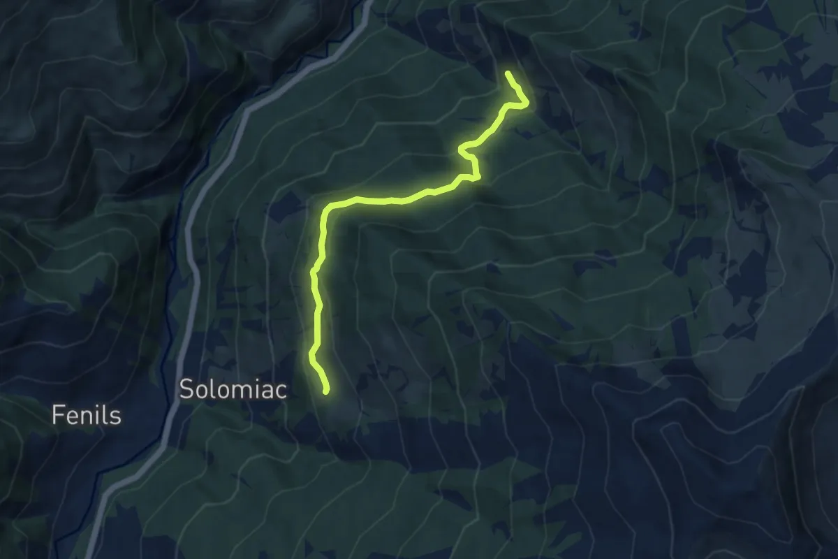
Medium · Trail
Oulx, bivio TOS734-TOS603D presso Malafosse Bassa – Cesana Torinese, Frazione Autagne, bivio TOS603-TOS603D
7.6 km · ↑ 329 m · 2 h 30 min
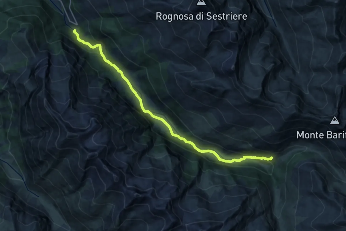
Demanding · Cabin
Sauze di Cesana, Ponte Terribile, bivio TOS622-TOS605 – Sauze di Cesana, Rifugio Alpe Plane, bivio TOS605-TOS611-TOS609A-TOS608
18.2 km · ↑ 546 m · 5 h 29 min
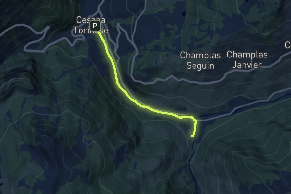
Easy · Trail
Cesana Torinese, bivio TOS606-TOS630 – Bousson di Cesana, bivio TOS606-TOS628 strada del Lago Nero
7.6 km · ↑ 153 m · 2 h 8 min
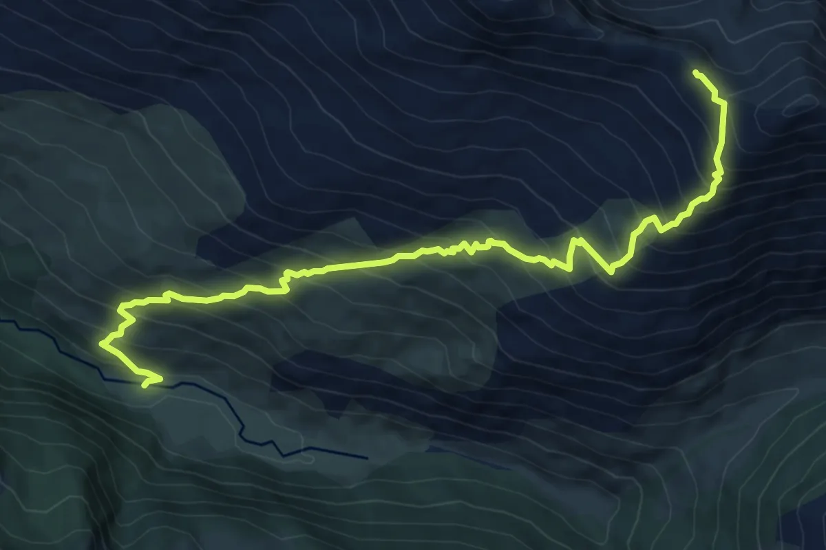
Demanding · Trail
Argentera – Bivio 309-609, Col Clapis
9.7 km · ↑ 972 m · 4 h 23 min
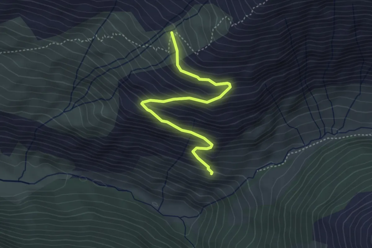
Medium · Cabin
Sauze di Cesana, Rifugio Alpe Plane, bivio TOS605-TOS608-TOS609A – Bivio 609-609A
4.3 km · ↑ 402 m · 1 h 53 min
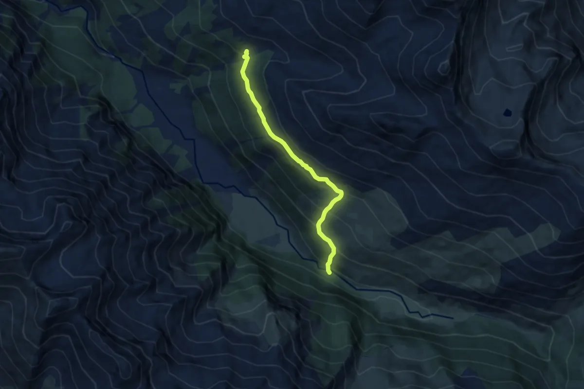
Medium · Cabin
Bivio TOS605-TOS610 presso Argentera – Bivio TOS612-TOS610 presso Rio Ciagrassa
7.1 km · ↑ 490 m · 2 h 45 min
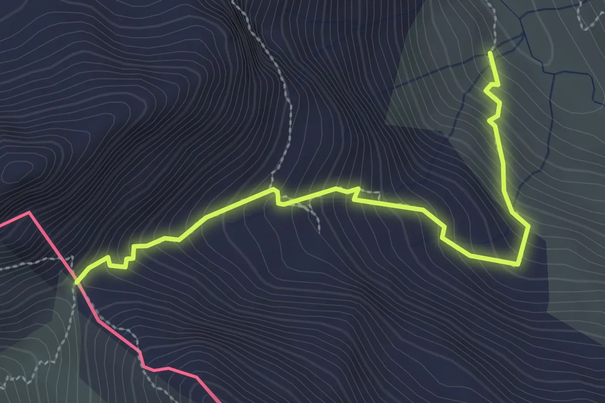
Medium · Trail
Sauze di Cesana, presso Alpe Plane, bivio TOS611-TOS608 – Sauze di Cesana, Col Mayt
3.2 km · ↑ 384 m · 1 h 36 min
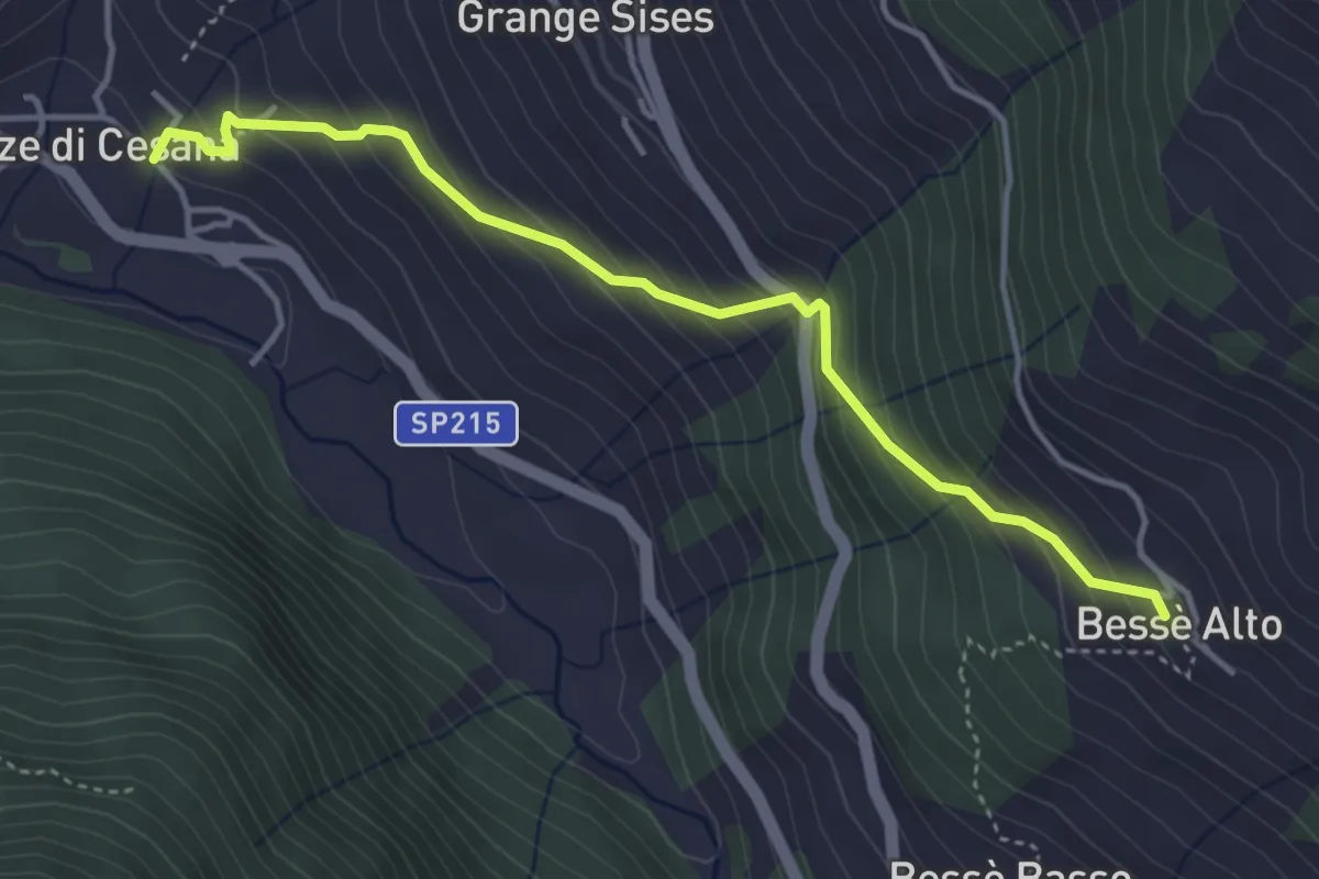
Medium · Trail
Sauze di Cesana, bivio TOS616-TOS612A – Sauze di Cesana, Frazione Bessen Haut, bivio TOS612-TOS612A
4.3 km · ↑ 423 m · 1 h 56 min
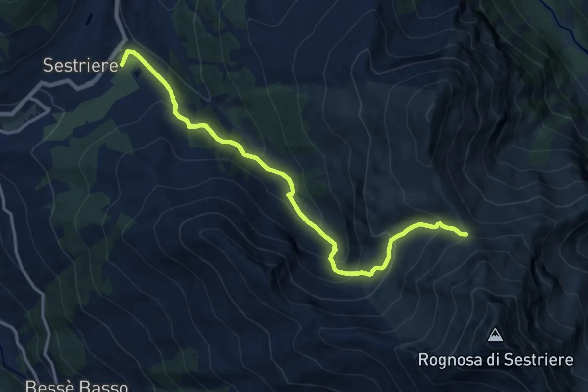
Medium · Summit
Sestriere, Colle del Sestriere – Sestriere, Passo della Banchetta
10.3 km · ↑ 745 m · 4 h 3 min
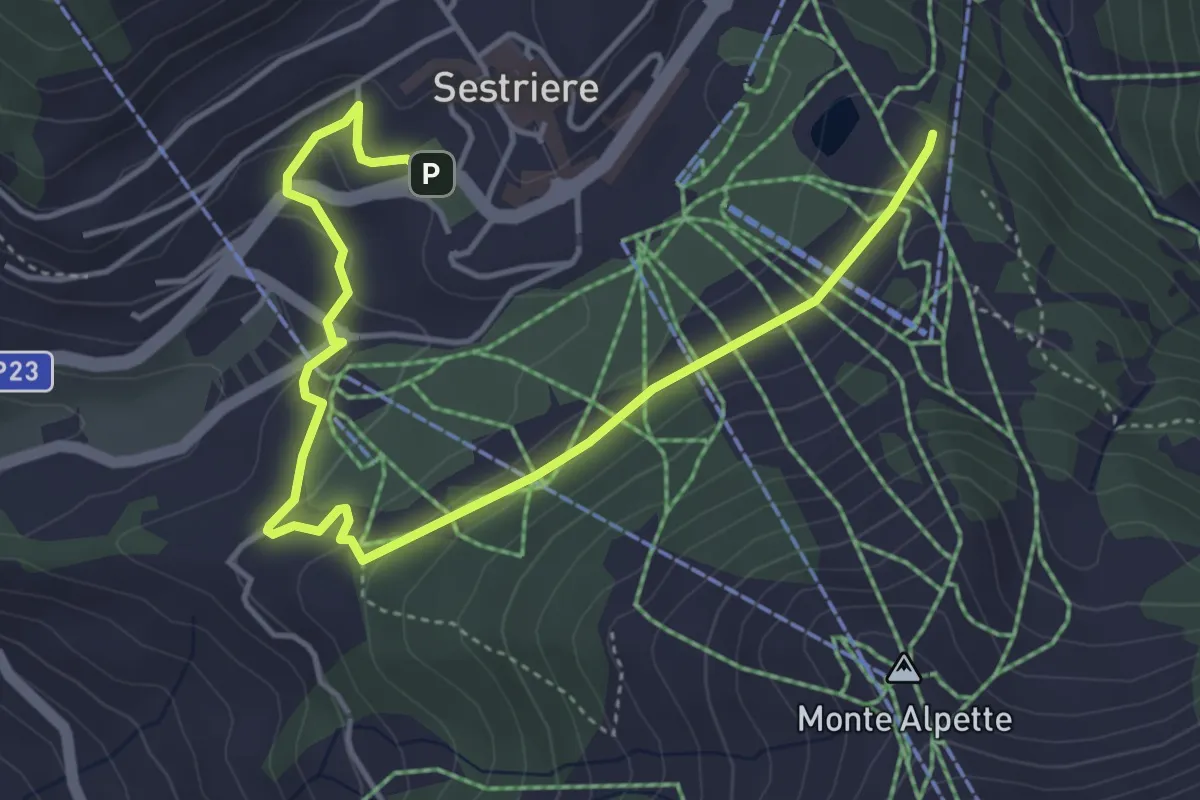
Easy · Trail
Sestriere, presso Piazzale kandahar, bivio TOS613-TOS613B – Sestriere, Parcheggio via Nasi
5.6 km · ↑ 150 m · 1 h 39 min