Trails in Italy
25,219 hiking trails, each with its route, climb, walking time and grade.
All trails, page 336 of 526
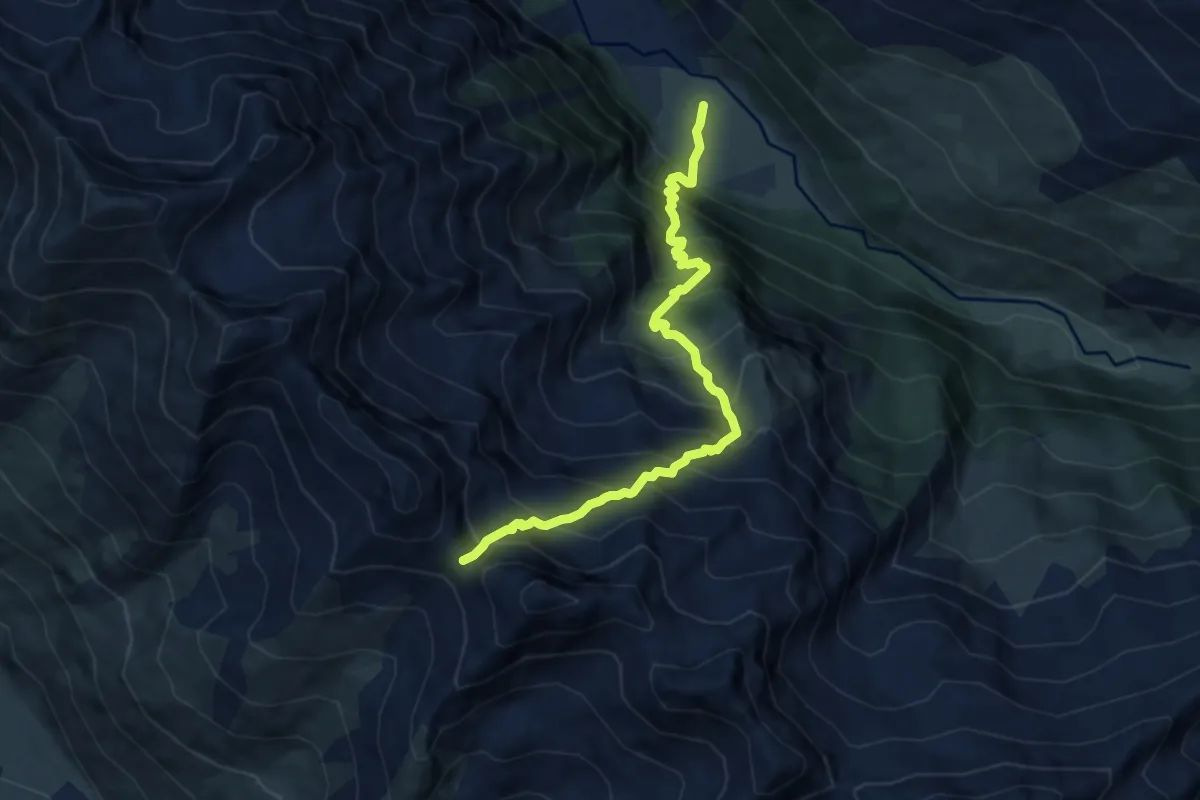
Demanding · Trail
Bivio TOS605-TOS614 presso Grange Gutail – Cesana Torinese, Colle Pelvo, bivio TOS626-TOS614
8.6 km · ↑ 1218 m · 4 h 41 min
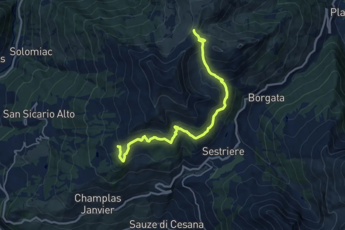
Medium · Trail
Bivio TOS615-TOS616 – Col Basset, bivio TOS616-TOS603-TOS615
15.6 km · ↑ 792 m · 5 h 24 min
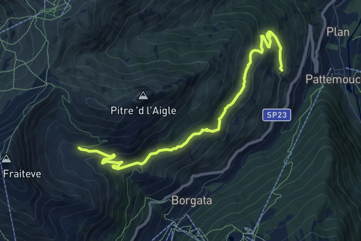
Medium · Trail
Pragelato, Borgata Chezal, bivio TOS379-TOS615A – Sestriere, bivio TOS615-TOS615A
11.4 km · ↑ 514 m · 3 h 48 min
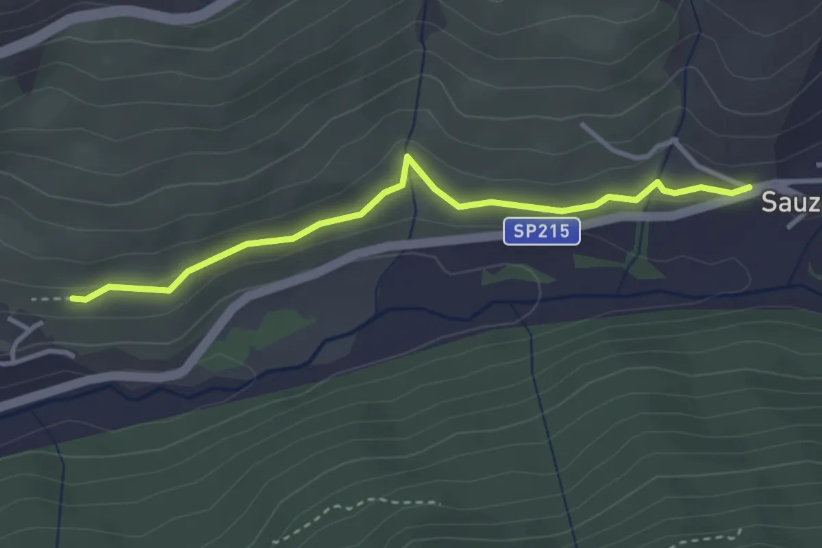
Easy · Trail
Bivio TOS616B-TOS616C presso Rollieres – Bivio TOS616-TOS616C presso San Restituto
3.2 km · ↑ 76 m · 56 min
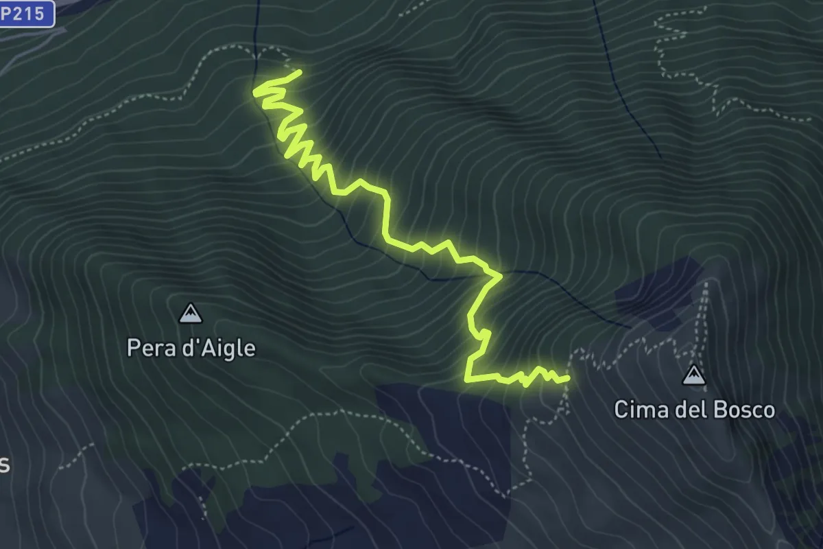
Medium · Trail
Sauze di Cesana, Borgata Rollieres, bivio TOS617-TOS619A – Sauze di Cesana, bivio TOS617-TOS621 presso Cima del Bosco
5.7 km · ↑ 604 m · 2 h 40 min
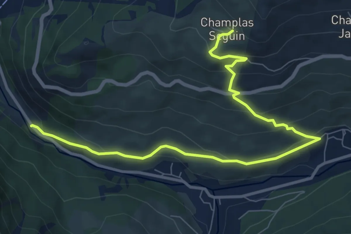
Medium · Trail
Cesana Torinese, bivio SS24 presso Madonna del Ponte – Cesana Torinese, Borgata Champlas Seguin, bivio TOS619-TOS619A
8.8 km · ↑ 429 m · 3 h 1 min
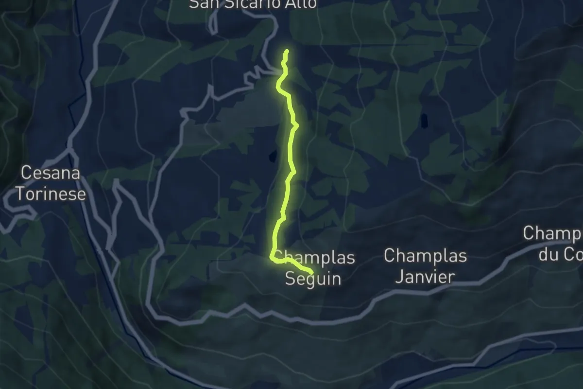
Easy · Trail
Cesana Torinese, presso San Sicario, bivio TOS619-TOS619B – Cesana Torinese, Champlas Seguin, bivio TOS619A-TOS619B
5.1 km · ↑ 144 m · 1 h 31 min
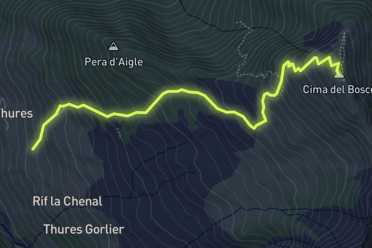
Medium · Summit
Cesana Torinese, Borgata Thures, bivio TOS620-TOS621 – Sauze di Cesana, Cima del Bosco
6.6 km · ↑ 637 m · 2 h 56 min
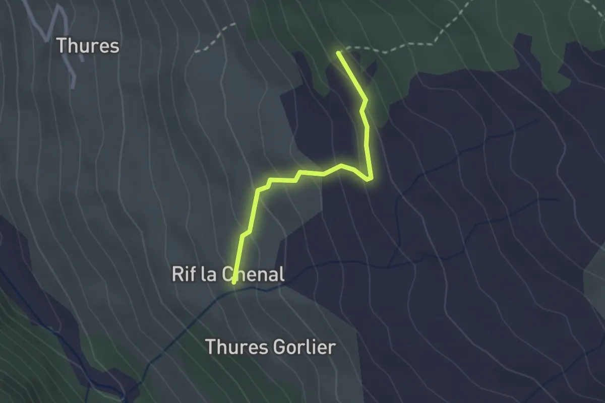
Easy · Trail
Cesana Torinese, Località La Chenal, bivio TOS620-TOS621A – Cesana Torinese, Croce Chalvet, bivio TOS621-TOS621A
2.0 km · ↑ 143 m · 47 min
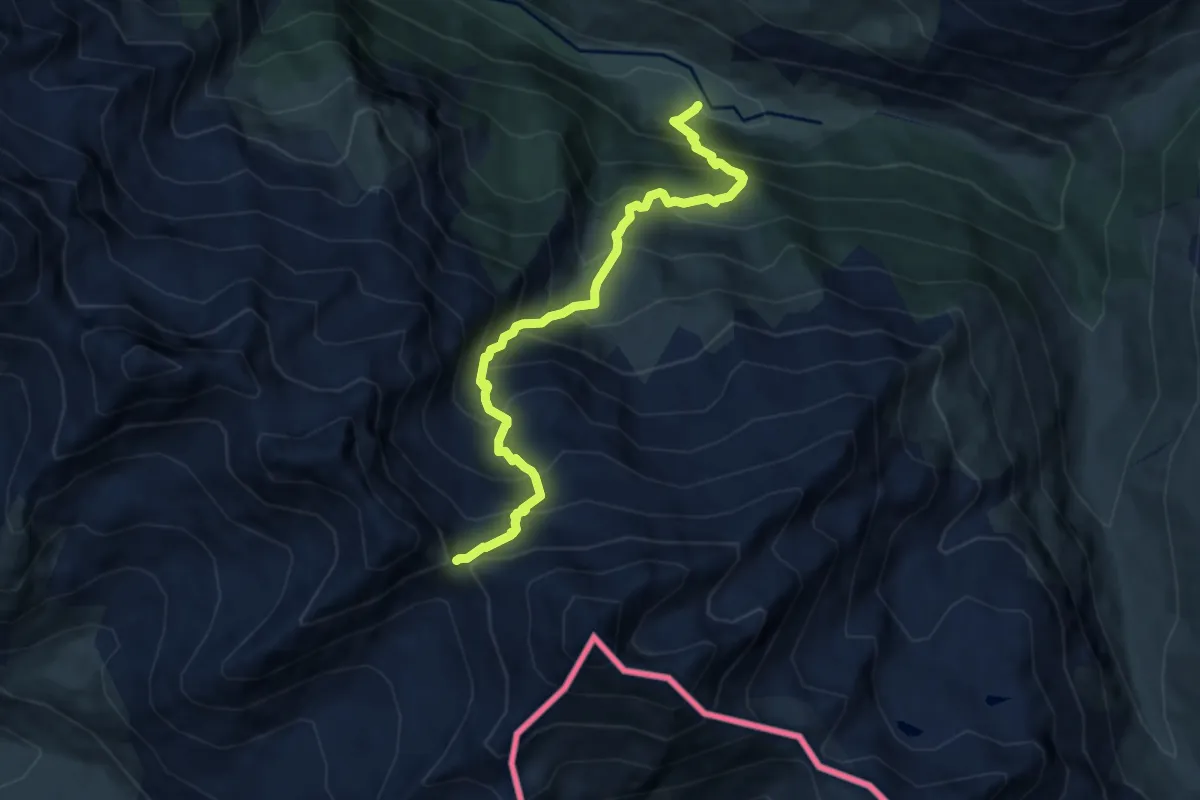
Demanding · Trail
Bivio TOS605-TOS623 presso Argentera – Colle della Ramiere, bivio TOS623-TOS624
8.3 km · ↑ 1138 m · 4 h 25 min
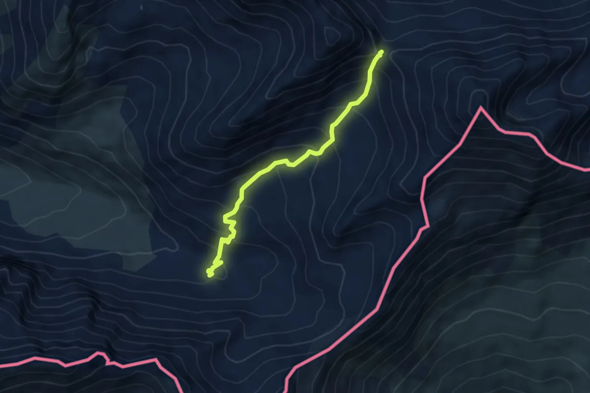
Medium · Cabin
Valle Thuras, bivio TOS618-TOS624 – Colle della Ramiere, bivio TOS623-TOS624
4.9 km · ↑ 451 m · 2 h 8 min
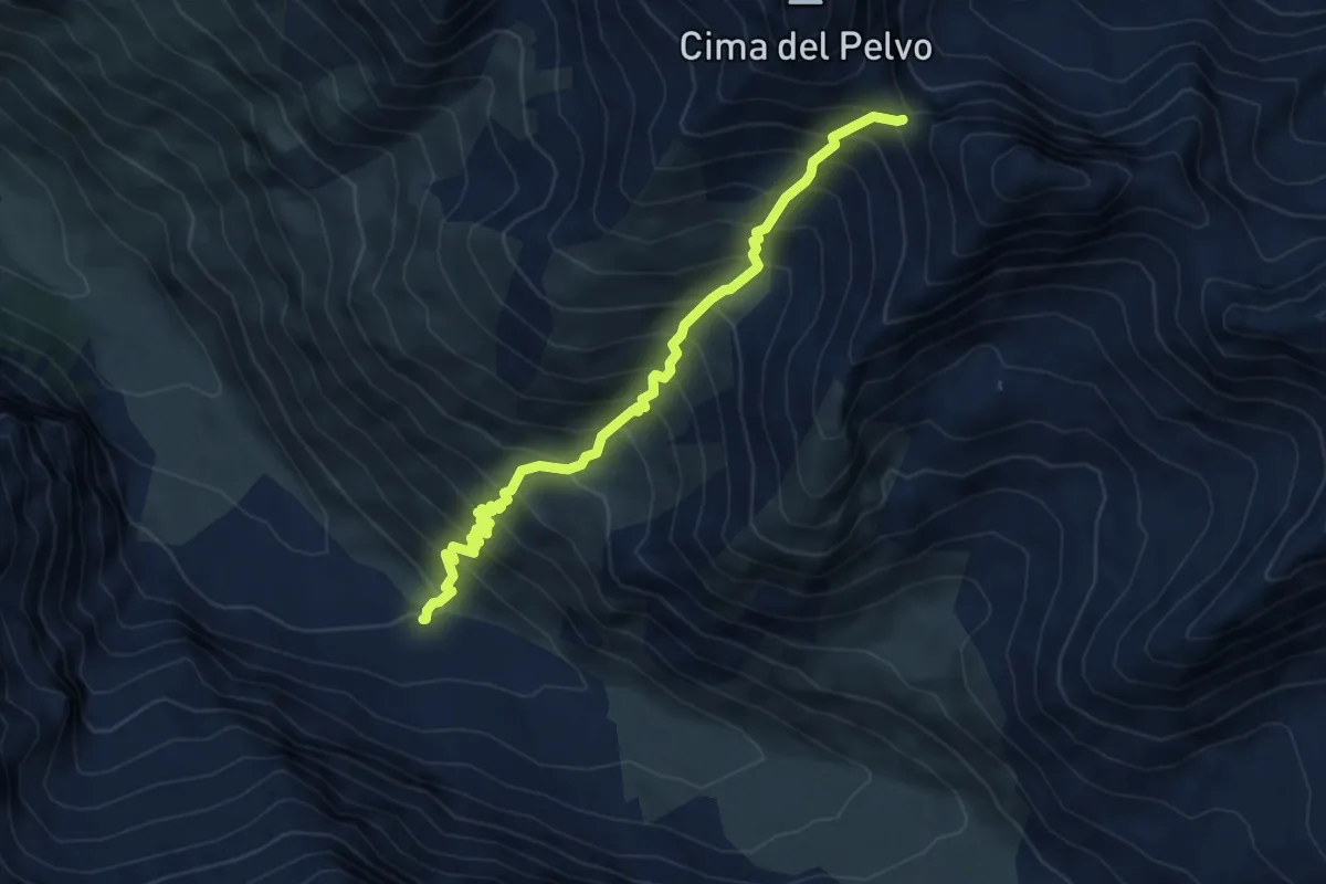
Medium · Trail
Cesana Torinese, Valle Thuras, bivio TOS618-TOS626 – Cesana Torinese, Colle Pelvo, bivio TOS626-TOS614
6.1 km · ↑ 794 m · 3 h 10 min
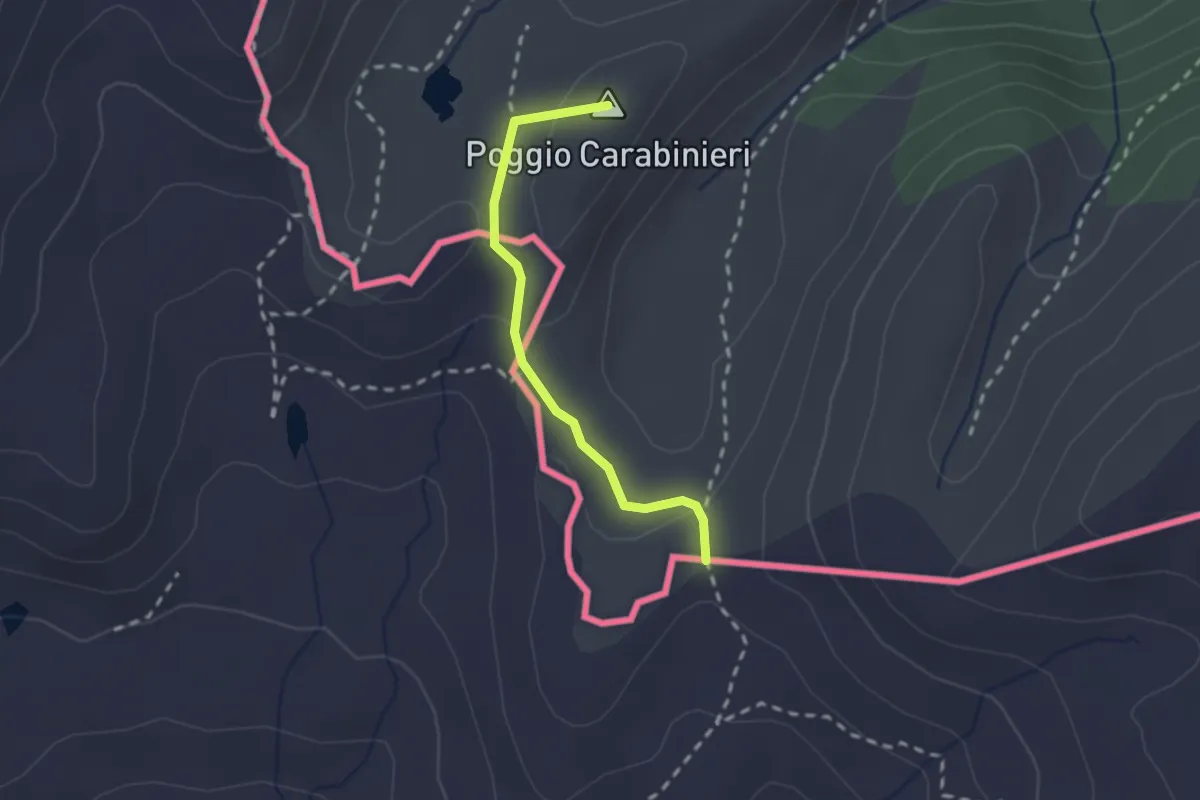
Medium · Summit
Bousson – Col Bourget, bivio 625A-628
2.0 km · ↑ 46 m · 34 min
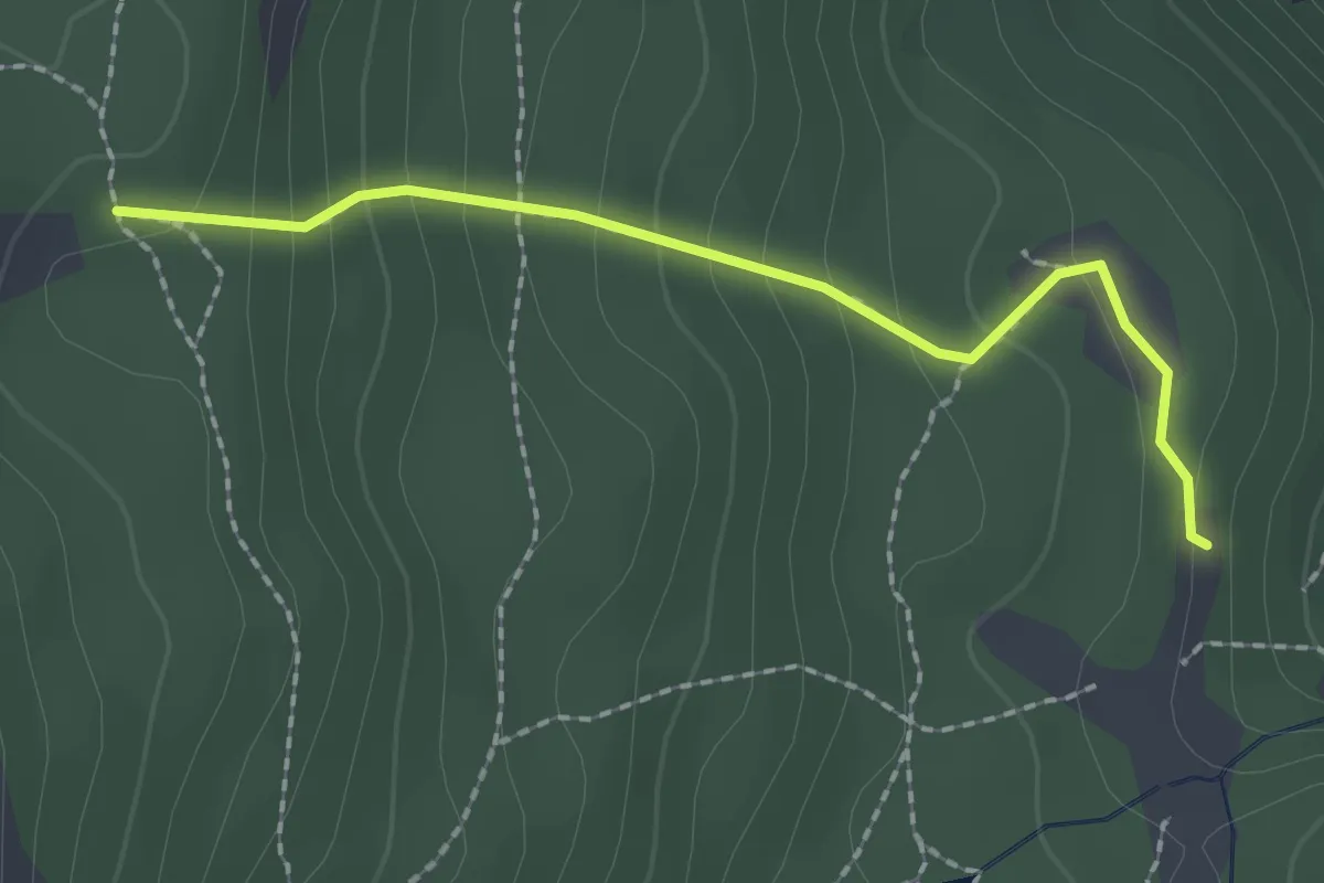
Easy · Trail
Cesana Torinese, bivio TOS628-TOS628B presso Fonte Tana – Cesana Torinese, bivio TOS631-TOS628B presso Serra Brusa
2.0 km · ↑ 172 m · 51 min
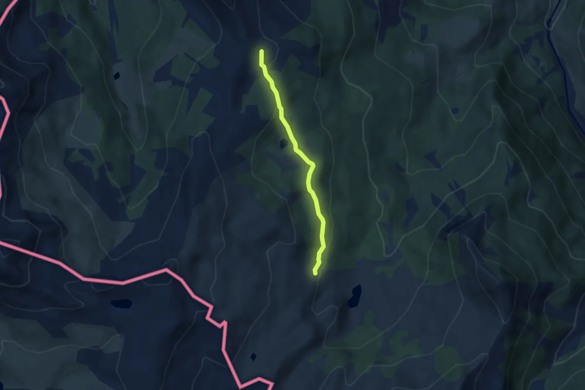
Medium · Cabin
Cesana Torinese, Capanna Mautino, bivio TOS631-TOS628 – Cesana Torinese, bivio TOS633-TOS631 presso Colle Bercia
4.8 km · ↑ 130 m · 1 h 25 min
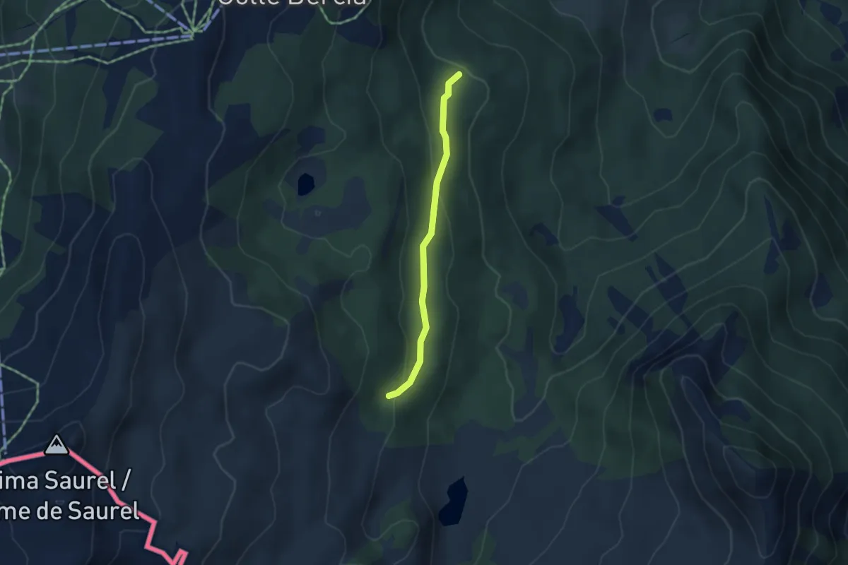
Medium · Trail
Cesana Torinese, bivio TOS631-TOS631B presso Capanna Mautino – Cesana Torinese, bivio Strada Sagnalonga
3.3 km · ↑ 132 m · 1 h 3 min
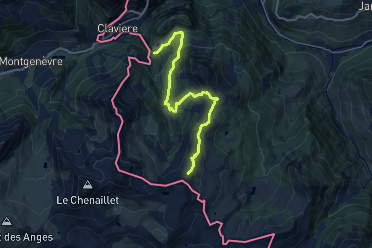
Medium · Trail
Claviere, Pian del Sole, Grange la Coche, bivio TOS629-TOS633 – Cesana Torinese, Col Saurel est, bivio TOS629-TOS633
14.6 km · ↑ 611 m · 4 h 46 min
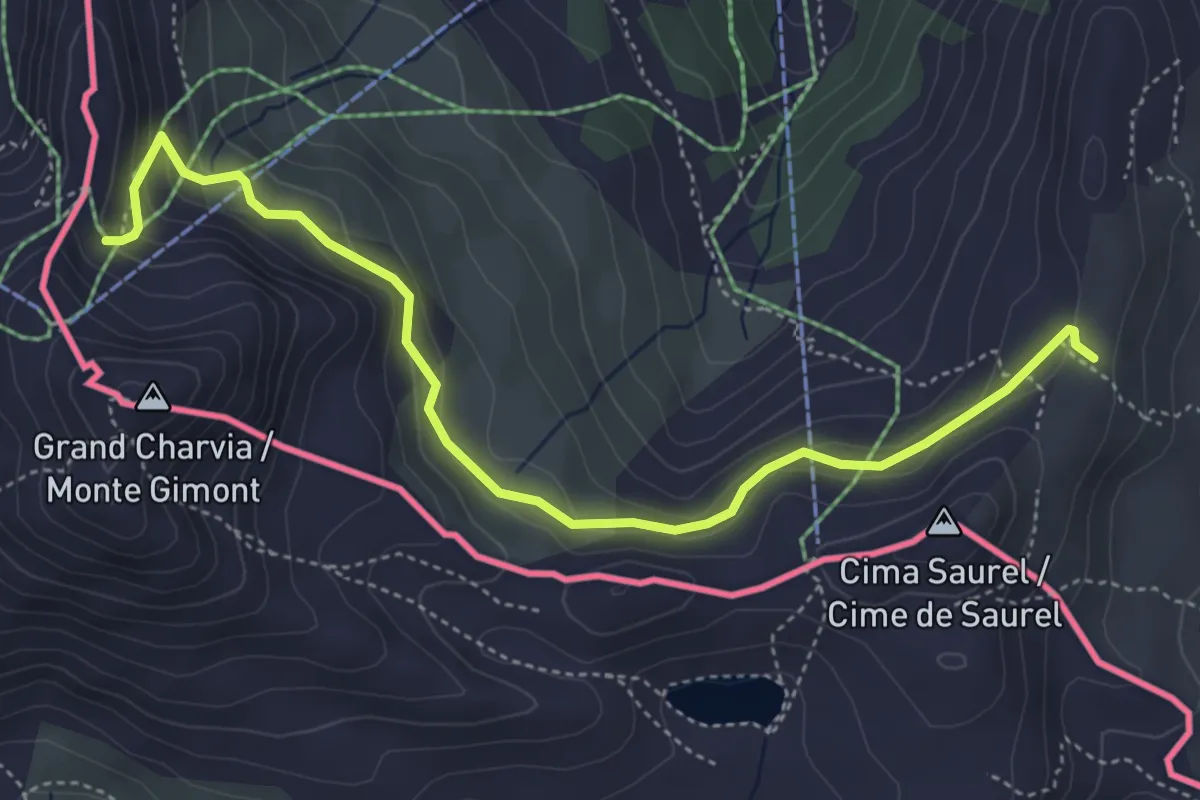
Easy · Trail
Bivio 633-633A – Colletto Verde
5.2 km · ↑ 243 m · 1 h 45 min
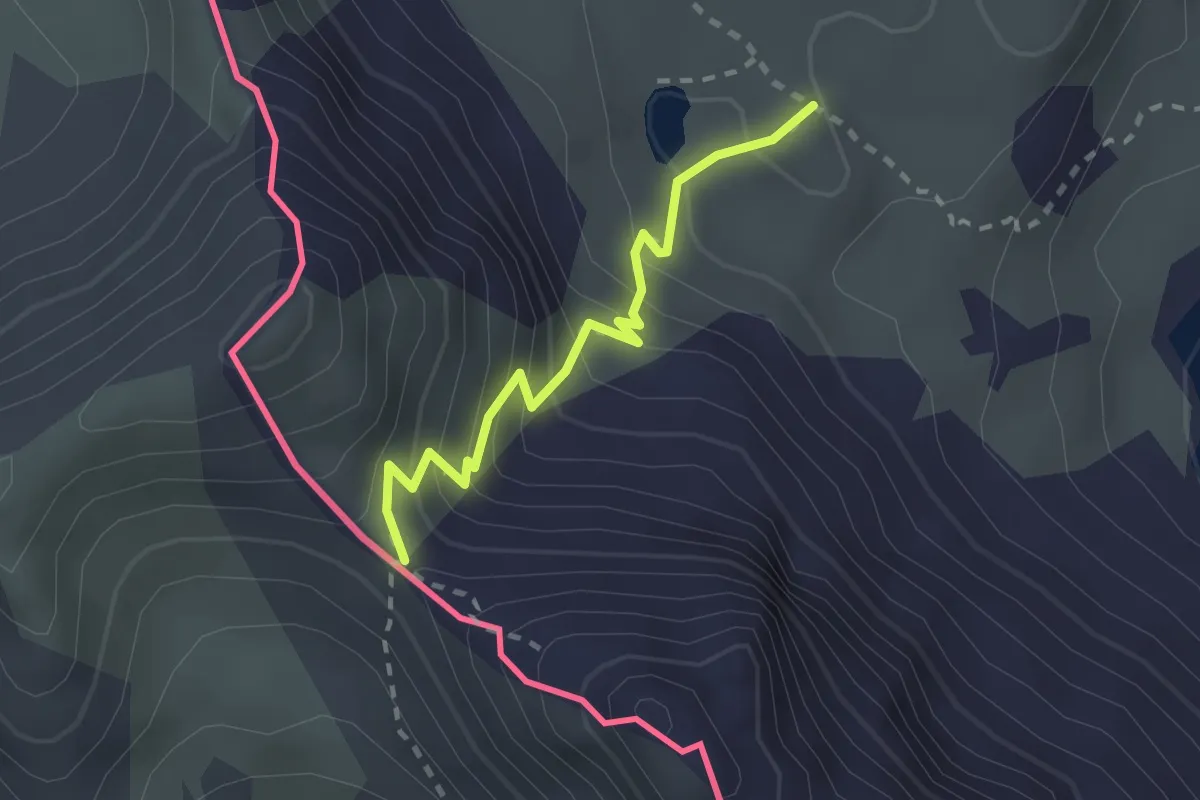
Easy · Trail
Lago delle Munie, bivio CNAS13, CNAS13B – Colle del Villadel
2.2 km · ↑ 215 m · 59 min
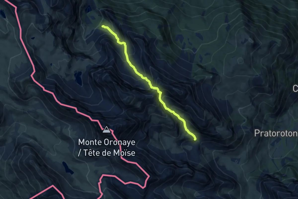
Demanding · Trail
bivio CNAS13, CNAS13A – bivio CNAS09, CNAS13A
8.2 km · ↑ 1009 m · 4 h 7 min
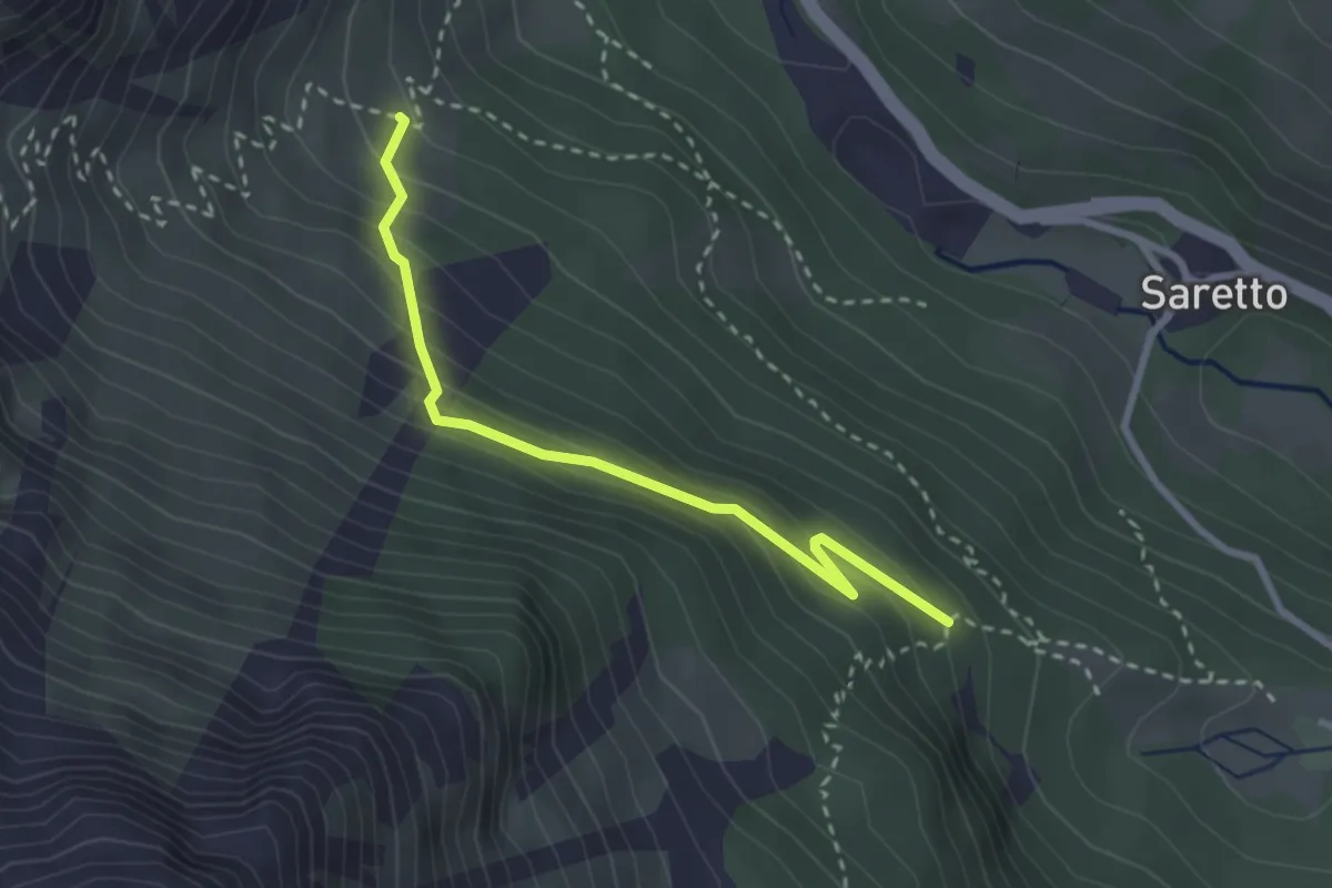
Medium · Trail
bivio CNAS13, CNAS16A – bivio CNAS16, CNAS16A
2.8 km · ↑ 210 m · 1 h 8 min
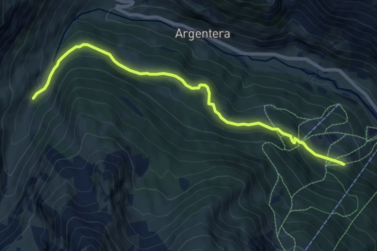
Medium · Trail
Argentera, frazione Bersezio, bivio CNAP08-CNAP08A – Argentera, presso torrente Puriac, bivio CNAP08A-CNAP42
8.5 km · ↑ 263 m · 2 h 34 min
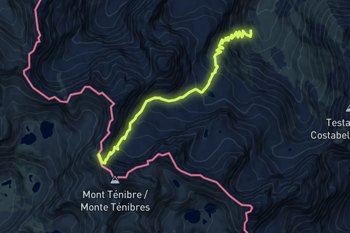
Expert · Summit
Pietraporzio, Gias del Piz, bivio CNAP29-CNAP30 – Pietraporzio, passo di Tenibres
8.9 km · ↑ 881 m · 4 h 1 min
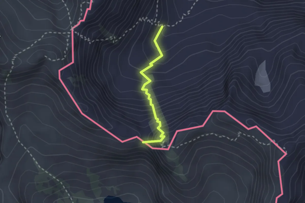
Expert · Summit
Pietraporzio, bivio CNAP31-CNAP31B – Pietraporzio, colle della Lausa
2.0 km · ↑ 306 m · 1 h 8 min
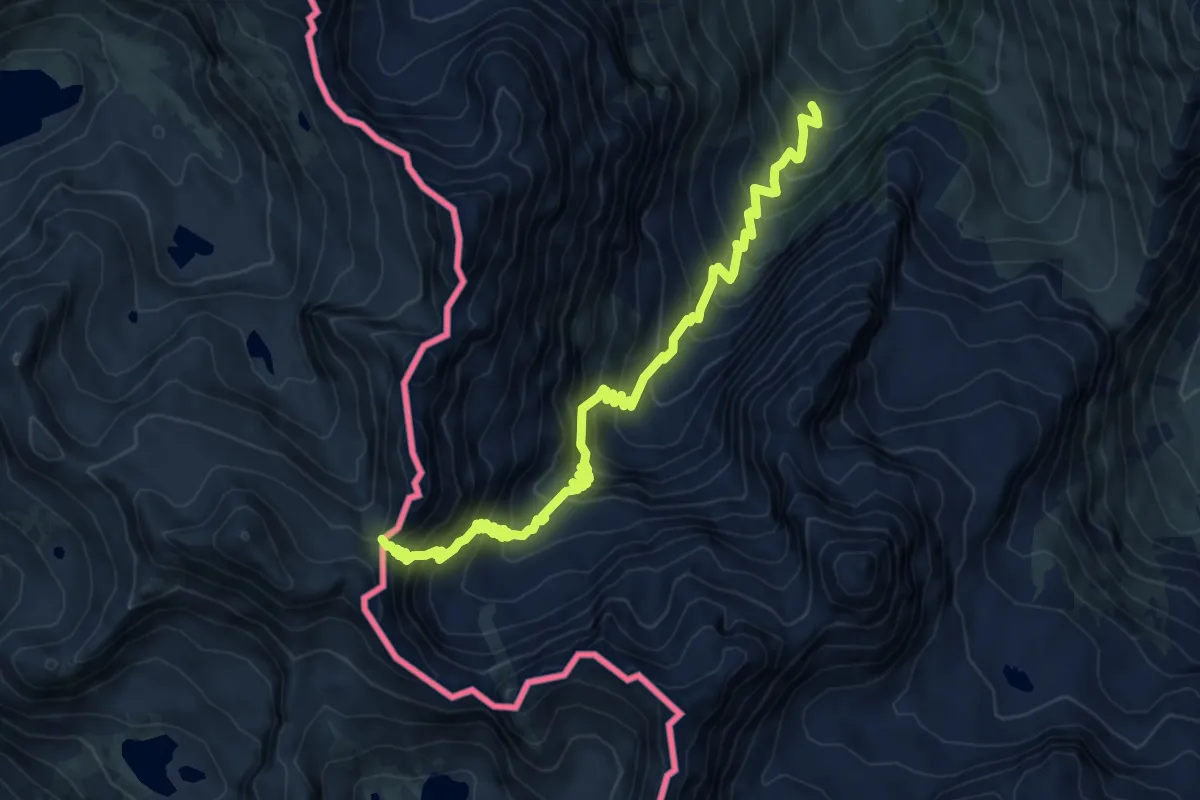
Demanding · Trail
Pietraporzio, presso prati del Valone, bivio CNAP31-CNAP33 – Pietraporzio, passo di Vens
8.5 km · ↑ 885 m · 3 h 56 min
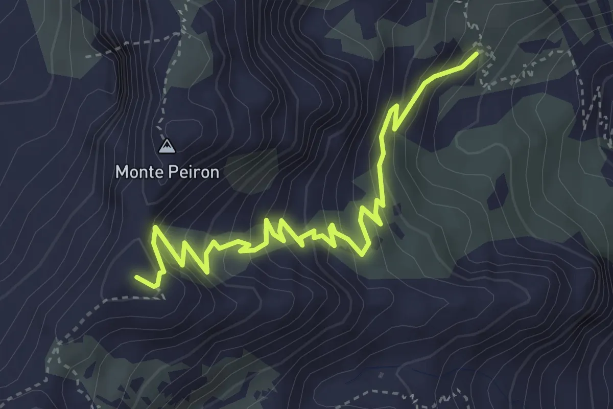
Demanding · Summit
Pietraporzio, vallone di Stau, bivio CNAP33-CNAP33B – Colle Panieris
4.4 km · ↑ 394 m · 1 h 54 min
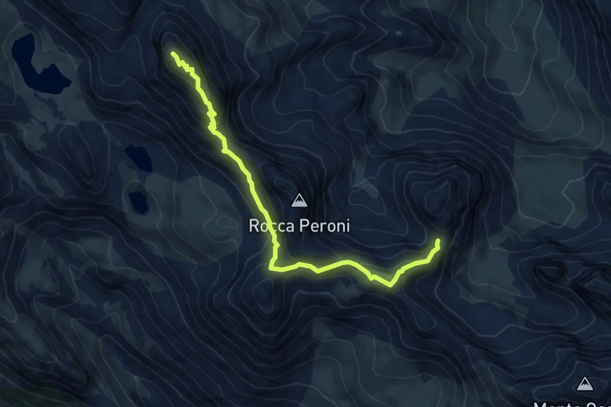
Expert · Summit
Acceglio, presso Colletta Vittoria, bivio CNAS27, CNAS35 – Acceglio, presso colle Feuillas, bivio CNAS30, CNAS35
7.0 km · ↑ 508 m · 2 h 45 min
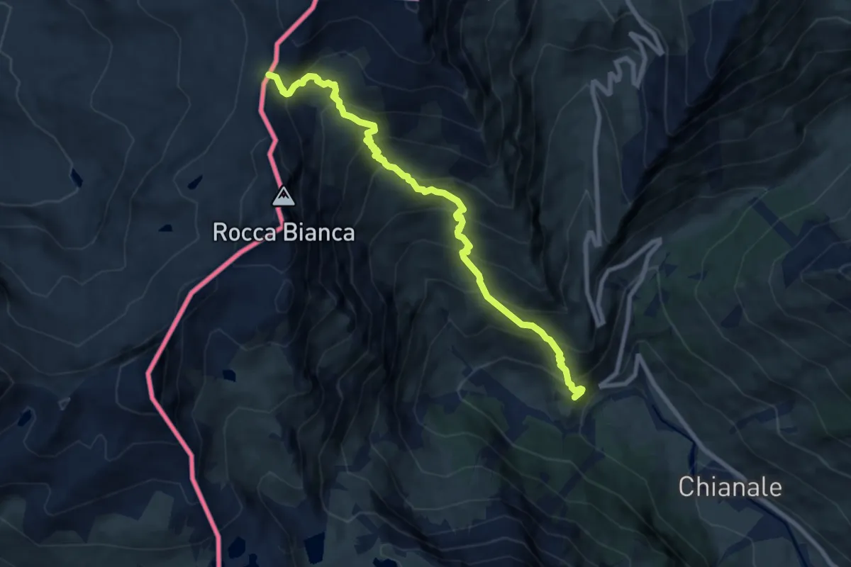
Demanding · Trail
Pontechianale, presso Grange Pian Vasserot, bivio CNAU20-CNAU21 – Pontechianale, Colle Saint Veran
8.5 km · ↑ 895 m · 3 h 56 min
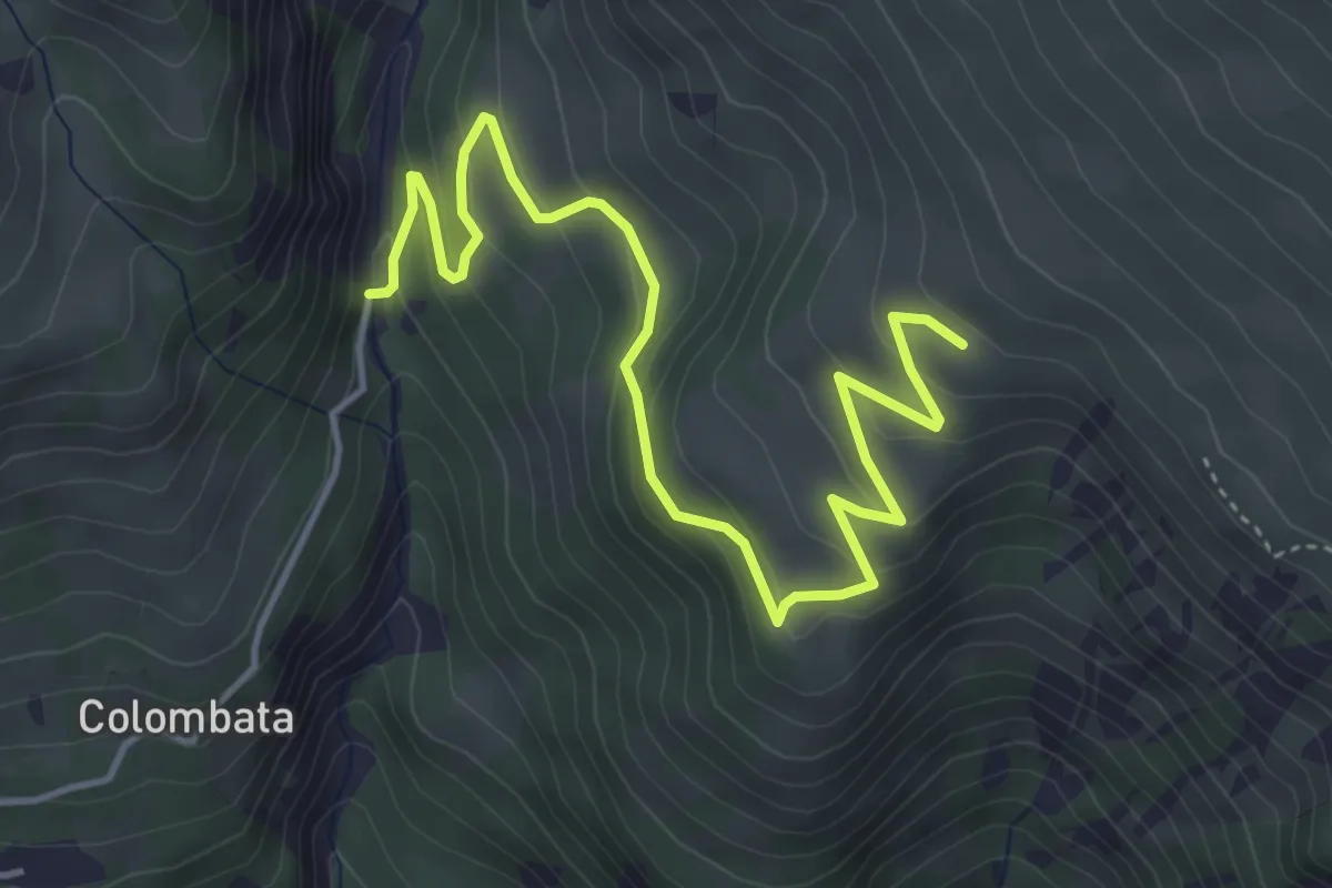
Easy · Trail
Acceglio, presso Sottano, bivio CNAT35, CNAT35A – Acceglio, presso Grange Serri di Mezzo, bivio CNAT35A, CNAT36
5.5 km · ↑ 275 m · 1 h 54 min
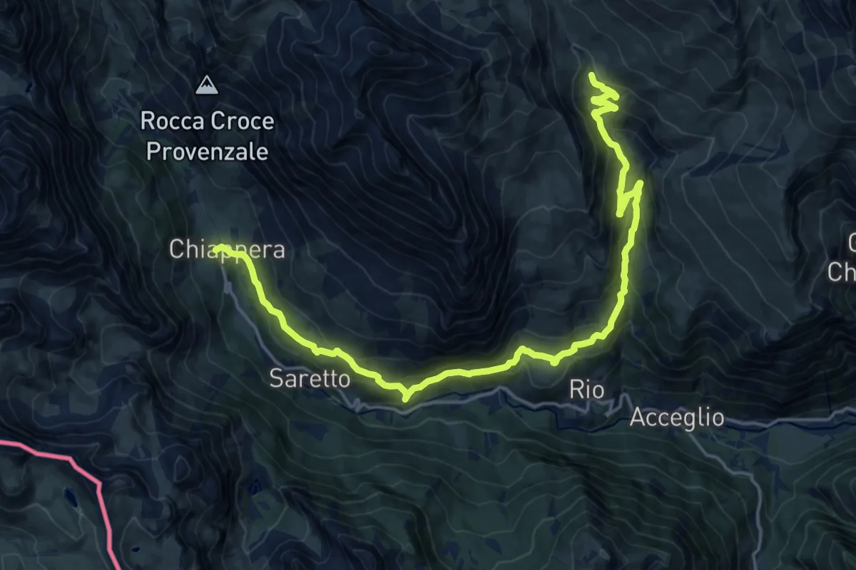
Demanding · Trail
Acceglio, Madonna delle Grazie, bivio CNAT09, CNAT34, CNAT35 – Acceglio, borgata Chiappera, bivio CNAS44, CNAT15, CNAT35
21.9 km · ↑ 1010 m · 7 h 21 min
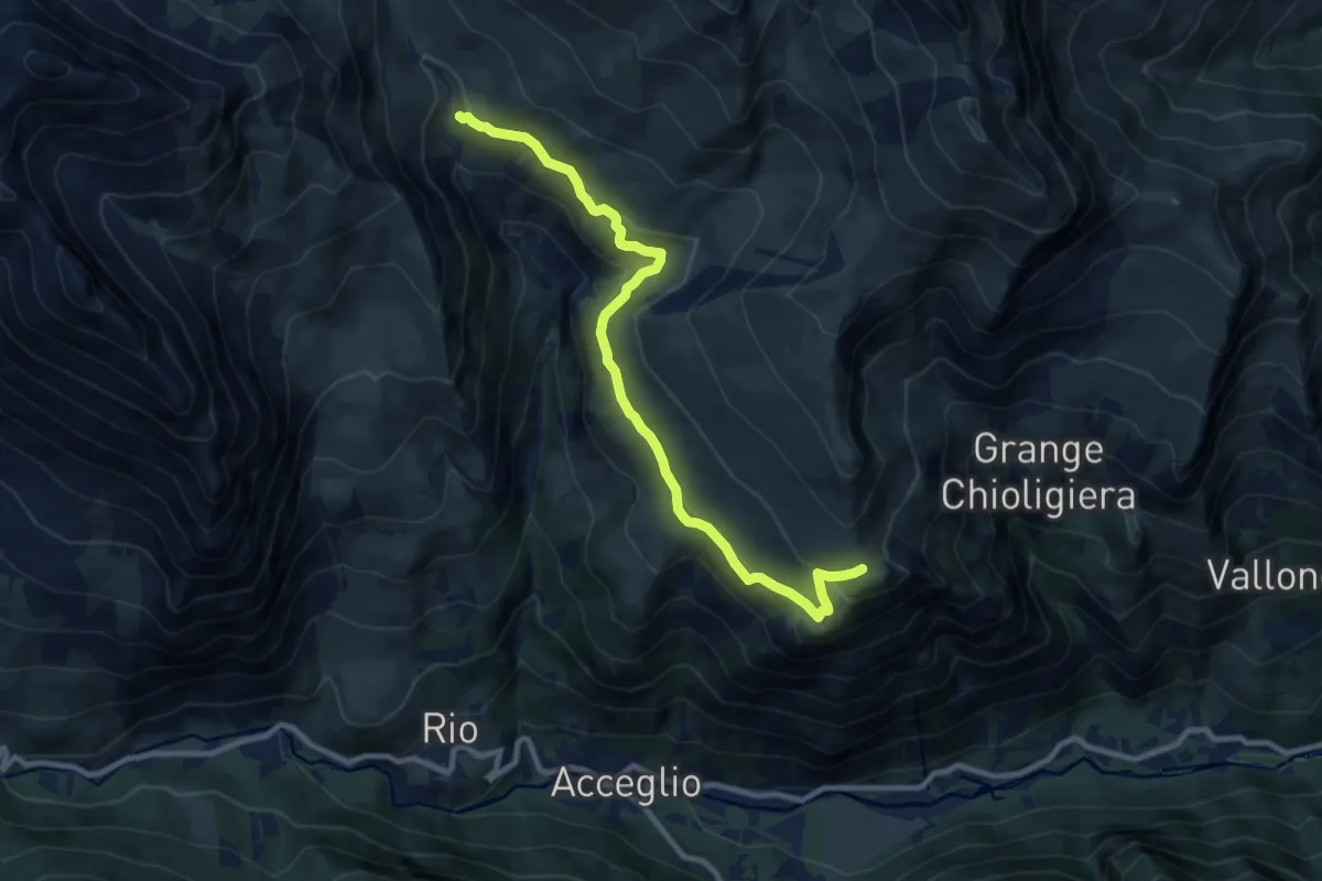
Medium · Trail
Acceglio, Madonna delle Grazie, bivio CNAT09, CNAT34, CNAT35 – Colletto Serasin, bivio CNAT33, CNAT34
10.3 km · ↑ 427 m · 3 h 21 min
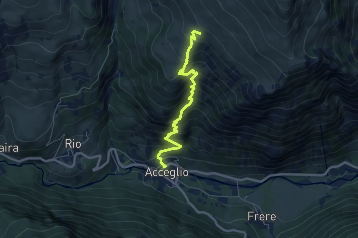
Medium · Cabin
Acceglio, presso Grange Serri Soprano, bivio CNAT34, CNAT36 – Acceglio, bivio CNAS09, CNAT36
5.7 km · ↑ 649 m · 2 h 45 min
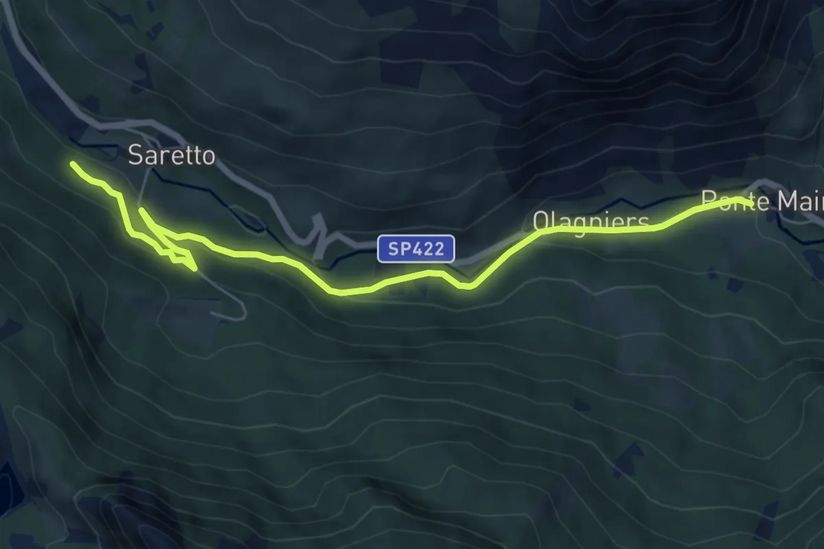
Easy · Trail
Acceglio, Ponte Maira, bivio CNAS12, CNAS44 – Bivio CNAS16, CNAS44
6.9 km · ↑ 238 m · 2 h 9 min
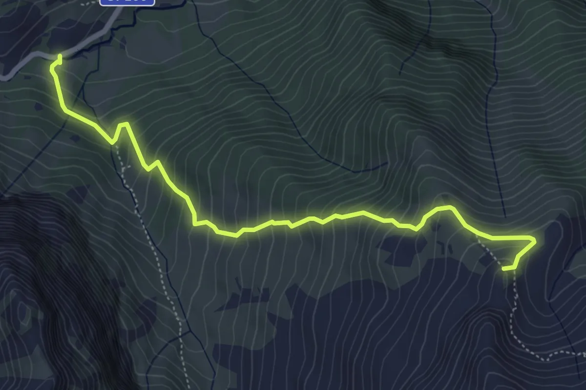
Medium · Summit
Bellino, presso borgata Chiazale, bivio CNAU24, CNAU27 – Rocce del Pelvo, bivio CNAT06, CNAU24
6.2 km · ↑ 691 m · 2 h 58 min
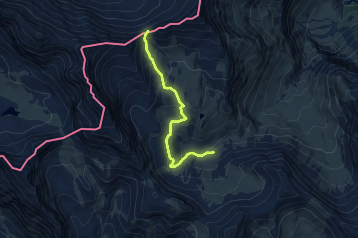
Medium · Trail
Bellino, presso borgata Chiazale, bivio CNAU27, CNAU52 – Bellino, colle dell'Autaret
6.2 km · ↑ 327 m · 2 h 10 min
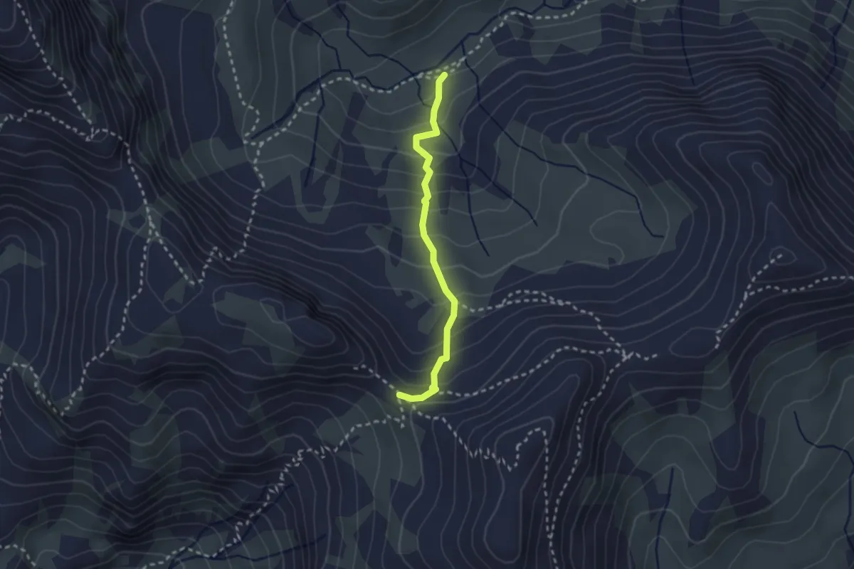
Medium · Trail
Bellino, Grange dell'Autaret, bivio CNAU27, CNAU28 – Bellino, colle Bellino, bivio CNAT16, CNAT28, CNAU28
2.4 km · ↑ 231 m · 1 h 4 min
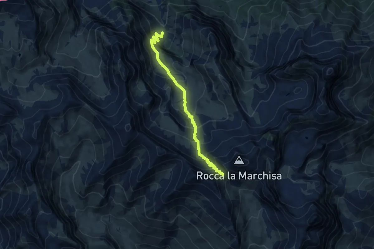
Demanding · Trail
Bellino, presso Rio Traversagn, bivio CNAU29, CNAU30 – Bellino, colle Vers, bivio CNAT09, CNAU29
10.1 km · ↑ 824 m · 4 h 11 min
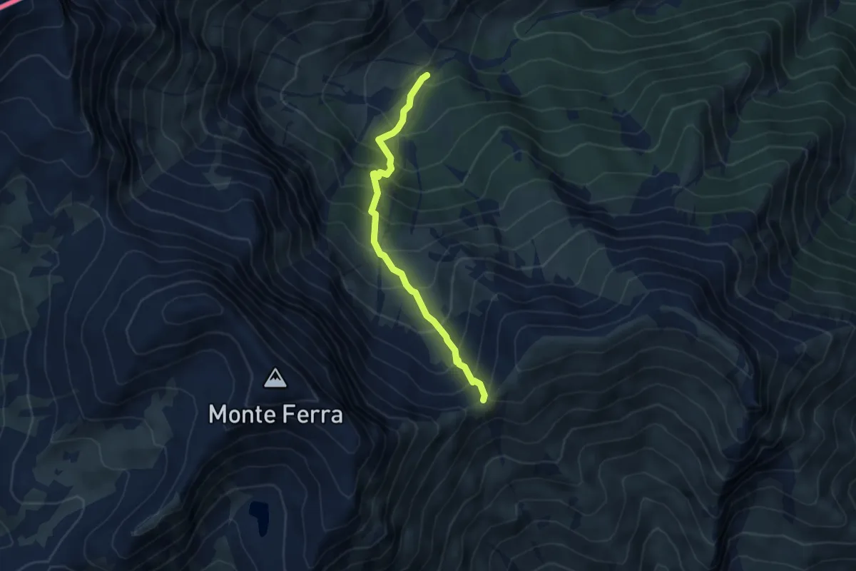
Medium · Trail
Pontechianale, grange Serre, bivio CNAU15, CNAU16 – Pontechianale, colle del Bondormir, bivio CNAU16, CNAU23
4.3 km · ↑ 549 m · 2 h 12 min
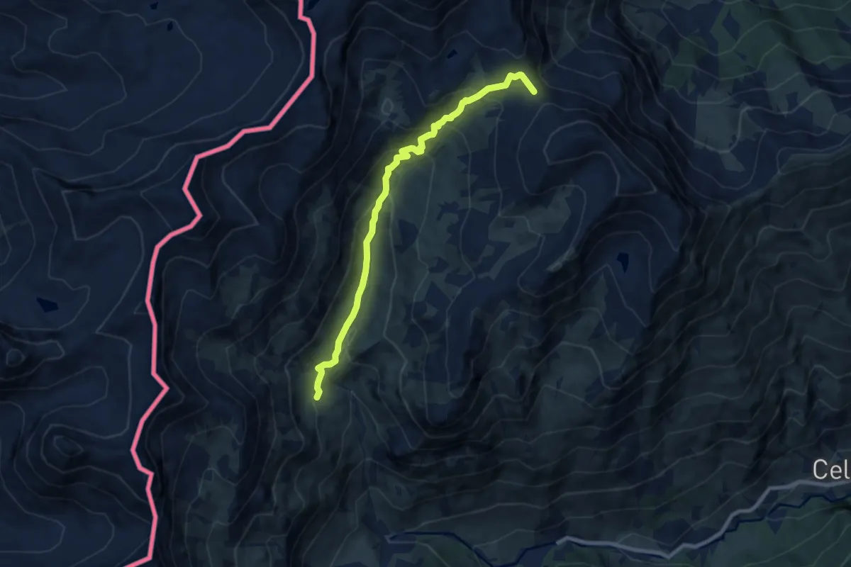
Medium · Trail
Bellino, presso Grange Cruset, bivio CNAU26, CNAU27 – Bellino, passo di Fiutrusa, bivio CNAU15, CNAU26
8.2 km · ↑ 545 m · 3 h 6 min
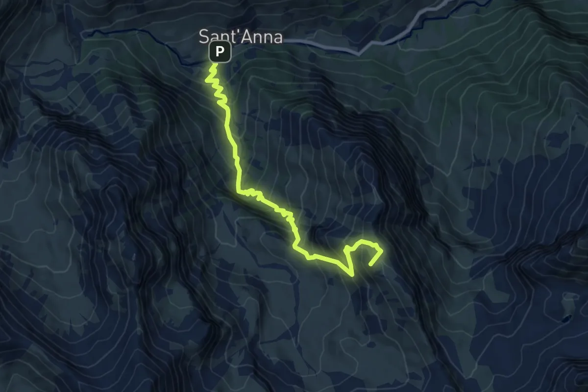
Medium · Summit
Bellino, presso Sant'Anna, bivio CNAU27, CNAU30 – Bellino, Costa Sturana, bivio CNAU25, CNAU30
8.2 km · ↑ 758 m · 3 h 35 min
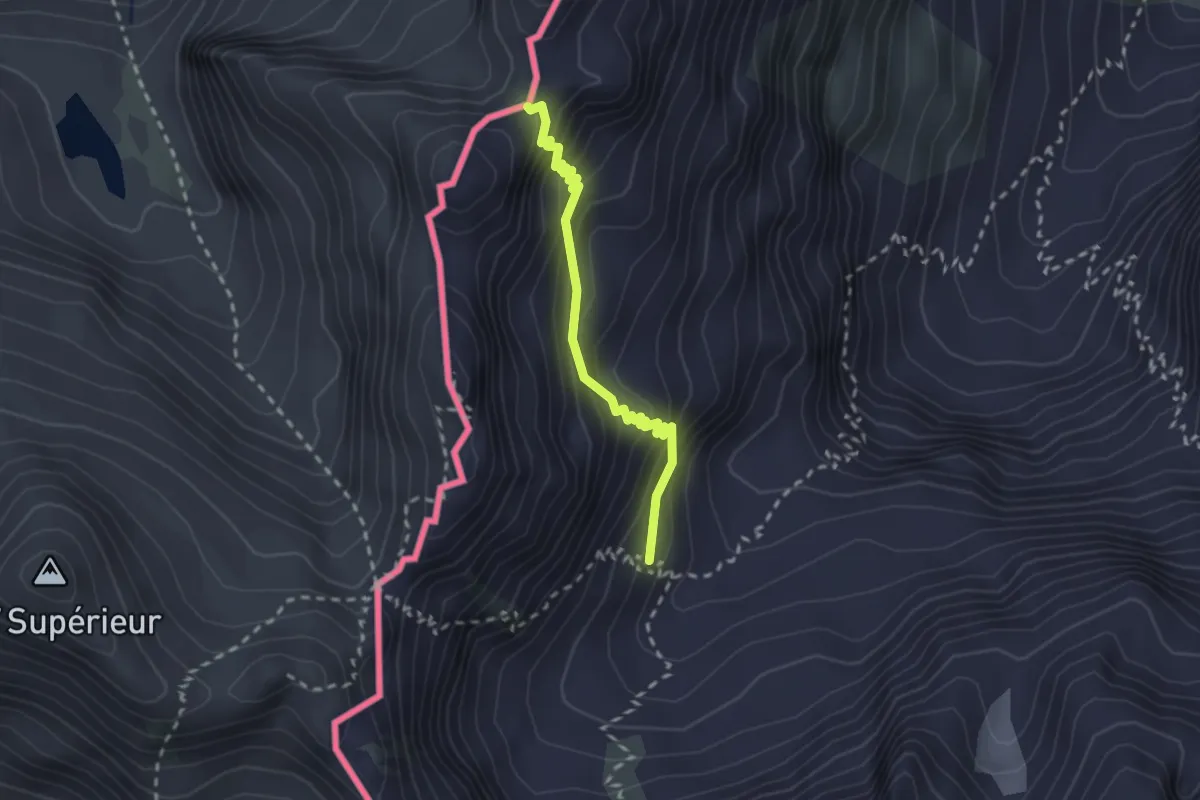
Expert · Trail
Pietraporzio, bivio CNAP31, CNAP31C – Passo del Vallonetto
2.3 km · ↑ 224 m · 1 h 1 min
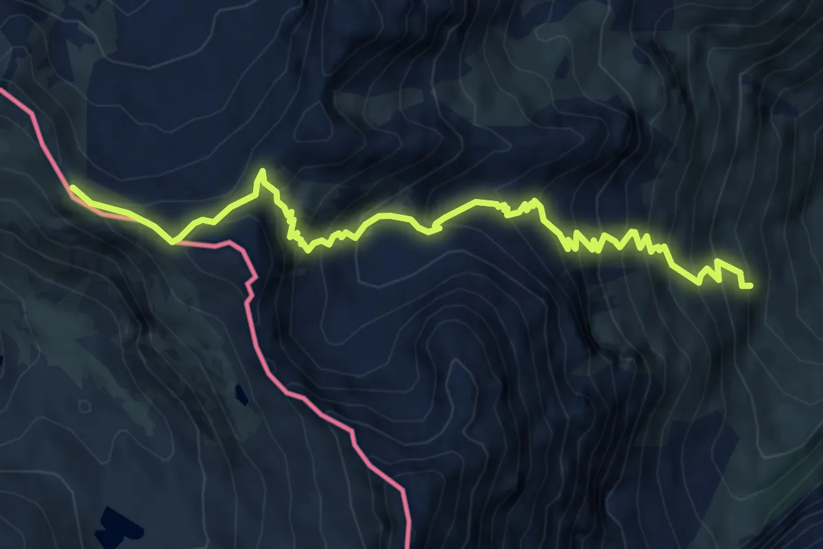
Demanding · Trail
Pietraporzio, vallone di Pontebernardo, bivio CNAP31, CNAP32 – Passo Morgon
8.0 km · ↑ 850 m · 3 h 44 min
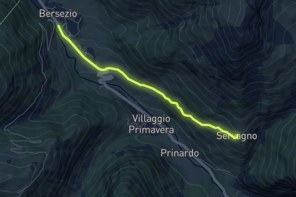
Easy · Trail
Argentera, borgata Bersezio. bivio CNAP28, CNAP35A – Argentera, località Servagno, bivio CNAP35, CNAP35A
5.7 km · ↑ 292 m · 1 h 58 min
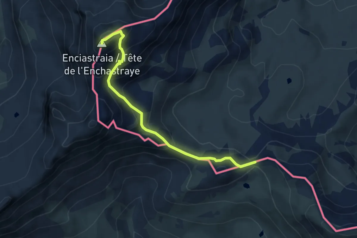
Demanding · Summit
Argentera, colle di Puriac, bivio CNAP42, CNAP42A – Monte Enchastraye
4.5 km · ↑ 419 m · 1 h 58 min
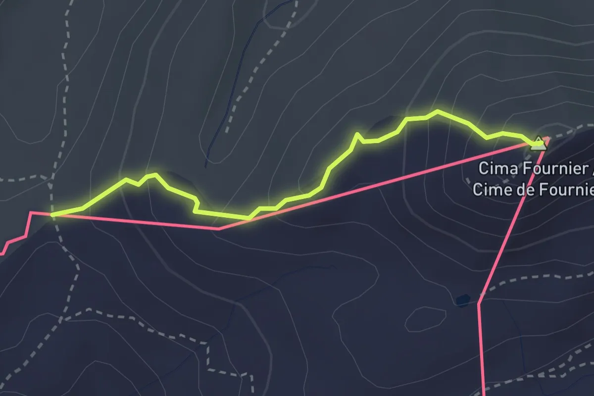
Easy · Summit
Cima Fourmier, bivio TOS625A-TOS625B – Col Bourget, bivio 625B-6288
2.7 km · ↑ 231 m · 1 h 8 min
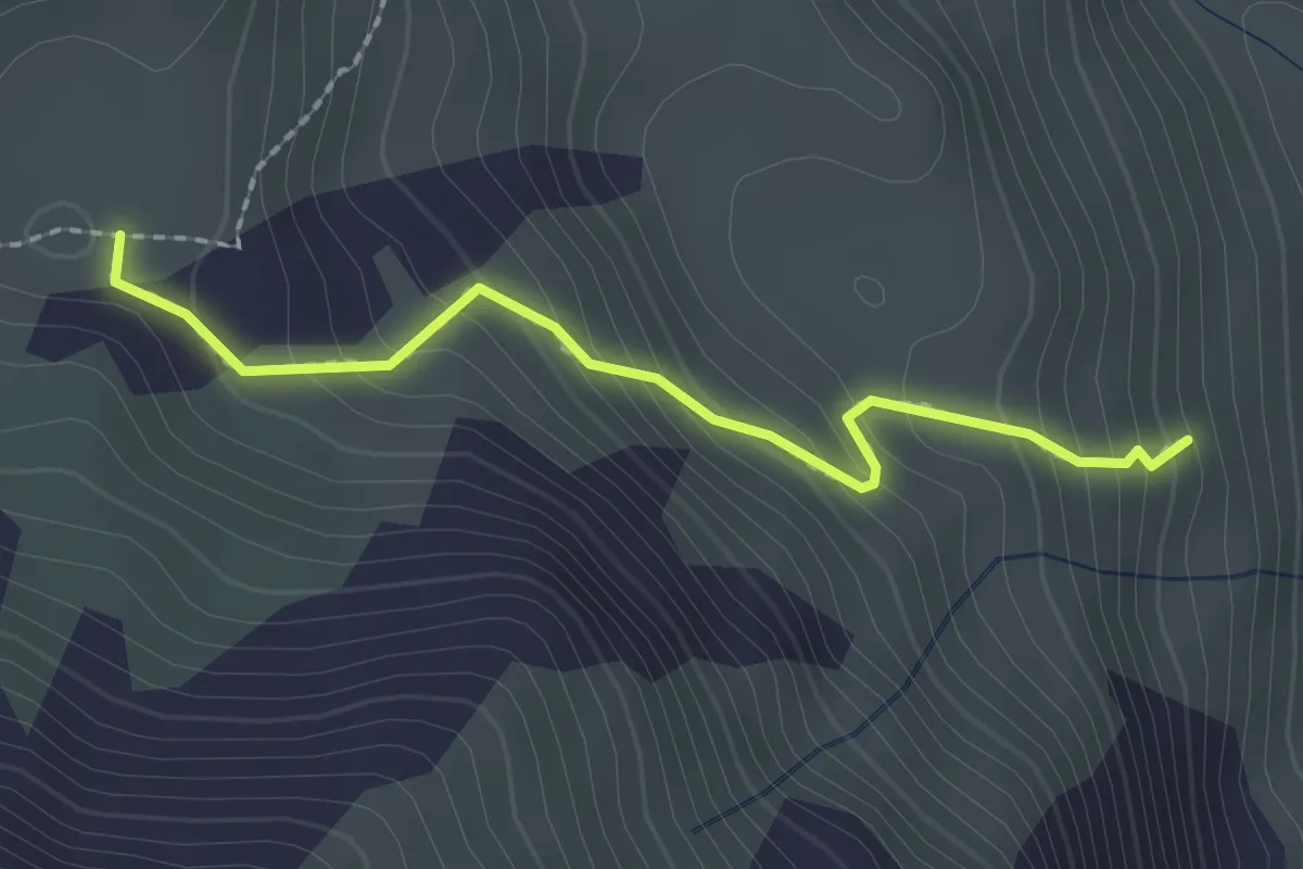
Easy · Trail
Bivio T28-T28A – Bivio T18-T28A
2.1 km · ↑ 201 m · 56 min
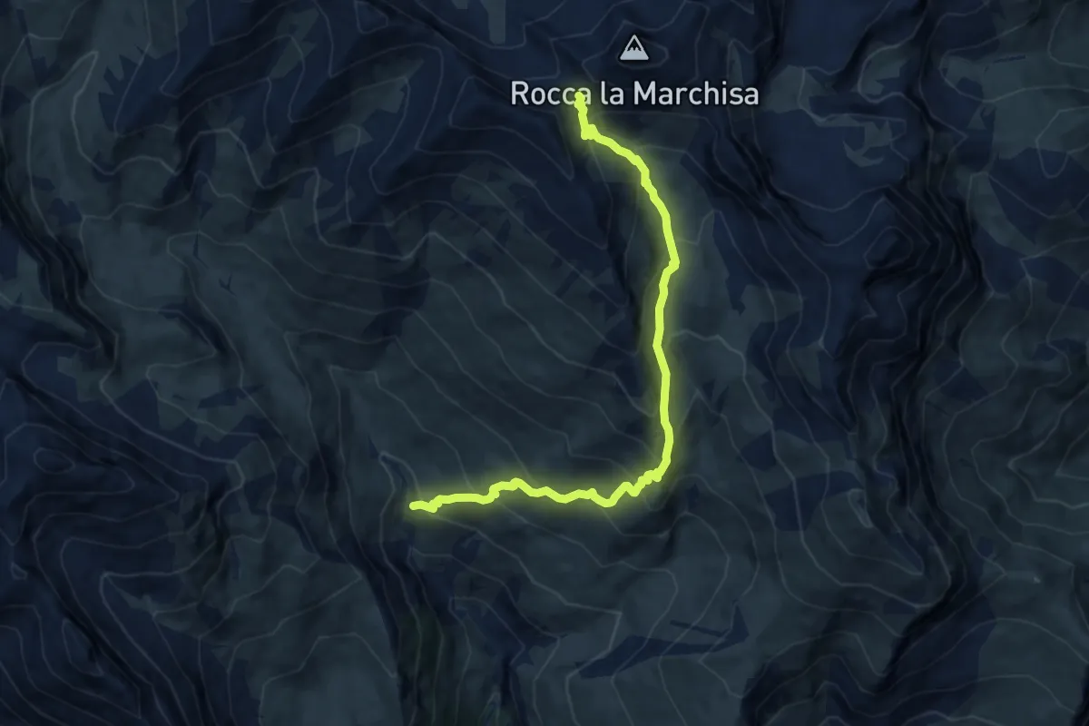
Demanding · Trail
Bivio T09-T28-T34-T35, Cappella Madonna della Neve – Colle di Vers, bivio T09-U29
10.7 km · ↑ 906 m · 4 h 30 min
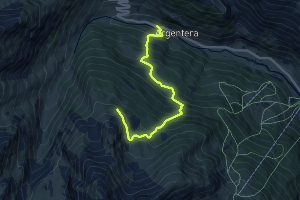
Medium · Trail
Argentera, bivio CNAP42-CNAP42B presso ponte sullo Stura – Argentera, Gias delle Lose
7.4 km · ↑ 629 m · 3 h 6 min