Trails in Italy
25,219 hiking trails, each with its route, climb, walking time and grade.
All trails, page 338 of 526
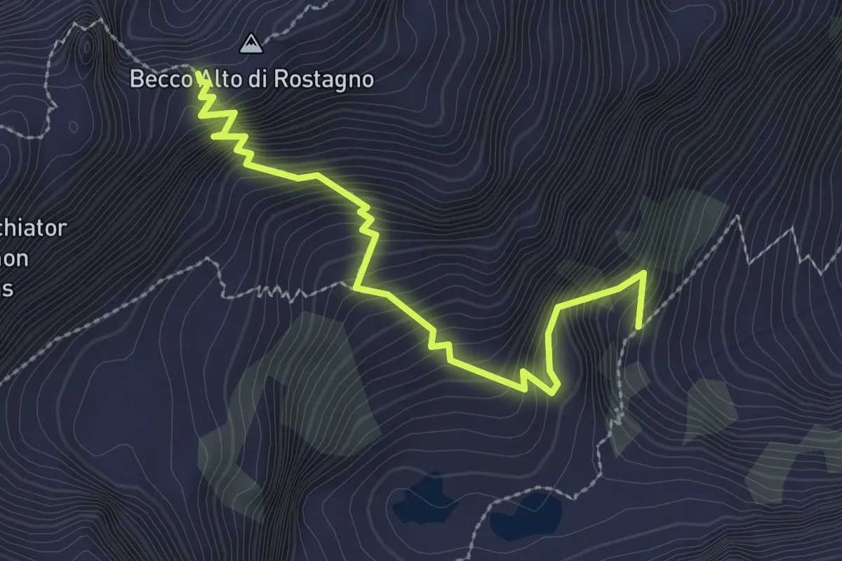
Medium · Trail
Lago Ischiator di Mezzo – Colle Laris
2.9 km · ↑ 422 m · 1 h 35 min
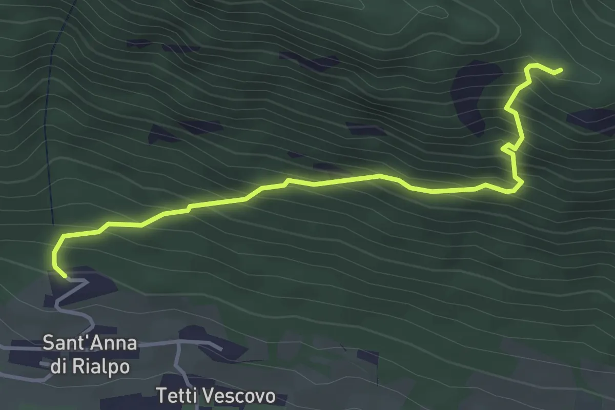
Medium · Trail
Sant'Anna di Rialpo – Colla del Bal
3.8 km · ↑ 463 m · 1 h 55 min
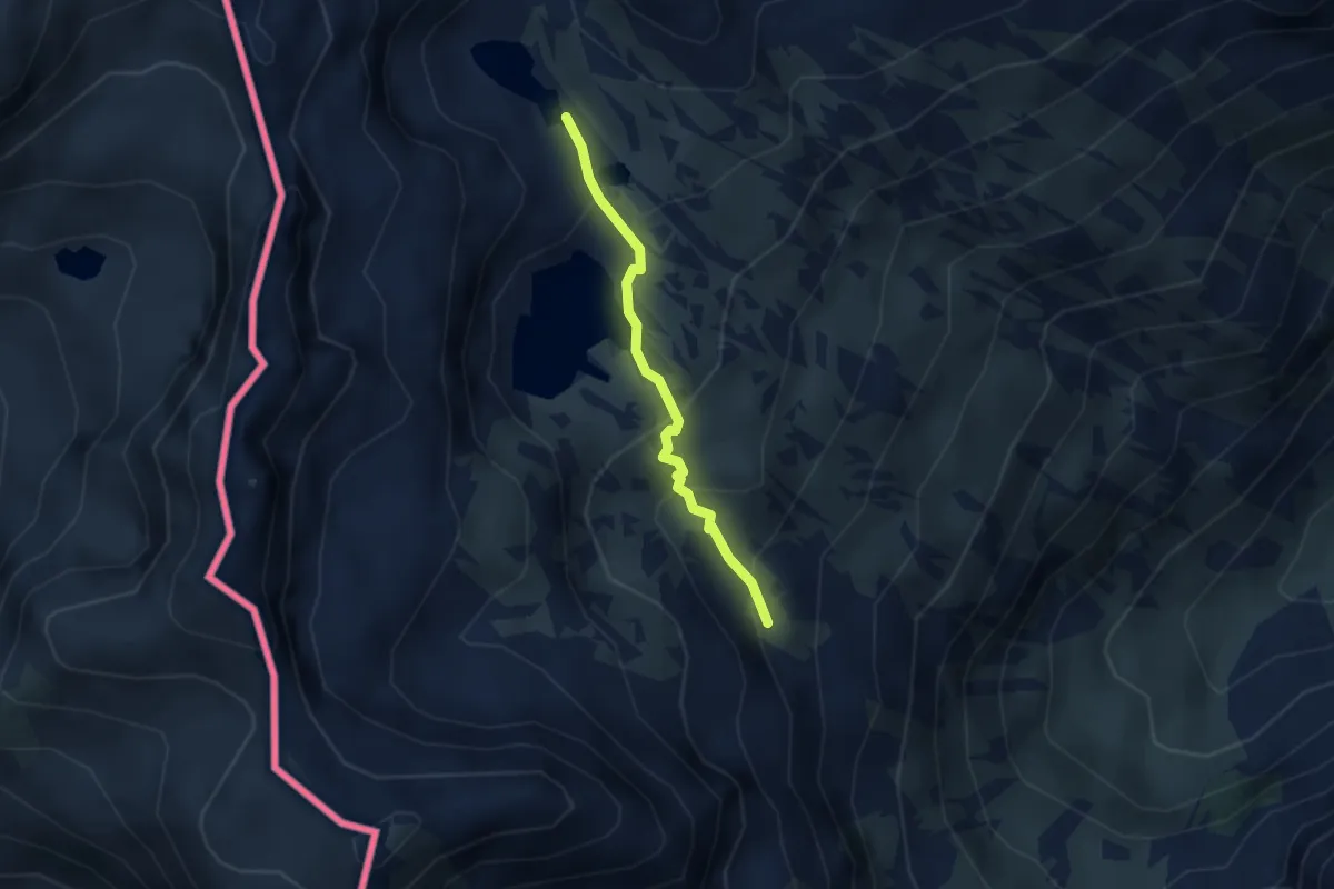
Medium · Trail
Valle di Barcabana – Laghi Lausfero
2.6 km · ↑ 165 m · 58 min
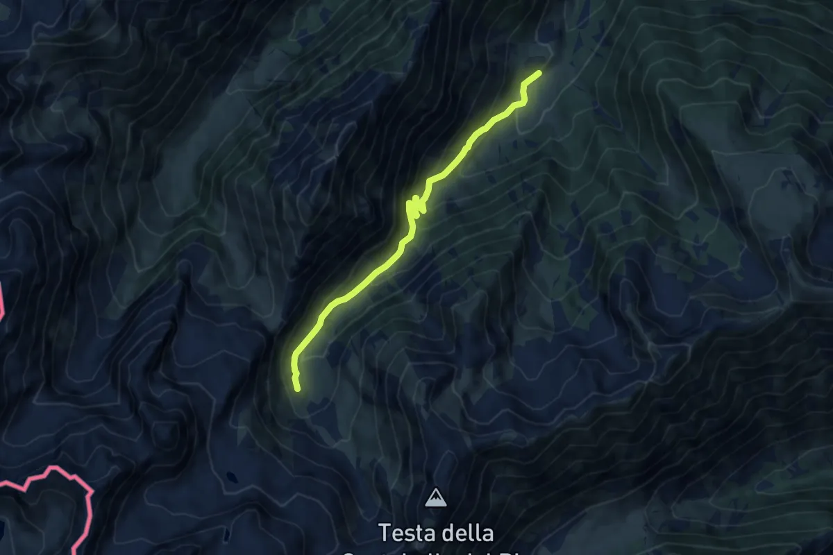
Medium · Trail
Piano della Regina – Gias del Piz
9.3 km · ↑ 636 m · 3 h 35 min
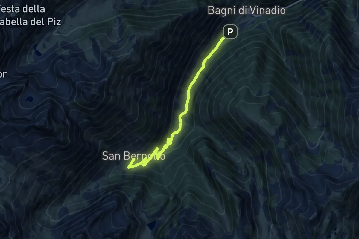
Medium · Cabin
Strepeis – San Bernolfo
10.4 km · ↑ 396 m · 3 h 18 min
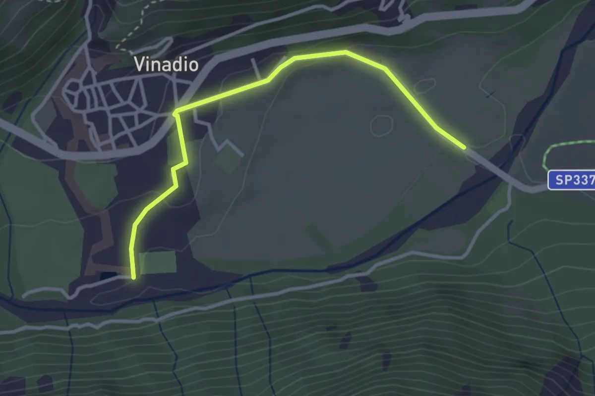
Easy · Trail
Vinadio – Torrente Stura
3.2 km · ↑ 91 m · 57 min
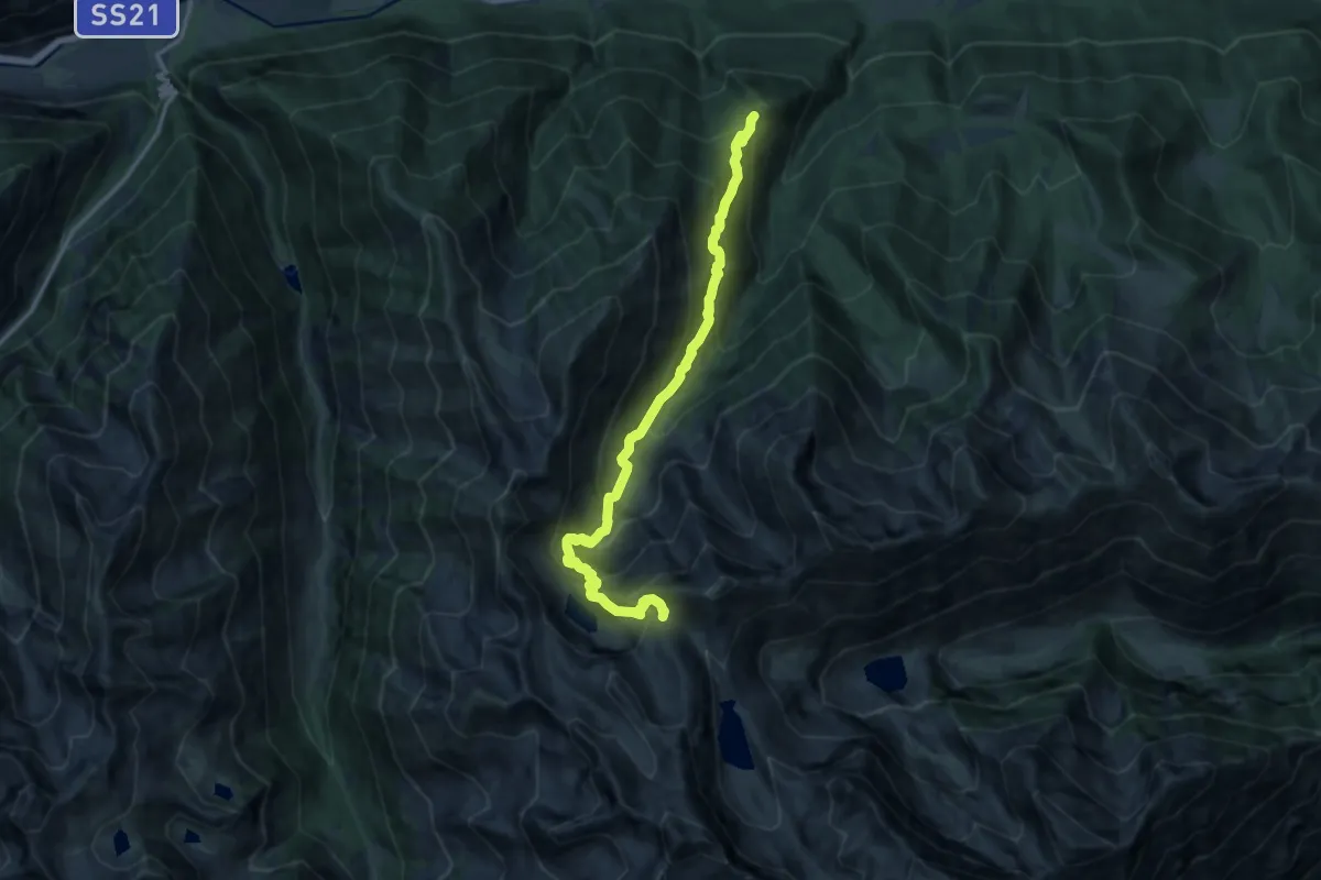
Demanding · Trail
Pinet – Colle della Valletta
14.7 km · ↑ 1290 m · 6 h 16 min
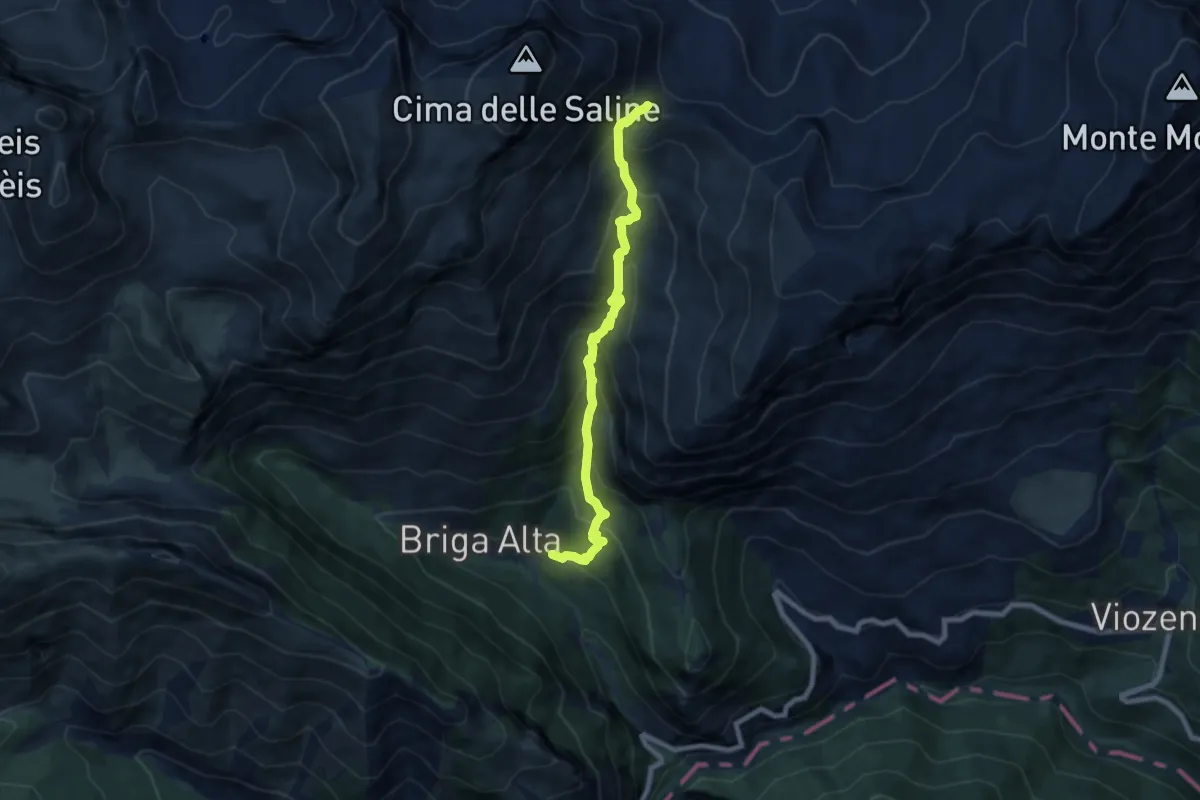
Demanding · Cabin
Briga Alta – Passo delle Saline
7.7 km · ↑ 817 m · 3 h 35 min
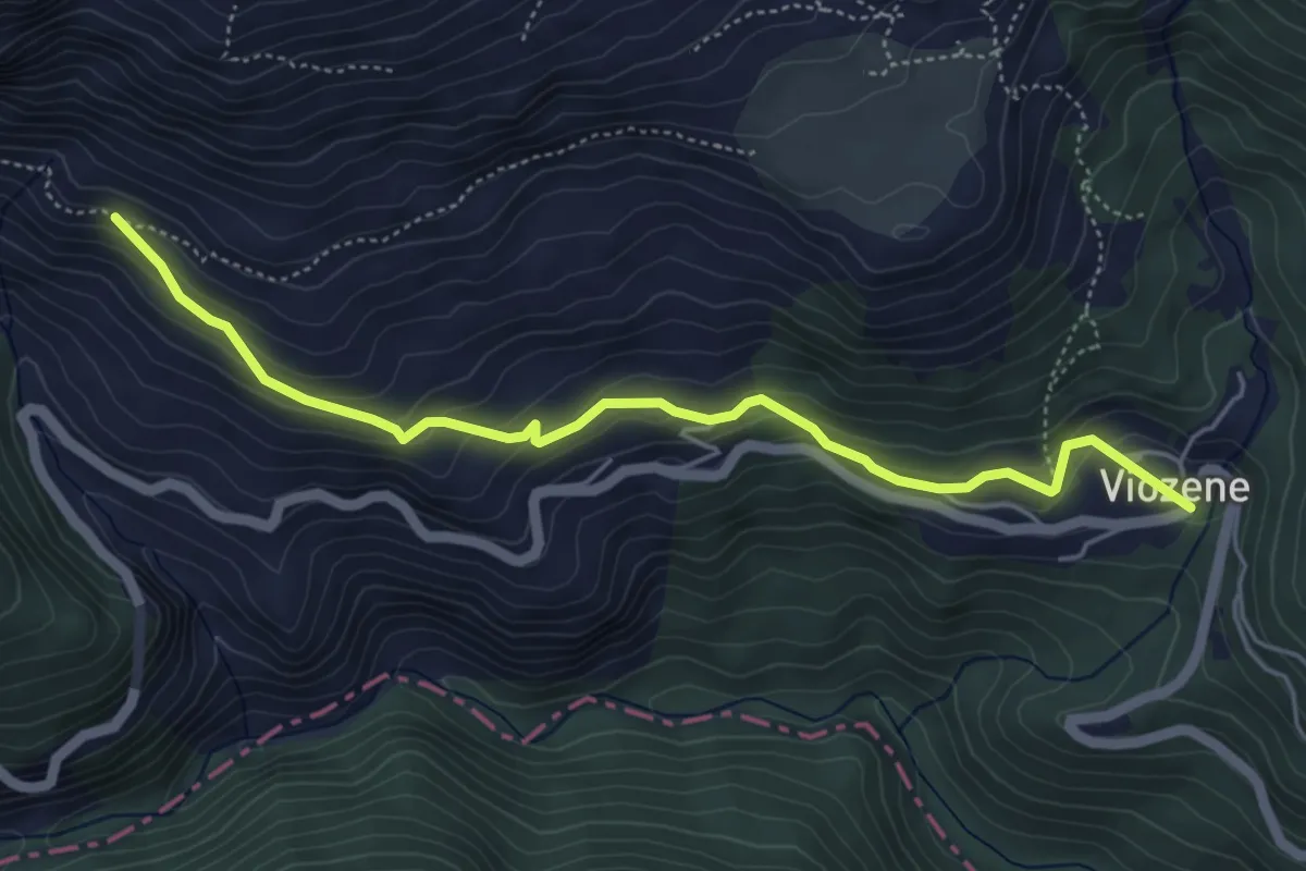
Medium · Trail
Viozene – Le Pianche
5.4 km · ↑ 293 m · 1 h 54 min
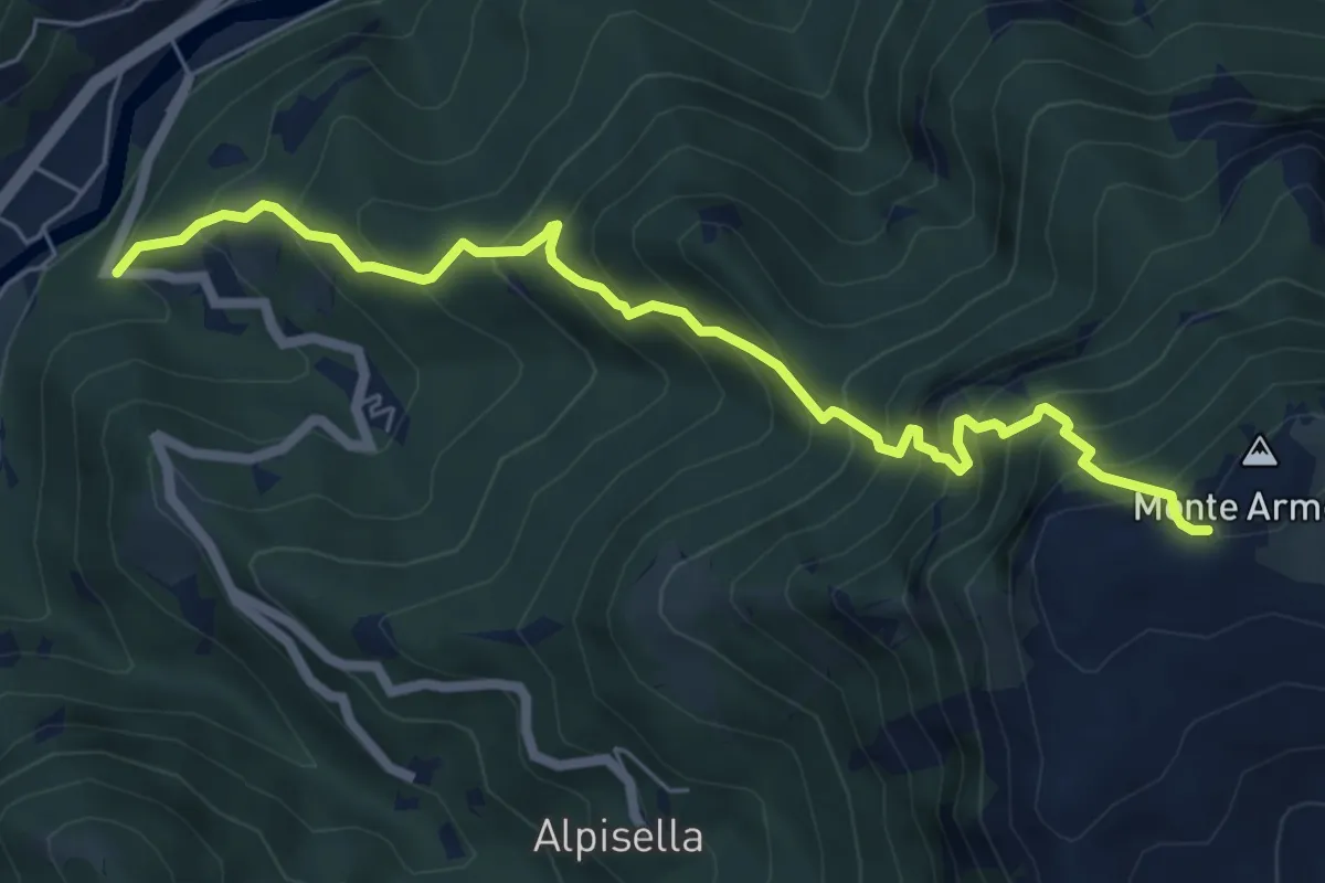
Demanding · Trail
giro di Martin – Monte Armetta
6.9 km · ↑ 927 m · 3 h 38 min
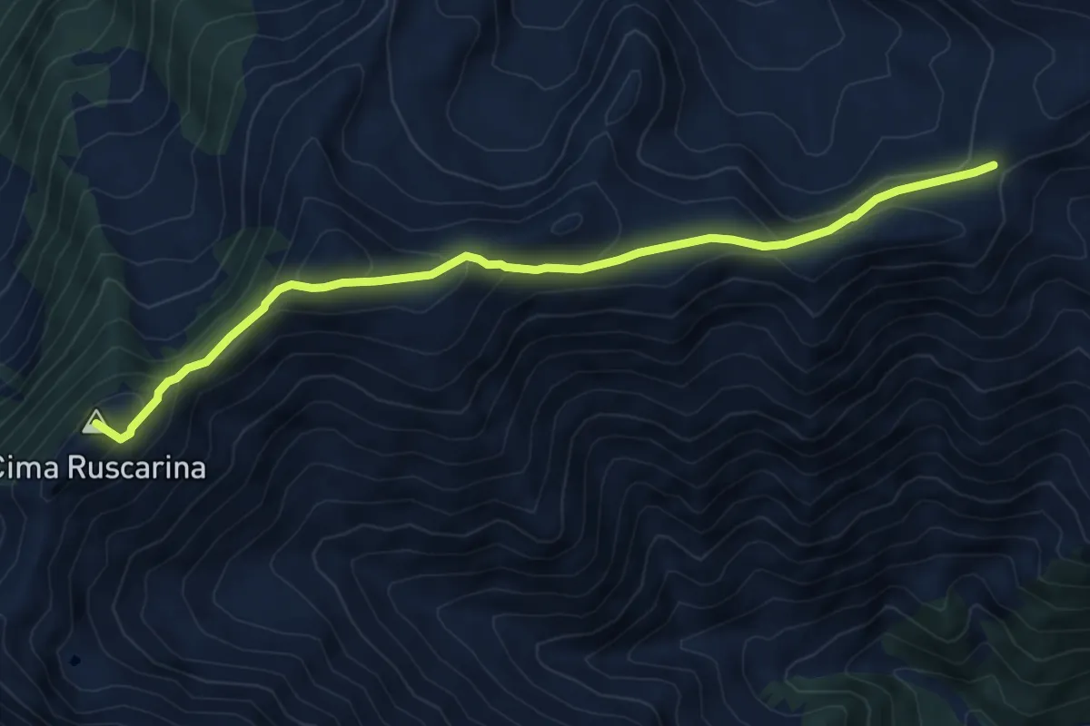
Medium · Summit
Colla del Termini – Colla del Pizzo
7.5 km · ↑ 436 m · 2 h 44 min
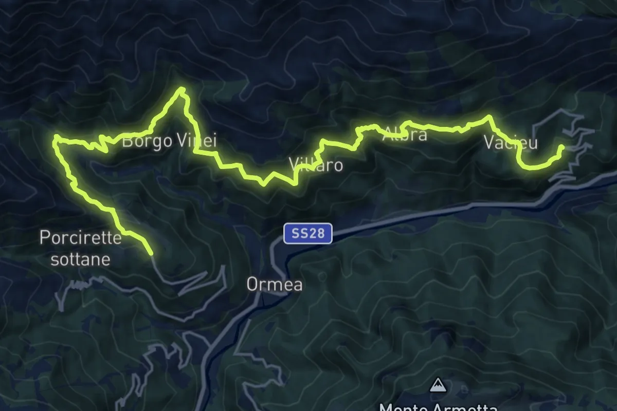
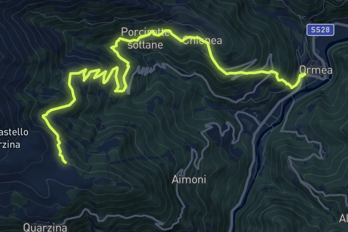
Demanding · Cabin
Ormea, presso frazione Eca San Giacomo – Ormea, frazione Chionea, bivio CNAA20, CNAA34
12.8 km · ↑ 1001 m · 5 h 14 min
Demanding · Trail
Ormea – Ormea, presso chiesa di San Giovanni Battista, bivio CNAA20, CNAA20A, CNAA21
16.9 km · ↑ 1006 m · 6 h 10 min
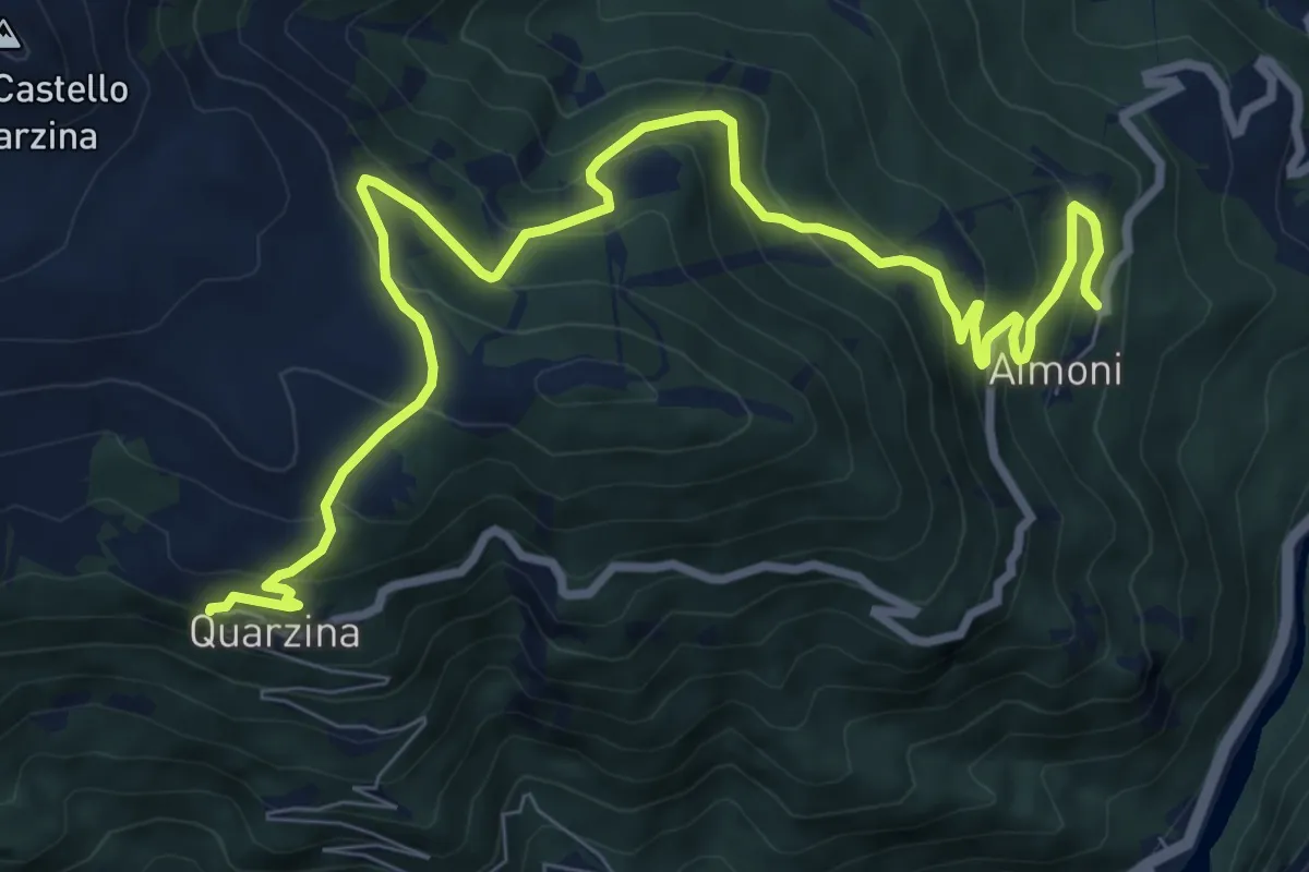
Medium · Cabin
borgata Aimoni – Quarzina
11.2 km · ↑ 654 m · 4 h 3 min
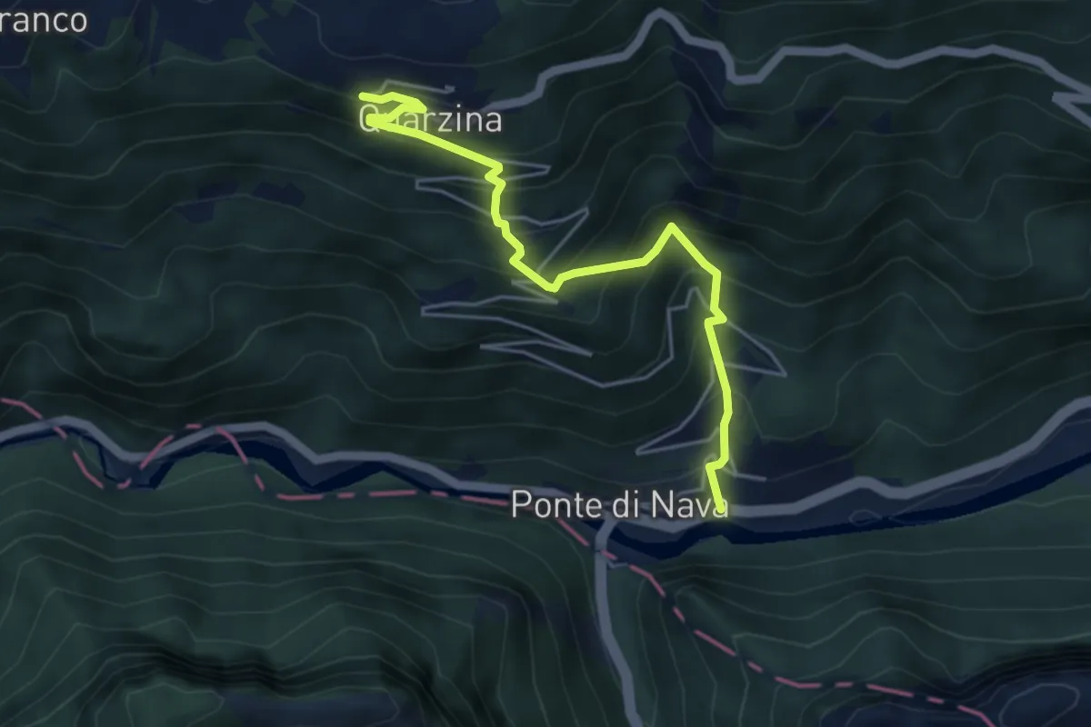
Medium · Cabin
Ponte di Nava – Quarzina
4.8 km · ↑ 549 m · 2 h 19 min
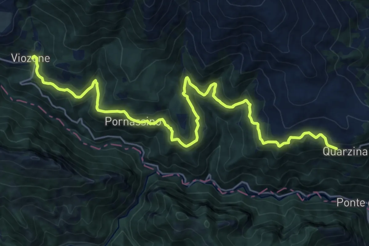
Demanding · Cabin
Quarzina – Borgata Viozene
22.5 km · ↑ 1013 m · 7 h 30 min
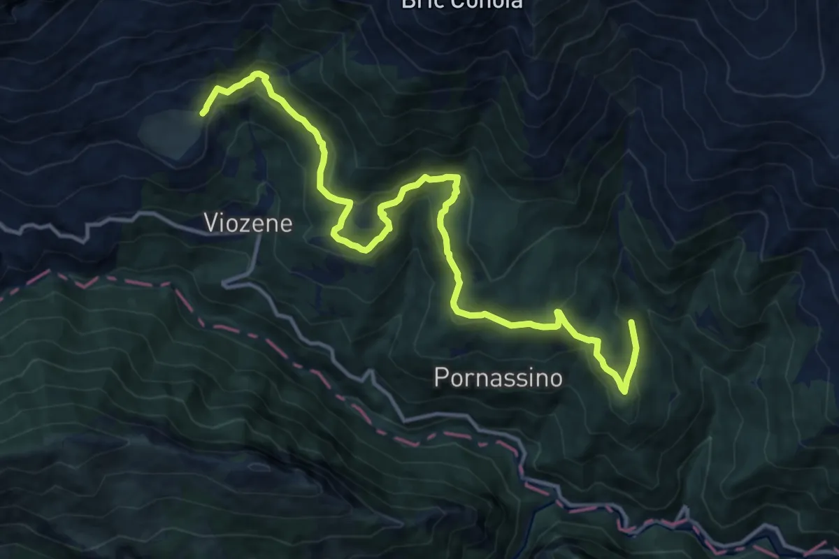
Medium · Trail
Fasce – Rifugio Mongioie
15.3 km · ↑ 740 m · 5 h 13 min
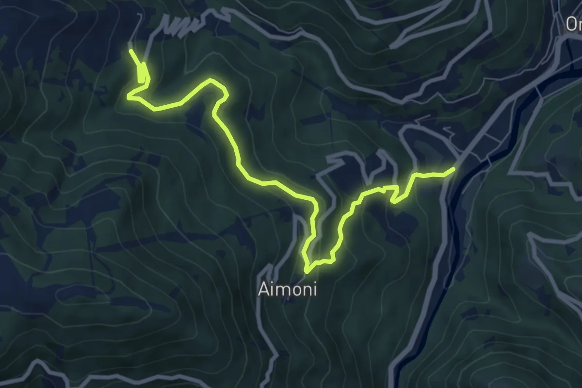
Medium · Trail
Villa Bensa – Chioraira
8.7 km · ↑ 447 m · 3 h 1 min
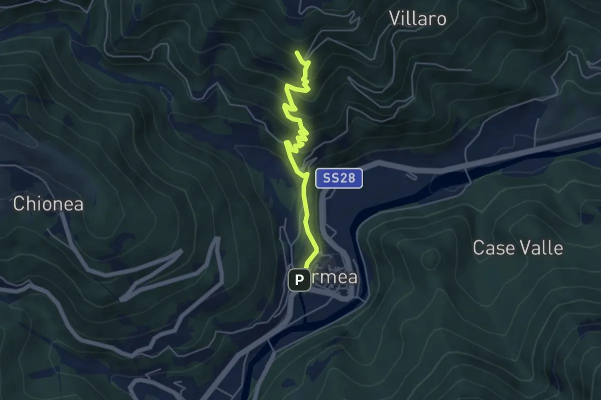
Medium · Trail
Ormea, concentrico – Ormea, borgata Airola, bivio CNAA34, CNAA34D
4.5 km · ↑ 418 m · 1 h 58 min
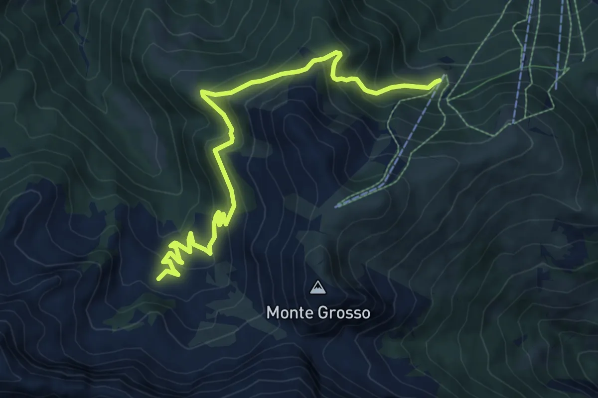
Medium · Trail
Garessio, Gias del Roccassone, bivio CNAC07, CNAC08, CNAC42 – Garessio, Conca dell'Alpe di Perabruna, bivio CNAC01, CNAC08
10.0 km · ↑ 621 m · 3 h 42 min
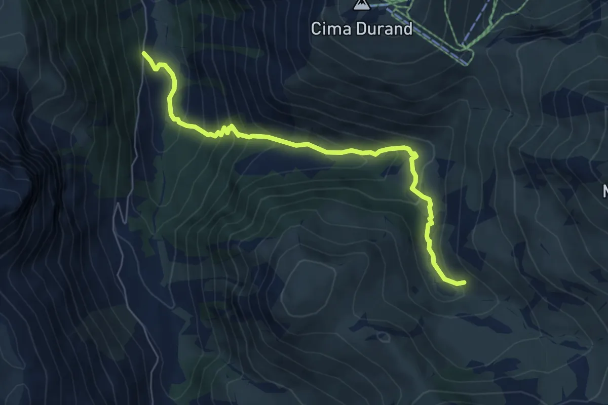
Medium · Trail
Roccaforte Mondovì, Pian di Male, bivio G04, G14 – Roccaforte Mondovì, presso Sella di Pian di Male, bivio G02, G04
6.5 km · ↑ 530 m · 2 h 41 min
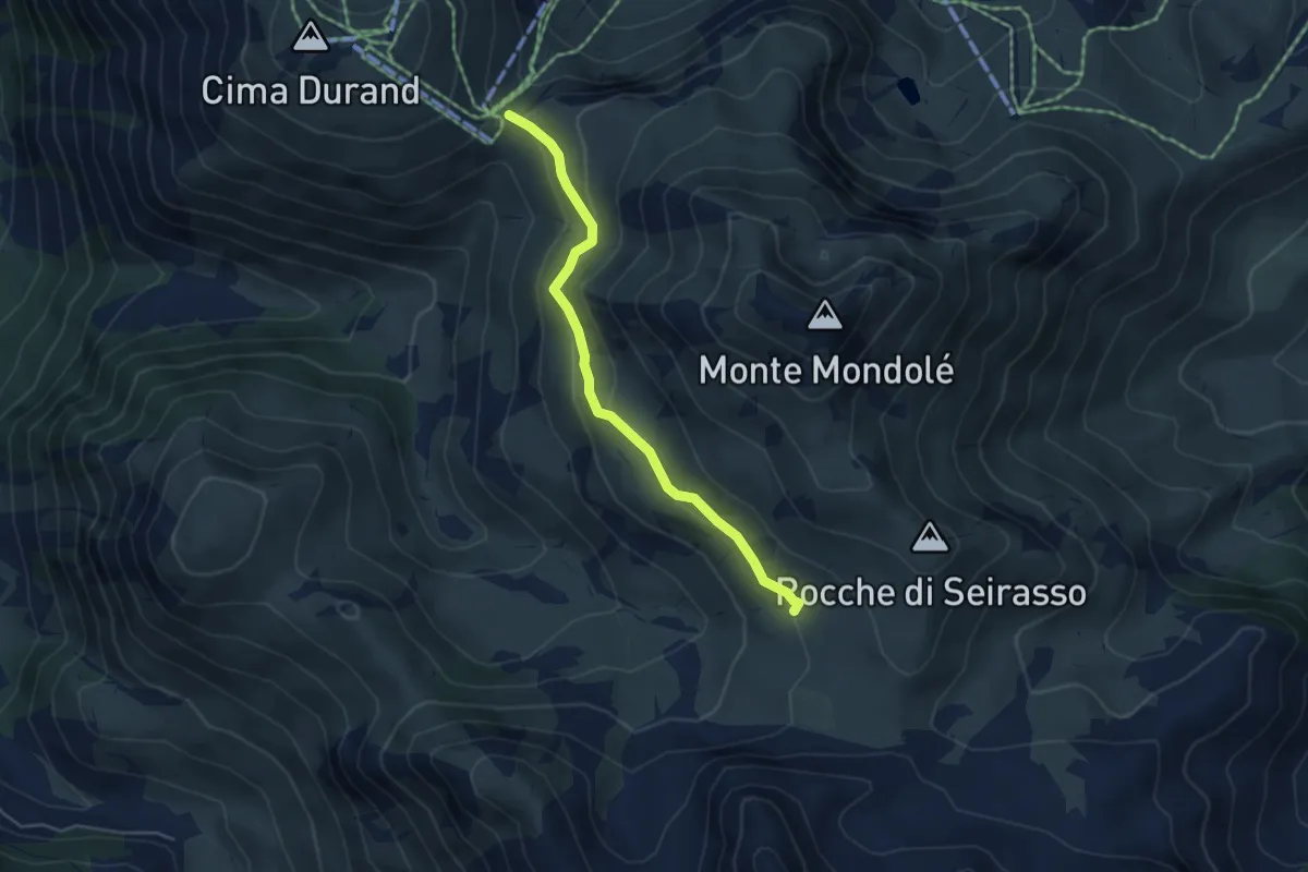
Easy · Trail
Colla Bauzano – Colletta Seirasso
4.6 km · ↑ 183 m · 1 h 28 min
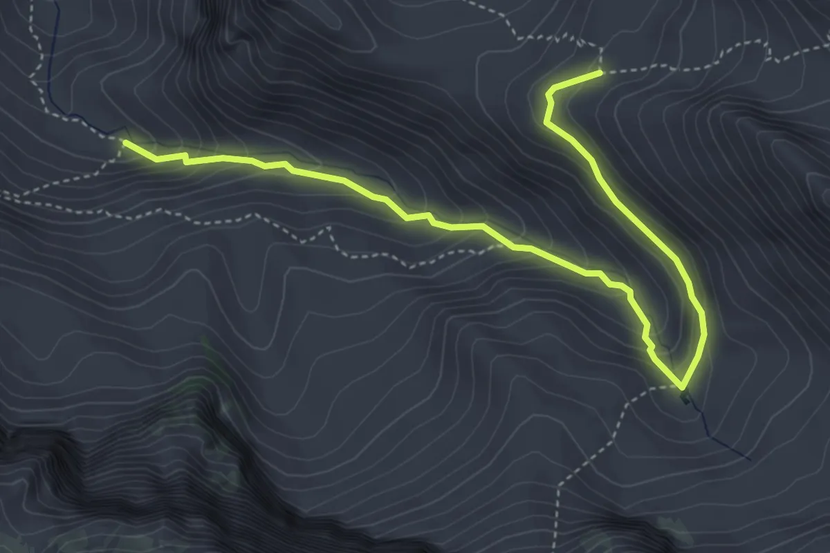
Medium · Trail
Pian delle Gorre – Rifugio Garelli
5.4 km · ↑ 408 m · 2 h 9 min
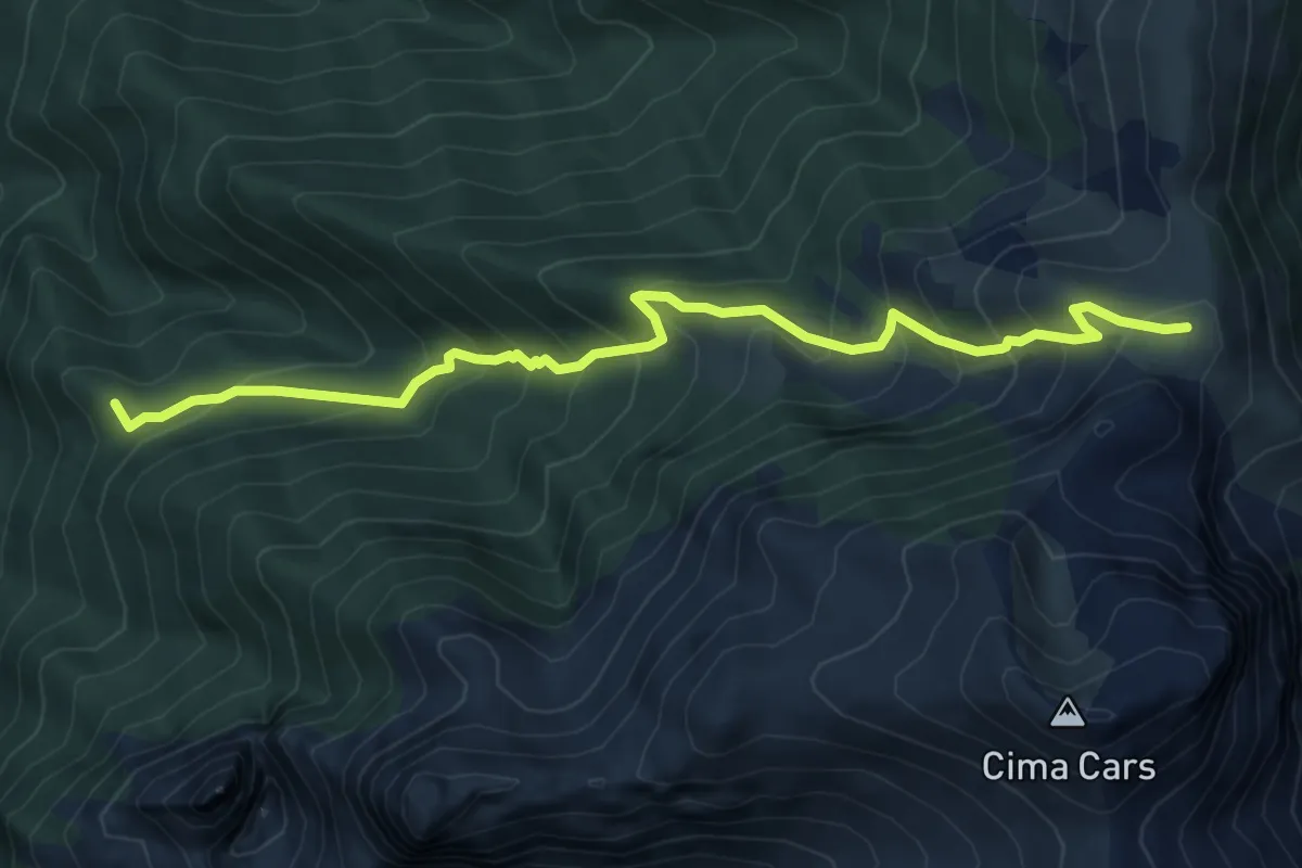
Medium · Summit
Villaggio Ardua – Casino del Cars
7.3 km · ↑ 669 m · 3 h 10 min
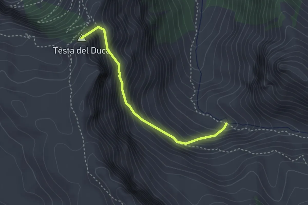
Medium · Summit
Vallone del Marguareis – Colle Superiore del Prel
3.0 km · ↑ 400 m · 1 h 34 min
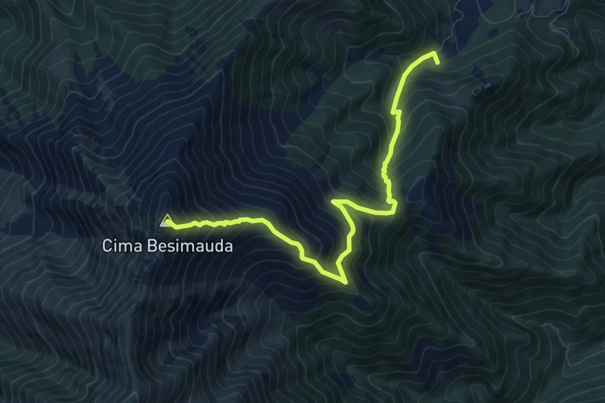
Demanding · Summit
ponte su Rio Grosso – Monte Besimauda
10.3 km · ↑ 1196 m · 5 h 2 min
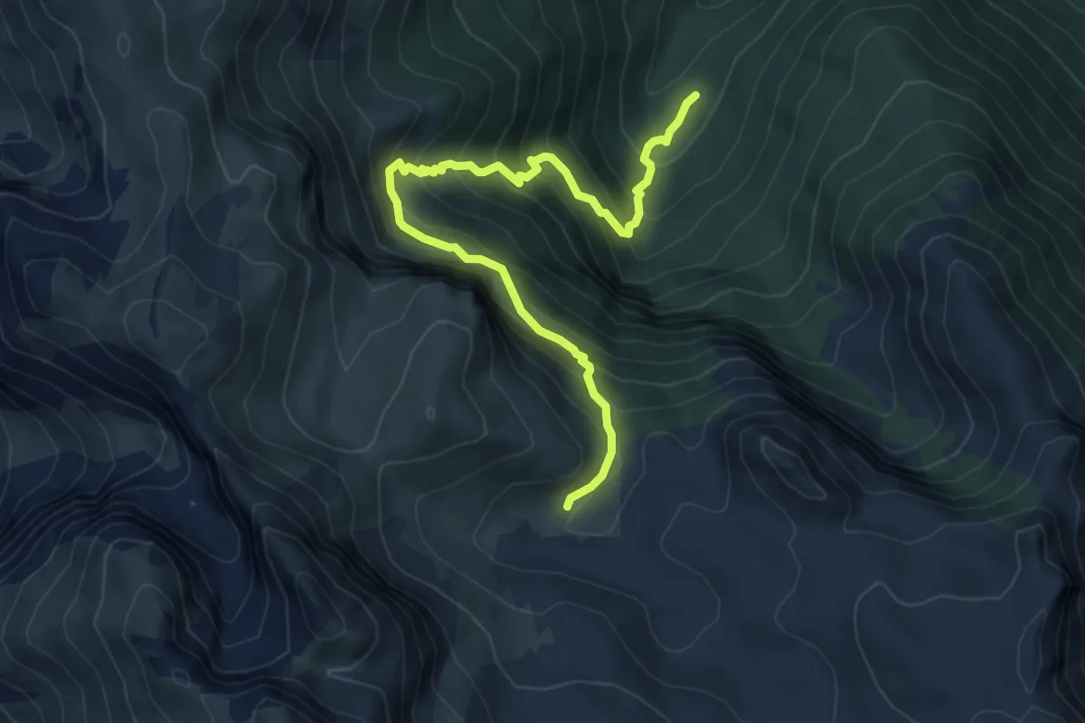
Medium · Trail
Gias Fontana – Gias dell'Ortica
6.9 km · ↑ 782 m · 3 h 20 min
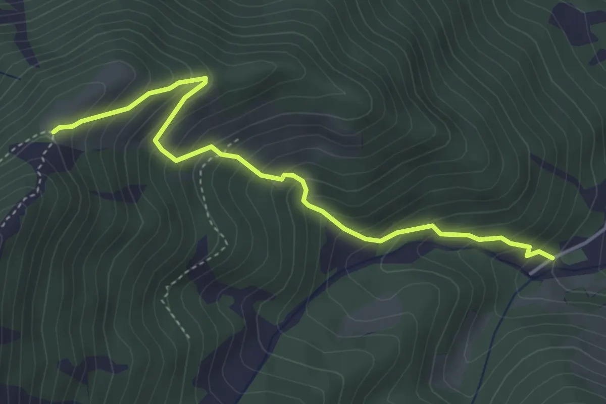
Medium · Trail
Conca delle Meschie – Gias della Sella
4.4 km · ↑ 489 m · 2 h 6 min
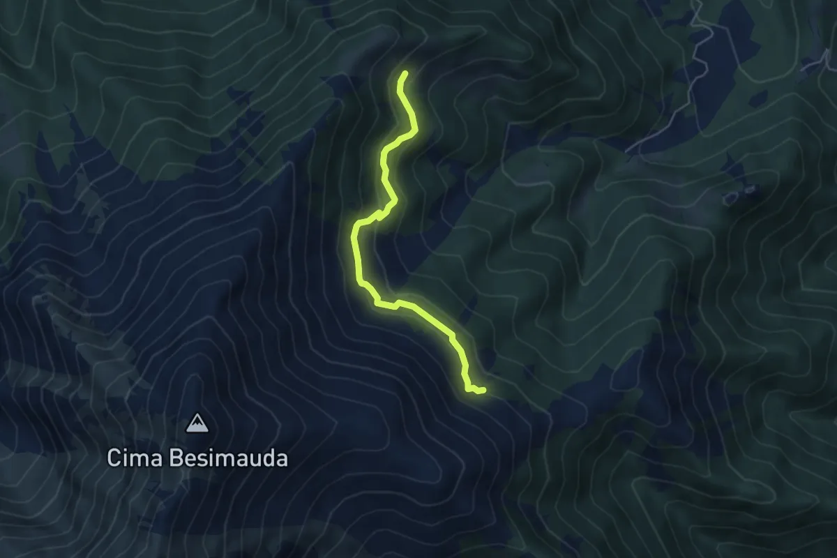
Easy · Trail
Bivio sentiero H16 – Bivio sentiero H16B
4.7 km · ↑ 279 m · 1 h 43 min
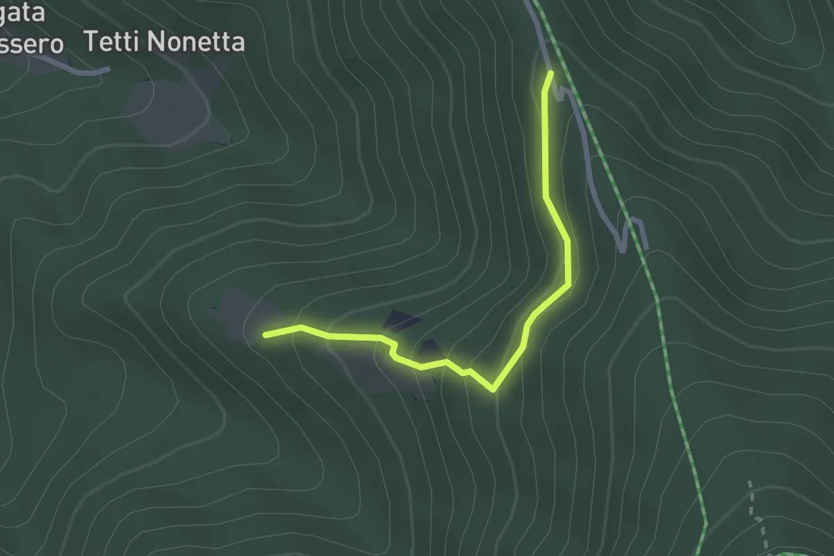
Easy · Trail
Stalle Baudinet – Strada tra Cappella dell'Olocco e Gias Mascarone
2.3 km · ↑ 196 m · 58 min
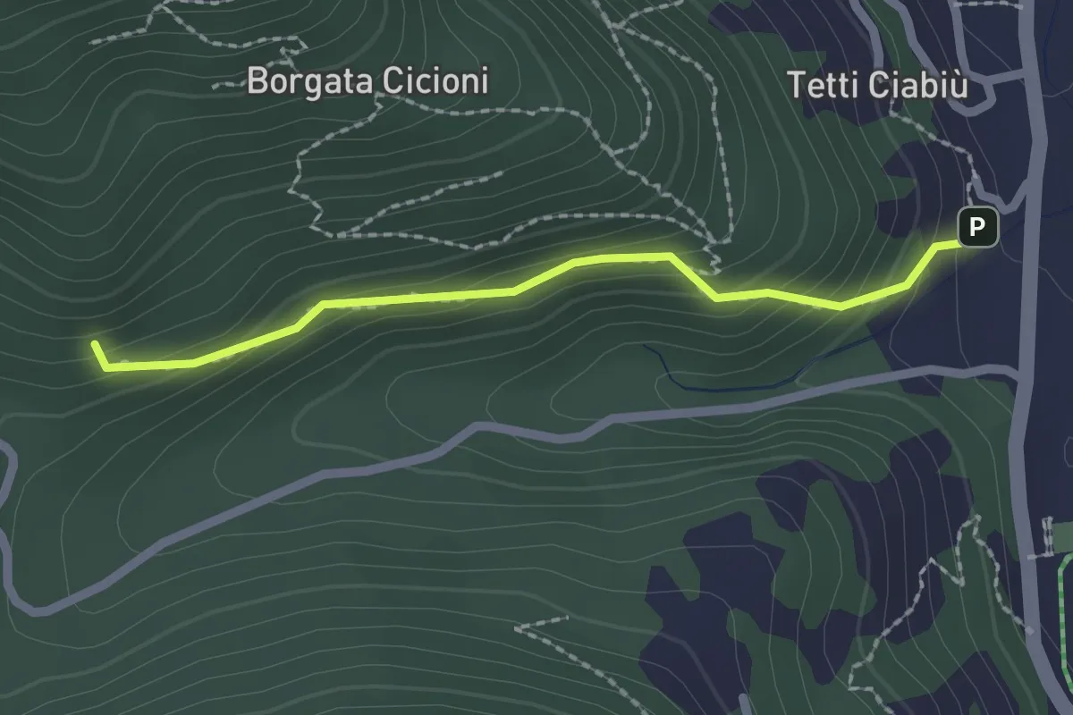
Medium · Trail
Tetto Paglietta – San Bartolomeo
2.0 km · ↑ 156 m · 49 min
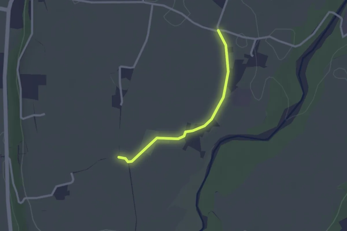
Easy · Trail
Bivio CNAH29-CNAH29A – C. Gaiardin
2.2 km · ↑ 8 m · 32 min
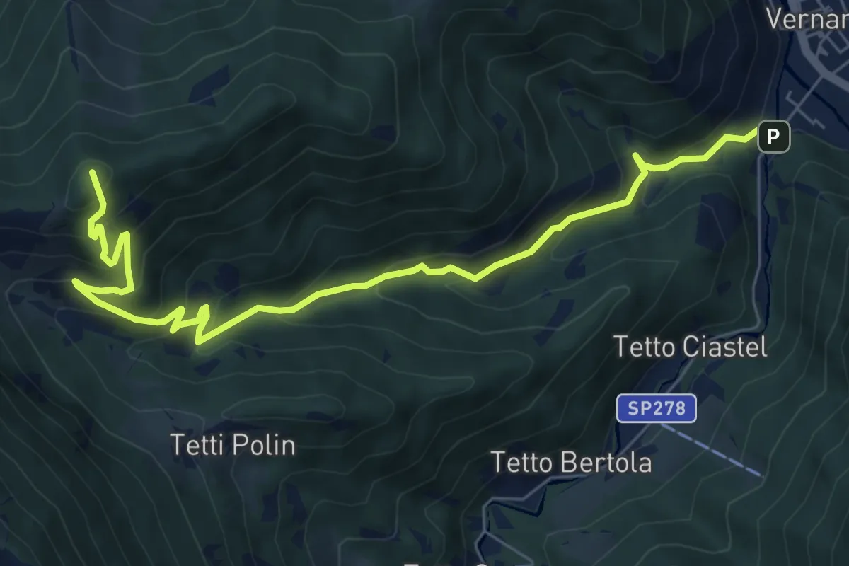
Medium · Summit
La Madonna – Tetti Goderie
8.5 km · ↑ 695 m · 3 h 30 min
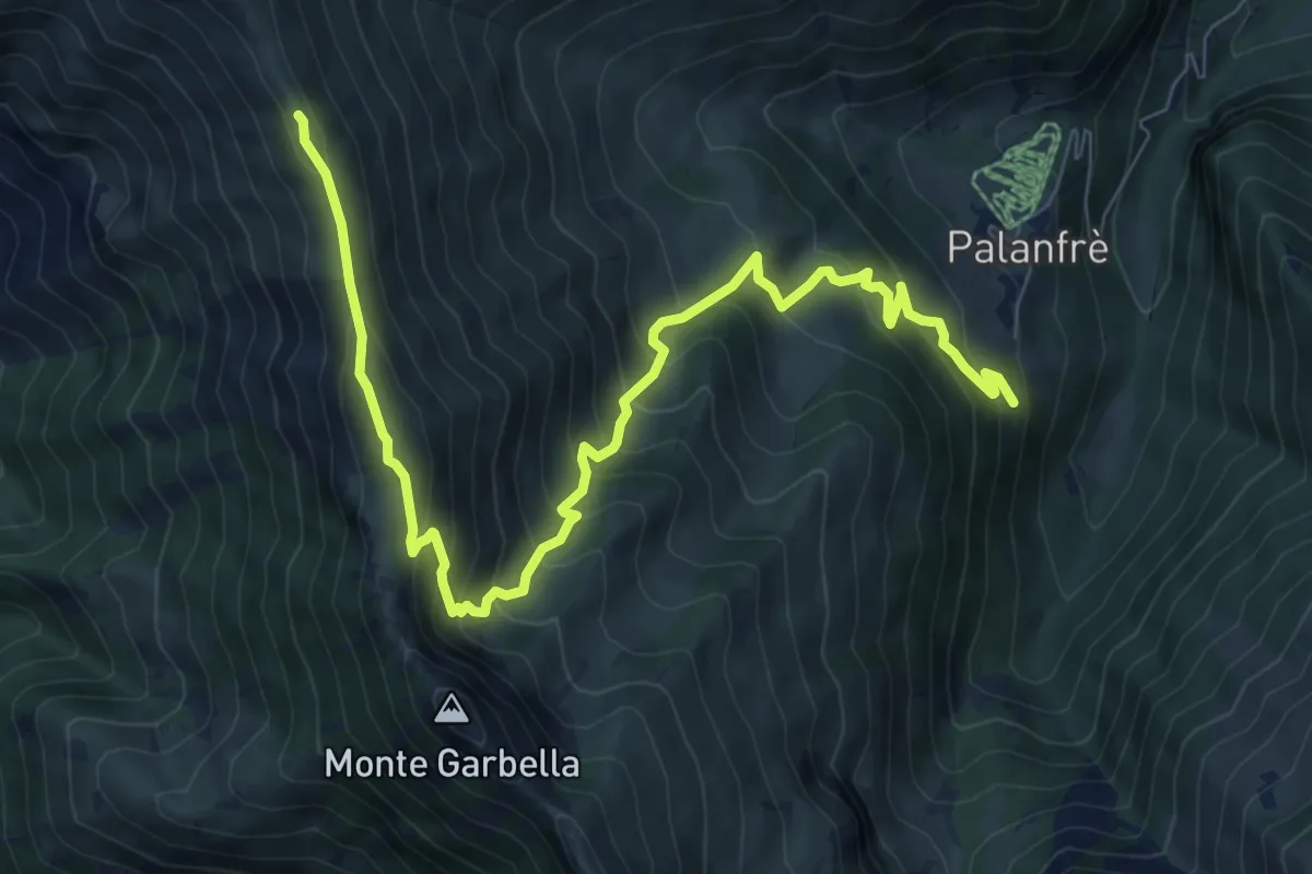
Demanding · Trail
Palanfrè – Colle della Garbella
10.4 km · ↑ 839 m · 4 h 16 min
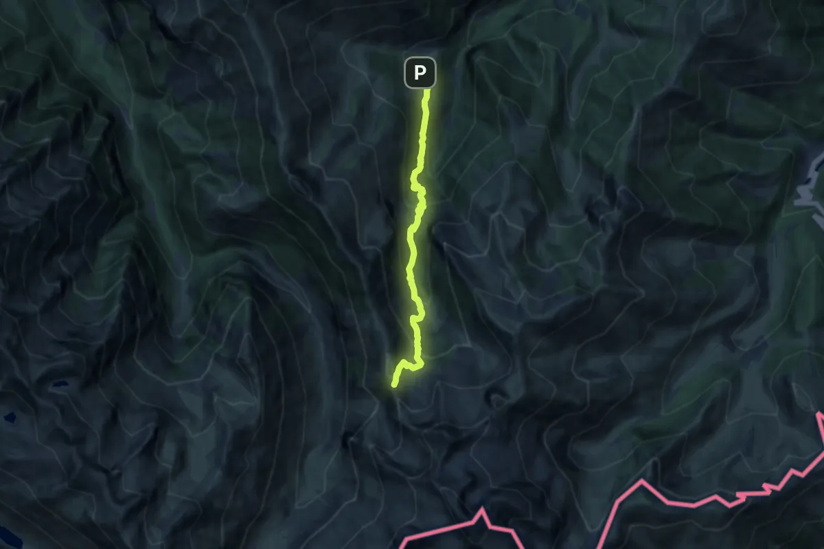
Demanding · Trail
Palanfrè – Passo della Mena
11.0 km · ↑ 912 m · 4 h 34 min
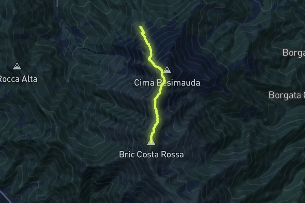
Demanding · Summit
Bivio sentiero L18 – Bric Costa Rossa
8.3 km · ↑ 985 m · 4 h 6 min
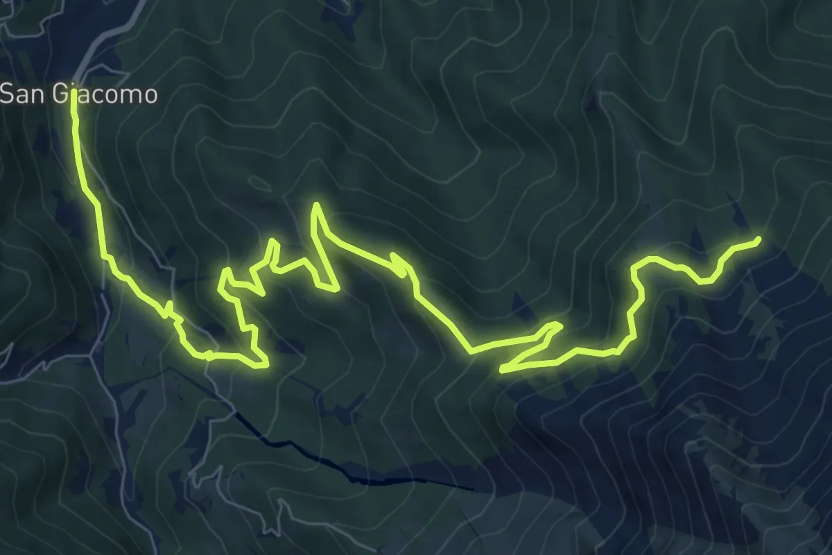
Medium · Trail
San Giacomo – Fontana Cappa
13.2 km · ↑ 788 m · 4 h 50 min
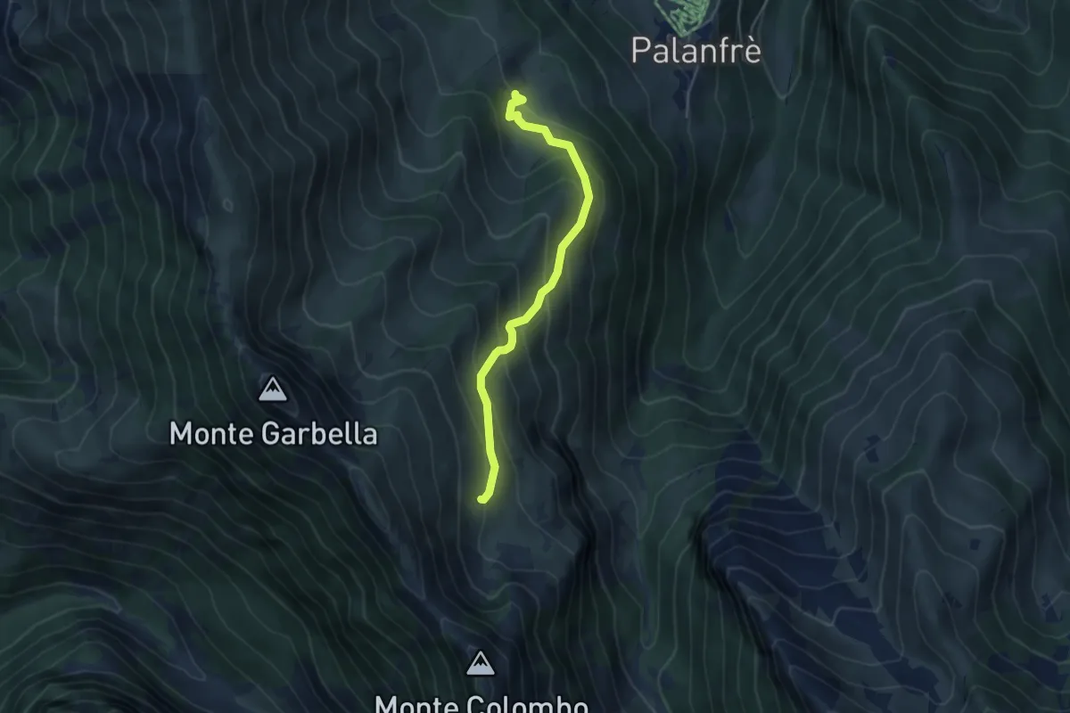
Medium · Trail
Bivio CNAL06-CNAL22 – Località Fontana, Pian Colombo
4.4 km · ↑ 399 m · 1 h 54 min
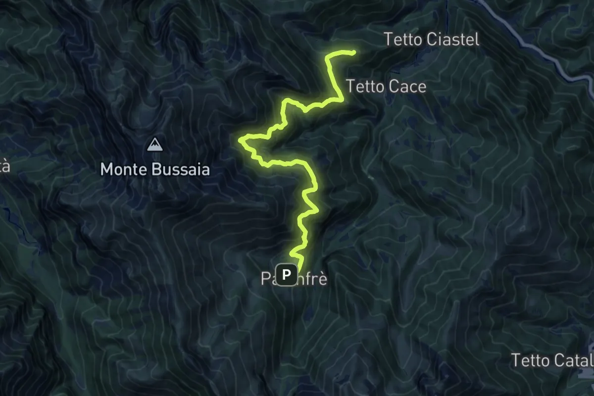
Demanding · Summit
Bivio CNAL31-CNAL26 – Bivio CNAL26-CNAL07
16.4 km · ↑ 1123 m · 6 h 18 min
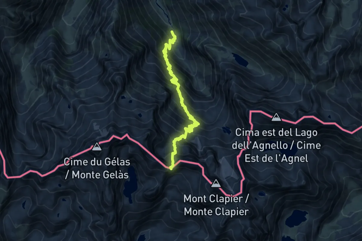
Demanding · Trail
Gias del Vei del Bouc sottano – Passo di Pagarì
14.2 km · ↑ 1336 m · 6 h 15 min
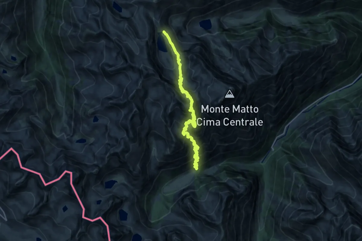
Demanding · Trail
Valdieri, presso Pian del Valasco, bivio CNAN17-CNAN43 – Valdieri, Lago Soprano della Sella
10.3 km · ↑ 1472 m · 5 h 29 min
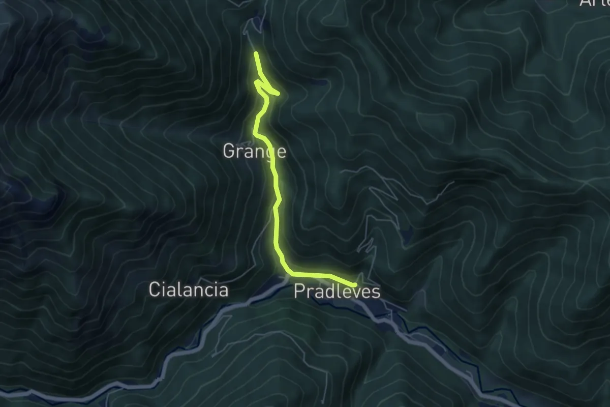
Easy · Trail
Pradleves, bivio CNAR08-CNAR08A-CNAR15 – Pradleves, presso località Presa, bivio CNAR08A-CNAR20
5.0 km · ↑ 286 m · 1 h 49 min
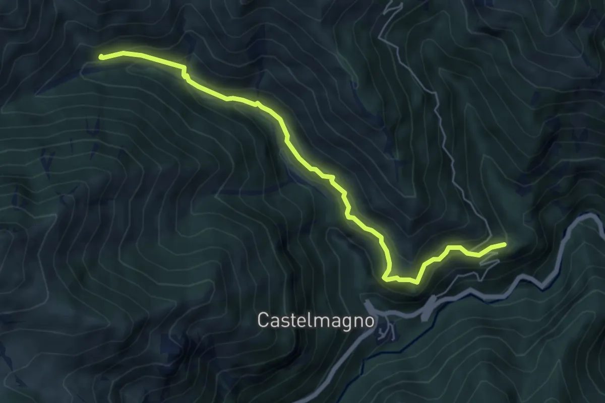
Demanding · Trail
Colletto – Narbona
6.2 km · ↑ 568 m · 2 h 41 min
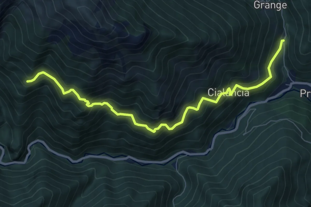
Demanding · Trail
Bivio CNAR11-CNAR08 – Località Cauri
8.5 km · ↑ 937 m · 4 h 2 min
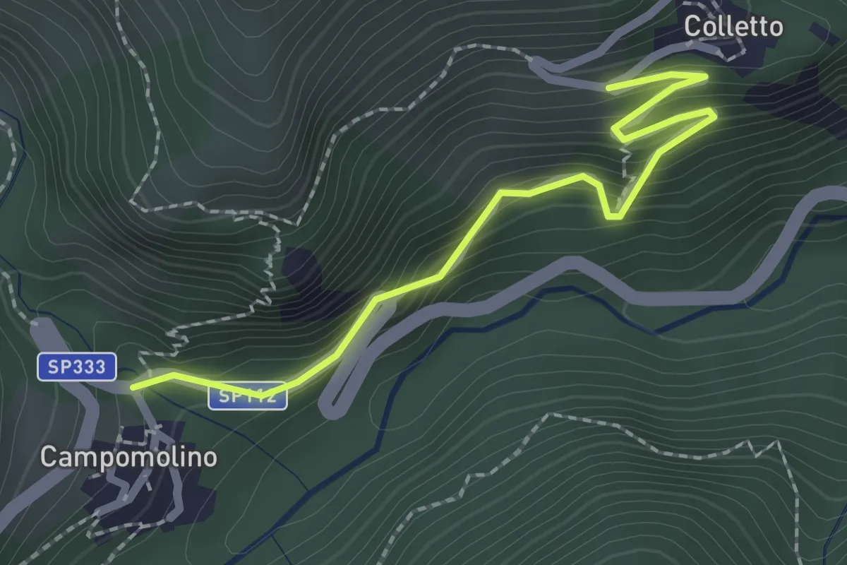
Easy · Trail
Bivio sentiero R09 – Bivio sentiero R12, R17
2.3 km · ↑ 252 m · 1 h 5 min
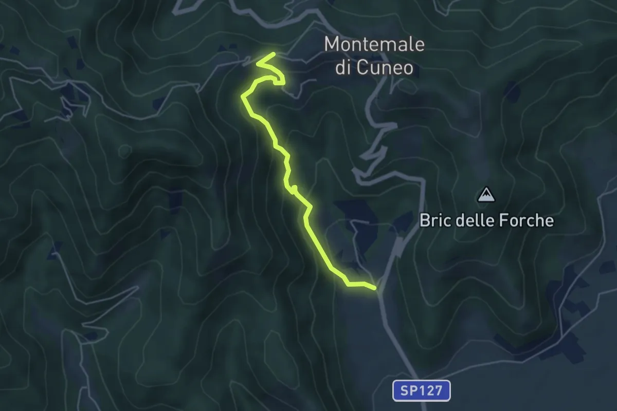
Easy · Trail
San Giorgio – Case Bersani
4.3 km · ↑ 287 m · 1 h 39 min
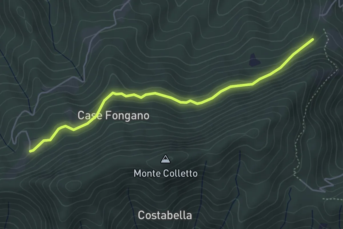
Easy · Trail
Cervasca, borgata Aranzon, bivio CNAR43-CNAR56 – Bernezzo, Case Prafragranza, bivio CNAR42-CNAR56
4.8 km · ↑ 168 m · 1 h 29 min
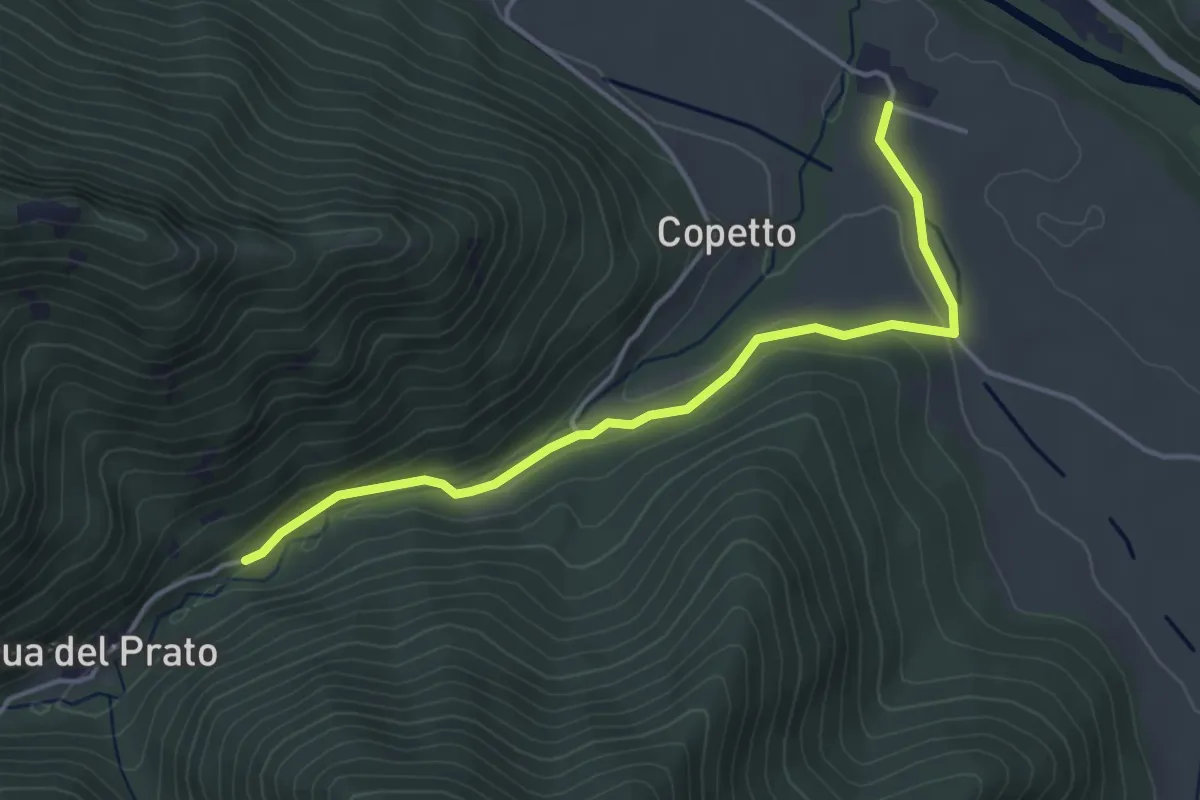
Easy · Trail
Tetti – Bivio sentiero S57
4.3 km · ↑ 100 m · 1 h 14 min