Trails in Italy
25,219 hiking trails, each with its route, climb, walking time and grade.
All trails, page 339 of 526
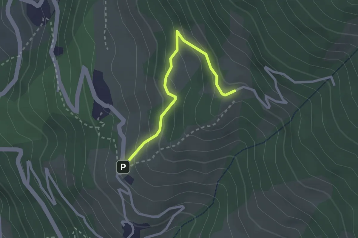
Easy · Trail
Parrocchia di Marmora – Bivio sentiero S42
2.3 km · ↑ 172 m · 54 min
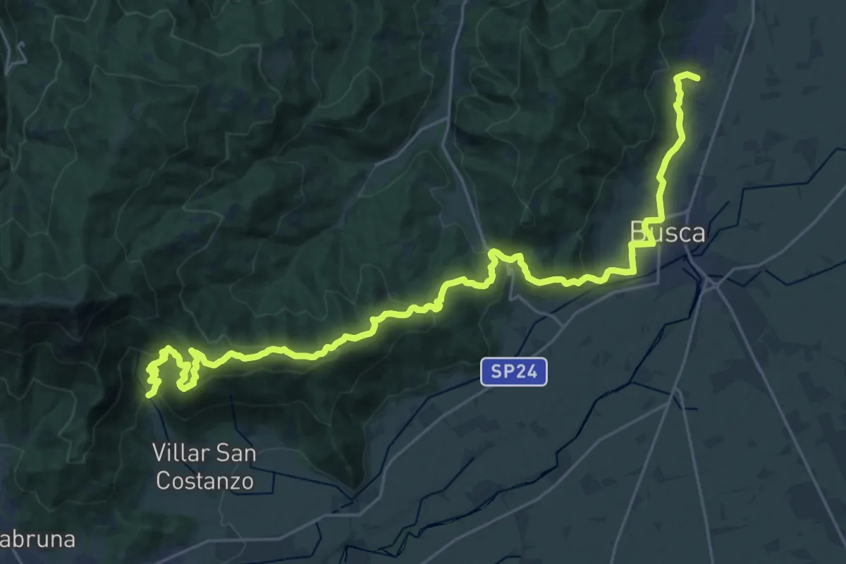
Medium · Trail
Località San Martino – Località Foresti
16.6 km · ↑ 510 m · 5 h 24 min
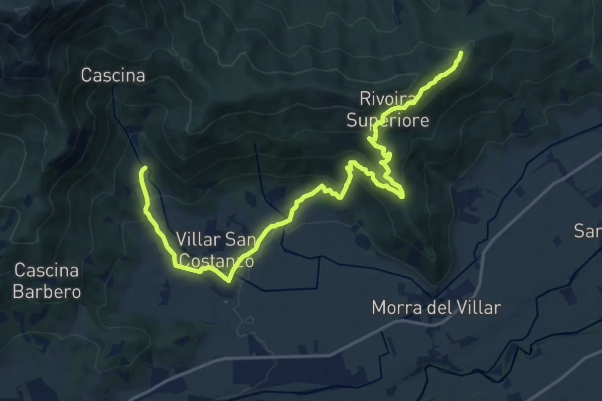
Medium · Trail
Località Foresti – Località C. Ceire
14.7 km · ↑ 628 m · 4 h 50 min
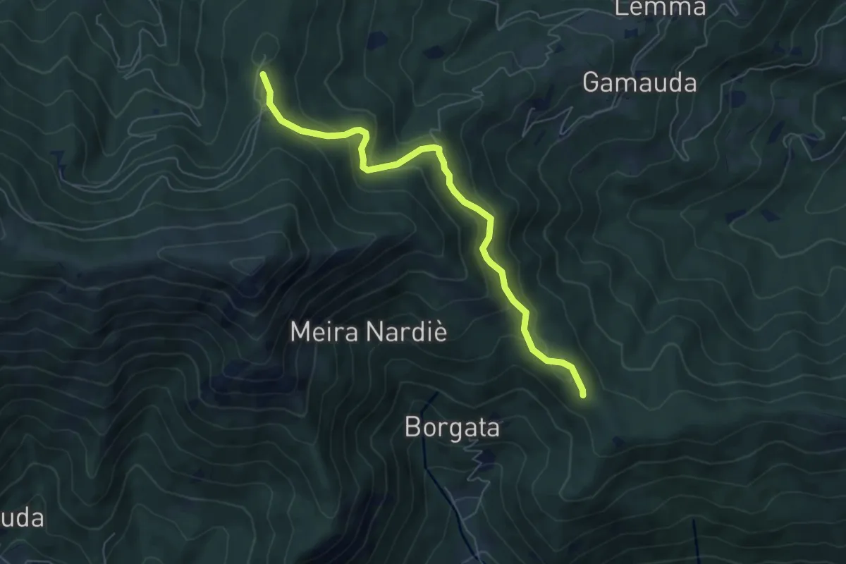
Medium · Trail
Bivio CNAT01-CNAT01B – Bivio CNAT01B-CNAU86-CNAU86B
6.4 km · ↑ 324 m · 2 h 13 min
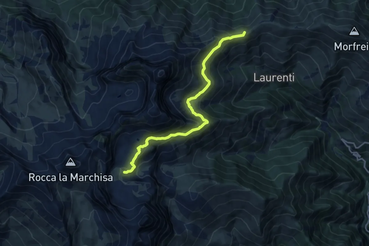
Demanding · Summit
Colle Bicocca – Fonte Nera
12.0 km · ↑ 839 m · 4 h 40 min
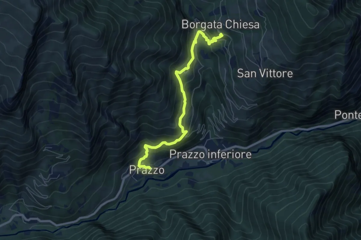
Medium · Trail
Bivio T24-T24A – Bivio sentiero T24
6.8 km · ↑ 477 m · 2 h 39 min
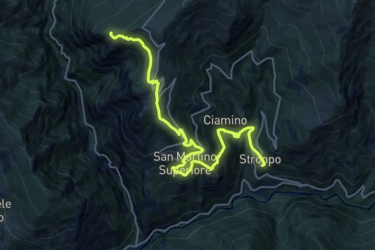
Demanding · Trail
Stroppo – Colle San Giovanni
14.1 km · ↑ 1061 m · 5 h 38 min
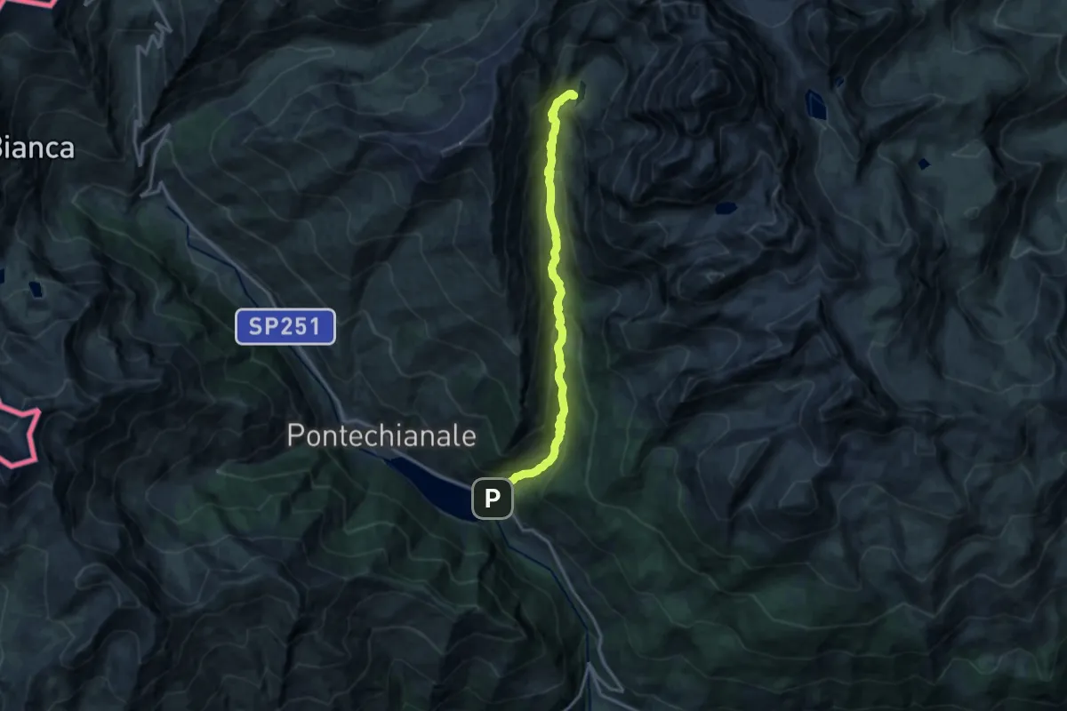
Demanding · Cabin
Castello di Pontechianale – Rifugio Vallanta
14.0 km · ↑ 875 m · 5 h 12 min
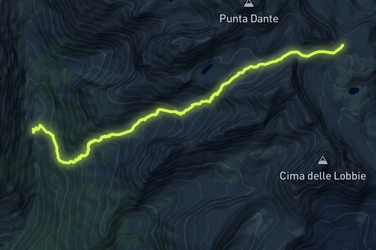
Demanding · Trail
Grange Gheit – Passo Gallarino
11.9 km · ↑ 910 m · 4 h 47 min
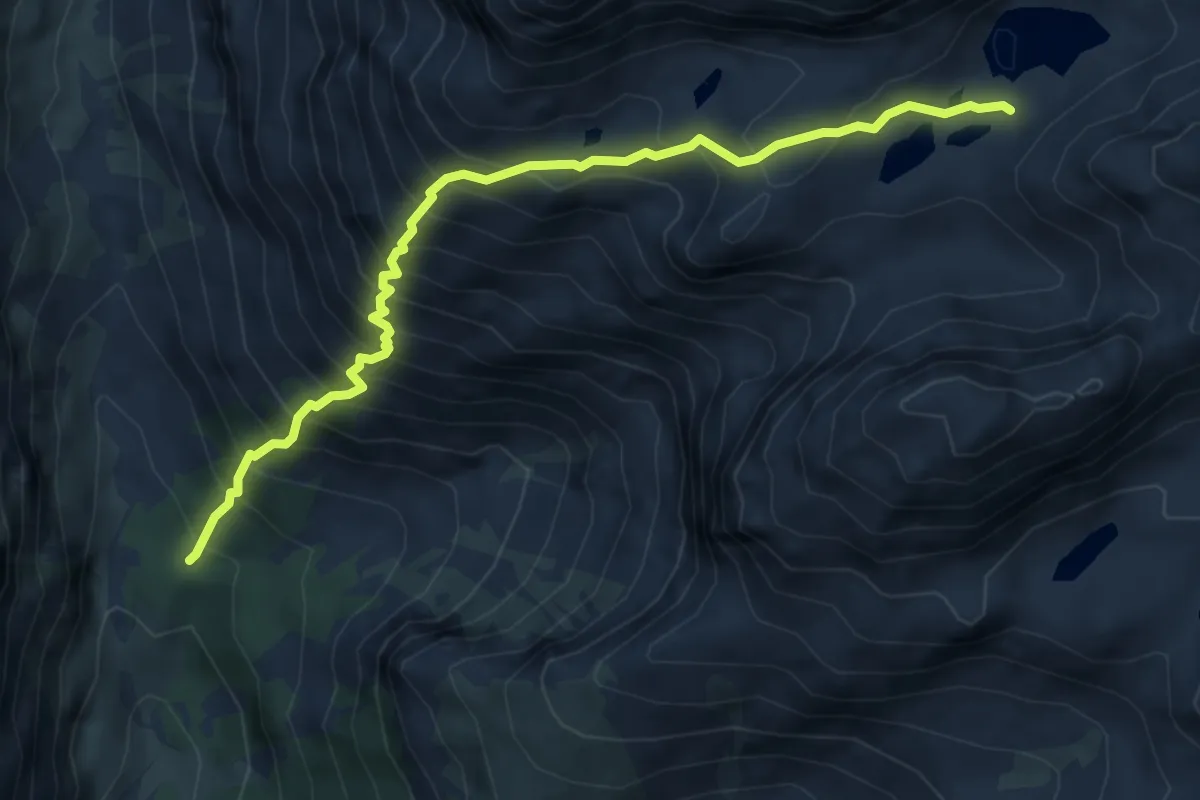
Demanding · Cabin
Bivio CNAU11-CNAU11A – Lago delle Forcioline, bivio CNAU11, CNA11A
6.1 km · ↑ 883 m · 3 h 22 min
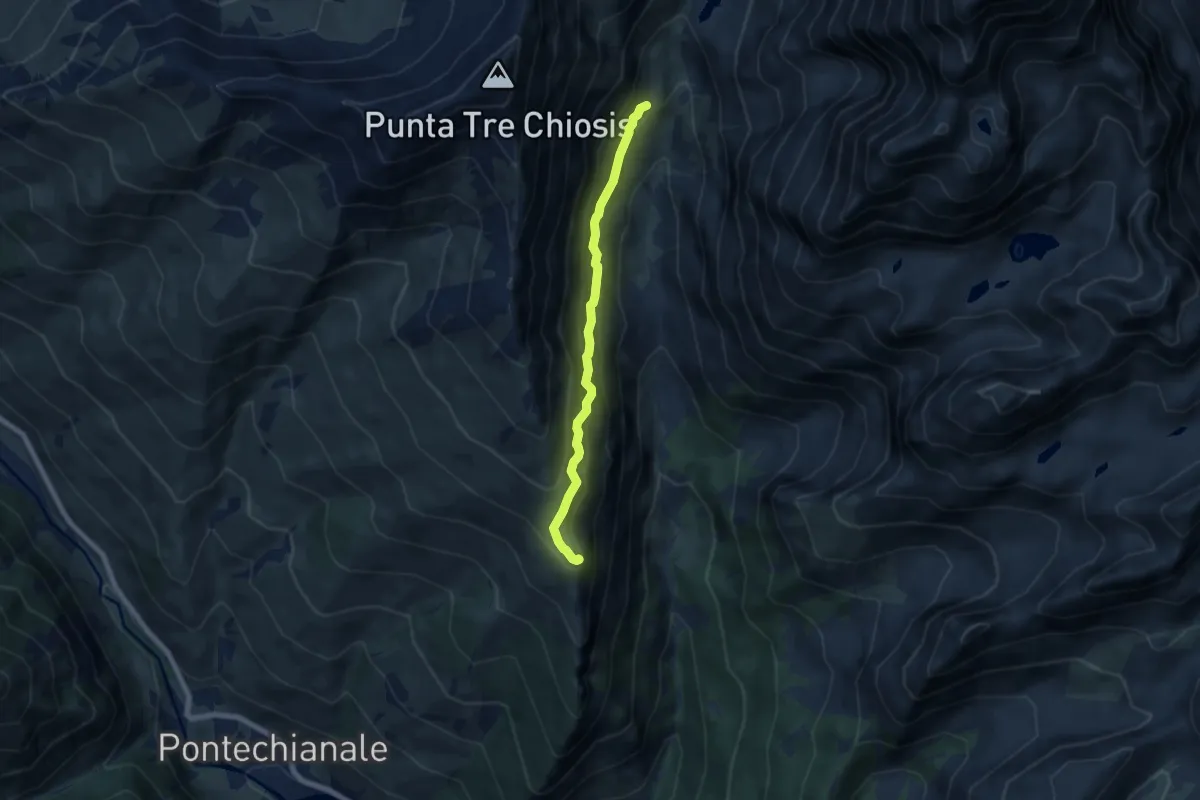
Demanding · Summit
Pian Para – Le Conce
6.5 km · ↑ 514 m · 2 h 39 min
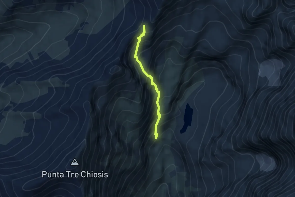
Medium · Trail
Bivio CNAU09-CNAU12-CNAU13 – Passo della Losetta
3.5 km · ↑ 453 m · 1 h 49 min
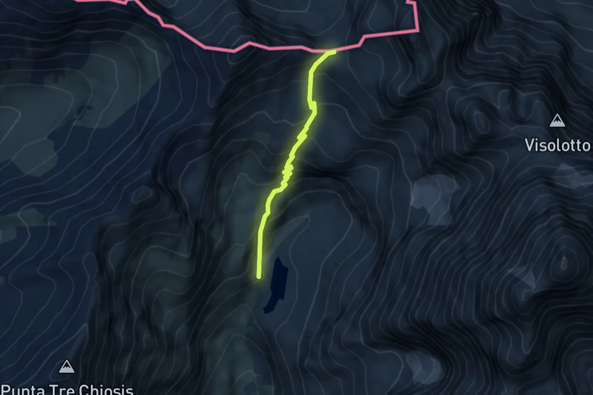
Medium · Trail
Rifugio Vallanta – Colle di Vallanta
4.0 km · ↑ 397 m · 1 h 48 min
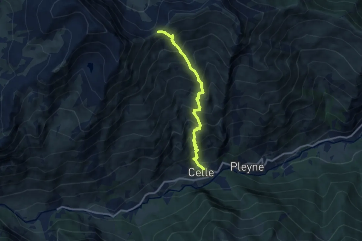
Demanding · Trail
Borgata Celle di Bellino – Colle del Bondormir
6.9 km · ↑ 1010 m · 3 h 49 min
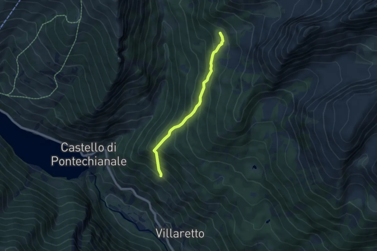
Medium · Cabin
Grange Maltra – Pian Meyer
4.5 km · ↑ 398 m · 1 h 56 min
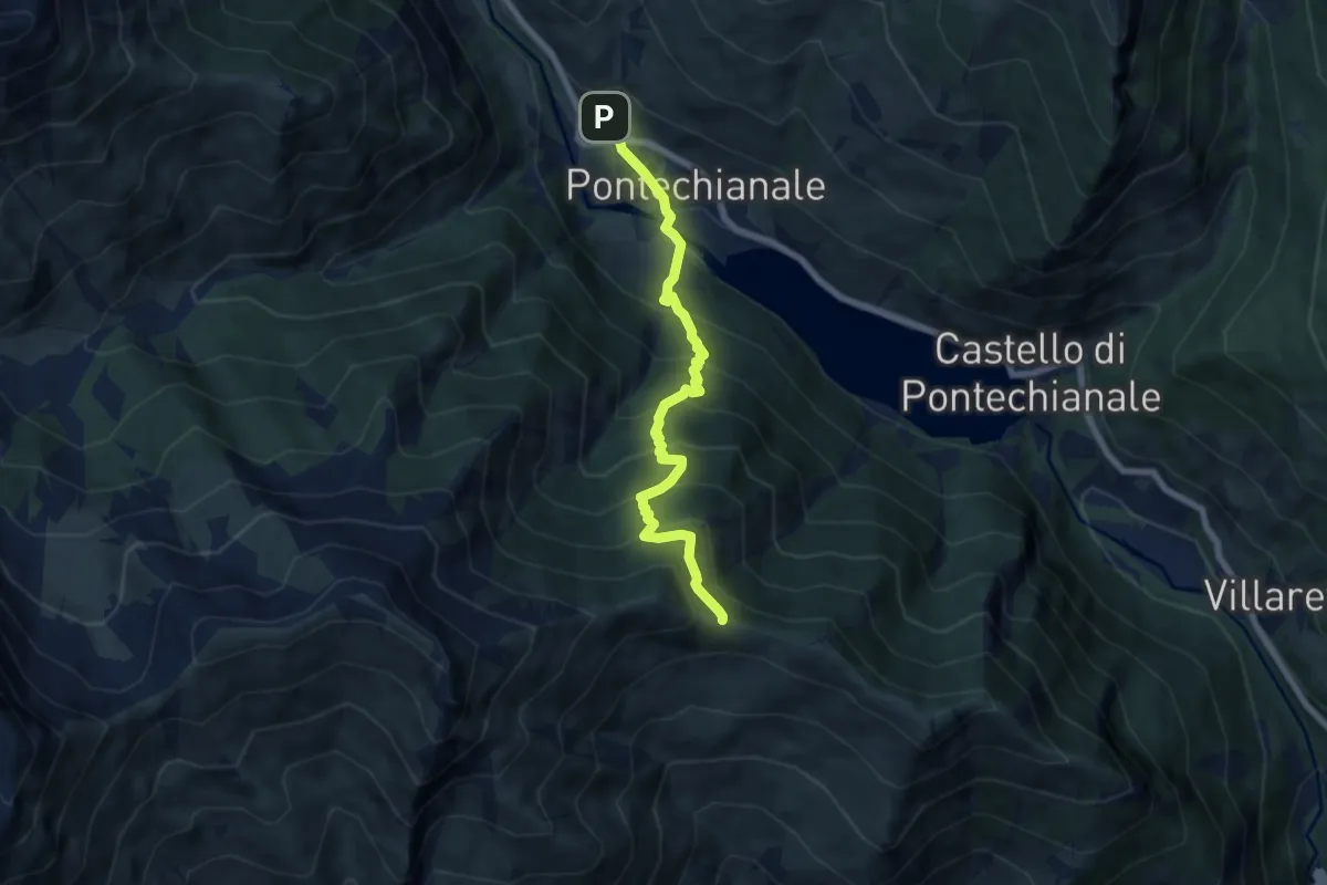
Demanding · Trail
Genzana di Pontechianale – Colletto della Battagliola
6.9 km · ↑ 802 m · 3 h 21 min
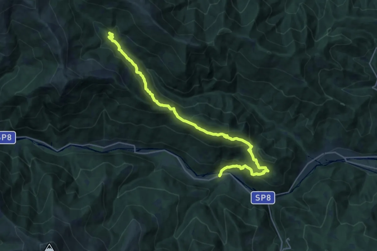
Demanding · Trail
Melle – Borgata San Sisto
20.1 km · ↑ 1024 m · 6 h 59 min
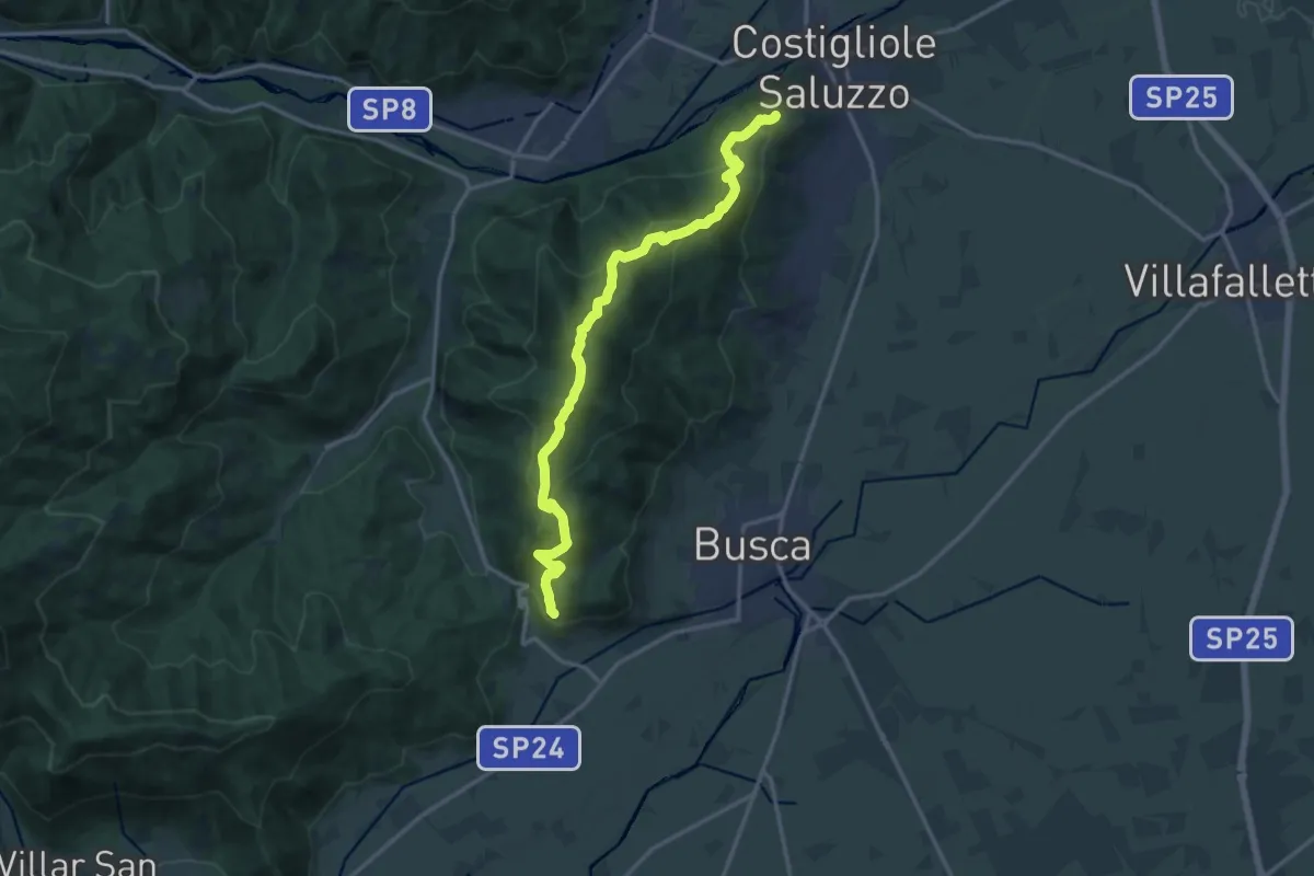
Demanding · Trail
Costigliole Saluzzo, Villa Castagnotta – Busca, C. Muratori
16.3 km · ↑ 812 m · 5 h 36 min
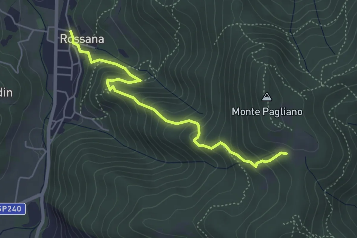
Medium · Trail
Bivio CNAU91-CNAU82B – Bivio CNAU82-CNAU82B
4.8 km · ↑ 447 m · 2 h 6 min
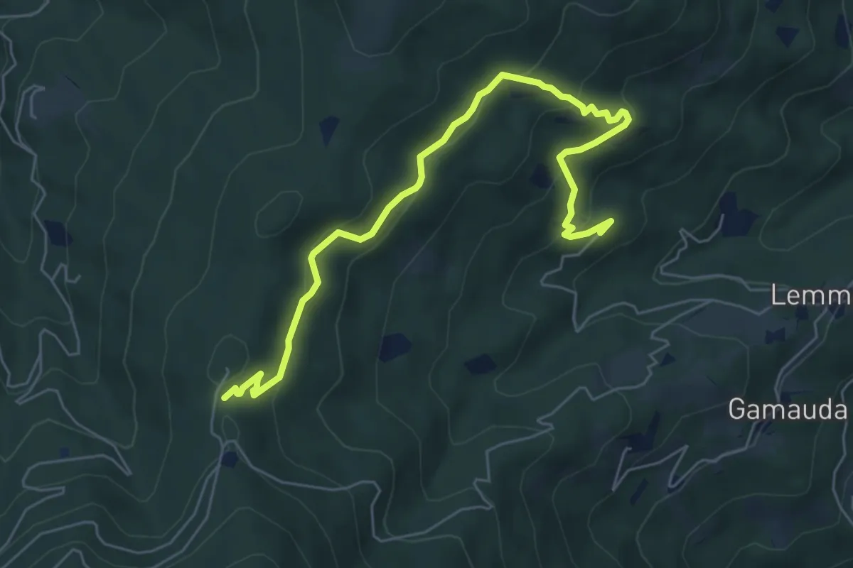
Medium · Trail
Giangustin – Pizzo San Pietro
6.9 km · ↑ 330 m · 2 h 21 min
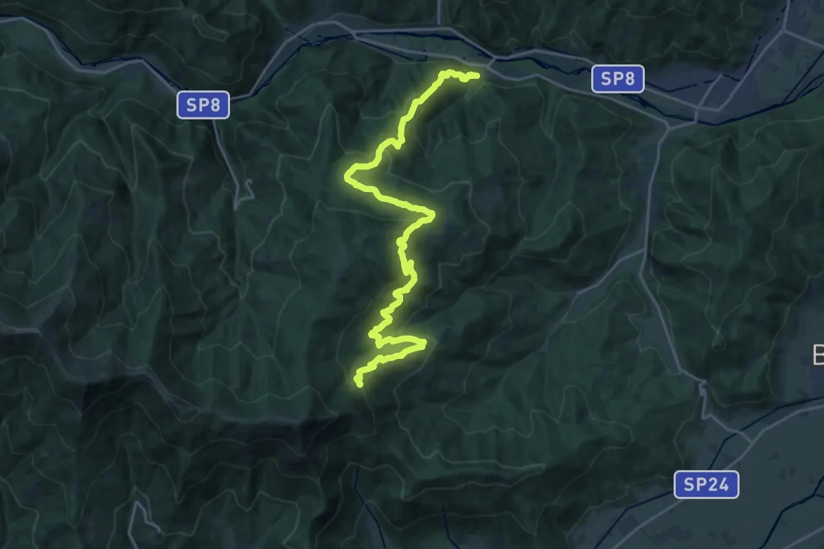
Medium · Trail
Bivio CNAU88-CNAU89-CNAU89A – Bivio CNAT01B-CNAU88
11.7 km · ↑ 266 m · 3 h 49 min
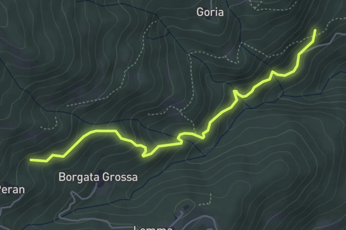
Medium · Trail
Meira Lucco – Culiu
5.1 km · ↑ 354 m · 1 h 59 min
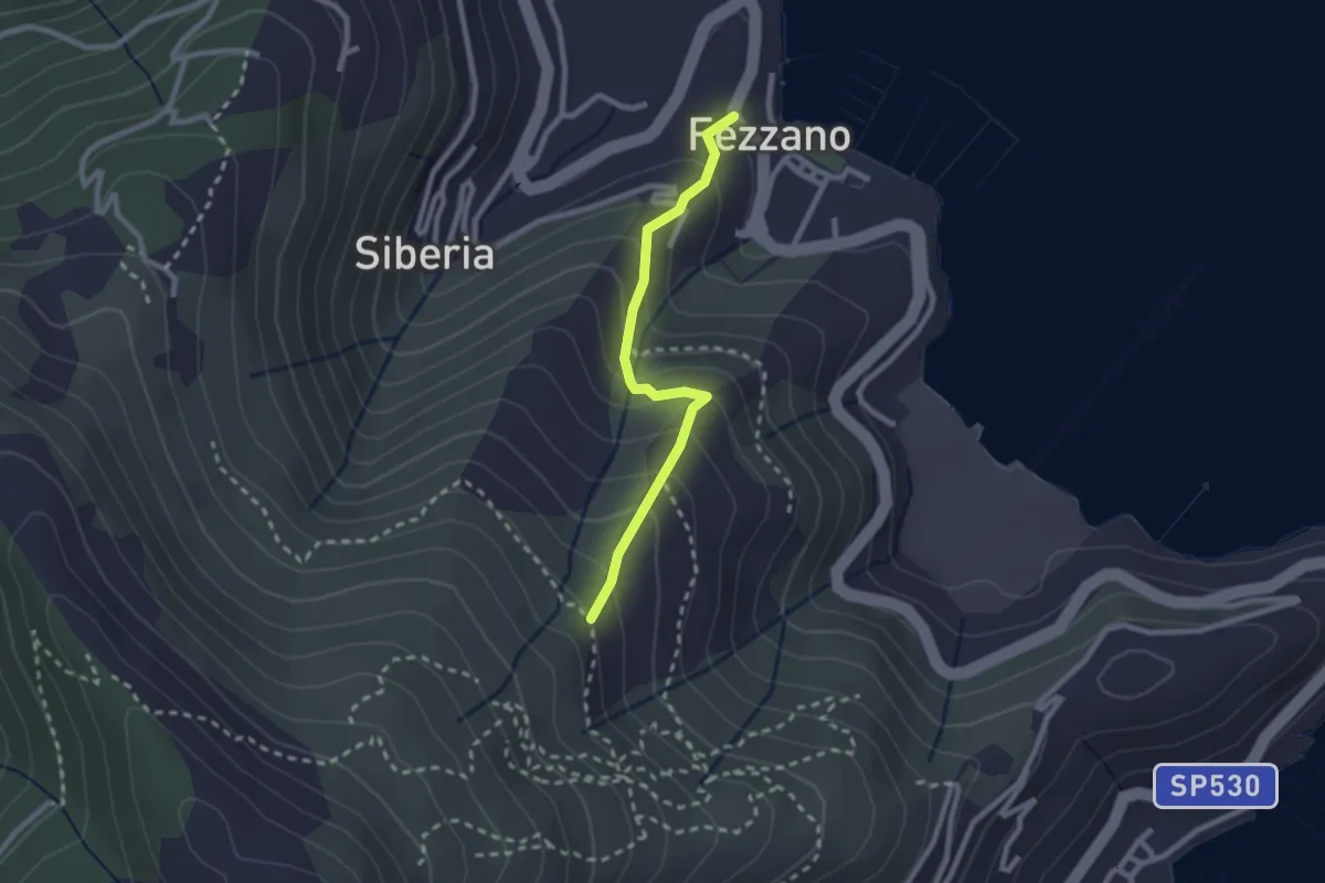
Easy · Trail
Fezzano – Case Villano
2.3 km · ↑ 218 m · 1 h 1 min
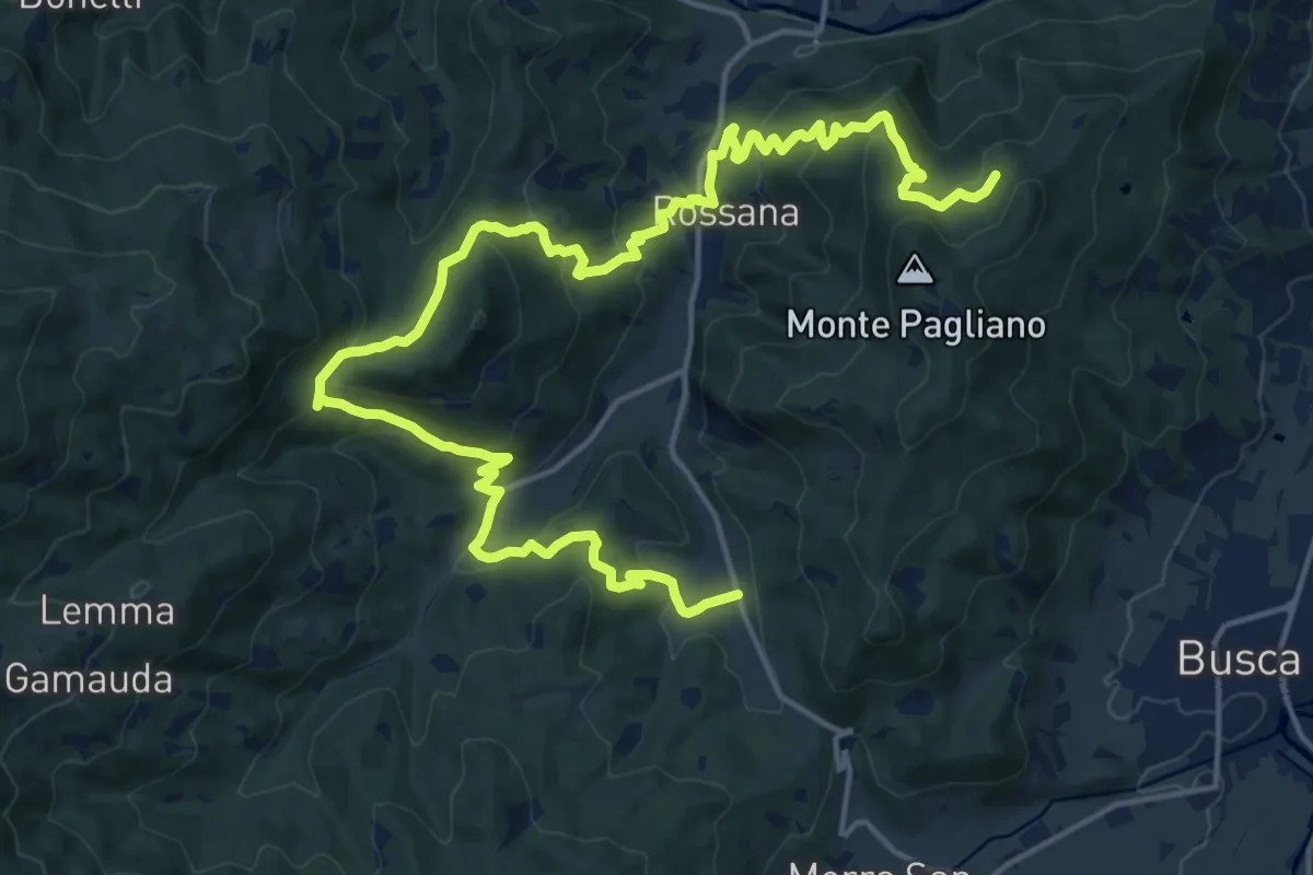
Medium · Trail
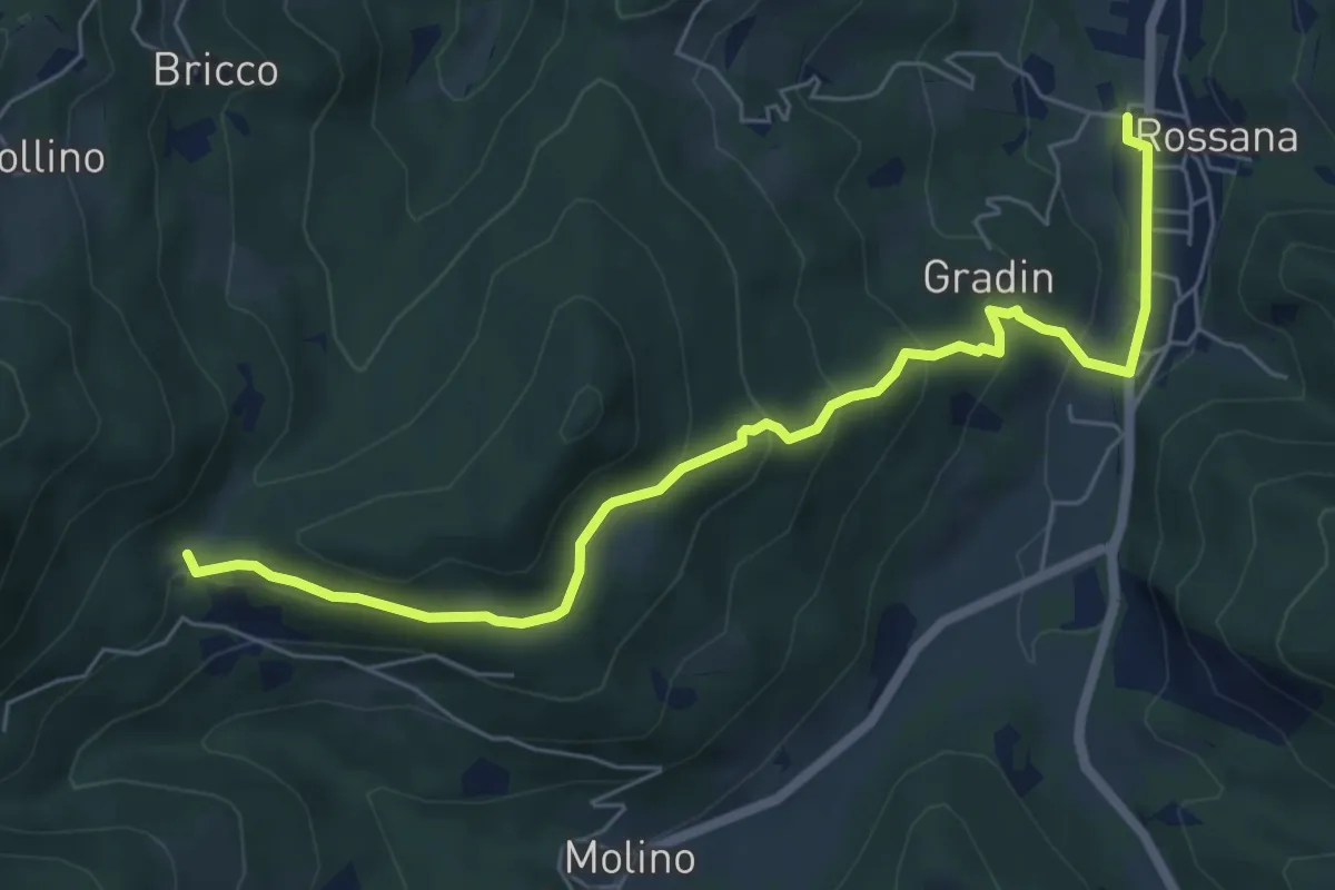
Colletto di Rossana – Bricco Alto
12.1 km · ↑ 477 m · 4 h 11 min
Medium · Trail
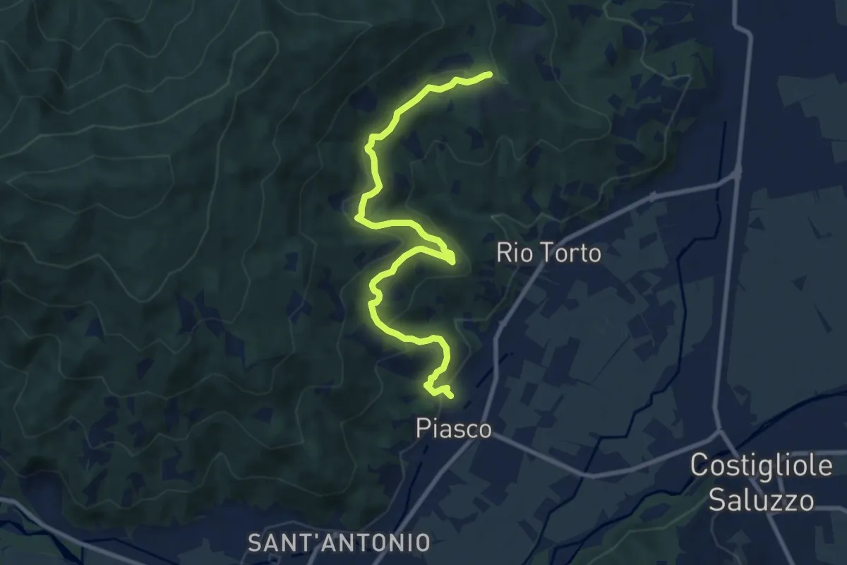
La Pritta – Cimitero
7.2 km · ↑ 327 m · 2 h 24 min
Medium · Trail
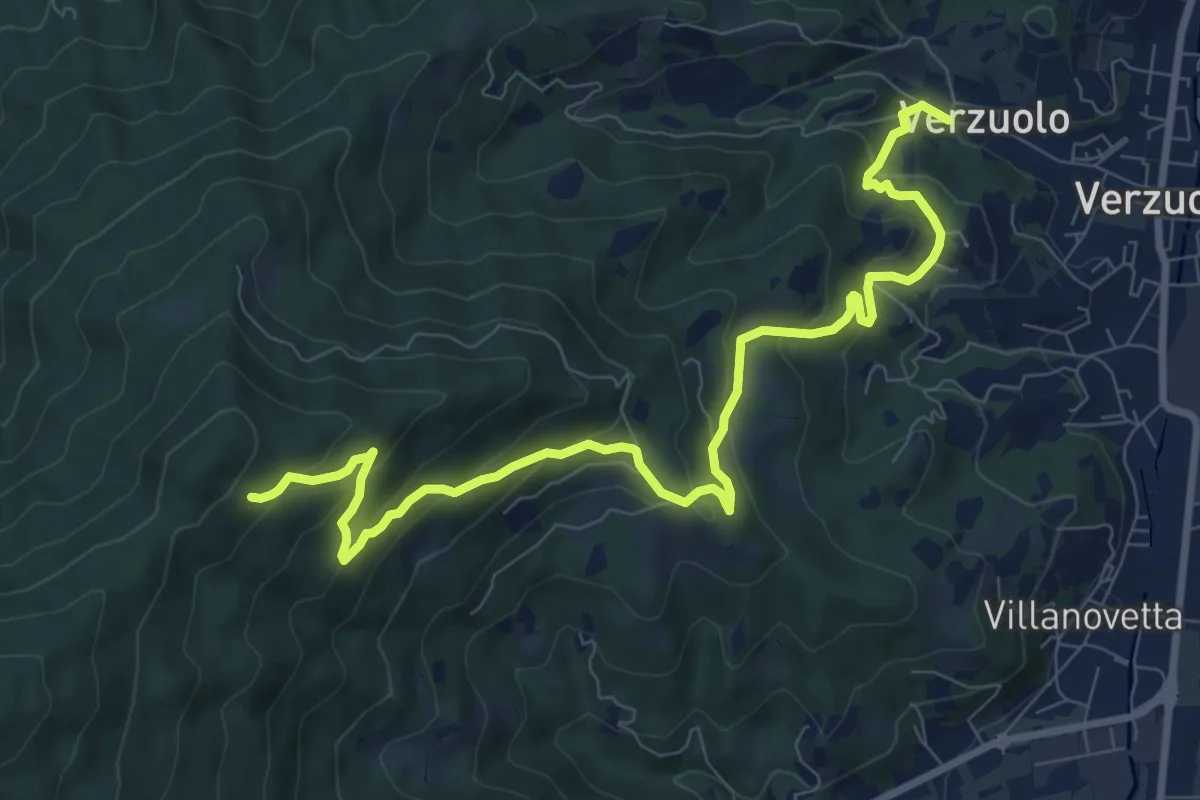
Piasco – San Bernardo
9.5 km · ↑ 388 m · 3 h 4 min
Medium · Trail
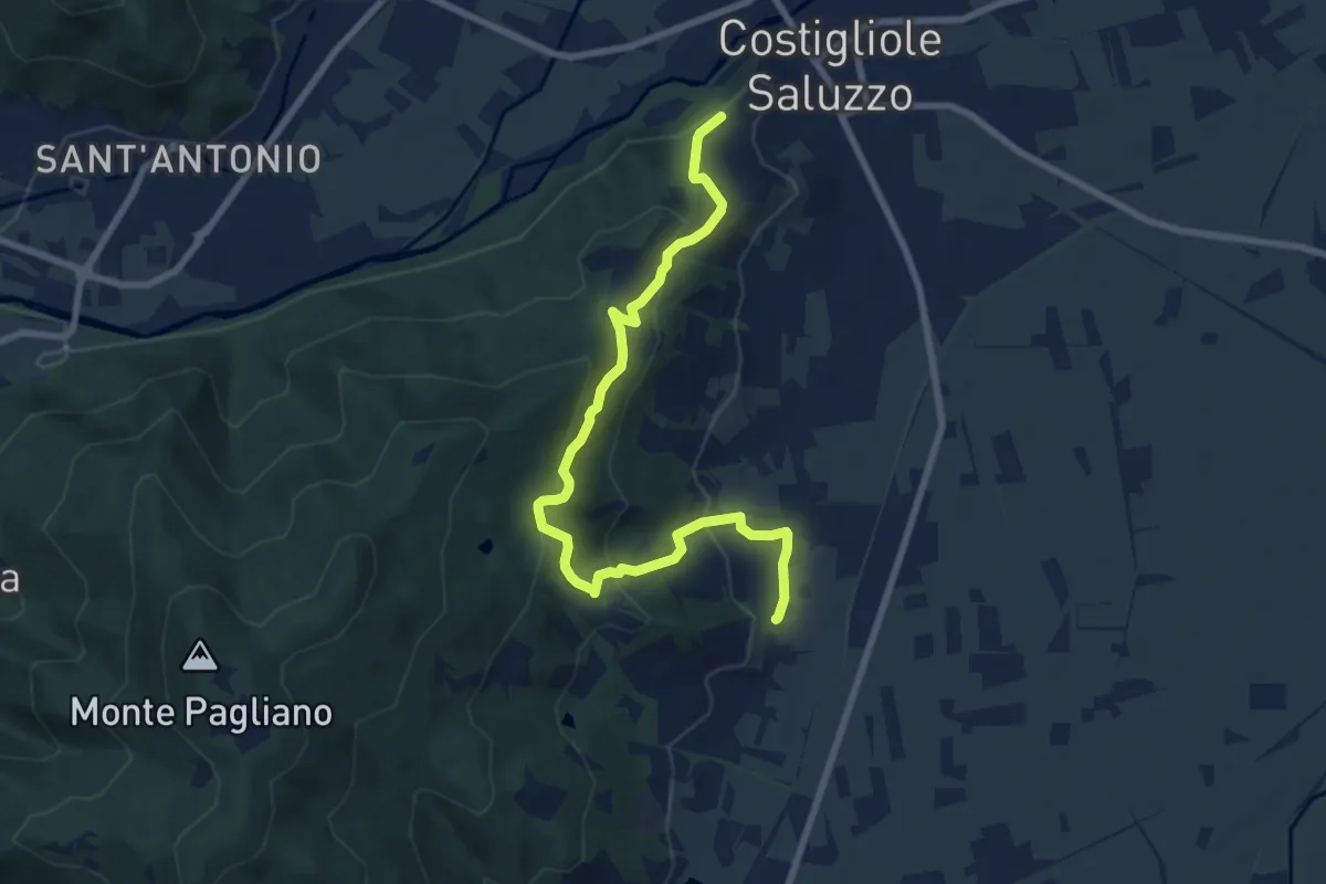
Morsello – P.ne S. Salvatore
10.6 km · ↑ 584 m · 3 h 46 min
Medium · Trail
San Martino – Belvedere
9.2 km · ↑ 454 m · 3 h 10 min
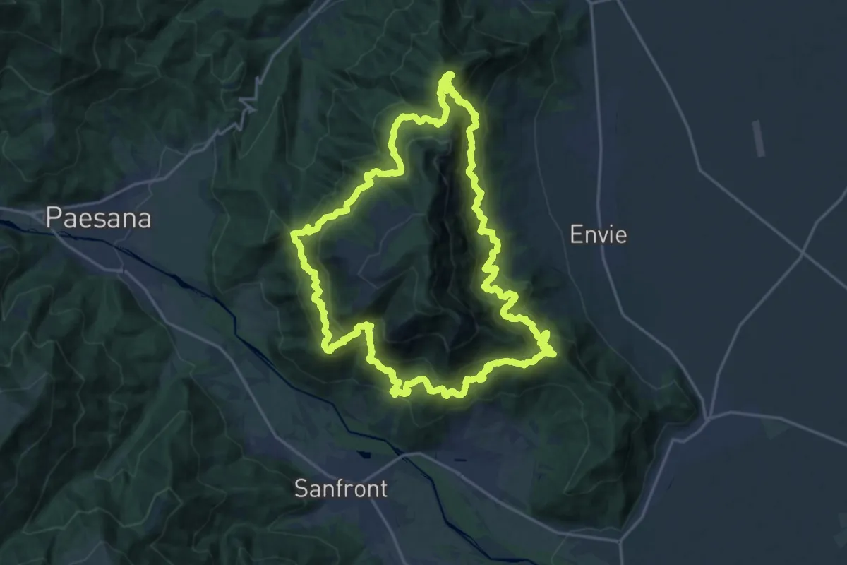
Demanding · Trail
San Giacomo – San Giacomo
20.5 km · ↑ 1674 m · 8 h 44 min
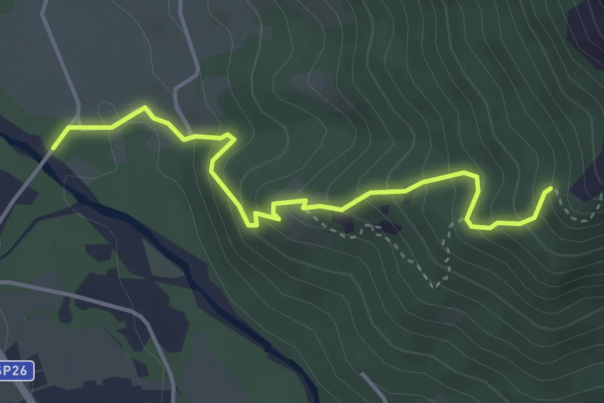
Medium · Trail
Ponte Rocchetta – Rocca la Cansa
3.6 km · ↑ 362 m · 1 h 38 min
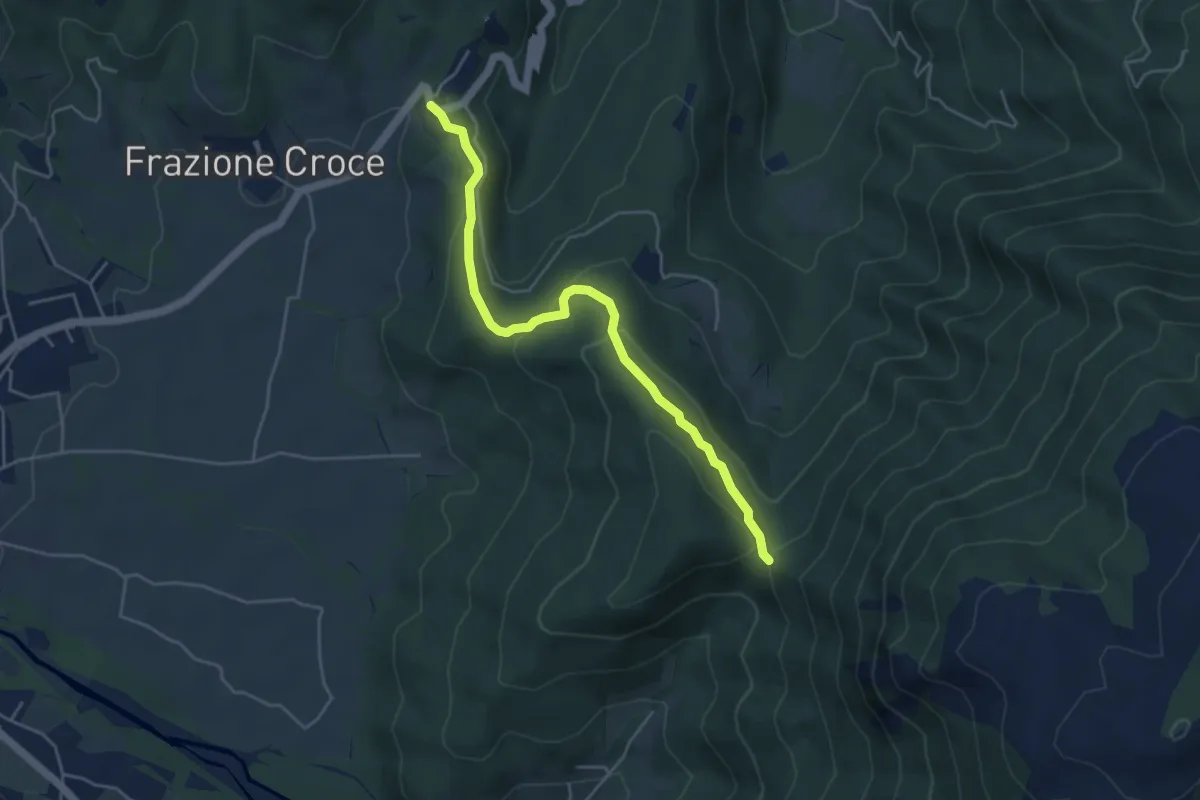
Easy · Trail
La Colletta – Colletto della Rocchetta
4.8 km · ↑ 211 m · 1 h 35 min
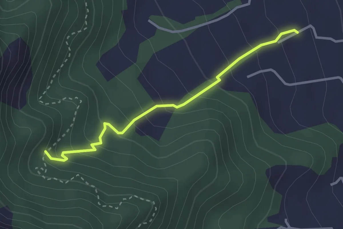
Easy · Trail
Envie – Rocca Bert
2.7 km · ↑ 251 m · 1 h 11 min
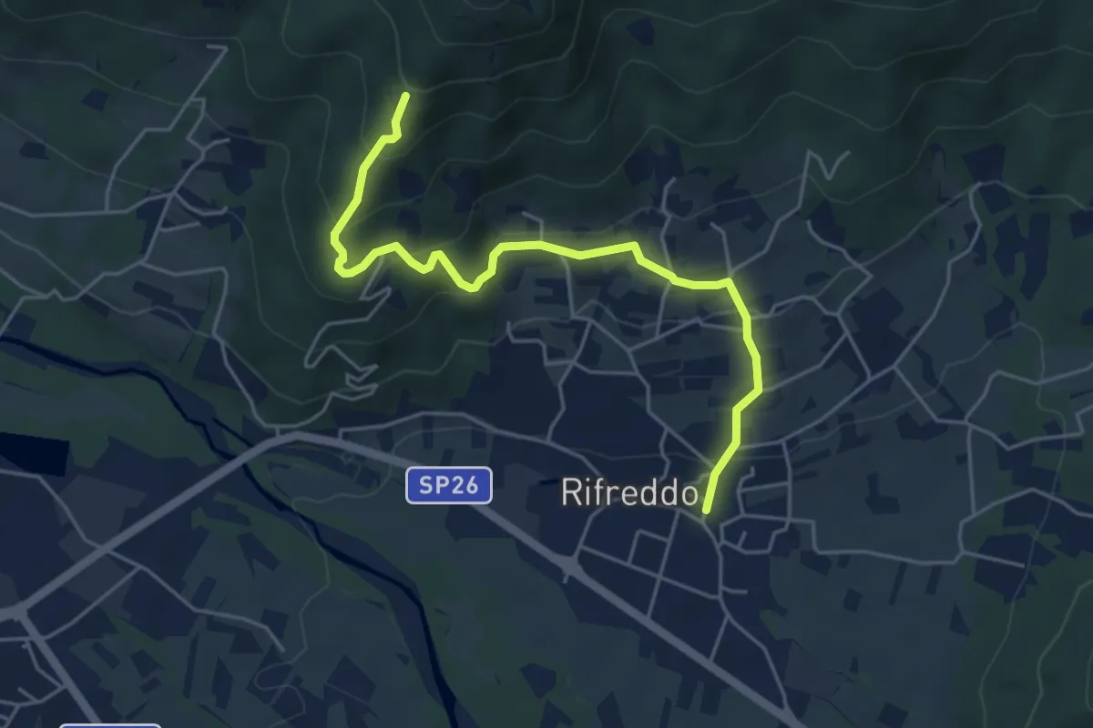
Medium · Trail
Rifreddo – Meire Mottetto
5.2 km · ↑ 320 m · 1 h 55 min
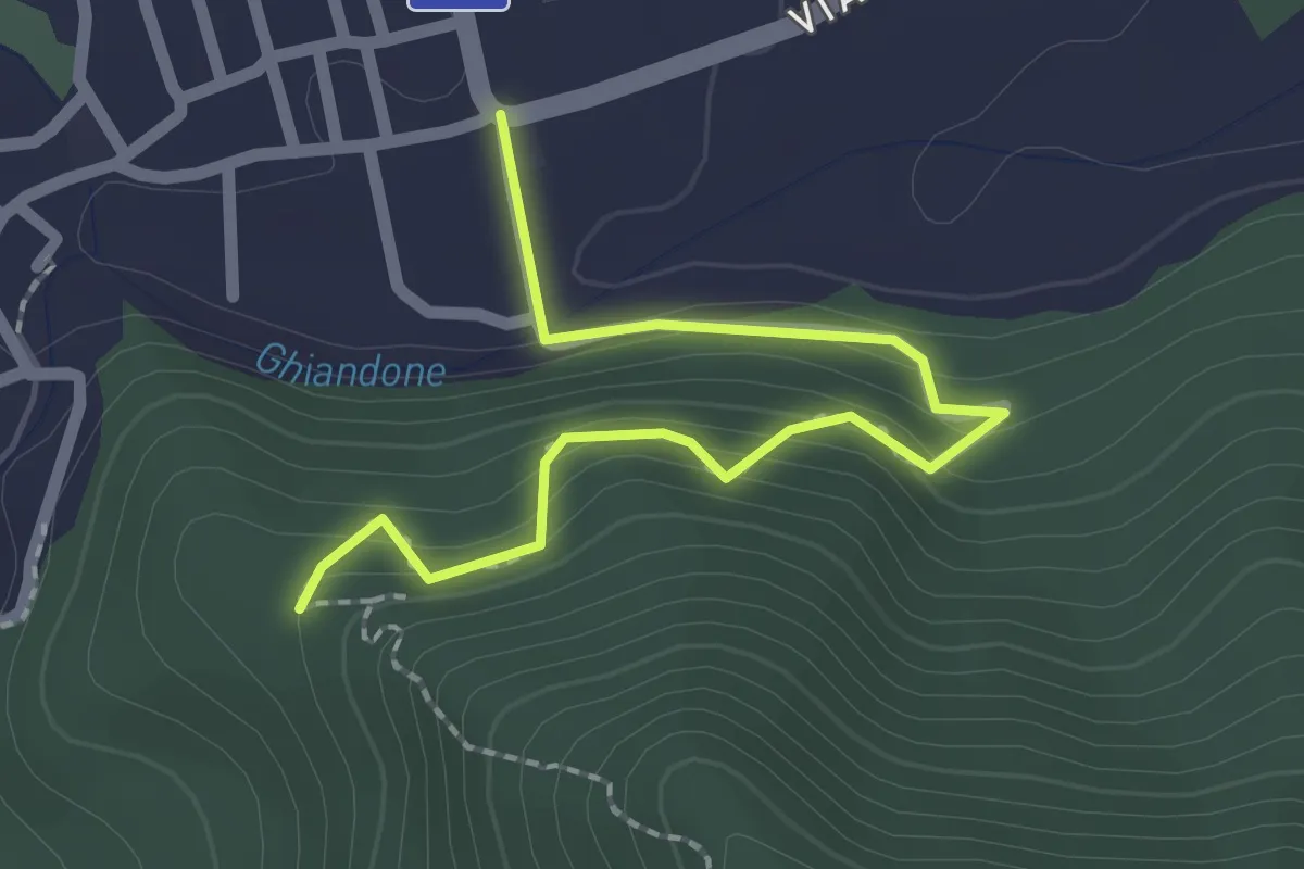
Easy · Trail
Barge, Piazza Don Agnese – Barge, ruderi del Castello, bivio CNAV01-CNAV01H
2.4 km · ↑ 152 m · 54 min
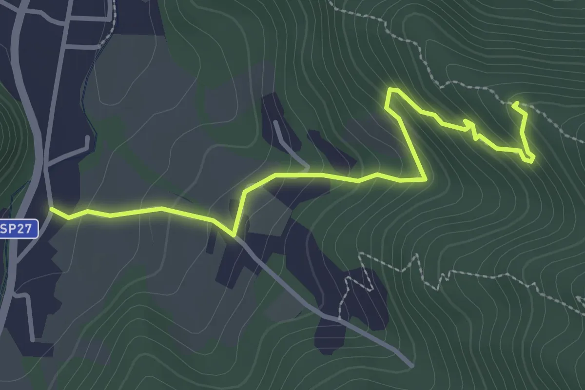
Easy · Trail
Barge – Bivio V01C
3.2 km · ↑ 209 m · 1 h 13 min
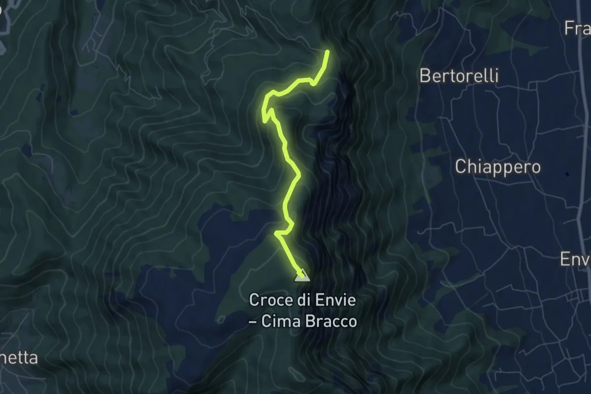
Medium · Summit
Comba Reinaud – Bivio CNAV01-CNAV02
6.0 km · ↑ 409 m · 2 h 19 min
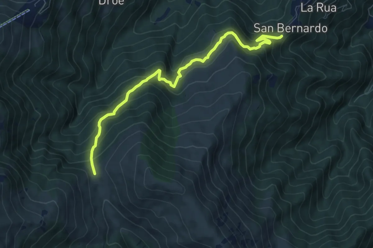
Medium · Trail
Bivio CNAV03-CNAV01G – Colle di Gilba
8.8 km · ↑ 644 m · 3 h 28 min
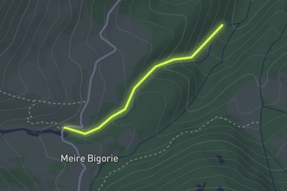
Easy · Trail
Bivio sentiero V04 – Bivio sentiero V04
2.1 km · ↑ 175 m · 52 min
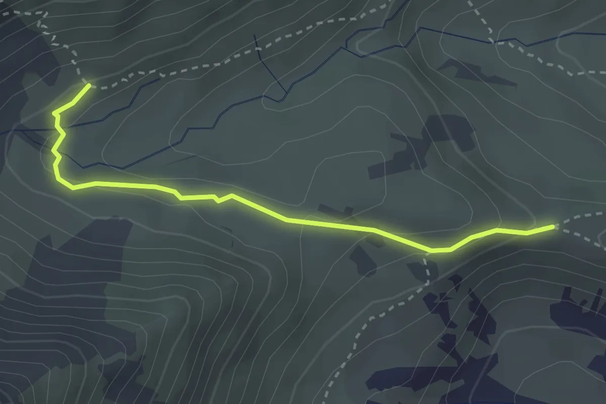
Easy · Trail
Croce di Bulé, bivio CNAV05-CNAV05A-CNAV58 – Bivio CNAV05A-CNAV06
2.9 km · ↑ 110 m · 56 min
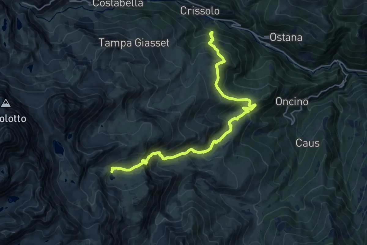
Demanding · Cabin
C. Grangiun – Rifugio dell'Alpetto
19.0 km · ↑ 1380 m · 7 h 29 min
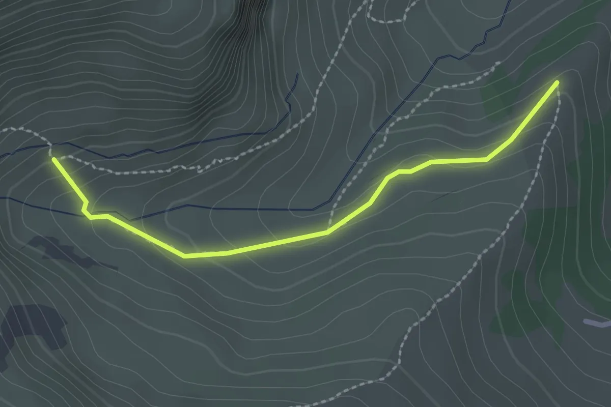
Medium · Trail
Bivio CNAV06-CNAV06B – Bivio CNAV06-CNAV06B
2.3 km · ↑ 119 m · 48 min
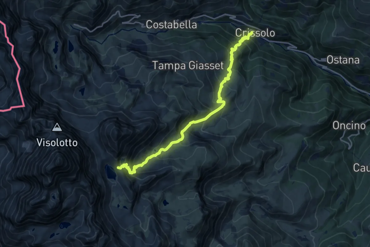
Demanding · Cabin
Villa – Rifugio Quintino Sella
15.4 km · ↑ 1308 m · 6 h 28 min
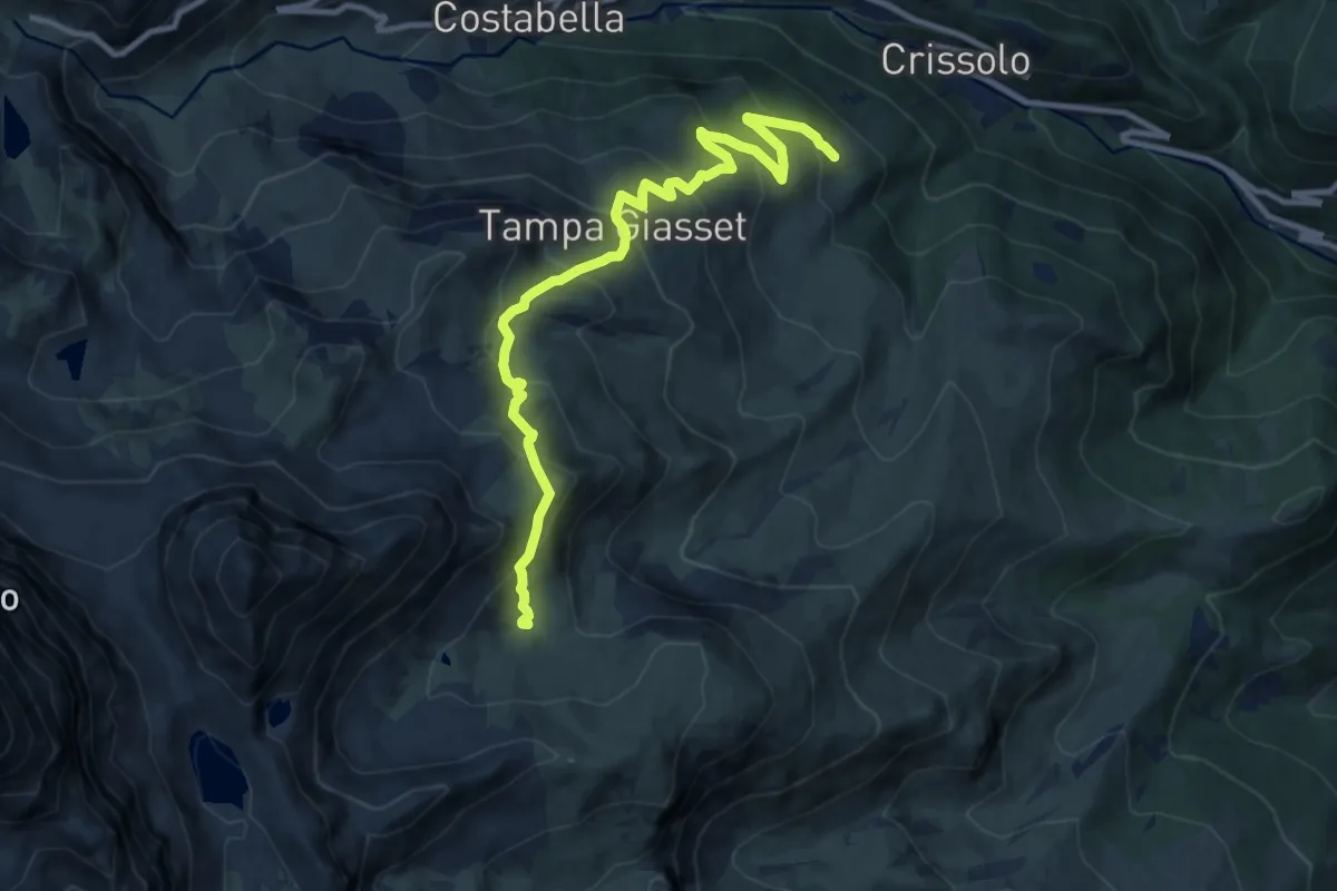
Demanding · Trail
Meire – Bivio CNAV09-CNAV10
11.4 km · ↑ 814 m · 4 h 28 min
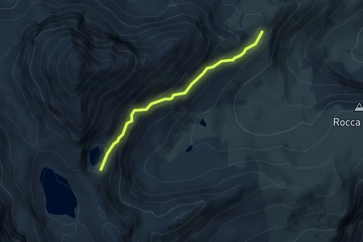
Expert · Trail
Bivio CNAV10-CNAV10A – Lago Costa Grande
3.9 km · ↑ 377 m · 1 h 44 min
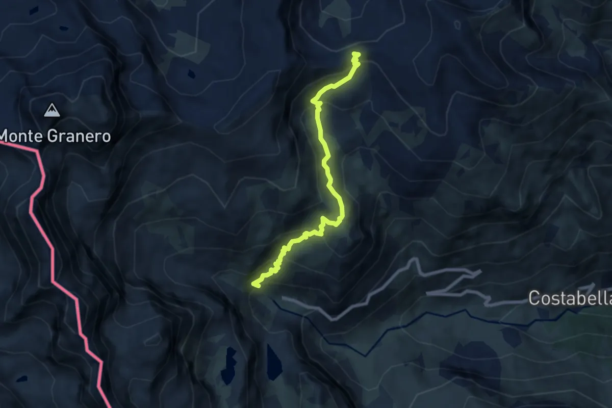
Medium · Trail
Pian del Re – Colle della Gianna
7.1 km · ↑ 518 m · 2 h 48 min
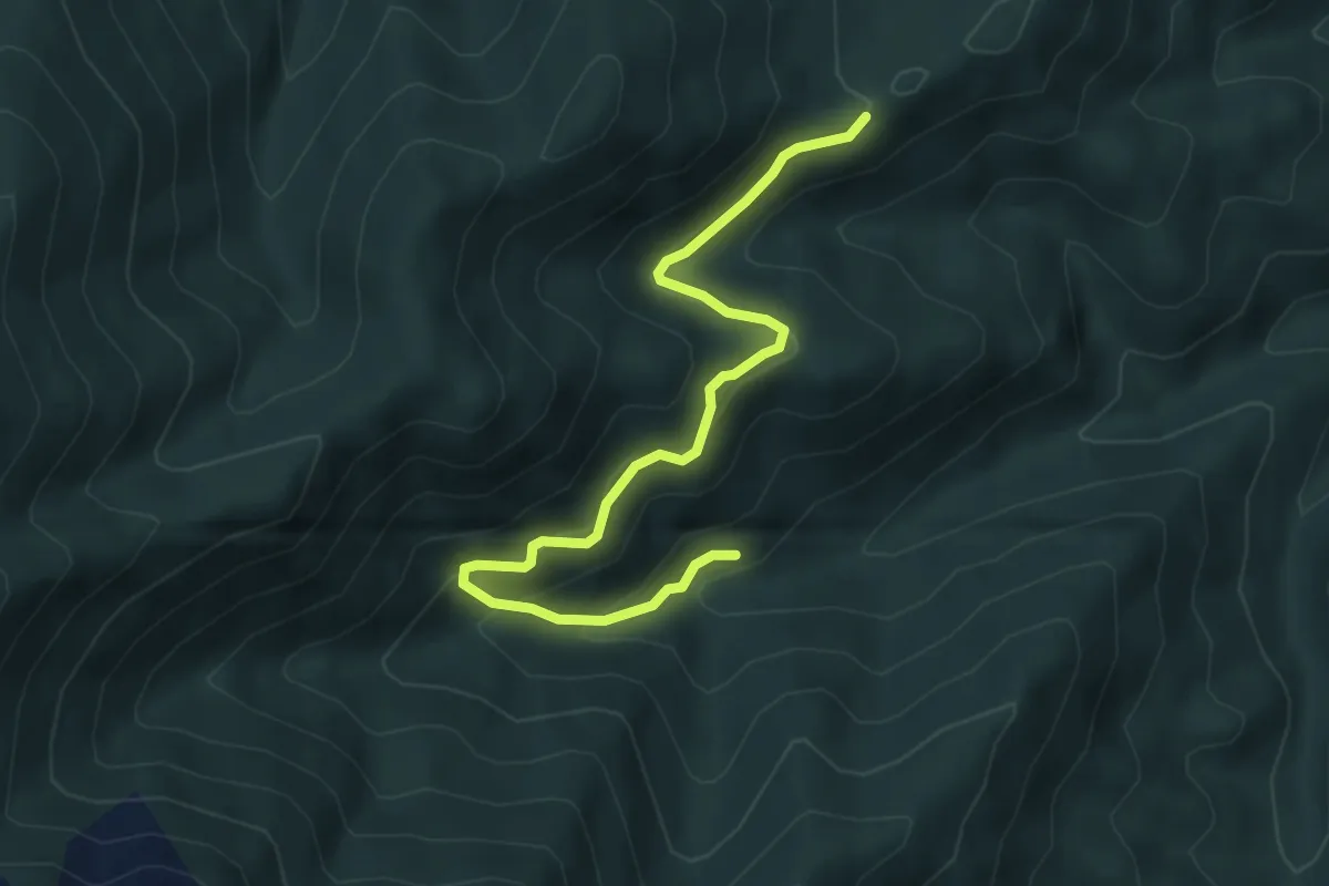
Medium · Trail
Giaveno, Case Merlera – Prese della Franza sopra, bivio TOS406-TOS407
5.4 km · ↑ 345 m · 2 h 1 min
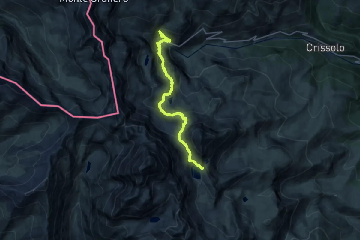
Demanding · Cabin
Rio del Truin – Rifugio Quintino Sella
14.0 km · ↑ 881 m · 5 h 13 min
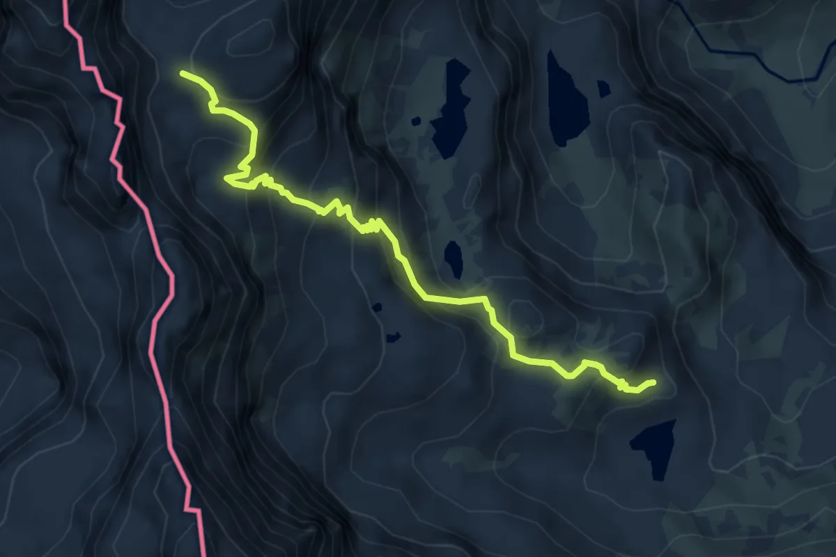
Medium · Cabin
Bivio V13-V14, Lago Chiaretto – Bivio V14-V19, Rifugio Giacoletti
5.9 km · ↑ 504 m · 2 h 28 min