Trails in Italy
25,219 hiking trails, each with its route, climb, walking time and grade.
All trails, page 340 of 526
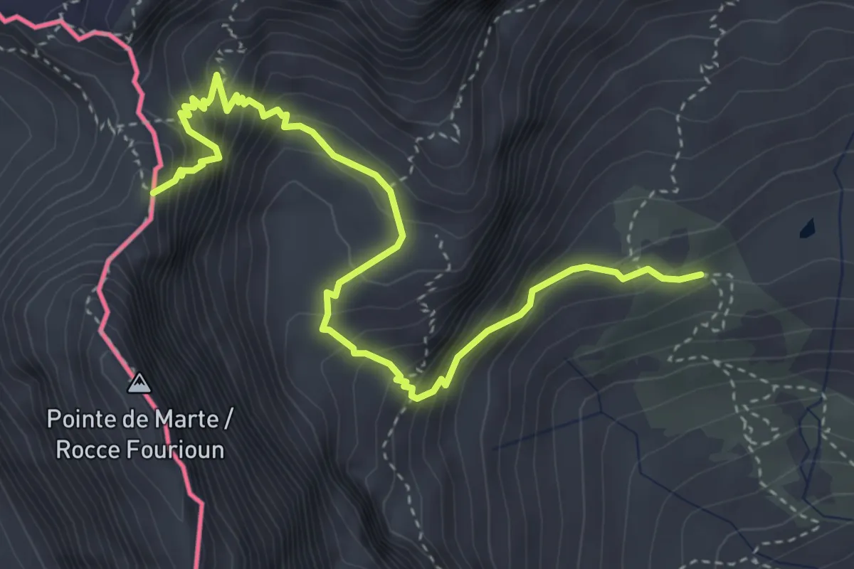
Medium · Trail
Pian del Re – Colle delle Traversette
4.8 km · ↑ 565 m · 2 h 22 min
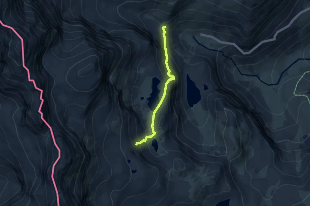
Demanding · Trail
Pian del Re – Bivio CNAV14-CNAV17
3.1 km · ↑ 356 m · 1 h 30 min
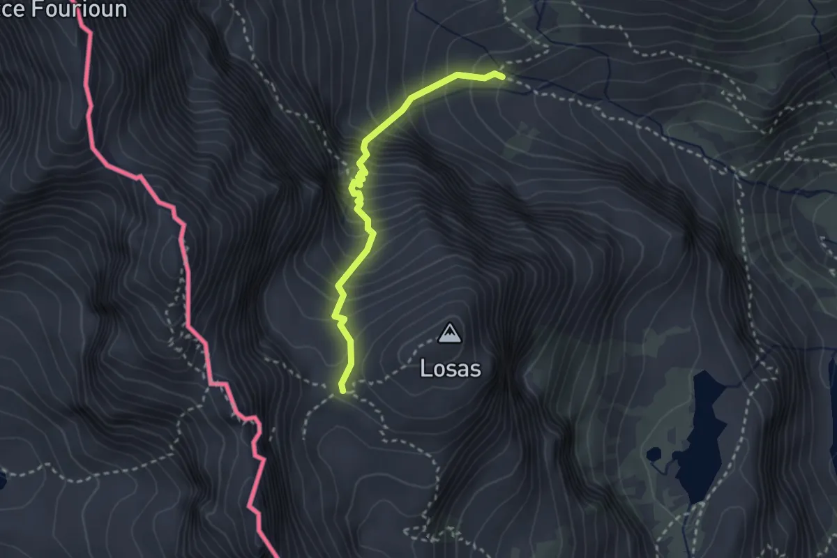
Medium · Cabin
Bivio CNAV16-CNAV19 – Rifugio Giacoletti
2.6 km · ↑ 472 m · 1 h 38 min
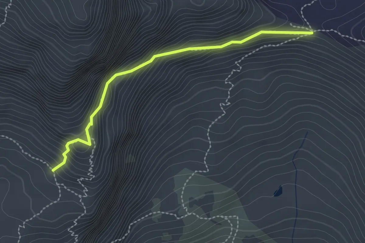
Expert · Trail
Bivio CNAV16-CNAV20A – Colle Armoine
2.6 km · ↑ 223 m · 1 h 5 min
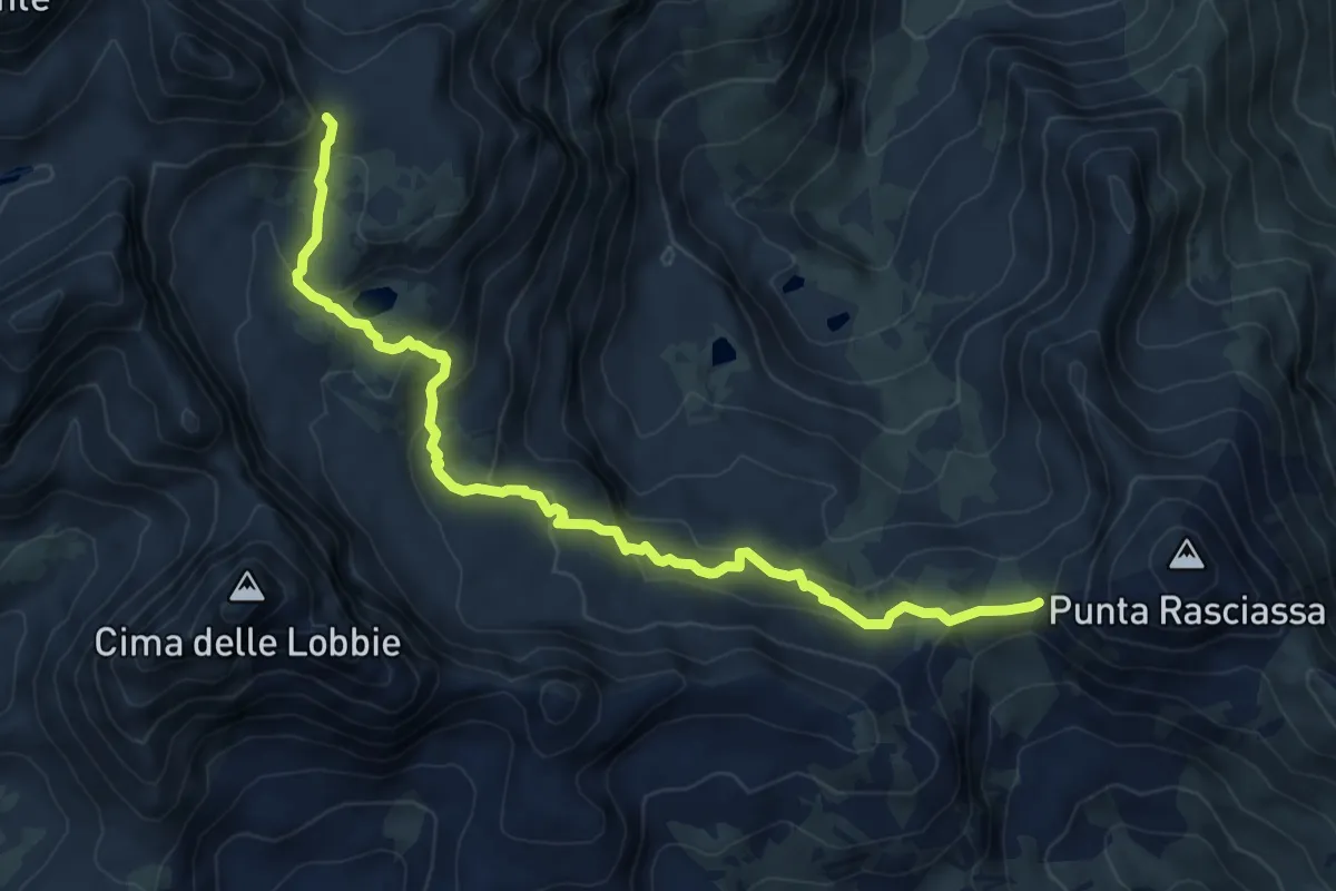
Medium · Trail
Passo Gallarino – Colle di Luca
8.5 km · ↑ 448 m · 2 h 58 min
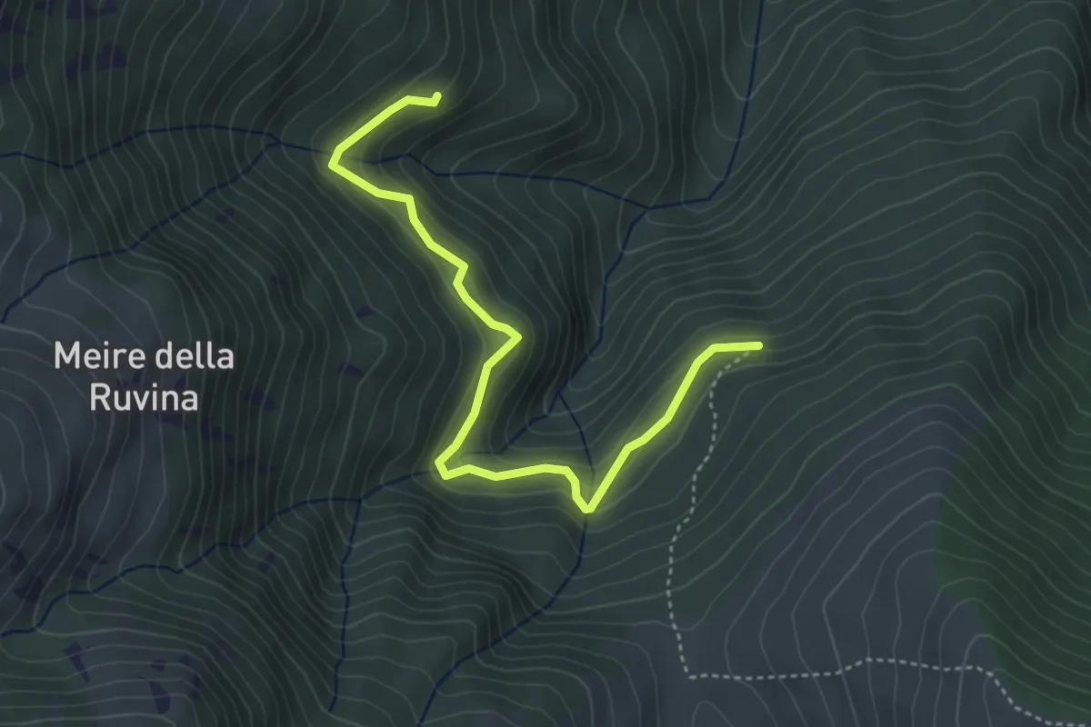
Medium · Cabin
Rifugio Bertorello – Fontana Bosco di Marco
4.6 km · ↑ 287 m · 1 h 42 min
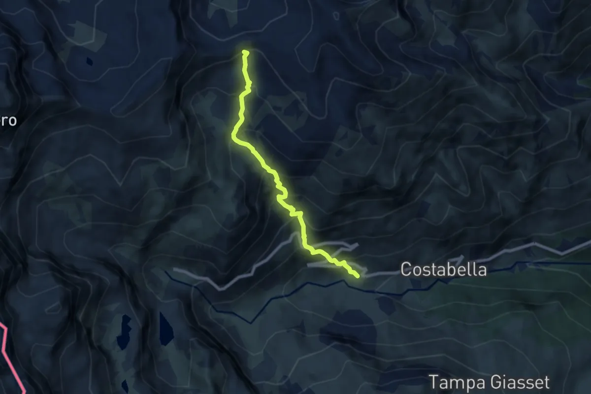
Medium · Trail
Bivio CNAV28-CNAV29, Pian Melzè – Bivio CNAV12-CNAV28, presso Colle della Gianna
6.7 km · ↑ 769 m · 3 h 14 min
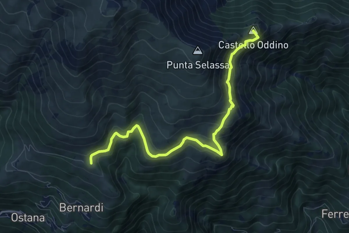
Medium · Summit
Bossa – Bivio sentiero V08
9.6 km · ↑ 604 m · 3 h 34 min
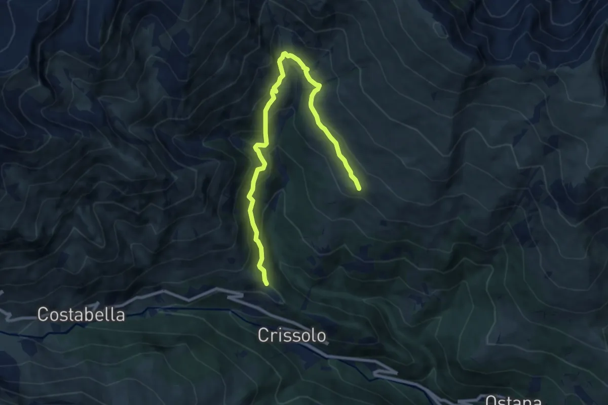
Medium · Trail
Bivio CNAV08-CNAV33 – Bivio CNAV11-CNAV33
9.7 km · ↑ 568 m · 3 h 31 min
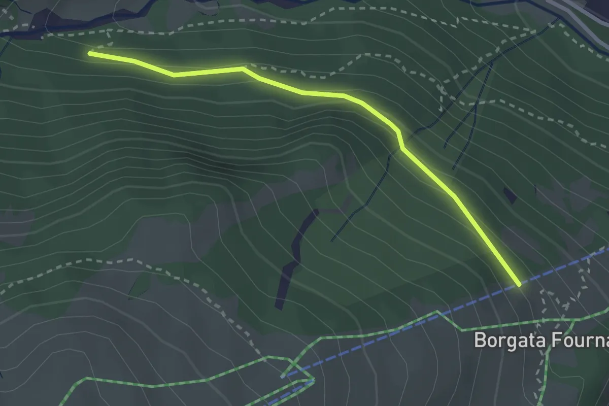
Easy · Trail
Bivio CNAV34-CNAV34B – Bivio CNAV09-CNAV34B
2.6 km · ↑ 119 m · 52 min
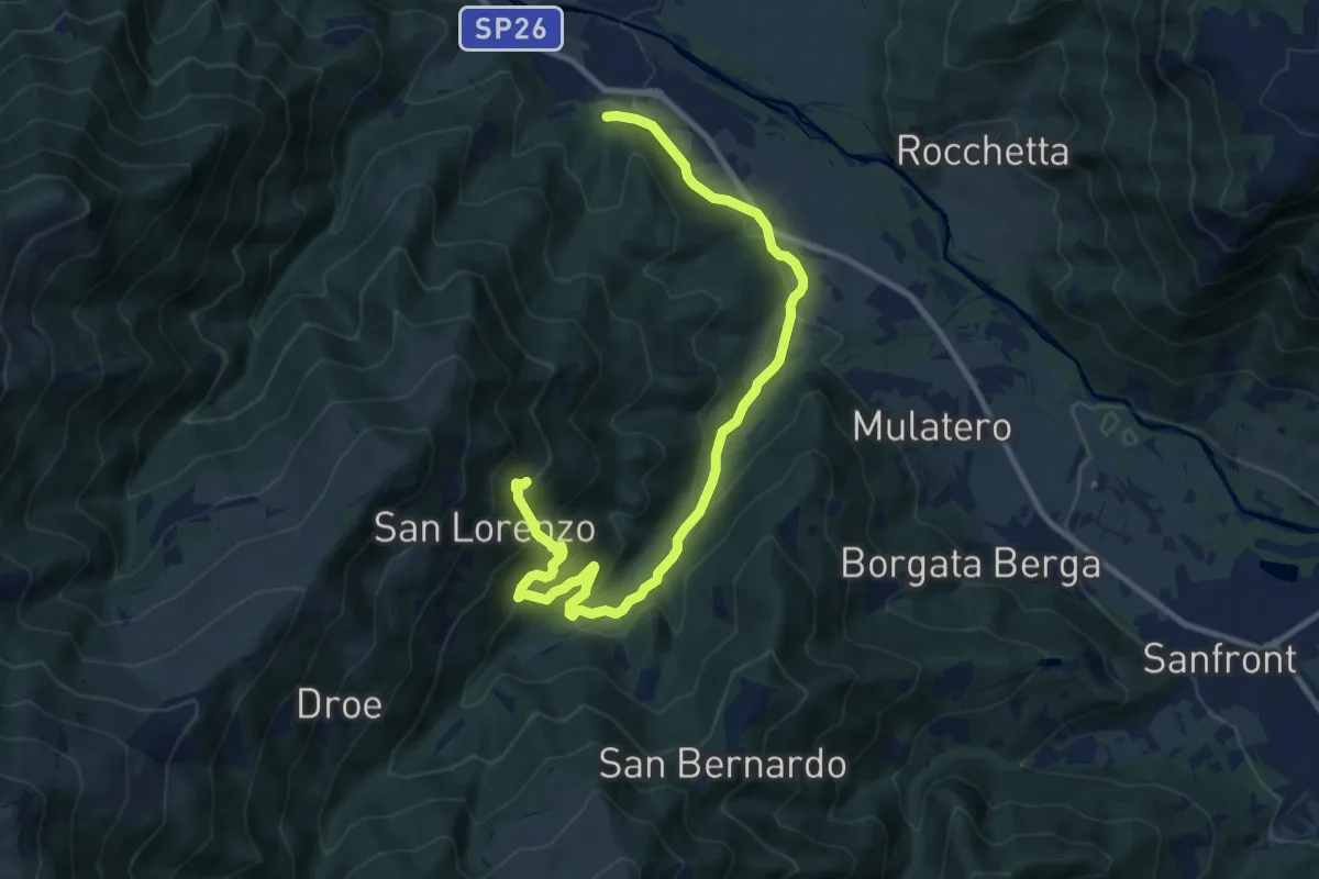
Medium · Trail
Paesana – Rocciaia
12.6 km · ↑ 535 m · 4 h 7 min
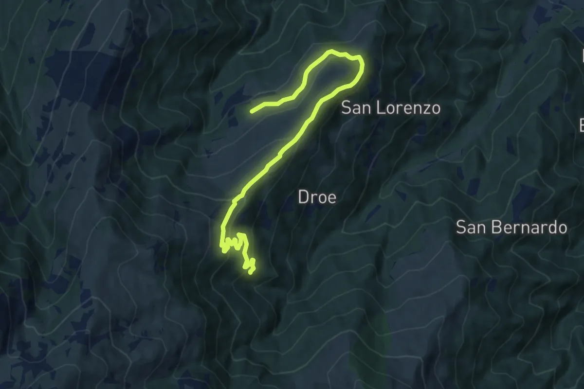
Medium · Cabin
Bivio CNAV41-CNAV37 – Rifugio Bertorello
12.0 km · ↑ 563 m · 4 h 3 min
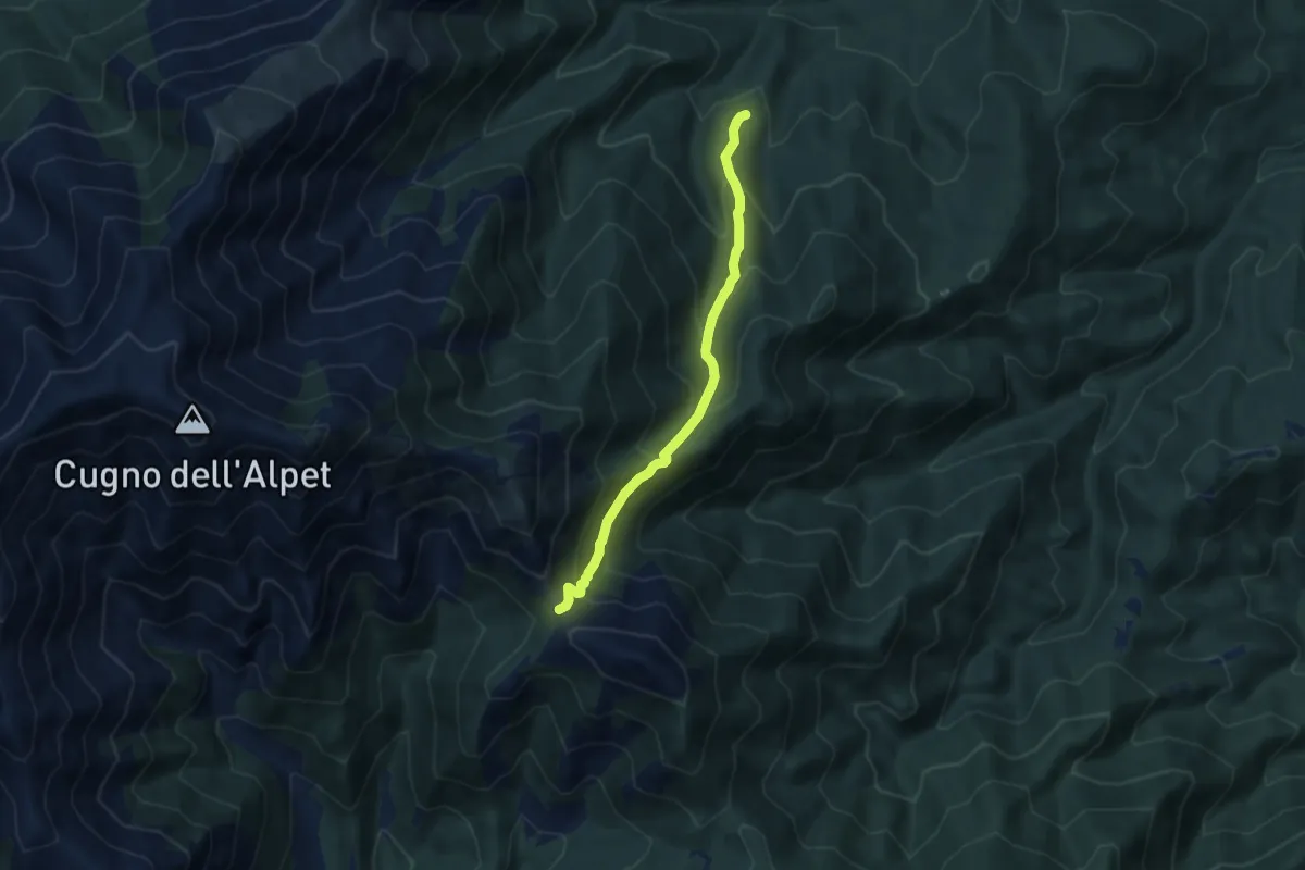
Medium · Trail
Giaveno, Prese Damon – Colle del Besso, bivio TOS408-TOS412-TOS450
7.1 km · ↑ 541 m · 2 h 51 min
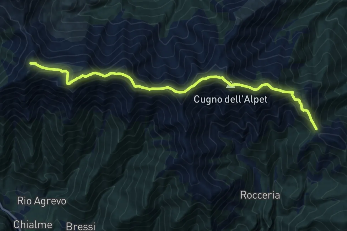
Demanding · Summit
Colle del Besso, bivio TOS408-TOS412 – Colle La Roussa, bivio TOS414-TOS412
18.1 km · ↑ 1495 m · 7 h 30 min
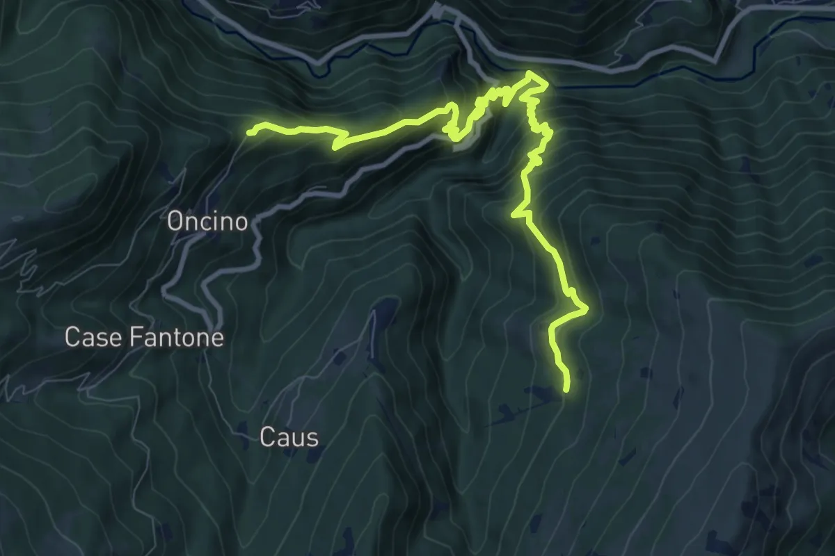
Demanding · Trail
Bivio CNAV41-CNAV38 – Saret
11.1 km · ↑ 1015 m · 4 h 49 min
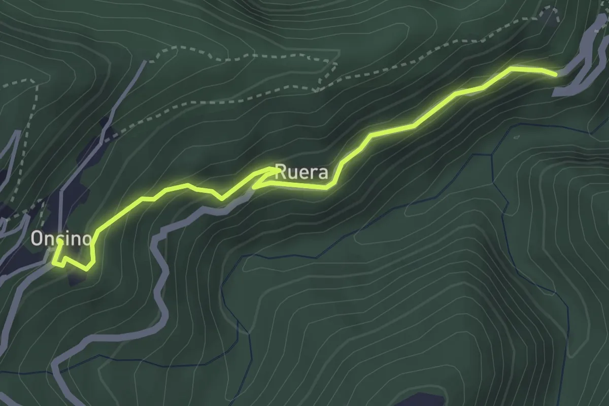
Medium · Trail
CNAV38-CNAV38A – CNAV41-CNAV38A-CNAV41C
3.8 km · ↑ 271 m · 1 h 28 min
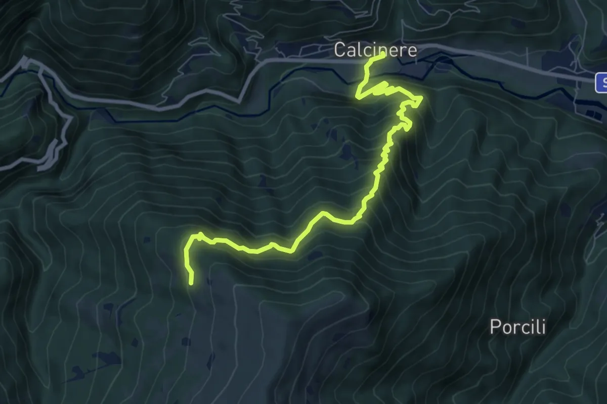
Demanding · Trail
Calcinere – Bivio CNAV41-CNAV39
8.8 km · ↑ 862 m · 3 h 57 min
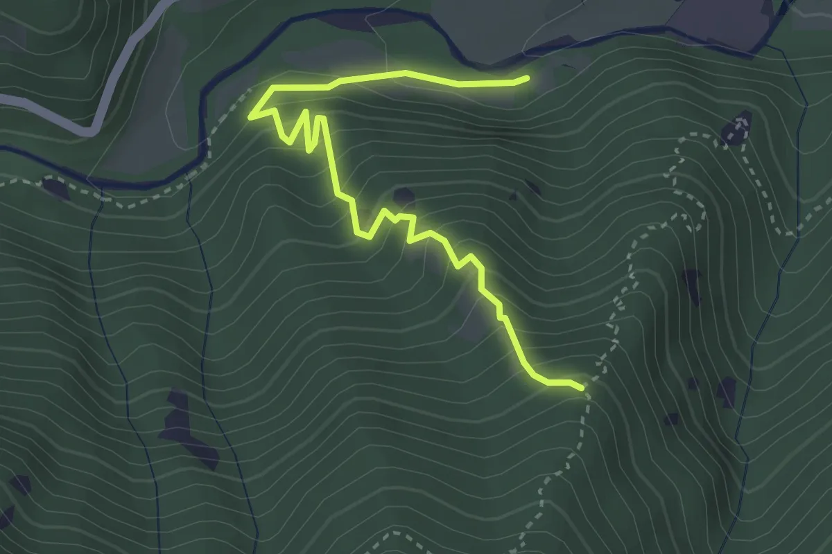
Medium · Trail
Bivio CNAV39-CNAV39A – Bivio CNAV39-CNAV39A
3.8 km · ↑ 452 m · 1 h 53 min
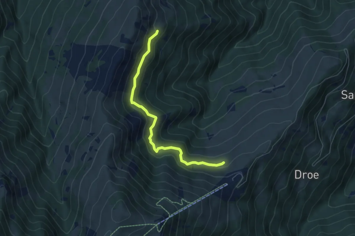
Easy · Trail
Meire Pra l'Erasca – Bivio CNAV41-CNAV40
6.0 km · ↑ 293 m · 2 h 3 min
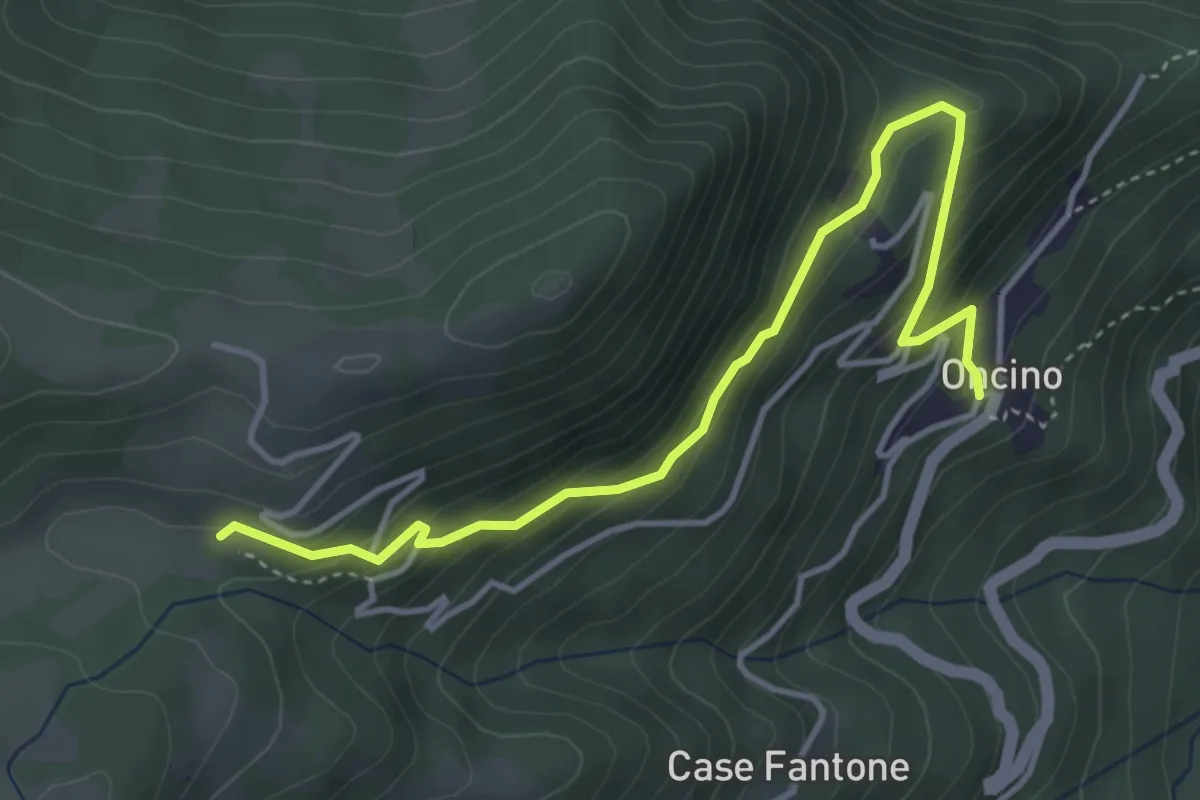
Medium · Trail
Bivio CNAV41-CNAV41C – Pachiè
4.5 km · ↑ 303 m · 1 h 44 min
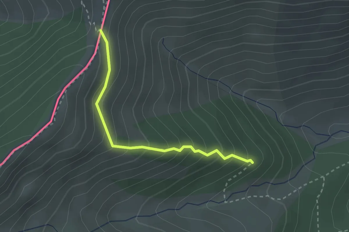
Medium · Trail
Upega – Colle delle Selle Vecchie
2.3 km · ↑ 281 m · 1 h 10 min
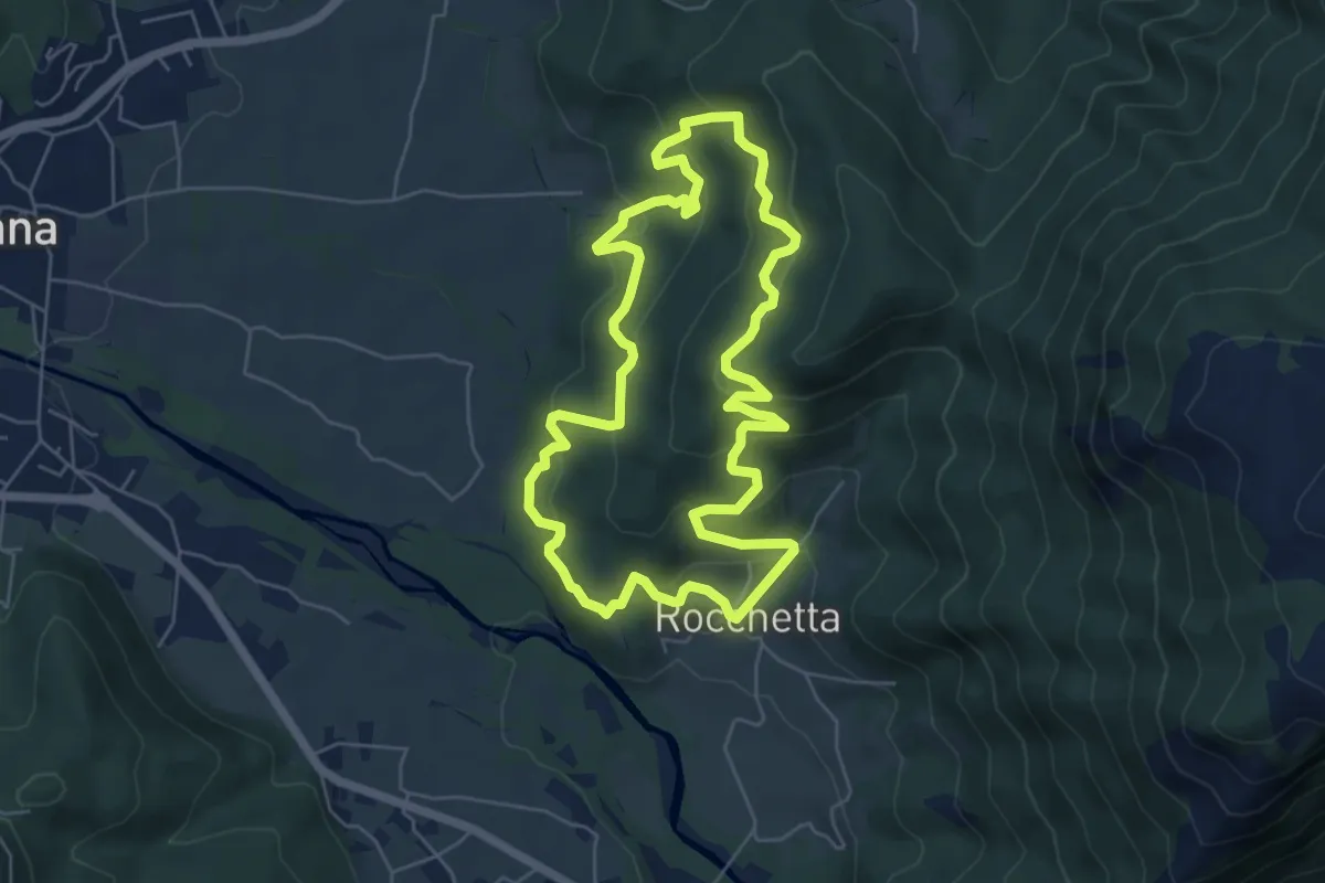
Medium · Trail
Ruà Soprana – Ruà Soprana
5.9 km · ↑ 390 m · 2 h 20 min
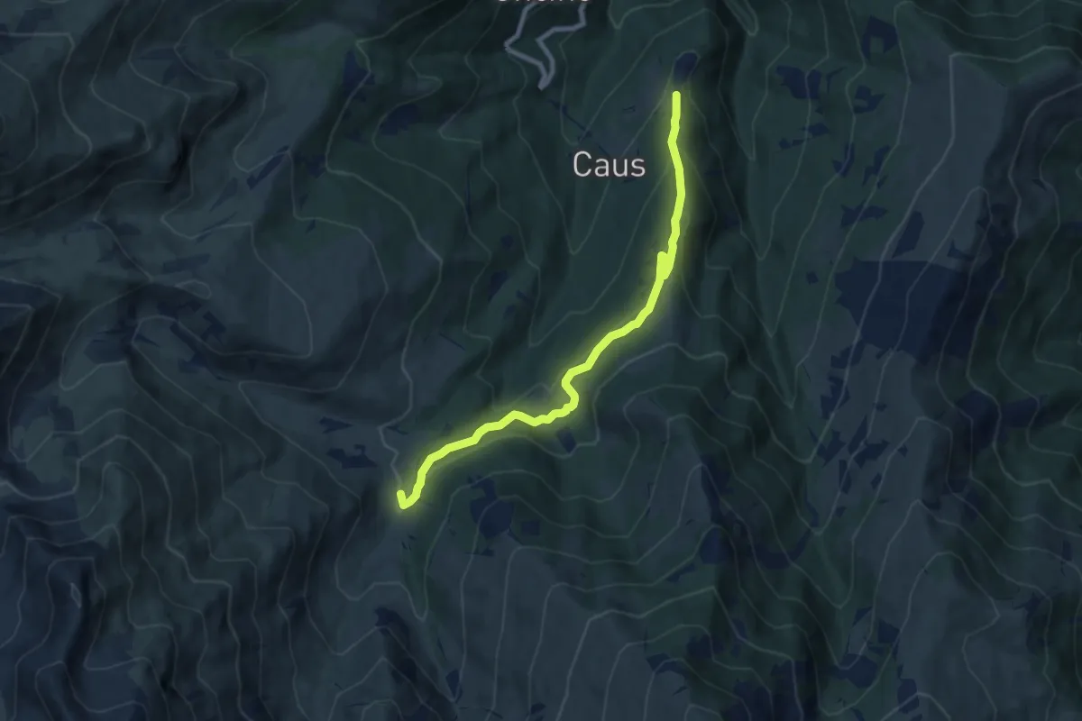
Medium · Trail
Bivio CNAV41-CNAV56 – Bivio CNAV04-CNAV56
8.5 km · ↑ 379 m · 2 h 49 min
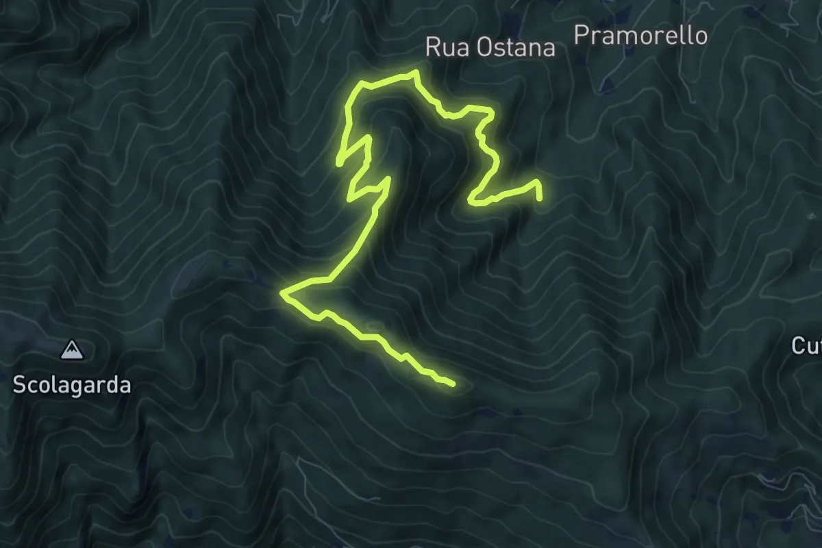
Demanding · Trail
C. Ramello – San Bernardo
11.4 km · ↑ 834 m · 4 h 31 min
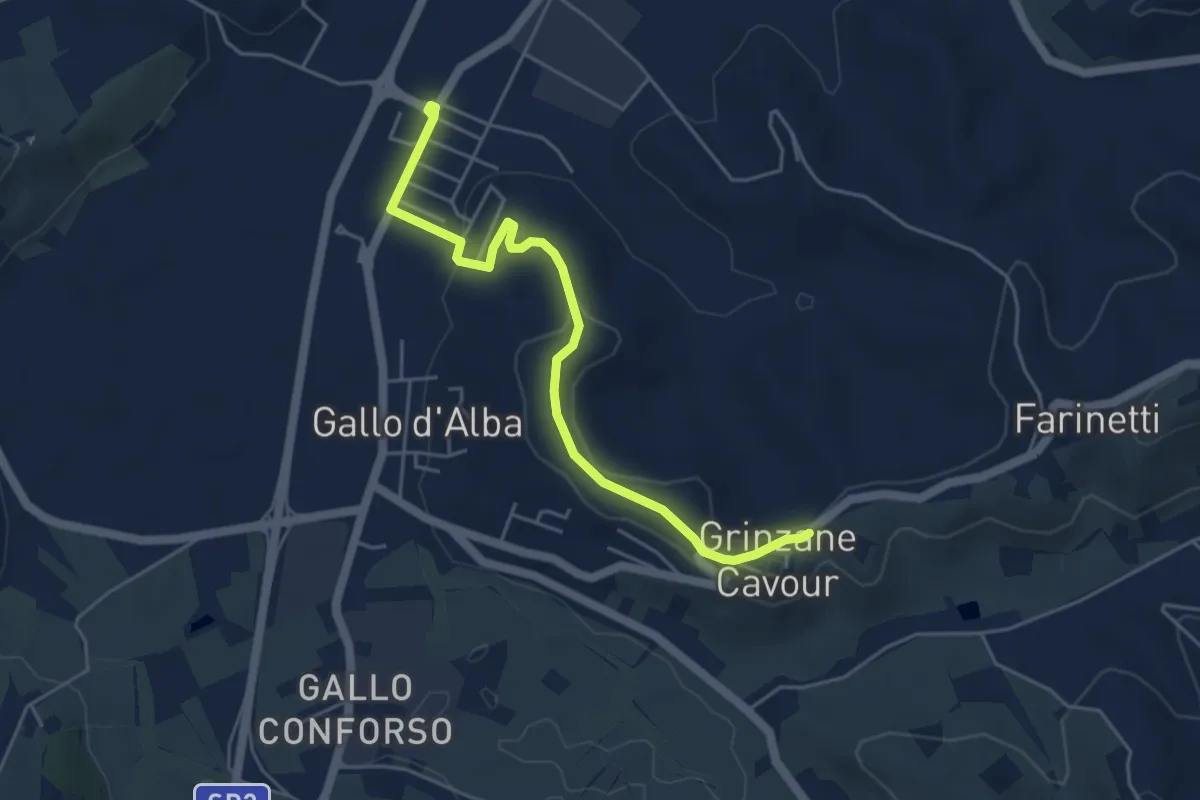
Easy · Trail
Gallo d'Alba – Grinzane Cavour
5.1 km · ↑ 88 m · 1 h 24 min
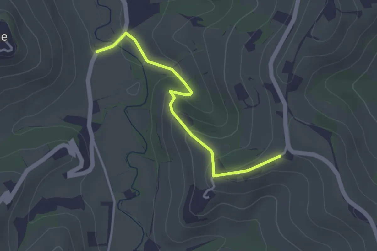
Easy · Trail
C.se Parafada – Castiglione Falletto
3.0 km · ↑ 146 m · 1 h 1 min
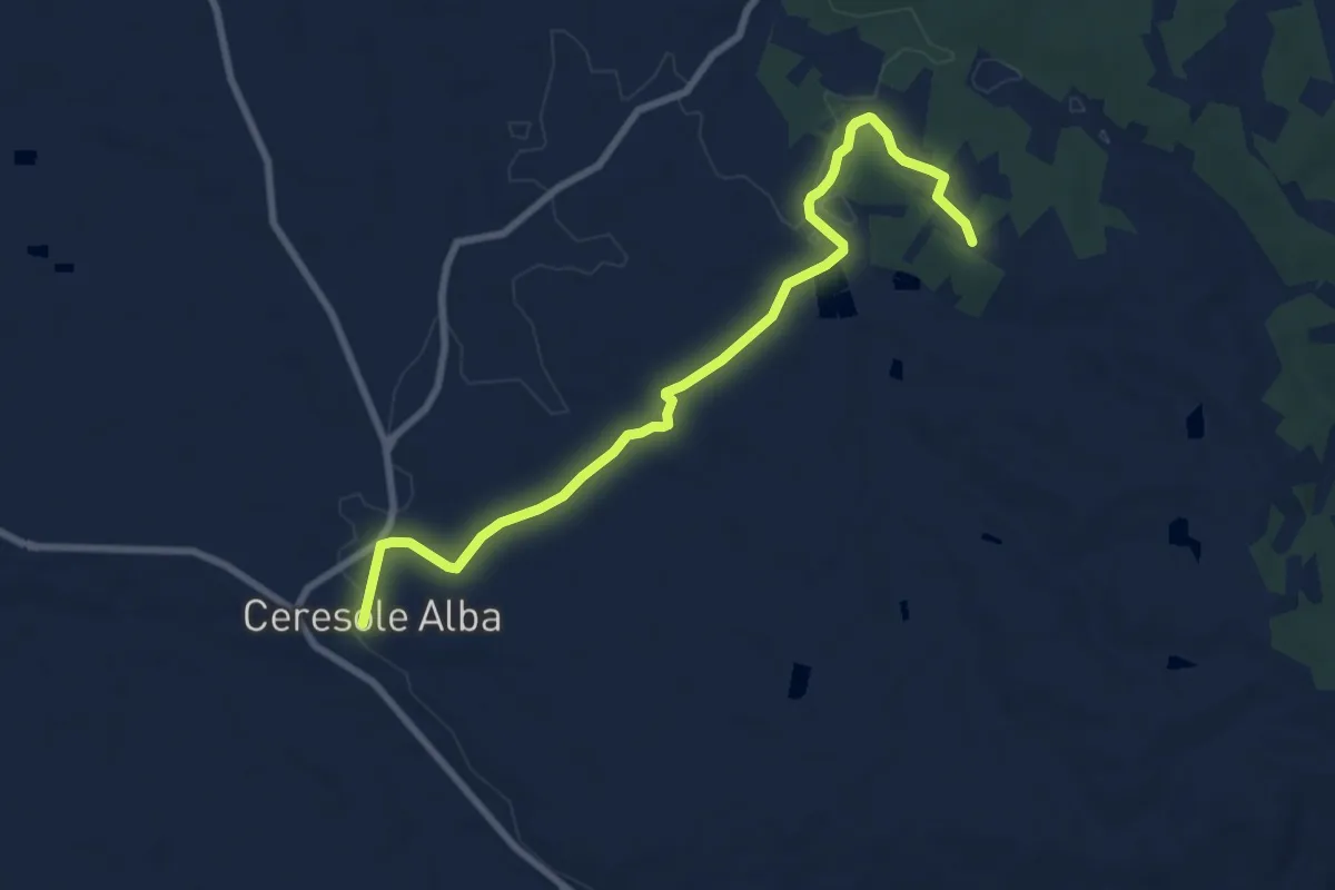
Medium · Trail
Ceresole d'Alba – Bivio sentiero 407
8.9 km · ↑ 55 m · 2 h 13 min
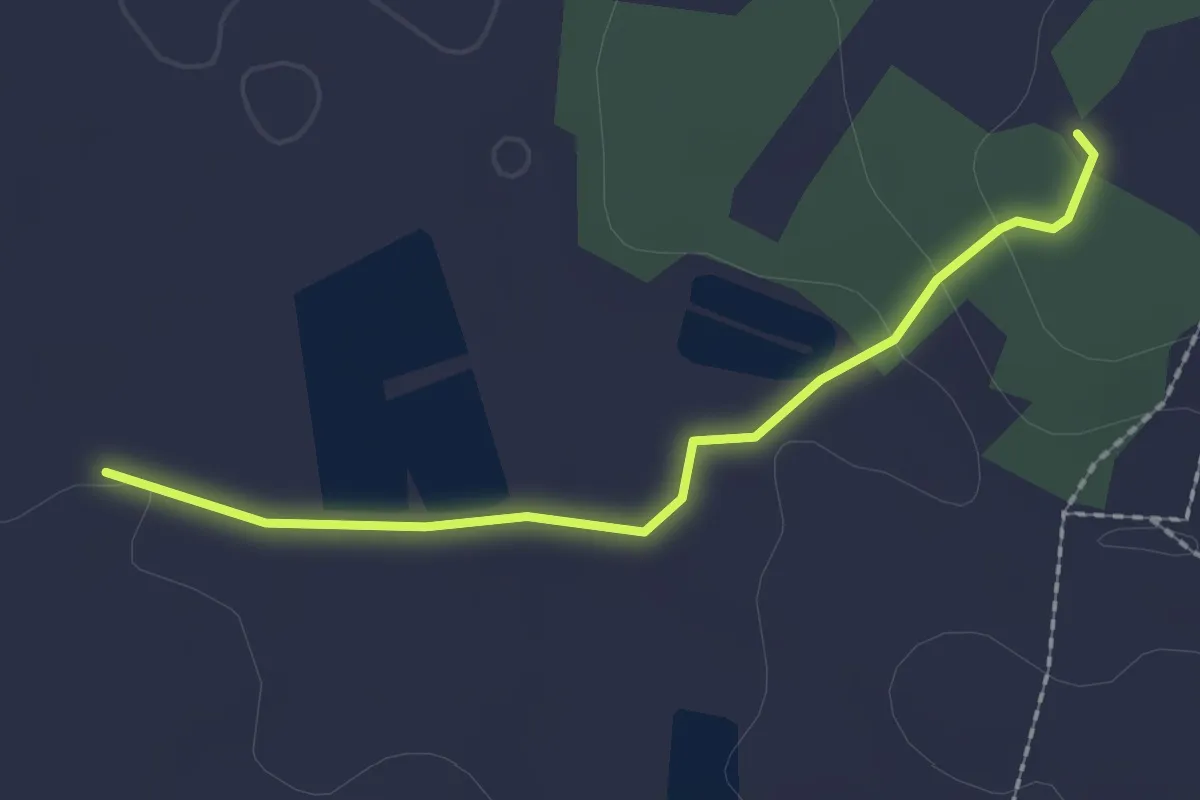
Easy · Trail
Bivio sentiero 407 – Piano della Rocca
2.1 km · ↑ 26 m · 33 min
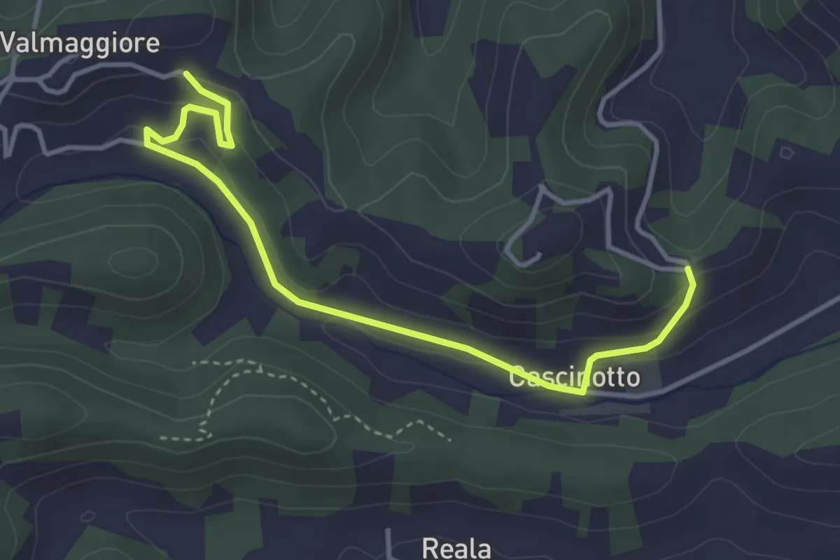
Easy · Trail
Vezza d'Alba, presso Madonna dei Boschi, bivio CNC409, CNC409A – Vezza d'Alba, presso Bric Valmaggiore, bivio CNC409, CNC409A
4.1 km · ↑ 126 m · 1 h 14 min
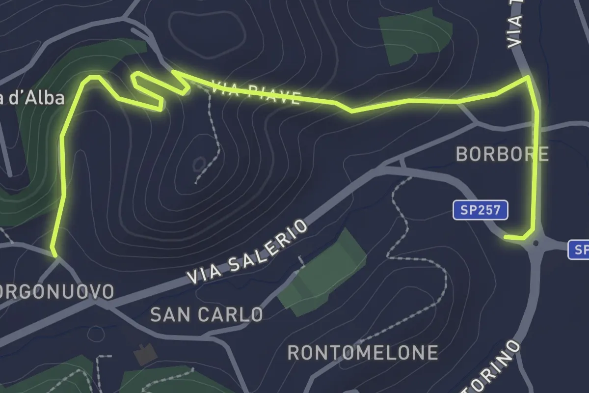
Easy · Trail
Borbore, bivio 409B-412 – Veza, bivio 409-409B
3.8 km · ↑ 170 m · 1 h 16 min
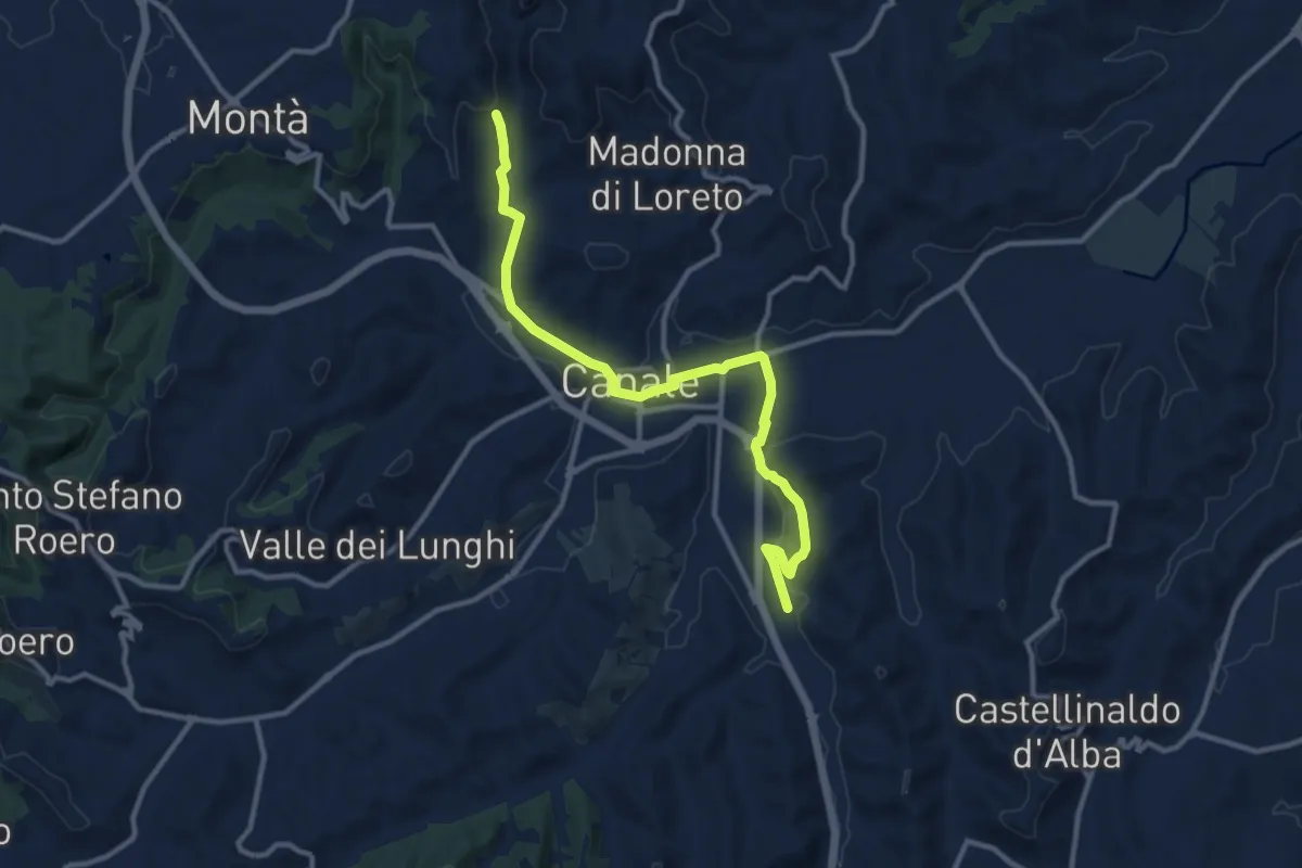
Medium · Trail
Canale – Montà
12.2 km · ↑ 218 m · 3 h 21 min
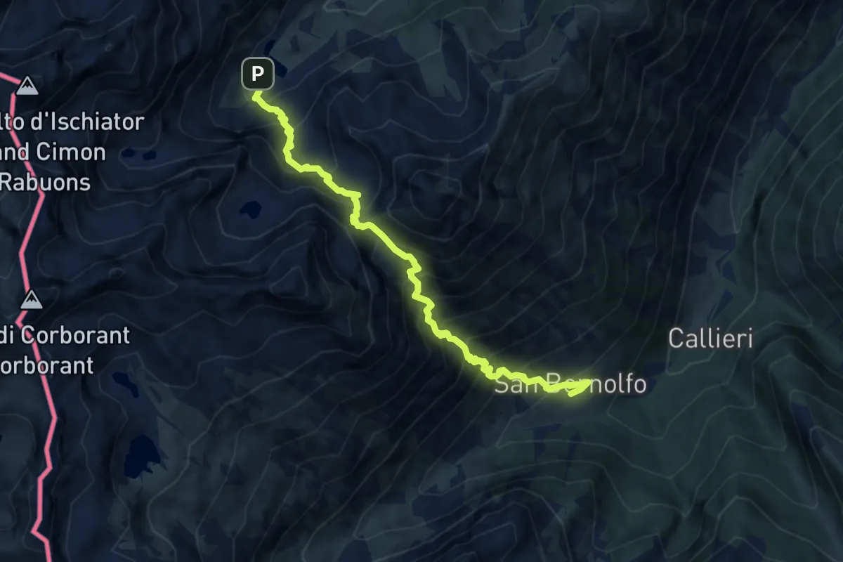
Demanding · Cabin
Bivio P23-P24-P49, San Bernolfo – Vinadio, Lago Inferiore dell'Ischiator - Quota:2069
9.5 km · ↑ 1172 m · 4 h 47 min
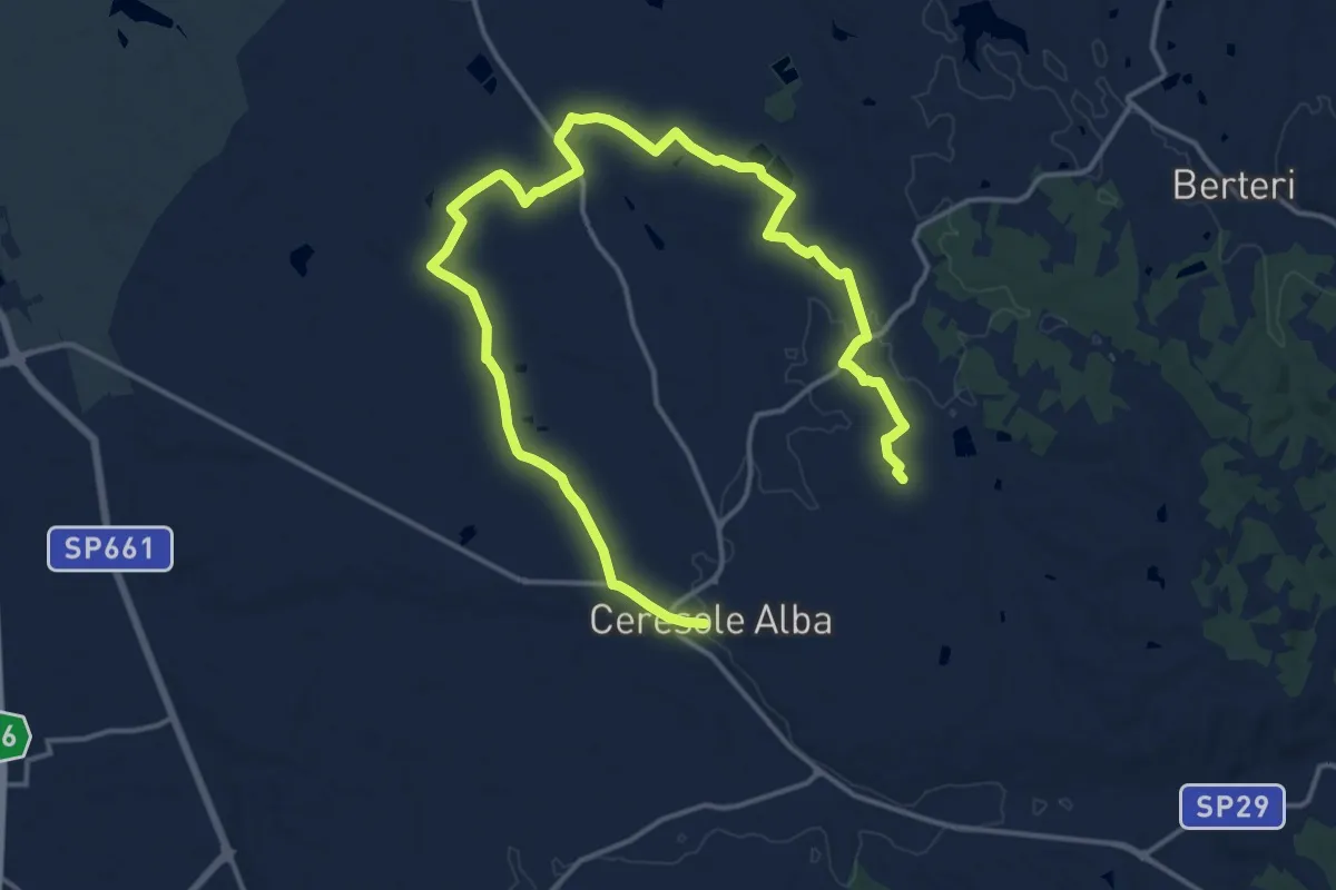
Demanding · Trail
Ceresole d'Alba – Cascina Becci
22.6 km · ↑ 93 m · 5 h 32 min
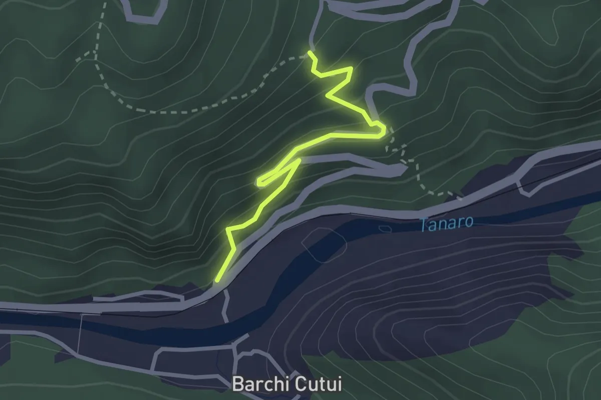
Easy · Trail
Ormea, borgata Nasagò – Ormea, frazione Eca San Giacomo, bivio CNAA34, CNAA34B
2.6 km · ↑ 281 m · 1 h 13 min
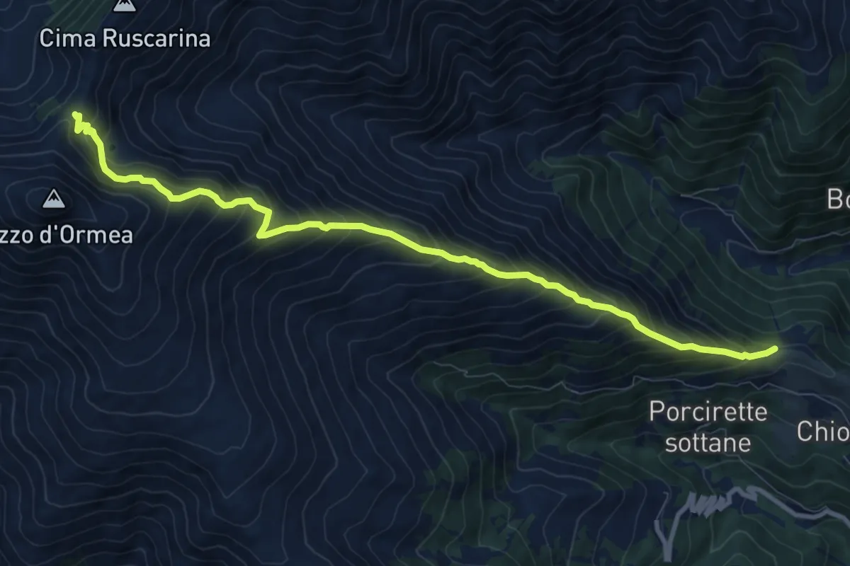
Demanding · Trail
Ormea, Colla di Chionea, bivio CNAA17, CNAA34 – Ormea, Colla del Pizzo, bivio CNAA17, CNAA18, CNAE06, CNAE06A
10.7 km · ↑ 1168 m · 5 h 4 min
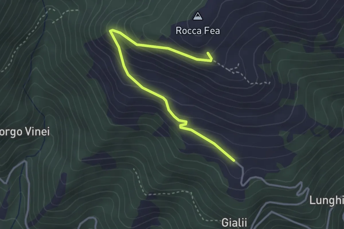
Medium · Trail
Ormea, borgata Cascine, bivio CNAA13, CNAA13A – Ormea, presso Rocca Fea, bivio CNAA13, CNAA13A
3.5 km · ↑ 249 m · 1 h 21 min
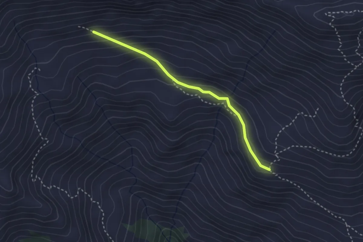
Medium · Trail
Ormea, Rocca degli Uccelli, bivio CNAA09A, CNAA13 – Ormea, bivio CNAA09, CNAA09A
2.9 km · ↑ 185 m · 1 h 4 min
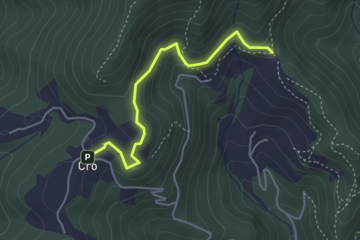
Easy · Trail
Crò (via Cossulera) – Colle Ciardonet, bivio TOS061-060
3.4 km · ↑ 149 m · 1 h 8 min
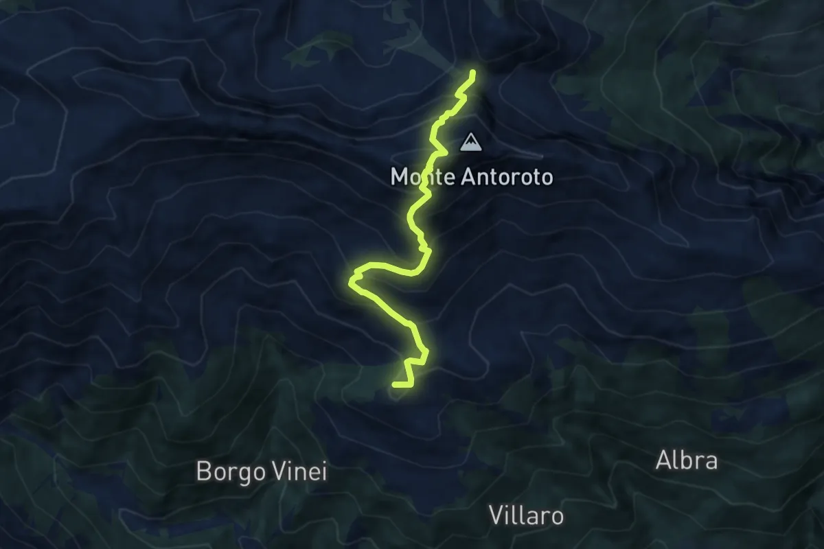
Demanding · Summit
Ormea, borgata Airola, bivio CNAA13, CNAA34 – Garessio, Colla Bassa, bivio CNAA10, CNAA13, CNAC01, CNAC14
7.6 km · ↑ 883 m · 3 h 43 min
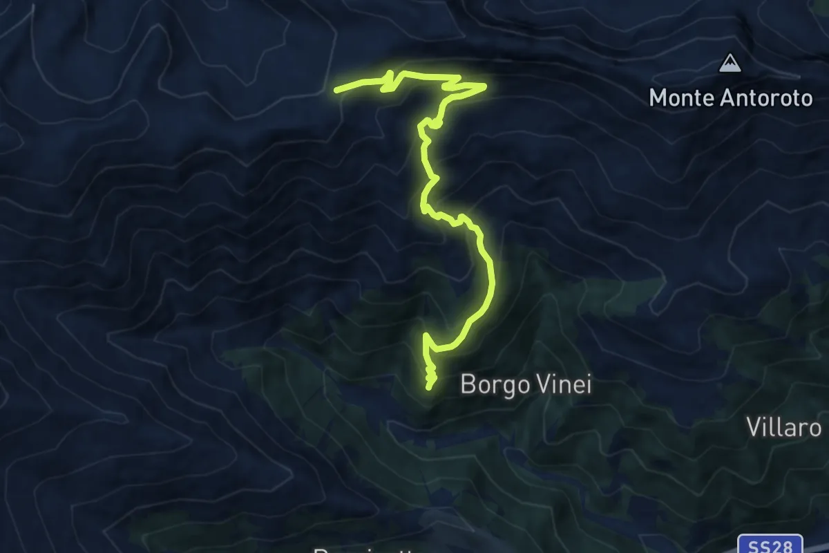
Demanding · Trail
Ormea, presso frazione Valdarmella, bivio CNAA09, CNAA34 – Ormea, Colla dei Termini, bivio CNAA09, CNAA18, CNAC03, CNAE12
10.9 km · ↑ 909 m · 4 h 32 min
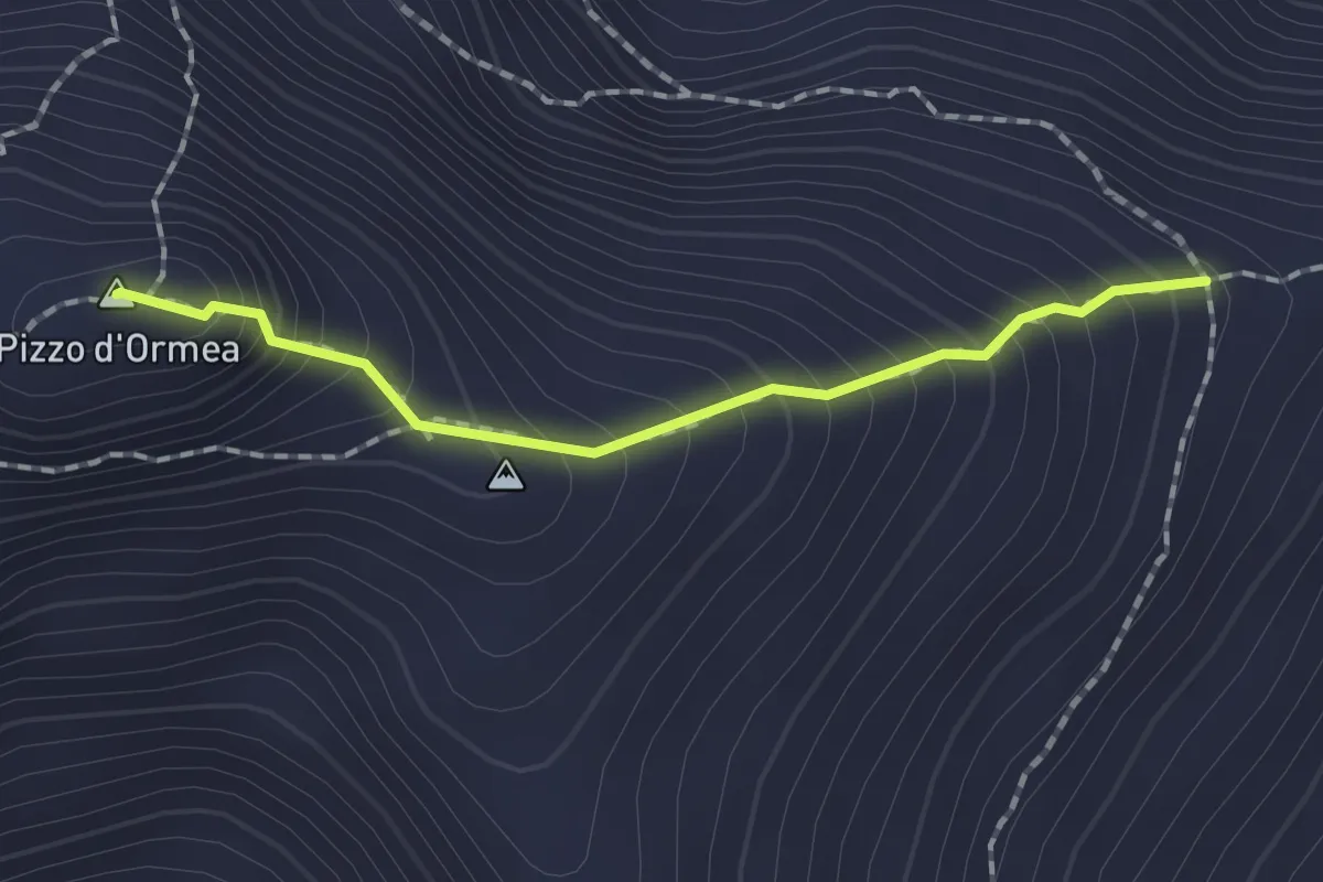
Demanding · Summit
Colletta Valcaira bivio con A17 – pressi del Colle Roccette bivio con A07A
1.6 km · ↑ 259 m · 56 min
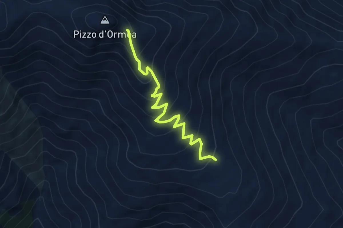
Demanding · Trail
Ormea, Piano degli Archetti, bivio con percorso A11 – Ormea, Colletta del Pizzo, bivio con percorsi A17B e A07A
5.1 km · ↑ 348 m · 1 h 57 min
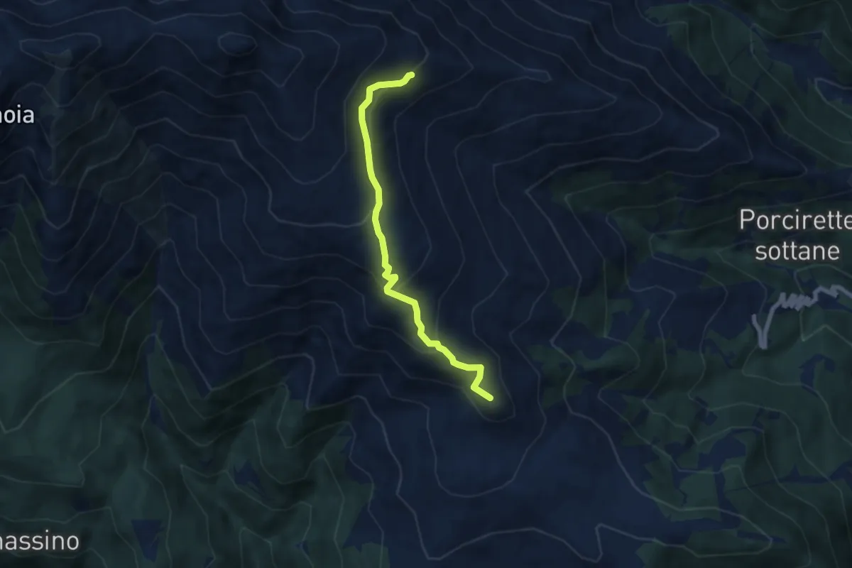
Medium · Summit
Ormea, frazione Quarzina, bivio con percorso A21 – Rifugio Valcaira - Ezio Arduino, bivio con percorsi A17, A17A
6.6 km · ↑ 407 m · 2 h 26 min
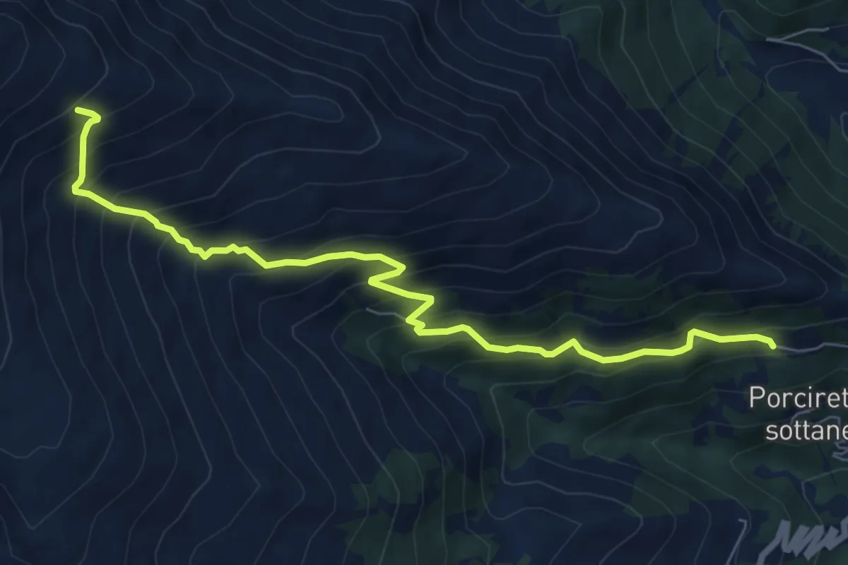
Demanding · Cabin
Ormea, borgata Porcirette Soprane – rifugio Valcaira Ezio Arduino, bivio A11, A17, A17A
7.8 km · ↑ 818 m · 3 h 37 min
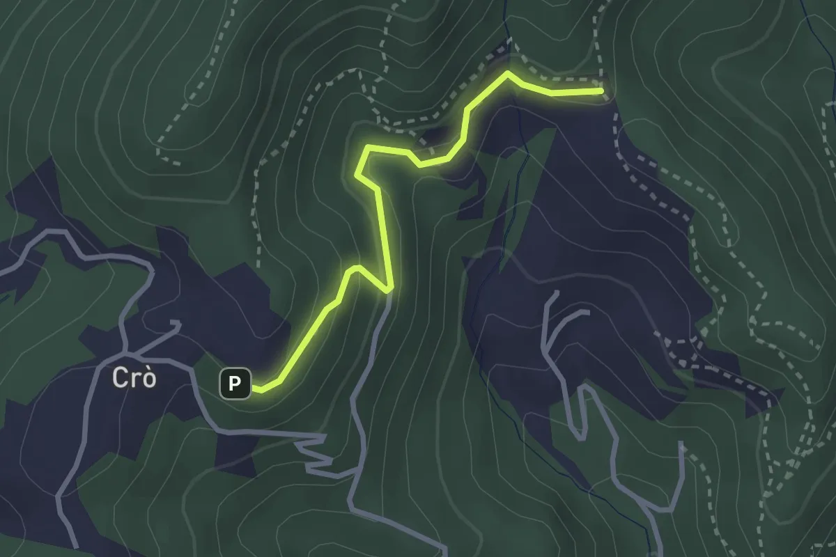
Easy · Trail
Colle Eremita, bivio TOS049-060A – Pressi di Casa Canada, bivio TOS060-060A
2.6 km · ↑ 138 m · 55 min
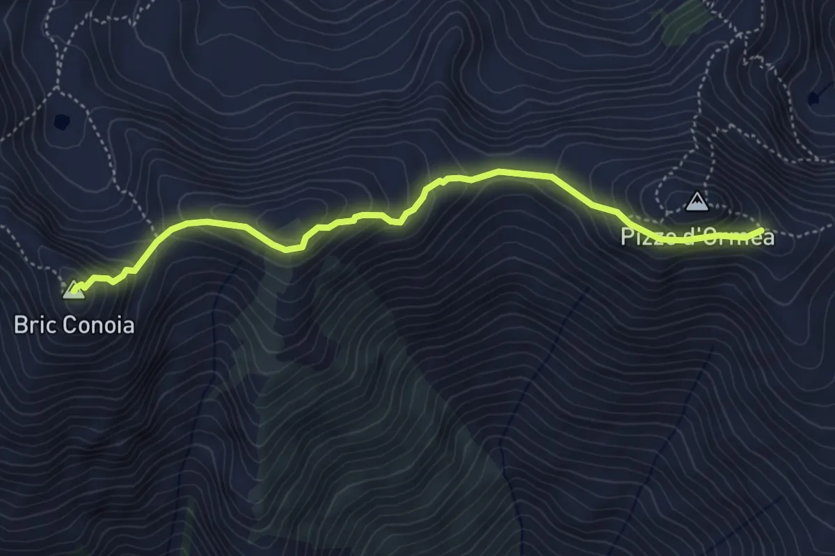
Medium · Summit
Bivio con A07 presso Gola dell'Aseo – Colletta del Pizzo, bivio con A11A, A17B
5.0 km · ↑ 426 m · 2 h 6 min
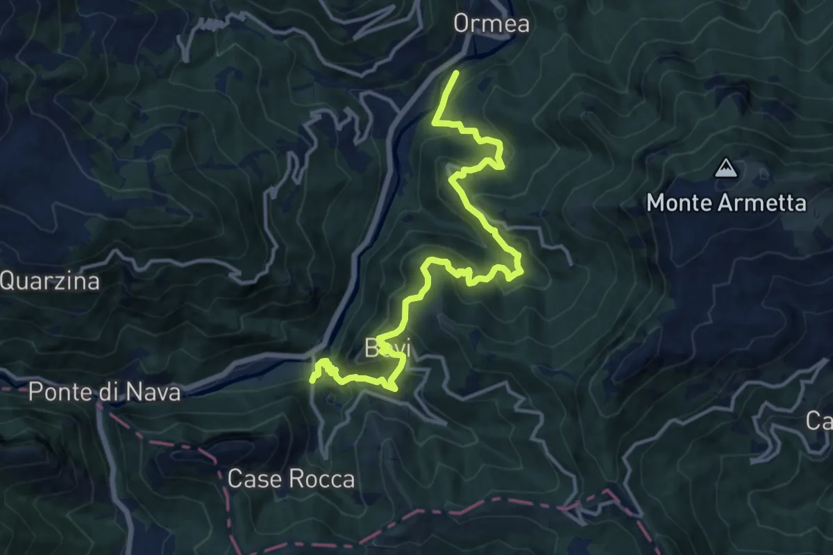
Demanding · Trail
Ormea ponte San Giuseppe – Cantarana
14.7 km · ↑ 1028 m · 5 h 41 min
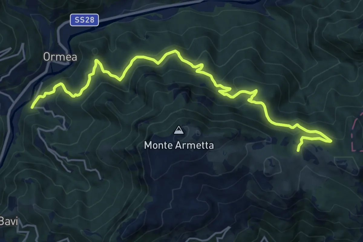
Demanding · Trail
Ormea , Giro di Martin, bivio CNAA15, CNAA46, CNAA47 – Ormea, Colle di San Bartolomeo, bivio CNAA24, CNAA43
18.5 km · ↑ 1005 m · 6 h 33 min