Trails in Italy
25,219 hiking trails, each with its route, climb, walking time and grade.
All trails, page 346 of 526
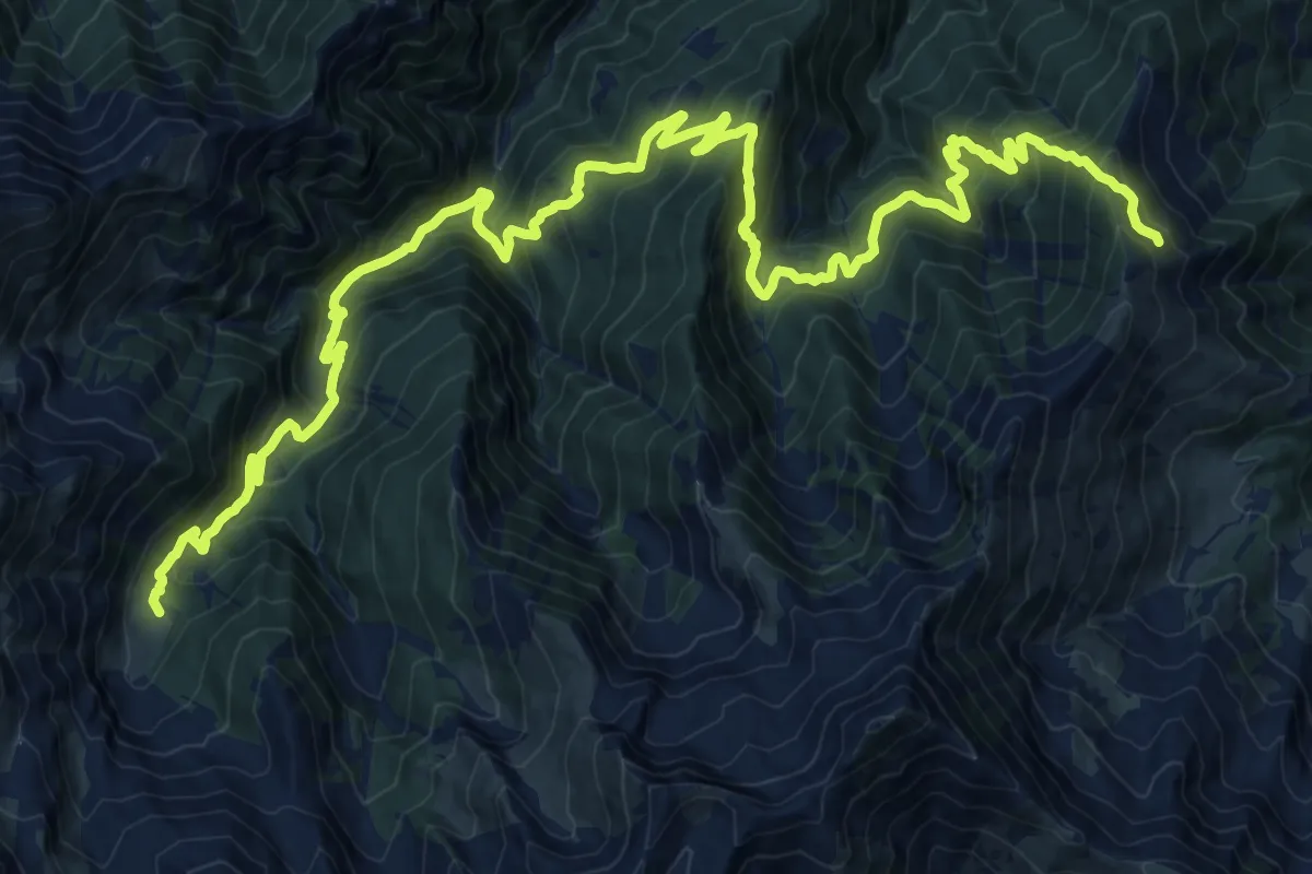
Demanding · Cabin
Rorà, bivio TOS110-TOS105 presso ex-Rifugio Valanza – Bobbio Pellice, Rifugio Barbara, Grange del Pis, bivio TOS110-TOS112-TOS113
16.6 km · ↑ 1198 m · 6 h 45 min
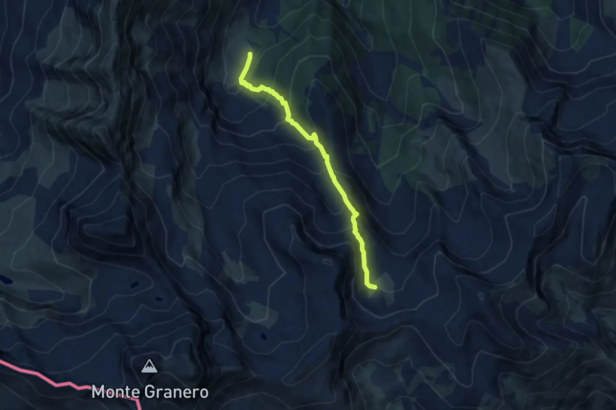
Medium · Cabin
Rifugio Barbara Lowrie (Grange del Pis) – Presso Rocca Nera, Colle della Gianna, bivio TOS111-TOS113
7.3 km · ↑ 677 m · 3 h 11 min
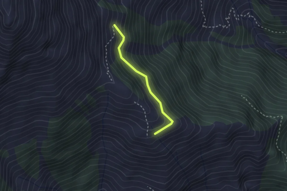
Easy · Trail
Bivio 122-122A – Bivio 122-122A
2.0 km · ↑ 167 m · 50 min
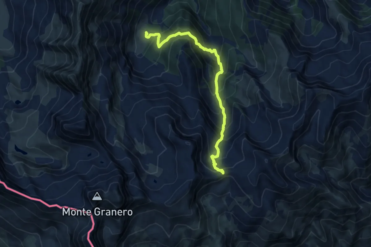
Demanding · Cabin
Bivio TOS111-TOS113, rifugio Barbara Lowrie (Grange del Pis) – Colle della Gianna
11.4 km · ↑ 1183 m · 5 h 16 min
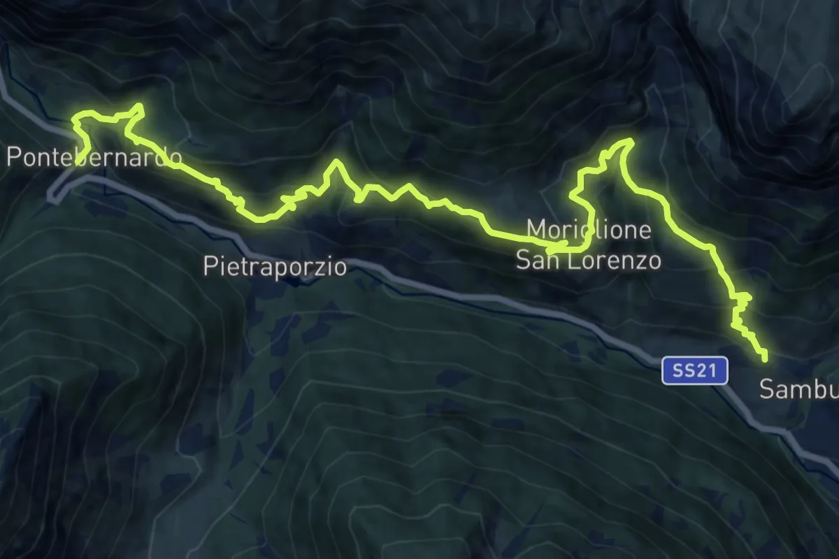
Demanding · Cabin
Sambuco, bivio CNAP06-CNAP55 – Pietraporzio, Fraz. Pontebernardo, bivio CNAP55-CNAP66
18.3 km · ↑ 1233 m · 7 h
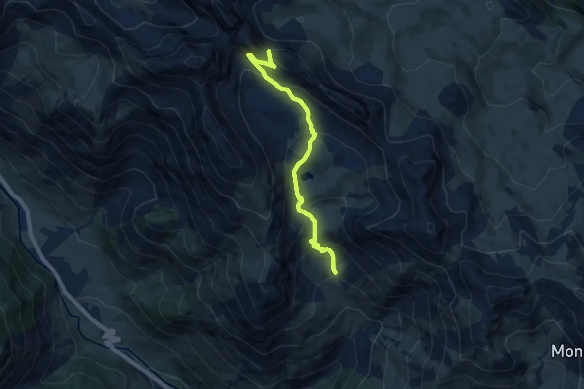
Medium · Trail
bivio CNAP35-CNAP36 – Passo Rocca Brancia, bivio CNAP36-CNAS36
7.8 km · ↑ 565 m · 3 h 3 min
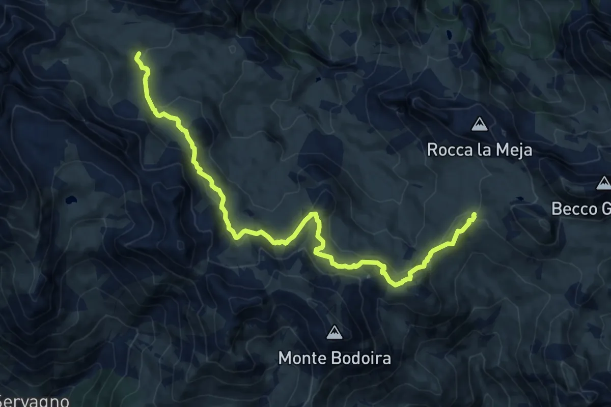
Medium · Trail
bivio CNAS36-CNAS43 – Colle Margherina, bivio CNAS36-CNAS43
15.6 km · ↑ 648 m · 5 h 5 min
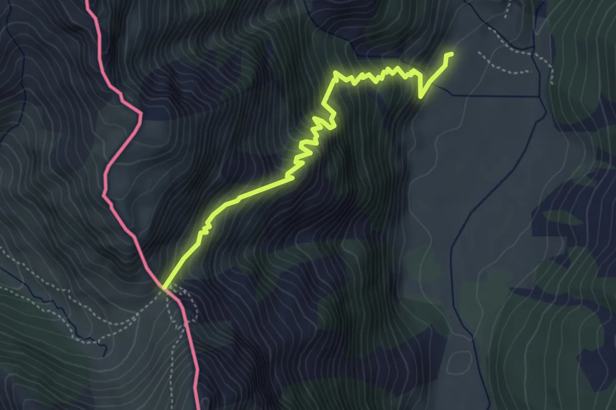
Medium · Trail
Bobbio Pellice, Fraz. Villanova, bivio TOS115-TOS121 – Colle della Croce
5.0 km · ↑ 652 m · 2 h 35 min
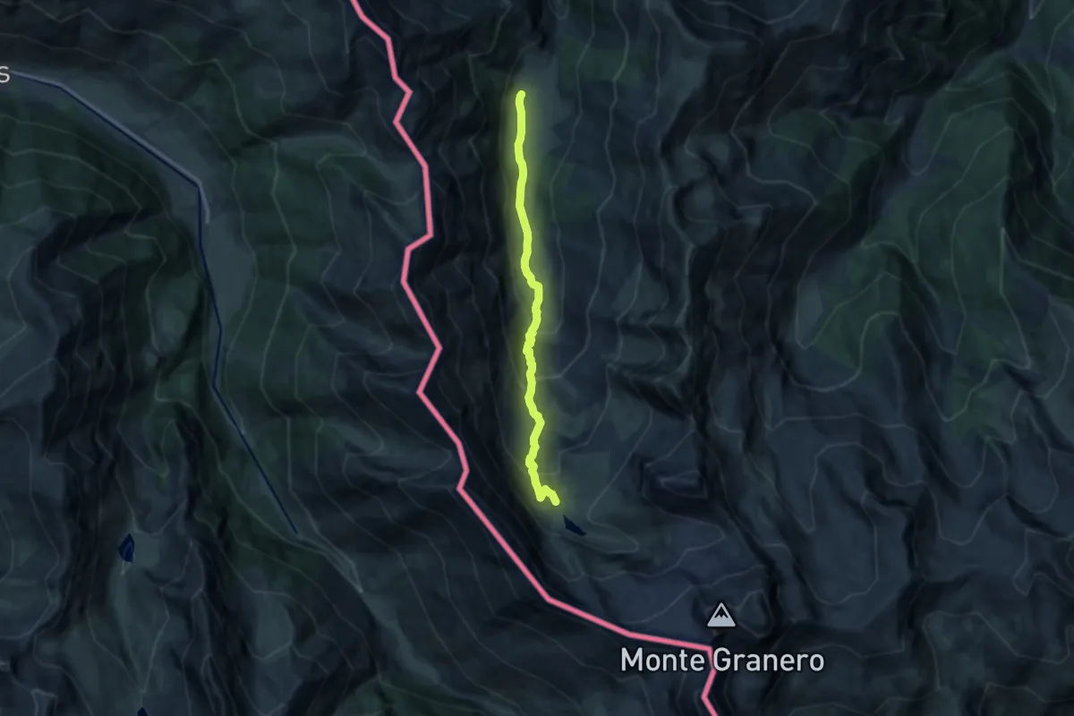
Demanding · Trail
Bobbio Pellice, Rifugio Jervis, bivio TOS116-TOS115 – Bobbio Pellice, Colle Manzol, bivio TOS114-TOS116
10.8 km · ↑ 684 m · 4 h 1 min
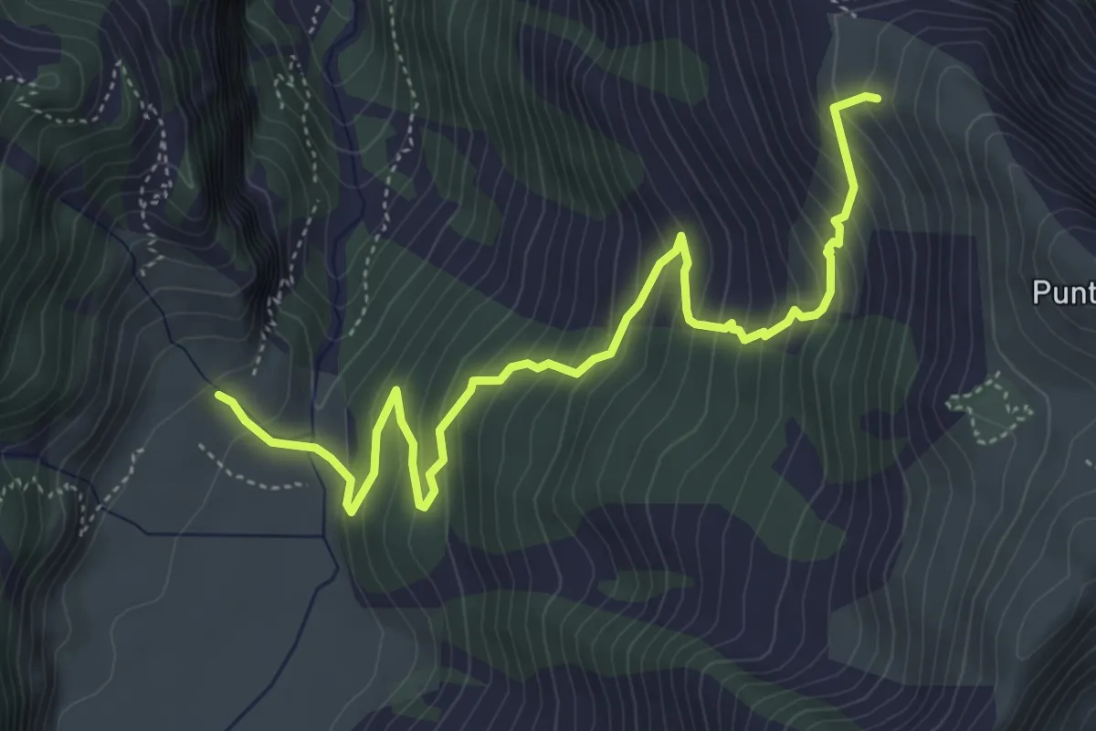
Medium · Cabin
Bobbio Pellice, presso Rifugio Barbara, Grange del Pis, bivio TOS110-TOS117 – Bobbio Pellice, Rifugio Jervis, bivio TOS115-TOS117-TON119
5.8 km · ↑ 542 m · 2 h 33 min
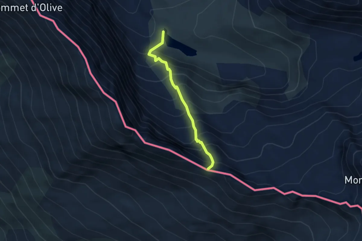
Medium · Trail
Rifugio Granero, bivio TOS116-TOS116A – Colle Seilliere
3.1 km · ↑ 453 m · 1 h 42 min
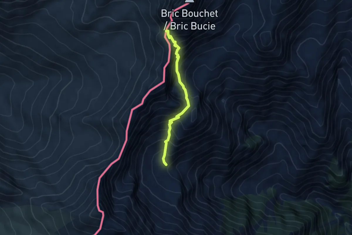
Medium · Cabin
Presso Pian della Crosennetta, bivio TOS120-TOS121 – Bobbio Pellice, Colle Boucie, bivio TOS228-TOS120
4.2 km · ↑ 549 m · 2 h 11 min
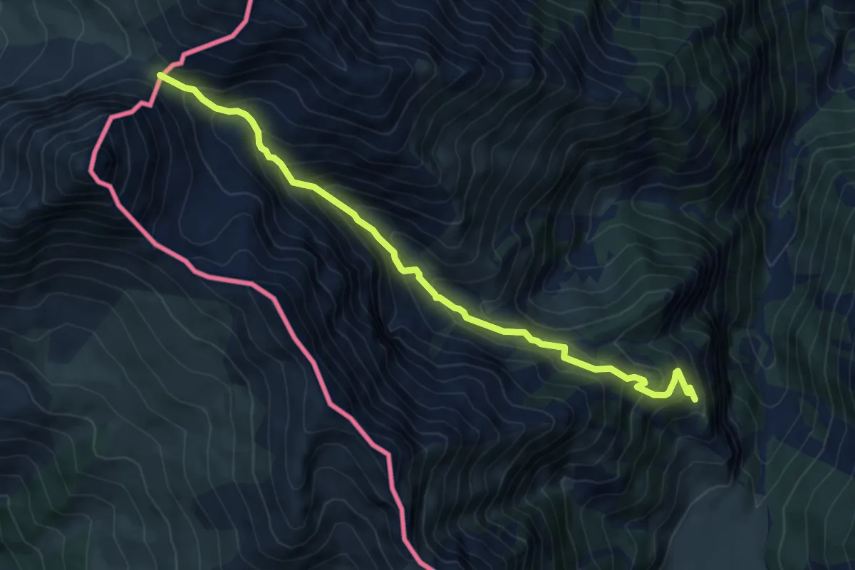
Demanding · Trail
Albergo Ciabot del Pra – Colle dell'Urina
7.5 km · ↑ 709 m · 3 h 19 min
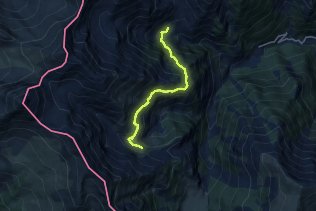
Medium · Trail
Bivio TOS119, presso le Barricate – Bivo per Colletta delle Faure, bivio TOS122-TOS12-TOS1183
7.2 km · ↑ 581 m · 2 h 57 min
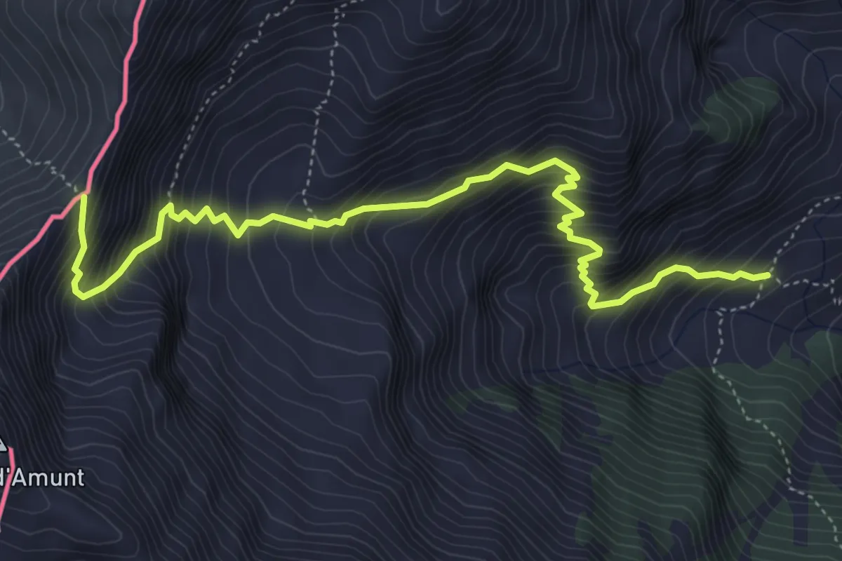
Demanding · Trail
Bobbio Pellice, Case Brunel, bivio TOS115-TOS121 – Colle Malaura
5.9 km · ↑ 897 m · 3 h 20 min
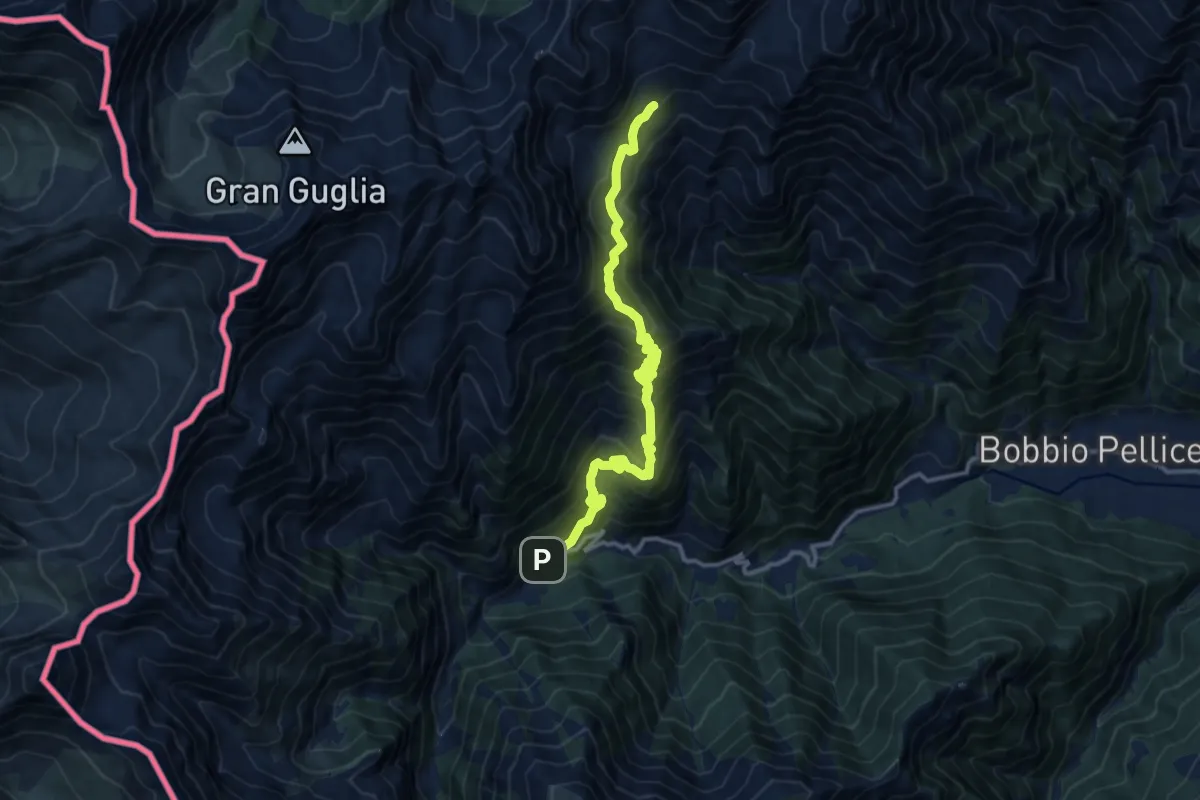
Demanding · Cabin
Bobbio Pellice, Fraz. Villanova, bivio TOS115-TOS121 – Bergeria Giulian, bivio TOS122-TOS125
13.9 km · ↑ 1417 m · 6 h 21 min
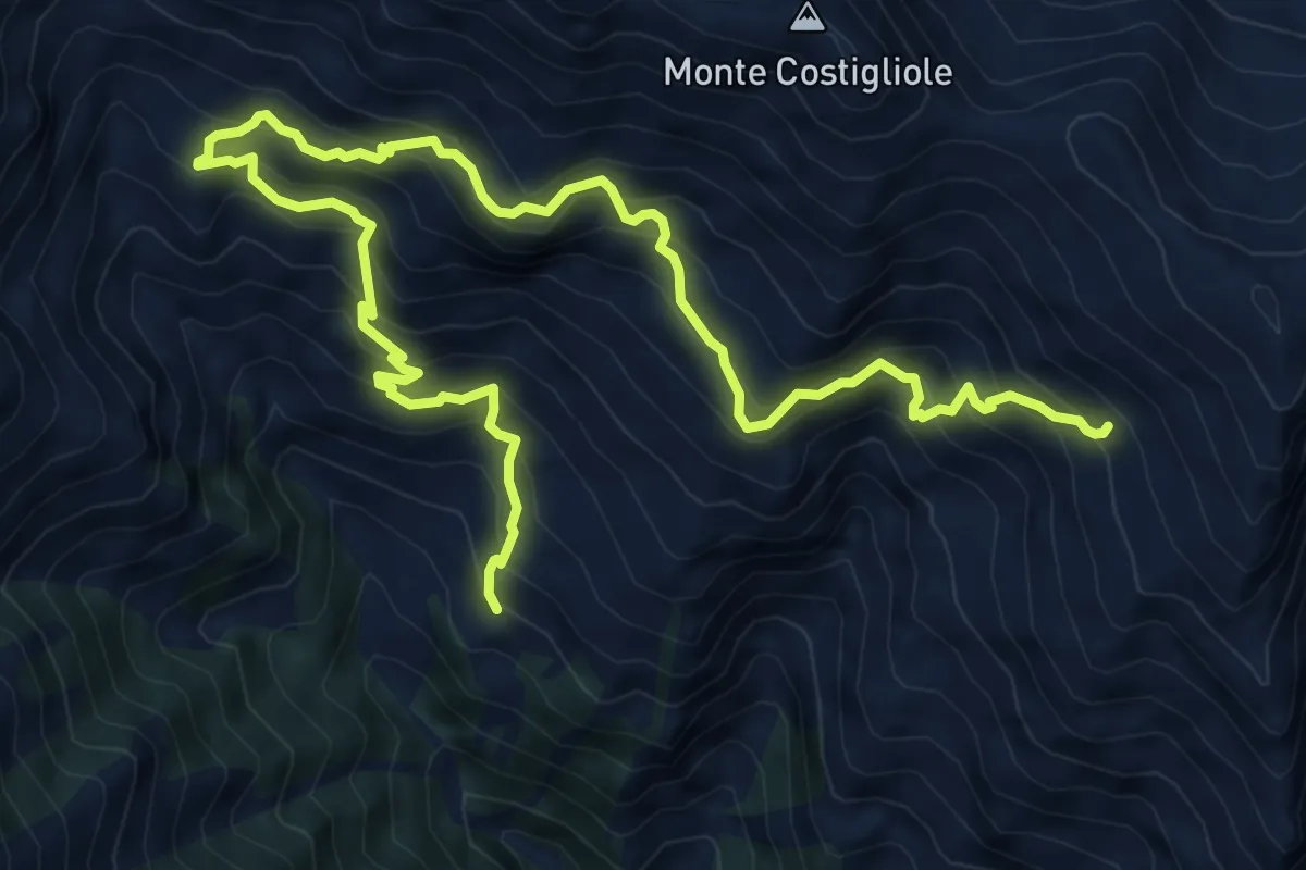
Demanding · Trail
Villar Pellice, Barma d'Aut, bivio TOS128-TOS126 – Villar Pellice, Alpe Caugis, bivio TOS129-TOS126
10.7 km · ↑ 1150 m · 5 h 1 min
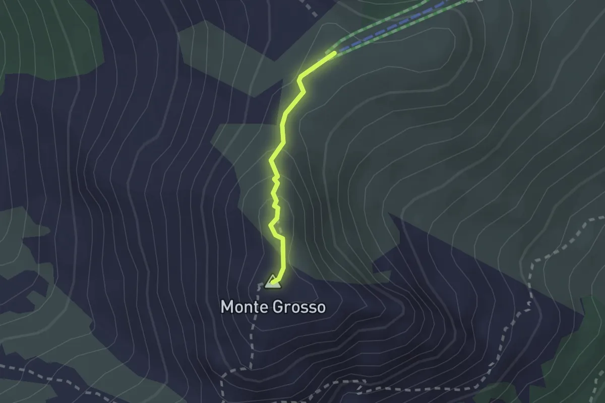
Medium · Summit
Garessio, presso Cima Praietto, bivio CNAC15, CNAC14 – Garessio, Colla Bassa, bivio A10-A13-C01-C14
1.5 km · ↑ 58 m · 28 min
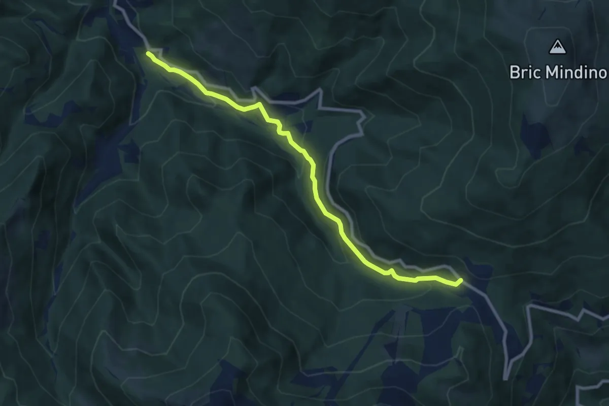
Medium · Trail
Pamparato, località San Rocco, bivio CNAC01, CNAC38 – Garessio, presso Colla di Casotto, bivio CNAA38, CNAA40: CNAC38, CNAC42
8.3 km · ↑ 452 m · 2 h 56 min
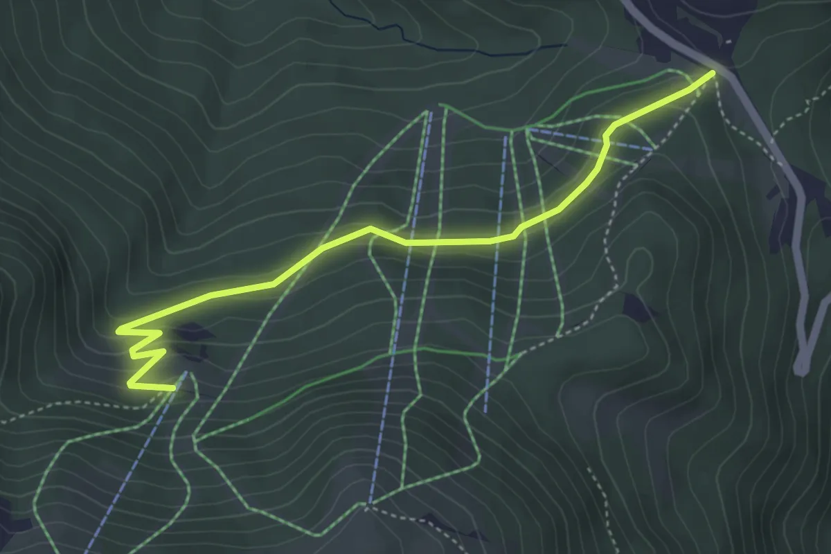
Easy · Trail
Garessio, colla di Casotto, bivio CNAA38, CNAA40, CNAC38, CNAC42 – Garessio, Gias del Roccassone, bivio CNAC07, CNAC08, CNAC42
4.8 km · ↑ 222 m · 1 h 36 min
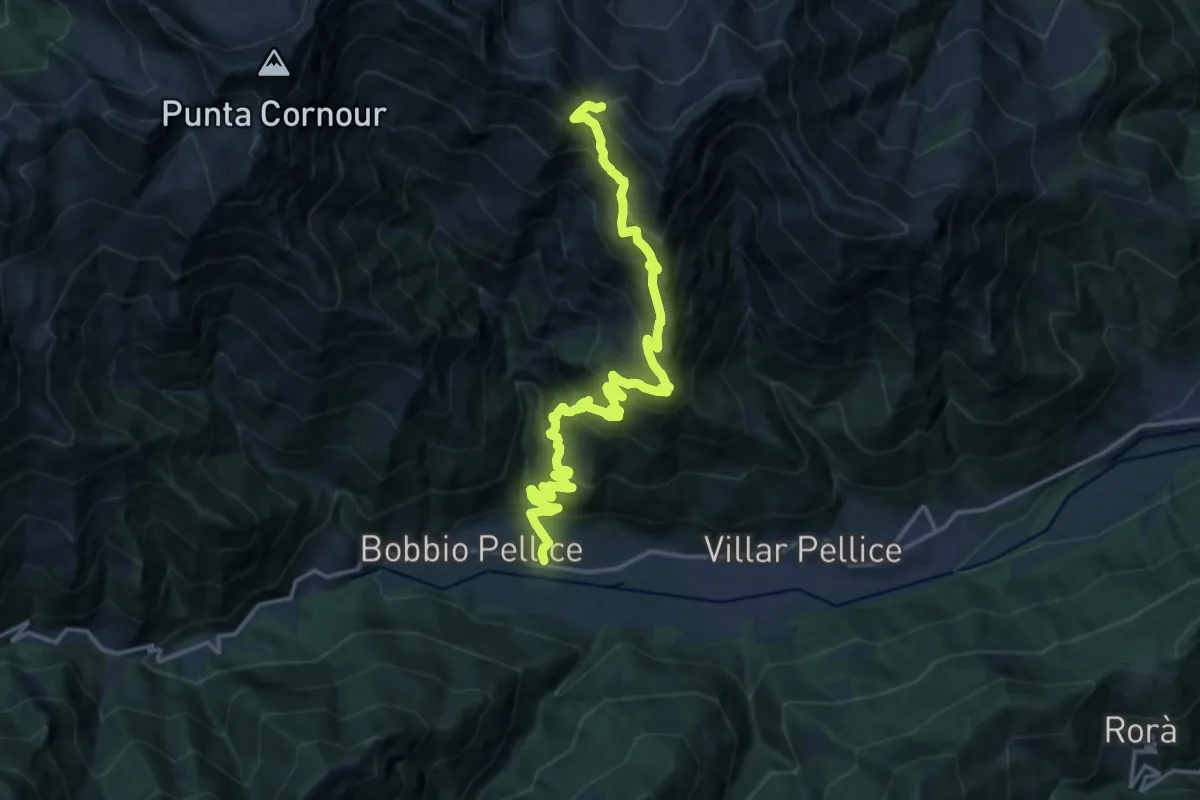
Medium · Trail
Villar Pellice, Borgata Subiasco – Angrogna, Colle Chiot del Cavallo, bivio TOS139-TOS129
9.5 km · ↑ 72 m · 3 h 16 min
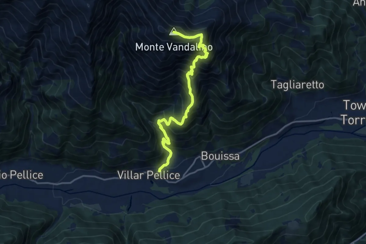
Demanding · Summit
Villar Pellice – Villar Pellice, Monte Vandalino vetta
12.7 km · ↑ 1461 m · 6 h 10 min
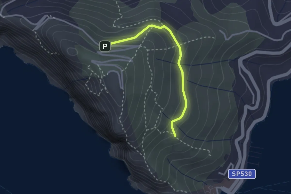
Easy · Trail
Cave del Muzzerone – innesto sent. 519
2.4 km · ↑ 117 m · 49 min
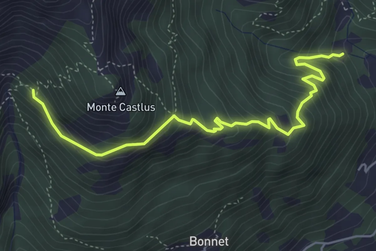
Demanding · Trail
Torre Pellice, presso Bun Pian, bivio TOS132-TOS135 – Biivio TOS132-TOS133
5.1 km · ↑ 552 m · 2 h 24 min
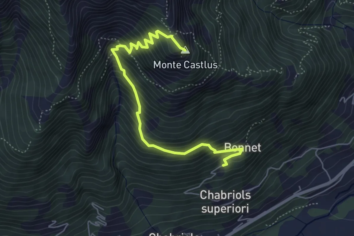
Medium · Summit
Torre Pellice, frazione Bonnet – Cima Castlus
5.5 km · ↑ 579 m · 2 h 32 min
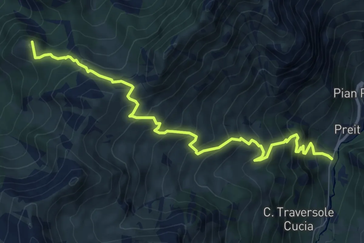
Demanding · Summit
Chialvetta, bivio sentiero S09 – Preit, bivio sentiero S37
9.4 km · ↑ 990 m · 4 h 21 min
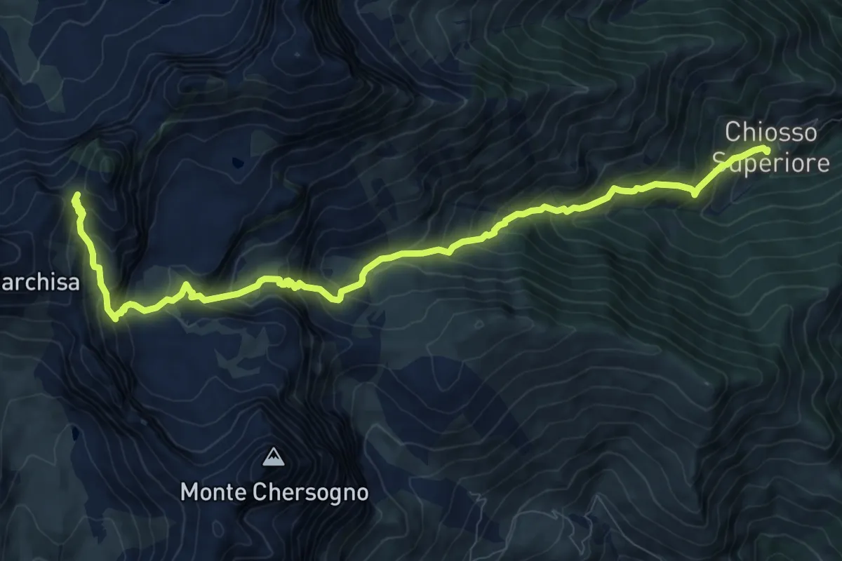
Demanding · Trail
Chiosso Superiore di Elva, bivio T05,T32,T41,presso T21 – Colle delle Sagneres (biv. U25)
11.8 km · ↑ 1210 m · 5 h 24 min
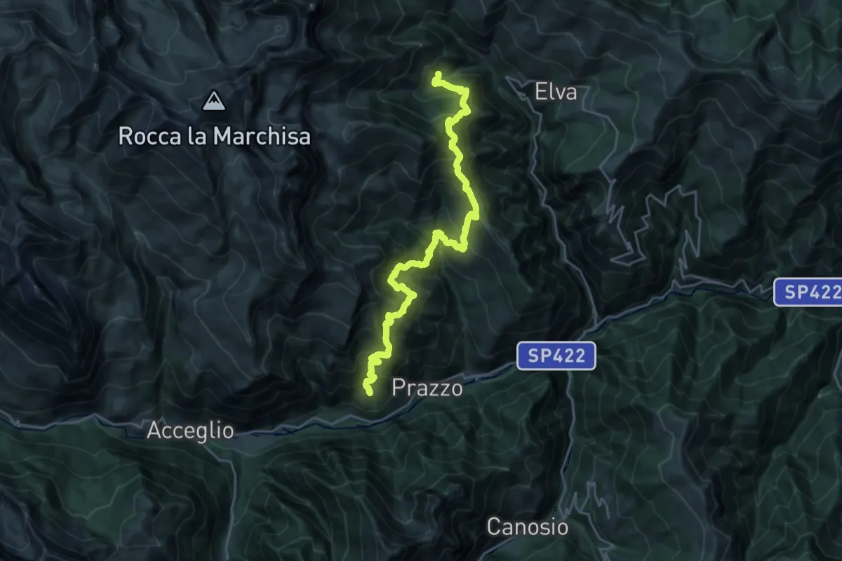
Demanding · Trail
Ussolo, bivio CNAT24-CNAT32 – Chiosso Superiore di Elva, bivio CNAT05-CNAT32-CNAT41
12.6 km · ↑ 1319 m · 5 h 48 min
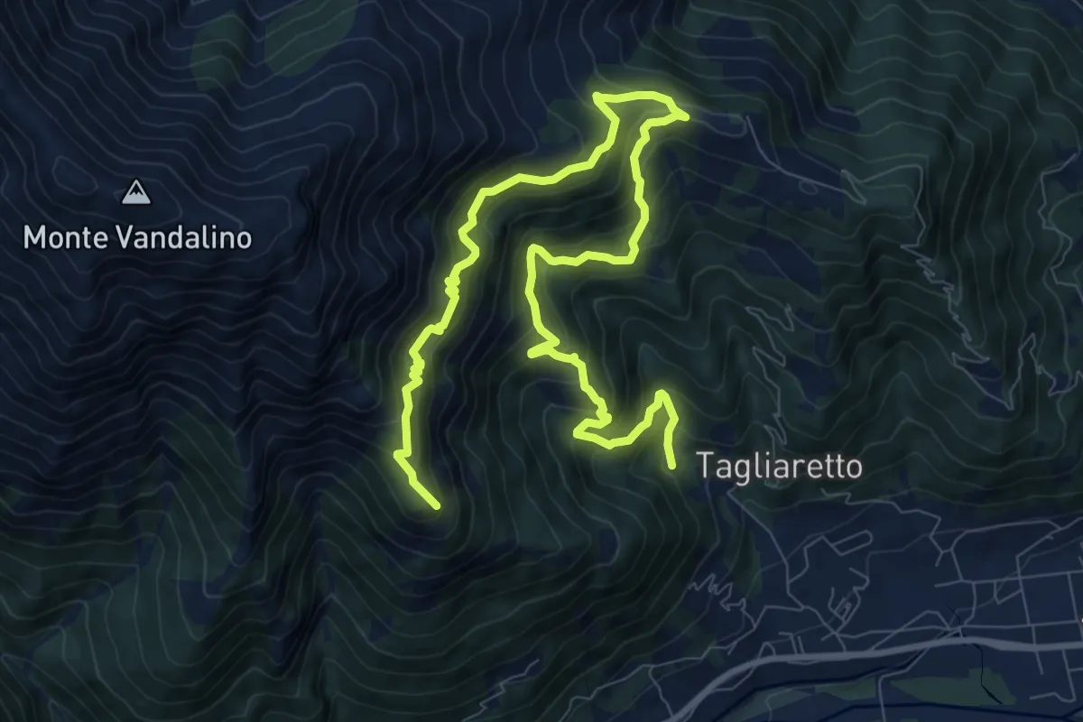
Demanding · Summit
Torre Pellice, presso Bun Pian, bivio TOS132-TOS135 – Torre Pellice, Castellus, bivio TOS132-TOS135
13.3 km · ↑ 1178 m · 5 h 42 min
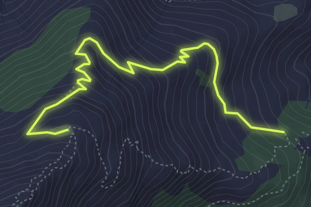
Medium · Trail
Torre Pellice, Sea di Torre, bivio TOS135-TOS135A – Torre Pellice, Alpe Vandalino
5.4 km · ↑ 481 m · 2 h 19 min
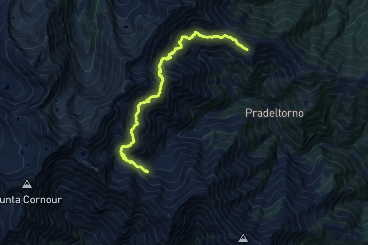
Demanding · Trail
Angrogna, Loc. Criuliro, bivio TOS137-TOS150A – Angrogna, Alpe della Sella, bivio TOS137-TOS139
16.2 km · ↑ 1572 m · 7 h 14 min
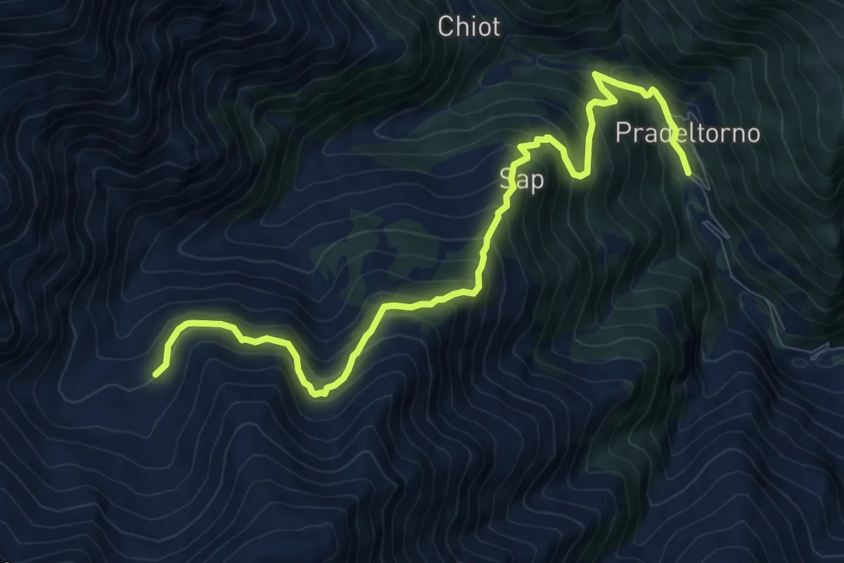
Expert · Trail
Angrogna, Prà del Torno – Angrogna, bivio TOS138-TOS139
10.1 km · ↑ 976 m · 4 h 30 min
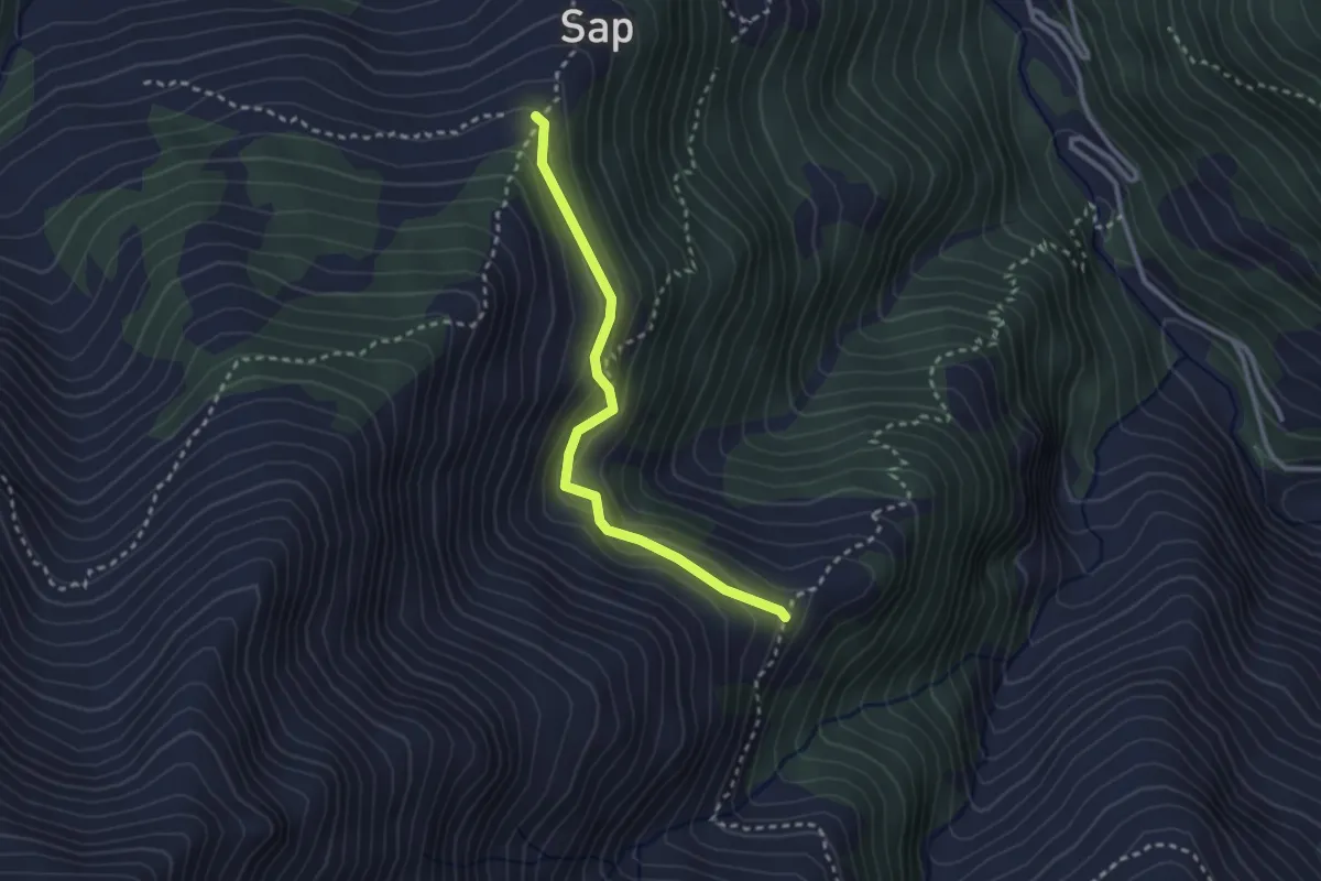
Easy · Cabin
Angrogna, Rifugio Ai Sap, bivio TOS138-TOS138A-TOS139B – Angrogna, Embergeria, Bivio TOS138A-TOS140
2.7 km · ↑ 164 m · 59 min
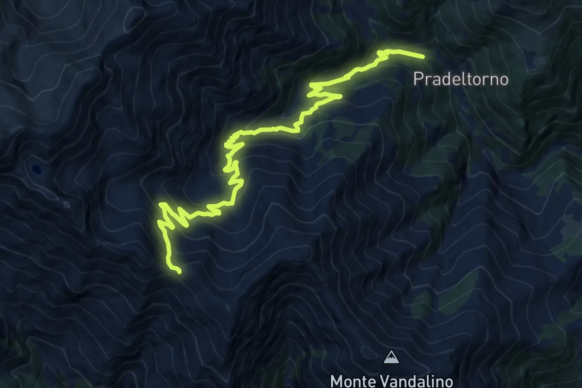
Demanding · Trail
Angrogna, bivio TOS138-TOS139 presso Torrente Angrogna – Angrogna, Colle Chiot del Cavallo, bivio TOS139-TOS129
17.4 km · ↑ 1261 m · 6 h 50 min
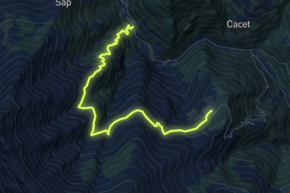
Demanding · Cabin
Presso Eissart – Località Prato Stella, Riugio Berfè
10.3 km · ↑ 938 m · 4 h 28 min
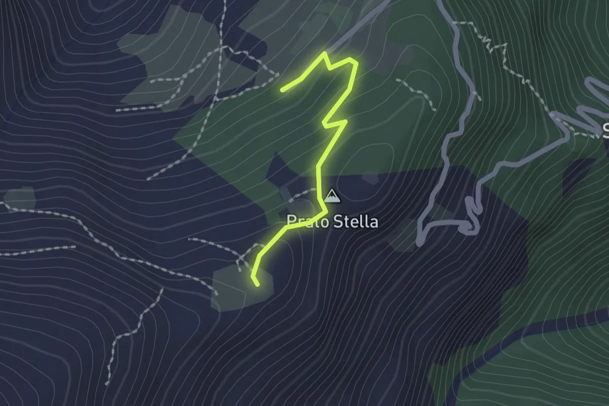
Easy · Summit
Angrogna, loc. Prato Stella, bivio TOS140-TOS140A – Torre Pellice, Sea di Torre, bivio TOS135-TOS140A
1.5 km · ↑ 93 m · 34 min
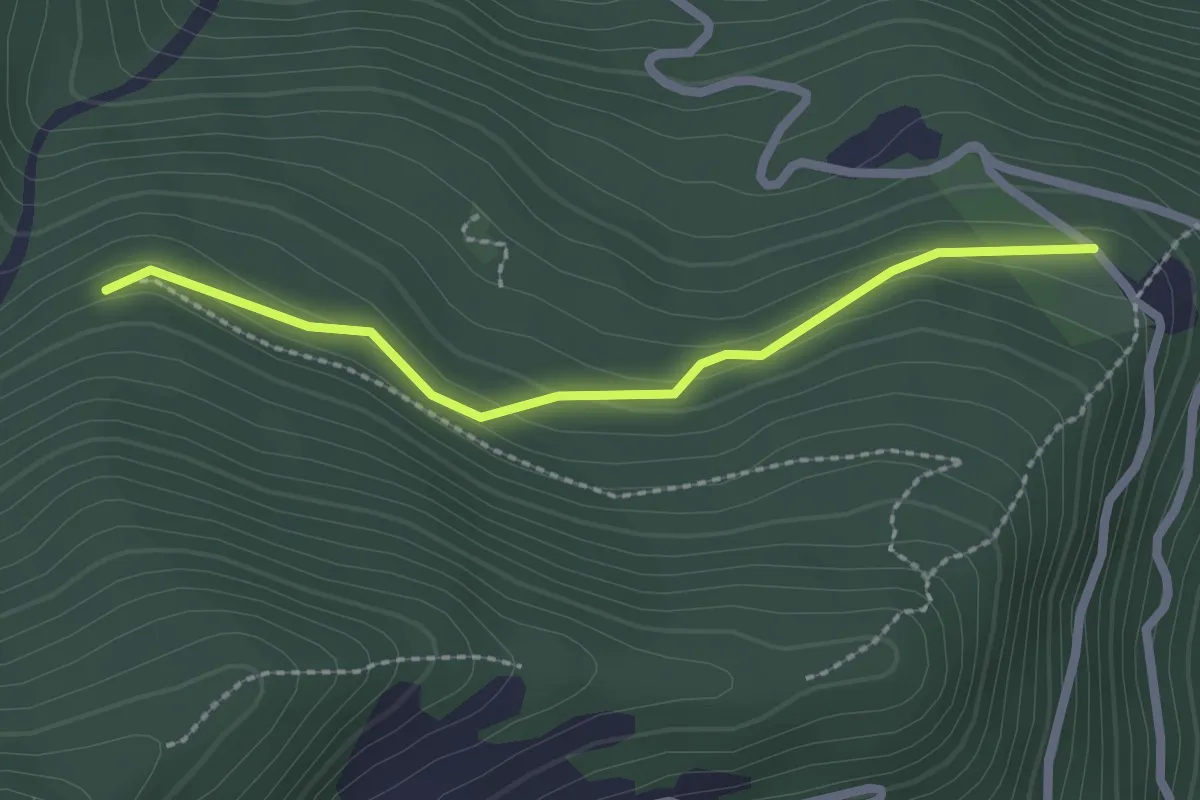
Easy · Trail
Rorà, bivio TOS160-TOS160A presso il Bric – Rorà, bivio TOS161-TOS160A
2.2 km · ↑ 79 m · 42 min
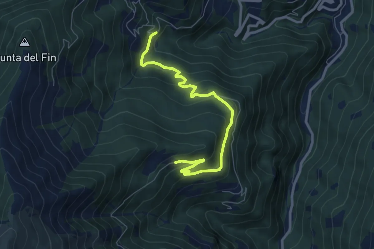
Medium · Trail
Rorà, Fraz. Fornaci, bivio TOS106-TOS160 – Rorà, Ciavot della Vedova, bivio TOS160-TOS161
6.9 km · ↑ 328 m · 2 h 21 min
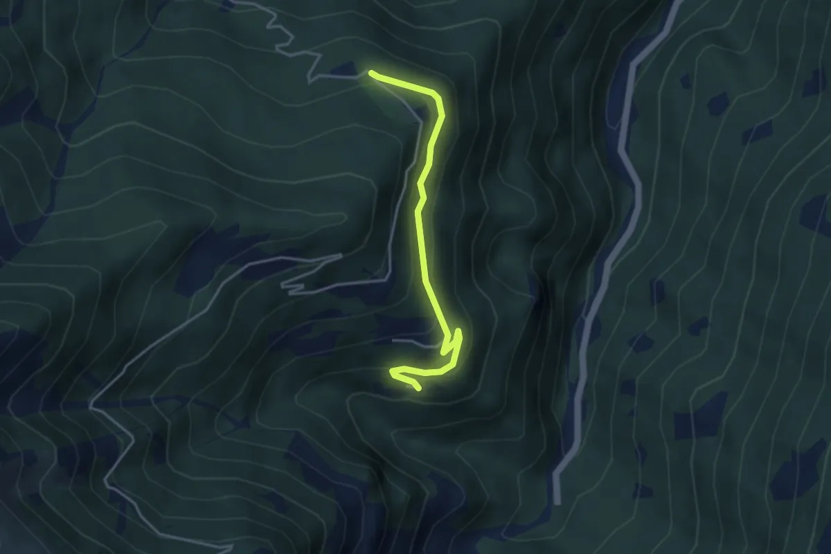
Easy · Trail
Rorà, Fraz. Peyret, bivio TOS162-TOS162A – Rorà, bivio TOS160-TOS162A presso la loc.Bric
3.6 km · ↑ 168 m · 1 h 13 min
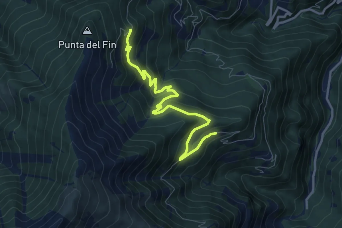
Medium · Trail
Rorà, Ciavot della Vedova, bivio TOS160-TOS161 – Rorà, bivio TOS105-TOS161
8.1 km · ↑ 483 m · 2 h 58 min
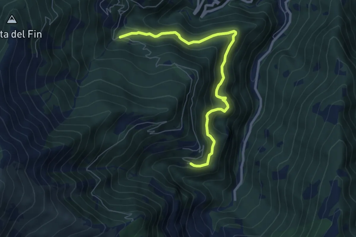
Medium · Trail
Rorà, Frazione Peyret, bivio TOS162-TOS162A – Rorà, Ciò della Vaccia, bivio TOS160-TOS162
7.2 km · ↑ 450 m · 2 h 41 min
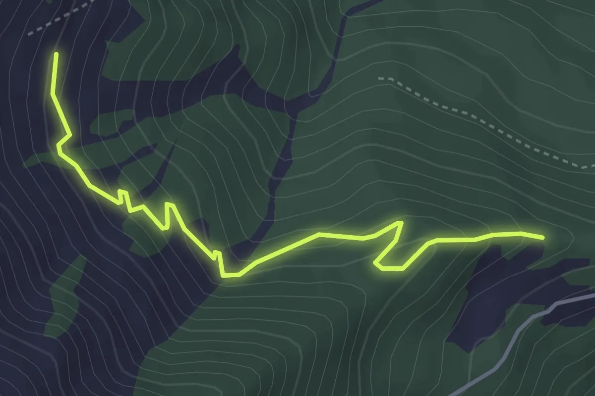
Easy · Trail
Rorà, M. Volatia, bivio TOS161-TOS163-TOS161A – Rorà, Borgata Ivert, bivio TOS105-TOS163
4.1 km · ↑ 299 m · 1 h 38 min
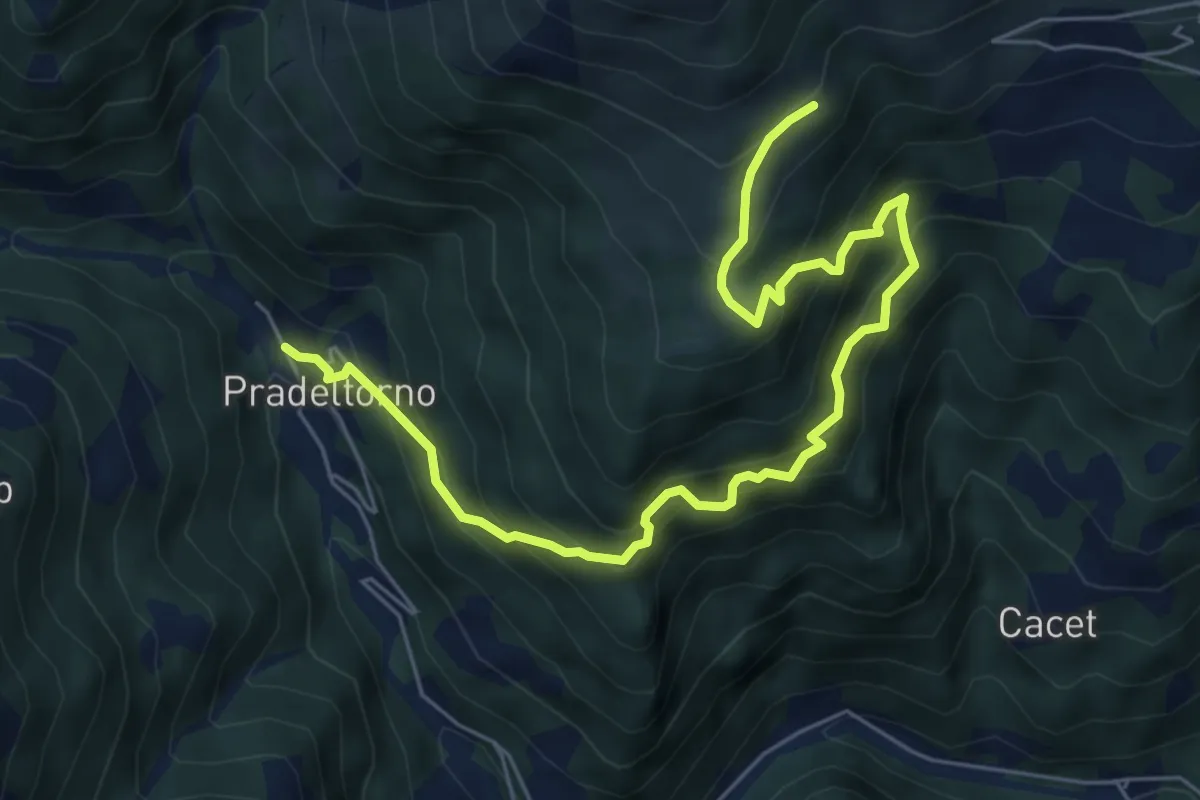
Medium · Trail
Angrogna, Prà del Torno, bivio TOS138-TOS141 – Angrogna, località Bagnau, bivio TOS141-TOS150A
7.6 km · ↑ 785 m · 3 h 29 min
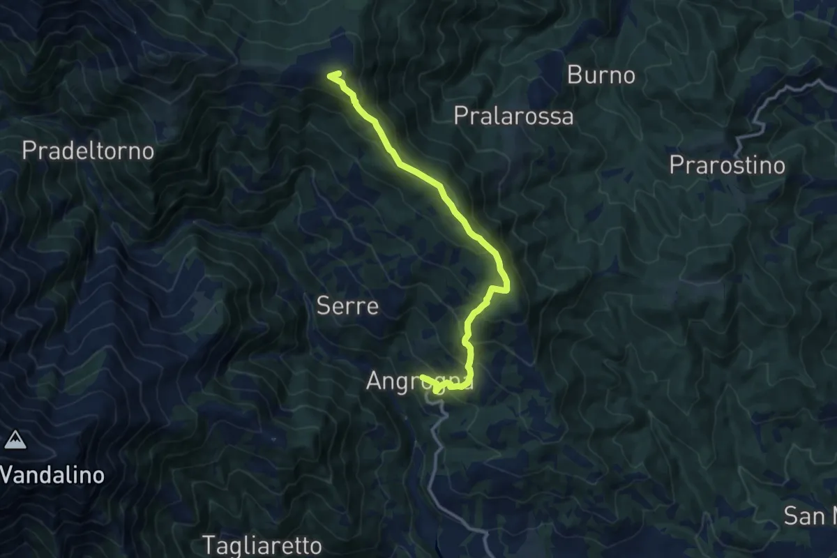
Medium · Summit
Angrogna, loc. San Lorenzo – Angrogna, Colle e Rifugio Vaccera, bivio TOS304-TOS361-TOS143
11.1 km · ↑ 769 m · 4 h 18 min
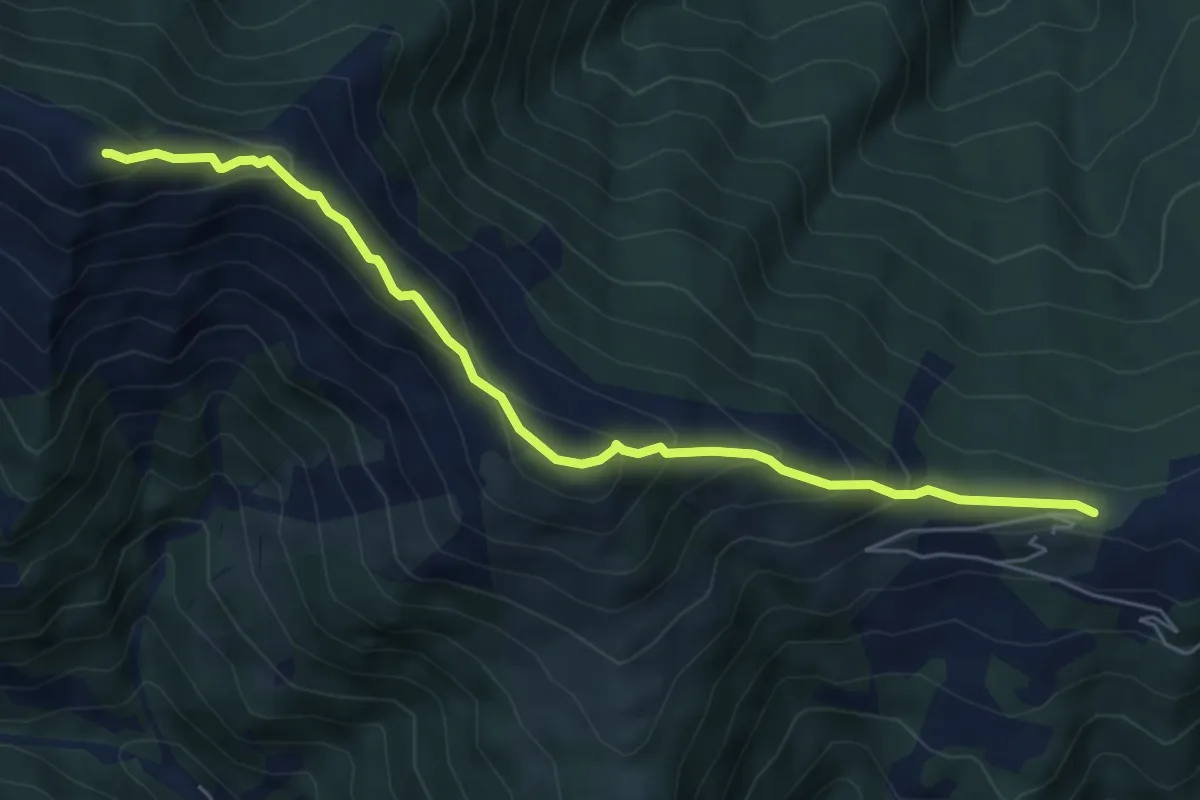
Medium · Summit
Angrogna, bivio TOS150- TOS361 presso Colle Vaccera – Colle Souiran, bivio TOS150-TOS150A-TOS305B
6.2 km · ↑ 451 m · 2 h 27 min
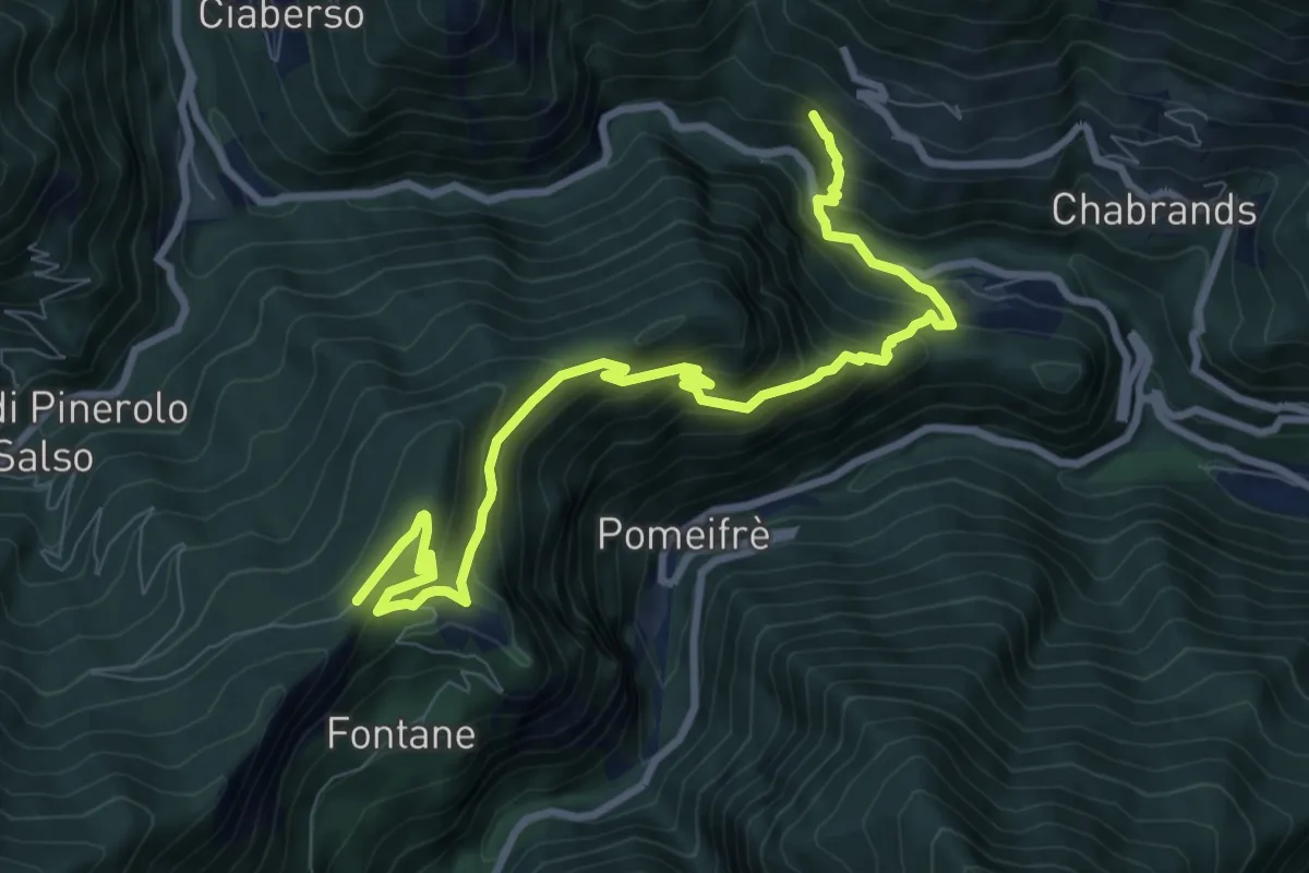
Demanding · Trail
Serre-Plancia, bivio TOS223-TOS232 – Colle Fontane, bivio TOS200-TOS223
10.5 km · ↑ 801 m · 4 h 13 min
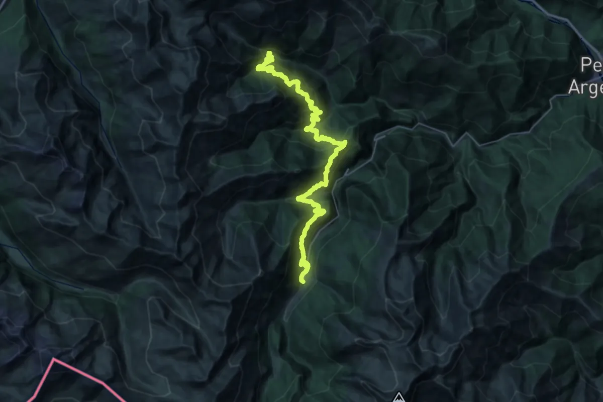
Demanding · Trail
Massello, Borgata Balsiglia, bivio TOS216-TOS237-TOS200 – Bivio TOS200-TOS207-TOS224, Ghigo di Prali
18.0 km · ↑ 1418 m · 7 h 33 min
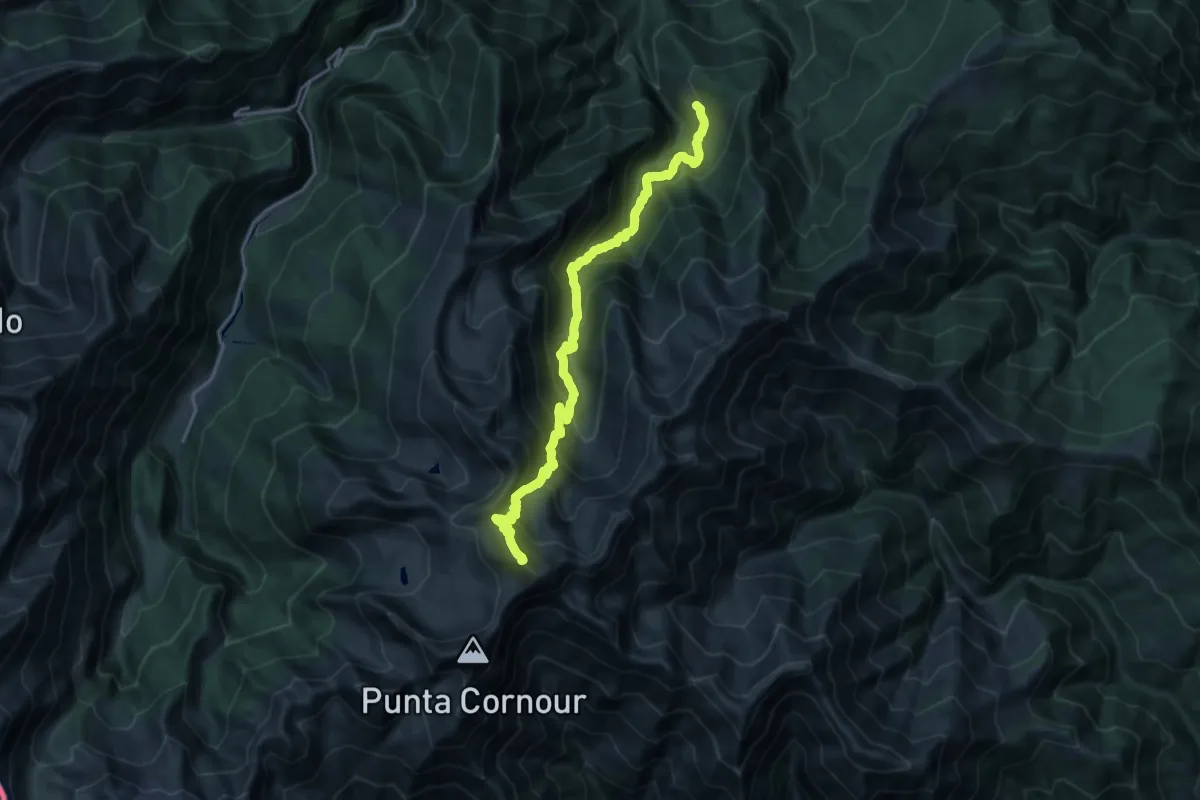
Demanding · Summit
Linsard, bivio TOS201-TOS201A – Perrero, Passo del Rous, bivio TOS204-TOS201
20.4 km · ↑ 1983 m · 9 h 7 min