Trails in Italy
25,219 hiking trails, each with its route, climb, walking time and grade.
All trails, page 347 of 526
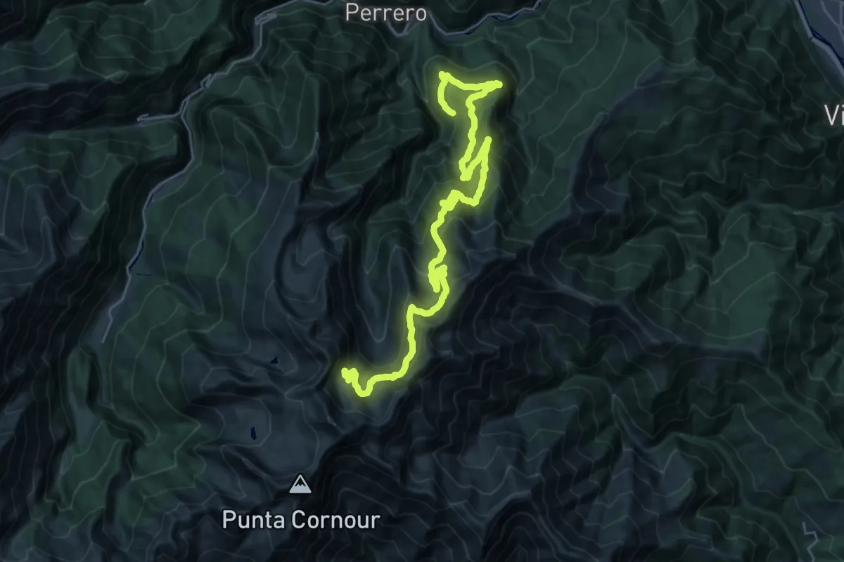
Demanding · Trail
Linsard, bivio TOS201-TOS201A – Laghi Conca Cialancia
16.6 km · ↑ 1659 m · 7 h 7 min
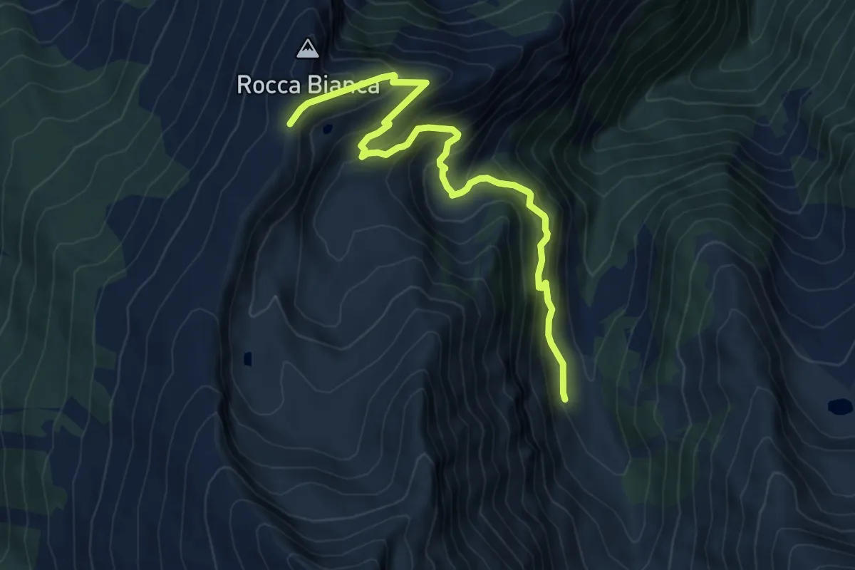
Medium · Trail
Perrero, Alpe Cialancia, bivio TOS201-TOS202 – Colle della Balma, bivio TOS202-TOS205A
7.8 km · ↑ 624 m · 3 h 12 min
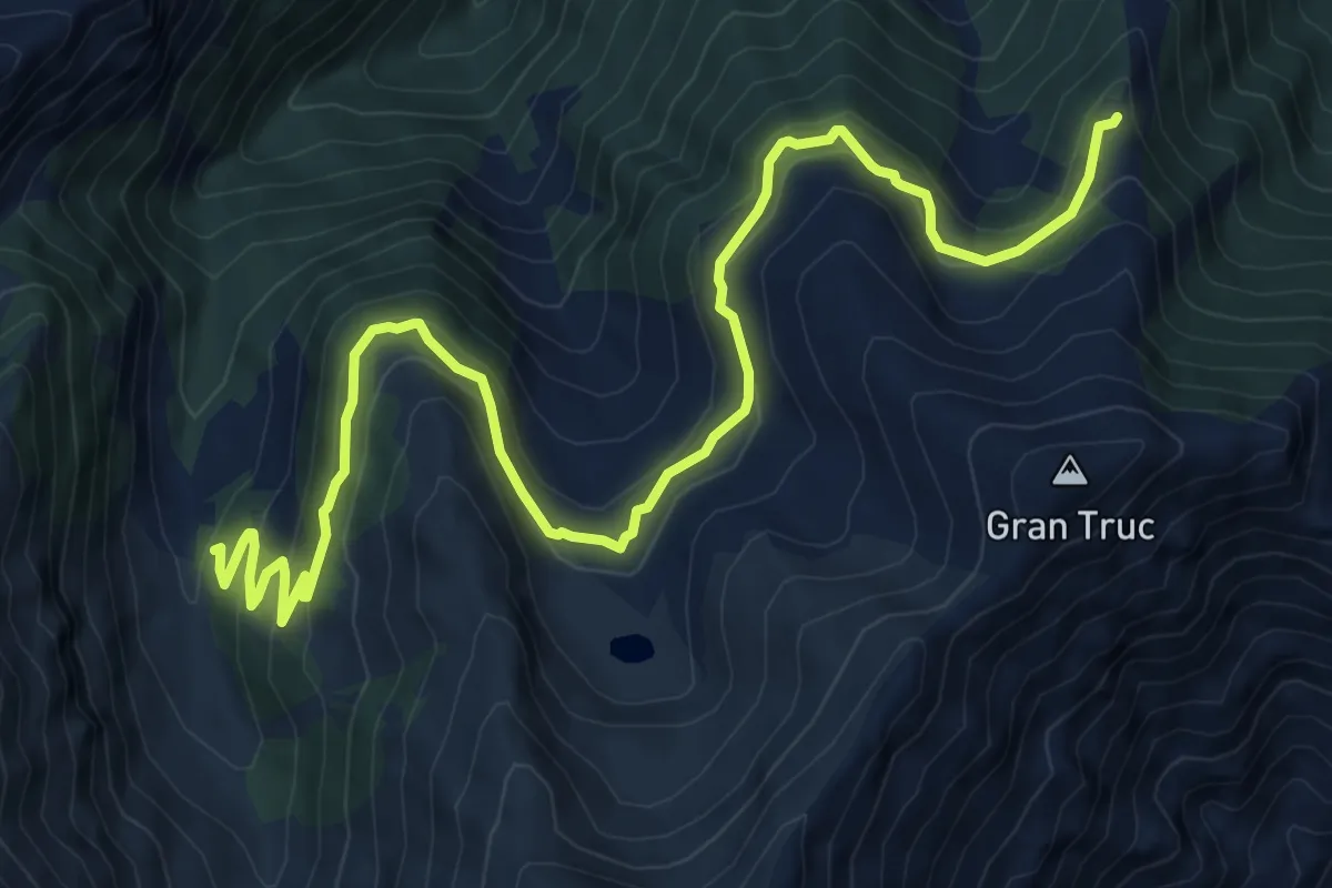
Medium · Trail
Perrero, Alpe Cialancia, bivio TOS201-TOS203 – Monte Gardetta, bivio TOS203-TOS306
11.4 km · ↑ 608 m · 4 h 1 min
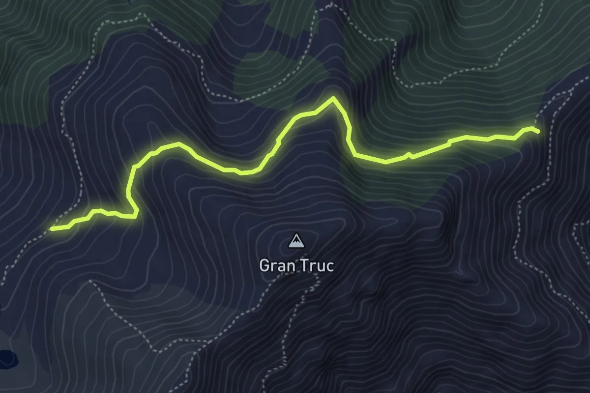
Medium · Trail
Perrero, Alpe Lauson, bivio strada sa Pramollo, bivio TOS203-TOS203A – Presso Piano Friera, bivio TOS203A-TOS305
5.5 km · ↑ 422 m · 2 h 13 min
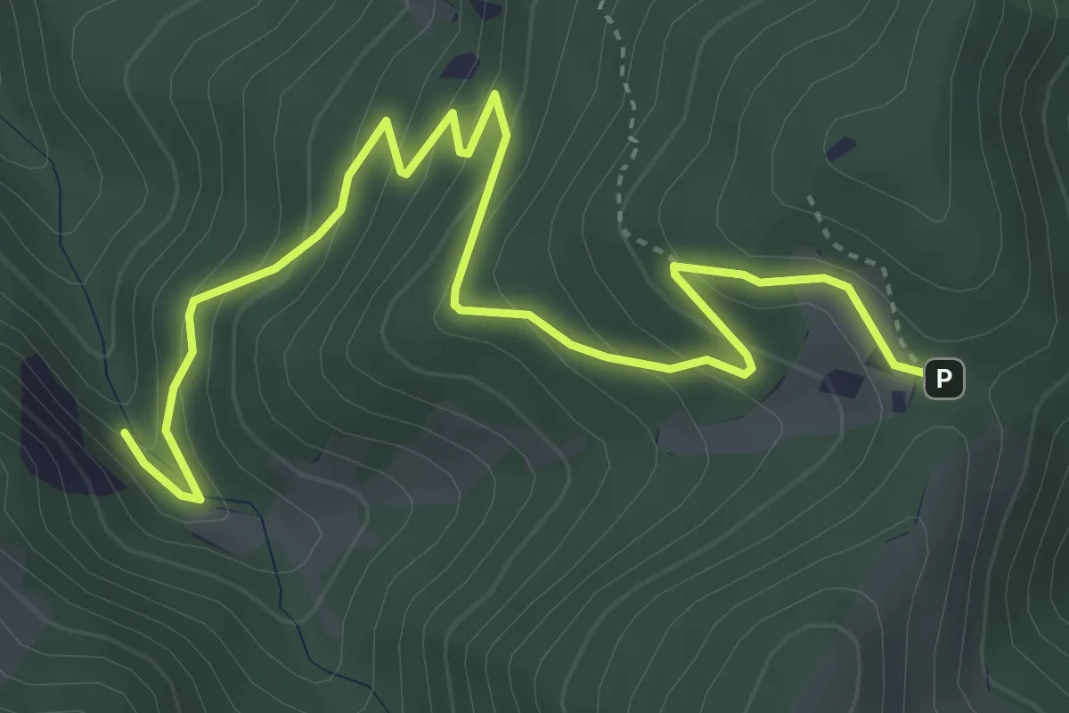
Medium · Trail
Roburent, presso Rio della Zitella, bivio CNAE02, CNAE03, CNAE22 – Roburent, Colla della Navonera, bivio CNAC30, CNAE03, CNAE23
5.2 km · ↑ 344 m · 1 h 58 min
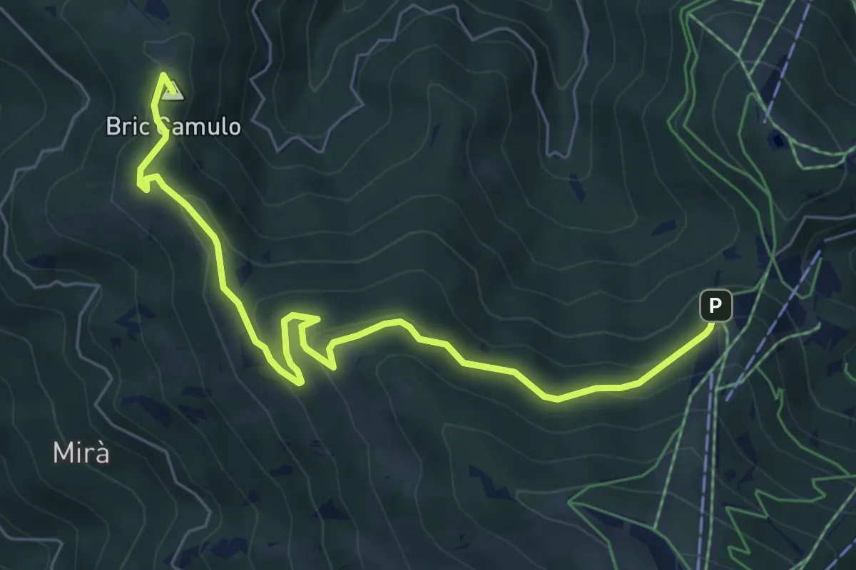
Easy · Summit
Montaldo di Mondovì, località Santa Maddalena, bivio CNAE02, CNAE02B – Roburent, presso Croce Cardin, bivio CNAD04, ECNAE02B
7.2 km · ↑ 319 m · 2 h 23 min
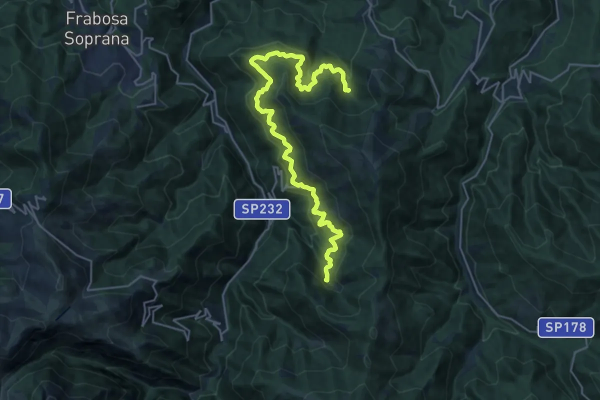
Demanding · Trail
Montaldo di Mondovì, località Groppiniano, bivio CNAD02, CNAE02 – Roburent, rio della Zitella, bivio CNAE02, CNAE03, CNAE22
10.7 km · ↑ 843 m · 4 h 27 min
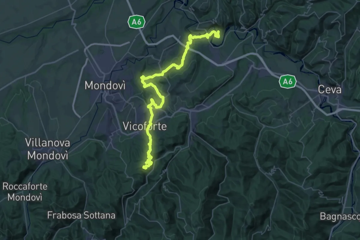
Demanding · Trail
Ciglié, località Basili, bivio CNAB05, CNAE05 – Montaldo di Mondovì, località Torre Sibilla, bivio CNAE05, CNAE19, CNAE20
22.7 km · ↑ 585 m · 7 h 7 min
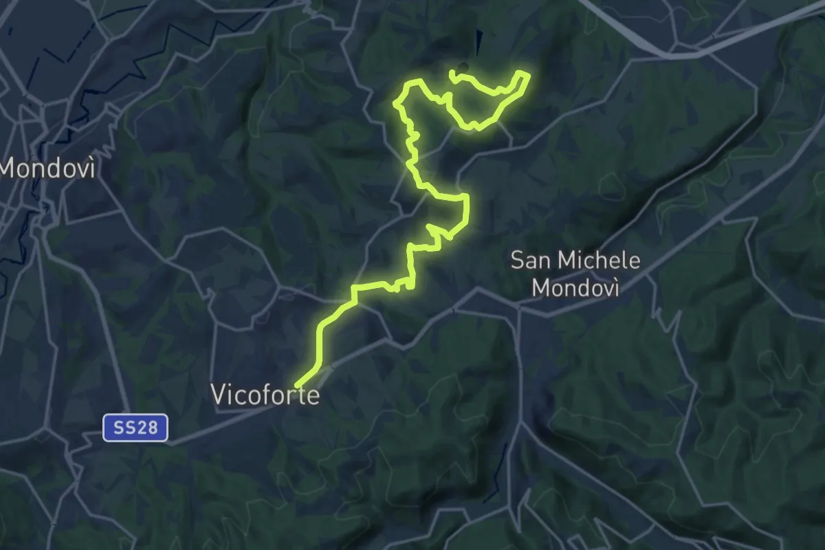
Medium · Summit
Briaglia, Case Cuniberti, bivio CNAE05, CNAE05A – Briaglia, località Sant'Anna, bivio CNAE05, CNAE05A
11.7 km · ↑ 356 m · 3 h 32 min
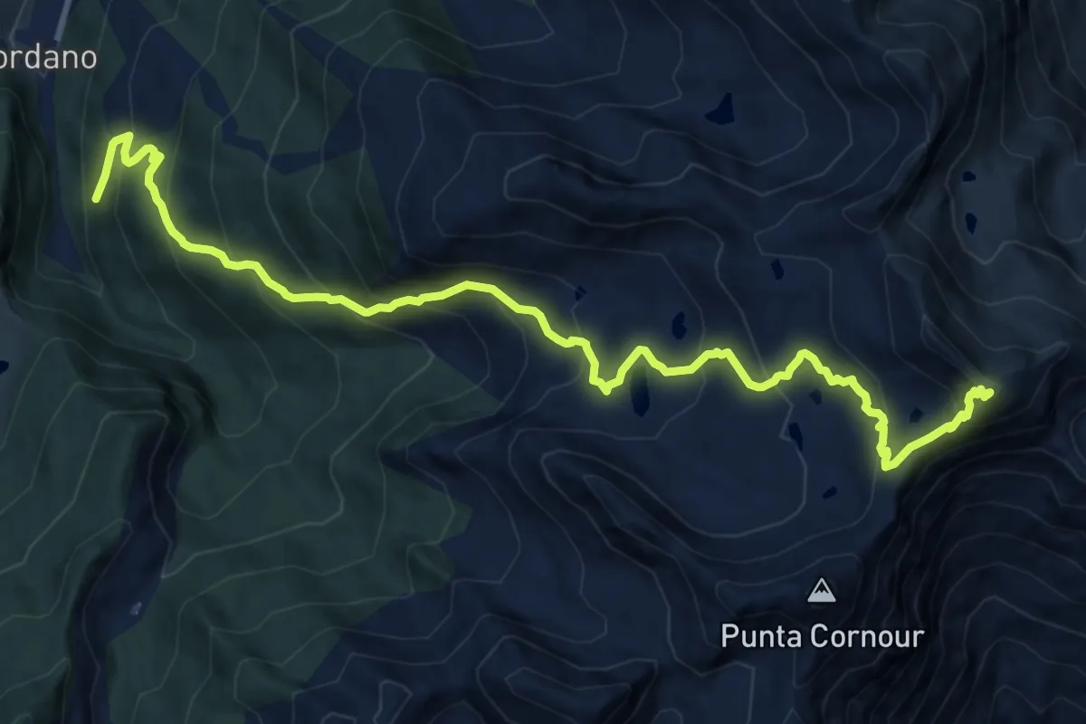
Demanding · Summit
Prali, Miande Alberge, bivio TON204-TON207 – Perrero, Passo del Rous, bivio TOS204-TOS201
15.1 km · ↑ 1204 m · 6 h 10 min
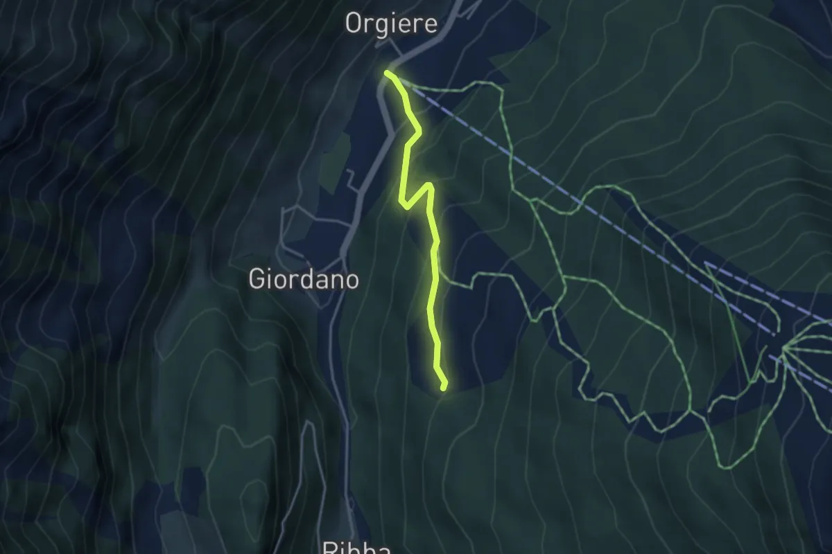
Easy · Trail
Seggiovia di Prali, bivio TOS204A-TOS207 – Presso Miandrette, bivio TON204-TON204A
3.0 km · ↑ 228 m · 1 h 13 min
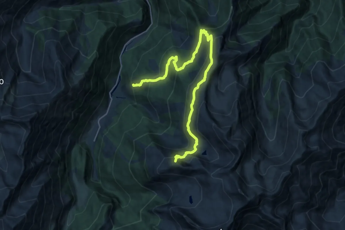
Demanding · Summit
Prali, presso Indritti, bivio TOS205-TOS226 – Passo della Cialancia, bivio TOS205-TOS201
21.0 km · ↑ 1231 m · 7 h 37 min
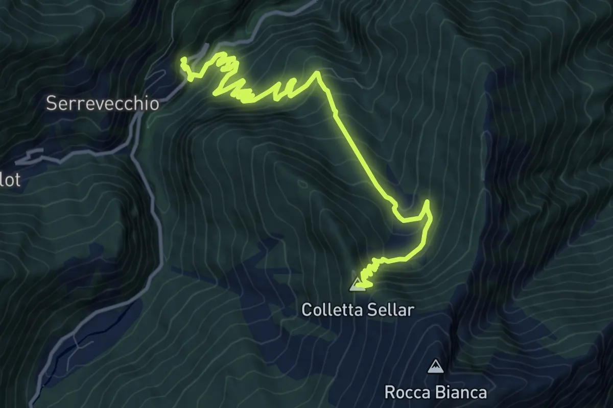
Demanding · Summit
Bivio TOS205B-TOS224, Scopriminiera miniera Paola – Colletta Sellar, bivio TOS205-TOS205B
13.1 km · ↑ 934 m · 5 h 6 min
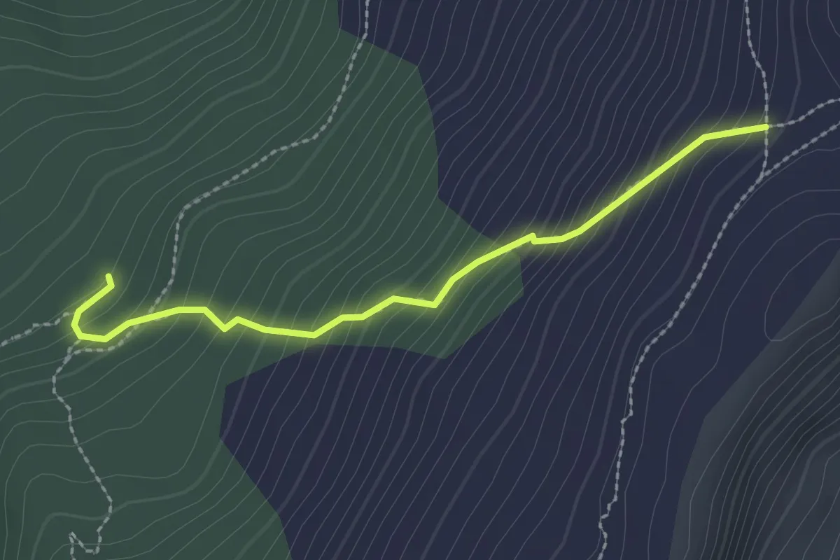
Easy · Trail
Prali, bivio per Rocca Bianca, bivio TOS205-TOS205A-TOS205C – Prali, presso Miniera Sapatle', bivio TOS205-TOS205C
2.4 km · ↑ 264 m · 1 h 8 min
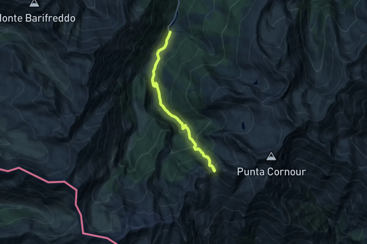
Demanding · Trail
Ghigo di Prali, bivio TOS200-TOS207 – Colle Giulian, bivio TOS125-TOS207-TOS228
13.5 km · ↑ 1016 m · 5 h 23 min
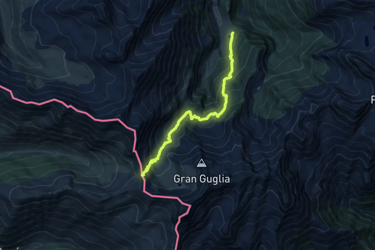
Demanding · Trail
Giordano di Prali – Prali, Col d'Abries, bivio TOS208-TOS208C
12.1 km · ↑ 974 m · 4 h 59 min
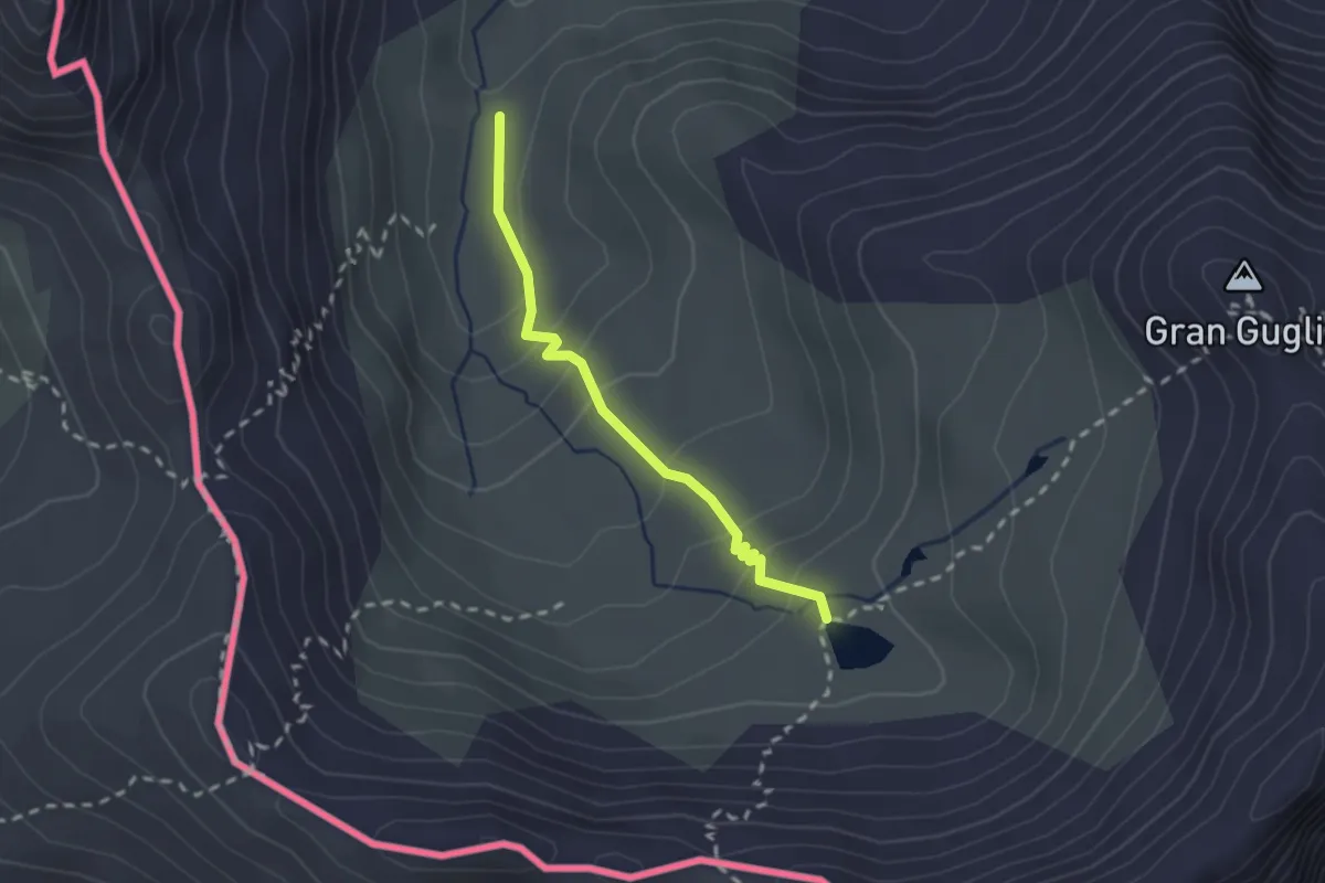
Medium · Cabin
Bivio TOS208-TOS208A-TOS208B – Lago Verde, bivio TOS228-TOS208A
2.1 km · ↑ 147 m · 48 min
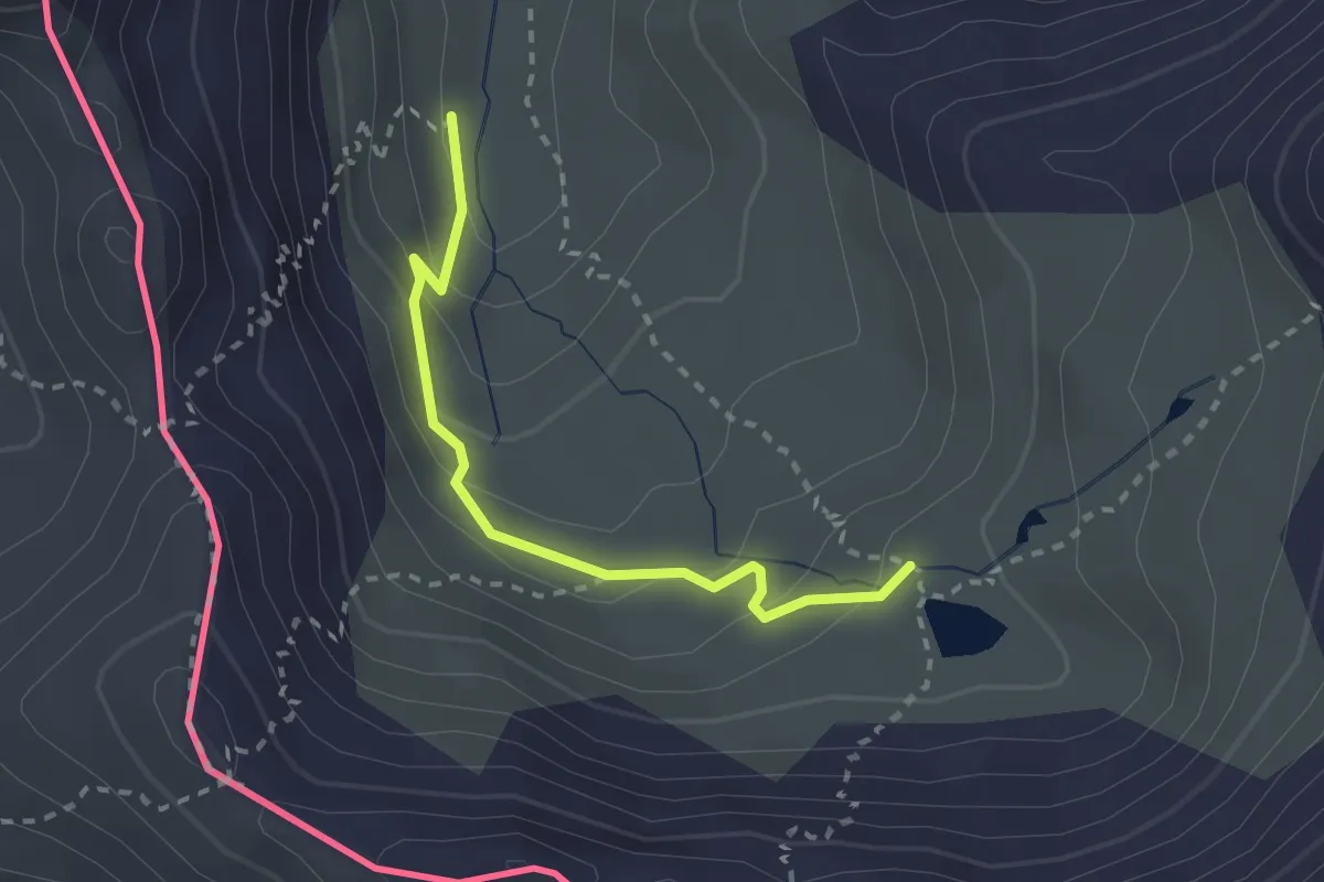
Easy · Cabin
Bivio TOS208-TOS208A-TOS208B – Lago Verde, bivio TOS228-TOS208A
2.4 km · ↑ 141 m · 53 min
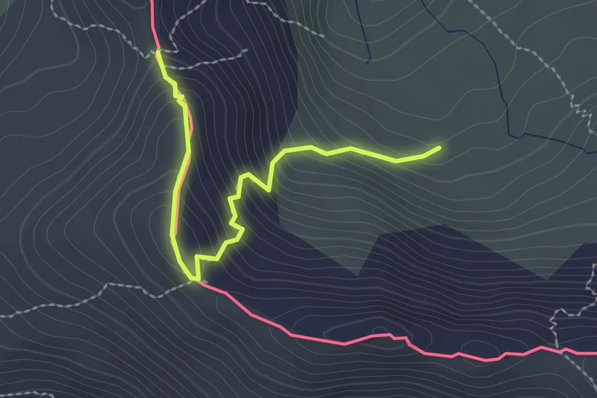
Medium · Trail
Prali, bivio TOS208B-TOS208C – Prali, Col d'Abries, bivio TOS208-TOS208C
2.4 km · ↑ 247 m · 1 h 6 min
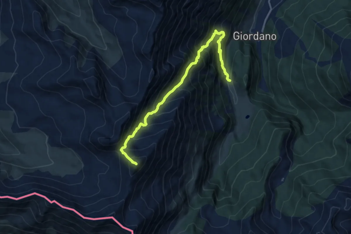
Demanding · Summit
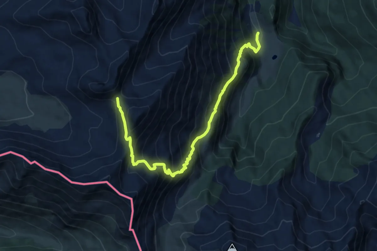
Miande Bont du Col, bivio TOS209-TOS208 – Cima Frappier
10.8 km · ↑ 1341 m · 5 h 28 min
Demanding · Trail
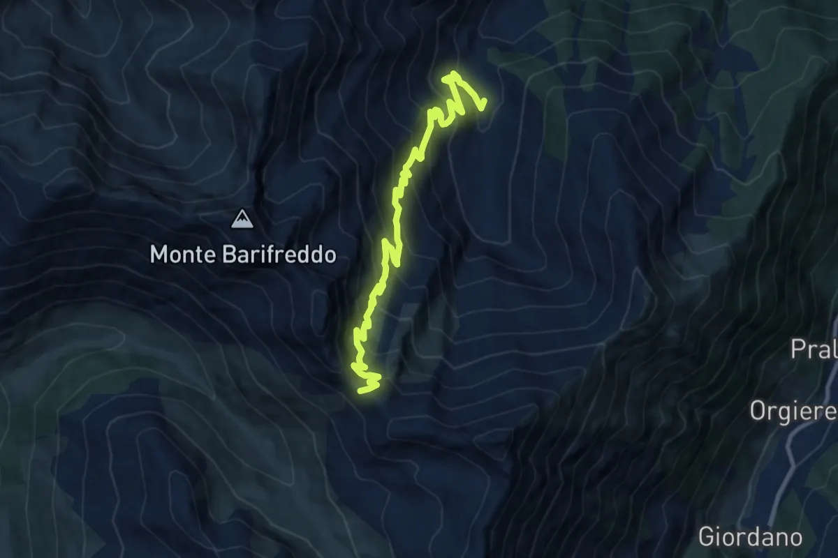
Miande Bont du Col, bivio TOS210-TOS208 – Passo della Longia, bivio TOS209-TOS210
11.6 km · ↑ 1277 m · 5 h 31 min
Demanding · Trail
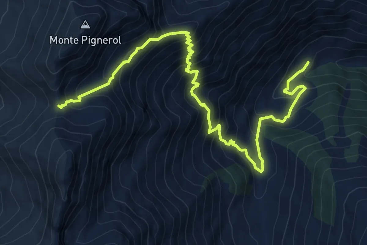
Balma di Rodoreto – Col di Rodoretto, bivio TOS212-TOS608
10.7 km · ↑ 960 m · 4 h 37 min
Demanding · Trail
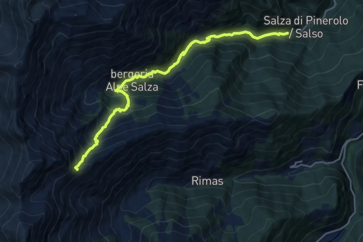
Prali, fraz. Balma – Pragelato, Colle della Valletta, bivio TOS213-TOS322
10.9 km · ↑ 1026 m · 4 h 47 min
Demanding · Trail
Salza di Pinerolo, Borgata Didiero, bivio TOS200-TOS214 – Prali, bivio TOS213-TOS214
12.1 km · ↑ 1203 m · 5 h 28 min
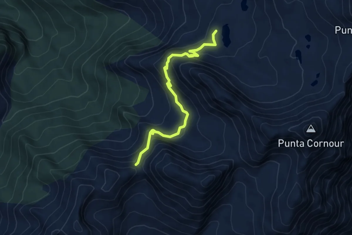
Medium · Cabin
Bivio 207-207A, Col Giulian – Bivio 204-207A, Lago Draio
6.1 km · ↑ 401 m · 2 h 19 min
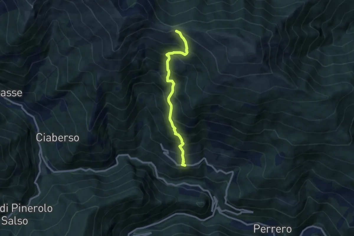
Demanding · Trail
Perrero, Maniglia, bivio TOS220-TOS234 – Perrero, Col Clapier, bivio TOS220-TOS225
6.7 km · ↑ 889 m · 3 h 30 min
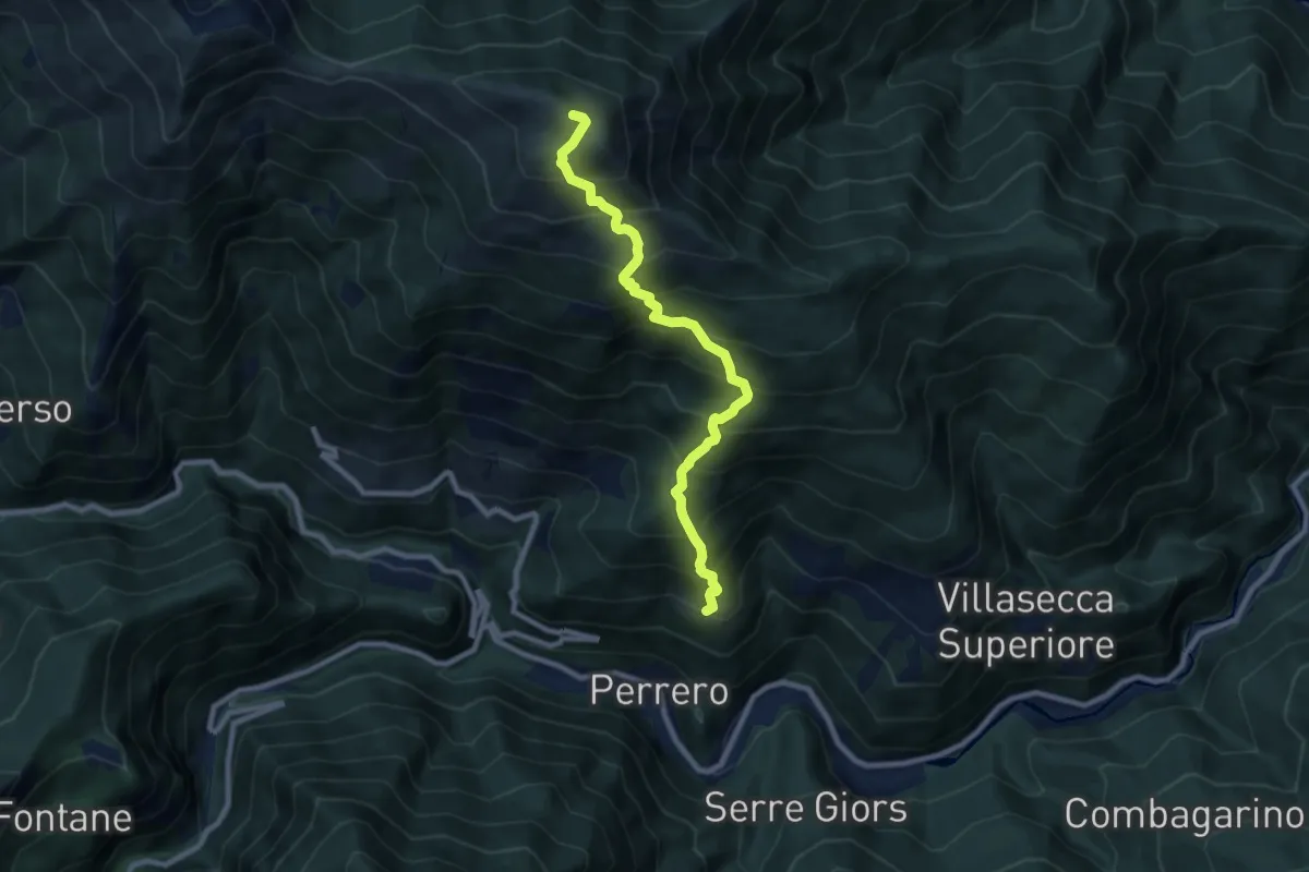
Demanding · Summit
Perrero, Borgata Traverse, bivio TOS222-TOS234 – Perrero, Punta Midi o Muret, bivio TOS222-TOS225A
8.6 km · ↑ 1074 m · 4 h 22 min
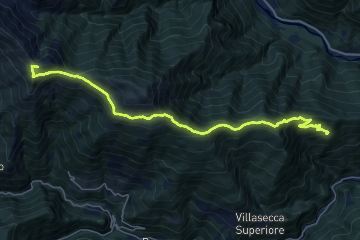
Demanding · Summit
Pomaretto, Fraz. Faure – Perrero, Colle Mean (o des Plans)
17.5 km · ↑ 1118 m · 6 h 34 min
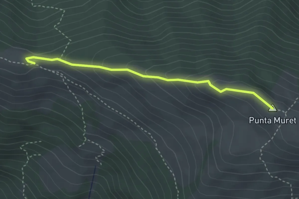
Medium · Summit
Perrero, Col Clapier, bivio TOS220-TOS225-TOS225A-TOS310 – Perrero, P.ta Midi o Muret, bivio TOS222-TOS225A
3.1 km · ↑ 182 m · 1 h 8 min
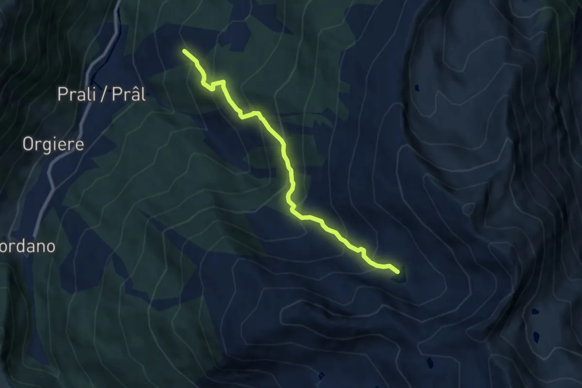
Medium · Trail
Prali, Fraz. Indritti – Lago d'Envie
7.2 km · ↑ 633 m · 3 h 5 min
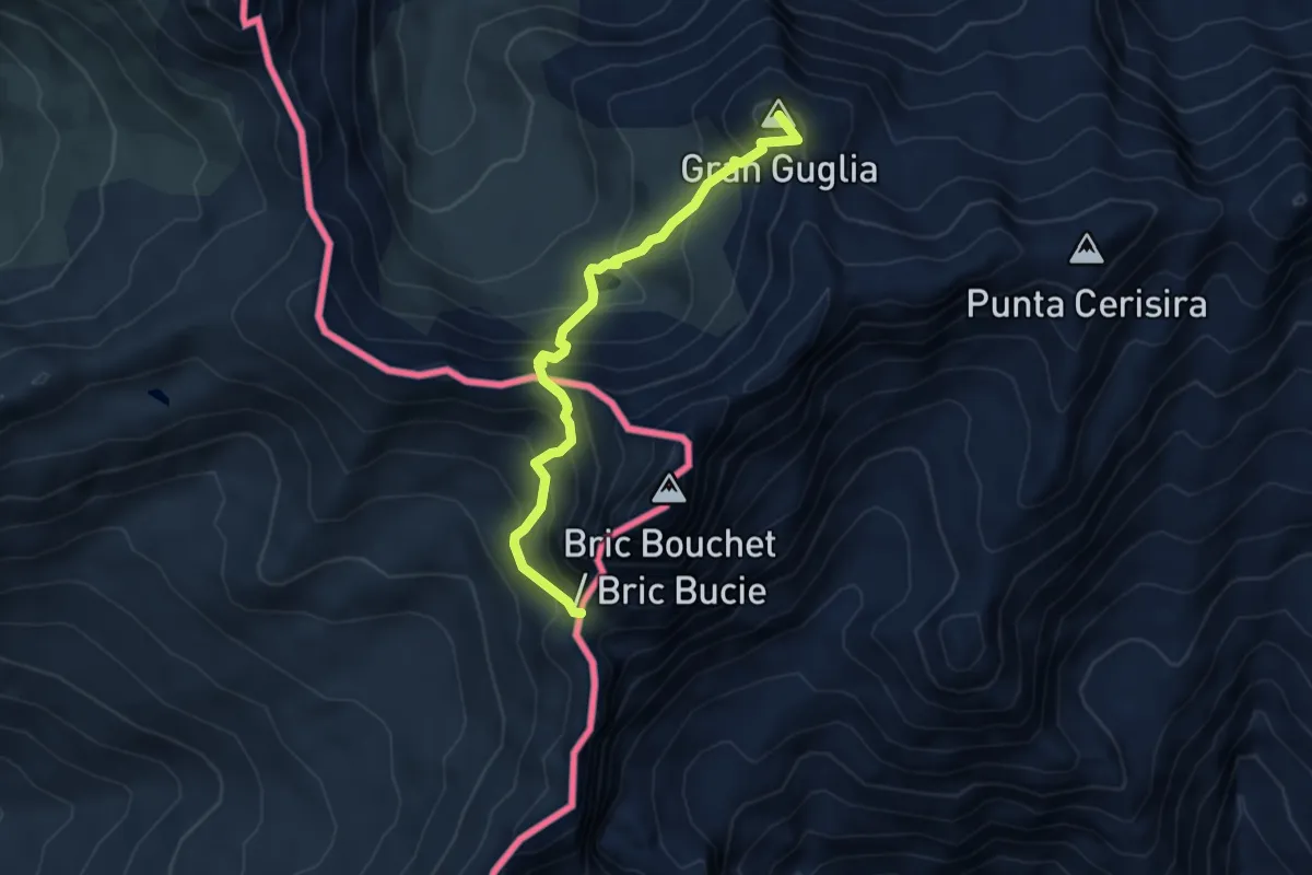
Medium · Summit
Prali, Ric.i Perrucchetti, bivio TOS204-TOS228 – Bobbio Pellice, Colle Boucie, bivio TOS228-TOS120 presso Bivacco N. Soardi
4.9 km · ↑ 480 m · 2 h 12 min
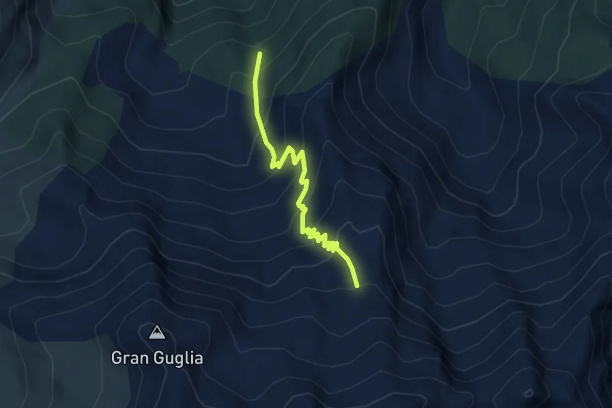
Medium · Trail
Bivio TOS208-TOS230 – Bivio TOS228-TOS230
3.8 km · ↑ 388 m · 1 h 44 min
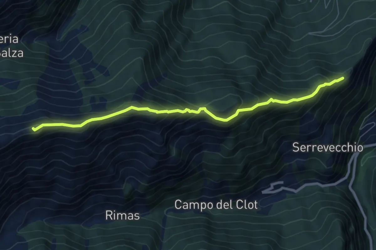
Medium · Summit
Salza di Pinerolo, Colle di Serrevecchio, bivio TOS200-TOS231 – Prali, presso Colle della Balma, bivio TOS213-TOS231
7.1 km · ↑ 572 m · 2 h 55 min
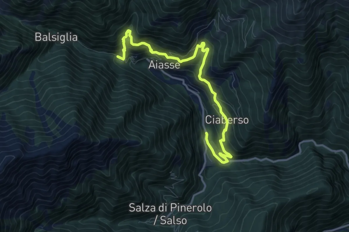
Demanding · Trail
Massello, loc. Campo La Salza bivio TOS237-TOS237B – Massello, loc. Gros Passet, bivio TOS237-TOS237B
10.9 km · ↑ 914 m · 4 h 33 min
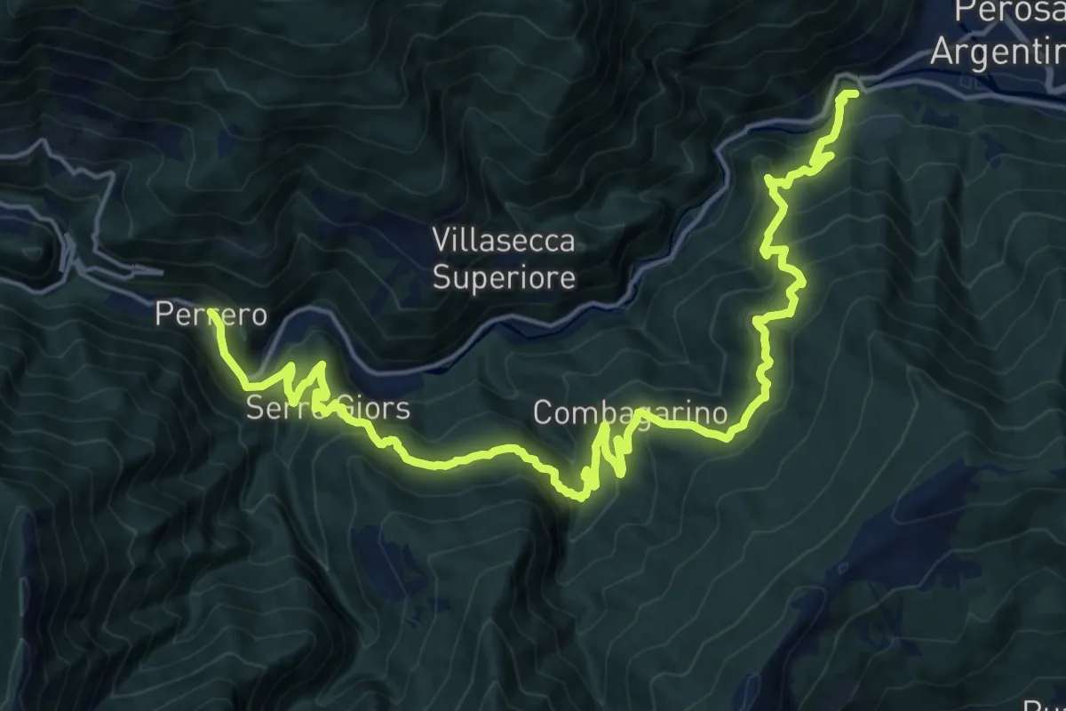
Medium · Trail
Pomaretto, bivio TOS233-TOS300 presso ponte sul T. Germanasca – Perrero, centro paese
11.8 km · ↑ 612 m · 4 h 22 min
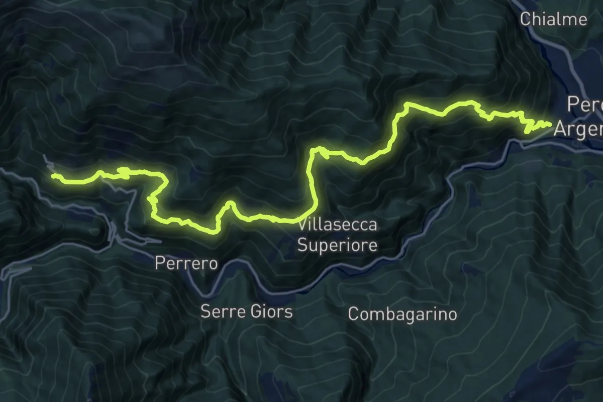
Medium · Trail
Bivio TOS234-TOS300, Pomaretto – Bivio TOS232-TOS234, Serre
12.2 km · ↑ 648 m · 4 h 43 min
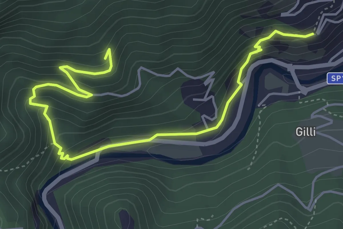
Medium · Trail
Pomaretto, bivio TOS234-TO235 – Pomaretto, borgata Blegieri
5.3 km · ↑ 322 m · 1 h 57 min
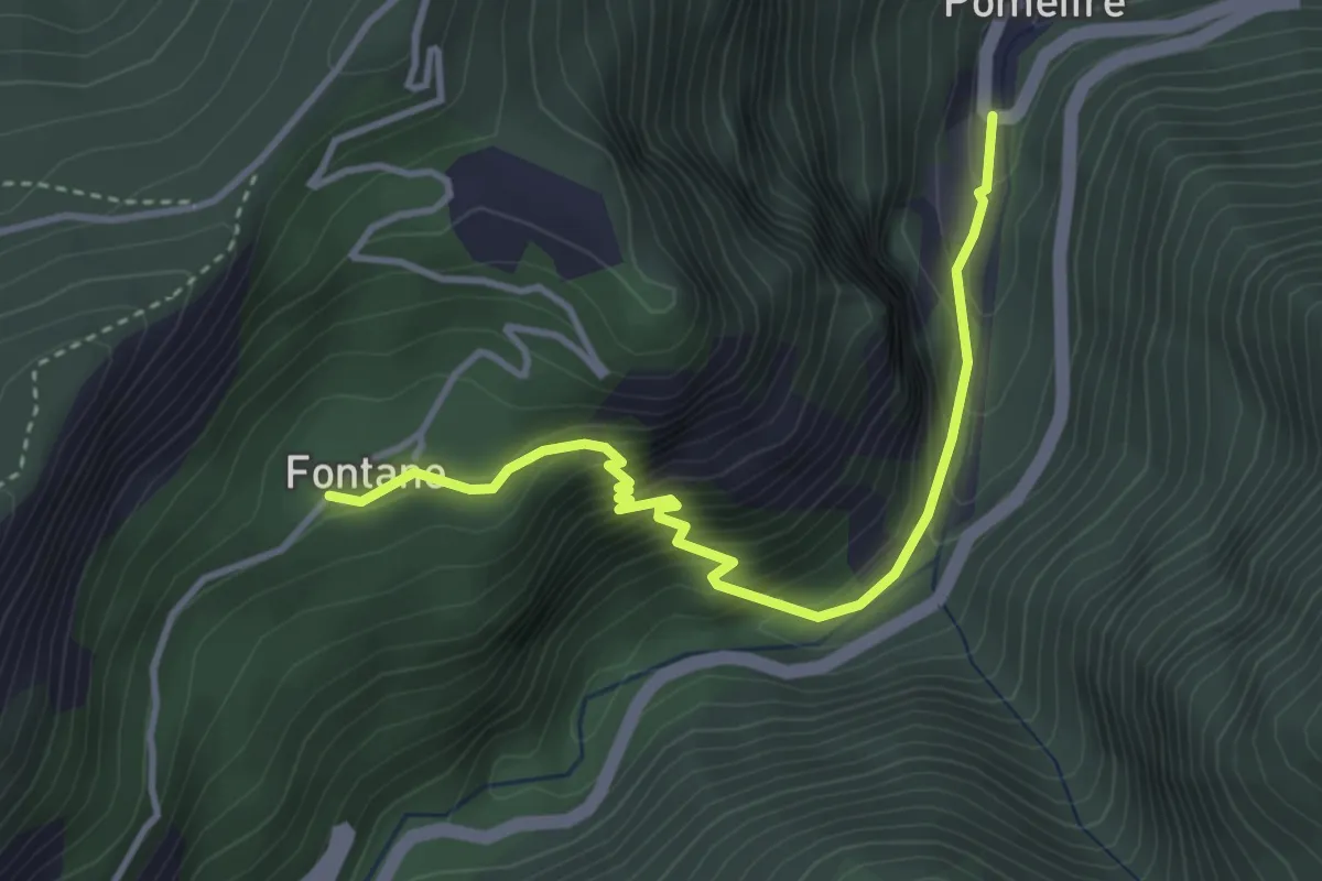
Medium · Trail
Salza di Pinerolo – Fontane, bivio TOS224-TOS236
3.8 km · ↑ 413 m · 1 h 48 min
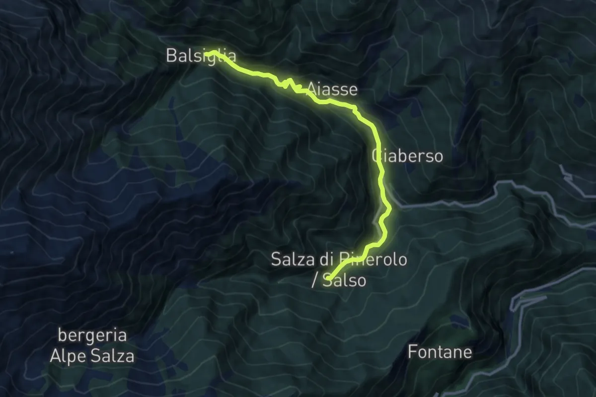
Medium · Cabin
Didero, bivio TOS214-TOS237 – Massello, Borgata Balsiglia, bivio TOS216-TOS237-TOS200
10.3 km · ↑ 406 m · 3 h 19 min
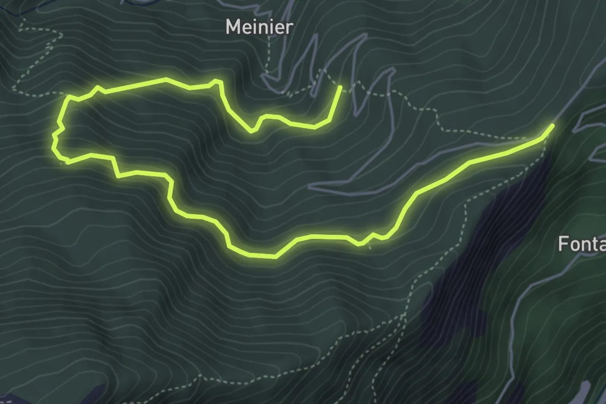
Medium · Trail
Salza di Pinerolo, Loc. Miande, bivio TOS200-TOS238 – Salza di Pinerolo, Colletto delle Fontane, bivio TOS200-TOS238
7.6 km · ↑ 608 m · 3 h 6 min
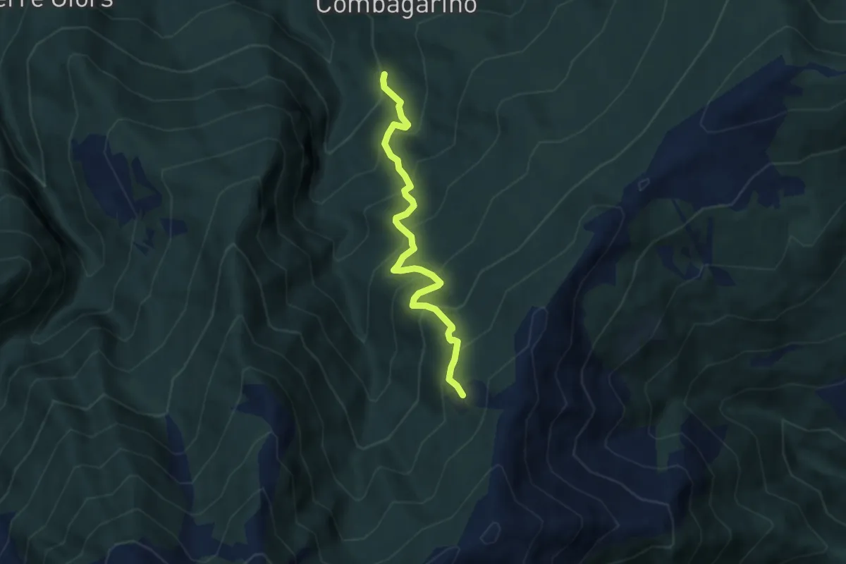
Medium · Trail
Perrero, Fraz. Trussan, bivio TOS233-TOS239 – Perrero, Costa Lazzara', bivio TOS239-TOS306
6.3 km · ↑ 648 m · 2 h 53 min
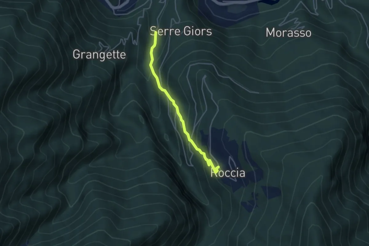
Easy · Trail
Perrero, Fraz. Piano Faetto, bivio TOS233-TOS233A – Perrero, Fraz. Linsard, bivio TOS201A-TOS233A
3.3 km · ↑ 305 m · 1 h 27 min
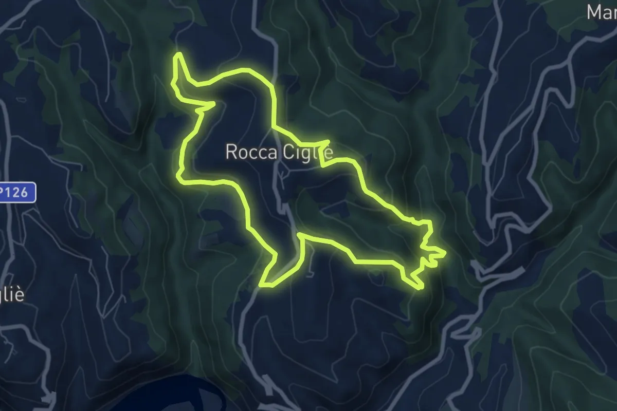
Medium · Trail
Rocca Ciglié, Cappella di San Bernardo da Mentone, bivio CNAB09, CNAB19 – Rocca Ciglié, Cappella di San Bernardo da Mentone, bivio CNAB09, CNAB19
7.5 km · ↑ 388 m · 2 h 43 min
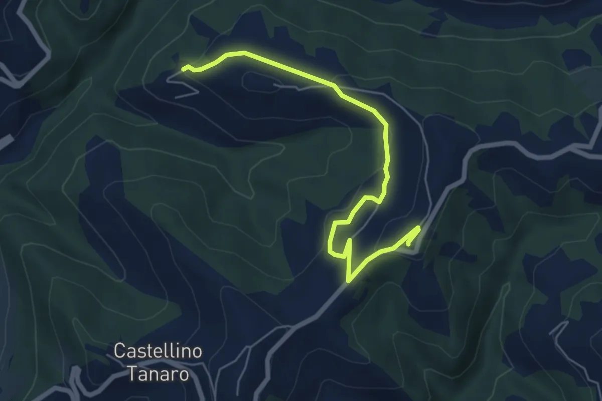
Easy · Trail
Castellino Tanaro, località Coste, bivio CNAB01, CBAB01A – Castellino Tanaro, Santuario Madonna della Neve
5.8 km · ↑ 157 m · 1 h 43 min
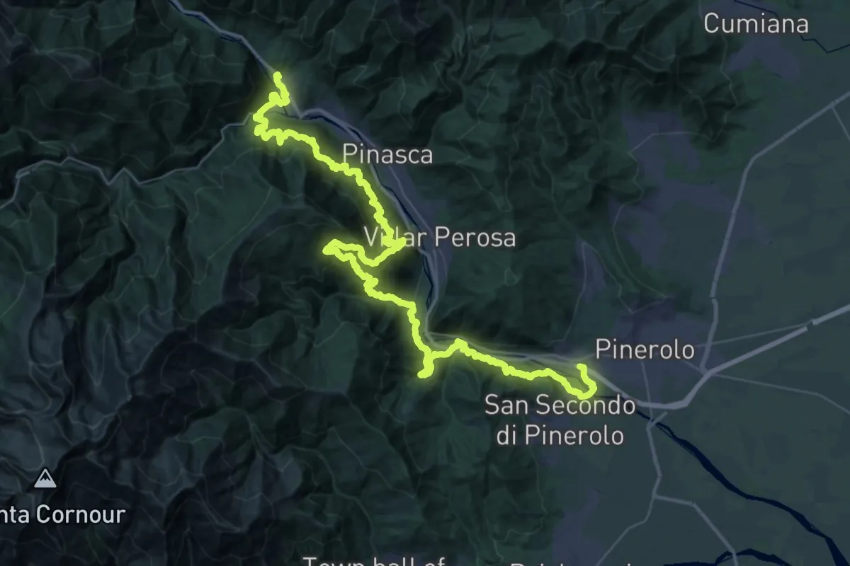
Demanding · Trail
Pinerolo, Località Madonnina – Perosa Argentina, bivio TOS300-TOS301
32.8 km · ↑ 1912 m · 12 h 29 min
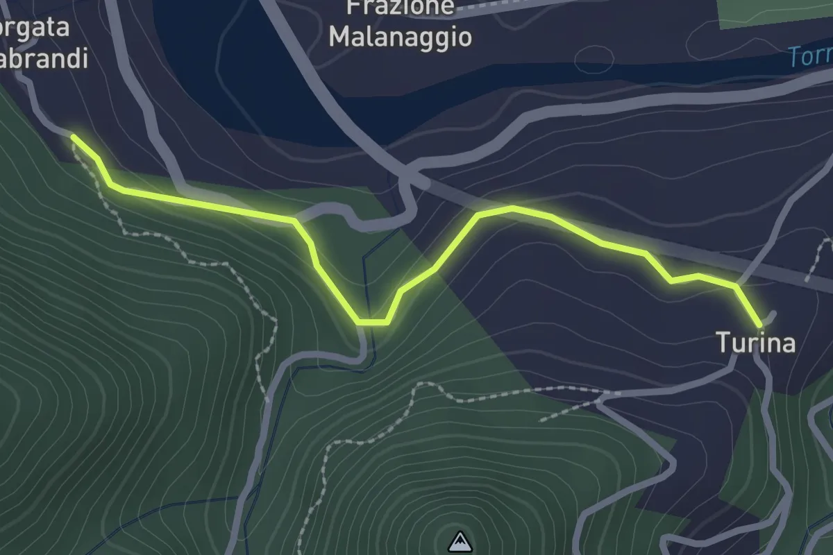
Easy · Trail
San Germano Chisone, Borgata Chiabrando, bivio TOS300-TOS300A – San Germano Chisone, Borgata Turina, bivio TOS300-TOS300A
2.4 km · ↑ 117 m · 49 min
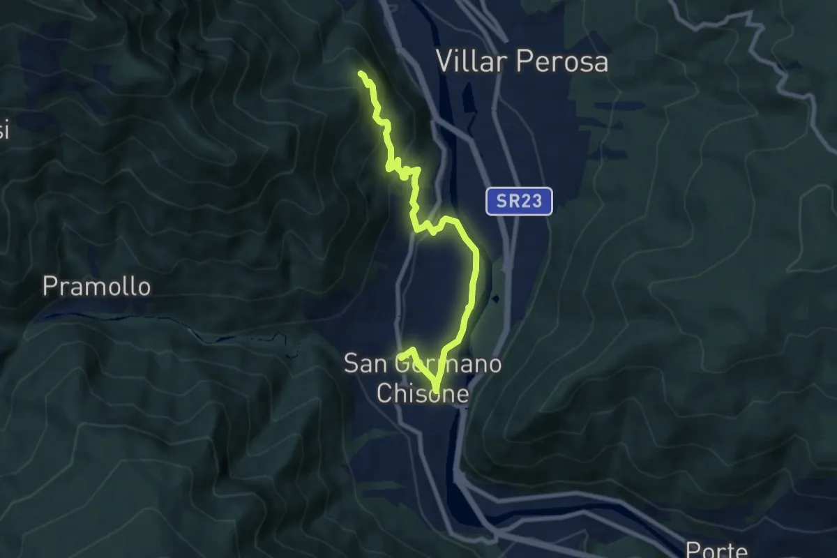
Medium · Trail
San Germano Chisone, Borgata Mondoni, bivio TOS300-TOS300B – San Germano Chisone, Loc. Pra Pens, bivio TOS300-TOS300B
7.8 km · ↑ 329 m · 2 h 34 min
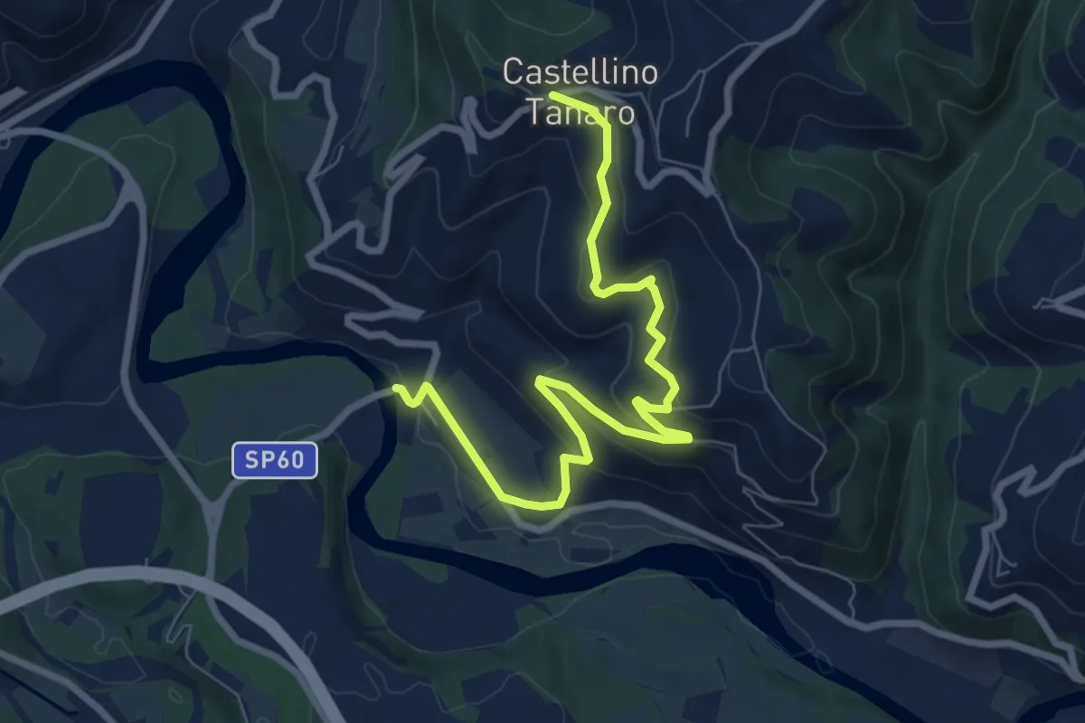
Medium · Trail
Castellino Tanaro, località Piantorre – Castellino Tanaro, centro paese, bivio CNAB10, CNAB10B
8.5 km · ↑ 336 m · 2 h 44 min