Trails in Italy
25,219 hiking trails, each with its route, climb, walking time and grade.
All trails, page 369 of 526
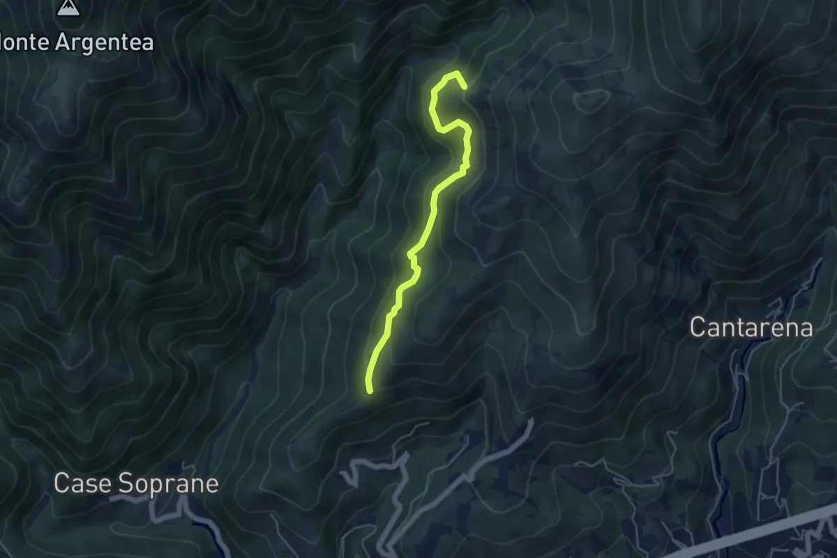
Medium · Summit
Passo Figu – Passo Gua
4.5 km · ↑ 308 m · 1 h 44 min
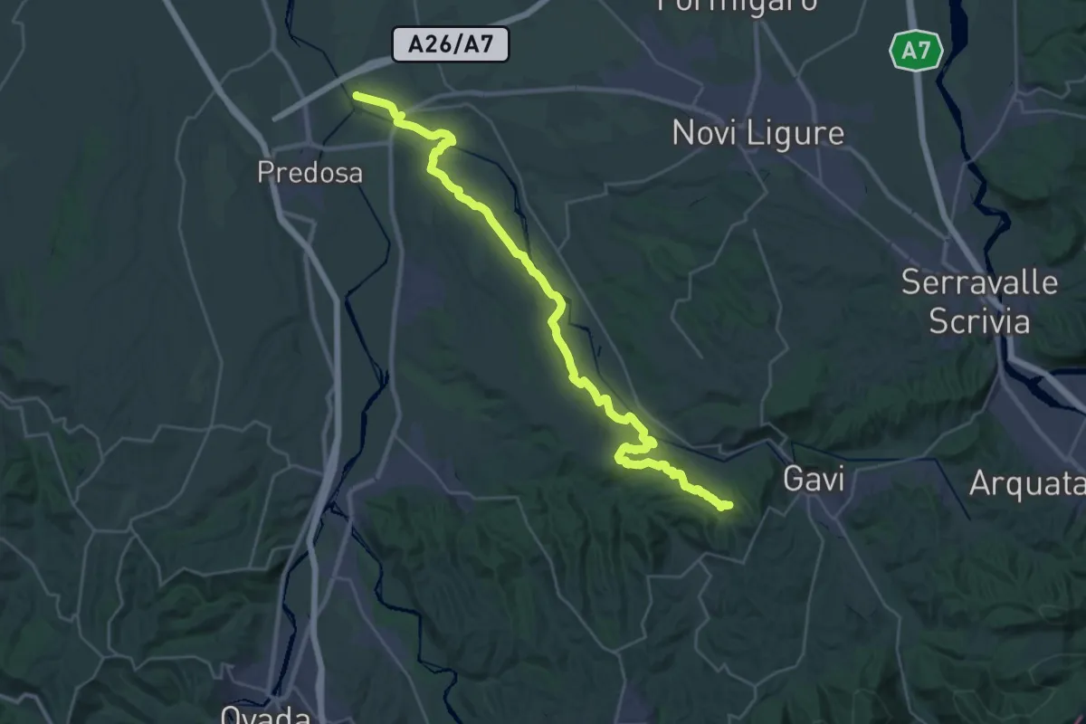
Medium · Trail
Confluenza Torrenti Lemme-Orba – Val Rossara
17.8 km · ↑ 335 m · 5 h 5 min
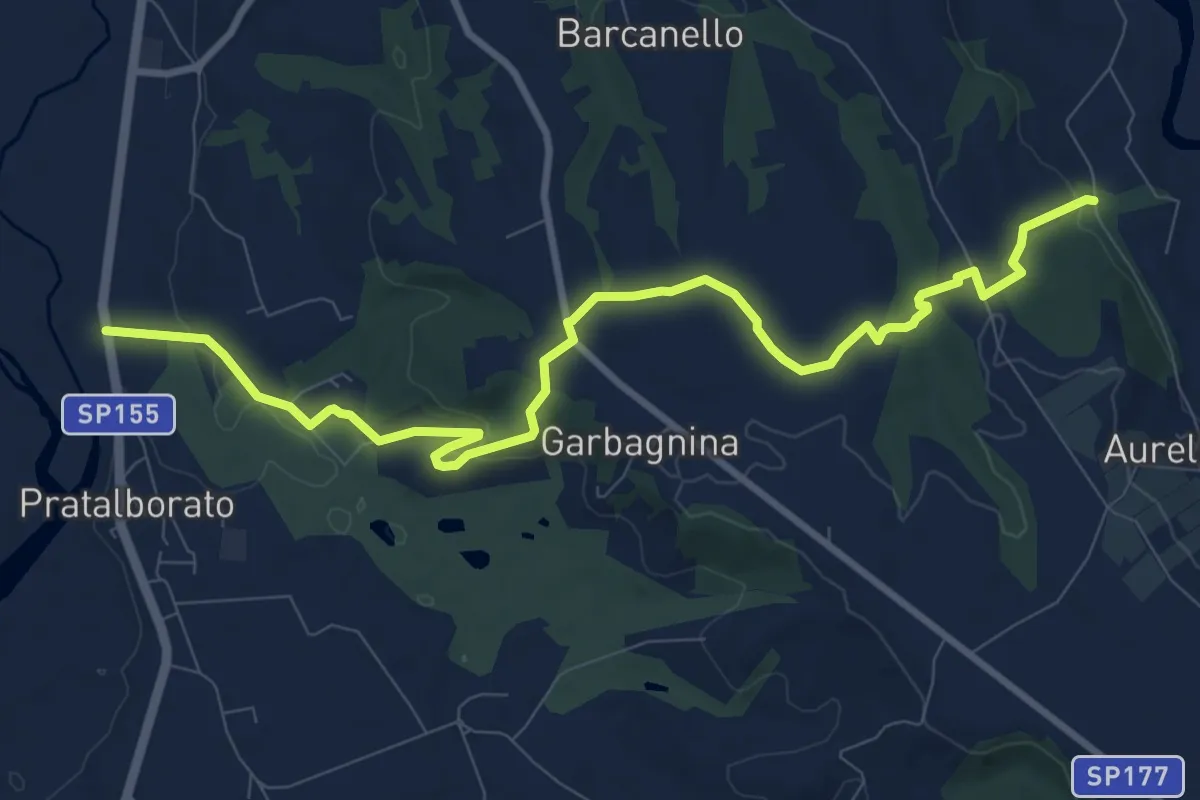
Medium · Trail
Bivio 390-391, Castelletto – SP155, Golf Club Villa Carolina
11.4 km · ↑ 187 m · 3 h 6 min
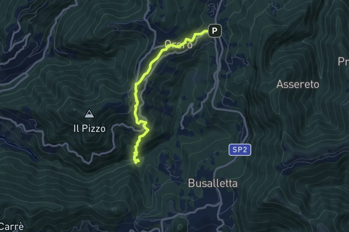
Medium · Cabin
Rifugio Ciaè – Crocetta d'Orero
6.7 km · ↑ 372 m · 2 h 24 min
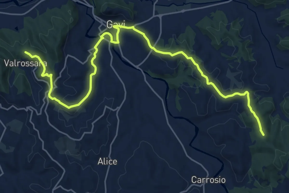
Demanding · Trail
Val Rossara – Monte Erbano
19.6 km · ↑ 448 m · 5 h 36 min
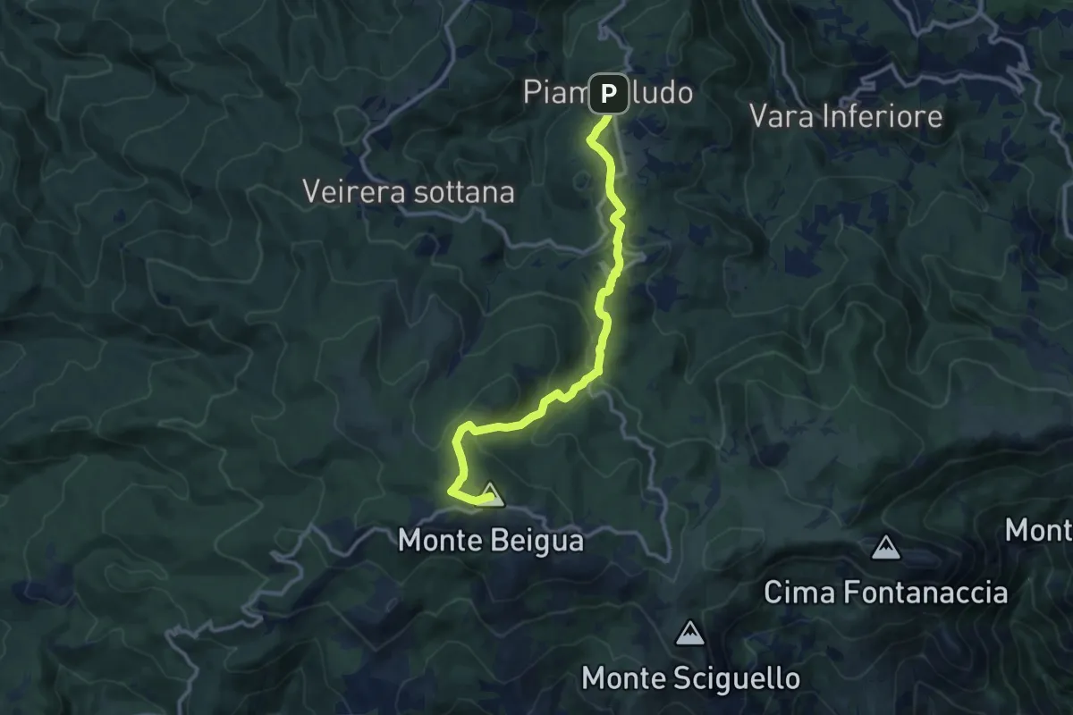
Medium · Summit
Piampaludo – Monte Beigua
11.5 km · ↑ 423 m · 3 h 37 min
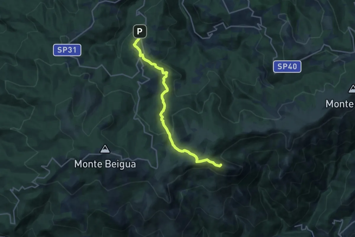
Medium · Summit
Piampaludo – Monte Rama
13.6 km · ↑ 430 m · 4 h 8 min
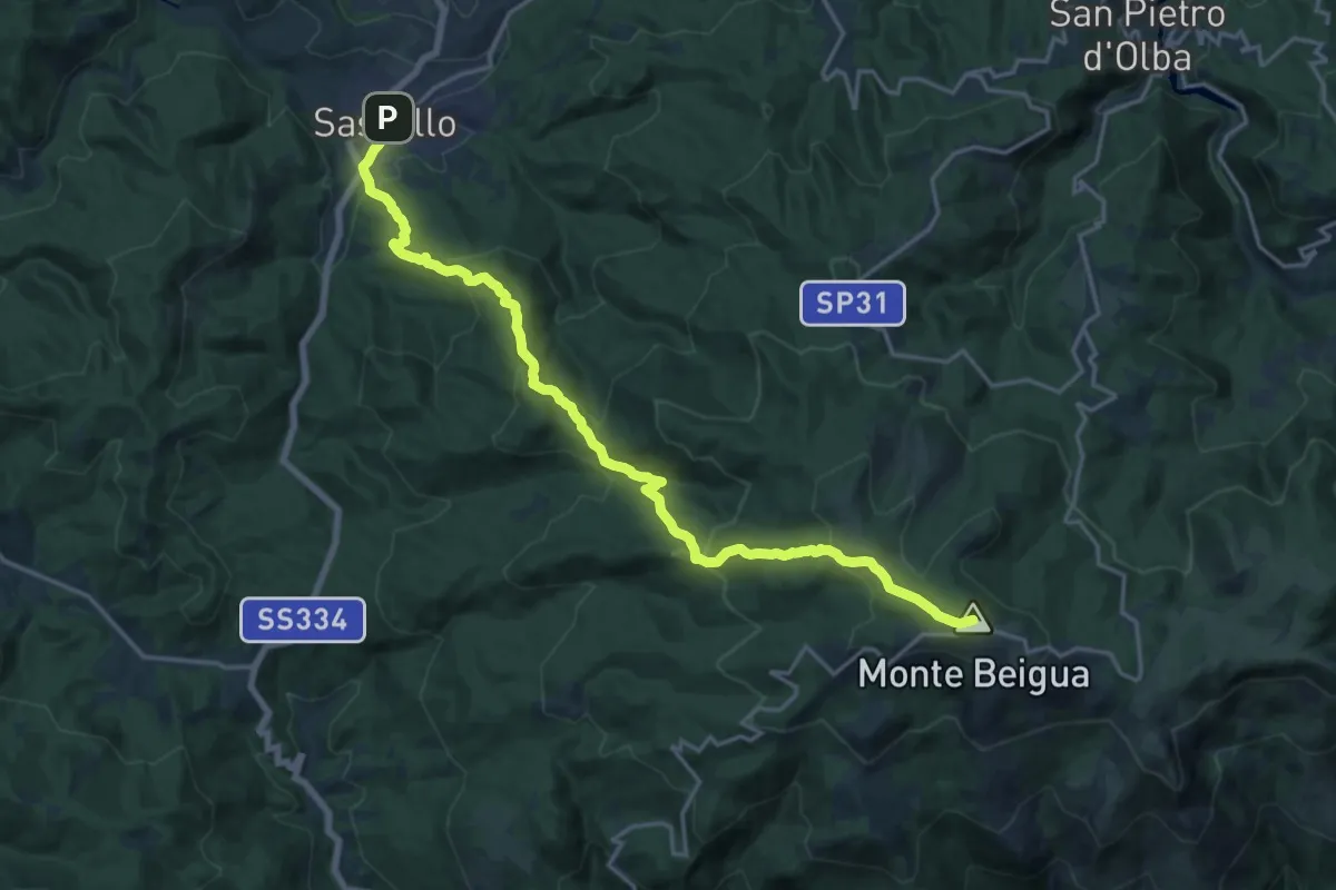
Demanding · Summit
Sassello – Monte Beigua
20.7 km · ↑ 1032 m · 7 h 8 min
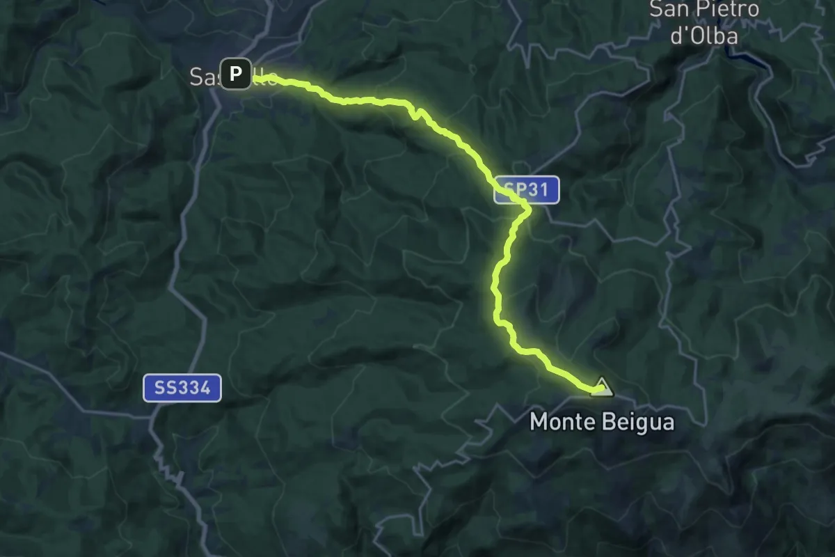
Demanding · Summit
Sassello – Monte Beigua
21.1 km · ↑ 913 m · 6 h 58 min
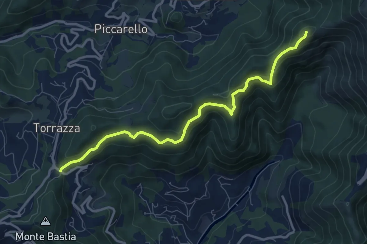
Medium · Summit
Crociera di Pino – Creto
8.3 km · ↑ 463 m · 2 h 57 min
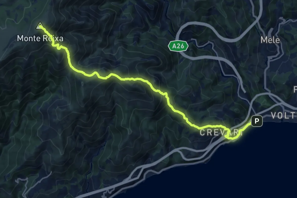
Demanding · Summit
Voltri – Monte Reixa
17.4 km · ↑ 1414 m · 7 h 10 min
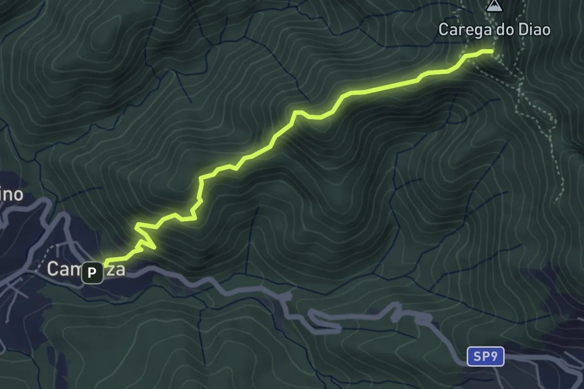
Expert · Summit
Camarza – Rocche del Reopasso
5.0 km · ↑ 464 m · 2 h 11 min
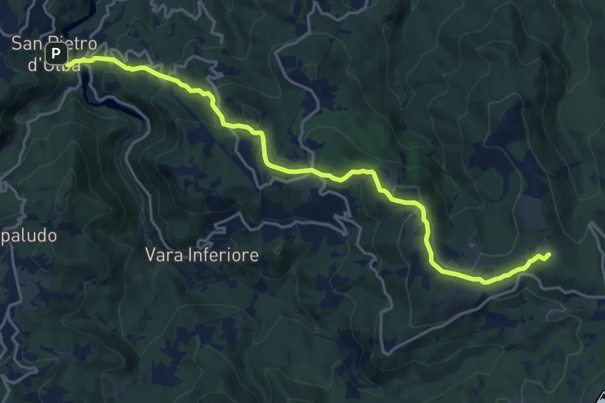
Medium · Summit
San Pietro d'Olba – Passo del Faiallo
15.1 km · ↑ 595 m · 4 h 51 min
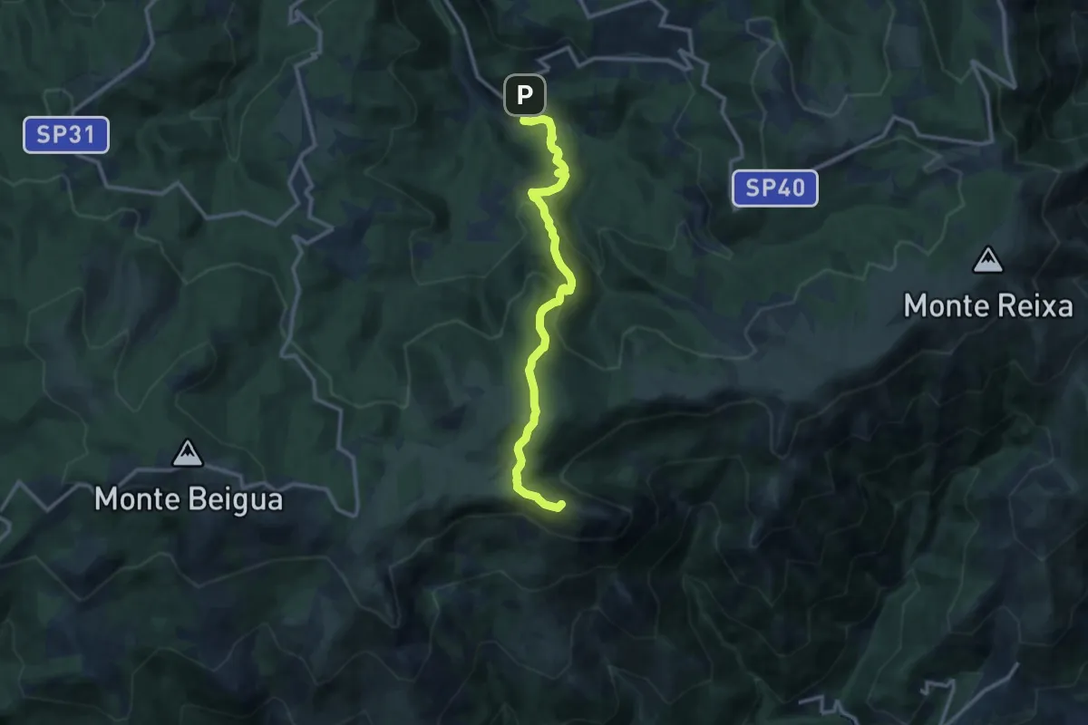
Medium · Summit
Vara Inferiore – Monte Rama
11.4 km · ↑ 706 m · 4 h 14 min
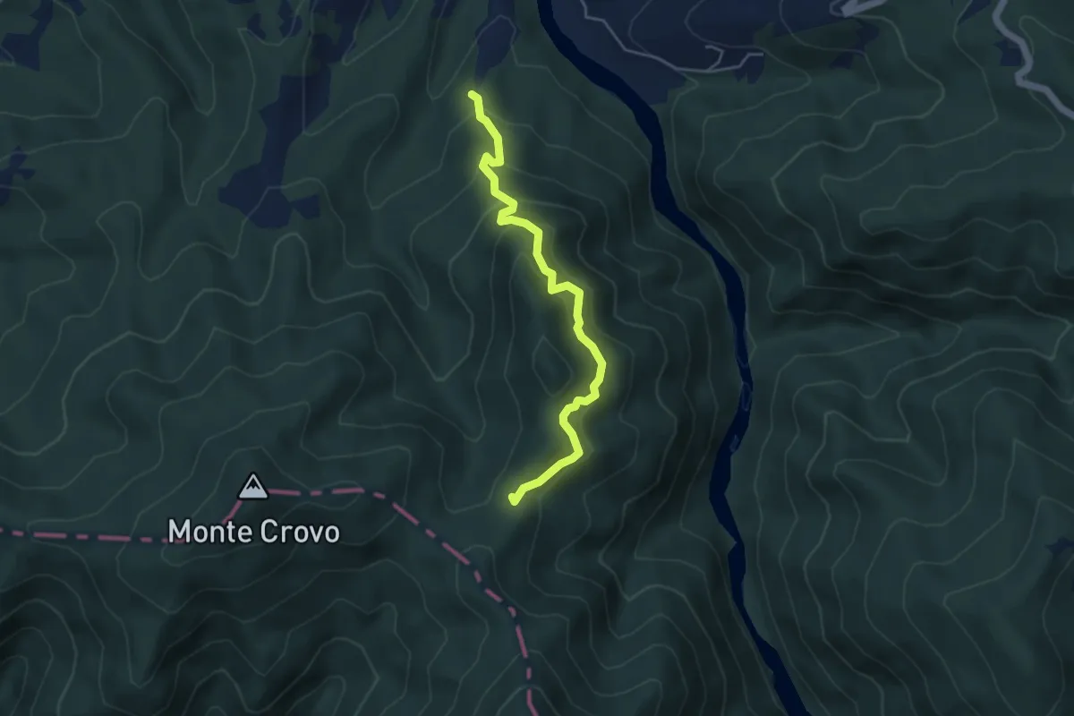
Medium · Trail
Campomagro, bivio ALA280-ALA281 – Monte Crovo, bivio ALA200-ALA280-ALA281
4.6 km · ↑ 410 m · 1 h 58 min
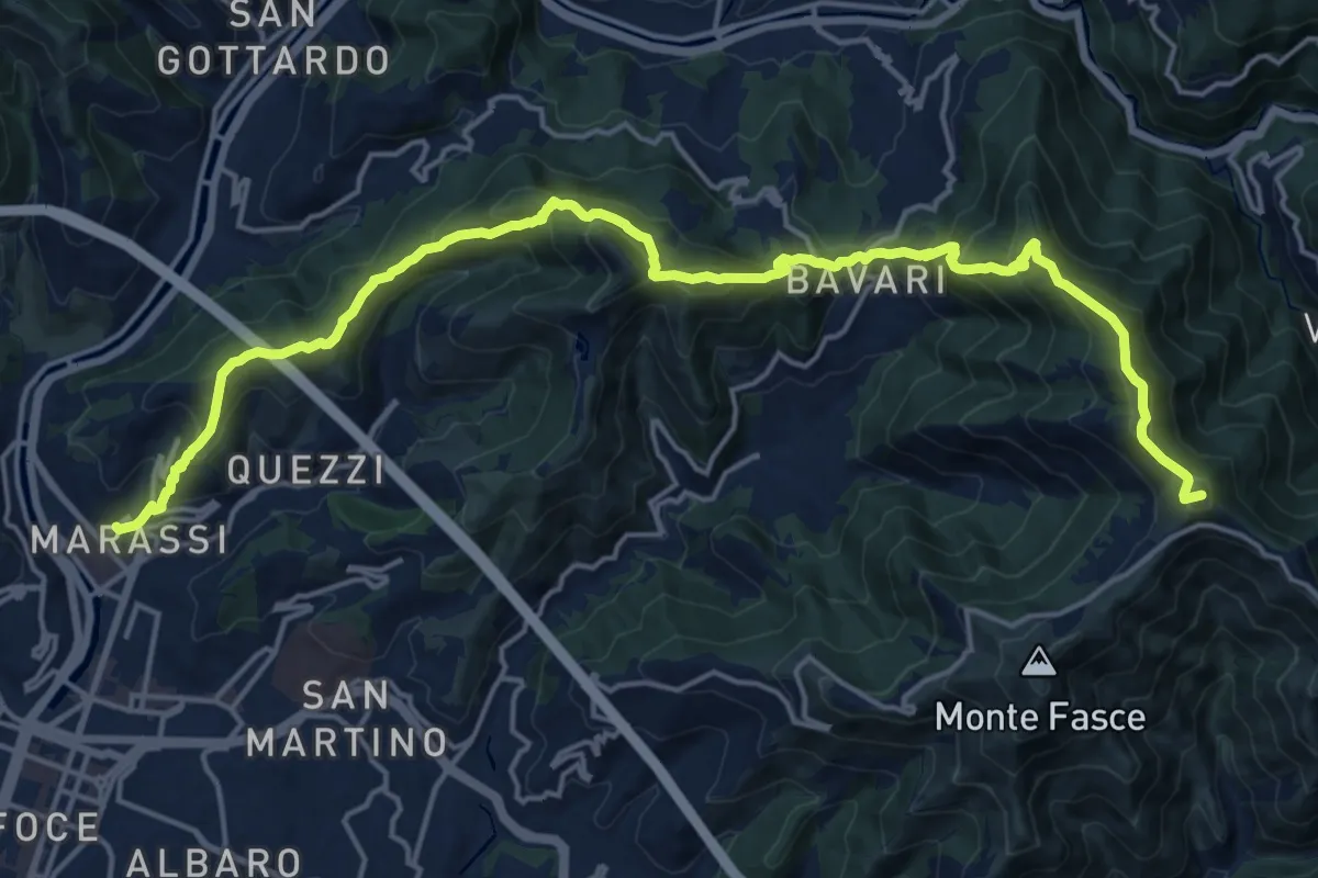
Demanding · Summit
Marassi – Monte Fasce
21.8 km · ↑ 1521 m · 8 h 27 min
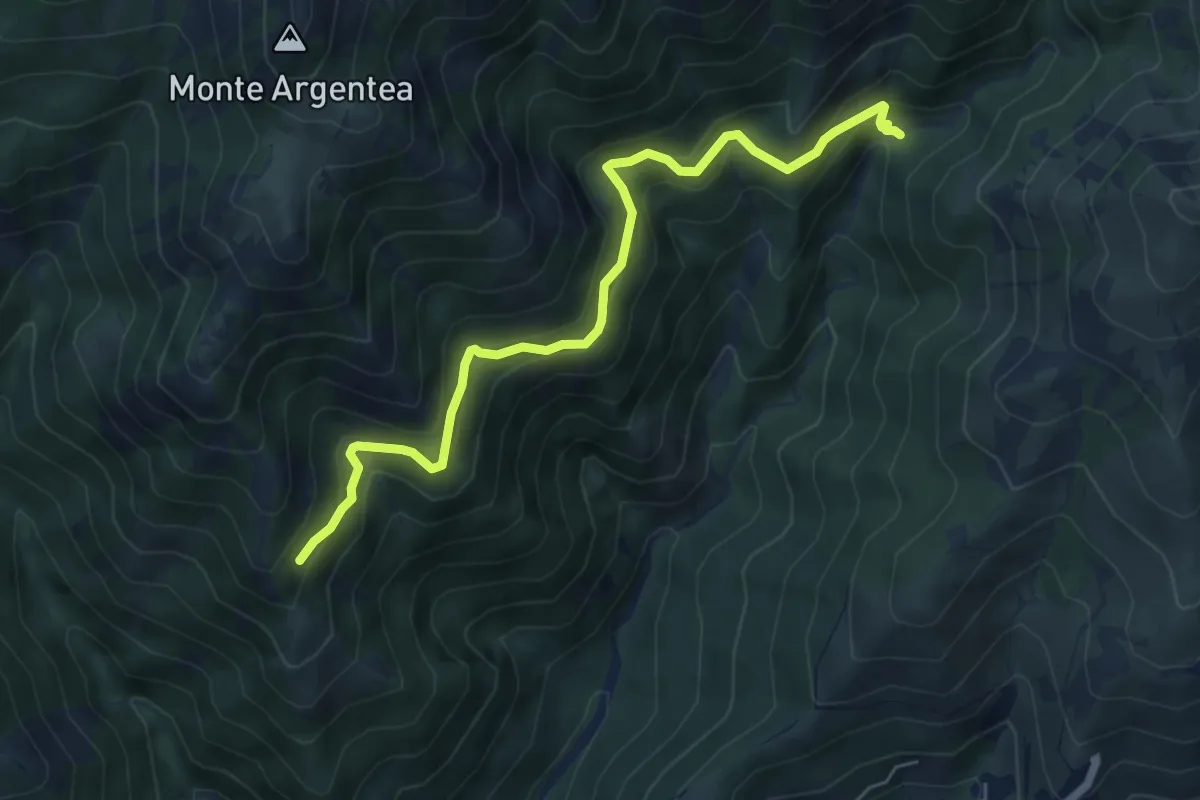
Demanding · Trail
Gua dall'Omu – Passo do Figu
6.4 km · ↑ 531 m · 2 h 40 min
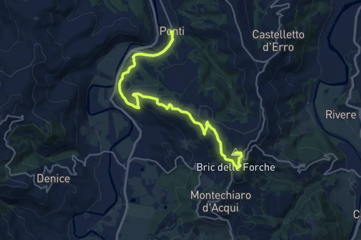
Medium · Summit
Ponti centro paese – Bivio ALA571-ATS500 presso Ponte sul Bormida
14.5 km · ↑ 625 m · 4 h 46 min
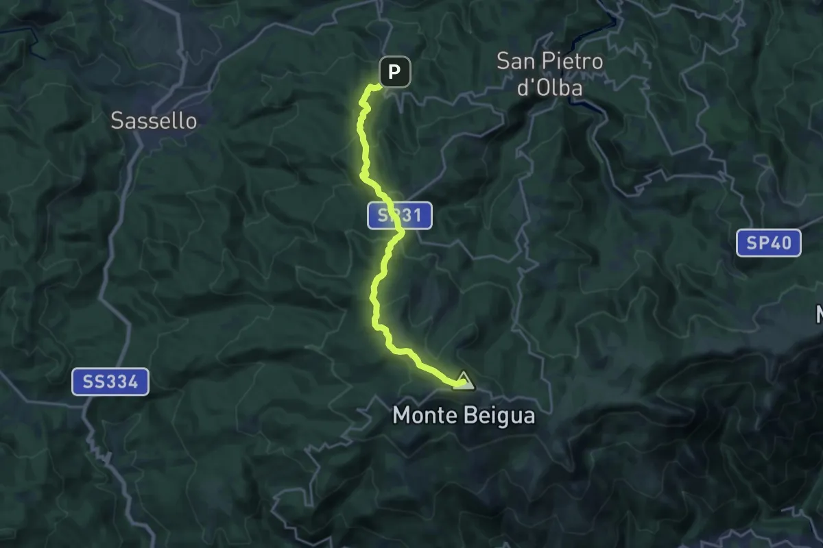
Medium · Summit
Palo – Monte Beigua
16.9 km · ↑ 694 m · 5 h 29 min
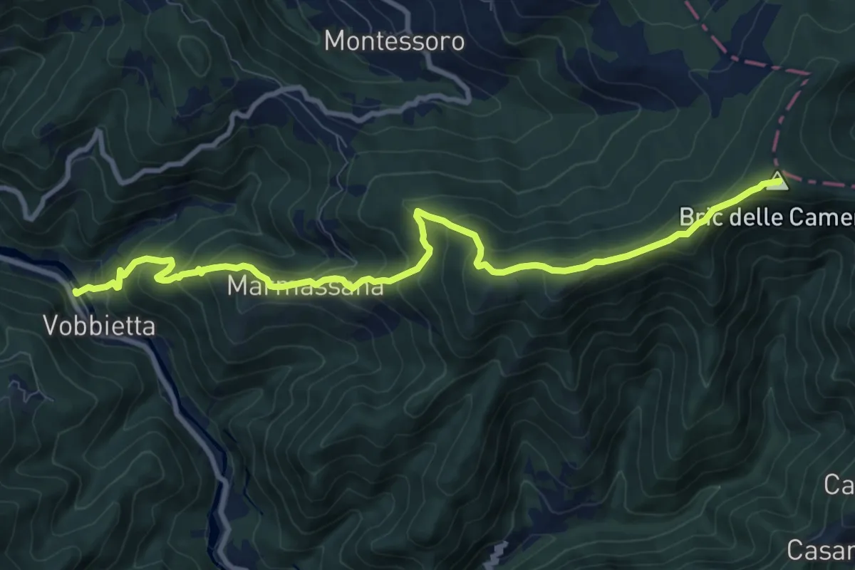
Medium · Summit
Vobbietta – Bric delle Camere
10.6 km · ↑ 741 m · 4 h 6 min
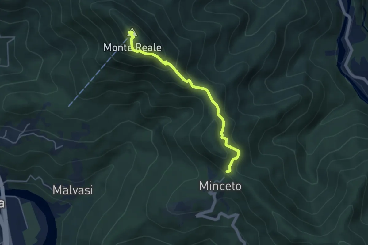
Medium · Summit
Minceto – Monte Reale
3.6 km · ↑ 306 m · 1 h 31 min
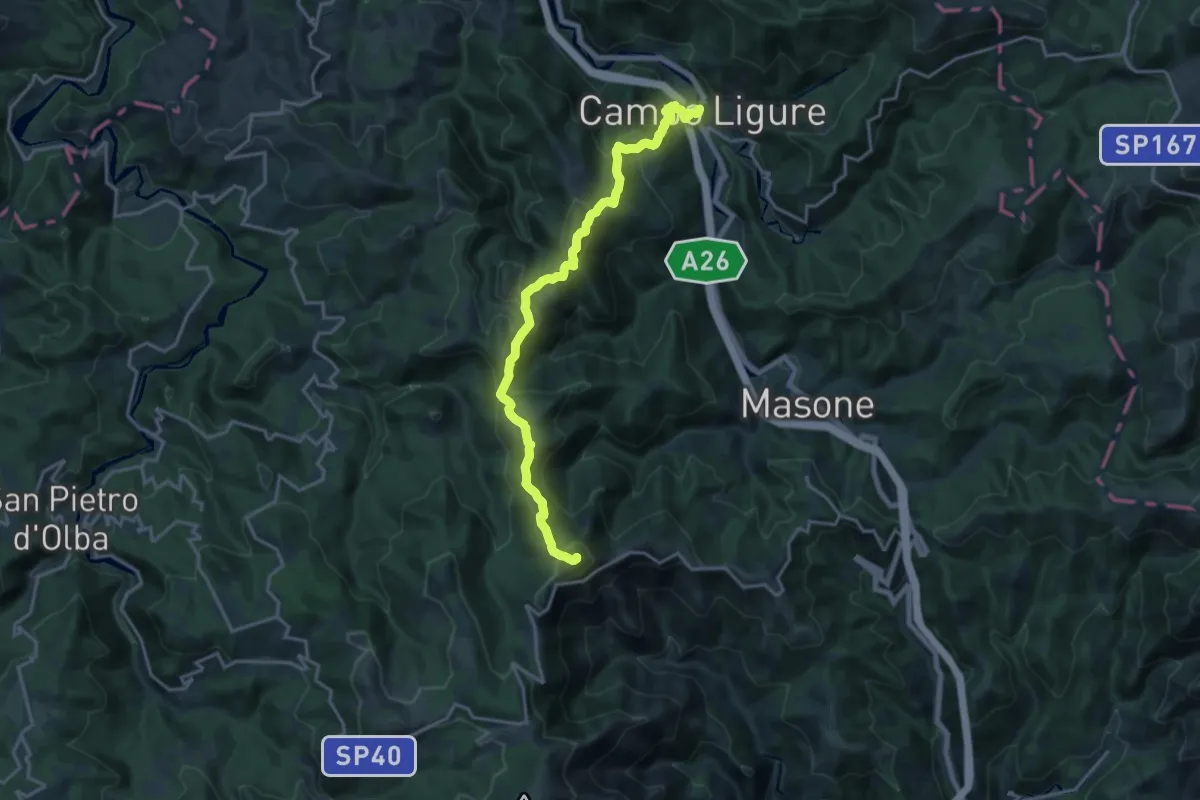
Demanding · Summit
Campo Ligure – Bric del Dente
18.9 km · ↑ 1080 m · 6 h 48 min
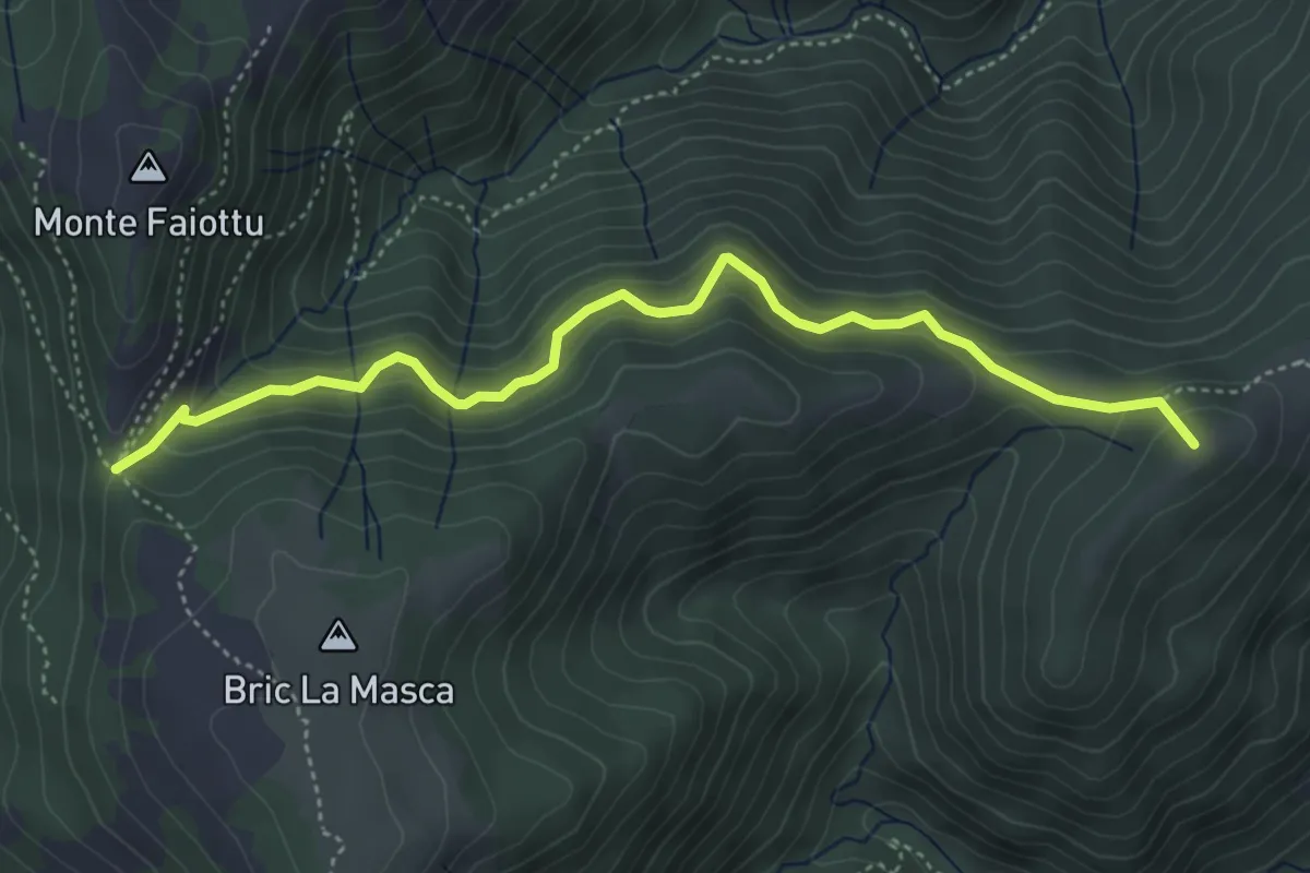
Medium · Summit
Masone – Passo Fruia
4.9 km · ↑ 393 m · 2 h
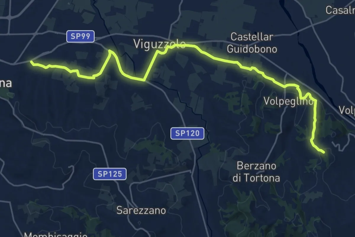
Demanding · Summit
Tortona – Volpedo, Ponte sul Curone, bivio ALA101-ALA102
22.2 km · ↑ 322 m · 5 h 56 min
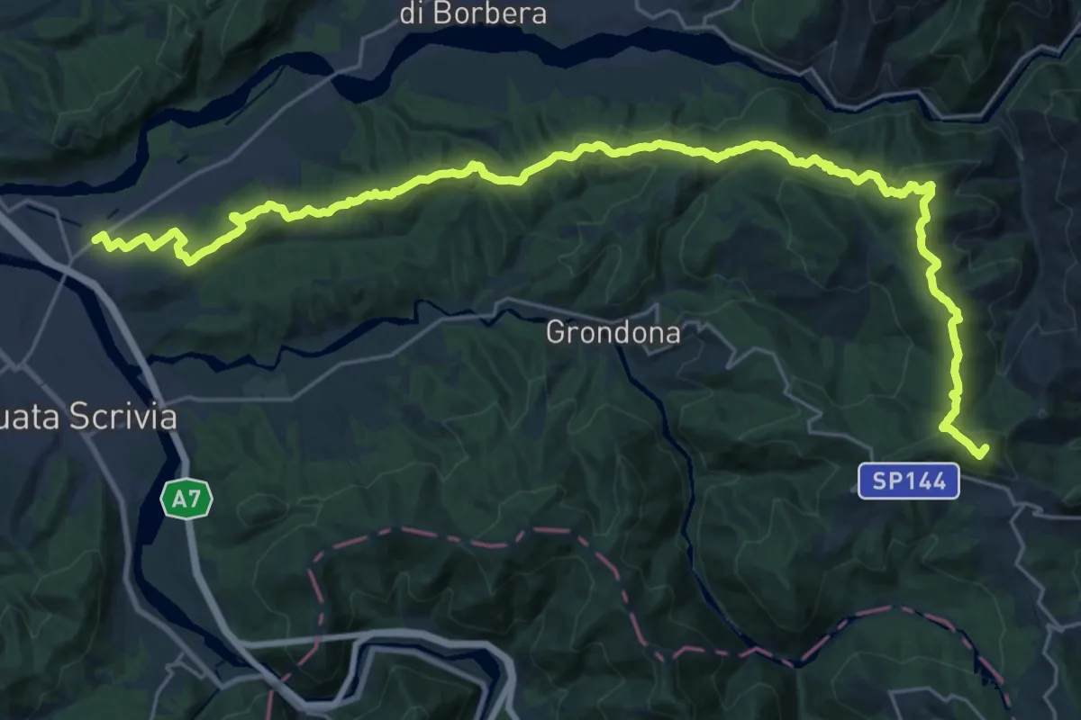
Demanding · Summit
Vignole Borbera – Presso Roccaforte Ligure, bivio ALA260-ALA275
31.8 km · ↑ 1177 m · 10 h 3 min
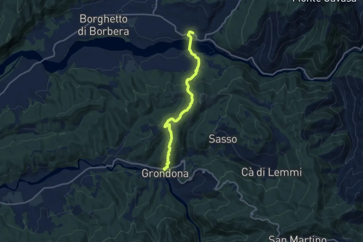
Medium · Trail
Borghetto Borbera, Frazione Persi, bivio ALA207-ALA273 – Grondona
9.7 km · ↑ 380 m · 3 h 7 min
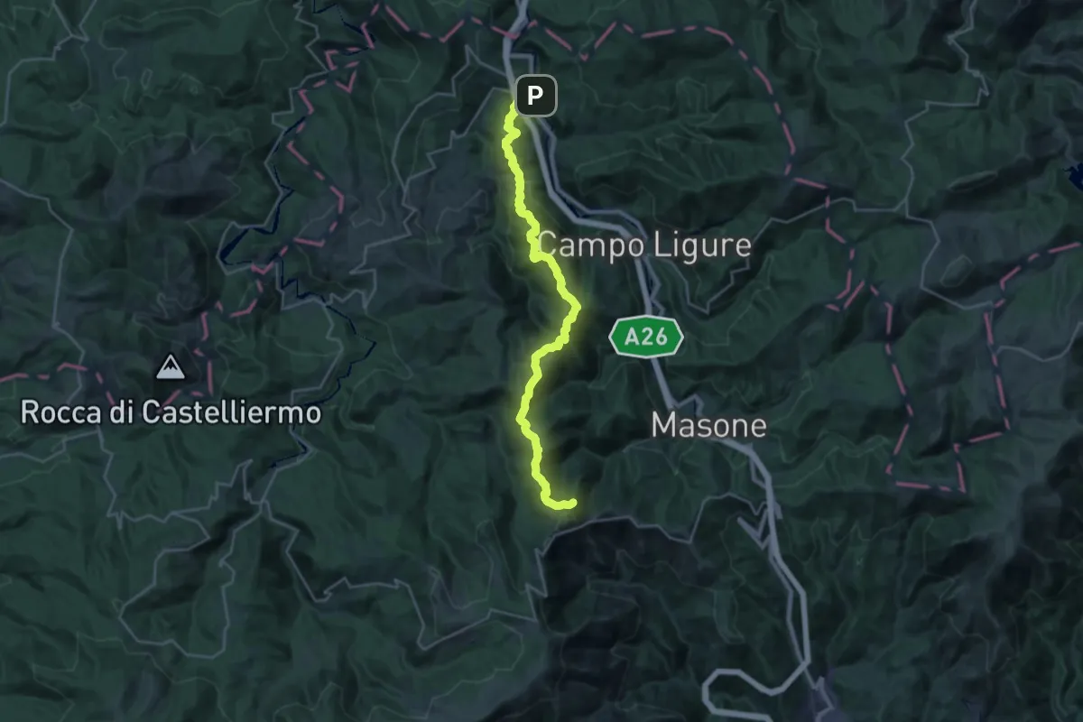
Demanding · Summit
Rossiglione – Sella del Barné
25.9 km · ↑ 1249 m · 8 h 49 min
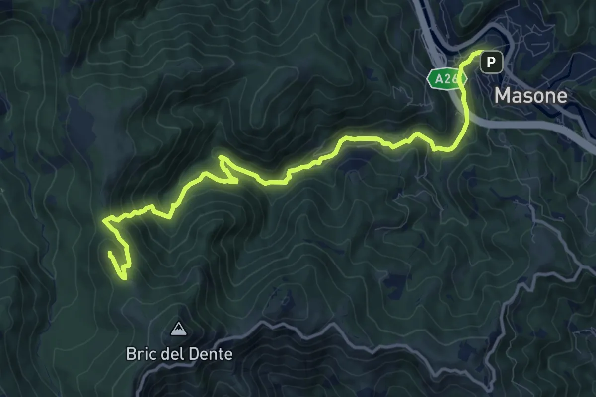
Medium · Summit
Masone – Bric Dentino
13.0 km · ↑ 581 m · 4 h 19 min
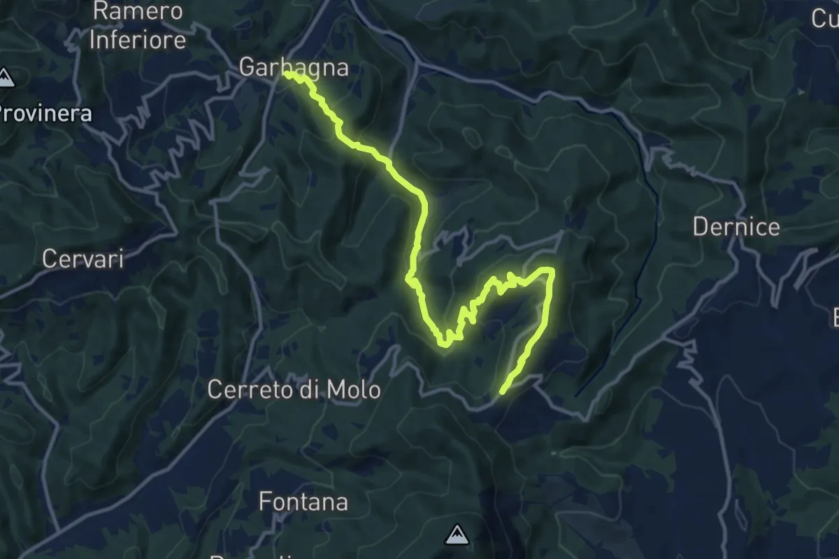
Medium · Trail
Garbagna – Bivio ALA123-ALA200 presso Monte Trassa e Monte San Boseigo
14.2 km · ↑ 757 m · 5 h
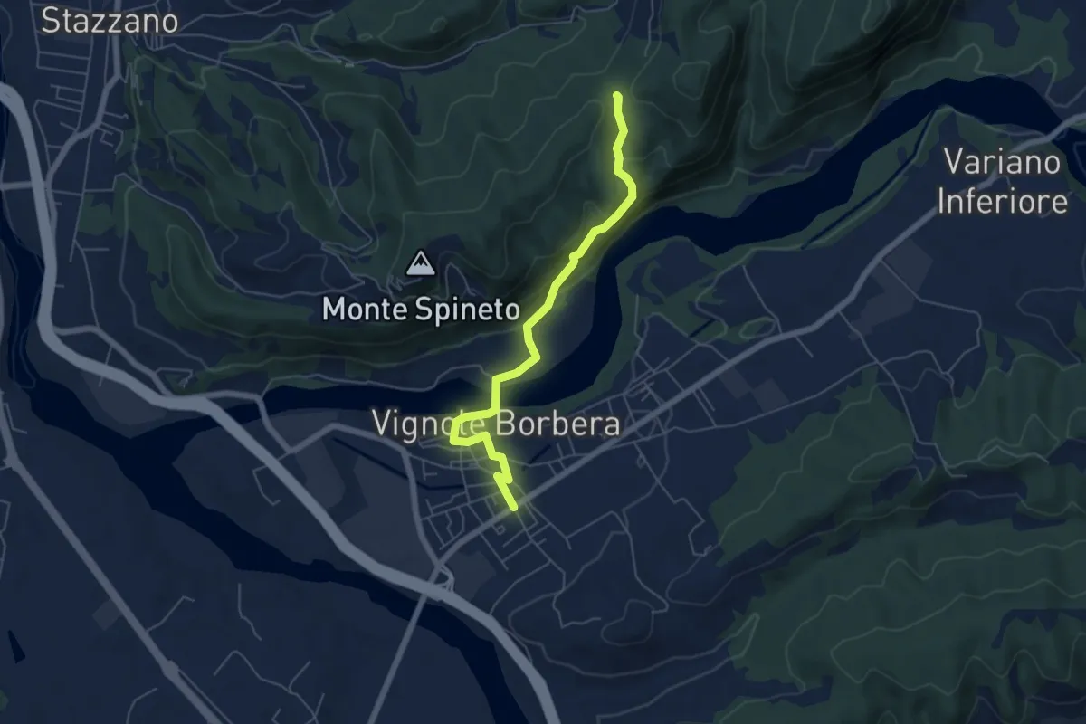
Easy · Trail
Vignole Borbera – Bivio ALA200-ALA203, presso Cascina Alberghino
5.7 km · ↑ 228 m · 1 h 50 min
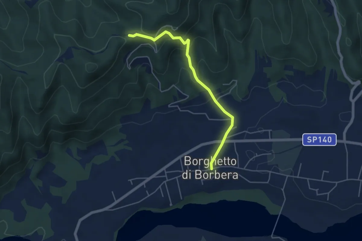
Easy · Trail
Borghetto Borbera – Bivio ALA200-ALA204 presso Santuario Cà del Bello
4.2 km · ↑ 214 m · 1 h 28 min
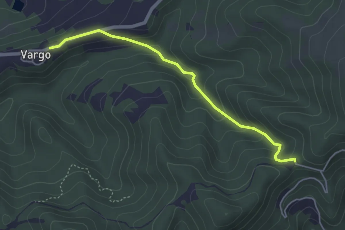
Easy · Trail
Frazione Vargo, bivio SC Vargo-Strada Vicinale della Madonna – Bivio ALA200-ALA204 presso Santuario di Cà del Bello
3.9 km · ↑ 169 m · 1 h 18 min
Easy · Trail
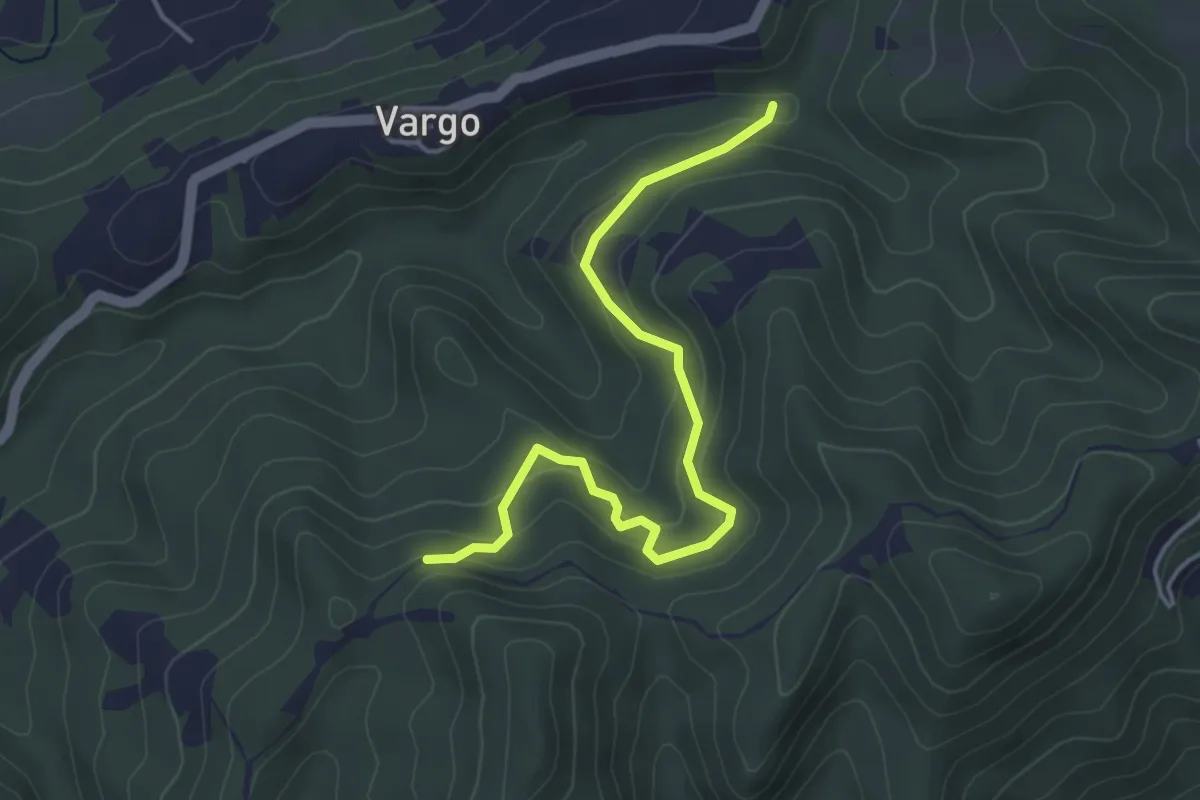
Vargo, bivio ALA205-ALA206 – Bivio ALA200-ALA206 presso Masseria Baiardo
4.5 km · ↑ 193 m · 1 h 28 min
Easy · Trail
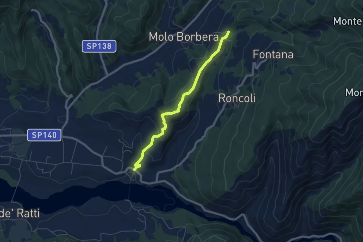
Borghetto Borbera, Fraz. Persi, bivio ALA207-ALA273 – Molo di Borbera, presso C.se Castello, bivio ALA207-ALA200
5.4 km · ↑ 193 m · 1 h 42 min
Easy · Trail
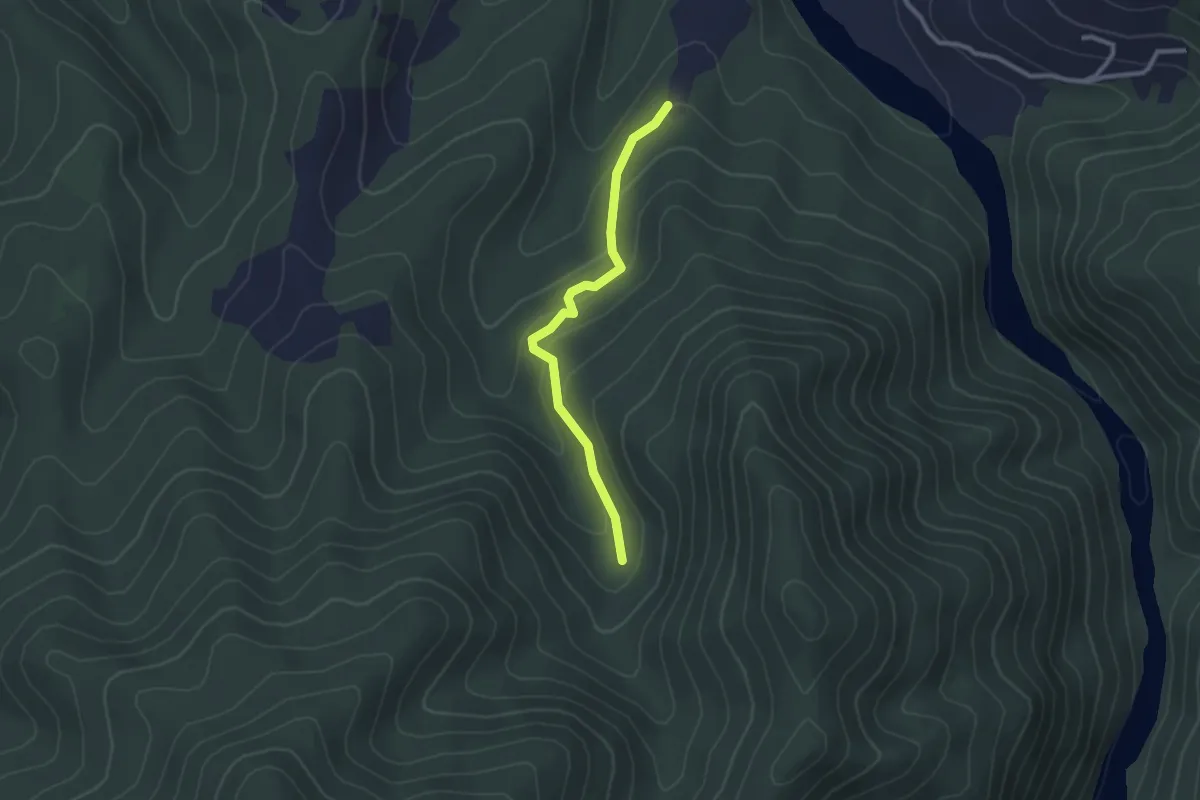
Campomagro, bivio ALA280-ALA282 – Monte l'Ariola, bivio ALA282-ALA283
2.4 km · ↑ 93 m · 46 min
Medium · Summit
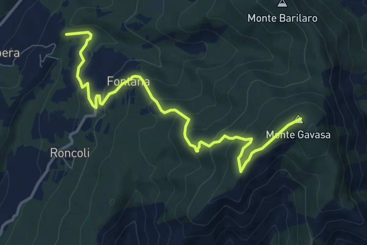
Pertuso, bivio ALA209-ALA260 – Bivio ALA208-ALA209 presso Costa Camisola
8.4 km · ↑ 472 m · 3 h 1 min
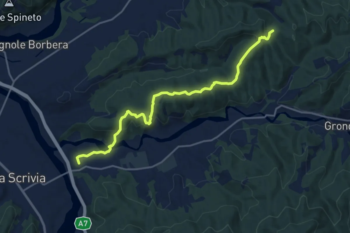
Medium · Trail
Varinella, bivio ALA200-ALA270 – Presso Costa Jaume, bivio ALA270-ALA275
11.6 km · ↑ 443 m · 3 h 41 min
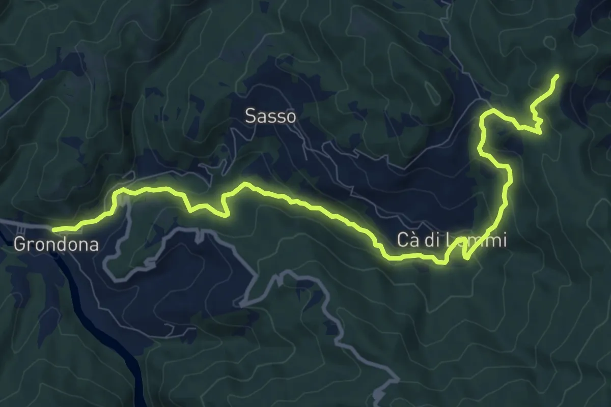
Medium · Trail
Grondona, bivio via Sasso-Lemmi – Presso località Costa dei Gatti, bivio ALA271-ALA275
12.0 km · ↑ 562 m · 4 h 3 min
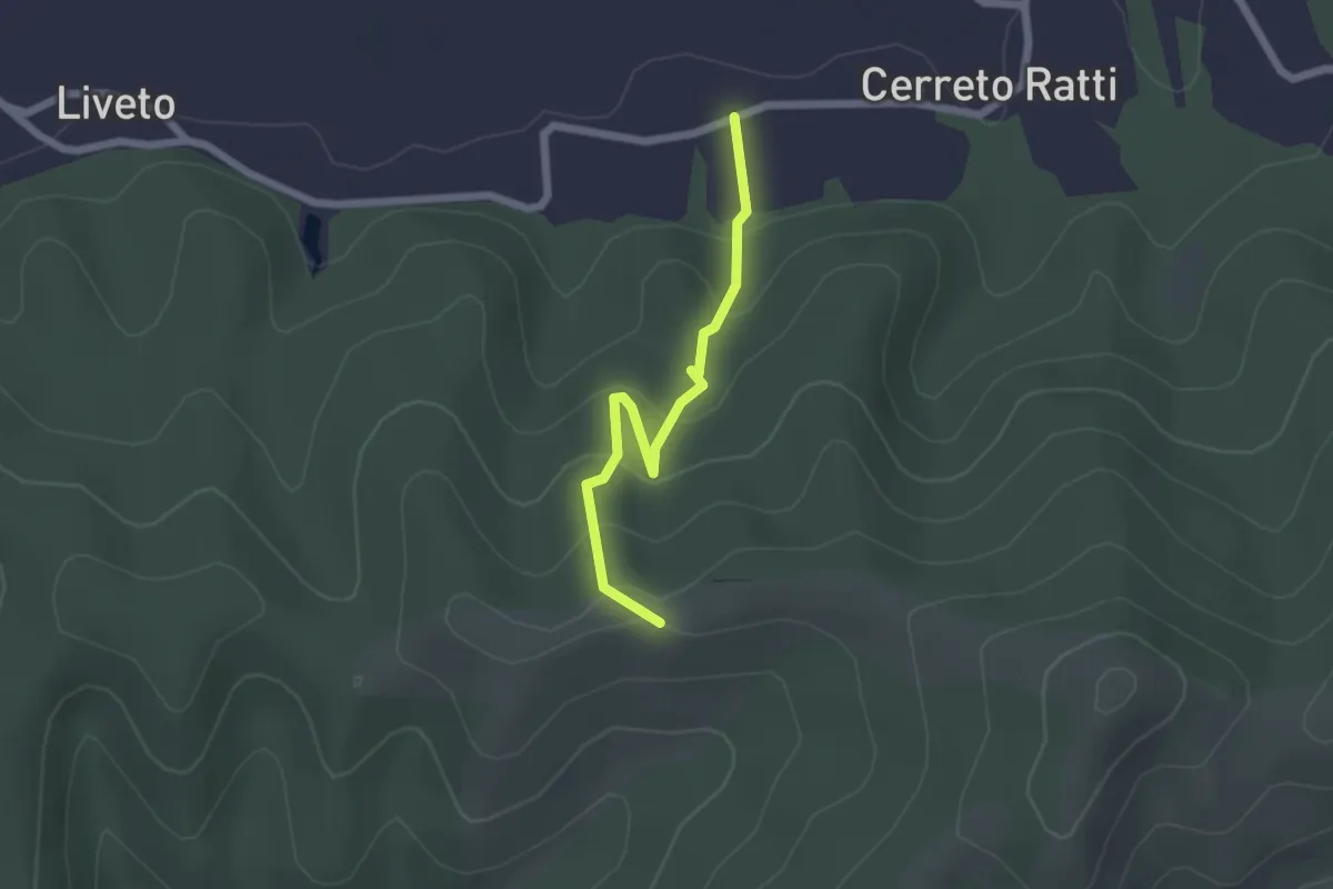
Easy · Trail
Cerreto Ratti – Bivio ALA272-ALA275
2.0 km · ↑ 170 m · 50 min
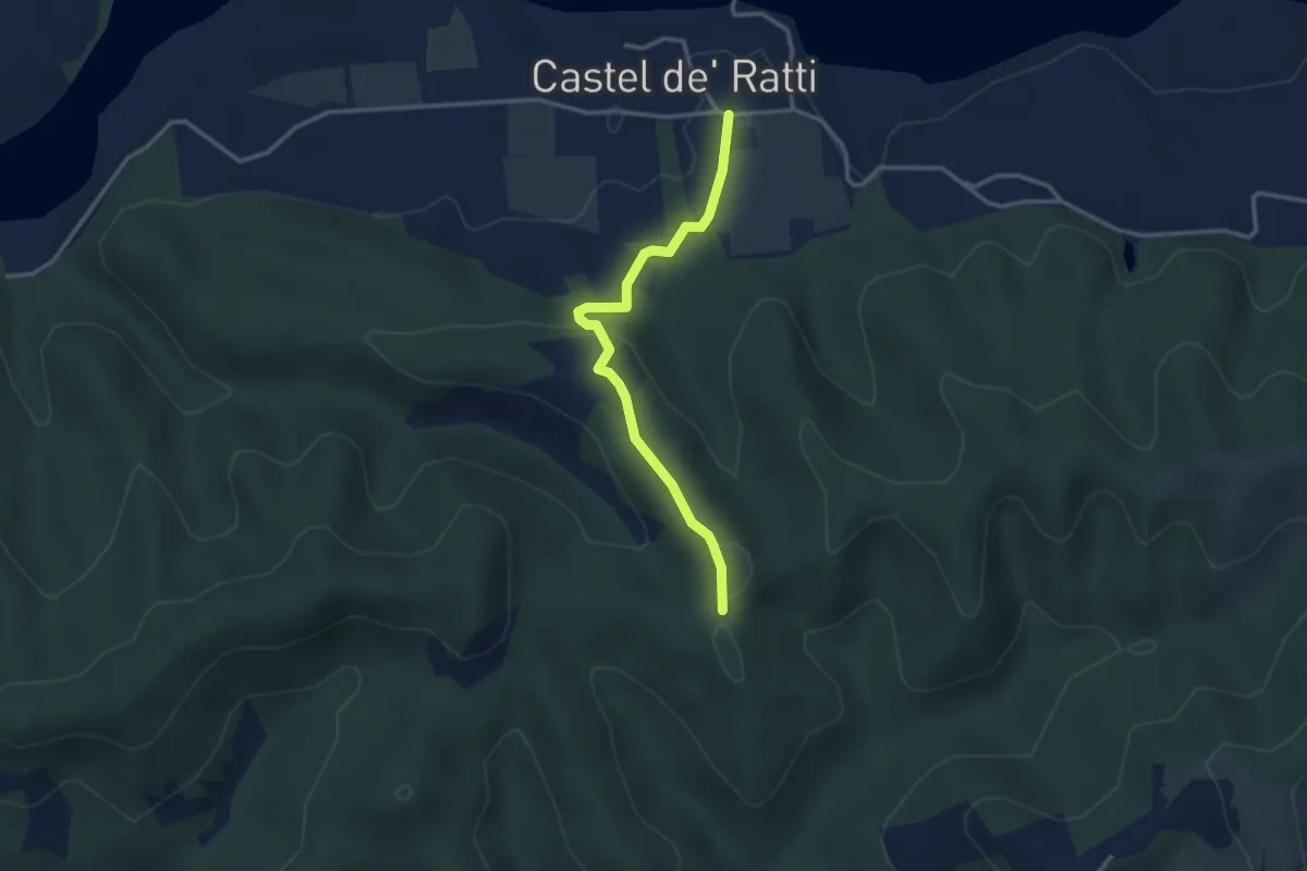
Easy · Trail
Castel Ratti – Presso Costa Muta, bivio ALA275-ALA276
3.1 km · ↑ 95 m · 57 min
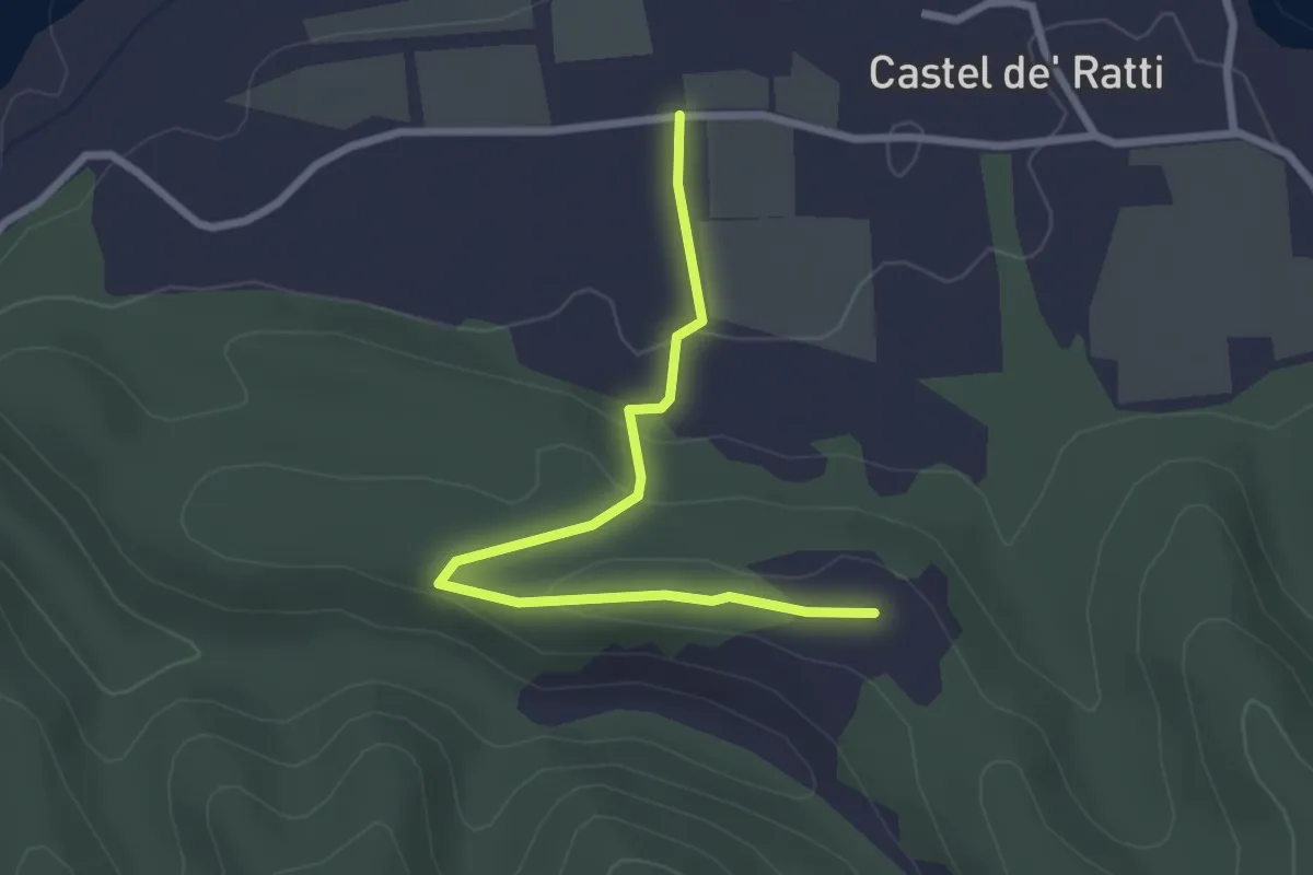
Easy · Trail
Località Bambino di Praga, bivio strada Castel Ratti - Variano – Bivio ALA276-ALA277
2.8 km · ↑ 59 m · 48 min
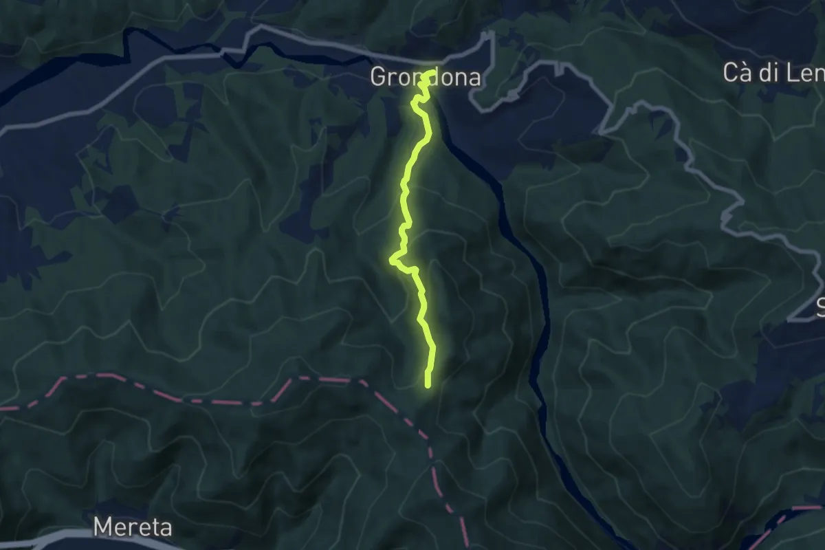
Medium · Trail
Grondona – Presso Monte Crovo, bivio ALA200-ALA280-ALA281
5.9 km · ↑ 372 m · 2 h 12 min
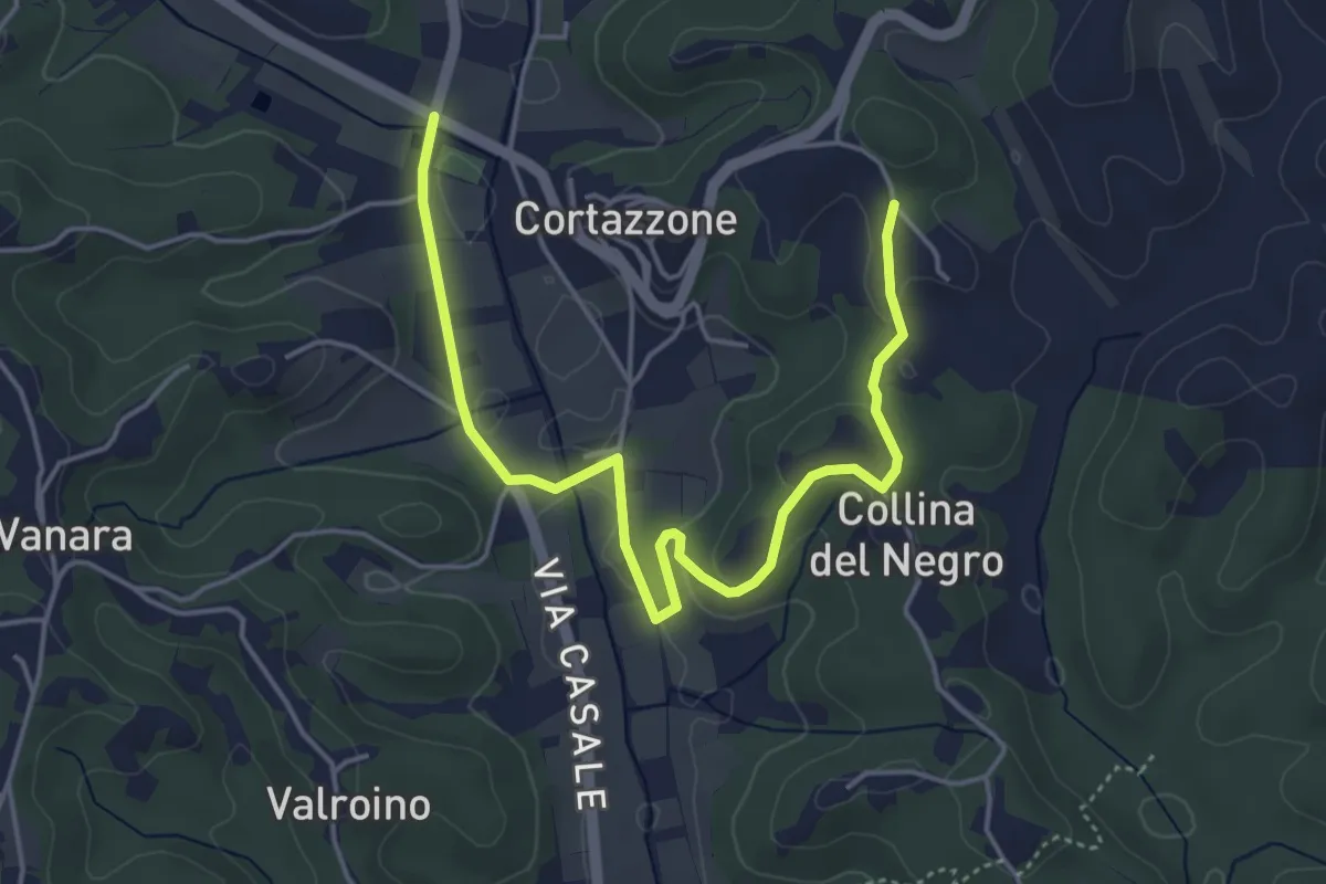
Easy · Trail
Bivio 301-313-313A – Bivio 313-313A
5.5 km · ↑ 102 m · 1 h 31 min
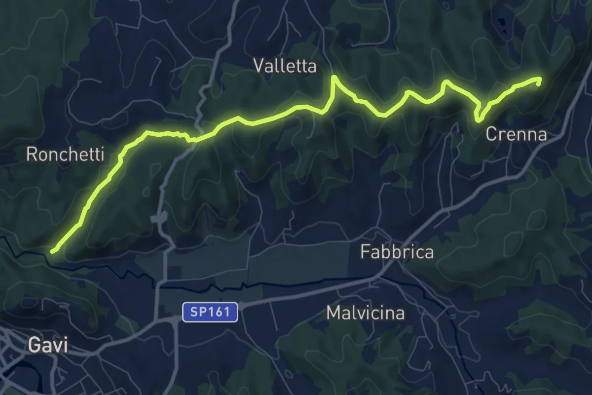
Medium · Summit
Serravalle Scrivia, stazione ferroviaria – Cascina Bruciata, bivio 292-293-293A
10.4 km · ↑ 274 m · 3 h 4 min
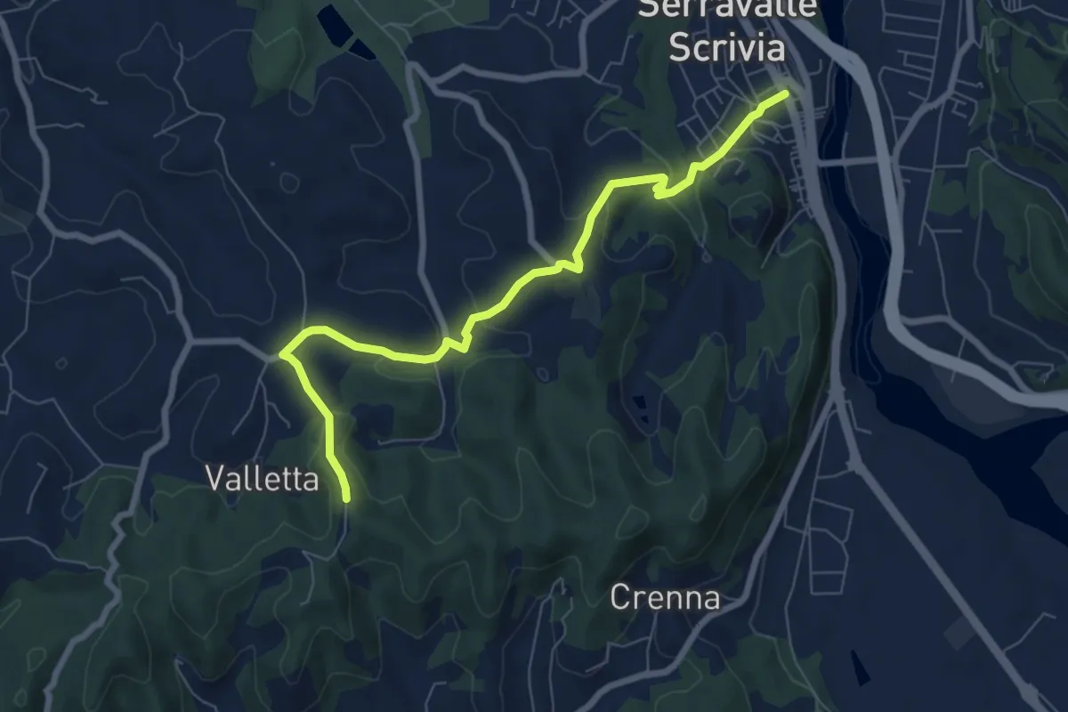
Easy · Trail
Bivio ALA292-ALA293 – Serravalle Scrivia, bivio ALA292-ALA293
7.7 km · ↑ 267 m · 2 h 24 min
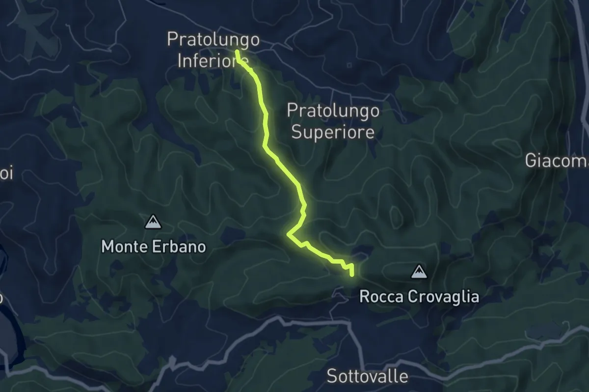
Easy · Trail
Pratolungo – Innesto Sentiero E1
5.0 km · ↑ 229 m · 1 h 40 min
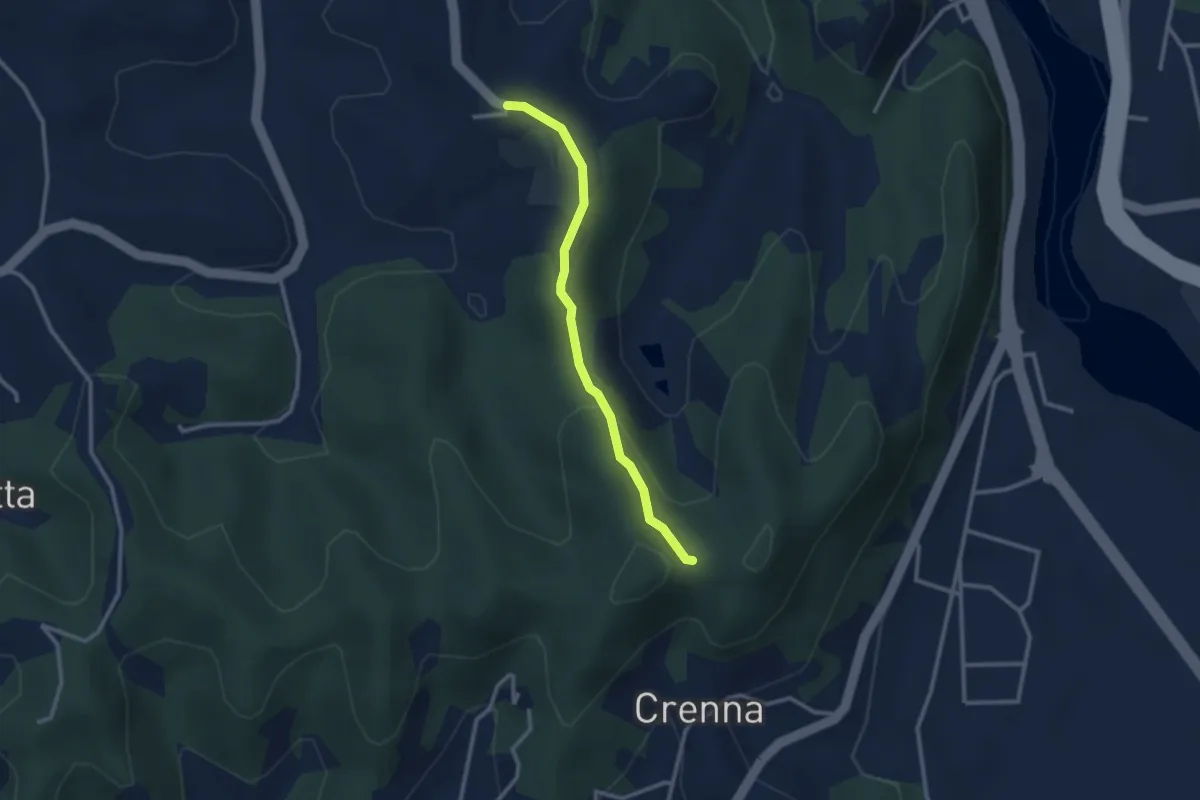
Easy · Trail
Colle Ratto – Chiesetta di Montei
2.6 km · ↑ 76 m · 47 min
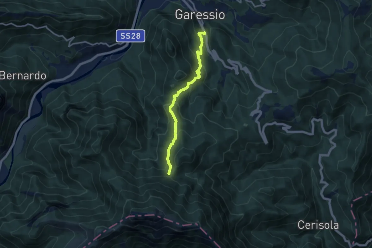
Medium · Trail
Garessio, Ponte dei Corni – Fontana delle Meraviglie
4.2 km · ↑ 12 m · 1 h 21 min