Trails in Italy
25,219 hiking trails, each with its route, climb, walking time and grade.
All trails, page 370 of 526
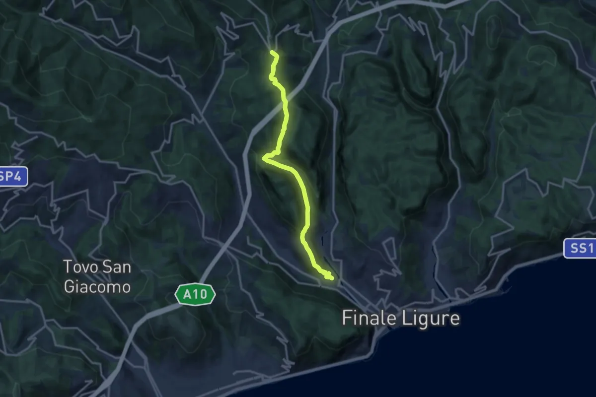
Medium · Trail
Finalborgo – San Rocco
11.8 km · ↑ 429 m · 3 h 43 min
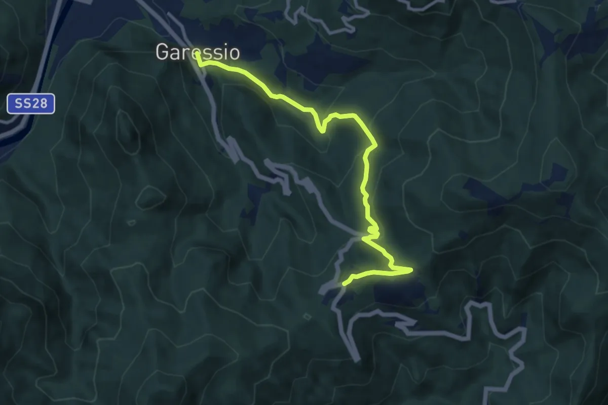
Medium · Trail
Garessio, Ponte Rio S. Mauro – Colle San Bernardo
9.6 km · ↑ 440 m · 3 h 13 min
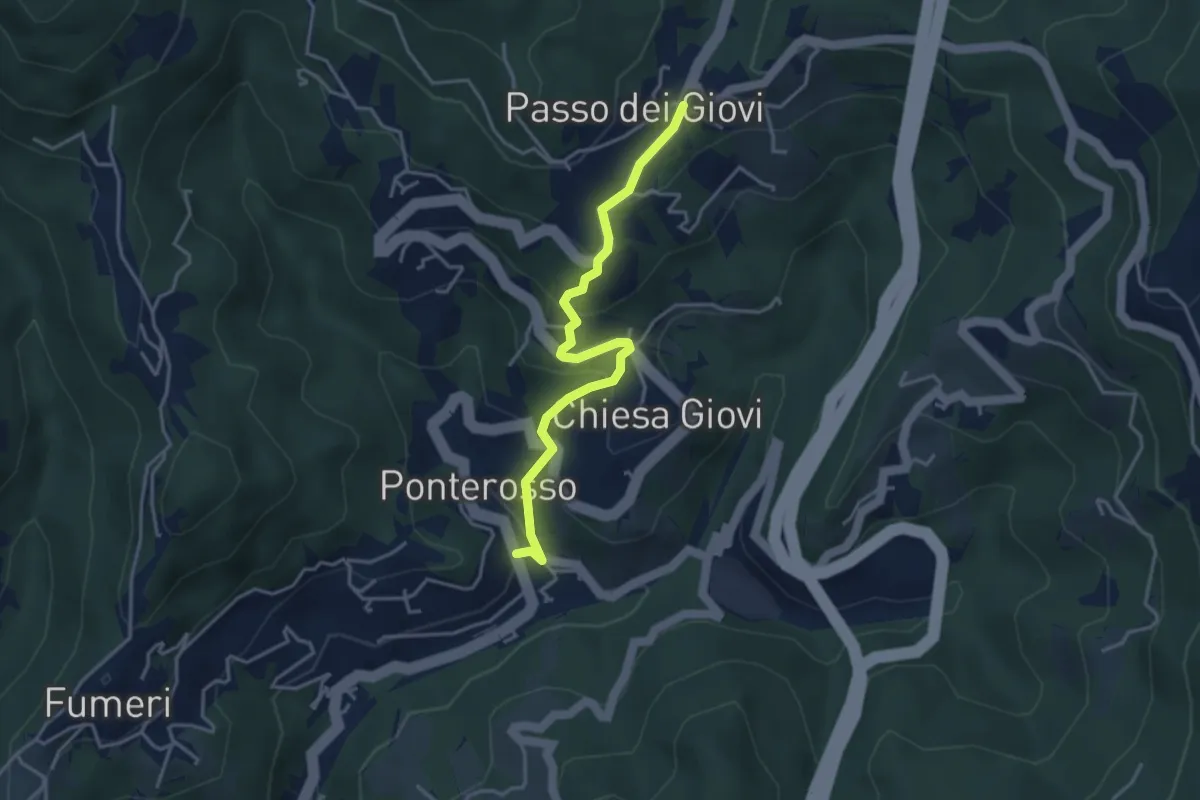
Easy · Cabin
Ponterosso – Passo dei Giovi
3.9 km · ↑ 226 m · 1 h 25 min
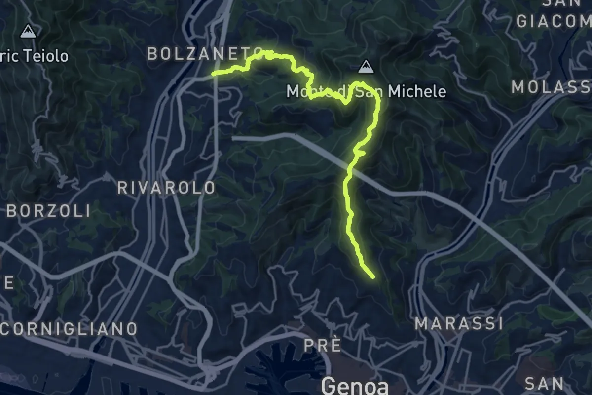
Demanding · Trail
Bolzaneto – Righi
16.8 km · ↑ 922 m · 5 h 58 min
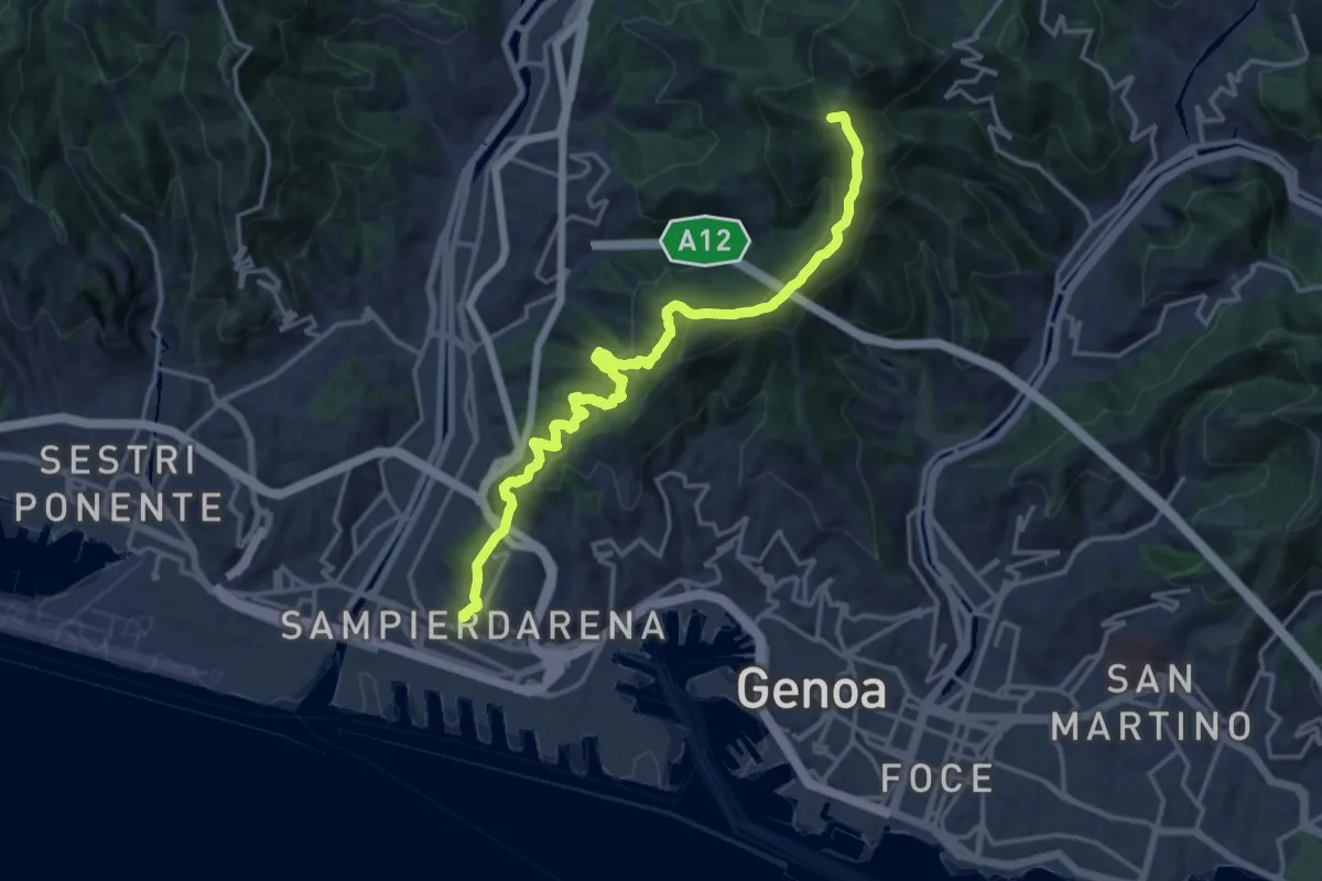
Demanding · Summit
Sampierdarena – Forte Diamante
18.0 km · ↑ 1131 m · 6 h 43 min
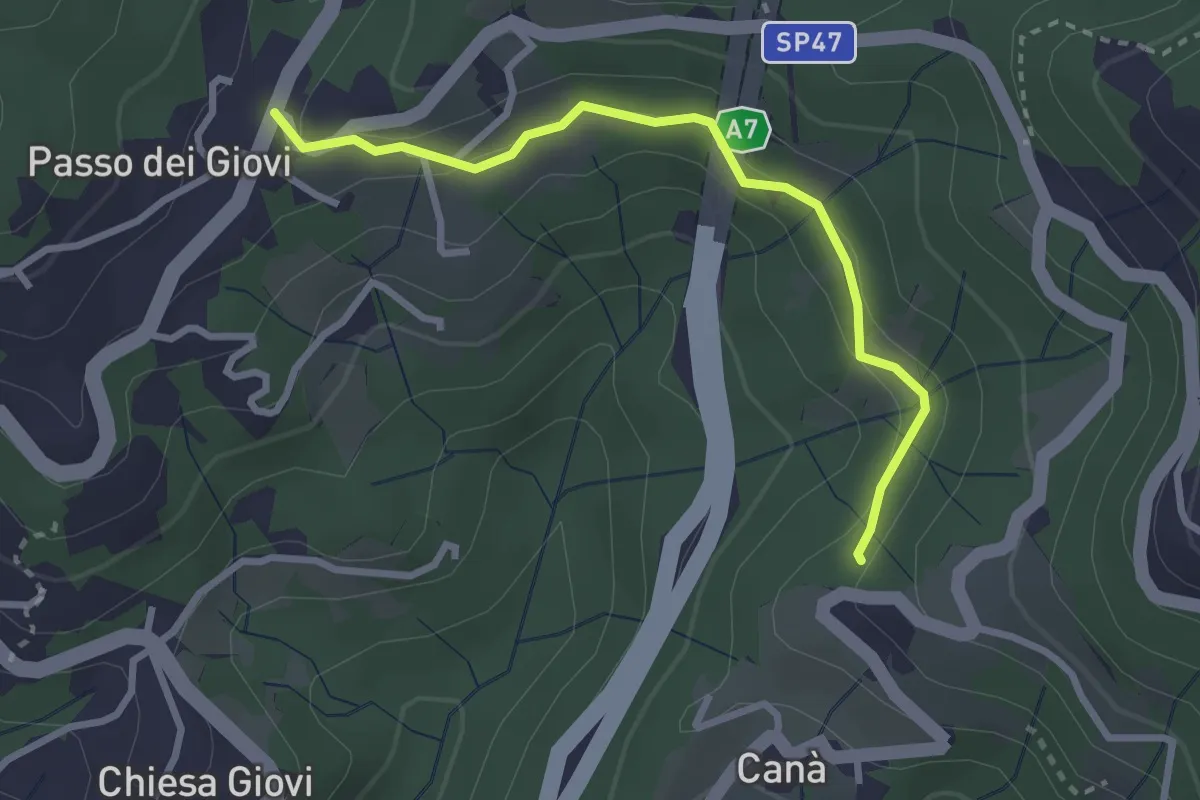
Easy · Trail
Canà – Passo dei Giovi
2.9 km · ↑ 113 m · 56 min
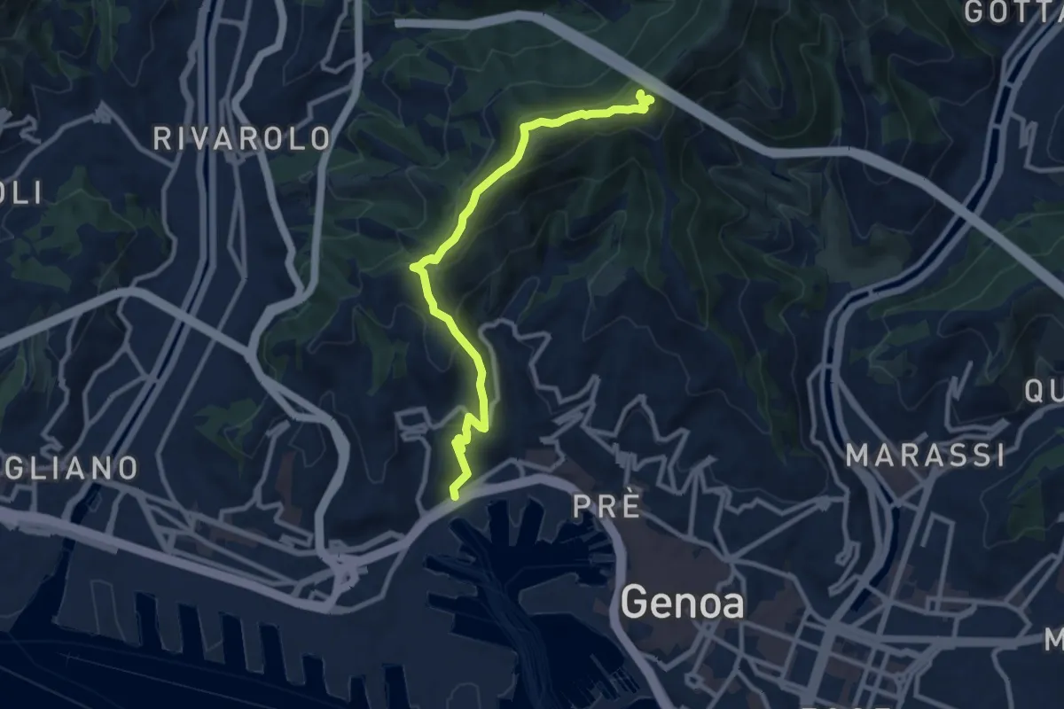
Medium · Trail
San Teodoro – Forte Sperone
10.1 km · ↑ 619 m · 3 h 43 min
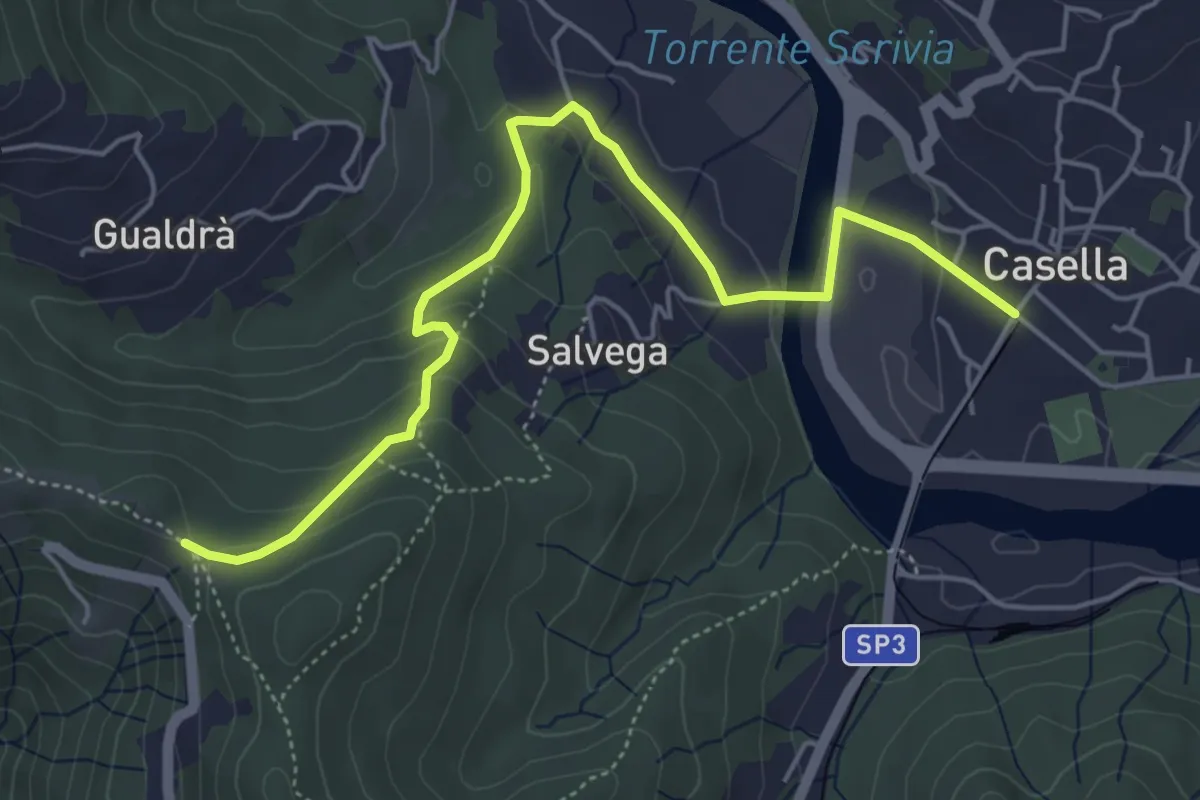
Easy · Trail
Casella – Costa dei Fontanini
5.7 km · ↑ 220 m · 1 h 50 min
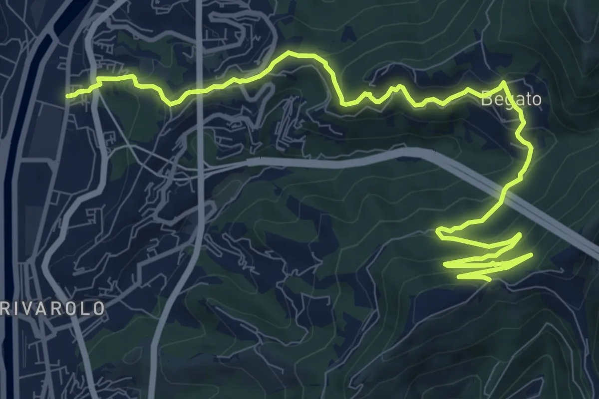
Medium · Trail
Teglia – Cancello dell'Avvocato
13.3 km · ↑ 695 m · 4 h 38 min
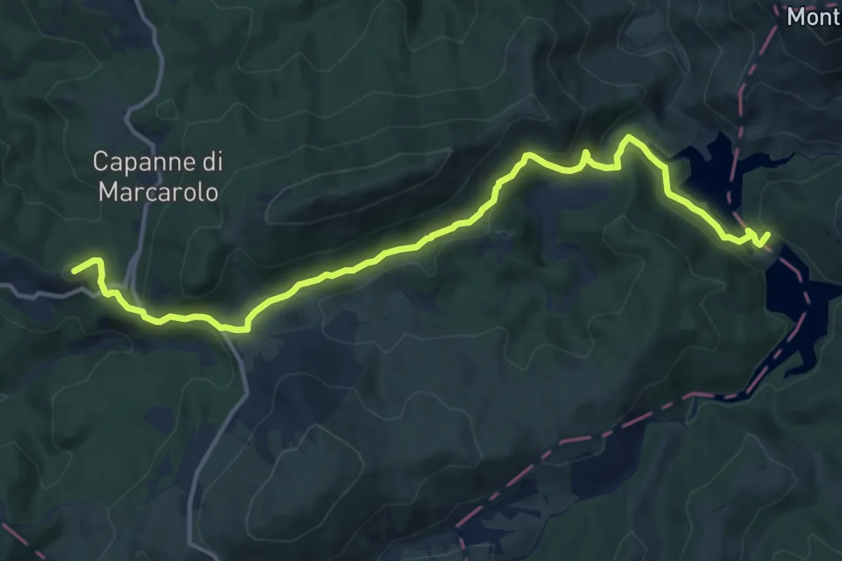
Medium · Summit
Campo Ligure – pendici Bric Nascio
12.6 km · ↑ 468 m · 4 h
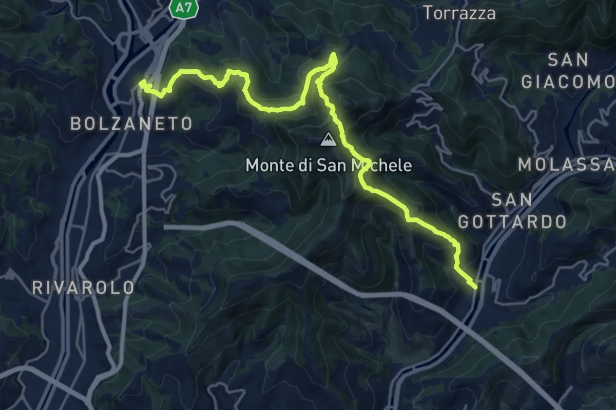
Demanding · Trail
San Sebastiano – Bolzaneto
18.6 km · ↑ 1273 m · 7 h 9 min
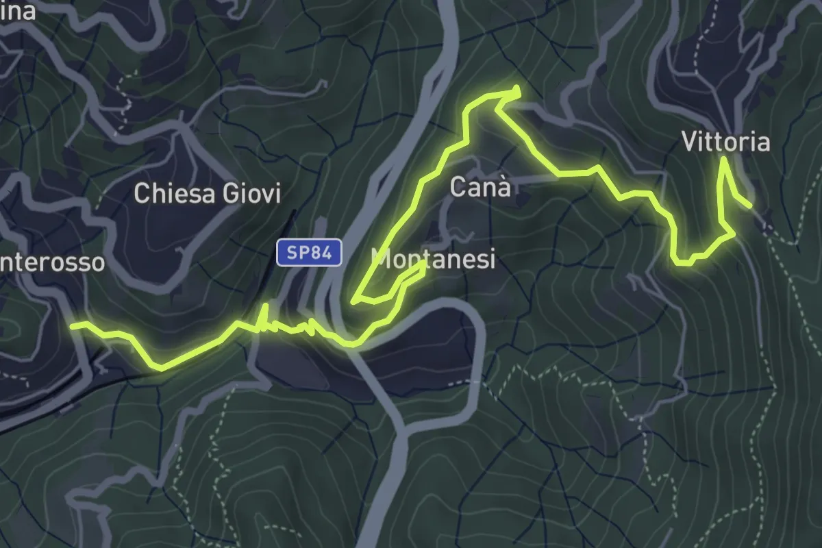
Medium · Trail
Ponterosso – Santuario N.S. della Vittoria
8.2 km · ↑ 427 m · 2 h 52 min
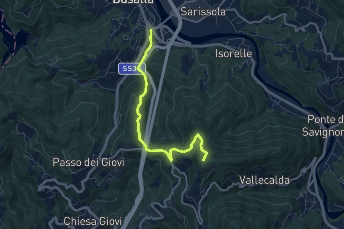
Medium · Summit
Busalla – Santuario della Vittoria
7.1 km · ↑ 333 m · 2 h 24 min
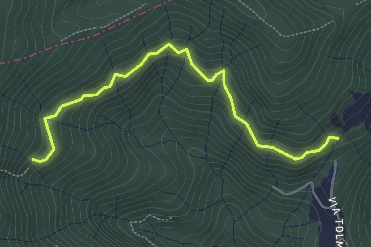
Easy · Trail
Casaregio – Pendici W Bric Montaldo
3.5 km · ↑ 206 m · 1 h 16 min
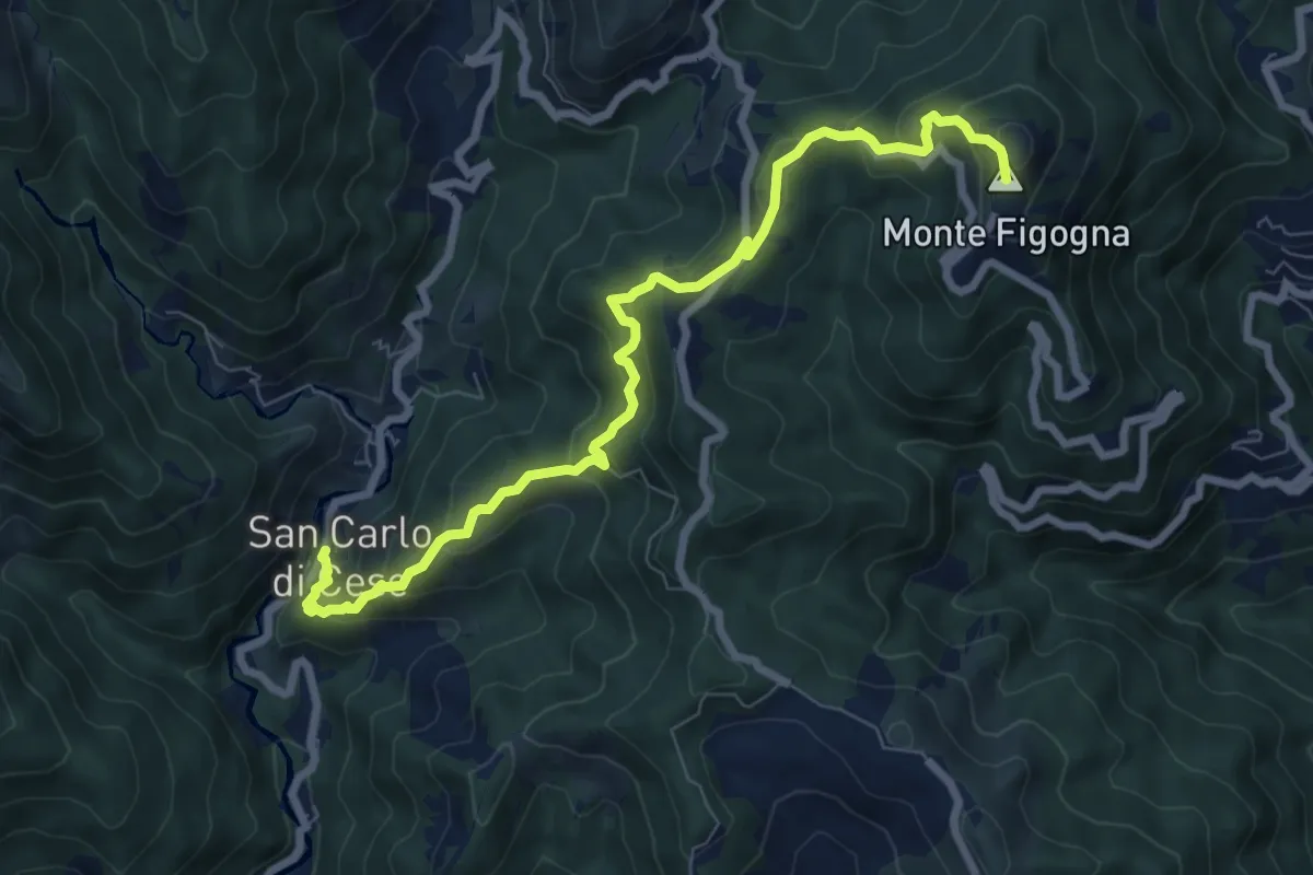
Medium · Summit
San Carlo di Cese – Madonna della Guardia
8.5 km · ↑ 556 m · 3 h 13 min
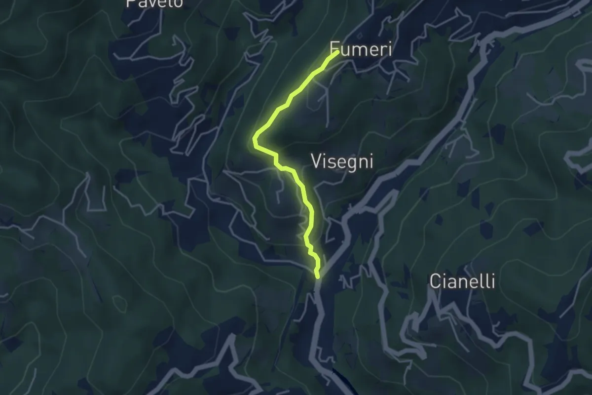
Medium · Trail
Ponteacqua – Fumeri
3.1 km · ↑ 199 m · 1 h 10 min
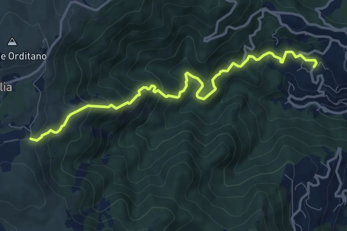
Medium · Trail
San Martino di Paravanico – Colle Canile
8.6 km · ↑ 674 m · 3 h 29 min
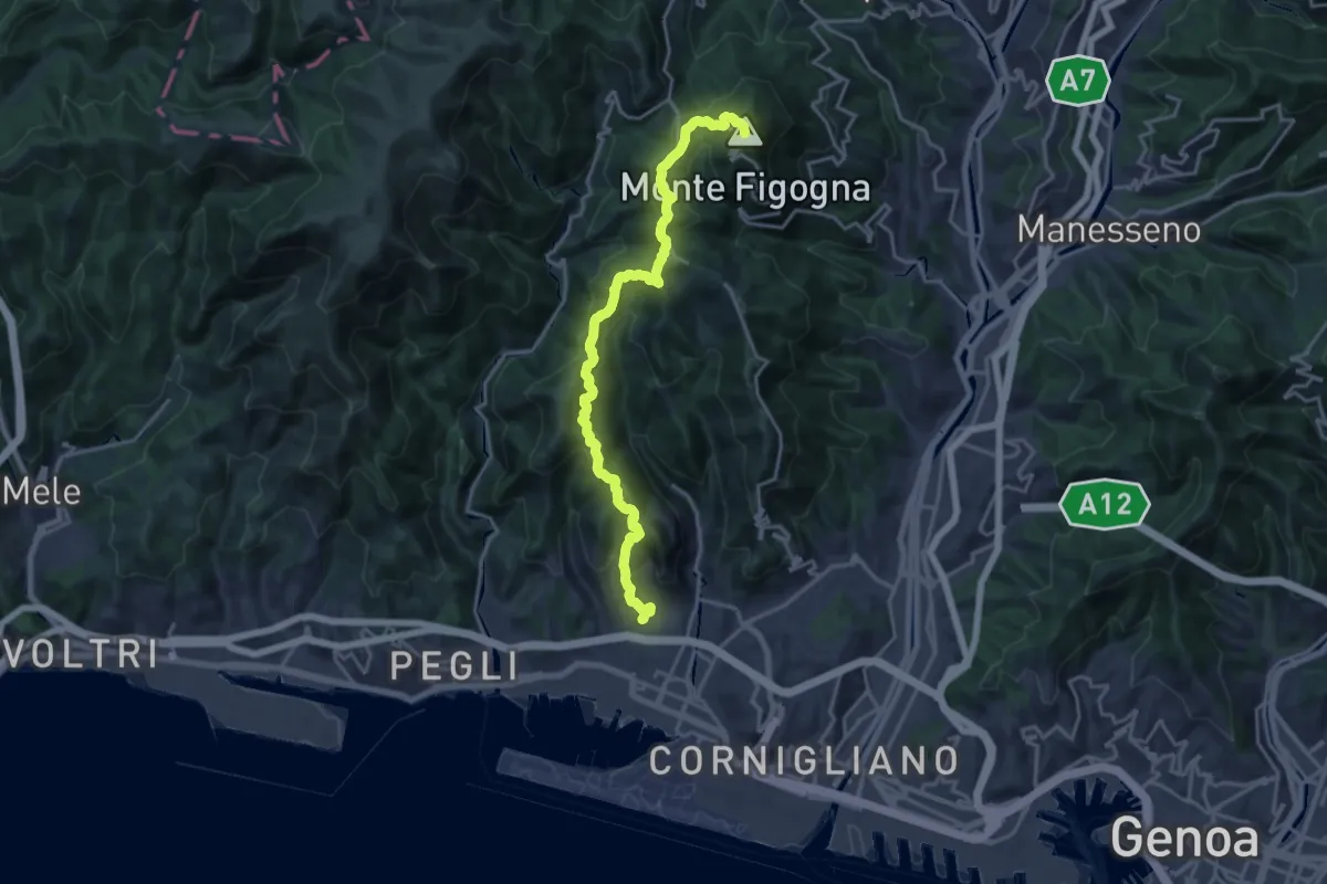
Demanding · Summit
Sestri Ponente – Santuario Madonna della Guardia
19.4 km · ↑ 1036 m · 6 h 49 min
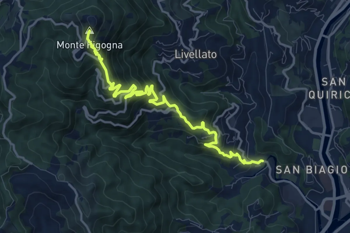
Demanding · Summit
Geo – Santuario Madonna della Guardia
11.1 km · ↑ 842 m · 4 h 27 min
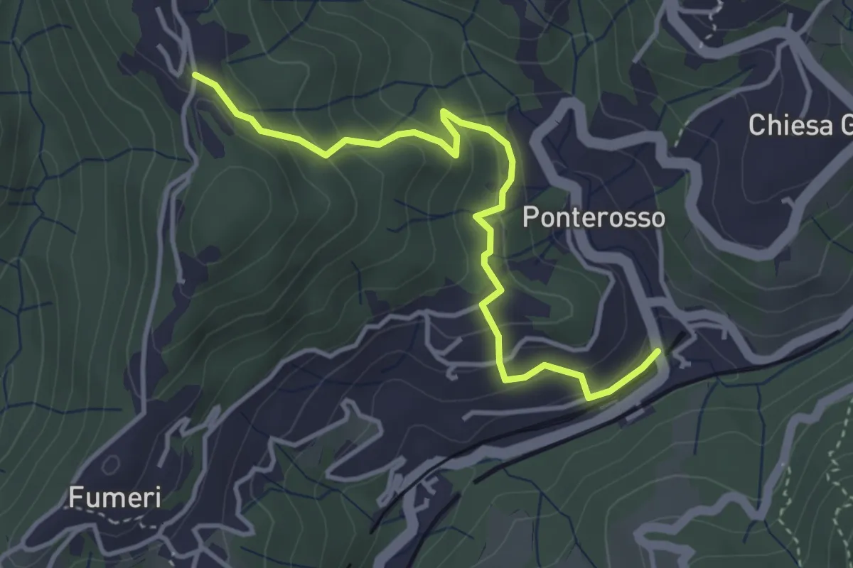
Medium · Trail
Ponterosso – Torre
3.9 km · ↑ 235 m · 1 h 26 min
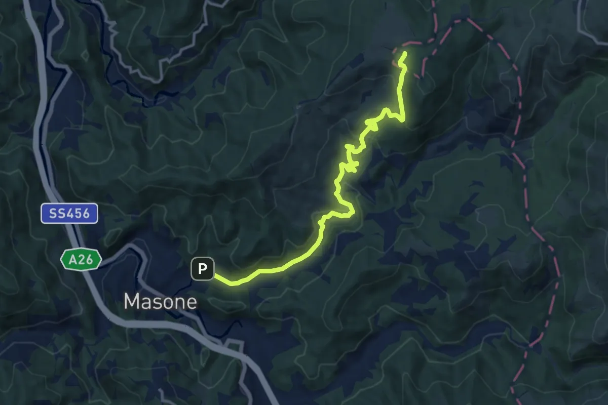
Medium · Trail
Masone – Pratorondanino
11.3 km · ↑ 410 m · 3 h 33 min
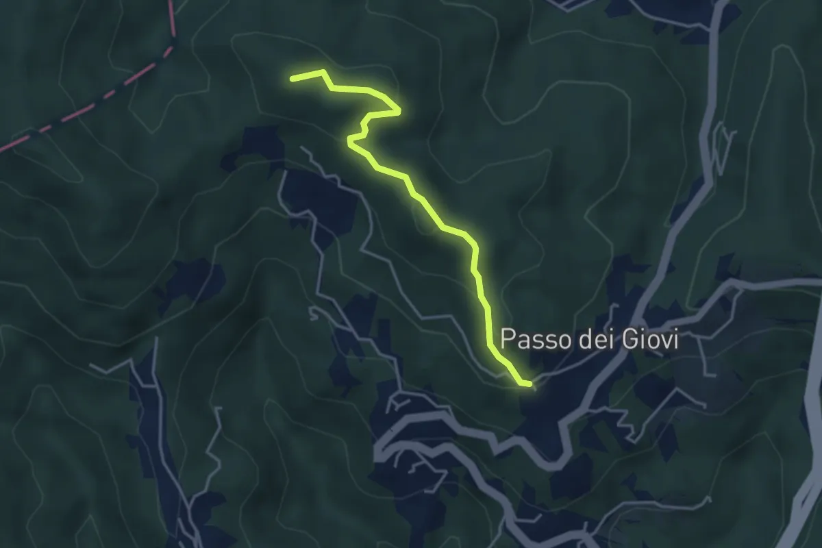
Medium · Summit
Passo dei Giovi – Pendici W Bric Montaldo
3.5 km · ↑ 182 m · 1 h 14 min
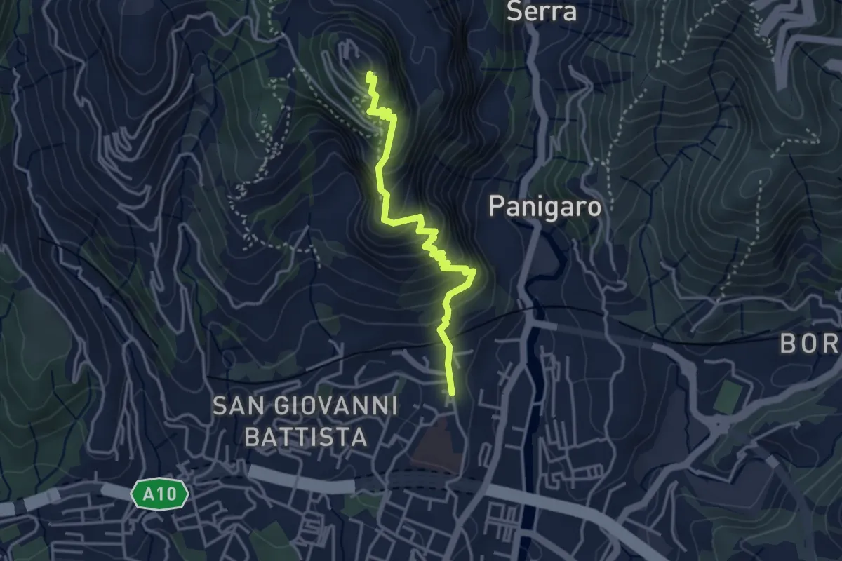
Medium · Trail
Sestri Ponente – Santuario Nostra Signora del Monte Gazzo
3.4 km · ↑ 341 m · 1 h 32 min
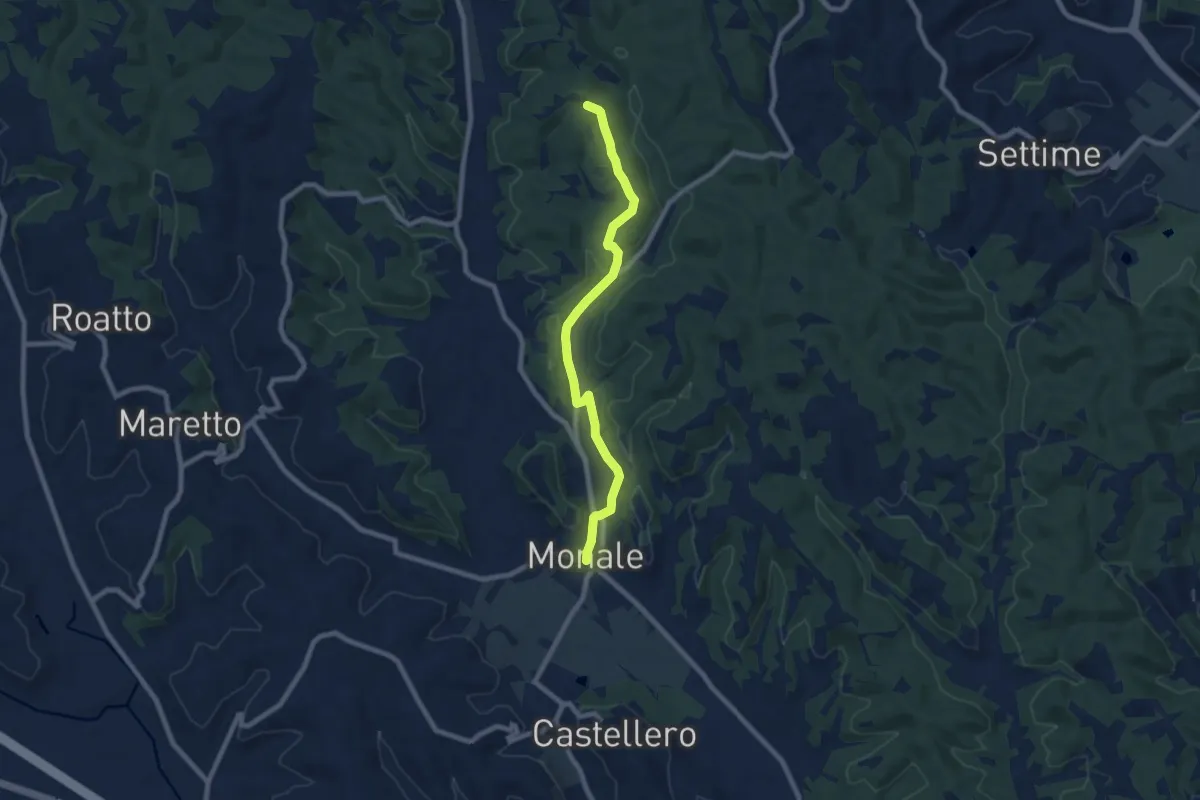
Medium · Trail
Cortazzone, bivio ATN304-ATN703 – Monale, bivio ATN703-ATN702
8.1 km · ↑ 118 m · 2 h 9 min
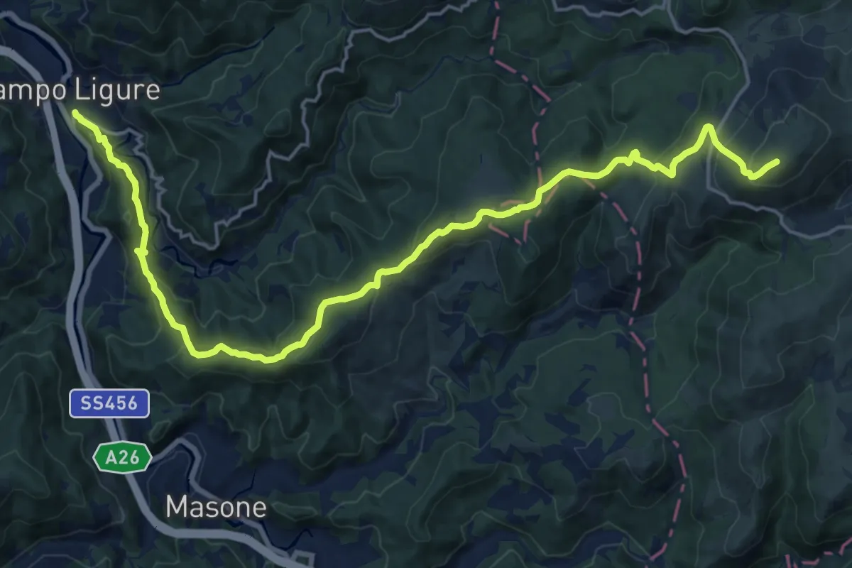
Demanding · Summit
Campo Ligure – Prato Rondanino
20.8 km · ↑ 937 m · 6 h 56 min
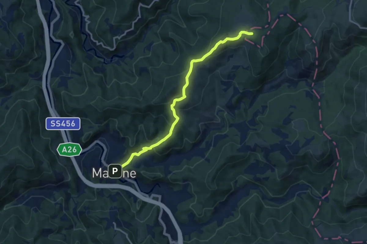
Medium · Trail
Masone – Pratorondanino
9.5 km · ↑ 408 m · 3 h 8 min
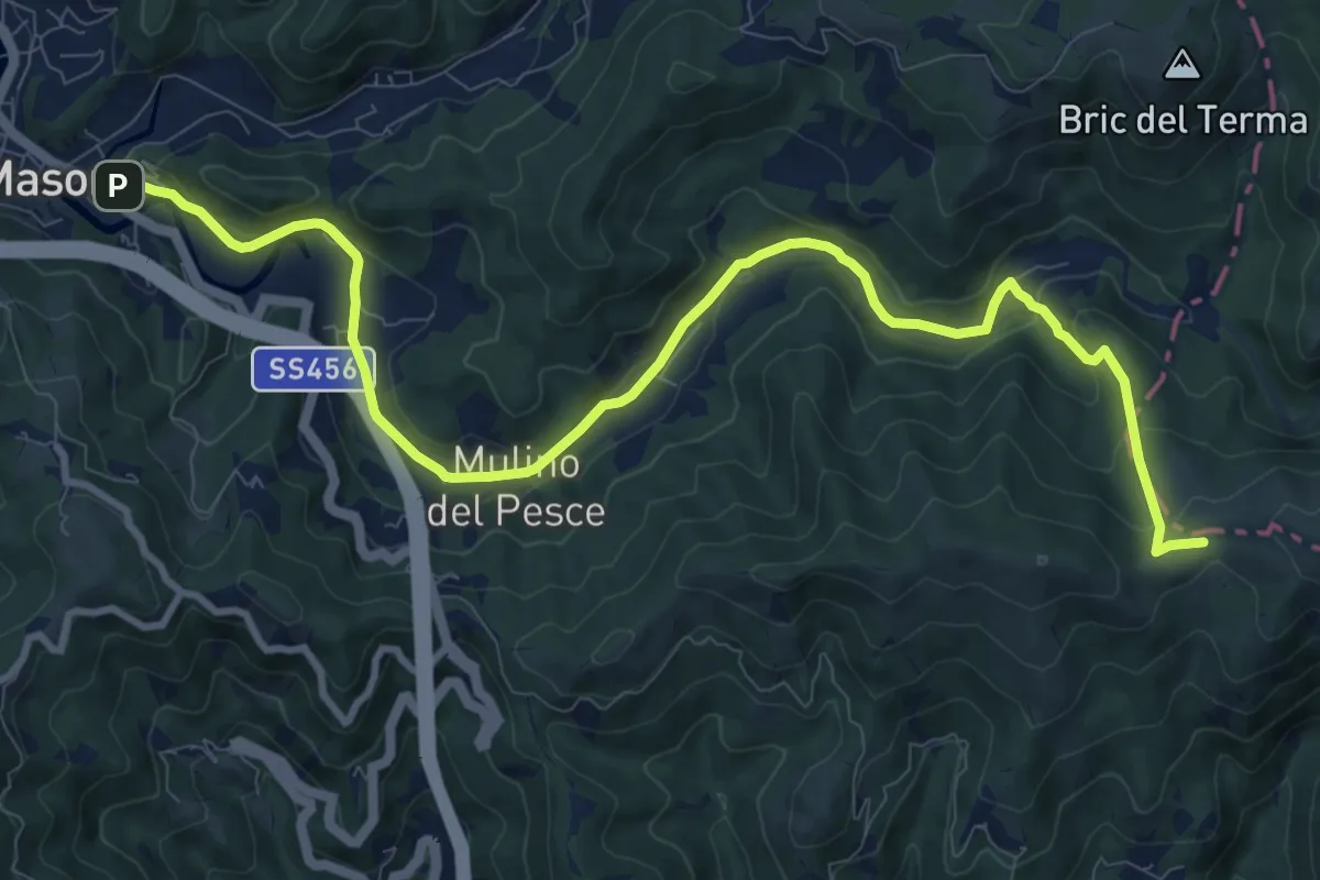
Medium · Trail
Masone – Passo del Veleno
12.5 km · ↑ 337 m · 3 h 40 min
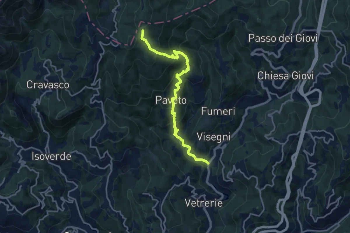
Medium · Trail
Ponte dell'Acqua – Pian di Reste
11.0 km · ↑ 723 m · 4 h 10 min
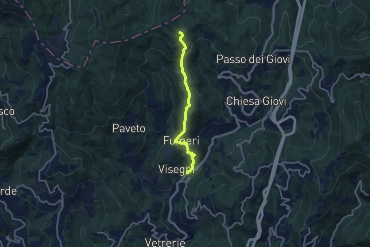
Medium · Trail
Piano Orizzontale dei Giovi – Pendici W Bric Montaldo
7.3 km · ↑ 448 m · 2 h 42 min
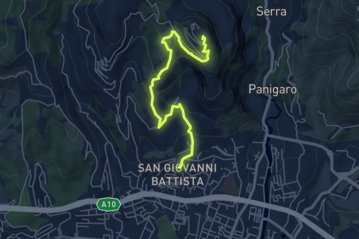
Medium · Trail
Sestri Ponente – Santuario Nostra Signora del Monte Gazzo
5.2 km · ↑ 397 m · 2 h 5 min
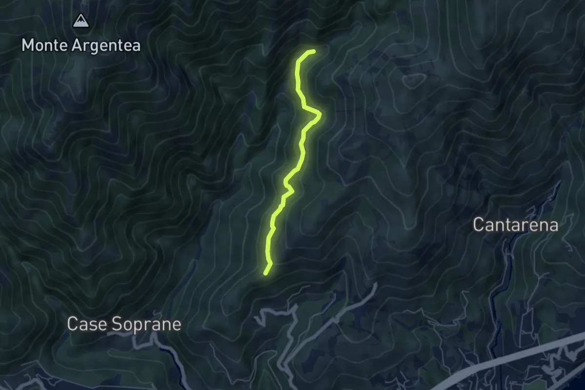
Medium · Summit
Agueta – Lago della Tina
4.5 km · ↑ 296 m · 1 h 42 min
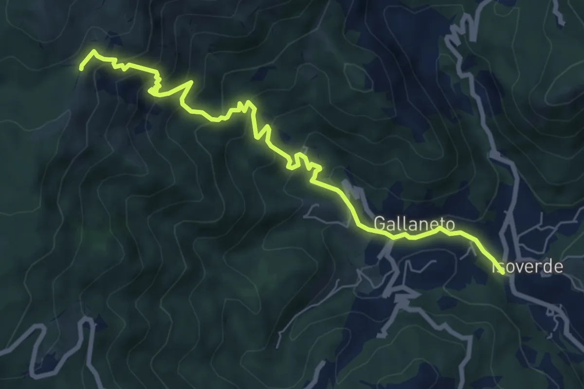
Medium · Trail
Isoverde (Acquedotto Galliera) – Passo Prato Leone
7.4 km · ↑ 600 m · 3 h 3 min
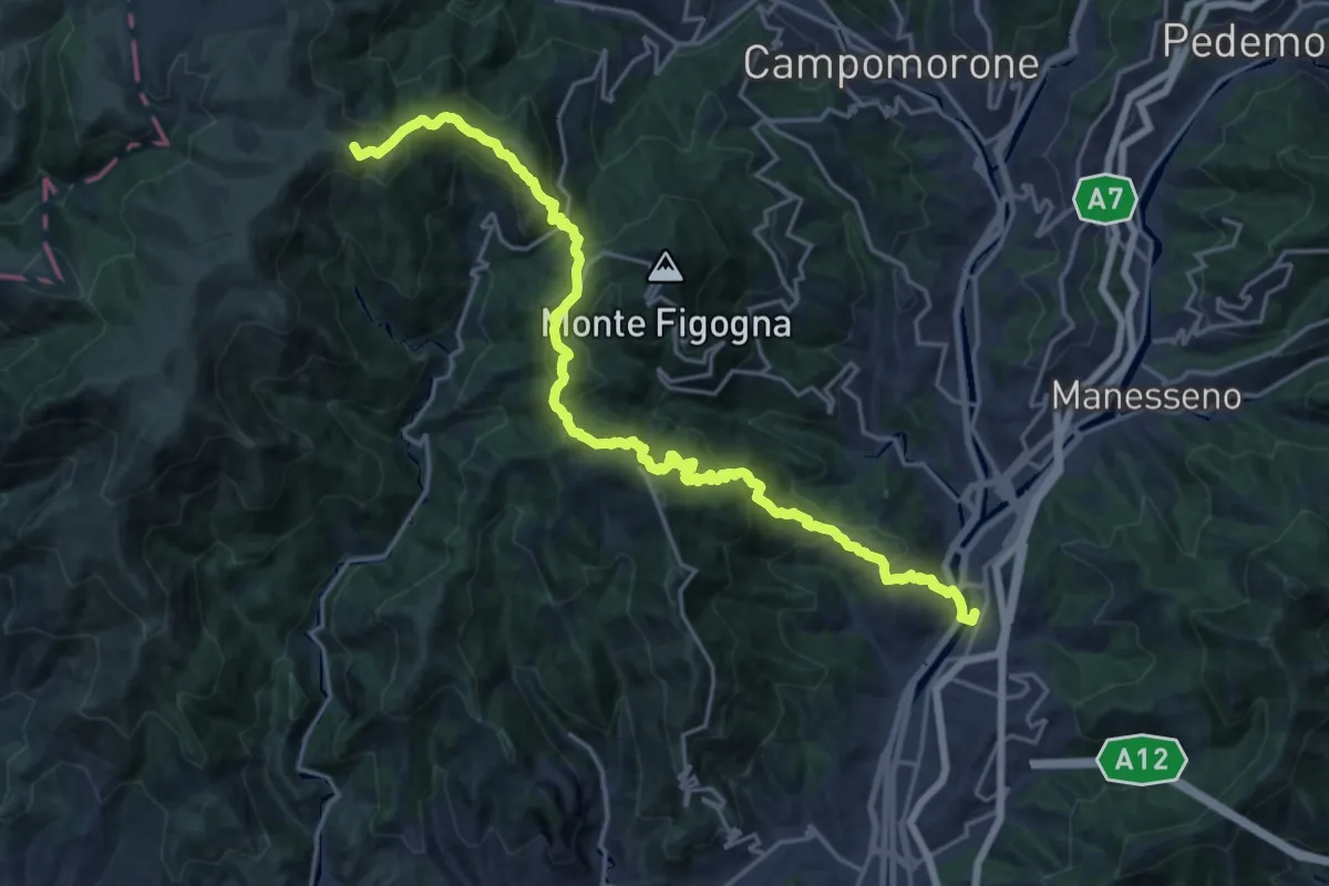
Demanding · Summit
Bolzaneto – Piani di Praglia
22.9 km · ↑ 1425 m · 8 h 30 min
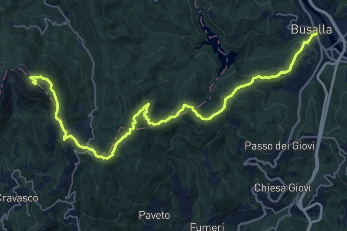
Demanding · Summit
Busalla – Monte Leco
19.9 km · ↑ 989 m · 6 h 50 min
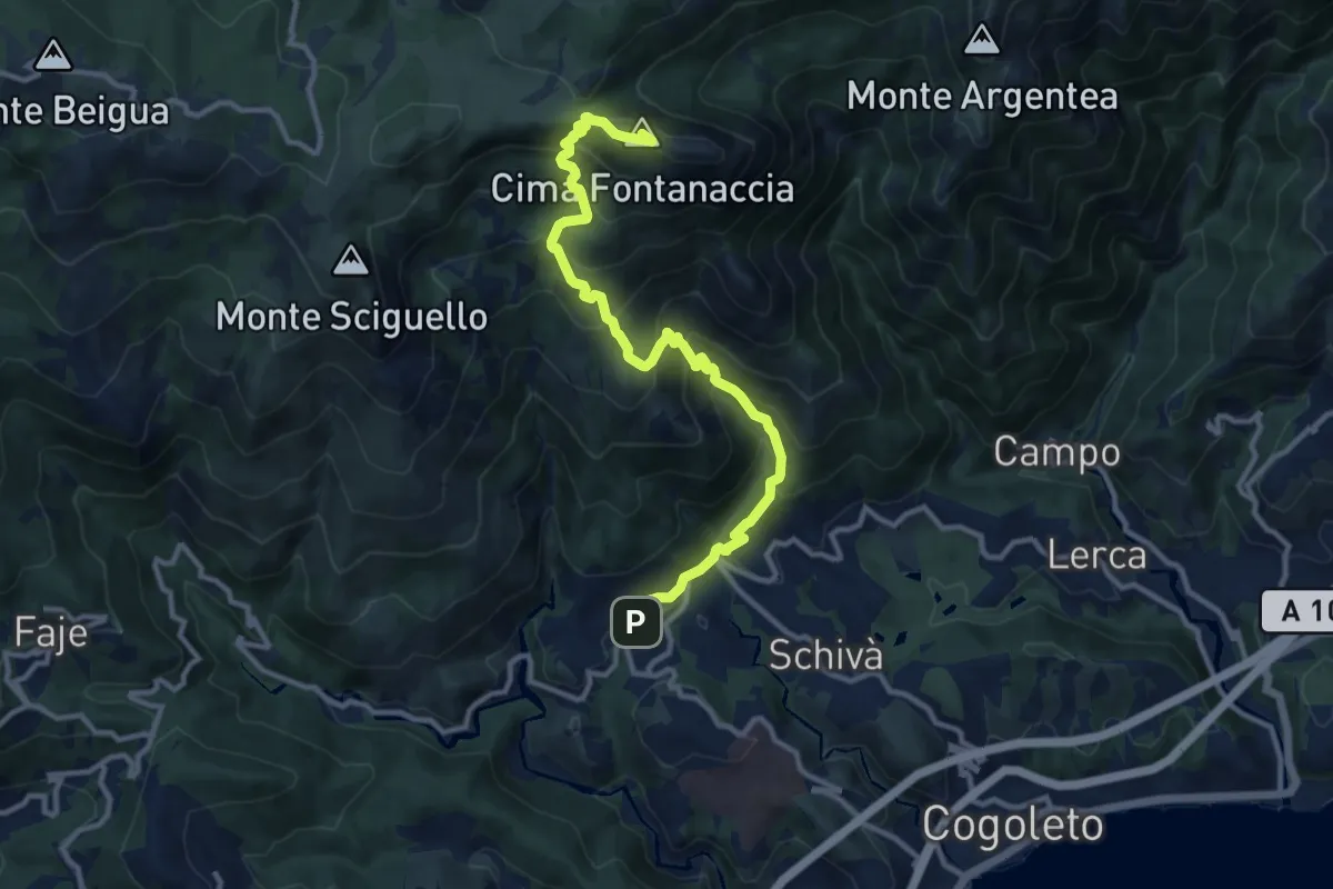
Demanding · Summit
Sciarborasca – Monte Rama
12.3 km · ↑ 998 m · 5 h 4 min
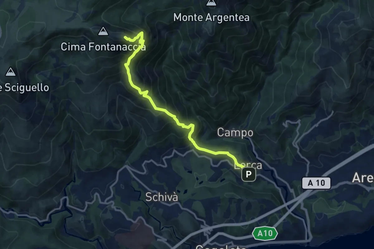
Demanding · Summit
Lerca – Monte Rama
10.8 km · ↑ 1094 m · 4 h 55 min
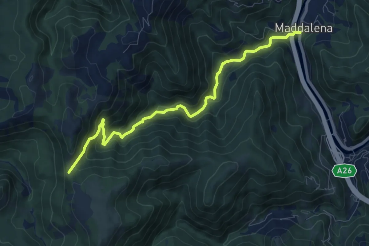
Medium · Trail
S. Maria Maddalena – Colle Cima di Masca
9.3 km · ↑ 482 m · 3 h 15 min
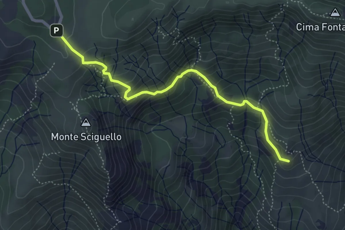
Medium · Summit
Sciarborasca – Prato Rotondo
5.2 km · ↑ 400 m · 2 h 6 min
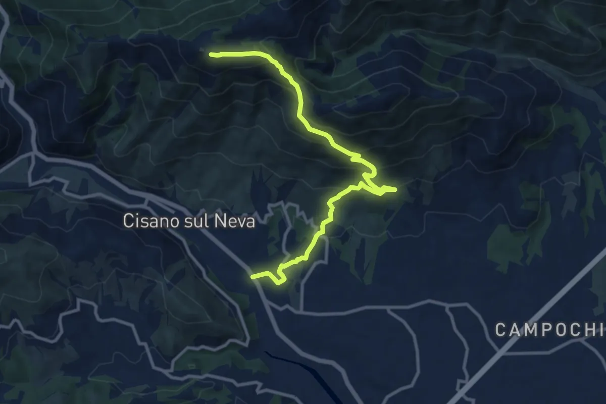
Medium · Summit
Cisiano sul Neva – Poggio Ceresa
10.4 km · ↑ 711 m · 3 h 59 min
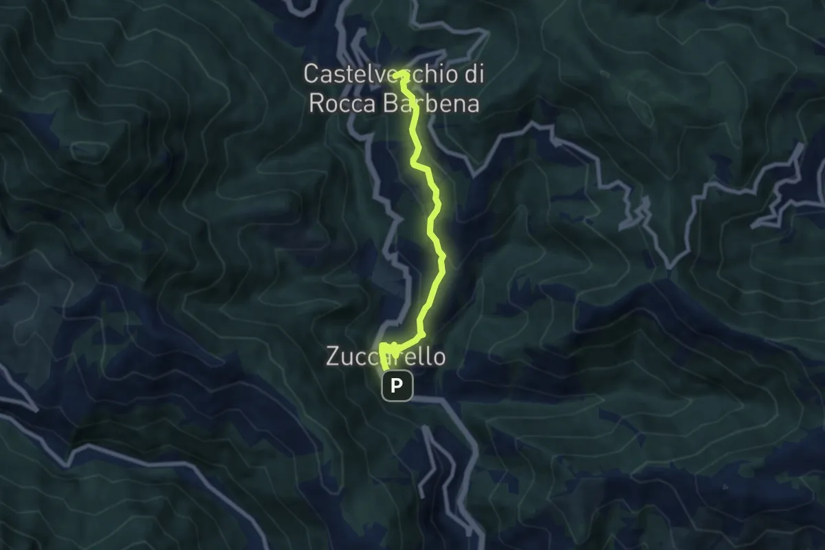
Medium · Trail
Zuccarello – Castelvecchio di Rocca Barbena
6.7 km · ↑ 333 m · 2 h 18 min
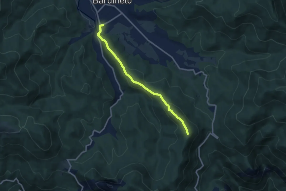
Medium · Summit
Bardineto – Monte Sebanco
6.7 km · ↑ 336 m · 2 h 19 min
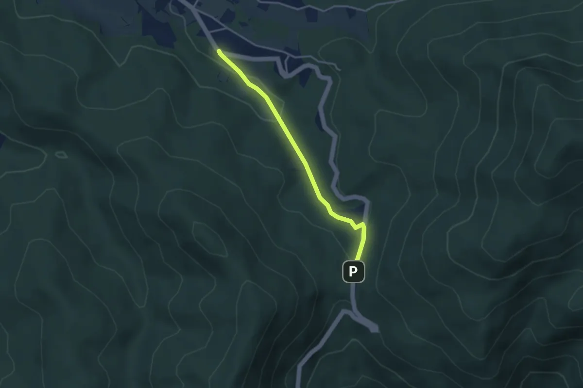
Easy · Trail
Bardineto – Giogo di Toirano
3.1 km · ↑ 78 m · 55 min
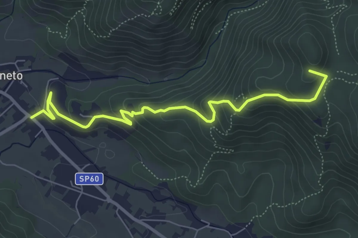
Medium · Summit
Bardineto – Giogo di Giustenice
6.5 km · ↑ 349 m · 2 h 17 min
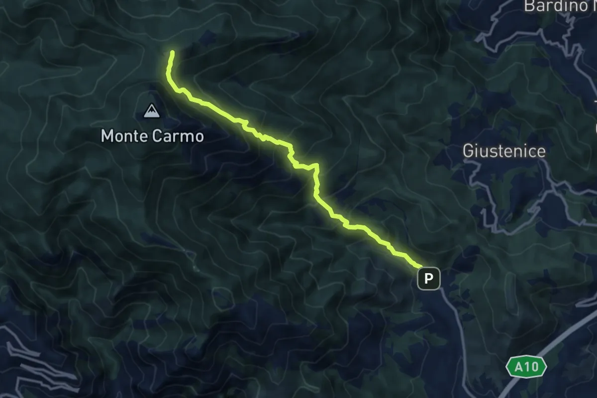
Demanding · Trail
Verzi – Giogo di Giustenice
11.3 km · ↑ 973 m · 4 h 47 min
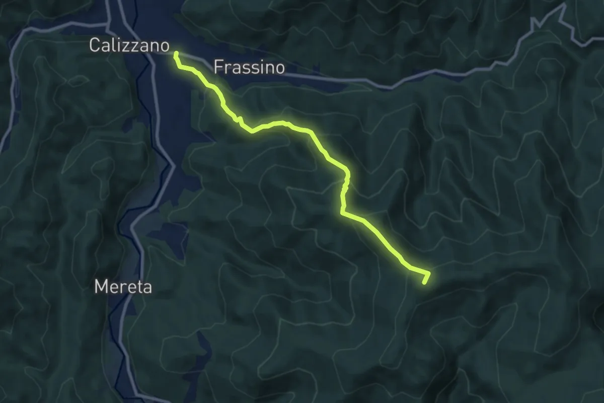
Medium · Summit
Calizzano – Fonte della Greppia
8.5 km · ↑ 592 m · 3 h 17 min
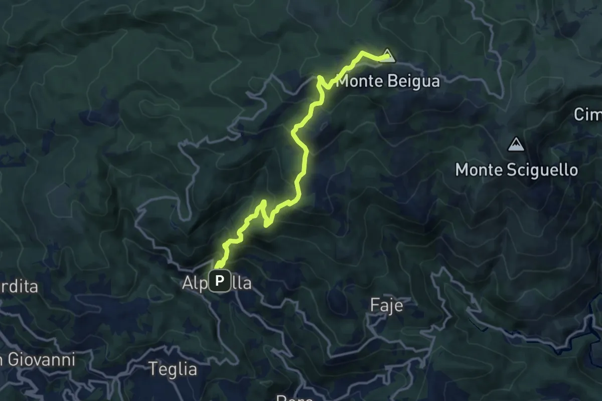
Demanding · Summit
Alpicella – Monte Beigua
12.9 km · ↑ 908 m · 5 h 1 min
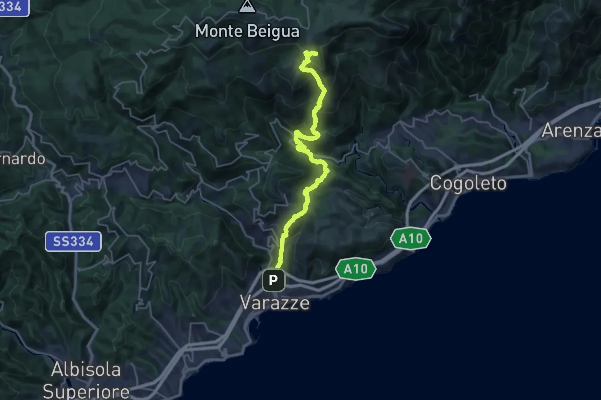
Demanding · Summit
Varazze – Pratorotondo
20.4 km · ↑ 1388 m · 7 h 49 min
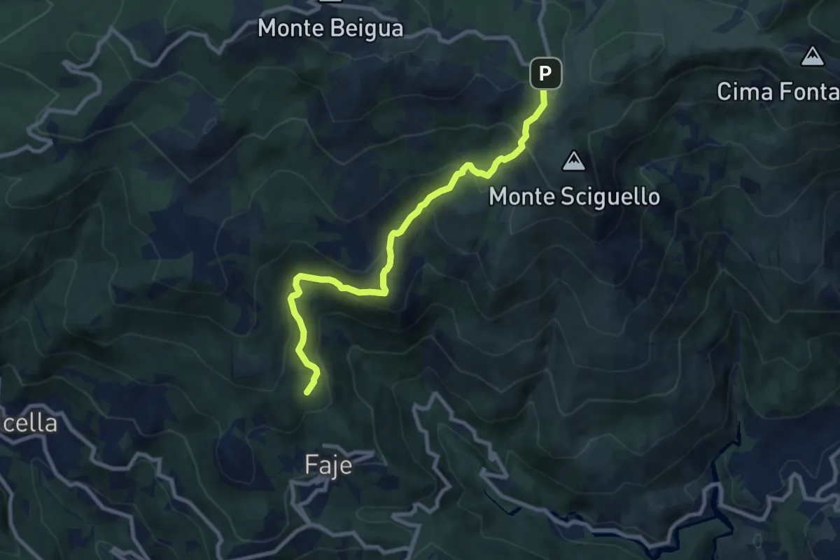
Medium · Summit
Chiesa delle Faie – Pratorotondo
8.7 km · ↑ 528 m · 3 h 11 min