Trails in Italy
25,219 hiking trails, each with its route, climb, walking time and grade.
All trails, page 372 of 526
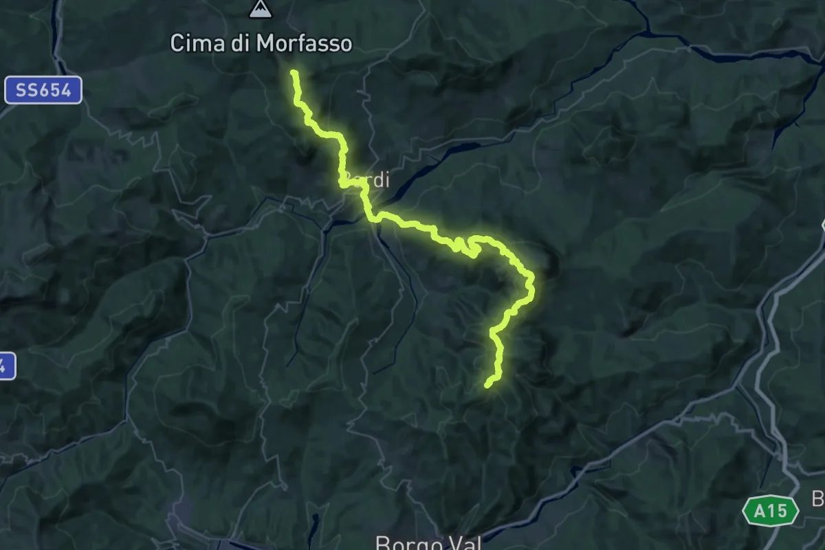
Demanding · Summit
Il Castellaccio – La Maestà
54.4 km · ↑ 2616 m · 18 h 30 min
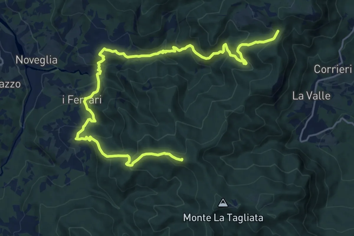
Demanding · Summit
Percorso 803 – Monte Disperata
20.4 km · ↑ 1249 m · 7 h 31 min
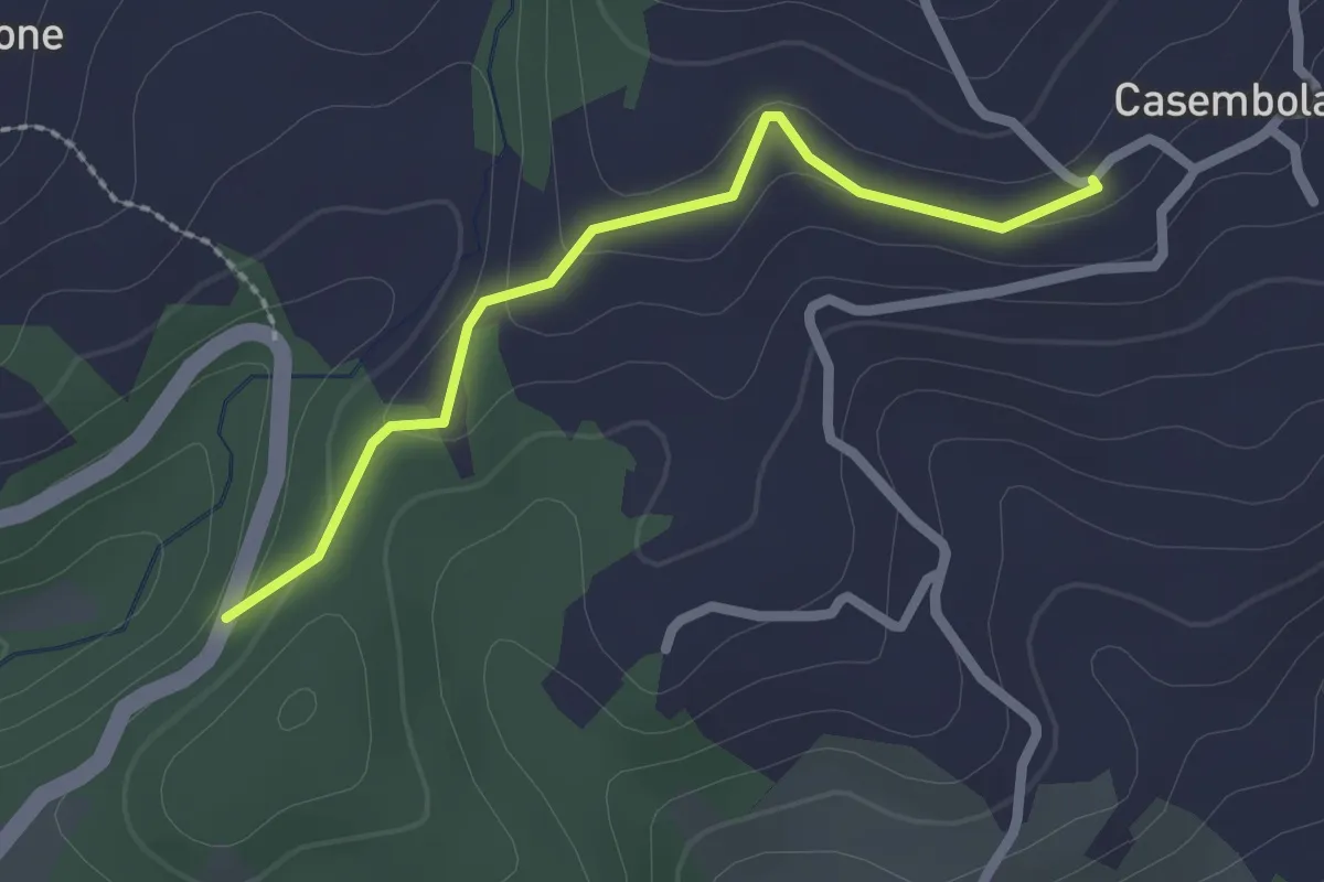
Easy · Trail
Porcigatone Sud (Percorso 832) – Casembola (Percorso 834)
2.2 km · ↑ 79 m · 41 min
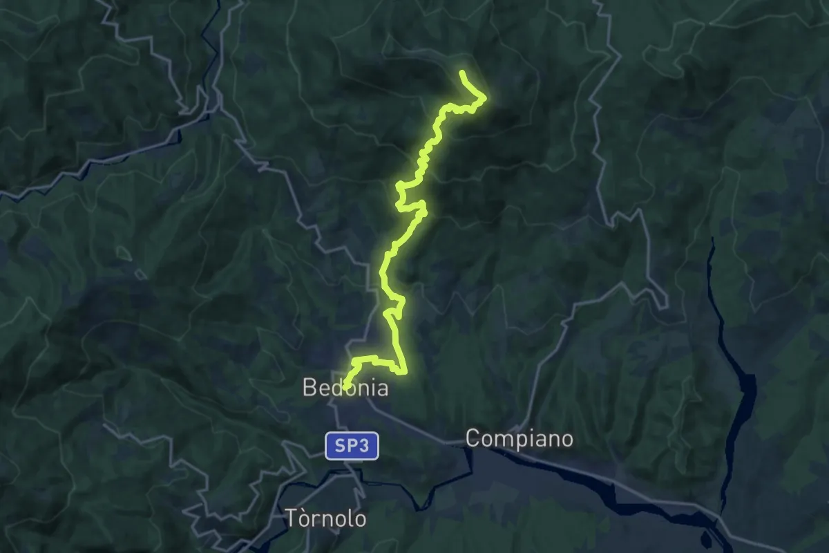
Demanding · Summit
Ceio – Monte Pelpi
18.2 km · ↑ 1138 m · 6 h 46 min
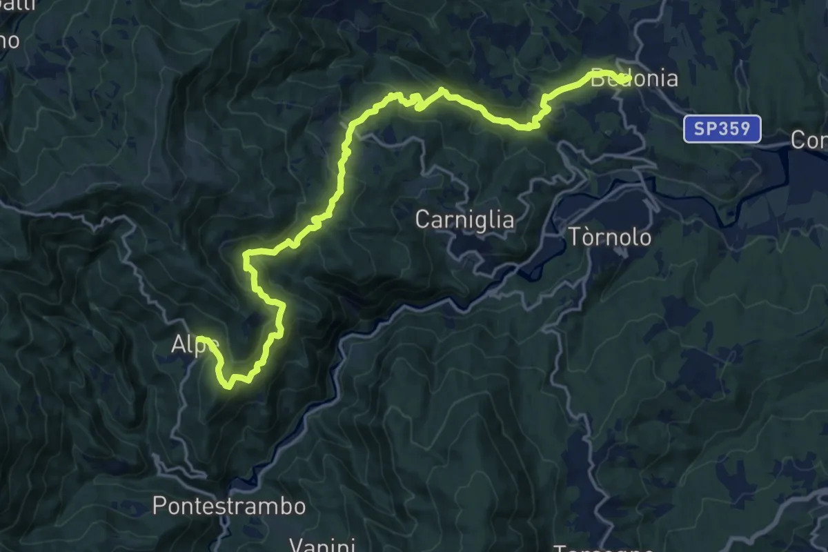
Demanding · Trail
Bedonia – Alpe
21.7 km · ↑ 1177 m · 7 h 40 min
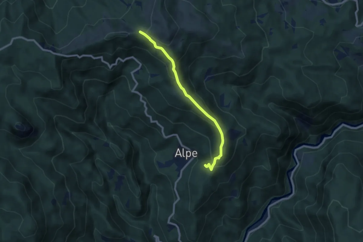
Medium · Trail
Percorso 827 – Percorso 829
6.2 km · ↑ 352 m · 2 h 14 min
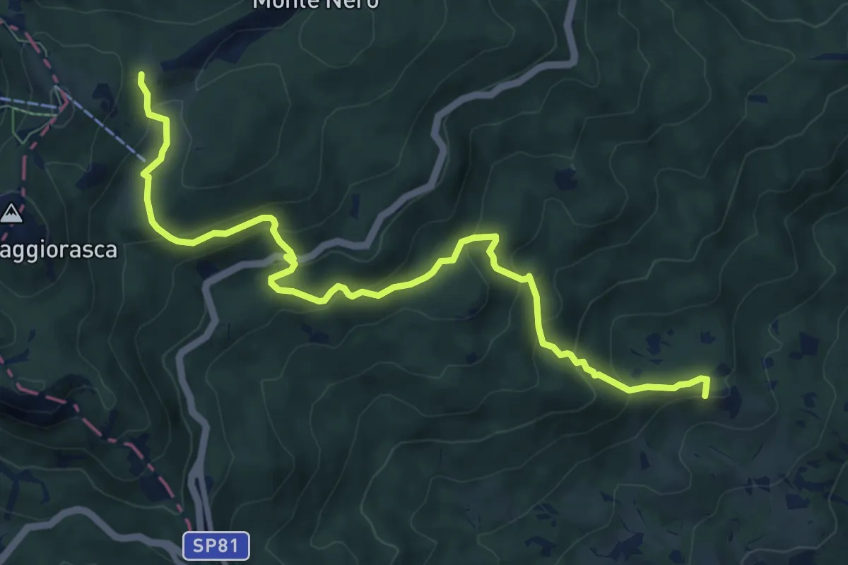
Medium · Summit
Anzola – Sella Costazza
10.0 km · ↑ 539 m · 3 h 32 min
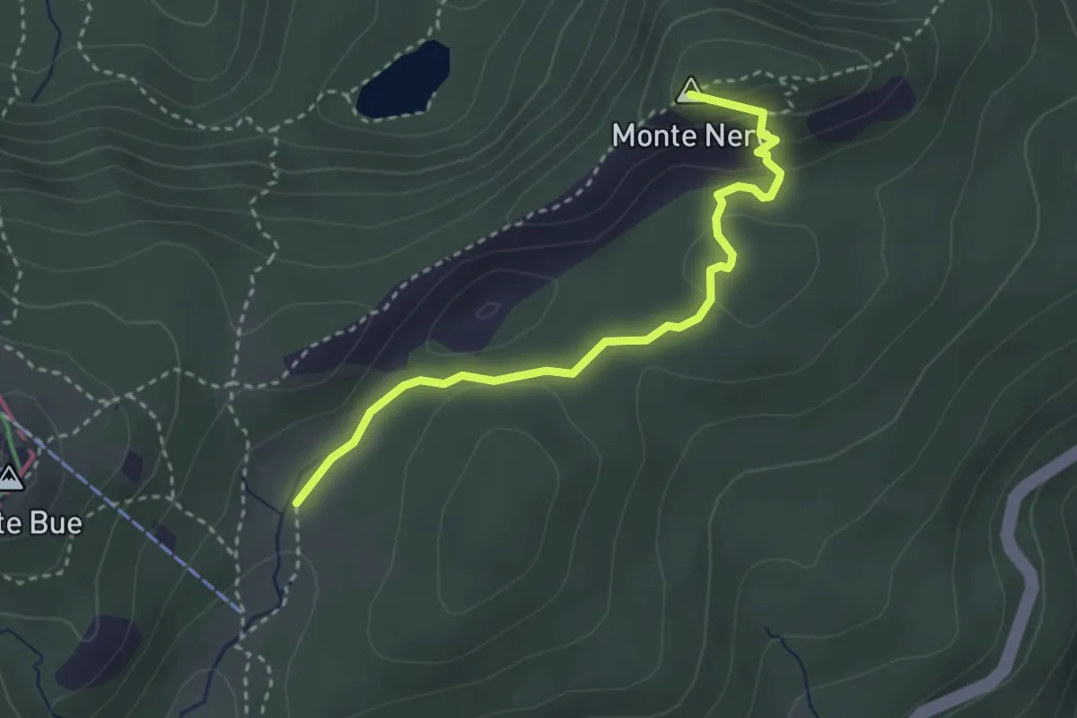
Medium · Summit
Percorso 821 – Percorso 003 (presso vetta Monte Nero)
3.3 km · ↑ 112 m · 1 h 1 min
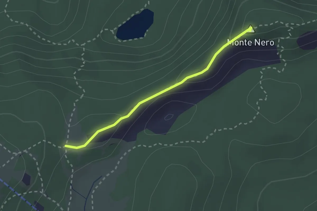
Demanding · Summit
Percorso 001 – Pratogrande di Monte Nero
2.1 km · ↑ 131 m · 47 min
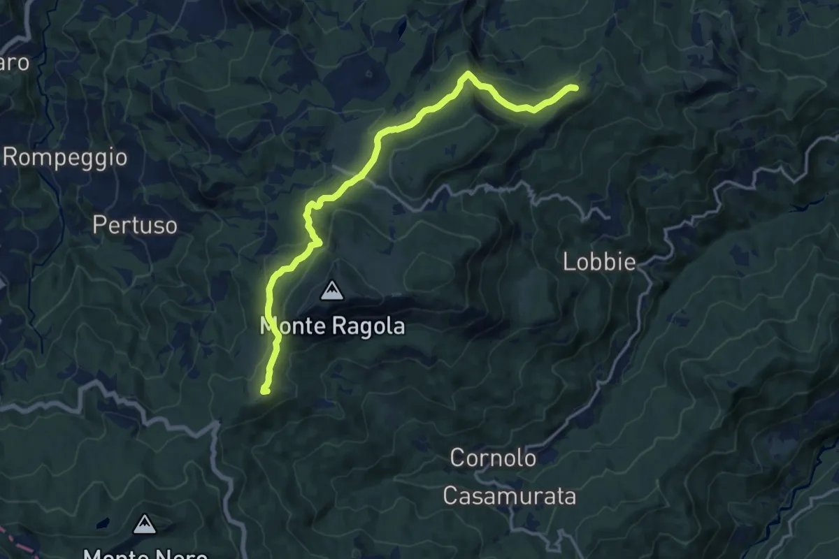
Medium · Summit
Passo Zovallo – Fontanaccia
14.9 km · ↑ 529 m · 4 h 40 min
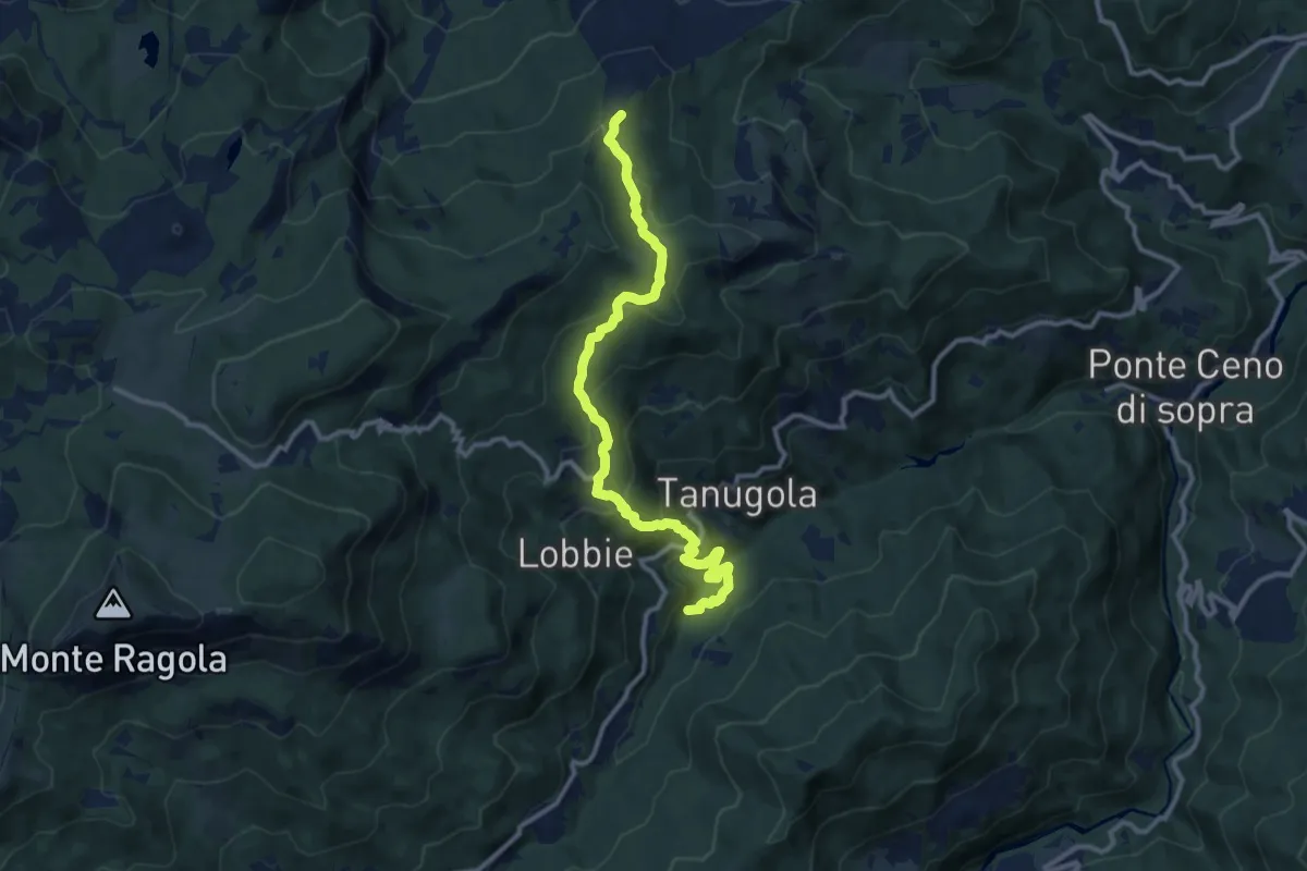
Medium · Trail
Cascata di Santa Giustina – Percorso 035
11.8 km · ↑ 676 m · 4 h 15 min
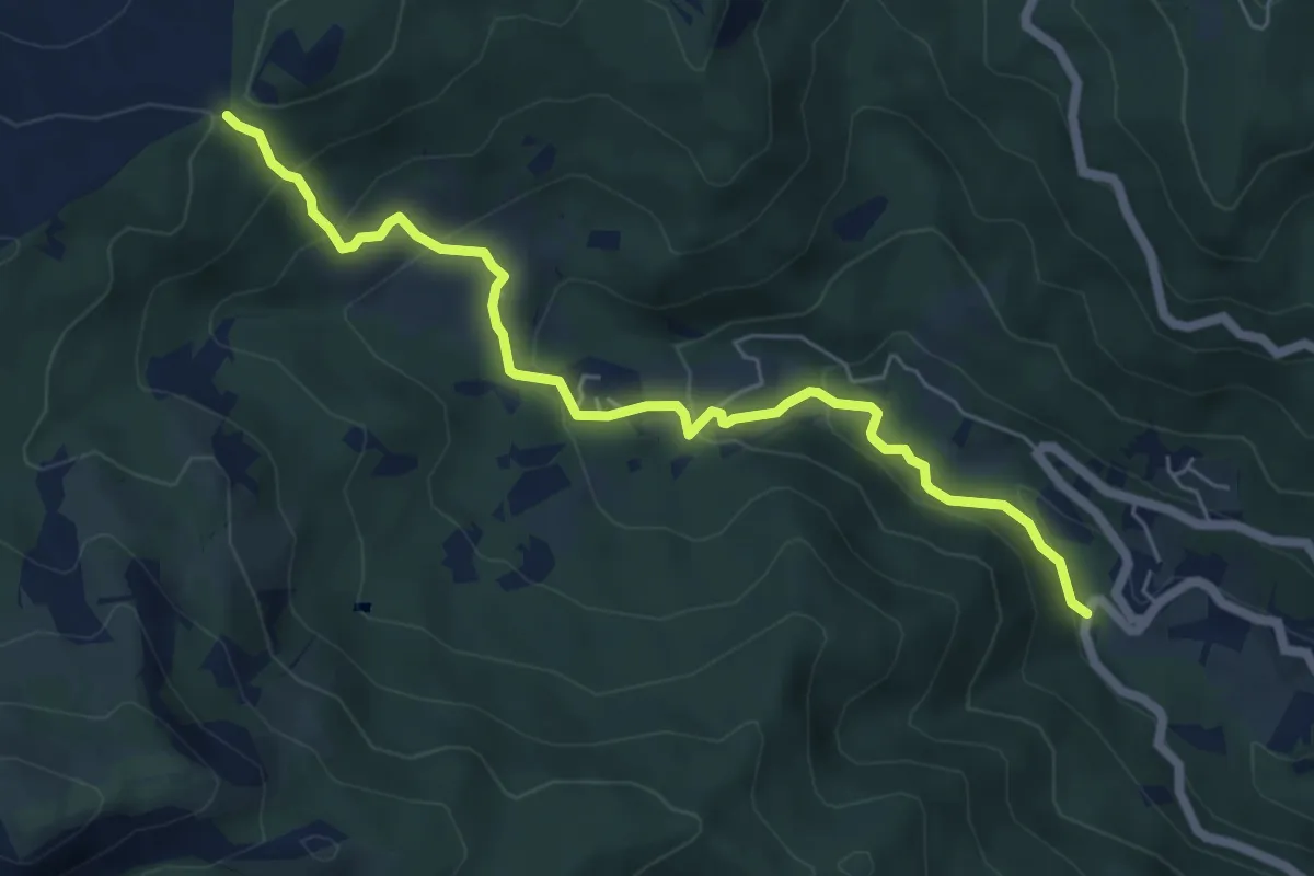
Medium · Trail
Pione – Percorso 035
6.4 km · ↑ 360 m · 2 h 18 min
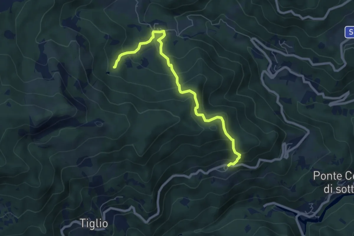
Medium · Trail
Panigaro – Lago di Faggio
6.5 km · ↑ 462 m · 2 h 33 min
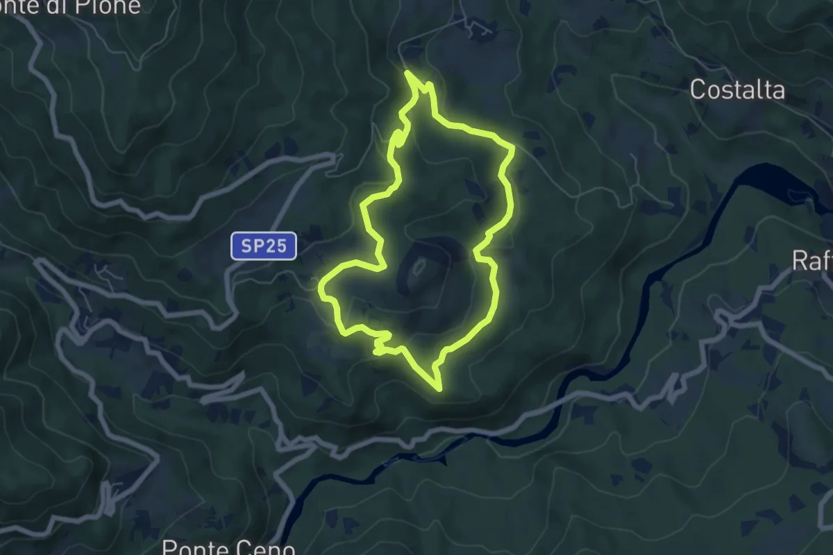
Easy · Summit
Caberra – Caberra
5.7 km · ↑ 168 m · 1 h 47 min
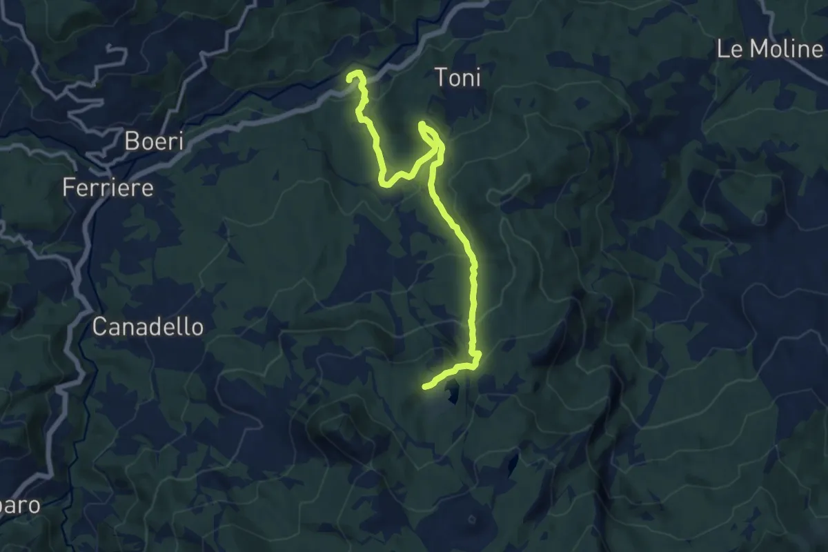
Medium · Trail
Perotti – Lago Moo
11.9 km · ↑ 595 m · 4 h 6 min
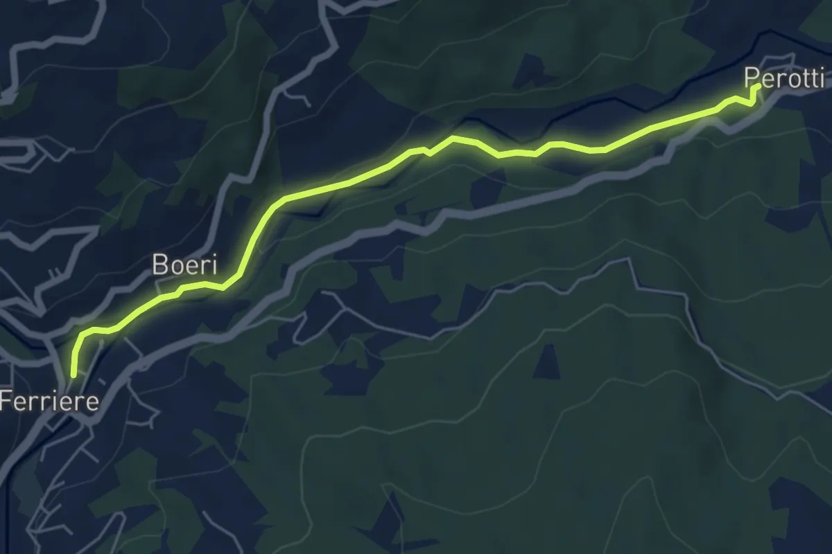
Medium · Trail
Ferriere – Perotti
5.8 km · ↑ 64 m · 1 h 30 min
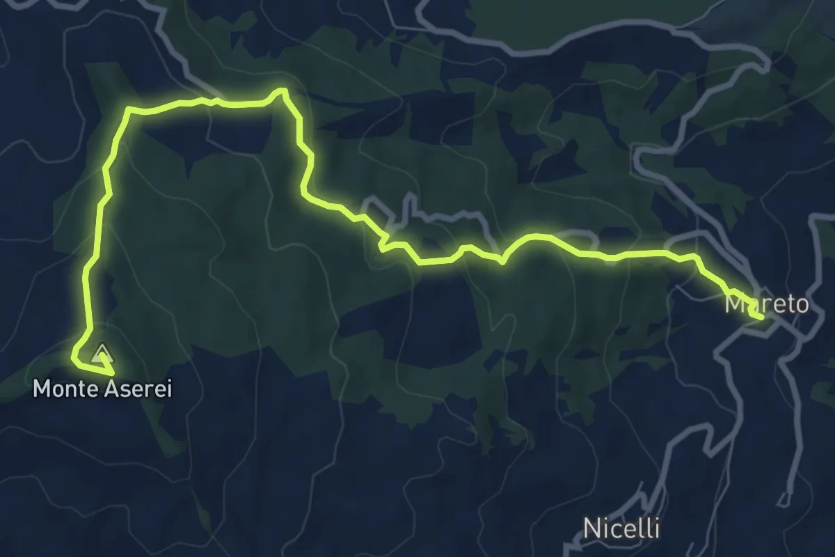
Medium · Summit
Mareto – Percorso 001
10.1 km · ↑ 500 m · 3 h 28 min
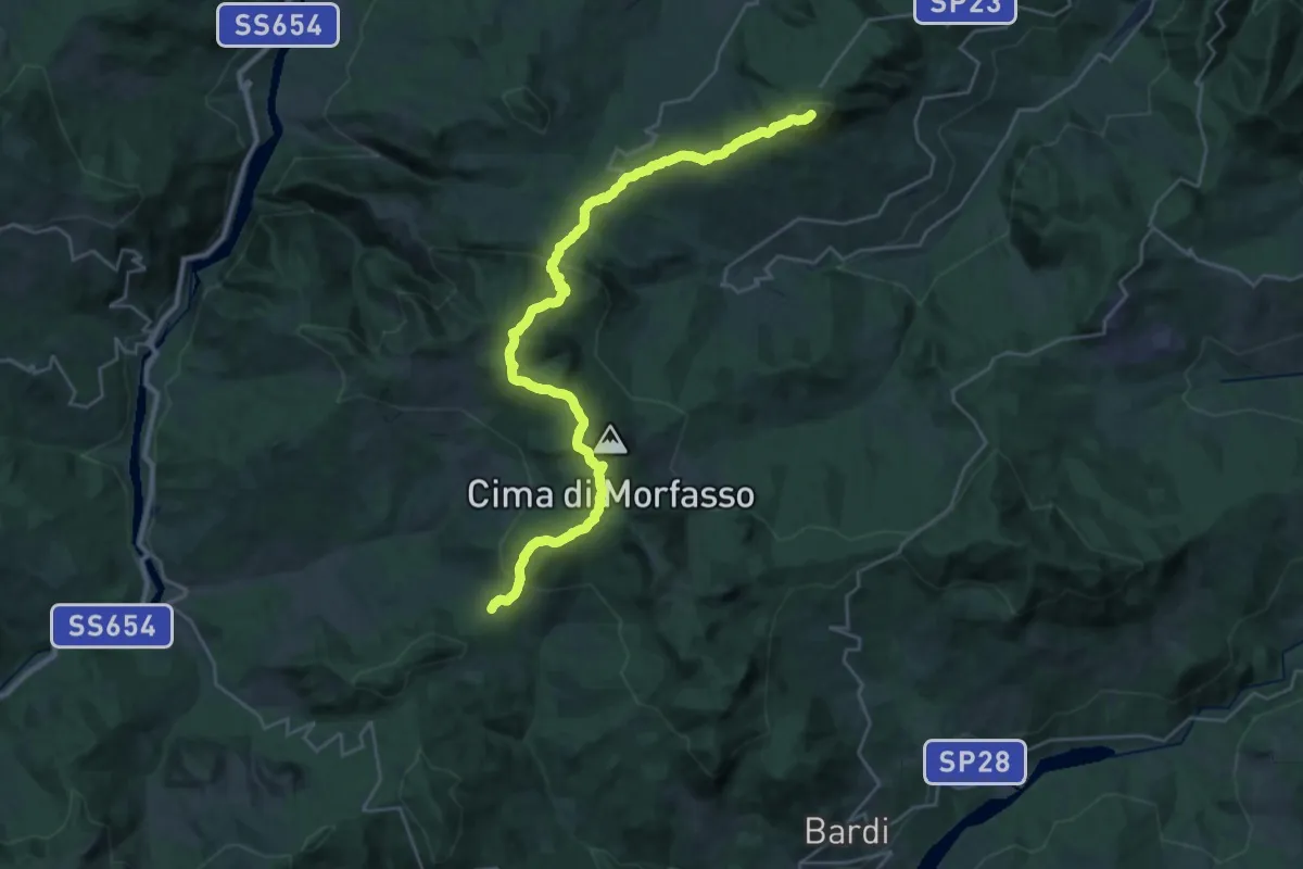
Demanding · Summit
Madonna del Monte – Passo Linguadà
32.0 km · ↑ 1283 m · 10 h 21 min
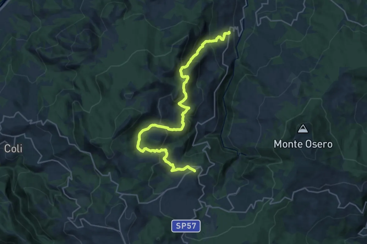
Demanding · Summit
Villanova – Pradovera
20.2 km · ↑ 1349 m · 7 h 42 min
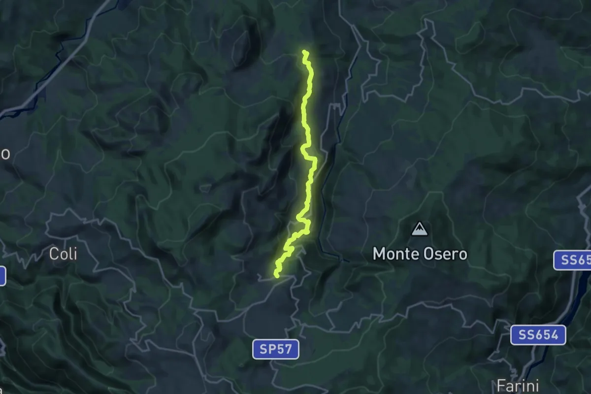
Demanding · Trail
Percorso 151 – Colla
16.4 km · ↑ 834 m · 5 h 41 min
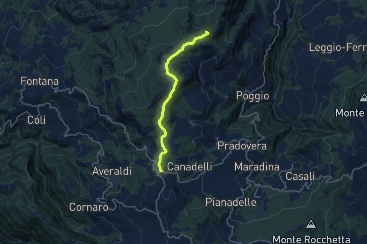
Medium · Summit
Perino – Passo di Santa Barbara
10.8 km · ↑ 373 m · 3 h 21 min
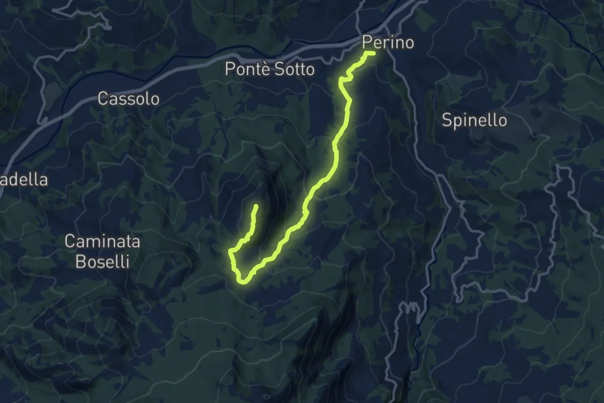
Medium · Summit
Percorso 151 – Percorso 163
13.3 km · ↑ 676 m · 4 h 37 min
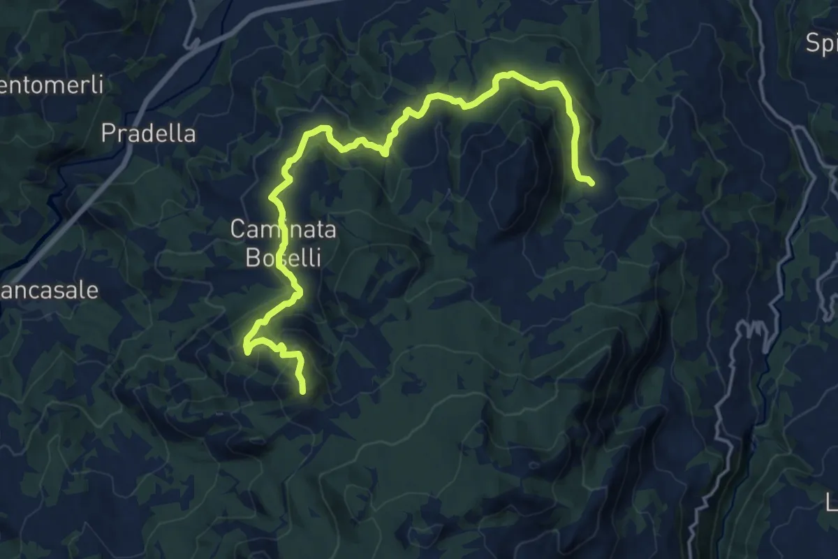
Demanding · Summit
Boioli – Gavi
18.3 km · ↑ 819 m · 6 h 5 min
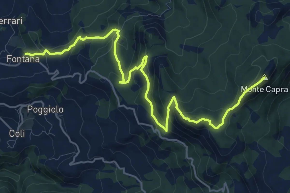
Demanding · Summit
Fontana – Percorso 151
14.5 km · ↑ 778 m · 5 h 6 min
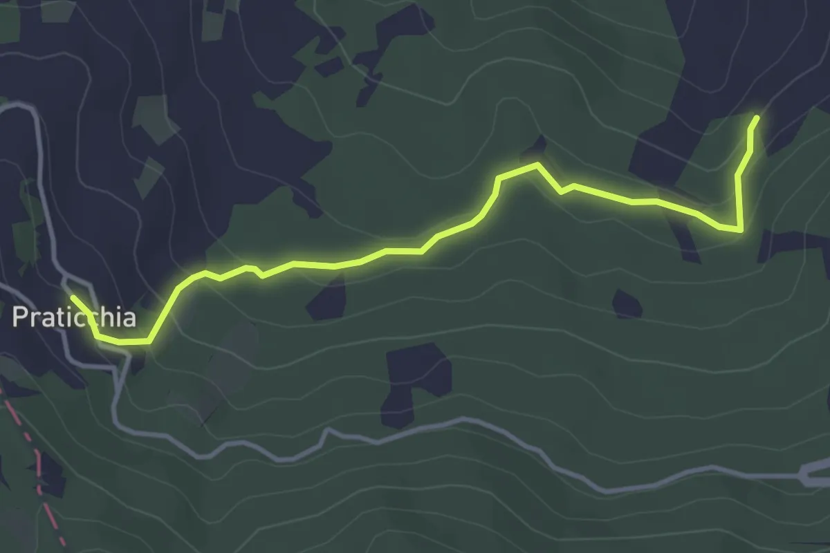
Easy · Trail
Cicogni – Praticchia
3.9 km · ↑ 186 m · 1 h 20 min
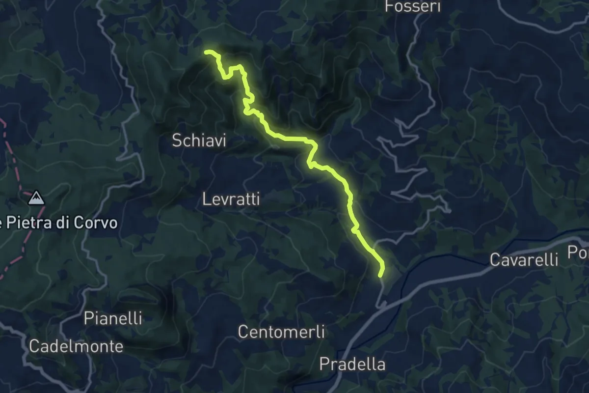
Medium · Trail
Mezzano Scotti – Costa della Rasa
12.5 km · ↑ 675 m · 4 h 25 min
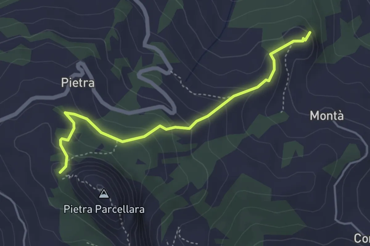
Easy · Summit
Pietra Perduca – Oratorio di Pietra Parcellara
4.0 km · ↑ 232 m · 1 h 27 min
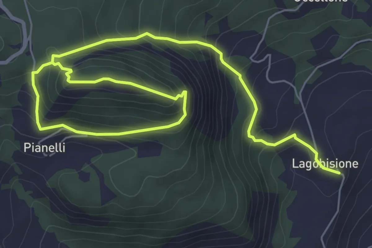
Medium · Trail
Lagobisione – Lagobisione
4.4 km · ↑ 460 m · 1 h 57 min
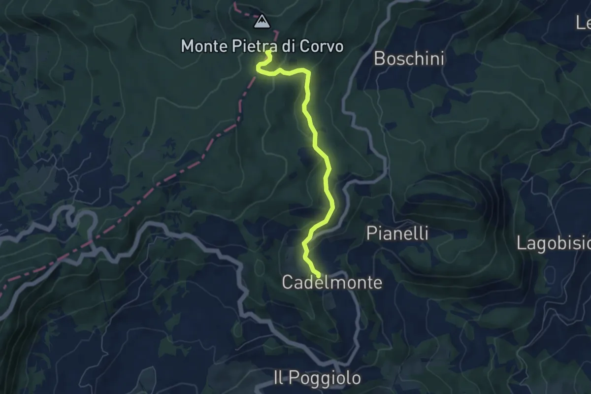
Easy · Summit
Cadelmonte – Pian Perduto
5.7 km · ↑ 230 m · 1 h 51 min
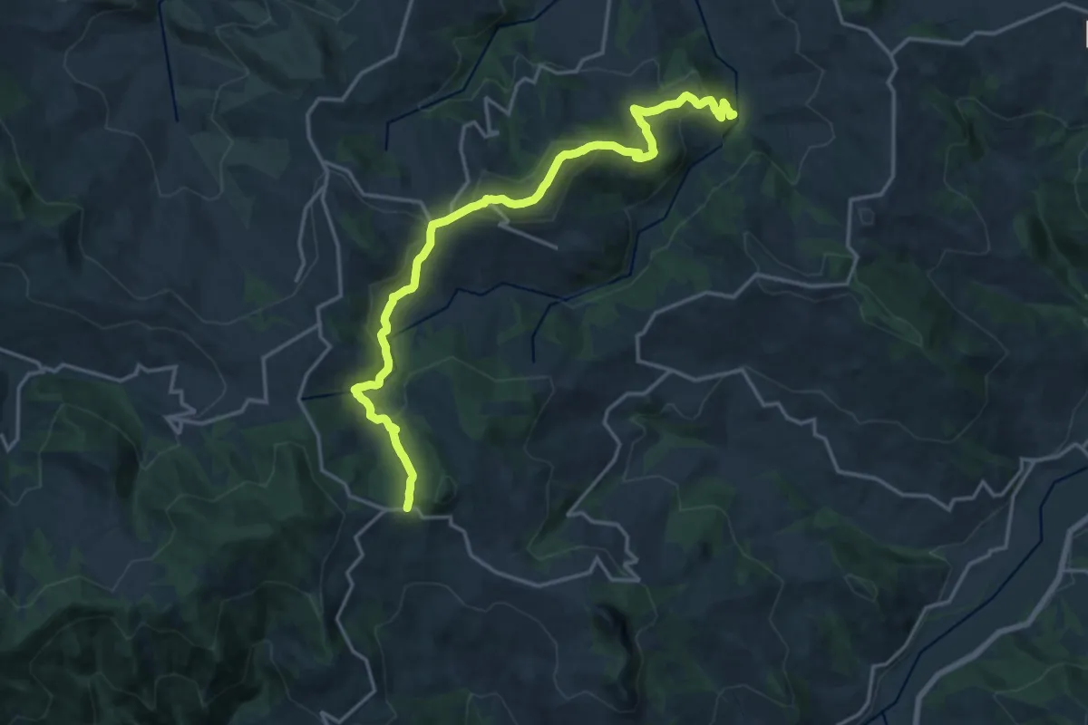
Demanding · Trail
Monteventano – Passo Caldarola
18.7 km · ↑ 769 m · 6 h 5 min
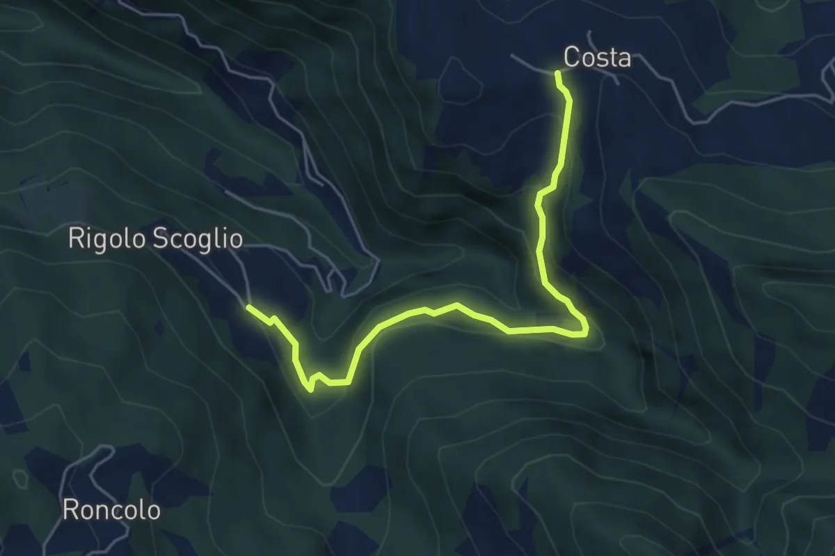
Easy · Trail
Rigolo Chiesa – Costa
5.0 km · ↑ 266 m · 1 h 46 min
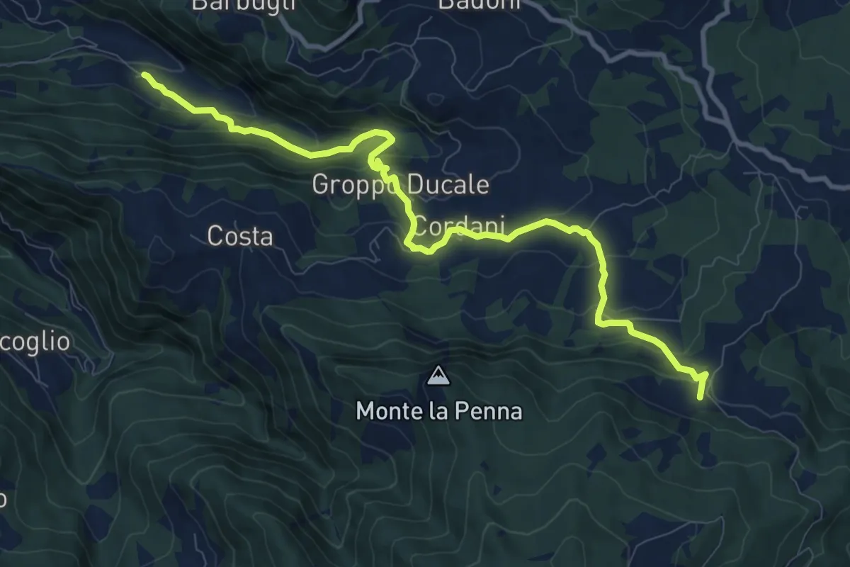
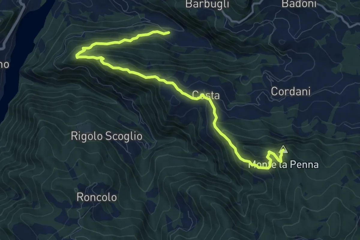
Medium · Trail
Fontanavento – Montelana
10.6 km · ↑ 622 m · 3 h 51 min
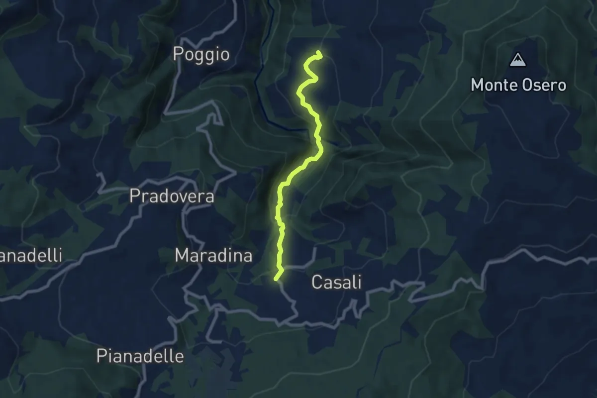
Medium · Summit
Fontanavento – Montelana
12.3 km · ↑ 667 m · 4 h 21 min
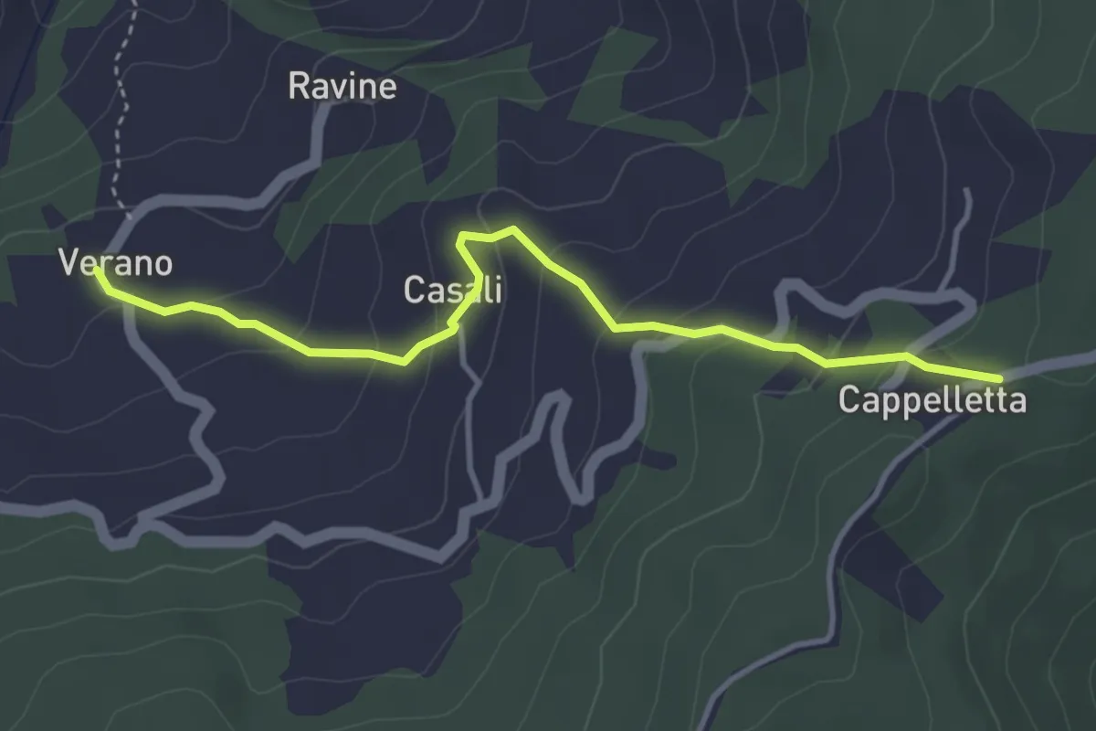
Easy · Trail
Colla – Chiesa di Calenzano
6.1 km · ↑ 305 m · 2 h 6 min
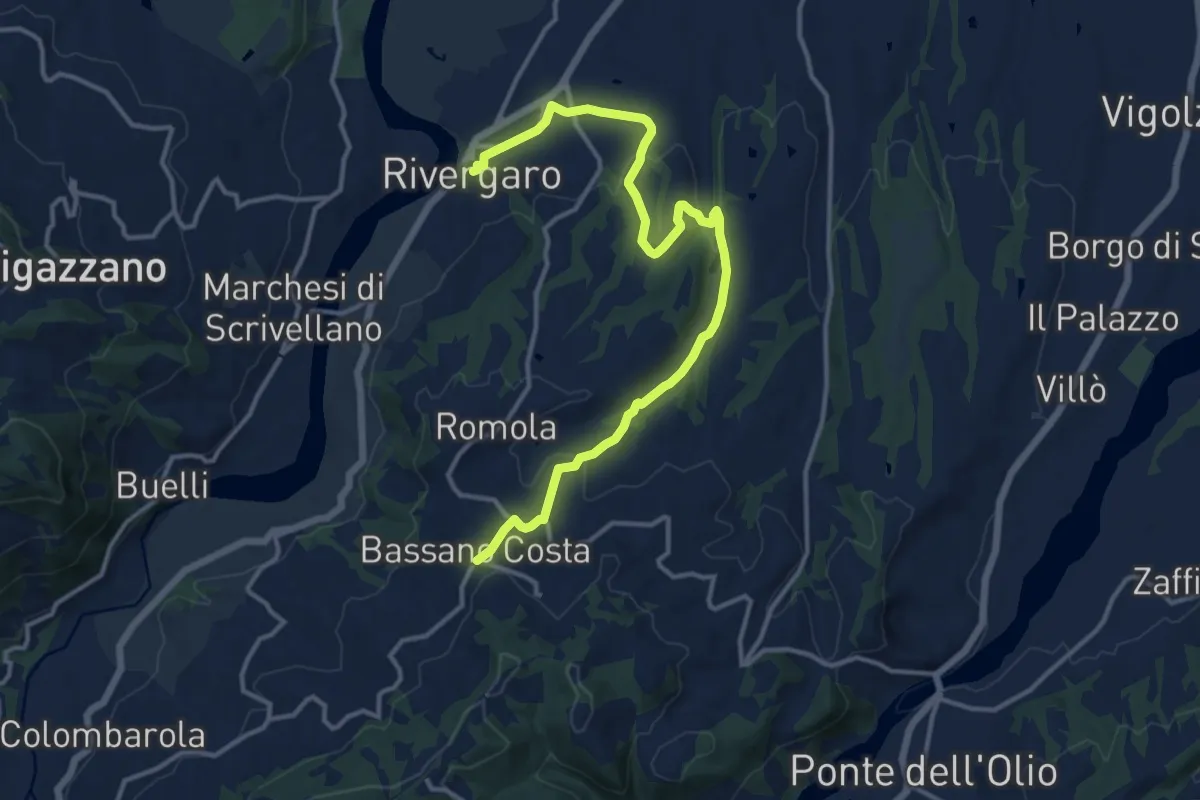
Easy · Trail
Verano – Passo della Cappelletta
3.9 km · ↑ 228 m · 1 h 24 min
Medium · Trail
Diara – Costa di Bassano
15.4 km · ↑ 375 m · 4 h 27 min
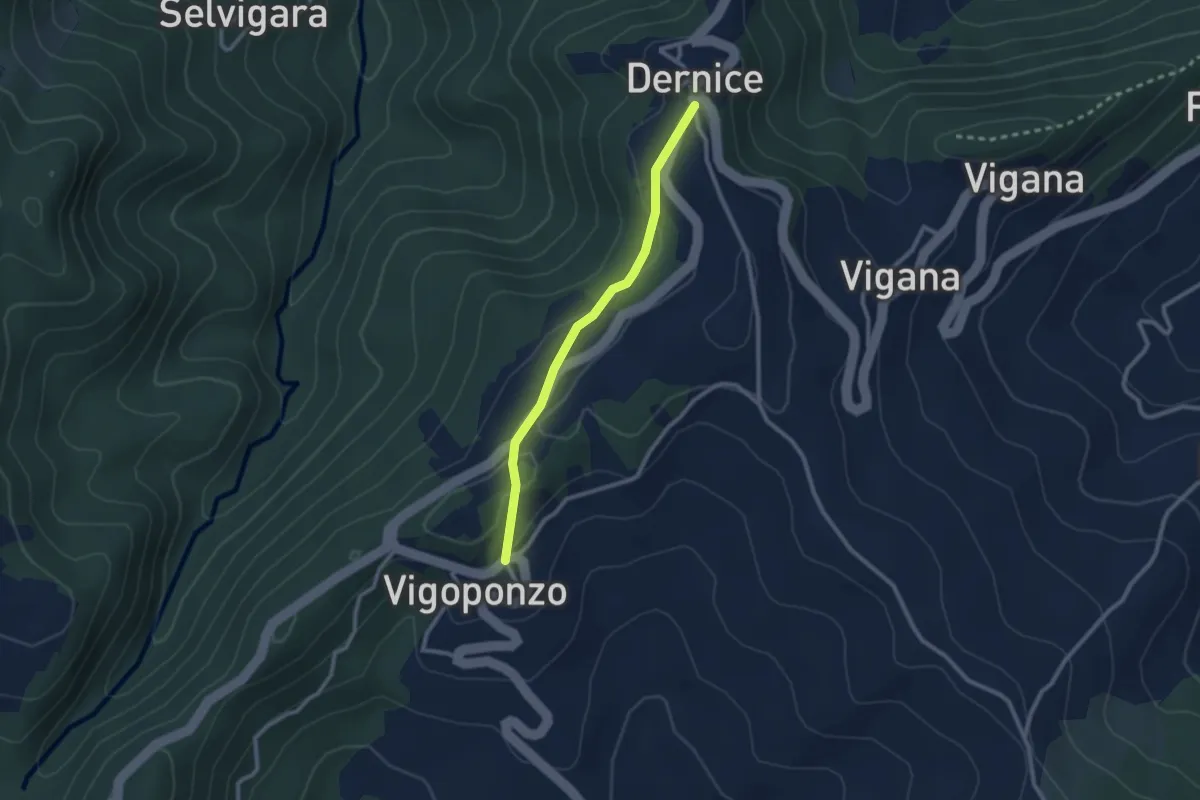
Easy · Trail
Bivio ALA155-ALA155A – Frazione Vigoponzo. bivio ALA139-ALA155A
2.3 km · ↑ 67 m · 42 min
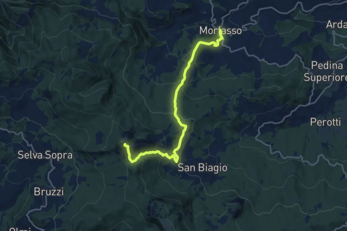
Medium · Summit
Morfasso – Percorso 901
12.9 km · ↑ 757 m · 4 h 42 min
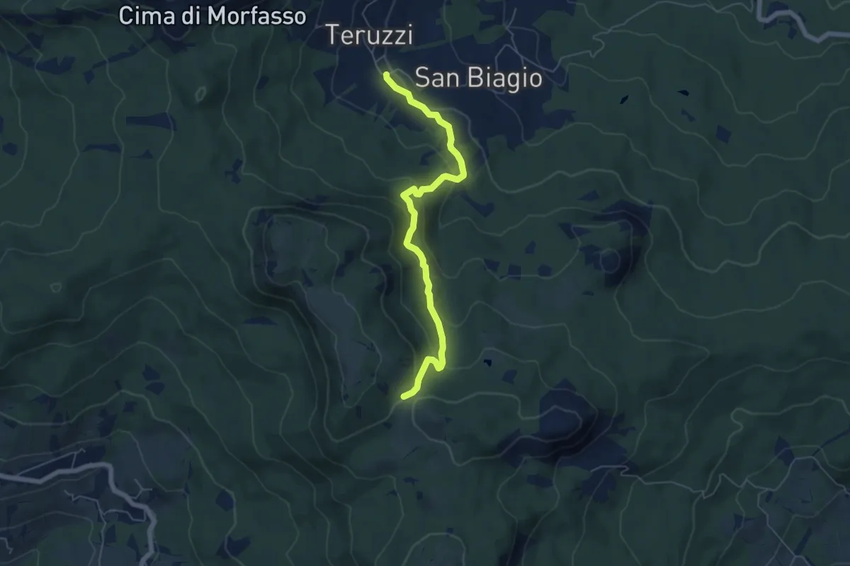
Medium · Trail
Teruzzi – Colle il Castellaccio
5.8 km · ↑ 298 m · 2 h 1 min
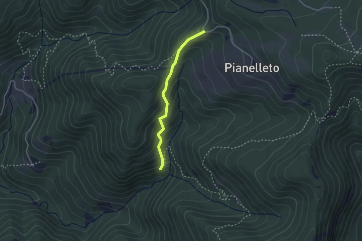
Easy · Trail
Percorso 803 – Percorso 803A
2.3 km · ↑ 195 m · 59 min
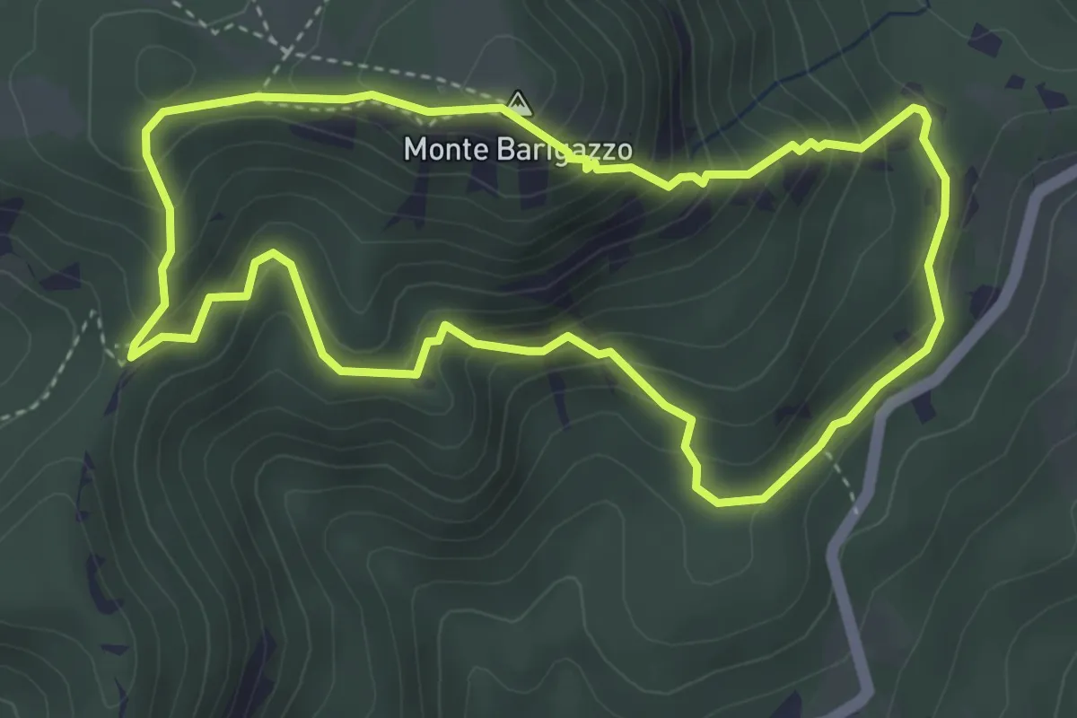
Medium · Summit
Piano Dell'Arato – Piano Dell'Arato
4.1 km · ↑ 351 m · 1 h 46 min
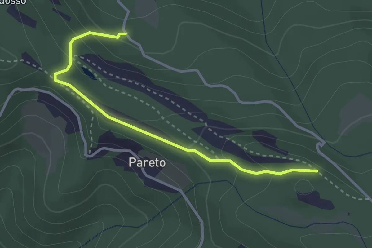
Easy · Trail
Strada di Campo del Gallo – Percorso 809
3.0 km · ↑ 153 m · 1 h 2 min
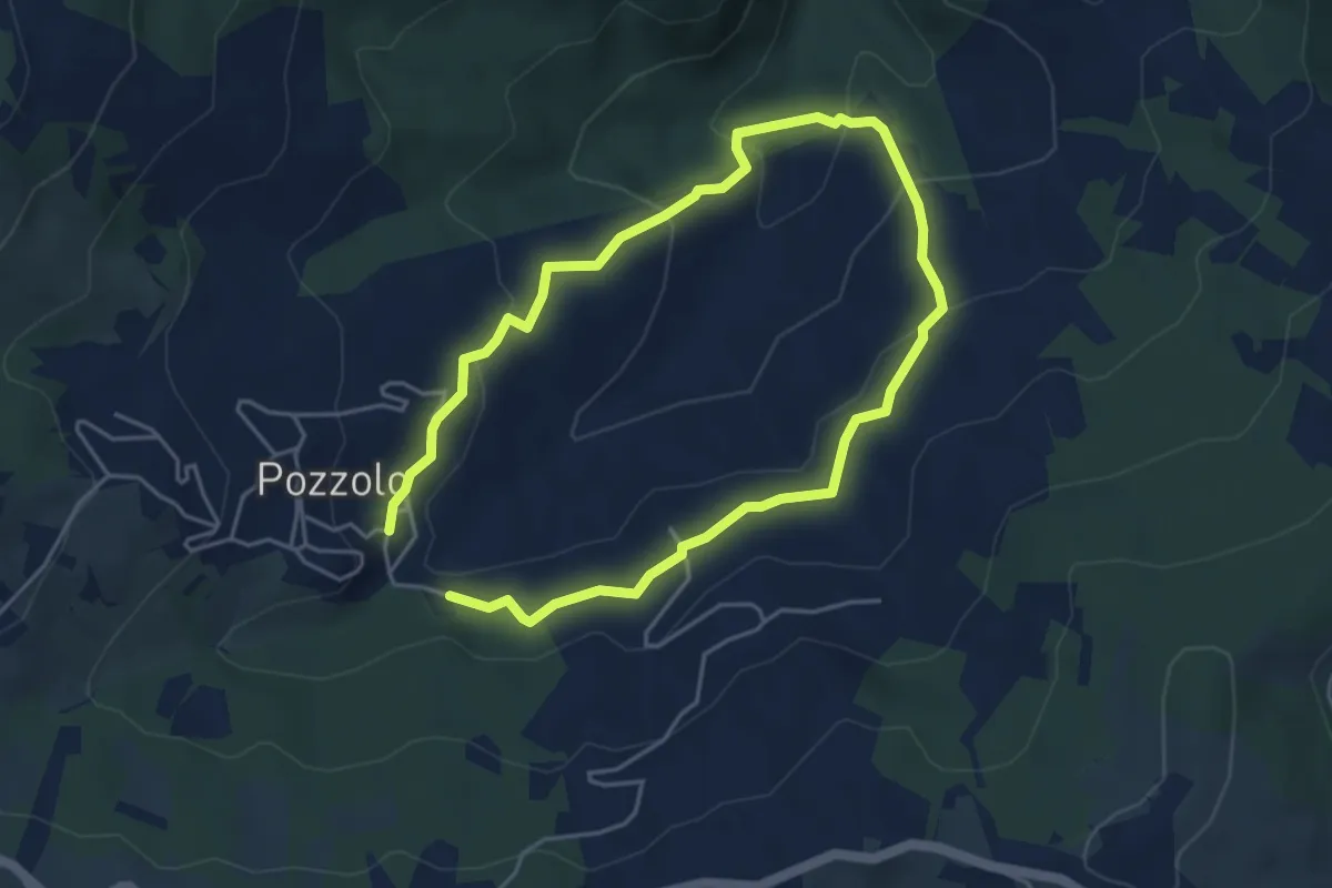
Easy · Trail
Pozzolo – Pozzolo
3.9 km · ↑ 175 m · 1 h 21 min
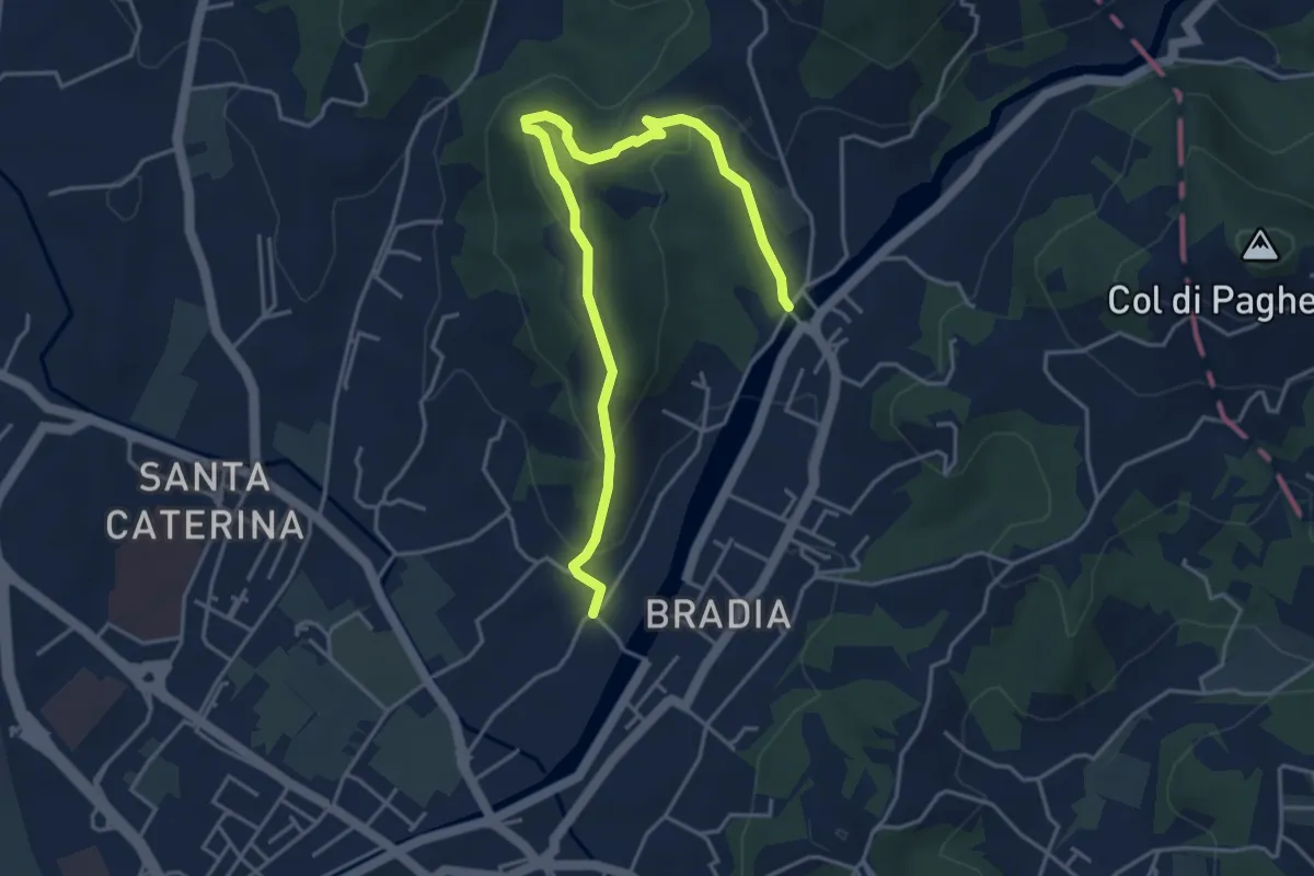
Easy · Trail
Via Paradiso – Ponte della Budella
5.1 km · ↑ 245 m · 1 h 45 min
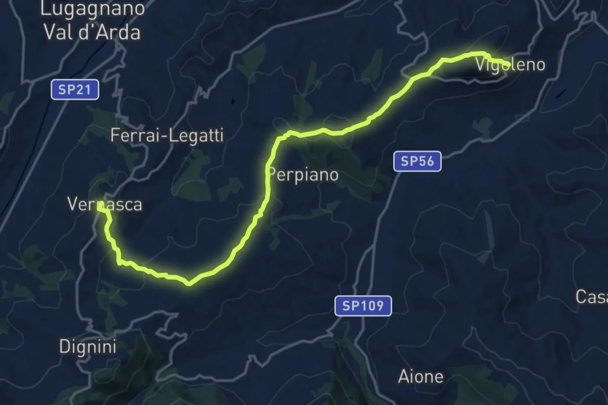
Medium · Trail
Vigoleno – Vernasca
16.6 km · ↑ 620 m · 5 h 15 min
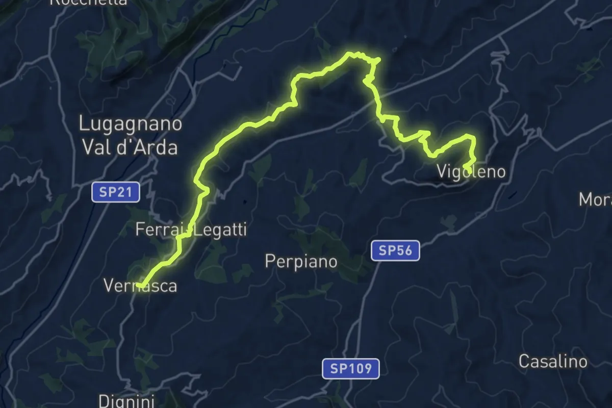
Demanding · Trail
Vernasca – Vigoleno
23.2 km · ↑ 709 m · 7 h 1 min
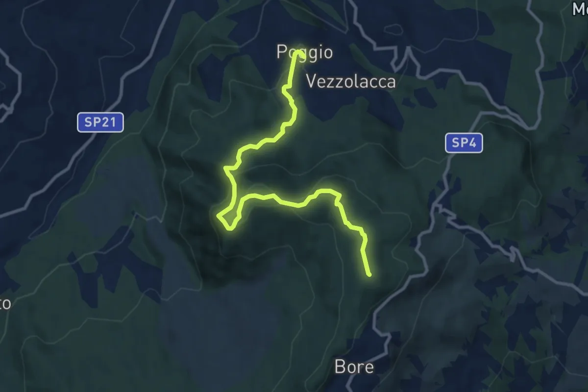
Medium · Summit
Vezzolacca – Bore
9.6 km · ↑ 505 m · 3 h 21 min
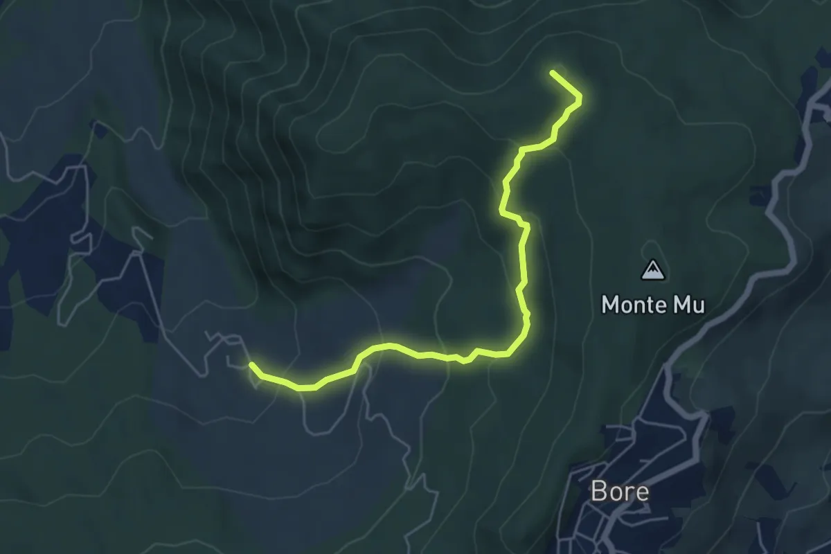
Easy · Summit
Dadomo – Luneto
5.2 km · ↑ 308 m · 1 h 54 min