Trails in Italy
25,219 hiking trails, each with its route, climb, walking time and grade.
All trails, page 373 of 526
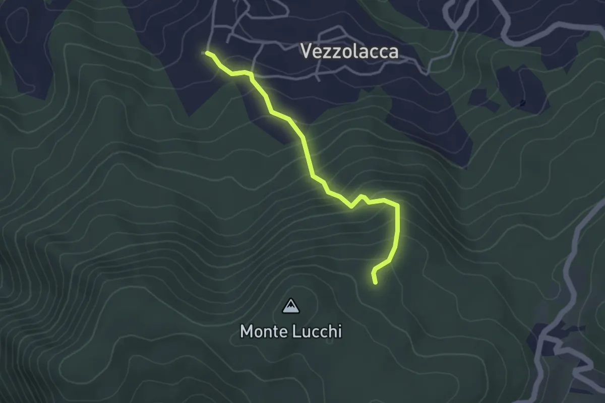
Easy · Trail
Vezzolacca – Percorso 925
3.0 km · ↑ 277 m · 1 h 19 min
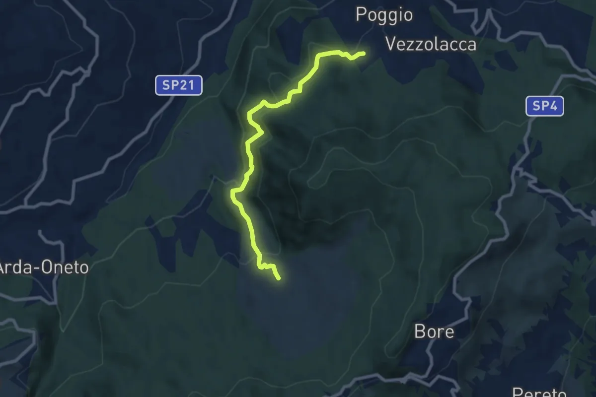
Medium · Trail
Vezzolacca – Dadomo
7.0 km · ↑ 347 m · 2 h 25 min
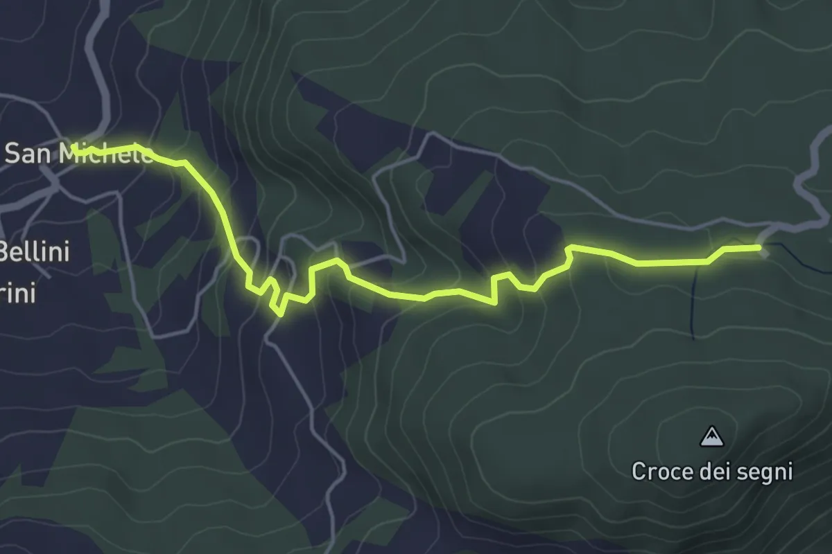
Easy · Trail
San Michele – Rifugio Monte Moria
5.2 km · ↑ 305 m · 1 h 53 min
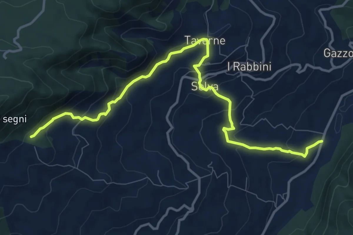
Medium · Trail
SP21 – Percorso 917
10.5 km · ↑ 540 m · 3 h 39 min
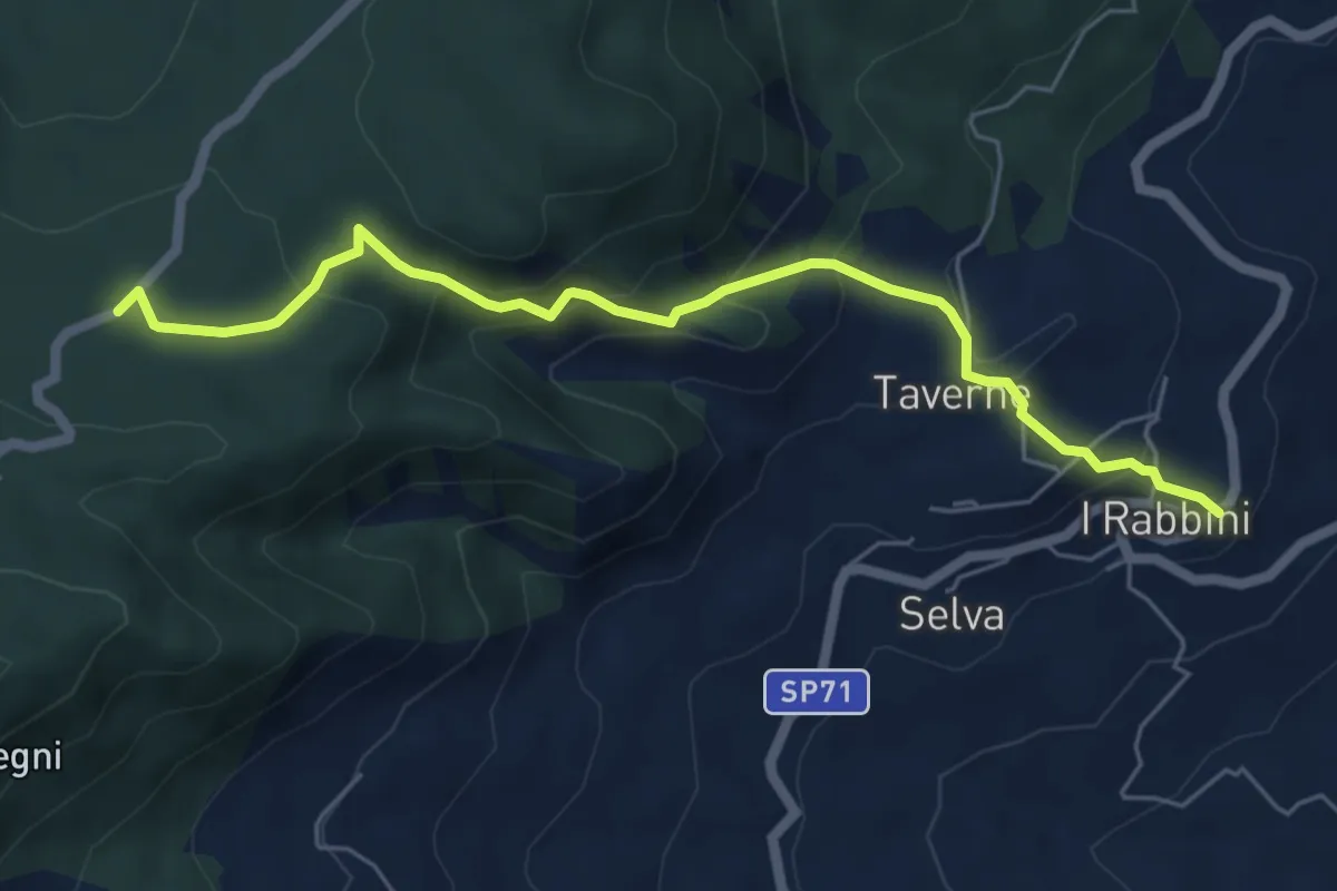
Medium · Trail
I Rabbini – Madonna del Monte
6.2 km · ↑ 382 m · 2 h 18 min
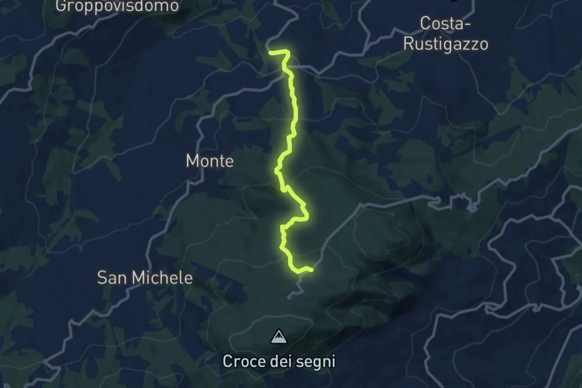
Medium · Trail
Velleia – Madonna del Monte
8.3 km · ↑ 478 m · 3 h
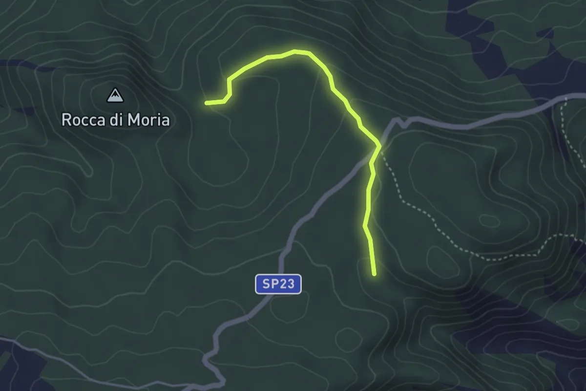
Easy · Trail
Percorso 911 – Percorso 909
3.3 km · ↑ 112 m · 1 h 1 min
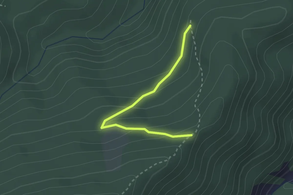
Easy · Trail
Percorso 835 – Percorso 835
2.2 km · ↑ 133 m · 48 min
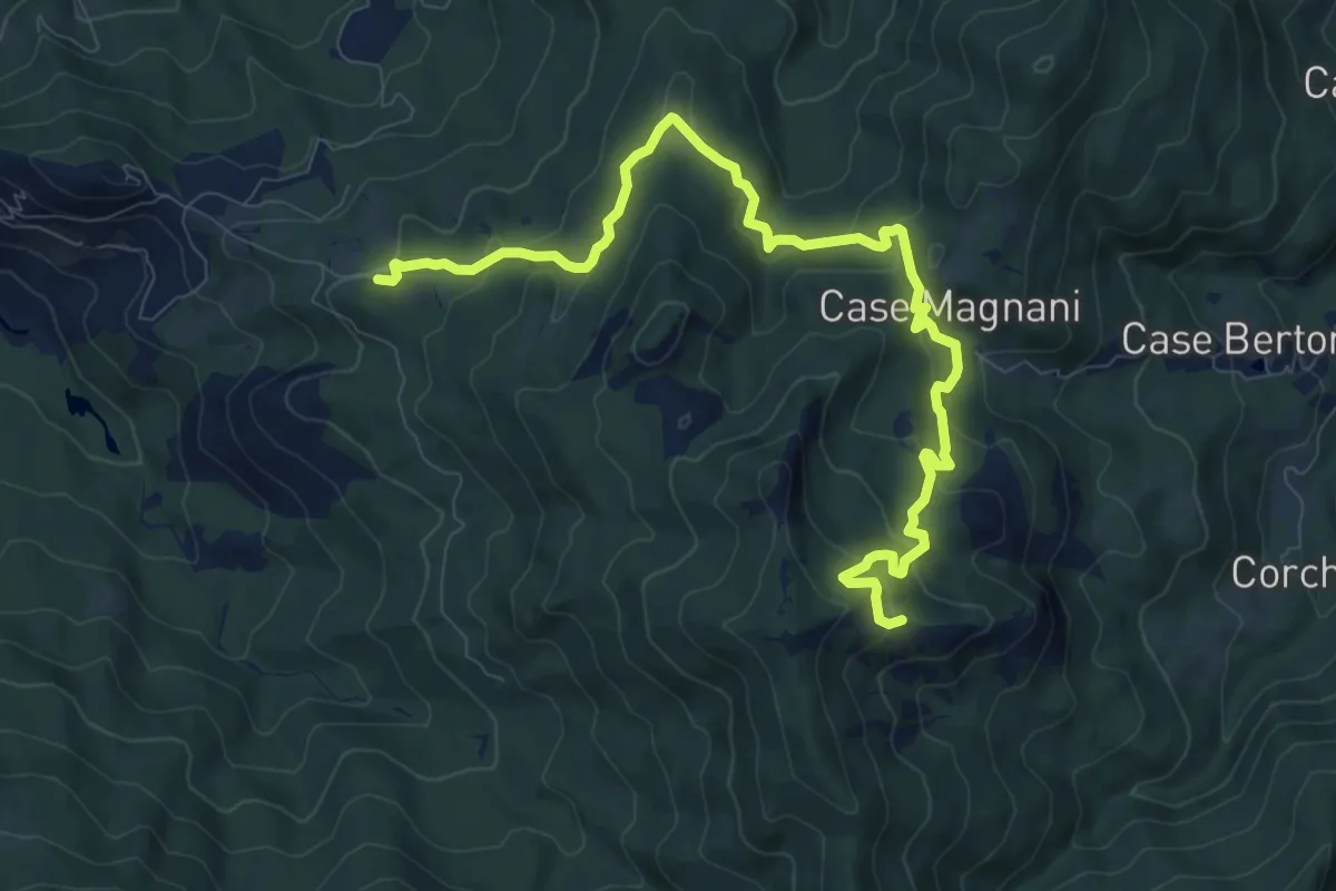
Medium · Summit
Carpaneto (percorso 833) – La Cala'
11.4 km · ↑ 588 m · 3 h 58 min
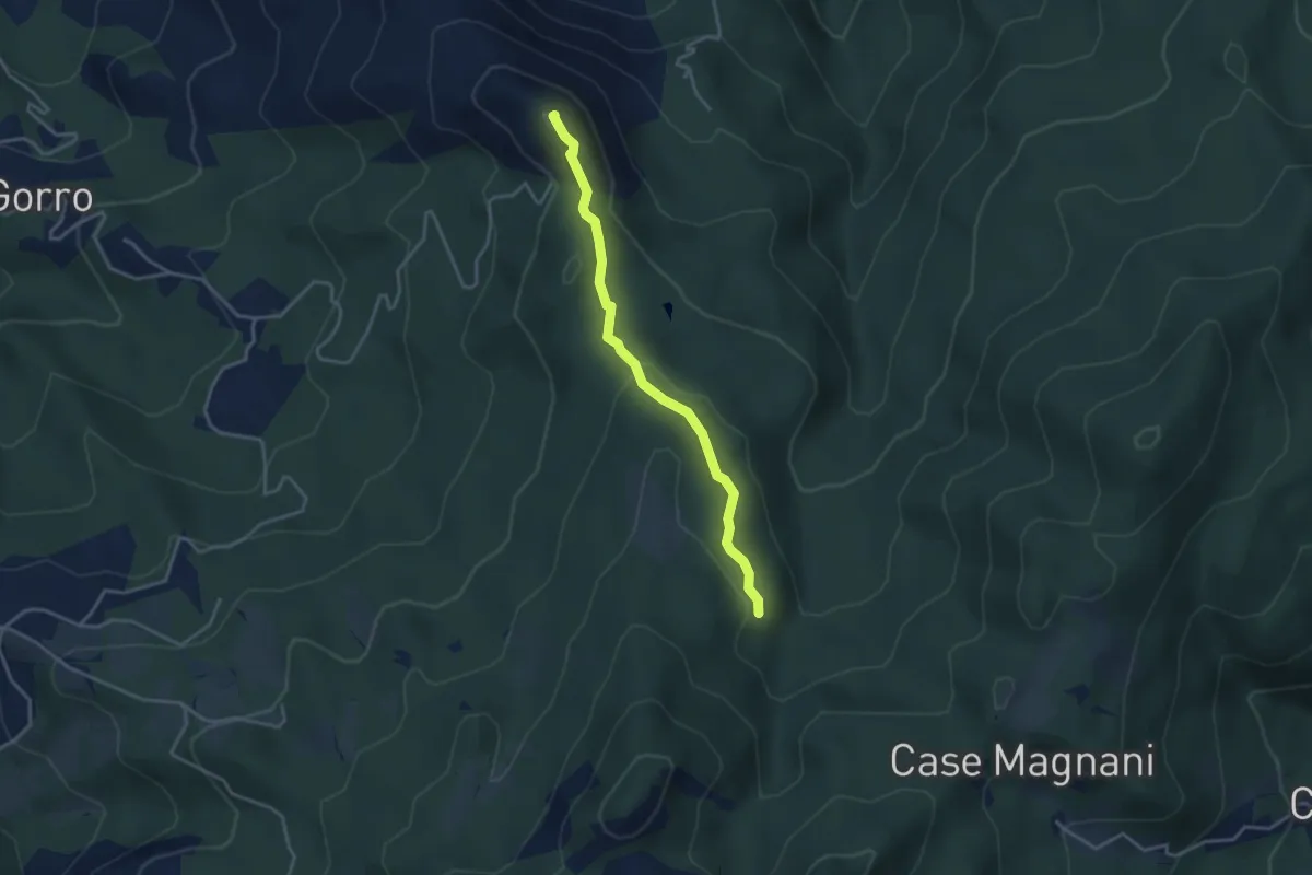
Easy · Summit
Gorro sud – Riola (Percorso 833A)
3.5 km · ↑ 135 m · 1 h 7 min
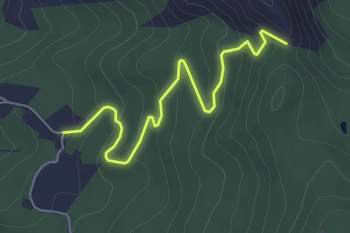
Easy · Trail
Cappellazzi (Percorso 830) – Case Farneto (Percorso 830A)
4.4 km · ↑ 202 m · 1 h 29 min
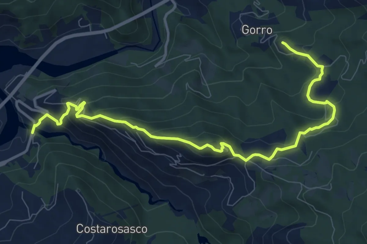
Medium · Trail
Ostia Parmense – Gorro
10.7 km · ↑ 633 m · 3 h 54 min
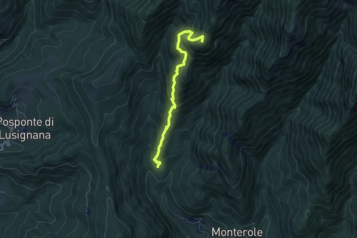
Demanding · Summit
Ponte Vico Valle – capanne di Curtiglia
5.9 km · ↑ 691 m · 2 h 54 min
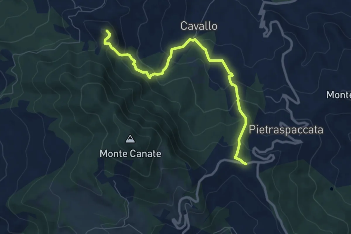
Medium · Summit
Valico di Sant'Antonio – Monte Pietra Nera
7.3 km · ↑ 491 m · 2 h 48 min
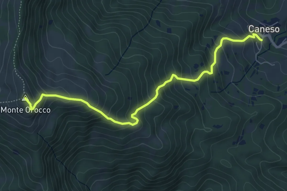
Medium · Summit
Caneso – Monte Orocco
6.4 km · ↑ 549 m · 2 h 42 min
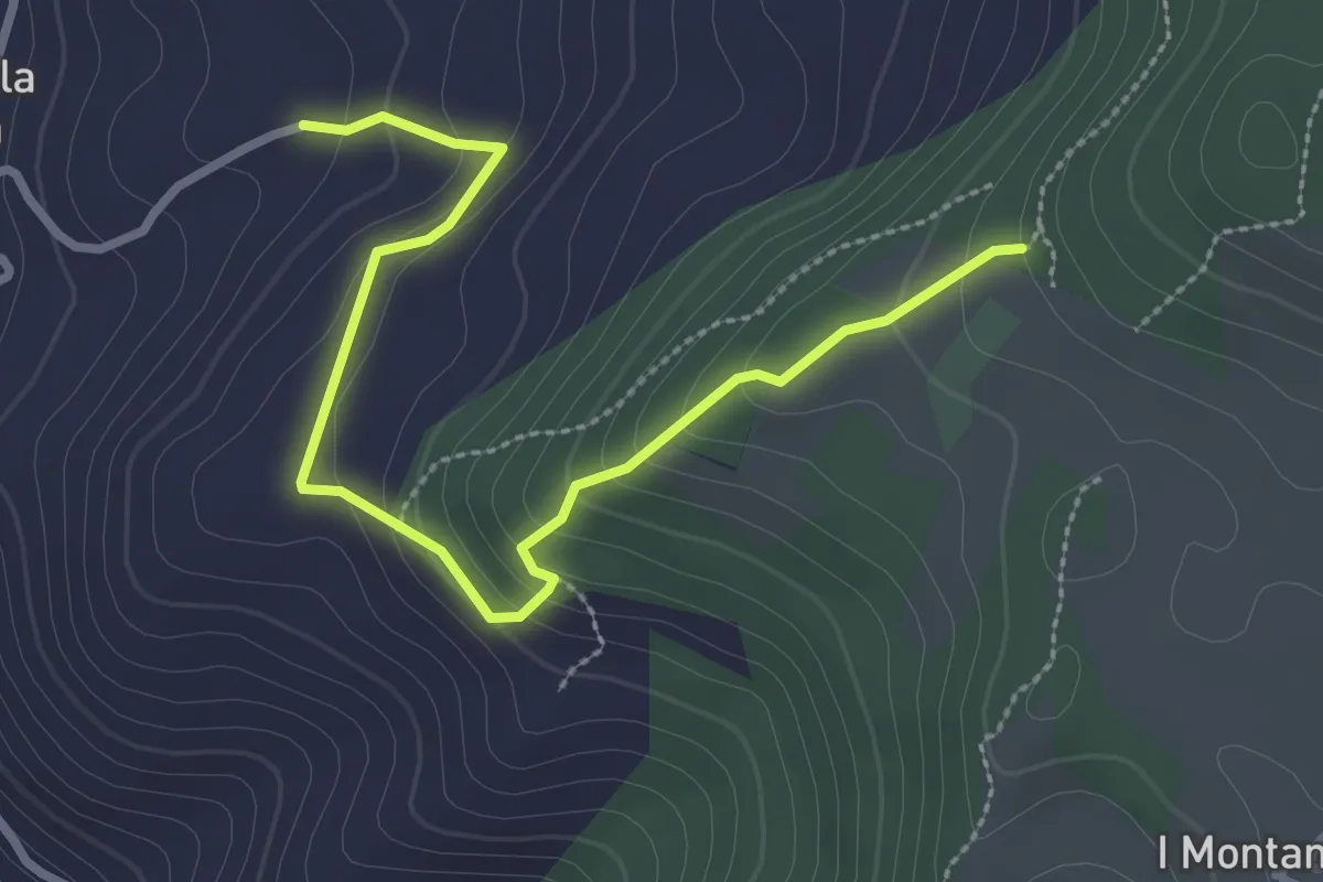
Easy · Trail
Villa Boschini – sentiero 820 a quota 671
3.3 km · ↑ 193 m · 1 h 11 min
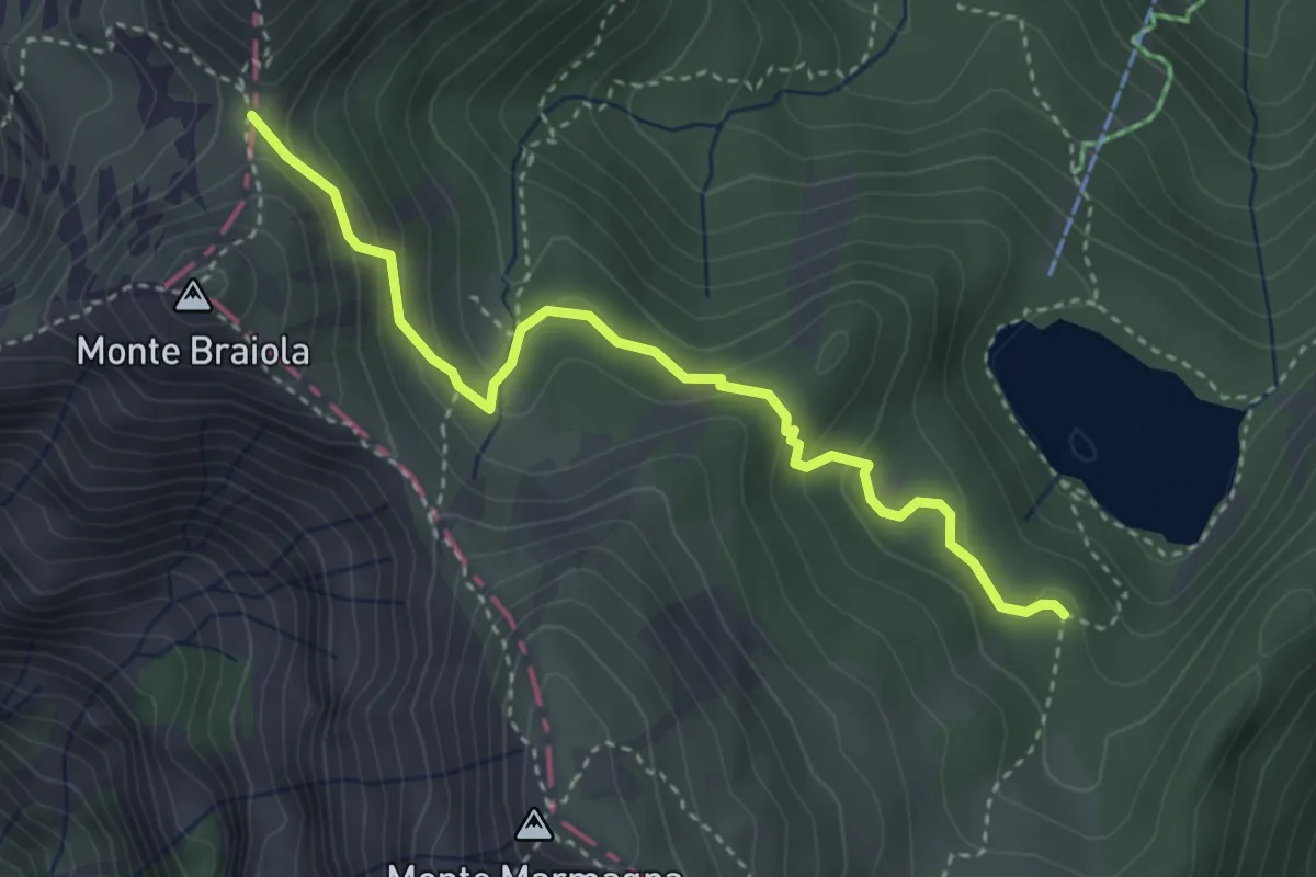
Medium · Trail
Pineta Lago Santo – Bocchetta dell'Orsaro
3.8 km · ↑ 197 m · 1 h 19 min
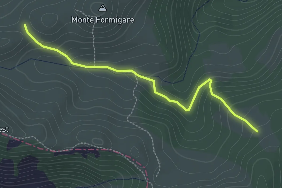
Easy · Trail
Monte Formigare – Groppo del Vescovo
3.0 km · ↑ 176 m · 1 h 5 min
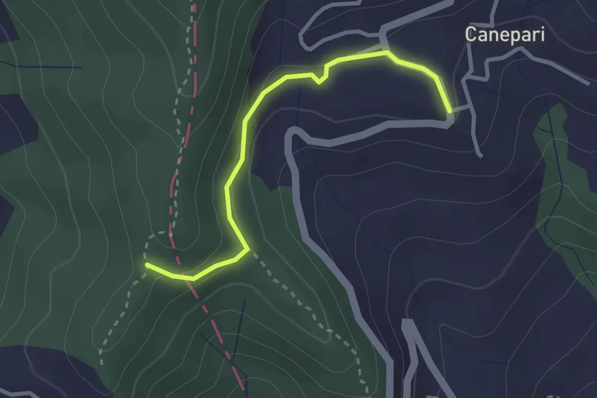
Easy · Trail
Canepari (Percorso 288) – Percorso 325
2.5 km · ↑ 90 m · 47 min
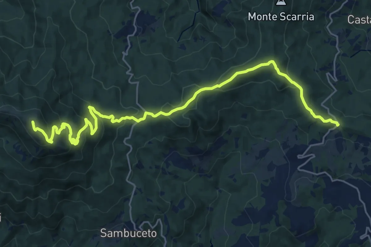
Demanding · Summit
Monte Pelpi – Passo della Tabella
21.6 km · ↑ 847 m · 6 h 57 min
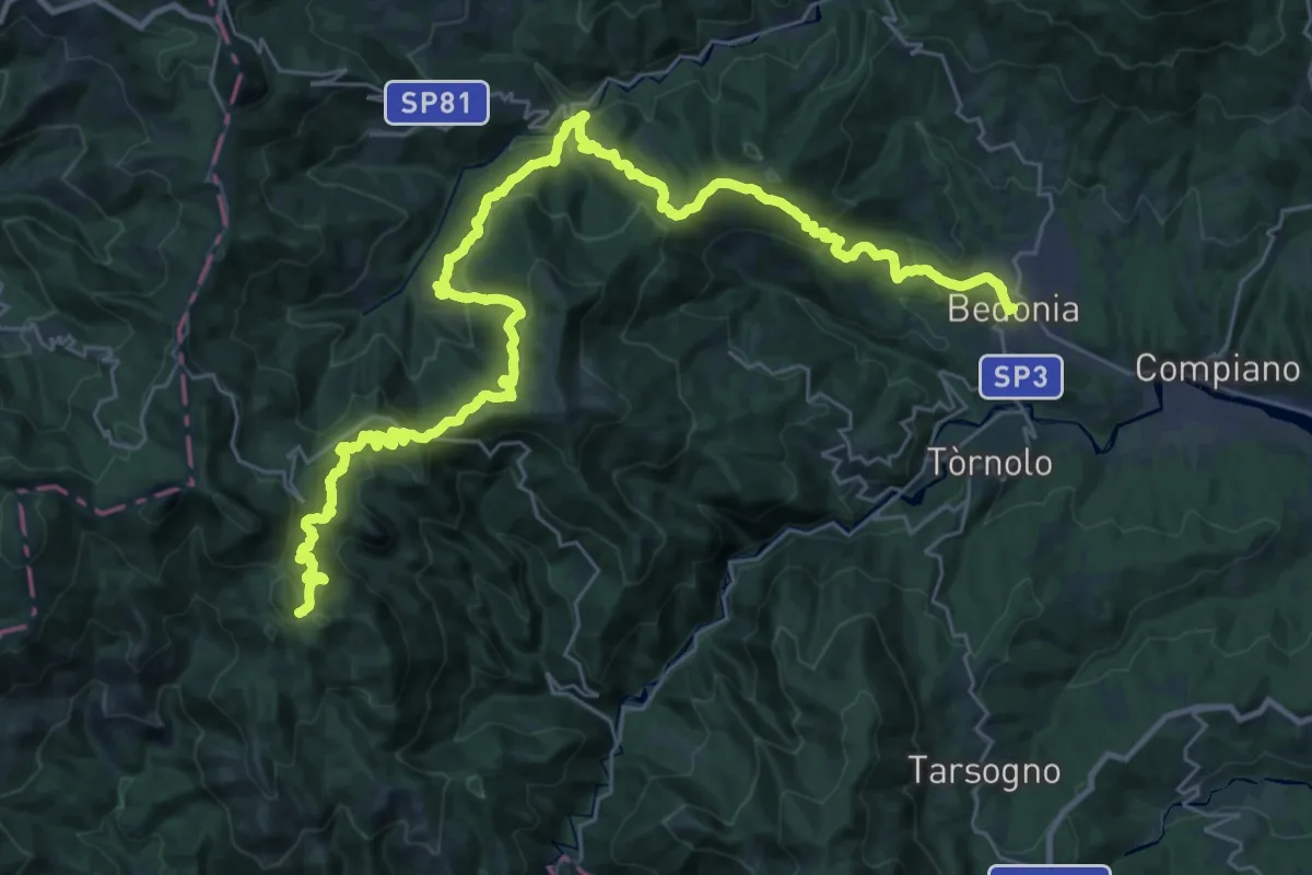
Demanding · Trail
Bedonia – Monte Crociato
21.0 km · ↑ 1432 m · 7 h 54 min
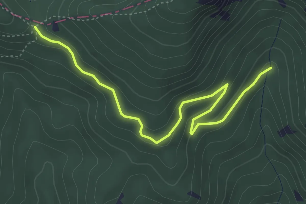
Easy · Trail
Squeri (Santa Maria del Taro) – Passo Dell'Incisa
4.9 km · ↑ 168 m · 1 h 31 min
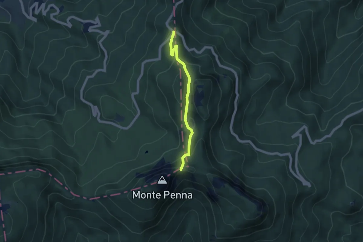
Medium · Trail
Passo del Chiodo – Percorso 871
4.0 km · ↑ 247 m · 1 h 29 min
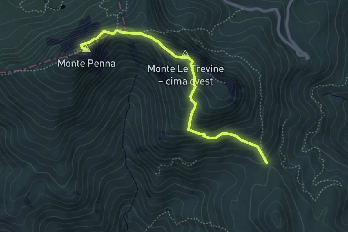
Expert · Summit
Codorso – Monte Penna
4.8 km · ↑ 403 m · 2 h
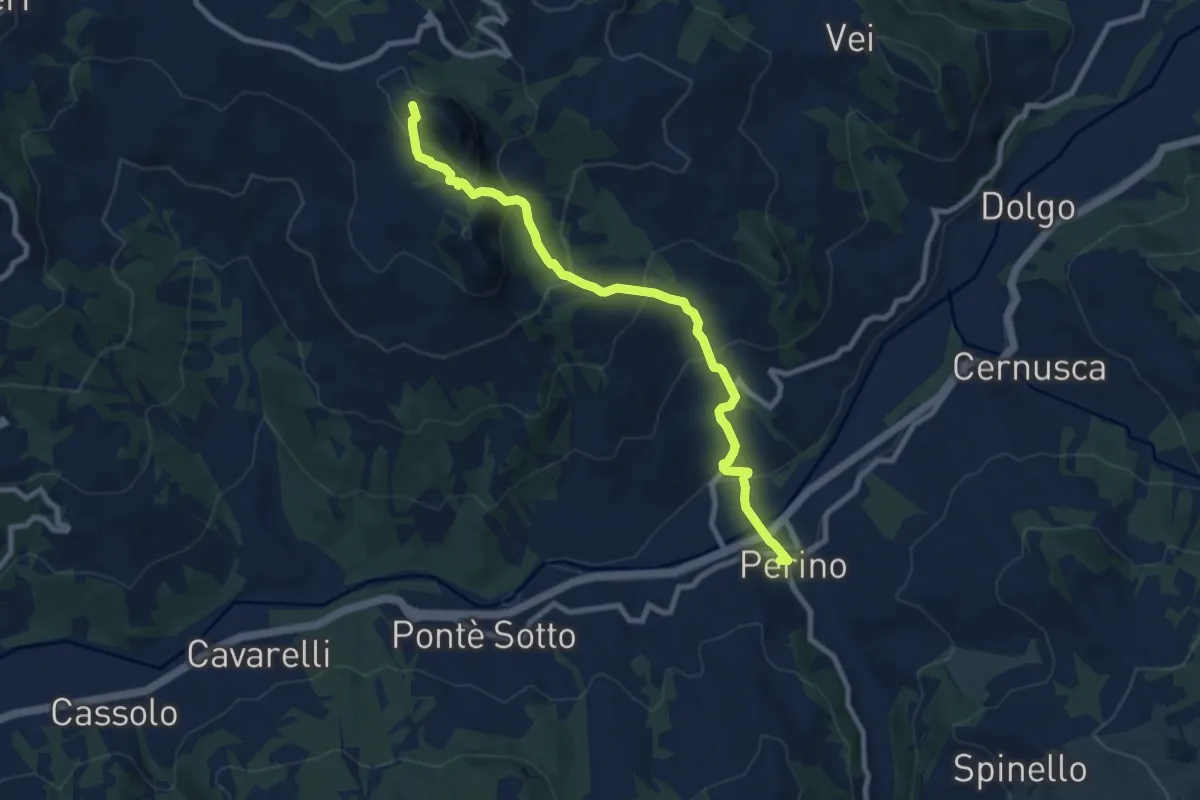
Medium · Trail
Perino – Passo Caldarola
9.2 km · ↑ 567 m · 3 h 24 min
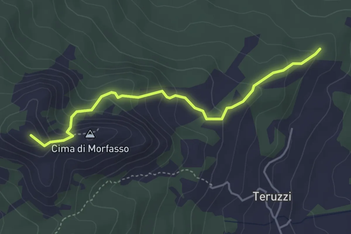
Medium · Summit
Percorso 903 – Monte Menegosa
4.0 km · ↑ 289 m · 1 h 34 min
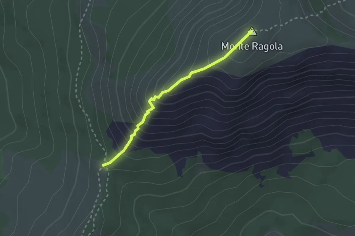
Medium · Summit
Percorso 035 – Prato Grande
2.1 km · ↑ 262 m · 1 h 3 min
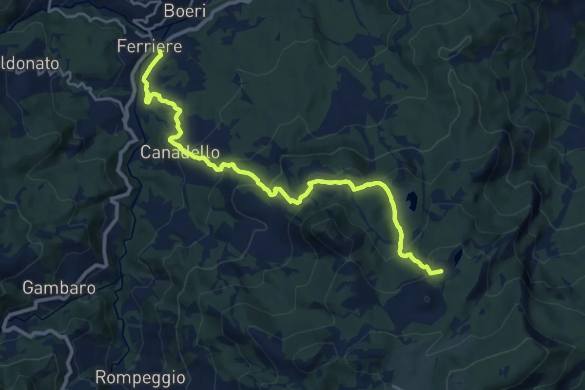
Medium · Trail
Ferriere – Lago Bino
14.7 km · ↑ 716 m · 5 h 2 min
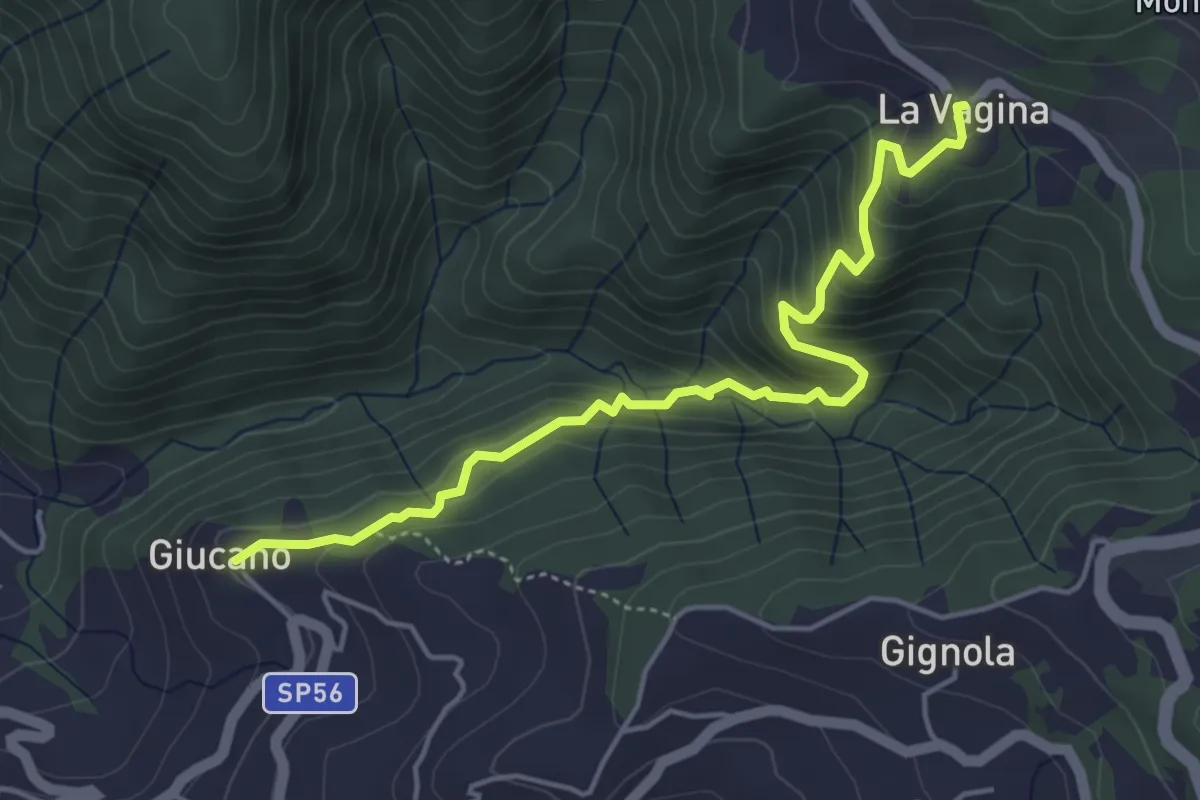
Medium · Trail
Giucano – Località La Vagina
5.1 km · ↑ 404 m · 2 h 5 min
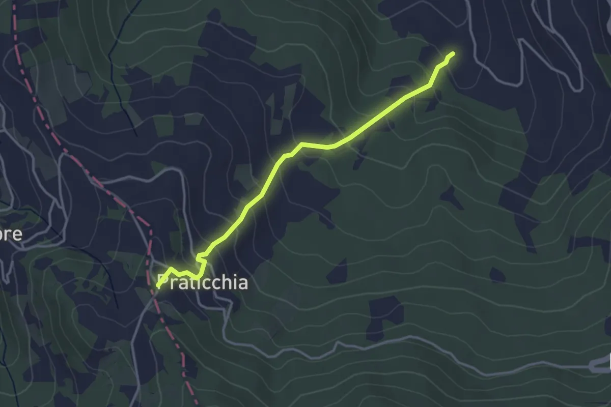
Easy · Trail
Cicogni – Percorso Via degli Abati
3.4 km · ↑ 250 m · 1 h 21 min
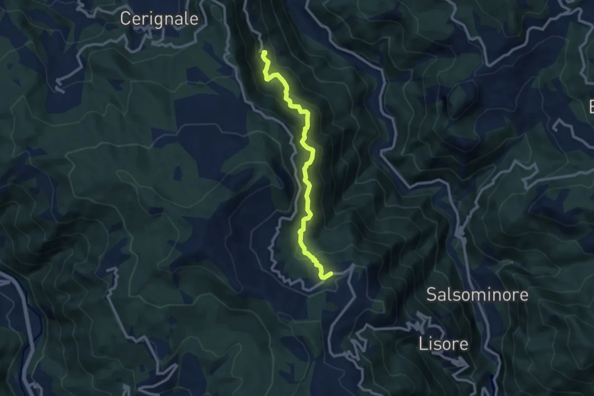
Medium · Trail
Casale – Cariseto
8.1 km · ↑ 609 m · 3 h 14 min
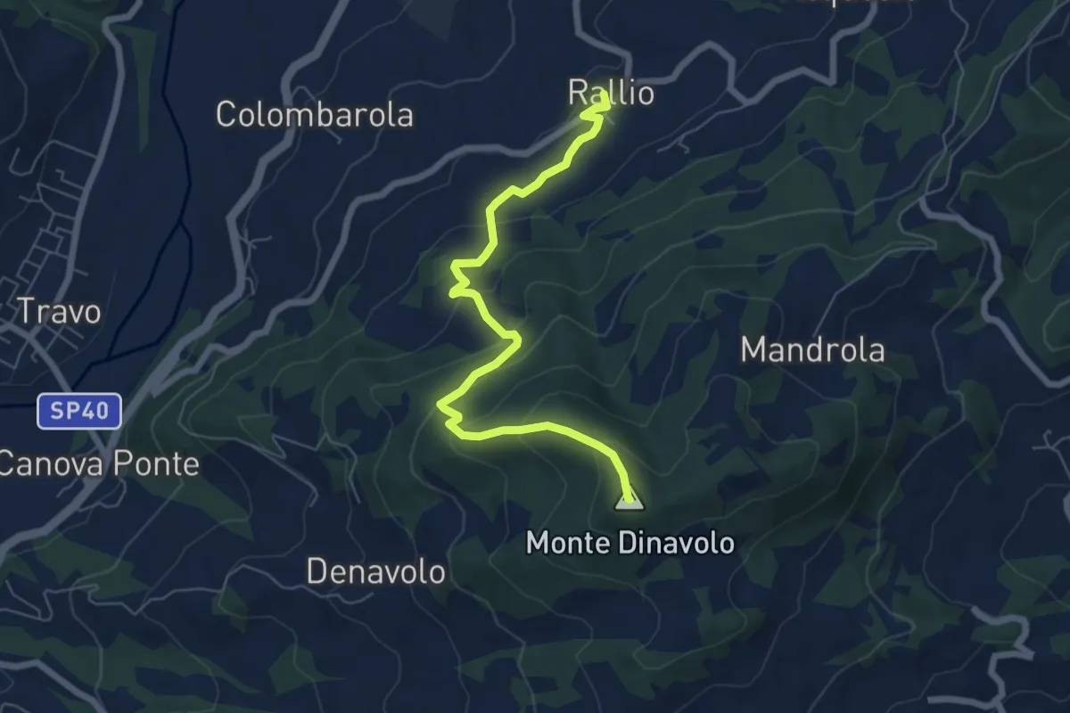
Medium · Summit
Rallio – Coni Scarpa
6.7 km · ↑ 395 m · 2 h 26 min
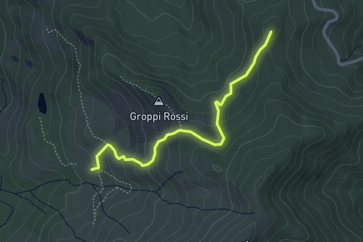
Easy · Summit
Sentiero 741 – La Capanna (Sentiero 731)
4.7 km · ↑ 247 m · 1 h 38 min
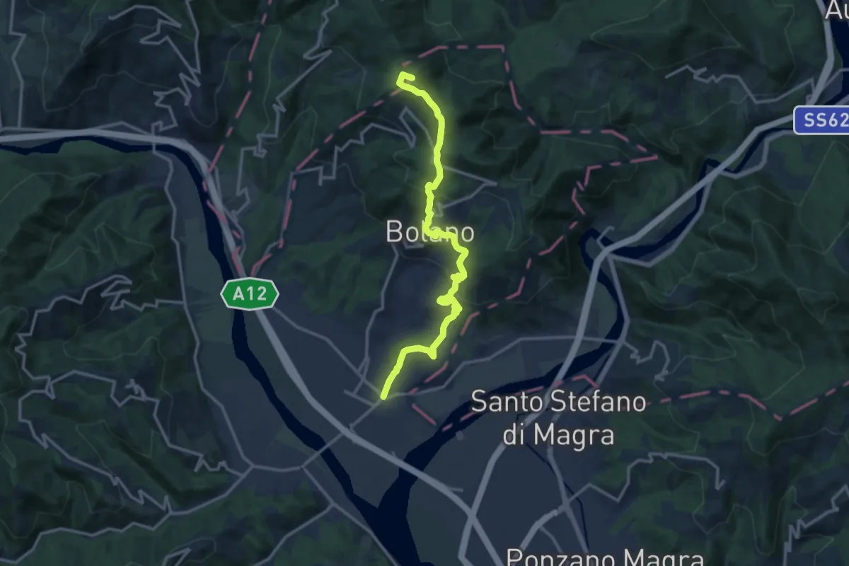
Medium · Summit
Valico dei Solini – Ceparana
13.9 km · ↑ 765 m · 4 h 56 min
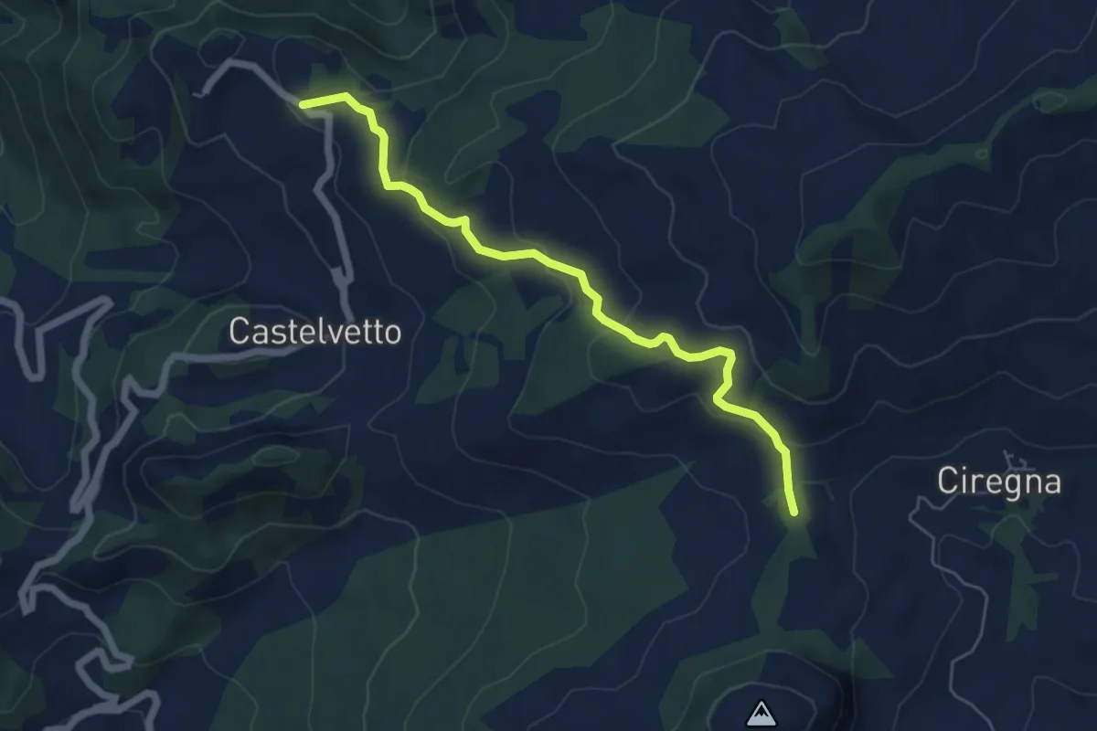
Easy · Trail
Metteglia – Percorso 001
5.8 km · ↑ 236 m · 1 h 53 min
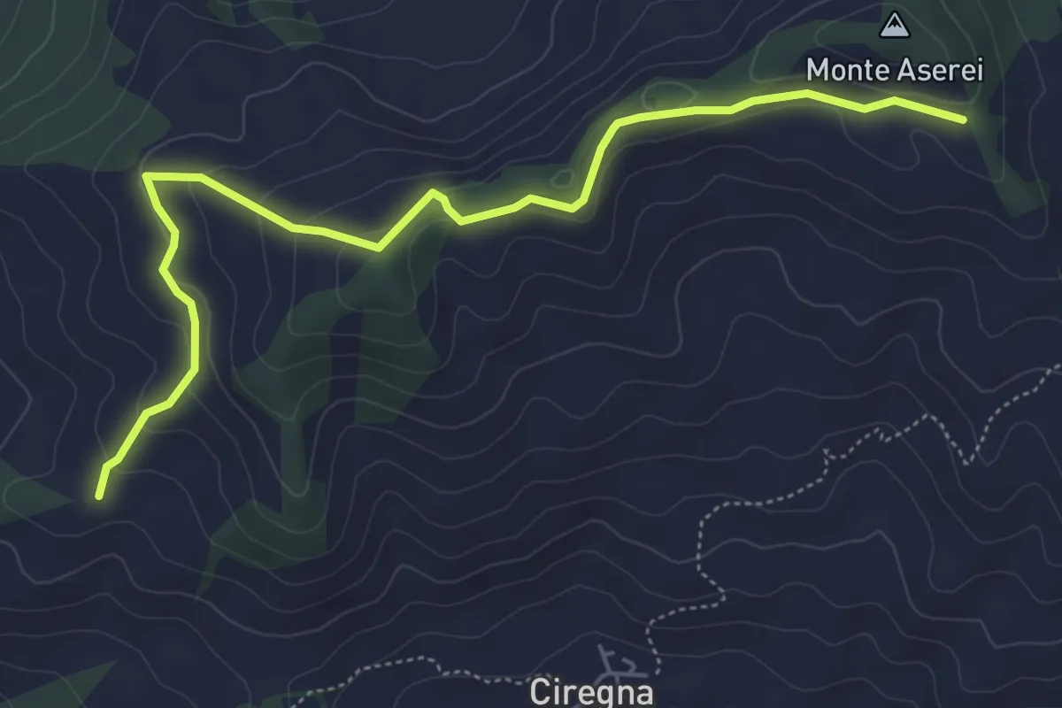
Easy · Trail
Fontana Marenga – Percorso 027 pendici sud-est Monte Aserei
6.2 km · ↑ 215 m · 1 h 56 min
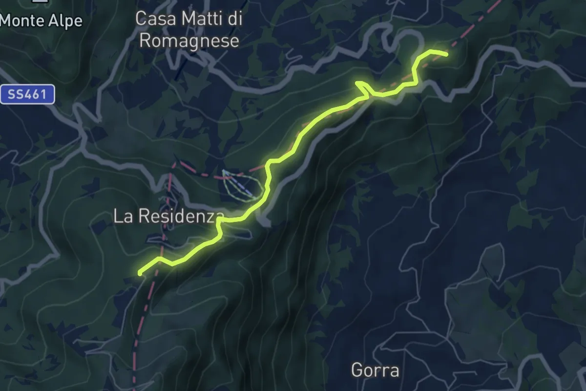
Medium · Summit
Monte Pietra di Corvo – Passo del Giovà
6.2 km · ↑ 330 m · 2 h 11 min
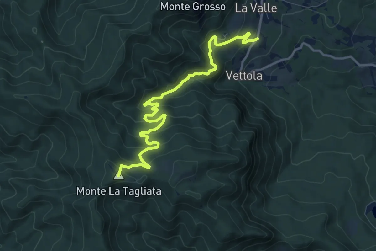
Medium · Summit
Mariano – Piano dell'Arato
10.2 km · ↑ 560 m · 3 h 38 min
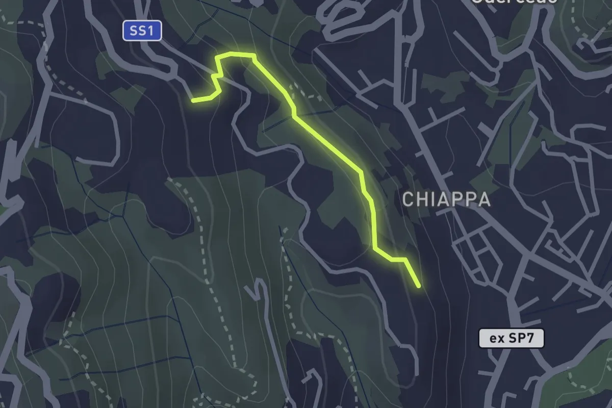
Easy · Trail
Maggiano – Bocca Lupara
2.1 km · ↑ 122 m · 46 min
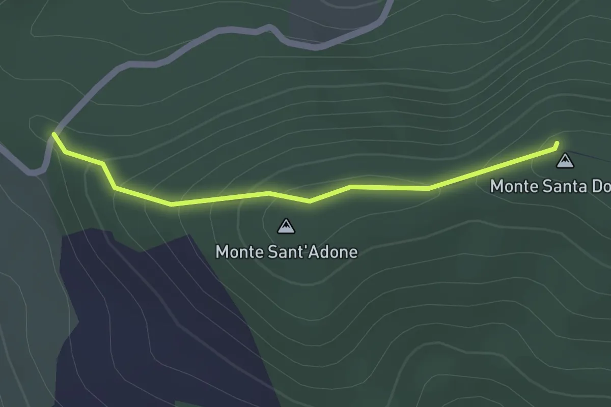
Easy · Summit
Bocca di santa Donna – La Pianella
1.5 km · ↑ 79 m · 32 min
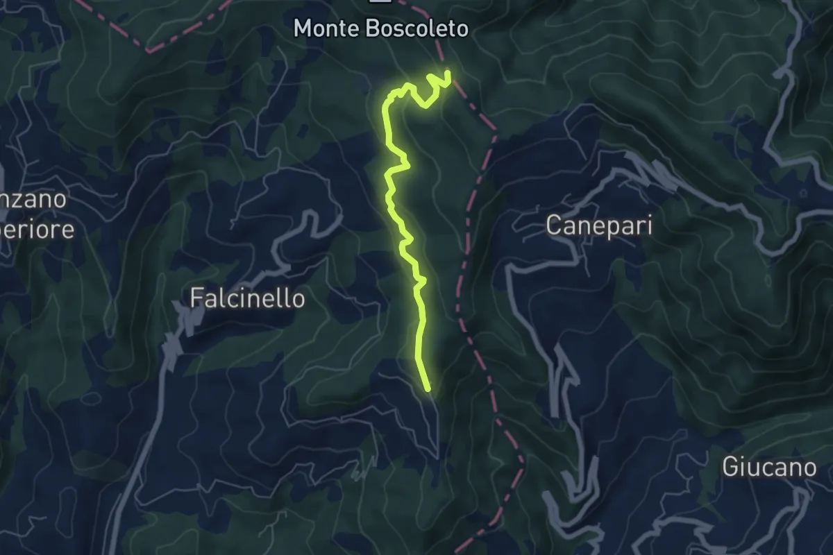
Easy · Trail
Percorso 325 – Percorso 290
5.3 km · ↑ 240 m · 1 h 47 min
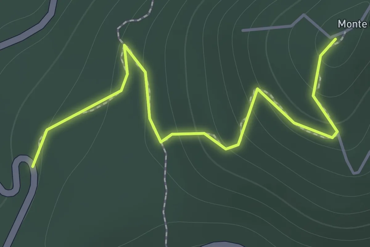
Easy · Summit
Strada della Bocchetta – Percorso 923
1.6 km · ↑ 99 m · 36 min
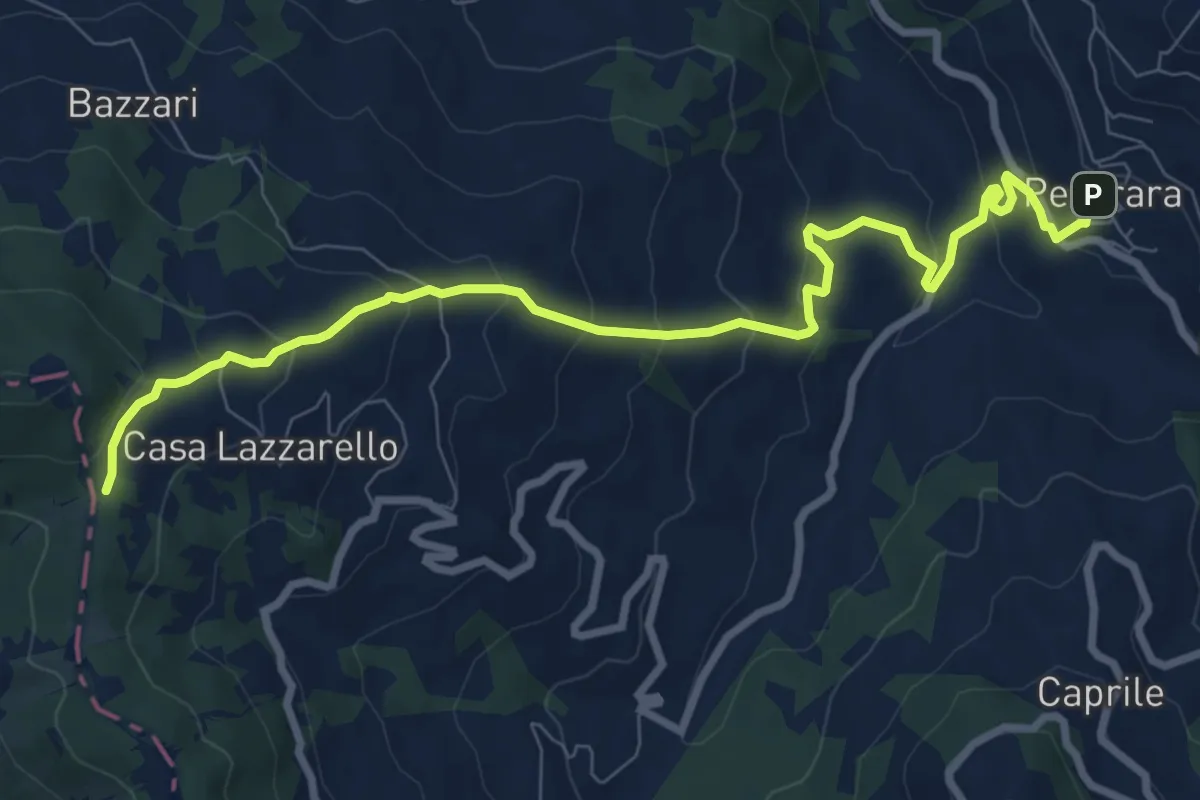
Medium · Trail
Pecorara – Percorso Via degli Abati
9.8 km · ↑ 528 m · 3 h 27 min
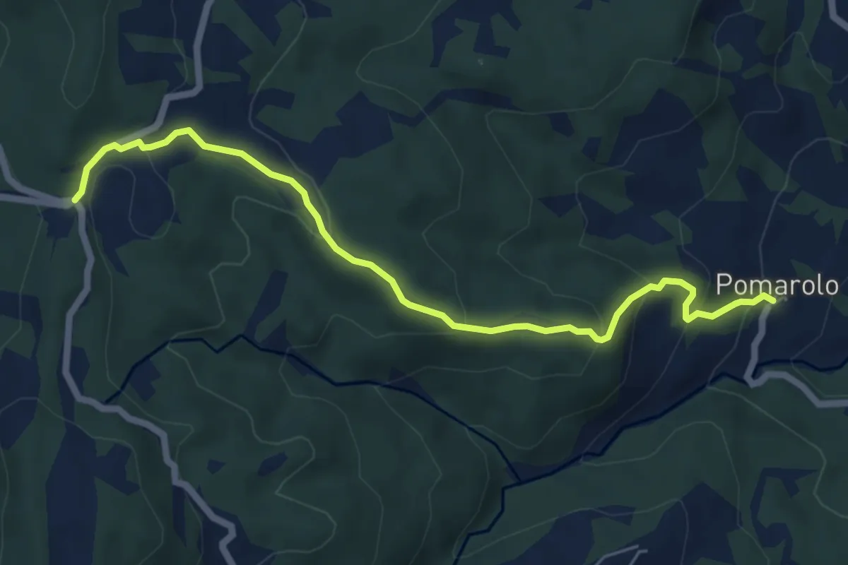
Medium · Trail
Pomarolo – Passo del Mercatello
6.3 km · ↑ 324 m · 2 h 11 min
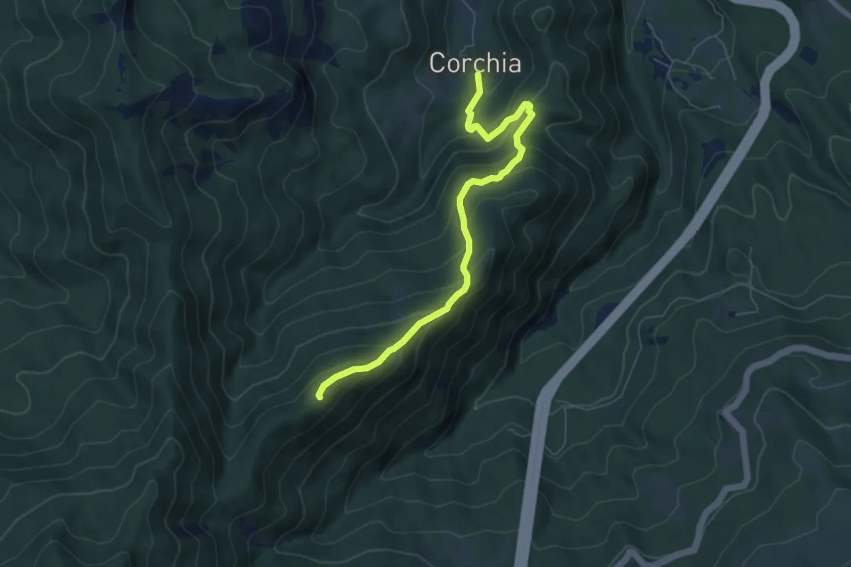
Medium · Summit
Corchia – Termine del Gatto
6.6 km · ↑ 506 m · 2 h 39 min
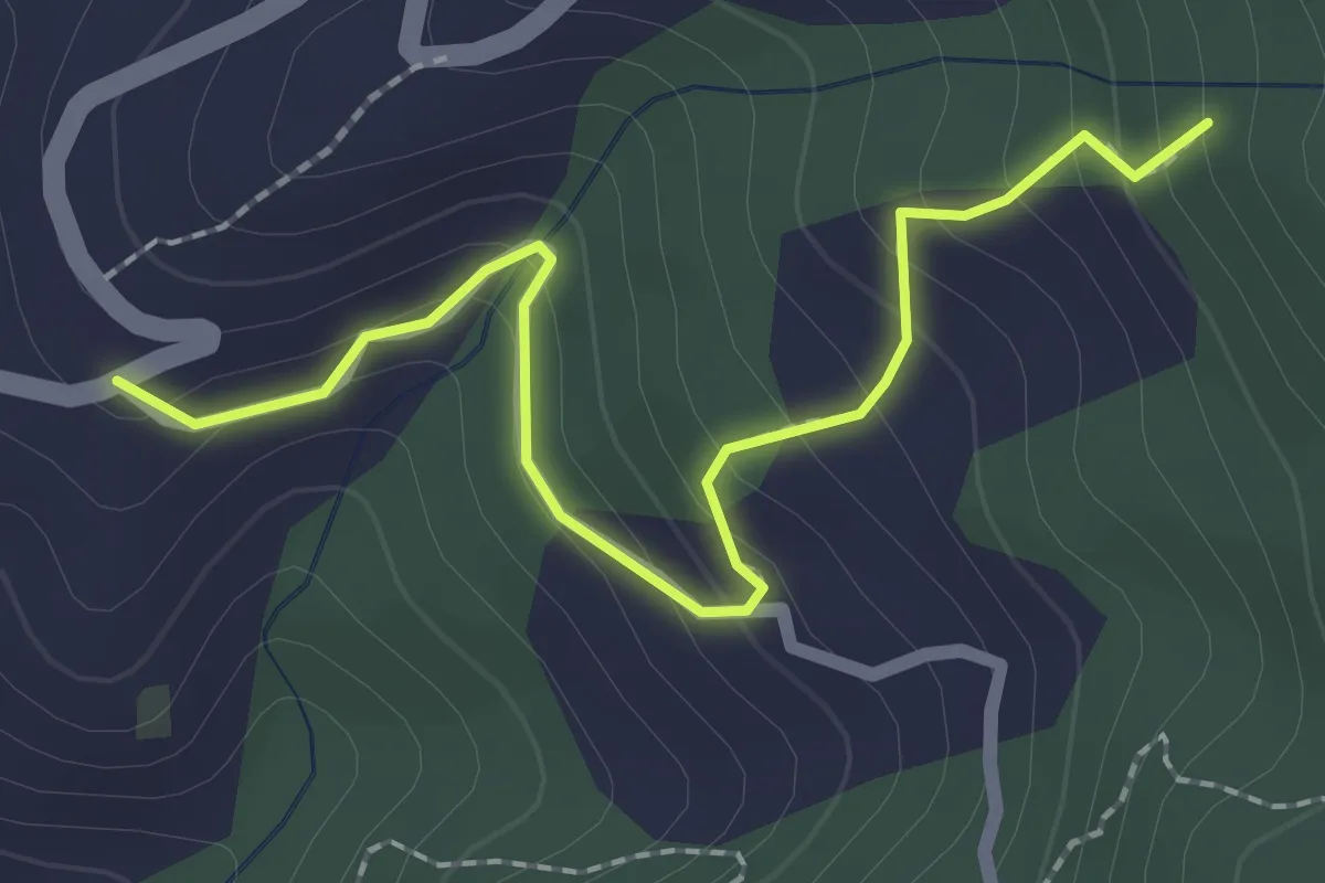
Easy · Trail
Località Falcinello (Percorso 322) – Percorso 327
2.4 km · ↑ 195 m · 1 h
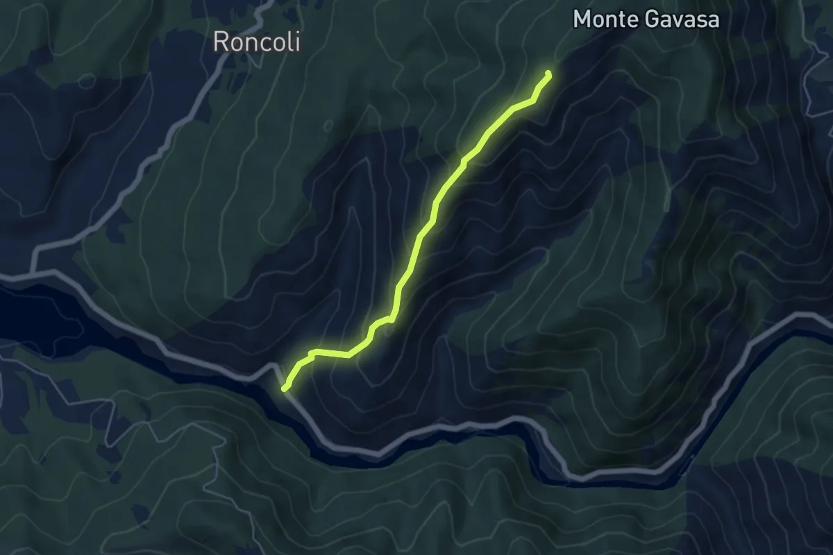
Medium · Trail
SP 140 della Val Borbera, bivio ALA279-ALA209A – Bivio ALA209-ALA209A
4.5 km · ↑ 488 m · 2 h 8 min
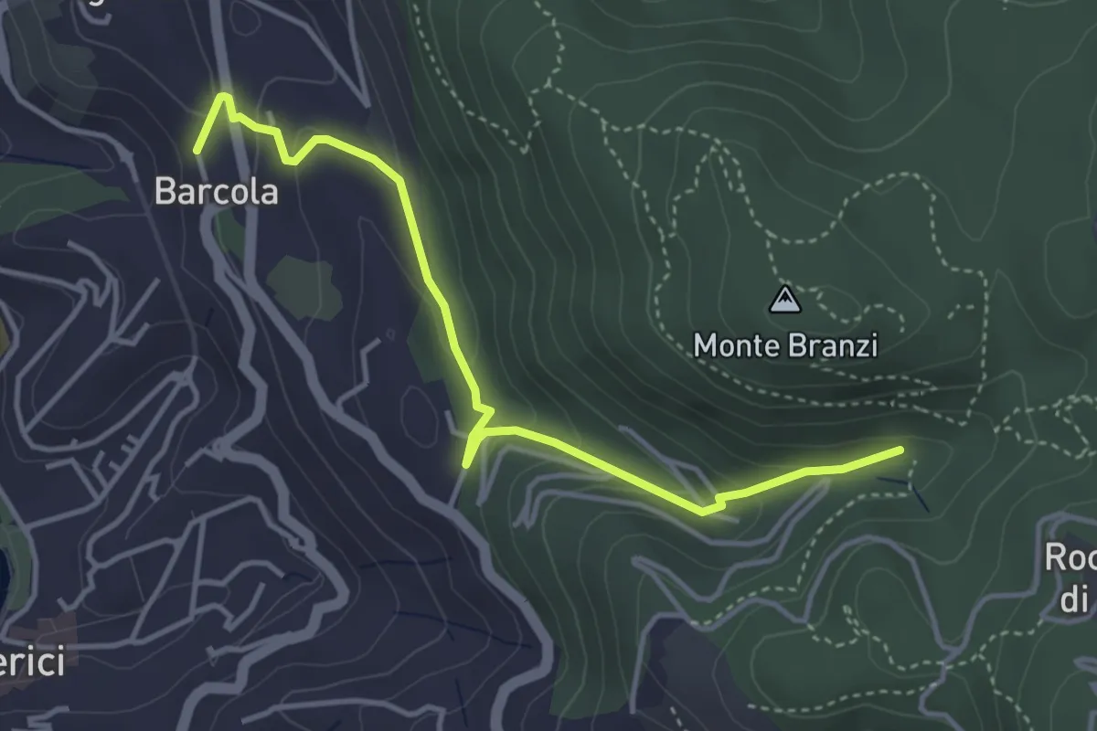
Easy · Trail
Via Le Codine – Via Barcola
4.2 km · ↑ 171 m · 1 h 22 min