Trails in Italy
25,219 hiking trails, each with its route, climb, walking time and grade.
All trails, page 374 of 526
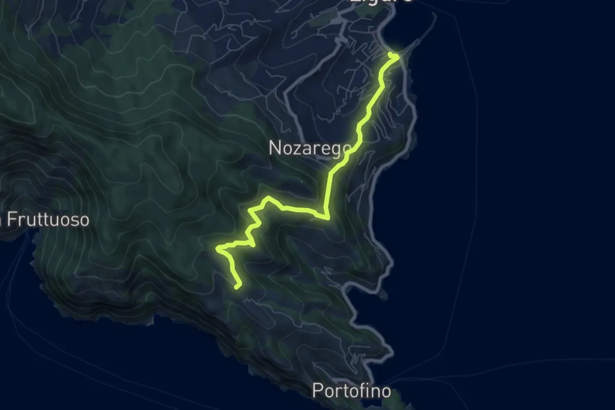
Medium · Trail
Santa Margherita Ligure – Olmi
7.2 km · ↑ 401 m · 2 h 34 min
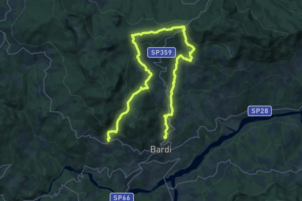
Medium · Trail
Bardi – La Peschiera
15.9 km · ↑ 792 m · 5 h 39 min
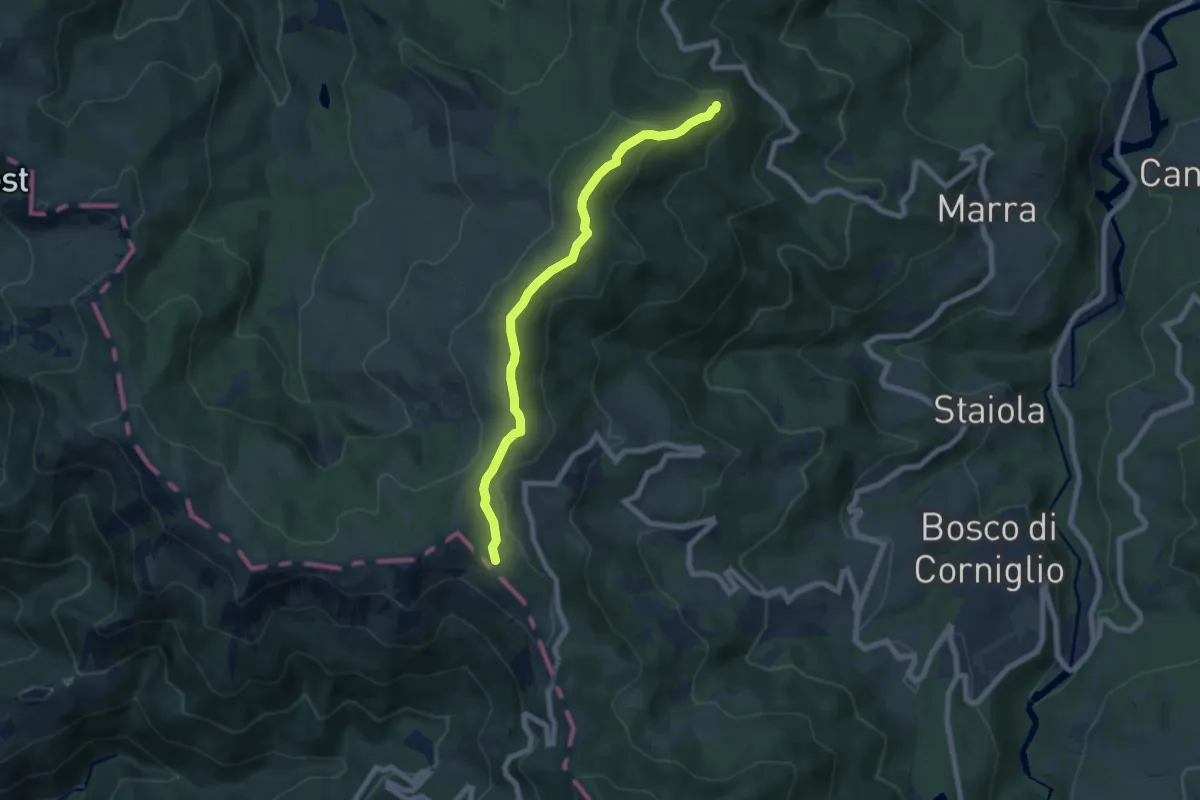
Easy · Trail
Torrechiara – Monte Borgognone
7.0 km · ↑ 258 m · 2 h 13 min
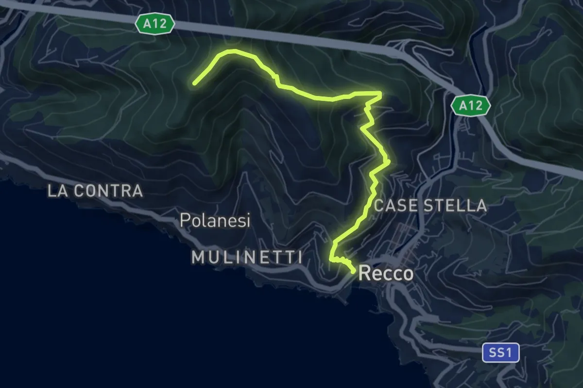
Medium · Trail
Recco – Sant'Uberto
7.4 km · ↑ 582 m · 3 h 1 min
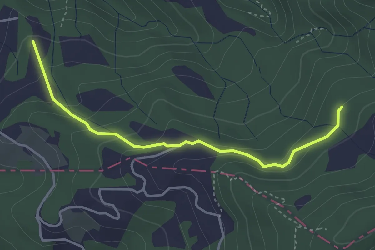
Easy · Trail
Caprigliola – Ar D 'ndre
3.4 km · ↑ 191 m · 1 h 13 min
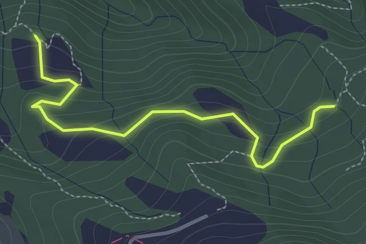
Easy · Trail
La Bastia – Castagni Grossi (bivio 231)
2.8 km · ↑ 159 m · 1 h
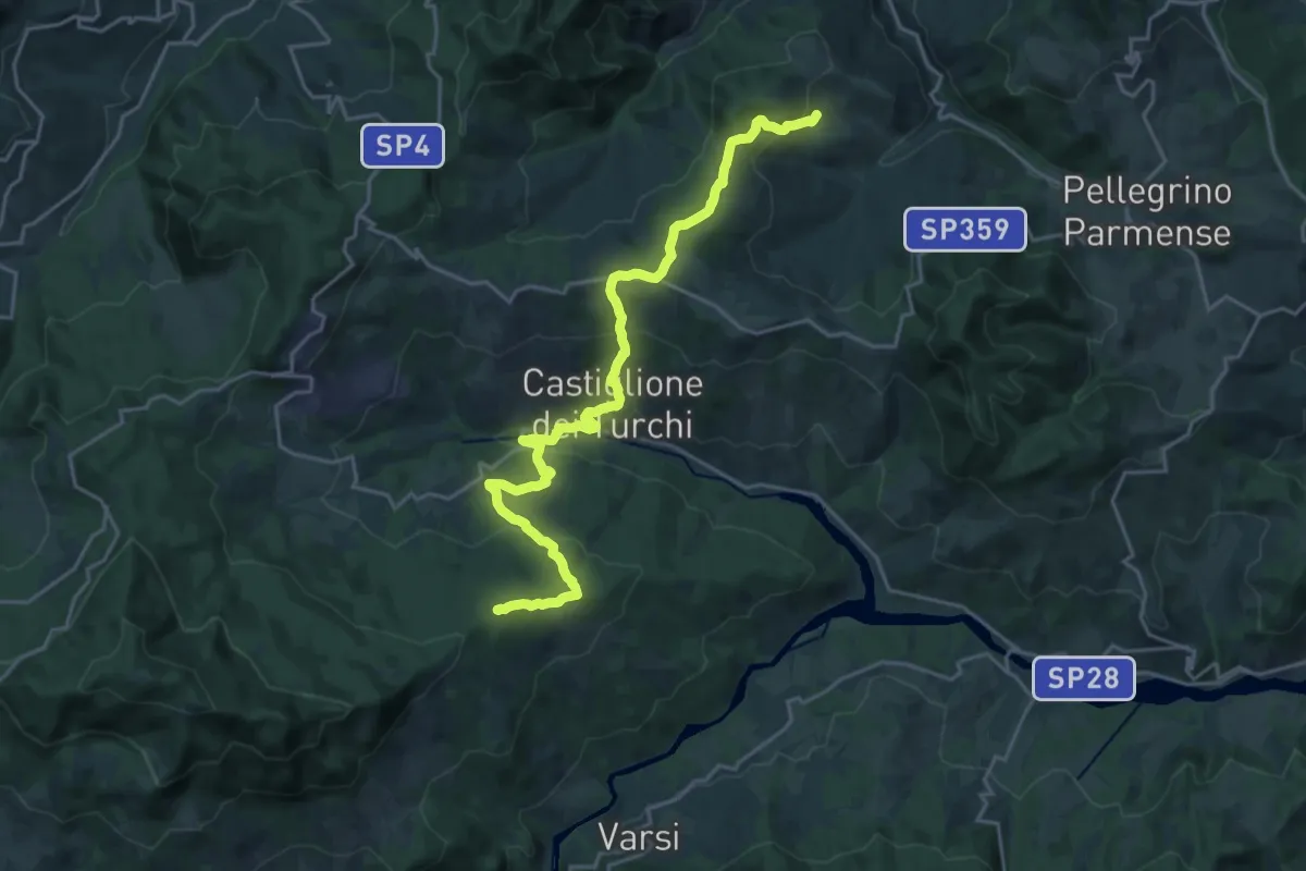
Demanding · Summit
Iggio – Cansaldi
24.4 km · ↑ 1017 m · 7 h 58 min
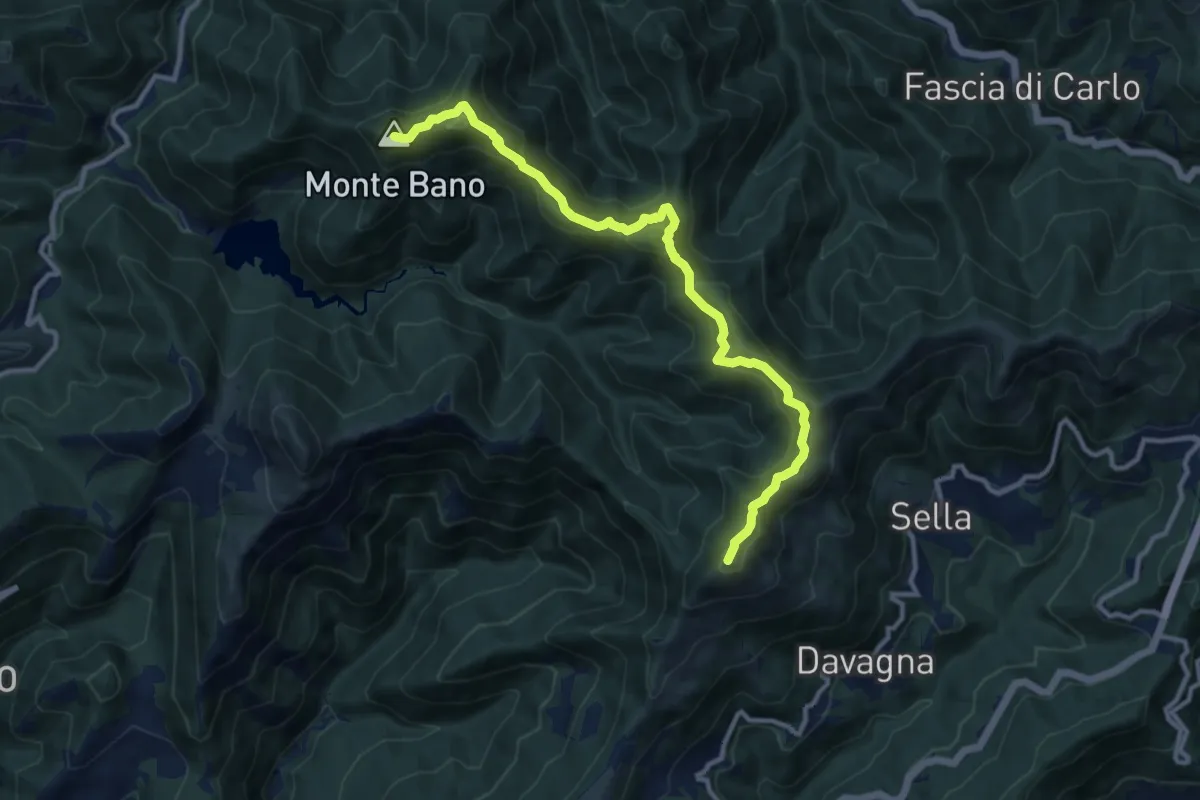
Medium · Summit
Monte Bano – Monte Candelozzo
11.6 km · ↑ 680 m · 4 h 13 min
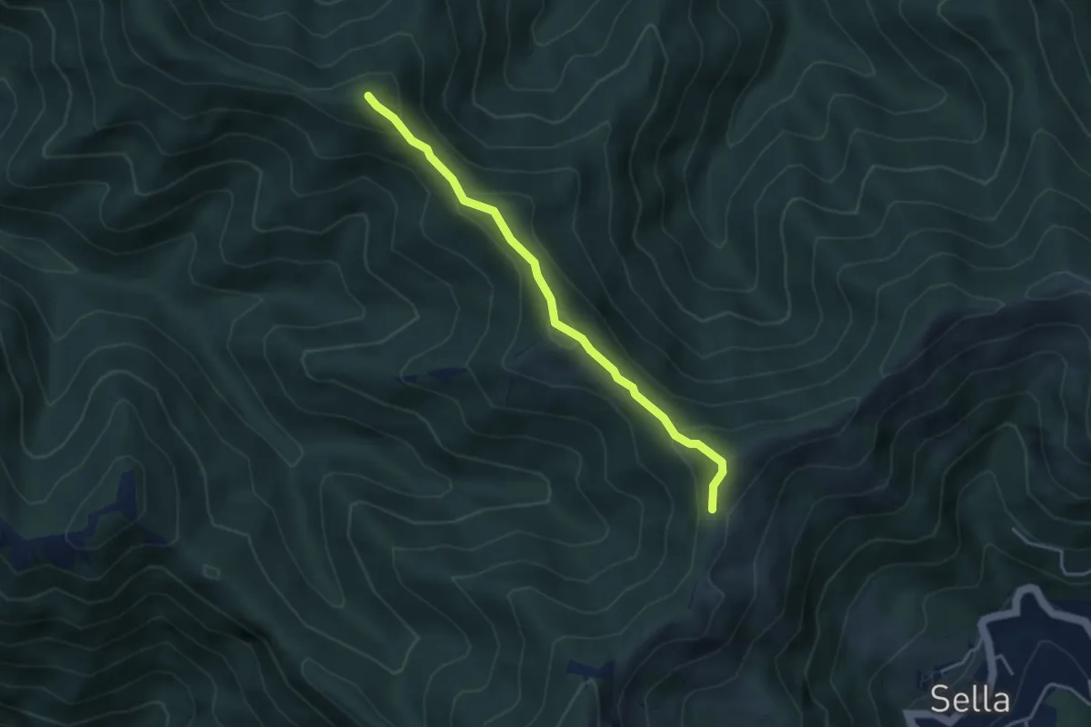
Medium · Summit
Trivio Sella Noci – Sella del Carmo
3.7 km · ↑ 336 m · 1 h 36 min
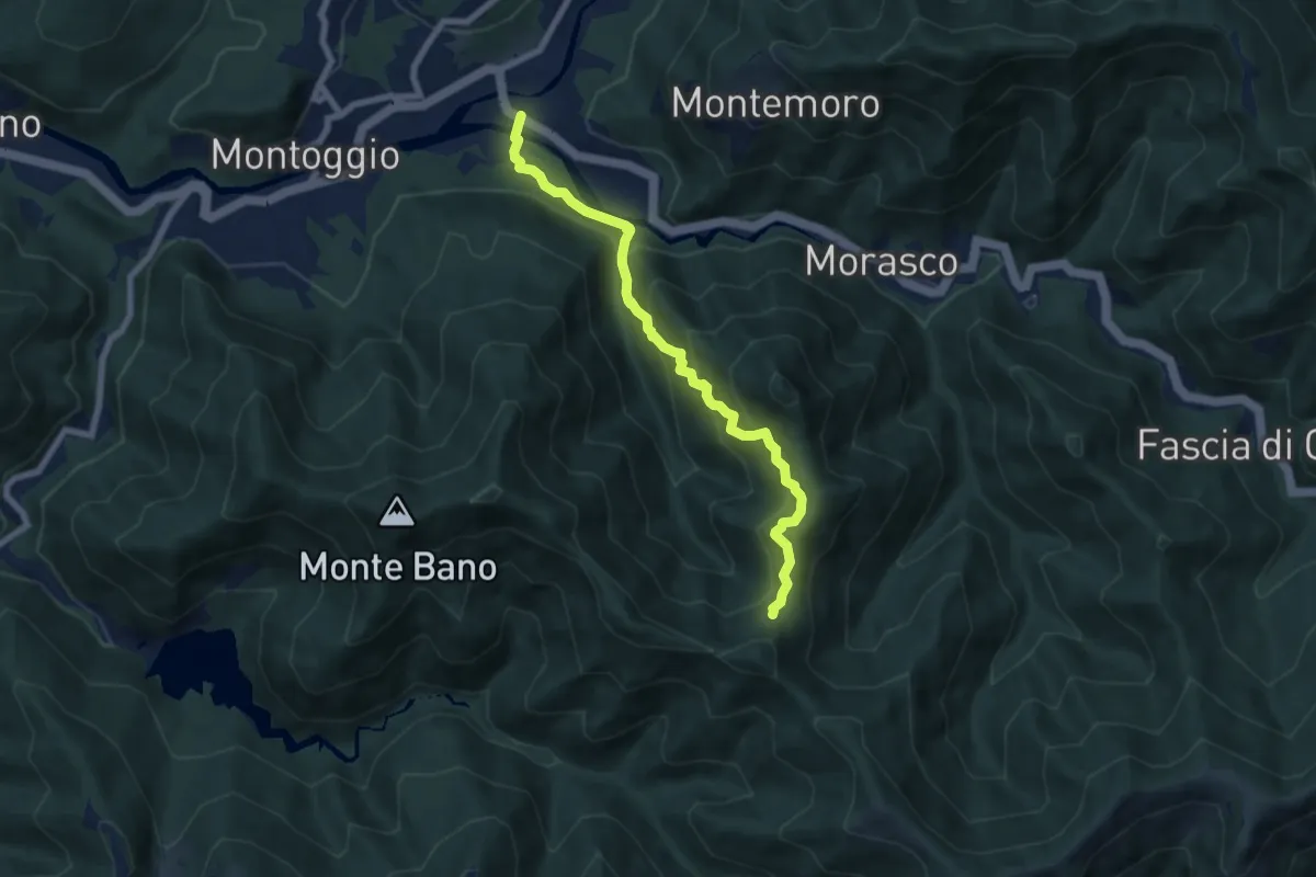
Medium · Trail
Bromia – Campoveneroso
7.2 km · ↑ 662 m · 3 h 8 min
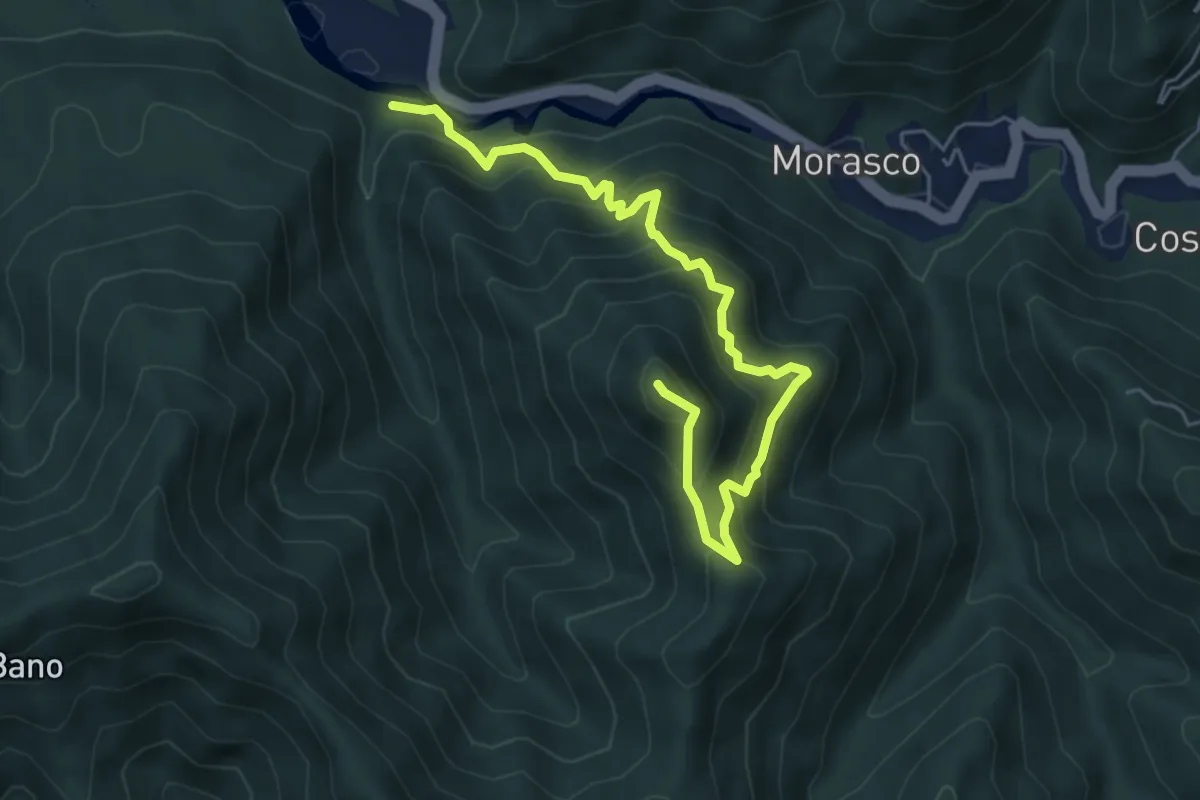
Medium · Summit
Rio Grande – Monte Acuto
6.2 km · ↑ 624 m · 2 h 49 min
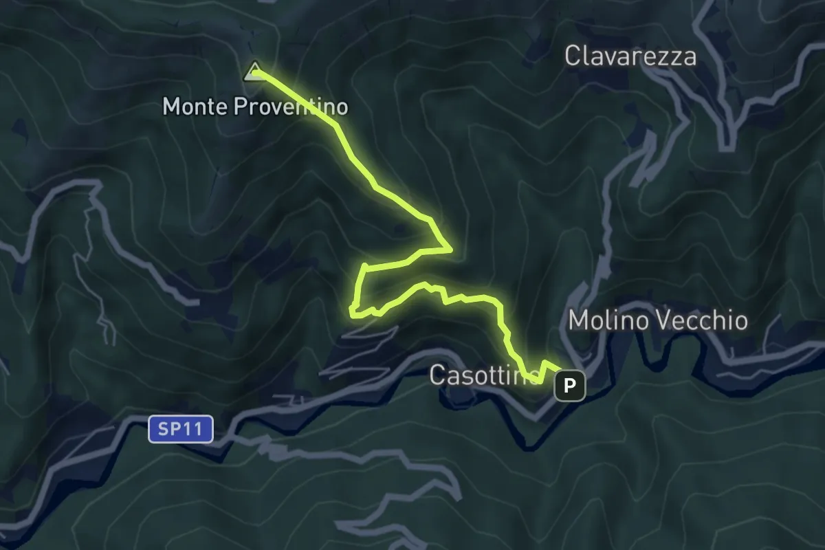
Medium · Summit
La Cà – Monte Proventino
5.8 km · ↑ 617 m · 2 h 42 min
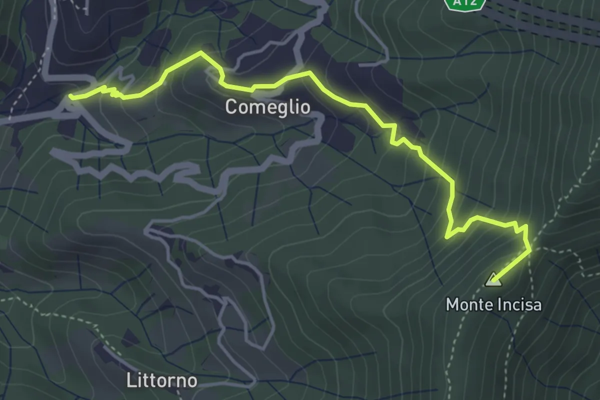
Medium · Summit
Moneglia – Mezzema
4.6 km · ↑ 416 m · 2 h
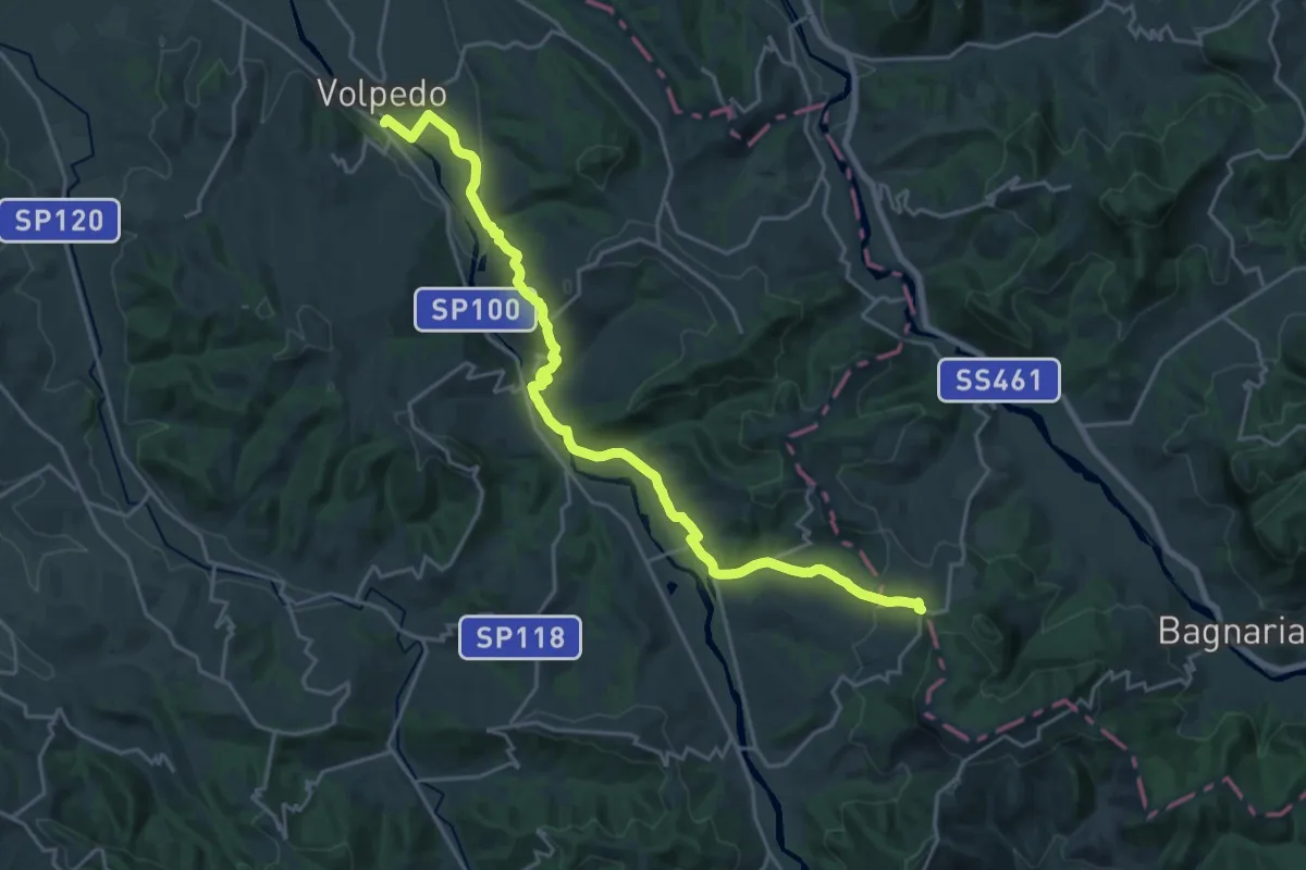
Demanding · Trail
Volpedo, bivio ALA101-ALA102 – Serra del Monte, bivio ALA102-ALA103
25.0 km · ↑ 548 m · 7 h 5 min
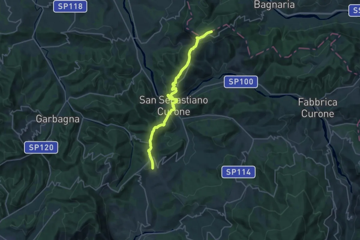
Demanding · Trail
Dernice (bivio ALA139-ALA155) – Gremiasco, bivio ALA103-ALA155
18.3 km · ↑ 776 m · 6 h
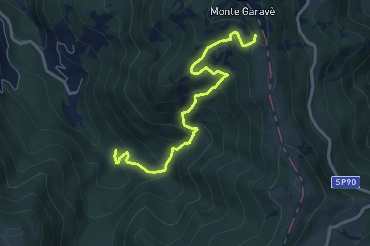
Medium · Trail
Fabbrica Curone, bivio ALA116-ALA156 – Fabbrica Curone, bivio ALA105-ALA156 presso Monte Garave
5.5 km · ↑ 430 m · 2 h 14 min
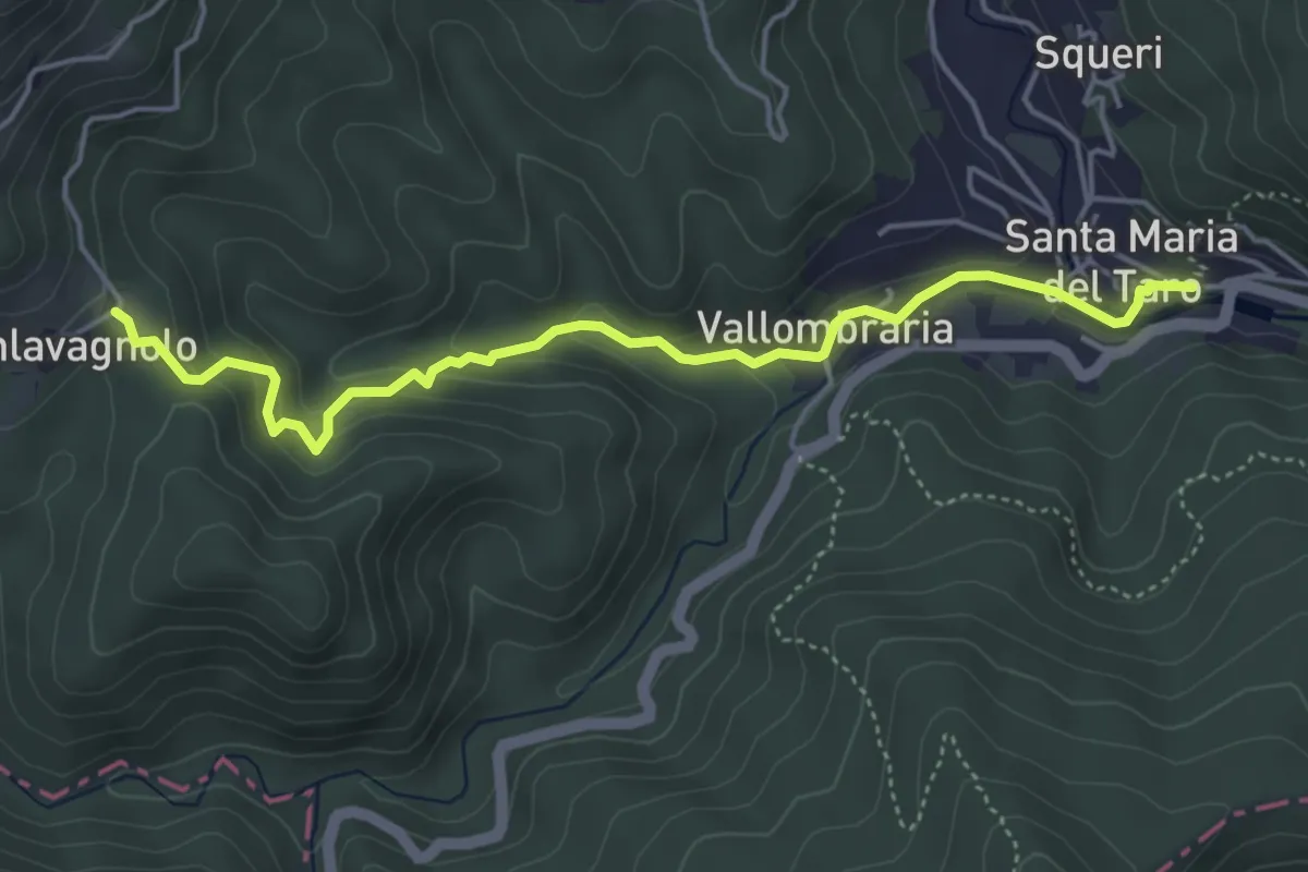
Easy · Trail
Santa Maria del Taro Monumento – Pianlavagnolo
5.0 km · ↑ 242 m · 1 h 43 min
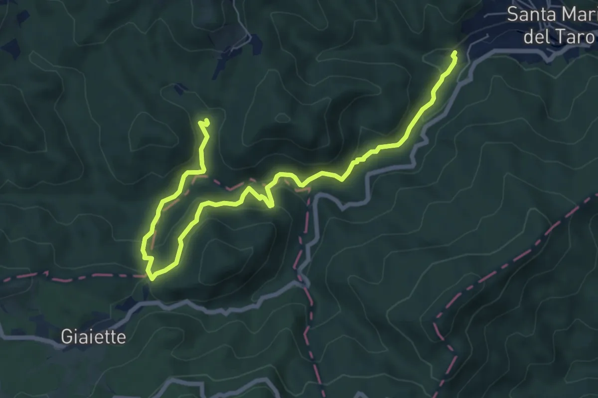
Medium · Trail
Sbarbori – Pianlavagnolo
8.3 km · ↑ 401 m · 2 h 50 min
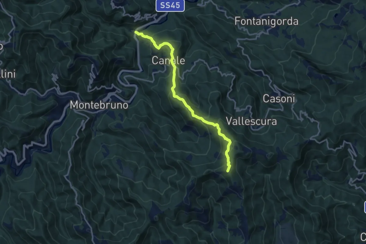
Medium · Summit
Due Ponti – Passo della Rocca
11.4 km · ↑ 751 m · 4 h 20 min
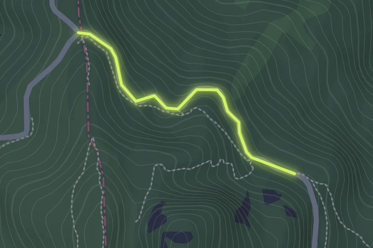
Easy · Trail
Passo della Tabella – Passo del Chiodo
2.0 km · ↑ 62 m · 36 min
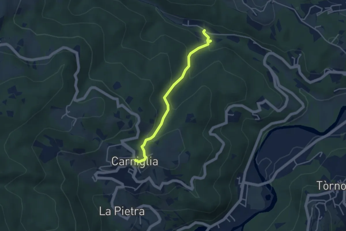
Easy · Trail
Gelana (Percorso 827) – Carniglia
3.2 km · ↑ 172 m · 1 h 7 min
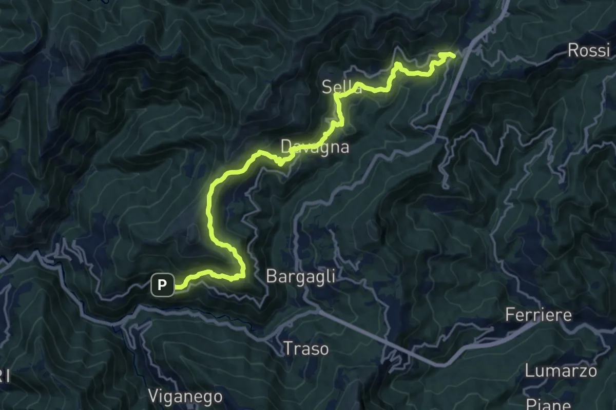
Demanding · Trail
Meco – Scoffera
19.9 km · ↑ 1074 m · 7 h 2 min
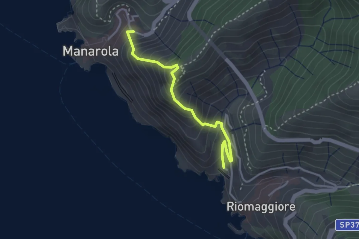
Medium · Trail
Riomaggiore – Manarola
2.8 km · ↑ 366 m · 1 h 27 min
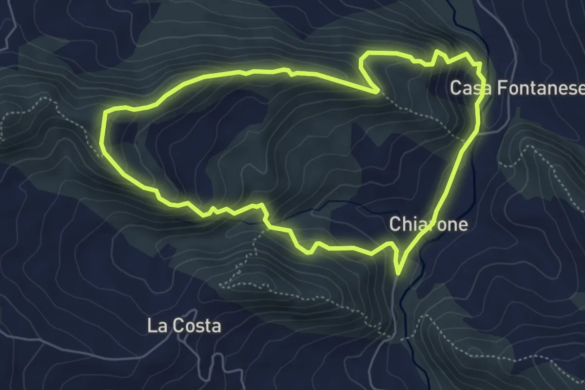
Medium · Trail
Chiarone – Chiarone
5.2 km · ↑ 339 m · 2 h 3 min
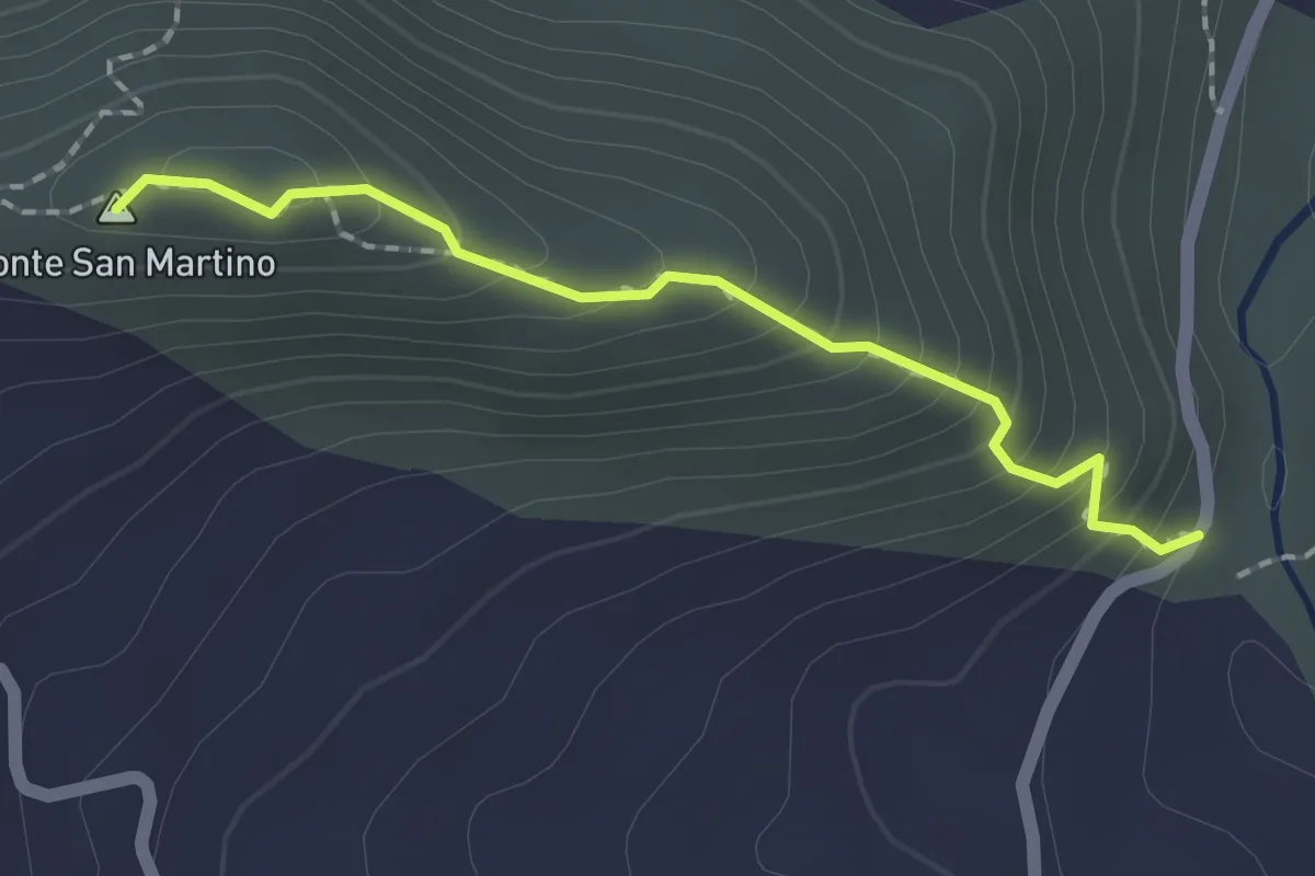
Medium · Summit
Strada del Chiarone – Rio Tinello
1.8 km · ↑ 177 m · 48 min
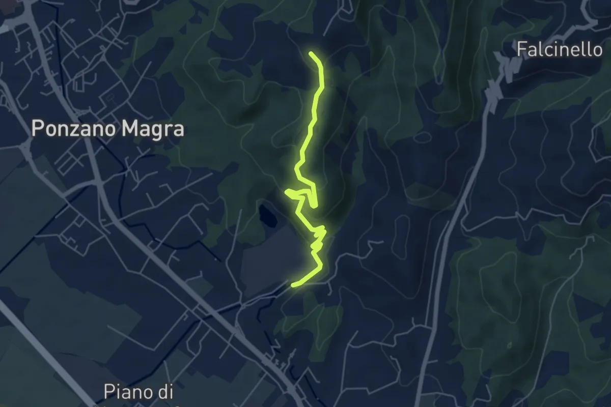
Easy · Trail
Percorso 341 – Percorso 343
5.0 km · ↑ 234 m · 1 h 41 min
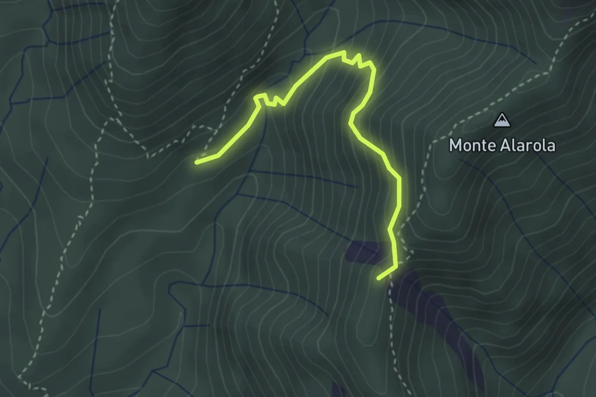
Medium · Summit
Percorso 122 – Sella del Montino
3.1 km · ↑ 298 m · 1 h 22 min
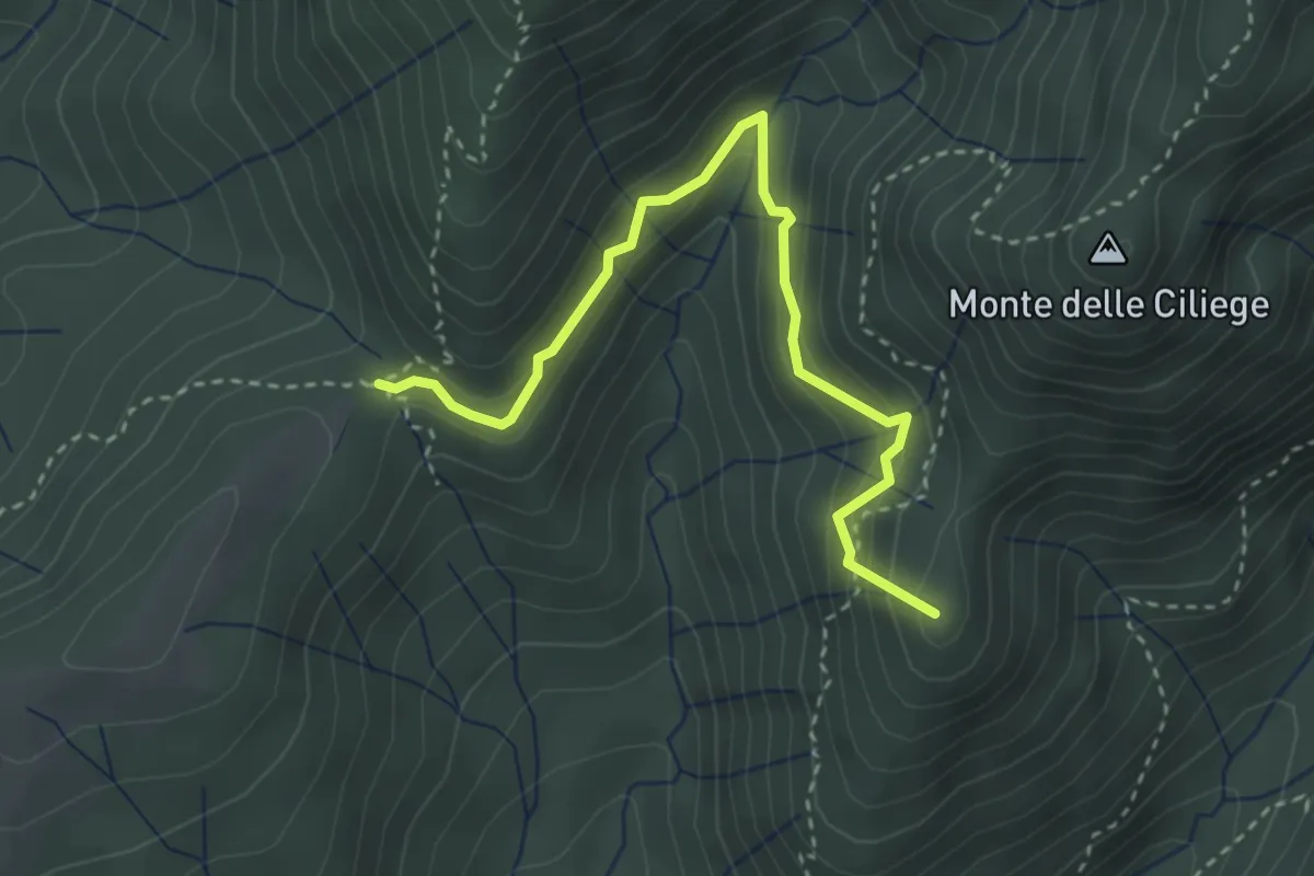
Demanding · Summit
Percorso 122A – Percorso 124
3.5 km · ↑ 314 m · 1 h 30 min
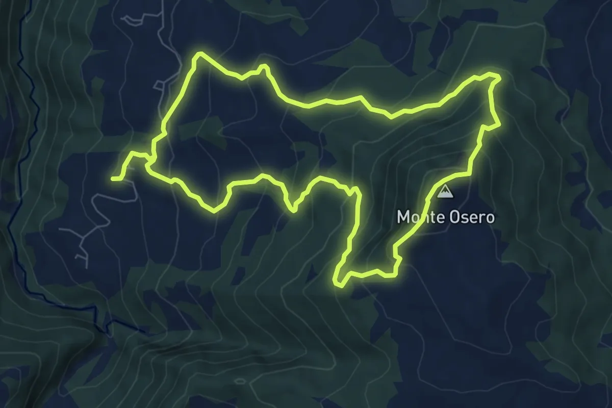
Medium · Summit
Chiesa di Calenzano – Chiesa di Calenzano
7.9 km · ↑ 607 m · 3 h 17 min
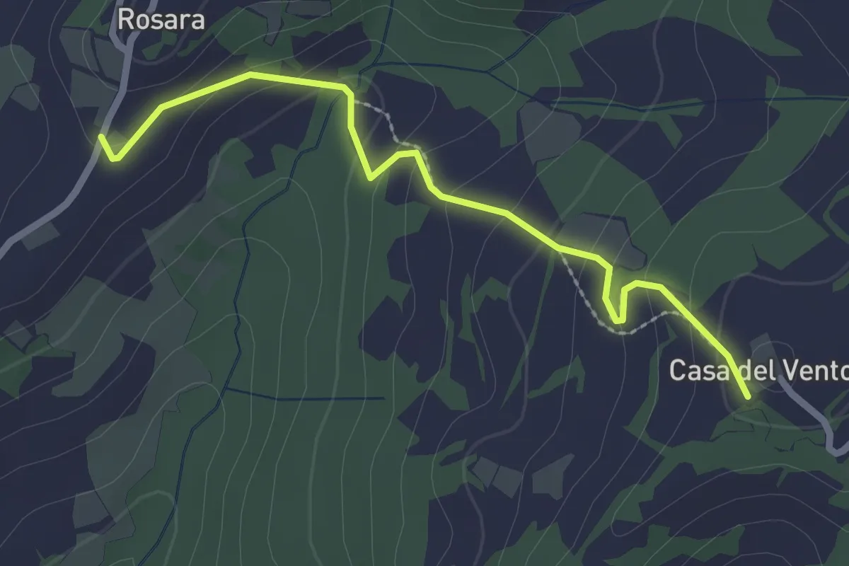
Easy · Trail
Casa del Vento – Rosara
2.5 km · ↑ 132 m · 53 min
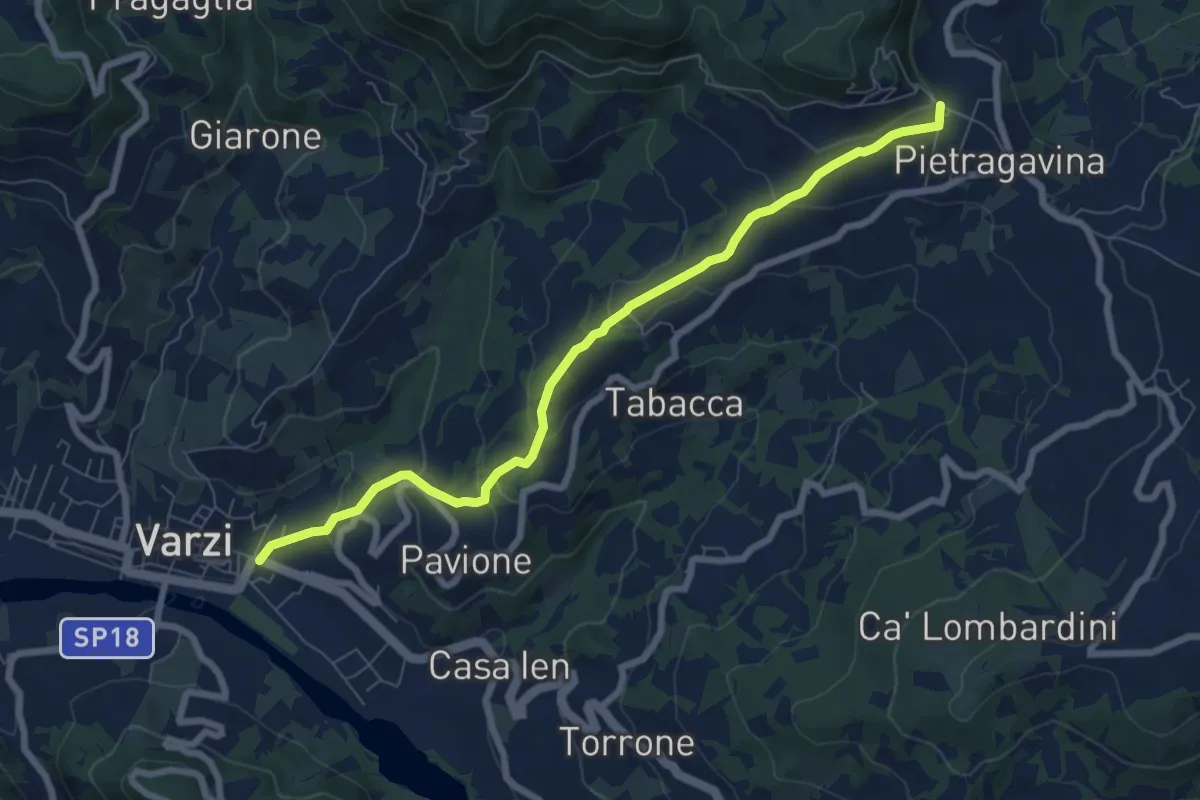
Medium · Trail
Varzi – Pietragavina
7.8 km · ↑ 321 m · 2 h 32 min
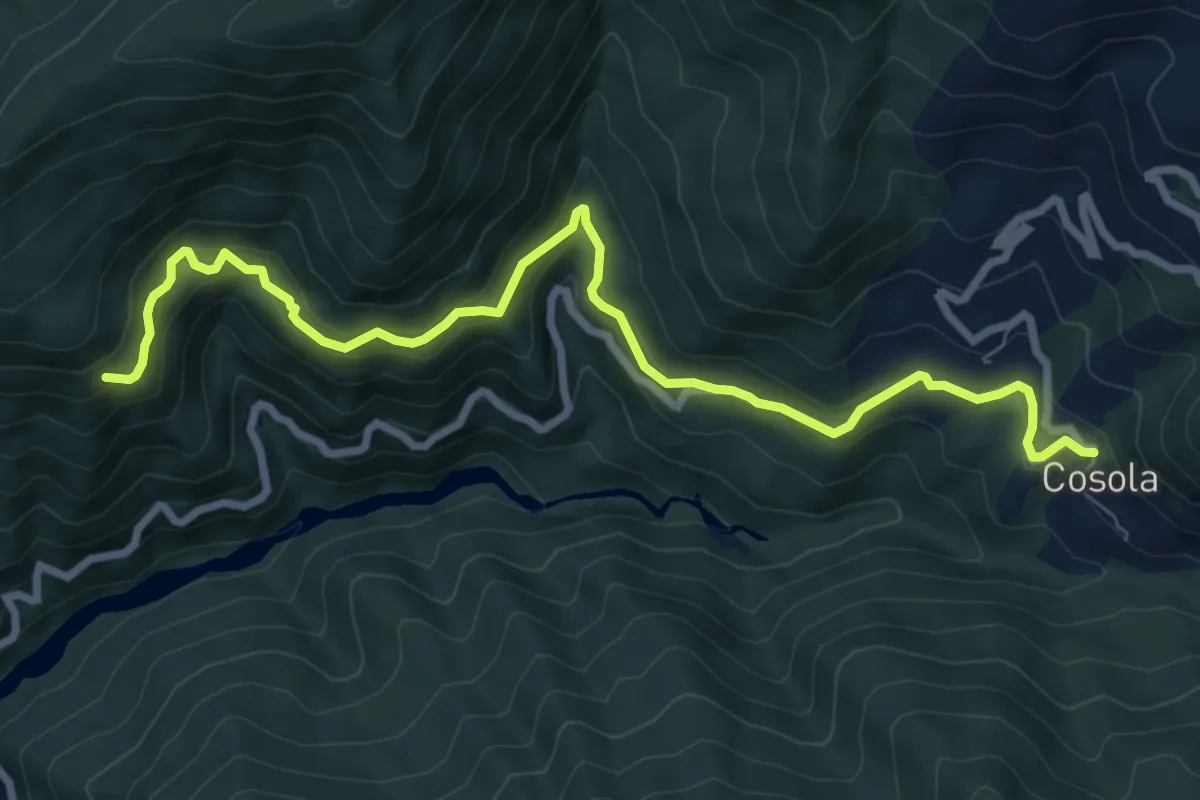
Medium · Trail
Piuzzo-Cosola, bivio ALA220-ALA221-ALA225 – Montaldo di Cosola
9.2 km · ↑ 582 m · 3 h 26 min
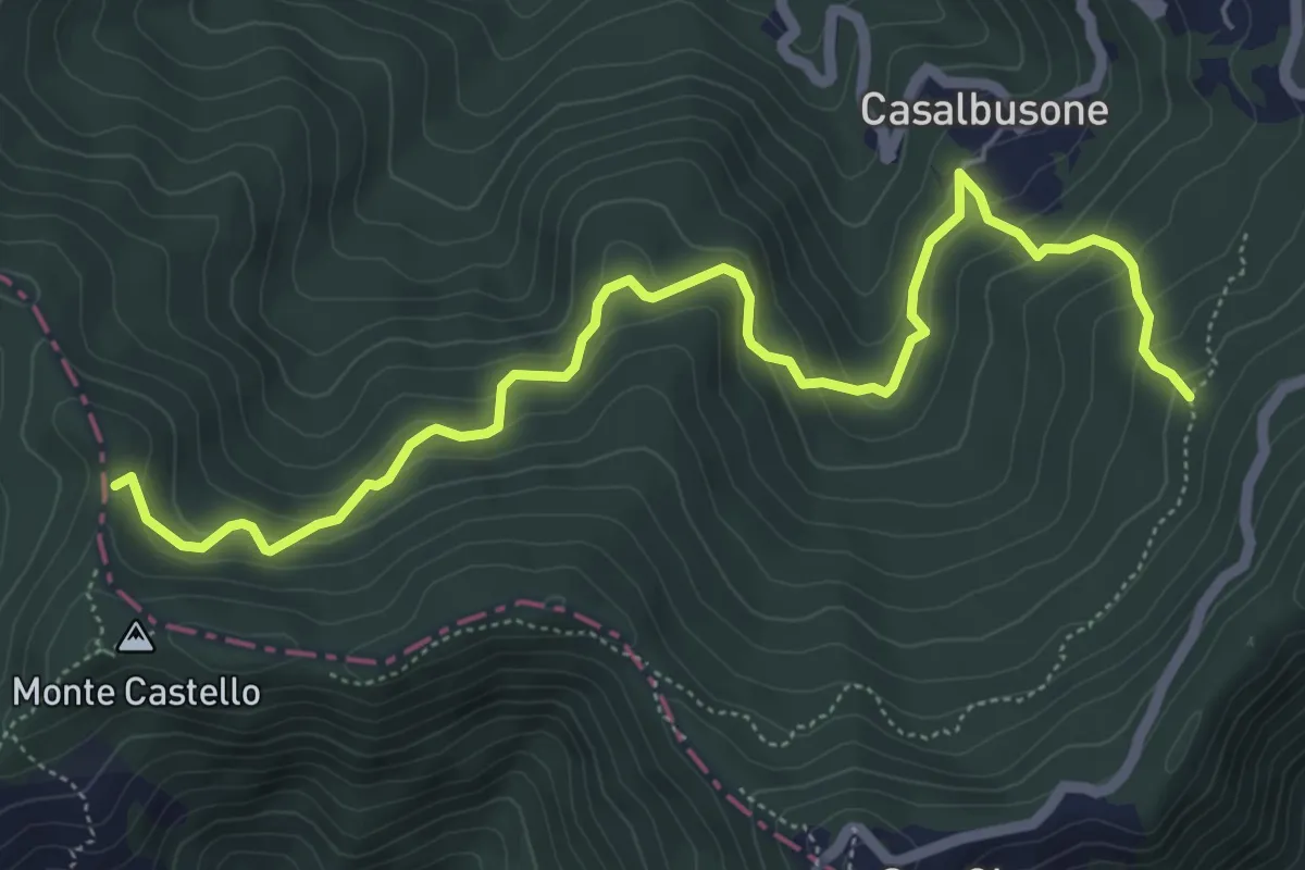
Medium · Trail
Bivio ALA252-ALA253 – Bivio ALA200-ALA253
6.9 km · ↑ 460 m · 2 h 38 min
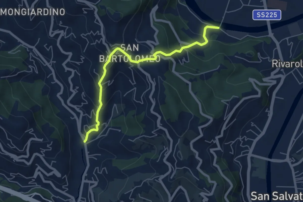
Medium · Trail
Rostio – Ponte Vecchio
5.4 km · ↑ 427 m · 2 h 12 min
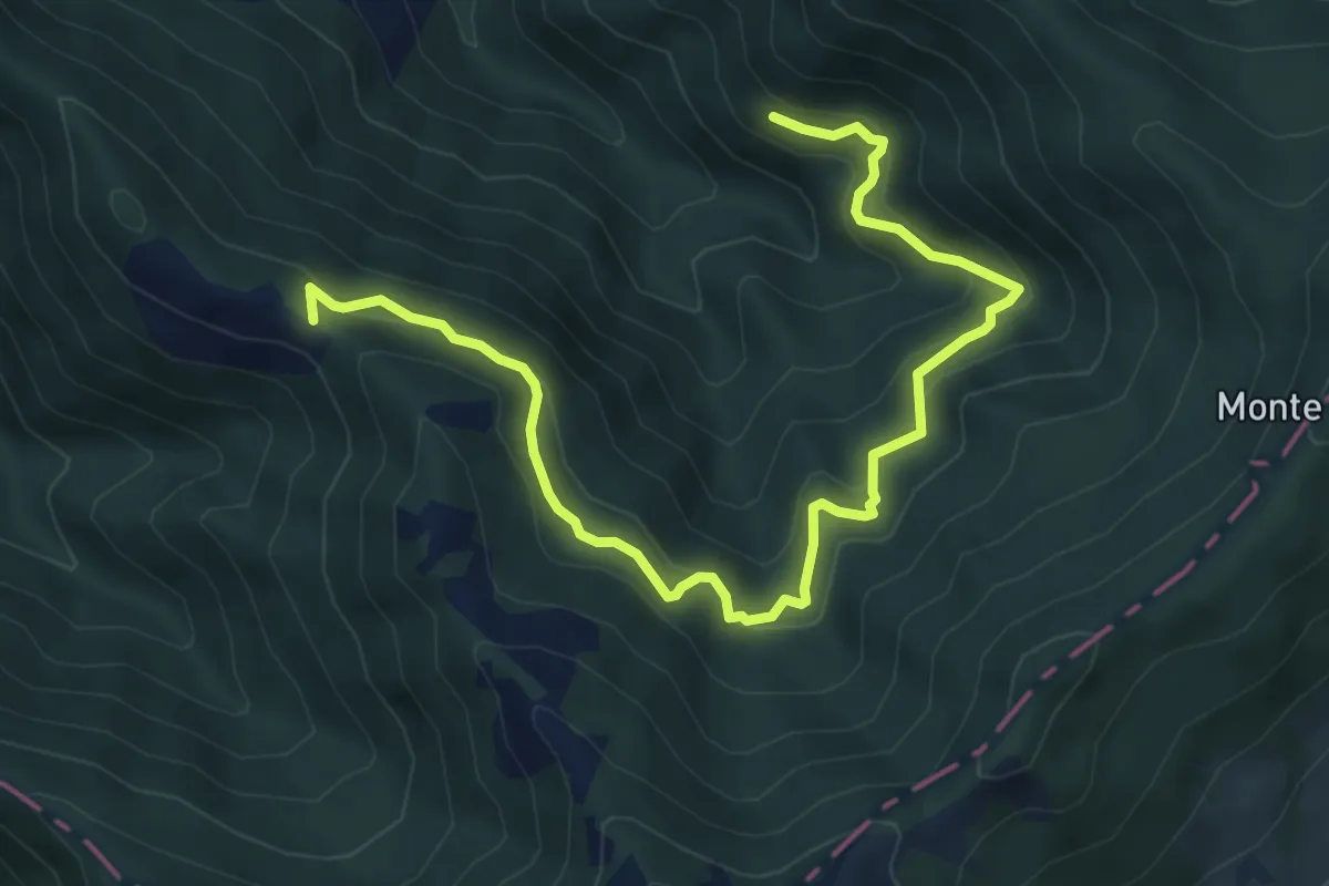
Medium · Trail
Presso borgata Reneuzzi, bivio ALA242-ALA243 – Località Sella Banchiera, bivio ALA243-ALA245-ALA250-ALA251
7.6 km · ↑ 548 m · 2 h 58 min
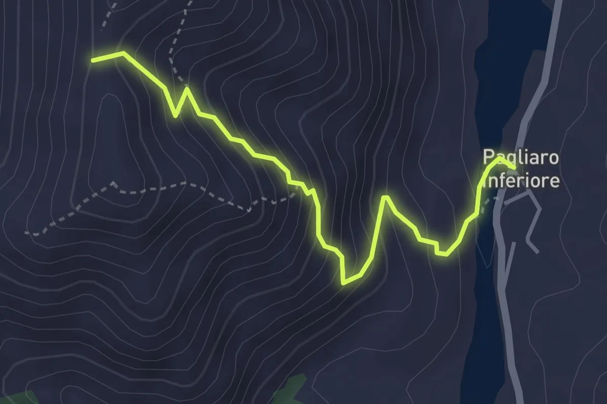
Medium · Trail
Rocchetta Ligure, Frazione Pagliaro – Presso Monte Cravasana, bivio ALA255-ALA256-ALA260
3.7 km · ↑ 373 m · 1 h 41 min
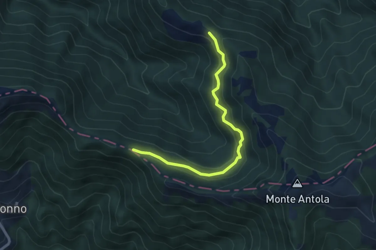
Easy · Trail
Sella Banchiera, bivio ALA245-ALA250-ALA251 – Capanna di Tonno, bivio ALA200-ALA251
5.0 km · ↑ 289 m · 1 h 48 min
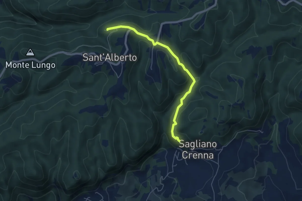
Easy · Trail
Sagliano – Sant'Alberto (Abazzia)
5.2 km · ↑ 264 m · 1 h 47 min
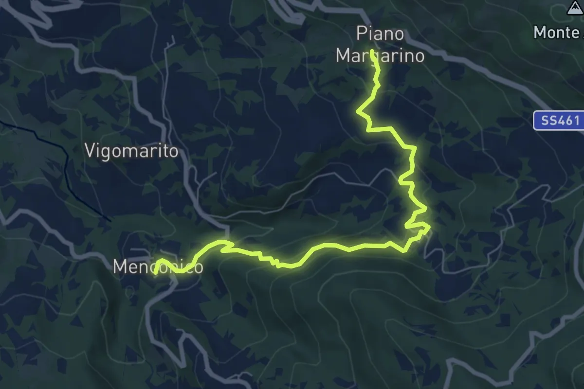
Medium · Trail
Piano Margarino – Menconico
7.5 km · ↑ 499 m · 2 h 51 min
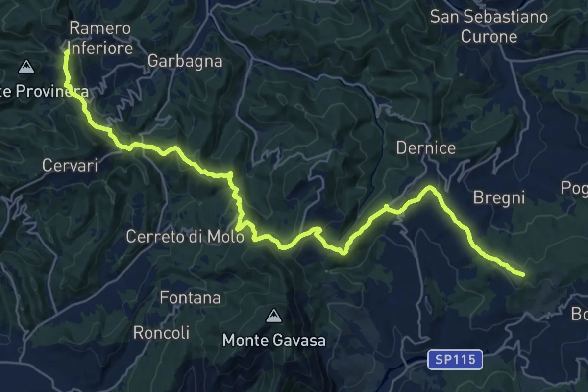
Demanding · Summit
Avolasca – Presso Costa delle Forche, passo della Crocetta, bivio ALA139-ALA200
25.6 km · ↑ 889 m · 7 h 58 min
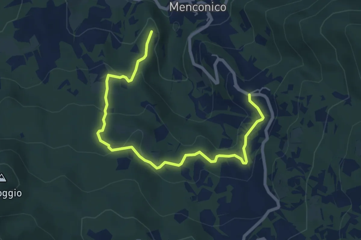
Easy · Trail
Carrobiolo – Bivio sentiero 137-Menconico
6.2 km · ↑ 249 m · 2 h
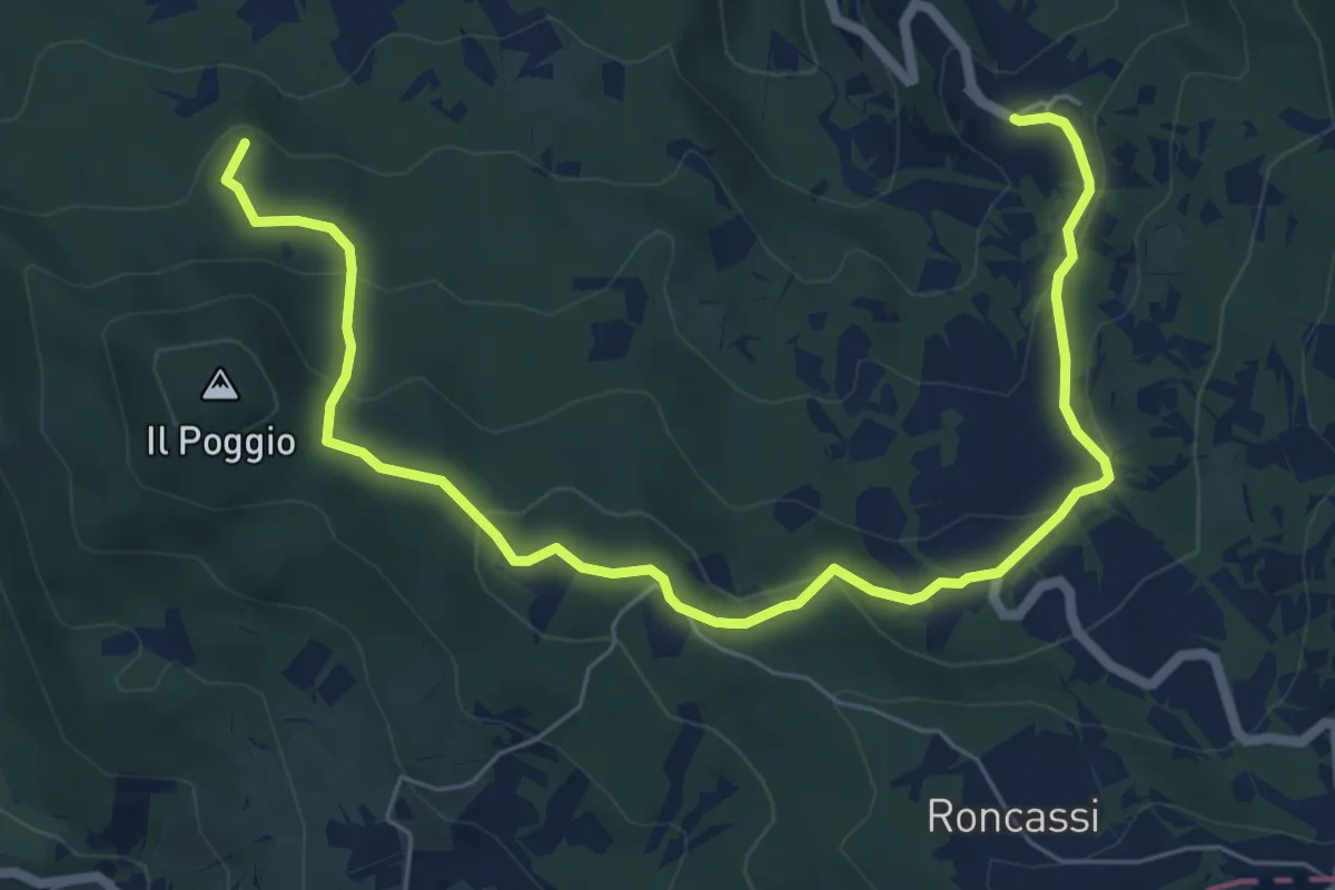
Medium · Summit
Carrobiolo – Bivio sentiero 137-Montemartino
8.3 km · ↑ 338 m · 2 h 42 min
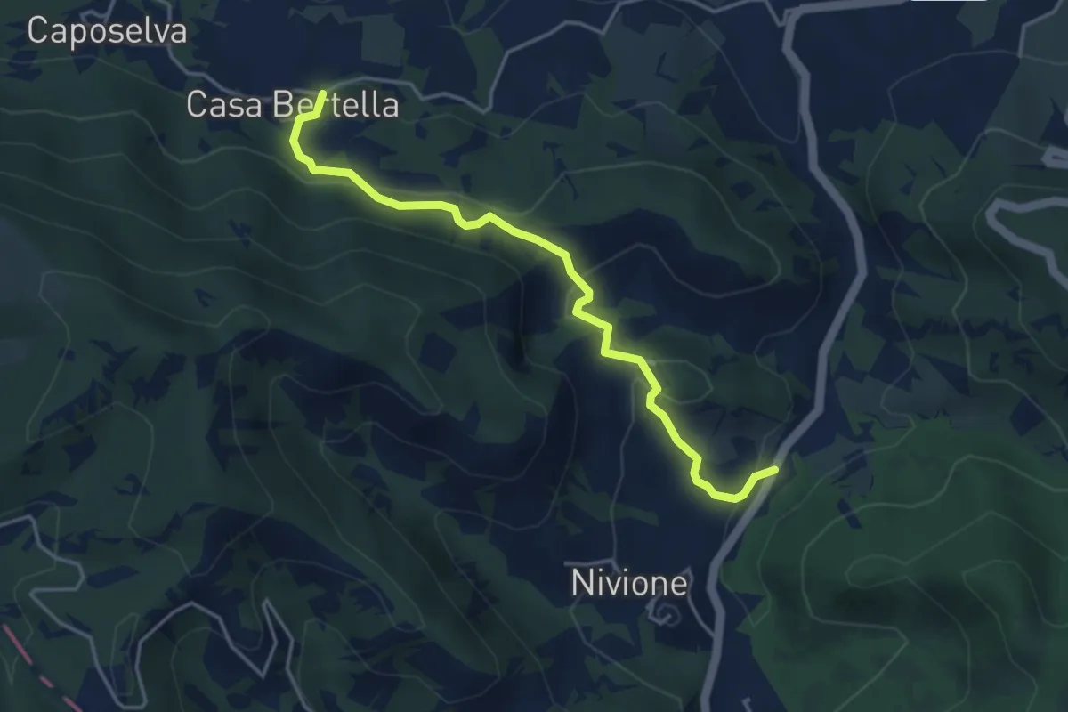
Easy · Trail
Casa Bertella – Filagni di Nivione
4.1 km · ↑ 204 m · 1 h 25 min
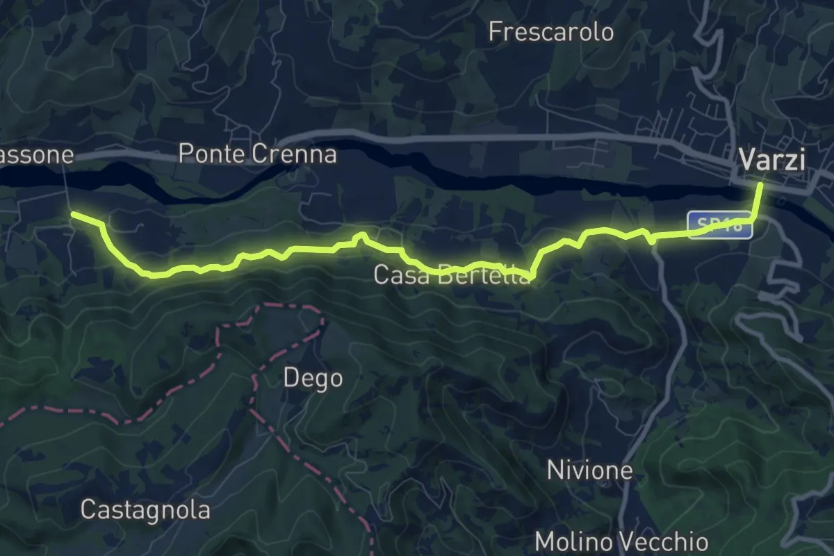
Medium · Trail
Casa Galeotti – Varzi
10.5 km · ↑ 355 m · 3 h 14 min
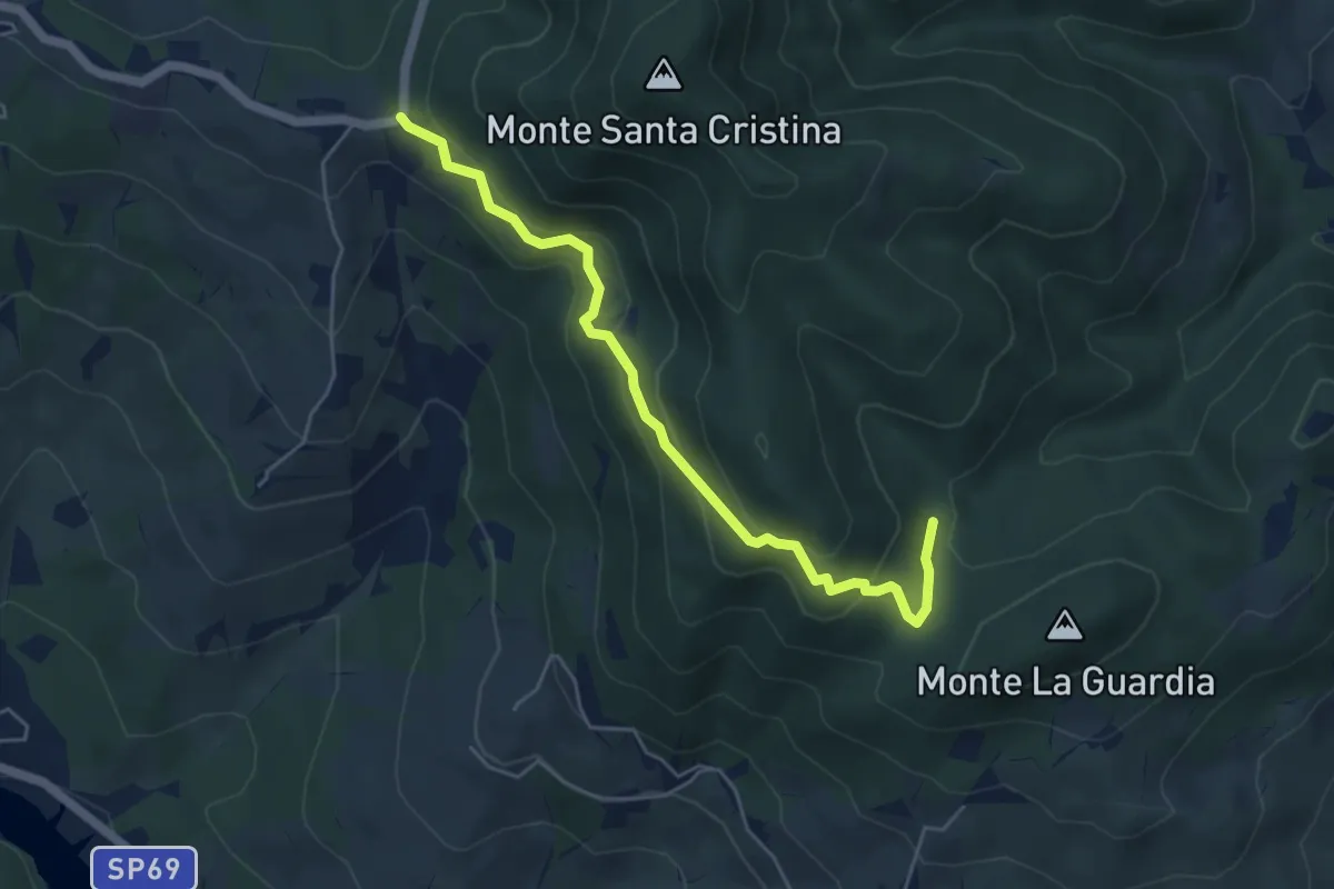
Medium · Trail
Ca' Melponti – Percorso 804
5.4 km · ↑ 323 m · 1 h 59 min
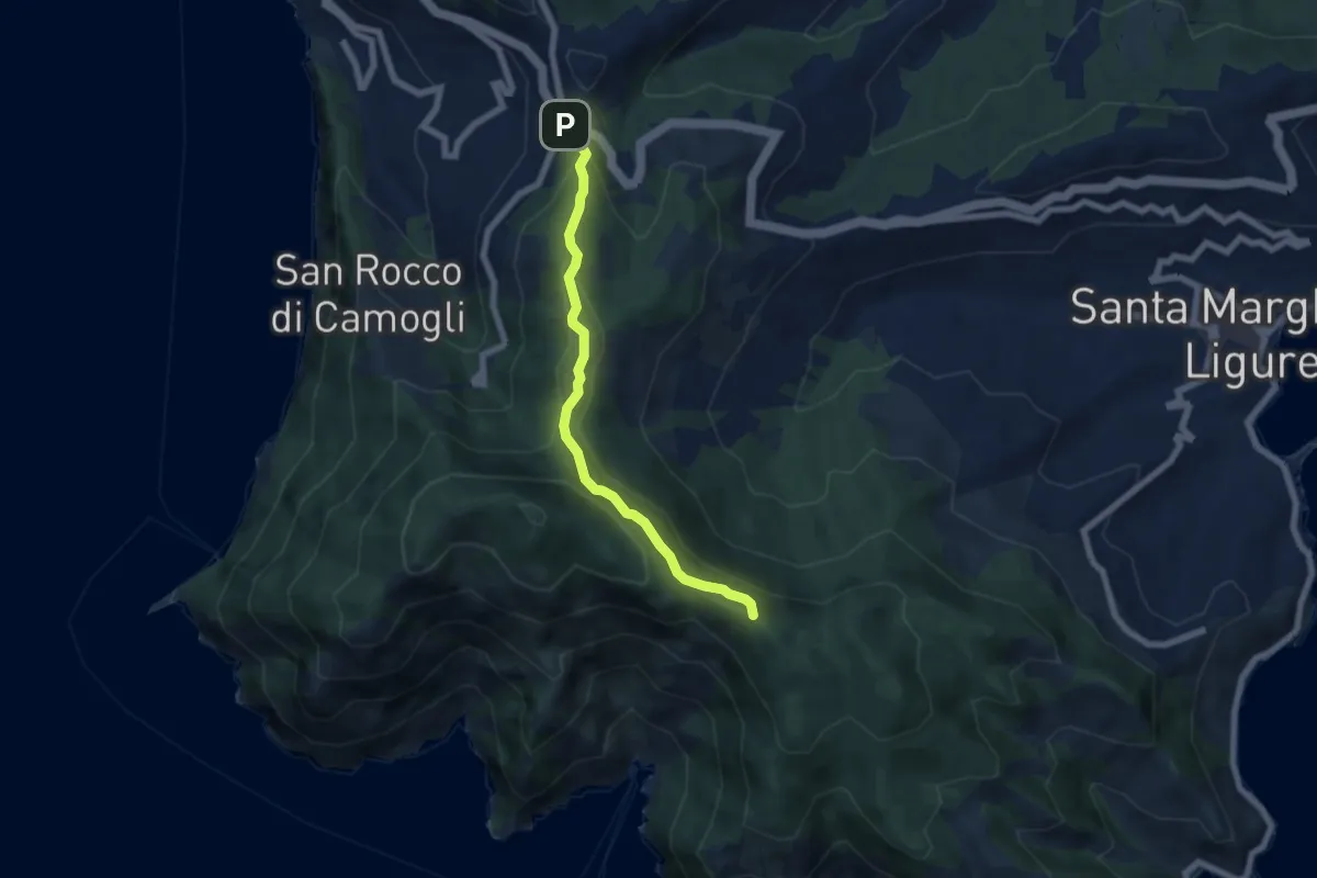
Easy · Summit
Ruta – Portofino
6.3 km · ↑ 291 m · 2 h 7 min
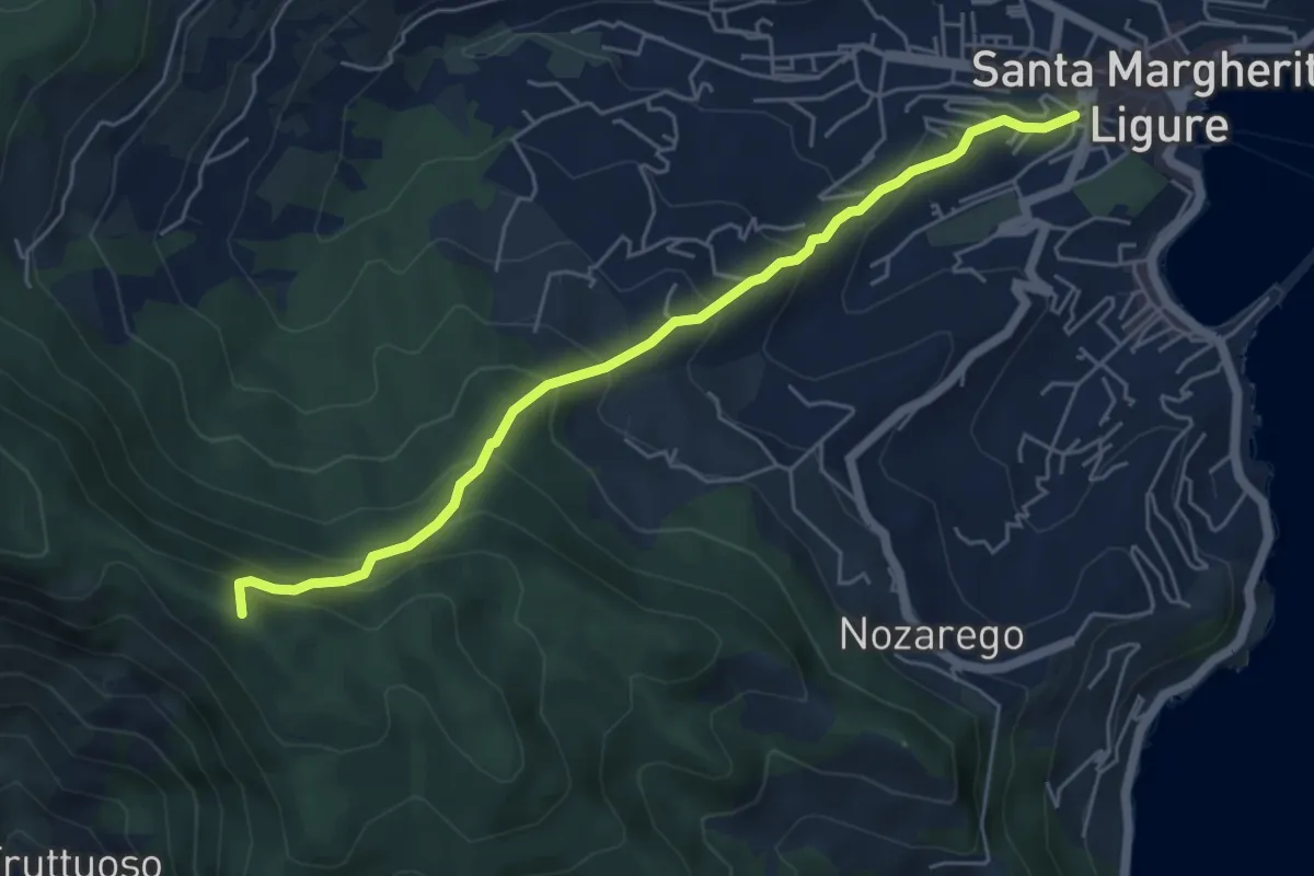
Medium · Summit
Santa Margherita Ligure – Pietre Strette
5.6 km · ↑ 476 m · 2 h 21 min
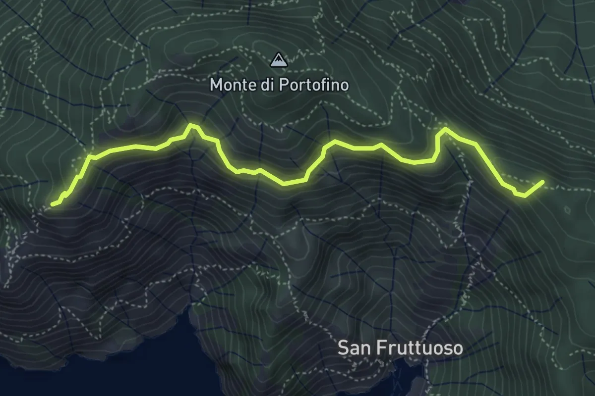
Medium · Summit
Base "0" – Semaforo Nuovo
5.2 km · ↑ 314 m · 1 h 54 min