Trails in Italy
25,219 hiking trails, each with its route, climb, walking time and grade.
All trails, page 375 of 526
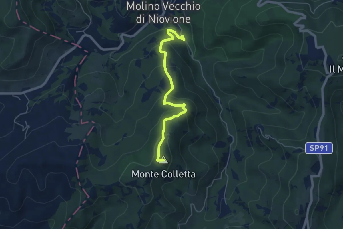
Easy · Summit
Molino di Nivione – Pian dei Laghi
4.6 km · ↑ 317 m · 1 h 47 min
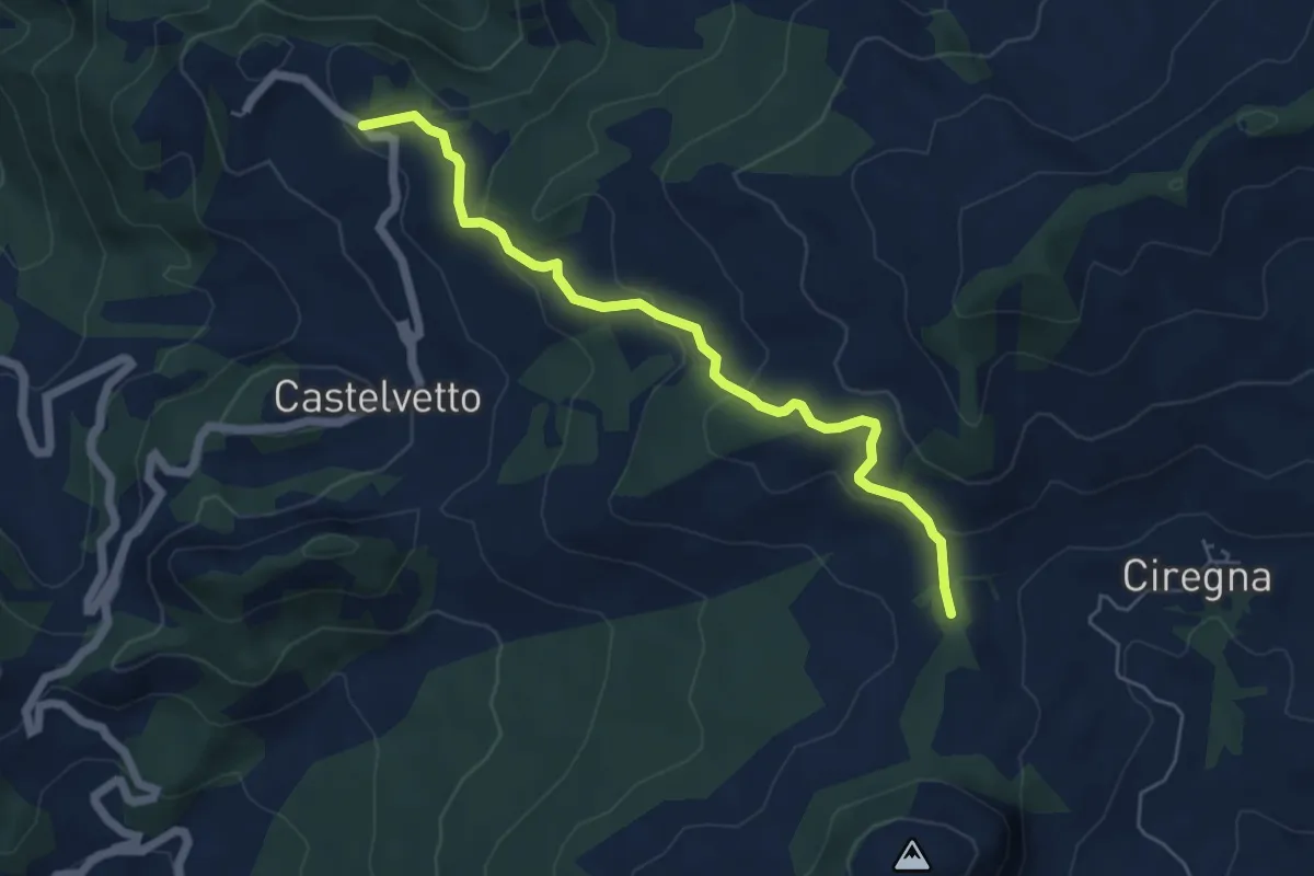
Easy · Trail
Marsaglia – Percorso 001
5.8 km · ↑ 236 m · 1 h 53 min
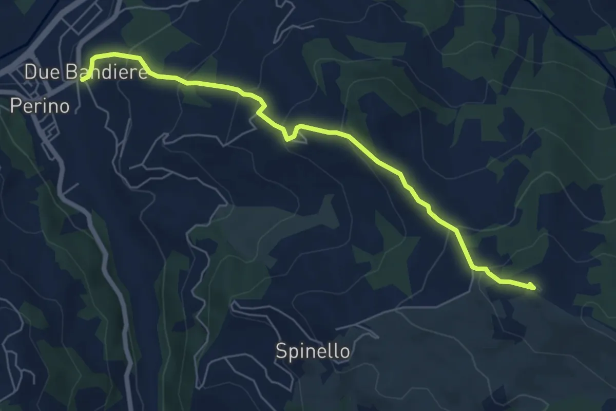
Medium · Summit
Due Bandiere – Passo Pia
6.1 km · ↑ 379 m · 2 h 16 min
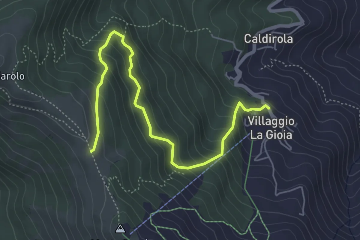
Medium · Trail
Villaggio la Gioia, bivio ALA106A-ALA140 – Bivio ALA140-ALA200 presso Mont Gropà
5.6 km · ↑ 472 m · 2 h 20 min
Medium · Trail
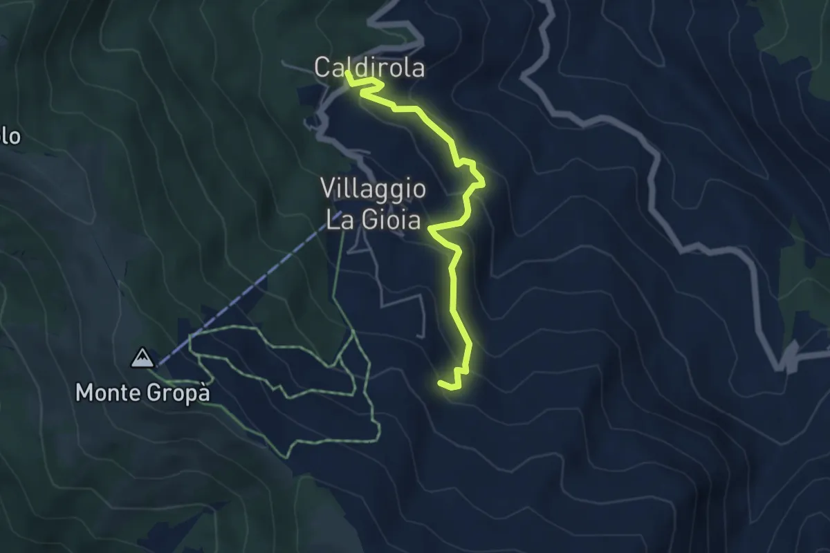
Frazione Caldirola, bivio ALA107-ALA107A-ALA106B – Presso Fontana del Tuono, bivio ALA106-ALA106B
4.3 km · ↑ 359 m · 1 h 48 min
Demanding · Trail
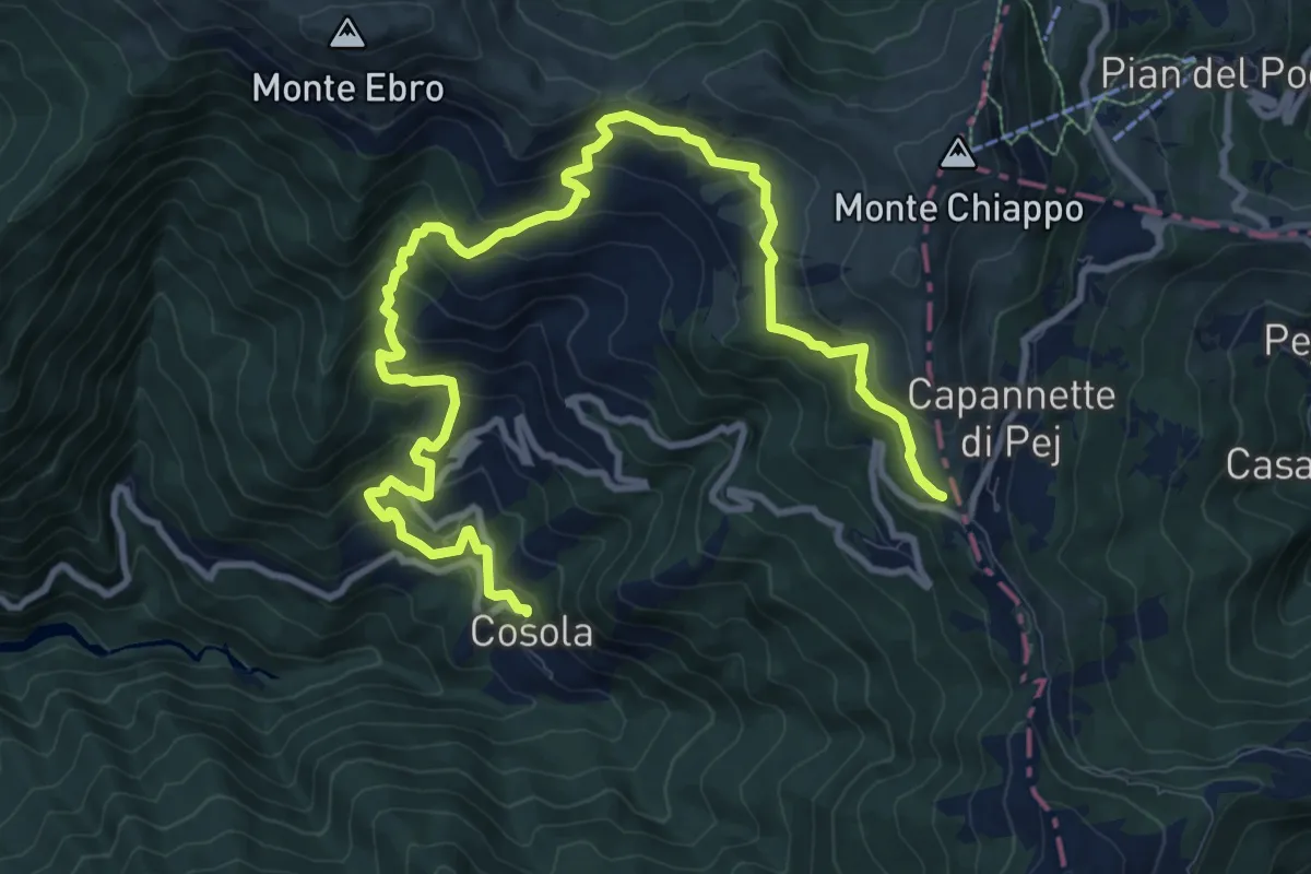
Presso Albera Ligure, bivio ALA211-ALA215A – Bivio ALA215-ALA215A
14.1 km · ↑ 905 m · 5 h 17 min
Medium · Summit
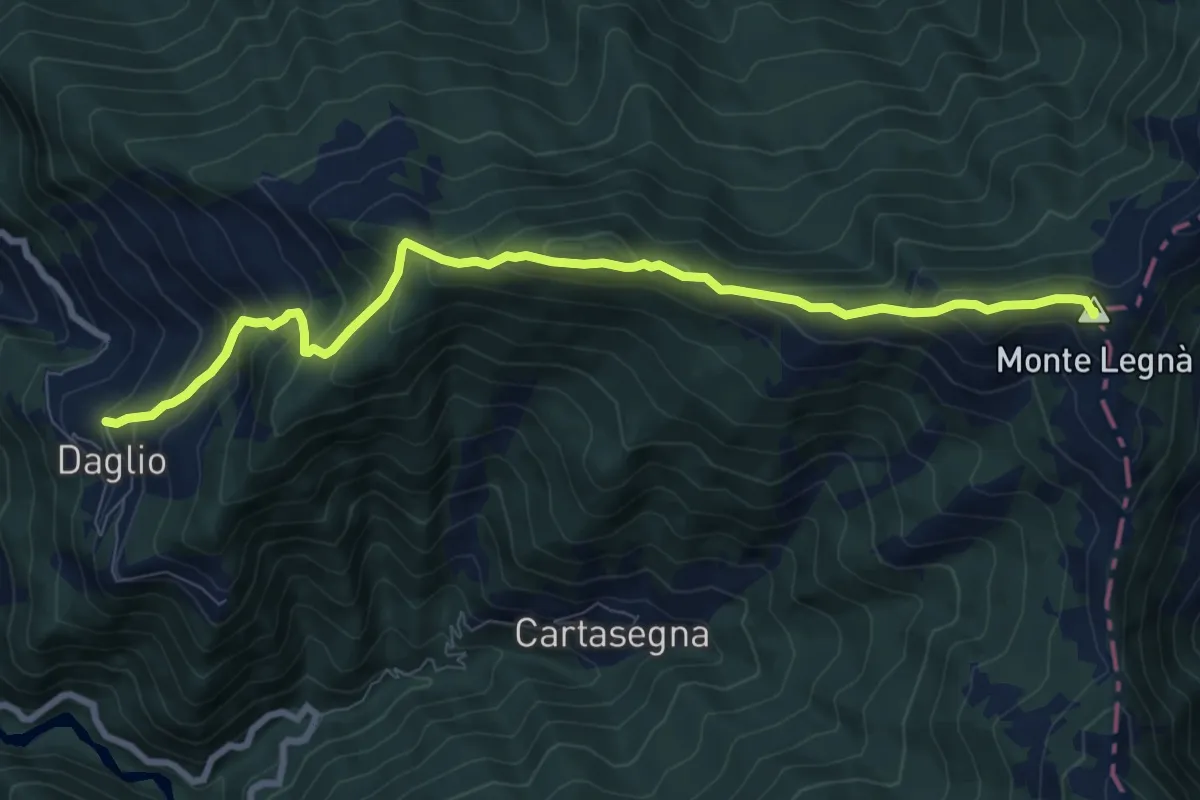
Daglio, bivio ALA229-ALA230 – Presso Monte Legna, bivio ALA200-ALA230
9.3 km · ↑ 785 m · 3 h 53 min
Demanding · Trail
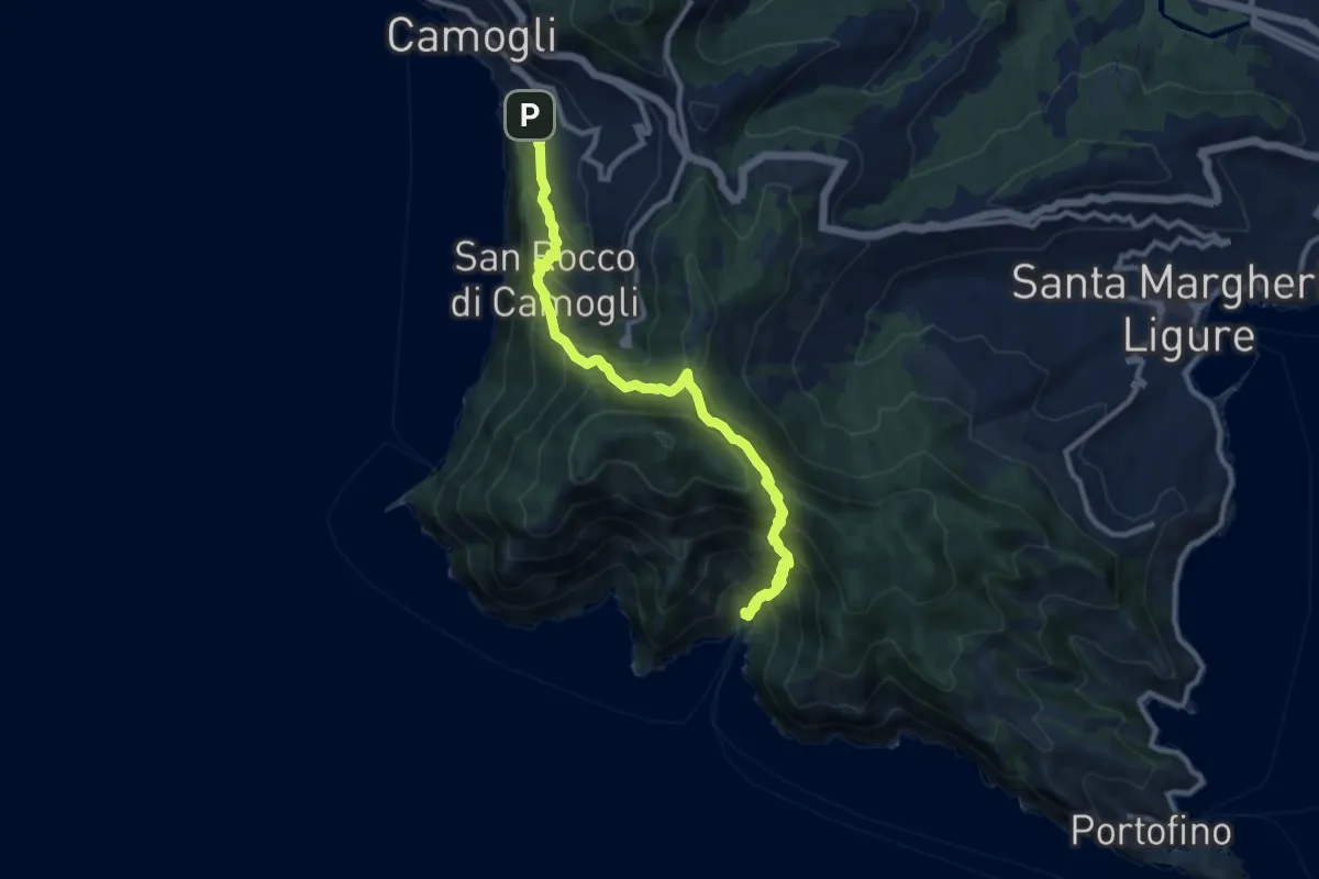
Camogli – San Fruttuoso
11.0 km · ↑ 978 m · 4 h 42 min
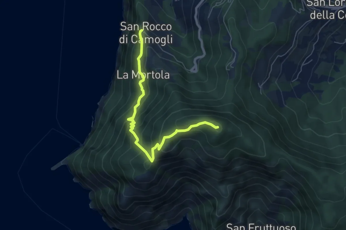
Medium · Summit
San Rocco – Pietre Strette
6.0 km · ↑ 569 m · 2 h 40 min
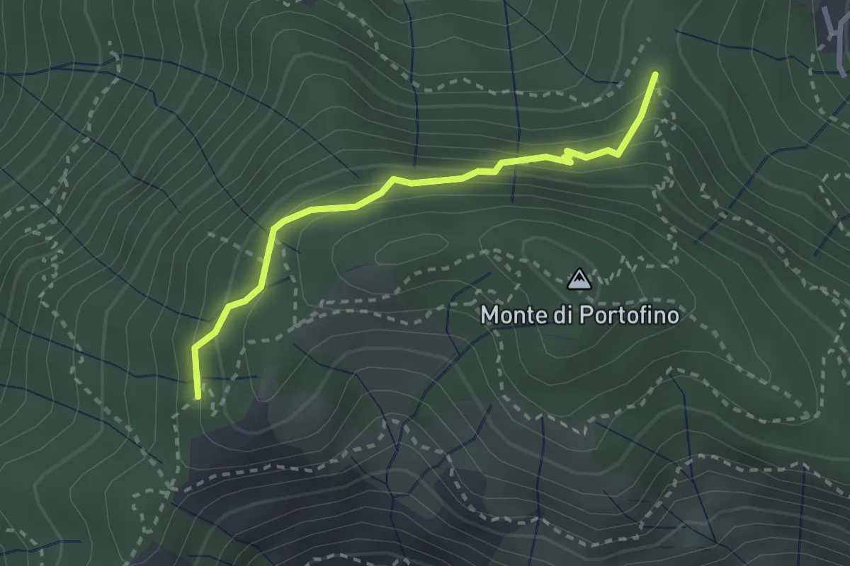
Easy · Trail
Sella Gaixella – bivio Sequoie
2.5 km · ↑ 220 m · 1 h 4 min
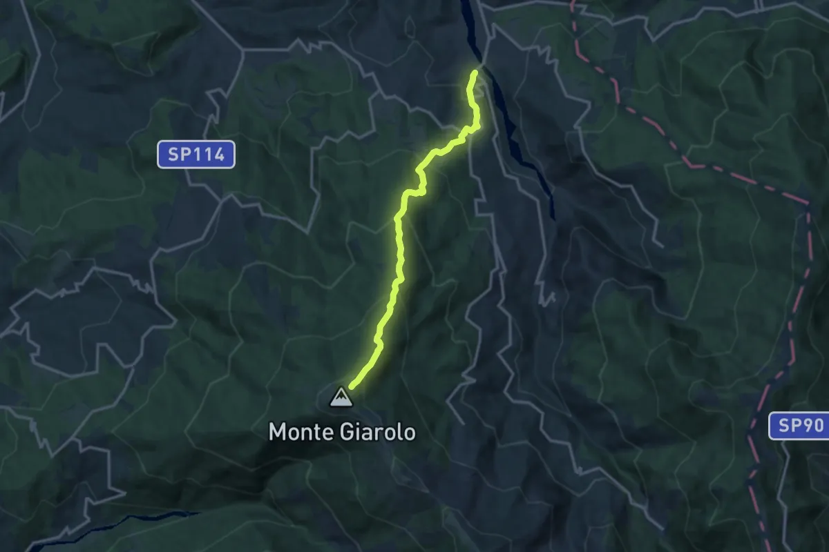
Demanding · Trail
Fabbrica Curone, località Ponte del Molino – Bivio ALA121-ALA200 presso Monte Giarolo
11.7 km · ↑ 904 m · 4 h 43 min
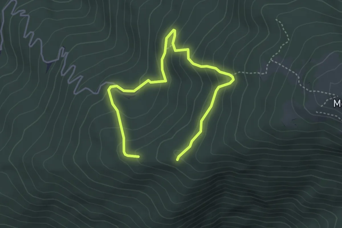
Medium · Trail
Presso basso Rifugio San Lorenzo, bivio ALA210-ALA210A – Bivio ALA210-ALA210A
2.6 km · ↑ 177 m · 1 h 1 min
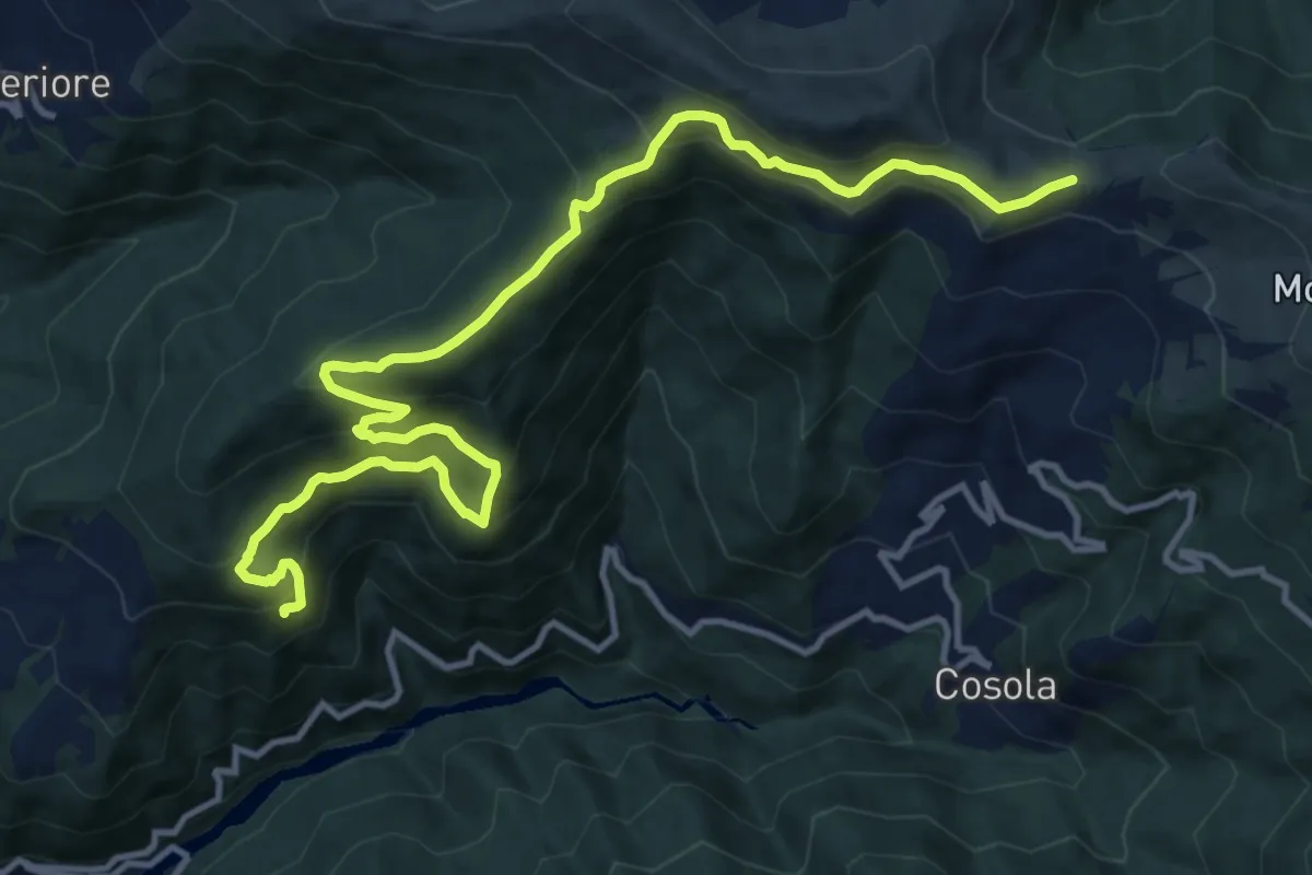
Demanding · Trail
Presso SC Piuzzo-Cosola, bivio ALA220-ALA221-ALA225 – Presso Monte Prenardo, bivio ALA108-ALA200-ALA221-ALA225
15.6 km · ↑ 1042 m · 5 h 56 min
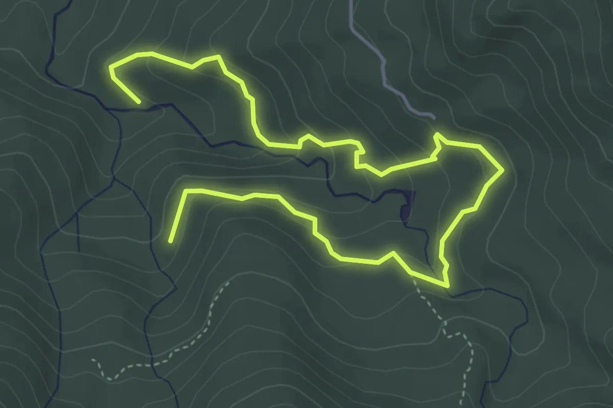
Medium · Trail
La Crosa – Rio Arole
6.4 km · ↑ 356 m · 2 h 17 min
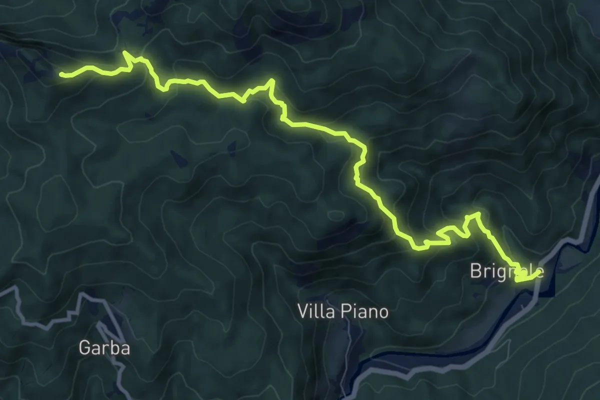
Demanding · Summit
Molini – Monte Castello Fante
11.6 km · ↑ 671 m · 4 h 11 min
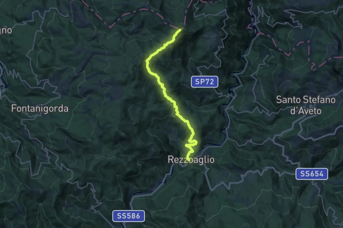
Demanding · Summit
Rezzoaglio – Monte Oramara
17.7 km · ↑ 1021 m · 6 h 23 min
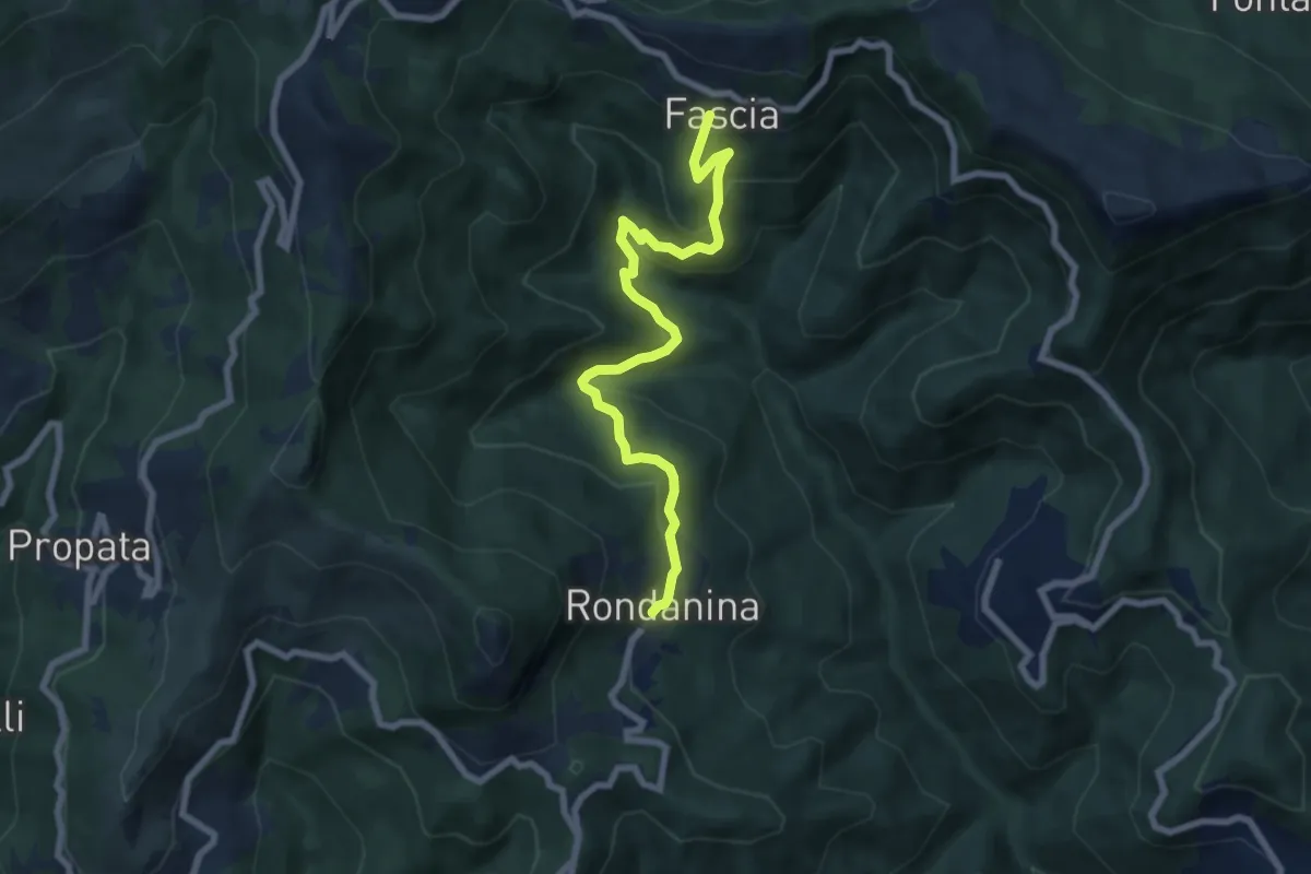
Medium · Trail
Fascia – Rondanina
7.8 km · ↑ 414 m · 2 h 44 min
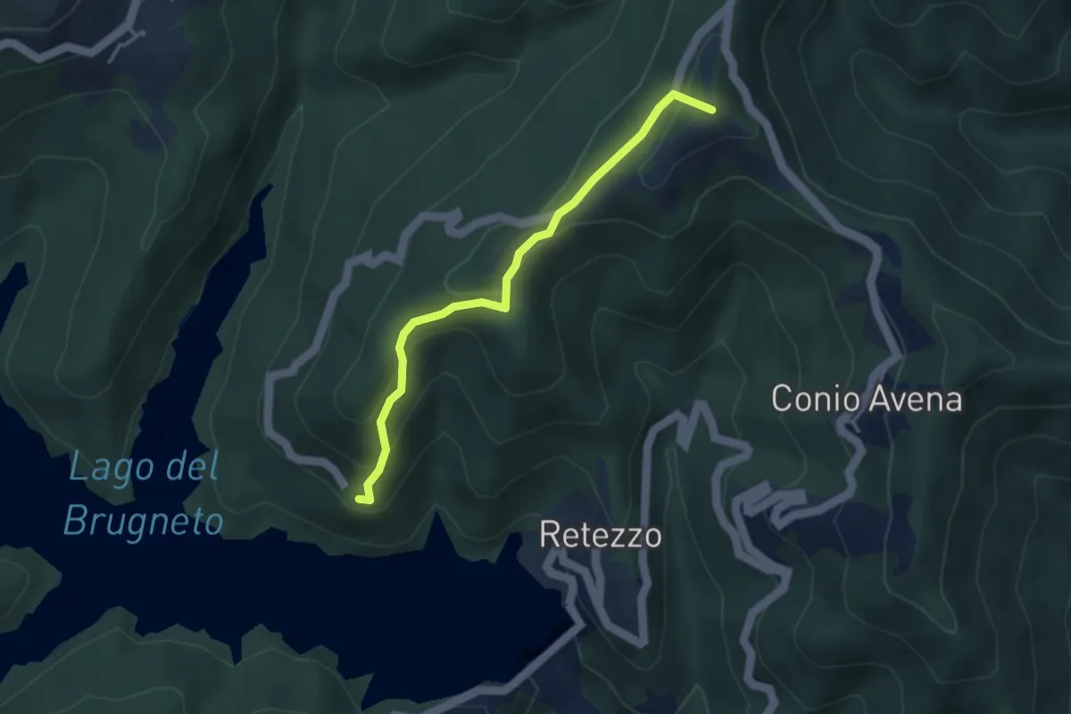
Medium · Summit
Rondanina – Fontanasse
3.5 km · ↑ 228 m · 1 h 19 min
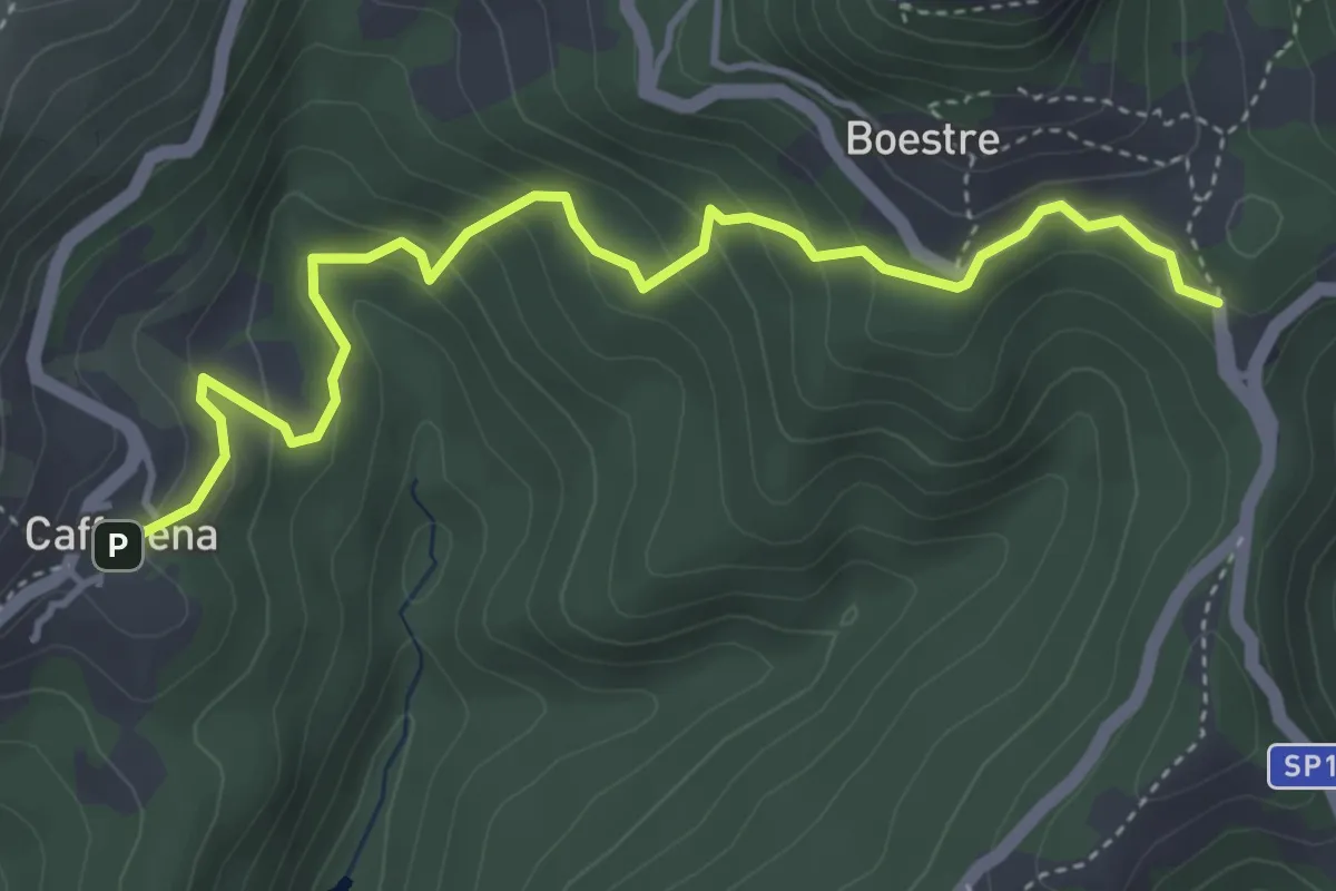
Medium · Trail
Caffarena – Bivio634 (S. Anna) per Rondanina
4.9 km · ↑ 333 m · 1 h 52 min
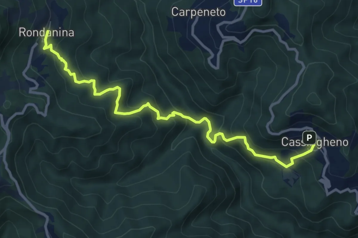
Medium · Trail
Cassingheno – Rondanina
8.8 km · ↑ 603 m · 3 h 22 min
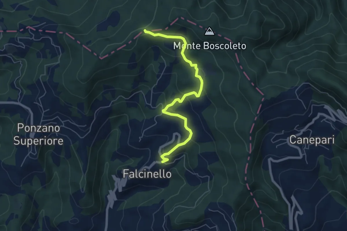
Easy · Trail
Falcinello – Via Francigena
6.0 km · ↑ 286 m · 2 h 3 min
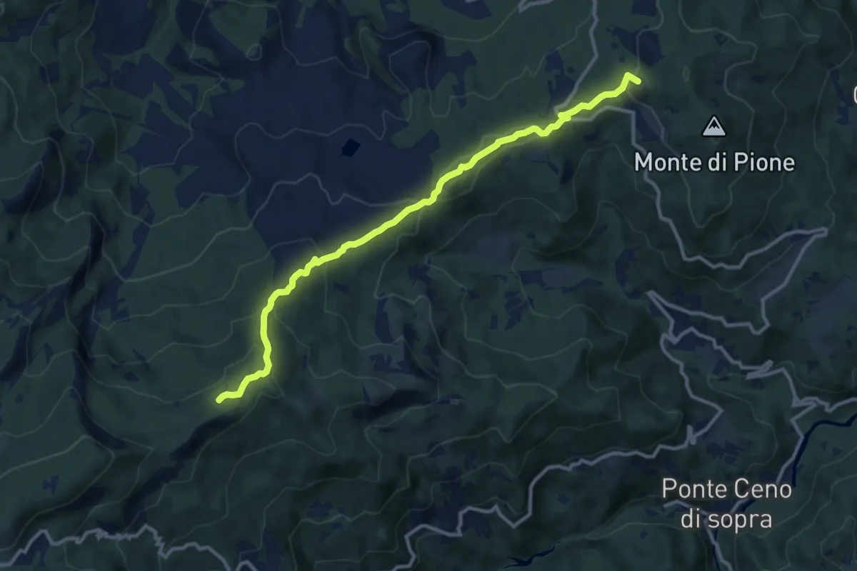
Medium · Summit
Passo del Linguadà – Incrocio 035
11.7 km · ↑ 479 m · 3 h 48 min
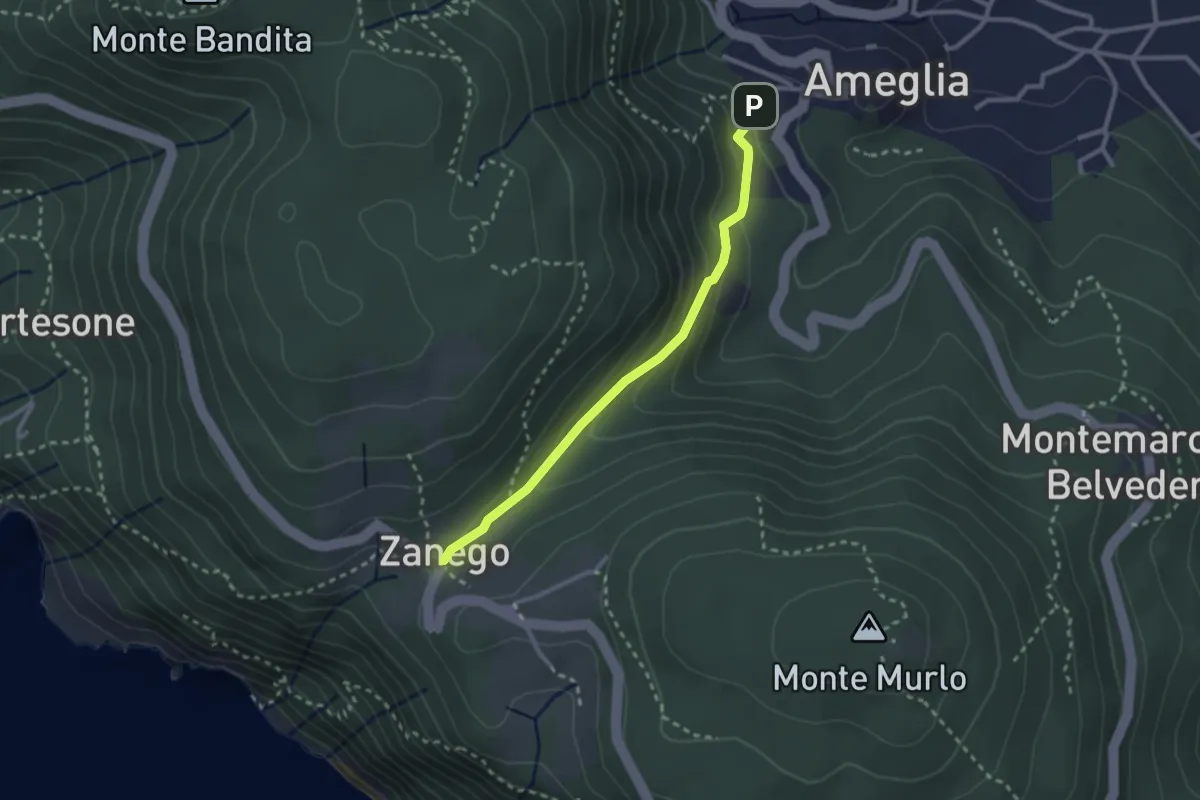
Easy · Trail
Ameglia – Zanego
2.6 km · ↑ 140 m · 55 min
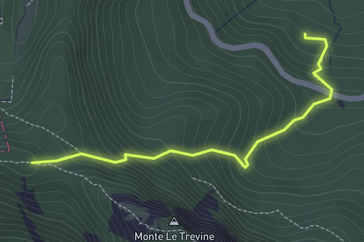
Demanding · Trail
Sorgenti del Ceno – Macchia del Penna
2.5 km · ↑ 256 m · 1 h 9 min
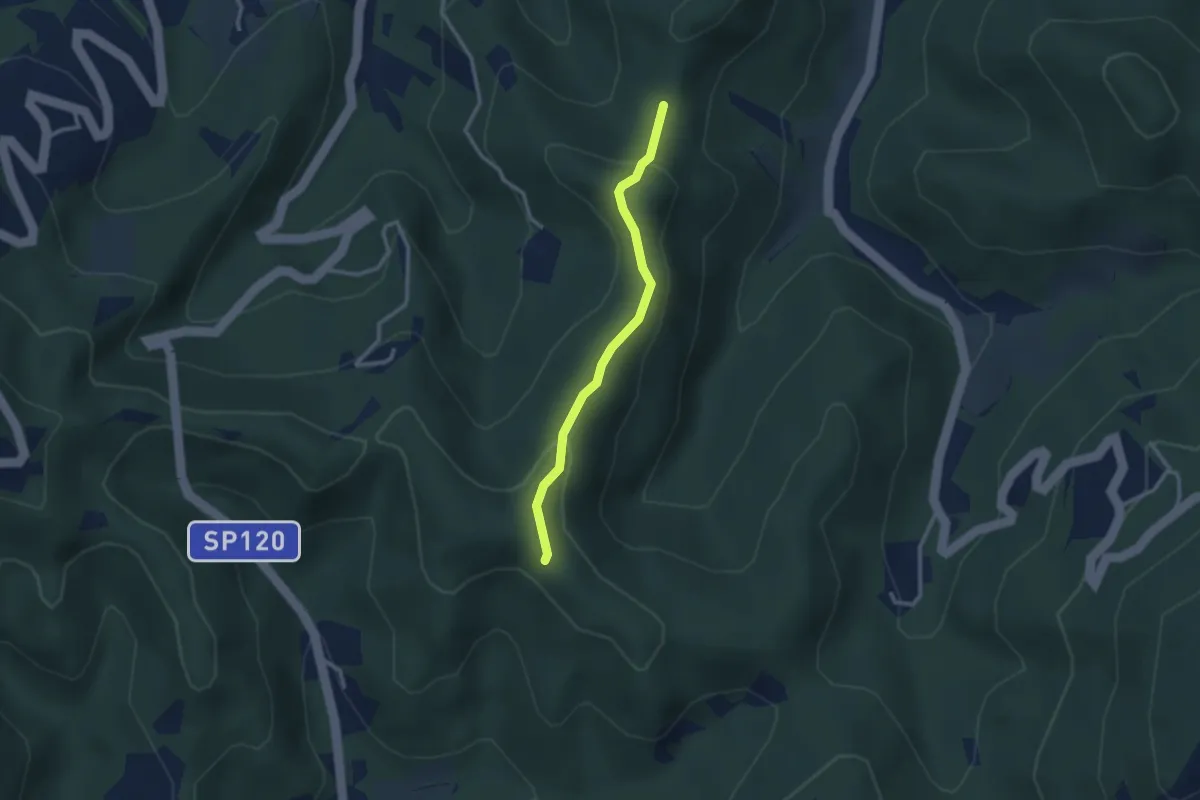
Easy · Trail
Passo dei Groppi, bivio ALA123-ALA123A – Bivio ALA123A-ALA139
2.6 km · ↑ 96 m · 49 min
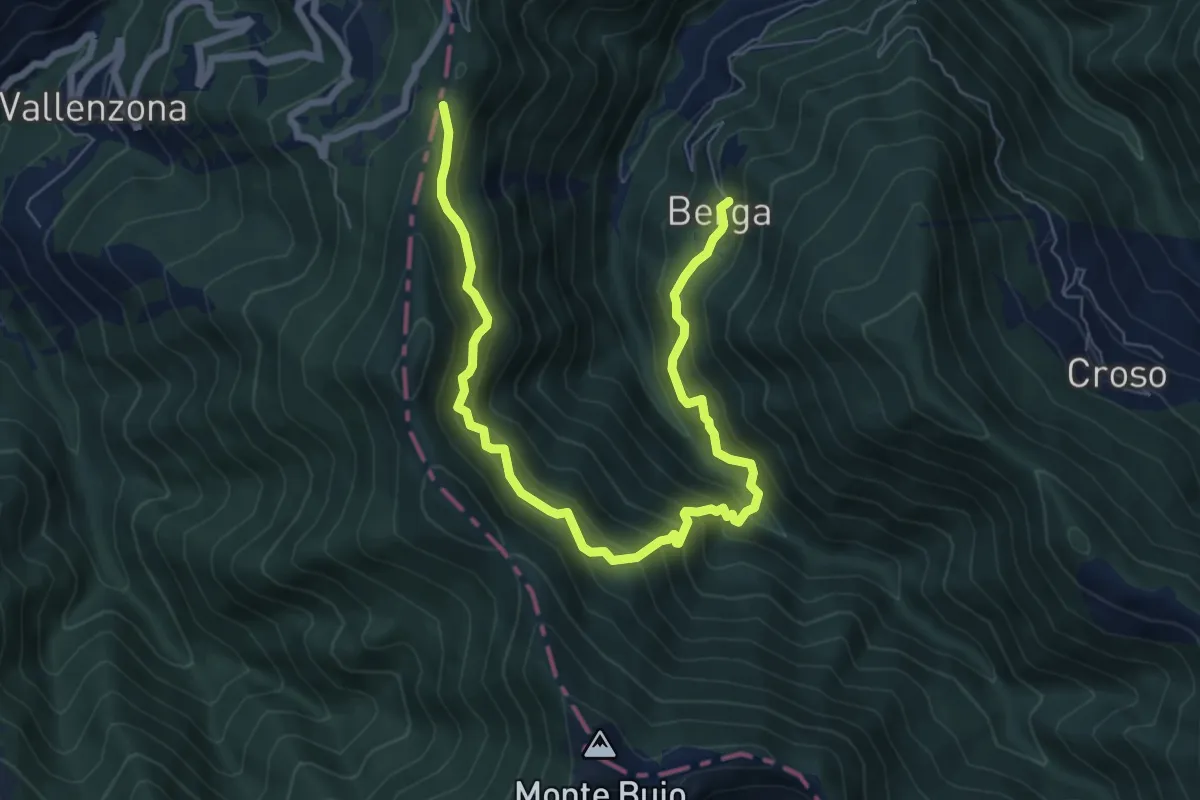
Medium · Trail
Berga, bivio ALA249-ALA250 – Bivio ALA249-ALA200
8.8 km · ↑ 786 m · 3 h 46 min
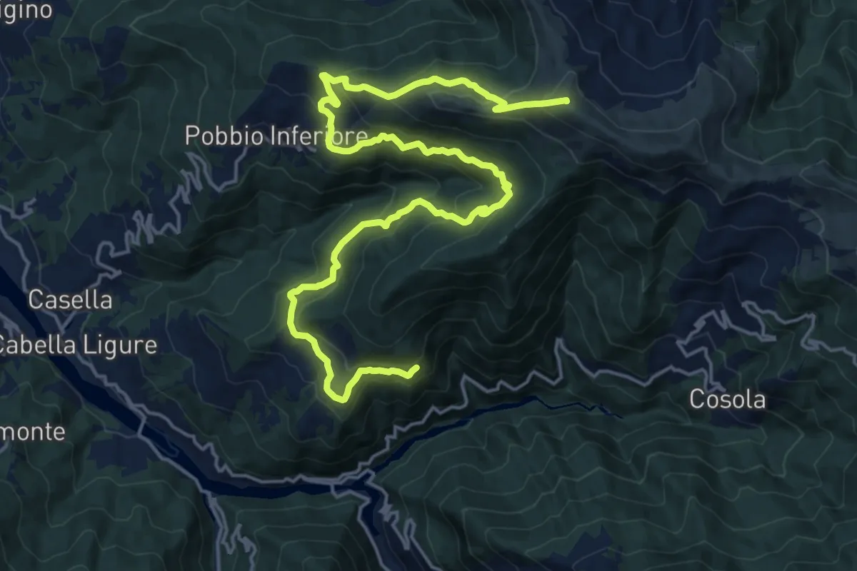
Demanding · Summit
Presso strada comunale Piuzzo-Cosola, bivio ALA220-ALA221-ALA225 – Monte Cosfrone, bivio ALA200-ALA220
23.2 km · ↑ 1455 m · 8 h 38 min
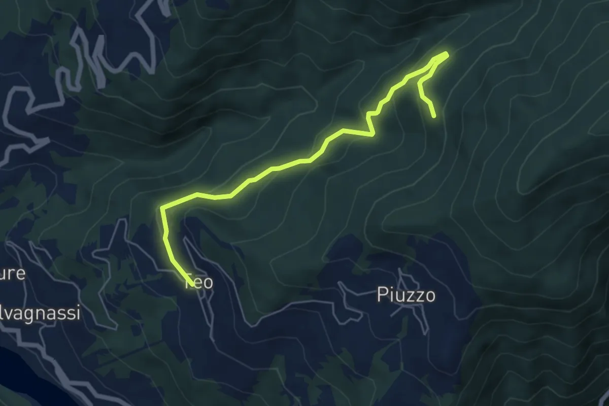
Easy · Trail
Teo, bivio ALA224-ALA224A – Selva di Teo, bivio ALA220-ALA224A
5.8 km · ↑ 272 m · 1 h 57 min
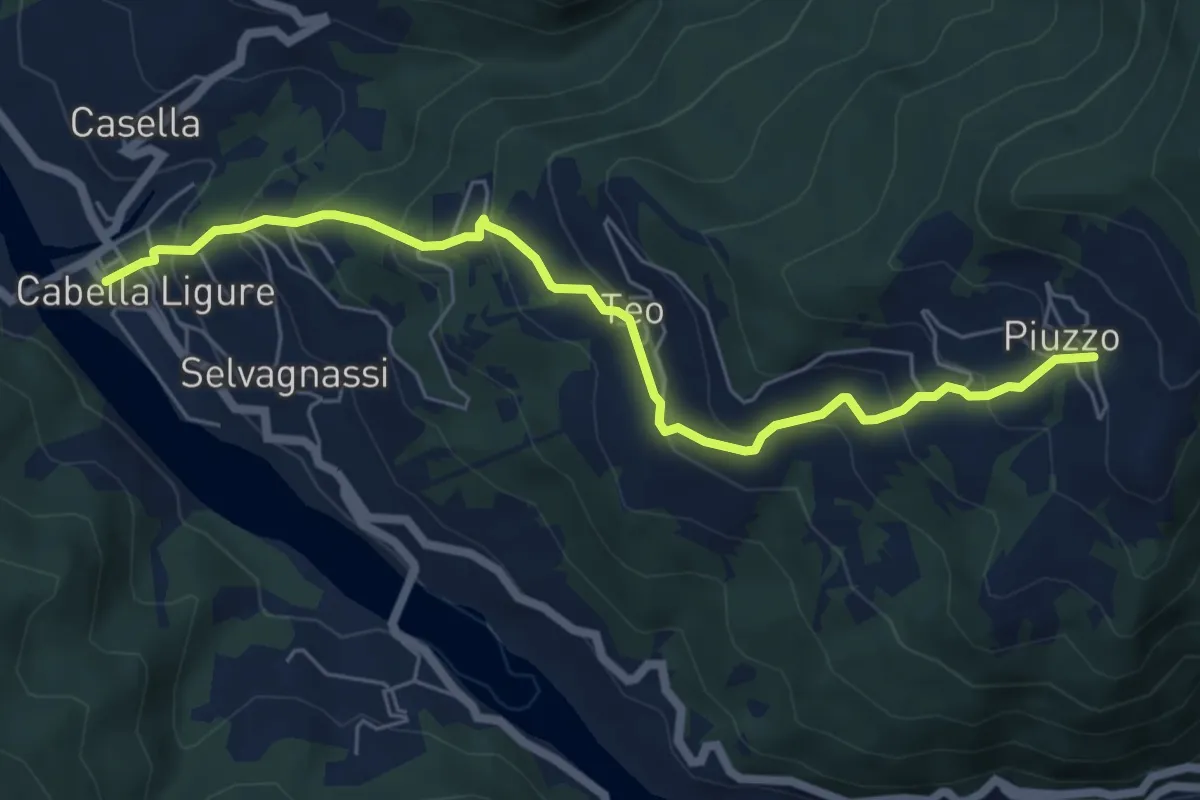
Medium · Trail
Cabella Ligure – Piuzzo, bivio ALA220-ALA224
6.6 km · ↑ 494 m · 2 h 38 min
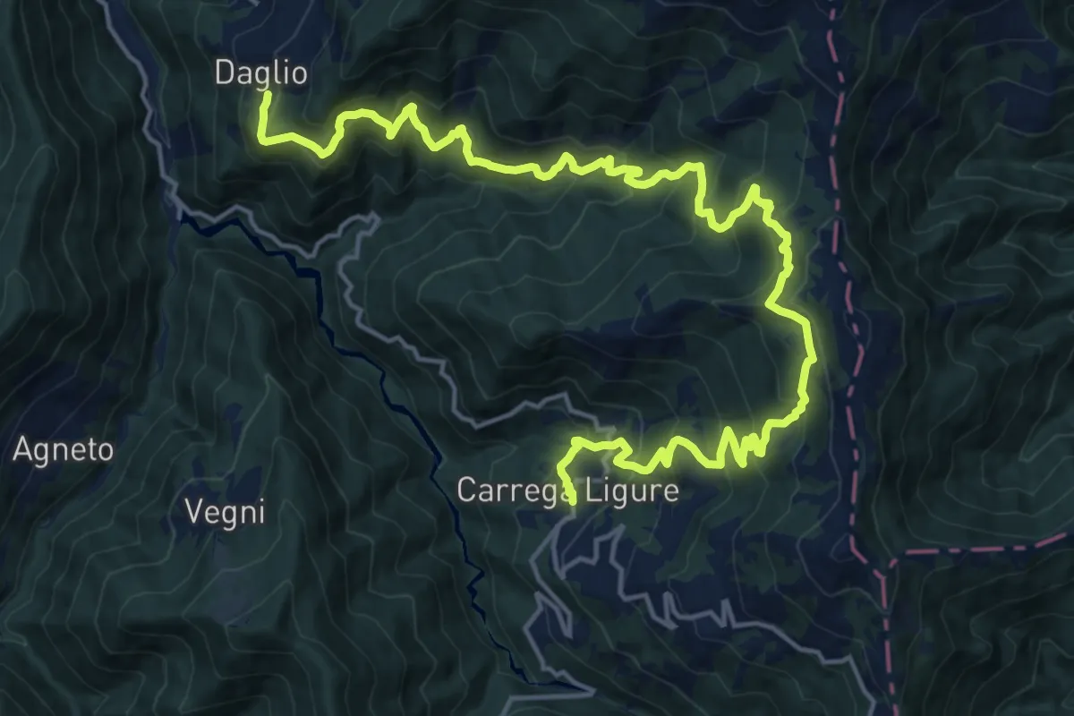
Demanding · Trail
Daglio, bivio ALA229-ALA233 – Carrega, bivio ALA241-ALA233
11.2 km · ↑ 935 m · 4 h 50 min
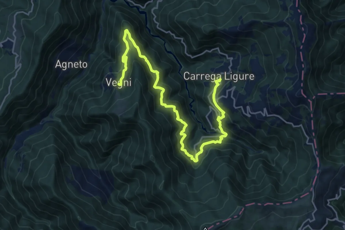
Demanding · Trail
Carrega, bivio ALA241-ALA233 – Vegni, bivio ALA241-ALA240-ALA242
18.3 km · ↑ 1129 m · 6 h 46 min
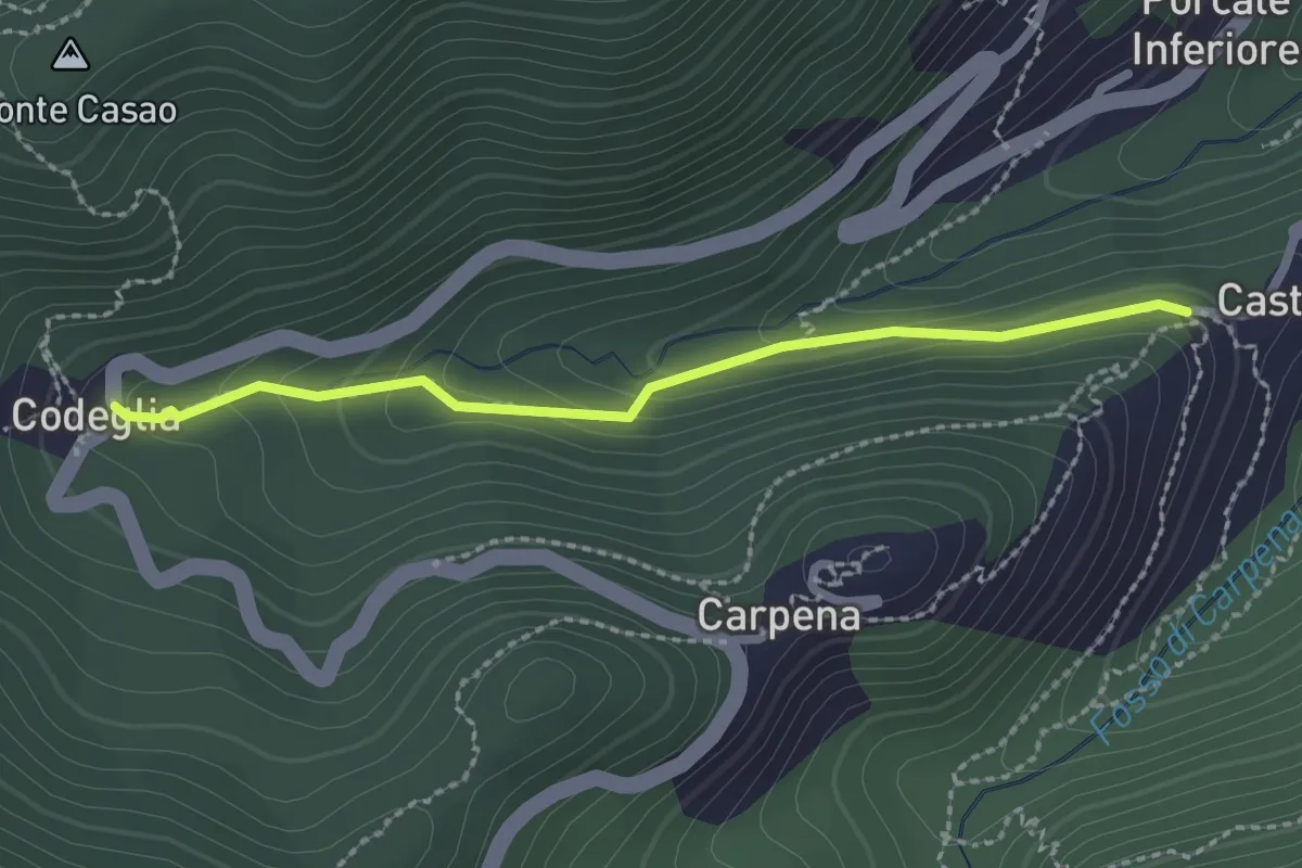
Easy · Trail
Castè – Codeglia
2.3 km · ↑ 108 m · 47 min
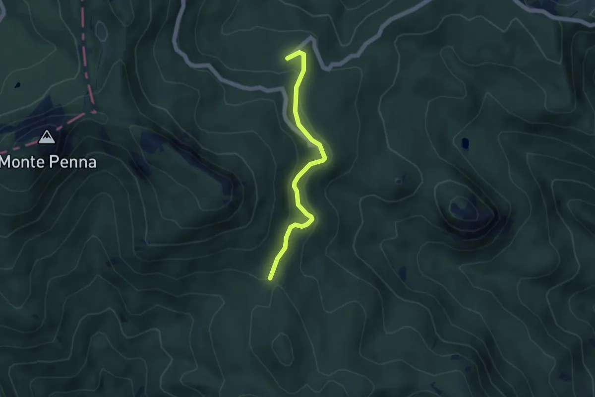
Easy · Cabin
Strada della Caserma – Faggio dei Tre Comuni
3.8 km · ↑ 113 m · 1 h 8 min
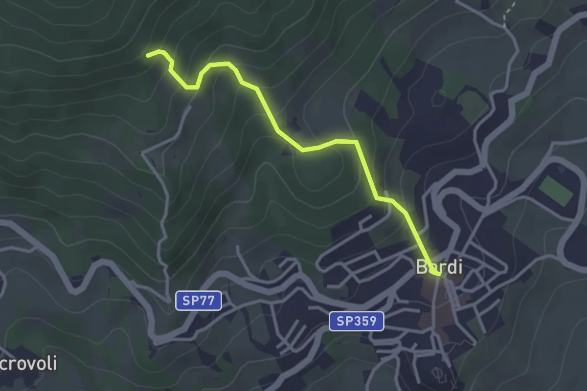
Easy · Trail
Piazza Vittoria, Bardi – Boioni
2.8 km · ↑ 253 m · 1 h 13 min
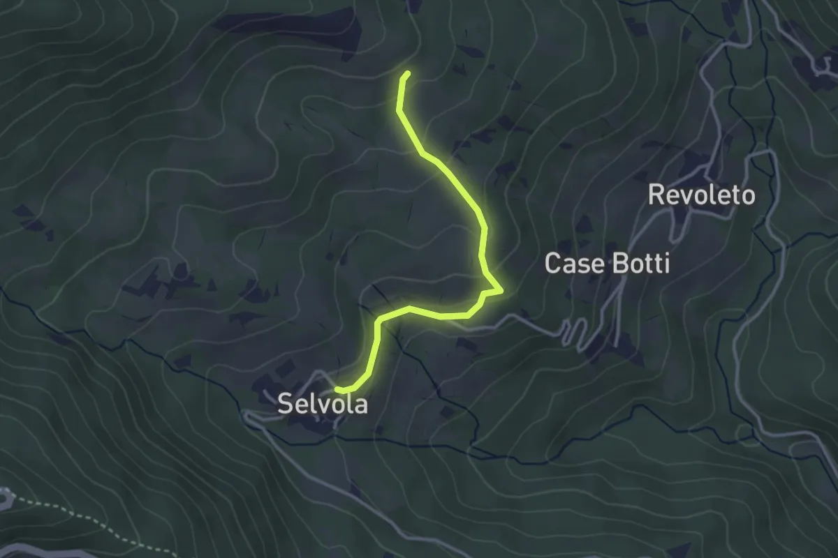
Easy · Trail
Selvola – Rocchetta di Selvola
2.9 km · ↑ 150 m · 1 h
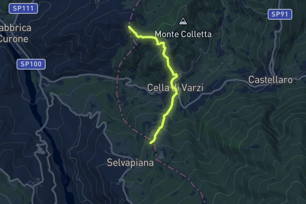
Easy · Summit
Incrocio M.te Caponega – Cappella della Costa
5.7 km · ↑ 300 m · 2 h
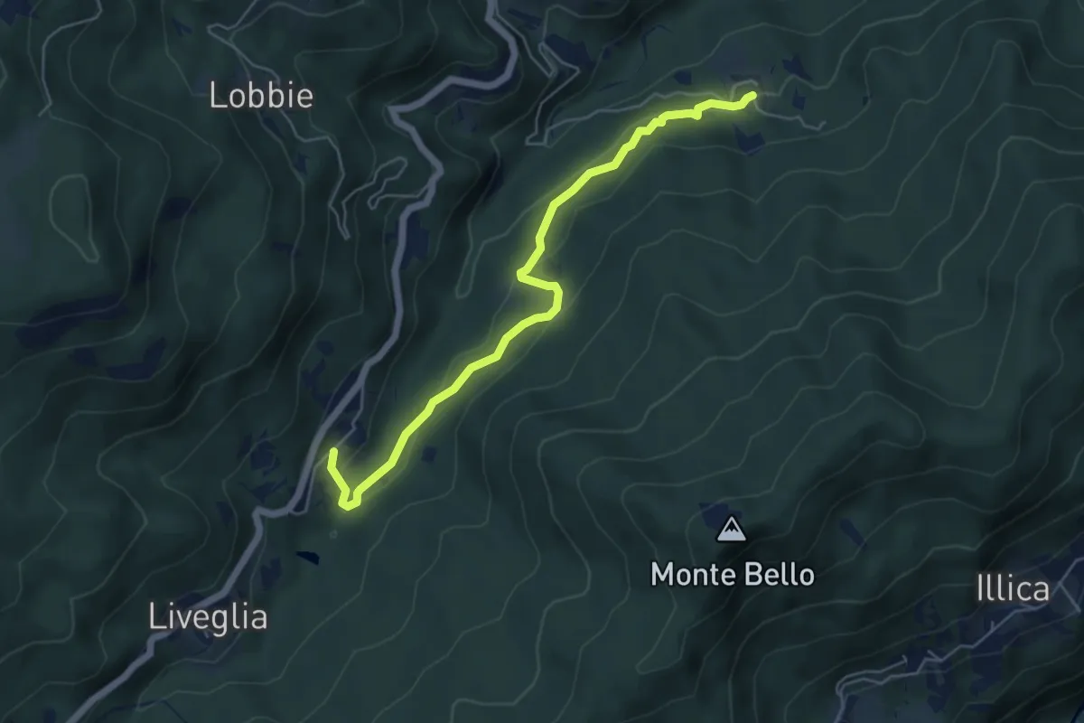
Easy · Trail
Roncole – Frassineto
5.6 km · ↑ 218 m · 1 h 47 min
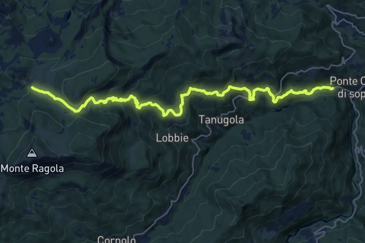
Demanding · Cabin
Molino Lecca – Granere
21.4 km · ↑ 1199 m · 7 h 40 min
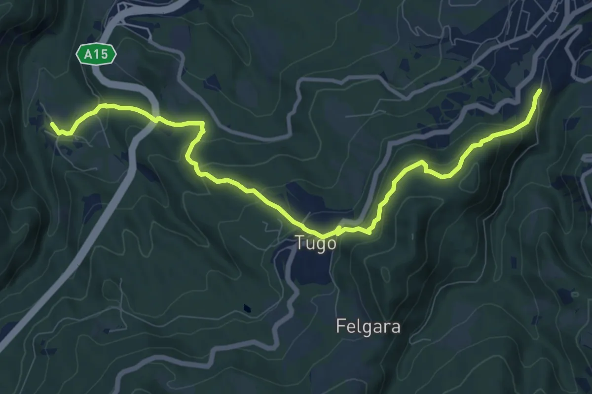
Medium · Trail
Costella del Poggio di Berceto – Valbona Castello
10.5 km · ↑ 547 m · 3 h 40 min
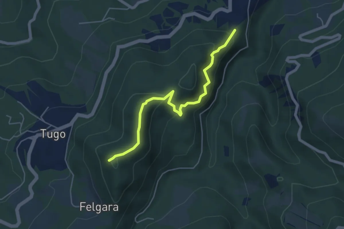
Easy · Summit
sentiero 704 bivio pineta – sentiero 731 inizio strada Felegara
4.4 km · ↑ 291 m · 1 h 40 min
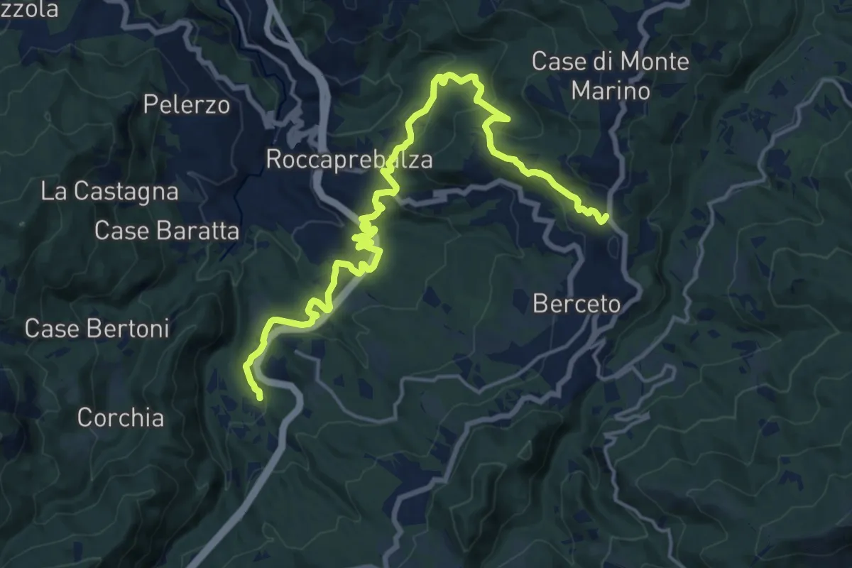
Demanding · Trail
Statale della Cisa – Valbona
19.6 km · ↑ 675 m · 6 h 5 min
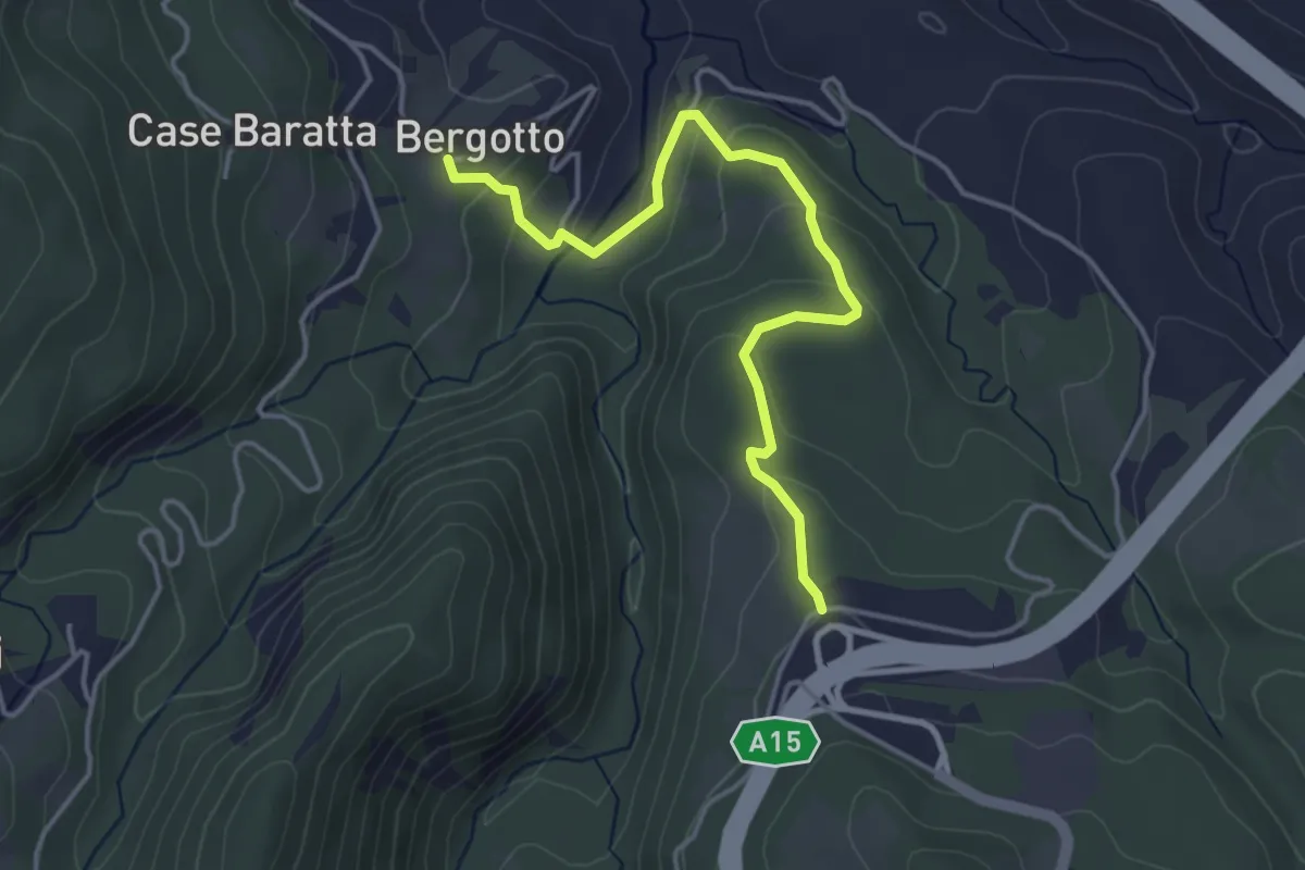
Easy · Trail
Cattaia – Bergotto
4.3 km · ↑ 173 m · 1 h 24 min
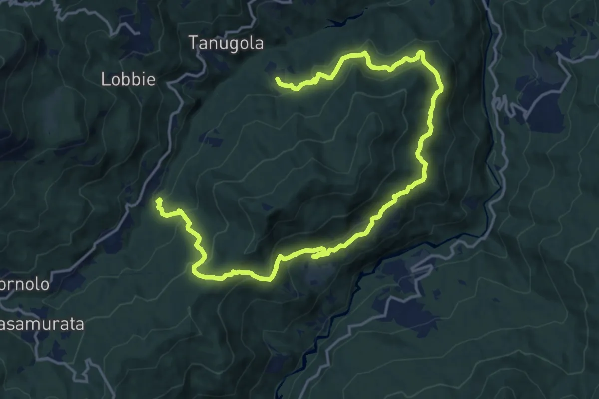
Demanding · Trail
Frassineto – Roncole
19.0 km · ↑ 862 m · 6 h 21 min
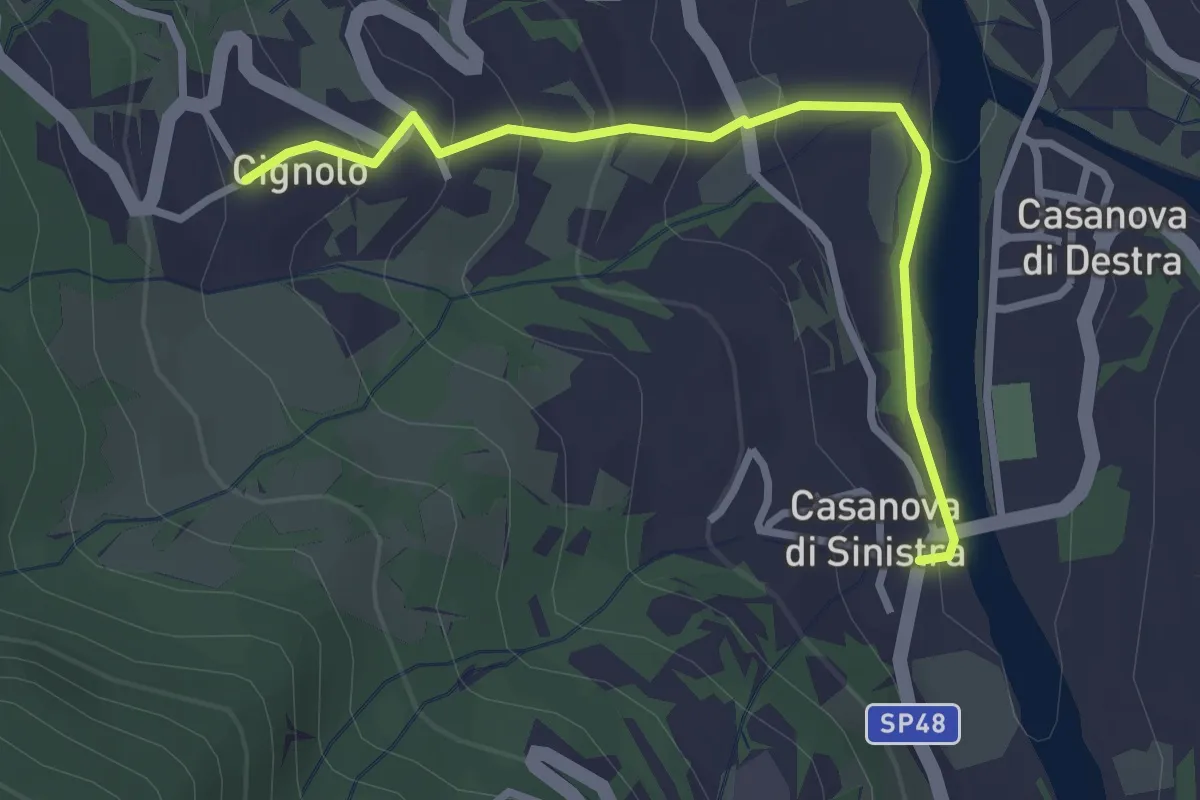
Easy · Trail
Casanova di Sinistra – Cignolo
3.0 km · ↑ 150 m · 1 h 2 min
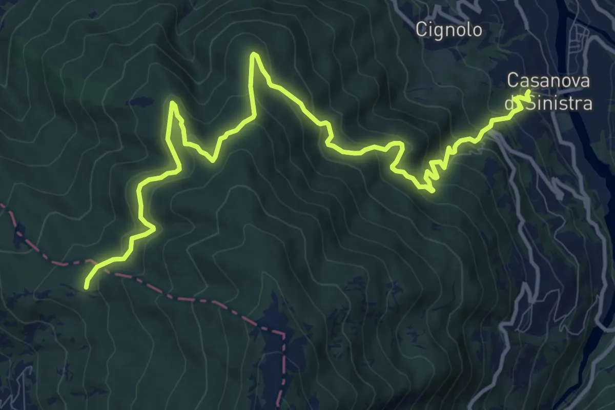
Medium · Trail
Incrocio CAI 105 AL – Casanova di Sinistra
14.0 km · ↑ 793 m · 5 h 1 min
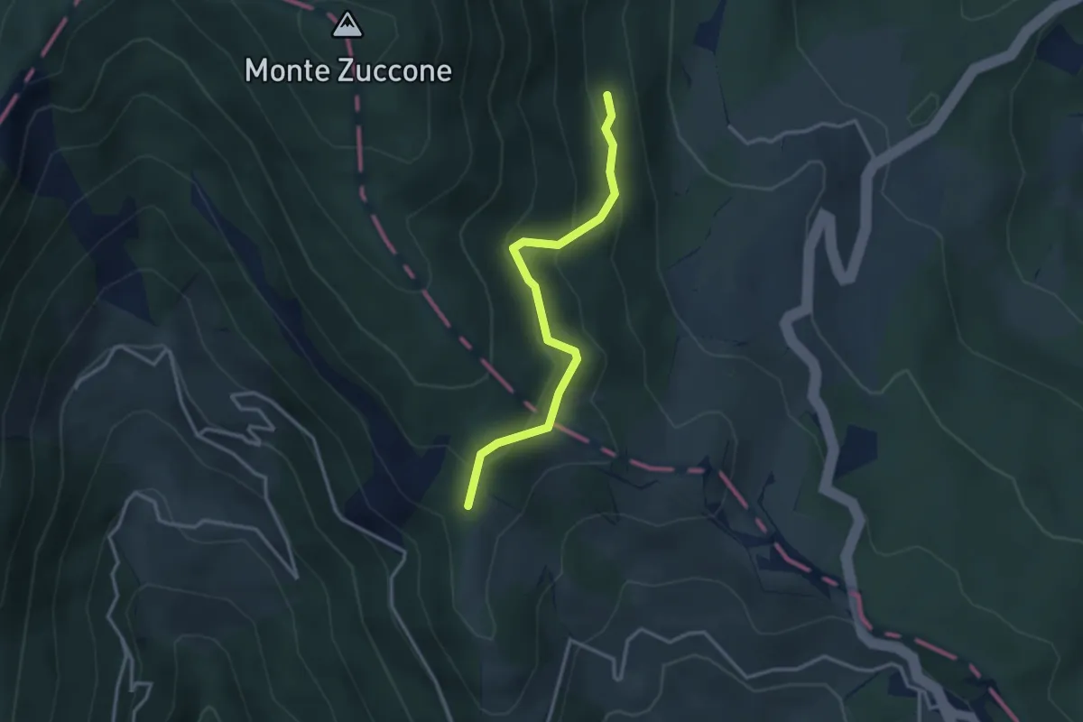
Easy · Trail
Prato Lungo di Tarsogno – Alta Via dei Monti Liguri
3.1 km · ↑ 219 m · 1 h 12 min
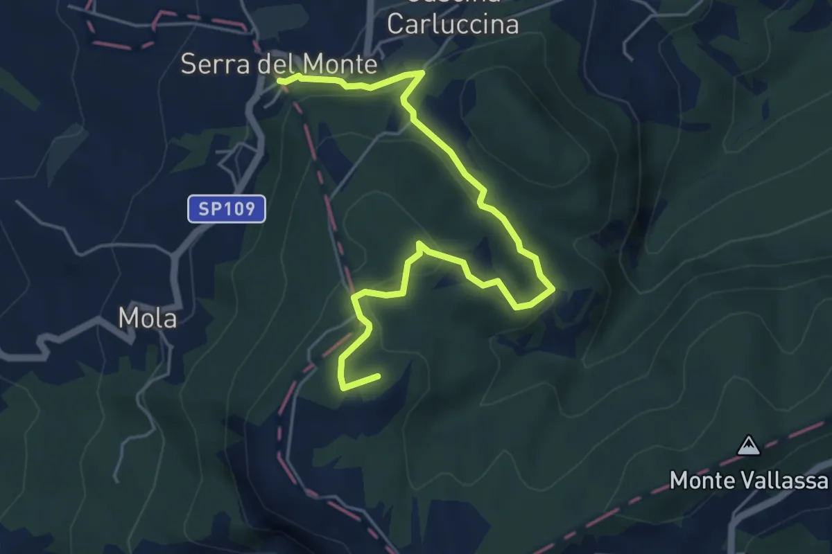
Easy · Summit
Serra del Monte – Ca' del Monte
5.7 km · ↑ 229 m · 1 h 50 min
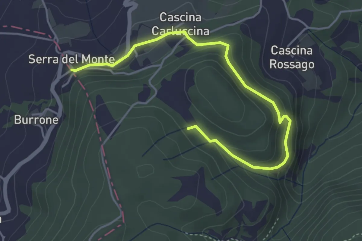
Easy · Trail
Serra del Monte – Percorso 195
4.7 km · ↑ 271 m · 1 h 42 min