Trails in Italy
25,219 hiking trails, each with its route, climb, walking time and grade.
All trails, page 376 of 526
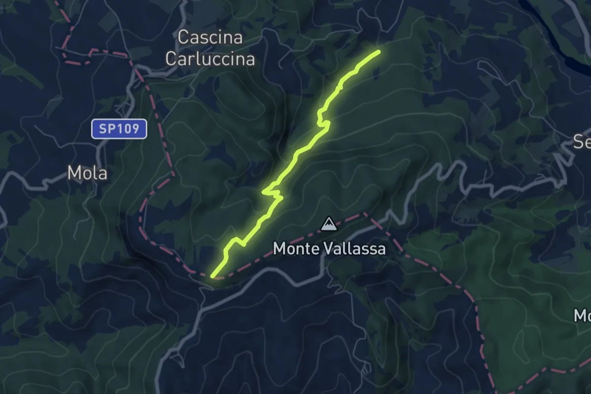
Medium · Trail
Planetario e Osservatorio Astronomico Giuseppe Giacomotti – Percorso 107
5.8 km · ↑ 343 m · 2 h 6 min
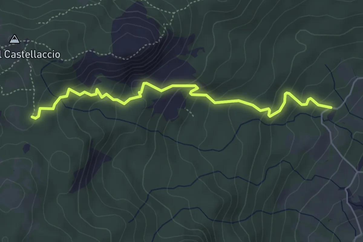
Medium · Trail
Incrocio 801A – Incrocio 803 Prato della Basona
5.2 km · ↑ 335 m · 1 h 58 min
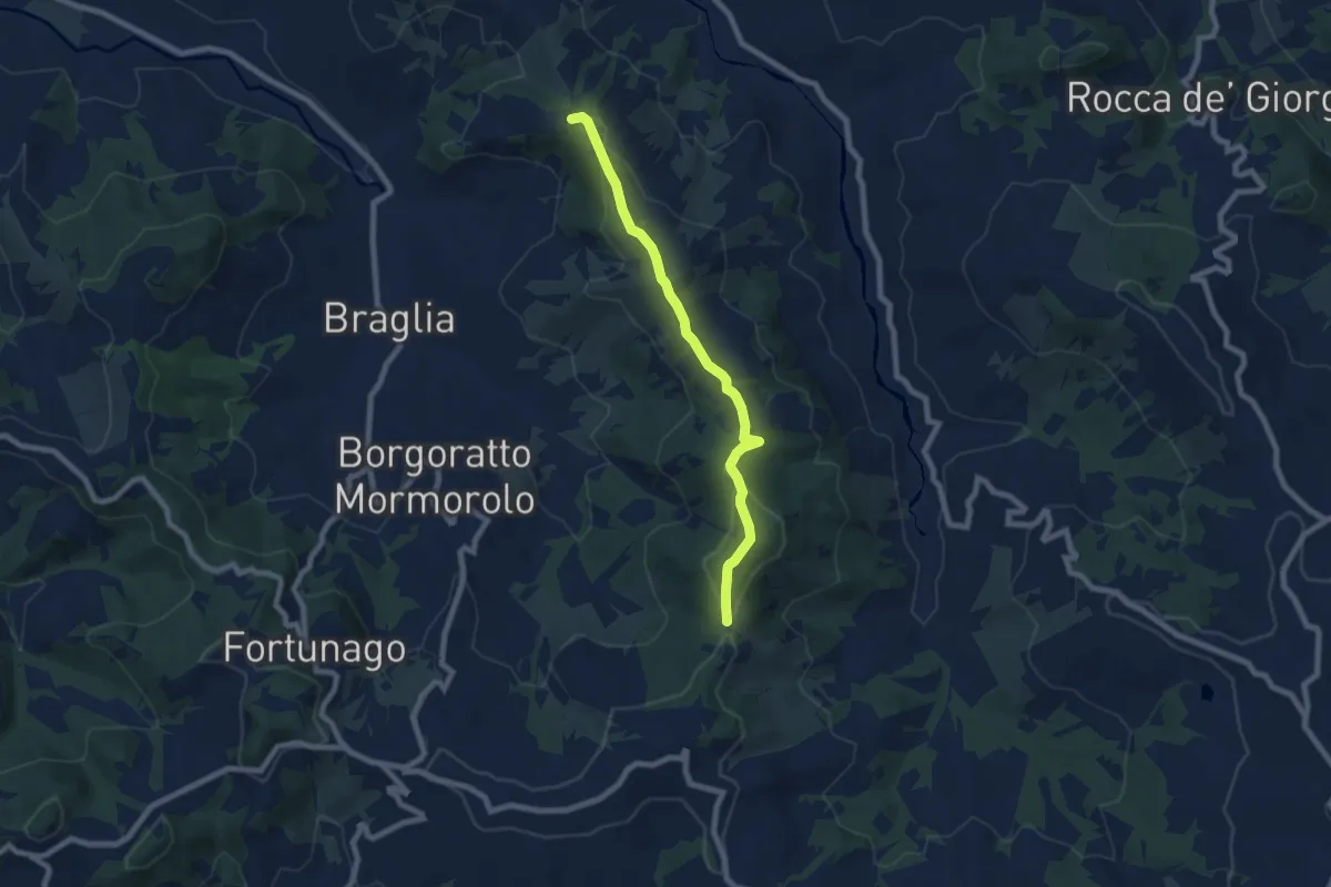
Easy · Trail
Pietra Focaia – Costa Pelata
7.5 km · ↑ 238 m · 2 h 17 min
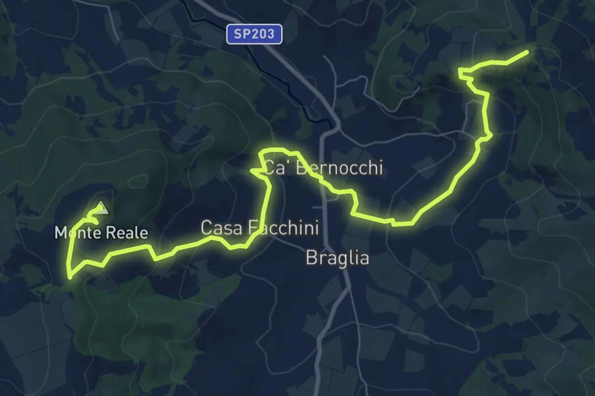
Medium · Summit
Incrocio Sentiero CAI 209 – M.te Reale
10.9 km · ↑ 466 m · 3 h 35 min
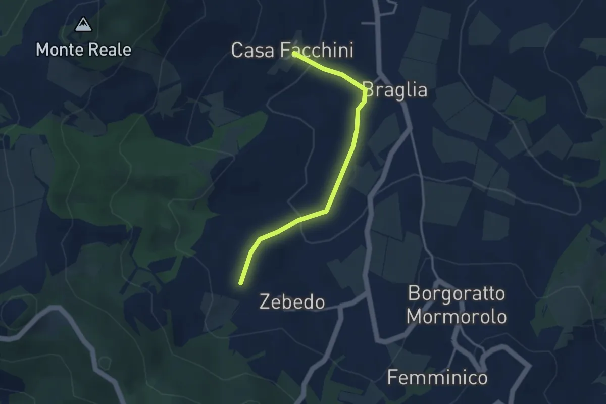
Easy · Trail
Zebedo – Casa Facchini
3.0 km · ↑ 85 m · 53 min
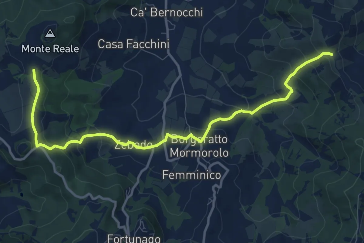
Medium · Trail
Incrocio Sentiero CAI 211 – Incrocio Sentiero 209
10.2 km · ↑ 507 m · 3 h 31 min
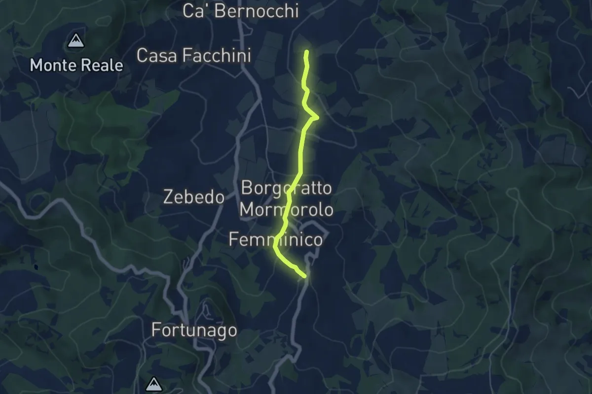
Easy · Trail
Percorso 211 – Inveriaghi
4.2 km · ↑ 192 m · 1 h 24 min
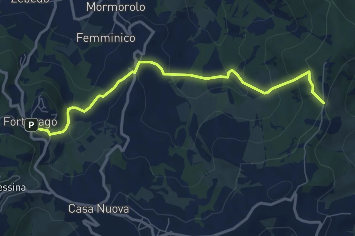
Medium · Trail
Fortunago – Costa Pelata
6.7 km · ↑ 352 m · 2 h 21 min
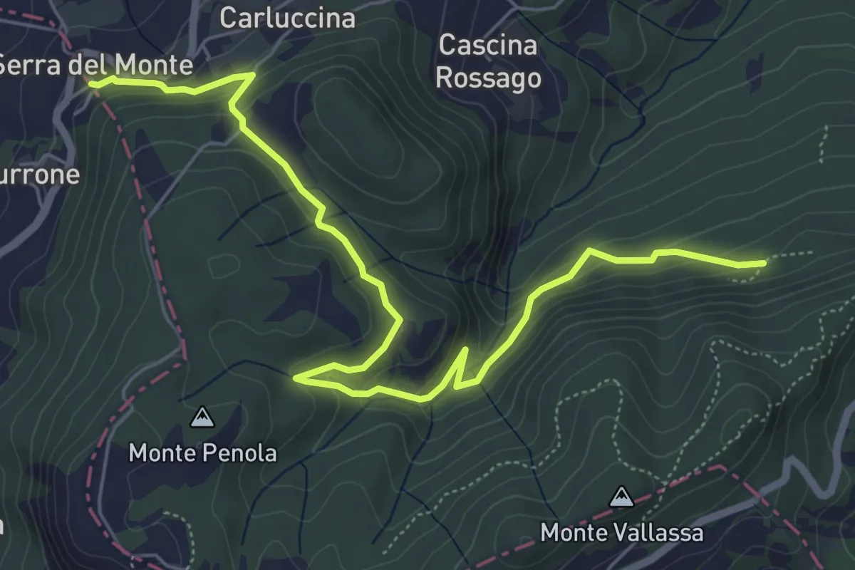
Medium · Trail
Grotte di San Ponzo – Serra del Monte
7.3 km · ↑ 325 m · 2 h 25 min
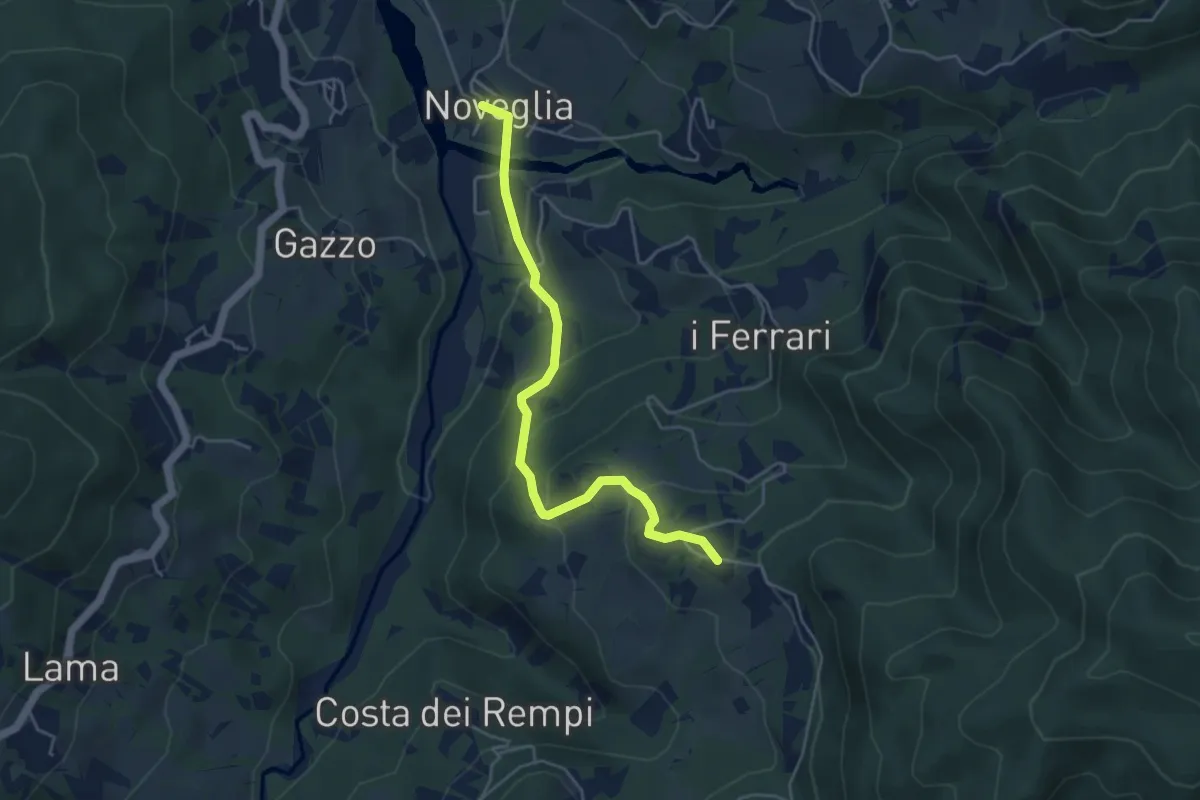
Easy · Trail
Noveglia – Bergazzi
4.8 km · ↑ 265 m · 1 h 42 min
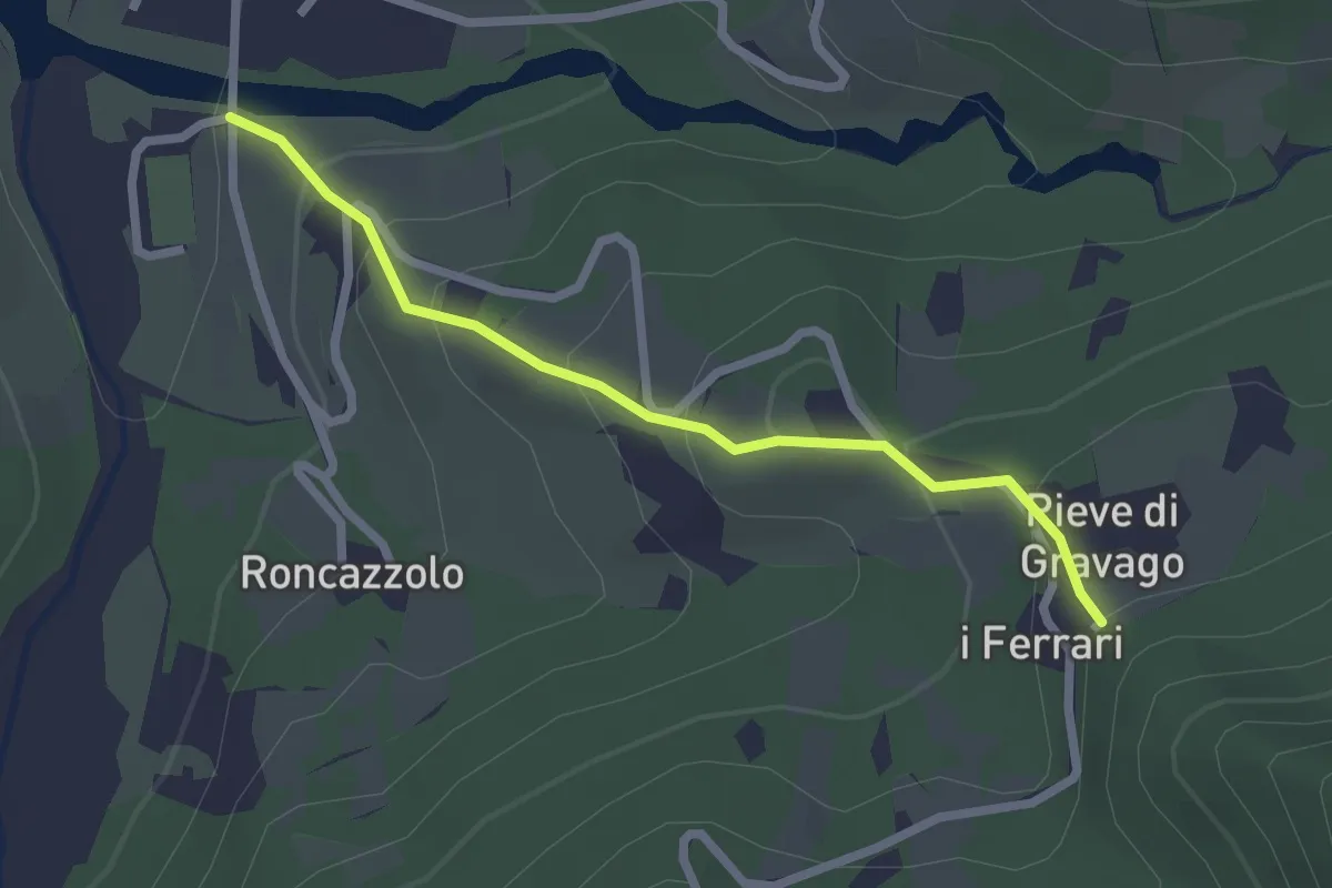
Easy · Trail
Campo sportivo Noveglia – PIeve di Gravago - incrocio con Via degli Abati
2.3 km · ↑ 154 m · 53 min
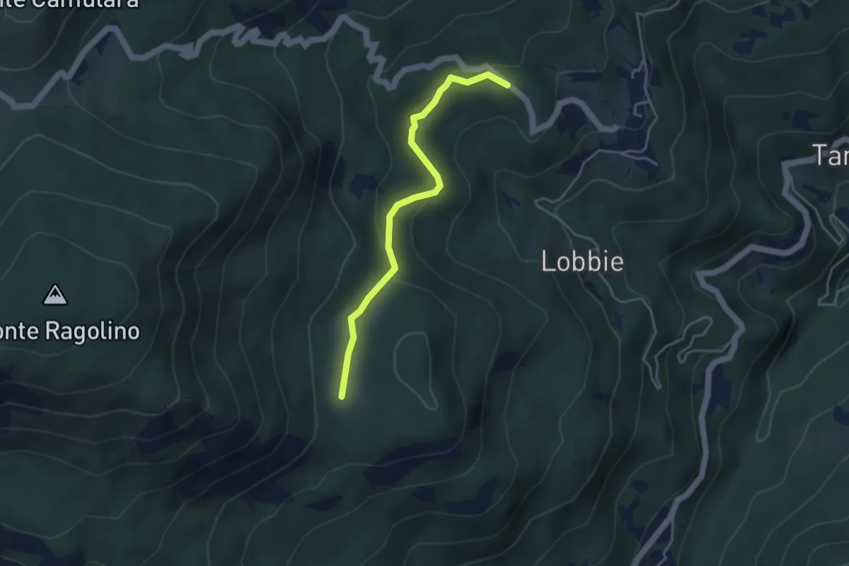
Easy · Trail
Incrocio 801E – Prati di Monte Pravera (Ragolino)
3.8 km · ↑ 121 m · 1 h 9 min
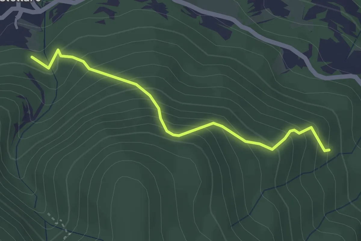
Medium · Trail
CAI 102 – CAI 108A
3.2 km · ↑ 389 m · 1 h 36 min
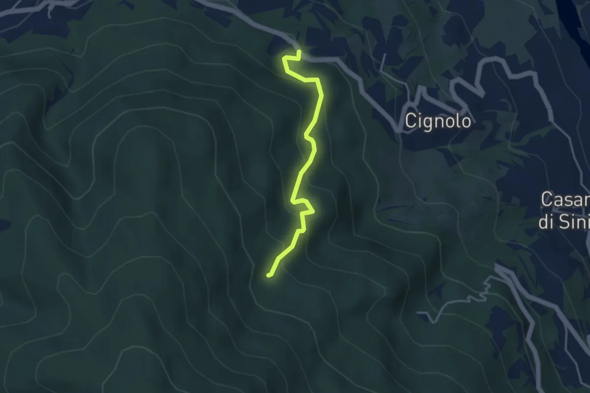
Easy · Trail
Incrocio per Cignolo – CAI 108
3.1 km · ↑ 274 m · 1 h 20 min
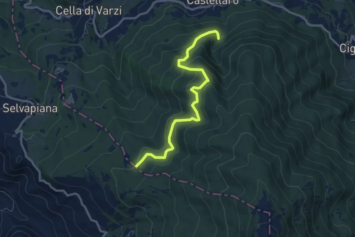
Medium · Trail
Acquedotto di Castellaro – Fontana Pian dei Laghi
7.0 km · ↑ 408 m · 2 h 32 min
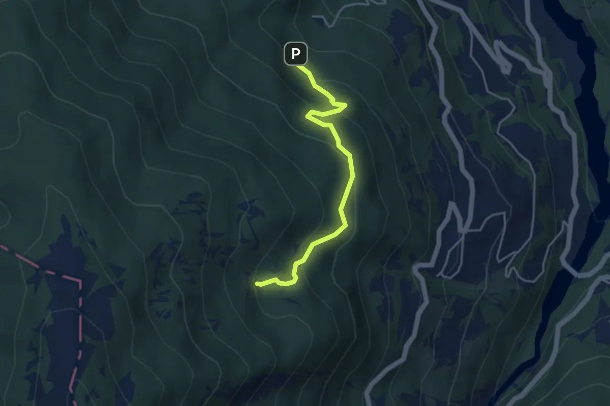
Easy · Cabin
Percorso 108 – Pian della Ciappa CAI 113
3.5 km · ↑ 210 m · 1 h 17 min
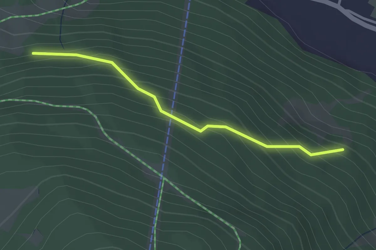
Easy · Trail
Innesto Sentiero 283 – Innesto Sentiero 284
2.5 km · ↑ 260 m · 1 h 9 min
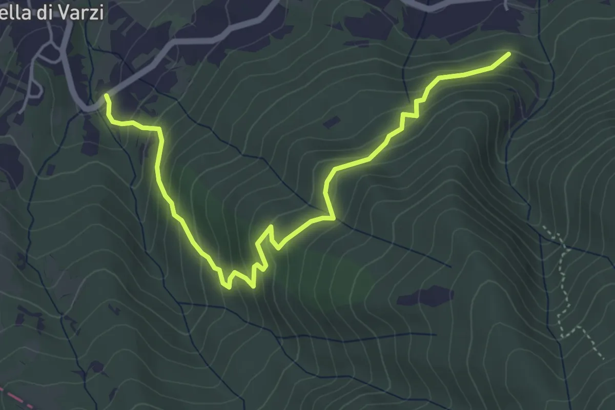
Medium · Trail
Cella – Incrocio CAI 102
5.4 km · ↑ 399 m · 2 h 9 min
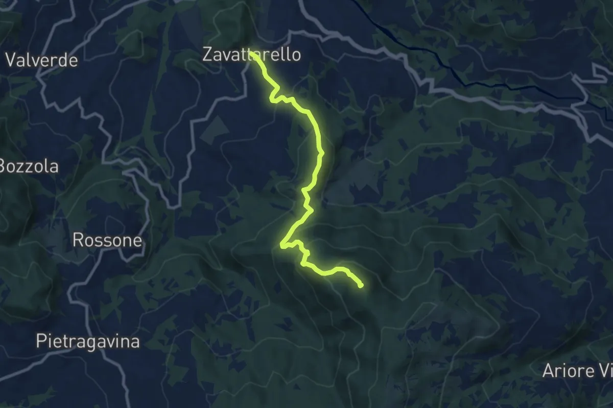
Medium · Summit
Zavattarello – Bivacco del Calenzone
9.0 km · ↑ 622 m · 3 h 28 min
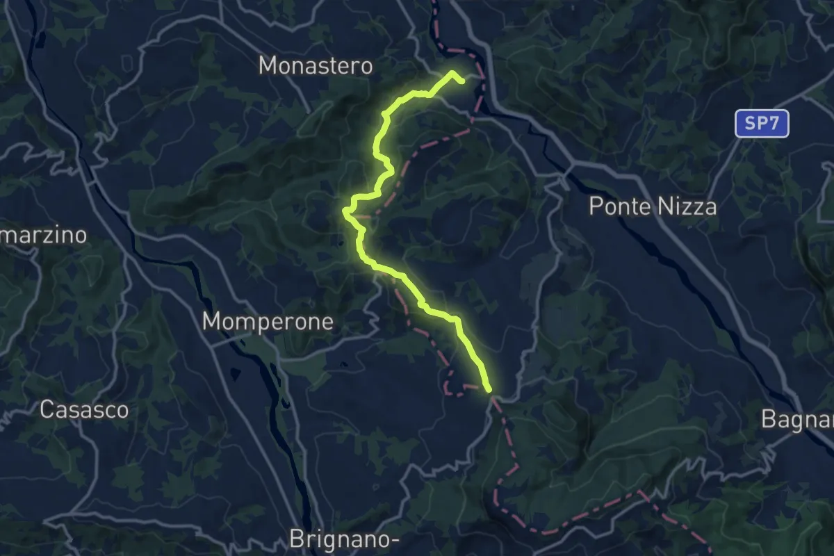
Medium · Trail
Frazione Serra del Monte, bivio ALA102-ALA126 – Frazione Biagasco, Sacrario di Biagasco
12.6 km · ↑ 415 m · 3 h 53 min
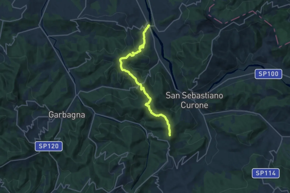
Medium · Trail
Località Monte della Croce, bivio ALA128-ALA155 – Brignano Frascata
14.6 km · ↑ 611 m · 4 h 46 min
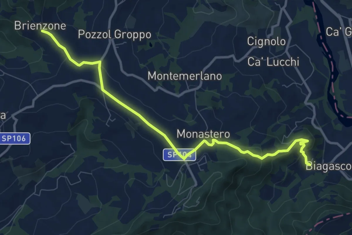
Medium · Trail
Località Brienzone, bivio ALA132-ALA153 – Frazione Biagasco, bivio ALA126-ALA132
9.2 km · ↑ 288 m · 2 h 48 min
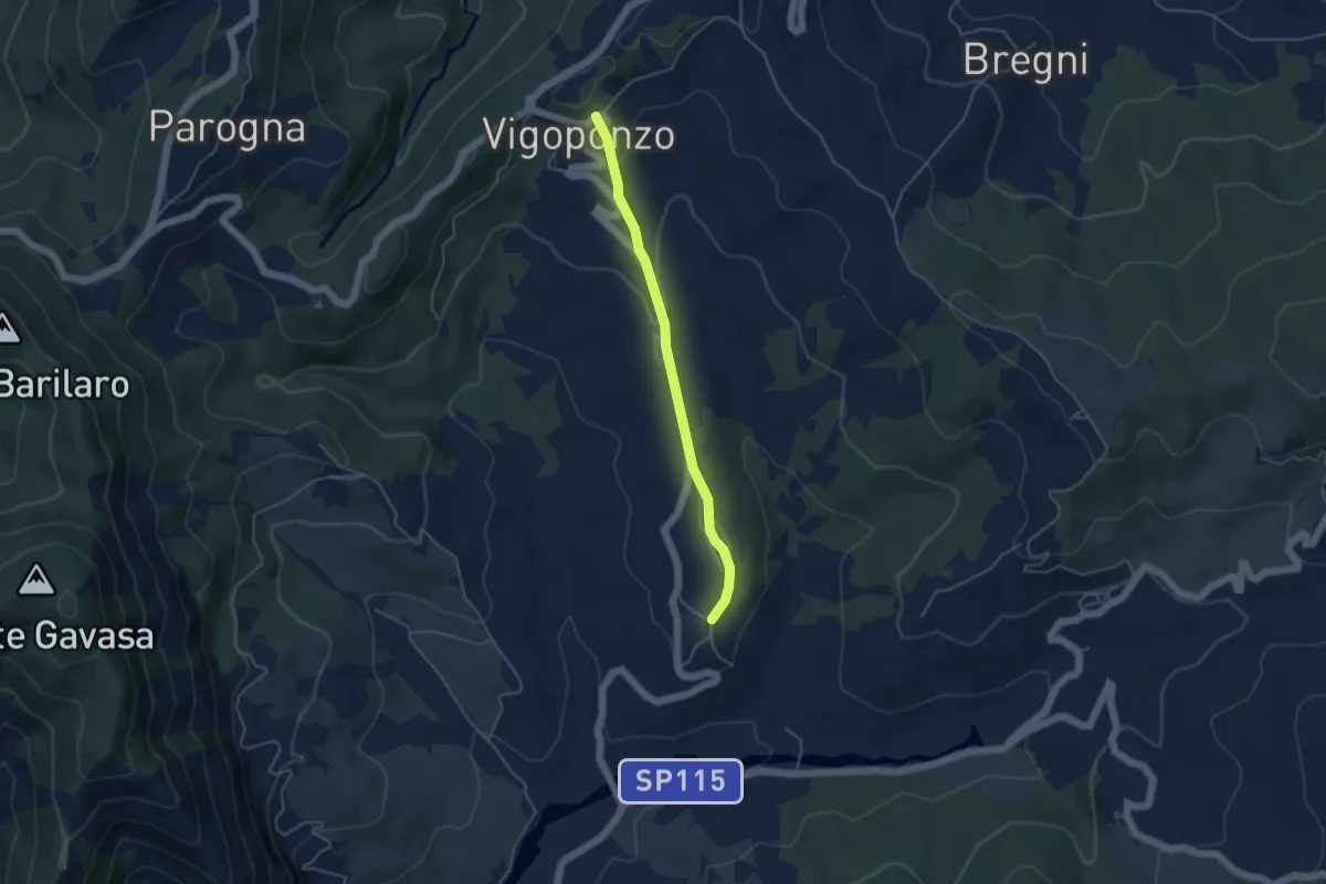
Easy · Trail
Frazione Zebedassi, bivio ALA133-ALA200 – Frazione Vigoponzo, bivio ALA133-ALA139
4.2 km · ↑ 113 m · 1 h 14 min
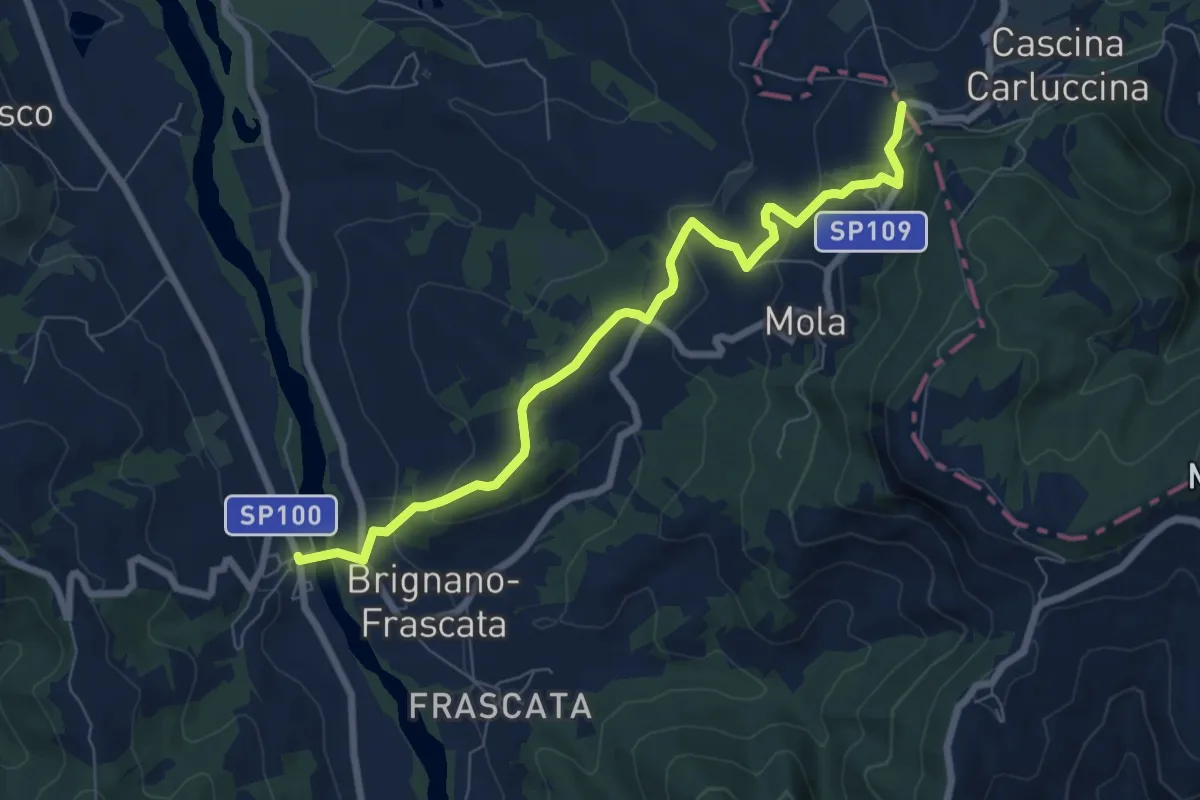
Easy · Trail
Bivio ALA128-ALA134 – Frazione Serra del Monte, bivio ALA103-ALA134
7.9 km · ↑ 284 m · 2 h 29 min
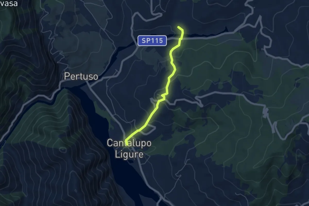
Easy · Trail
Cascina Carrano, bivio ALA200-ALA210B – Bivio ALA210-ALA210B
4.7 km · ↑ 258 m · 1 h 41 min
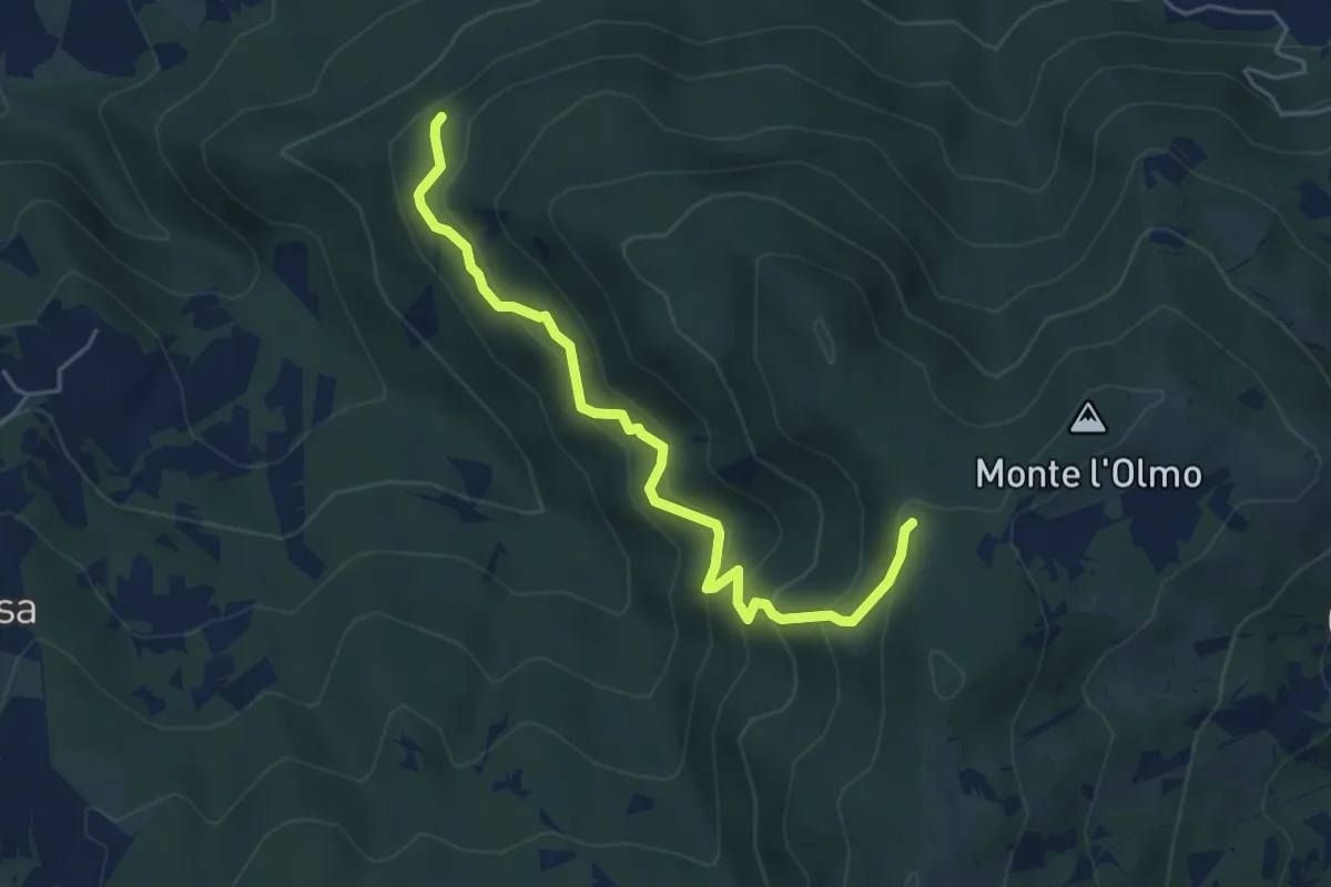
Medium · Trail
Incrocio CAI 208 – Incrocio CAI 208
5.1 km · ↑ 414 m · 2 h 6 min
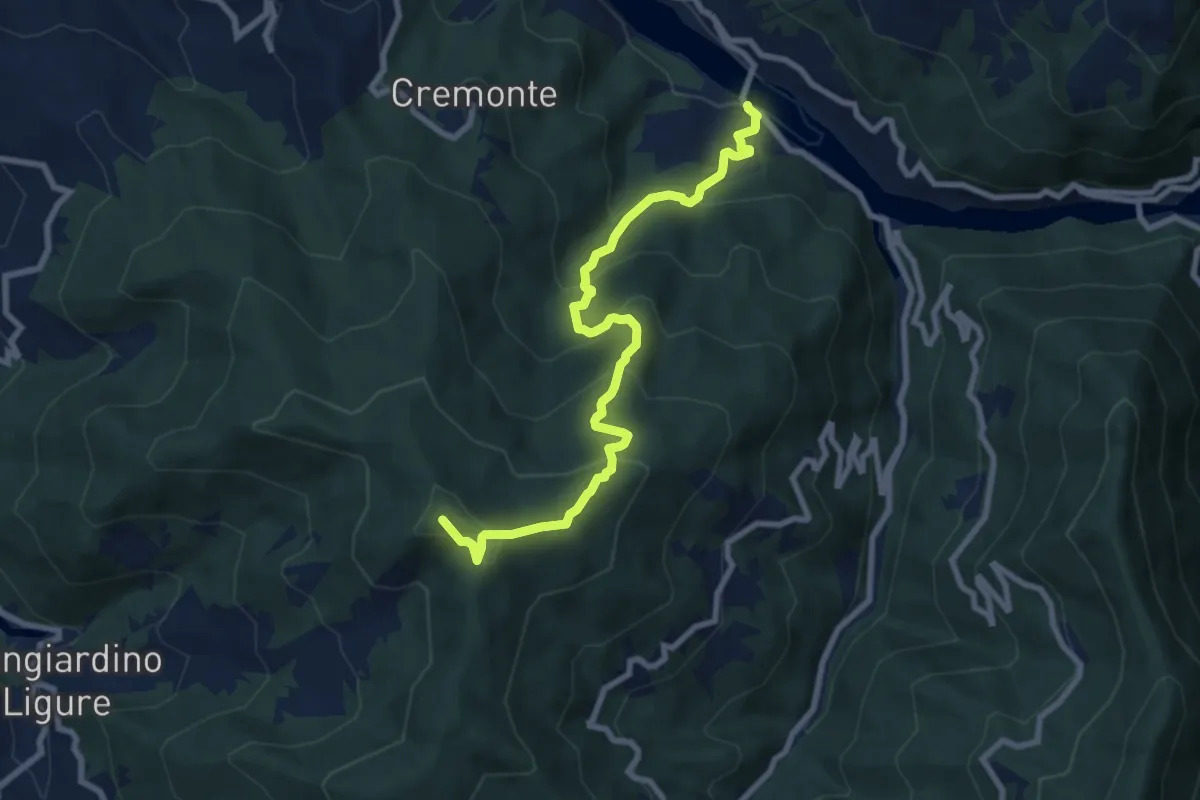
Medium · Summit
Rosano – Presso Cima dell'Erta, bivio ALA200-ALA261
8.7 km · ↑ 626 m · 3 h 24 min
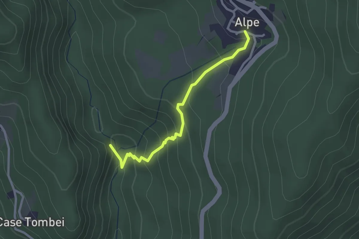
Easy · Trail
Alpe – mulini della Sissuola
2.4 km · ↑ 178 m · 57 min
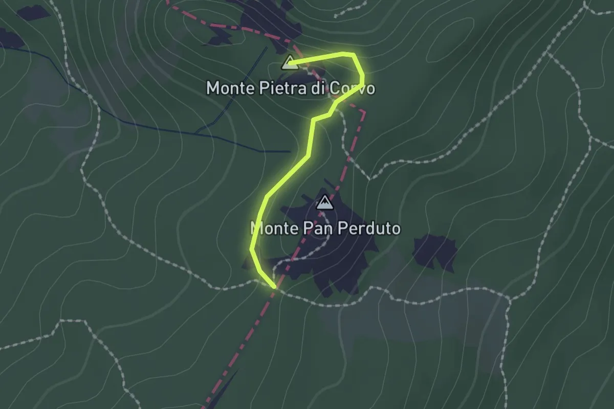
Easy · Summit
Passo Caldarola – Monte Pietra di Corvo
1.4 km · ↑ 27 m · 23 min
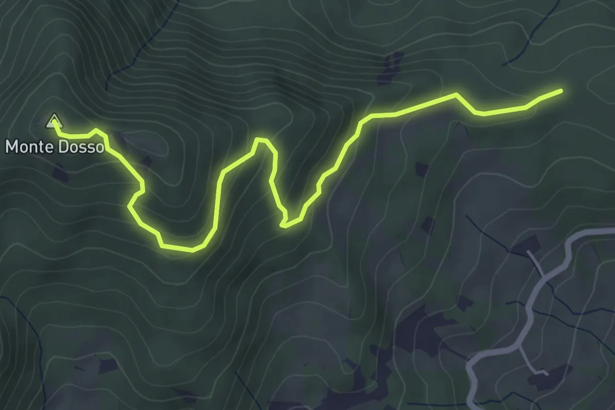
Medium · Summit
Peracchi – Percorso 814
5.8 km · ↑ 338 m · 2 h 6 min
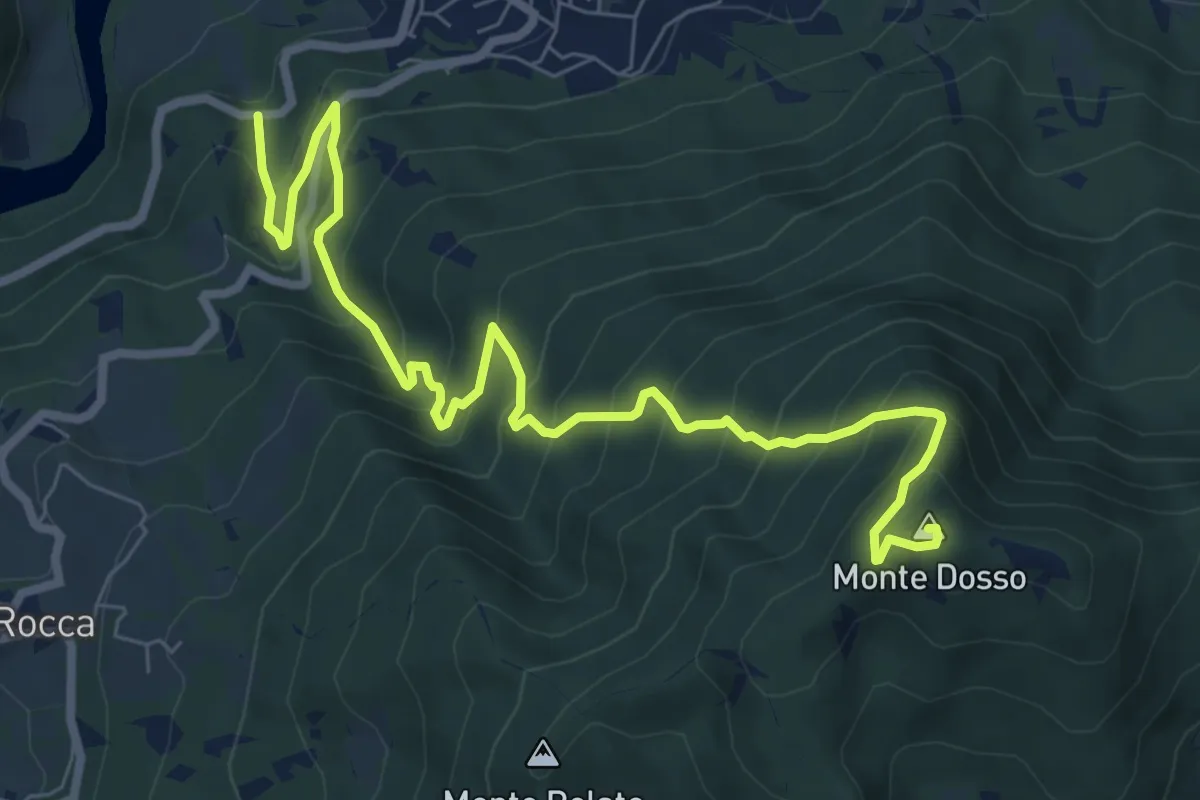
Demanding · Summit
SP28 – Monte Dosso
9.5 km · ↑ 954 m · 4 h 19 min
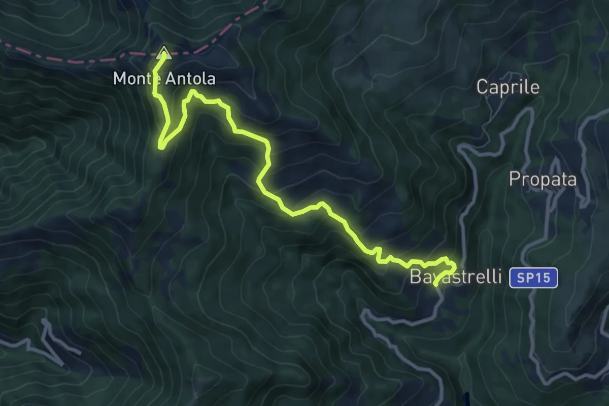
Medium · Summit
Bavastrelli – Vetta del Monte Antola
9.4 km · ↑ 718 m · 3 h 46 min
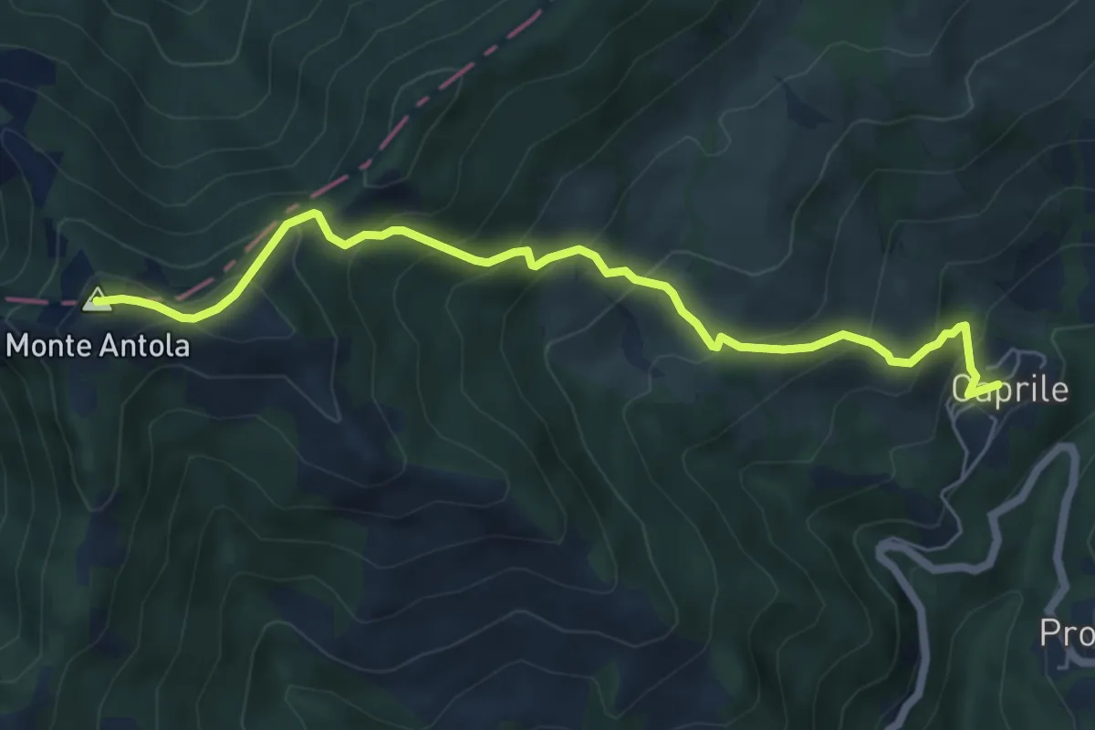
Medium · Summit
Caprile – Vetta del Monte Antola
6.6 km · ↑ 541 m · 2 h 43 min
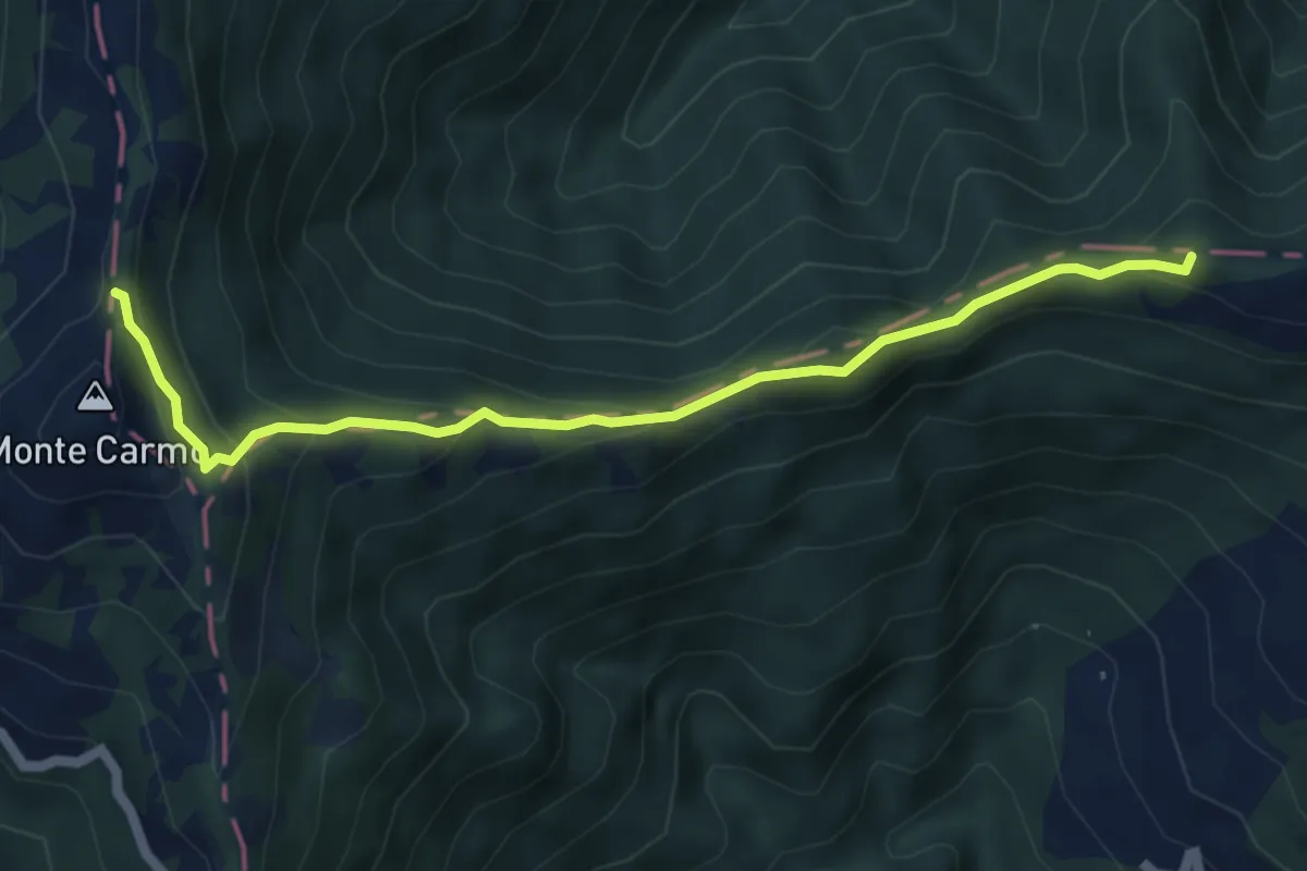
Medium · Summit
Monte Alfeo – Monte Carmo
5.7 km · ↑ 356 m · 2 h 6 min
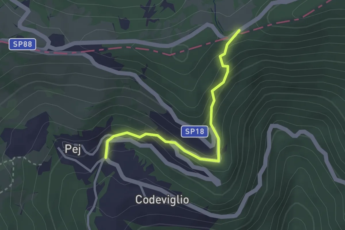
Medium · Trail
Tartago – Percorso 101
2.6 km · ↑ 188 m · 1 h 1 min
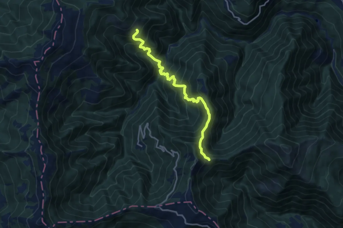
Demanding · Trail
Artana – Sella di Monte Ronconovo
11.0 km · ↑ 1211 m · 5 h 14 min
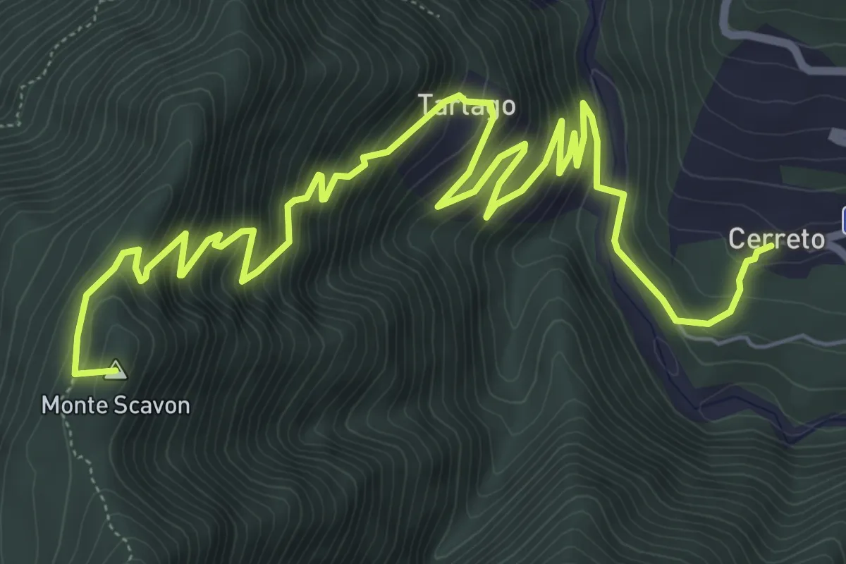
Demanding · Summit
Cerreto – Sella di Monte Alfeo
10.1 km · ↑ 853 m · 4 h 14 min
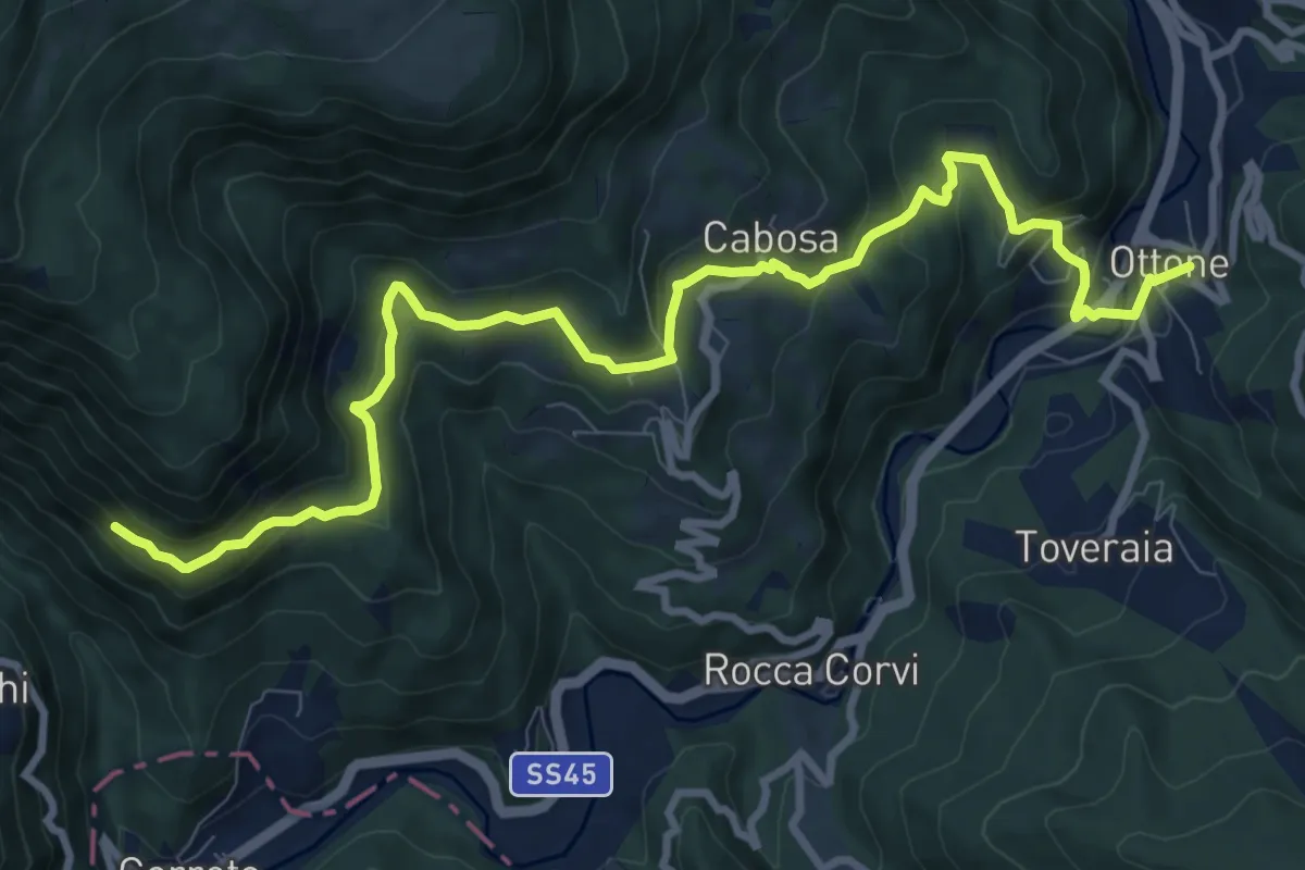
Medium · Trail
Ottone – Percorso 111
11.6 km · ↑ 583 m · 4 h
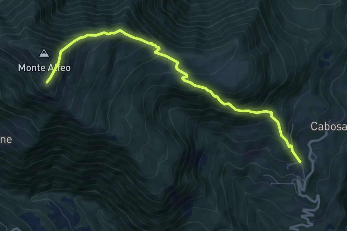
Demanding · Trail
Campi – Percorso 111
8.3 km · ↑ 851 m · 3 h 48 min
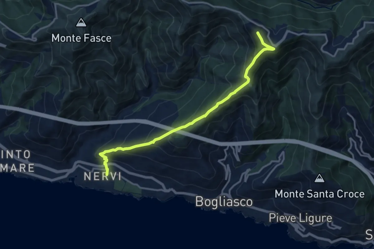
Medium · Summit
Nervi – Monte Cordona
10.4 km · ↑ 730 m · 4 h 2 min
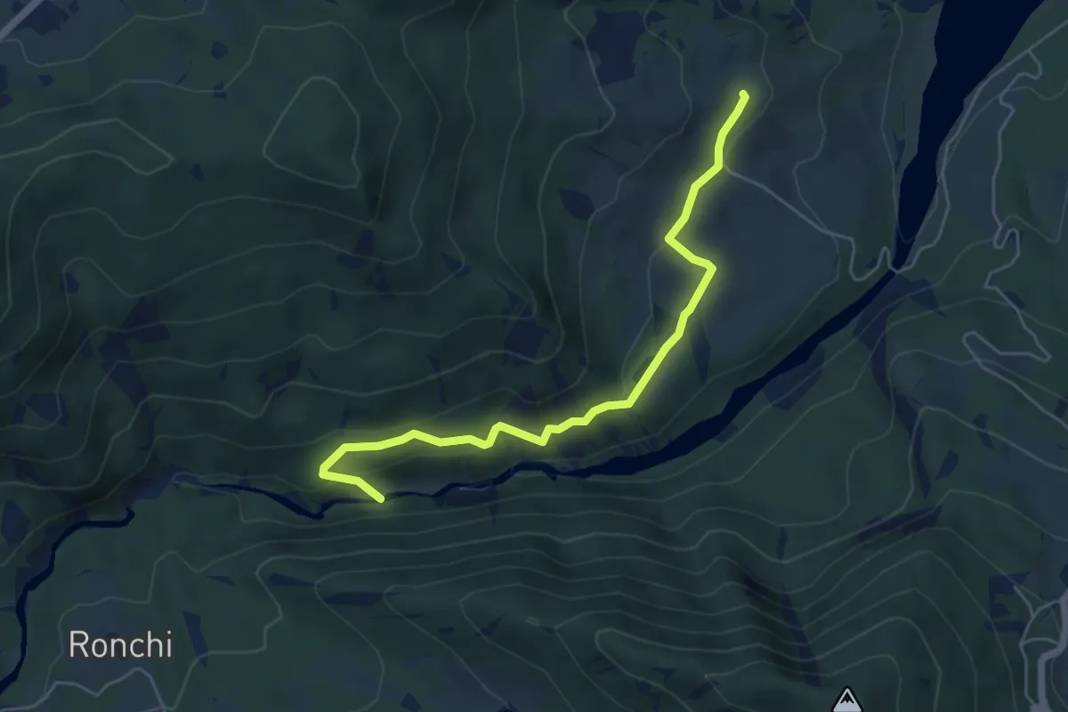
Easy · Trail
Castelcorniglio – Cascate torrente Pessola
5.6 km · ↑ 241 m · 1 h 51 min
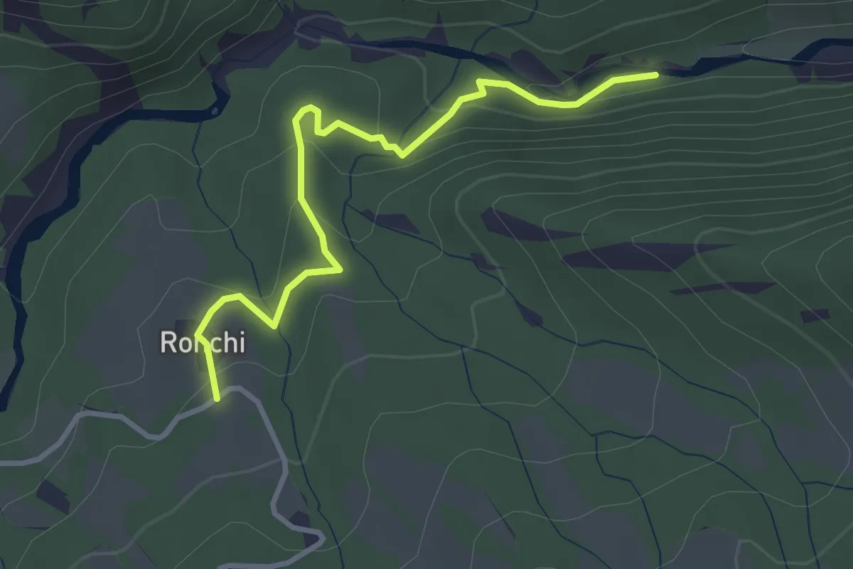
Easy · Trail
Ronchi – Percorso CP1
3.3 km · ↑ 143 m · 1 h 5 min
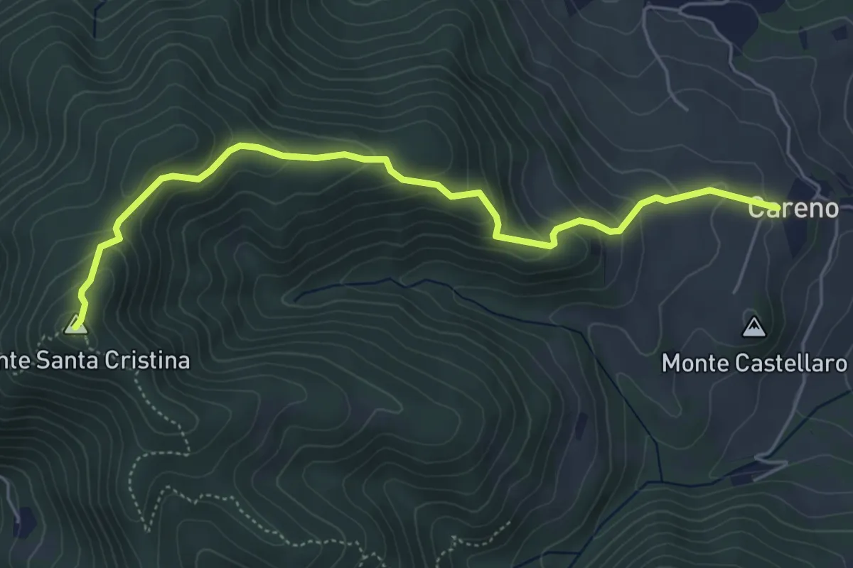
Medium · Summit
Santuario di Careno – Monte Santa Cristina
5.7 km · ↑ 351 m · 2 h 6 min
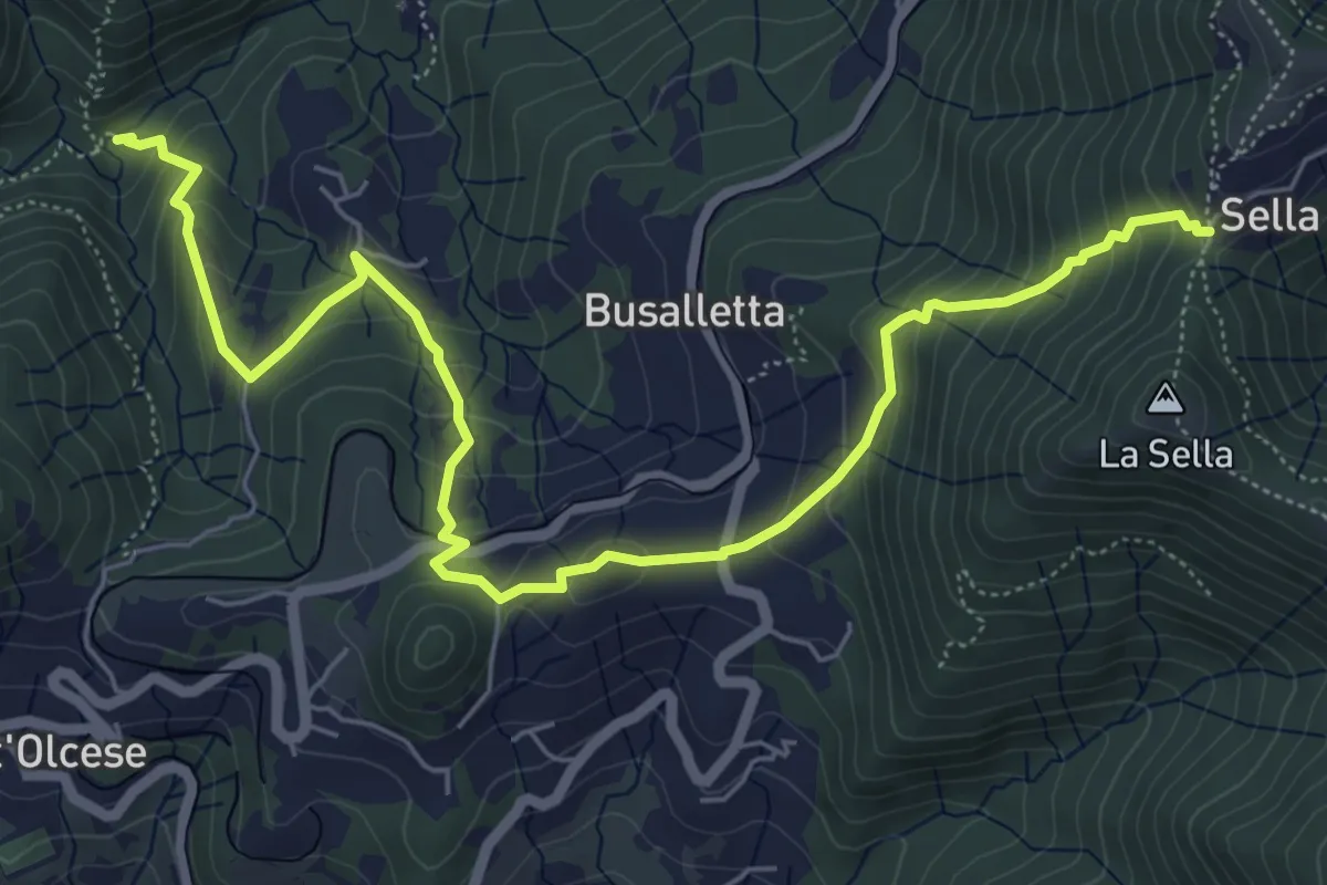
Medium · Cabin
Rifugio Ciaè – Sella
7.8 km · ↑ 510 m · 2 h 56 min
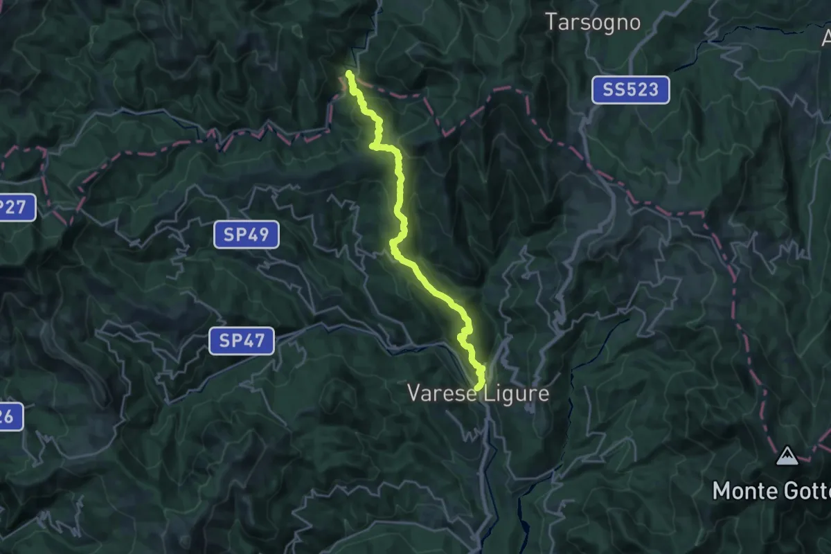
Demanding · Trail
Varese Ligure – La Pelosa
20.6 km · ↑ 1046 m · 7 h 7 min
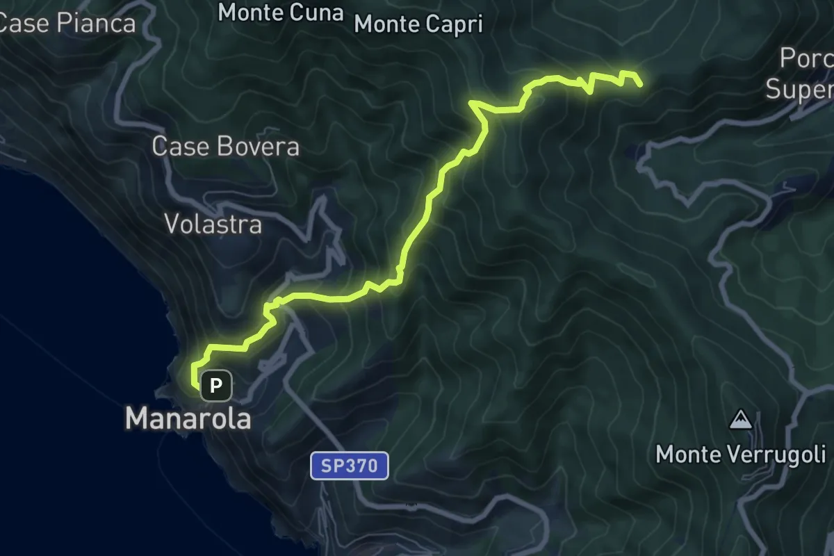
Demanding · Summit
Manarola – San Benedetto
8.1 km · ↑ 891 m · 3 h 51 min
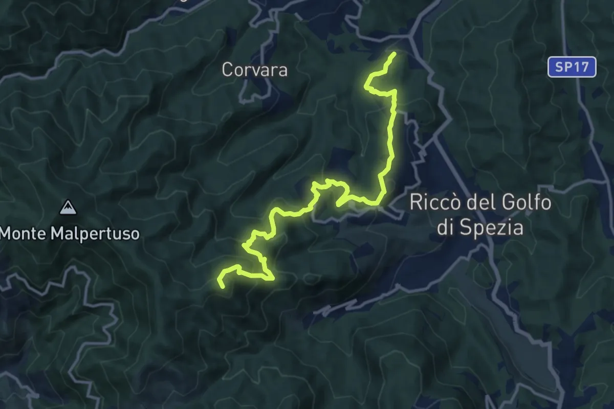
Expert · Summit
Pian di Barca – Baudara
13.2 km · ↑ 880 m · 5 h 1 min
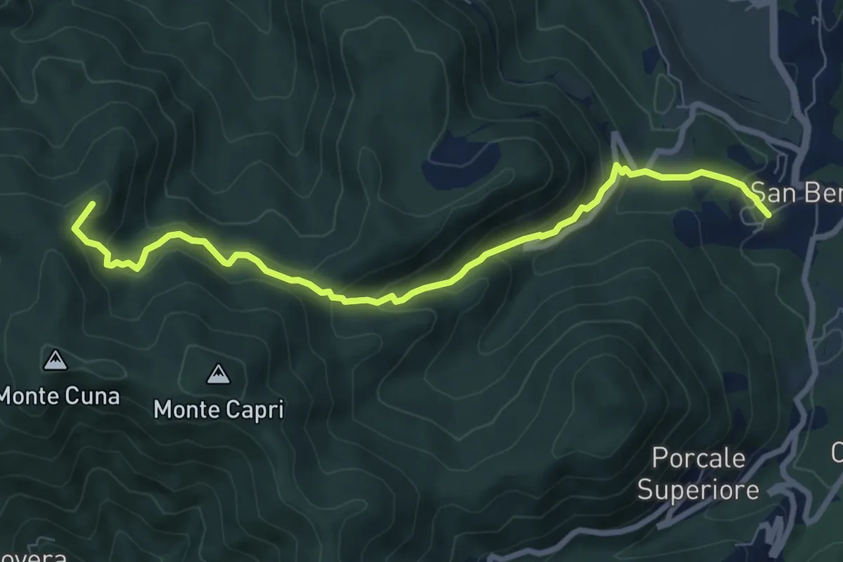
Demanding · Summit
San Benedetto – Aia del Cane
7.9 km · ↑ 506 m · 2 h 58 min