Trails in Italy
25,219 hiking trails, each with its route, climb, walking time and grade.
All trails, page 378 of 526
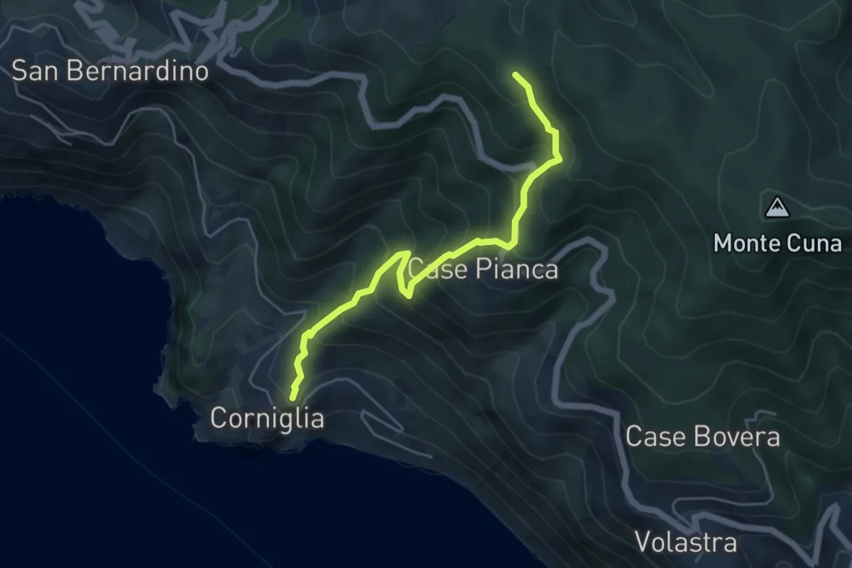
Medium · Trail
Corniglia – La Cigoletta
4.7 km · ↑ 517 m · 2 h 13 min
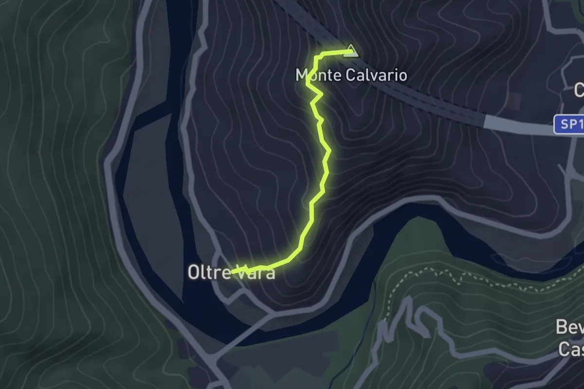
Easy · Summit
Oltrevara – Stadomelli (Bivio 152)
2.7 km · ↑ 317 m · 1 h 20 min
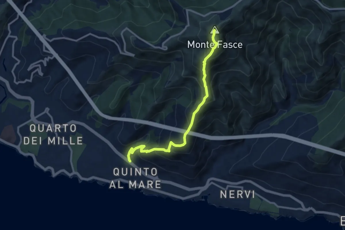
Medium · Summit
Quinto – Monte Fasce
7.9 km · ↑ 779 m · 3 h 34 min
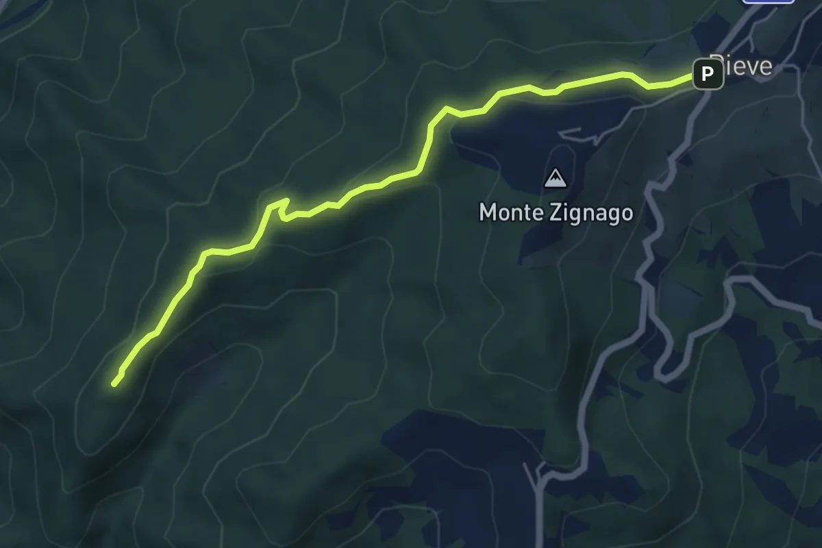
Easy · Summit
Brugnato – Pieve di Zignago
5.5 km · ↑ 154 m · 1 h 38 min
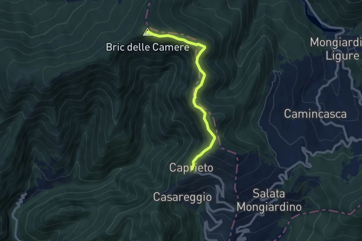
Medium · Summit
Caprieto – Bric delle Camere
5.2 km · ↑ 363 m · 2 h 1 min
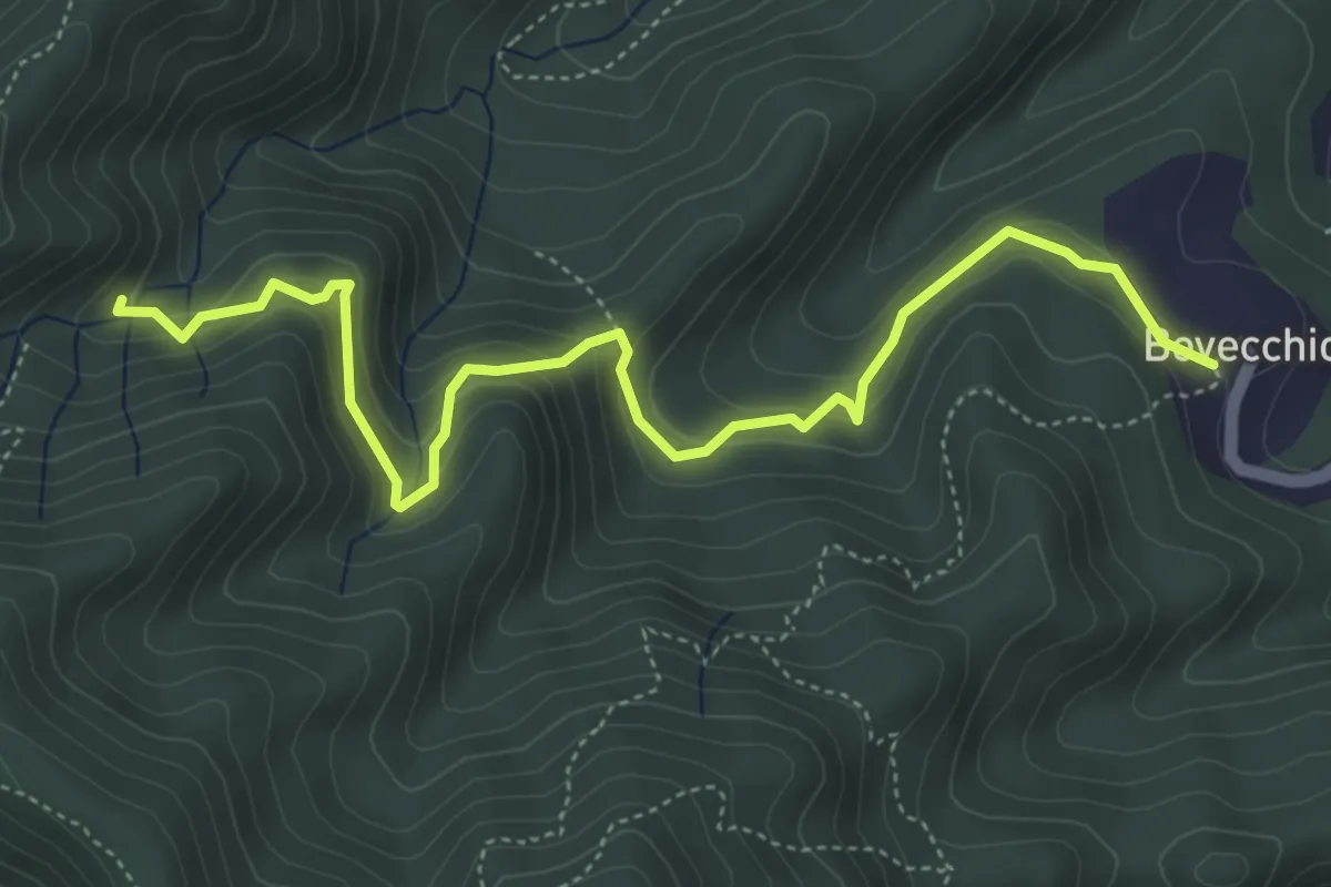
Medium · Trail
Bovecchio – Baccadore
5.7 km · ↑ 325 m · 2 h 3 min
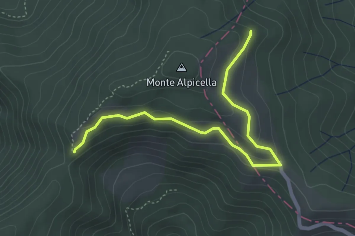
Easy · Trail
Foce Carzachi – Alpicella
4.5 km · ↑ 175 m · 1 h 26 min
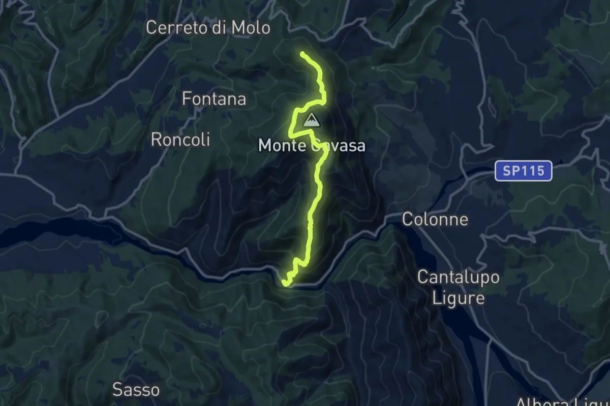
Medium · Summit
Le Baracche – Monte Barillaro
10.2 km · ↑ 704 m · 3 h 56 min
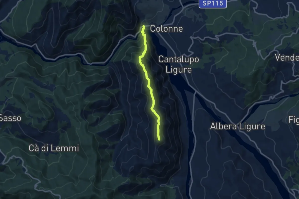
Demanding · Summit
Pertuso, bivio ALA209-ALA260 – Presso Roccaforte Ligure, bivio ALA260-ALA274
7.4 km · ↑ 588 m · 3 h 2 min
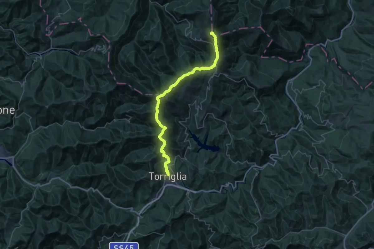
Demanding · Summit
Torriglia - Fermata della corriera – Vetta Monte Carmo
31.4 km · ↑ 1633 m · 10 h 57 min
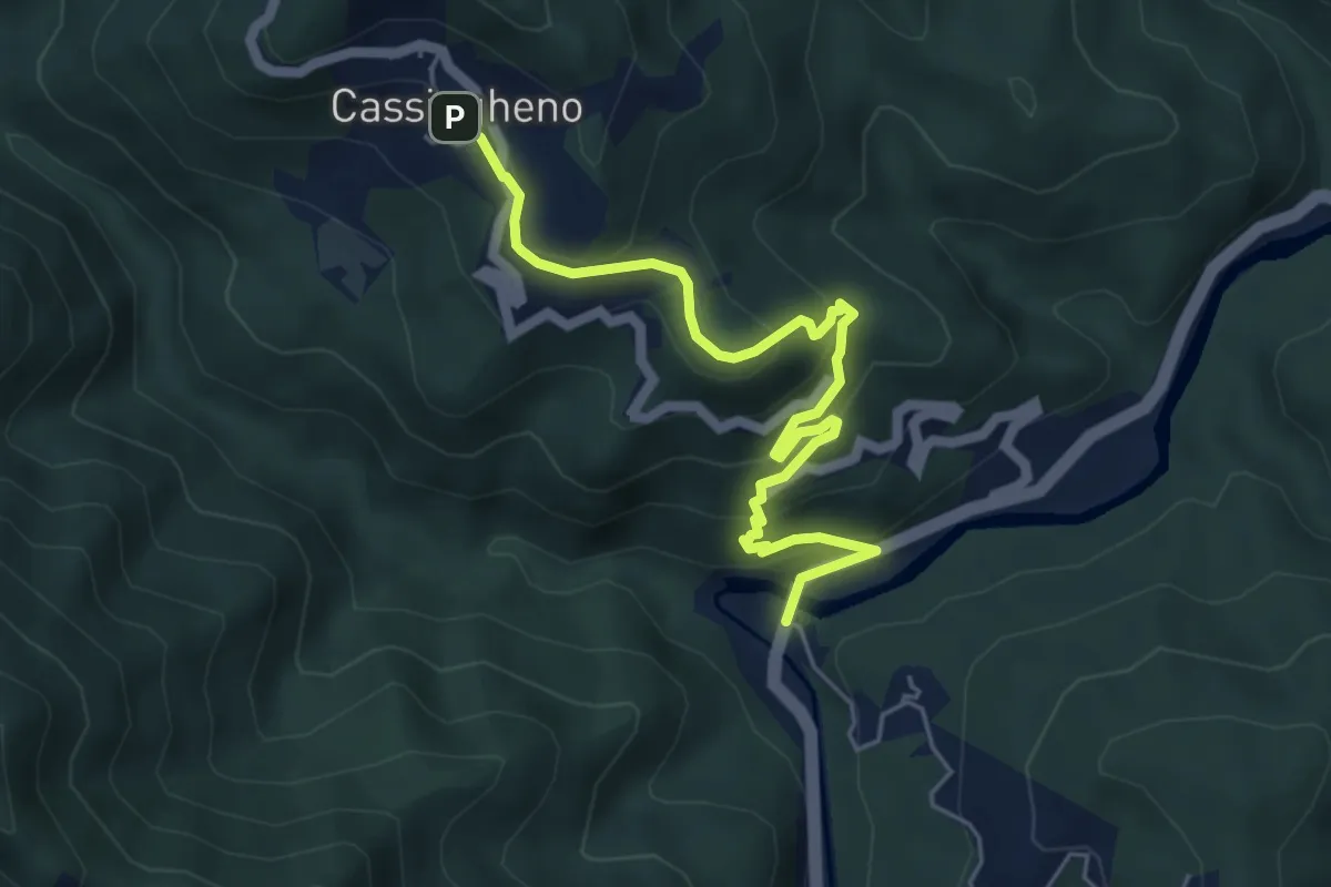
Medium · Trail
Cassingheno – Due Ponti
5.9 km · ↑ 325 m · 2 h 6 min
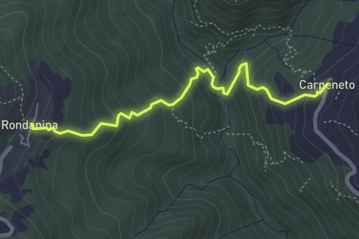
Medium · Trail
Carpeneto – Rondanina
4.3 km · ↑ 391 m · 1 h 51 min
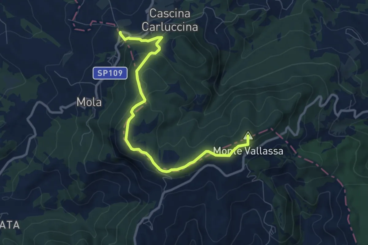
Medium · Summit
Serra del Monte, bivio ALA102-ALA103-DPVAXXX0 – Cascina Guardamonte, bivio ALA103-DPVA195
8.2 km · ↑ 283 m · 2 h 34 min
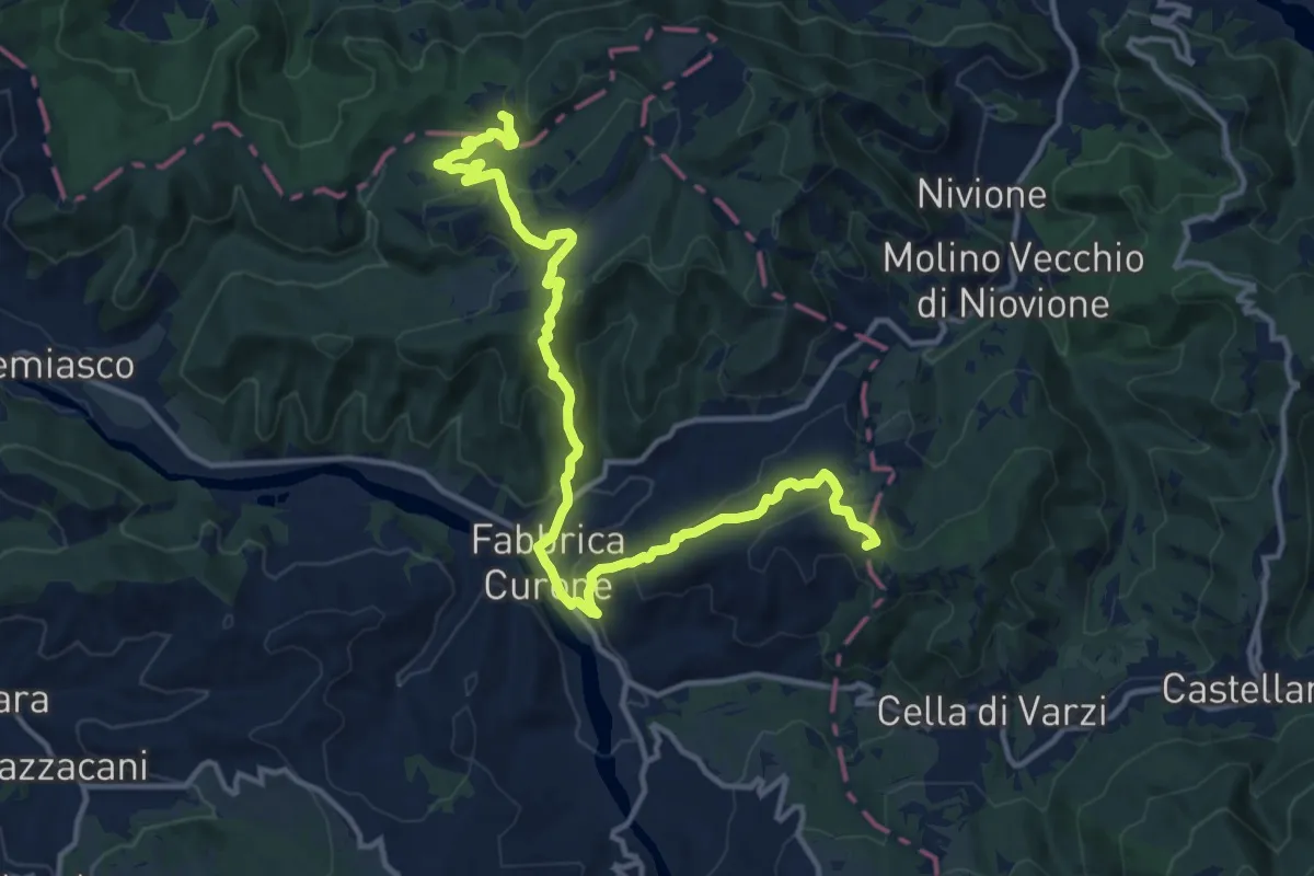
Medium · Summit
Bivio ALA103-ALA104 – Bivio ALA104-PVA104
16.0 km · ↑ 777 m · 5 h 28 min
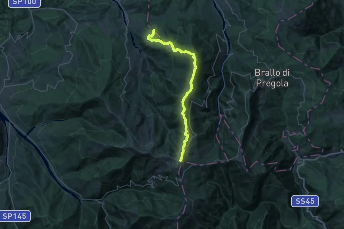
Demanding · Summit
Cappella della Costa – Rifugio Monte Chiappo, bivio ALA105-ALA200
26.6 km · ↑ 1311 m · 9 h 7 min
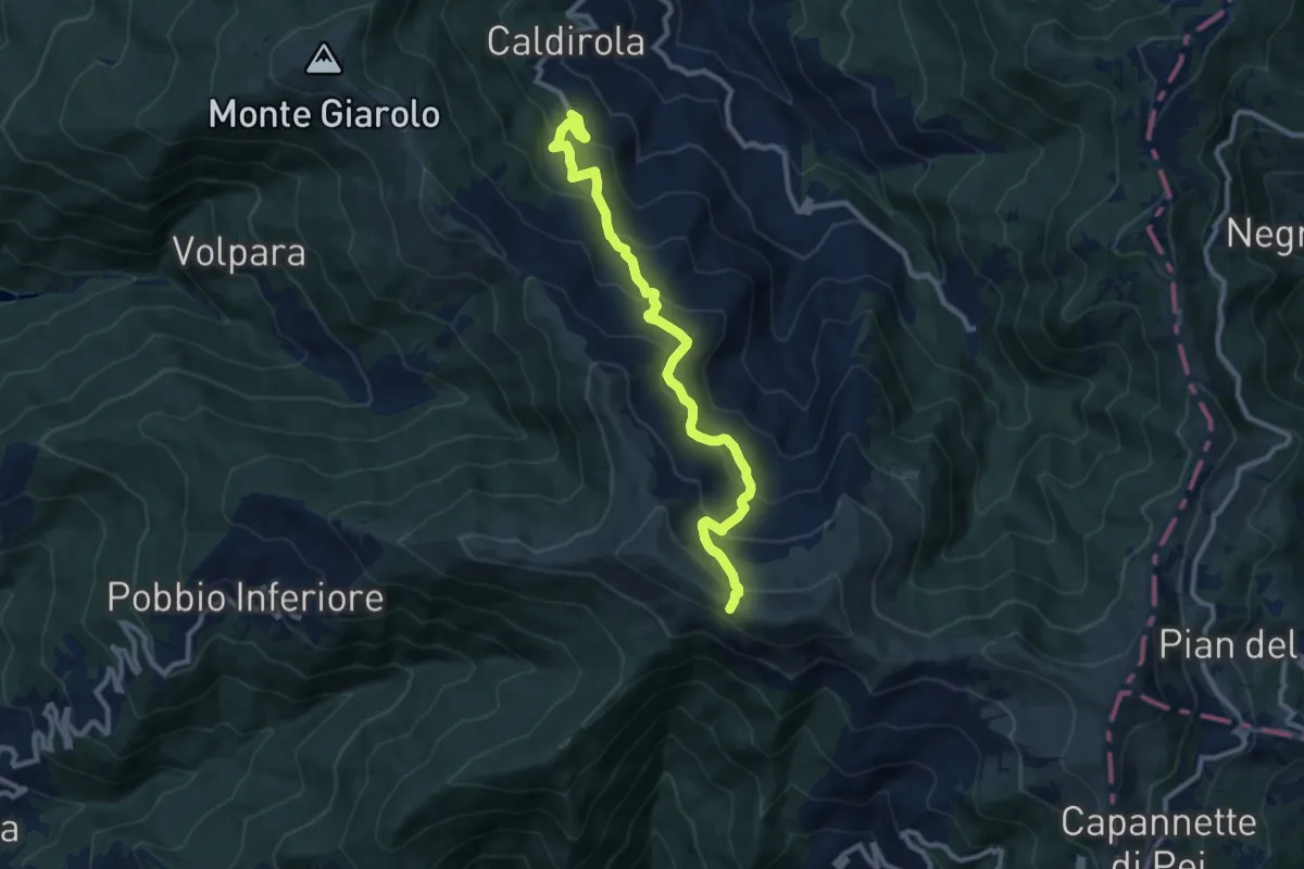
Medium · Trail
Fabbrica Curone, Frazione Caldirola Villaggio La Gioia, bivio ALA106-ALA106A – Bivio ALA200 presso Monte Ebro
10.8 km · ↑ 680 m · 4 h 1 min
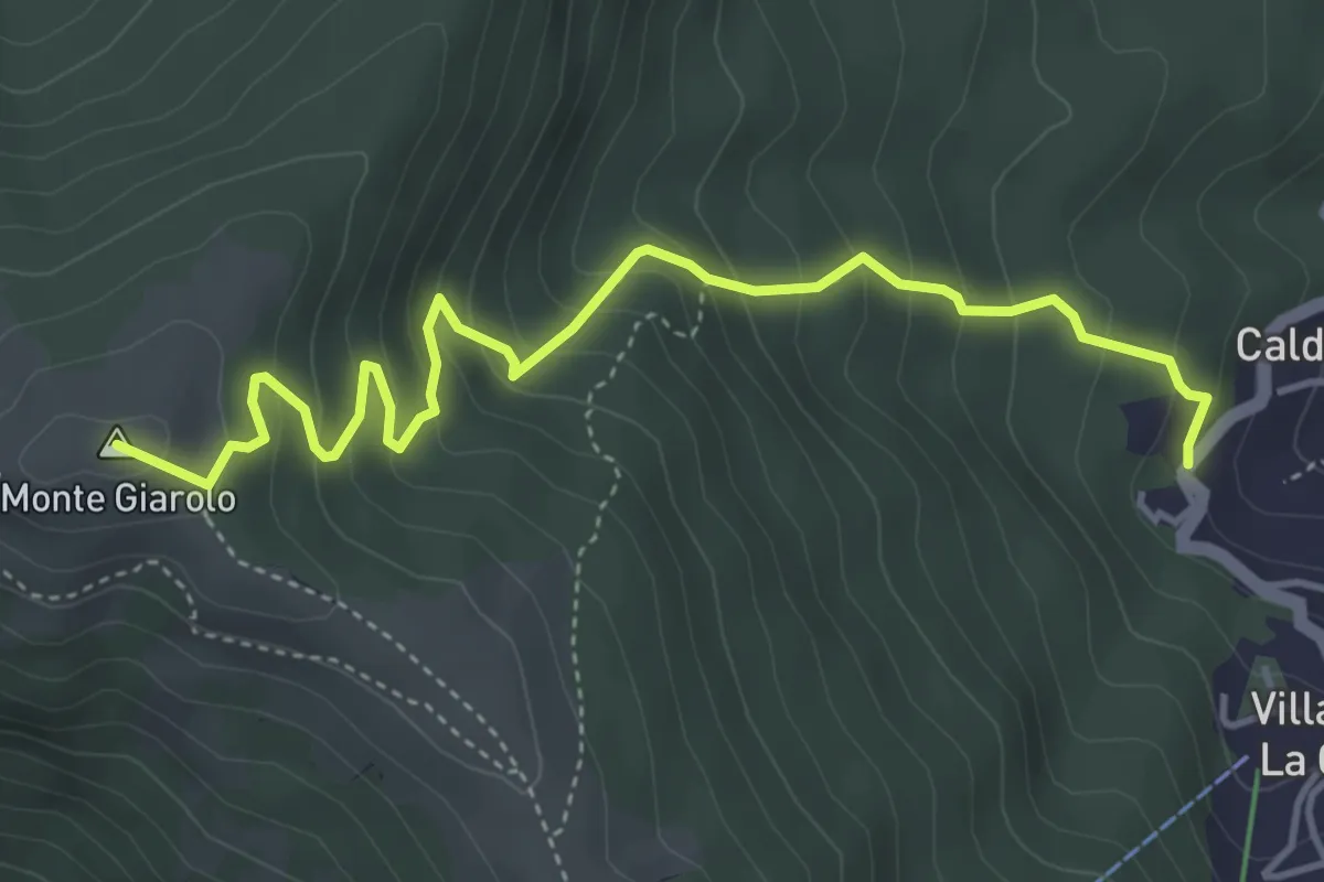
Medium · Summit
Fraz. Caldirola – Bivio ALA200 presso Monte Giarolo
5.0 km · ↑ 433 m · 2 h 7 min
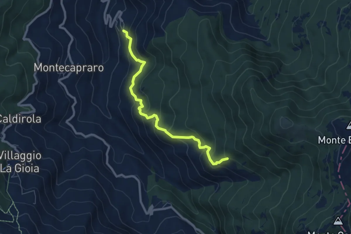
Medium · Trail
Frazione Lunassi – Bivio ALA111 presso Rio Stassone
6.2 km · ↑ 437 m · 2 h 24 min
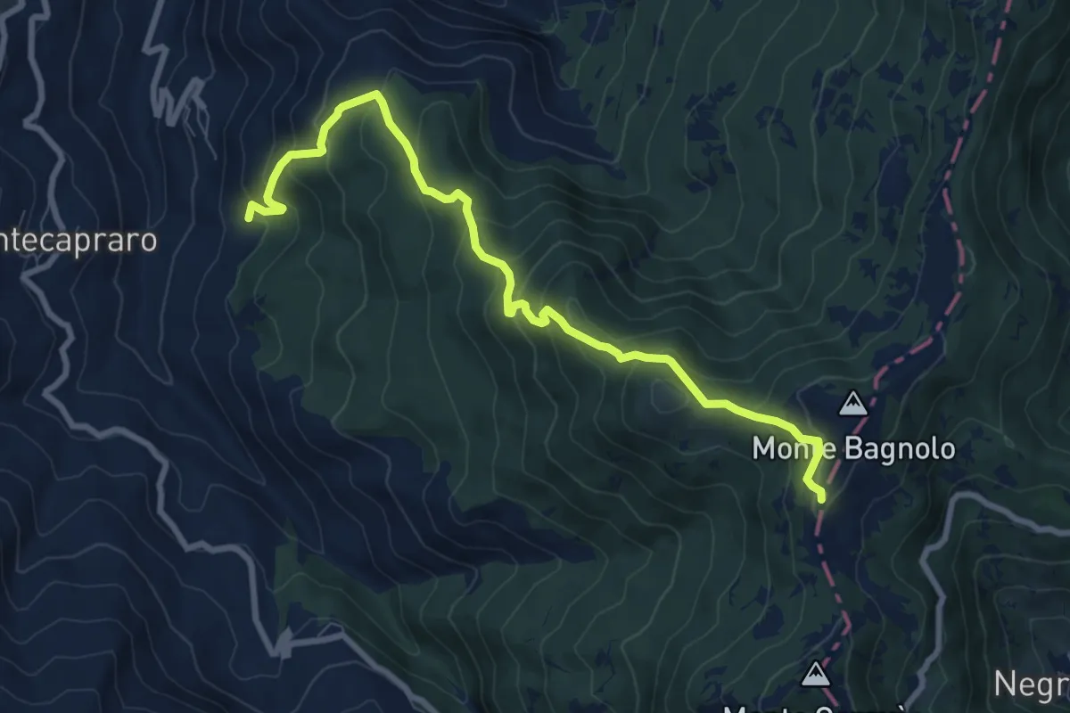
Medium · Trail
Bivio ALA109-ALA110, Lunassi – Bivio ALA105-ALA110, Colle della Seppa
9.0 km · ↑ 729 m · 3 h 42 min
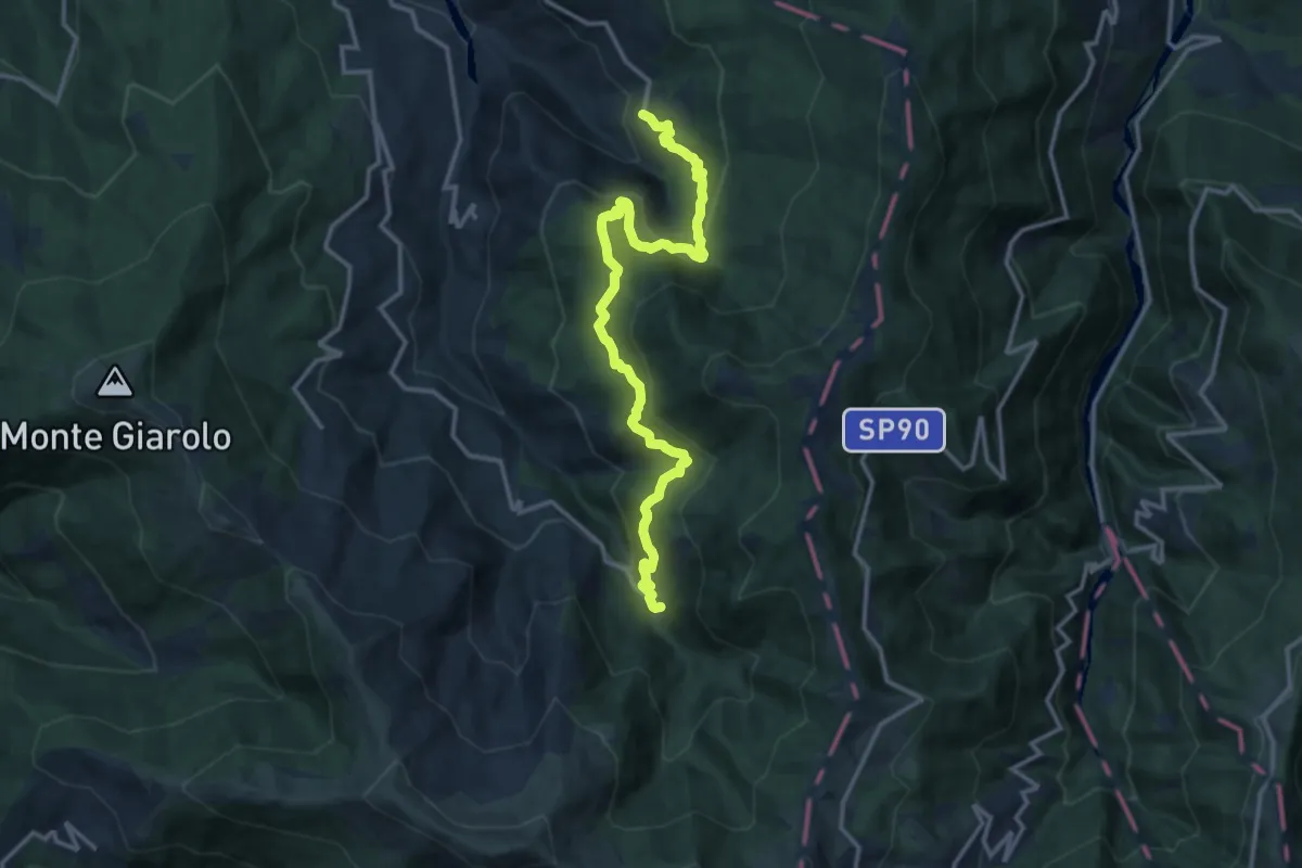
Medium · Trail
Fabbrica Curone, frazione Forotondo – Frazione Bruggi, bivio ALA116-ALA111
15.3 km · ↑ 788 m · 5 h 19 min
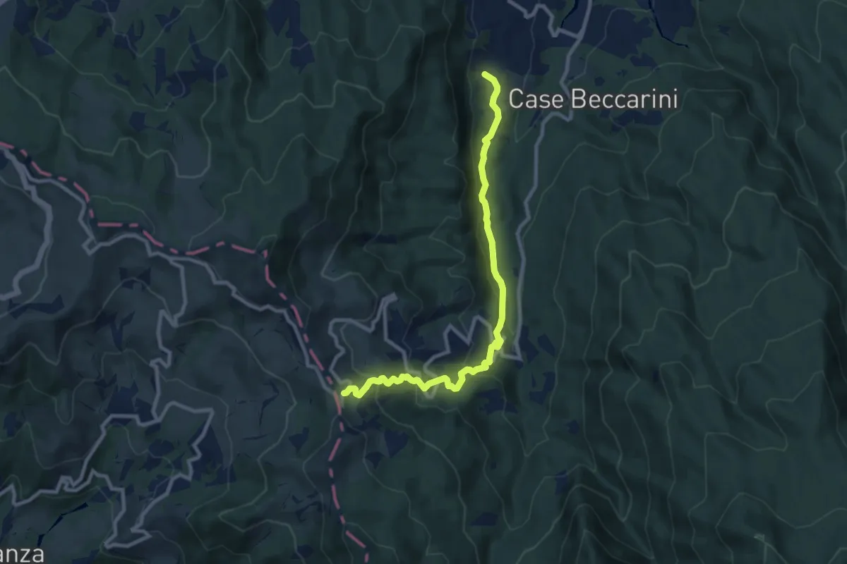
Medium · Trail
Groppo – Passo della Cappelletta
9.7 km · ↑ 590 m · 3 h 34 min
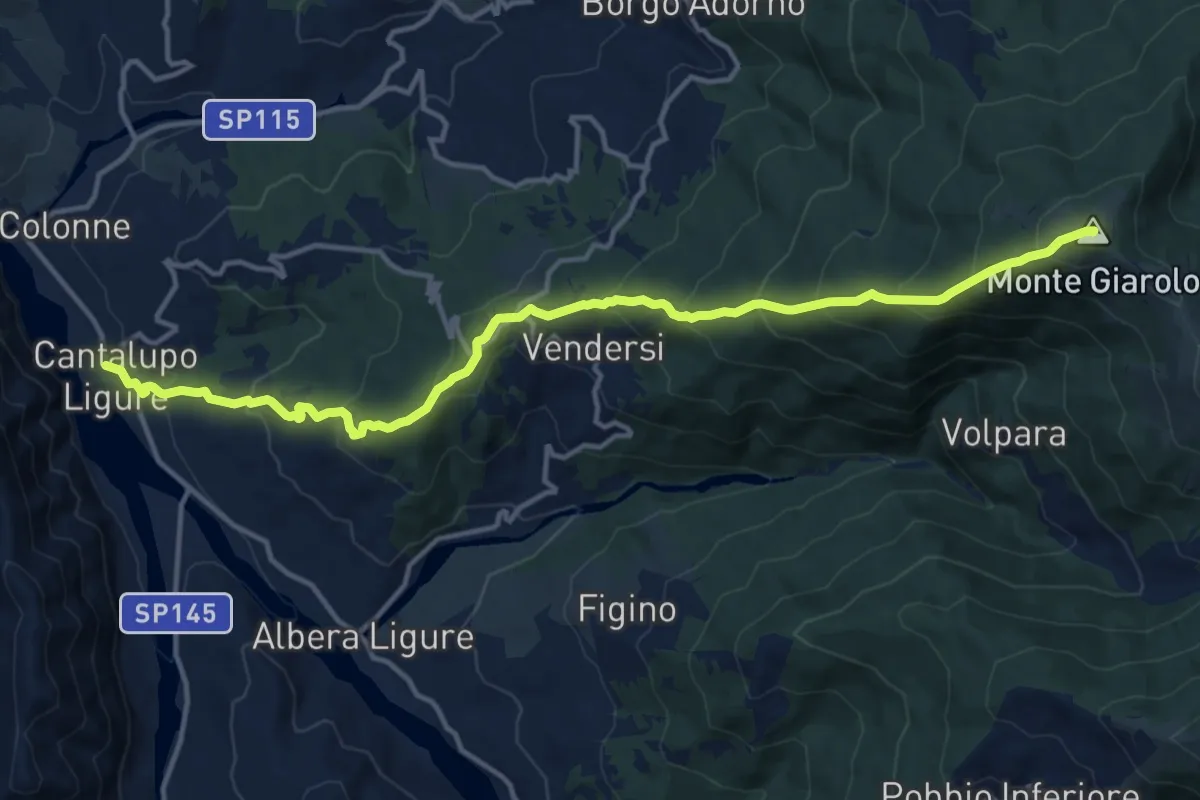
Demanding · Summit
Cantalupo Ligure – Bivio ALA200-ALA200D-ALA210 presso Monte Giarolo
15.8 km · ↑ 1095 m · 6 h 6 min
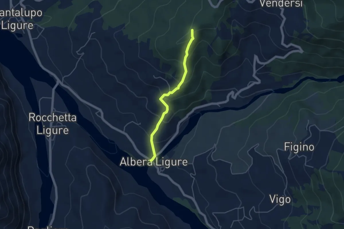
Easy · Trail
Albera Ligure, bivio ALA211-ALA215 – Bivio ALA210-ALA211, Costa Vendersi
3.8 km · ↑ 275 m · 1 h 30 min
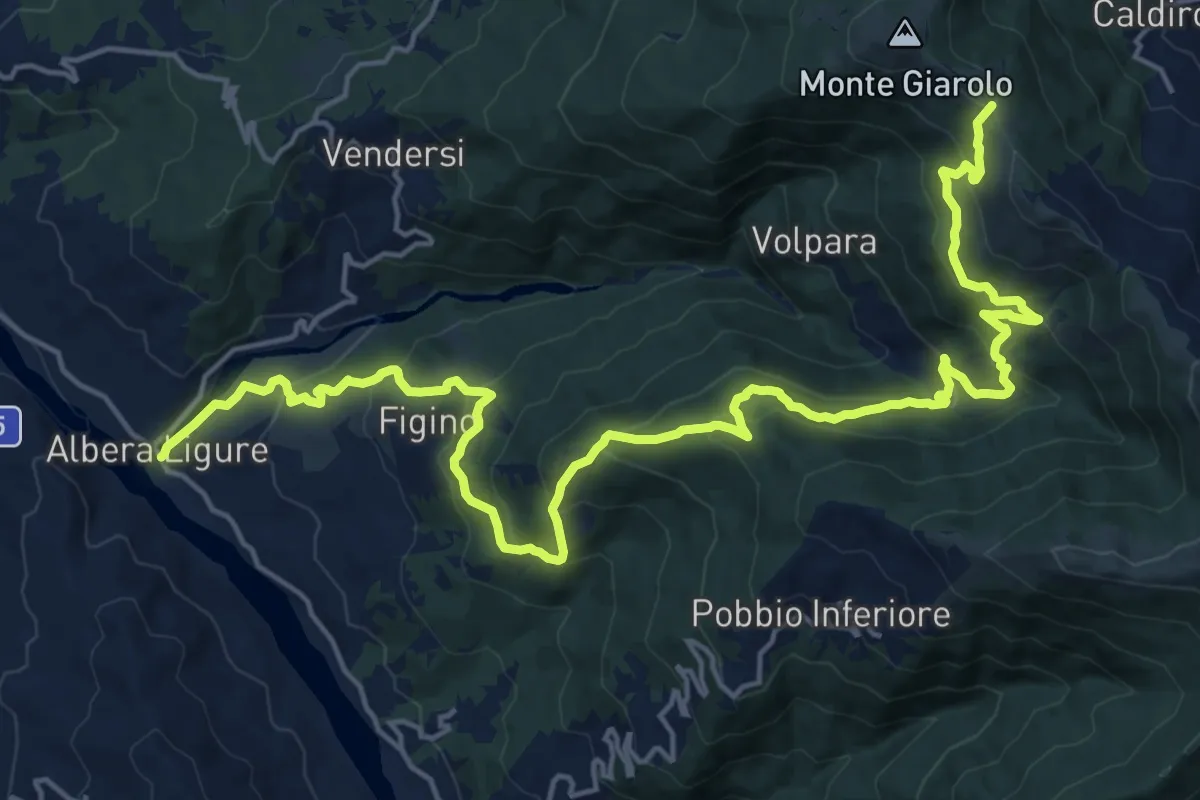
Medium · Trail
Albera Ligure, bivio ALA211-ALA215 – Bivio ALA200-ALA215
12.6 km · ↑ 211 m · 4 h 5 min
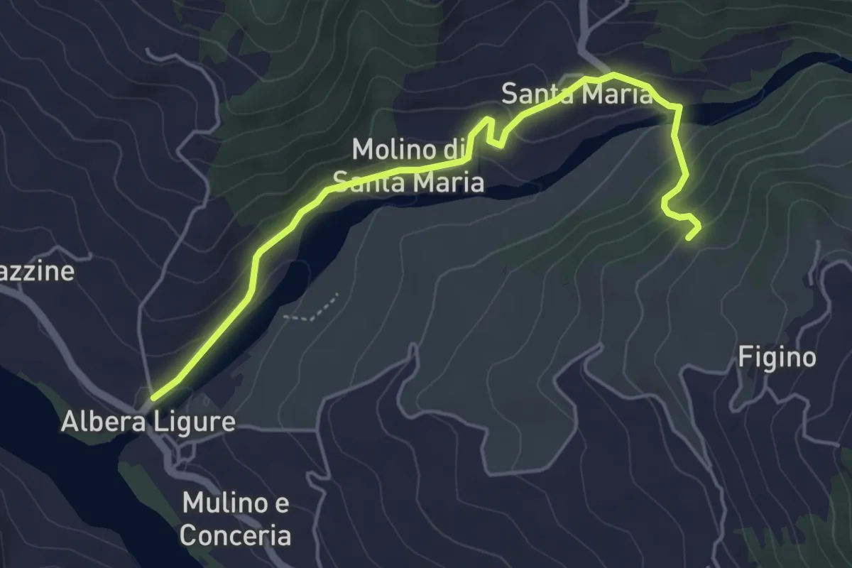
Easy · Trail
Presso Albera Ligure, bivio ALA211-ALA215A – Bivio ALA215-ALA215A
5.1 km · ↑ 238 m · 1 h 43 min
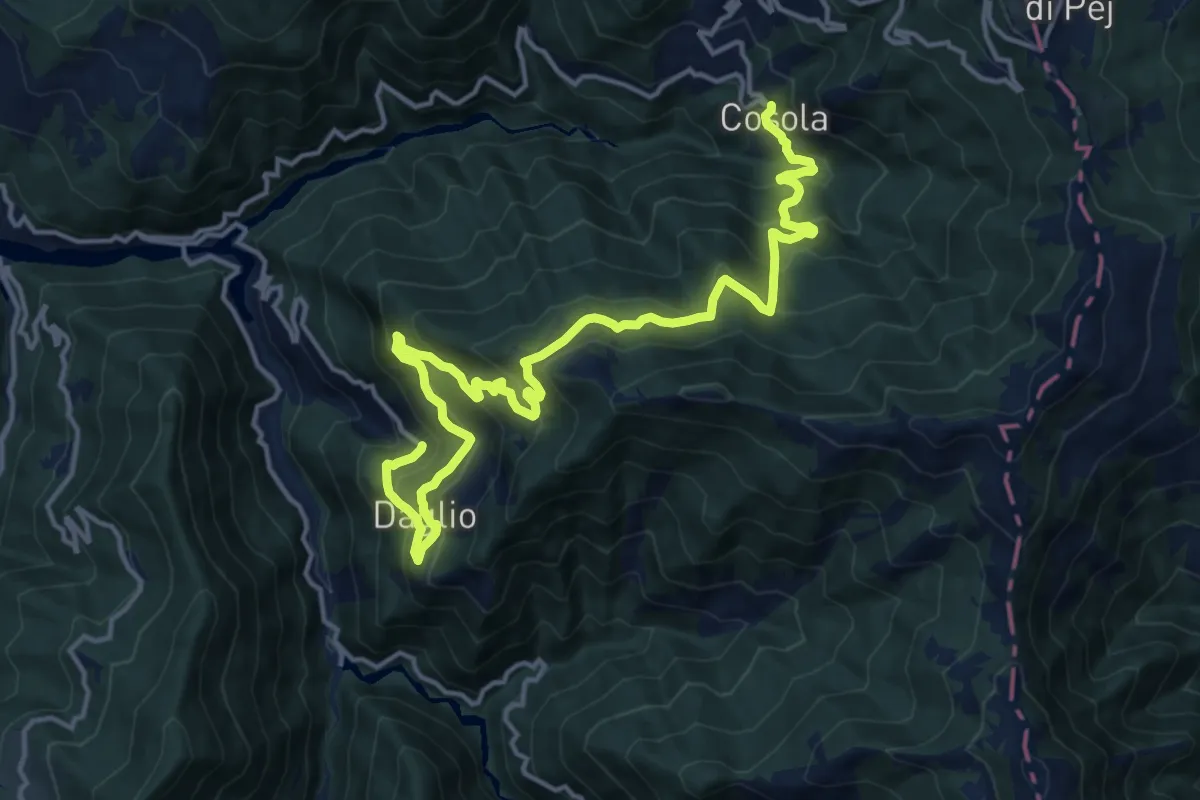
Demanding · Trail
Daglio – Montaldo di Cosola
18.9 km · ↑ 1265 m · 7 h 13 min
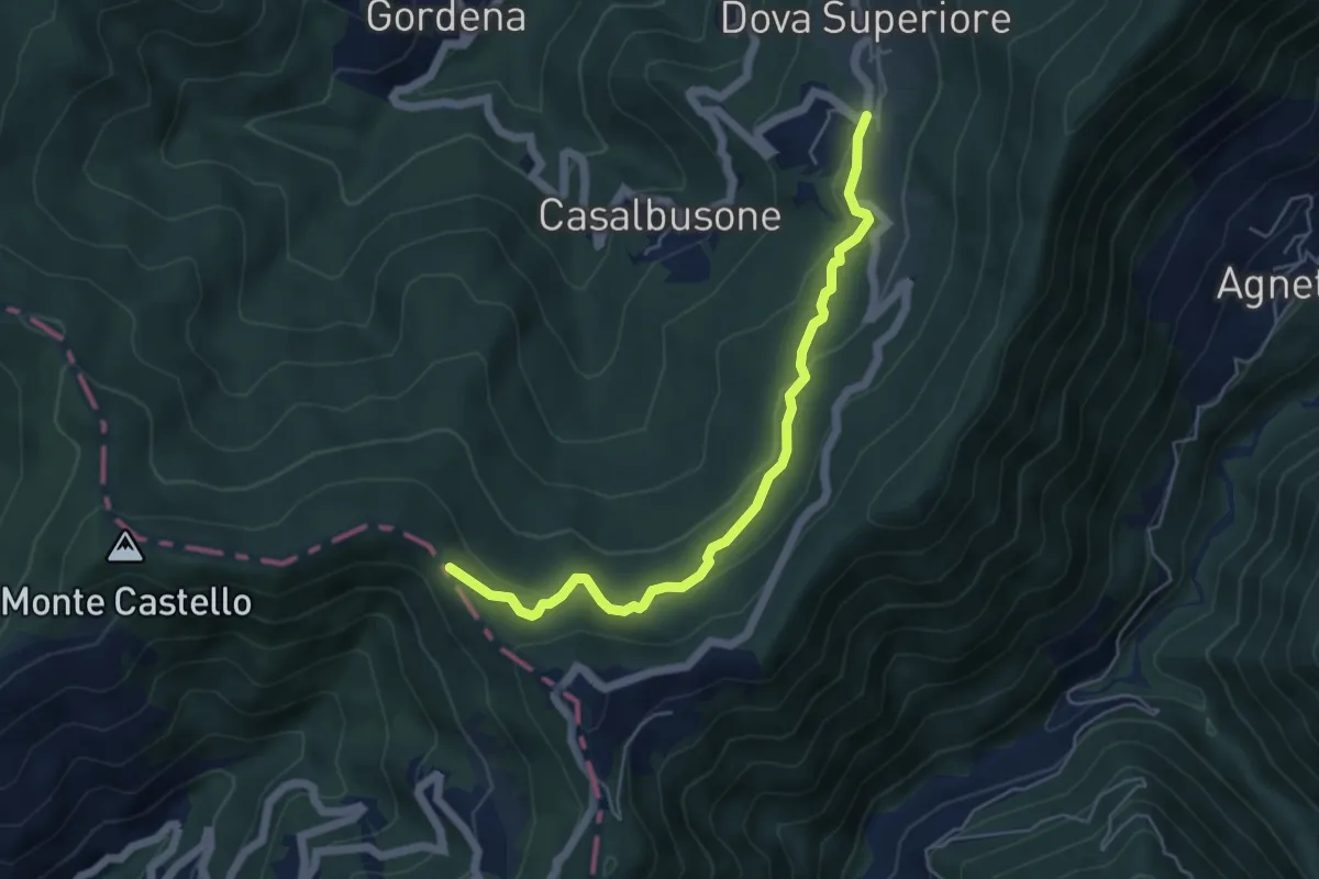
Medium · Trail
Presso Dova Superiore, bivio strada per Guasolo e Casalbusone – Bivio ALA200-ALA252
5.5 km · ↑ 196 m · 1 h 43 min
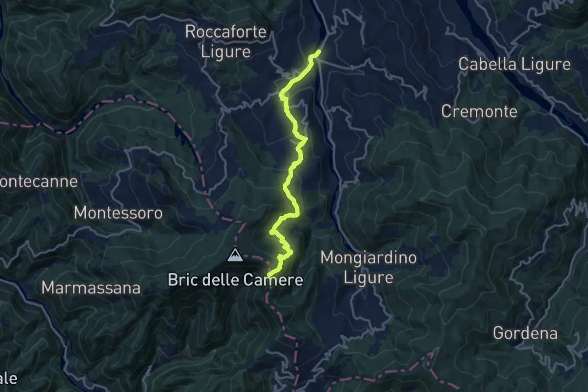
Medium · Trail
Sisola – Confine Piemonte-Liguria, bivio ALA200-ALA266
11.9 km · ↑ 699 m · 4 h 20 min
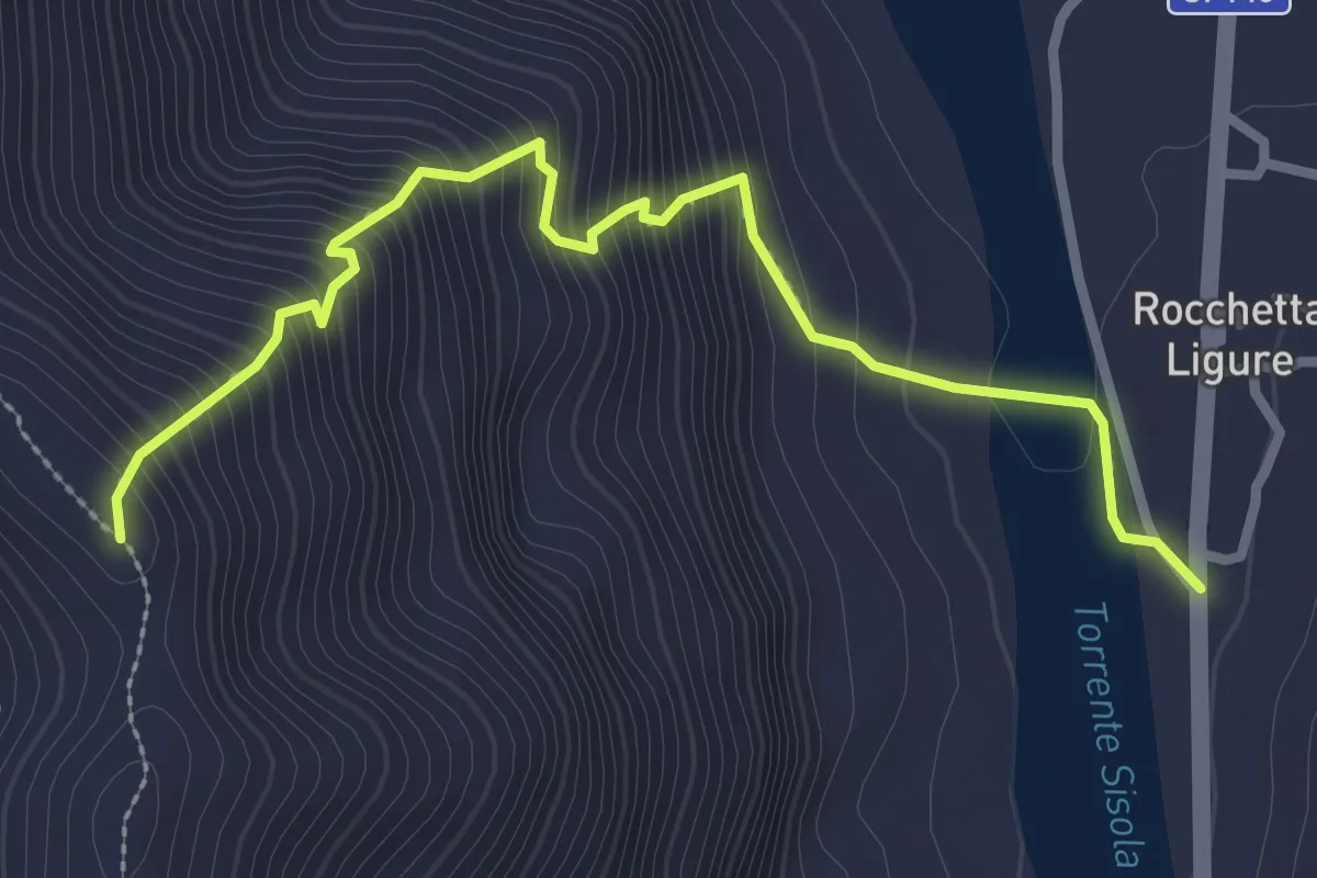
Medium · Trail
Rocchetta Ligure – Presso Costone La Ripa, bivio ALA260-ALA269
3.2 km · ↑ 432 m · 1 h 42 min
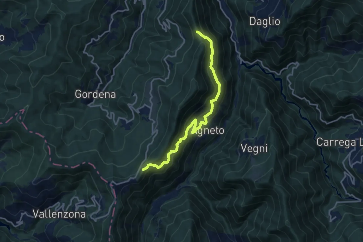
Medium · Trail
Pian Degli Orsi – Bivio Sentiero 258
10.9 km · ↑ 765 m · 4 h 14 min
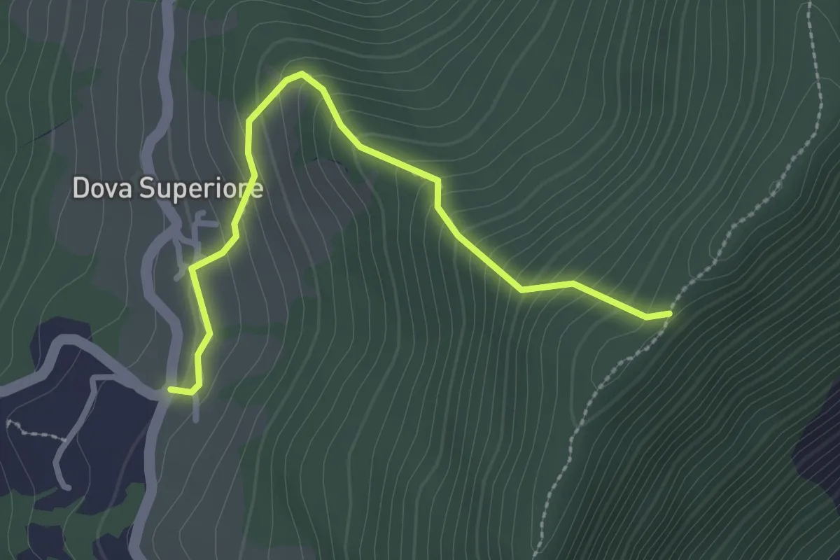
Easy · Trail
Dova Superiore – Bivio Sentiero 258
2.7 km · ↑ 269 m · 1 h 14 min
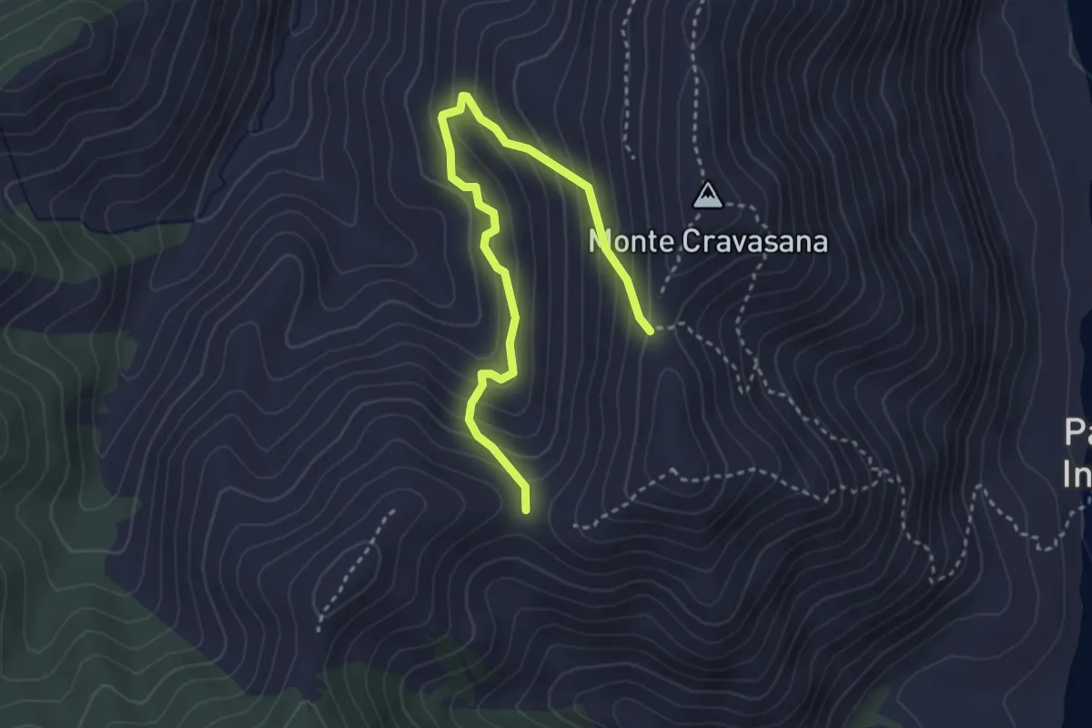
Medium · Trail
Presso Monte Cravasana, bivio ALA255-ALA256-ALA260 – Presso Selletta di Avi, bivio ALA256-ALA260
3.7 km · ↑ 347 m · 1 h 38 min
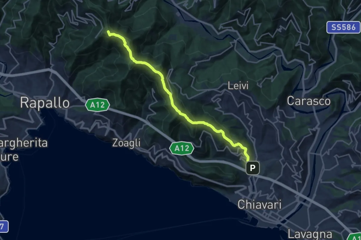
Demanding · Summit
S. Pier di Canne – Santuario di Montallegro
15.6 km · ↑ 863 m · 5 h 34 min
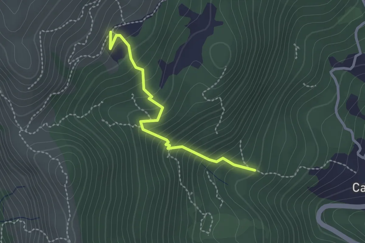
Medium · Trail
Campore – Ciappea
2.2 km · ↑ 229 m · 1 h 1 min
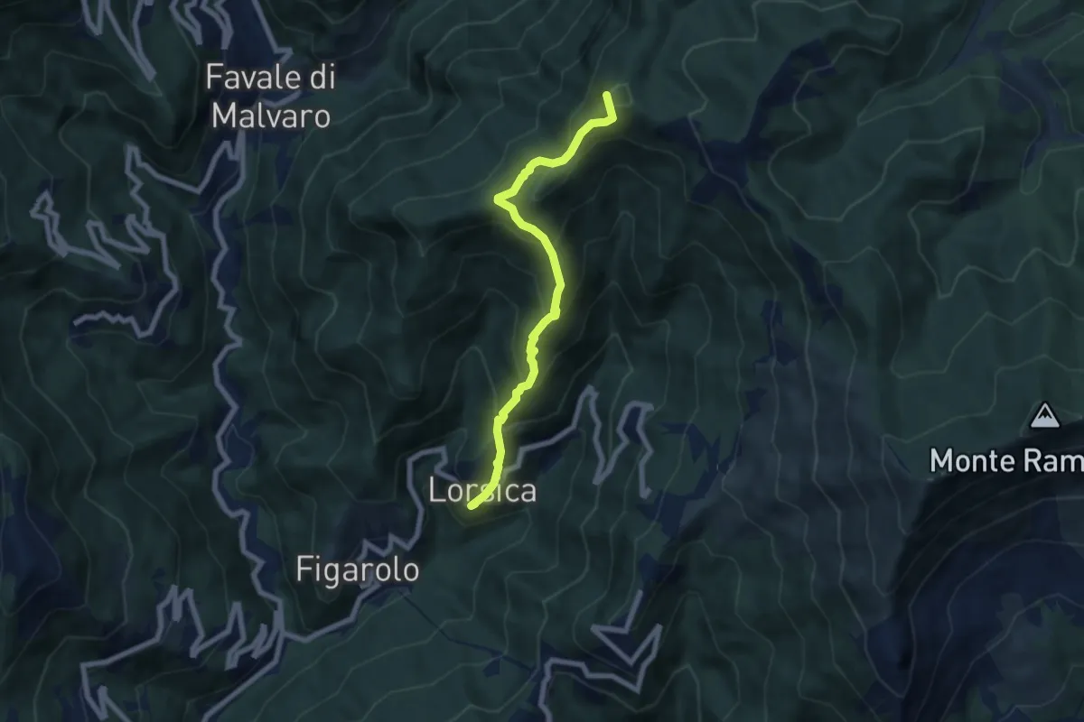
Medium · Summit
Lorsica – Passo Ventarola Nord
6.6 km · ↑ 656 m · 2 h 59 min
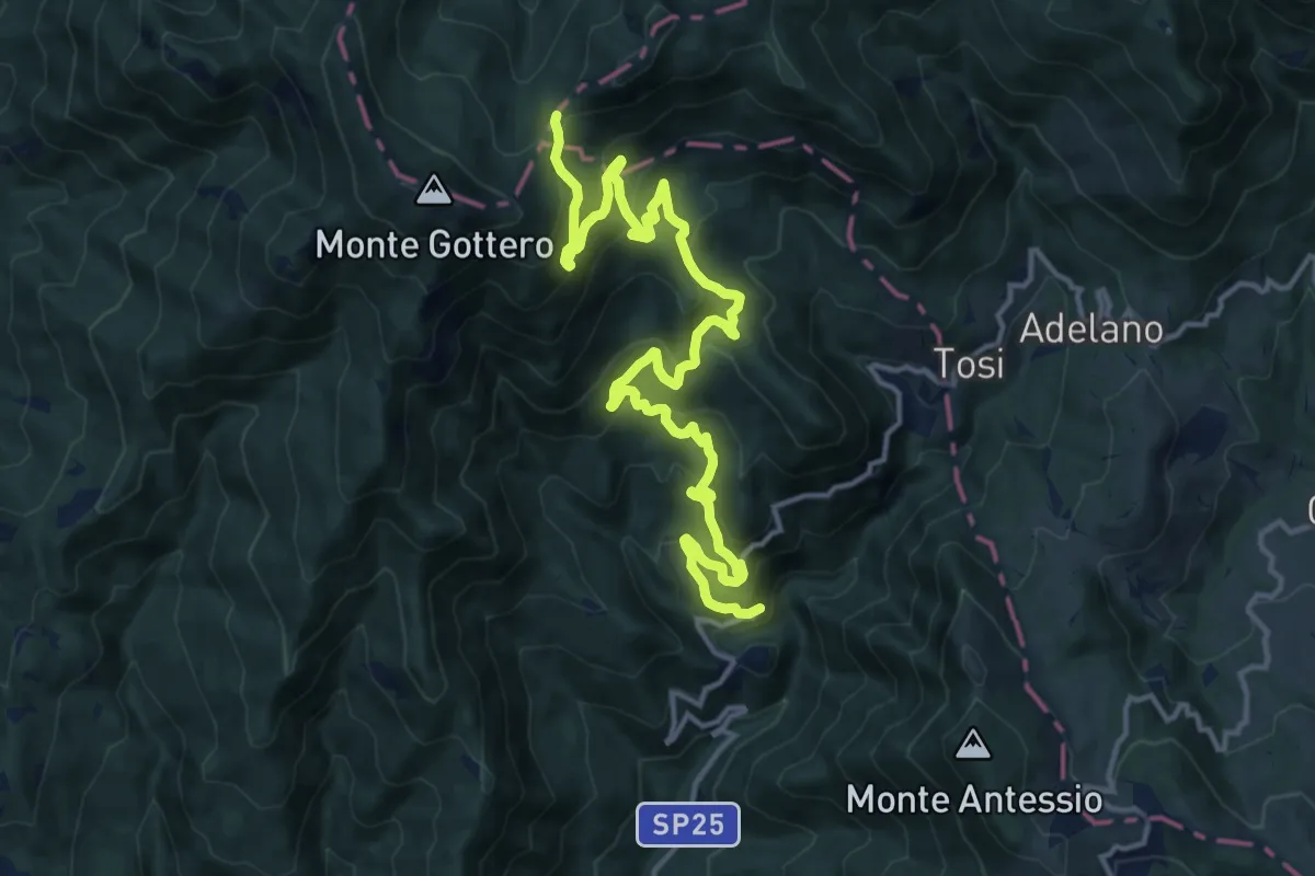
Demanding · Trail
Costa della Penna – Fontanafredda (Bivio 00/SI/E1)
18.1 km · ↑ 1163 m · 6 h 48 min
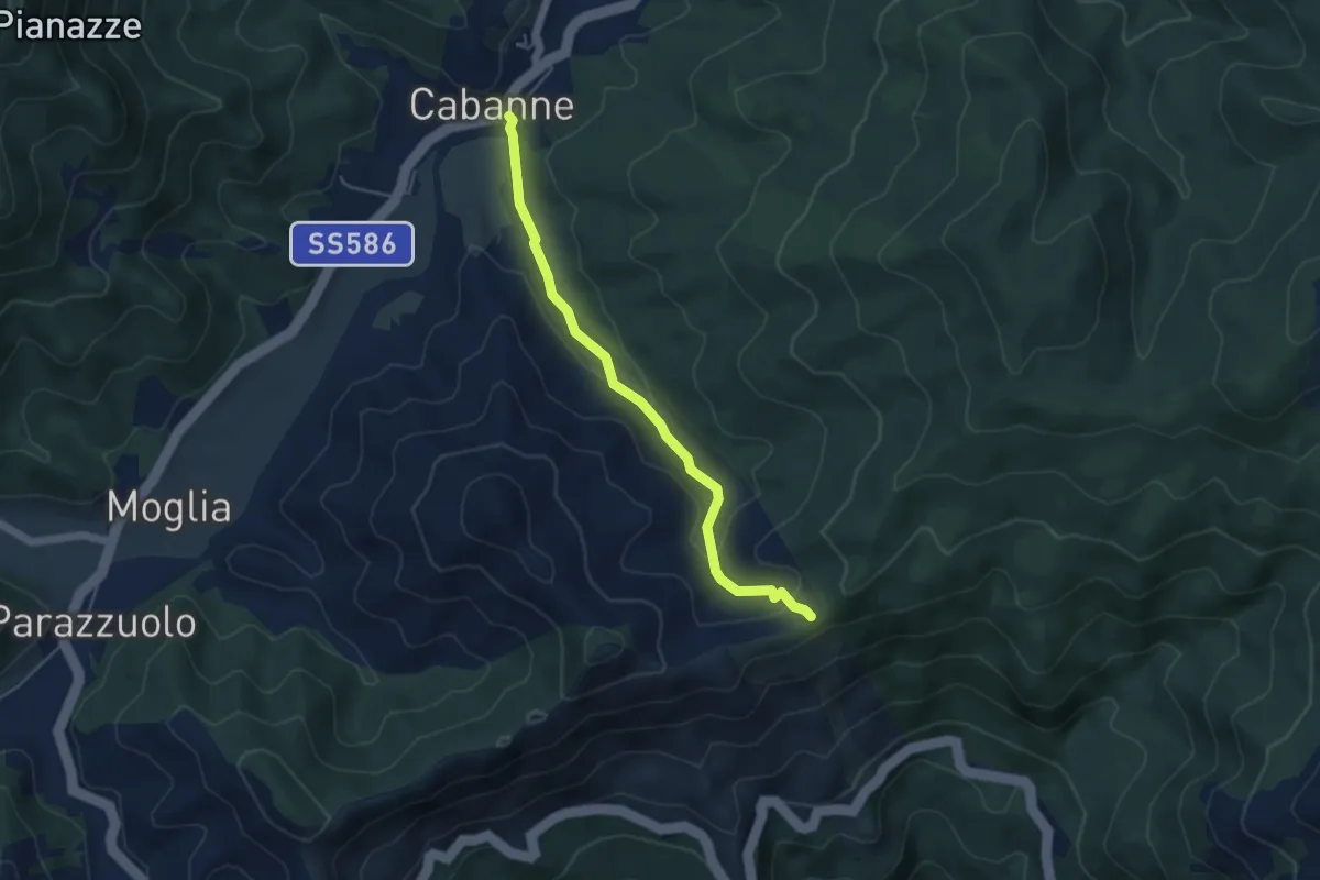
Medium · Cabin
Cabanne – Passo del Bozale
4.7 km · ↑ 153 m · 1 h 27 min
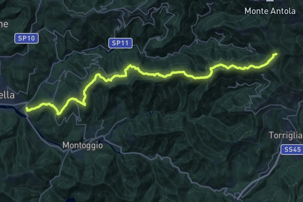
Demanding · Summit
Avosso – Casa del Piccetto
30.8 km · ↑ 1791 m · 11 h 9 min
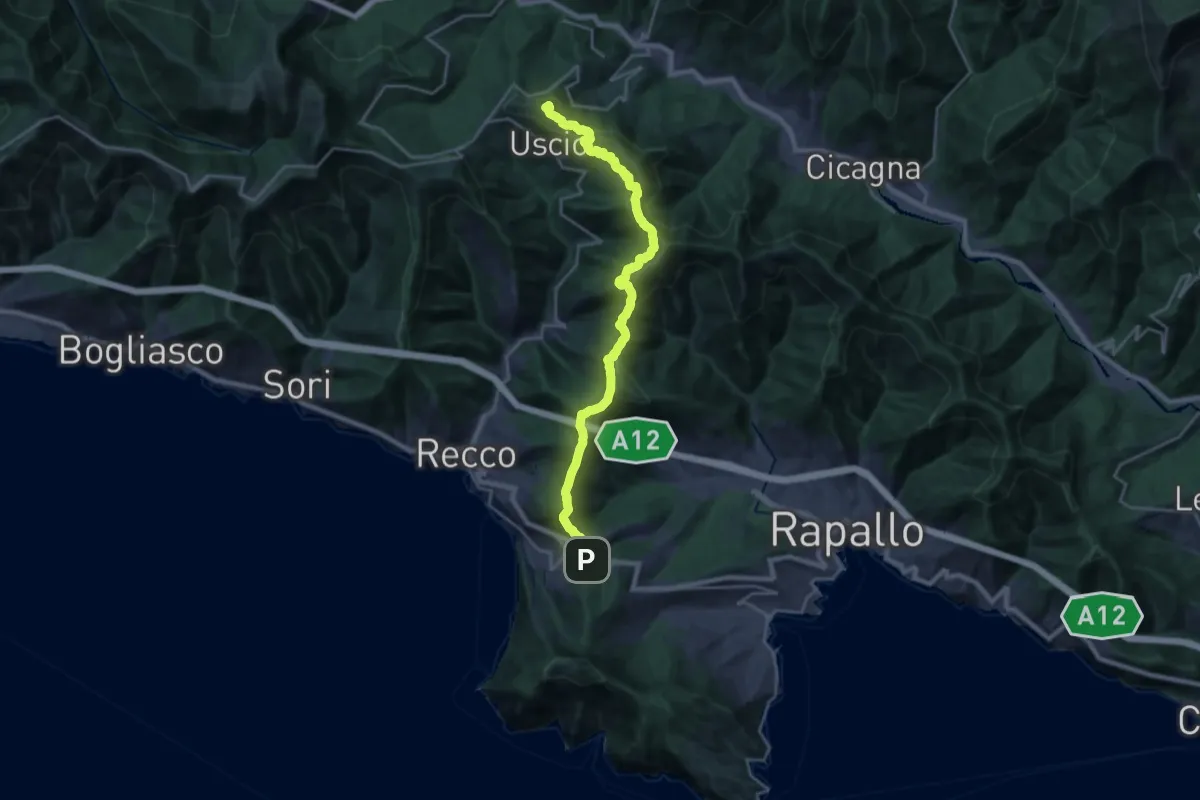
Demanding · Summit
Ruta – Colle Caprile
22.9 km · ↑ 1257 m · 8 h 8 min
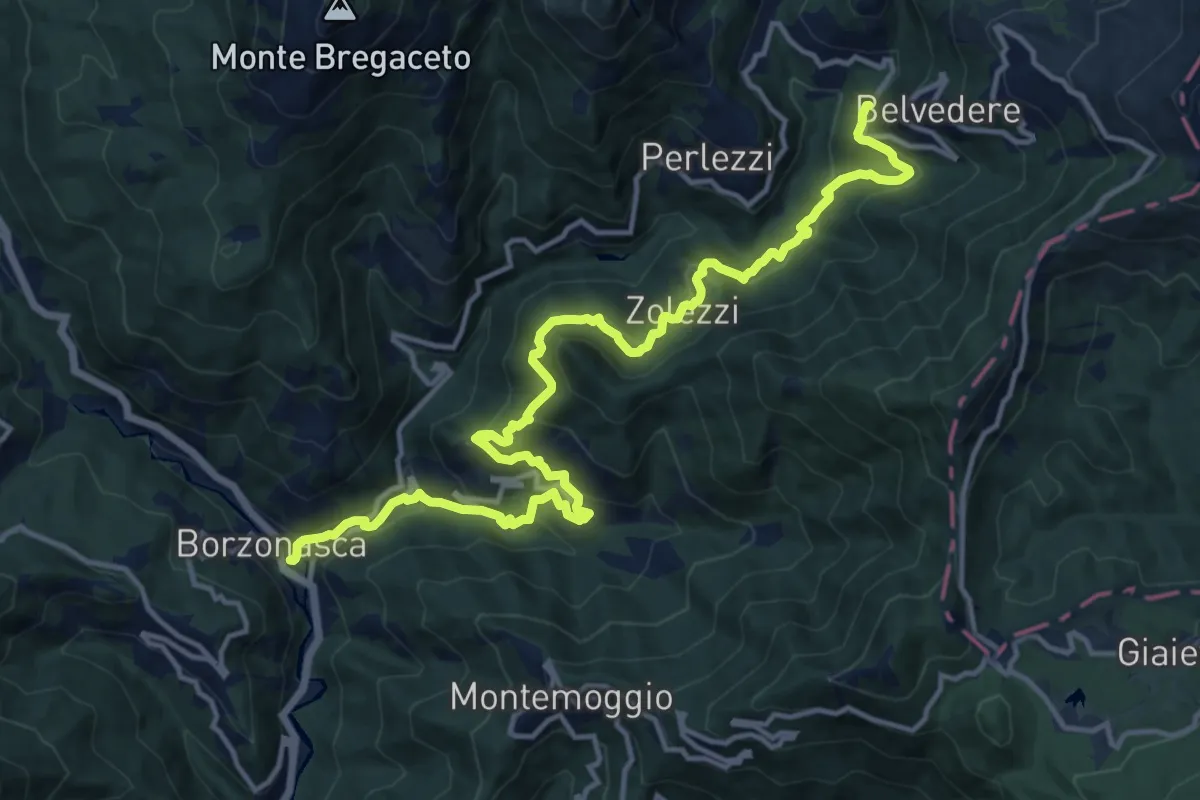
Demanding · Trail
Borzonasca – Vallepiana
17.2 km · ↑ 1097 m · 6 h 26 min
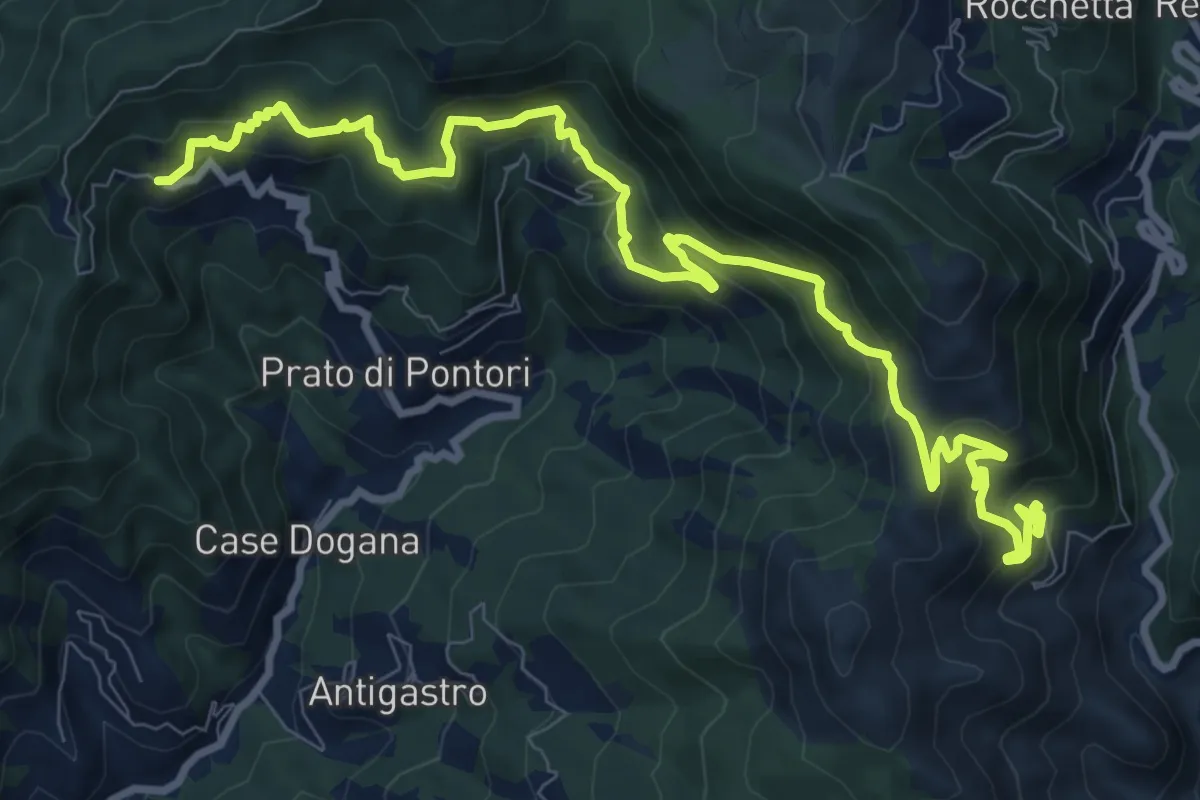
Demanding · Trail
Terisso – Gambatesa
12.4 km · ↑ 812 m · 4 h 41 min
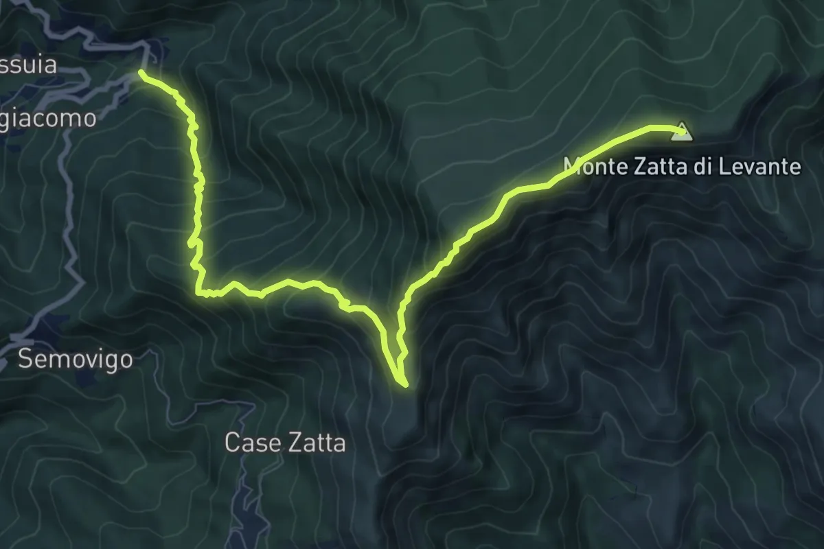
Demanding · Summit
San Siro Foce – Monte Zatta
11.2 km · ↑ 1026 m · 4 h 53 min
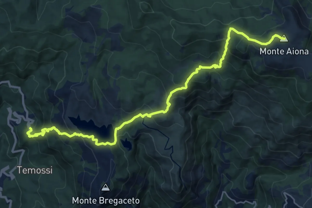
Demanding · Summit
Bertigaro – Monte Aiona
18.3 km · ↑ 1130 m · 6 h 46 min
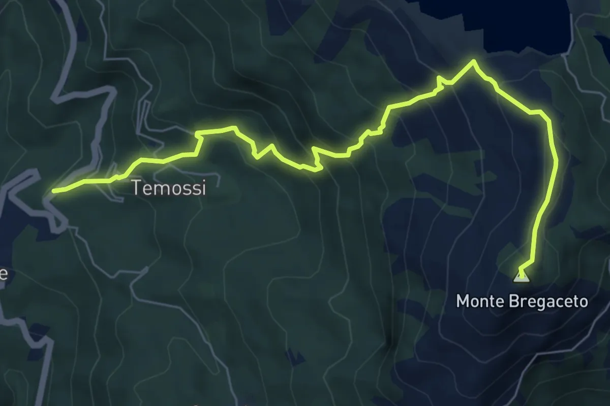
Medium · Summit
Campori – Monte Bregaceto
7.6 km · ↑ 644 m · 3 h 12 min
Medium · Summit
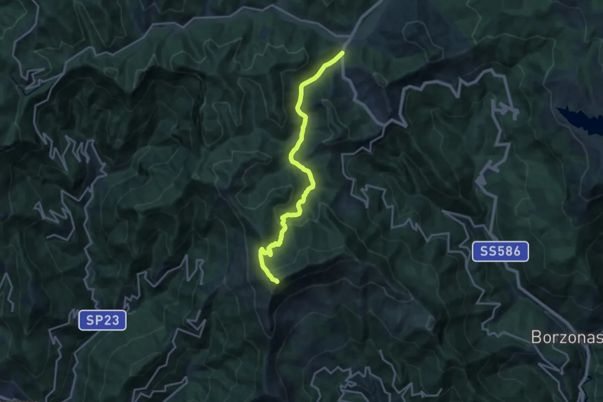
Parazzuolo – Monte Ramaceto
13.9 km · ↑ 532 m · 4 h 26 min
Demanding · Summit
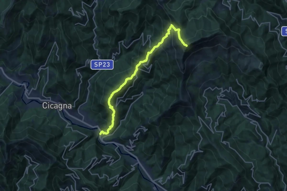
Pianezza – Monte Ramaceto
16.9 km · ↑ 1626 m · 7 h 31 min
Medium · Summit
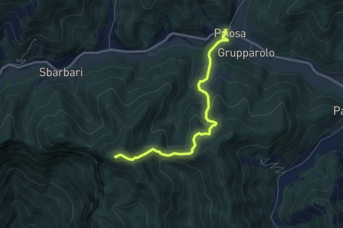
Priosa – Monte Pagliaro
6.0 km · ↑ 413 m · 2 h 19 min
Demanding · Summit
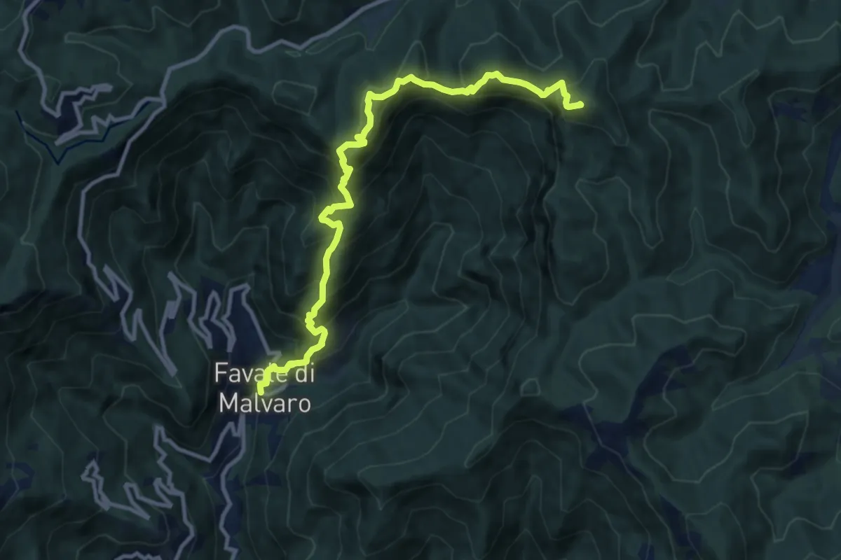
Favale di Malvaro – Monte Pagliaro
11.2 km · ↑ 1148 m · 5 h 8 min