Trails in Italy
25,219 hiking trails, each with its route, climb, walking time and grade.
All trails, page 379 of 526
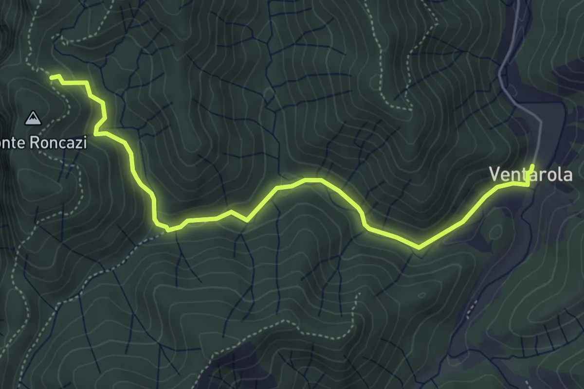
Medium · Cabin
Ventarola – Sella nord Monte Roncazi
5.7 km · ↑ 213 m · 1 h 49 min
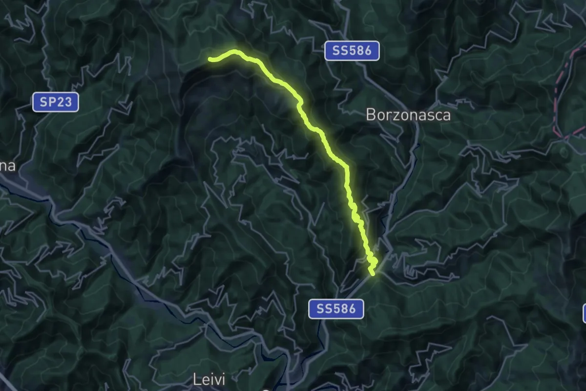
Demanding · Summit
Prati di Mezzanego – Monte Ramaceto
20.3 km · ↑ 1471 m · 7 h 58 min
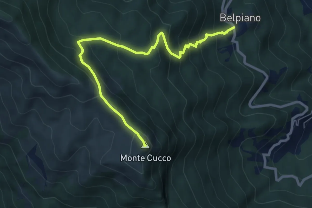
Medium · Summit
Belpiano – Monte Cucco
6.3 km · ↑ 521 m · 2 h 36 min
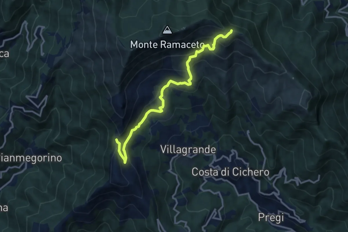
Medium · Trail
Passo del Dente – Fo du Driun
9.4 km · ↑ 624 m · 3 h 35 min
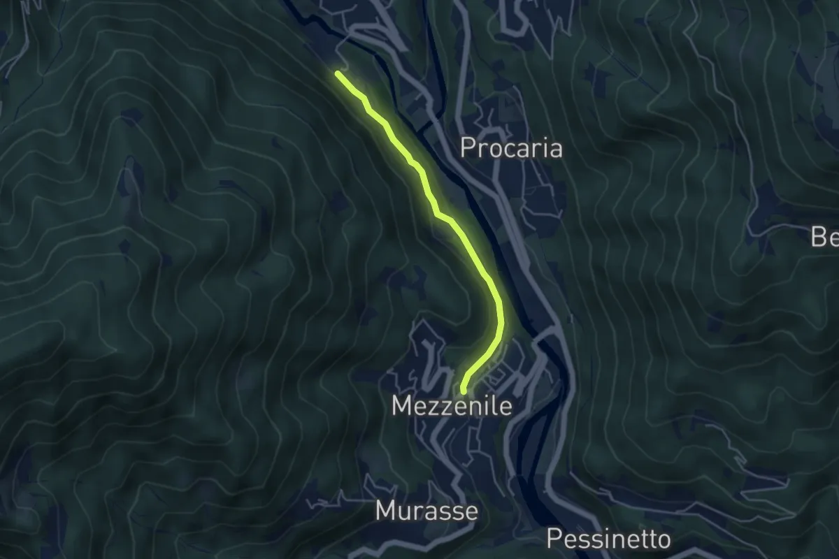
Easy · Trail
Mezzenile – Bivio 208-230, Vana
3.7 km · ↑ 81 m · 1 h 4 min
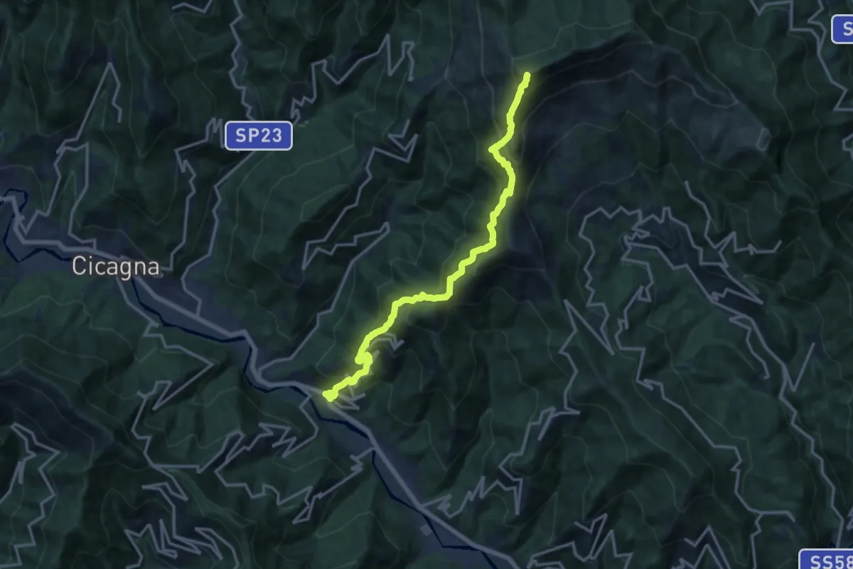
Demanding · Summit
Pian dei Ratti – Monte Ramaceto
14.4 km · ↑ 1457 m · 6 h 33 min
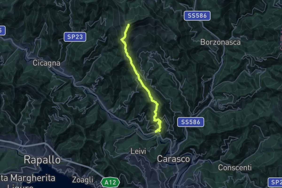
Demanding · Summit
San Colombano Certenoli – Monte Ramaceto
20.2 km · ↑ 1526 m · 8 h 4 min
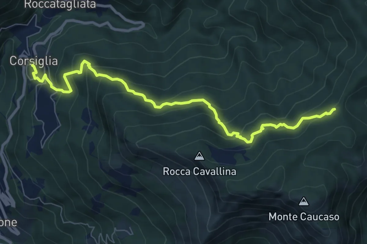
Medium · Trail
Corsiglia – Passo di Stre Biurche
8.0 km · ↑ 646 m · 3 h 18 min
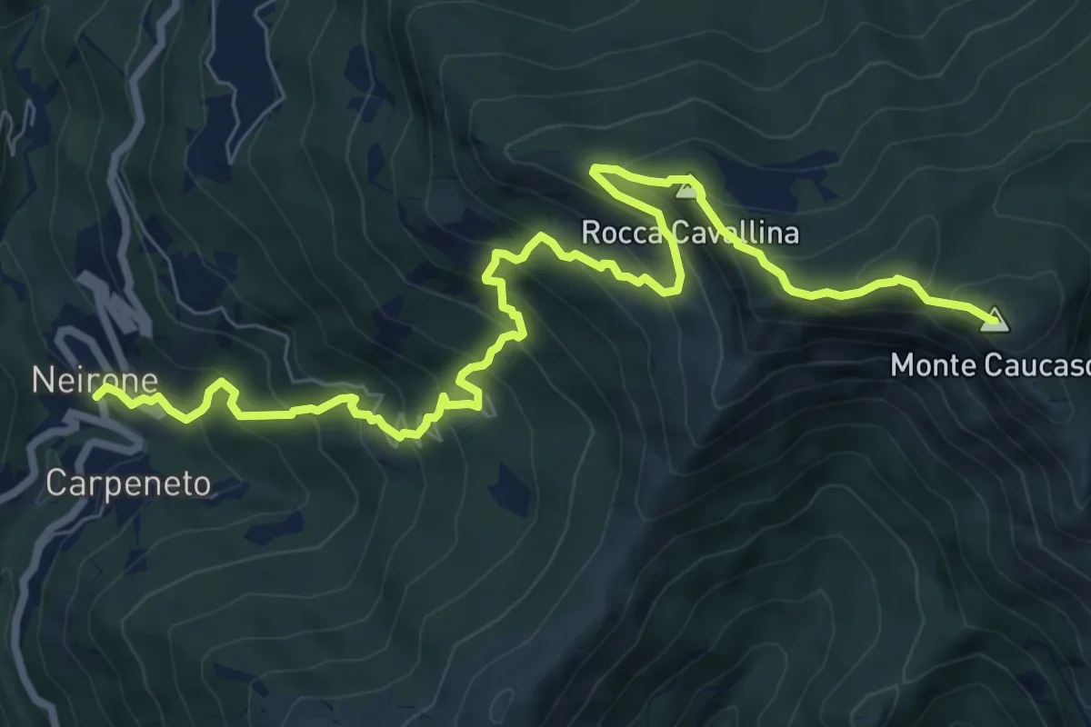
Demanding · Summit
Neirone – Monte Caucaso
10.0 km · ↑ 944 m · 4 h 25 min
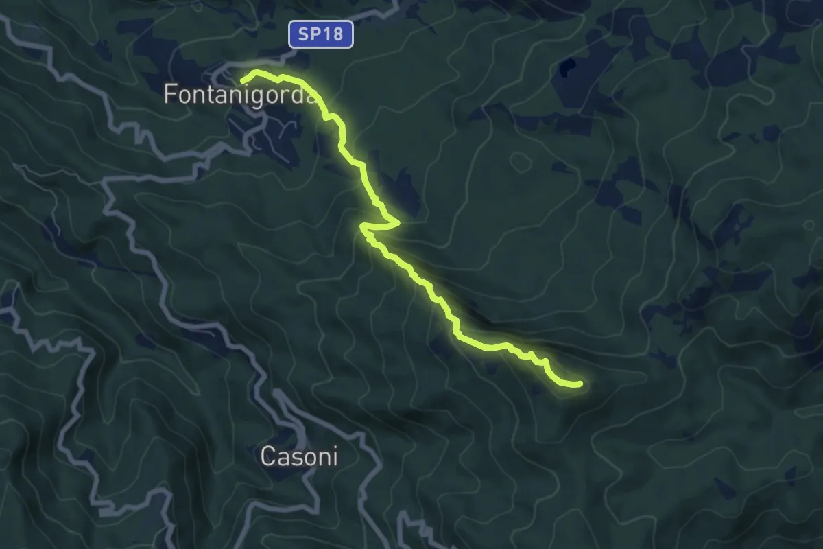
Medium · Summit
Fontanigorda – Monte Castello Fante
6.9 km · ↑ 538 m · 2 h 48 min
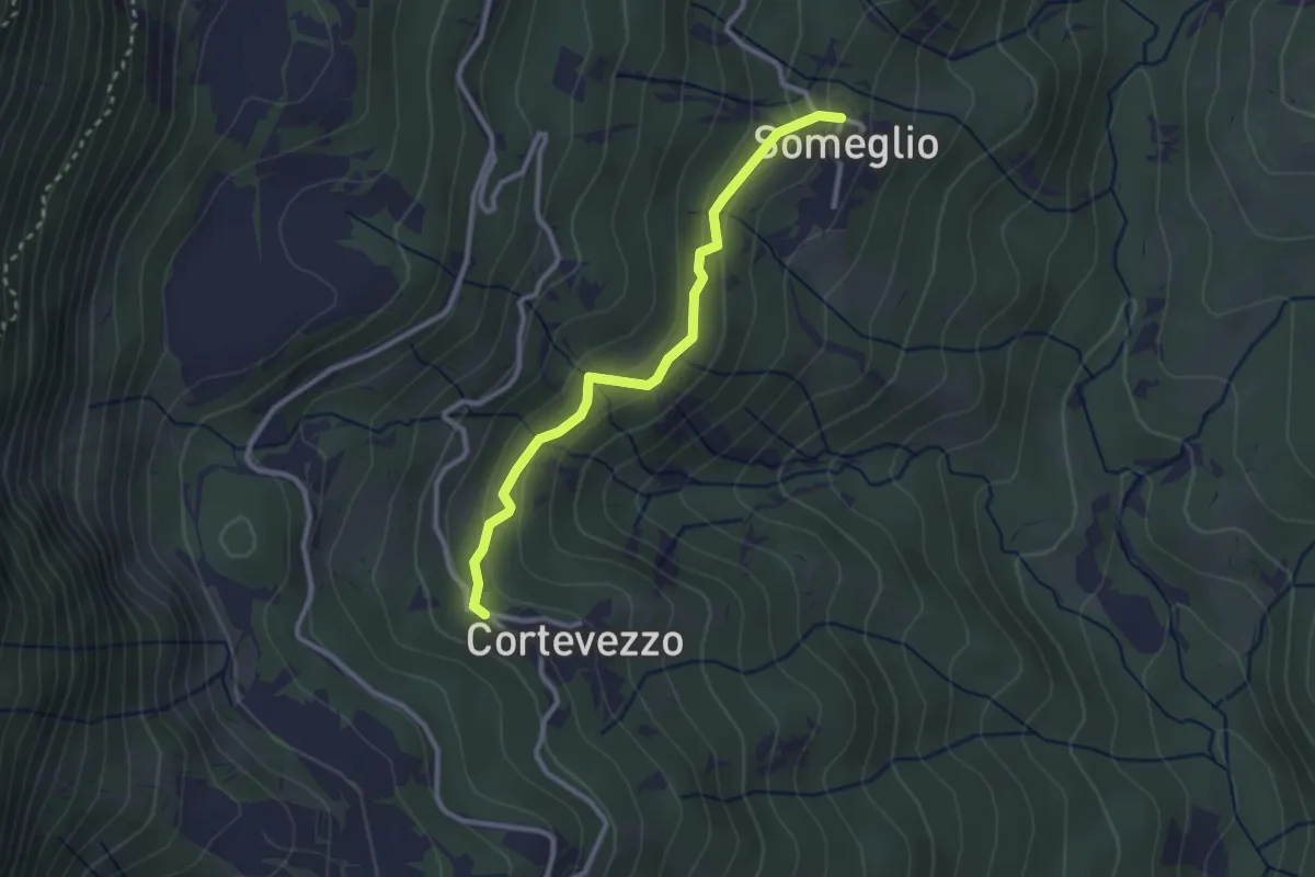
Easy · Trail
Someglio – Cortevezzo
2.7 km · ↑ 168 m · 1 h 1 min
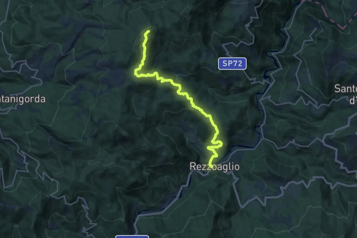
Demanding · Summit
Rezzoaglio – Monte Montarlone
16.5 km · ↑ 935 m · 5 h 55 min
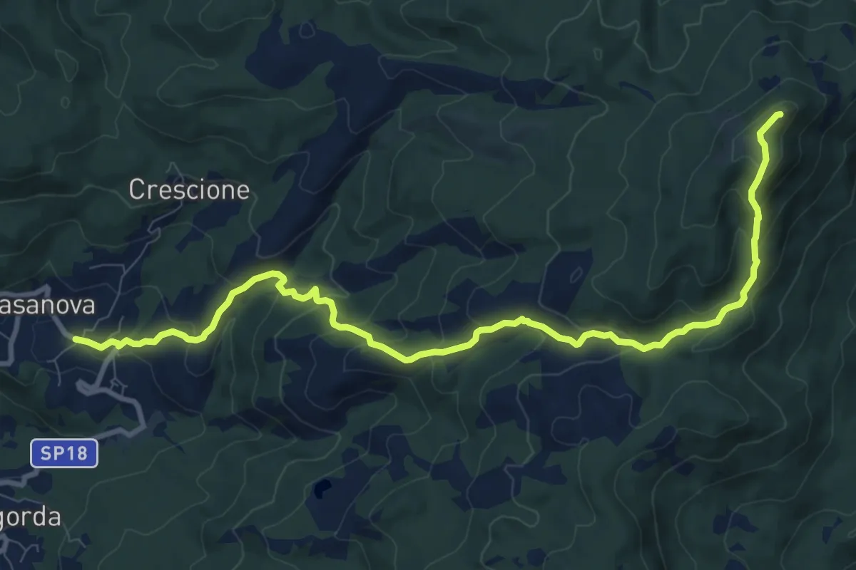
Medium · Summit
Casanova di Rovegno – Monte Montarlone
11.4 km · ↑ 622 m · 4 h 3 min
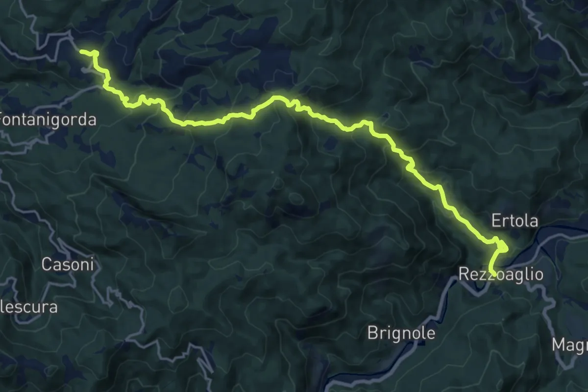
Demanding · Trail
Casanova di Rovegno – Rezzoaglio
19.4 km · ↑ 1200 m · 7 h 10 min
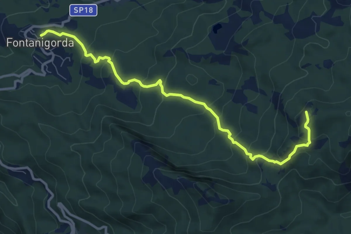
Medium · Summit
Fontanigorda – Monte Roccabruna
8.7 km · ↑ 580 m · 3 h 18 min
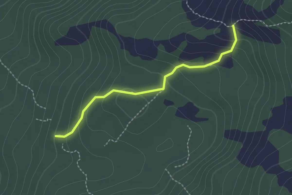
Easy · Trail
Le Lungaie – Bocchetta della Mogliazze
2.0 km · ↑ 107 m · 42 min
Medium · Trail
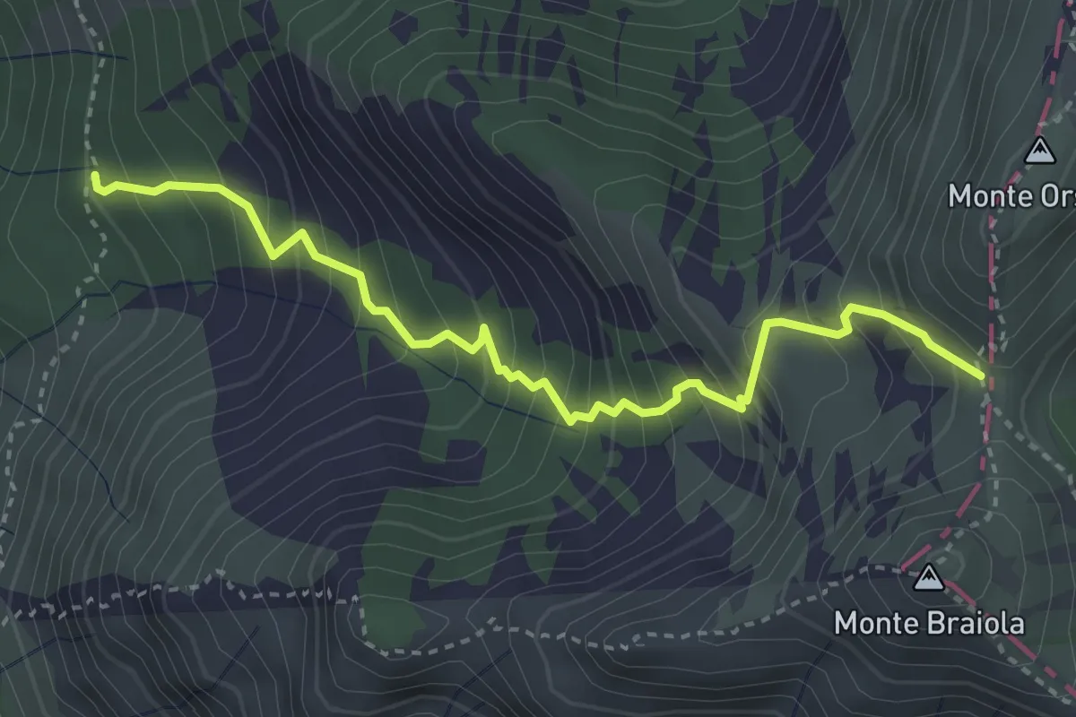
Percorso 128 – Bocchetta Monte Orsaro
3.8 km · ↑ 502 m · 1 h 59 min
Demanding · Summit
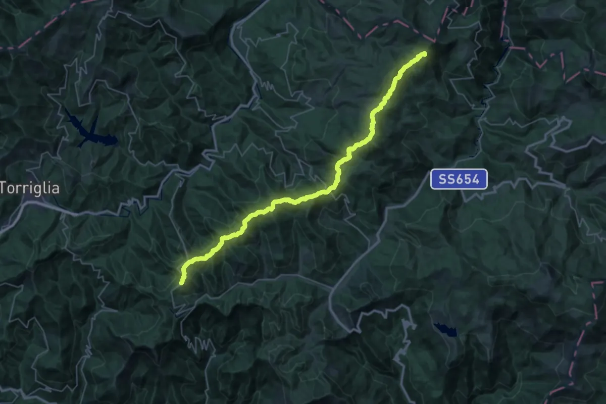
Barbagelata – Ottone
35.7 km · ↑ 1586 m · 11 h 52 min
Easy · Trail
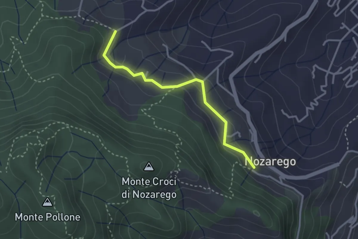
Nozarego – Costa Secca
2.8 km · ↑ 122 m · 55 min
Medium · Trail
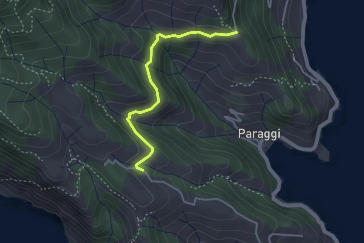
Terruzzo – Cappelletta delle Gave
2.9 km · ↑ 97 m · 54 min
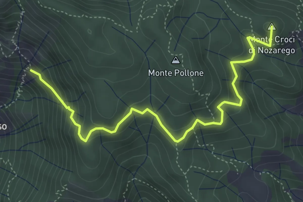
Medium · Summit
Molini di San Fruttuoso – Nozarego
5.4 km · ↑ 399 m · 2 h 8 min
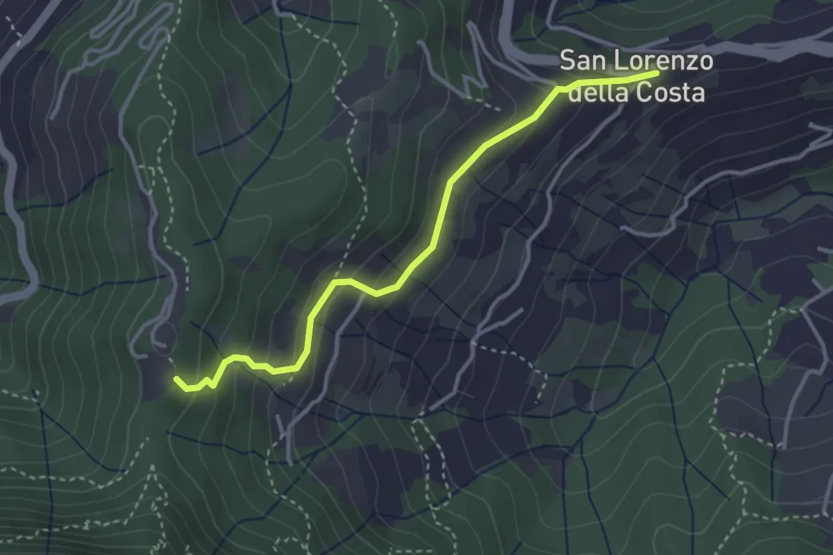
Easy · Trail
San Lorenzo della Costa – Sella Gaixella
3.4 km · ↑ 236 m · 1 h 19 min
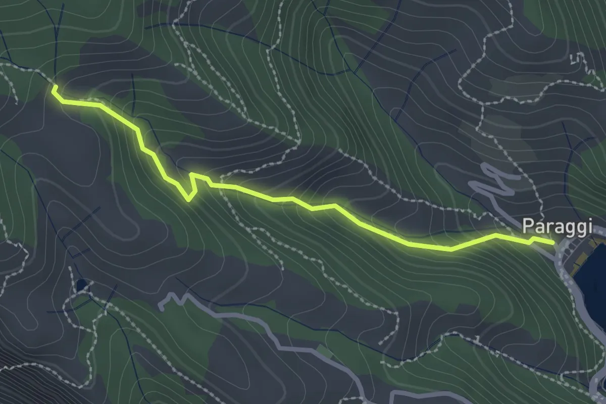
Easy · Trail
Paraggi – Mulino del Gassetta
2.5 km · ↑ 242 m · 1 h 8 min
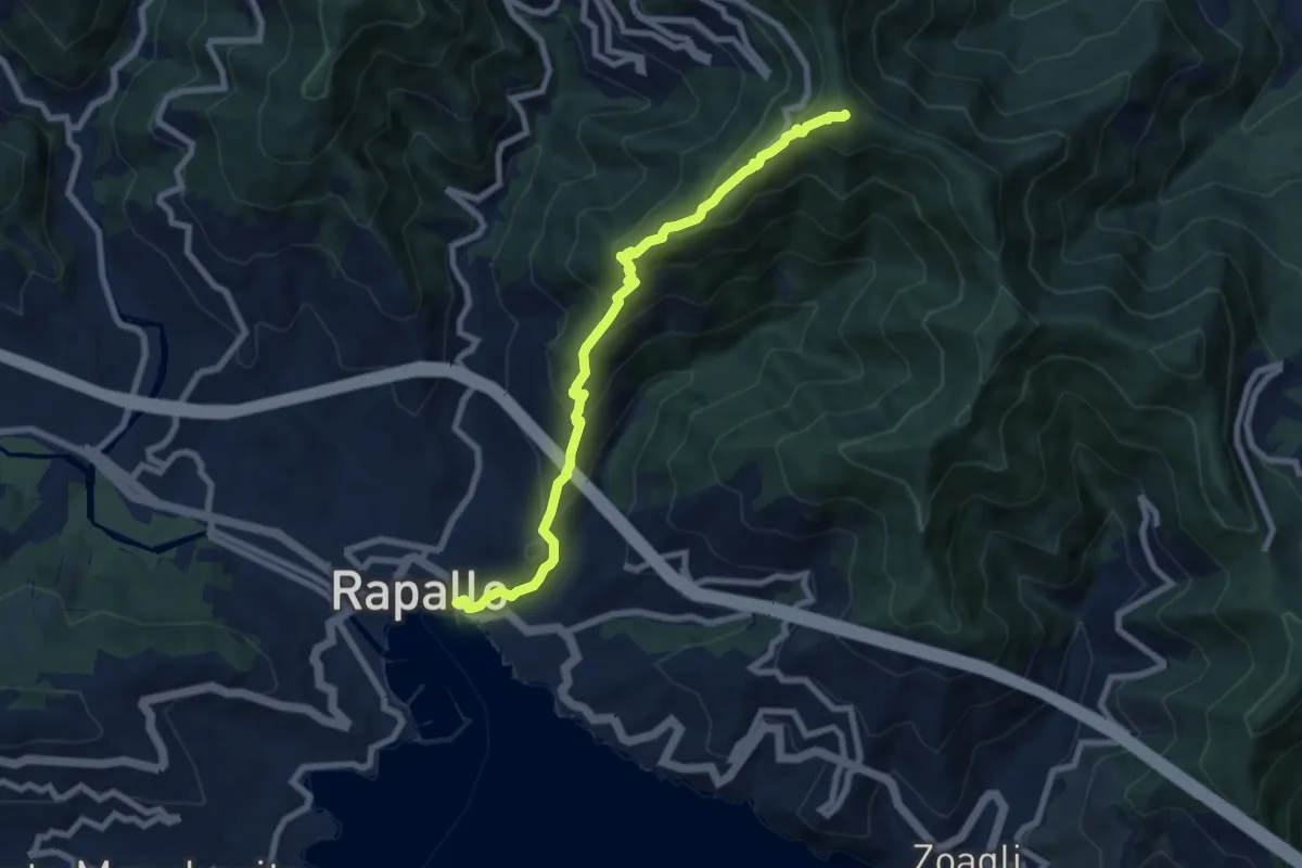
Medium · Summit
Rapallo – Monte Rosa
8.2 km · ↑ 654 m · 3 h 21 min
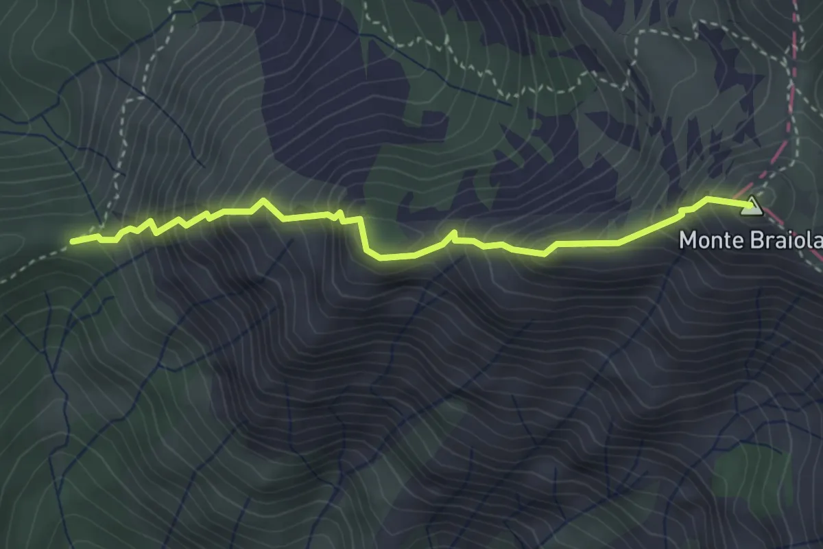
Demanding · Summit
Portile – Monte Braiola
3.5 km · ↑ 614 m · 2 h 10 min
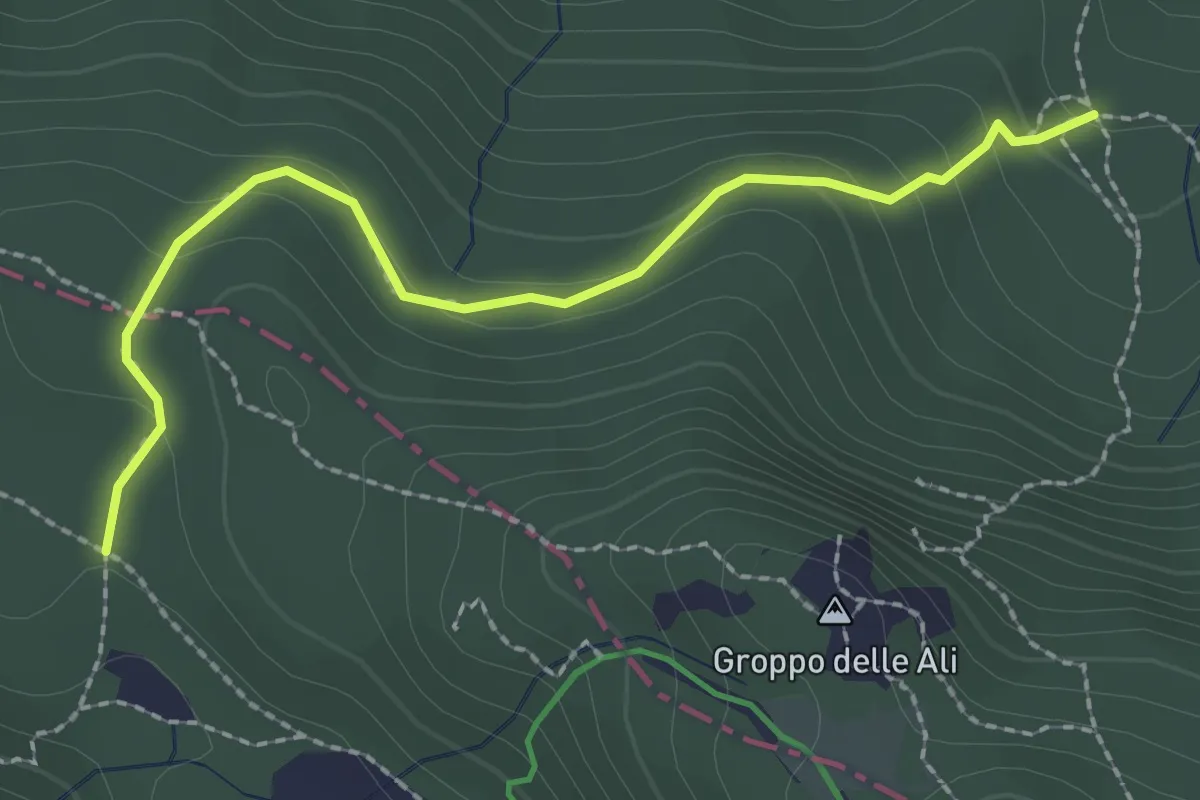
Medium · Trail
Lago Nero – Passo della Roncalla (percorso 001)
2.5 km · ↑ 133 m · 52 min
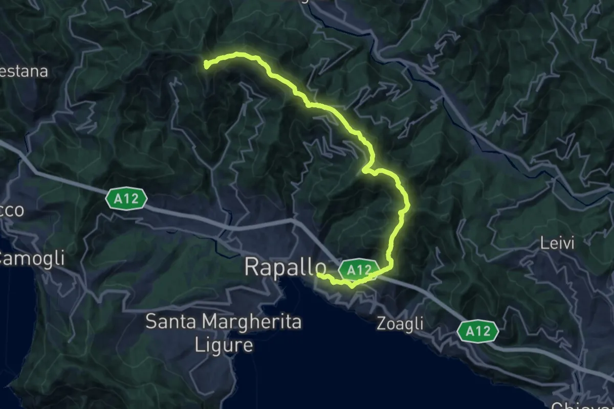
Demanding · Summit
Rapallo – Monte Manico del Lume
23.1 km · ↑ 1379 m · 8 h 27 min
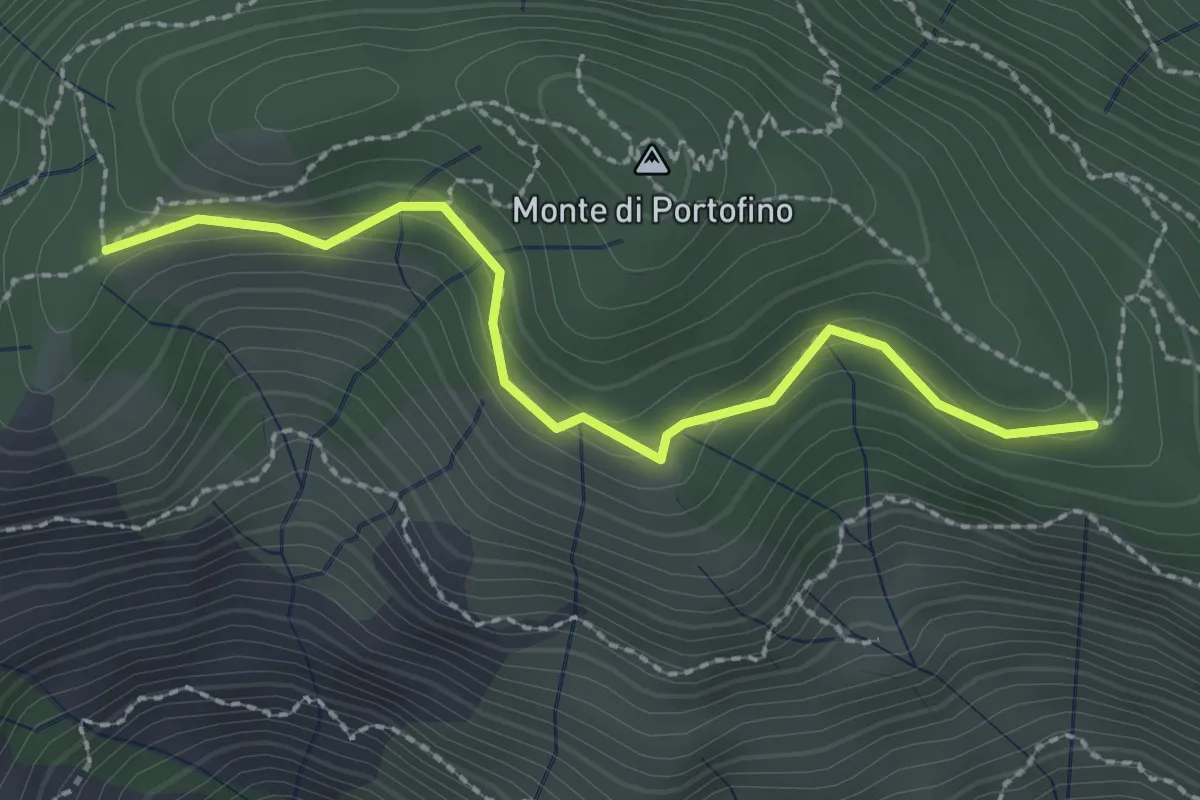
Easy · Trail
Pian Lungo – Sella Porcile
2.4 km · ↑ 124 m · 51 min
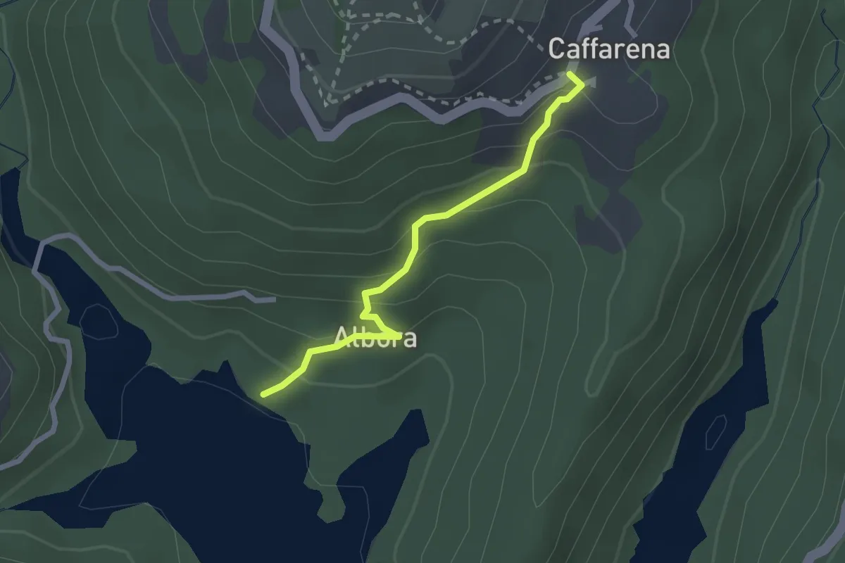
Easy · Trail
Lago del Brugneto – Caffarena
2.2 km · ↑ 169 m · 53 min
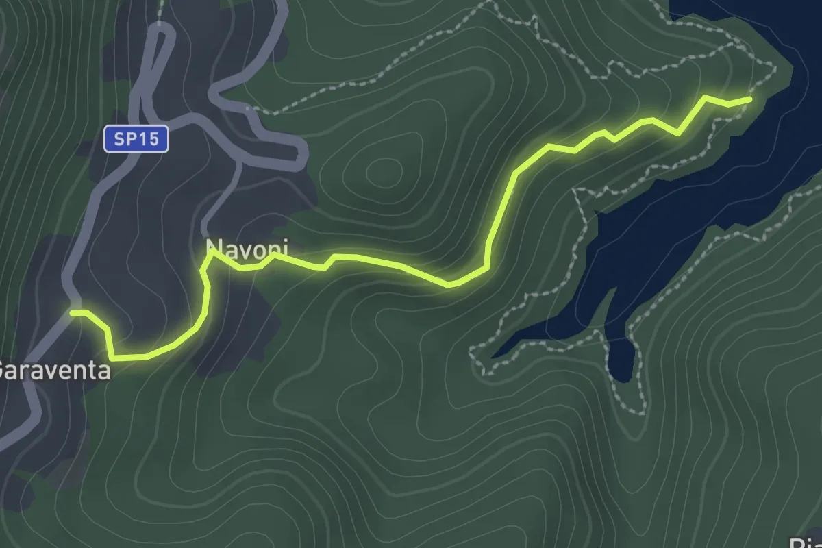
Medium · Trail
Lago del Brugneto – Garaventa
2.8 km · ↑ 200 m · 1 h 6 min
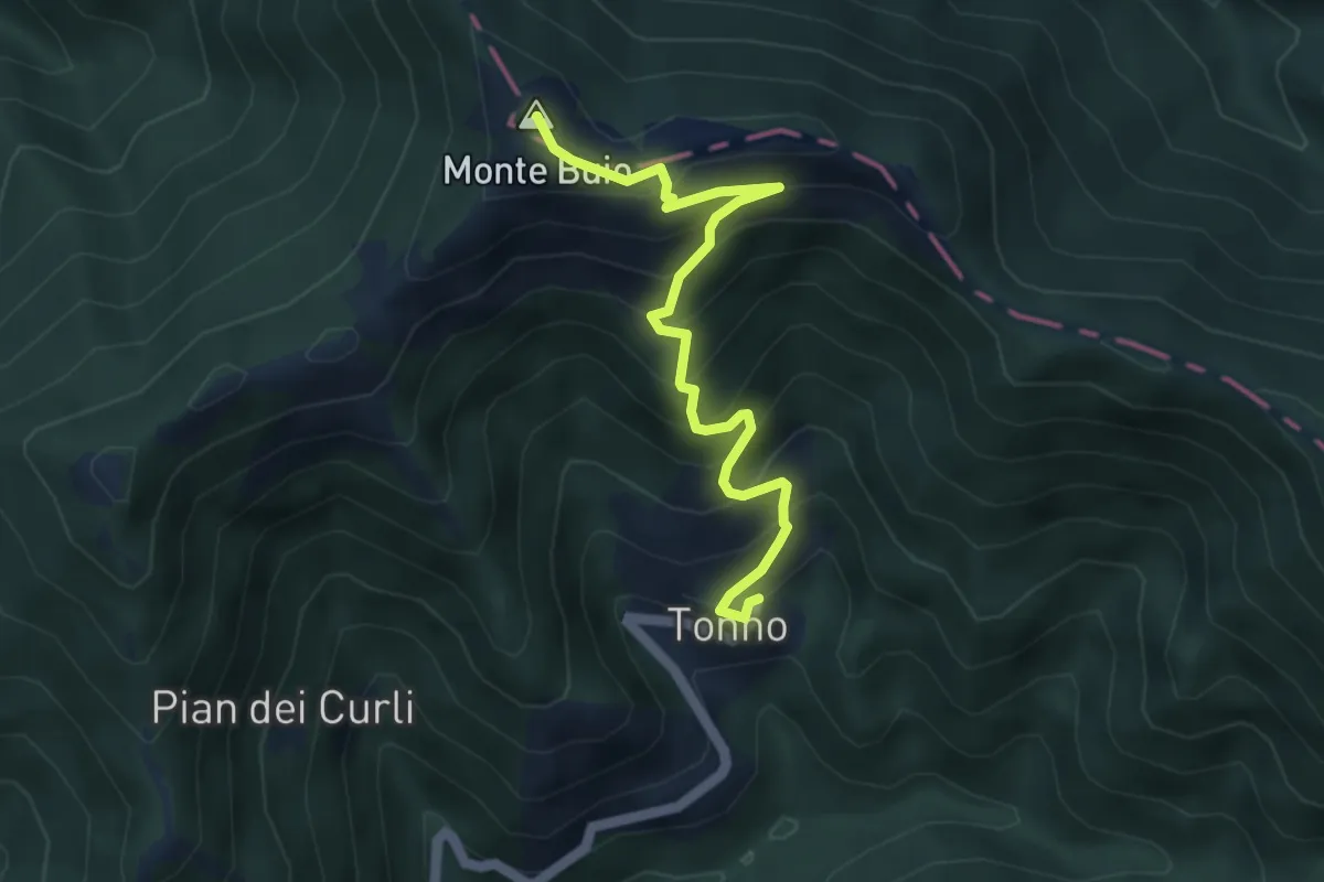
Medium · Summit
Tonno – Monte Buio
4.7 km · ↑ 499 m · 2 h 11 min
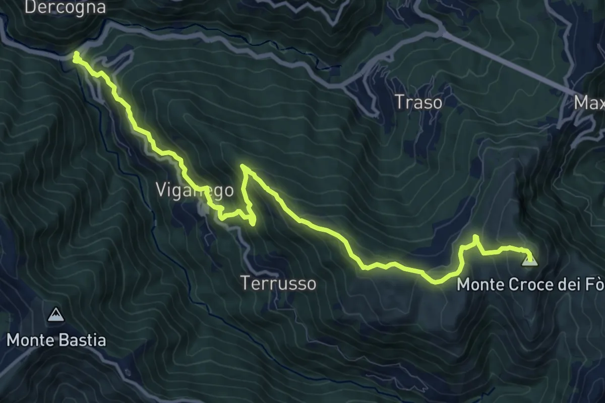
Demanding · Summit
La Presa – Monte Croce dei Fo
13.8 km · ↑ 1012 m · 5 h 27 min
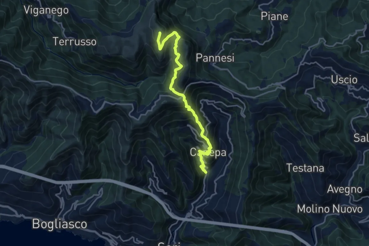
Demanding · Summit
Lago (Sori) – Monte Croce dei Fò
13.1 km · ↑ 1149 m · 5 h 34 min
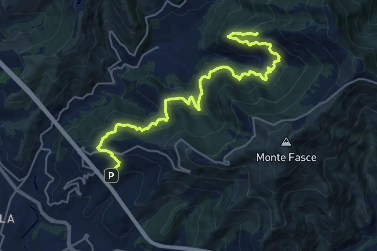
Demanding · Summit
Bavari – Apparizione
13.8 km · ↑ 1152 m · 5 h 45 min
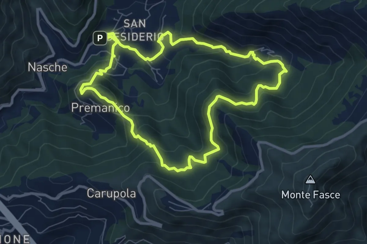
Medium · Trail
San Desiderio – San Desiderio
7.0 km · ↑ 474 m · 2 h 46 min
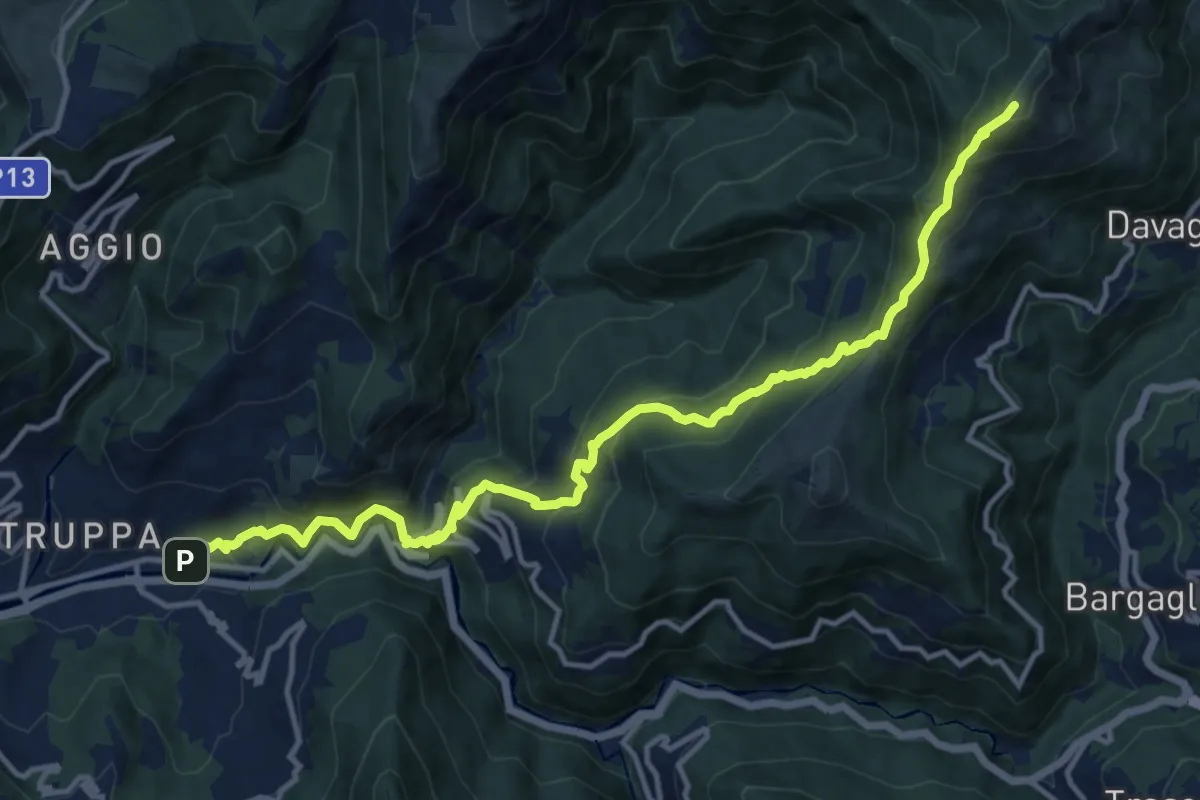
Demanding · Summit
Prato – Monte Candelozzo
14.9 km · ↑ 1209 m · 6 h 8 min
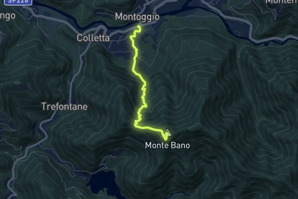
Medium · Summit
Montoggio – Monte Bano
5.6 km · ↑ 586 m · 2 h 36 min
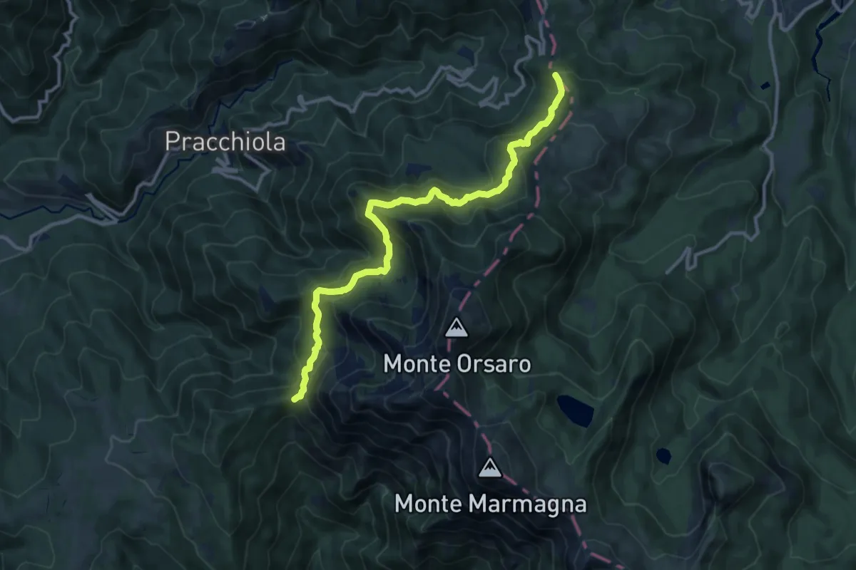
Medium · Summit
Rocca Sigillina – Passo del Cirone
12.0 km · ↑ 764 m · 4 h 30 min
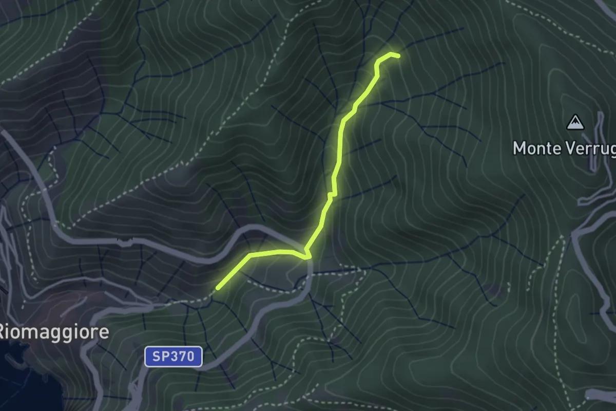
Easy · Trail
Bargone – Via dei Santuari
2.7 km · ↑ 262 m · 1 h 12 min
Demanding · Summit
Piano di Beverino – Monte Termi dritti
6.2 km · ↑ 449 m · 2 h 26 min
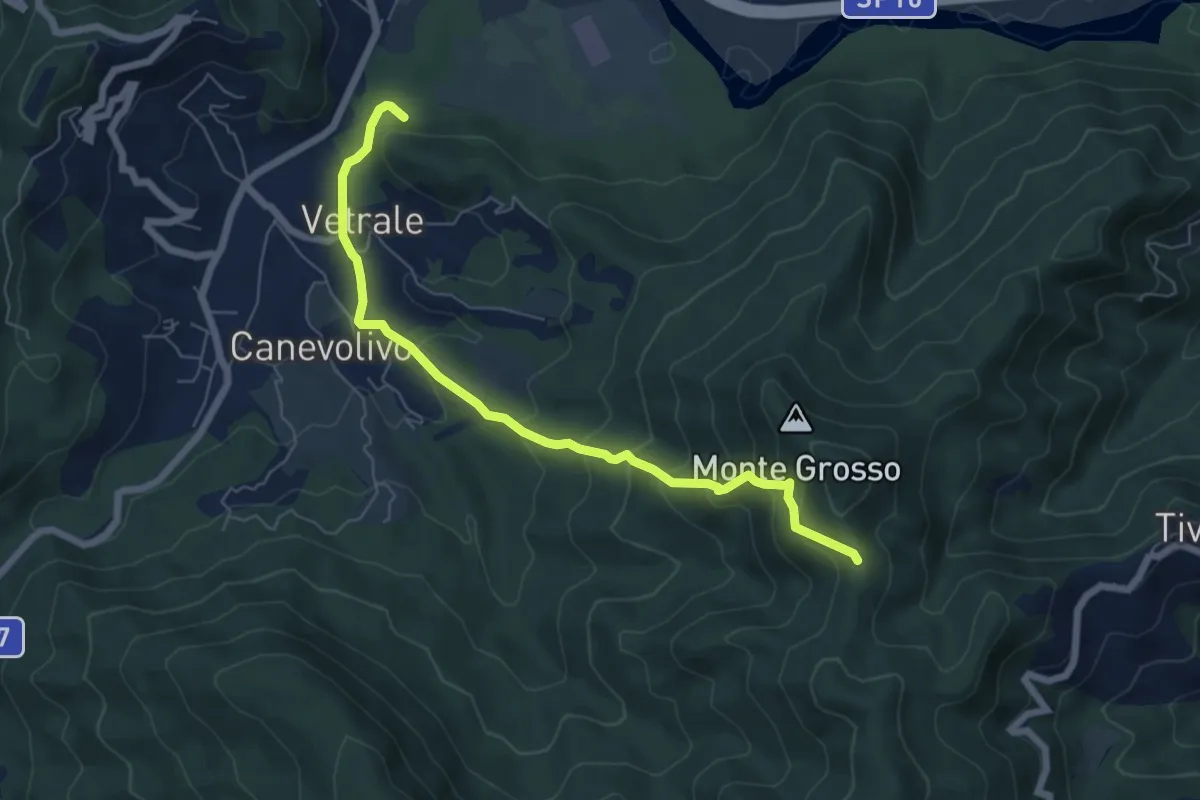
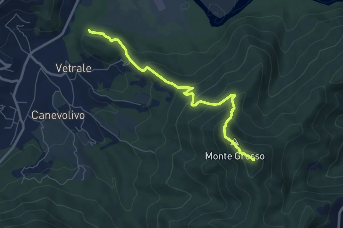
Medium · Trail
Vetrale – Monte Grosso
6.8 km · ↑ 462 m · 2 h 36 min
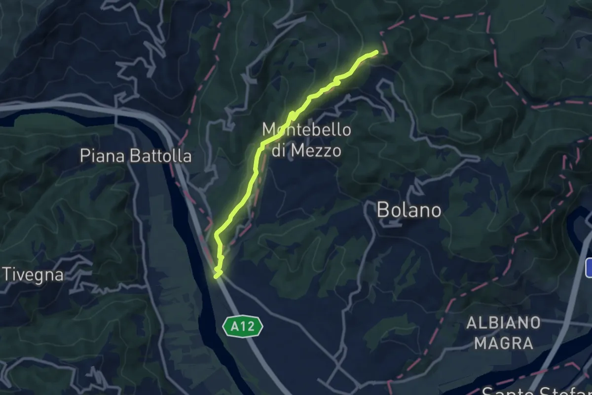
Medium · Trail
Ospedaletto – Monte Grosso
8.3 km · ↑ 525 m · 3 h 6 min
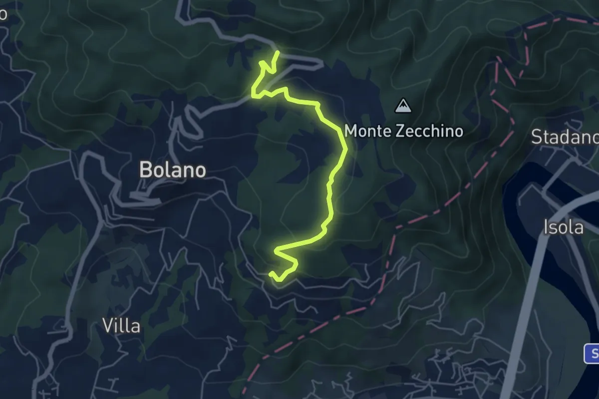
Easy · Trail
Bivio 285 – Case Cavanon
5.0 km · ↑ 186 m · 1 h 35 min
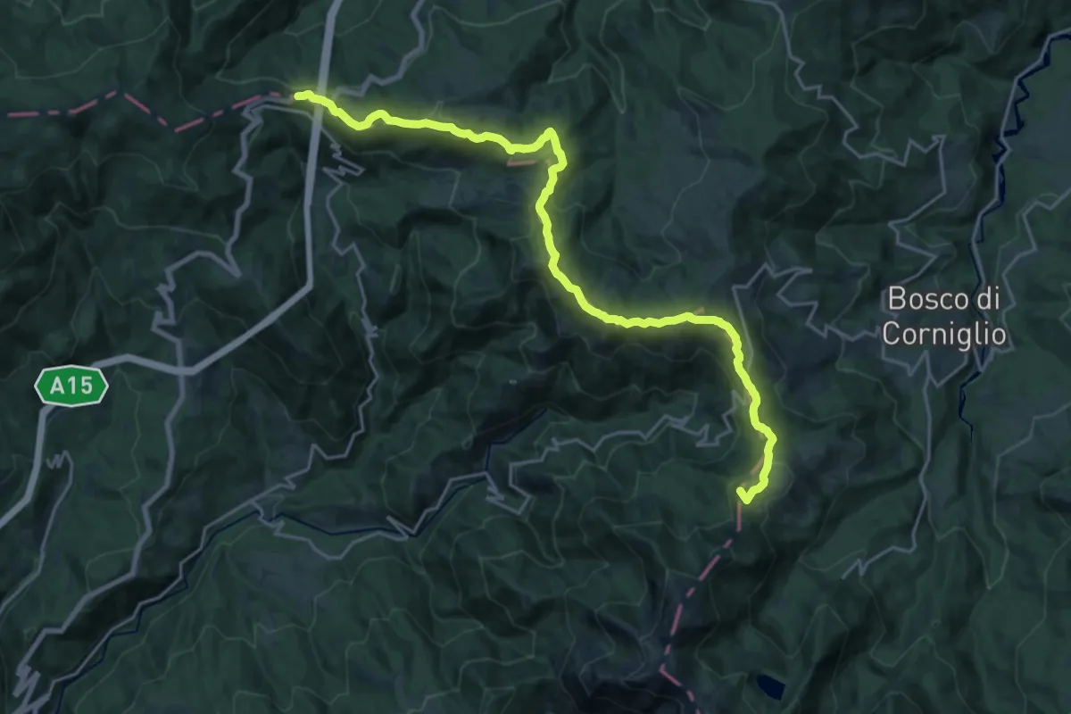
Demanding · Summit
Bivio Lago Santo Parmense – Passo della Cisa
22.8 km · ↑ 945 m · 7 h 26 min
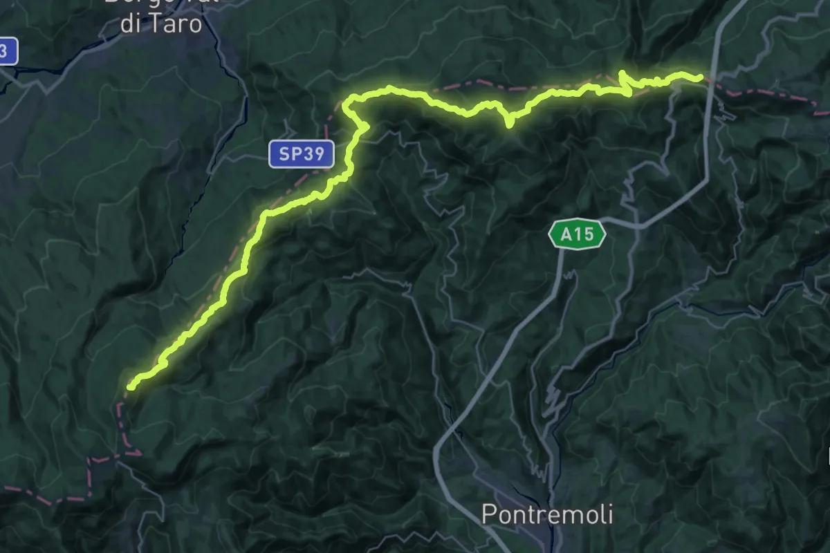
Demanding · Summit
Passo della Cisa – Passo dei due Santi
44.8 km · ↑ 1934 m · 14 h 46 min
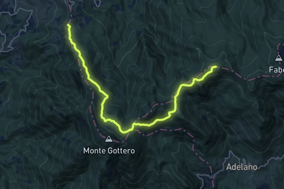
Demanding · Summit
Passo dei Due Santi – Passo della Cappelletta
17.0 km · ↑ 878 m · 5 h 55 min
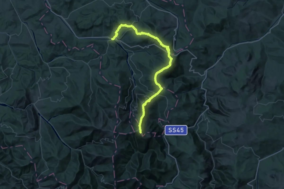
Demanding · Summit
Varzi – Passo del Giovà
66.7 km · ↑ 3387 m · 23 h 5 min
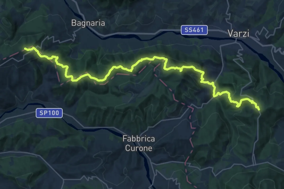
Demanding · Summit
Guardamonte – Bivio Via del Sale-SP 91
28.3 km · ↑ 1453 m · 9 h 50 min