Trails in Italy
25,219 hiking trails, each with its route, climb, walking time and grade.
All trails, page 380 of 526
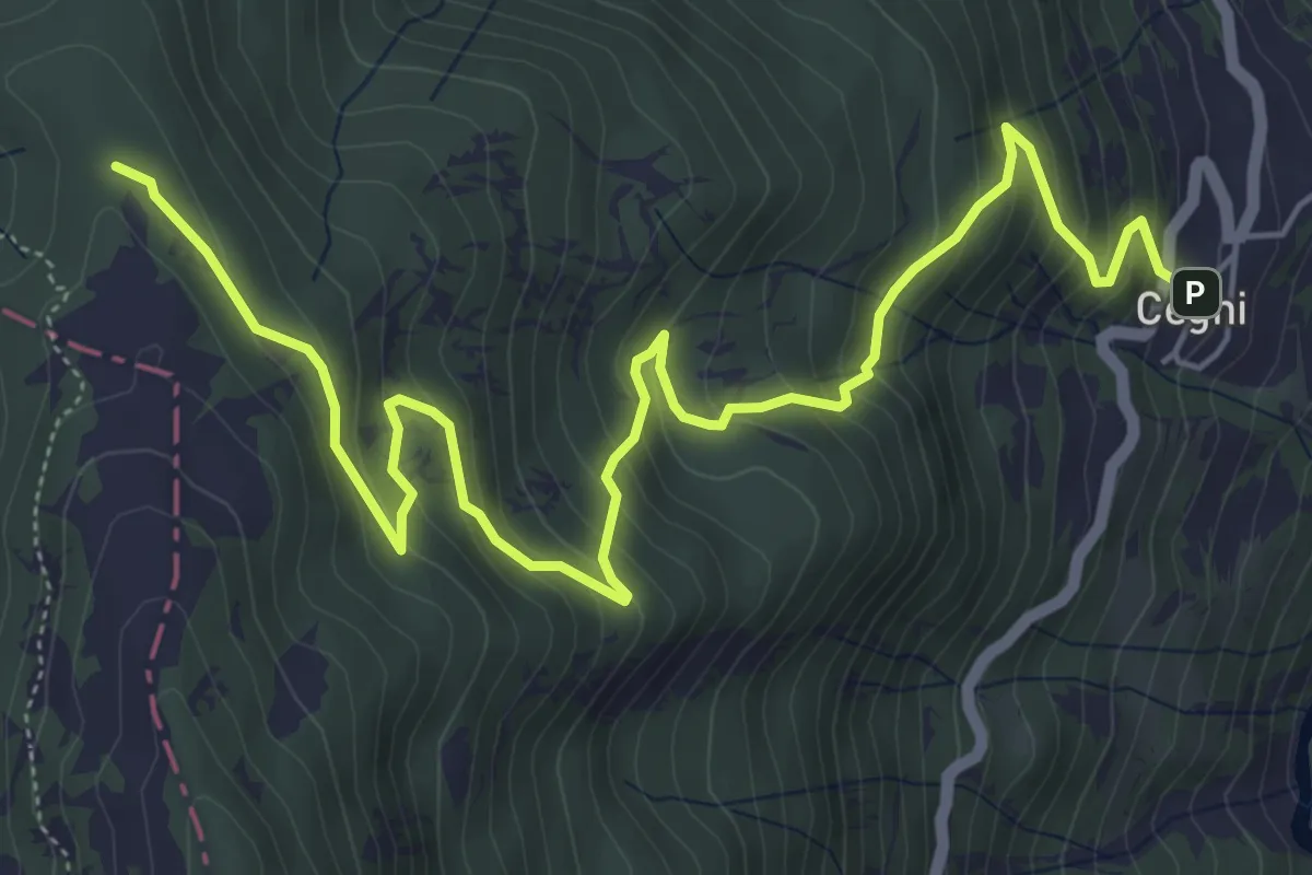
Medium · Cabin
Cegni – Rifugio Pian della Mora
7.7 km · ↑ 536 m · 2 h 59 min
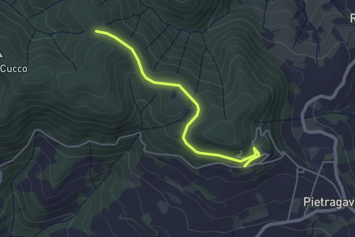
Easy · Trail
Pietragavina – Incrocio sentiero 184
3.7 km · ↑ 76 m · 1 h 2 min
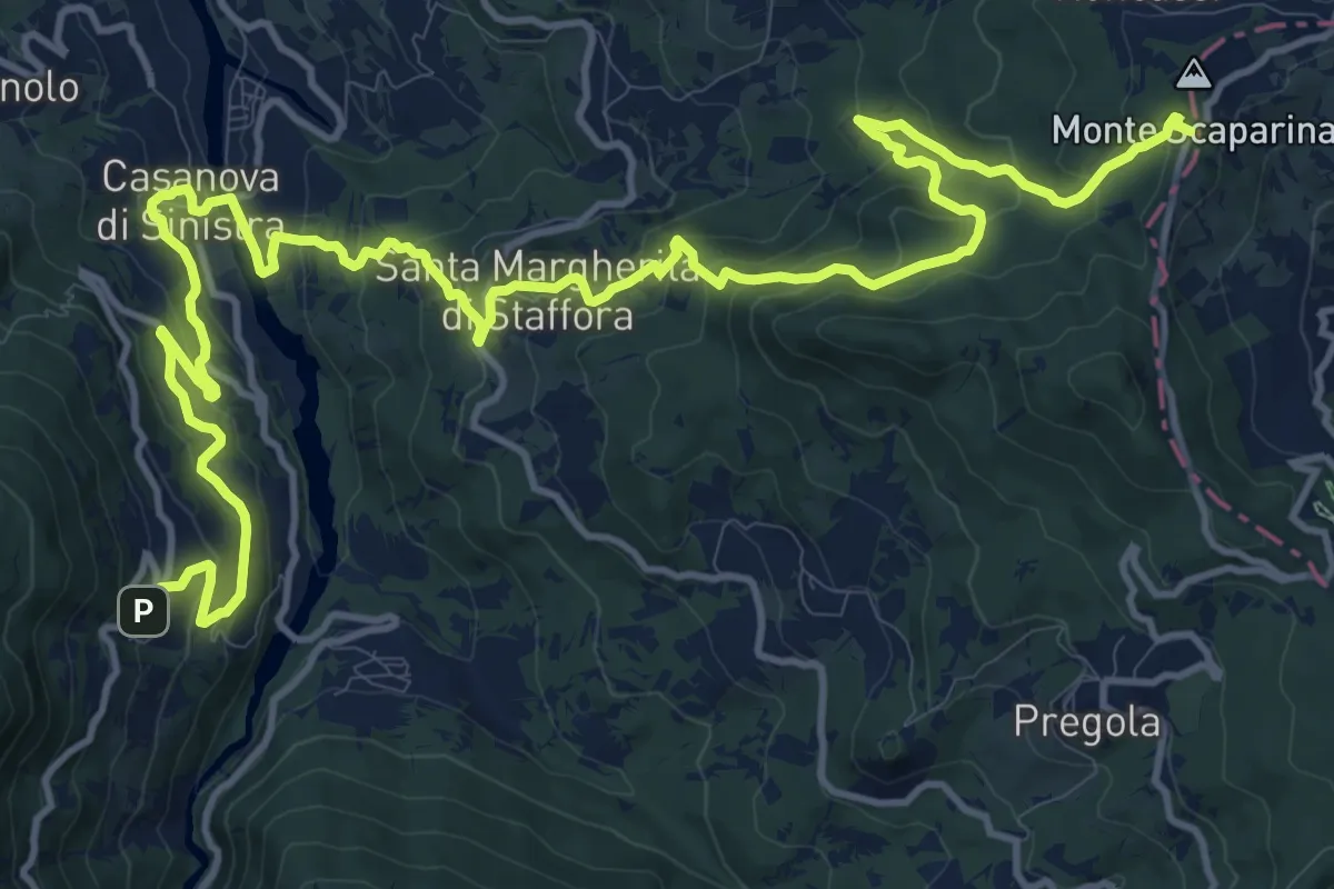
Demanding · Trail
Cegni – Passo Scaparina
20.4 km · ↑ 1217 m · 7 h 27 min
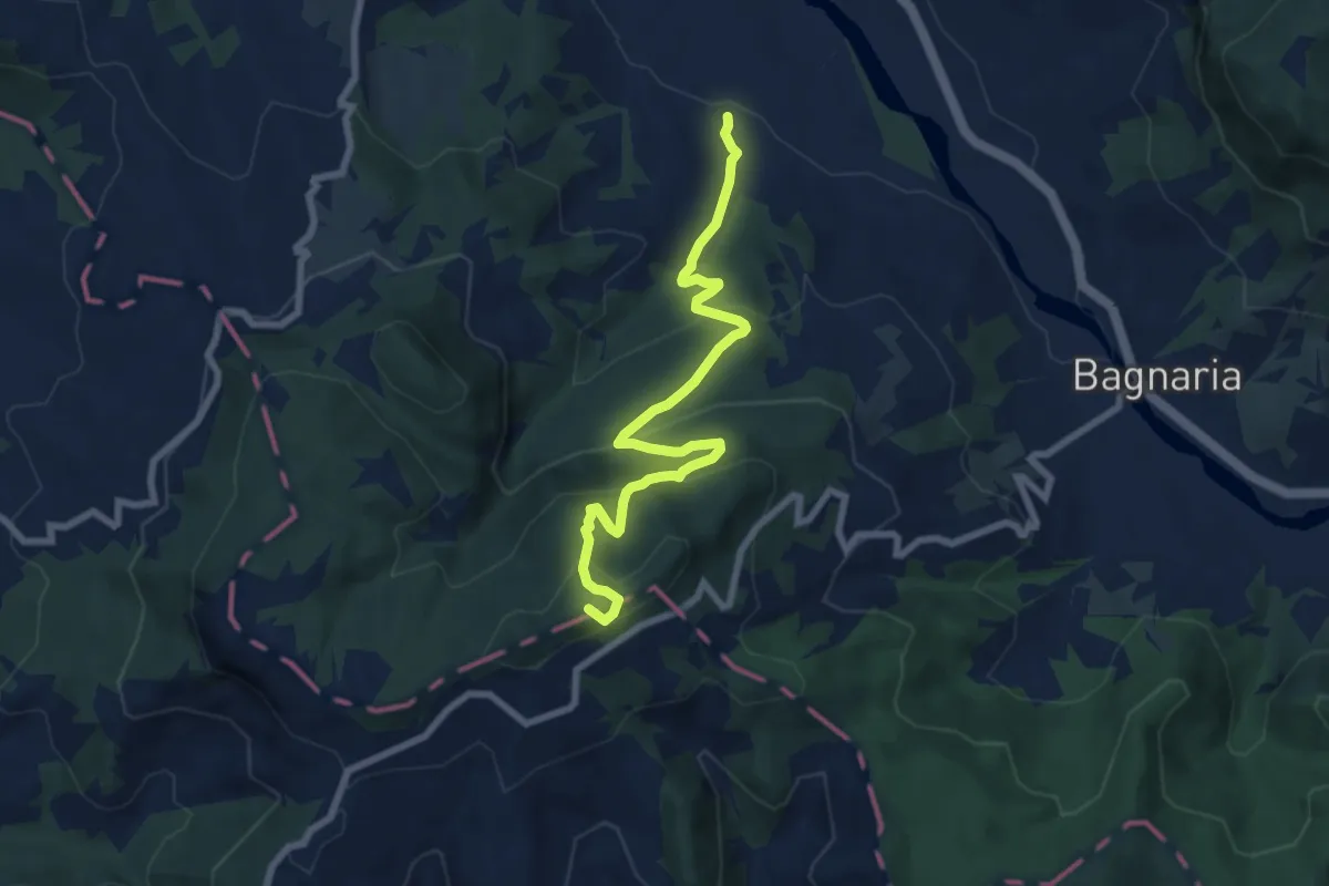
Medium · Summit
San Ponzo Semola – Guardamonte
8.2 km · ↑ 477 m · 2 h 59 min
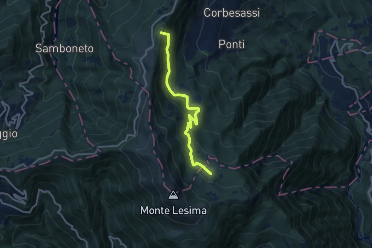
Medium · Summit
Sella La Colla – Sentiero 123 CAI Piacenza
7.8 km · ↑ 523 m · 2 h 59 min
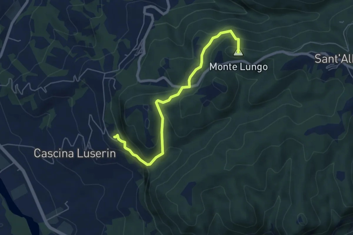
Easy · Summit
Vignola – Abbazia di S.Alberto
5.3 km · ↑ 308 m · 1 h 56 min
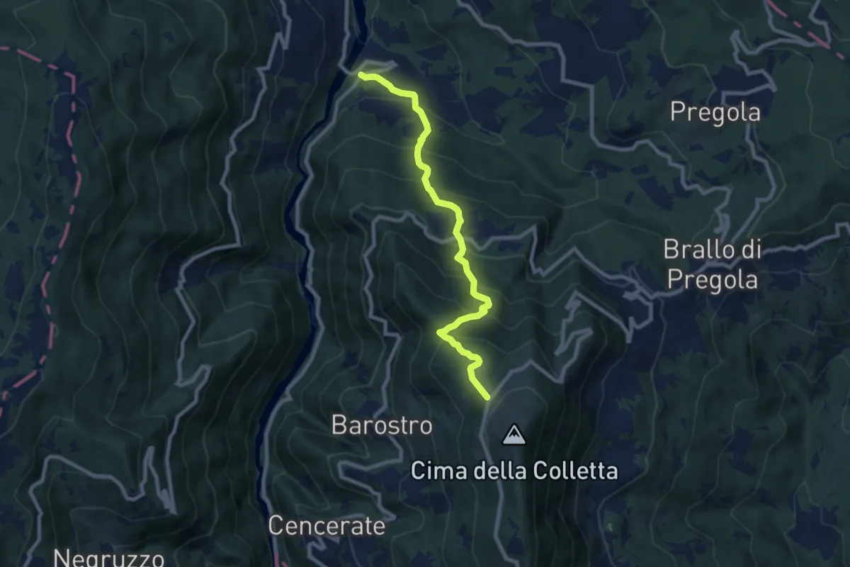
Medium · Trail
Fego – Rifugio Nassano
8.1 km · ↑ 739 m · 3 h 31 min
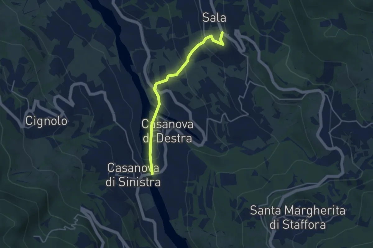
Easy · Trail
Casanova di Destra – Sala
3.3 km · ↑ 153 m · 1 h 7 min
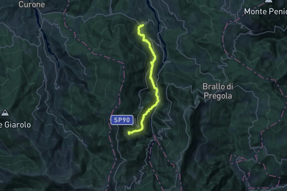
Demanding · Trail
Cignolo – Negruzzo
17.5 km · ↑ 1125 m · 6 h 34 min
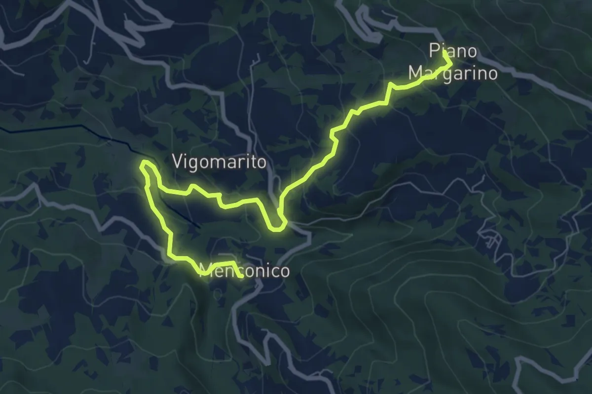
Medium · Trail
Menconico – Piano Margarino
8.5 km · ↑ 491 m · 3 h 4 min
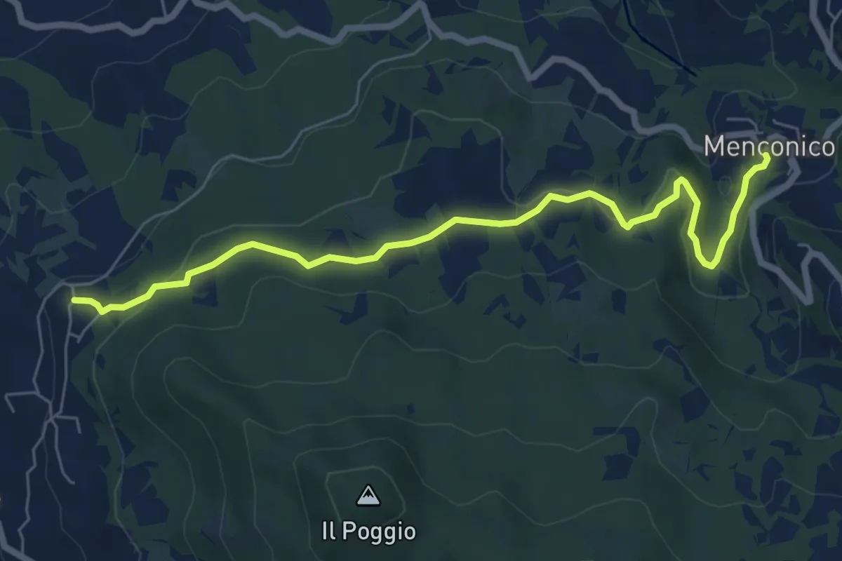
Easy · Trail
Menconico – Montemartino
6.9 km · ↑ 186 m · 2 h 3 min
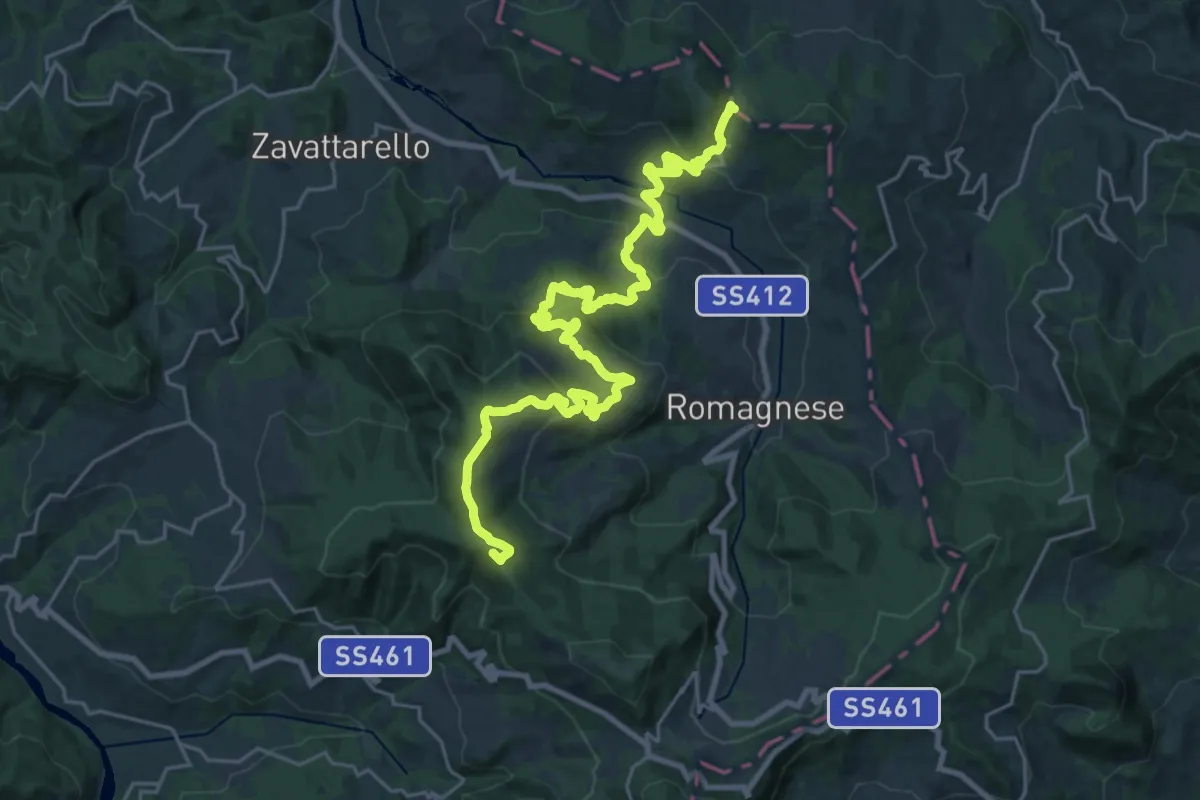
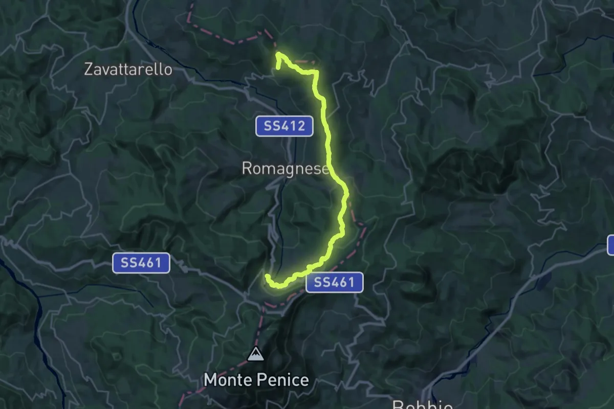
Demanding · Summit
Casa Matti – Incrocio Pian del Poggio
30.0 km · ↑ 1251 m · 9 h 47 min
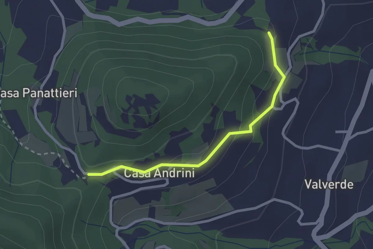
Demanding · Trail
Casa Matti – Casa Lazzati
23.1 km · ↑ 619 m · 6 h 48 min
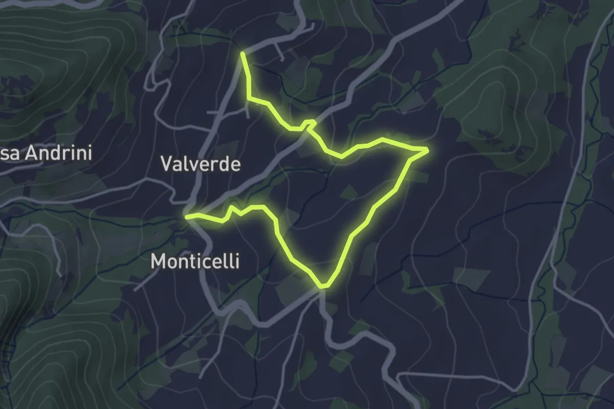
Easy · Trail
Cà Andrini – Castello verde
2.2 km · ↑ 86 m · 42 min
Easy · Trail
Mombelli – Casa Balestrieri
4.8 km · ↑ 168 m · 1 h 29 min
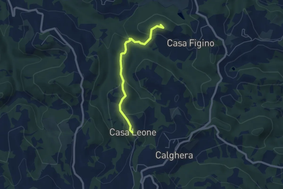
Easy · Summit
Casa Leone – Casa Figino
4.5 km · ↑ 194 m · 1 h 28 min
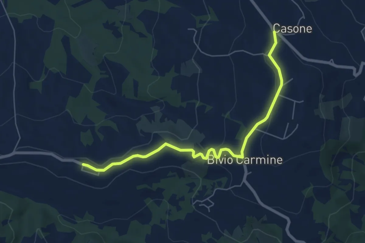
Easy · Trail
Passo del Carmine – Costa Trentini
5.9 km · ↑ 113 m · 1 h 38 min
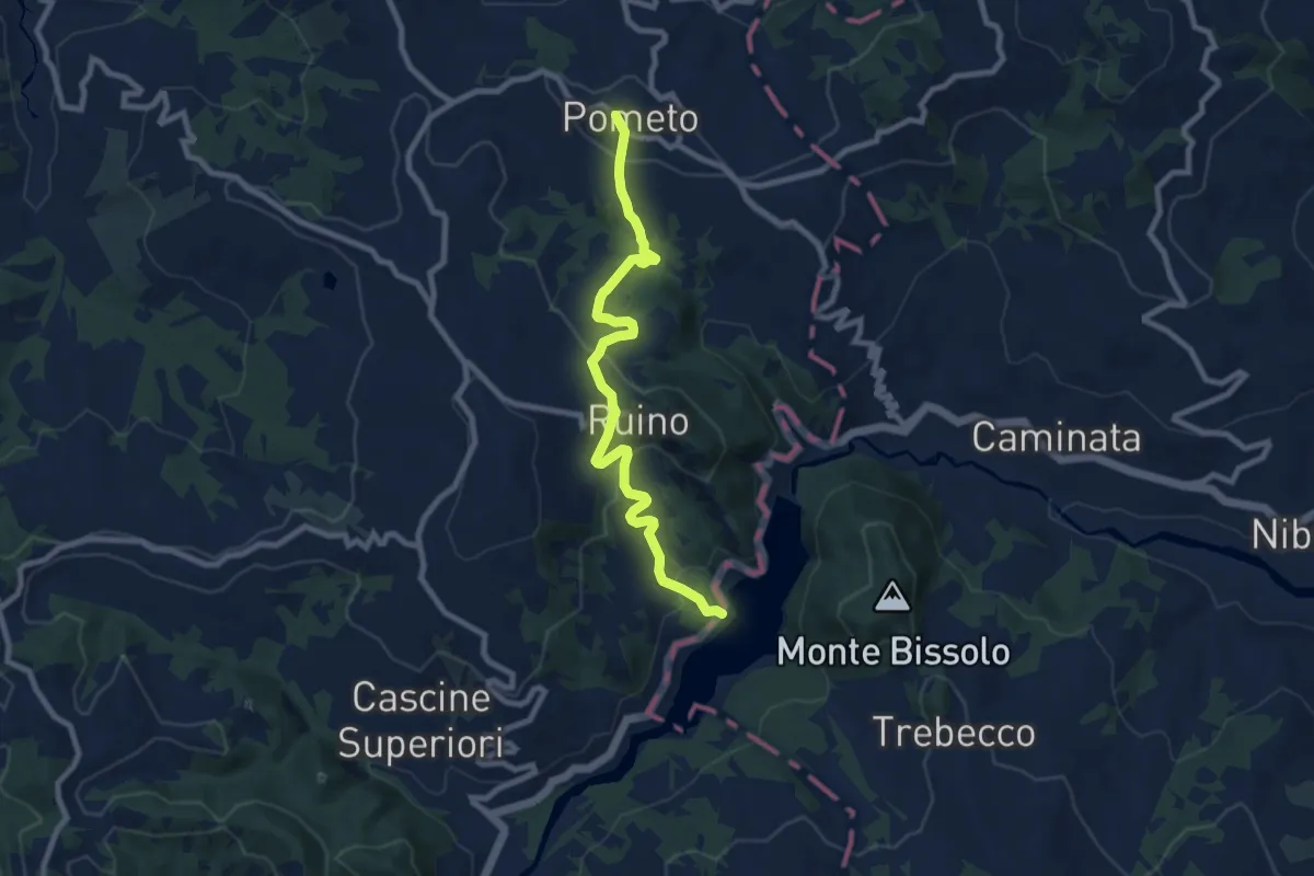
Medium · Trail
Pometo – Lago Trebecco
9.0 km · ↑ 377 m · 2 h 56 min
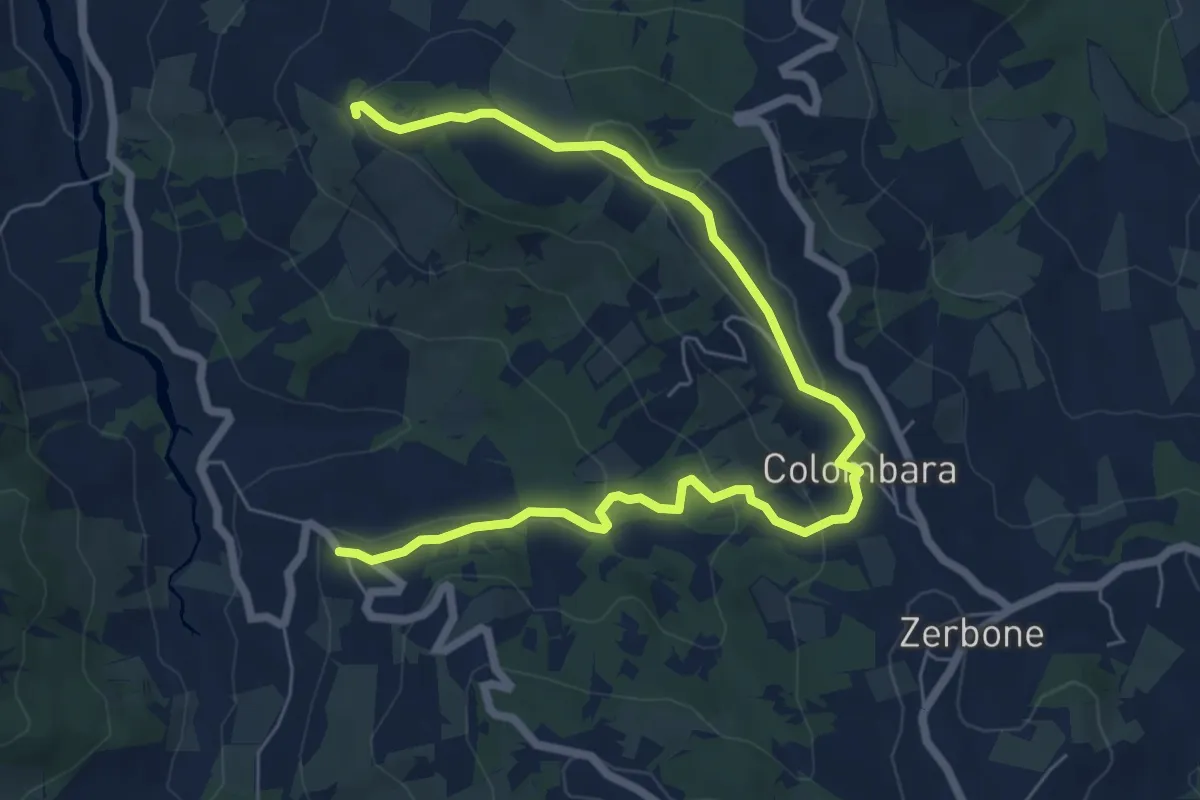
Medium · Trail
Canavera – Montù Berchielli
8.5 km · ↑ 242 m · 2 h 33 min
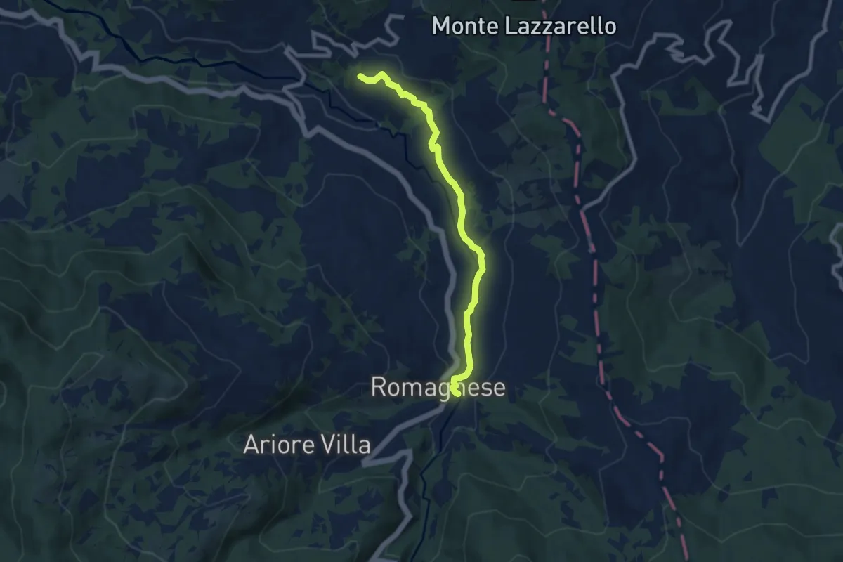
Easy · Trail
Romagnese – Cà Casarini
7.4 km · ↑ 150 m · 2 h 4 min
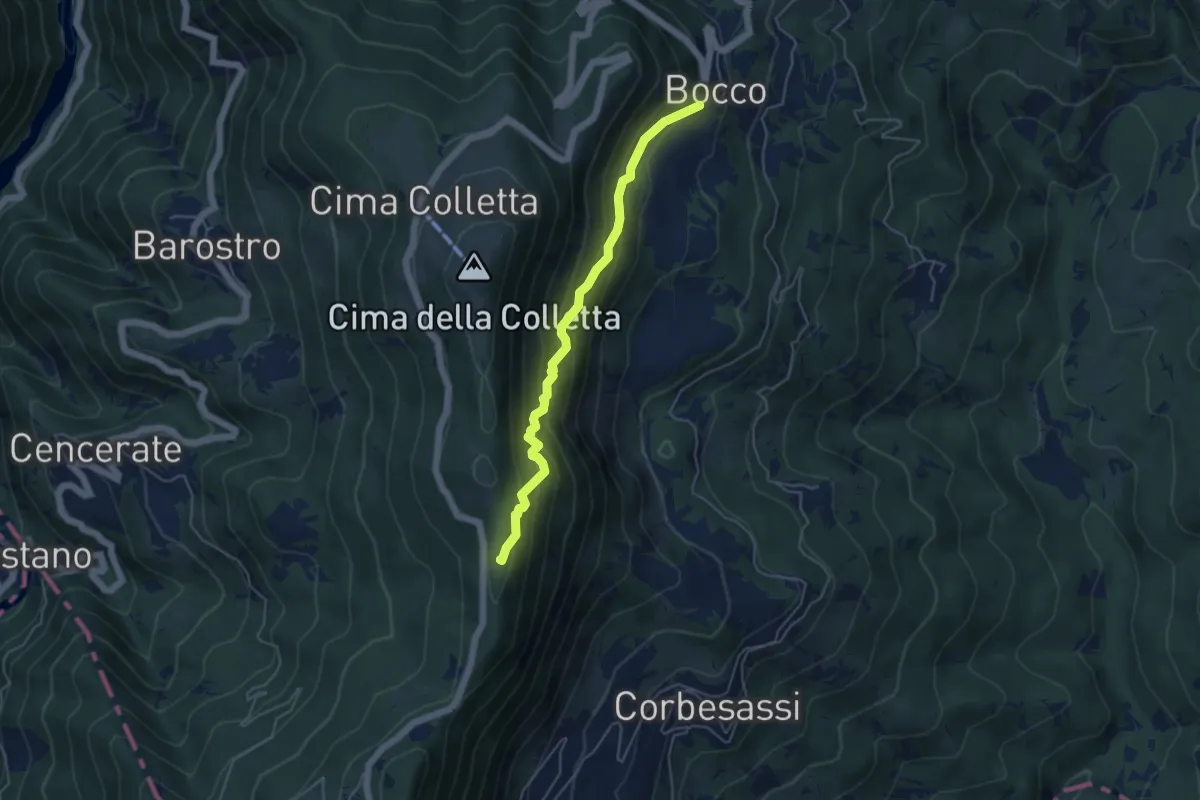
Medium · Trail
Bocco – Sentiero CAI 101
4.8 km · ↑ 478 m · 2 h 10 min
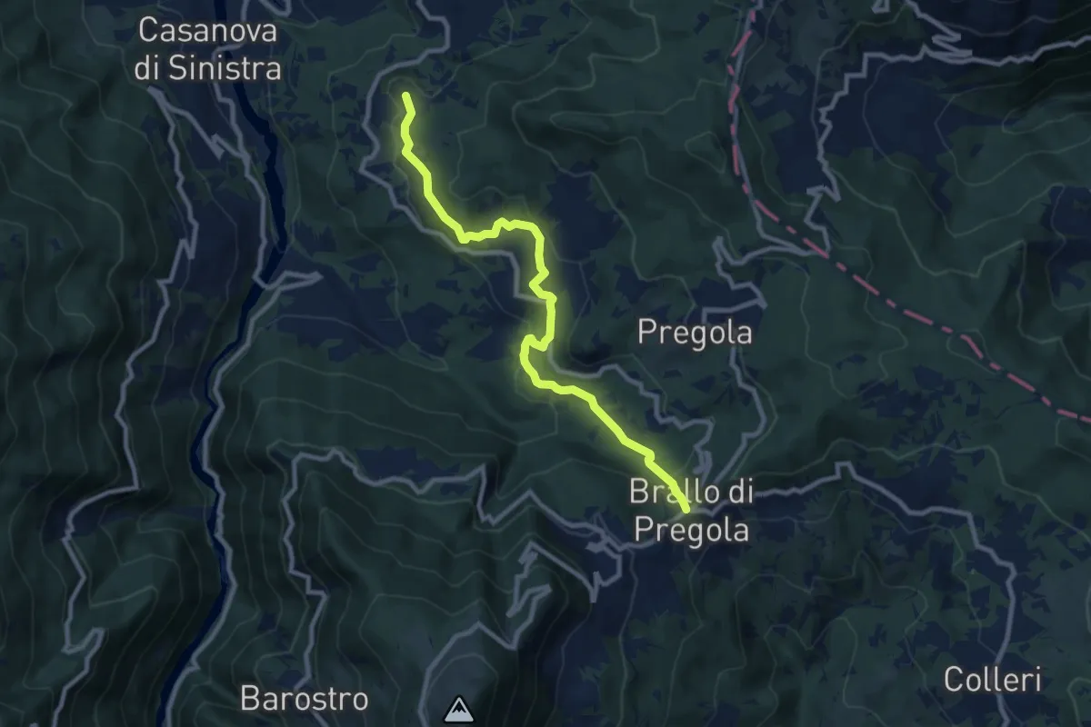
Medium · Trail
Brallo di Pregola – Santa Margherita di Staffora
9.7 km · ↑ 359 m · 3 h 4 min
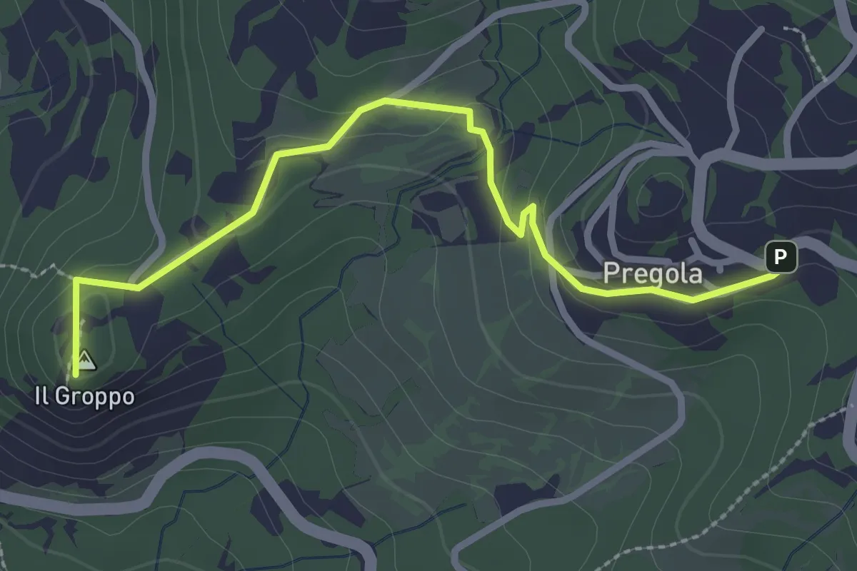
Easy · Summit
Pregola – Incrocio Sentiero 115-SP 186
2.9 km · ↑ 89 m · 53 min
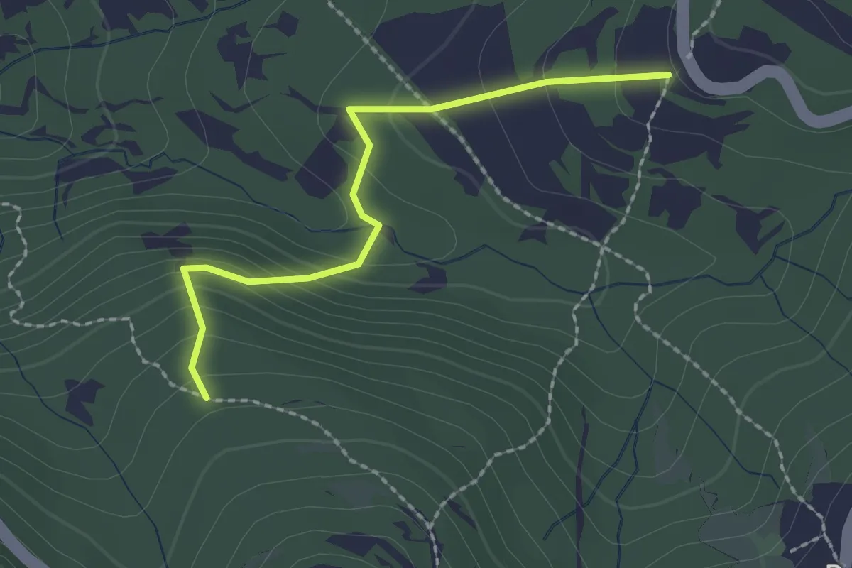
Easy · Trail
Percorso 120 – Percorso 118
2.1 km · ↑ 148 m · 49 min
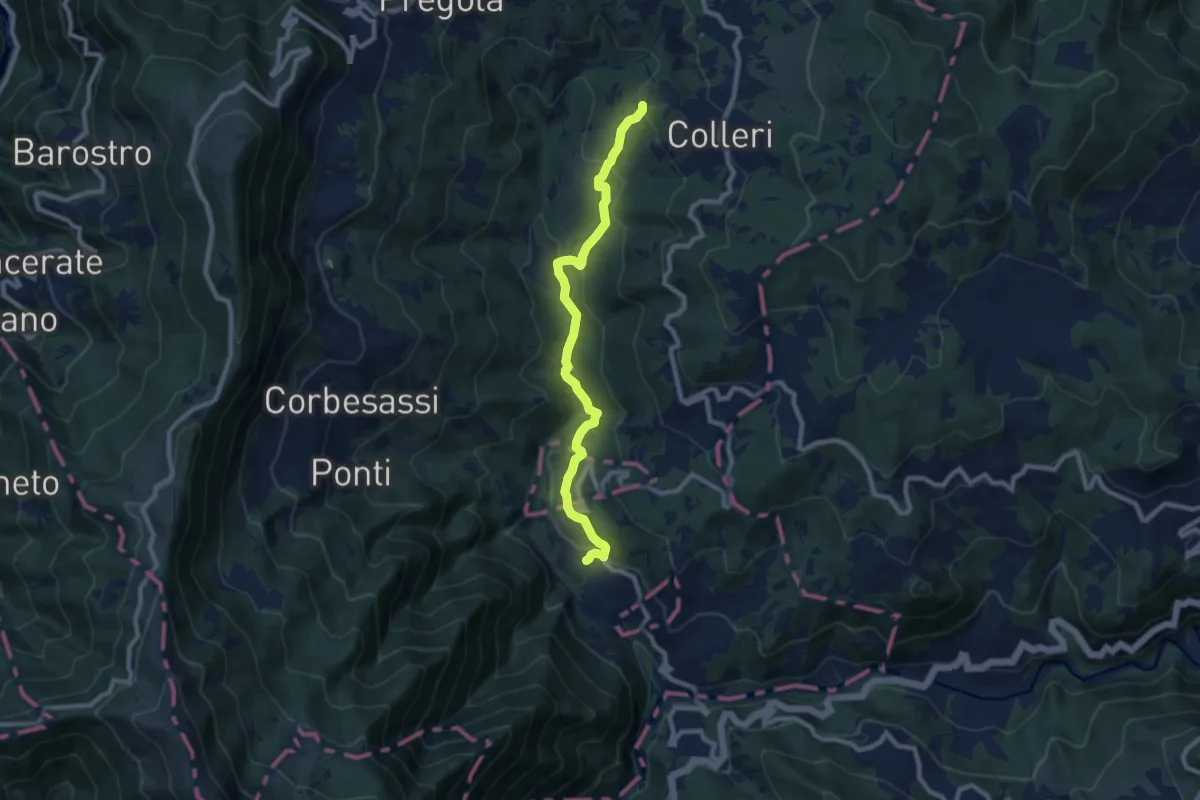
Medium · Trail
Collistano – Rovaiolo
9.2 km · ↑ 402 m · 3 h 2 min
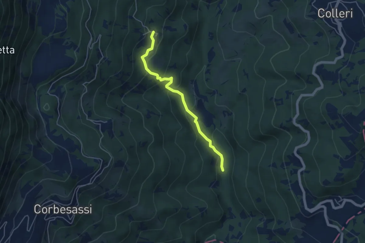
Easy · Trail
Someglio – Incrocio Sentiero 127
4.1 km · ↑ 244 m · 1 h 30 min
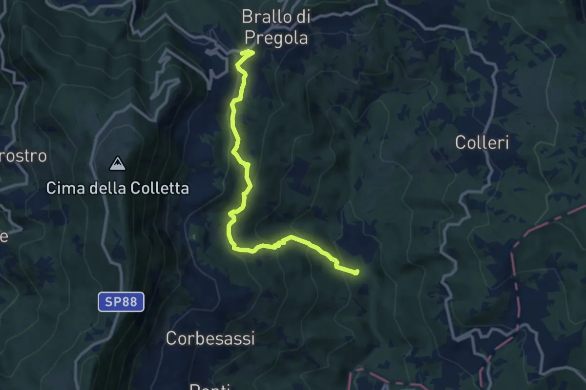
Medium · Trail
Bocco – Incrocio Sentiero 128
8.5 km · ↑ 556 m · 3 h 13 min
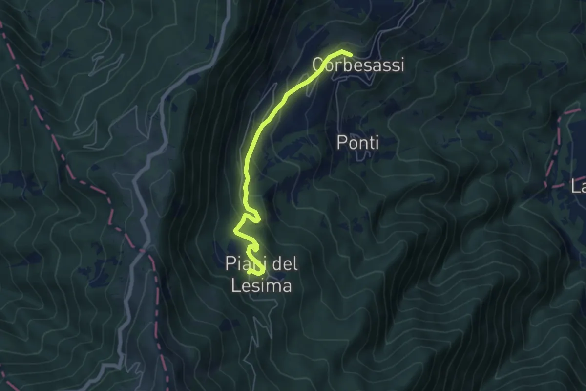
Easy · Trail
Corbesassi – Piani del Lesima
5.0 km · ↑ 276 m · 1 h 46 min
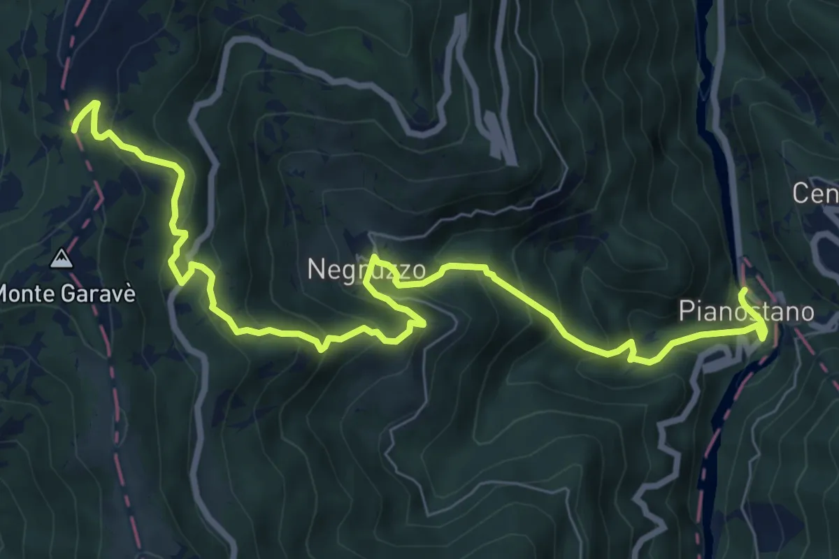
Medium · Trail
Pianostano – Colle della Seppa
9.6 km · ↑ 727 m · 3 h 51 min
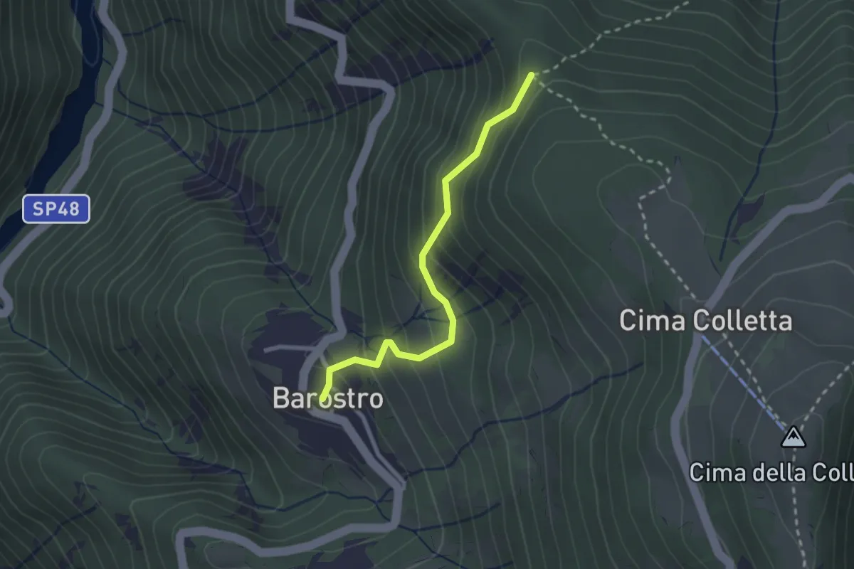
Easy · Trail
Barostro – Incrocio sentiero CAI 105
2.4 km · ↑ 213 m · 1 h 2 min
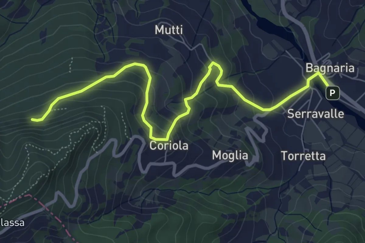
Medium · Trail
Bagnaria – Grotte di San Ponzo
7.2 km · ↑ 374 m · 2 h 31 min
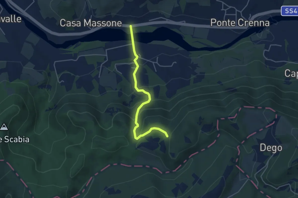
Easy · Trail
Casa Galeotti – Sentiero 103
3.9 km · ↑ 275 m · 1 h 31 min
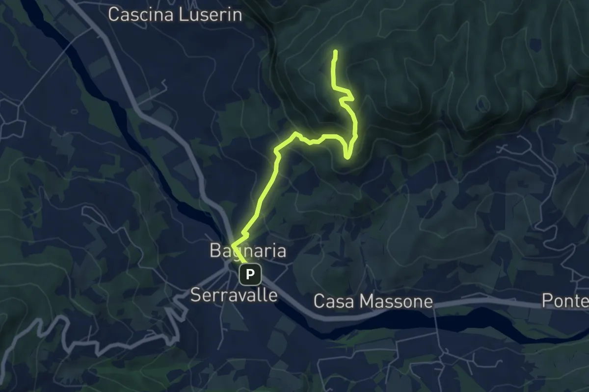
Medium · Summit
Bagnaria – Sant'Alberto (Abbazia)
5.8 km · ↑ 404 m · 2 h 14 min
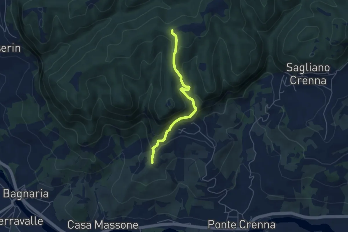
Easy · Summit
Casa Massone – Sentiero 144
4.4 km · ↑ 301 m · 1 h 41 min
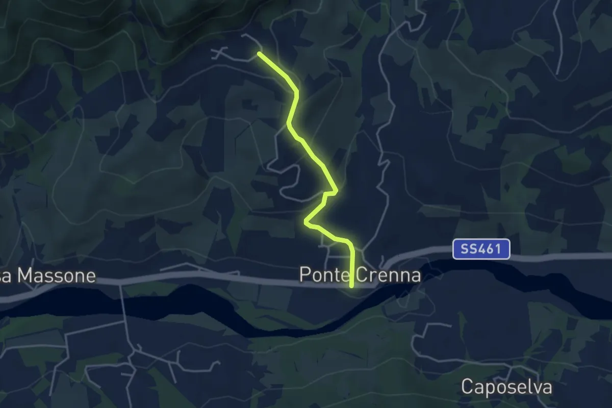
Easy · Trail
Ponte Crenna – Livelli
3.2 km · ↑ 162 m · 1 h 6 min
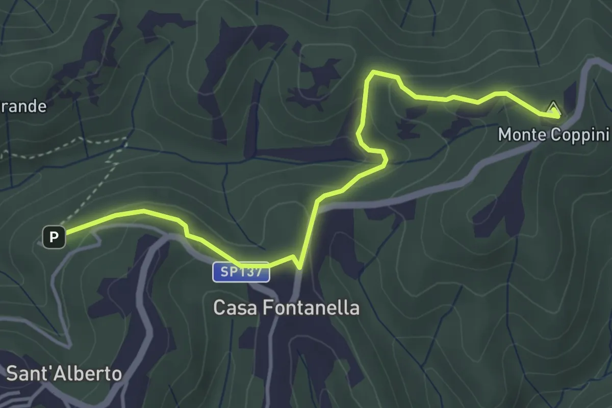
Easy · Summit
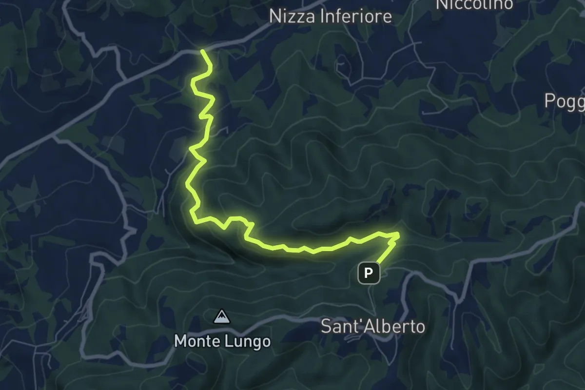
Sant'Alberto – Sant'Albano
4.3 km · ↑ 175 m · 1 h 23 min
Medium · Trail
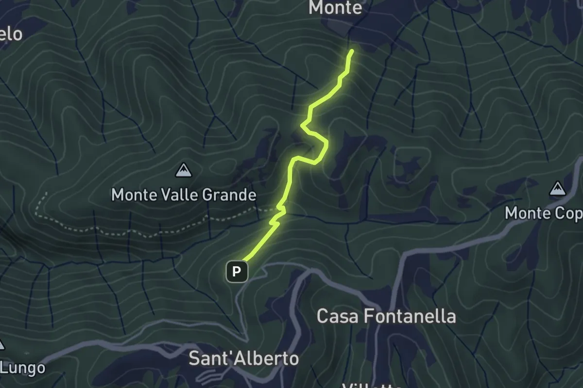
Sant'Alberto – Risaia
7.9 km · ↑ 472 m · 2 h 53 min
Medium · Trail
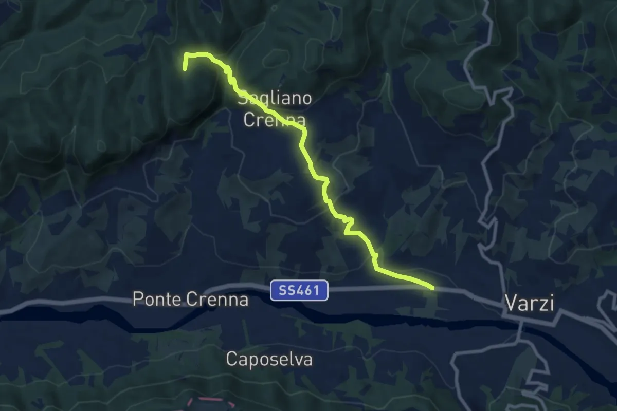
Sant'Alberto – Sentiero 182
2.9 km · ↑ 213 m · 1 h 9 min
Medium · Summit
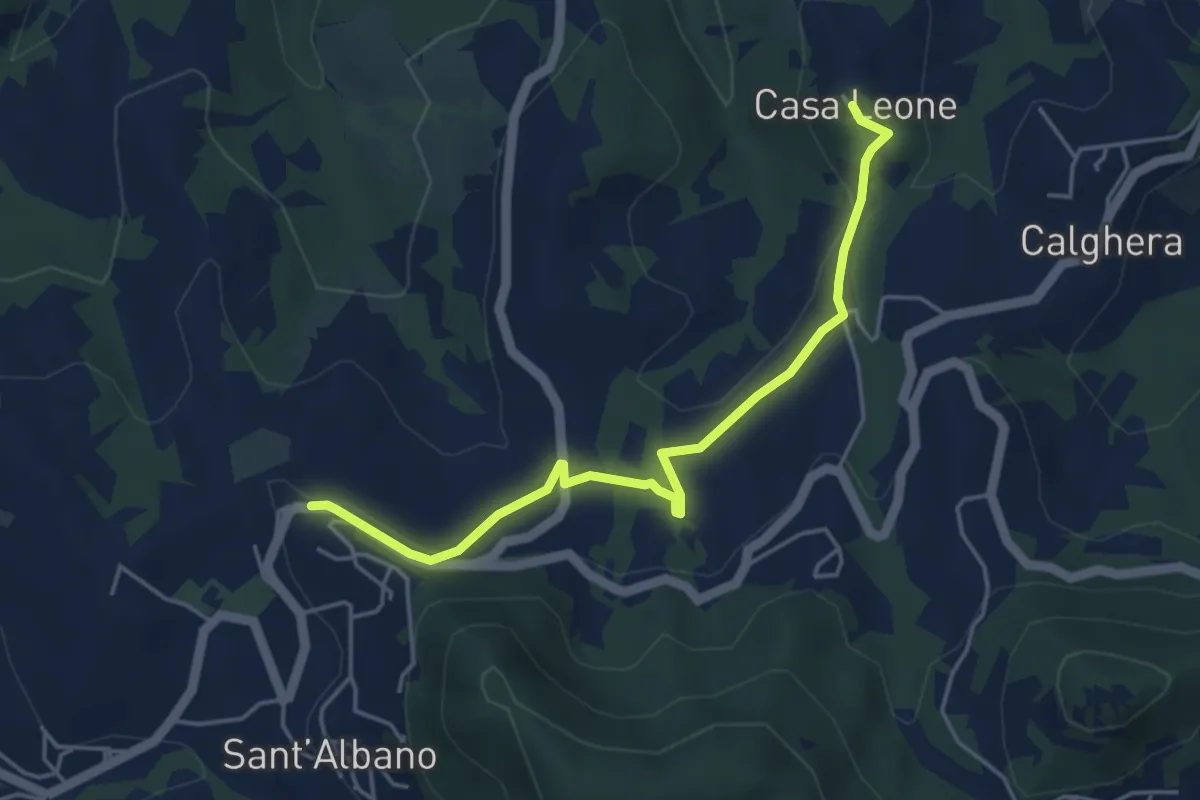
Varzi – Sant'Alberto (Abbazia)
8.3 km · ↑ 358 m · 2 h 44 min
Easy · Trail
Sant’Albano – Casa Leone
4.8 km · ↑ 116 m · 1 h 23 min
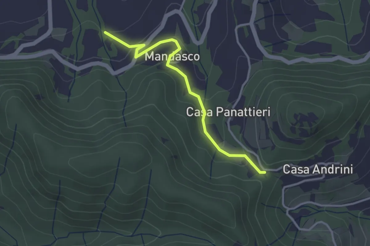
Easy · Trail
Incrocio Castello Verde CAI 184 – Sentiero 157
3.0 km · ↑ 119 m · 58 min
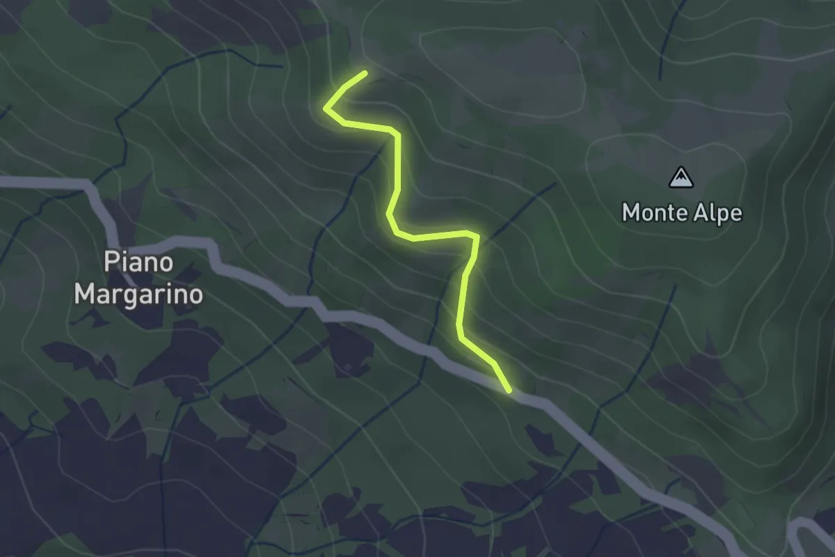
Easy · Trail
Percorso 101 (Belvedere-panchina) – SS461
2.0 km · ↑ 167 m · 51 min
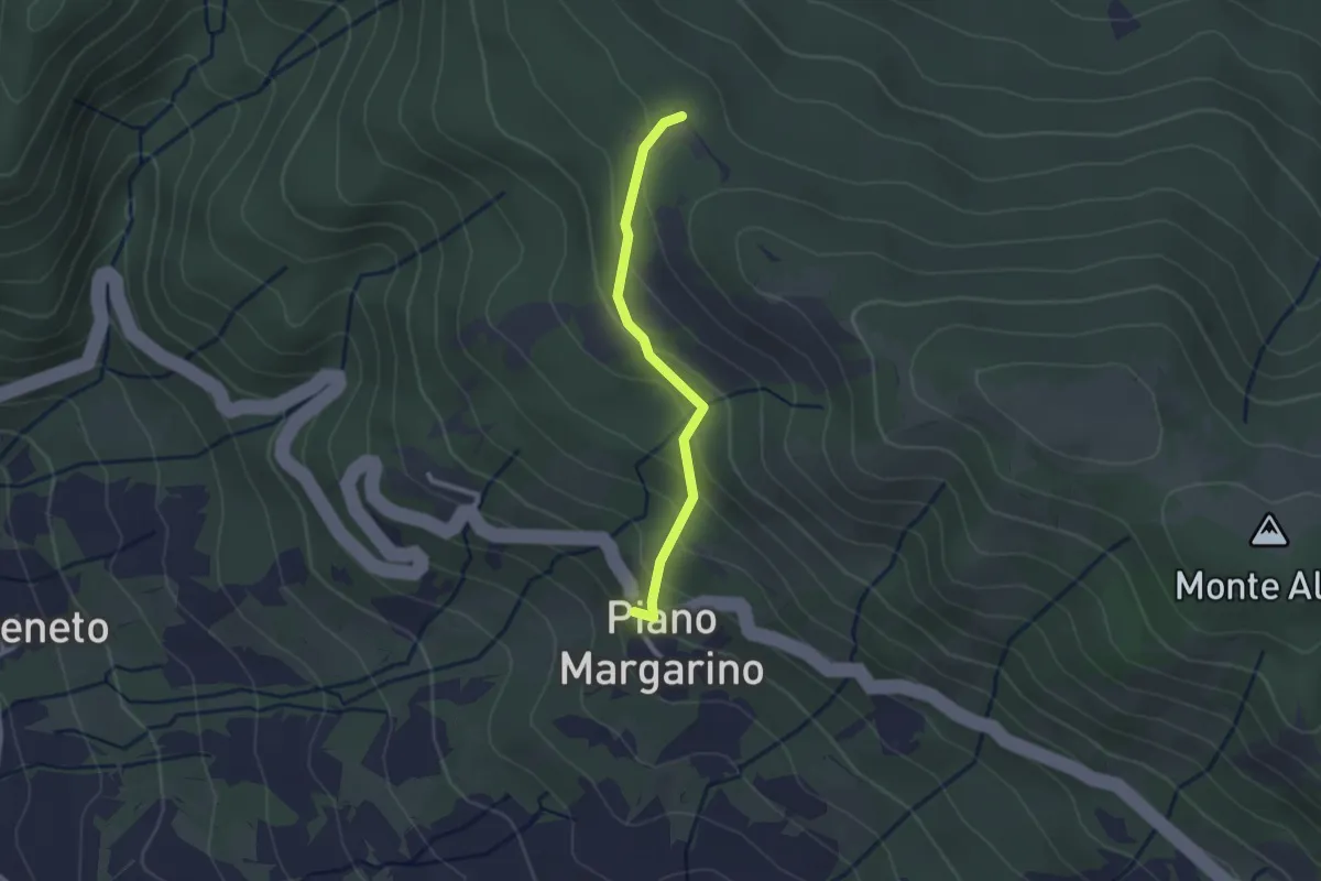
Easy · Trail
Piano Margarino – Strada Costa d'Alpe
2.2 km · ↑ 149 m · 51 min
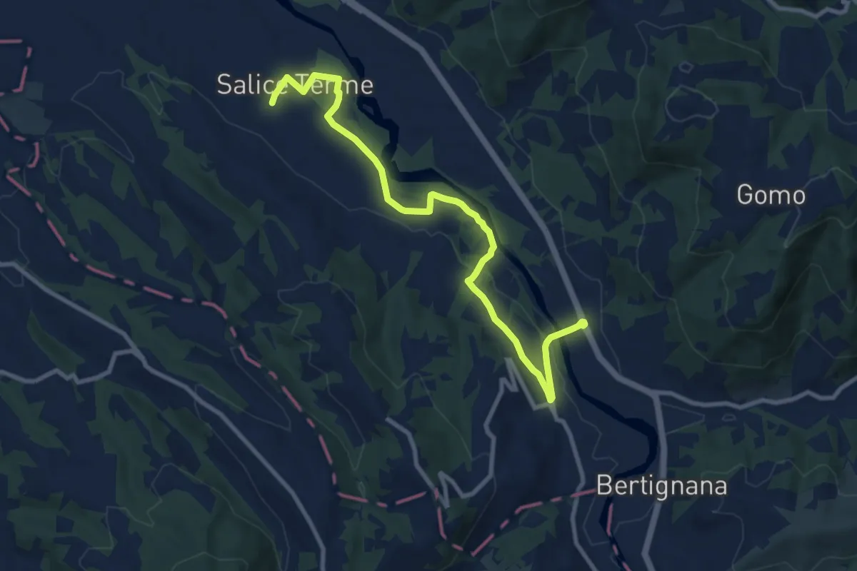
Medium · Trail
Godiasco – Salice Terme
10.2 km · ↑ 136 m · 2 h 42 min
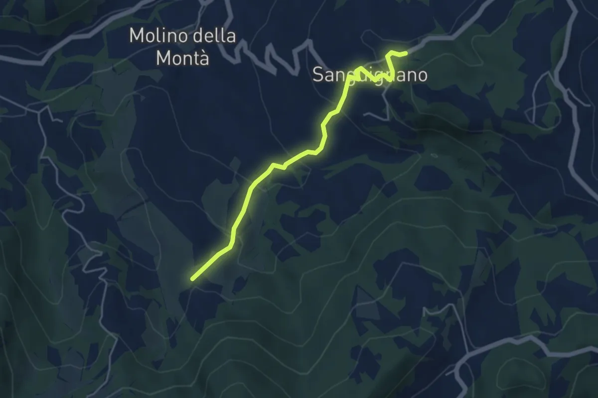
Easy · Trail
Sanguignano – Sentiero 172
4.2 km · ↑ 230 m · 1 h 29 min
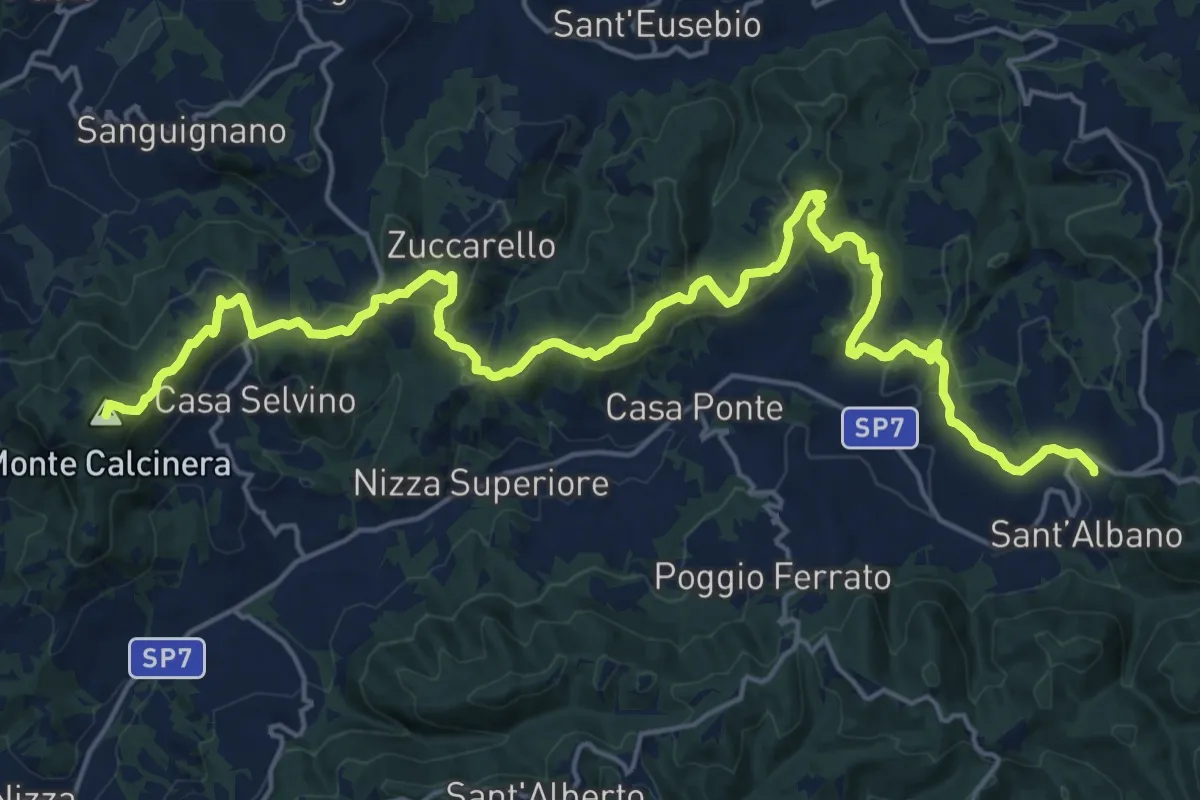
Demanding · Summit
Sant’Albano-Loc. Costa Croce – Ponte Nizza ex Stazione ferroviaria
25.8 km · ↑ 911 m · 8 h 4 min
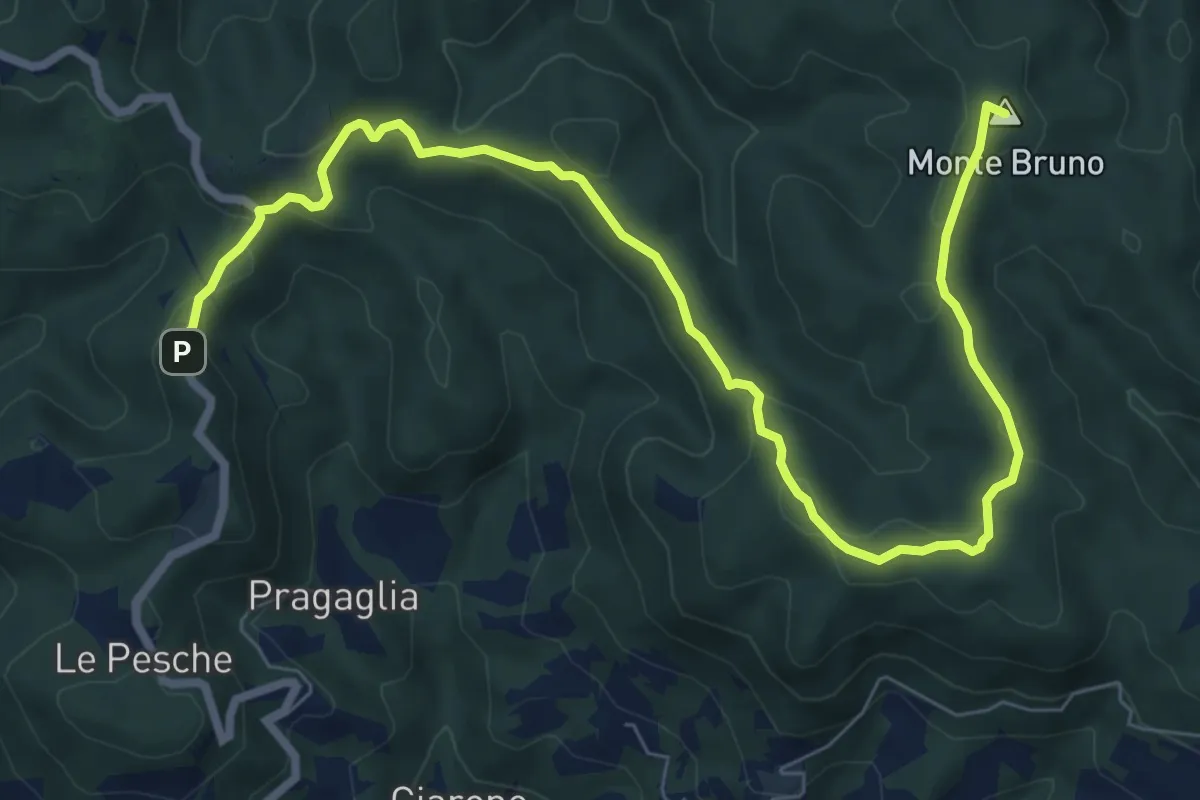
Medium · Summit
Castello di Verde – Oramala
9.9 km · ↑ 345 m · 3 h 5 min
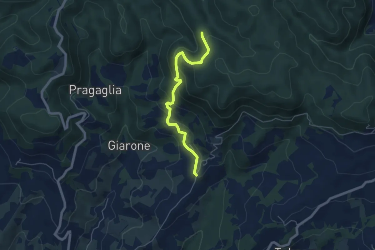
Medium · Trail
Rosara – Percorso 184
4.6 km · ↑ 347 m · 1 h 51 min