Trails in Italy
25,219 hiking trails, each with its route, climb, walking time and grade.
All trails, page 381 of 526
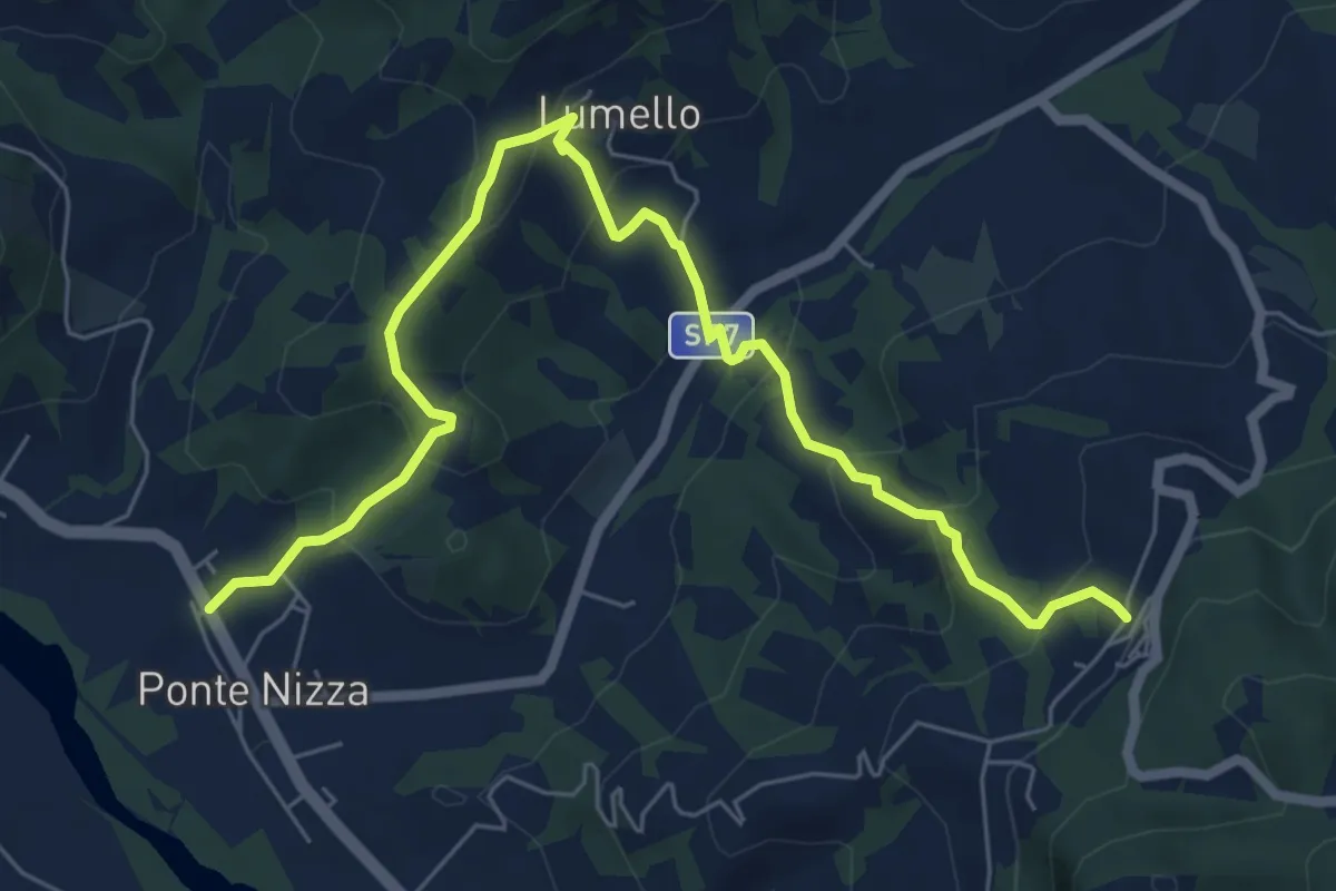
Medium · Trail
Ponte Nizza – Pizzocorno
8.1 km · ↑ 437 m · 2 h 52 min
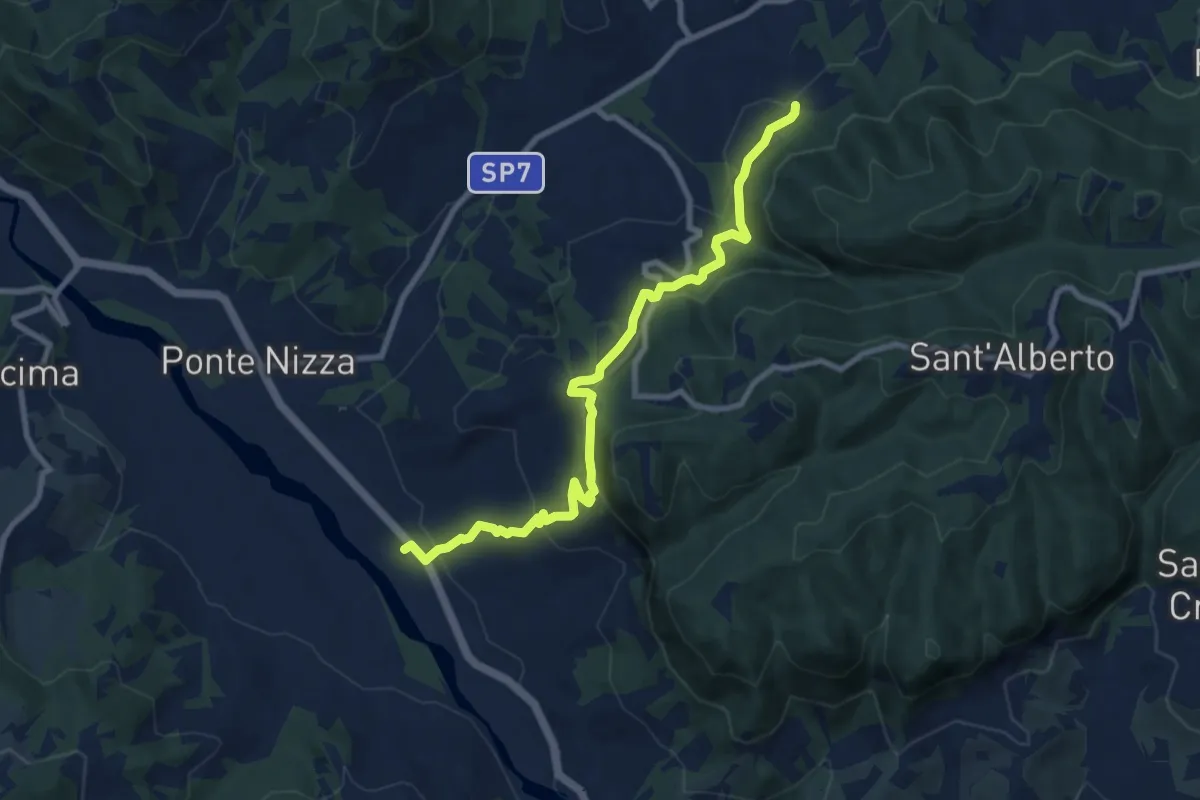
Medium · Trail
Molino del Conte – Carmelo
9.6 km · ↑ 405 m · 3 h 8 min
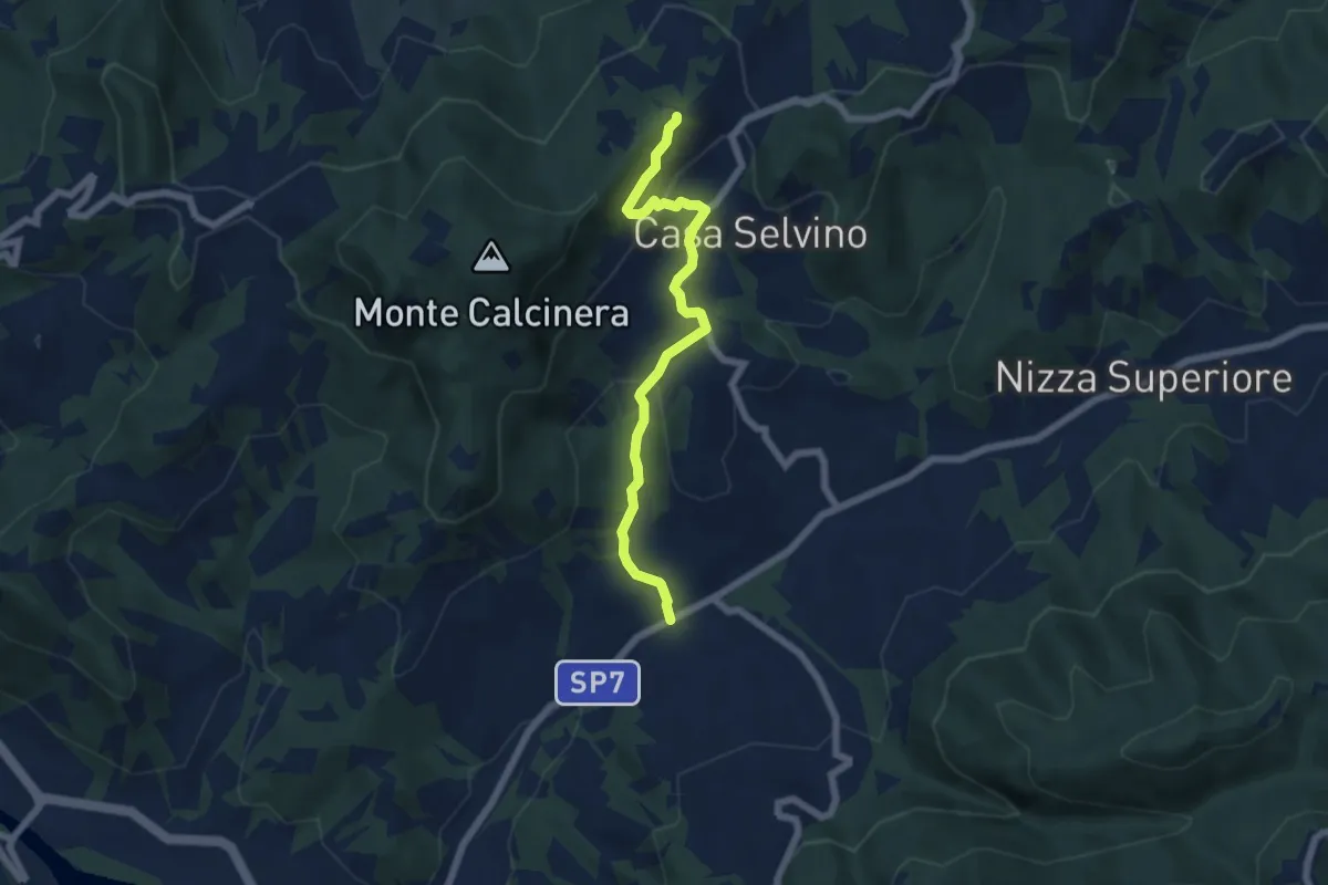
Easy · Trail
Casa Gallotti – Trebbiano Superiore
6.1 km · ↑ 247 m · 1 h 58 min
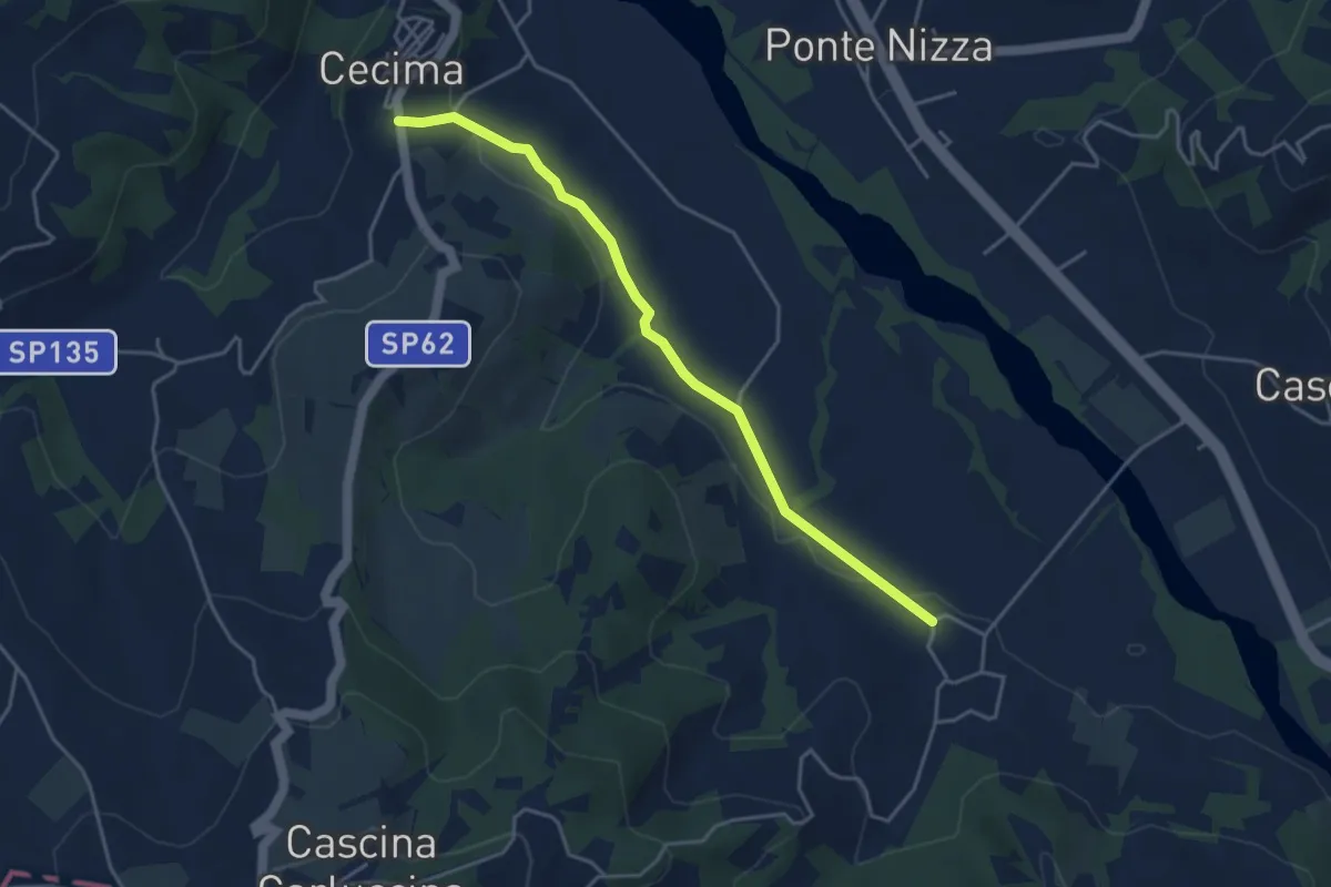
Easy · Trail
San Ponzo Semola – Cecima
4.3 km · ↑ 60 m · 1 h 9 min
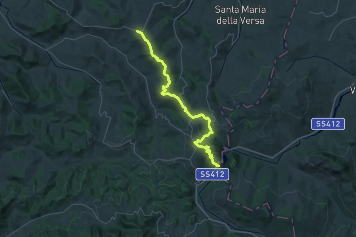
Medium · Trail
Montalto Pavese – Lago di Trebecco
15.1 km · ↑ 459 m · 4 h 47 min
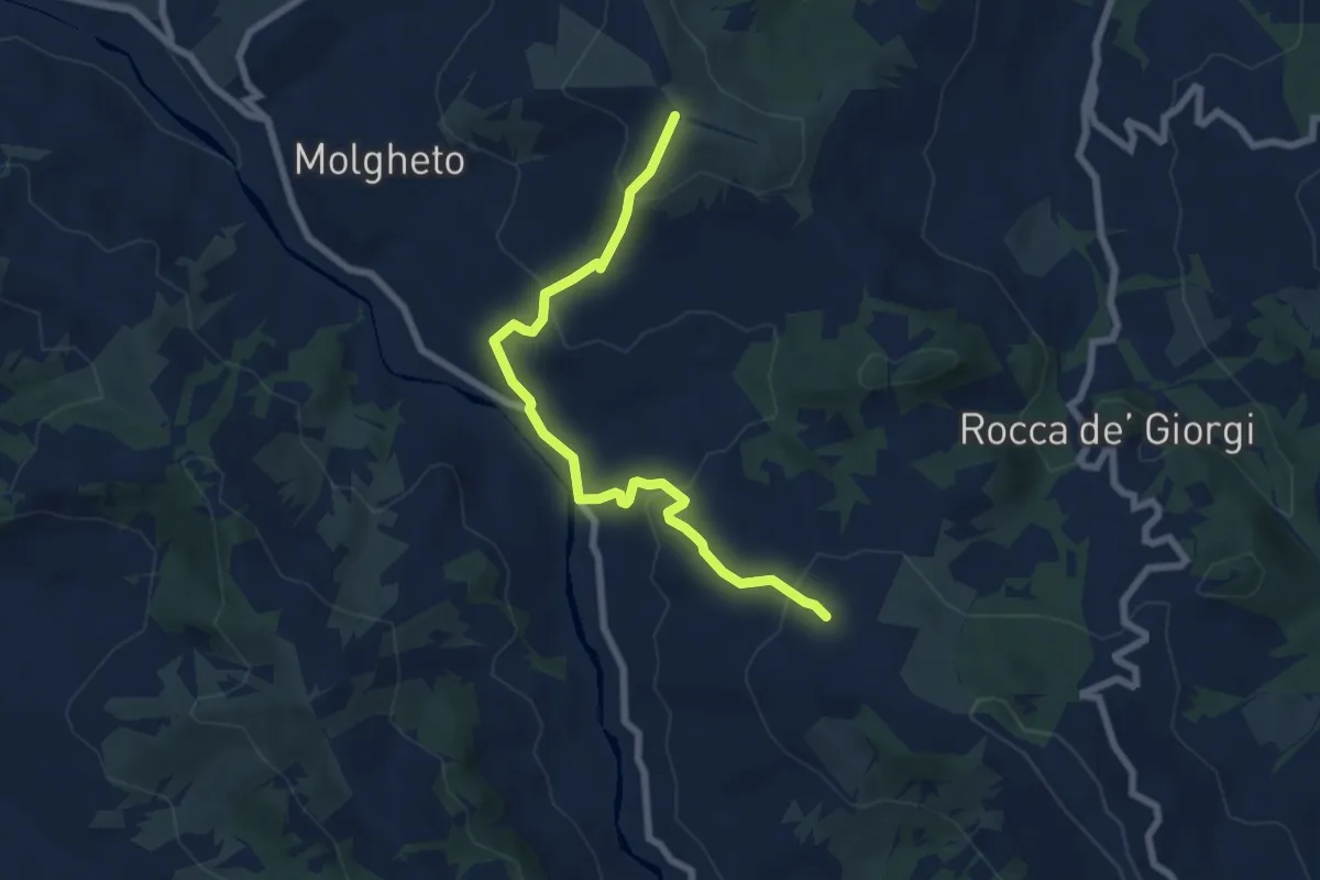
Medium · Trail
Costa del Vento – Incrocio Sentiero 201
7.3 km · ↑ 407 m · 2 h 37 min
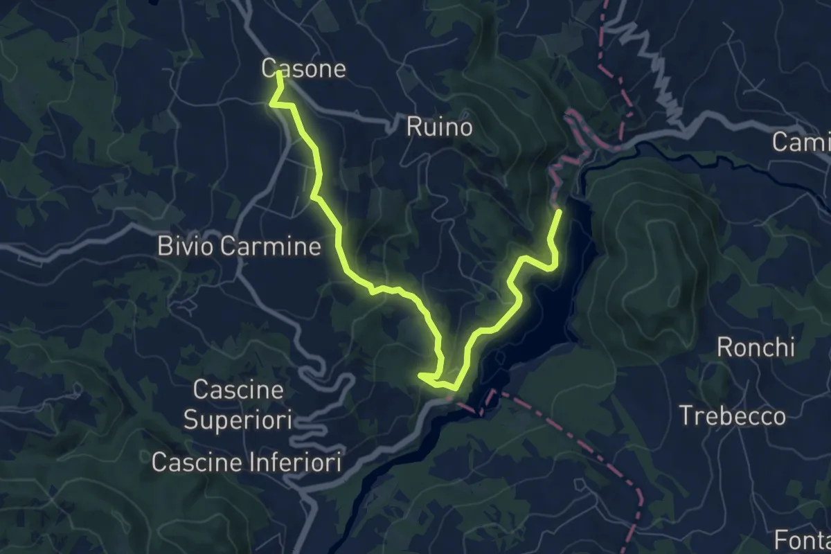
Medium · Trail
Passo del Carmine – Diga del Molato
9.2 km · ↑ 431 m · 3 h 6 min
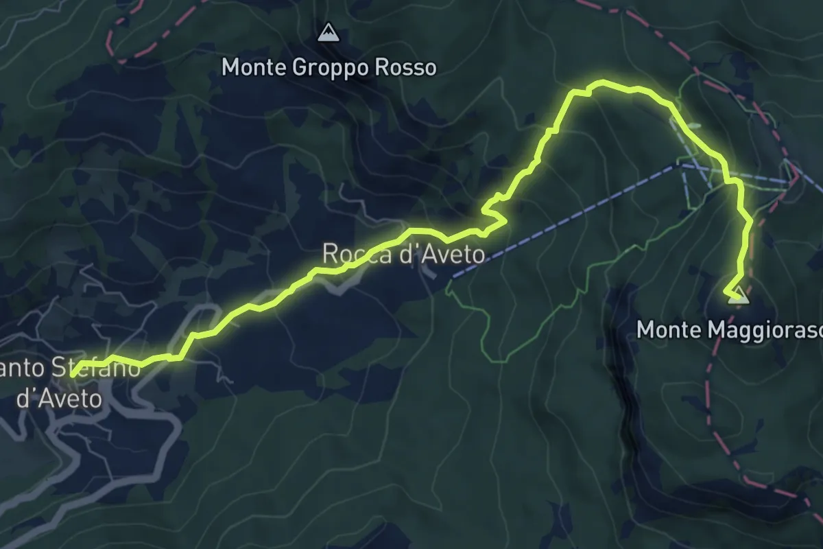
Demanding · Summit
Santo Stefano d'Aveto – Monte Maggiorasca
9.7 km · ↑ 801 m · 4 h 1 min
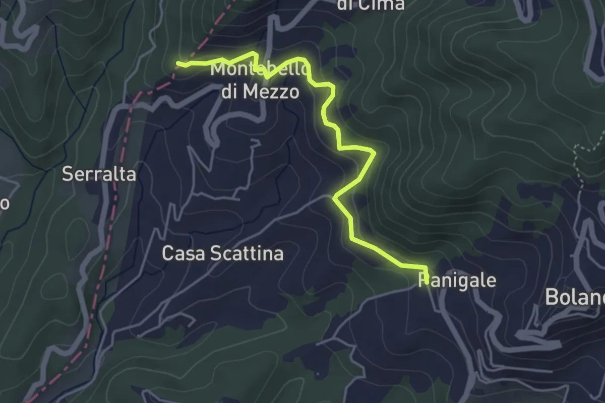
Easy · Trail
Panigale (Percorso 282) – Percorso 281
4.2 km · ↑ 227 m · 1 h 29 min
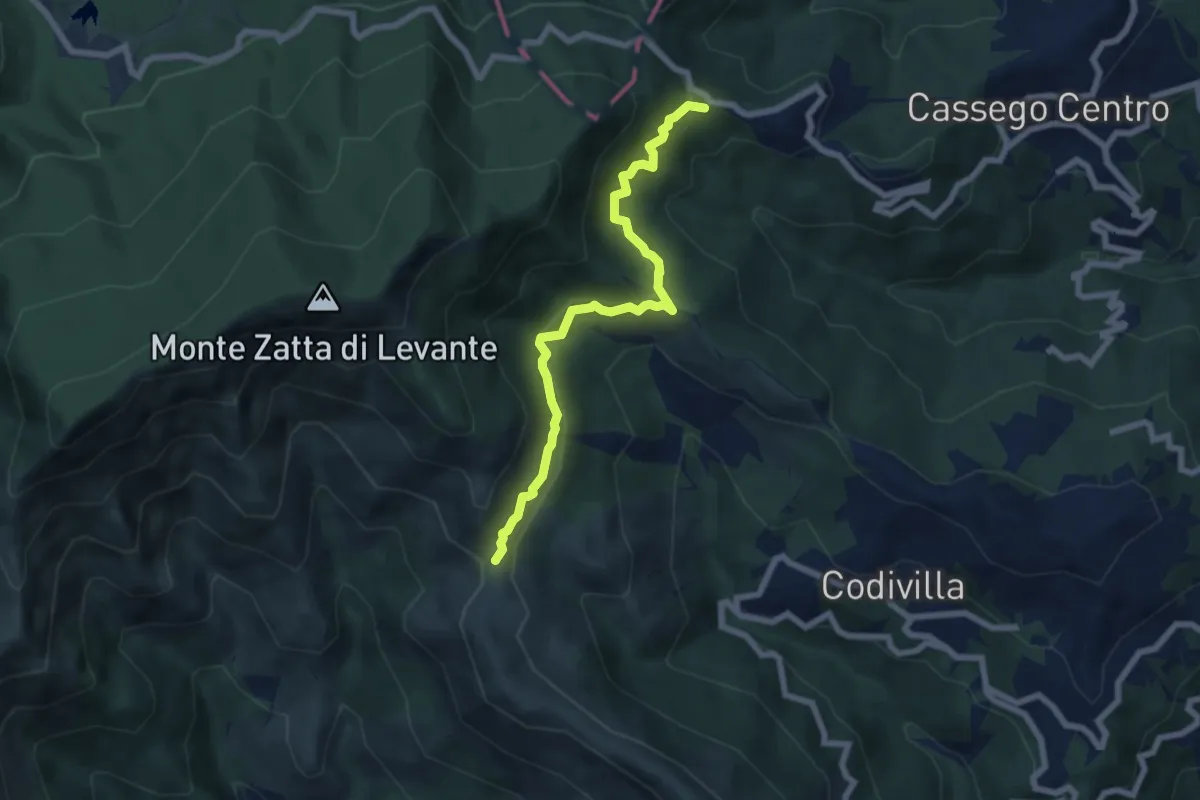
Medium · Trail
Poggio della Marchesina – Bivio AV5T (Sentiero del Baciccia)
6.9 km · ↑ 411 m · 2 h 31 min
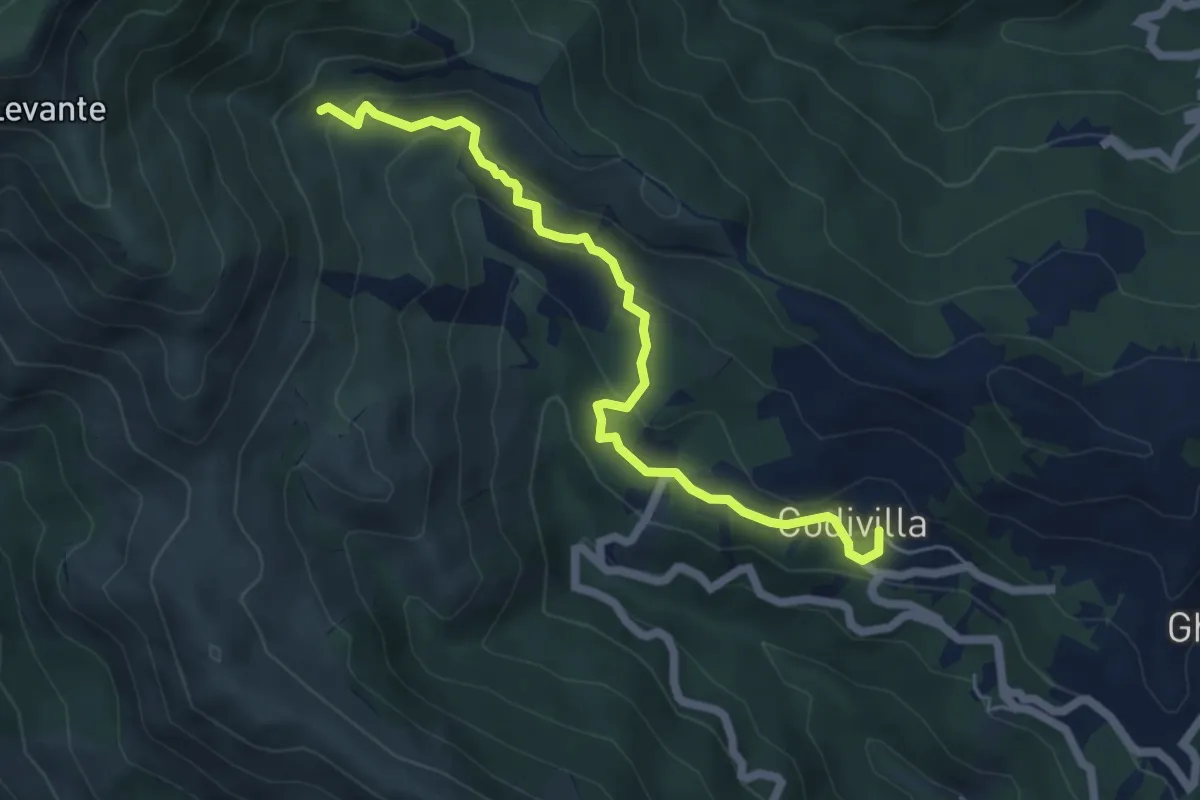
Easy · Trail
Codivilla – Pinello
5.9 km · ↑ 319 m · 2 h 6 min
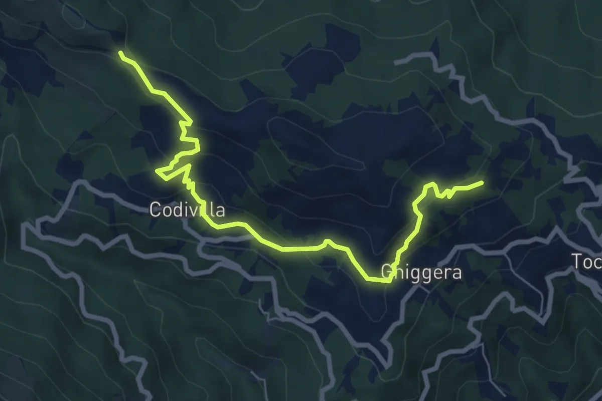
Medium · Trail
Ghiggeri – Passo del Cavallo
7.2 km · ↑ 344 m · 2 h 27 min
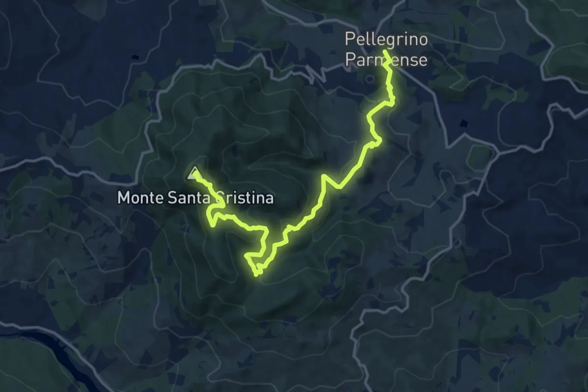
Medium · Summit
Pellegrino Parmense – Monte Santa Cristina
14.4 km · ↑ 671 m · 4 h 52 min
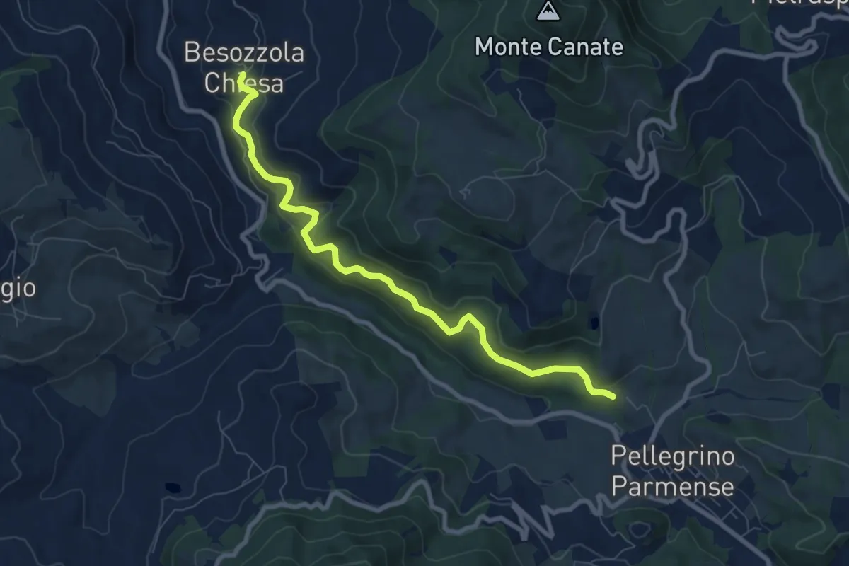
Medium · Trail
Besozzola – La Pasqualina
8.2 km · ↑ 378 m · 2 h 46 min
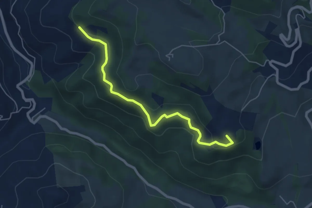
Easy · Summit
Ca' Pittori – Sentiero 820 quota 549
4.9 km · ↑ 171 m · 1 h 31 min
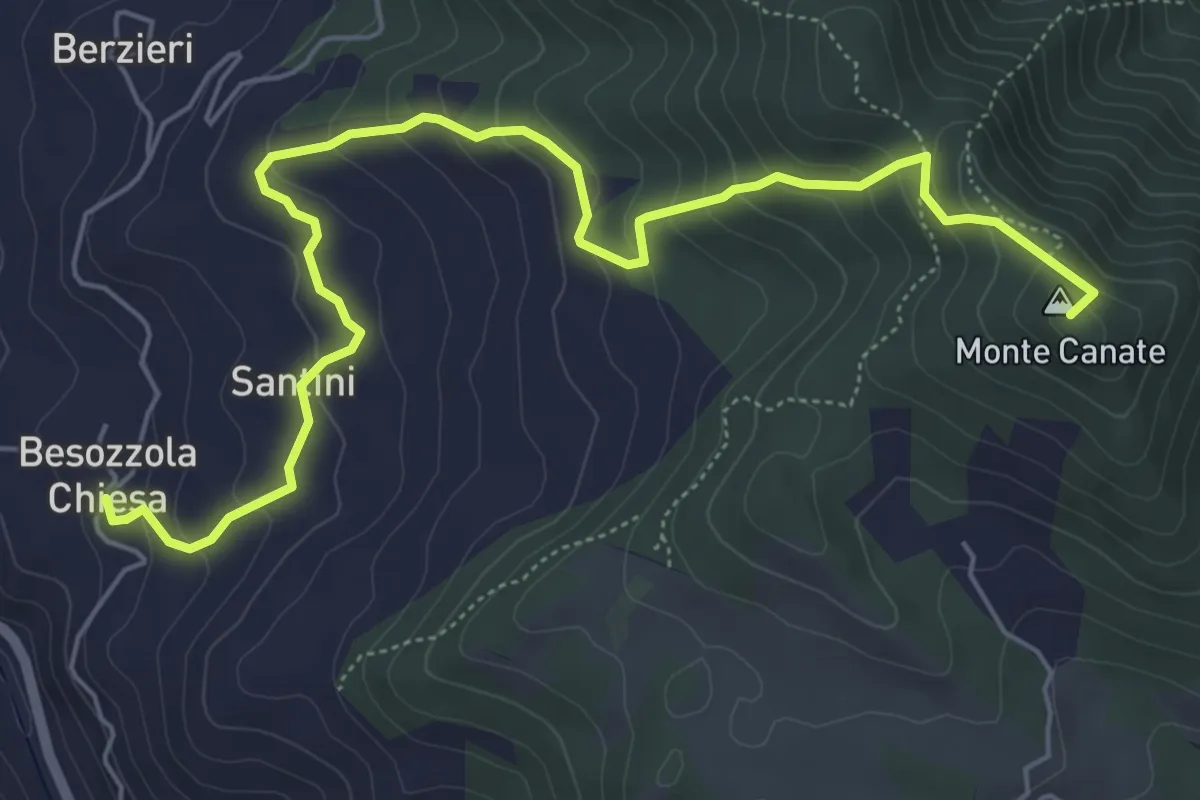
Medium · Summit
Besozzola – Valico Sant'Antonio
7.1 km · ↑ 421 m · 2 h 36 min
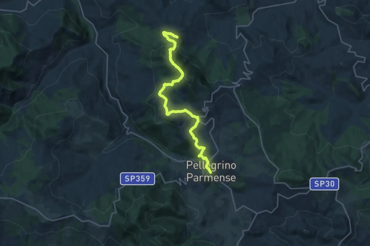
Medium · Summit
Pellegrino Parmense – Monte Pietra Nera
15.4 km · ↑ 793 m · 5 h 21 min
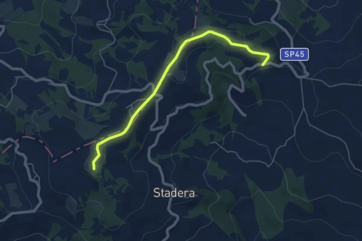
Easy · Trail
Strà – Caminata
5.0 km · ↑ 111 m · 1 h 25 min
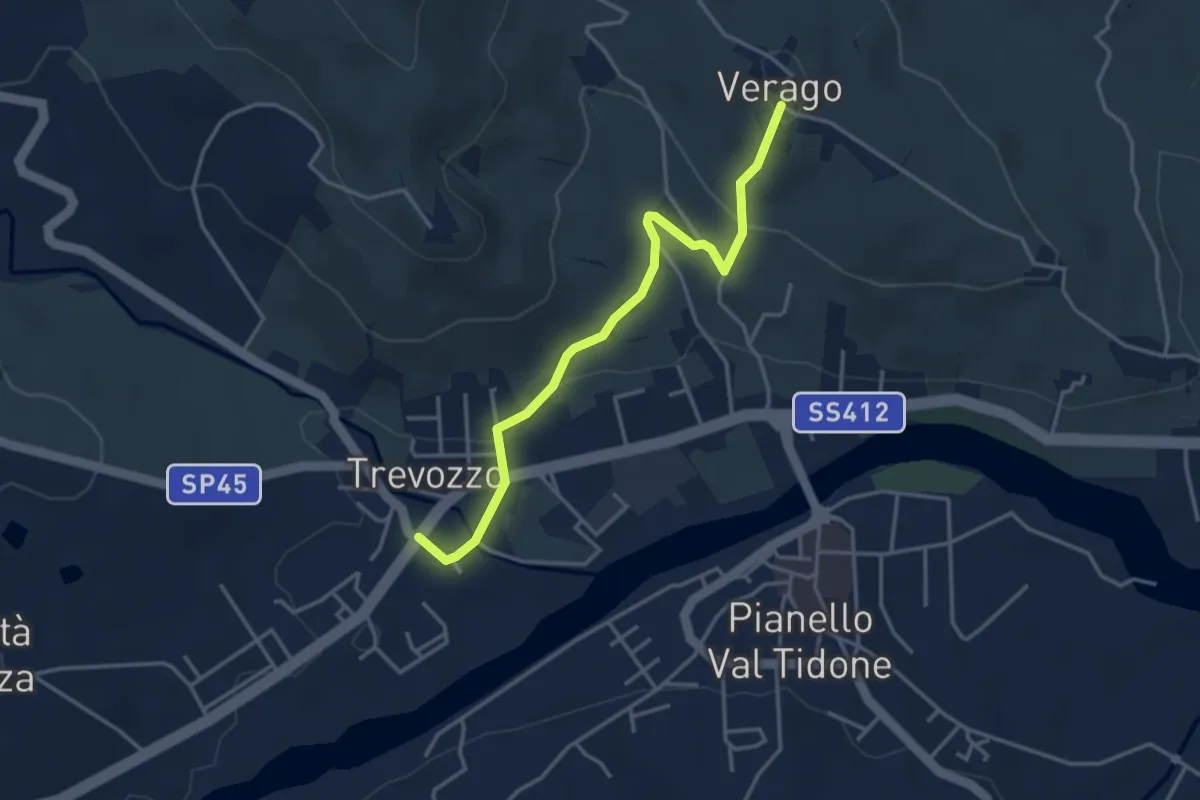
Easy · Trail
Trevozzo – Verago
3.8 km · ↑ 101 m · 1 h 8 min
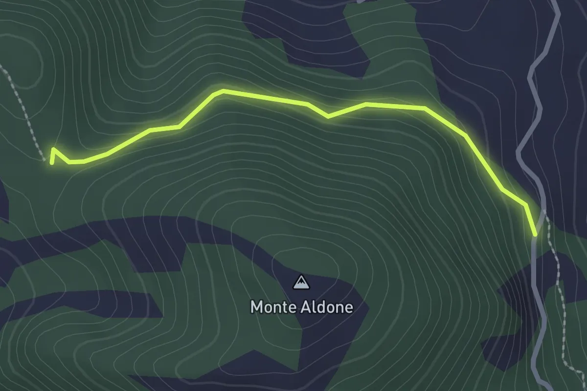
Easy · Trail
Strada per Pecorara – Percorso 217
2.3 km · ↑ 90 m · 44 min
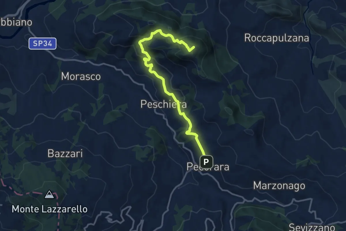
Medium · Summit
Pecorara – Casa del Diavolo
10.9 km · ↑ 570 m · 3 h 48 min
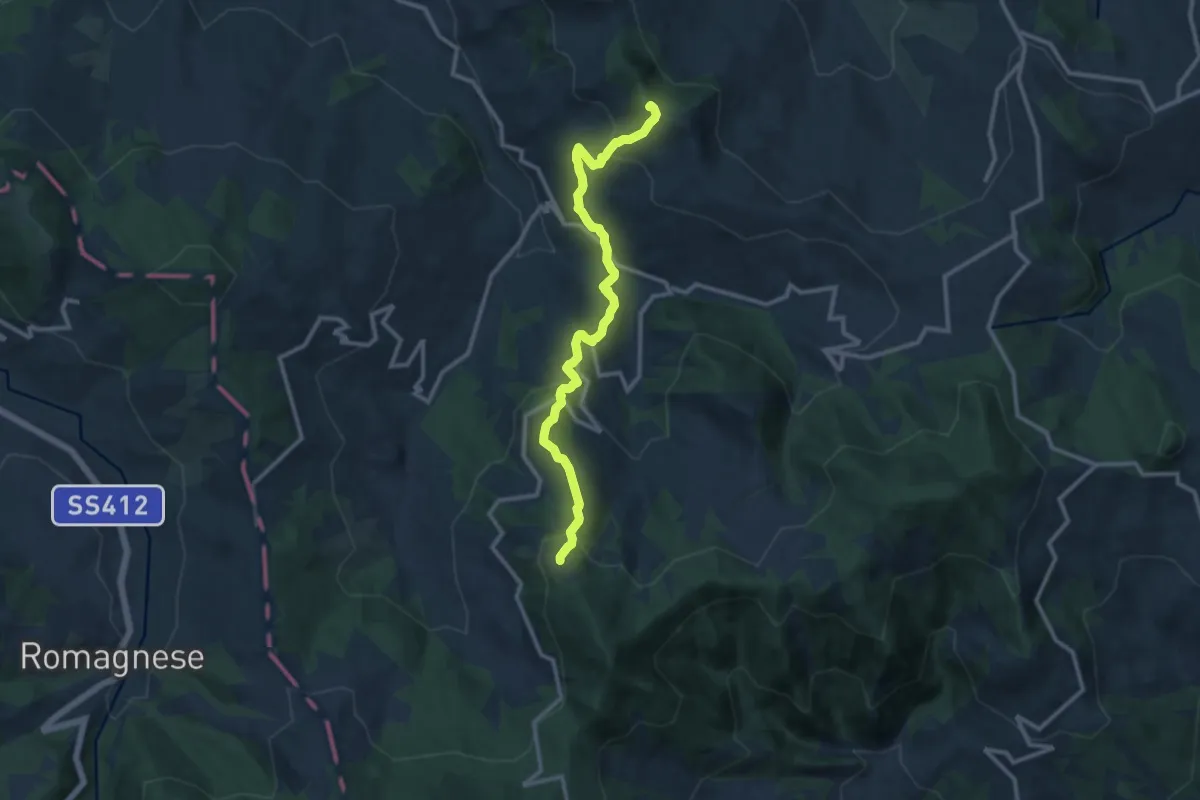
Medium · Summit
Chiarone – Piani di Busseto
11.8 km · ↑ 675 m · 4 h 15 min
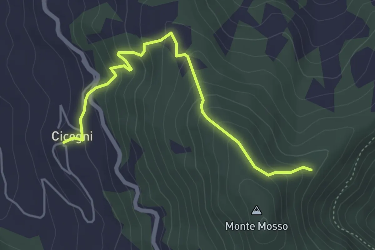
Medium · Trail
Cicogni – Costa della Rasa
4.4 km · ↑ 335 m · 1 h 47 min
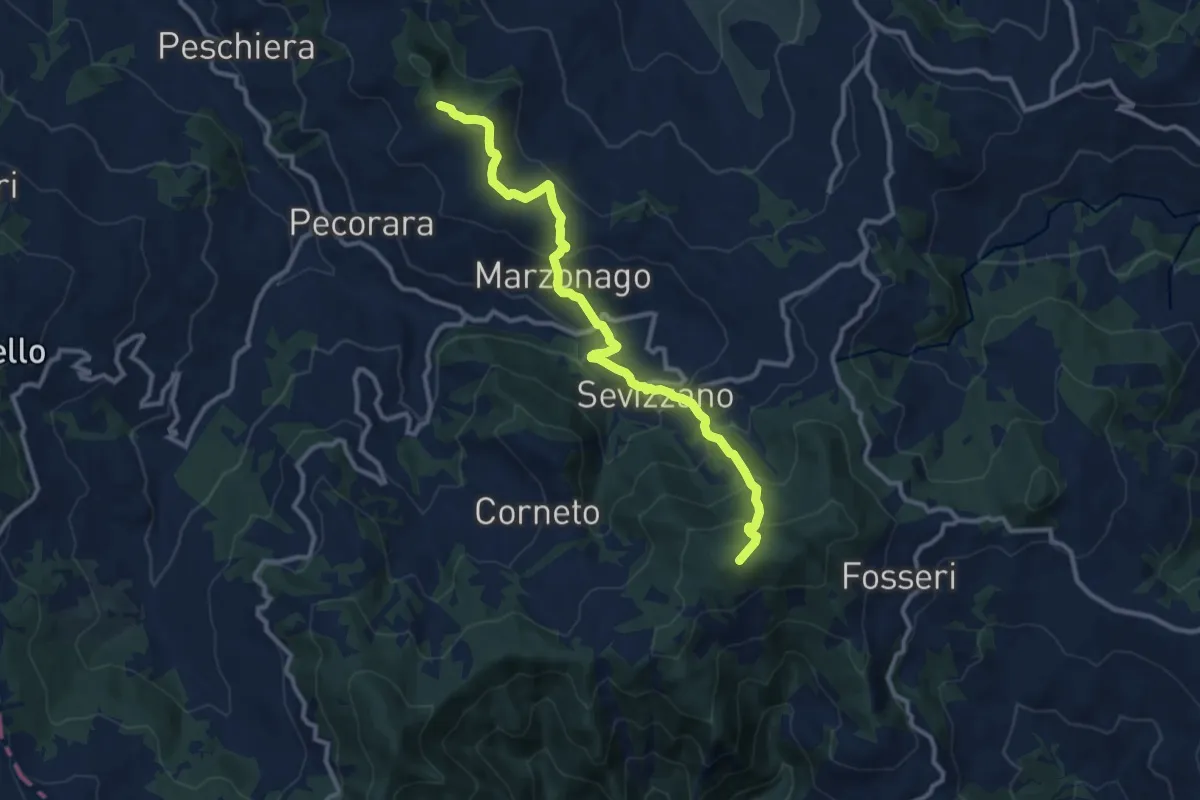
Medium · Summit
Monte Ciarello – Monte Lazzaro
11.6 km · ↑ 755 m · 4 h 23 min
Medium · Summit
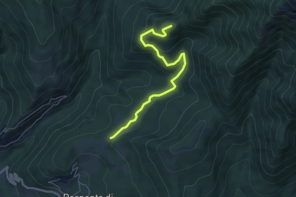
Monte Castello – Sentiero CAI 124
5.7 km · ↑ 303 m · 2 h
Demanding · Summit
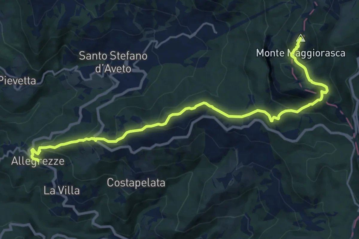
Allegrezze – Monte Maggiorasca
14.9 km · ↑ 914 m · 5 h 31 min
Medium · Summit
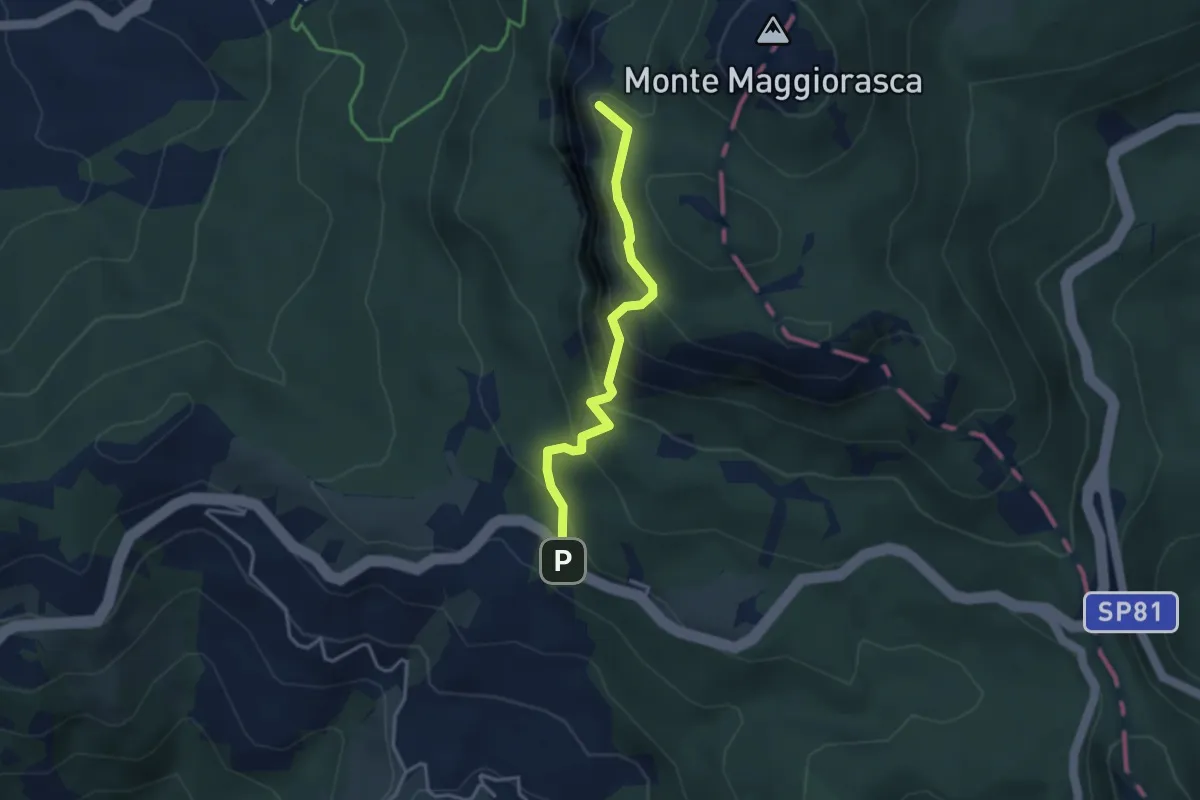
SS654 – Prato della Cipolla
3.3 km · ↑ 317 m · 1 h 28 min
Medium · Summit
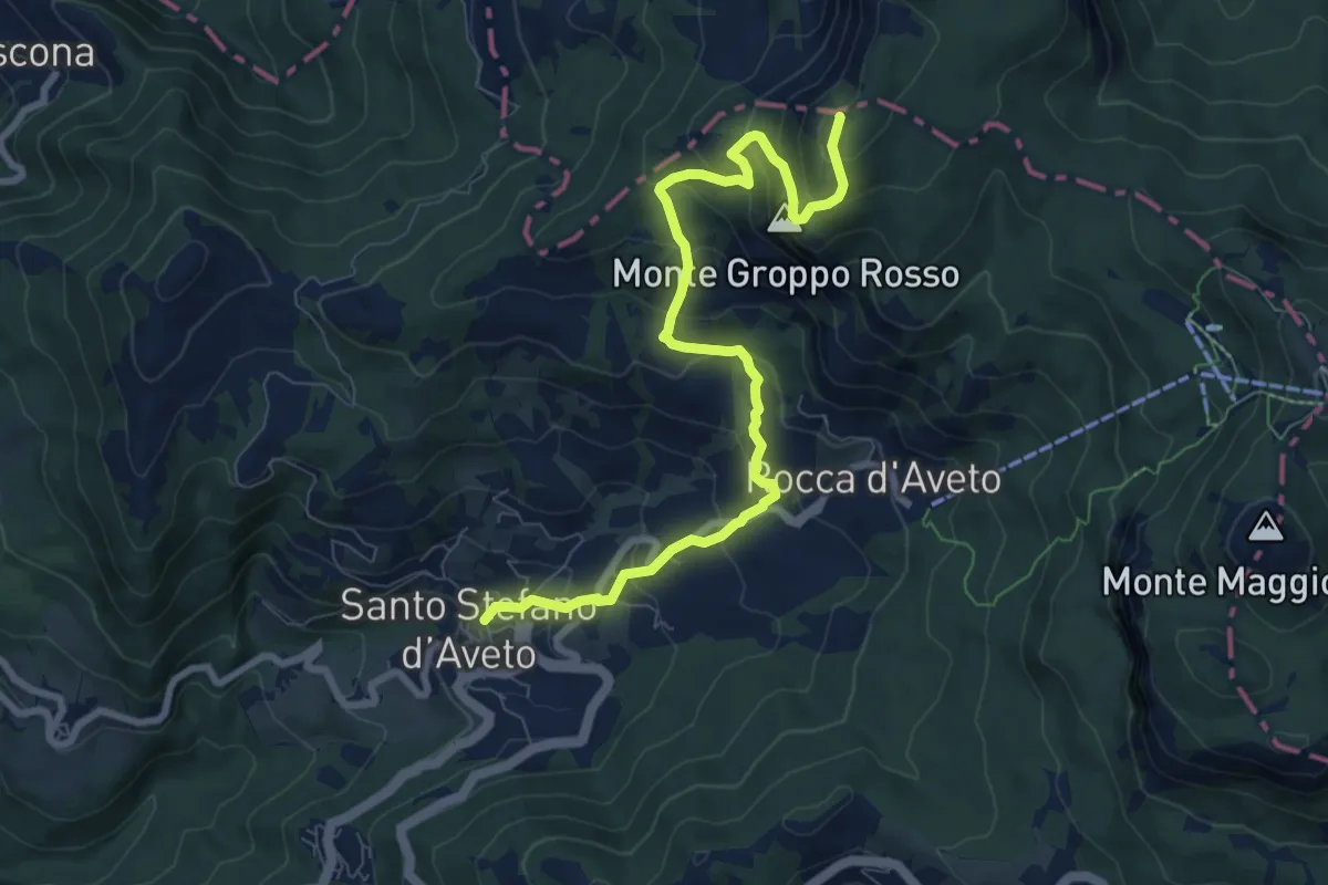
Santo Stefano d'Aveto – Monte Roncalla
9.1 km · ↑ 647 m · 3 h 33 min
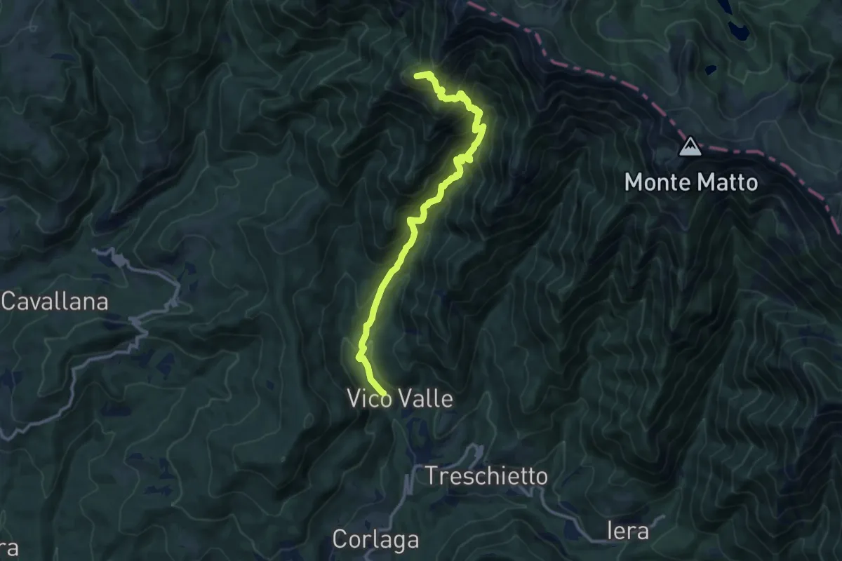
Demanding · Summit
Vico Valle – Monte Dongo
11.7 km · ↑ 1224 m · 5 h 25 min
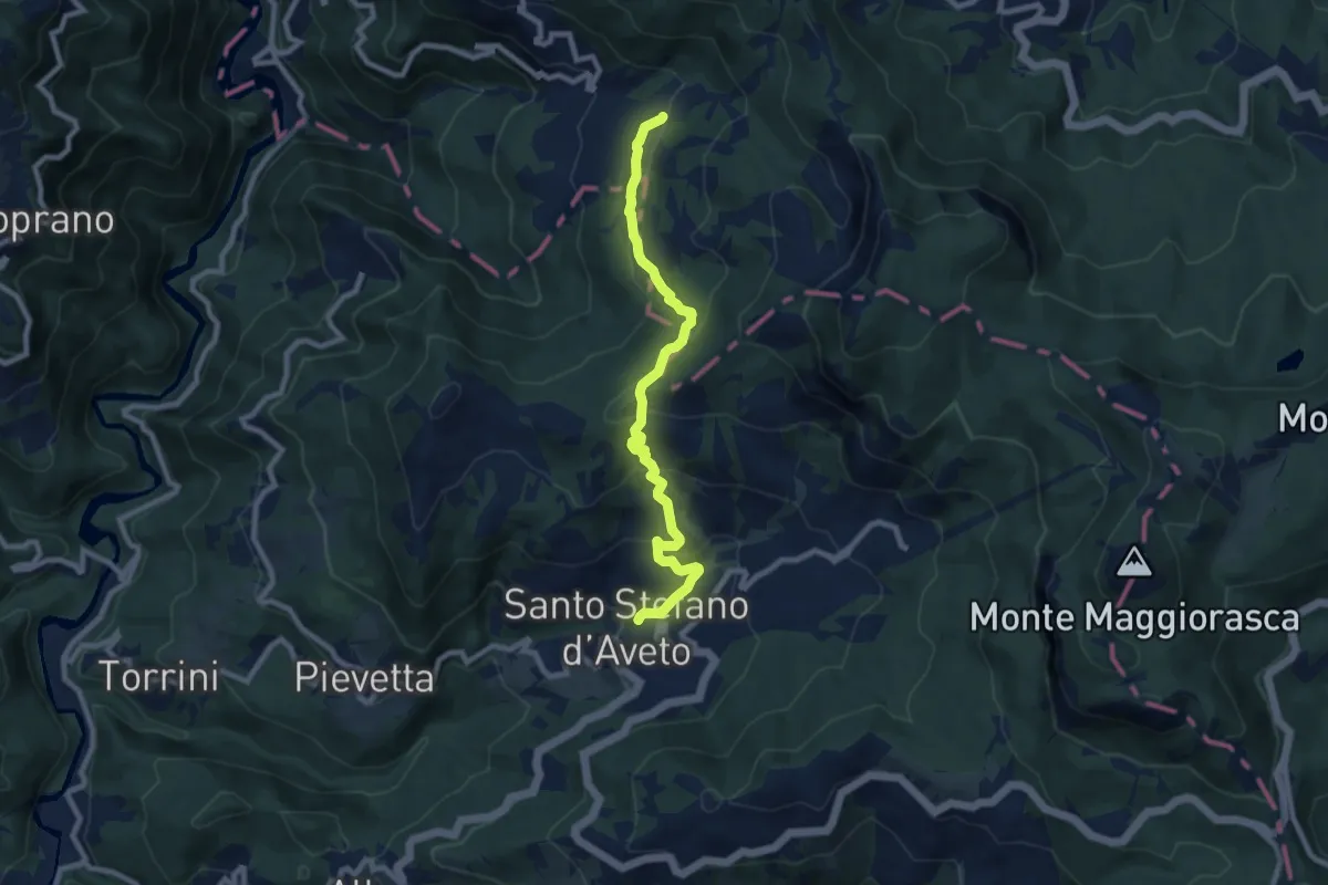
Medium · Trail
Santo Stefano d'Aveto – Passo Crociglia
8.9 km · ↑ 509 m · 3 h 12 min
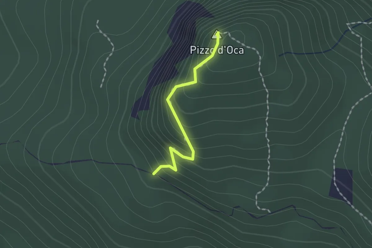
Easy · Summit
Percorso 803 – Percorso 803
1.3 km · ↑ 119 m · 34 min
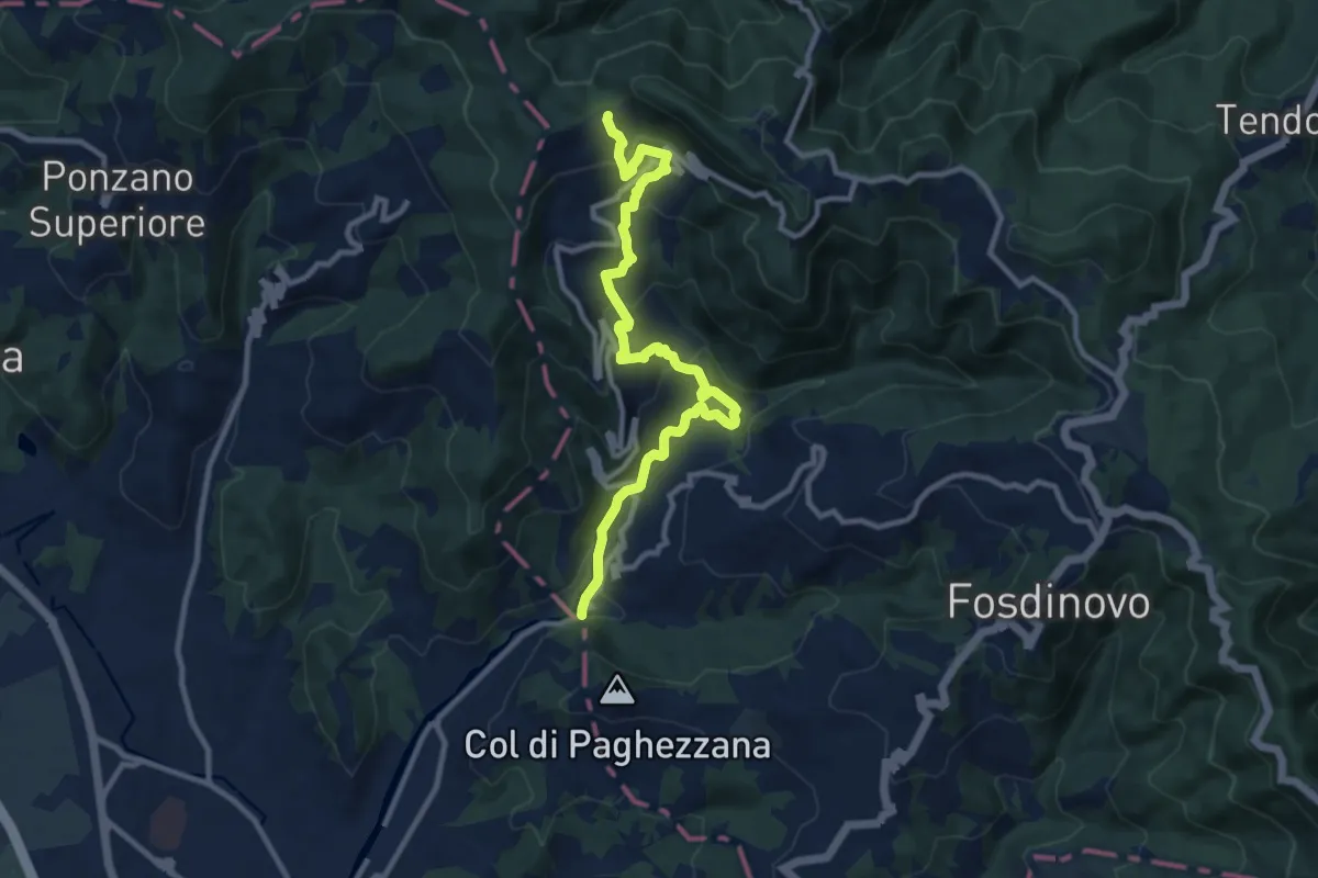
Demanding · Trail
Ponte Fabiano – Percorso 290
11.4 km · ↑ 536 m · 3 h 51 min
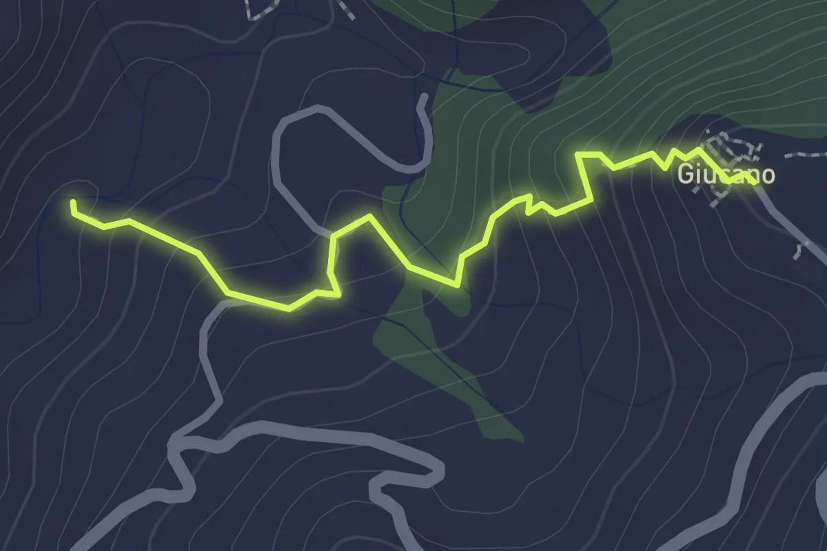
Easy · Trail
Percorso 288 – Giucano
2.4 km · ↑ 191 m · 58 min
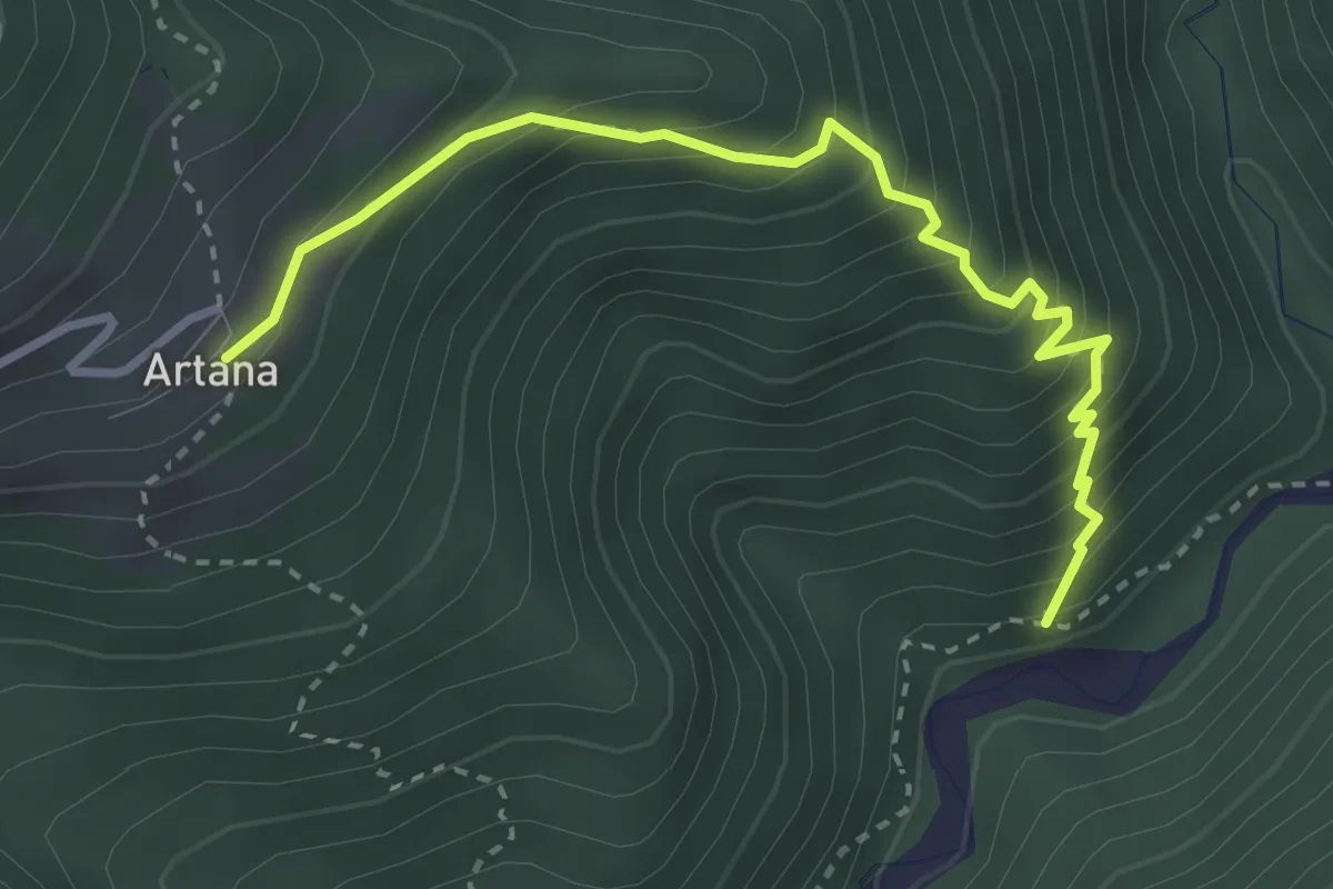
Medium · Trail
Percorso 187 – Artana
3.5 km · ↑ 432 m · 1 h 46 min
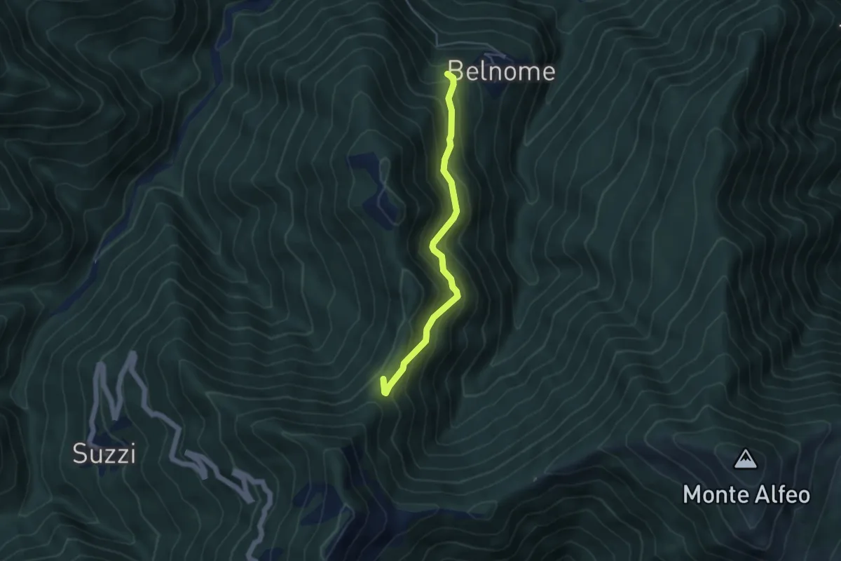
Medium · Trail
Belnome – Percorso 175
4.2 km · ↑ 378 m · 1 h 49 min
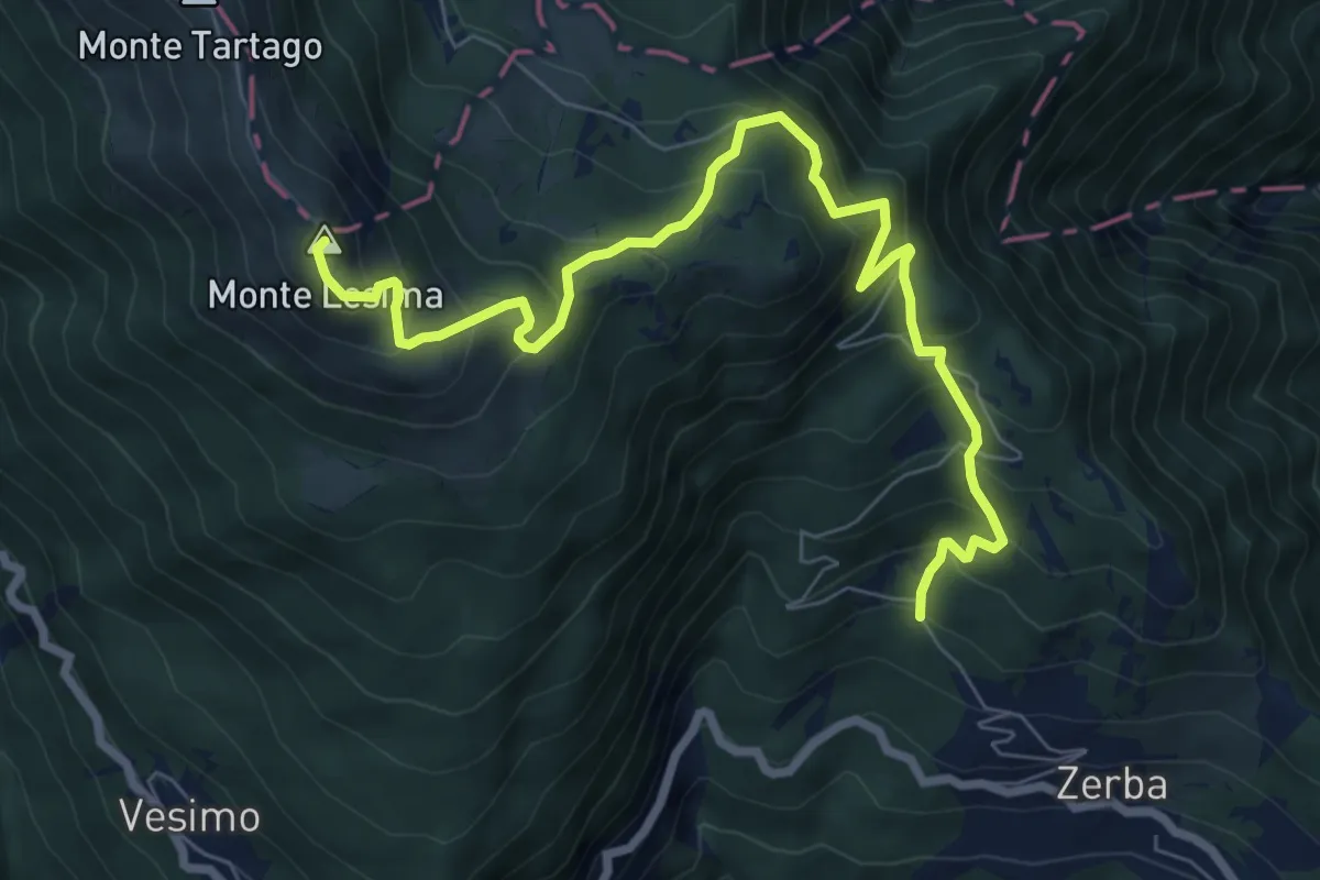
Demanding · Summit
Cerreto – Monte Lesima
8.8 km · ↑ 844 m · 3 h 54 min
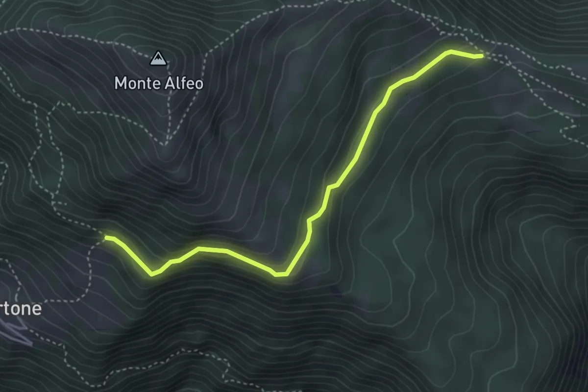
Medium · Trail
Percorso 115 – Percorso 111
4.2 km · ↑ 207 m · 1 h 26 min
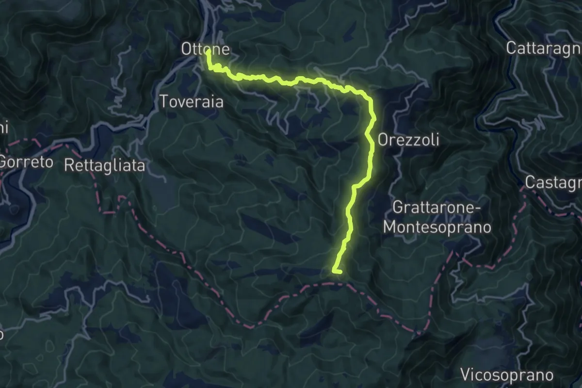
Demanding · Summit
Ottone – Percorso 127
15.5 km · ↑ 959 m · 5 h 44 min
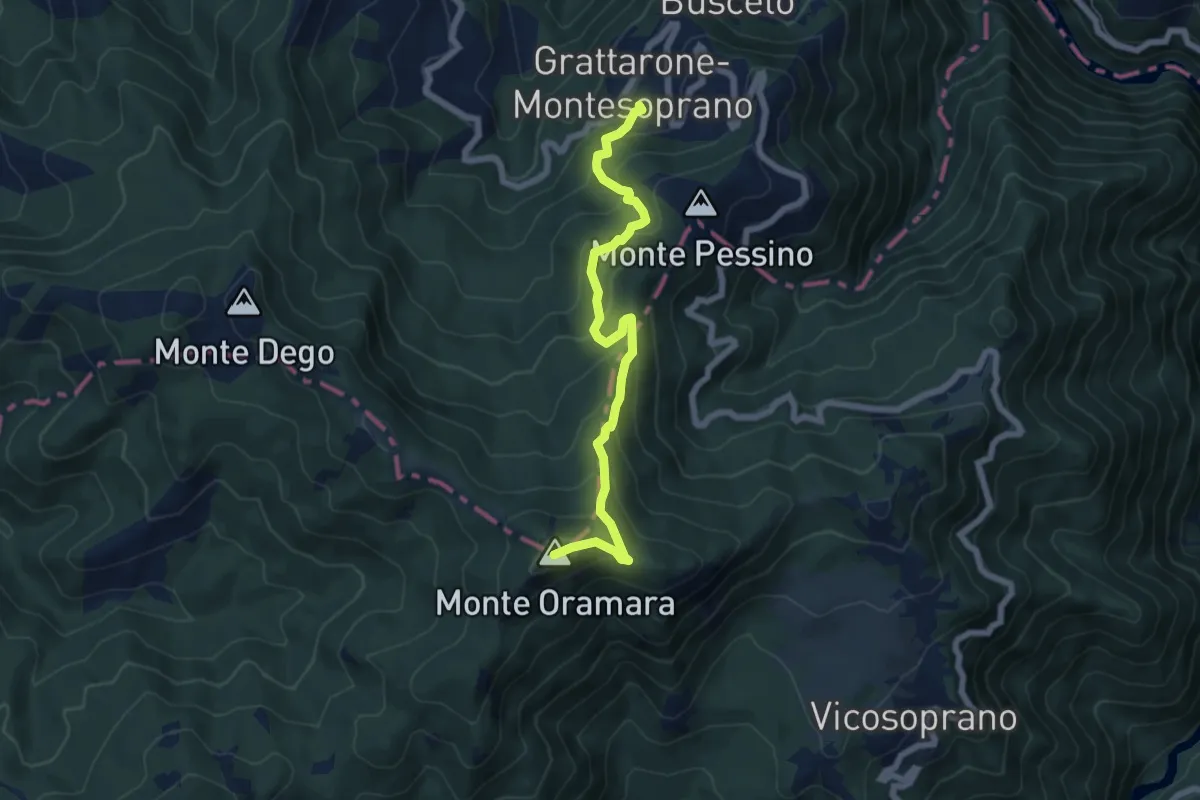
Medium · Summit
Connio delle Cascine – Percorso Fie Palla Gialla
6.5 km · ↑ 530 m · 2 h 42 min
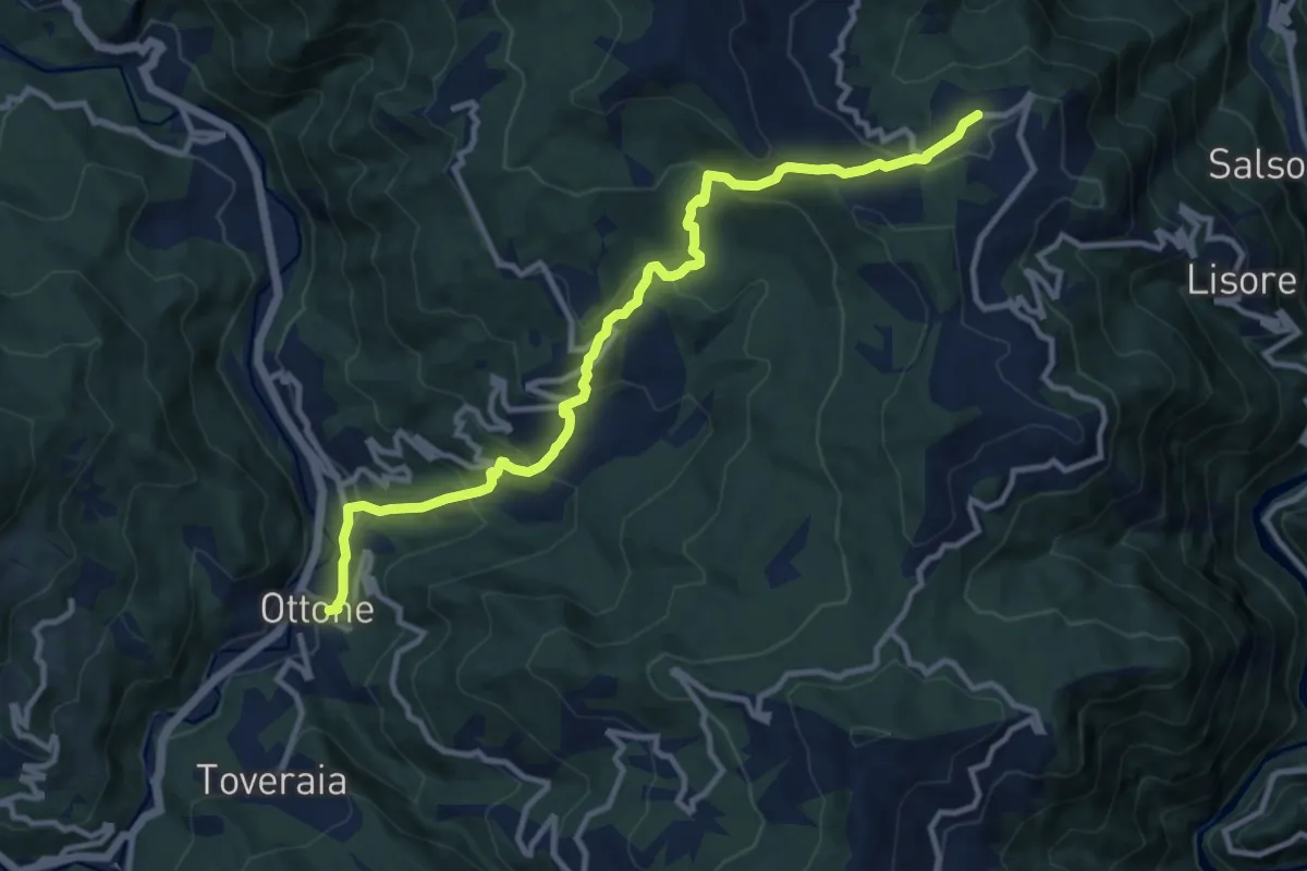
Medium · Trail
Ottone – Cariseto
11.9 km · ↑ 706 m · 4 h 20 min
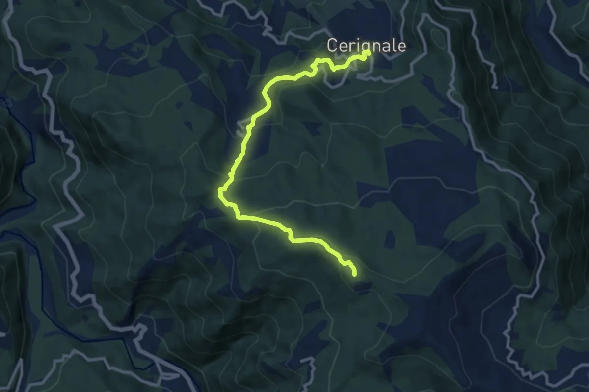
Medium · Summit
Cerignale – Monte delle Tane
9.4 km · ↑ 508 m · 3 h 20 min
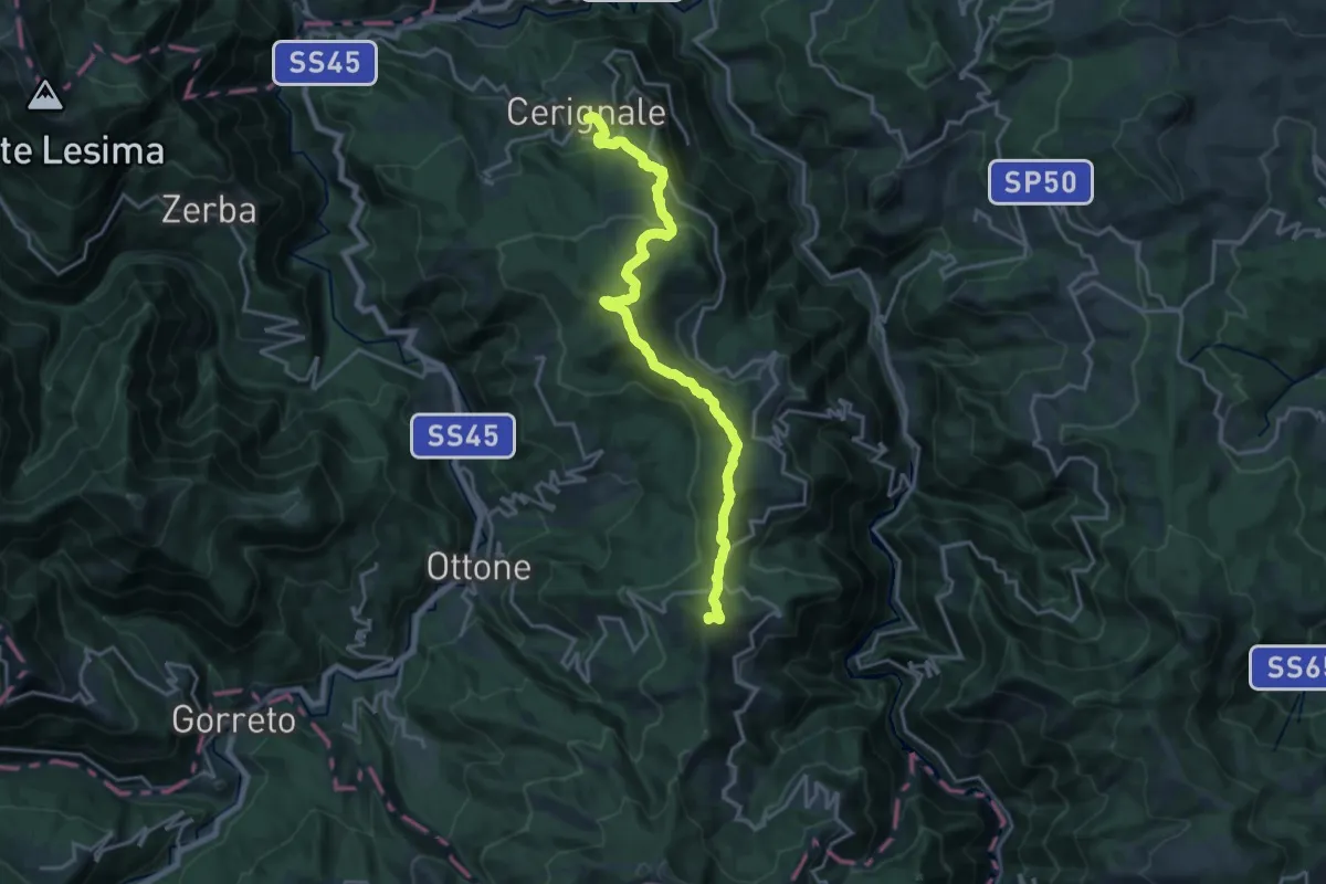
Demanding · Summit
Cerignale – Monte Veri
19.8 km · ↑ 930 m · 6 h 41 min
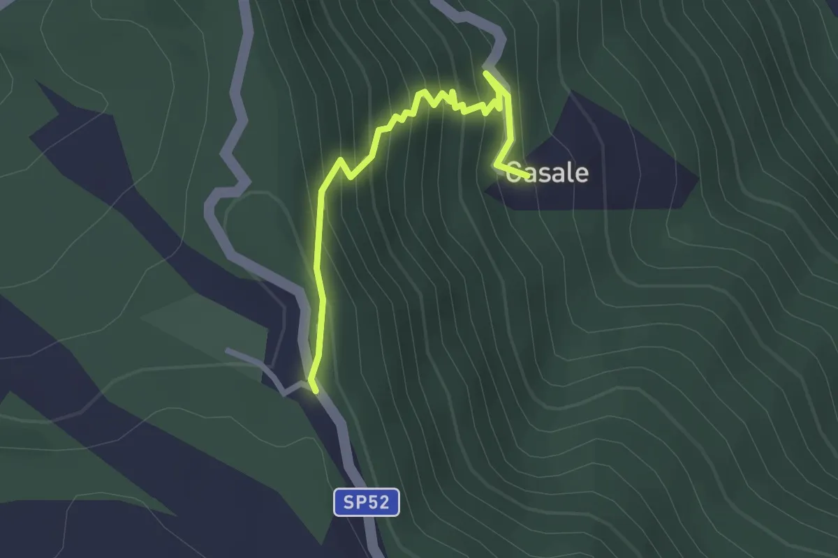
Easy · Trail
Casale – Le Piane
2.3 km · ↑ 283 m · 1 h 9 min
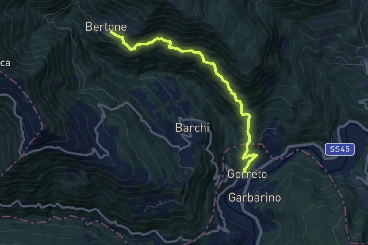
Demanding · Trail
Gorreto – Monte Alfeo
7.6 km · ↑ 819 m · 3 h 34 min
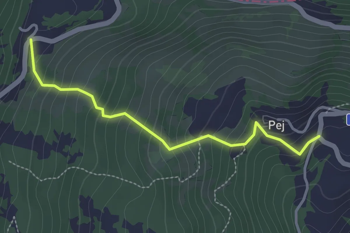
Easy · Trail
Pej – Cappelletta di Pej
2.7 km · ↑ 278 m · 1 h 15 min
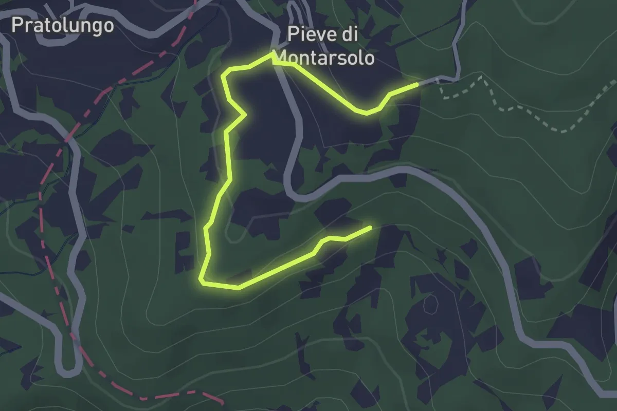
Easy · Trail
Marsaglia – Pietranera
3.3 km · ↑ 93 m · 58 min
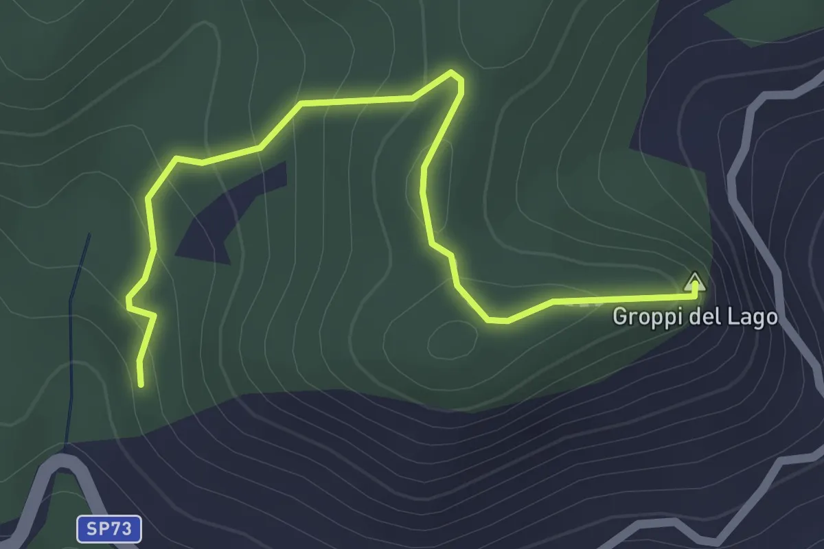
Easy · Summit
Percorso 145 – Groppi del Lago
2.2 km · ↑ 136 m · 49 min
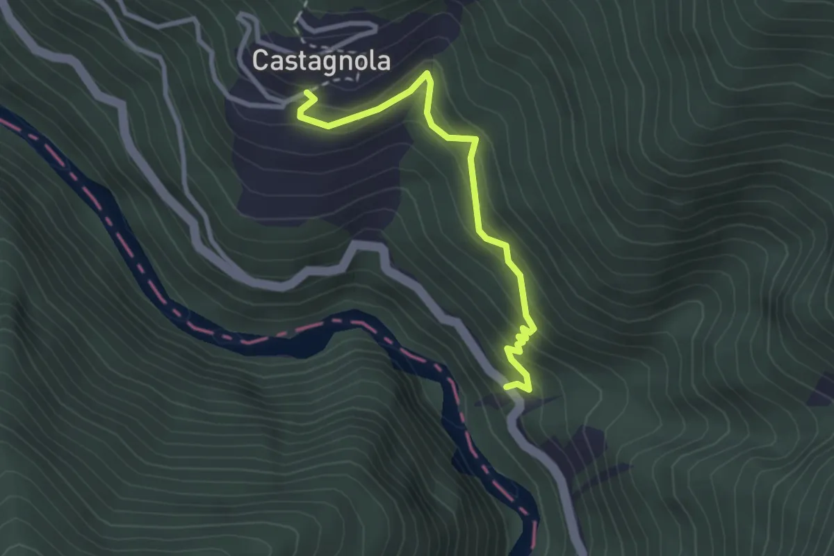
Easy · Trail
Mulino di Castagnola – Cantone
2.7 km · ↑ 298 m · 1 h 17 min