Trails in Italy
25,219 hiking trails, each with its route, climb, walking time and grade.
All trails, page 382 of 526
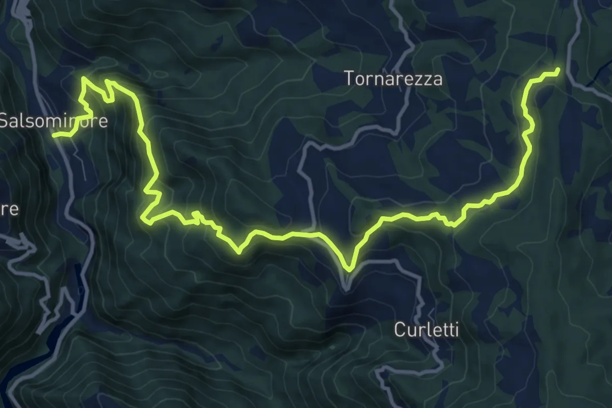
Demanding · Trail
Salsominore – Percorso 001
14.5 km · ↑ 1036 m · 5 h 40 min
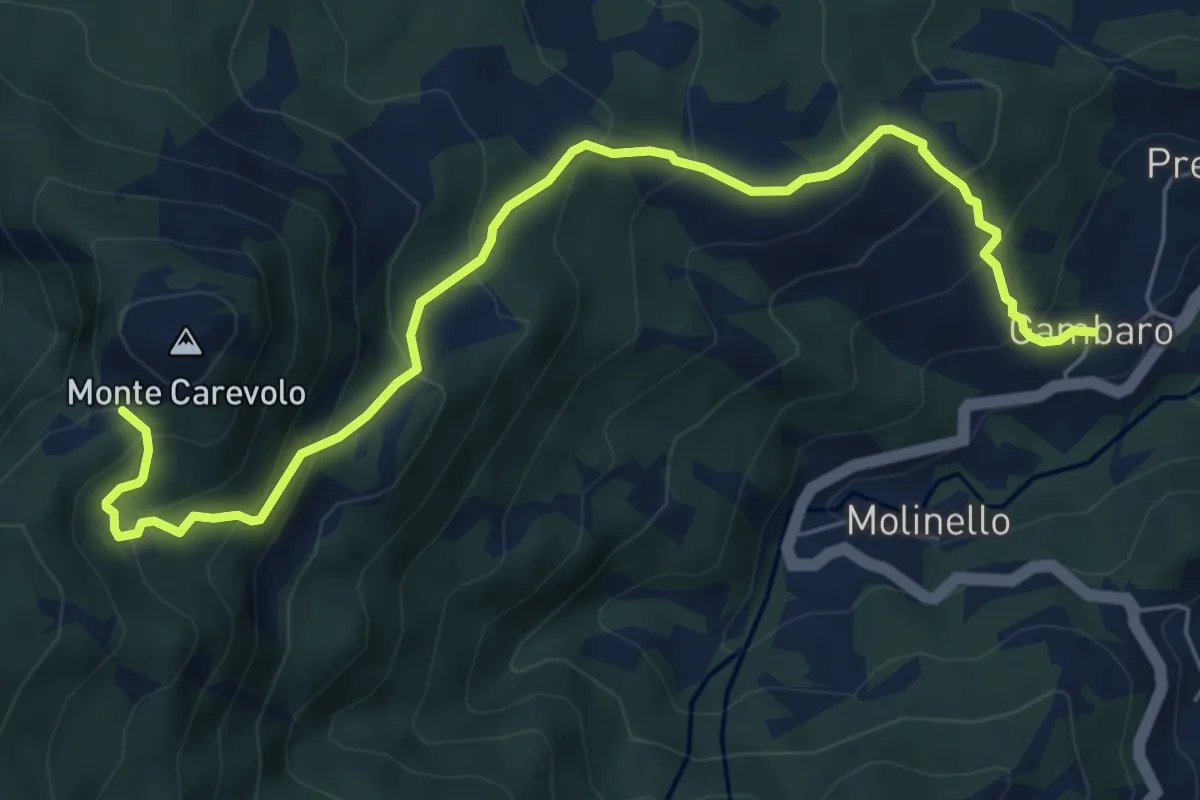
Medium · Trail
Gambaro – Monte Carevolo
7.6 km · ↑ 602 m · 3 h 6 min
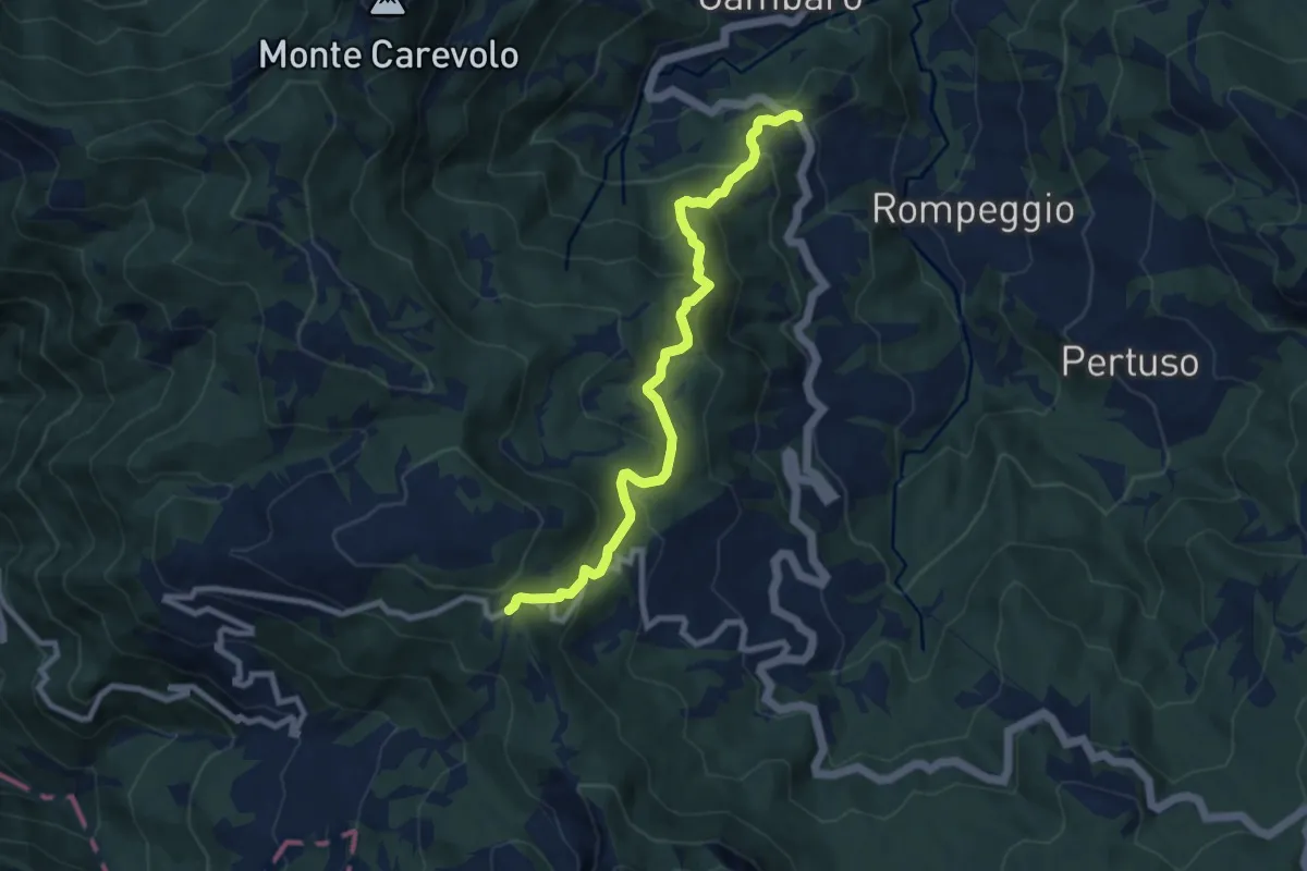
Medium · Trail
Colla di Gambaro – Passo Crociglia
8.9 km · ↑ 640 m · 3 h 29 min
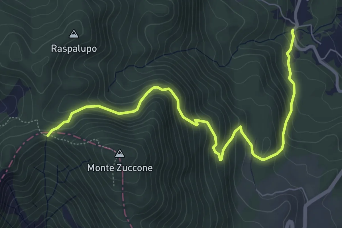
Medium · Trail
Tosini – Le Pozze
7.4 km · ↑ 540 m · 2 h 54 min
Medium · Summit
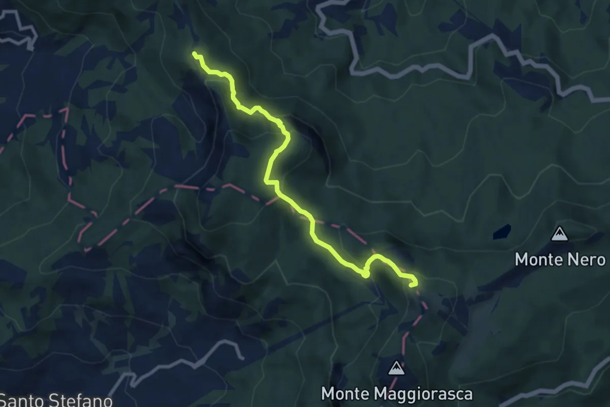
Rivergaro – Passo Zovallo
8.0 km · ↑ 522 m · 3 h 1 min
Medium · Trail
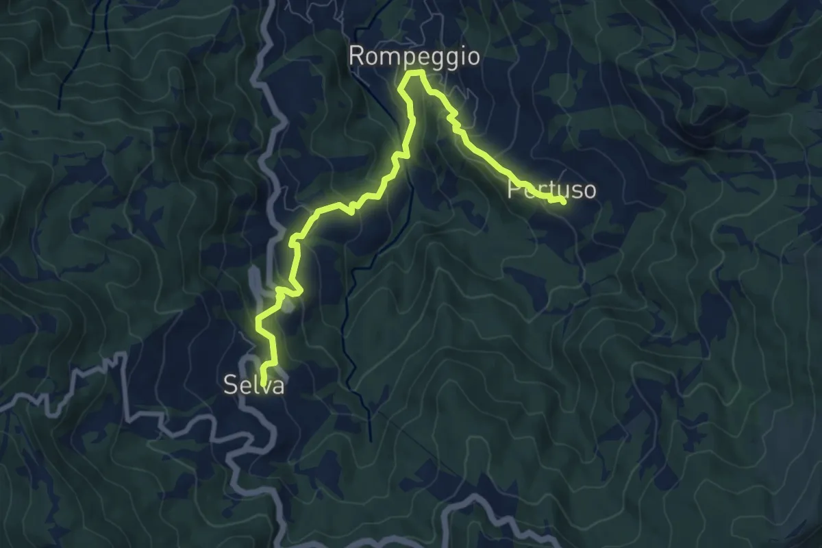
Selva – Pertuso
9.3 km · ↑ 541 m · 3 h 21 min
Medium · Trail
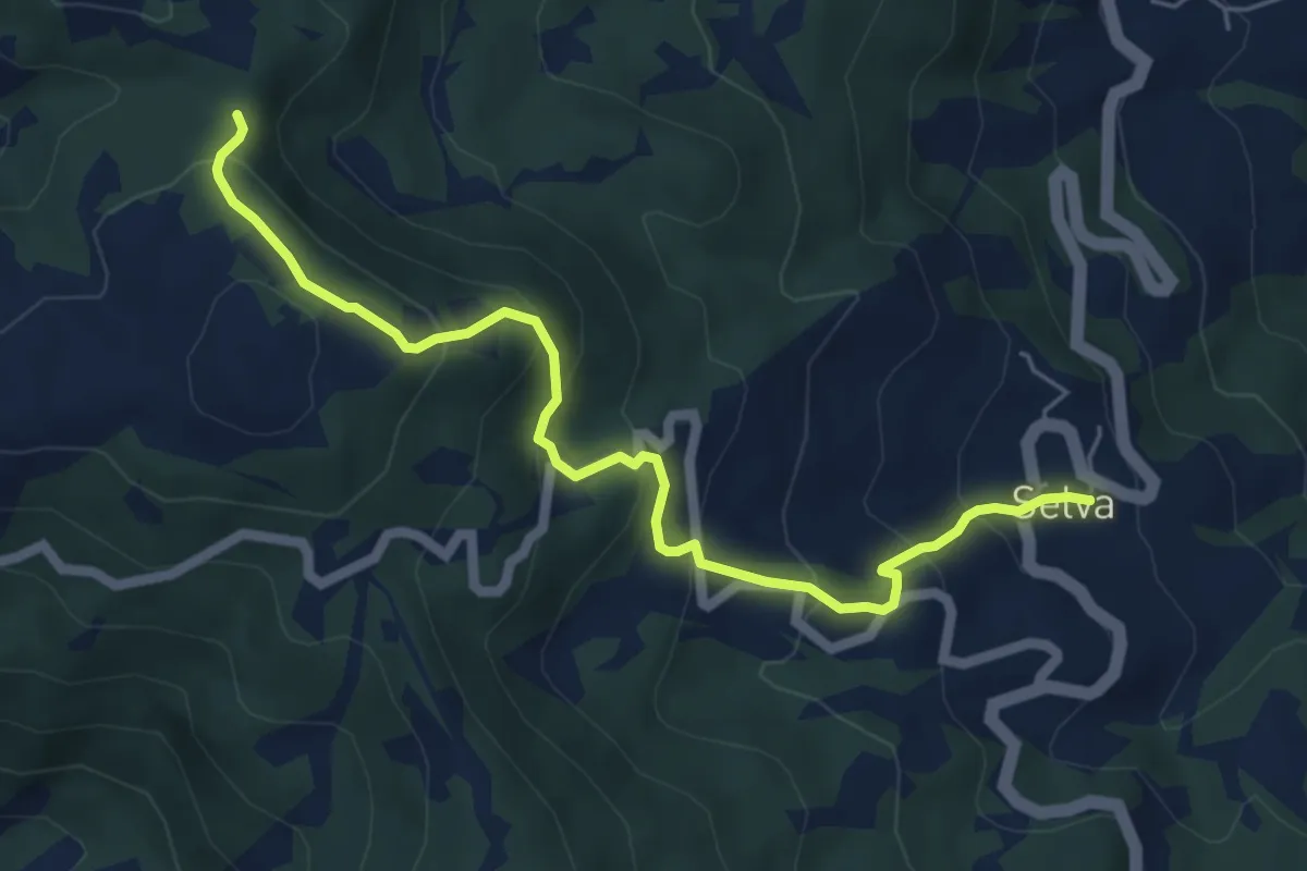
Selva – Percorso 001
6.3 km · ↑ 475 m · 2 h 30 min
Medium · Trail
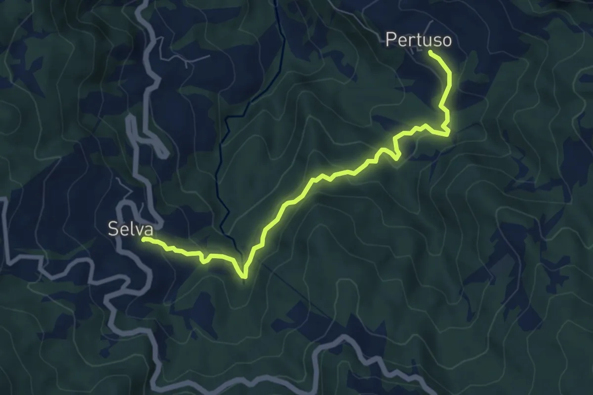
Selva – Pertuso
7.2 km · ↑ 394 m · 2 h 33 min
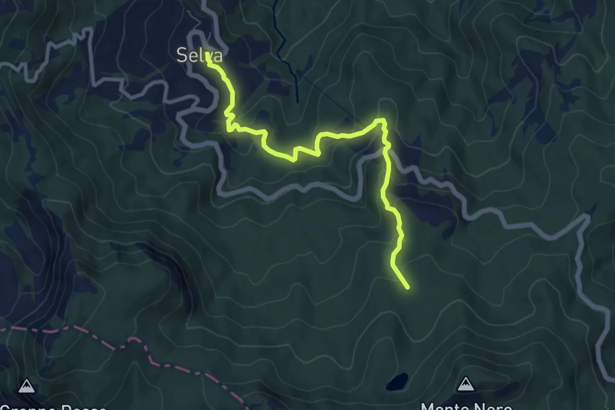
Medium · Trail
Selva – Le Buche
7.7 km · ↑ 424 m · 2 h 44 min
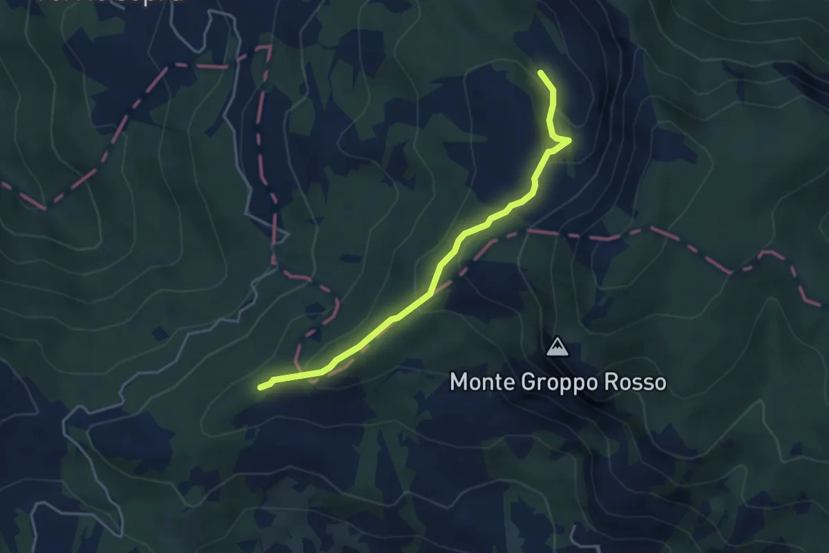
Medium · Trail
Passo di Monte Bocco – Percorso 001
3.9 km · ↑ 241 m · 1 h 27 min
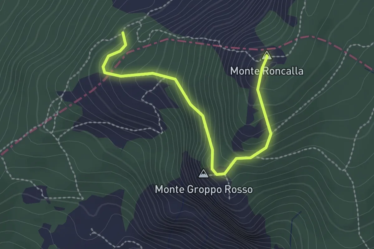
Medium · Summit
Percorso 103 – Percorso 001
2.6 km · ↑ 218 m · 1 h 6 min
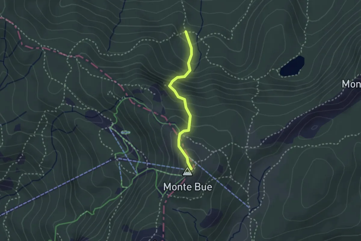
Medium · Summit
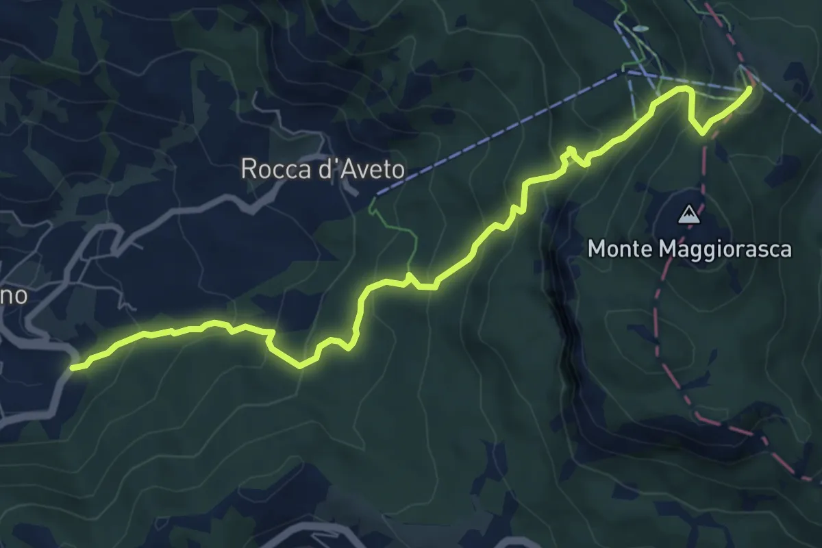
Flagello – Monte Bue
2.4 km · ↑ 263 m · 1 h 8 min
Medium · Summit
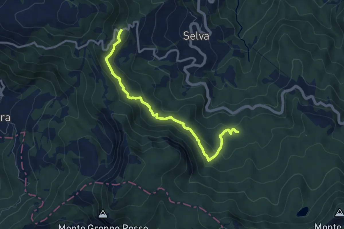
Santo Stefano d'Aveto – Monte Bue
8.3 km · ↑ 702 m · 3 h 28 min
Medium · Cabin
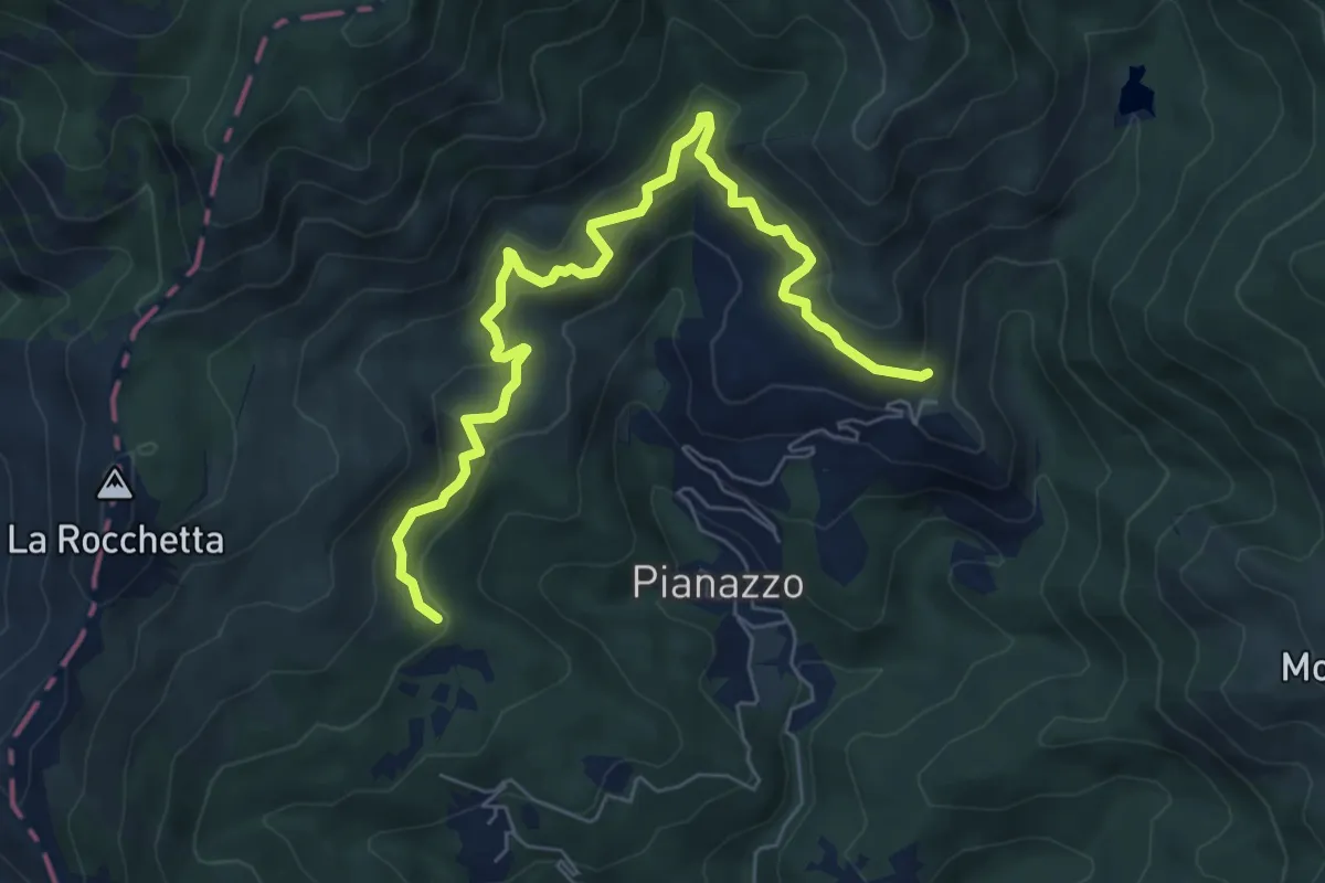
Rifugio Gaep – Percorso 007
7.4 km · ↑ 359 m · 2 h 31 min
Medium · Trail
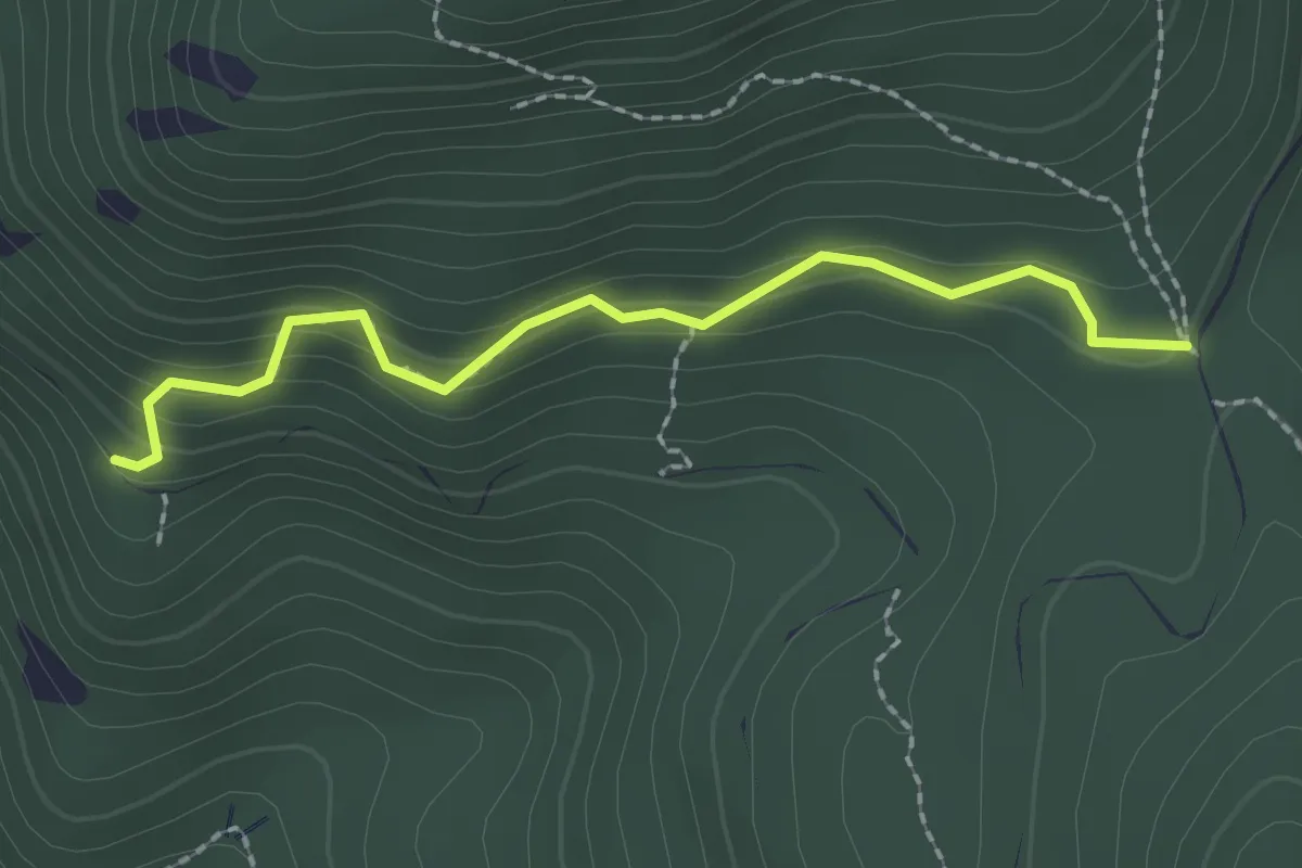
Torre piezometrica (Percorso 865) – Dai Sciarsi (Percorso 867)
7.6 km · ↑ 485 m · 2 h 50 min
Medium · Cabin
Faggio dei Tre Comuni – Ronco Morto (Percorso 863)
2.1 km · ↑ 189 m · 55 min
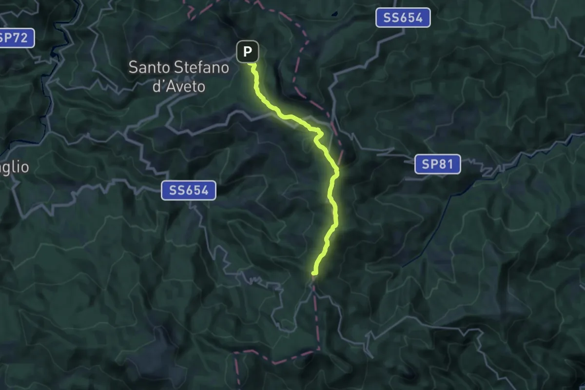
Medium · Summit
Rocca d'Aveto – Passo del Chiodo
15.6 km · ↑ 465 m · 4 h 41 min
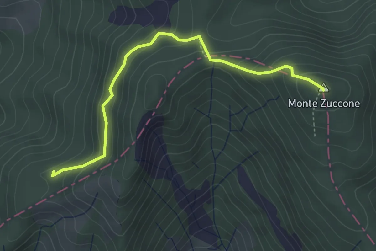
Medium · Summit
Pian Pintardo – Alta Via dei Monti Liguri
4.1 km · ↑ 308 m · 1 h 38 min
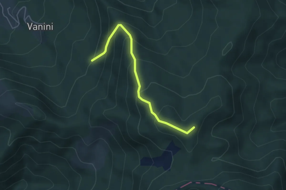
Easy · Trail
La Macchia – Percorso 855A
3.9 km · ↑ 319 m · 1 h 36 min
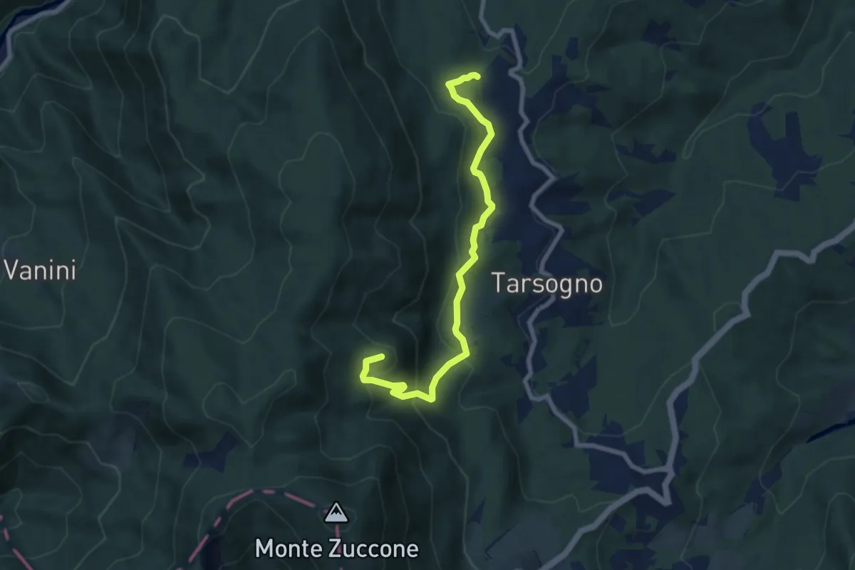
Medium · Summit
Ravezza – Percorso 855A
7.5 km · ↑ 428 m · 2 h 42 min
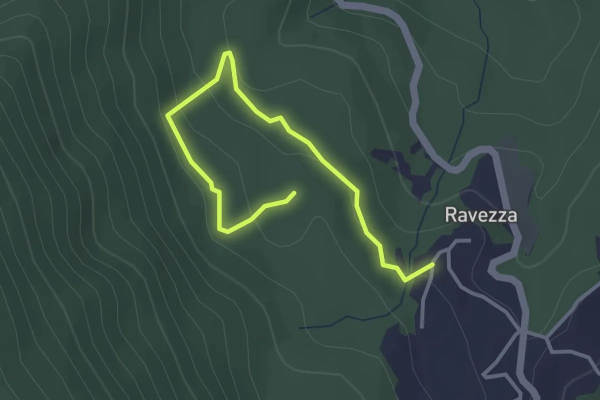
Easy · Trail
Ravezza – Ravezza
1.7 km · ↑ 66 m · 34 min
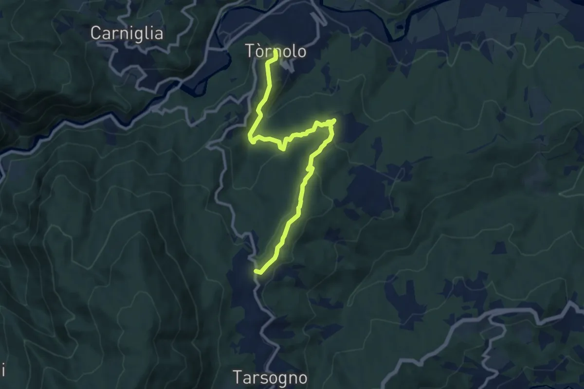
Medium · Trail
Tornolo – Ravezza
9.8 km · ↑ 426 m · 3 h 14 min
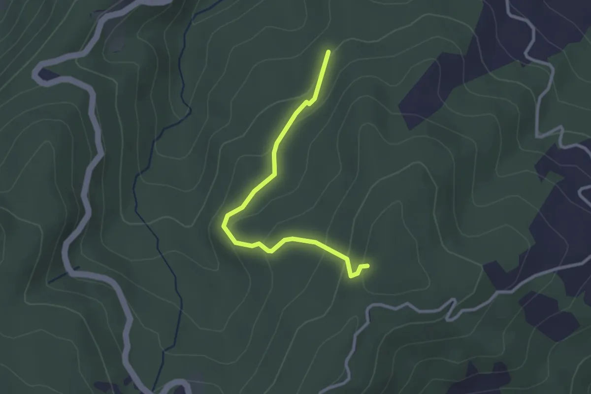
Easy · Trail
Ronchetto – Costa Marzuola
2.7 km · ↑ 149 m · 58 min
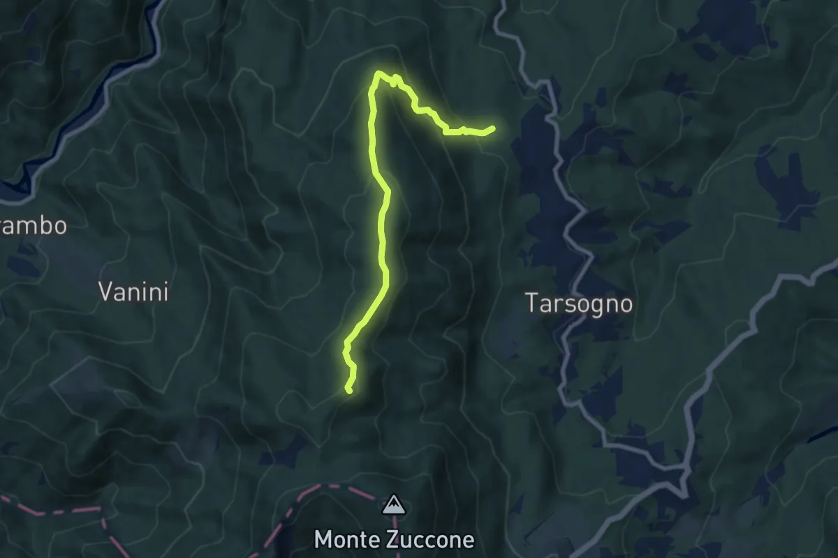
Medium · Summit
Percorso 855 – Le Pozze
7.9 km · ↑ 471 m · 2 h 54 min
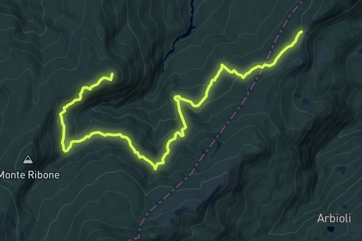
Medium · Summit
Passo del Borgallo – Capanne dei Martelletti
14.5 km · ↑ 567 m · 4 h 39 min
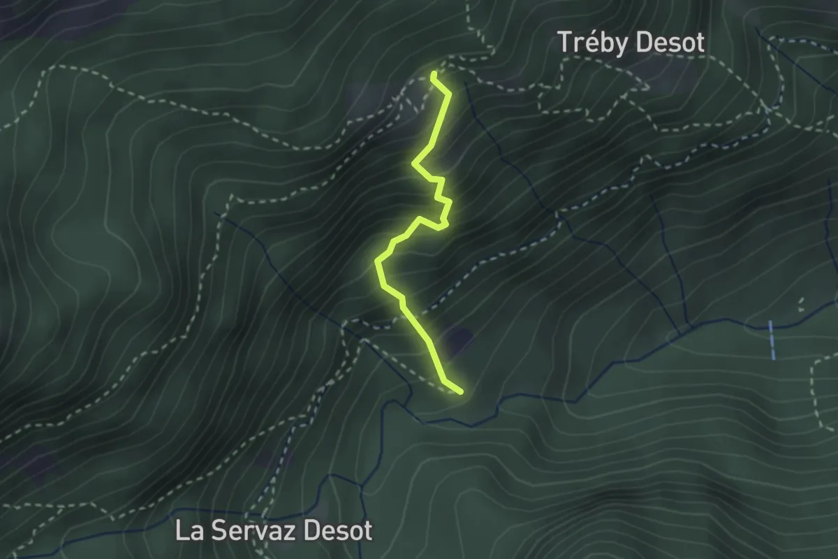
Medium · Trail
Magazzino – Praz-Oursie
2.0 km · ↑ 348 m · 1 h 14 min
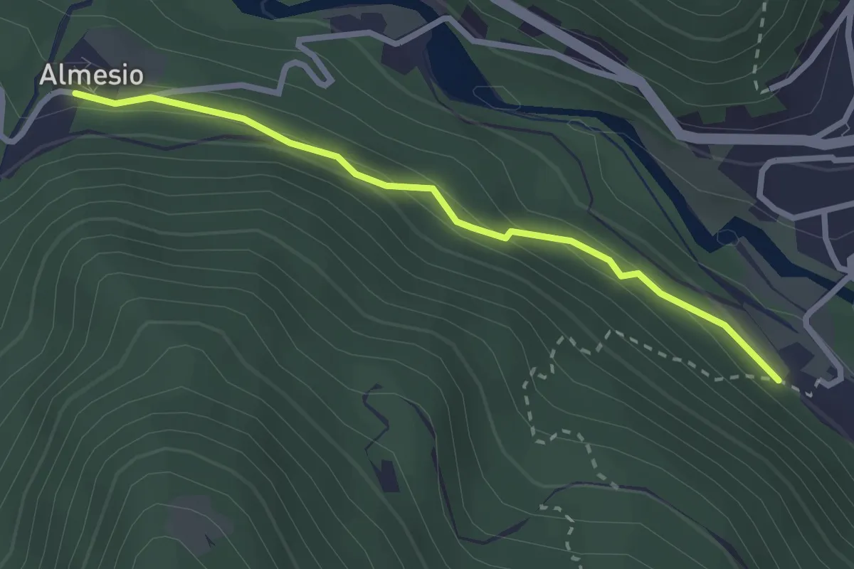
Easy · Trail
Bivio 208-208A. Vana – Almesio
2.6 km · ↑ 128 m · 53 min
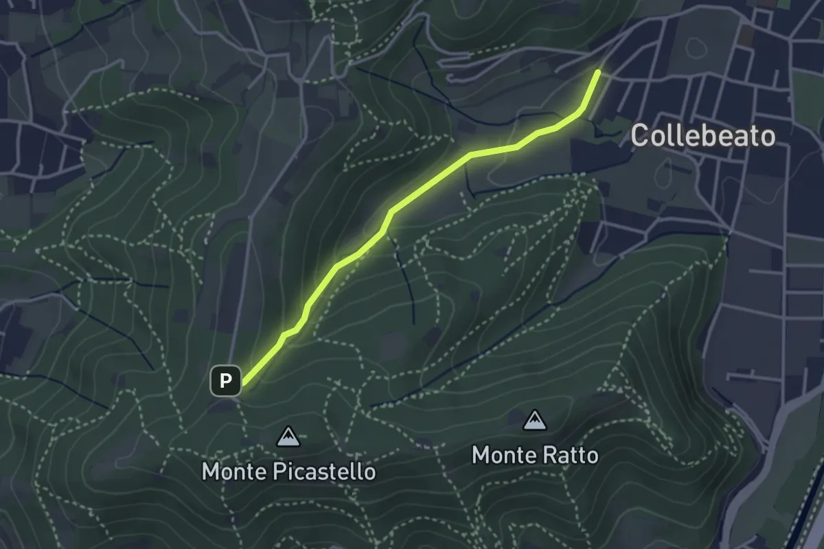
Medium · Trail
Collebeato (Angolo di Sopra) – Campiani (Il Merlo)
3.1 km · ↑ 131 m · 1 h 1 min
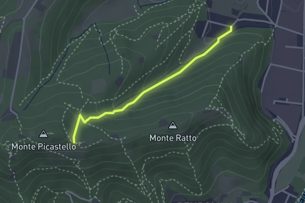
Easy · Trail
Collebeato (Campo de Carlì) – Innesto Sentiero 217
2.5 km · ↑ 158 m · 56 min
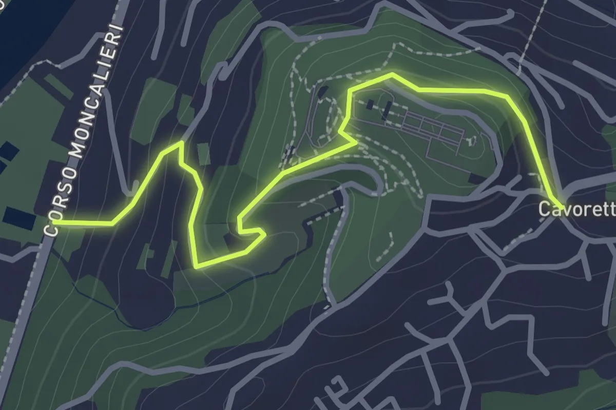
Easy · Trail
Strada Villa Zanetti, Torino – Cavoretto, Torino
2.9 km · ↑ 143 m · 1 h
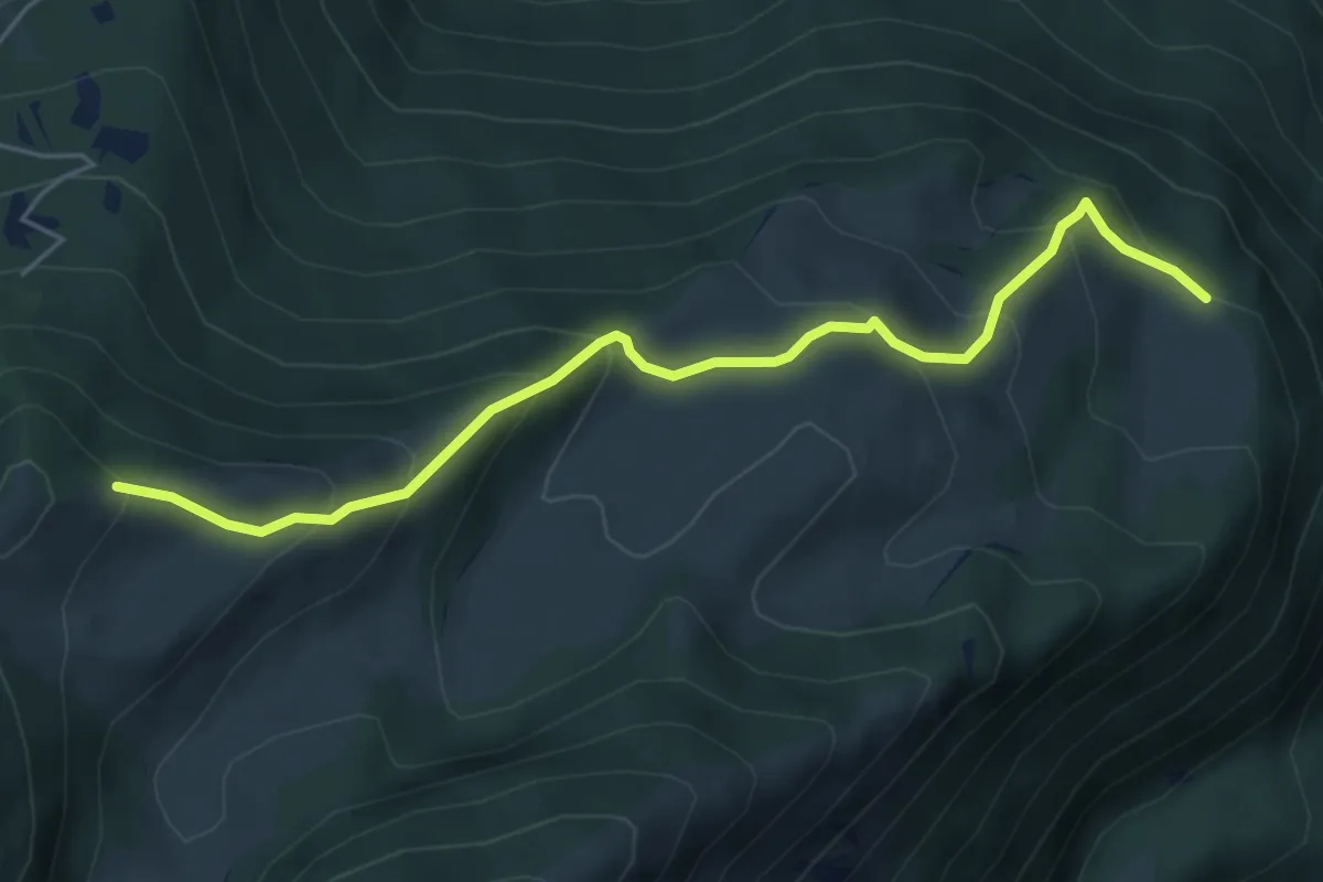
Medium · Trail
Presso Malga Campei di sotto (bivio 650) – Sella nord-est del Monte Varagna (bivio 601)
5.6 km · ↑ 413 m · 2 h 13 min
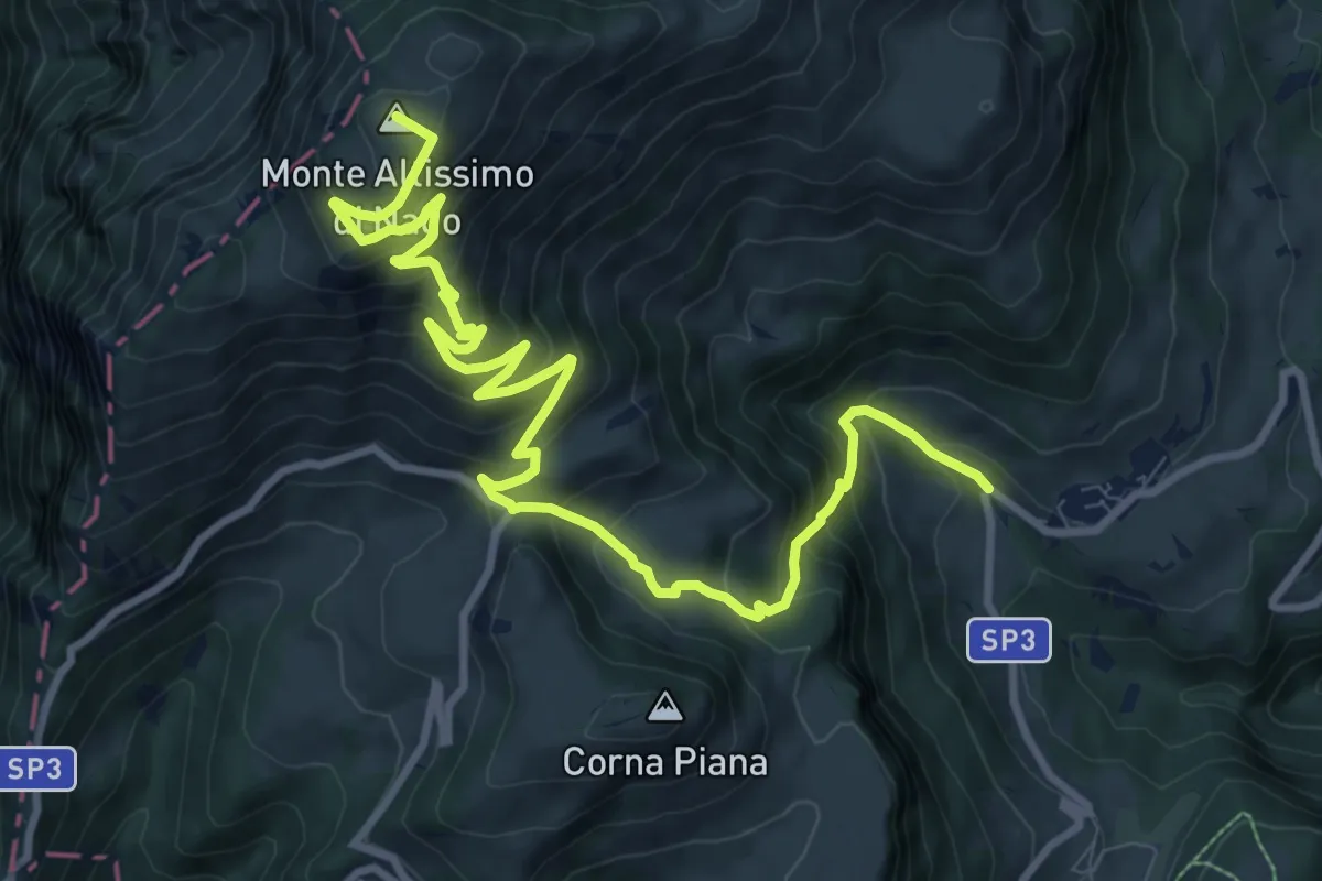
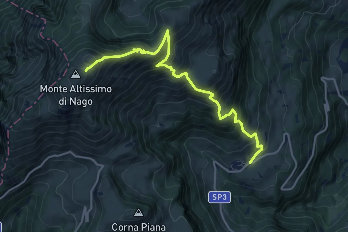
Demanding · Summit
Val de Vic - presso San Giacomo – Rifugio Altissimo "Damoano Chiesa" (bivio 601 - 622 - 651)
12.8 km · ↑ 924 m · 5 h 2 min
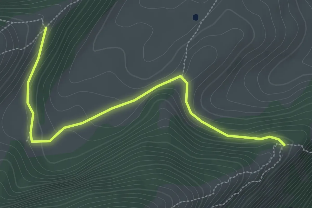
Demanding · Cabin
San Giacomo – Rifugio Altissimo "Damiano Chiesa" (bivio 601 - 633 - 651)
10.0 km · ↑ 854 m · 4 h 13 min
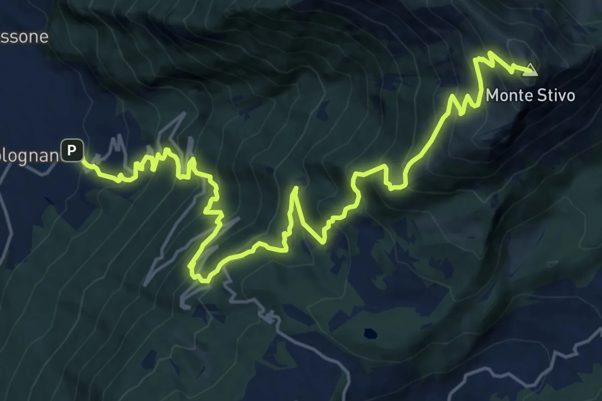
Medium · Trail
Cresta nord-est del Monticello (bivio 650) – Crinale nord del Parol
3.5 km · ↑ 93 m · 1 h 2 min
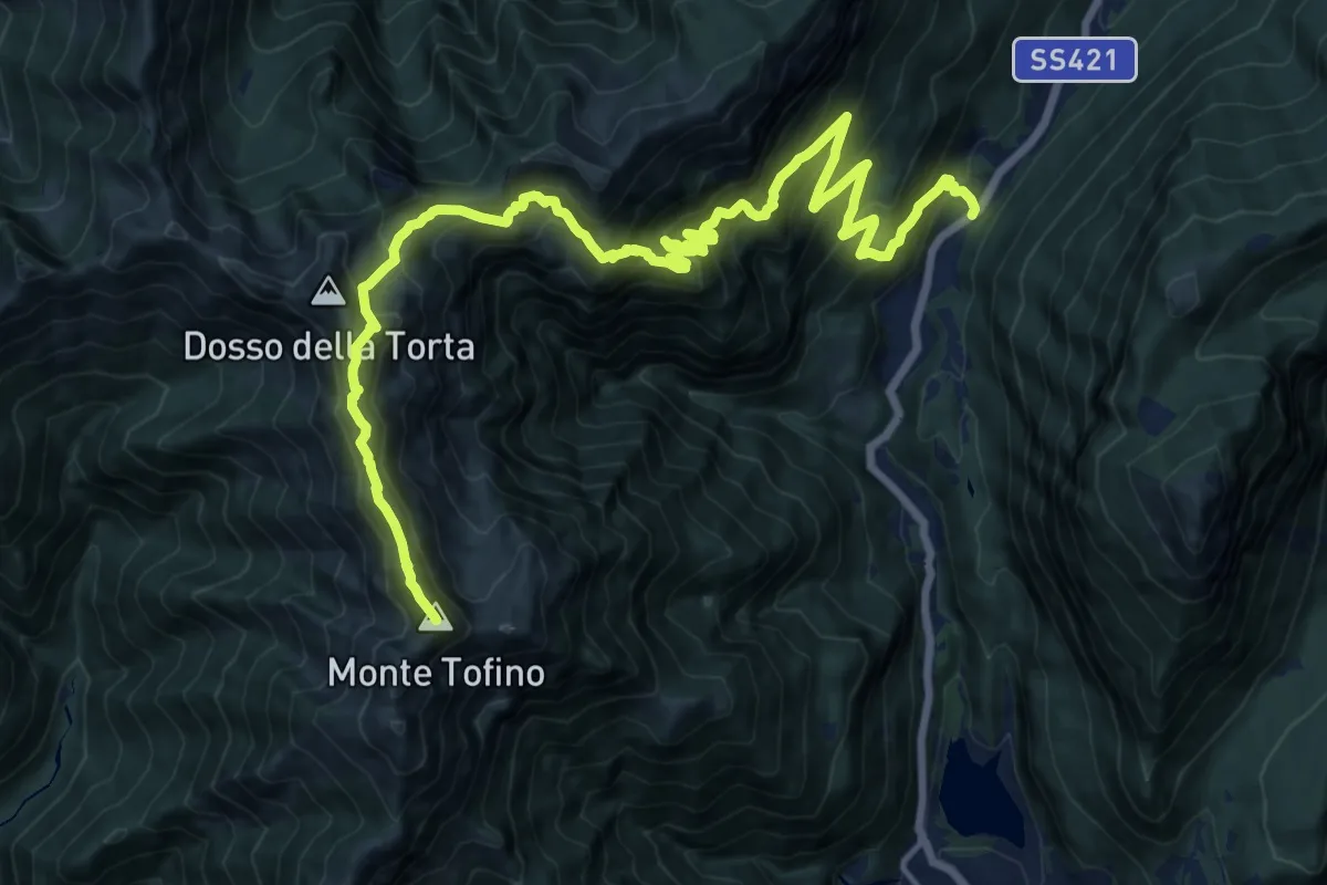
Demanding · Summit
Bolognano D'Arco - Istituto Missionario – Rifugio Stivo "Prospero Marchetti" (bivio 617 - 617B)
20.5 km · ↑ 1926 m · 9 h 1 min
Demanding · Summit
Presso Passo del Ballino – Presso Bocca di Trat (bivio 402 - 402A - 403 - 413 - 445)
21.8 km · ↑ 2006 m · 9 h 29 min
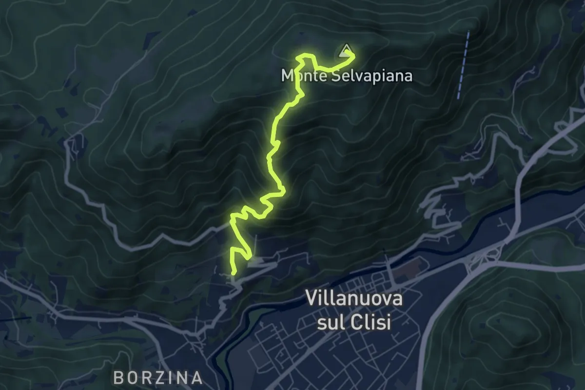
Medium · Summit
Gavardo (Quarena) – Selvapiana
6.7 km · ↑ 634 m · 2 h 58 min
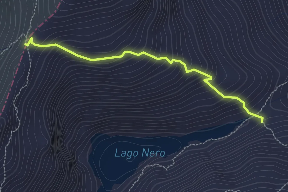
Medium · Trail
Malga Table – Passo Serosine
2.7 km · ↑ 270 m · 1 h 14 min
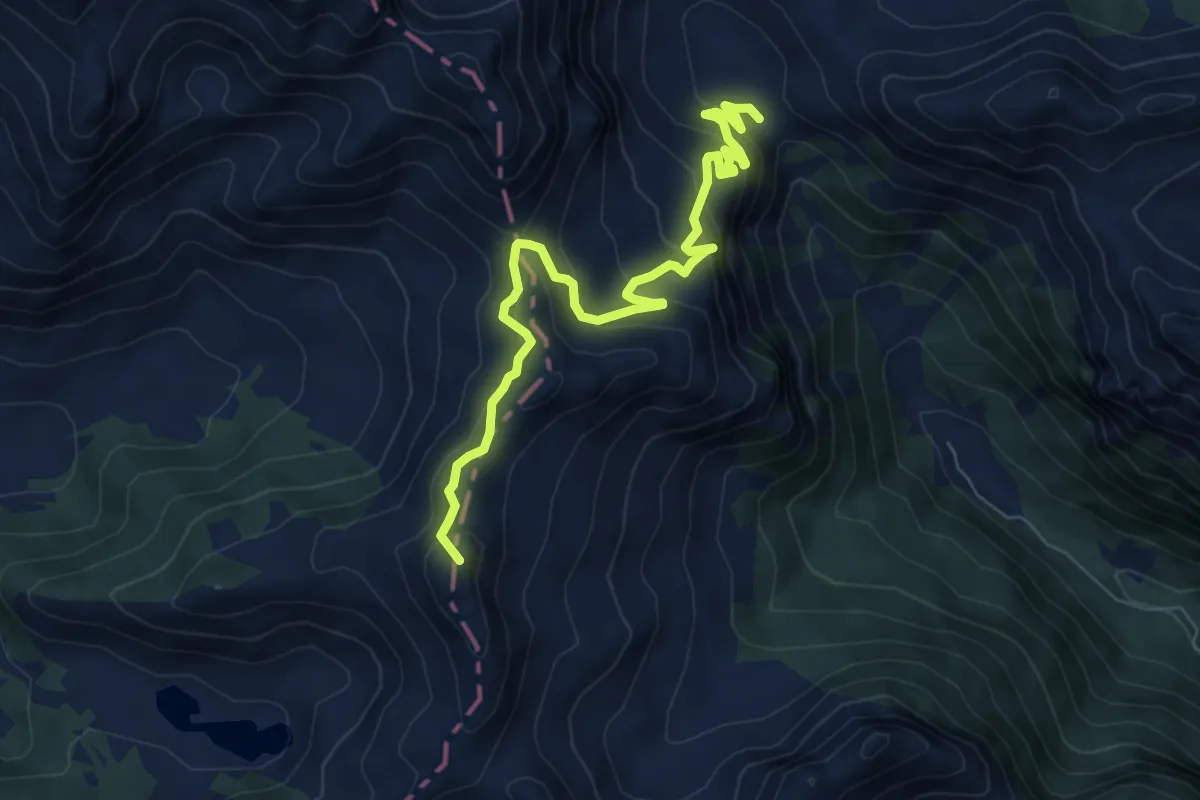
Medium · Summit
Malga Serolo (bivio 258A) – Casinei di Nova (bivio 250)
7.9 km · ↑ 566 m · 3 h 6 min
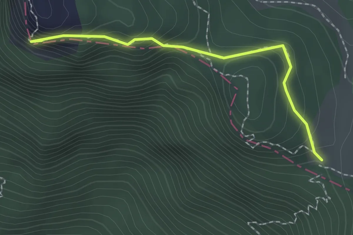
Easy · Summit
Punta di Mois – Prati di Guil
1.8 km · ↑ 166 m · 47 min
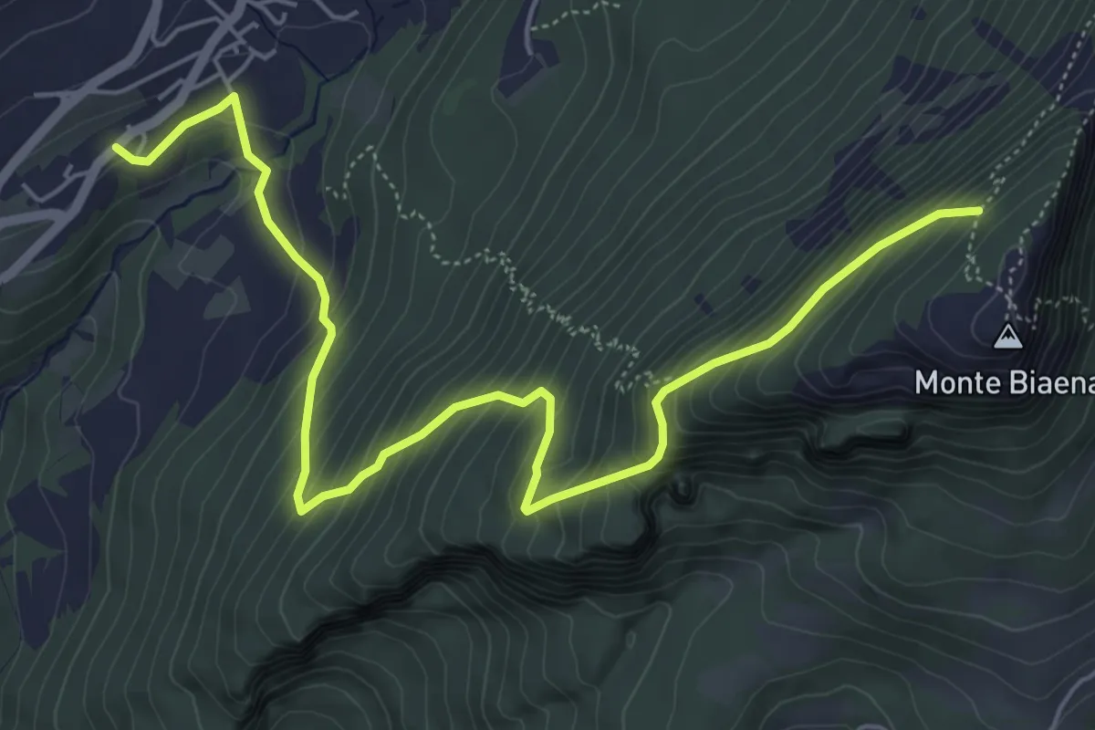
Medium · Cabin
Chienis – Presso Baita Biaena (bivio 671)
7.0 km · ↑ 664 m · 3 h 5 min
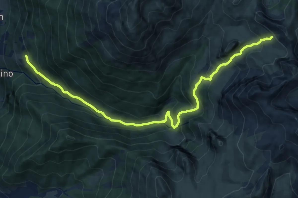
Demanding · Trail
Tezzi alti (Gandellino) – Lago Spigorel
13.7 km · ↑ 1128 m · 5 h 40 min
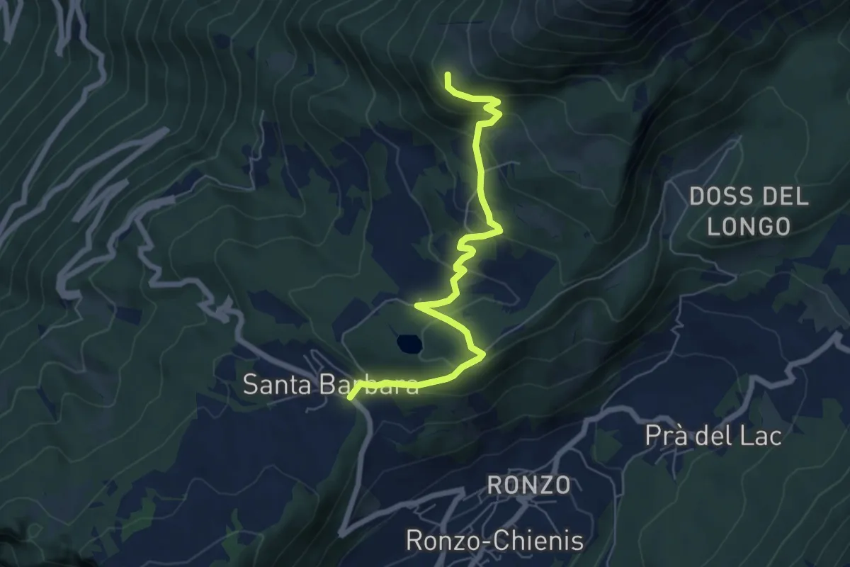
Medium · Trail
Passo Santa Barbara (bivio 637) – Le Prese (bivio 608)
6.2 km · ↑ 384 m · 2 h 18 min
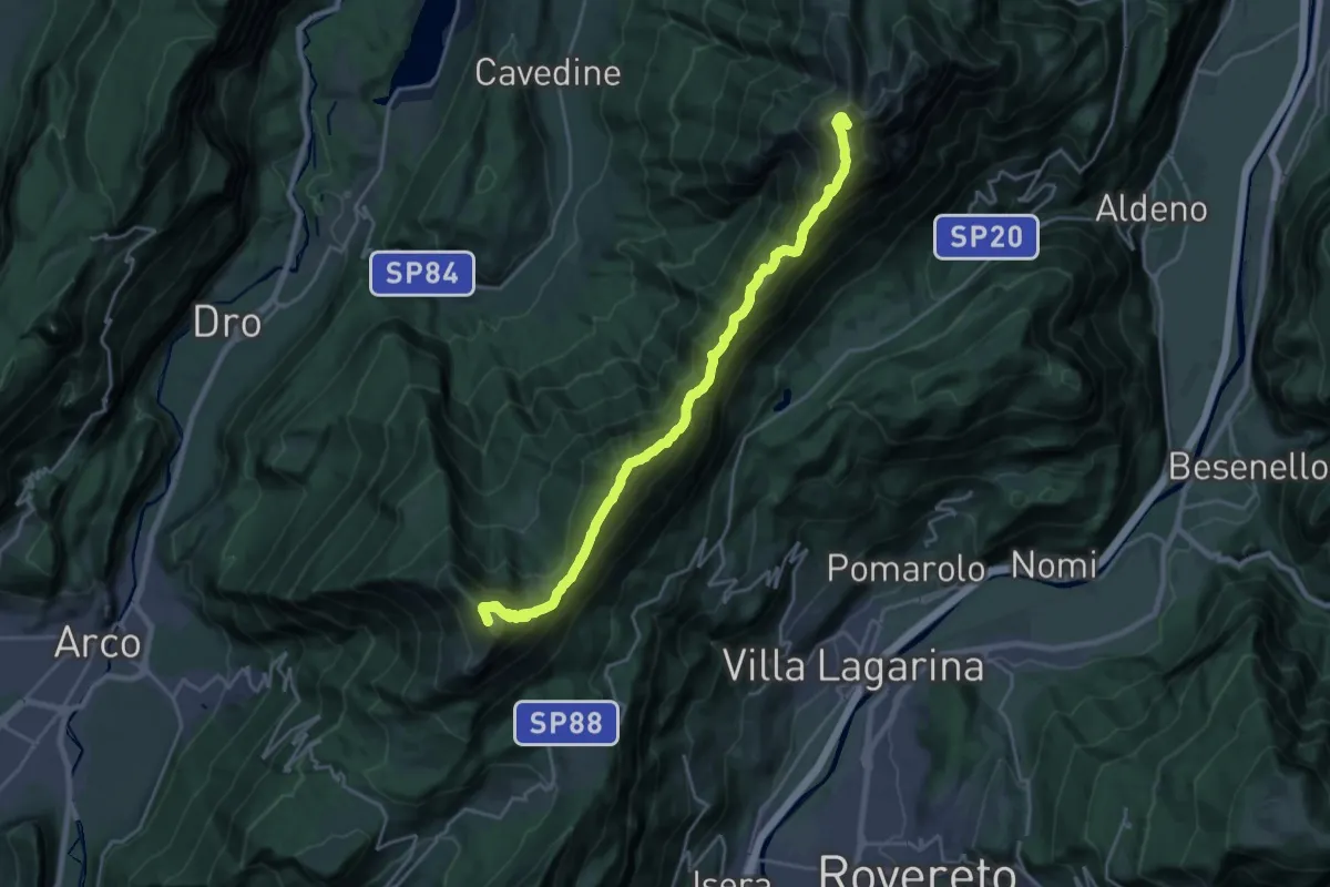
Demanding · Summit
Rifugio Stivo "Prospero Marchetti" (bivio 608 - 617B) – Versante nord Cima Cornetto (bivio 607 - 636)
22.8 km · ↑ 1865 m · 9 h 25 min
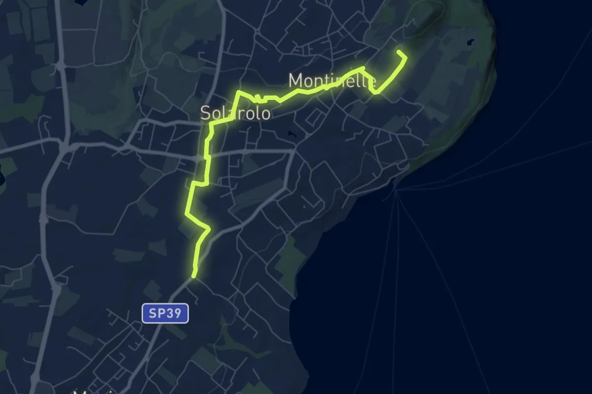
Easy · Summit
Perlino – Museo archeologico
7.7 km · ↑ 99 m · 2 h 1 min
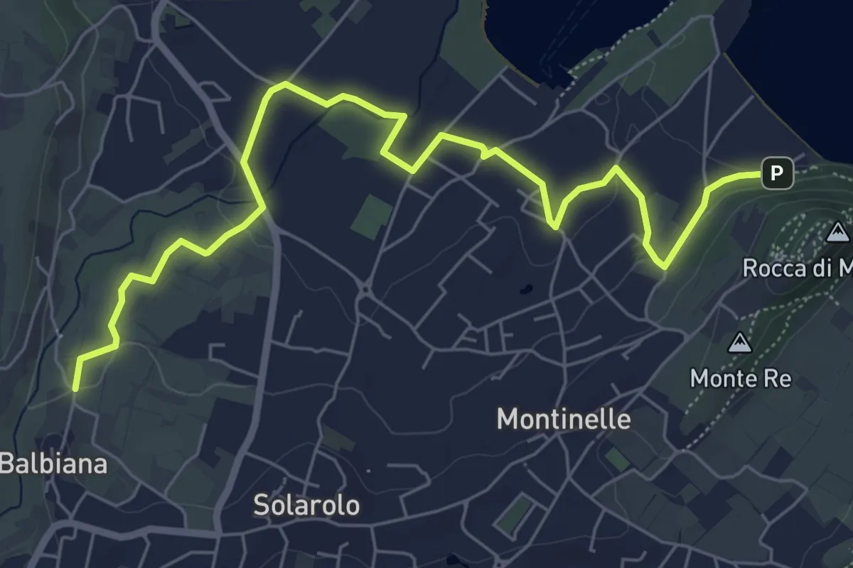
Easy · Trail
Manerba del Garda (Balbiana) – Parcheggio spiaggia di Pisenze
7.6 km · ↑ 65 m · 1 h 57 min
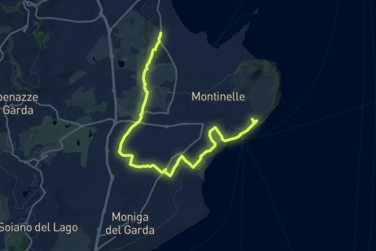
Medium · Trail
Pieve Vecchia – Chiesa di San Giorgio
15.3 km · ↑ 208 m · 4 h 4 min
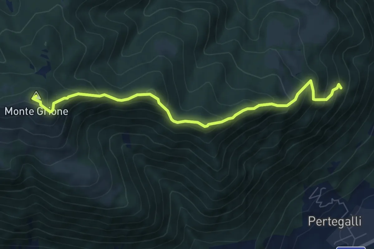
Medium · Summit
Sovere – Monte Grione (incrocio 547)
7.3 km · ↑ 654 m · 3 h 8 min