Trails in Italy
25,219 hiking trails, each with its route, climb, walking time and grade.
All trails, page 383 of 526
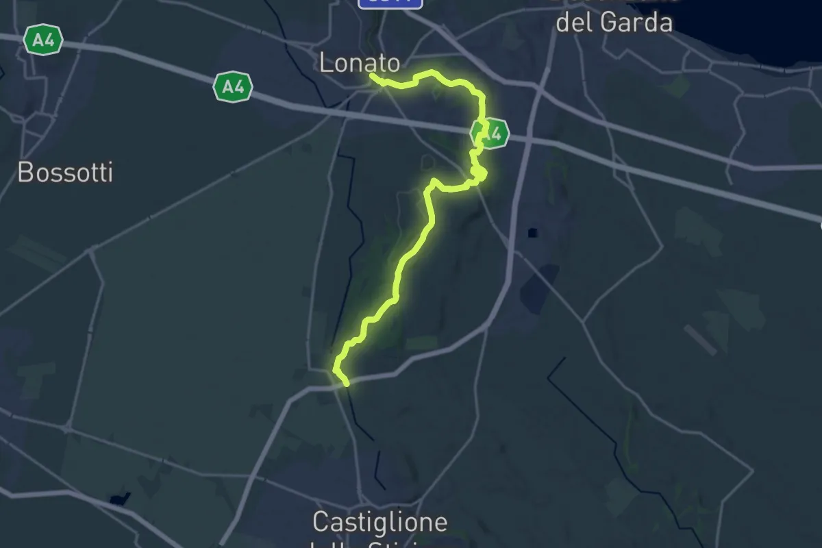
Demanding · Trail
Lonato – Esenta
19.2 km · ↑ 288 m · 5 h 9 min
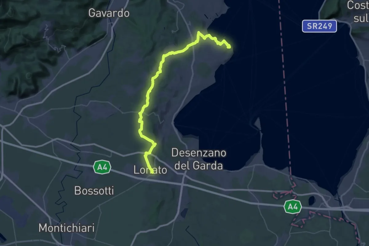
Demanding · Summit
Manerba del Garda (San Giorgio) – Lonato del Garda
44.2 km · ↑ 707 m · 11 h 58 min
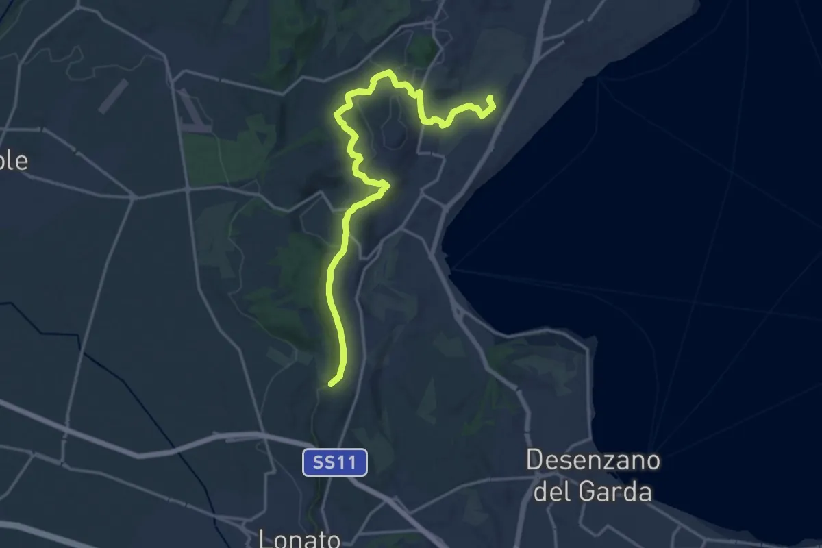
Medium · Trail
Barcuzzi – Balosse
17.4 km · ↑ 263 m · 4 h 40 min
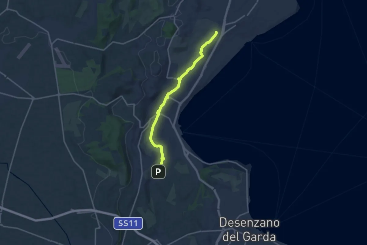
Medium · Trail
Maguzzano – Moniga
11.3 km · ↑ 61 m · 2 h 48 min
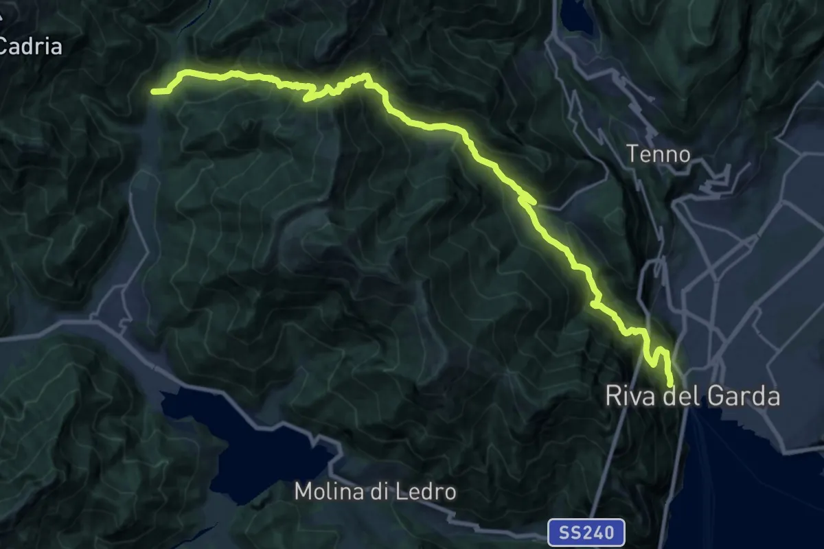
Demanding · Trail
Presso Bastione (bivio 404) – Pastoria - Val di Concei
13.1 km · ↑ 834 m · 5 h 25 min
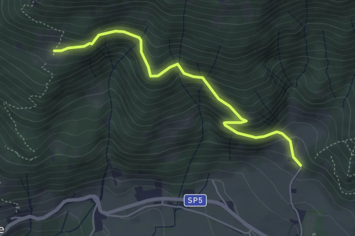
Medium · Trail
Innesto sentiero n. 101 – Malga Creisa
4.5 km · ↑ 337 m · 1 h 48 min
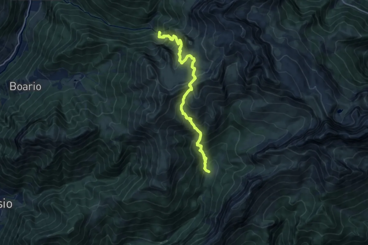
Demanding · Trail
Baite del Möschel – Val Sedornia (incrocio 309)
13.7 km · ↑ 1462 m · 6 h 25 min
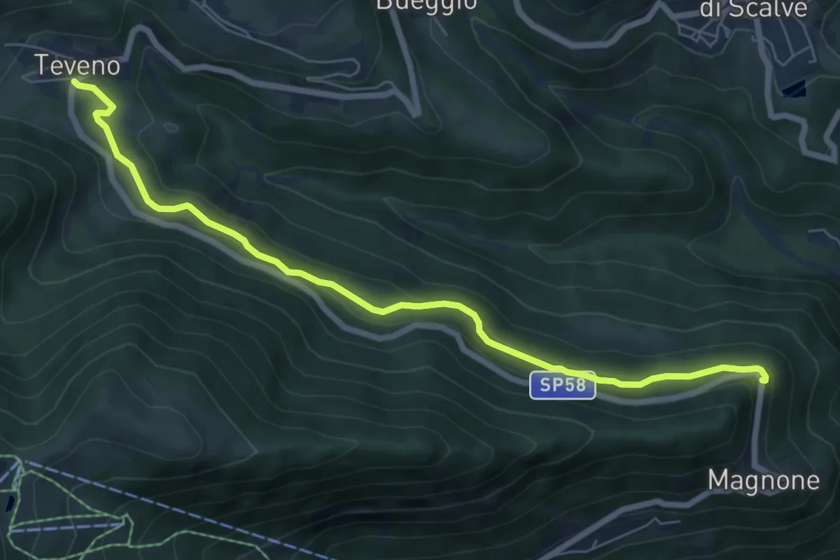
Easy · Trail
Magnone (Colere) – Teveno
6.9 km · ↑ 239 m · 2 h 9 min
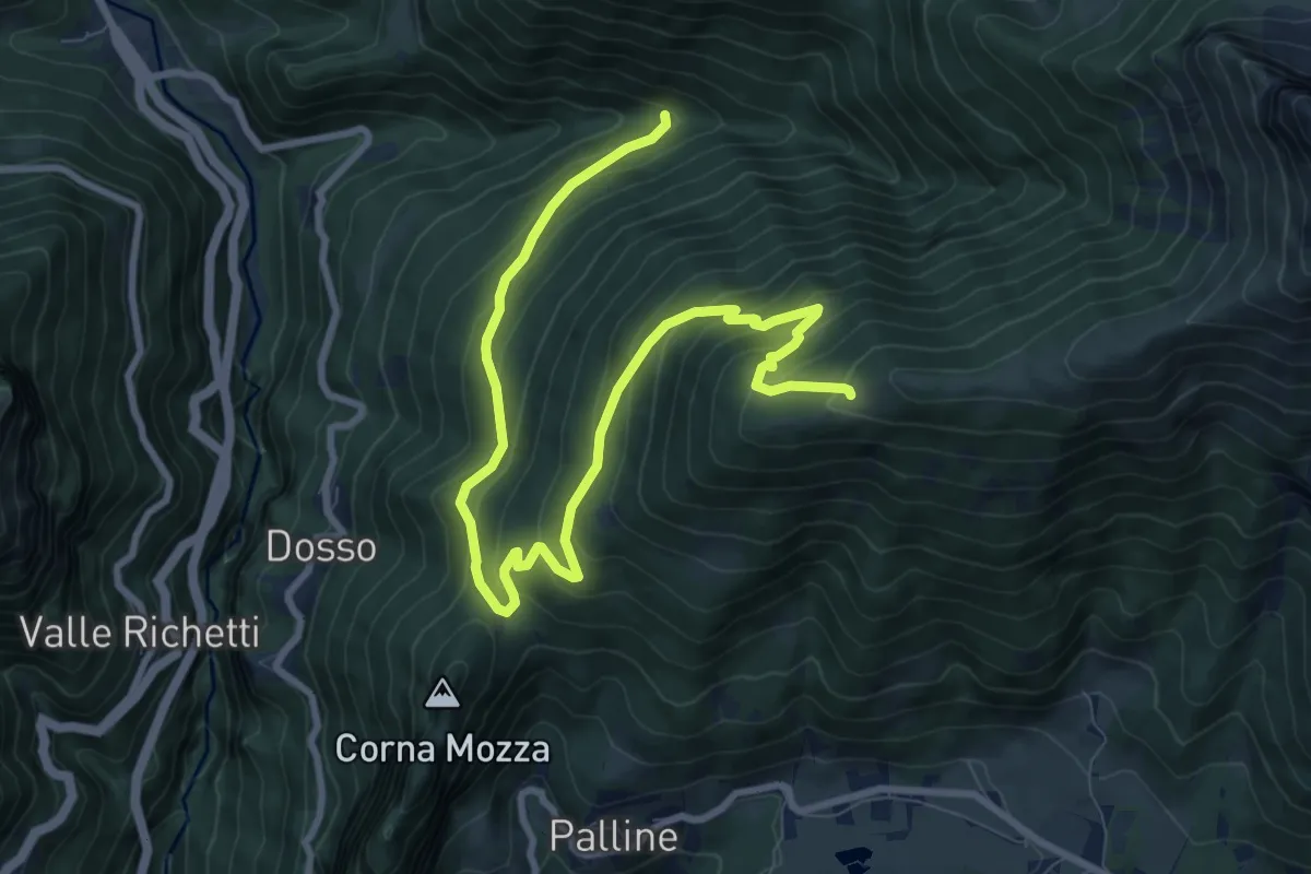
Medium · Trail
Azzone (Segheria) – Il Costone
11.1 km · ↑ 729 m · 4 h 13 min
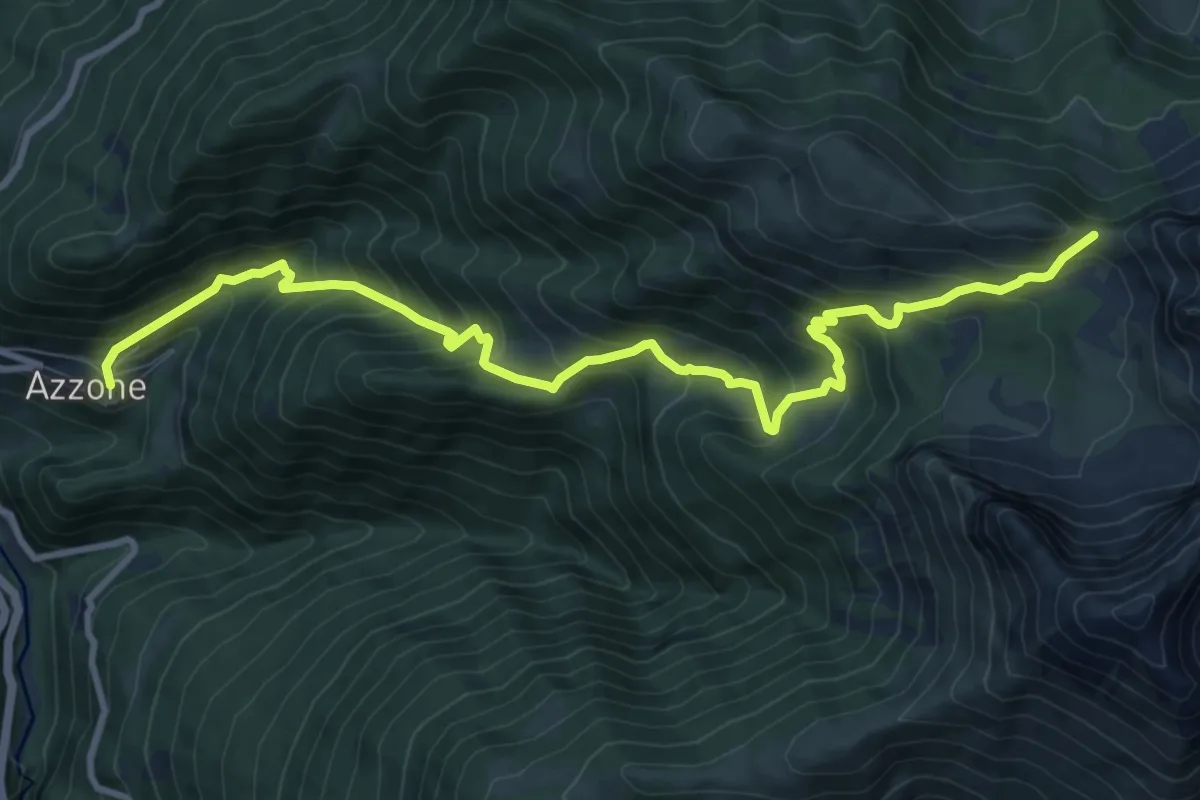
Demanding · Trail
Azzone – Passo di Corna Busa
11.7 km · ↑ 995 m · 4 h 55 min
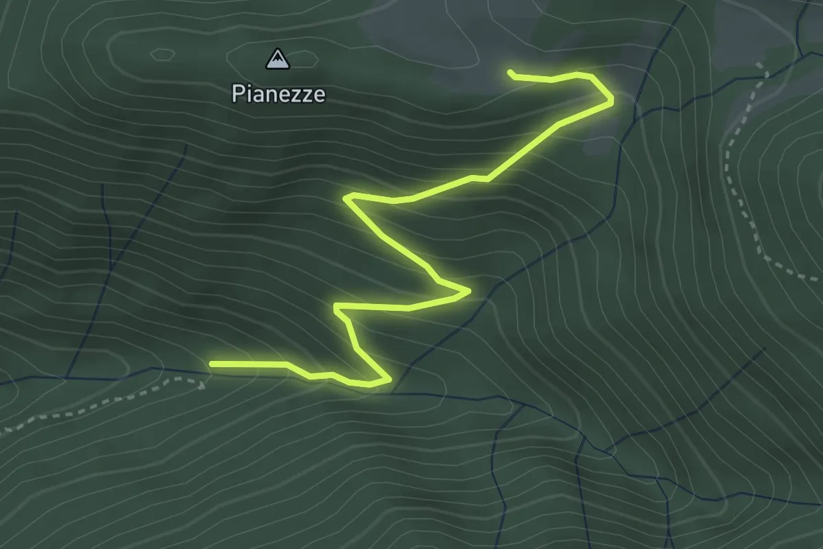
Medium · Trail
Azzone (Segheria) – Le Some
3.8 km · ↑ 391 m · 1 h 45 min
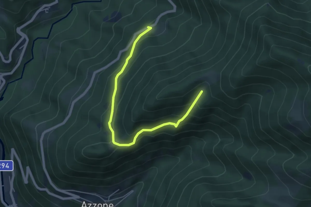
Medium · Trail
Schilpario (Prato Grande) – Fienile del Colle
4.9 km · ↑ 346 m · 1 h 55 min
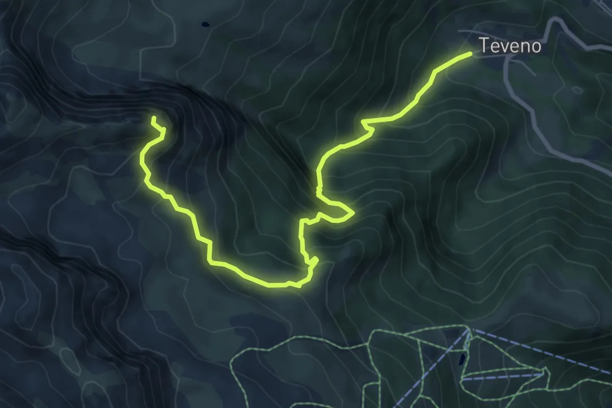
Expert · Summit
Teveno – Pizzo di Petto
8.1 km · ↑ 1037 m · 4 h 10 min
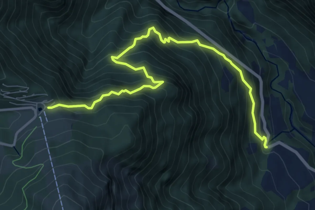
Demanding · Trail
Angolo Terme – Colle di Vareno
9.1 km · ↑ 1161 m · 4 h 40 min
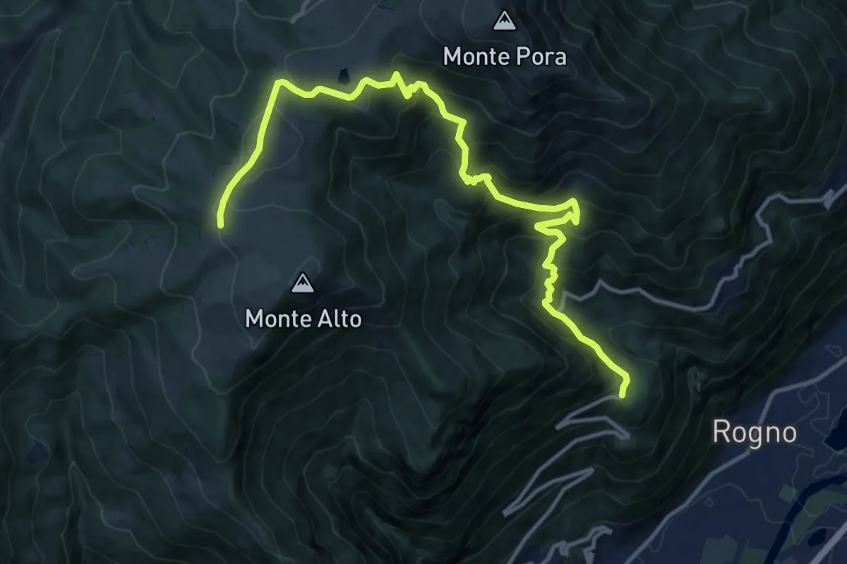
Demanding · Cabin
San Vigilio (Rogno) – Rifugio Magnolini
13.7 km · ↑ 1106 m · 5 h 38 min
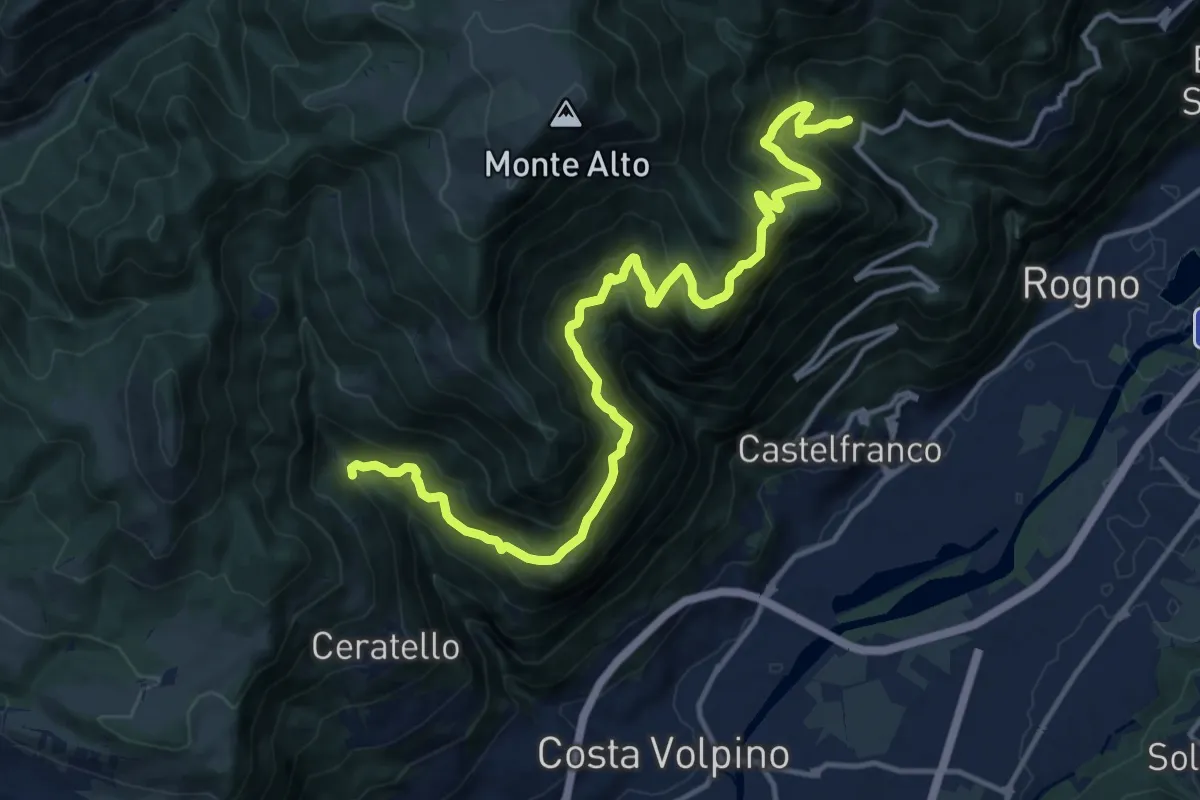
Demanding · Trail
Cascina Ai Ciar (Ceratello) – Incrocio 559
16.6 km · ↑ 1476 m · 7 h 6 min
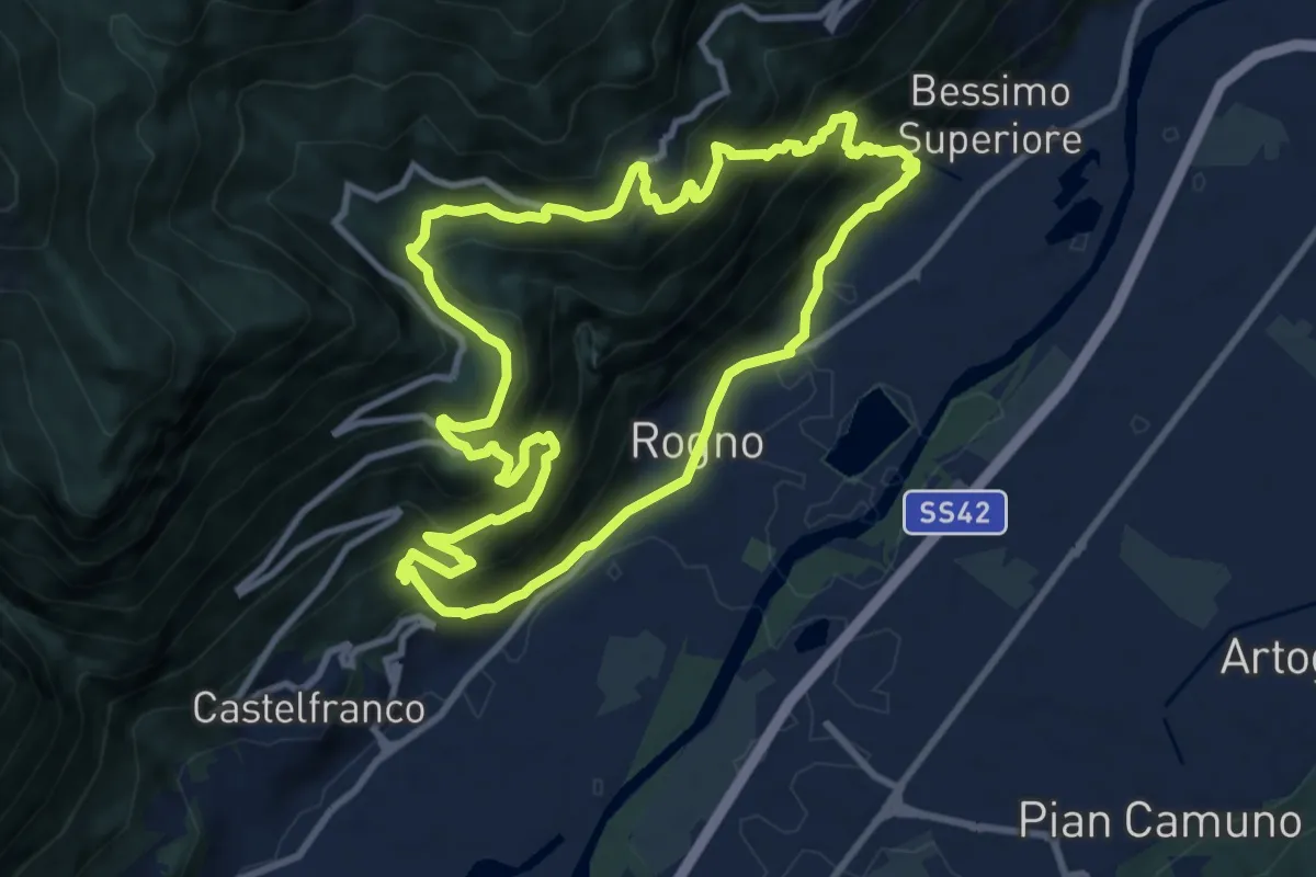
Demanding · Trail
Rogno – Rogno
9.7 km · ↑ 772 m · 4 h 6 min
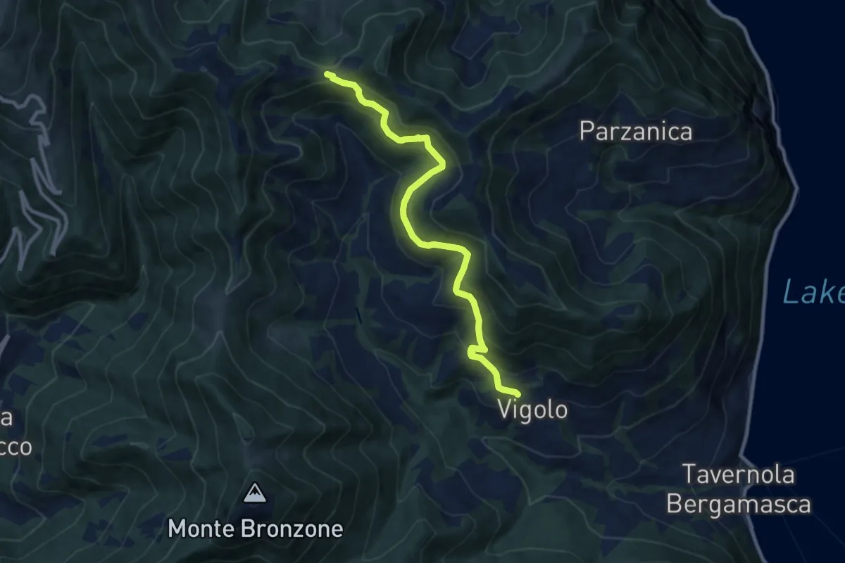
Medium · Trail
Vigolo – Colle Cargadura
9.4 km · ↑ 590 m · 3 h 29 min
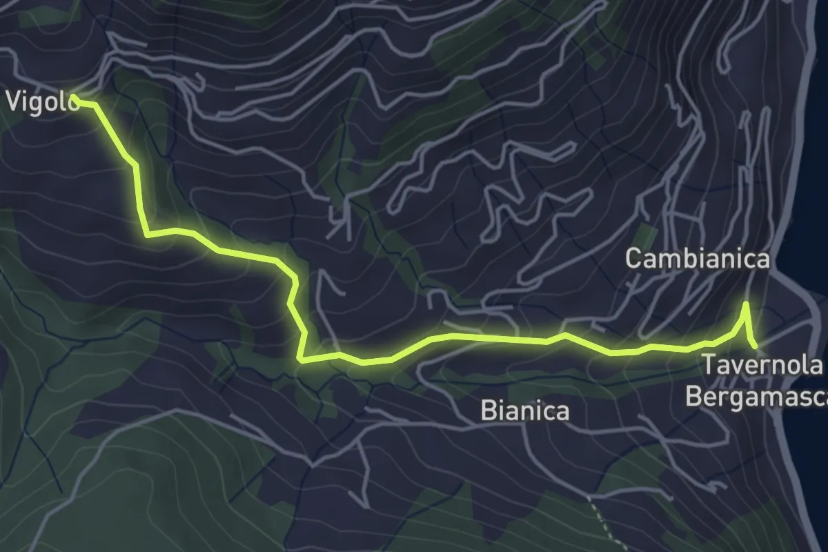
Medium · Trail
Tavernola – Vigolo
4.8 km · ↑ 407 m · 2 h 1 min
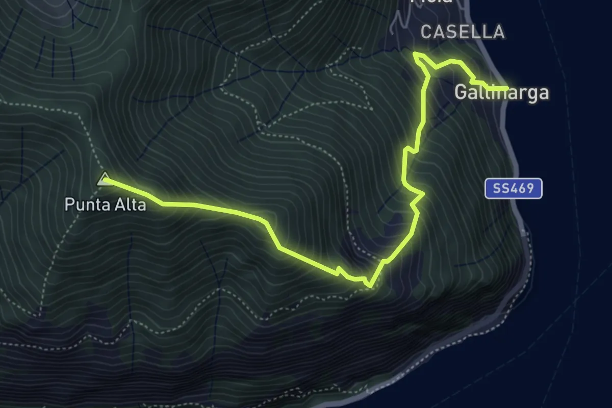
Demanding · Summit
Gallinarga – Colle del Giogo
5.9 km · ↑ 744 m · 3 h
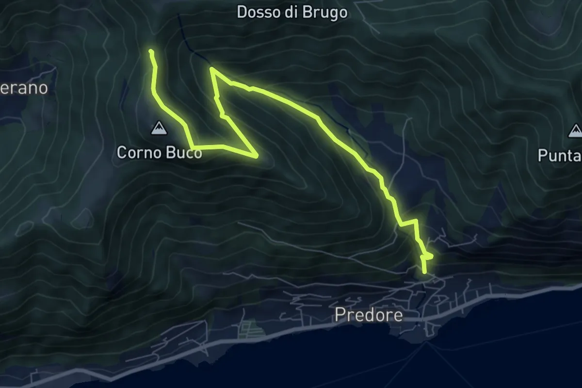
Medium · Trail
Predore – Colle di Oregia
8.7 km · ↑ 661 m · 3 h 29 min
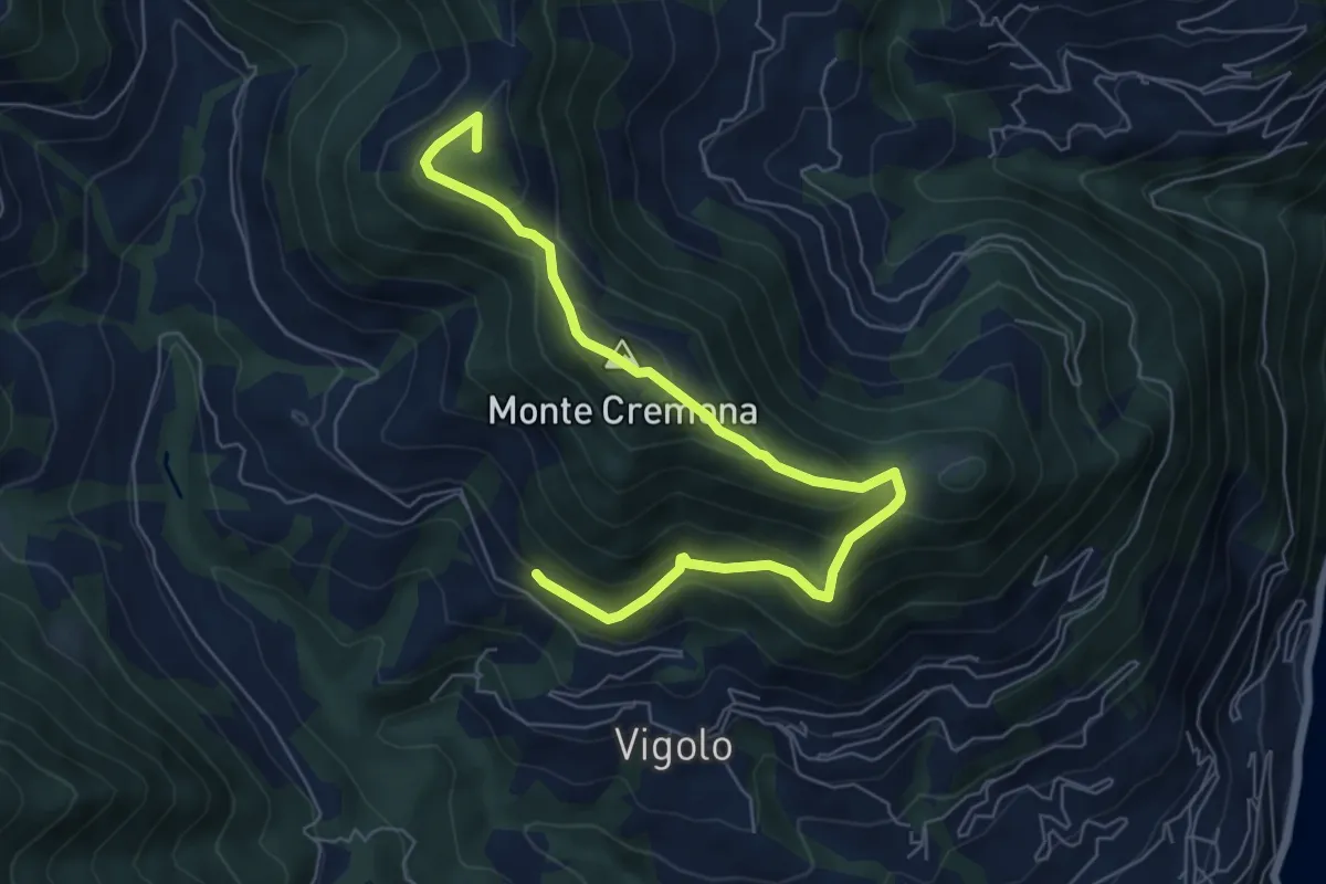
Medium · Summit
Recursone (Vigolo) – Punta del Bert
7.5 km · ↑ 551 m · 2 h 58 min
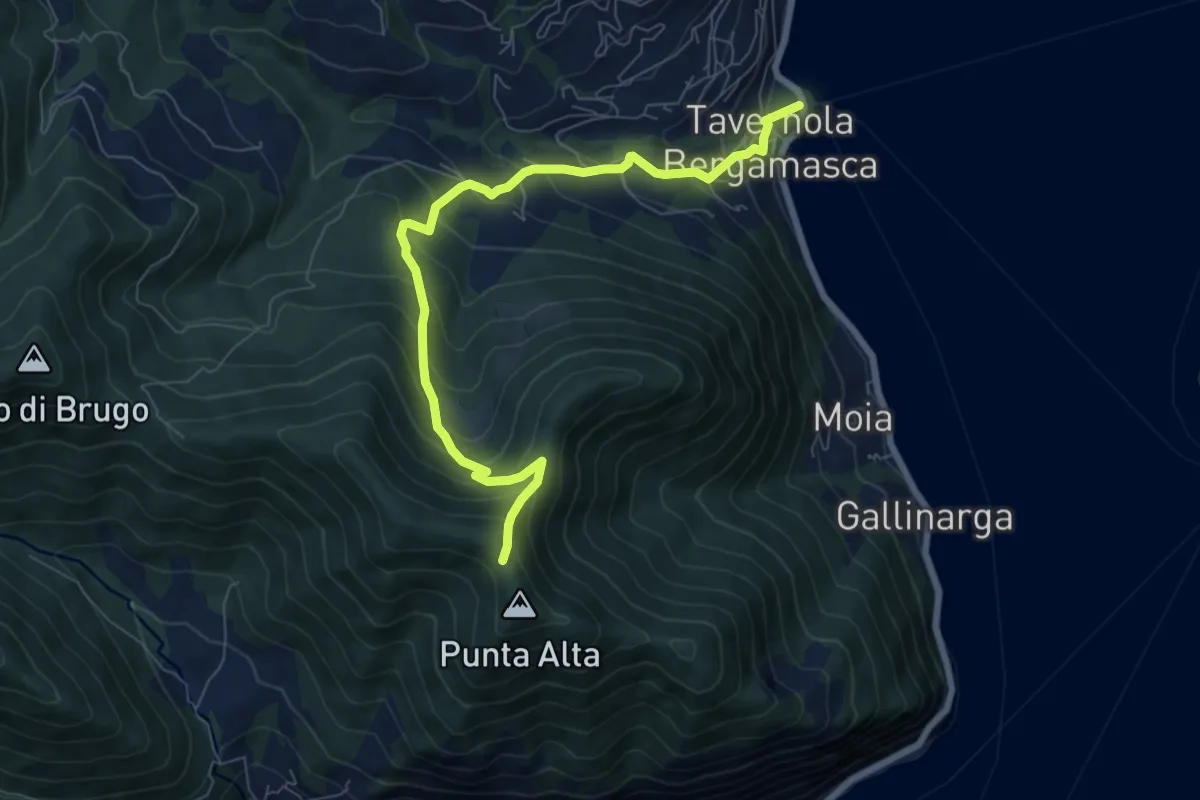
Medium · Trail
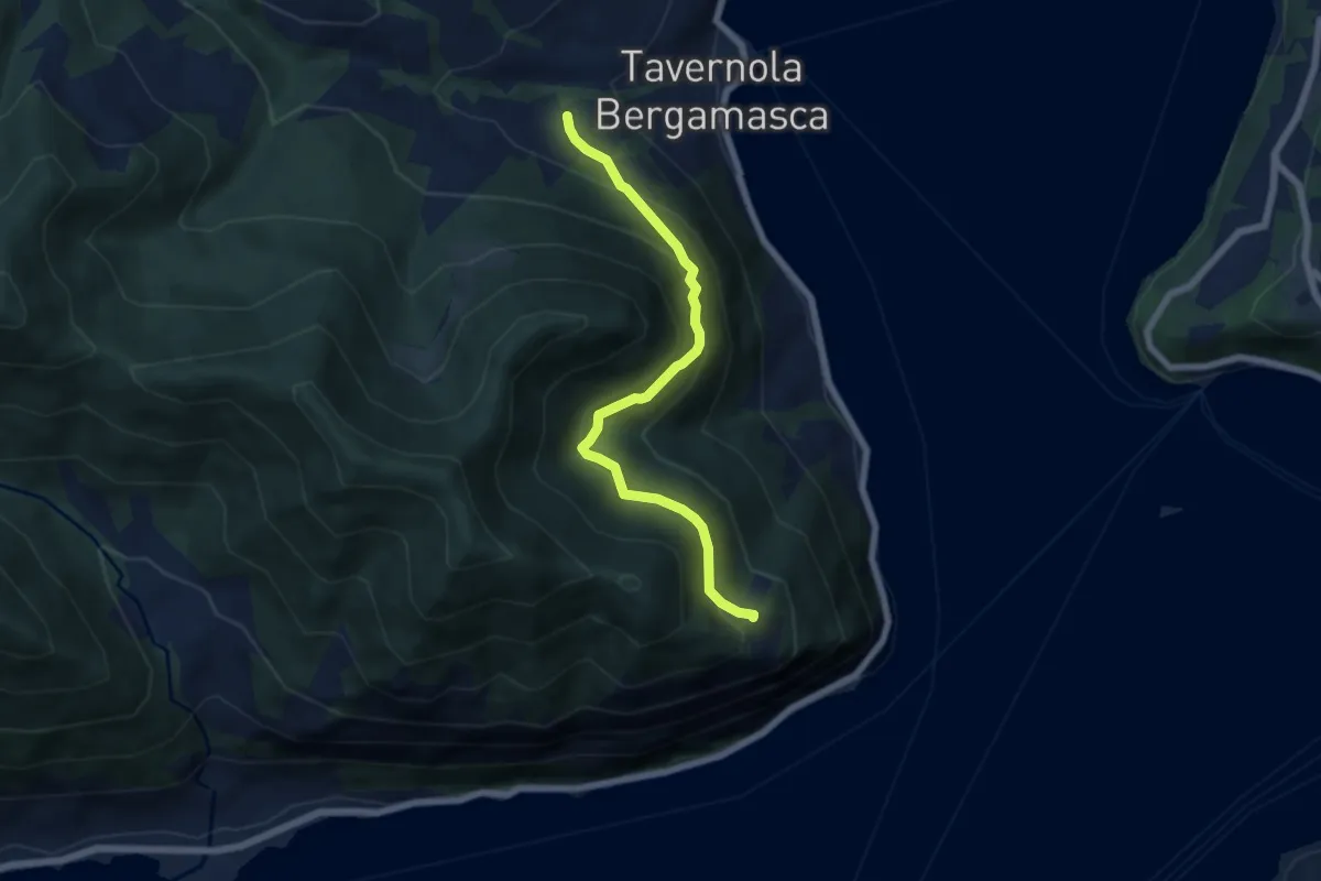
Tavernola Bergamasca – Punta Alta
7.9 km · ↑ 732 m · 3 h 28 min
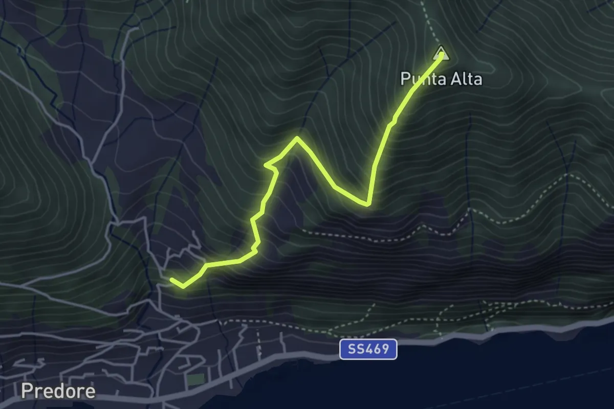
Medium · Summit
San Gregorio (Predore) – Punta Alta
3.9 km · ↑ 634 m · 2 h 18 min
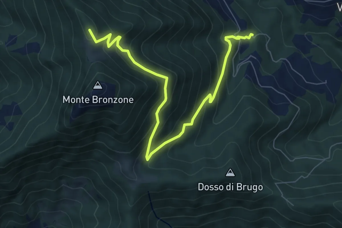
Demanding · Trail
Bianica – Case il Monte
6.1 km · ↑ 456 m · 2 h 26 min
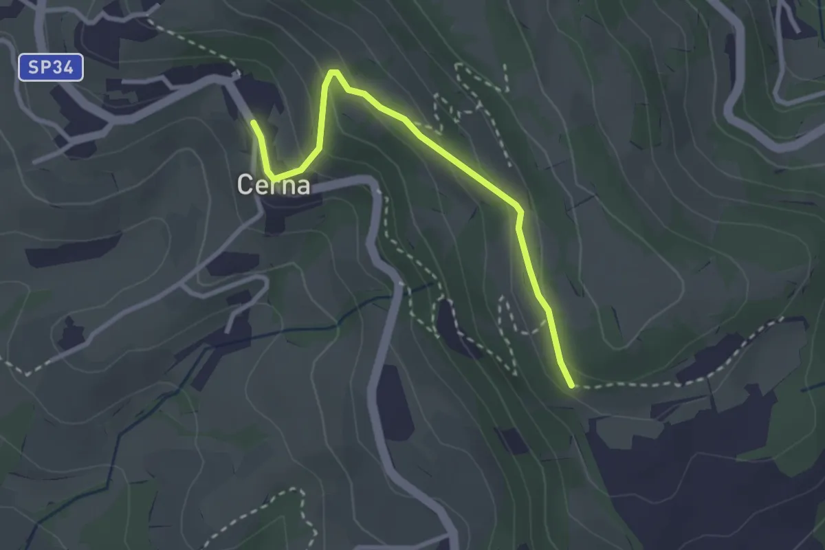
Medium · Summit
Campolerone (Vigolo) – Gombo alto
8.2 km · ↑ 642 m · 3 h 19 min
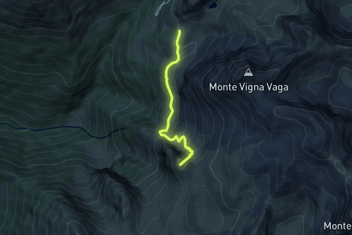
Easy · Trail
Cerna – sentiero 252
2.7 km · ↑ 146 m · 57 min
Medium · Summit
Incrocio Percorso 314 – Incrocio Percorso 309
4.2 km · ↑ 400 m · 1 h 51 min
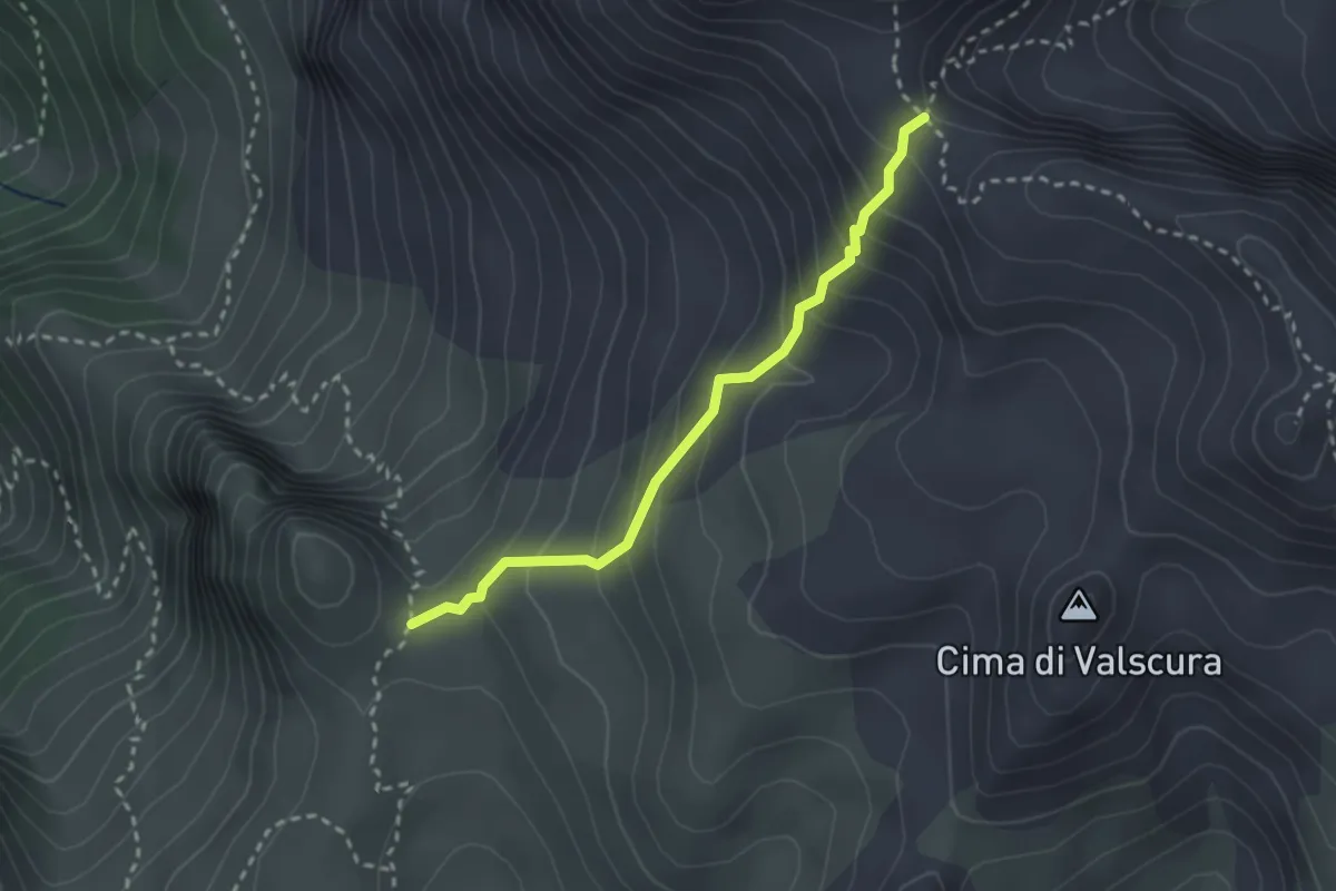
Medium · Trail
Incrocio 314A – Passo di Fontanamora
2.5 km · ↑ 246 m · 1 h 8 min
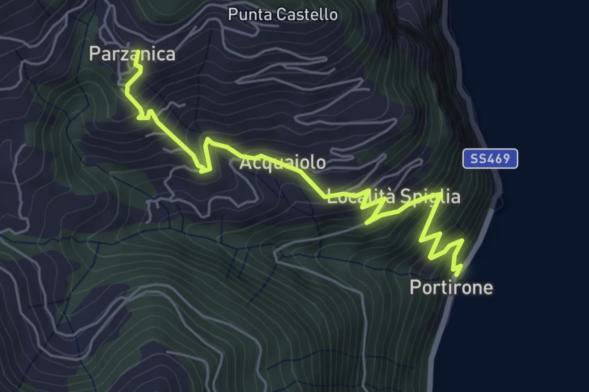
Medium · Trail
Portirone – Parzanica
5.8 km · ↑ 617 m · 2 h 42 min
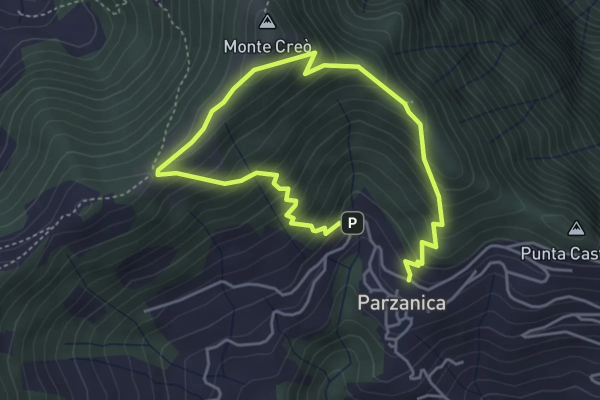
Easy · Trail
Parzanica – Parzanica
2.9 km · ↑ 278 m · 1 h 20 min
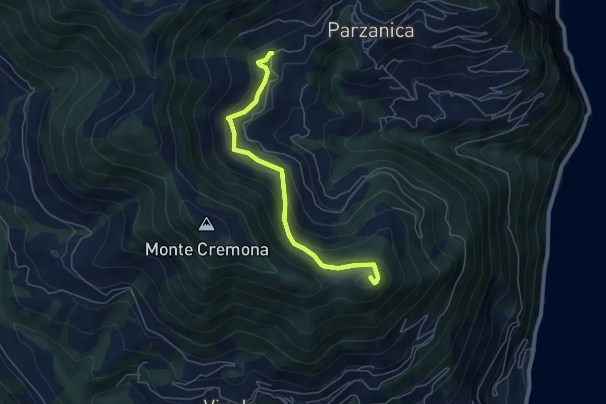
Medium · Summit
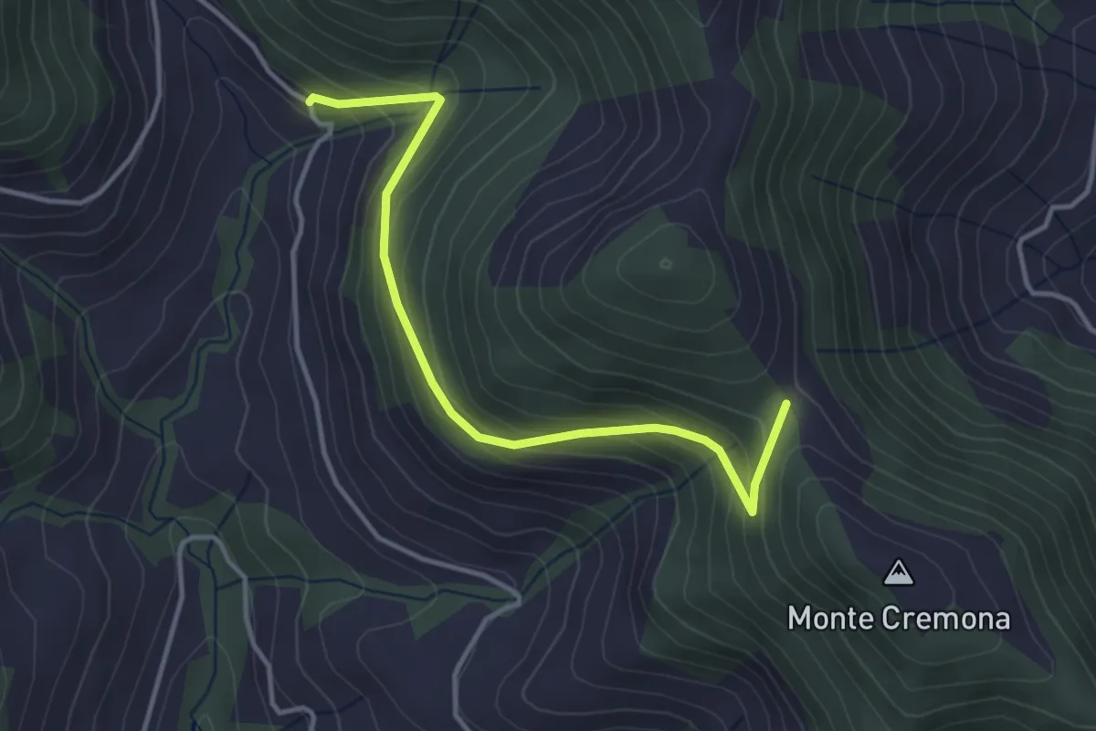
Gromolo (incrocio 722) – Monte Soresano (incrocio 724)
4.9 km · ↑ 337 m · 1 h 53 min
Easy · Trail
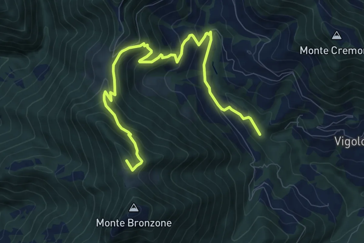
Bratta (incrocio 726) – Colderone (incrocio 724)
3.8 km · ↑ 249 m · 1 h 26 min
Medium · Summit
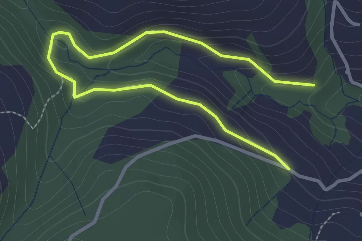
Valle delle Tombe – Gombo Alto
11.0 km · ↑ 703 m · 4 h 7 min
Easy · Trail
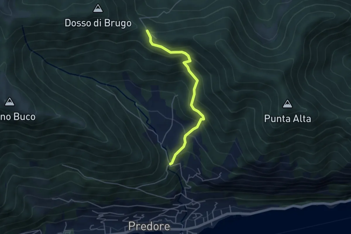
Madonna di Cortinica – Ponte di Lughel
3.2 km · ↑ 101 m · 59 min
Medium · Trail
San Gregorio (incrocio 708) – Colle del Giogo (incrocio 707)
4.1 km · ↑ 382 m · 1 h 47 min
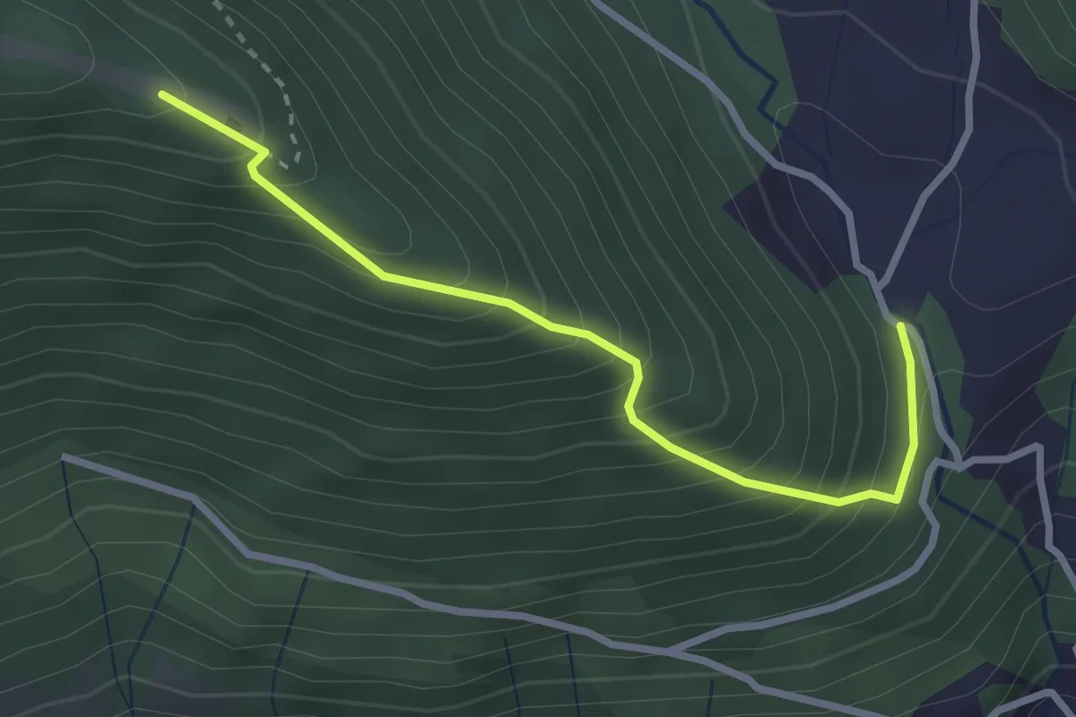
Medium · Trail
San Gregorio (incrocio 708) – Casello Col Giera
2.8 km · ↑ 363 m · 1 h 27 min
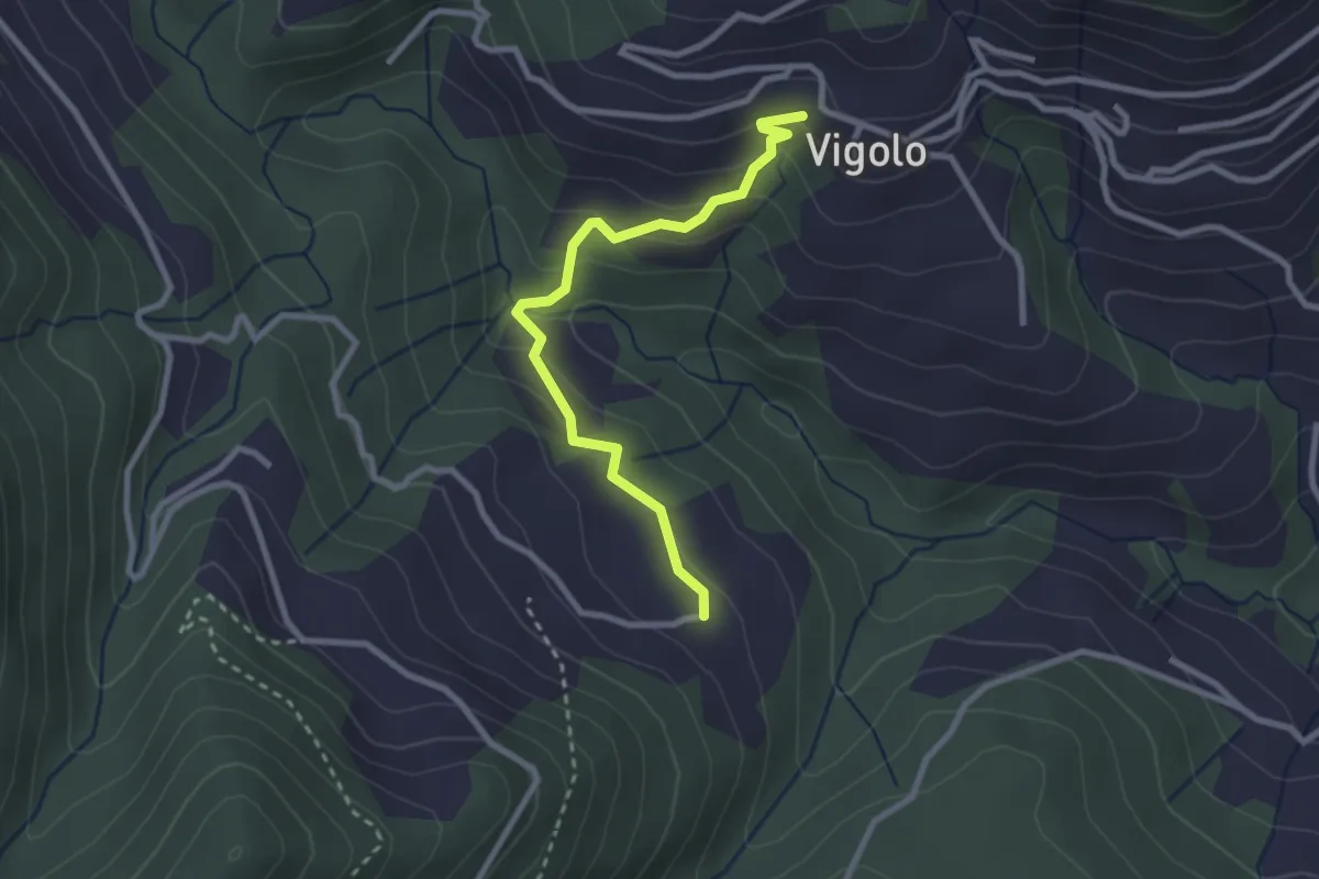
Easy · Trail
Vigolo – Pressana
2.7 km · ↑ 142 m · 57 min
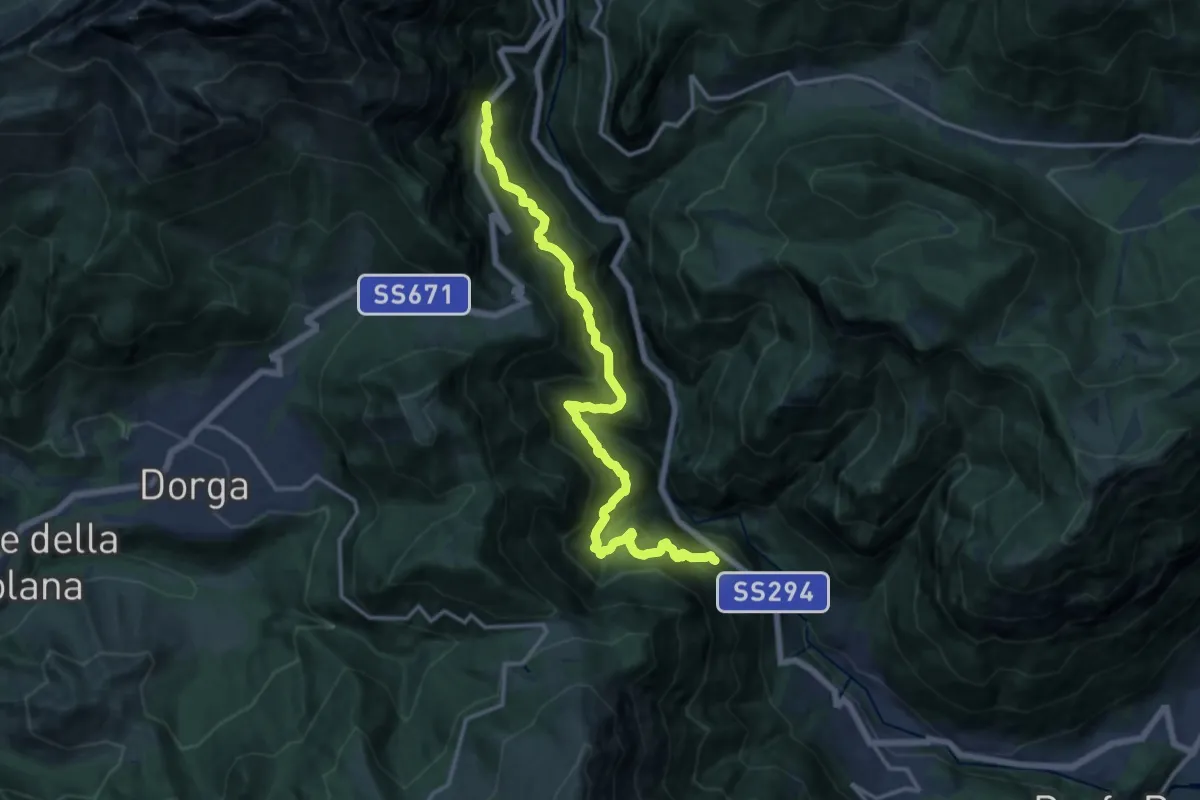
Demanding · Trail
Serenella – Anfurro
15.4 km · ↑ 1287 m · 6 h 25 min
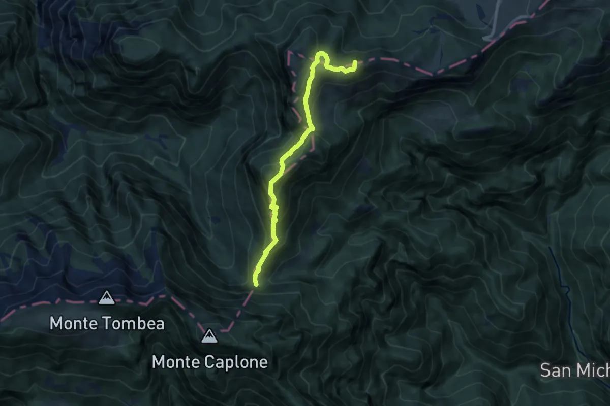
Demanding · Summit
Bocca di Lorina – Passo di Tremalzo
8.0 km · ↑ 577 m · 3 h 8 min
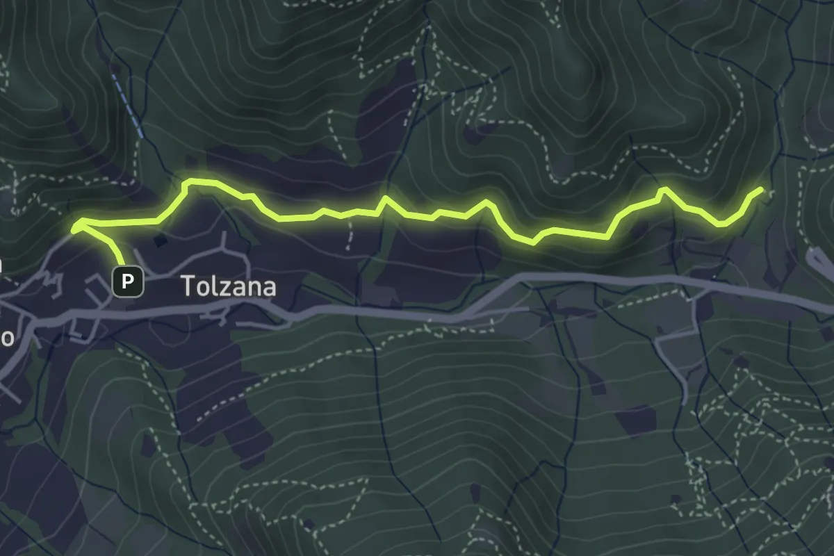
Easy · Trail
Caino – Val Bertone
4.7 km · ↑ 264 m · 1 h 41 min
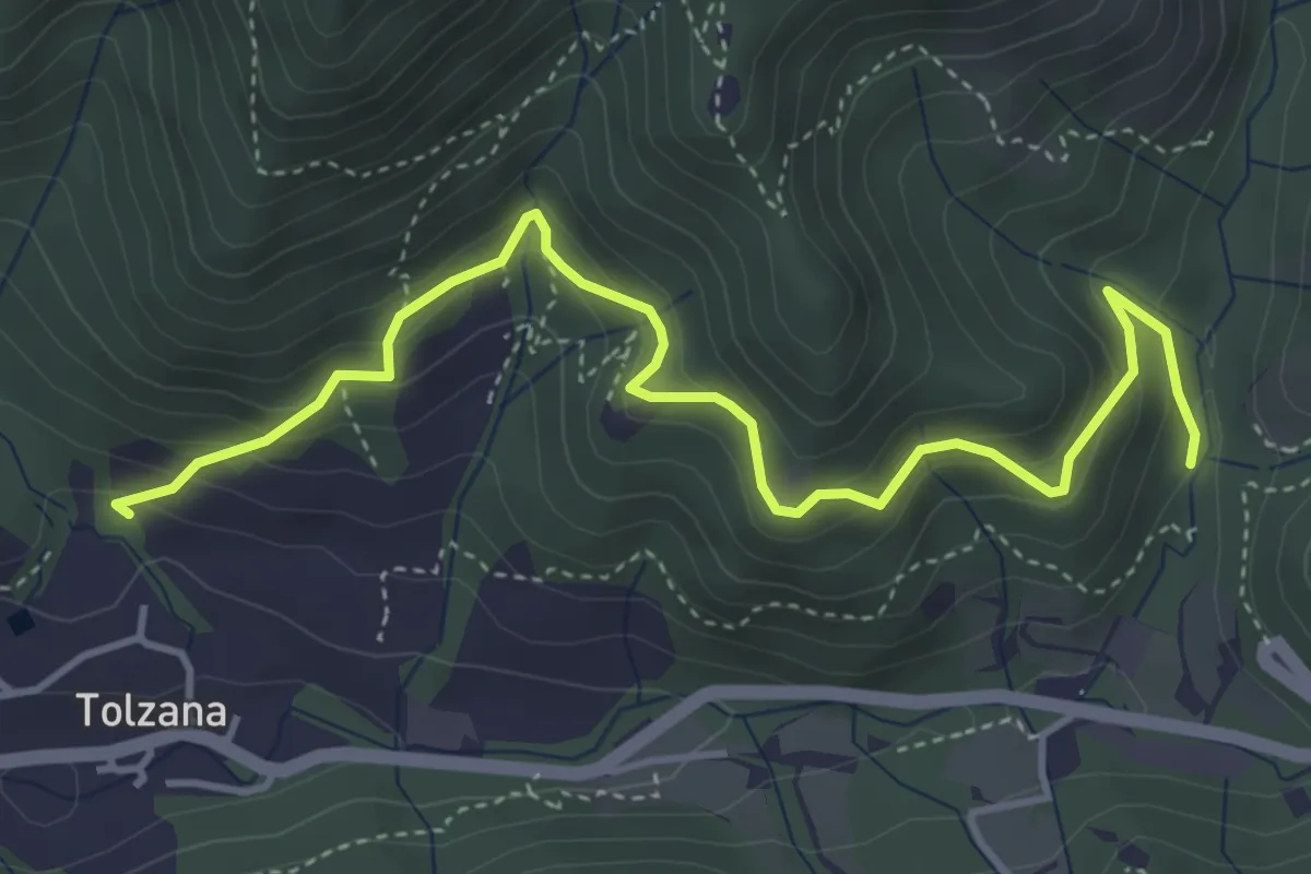
Medium · Trail
Caino (San Cap) – Val Bertone
4.9 km · ↑ 452 m · 2 h 9 min
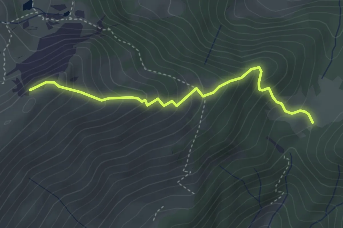
Medium · Summit
Colle di Mignone – Monte Arano
3.5 km · ↑ 384 m · 1 h 40 min
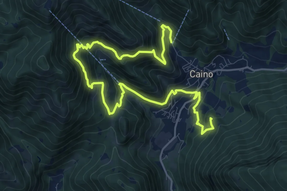
Demanding · Summit
Caino (Pian delle Castagne) – Val Bertone
15.5 km · ↑ 1050 m · 5 h 56 min
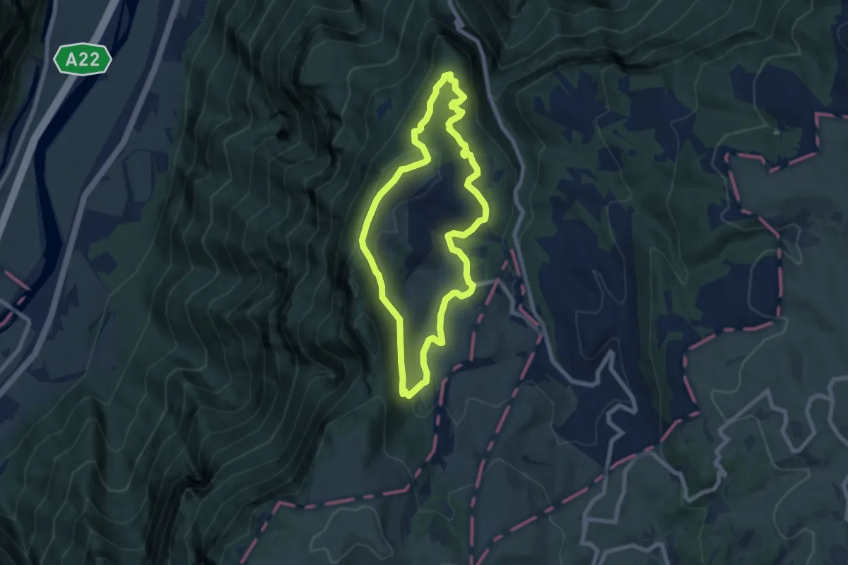
Easy · Summit
Parcheggio Campeggio "Al Faggio" – Parcheggio Campeggio "Al Faggio"
6.4 km · ↑ 238 m · 2 h 7 min
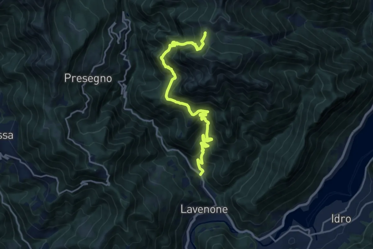
Demanding · Trail
Ponte Agro - Lavenone – Passo Zeno
14.0 km · ↑ 1401 m · 6 h 21 min
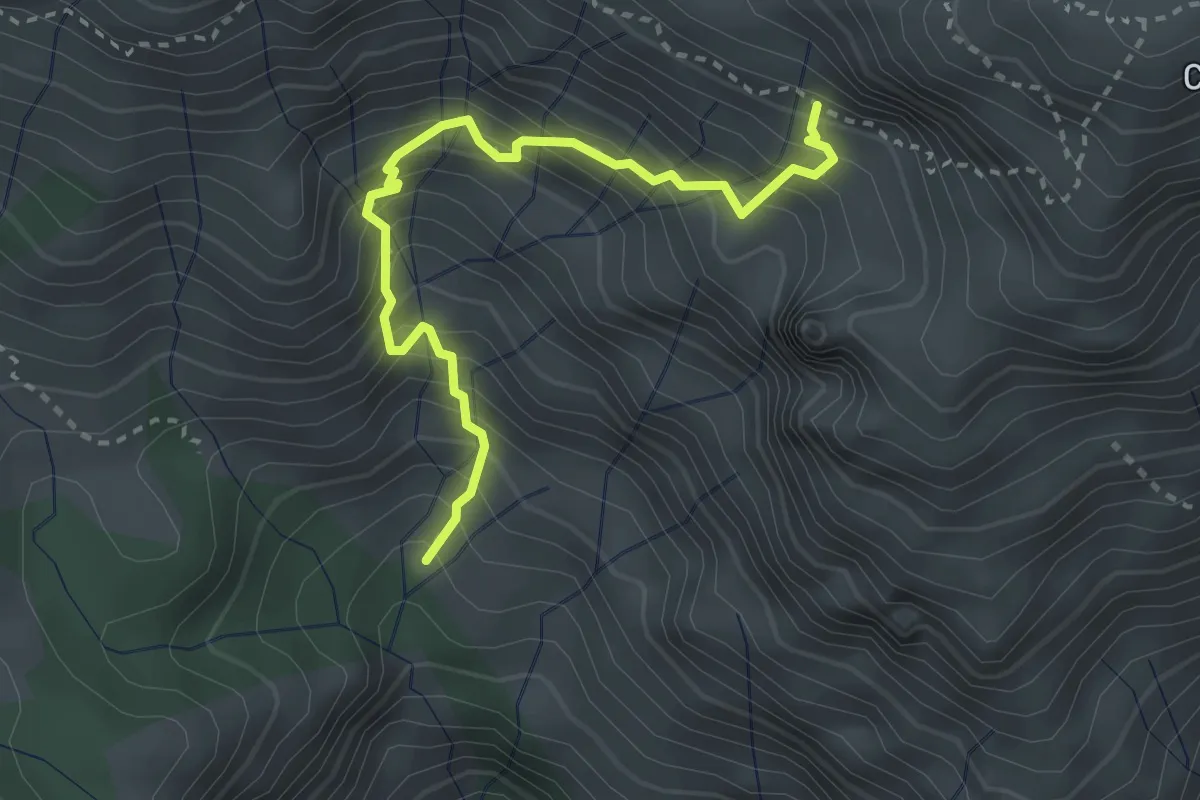
Demanding · Trail
Prael – Innestp Sentiero 349
3.2 km · ↑ 512 m · 1 h 51 min
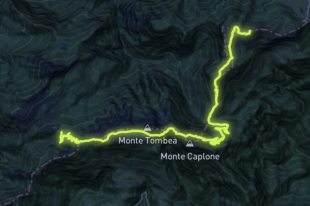
Demanding · Summit
Storo - Ponte della scaletta – Passo di Cablone
27.0 km · ↑ 1970 m · 10 h 39 min