Trails in Italy
25,219 hiking trails, each with its route, climb, walking time and grade.
All trails, page 384 of 526
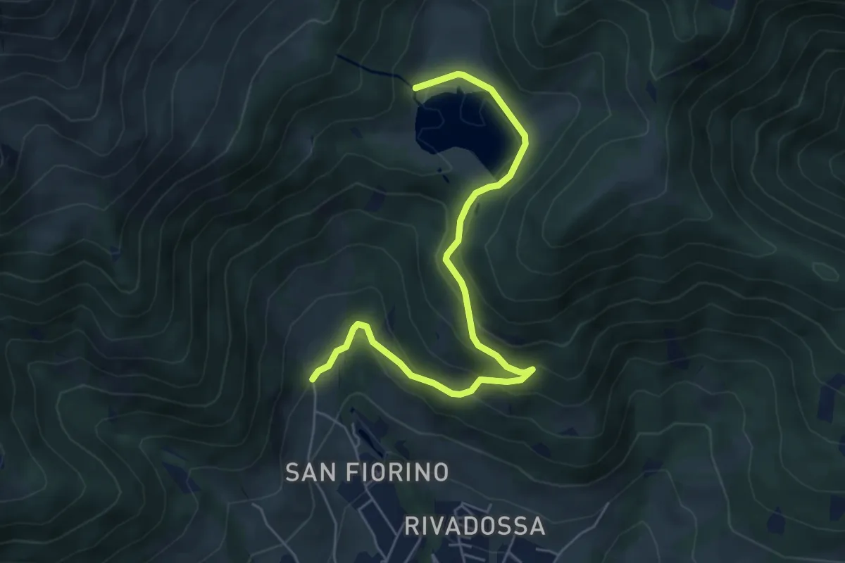
Medium · Trail
Navertino – Chalet Lova
6.0 km · ↑ 347 m · 2 h 10 min
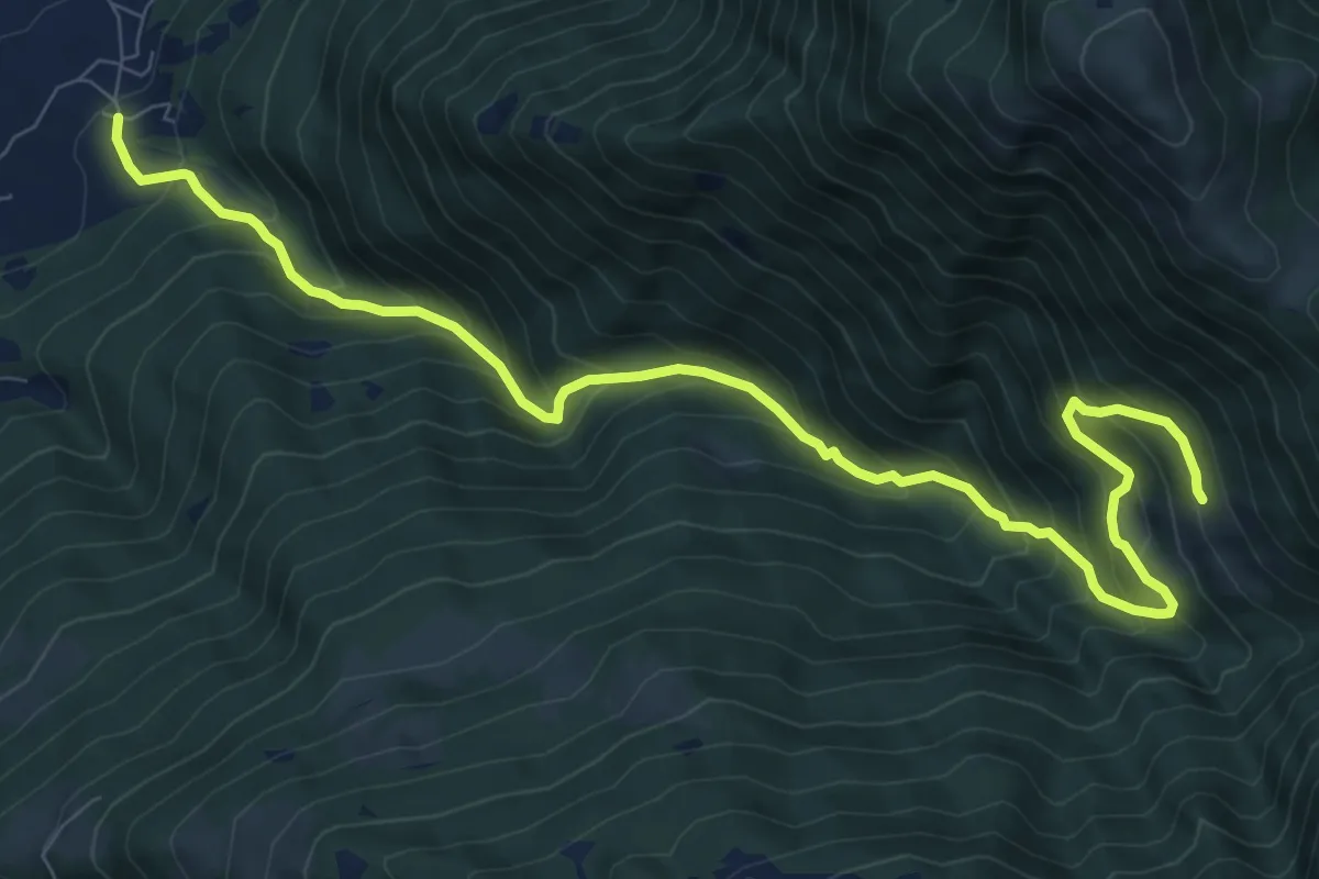
Demanding · Trail
Fucine – Cervera
11.0 km · ↑ 1090 m · 4 h 57 min
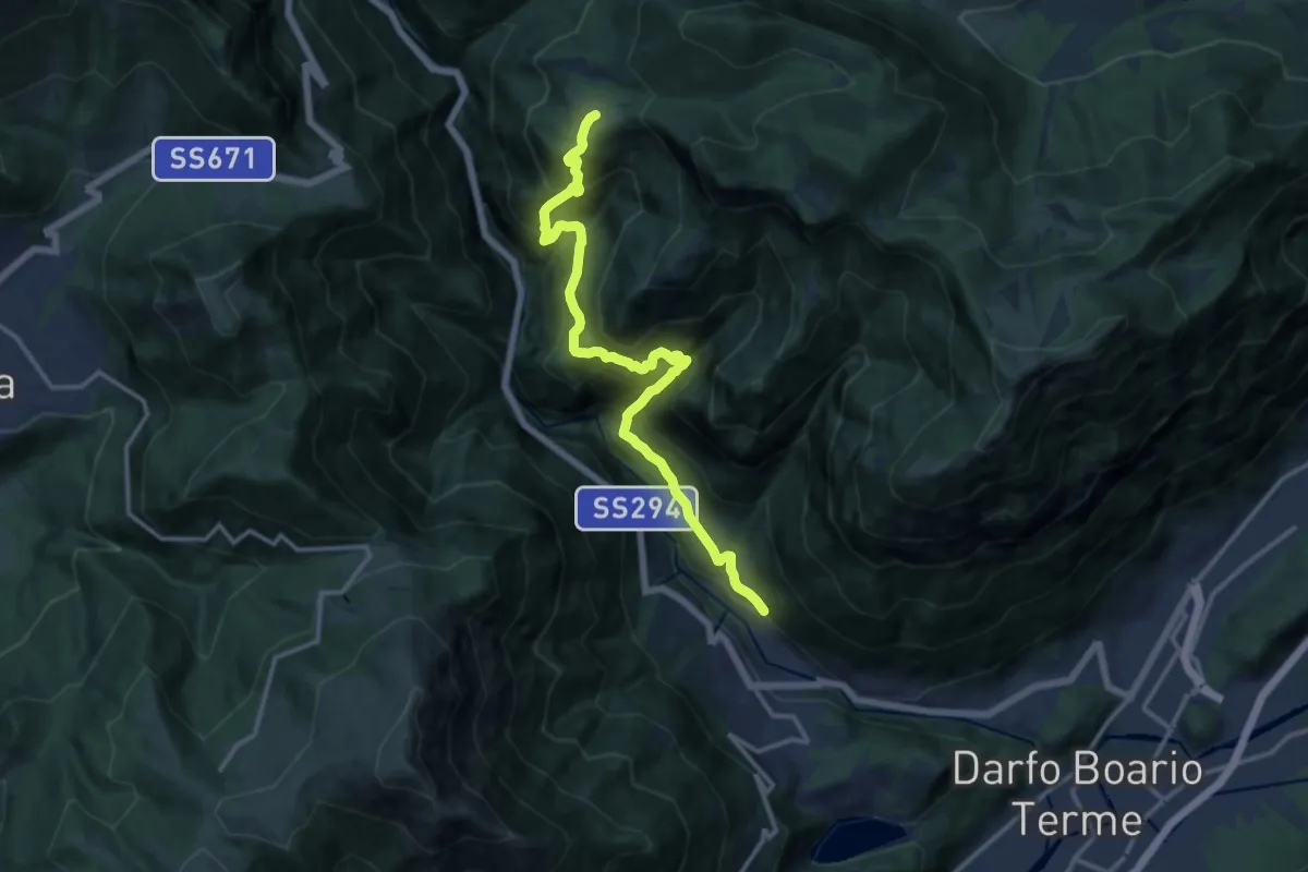
Demanding · Trail
Mazzunno – Prave
13.9 km · ↑ 1285 m · 6 h 4 min
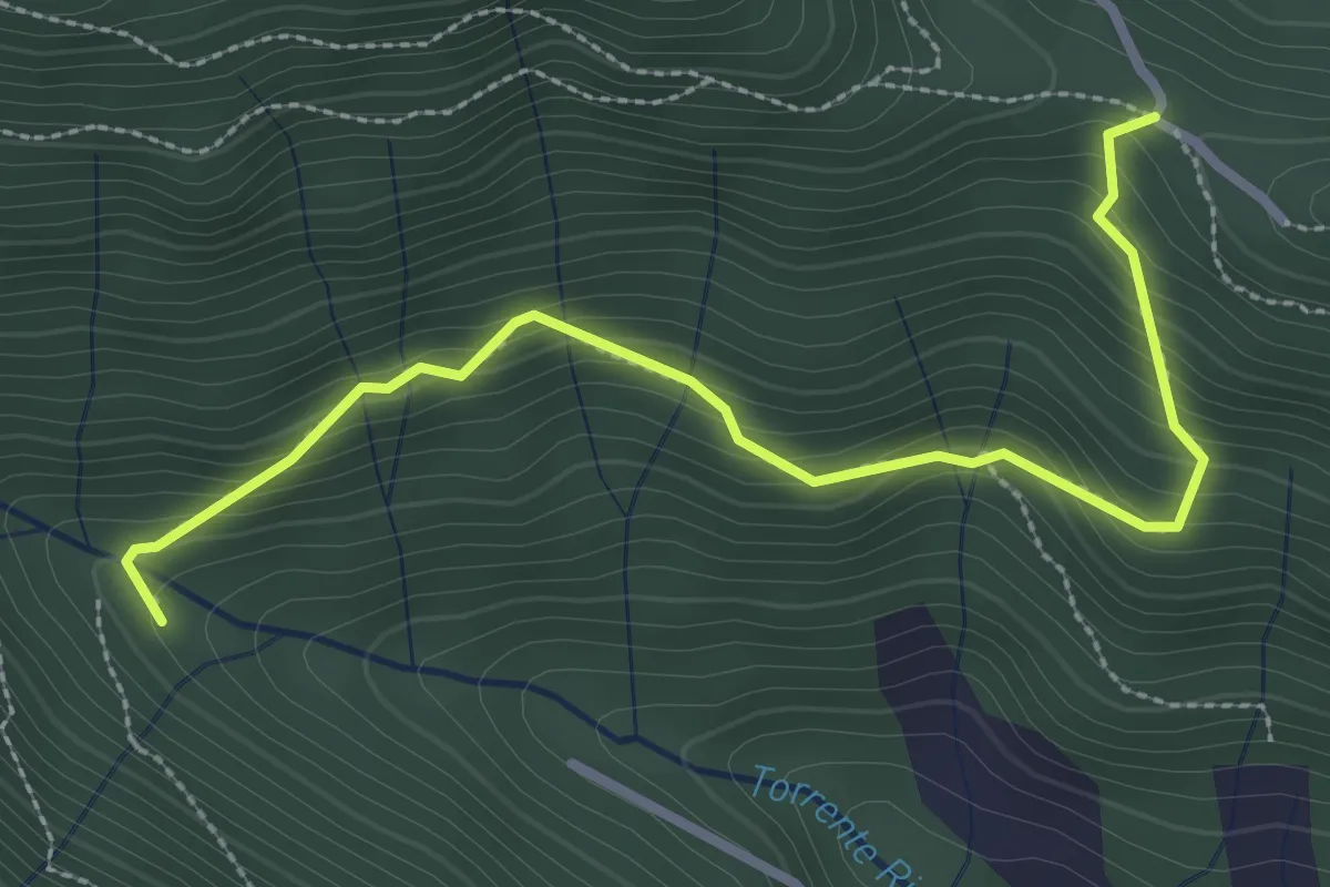
Medium · Trail
Col del Giogo – Incrocio 708
3.2 km · ↑ 264 m · 1 h 19 min
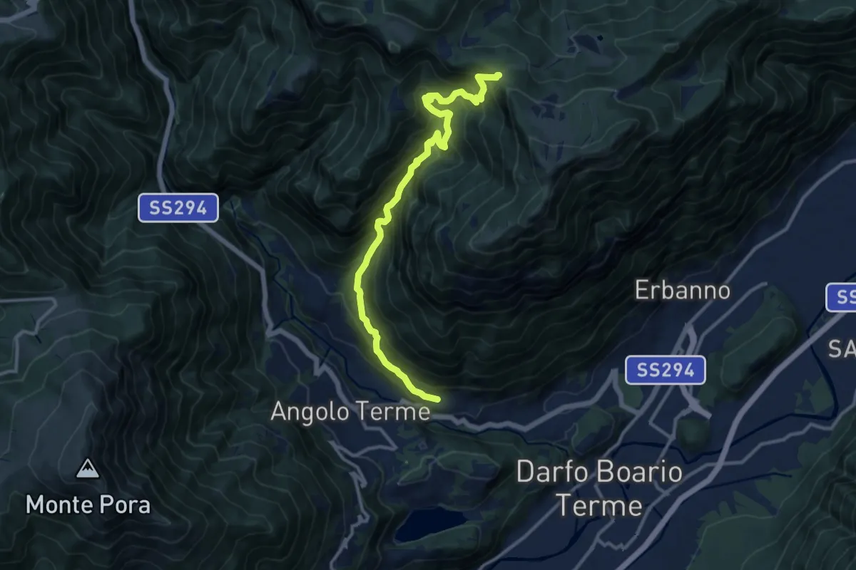
Demanding · Trail
Terzano – San Giovanni
12.1 km · ↑ 1172 m · 5 h 24 min
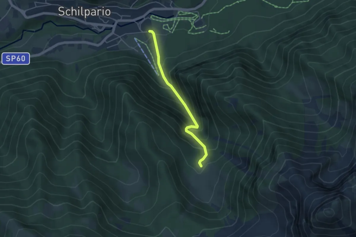
Medium · Trail
Schilpario – Malga Epolo
3.6 km · ↑ 415 m · 1 h 45 min
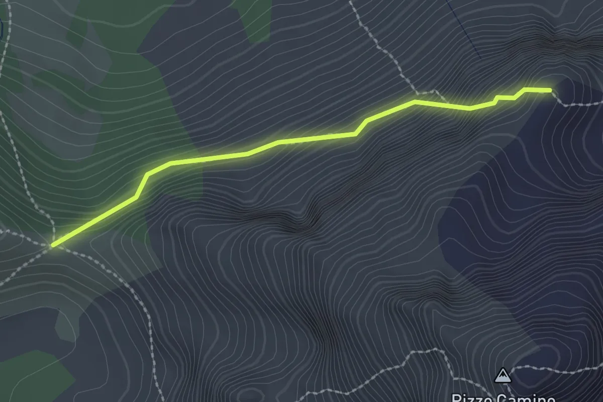
Demanding · Trail
Passo di Corna Busa – Passo di Varicla
2.2 km · ↑ 277 m · 1 h 7 min
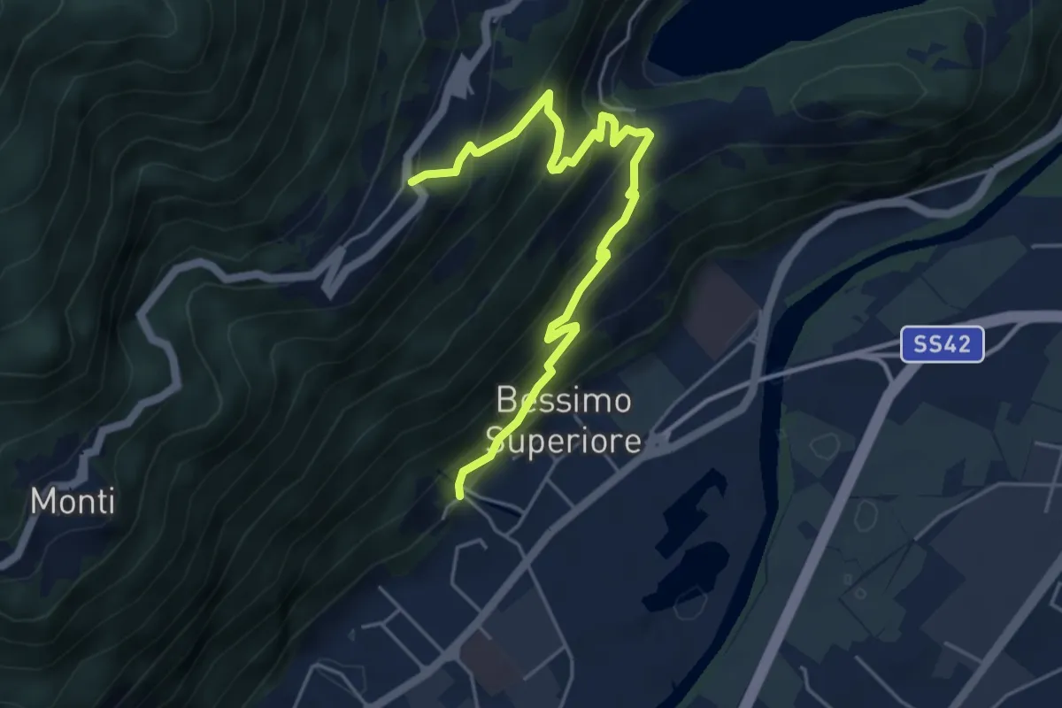
Medium · Trail
Bessimo – Anfurro
5.3 km · ↑ 488 m · 2 h 18 min
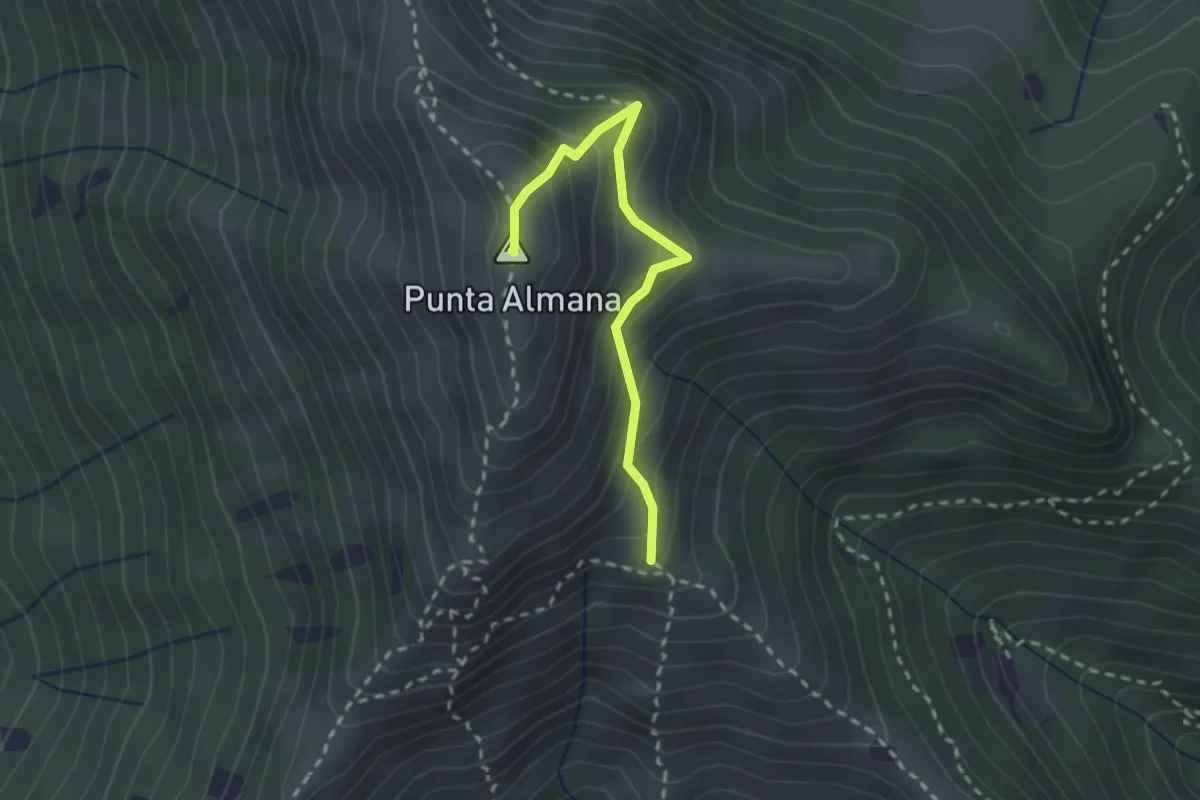
Medium · Summit
Gardone Val Trompia (Bivio Sentiero 313) – Punta Almana
2.4 km · ↑ 309 m · 1 h 14 min
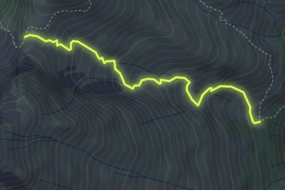
Medium · Trail
Malga Valburnega – Passo di Ezendola
4.0 km · ↑ 499 m · 2 h 2 min
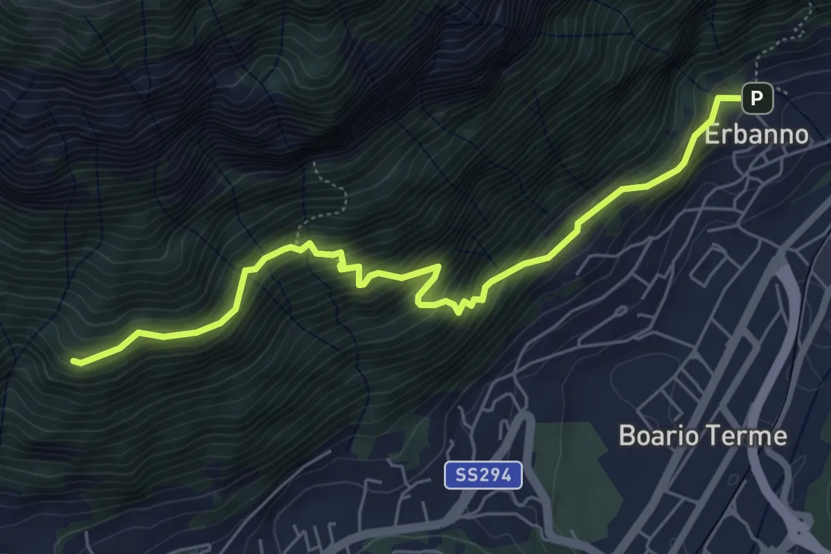
Medium · Trail
Erbanno – Innesto Sentiero 194
6.1 km · ↑ 584 m · 2 h 42 min
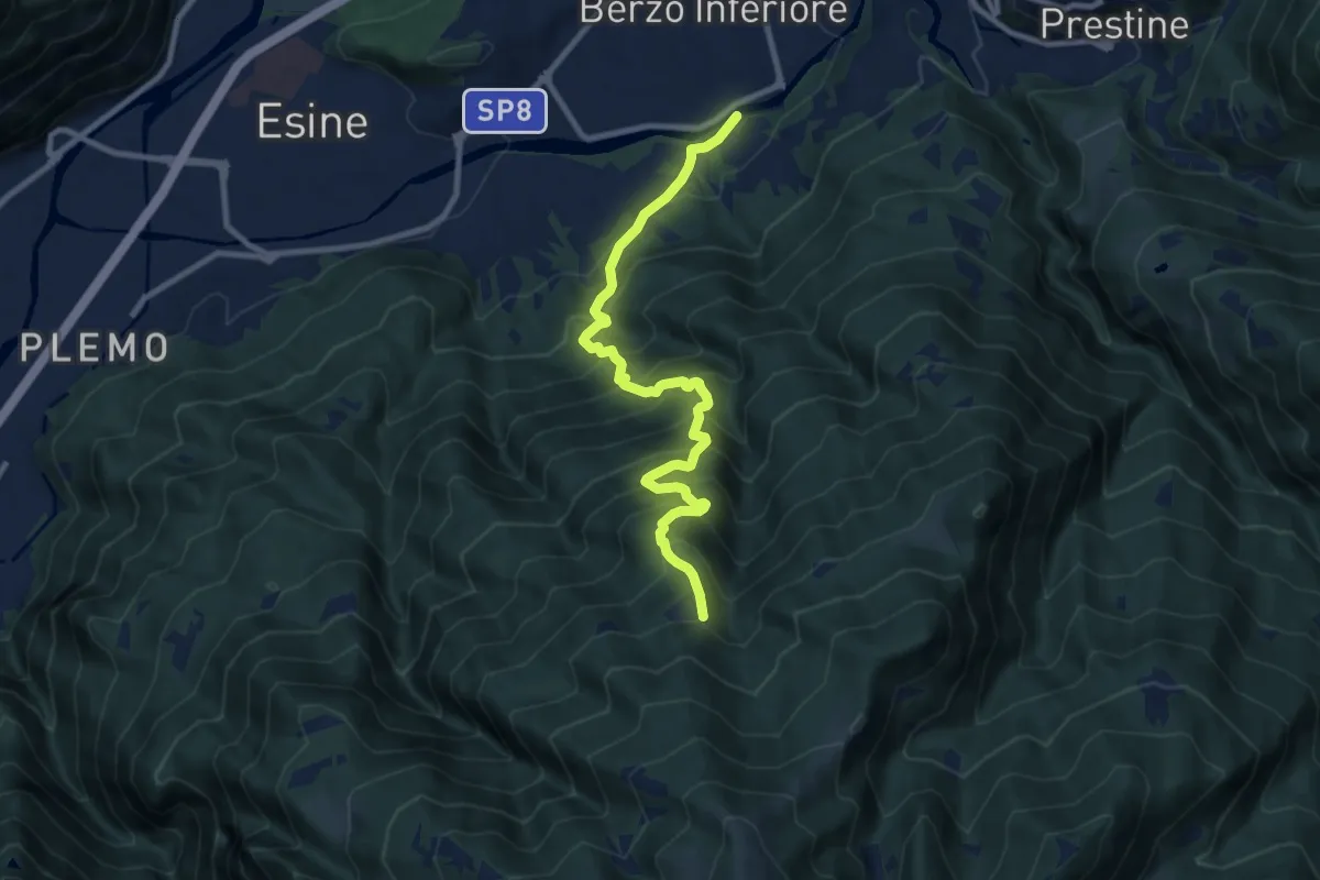
Demanding · Trail
Ponte Grigna – Lazzaretto di Berzo
9.9 km · ↑ 1087 m · 4 h 42 min
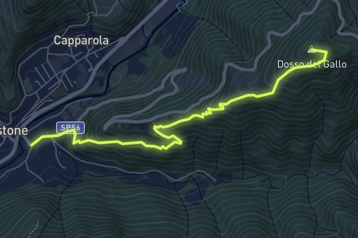
Medium · Summit
Vestone – Treviso B.no, San Liberale
6.6 km · ↑ 510 m · 2 h 40 min
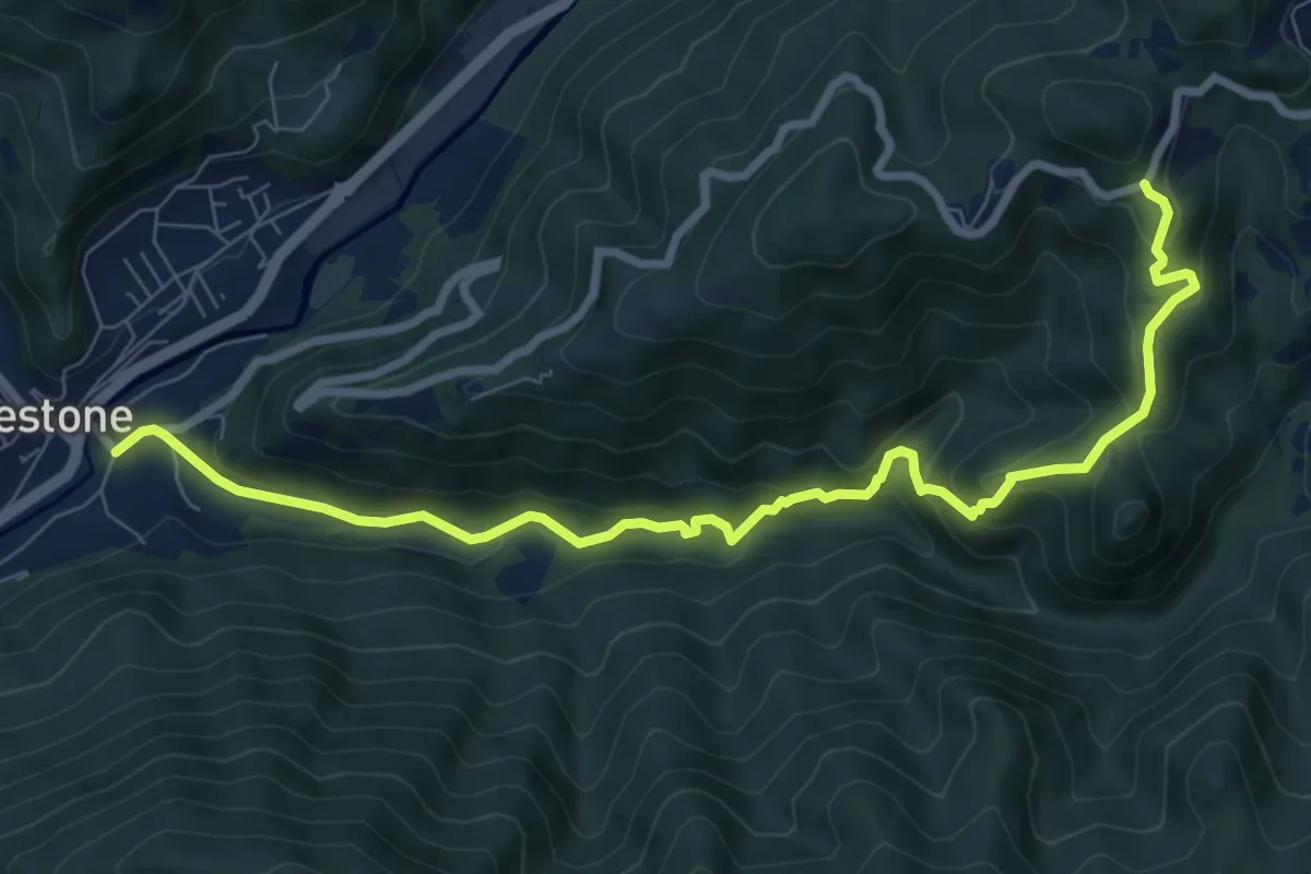
Medium · Trail
Vestone – San Liberale
9.3 km · ↑ 509 m · 3 h 18 min
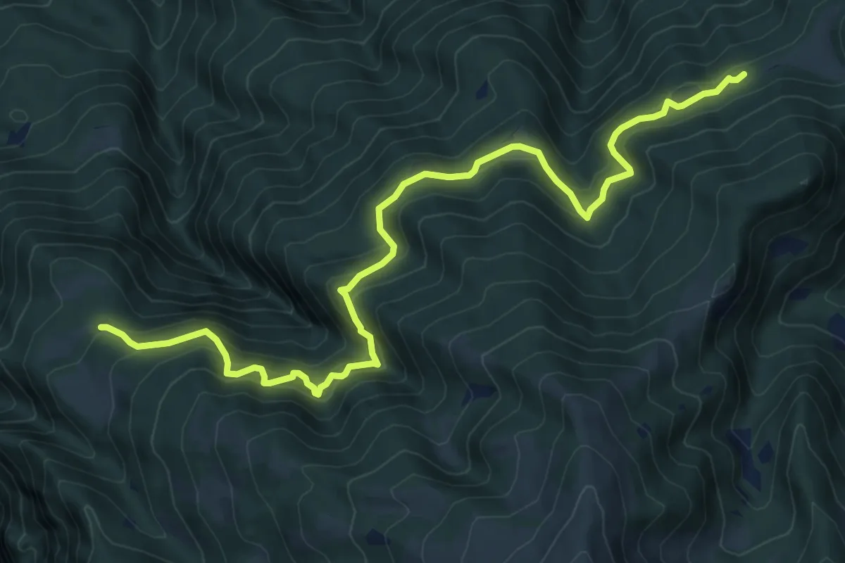
Expert · Trail
Budec – Zuvolo
10.5 km · ↑ 951 m · 4 h 32 min
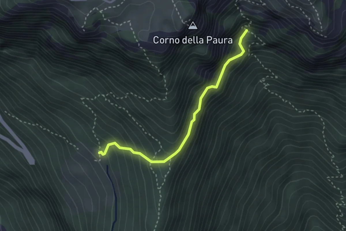
Medium · Trail
Piagù – Val del Castel
2.8 km · ↑ 338 m · 1 h 24 min
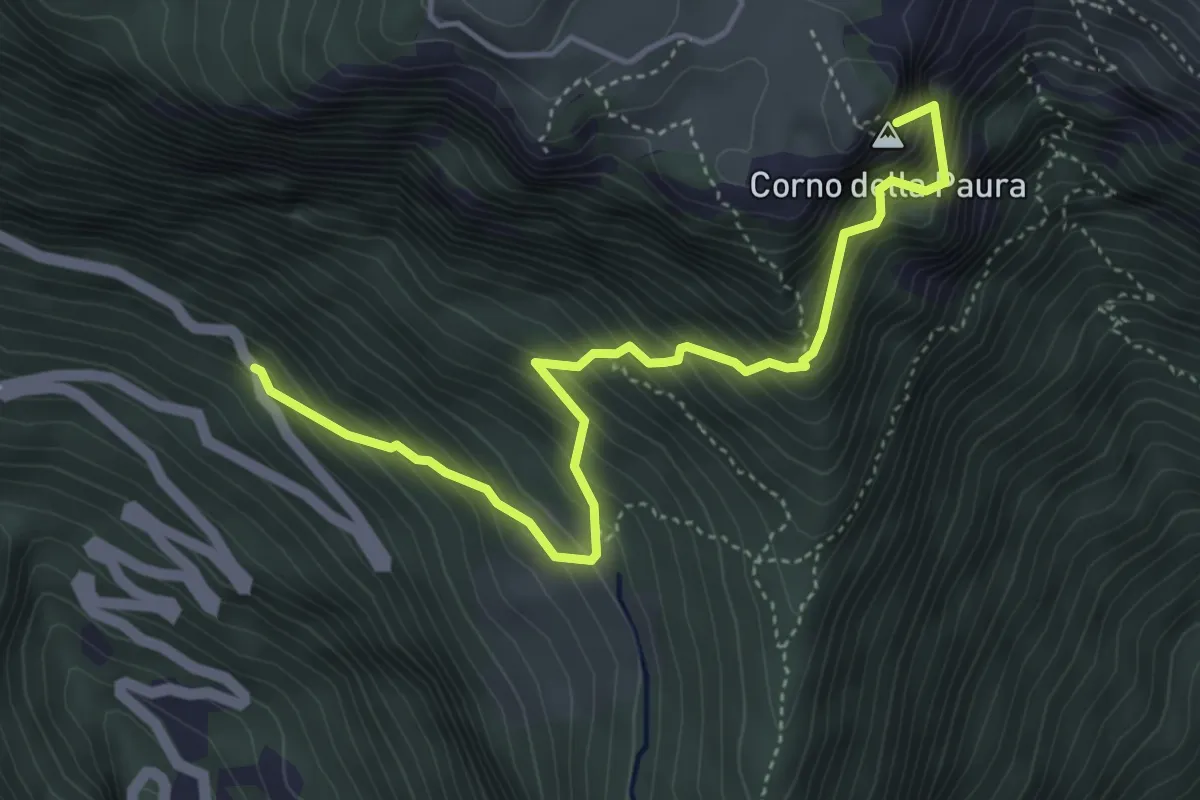
Medium · Summit
Polsa – Bivio strada provinciale 208
4.8 km · ↑ 743 m · 2 h 45 min
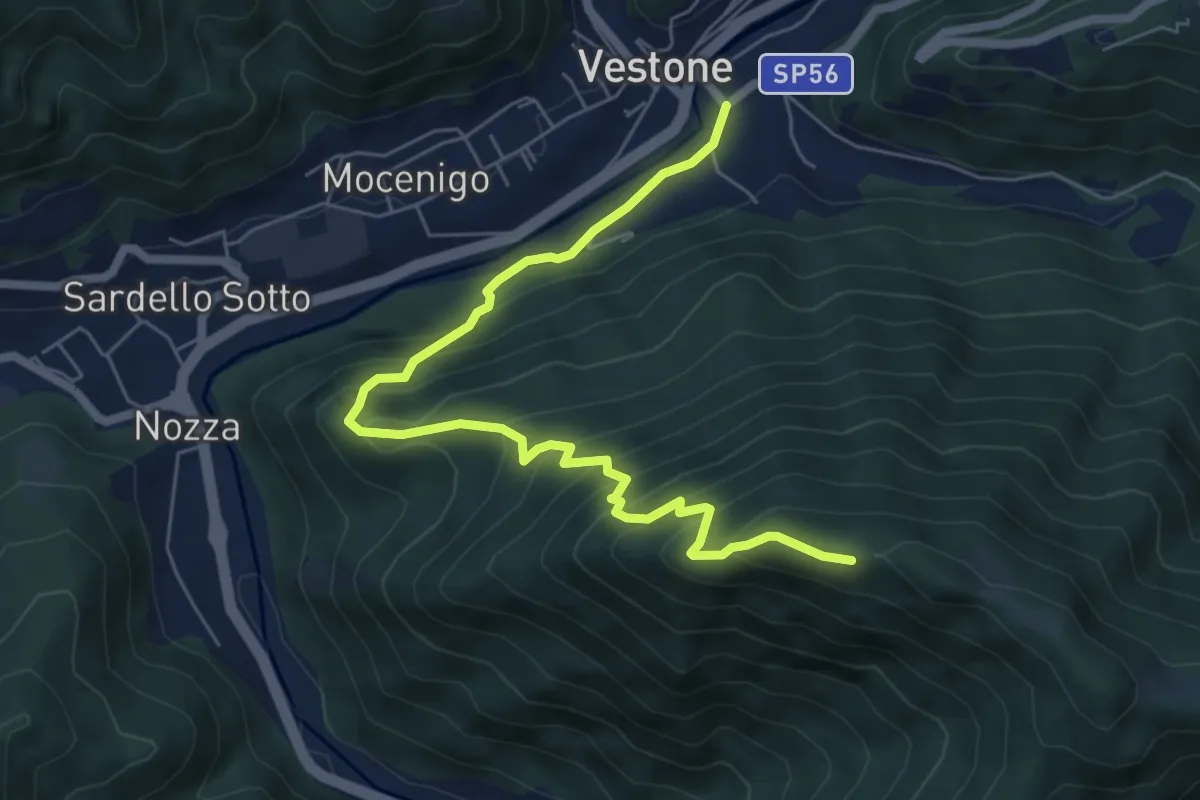
Medium · Trail
Monte Colmo – Vestone
7.1 km · ↑ 619 m · 3 h 1 min
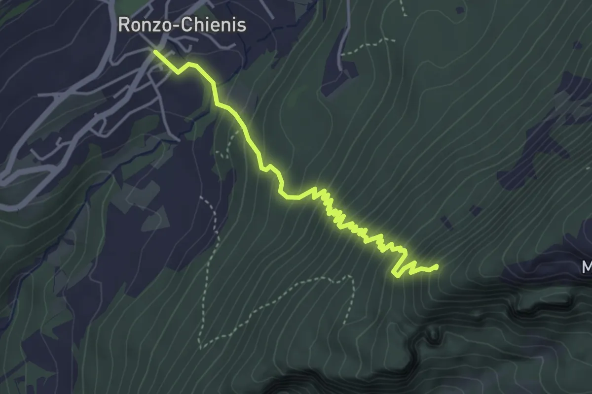
Medium · Trail
Ronzo Chienis – Incrocio strada forestale
4.4 km · ↑ 450 m · 2 h
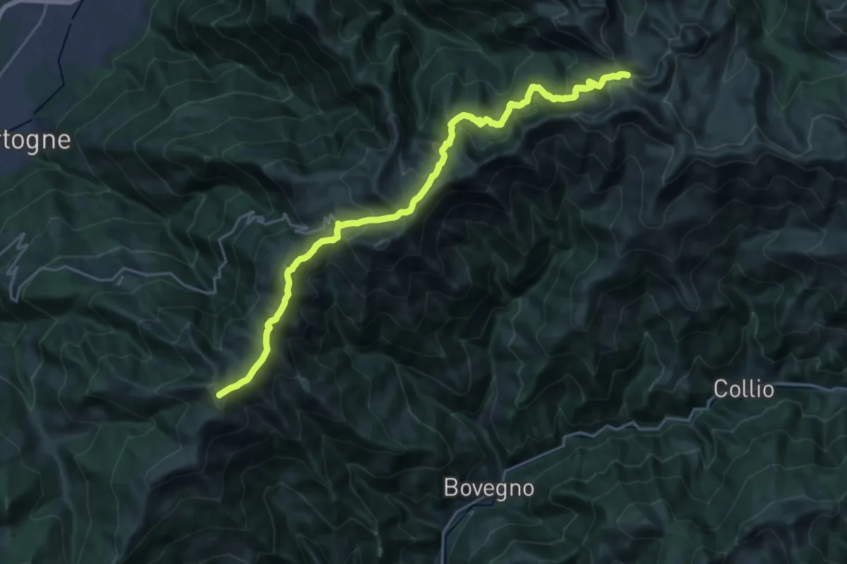
Demanding · Summit
Colma di Marucolo – Pss. Crestoso
23.8 km · ↑ 1135 m · 8 h 5 min
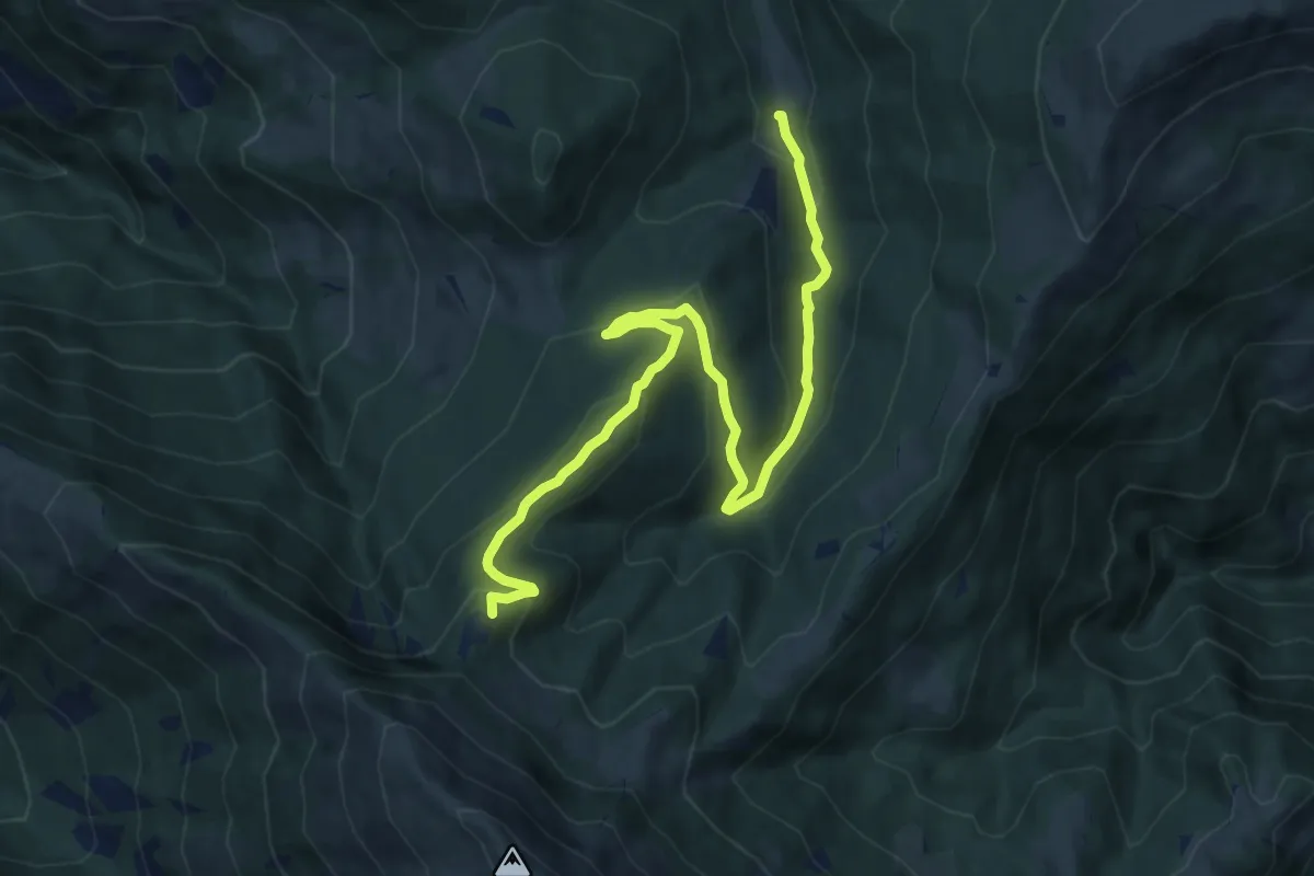
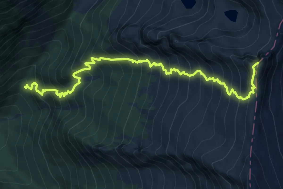
Medium · Summit
Duadell – Roccolo Caravina
11.3 km · ↑ 544 m · 3 h 51 min
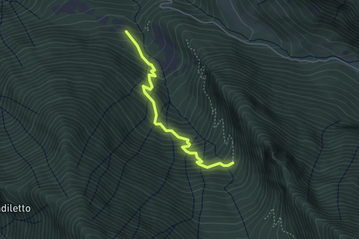
Expert · Summit
Val Dois ( innesto sentiero n. 637 ) – Innesto sentiero n. 637
9.0 km · ↑ 1185 m · 4 h 41 min
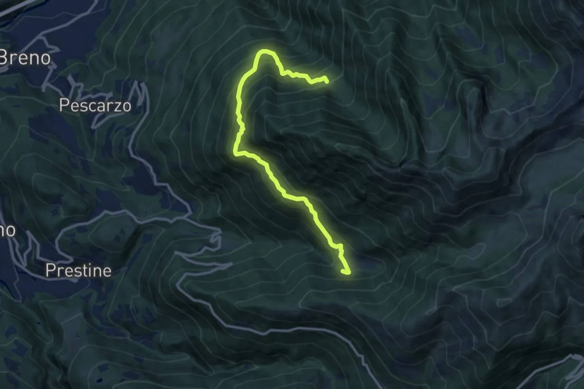
Medium · Trail
Guado Scalassone – Innesto sentiero n. 638
3.6 km · ↑ 443 m · 1 h 49 min
Demanding · Trail
Pian d'Astrio – Malga Sambuco
10.0 km · ↑ 955 m · 4 h 26 min
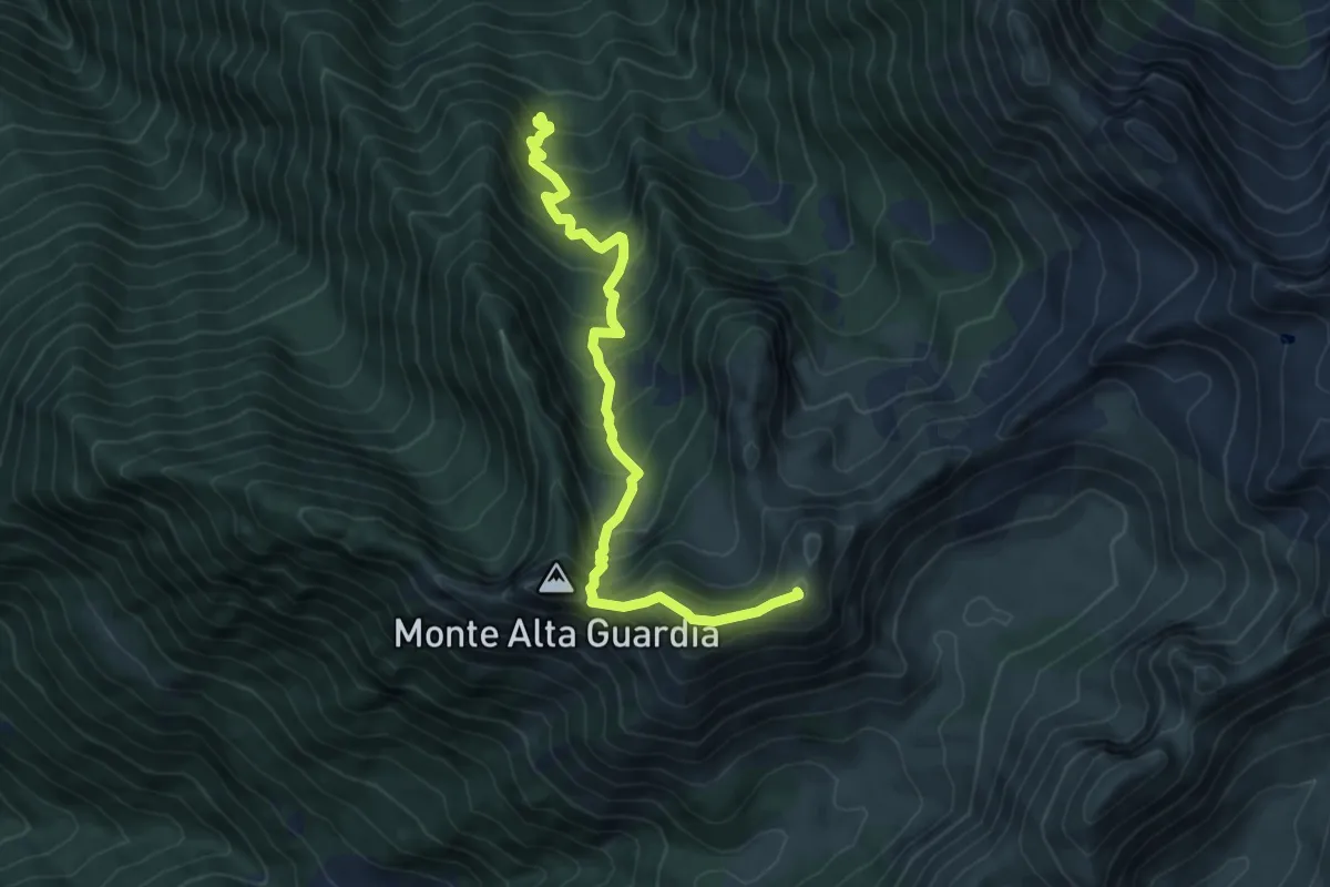
Medium · Summit
Malga Campadelli – Passo Sabbione di Croce
7.3 km · ↑ 738 m · 3 h 19 min
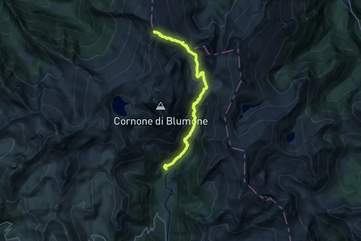
Demanding · Summit
Gaver – Passo della Monoccola
14.6 km · ↑ 1257 m · 6 h 11 min
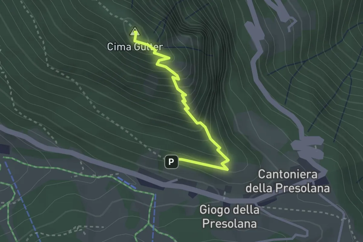
Demanding · Summit
Incrocio 316 – Incrocio 316
2.5 km · ↑ 283 m · 1 h 13 min
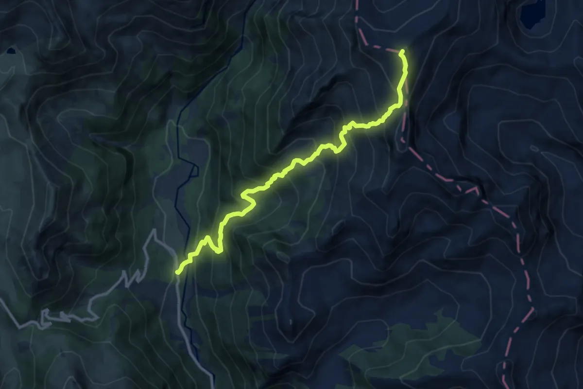
Expert · Summit
Gaver – Casinello di Blumone
10.2 km · ↑ 1212 m · 5 h 2 min
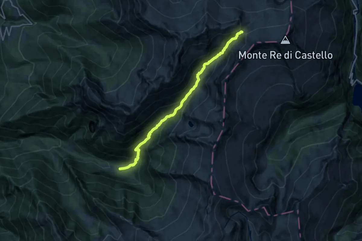
Expert · Cabin
Case di Val Paghera – Rifugio Maria e Franco
13.8 km · ↑ 1337 m · 6 h 10 min
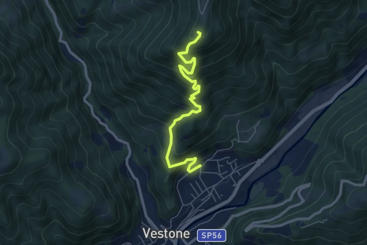
Medium · Trail
roccolo Rossetto – Promo
5.6 km · ↑ 566 m · 2 h 33 min
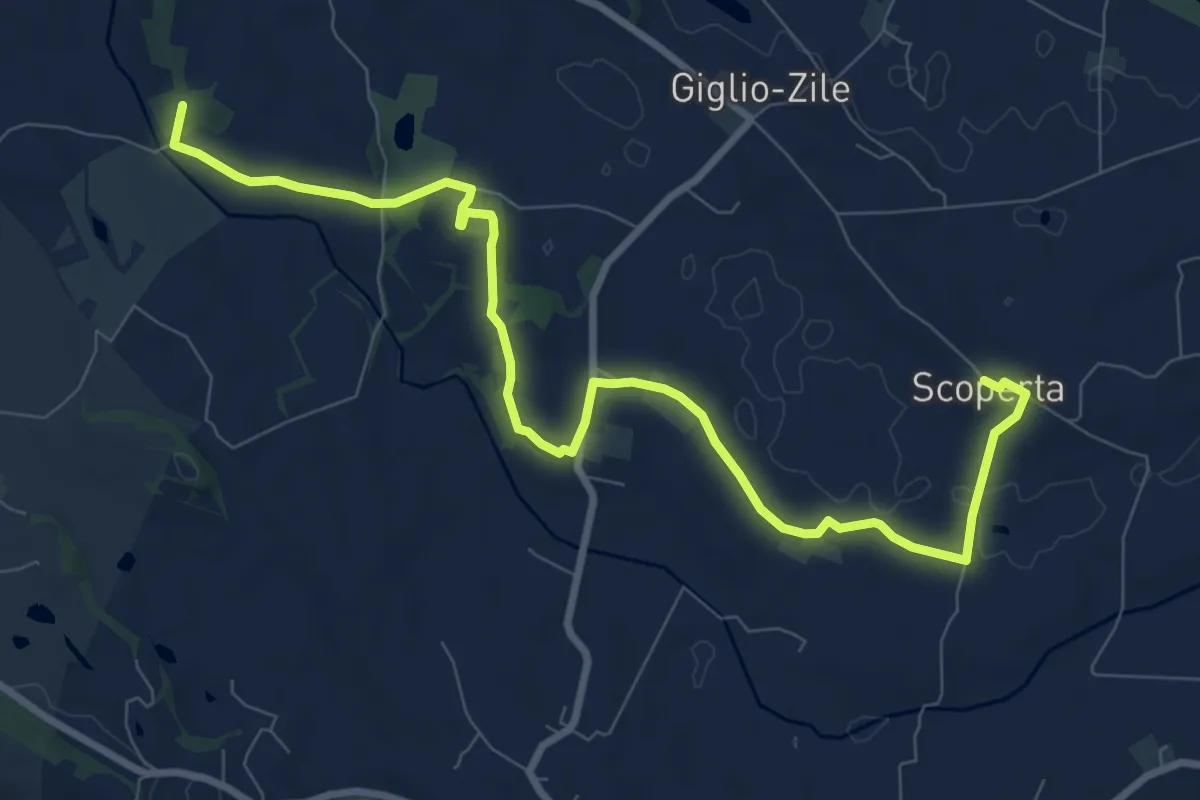
Medium · Summit
Esenta – Madonna della Scoperta
10.7 km · ↑ 96 m · 2 h 44 min
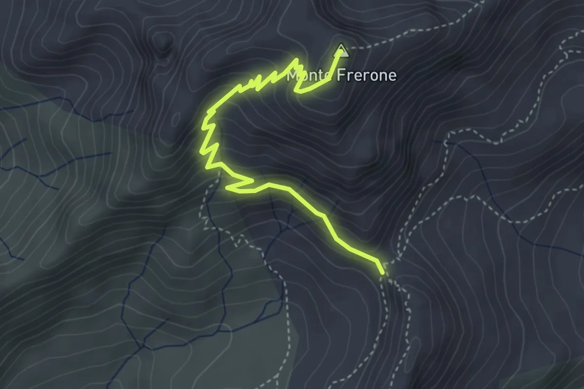
Expert · Summit
Passo di Val Fredda – Passo di Frerone
4.1 km · ↑ 378 m · 1 h 48 min
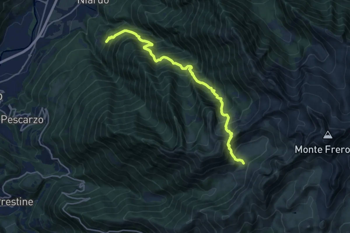
Demanding · Trail
Salina – Malga Stabio di Sopra
13.9 km · ↑ 1727 m · 7 h 1 min
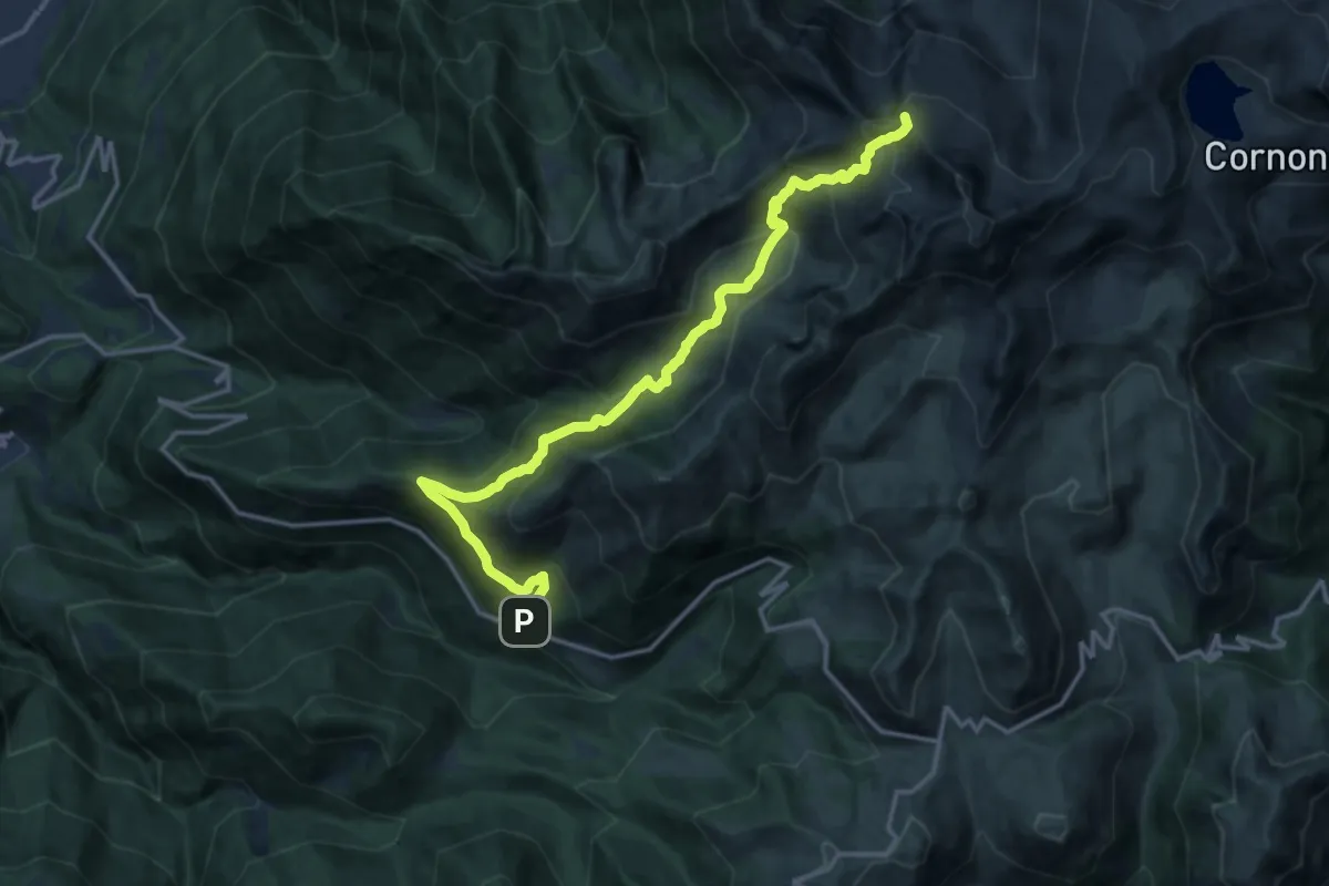
Expert · Summit
Dalmone – Intersezione sentiero n. 638
16.8 km · ↑ 1215 m · 6 h 36 min
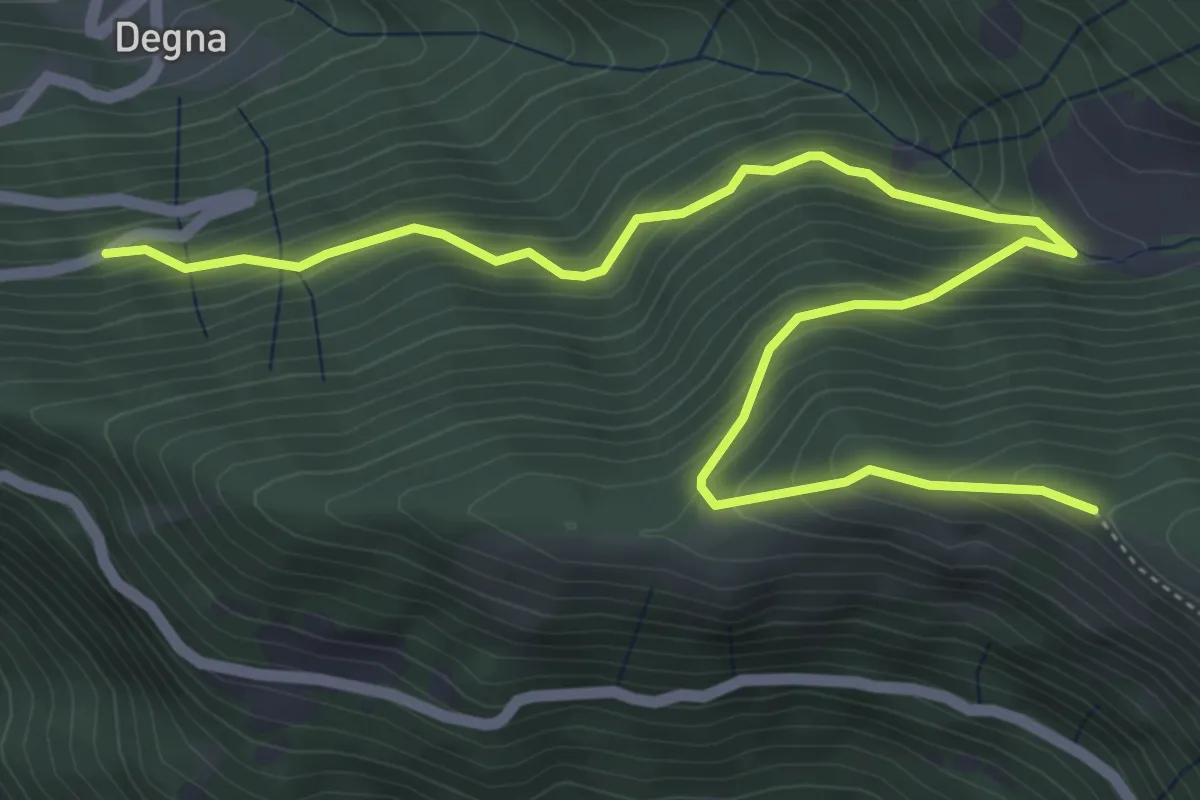
Medium · Trail
Innesto Strada Provinciale 345 – Innesto sentiero n. 679 (Biorche)
6.7 km · ↑ 537 m · 2 h 45 min
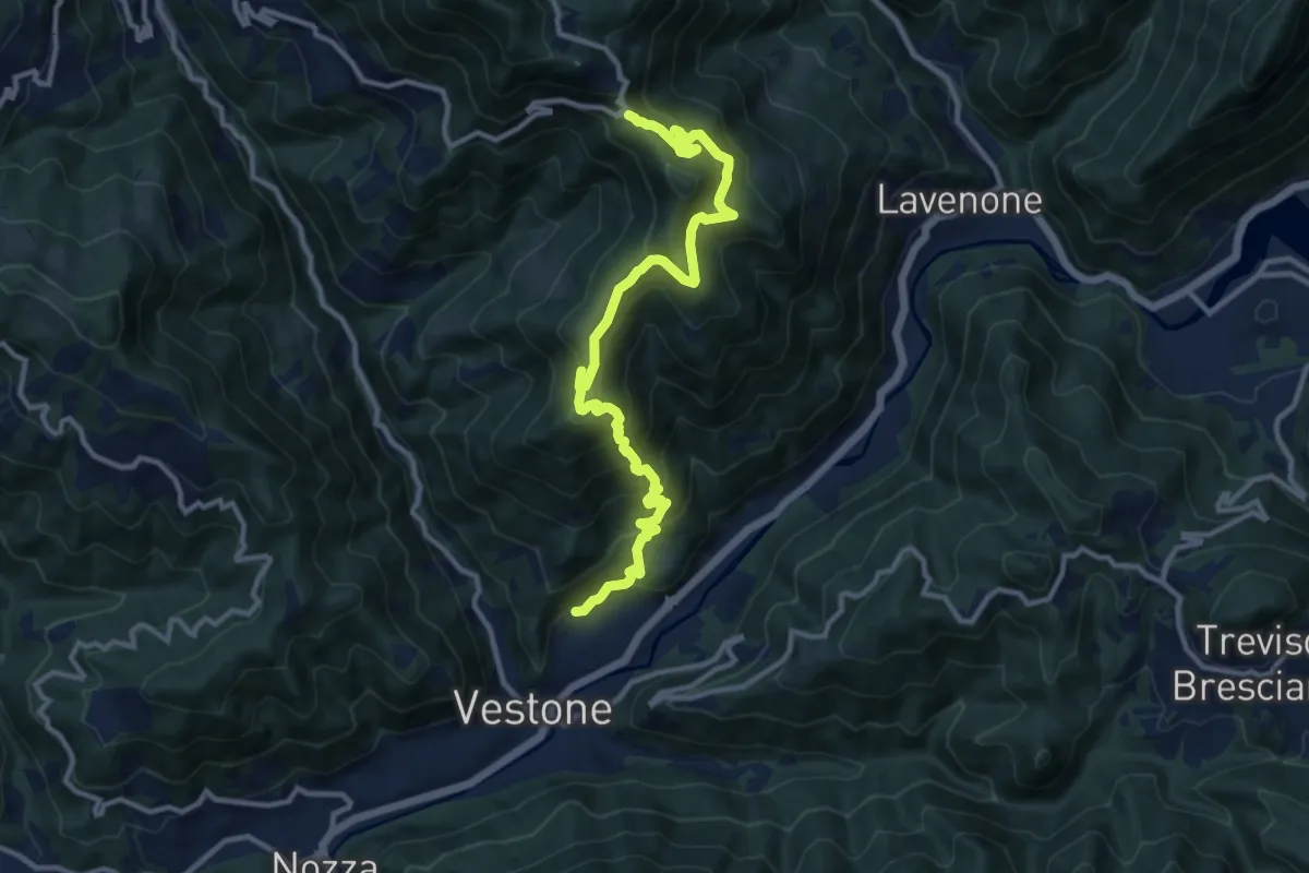
Demanding · Trail
Promo – La Passata
12.9 km · ↑ 936 m · 5 h 4 min
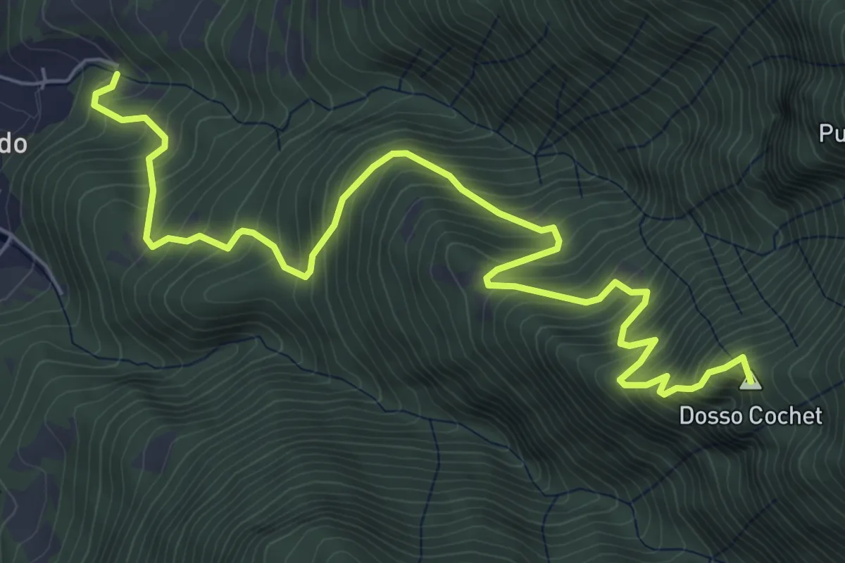
Demanding · Summit
San Giorgio – Niardo
7.9 km · ↑ 925 m · 3 h 52 min
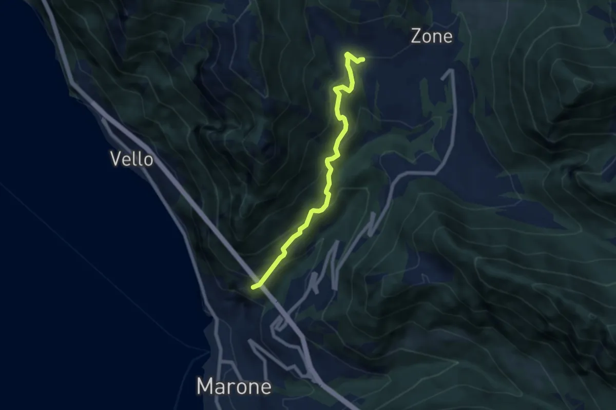
Medium · Trail
Monte Marone – Cusato
5.7 km · ↑ 433 m · 2 h 17 min
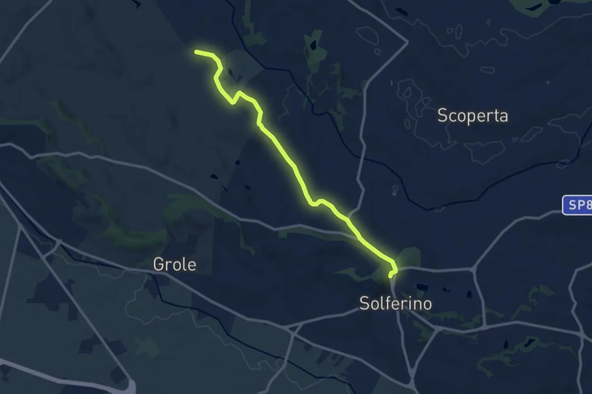
Medium · Trail
Cascina Giovannini dei Preti – Solferino
9.2 km · ↑ 92 m · 2 h 22 min
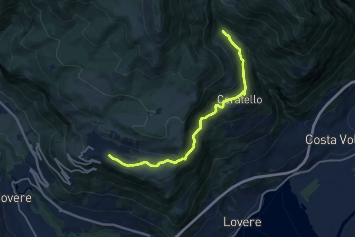
Medium · Trail
Bossico – I Ciar
9.3 km · ↑ 508 m · 3 h 18 min
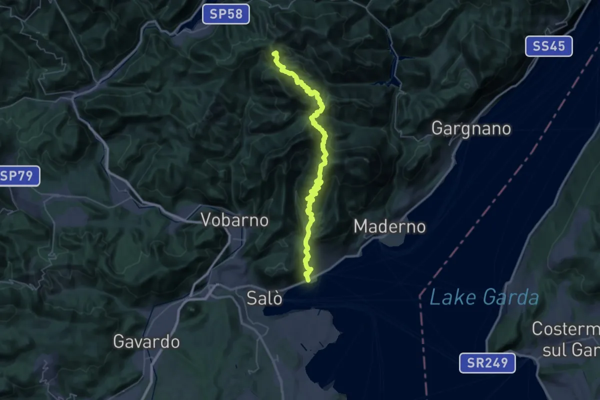
Demanding · Summit
Barbarano – Cavallino della Fobbia
39.5 km · ↑ 2679 m · 15 h 7 min
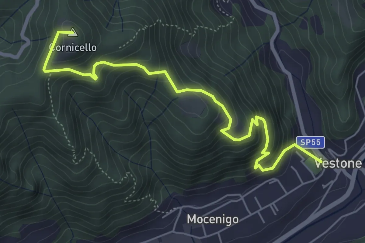
Medium · Summit
Vestone – San Bernardo
5.9 km · ↑ 514 m · 2 h 31 min
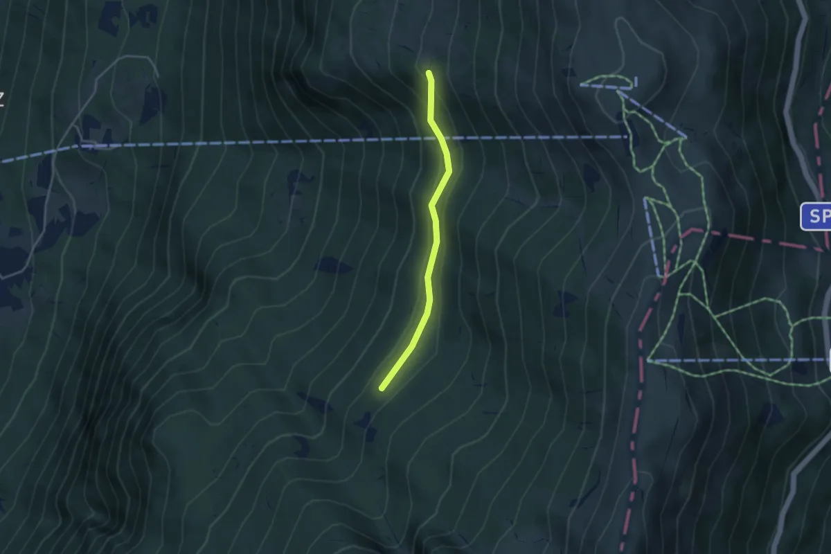
Medium · Trail
Monte de Bis (bivio sent. 11) – Pozza del Pezzon (bivio sent. 2)
3.2 km · ↑ 160 m · 1 h 6 min
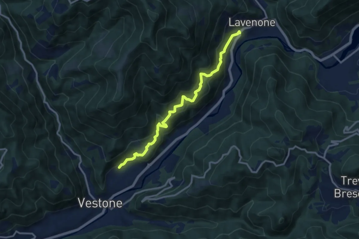
Medium · Trail
Vestone (Promo) – Lavenone
8.5 km · ↑ 632 m · 3 h 22 min
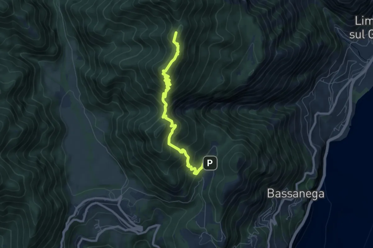
Demanding · Summit
Fornaci – Cima Sospiri, Percorso 106
7.0 km · ↑ 660 m · 3 h 5 min
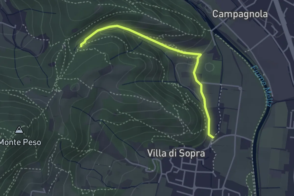
Medium · Trail
Collebeato (La Noia) – Monte Zuccolotto (Innesto Sentiero 248)
3.3 km · ↑ 135 m · 1 h 4 min
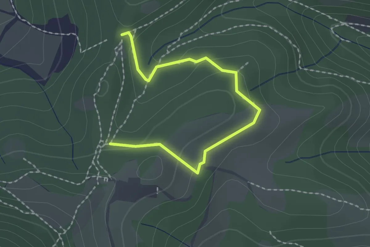
Medium · Trail
Collebeato (Roccolo Polonioli) – Sella del Madì (Innesto Sentiero 248)
2.1 km · ↑ 64 m · 38 min
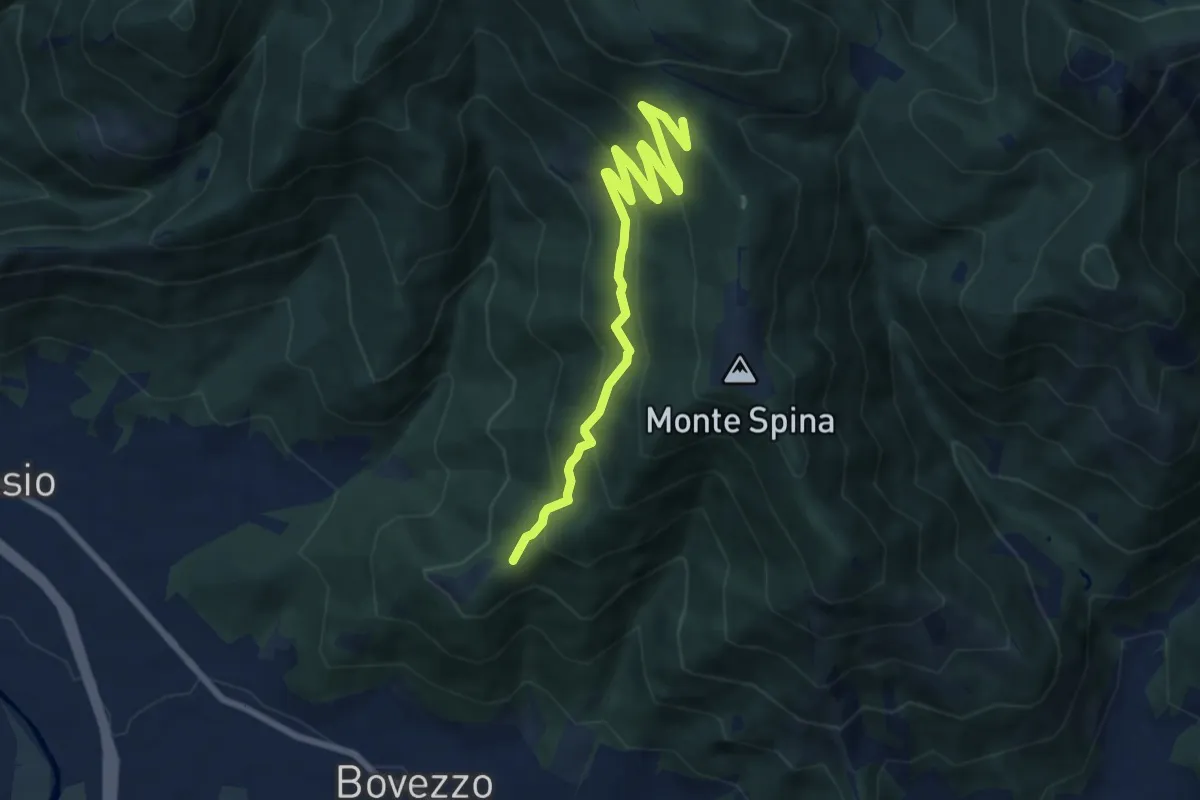
Medium · Trail
Bovezzo (Santella delle Pentere) – Strada del Sant'Onofrio
8.5 km · ↑ 469 m · 3 h 1 min