Trails in Italy
25,219 hiking trails, each with its route, climb, walking time and grade.
All trails, page 385 of 526
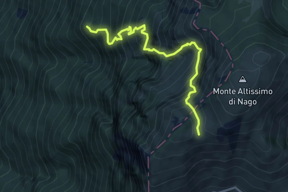
Demanding · Summit
Dosso dei Roveri - da sent. 6 – Busa Brodeghera - inn. sent. 651
6.1 km · ↑ 1204 m · 4 h 3 min
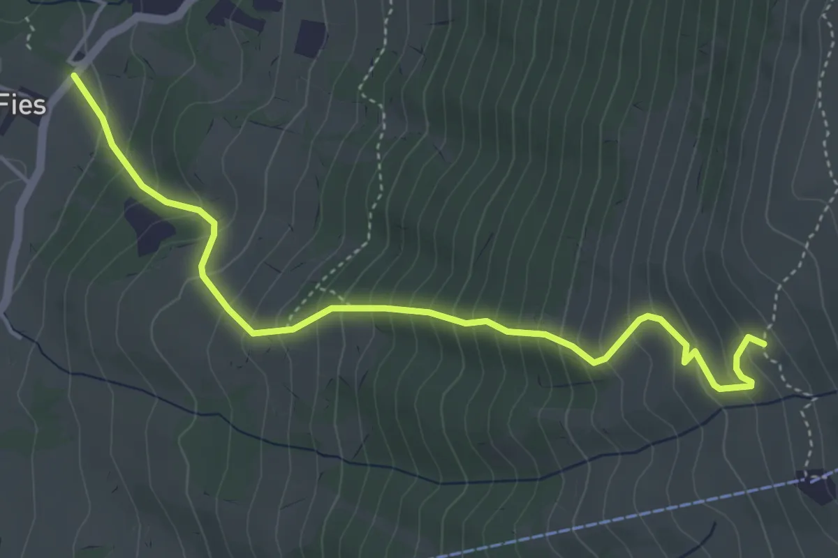
Medium · Trail
Prada Alta - (osteria da Tano) – Valvaccara - inn. sent. 55
4.9 km · ↑ 557 m · 2 h 22 min
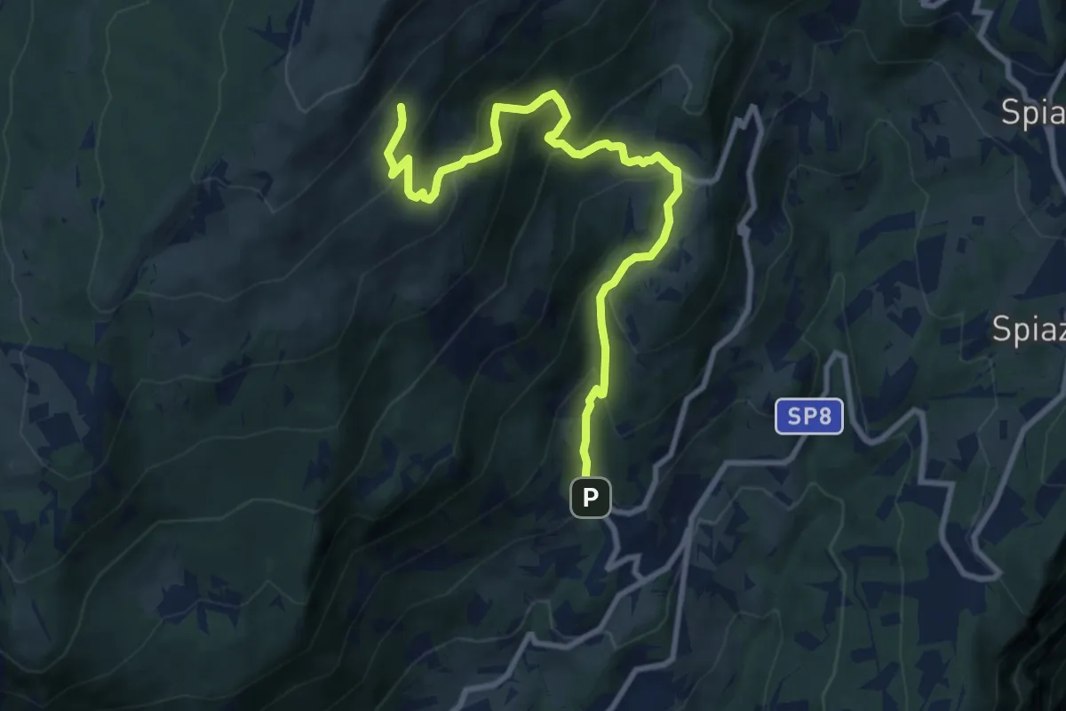
Demanding · Trail
Braga – Colonei di Caprino
9.7 km · ↑ 806 m · 4 h 2 min
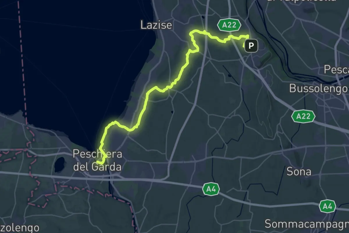
Medium · Trail
Pastrengo – Volta Mantovana
17.2 km · ↑ 105 m · 4 h 35 min
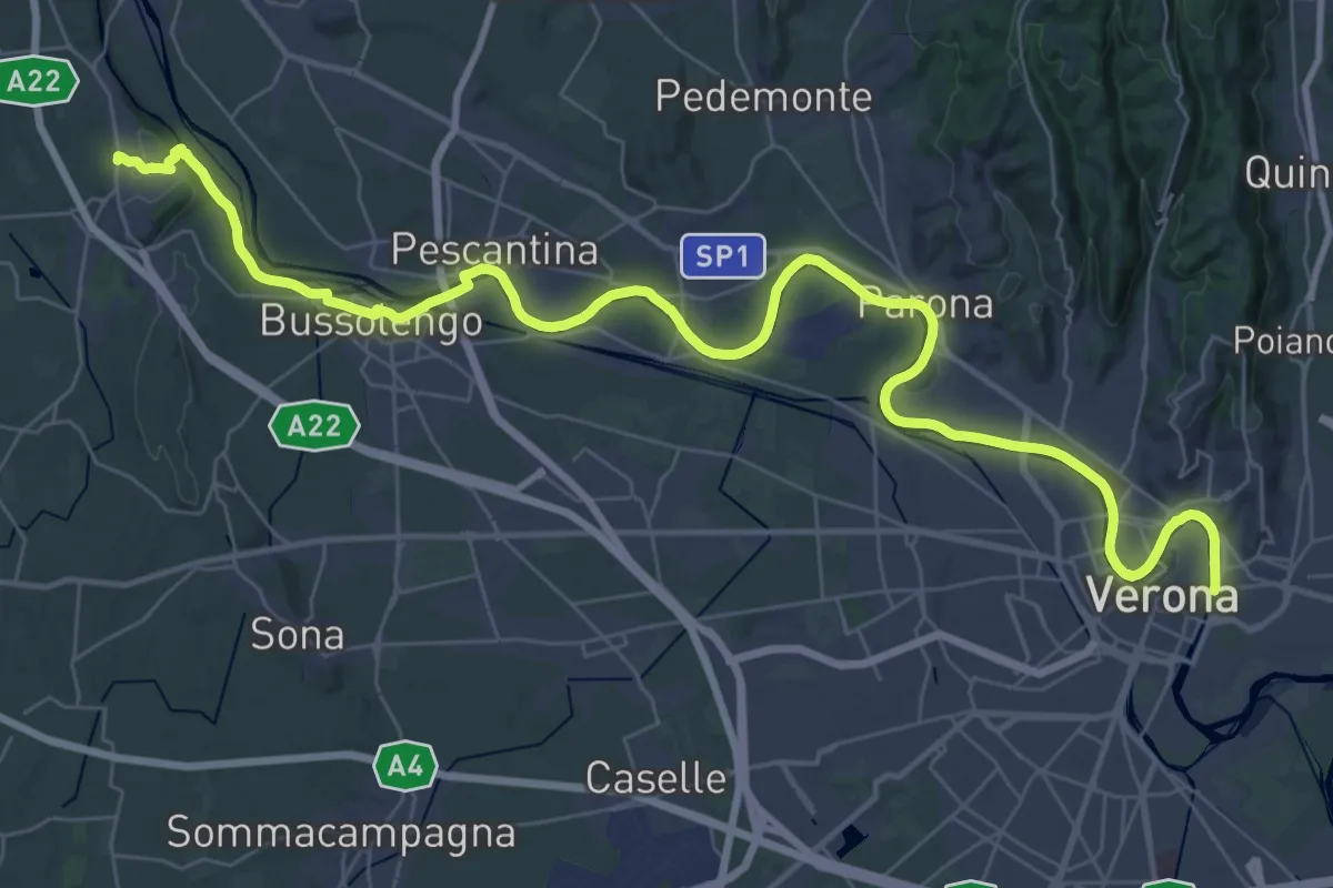
Demanding · Trail
Verona – Pastrengo
25.2 km · ↑ 168 m · 6 h 36 min
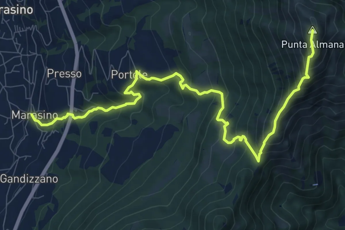
Demanding · Summit
Marasino – Punta Almana
11.4 km · ↑ 1126 m · 5 h 9 min
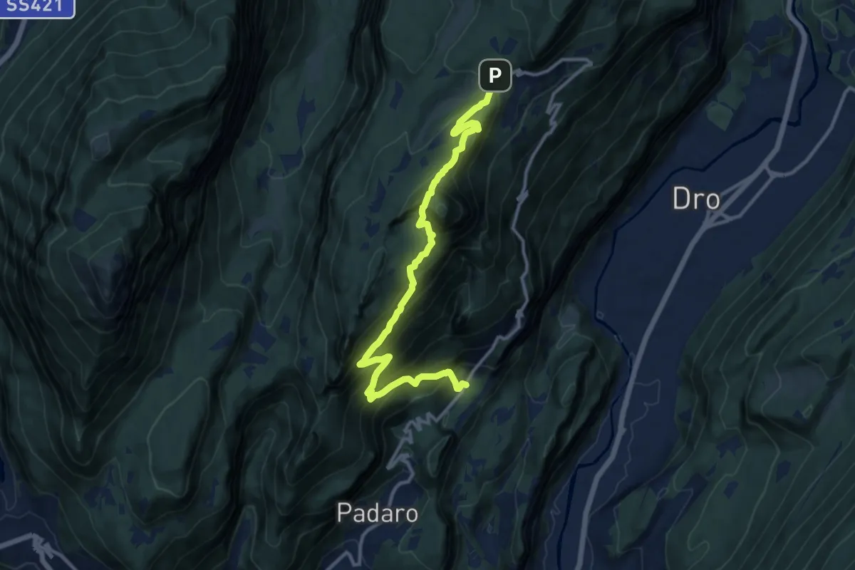
Demanding · Trail
Mandrea (bivio 408) – Marcarie (bivio 425)
12.8 km · ↑ 1368 m · 6 h
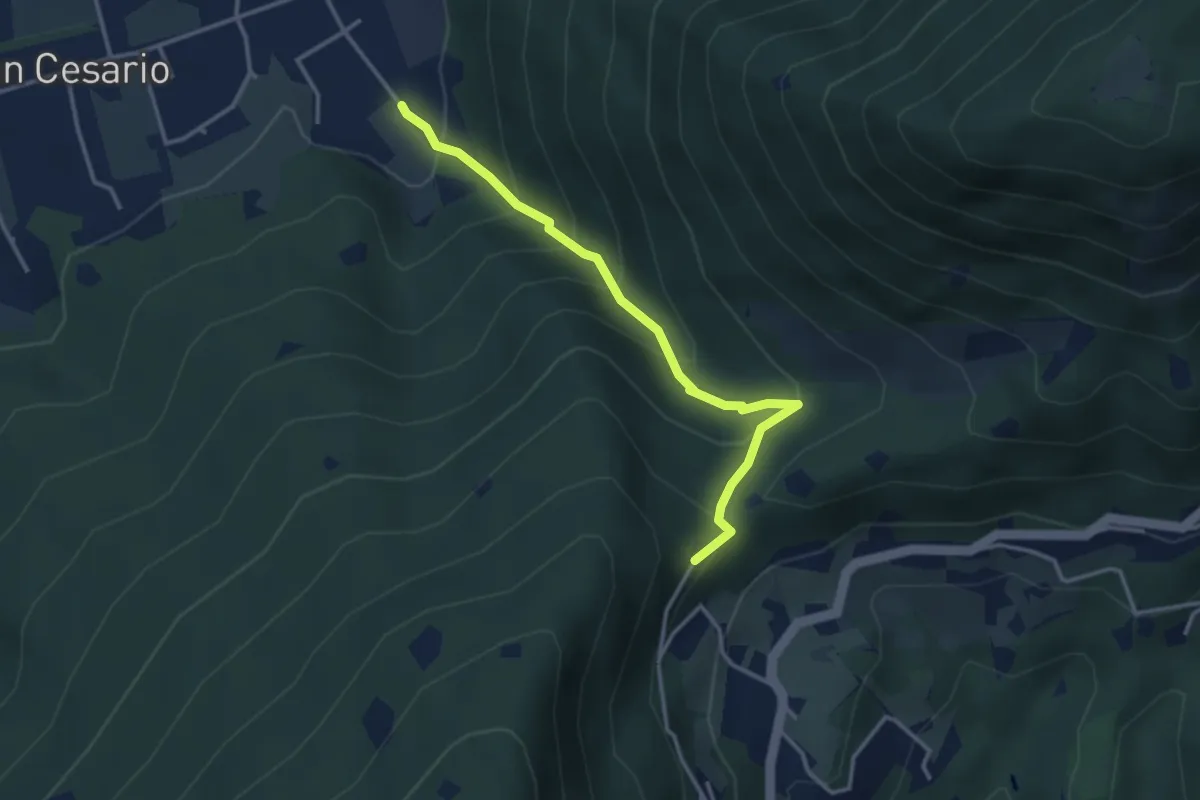
Demanding · Summit
Nave (Calasa) – Colle San Vito
3.4 km · ↑ 343 m · 1 h 32 min
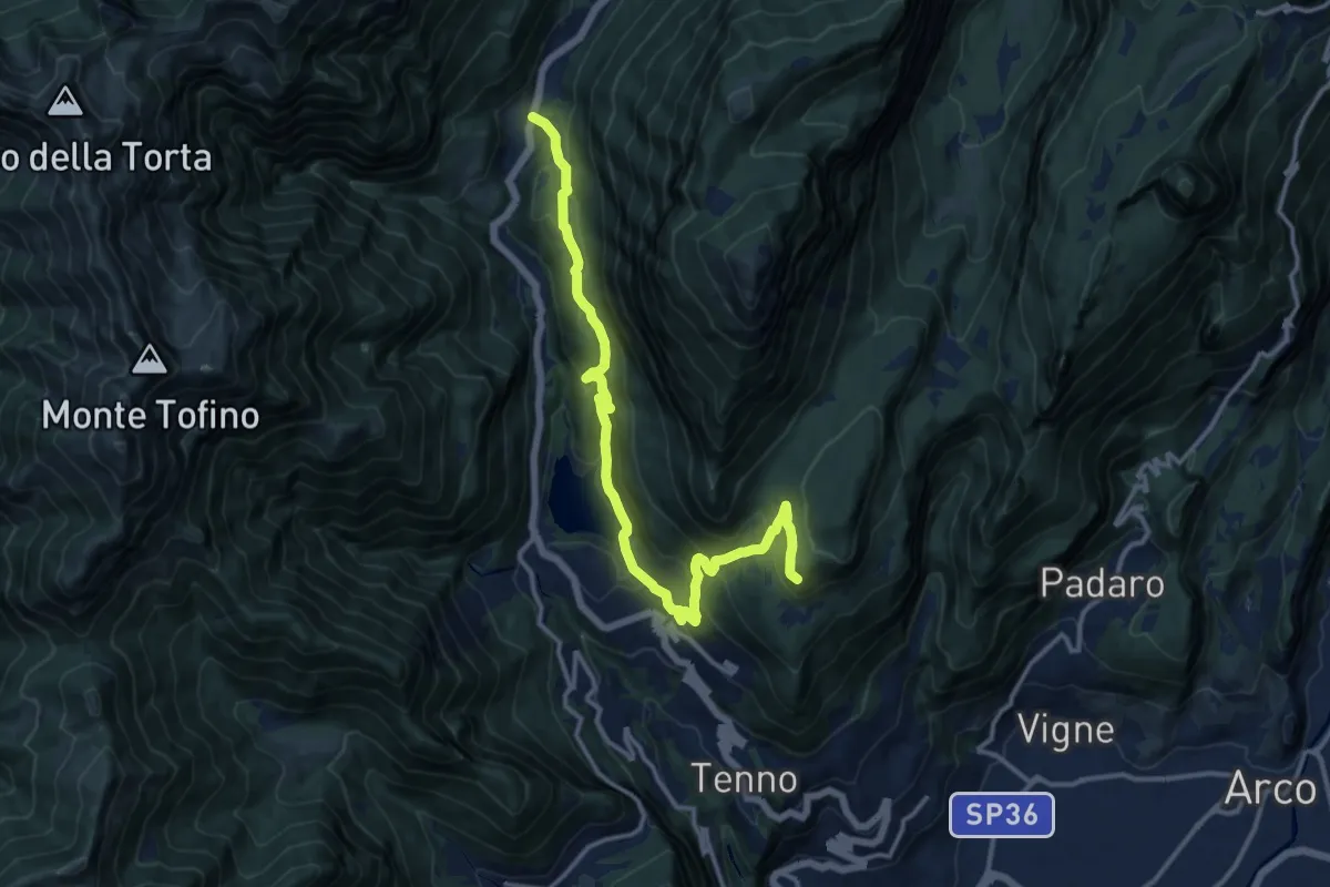
Demanding · Cabin
Ballino - chiesa – Rifugio Monte San Pietro (bivio 401)
14.5 km · ↑ 814 m · 5 h 11 min
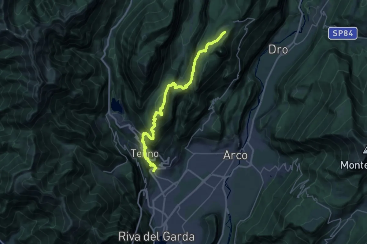
Demanding · Summit
Varone - Via Carducci – Prai da Gom (bivio 407)
11.2 km · ↑ 302 m · 3 h 56 min
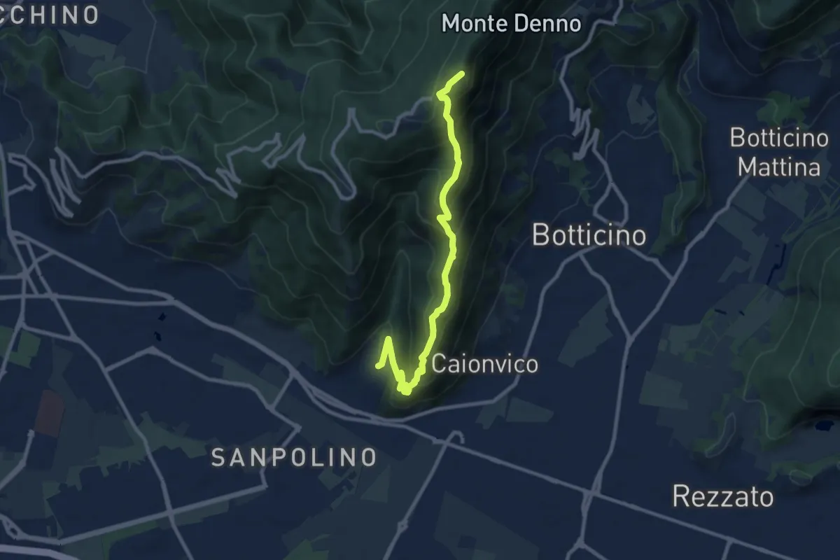
Demanding · Summit
Brescia (Sant'Eufemia - Via Cesare Noventa) – Ex Rifugio Monte Maddalena
9.1 km · ↑ 718 m · 3 h 42 min
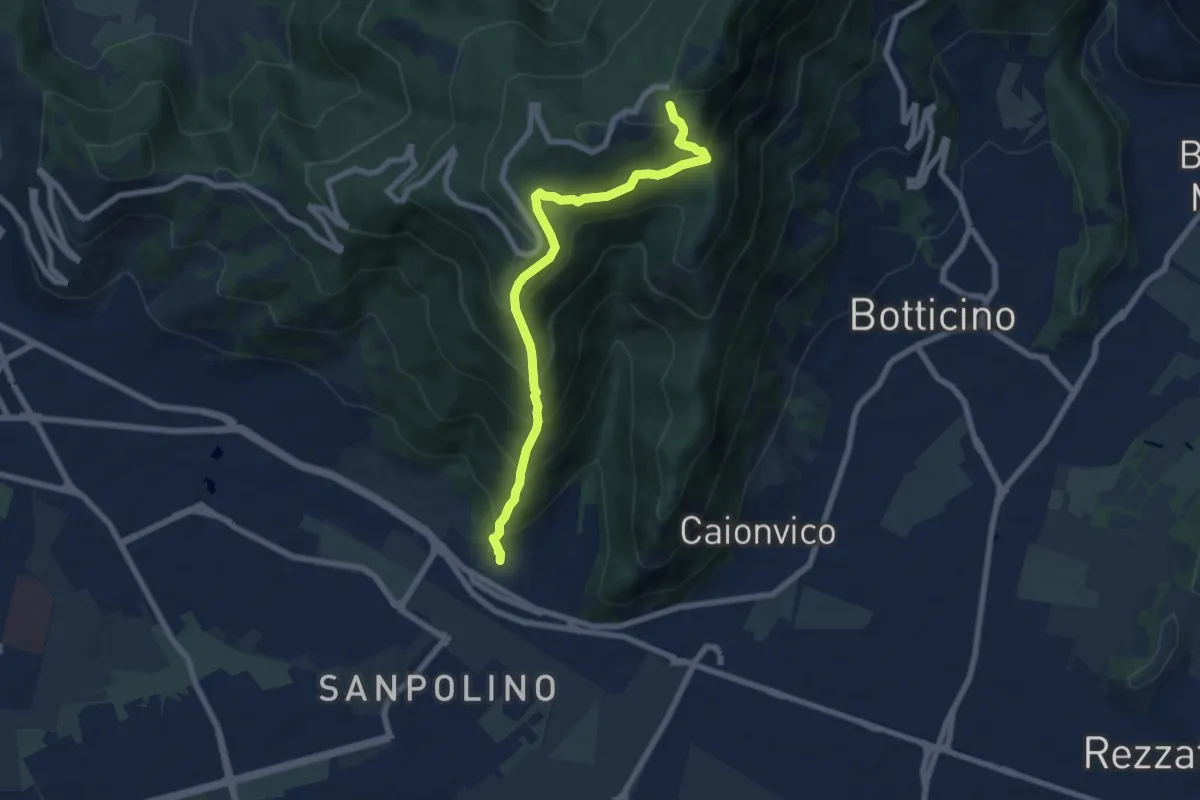
Demanding · Trail
Brescia (Via del Triinale) – Chiesetta della Maddalena
7.4 km · ↑ 760 m · 3 h 24 min
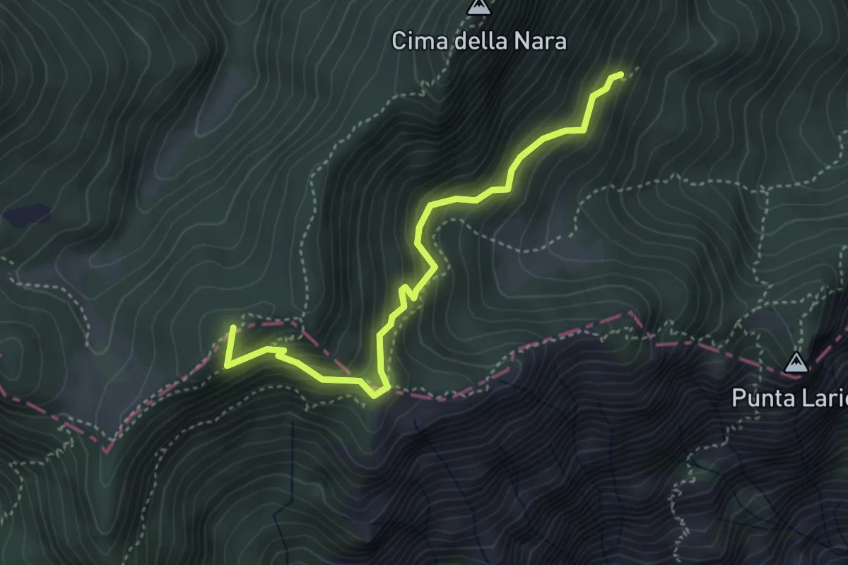
Medium · Summit
Presso Pregasina (bivio O422B) – Passo di Vil (bivio O421)
4.0 km · ↑ 379 m · 1 h 46 min
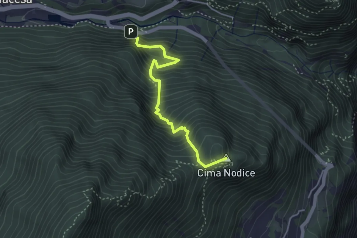
Medium · Summit
Tof (bivio 422) – Biacesa - bivio strada
3.3 km · ↑ 533 m · 1 h 56 min
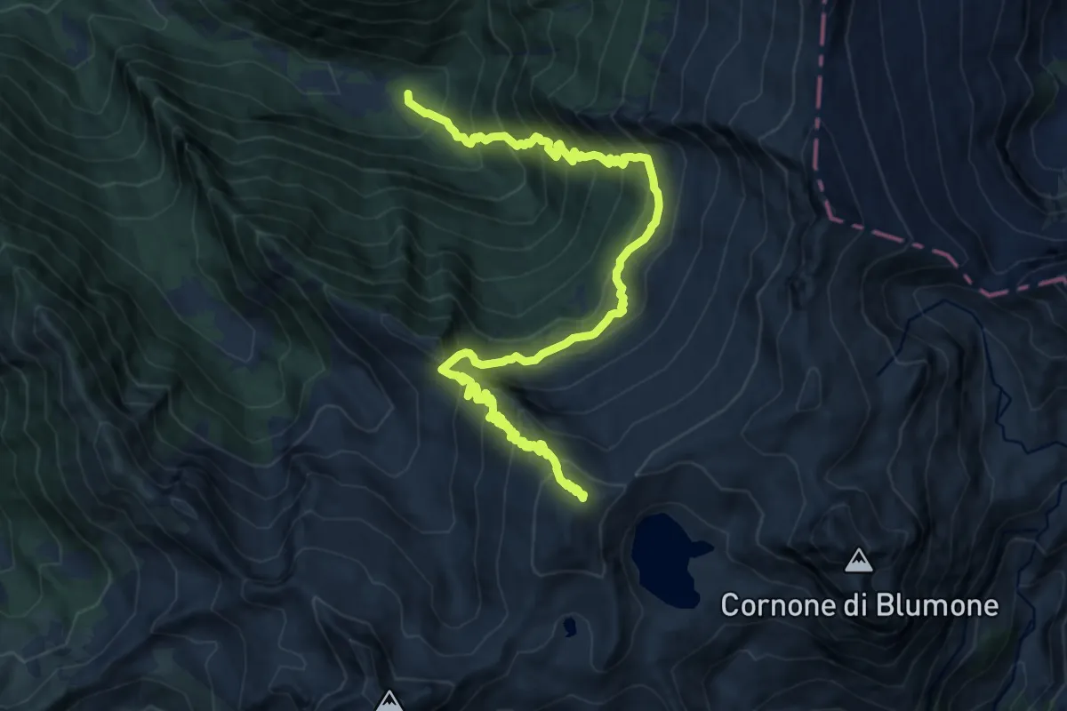
Expert · Summit
Val Paghera – Innesto sentiero n. 601
15.2 km · ↑ 1578 m · 7 h 1 min
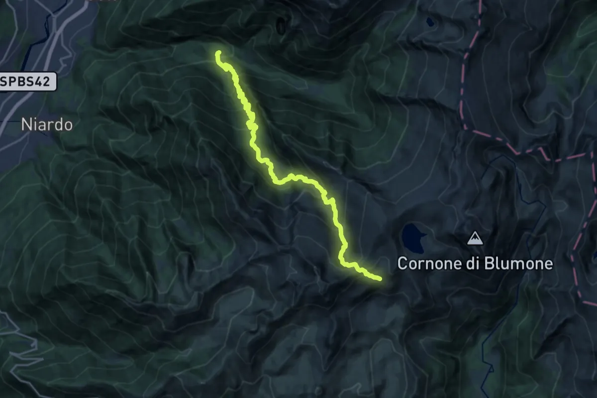
Expert · Trail
Val Paghera – Innesto sentiero n. 601
18.7 km · ↑ 1609 m · 7 h 54 min
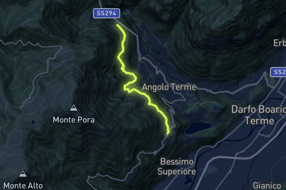
Demanding · Trail
Anfurro – Ortighera
9.9 km · ↑ 942 m · 4 h 22 min
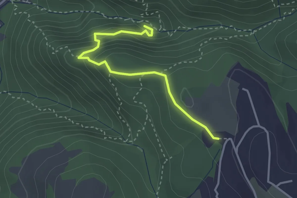
Medium · Trail
Malga Biancari – Ponte tibetano accesso sud
2.8 km · ↑ 163 m · 1 h 1 min
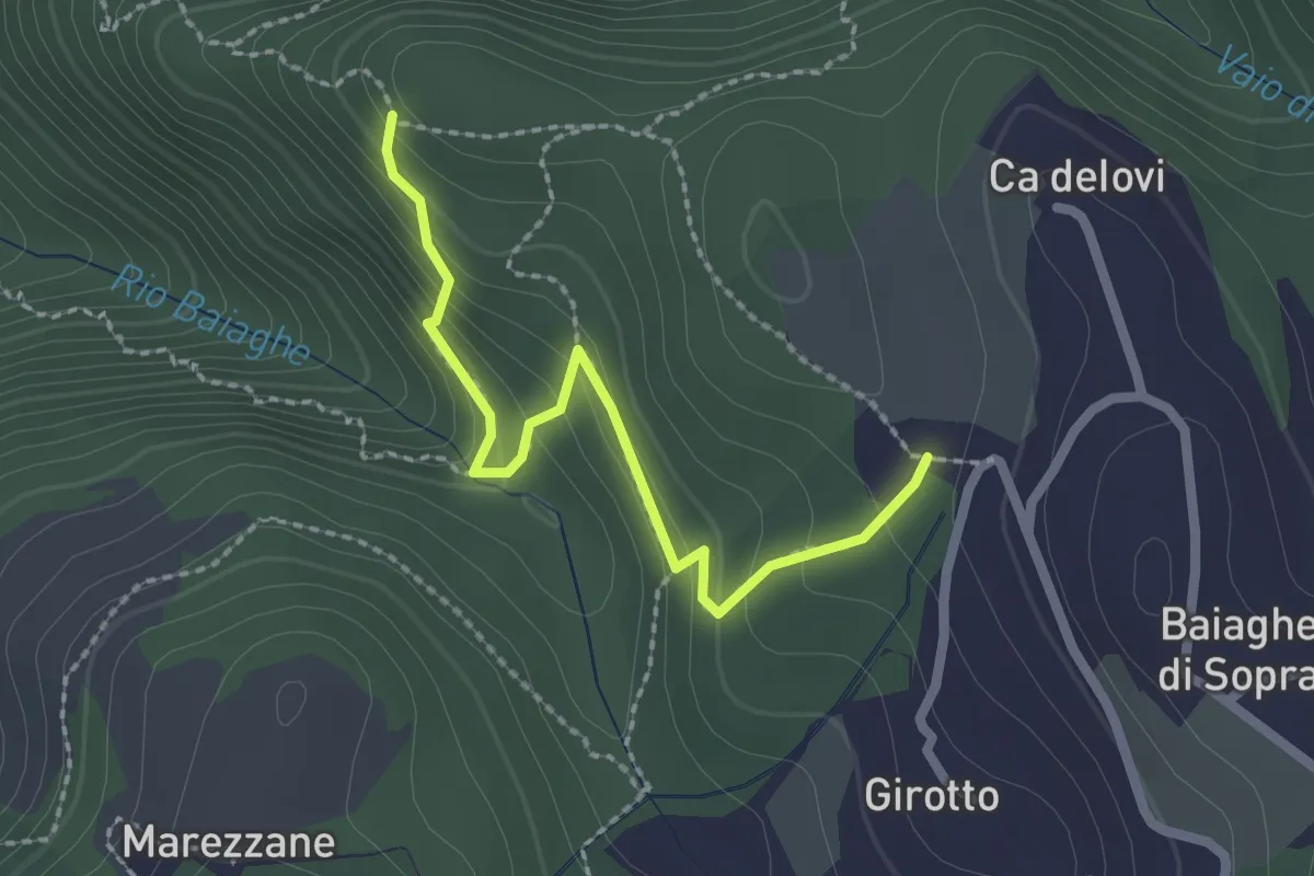
Medium · Trail
Percorso 1 – Malga Biancari
2.3 km · ↑ 179 m · 55 min
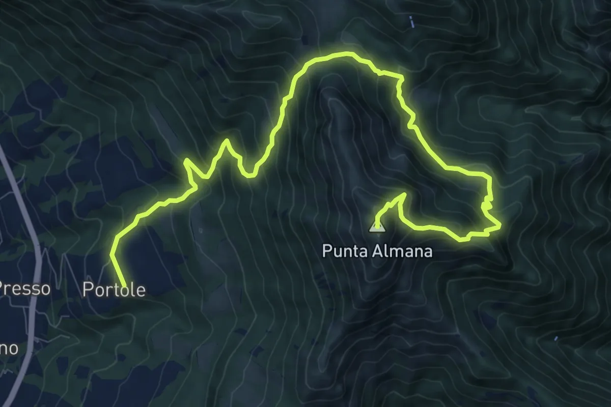
Demanding · Summit
Portole – Punta Almana
13.6 km · ↑ 1282 m · 5 h 59 min
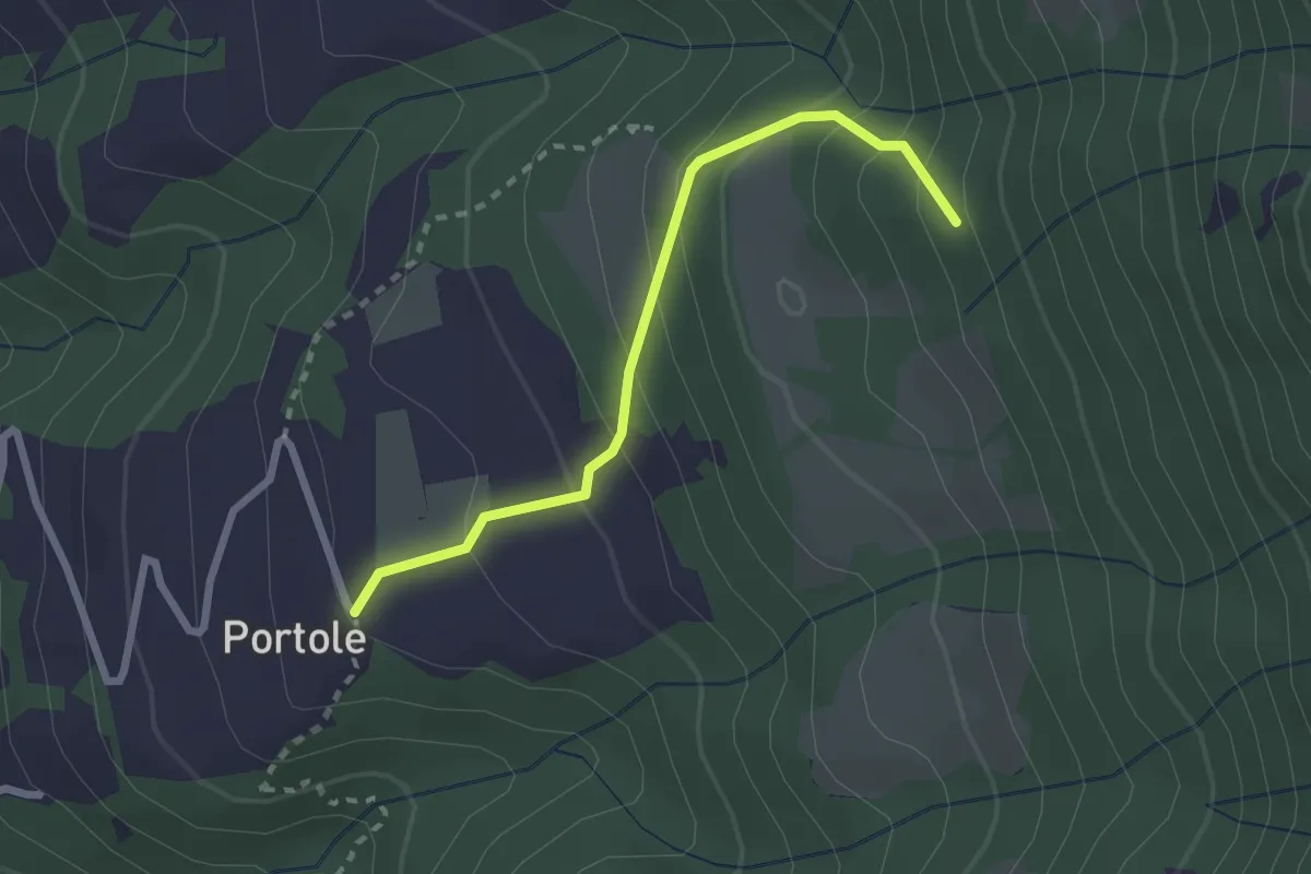
Easy · Trail
Portole – Percorso 238
2.4 km · ↑ 216 m · 1 h 2 min
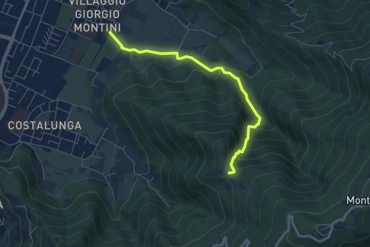
Medium · Trail
Brescia (Mompiano - Via Egidio Dabbeni) – Cascina Margherita
5.8 km · ↑ 398 m · 2 h 14 min
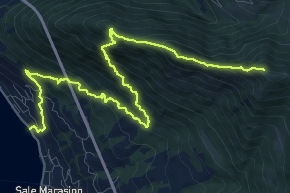
Demanding · Summit
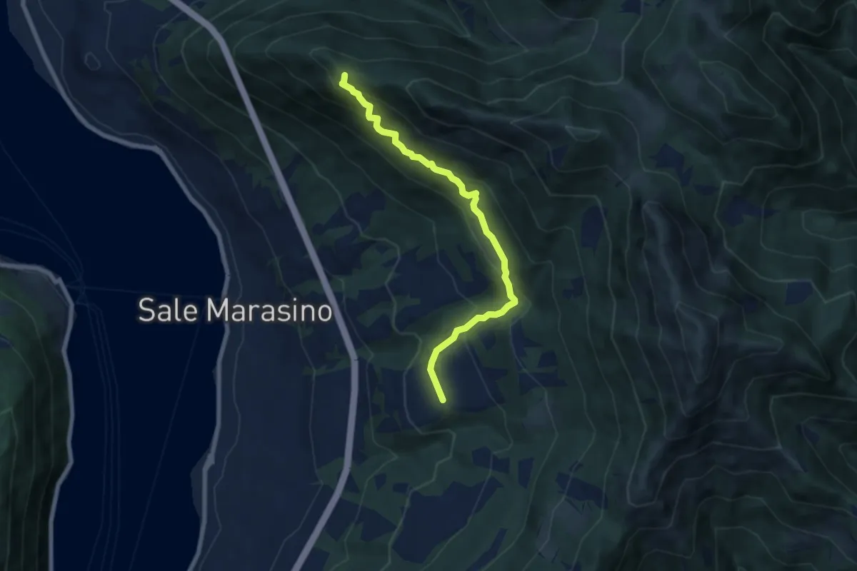
Sale Marasino – Forcella di Sale
12.6 km · ↑ 1245 m · 5 h 40 min
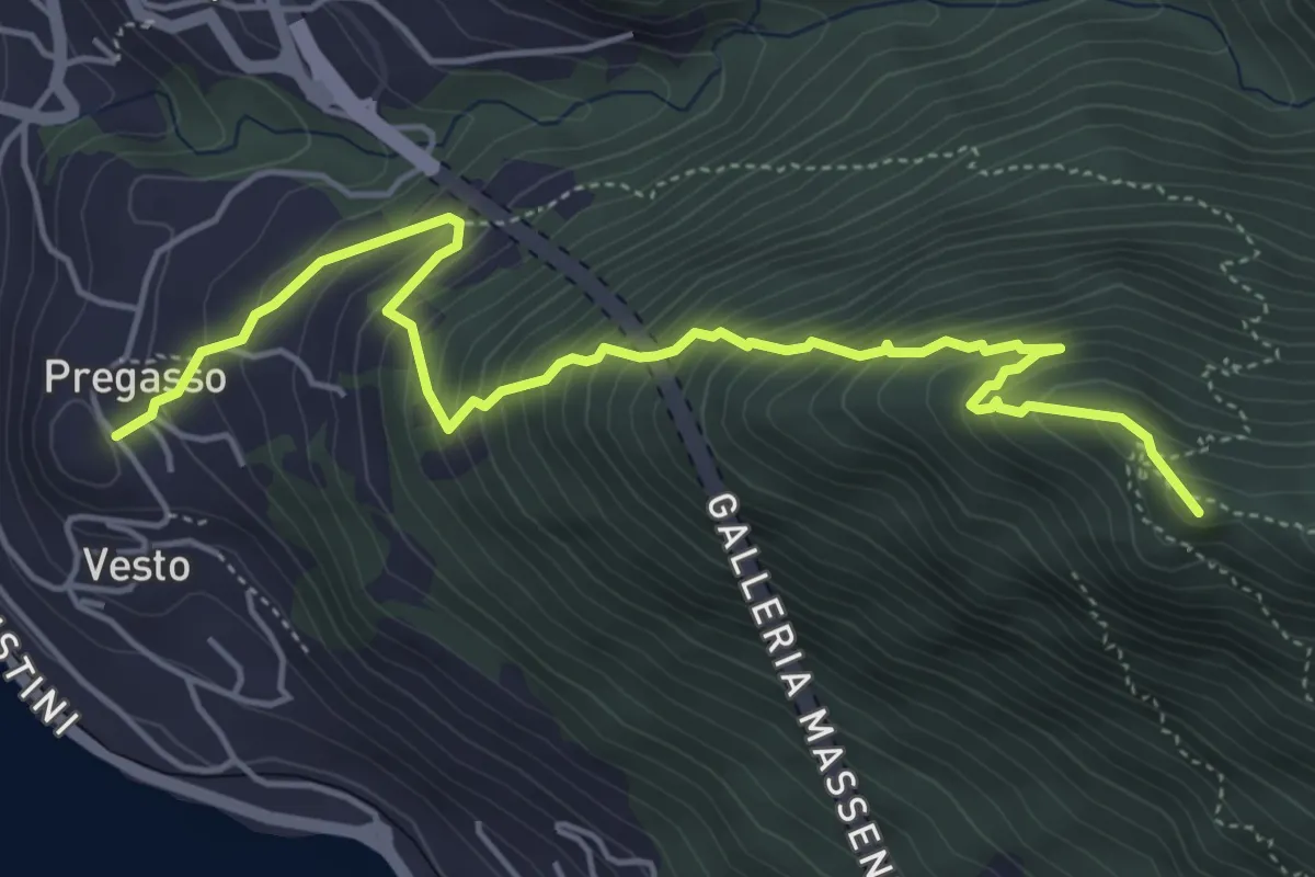
Demanding · Summit
Pregasso – Punta dei Dossi
5.8 km · ↑ 629 m · 2 h 43 min
Medium · Summit
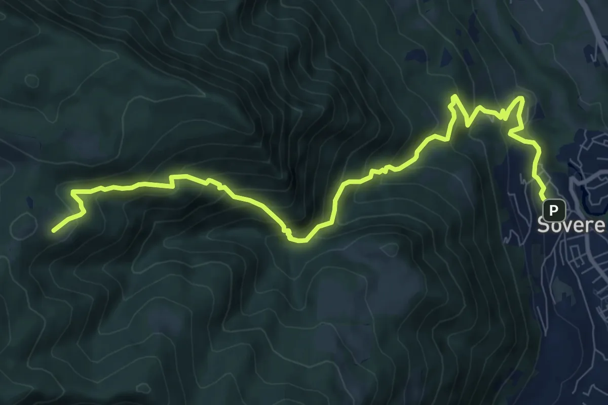
Portole – Punta dei Dossi
6.8 km · ↑ 576 m · 2 h 51 min
Demanding · Cabin
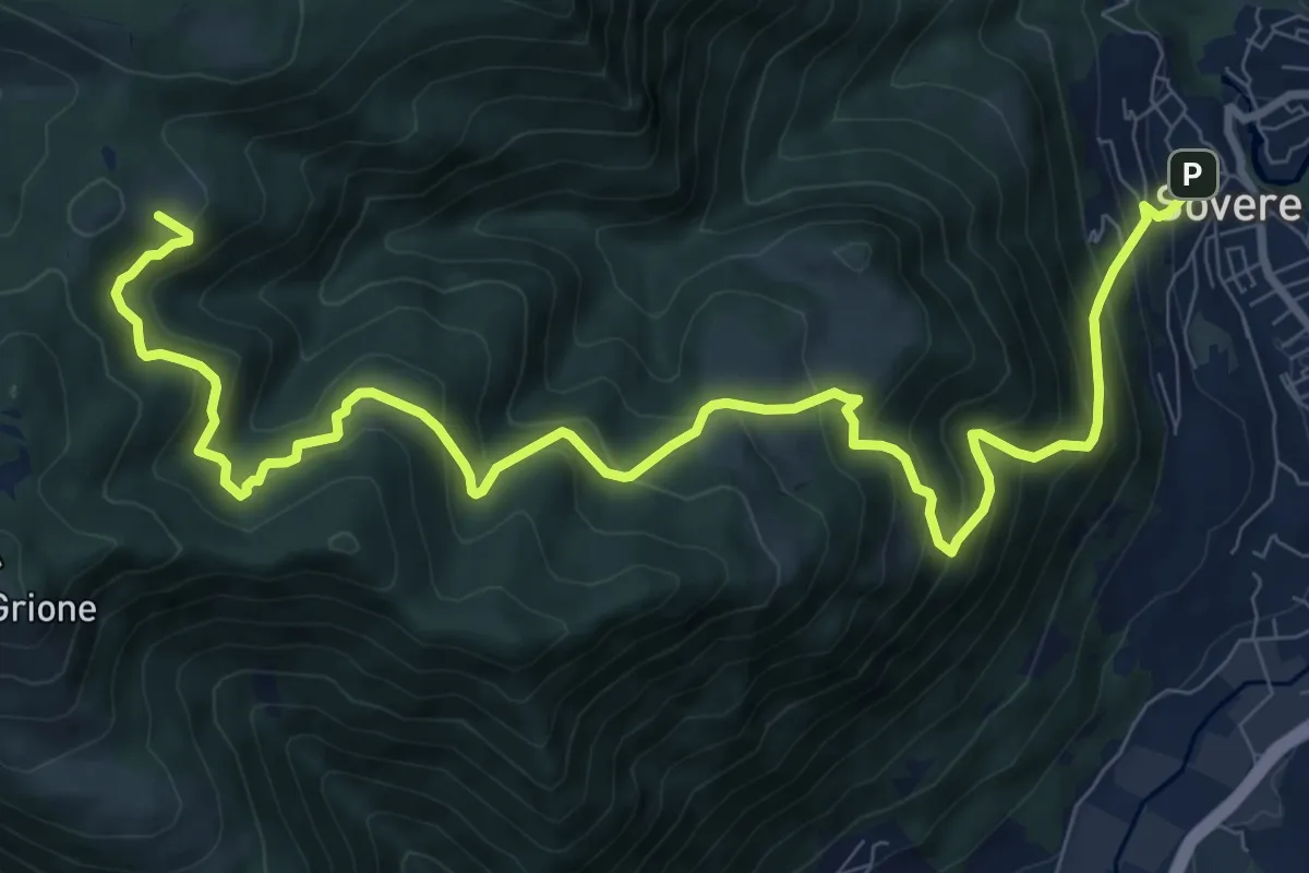
Sovere – Malga Lunga
5.4 km · ↑ 895 m · 2 h 51 min
Demanding · Cabin
Sovere – Malga Lunga
12.4 km · ↑ 1024 m · 5 h 8 min
Medium · Trail
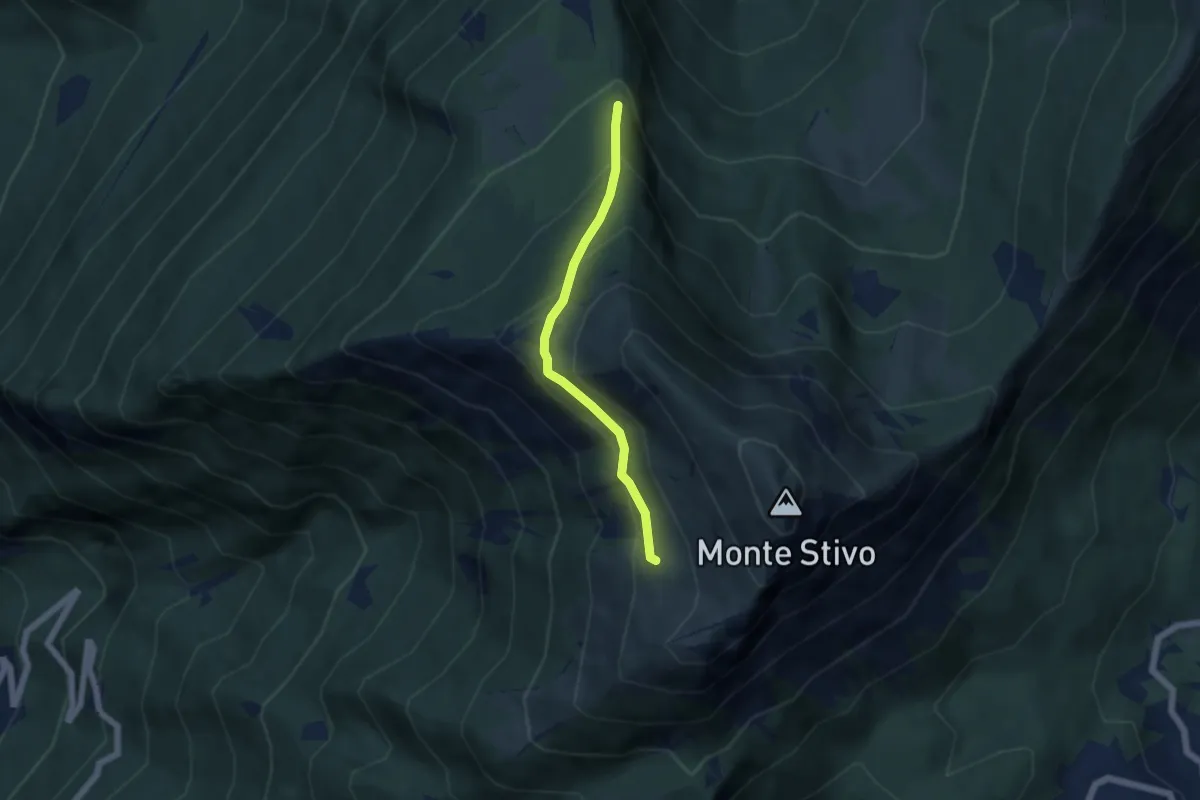
Scaletta - crocifisso (bivio 666) – Presso Malga Stivo (bivio 608)
4.6 km · ↑ 345 m · 1 h 50 min
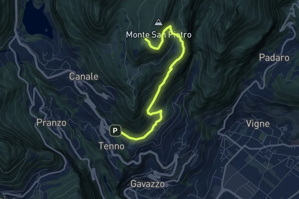
Medium · Trail
Tenno - Revedù (bivio 401) – Bosco Monte San Pietro (bivio 401)
8.0 km · ↑ 588 m · 3 h 9 min
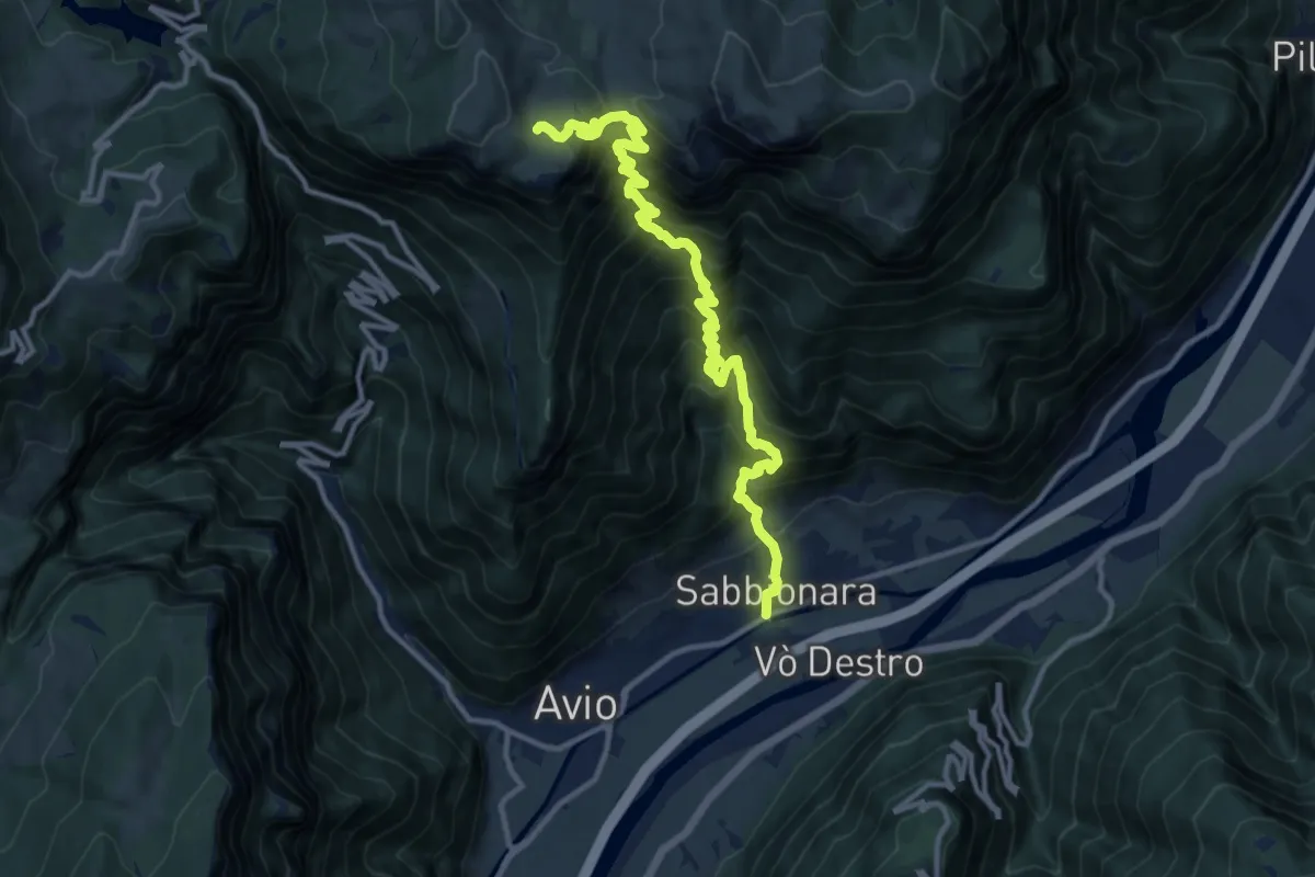
Demanding · Trail
Sabbionara – Bivio strada Malga Pravecchio
13.5 km · ↑ 1553 m · 6 h 34 min
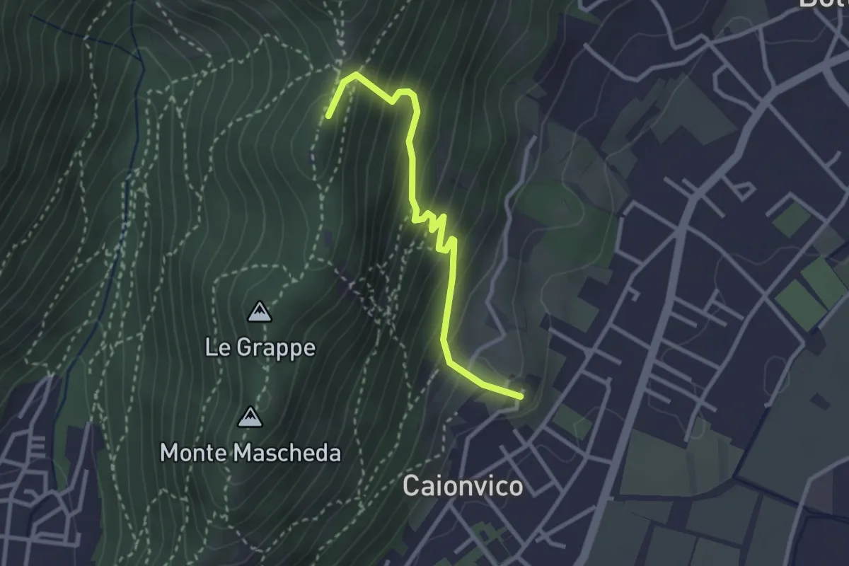
Demanding · Summit
Caionvico (Cimitero) – Sella della Poffa (Innesto Sentiero 901)
2.7 km · ↑ 293 m · 1 h 17 min
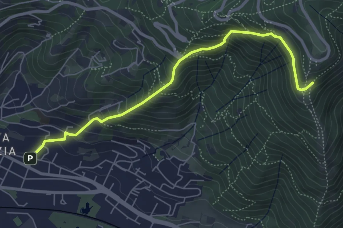
Medium · Trail
Brescia (Via del Canalotto) – Innesto Sentiero 902
5.7 km · ↑ 532 m · 2 h 29 min
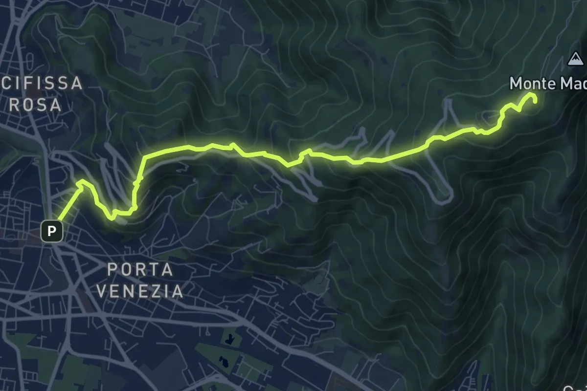
Medium · Trail
Brescia (Via Filippo Turati) – Chiesetta Monte Maddalena
10.7 km · ↑ 699 m · 4 h 2 min
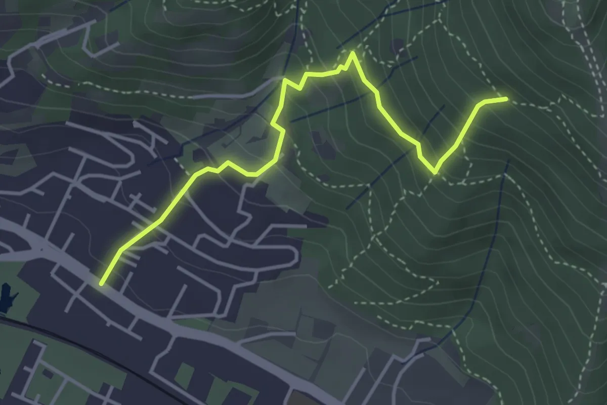
Medium · Trail
Brescia (Viale della Bornata) – Innesto Sentiero 912
3.9 km · ↑ 337 m · 1 h 39 min
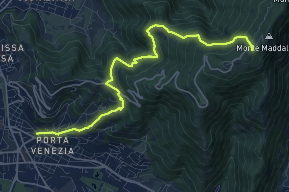
Demanding · Trail
Brescia (Via Amba d'Oro) – Monte Maddalena (Piazzale Ristorante Grillo)
12.1 km · ↑ 852 m · 4 h 42 min
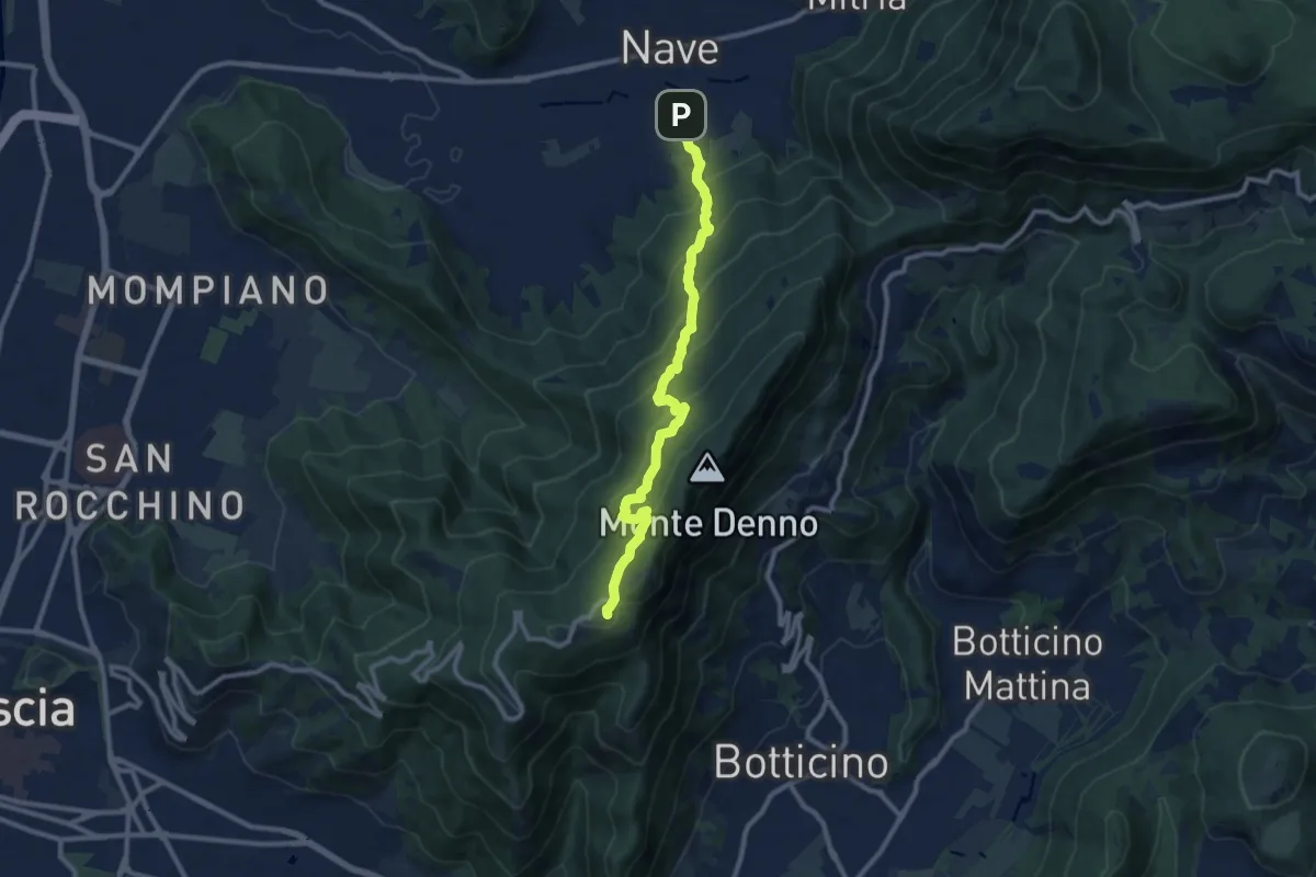
Medium · Trail
Nave (Via Piedimonte) – Chiesetta Monte Maddalena
10.1 km · ↑ 665 m · 3 h 49 min
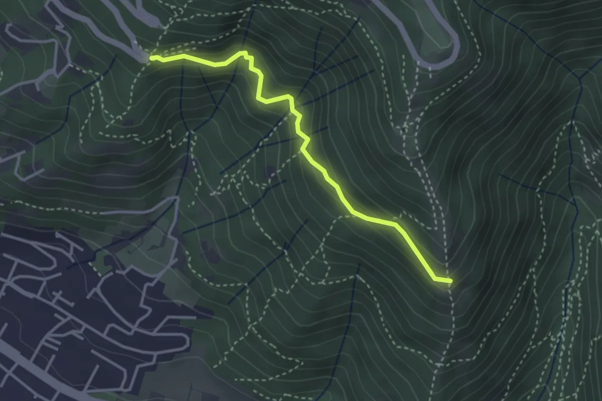
Medium · Trail
Innesto sentiero n. 902 – Innesto sentiero3V n.993
3.2 km · ↑ 233 m · 1 h 16 min
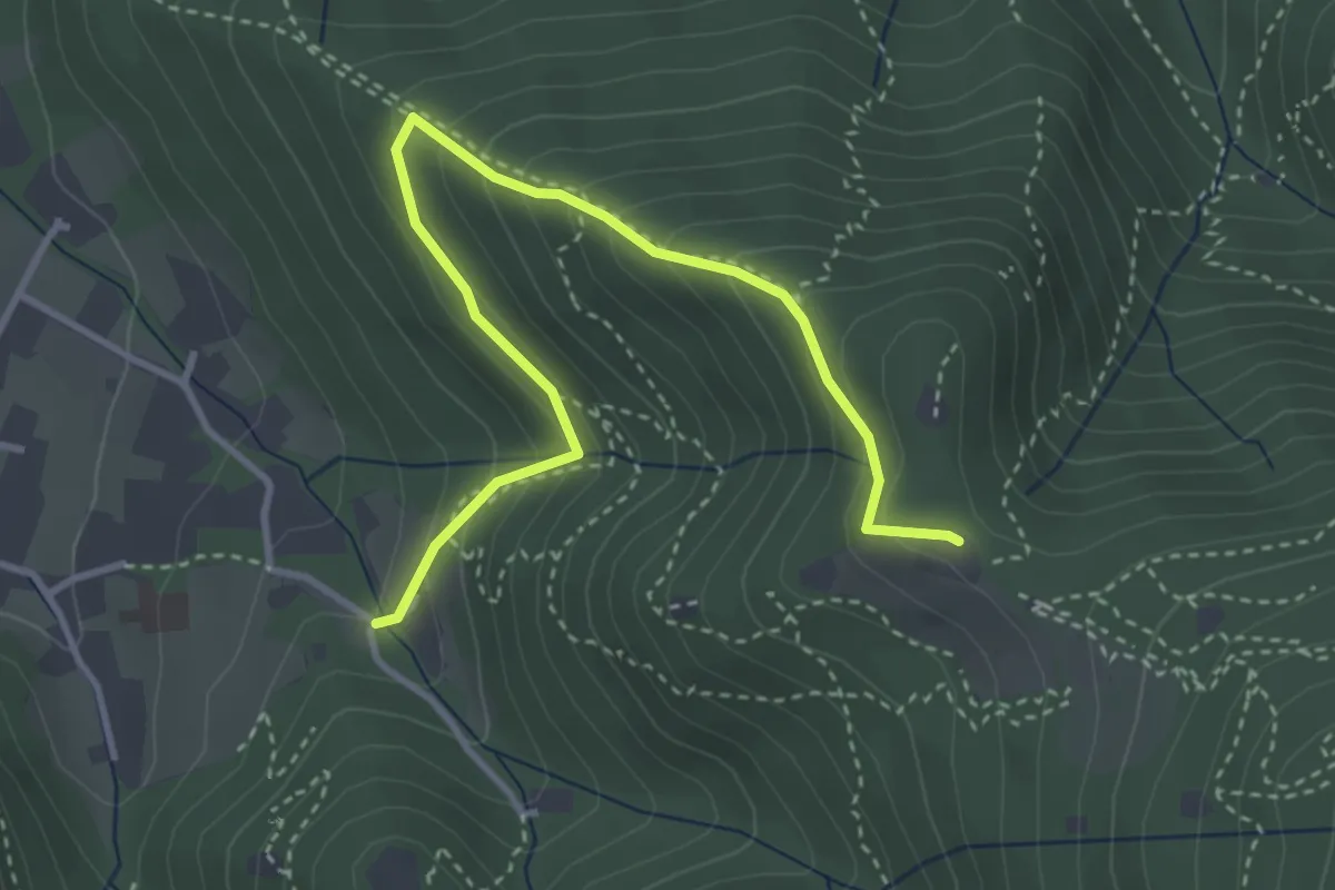
Medium · Trail
Brescia (Costalunga - Via Monte della Valle) – Monte Maddalena (Cascina Margherita - Innesto Sentiero 907)
4.0 km · ↑ 301 m · 1 h 36 min
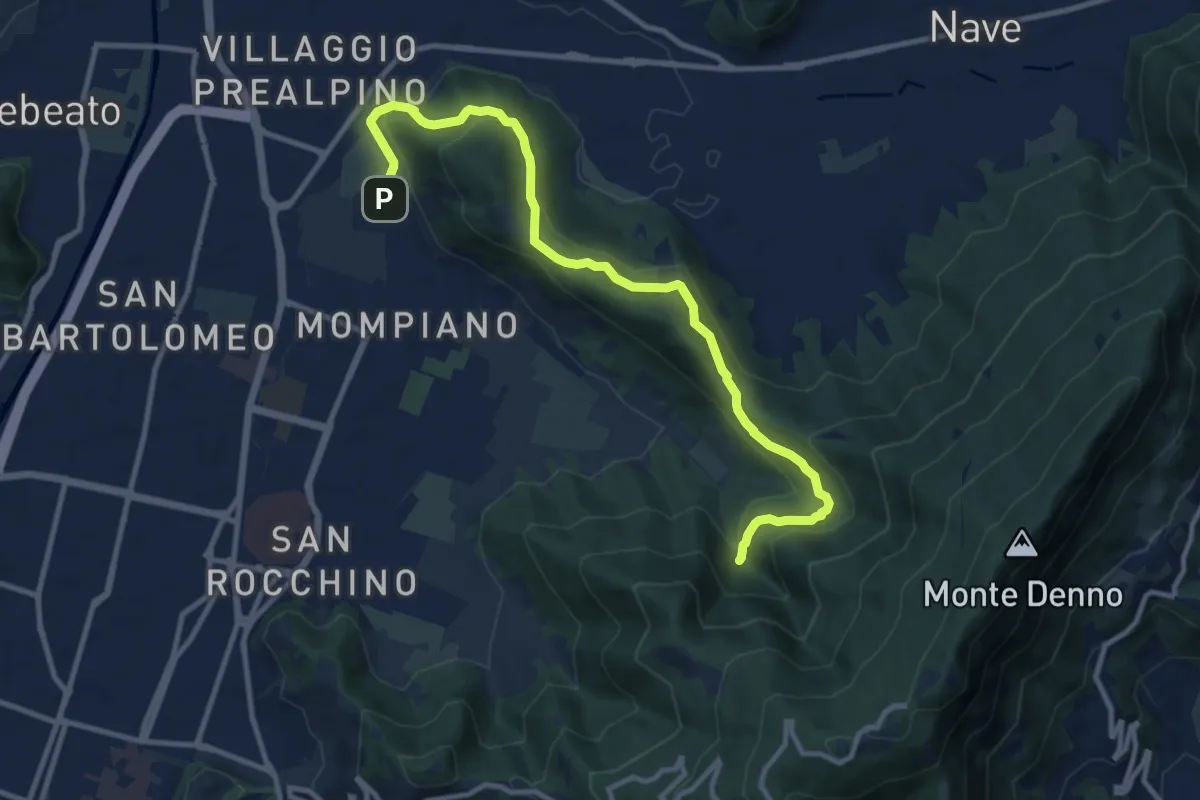
Medium · Cabin
Brescia (Via San Cristoforo) – Rifugio Valle di Mompiano
12.0 km · ↑ 345 m · 3 h 35 min
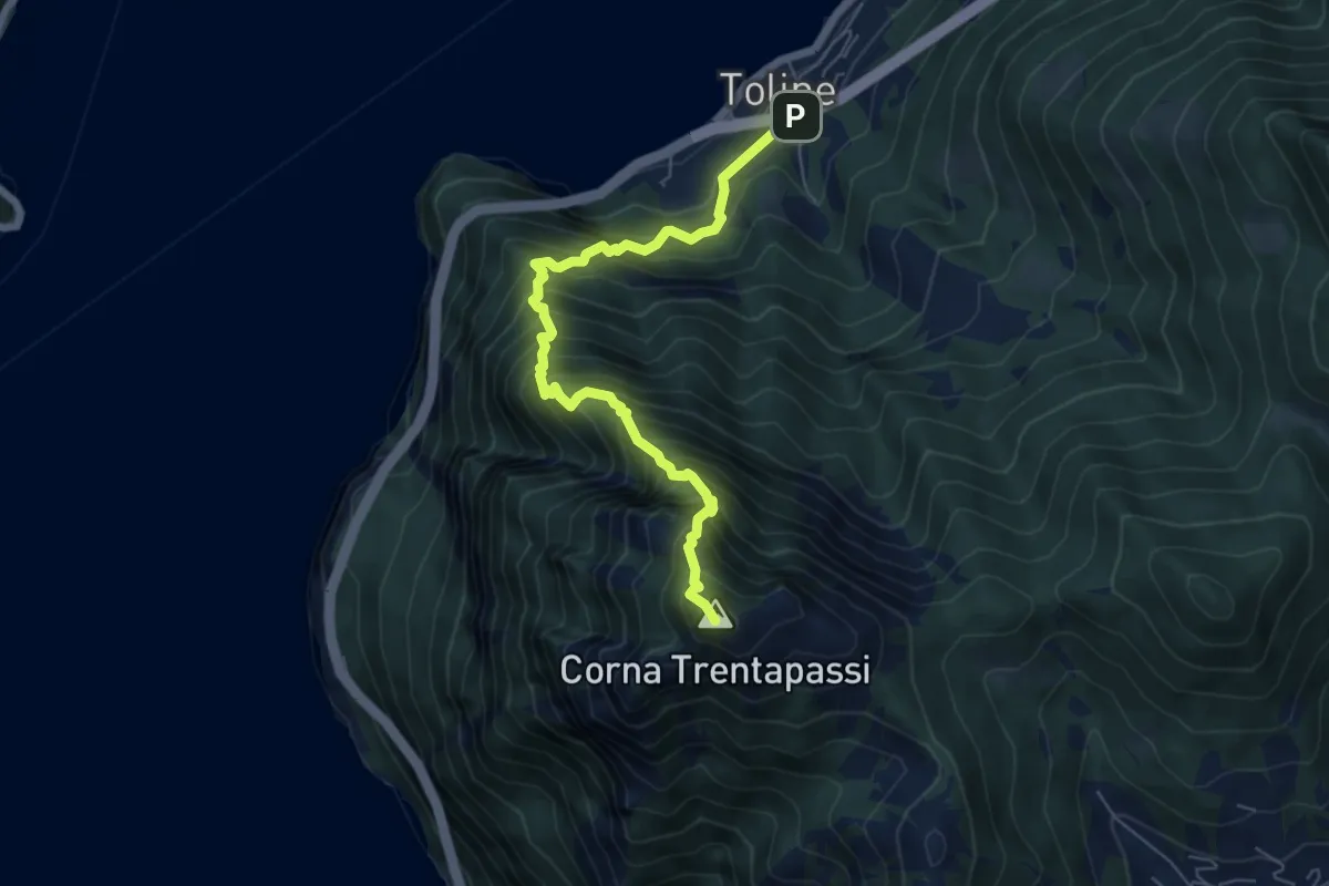
Expert · Summit
Toline – Corna Trentapassi
6.4 km · ↑ 1069 m · 3 h 50 min
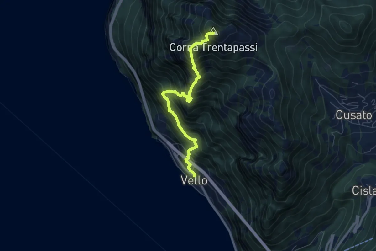
Demanding · Summit
Vello – Corna Trentapassi
6.3 km · ↑ 1160 m · 4 h
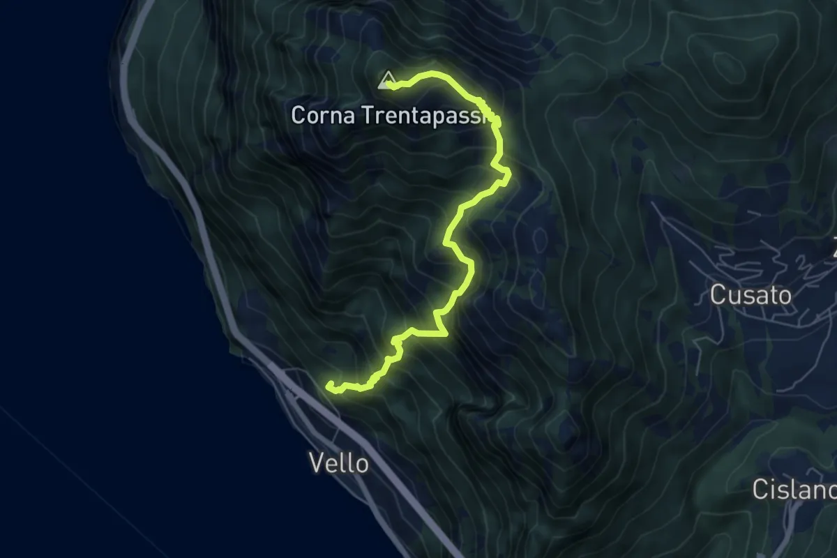
Demanding · Summit
Vello (SPBS510) – Corna Trentapassi
6.2 km · ↑ 917 m · 3 h 28 min
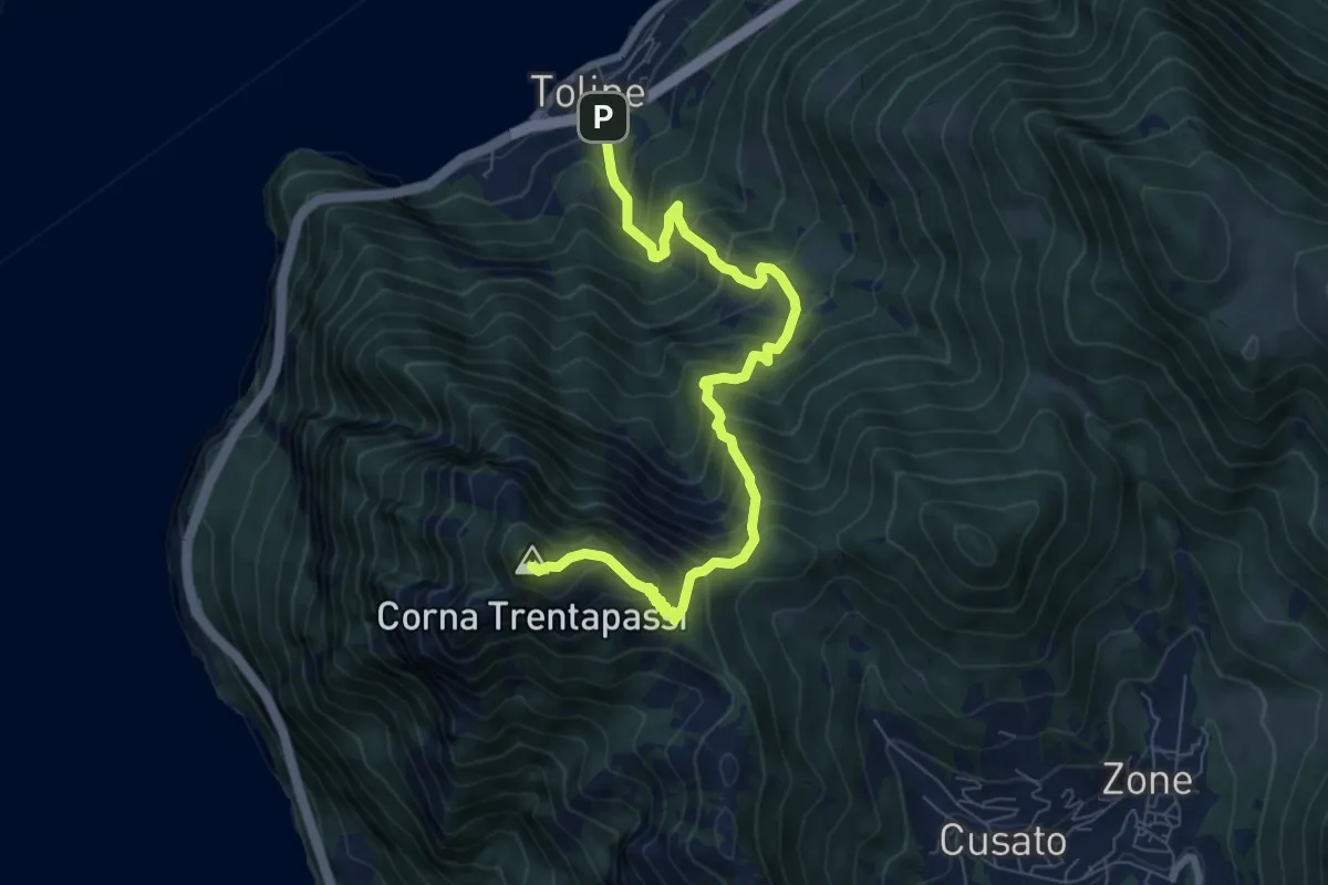
Demanding · Summit
Toline – Corna Trentapassi
8.2 km · ↑ 985 m · 4 h 5 min
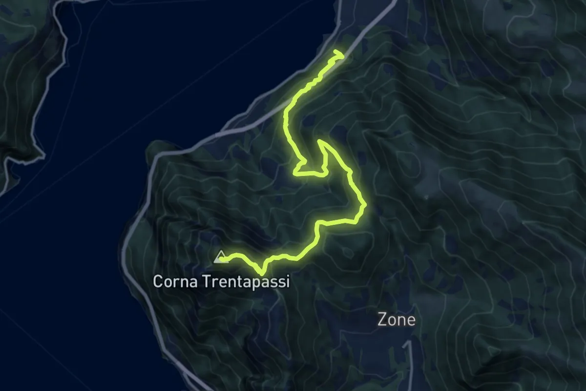
Demanding · Summit
Pisogne – Corna Trentapassi
14.2 km · ↑ 1215 m · 6 h
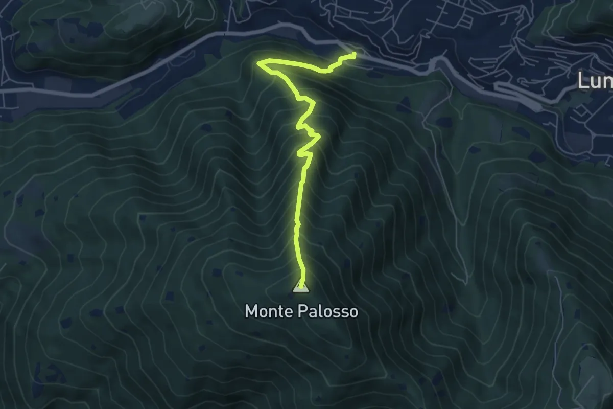
Medium · Summit
Lumezzane (Valle) – Cascina Cocca
5.8 km · ↑ 798 m · 3 h 5 min
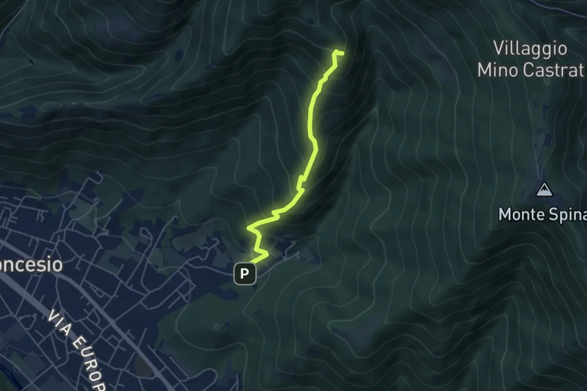
Medium · Summit
Concesio (Roncaglie) – Monte Palosso (Innesto Sentiero 377)
4.3 km · ↑ 481 m · 2 h 3 min
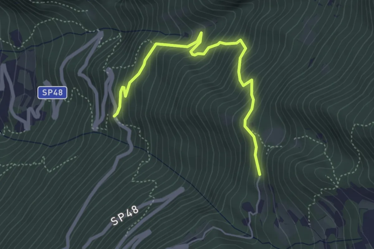
Medium · Trail
Salve Regina (bivio 608) – Monte Velo - bivio strada provinciale 48
4.9 km · ↑ 475 m · 2 h 11 min
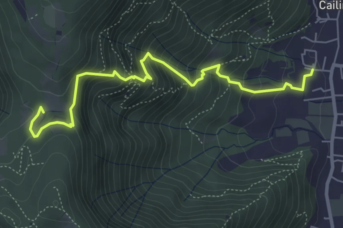
Medium · Trail
Villa Carcina (Cailina) – Quarone
5.7 km · ↑ 534 m · 2 h 30 min