Trails in Italy
25,219 hiking trails, each with its route, climb, walking time and grade.
All trails, page 388 of 526
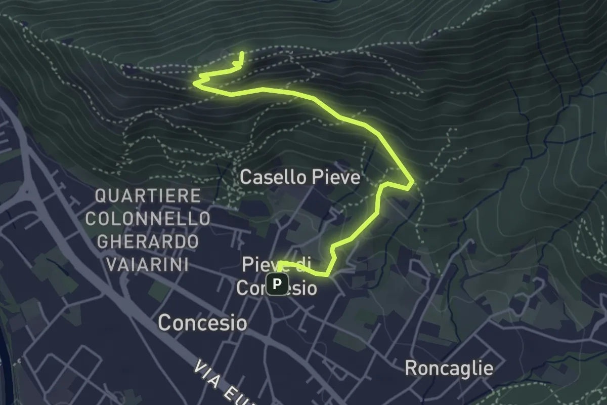
Medium · Cabin
Concesio (Pieve) – Monte Verdura
4.4 km · ↑ 333 m · 1 h 46 min
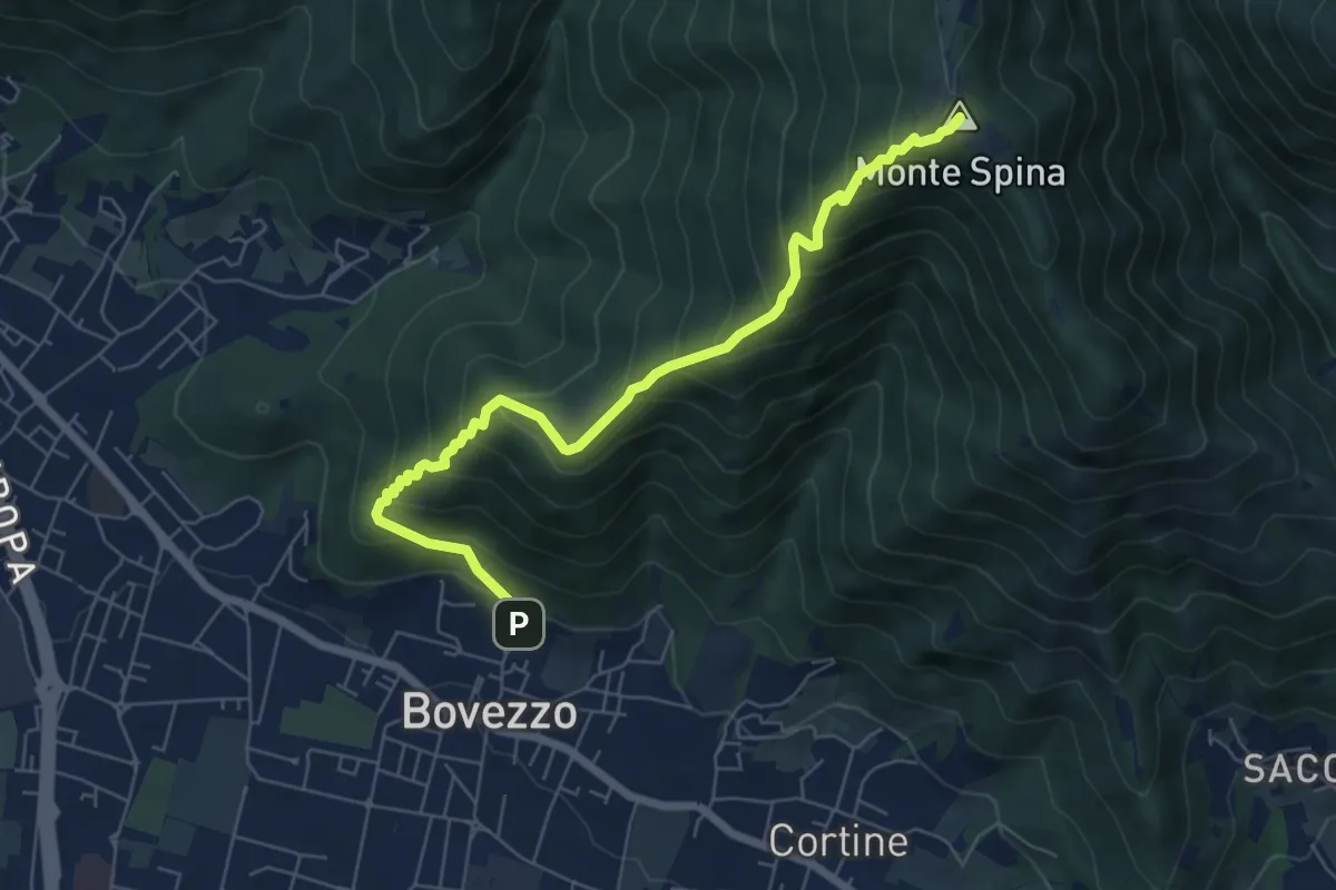
Medium · Summit
Bovezzo (Via Castello) – Sant'Onofrio
6.9 km · ↑ 705 m · 3 h 10 min
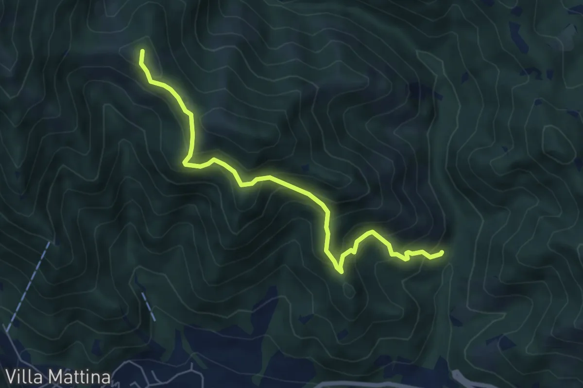
Medium · Summit
Caino (Val Bertone) – Boatica (Innesto Sentiero 381)
6.1 km · ↑ 507 m · 2 h 32 min
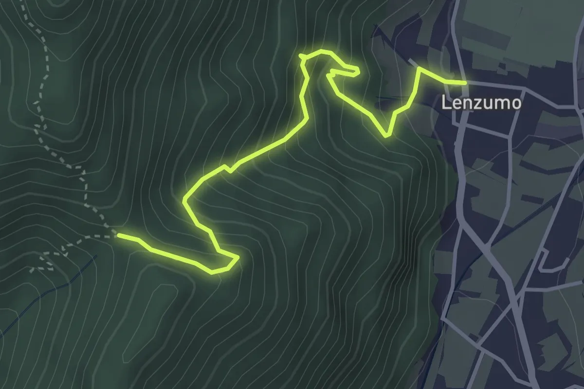
Medium · Trail
Lenzumo – Bochet de Zori (bivio O459)
3.9 km · ↑ 526 m · 2 h 3 min
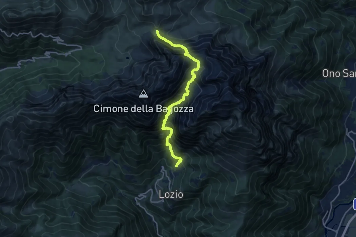
Expert · Trail
Sommaprada – Passo Campelli
12.4 km · ↑ 1630 m · 6 h 28 min
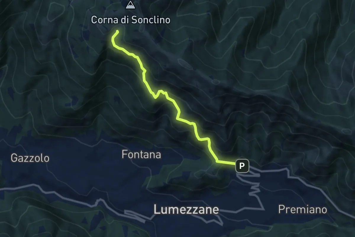
Medium · Trail
Lumezzane (Ver) – Malga Artecle
7.2 km · ↑ 612 m · 3 h 2 min
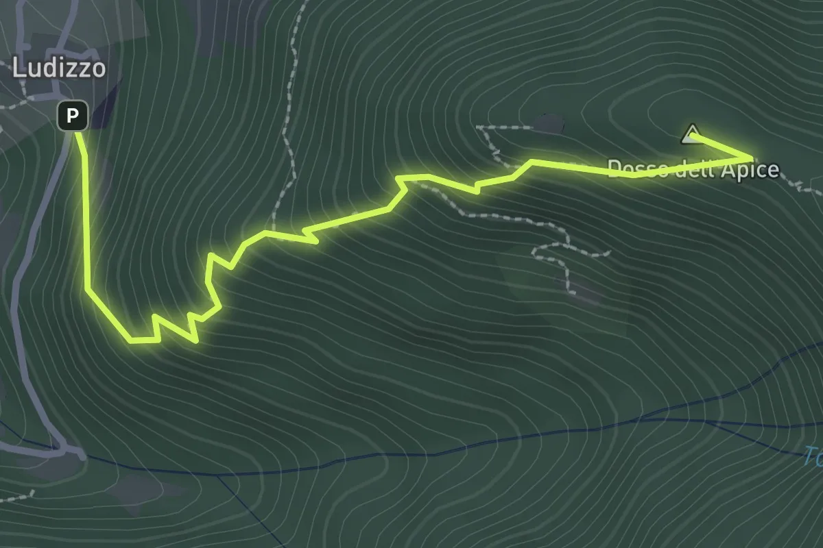
Medium · Summit
Bovegno (Ludizzo) – Passo Croce (Monte Ario - Innesto Sentiero 345)
3.1 km · ↑ 389 m · 1 h 34 min
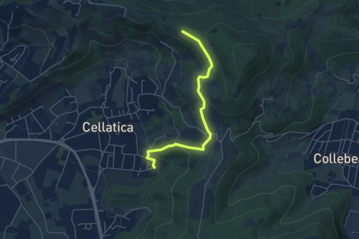
Easy · Trail
Cellatica (Cantone) – Cascina Monte Grande (Innesto Sentiero 3V)
4.5 km · ↑ 213 m · 1 h 31 min
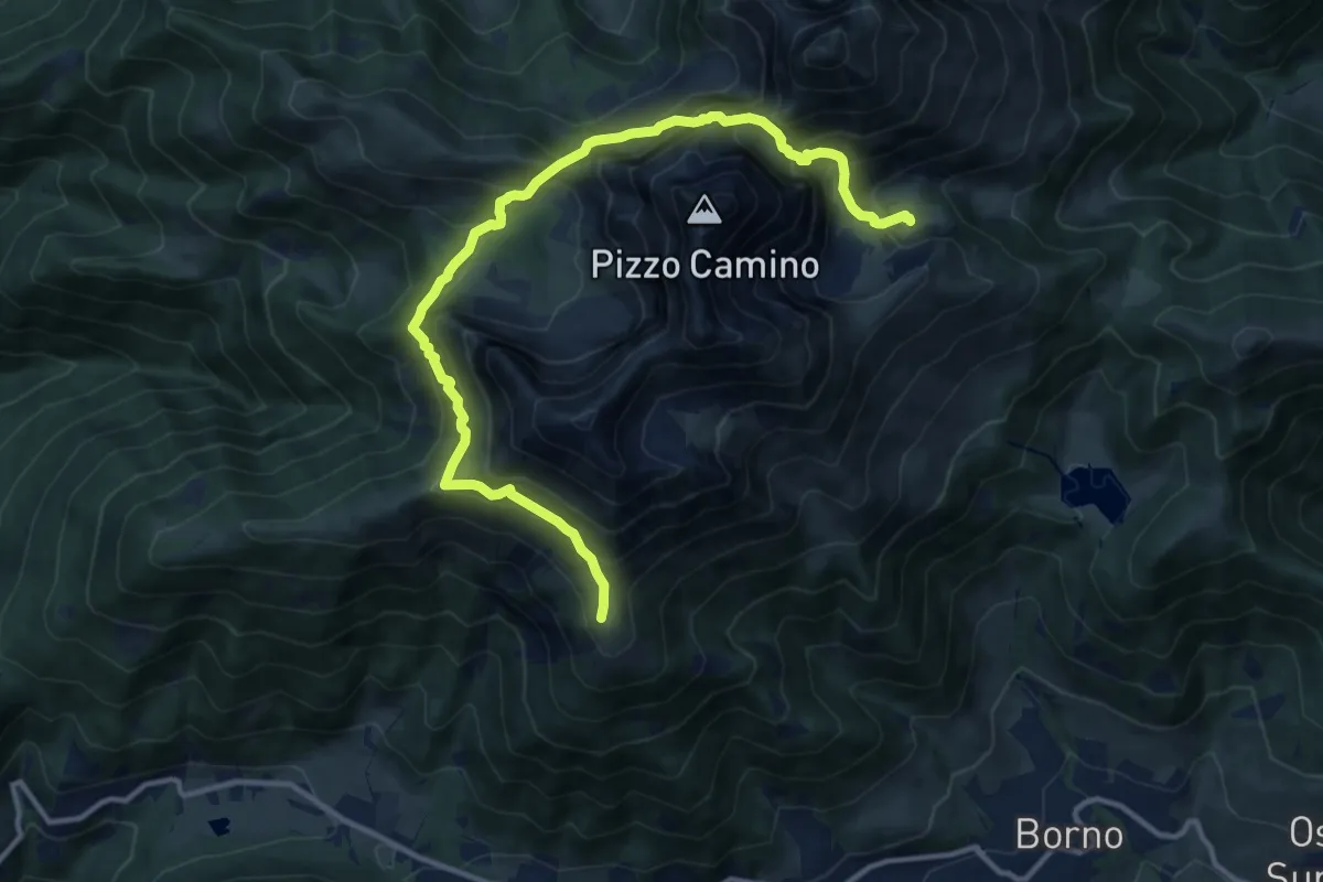
Expert · Cabin
Rifugio San Fermo – Rifugio Laeng
13.7 km · ↑ 1369 m · 6 h 13 min
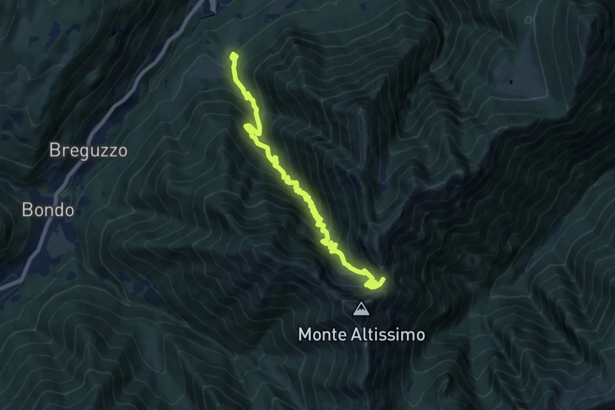
Demanding · Trail
Madonna del Lares – Bochet de la Meda (bivio 463)
13.3 km · ↑ 1122 m · 5 h 34 min
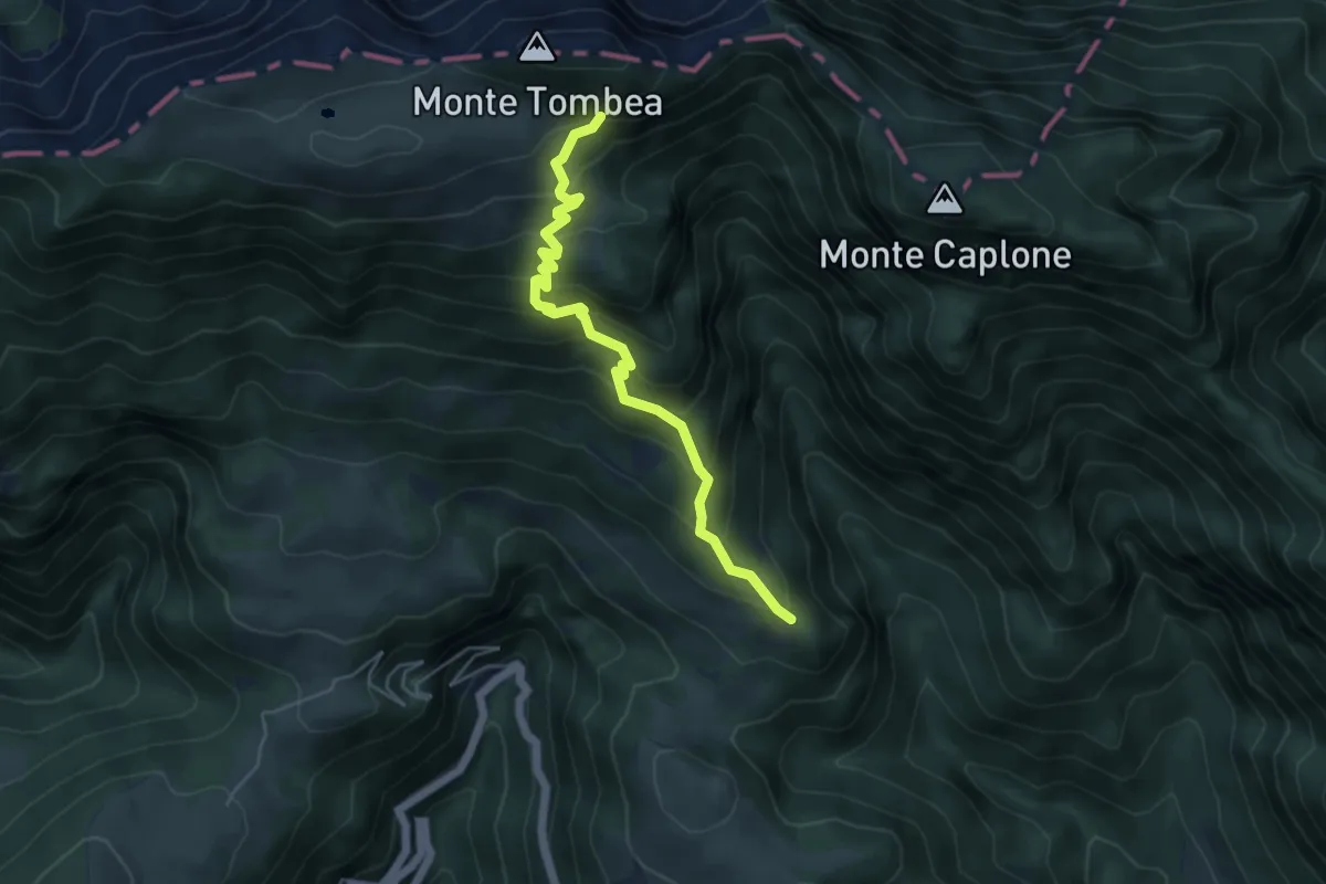
Medium · Trail
Malga Alvezza (Magasa) – Malga Tombea (Magasa)
5.0 km · ↑ 512 m · 2 h 18 min
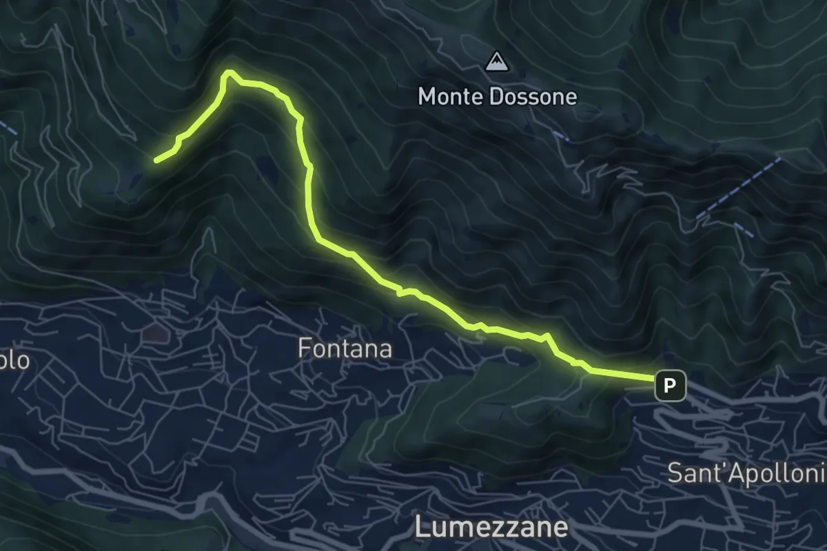
Demanding · Trail
Lumezzane (Ver) – San Bernardo (Bivio Zani Achille)
7.2 km · ↑ 587 m · 2 h 58 min
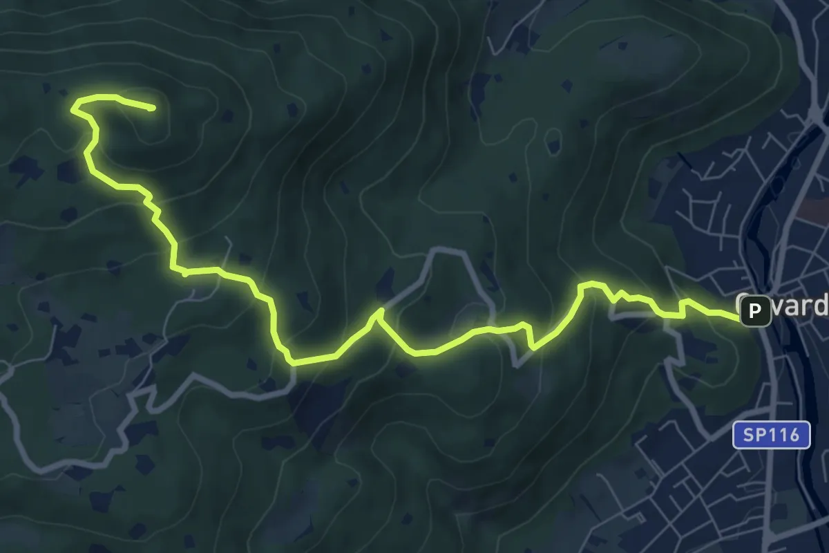
Medium · Summit
Gavardo – Tesio
9.4 km · ↑ 655 m · 3 h 38 min
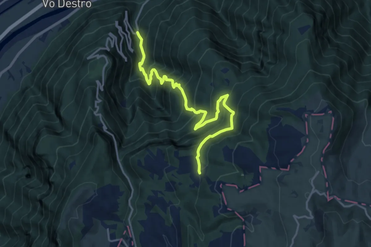
Demanding · Trail
Val Fredda – Malga Lavacchione
12.2 km · ↑ 1227 m · 5 h 33 min
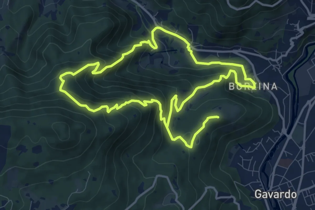
Demanding · Summit
Gavardo (Via Signurì) – Gavardo
18.2 km · ↑ 1056 m · 6 h 35 min
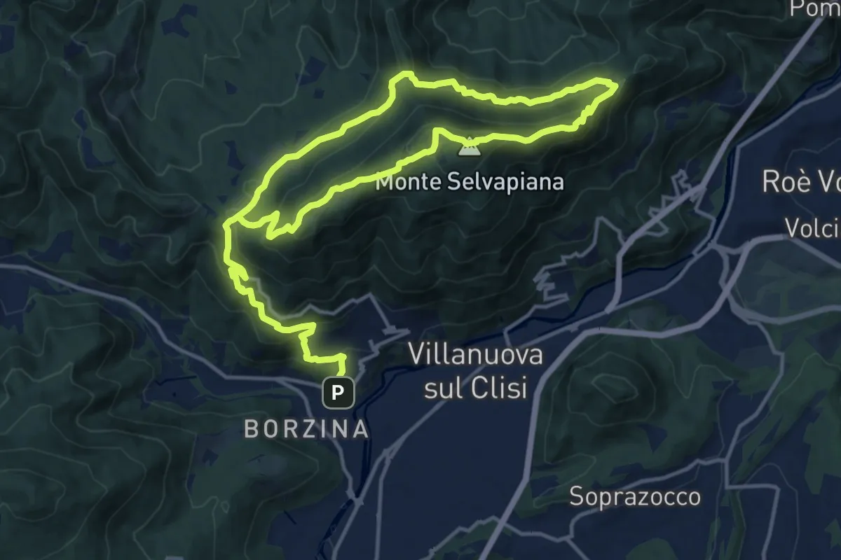
Demanding · Summit
Gavardo (Sopraponte) – Sopraponte
11.8 km · ↑ 965 m · 4 h 51 min
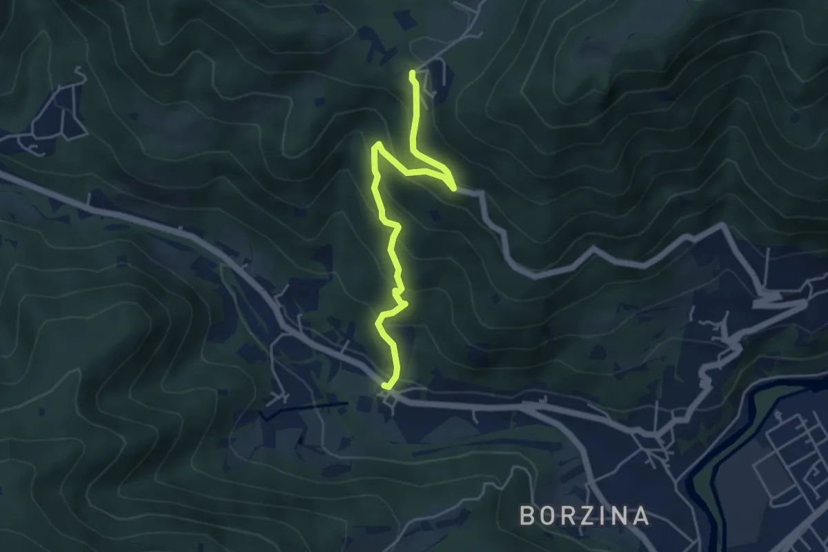
Medium · Trail
Gavardo (Soseto) – Osteria Monte Magno
4.4 km · ↑ 380 m · 1 h 51 min
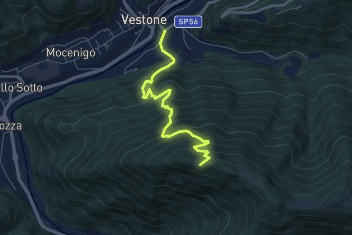
Medium · Trail
Vestone – Monte Colmo
5.7 km · ↑ 680 m · 2 h 50 min
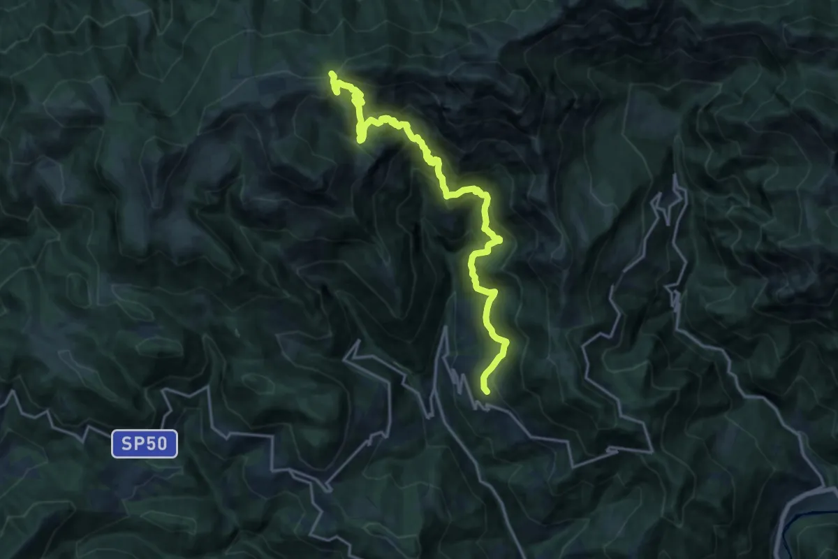
Demanding · Trail
Pertica Bassa (Ono Degno) – Passo Pezzeda Mattina
17.3 km · ↑ 1440 m · 7 h 13 min
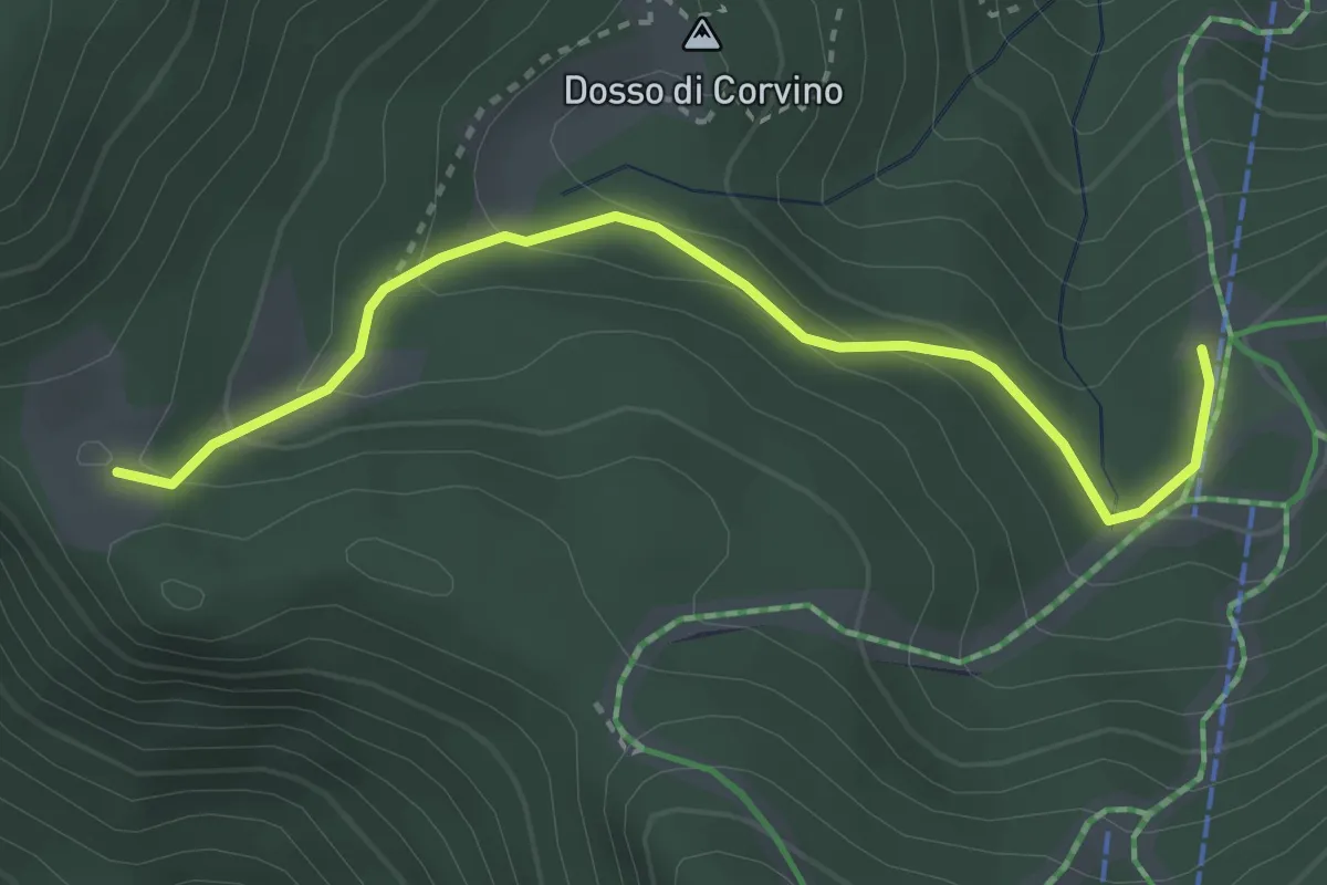
Easy · Cabin
Dosso di Plai ( Borno) – Malga Guccione
3.4 km · ↑ 165 m · 1 h 9 min
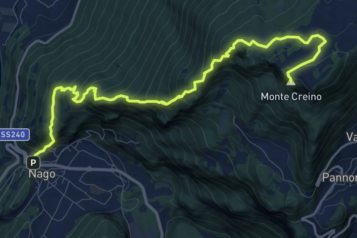
Demanding · Summit
Nago – Passo di Santa Barbara
12.5 km · ↑ 1115 m · 5 h 22 min
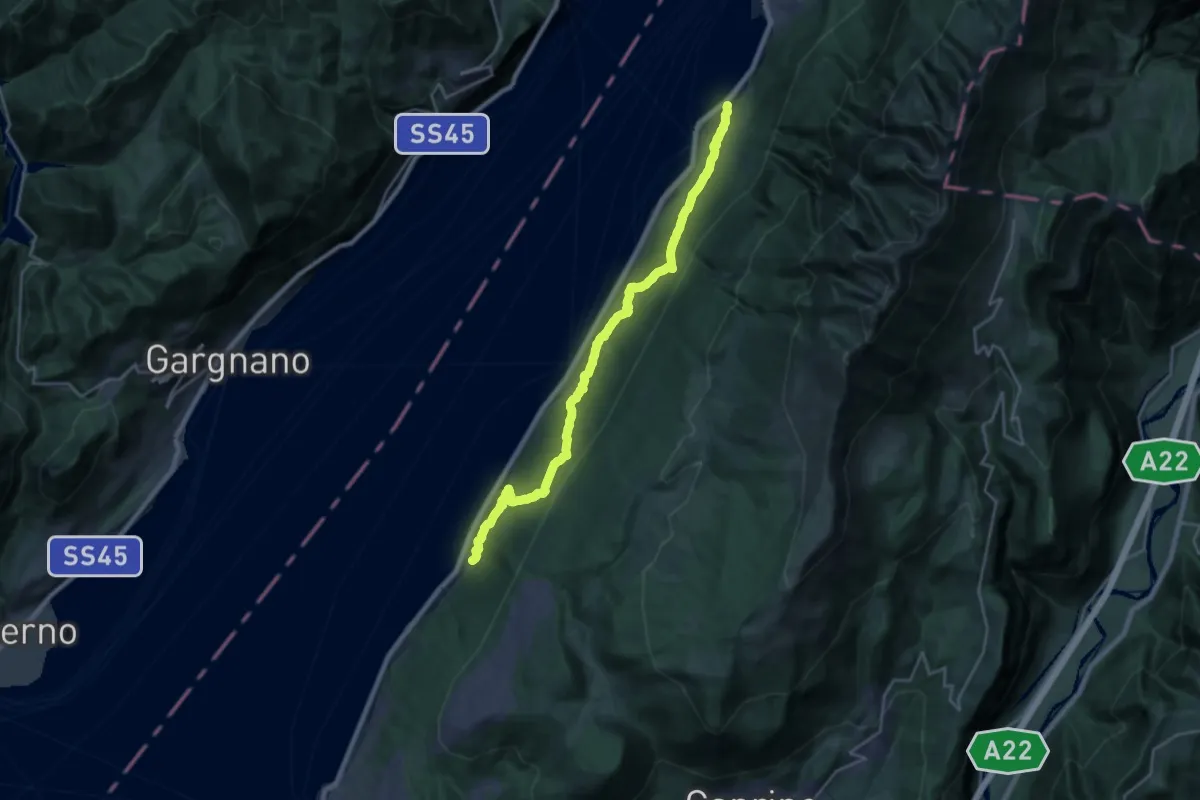
Medium · Trail
Cassone – Pai di Sopra
12.1 km · ↑ 794 m · 4 h 44 min
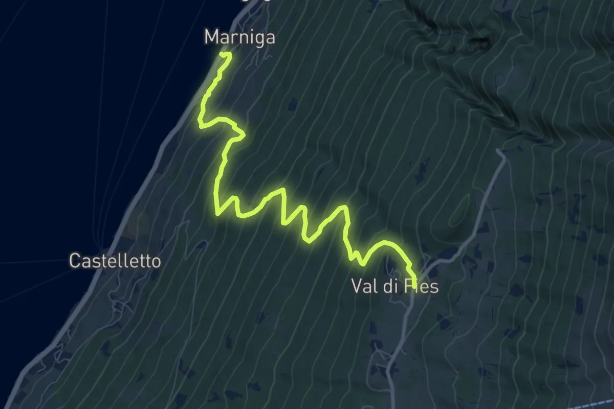
Demanding · Trail
Marniga – Prada Alta
10.7 km · ↑ 956 m · 4 h 36 min
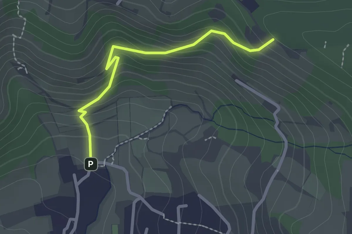
Easy · Trail
Cellatica (Palas) – Cascina Monte Grande (Innesto Sentiero 3V)
2.1 km · ↑ 186 m · 55 min
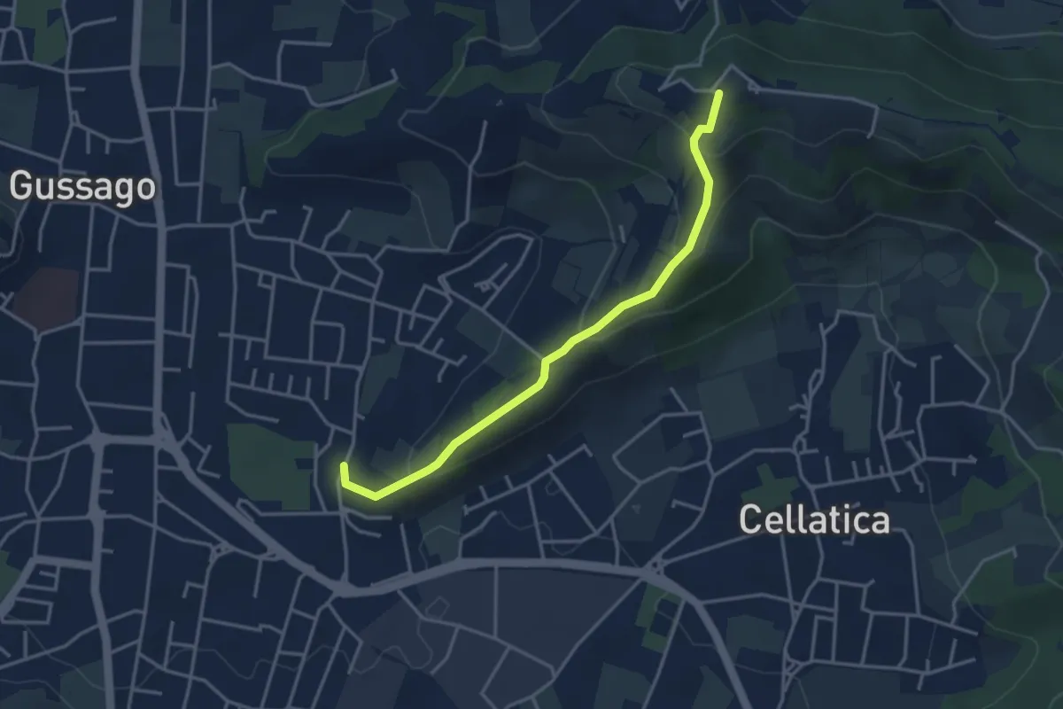
Easy · Trail
Cellatica (Casaglio) – Santuario della Stella
3.6 km · ↑ 213 m · 1 h 19 min
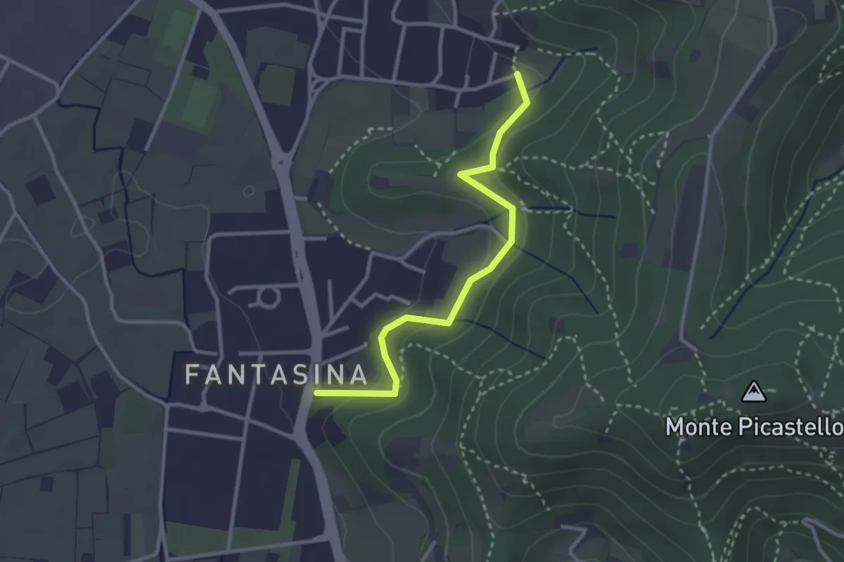
Easy · Trail
Cellatica (Fantasina) – Cellatica (Cantone)
2.9 km · ↑ 101 m · 54 min
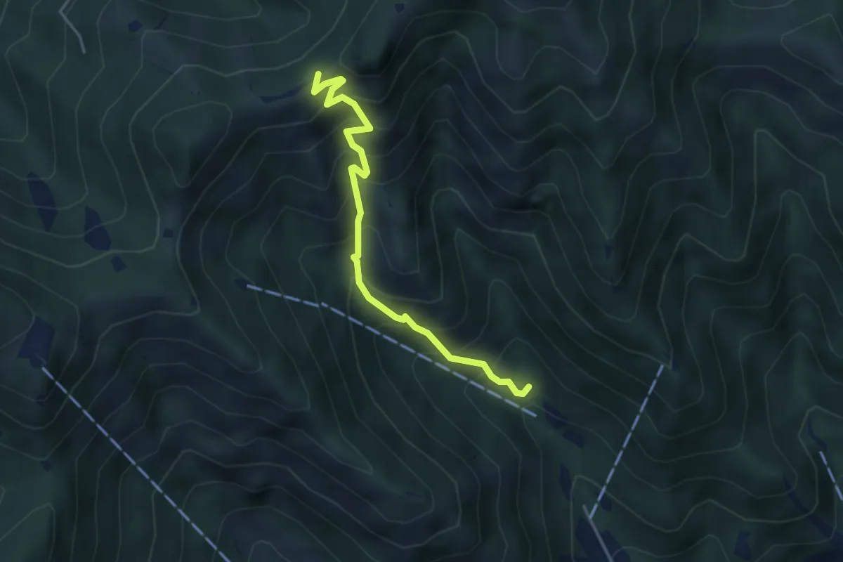
Medium · Trail
Caino (Madonna delle Fontane) – San Giorgio (Innesto Sentiero 381)
3.9 km · ↑ 503 m · 2 h 1 min
Demanding · Trail
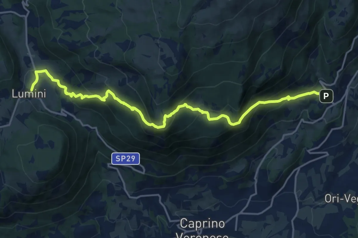
Braga – Lumini
14.8 km · ↑ 960 m · 5 h 34 min
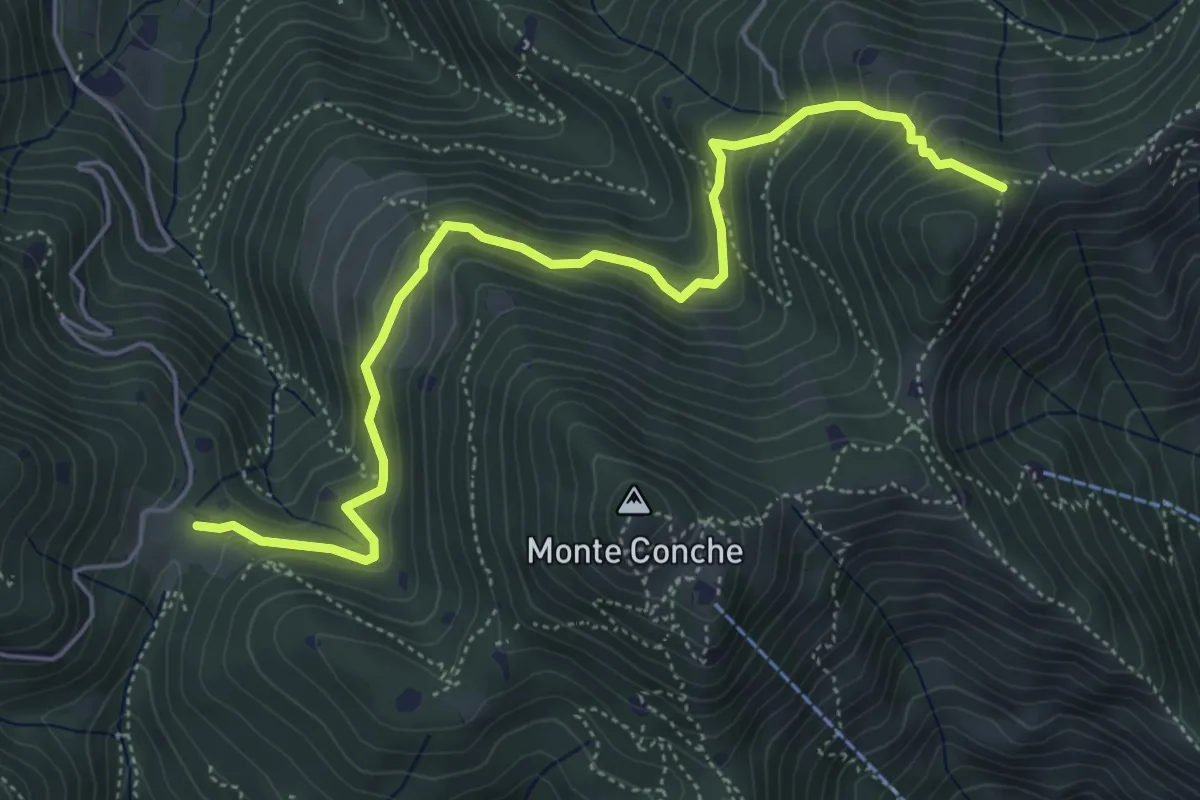
Medium · Trail
Lumezzane (Cascina Cocca) – Forcella di Calone
5.8 km · ↑ 474 m · 2 h 24 min
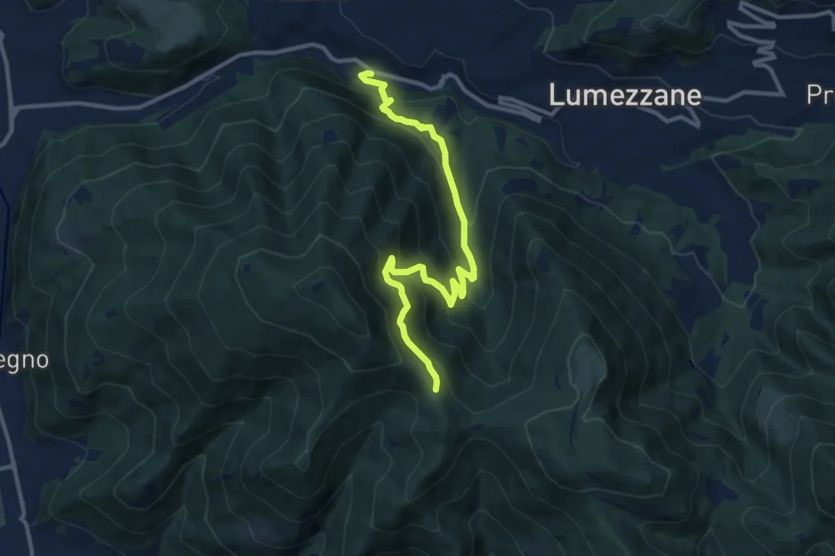
Medium · Trail
Lumezzane (Valle) – Sconfoia
9.7 km · ↑ 716 m · 3 h 50 min
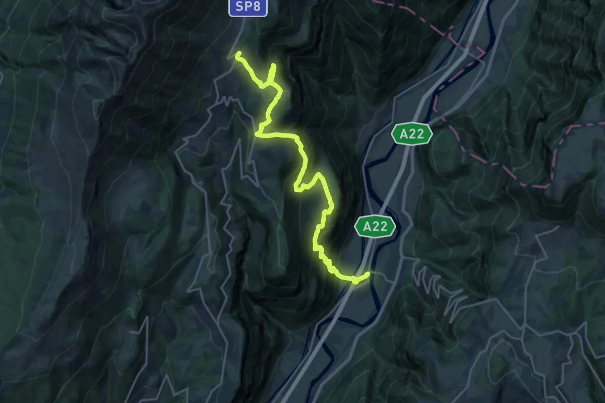
Demanding · Cabin
Rivalta – Rifugio Novezzina
20.5 km · ↑ 1277 m · 7 h 36 min
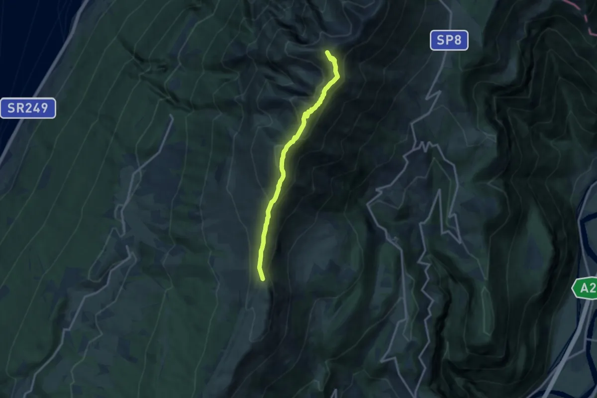
Demanding · Summit
Bocchetta di Naole – Rifugio Telegrafo
10.4 km · ↑ 695 m · 3 h 58 min
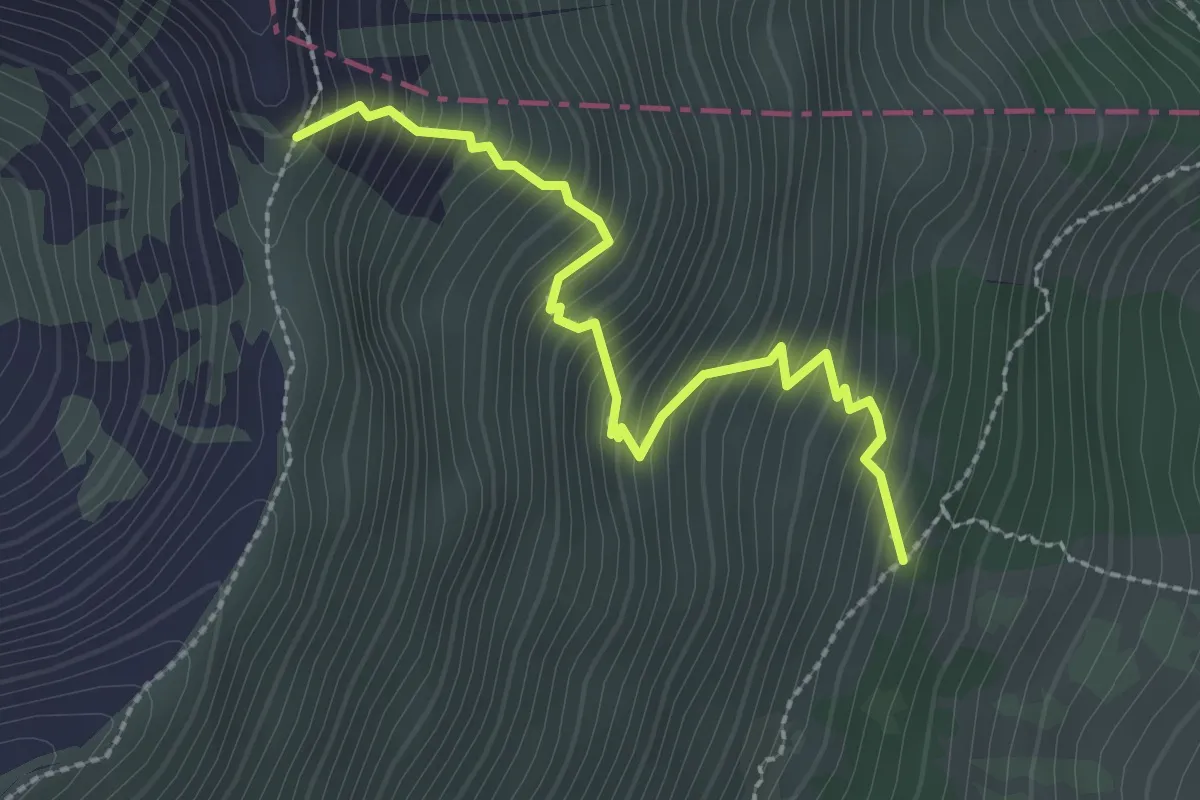
Medium · Trail
Innesto sentiero 652 – Forcella Val Fontanella
2.6 km · ↑ 400 m · 1 h 28 min
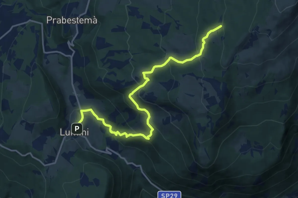
Medium · Summit
Lumini – Baito Eugenio Turri
11.4 km · ↑ 631 m · 4 h 3 min
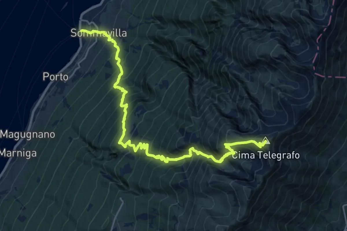
Demanding · Summit
Assenza – Rifugio Telegrafo
18.6 km · ↑ 2146 m · 9 h 3 min
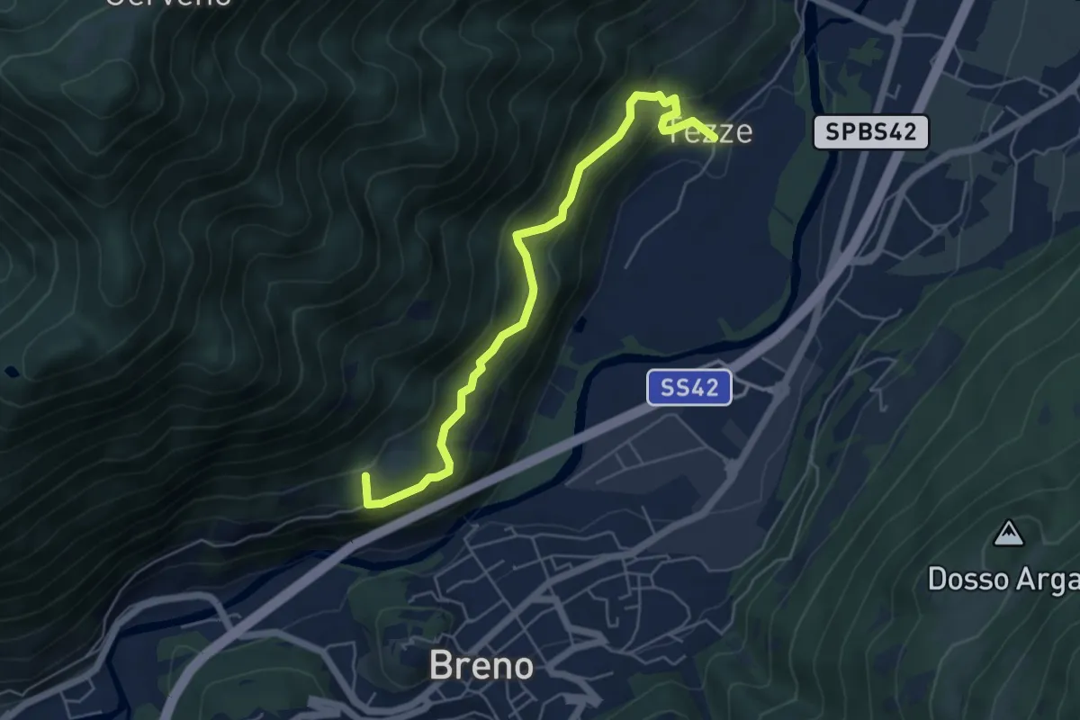
Medium · Summit
Breno – Tezze
5.5 km · ↑ 383 m · 2 h 8 min
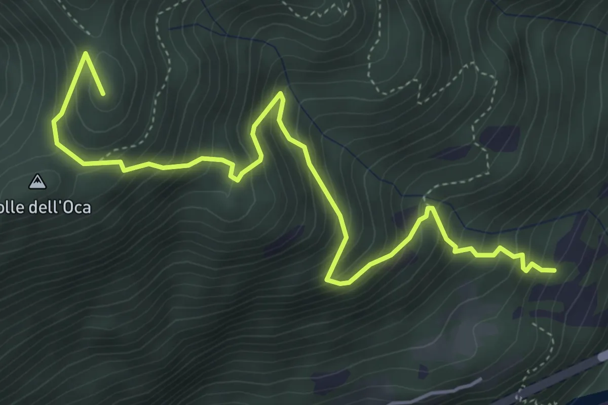
Medium · Summit
Innesto sentiero n. 120 – Monti di Cerveno
5.7 km · ↑ 703 m · 2 h 51 min
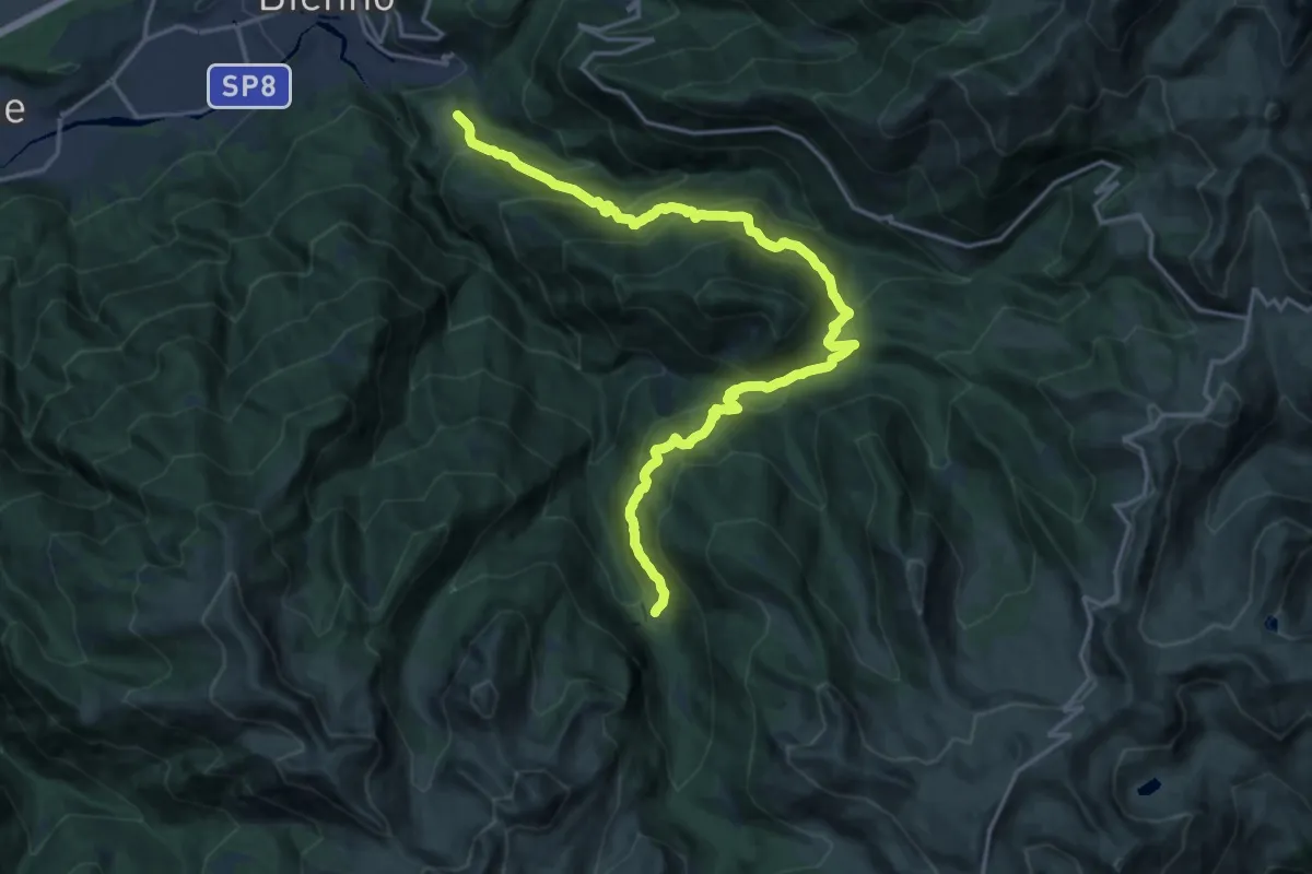
Demanding · Trail
Prestine – Campolungo
10.2 km · ↑ 1152 m · 4 h 41 min
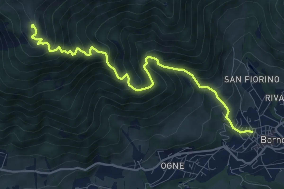
Demanding · Cabin
Borno – Rifugio San Fermo
9.1 km · ↑ 938 m · 4 h 11 min
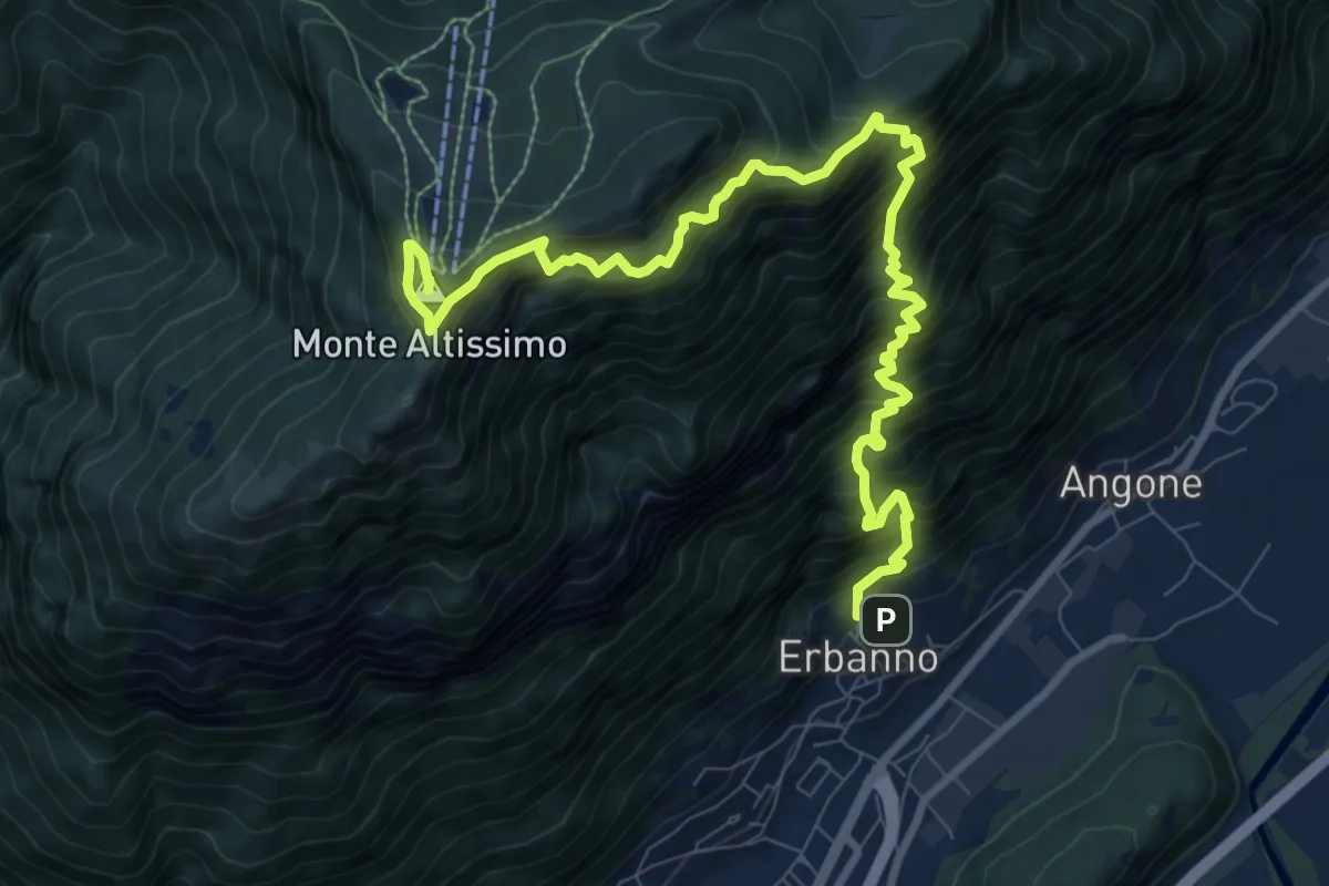
Demanding · Summit
Erbanno – Monte Altissimo
11.5 km · ↑ 1860 m · 6 h 45 min
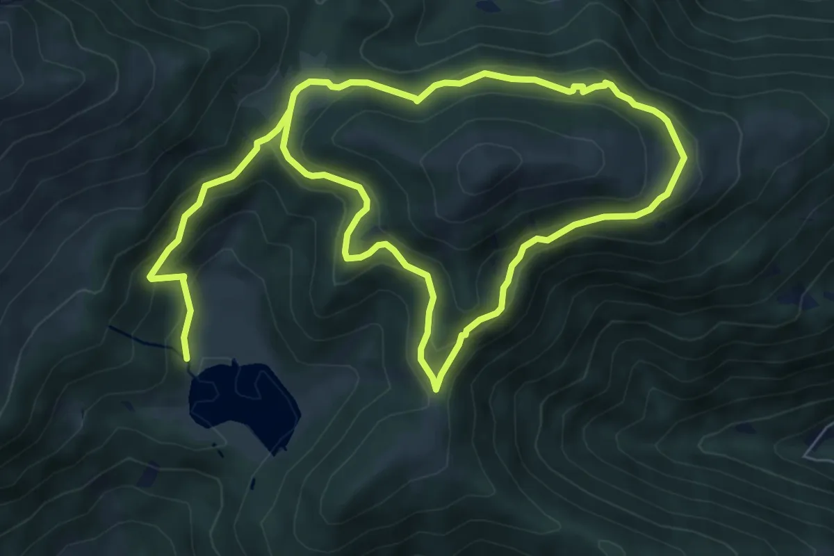
Demanding · Summit
Gorzone – Monte Altissimo
12.5 km · ↑ 1528 m · 6 h 16 min
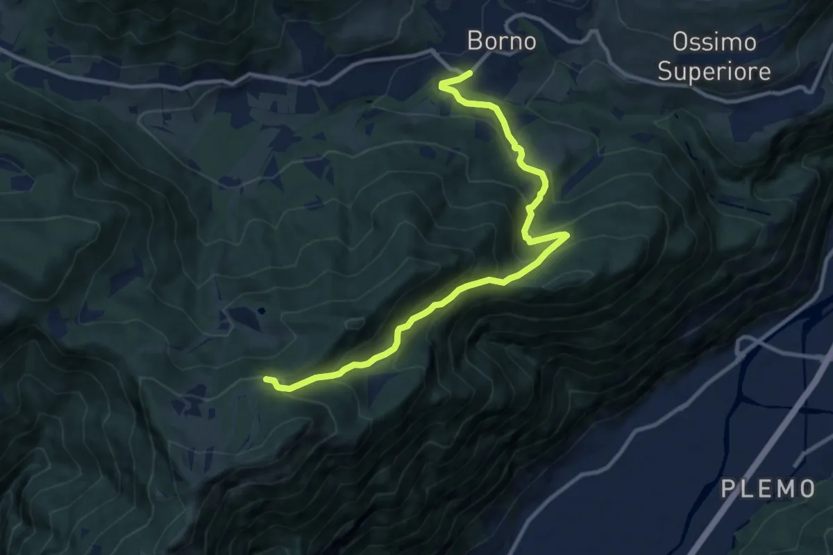
Medium · Trail
Borno (Lago di Lova) – Lago di Lova
6.4 km · ↑ 465 m · 2 h 30 min
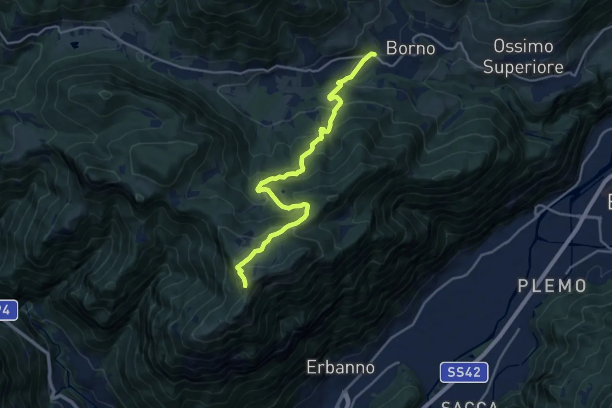
Medium · Trail
Borno – Pagherola
10.9 km · ↑ 712 m · 4 h 7 min
Demanding · Summit
Borno (Viale Pineta) – Monte Altissimo
12.8 km · ↑ 864 m · 4 h 54 min
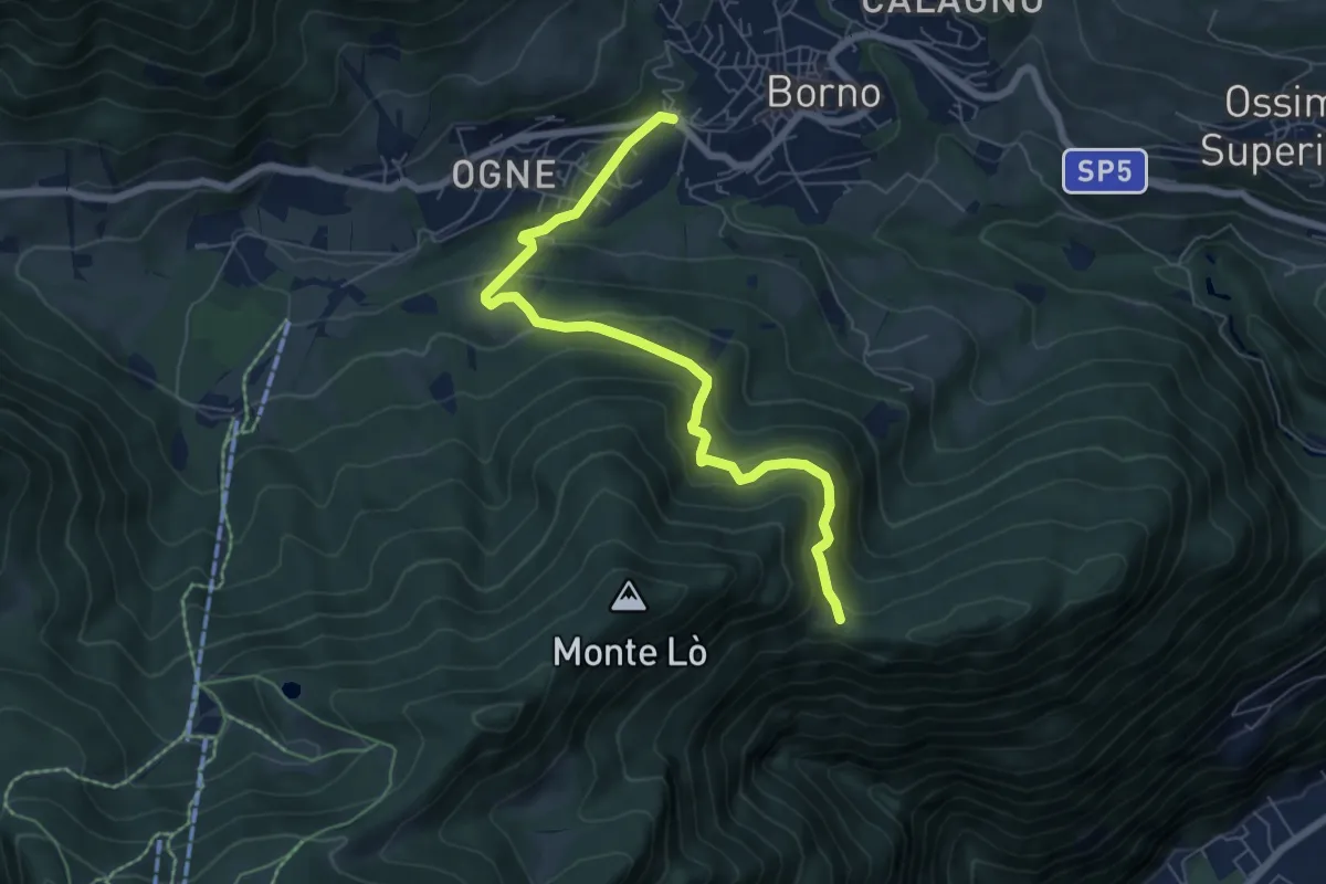
Medium · Trail
Borno (Viale Pineta) – Balestrini
6.9 km · ↑ 445 m · 2 h 36 min
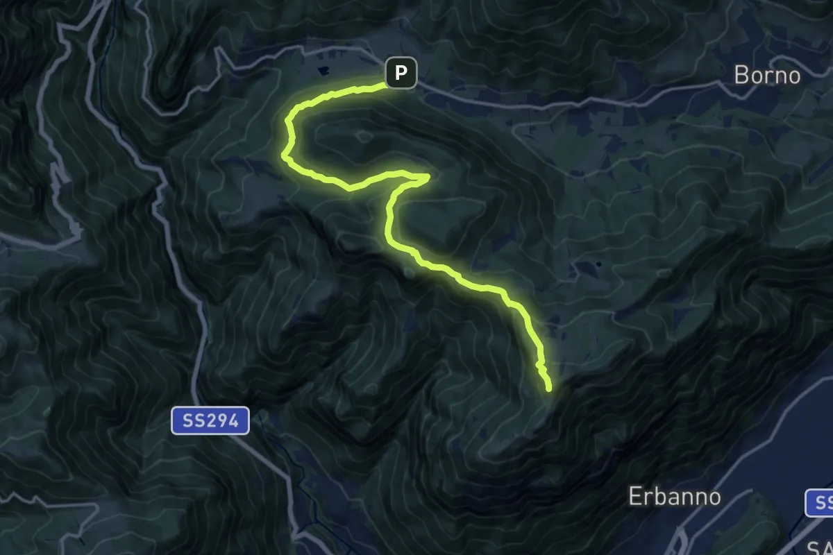
Medium · Summit
Croce di Salven – Monte Altissimo
15.7 km · ↑ 766 m · 5 h 22 min
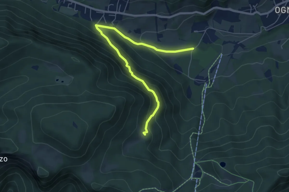
Medium · Summit
Borno (Ogne) – Pozze Val Sorda
6.1 km · ↑ 436 m · 2 h 23 min
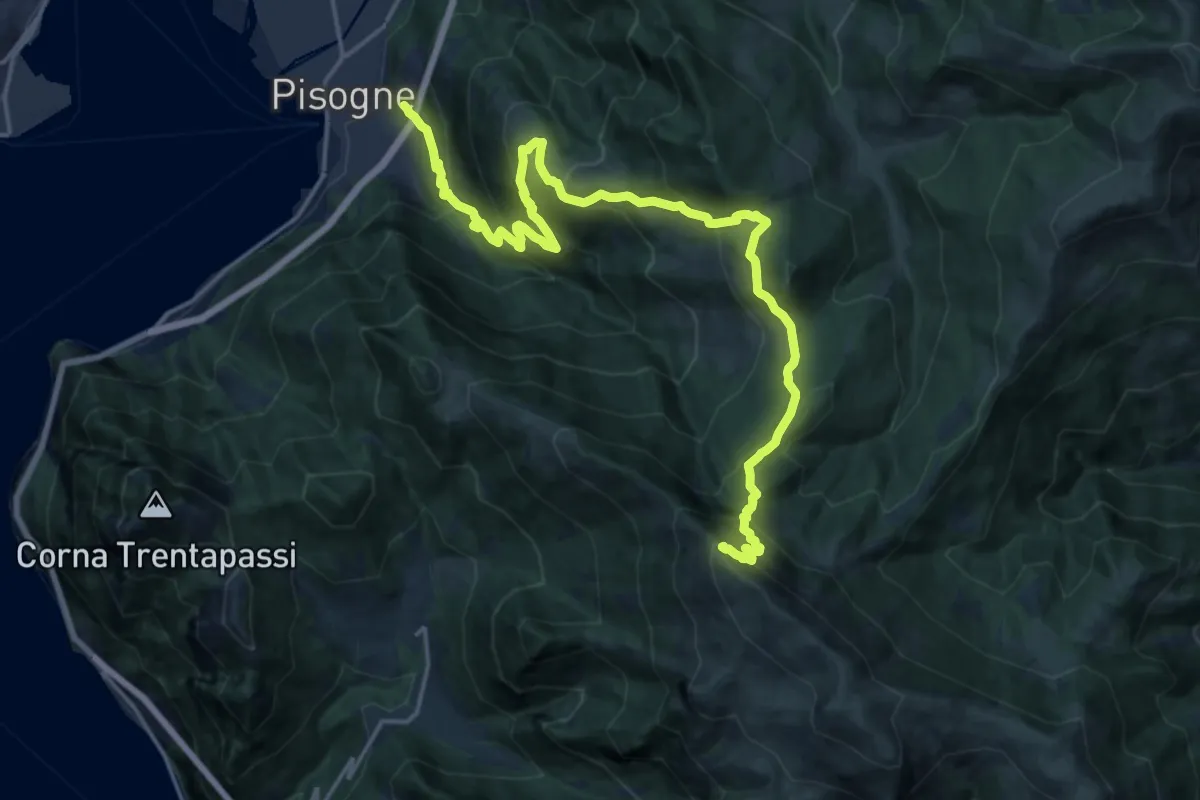
Demanding · Summit
Pisogne – Monte Guglielmo
23.1 km · ↑ 1717 m · 9 h 10 min