Trails in Italy
25,219 hiking trails, each with its route, climb, walking time and grade.
All trails, page 389 of 526
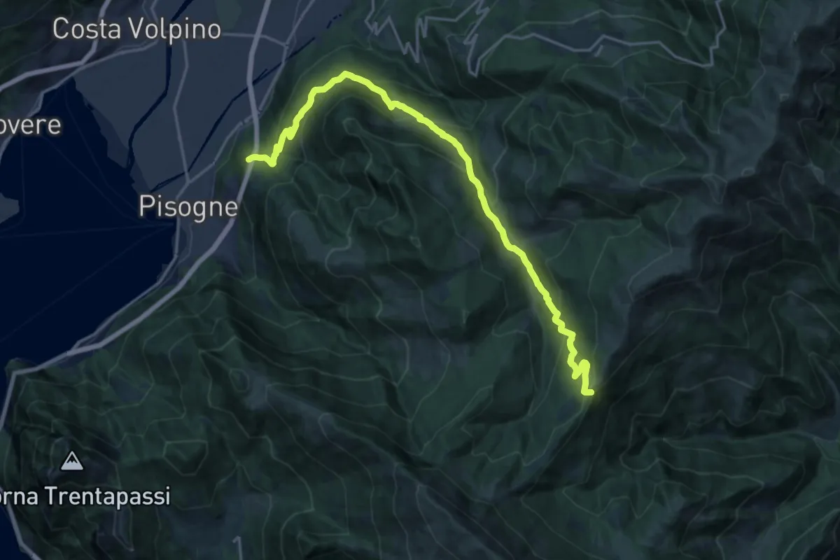
Demanding · Trail
Pisogne – Colle di San Zeno
19.8 km · ↑ 1210 m · 7 h 18 min
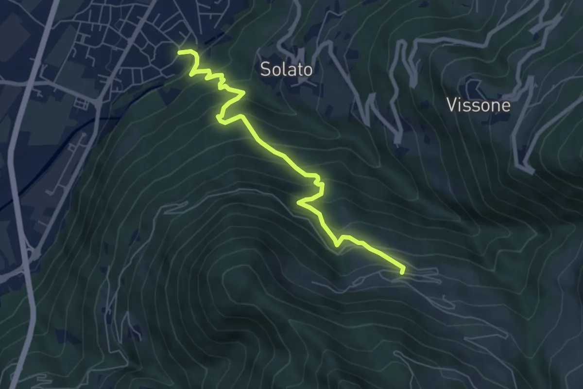
Medium · Trail
Gratacasolo – Innesto Sentiero 202 - Fraine
6.3 km · ↑ 595 m · 2 h 47 min
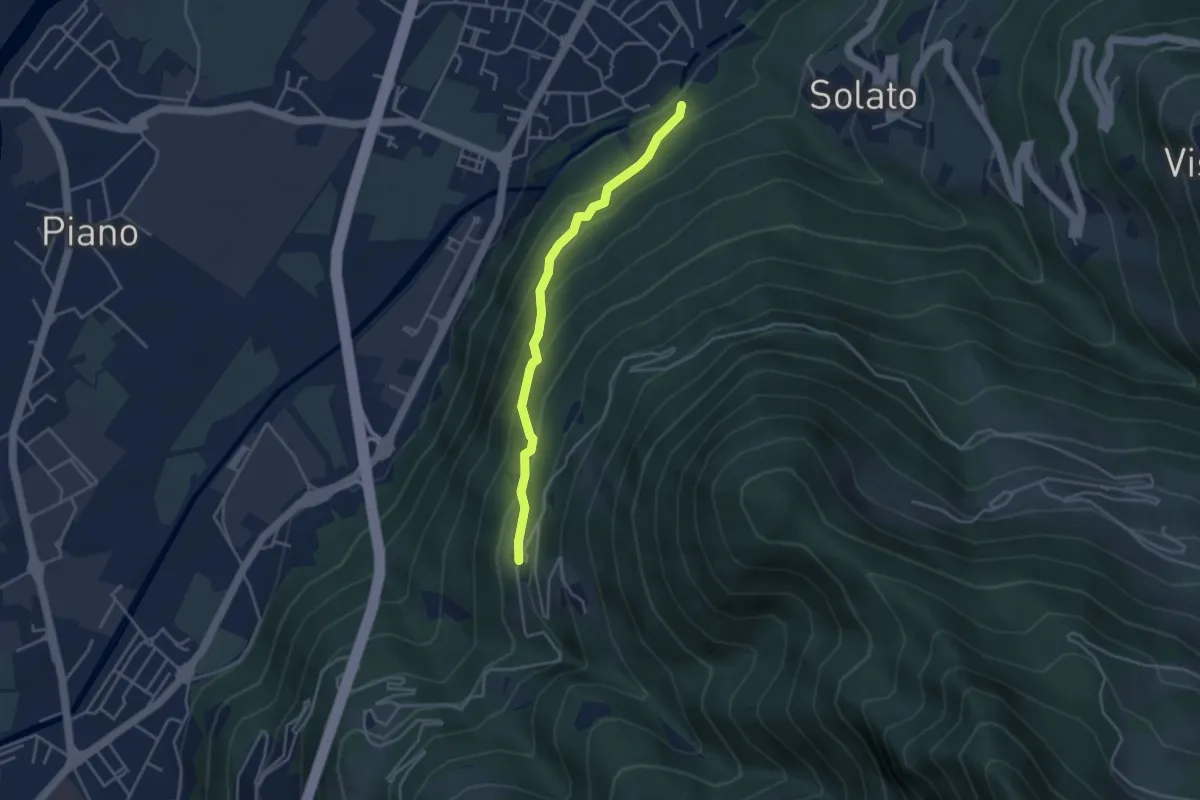
Easy · Trail
Innesto Sentiero 203 - Gratacasolo – Innesto Sentiero 202 - Sonvico
3.7 km · ↑ 286 m · 1 h 29 min
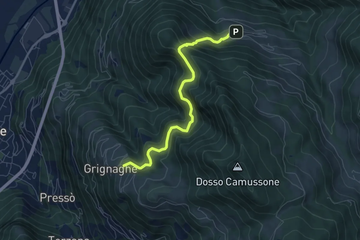
Medium · Trail
Innesto Sentiero 201 - Grignaghe – Innesto Sentiero 203 - Fraine
7.2 km · ↑ 505 m · 2 h 47 min
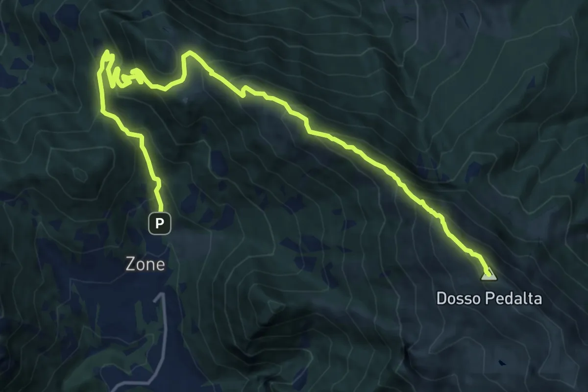
Demanding · Summit
Zone – Monte Guglielmo
17.0 km · ↑ 1277 m · 6 h 47 min
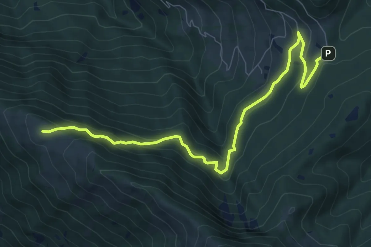
Medium · Summit
Passabocche – Pozzette Agolo
8.5 km · ↑ 448 m · 2 h 58 min
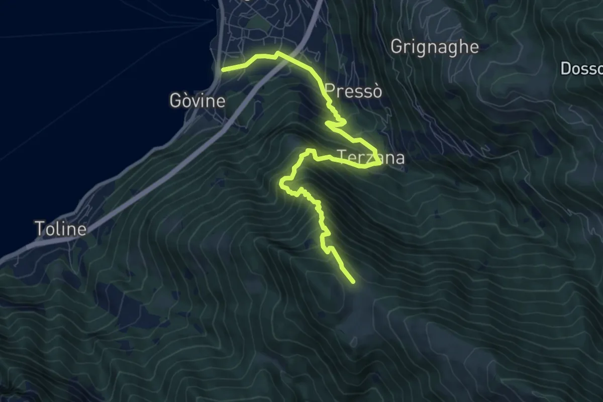
Demanding · Trail
Pisogne – Malga Aguina
9.5 km · ↑ 1110 m · 4 h 39 min
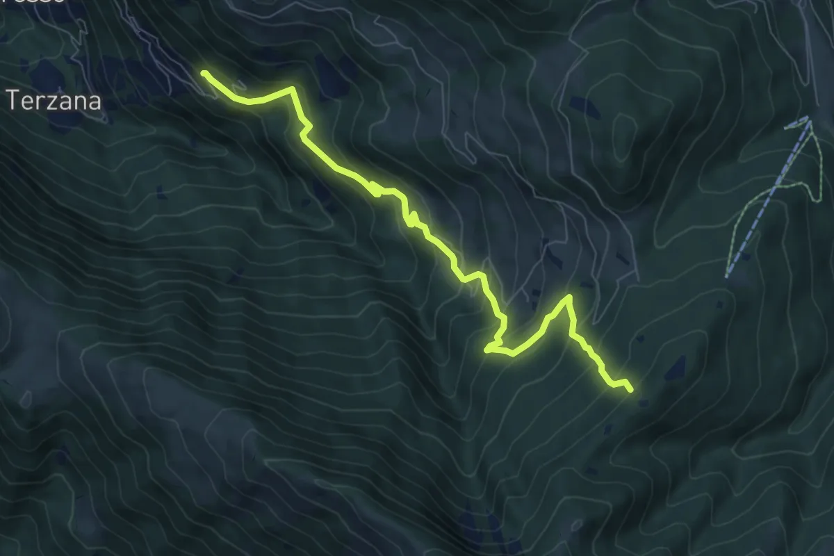
Medium · Trail
Pontasio – Passabocche
8.3 km · ↑ 715 m · 3 h 30 min
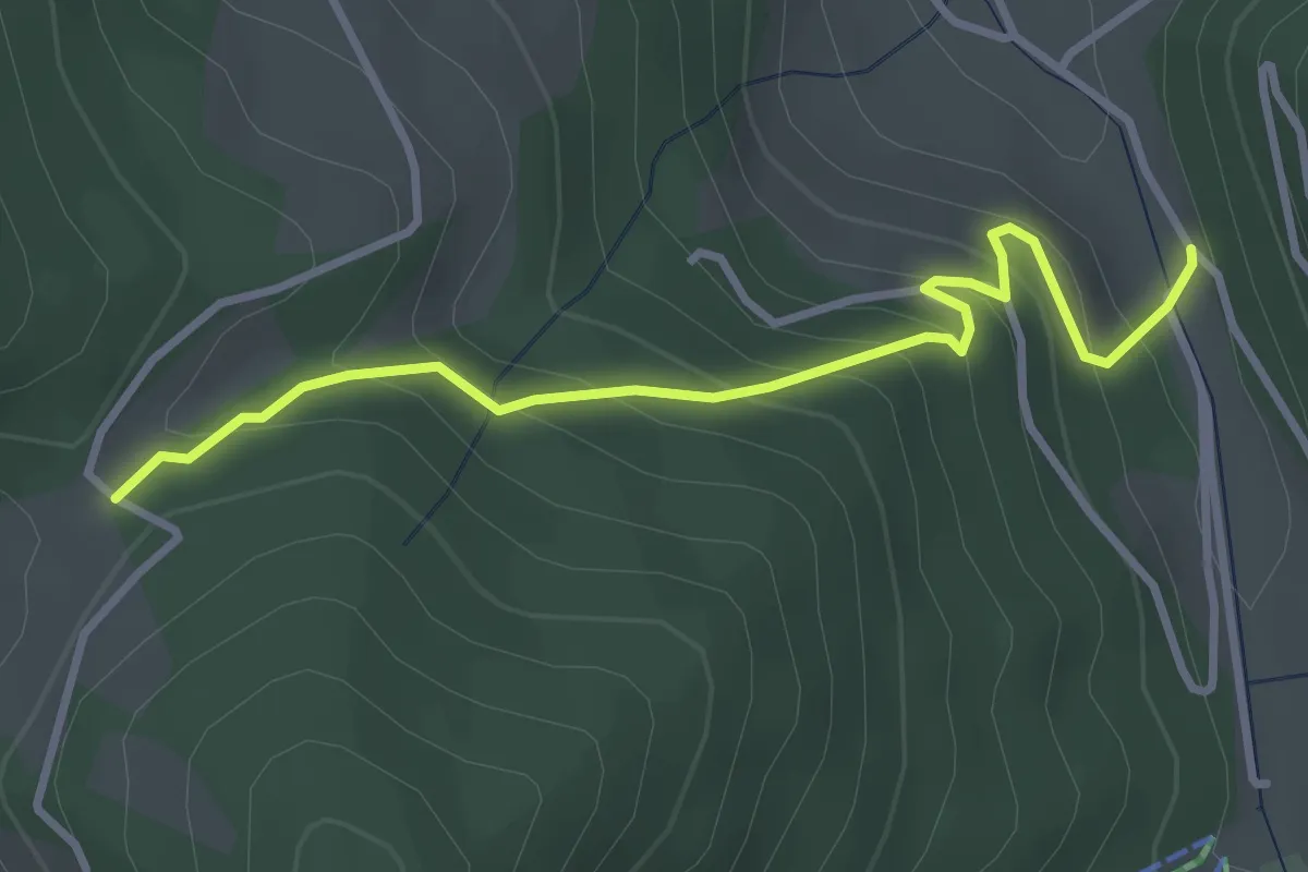
Easy · Trail
Palot – Passabocche
3.4 km · ↑ 268 m · 1 h 23 min
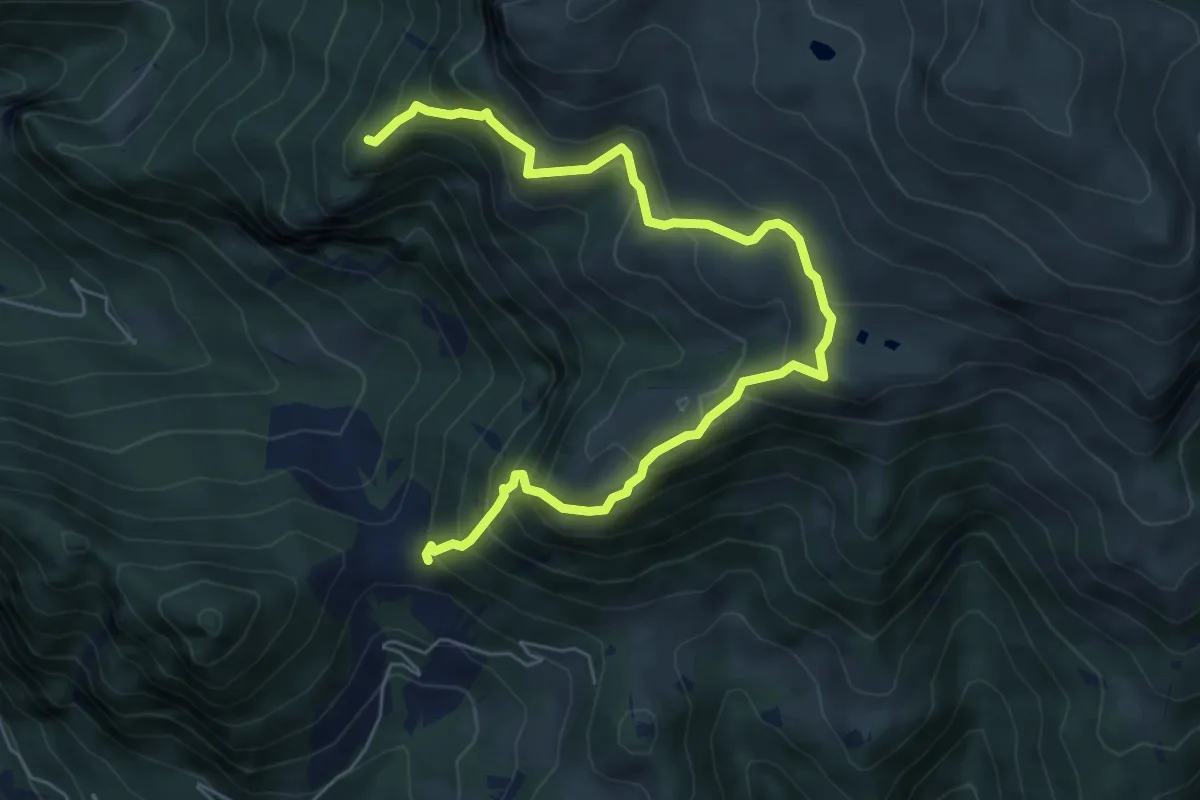
Demanding · Summit
Gasso – Rucca
7.3 km · ↑ 813 m · 3 h 30 min
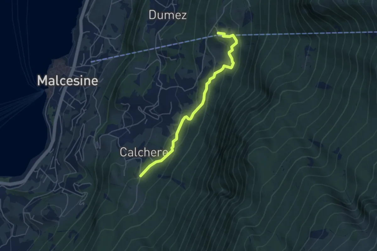
Easy · Trail
San Michele - stazione intermedia funivia – San Maggiore
4.8 km · ↑ 301 m · 1 h 47 min
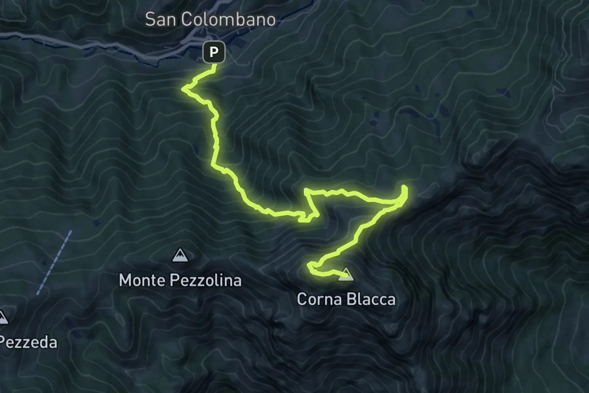
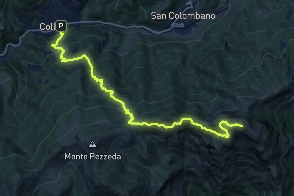
Expert · Summit
Collio (San Colombano - Naàni) – Cima Corna Blacca
11.2 km · ↑ 1219 m · 5 h 17 min
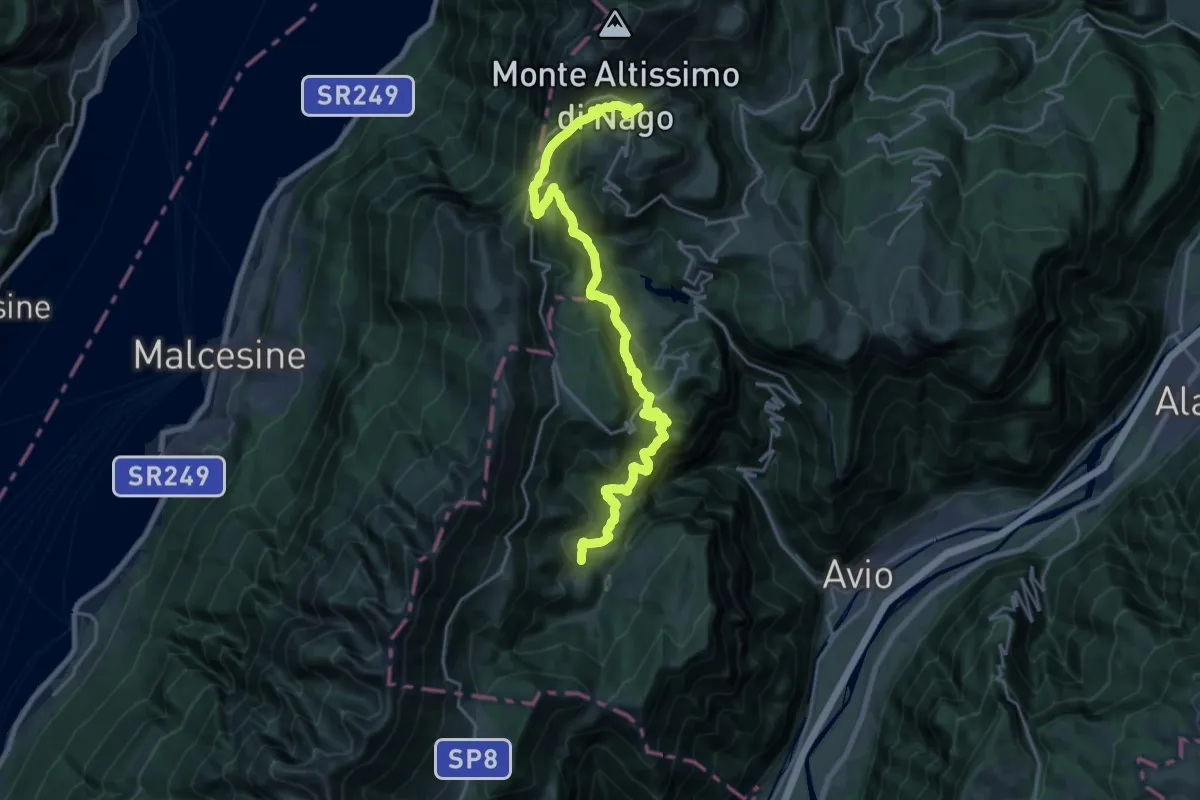
Expert · Summit
Collio (Trampolino) – Cima Corna Blacca
14.8 km · ↑ 1522 m · 6 h 47 min
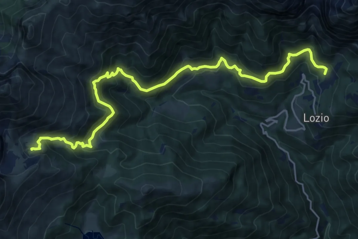
Demanding · Trail
Rifugio Monte Baldo (bivio 652) – Bocca Creer - Rifugio Graziani (bivio 633 - 650)
12.3 km · ↑ 986 m · 4 h 58 min
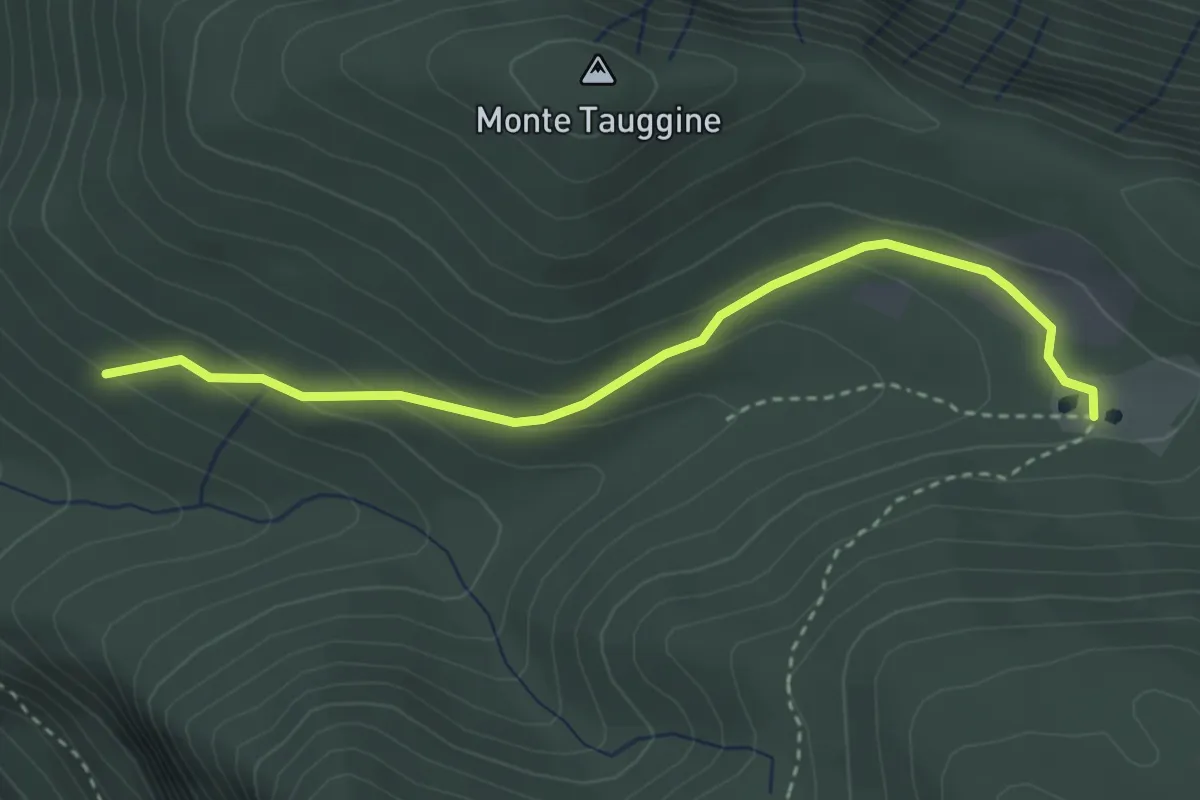
Demanding · Cabin
Lozio (Sommaprada) – Rifugio Gualtiero Laeng
17.9 km · ↑ 1136 m · 6 h 41 min
Easy · Trail
Bivio Due Strade – Val Sorda
3.4 km · ↑ 130 m · 1 h 5 min
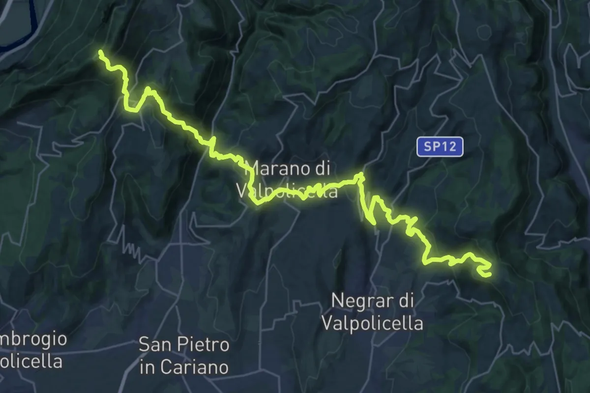
Demanding · Trail
Casa Antolini – sotto Monte Pastello - inn. sent. 240
18.0 km · ↑ 1206 m · 6 h 55 min
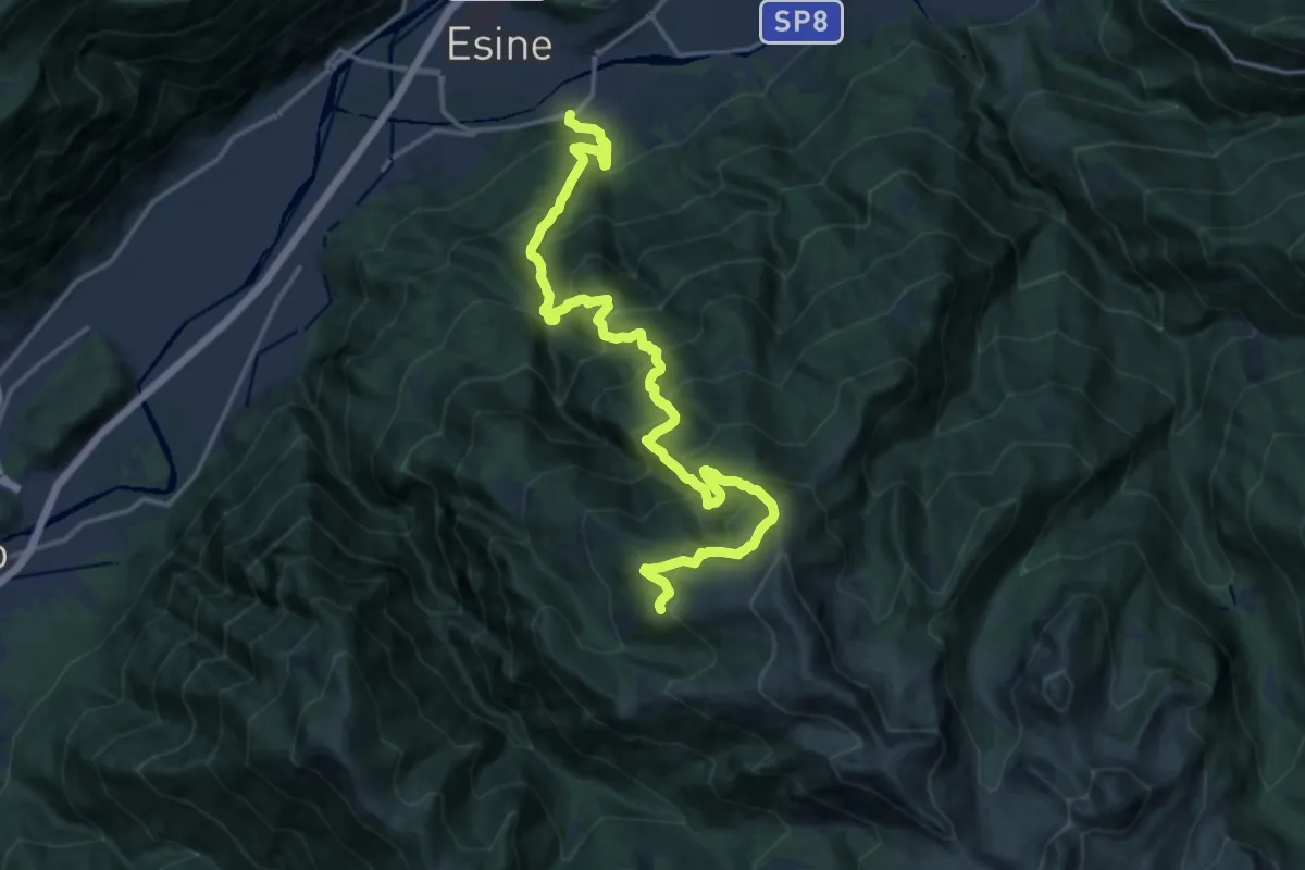
Demanding · Summit
Esine – Pozza di Scandolaro
19.2 km · ↑ 1972 m · 8 h 48 min
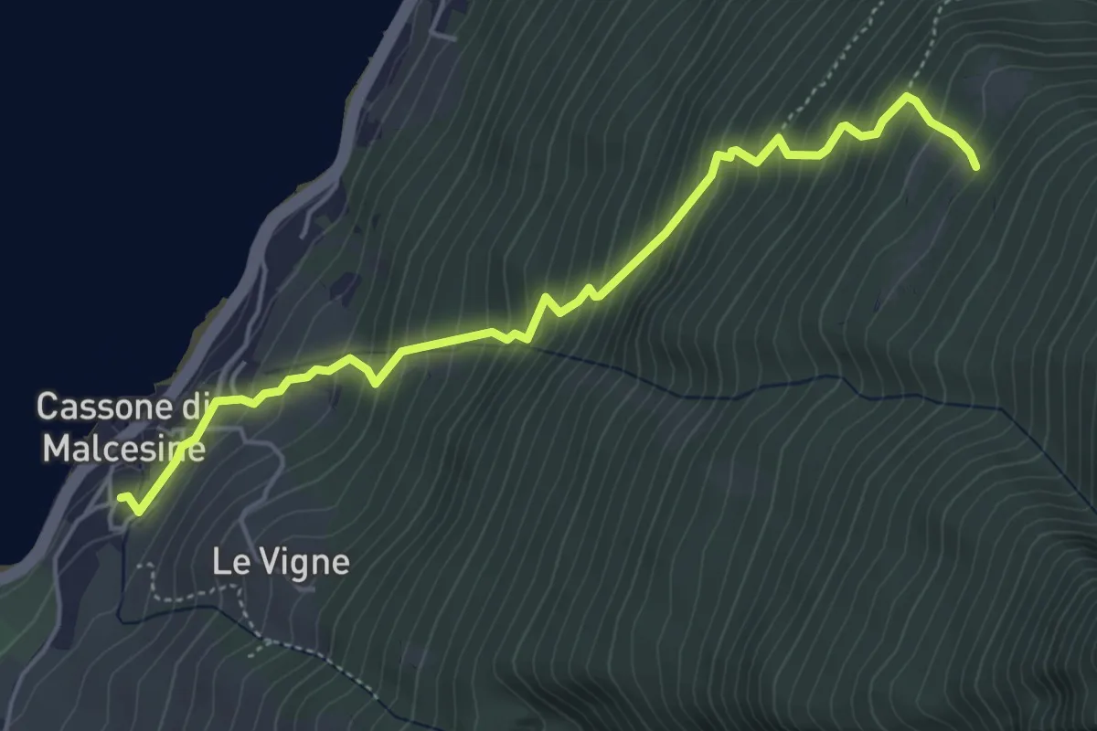
Medium · Trail
Cassone – Pozzo Barchet - inn. sent. 659
5.2 km · ↑ 646 m · 2 h 37 min
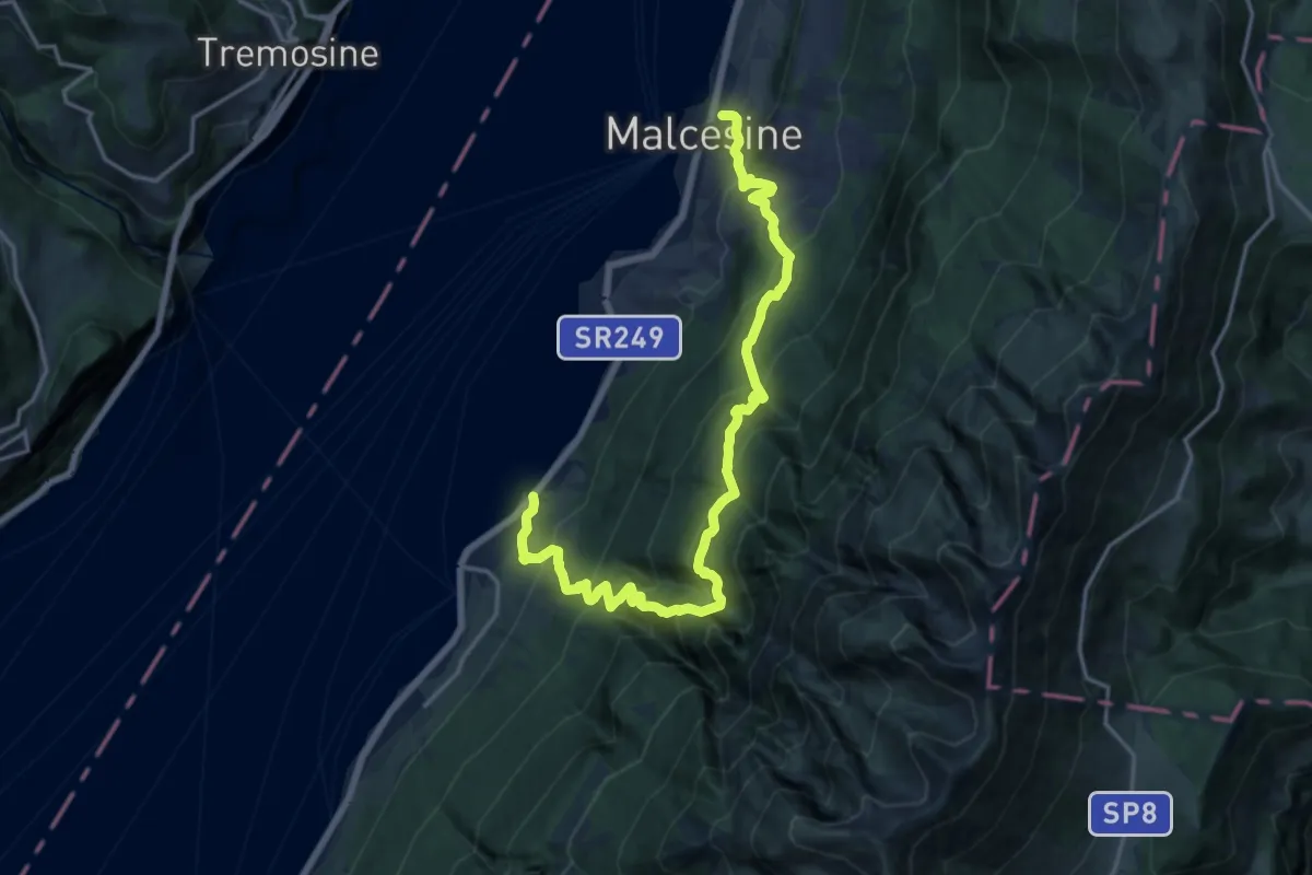
Demanding · Trail
Cassone – Malcesine- Funivia Monte Baldo
9.6 km · ↑ 927 m · 4 h 24 min
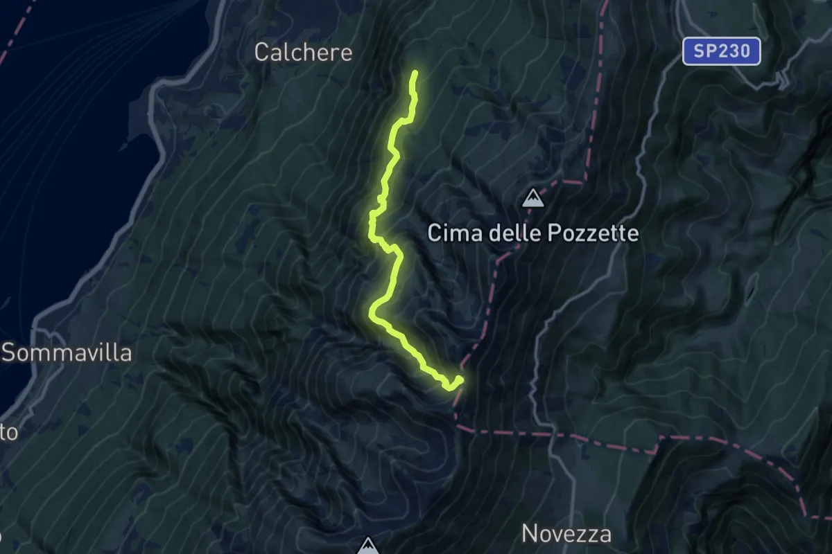
Demanding · Trail
Co di Piombi - da sent. 2 – Forcella Valdritta - inn. sent. 651
10.3 km · ↑ 1093 m · 4 h 47 min
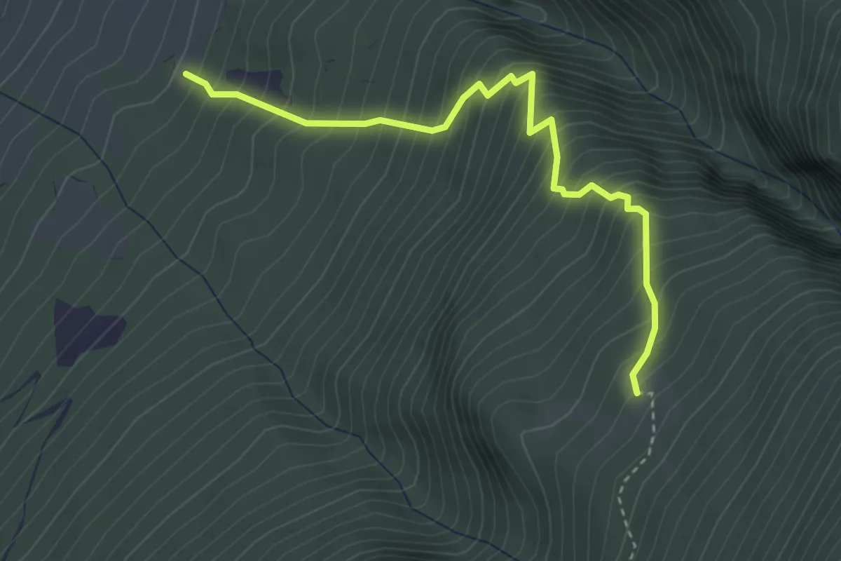
Medium · Trail
Sommavilla - Fossa - da sent. 654 – Malga Brione
3.6 km · ↑ 655 m · 2 h 17 min
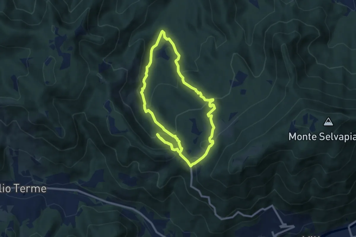
Medium · Trail
Gavardo (Monte Magno) – Monte Magno
6.7 km · ↑ 382 m · 2 h 30 min
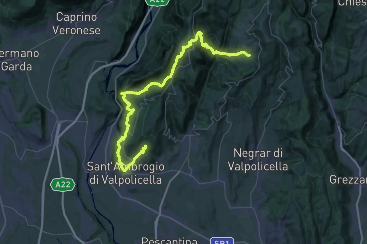
Expert · Trail
San Giorgio di Valpolicella – Mondrago
22.9 km · ↑ 1259 m · 8 h 20 min
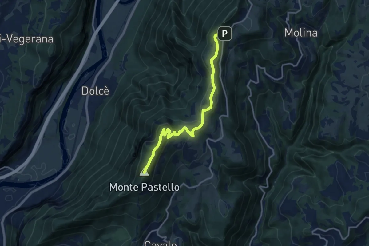
Demanding · Summit
Località Paroletto – Monte Pastello
10.3 km · ↑ 461 m · 3 h 26 min
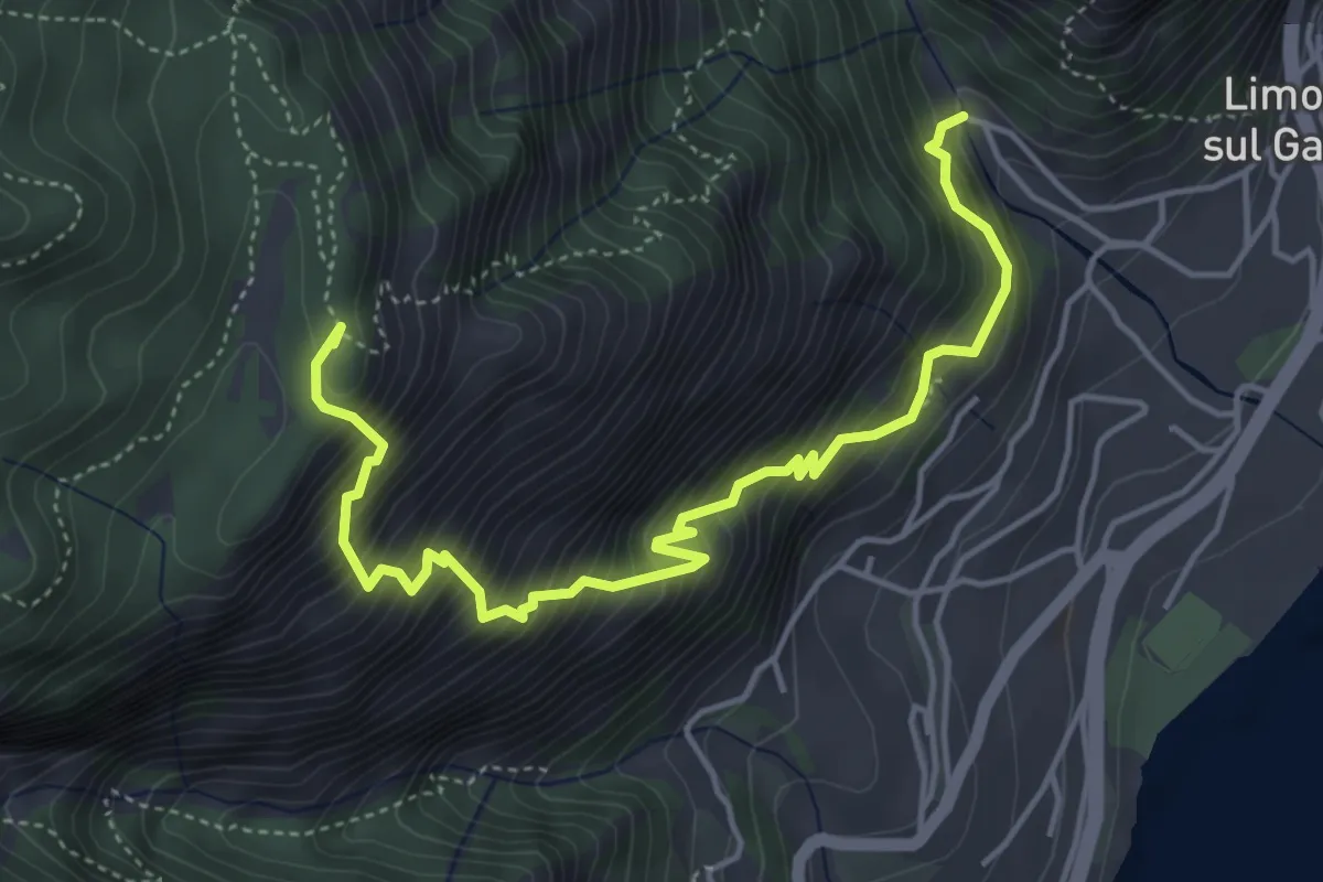
Demanding · Summit
Campaldo – Cascina Dalco
5.3 km · ↑ 829 m · 3 h 3 min
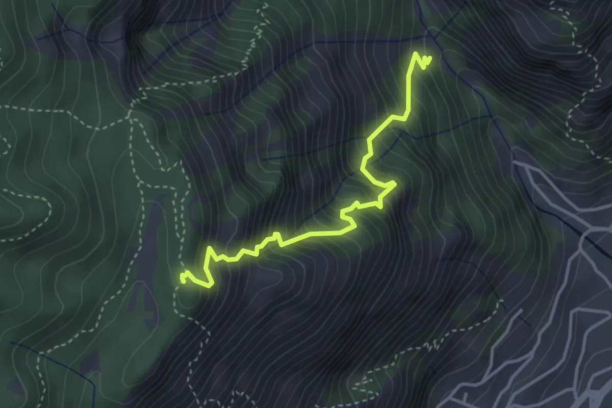
Medium · Summit
Valle del Singol – Cascina Dalco
3.6 km · ↑ 617 m · 2 h 11 min
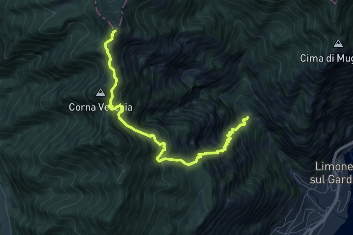
Demanding · Summit
Valle del Singol – Passo di Bestana
8.8 km · ↑ 1110 m · 4 h 29 min
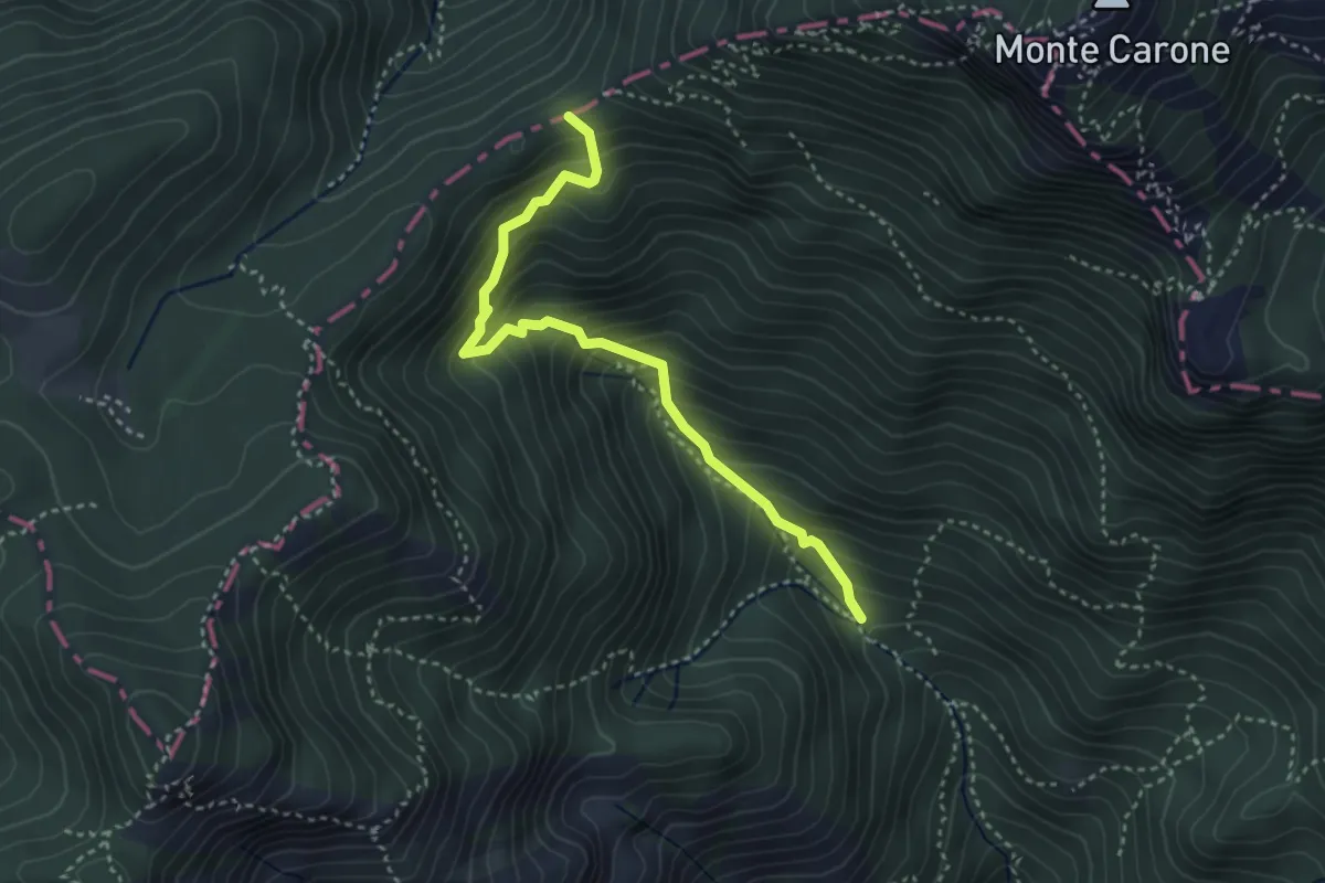
Medium · Trail
Pala dei Salcc – Bocca dei Fortini
3.5 km · ↑ 451 m · 1 h 49 min
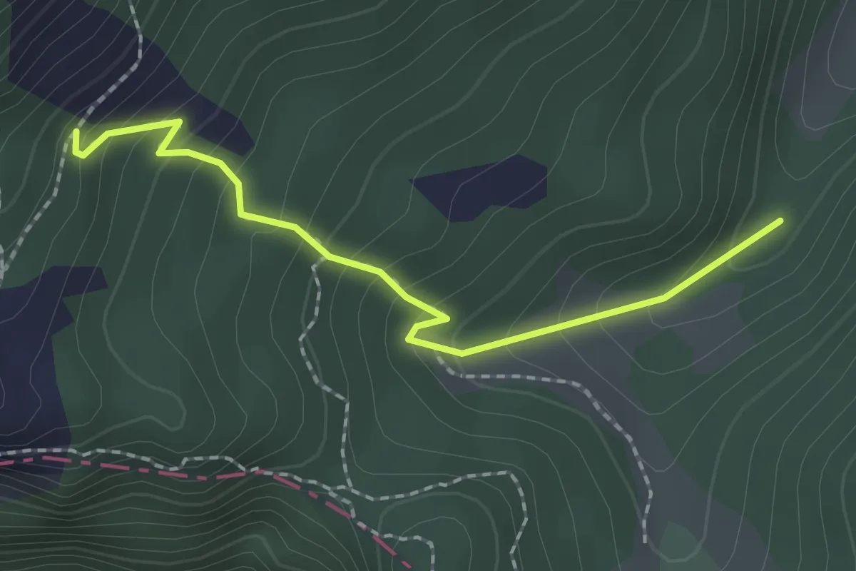
Easy · Trail
Monte Carone – Malga Vil
2.0 km · ↑ 176 m · 51 min
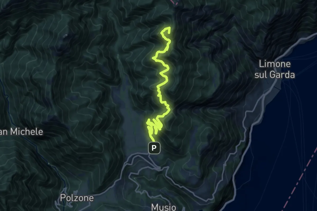
Demanding · Summit
Vesio – Passo Nota
14.9 km · ↑ 1403 m · 6 h 33 min
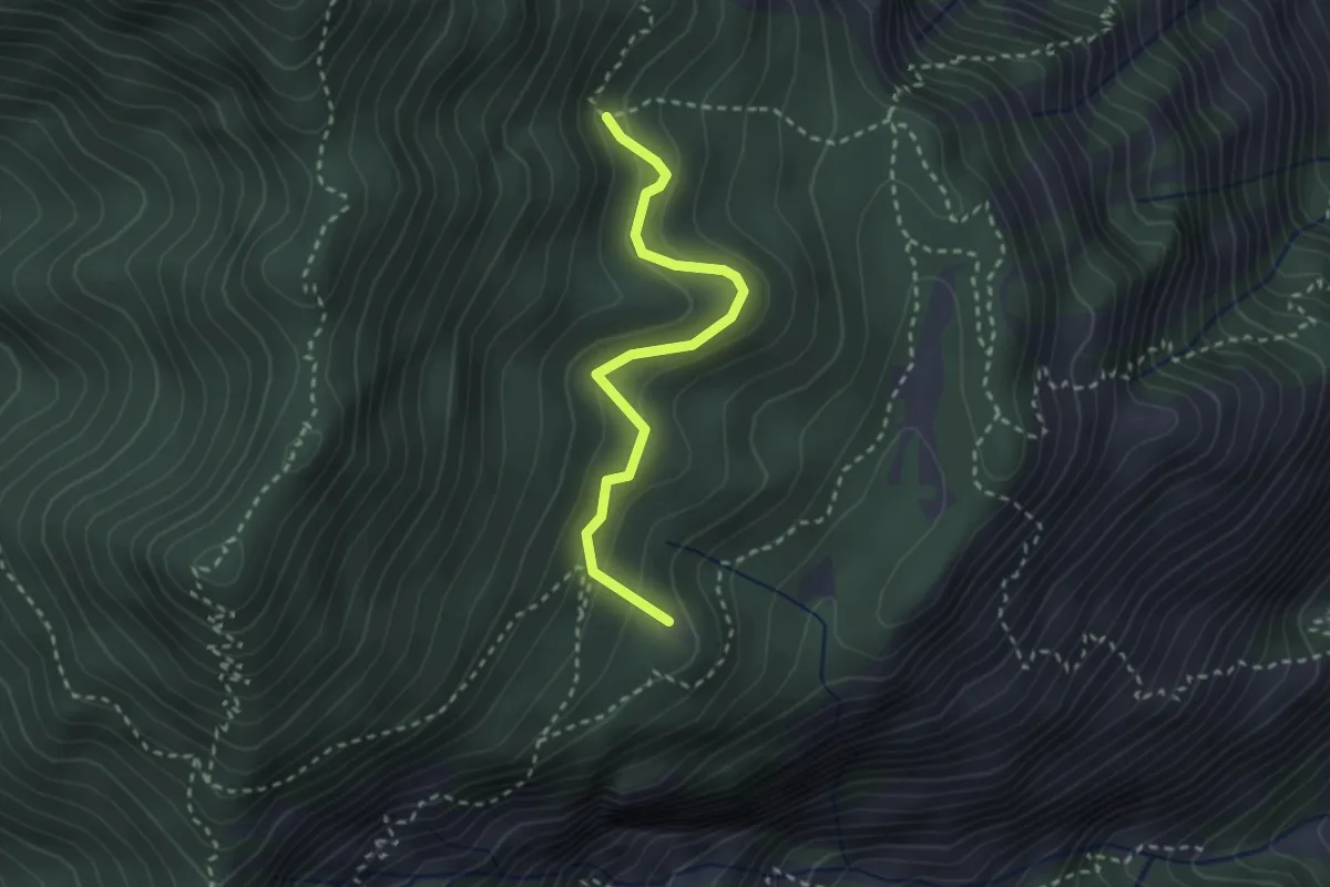
Easy · Summit
Degà – Incrocio Percorso 102
2.6 km · ↑ 196 m · 1 h 3 min
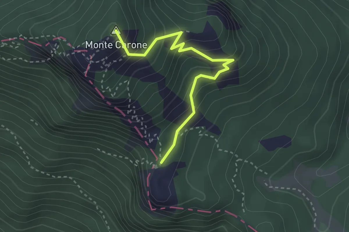
Medium · Summit
Monte Carone – Punta Mois
2.9 km · ↑ 306 m · 1 h 21 min
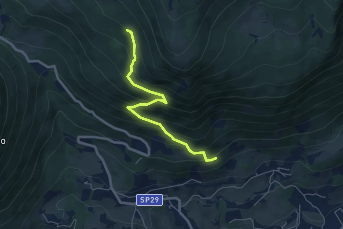
Medium · Trail
Caprino - da sent. 662 – loc. Le Colture - inn. sent. 53
4.6 km · ↑ 432 m · 2 h 2 min
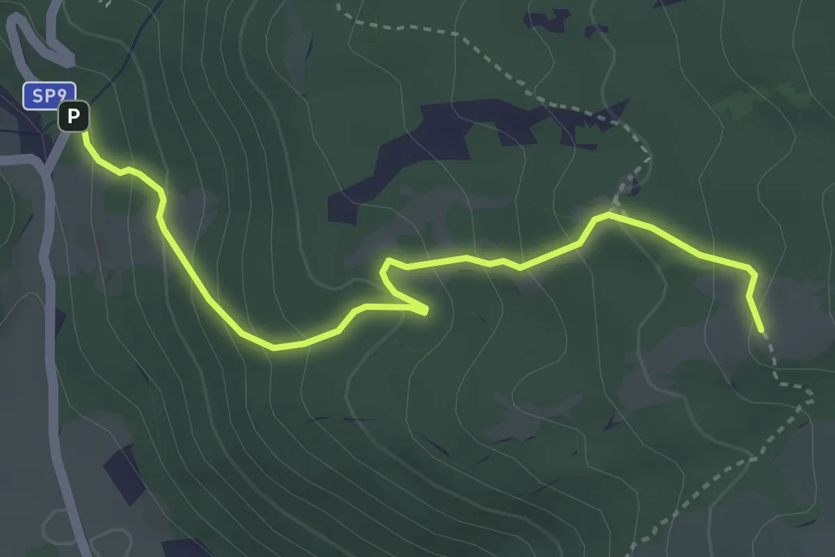
Easy · Trail
Corrubbio – Malga Zilone
3.8 km · ↑ 286 m · 1 h 31 min
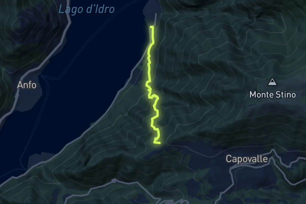
Demanding · Trail
Mandoal – Vantone
5.6 km · ↑ 684 m · 2 h 49 min
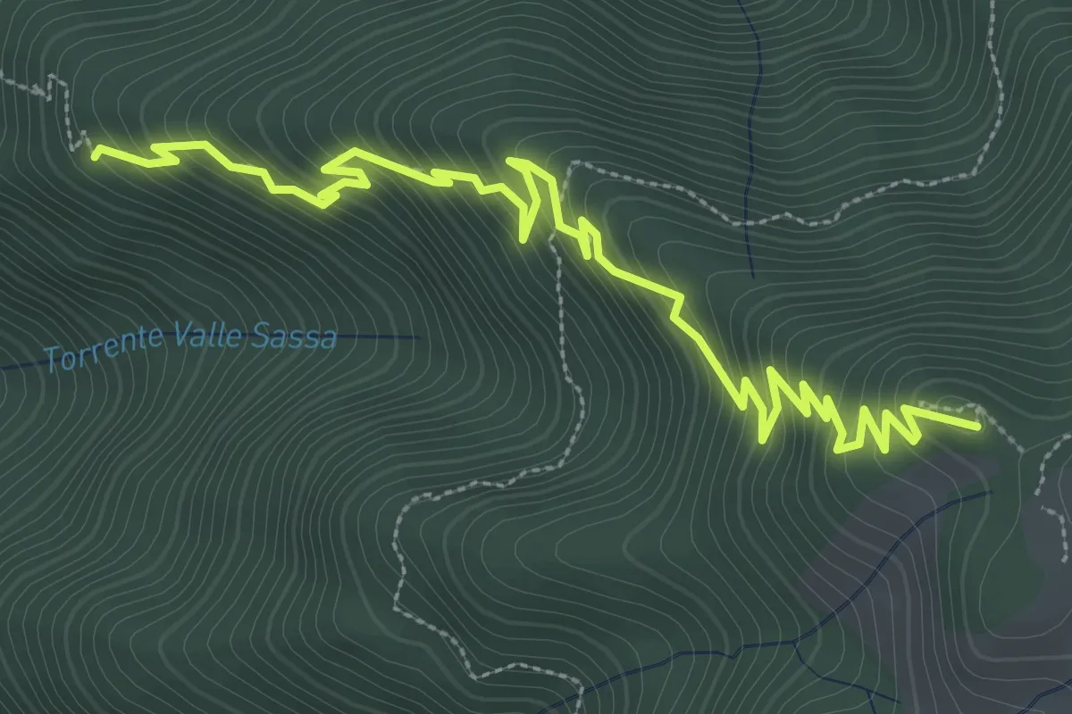
Medium · Trail
Monte Stino – Le Piazze
4.4 km · ↑ 431 m · 1 h 59 min
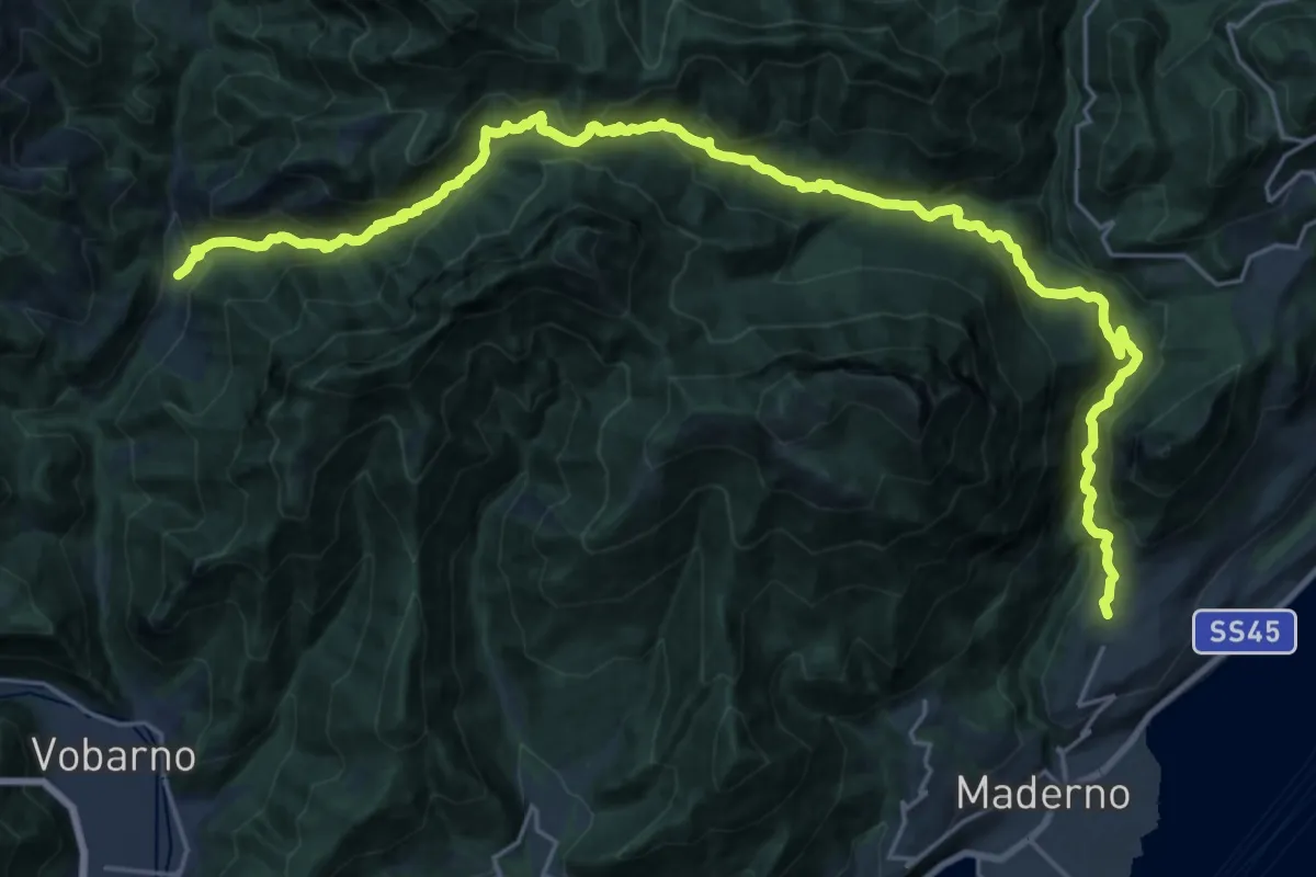
Demanding · Trail
Cecino (Vobarno) – Gaino (Toscolano Maderno)
14.5 km · ↑ 922 m · 5 h 35 min
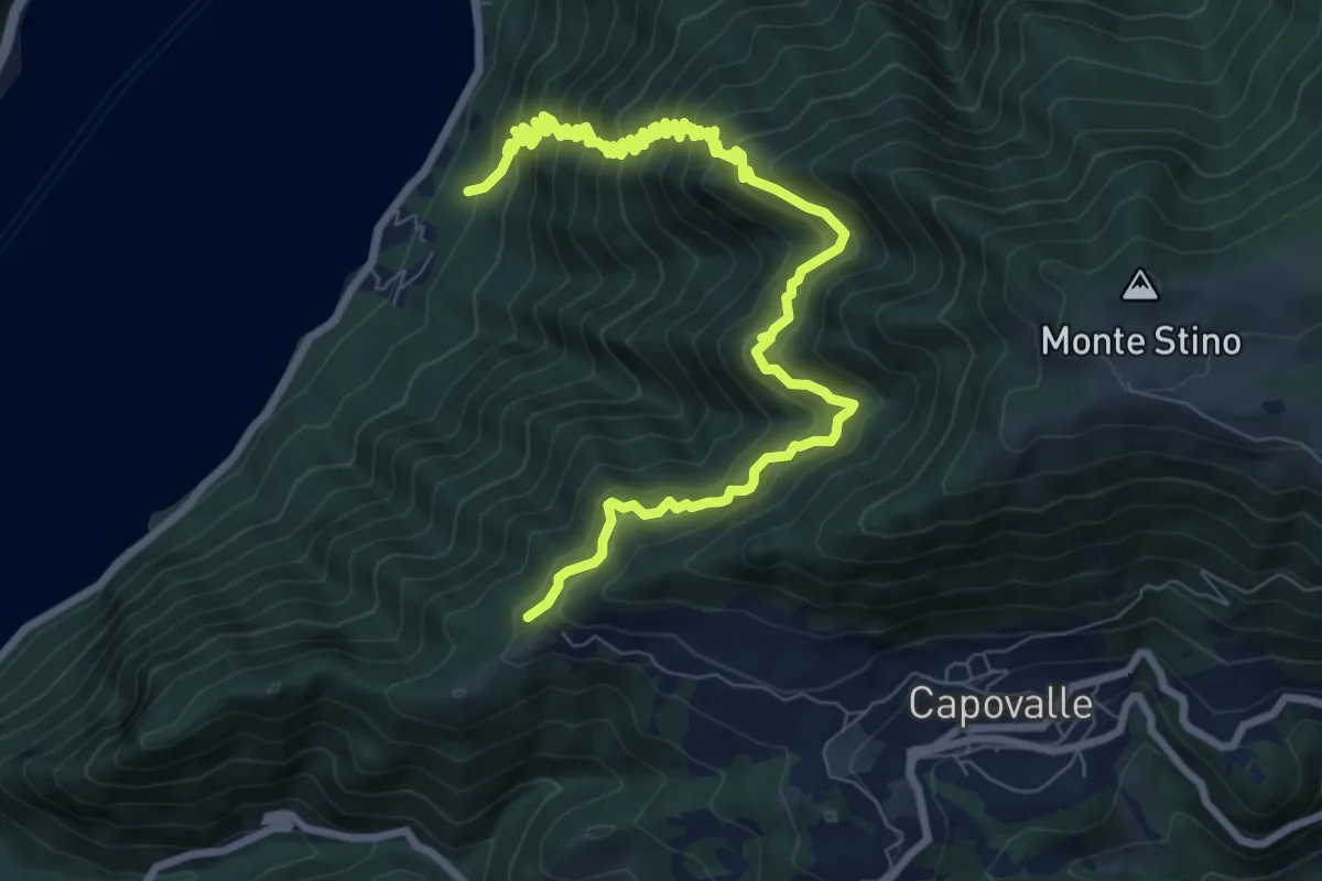
Demanding · Trail
Mandoal – Parole
10.9 km · ↑ 1172 m · 5 h 7 min
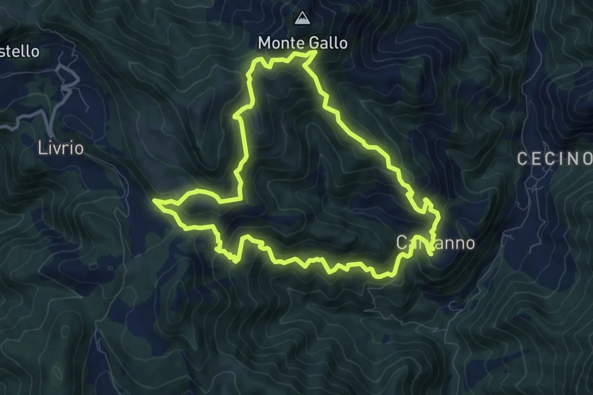
Medium · Summit
Carvanno – Carvanno
9.2 km · ↑ 665 m · 3 h 45 min
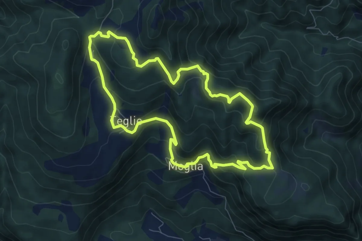
Medium · Summit
Vobarno (Moglia) – Moglia - Vobarno
7.6 km · ↑ 432 m · 2 h 50 min
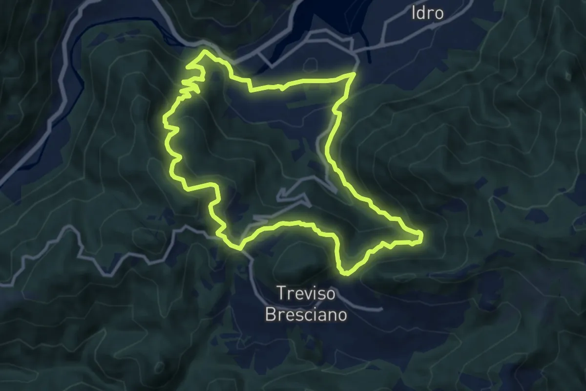
Medium · Trail
Pieve di Idro – Pieve di Idro
9.7 km · ↑ 603 m · 3 h 44 min
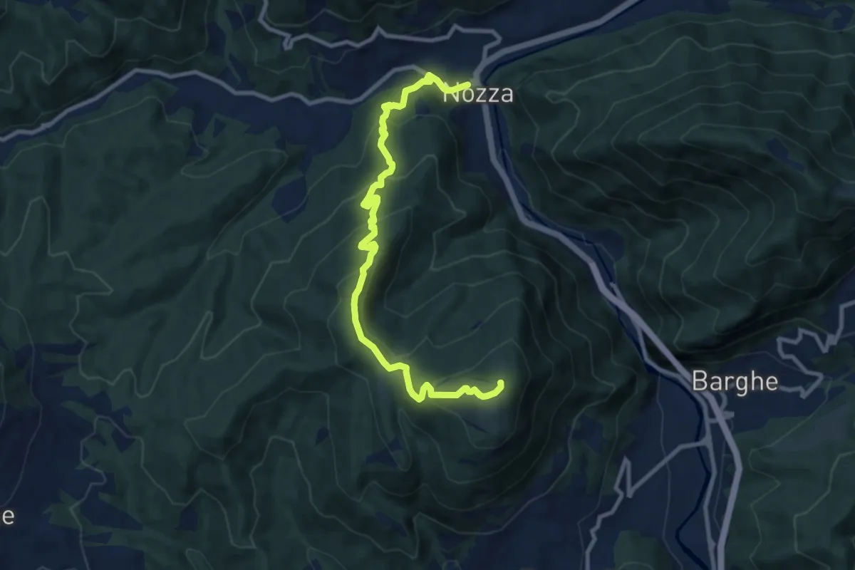
Medium · Summit
Nozza – Monte Poffe
9.7 km · ↑ 605 m · 3 h 37 min
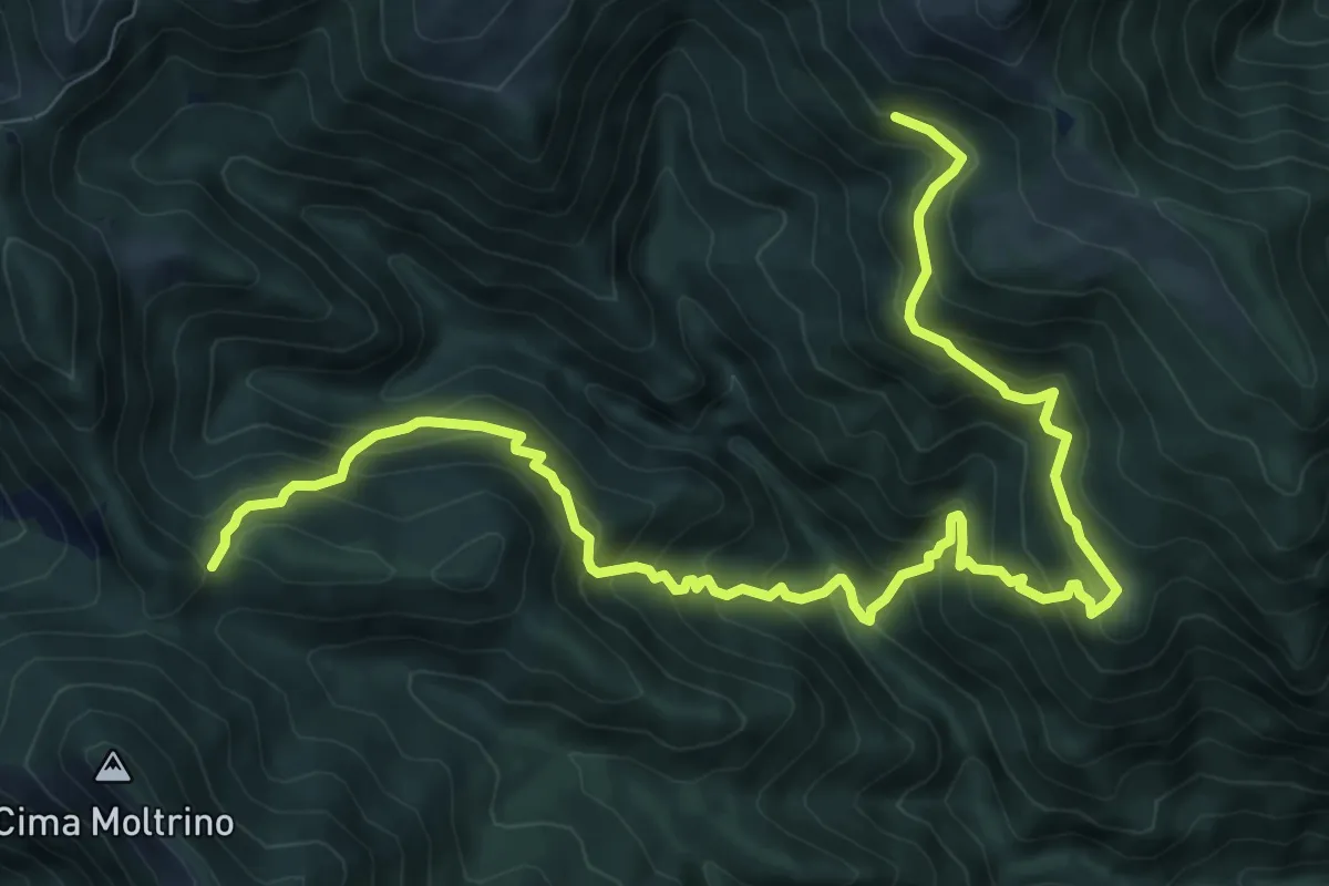
Demanding · Trail
Dosso Corpaglione – Fienile Loatino
11.9 km · ↑ 1203 m · 5 h 25 min
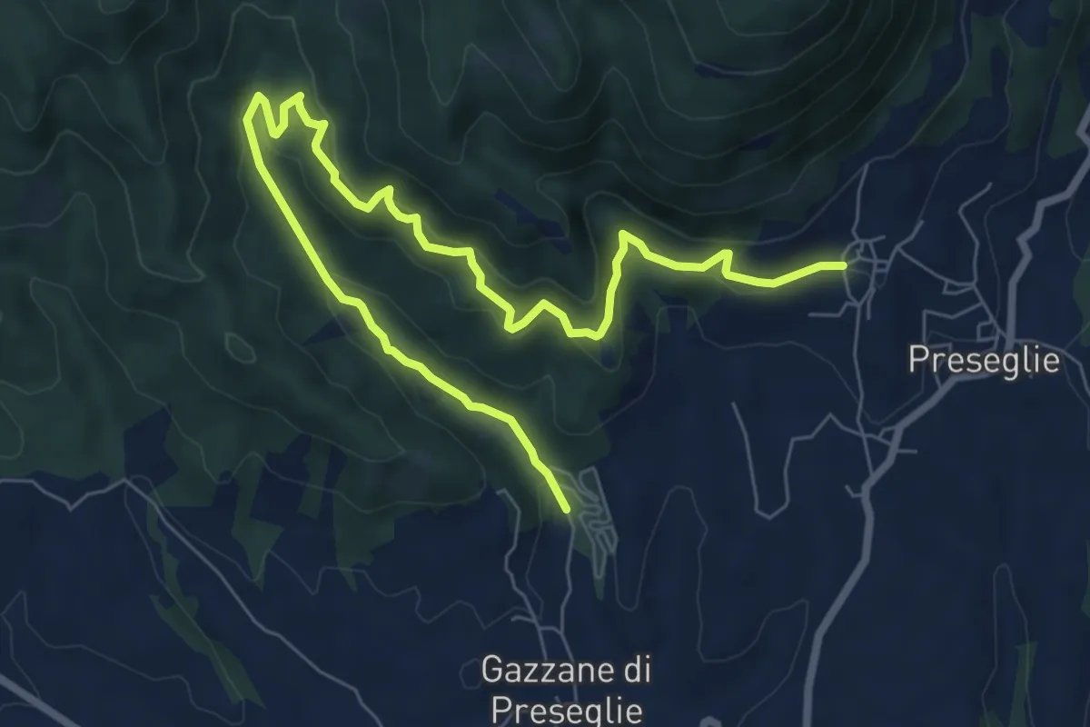
Medium · Trail
Loc. Piazza - Preseglie – Loc. Galaello - Gazzane
9.6 km · ↑ 509 m · 3 h 21 min
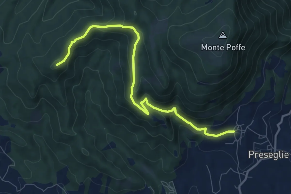
Medium · Summit
Loc. Galaello - Gazzane – Loc. Piazza - Preseglie
8.2 km · ↑ 443 m · 2 h 54 min
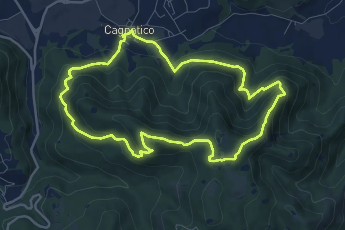
Medium · Summit
Odolo (Cagnatico) – Cagnatico
7.1 km · ↑ 405 m · 2 h 40 min
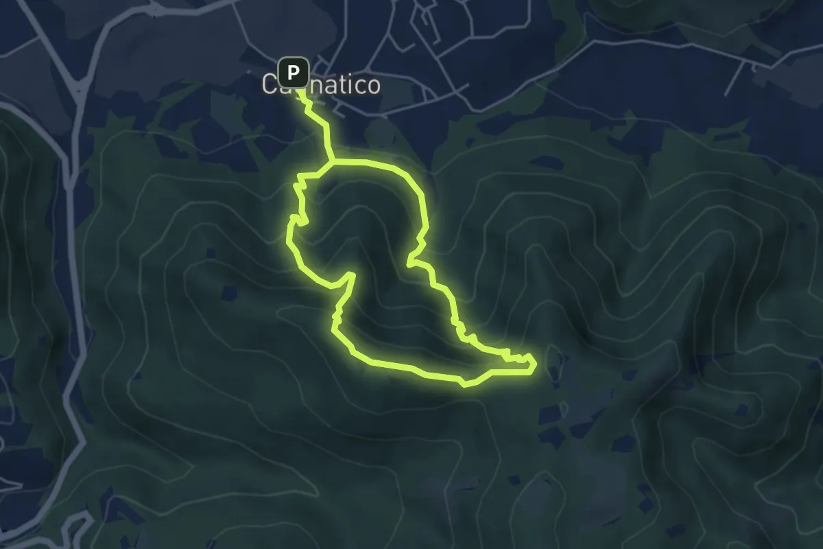
Medium · Summit
Odolo (Cagnatico) – Cagnatico
3.9 km · ↑ 360 m · 1 h 44 min