Trails in Italy
25,219 hiking trails, each with its route, climb, walking time and grade.
All trails, page 392 of 526
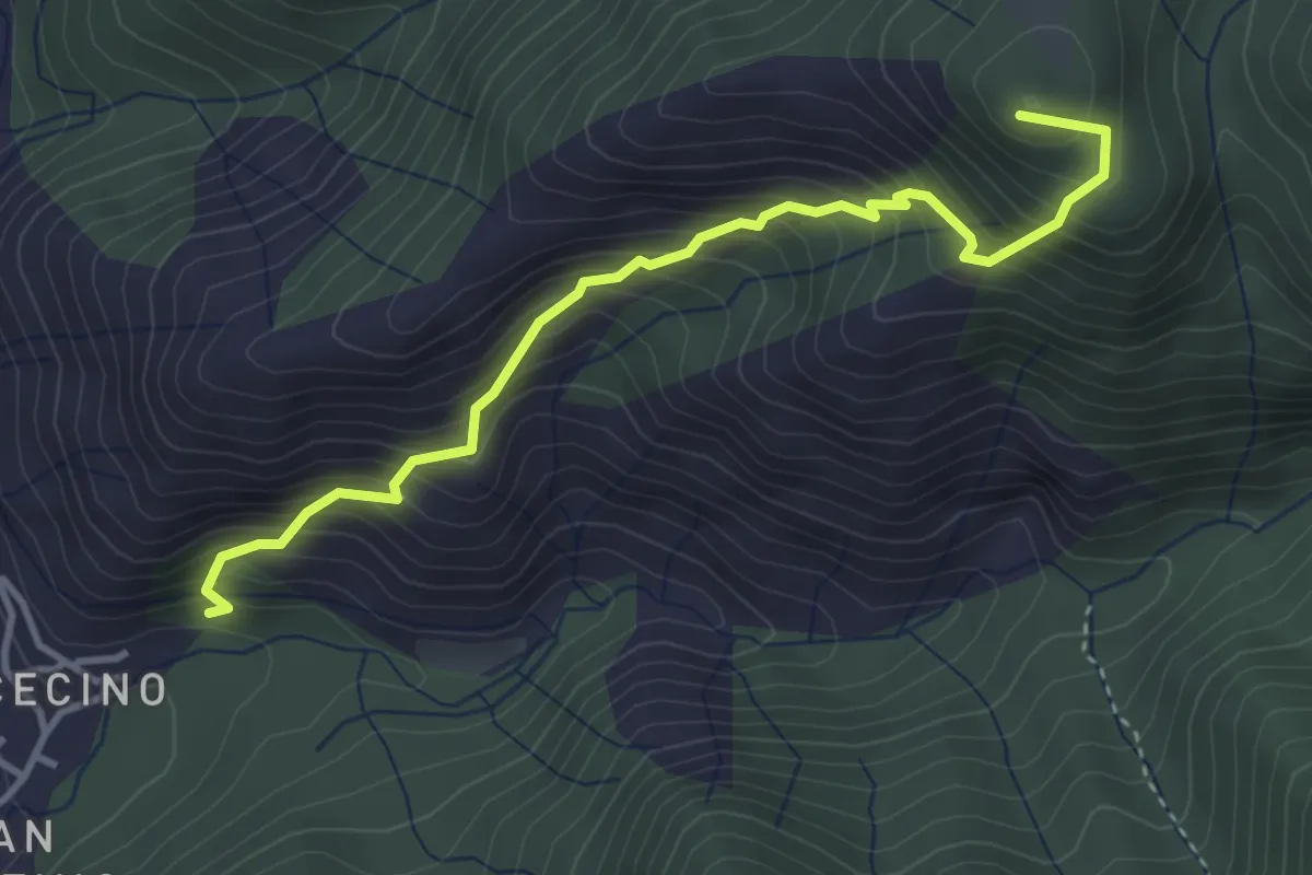
Demanding · Summit
Cecino (Vobarno) – Campei de Sima (Toscolano Maderno)
3.9 km · ↑ 541 m · 2 h 5 min
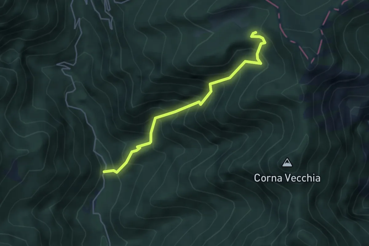
Medium · Trail
Val di Bondo – Strada militare 106
4.2 km · ↑ 552 m · 2 h 11 min
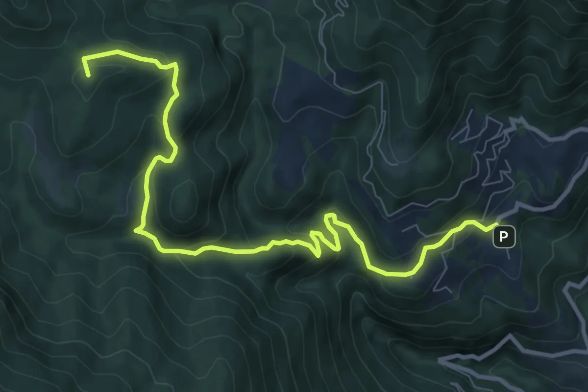
Medium · Summit
Aer (Tignale) – Passo di Fobia
9.7 km · ↑ 513 m · 3 h 24 min
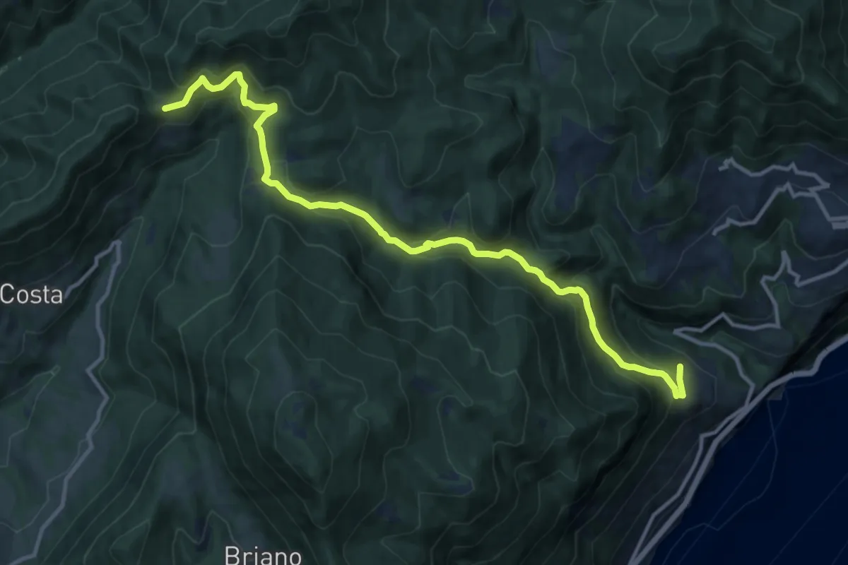
Medium · Trail
Piovere (Tignale) – Bocca di Paolone
12.8 km · ↑ 757 m · 4 h 39 min
Medium · Trail
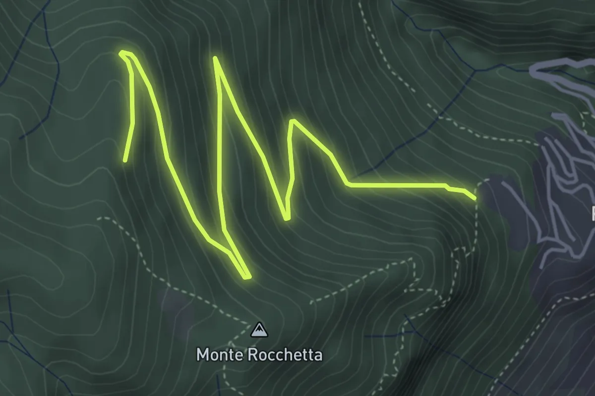
Piovere – Crista
6.5 km · ↑ 428 m · 2 h 28 min
Medium · Trail
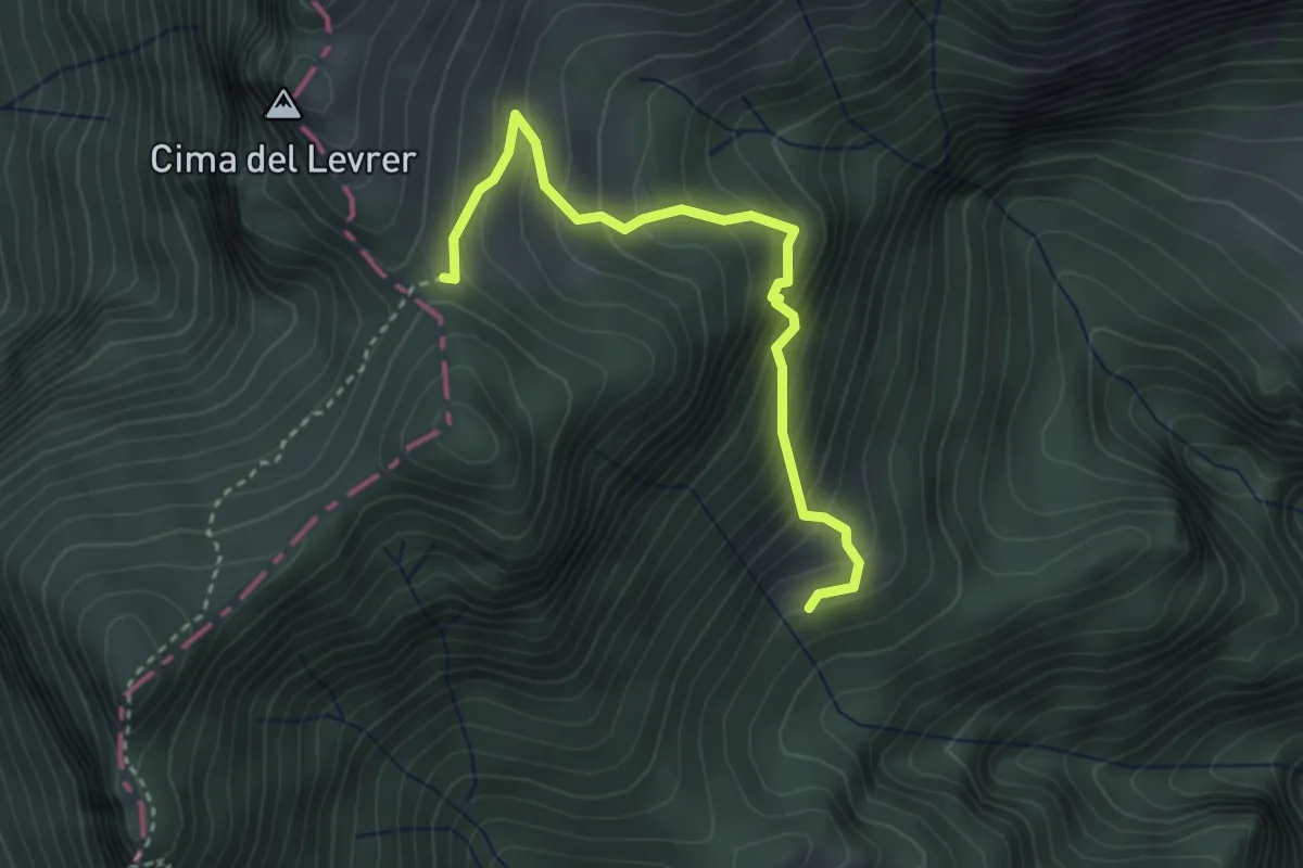
Malga Spiazzo – Bocchetta di Selvaraonda
3.3 km · ↑ 401 m · 1 h 39 min
Medium · Summit
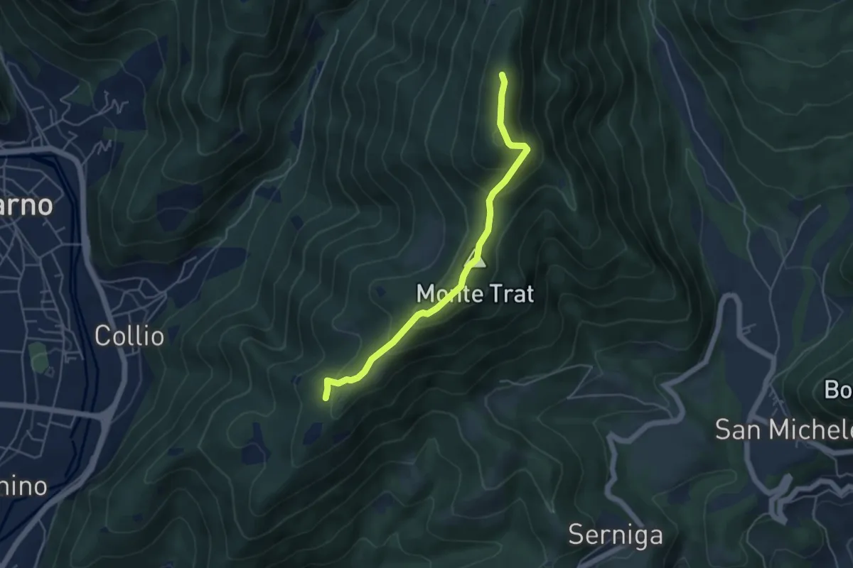
Sella di Guine (Vobarno) – Sella di Selva Alta - Gardone Riviera
4.5 km · ↑ 287 m · 1 h 41 min
Medium · Trail
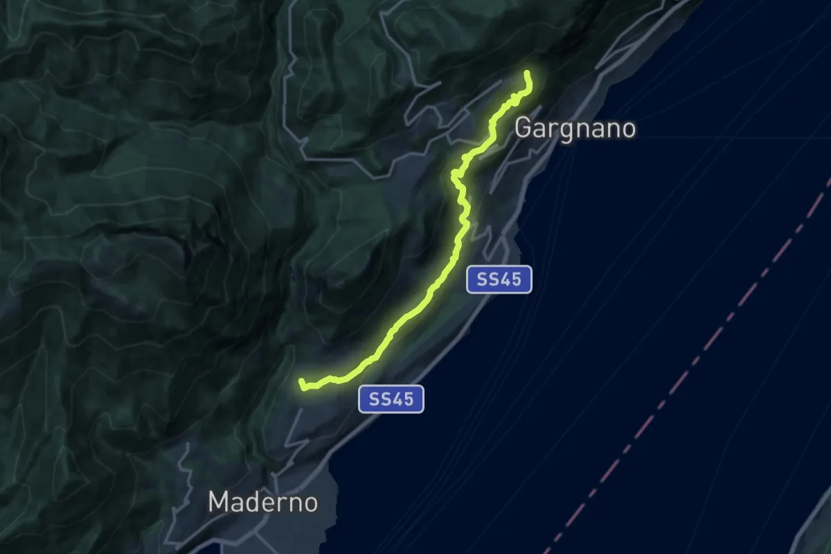
Gaino – Musaga
14.0 km · ↑ 584 m · 4 h 34 min
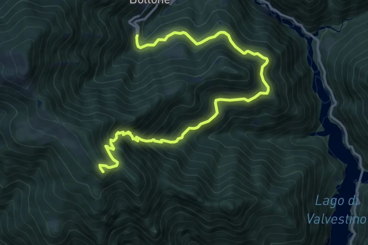
Demanding · Summit
Bollone (Valvestino) – Monte Pallotto (Gargnano)
11.1 km · ↑ 901 m · 4 h 34 min
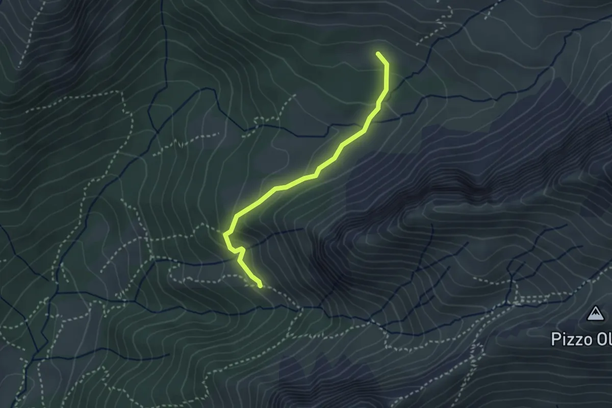
Easy · Trail
Baita Bruseda (incrocio 320) – Baita Bassa di Pagherola (incrocio 311)
2.9 km · ↑ 157 m · 1 h 2 min
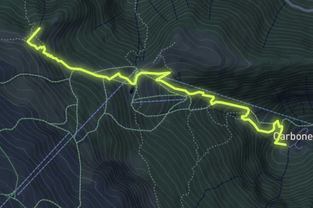
Medium · Summit
Colere – Passo di Fontanamora
7.0 km · ↑ 719 m · 3 h 12 min
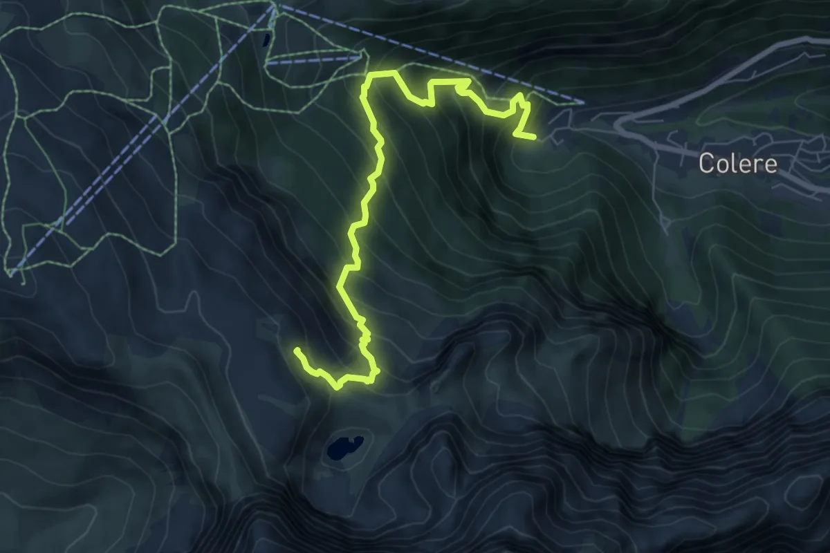
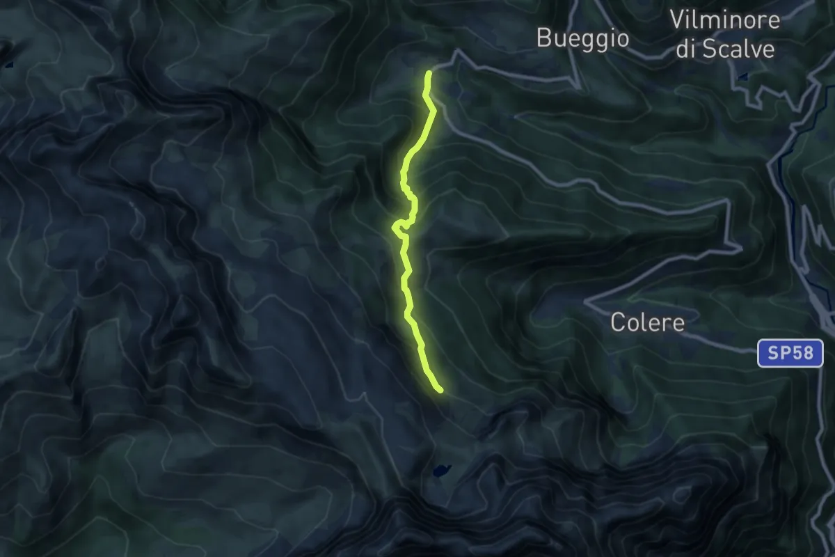
Demanding · Cabin
Carbonera di Colere – Rifugio Albani
7.5 km · ↑ 852 m · 3 h 37 min
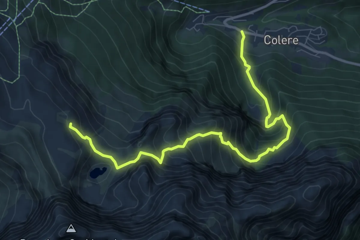
Medium · Trail
Teveno – Rifugio Albani (incrocio 403)
6.9 km · ↑ 631 m · 2 h 59 min
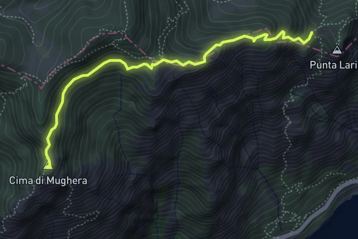
Demanding · Cabin
Colere – Rifugio Albani
9.2 km · ↑ 1037 m · 4 h 25 min
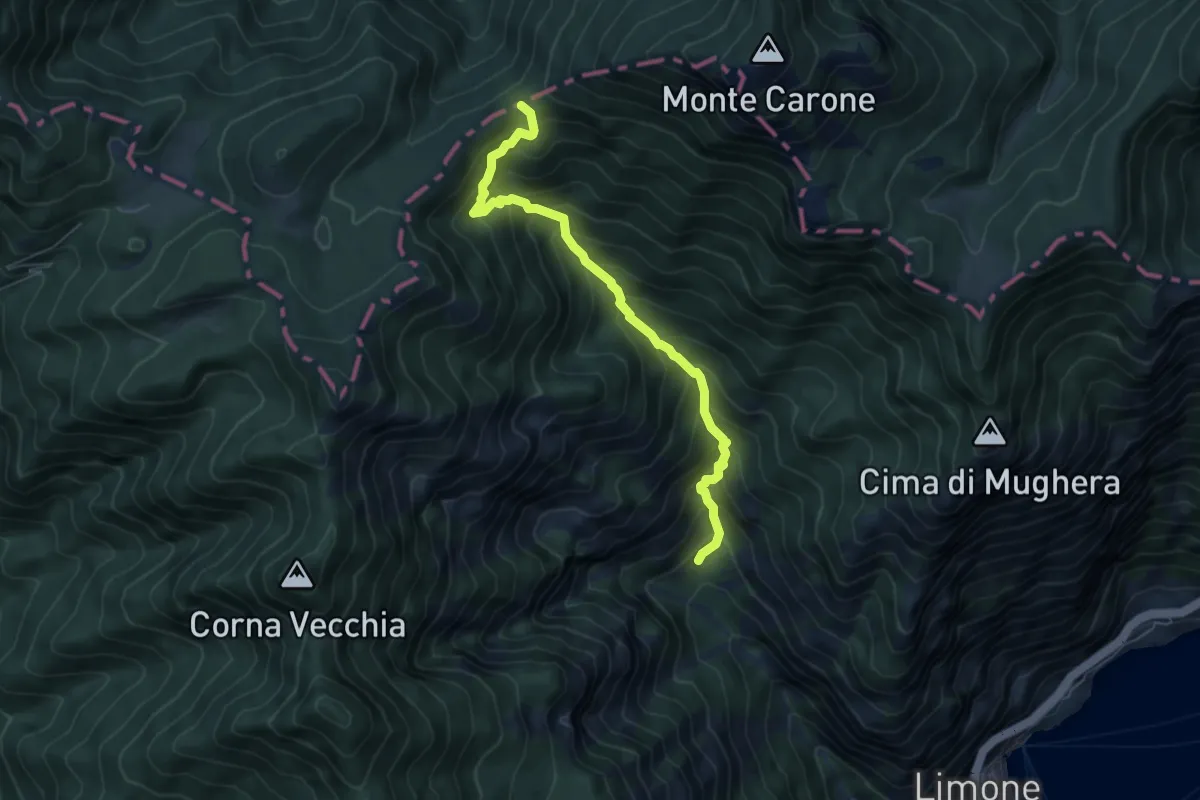
Demanding · Summit
Cima Mughera – Bocca Larici
5.2 km · ↑ 489 m · 2 h 18 min
Demanding · Trail
Val da Bosch (Limone sul Garda) – Bocca dei Fortini
6.1 km · ↑ 786 m · 3 h 8 min
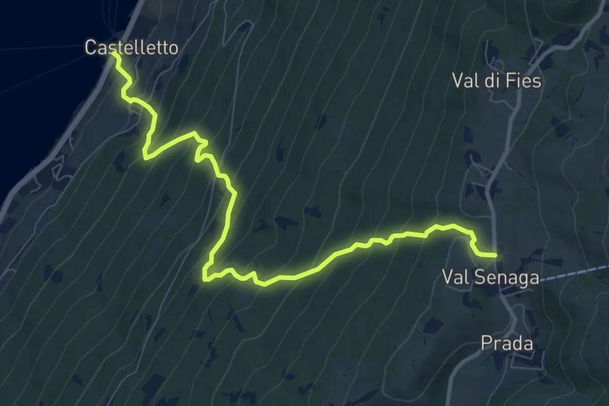
Demanding · Trail
Castelletto di Brenzone – Prada
9.4 km · ↑ 943 m · 4 h 15 min
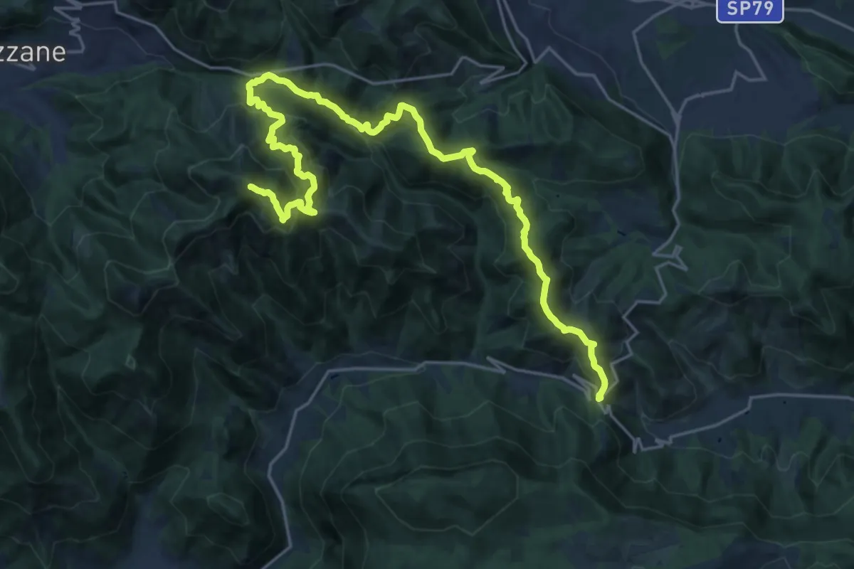
Expert · Summit
Caino (Villa Sera) – Colle di Sant'Eusebio
24.7 km · ↑ 1761 m · 9 h 39 min
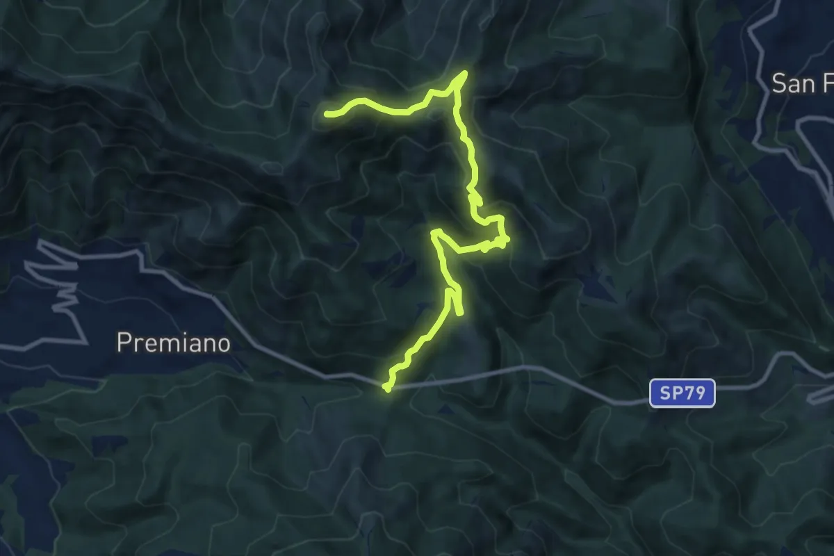
Demanding · Summit
Lumezzane (Passo del Cavallo) – Punta Camoghera
10.5 km · ↑ 734 m · 4 h 4 min
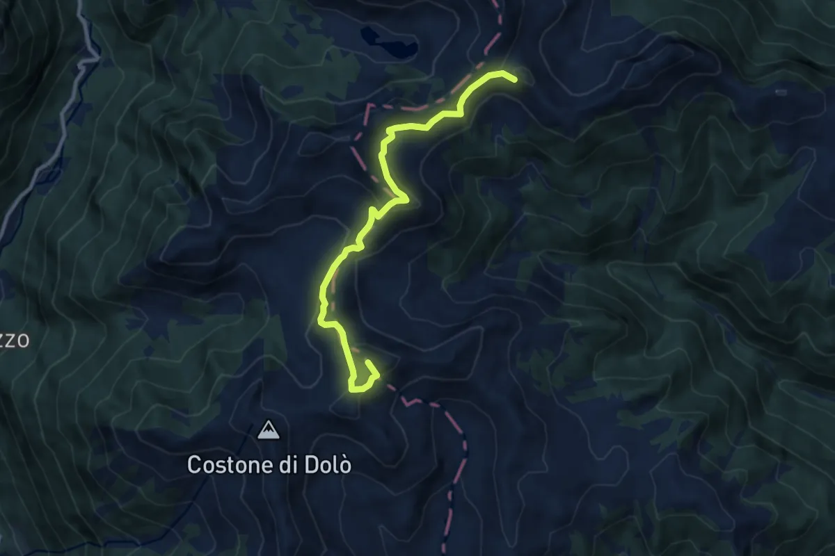
Medium · Summit
Faserno – Presso Passo di Brealone (bivio O258)
9.1 km · ↑ 491 m · 3 h 12 min
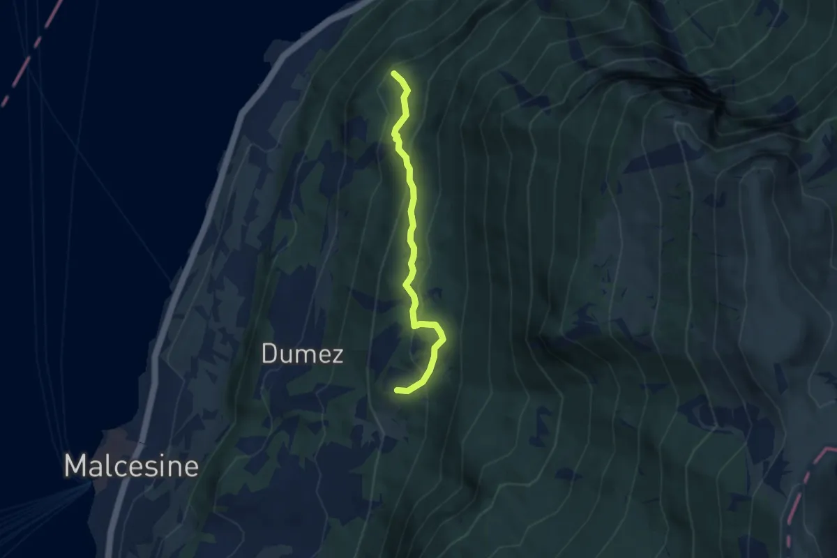
Medium · Summit
Stazione Intermedia San Michele – Monte Fubia
5.1 km · ↑ 354 m · 1 h 58 min
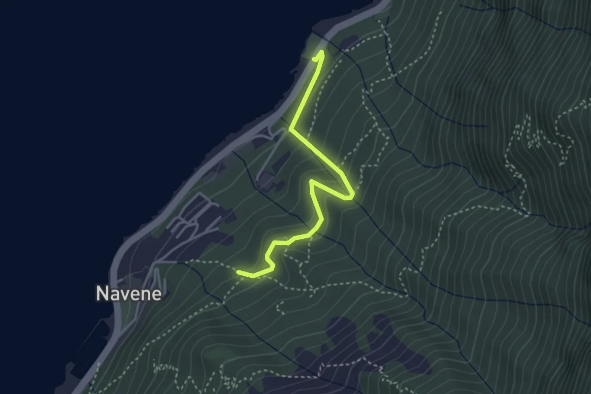
Easy · Trail
Intersezione sentiero 4 sopra Navene – Strada Regionale 249 Gardesana Orientale presso fermata autobus e parcheggio località Casello
3.2 km · ↑ 251 m · 1 h 18 min
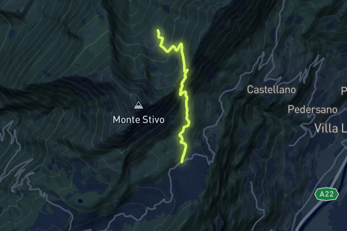
Medium · Trail
Passo Bordala – Presso Malga Campo di Arco
10.1 km · ↑ 745 m · 4 h
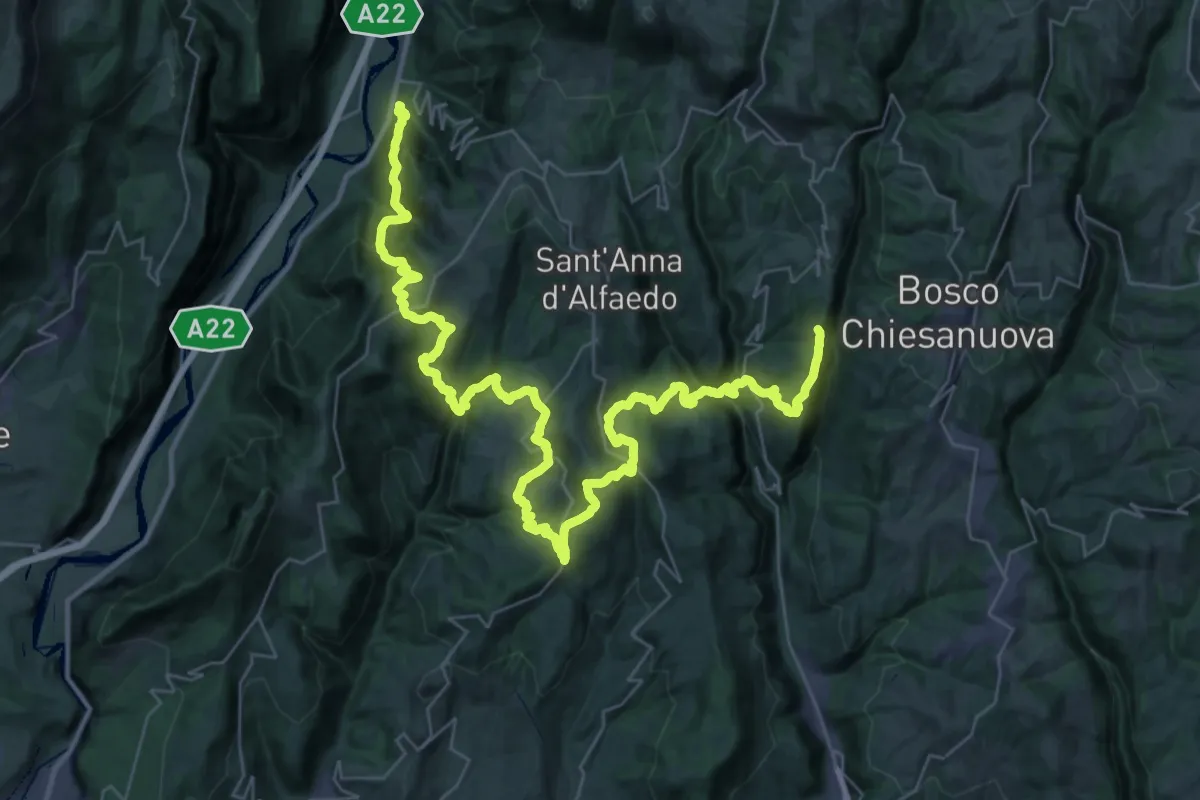
Demanding · Trail
loc. Genderli – Peri
26.7 km · ↑ 1325 m · 9 h 55 min
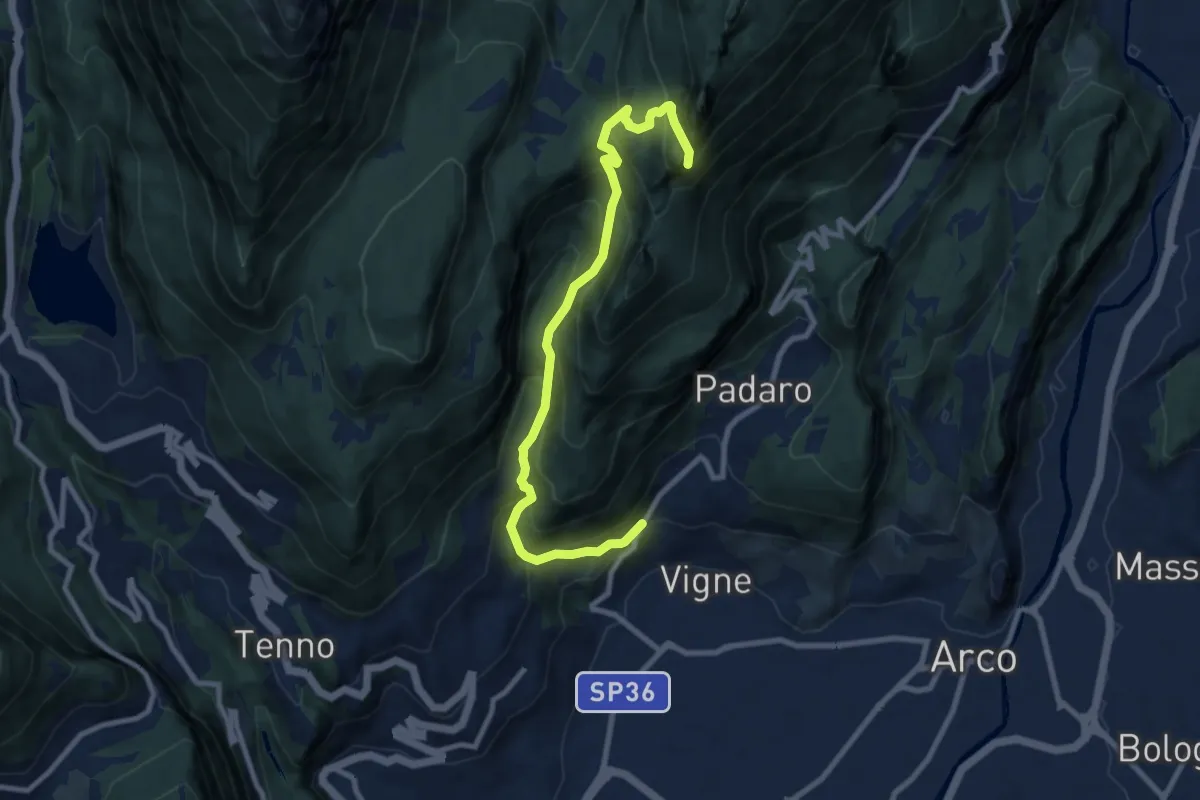
Demanding · Summit
Bivio strada Varignano - Padaro – Quota 1123
9.6 km · ↑ 895 m · 4 h 12 min
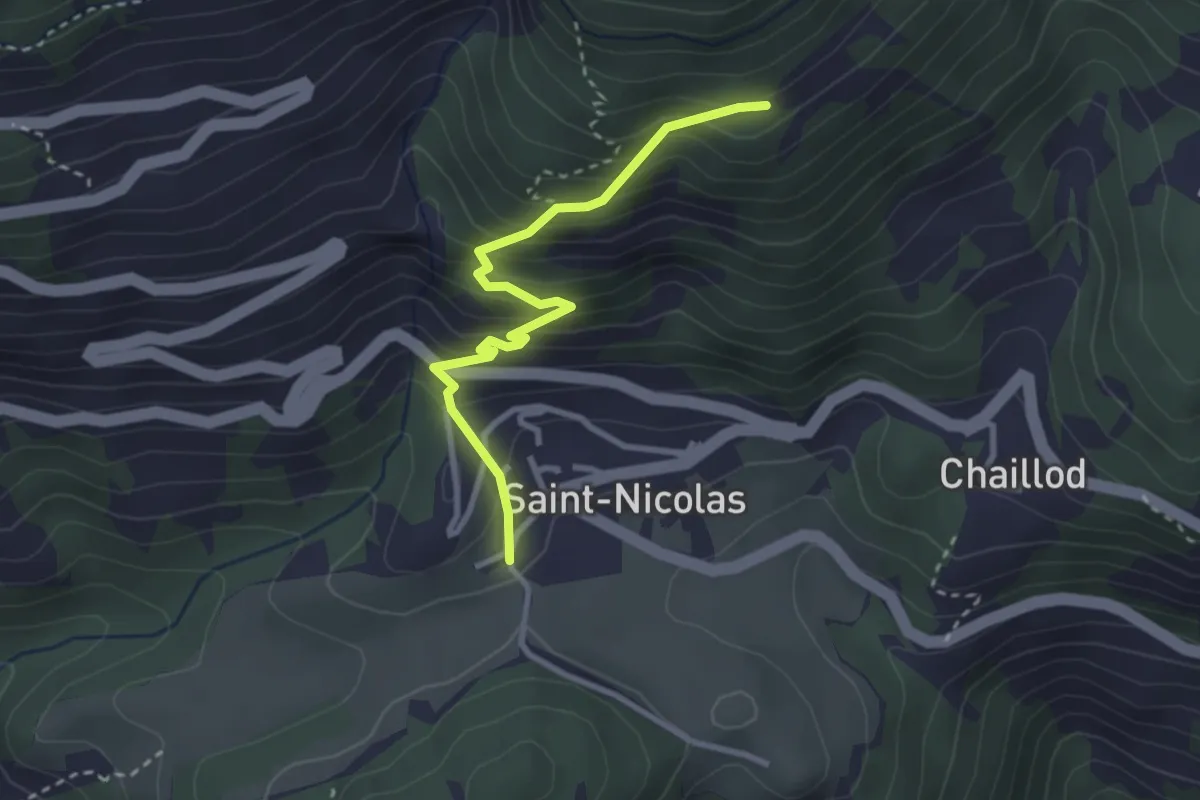
Medium · Trail
Fossaz – Fournaise
3.0 km · ↑ 311 m · 1 h 22 min
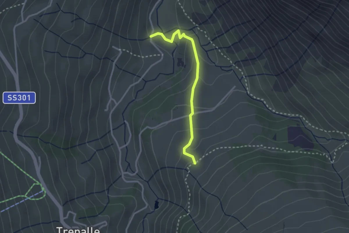
Easy · Trail
Via dei Pila (Trepalle) – Via Stefan
2.4 km · ↑ 151 m · 54 min
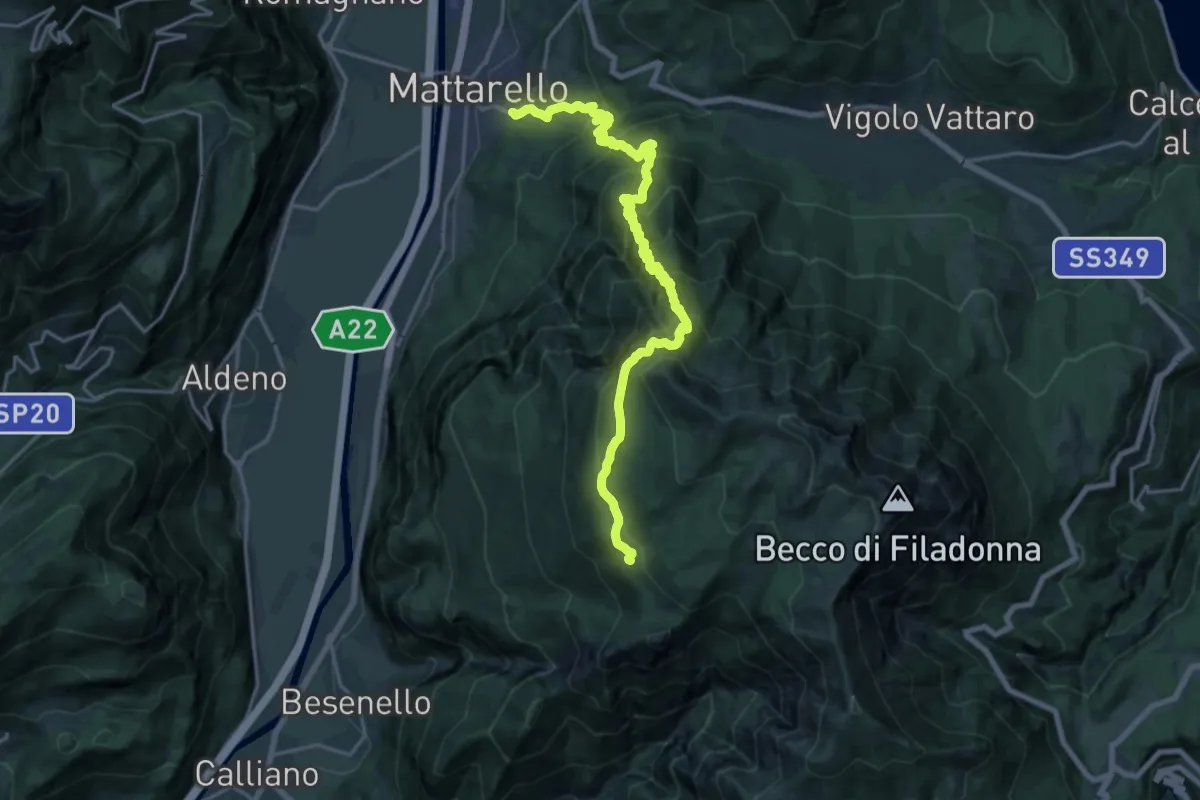
Medium · Trail
Pont dei Micoti - Mattarello – Malga Palazzo (bivio 431 - 448 - 452)
10.7 km · ↑ 247 m · 3 h 53 min
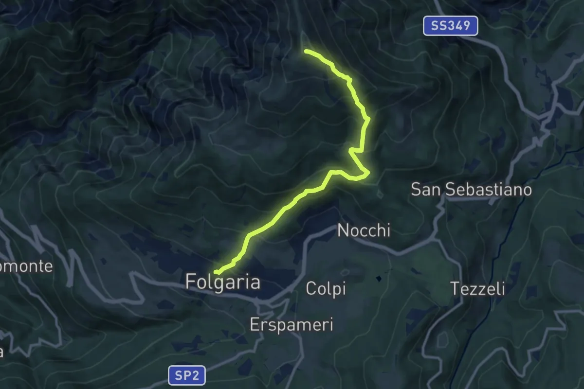
Demanding · Trail
Folgaria – Versante sud Cornetto di Folgaria
9.5 km · ↑ 841 m · 4 h 3 min
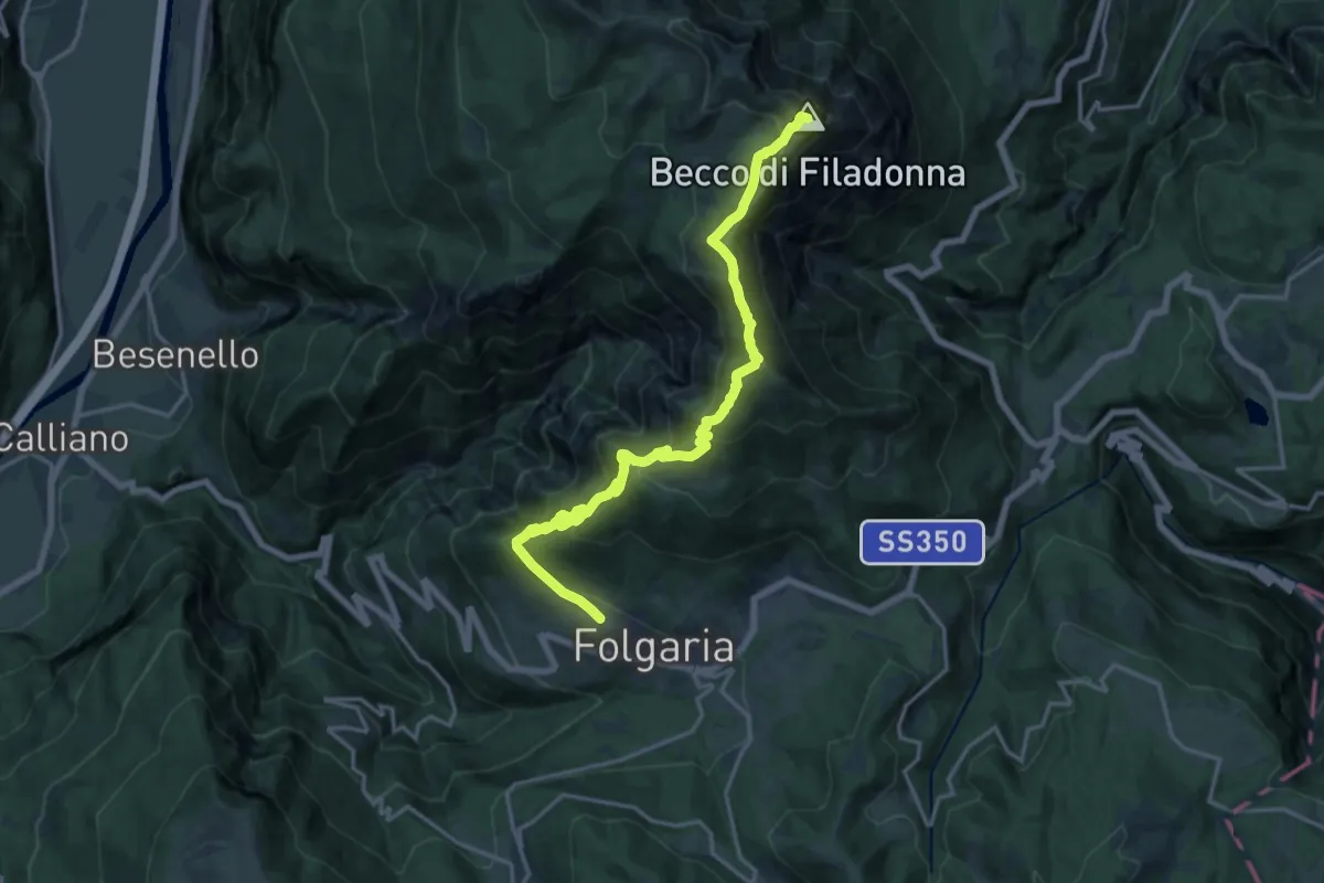
Demanding · Summit
Folgaria ovest – Bivacco Vigolana (bivio 435)
18.9 km · ↑ 1343 m · 7 h 23 min
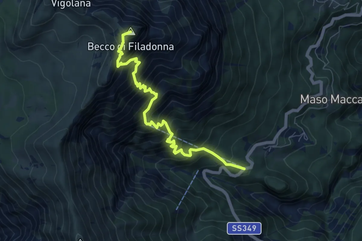
Demanding · Summit
Bar ristorante Al Sindech – Versante o Becco di Filadonna (bivio 425)
7.8 km · ↑ 1013 m · 4 h 2 min
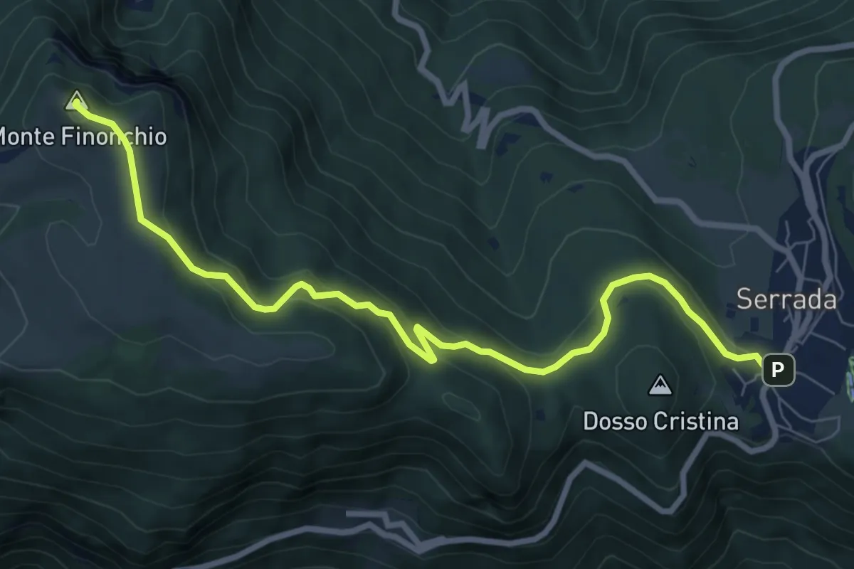
Medium · Summit
Serrada (bivio 136) – Rifugio Finonchio "Fratelli Filzi"
8.5 km · ↑ 401 m · 2 h 53 min
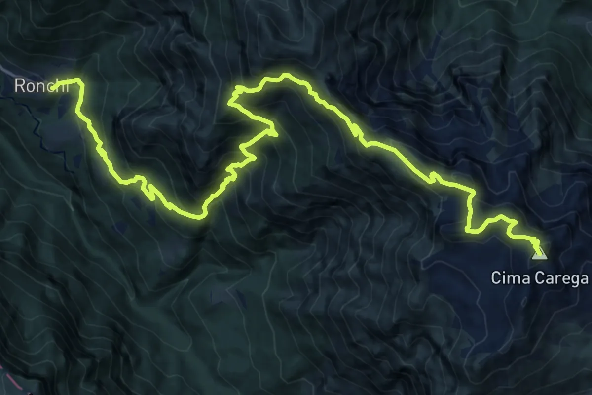
Demanding · Summit
Ronchi di Ala (bivio 114) – Strada per Campobrùn
21.0 km · ↑ 1916 m · 9 h 7 min
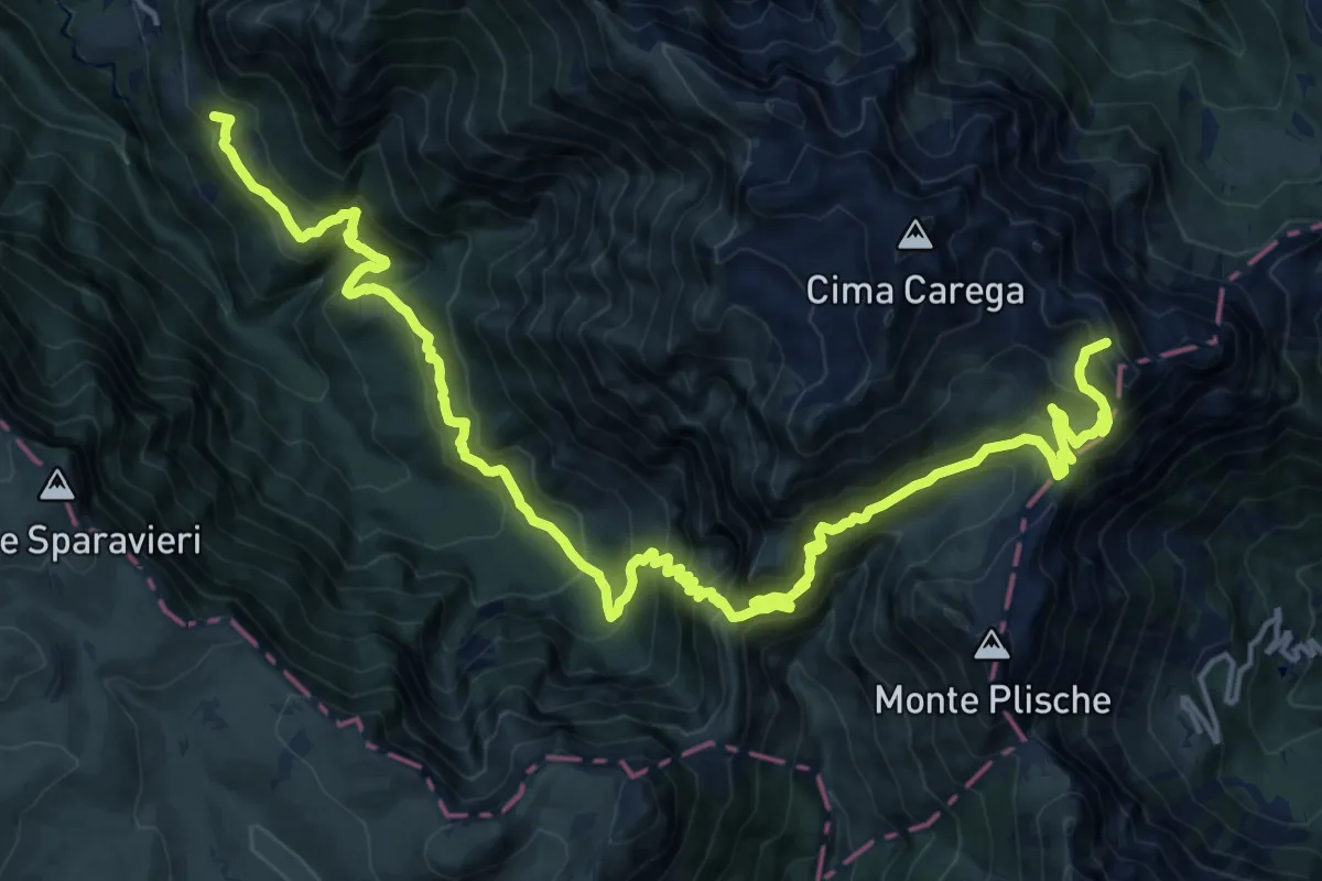
Demanding · Summit
Presso Maso Michéi – Versante sud Bocchetta dei Fondi (bivio 157)
23.8 km · ↑ 2000 m · 9 h 57 min
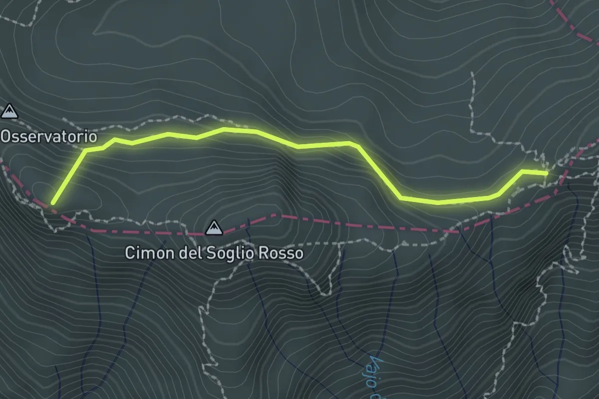
Medium · Summit
Passo di Fontana d'Oro - da sent. 322 – Porte del Pasubio - Rifugio Papa
2.1 km · ↑ 172 m · 52 min
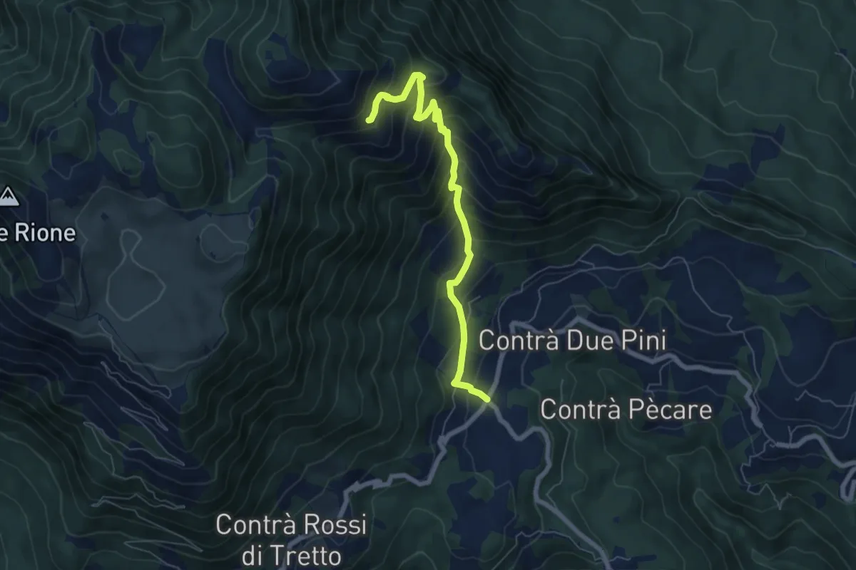
Medium · Trail
Bosco di Tretto – Innesto sentiero 455 (prima del Cimitero di Guerra)
6.4 km · ↑ 645 m · 2 h 54 min
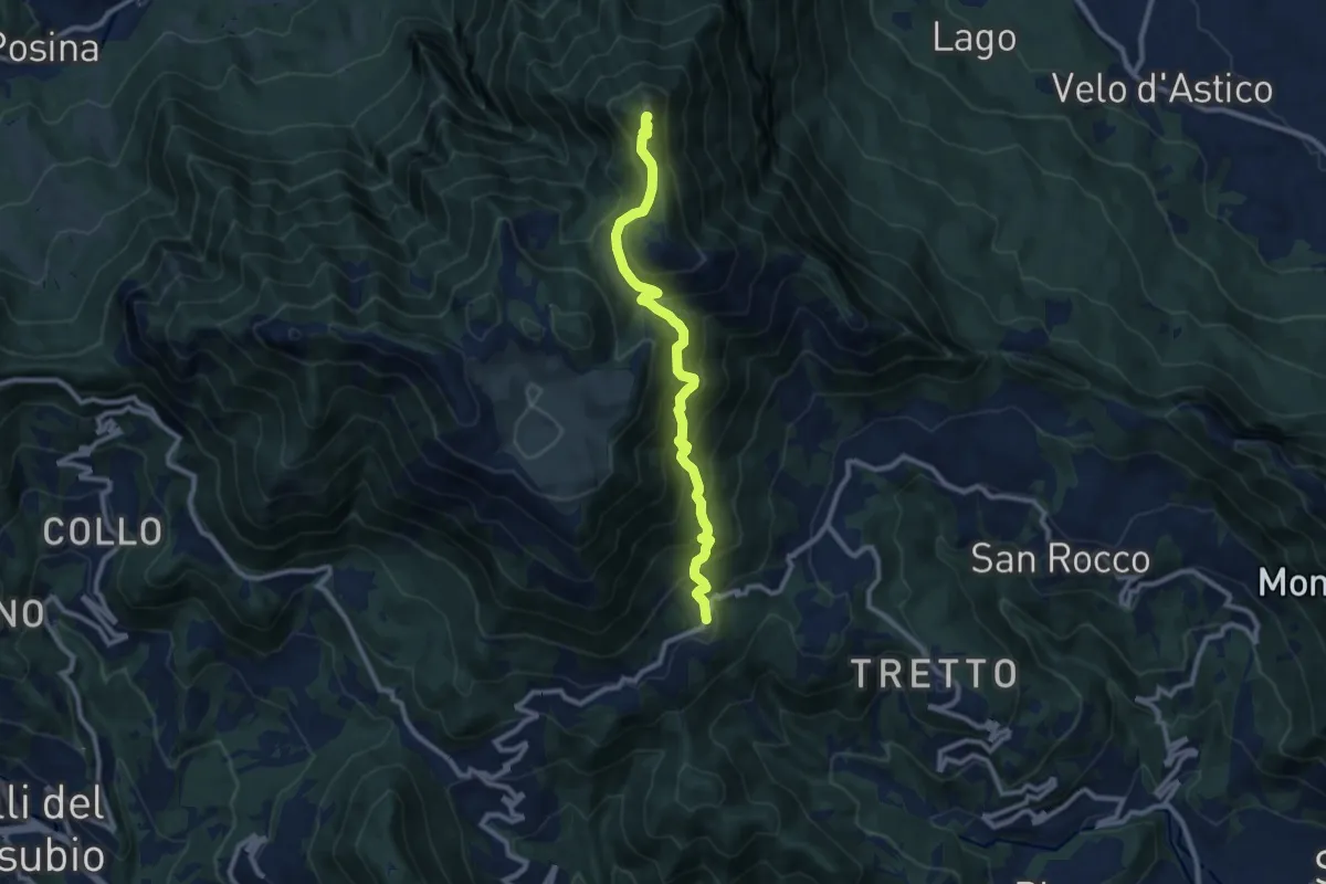
Demanding · Summit
Cerbaro (Santa Caterina del Tretto) - da sentiero 433 – Monte Priaforà
9.6 km · ↑ 762 m · 3 h 55 min
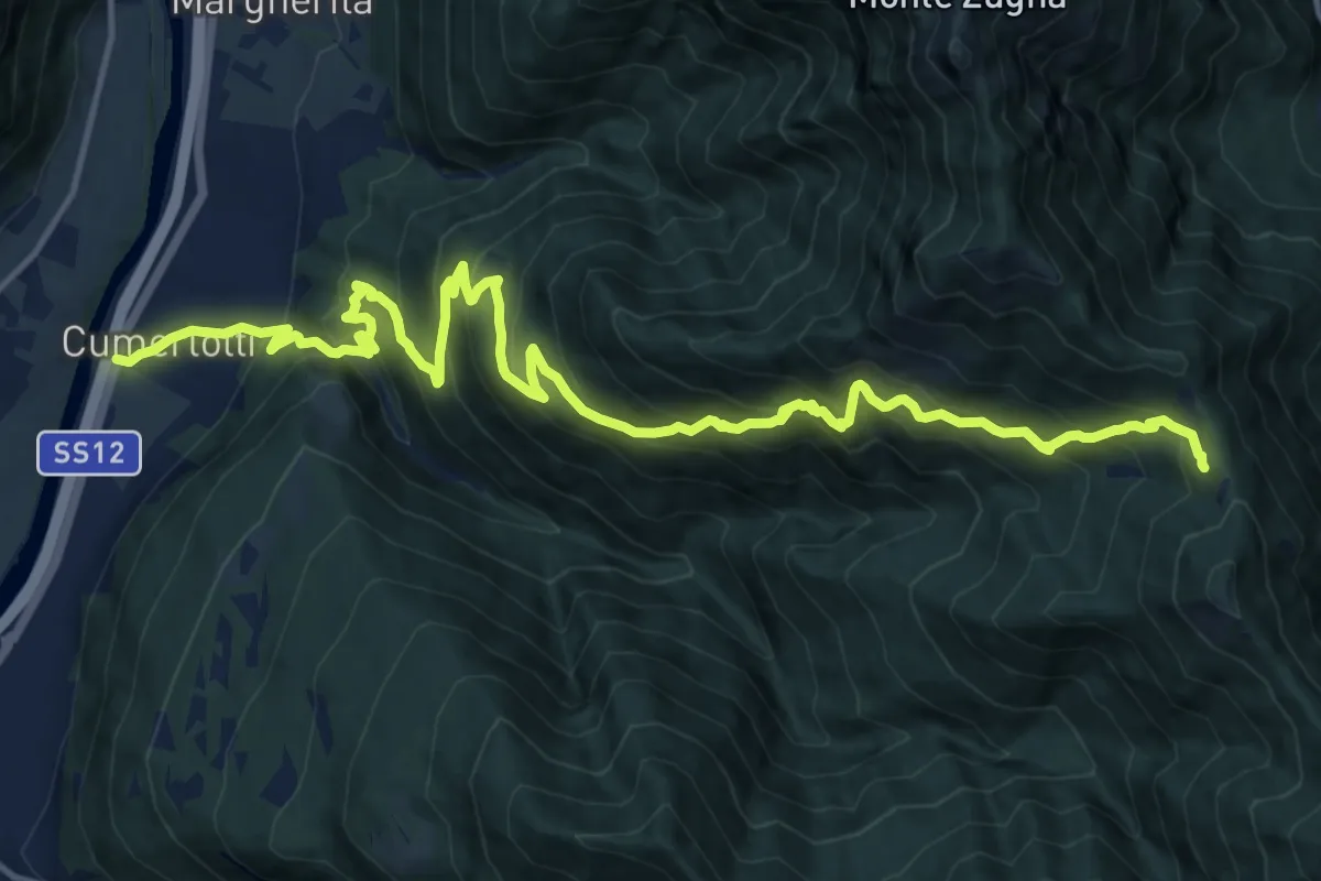
Demanding · Trail
Cumerlotti - Strada Statale 12 al km 340,5 – Passo Buole - presso Baitella (bivio 115)
18.7 km · ↑ 1651 m · 8 h
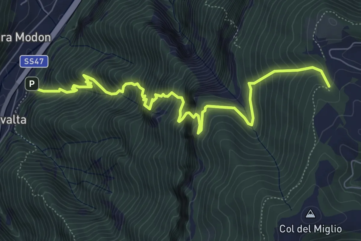
Demanding · Trail
Rivalta - sbocco Val del Ponte Vecchio – Sotto Col Caprile - inn. sent. 940
7.7 km · ↑ 1109 m · 4 h 13 min
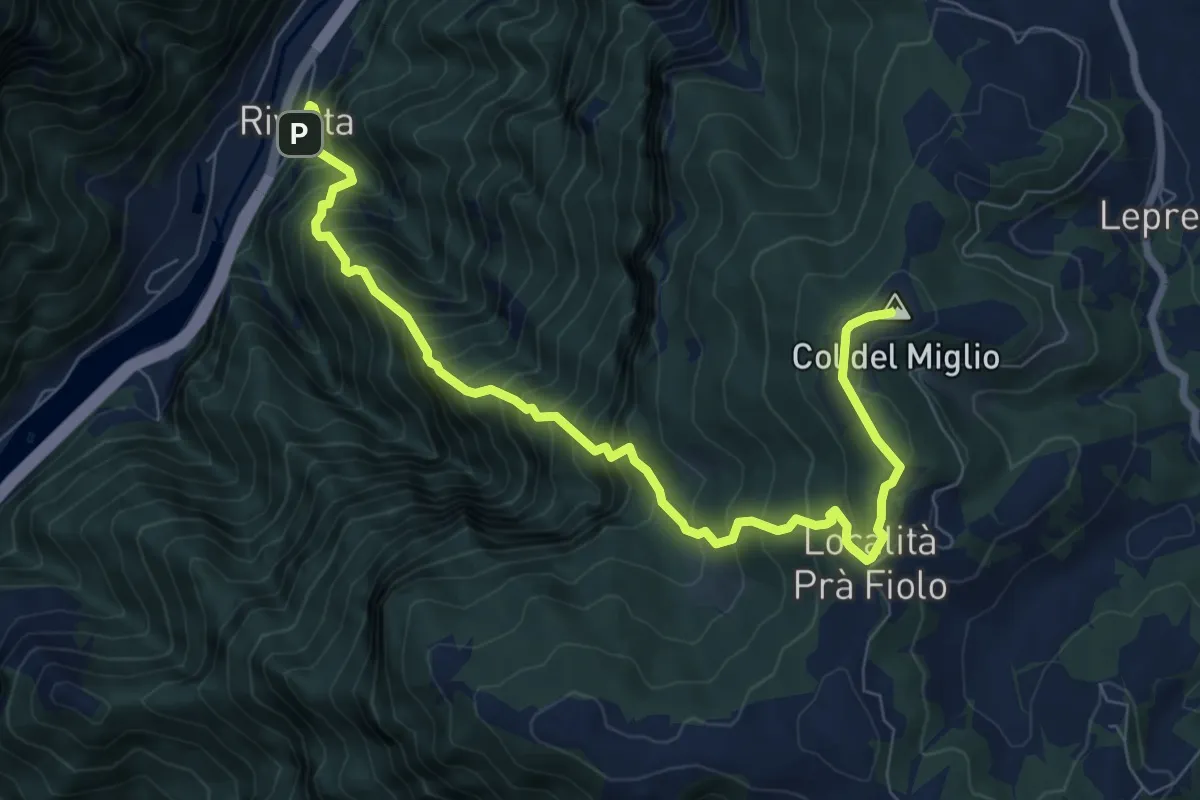
Demanding · Summit
Rivalta – Col del Miglio
9.2 km · ↑ 1227 m · 4 h 50 min
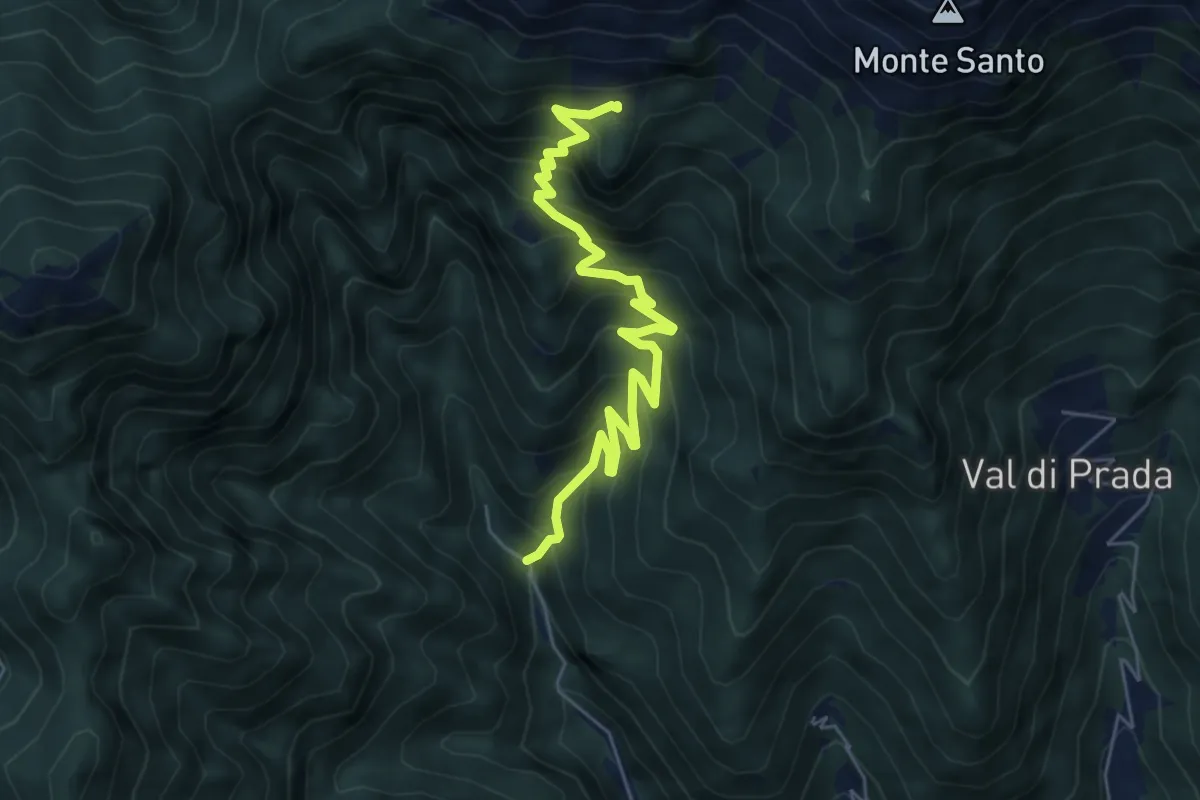
Medium · Trail
Schievenin - Palestra di roccia – Malga Sassumà - inn. sent. 847
6.3 km · ↑ 632 m · 2 h 52 min
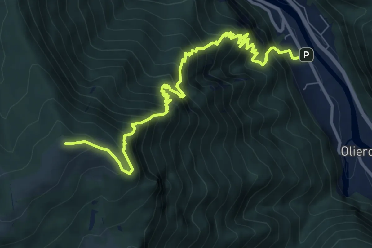
Demanding · Summit
Londa – Casara Col d'Astiago - inn. sent. 800
9.0 km · ↑ 1320 m · 4 h 59 min
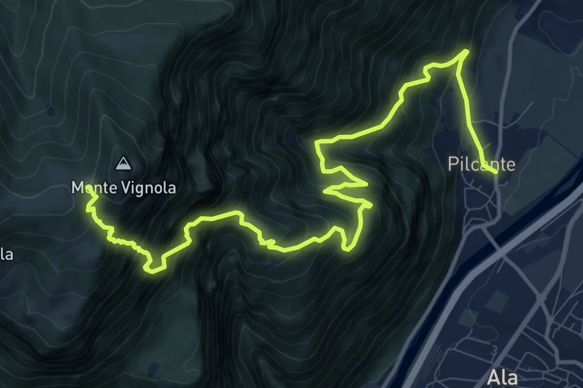
Demanding · Trail
Pilcante – Le caserme
13.6 km · ↑ 1732 m · 6 h 57 min
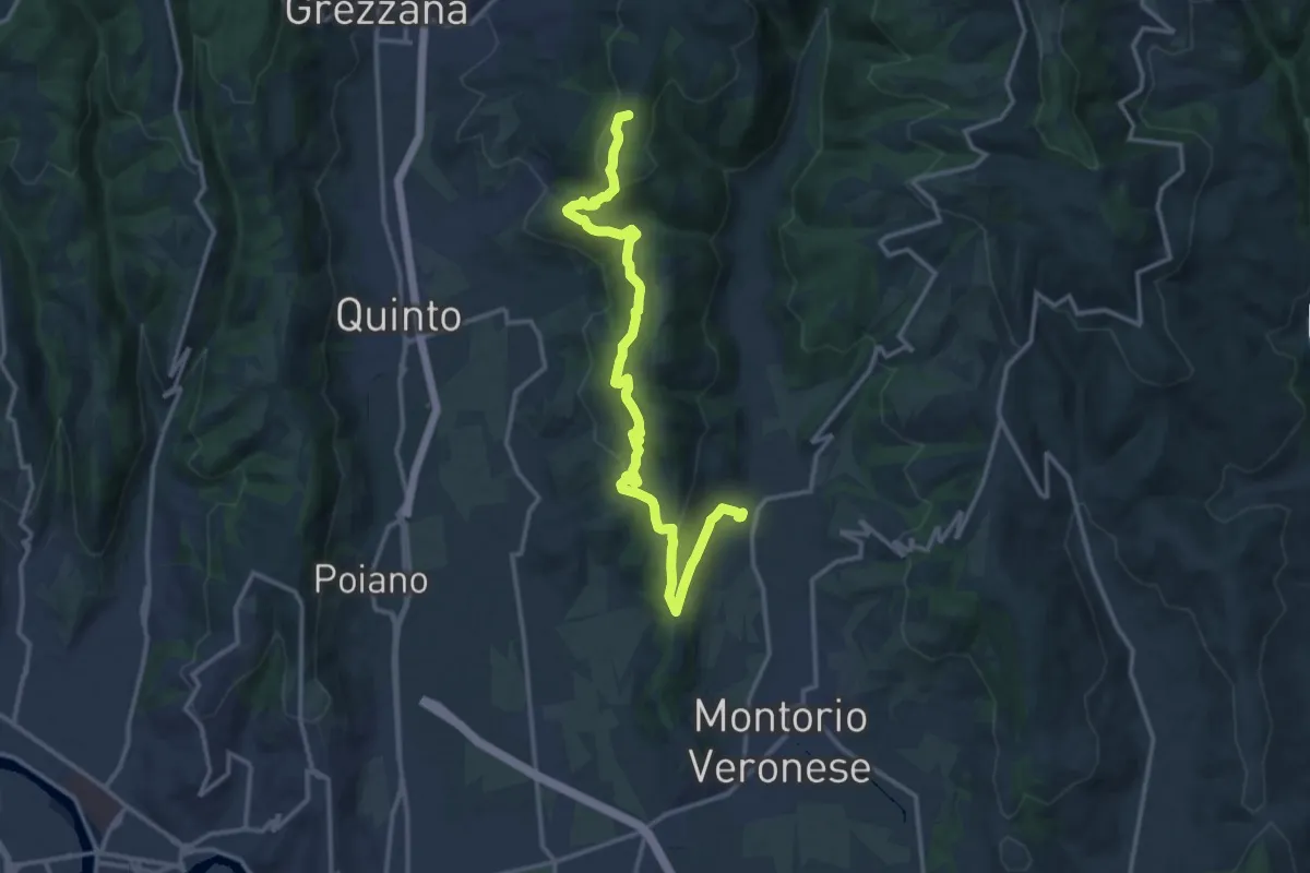
Medium · Summit
Mizzole – Croce di Romagnano
16.1 km · ↑ 537 m · 4 h 58 min
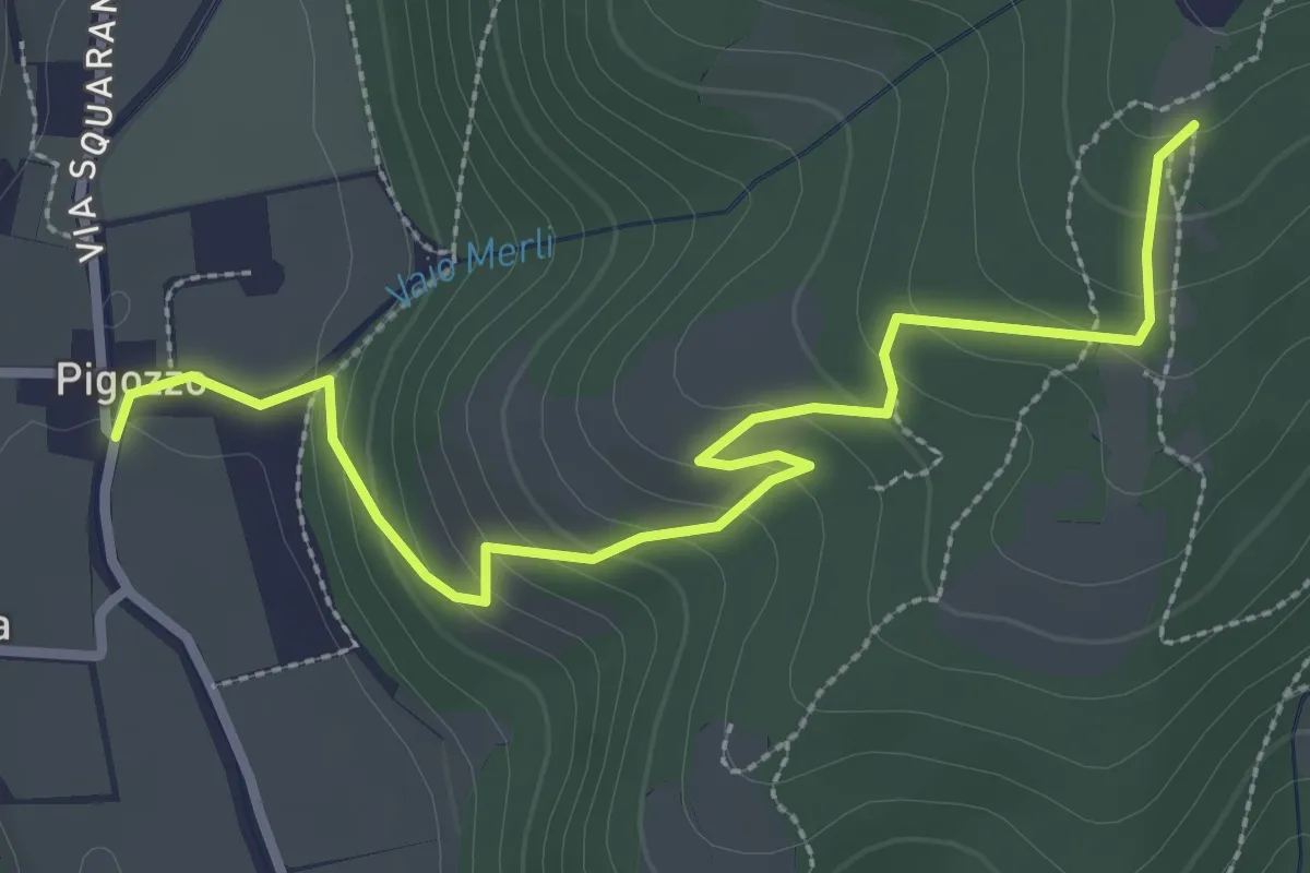
Easy · Trail
Pigozzo – località Gazzole
3.4 km · ↑ 186 m · 1 h 12 min
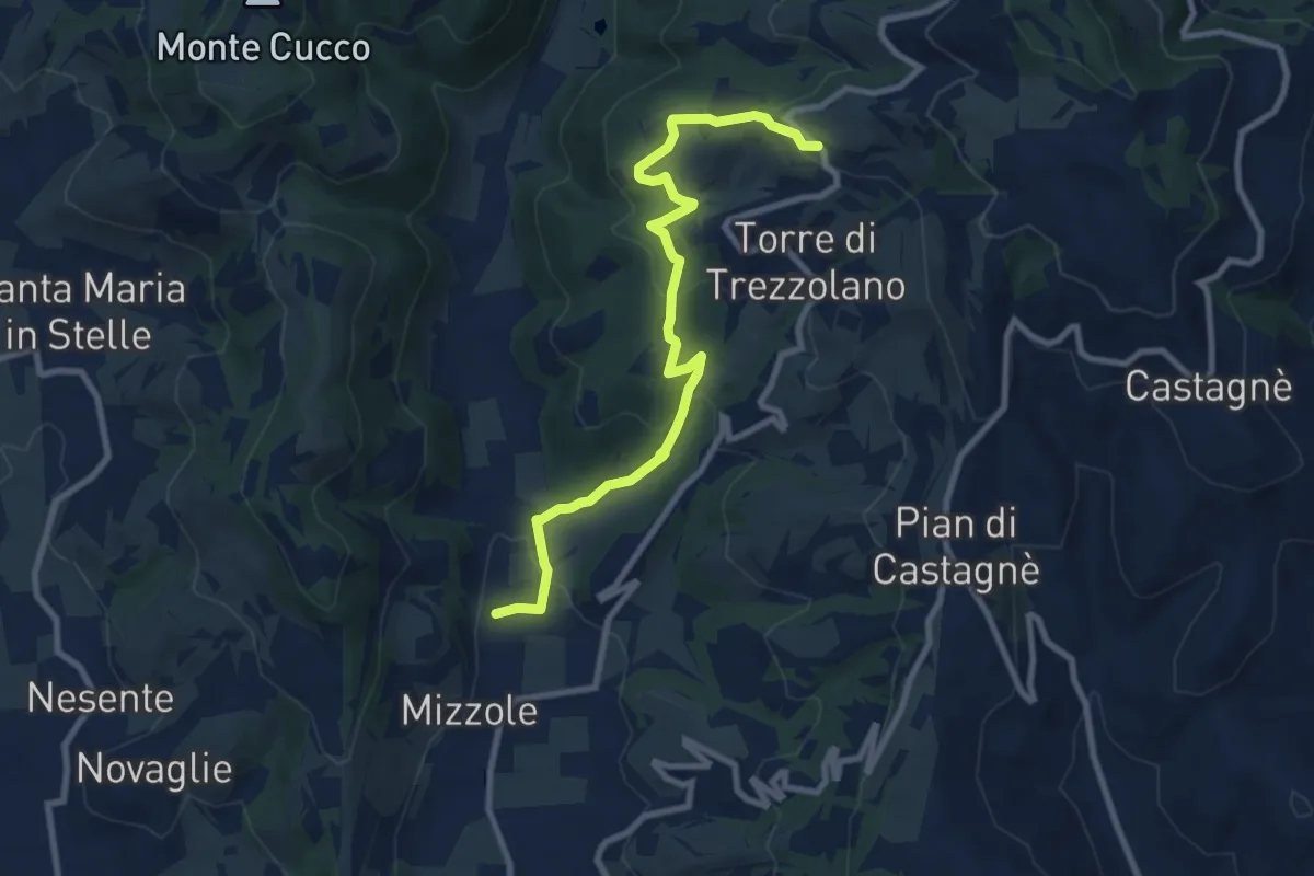
Demanding · Trail
Mizzole – Trezzolano
9.5 km · ↑ 344 m · 2 h 59 min
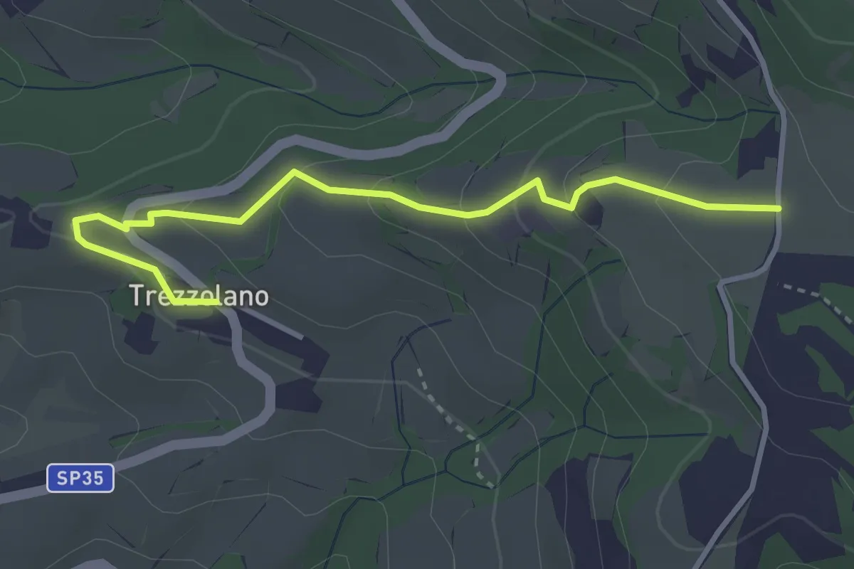
Easy · Trail
Trezzolano – Caiò
3.5 km · ↑ 155 m · 1 h 9 min
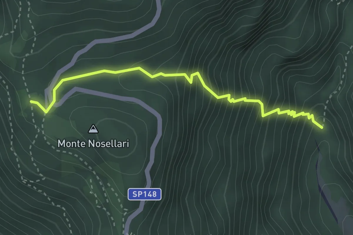
Medium · Trail
Valle Santa Felicita-da sent. 180 - palestra roccia – Pian dei Nosellari- inn. sent. 950
3.2 km · ↑ 470 m · 1 h 46 min