Trails in Italy
25,219 hiking trails, each with its route, climb, walking time and grade.
All trails, page 393 of 526
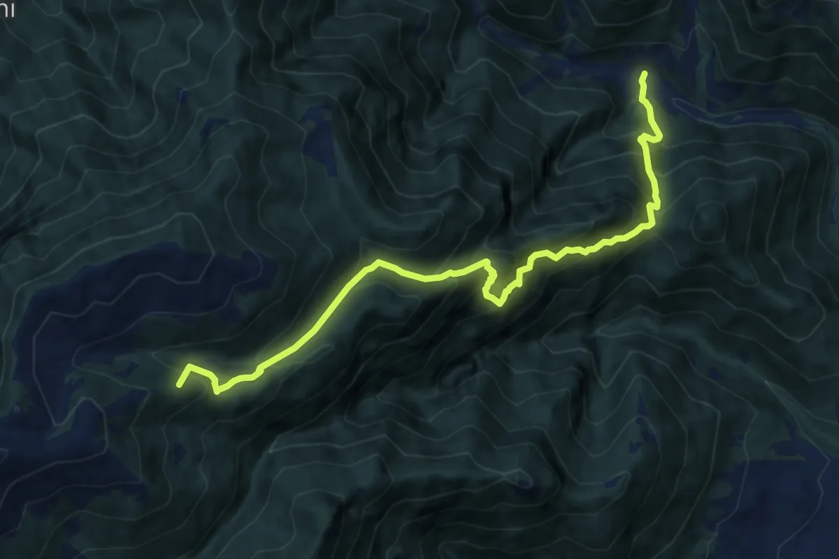
Demanding · Summit
Schievenin - case sul Tegorzo – Stalle Fontanasecca - inn. sent. 843
11.3 km · ↑ 1302 m · 5 h 30 min
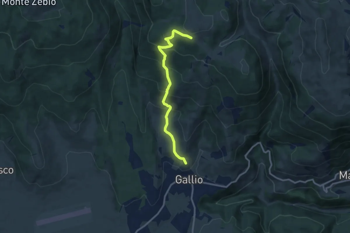
Medium · Trail
Gallio (Contrada Costa) – innesto sentiero 850 (quota 1588)
7.5 km · ↑ 472 m · 2 h 47 min
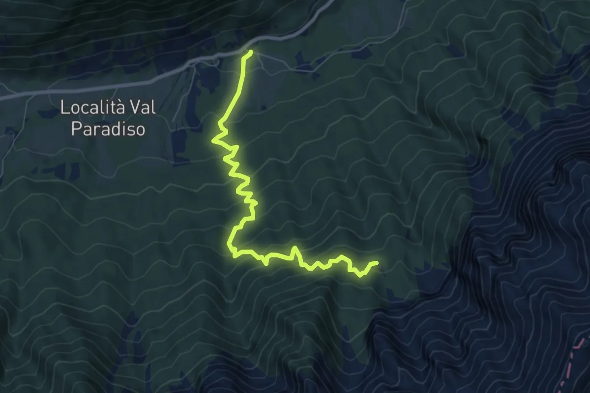
Medium · Trail
Sella - parcheggio ex Hotel Legno – Baite Lanzola
8.1 km · ↑ 793 m · 3 h 37 min
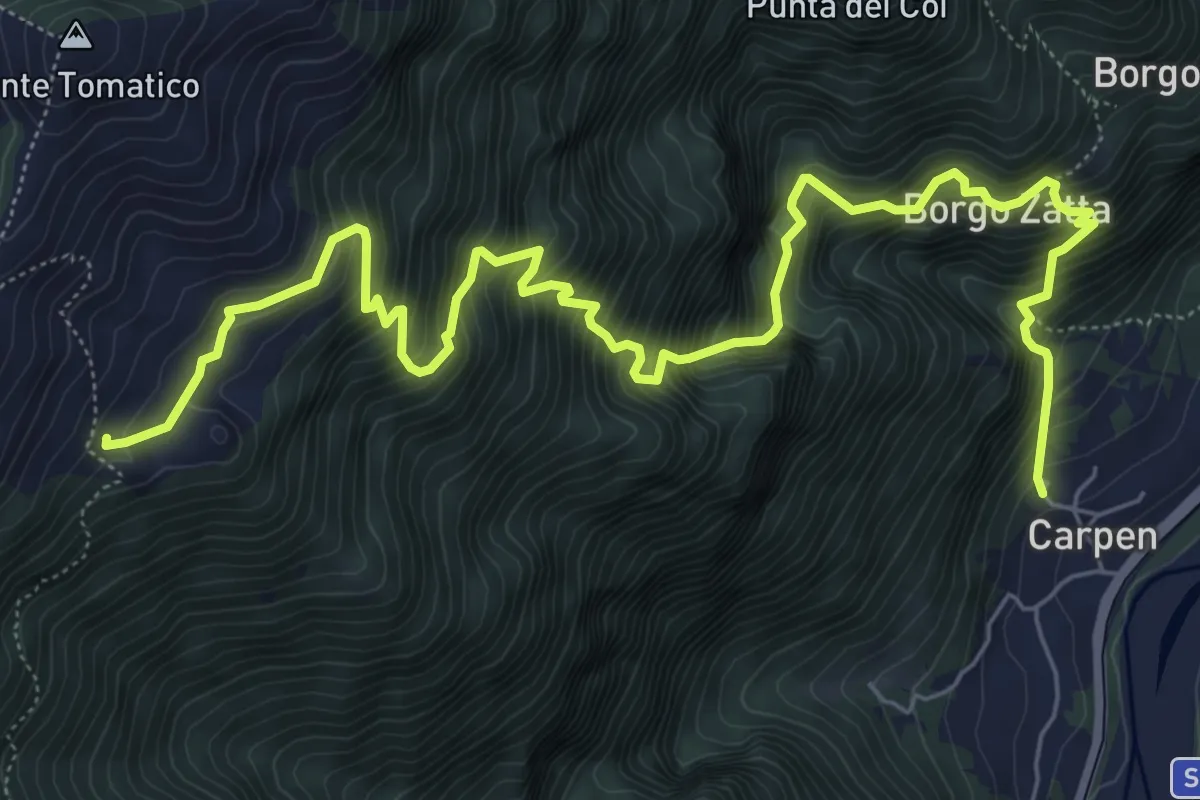
Demanding · Trail
Carpen – Stalle Ronchio - inn. sent. 844
9.1 km · ↑ 1304 m · 4 h 58 min
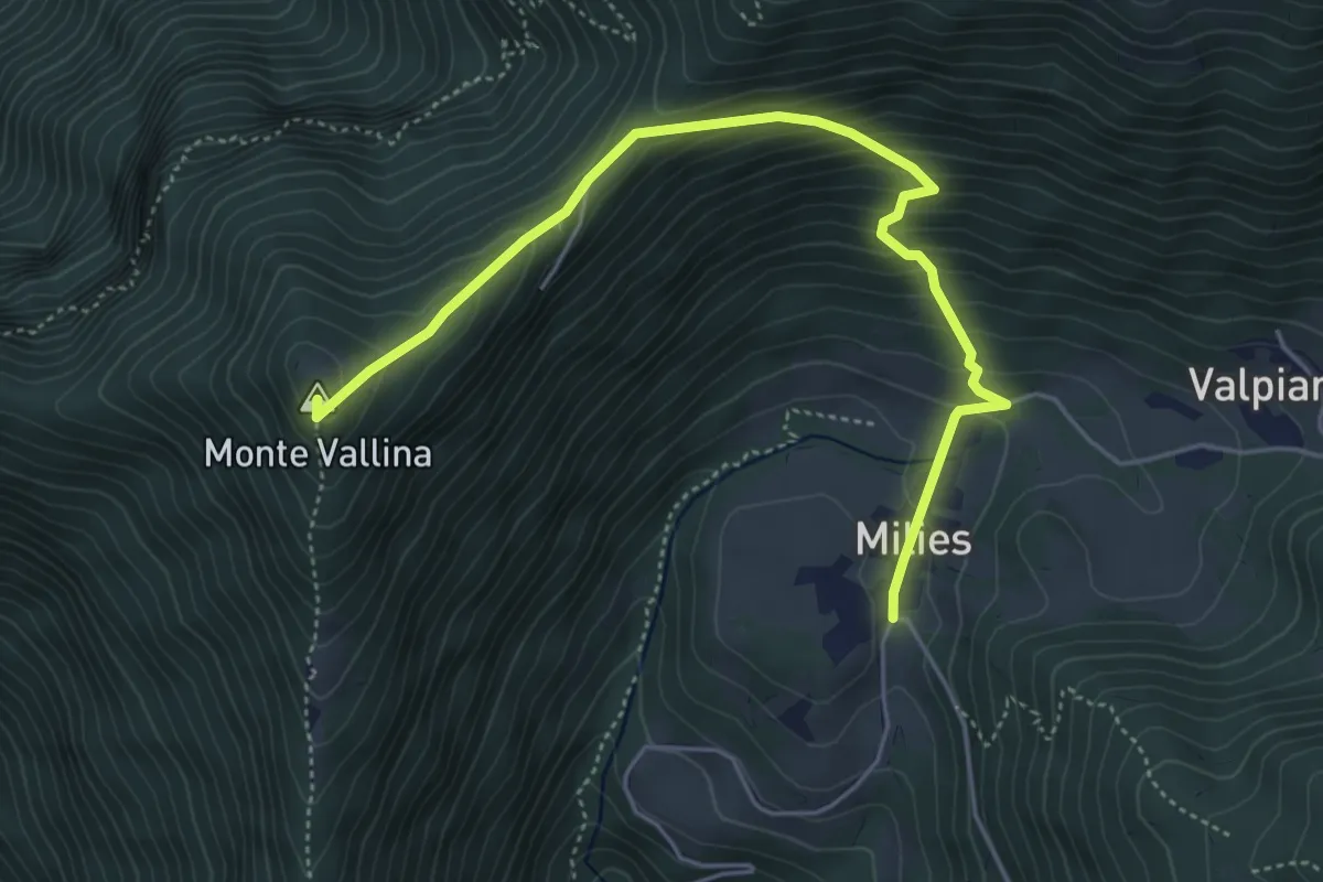
Medium · Summit
Segusino Riva Grassa – Milies
5.4 km · ↑ 390 m · 2 h 7 min
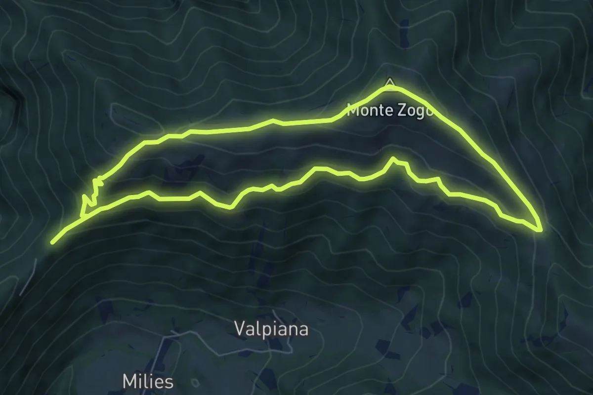
Medium · Summit
Col da Fi – Col da Fi
6.8 km · ↑ 452 m · 2 h 39 min
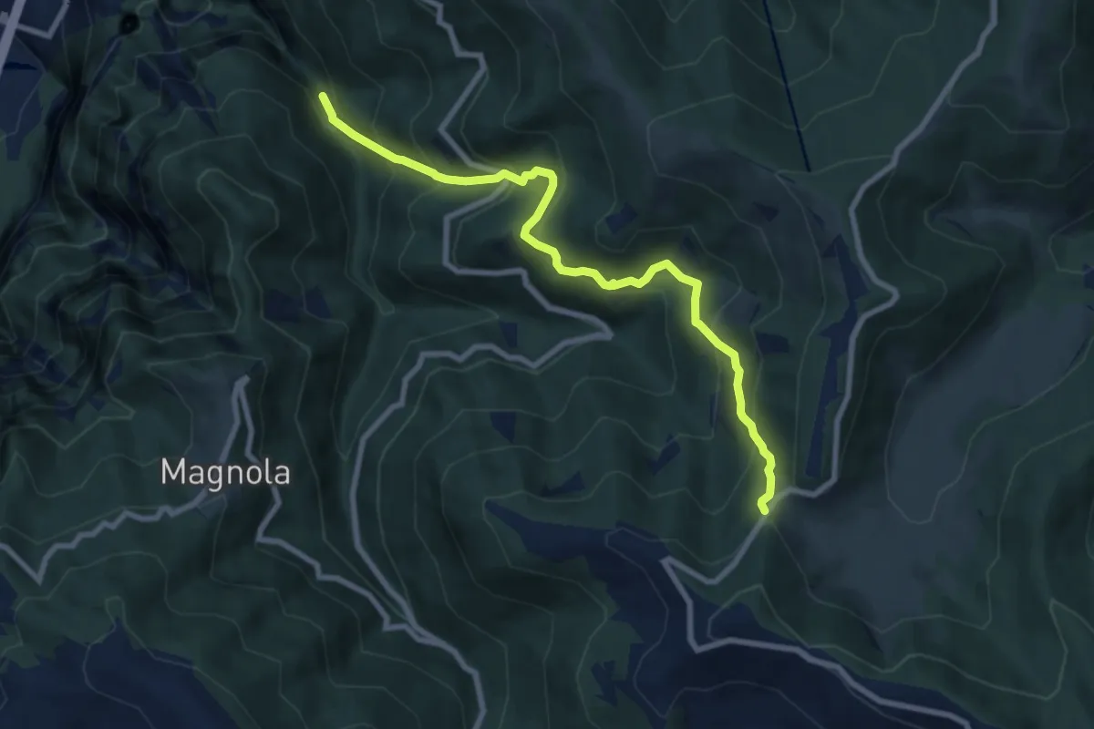
Medium · Trail
Cismon del Grappa - Faghèr - da sent. 920 – Forcelletto - inn. sent. 910
8.2 km · ↑ 748 m · 3 h 33 min
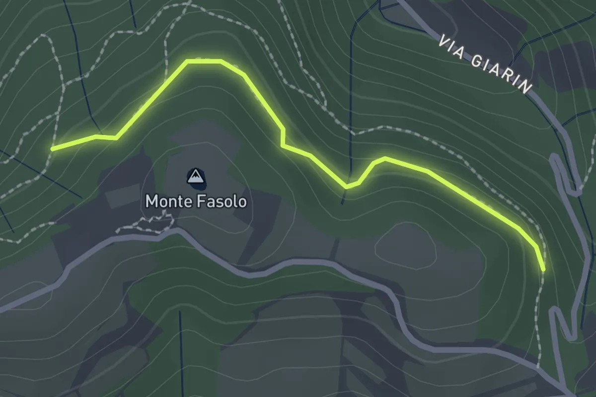
Easy · Summit
Località Sant' Antonio Cinto Euganeo – Località Sant' Antonio Cinto Euganeo
1.1 km · ↑ 44 m · 21 min
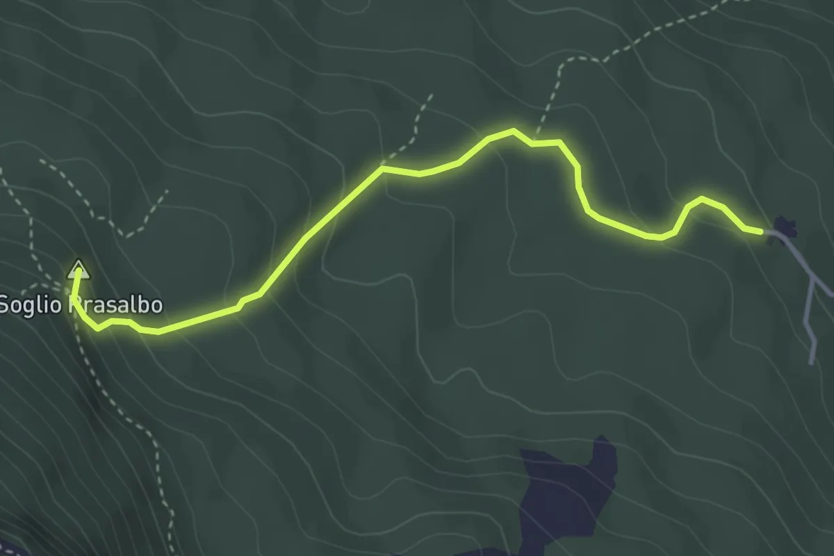
Medium · Summit
Contrà Anzolone di Velo d'Astico – Passo Colletto Piccolo
3.7 km · ↑ 259 m · 1 h 26 min
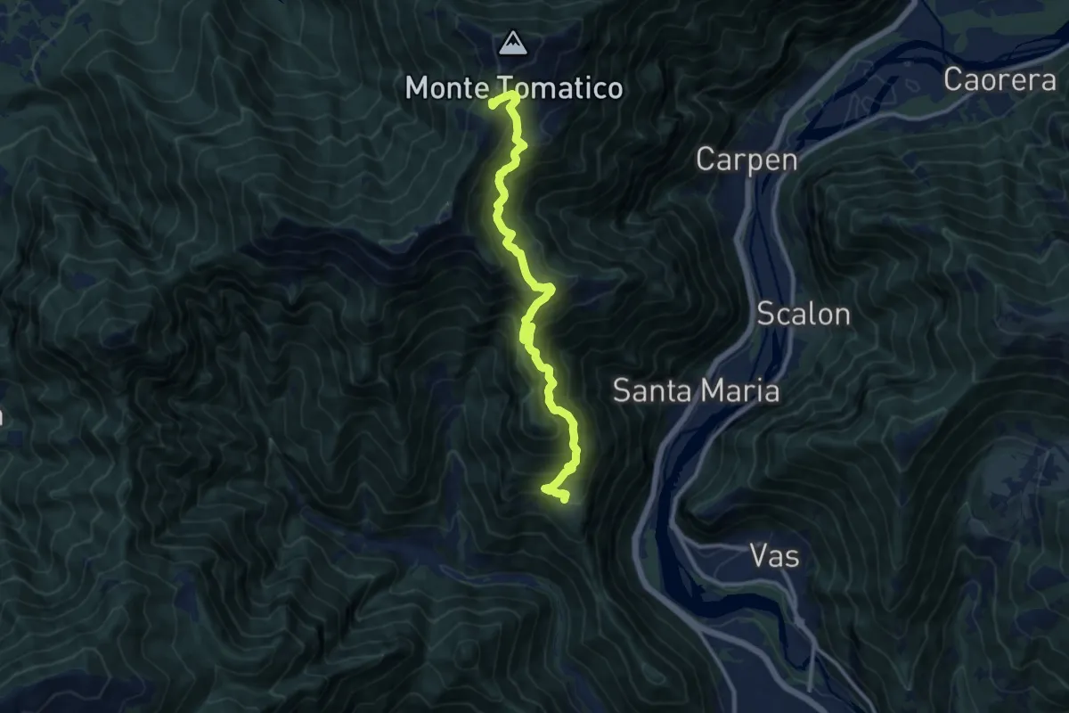
Demanding · Trail
Cilladon – Casere da Ton - Monte Tomatica - innesto sentiero 841
11.3 km · ↑ 1088 m · 5 h 1 min
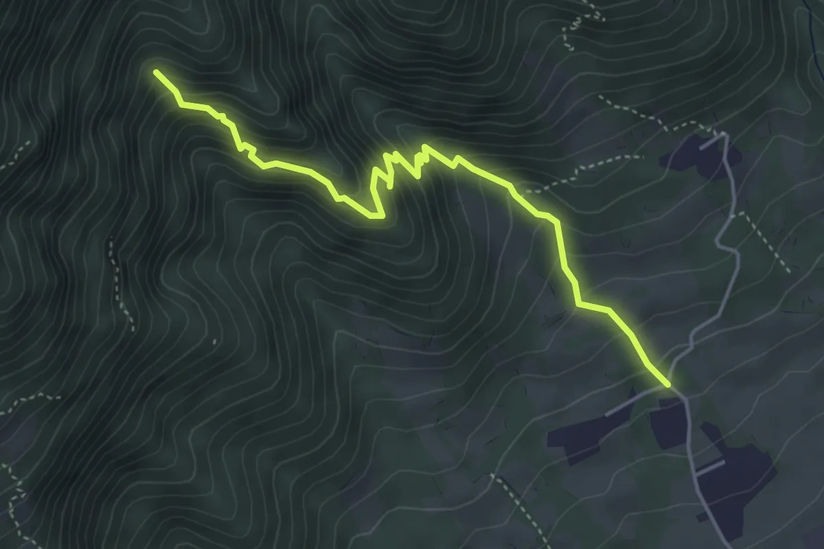
Medium · Trail
Località Fontanelle – Alta Val Cassanega - innesto sent. 102
4.8 km · ↑ 452 m · 2 h 7 min
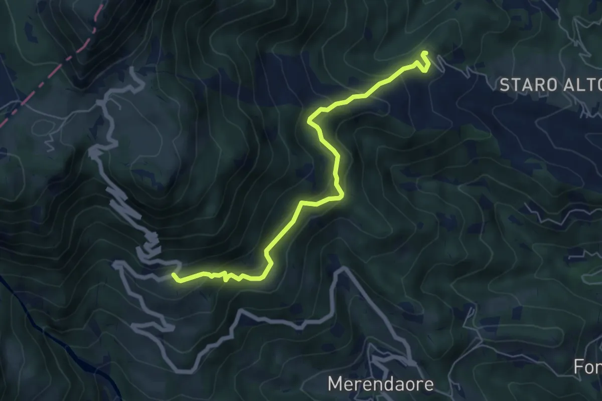
Medium · Trail
rifugio La Guardia – nei pressi di Staro Mille
6.1 km · ↑ 452 m · 2 h 26 min
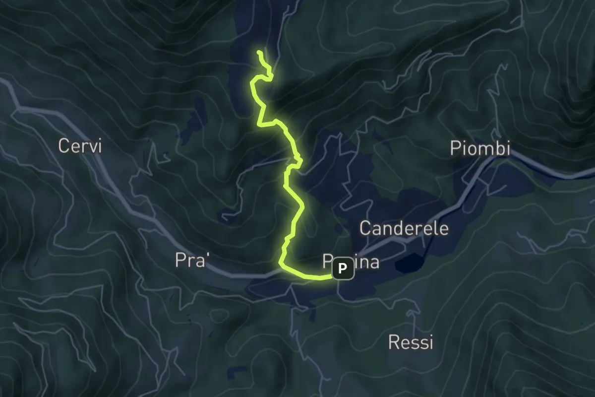
Medium · Trail
Posina – Contrà Xausa - inn. sent. 511
4.5 km · ↑ 408 m · 1 h 57 min
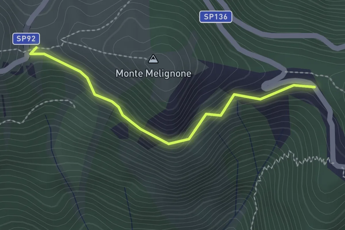
Medium · Trail
dal sent. n. 537, strada della Vena – Bocchetta degli Alpini
2.1 km · ↑ 187 m · 55 min
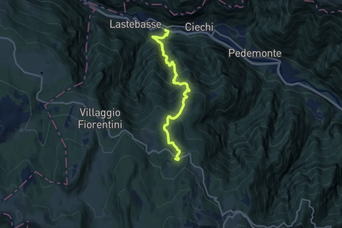
Demanding · Trail
località Pickel in Valdastico – Strada dei Fiorentini
9.2 km · ↑ 990 m · 4 h 19 min
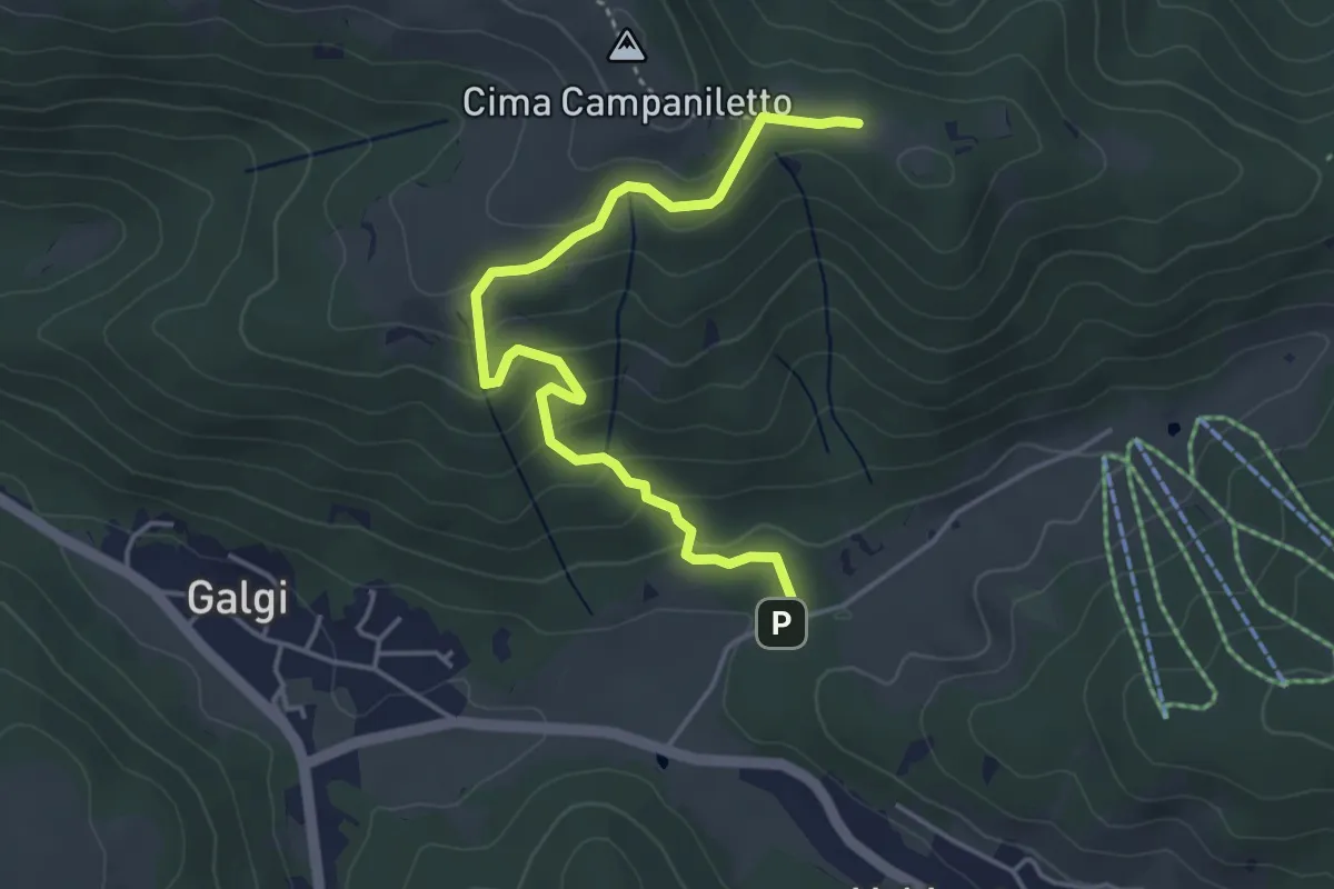
Easy · Summit
Percorso 872 – Percorso 872
4.6 km · ↑ 233 m · 1 h 36 min
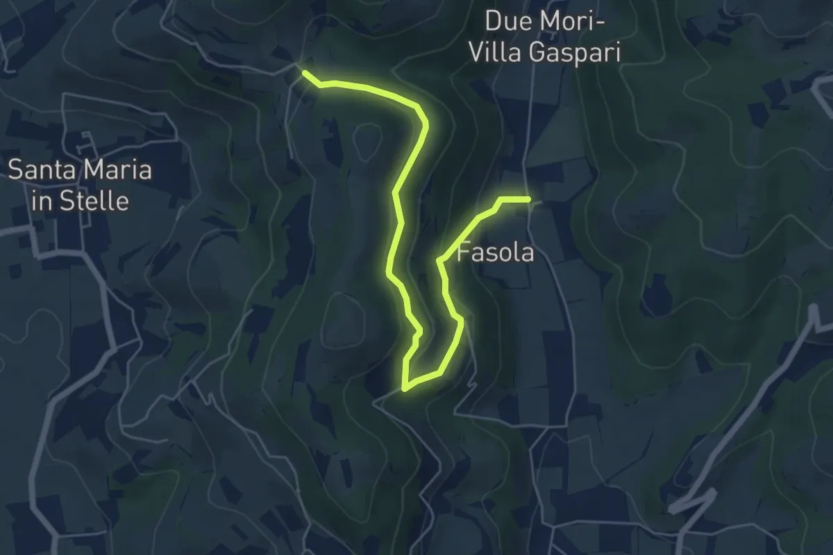
Easy · Trail
Pigozzo – Località Maroni
6.2 km · ↑ 246 m · 2 h
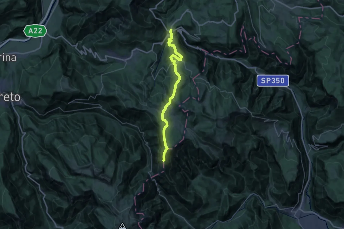
Demanding · Summit
Carbonare – Passo della Borcola (bivio 147)
28.8 km · ↑ 1189 m · 9 h 22 min
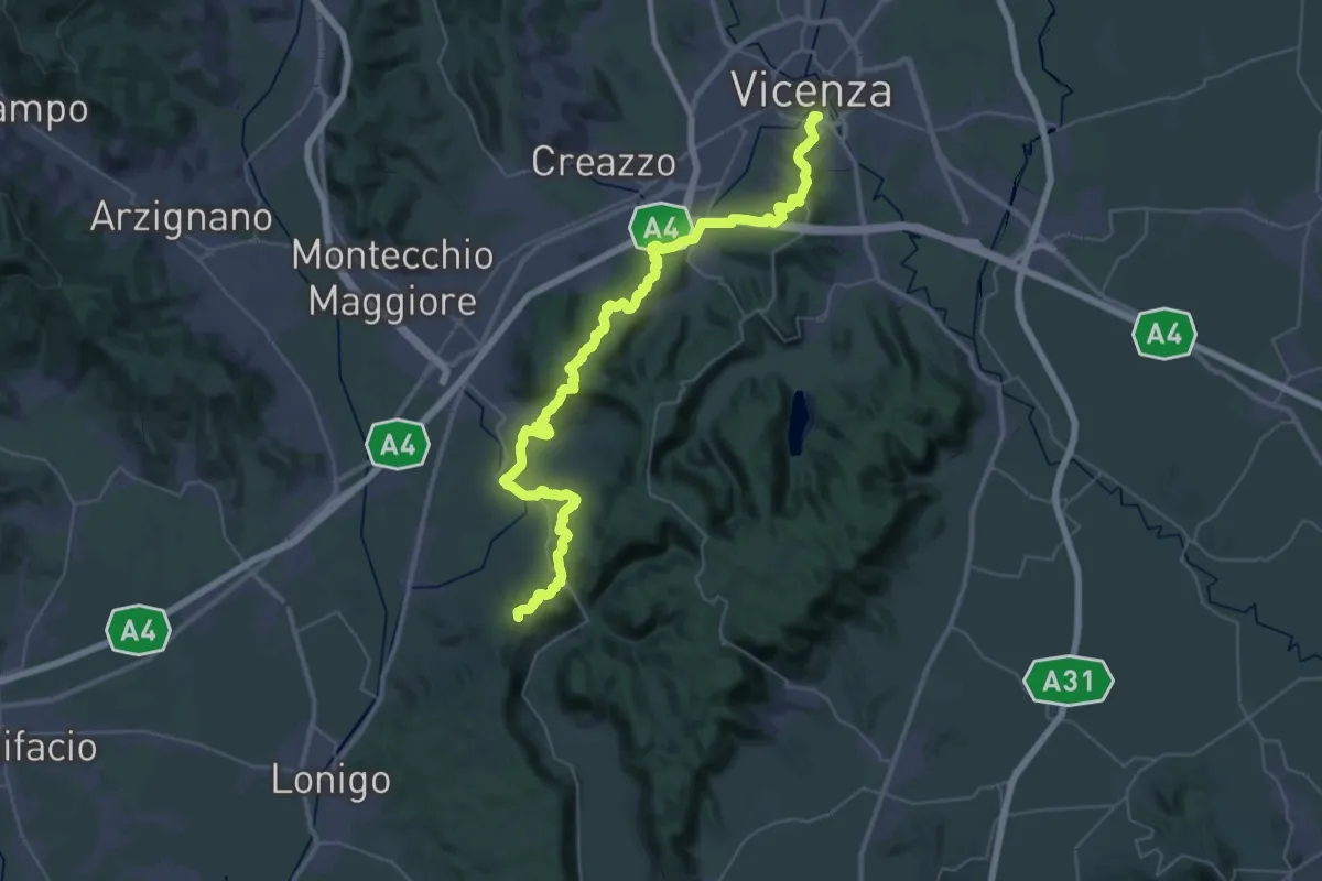
Demanding · Summit
Vicenza – Lonigo
49.2 km · ↑ 1368 m · 14 h 34 min
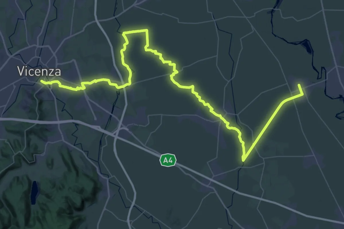
Demanding · Trail
Piazzola sul Brenta – Vicenza
36.2 km · ↑ 22 m · 9 h 6 min
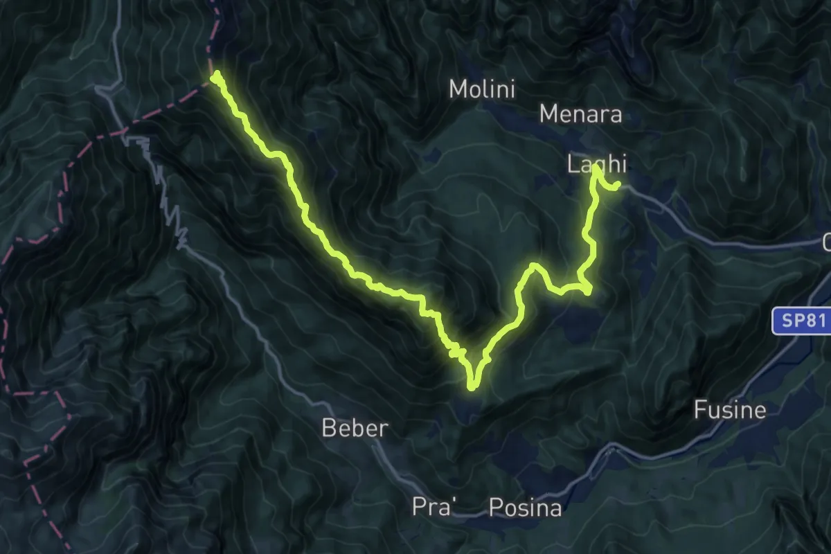
Demanding · Summit
Laghi – Sella della Borcoletta (innesto sentiero SAT 124)
20.0 km · ↑ 1645 m · 8 h 17 min
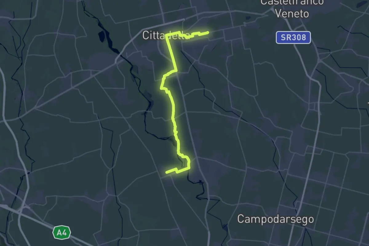
Demanding · Trail
San Martino di Lupari – Piazzola sul Brenta
21.0 km · ↑ 21 m · 5 h 19 min
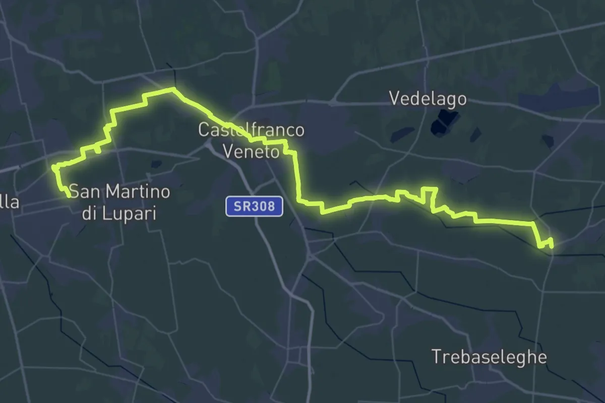
Demanding · Trail
Badoere – San Martino di Lupari
33.1 km · ↑ 34 m · 8 h 20 min
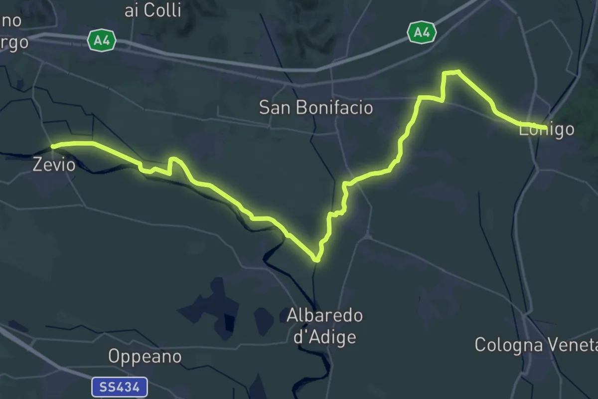
Demanding · Trail
Lonigo – Zevio
29.3 km · ↑ 13 m · 7 h 21 min
Demanding · Trail
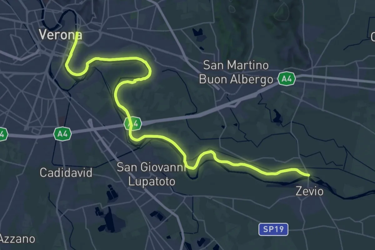
Zevio – Verona
20.3 km · ↑ 25 m · 5 h 7 min
Demanding · Summit
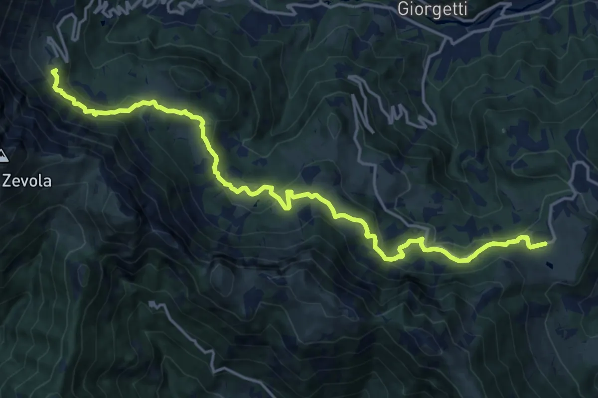
Recoaro Mille - Pizzegoro – Rifugio Battisti alla Gazza
15.8 km · ↑ 726 m · 5 h 18 min
Demanding · Trail
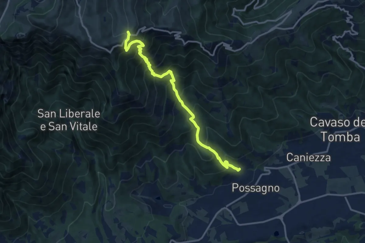
Possagno – Bocca di Forca
10.8 km · ↑ 1153 m · 5 h 2 min
Medium · Summit
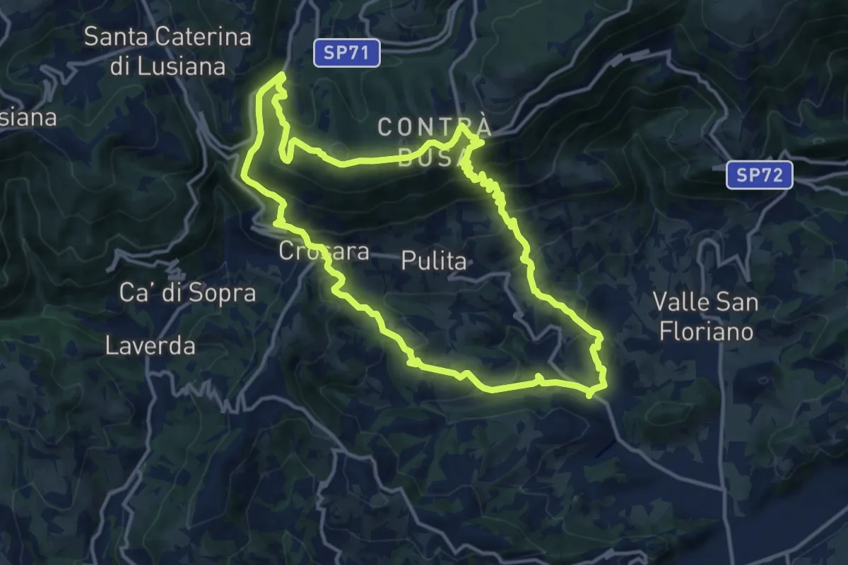
Marostica – Marostica
13.3 km · ↑ 681 m · 4 h 48 min
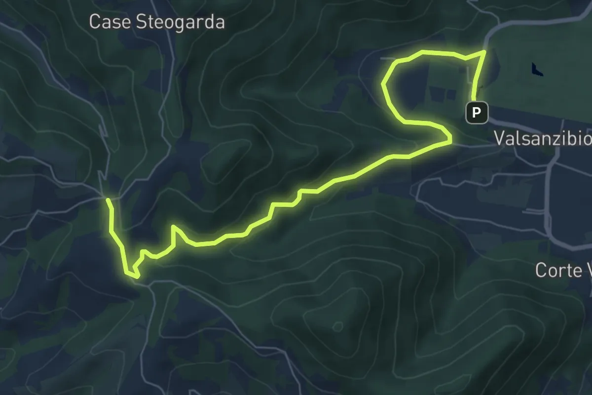
Medium · Trail
Valsanzibio – Via Scalette
8.4 km · ↑ 272 m · 2 h 34 min
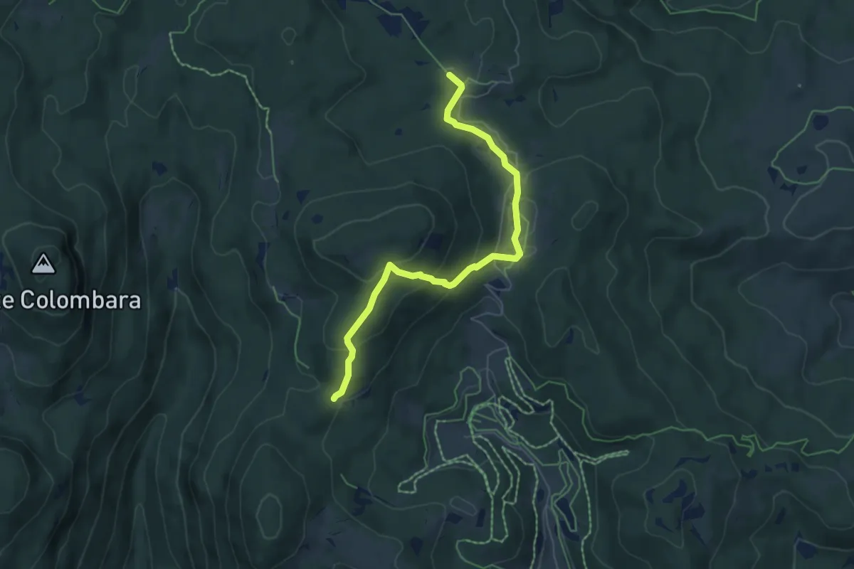
Medium · Trail
Percorso 850 – Malga Fiara
6.1 km · ↑ 238 m · 1 h 57 min
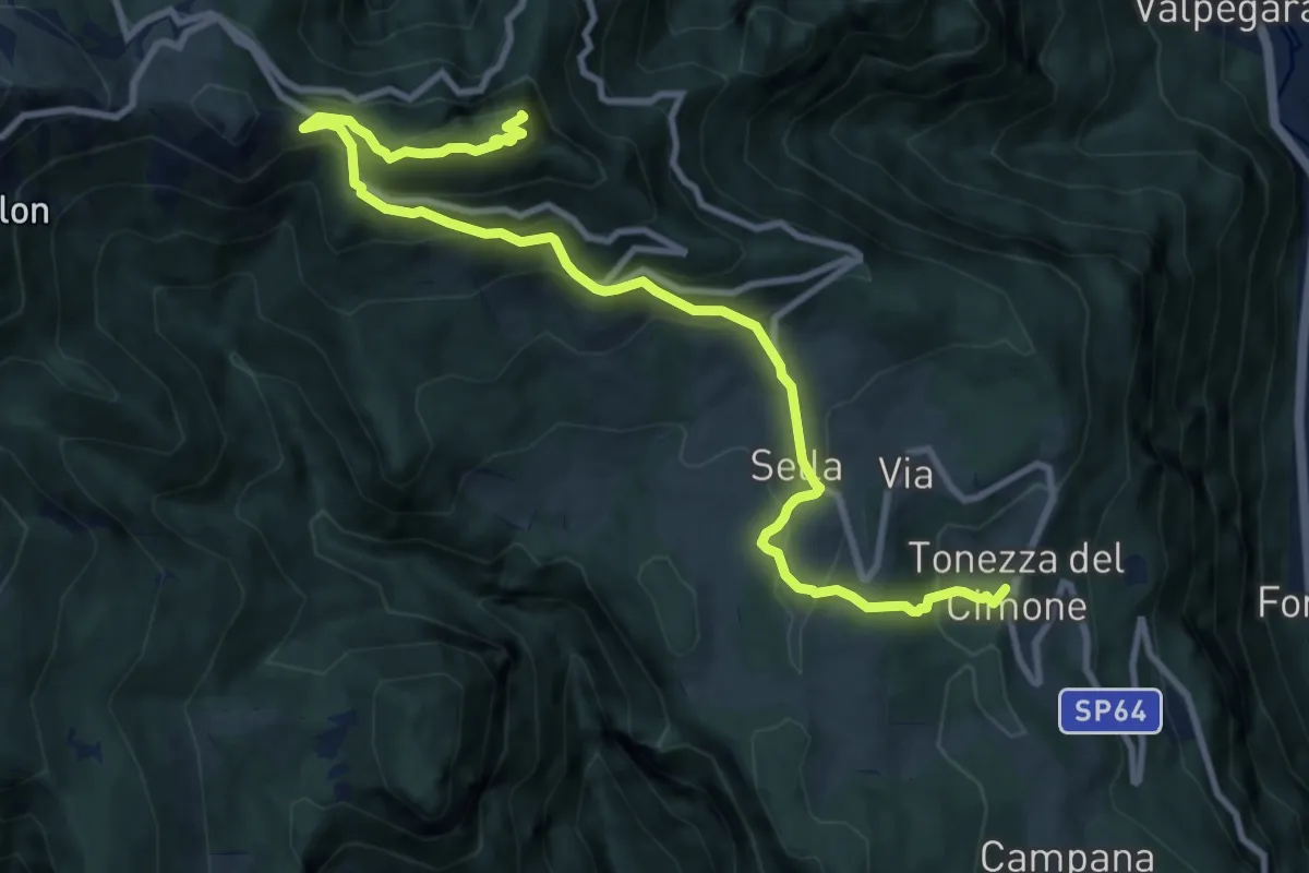
Medium · Summit
Tonezza del Cimone – Monte Spitz di Tonezza
11.9 km · ↑ 790 m · 4 h 31 min
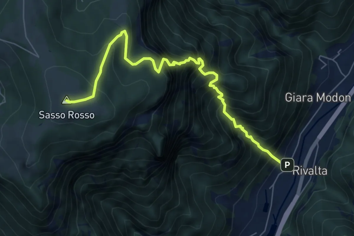
Demanding · Summit
Sasso Stefani – Sasso Rosso
6.6 km · ↑ 1099 m · 3 h 57 min
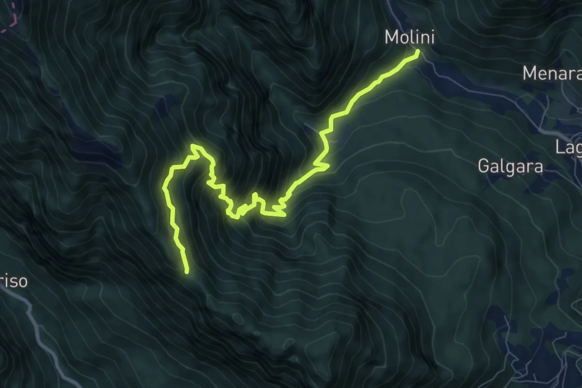
Demanding · Trail
Contrà Molini (Laghi) – Passo di Colombo (innesto sentiero 511)
9.5 km · ↑ 954 m · 4 h 19 min
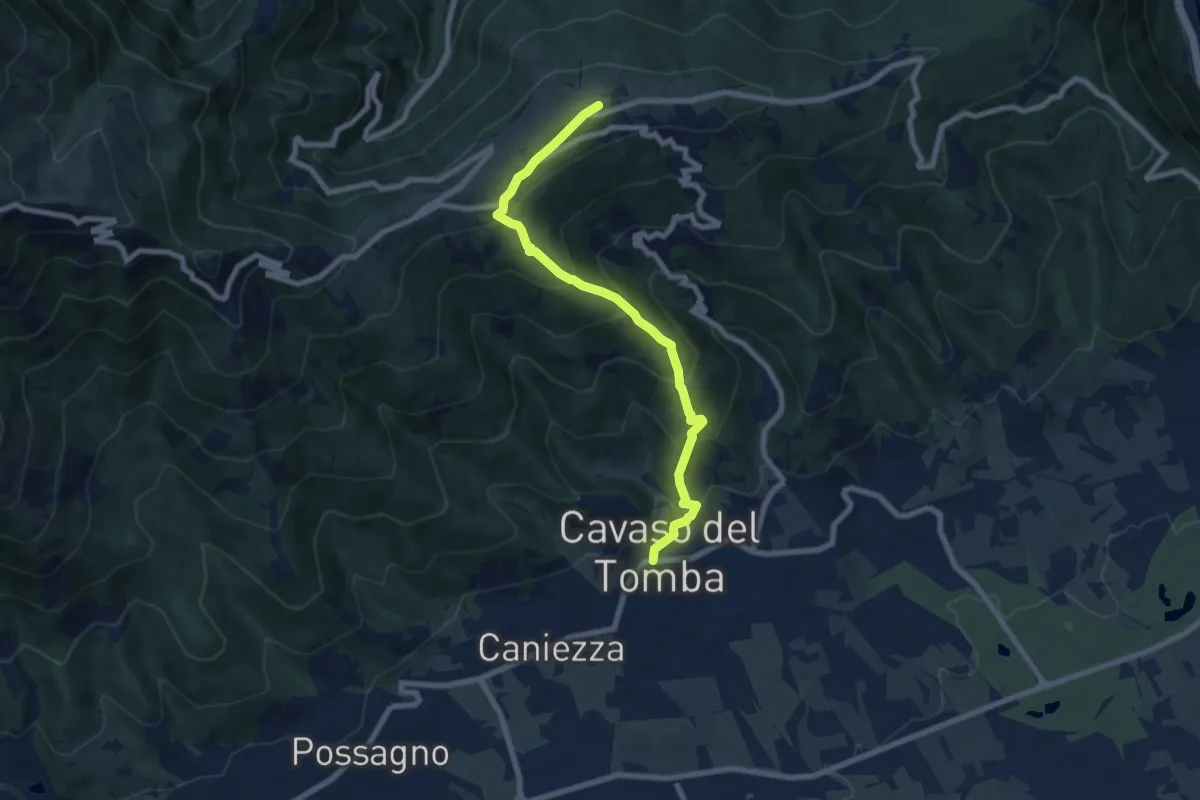
Medium · Summit
Cavaso del Tomba – Monte Tomba
7.7 km · ↑ 581 m · 3 h 4 min
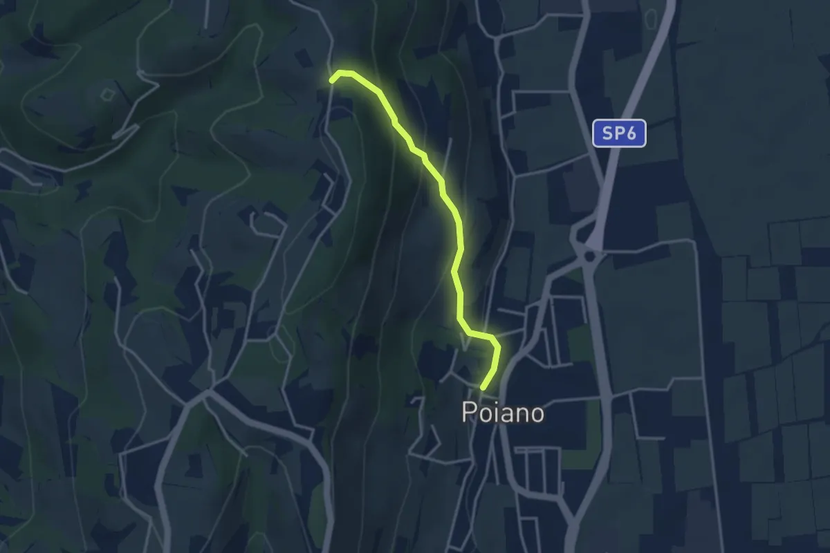
Medium · Trail
Poiano – Percorso 263
2.9 km · ↑ 192 m · 1 h 6 min
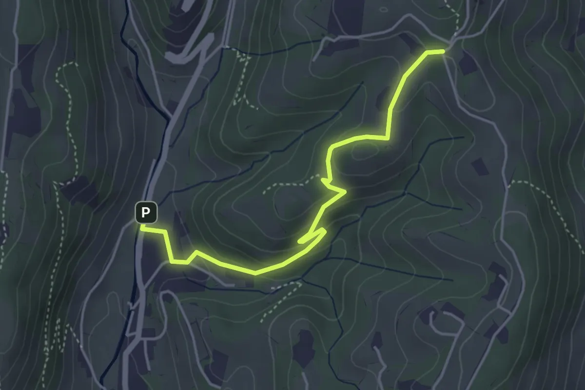
Easy · Trail
Avesa – Percorso 263
4.4 km · ↑ 172 m · 1 h 25 min
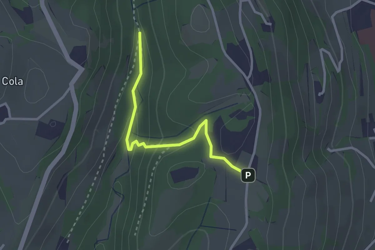
Easy · Trail
Vajo Galina – Percorso 263
2.4 km · ↑ 105 m · 48 min
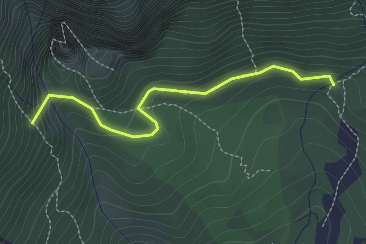
Medium · Trail
Prà dei Penzi (bivio Percorso 322) – Val Canale (Percorso 311)
2.2 km · ↑ 114 m · 46 min
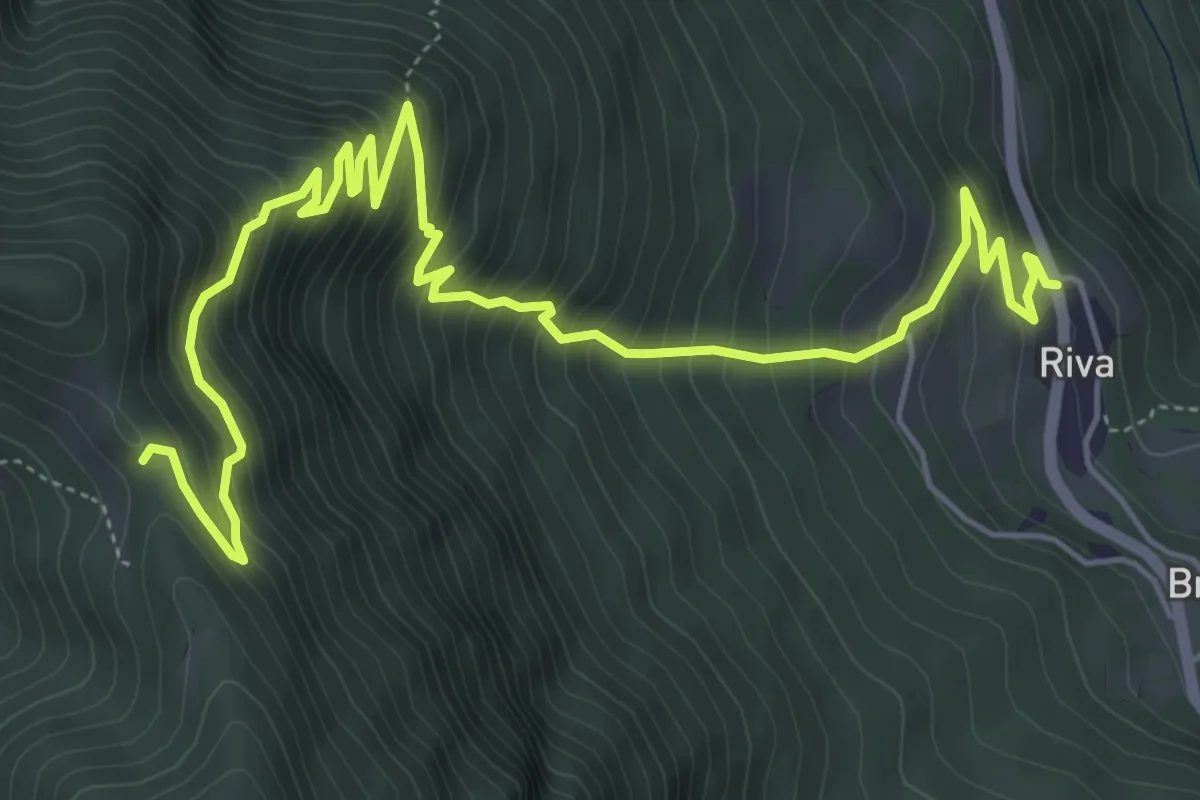
Medium · Trail
Riva di Vallarsa – Passo Buole - presso Cappella (bivio 115)
7.8 km · ↑ 780 m · 3 h 32 min
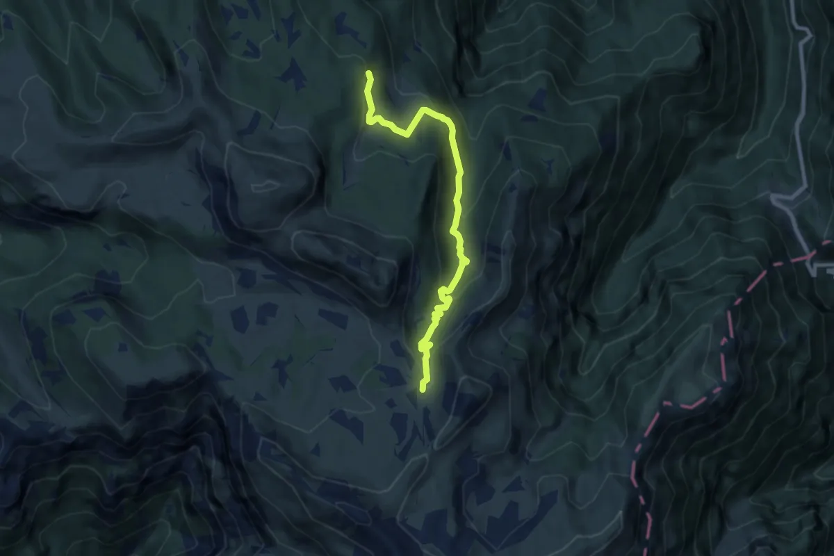
Medium · Trail
Strada delle Malghe (bivio 133A) – Sella delle Pozze (bivio 120)
7.9 km · ↑ 467 m · 2 h 53 min
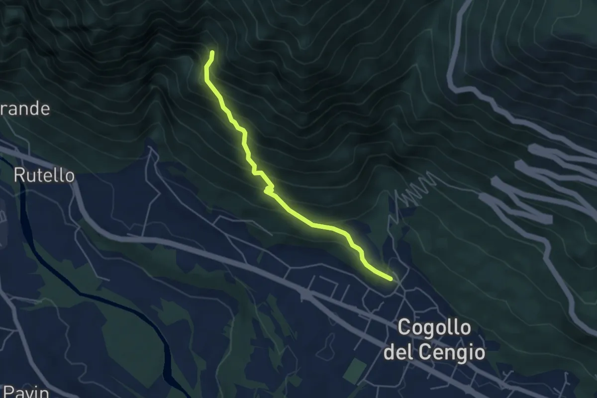
Medium · Trail
Cogollo – Raccordo con sentero 647 in Val Cengiotta
4.3 km · ↑ 446 m · 1 h 59 min
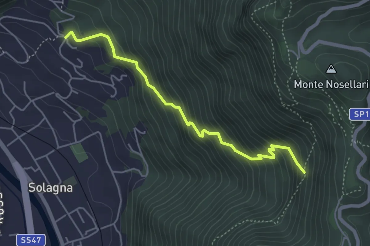
Medium · Trail
Solagna - Bresagge – Nogarole - inn. sent. 950
4.3 km · ↑ 446 m · 1 h 58 min
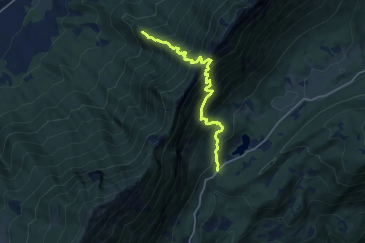
Demanding · Trail
Capitello de Doera - presso il Lago di Cei – Bait dei Amizi (bivio 635)
8.8 km · ↑ 1131 m · 4 h 32 min
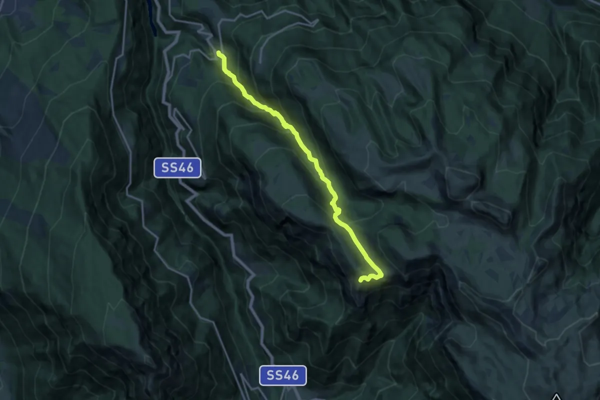
Demanding · Trail
Boccaldo di Trambileno – Selletta Battisti (bivio 119B - 122C)
13.7 km · ↑ 1177 m · 5 h 47 min
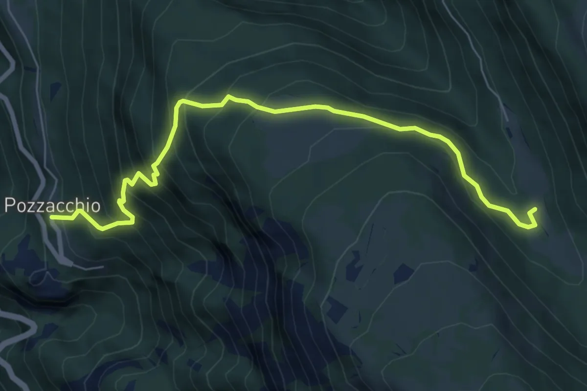
Medium · Trail
Pozzacchio – Pian del Cheserle (bivio 101 - 122 - 132B)
7.0 km · ↑ 669 m · 3 h 7 min
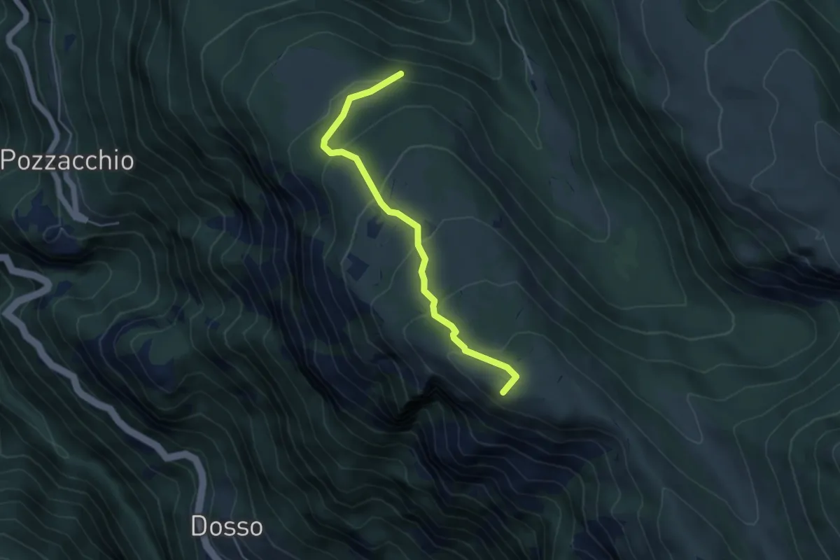
Medium · Summit
Presso Malga Monticello (bivio 119) – Selletta Battisti (bivio 122 - 122C)
4.5 km · ↑ 296 m · 1 h 43 min
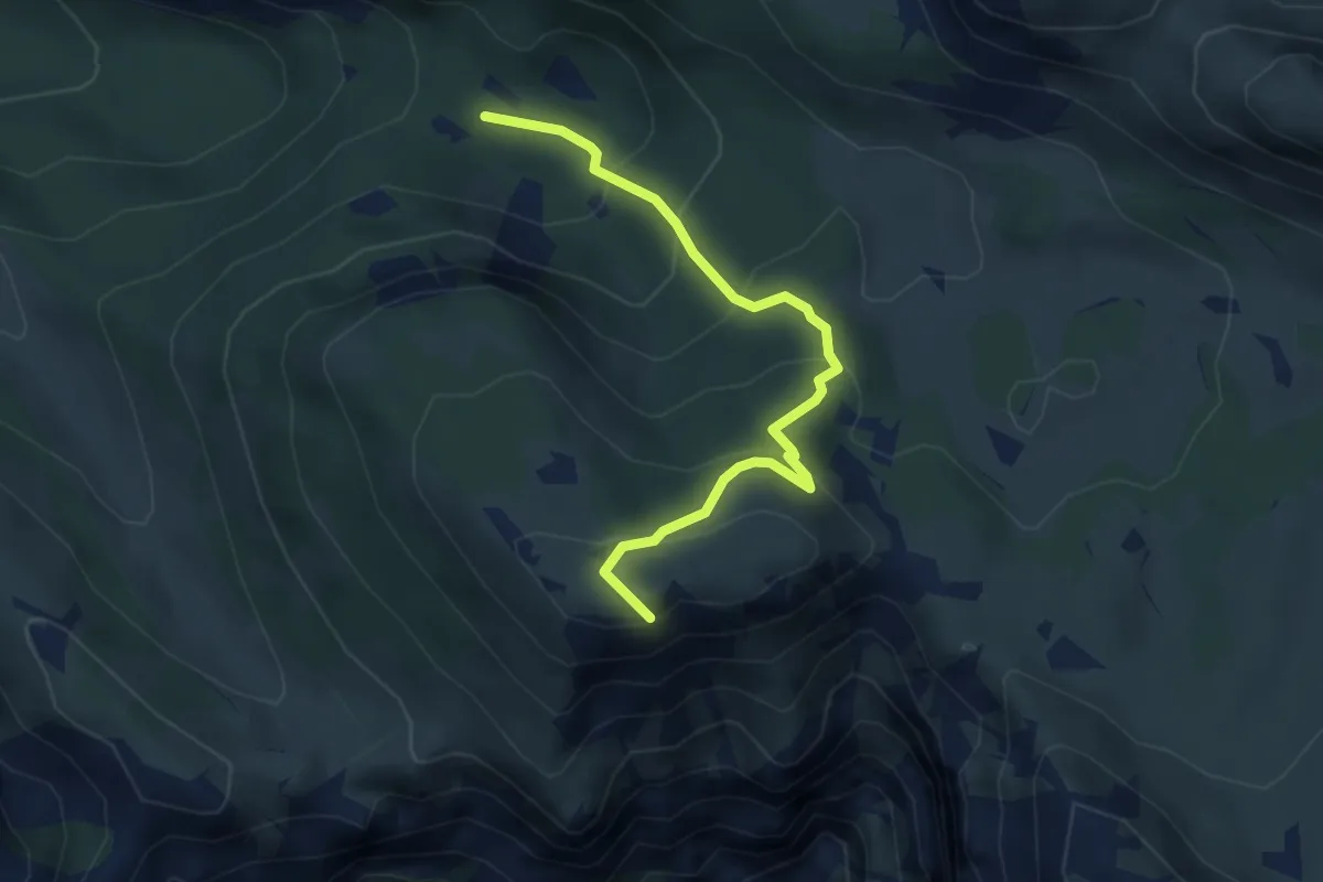
Medium · Summit
Pozza Rionda (bivio 101) – Presso Bocchetta dei Foxi (bivio 102)
4.1 km · ↑ 324 m · 1 h 41 min
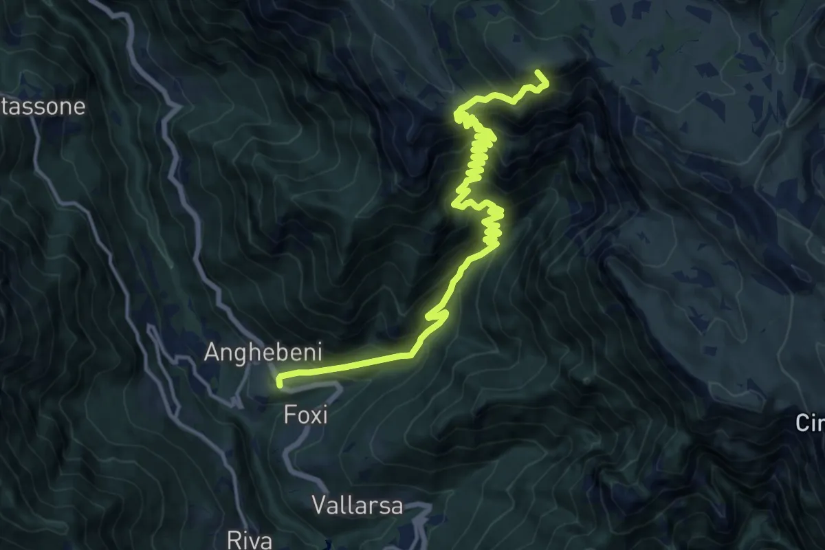
Demanding · Summit
Anghebeni (bivio 143) – Rifugio "Vincenzo Lancia" (bivio 101 - 105 - 120 - 132)
17.3 km · ↑ 1776 m · 7 h 55 min