Trails in Italy
25,219 hiking trails, each with its route, climb, walking time and grade.
All trails, page 397 of 526
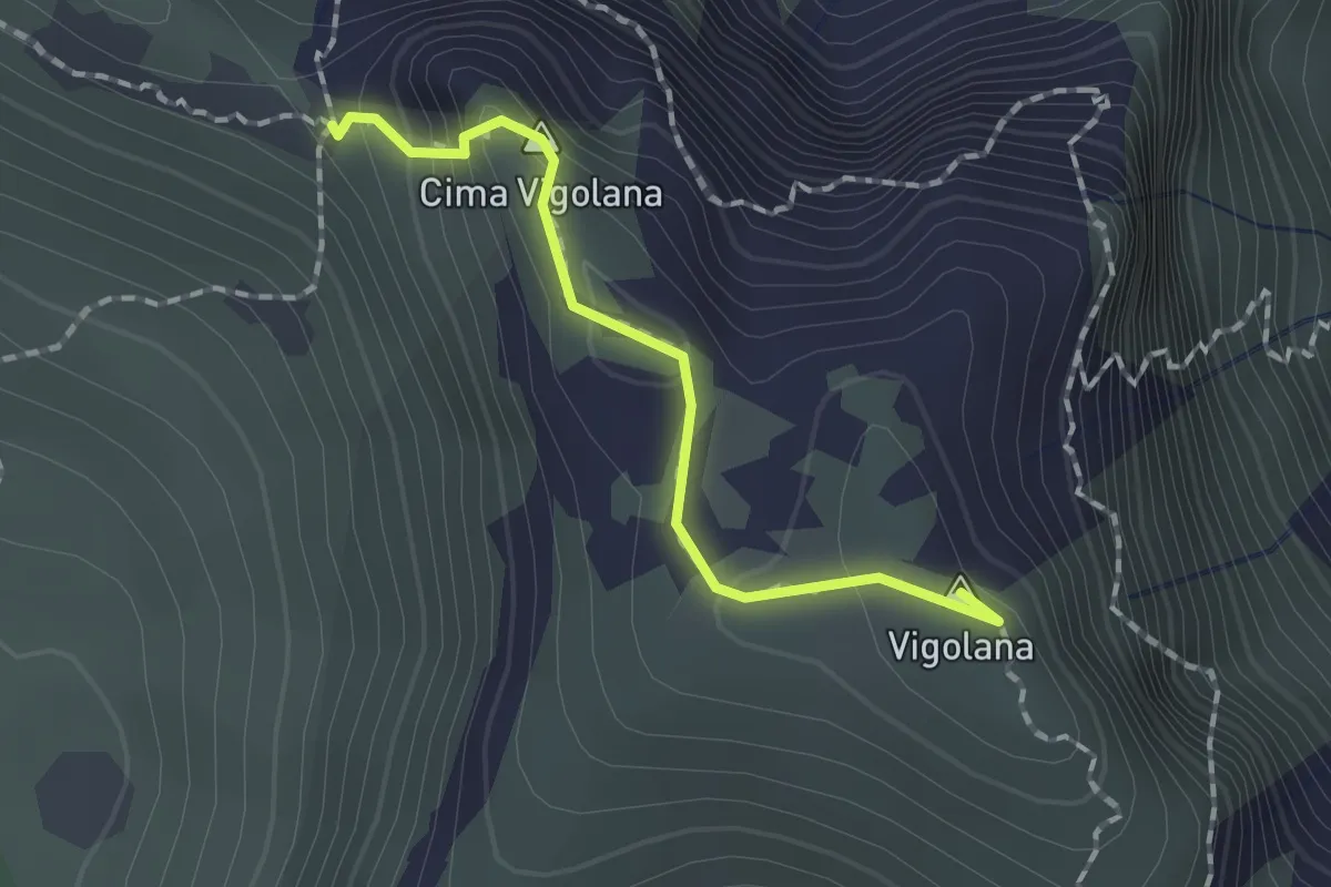
Demanding · Summit
Bocca Lavinella (bivio 450 453) – Bocca di Val Larga (bivio 425)
1.5 km · ↑ 91 m · 33 min
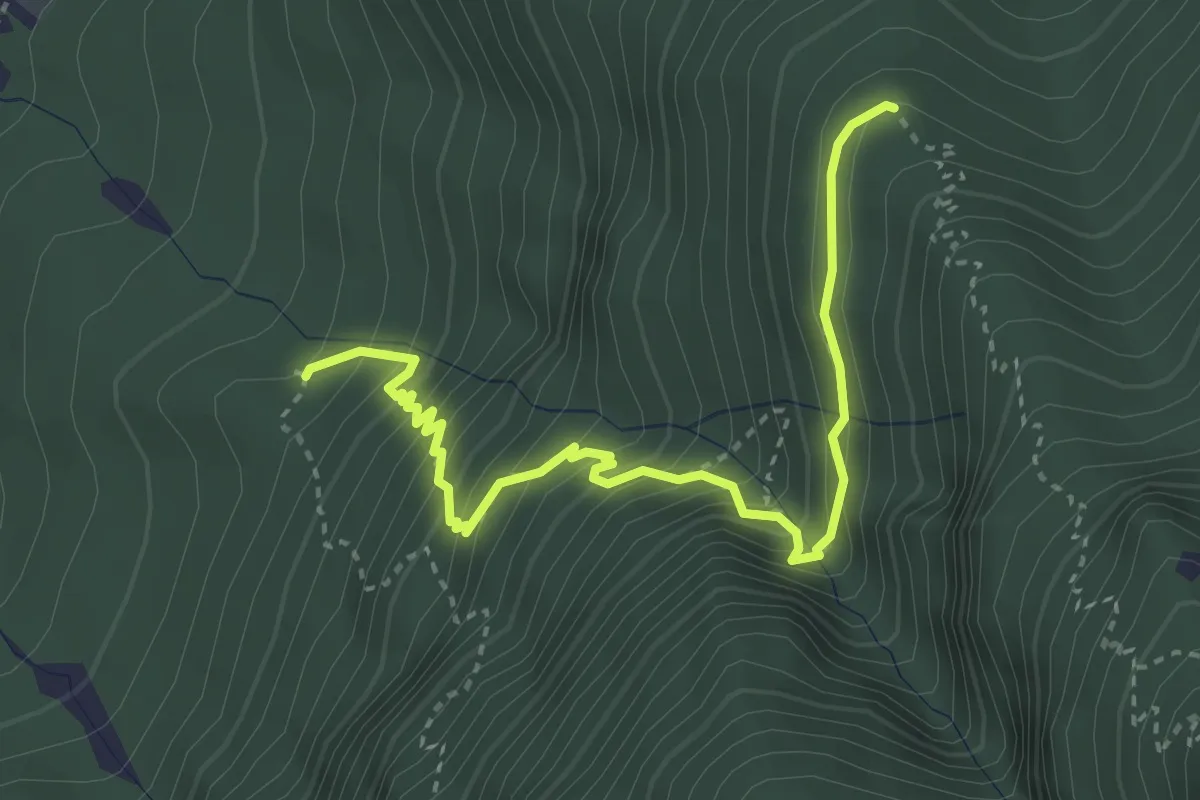
Medium · Trail
Quota 527 (bivio 447) – Malghetta (bivio 446)
3.9 km · ↑ 447 m · 1 h 53 min
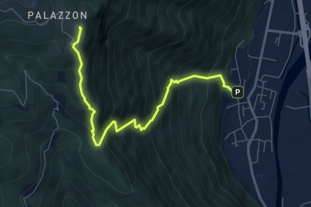
Demanding · Summit
Campese – Strada Rubbio/Cas. Campolongo - inn. sent. 800
6.3 km · ↑ 819 m · 3 h 16 min
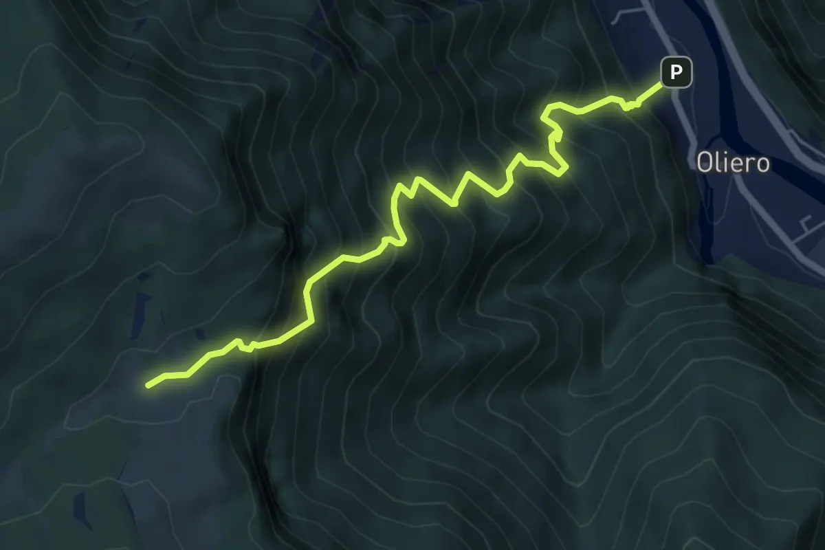
Demanding · Trail
Oliero di sopra – Le Pozzette
6.0 km · ↑ 983 m · 3 h 32 min
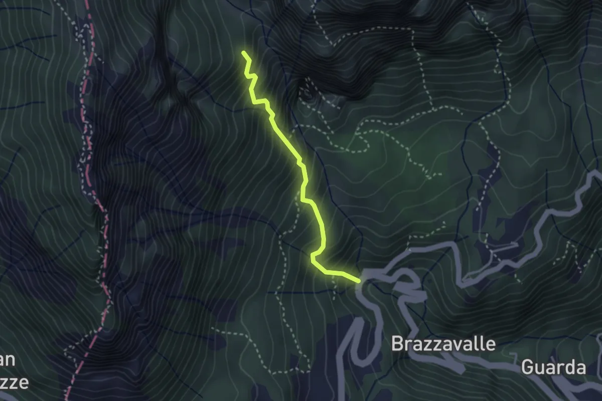
Medium · Trail
Ponte Verde - da S.P. 46 – Val Canale (innesto sentiero 300)
2.6 km · ↑ 421 m · 1 h 32 min
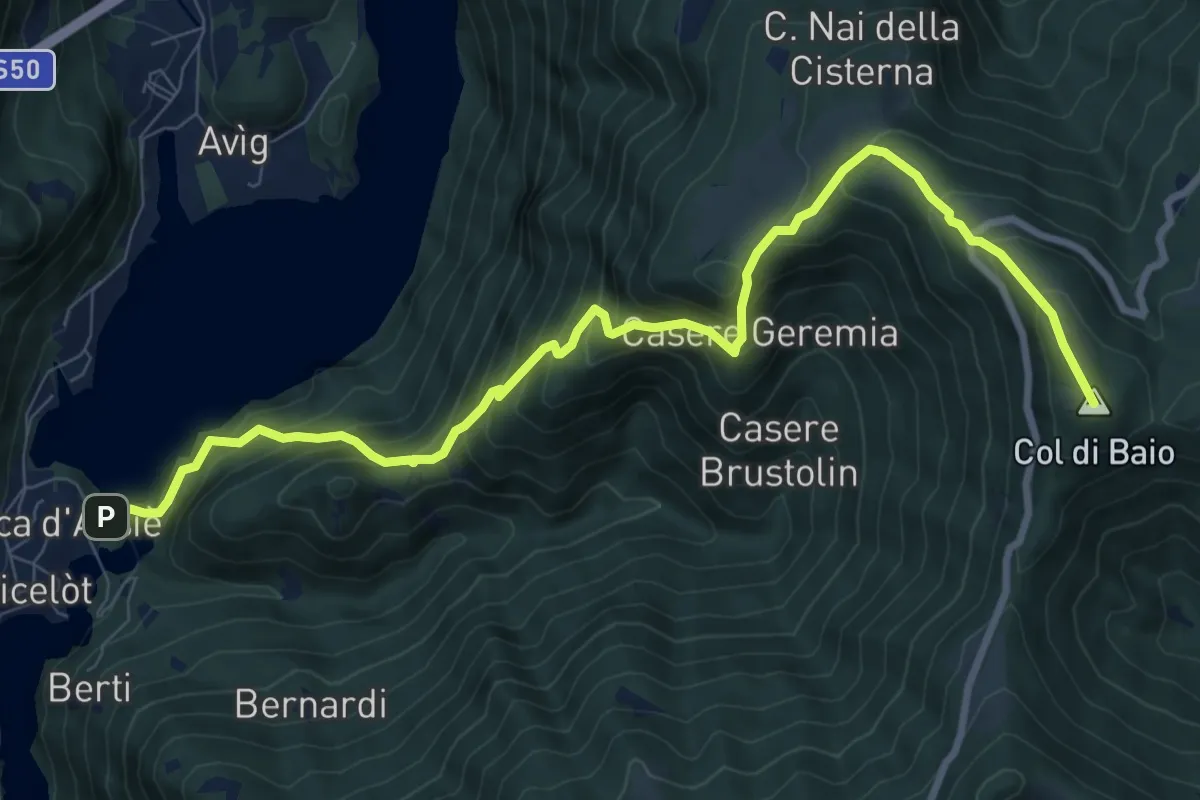
Demanding · Summit
Rocca di Arsiè – Col del Baio
10.3 km · ↑ 1081 m · 4 h 47 min
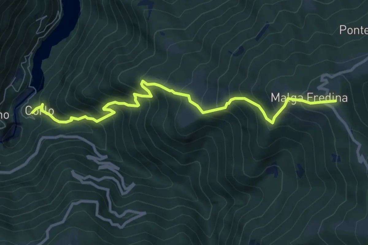
Demanding · Summit
Corlo – Monte Fredina
8.2 km · ↑ 960 m · 4 h 1 min
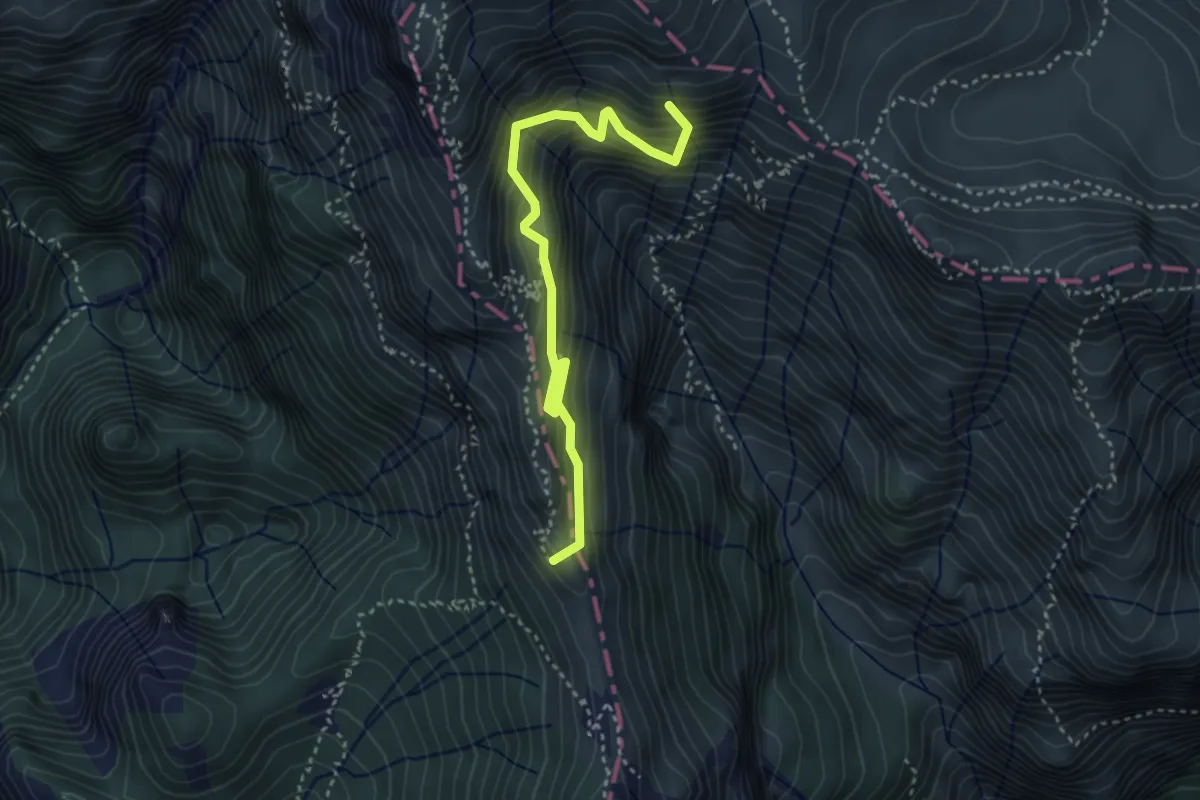
Medium · Summit
Galleria d'Havet (da sentiero 179 SAT) – Rifugio Papa - Porte del Pasubio
3.8 km · ↑ 470 m · 1 h 55 min
Medium · Trail
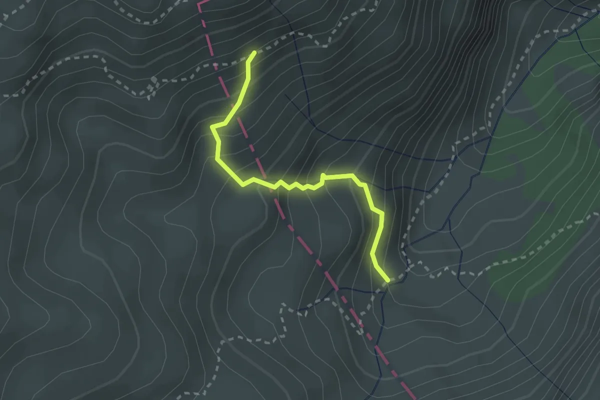
ruderi di M.ga Pasubietto - da sent. 377 – Inn. sent. 380 - confine Regione
2.2 km · ↑ 306 m · 1 h 11 min
Medium · Trail
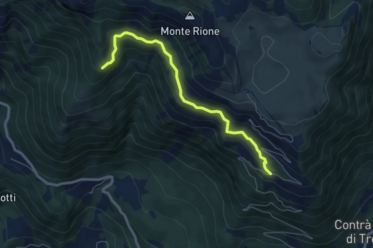
sotto Malga Pianeti (parcheggio) - da sent. 422 – Malga Ronchetta bivio sent. 411
5.5 km · ↑ 414 m · 2 h 11 min
Medium · Trail
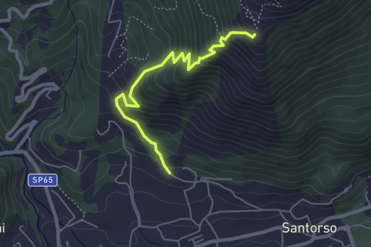
Cava di Pietra (Santorso) – Prà Minore (innesto sentiero 457)
4.3 km · ↑ 487 m · 2 h 5 min
Medium · Trail
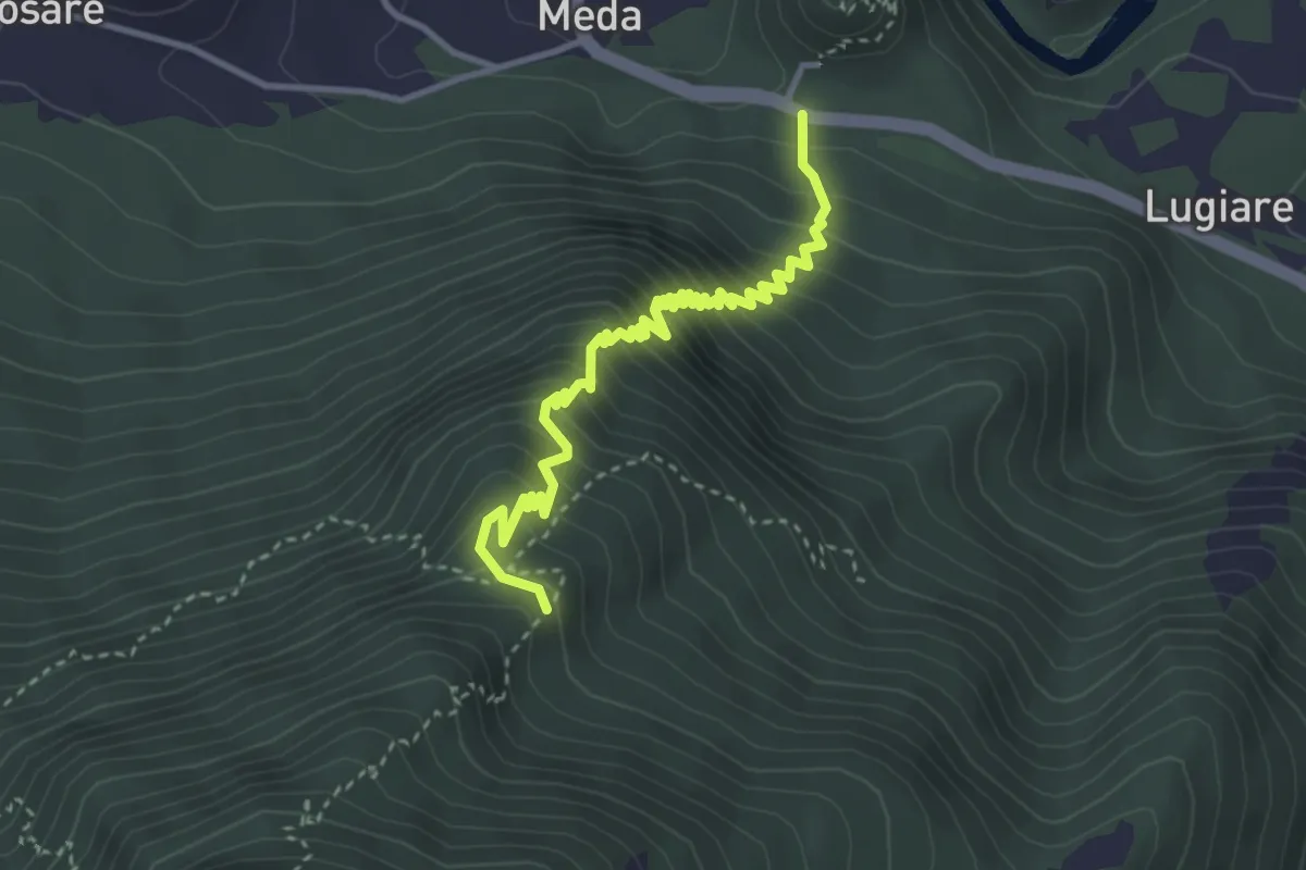
Meda di Sopra – Bocca del Lovo - incrocio sent. n. 461
3.9 km · ↑ 474 m · 1 h 57 min
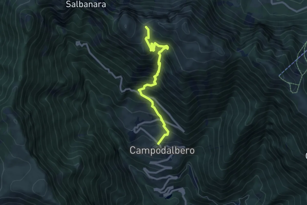
Demanding · Trail
Contrà Bauci di Campodalbero – Bocchetta Gabellele - inn. sent. 202
6.5 km · ↑ 771 m · 3 h 12 min
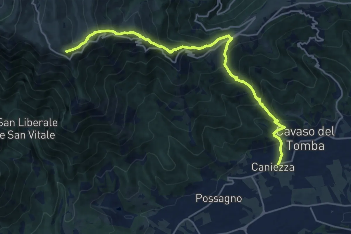
Demanding · Summit
Cavaso del Tomba – Quadrivio alla Mandria
14.5 km · ↑ 1269 m · 6 h 11 min
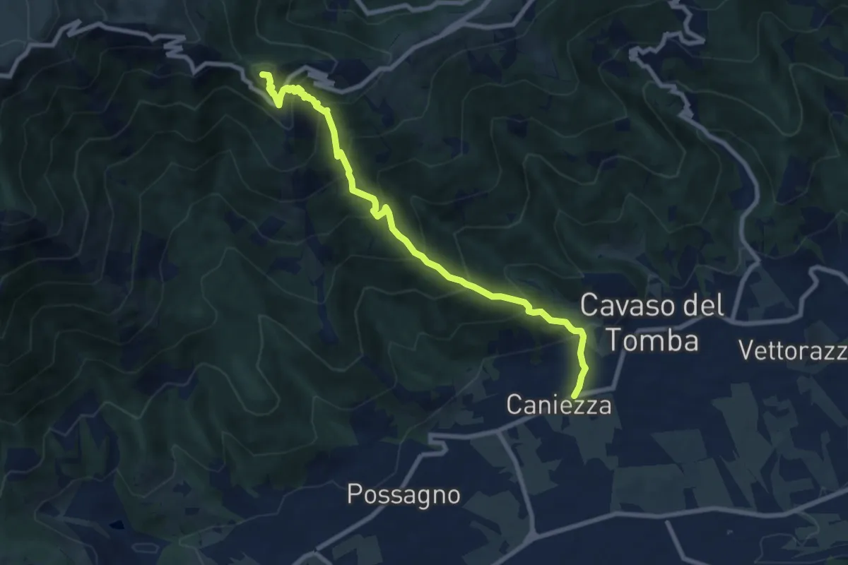
Demanding · Summit
Cavaso del Tomba – Castel Cesil
8.1 km · ↑ 895 m · 3 h 52 min
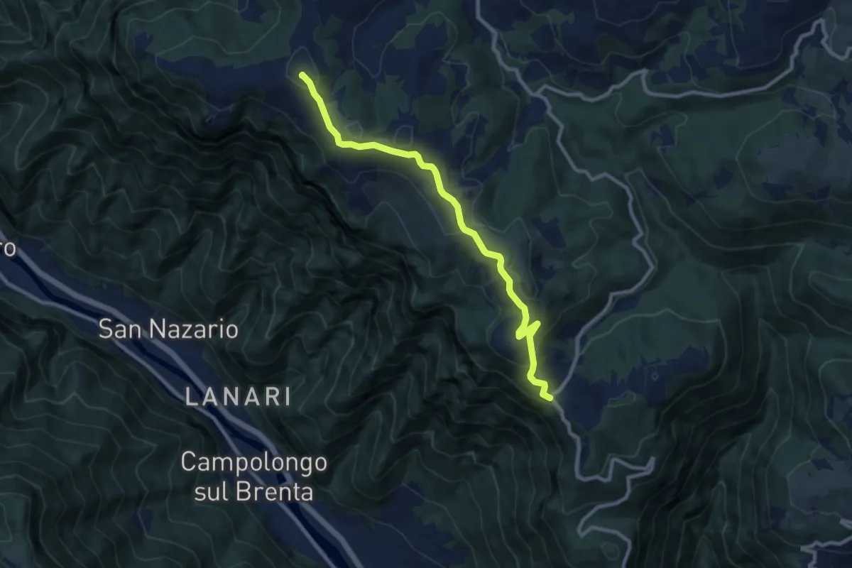
Medium · Summit
Campo Solagna – Finestron - inn. sent. 929
8.9 km · ↑ 333 m · 2 h 49 min
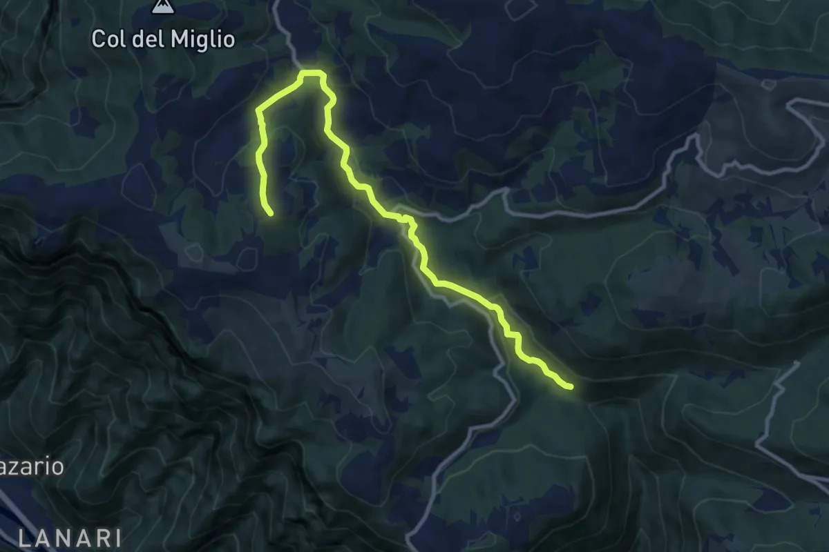
Medium · Trail
Cason Pianaro - da sent. 970 – San Giovanni sul Grappa
10.8 km · ↑ 337 m · 3 h 16 min
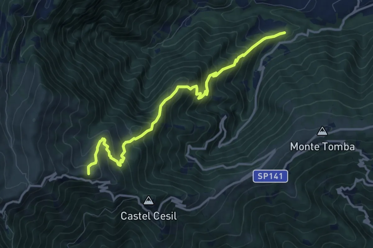
Demanding · Summit
Alano - Le Marche – Monte Piz
9.7 km · ↑ 938 m · 4 h 19 min
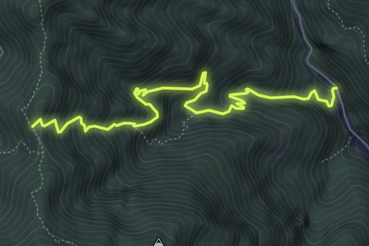
Demanding · Trail
Schievenin - Cava di pietra – Forcella d'Avien - innesto sentiero 843
6.3 km · ↑ 967 m · 3 h 35 min
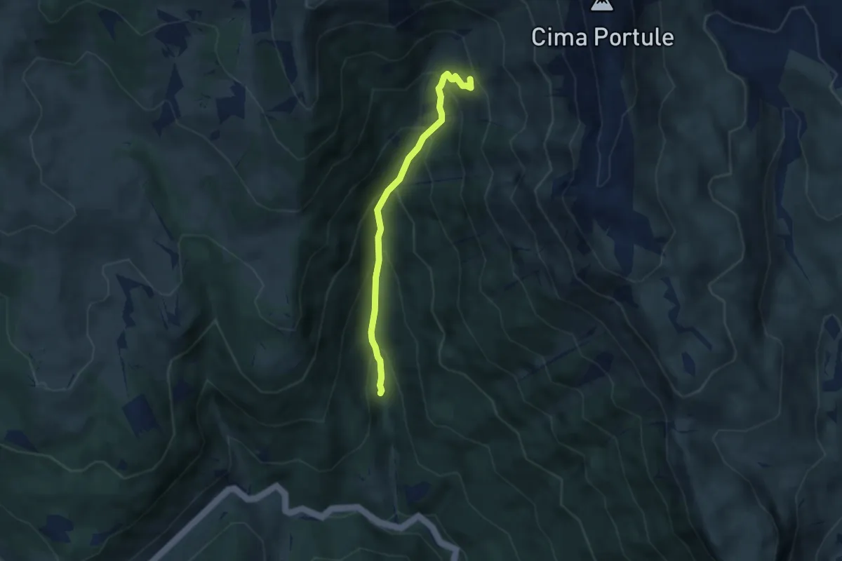
Medium · Trail
Primo Tornamte SP329 per Larici – Alta Val Renzola innesto sentiero 826
5.0 km · ↑ 520 m · 2 h 18 min
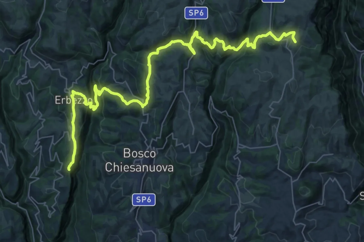
Demanding · Trail
Genderli bivio 252 – Malga Parparo di Sopra
17.5 km · ↑ 591 m · 5 h 55 min
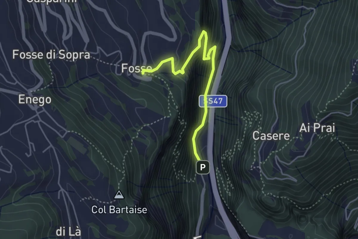
Demanding · Trail
Piovega di Sotto – Fosse di Sotto
3.9 km · ↑ 536 m · 2 h 5 min
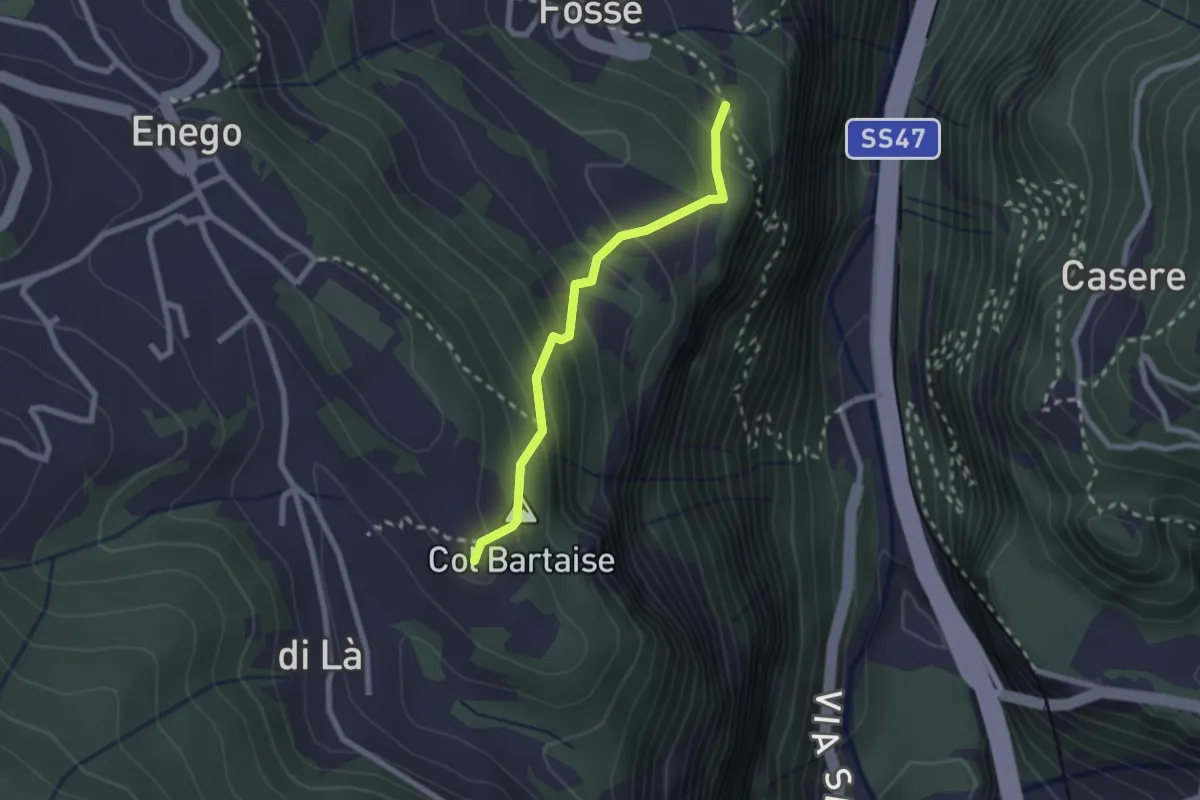
Easy · Summit
Valdifabbro di Quà – innesto sent. 791
2.1 km · ↑ 215 m · 57 min
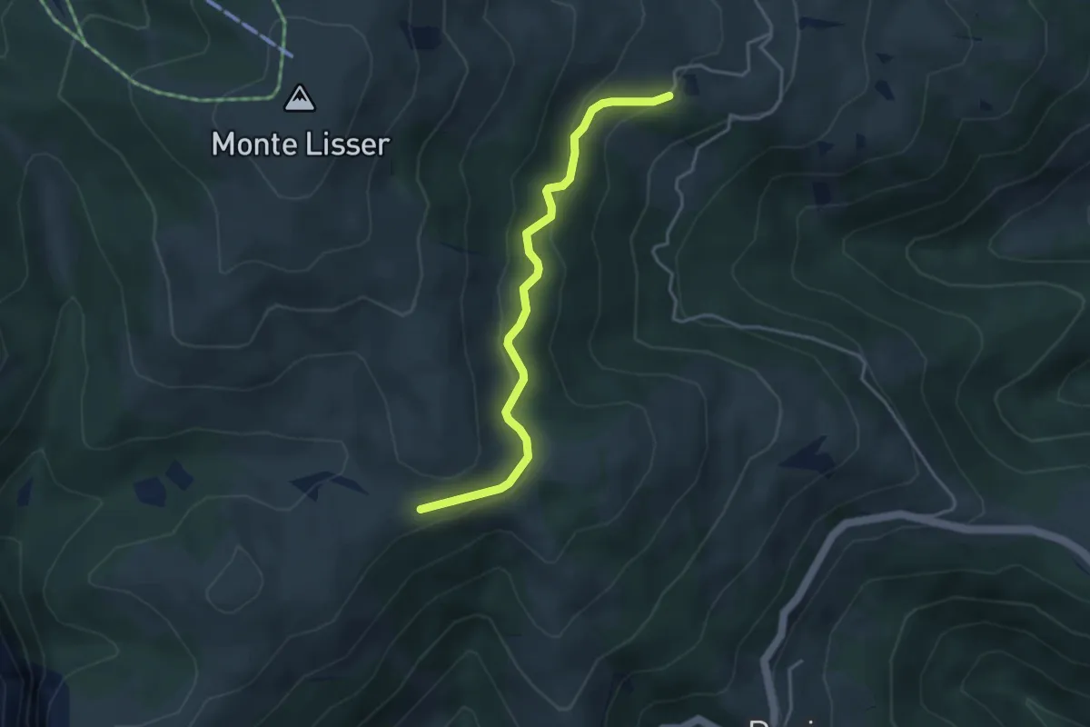
Easy · Trail
Bivio Lambara – Bivio per monte Lisser (pressi Casera Tombal)
3.8 km · ↑ 192 m · 1 h 19 min
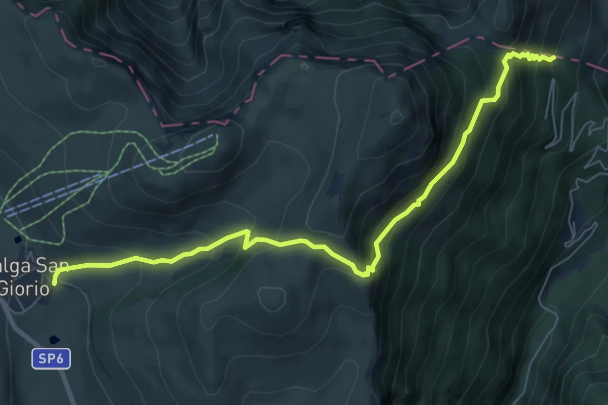
Demanding · Cabin
San Giorgio – Rifugio Revolto
7.1 km · ↑ 674 m · 3 h 8 min
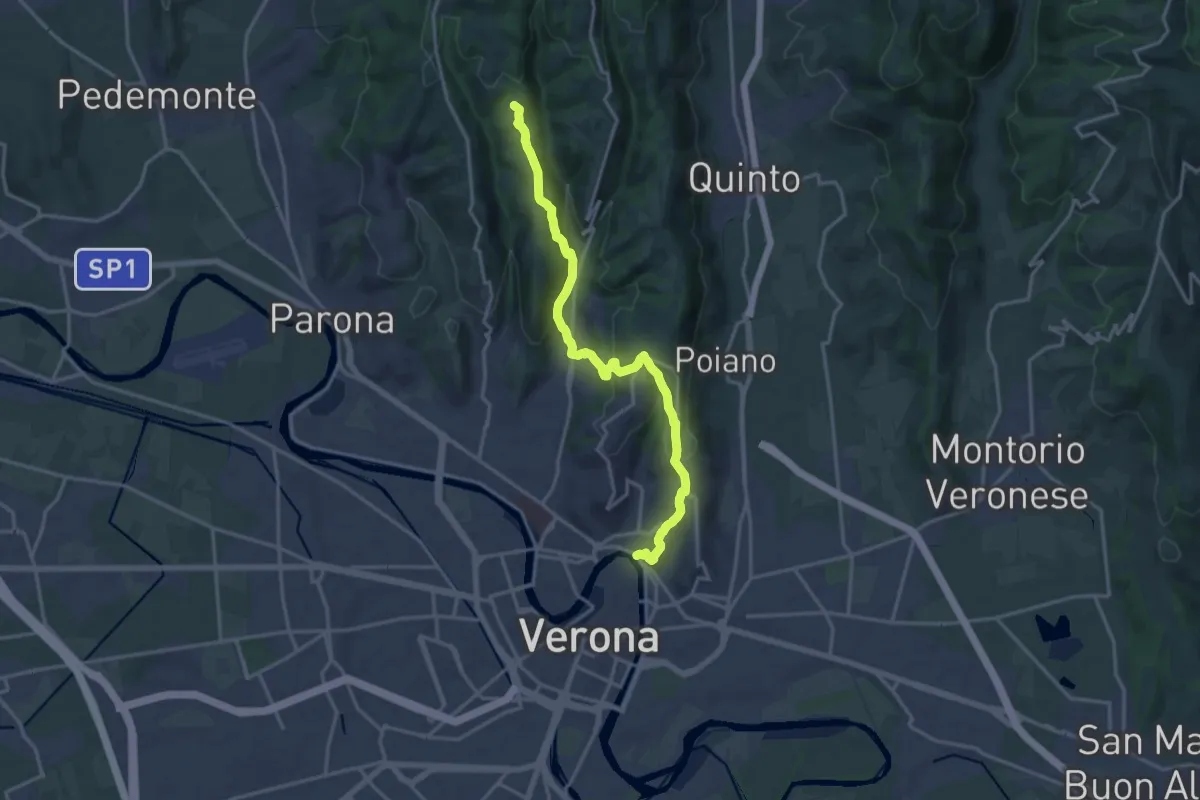
Medium · Summit
Verona Ponte Pietra – Montecchio
17.3 km · ↑ 721 m · 5 h 38 min
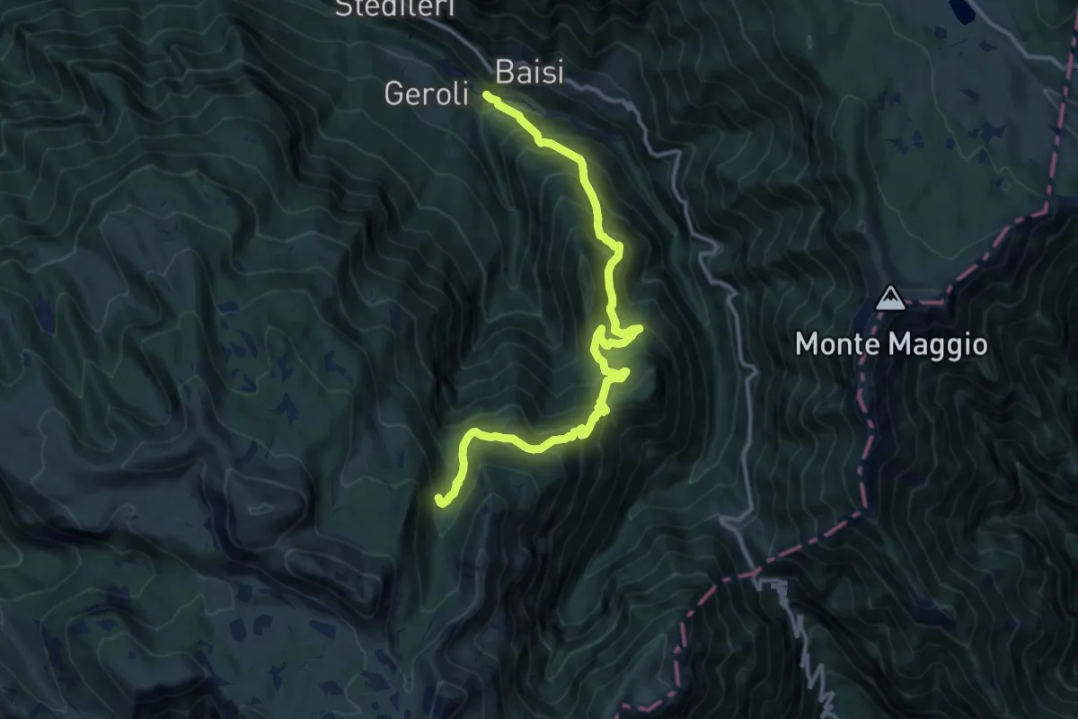
Demanding · Trail
Sega di Terragnolo – Val Zuccaria (bivio 133)
13.9 km · ↑ 1293 m · 6 h 6 min
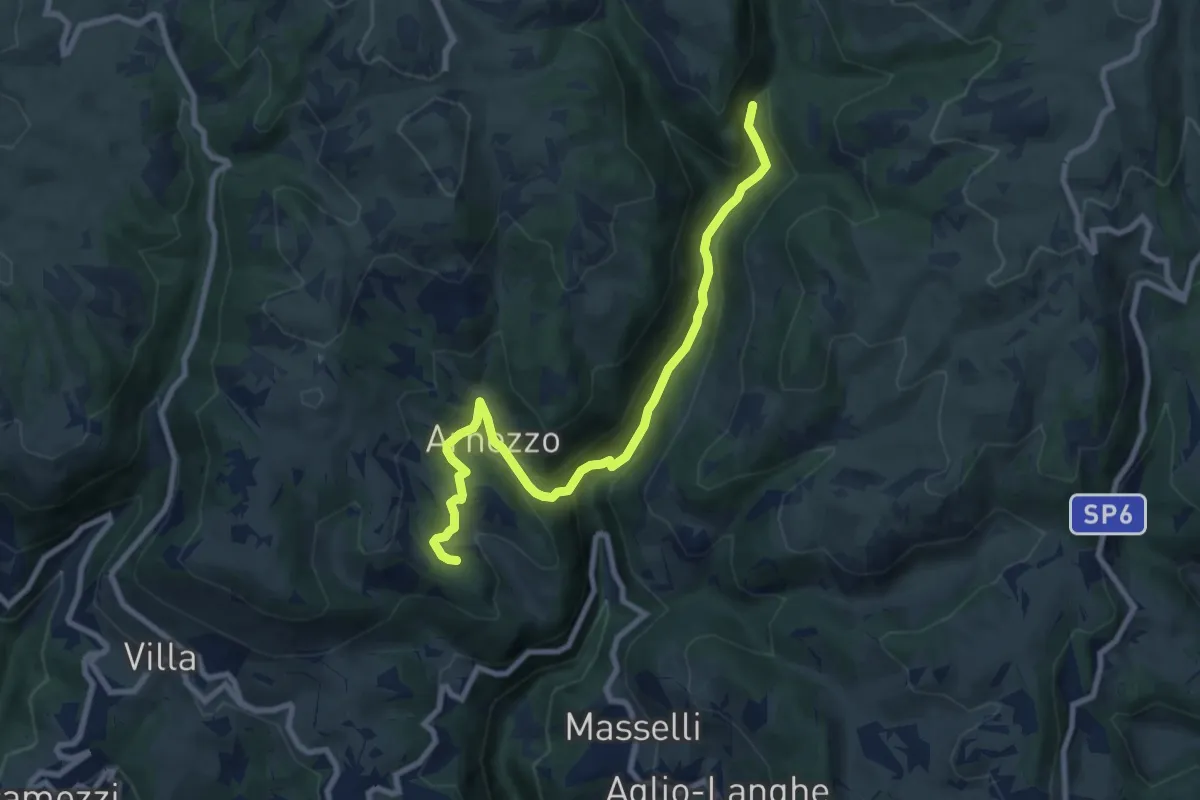
Medium · Trail
Vajo dell'Anguilla inn. 256 – Località Pontare innesto 257
8.9 km · ↑ 452 m · 3 h 5 min
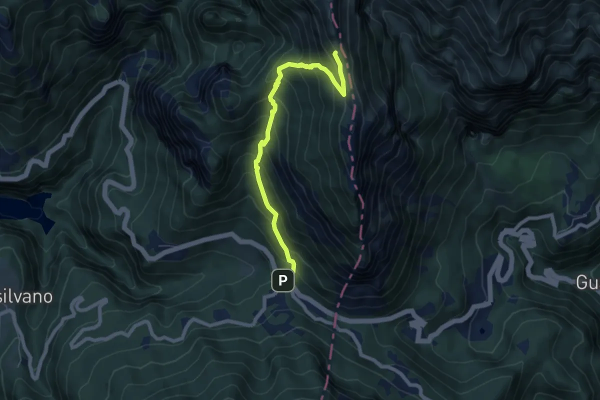
Medium · Trail
Passo Pian delle Fugazze (bivio 170) – Galleria "Generale D'Havet" (bivio 398)
5.8 km · ↑ 632 m · 2 h 44 min
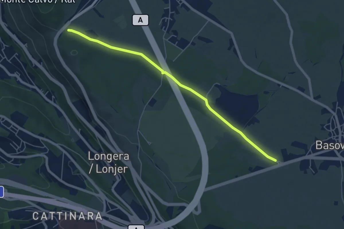
Easy · Trail
Bivio sentiero 001 (quota 352 m) – Bivio sentiero 044 (Bosco Igouza) (quota 368 m)
5.4 km · ↑ 23 m · 1 h 19 min
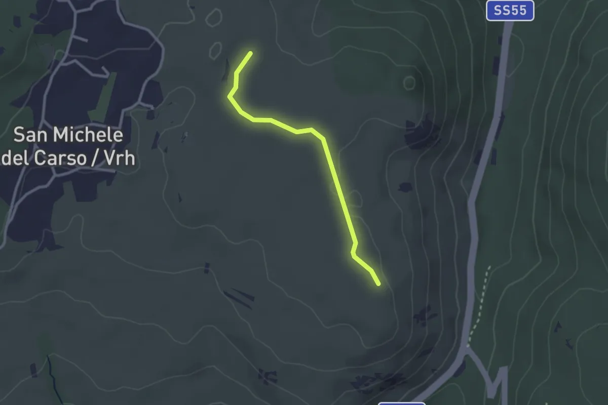
Easy · Trail
Rifugio Speleo (Percorso 071) (quota 185 m) – Percorso 074 (quota 185 m)
2.3 km · ↑ 18 m · 36 min
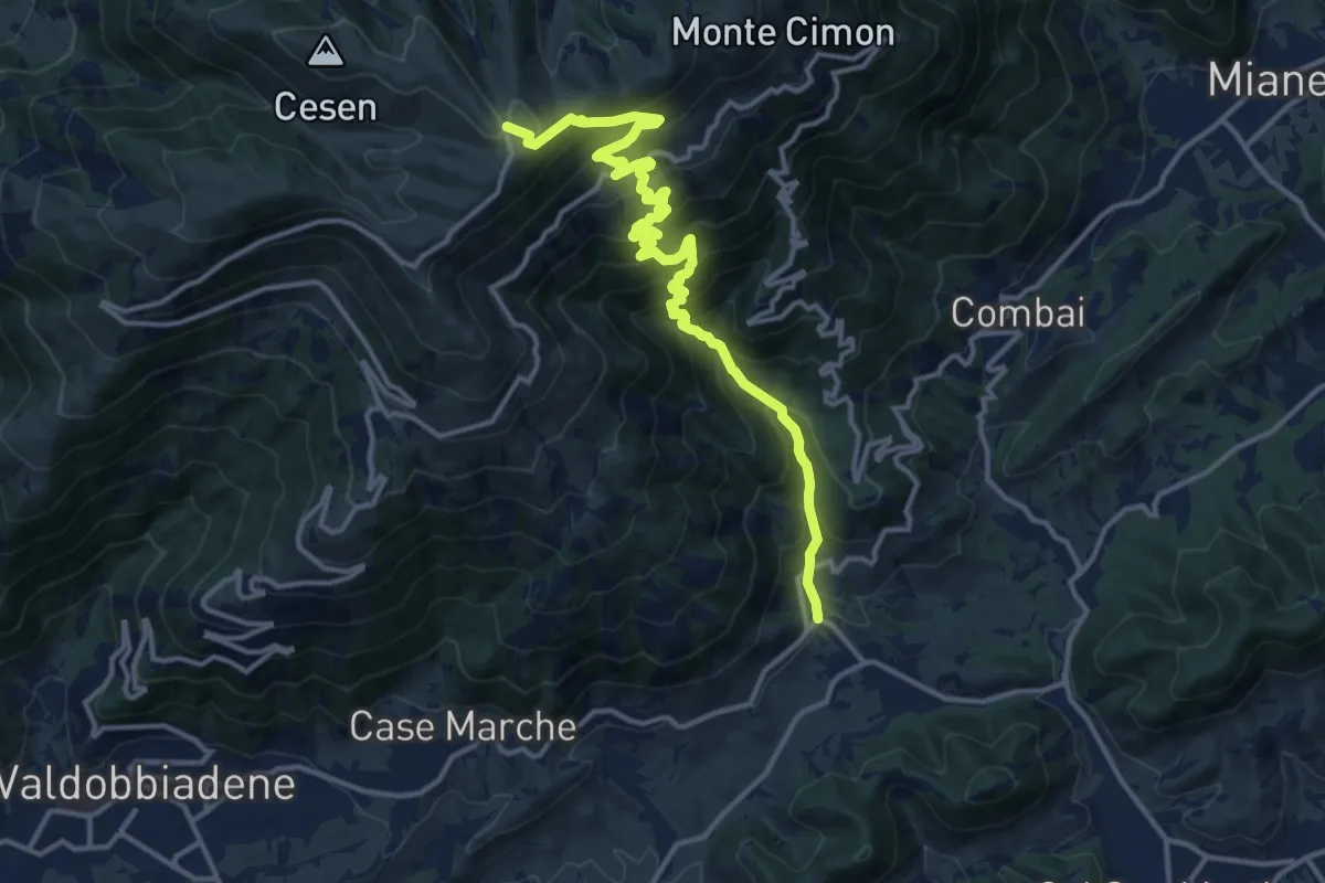
Demanding · Trail
Guia – Malga Mariech
15.4 km · ↑ 1265 m · 6 h 23 min
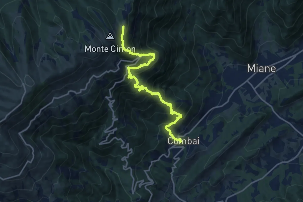
Demanding · Cabin
Combai – Rifugio Posa Puner
11.0 km · ↑ 1095 m · 4 h 59 min
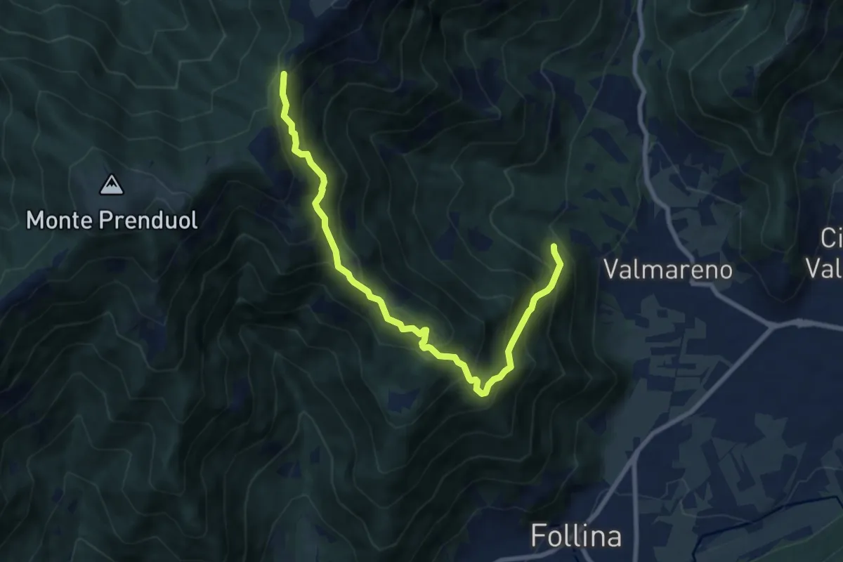
Demanding · Trail
Valle Fornacetta da sentiero 1070 quota 400 – Forcella Val portole innesto sentiero 1023
8.4 km · ↑ 879 m · 3 h 53 min
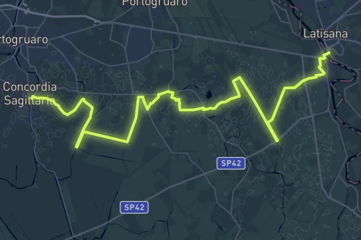
Demanding · Trail
Latisana – Concordia Sagittaria
24.3 km · ↑ 13 m · 6 h 6 min
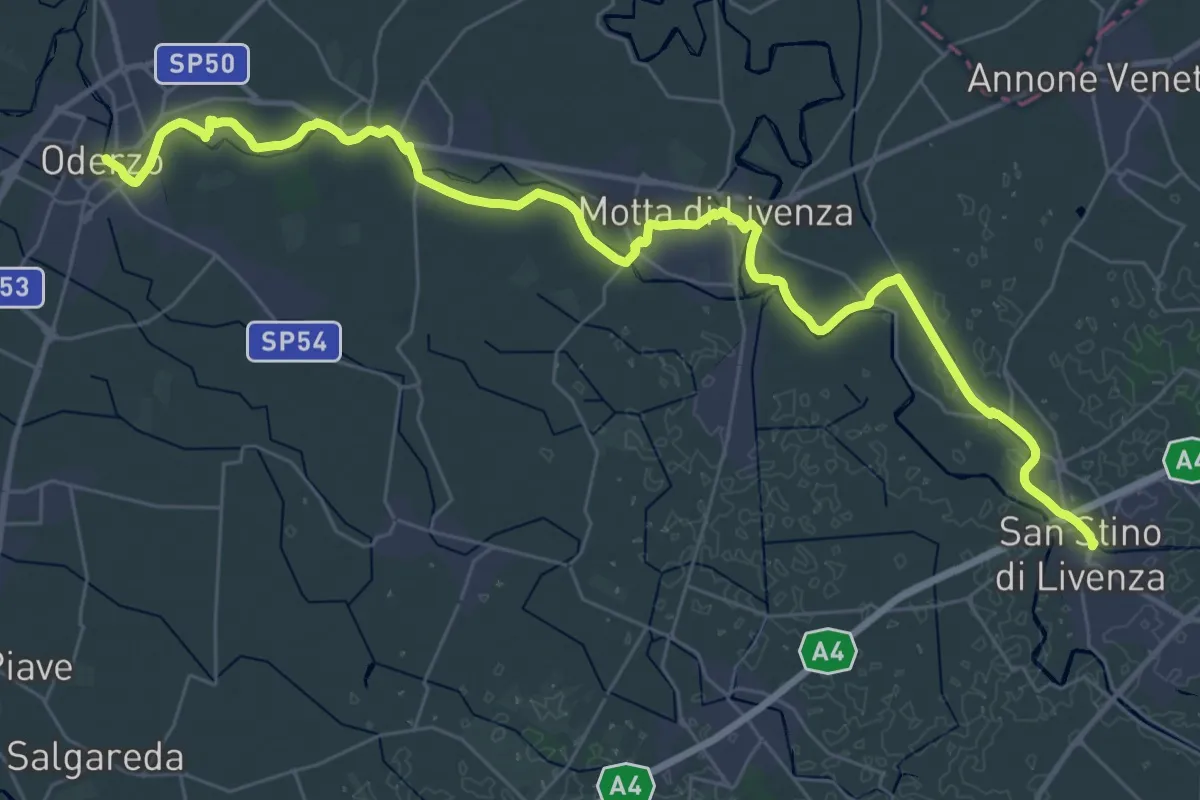
Demanding · Trail
San Stino di Livenza – Oderzo
21.8 km · ↑ 21 m · 5 h 29 min
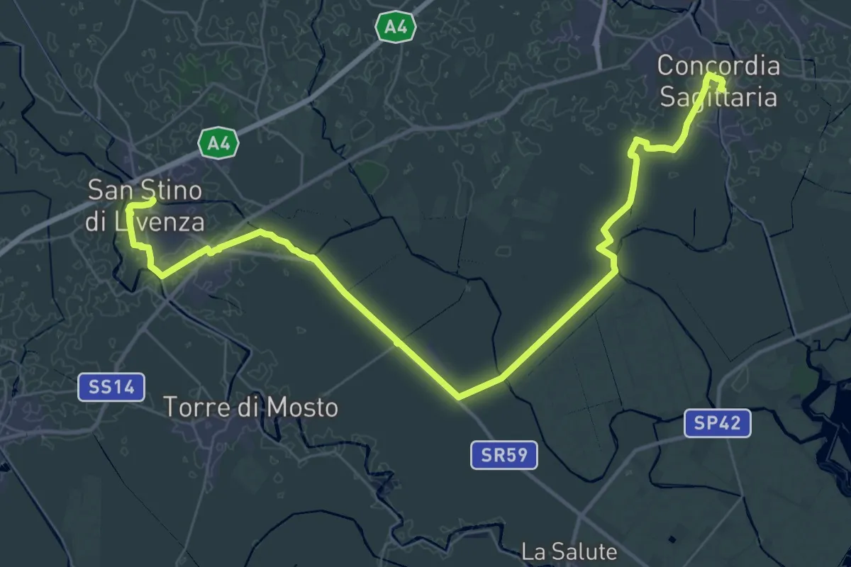
Demanding · Trail
Concordia Sagittaria – San Stino di Livenza
22.8 km · ↑ 13 m · 5 h 43 min
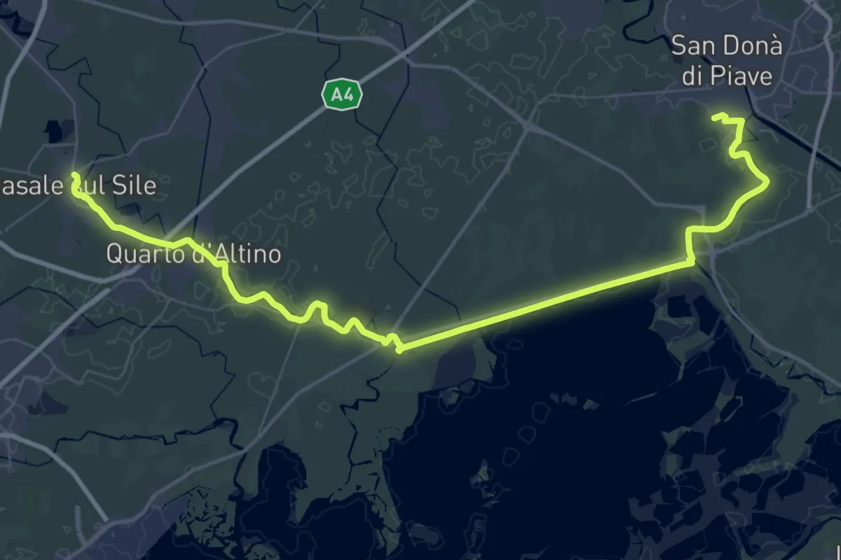
Demanding · Trail
Musile di Piave – Casale sul Sile
29.0 km · ↑ 17 m · 7 h 17 min
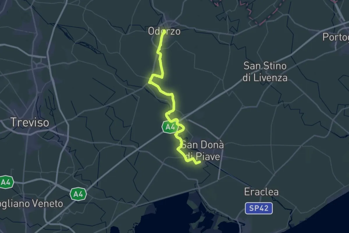
Demanding · Trail
Oderzo – Musile di Piave
31.2 km · ↑ 22 m · 7 h 51 min
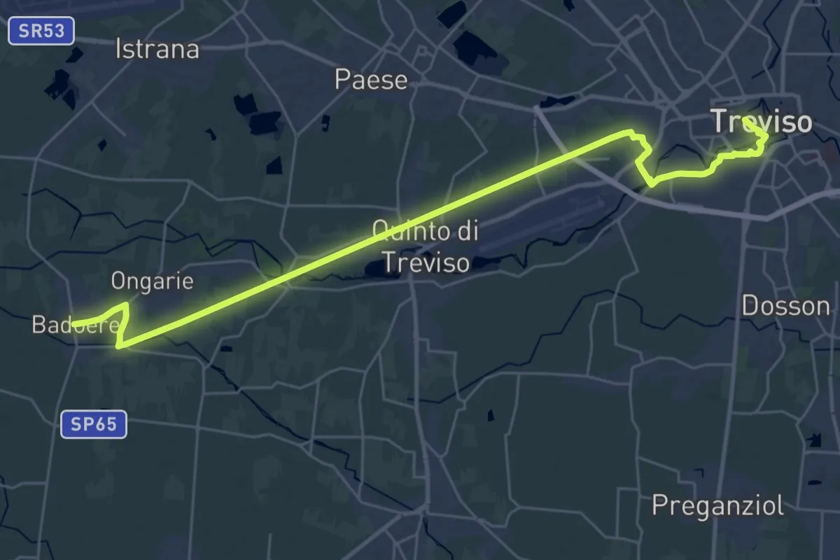
Demanding · Trail
Treviso – Badoere
33.2 km · ↑ 25 m · 7 h 54 min
Demanding · Trail
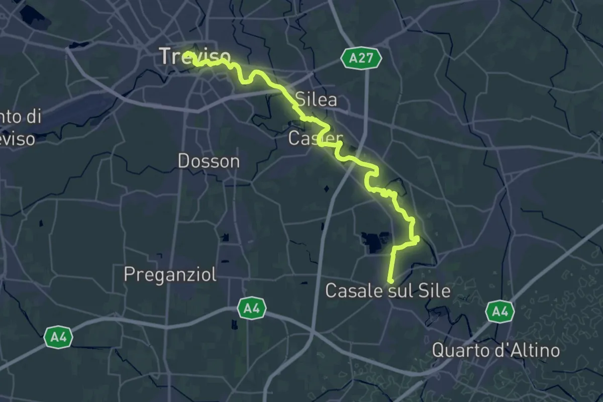
Casale sul Sile – Treviso
32.8 km · ↑ 49 m · 7 h 52 min
Medium · Summit
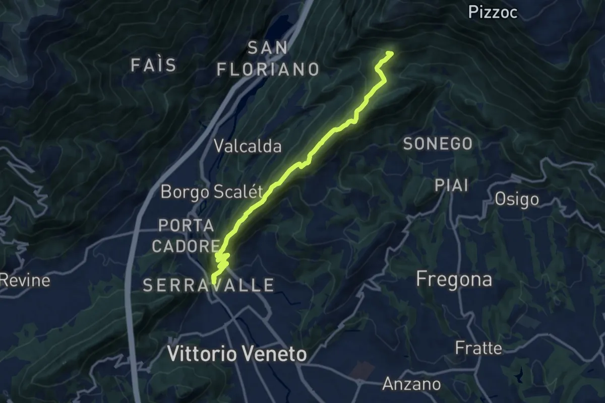
Vittorio Veneto - Santuario Santa Augusta – Casera Prese (Farra d'Alpago)
11.5 km · ↑ 786 m · 4 h 25 min
Medium · Summit
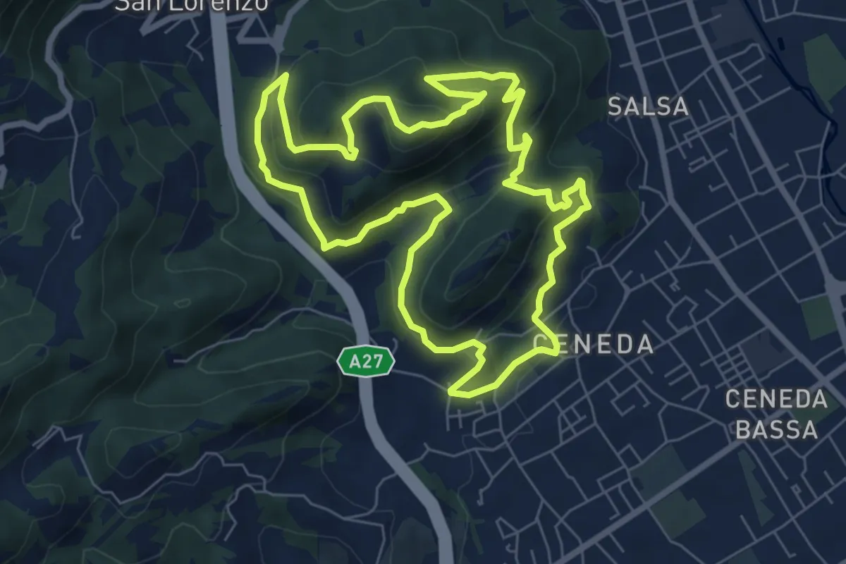
Ceneda - Piazza Giovanni Paolo I – Ceneda - Piazza Giovanni Paolo I
7.0 km · ↑ 416 m · 2 h 40 min
Medium · Trail
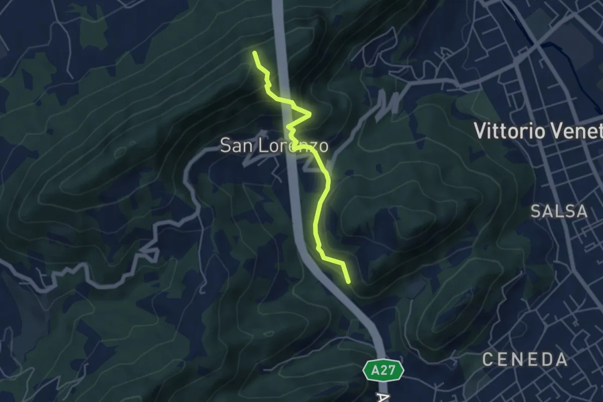
Raccordi sent. 1041 / 1042 – Borgo Vignola - Loc. S. Lorenzo
4.1 km · ↑ 325 m · 1 h 40 min
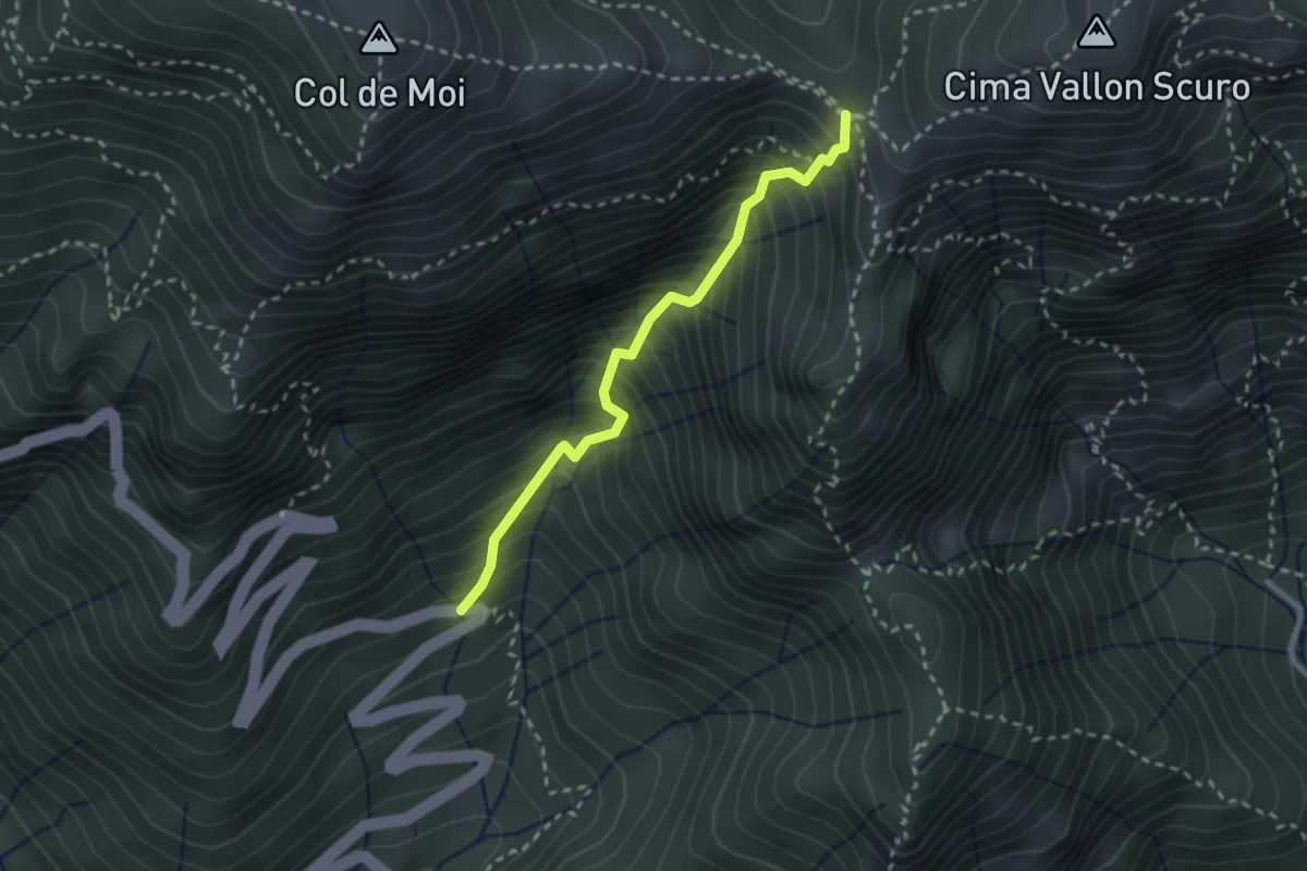
Medium · Trail
Via Corin (settimo tornante) – Forcella Foran
2.5 km · ↑ 499 m · 1 h 40 min
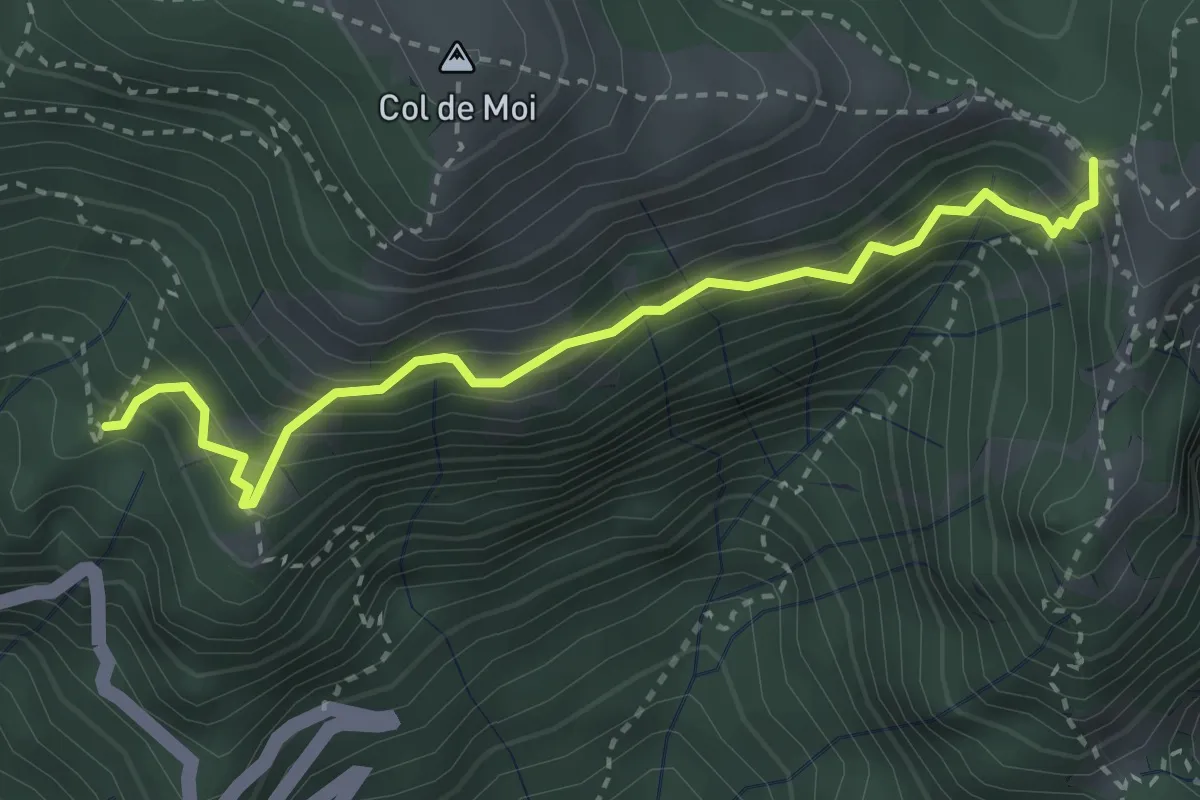
Medium · Trail
Sentiero CAI 991 presso "La Panchina" – Forcella Foran
3.3 km · ↑ 452 m · 1 h 45 min
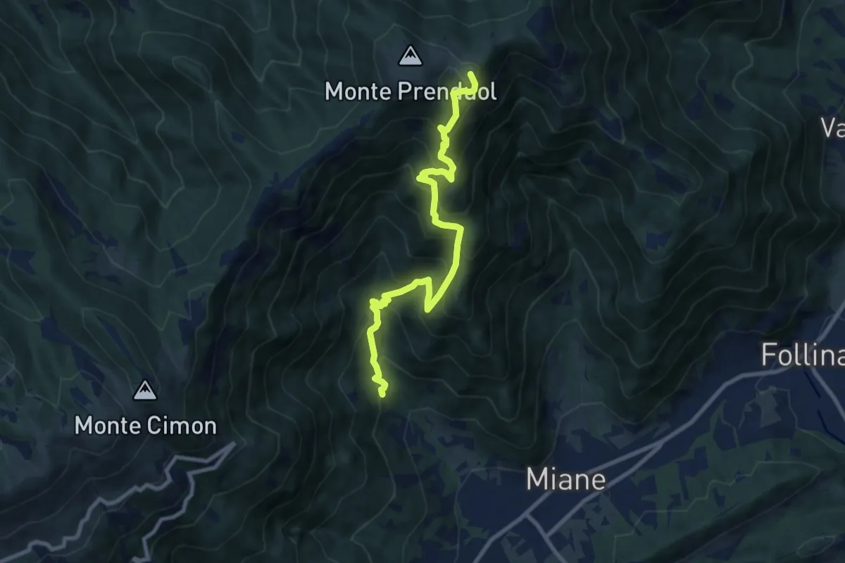
Demanding · Summit
Miane - Madonna del Carmine – Malga Mont
9.1 km · ↑ 974 m · 4 h 16 min
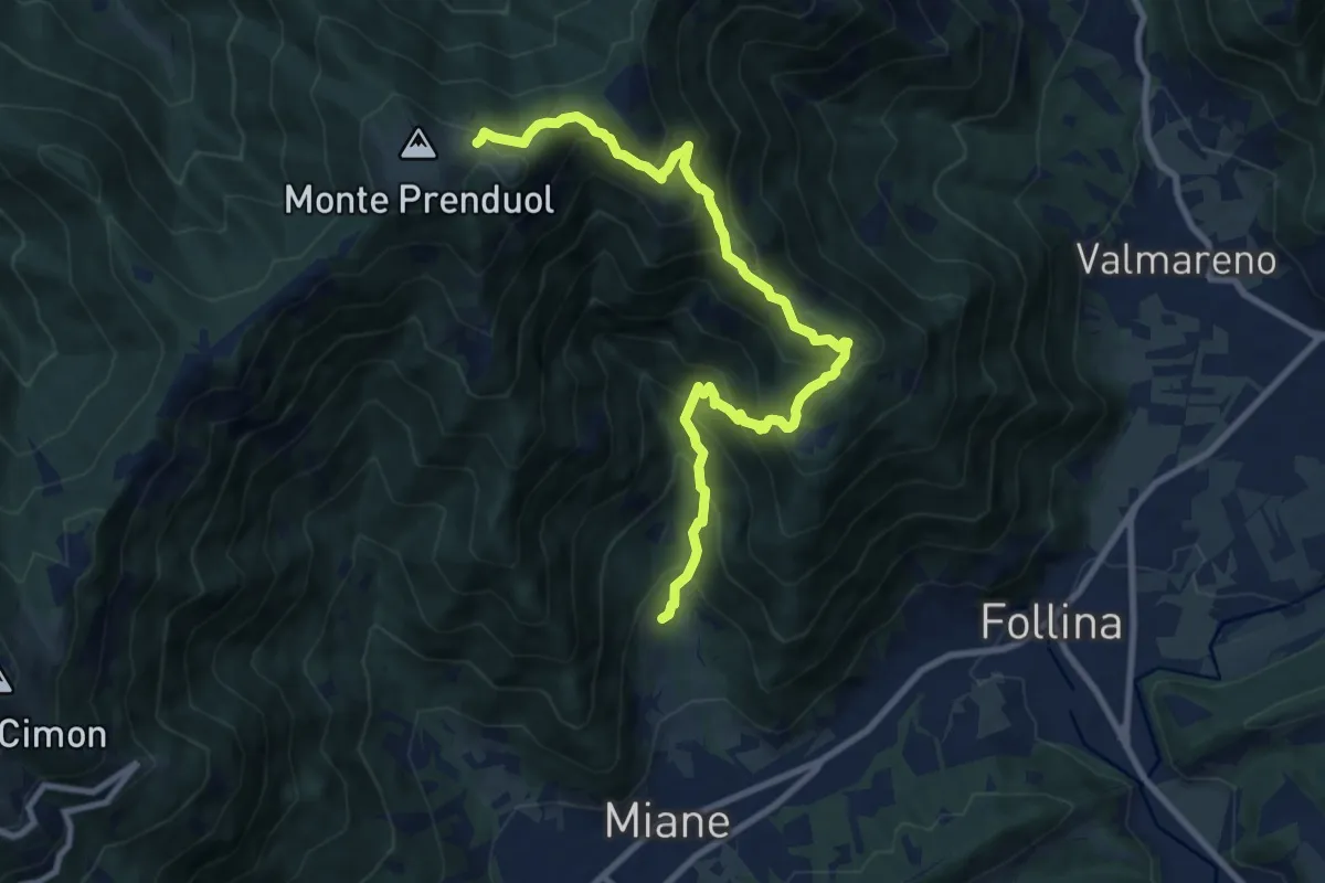
Demanding · Cabin
Miane - Costolada – Malga Mont
10.6 km · ↑ 944 m · 4 h 32 min