Trails in Italy
25,219 hiking trails, each with its route, climb, walking time and grade.
All trails, page 398 of 526
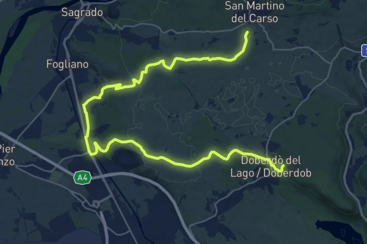
Demanding · Trail
bivio sent 072 (quota 150 m) – Doberdò del Lago bivio sent 077 (quota 110 m)
24.1 km · ↑ 323 m · 6 h 23 min
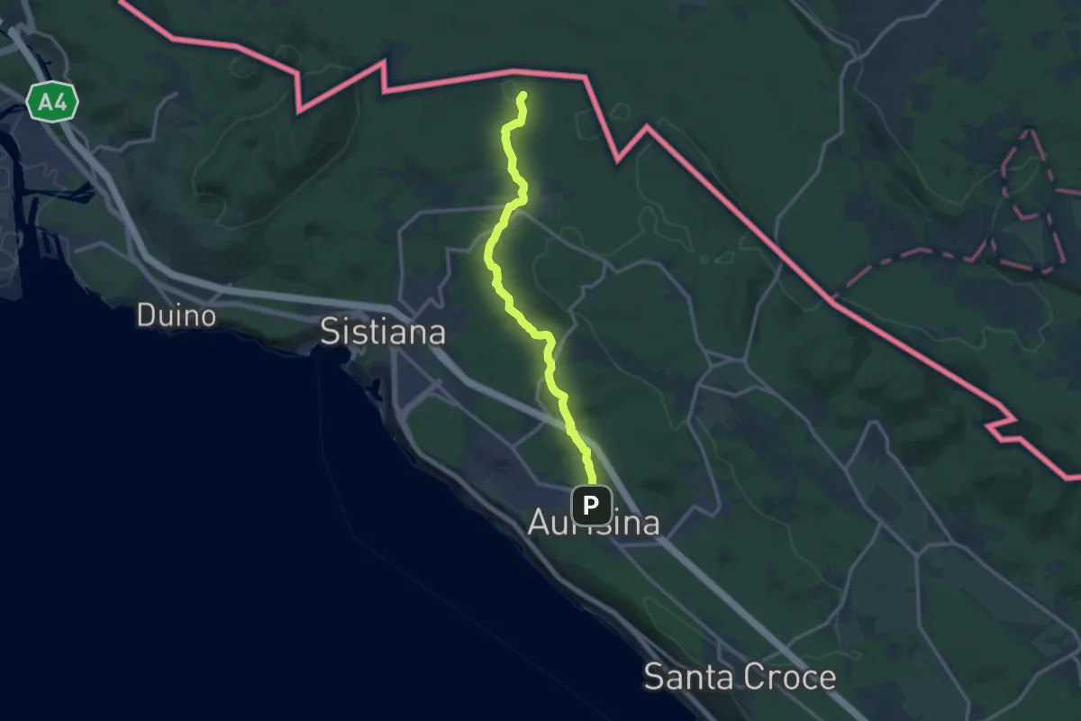
Medium · Trail
Aurisina / Nabrežina (quota 140 m) – Bivio sentiero n. 003 (quota 189 m)
12.4 km · ↑ 178 m · 3 h 18 min
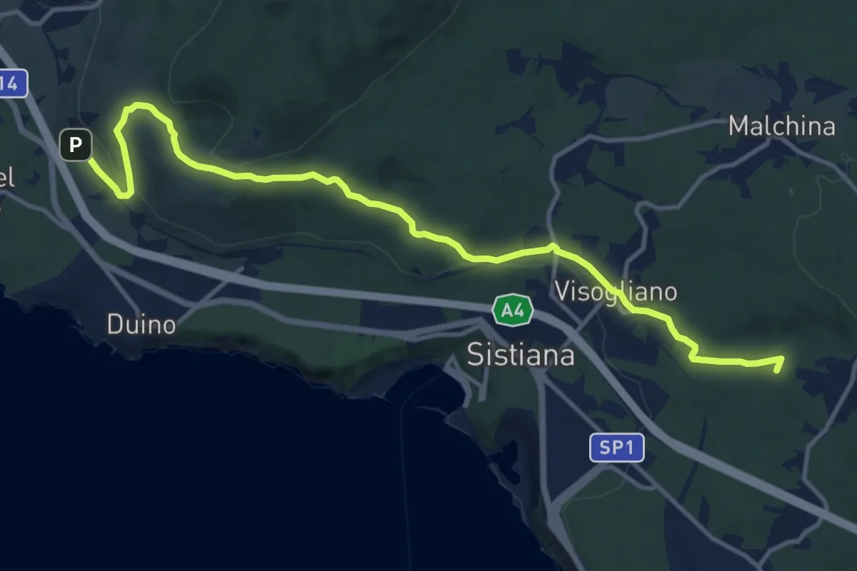
Medium · Summit
Bivio sentiero n. 001a (quota 60 m) – Bivio sentiero n. 032 (quota 180 m)
13.1 km · ↑ 283 m · 3 h 42 min
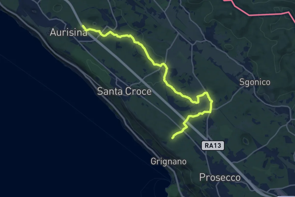
Medium · Trail
Bosco S. Primo - Bivio sentiero n. 006 (quota 245 m) – Aurisina / Nabrežina – Bivio sentiero n. 032 (quota 128 m)
16.9 km · ↑ 168 m · 4 h 21 min
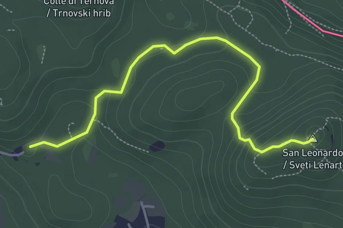
Medium · Summit
Santa Croce / Križ – San Pelagio / Šempolaj
3.5 km · ↑ 126 m · 1 h 6 min
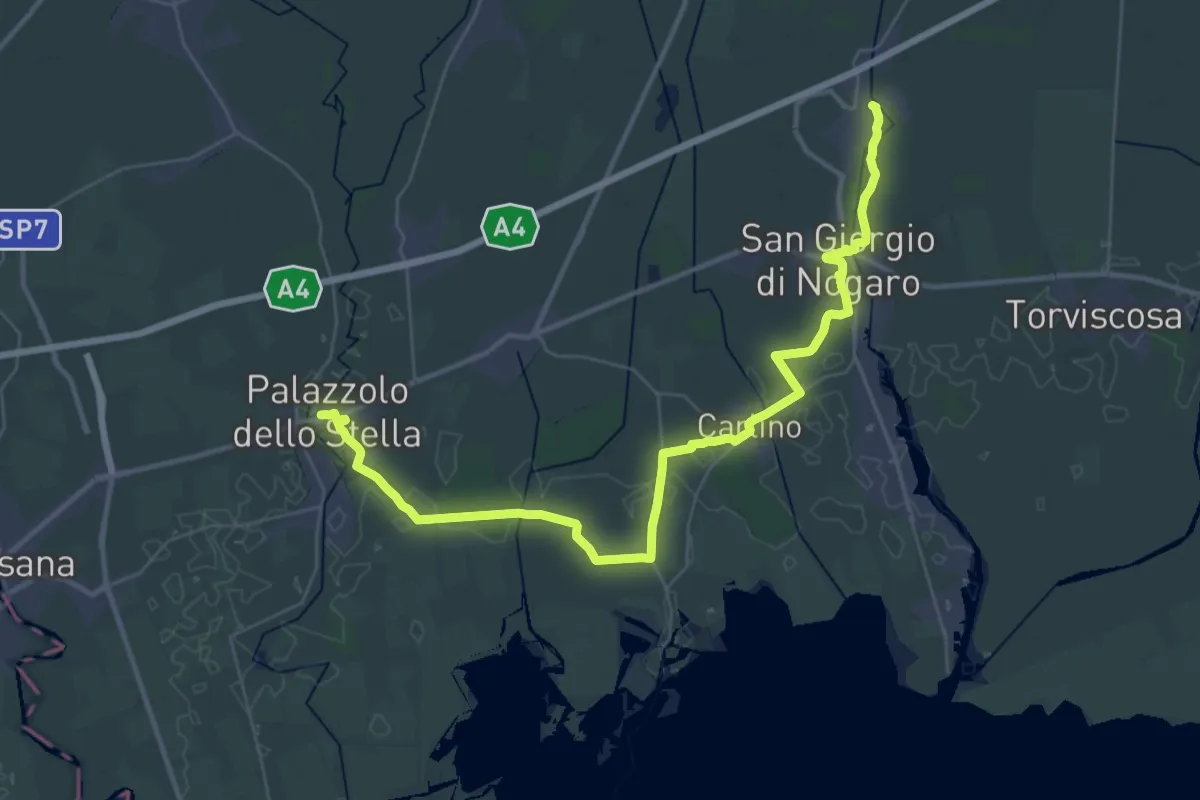
Demanding · Trail
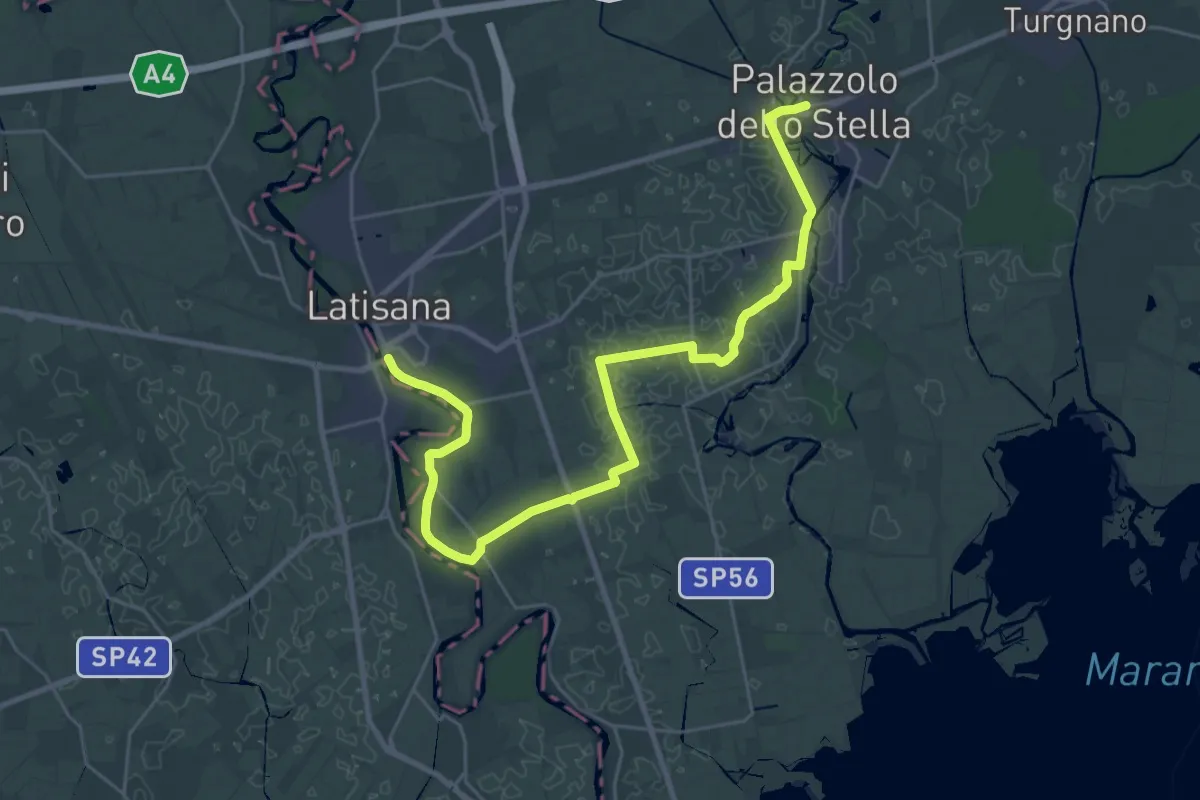
Porpetto – Palazzolo dello Stella
22.2 km · ↑ 14 m · 5 h 36 min
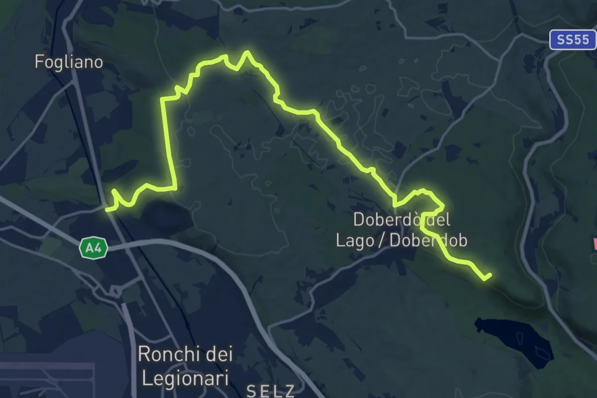
Demanding · Summit
Redipuglia (quota 24 m) – Casa Cadorna (quota 118 m)
20.8 km · ↑ 318 m · 5 h 36 min
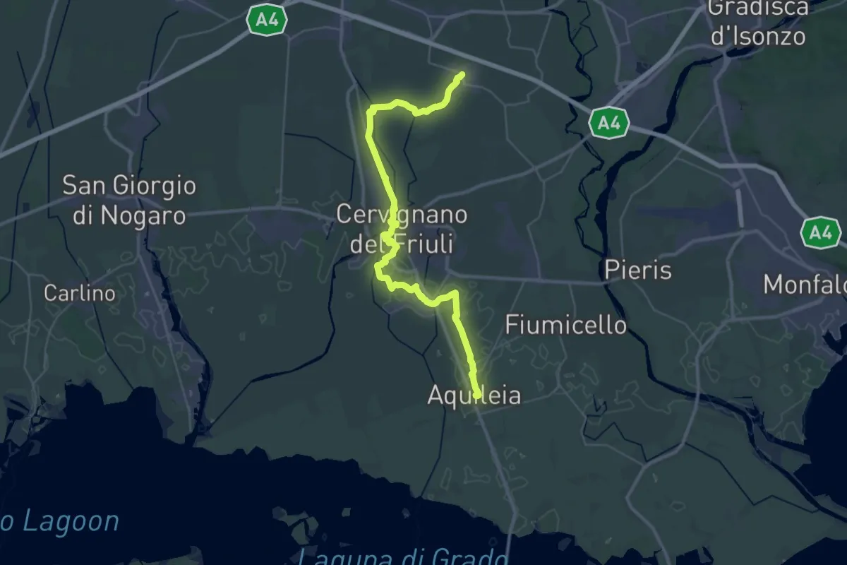
Demanding · Trail
Aquileia – Aiello
19.8 km · ↑ 16 m · 4 h 59 min
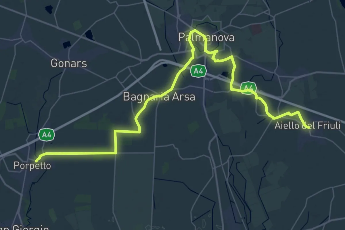
Demanding · Trail
Aiello – Porpetto
19.5 km · ↑ 17 m · 4 h 55 min
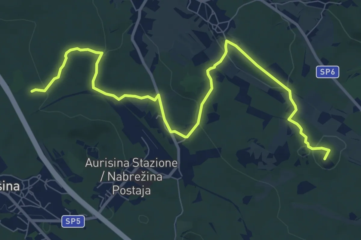
Demanding · Trail
Palazzolo dello Stella – Latisana
32.3 km · ↑ 13 m · 7 h 39 min
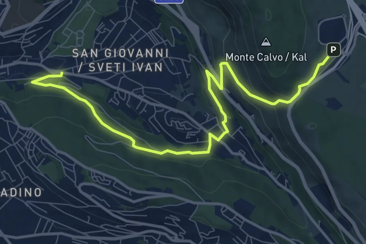
Medium · Summit
Samatorza / Samatorca - bivio sentiero n. 10 – G. Pocala - bivio sentiero n. 32
9.4 km · ↑ 210 m · 2 h 41 min
Medium · Trail
Via Pindemonte – Area di Ricerca di Padriciano
9.6 km · ↑ 369 m · 3 h 3 min
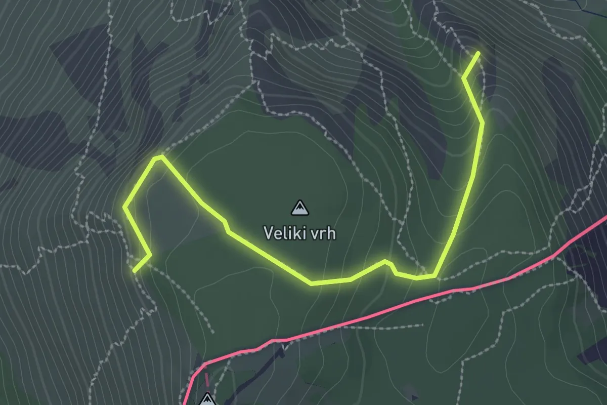
Medium · Summit
Rio del Crinale – Bivio sentiero n. 001 (quota 115 m) – Monte Carso – Bivio sentiero n. 001 (quota 410 m)
3.1 km · ↑ 229 m · 1 h 14 min
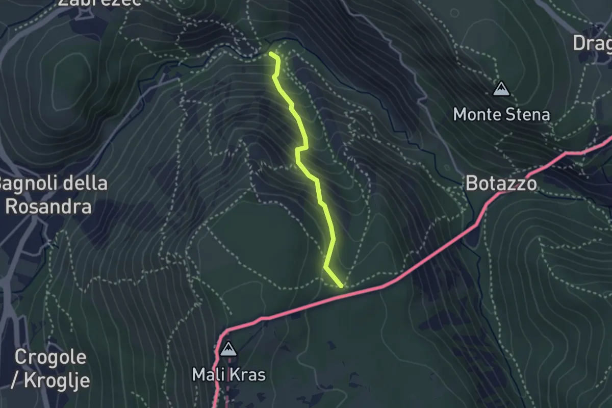
Medium · Trail
Rio del Crinale - bivio sentiero n. 1 – Sella di Monte Carso - bivio sentiero n. 25
2.3 km · ↑ 296 m · 1 h 11 min
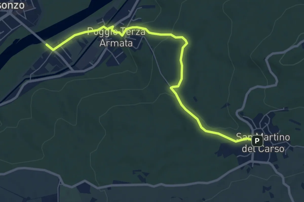
Easy · Trail
Poggio III Armata Sdraussina (quota 32 m) – San Martino del Carso (quota 168 m)
6.9 km · ↑ 147 m · 1 h 57 min
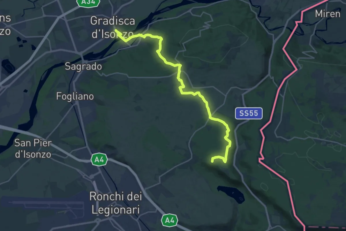
Demanding · Summit
Gradisca d'Isonzo – Centro visite Gradina
20.7 km · ↑ 292 m · 5 h 31 min
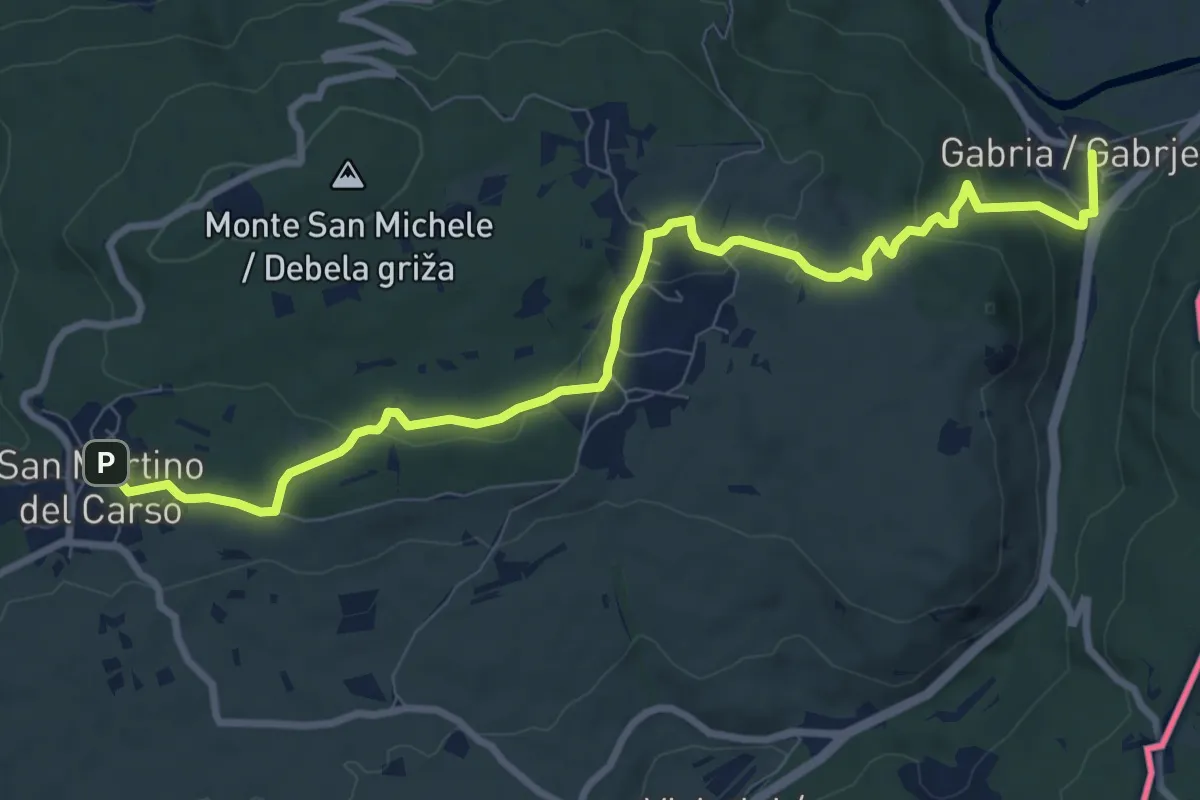
Medium · Trail
Gabria Superiore (quota 47 m) – San Martino del Carso (quota 168 m)
10.2 km · ↑ 250 m · 2 h 56 min
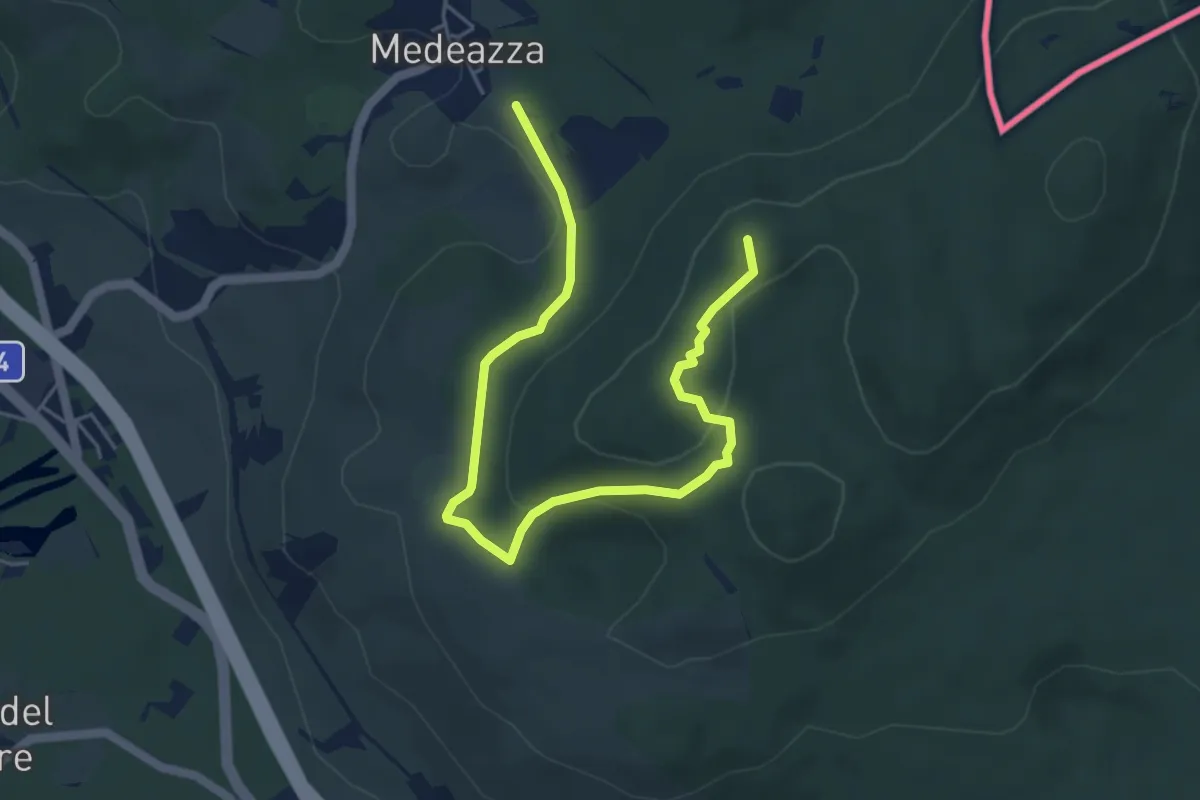
Easy · Summit
Medeazza / Medjevas (quota 160 m) – Bivio sentiero n. 003 (quota 250 m)
6.1 km · ↑ 181 m · 1 h 50 min
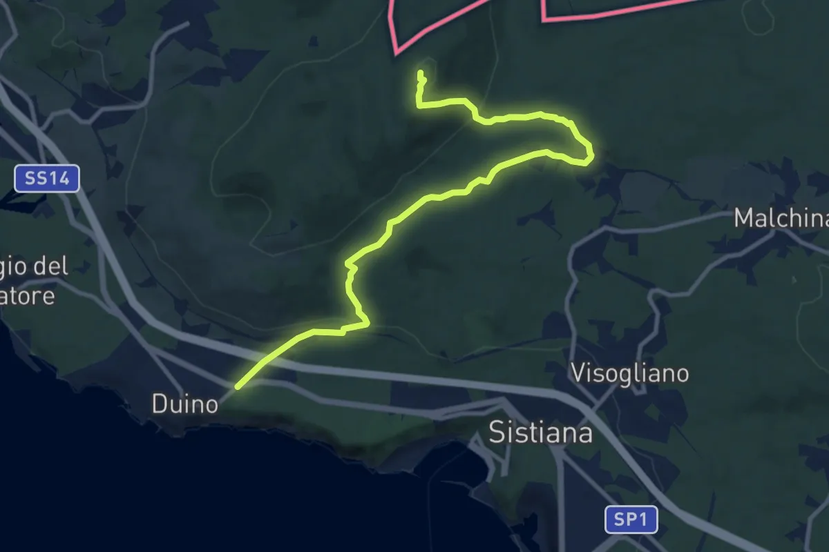
Medium · Summit
Duino (quota 80 m) / Devin – Bivio sentiero n. 003
10.9 km · ↑ 327 m · 3 h 17 min
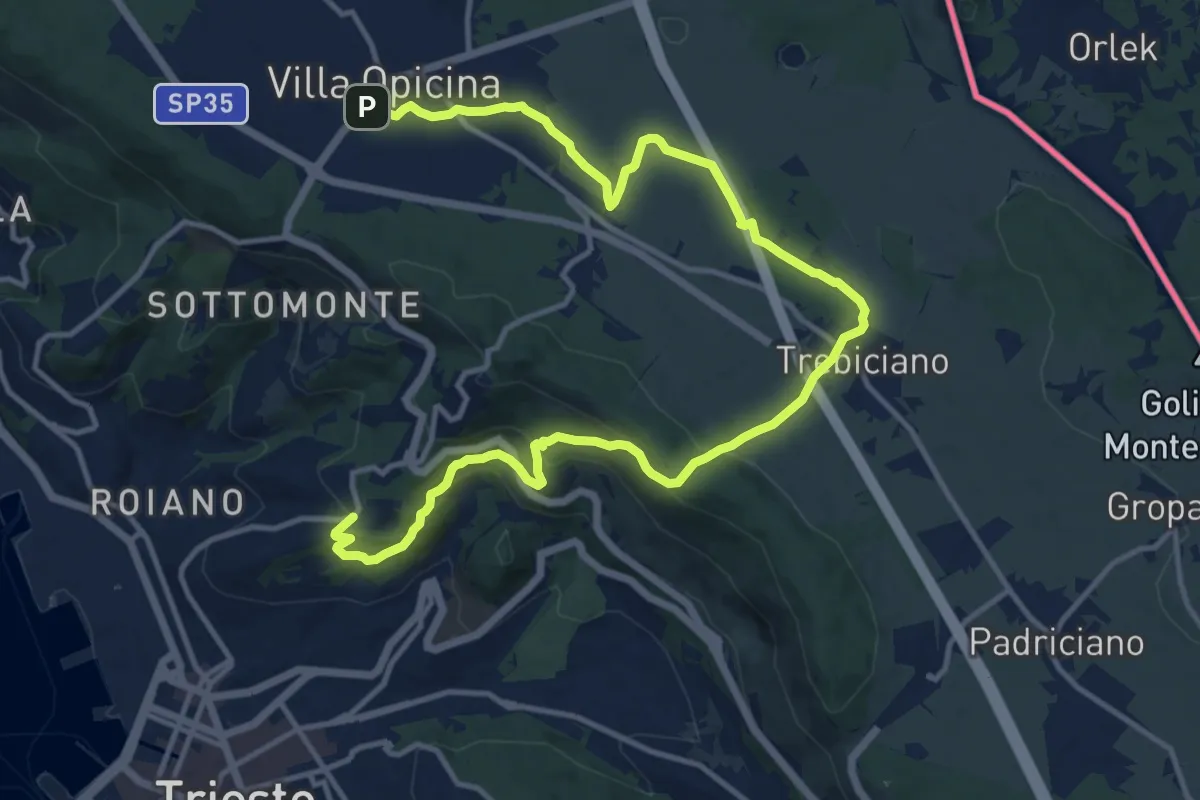
Medium · Trail
Opicina / Opčine – Cologna / Kolonja
17.8 km · ↑ 487 m · 5 h 15 min
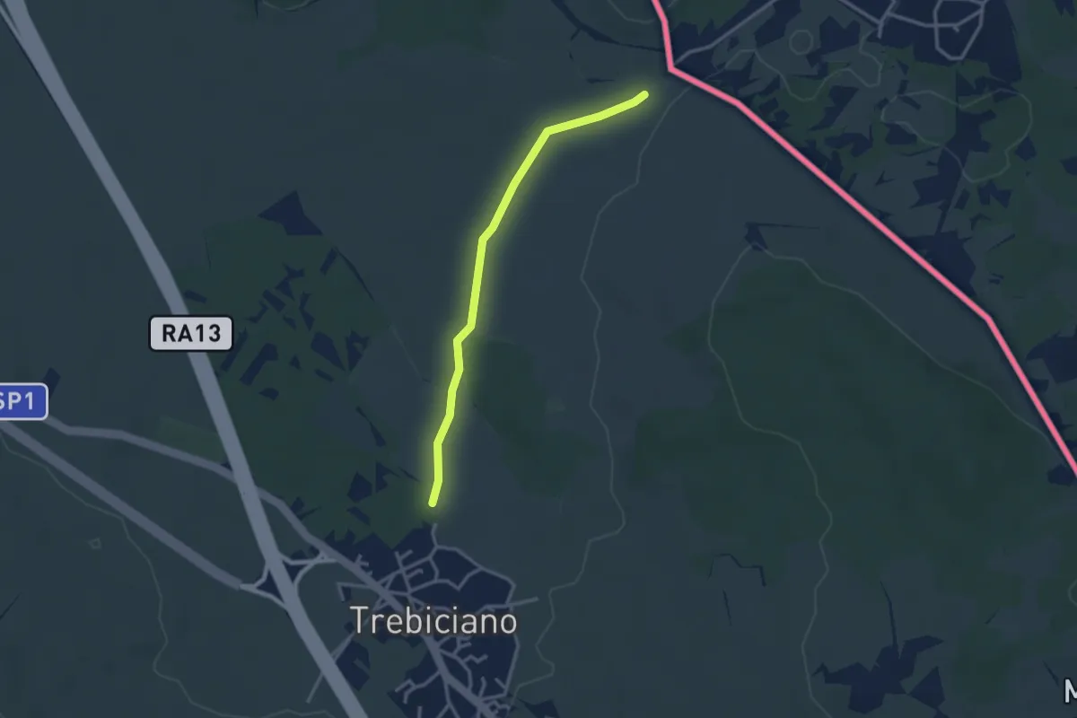
Easy · Trail
Trebiciano / Trebče - bivio sentiero 2 – Sentiero 3
2.9 km · ↑ 13 m · 42 min
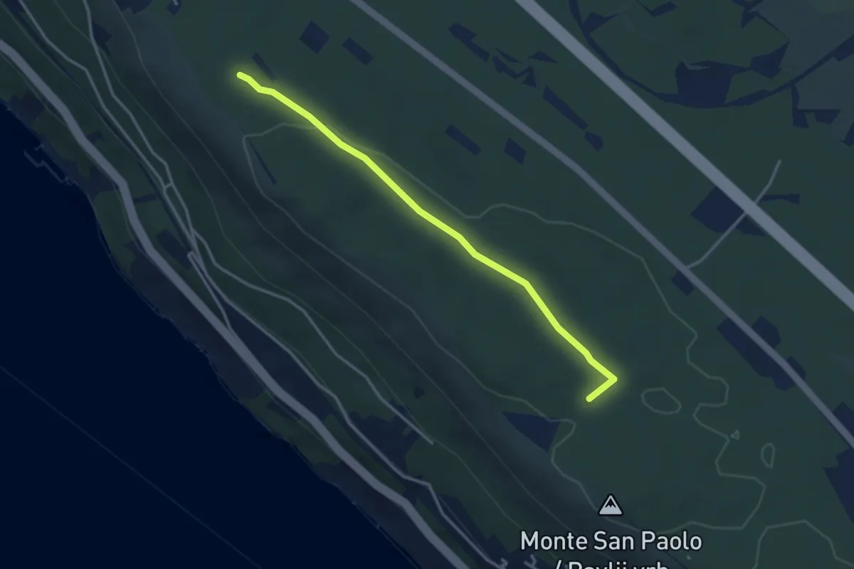
Easy · Trail
Santa Croce / Križ - Bivio sentiero n. 001 (quota 227 m) – Bosco Fornace - bivio sentiero n. 001 (quota 249 m)
3.3 km · ↑ 18 m · 49 min
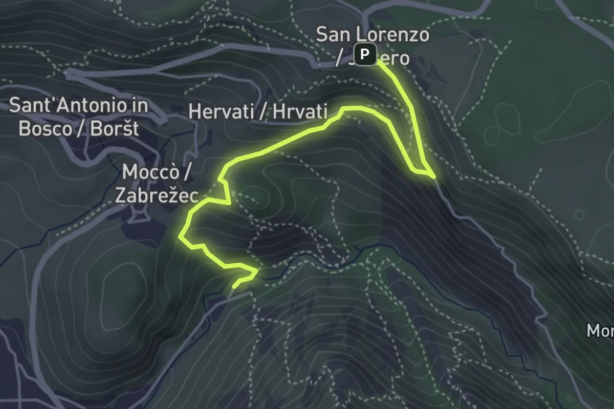
Medium · Cabin
Rifugio Premuda - bivio sentiero n. 1 – San Lorenzo / Jezero - bivio sentiero n. 1
4.6 km · ↑ 289 m · 1 h 42 min
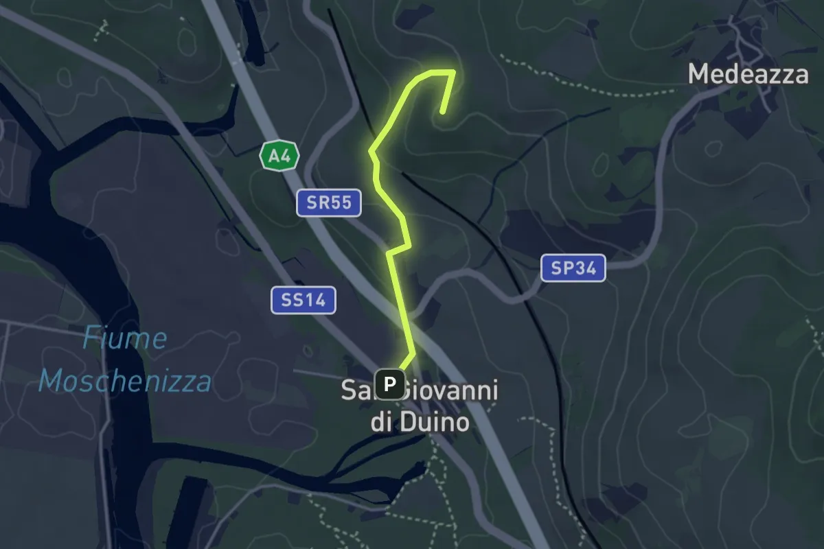
Easy · Summit
San Giovanni al Timavo / Štivan – Bivio sentiero n. 3
2.8 km · ↑ 85 m · 50 min
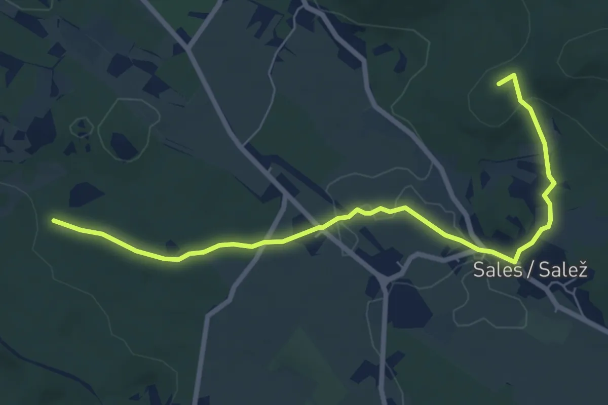
Easy · Summit
Bivio sentiero n. 010 (quota 208 m) – Bivio sentiero n. 045 – Zona Drnovice (quota 308 m)
6.7 km · ↑ 116 m · 1 h 50 min
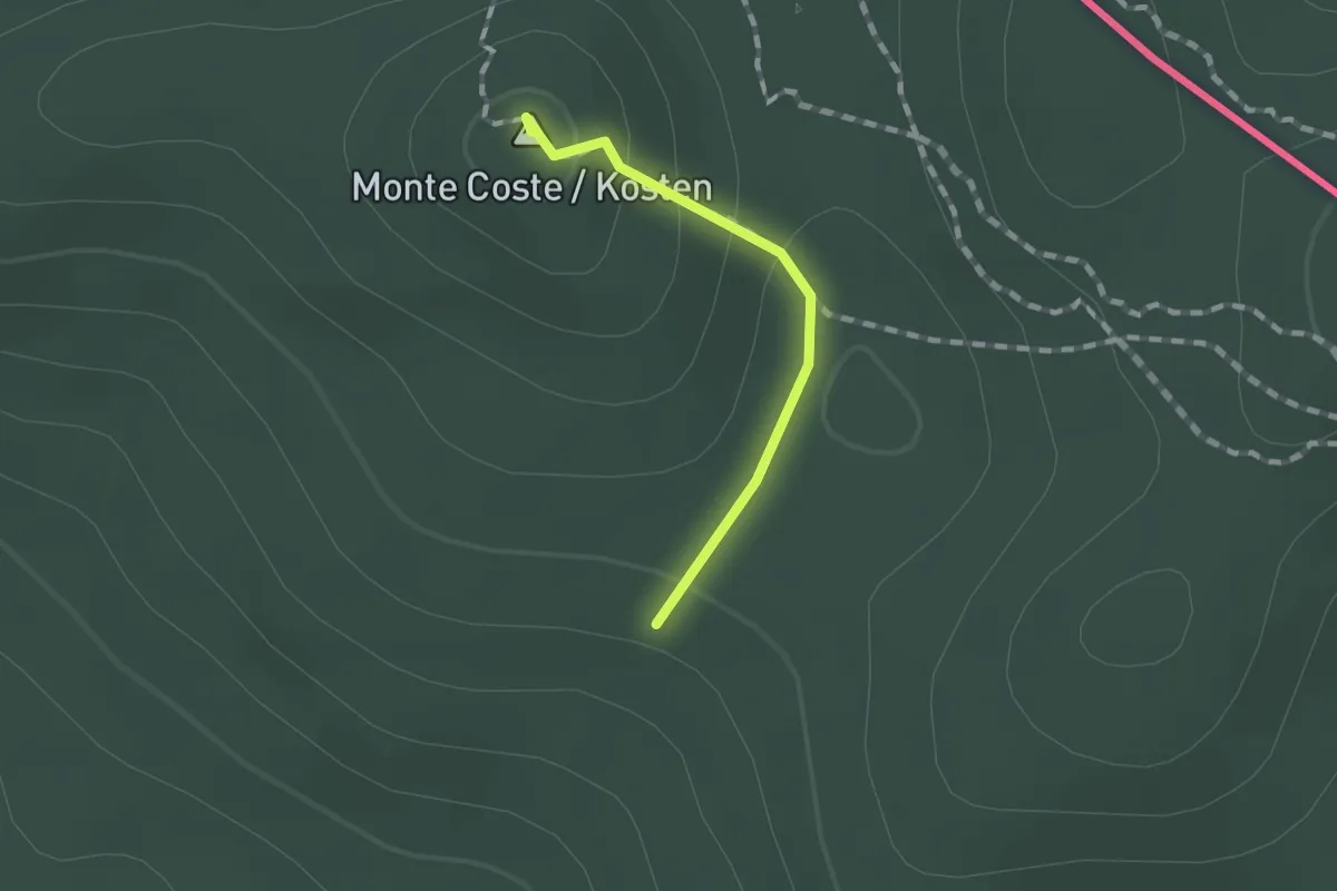
Medium · Summit
Samatorza / Samatorca – Sales / Salež - bivio sentiero n. 41
1.0 km · ↑ 40 m · 20 min
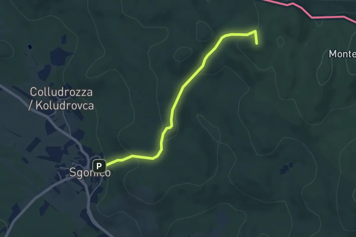
Easy · Summit
Sgonico / Zgonik – Rupinpiccolo / Repnič
4.6 km · ↑ 189 m · 1 h 29 min
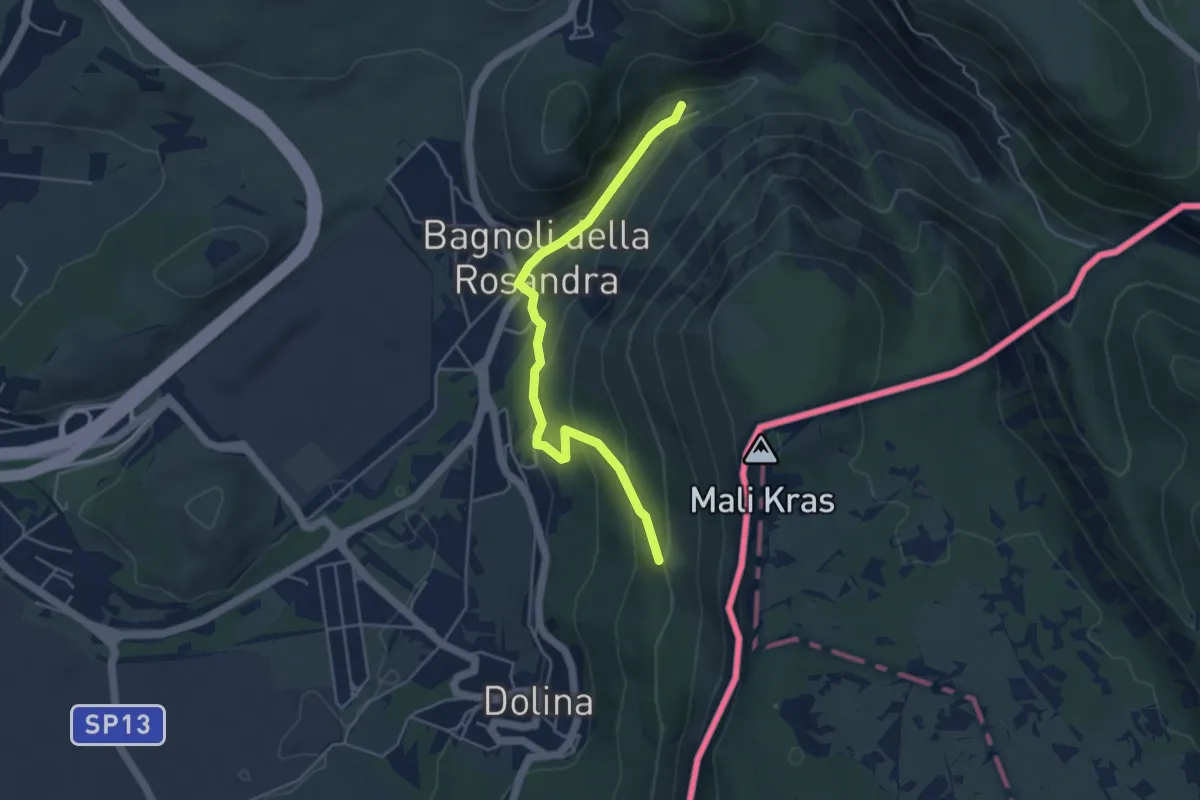
Easy · Cabin
Rifugio Premuda (quota 84 m) – Vedetta di Crogole bivio sentiero CAI 001 (quota 231 m)
4.5 km · ↑ 205 m · 1 h 30 min
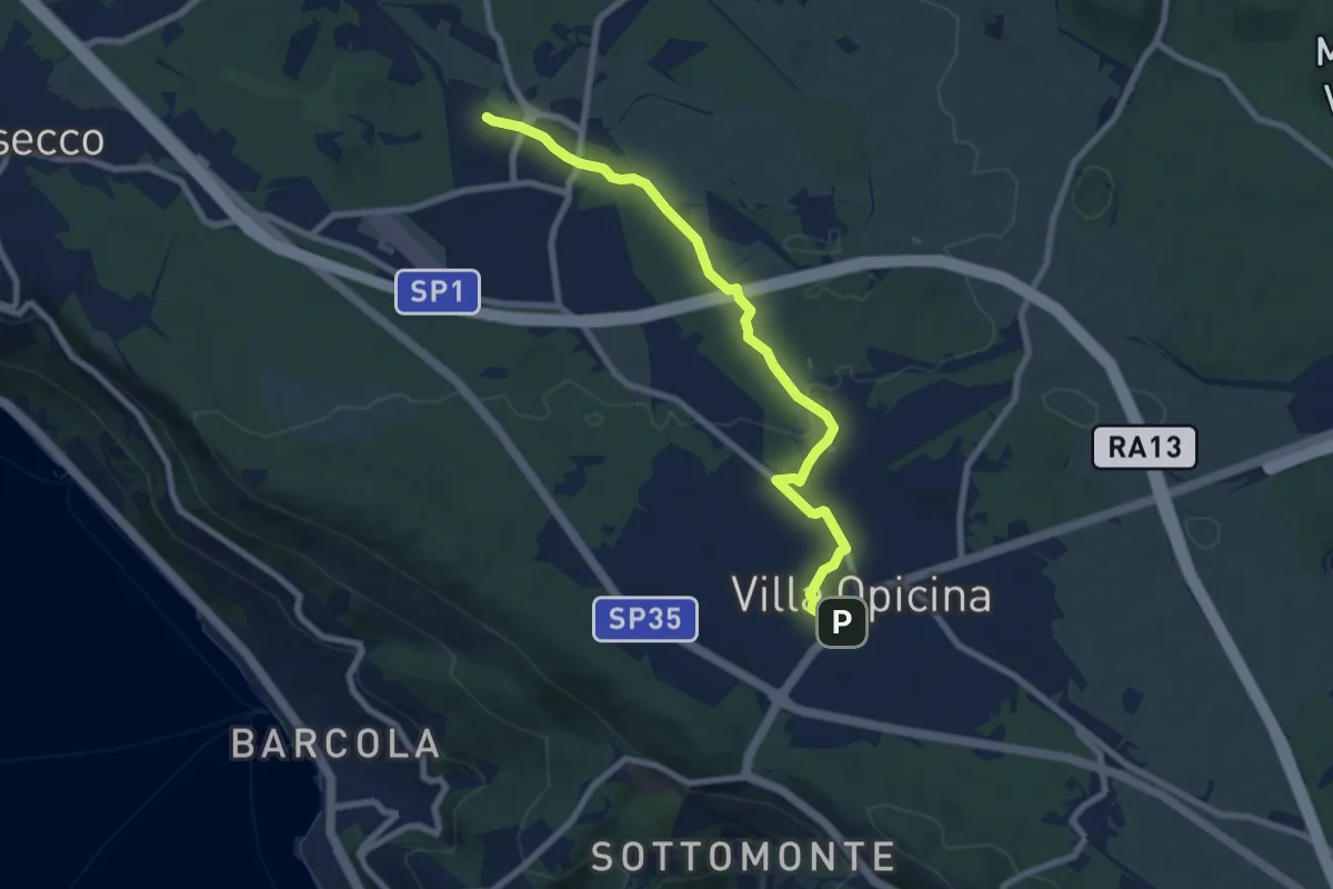
Medium · Trail
Opicina / Opčine – Grotta Gigante / Briška jama
8.1 km · ↑ 57 m · 2 h 2 min
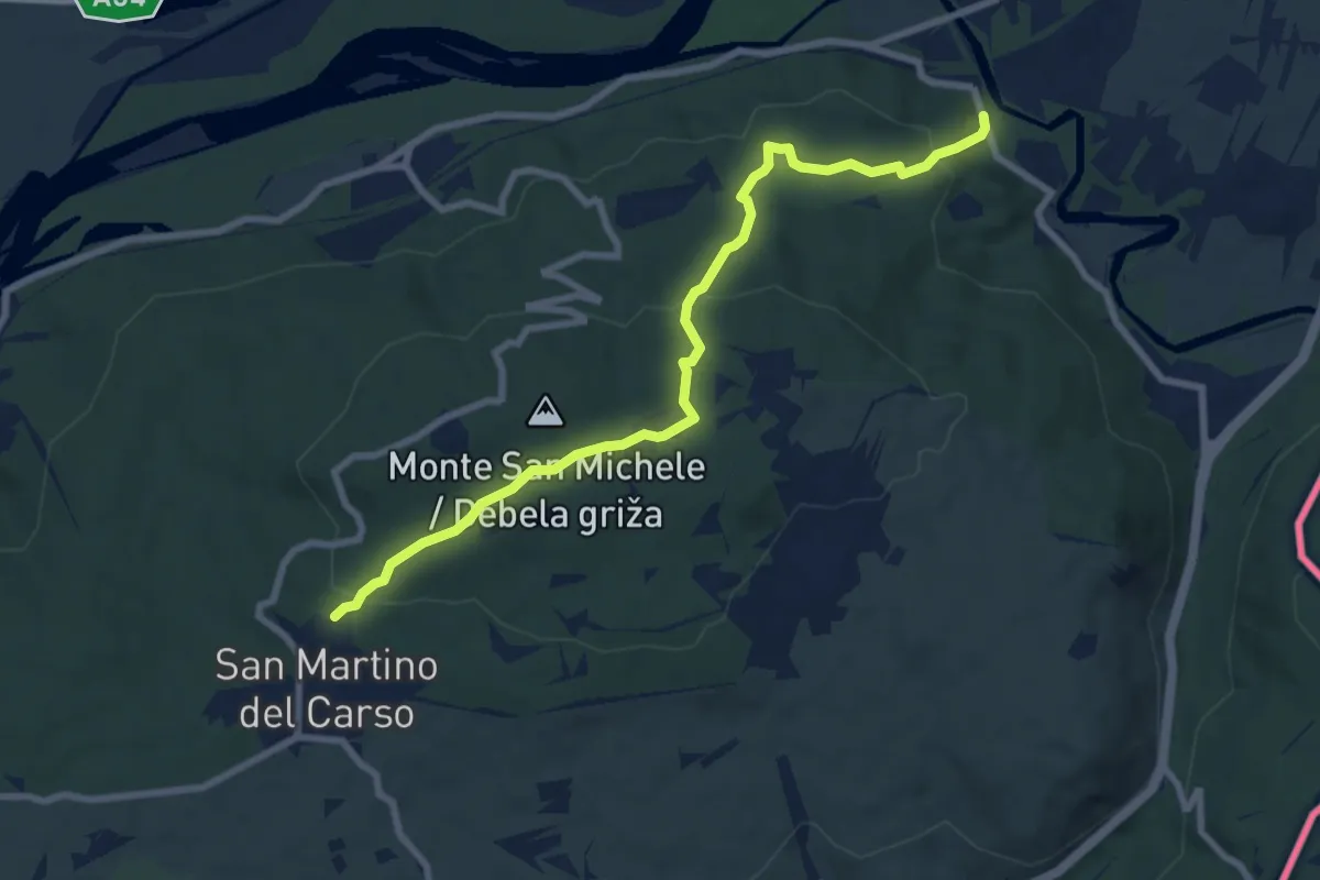
Medium · Trail
Castel Rubbia (quota 45 m) – Jamiano (quota 45 m)
8.3 km · ↑ 266 m · 2 h 33 min
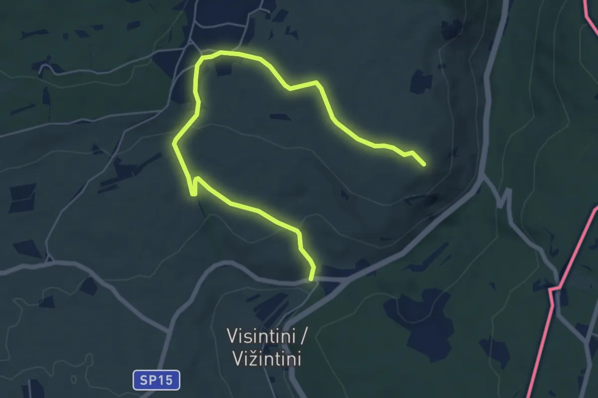
Easy · Summit
S.S. n. 55 del Vallone (quota 74 m) – Devetachi (quota 59 m)
6.6 km · ↑ 160 m · 1 h 55 min
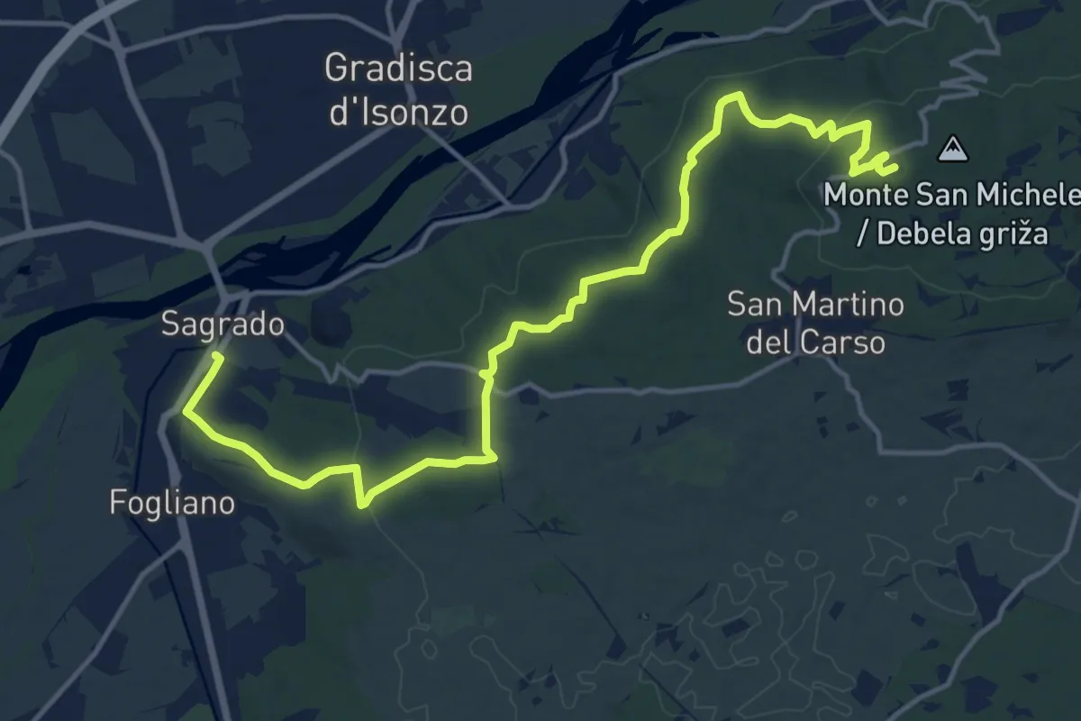
Medium · Summit
Sagrado (quota 40 m) – monte San Michele (quota 275 m)
16.9 km · ↑ 382 m · 4 h 48 min
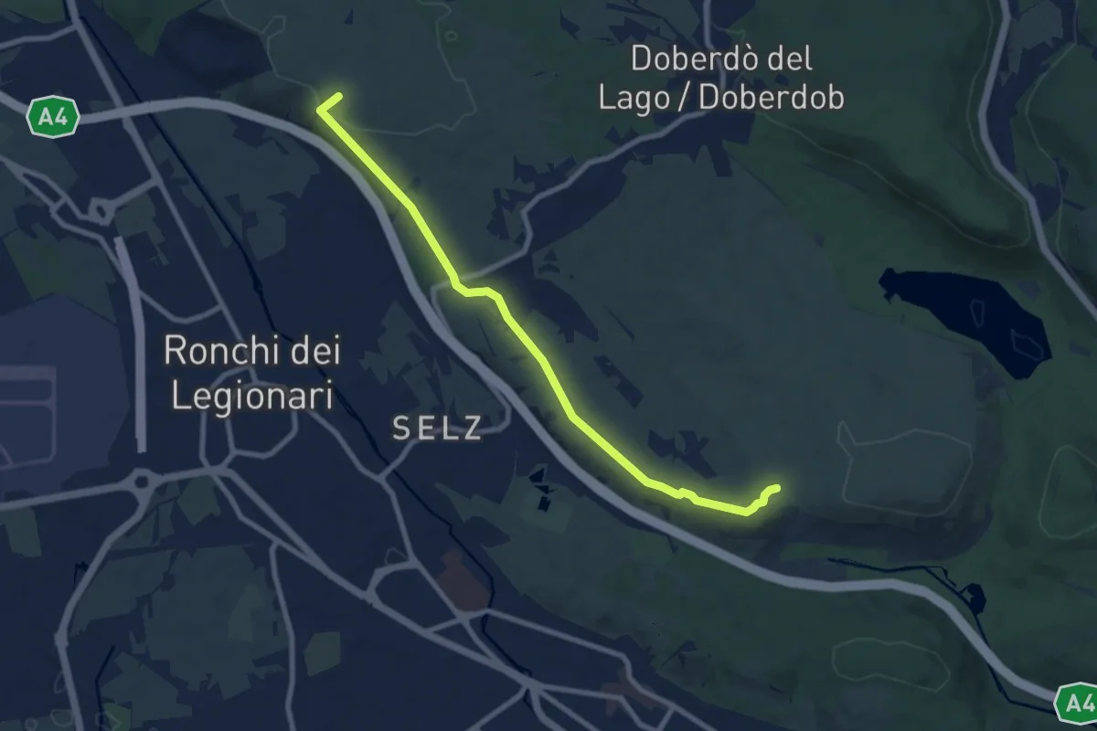
Medium · Summit
Redipuglia (quota 25 m) – Sella Monte Cosici e Monte Debeli (quota 65 m)
8.6 km · ↑ 150 m · 2 h 22 min
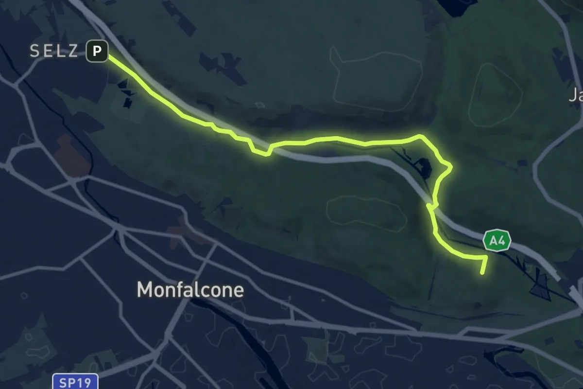
Medium · Summit
Ronchi dei Legionari – Cave di Selz (quota 10 m) – Monfalcone – Lisert Ponte degli Archi (quota 25 m)
10.5 km · ↑ 63 m · 2 h 37 min
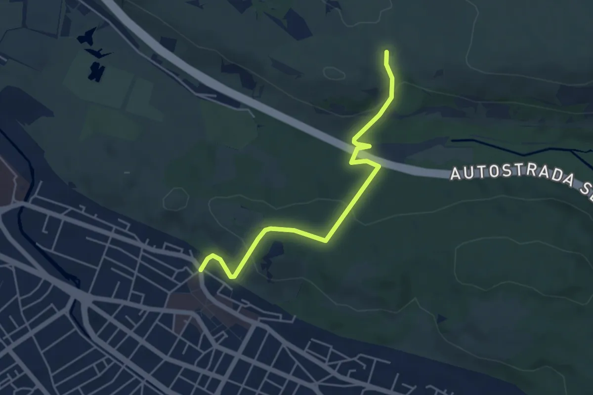
Easy · Trail
Monfalcone (quota 25 m) – Sella Monte Cosici e Monte Deboli (quota 65 m)
4.5 km · ↑ 149 m · 1 h 23 min
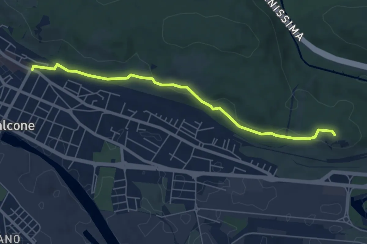
Easy · Summit
Monfalcone (quota 23 m) – Monfalcone – Lisert Archi raccordo sentiero n. 81 (quota 25 m)
5.2 km · ↑ 106 m · 1 h 28 min
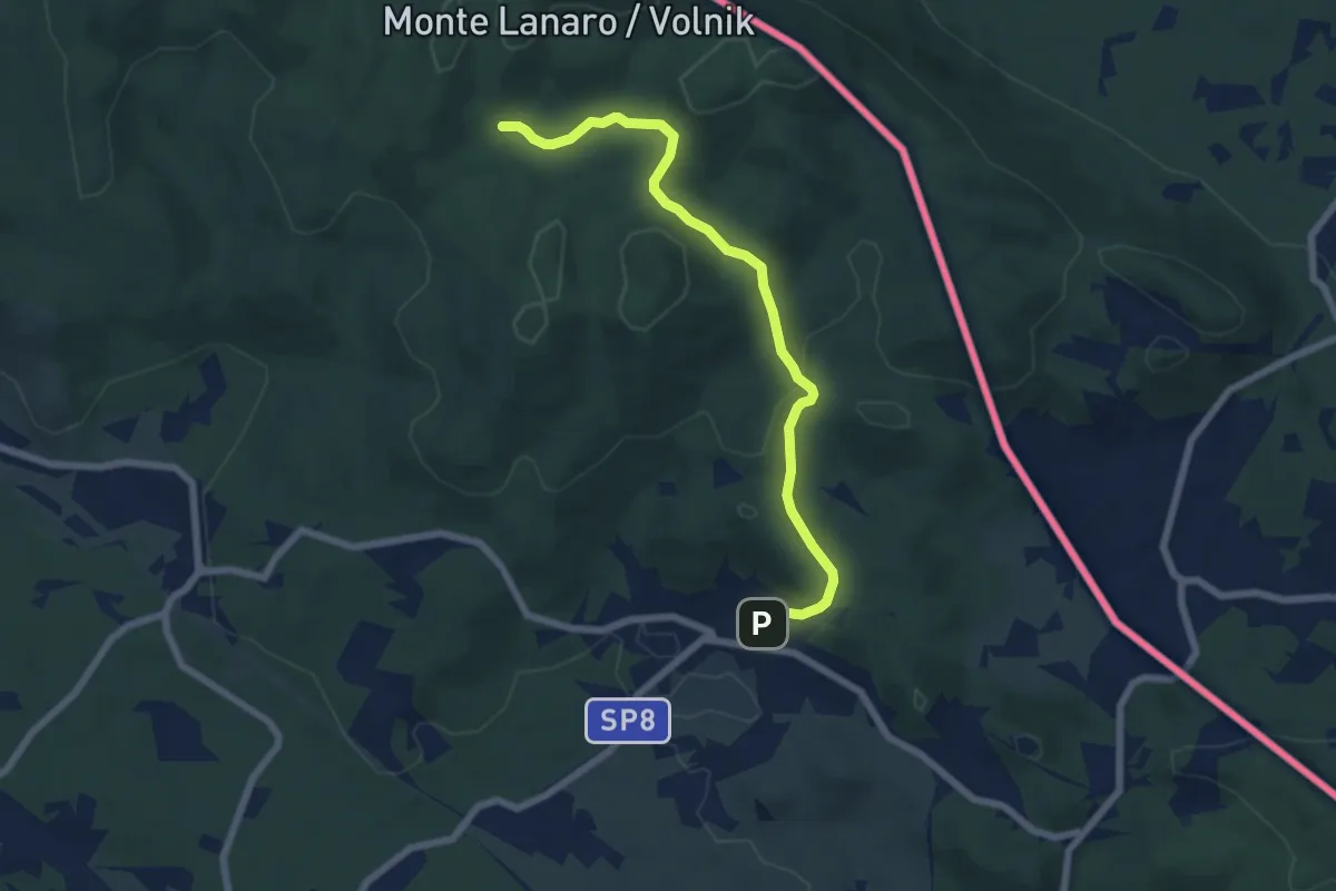
Easy · Trail
Repen – Bivio sentiero n. 5 (zona Peč)
6.7 km · ↑ 223 m · 2 h 4 min
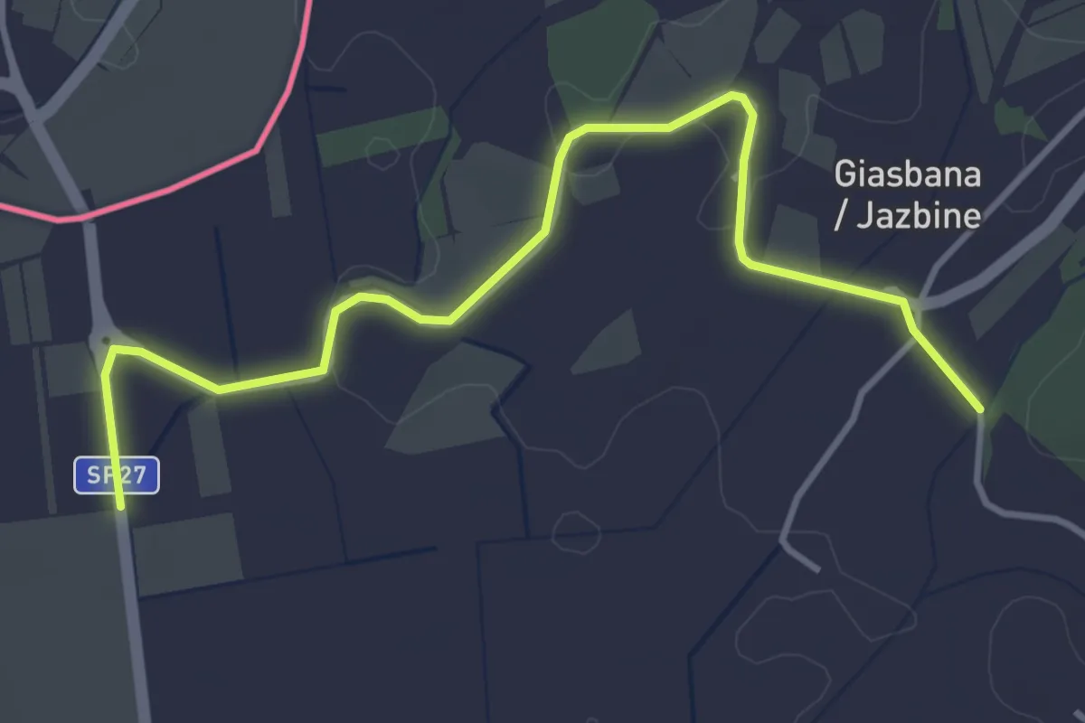
Easy · Trail
Capriva bivio sent. 099 (quota 53 m) – Gabria Superiore bivi sent. 071-079 (quota 40 m)
4.4 km · ↑ 41 m · 1 h 7 min
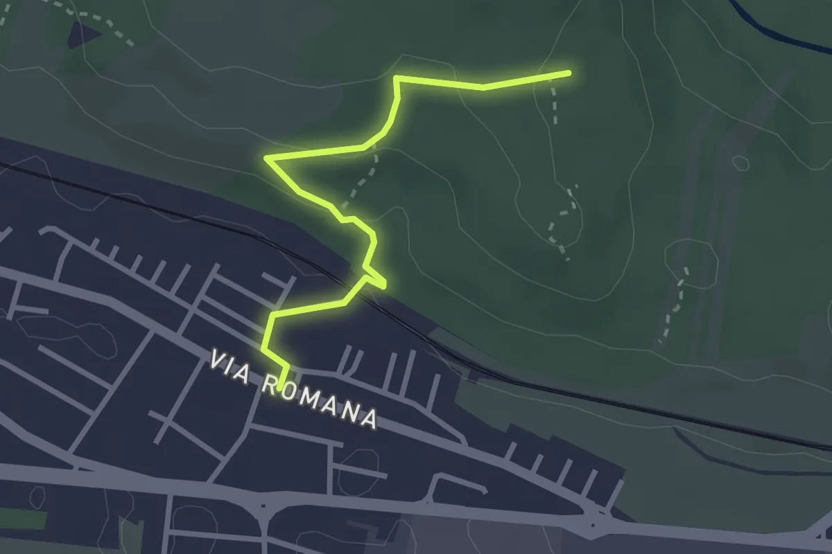
Easy · Trail
Monfalcone – Via Romana (quota 10 m) – Bivio sentiero 78 (quota 83 m)
2.7 km · ↑ 79 m · 48 min
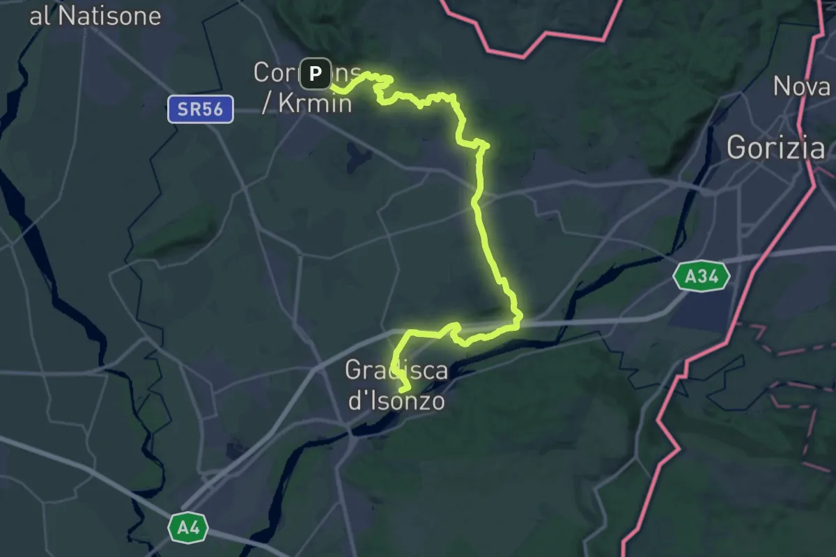
Demanding · Trail
Cormons – Gradisca d'Isonzo
18.4 km · ↑ 175 m · 5 h
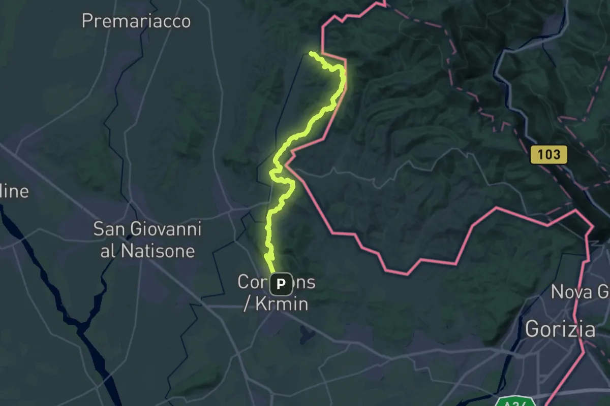
Medium · Trail
Albana – Cormons
15.6 km · ↑ 505 m · 4 h 59 min
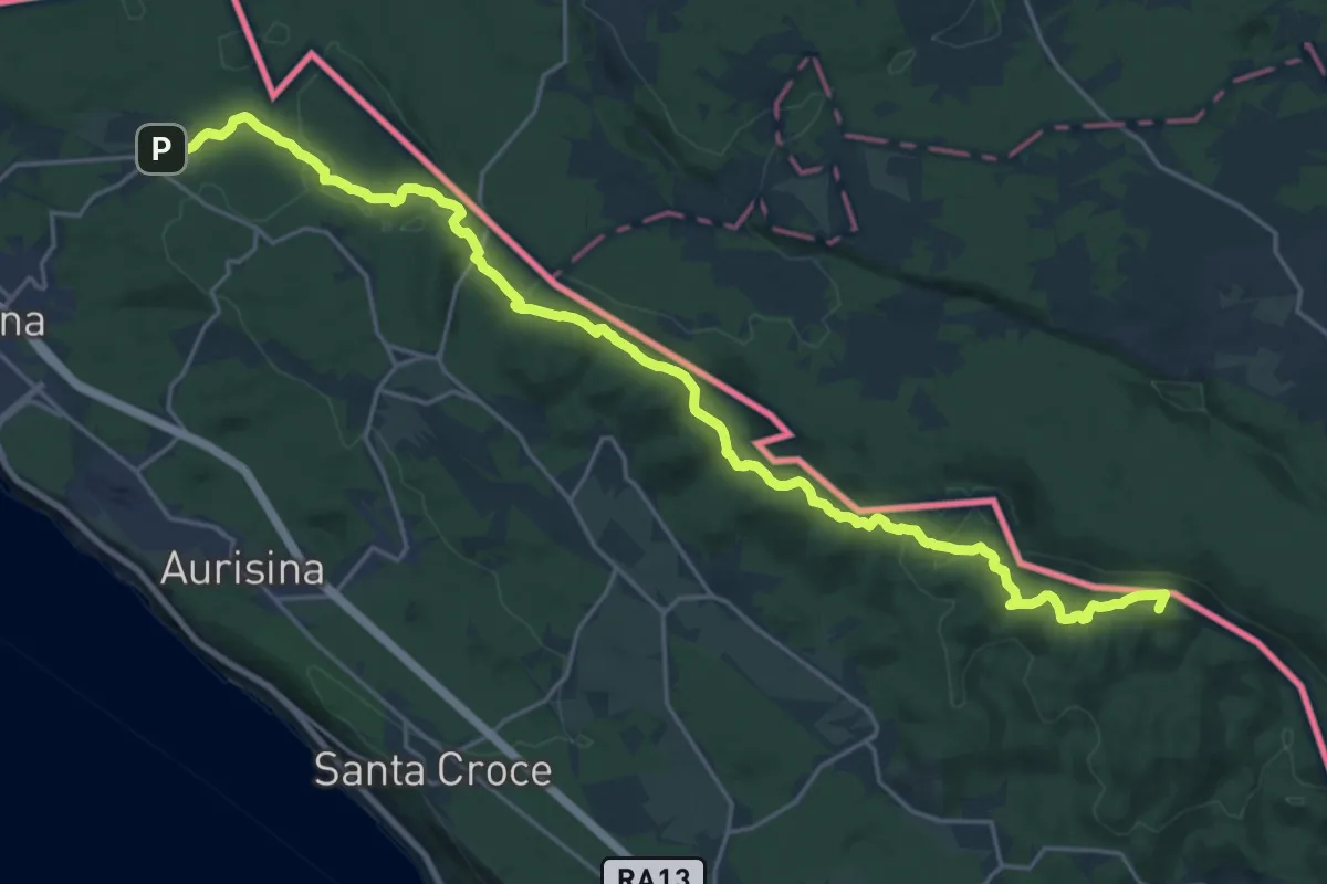
Demanding · Summit
Malchina – Repen
26.2 km · ↑ 589 m · 7 h 27 min
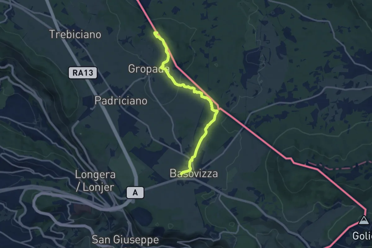
Medium · Summit
Repen – Basovizza / Bazovica
10.5 km · ↑ 131 m · 2 h 46 min
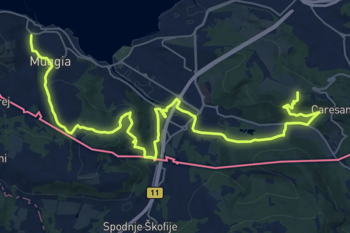
Demanding · Summit
Centro visite Val Rosandra – Muggia
23.2 km · ↑ 656 m · 6 h 54 min
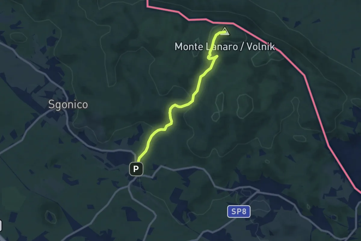
Easy · Summit
Rupinpiccolo / Repnič – Bivio sentiero n. 3
6.8 km · ↑ 244 m · 2 h 8 min
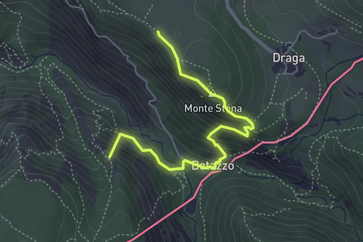
Medium · Summit
Basovizza – Centro visite Val Rosandra
4.5 km · ↑ 354 m · 1 h 49 min
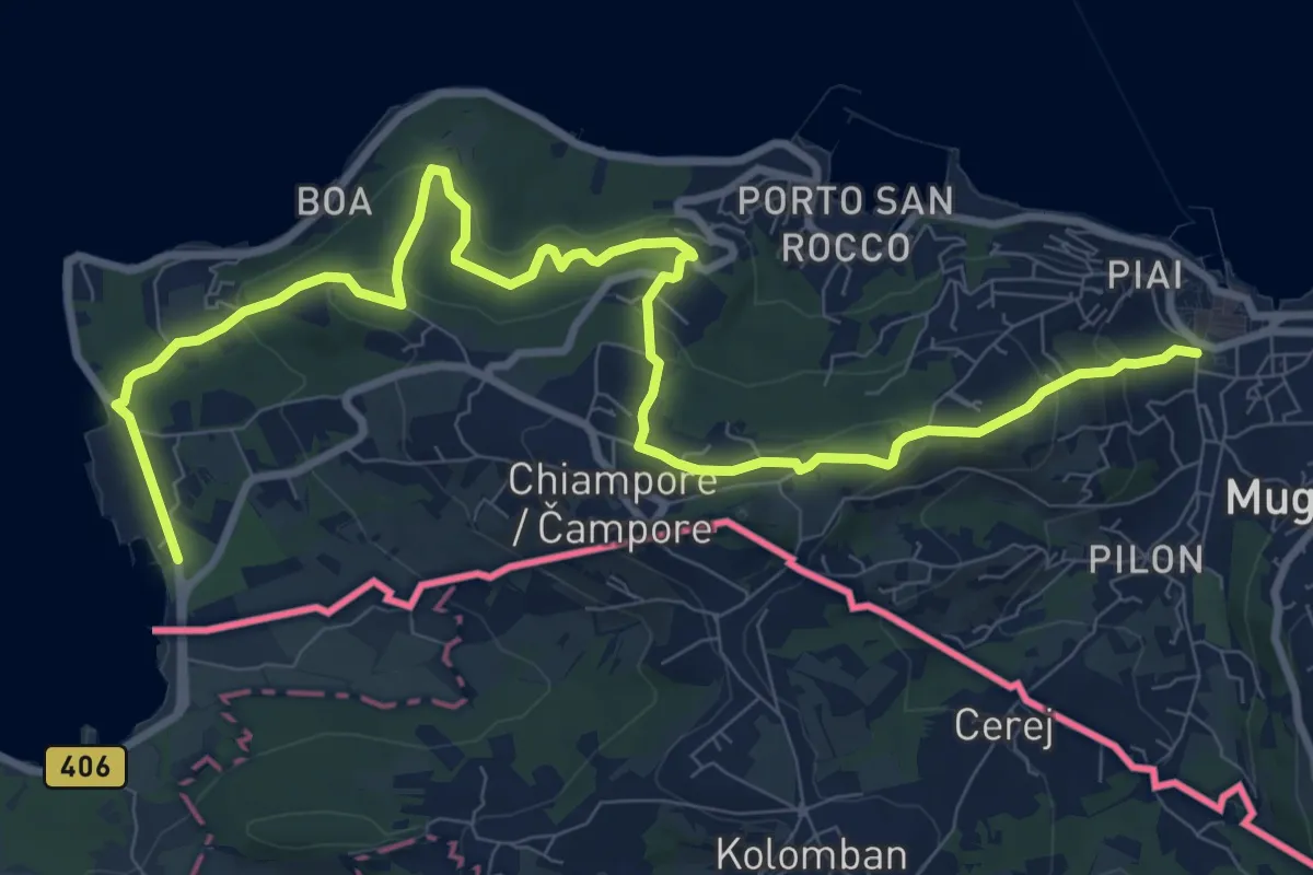
Medium · Trail
Muggia – San Bartolomeo
12.4 km · ↑ 497 m · 4 h
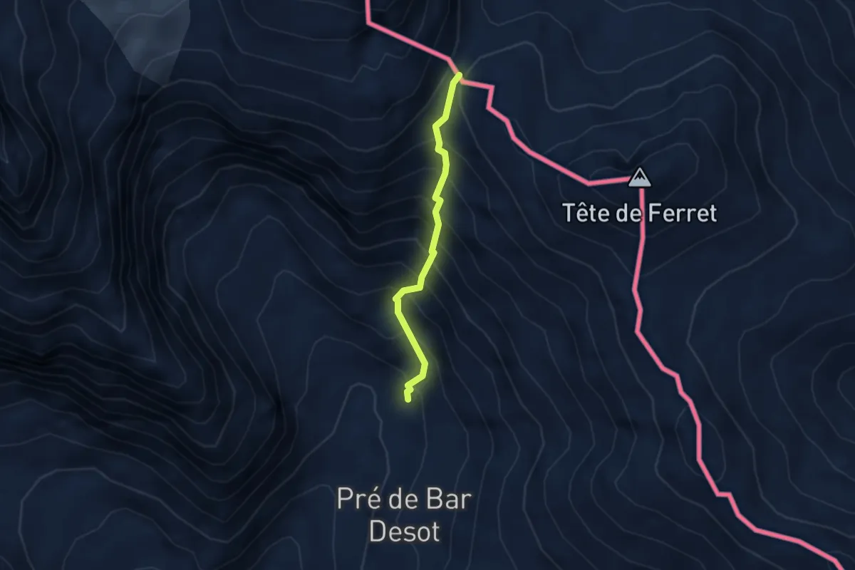
Demanding · Trail
Rif Elena – Col Petit Ferret
2.7 km · ↑ 483 m · 1 h 41 min