Trails in Italy
25,219 hiking trails, each with its route, climb, walking time and grade.
All trails, page 399 of 526
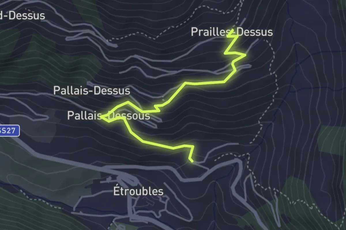
Medium · Trail
Etroubles – Prailles
4.2 km · ↑ 320 m · 1 h 41 min
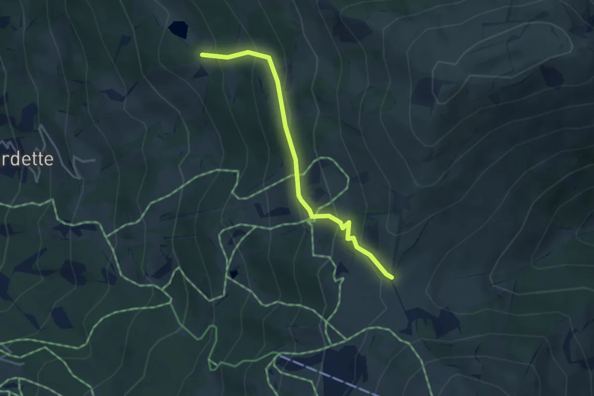
Easy · Trail
Bivio 712-712B, Alpe Laune – Bivio 326-712B-714A, Colle Costapiana
3.4 km · ↑ 254 m · 1 h 21 min
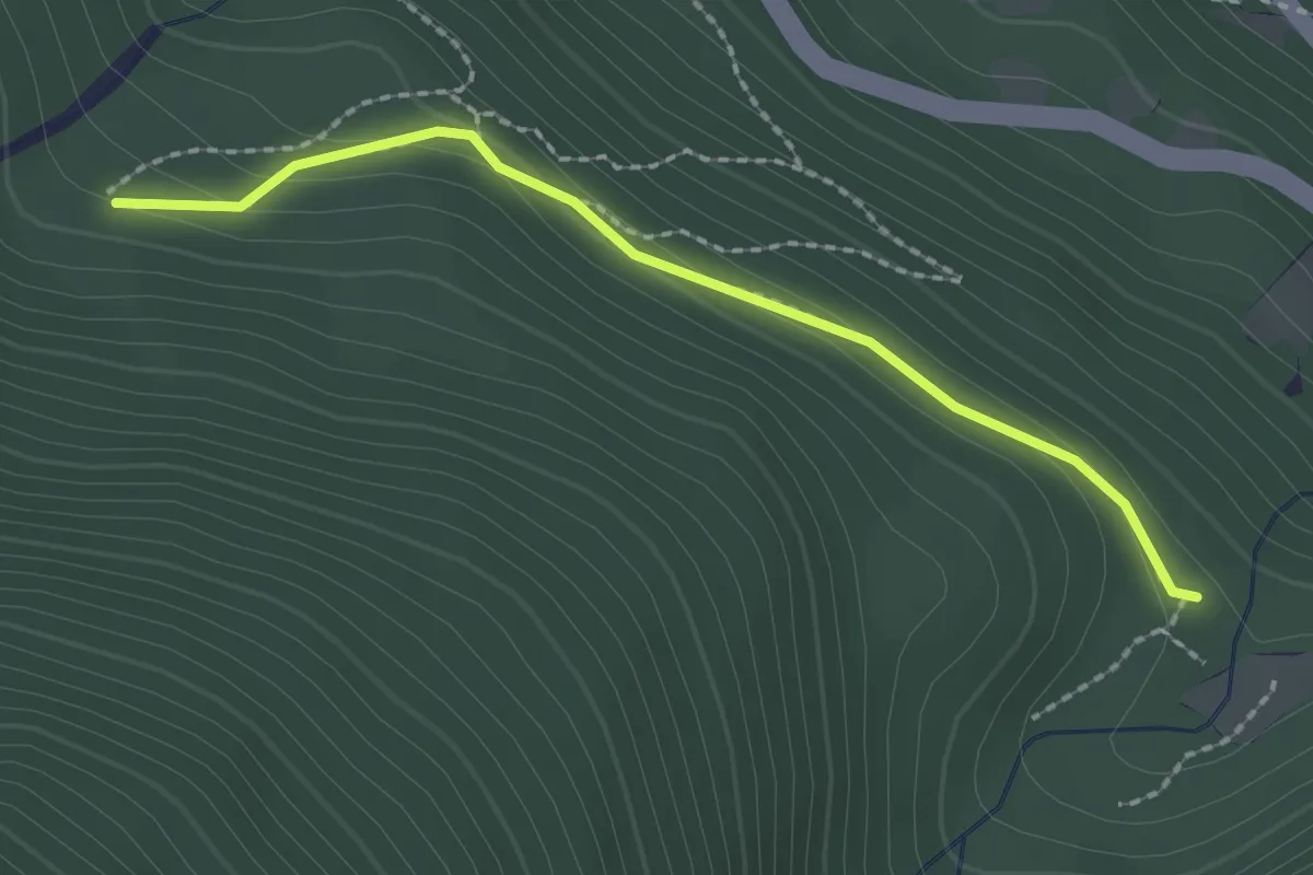
Easy · Trail
Bivio TOS582-TOS582D – Bivio TOS582B-TOS582D
2.1 km · ↑ 86 m · 41 min
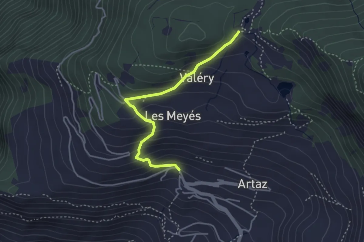
Medium · Trail
Vieu – Col Pilaz
3.3 km · ↑ 263 m · 1 h 22 min
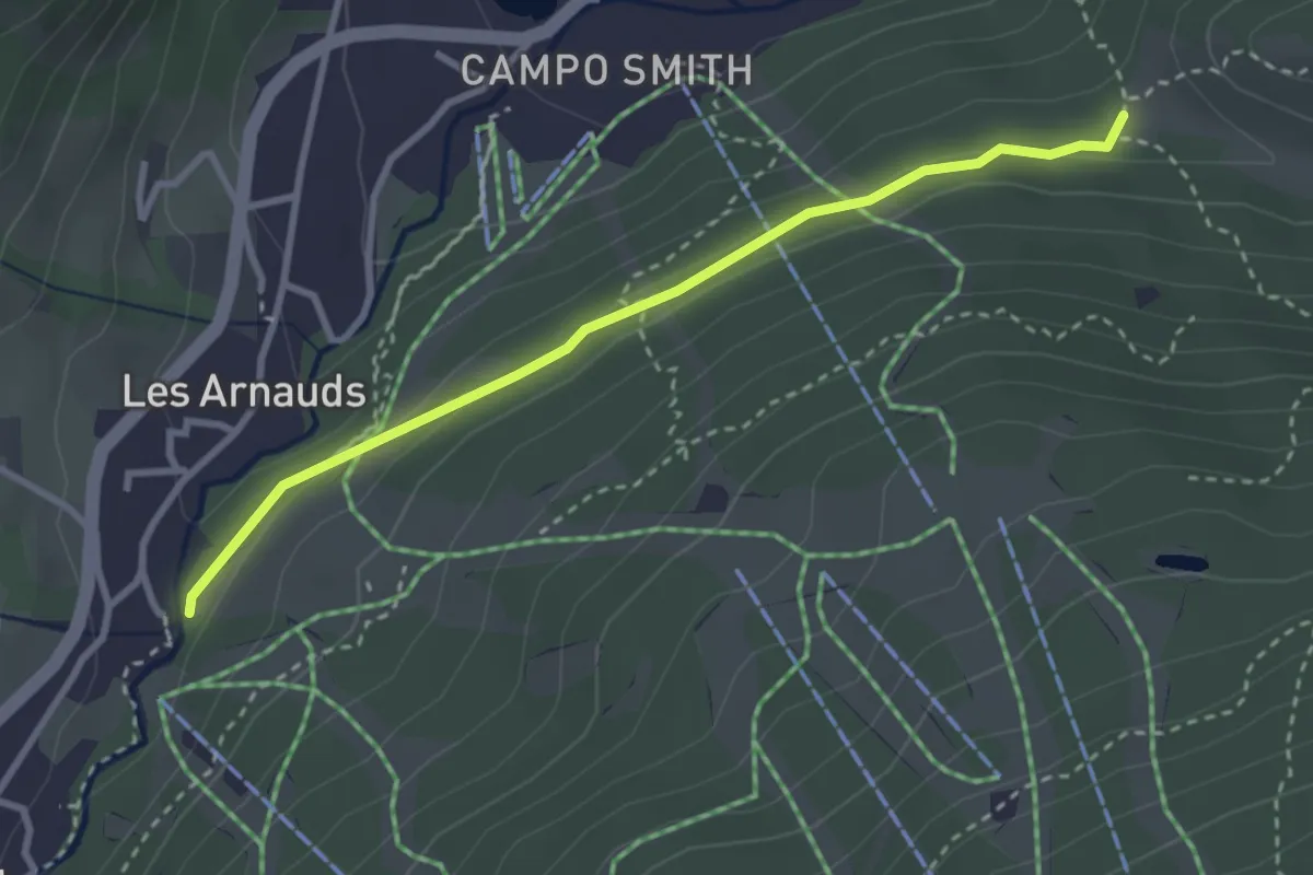
Easy · Trail
Bivio TOS753-TOS743 presso Les Arnauds – Bardonecchia, località Quattro Strade
3.1 km · ↑ 94 m · 56 min
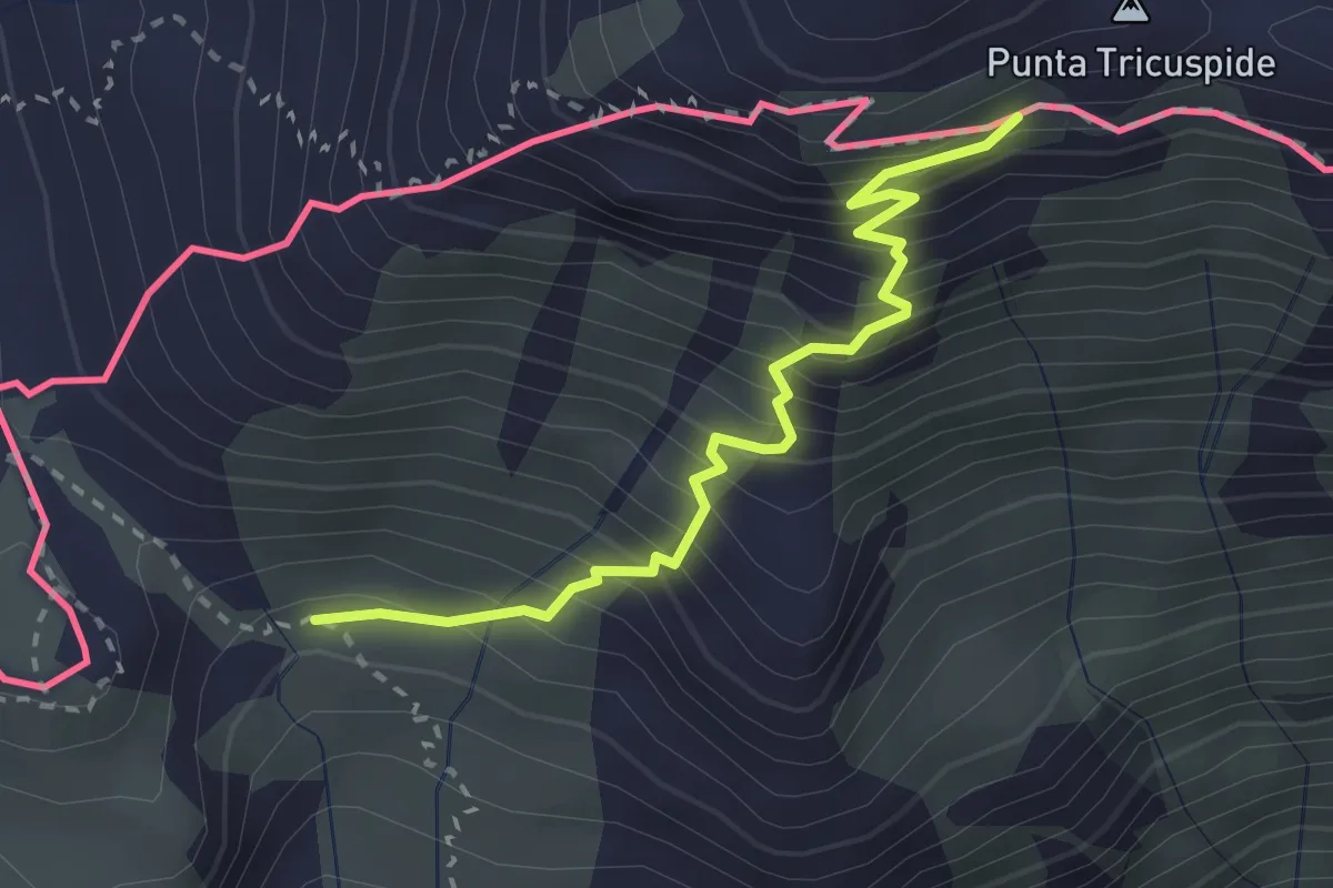
Medium · Trail
Bivio 805-805A – Bivio 801-805A
2.7 km · ↑ 413 m · 1 h 32 min
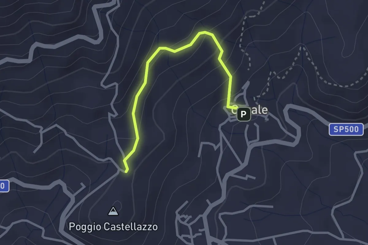
Easy · Trail
Donato, bivio BIAB35-BIAB36 – Casale di Donato, bivio BIAB35-BIAB36
2.6 km · ↑ 175 m · 1 h
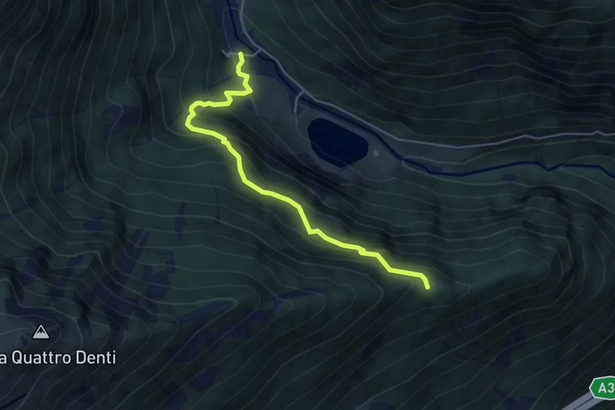
Medium · Trail
Bivio 808-808B – Bivio 807-808B, Buttigliera
4.5 km · ↑ 465 m · 2 h 5 min
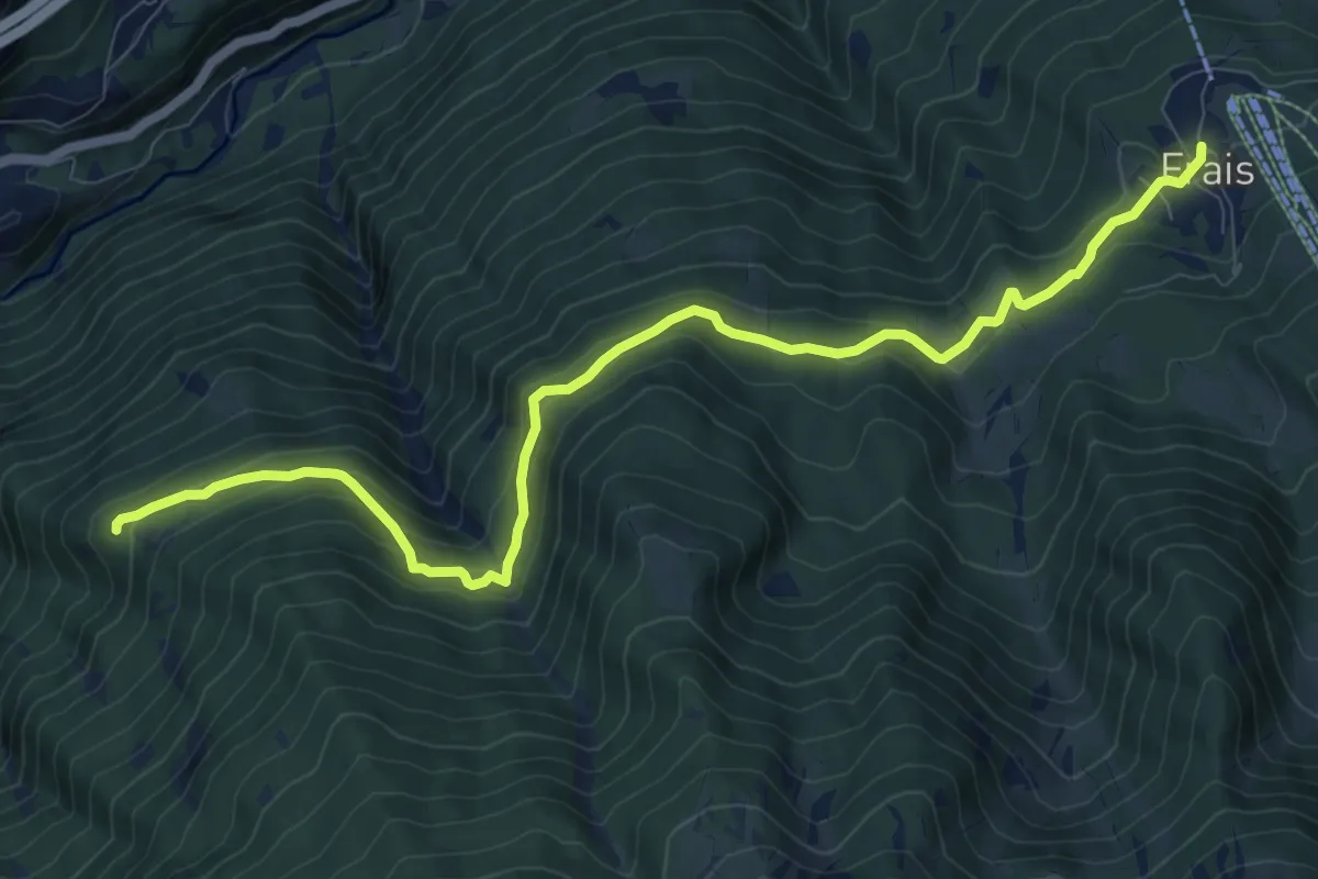
Medium · Trail
Bivio 825-827, Grangia Granprà – Bivio 825-829, Frais
11.3 km · ↑ 549 m · 3 h 51 min
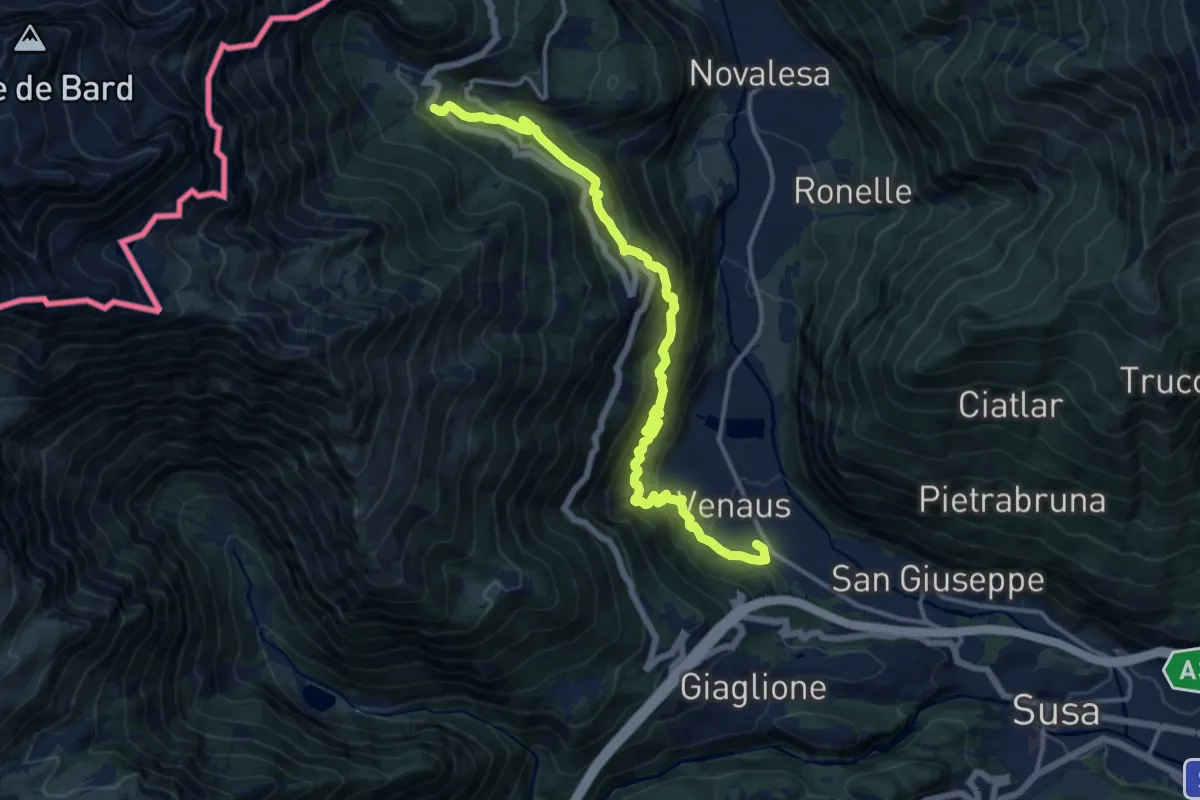
Demanding · Trail
Bvio 581-586, Venaus, Località Braida – Venaus, Frazione Bar Cenisio, bivio TOS586-TOS582B
15.4 km · ↑ 1079 m · 5 h 58 min
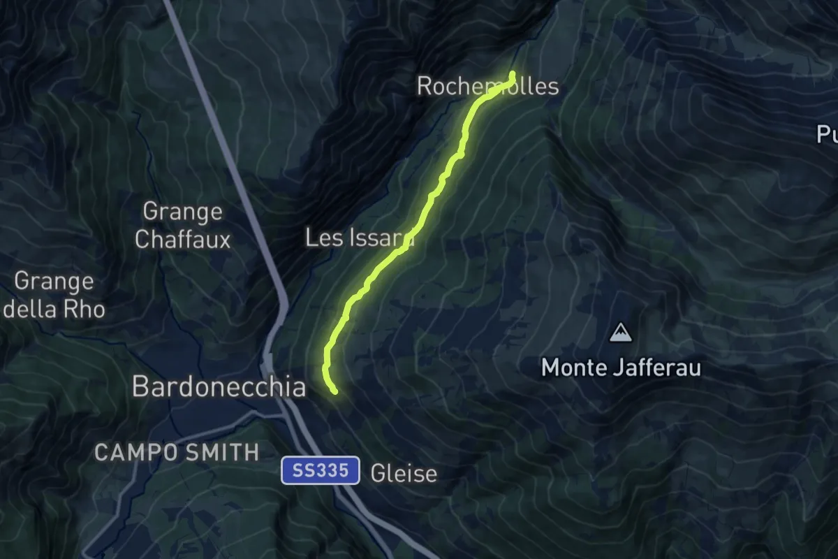
Medium · Trail
Bivio 730-751 – Bivio 731-751, Rochemolles
10.5 km · ↑ 431 m · 3 h 25 min
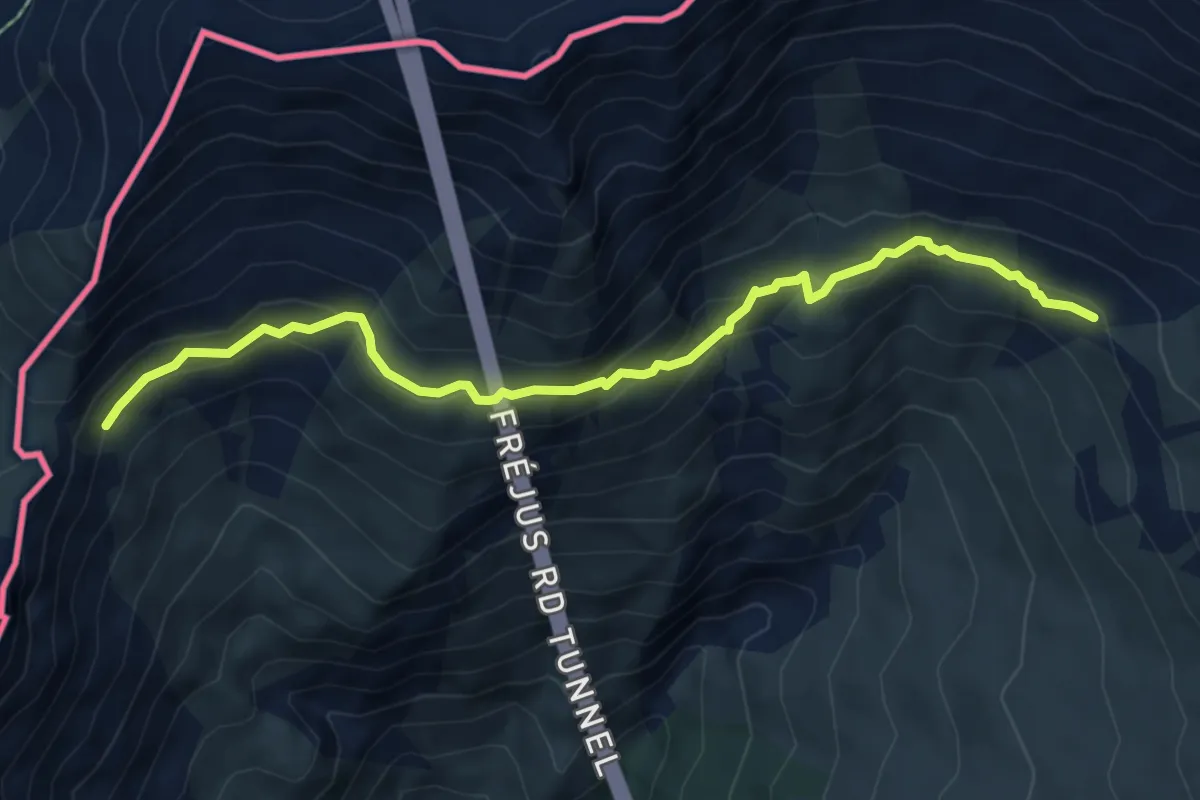
Medium · Trail
Bivio TOS708-TOS722 – Bivio TOS708-TOS709
6.9 km · ↑ 416 m · 2 h 32 min
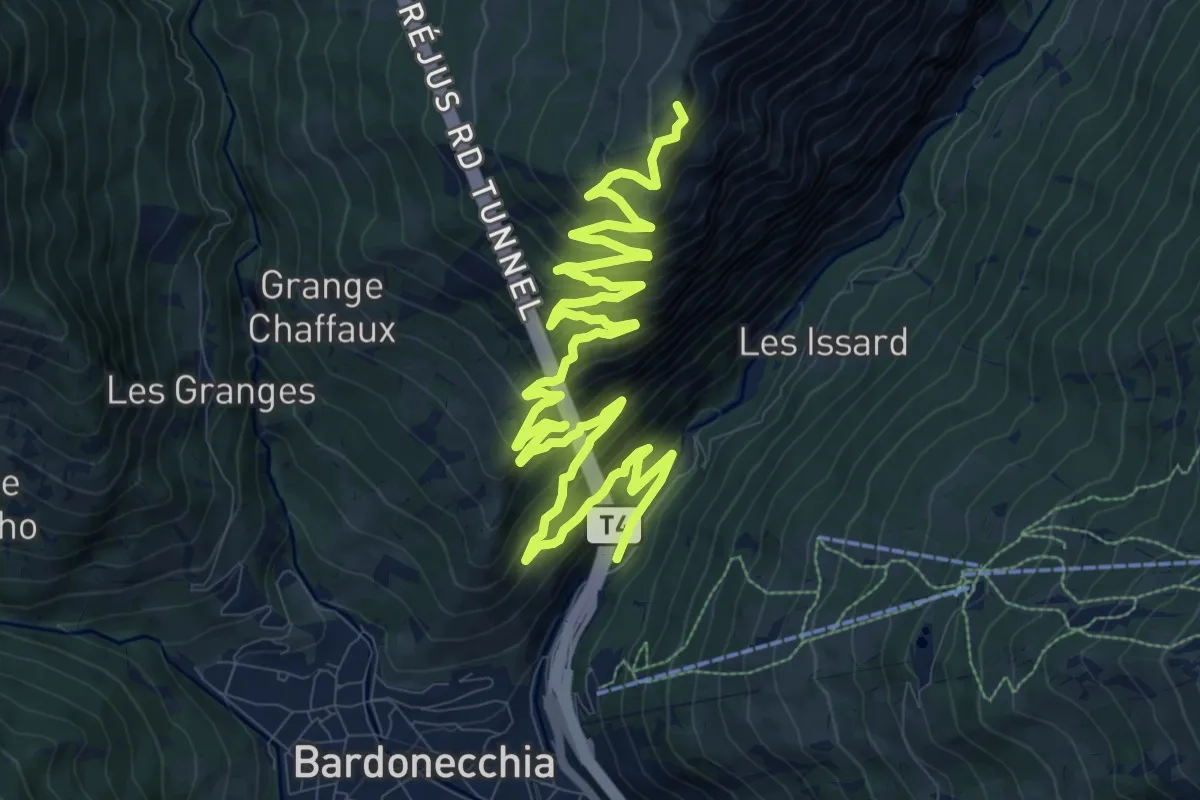
Demanding · Summit
Bardonecchia, vicino imbocco tunnel del Frejus – Bivio TOS711-TOS711B presso Punta Melmise
17.0 km · ↑ 1212 m · 6 h 39 min
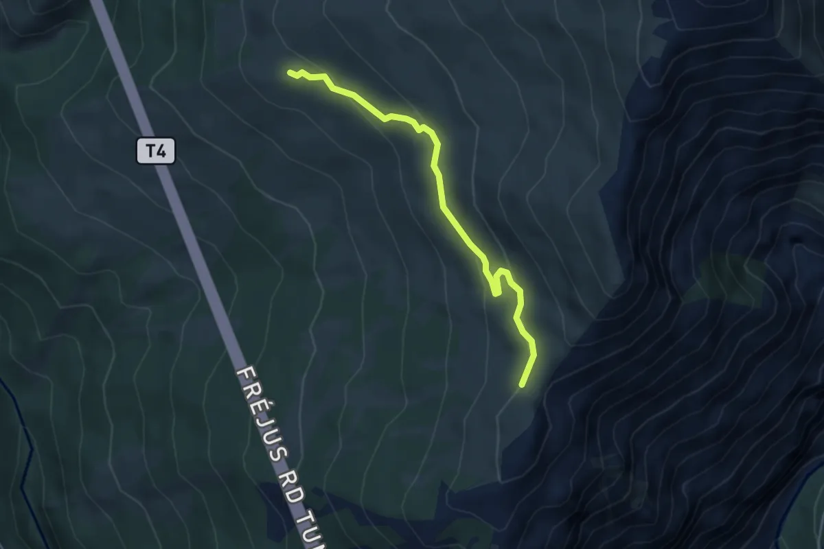
Medium · Trail
Bivio 709-711A, Alpe Pian delle Stelle – Bivio 711-711A, quota 2250
4.1 km · ↑ 174 m · 1 h 20 min
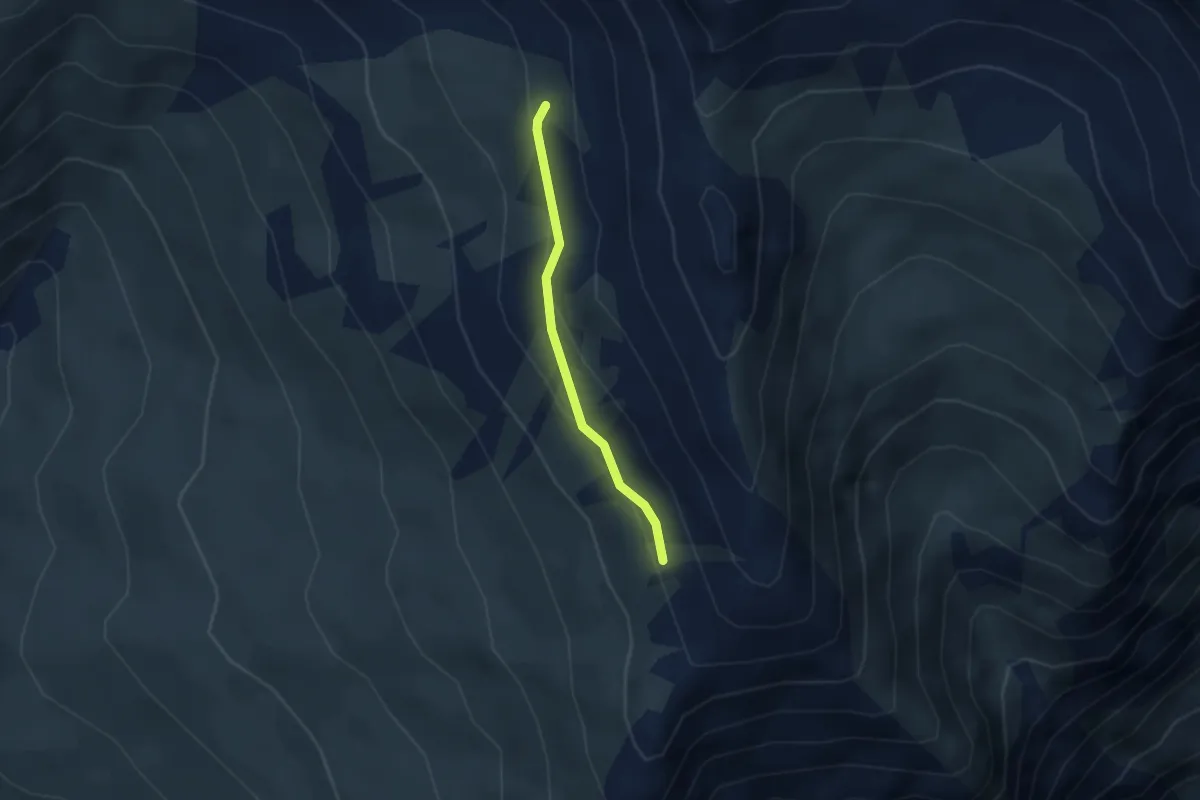
Medium · Trail
Bivio 709-711, Bardonecchia – Bivio 709-711, presso Passo Rocce Verdi
2.4 km · ↑ 99 m · 47 min
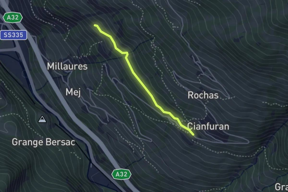
Easy · Trail
Bivio 730-730C, Grange Garnier – Bivio 730C-759-759B, Gleise
2.8 km · ↑ 102 m · 53 min
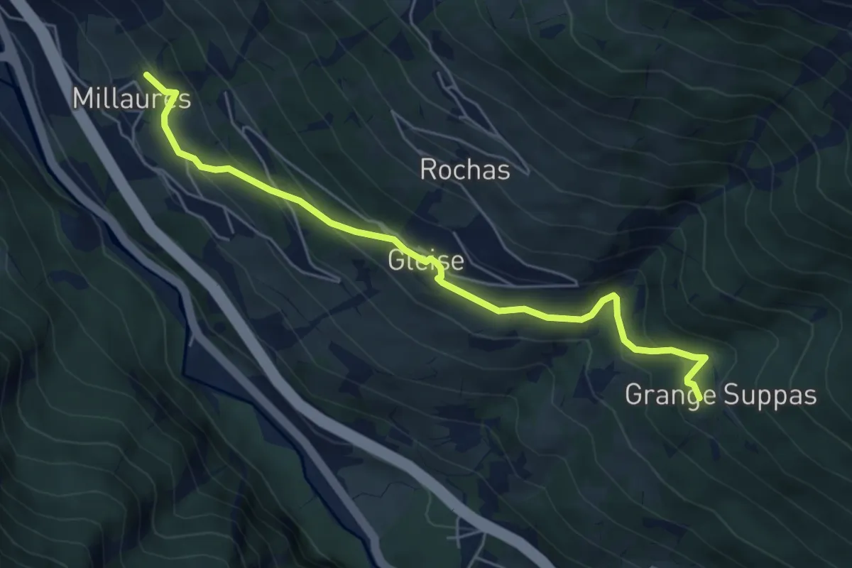
Medium · Trail
Bivio 730-759, Millaures – Bivio 736-759, grange Suppas
5.7 km · ↑ 456 m · 2 h 20 min
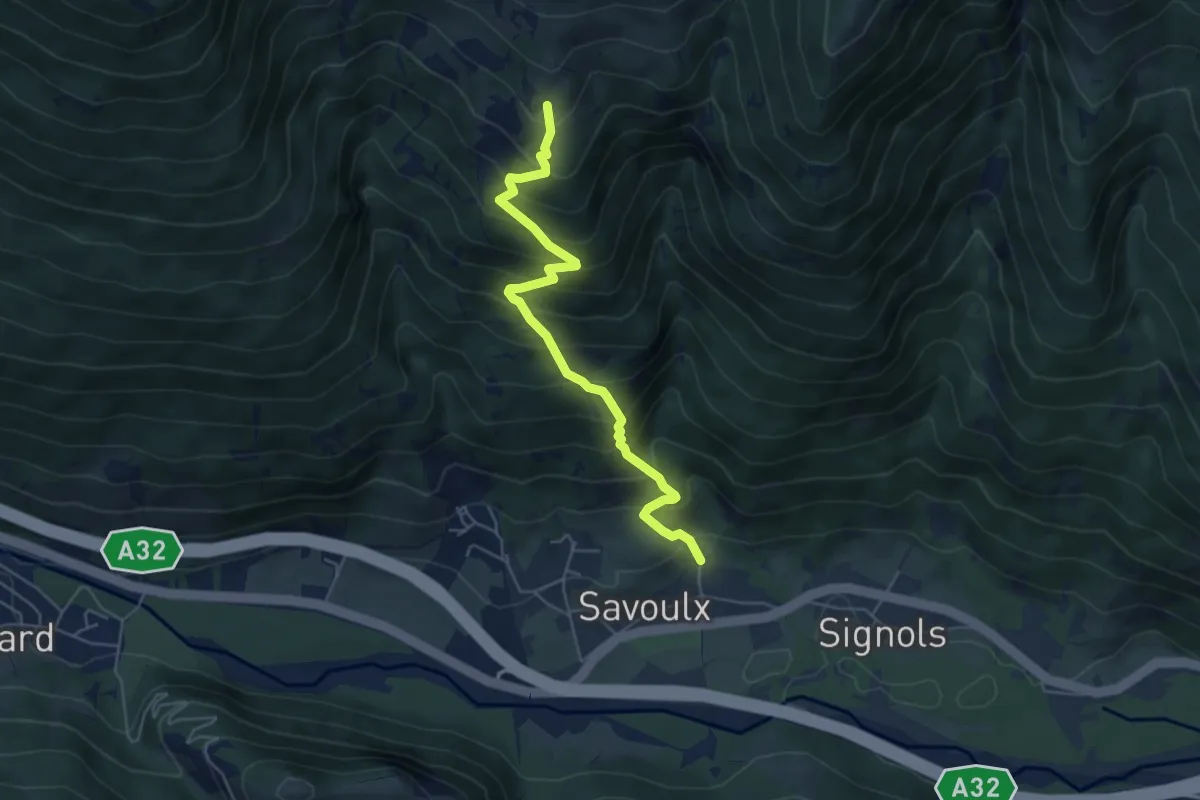
Medium · Trail
Bivio 724-737, Joans – Bivio 724-742, Pinsoul
5.4 km · ↑ 690 m · 2 h 47 min
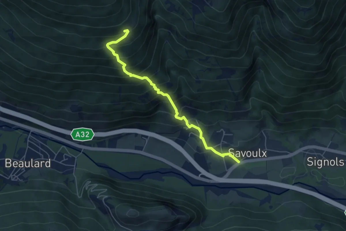
Medium · Trail
Bivio 715A-725-737, Savoulx – Bivio 725-742-742C, Foens
5.4 km · ↑ 601 m · 2 h 34 min
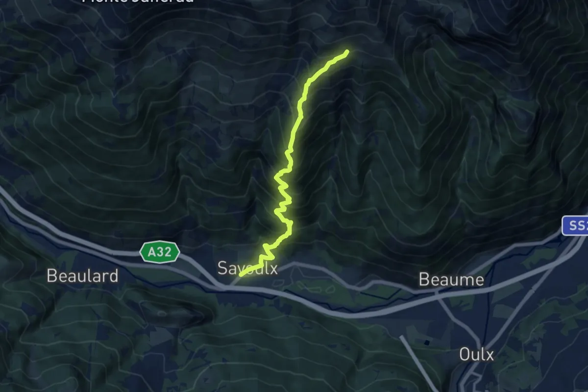
Demanding · Trail
Bivio 715A-725-737, Savoulx – Bivio 723-737, quota 2305
10.5 km · ↑ 1195 m · 5 h 4 min
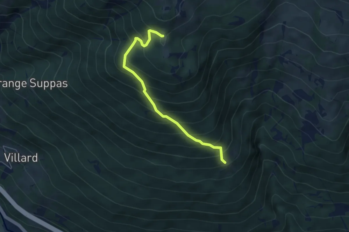
Medium · Trail
Bivio 725-742-742C, Foens – Bivio TOS723-TOS742C, Forte Foens
4.5 km · ↑ 487 m · 2 h 7 min
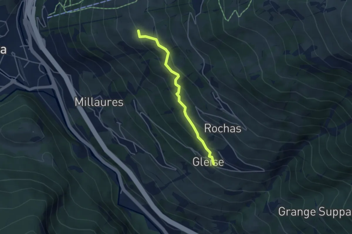
Easy · Trail
Bivio 730-759B, Horres – Bivio 759-759B, Gleise
3.5 km · ↑ 274 m · 1 h 25 min
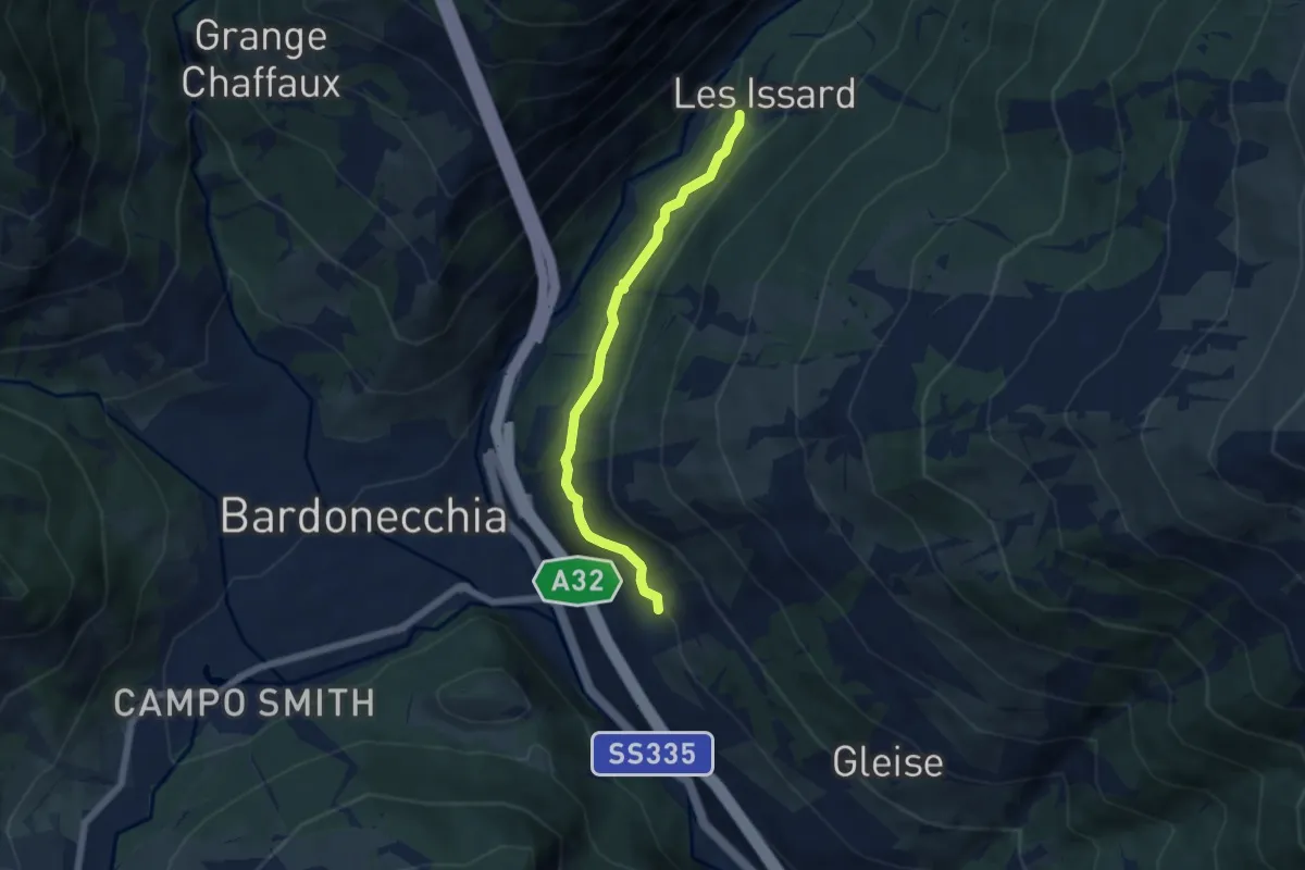
Easy · Trail
Bivio 730-754, Millaures – Bivio 726-754, Les Issards
5.4 km · ↑ 284 m · 1 h 54 min
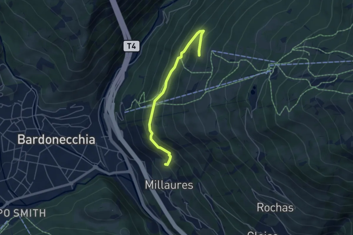
Easy · Trail
Bivio 754-756 – Bivio 751-756
4.4 km · ↑ 265 m · 1 h 36 min
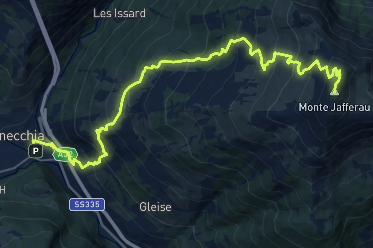
Demanding · Summit
Bivio 730-730A, Stazione FFSS Bardonecchia – Monte Jafferau
18.0 km · ↑ 1585 m · 7 h 41 min
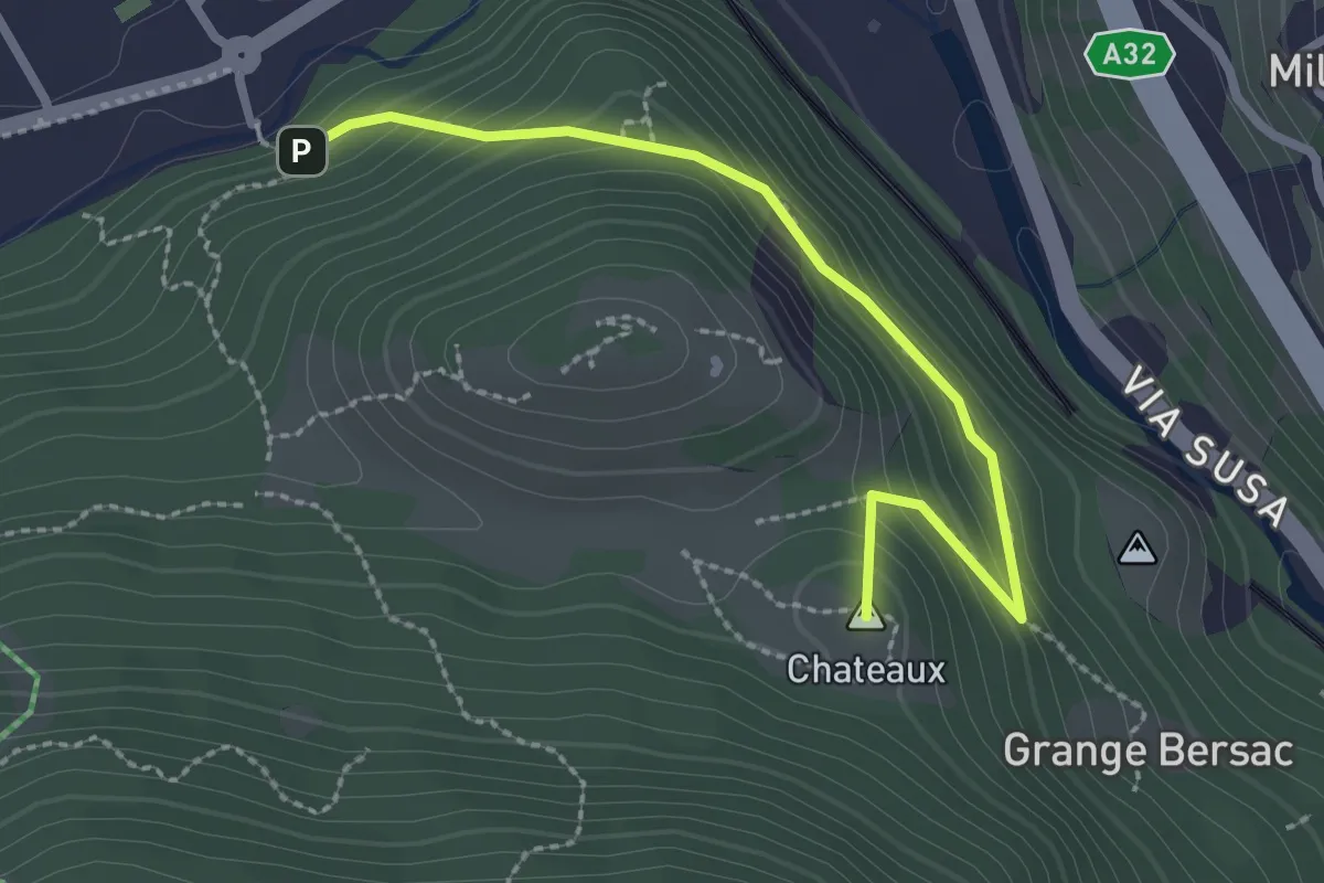
Medium · Summit
Bivio 730A-730B – Bivio 730A-730B
2.6 km · ↑ 162 m · 58 min
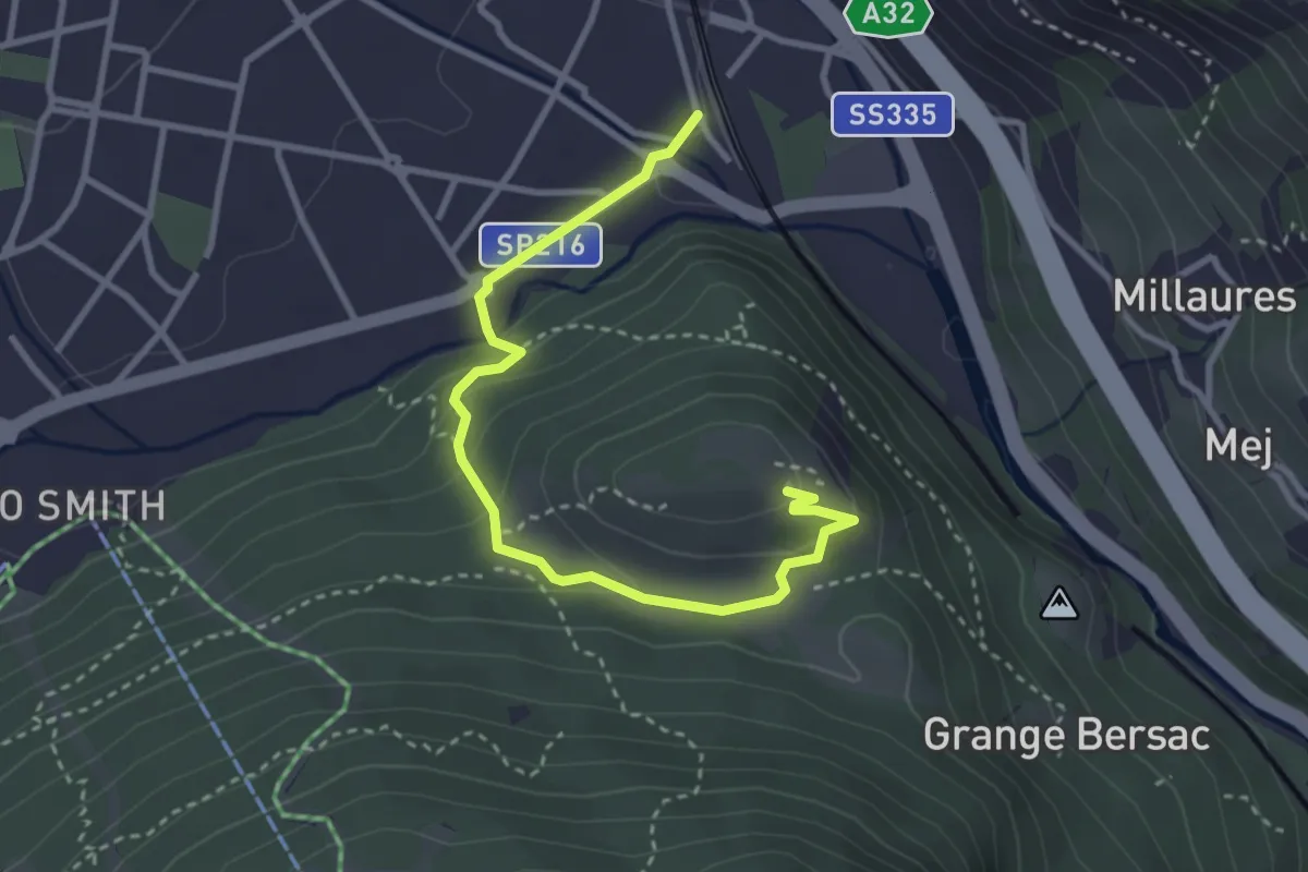
Medium · Trail
Bardonecchia, Stazione, bivio TOS730-TOS730A – Forte Bramafam
3.6 km · ↑ 175 m · 1 h 13 min
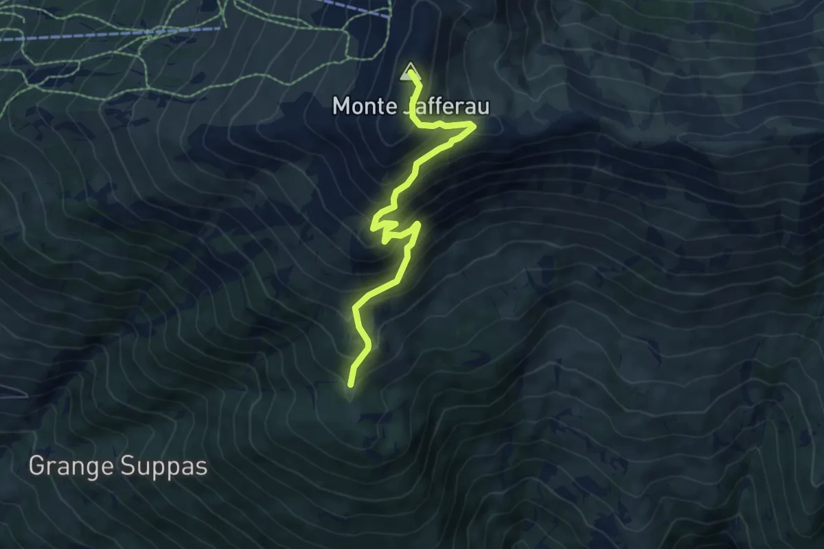
Medium · Summit
Bivio 723-742C-761, Forte Foens – Bivio 730-761, Monte Jafferau
6.4 km · ↑ 607 m · 2 h 49 min
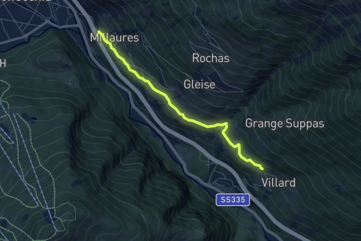
Easy · Trail
Bivio 730-760, Millaures – Bivio 736-760, Villards
6.1 km · ↑ 283 m · 2 h 3 min
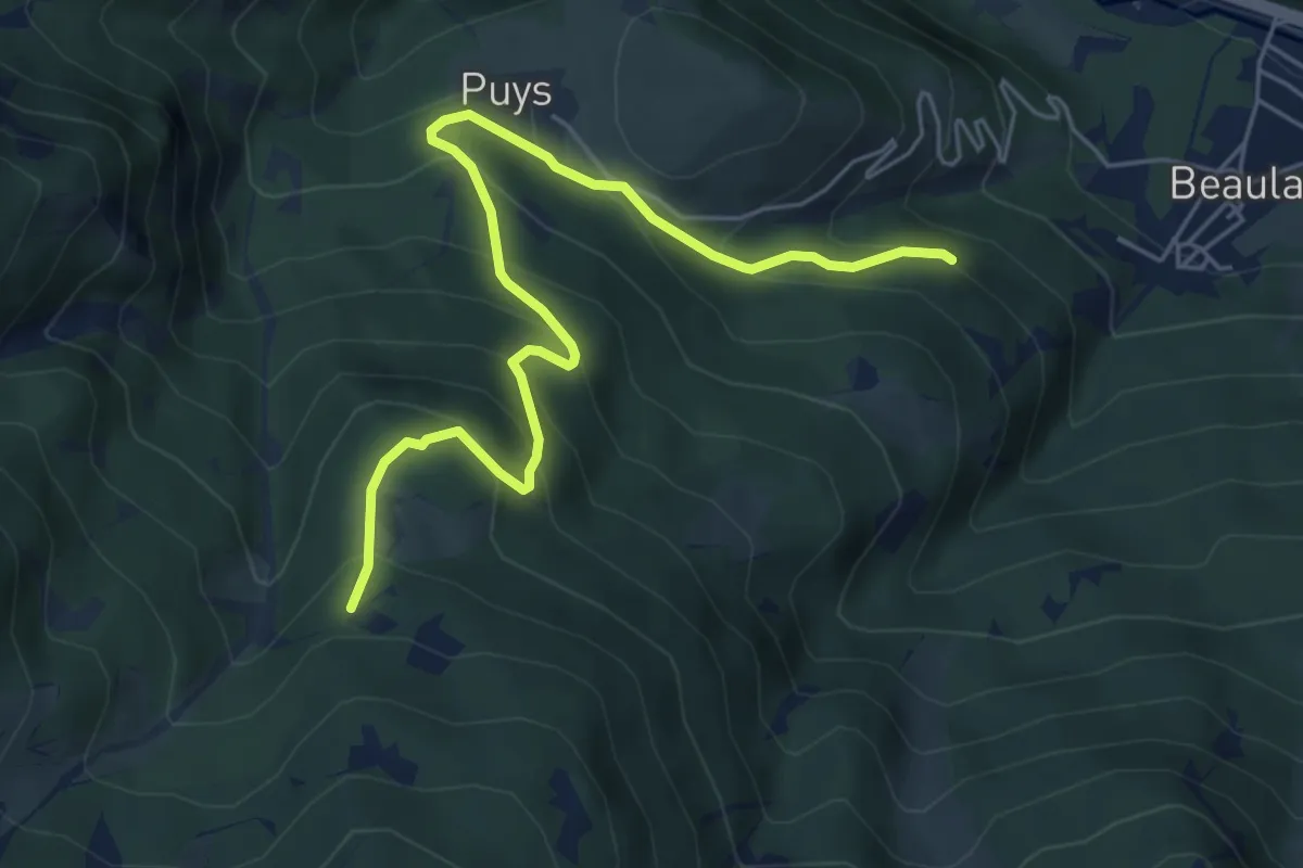
Medium · Trail
Bivio 703-703A – Bivio 703A-705
6.3 km · ↑ 502 m · 2 h 35 min
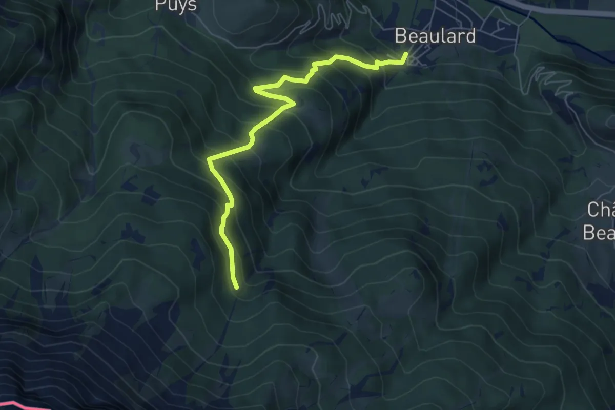
Medium · Trail
Bivio 702-703, Beaulard – Bivio TOS703-TOS705, Rio San Giusto
6.2 km · ↑ 677 m · 2 h 57 min
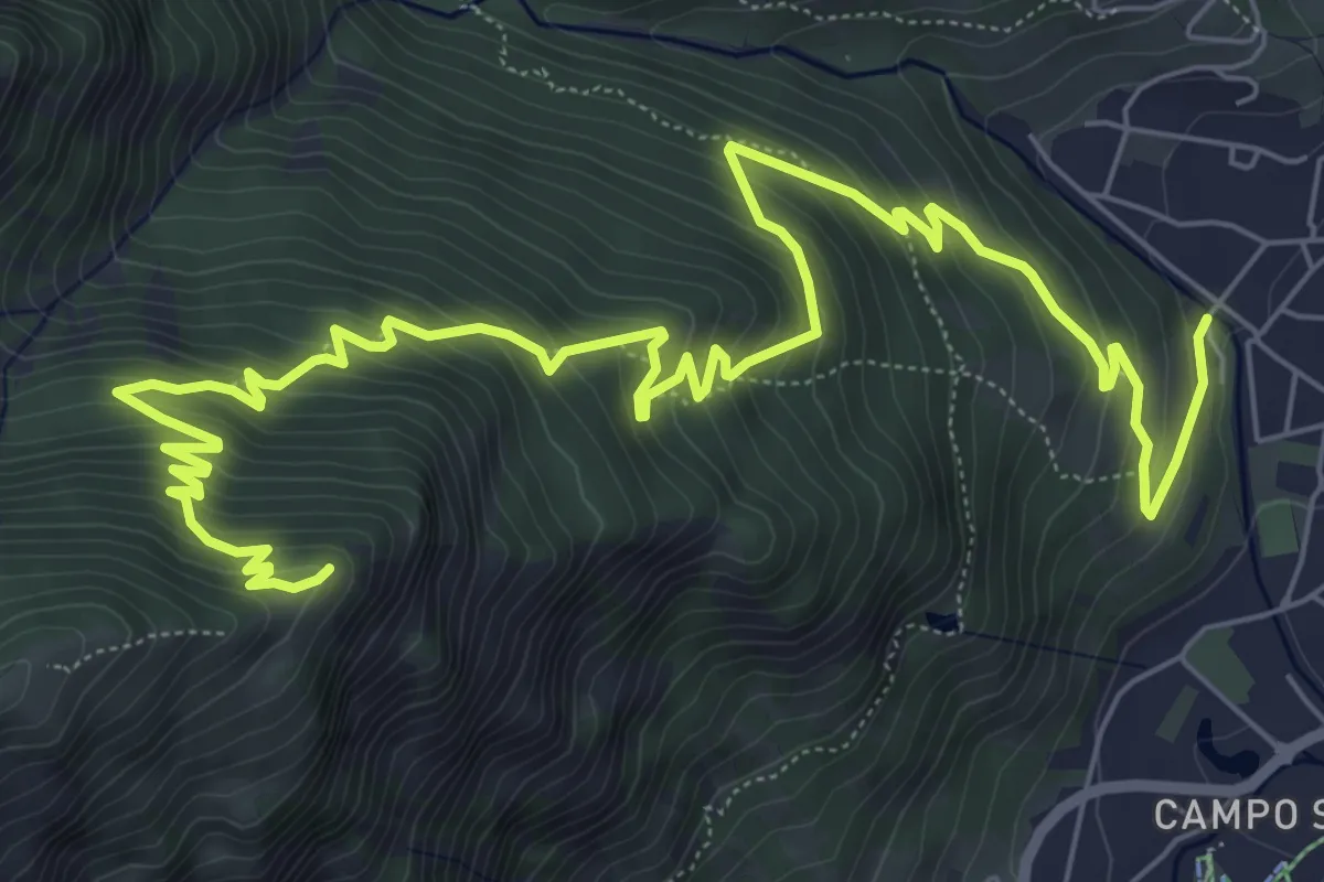
Demanding · Summit
Bivio 706-743, Bardonecchia – Tre Croci
11.1 km · ↑ 832 m · 4 h 25 min
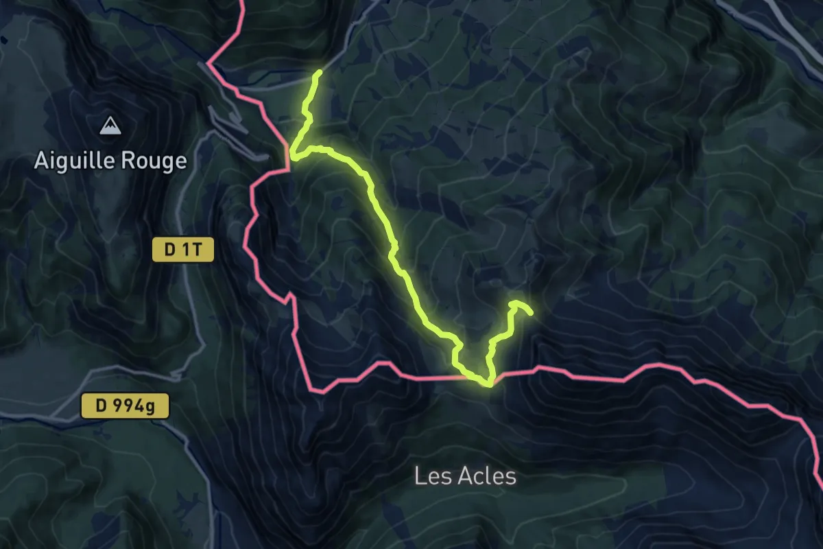
Demanding · Trail
Pian del Colle, bivio TOS710A-TOS758 – Passo della Mulattiera, Bivio TOS705-TOS710-TOS743B
13.1 km · ↑ 1005 m · 5 h 16 min
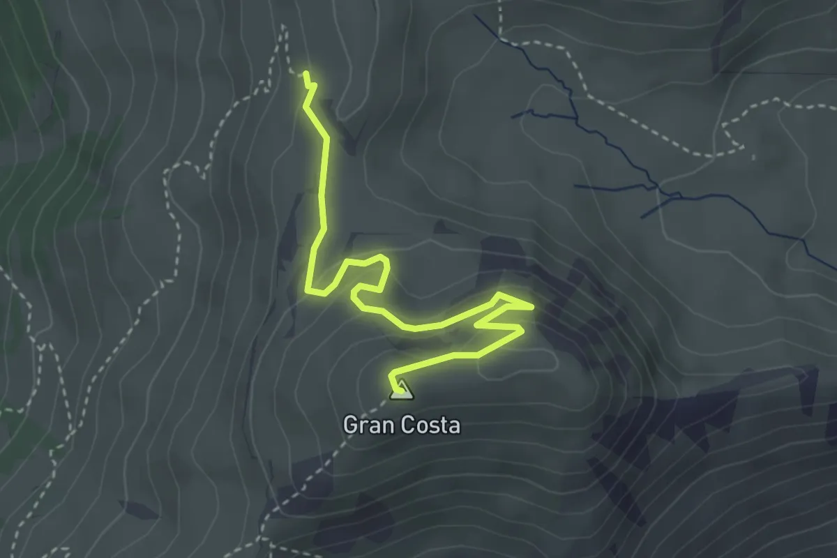
Easy · Summit
Bivio 712-712C – Batteria Gran Costa
3.7 km · ↑ 173 m · 1 h 15 min
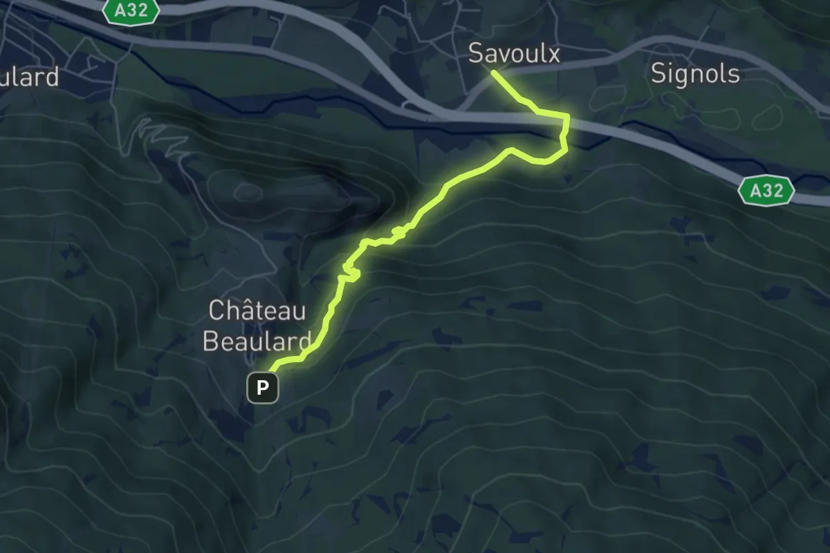
Medium · Trail
Bivi 715-715A, Chateau Beaulard – Bivio 715A-725-737, Savoulx
5.9 km · ↑ 337 m · 2 h 7 min
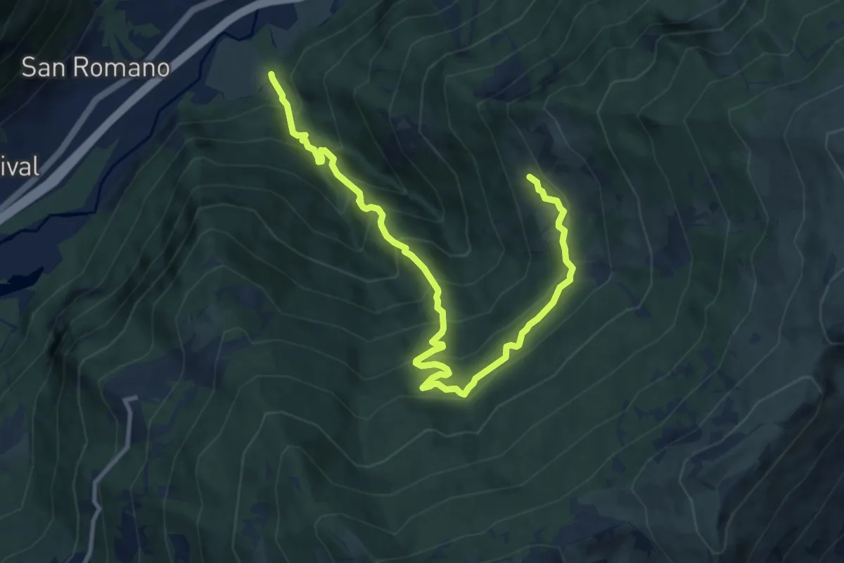
Demanding · Cabin
Bivio 720-741 – Bivio TOS712A-TOS720, rifugio Arlaud - Montagne Seu
11.6 km · ↑ 1058 m · 5 h 2 min
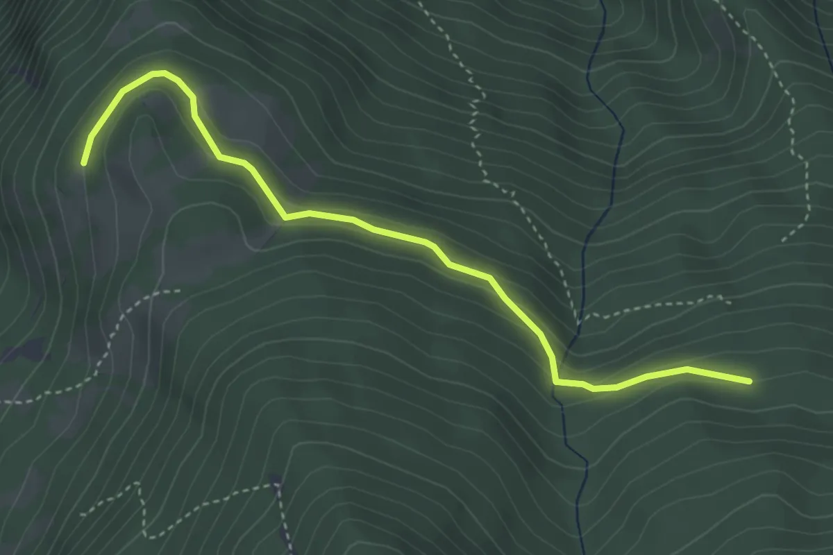
Easy · Trail
Bivio 720-720A – Bivio 720A-741, Serre Gountard
4.2 km · ↑ 215 m · 1 h 27 min
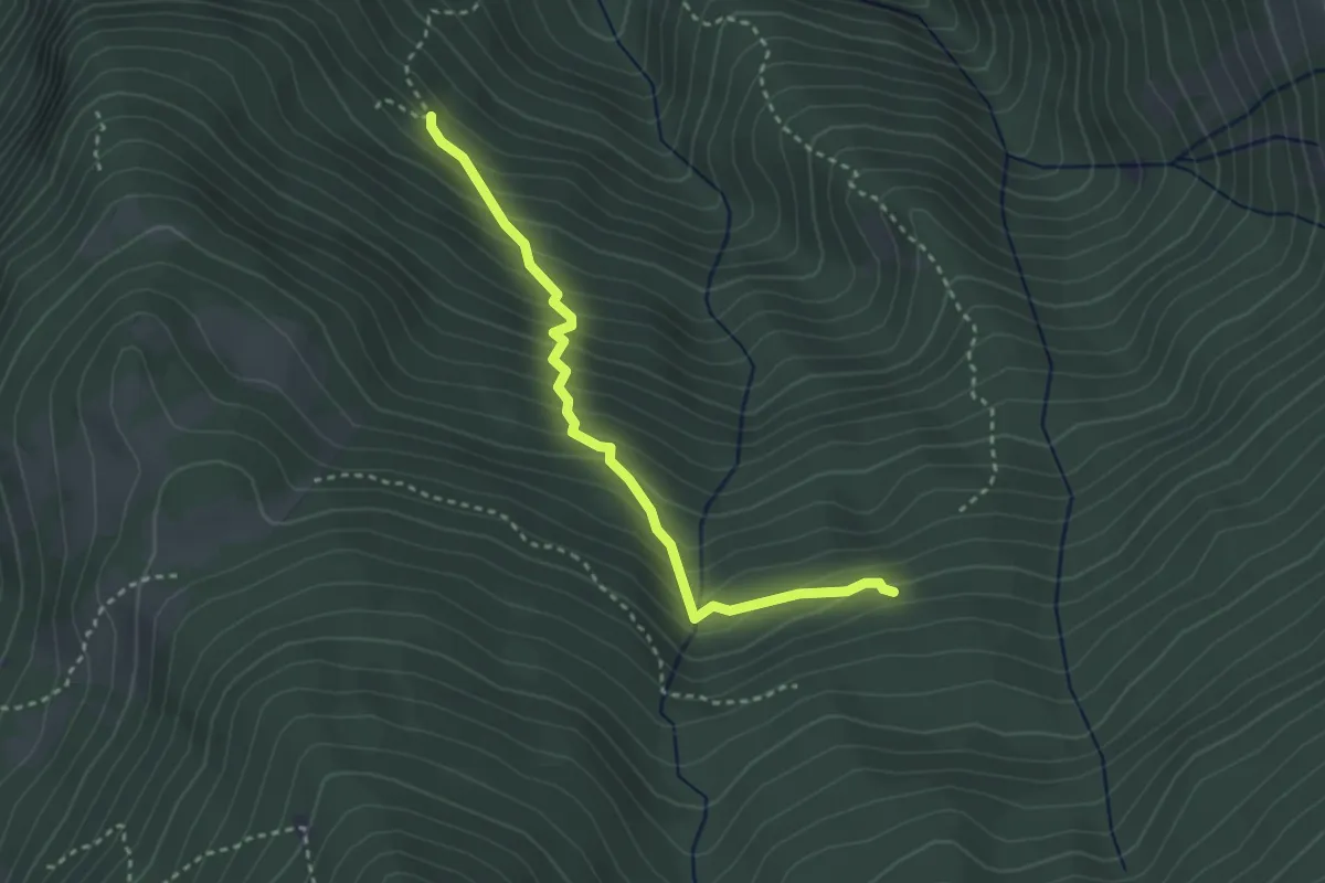
Medium · Trail
Case Sersaret, bivio TOS720B-TOS741 – Bivio 720-720B
3.1 km · ↑ 363 m · 1 h 32 min
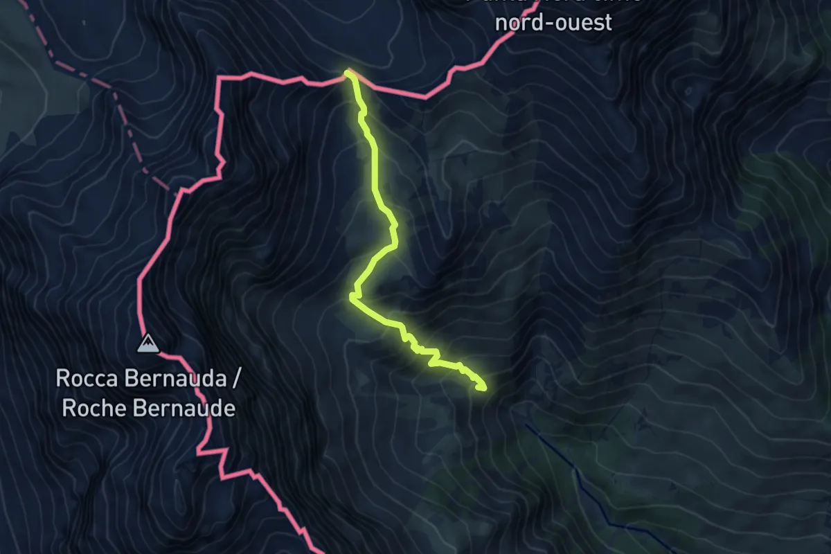
Medium · Trail
Bivio 721-743, Bardonecchia – Colle della Rho
5.7 km · ↑ 553 m · 2 h 33 min
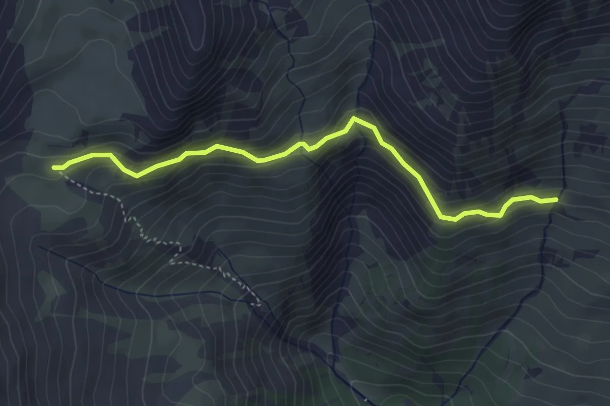
Easy · Trail
Bivio 721-721A, Grange La Rho – Bivio 721-721A, Pian dei Morti
4.2 km · ↑ 289 m · 1 h 38 min
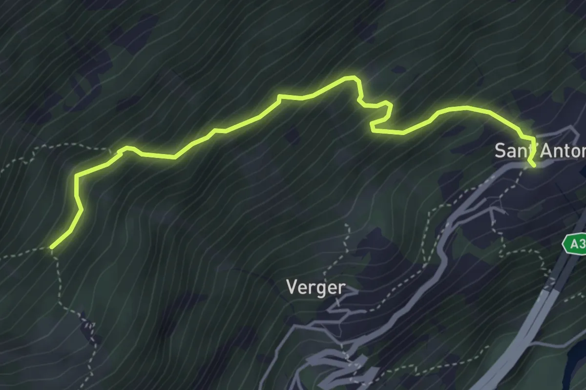
Medium · Trail
Bivio TOS810A-TOS821, Sant’Antonio, Chiomonte – Bivio TOS810A-TOS810, presso Amburnet, Exilles
4.7 km · ↑ 568 m · 2 h 20 min
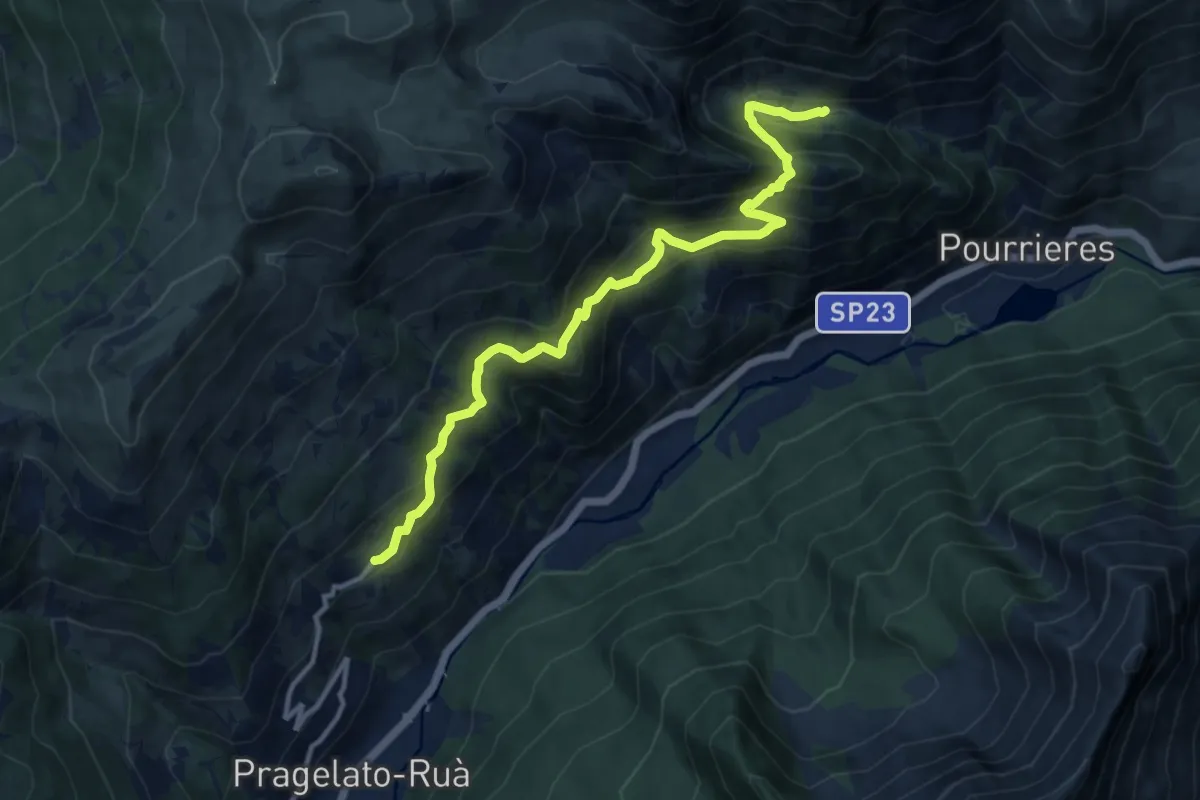
Demanding · Trail
Pragelato, frazione Gran Puy, bivio TOS327-TOS378 – Bivio TOS331-TOS378 presso Rio Assietta
12.1 km · ↑ 819 m · 4 h 38 min
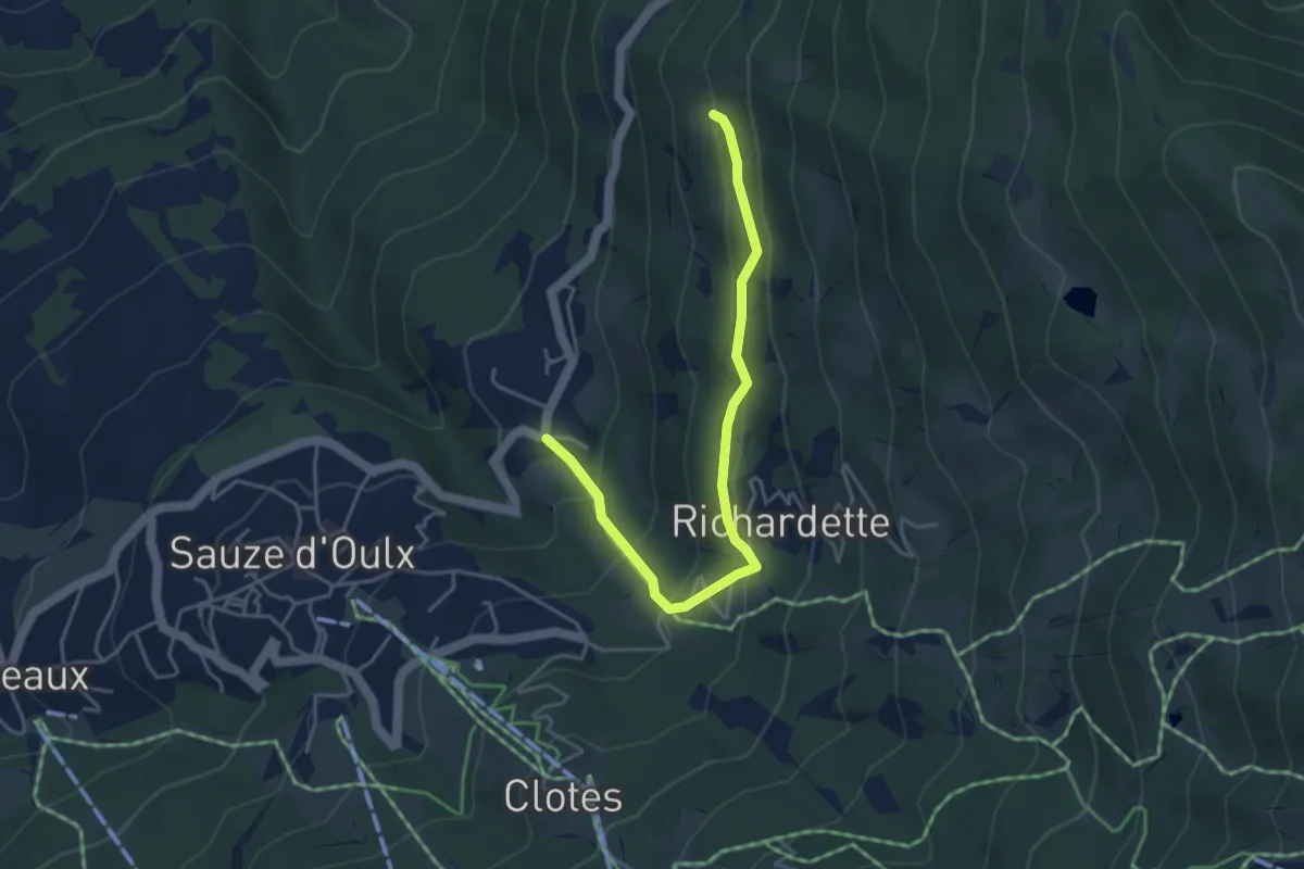
Easy · Trail
Sauze d'Oulx, Gran Villard, bivio TOS733-TOS733A – Sauze d'Oulx, case Soubeiran, bivio TOS733-TOS733A
4.4 km · ↑ 278 m · 1 h 39 min
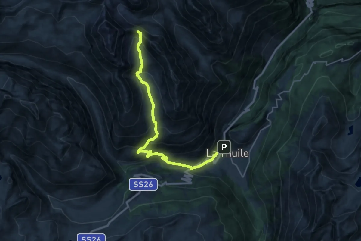
Expert · Trail
Capoluogo – Col des Orgères
17.8 km · ↑ 1253 m · 6 h 55 min
Expert · Summit
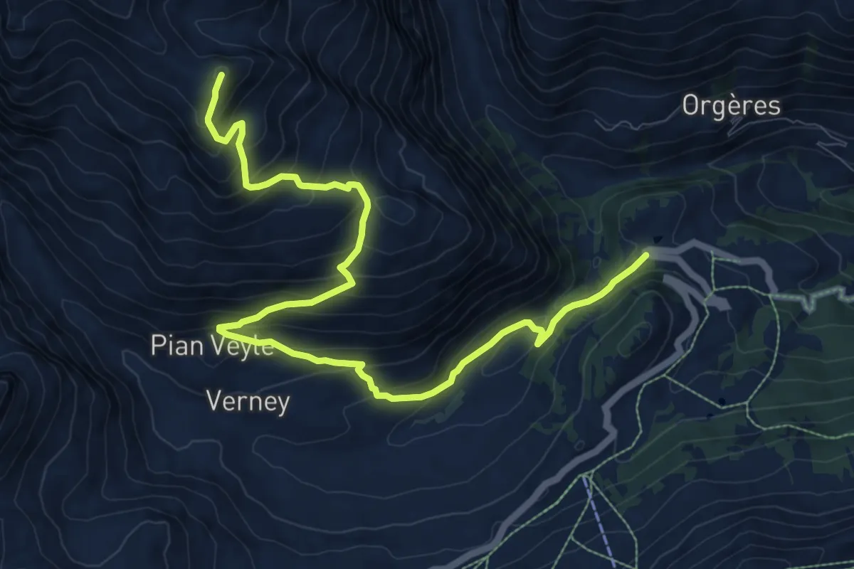
Strada Piccolo San Bernardo (tornante quota 1861) – Laityre
12.0 km · ↑ 872 m · 4 h 43 min
Expert · Summit
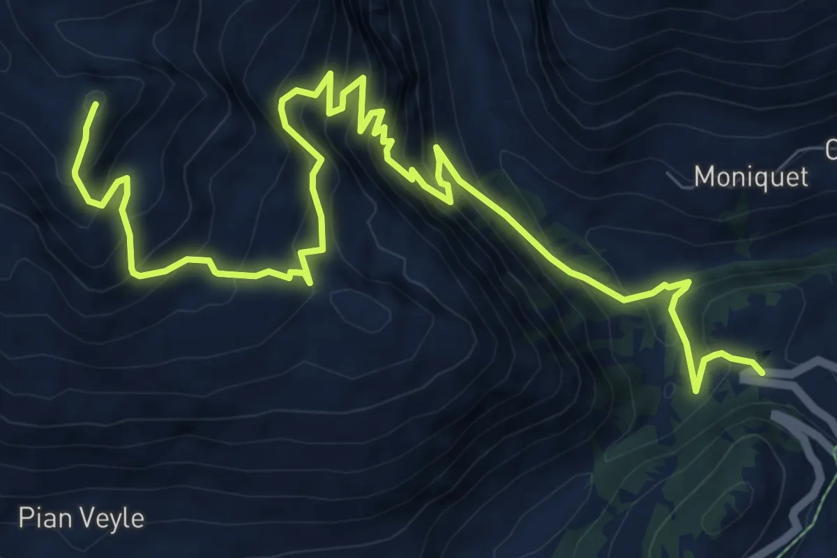
Strada Piccolo San Bernardo (tornante quota1861) – Laityre
12.0 km · ↑ 1197 m · 5 h 26 min
Medium · Summit
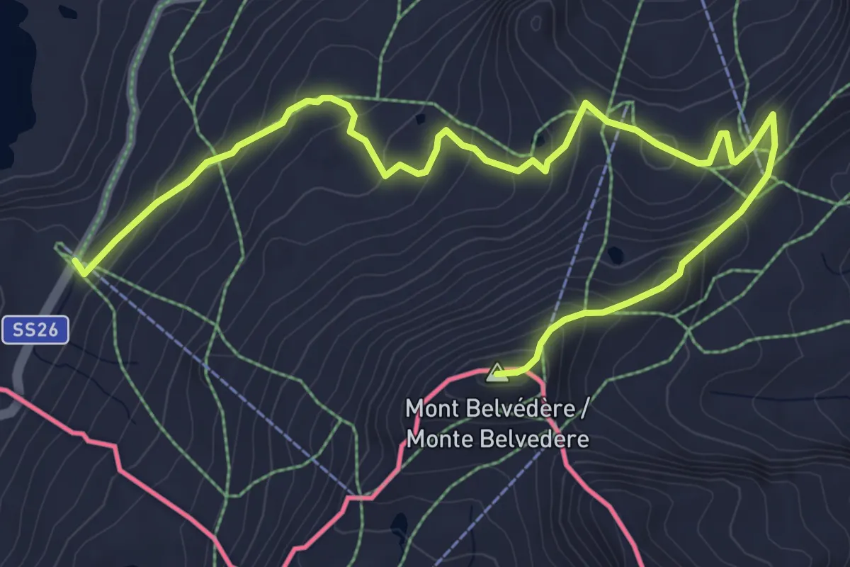
Colle Piccolo San Bernardo – Mont-Belvedere (confine di stato)
7.8 km · ↑ 436 m · 2 h 48 min
Medium · Trail
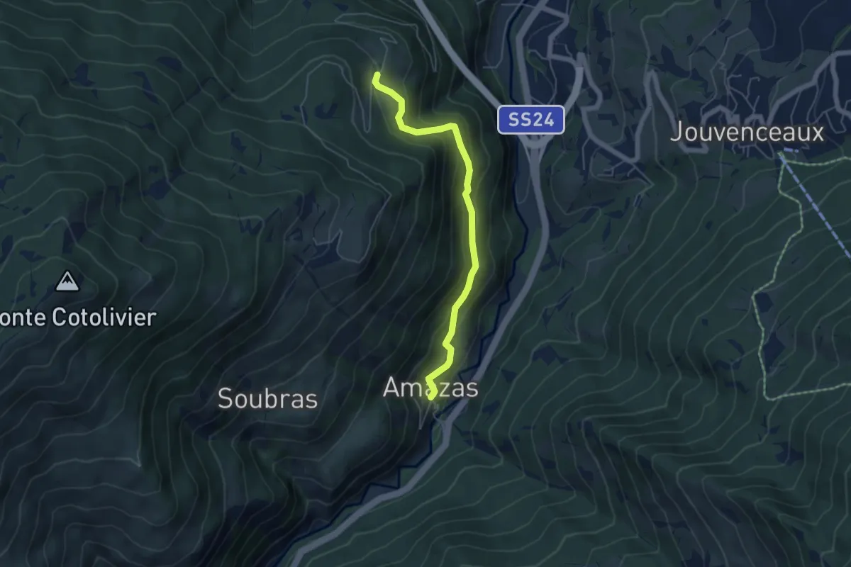
Oulx, Amazas, bivio TOS716B-TOS715B – Pierremenaud, bivio TOS715-TOS715B
5.0 km · ↑ 412 m · 2 h 4 min