Trails in Italy
25,219 hiking trails, each with its route, climb, walking time and grade.
All trails, page 400 of 526
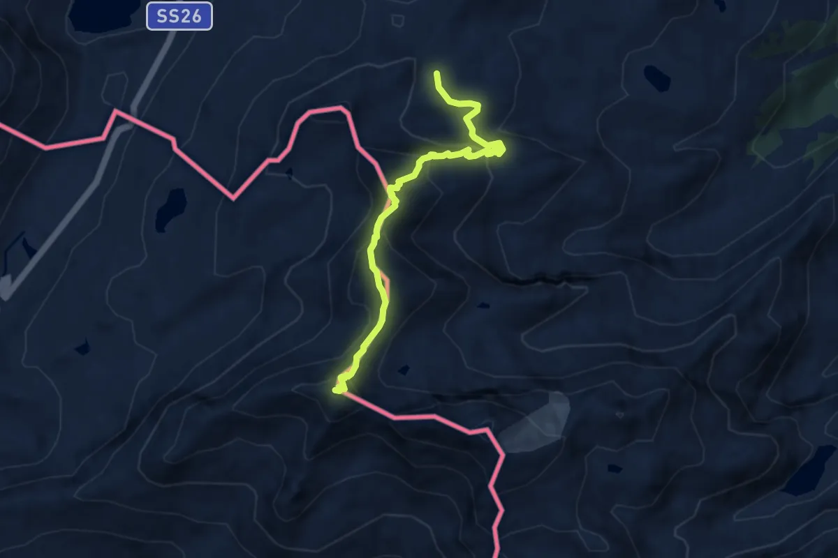
Expert · Summit
Col de la Fouclaz – Mont-Valaisan
7.6 km · ↑ 632 m · 3 h 10 min
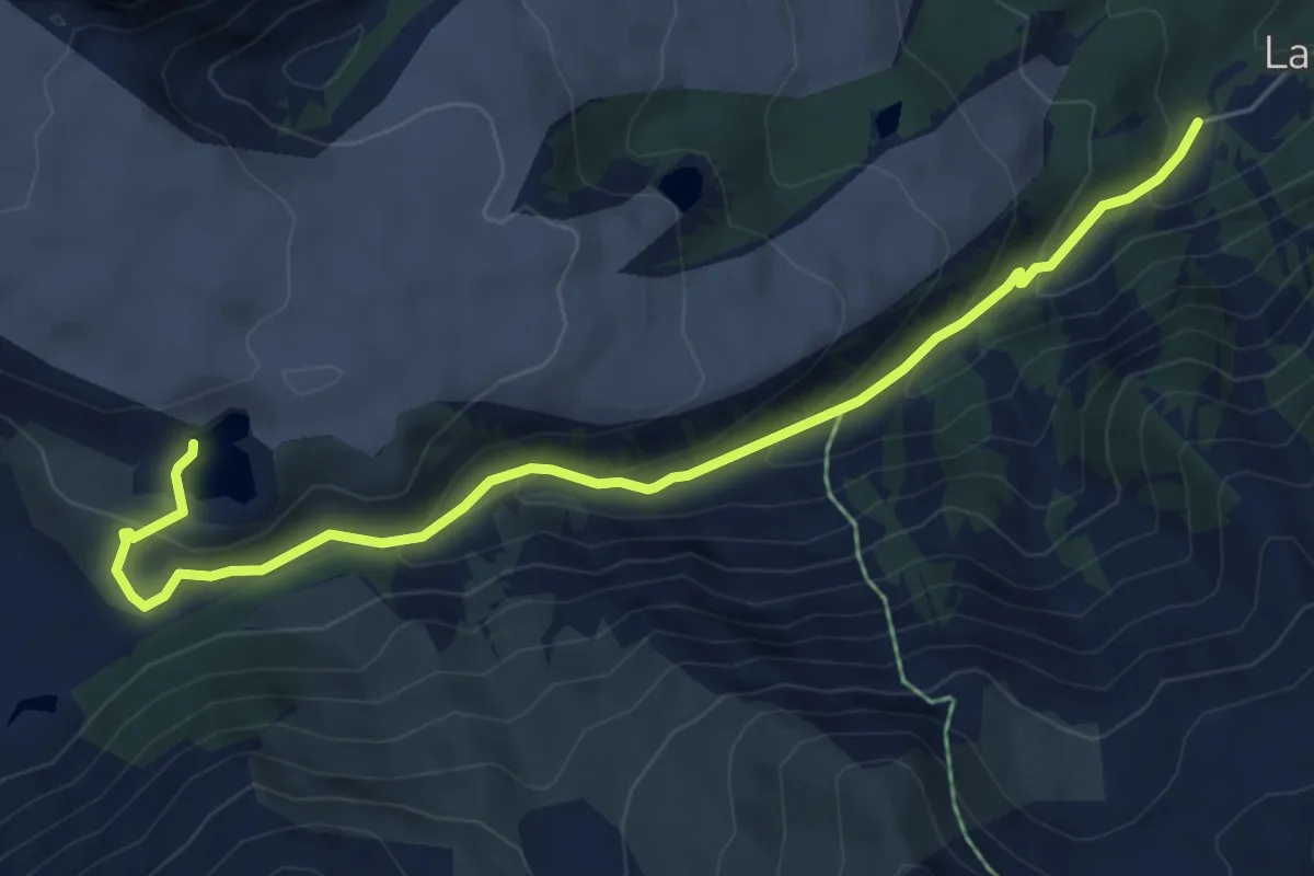
Medium · Trail
Visaille – Ghiacciaio del Miage quota 2260
6.7 km · ↑ 380 m · 2 h 24 min
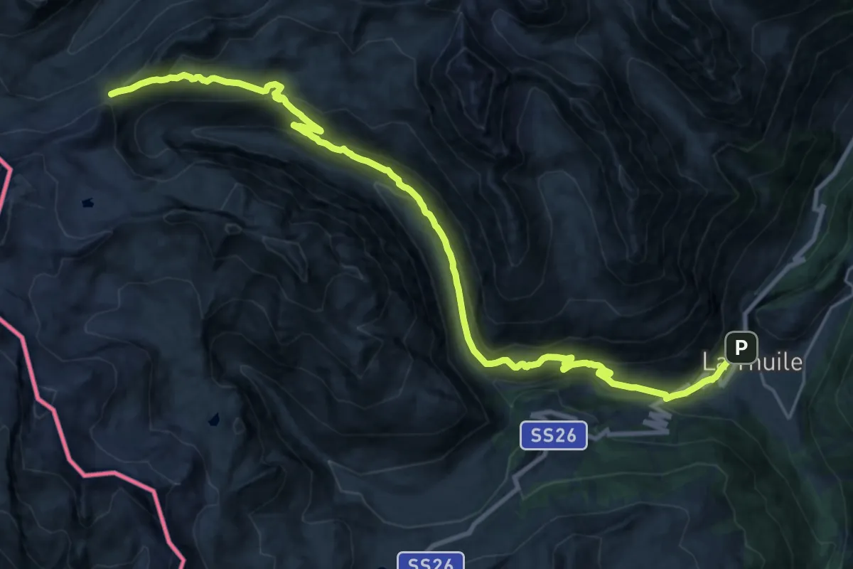
Demanding · Trail
Faubourg – Col des Chavannes
13.5 km · ↑ 1276 m · 5 h 34 min
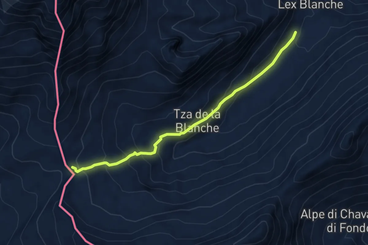
Medium · Trail
Plan de Lognan – Colle della Seigne
5.9 km · ↑ 347 m · 2 h 8 min
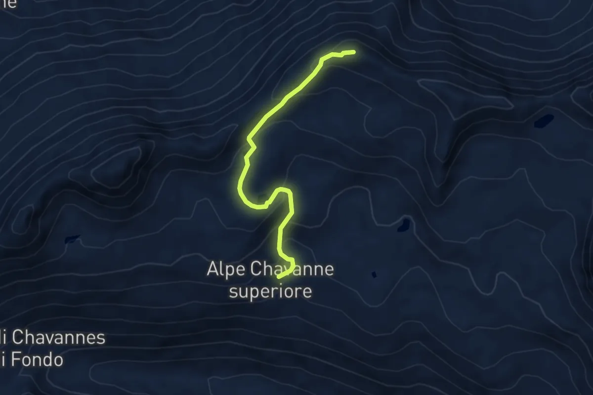
Medium · Summit
Chavannes d'en-Haut – Mont Fortin
4.8 km · ↑ 288 m · 1 h 45 min
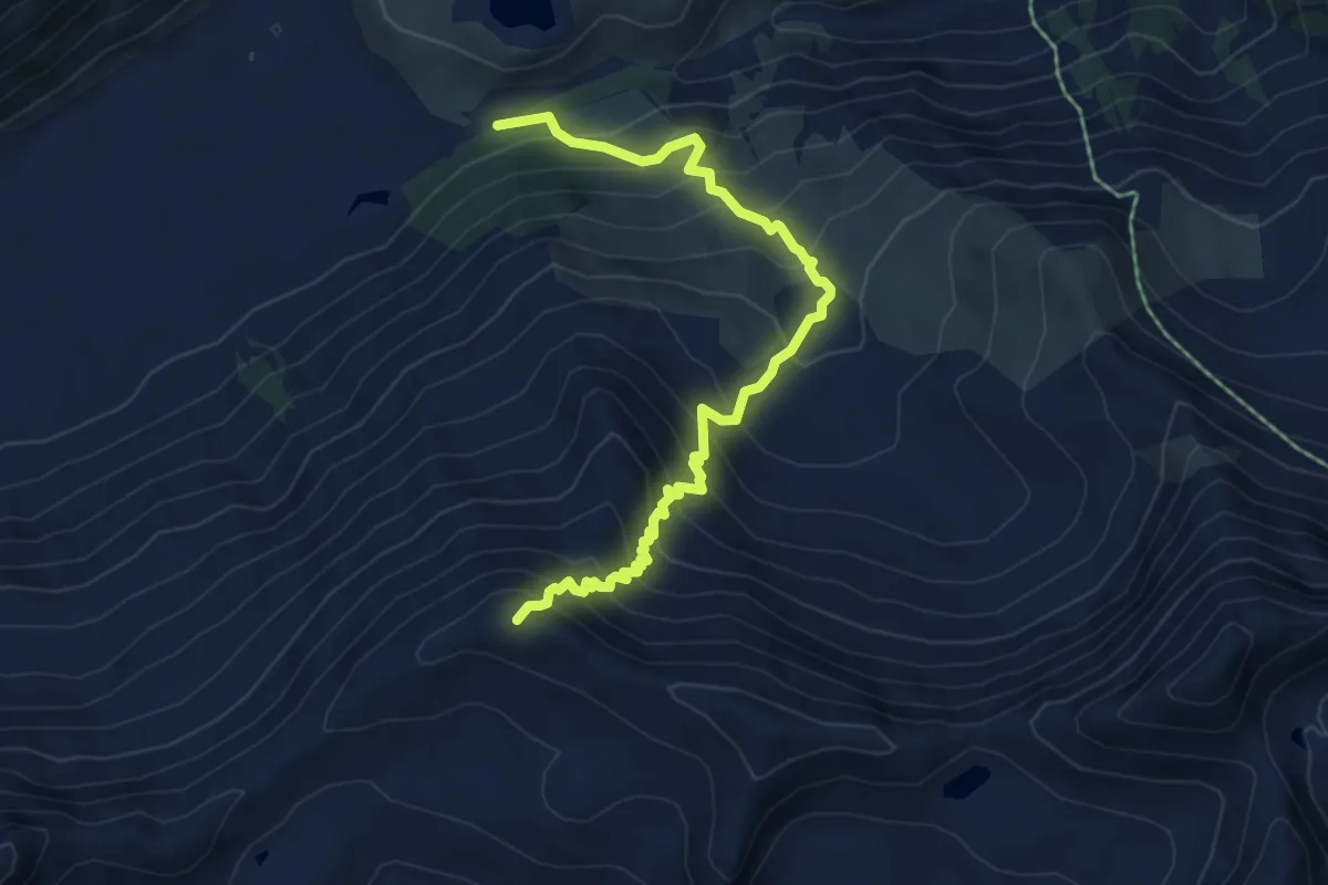
Demanding · Summit
Pont Combal – Mont Fortin
6.1 km · ↑ 748 m · 3 h 4 min
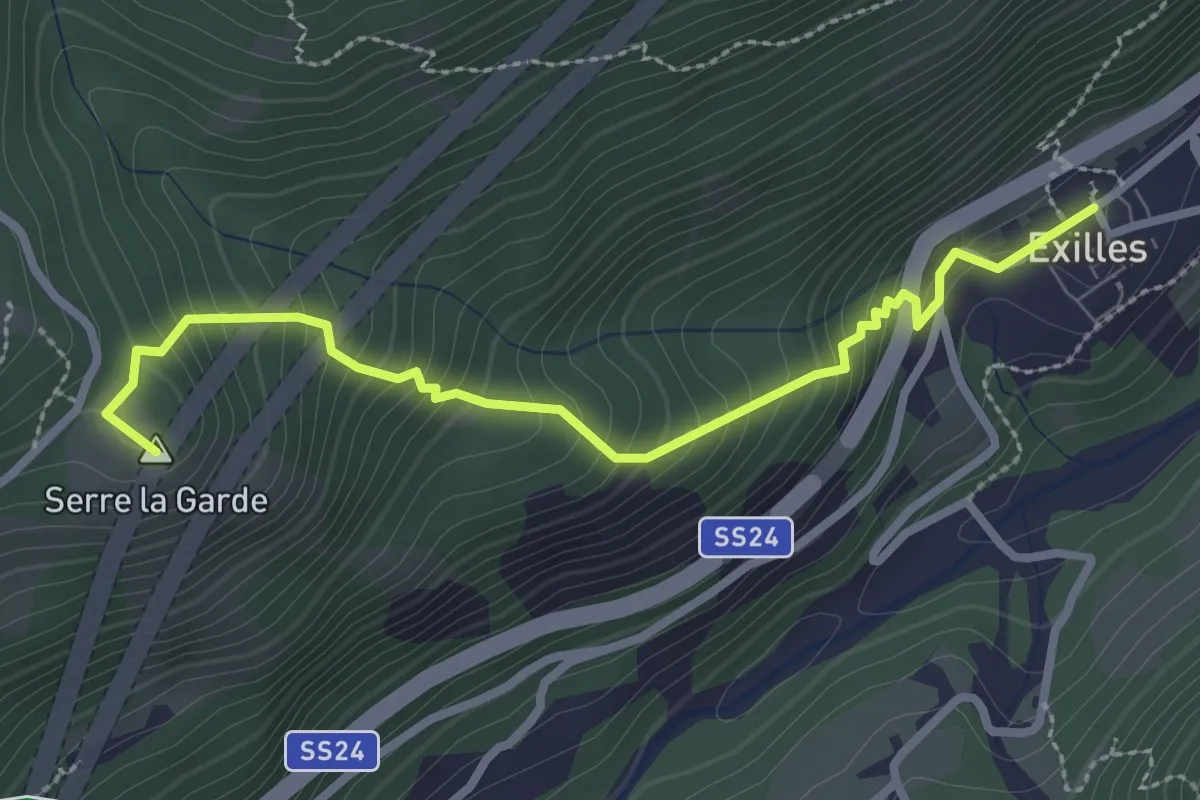
Medium · Summit
Exilles, centro paese, bivio TOS814-TOS814A – Exilles, bivio TOS815-TOS814A
3.0 km · ↑ 352 m · 1 h 28 min
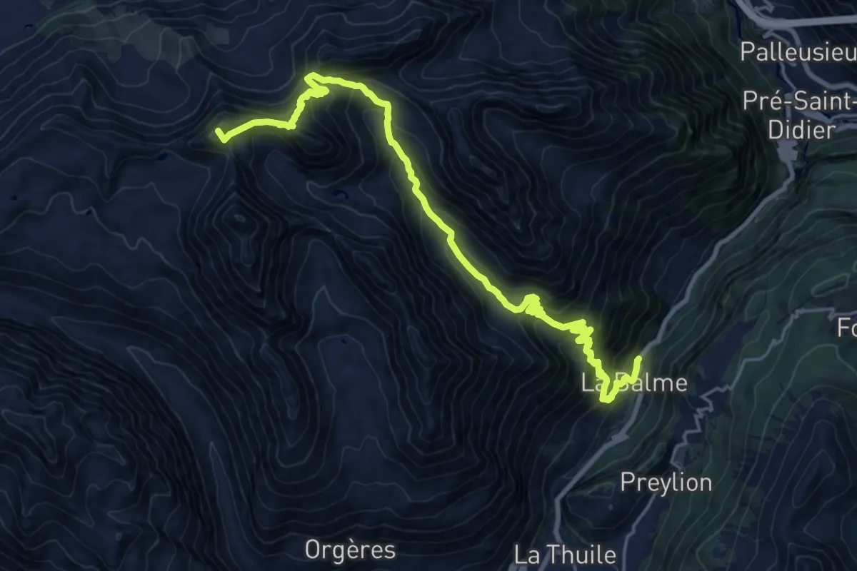
Demanding · Summit
Balme – Col du Berrio Blanc
21.9 km · ↑ 1844 m · 9 h 10 min
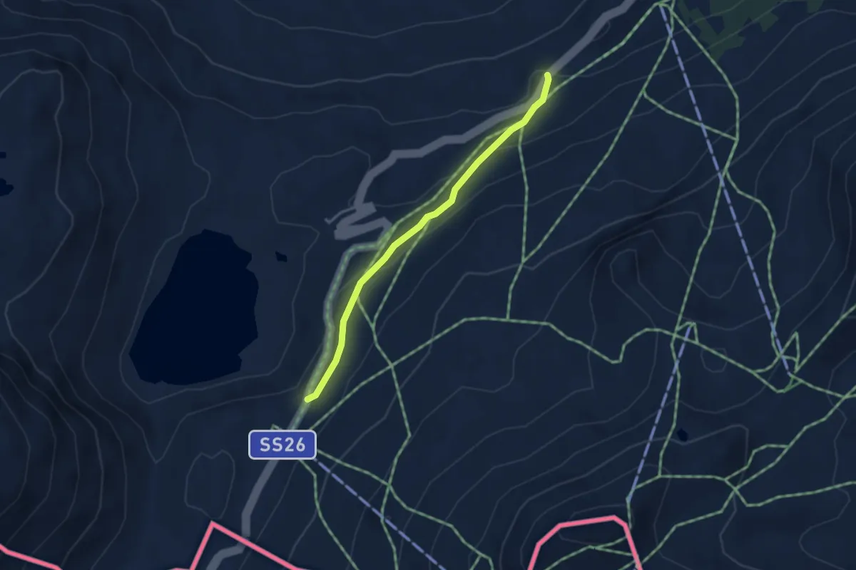
Easy · Trail
Bivio Vallone des Chavannes – Colle del Piccolo San Bernardo
3.2 km · ↑ 138 m · 1 h 3 min
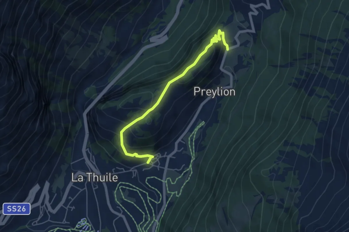
Easy · Trail
Thovex – Granges
5.1 km · ↑ 314 m · 1 h 52 min
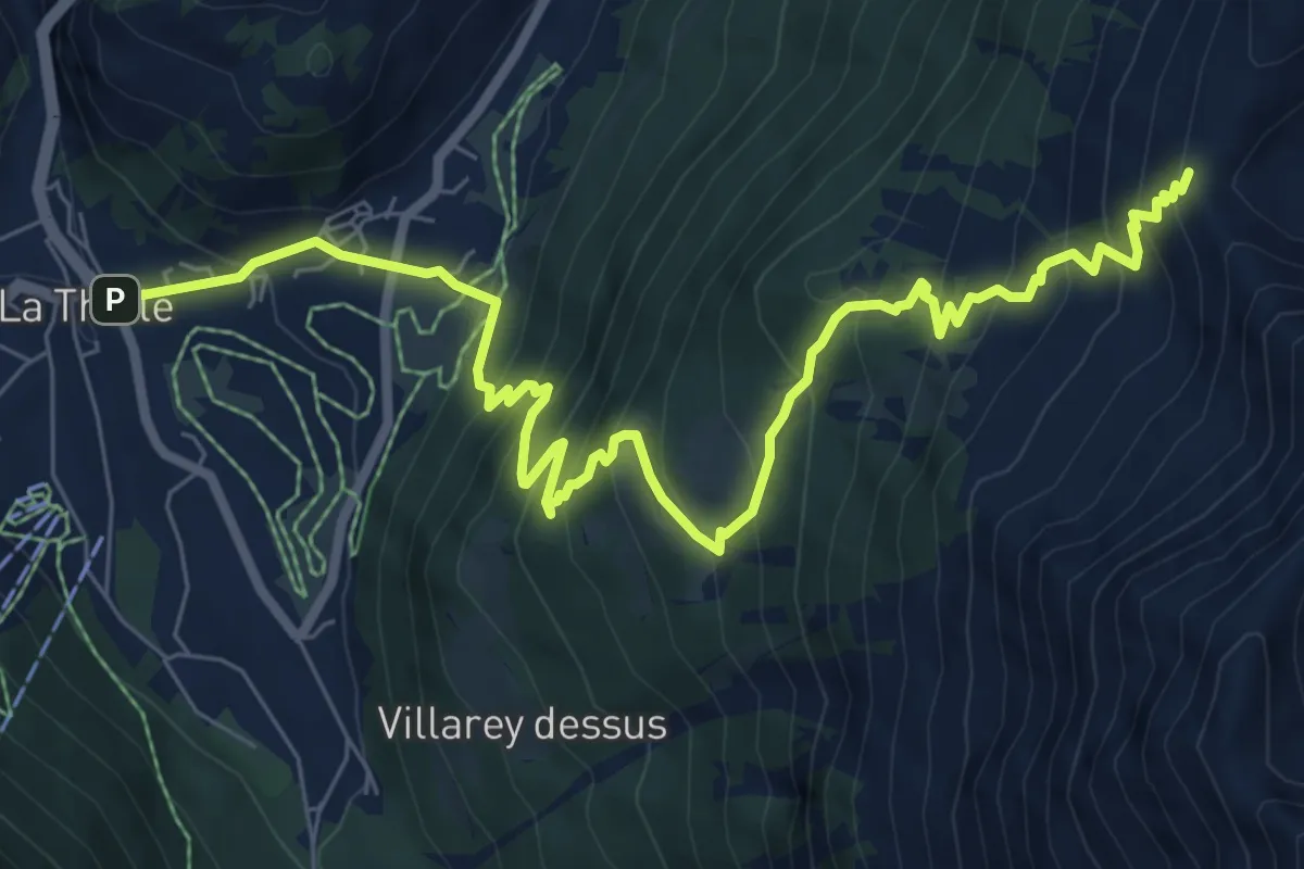
Demanding · Trail
La Thuile – Col de la Croix
9.7 km · ↑ 908 m · 4 h 15 min
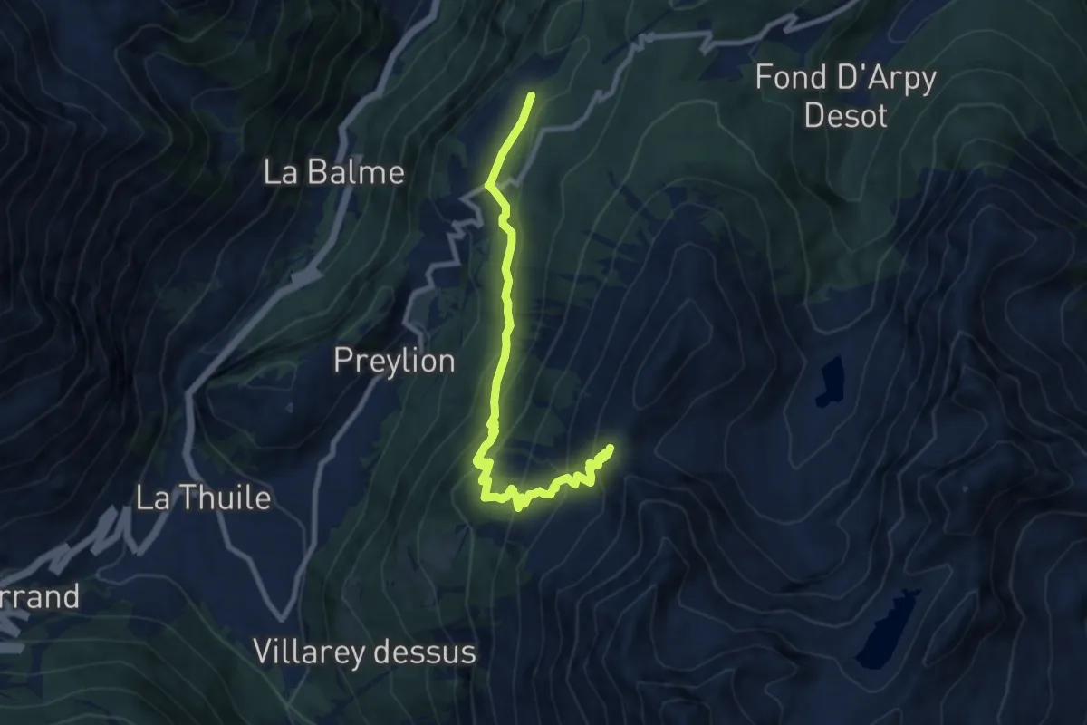
Medium · Trail
Petosan – Col de la Croix
9.1 km · ↑ 671 m · 3 h 36 min
Medium · Trail
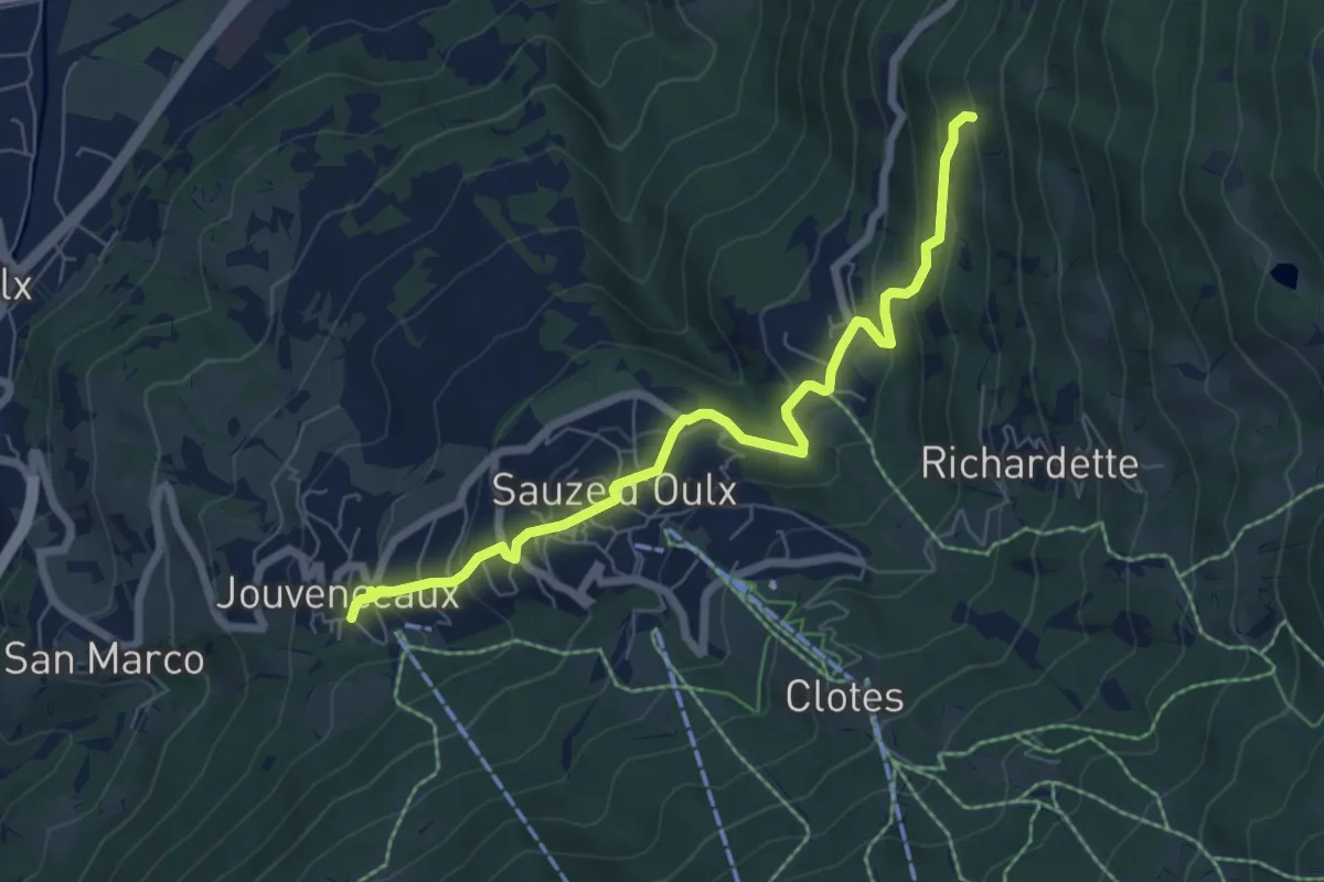
Sauze d'Oulx, Jovenceaux, bivio TOS732-TOS733 – Sauze d'Oulx, case Soubeiran, bivio TOS733-TOS733A
7.0 km · ↑ 437 m · 2 h 36 min
Demanding · Trail
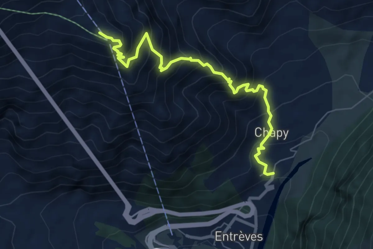
La Palud – Pavillon
6.5 km · ↑ 839 m · 3 h 21 min
Medium · Trail
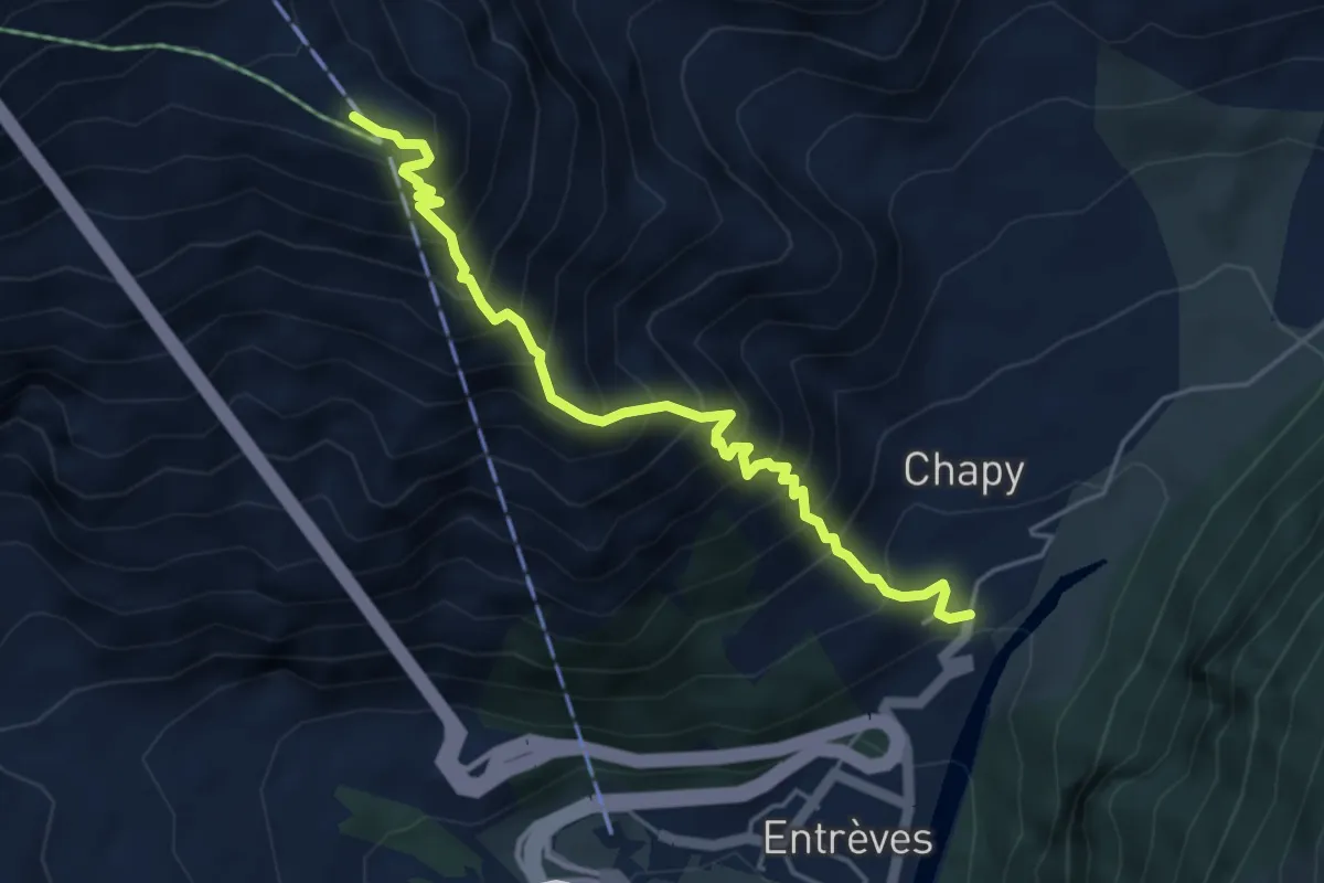
La Palud – Pavillon
4.9 km · ↑ 795 m · 2 h 53 min
Medium · Trail
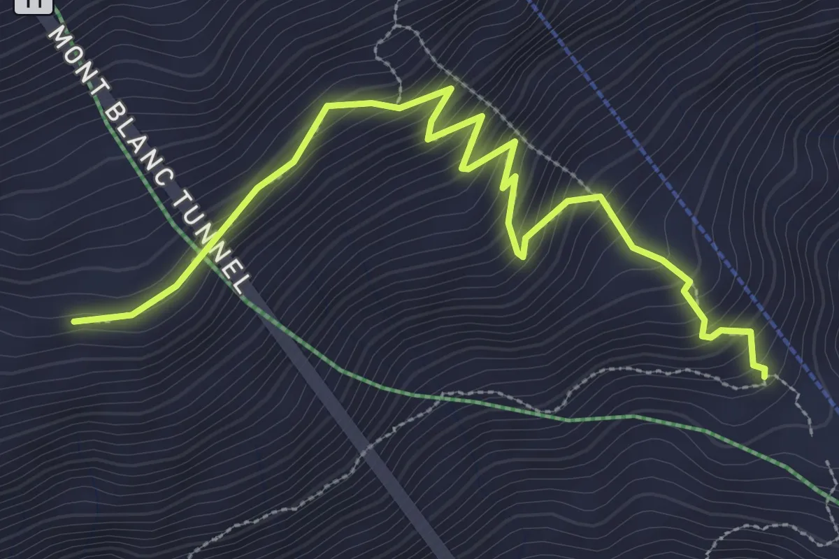
Pavillon – Morena Thoula
3.9 km · ↑ 369 m · 1 h 43 min
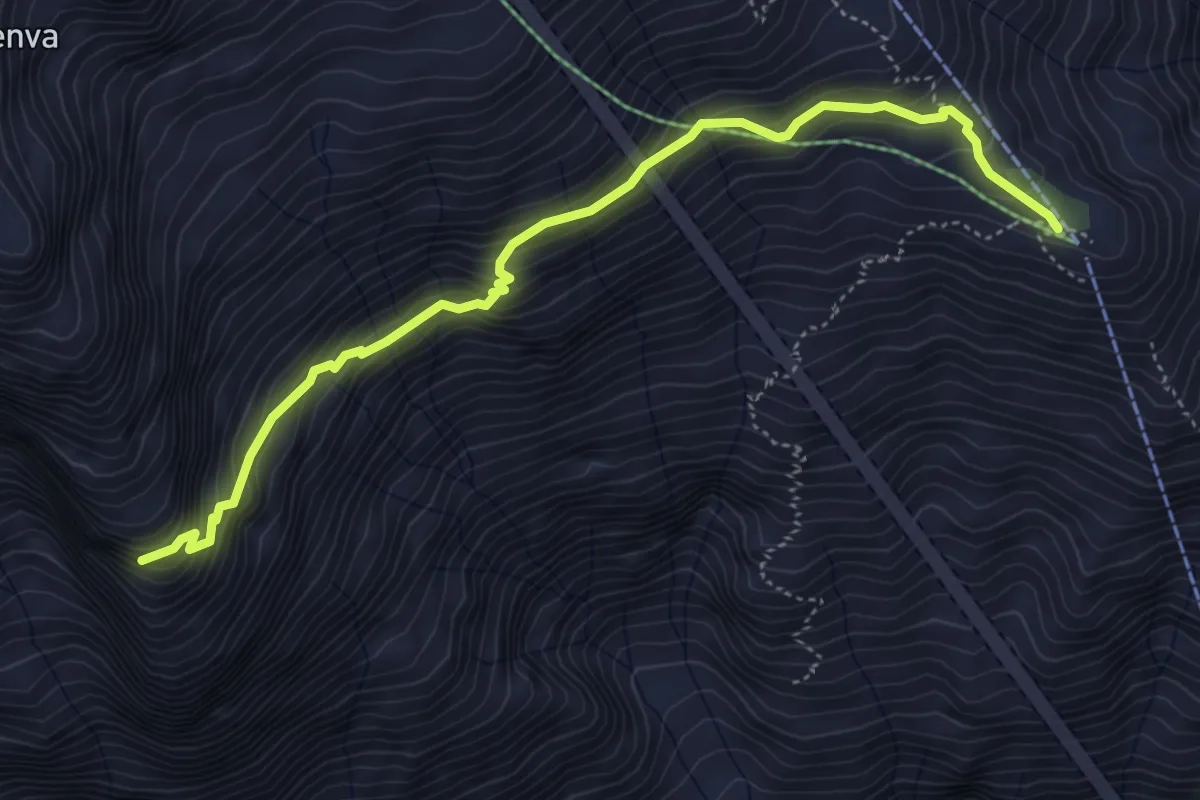
Medium · Cabin
Pavillon – Belvedere della Brenva
5.2 km · ↑ 448 m · 2 h 12 min
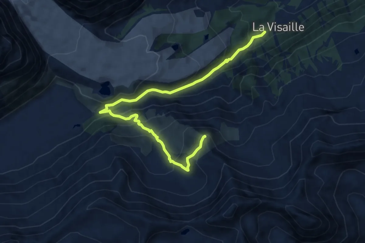
Demanding · Summit
Visaille – Col de la Youlaz
11.0 km · ↑ 745 m · 4 h 13 min
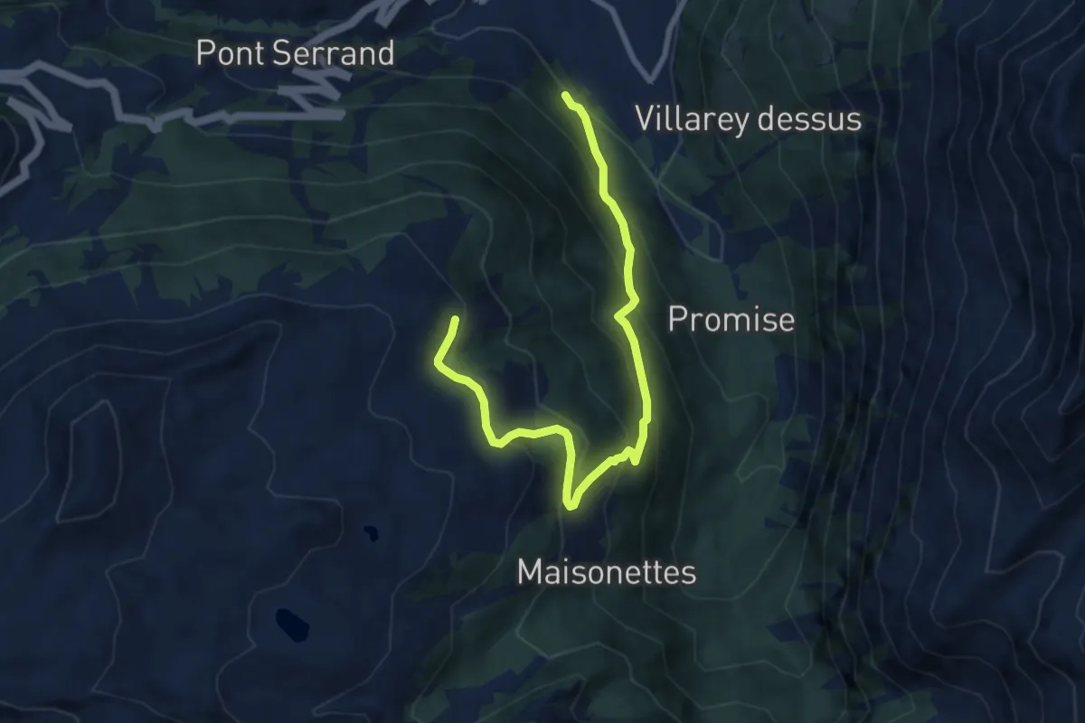
Medium · Trail
Parcheggio Area camper – Souches
8.7 km · ↑ 648 m · 3 h 28 min
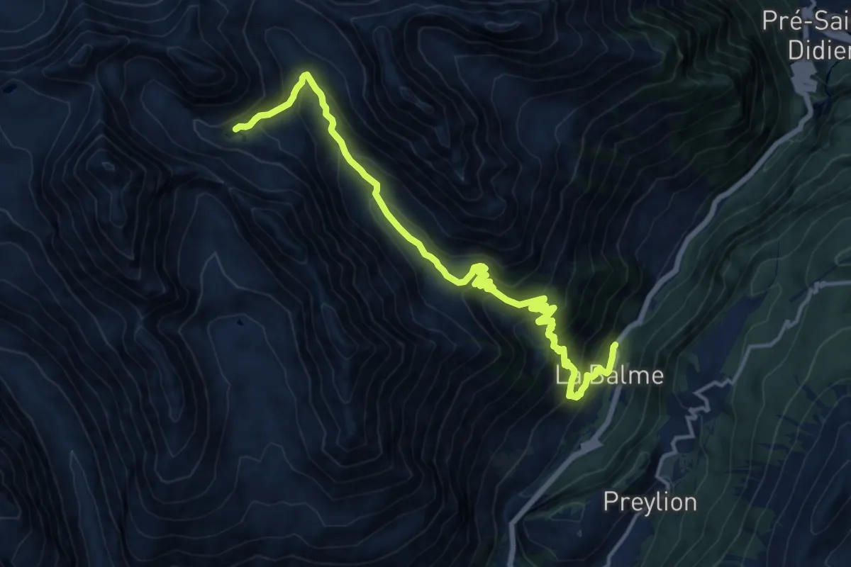
Demanding · Trail
Balme – Lac de la Platé
15.8 km · ↑ 1264 m · 6 h 28 min
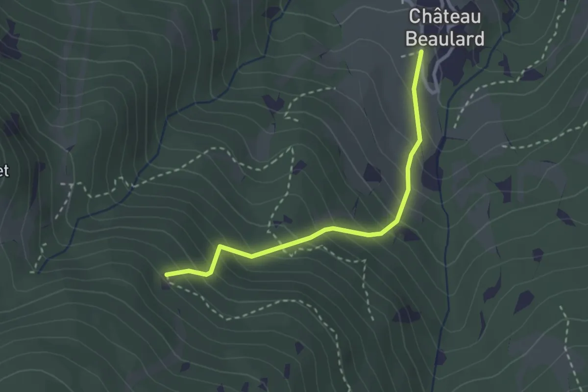
Medium · Trail
Bivio TOS715-TOS715B, Chateau Beaulard – Bivio TOS750-TOS715B
2.6 km · ↑ 311 m · 1 h 17 min
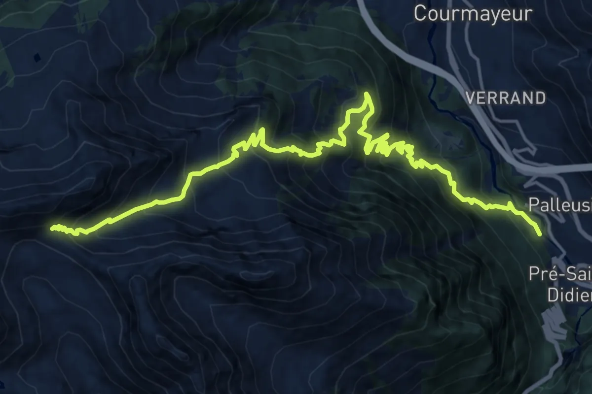
Demanding · Trail
Champex – Col d'Arp
9.1 km · ↑ 1621 m · 5 h 2 min
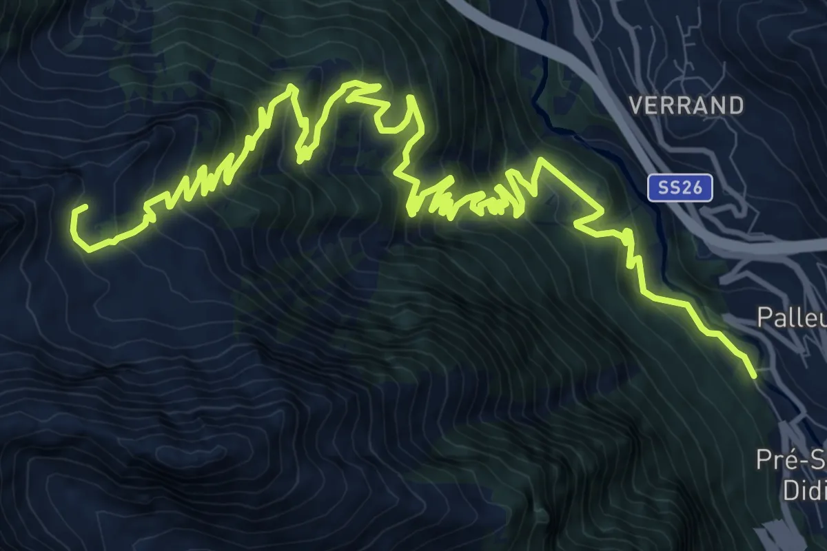
Demanding · Trail
Champex – Arp
19.7 km · ↑ 1433 m · 7 h 45 min
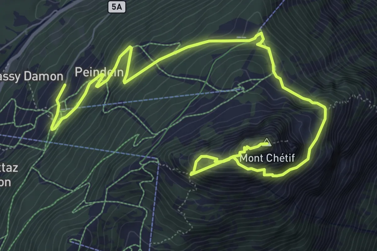
Demanding · Summit
Plan Ponquet – Mont-Chetif
10.2 km · ↑ 983 m · 4 h 32 min
Demanding · Trail
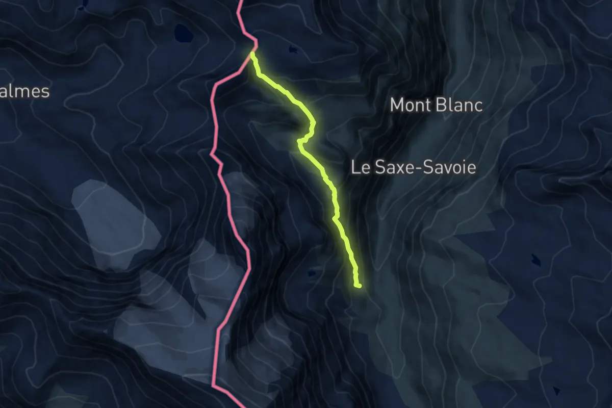
Rifugio Bezzi – Col du Lac Noir
7.4 km · ↑ 620 m · 3 h 5 min
Medium · Trail
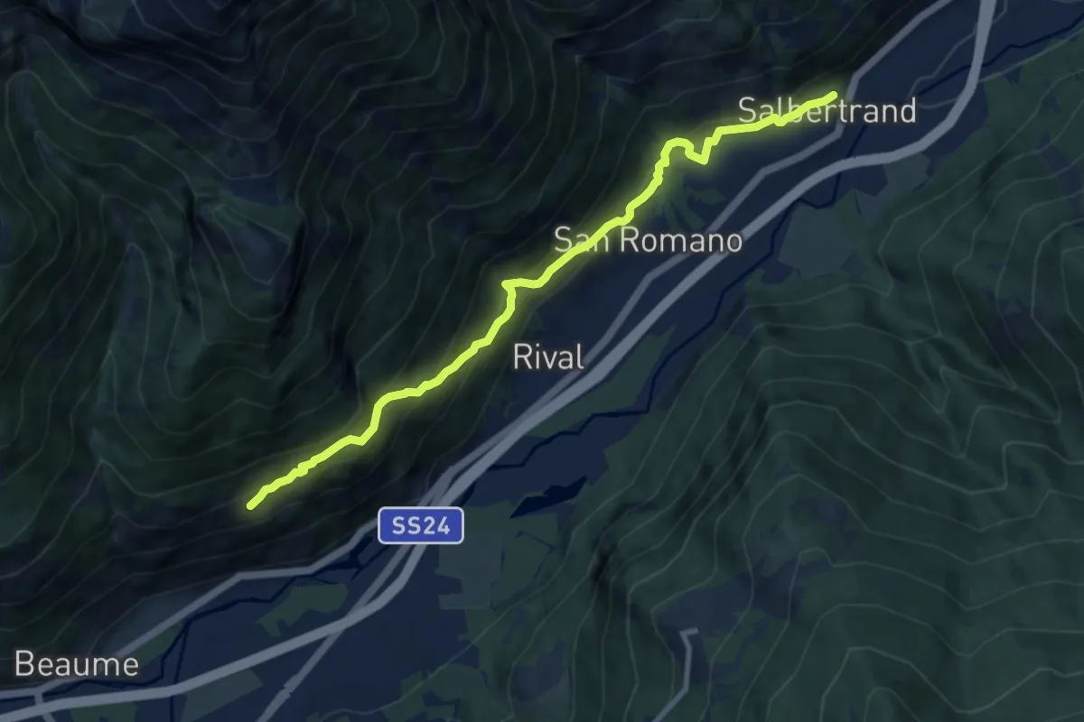
Salbertrand – Oulx, Frazione Auberge, bivio TOS742-TOS742B
9.7 km · ↑ 733 m · 3 h 52 min
Medium · Trail
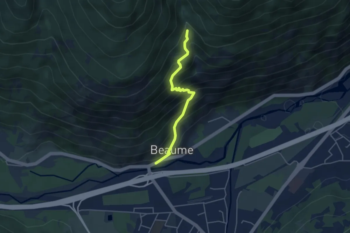
Beaume – Bivio 742
3.6 km · ↑ 423 m · 1 h 45 min
Easy · Summit
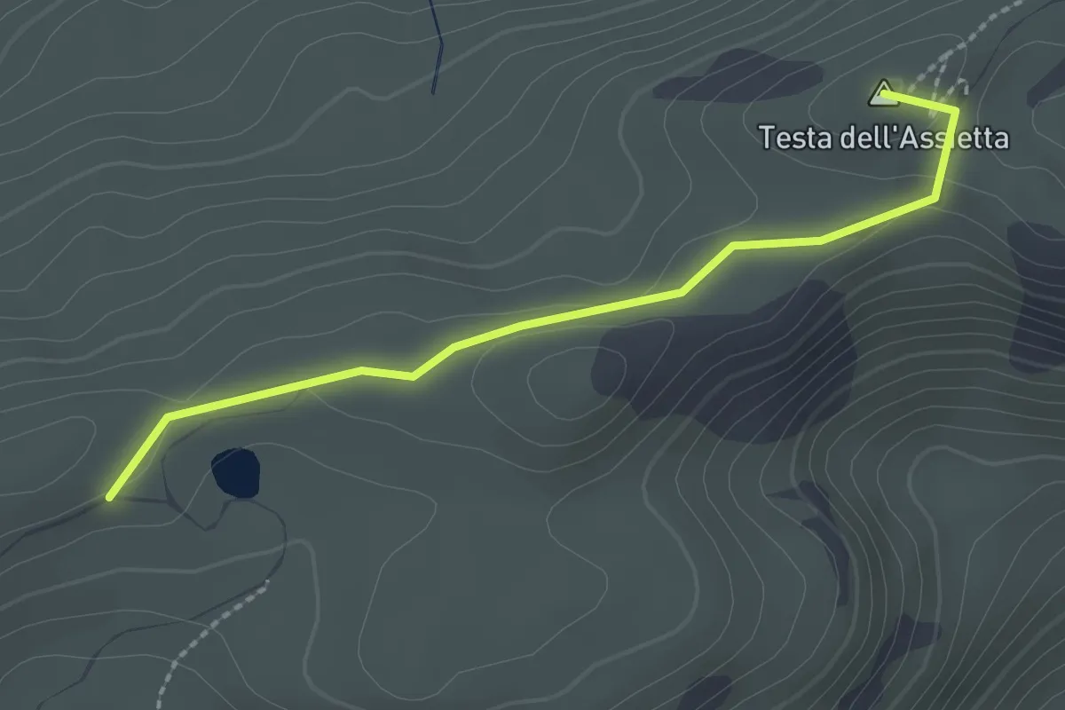
Usseaux, Colle dell'Assietta, bivio TOS302-TOS827-TOS373-TOS331 – Pragelato, Rifugio Casa Assietta, bivio TOS302-TOS712
2.4 km · ↑ 20 m · 36 min
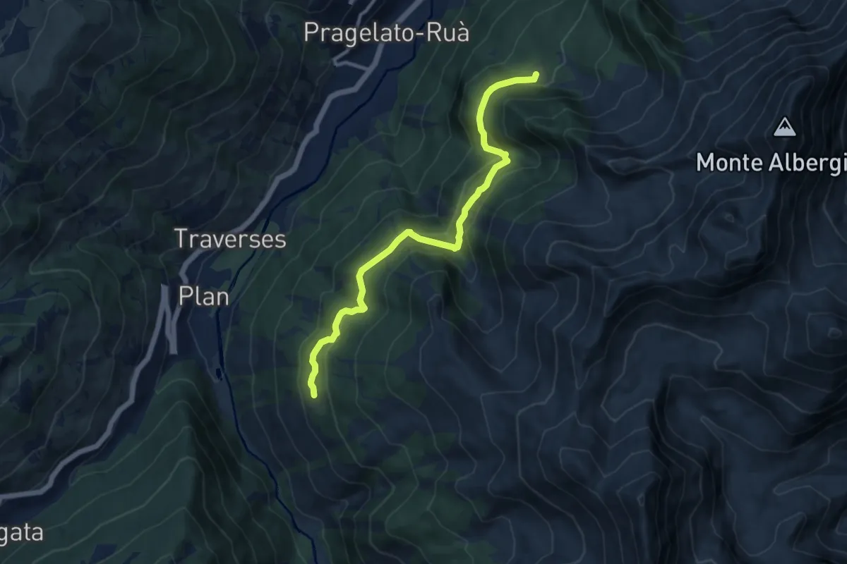
Medium · Trail
Pragelato, bivio TOS303-TOS303B presso Jossaud – Pragelato, Fontana Pre' d'Amont, biivo TOS316-TOS303B
10.4 km · ↑ 591 m · 3 h 45 min
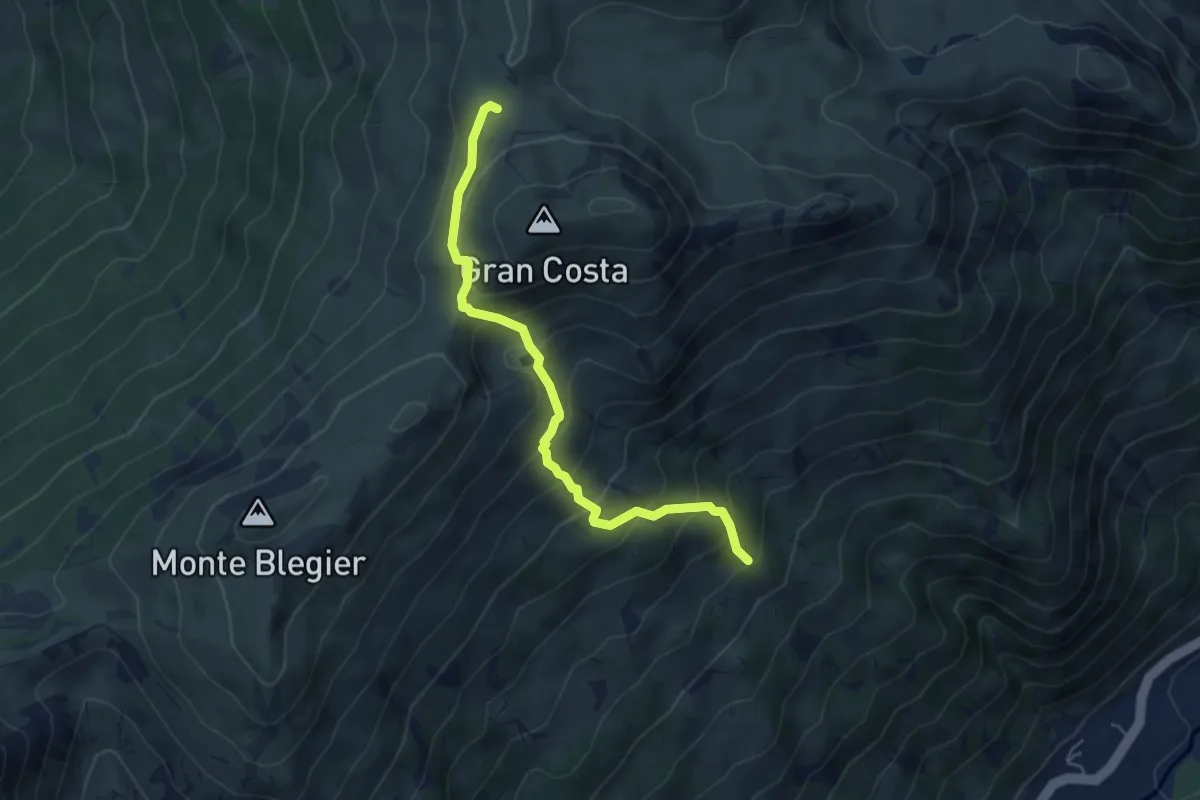
Medium · Trail
Pragelato, bivio TOS328-TOS372 presso Rivo Roccia – Bivio TOS328-TOS712C presso Colle di Lausan
5.4 km · ↑ 506 m · 2 h 22 min
Demanding · Summit
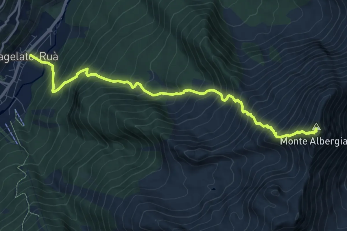
Pragelato, Borgata Ru, bivio TOS327-TOS316 – Monte Albergia
10.5 km · ↑ 1488 m · 5 h 42 min
Medium · Trail
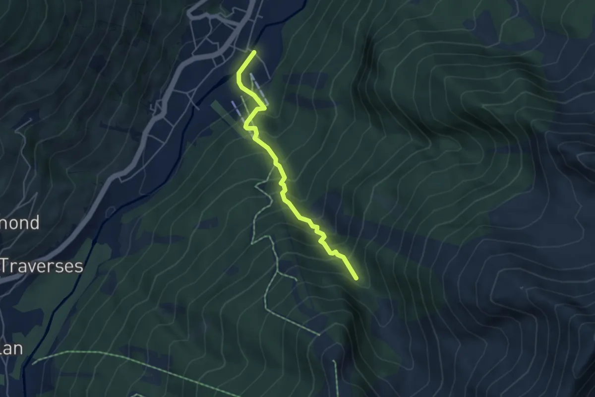
Pragelato, bivio TOS317-TOS303 presso ponte sul Chisone – Pragelato, bivio TOS317-TOS303B presso Rio Mendie
4.4 km · ↑ 518 m · 2 h 10 min
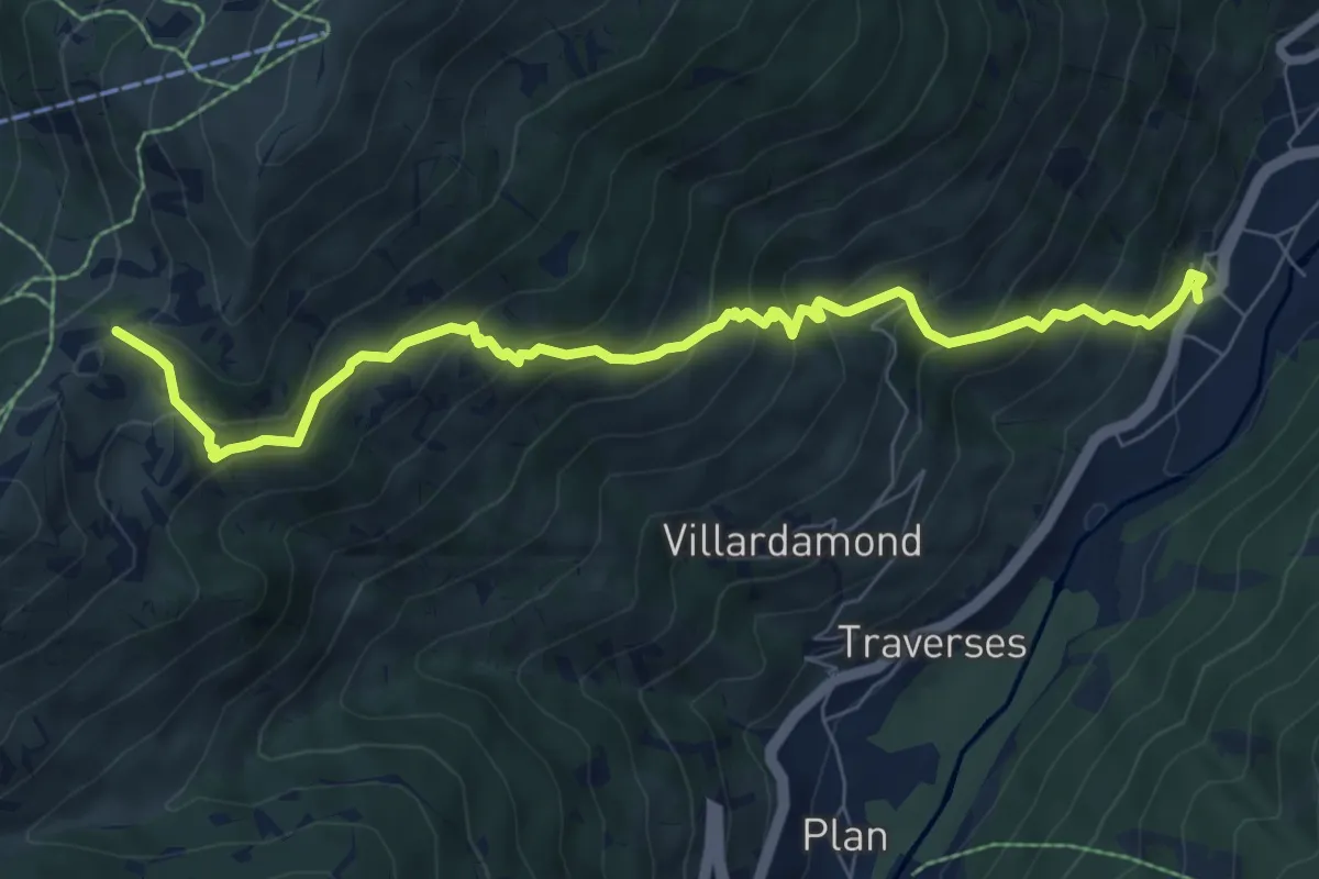
Medium · Trail
Pragelato, Fraz. Granges, bivio TOS303-TOS325 – Sauze d'Oulx, Colle Bourget, bivio TOS325-TOS732
8.6 km · ↑ 794 m · 3 h 45 min
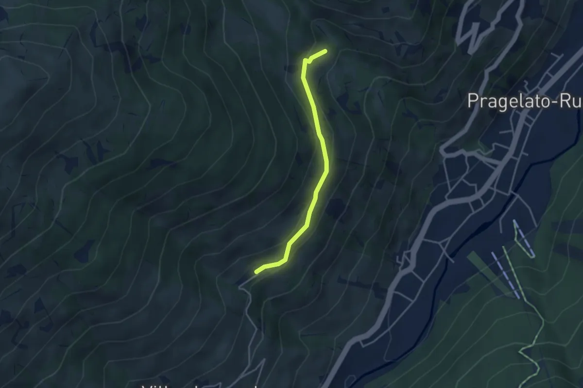
Easy · Trail
Pragelato, Borgata Alleve, bivio TOS325-TOS325A-TOS379 – Pragelato, Borgata Rif, bivio TOS326-TOS325A
3.2 km · ↑ 142 m · 1 h 4 min
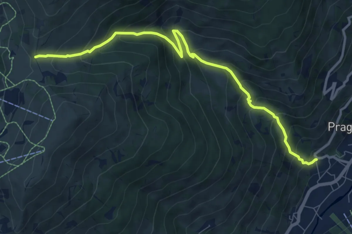
Medium · Trail
Pragelato, loc. Soucheres Haute – Colle Costa Piana, bivio TOS326-TOS741A
8.7 km · ↑ 755 m · 3 h 42 min
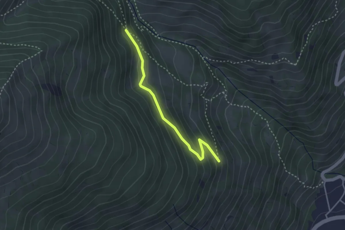
Easy · Trail
Bivio TOS326A-TOS3 presso Rif – Bivio TOS326A-TOS326
3.0 km · ↑ 144 m · 1 h 1 min
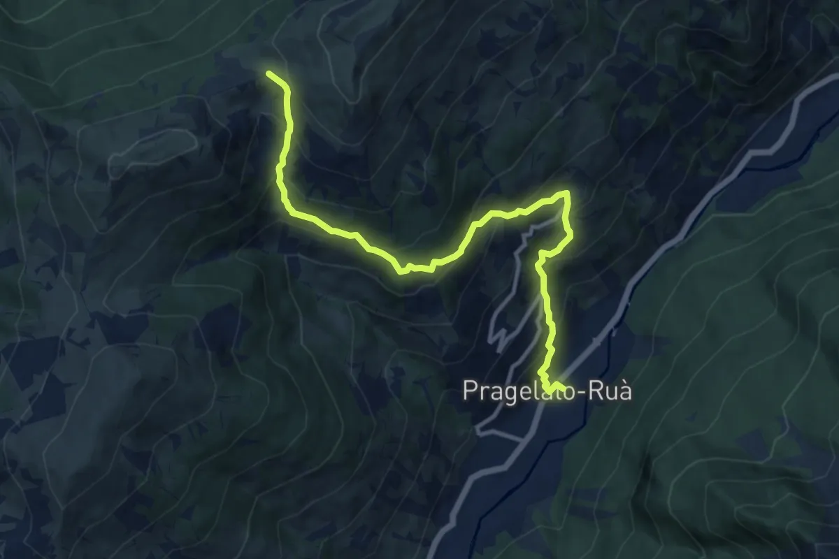
Demanding · Trail
Pragelato, Borgata Ru, bivio TOS327-TOS316 – Colle Blegier, bivio TOS741-TOS741A-TOS327
11.0 km · ↑ 937 m · 4 h 37 min
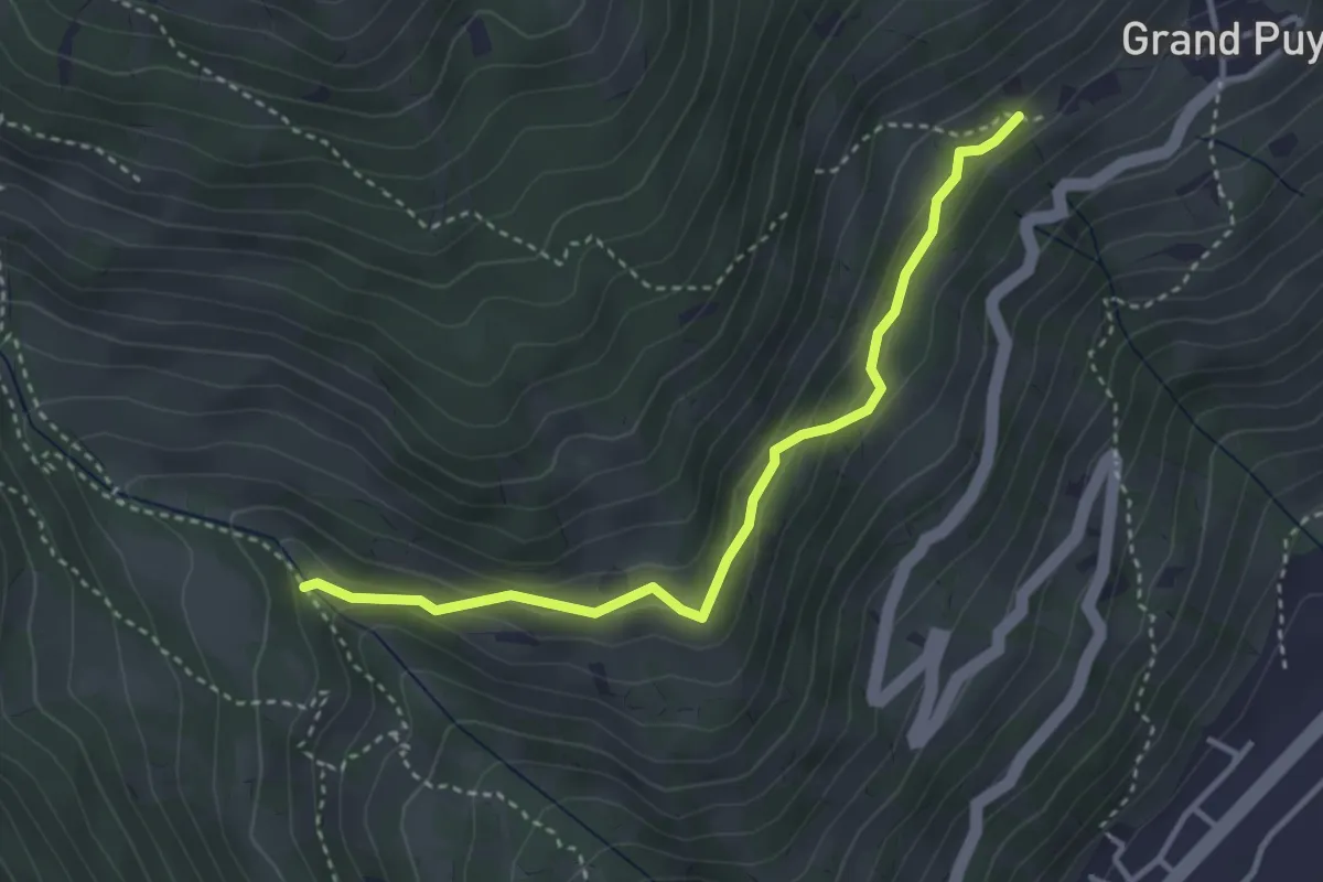
Easy · Trail
Pragelato, presso Rif, bivio TOS326-TOS326B – Pragelato, presso Grand Puy, bivio TOS327-TOS326B presso Grand Puy
3.5 km · ↑ 191 m · 1 h 15 min
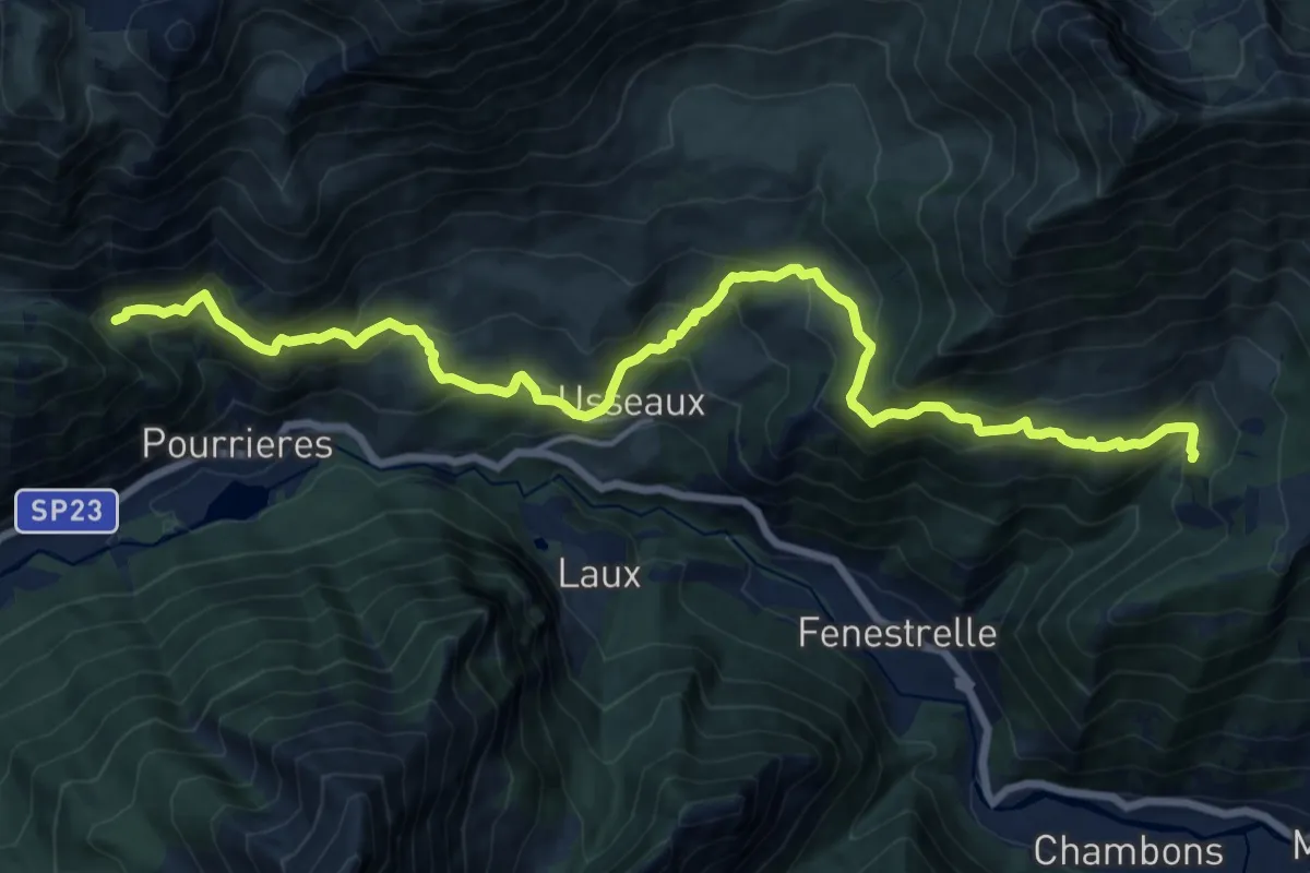
Demanding · Trail
Fenestrelle, Fraz. Puy, bivio TOS332-TOS335 – Usseaux, Alpe Cerogne, bivio TOS332-TOS331
18.5 km · ↑ 1181 m · 6 h 55 min
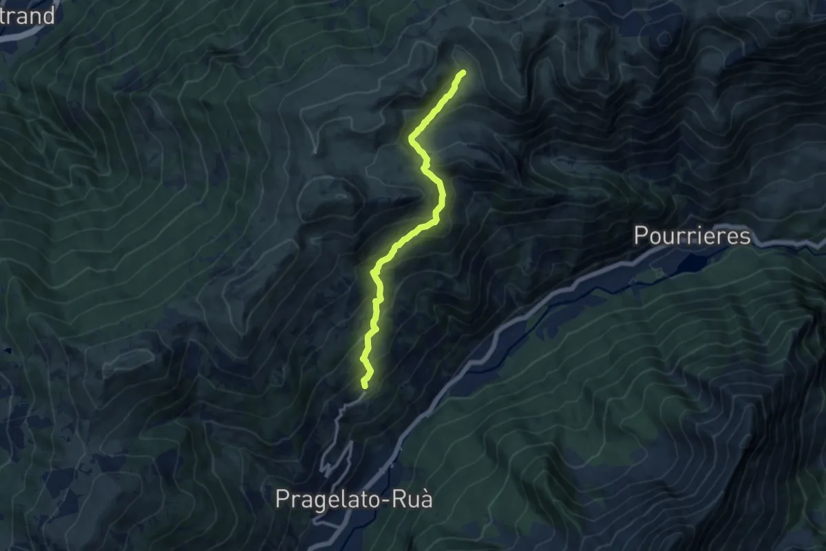
Medium · Trail
Grand Puy, bivio TOS372-TOS301 – Alpe Assietta, bivio TOS372-TOS331
10.5 km · ↑ 663 m · 3 h 54 min
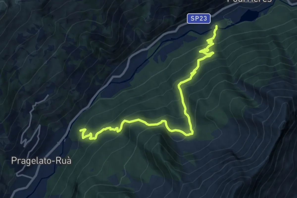
Demanding · Trail
Pragelato, Borgata Fraisse, bivio TOS375-TOS303 – Pragelato, Borgata Ru, bivio TOS375-TOS303
14.2 km · ↑ 1089 m · 5 h 42 min
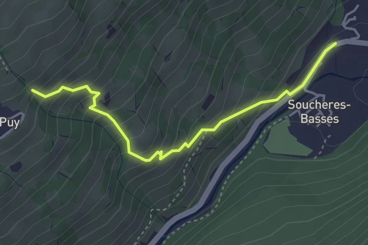
Medium · Trail
Pragelato, Frazione Soucheres Basses, bivio TOS303-TOS378A – Gran Puy, bivio TOS378-TOS378A
3.4 km · ↑ 348 m · 1 h 33 min
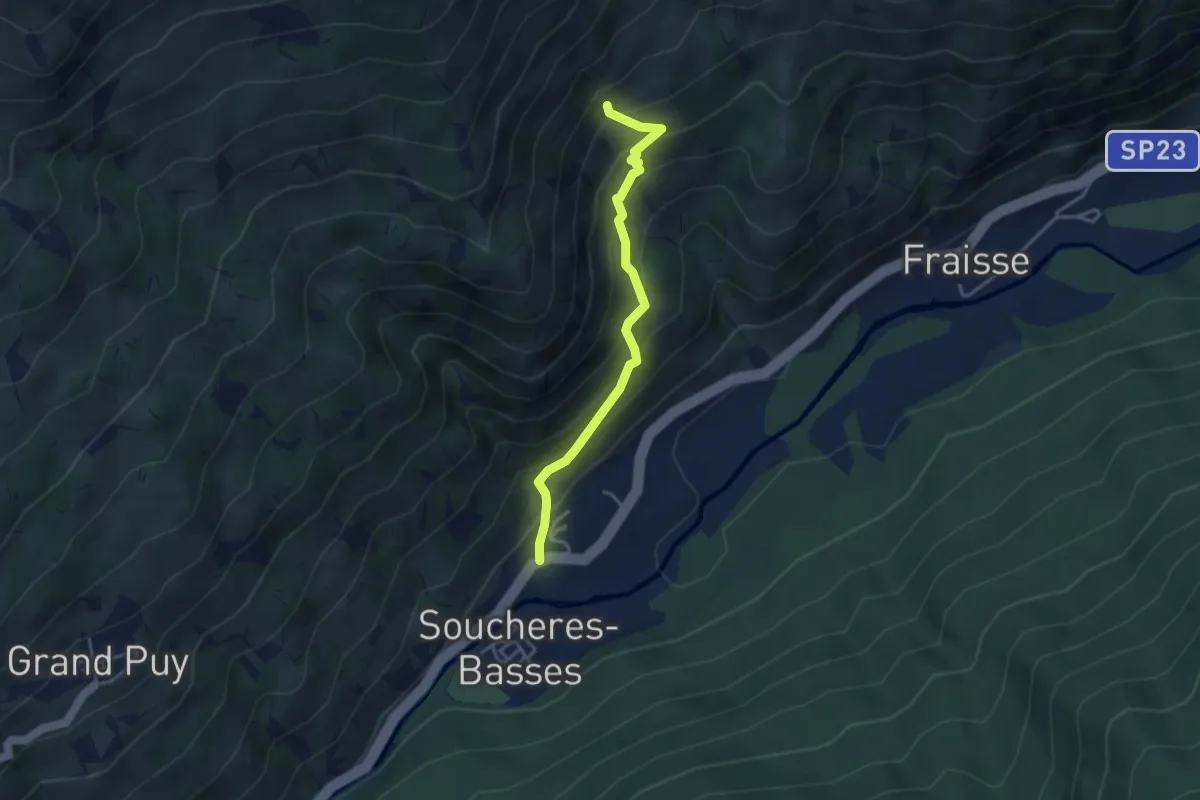
Medium · Trail
Pragelato, Fraz. Soucheres Basses, bivio TOS378B-TOS378A – Pragelato, Borgata Faussimagna, bivio TOS378-378B
3.6 km · ↑ 365 m · 1 h 38 min
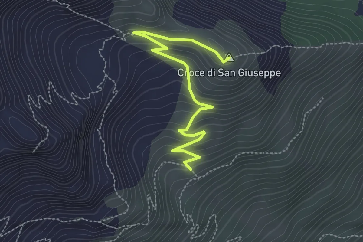
Easy · Summit
Cesana Torinese, bivio TOS601B-TOS601D – Cesana Torinese, Croce San Giuseppe
3.0 km · ↑ 170 m · 1 h 5 min
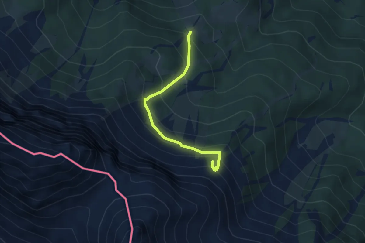
Demanding · Summit
Bivio TOS702-TOS703 – Passo delll'Orso
3.6 km · ↑ 318 m · 1 h 32 min
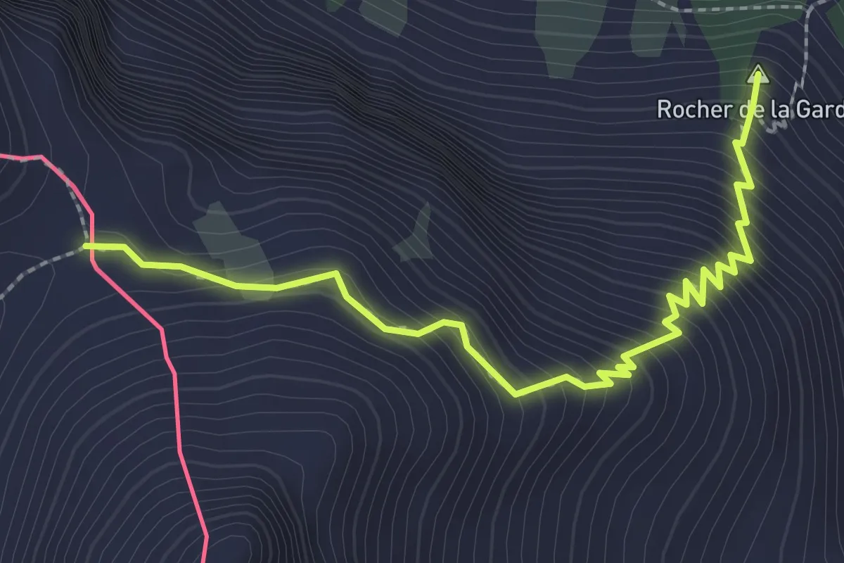
Demanding · Summit
Passo dell'Orso – Guglia d'Arbour
2.8 km · ↑ 374 m · 1 h 29 min
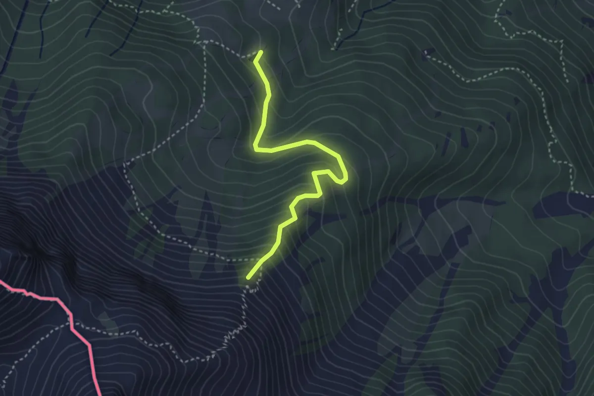
Medium · Summit
Bivio TOS702-TOS702B – Bivio TOS702-TOS702B sotto Roche della Garde
3.4 km · ↑ 330 m · 1 h 31 min
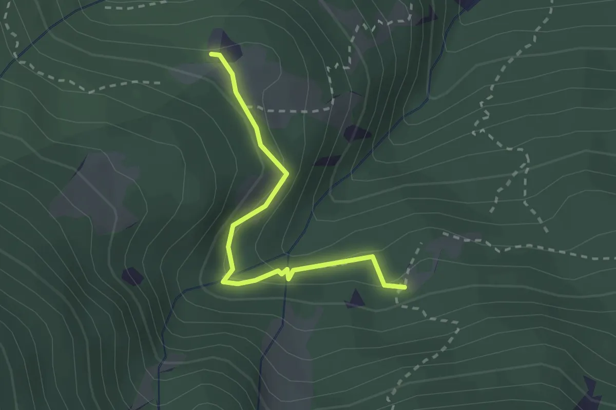
Easy · Trail
Oulx, bivio TOS702-TOS703C presso Grangia Pleynet – Oulx, borgata Refour, bivio TOS703-TOS703C
2.3 km · ↑ 127 m · 49 min