Trails in Italy
25,219 hiking trails, each with its route, climb, walking time and grade.
All trails, page 401 of 526
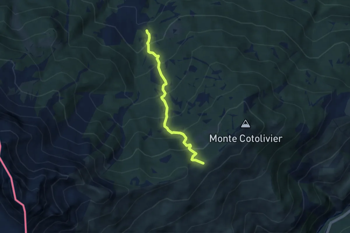
Medium · Trail
Bivio TOS715-TOS713 presso Chateau Beaulard – Colletto Pourachet, bivio TOS713-TOS601-TOS716
6.0 km · ↑ 614 m · 2 h 44 min
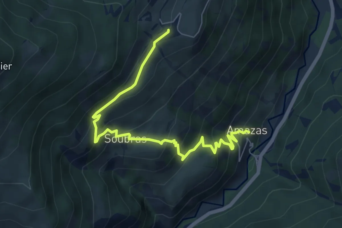
Medium · Trail
Oulx, Amazas, bivio TOS716B-TOS715B – Oulx, Borgata Vazon, bivio TOS716-TOS716B
6.9 km · ↑ 550 m · 2 h 49 min
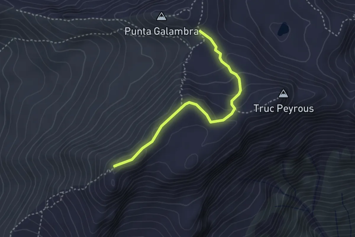
Expert · Summit
Oulx, Caserme Vin Vert, bivio TOS717A-TOS717 – Oulx, Passo Galambra, bivio TOS717A-TOS731
3.2 km · ↑ 175 m · 1 h 9 min
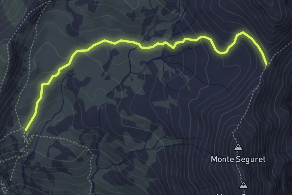
Demanding · Trail
Caserme Vin Vert – Colle Argentera
5.0 km · ↑ 279 m · 1 h 48 min
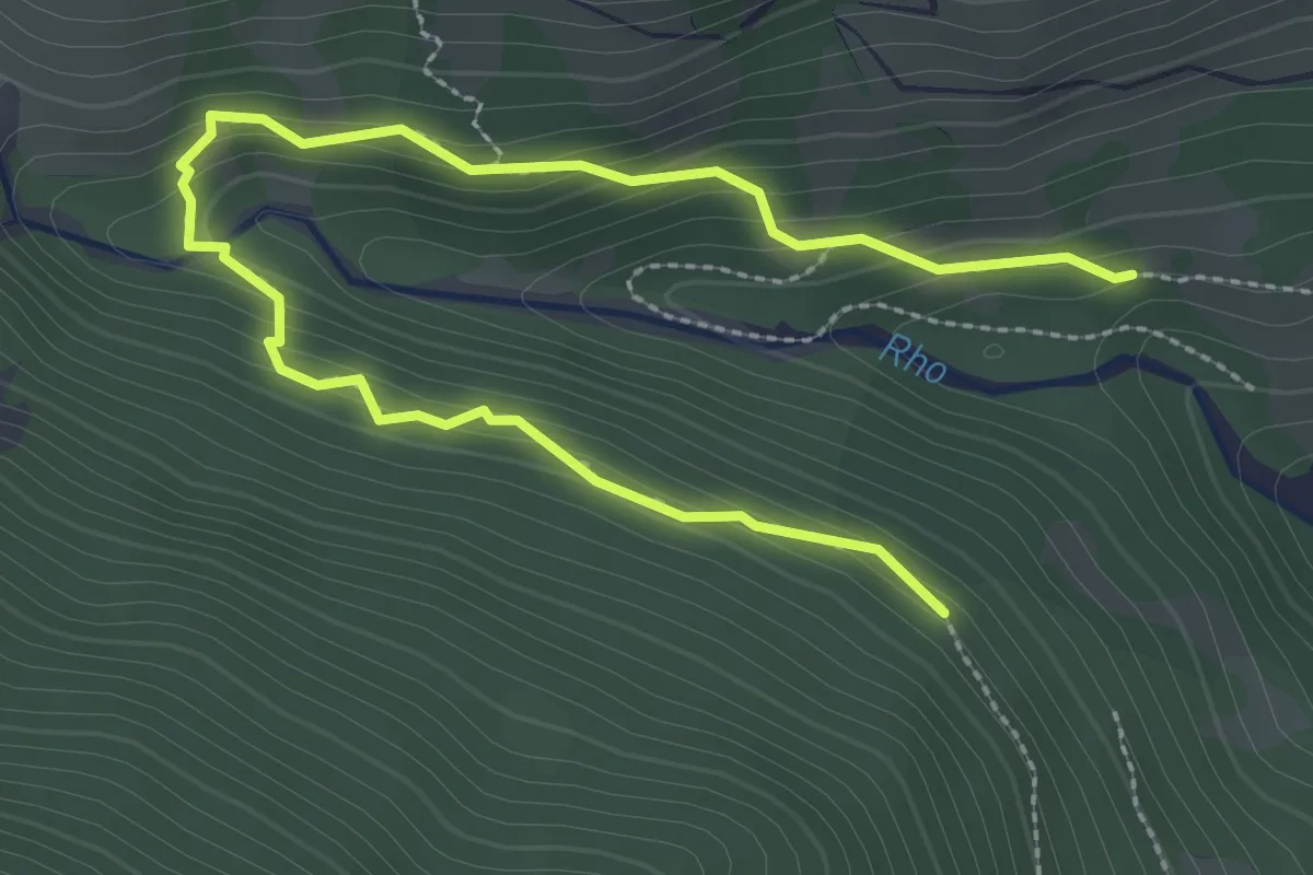
Medium · Trail
Bivio TOS721-TOS721B presso Borgo Vecchio di Bardonecchia – Bivio TOS706-TOS721B
3.8 km · ↑ 218 m · 1 h 22 min
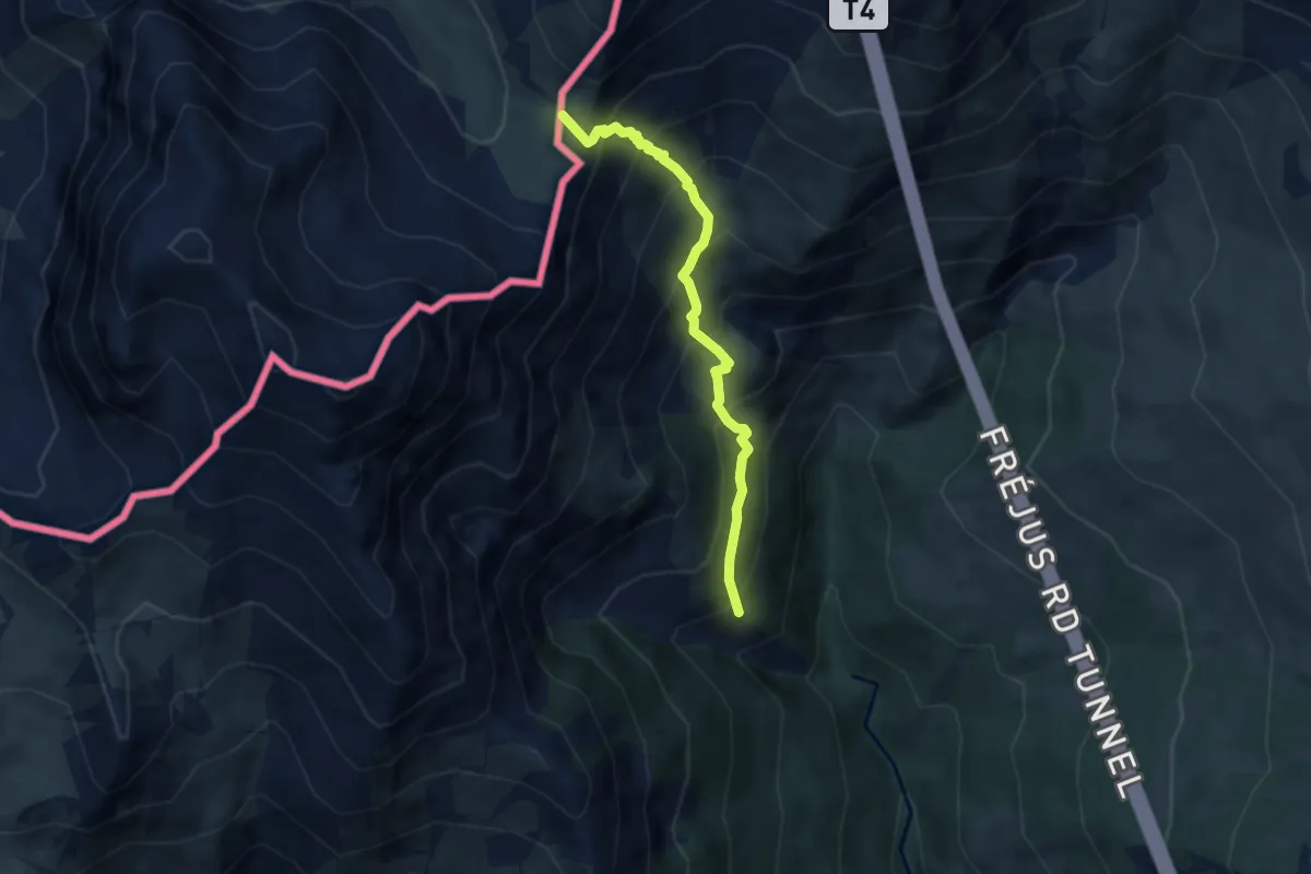
Medium · Trail
Bardonecchia, Borgo Vecchio, bivio TOS722-TOS709 – Colle del Frejus
5.8 km · ↑ 705 m · 2 h 53 min
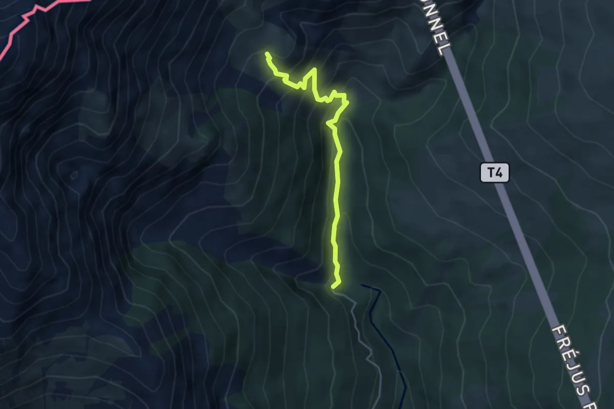
Medium · Trail
Les Granges, bivio TOS722-TOS722A – Bivio TOS722-TOS722A
4.1 km · ↑ 403 m · 1 h 50 min
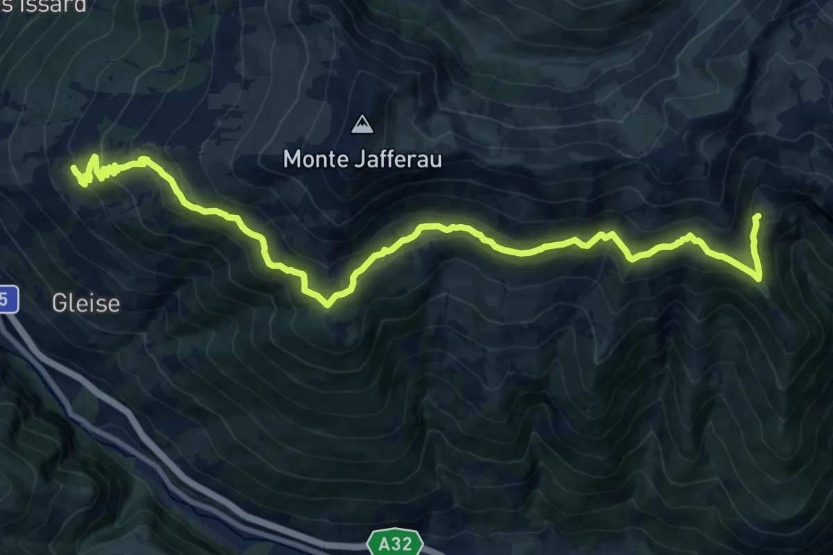
Demanding · Trail
Bacini Jafferau – Bivio TOS723-TOS717 presso località Fontanone
20.3 km · ↑ 1124 m · 7 h 14 min
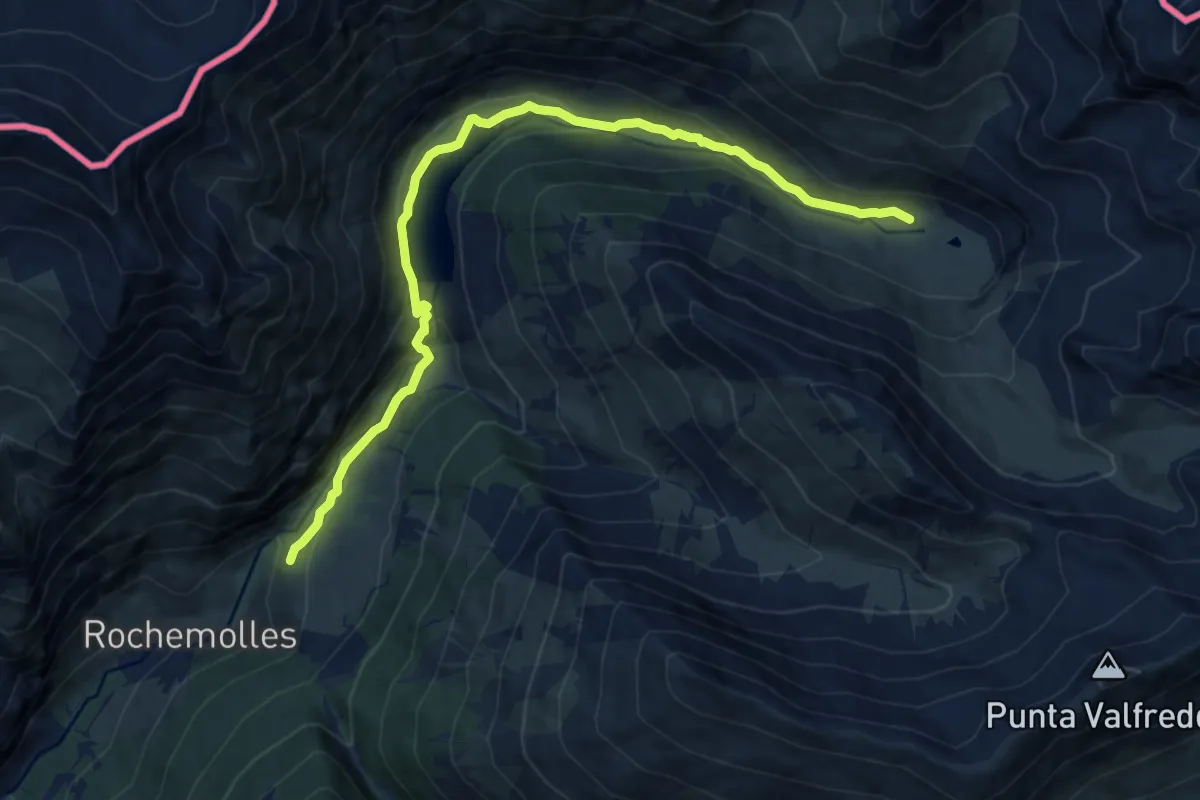
Medium · Trail
Bardonecchia, presso Rochemolles, bivio TOS731-TOS726 – Bardonecchia, Rifugio Scarfiotti, bivio TOS727-TOS726
11.9 km · ↑ 488 m · 3 h 52 min
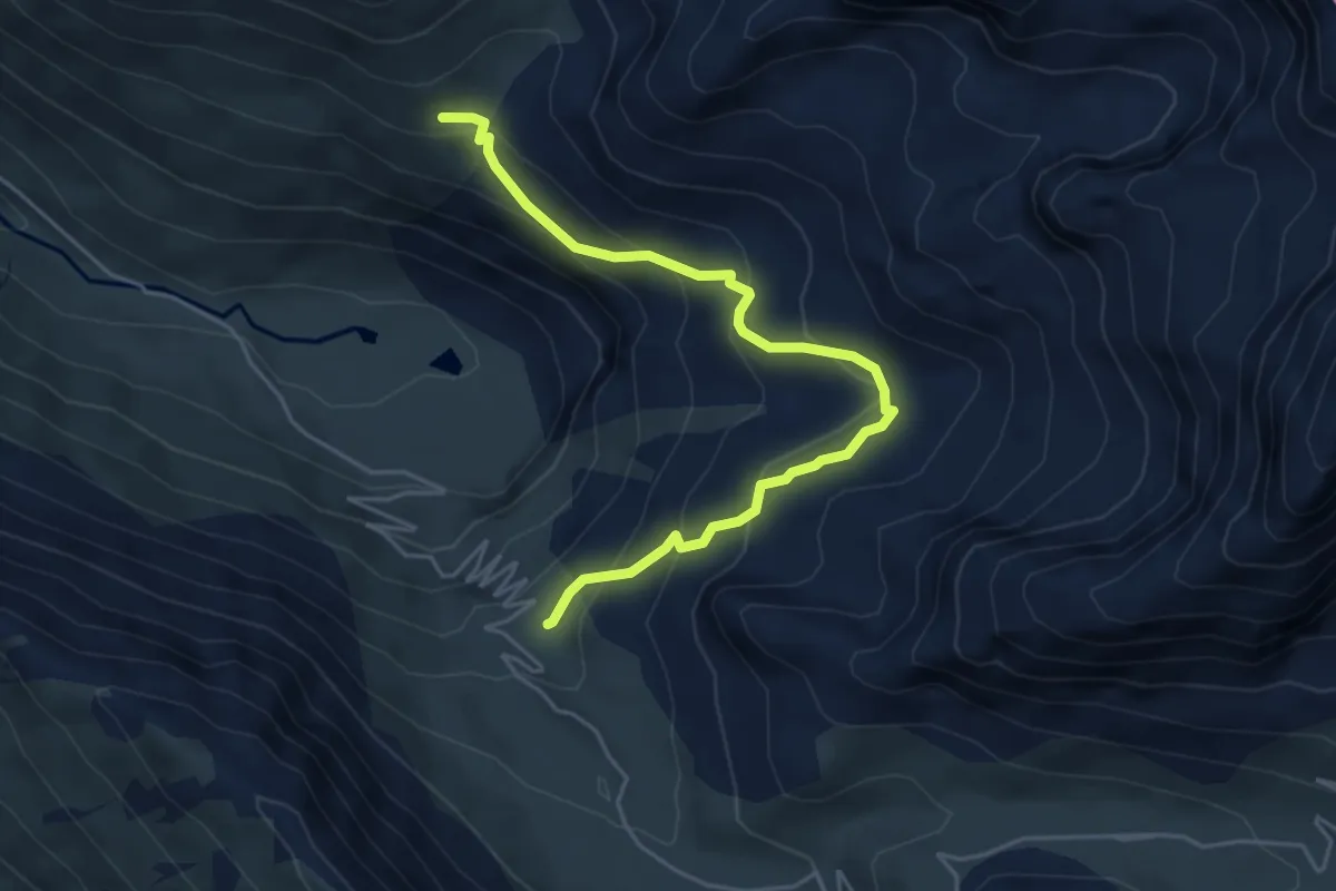
Medium · Trail
Bivio TOS728-TOS727A – Bivio TOS727-TOS727A presso Alpe d'Etache
5.3 km · ↑ 394 m · 2 h 6 min
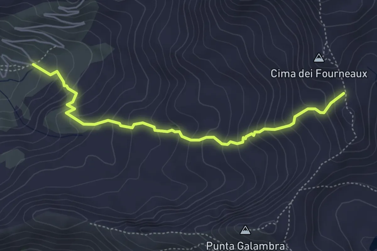
Medium · Trail
Bivio 728 – Passo Forneaux settentrionale, bivio 728-804A
4.9 km · ↑ 483 m · 2 h 12 min
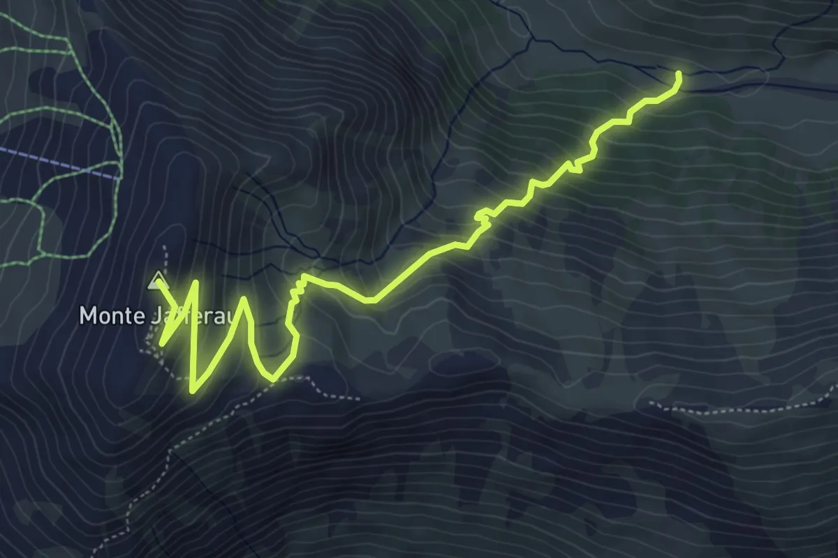
Medium · Summit
Grange Val Fredda, bivio TOS731-TOS731B – Monte Jafferau, bivio TOS730-TOS731B
6.9 km · ↑ 590 m · 2 h 55 min
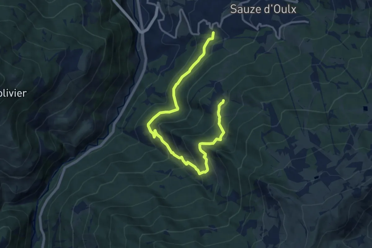
Medium · Trail
Jovenceaux, bivio TOS732-TOS734 – Borgata Tachier, bivio TOS732-TOS734
11.6 km · ↑ 744 m · 4 h 21 min
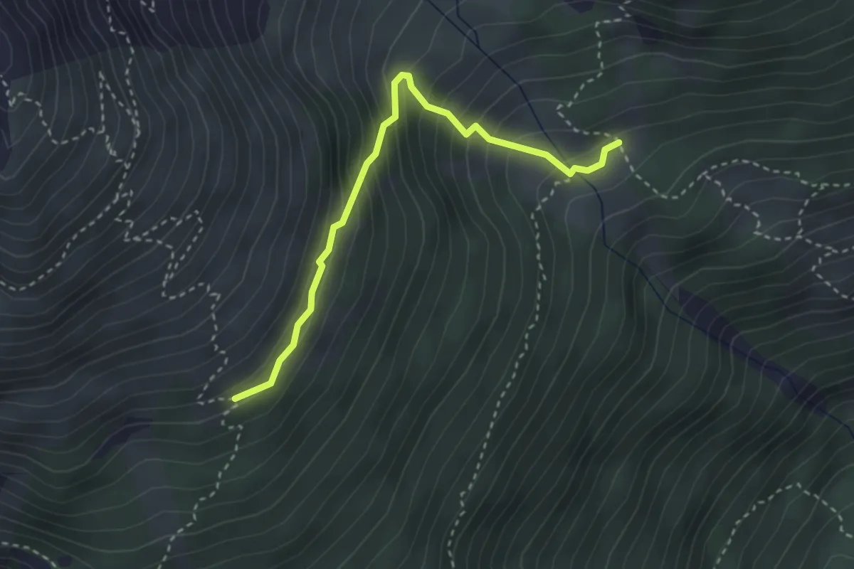
Medium · Trail
Clot Cheval, Bivio TOS747-TOS747A – Bivio TOS744-TOS747B presso Rifugio Casses Blanches
3.1 km · ↑ 314 m · 1 h 25 min
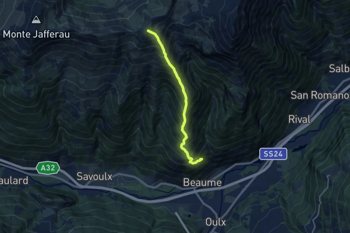
Demanding · Summit
Bivio TOS742-TOS735 presso Case Monfournel – Col Basset, bivio TOS717-TOS735
9.6 km · ↑ 1278 m · 5 h 2 min
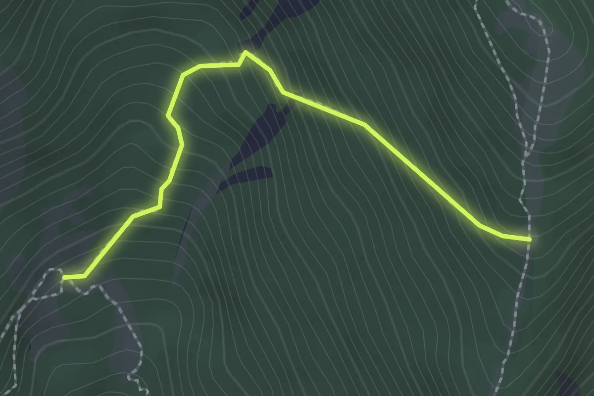
Medium · Trail
Goudissard da Val – Bivio TOS735-TOS735A
2.2 km · ↑ 295 m · 1 h 10 min
Medium · Trail
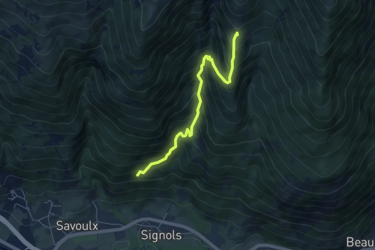
Bivio TOS737-TOS738 presso Rio della Comba – Goudissard da mont, bivio TOS738-TOS742
5.6 km · ↑ 617 m · 2 h 39 min
Easy · Trail
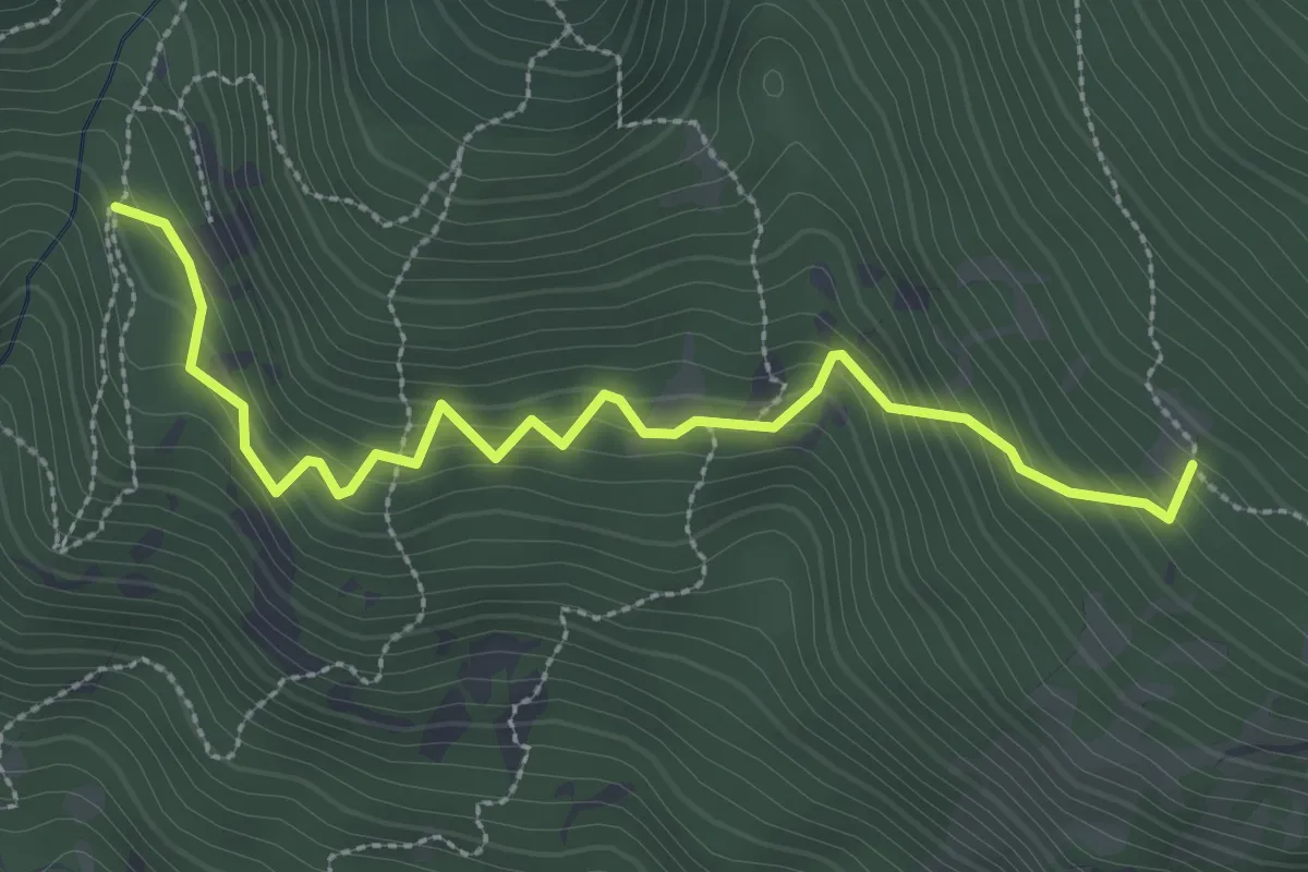
Oulx, bivio TOS738A-TOS738 – Oulx, Monfournel
3.2 km · ↑ 318 m · 1 h 27 min
Medium · Trail
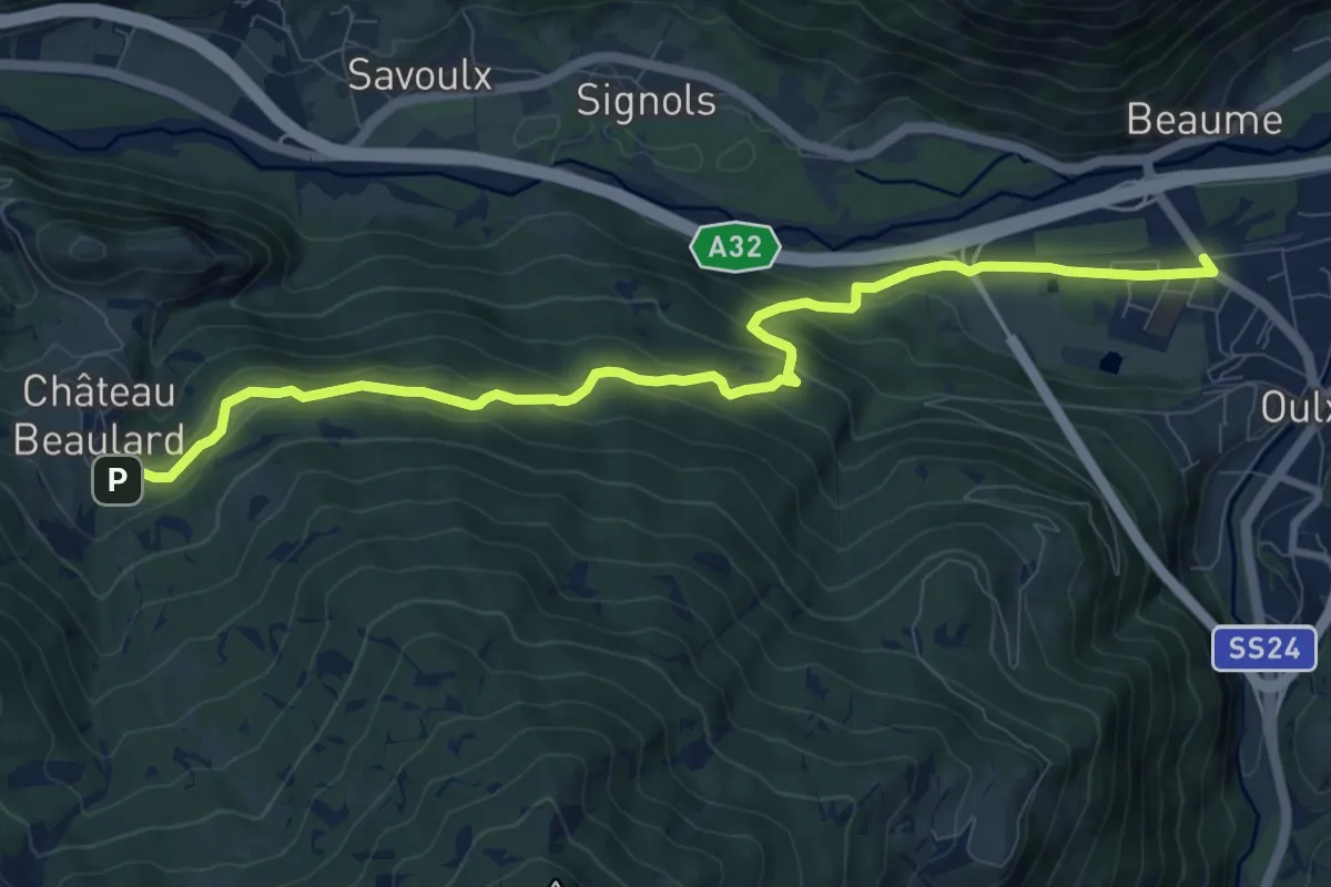
Oulx, loc.Pellousieres – Chateau Beaulard, bivio TOS715-TOS739
10.5 km · ↑ 471 m · 3 h 31 min
Easy · Trail
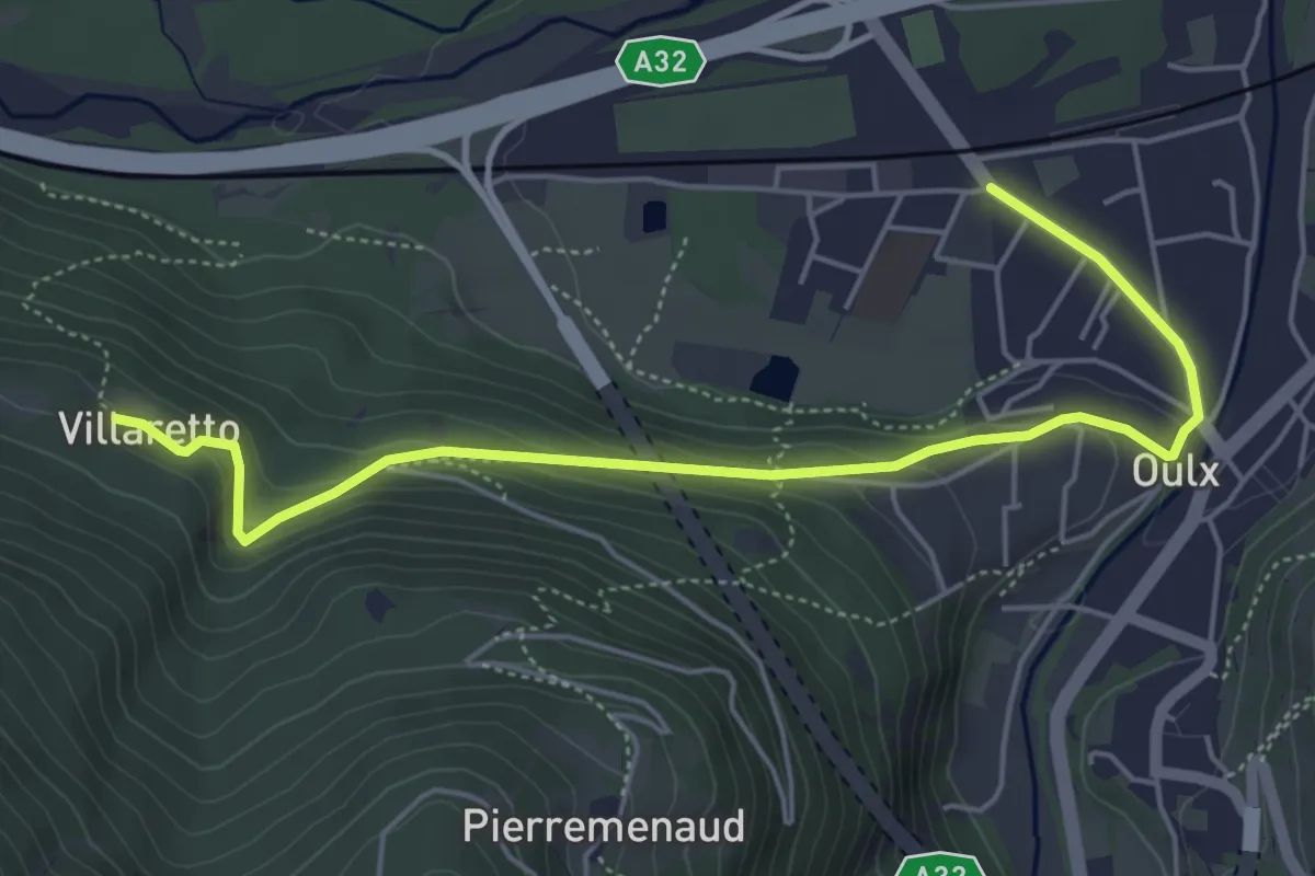
Oulx, Abbazia – Oulx, loc. Villaret, bivio TOS739-TOS739A
5.8 km · ↑ 228 m · 1 h 52 min
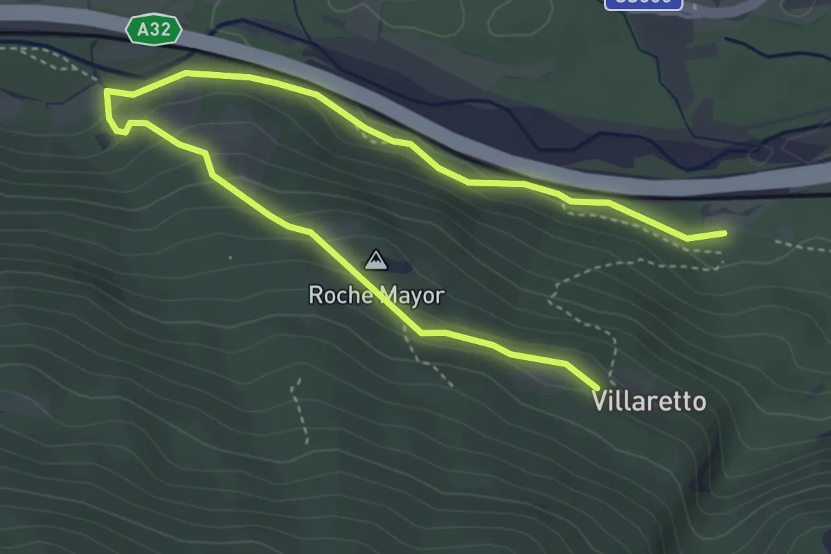
Medium · Trail
Bivio TOS739-TOS739B – Oulx, loc. Villaret, bivio TOS739-TOS739B
5.9 km · ↑ 214 m · 1 h 52 min
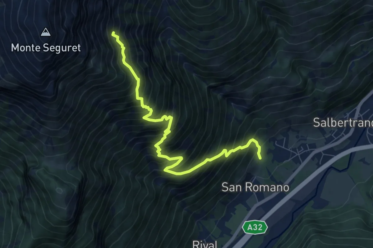
Demanding · Trail
Bivio TOS748-TOS742 presso Oulme – Miniera di ferro, pozzo del Seguret
8.7 km · ↑ 1174 m · 4 h 36 min
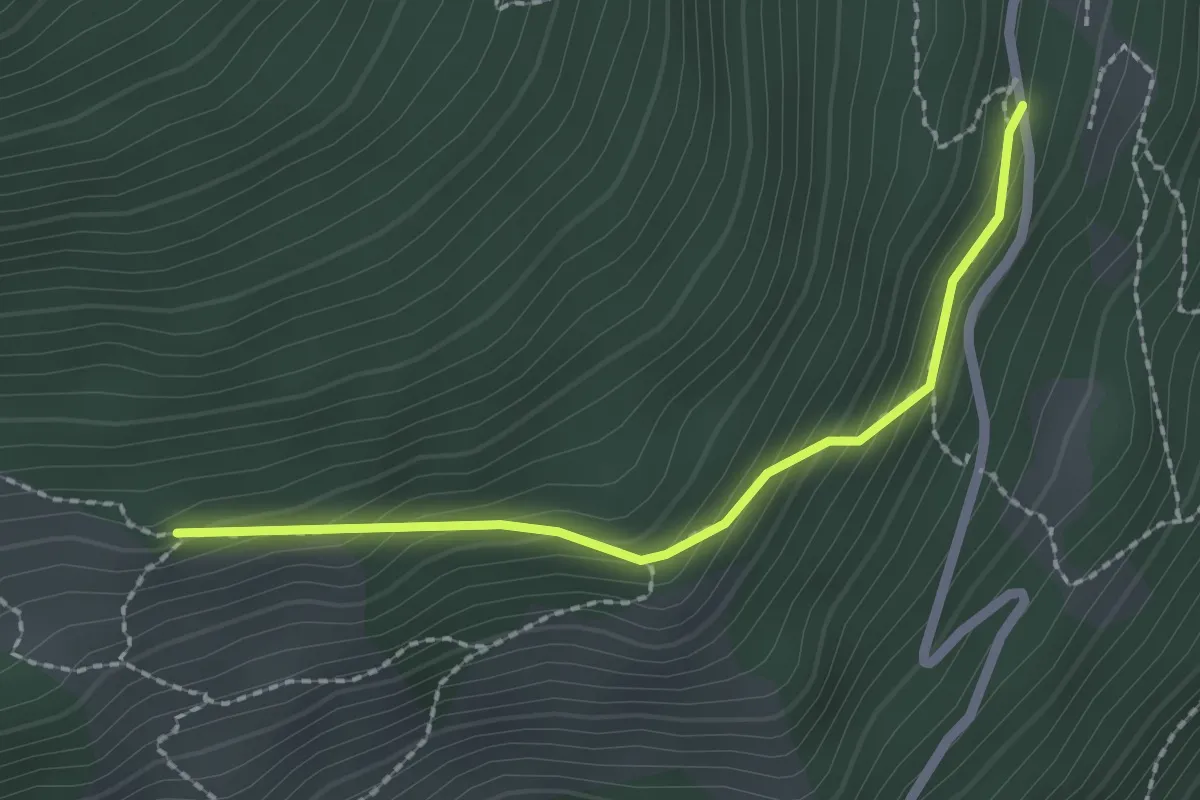
Medium · Trail
Bivio TOS747A-TOS822 presso Grange Soillet – Bivio TOS747A-TOS747
2.1 km · ↑ 158 m · 50 min
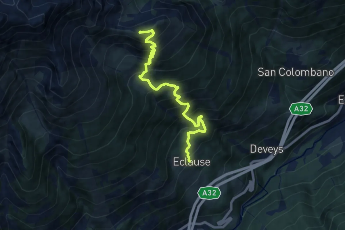
Demanding · Summit
Salbertrand, Borgata Eclause, bivio TOS747-TOS740 – Monte Chabriere, bivio TOS802A-TOS747
9.4 km · ↑ 1063 m · 4 h 32 min
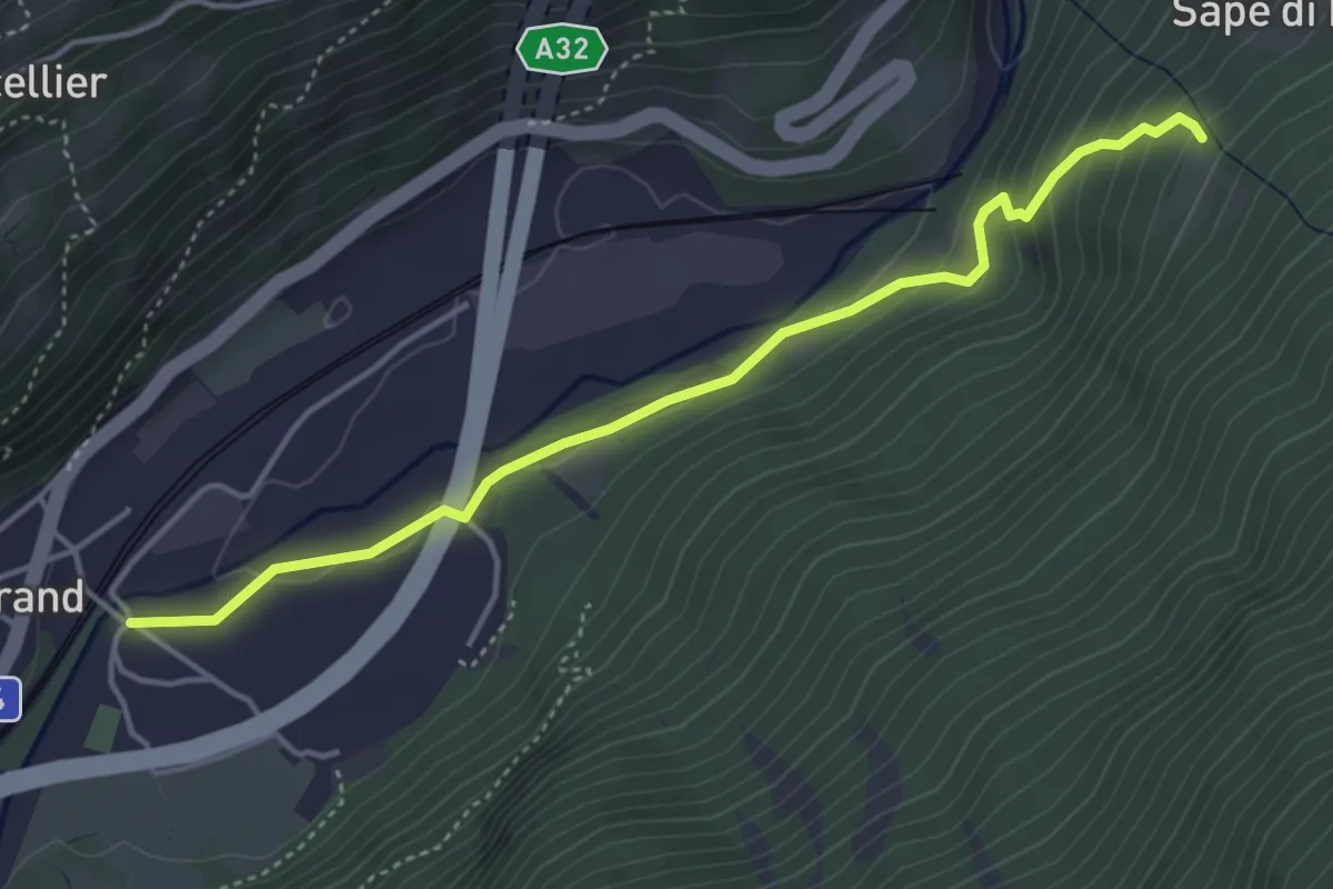
Easy · Trail
Salbertrand, ponte sulla Dora, bivio TOS741-TOS740A-TOS746A – Salbertrand, Case Sapè, bivio TOS746-TOS746A
4.5 km · ↑ 180 m · 1 h 27 min
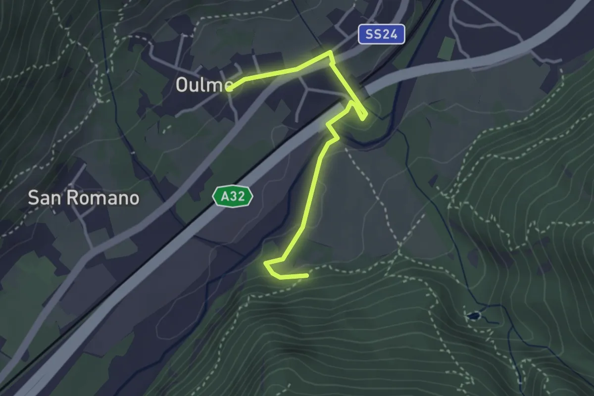
Easy · Trail
Salbertrand, bivio TOS745-TOS745A – Salbertrand, Borgata Oulme, bivio TOS742-TOS745A
3.2 km · ↑ 39 m · 51 min
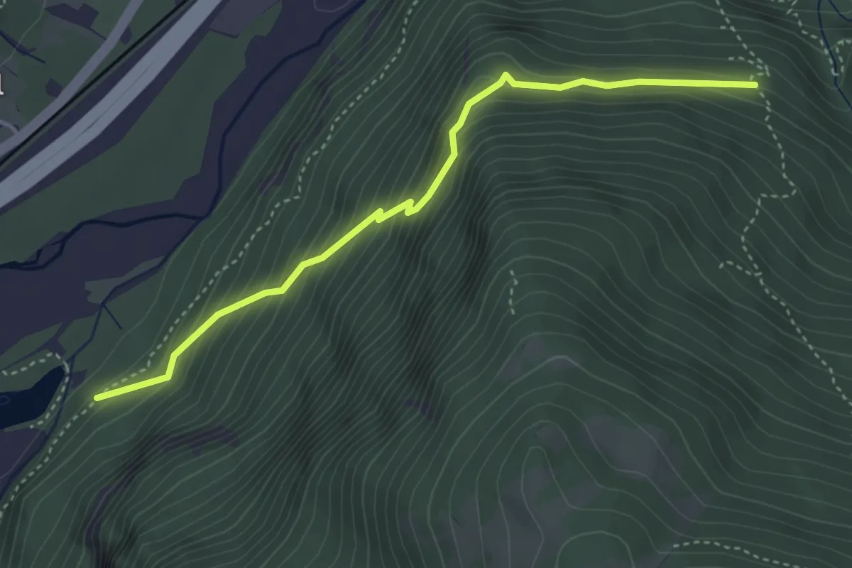
Demanding · Trail
Bivio TOS745-TOS745B – Bivio TOS745B-TOS741
4.1 km · ↑ 406 m · 1 h 52 min
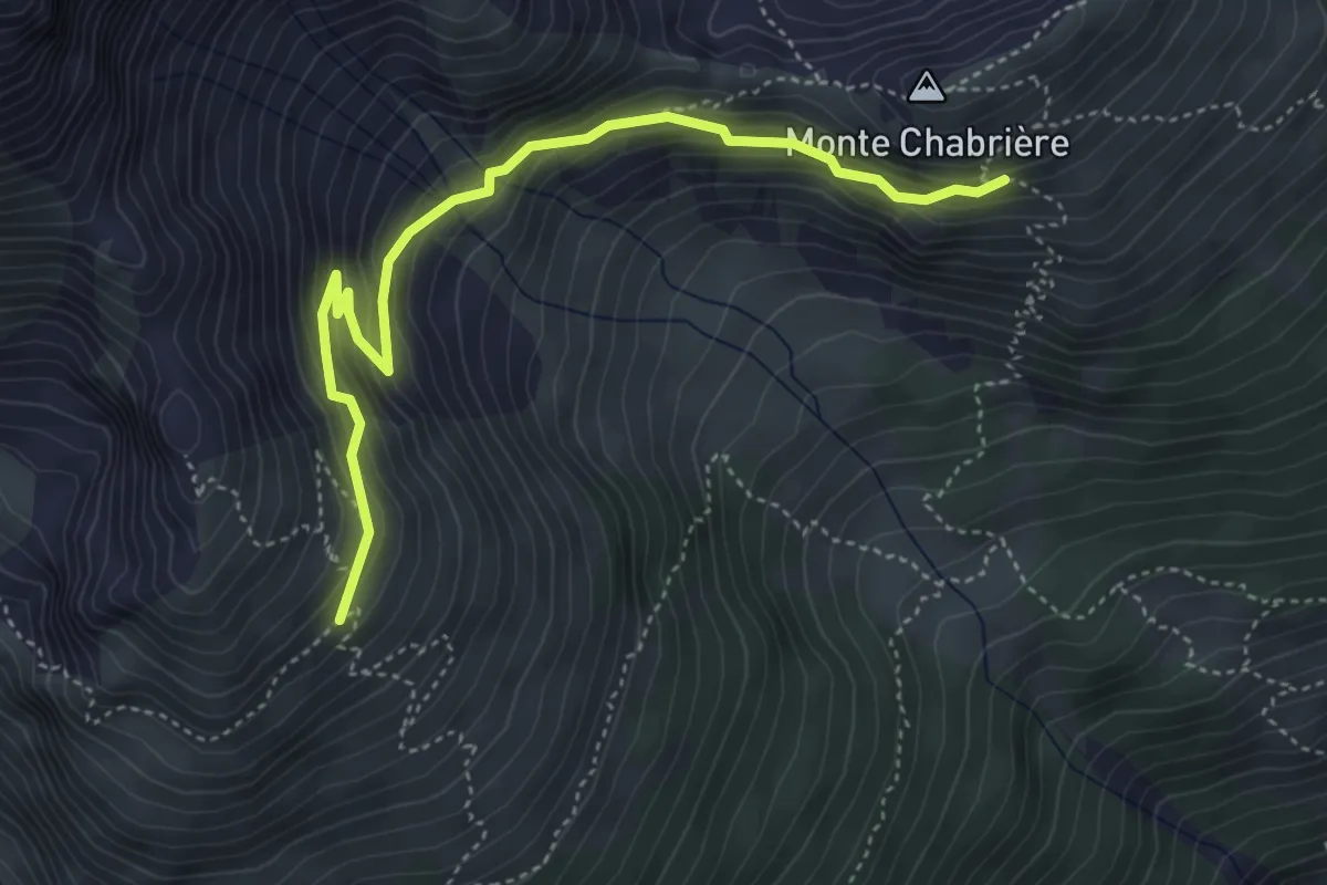
Medium · Trail
Bivio TOS744A-TOS747 – Bivio TOS744-TOS744A presso Rifugio Casses Blanches
4.7 km · ↑ 437 m · 2 h 4 min
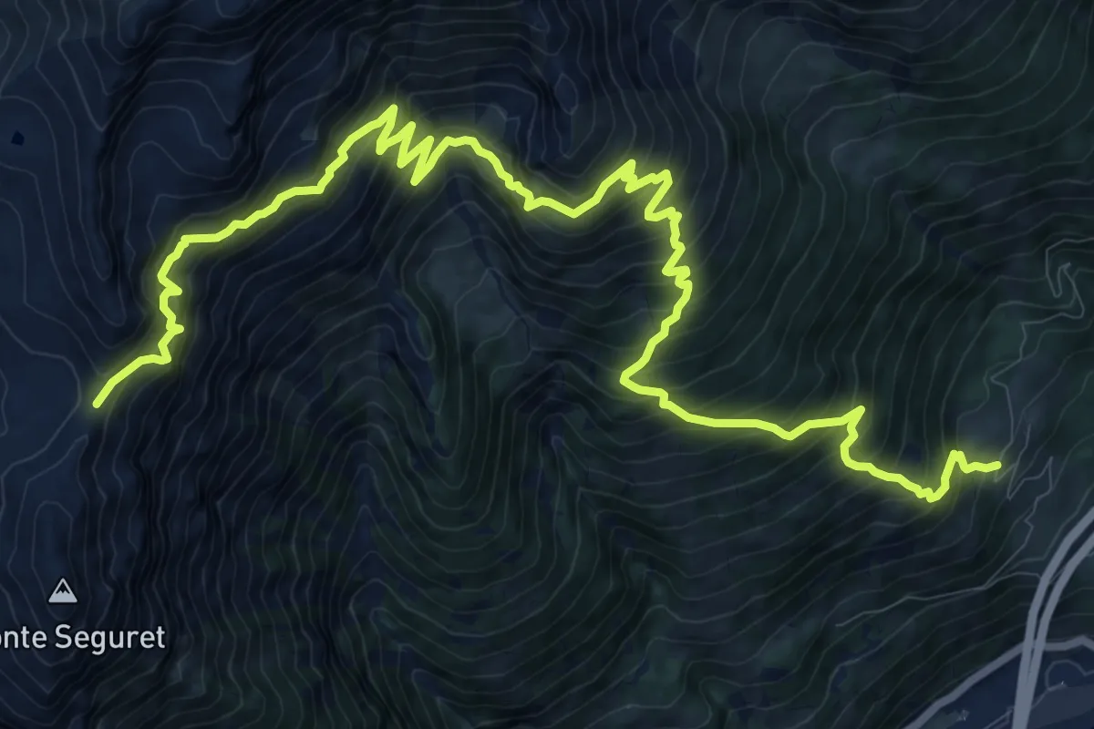
Demanding · Trail
Eclause – Colle Argentera
9.0 km · ↑ 1743 m · 5 h 21 min
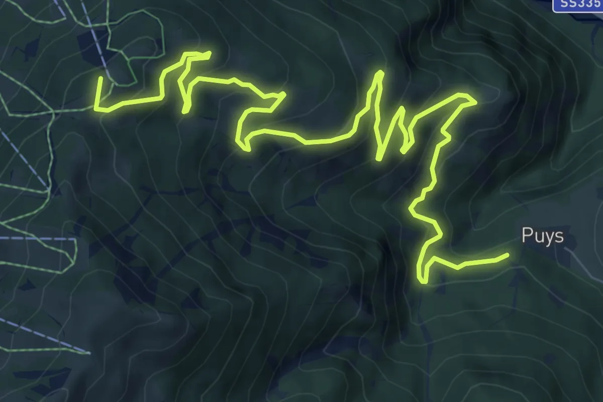
Demanding · Summit
Bivio TOS743A-TOS703A presso Puys – Bivio TOS743A-TOS743 presso Punta Colomion
12.6 km · ↑ 817 m · 4 h 44 min
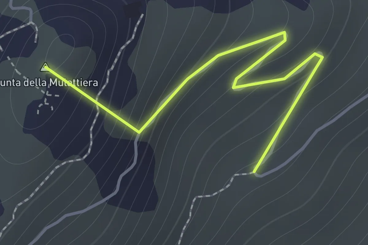
Easy · Summit
Bivio TOS743-TOS743B – Passo della Mulattiera, Bivio TOS705-TOS710-TOS743B
1.5 km · ↑ 161 m · 42 min
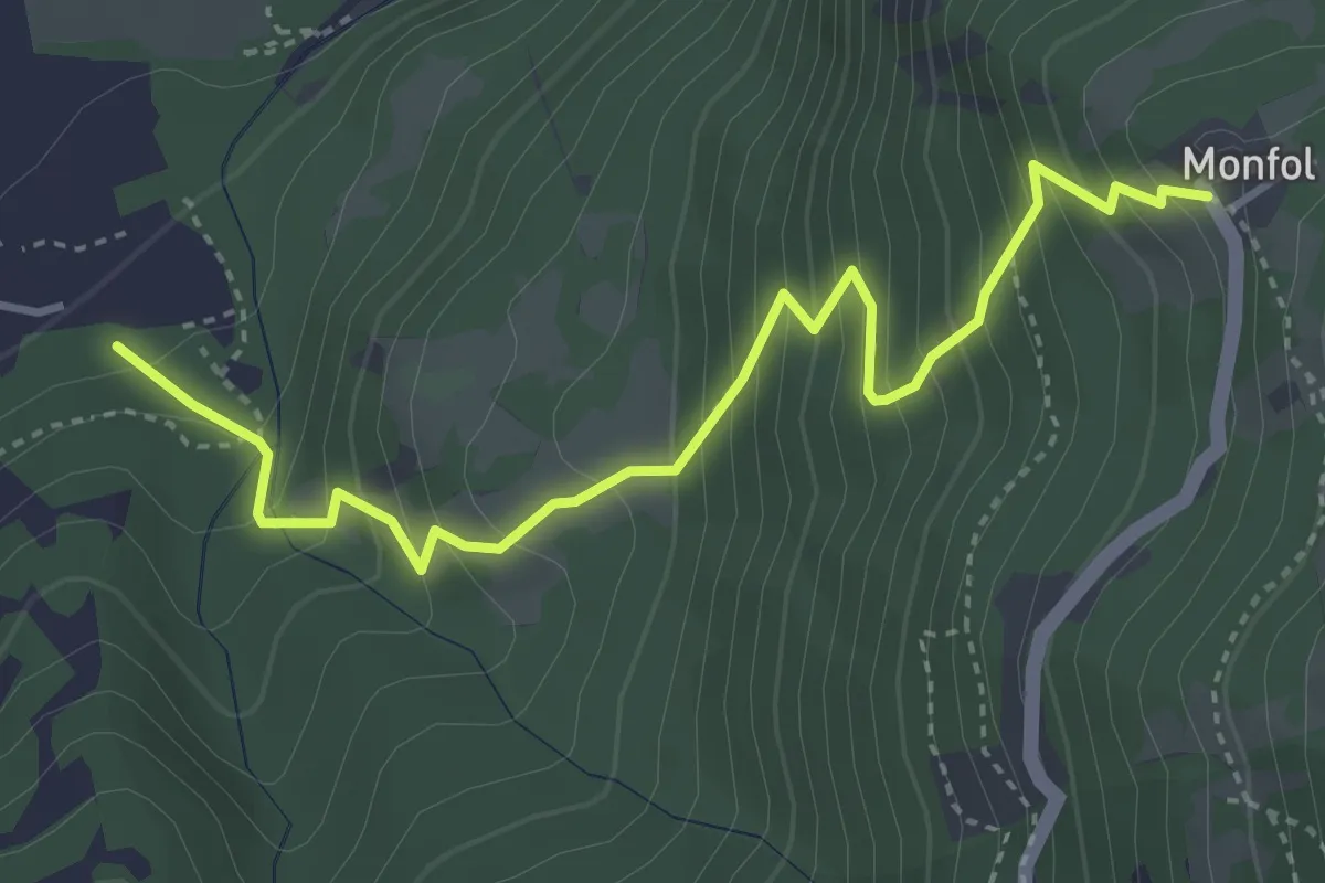
Medium · Trail
Gad (Gran Comba) – Oulx, località Monfol, bivio TOS741-TOS741B
4.3 km · ↑ 532 m · 2 h 10 min
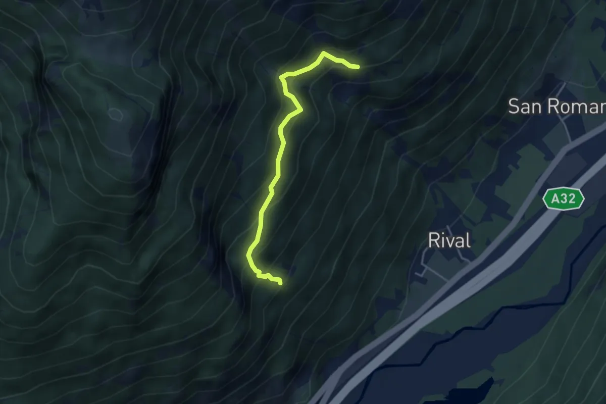
Medium · Trail
Case Plans – Grangia Champilion, bivio TOS748A-TOS748
3.5 km · ↑ 379 m · 1 h 39 min
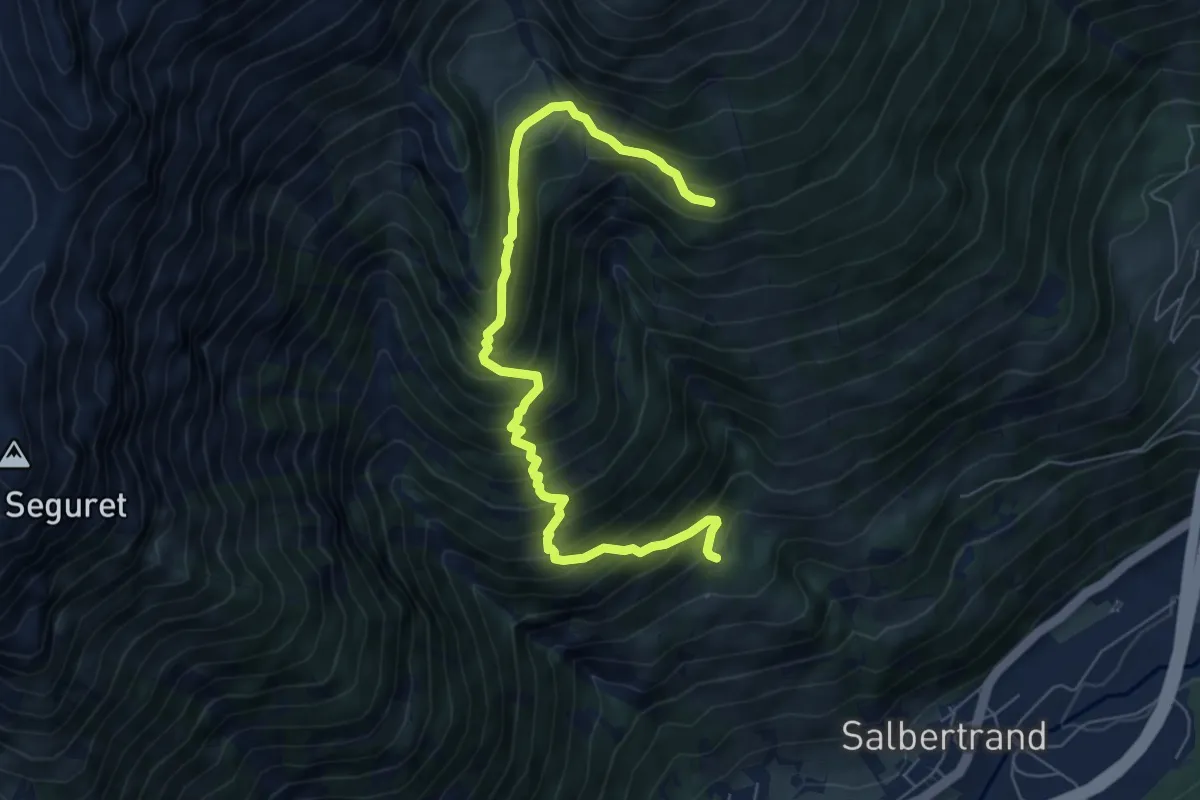
Demanding · Trail
Salbertrand, Fraz La Frenee, bivio TOS749-TOS740 – Salbertrand, bivio TOS744-TOS749
7.6 km · ↑ 892 m · 3 h 43 min
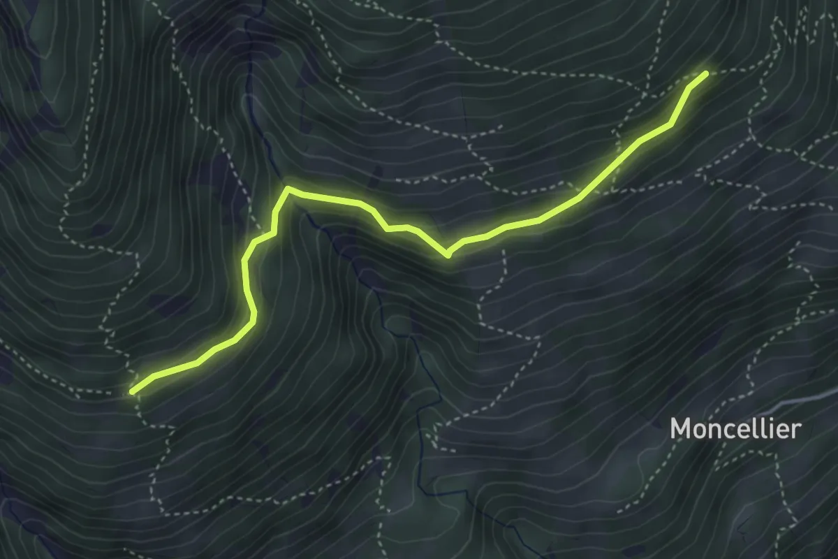
Medium · Trail
Salbertrand, presso Grangia Hubert, bivio TOS749A-TOS744 – Salbertrand, Millaures di Sopra, bivio TOS749A-TOS749
4.2 km · ↑ 280 m · 1 h 36 min
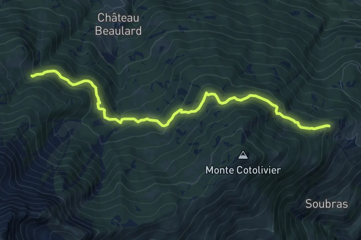
Medium · Trail
Oulx, bivio TOS716-TOS750 presso Fraz. Vazon – Oulx, Rio Champeiron presso Rifugio Rey, bivio TOS715
11.0 km · ↑ 591 m · 3 h 53 min
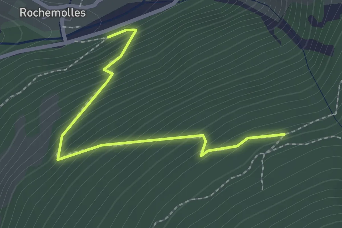
Medium · Trail
Bivio TOS751-TOS751A presso Rochemolles – Bivio TOS752-TOS751A presso Grangia Mouchecuite
2.1 km · ↑ 260 m · 1 h 4 min
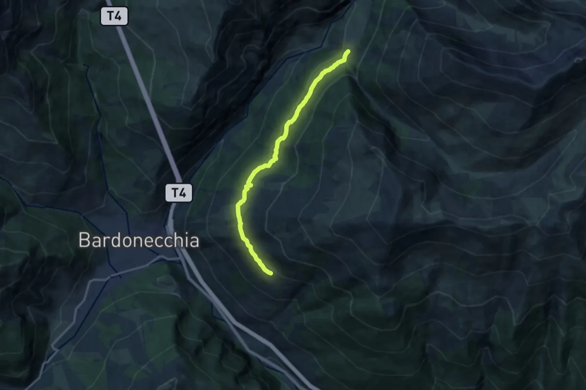
Medium · Trail
Bivio TOS752-TOS731 presso Grangia Mouchecuite – Bivio TOS752-TOS742 presso Borgata Broue
11.6 km · ↑ 408 m · 3 h 37 min
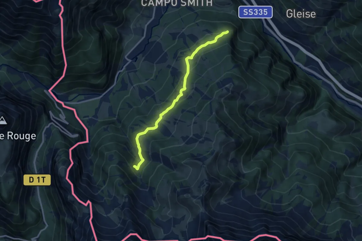
Medium · Trail
Bivio TOS743-TOS755 presso Pian del Sole – Bivio TOS710A-TOS755 presso Rio Curguas
9.2 km · ↑ 338 m · 2 h 55 min
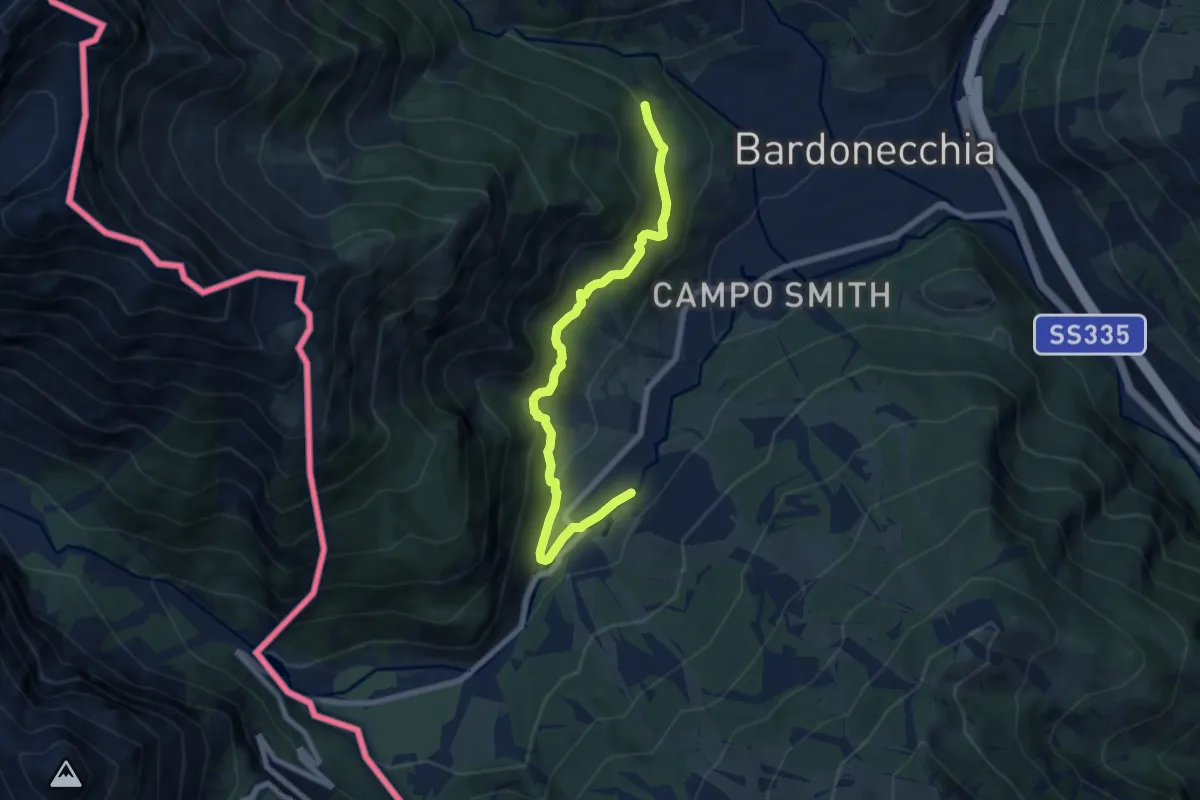
Medium · Trail
Bardonecchia Fraz. Melezet, bivio TOS757-TOS743 – Bivio TOS706-TOS757
7.9 km · ↑ 358 m · 2 h 38 min
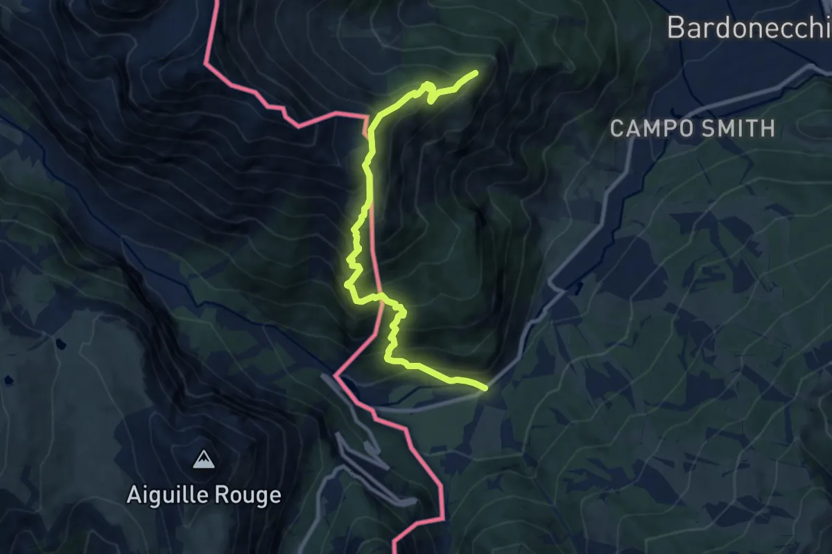
Demanding · Summit
Bardonecchia Frazione Melezet, Pian del Colle, bivio TOS710A-TOS758 – Bardonecchia, Poggio tre Croci
9.8 km · ↑ 1100 m · 4 h 42 min
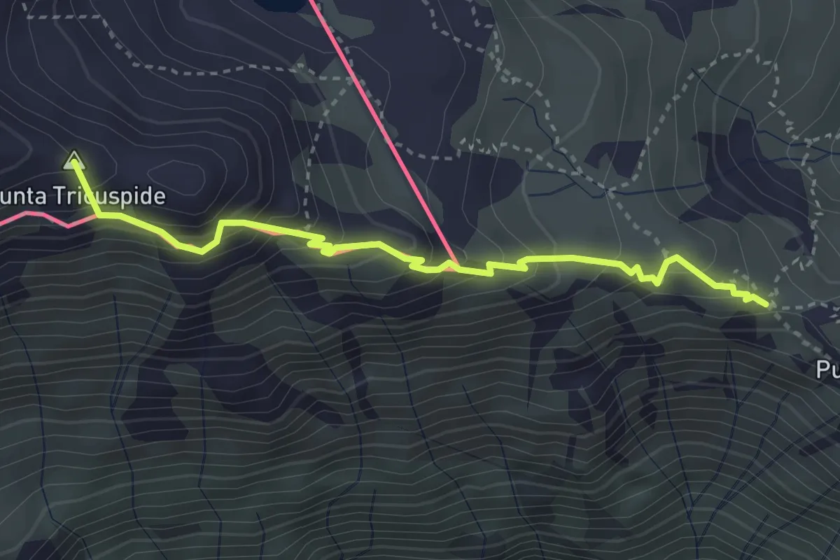
Demanding · Summit
Giaglione, bivio TOS801-TOS582 – Giaglione, Col Clapier, bivio TOS801-TOS805-TOS806
3.5 km · ↑ 403 m · 1 h 42 min
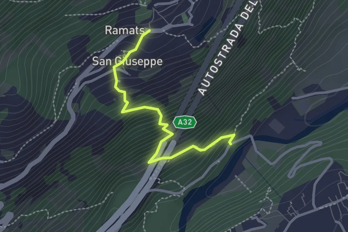
Medium · Trail
Chiomonte, Ponte sulla Dora Riparia – Sant'Antonio, bivio TOS808C-TOS821
2.4 km · ↑ 316 m · 1 h 15 min
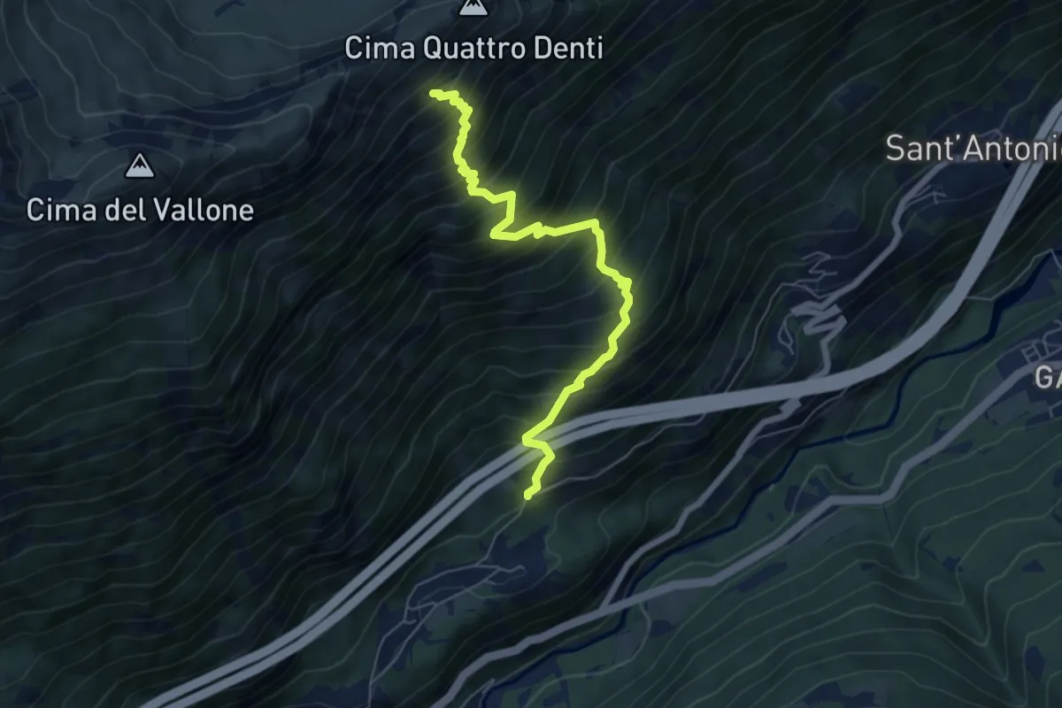
Demanding · Trail
Chiomonte, Strada per Ramats, bivio TOS810-TOS821 – Chiomonte, Grange Pertus, bivio TOS804-TOS810
6.5 km · ↑ 1009 m · 3 h 43 min
Medium · Trail
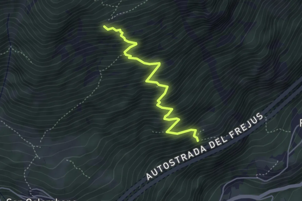
Exilles, Case Armeita, bivio TOS811-TOS821 – Exilles, Grangia Clot di Brun, bivio TOS811-TOS804
4.2 km · ↑ 674 m · 2 h 27 min
Medium · Summit
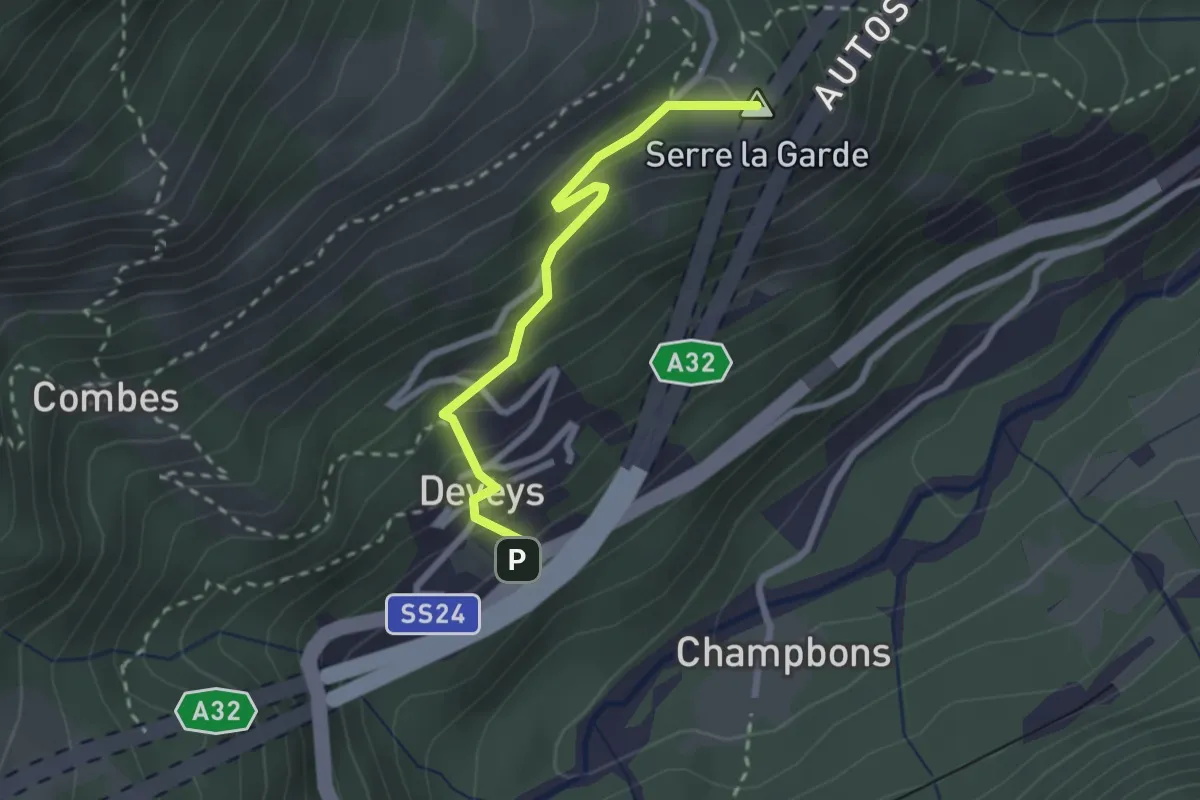
Exilles, Borgata Deveys – Exilles, Alpe Margheria inferiore, bivio TOS815-TOS821
2.4 km · ↑ 223 m · 1 h 3 min
Demanding · Trail
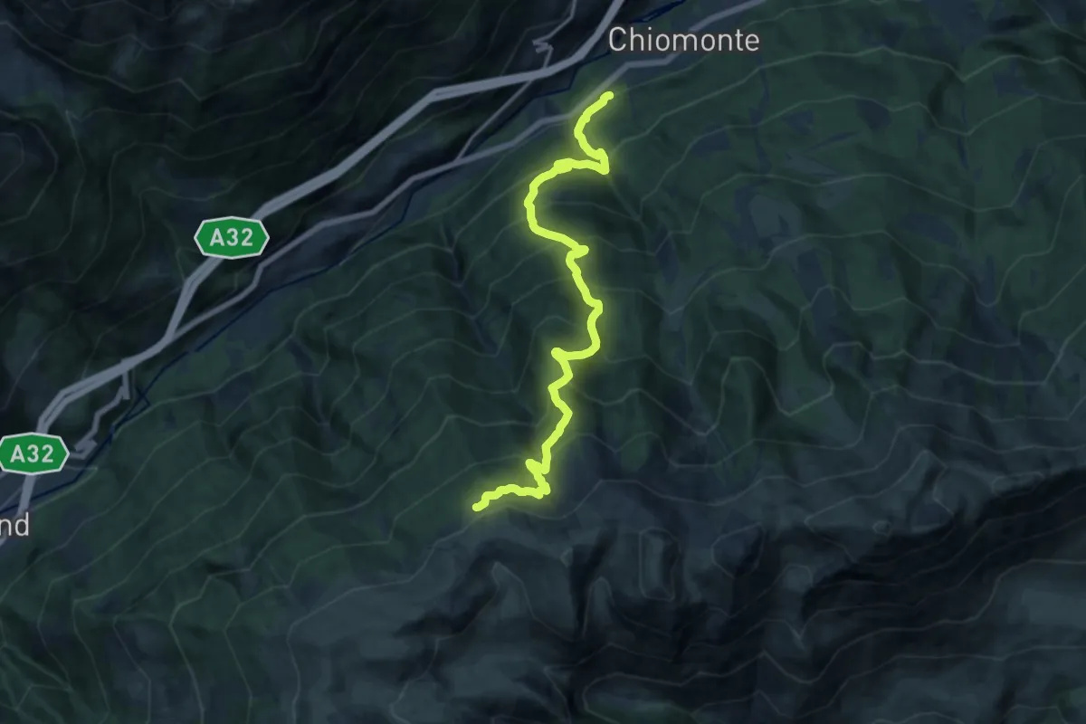
Chiomonte – Bivio TOS816-TOS827 presso Colle dell'Assietta
16.8 km · ↑ 1631 m · 7 h 30 min
Medium · Trail
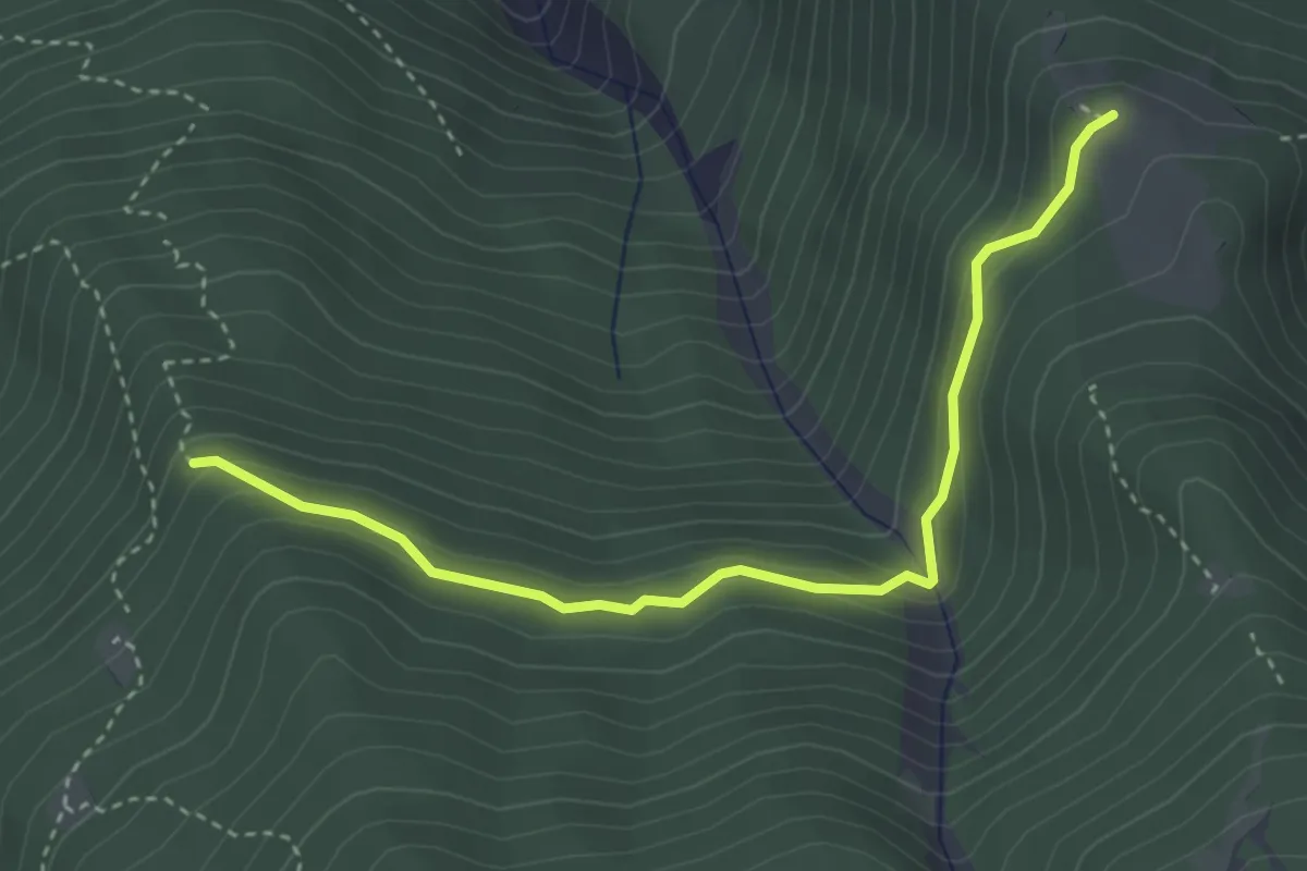
Bivio TOS816B-TOS828 presso Clot des Anes – Alpe d'Arguel. bivio TOS816 - TOS816B
3.8 km · ↑ 262 m · 1 h 28 min