Trails in Italy
25,219 hiking trails, each with its route, climb, walking time and grade.
All trails, page 402 of 526
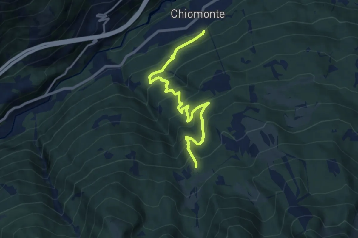
Demanding · Trail
Chiomonte, bivio TOS817-TOS817A-TOS817B – Chiomonte, bivio TOS817-TOS825 presso località Frais
10.0 km · ↑ 814 m · 4 h 8 min
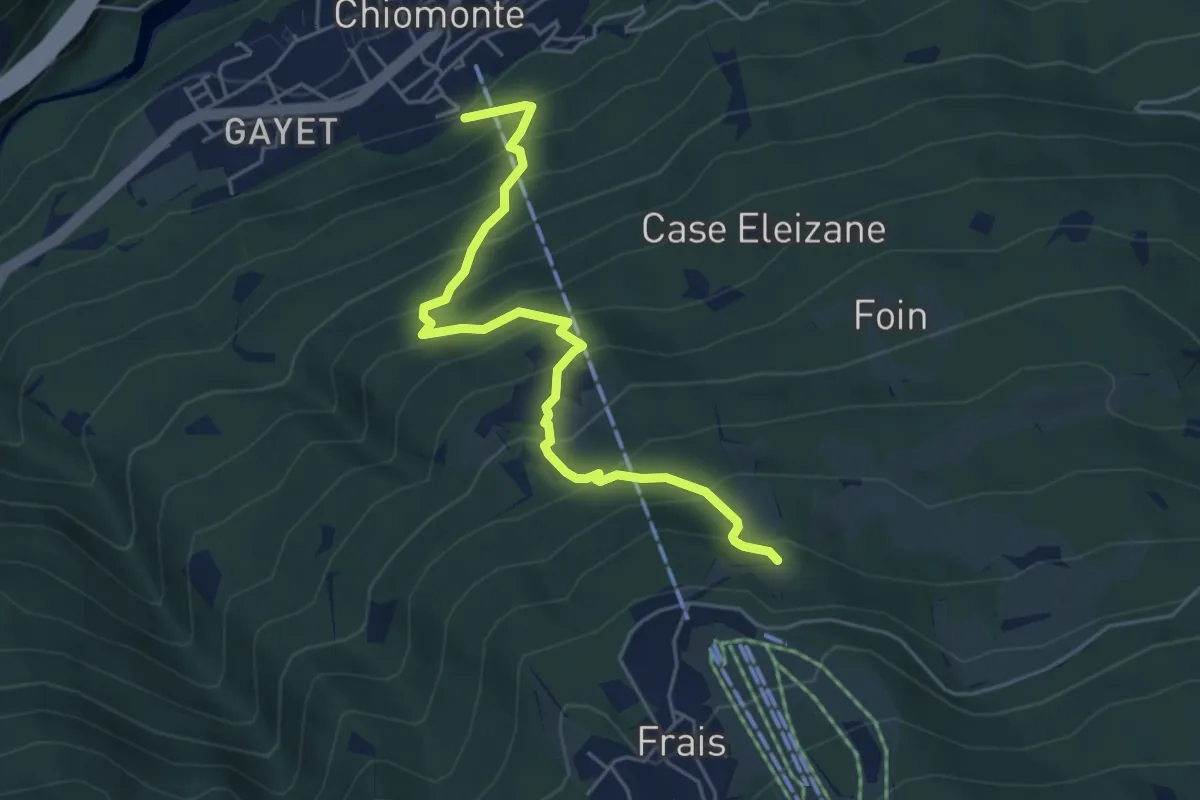
Medium · Trail
Chiomonte, bivio TOS817-TOS817A-TOS817B – Chiomonte, località Frais
5.4 km · ↑ 599 m · 2 h 34 min
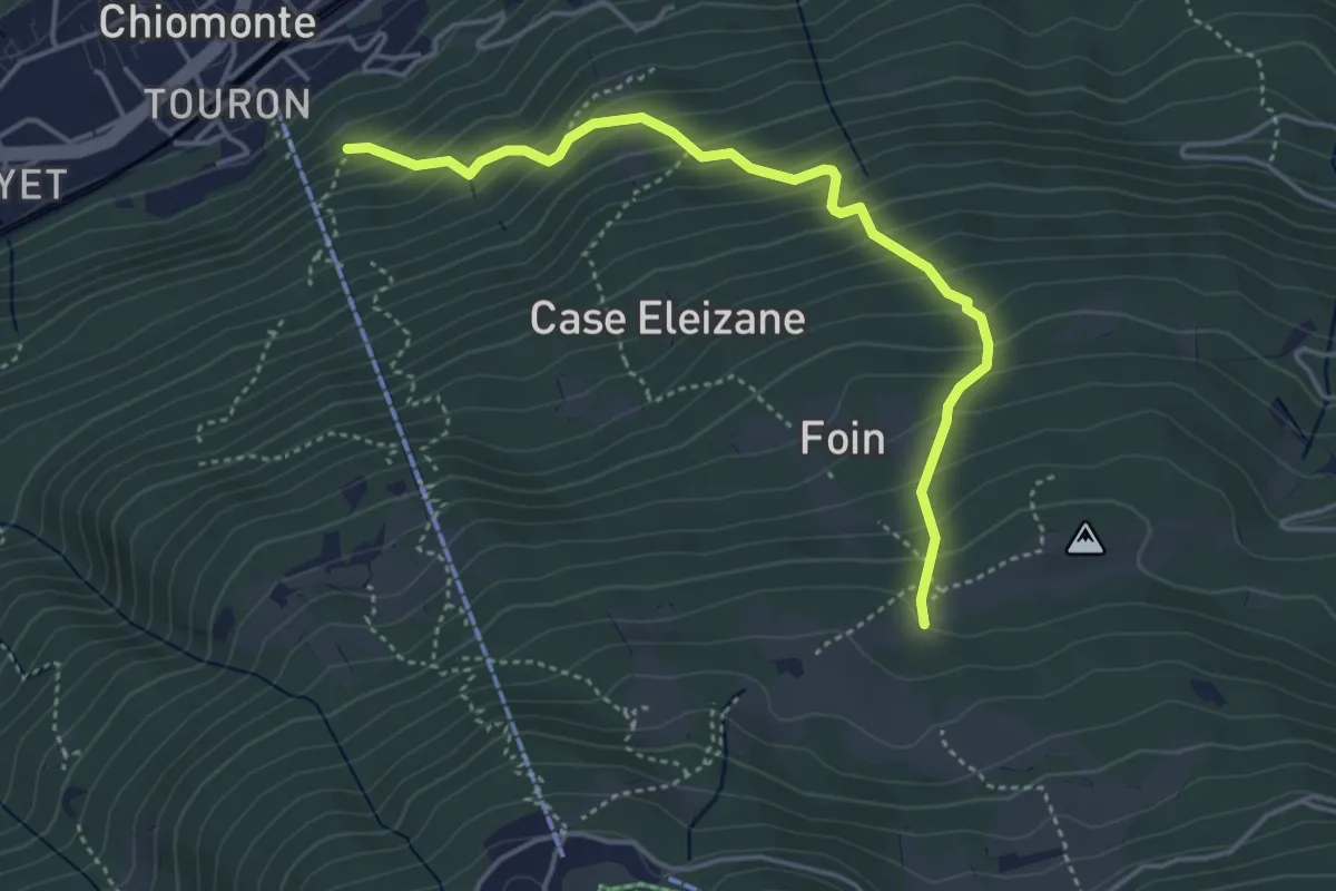
Medium · Trail
Chiomonte, bivio TOS817-TOS817A-TOS817B – Chiomonte, Case Comba
4.4 km · ↑ 485 m · 2 h 6 min
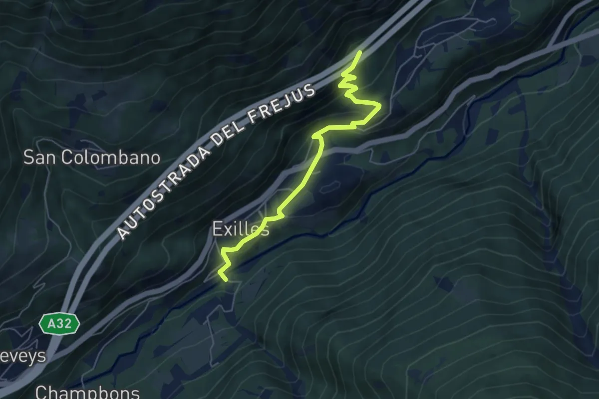
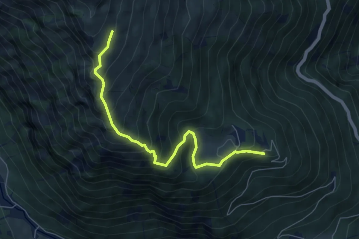
Easy · Trail
Exilles, Ponte sulla Dora Riparia, bivio TOS814B-TOS827 – Exilles, bivio TOS814B-TOS821 presso Borgata Rif
5.2 km · ↑ 293 m · 1 h 52 min
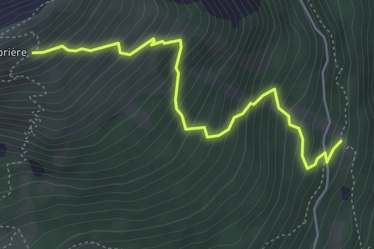
Medium · Trail
Giaglione, Santa Chiara, bivio TOS820-TOS820C – Bivio TOS801-TOS820C, Bergeria Blet
6.2 km · ↑ 602 m · 2 h 47 min
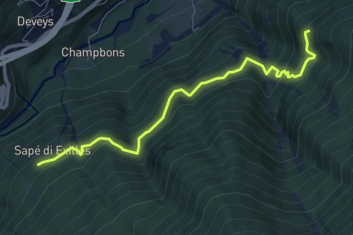
Medium · Trail
Grange Soillet, bivio TOS822 -TOS804A – Bivio TOS822-TOS747 presso Monte Chabriere
4.4 km · ↑ 629 m · 2 h 25 min
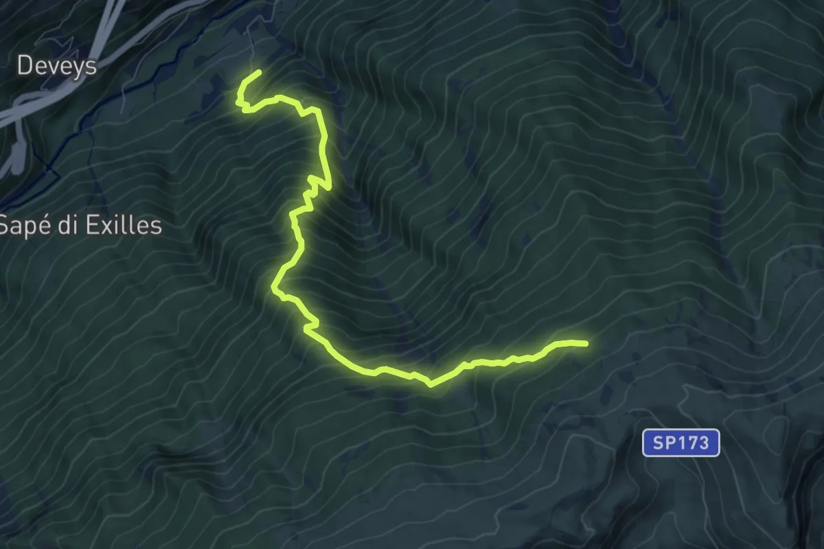
Medium · Trail
Sapè di Exilles, bivio TOS824-TOS746 – Clot Vacher, bivio TOS824-TOS827
6.7 km · ↑ 629 m · 2 h 56 min
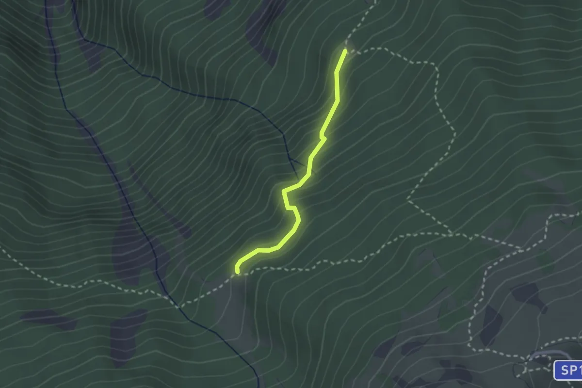
Demanding · Trail
Exilles (Stazione FS) – Bivio TOS826-TOS827 presso Sorgente
9.8 km · ↑ 1358 m · 5 h 15 min
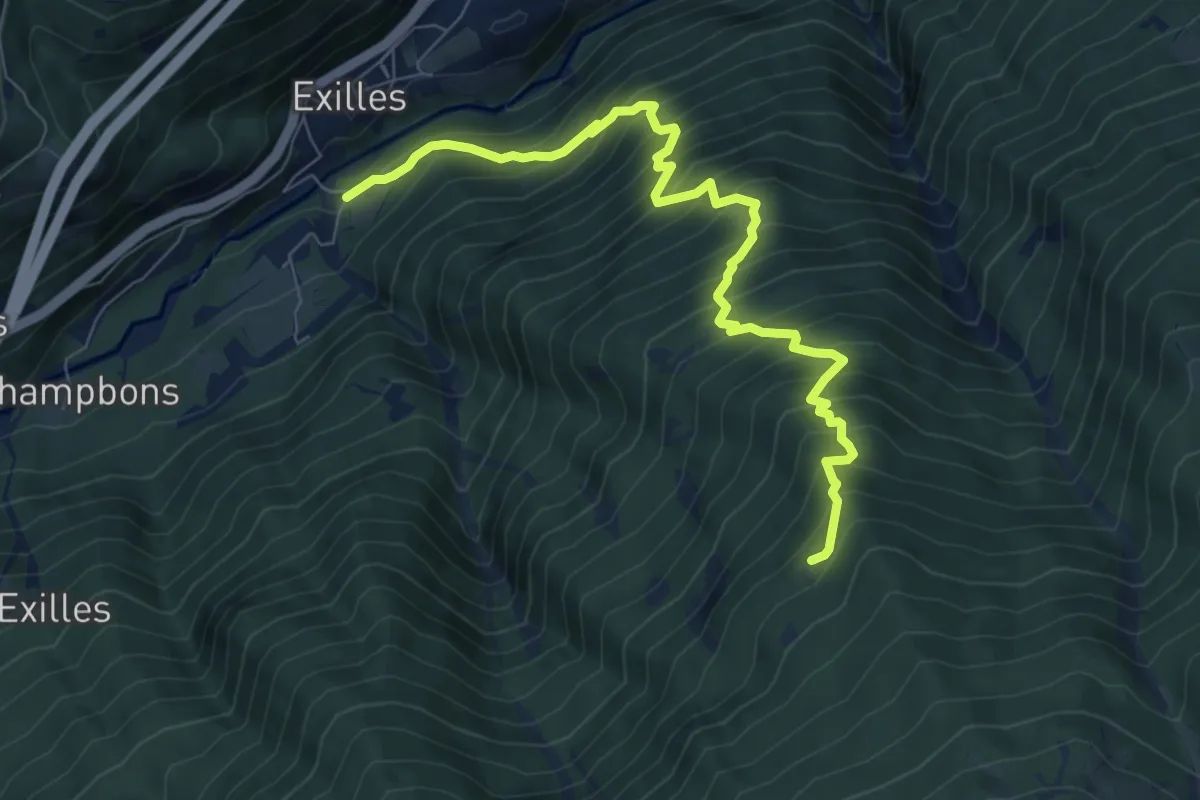
Medium · Trail
Bivio TOS827-TOS827A presso Clot del Anes – Bivio TOS826-TOS827A presso Grangia Ruine
2.1 km · ↑ 193 m · 54 min
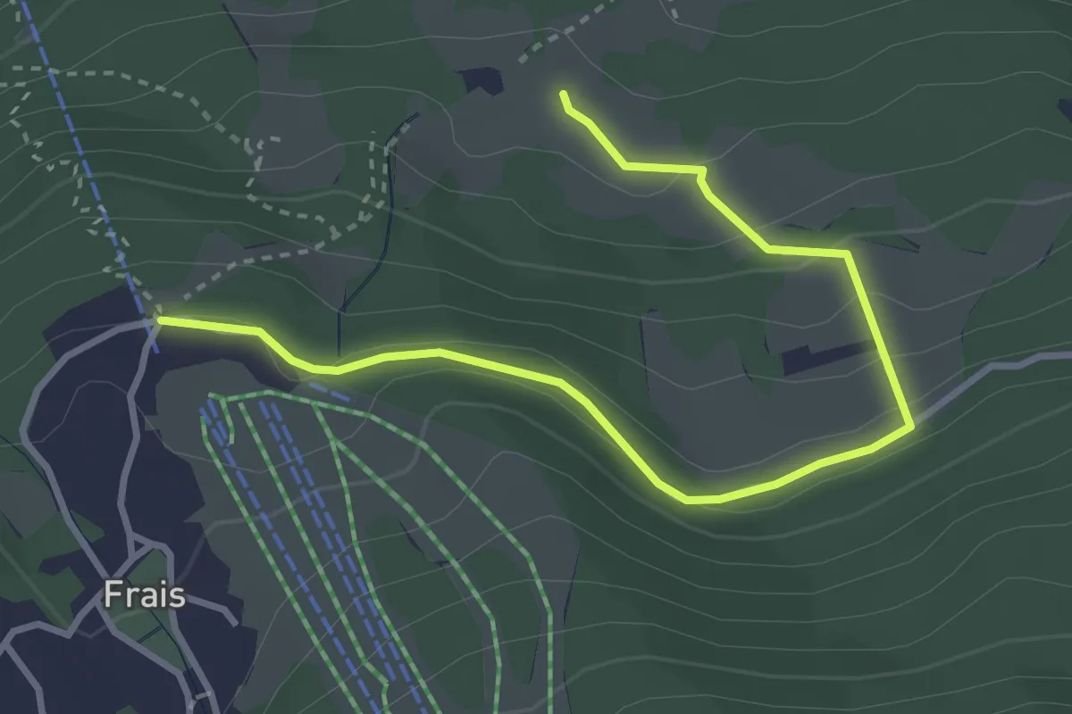
Demanding · Trail
Exilles, Ponte sulla Dora Riparia, bivio TOS827-TOS828 – Clot des Anes, Bivio TOS827-TOS828
8.6 km · ↑ 1156 m · 4 h 33 min
Medium · Trail
Chiomonte, bivio TOS829-TOS829B presso Case Comba – Chiomonte, Pian del Frais, bivio TOS829-TOS829B
3.8 km · ↑ 139 m · 1 h 12 min
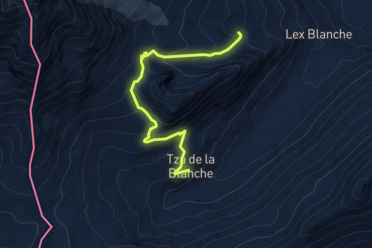
Medium · Trail
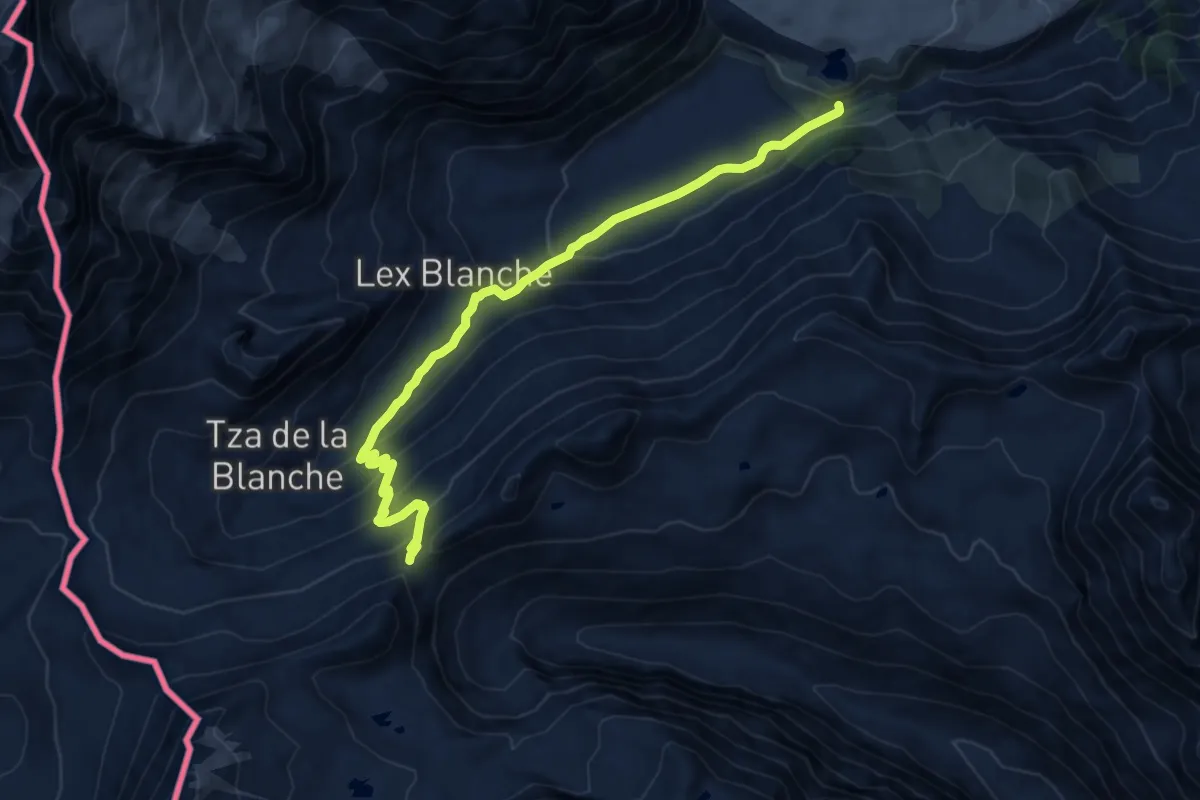
Rifugio Elisabetta – Tsa de la Lex Blanches
6.1 km · ↑ 492 m · 2 h 31 min
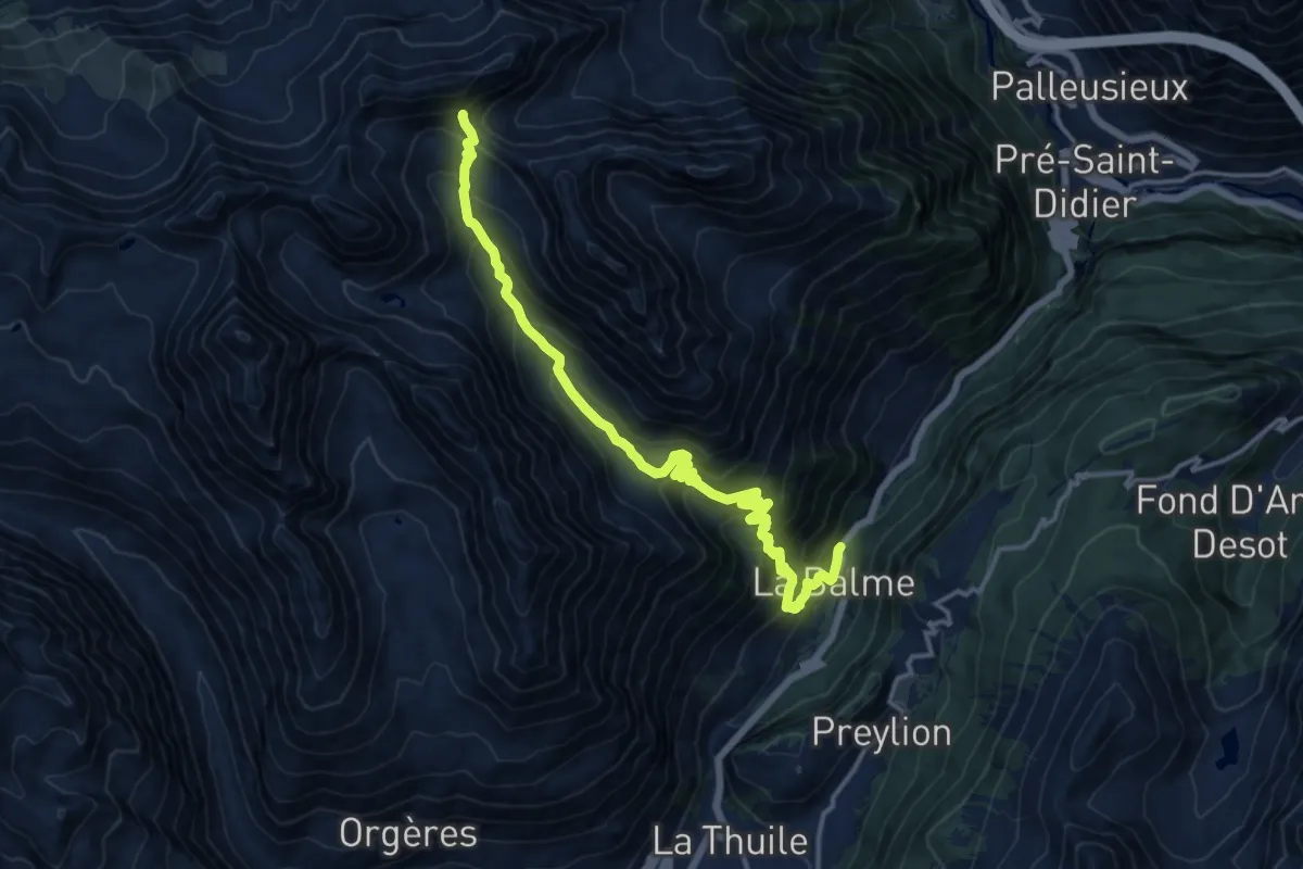
Demanding · Trail
Balme – Col d'Arp
16.2 km · ↑ 1354 m · 6 h 45 min
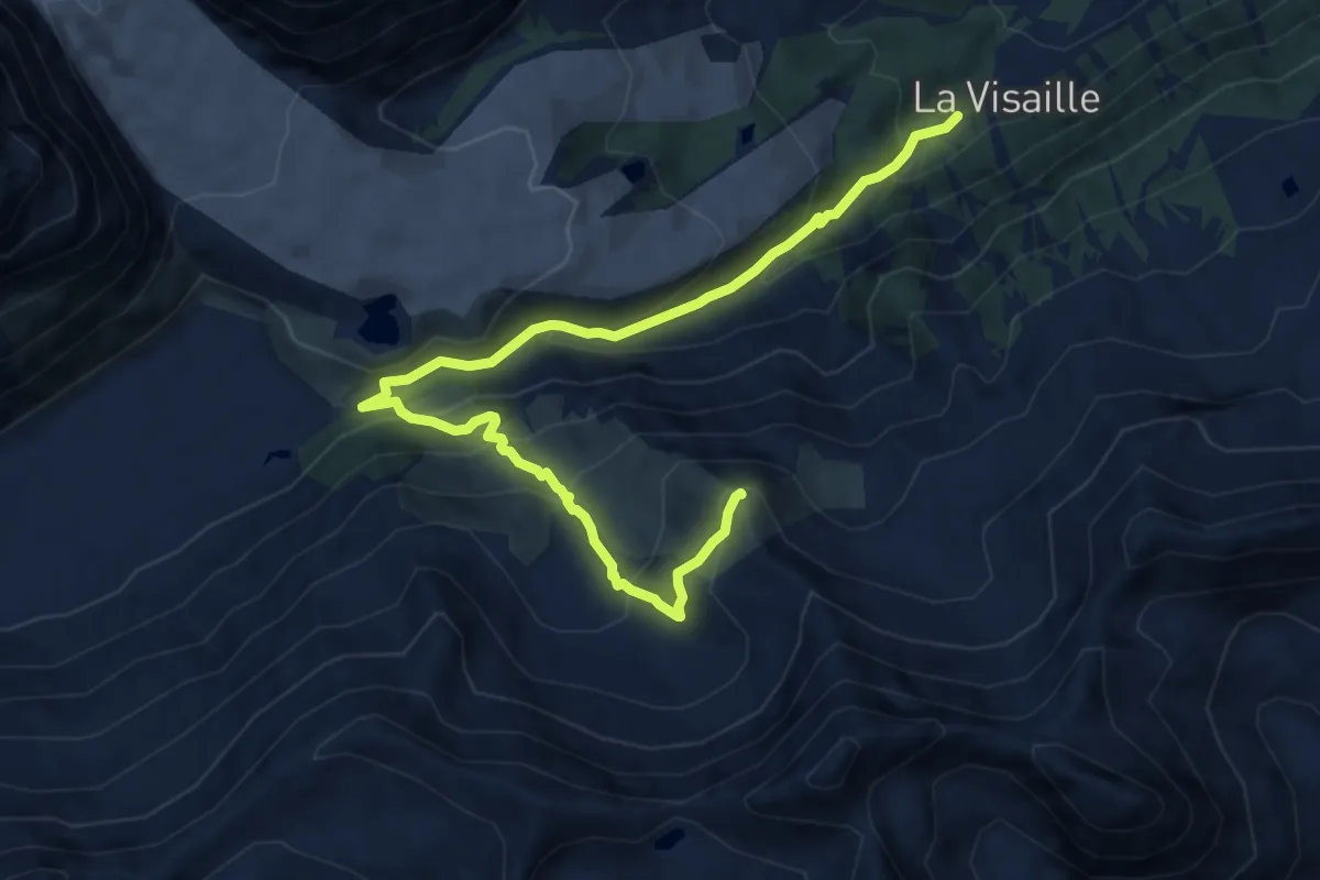
Demanding · Summit
Visaille – Col de la Youlaz
11.0 km · ↑ 745 m · 4 h 13 min
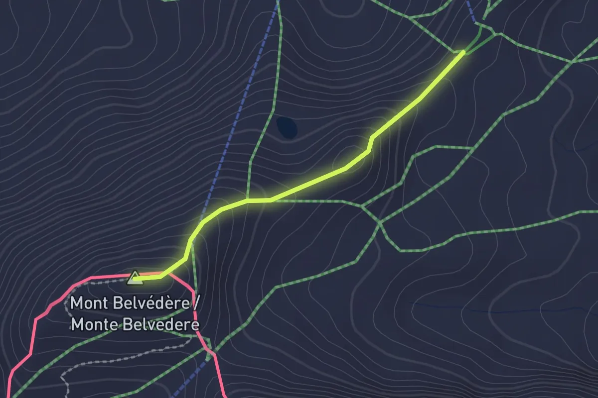
Easy · Summit
Souches – Mont-Belvedere
1.8 km · ↑ 144 m · 44 min
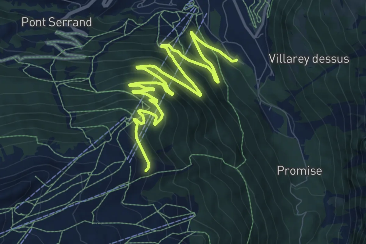
Medium · Trail
Parcheggio Area camper – Souches
12.4 km · ↑ 800 m · 4 h 40 min
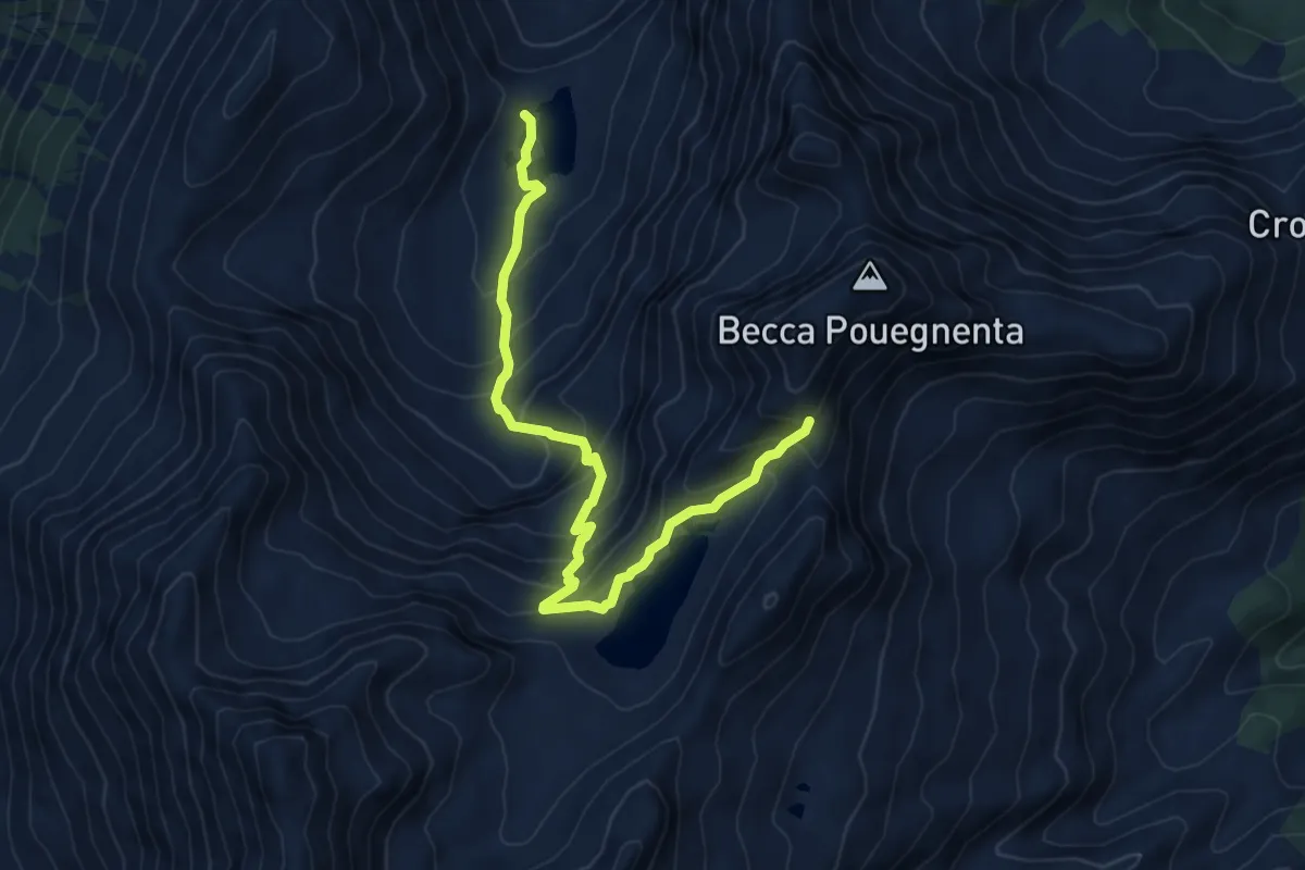
Demanding · Trail
Lac d'Arpy – Col d'Ameran
7.1 km · ↑ 693 m · 3 h 11 min
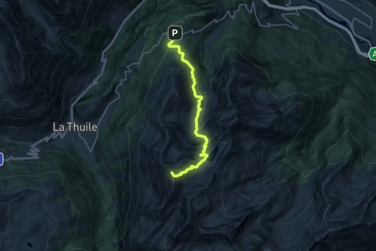
Expert · Summit
Col Saint-Charles – Colle Comba Sorda (Col Cormet)
14.3 km · ↑ 1162 m · 5 h 54 min
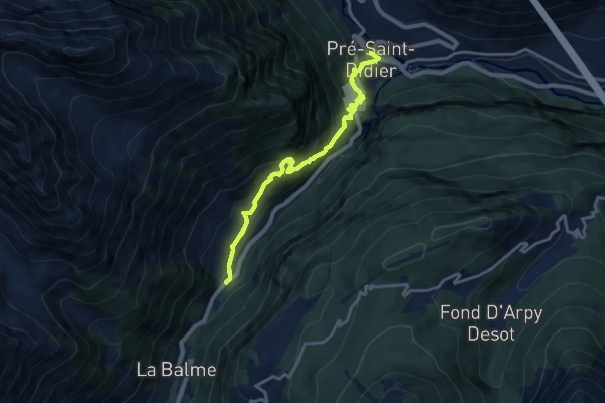
Medium · Trail
Pré Saint-Didier – Elevaz
8.2 km · ↑ 729 m · 3 h 32 min
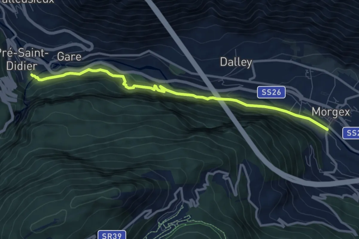
Medium · Trail
Pré-Saint-Didier – Morgex
8.5 km · ↑ 480 m · 3 h 3 min
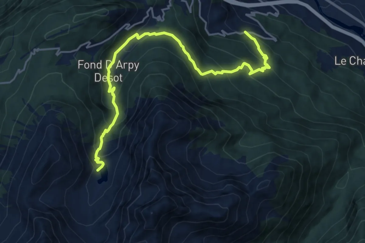
Demanding · Trail
Strada regionale 39 – Lac d'Arpy
14.8 km · ↑ 953 m · 5 h 34 min
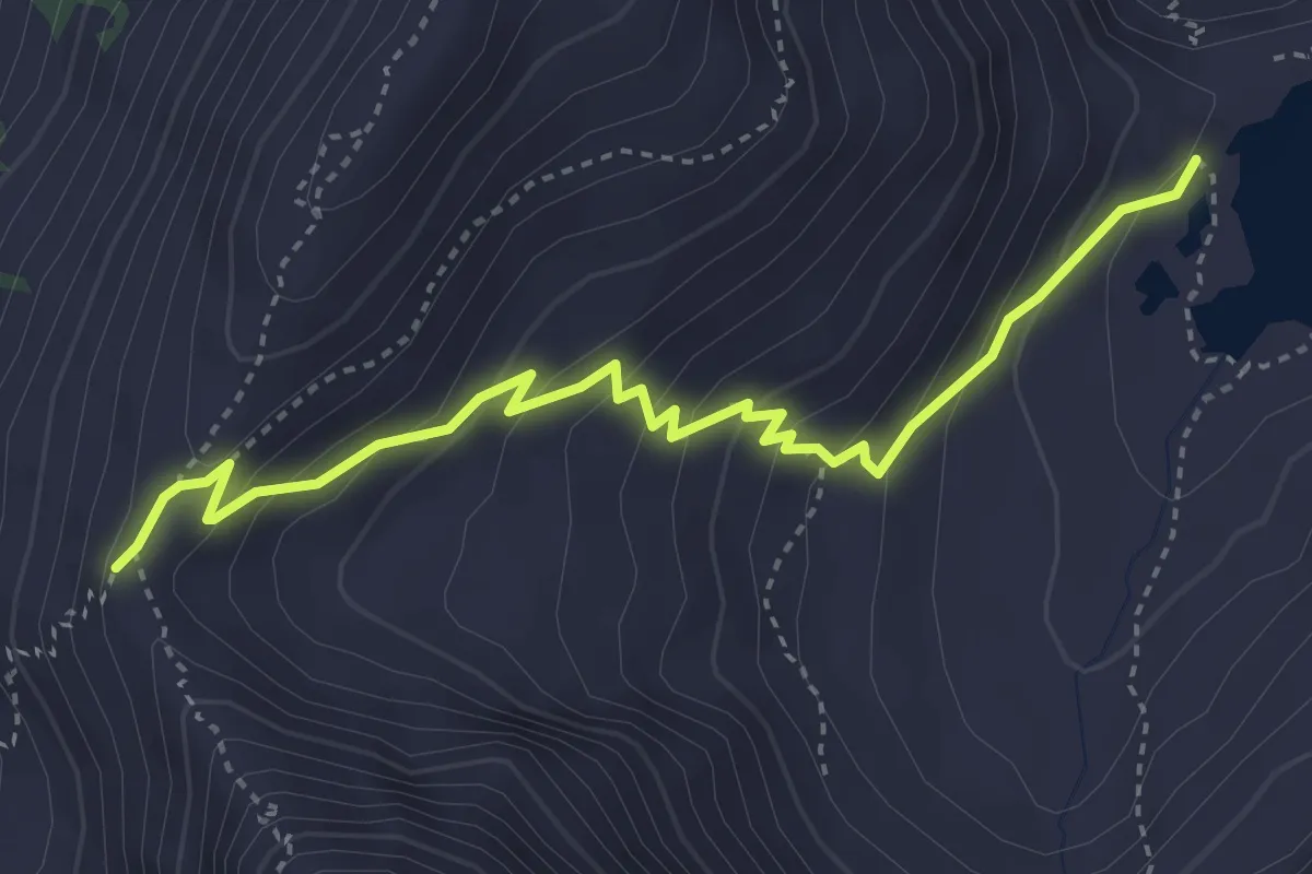
Medium · Trail
Lac d'Arpy – Col de la Croix
4.1 km · ↑ 294 m · 1 h 37 min
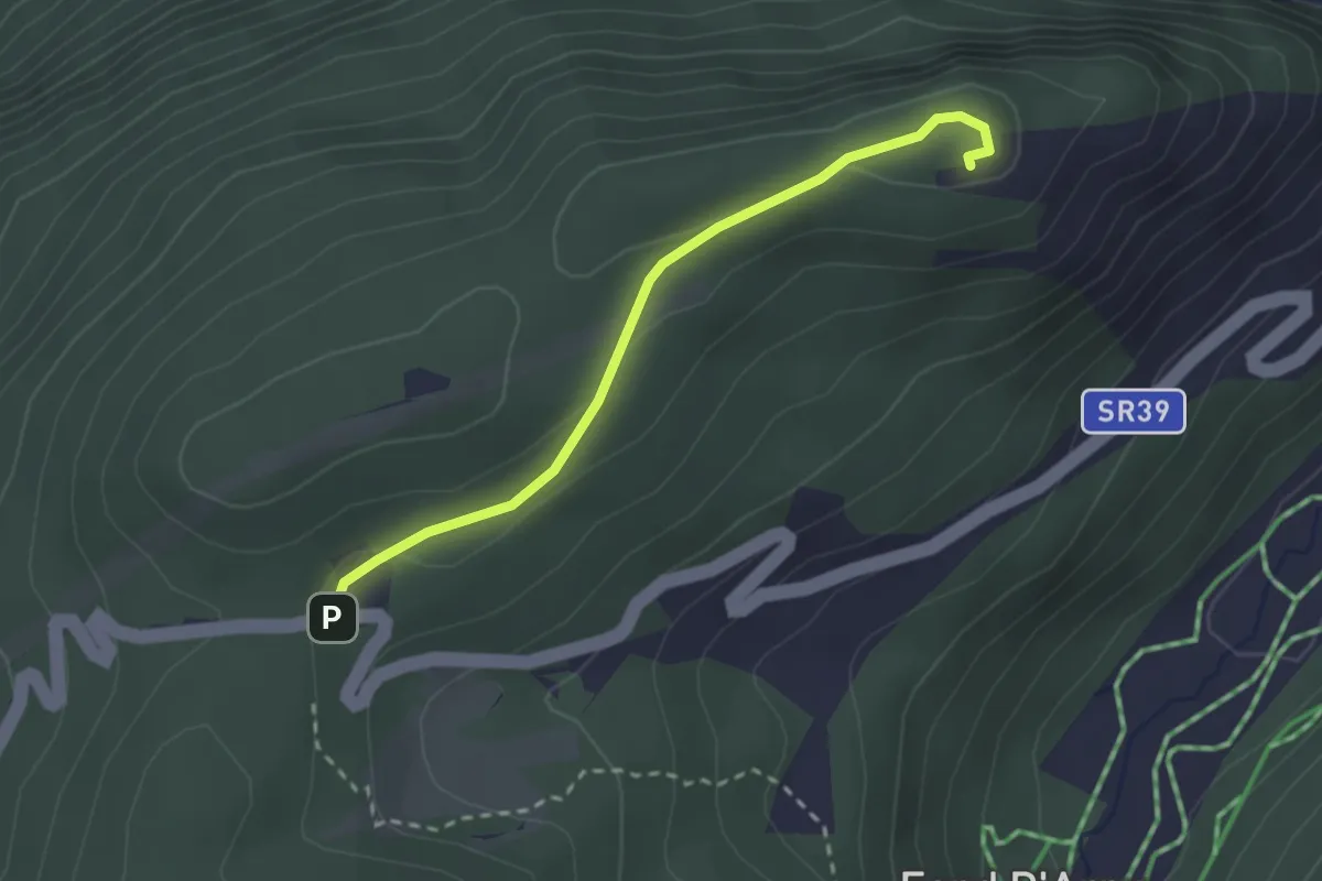
Easy · Summit
Col Saint-Charles – Tête d'Arpy
2.5 km · ↑ 78 m · 46 min
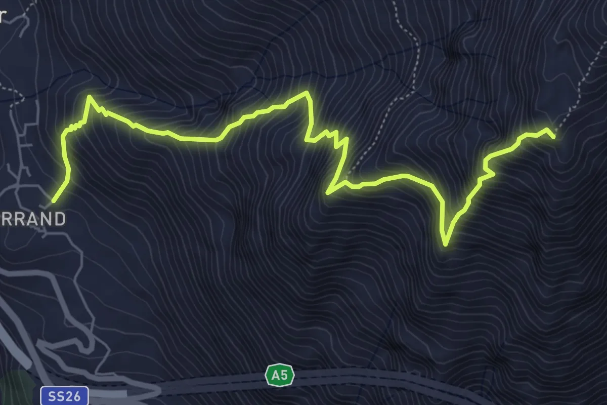
Expert · Summit
Verrand – Mont Cormet
7.4 km · ↑ 1301 m · 4 h 33 min
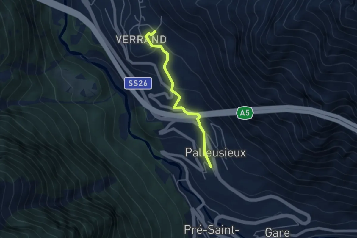
Easy · Trail
Palleusieux – Verrand
3.4 km · ↑ 166 m · 1 h 10 min
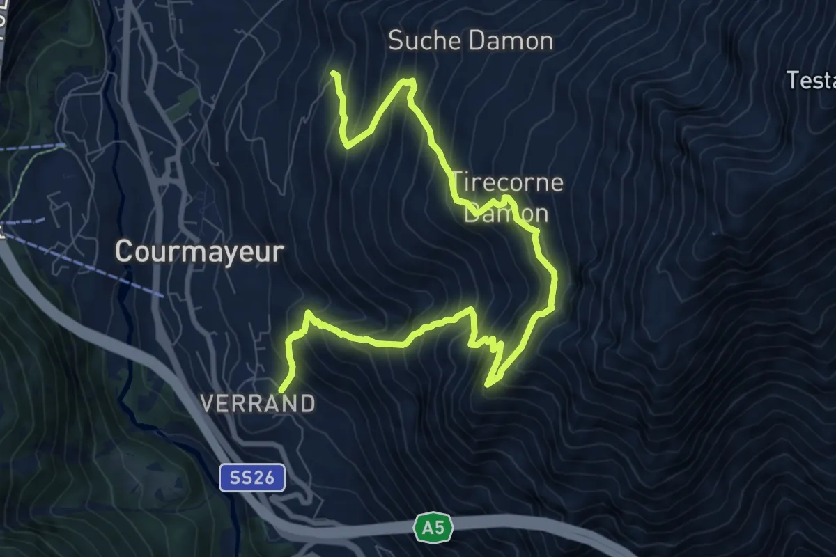
Expert · Trail
Hermitage – Verrand
11.0 km · ↑ 1462 m · 5 h 46 min
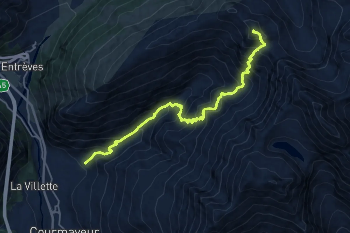
Demanding · Summit
Villair – Tête de la Tronche
13.1 km · ↑ 1374 m · 6 h 4 min
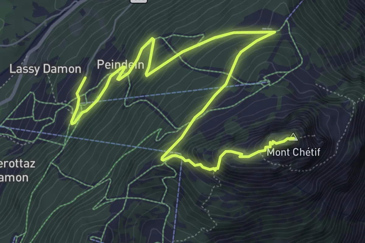
Demanding · Summit
Plan Ponquet – Mont-Chetif
9.0 km · ↑ 695 m · 3 h 37 min
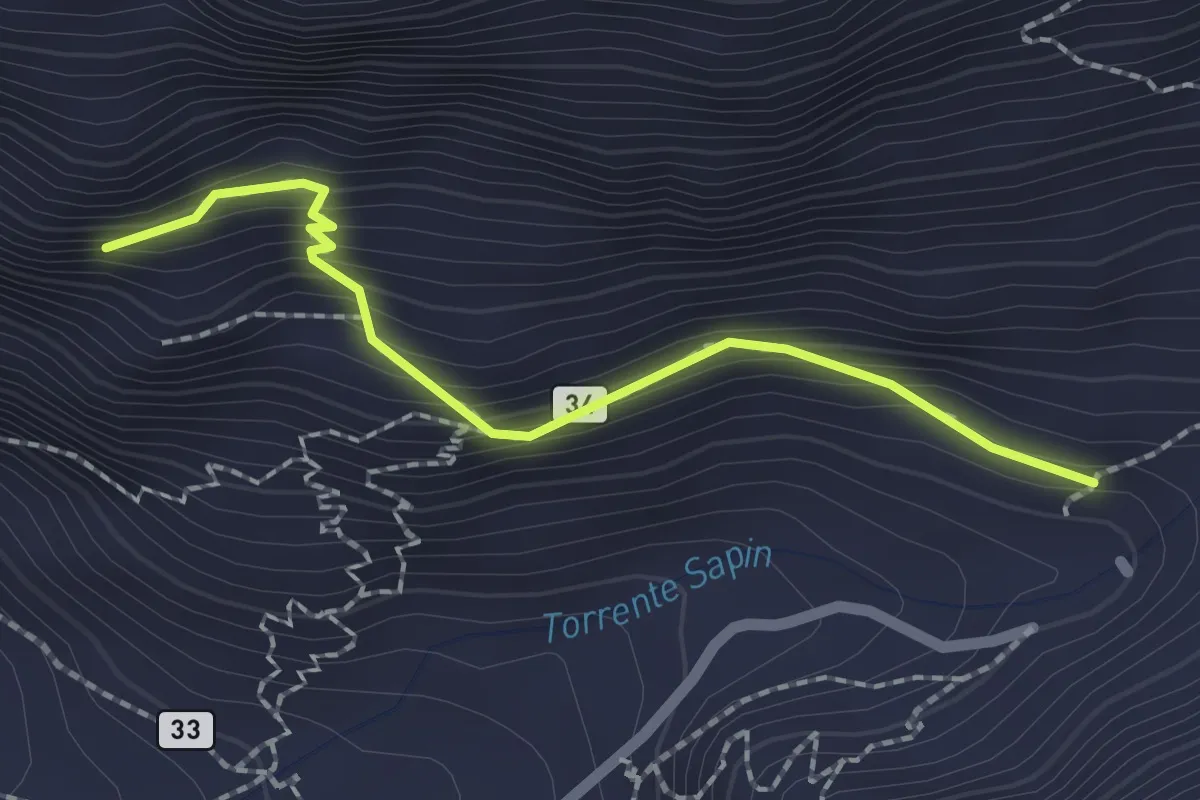
Medium · Trail
Villair – Belvedere
2.0 km · ↑ 228 m · 58 min
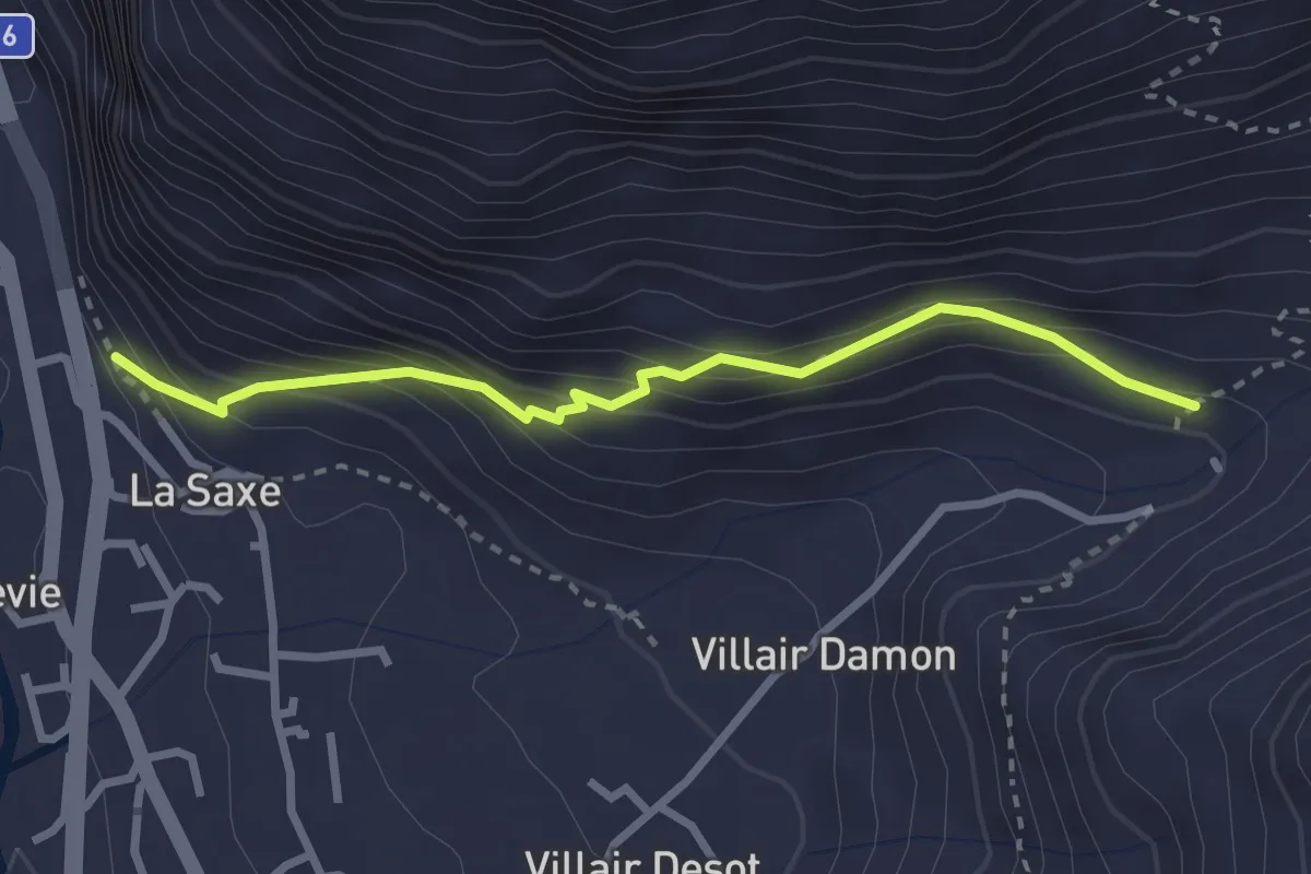
Medium · Trail
La Saxe – Belvedere
2.8 km · ↑ 278 m · 1 h 15 min
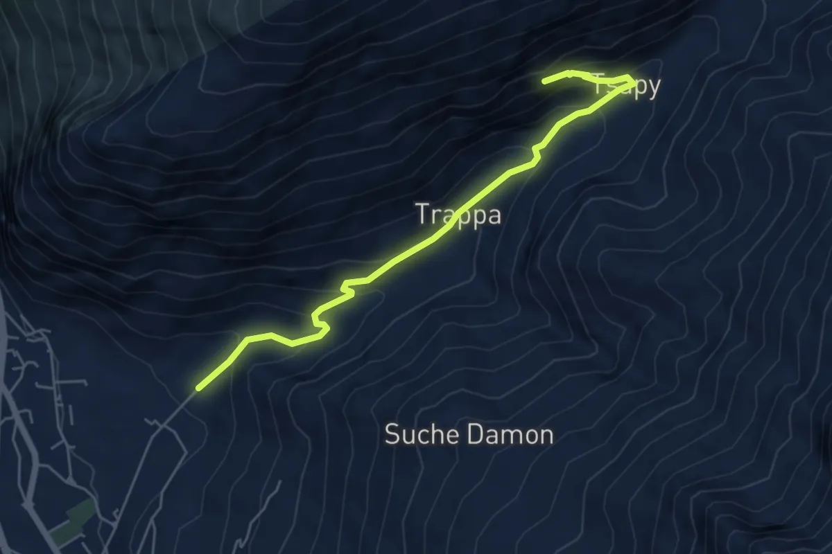
Medium · Trail
Villair – Trou des Romains
5.5 km · ↑ 411 m · 2 h 11 min
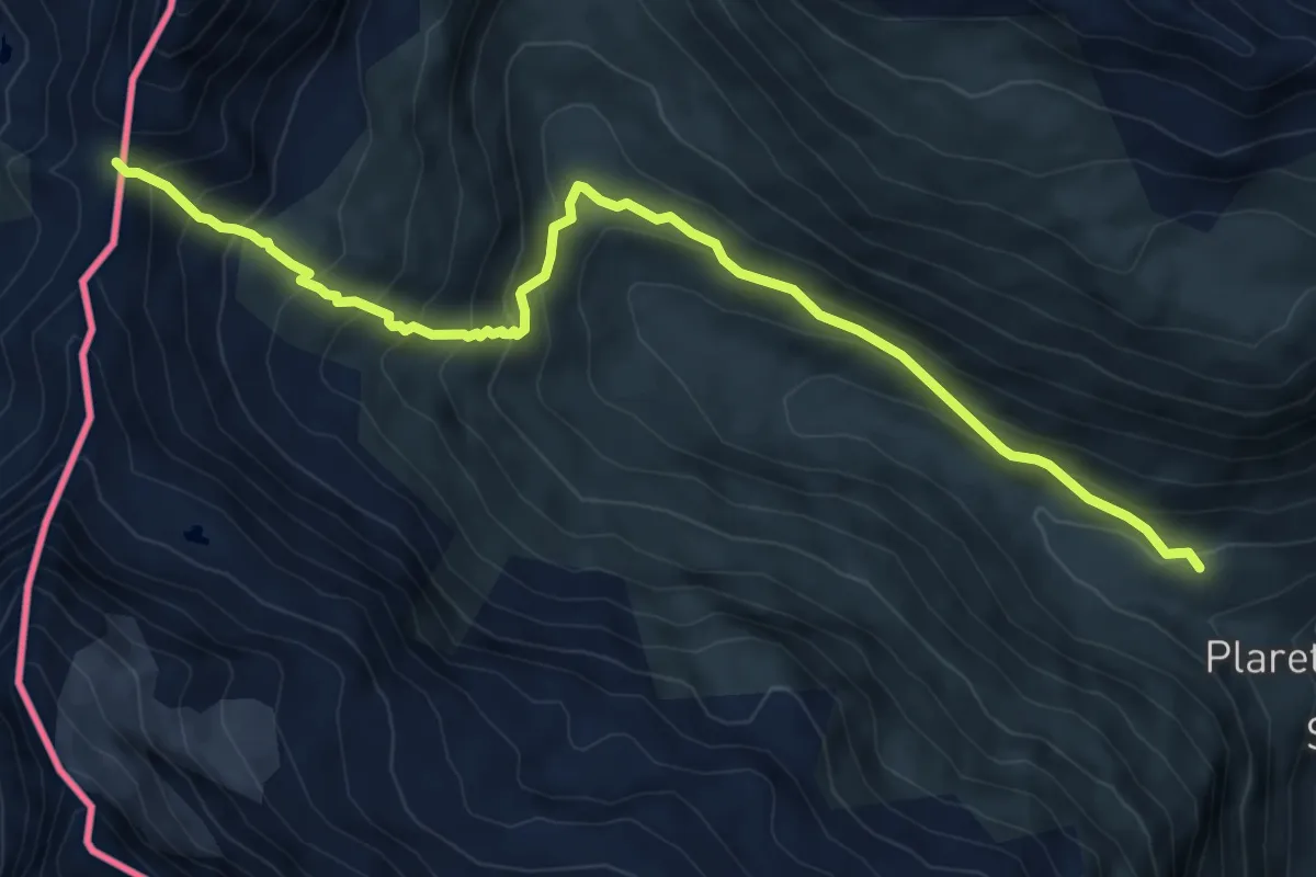
Medium · Trail
Bivio strada per Grand Alpe – Col du Mont
8.5 km · ↑ 704 m · 3 h 32 min
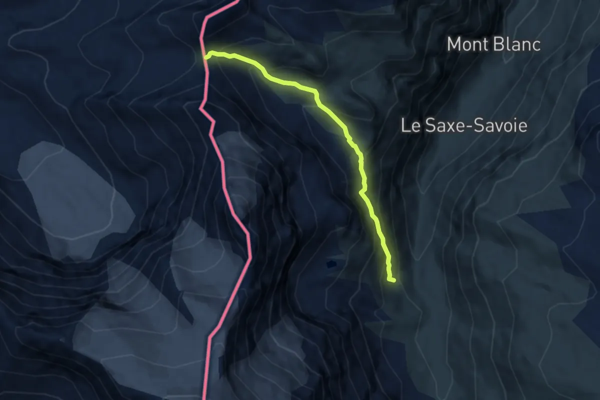
Demanding · Trail
Rifugio Bezzi – Col de Vaudet
6.5 km · ↑ 560 m · 2 h 45 min
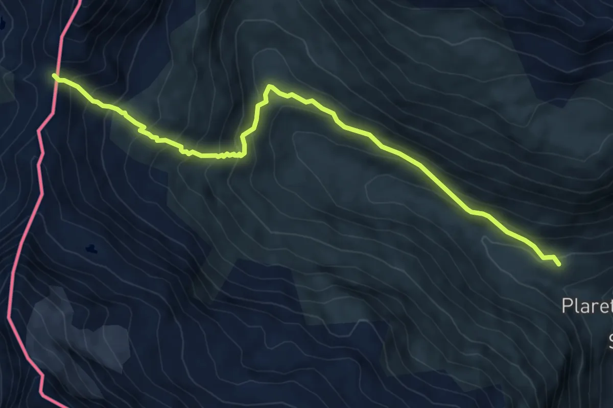
Medium · Trail
Surrier – Col du Mont
8.5 km · ↑ 708 m · 3 h 33 min
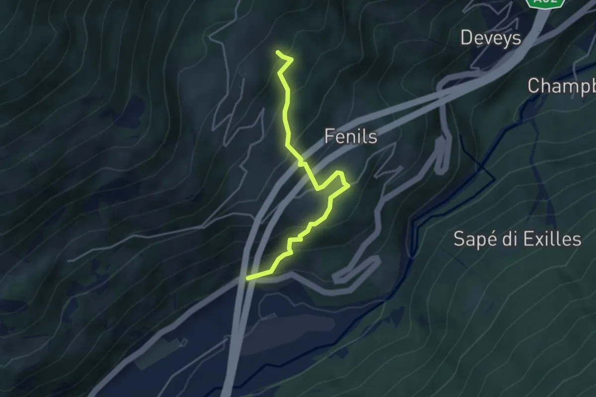
Medium · Trail
Bivio su SS24 presso Salbertrand – Presso Eclause, bivio TOS740-TOS740C
3.7 km · ↑ 326 m · 1 h 34 min
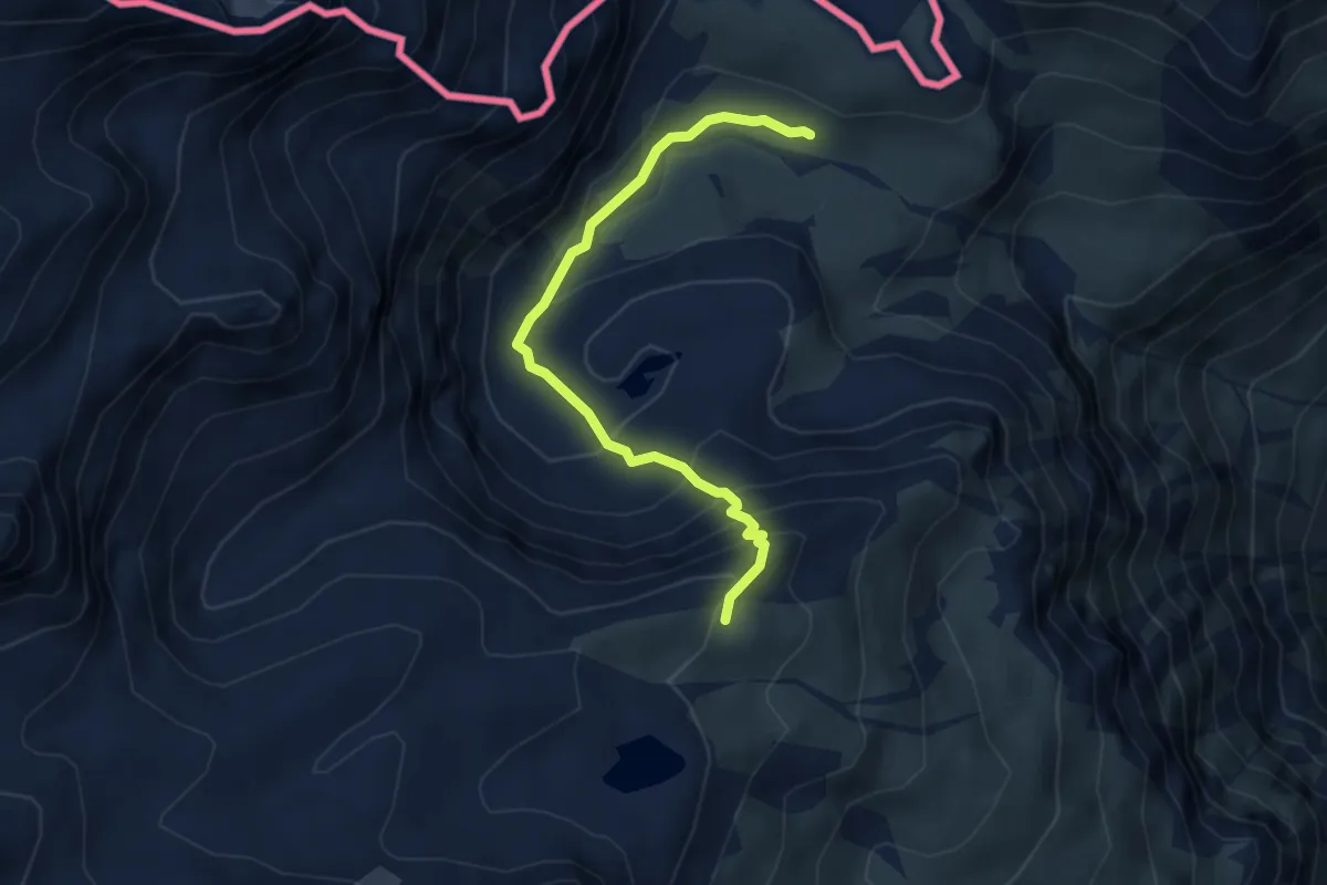
Expert · Cabin
Lago del Gias, bivio TOS806-TOS806A – Bivio TOS806-TOS832, Rifugio Vaccarone
4.4 km · ↑ 328 m · 1 h 45 min
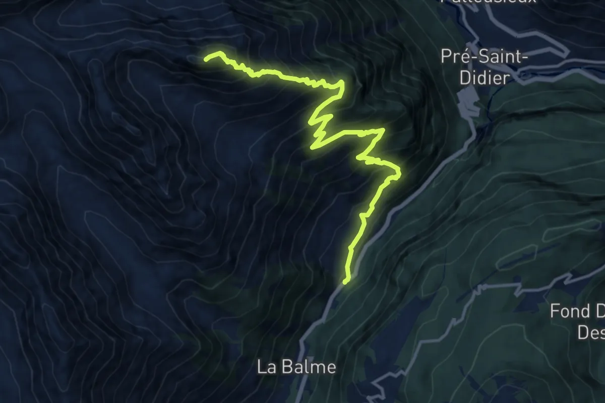
Demanding · Summit
Elevaz – Mont-Crammont
13.7 km · ↑ 1487 m · 6 h 27 min
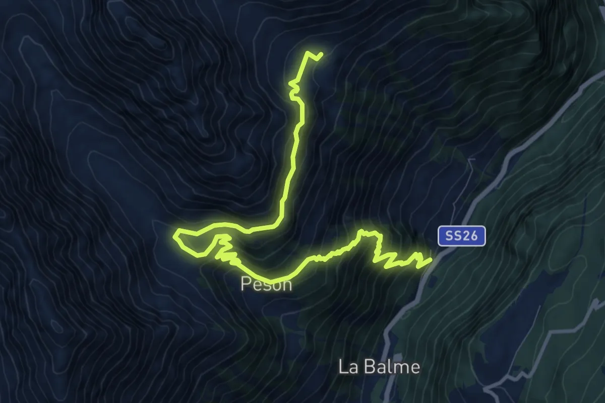
Demanding · Trail
Elevaz – Plan Praz
13.0 km · ↑ 1194 m · 5 h 39 min
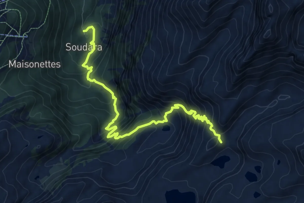
Demanding · Cabin
La Joux – Rifugio Deffeyes
11.0 km · ↑ 978 m · 4 h 43 min
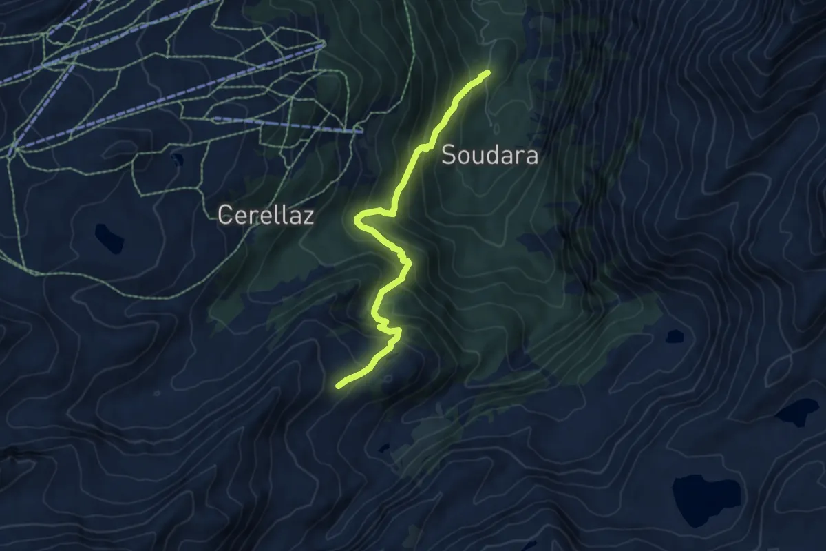
Demanding · Trail
Joux – Percorso 18
6.2 km · ↑ 635 m · 2 h 50 min
Medium · Trail
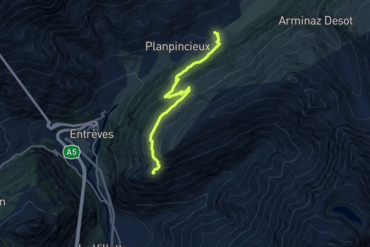
Pont Combal – Col des Chavannes
11.9 km · ↑ 635 m · 4 h 11 min
Medium · Cabin
Mayencet – Rifugio Bertone
9.7 km · ↑ 559 m · 3 h 30 min
Medium · Trail
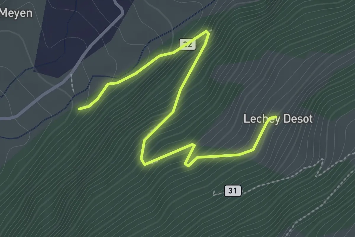
Lechey Desot – Meyen
3.1 km · ↑ 285 m · 1 h 20 min
Medium · Summit
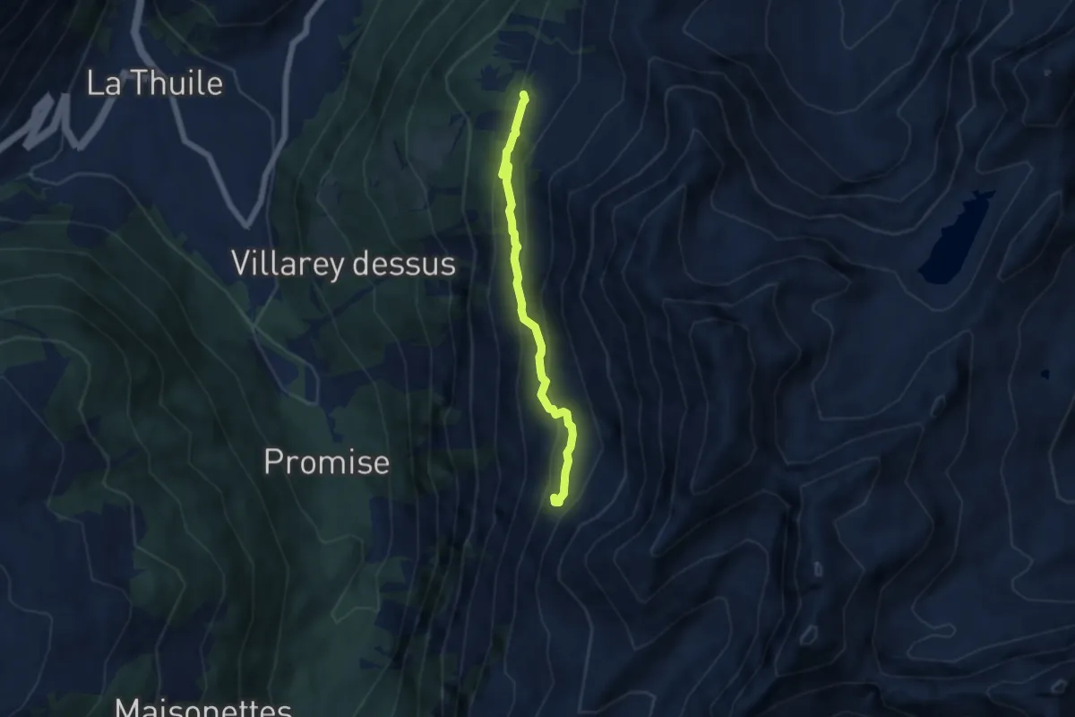
Percorso 2 – Rifugio Deffeyes
5.3 km · ↑ 318 m · 1 h 56 min
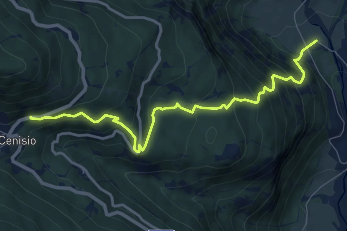
Medium · Trail
Bivio TOS581-TOS581B, Novalesa – Bivio TOS581B-TOS582-TOS588, Statale 25 Bar Cenisio
7.5 km · ↑ 652 m · 3 h 11 min
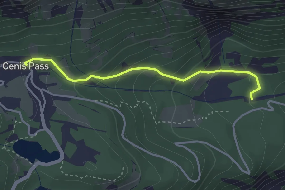
Medium · Trail
Bivio TOS581-TOS581C – Bivio TOS581C-TOS581
2.7 km · ↑ 202 m · 1 h 5 min
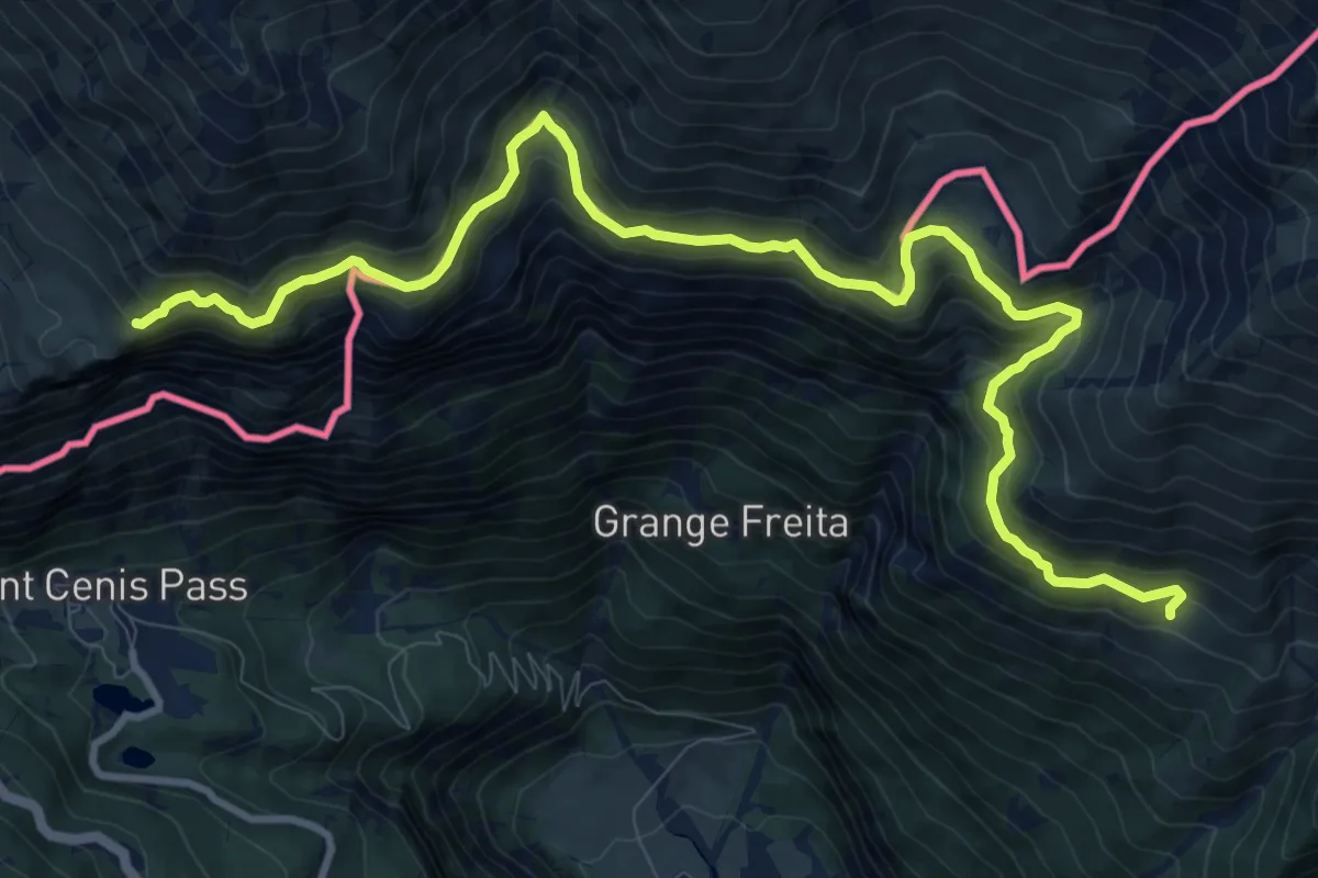
Demanding · Trail
Bivio TOS554-TOS584, Grangia Prapiano – Confine di stato
13.1 km · ↑ 957 m · 5 h 10 min
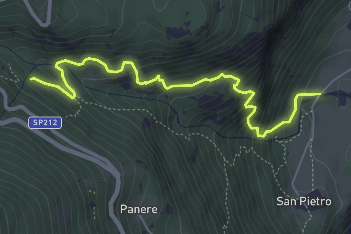
Medium · Trail
Bivio TOS586-TOS586A – Bivio TOS586A-TOS581
5.3 km · ↑ 549 m · 2 h 26 min