Trails in Italy
25,219 hiking trails, each with its route, climb, walking time and grade.
All trails, page 403 of 526
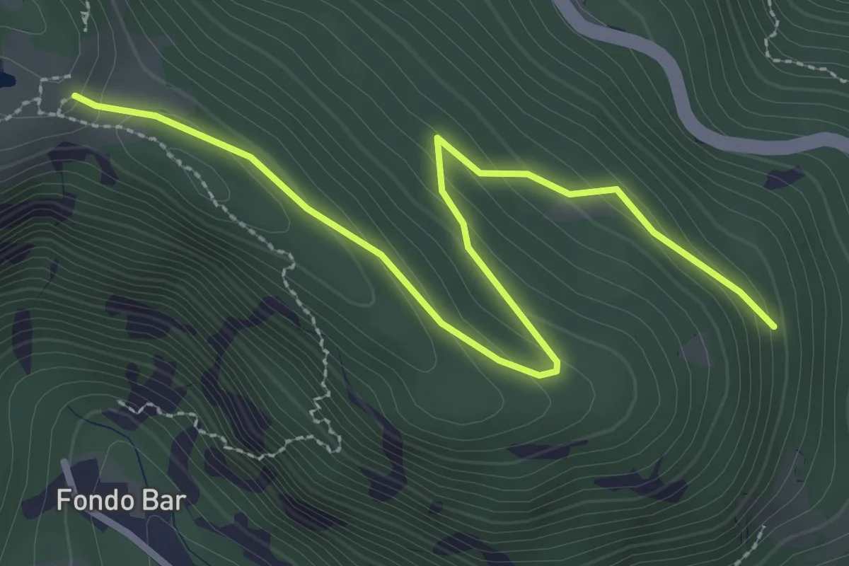
Easy · Trail
Bivio 581B-582-588, Bar Cenisio – Bivio 581A-588, Grangia d'Arpon
3.3 km · ↑ 164 m · 1 h 8 min
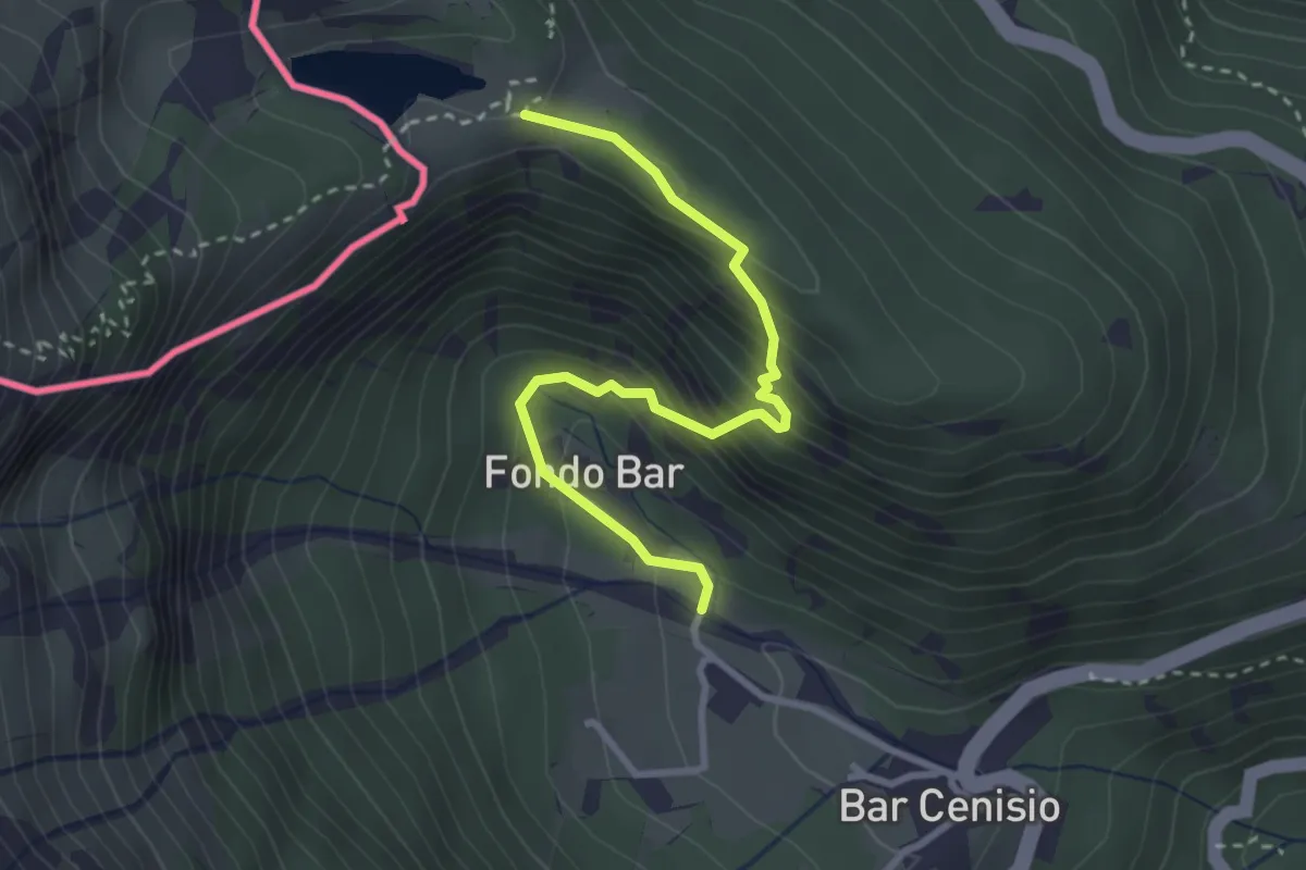
Medium · Trail
Bivio 581A-591 – Bivio 582-591
3.1 km · ↑ 337 m · 1 h 28 min
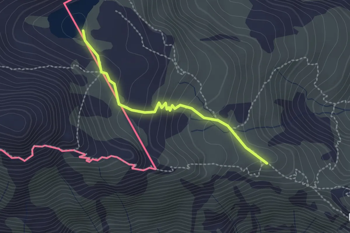
Medium · Cabin
Bivio TOS801-TOS801B – Lago della Vecchia
2.1 km · ↑ 117 m · 45 min
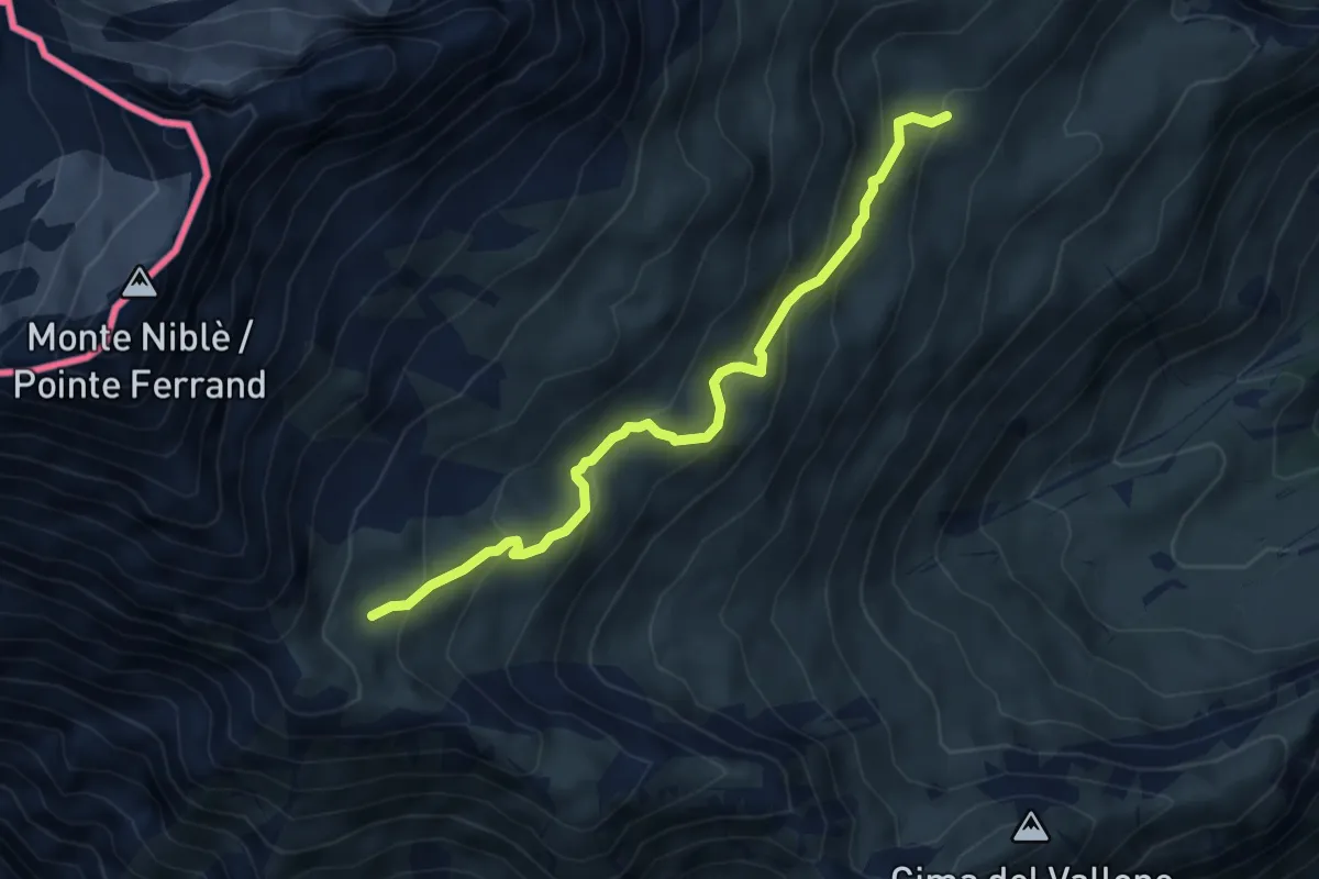
Medium · Trail
Bivio 812-812A – Bivio 806-812A
5.4 km · ↑ 344 m · 2 h 2 min
Medium · Trail
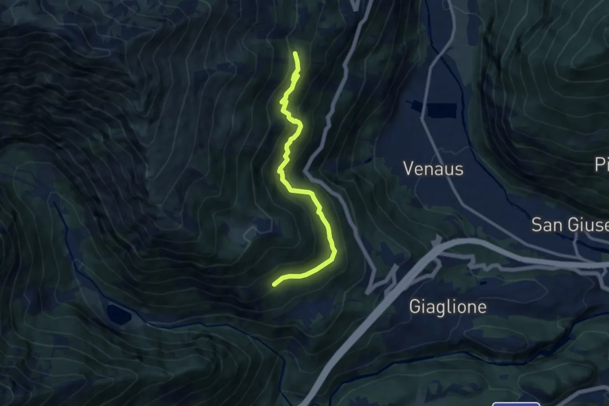
Bivio 820-820D, Case Ravoira di sotto – Bivio TOS582A-TOS820A-TOS820D, Pian Suffit
8.1 km · ↑ 551 m · 3 h 7 min
Expert · Cabin
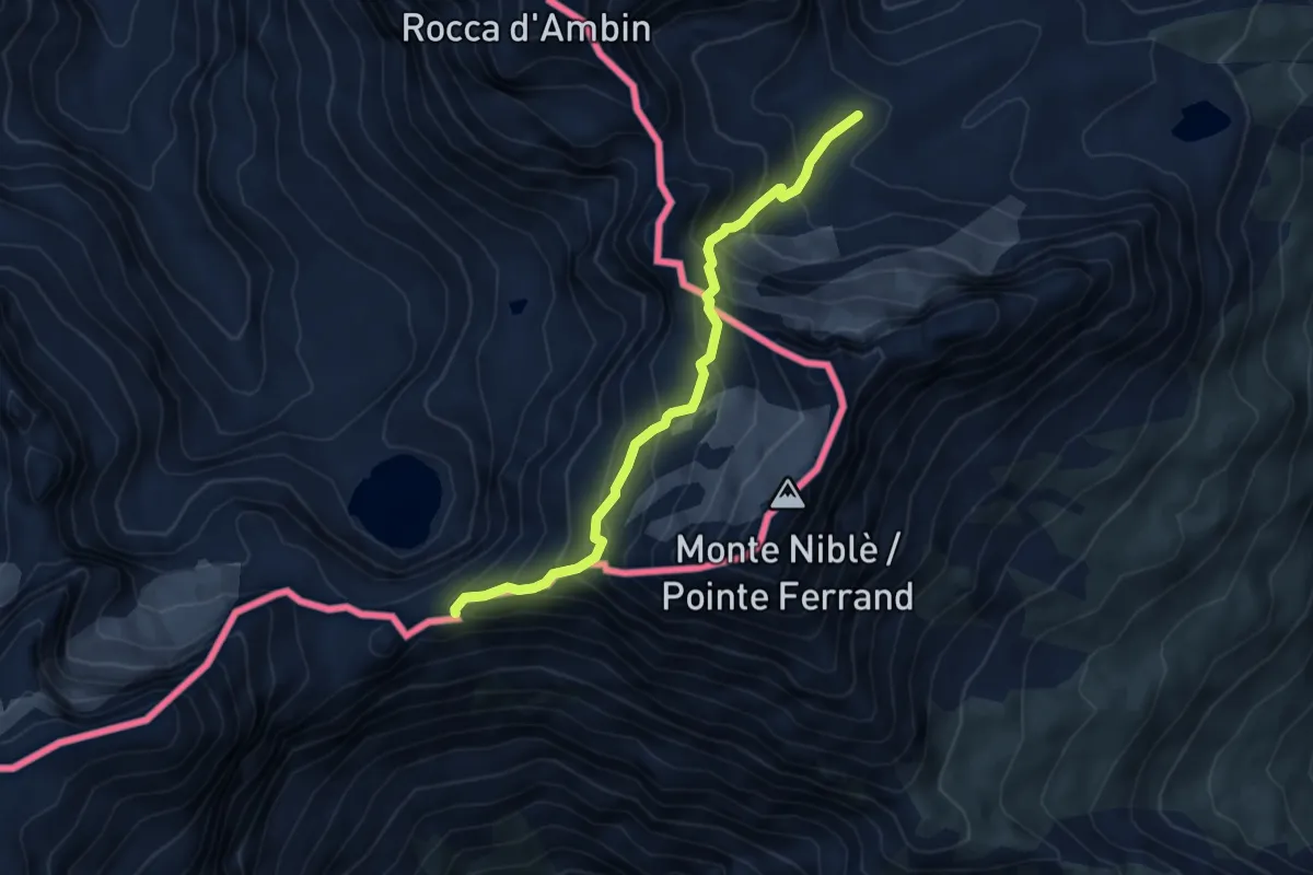
Bivio TOS832-TOS832A – Bivio TOS803-TOS832A, Bivacco Walter Blais
5.3 km · ↑ 544 m · 2 h 26 min
Medium · Trail
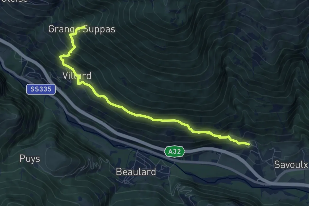
Constans, bivio TOS725-TOS736 – Grange Suppas, bivio TOS742-TOS736
9.1 km · ↑ 696 m · 3 h 39 min
Medium · Trail
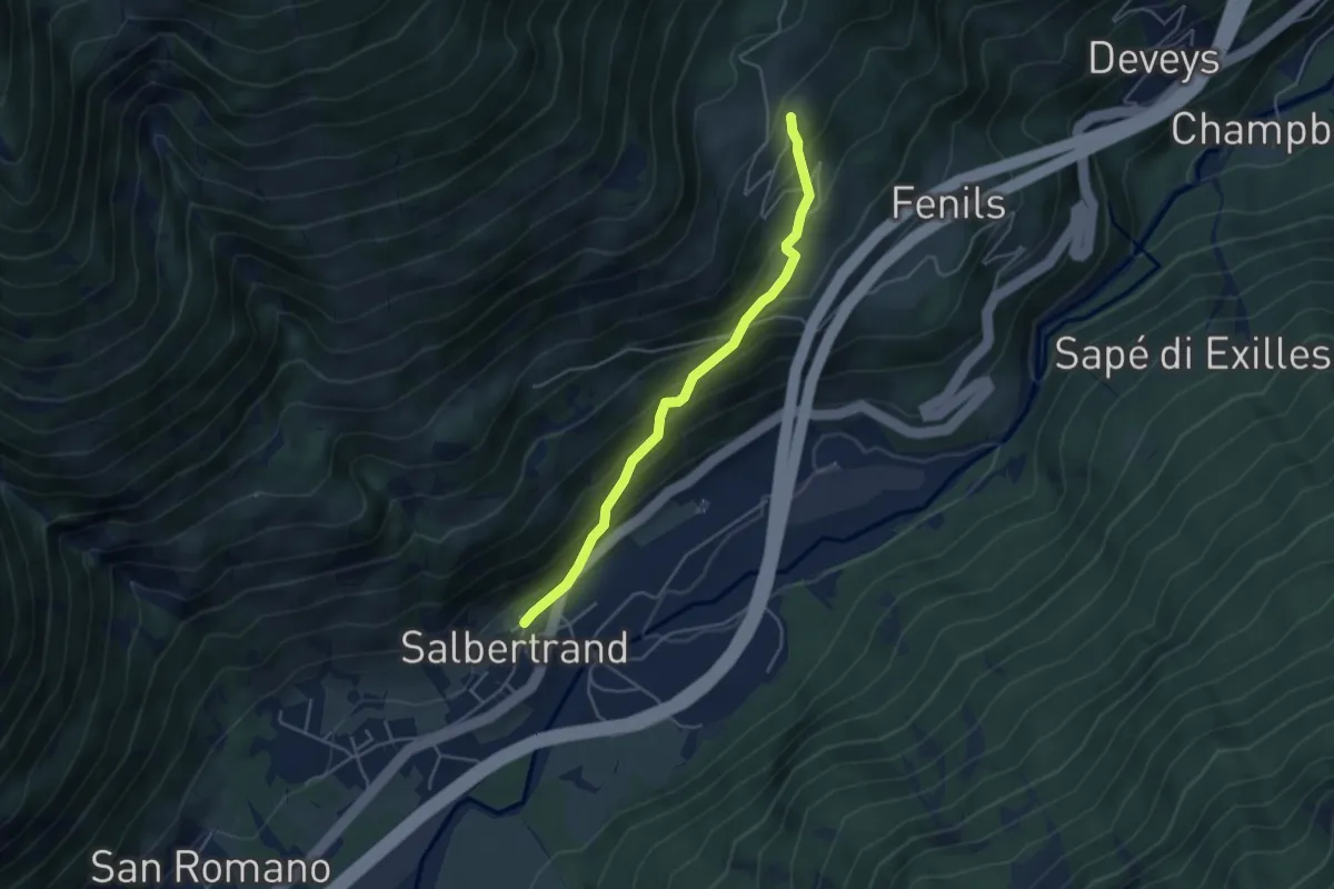
Salbertrand, bivio TOS765-TOS740A – Eclause, bivio TOS765-TOS740
4.3 km · ↑ 379 m · 1 h 50 min
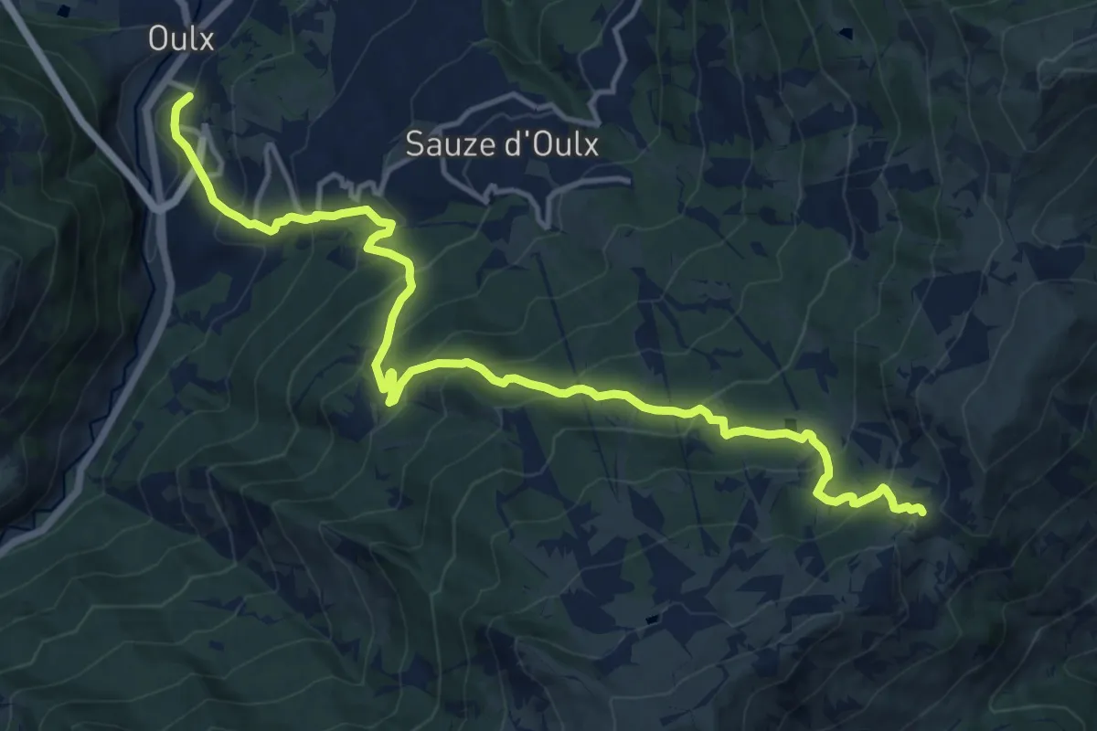
Demanding · Trail
Oulx, Borgo Alto, bivio TOS732-TOS745 – Sauze d'Oulx, Colle Bourget, bivio TOS325-TOS732
16.2 km · ↑ 1204 m · 6 h 27 min
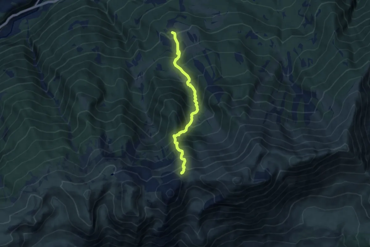
Demanding · Trail
Chiomonte, Frais, bivio TOS829-TOS825-TOS830 – Chiomonte, presso Colle della Valletta, bivio TOS373-TOS830
8.6 km · ↑ 1065 m · 4 h 20 min
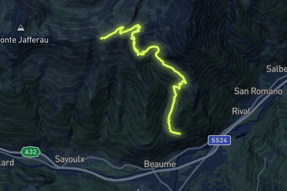
Medium · Trail
Bivio 742-717, Auberge – Col Basset
9.3 km · ↑ 350 m · 3 h 39 min
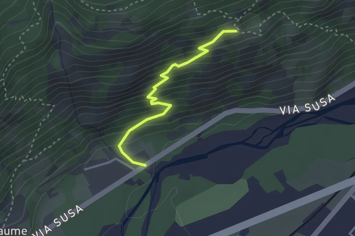
Medium · Trail
Via Susa, ponte sul rio Seguret – Auberge, bivio TOS742-TOS742D
2.4 km · ↑ 278 m · 1 h 11 min
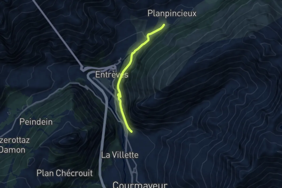
Medium · Trail
Percorso 35 – La Palud
7.9 km · ↑ 403 m · 2 h 44 min
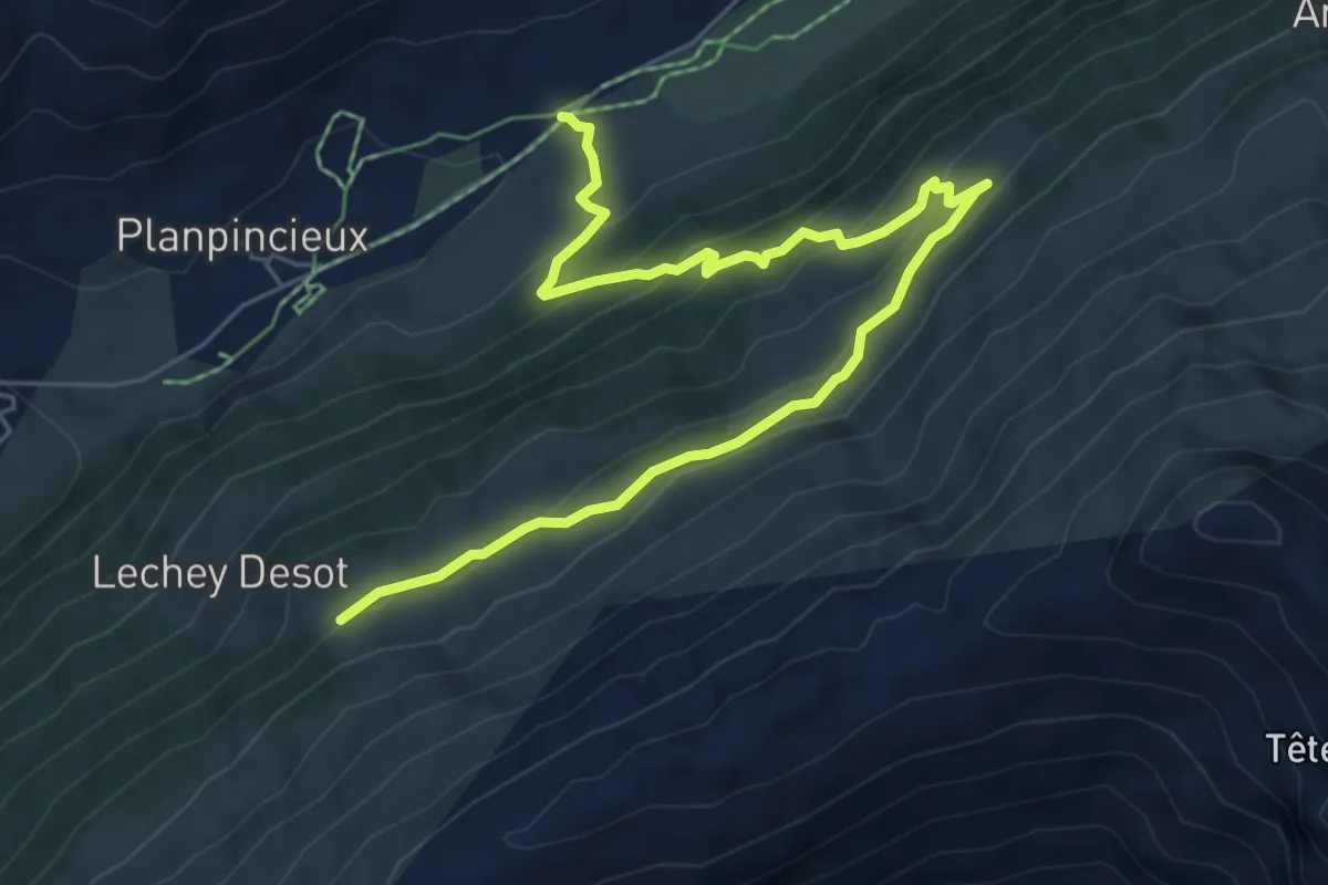
Medium · Trail
Mayencet – Lechey Damon
7.5 km · ↑ 476 m · 2 h 48 min
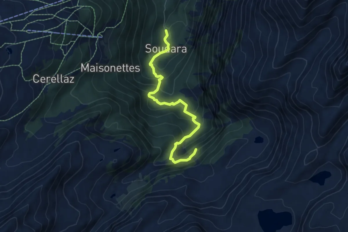
Medium · Trail
La Joux – Cascate del Rutor
6.3 km · ↑ 525 m · 2 h 38 min
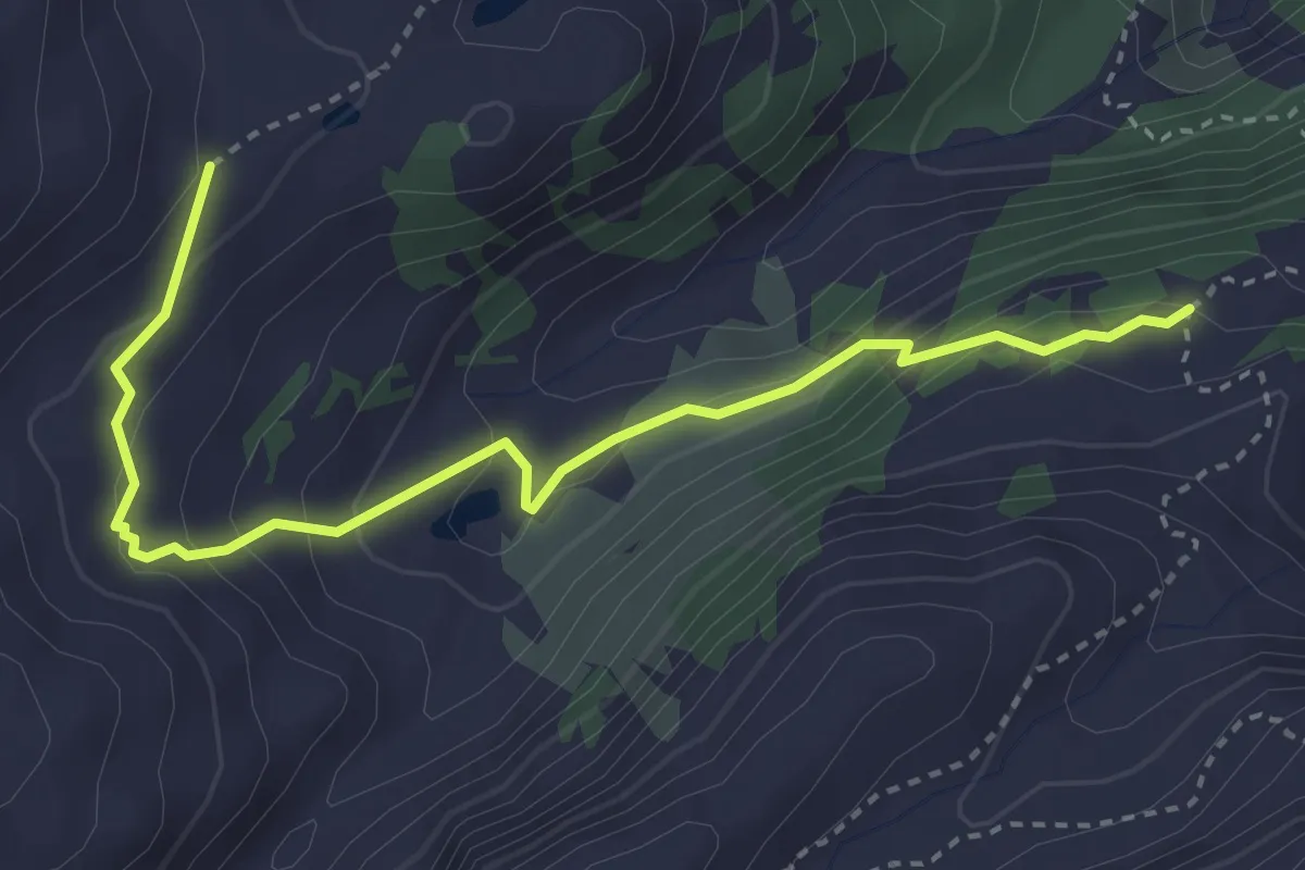
Demanding · Trail
Cerellaz – Percorso 8
3.8 km · ↑ 248 m · 1 h 26 min
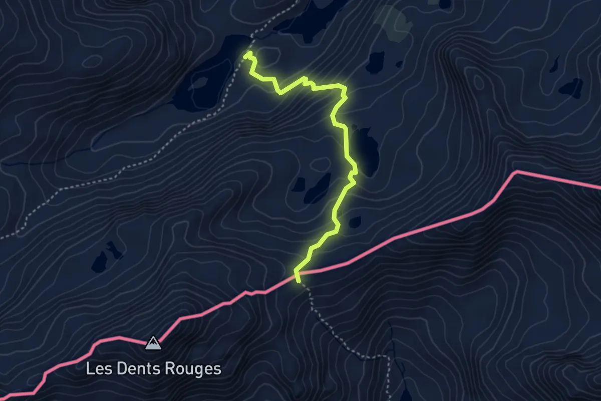
Demanding · Trail
Laghi di Bellacomba – Col Tachuy
3.5 km · ↑ 314 m · 1 h 30 min
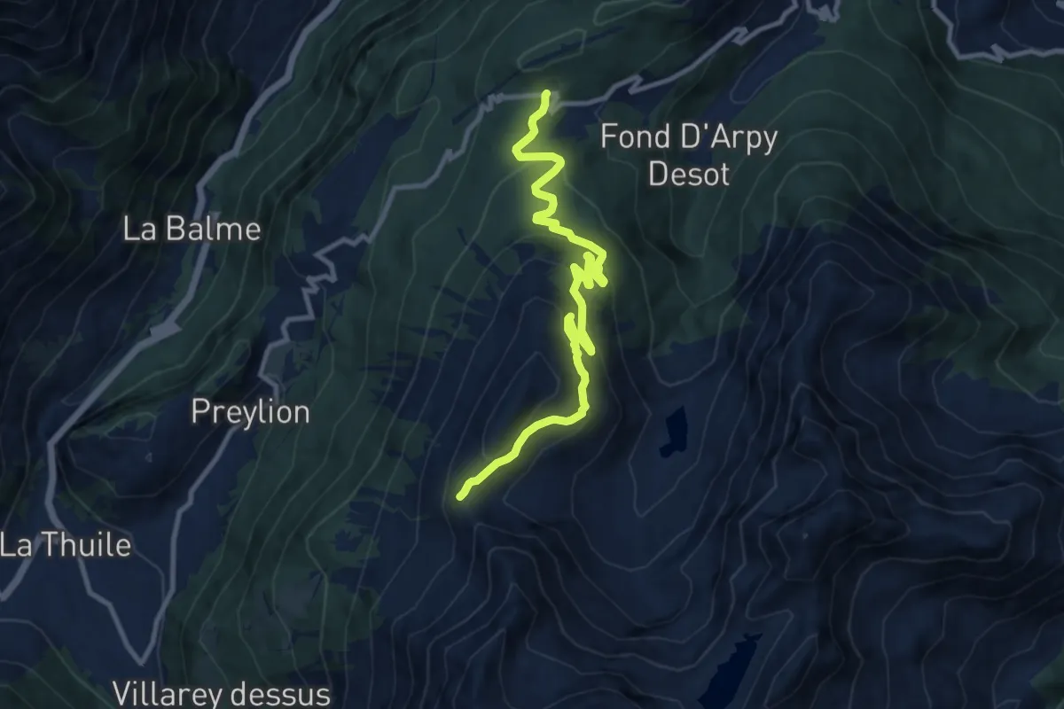
Medium · Trail
Col Saint-Charles – Col de la Croix
10.8 km · ↑ 504 m · 3 h 38 min
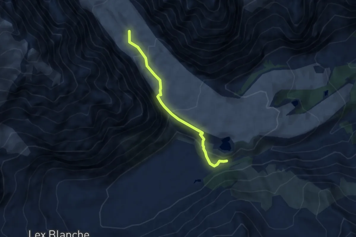
Expert · Trail
Pont Combal – Ghiacciaio del Miage
5.8 km · ↑ 315 m · 2 h 3 min
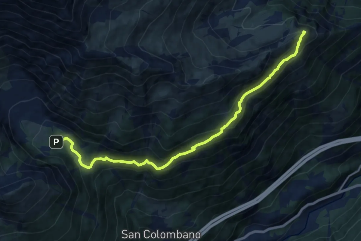
Demanding · Summit
Bivio 802-804, Rifuglio Levi-Molinari – Bivio 804-806, Grange Thuille
11.6 km · ↑ 811 m · 4 h 29 min
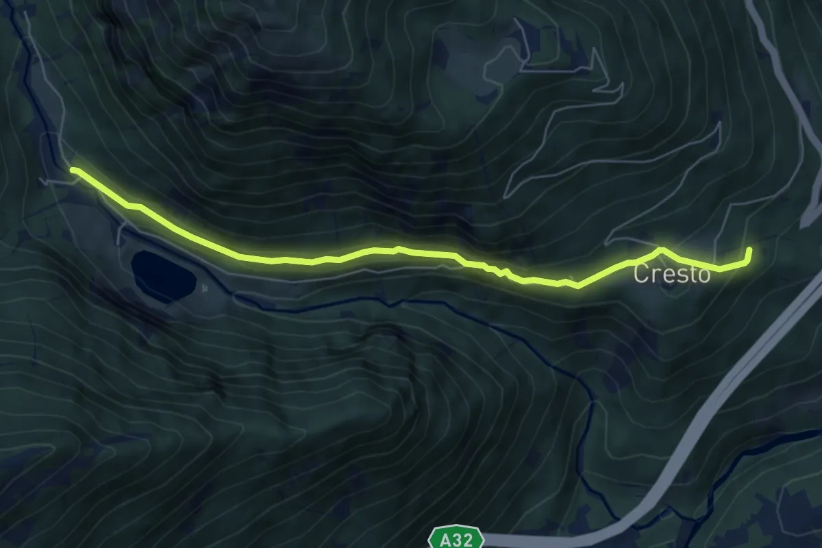
Medium · Trail
Bivio TOS805-TOS820B, Buttigliera – Bivio 820-820B, Ariundel
6.7 km · ↑ 229 m · 2 h 5 min
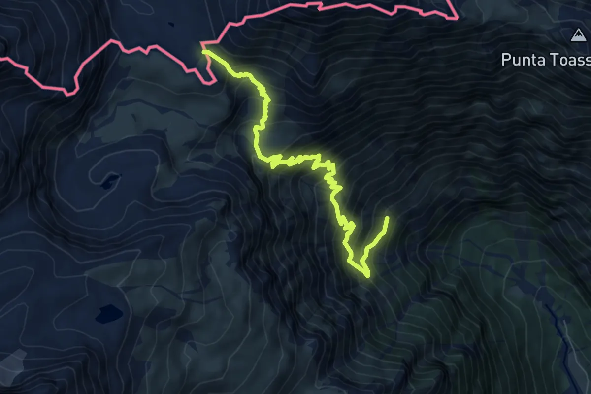
Demanding · Trail
Bivio 805-807-821A, Buttigliera – Col Clapier
8.5 km · ↑ 886 m · 3 h 56 min
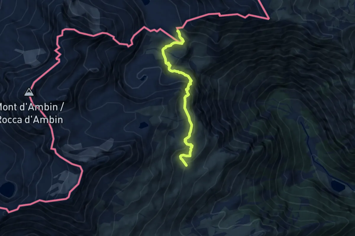
Medium · Trail
Bivio 804-806-807, Grange Thuille – Bivio TOS805-TOS806, Colle Clapier
8.5 km · ↑ 504 m · 3 h 6 min
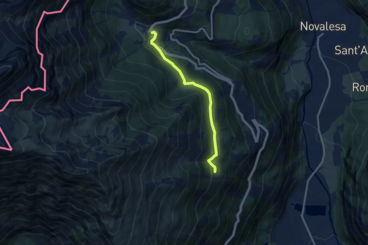
Medium · Trail
Bivio 582-582B, Bar Cenisio – Bivio 582B-820A-820D, Pian Suffi
6.3 km · ↑ 204 m · 1 h 56 min
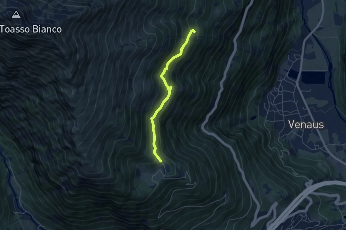
Medium · Trail
Giaglione, località Pra Piano, bivo TOS820-TOS820A – Venaus, località Pian Suffi, bivio TOS582B-TOS820D
4.9 km · ↑ 353 m · 1 h 55 min
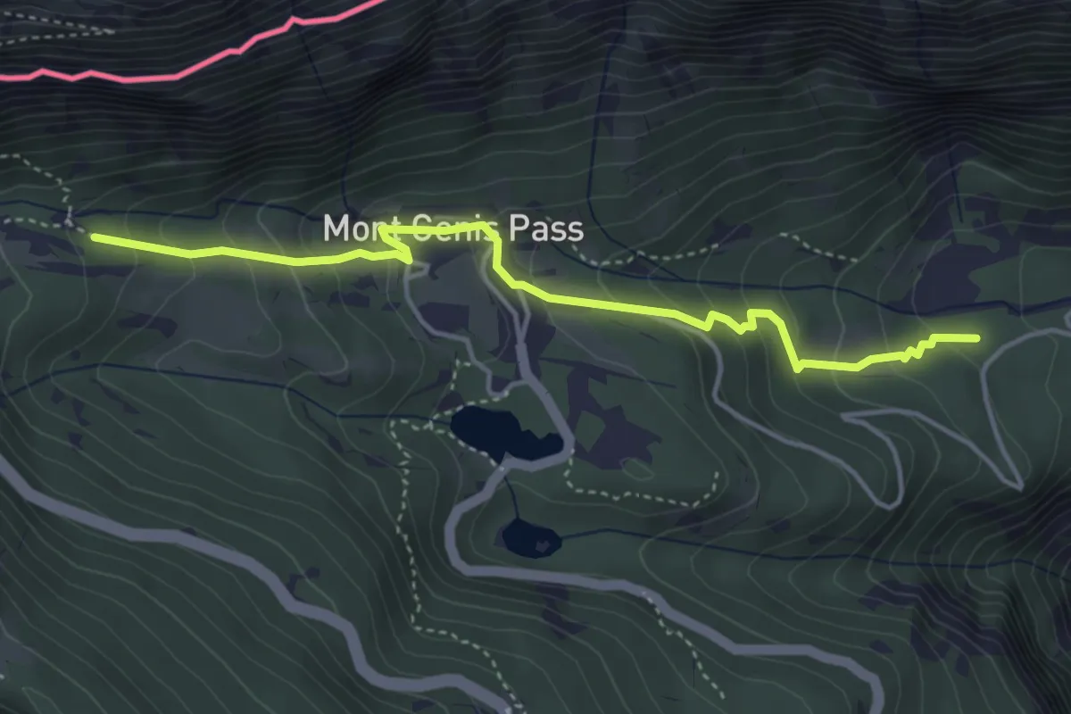
Medium · Trail
San Giuseppe, bivio TOS529-TOS581-TOS823 – Bivio TOS581-TOS581A
4.4 km · ↑ 320 m · 1 h 44 min
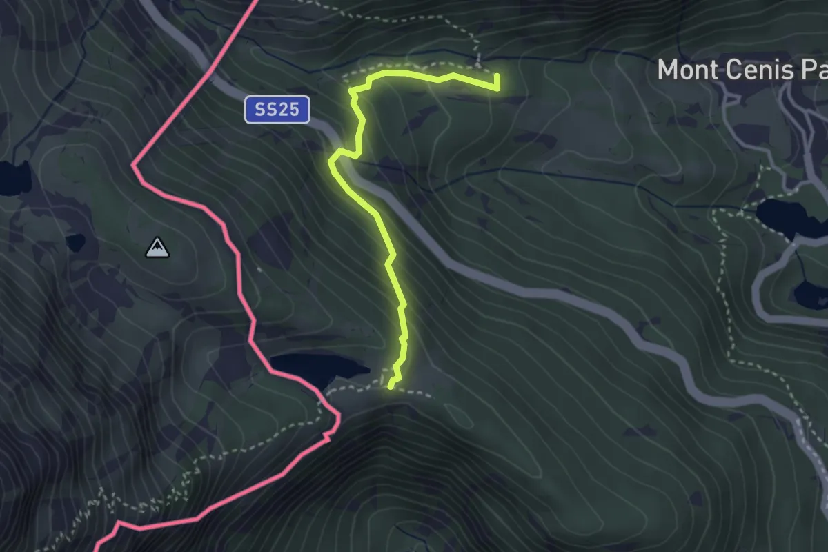
Medium · Trail
Bivio TOS581-TOS581A – Bivio TOS581A-TOS591, Grangia d'Arpon
3.0 km · ↑ 261 m · 1 h 16 min
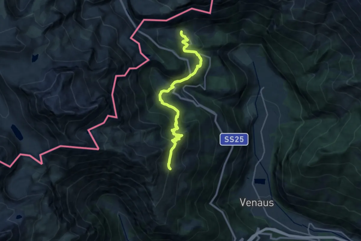
Demanding · Trail
Bivio 581-801, Rio Tilleri – Bivio 581-852, Moncenisio
15.7 km · ↑ 950 m · 5 h 46 min
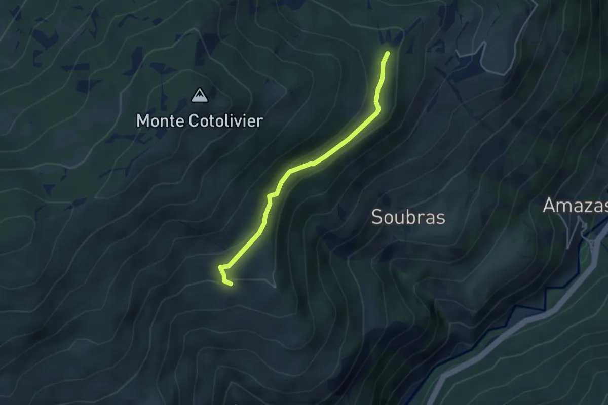
Easy · Trail
Bivio sentiero per Balbieres – Bivio strada Desertes-Cotolivier
3.6 km · ↑ 140 m · 1 h 9 min
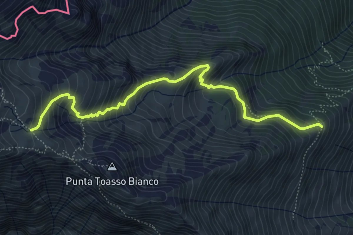
Medium · Trail
Bivio 582-582A, Grangia Marzo – Bivio 582A-801B, Passo Avanza
6.4 km · ↑ 619 m · 2 h 51 min
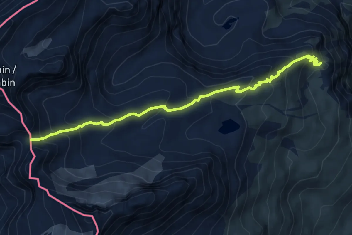
Medium · Trail
Bivio 806-832 – Colle dell'Agnello inferiore
7.0 km · ↑ 519 m · 2 h 47 min
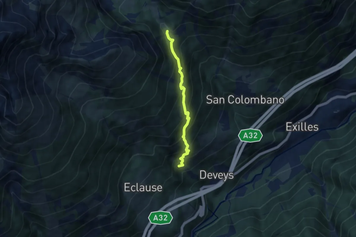
Medium · Cabin
Bivio 740-804A, Combes – Bivio TOS804-TOS804A, Grange della Valle
5.7 km · ↑ 572 m · 2 h 35 min
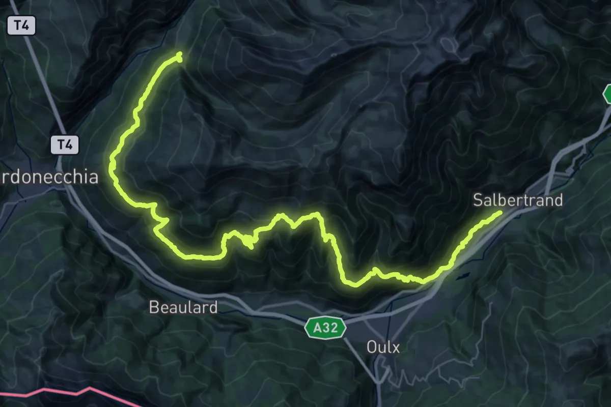
Demanding · Trail
Bivio 740-742, Oulme – Bivio 731-742, Grangia La Croix
24.6 km · ↑ 1814 m · 9 h 39 min
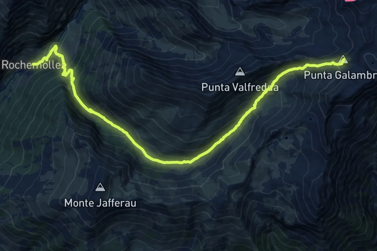
Demanding · Summit
Bivio 707-731, Rochemolles – Passo Galambra
23.7 km · ↑ 1530 m · 8 h 54 min
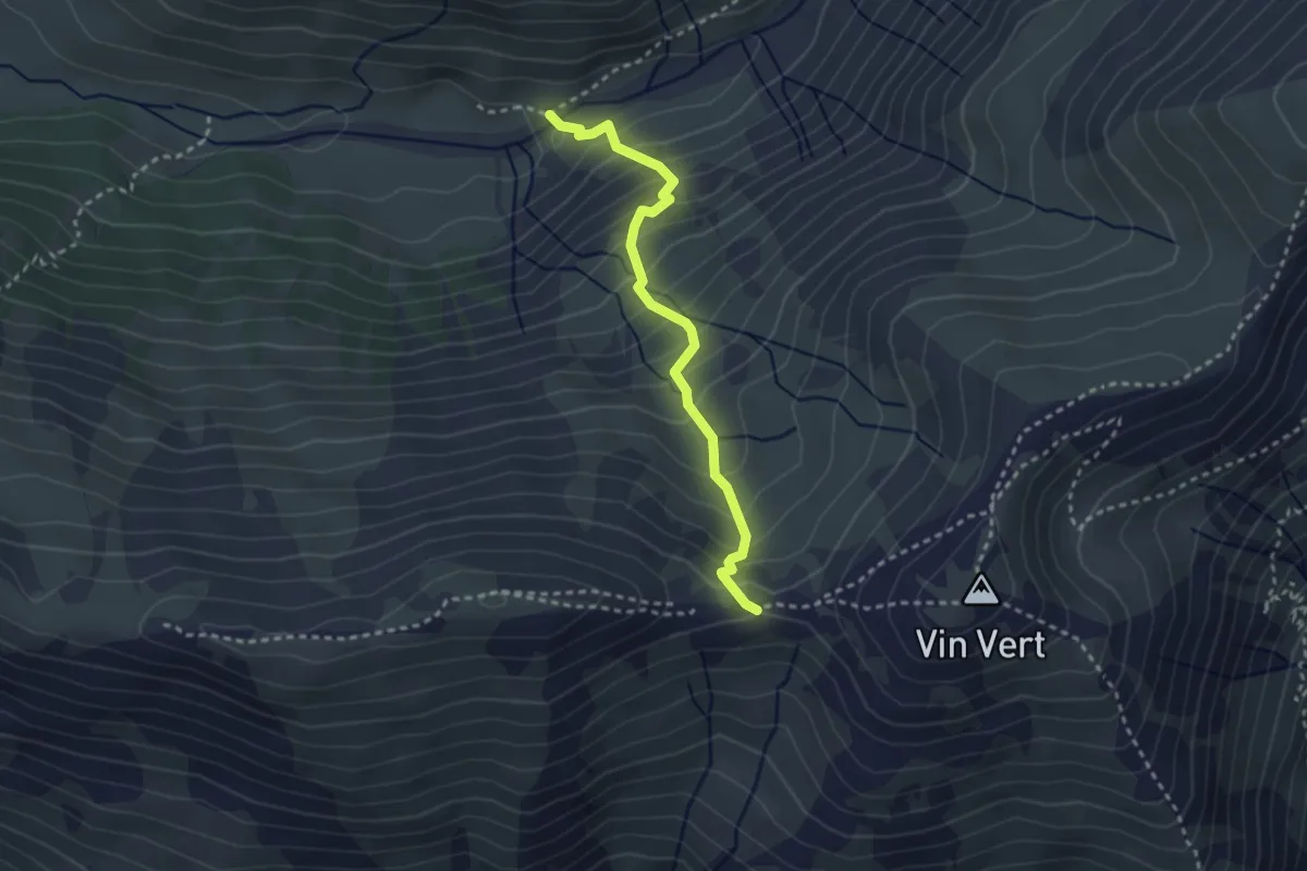
Medium · Cabin
Grangia Val Fredda, bivio S731-S731A – Col Basset
2.9 km · ↑ 329 m · 1 h 23 min
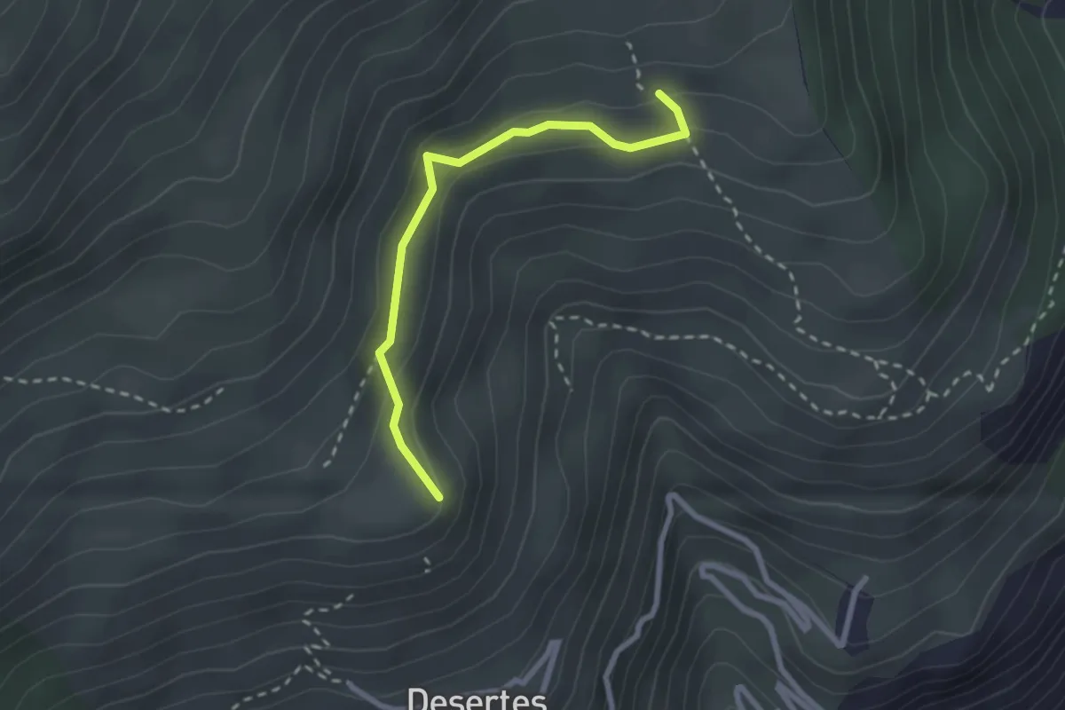
Medium · Trail
Bivio 601-601A, Millaures – Bivio 601-716, Case Loset
2.4 km · ↑ 153 m · 54 min
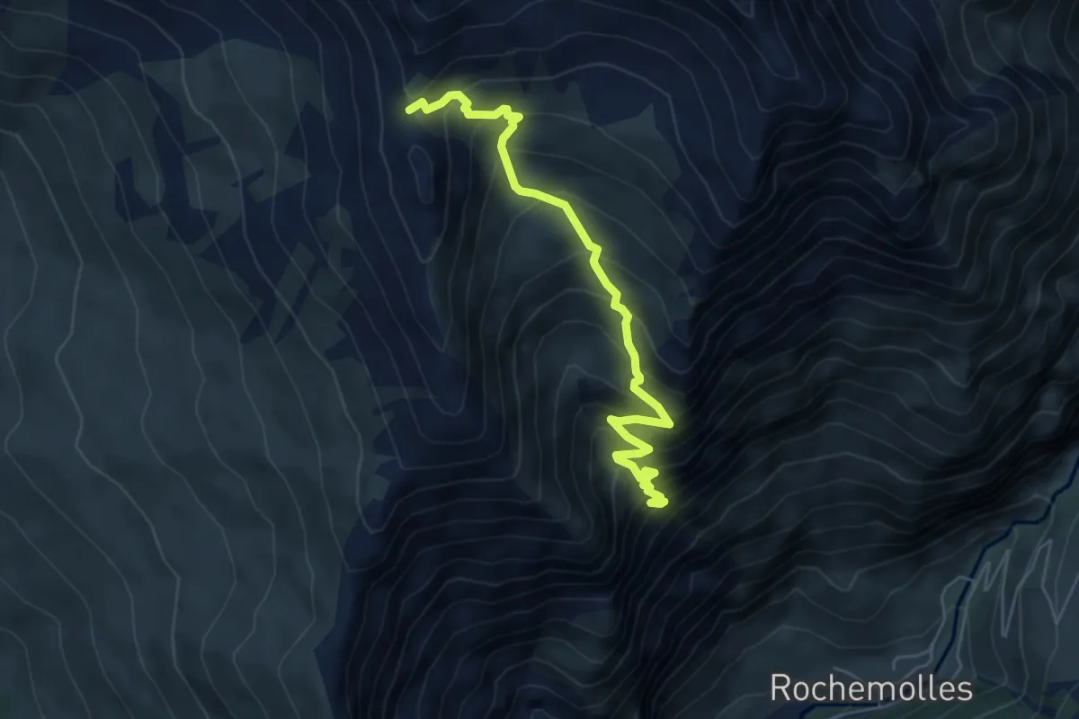
Medium · Trail
Bivio 707-731, Rochemolles – Bivio 707-709, Roccia Verde
5.9 km · ↑ 679 m · 2 h 51 min
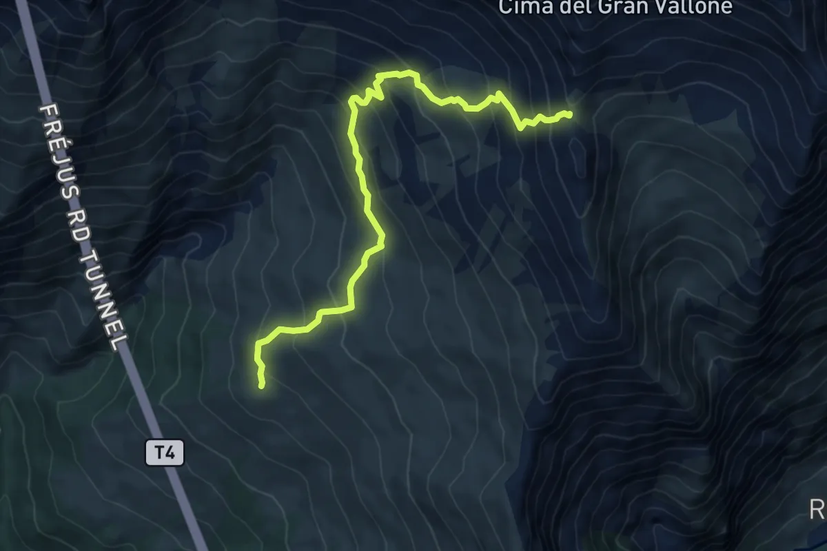
Medium · Trail
Bivio 709-743, Bardonecchia – Bivio 707-709, Roccia Verde
7.4 km · ↑ 646 m · 3 h 9 min
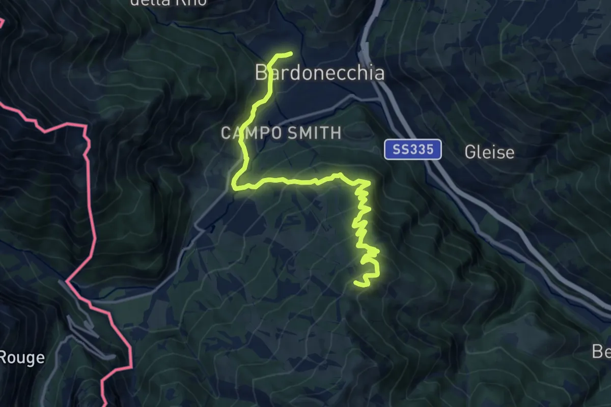
Demanding · Summit
Bivio 709-743, Bardonecchia – Bivio 705-743, Passo della Mulattiera
15.5 km · ↑ 846 m · 5 h 29 min
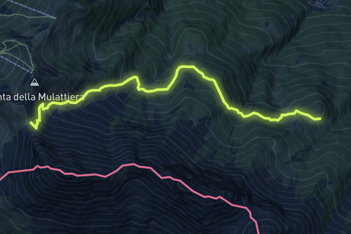
Demanding · Cabin
Oulx, Rifugio Rey, bivio TOS705-TOS715 – Passo della Mulattiera, Bivio TOS705-TOS710-TOS743B
11.0 km · ↑ 899 m · 4 h 32 min
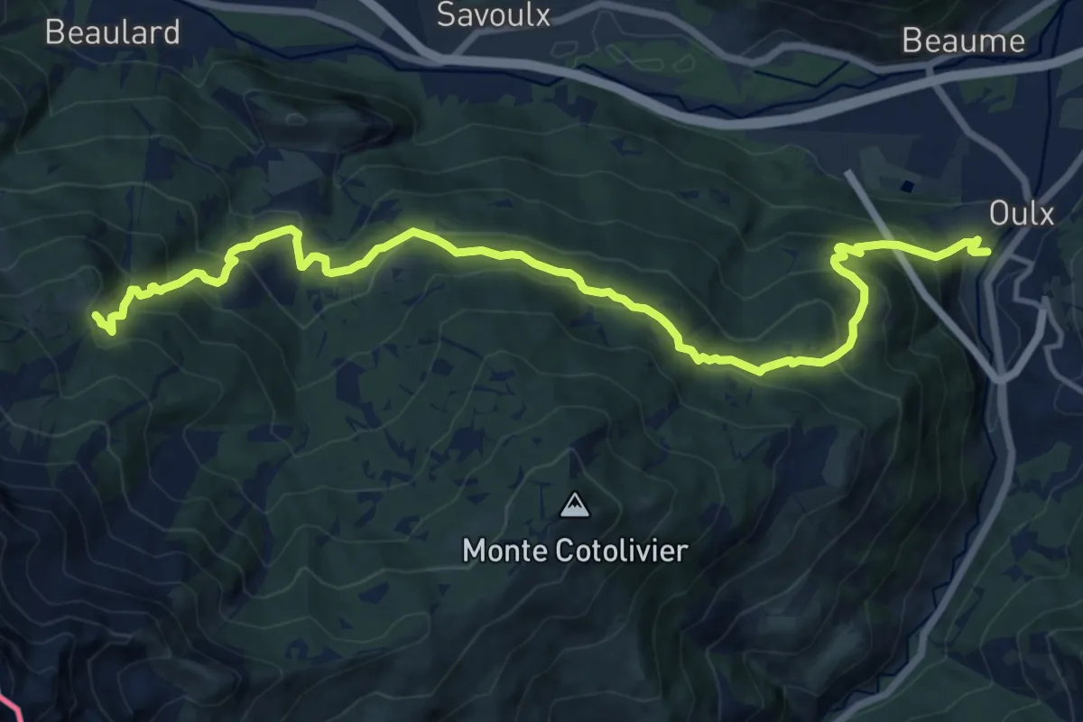
Demanding · Cabin
Bivio 715-716, Vazon – Bivio 705-715, Rifugio Rey
16.7 km · ↑ 1225 m · 6 h 35 min
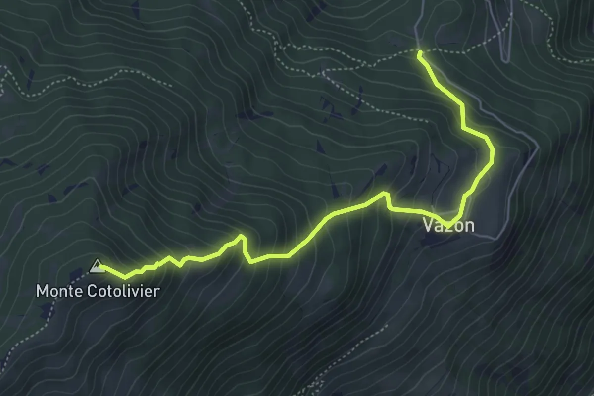
Medium · Summit
Bivio 715-716, Vazon – Bivio 601-713-716, Colletto Pourachet
5.7 km · ↑ 549 m · 2 h 32 min
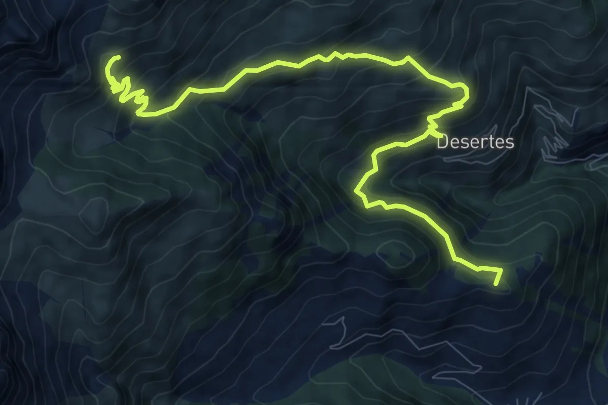
Demanding · Summit
Bivio 601-630, Cesana Torinese – Bivio 601-601B
12.5 km · ↑ 915 m · 4 h 56 min
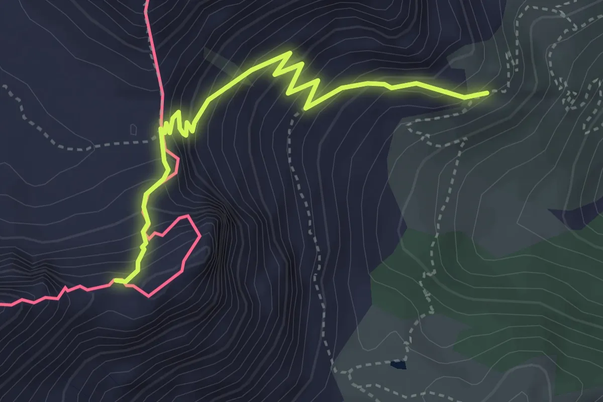
Demanding · Trail
Bivio 713-716, Colletto Pourachet – Rocca del Lago
4.0 km · ↑ 445 m · 1 h 55 min
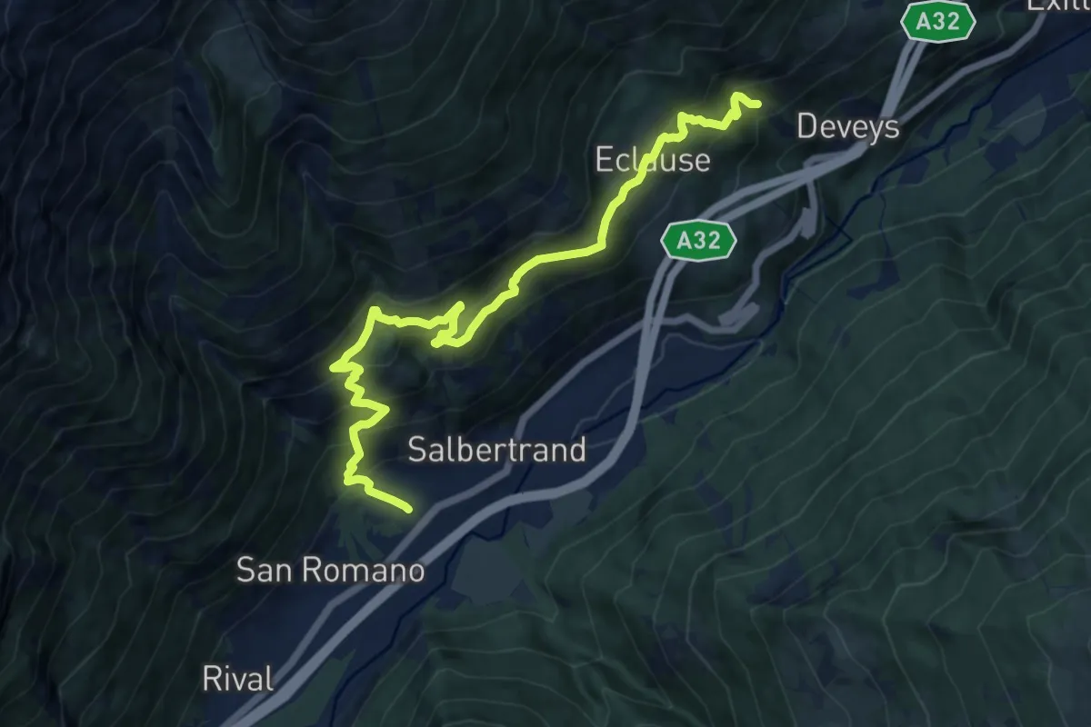
Demanding · Trail
Bivio 740-742, Oulme – Bivio 740-821, Combes
12.6 km · ↑ 973 m · 5 h 5 min
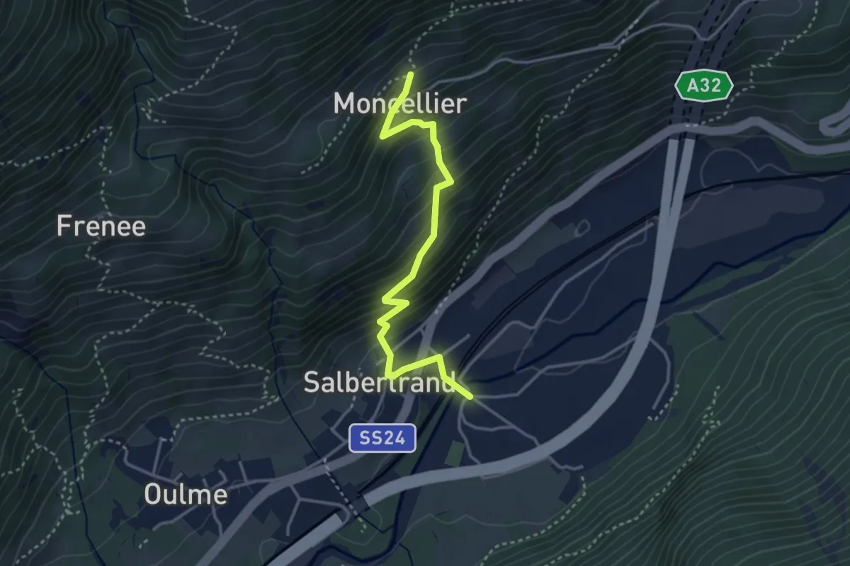
Medium · Trail
Bivio 740A-741, Salbertrand, ponte sulla Dora – Bivio 740-740A, Moncellier Superiore
3.5 km · ↑ 346 m · 1 h 35 min
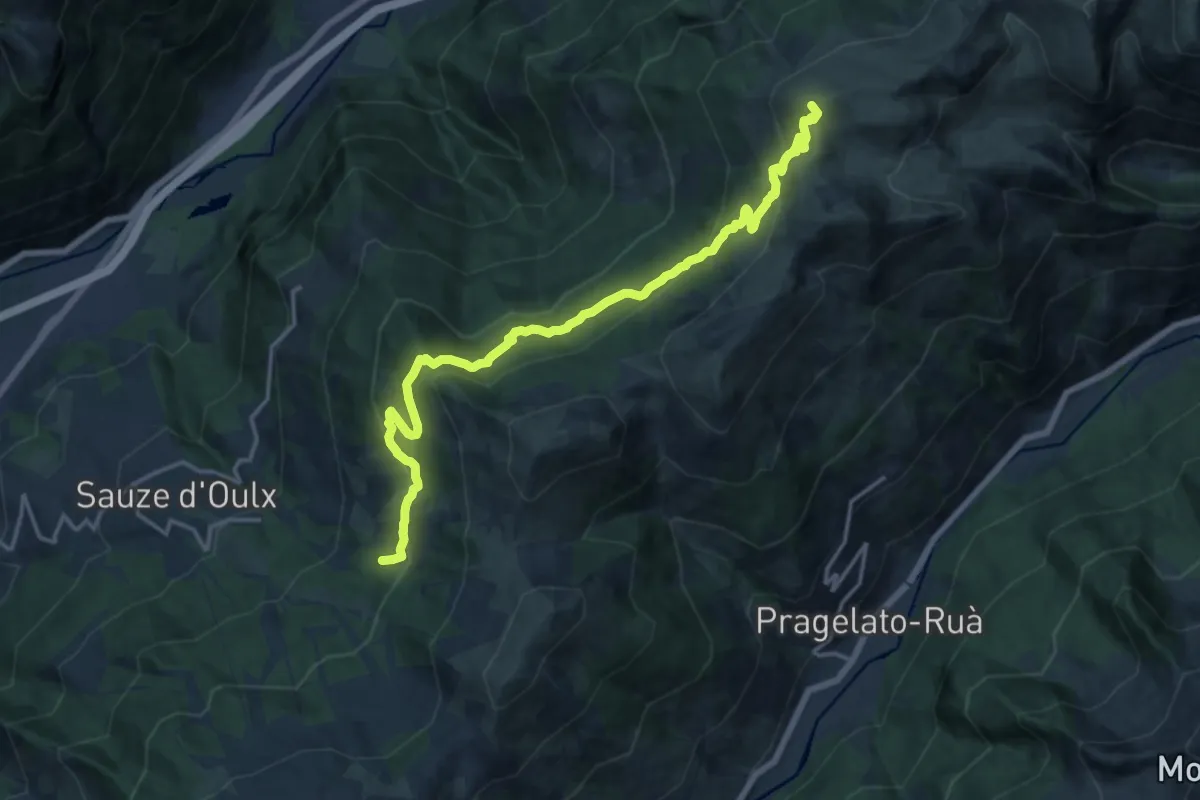
Demanding · Summit
Bivio 712-714, Alpe Gaggiera – Lago dell'Assietta
17.8 km · ↑ 883 m · 6 h 7 min
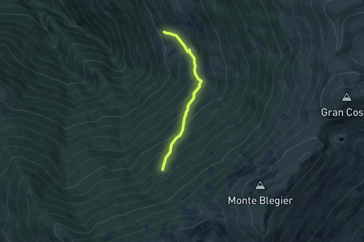
Medium · Cabin
Bivio 712-712A, bivio Strada dei Cannoni-sentiero per Le Selle – Biviio 712A-718, Montagne Seu
4.2 km · ↑ 359 m · 1 h 46 min