Trails in Italy
25,219 hiking trails, each with its route, climb, walking time and grade.
All trails, page 404 of 526
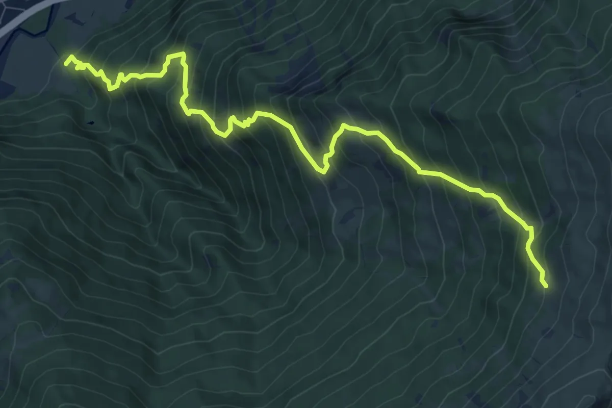
Demanding · Trail
Bivio 718-741, Salbertrand – Bivio 712-718, Strada dei Cannoni
11.0 km · ↑ 1253 m · 5 h 18 min
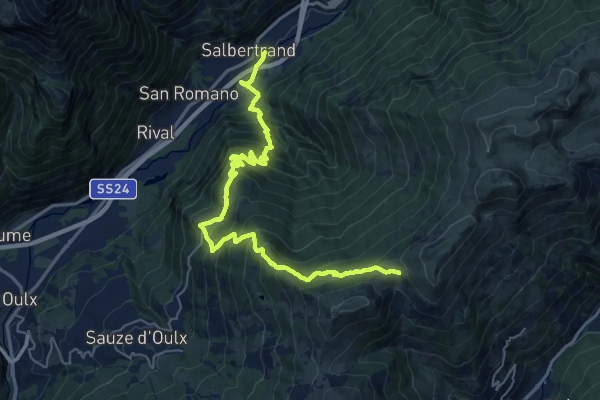
Demanding · Trail
Bivio 740A-741, Salbertrand – Bivio 327-741-741A, Colle Blegier
10.9 km · ↑ 1488 m · 5 h 17 min
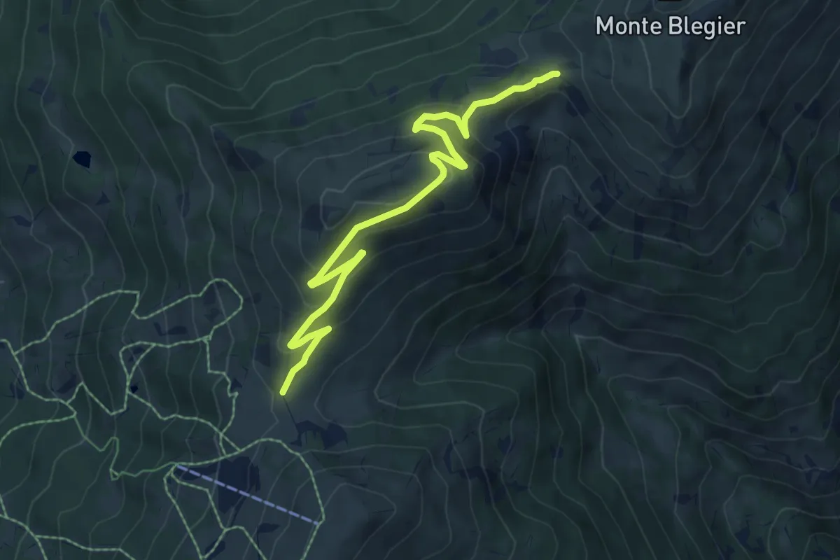
Medium · Trail
Bivio 327-741-741A – Bivio 326-741A, Colle Costa Piana
8.1 km · ↑ 361 m · 2 h 42 min
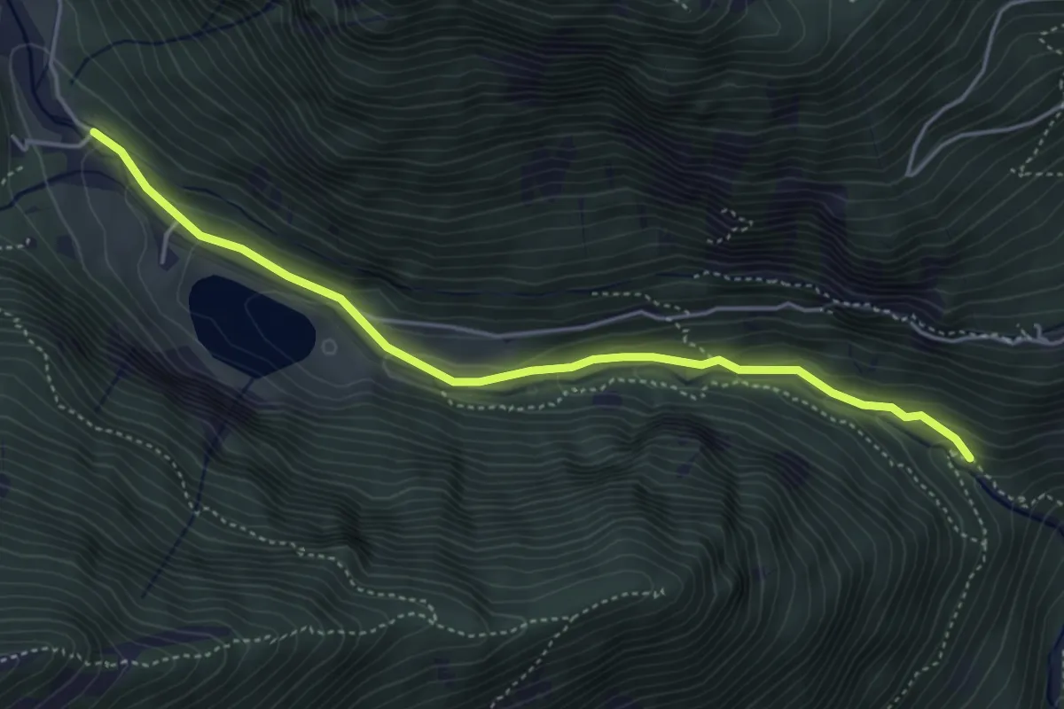
Easy · Trail
Bivio 821-821A, Ciereina – Bivio 805-807-821A, Buttigliera
4.7 km · ↑ 202 m · 1 h 33 min
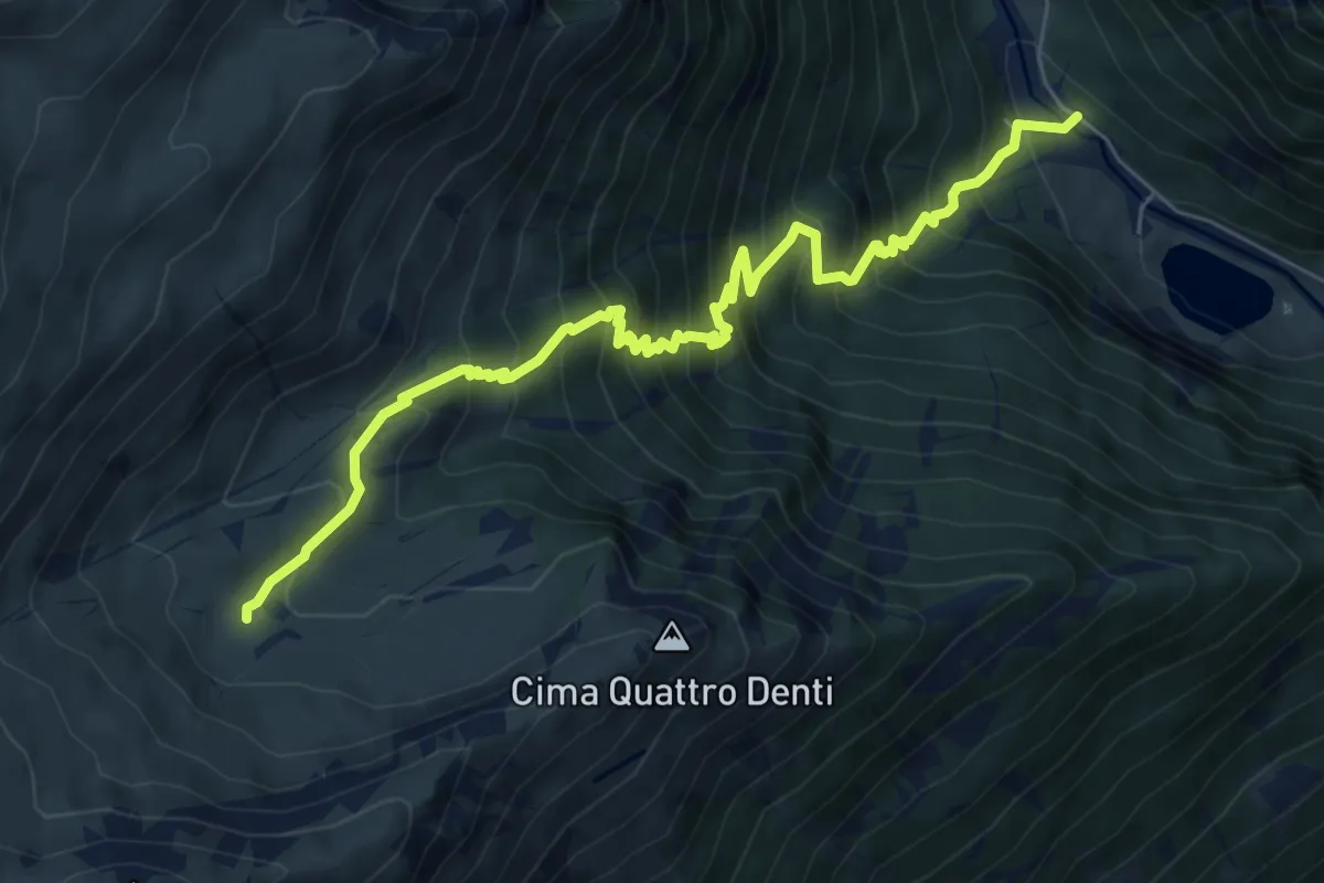
Demanding · Trail
Bivio 805-807, San Giacomo di Giaglione – Bivio 806-807, Grange Thuille
8.0 km · ↑ 964 m · 3 h 59 min
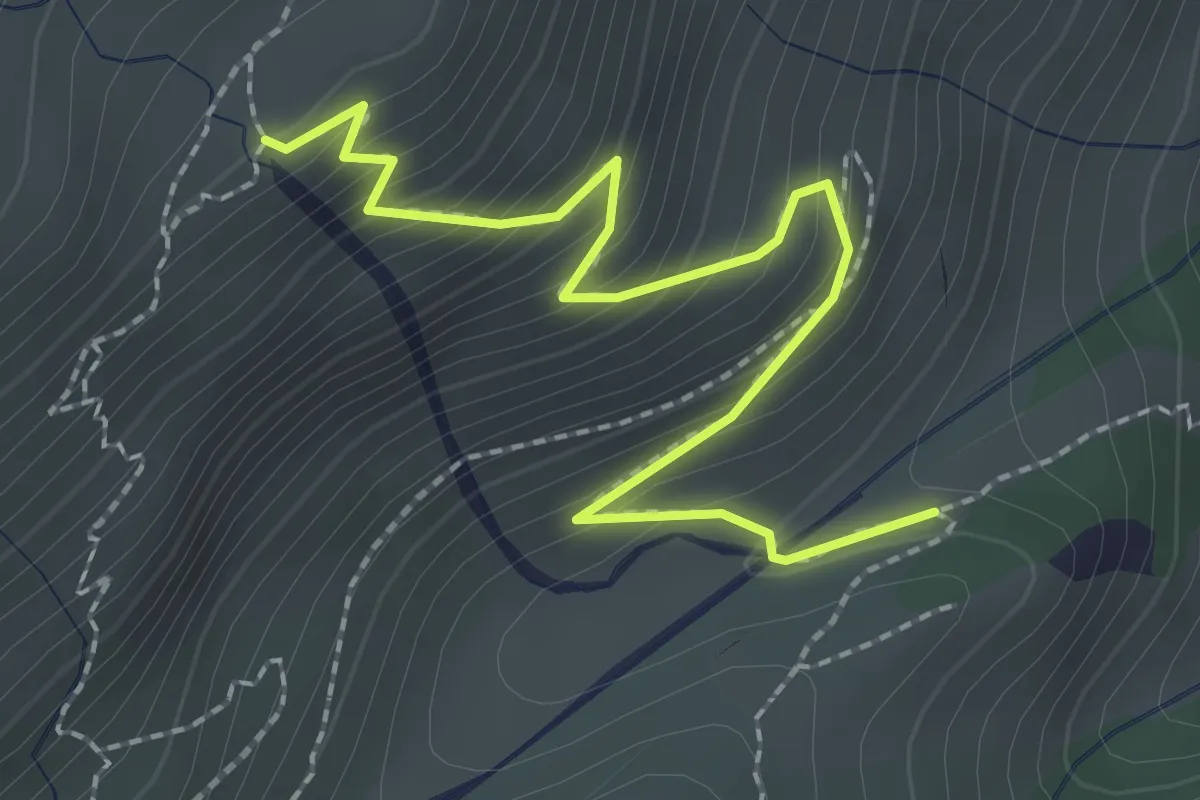
Medium · Trail
Bivio TOS807-TOS807A presso Grangia Valentino – Bivio TOS806-TOS807A
2.6 km · ↑ 262 m · 1 h 12 min
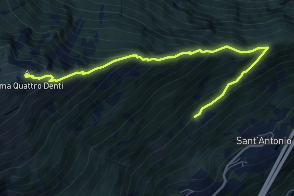
Demanding · Summit
Chiomonte, Ponte sulla Dora Riparia – Bivio 804-808
7.0 km · ↑ 845 m · 3 h 29 min
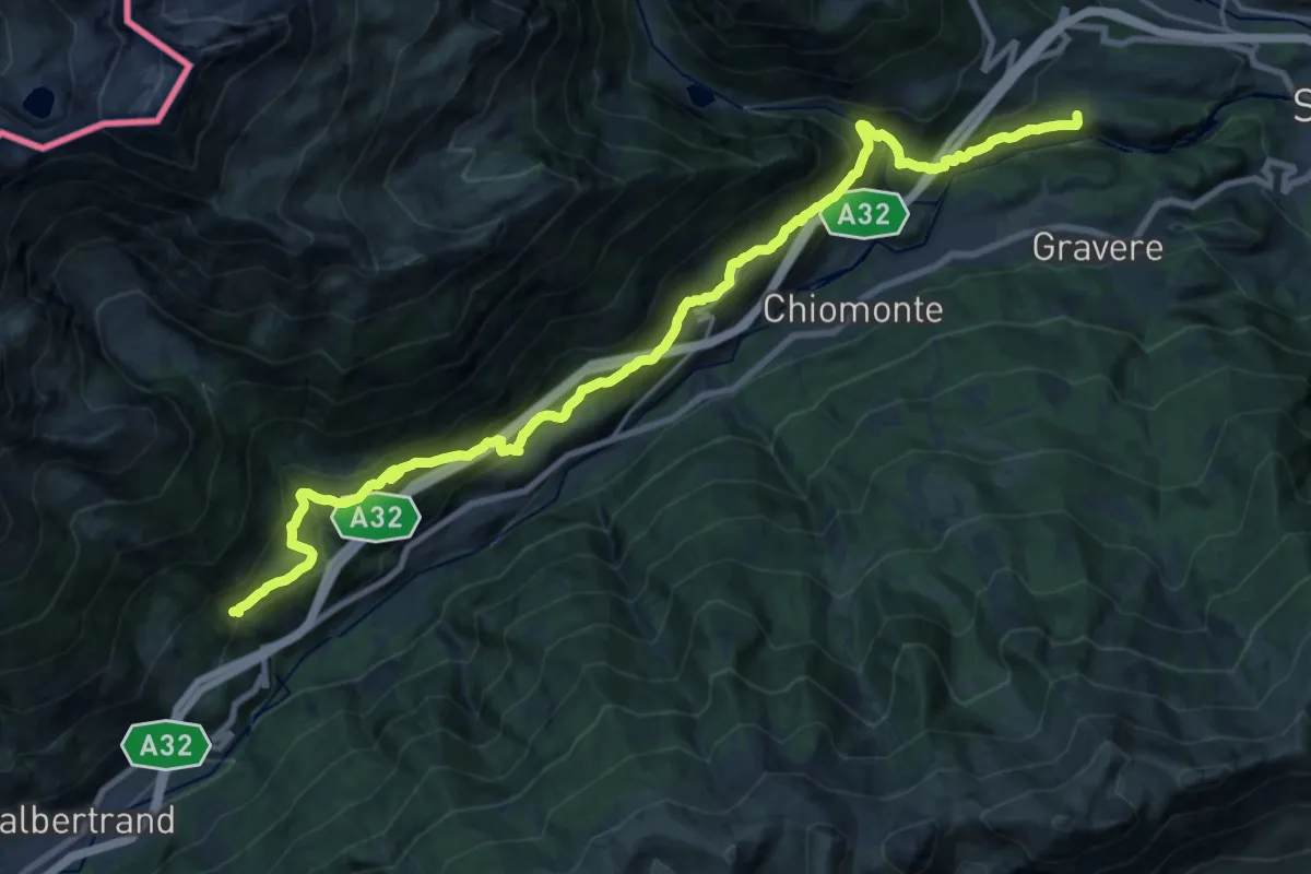
Medium · Trail
San Lorenzo di Giaglione – Borgo Combe
13.1 km · ↑ 458 m · 4 h 32 min
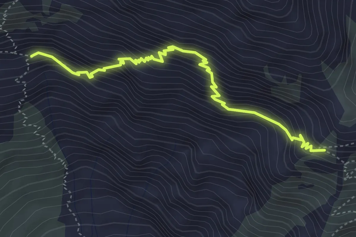
Demanding · Trail
Bivio 813-813A – Bivio 803-813A
4.6 km · ↑ 587 m · 2 h 22 min
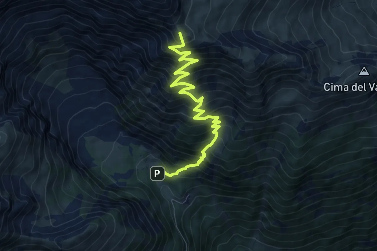
Demanding · Summit
Bivio 804-813, Rifugio Levi-Molinari – Passo Clopaca
9.3 km · ↑ 991 m · 4 h 20 min
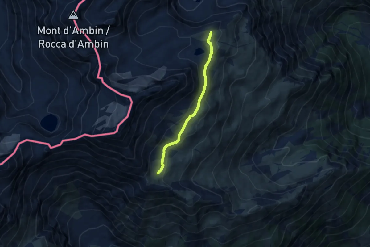
Medium · Cabin
Bivio TOS812-TOS832, Rifugio Vaccarone – Bivio TOS812-TOS813, Passo Clopacà
6.1 km · ↑ 184 m · 1 h 51 min
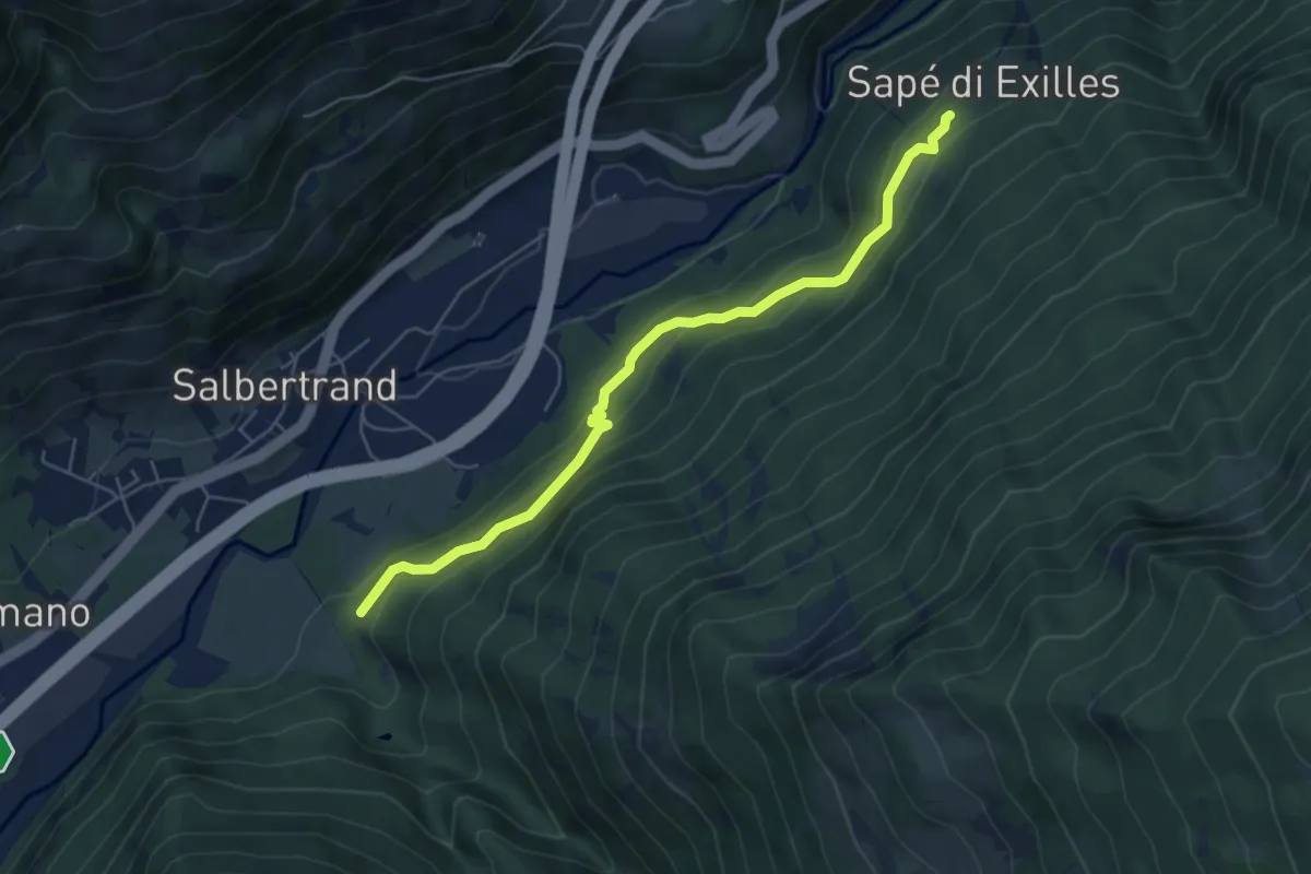
Medium · Trail
Bivio 718-746, Salbertrand – Bivio 746-824, Sapé di Exilles
5.8 km · ↑ 375 m · 2 h 11 min
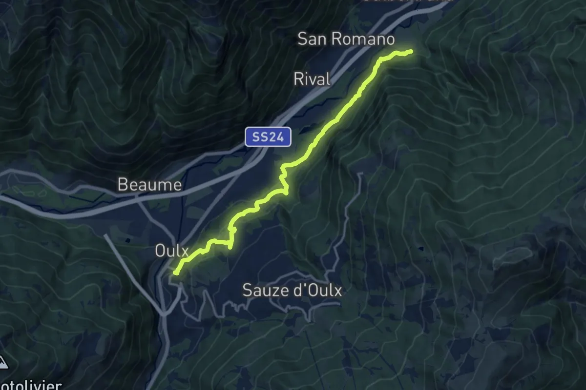
Medium · Trail
Bivio 732-745, Borgo Alto – Bivio 741-745, Salbertrand
13.5 km · ↑ 756 m · 4 h 50 min
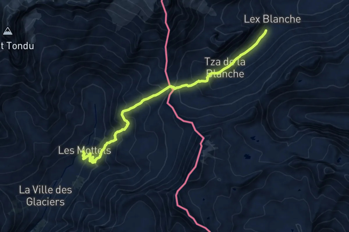
Demanding · Cabin
Refuge des Mottets – Rifugio Elisabetta
14.4 km · ↑ 1001 m · 5 h 34 min
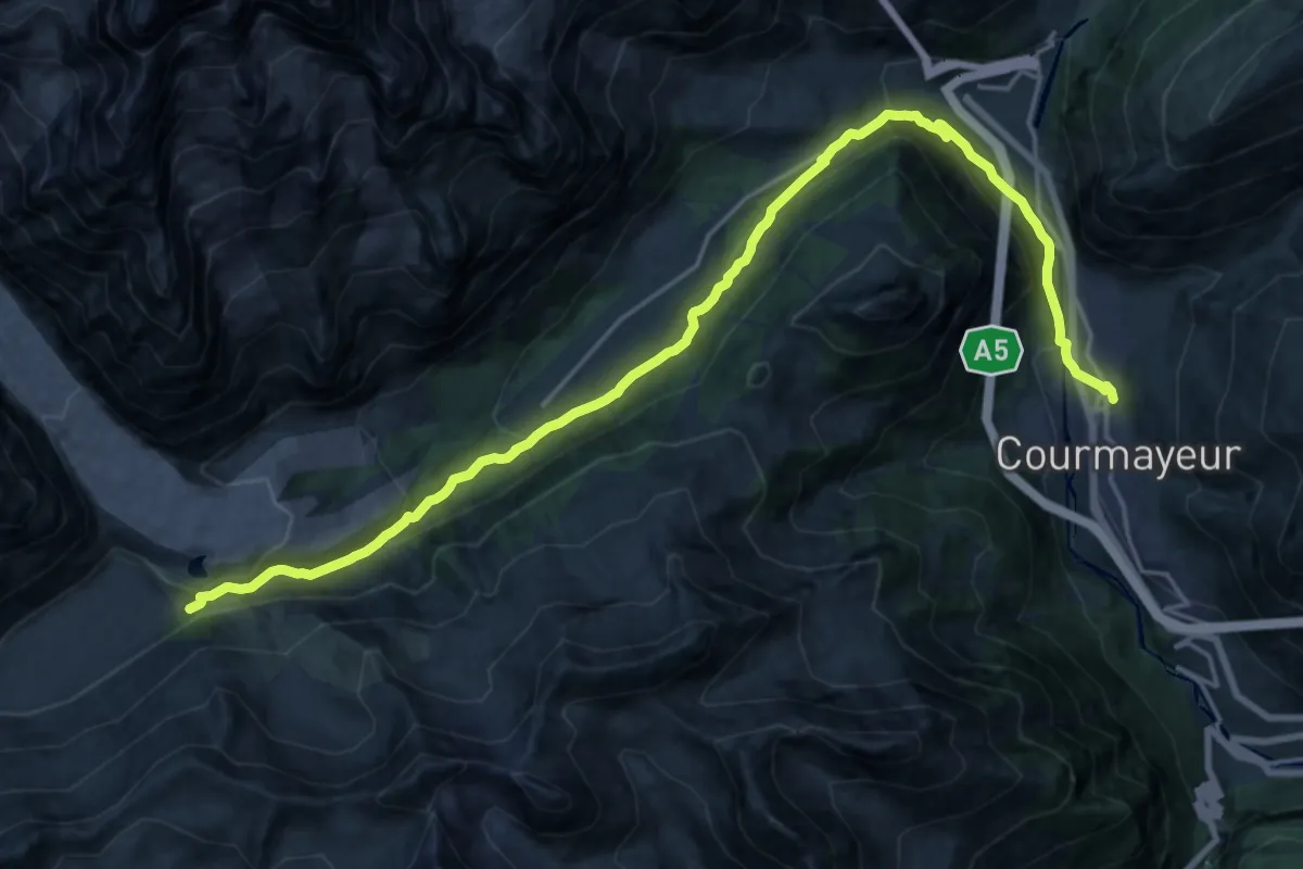
Medium · Trail
Val Veni – Courmayeur
11.8 km · ↑ 217 m · 3 h 47 min
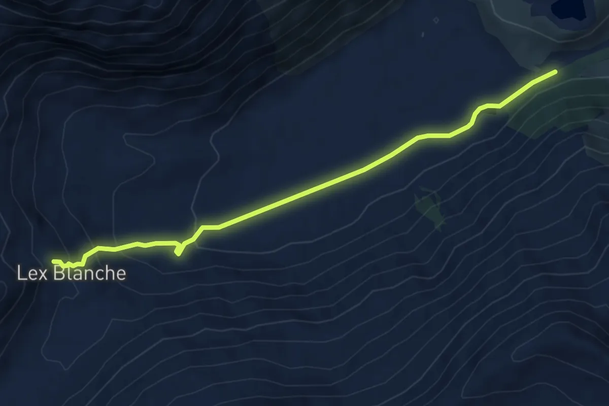
Medium · Cabin
Rifugio Elisabetta – Val Veni
5.8 km · ↑ 245 m · 1 h 55 min
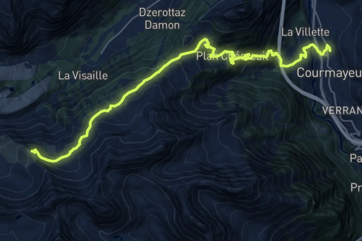
Demanding · Summit
Val Veni – Courmayeur
20.4 km · ↑ 1377 m · 7 h 49 min
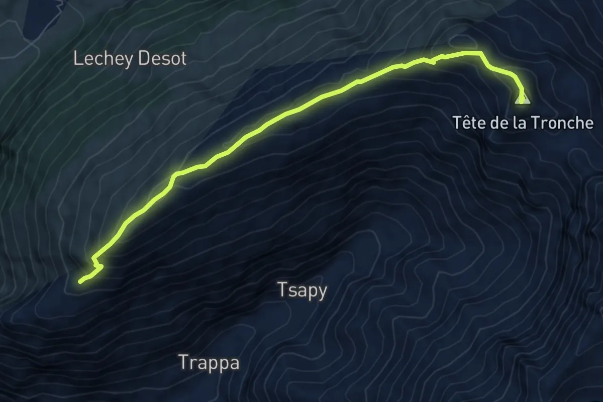
Medium · Summit
Rifugio Bertone – Col Sapin
8.0 km · ↑ 563 m · 3 h 7 min
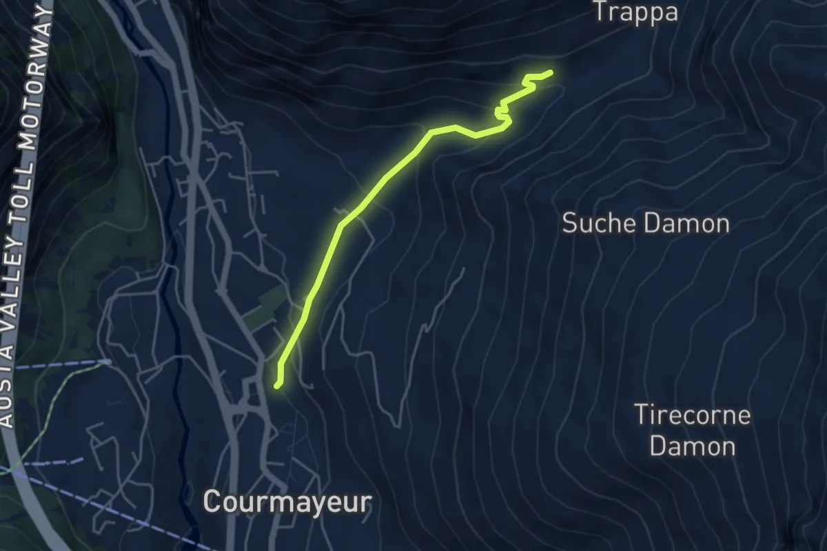
Medium · Trail
Courmayeur – Villair
4.0 km · ↑ 262 m · 1 h 31 min
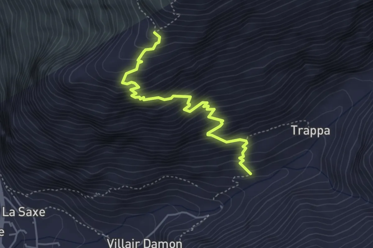
Medium · Cabin
Villair – Rifugio Bertone
4.4 km · ↑ 552 m · 2 h 14 min
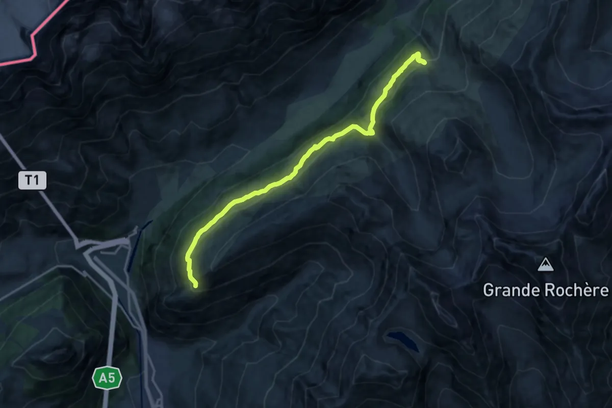
Expert · Cabin
Rifugio Bertone – Rifugio Bonatti
14.3 km · ↑ 739 m · 4 h 58 min
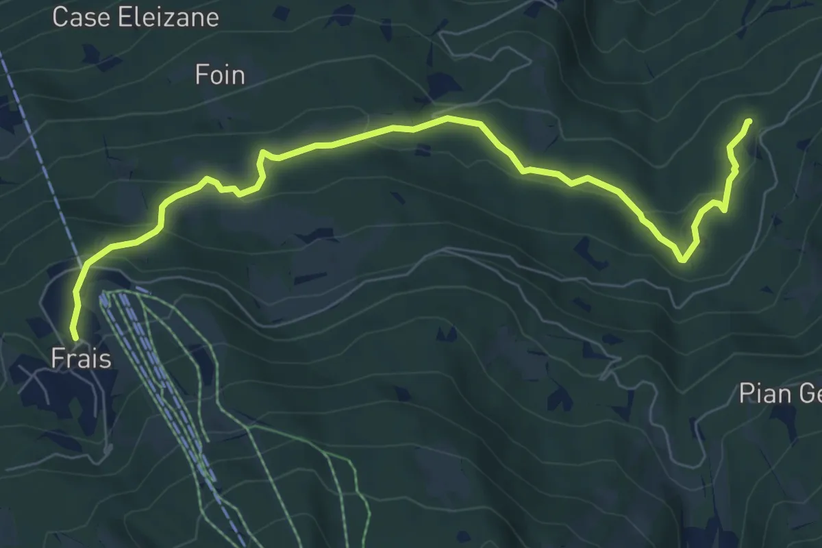
Medium · Trail
Frais, bivio TOS829-TOS825 – Meana, bivio TOS527-TOS829
8.3 km · ↑ 374 m · 2 h 46 min
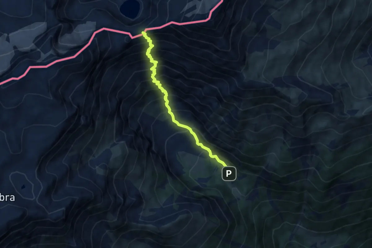
Demanding · Cabin
Bivio 803-804, Colonia Alpina Viberti – Col d'Ambin
7.2 km · ↑ 1054 m · 3 h 59 min
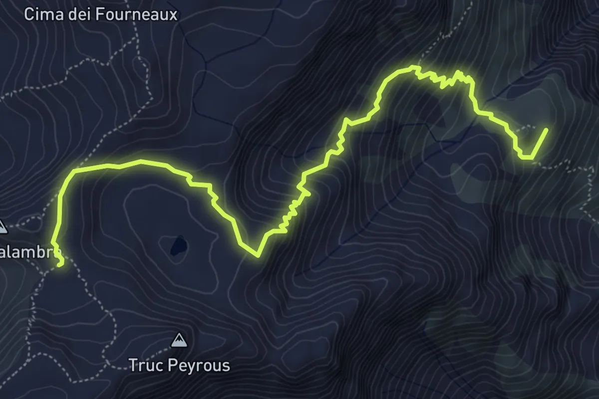
Medium · Summit
Bivio 803-804, Rifugio Levi-Molinari – Passo Galambra
8.0 km · ↑ 603 m · 3 h 11 min
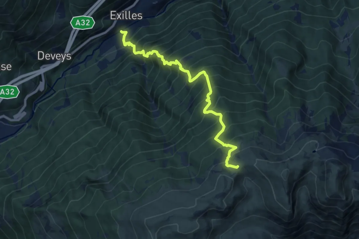
Demanding · Trail
Exilles, ponte sulla Dora Riparia, bivio 827-828 – Bivio 302-331-373-827, Colle dell'Assietta
12.0 km · ↑ 1617 m · 6 h 20 min
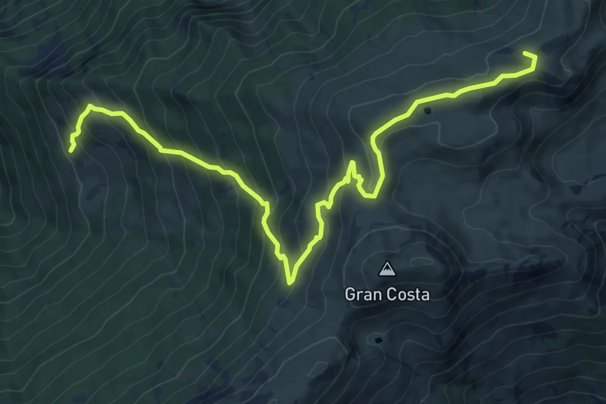
Demanding · Summit
Usseaux – Rifugio Arlaud (Salbertrand)
12.3 km · ↑ 846 m · 4 h 44 min
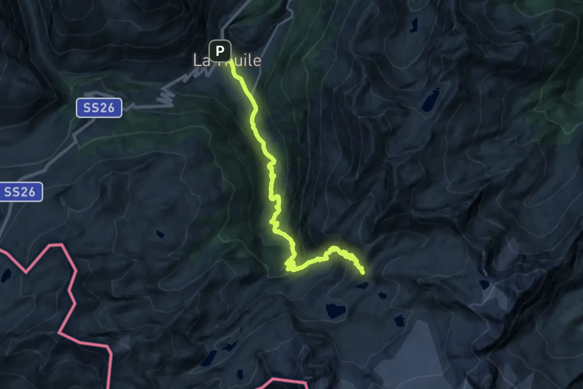
Demanding · Cabin
Rifugio Deffeyes – La Thuile
18.9 km · ↑ 1235 m · 7 h 9 min
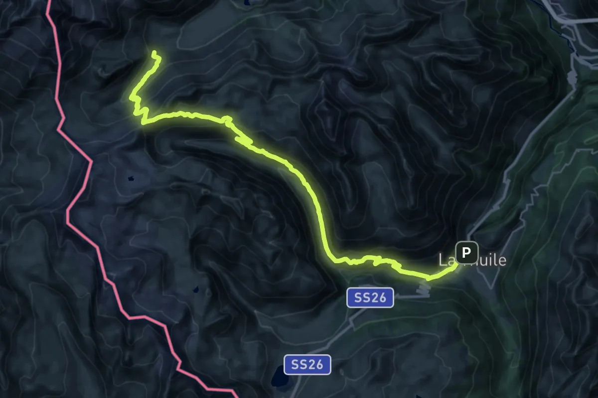
Demanding · Cabin
La Thuile – Rifugio Elisabetta
16.8 km · ↑ 1280 m · 6 h 38 min
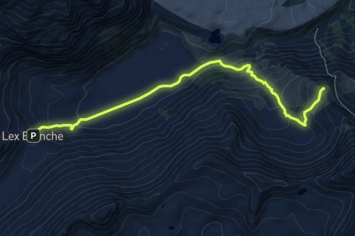
Demanding · Summit
Rifugio Elisabetta – Courmayeur
10.9 km · ↑ 668 m · 4 h 1 min
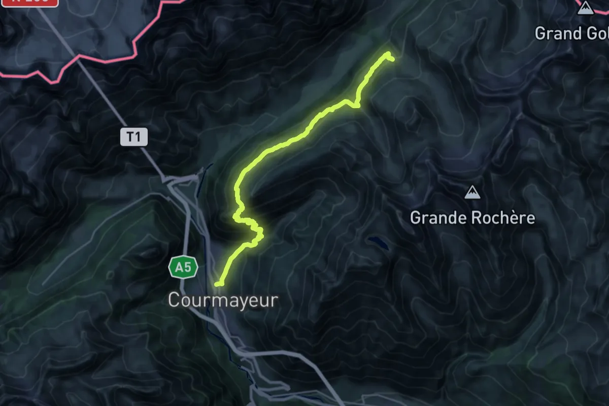
Expert · Cabin
Courmayeur – Rifugio Bonatti
11.5 km · ↑ 1185 m · 5 h 3 min
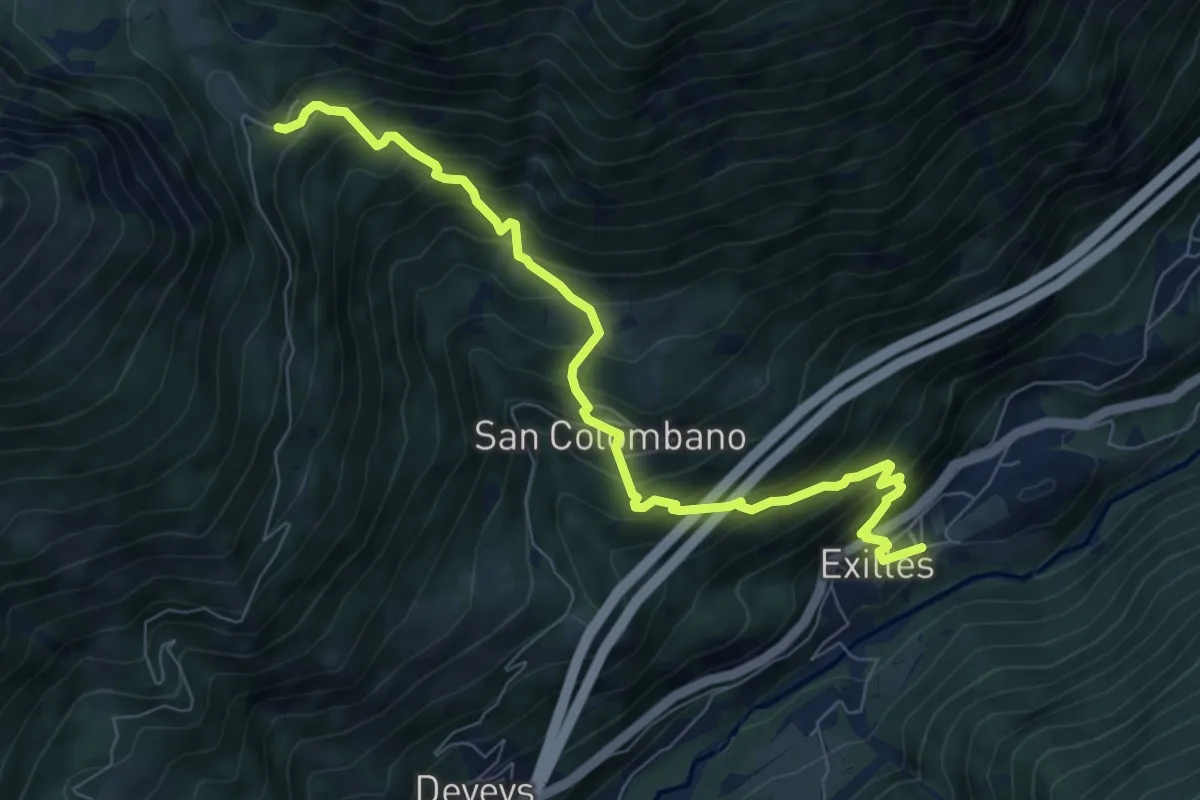
Demanding · Trail
Exilles – Grange Della Valle
8.4 km · ↑ 995 m · 4 h 8 min
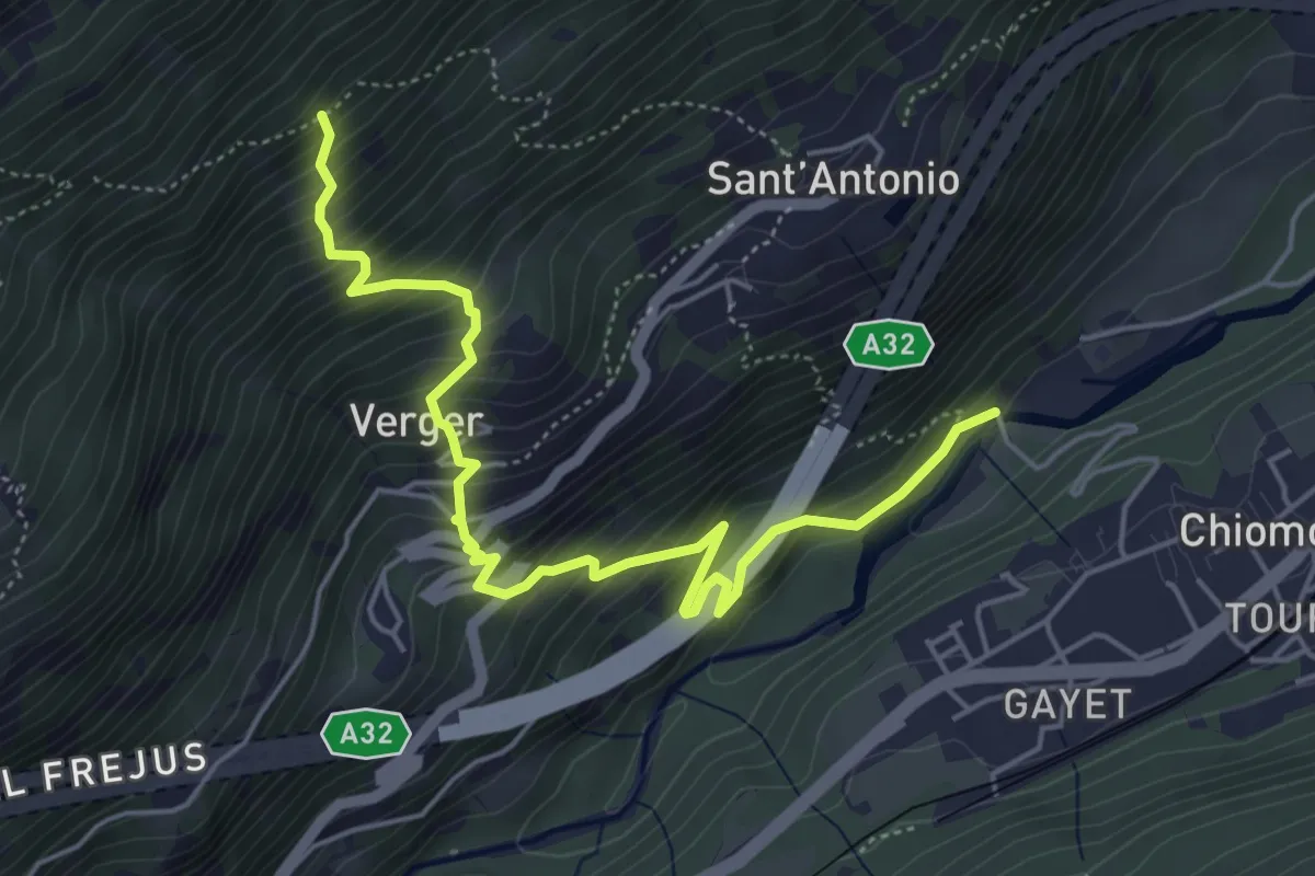
Medium · Trail
Chiomonte, Ponte sulla Dora Riparia – Bivio TOS809-TOS810A
6.0 km · ↑ 702 m · 2 h 56 min
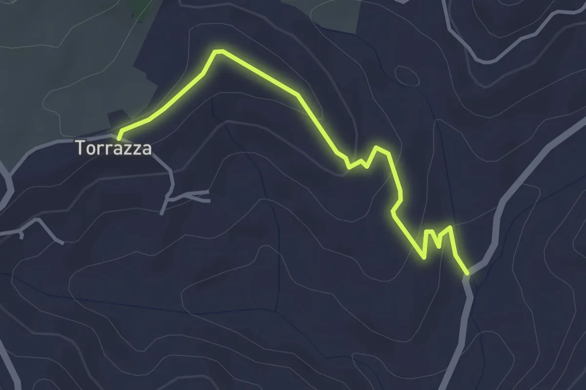
Easy · Trail
Torrazza, bivio TOC100-TOC144 – Bivio TOC144-ATN100L
3.4 km · ↑ 105 m · 1 h 1 min
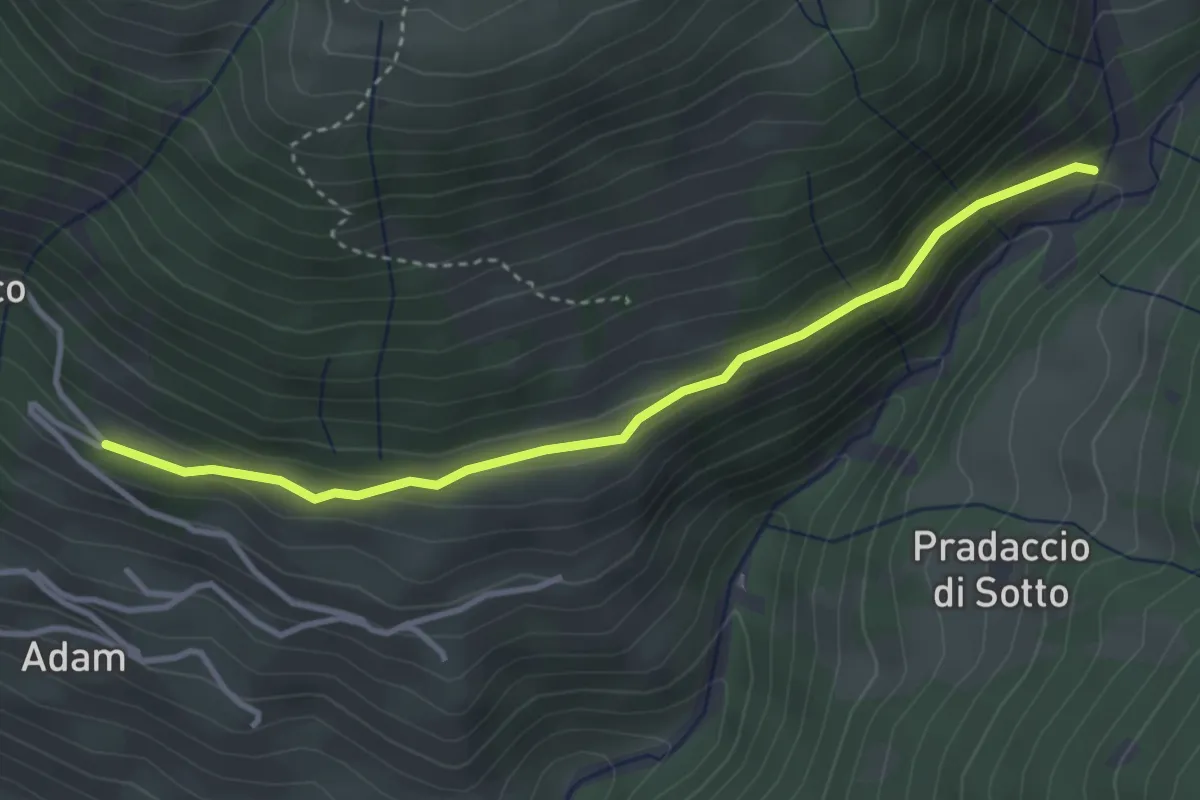
Easy · Trail
Innesto Sentiero 546 – Innesto Sentiero 529
3.5 km · ↑ 168 m · 1 h 12 min
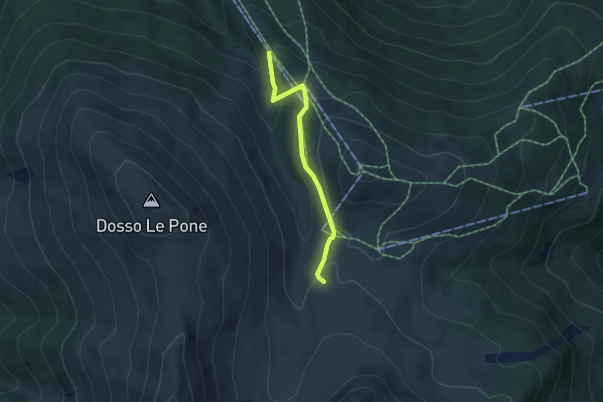
Easy · Trail
Innesto Sentiero 284 – Innesto Sentiero 209
3.3 km · ↑ 123 m · 1 h 3 min
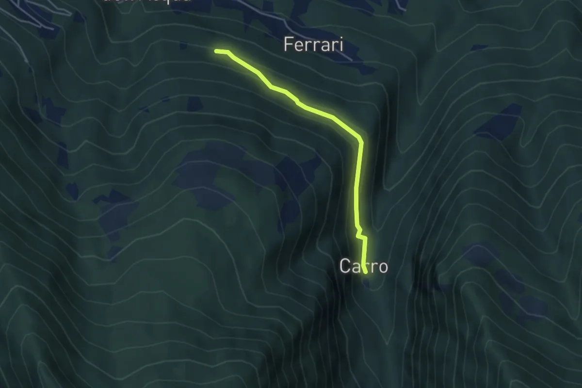
Easy · Trail
Innesto Sentiero 273 – Innesto Sentiero 310
3.5 km · ↑ 154 m · 1 h 9 min
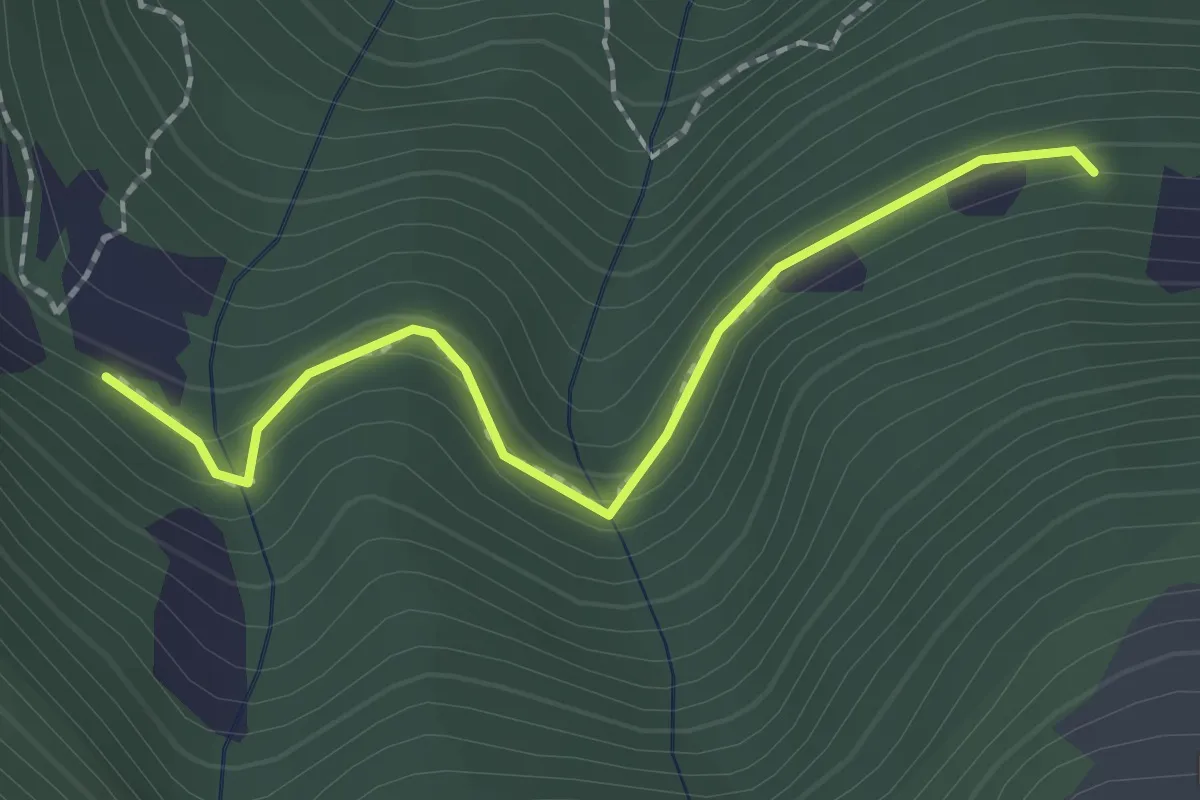
Easy · Trail
Innesto Sentiero 272 – Innesto Sentiero 273
2.0 km · ↑ 84 m · 39 min
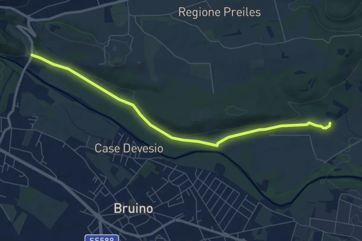
Easy · Trail
Rivalta, bivio TOS202-TOP206 – Sangano, bivio TOS456-TOP206
7.3 km · ↑ 57 m · 1 h 51 min
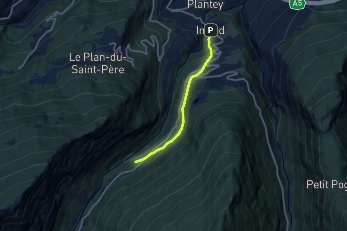
Easy · Trail
Plan d'Introd – Tache
5.6 km · ↑ 291 m · 1 h 57 min
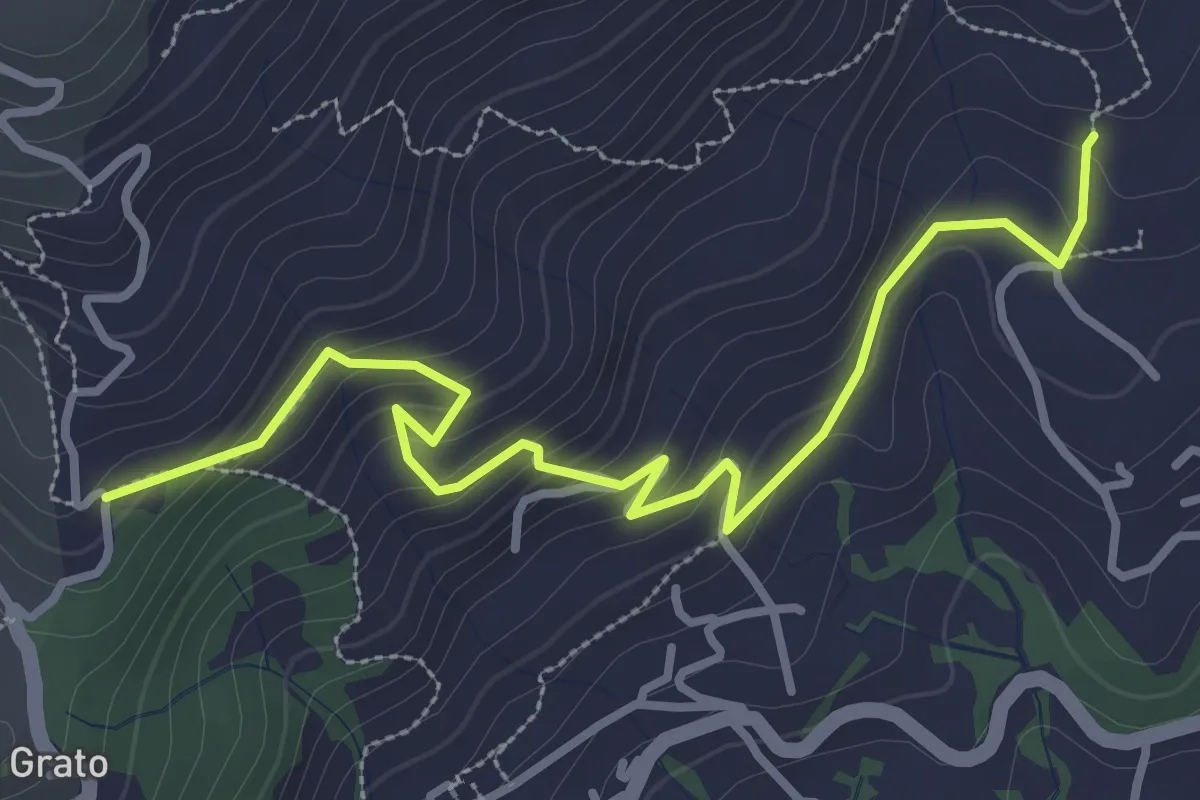
Easy · Trail
Cascina Teggia, bivio BIAC27-BIAC28 – Cascina Prit di Sora, bivio BIAC51-BIAC28
3.8 km · ↑ 217 m · 1 h 22 min
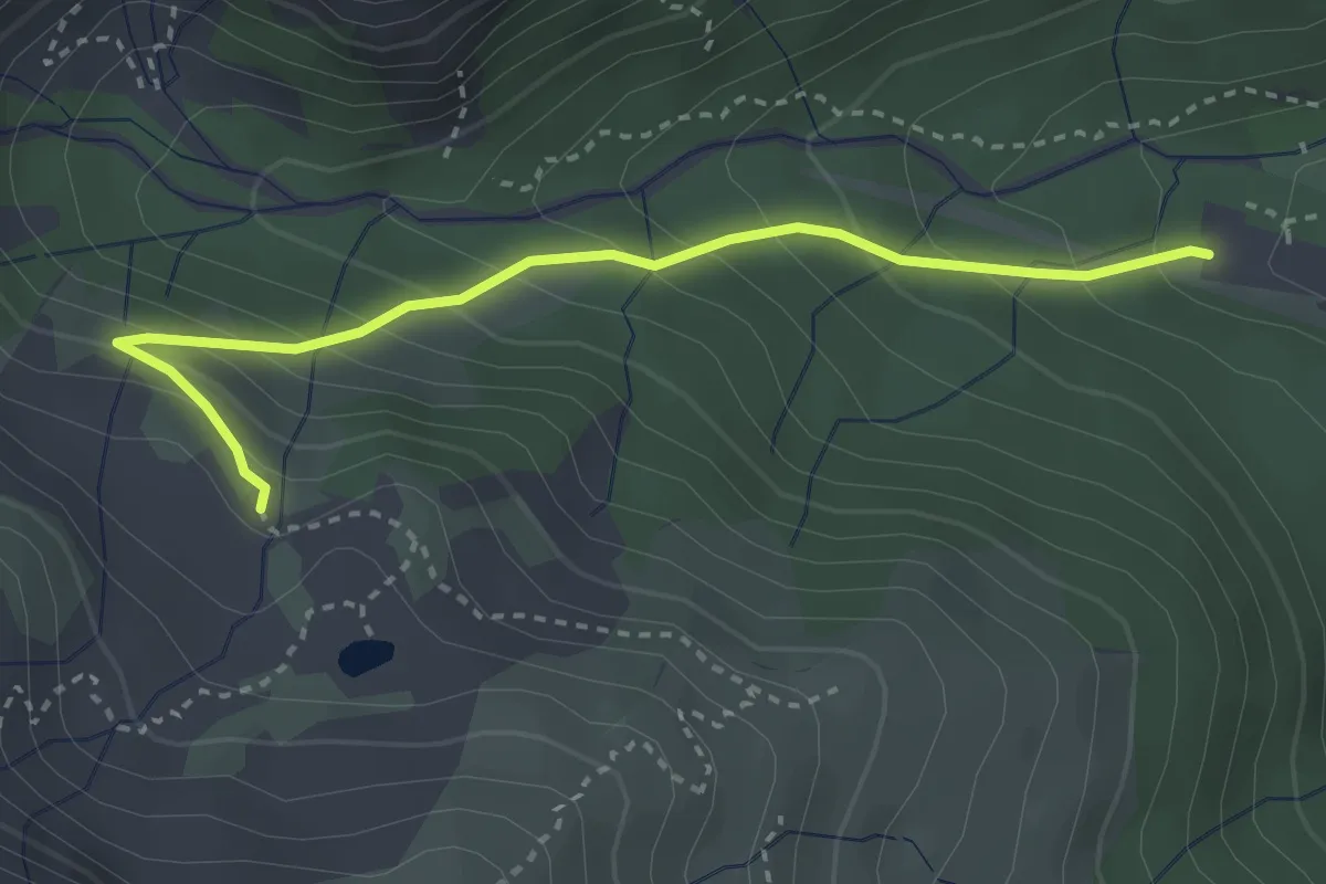
Medium · Trail
Oropa, foresteria parco – Bivio BIAD11-BIAD11A
3.2 km · ↑ 294 m · 1 h 24 min
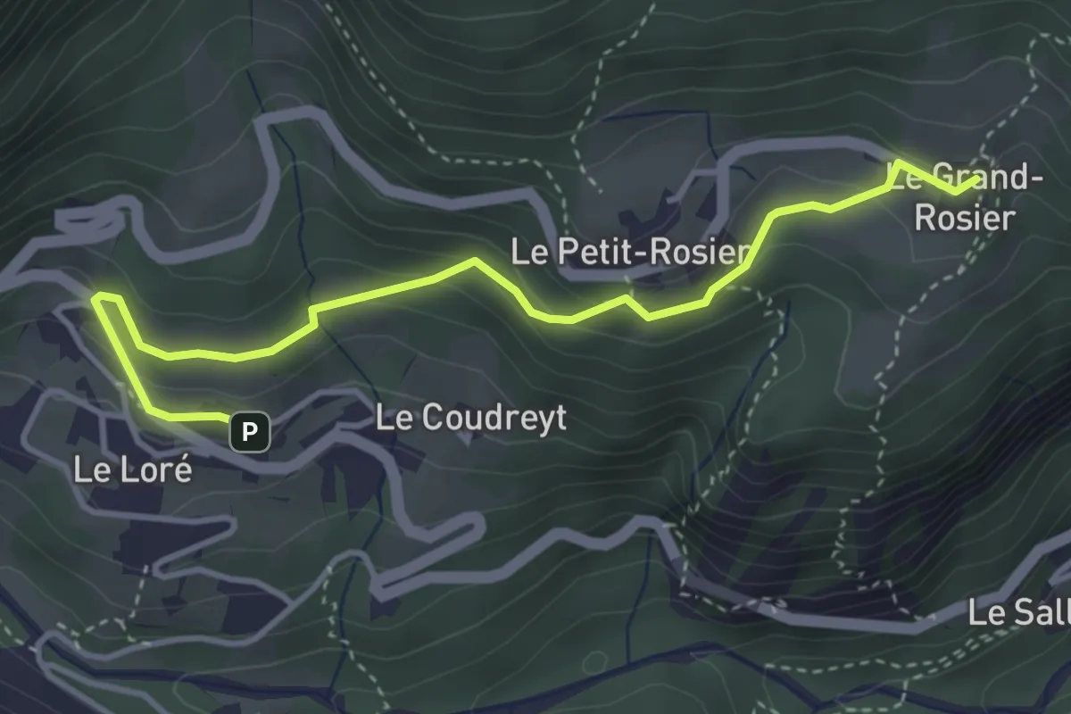
Medium · Trail
Mellier – Grand-Rosier
4.1 km · ↑ 233 m · 1 h 28 min
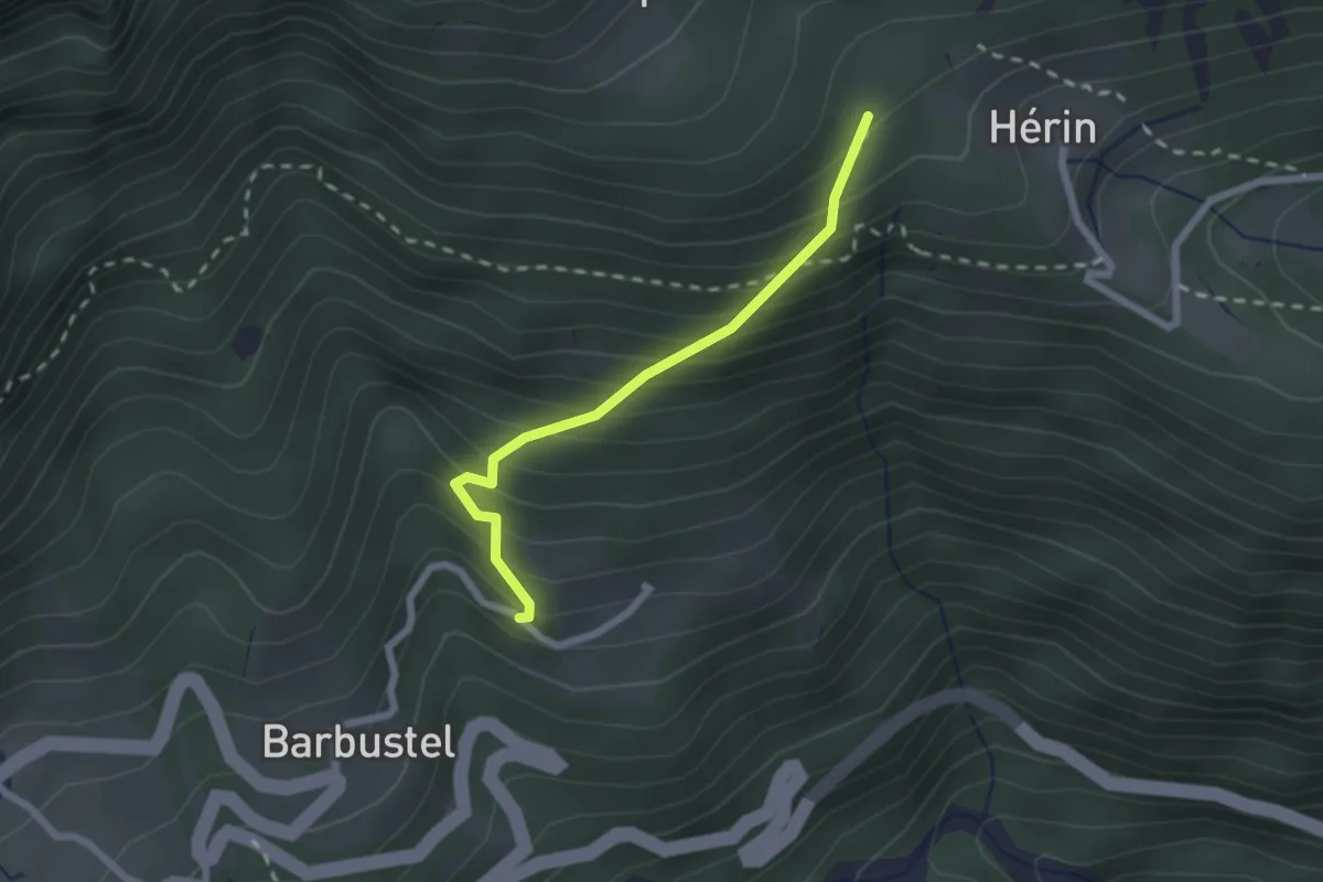
Medium · Trail
Capiron – Percorso 8
2.0 km · ↑ 291 m · 1 h 6 min
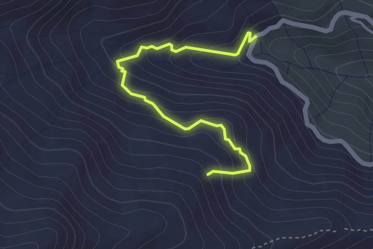
Easy · Trail
Tracciolino presso Cascina Valanca – Bivio BIAB04-BIAB34, alpe Fontana Fredda
3.3 km · ↑ 286 m · 1 h 24 min
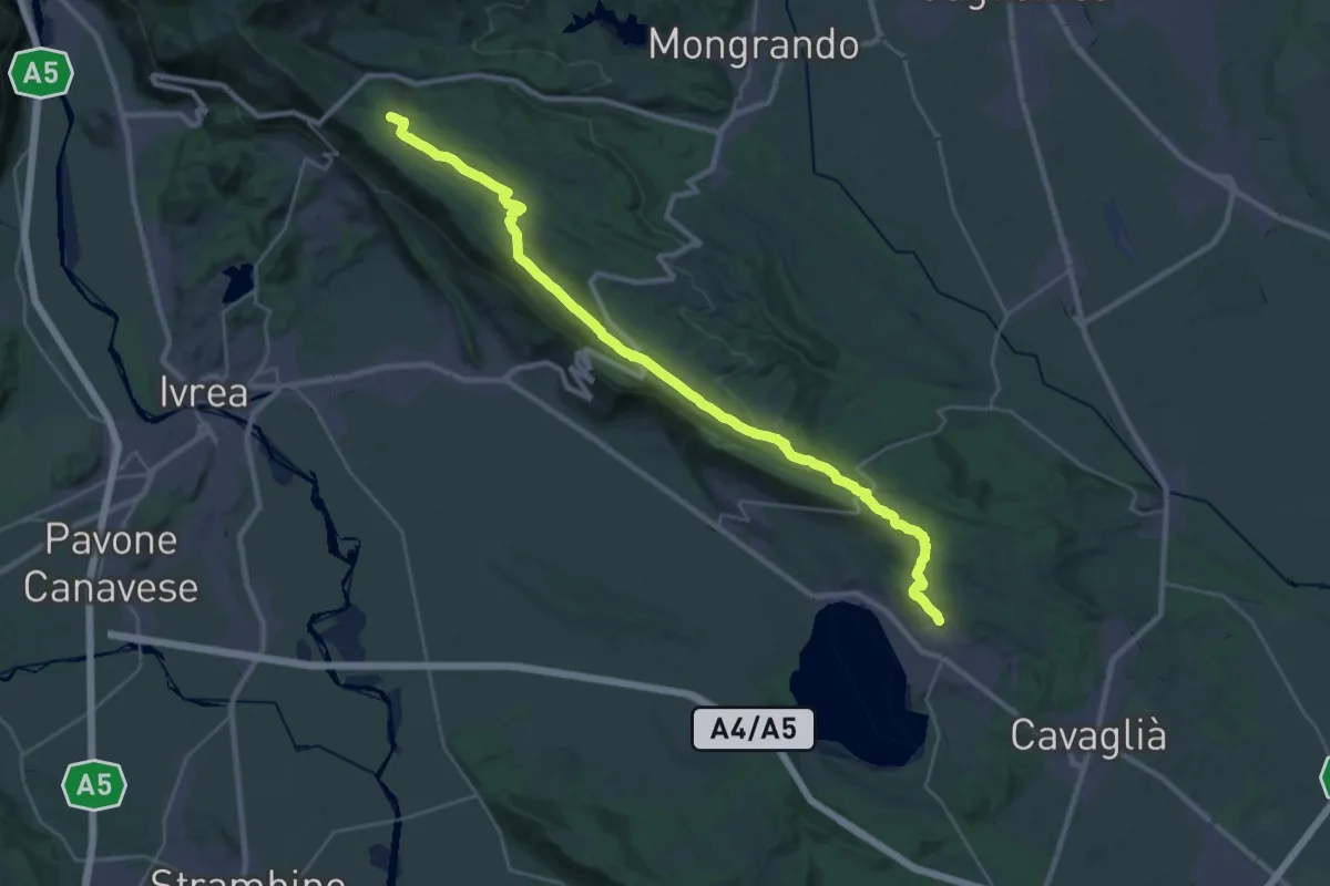
Medium · Trail
Bivio BIAS01-BIAS25, Rolle – Bivio BIAB44-BIAS01-BIAS05, Scalveis
16.6 km · ↑ 109 m · 4 h 34 min
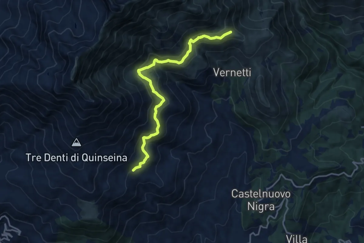
Medium · Trail
Santa Elisabetta, bivio TON909-TON911 – Alpe Frera, bivio TON911-TON912
12.0 km · ↑ 624 m · 4 h 11 min
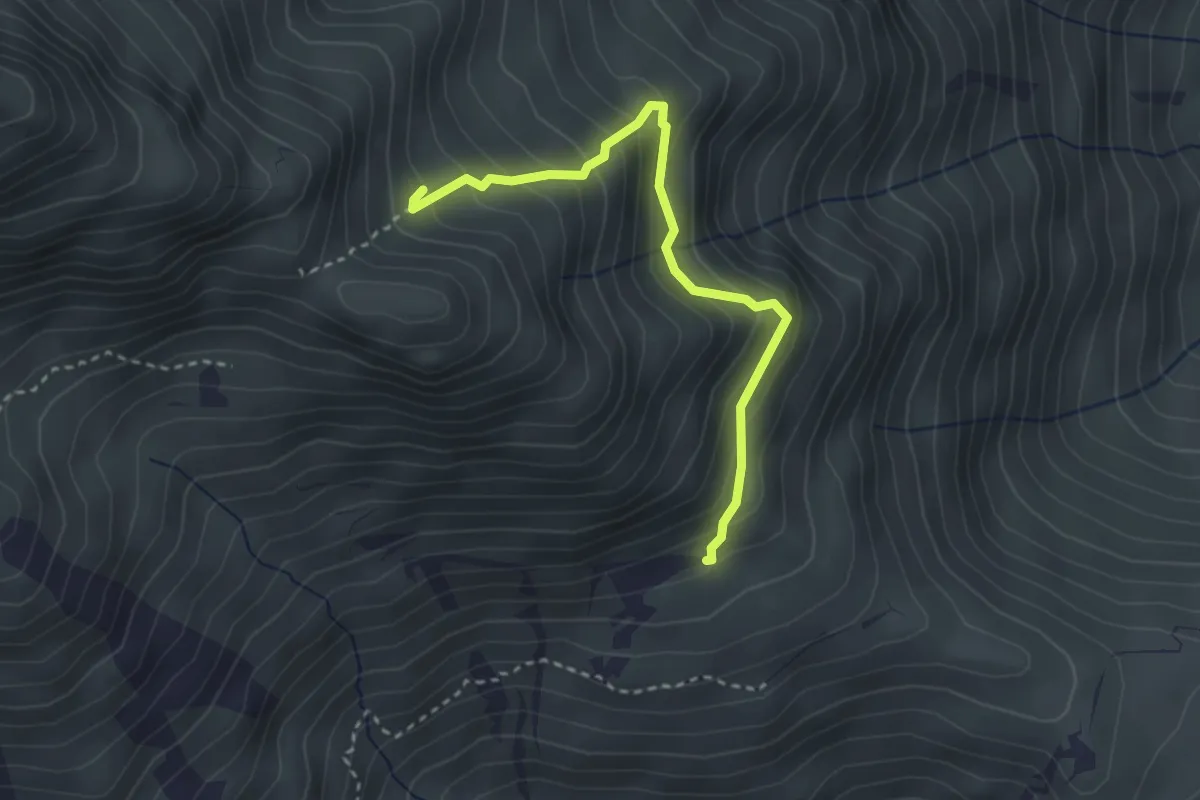
Medium · Trail
Bivio 911-913, borgata Frera – Chiesa del Paradiso
3.1 km · ↑ 336 m · 1 h 28 min
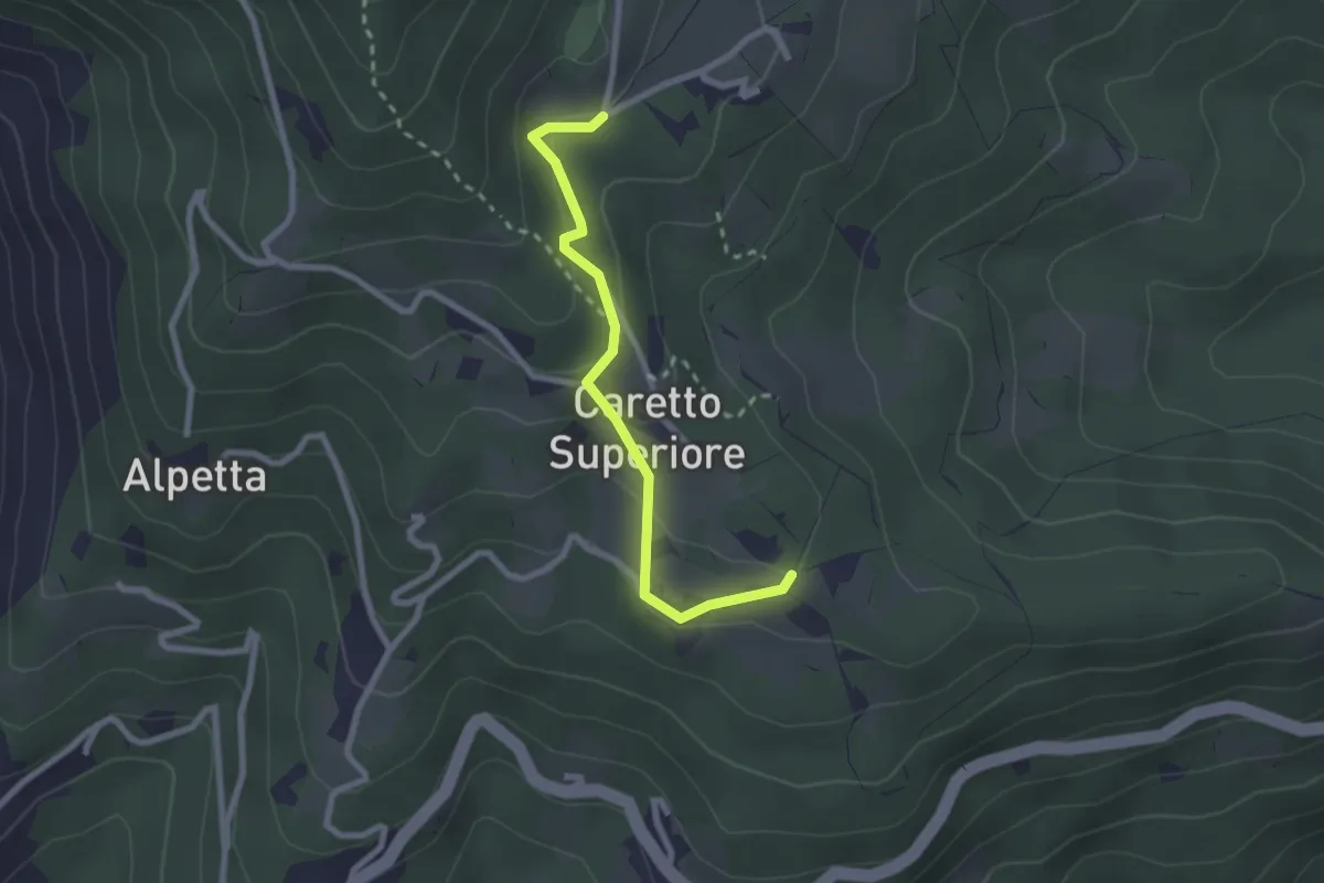
Easy · Trail
Castelnuovo Nigra, Bivio TON914-TON914B presso località Carretto – Castelnuovo Nigra, Bivio TON914-TON914B presso il Palazzotto
2.4 km · ↑ 122 m · 50 min