Trails in Italy
25,219 hiking trails, each with its route, climb, walking time and grade.
All trails, page 407 of 526
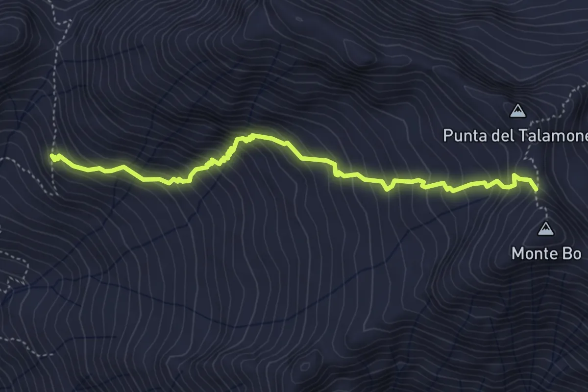
Demanding · Trail
Bivio E70-E74, Alpe le Piane – Bivio E74-F01, Bivacco Antoniotti
4.9 km · ↑ 624 m · 2 h 31 min
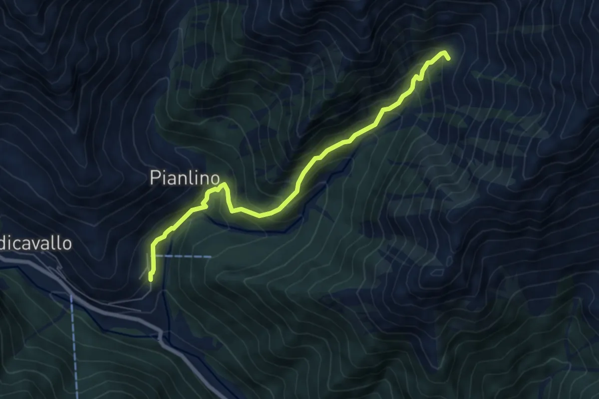
Medium · Trail
Montesinaro – Tegge Viasco
6.5 km · ↑ 551 m · 2 h 43 min
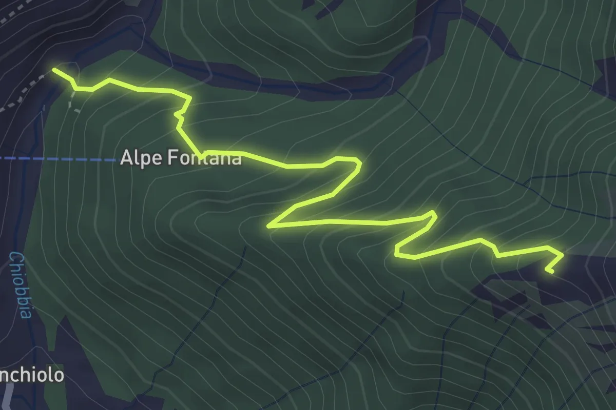
Medium · Trail
Bivio E76-E75 – Tegge Selletto
4.4 km · ↑ 461 m · 2 h 2 min
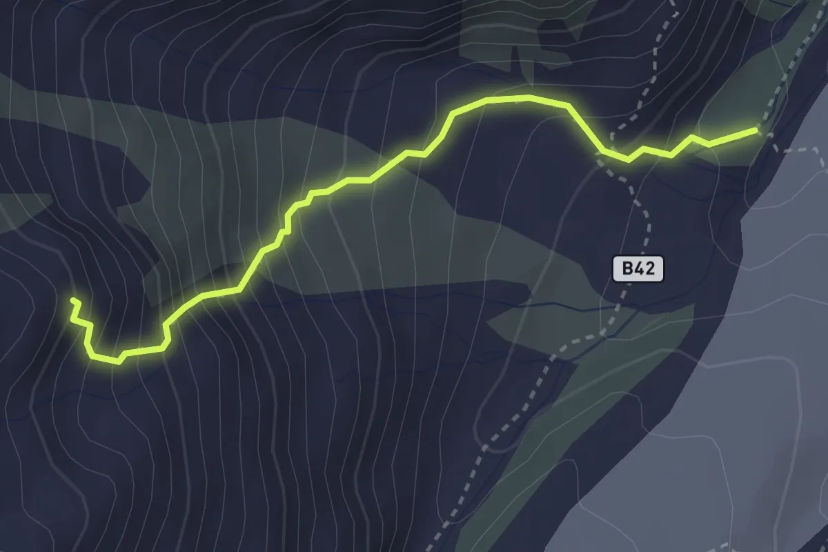
Demanding · Cabin
Alpe Fillar – Bivacco Valentino Belloni
3.2 km · ↑ 466 m · 1 h 45 min
Medium · Trail
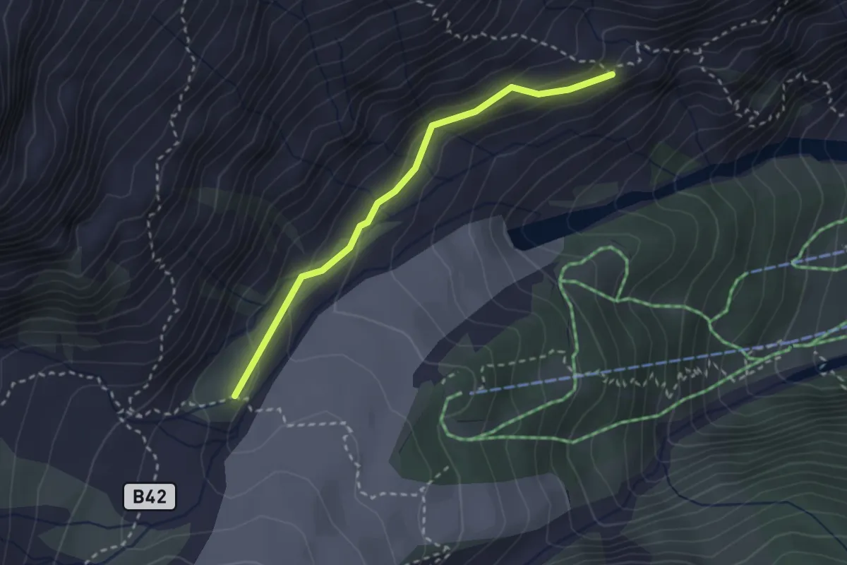
Alpe Roffelstafel (bivio B38) – Alpe Fillar (bivio B40)
2.6 km · ↑ 138 m · 54 min
Medium · Trail
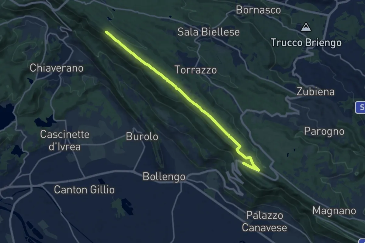
Bivio BIAS01A-BIAS02, Magnano – Bivio BIAS02-BIAS05
13.2 km · ↑ 199 m · 3 h 33 min
Medium · Trail
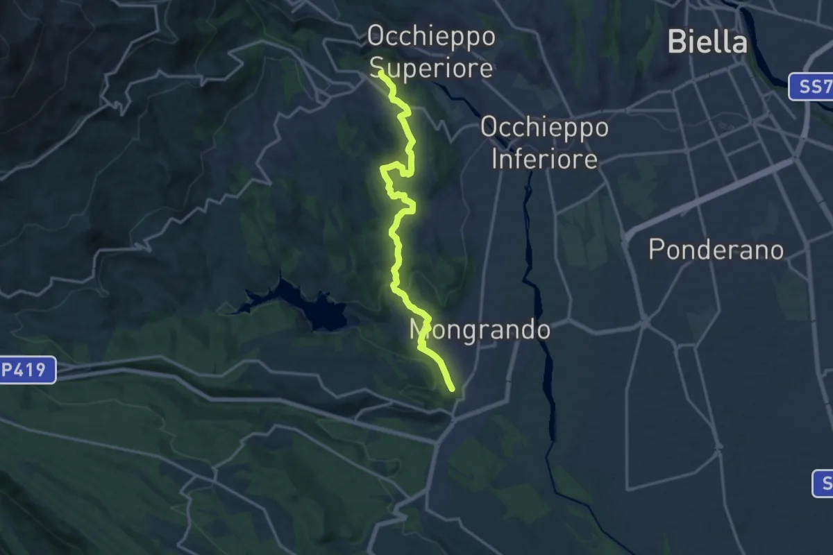
Bivio BIAS04-BIAS26, Mongrando – Muzzano, bivio BIAC46-BIAS04
13.8 km · ↑ 324 m · 3 h 58 min
Medium · Trail
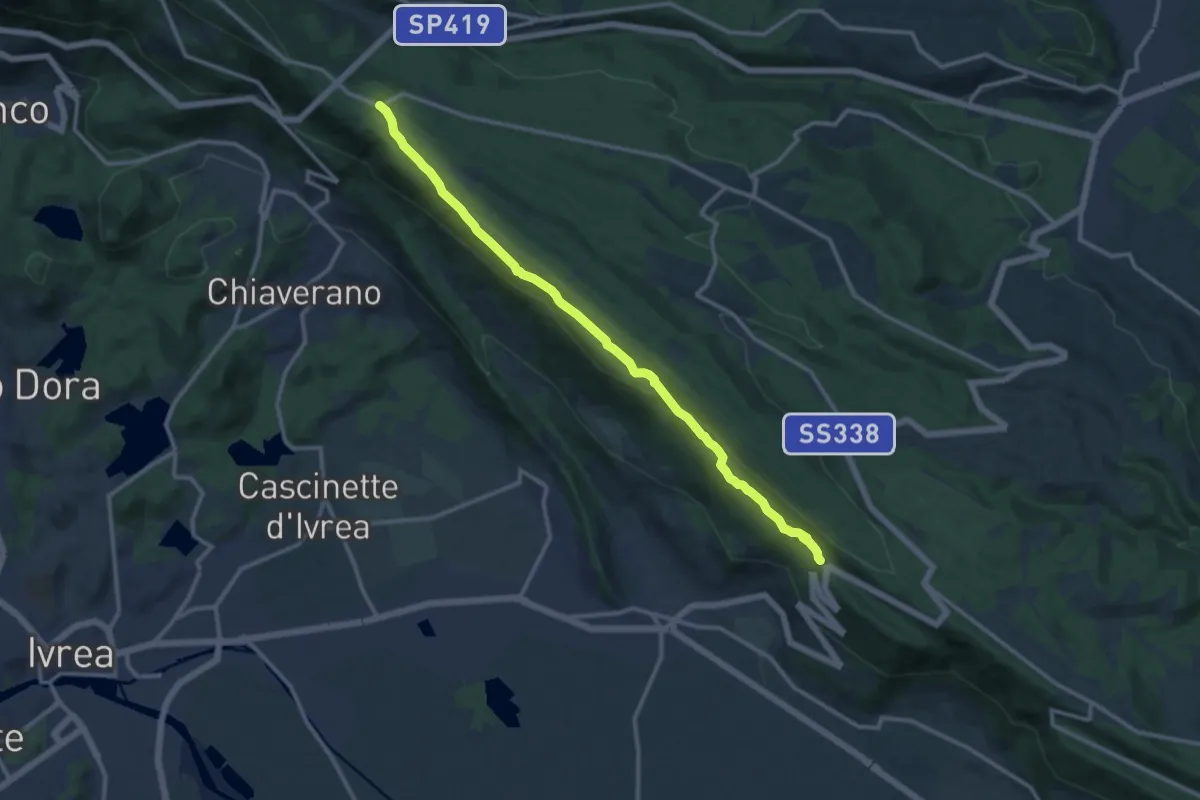
Broglina – Bivio BIAB44-BIAS01-BIAS05, Scalveis
13.0 km · ↑ 311 m · 3 h 44 min
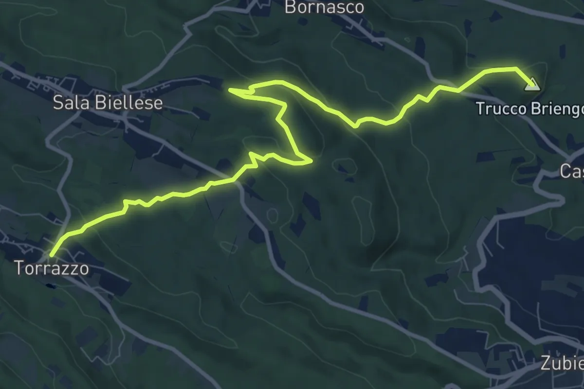
Medium · Summit
SS 419 – Bivio BIAS01-BIAS06, Torrazzo
10.6 km · ↑ 333 m · 3 h 14 min
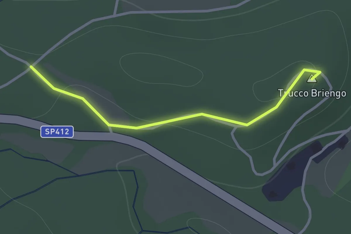
Easy · Summit
Bivio BIAS06-BIAS06E – Bivio BIAS06-BIAS06E
1.0 km · ↑ 14 m · 16 min
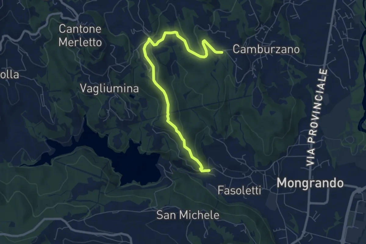
Easy · Trail
Boggetti – Bivio BIAS04-BIAS08, Gerbiglie
7.5 km · ↑ 275 m · 2 h 22 min
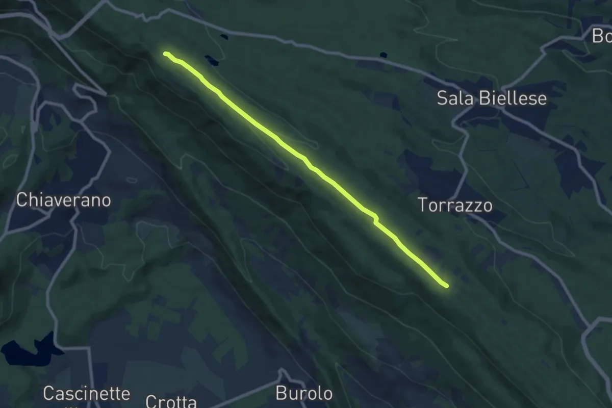
Easy · Trail
Bivio BIAS01-BIAS09, Torrazzo – Bivio BIAS05-BIAS09A, Scalveis
7.5 km · ↑ 89 m · 1 h 58 min
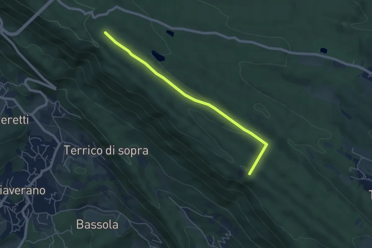
Easy · Trail
Bivio BIAS02-BIAS09A, Burolo – Bivio BIAS09-BIAS09A, Scalveis
4.9 km · ↑ 56 m · 1 h 16 min
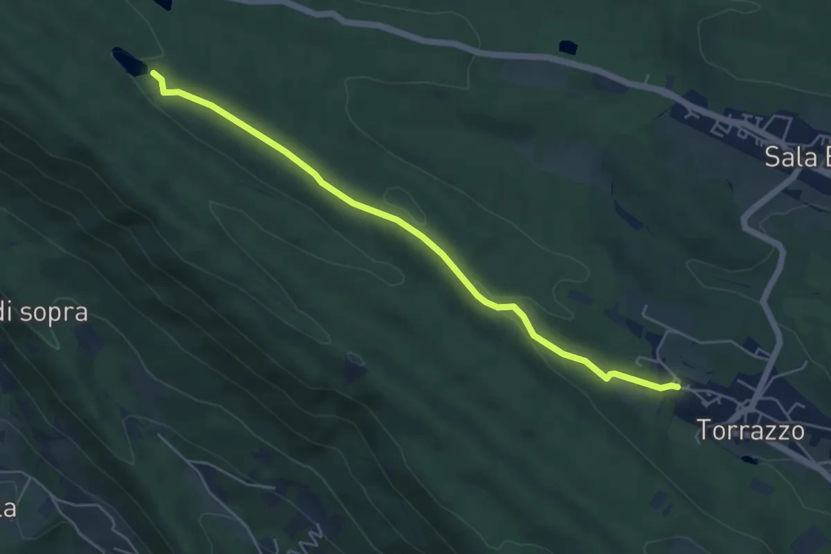
Easy · Trail
Bivio BIAS01-BIAS10, Torrazzo – Lago di Pré
5.1 km · ↑ 81 m · 1 h 23 min
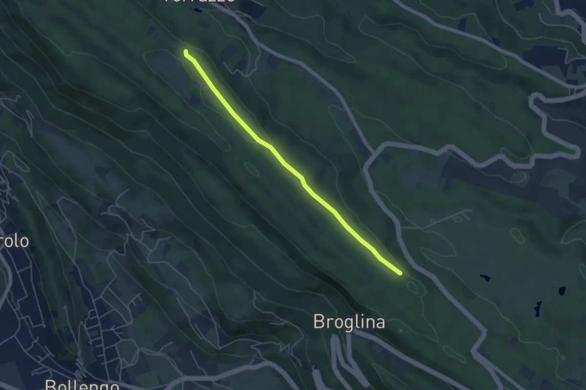
Easy · Trail
Bivio BIAS01-BIAS10A, Golf "Le Betulle" – Bivio BIAS01-BIAS10A, Torrazzo Camping
4.9 km · ↑ 62 m · 1 h 17 min
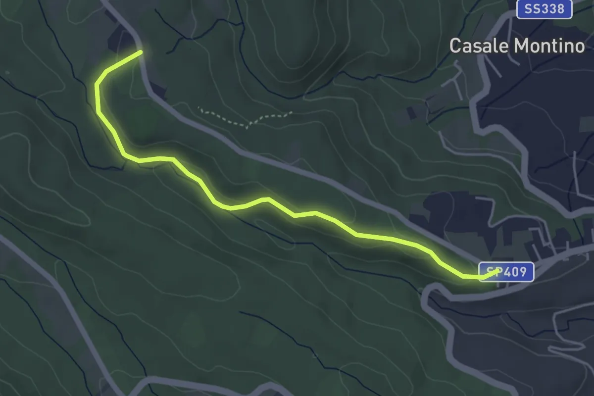
Easy · Trail
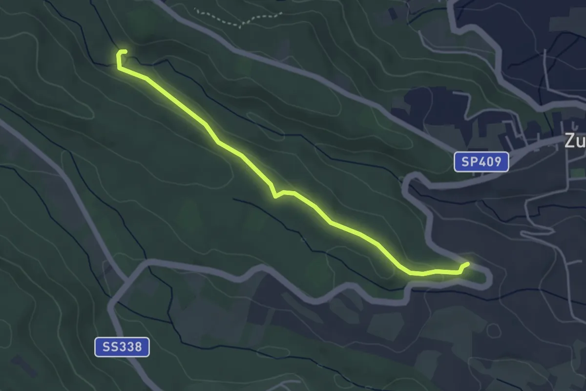
Zubiena – Cascina Abbadia della Bessa
4.5 km · ↑ 80 m · 1 h 14 min
Easy · Trail
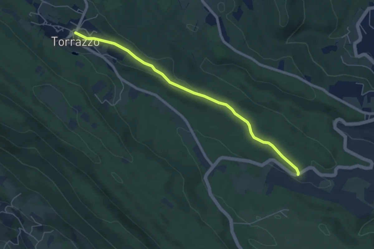
Cascina Malata – Bivio BIAS20-BIAS20A, Mulino di Sala
4.0 km · ↑ 83 m · 1 h 7 min
Easy · Trail
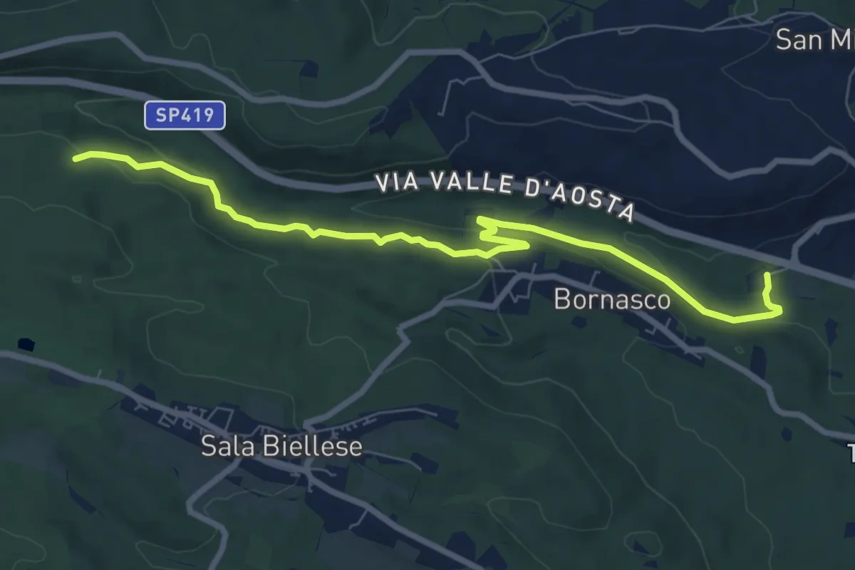
SP 338 – Bivio BIAS06-BIAS21
5.5 km · ↑ 68 m · 1 h 26 min
Medium · Trail
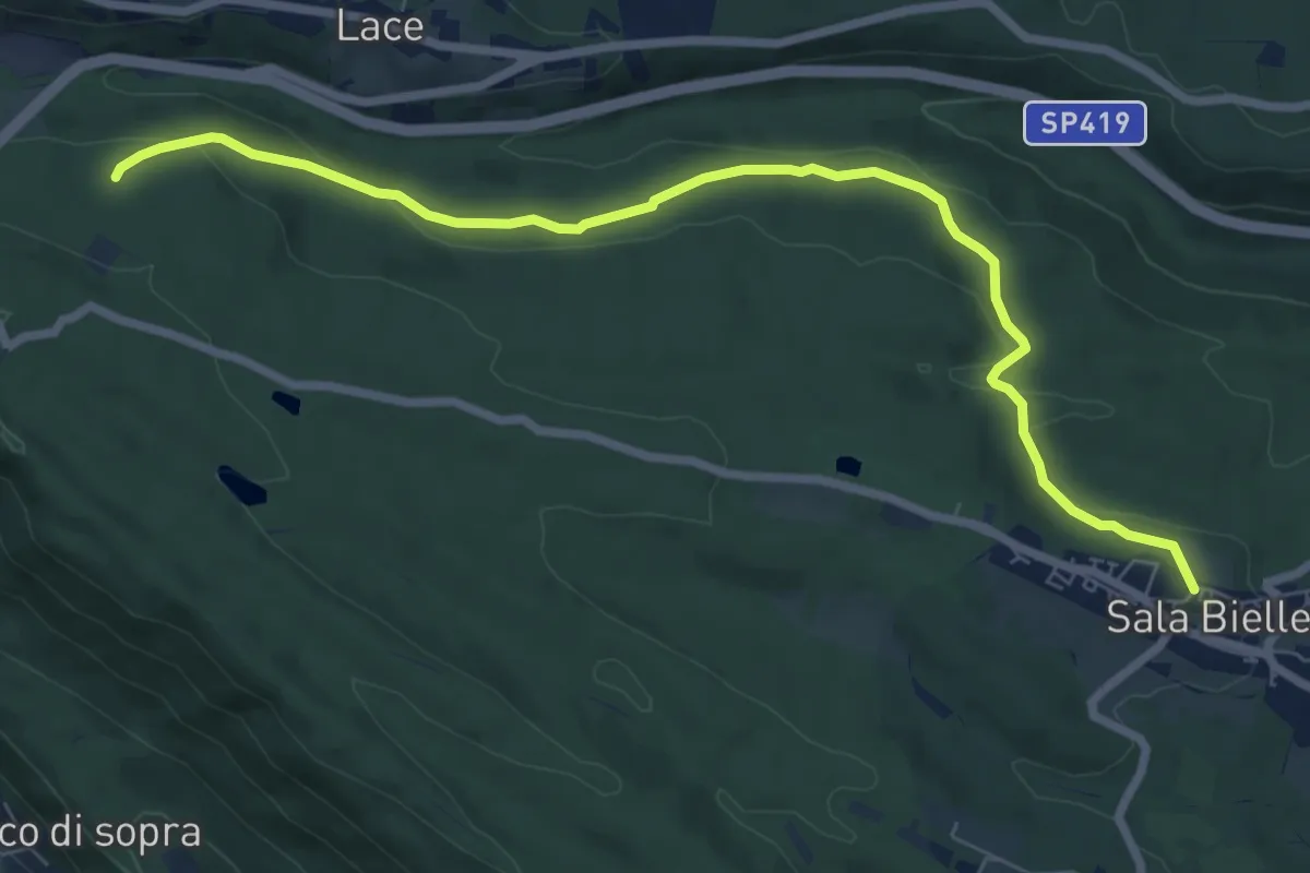
Vignazze – Bivio BIAS22-BIAS22A, Cascina Moiette
8.2 km · ↑ 305 m · 2 h 35 min
Medium · Trail
Sala Biellese, Via Roma – Bivio BIAB40-BIAS22, Chiaverano
8.2 km · ↑ 173 m · 2 h 19 min
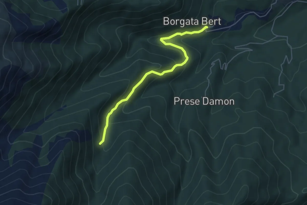
Easy · Trail
Balangero – Bivio 409-410
5.0 km · ↑ 312 m · 1 h 51 min
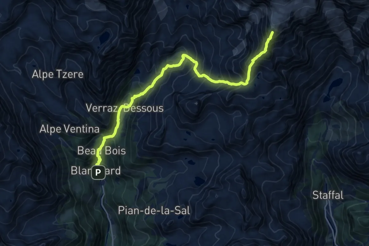
Expert · Cabin
Blanchard – Rifugio Quintino Sella
9.1 km · ↑ 1862 m · 5 h 23 min
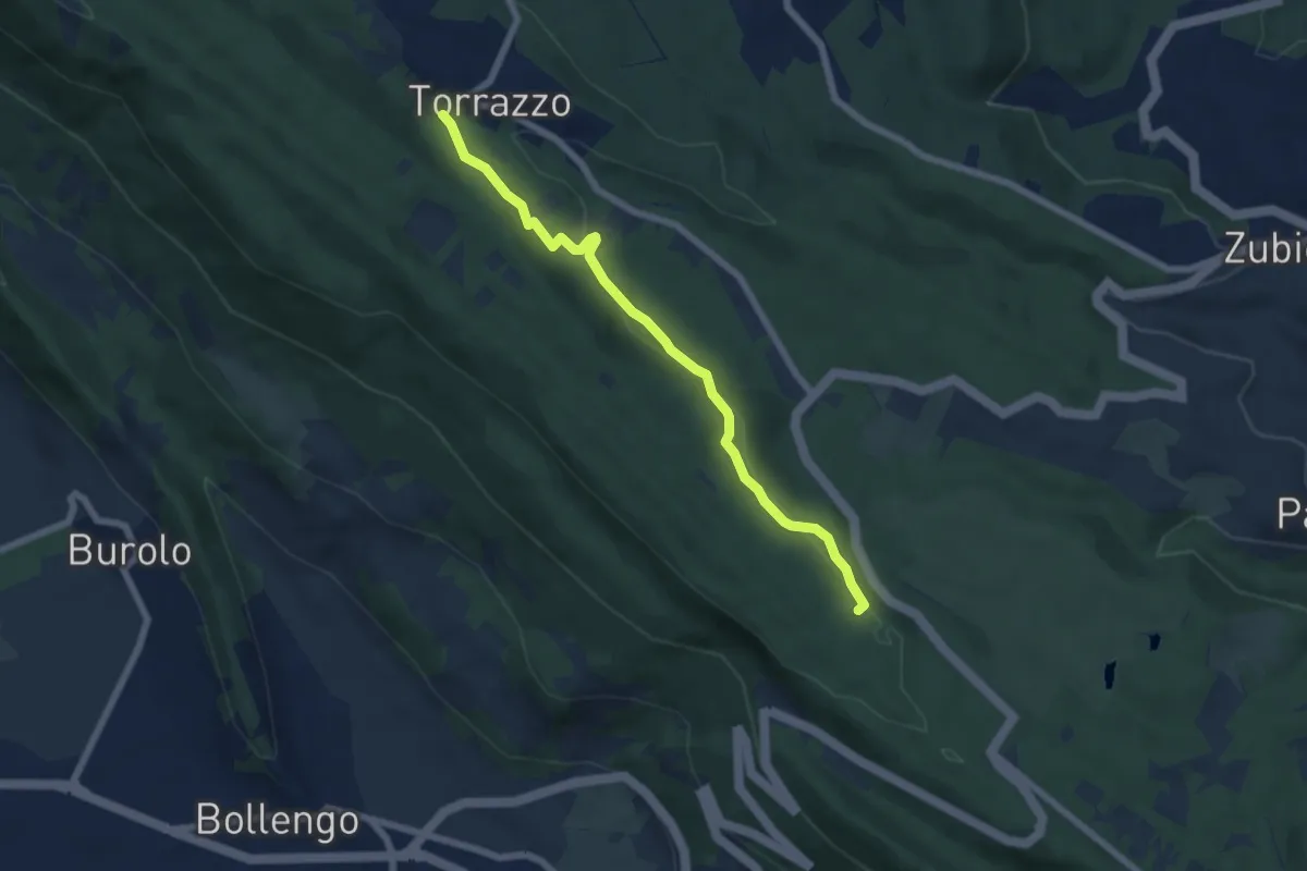
Easy · Trail
Bivio S11 vicino al Golf m 590 – Torrazzo Camping (S1)
6.3 km · ↑ 153 m · 1 h 49 min
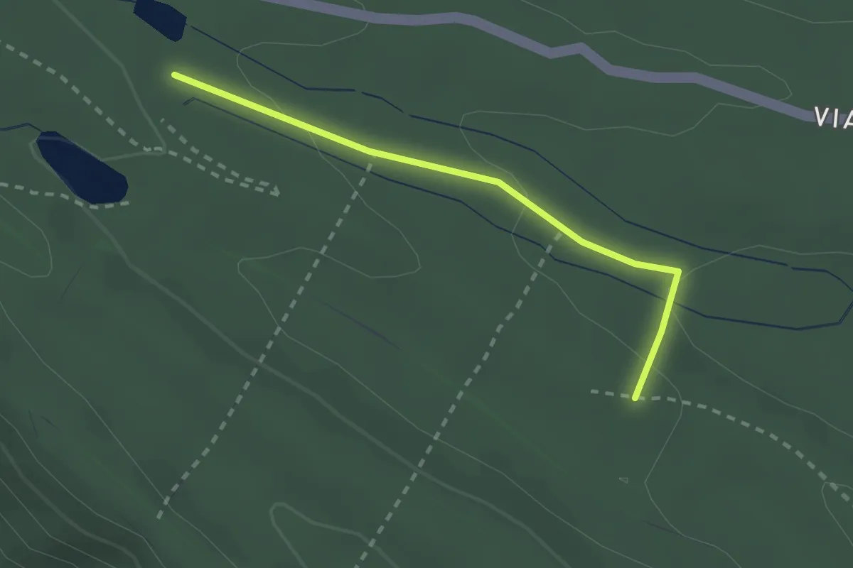
Easy · Trail
presso lago Cossavella (S1) – Bivio S01
2.2 km · ↑ 70 m · 40 min
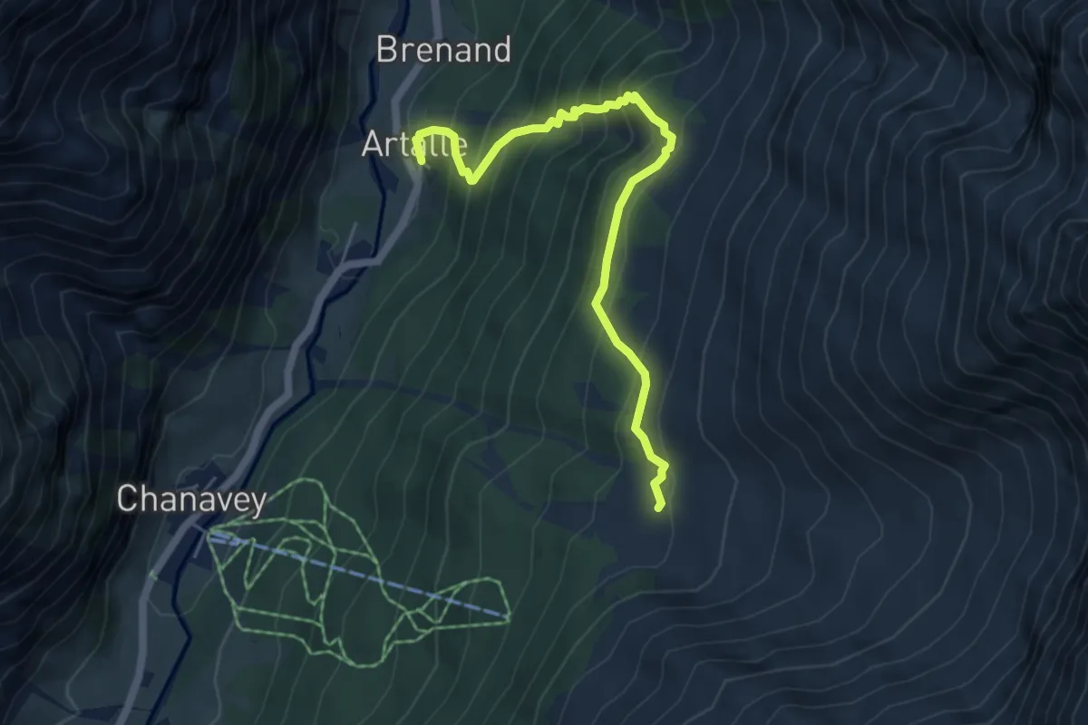
Medium · Trail
Artalle – Chaussettaz
5.6 km · ↑ 607 m · 2 h 38 min
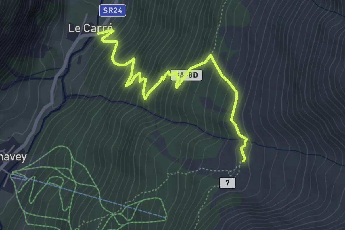
Medium · Trail
Carré – Chaussettaz
5.3 km · ↑ 538 m · 2 h 26 min
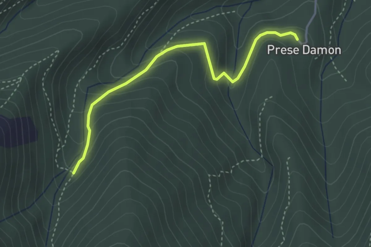
Easy · Trail
Giaveno, Prese Damon, Bivio TOS408 – Bivio TOS408A-TOS409
3.5 km · ↑ 216 m · 1 h 17 min
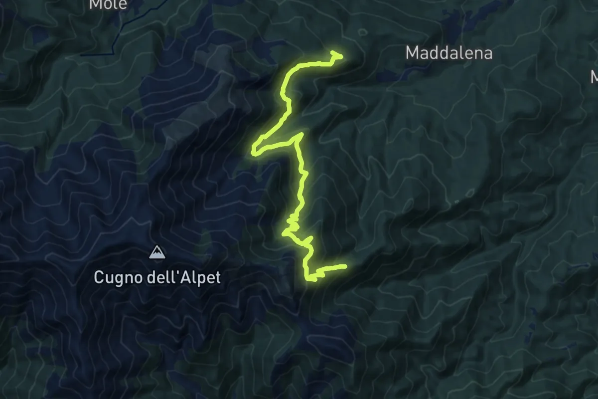
Demanding · Trail
Strada Maddalena - Prese del LuJ, bivio TOS413 – Bivio 408 - 407
15.4 km · ↑ 1148 m · 6 h 8 min
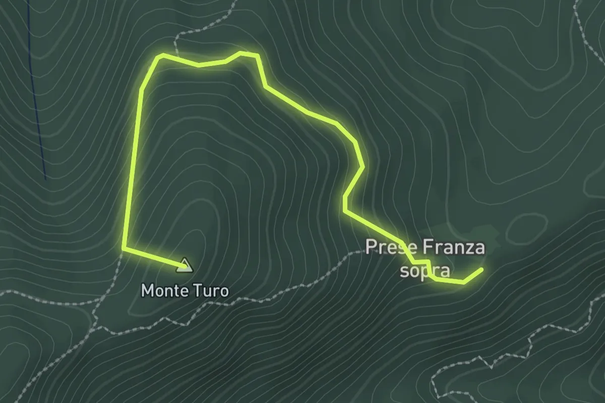
Medium · Summit
Prese della Franza sopra – Bivio TOS408-TOS409
3.1 km · ↑ 271 m · 1 h 20 min
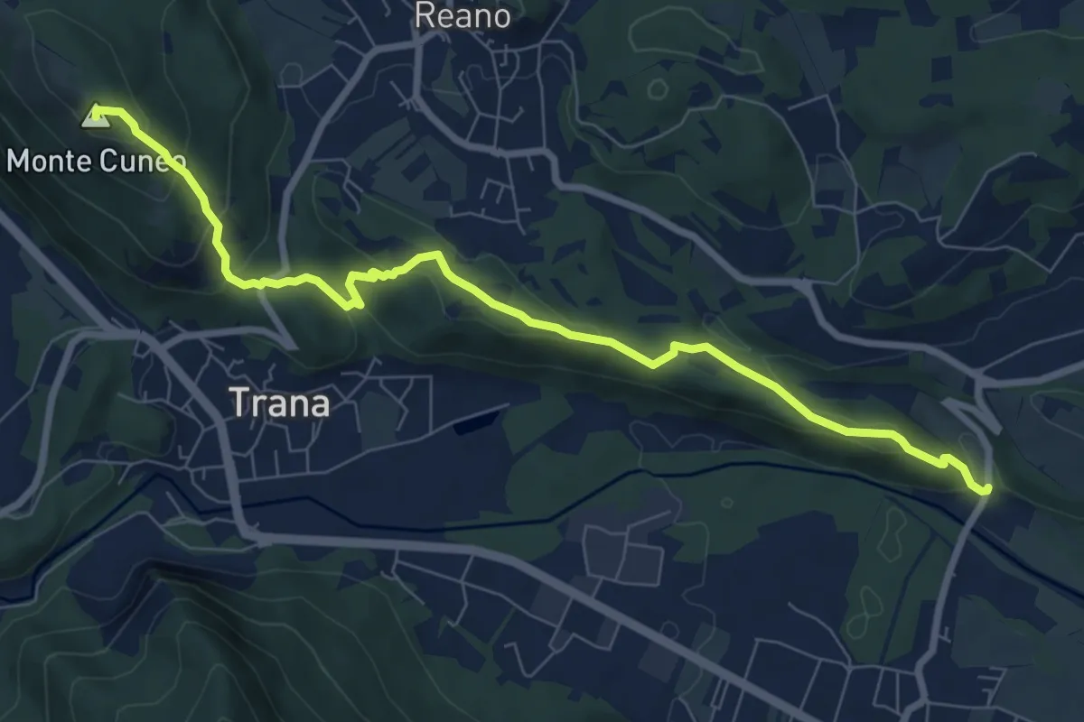
Medium · Summit
Col Buchet, bivio TOS454 - TOS201B – Sangano, bivio TOS454-TOP206
8.8 km · ↑ 403 m · 2 h 57 min
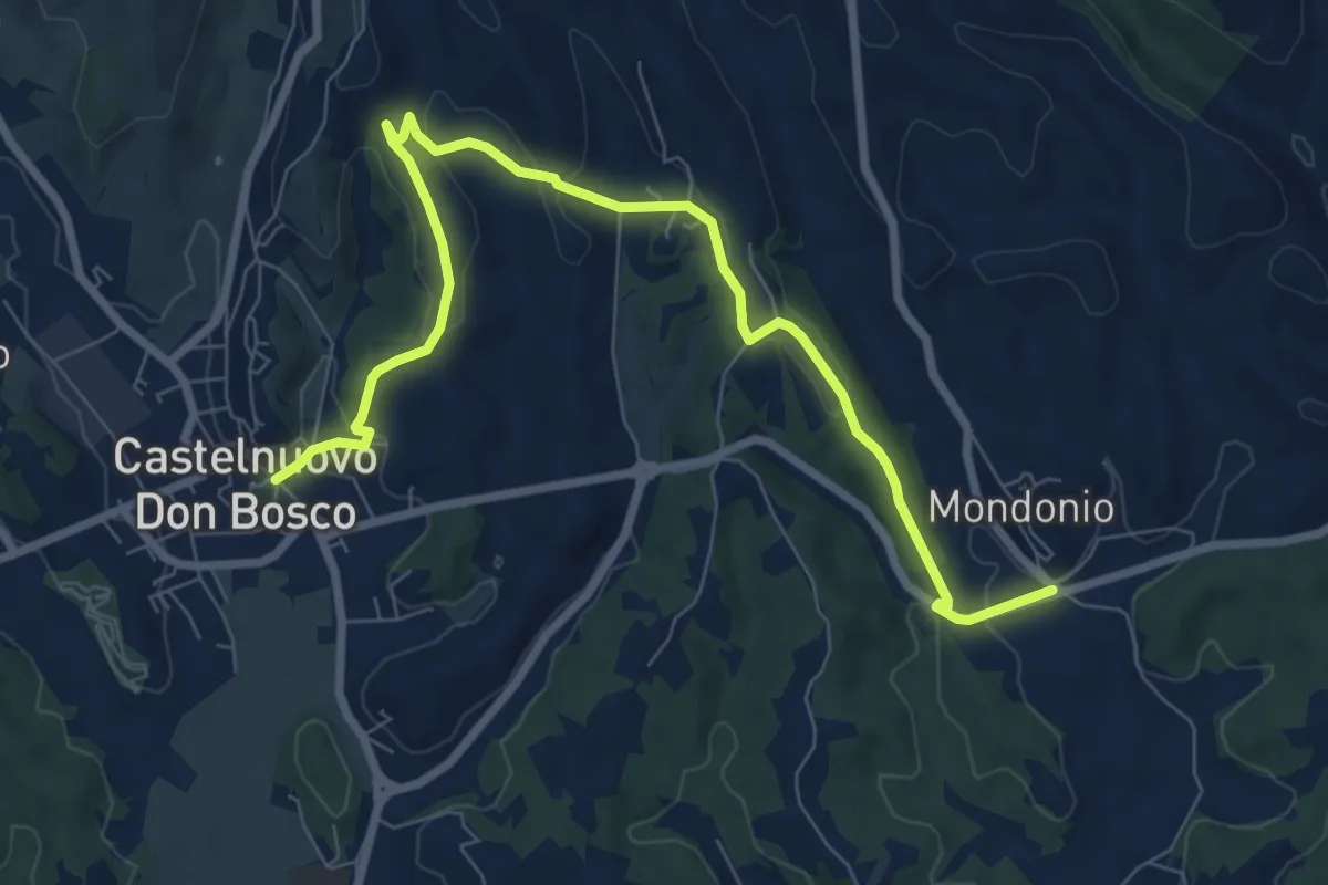
Medium · Trail
Castelnuovo Don Bosco, bivio ATN103-ATN101-ATN101A – Castelnuovo Don Bosco, frazione Mondonio, bivio ATN108-ATN101A
9.2 km · ↑ 223 m · 2 h 40 min
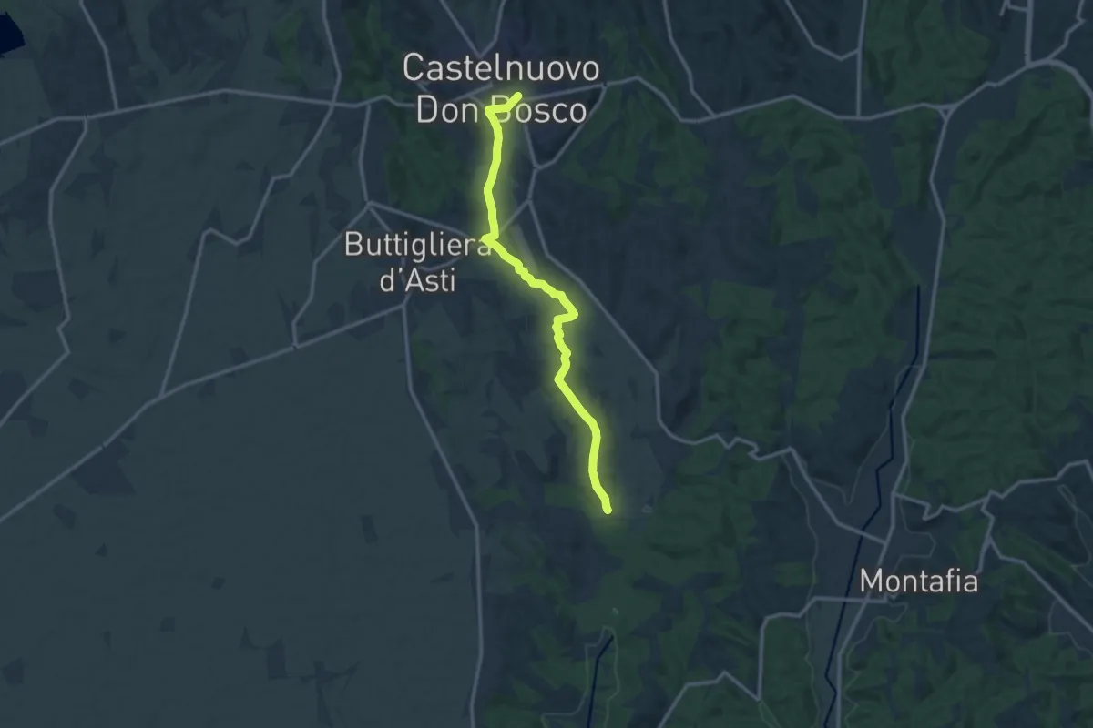
Medium · Trail
Castelnuovo Don Bosco – Serra di Buttigliera
12.4 km · ↑ 127 m · 3 h 12 min
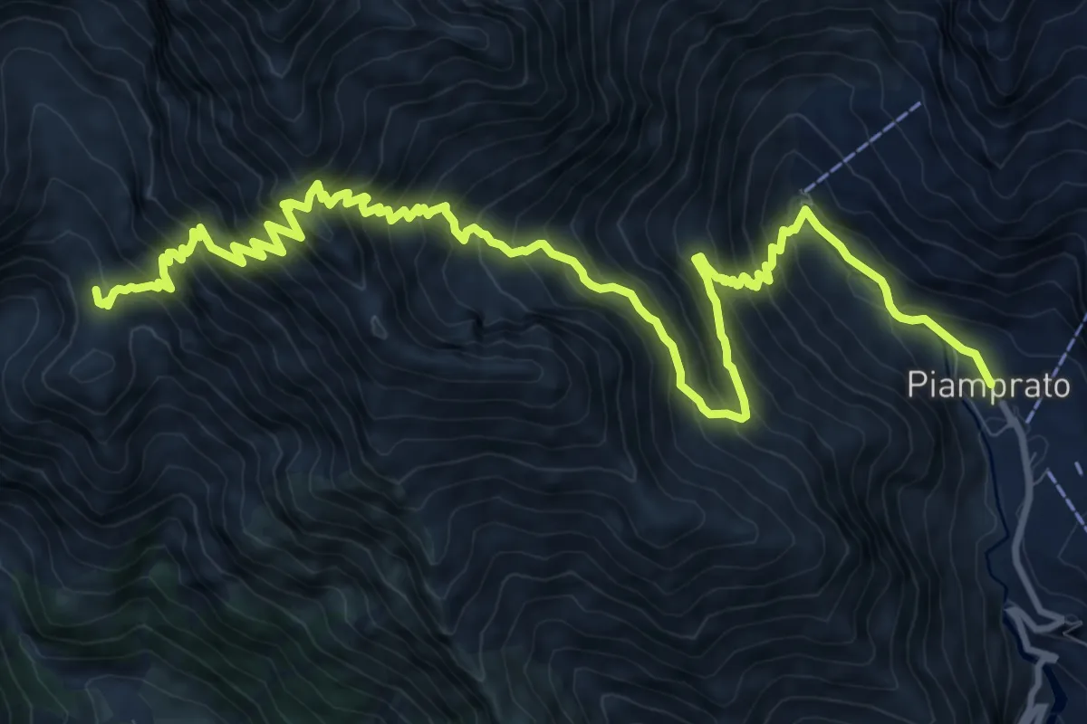
Demanding · Summit
Campiglia Soana – Piamprato
15.1 km · ↑ 1601 m · 7 h 2 min
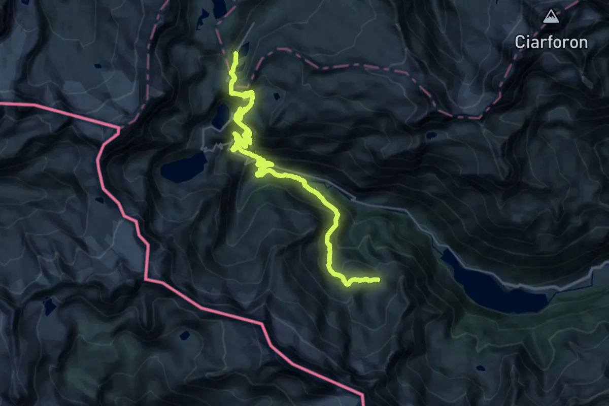
Demanding · Cabin
Rifugio Jervis – Rifugio Savoia
14.7 km · ↑ 1059 m · 5 h 49 min
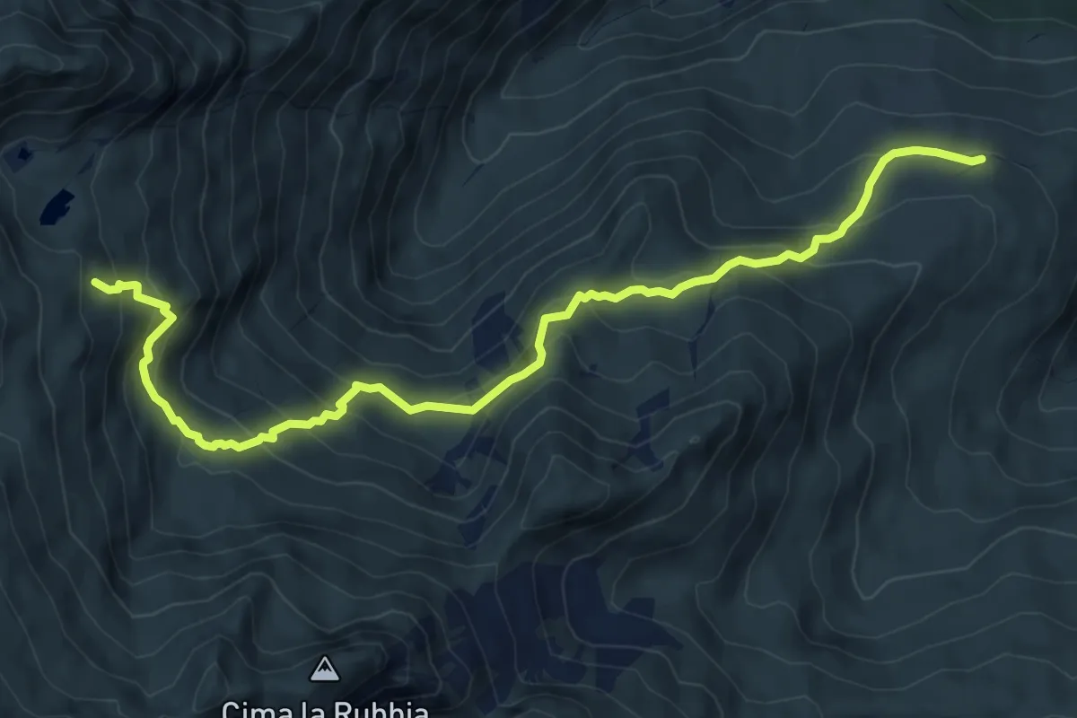
Demanding · Trail
Strada Palit quota 1660 – Alpe Pian del Rio
8.5 km · ↑ 776 m · 3 h 42 min
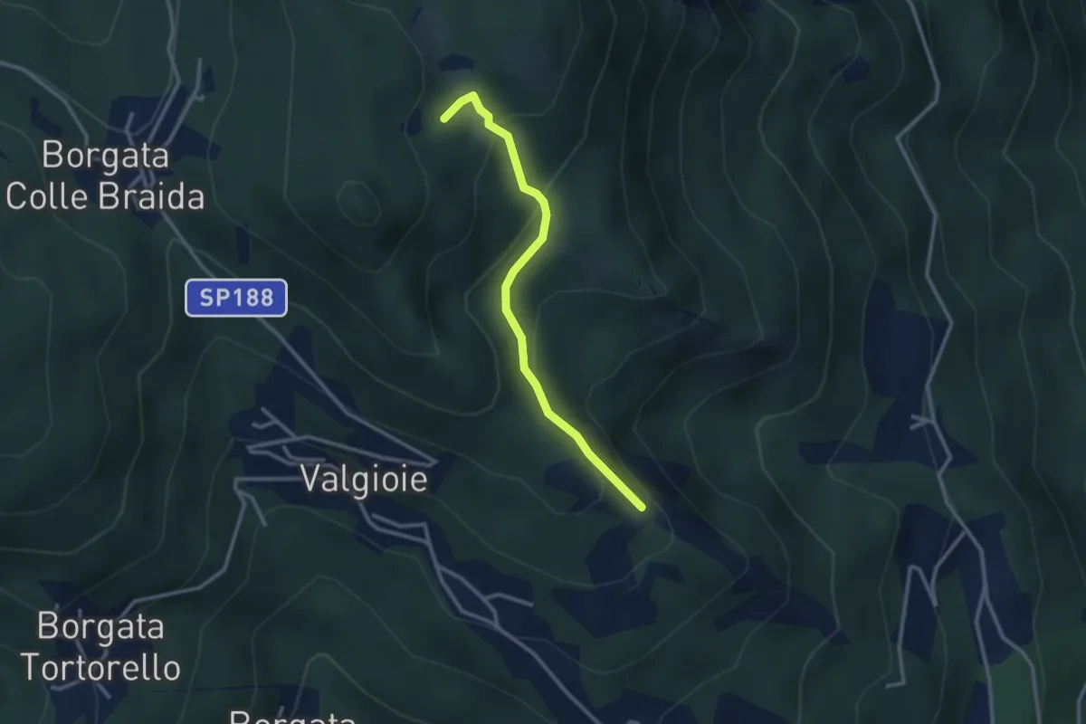
Easy · Trail
Bivio TOS451-TOS451A – Cima Castiglione, bivio TOS451-TOS451A
2.7 km · ↑ 179 m · 1 h 2 min
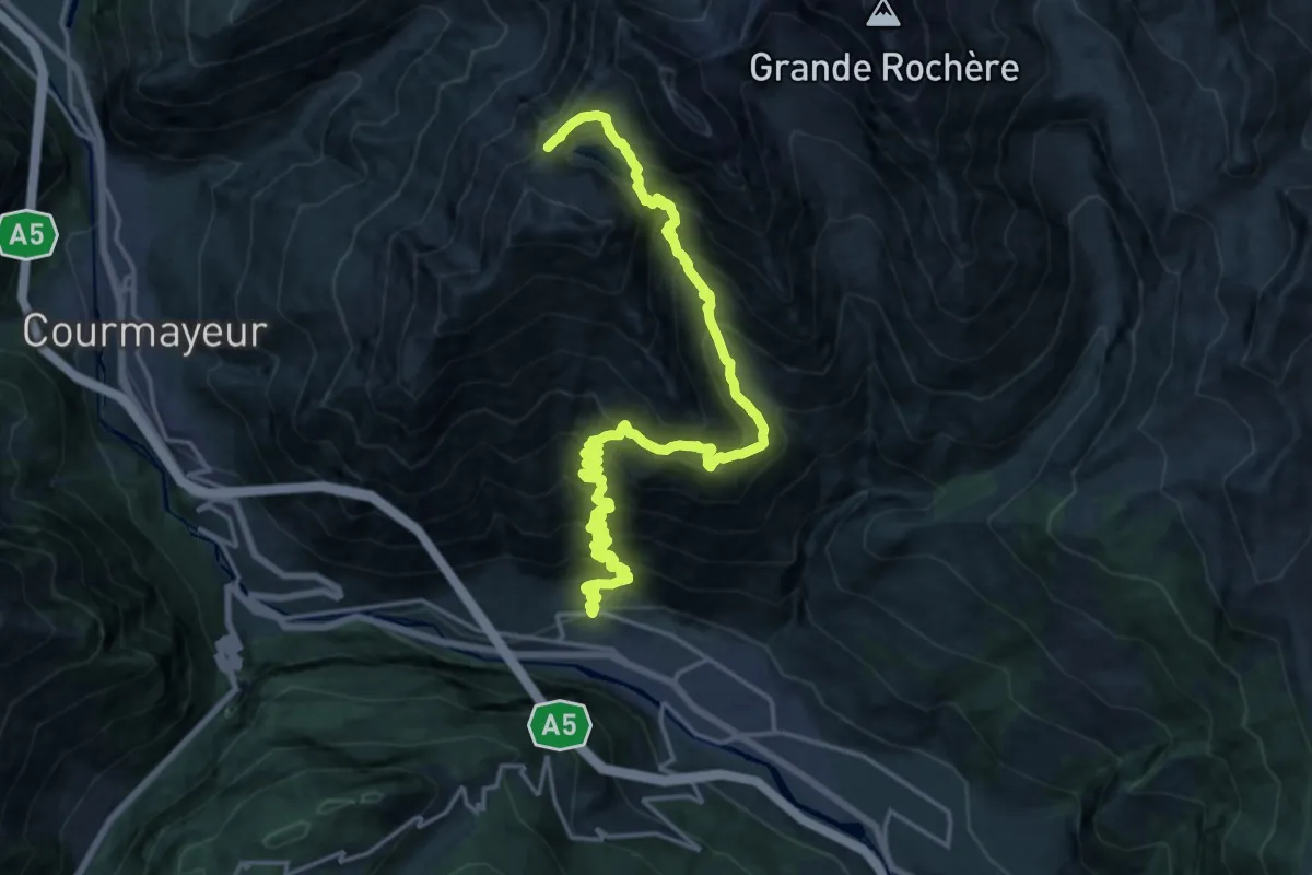
Demanding · Trail
Lavanchers – Col de Licony
11.6 km · ↑ 356 m · 4 h 29 min
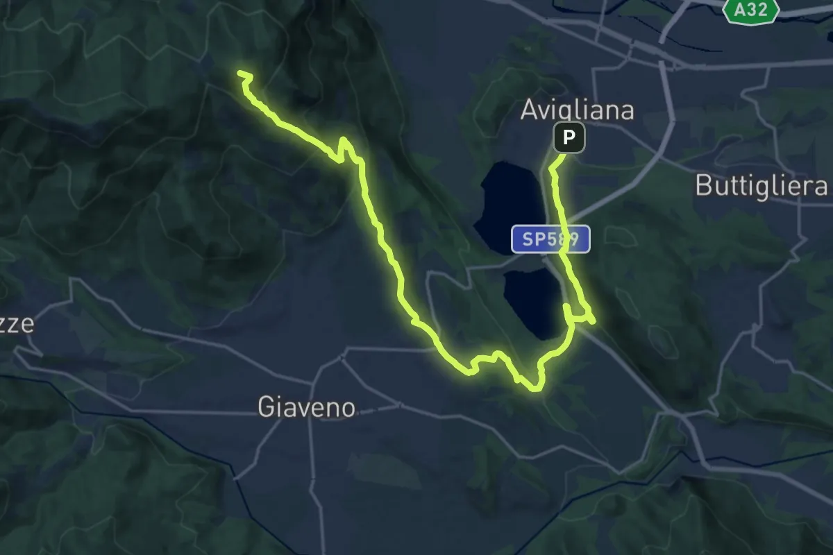
Demanding · Summit
Avigliana, Case San Pietro – Colle Braida, bivio TOS435-TOS503A
24.7 km · ↑ 1015 m · 8 h 2 min
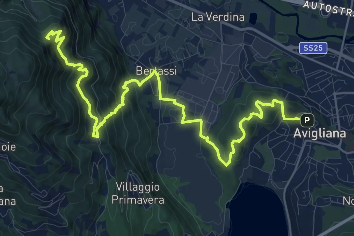
Demanding · Summit
Avigliana, Piazza del Popolo – Colle di Croce Nera presso Sacra di San Michele
17.7 km · ↑ 953 m · 6 h 14 min
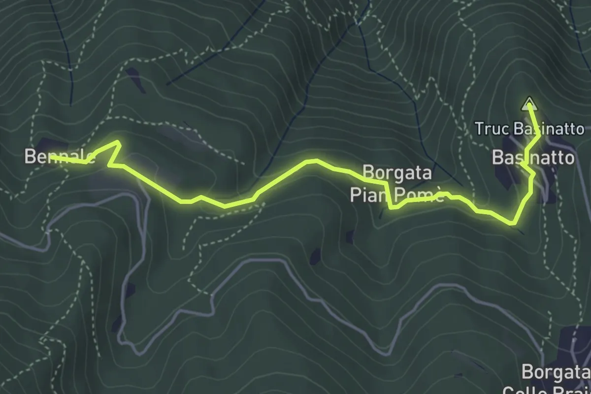
Easy · Summit
Bennale, bivio TOS561-TOS504 – Piazzale di Croce Nera, bivio TOS561-TOS502
4.9 km · ↑ 193 m · 1 h 34 min
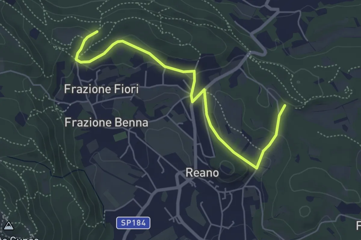
Easy · Trail
Casermette militari – Bivio TOS201
5.5 km · ↑ 115 m · 1 h 33 min
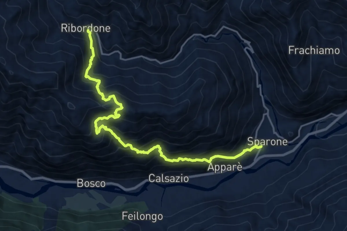
Demanding · Trail
Sparone – Ribordone
13.7 km · ↑ 1567 m · 6 h 38 min
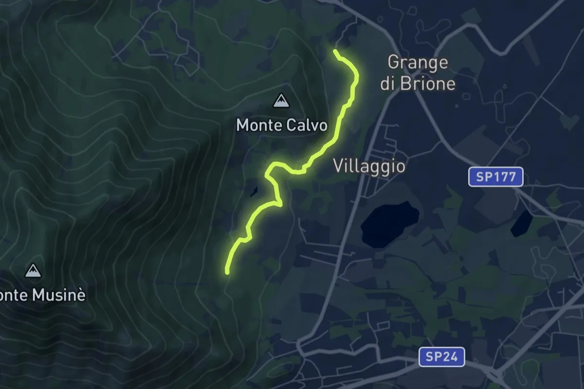
Easy · Trail
Brione, bivio TOS574A-TOS576 – Bivio TOS576-TOS572A
5.4 km · ↑ 131 m · 1 h 33 min
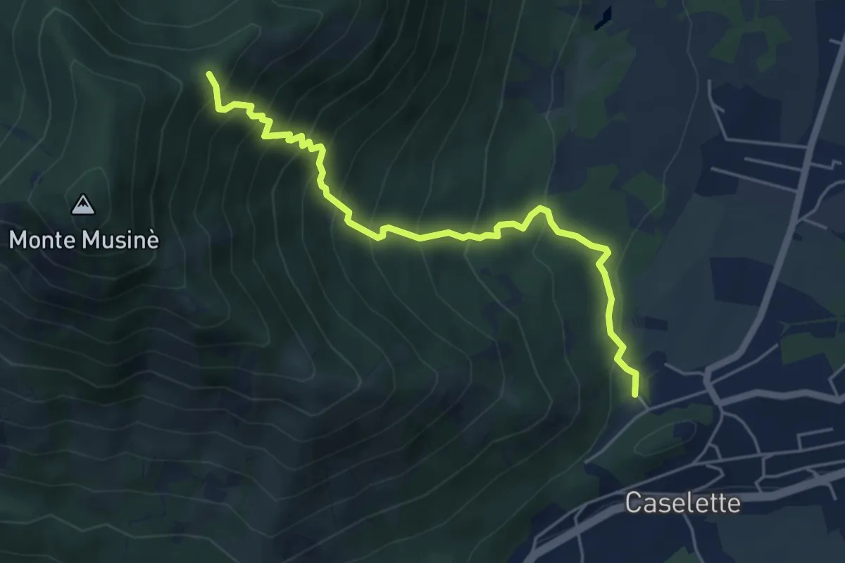
Medium · Trail
Caselette campo sportivo, bivio TOS572-TOS572A – Bivio TOS574A-TOS572A
5.3 km · ↑ 581 m · 2 h 30 min
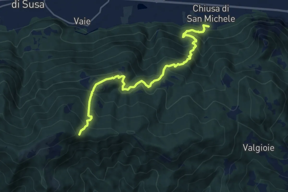
Demanding · Trail
Chiusa di San Michele (Borgata Paschè) – Colle Remondetto (Trei Roc)
12.9 km · ↑ 1093 m · 5 h 25 min
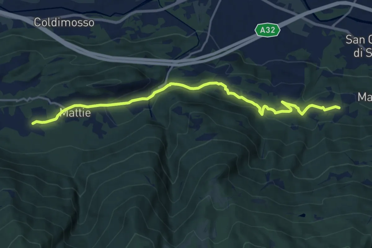
Medium · Trail
Bivio TOS526-TOS527, Borgata Aghetti – Bivio TOS526-TOS513B, Pognant-Grangia
12.6 km · ↑ 377 m · 3 h 47 min
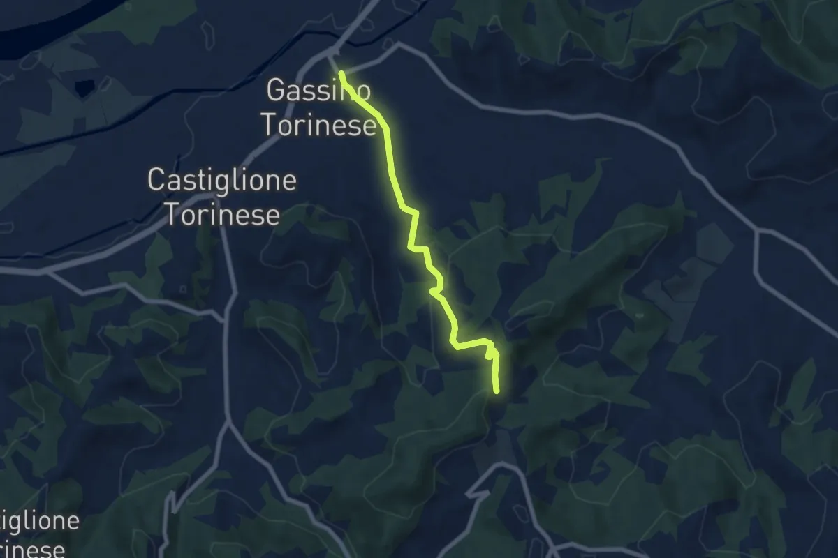
Easy · Trail
Gassino Torinese, centro paese – Gassino Torinese, bivio TOC083- TOC004 presso Bric Tondenito
5.9 km · ↑ 194 m · 1 h 49 min
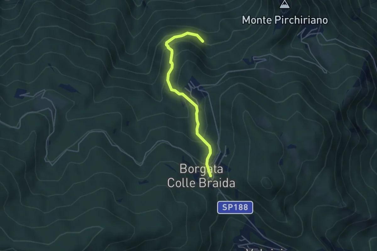
Medium · Trail
Colle Braida, bivio TOS435-TOS503A – Presso Case Giacosa, bivio TOS503-TOS503A
3.9 km · ↑ 306 m · 1 h 35 min