Trails in Italy
25,219 hiking trails, each with its route, climb, walking time and grade.
All trails, page 408 of 526
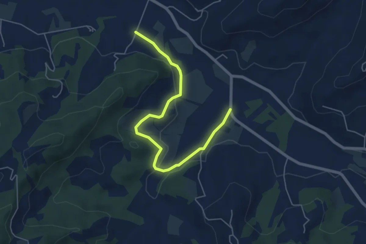
Easy · Trail
Gassino Torinese, bivio TOC004-TOC086 – Sciolze, località Molino della Torre
5.1 km · ↑ 93 m · 1 h 24 min
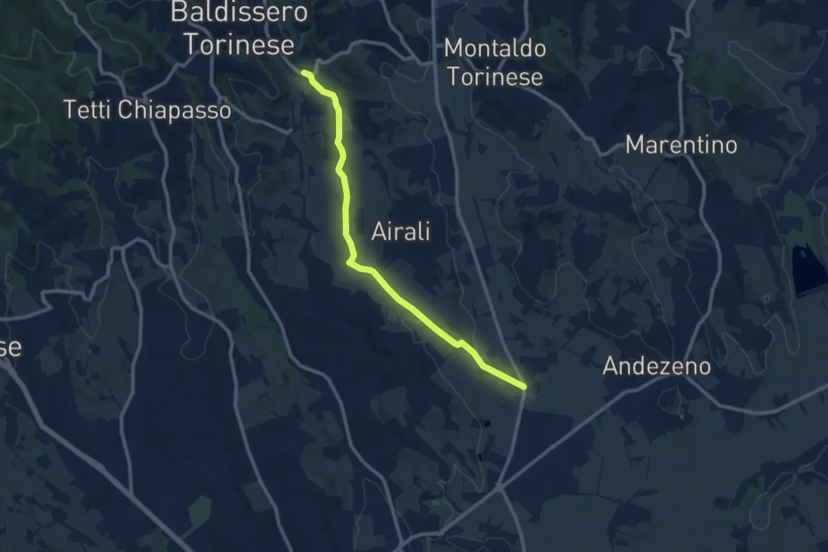
Medium · Trail
Andezeno, Case Canarone, incrocio SP122 – Baldissero Torinese, bivio TOC053-TOC055
8.8 km · ↑ 140 m · 2 h 23 min
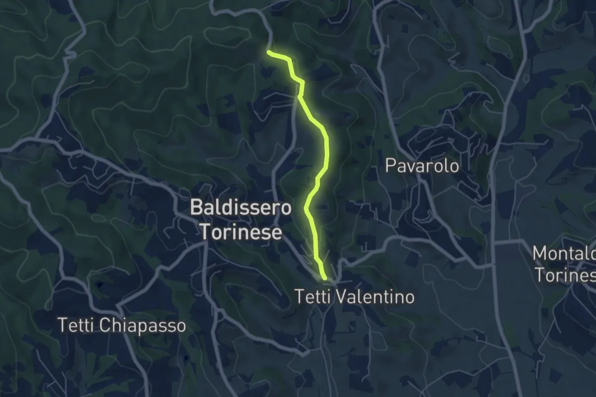
Easy · Trail
Baldissero torinese, bivio TOC053-TOC055 – Baldissero torinese, bivio TOC055-TOC100
4.2 km · ↑ 120 m · 1 h 15 min
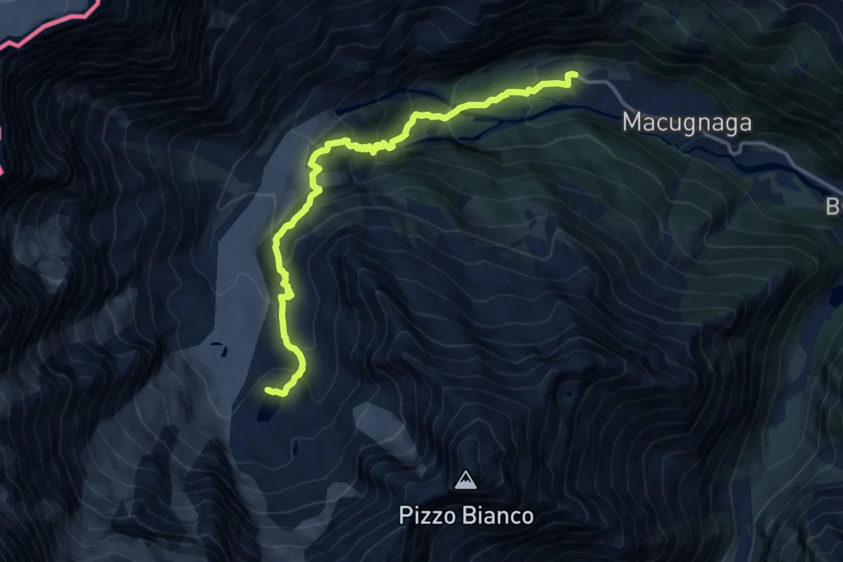
Demanding · Trail
Pecetto – Lago delle Locce
13.1 km · ↑ 914 m · 5 h 4 min
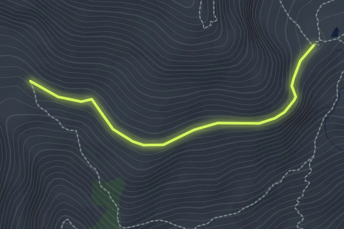
Easy · Cabin
Roure, Saret del Campo, bivio TOS368-TOS337A – Roure, Bergeria del Selleries, bivio TOS337A-TOS337B
2.4 km · ↑ 79 m · 44 min
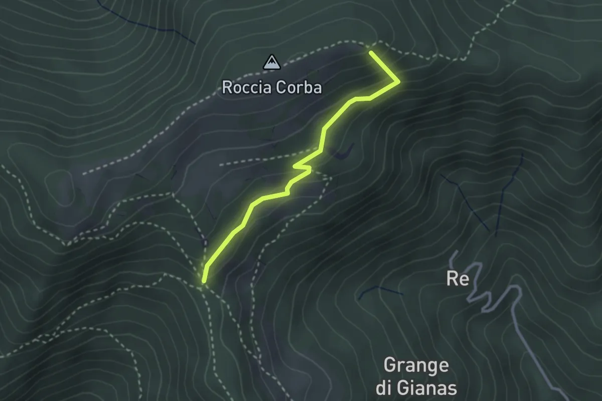
Easy · Summit
Bivio TOS425 - TOS425A – Bivio TOS435 - TOS425A
2.5 km · ↑ 166 m · 57 min
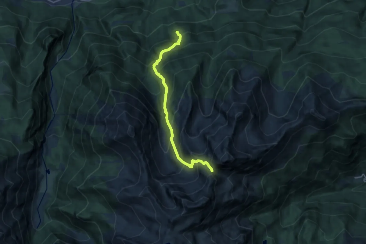
Demanding · Trail
Arlier – Col Varotta
12.4 km · ↑ 1463 m · 6 h 6 min
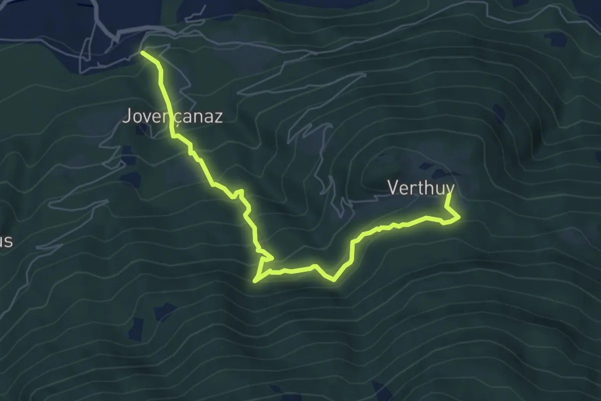
Medium · Trail
Arlier – Cloutraz (Pontey)
7.0 km · ↑ 718 m · 3 h 12 min
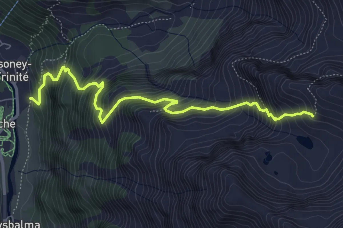
Demanding · Cabin
Ondre Eselbode – Bivacco Gastaldi
6.4 km · ↑ 1026 m · 3 h 44 min
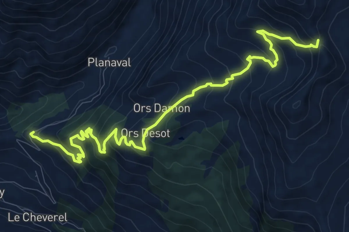
Demanding · Trail
Morges, bivio strada per Planaval – Col Fetita
12.7 km · ↑ 871 m · 4 h 53 min
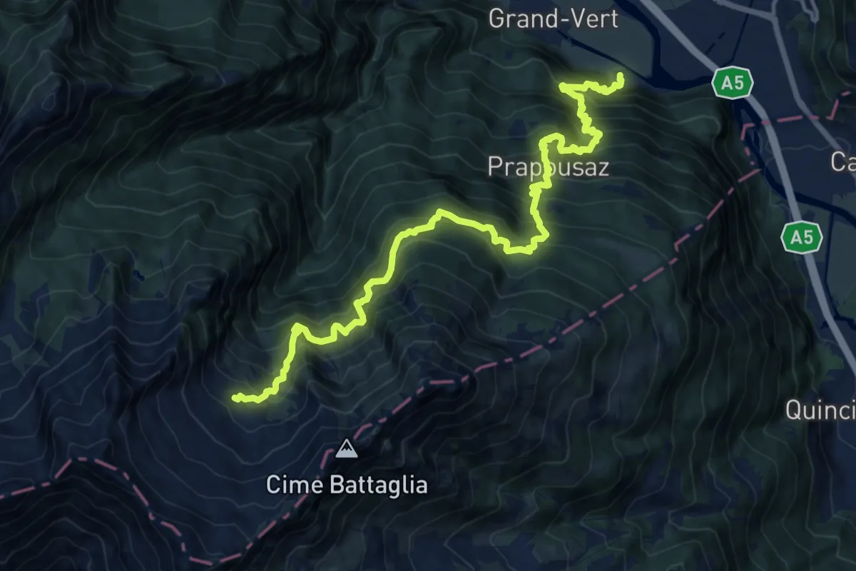
Demanding · Cabin
Pramotton – Alpe Bonze
8.5 km · ↑ 1890 m · 5 h 27 min
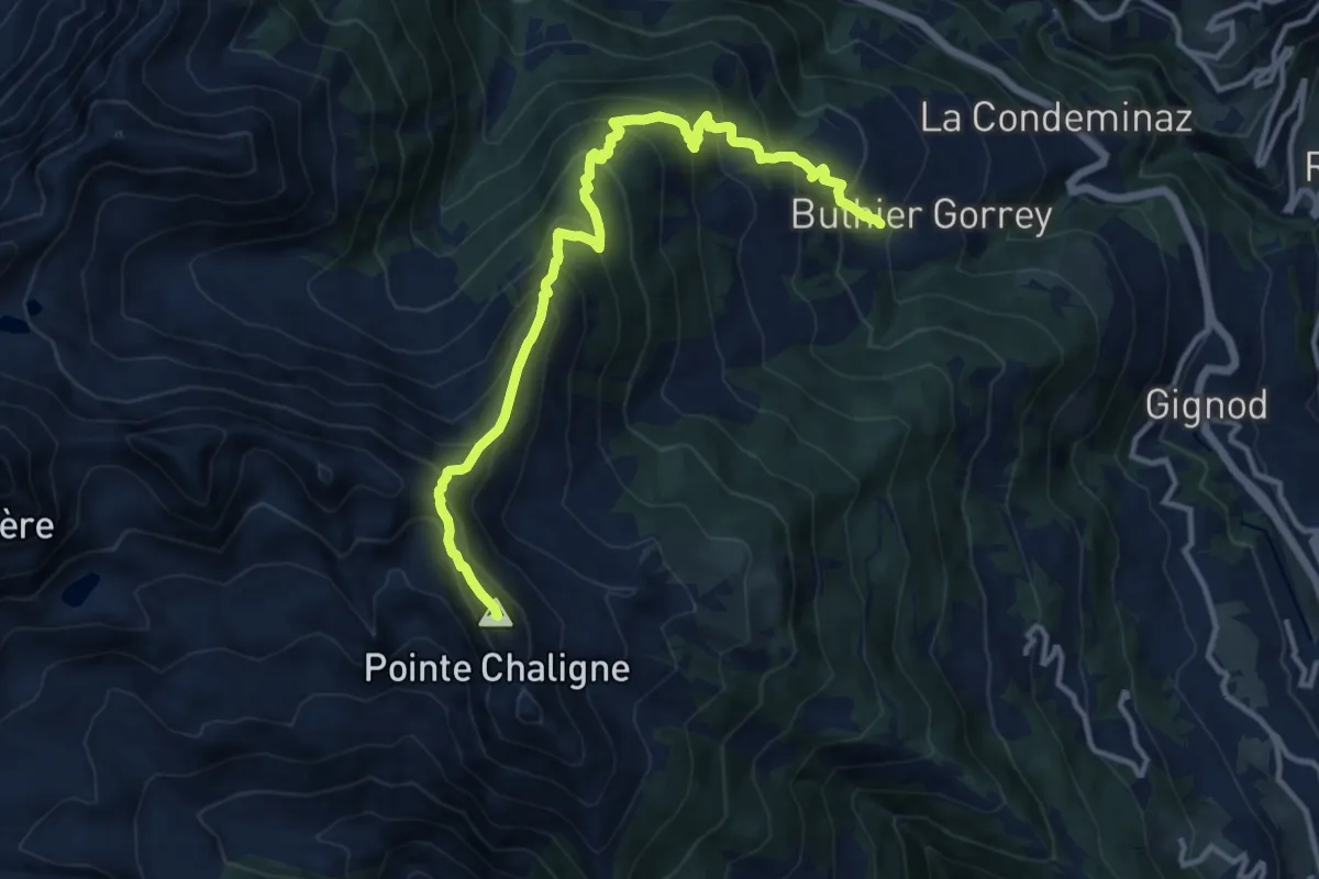
Demanding · Summit
Petit-Buthier – Pointe Chaligne
13.3 km · ↑ 1250 m · 5 h 50 min
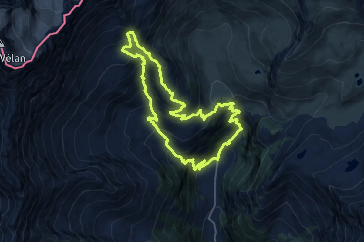
Demanding · Trail
Glacier – Glacier
10.8 km · ↑ 1115 m · 5 h 7 min
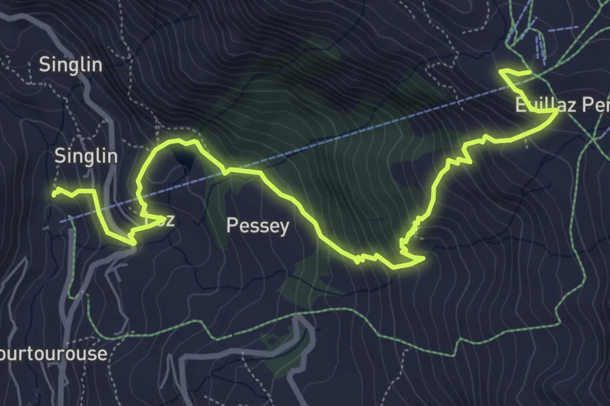
Medium · Trail
Plan de la Glaea – Glacier
7.9 km · ↑ 727 m · 3 h 26 min
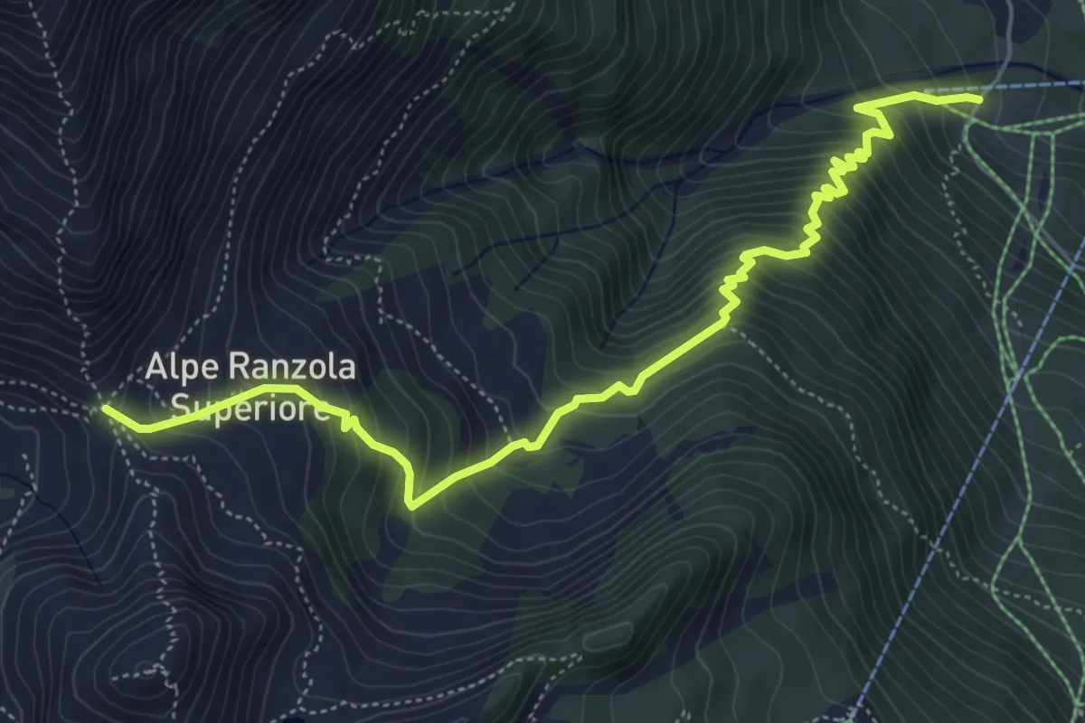
Medium · Trail
Strada per Tschalvrino – Col Ranzola
6.5 km · ↑ 748 m · 3 h 9 min
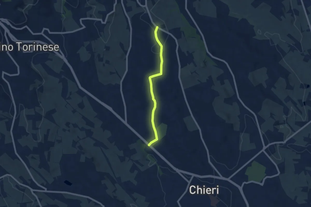
Easy · Trail
Bivio SS10 presso Chieri – Bivio TOC258-TOC251
5.3 km · ↑ 101 m · 1 h 29 min
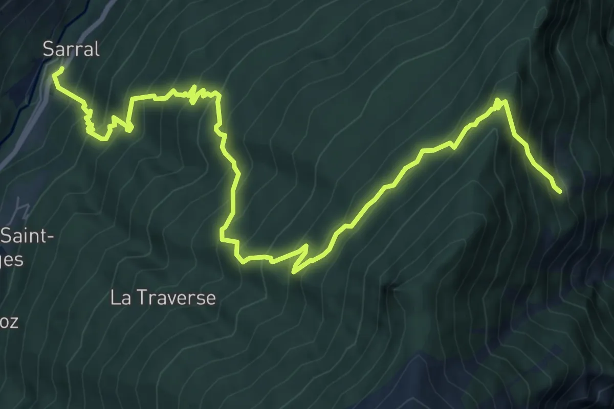
Demanding · Cabin
Sarral – Arpilles
10.5 km · ↑ 1129 m · 4 h 56 min
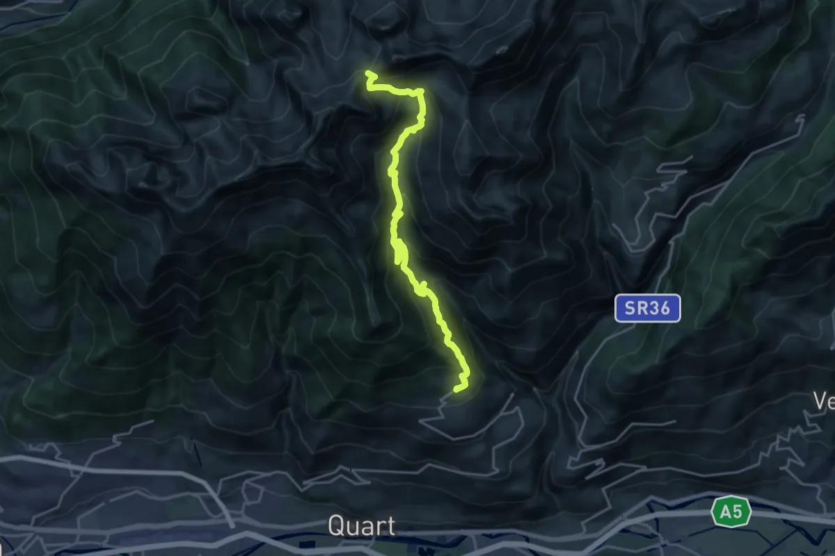
Demanding · Trail
Fonteil – Col de Saint-Barthélemy
18.9 km · ↑ 1370 m · 7 h 26 min
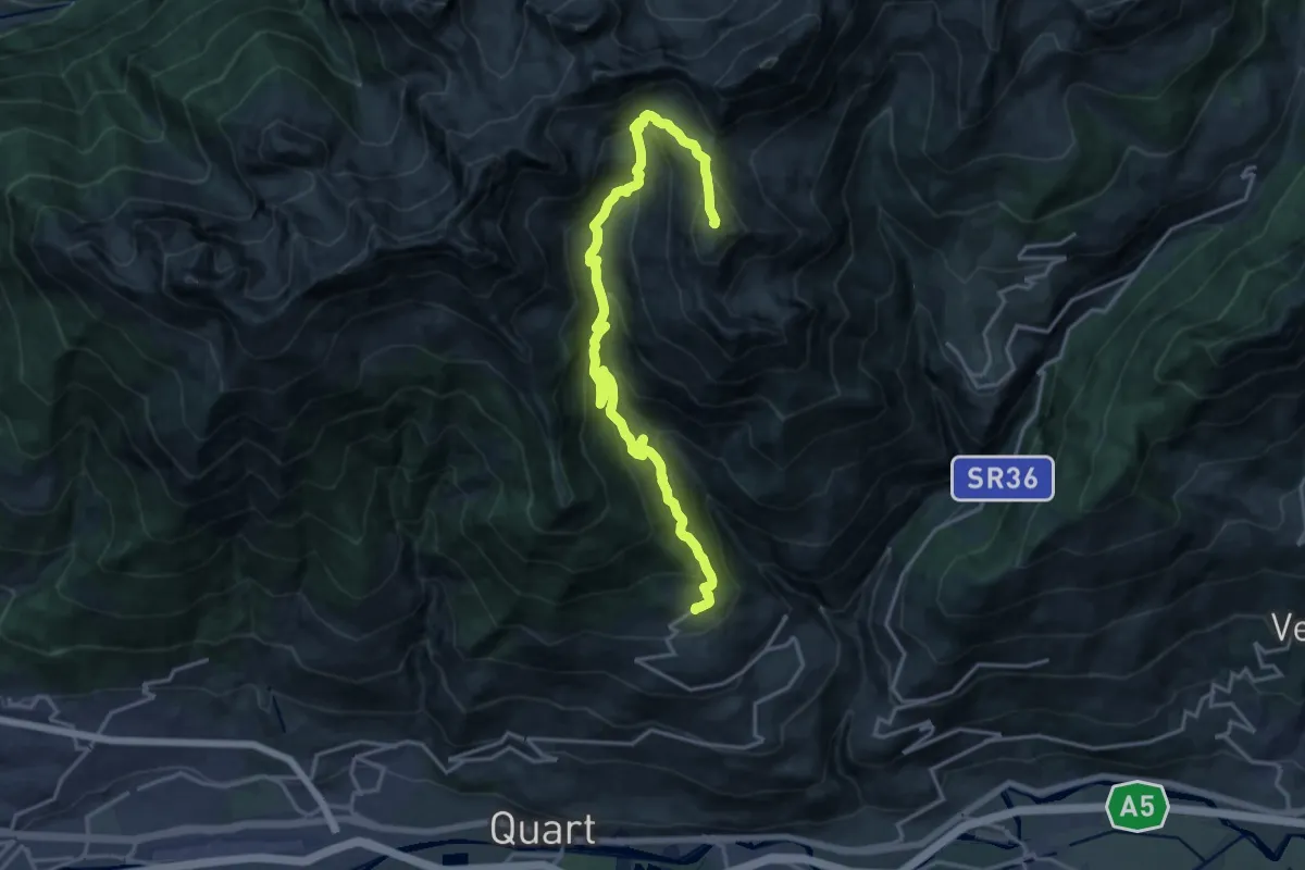
Demanding · Summit
Fonteil – Grand Pays
20.1 km · ↑ 1428 m · 7 h 50 min
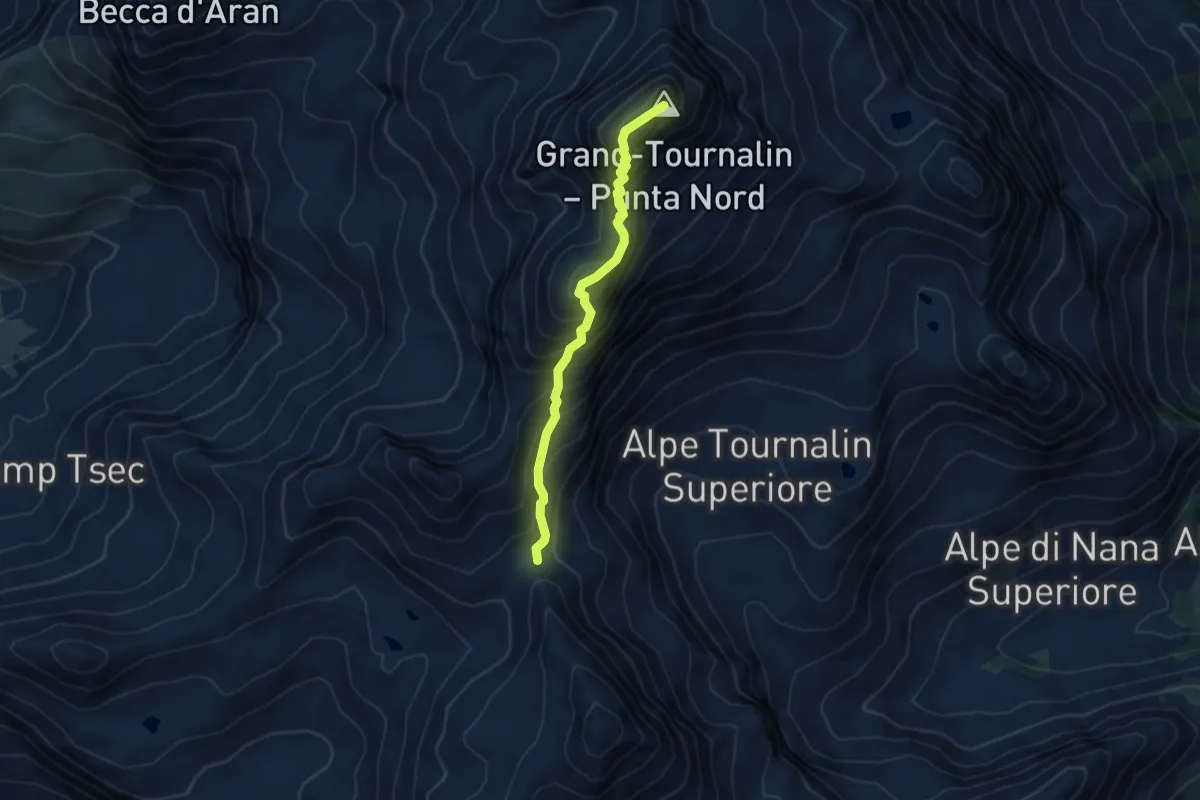
Expert · Summit
Col de Nannaz – Grand Tournalin
4.4 km · ↑ 660 m · 2 h 29 min
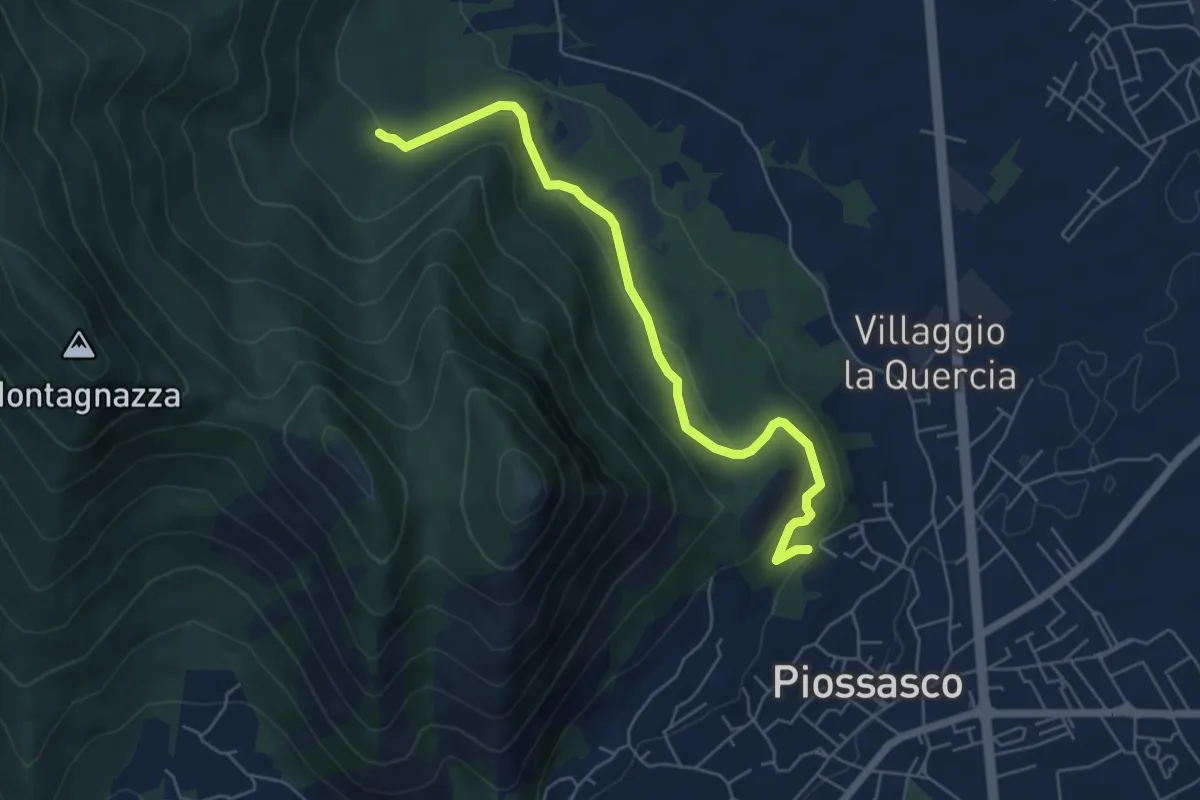
Easy · Trail
Sbarra della strada della cava, bivio TOP301-TOP302 – Bvio TOP302-TOP303
6.1 km · ↑ 236 m · 1 h 56 min
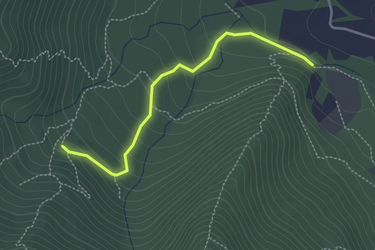
Easy · Trail
Bivio TOP301-TOP303 strada bianca per frazione Galli – Fonte Guraj
2.6 km · ↑ 108 m · 51 min
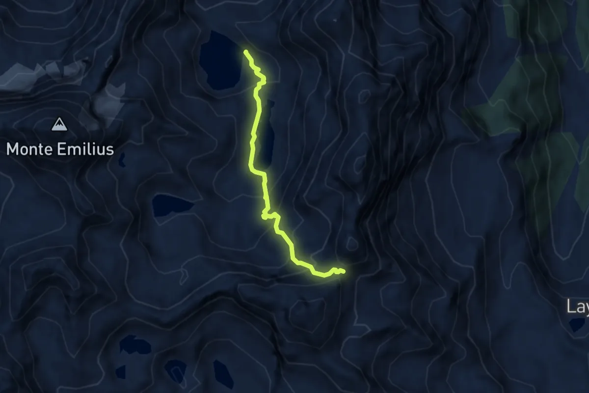
Demanding · Cabin
Bivacco Menabreaz – Col de Leppe
6.5 km · ↑ 566 m · 2 h 46 min
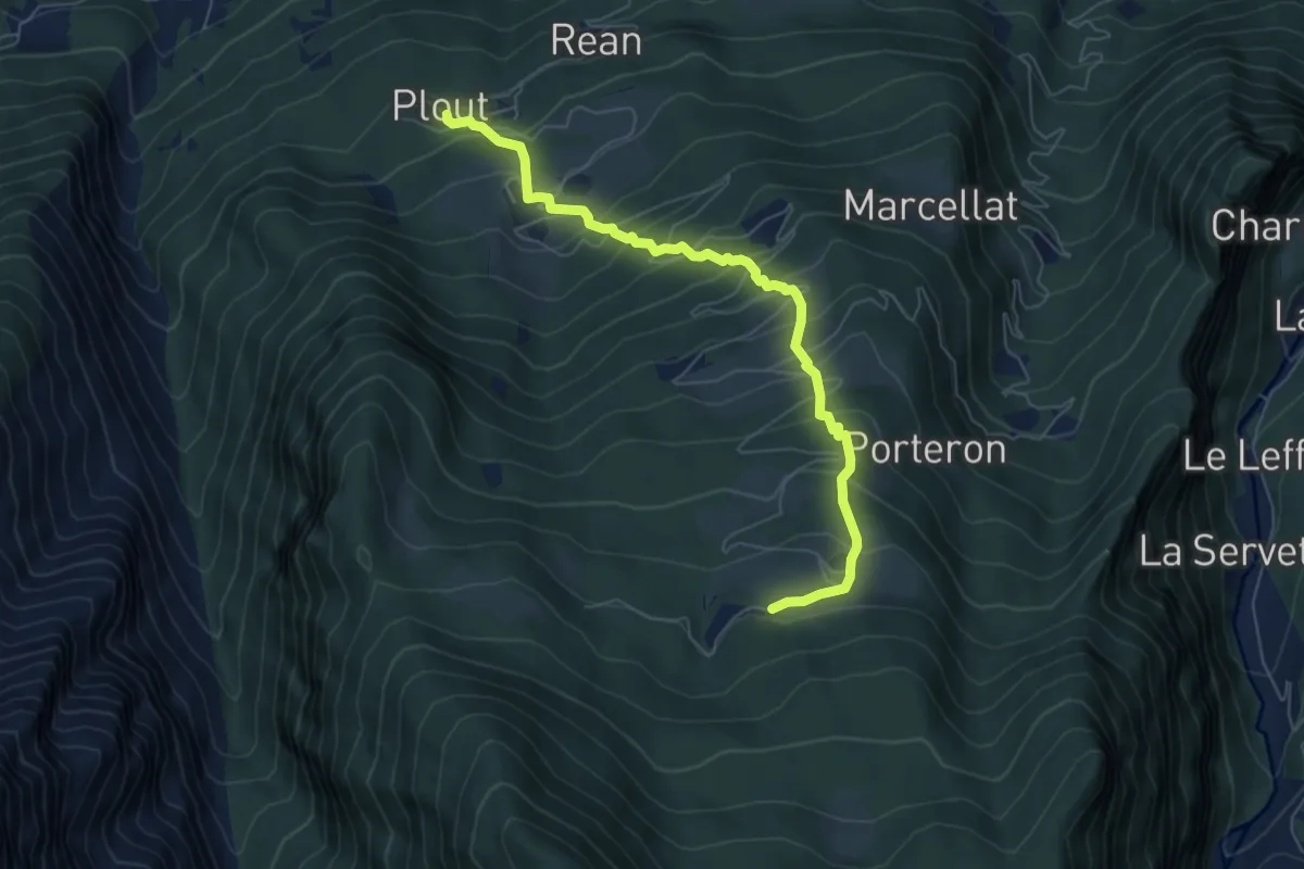
Medium · Trail
Plout – Druges
6.6 km · ↑ 630 m · 2 h 55 min
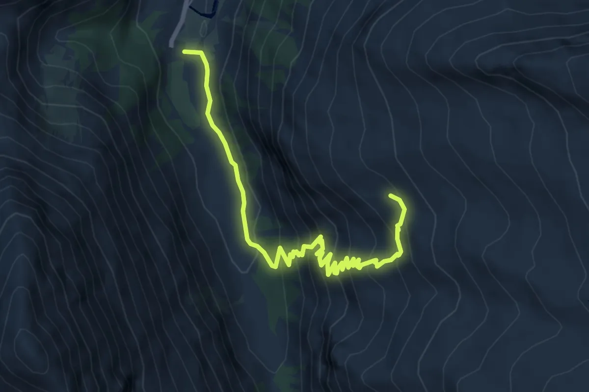
Demanding · Trail
Pont – Montcorvé
7.2 km · ↑ 563 m · 2 h 56 min
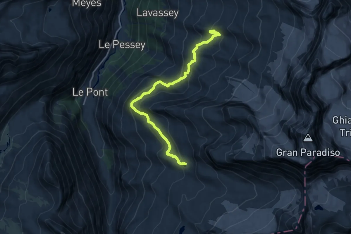
Medium · Cabin
Rifugio Chabod – Rifugio Vittorio Emanuele II
11.3 km · ↑ 718 m · 4 h 13 min
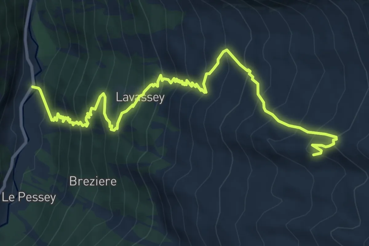
Demanding · Cabin
Praviou – Rifugio Chabod
9.6 km · ↑ 982 m · 4 h 23 min
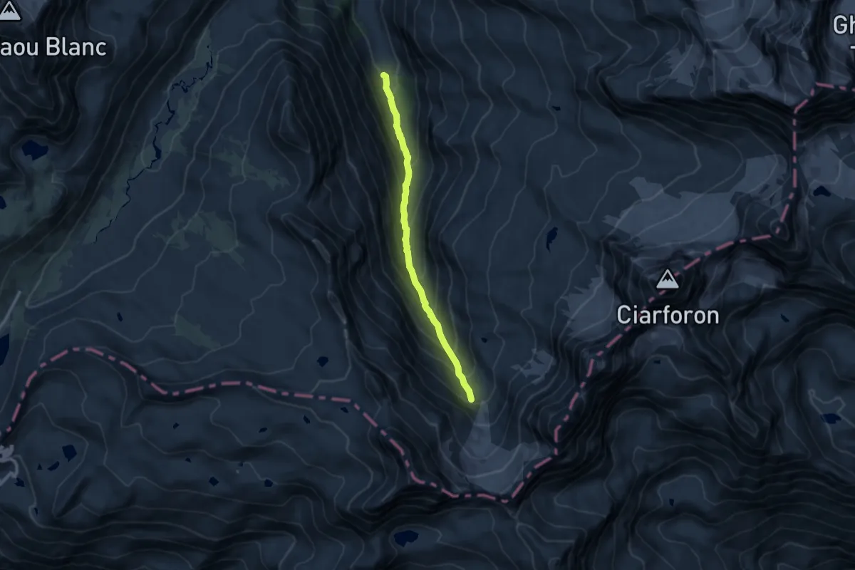
Demanding · Cabin
Pont – Ghiacciaio del Grand-Etret
8.3 km · ↑ 695 m · 3 h 28 min
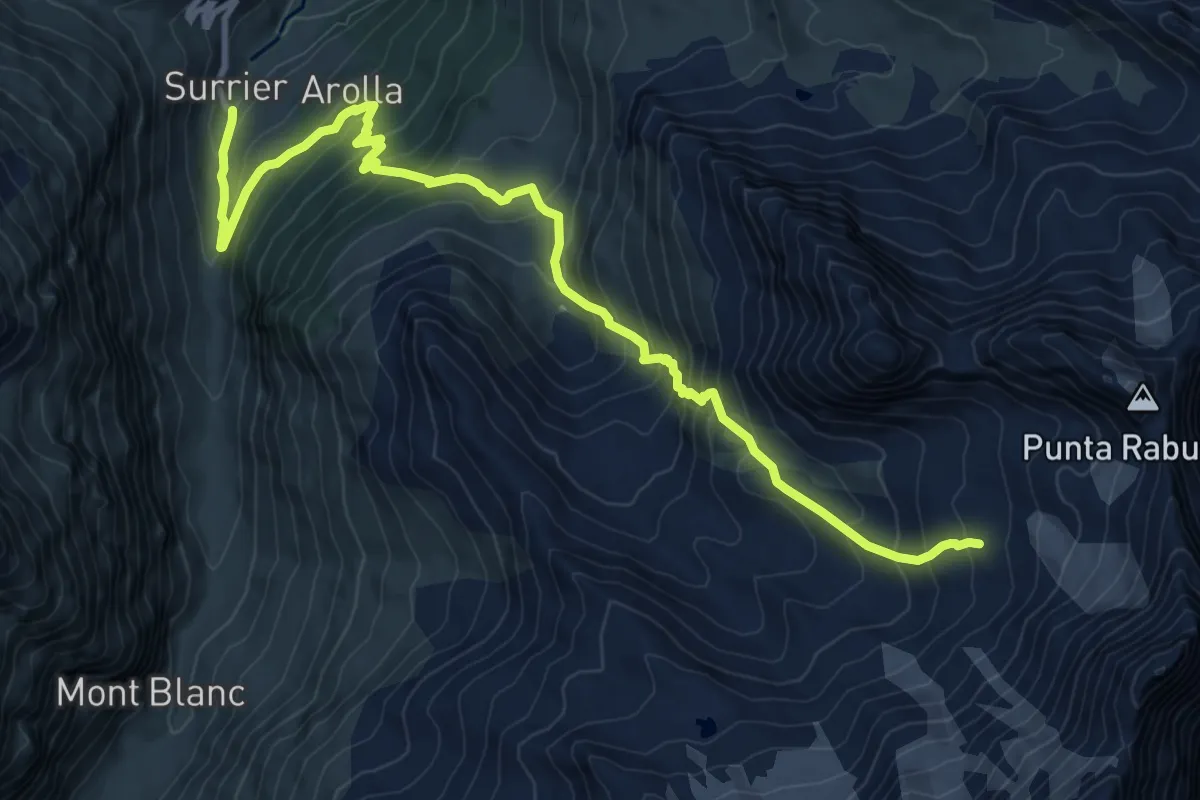
Expert · Trail
Surrier, bivio poderali – Bivacco Ravelli
12.1 km · ↑ 1086 m · 5 h 13 min
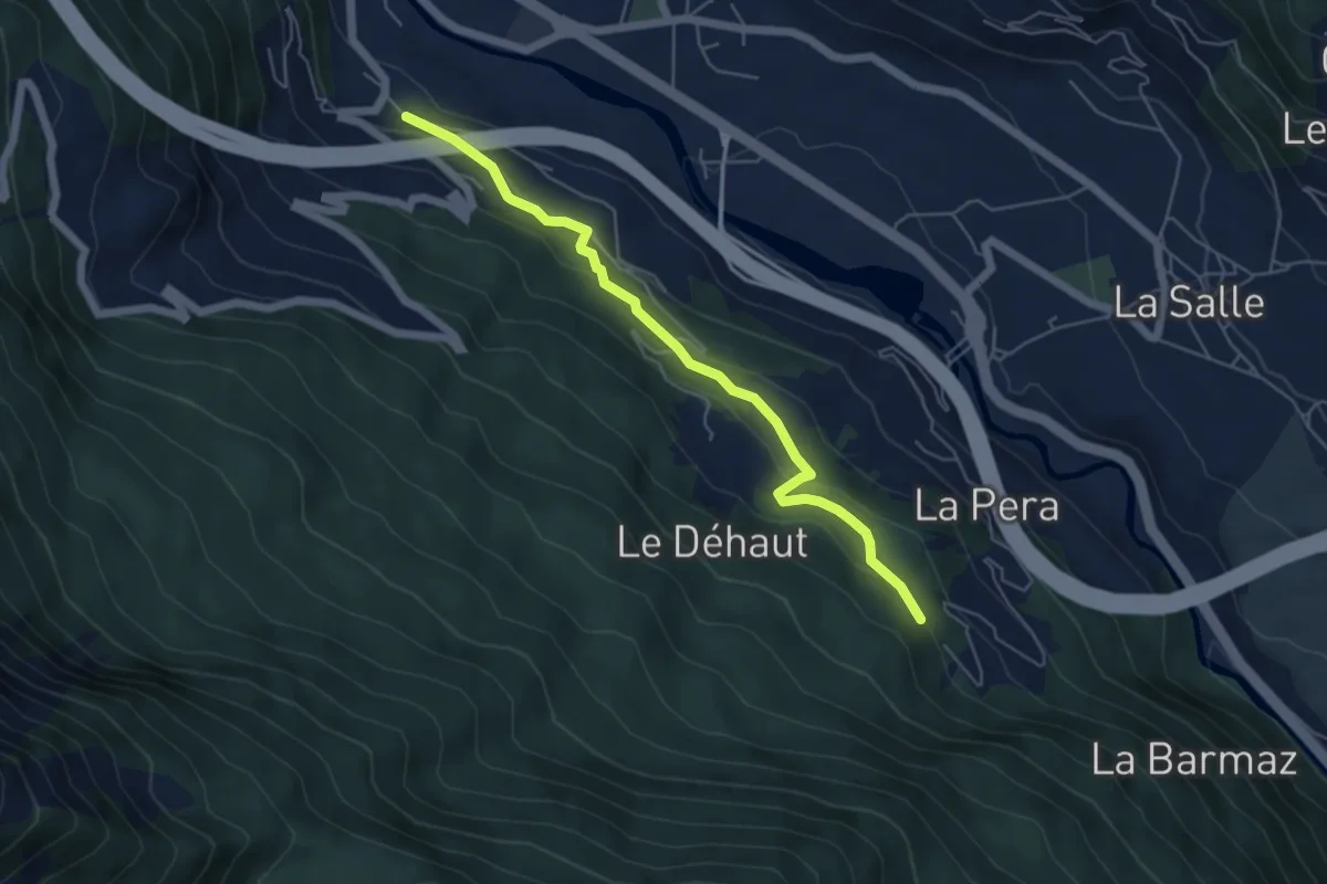
Easy · Trail
Liarey – Percorso 11
5.5 km · ↑ 227 m · 1 h 47 min
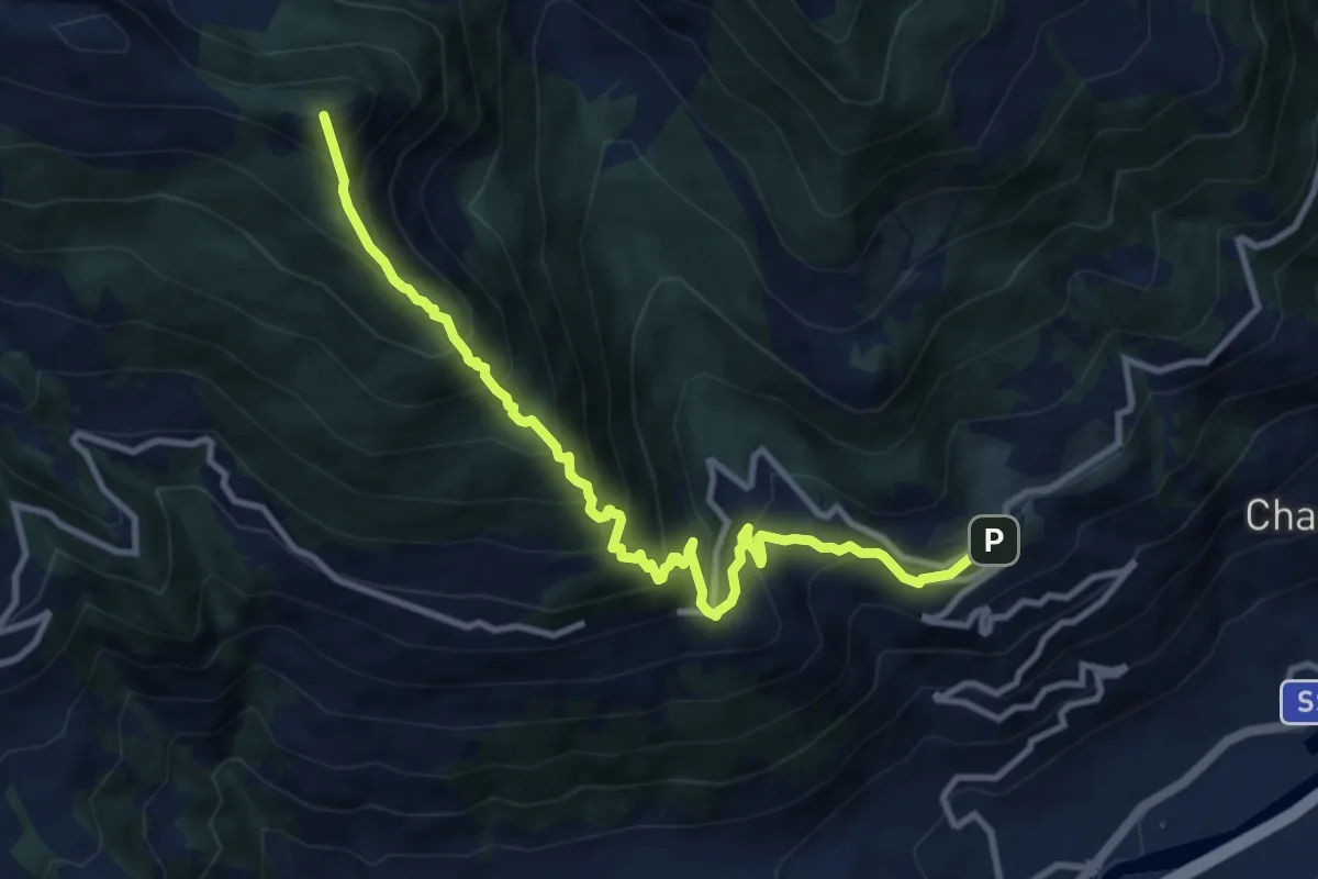
Demanding · Summit
Bellon – Tsa de la Comba
11.1 km · ↑ 1139 m · 5 h 5 min
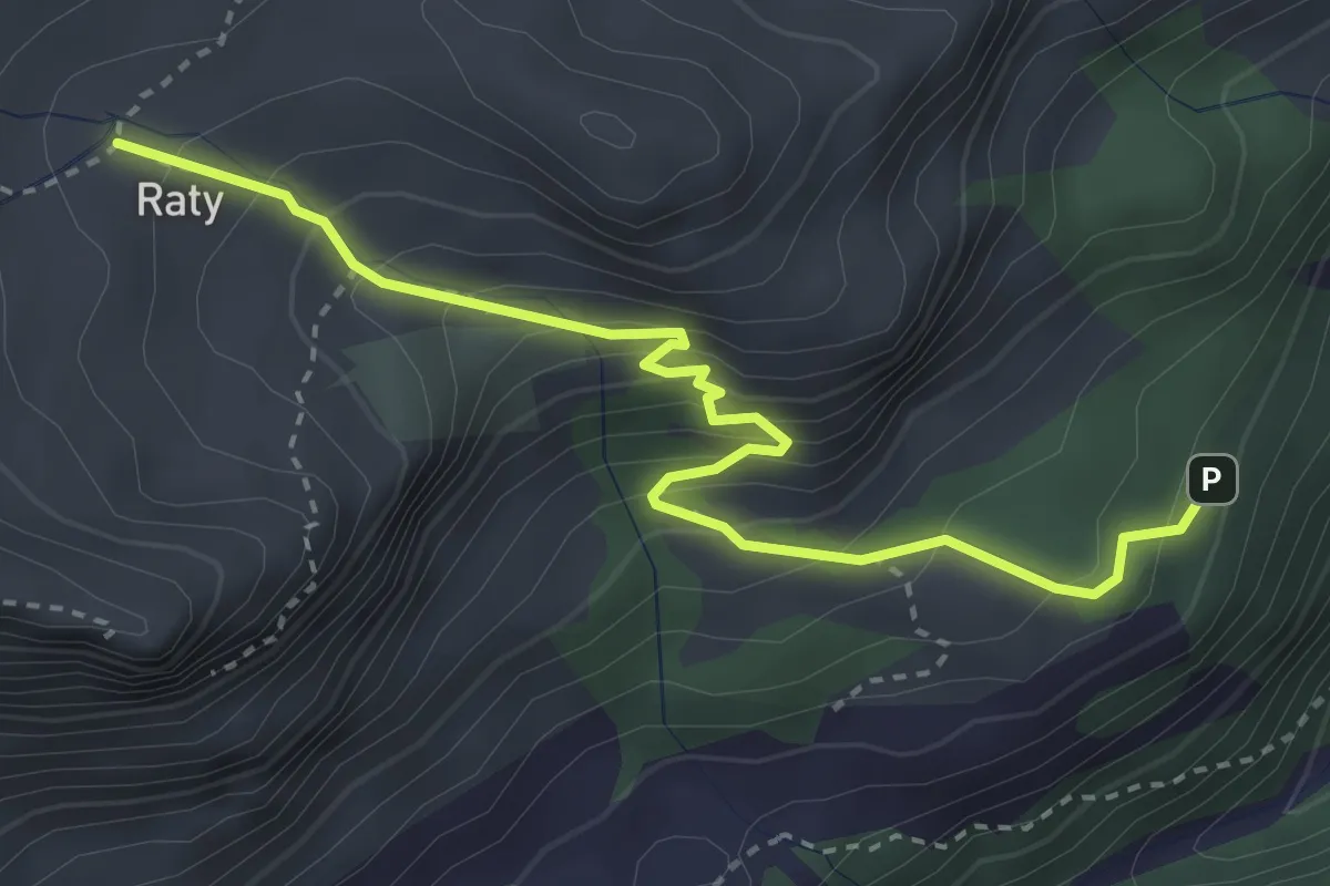
Medium · Trail
Strada Dondena – Raty
3.7 km · ↑ 344 m · 1 h 37 min
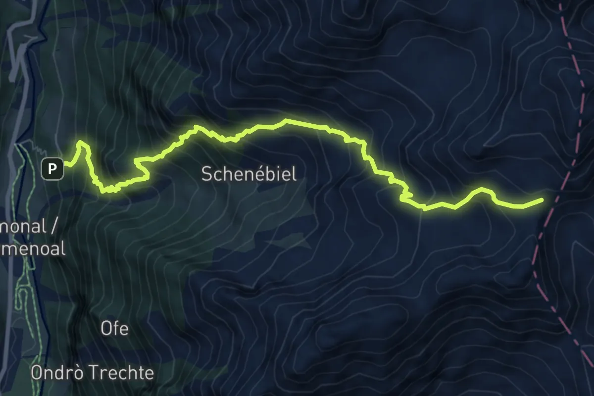
Demanding · Trail
Rong – Passo Valdobbiola
8.8 km · ↑ 1205 m · 4 h 41 min
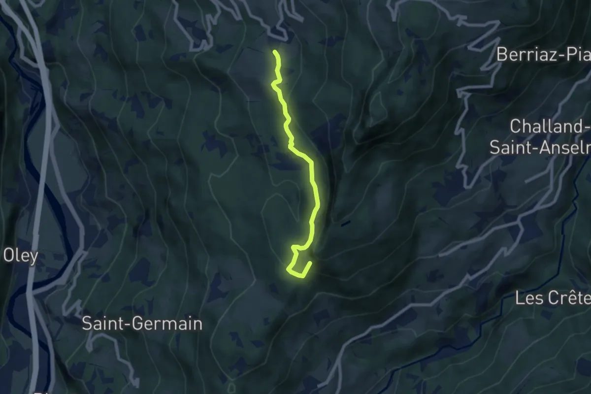
Demanding · Summit
Erèsaz – Abay (Challand-Saint-Anselme)
6.0 km · ↑ 314 m · 2 h 6 min
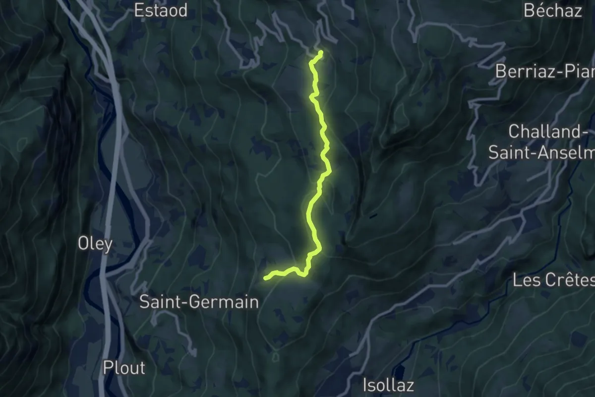
Medium · Trail
Erèsaz – Grand Hoel (Montjovet)
7.4 km · ↑ 336 m · 2 h 28 min
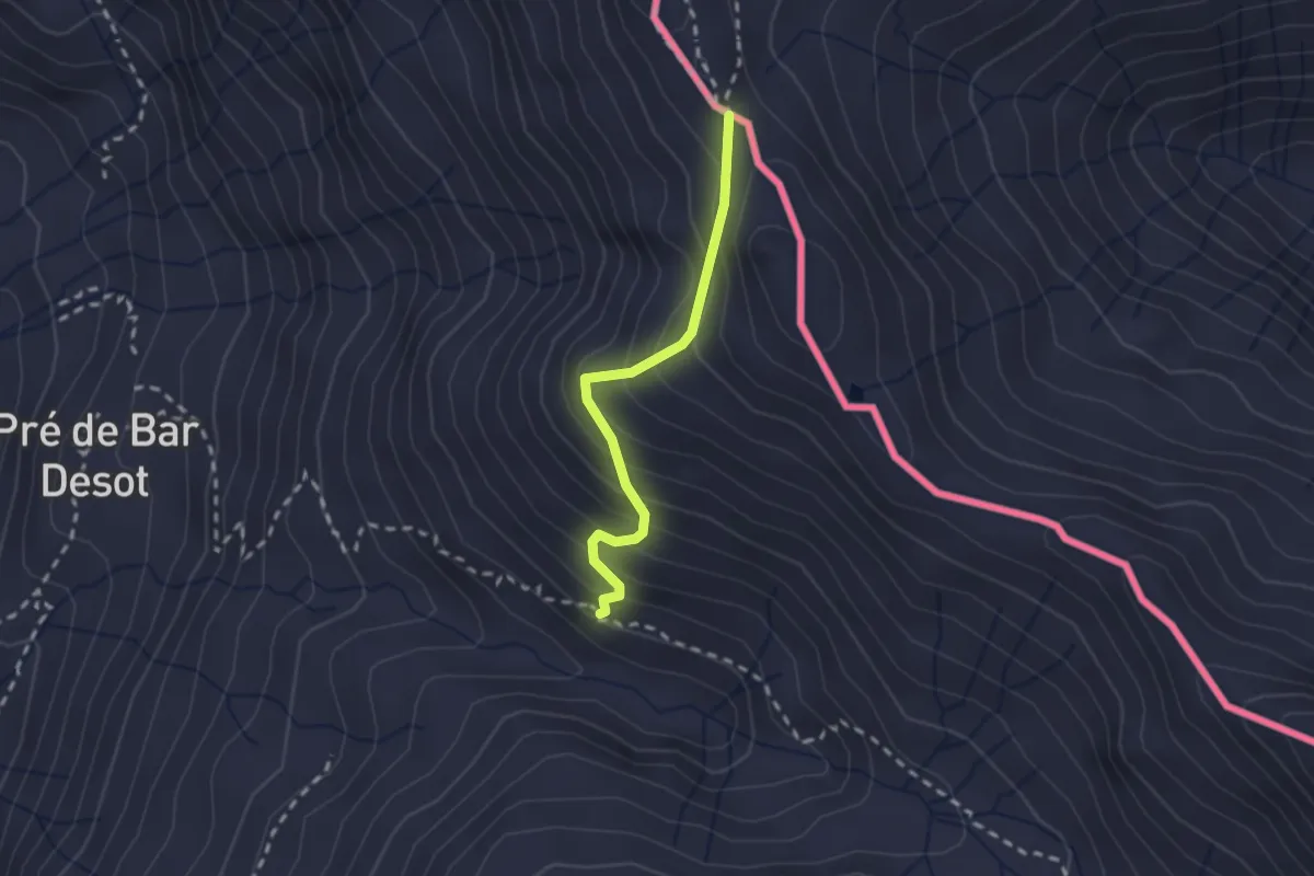
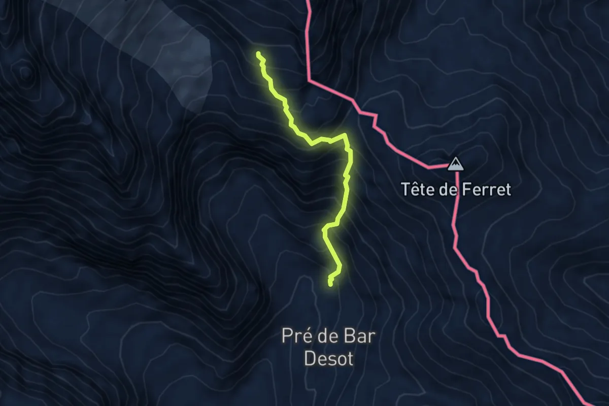
Medium · Trail
Arp Nouva – Grand Col Ferret
2.0 km · ↑ 220 m · 56 min
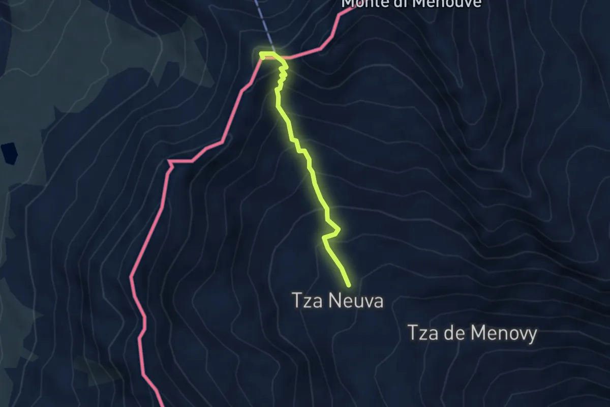
Expert · Cabin
Arp.Nouva – Bivacco Florio (Refuge du Dolent)
4.3 km · ↑ 702 m · 2 h 32 min
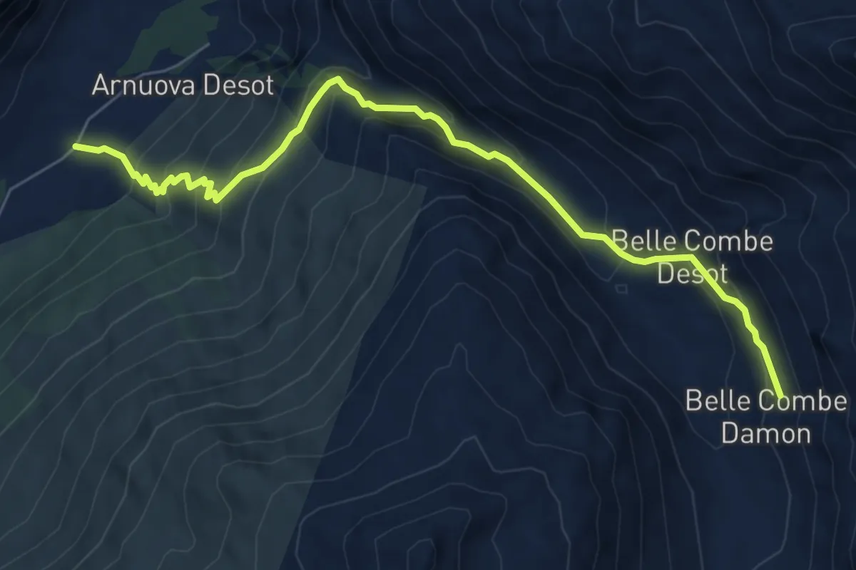
Medium · Summit
Prailles – Bec Noir
3.1 km · ↑ 369 m · 1 h 31 min
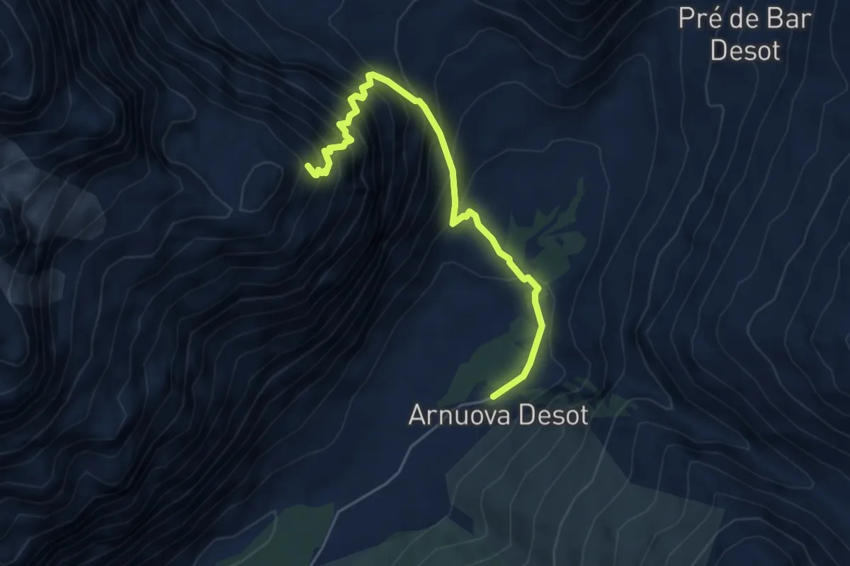
Demanding · Trail
Arp Nuova – Col du Ban Darrey
7.2 km · ↑ 521 m · 2 h 50 min
Expert · Cabin
Arp Nouva – Bivacco Comino
4.9 km · ↑ 676 m · 2 h 38 min
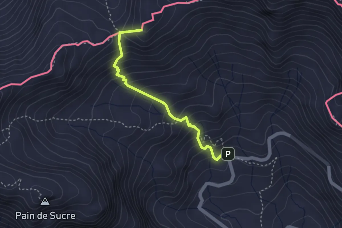
Medium · Summit
Alpe Baou – Col Fenêtre de Ferret
2.9 km · ↑ 334 m · 1 h 25 min
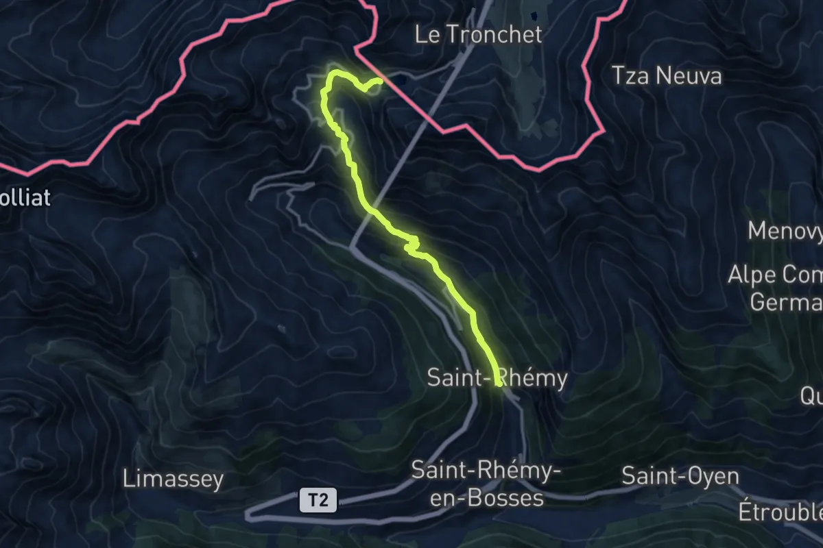
Demanding · Trail
Saint-Rhémy – Colle del Gran San Bernardo
11.8 km · ↑ 852 m · 4 h 38 min
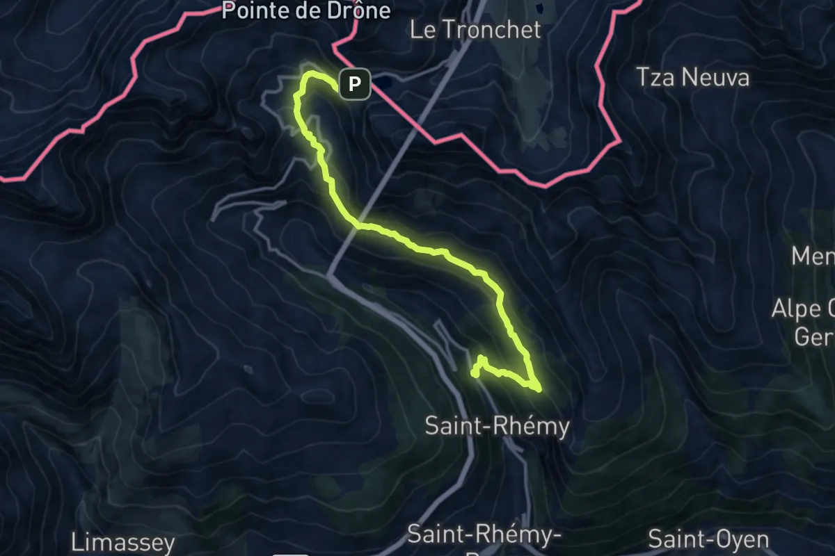
Demanding · Trail
Strada Statale 27 – Colle del Gran San Bernardo
13.4 km · ↑ 935 m · 5 h 11 min
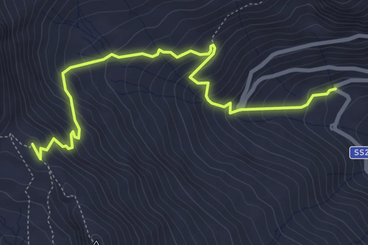
Medium · Trail
Località Pra d'Arc – Colle di Saint-Rhémy
5.5 km · ↑ 544 m · 2 h 29 min
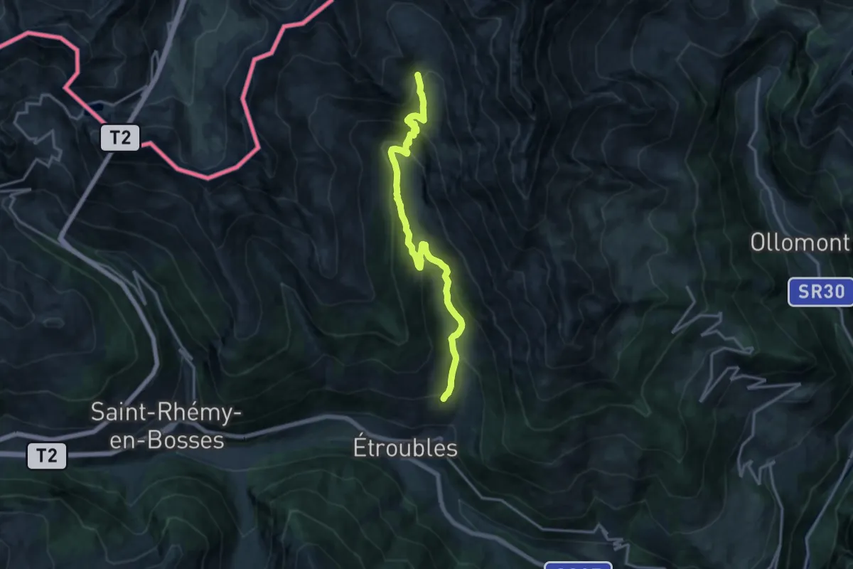
Demanding · Trail
Prailles – Bivacco Molline
14.7 km · ↑ 906 m · 5 h 27 min
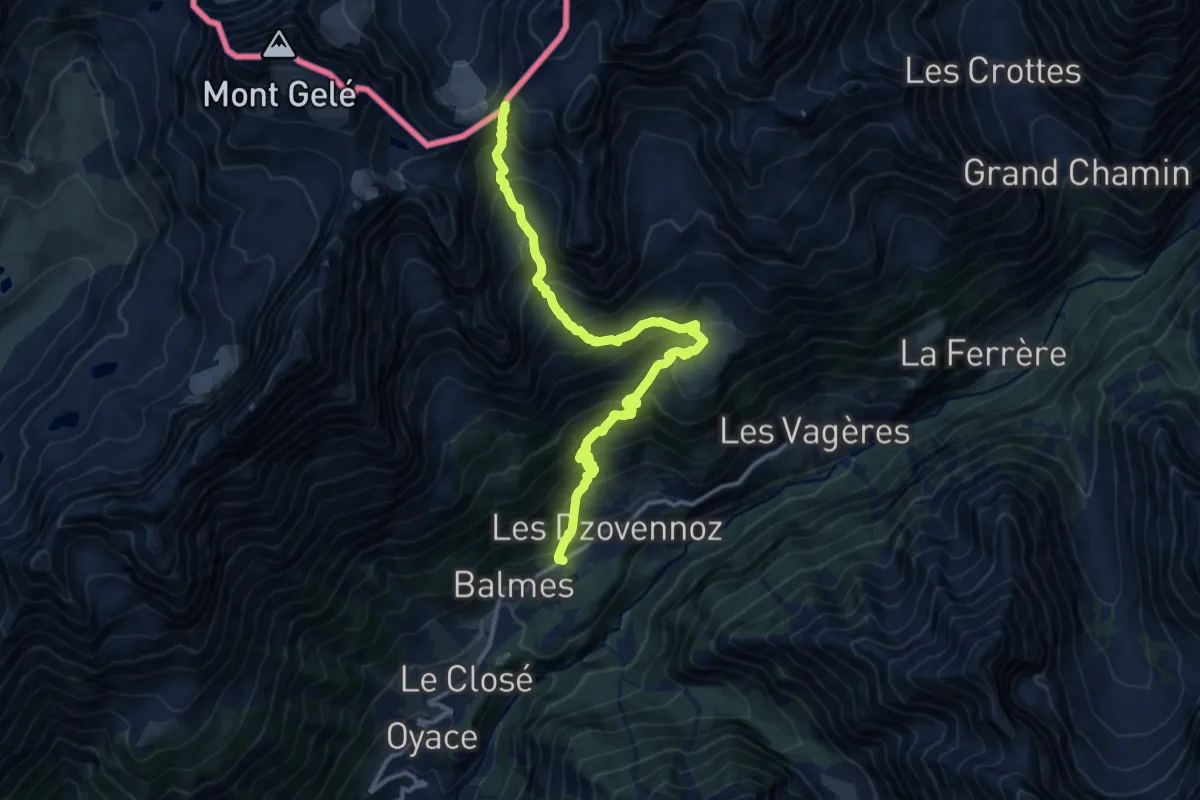
Expert · Trail
Lessert – Col de Crète Séche
14.0 km · ↑ 1323 m · 6 h 10 min
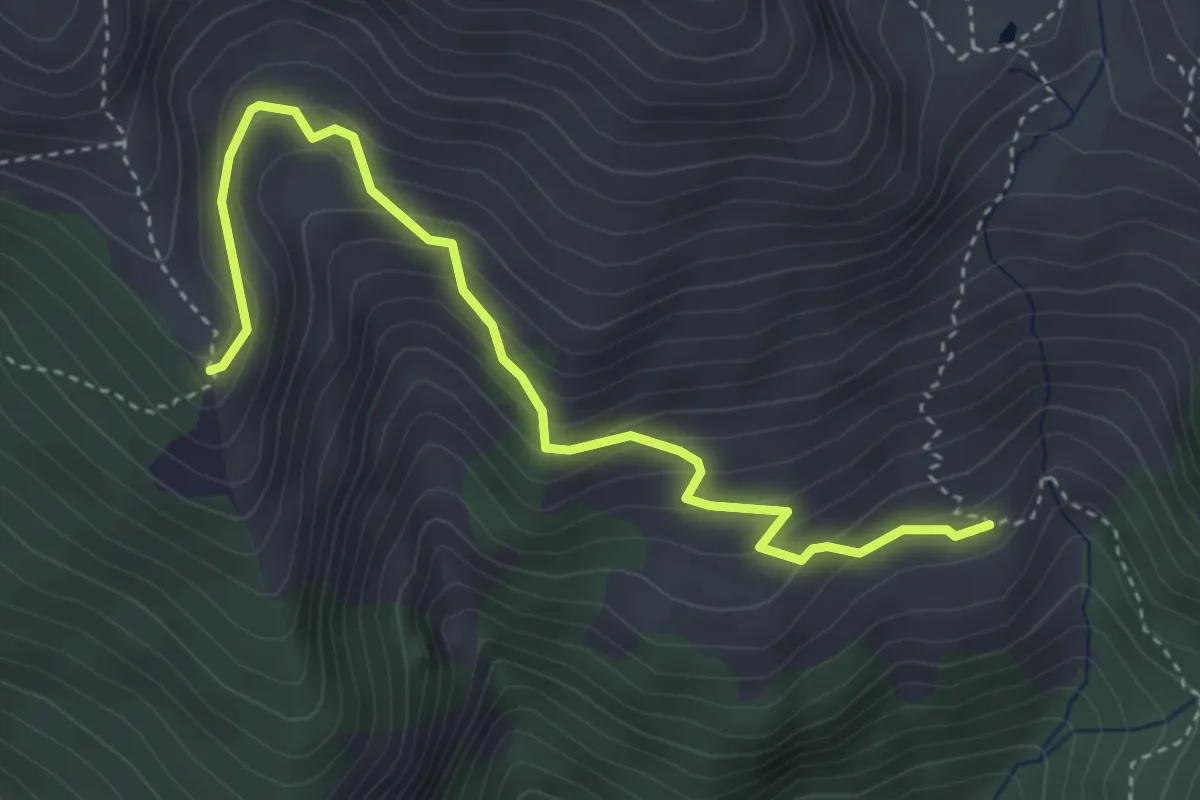
Medium · Trail
Roure, Borgata Grange, bivio TOS337-TOS337A – Saret del Campo, bivio TOS368-TOS337A
4.2 km · ↑ 309 m · 1 h 40 min
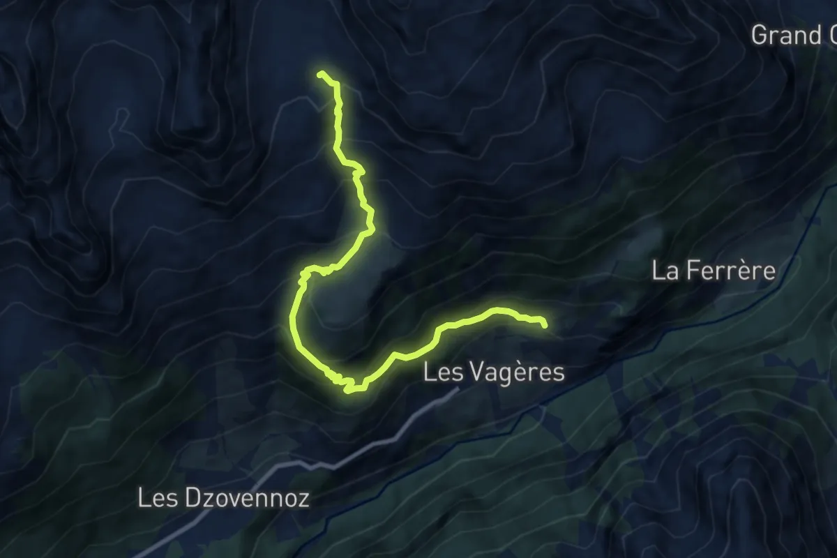
Demanding · Trail
Chez-Chenoux – Alpe Chardonney
9.4 km · ↑ 865 m · 4 h 6 min