Trails in Italy
25,219 hiking trails, each with its route, climb, walking time and grade.
All trails, page 409 of 526
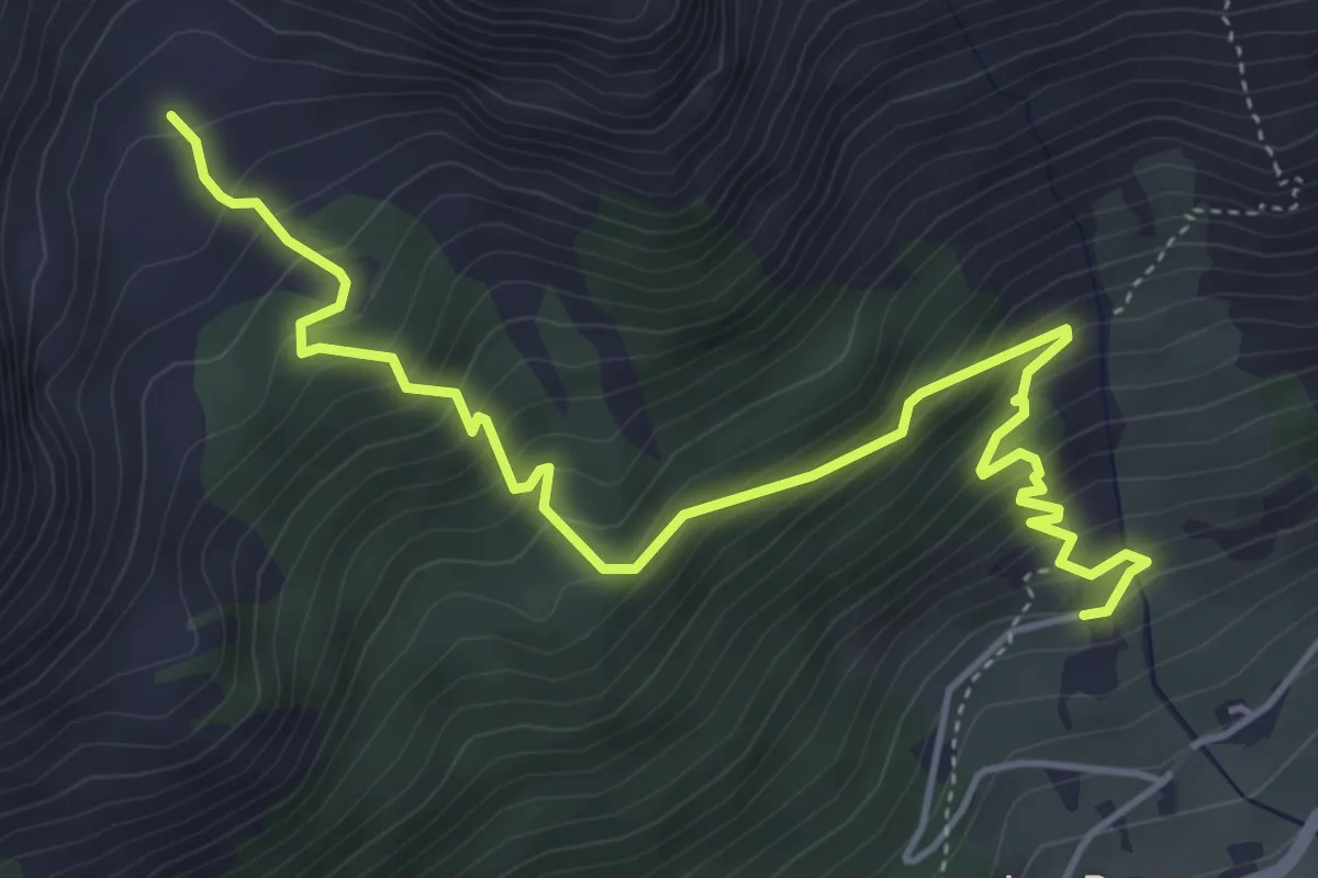
Medium · Trail
Les Ru – Plan Faudery
5.8 km · ↑ 567 m · 2 h 35 min
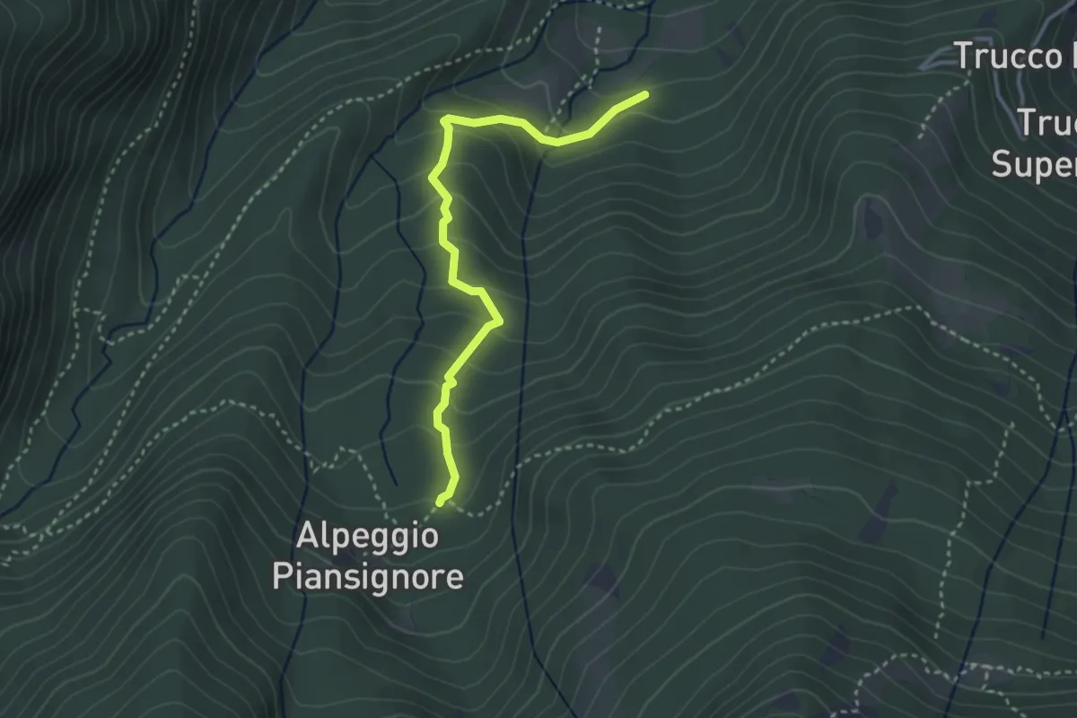
Medium · Trail
Certosa di Monte benedetto, bivio TOS524-TOS524B – Alpeggio basso di Piansignore, bivio TOS522-TOS524B
3.3 km · ↑ 261 m · 1 h 20 min
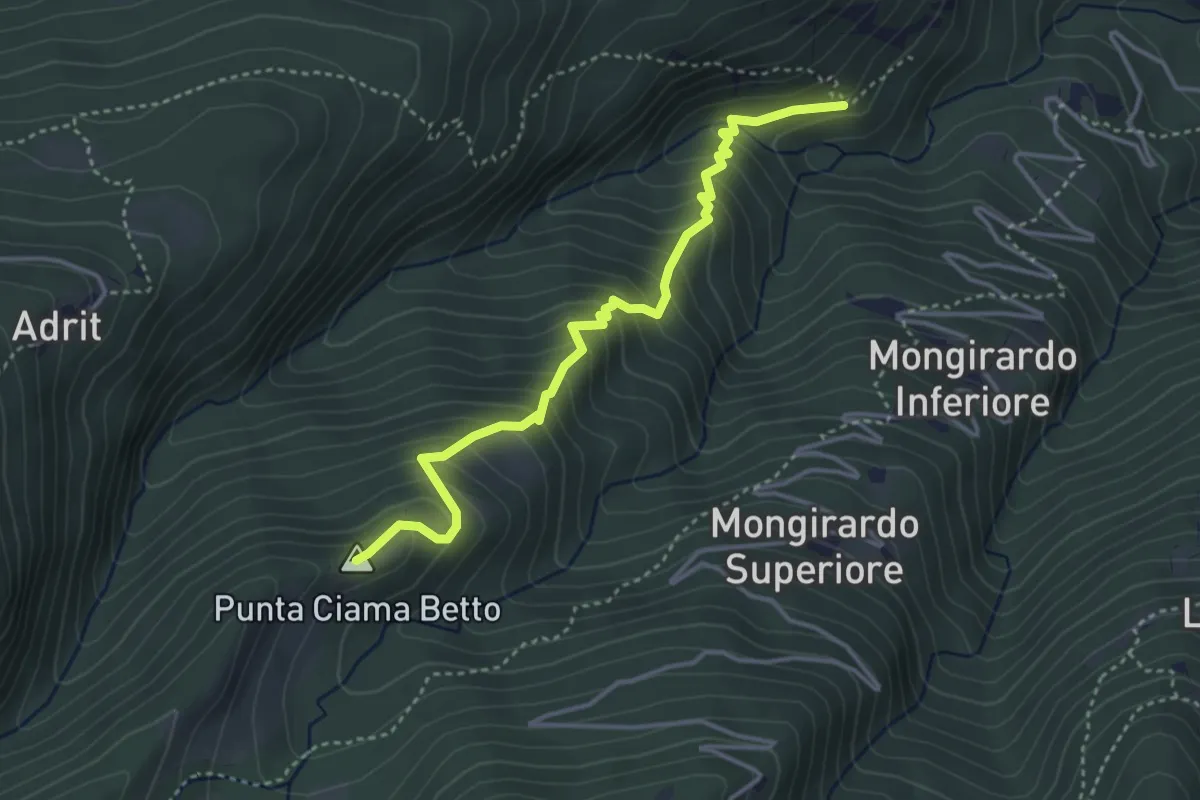
Medium · Summit
Bivio TOS512-TOS523 – Grange presso Certosa di Monte Benedetto
4.0 km · ↑ 413 m · 1 h 51 min
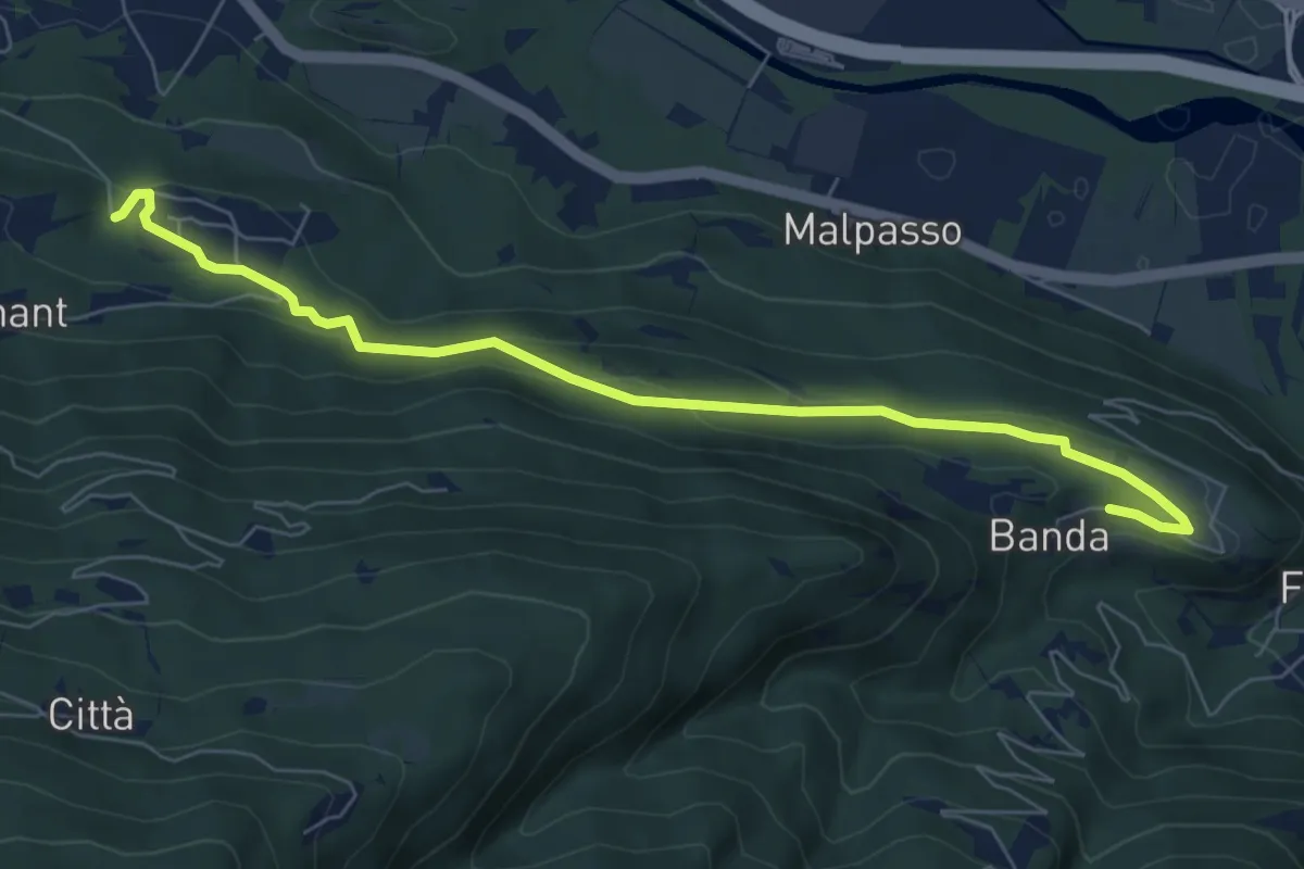
Easy · Trail
Martinetti, TOS513B-TOS512B – Certosa di Banda, bvio TOS512-TOS512B
7.5 km · ↑ 234 m · 2 h 17 min
Medium · Trail
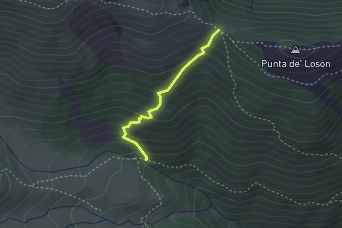
Coazze, bivio TOS420-TOS420A – Coazze, Colle ben Mulè, bivio TOS420A-TOS435-TOS446
2.2 km · ↑ 254 m · 1 h 4 min
Medium · Trail
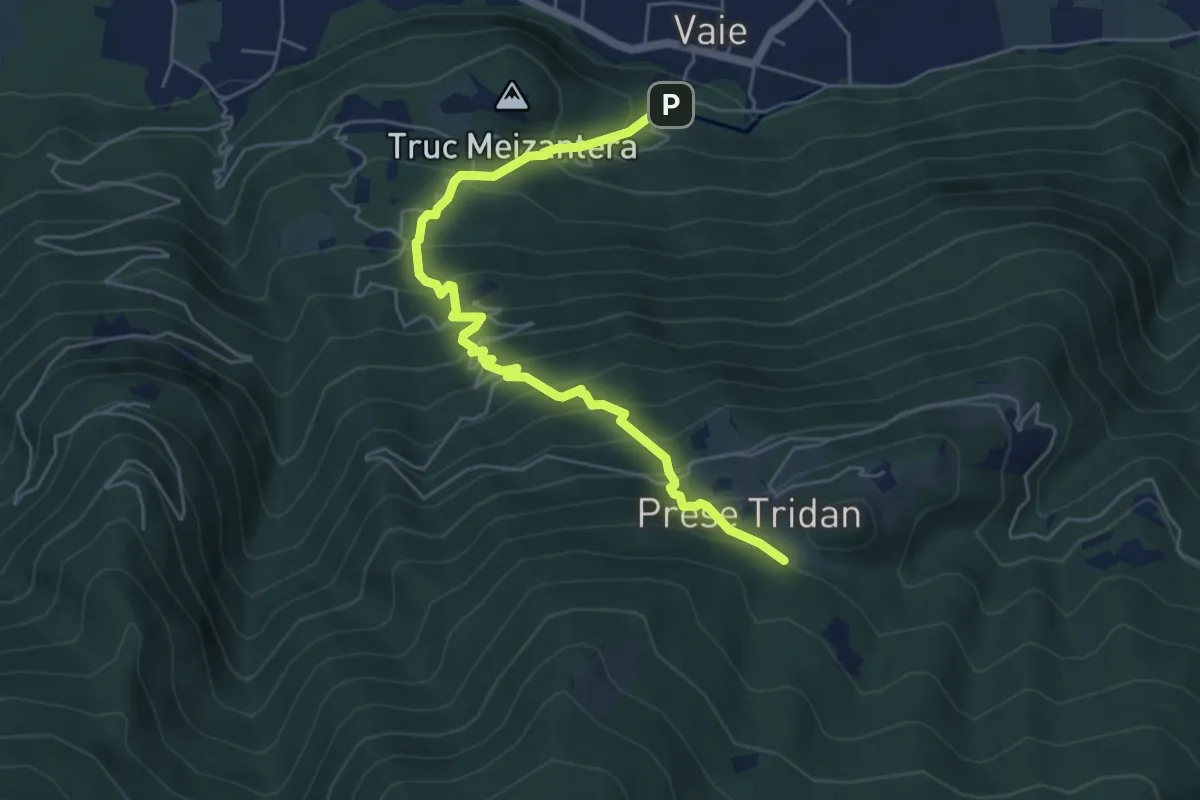
Vaie - San Pancrazio, bivio TOS562A-TOS561 – Mura, bivio TOS562A-TOS504
6.0 km · ↑ 696 m · 2 h 56 min
Medium · Trail
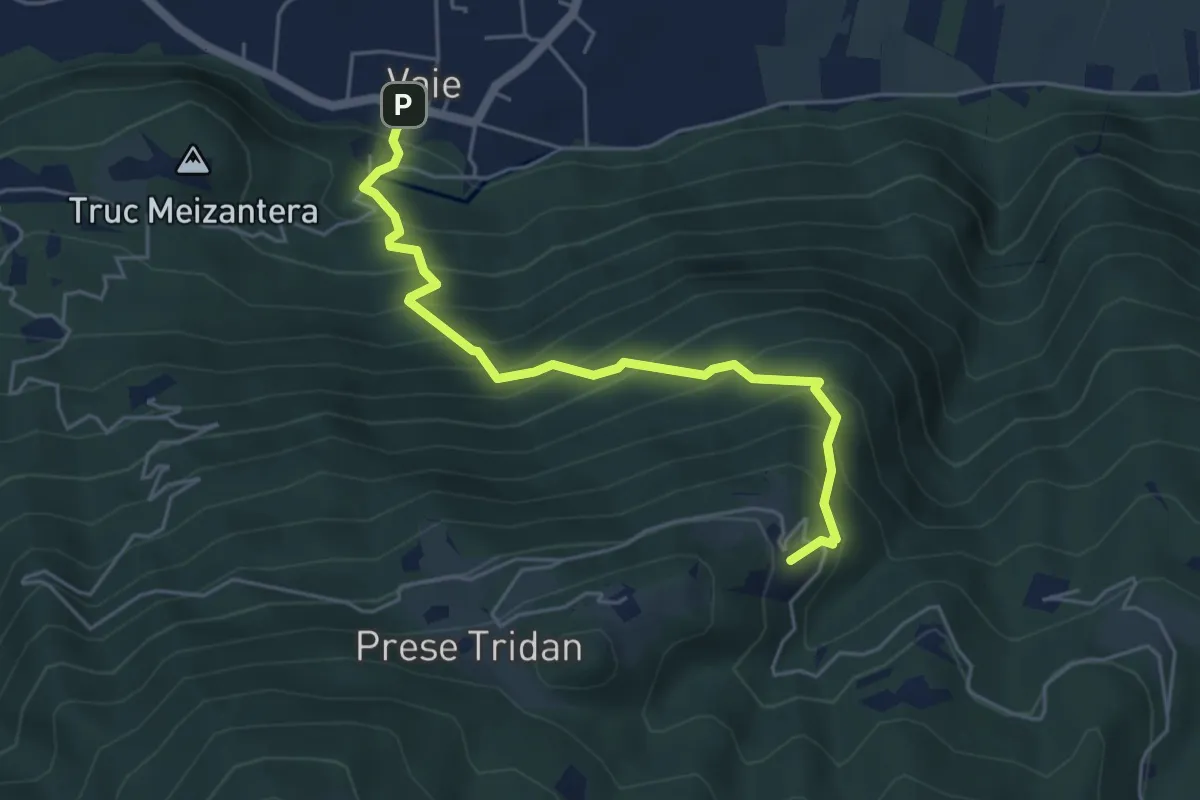
Vaie (Piazza) – Folatone, bivio TOS562-TOS504
5.1 km · ↑ 598 m · 2 h 31 min
Expert · Trail
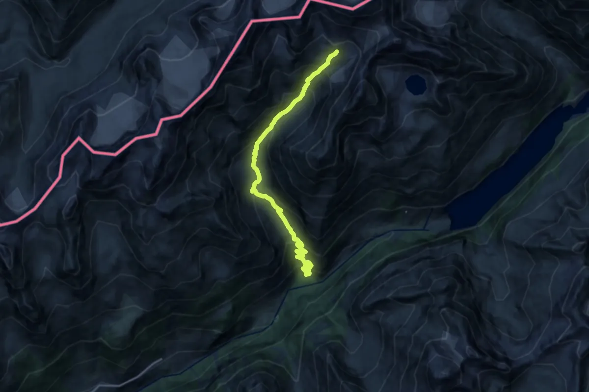
Chamin – Bivacco della Sassa
14.1 km · ↑ 1297 m · 6 h 8 min
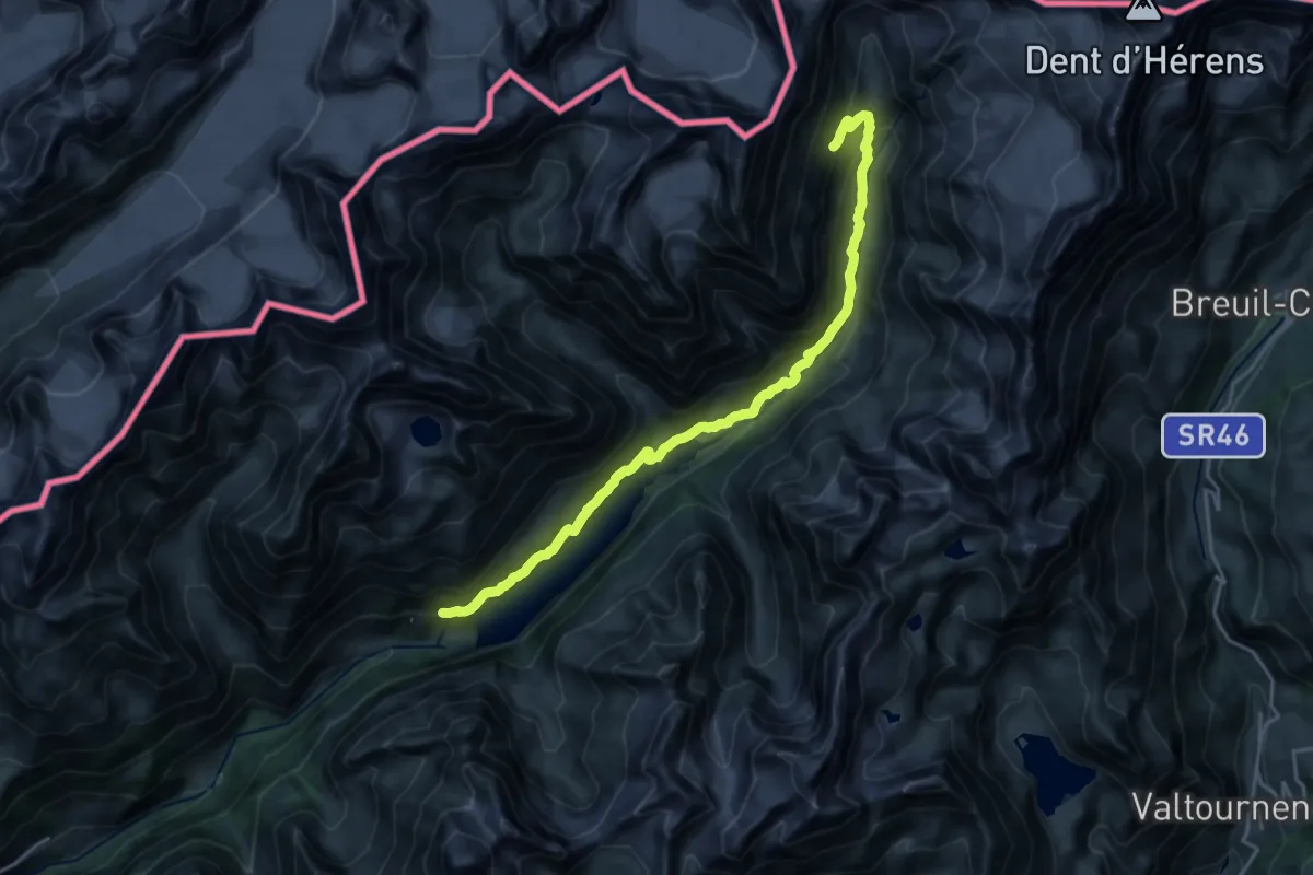
Expert · Trail
Place Moulin – Alpe Tsa de Tsan
21.6 km · ↑ 1045 m · 7 h 22 min
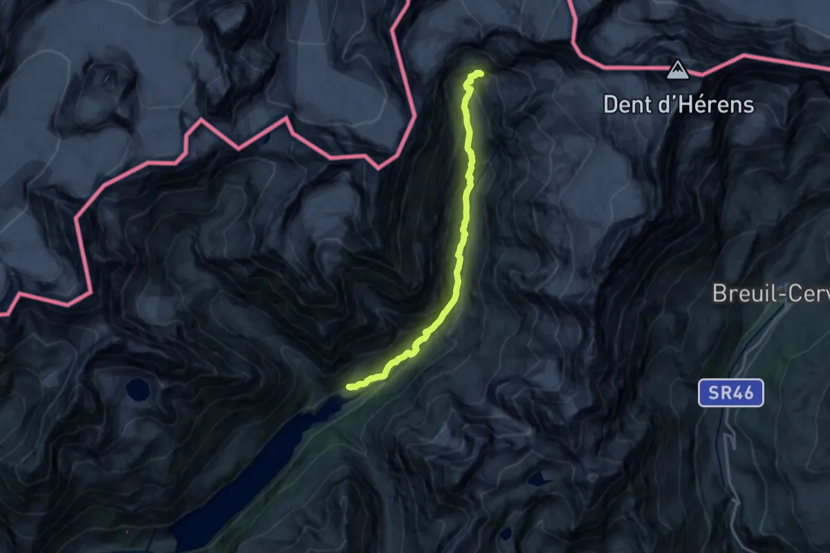
Expert · Cabin
Rifugio Prarayer – Rifugio Aosta
14.2 km · ↑ 808 m · 5 h 6 min
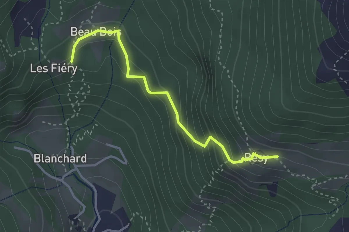
Medium · Cabin
Blanchard – Rifugio Guide di Ayas
2.9 km · ↑ 311 m · 1 h 22 min
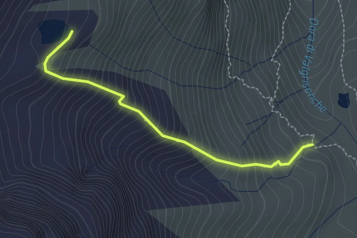
Demanding · Trail
Rifugio Bezzi – Lac Vert
2.3 km · ↑ 353 m · 1 h 18 min
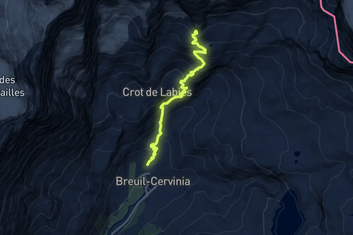
Expert · Trail
Breuil-Cervinia – Croce Carrel
10.0 km · ↑ 1012 m · 4 h 33 min
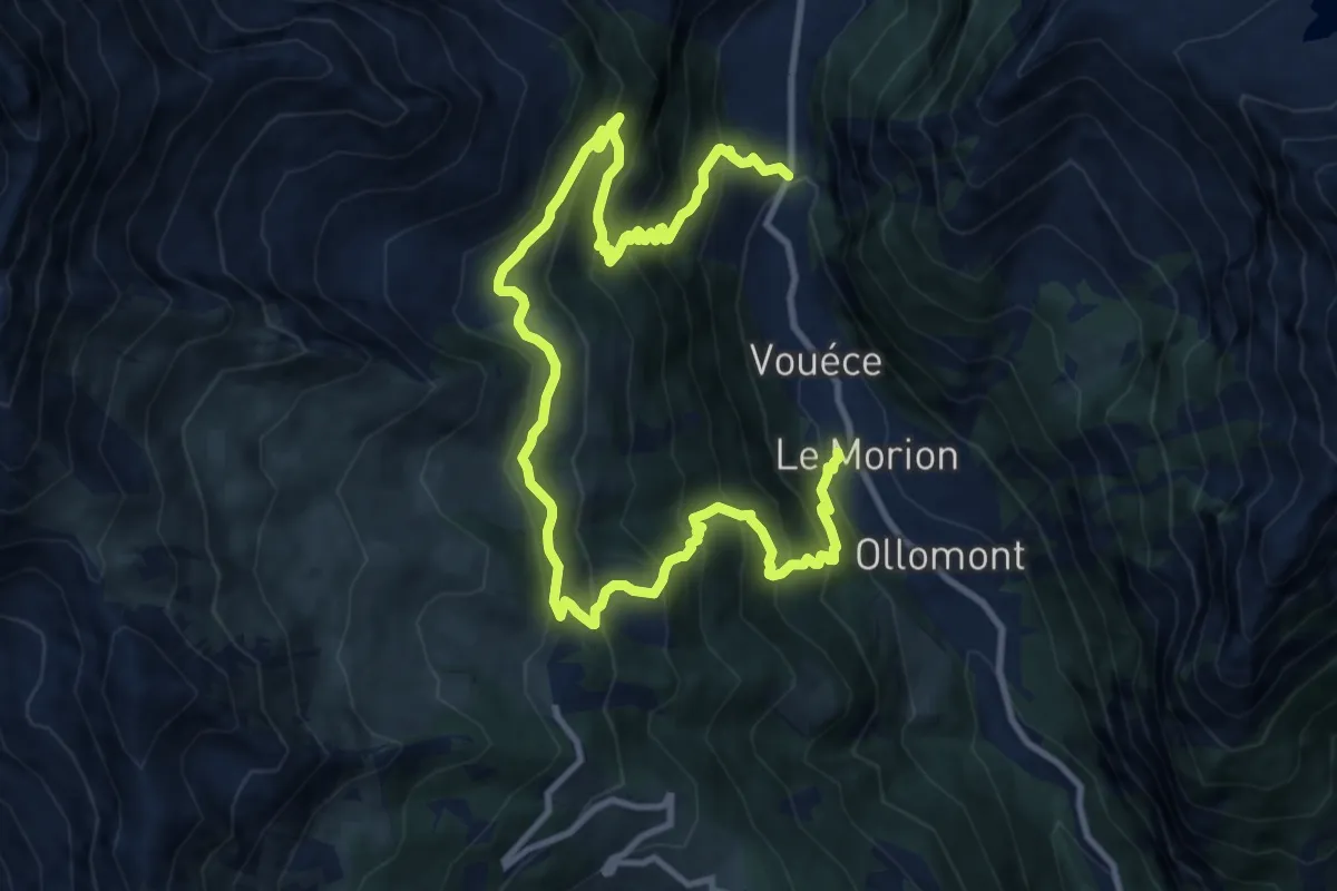
Demanding · Trail
Mont Rion – Vaud, Foyer des Guides
15.9 km · ↑ 1396 m · 6 h 47 min
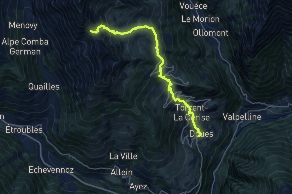
Demanding · Trail
Planavilla – Col Champillon
15.8 km · ↑ 1577 m · 7 h 9 min
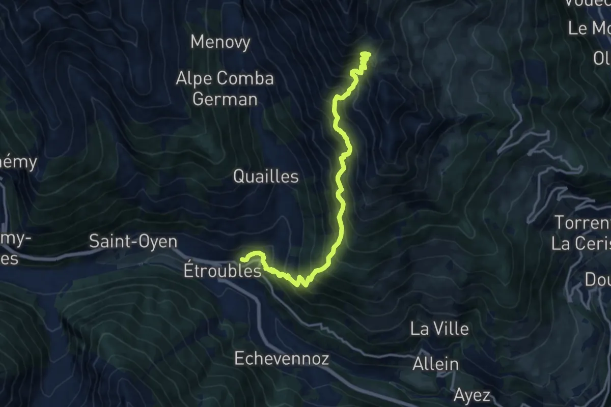
Demanding · Trail
Etroubles – Col Champillon
12.9 km · ↑ 1474 m · 6 h 15 min
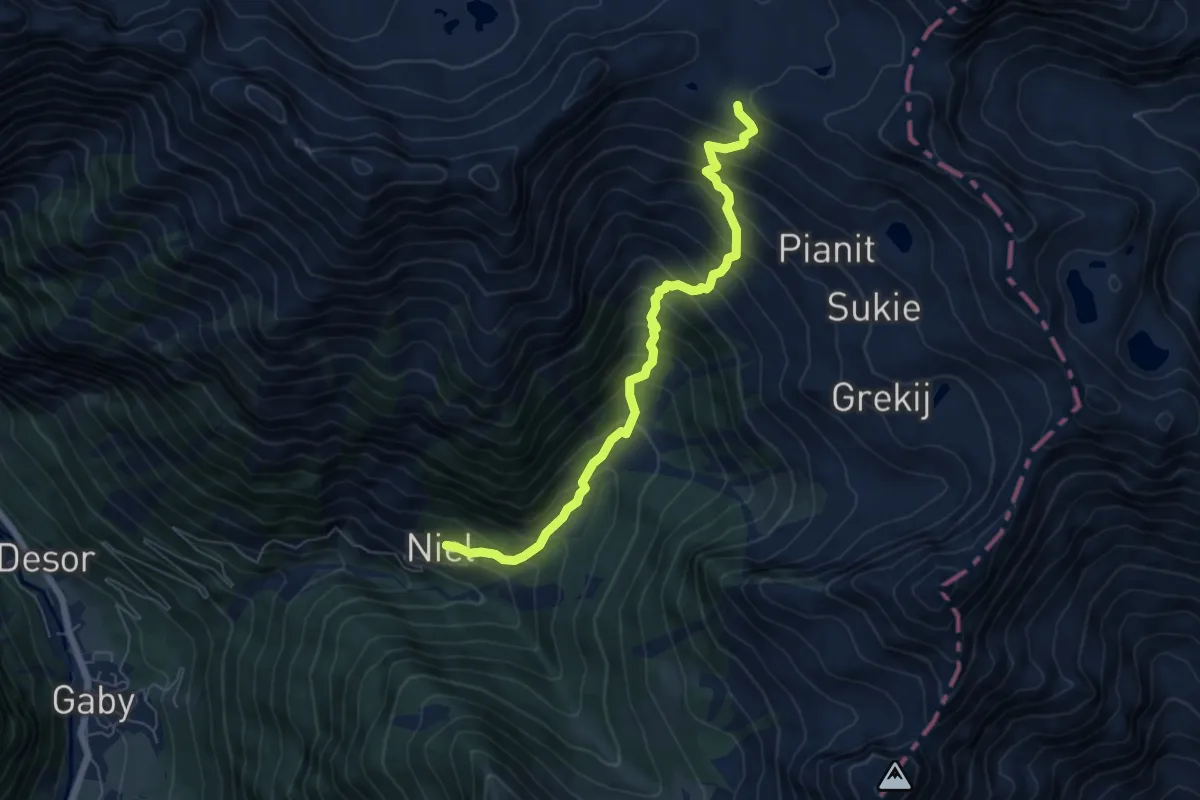
Demanding · Trail
Niel – Colle Lazoney
6.4 km · ↑ 827 m · 3 h 18 min
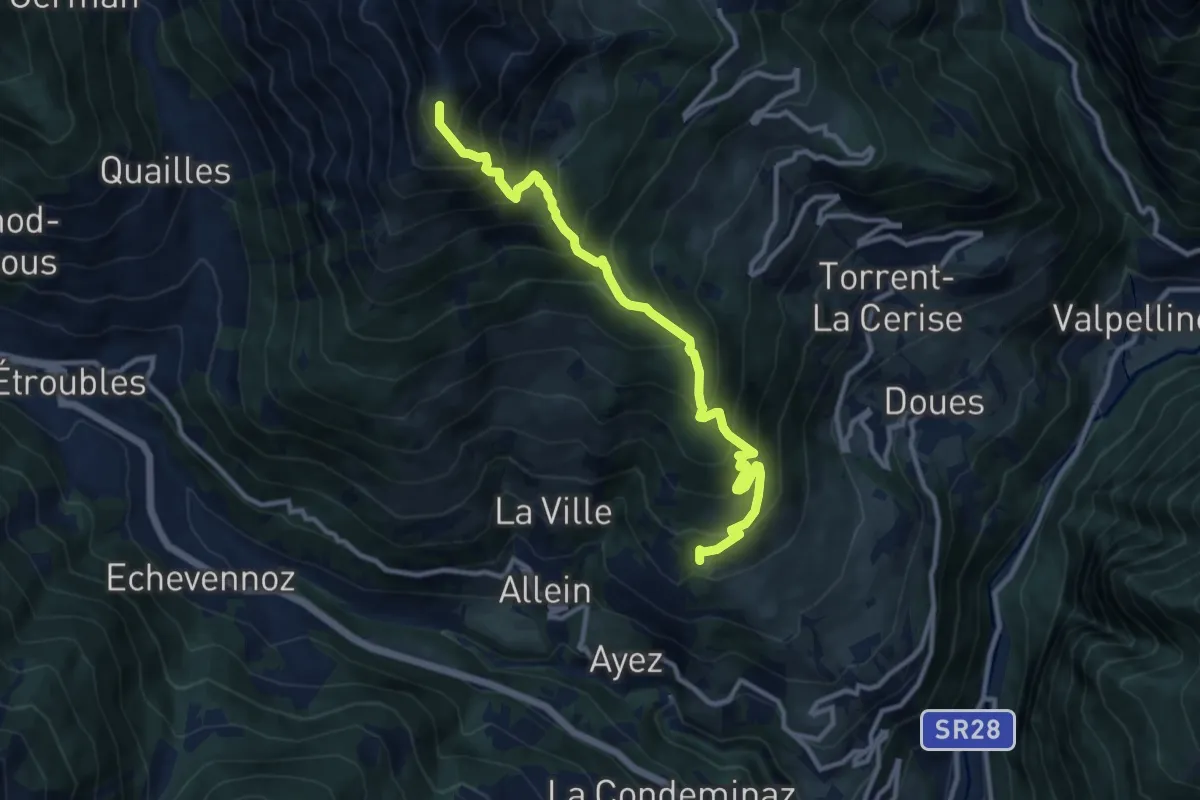
Demanding · Summit
Chanté, bivio strada per Daillon – Mont Saron
11.2 km · ↑ 1376 m · 5 h 38 min
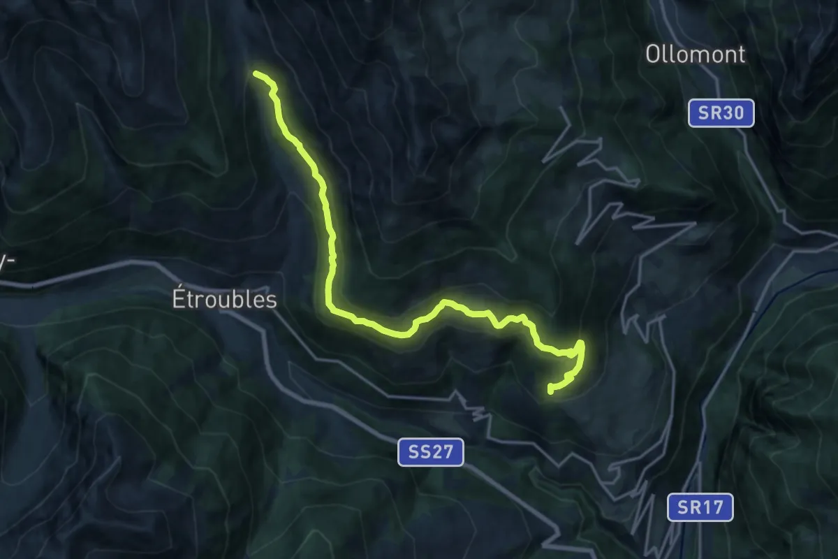
Demanding · Trail
Strada per Daillon – Alpe Ponteille (ru de Menouve)
17.4 km · ↑ 929 m · 6 h 8 min
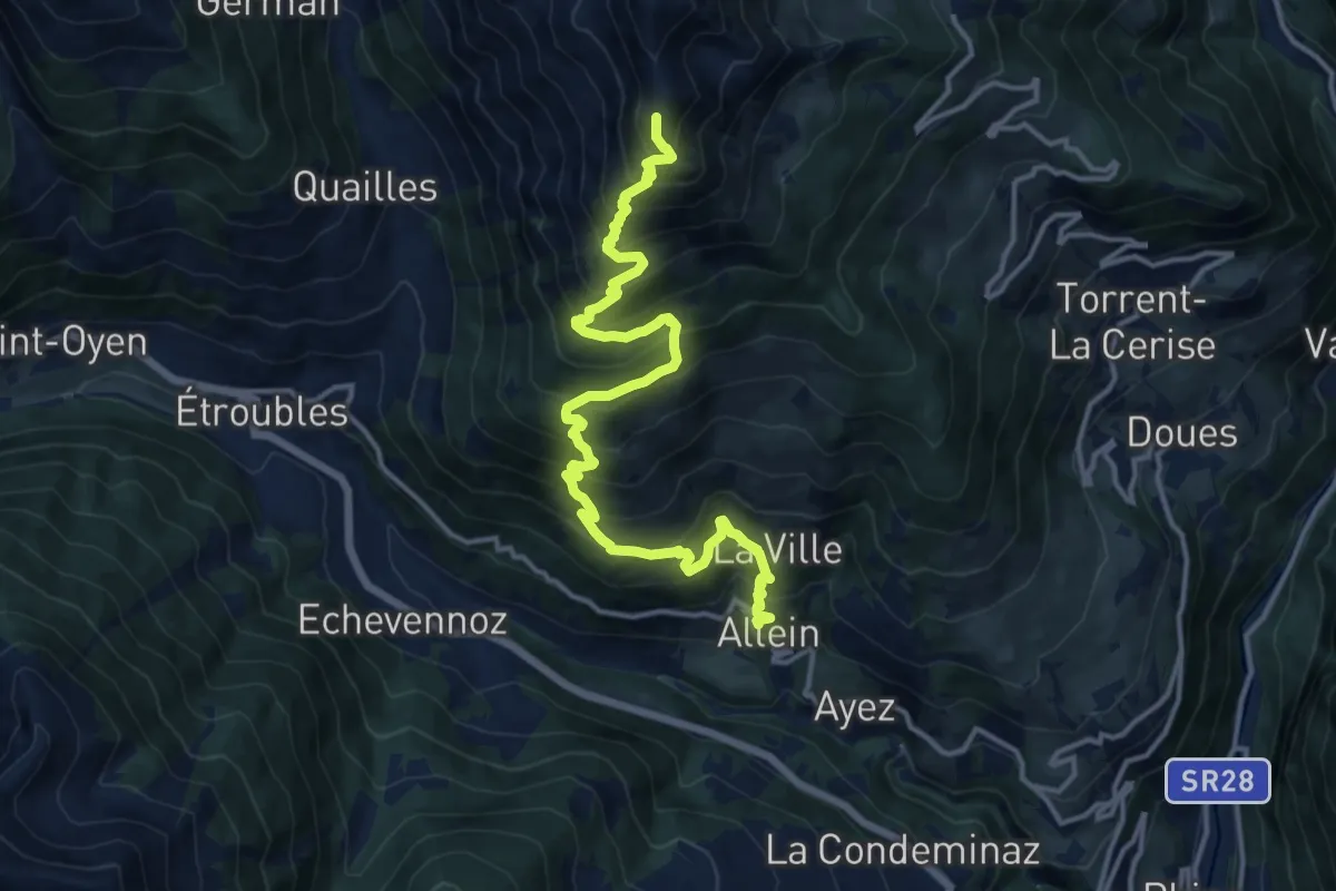
Demanding · Summit
Allein – Mont Saron
15.8 km · ↑ 1501 m · 6 h 59 min
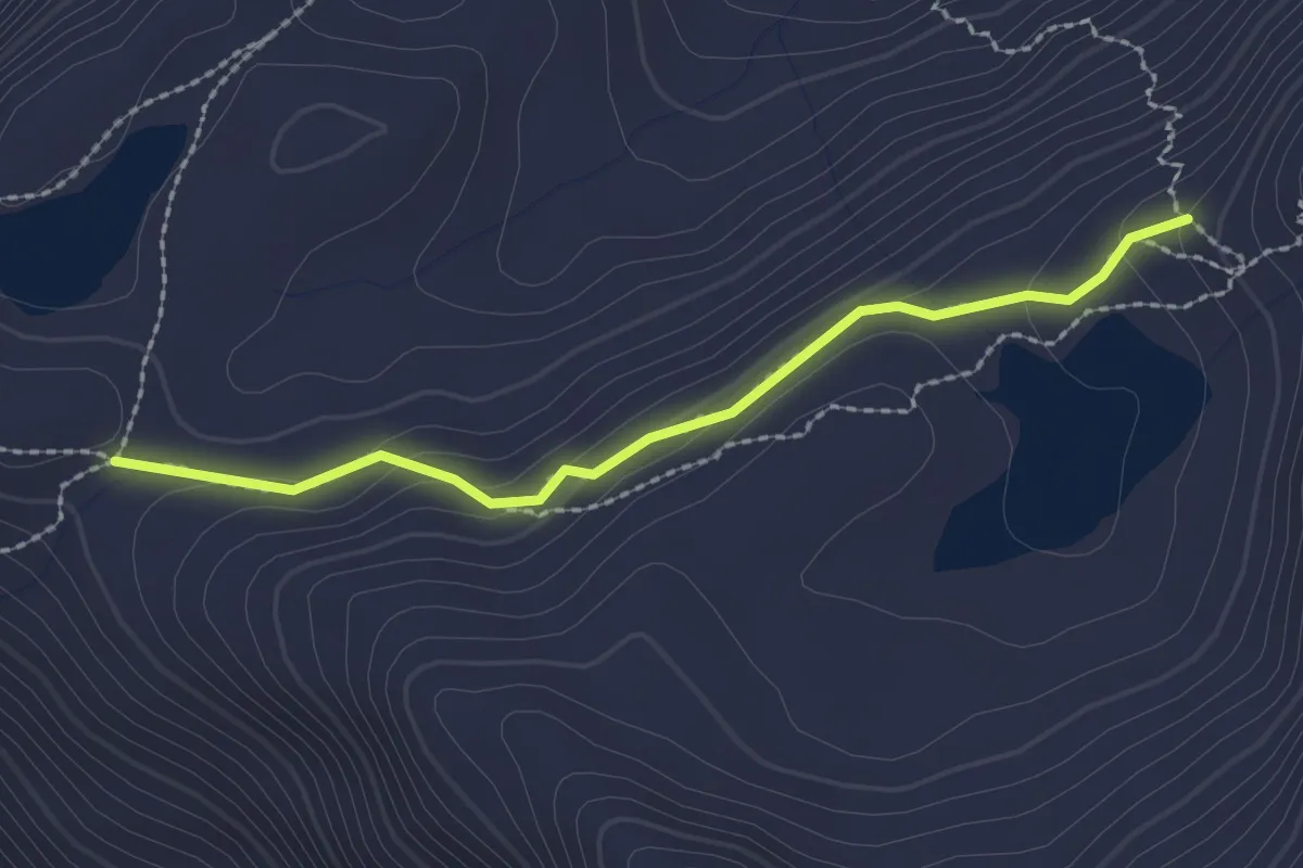
Medium · Trail
Percorso 6 – Punta Cornet
2.2 km · ↑ 118 m · 46 min
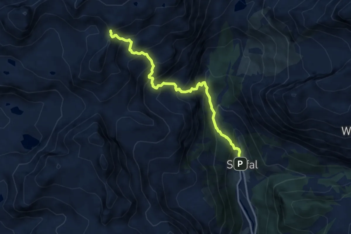
Demanding · Trail
Staffal – Passo Inferiore della Bettolina
9.3 km · ↑ 1059 m · 4 h 29 min
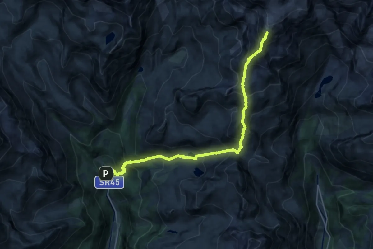
Expert · Cabin
Saint-Jacques – Rifugio Quintino Sella
9.1 km · ↑ 1914 m · 5 h 29 min
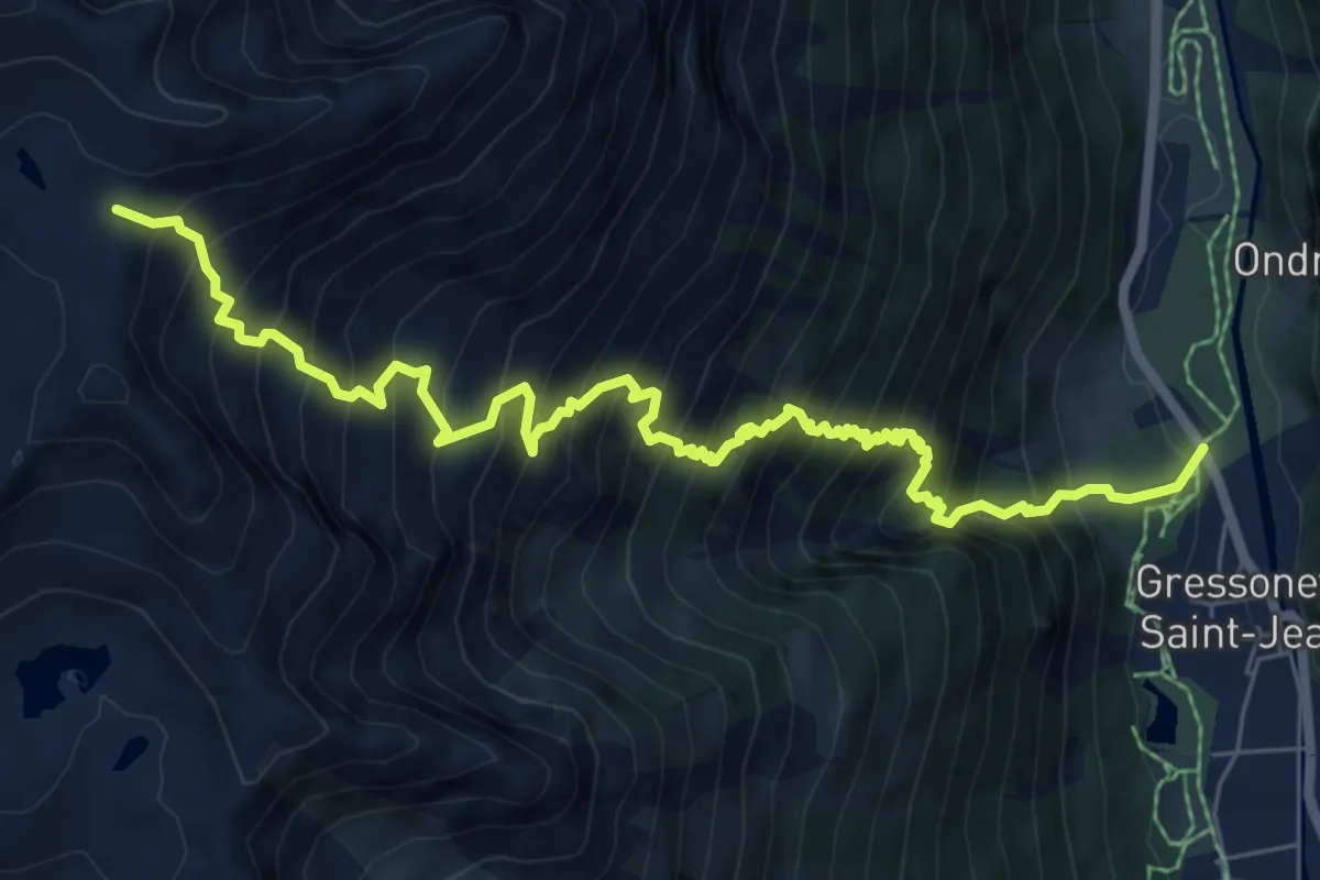
Demanding · Trail
Bino – Passo di Valnera
8.5 km · ↑ 1300 m · 4 h 50 min
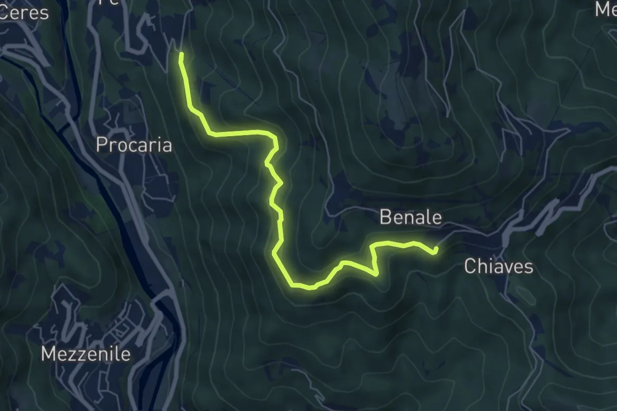
Medium · Trail
Airetta – Cresto
6.2 km · ↑ 408 m · 2 h 21 min
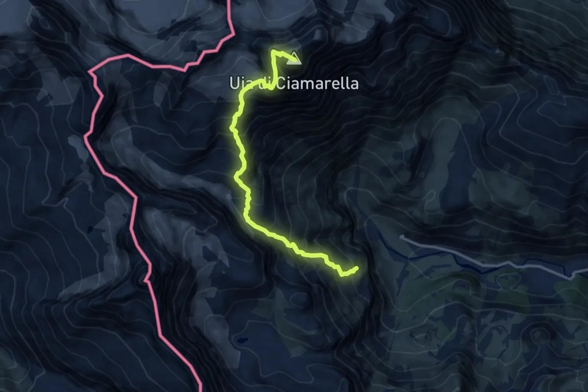
Expert · Summit
Pian della Mussa – Vetta Ciamarella
10.5 km · ↑ 1471 m · 5 h 40 min
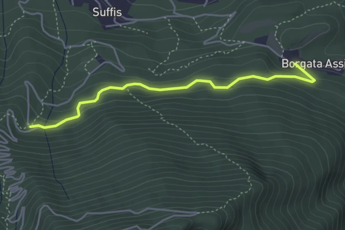
Easy · Trail
Bivio TOS527-TOS527A presso Assiere – Strada Colle delle Finestre, bivio TOS515-TOS527A
3.7 km · ↑ 192 m · 1 h 18 min
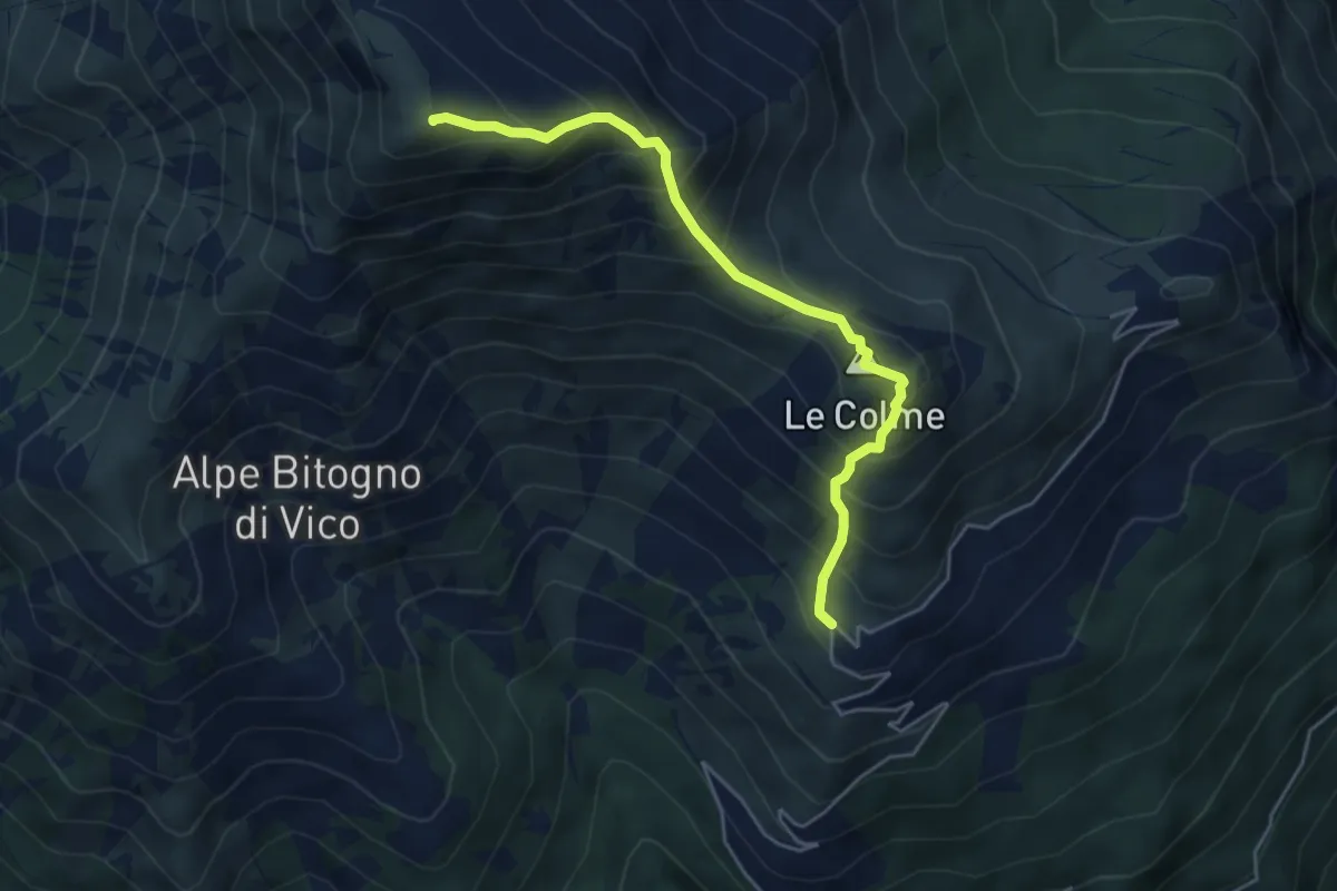
Demanding · Summit
Grange Piani – Monte Gregorio
4.7 km · ↑ 612 m · 2 h 27 min
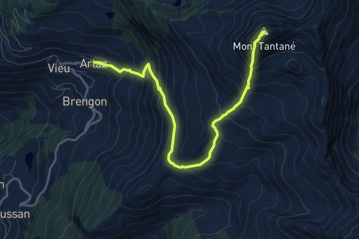
Demanding · Summit
Artaz – Mont Tantané
9.2 km · ↑ 982 m · 4 h 19 min
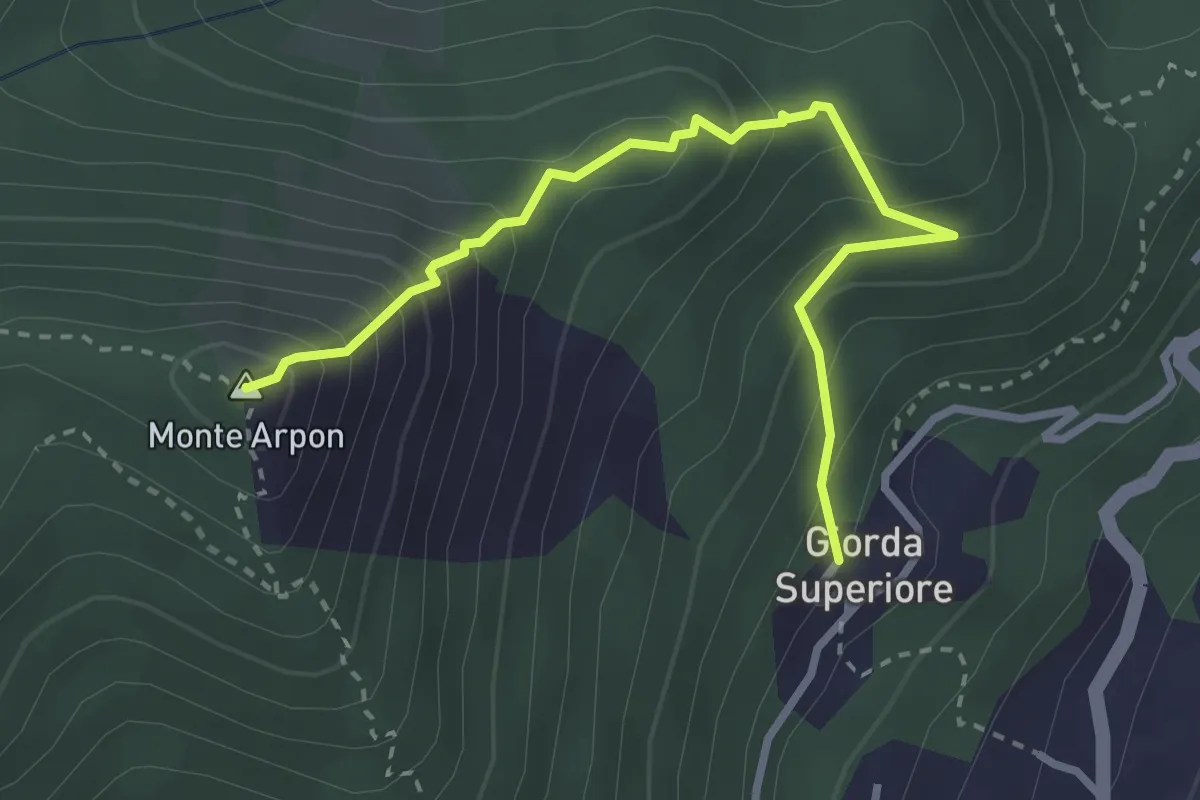
Expert · Summit
Giorda Superiore – Vetta Monte Arpon
3.3 km · ↑ 355 m · 1 h 33 min
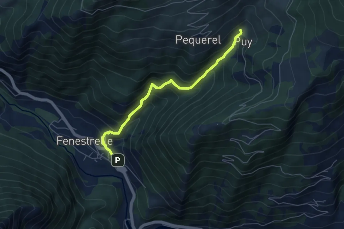
Medium · Trail
Fenestrelle, bivio TOS335-TOS335A – Bivio TOS301-TOS335A presso Puy
5.4 km · ↑ 547 m · 2 h 28 min
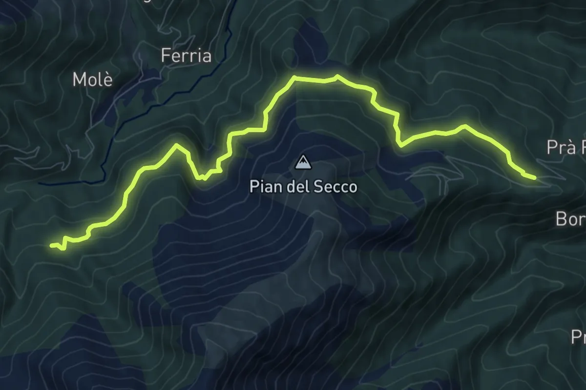
Medium · Trail
Giaveno, Borgata Pra Fieul, località Presa del Luj – Rio Comba Secca, bivio TOS413-TOS414
10.8 km · ↑ 493 m · 3 h 38 min
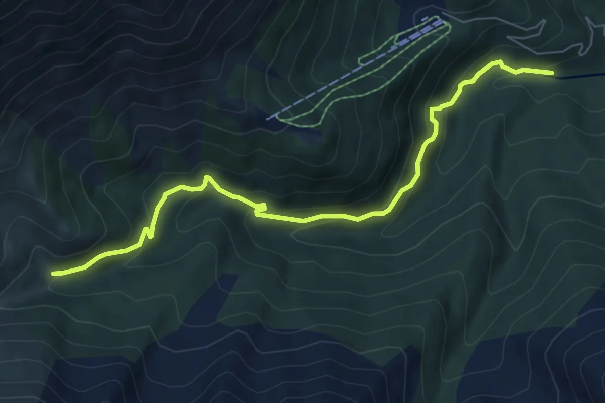
Medium · Trail
Bivio 414-414A, guado torrente Sangone – Bivio 414-414A, bivio per Palazzina Sertorio
7.0 km · ↑ 428 m · 2 h 35 min
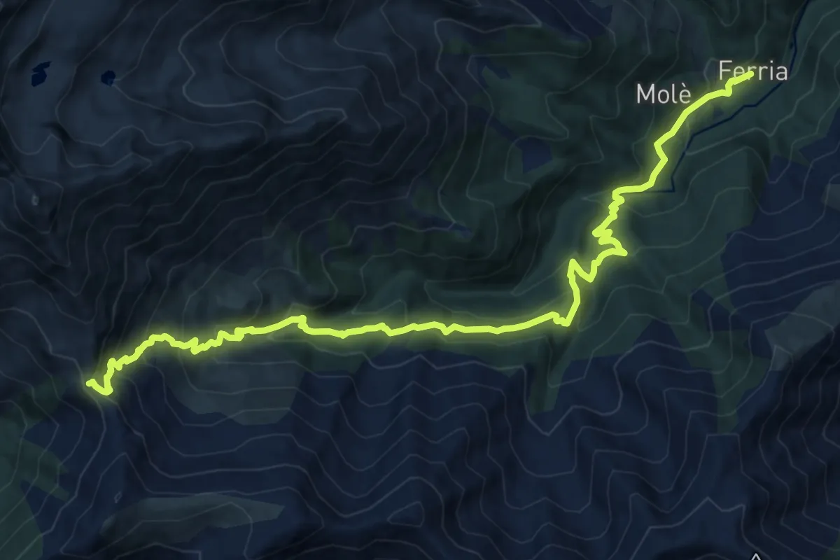
Demanding · Cabin
Forno di Coazze, Borgata Ferria – Colle La Roussa, bivio TOS414-TOS440
17.6 km · ↑ 1218 m · 6 h 48 min
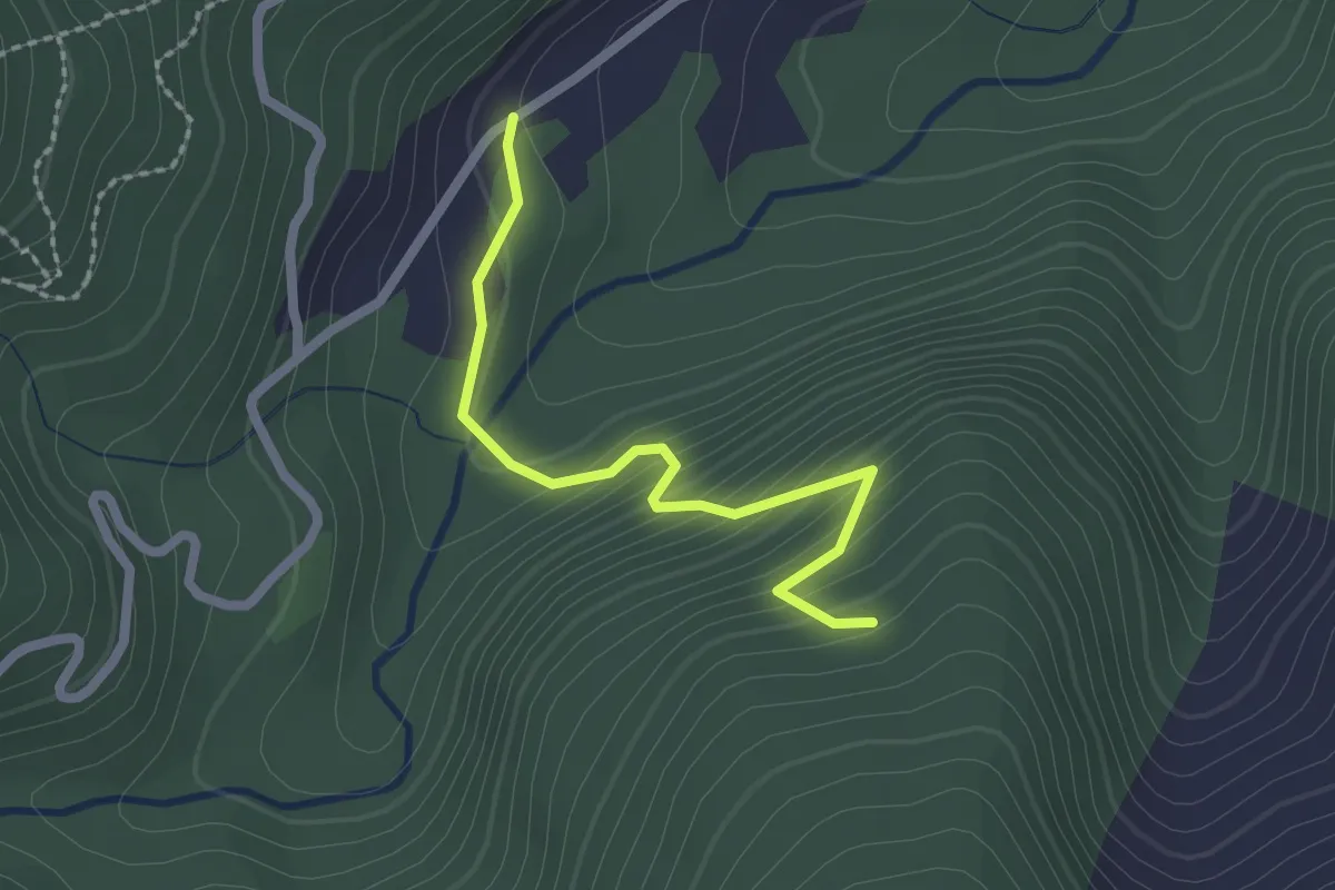
Easy · Trail
Bivio per Forno di Coazze, case Prablin, Madonna di Lourdes – Coazze, Frazione Forno di Coazze, bivio TOS412A-TOS414
2.1 km · ↑ 173 m · 53 min
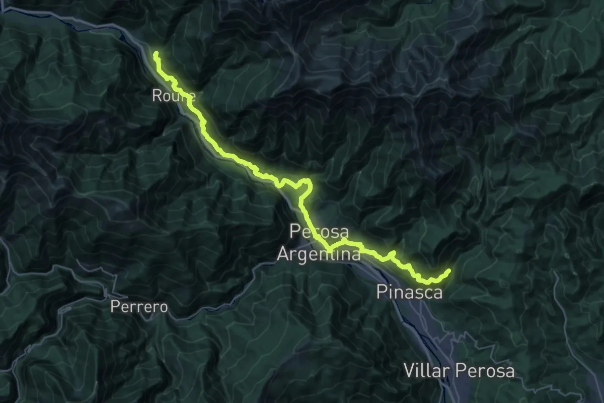
Medium · Trail
Pinasca, bivio TOS301-TOS347 presso Borgata Giustetti – Roure, Borgata Gleisolle, bivio TOS301-TOS337
17.4 km · ↑ 607 m · 5 h 49 min
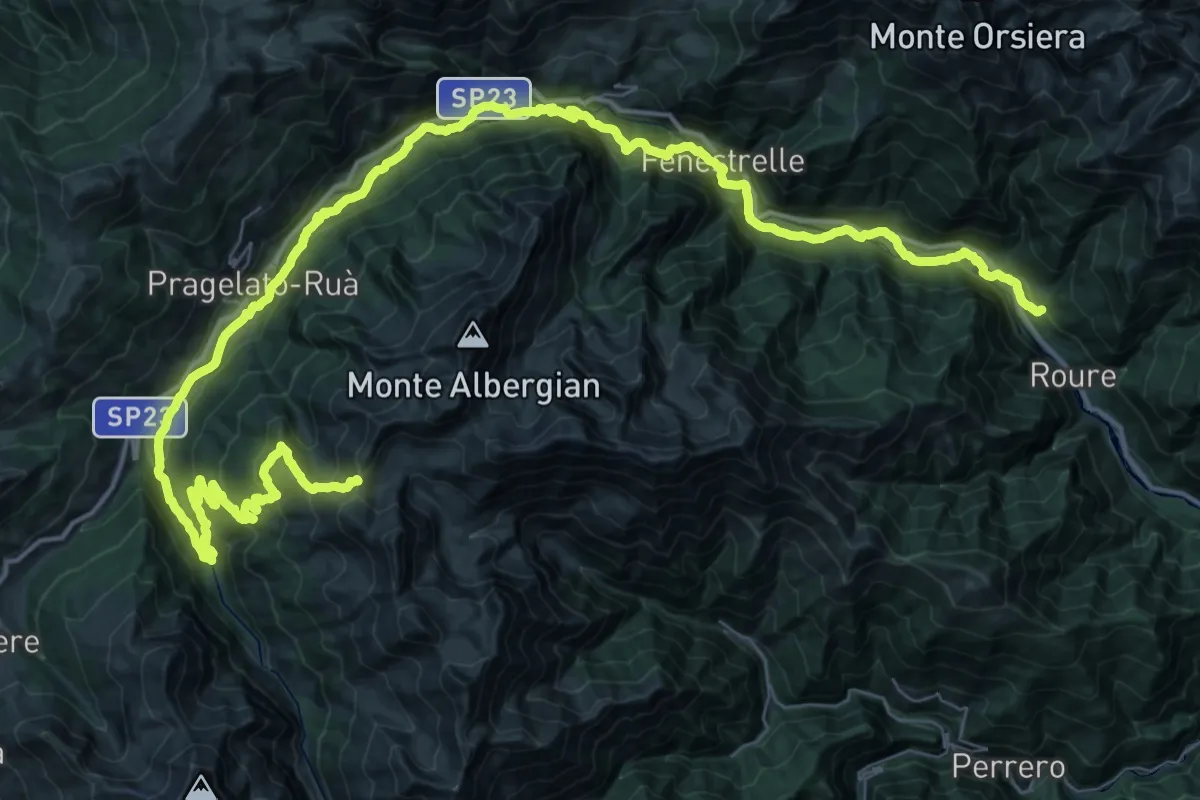
Demanding · Trail
Località Gleisolle, bivio TOS301-TOS303 – Colle del Pis, bivio TOS216-TOS303
34.1 km · ↑ 1933 m · 11 h 55 min
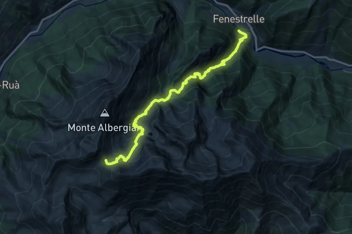
Demanding · Trail
Fenestrelle, bivio TO303-TOS313 – Colle dell'Albergian, bivio TOS313-TOS314-TOS218
10.0 km · ↑ 1604 m · 5 h 12 min
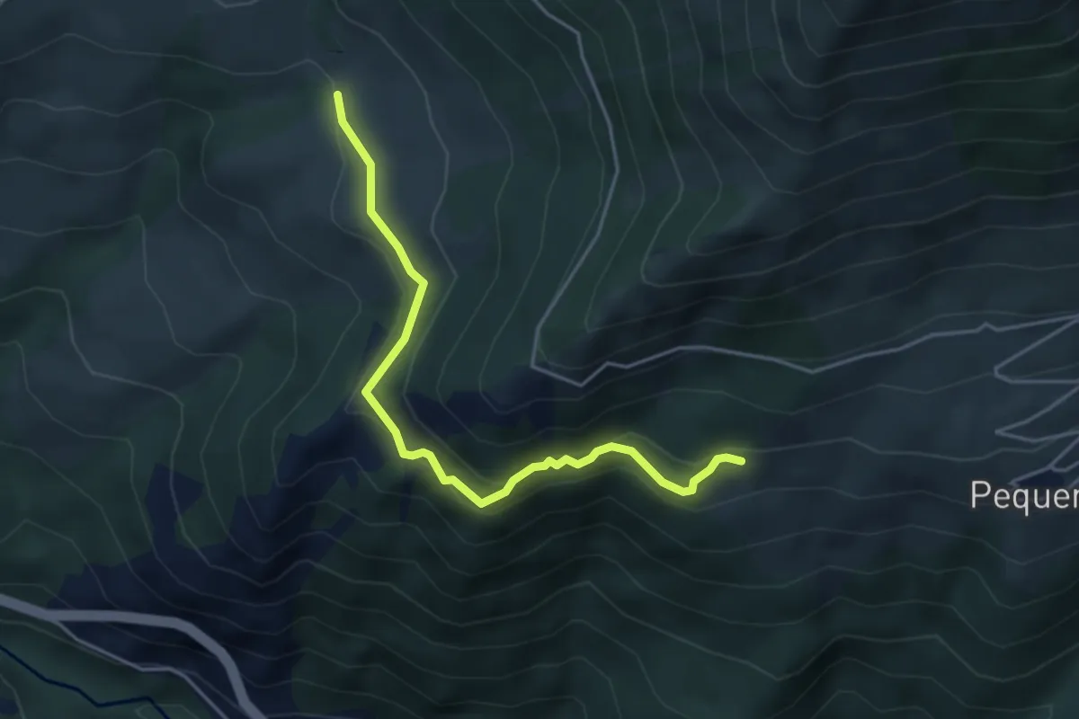
Easy · Trail
Bivio TOS332-TOS332A presso Contrada Coste (Usseaux) – Bivio TOS332-TOS332A presso Pequerel
4.4 km · ↑ 245 m · 1 h 34 min
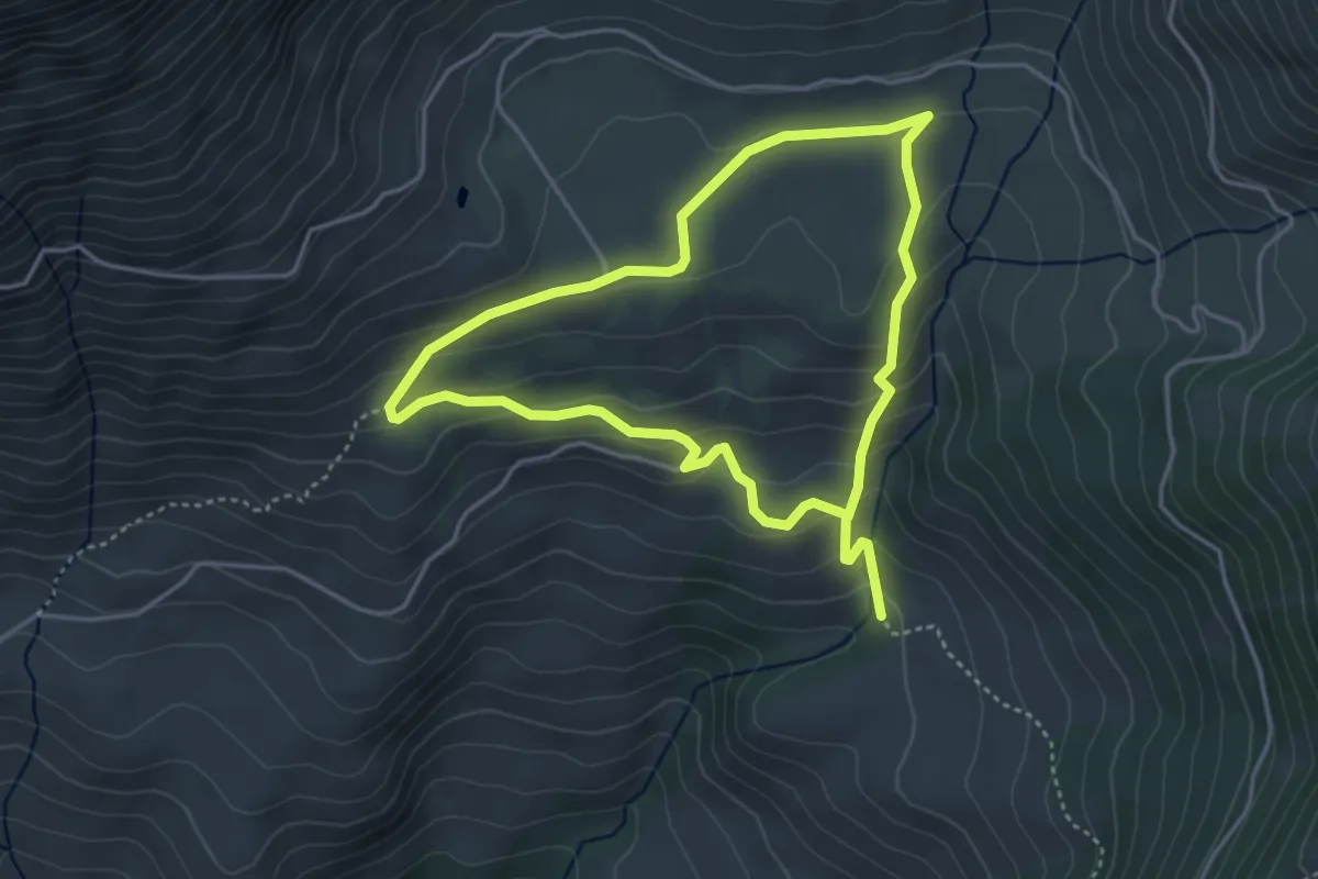
Easy · Trail
Bivio TOS332-TOS332B presso Contrada Coste (Usseaux) – Bivio Presso Montagne di Usseaux
3.7 km · ↑ 194 m · 1 h 21 min
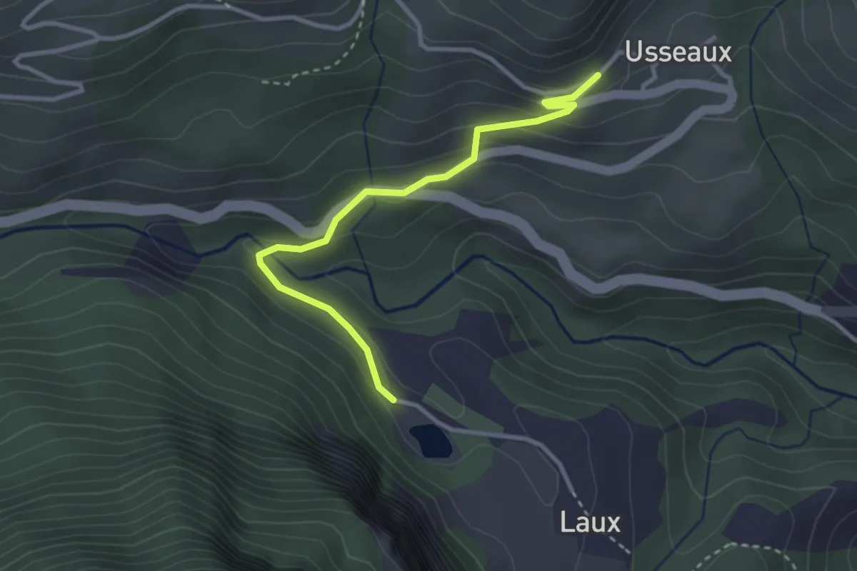
Easy · Trail
Usseaux, Lago del Laux, bivio TOS303-TOS332C – Usseaux, bivio TOS332-TOS332C
3.1 km · ↑ 155 m · 1 h 4 min
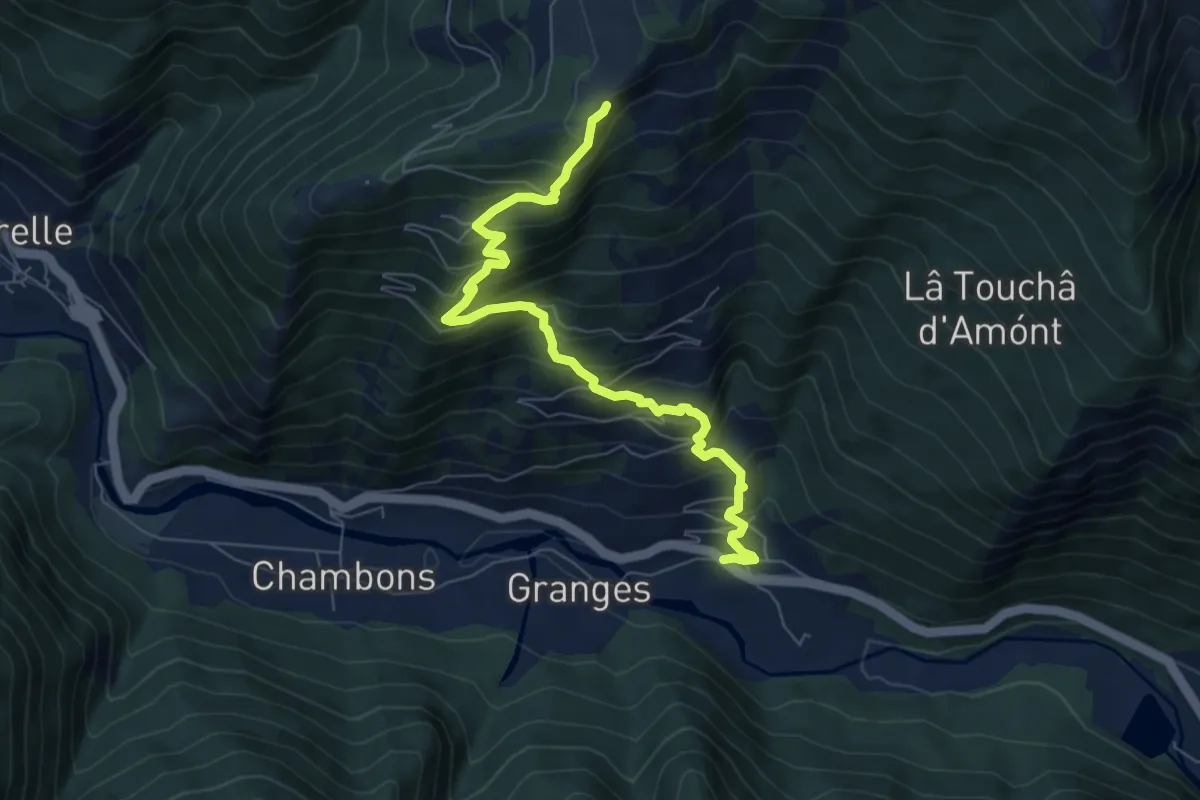
Medium · Trail
Mentoulles, bivio TOS333-TOS303 – Bivio TOS333-TOS333C presso Prà
7.5 km · ↑ 782 m · 3 h 28 min
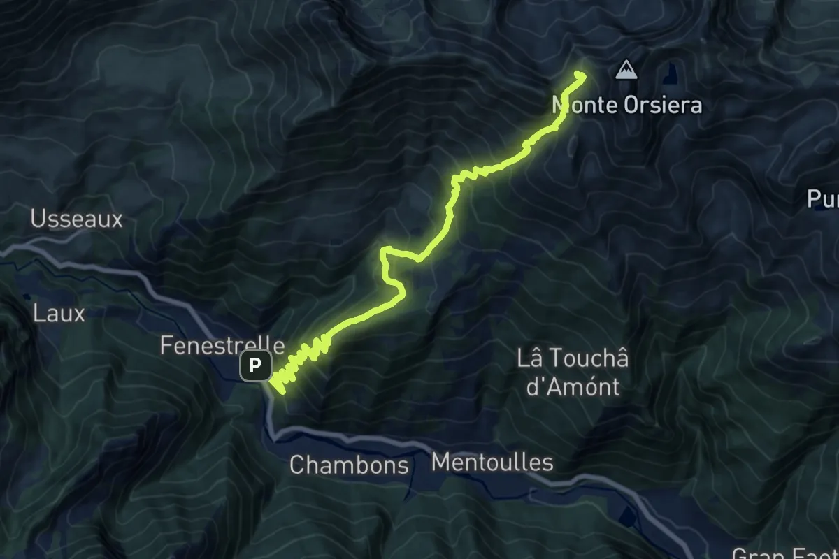
Demanding · Trail
Fenestrelle – Fenestrelle, Colle dell'Orsiera, bivio TOS335-TOS336-TOS514
17.1 km · ↑ 1614 m · 7 h 32 min
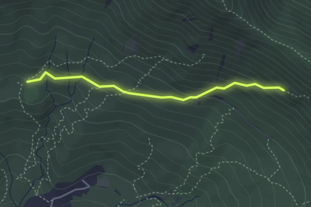
Medium · Trail
Almese, bivio TOS579-TOS579C presso Rio Ceneirola – Almese, bivio TOS580-TOS579C presso Rio Ceneirola
3.2 km · ↑ 225 m · 1 h 15 min
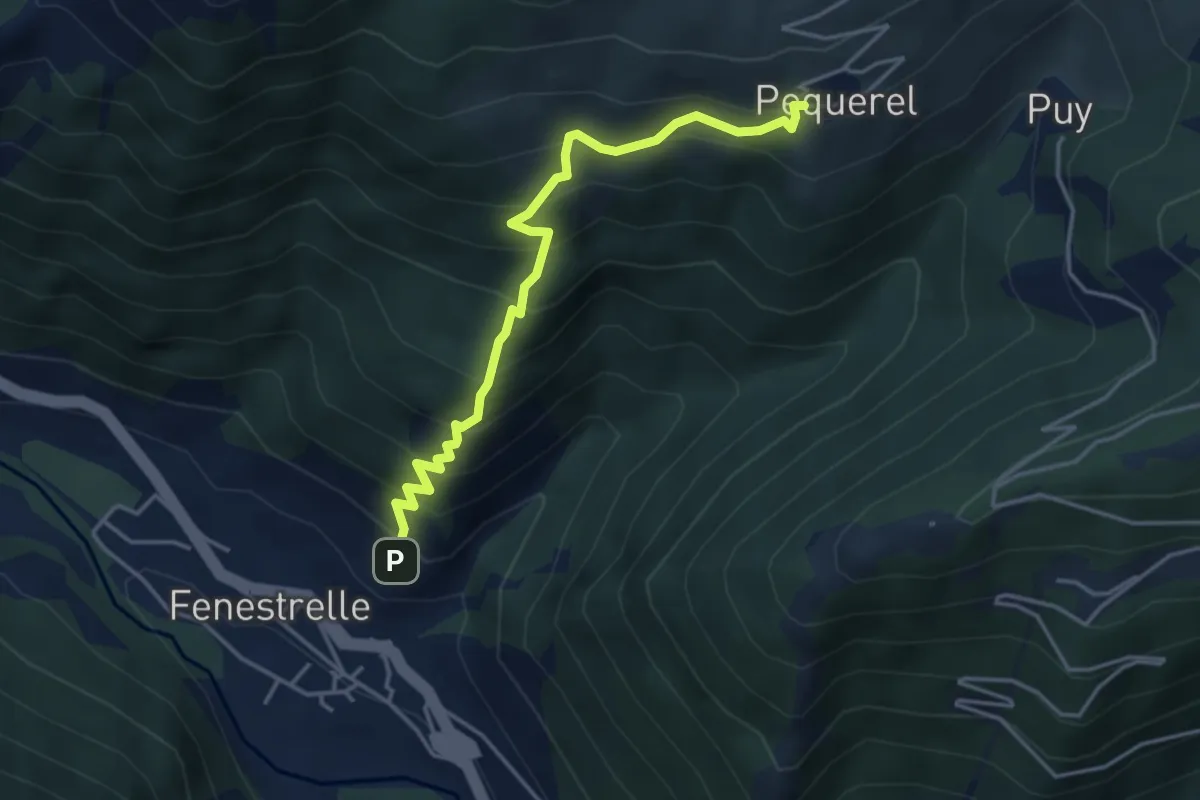
Medium · Trail
Bivio TOS335A-TOS335B – Pequerel, bivio TOS335B-TOS301
4.2 km · ↑ 530 m · 2 h 9 min
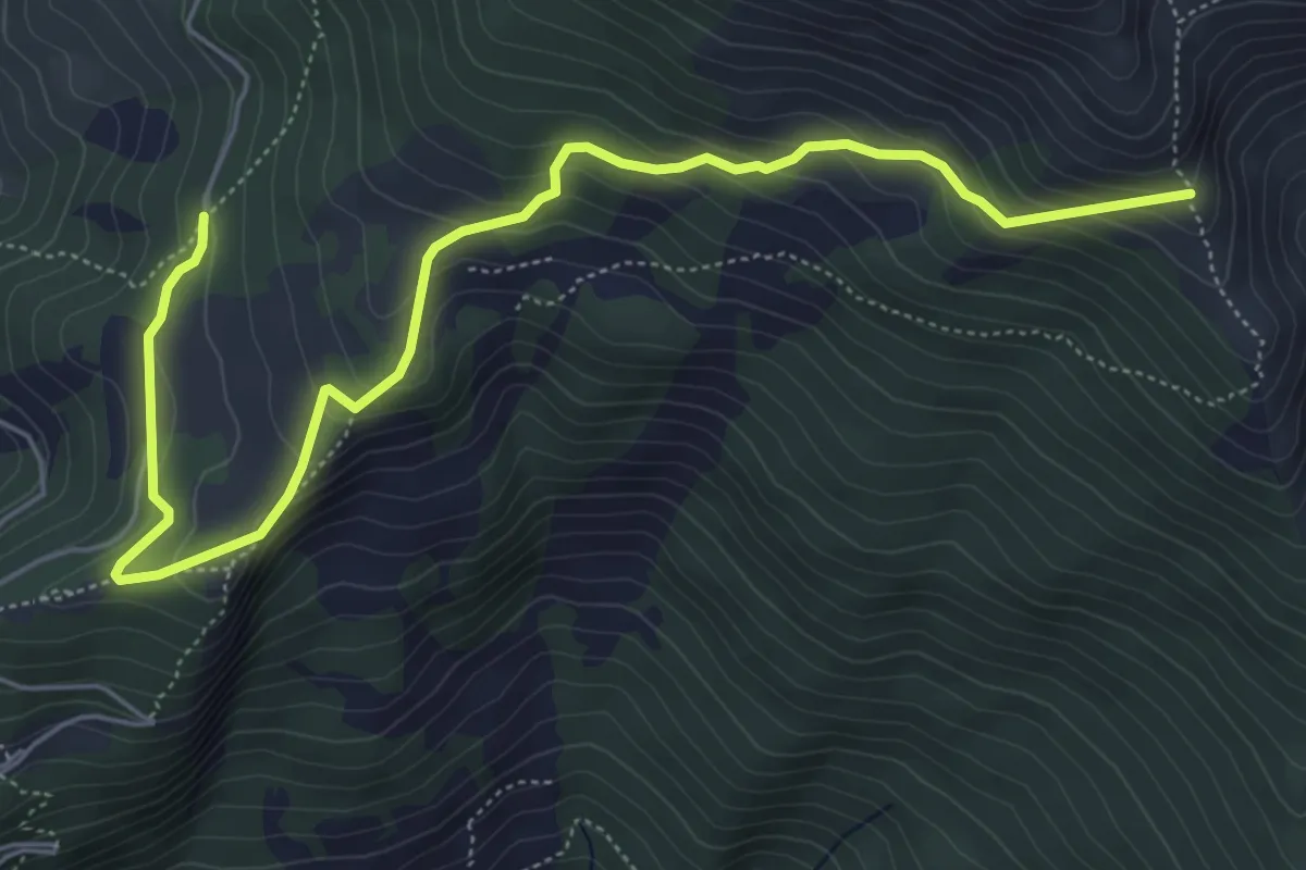
Medium · Trail
Prato Catinat, bivio TOS335-TOS335C – Bivio TOS335C - TOS368
7.0 km · ↑ 410 m · 2 h 33 min
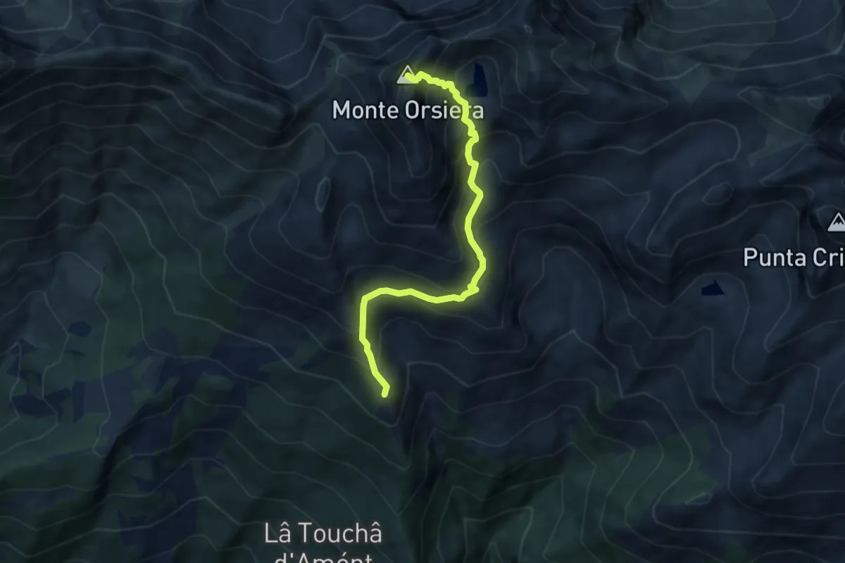
Expert · Summit
Roure, Saret del Campo, bivio TOS368-TOS337A – Fenestrelle, Colle dell'Orsiera, bivio TOS335-TOS336-TOS514
7.5 km · ↑ 726 m · 3 h 21 min
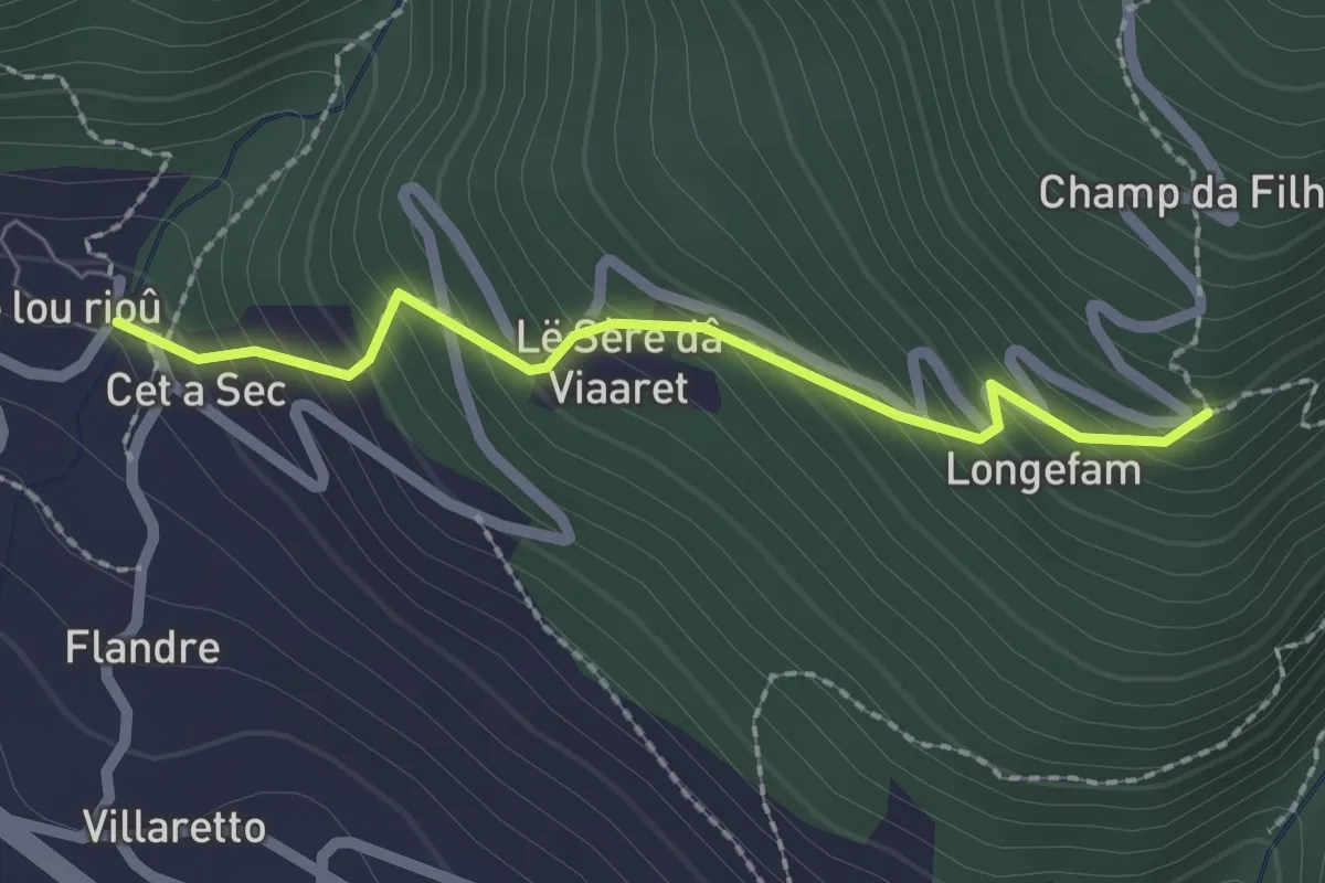
Medium · Trail
Roure, Borgata Villaretto Superiore – Roure, Serre di Villaretto, bivio TOS337-TOS337C
2.1 km · ↑ 237 m · 1 h