Trails in Italy
25,219 hiking trails, each with its route, climb, walking time and grade.
All trails, page 410 of 526
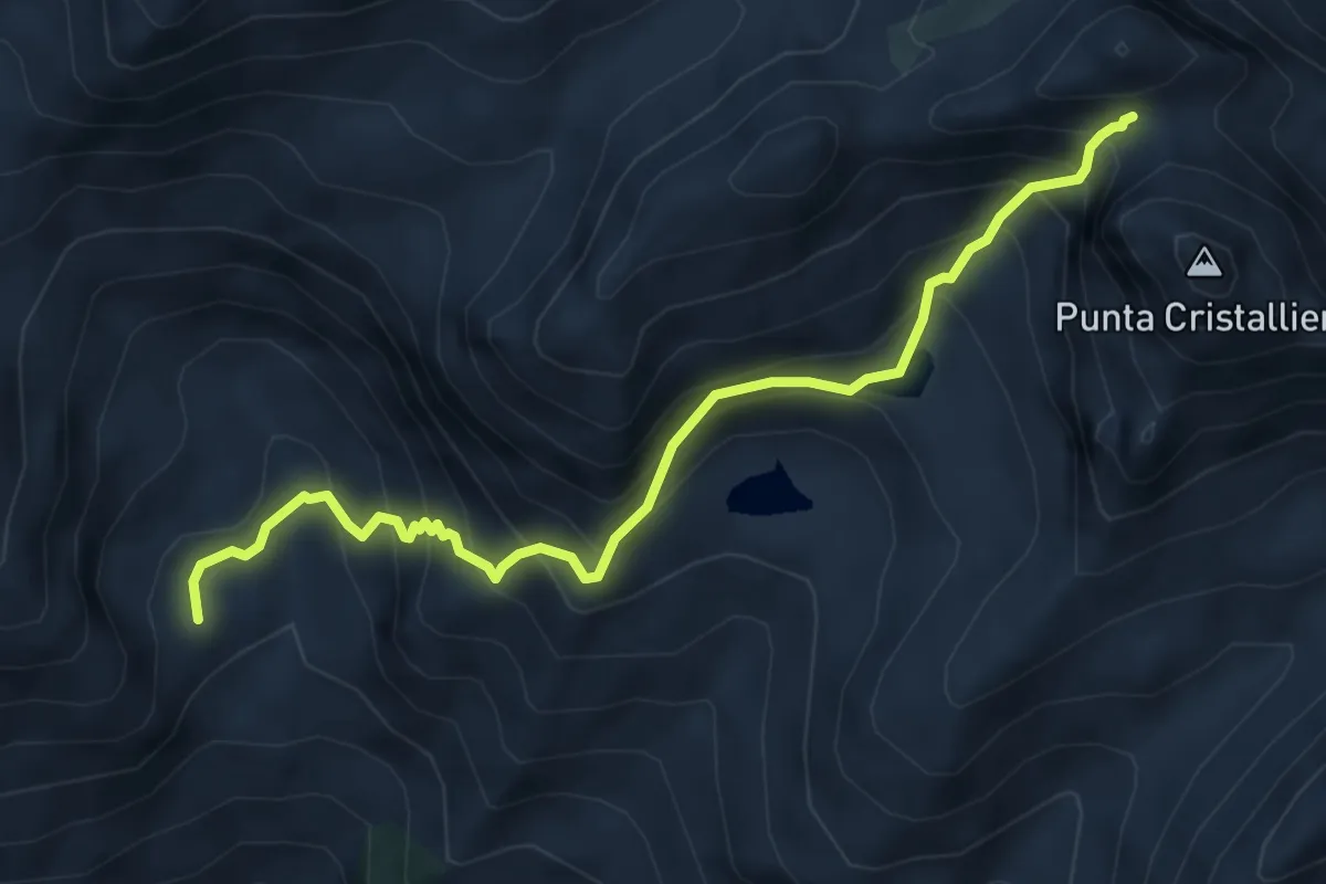
Expert · Cabin
Roure, Rifugio Selleries, bivio TOS337-TOS339-TOS337B – Colle Superiore di Malanotte (Colletto della Cristalliera)
5.8 km · ↑ 650 m · 2 h 47 min
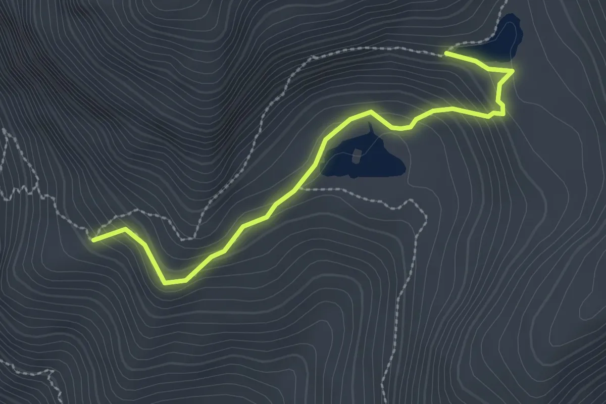
Medium · Trail
Bivio TOS339-TOS339A – Lago La Manica, bivio TOS339-TOS339A
2.7 km · ↑ 197 m · 1 h 5 min
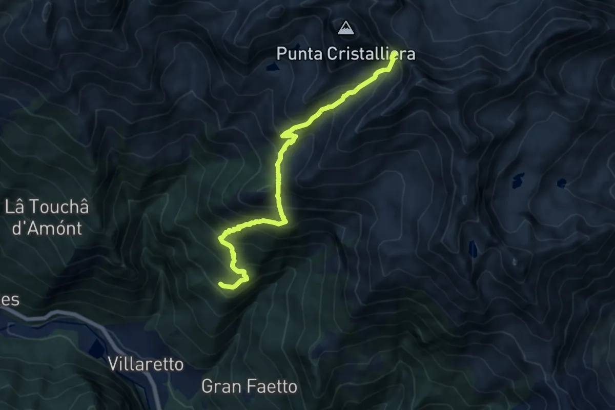
Demanding · Trail
Seleiraut, bivio TOS301-TOS340 – Colle di Prà Reale
10.6 km · ↑ 1018 m · 4 h 43 min
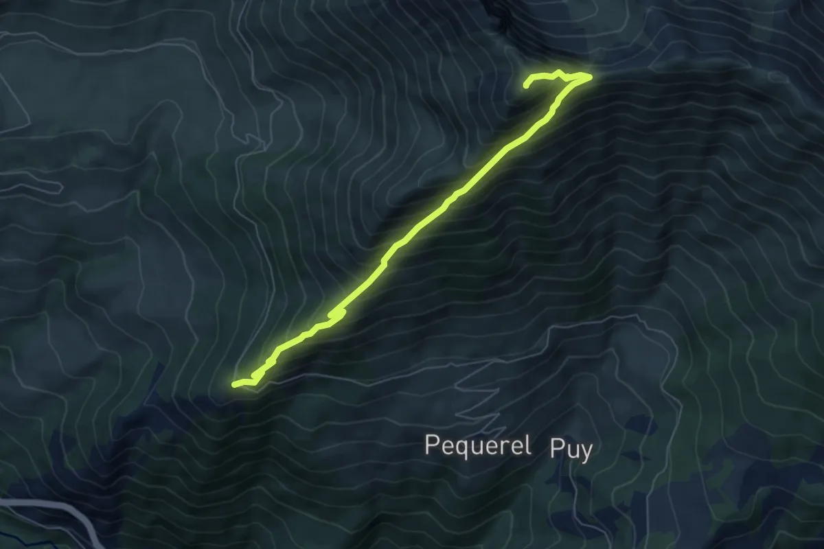
Demanding · Summit
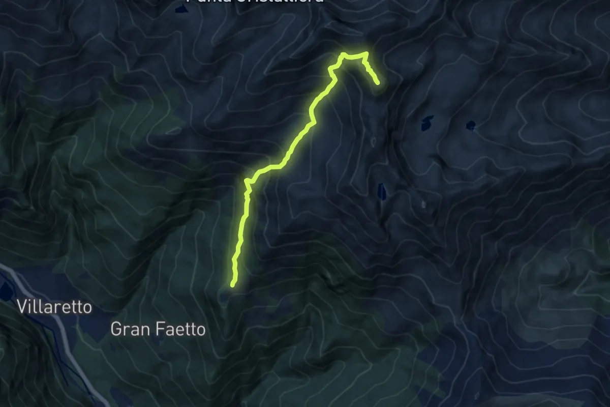
Fenestrelle, Forte Serre Marie – Monte Pelvo
6.7 km · ↑ 877 m · 3 h 29 min
Demanding · Summit
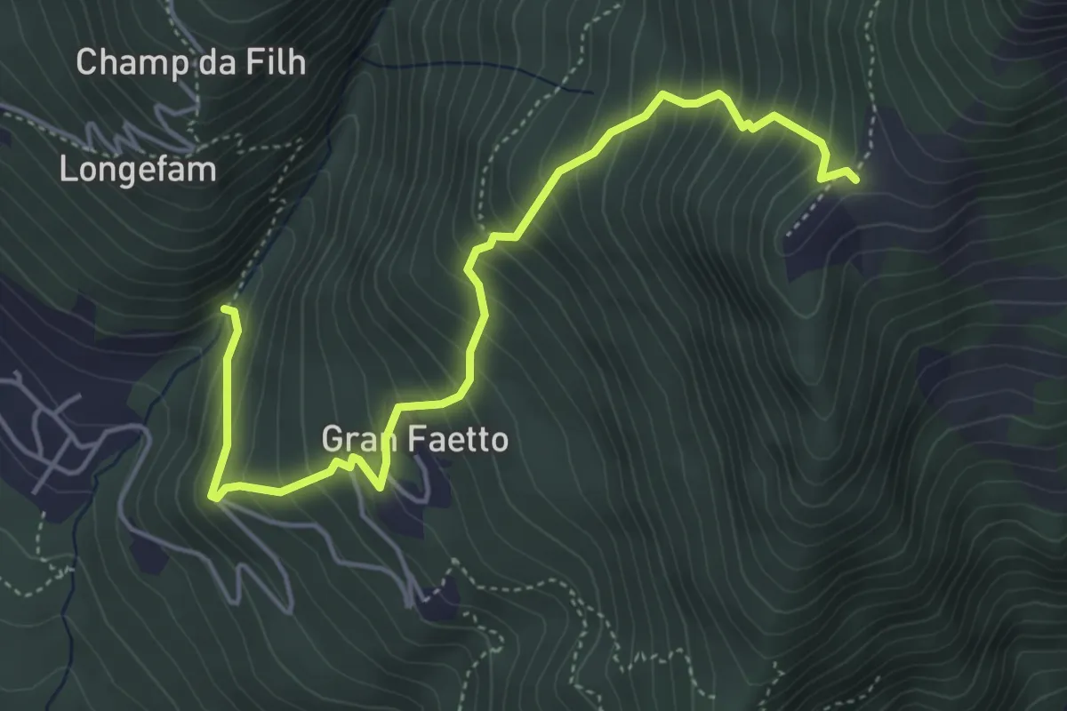
Prato del Colle – Monte Robinet, Cappella della Madonna degli Angeli, bivio TOS341-TOS440
8.8 km · ↑ 995 m · 4 h 14 min
Medium · Trail
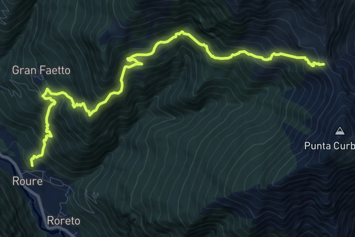
Bivio TOS301-TOS341A presso Gran Faetto – Prato del Colle, bivio TOS341-TOS341A
5.2 km · ↑ 628 m · 2 h 35 min
Demanding · Trail
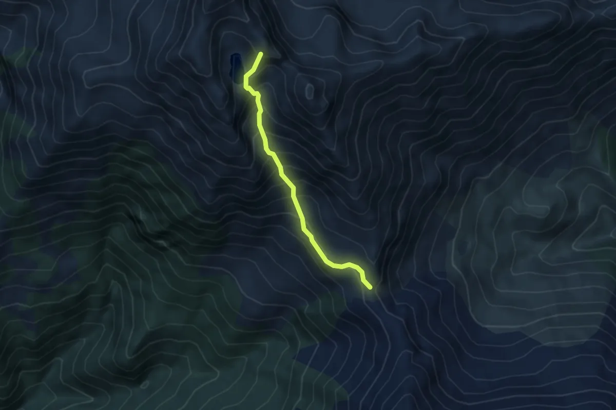
Balma, bivio TOS301TOS342 – Colle La Roussa, bivio TOS342-TOS364
13.7 km · ↑ 1276 m · 6 h
Demanding · Trail
Presso Lago Ruen, bivio TOS440-TOS364 – Colle La Roussa, bivio TOS364-TOS440
4.2 km · ↑ 512 m · 2 h 6 min
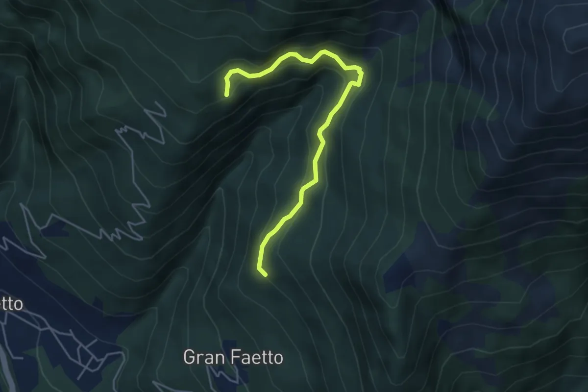
Demanding · Trail
Borgata Albournu – Serre de Bouc (biv.340)
4.4 km · ↑ 382 m · 1 h 52 min
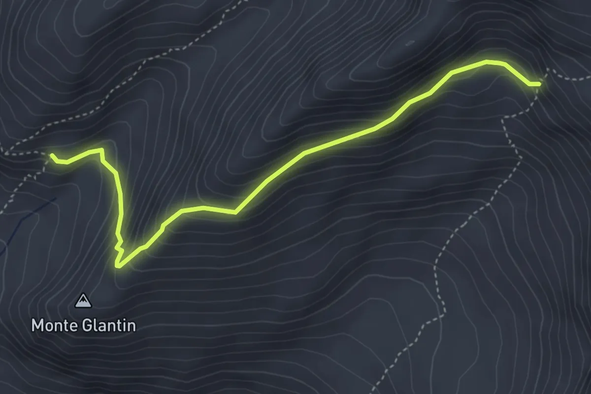
Expert · Trail
Lago Laus, bivio TOS366-TOS339A – Monte Rocciavré, bivio TOS341-TOS366
4.7 km · ↑ 396 m · 1 h 58 min
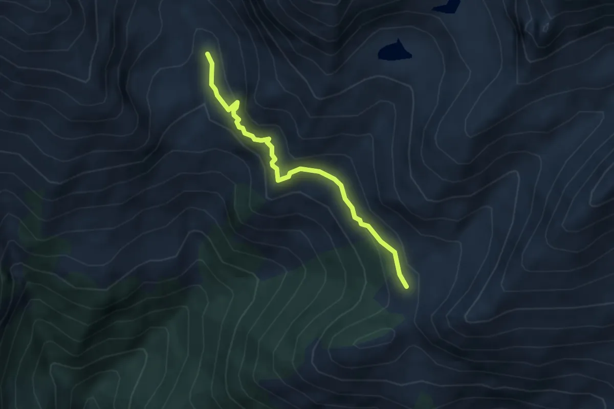
Expert · Trail
Roure, bivio TOS337-TOS367 presso Rifugio Selleries – Roure, bivio TOS367-TOS340
4.0 km · ↑ 210 m · 1 h 25 min
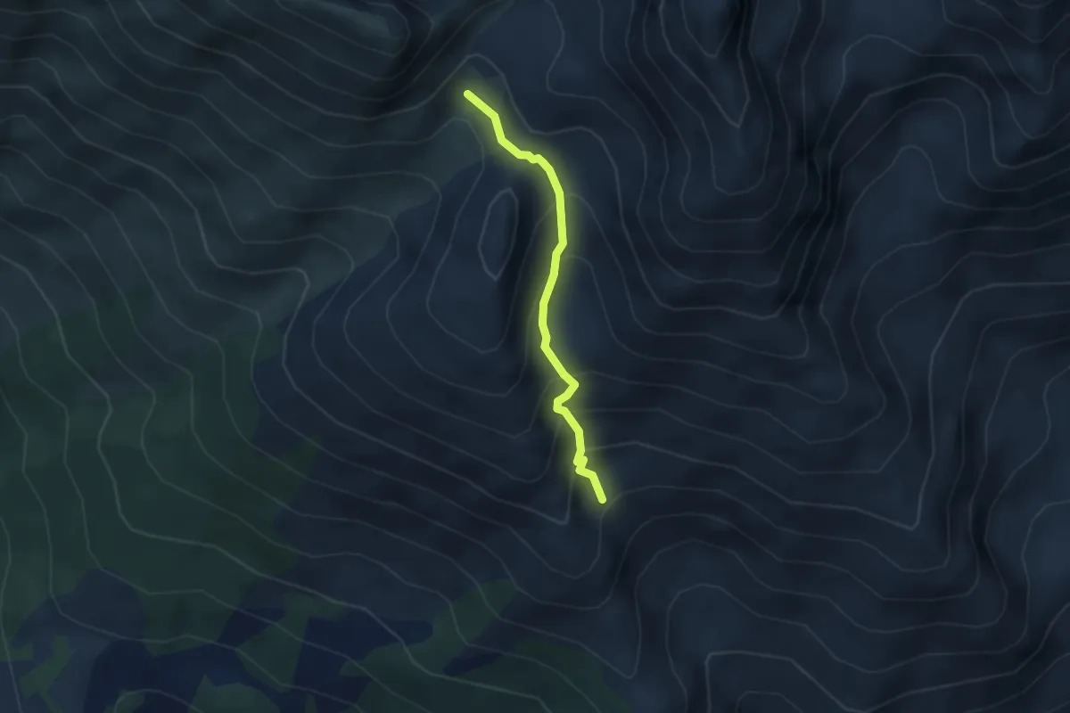
Medium · Trail
Saret del Campo, bivio TOS368-TOS337A – Bivio TOS335-TOS368
2.9 km · ↑ 280 m · 1 h 18 min
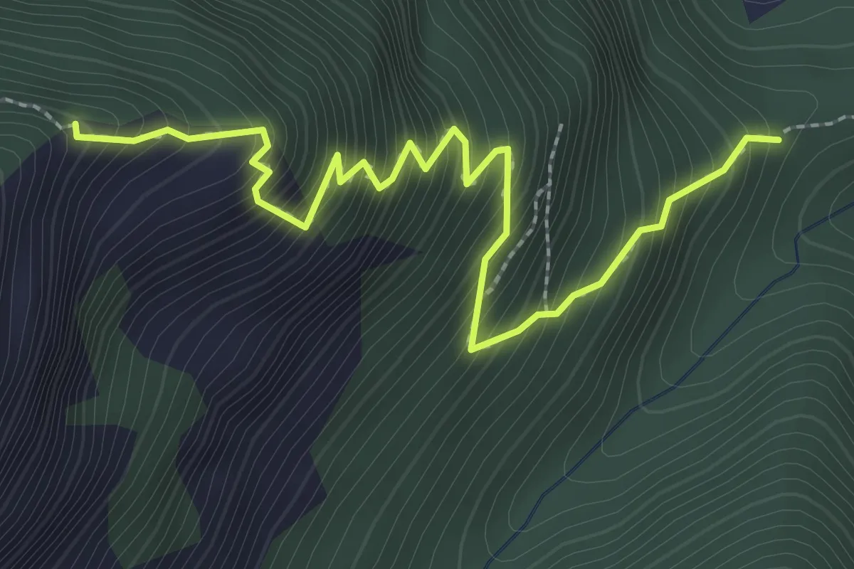
Medium · Trail
Fenestrelle, Ridotta Carlo Alberto, bivio 313-371 – Ridotta d'Andourn
3.1 km · ↑ 476 m · 1 h 45 min
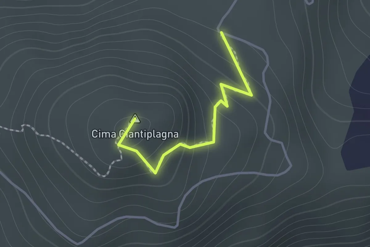
Medium · Summit
Bivio TOS373-TOS373A presso Cima Ciantiplagna – Bivio TOS373-TOS373A
1.1 km · ↑ 98 m · 28 min
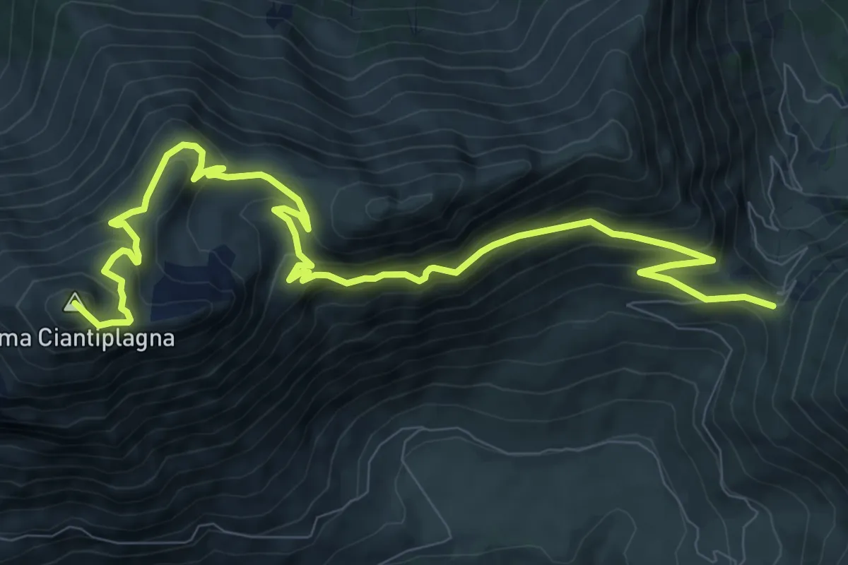
Demanding · Summit
Colle delle Finestre – Usseaux, Colle dell'Assietta, bivio TOS302-TOS827-TOS373-TOS331
12.8 km · ↑ 866 m · 4 h 54 min
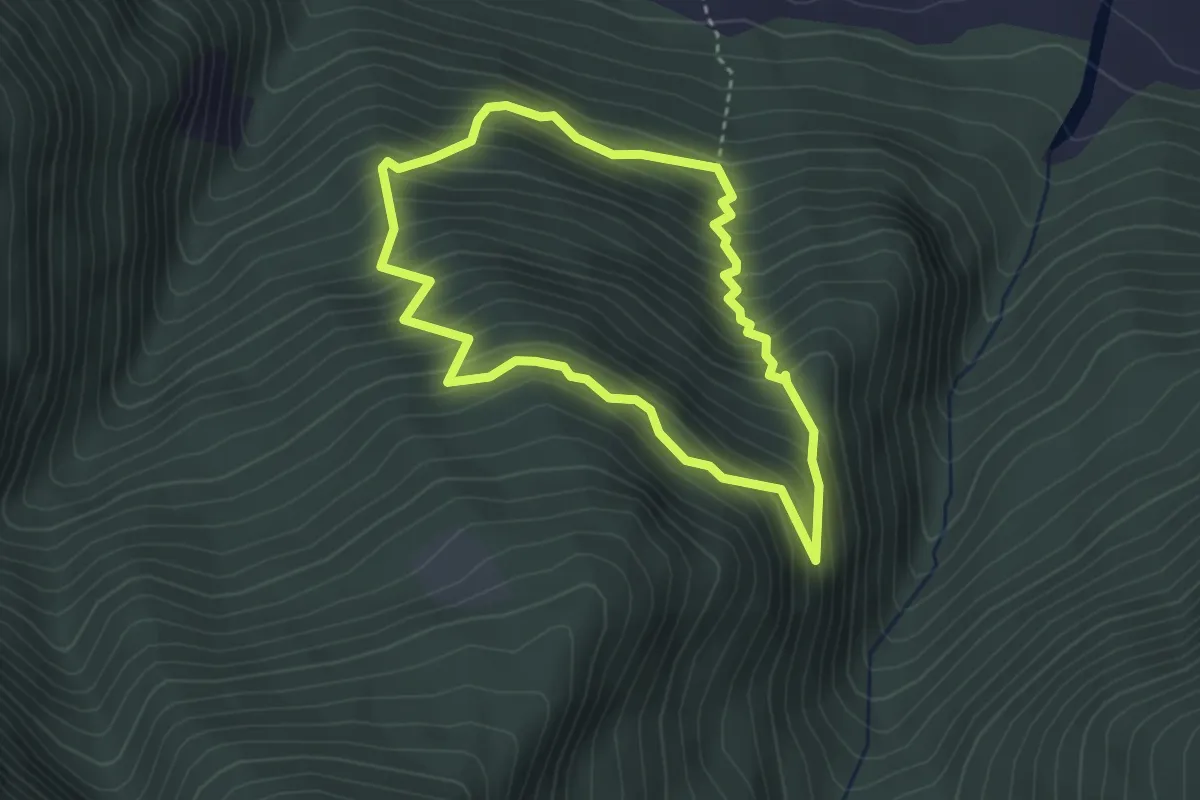
Medium · Trail
Chambons (biv. 303) – Selva di Chambons
3.1 km · ↑ 348 m · 1 h 31 min
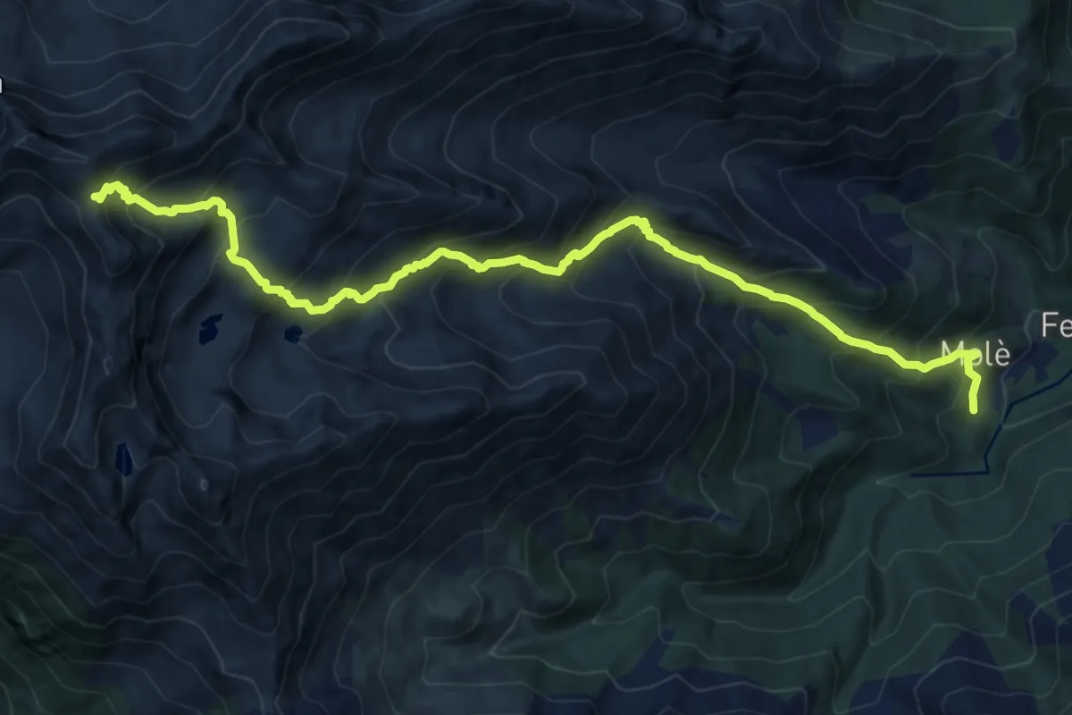
Demanding · Trail
Forno di Coazze, Borgata Molé, bivio TOS415 – Colletto Robinet, bivio TOS341-TOS415
15.7 km · ↑ 1573 m · 7 h 6 min
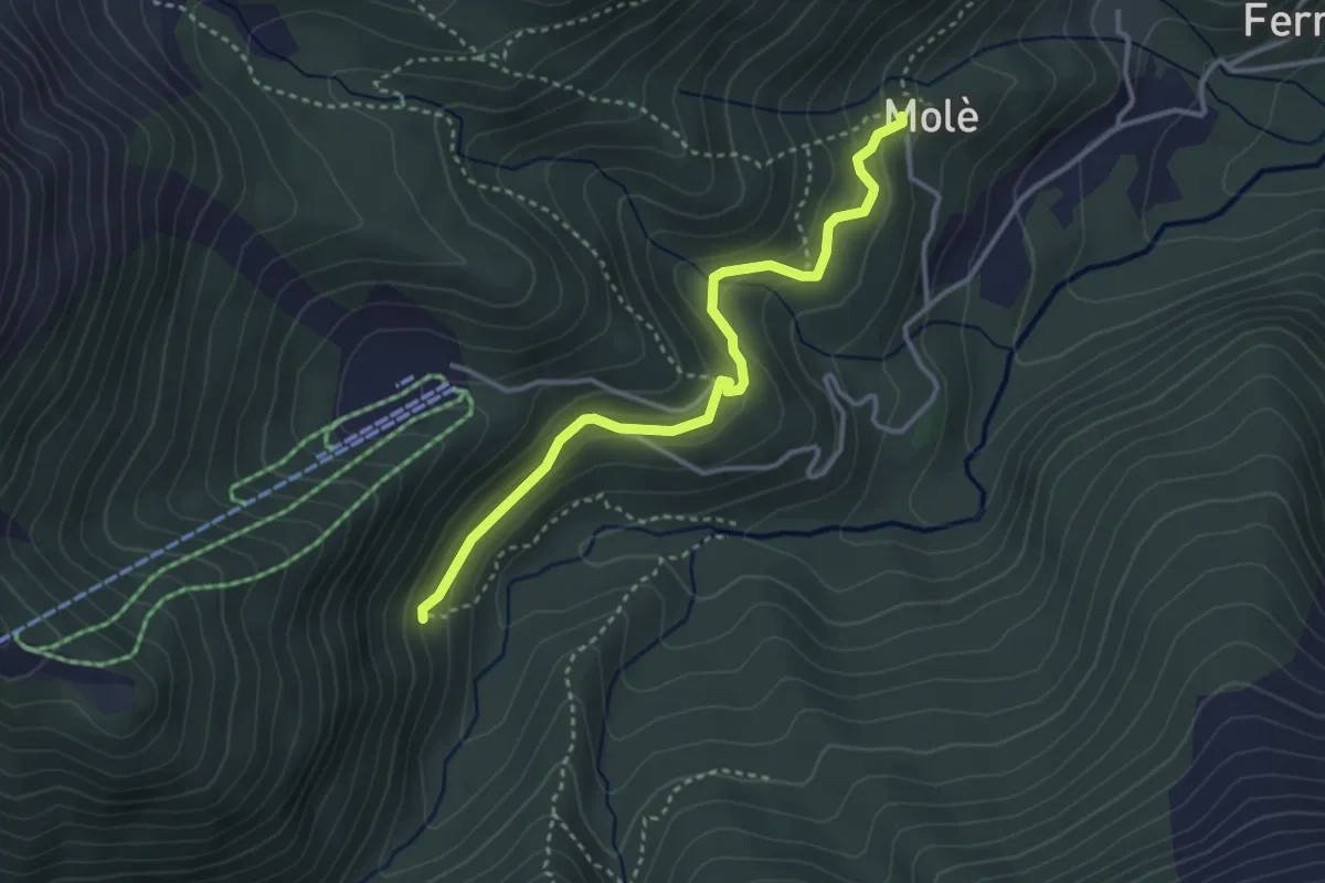
Medium · Trail
Mole' (Bivio 415) – Presa Ruffino (Bivio 414A)
3.5 km · ↑ 167 m · 1 h 11 min
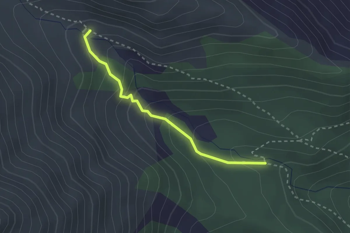
Medium · Trail
Coazze, Rio della Balma, bivio TOS415B-TOS415C – Bivio TOS415-TOS415C
2.2 km · ↑ 178 m · 54 min
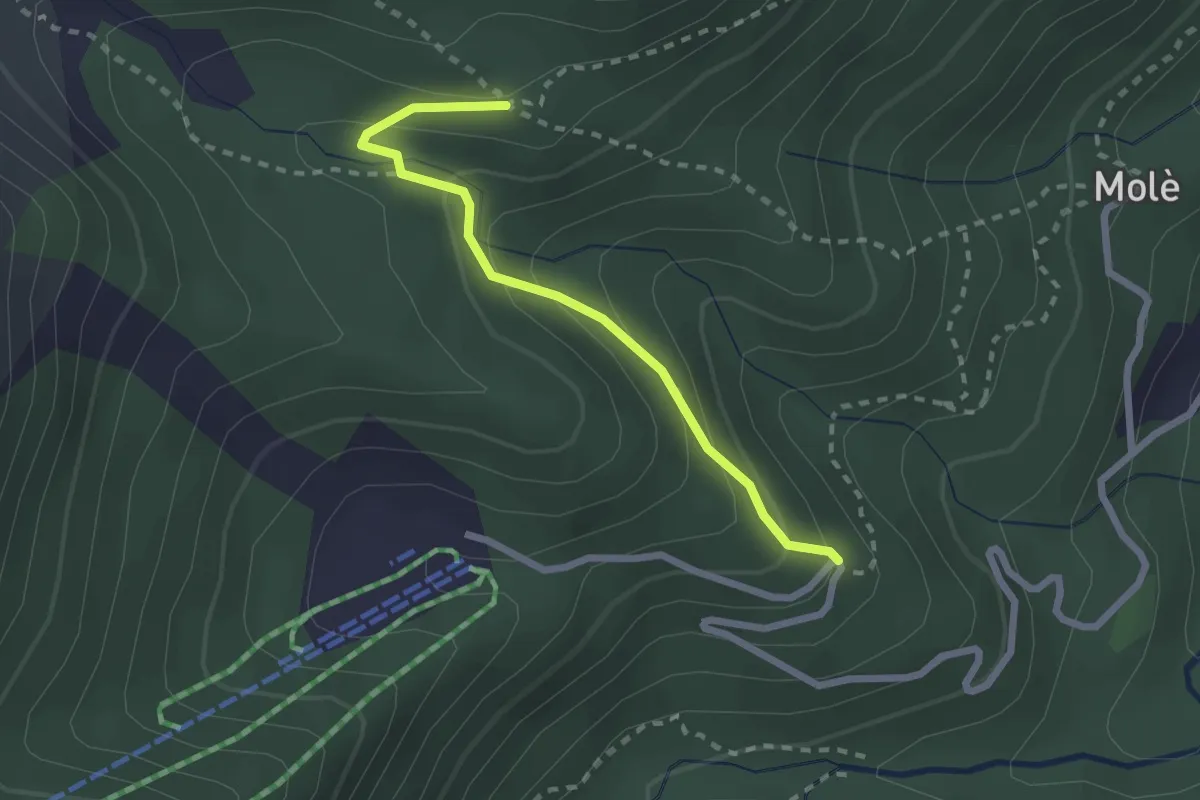
Medium · Trail
Coazze, Cara t'Aie', bivio TOS415D-TOS415A – Coazze, bivio TOS415-TOS415D
2.3 km · ↑ 163 m · 54 min
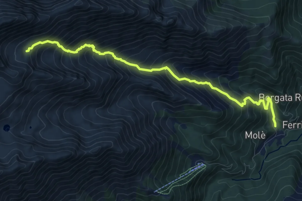
Demanding · Trail
Forno di Coazze, Borgata Prialli – Piano di Pian Reale, bivio TOS416-TOS418
12.4 km · ↑ 1216 m · 5 h 33 min
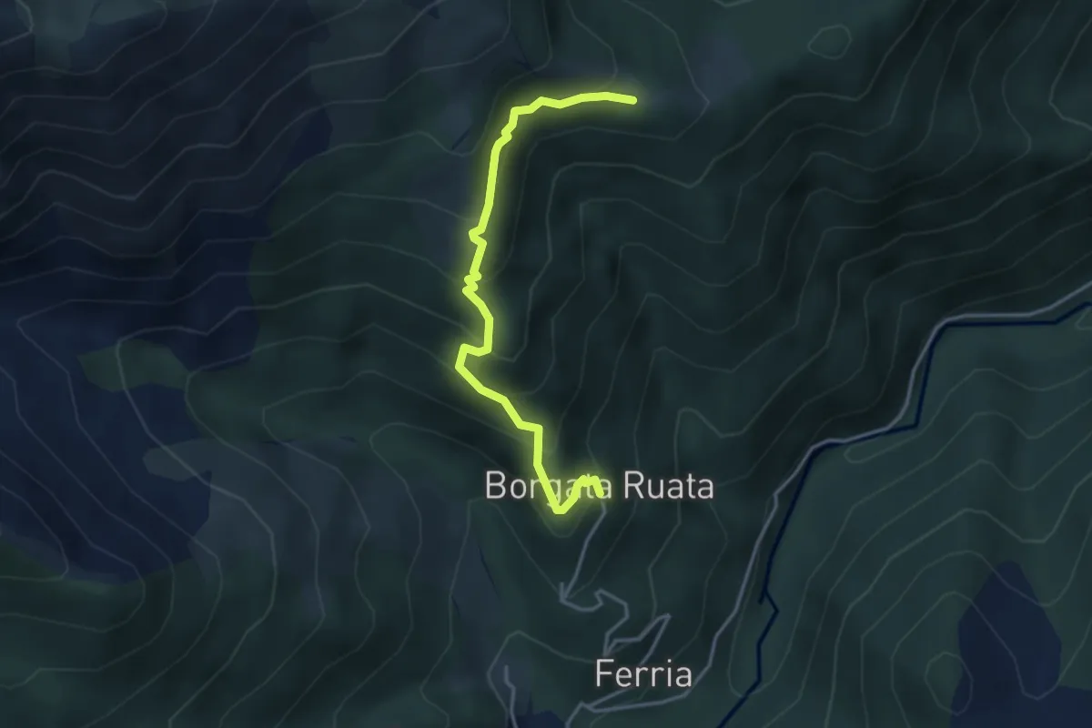
Medium · Cabin
Forno di Coazze, Borgata Rualla – Forno di Coazze, Borgata Ciargiur di Mezzo, Rifugio Coazze
3.7 km · ↑ 340 m · 1 h 37 min
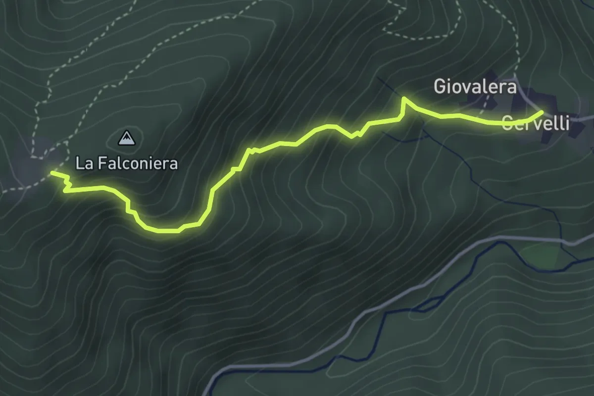
Medium · Trail
Cervelli di Coazze (Bivio 418) – Ciargiur (Bivio 418)
3.9 km · ↑ 431 m · 1 h 52 min
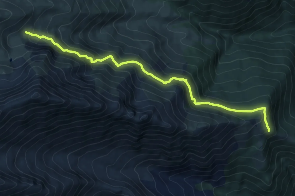
Medium · Trail
Presa d'Agliè, bivio TOS418-TOS419 – Alpe di Giaveno superiore, bivio TOS419-TOS433
9.5 km · ↑ 659 m · 3 h 40 min
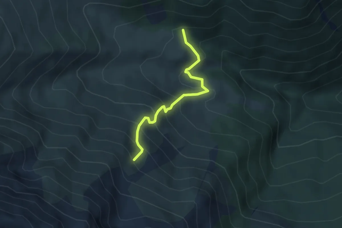
Medium · Trail
Bivio TOS419A-TOS420 presso Roch del Gias – Coazze, Loc. Pian di Pieia, bivio TOS419-419A
3.5 km · ↑ 355 m · 1 h 36 min
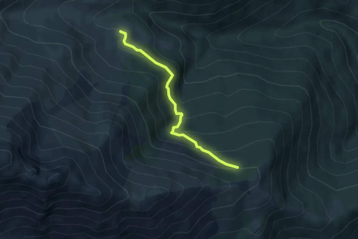
Easy · Trail
Roch Jermu, bivio 419A-419B – Palé, bivio 419-419B
3.9 km · ↑ 262 m · 1 h 29 min
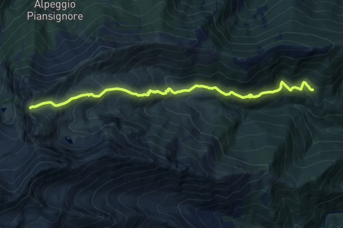
Demanding · Trail
Coazze, Borgata Tonda, bivio TOS420-TOS446 – Colle del Vento, bivio TOS420-TOS444-TOS506
14.2 km · ↑ 1295 m · 6 h 9 min
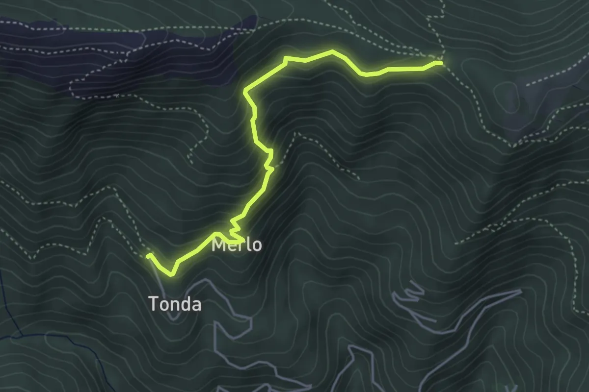
Medium · Trail
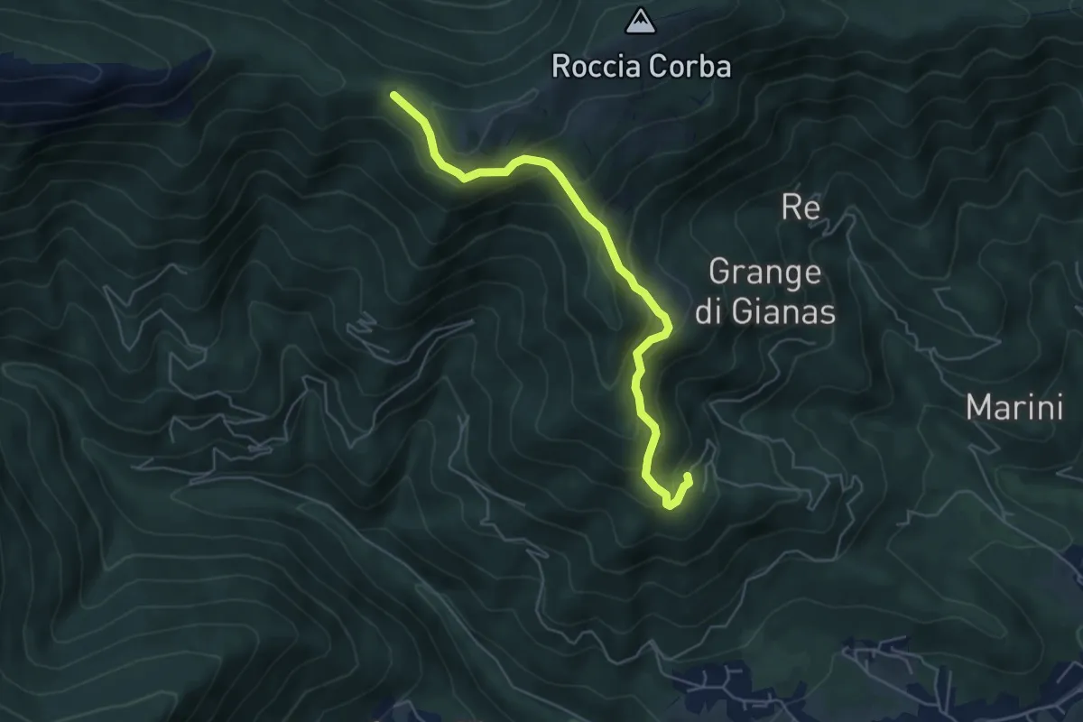
Coazze, Borgata Tonda, bivio TOS420-TOS422 – Colle Bione, bivio TOS435-TOS422-TOS505
4.3 km · ↑ 332 m · 1 h 45 min
Medium · Trail
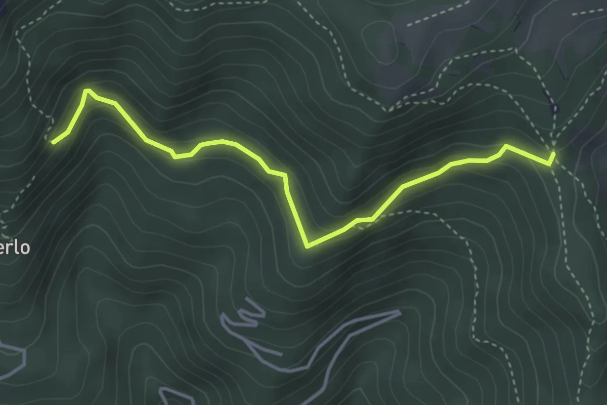
Mattonera, Grangia Melia – Bivio 425-435, Colle Bione
5.4 km · ↑ 357 m · 2 h 3 min
Medium · Trail
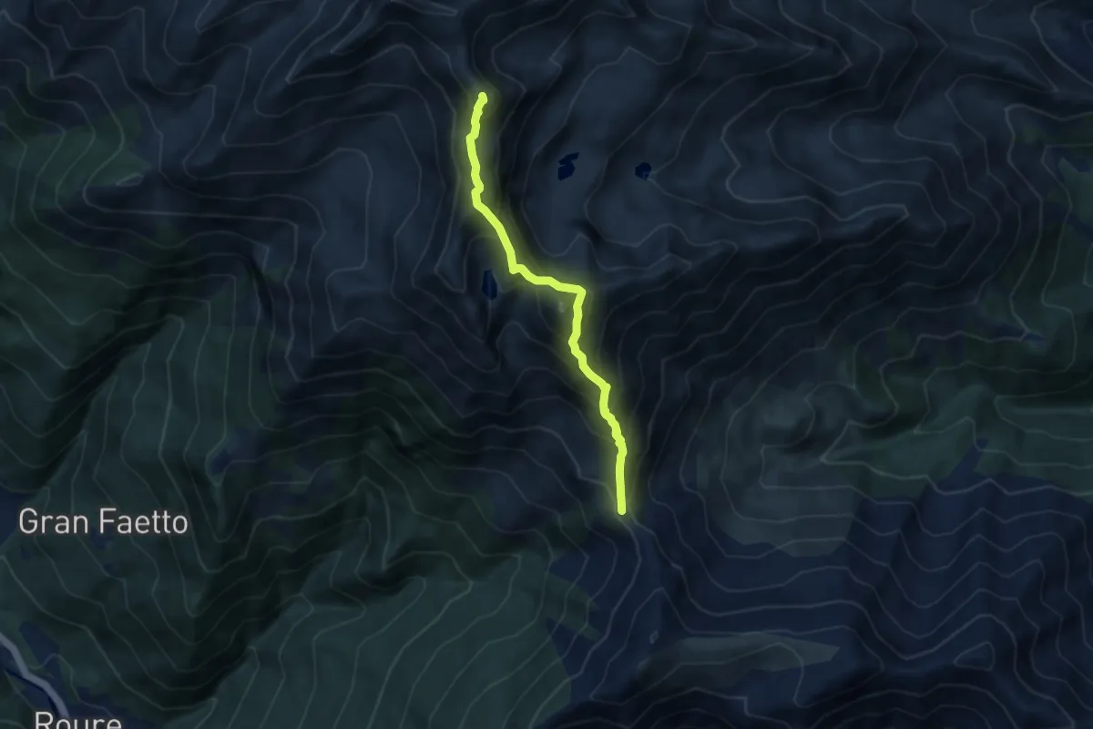
Bivio TOS425-TOS425B – Bivio TOS422-TOS425B
3.8 km · ↑ 232 m · 1 h 24 min
Demanding · Summit
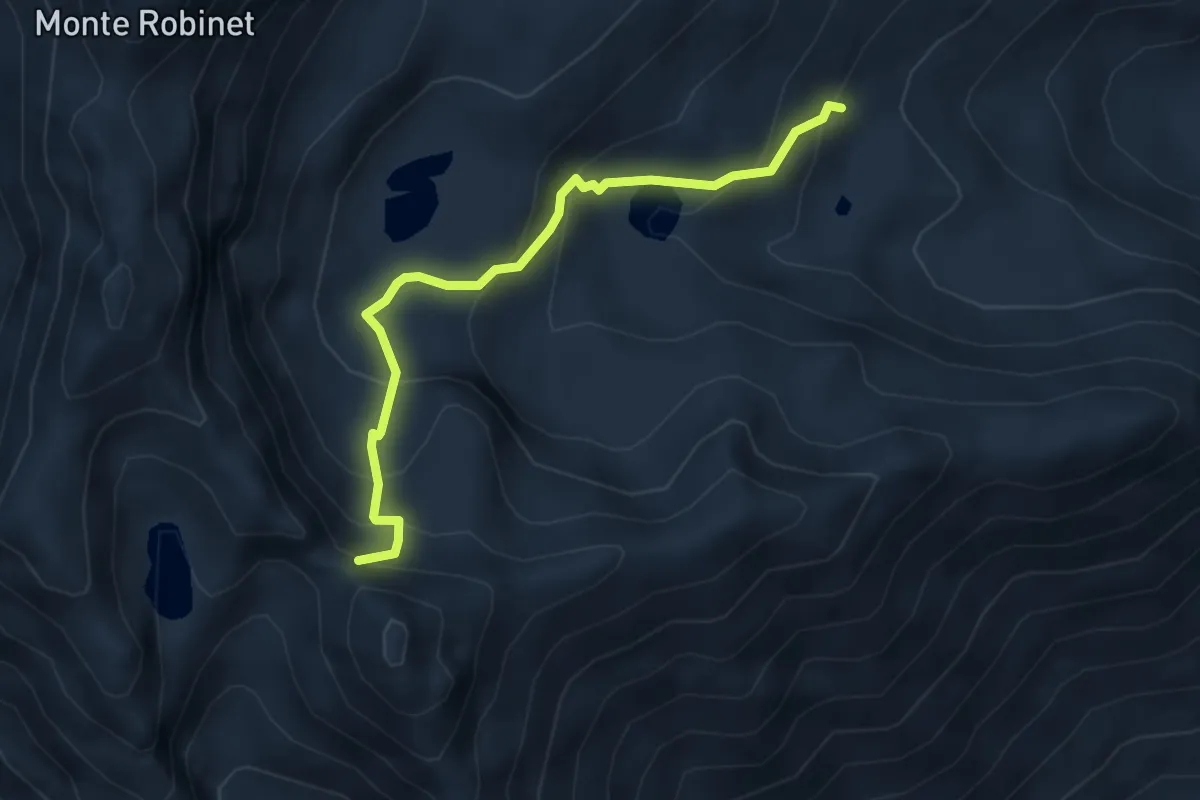
Colle La Roussa, bivio TOS414-TOS440 – Monte Robinet, Capp. della Madonna degli Angeli, bivio TOS341-TOS440
7.4 km · ↑ 801 m · 3 h 29 min
Medium · Trail
Bivio presso Rifugio Balma, TOS441-TOS415 – Colletto Balma, presso Punta del Lago, bivio TOS440-TOS441
4.1 km · ↑ 352 m · 1 h 44 min
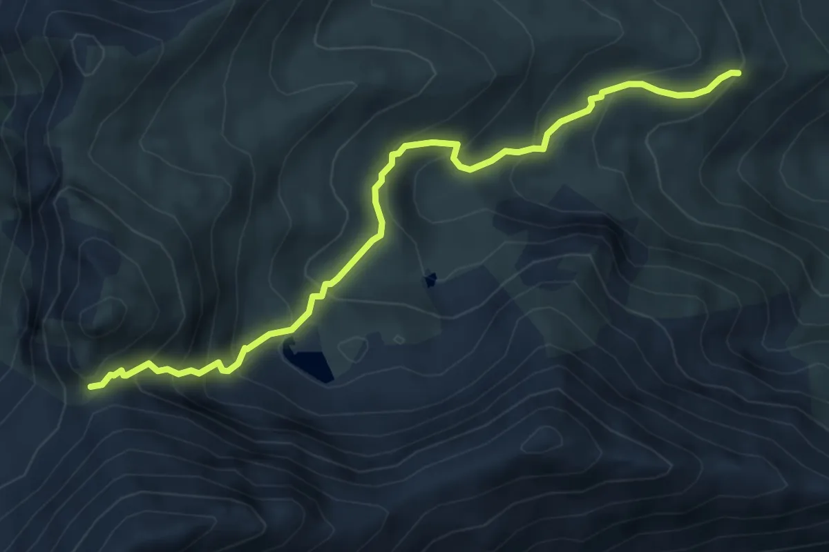
Medium · Trail
Punta Costabruna, bivio TOS443-TOS444 – Presso Alpe Giaveno, bivio TOS420-TOS433
6.0 km · ↑ 542 m · 2 h 35 min
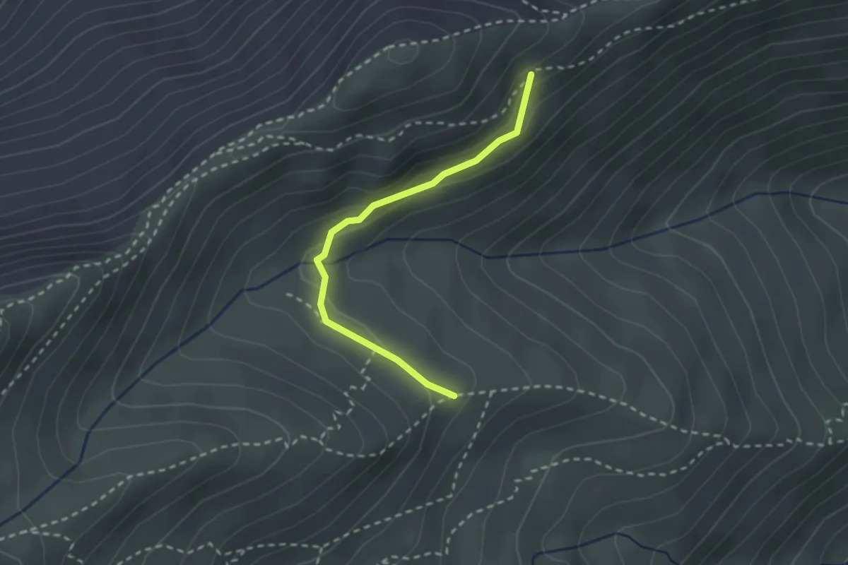
Medium · Trail
Costa Ciapeira, presso Alpe di Giaveno, bivio TOS420-TOS445 – Fontana di Noun-a, bivio TOS435-TOS445
2.4 km · ↑ 71 m · 43 min
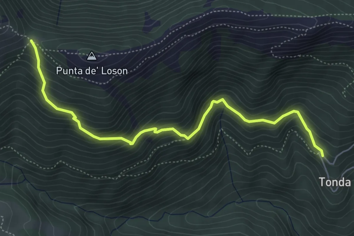
Medium · Trail
Coazze, Borgata Tonda, bivio TOS420-TOS446 – Coazze, Colle Ben Mulè, bivio TOS420A-TOS435-TOS446
5.8 km · ↑ 515 m · 2 h 29 min
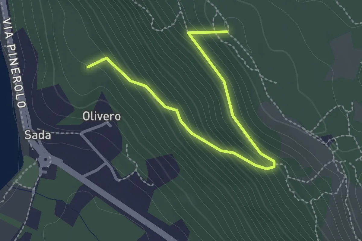
Medium · Summit
Bivio TOS451-TOS451B – Colle del Bal dl'e Masche, Bivio TOS451B-TOP201B
2.8 km · ↑ 182 m · 1 h 3 min
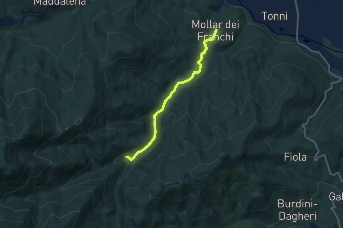
Easy · Trail
Giaveno, Mollar dei Franchi – Case Galletto, bivio TOS450-TOS452-TOS452A
6.4 km · ↑ 164 m · 1 h 52 min
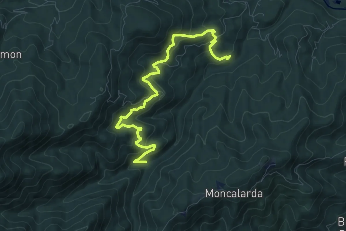
Medium · Trail
Bivio TOS452-TOS452A presso Borgata Gentina – Case Galletto, bivio TOS450-TOS452-TOS452A
10.1 km · ↑ 661 m · 3 h 49 min
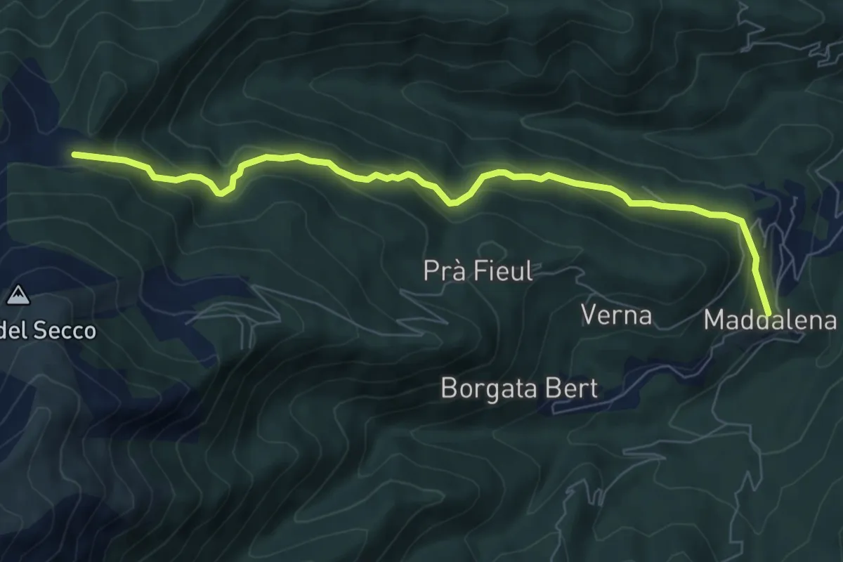
Medium · Trail
Giaveno, Borgata Maddalena – Giaveno, Colletto del Forno, bivio TOS453-TOS413
7.8 km · ↑ 382 m · 2 h 41 min
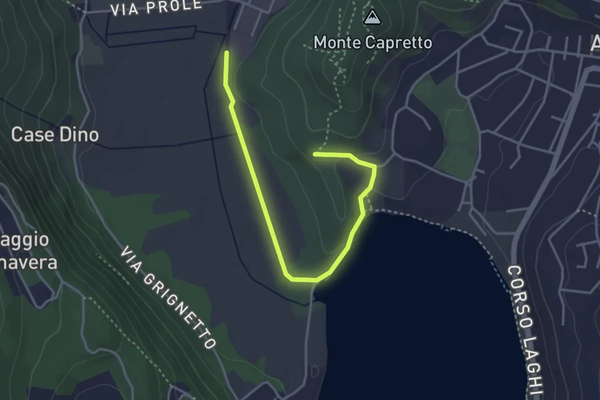
Easy · Trail
Avigliana, Pilone di San Michele, bivio TOS501-TOS501B – Bivio TOS501-TOS501B
3.7 km · ↑ 56 m · 1 h
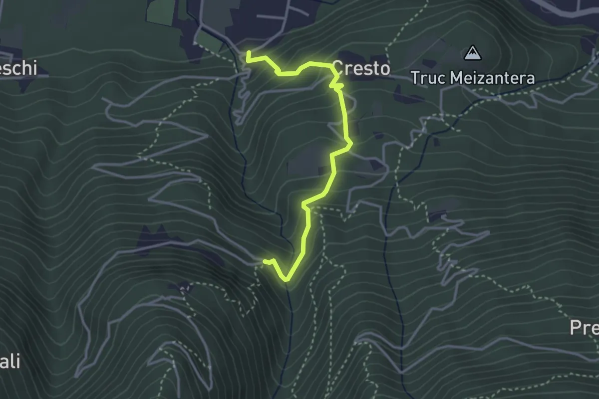
Medium · Trail
Località Maisonetta, bivio TOS505-TOS505A – Località Couloumbata, bivio TOS505-TOS505A
3.2 km · ↑ 300 m · 1 h 24 min
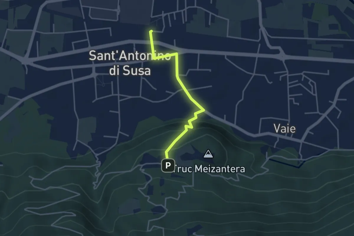
Medium · Trail
S. Antonino (stazione) – S. Antonino di Susa, loc. Cresto, bivio TOS505A-TOS505B
3.2 km · ↑ 162 m · 1 h 6 min
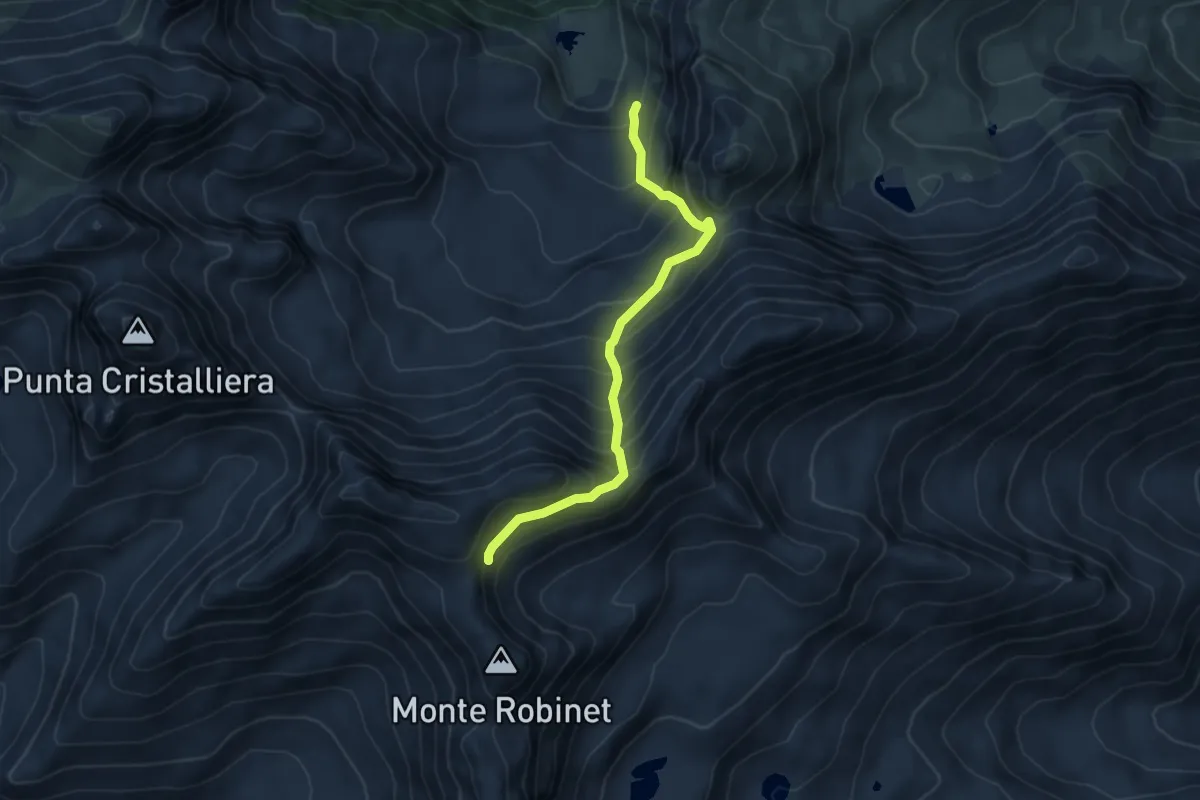
Medium · Trail
Lago Rosso, bivio TOS506-TOS506A – Presso Colle del Robinet, bivio TOS415-TOS506A
5.4 km · ↑ 654 m · 2 h 41 min
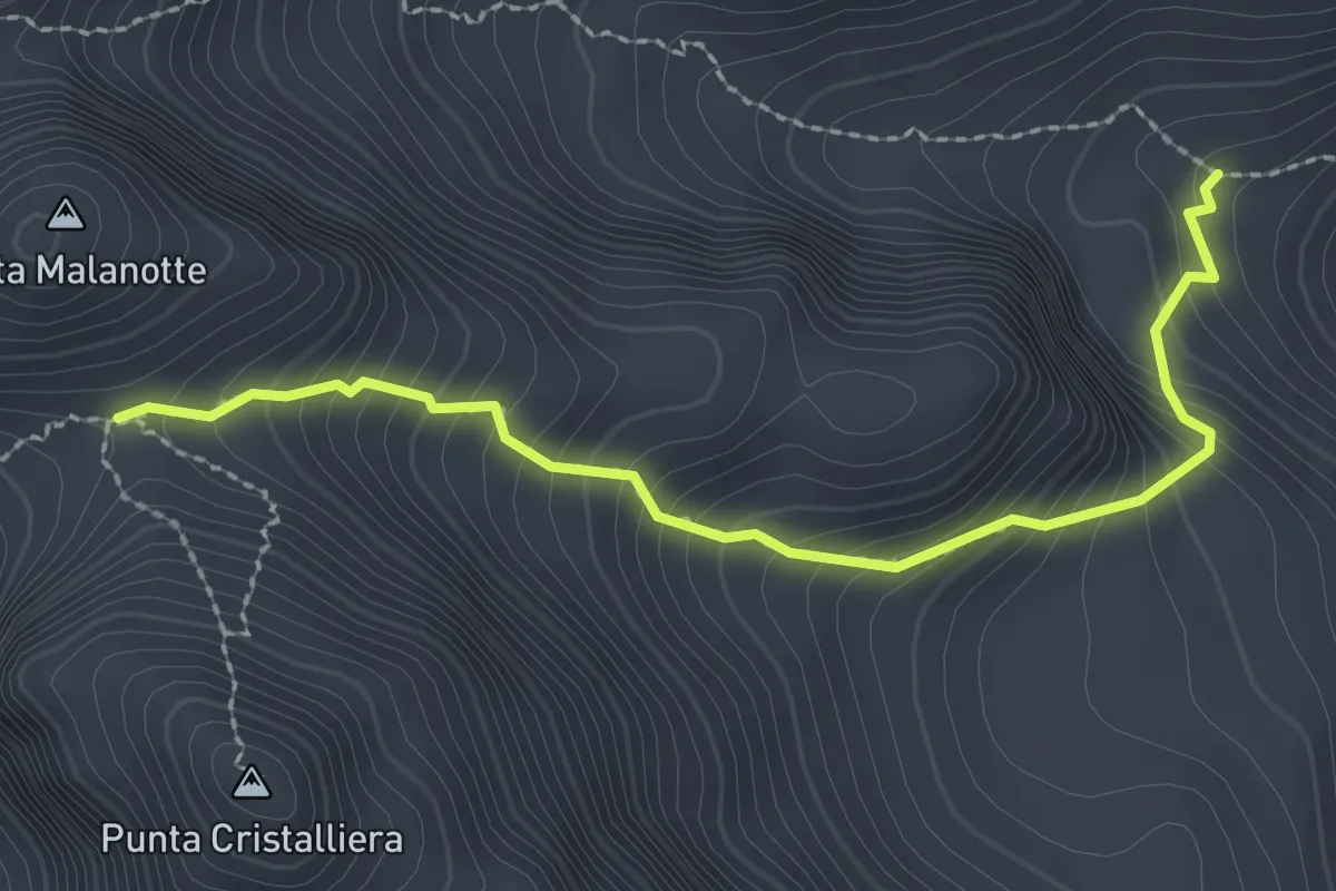
Demanding · Trail
Fontana di Cassafrera, bivio TOS507-TOS508 – Colle superiore di Malanotte, bivio TOS339-TOS507
2.6 km · ↑ 336 m · 1 h 21 min
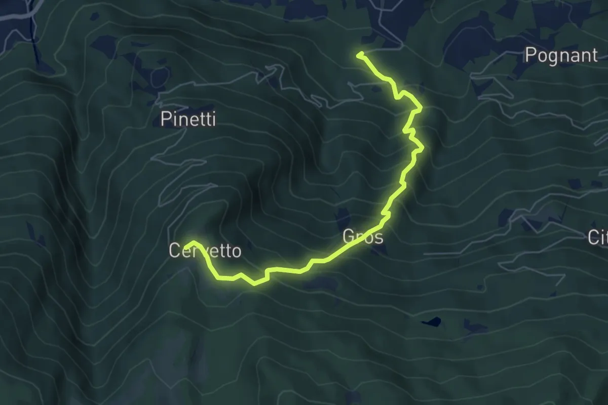
Medium · Trail
Presso Grangia delle Alpi, bivio TOS510B-TOS526 – Cappella di Cervetto, bivio TOS510-TOS510B
6.4 km · ↑ 629 m · 2 h 53 min
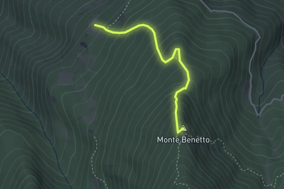
Medium · Summit
Pra la Grangia, bivio TOS514-TOS514A – Monte Benetto, bivio TOS514A-TOS525
3.0 km · ↑ 376 m · 1 h 32 min
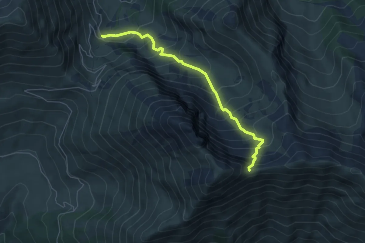
Medium · Trail
Meana di Susa, Pian del Tiraculo, bivio TOS515-TOS515A – Fenestrelle , Colletto del Pelvo, bivio TOS515A-TOS369
5.4 km · ↑ 651 m · 2 h 41 min
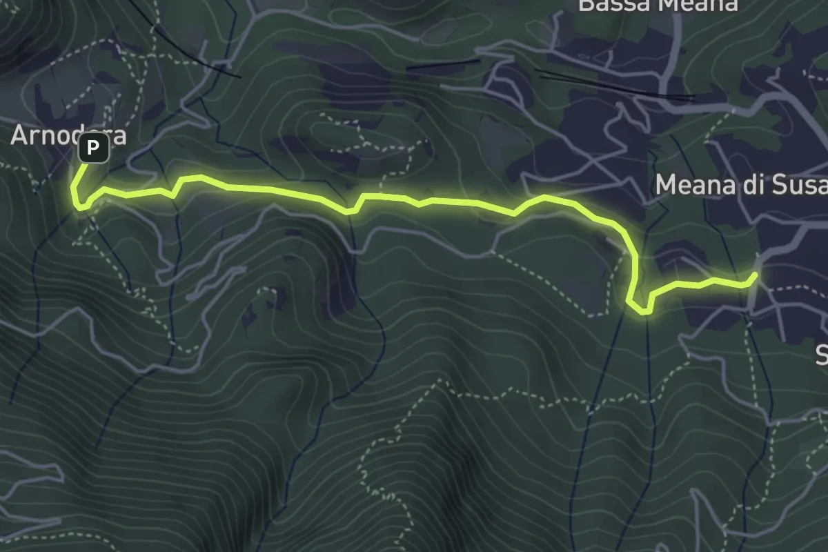
Easy · Trail
Arnodera, bivio TOS515B-TOS527C – Meana loc. Biochiasse, bivio TOS515B-TOS515
5.0 km · ↑ 159 m · 1 h 31 min