Trails in Italy
25,219 hiking trails, each with its route, climb, walking time and grade.
All trails, page 414 of 526
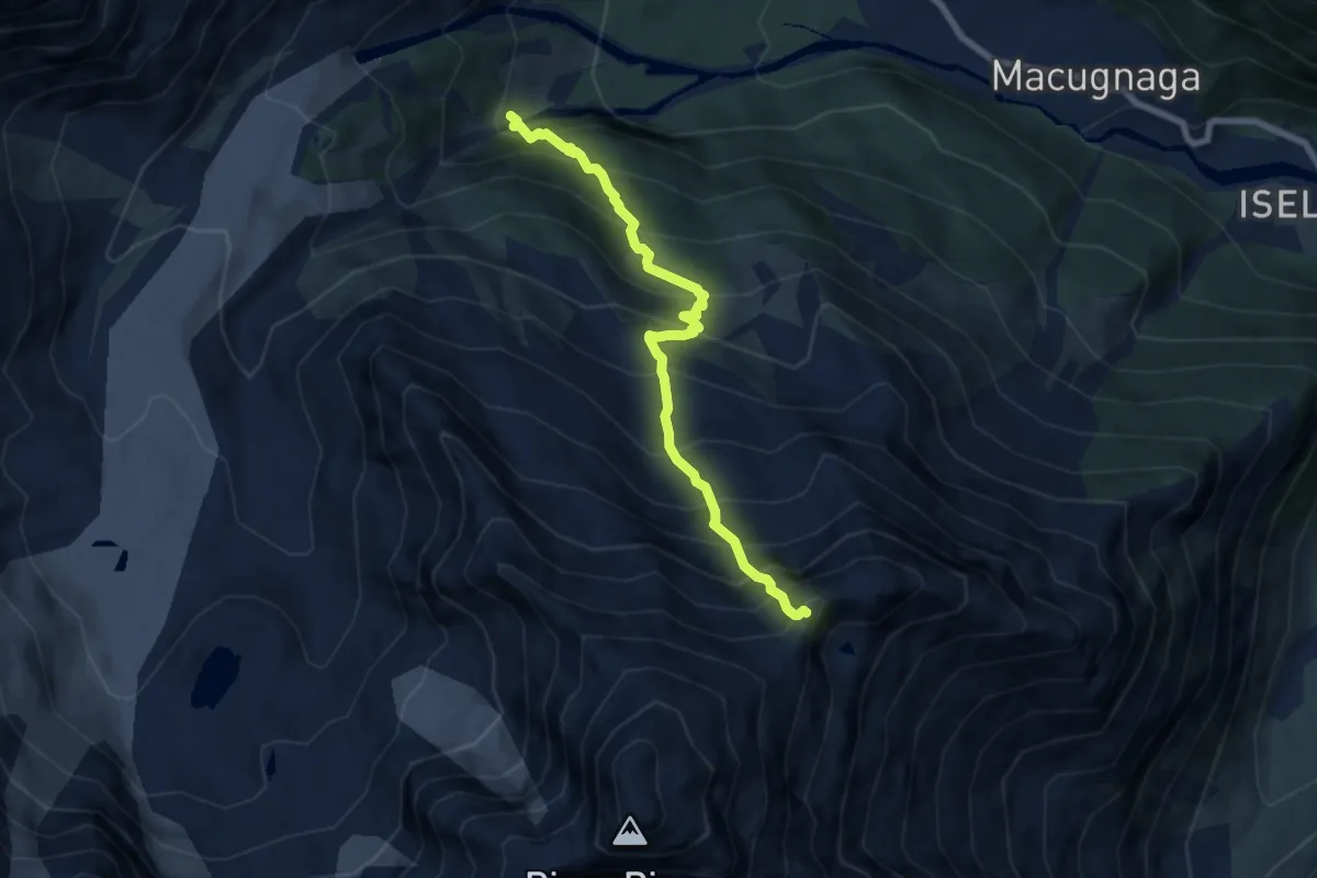
Demanding · Trail
Alpe Burki – Colletto del Pizzo Nero
7.2 km · ↑ 1119 m · 4 h 7 min
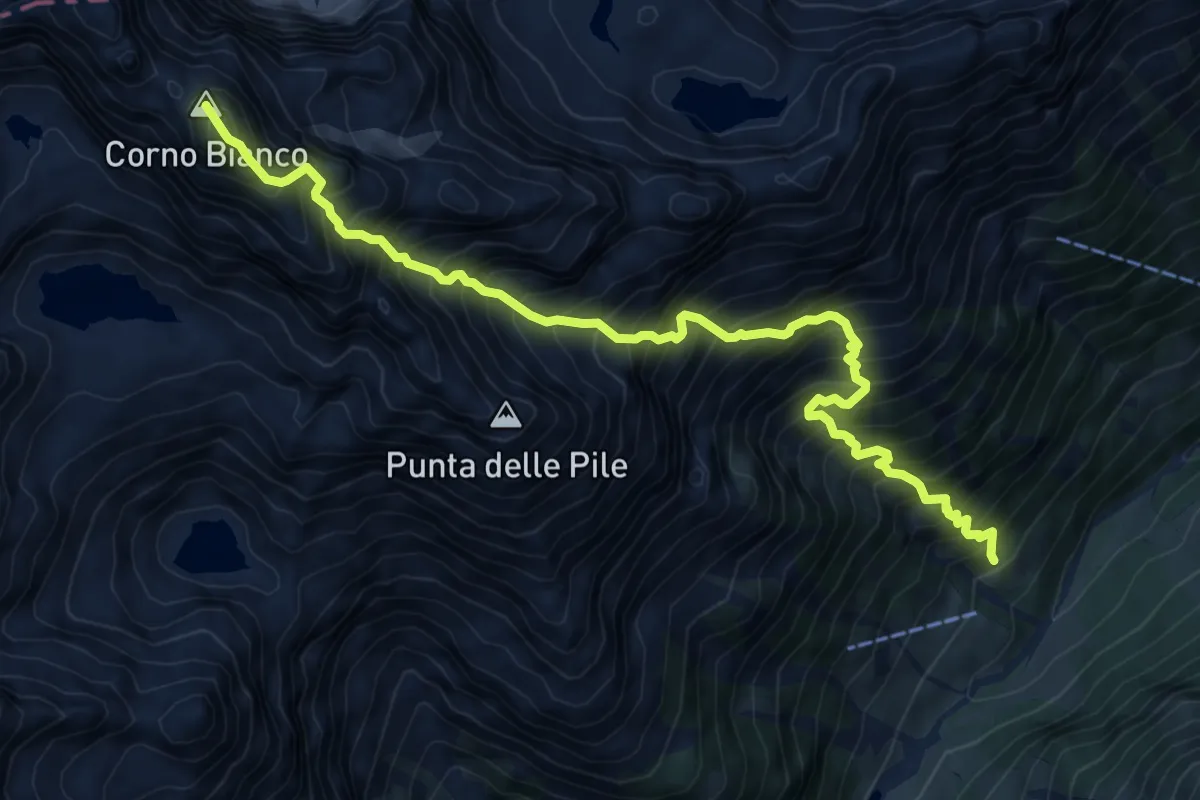
Expert · Summit
Cambiaveto – Riva Valdobbia, Bocchetta del Forno, bivio VCA202-VCA211
9.4 km · ↑ 1814 m · 6 h 9 min
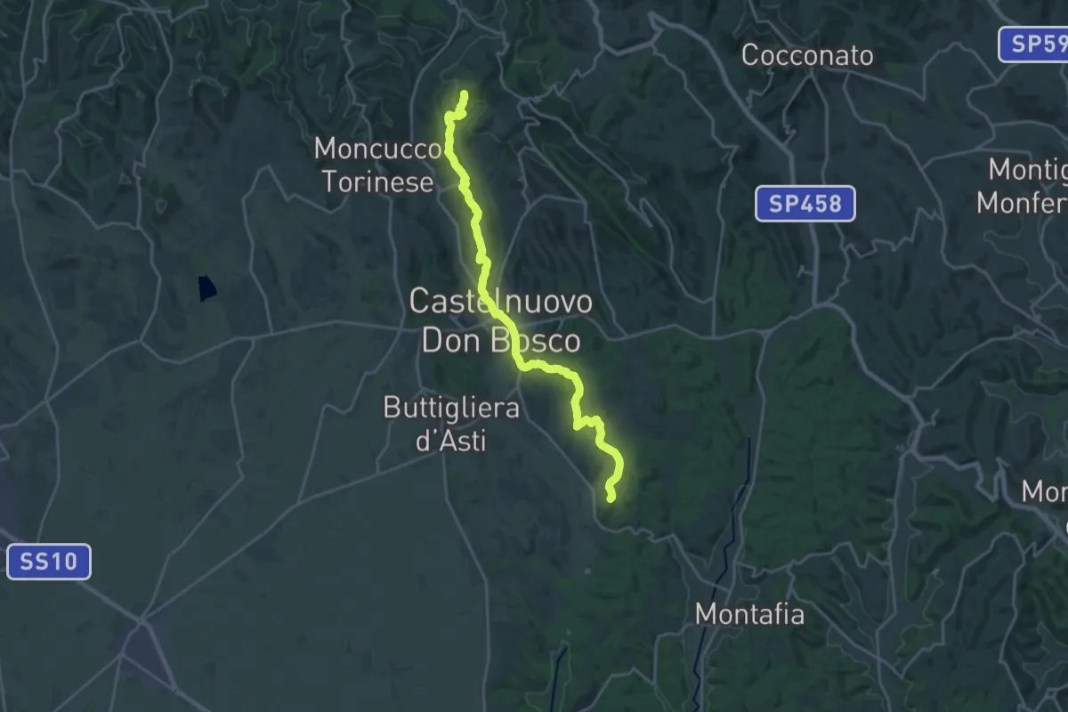
Demanding · Trail
Santuario Frazione Becchi, bivio ATN101-ATN121 – Madonna di Vezzolano, bivio ATN100-ATN101
22.1 km · ↑ 512 m · 6 h 19 min
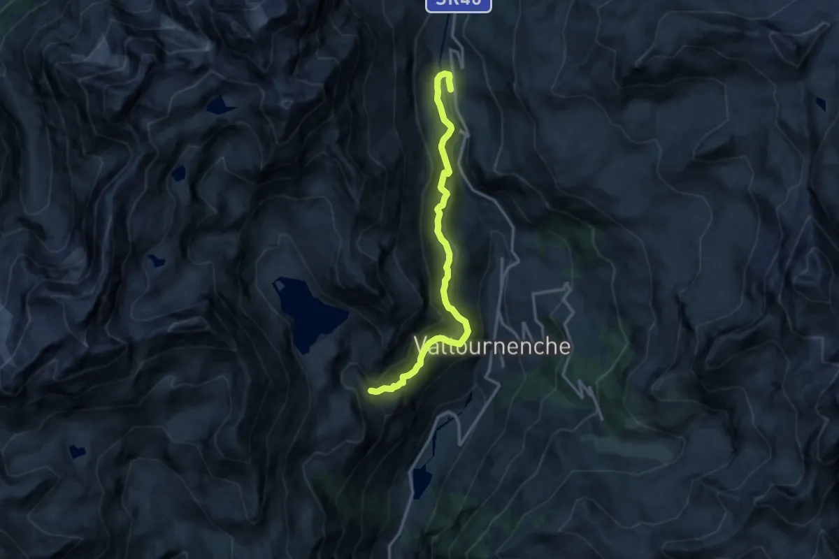
Demanding · Trail
Perrères – Falegnon
12.5 km · ↑ 819 m · 4 h 44 min
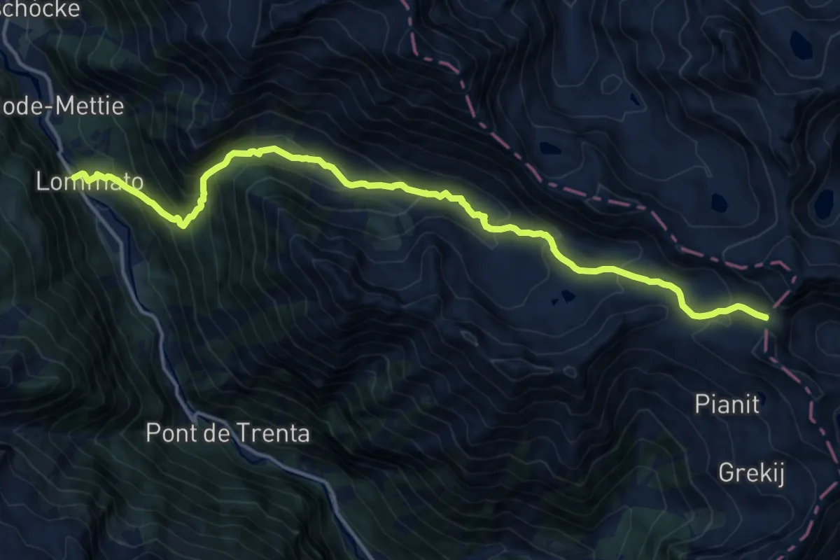
Demanding · Trail
Steina – Passo di Loo
16.1 km · ↑ 1155 m · 6 h 18 min
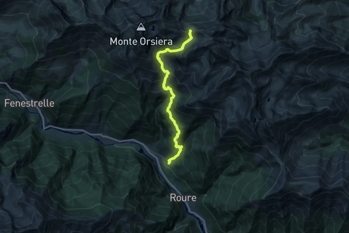
Demanding · Trail
Roure Borgata Gleisolle bivioTOS337-TOS301 – Colle del Sabbione, bivio TOS337-TOS338-TOS510
16.7 km · ↑ 1597 m · 7 h 24 min
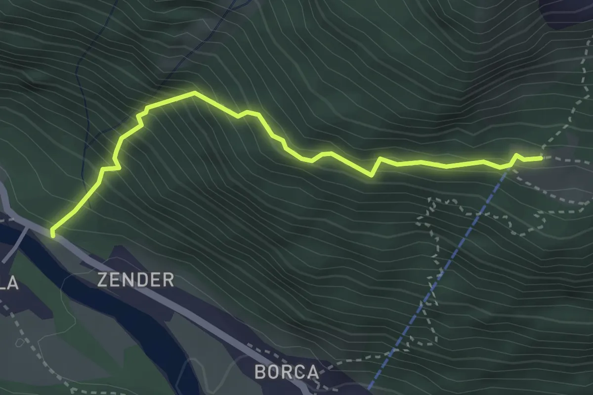
Demanding · Trail
Isella – Alpe Cicerwald
3.2 km · ↑ 466 m · 1 h 46 min
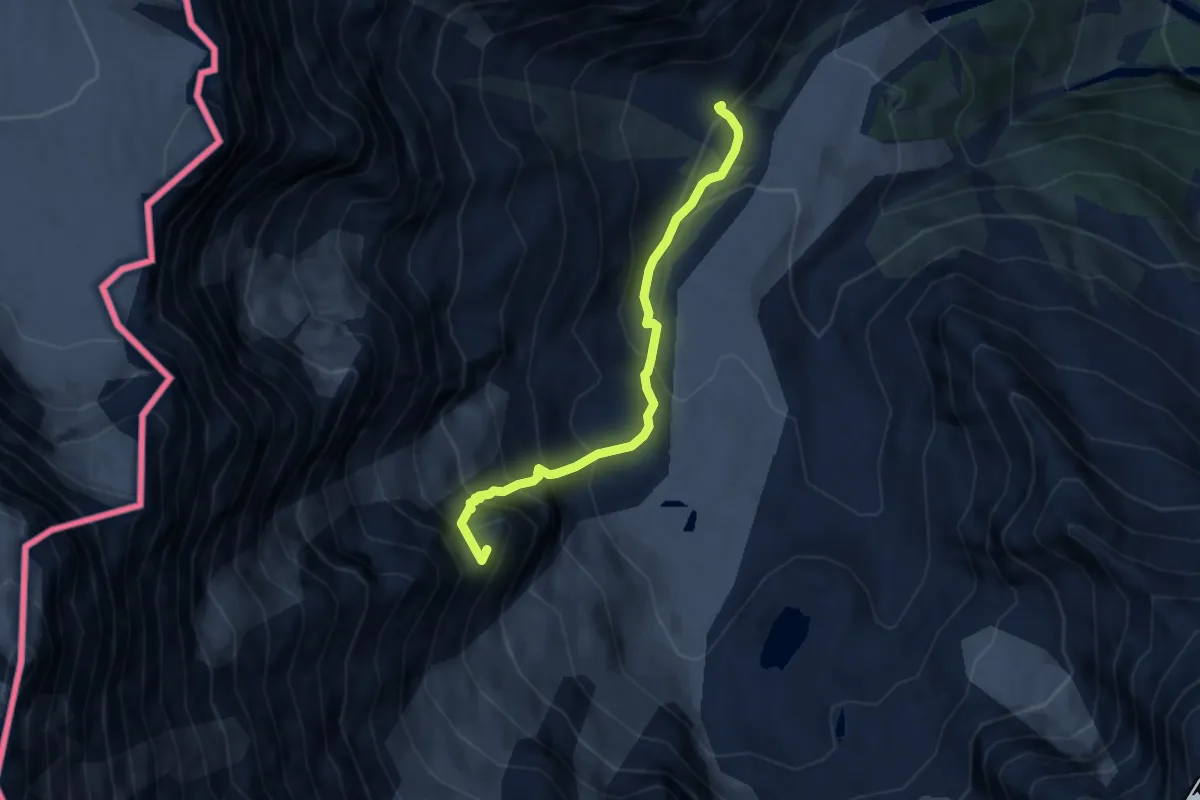
Expert · Summit
Alpe Fillar – Capanna Damiano Marinelli
6.2 km · ↑ 747 m · 3 h 4 min
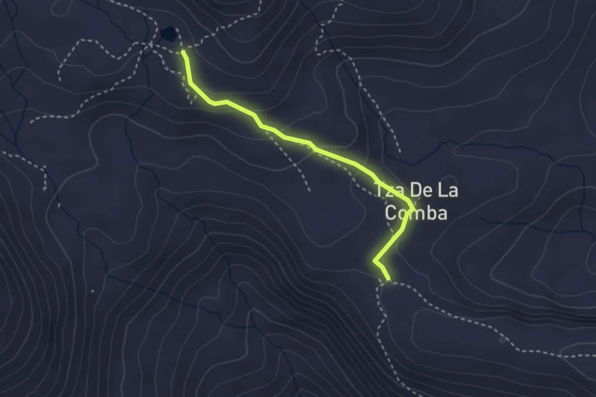
Medium · Trail
Verrogne – Lac de Grenouilles
2.7 km · ↑ 115 m · 54 min
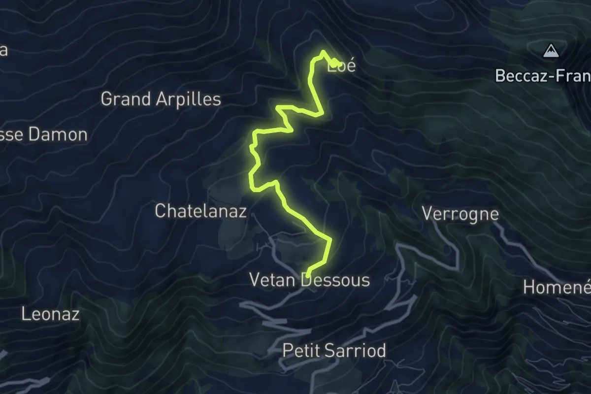
Medium · Trail
Vetan – Alpe Loe (Or)
7.7 km · ↑ 362 m · 2 h 36 min
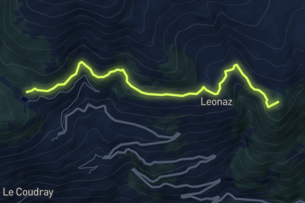
Medium · Summit
Vetan – Lago di Joux
7.3 km · ↑ 358 m · 2 h 29 min
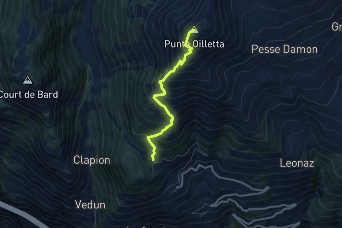
Medium · Summit
Lac du Joux – Pointe Aouillette
5.6 km · ↑ 691 m · 2 h 49 min
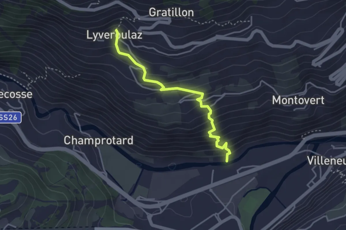
Medium · Trail
Trepont – Lyveroulaz (St-Nicolas)
3.3 km · ↑ 320 m · 1 h 28 min
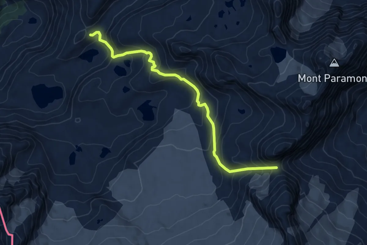
Expert · Cabin
Rifugio Deffeyes – Pas de Planaval
8.2 km · ↑ 632 m · 3 h 19 min
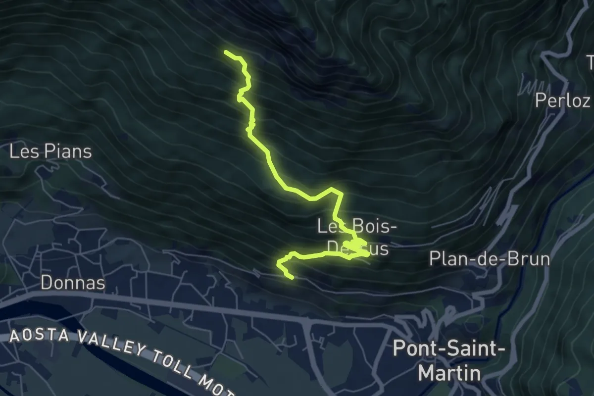
Demanding · Trail
Croce della Missione – Gias Desot
6.1 km · ↑ 862 m · 3 h 19 min
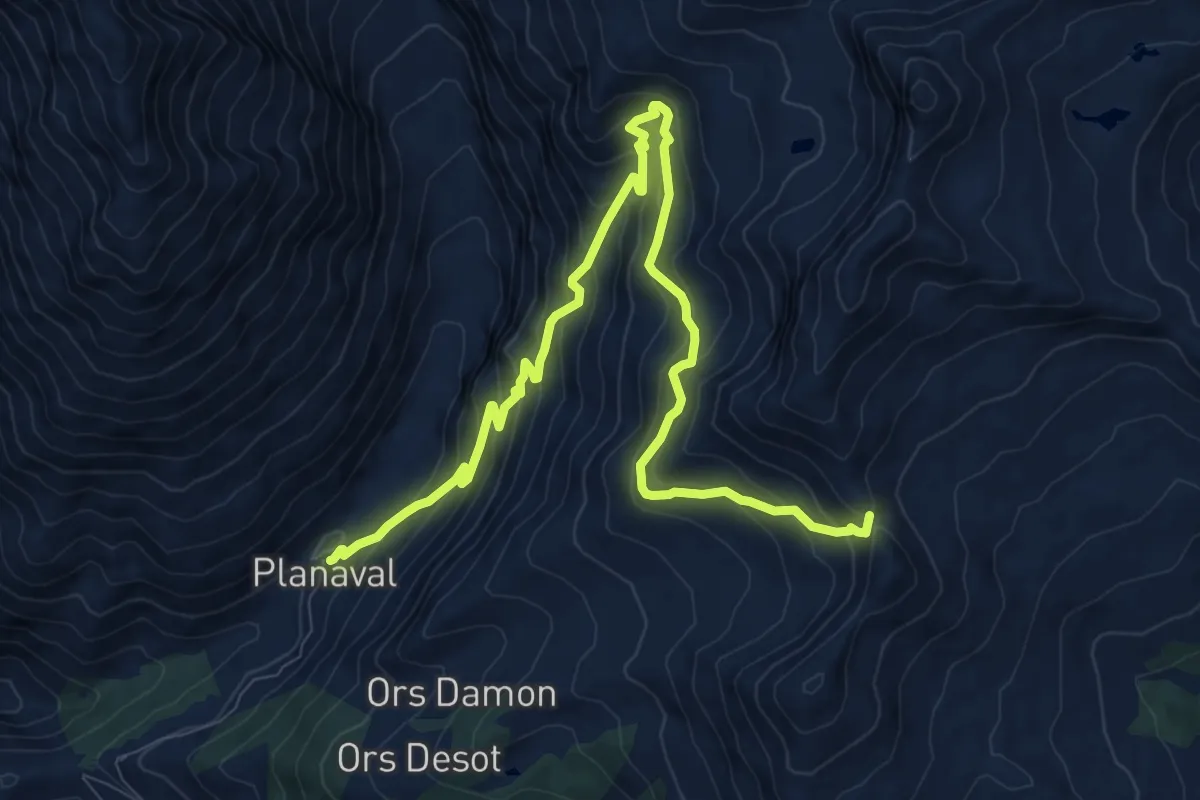
Demanding · Trail
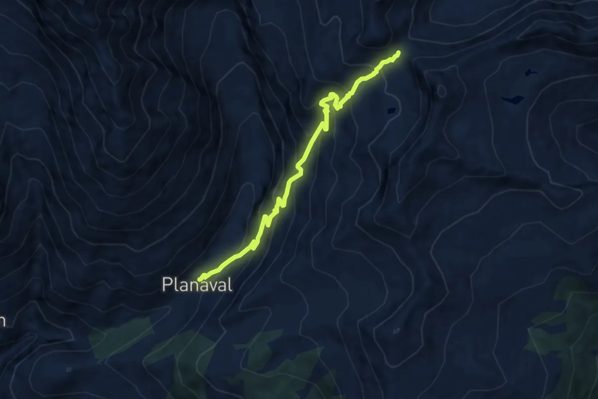
Planaval – Col Fetita
12.3 km · ↑ 981 m · 5 h 2 min
Demanding · Trail
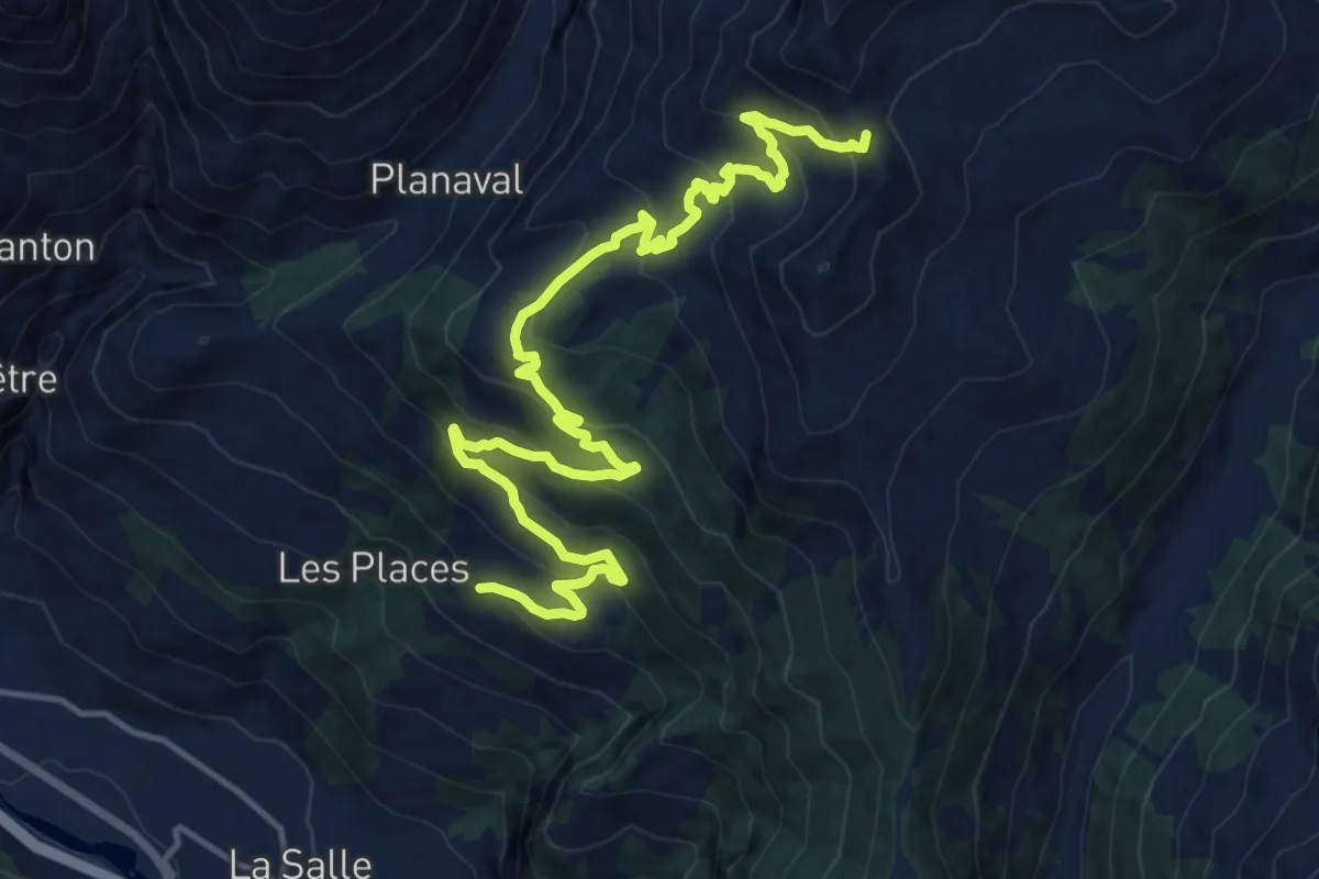
Planaval – Col Serena (Fenêtre de Sereina)
8.8 km · ↑ 831 m · 3 h 52 min
Demanding · Trail
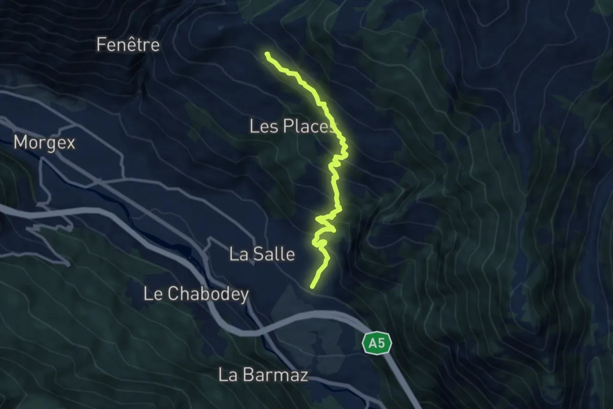
Challancin – Col Fetita
18.3 km · ↑ 1020 m · 6 h 32 min
Medium · Trail
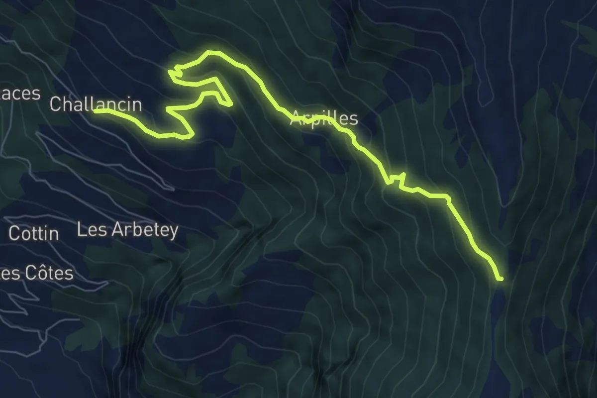
Echarlod – Morges
9.4 km · ↑ 793 m · 3 h 56 min
Demanding · Trail
Challancin – Col de Bard
8.9 km · ↑ 615 m · 3 h 26 min
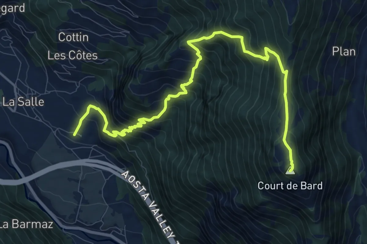
Demanding · Summit
Echarlod – Mont-Court-de-Bard
13.4 km · ↑ 1288 m · 5 h 57 min
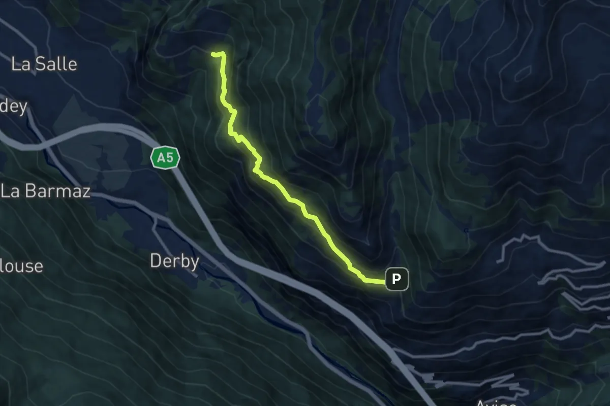
Demanding · Trail
Vedun – Charvaz
8.5 km · ↑ 714 m · 3 h 34 min
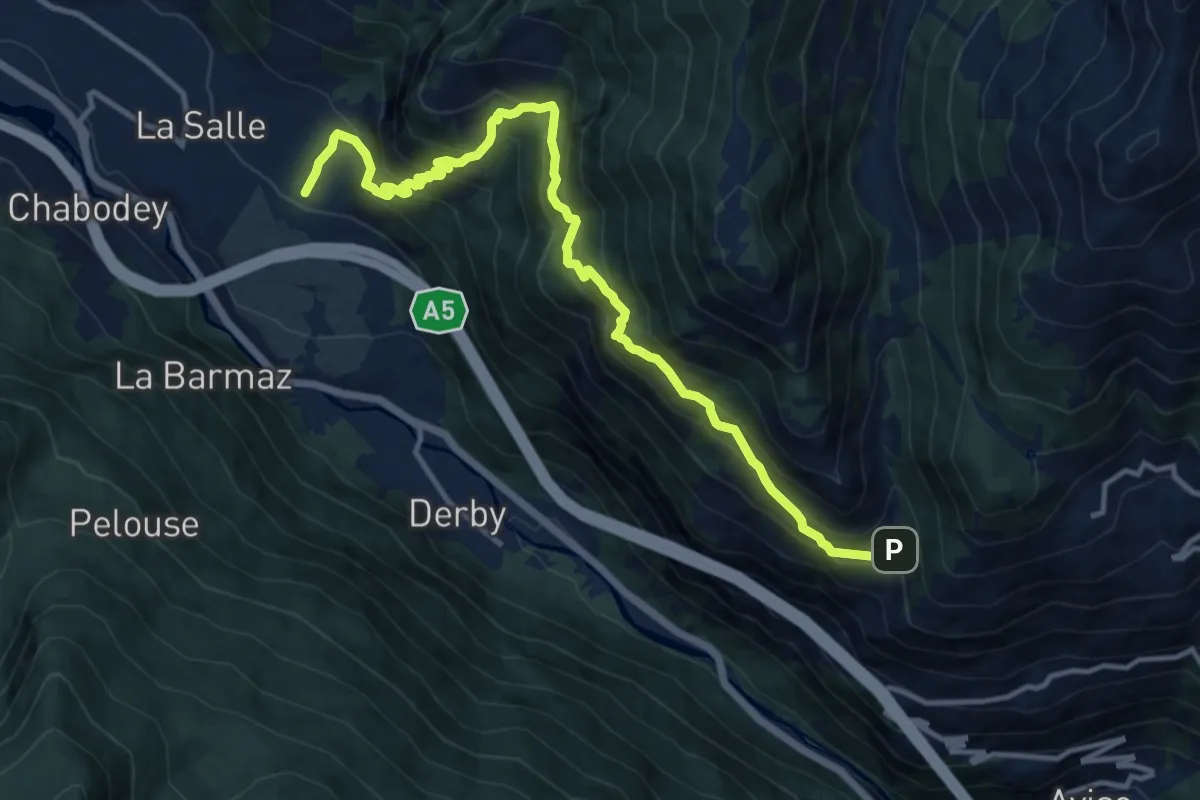
Demanding · Trail
Echarlod – Vedun (confine comunale)
13.9 km · ↑ 1233 m · 5 h 58 min
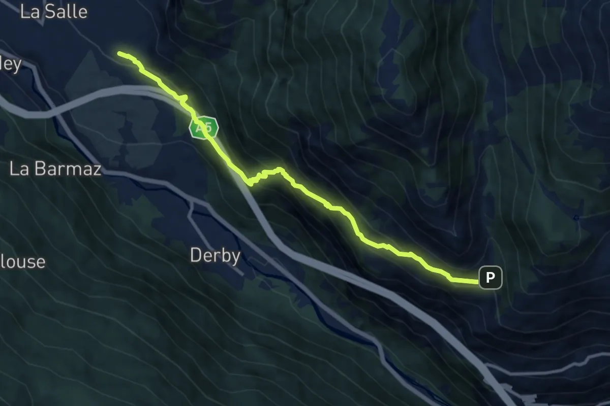
Medium · Trail
Echarlod – Vedun (confine comunale Avise)
10.0 km · ↑ 786 m · 4 h 4 min
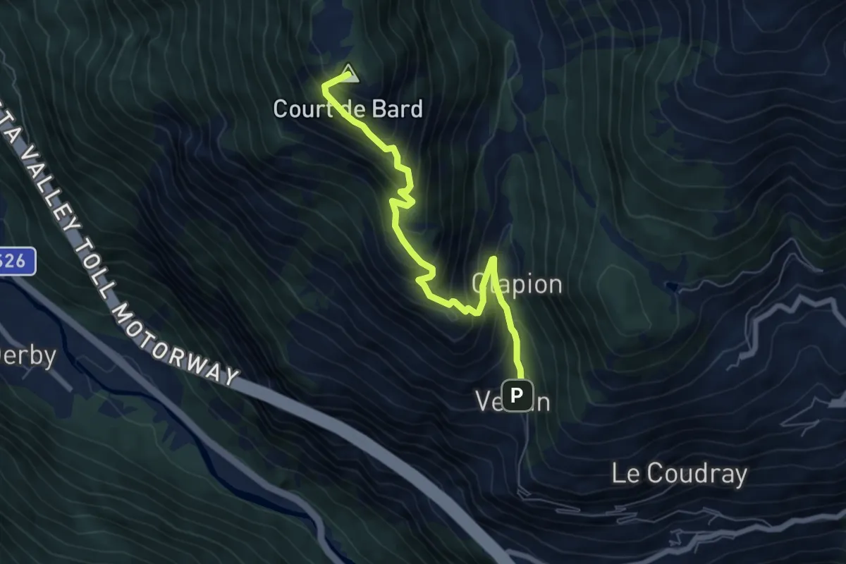
Medium · Summit
Vedun – Mont-Court de Bard
6.4 km · ↑ 704 m · 3 h 2 min
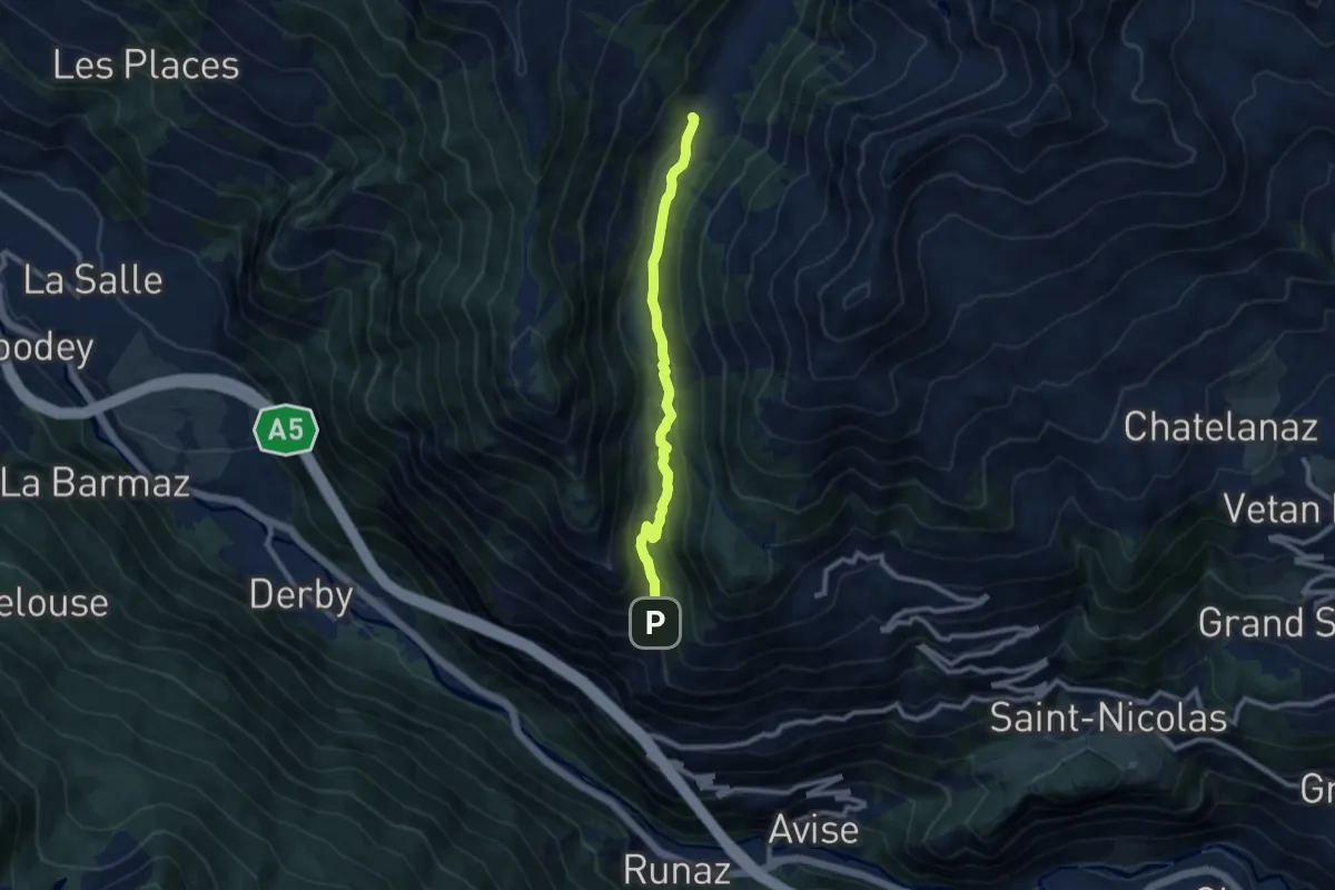
Medium · Trail
Vedun – Alpe Or de Breuil
8.6 km · ↑ 365 m · 2 h 49 min
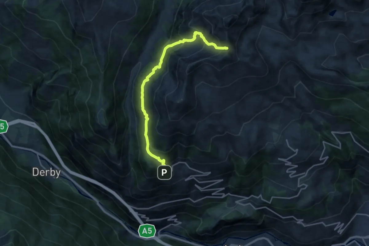
Demanding · Trail
Vens – Colle Paletta
14.5 km · ↑ 1209 m · 6 h 3 min
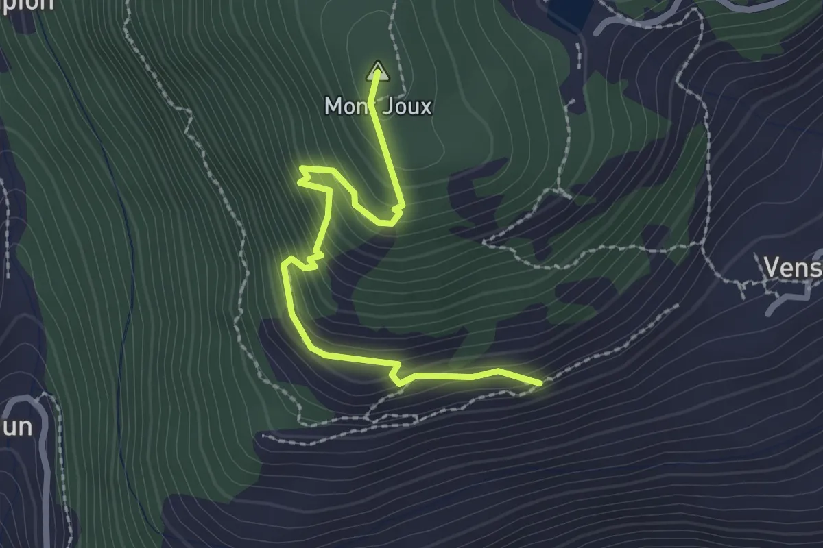
Medium · Summit
Vens – Col du Joux
2.4 km · ↑ 238 m · 1 h 5 min
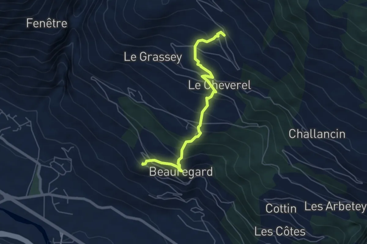
Medium · Trail
Château – Morges
5.1 km · ↑ 499 m · 2 h 16 min
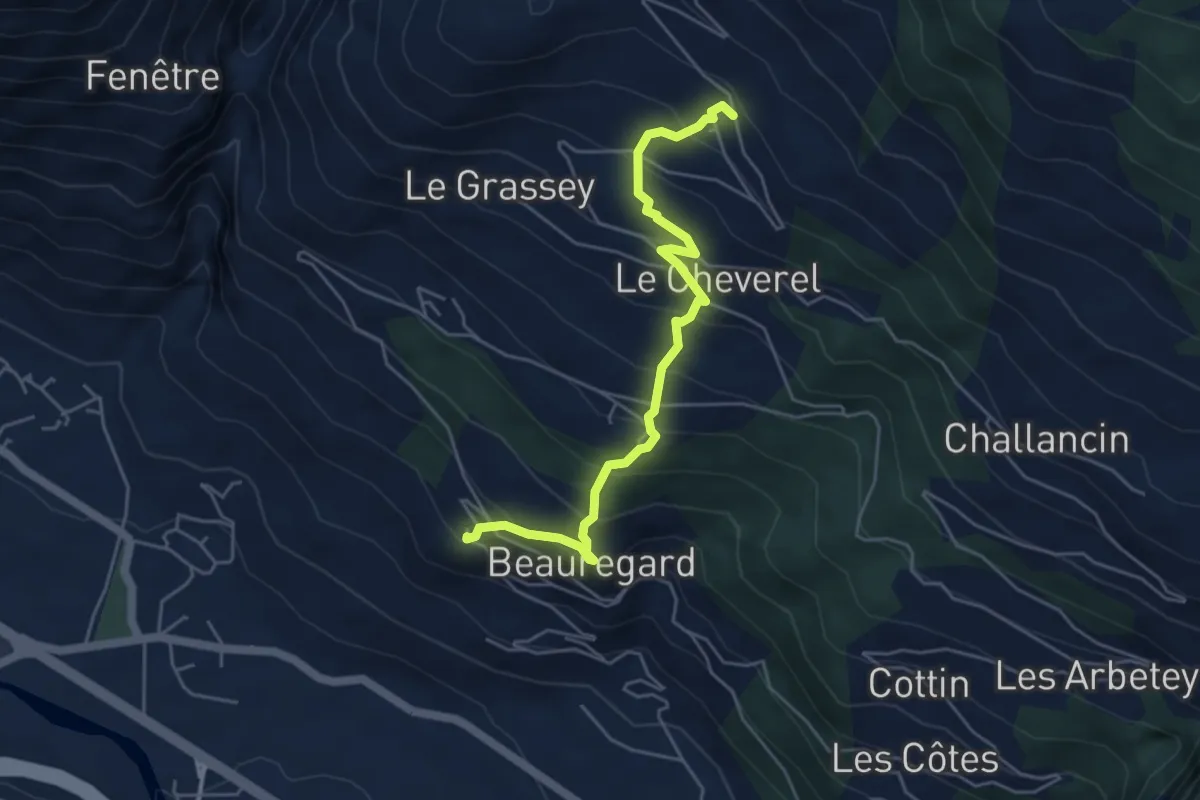
Medium · Trail
Château – Morges
5.1 km · ↑ 499 m · 2 h 16 min
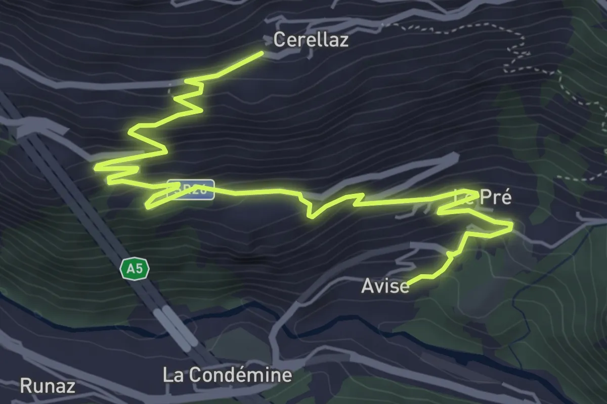
Medium · Trail
Avise – Cerellaz
7.1 km · ↑ 483 m · 2 h 44 min
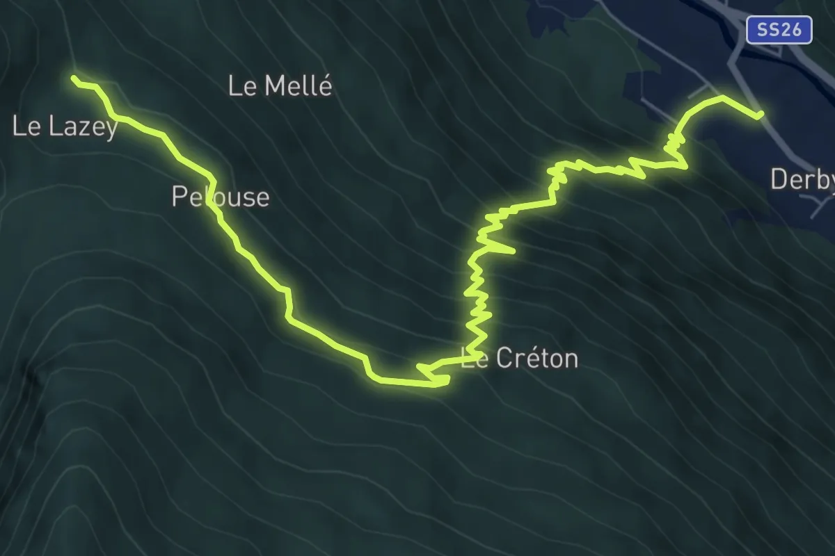
Demanding · Trail
Derby – Lazey
9.8 km · ↑ 871 m · 4 h 13 min
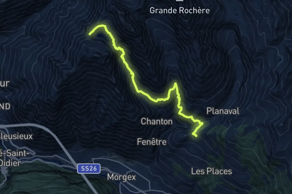
Demanding · Trail
Morges – Col Licony
17.2 km · ↑ 1661 m · 7 h 39 min
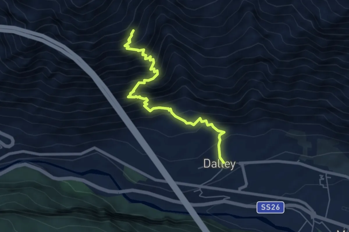
Medium · Trail
Dailley – Bois di Baou
5.4 km · ↑ 734 m · 2 h 52 min
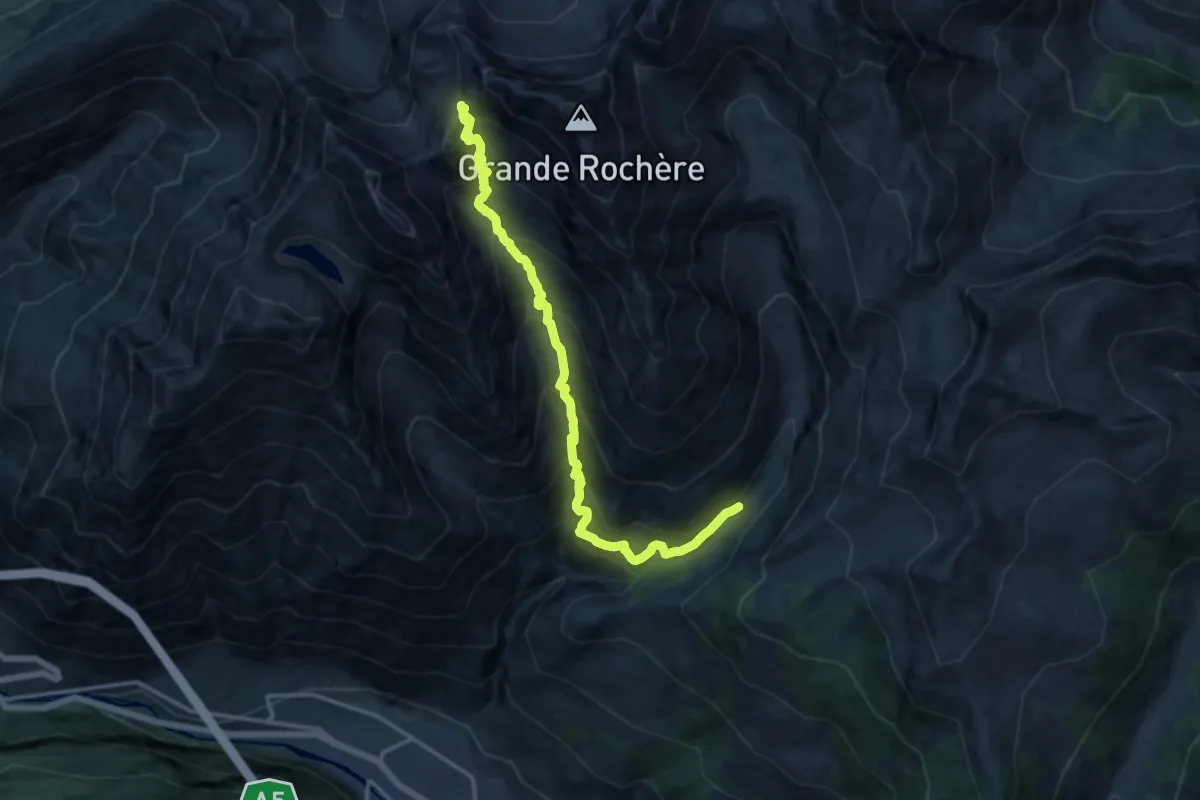
Expert · Trail
Planaval – Col du Bataillon-Aoste (Battaglione Aosta)
15.1 km · ↑ 1703 m · 7 h 15 min
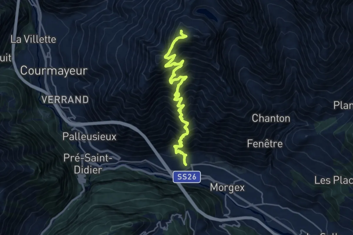
Expert · Summit
Dailley – Tête de Licony, Bivacco Pascal
17.0 km · ↑ 2008 m · 8 h 21 min
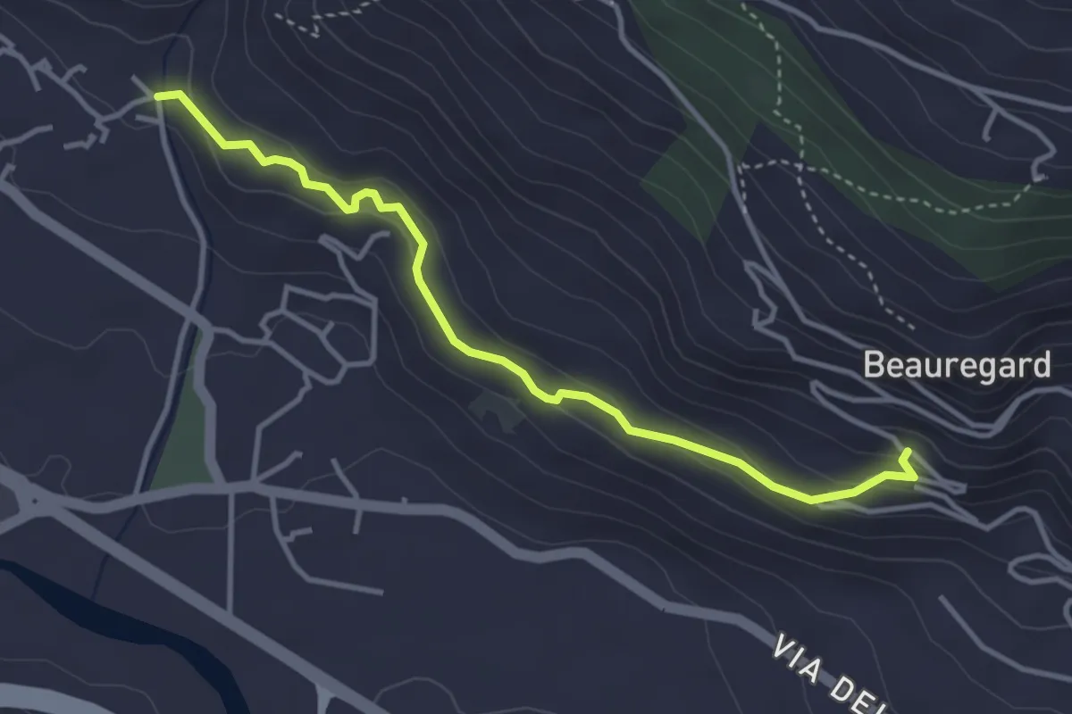
Easy · Trail
Villair – Château de Châtelard
3.8 km · ↑ 178 m · 1 h 16 min
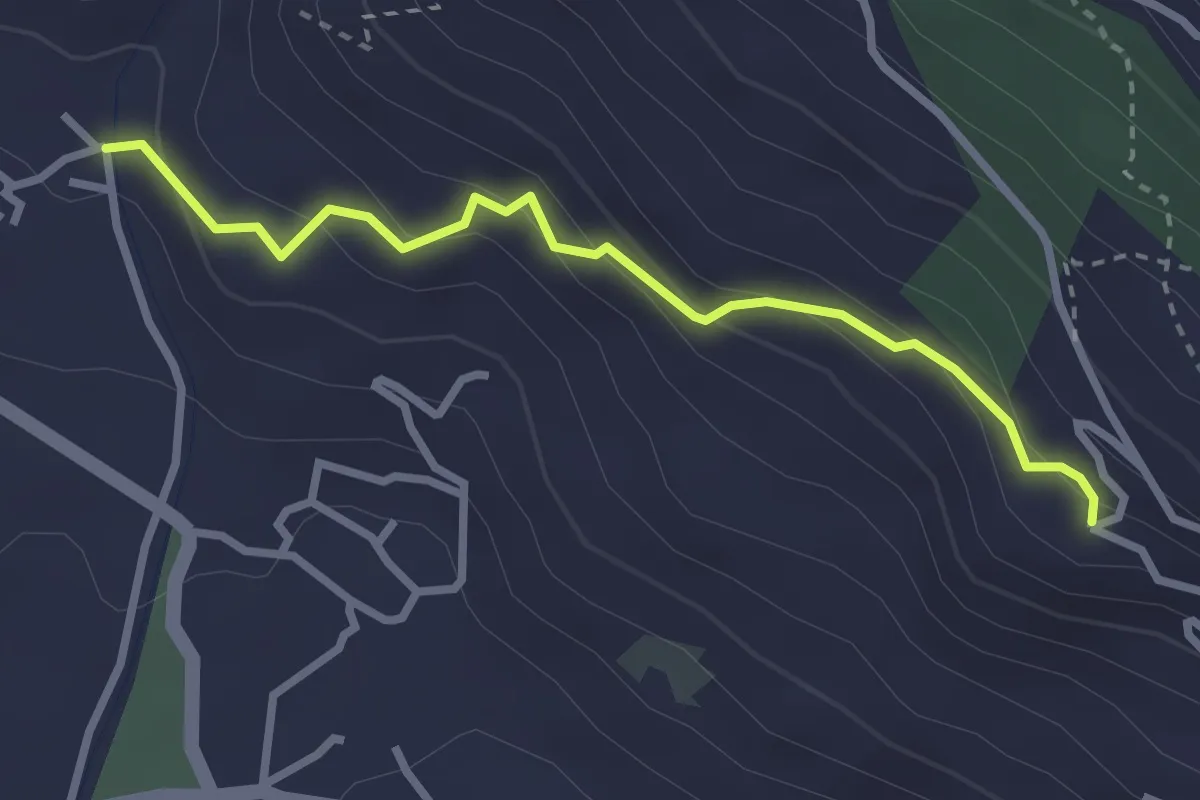
Easy · Trail
Villair – Château de Châtelard
2.9 km · ↑ 178 m · 1 h 4 min
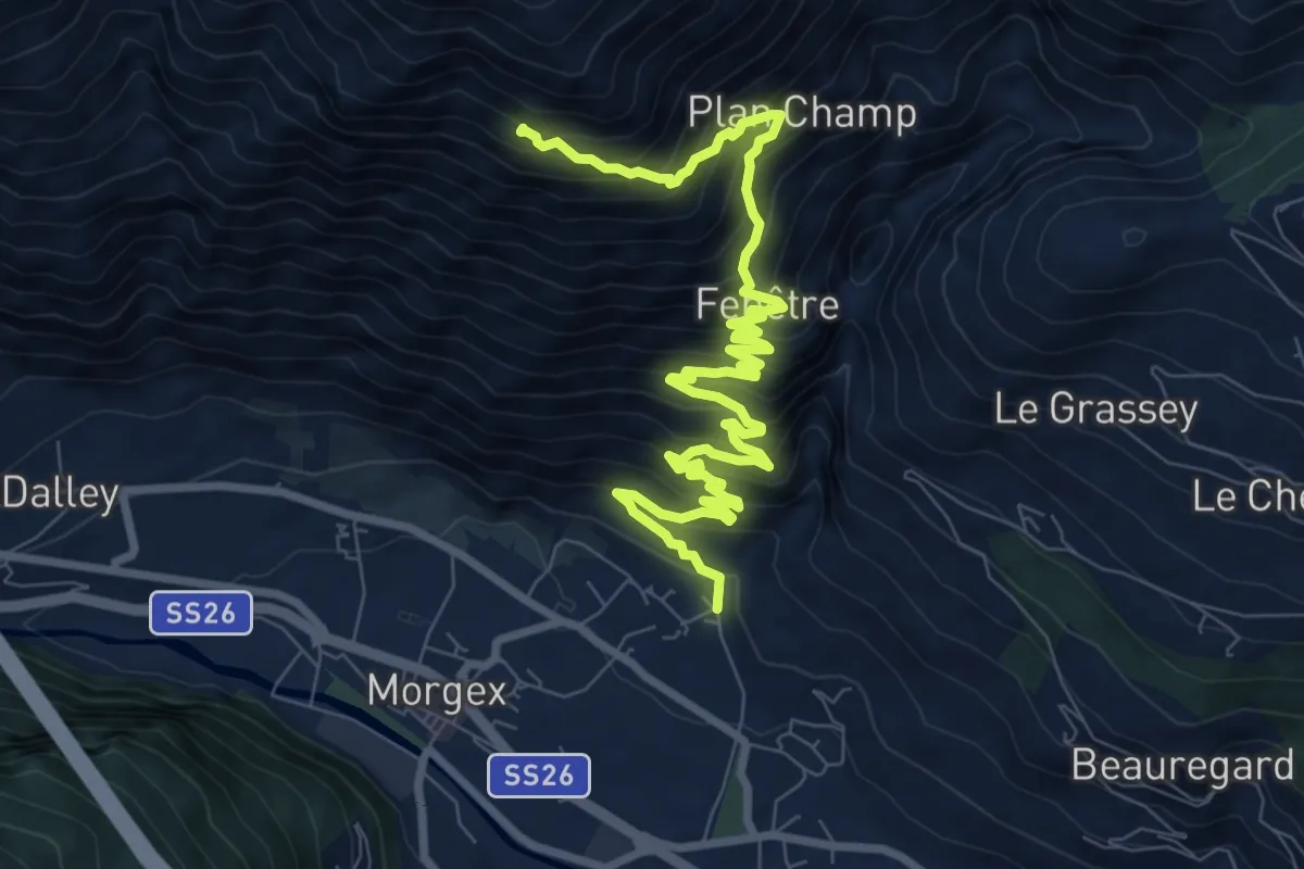
Demanding · Trail
Villair – Larice monumentale
11.4 km · ↑ 1048 m · 4 h 57 min
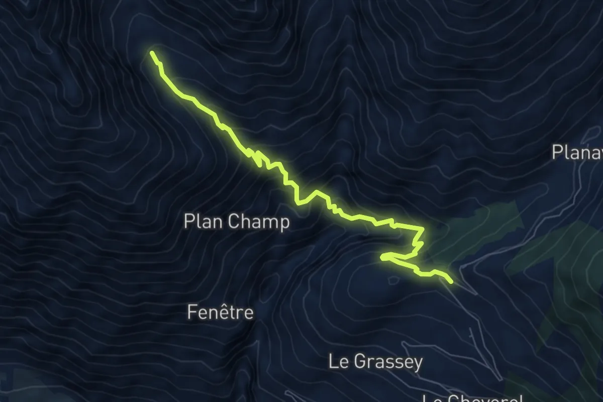
Demanding · Trail
Morges, strada per Planaval – Licony
7.8 km · ↑ 845 m · 3 h 40 min
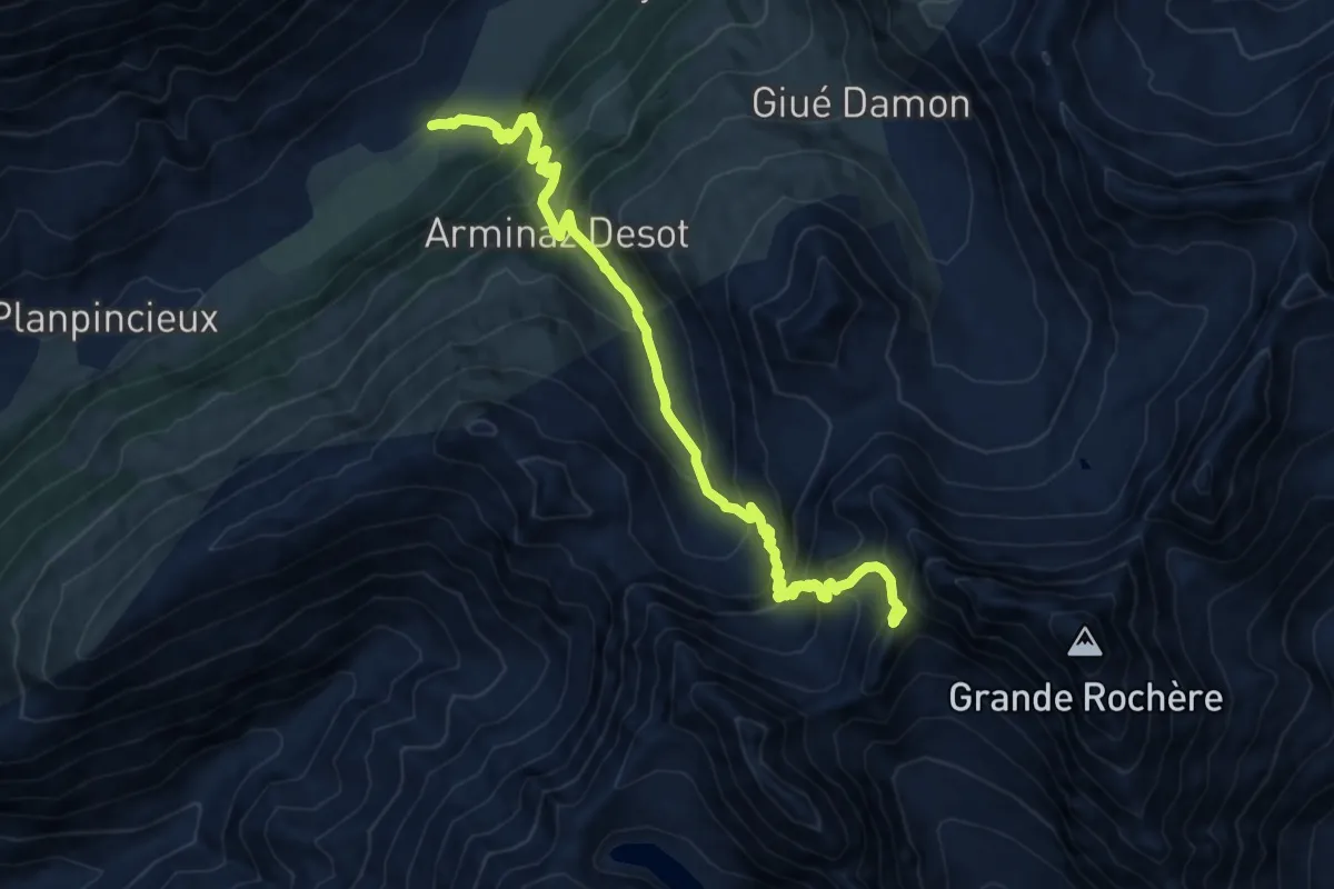
Expert · Trail
Pra Sec – Colle Battaglione Aosta
13.8 km · ↑ 1303 m · 6 h 6 min
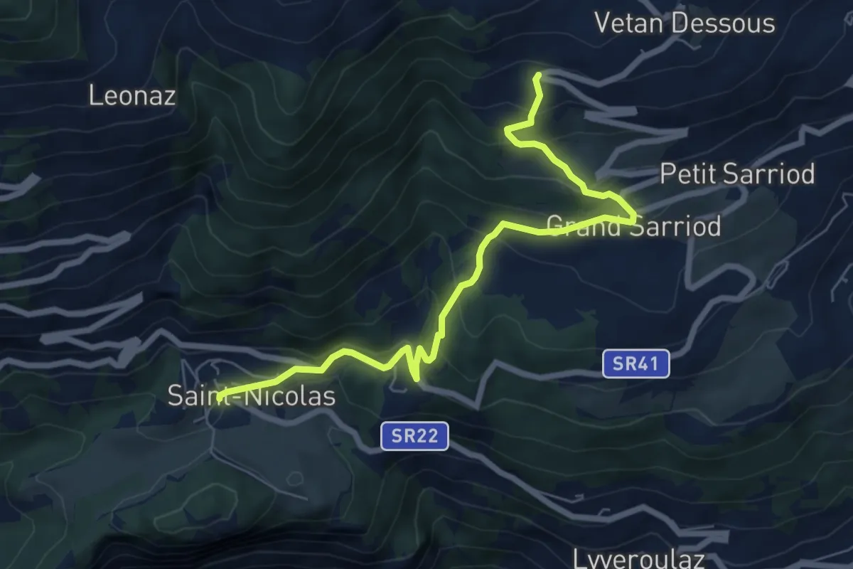
Medium · Trail
Fossaz – Gerbore
7.0 km · ↑ 490 m · 2 h 43 min
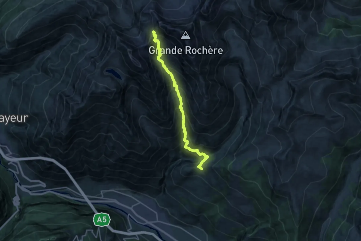
Expert · Trail
Morges – Col du Bataillon-Aoste (Battaglione Aosta)
14.4 km · ↑ 1632 m · 6 h 57 min
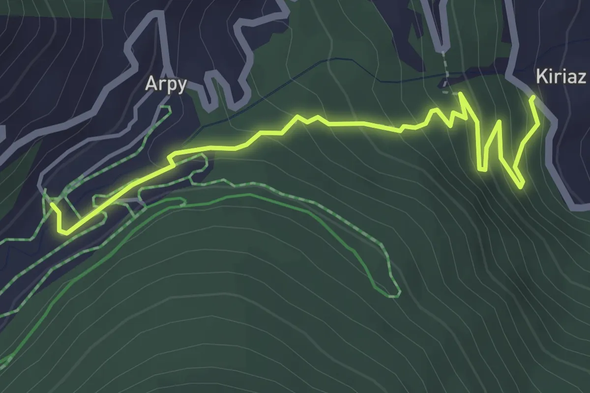
Easy · Trail
Strada regionale per Arpy – Arpy
4.1 km · ↑ 308 m · 1 h 39 min
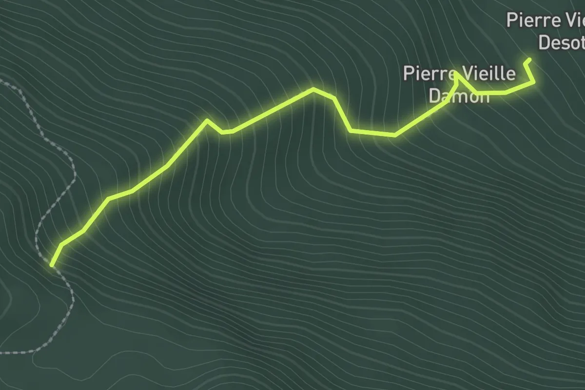
Medium · Trail
Strada per Lazey (presso Cretaz damon) – Percorso 13
2.6 km · ↑ 423 m · 1 h 31 min
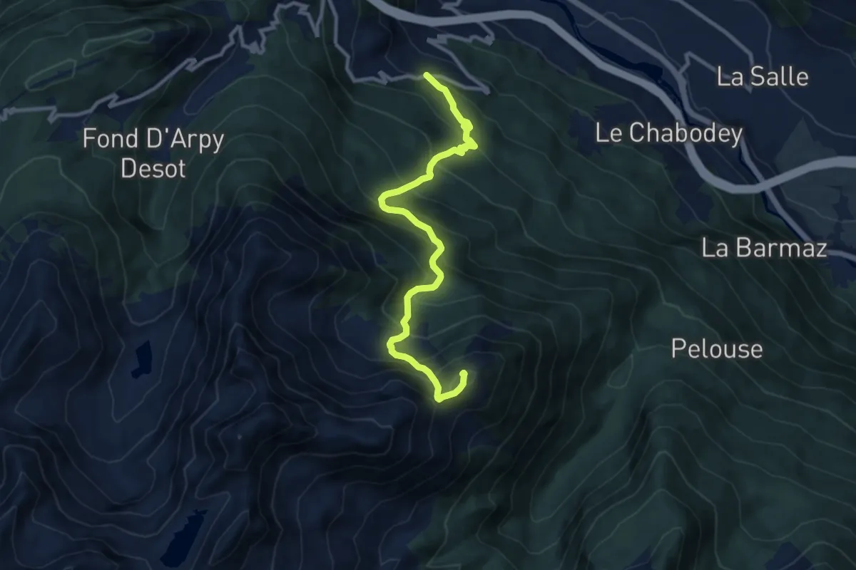
Demanding · Summit
Strada regionale per Arpy – Croix du Folliet
10.1 km · ↑ 1111 m · 4 h 48 min
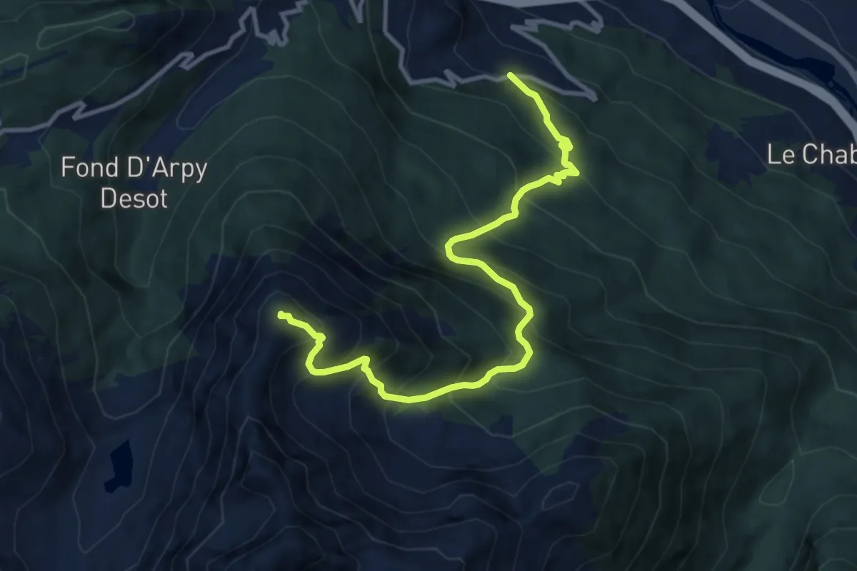
Demanding · Summit
Strada regionale 39 – Mont Charvet
10.7 km · ↑ 1237 m · 5 h 13 min
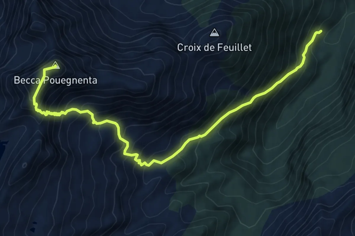
Demanding · Summit
La Joux – Becca Pouegnenta
10.6 km · ↑ 1175 m · 5 h 3 min