Trails in Italy
25,219 hiking trails, each with its route, climb, walking time and grade.
All trails, page 415 of 526
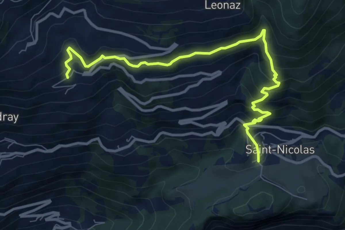
Medium · Trail
Fossaz – Cerlogne
8.2 km · ↑ 707 m · 3 h 28 min
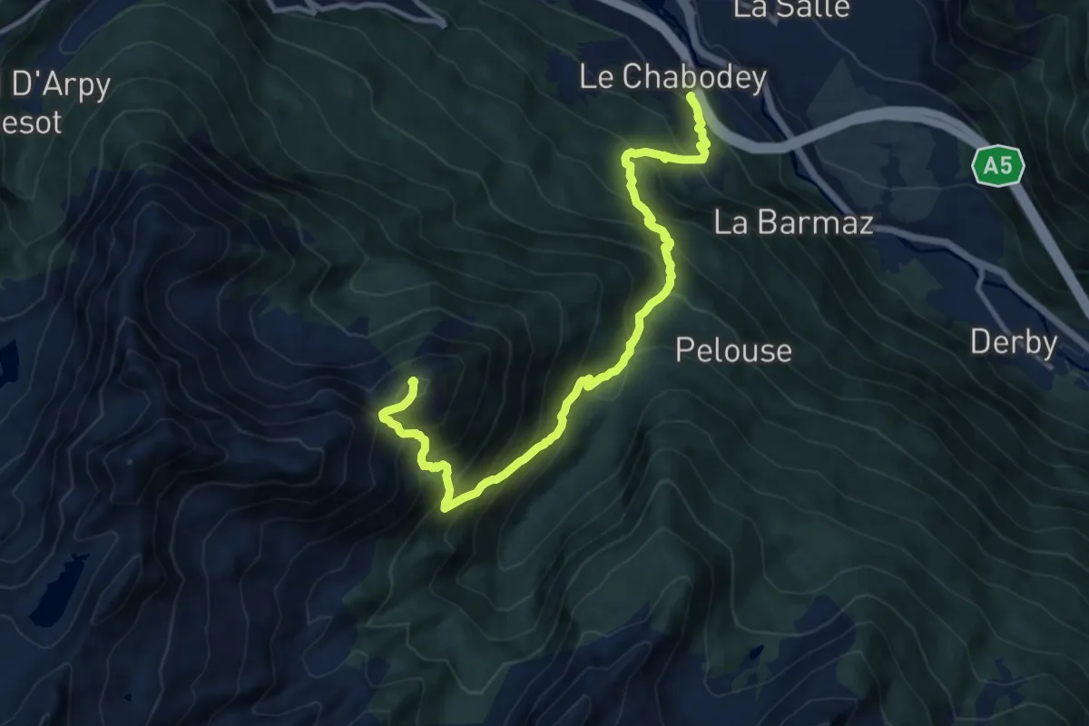
Demanding · Summit
Chabodey – Croix du Folliet
12.9 km · ↑ 1403 m · 6 h 5 min
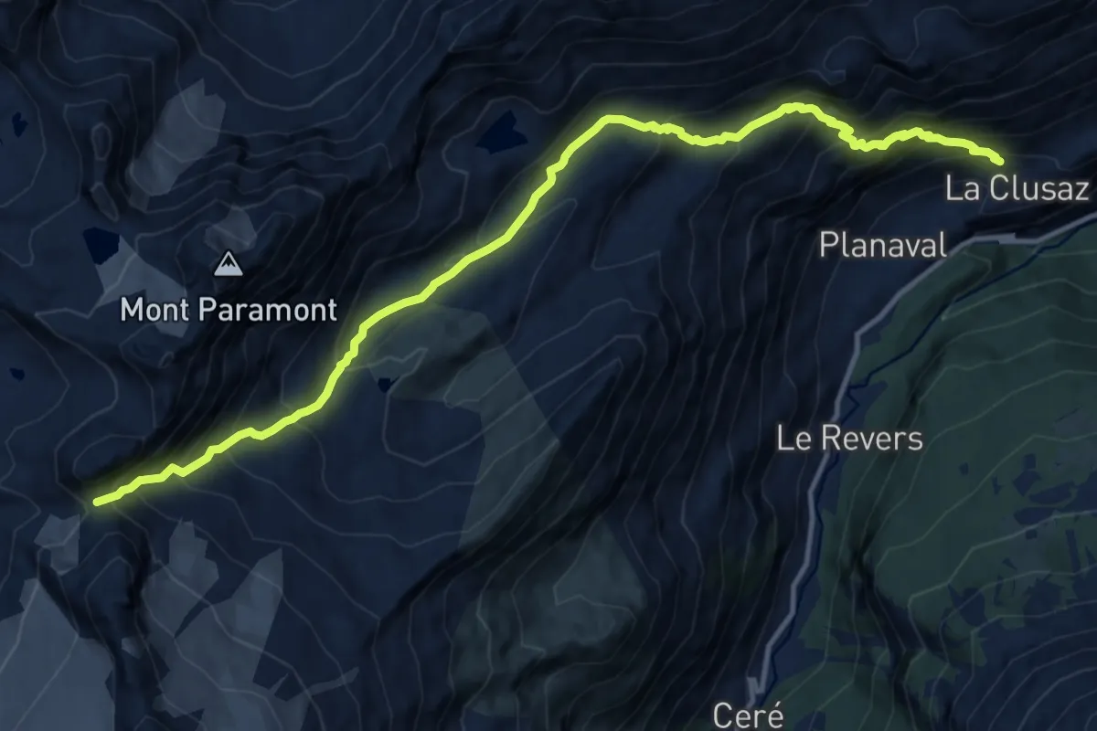
Expert · Trail
La Clusaz – Pas de Planaval
14.3 km · ↑ 1351 m · 6 h 18 min
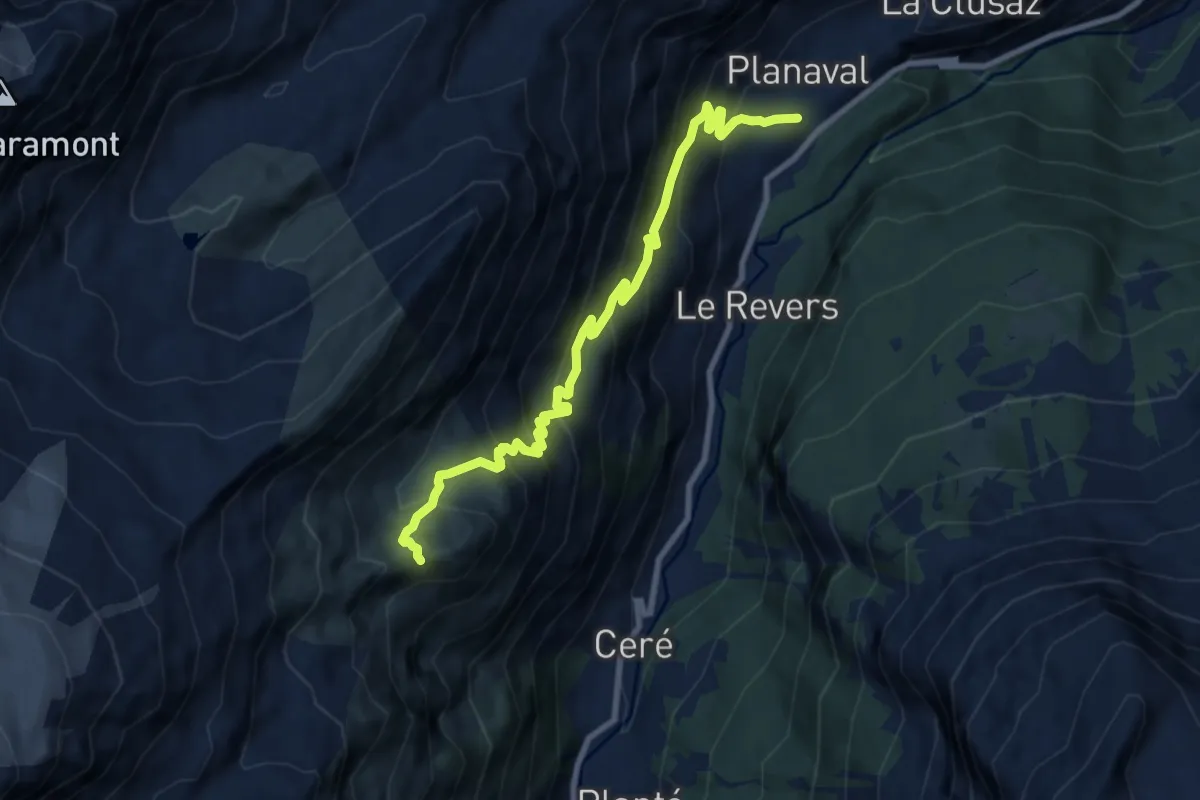
Expert · Trail
Planaval – Becca Ceré
9.5 km · ↑ 898 m · 4 h 11 min
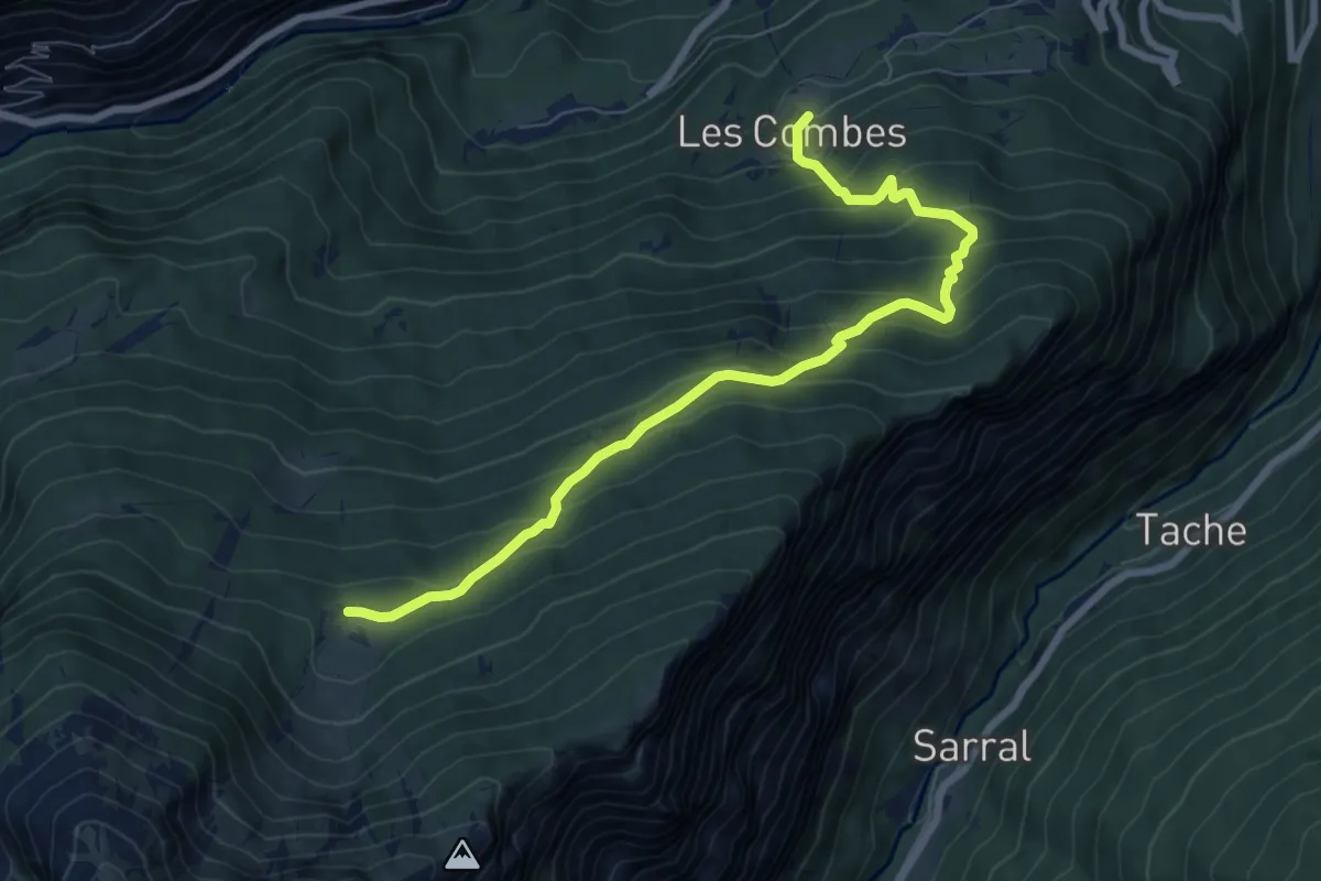
Medium · Trail
Les Combes – Plan Bry (confine comunale Valgrisenche)
8.0 km · ↑ 629 m · 3 h 16 min
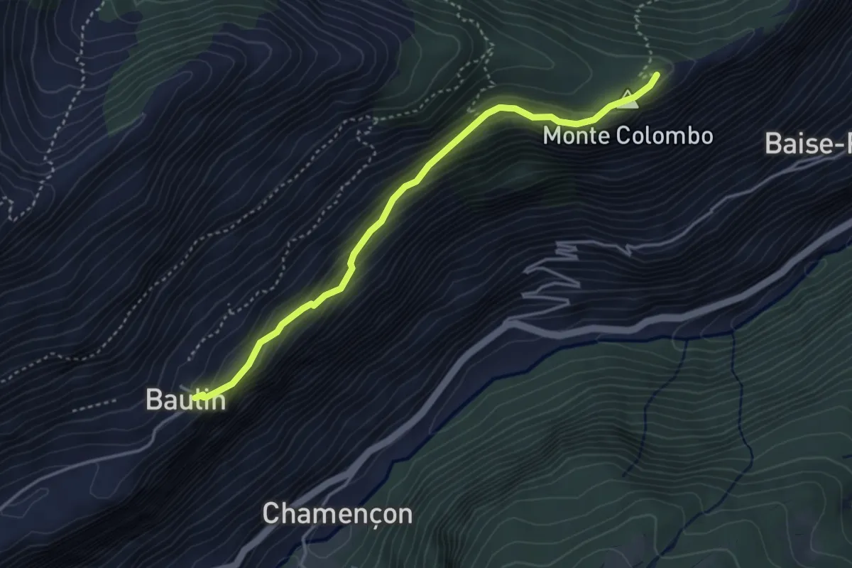
Medium · Trail
Baulin – Mont-Colombo
3.8 km · ↑ 297 m · 1 h 33 min
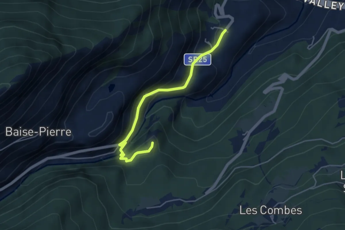
Medium · Trail
La Ravoire – Castello di Montmayeur
3.9 km · ↑ 285 m · 1 h 32 min
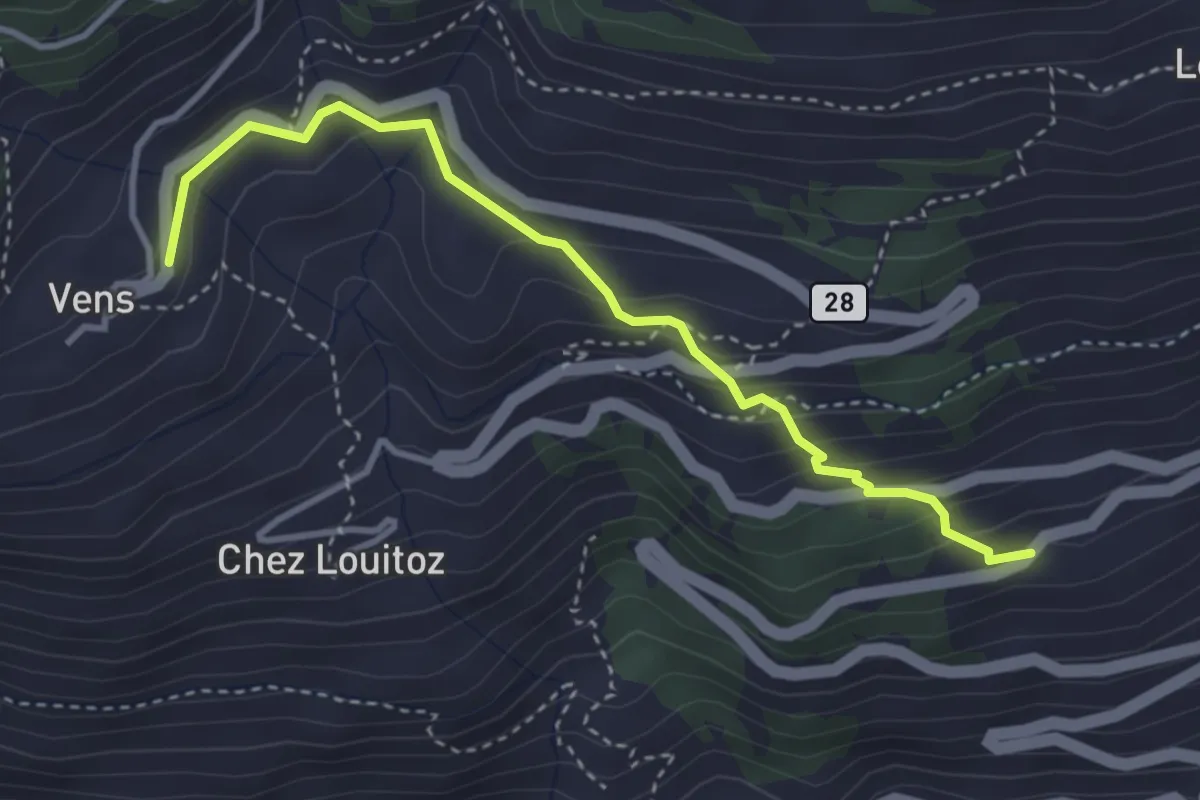
Demanding · Trail
Clavel – Vens
3.6 km · ↑ 277 m · 1 h 28 min
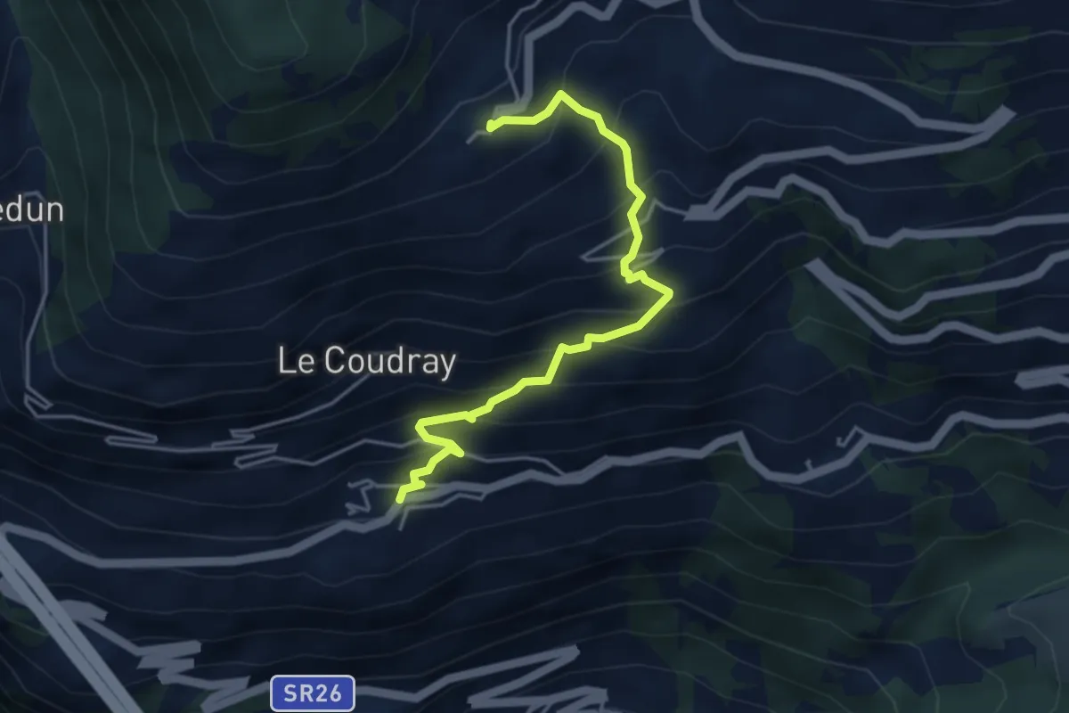
Medium · Trail
Cerellaz – Vens
4.3 km · ↑ 483 m · 2 h 3 min
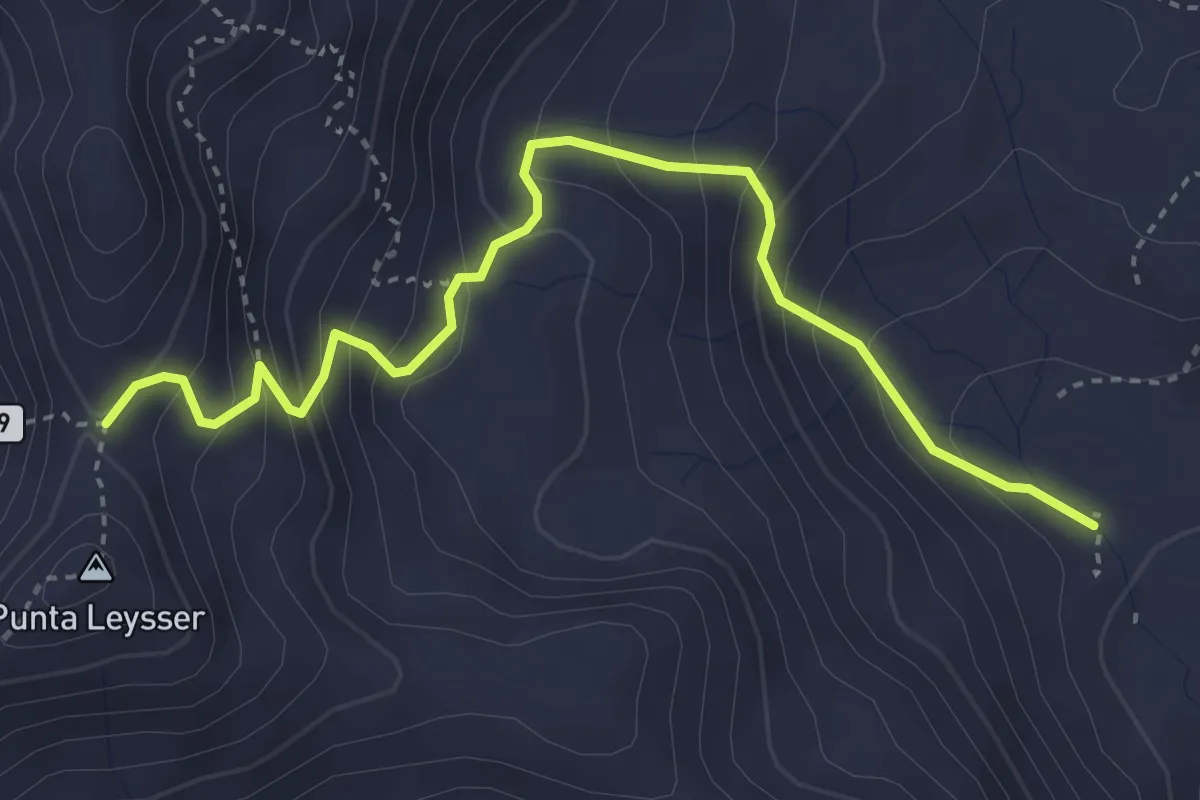
Demanding · Trail
Percorso 13 – Col Palettaz
4.1 km · ↑ 373 m · 1 h 46 min
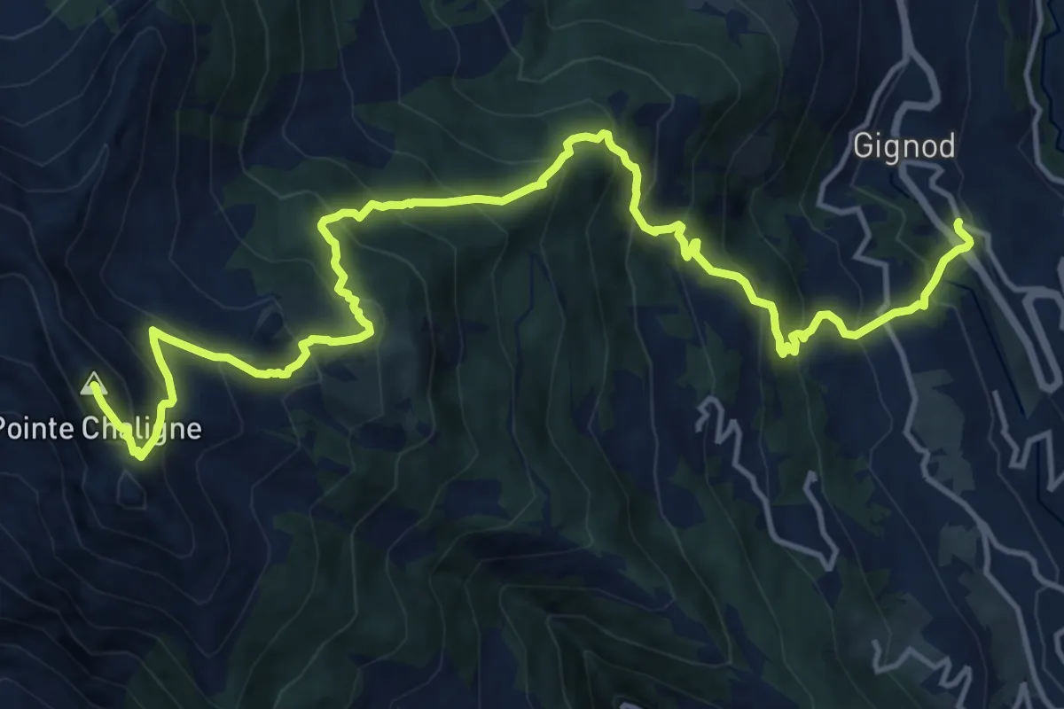
Demanding · Summit
Cré – Pointe Chaligne
18.0 km · ↑ 1675 m · 7 h 53 min
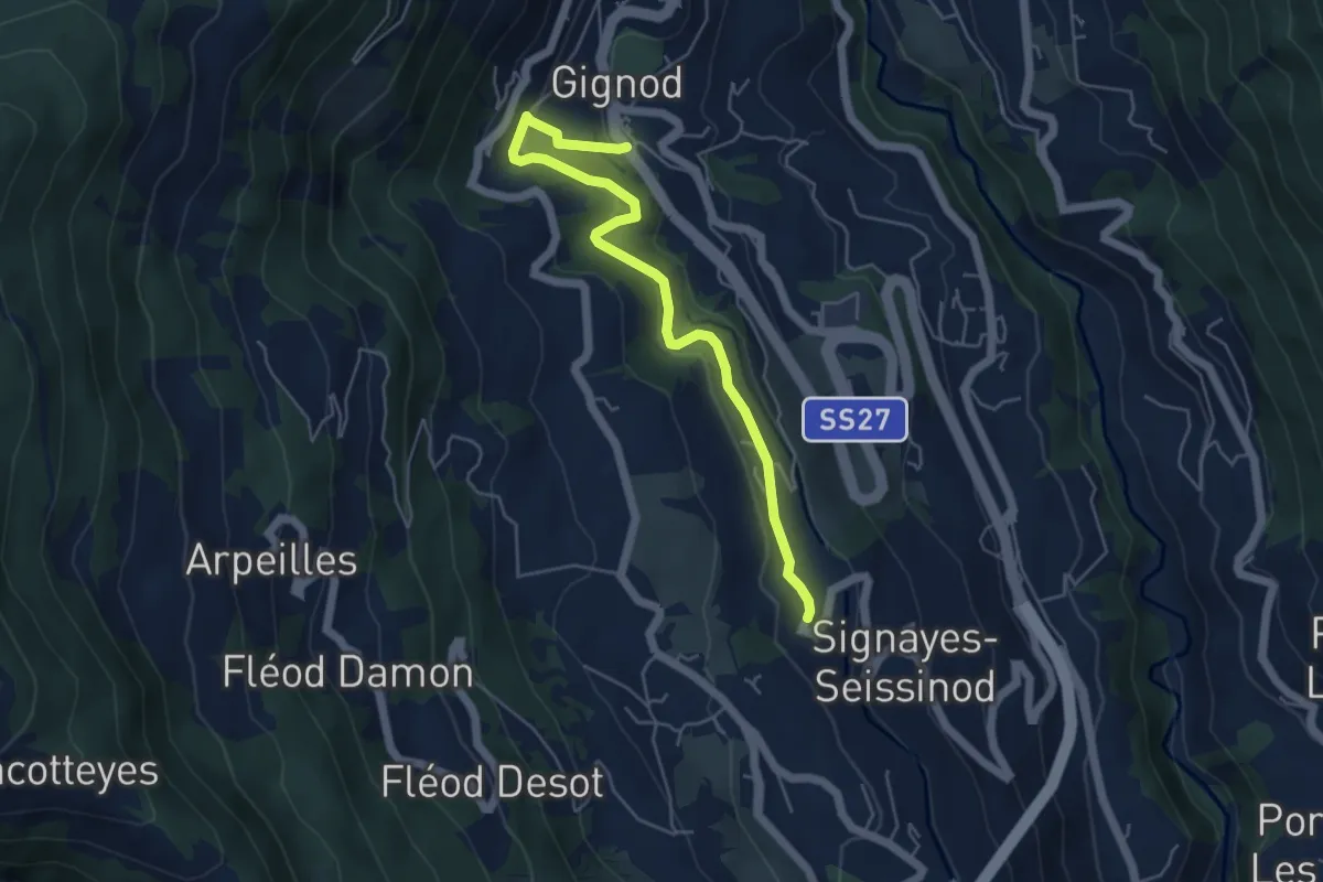
Easy · Trail
Gignod – Ru Bourgeois - Cré
5.4 km · ↑ 258 m · 1 h 50 min
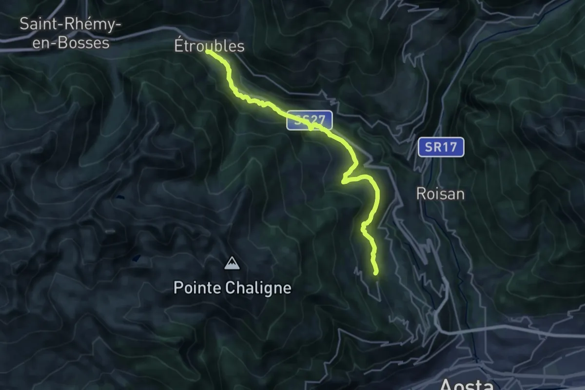
Demanding · Trail
Reysod – Etroubles
20.5 km · ↑ 807 m · 6 h 36 min
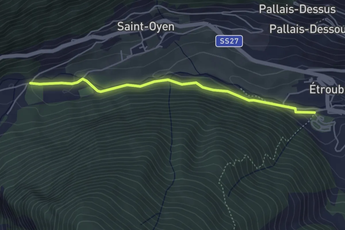
Easy · Trail
Prenoud – Ponte Artanavaz
4.3 km · ↑ 86 m · 1 h 12 min
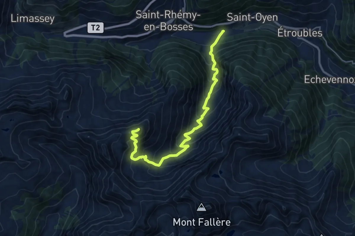
Demanding · Summit
Prenoud – Tête Cordellaz
16.3 km · ↑ 1303 m · 6 h 41 min
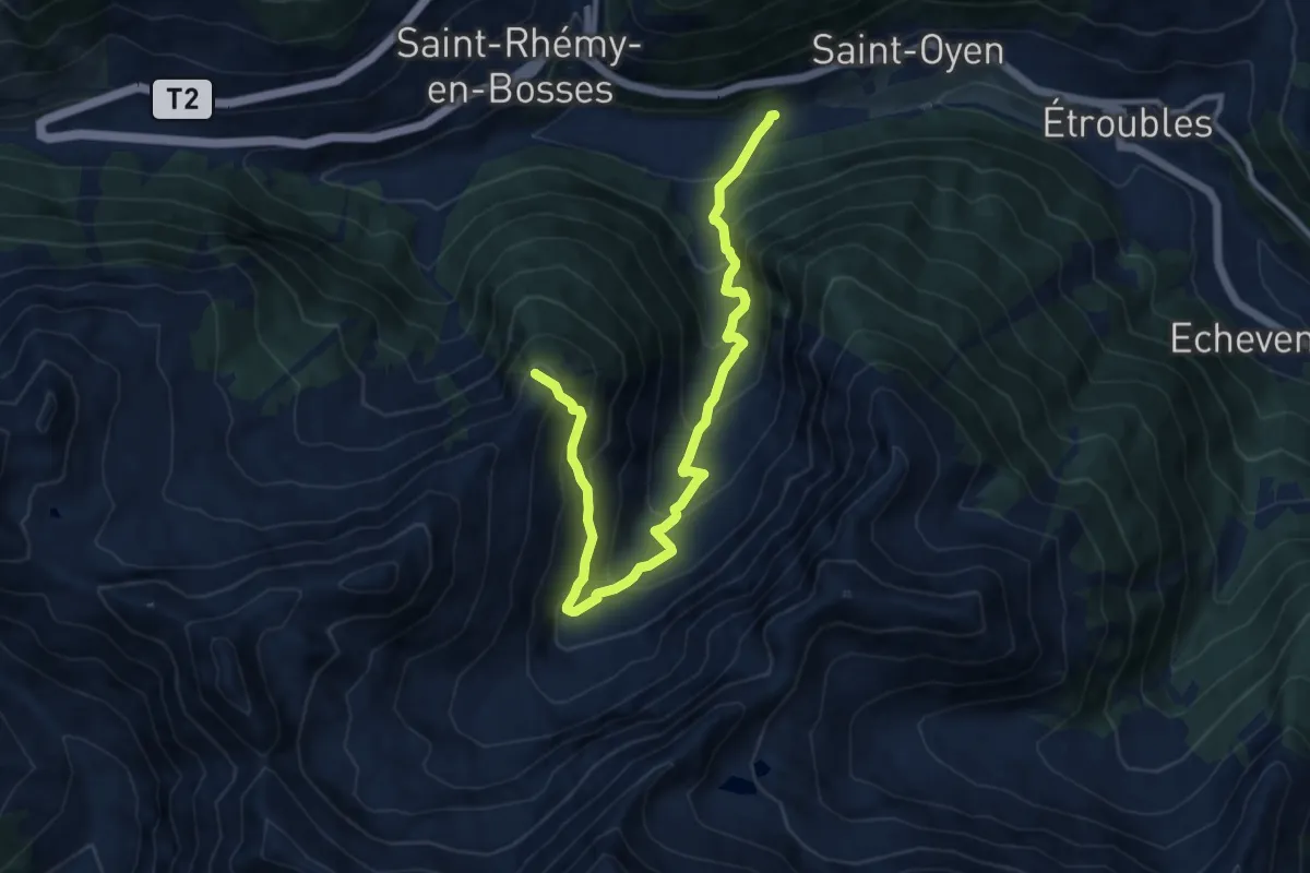
Demanding · Summit
Prenoud – Tête du Bois
12.0 km · ↑ 895 m · 4 h 46 min
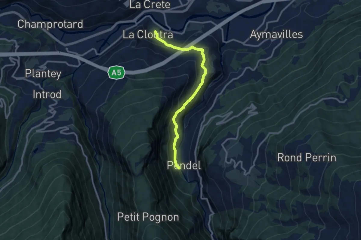
Medium · Trail
Chavonne – Pondel (Aymavilles)
8.2 km · ↑ 573 m · 3 h 11 min
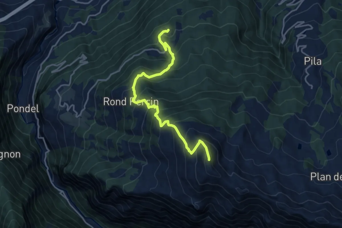
Demanding · Summit
Torlin – Pointe de la Pierre
12.8 km · ↑ 1213 m · 5 h 39 min
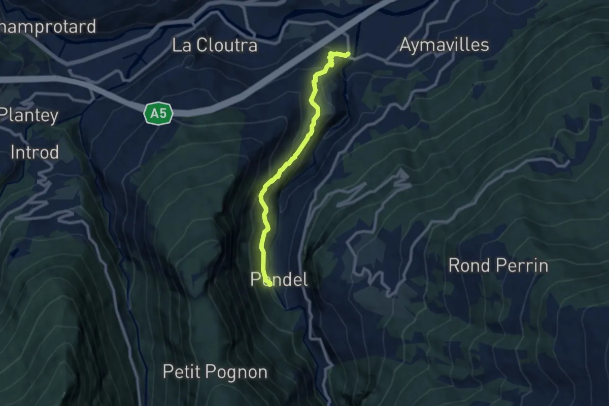
Medium · Trail
Moulin – Pondel
7.0 km · ↑ 574 m · 2 h 54 min
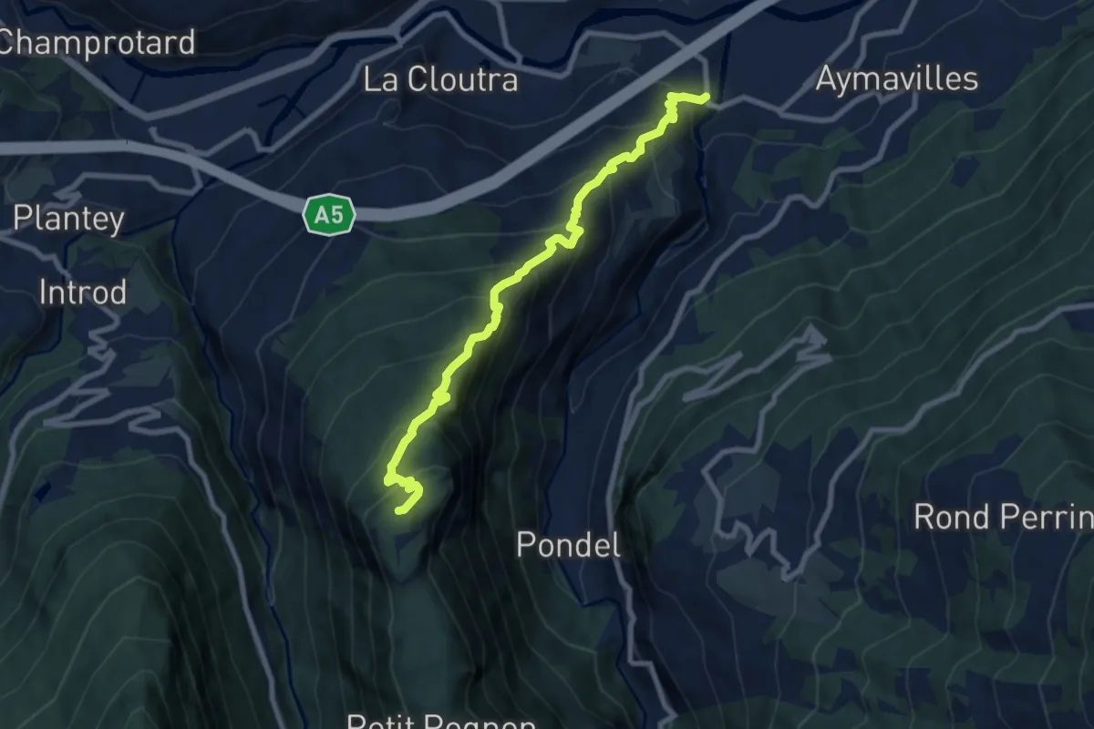
Demanding · Summit
Aymavilles (Moulin) – Petit Poignon
8.4 km · ↑ 908 m · 3 h 56 min
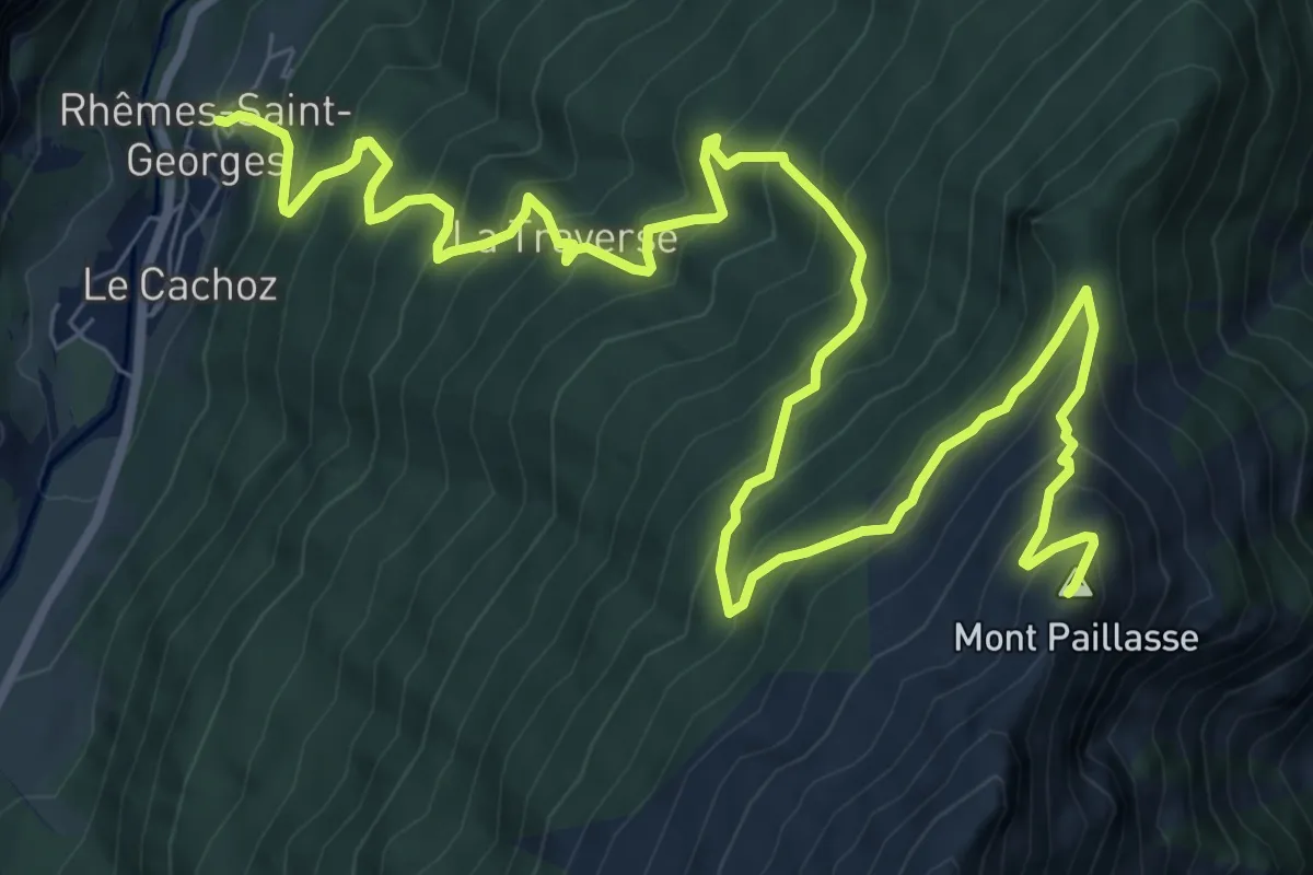
Demanding · Summit
Rhêmes Saint-Georges – Mont-Paillasse
12.8 km · ↑ 1328 m · 5 h 54 min
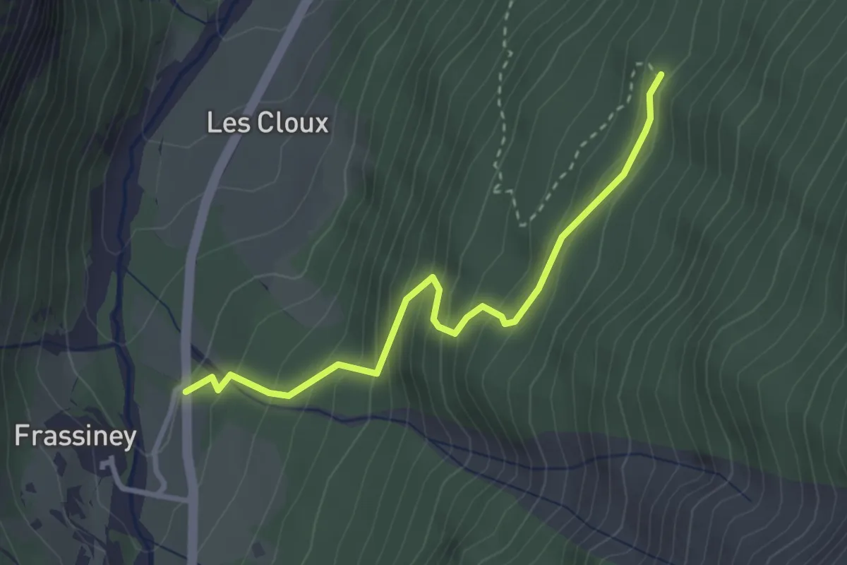
Easy · Trail
Frassiney – Verrogne
3.1 km · ↑ 314 m · 1 h 24 min
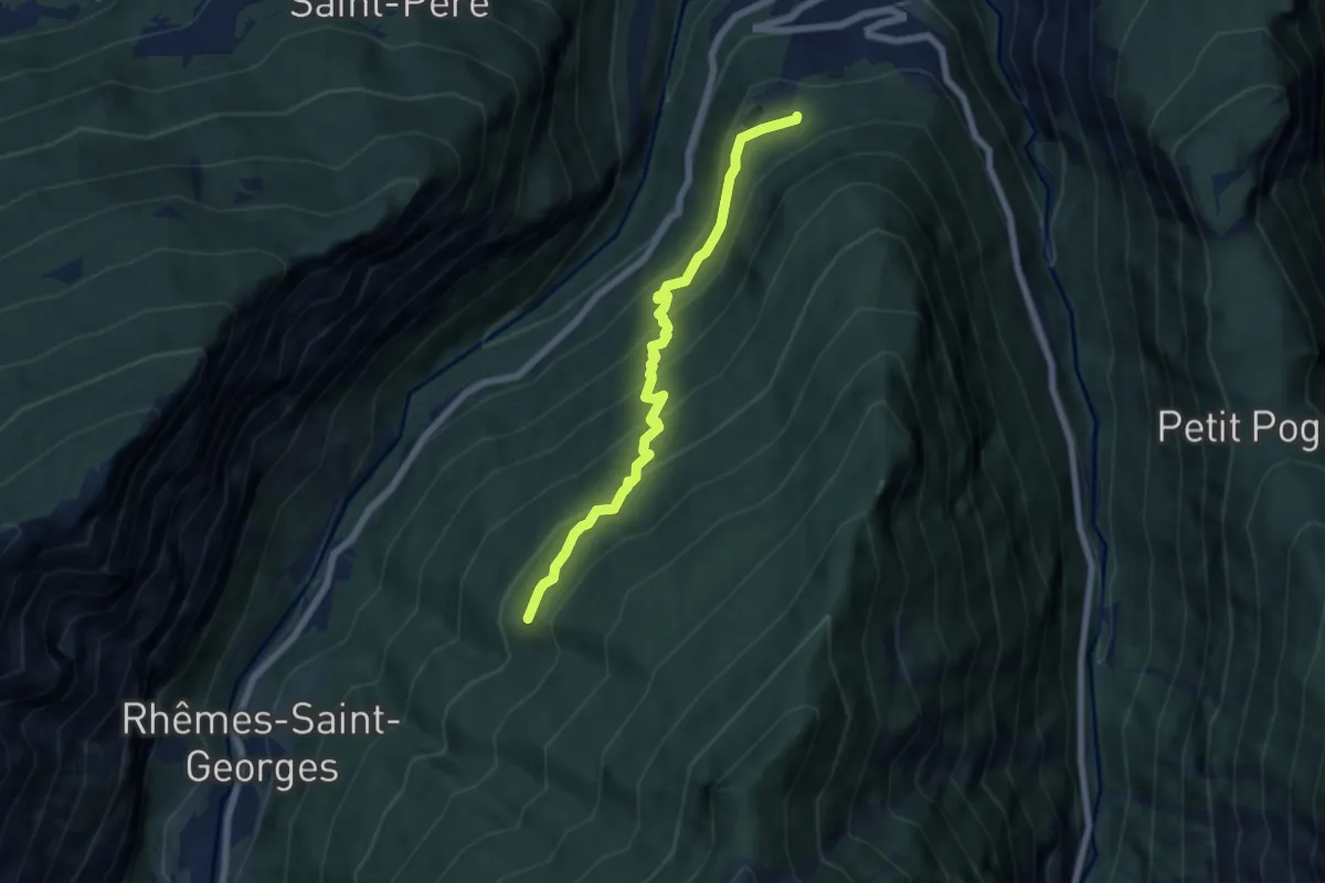
Medium · Trail
Sorressamont – Percorso 3
6.4 km · ↑ 497 m · 2 h 35 min
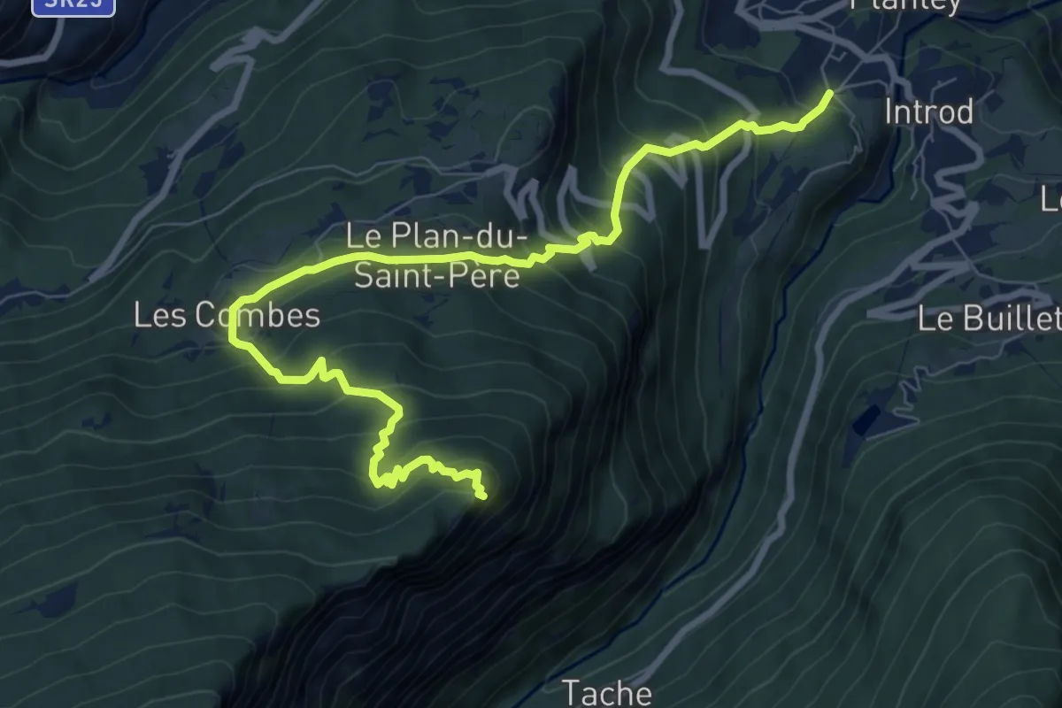
Demanding · Trail
Cré – Croix de Bouque
9.7 km · ↑ 870 m · 4 h 10 min
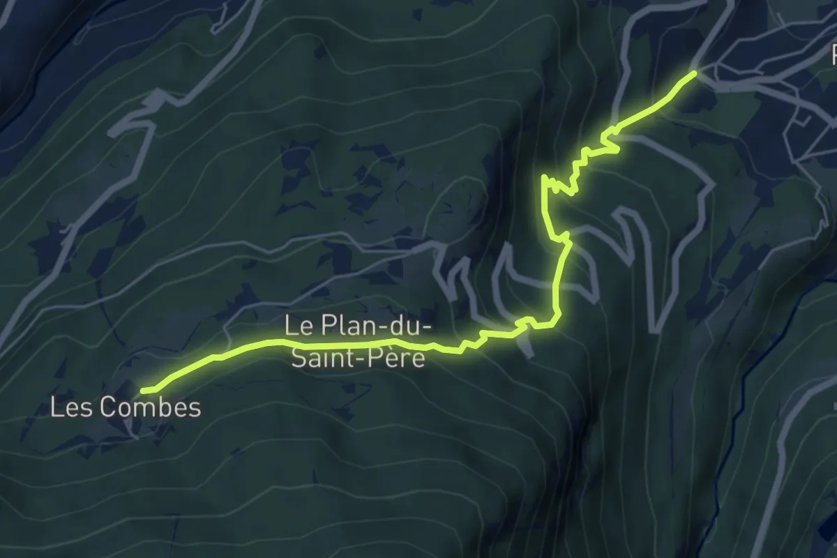
Medium · Trail
Ville Dessous – Combes
6.2 km · ↑ 479 m · 2 h 30 min
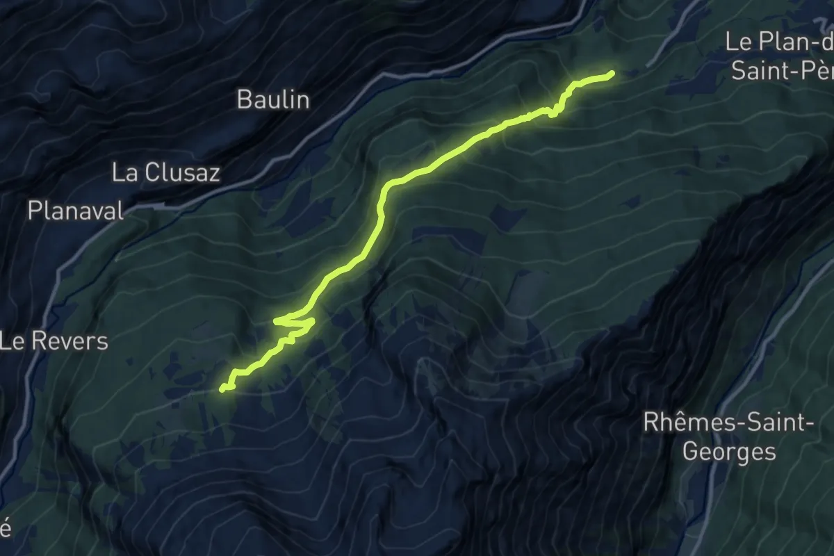
Demanding · Trail
Grand Haury – Boregne
11.5 km · ↑ 880 m · 4 h 37 min
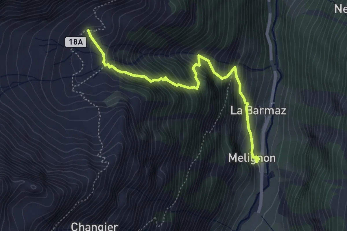
Medium · Trail
Melignon – Féleumaz
4.9 km · ↑ 676 m · 2 h 37 min
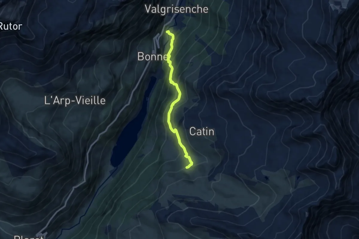
Medium · Trail
Mondanges – Col de Cussunaz
7.1 km · ↑ 583 m · 2 h 56 min
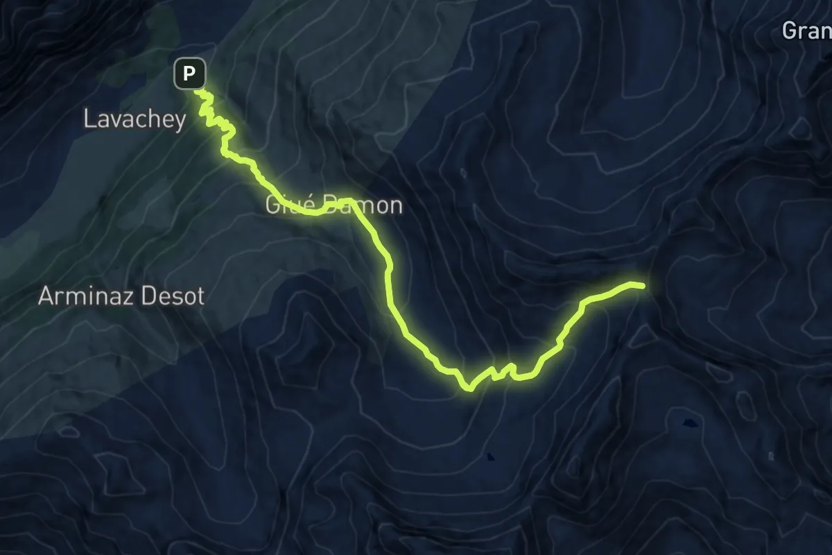
Demanding · Trail
La Remisa – Col de Malatra
14.1 km · ↑ 1225 m · 5 h 59 min
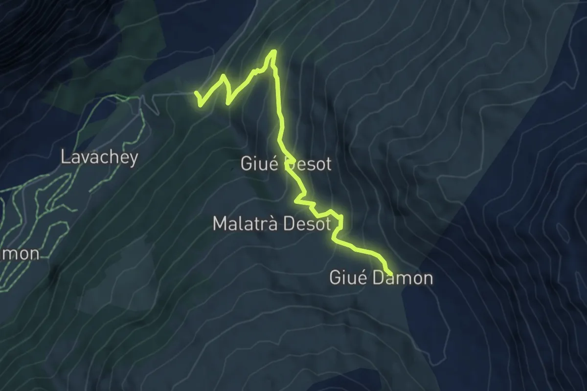
Medium · Trail
La Remisa – Gioè damon
5.9 km · ↑ 559 m · 2 h 37 min
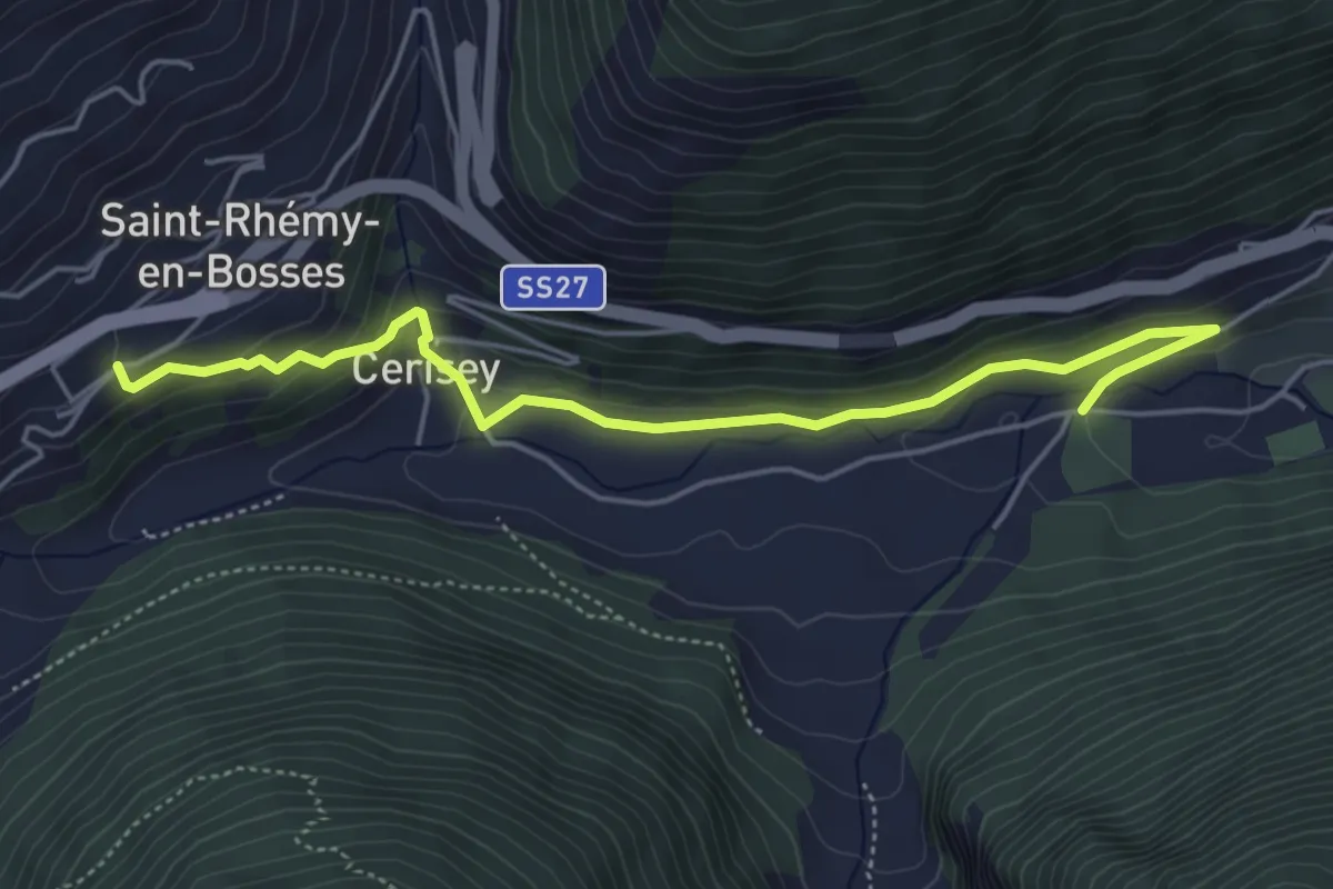
Easy · Trail
Saint-Oyen – Saint-Léonard
5.3 km · ↑ 222 m · 1 h 44 min
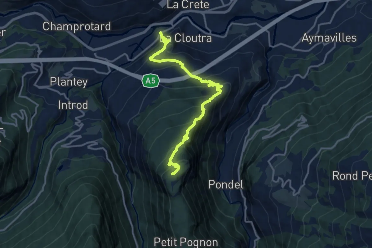
Demanding · Summit
Villeneuve – Petit Poignon
10.8 km · ↑ 928 m · 4 h 33 min
Medium · Trail
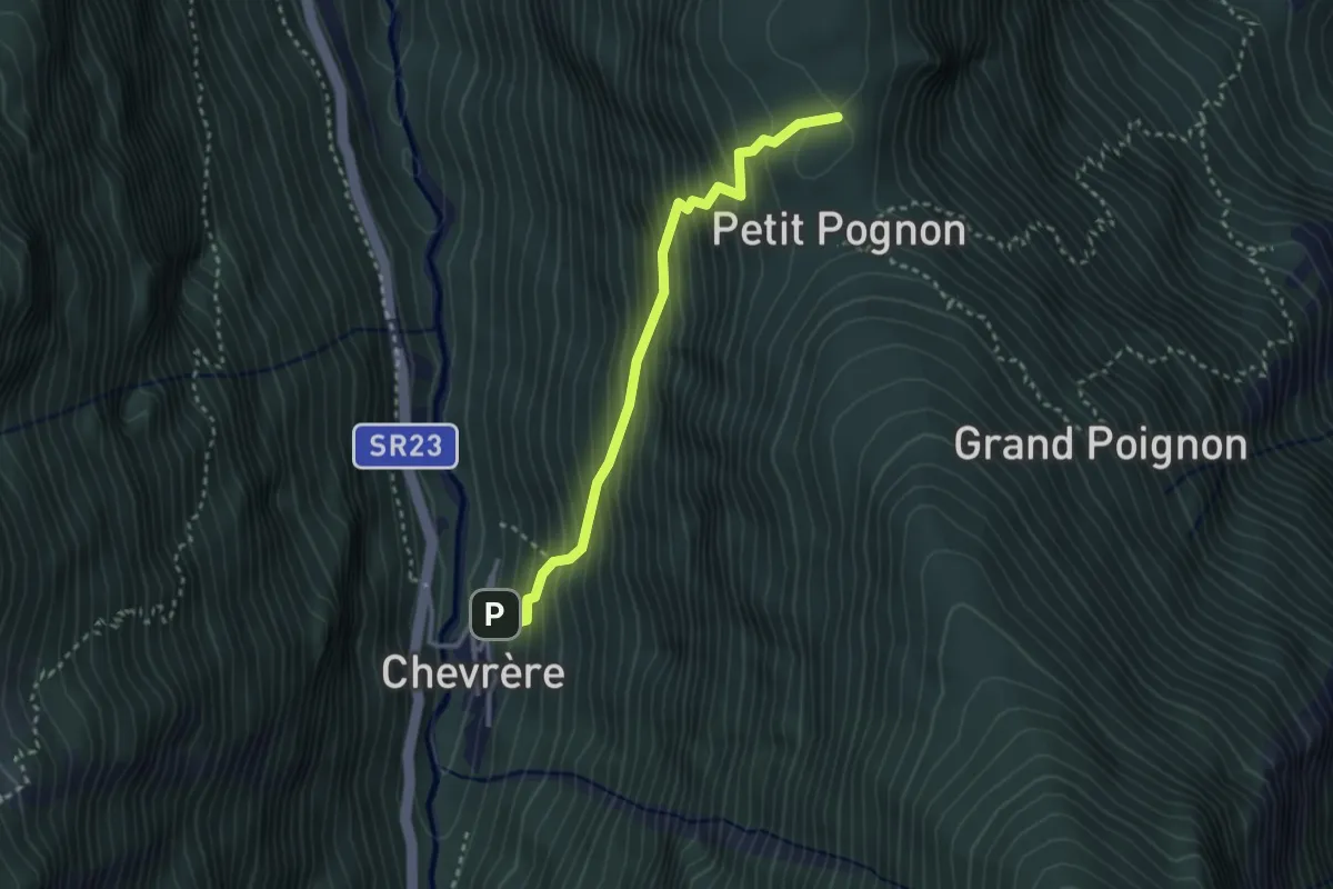
Chevrère – Poignon (confine comunale Villeneuve)
2.9 km · ↑ 432 m · 1 h 37 min
Medium · Summit
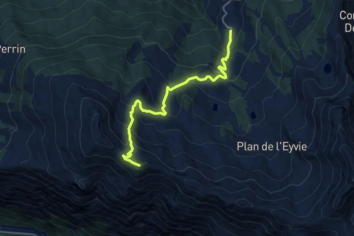
Pila, Gorraz – Pointe du Drinc
10.5 km · ↑ 794 m · 4 h 12 min
Demanding · Trail
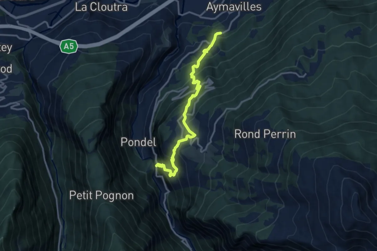
Strada regionale 47 – Champsolin
10.2 km · ↑ 974 m · 4 h 31 min
Medium · Trail
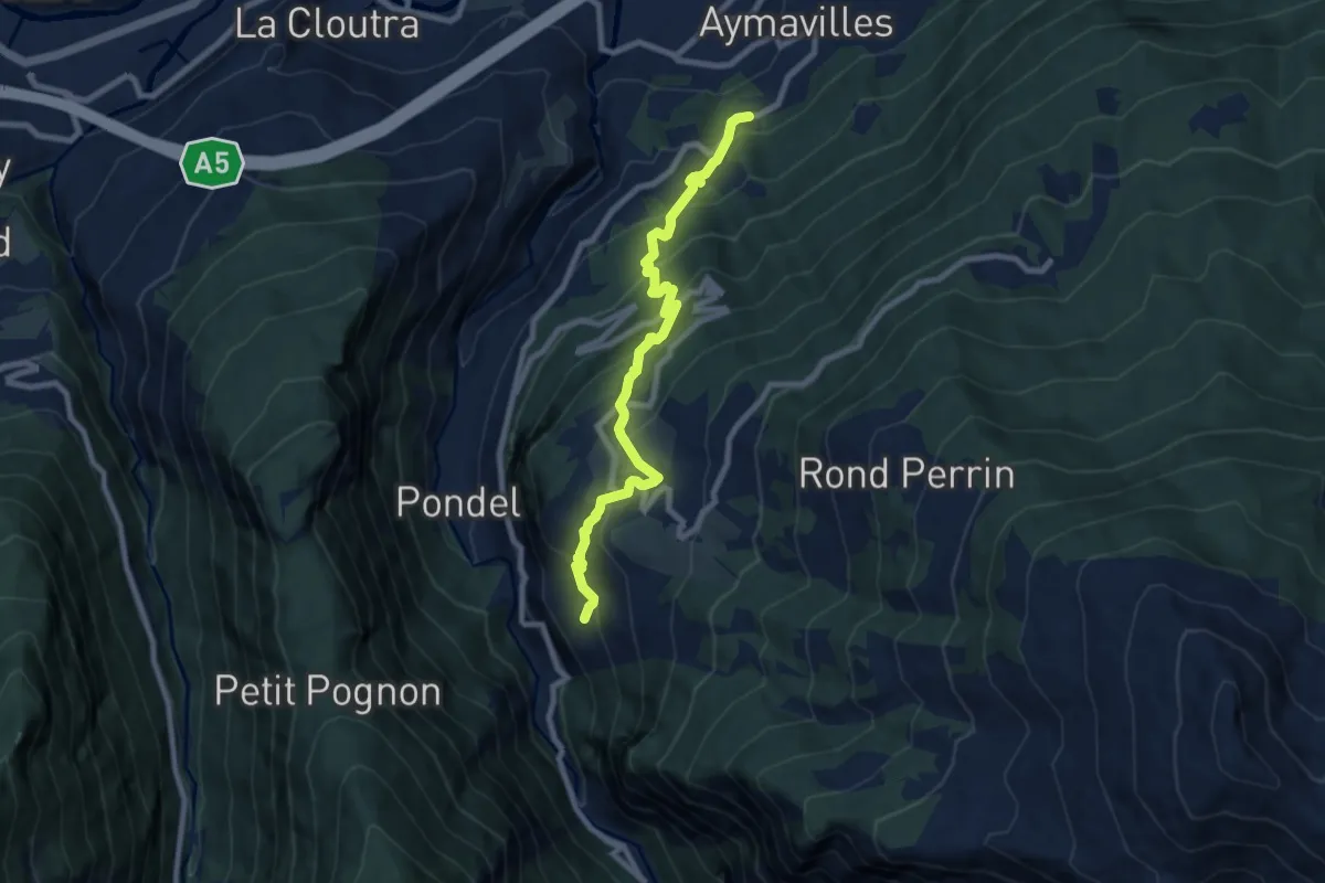
Champessolin – Serignan
8.7 km · ↑ 787 m · 3 h 46 min
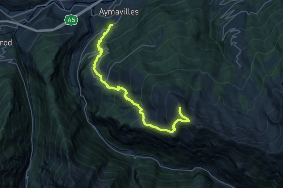
Demanding · Summit
Champessolin – Pointe de la Pierre
20.9 km · ↑ 2017 m · 9 h 18 min
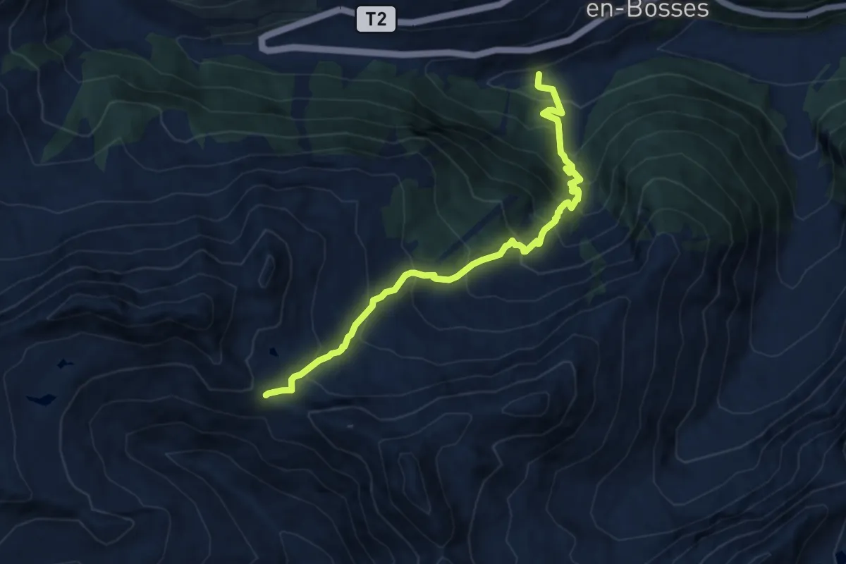
Demanding · Trail
Saint-Léonard – Col Citrin
9.9 km · ↑ 1051 m · 4 h 37 min
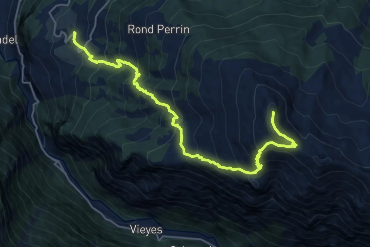
Demanding · Summit
Ozein – Pointe De La Pierre
14.5 km · ↑ 1395 m · 6 h 27 min
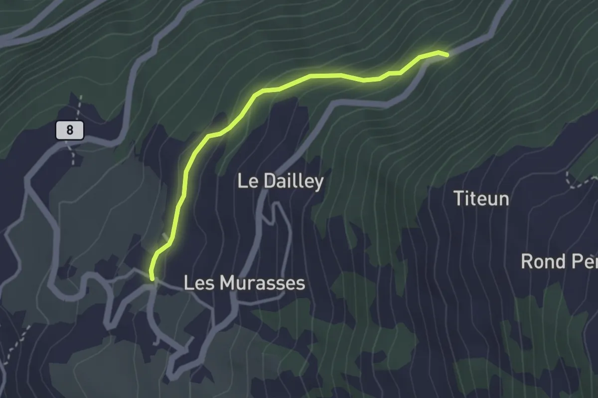
Easy · Trail
Ozein – Strada per Torlin
2.7 km · ↑ 151 m · 58 min
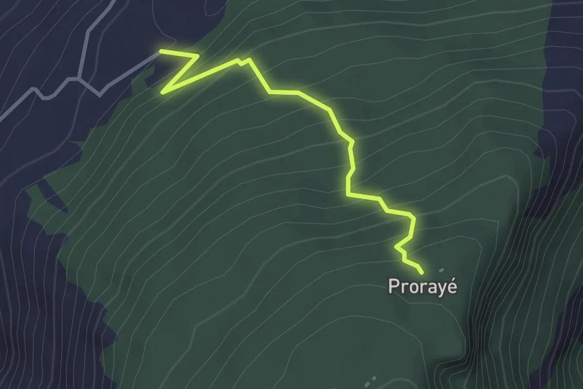
Medium · Trail
Champlong dessus – Prorayé
2.6 km · ↑ 321 m · 1 h 19 min
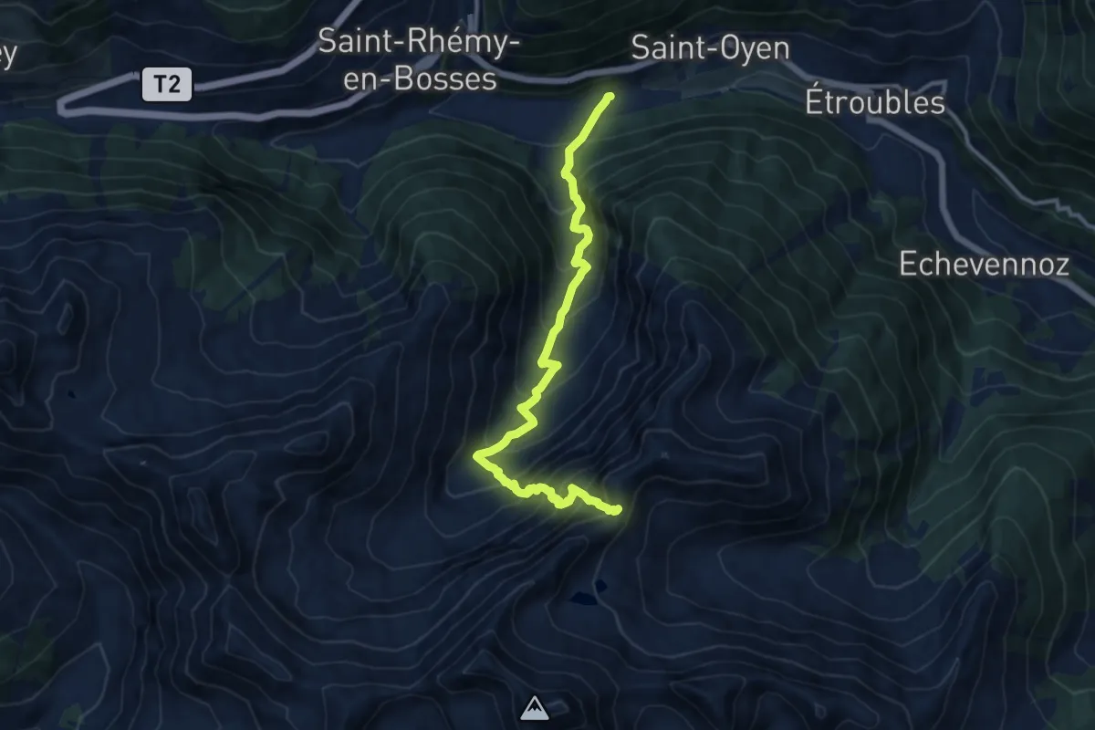
Demanding · Trail
Prenoud – Col d'Ars
11.7 km · ↑ 1208 m · 5 h 22 min
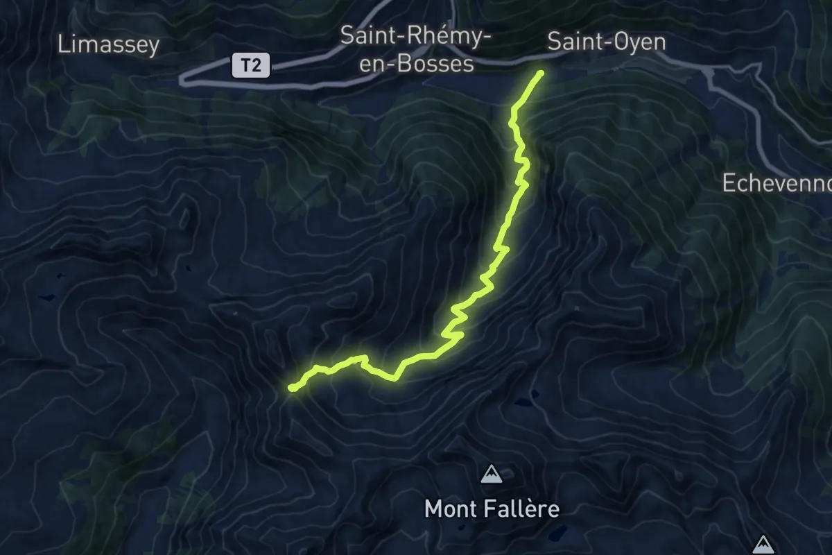
Demanding · Trail
Prenoud – Col Flassin
15.2 km · ↑ 1247 m · 6 h 17 min
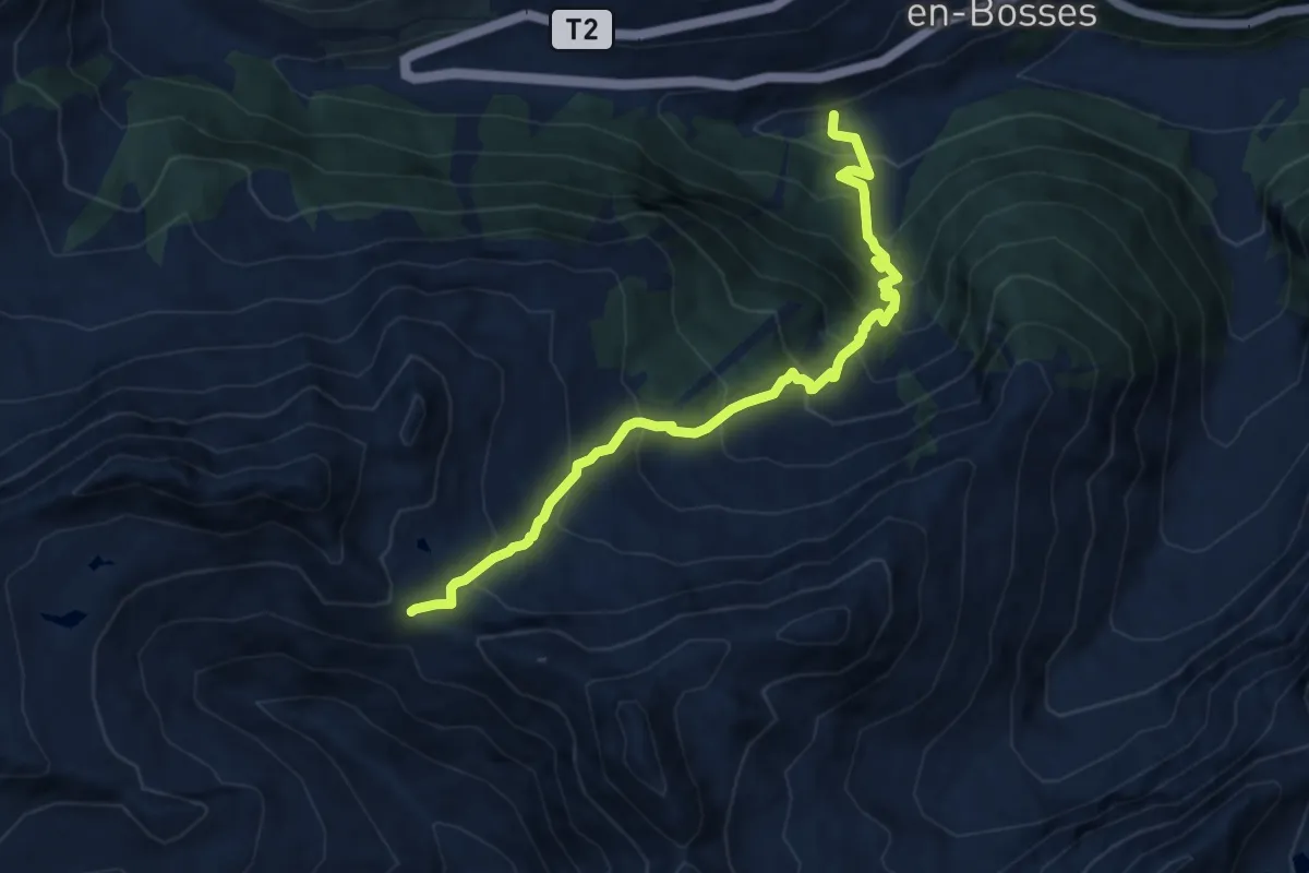
Demanding · Trail
Saint-Léonard – Mont Flassin
9.9 km · ↑ 1051 m · 4 h 37 min
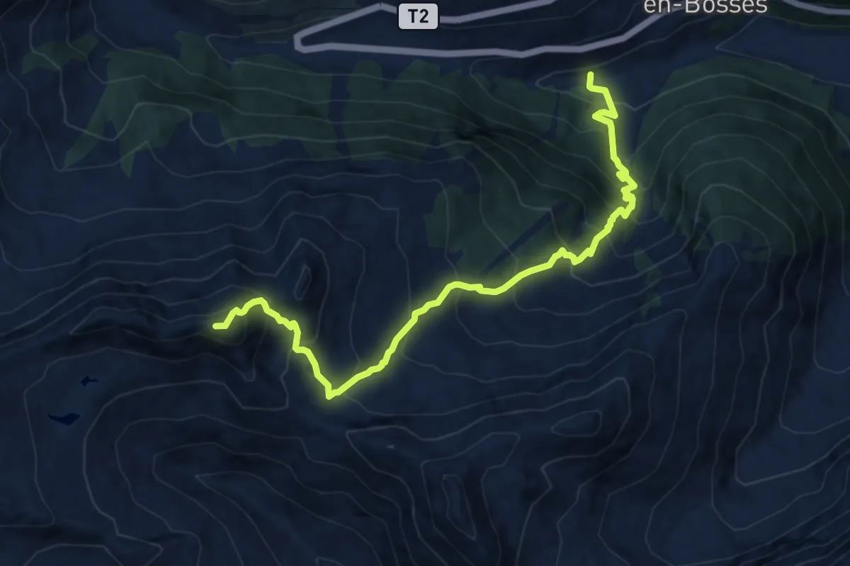
Expert · Summit
Saint-Léonard – Punta Valletta
12.2 km · ↑ 1348 m · 5 h 48 min
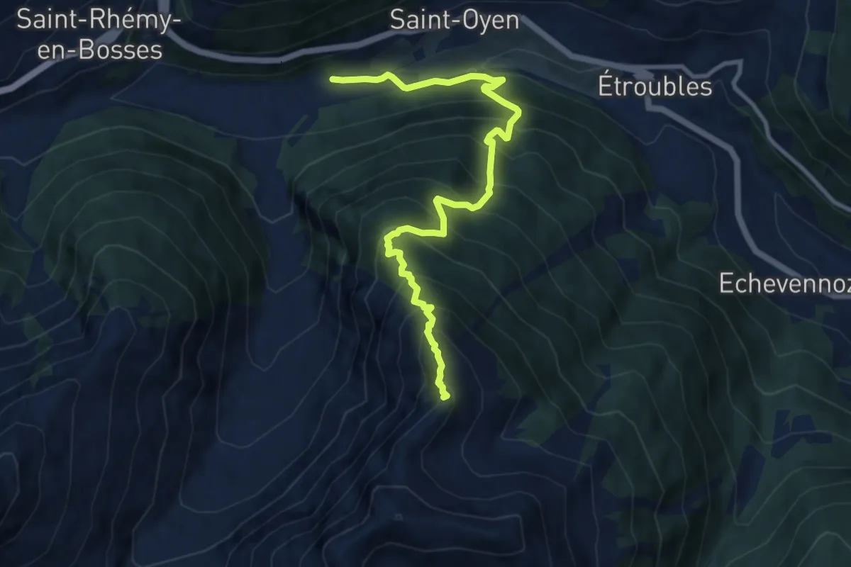
Demanding · Summit
Prenoud – Grande Tête
10.0 km · ↑ 1156 m · 4 h 52 min
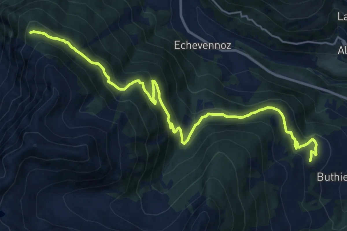
Medium · Trail
Mendey – La Lanche
15.8 km · ↑ 781 m · 5 h 25 min
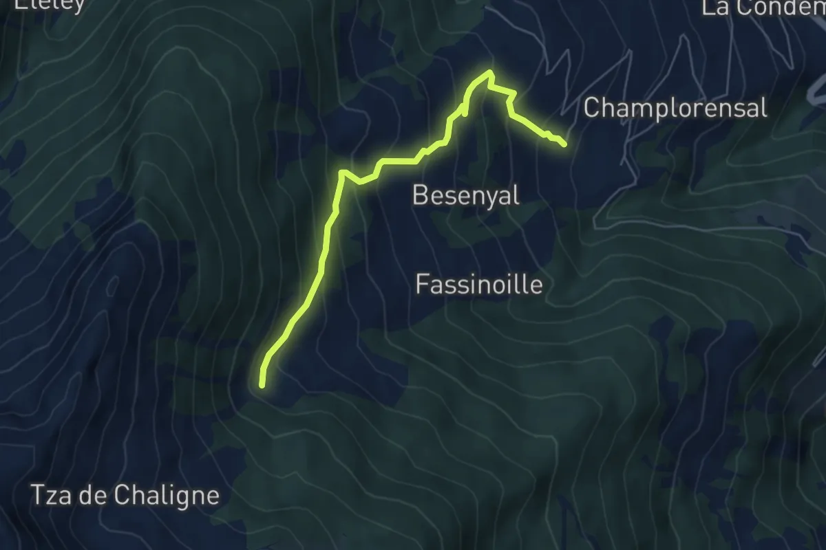
Demanding · Cabin
Buthier – Alpe e Rifugio Chaligne
5.6 km · ↑ 517 m · 2 h 27 min