Trails in Italy
25,219 hiking trails, each with its route, climb, walking time and grade.
All trails, page 416 of 526
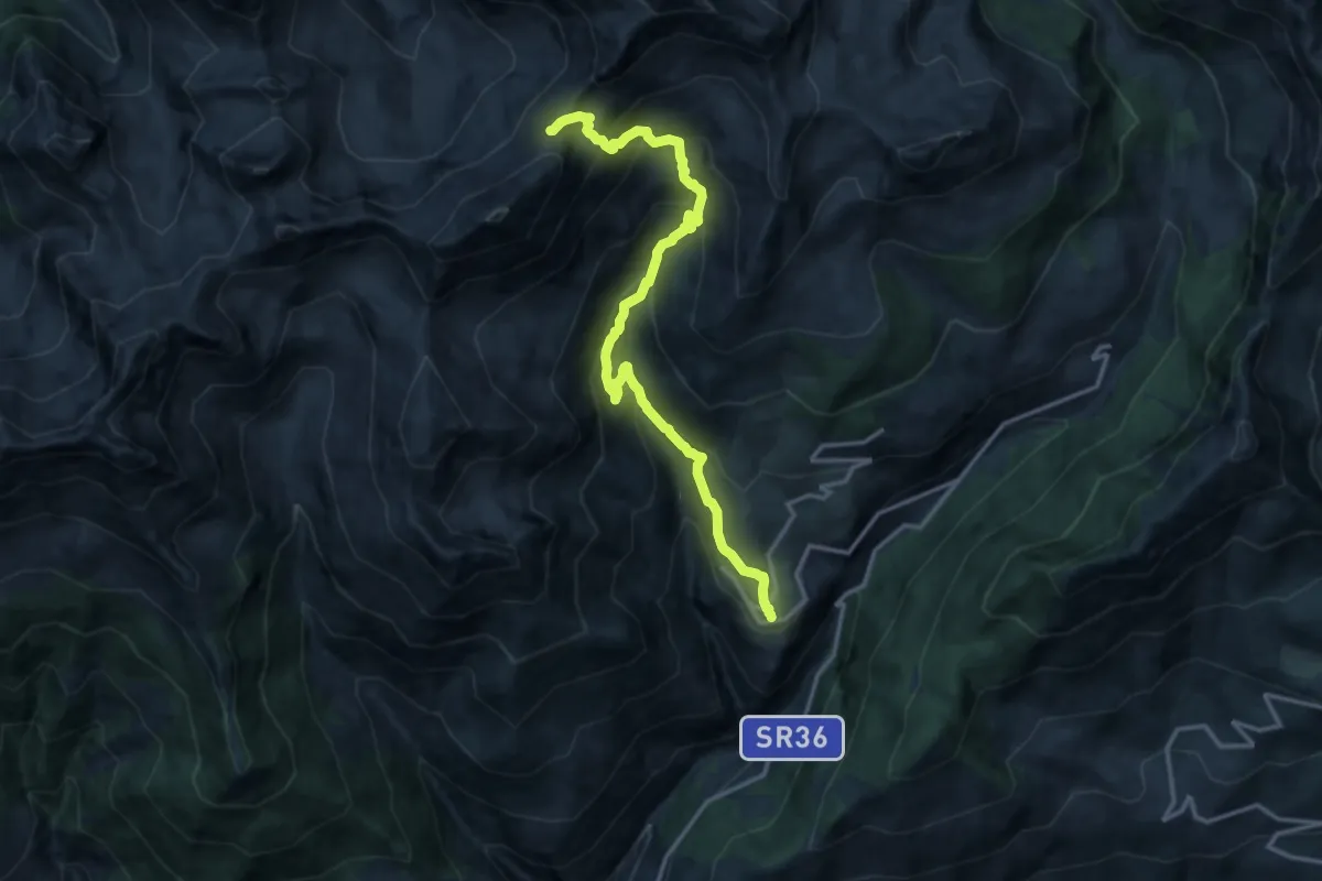
Expert · Trail
Lignan – Col de Vessonaz
15.7 km · ↑ 1246 m · 6 h 25 min
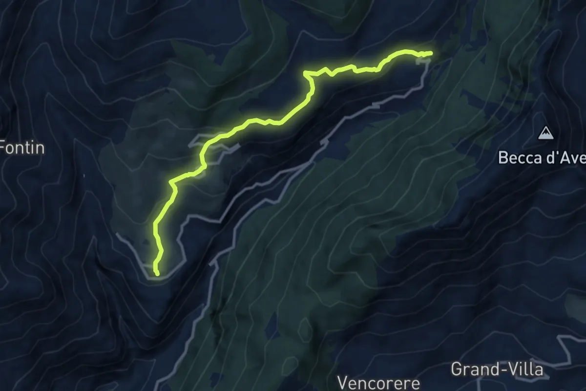
Medium · Trail
Lignan – Praz
10.2 km · ↑ 546 m · 3 h 36 min
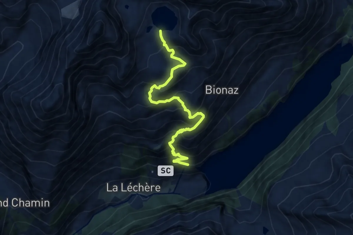
Demanding · Trail
Place Moulin – Lac Mort
9.5 km · ↑ 925 m · 4 h 15 min
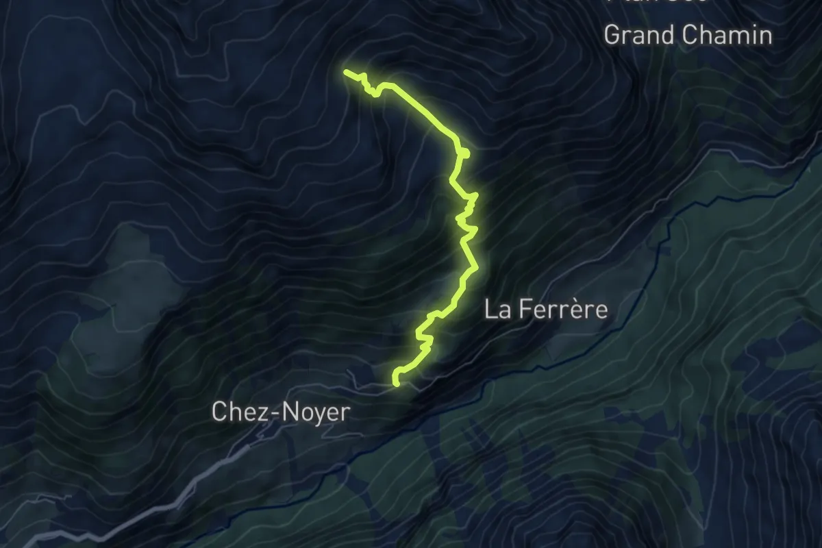
Demanding · Trail
Chez-Chenoux – Alpe Luseney
6.0 km · ↑ 767 m · 3 h 5 min
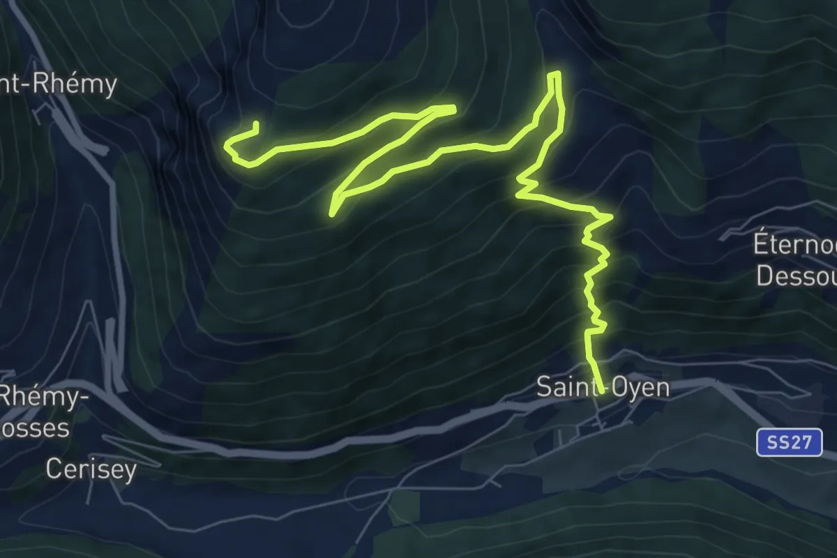
Demanding · Trail
Capoluogo – Plan Puitz
10.1 km · ↑ 828 m · 4 h 11 min
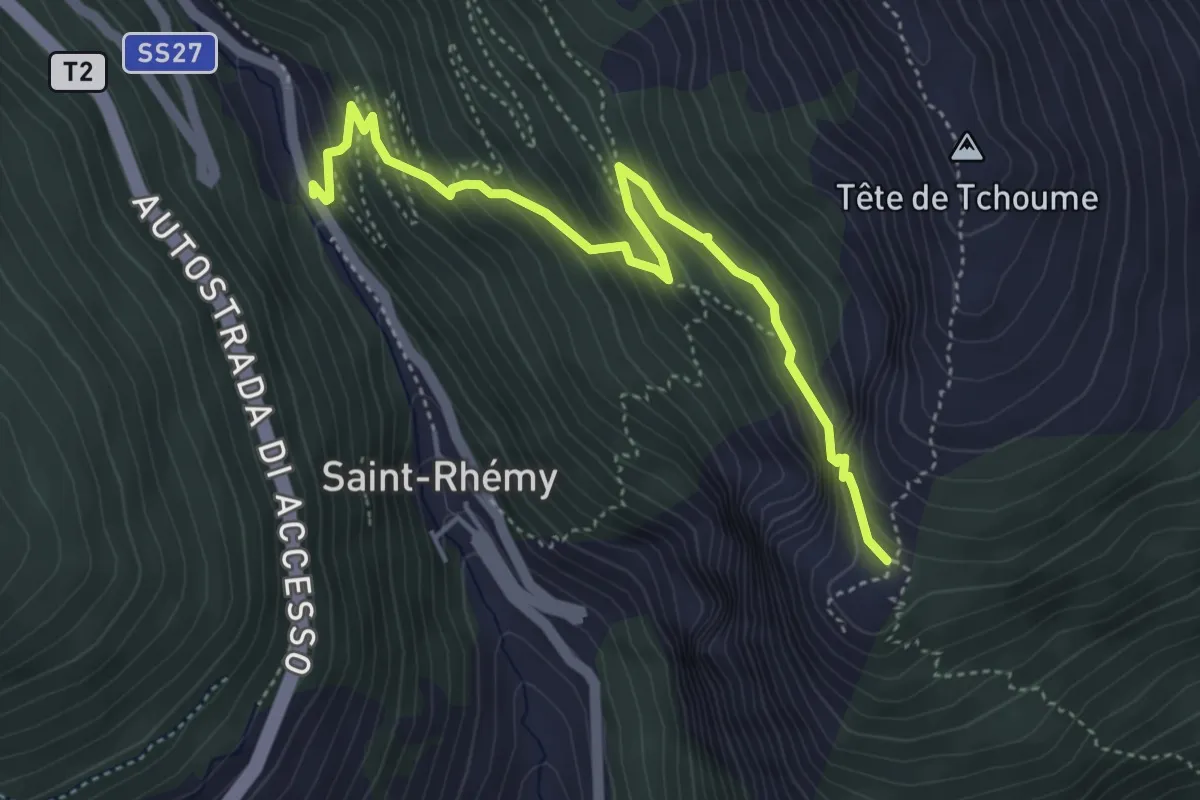
Medium · Trail
Strada Statale 27 – Plan Puitz
4.8 km · ↑ 438 m · 2 h 5 min
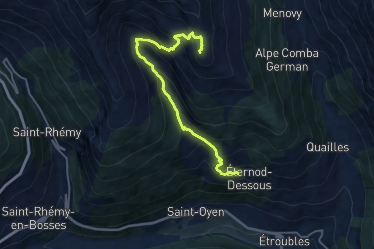
Demanding · Summit
Eternod – Mont Paglietta
9.6 km · ↑ 801 m · 4 h 1 min
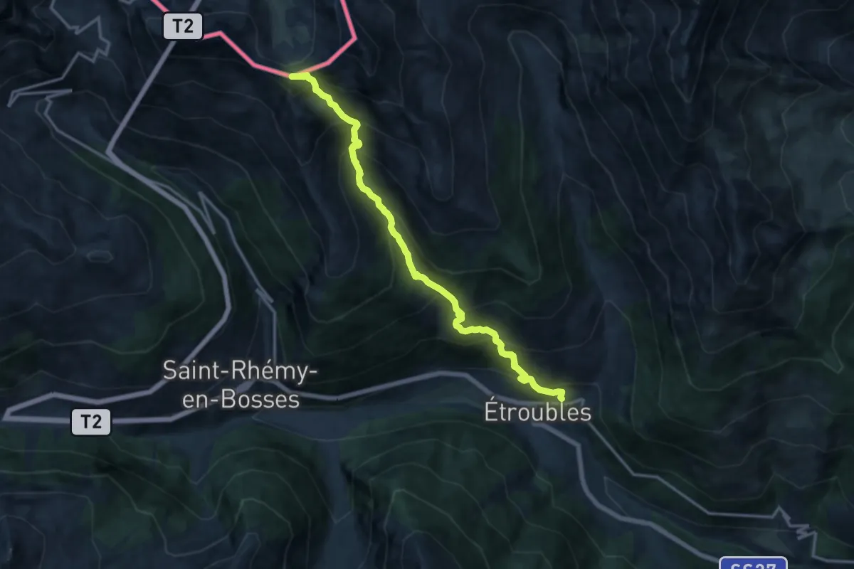
Expert · Summit
Vachery – Col Barasson Est
13.4 km · ↑ 1355 m · 6 h 5 min
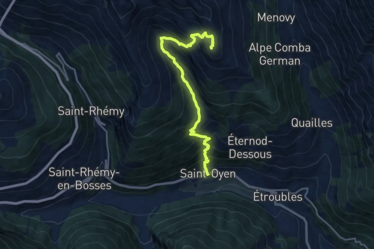
Demanding · Summit
Saint-Oyen – Mont Paglietta
10.8 km · ↑ 1093 m · 4 h 55 min
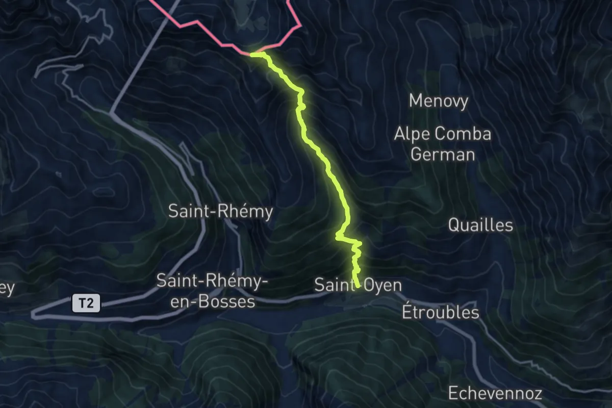
Expert · Summit
Saint-Oyen – Col Barasson Oriental
11.1 km · ↑ 1313 m · 5 h 28 min
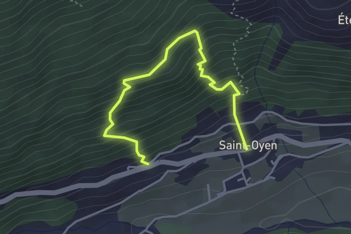
Medium · Trail
Saint-Oyen – Saint-Oyen
3.6 km · ↑ 527 m · 1 h 59 min
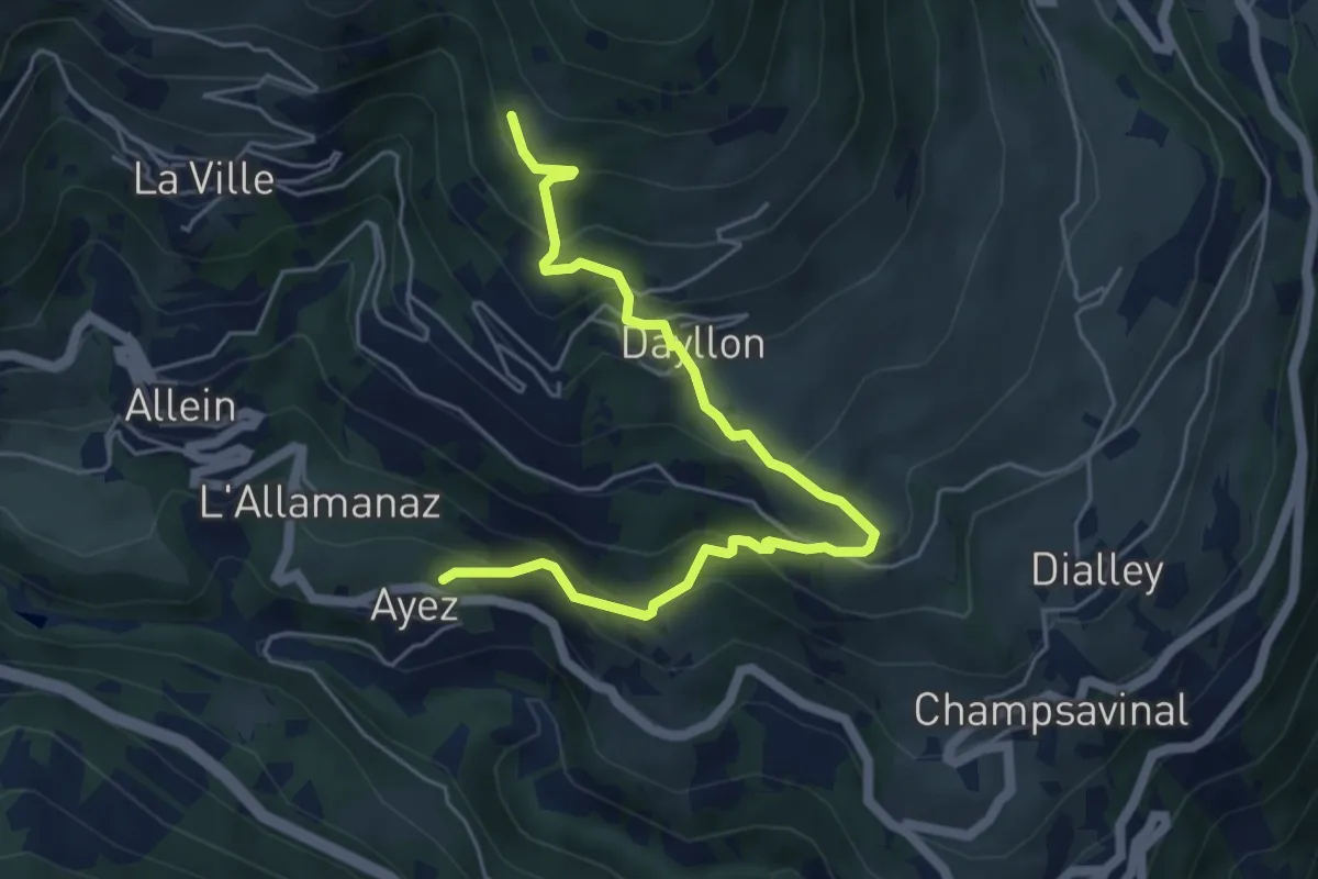
Medium · Trail
Ayez – Genevrey
5.8 km · ↑ 500 m · 2 h 27 min
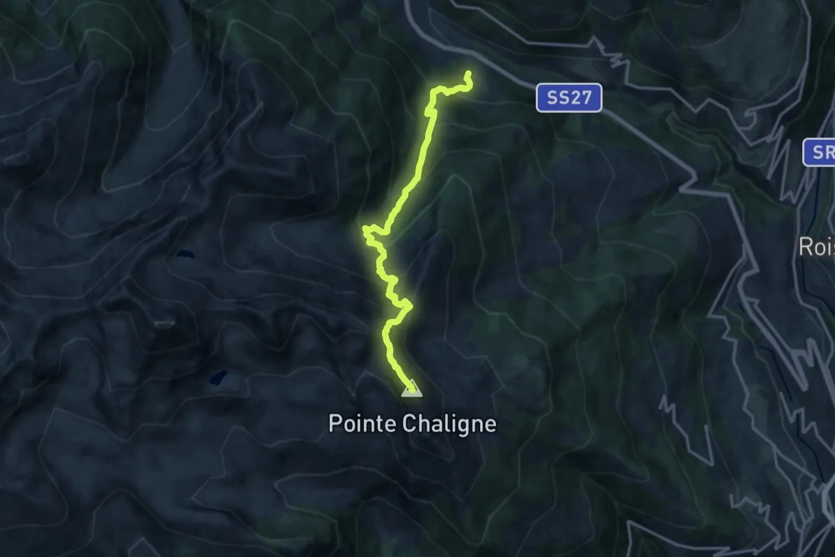
Demanding · Summit
Chez-Les-Blancs – Pointe Chaligne
13.0 km · ↑ 1353 m · 6 h
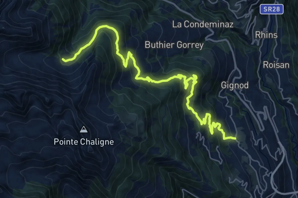
Demanding · Trail
La Cheriettes – Alpe Ars
12.3 km · ↑ 1112 m · 5 h 3 min
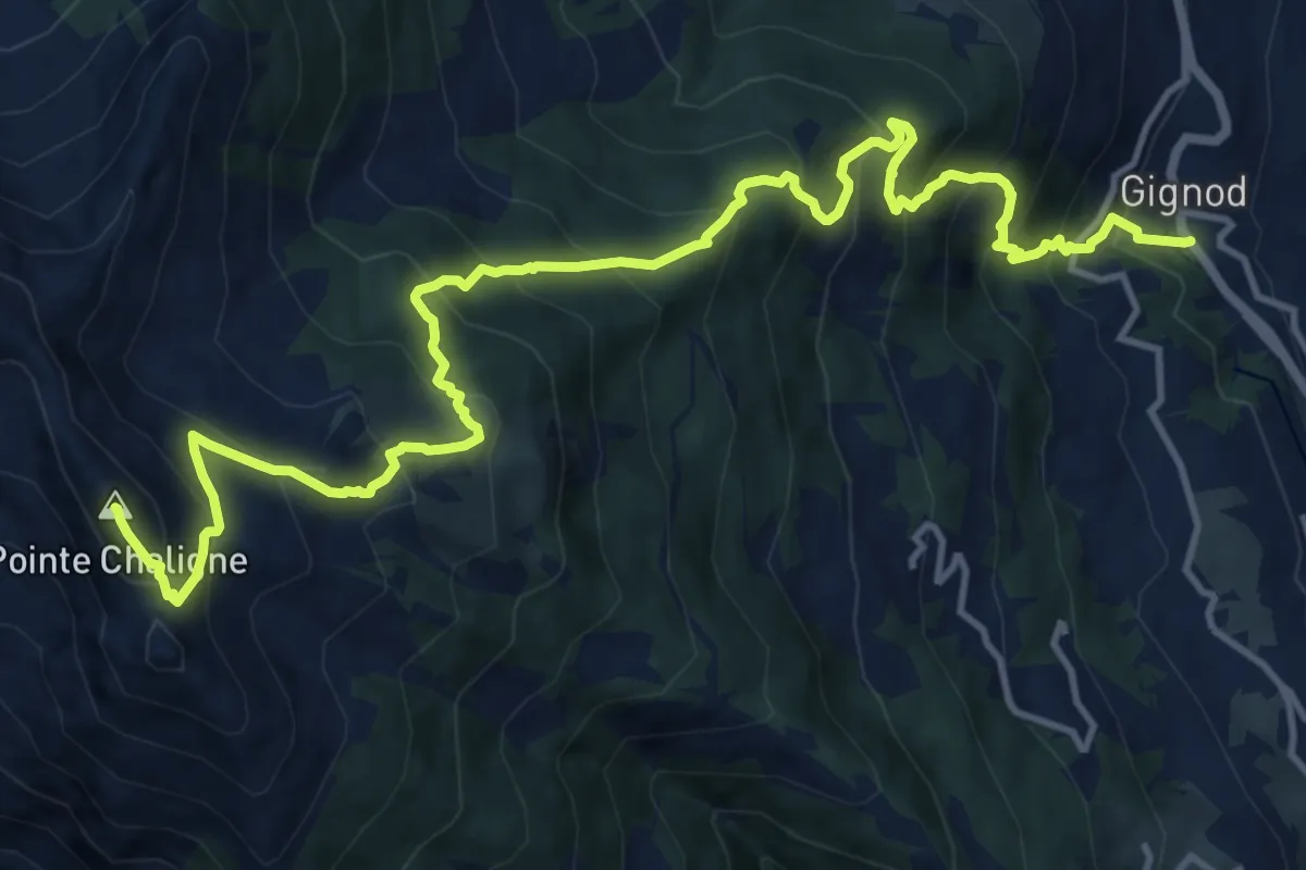
Demanding · Summit
Gignod – Pointe Chaligne
17.2 km · ↑ 1635 m · 7 h 37 min
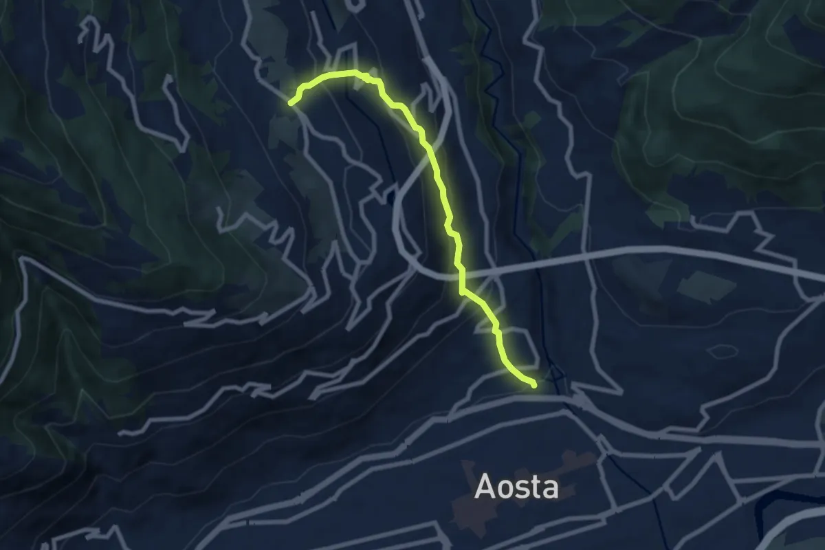
Medium · Trail
Regione Consolata – Excenex
6.8 km · ↑ 487 m · 2 h 39 min
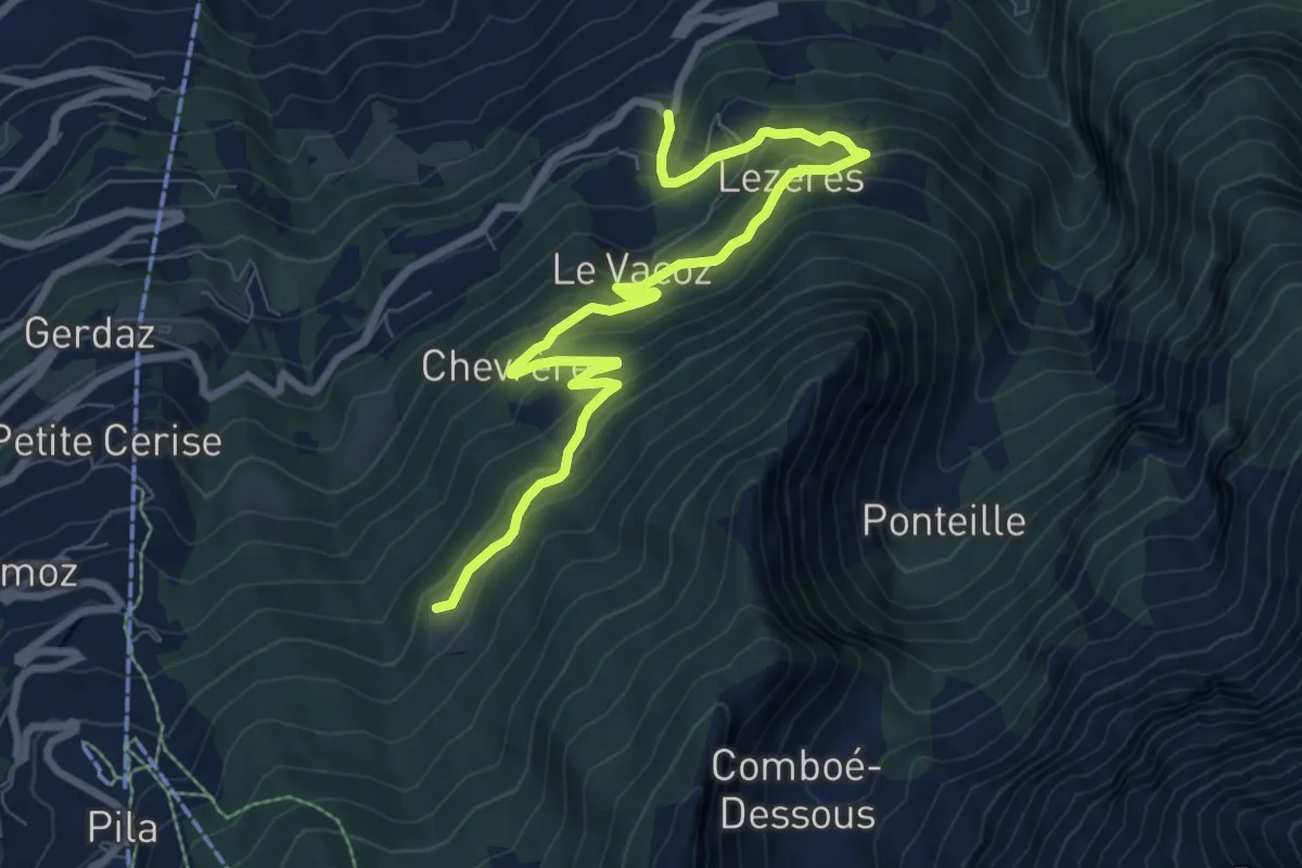
Medium · Trail
La Pissine Salà – Ermitage de Saint-Grat
9.2 km · ↑ 640 m · 3 h 34 min
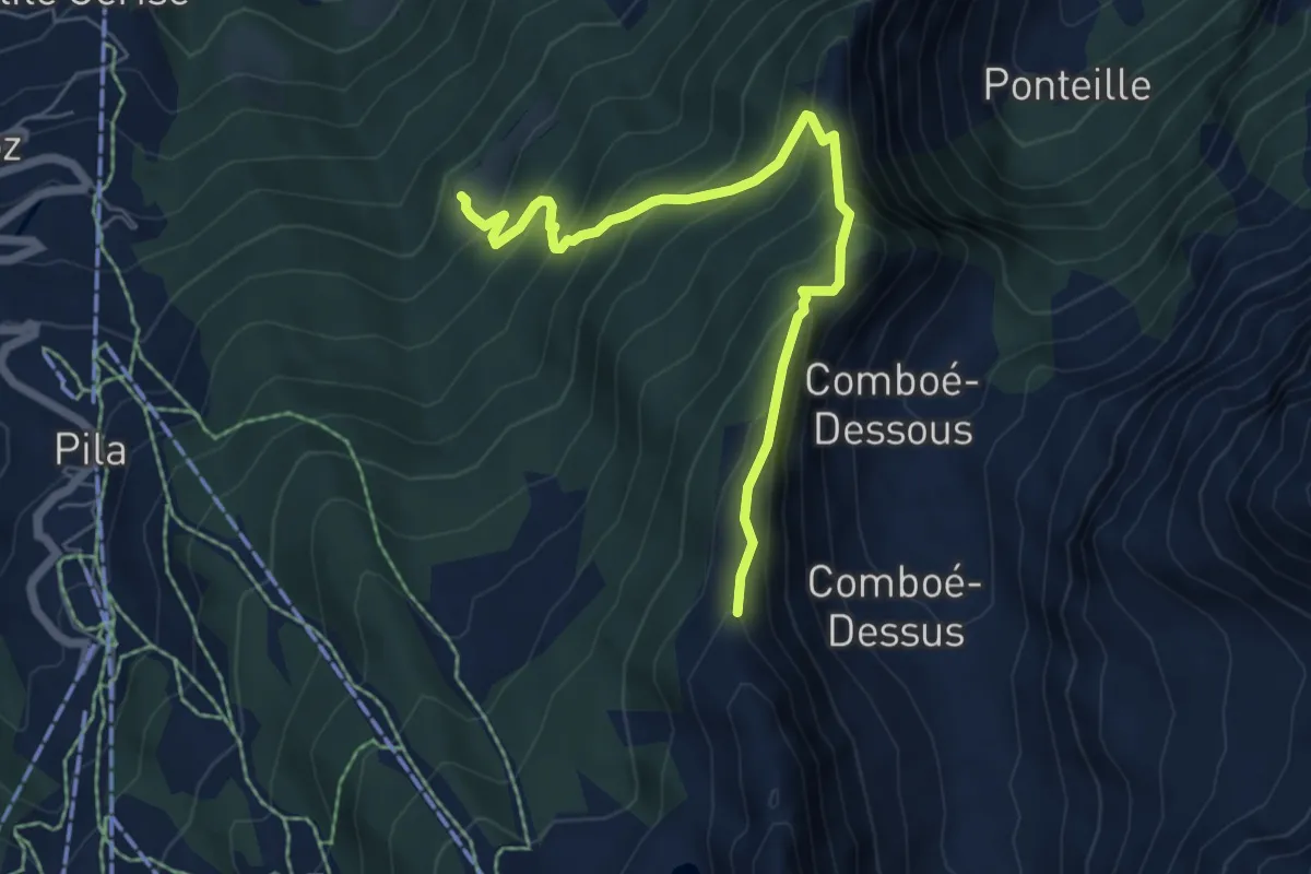
Medium · Trail
Ermitage de Saint-Grat – Col Replan
6.4 km · ↑ 581 m · 2 h 47 min
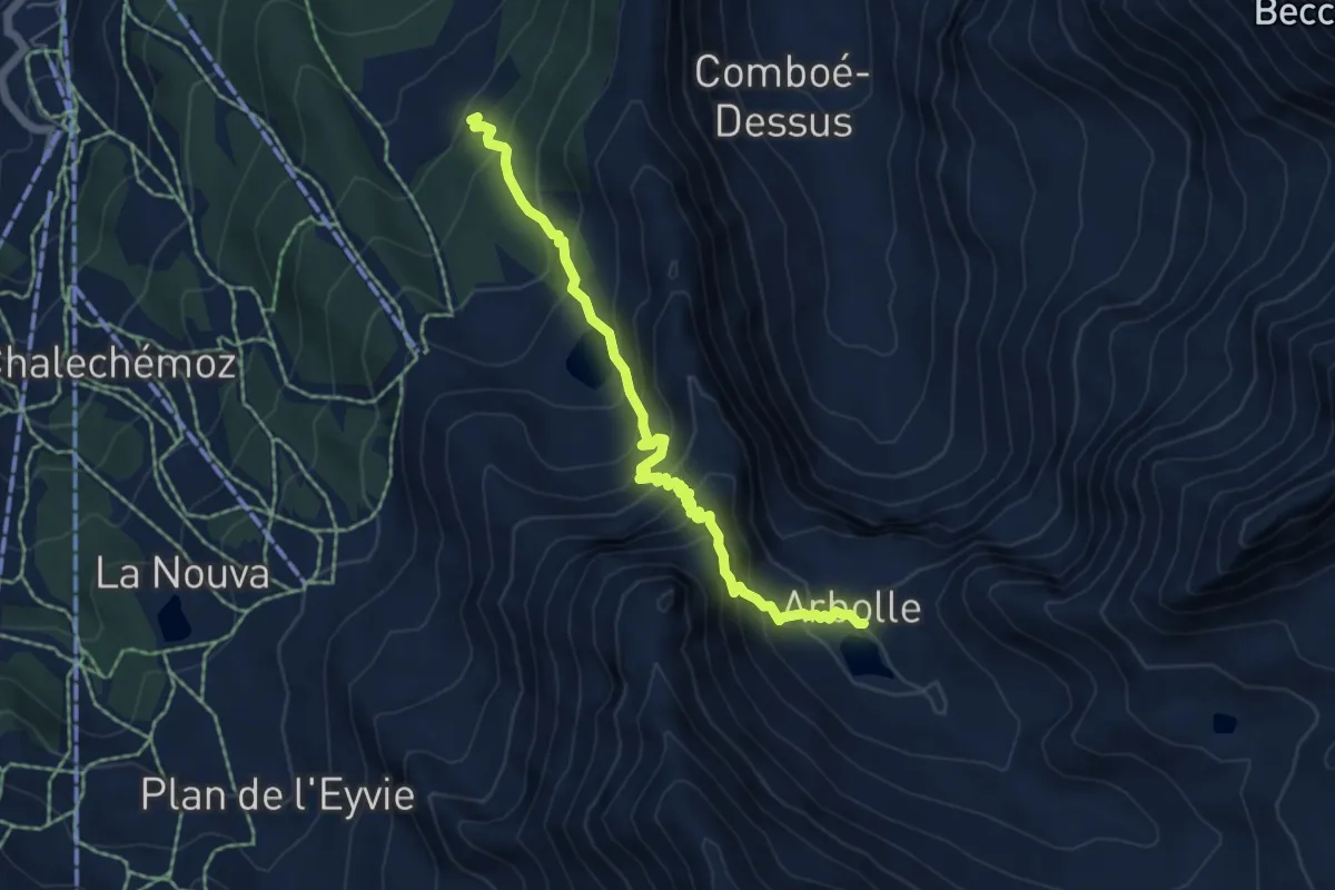
Demanding · Cabin
Chamolé – Col Replan
5.8 km · ↑ 619 m · 2 h 42 min
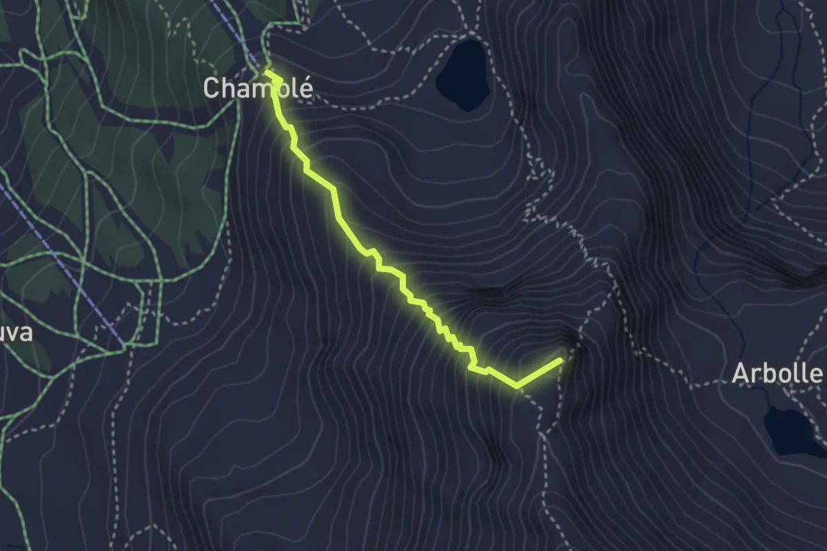
Demanding · Summit
Arrivo impianto risalita Chamolé – Tête Noire
2.9 km · ↑ 480 m · 1 h 44 min
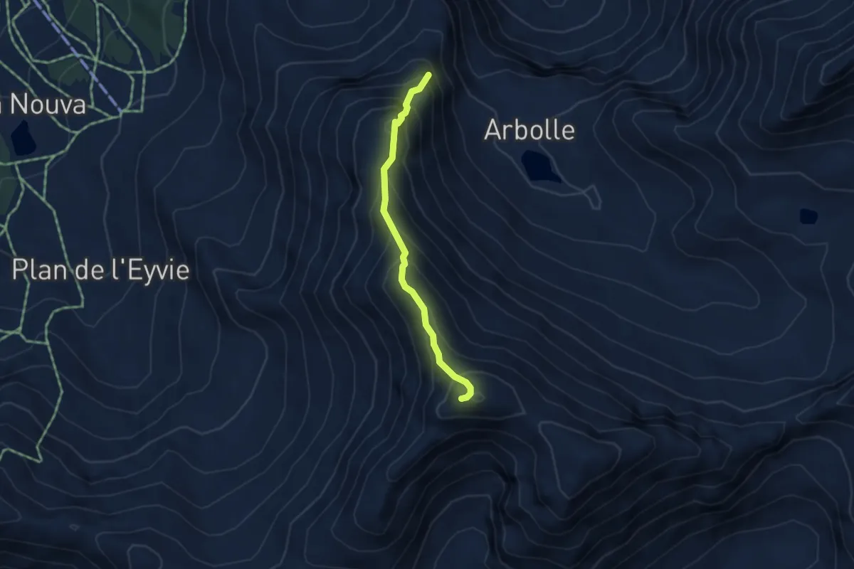
Demanding · Summit
Lac de Chamolé – Pointe-Valletta
3.3 km · ↑ 449 m · 1 h 46 min
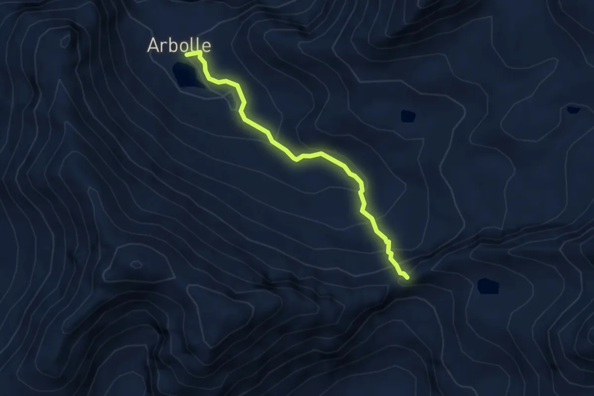
Demanding · Cabin
Rifugio Arbolle – Col Garin
3.9 km · ↑ 313 m · 1 h 36 min
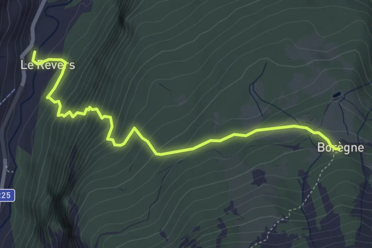
Medium · Trail
Confine comunale Arvier, Revers – Borègne
5.0 km · ↑ 479 m · 2 h 13 min
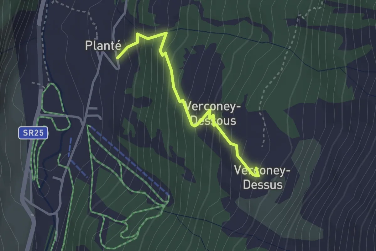
Medium · Trail
Planté – Verconey damon
2.6 km · ↑ 327 m · 1 h 20 min
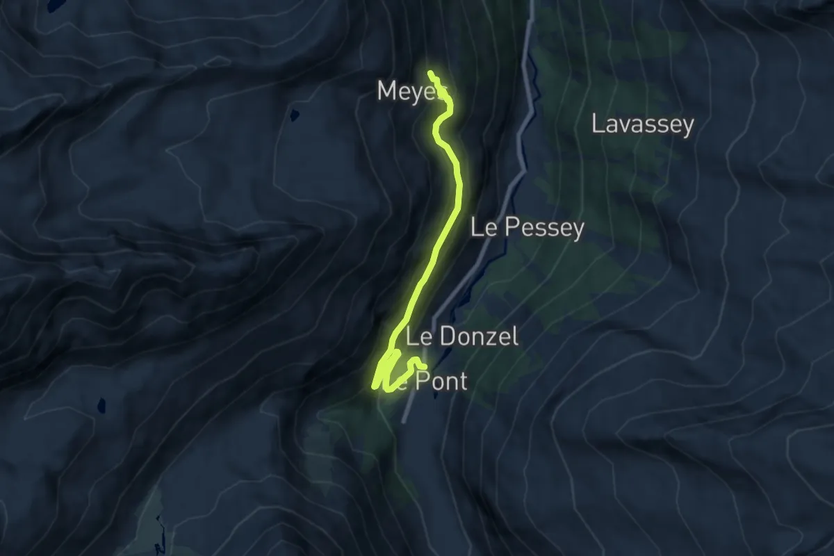
Medium · Trail
Pont – Meyes Desot
7.3 km · ↑ 573 m · 2 h 58 min
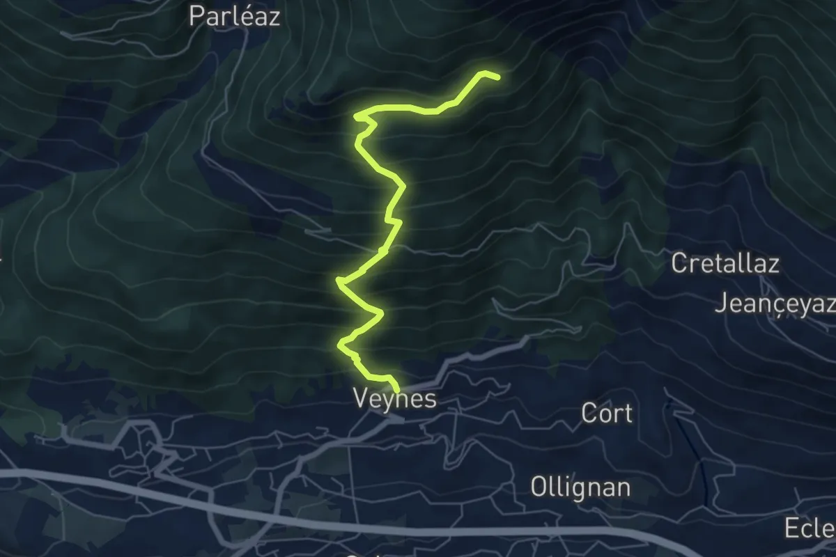
Medium · Trail
Veynes – Valtolanaz
6.0 km · ↑ 708 m · 2 h 57 min
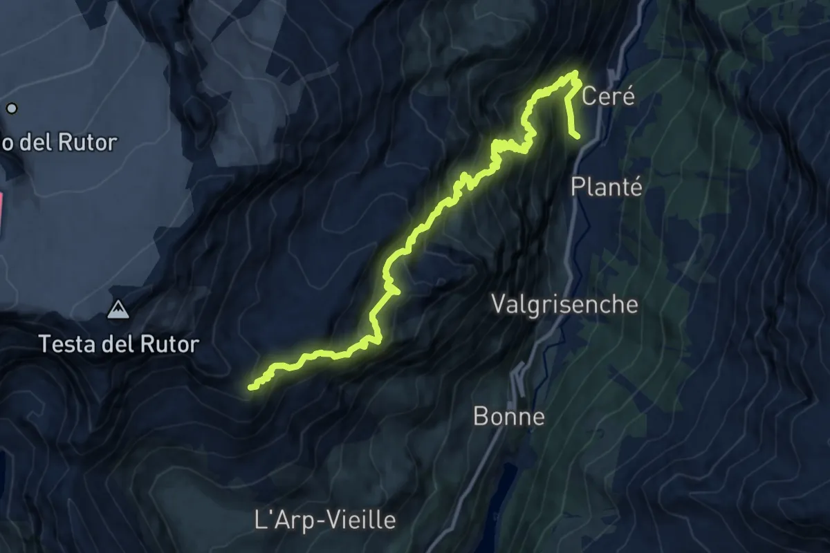
Demanding · Cabin
La Béthaz – Rifugio degli Angeli al Morion
14.8 km · ↑ 1641 m · 7 h 2 min
Demanding · Trail
Menthieu – Forclaz du Bré
4.2 km · ↑ 382 m · 1 h 49 min
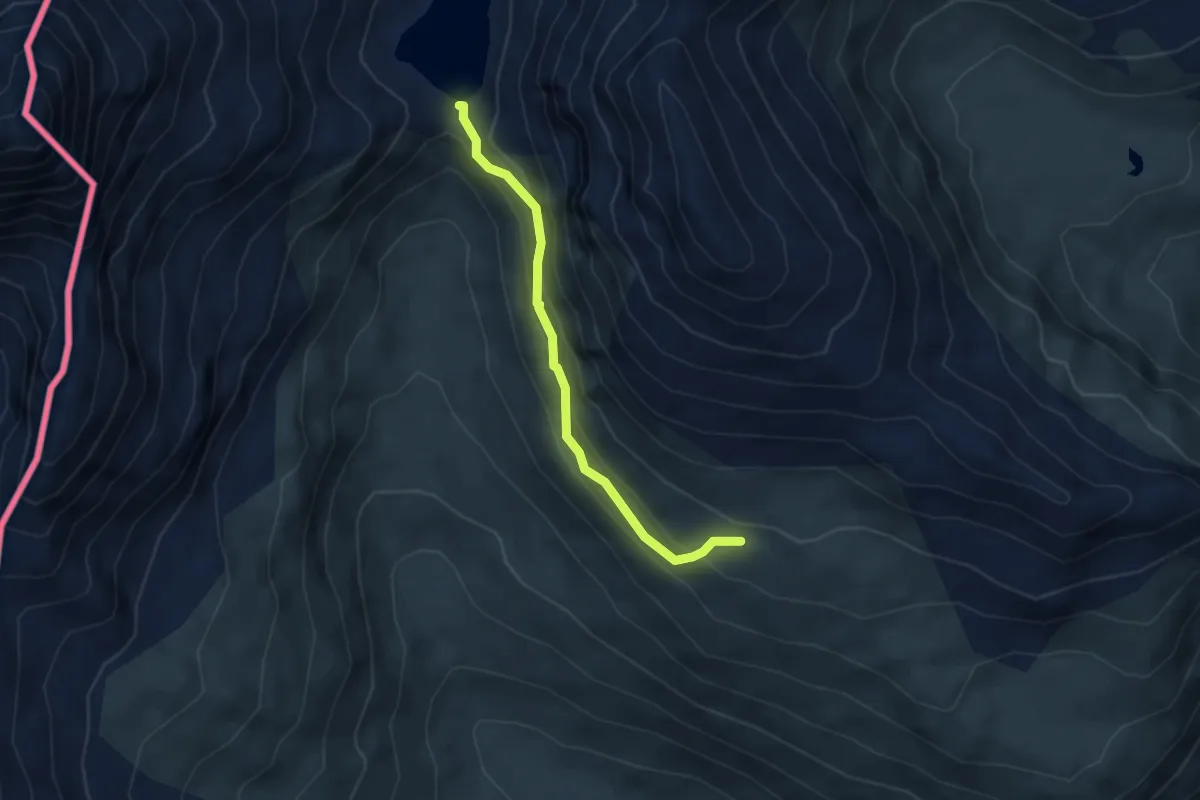
Medium · Trail
Menthieu – Lago San Grato
3.8 km · ↑ 257 m · 1 h 28 min
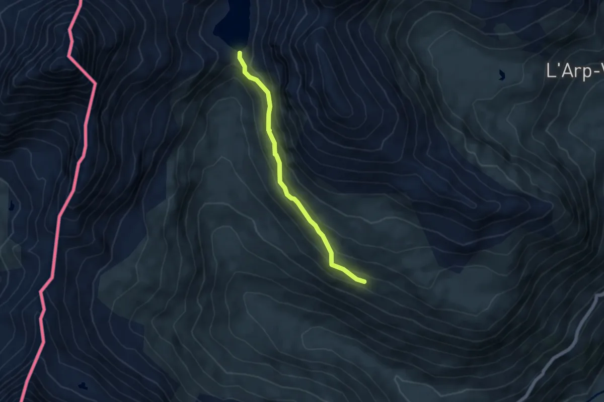
Medium · Trail
Bois de Grillet – Lago di San Grato
4.5 km · ↑ 282 m · 1 h 41 min
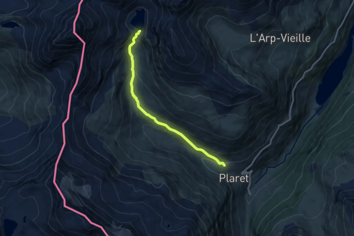
Medium · Trail
Bivio strada per Grand Alpe – Lac Saint-Grat
7.9 km · ↑ 503 m · 2 h 57 min
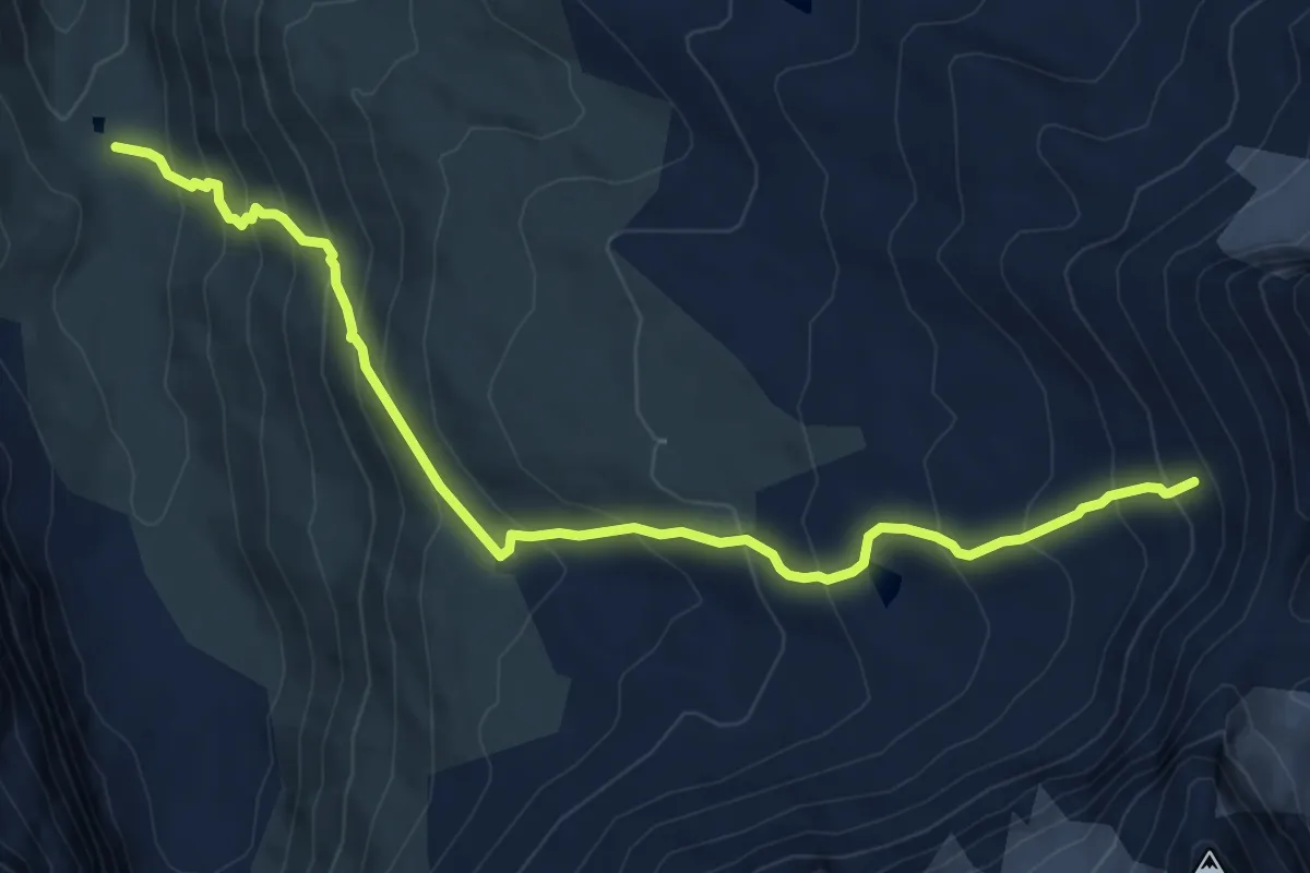
Medium · Cabin
Rifugio Bezzi – Col Bassac
7.8 km · ↑ 758 m · 3 h 29 min
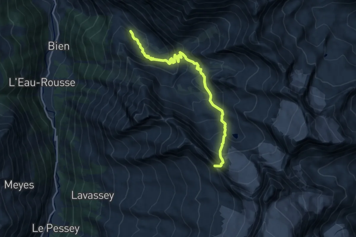
Expert · Summit
Levionaz – Passage du Grand Neyron
12.0 km · ↑ 1010 m · 5 h 1 min
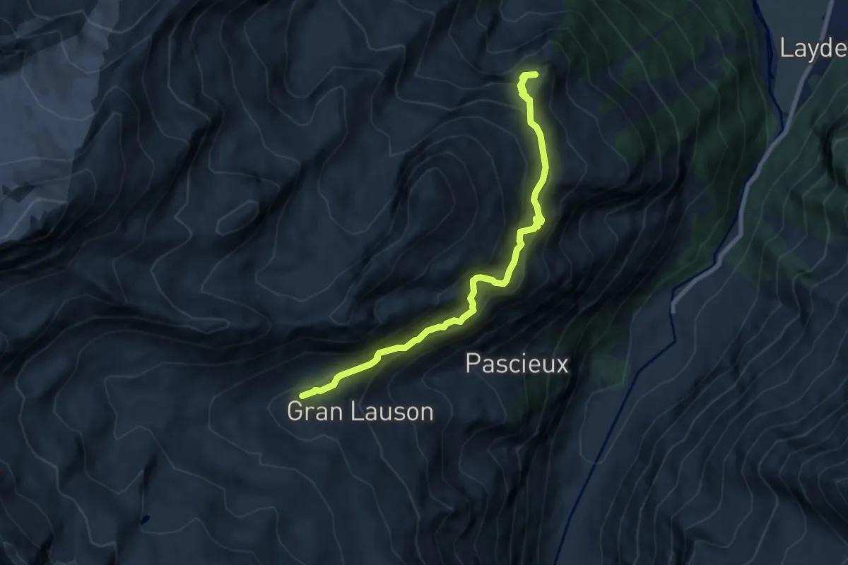
Demanding · Summit
Rifugio Vittorio Sella – Alpeggio Les Ors
8.2 km · ↑ 904 m · 3 h 53 min
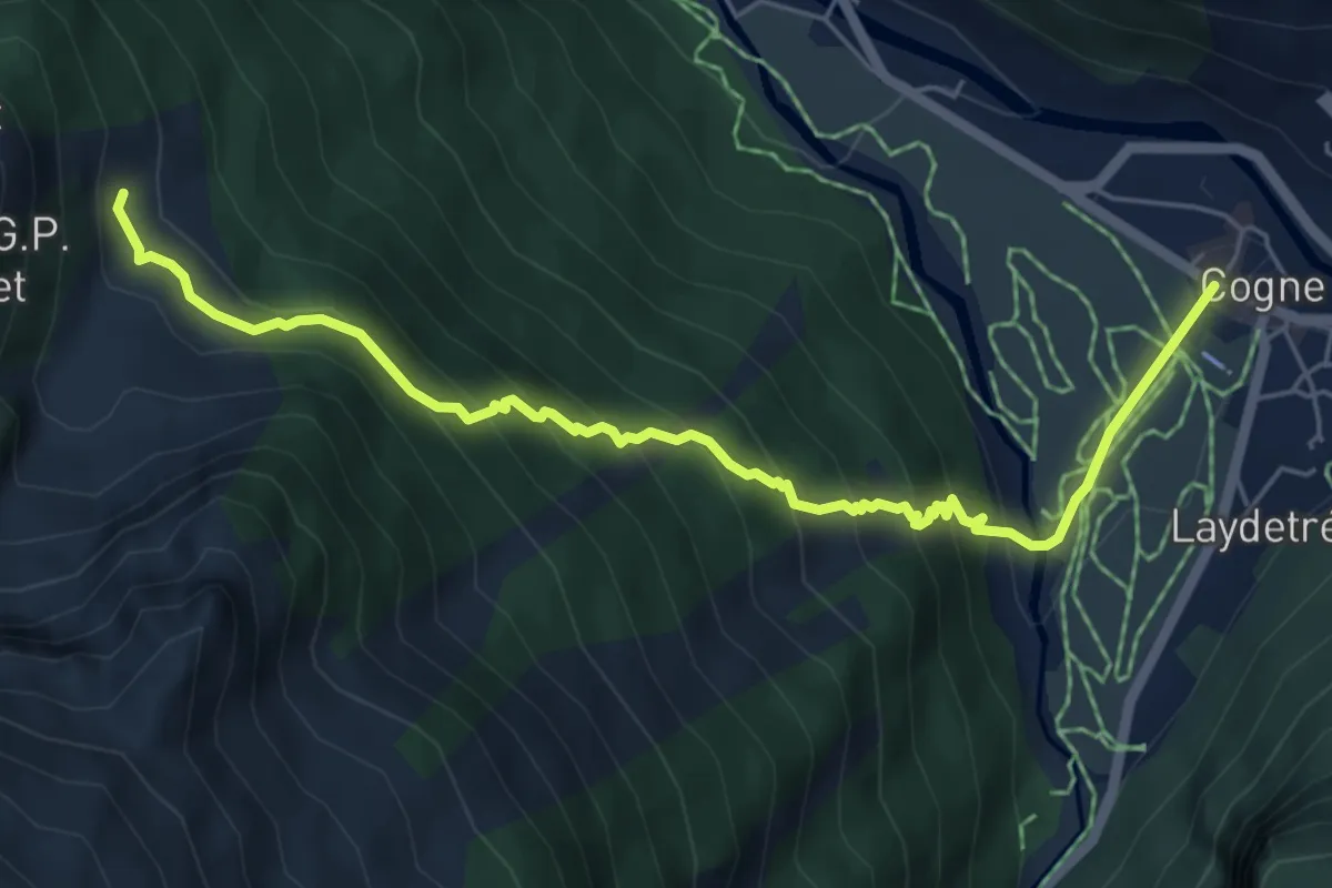
Medium · Trail
Prati di Sant'Orso - Buthier – Les Ors
6.4 km · ↑ 538 m · 2 h 40 min
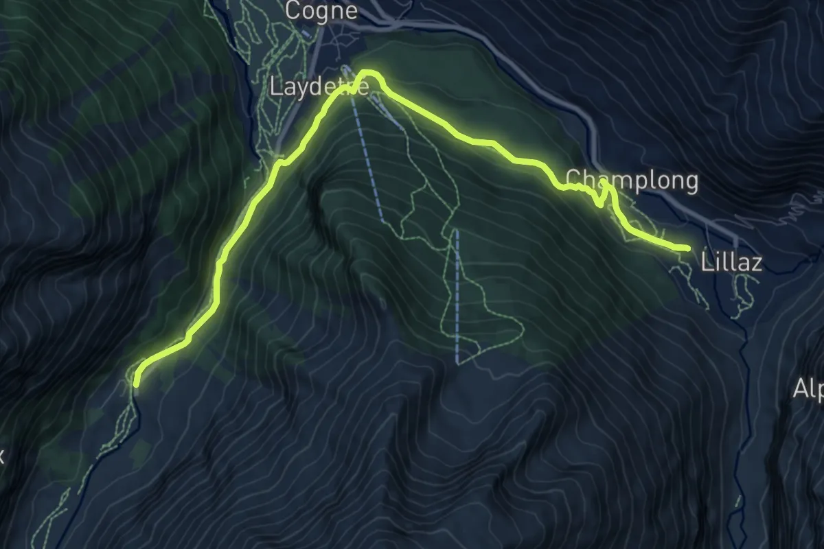
Medium · Trail
Valnontey – Lillaz
12.6 km · ↑ 350 m · 3 h 44 min
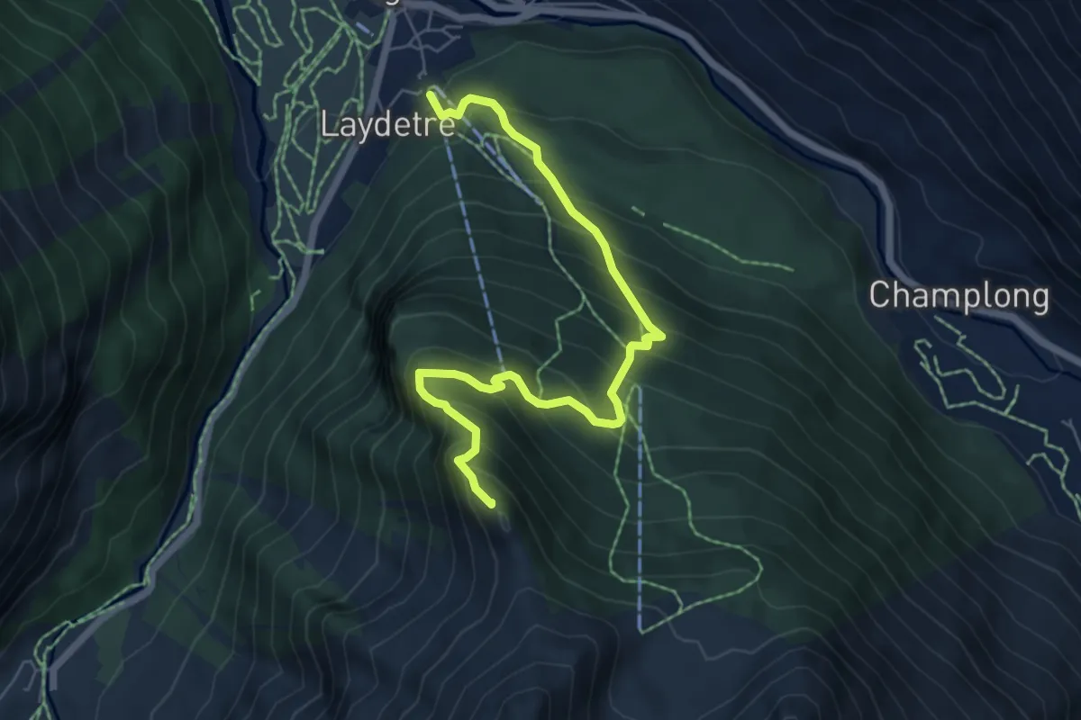
Medium · Summit
Cogne – Belvedere
6.6 km · ↑ 766 m · 3 h 14 min
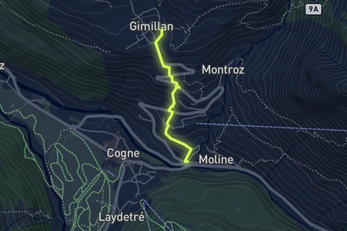
Easy · Trail
Cogne, capoluogo – Gimillan
2.7 km · ↑ 234 m · 1 h 9 min
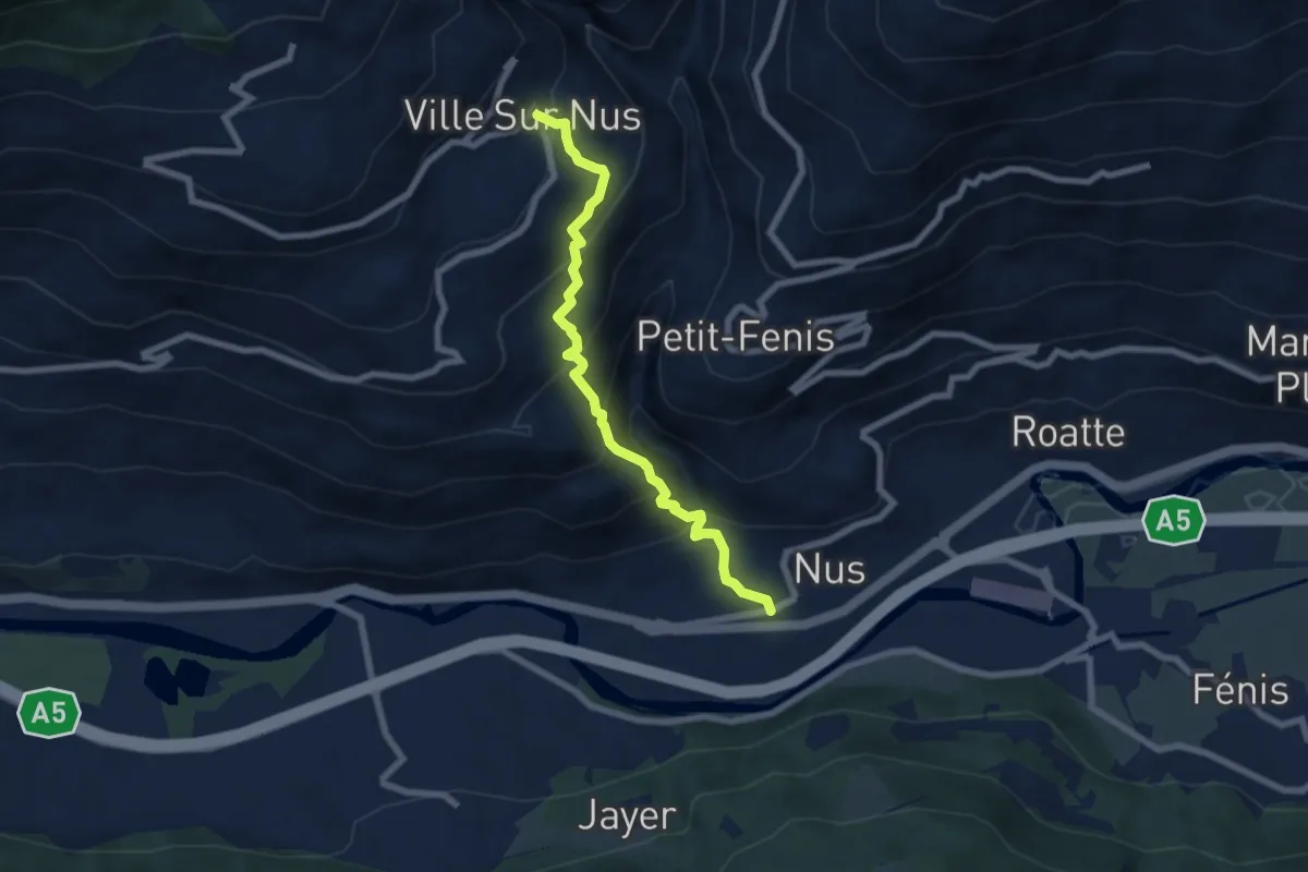
Medium · Trail
Nus – Fontaine
6.9 km · ↑ 585 m · 2 h 54 min
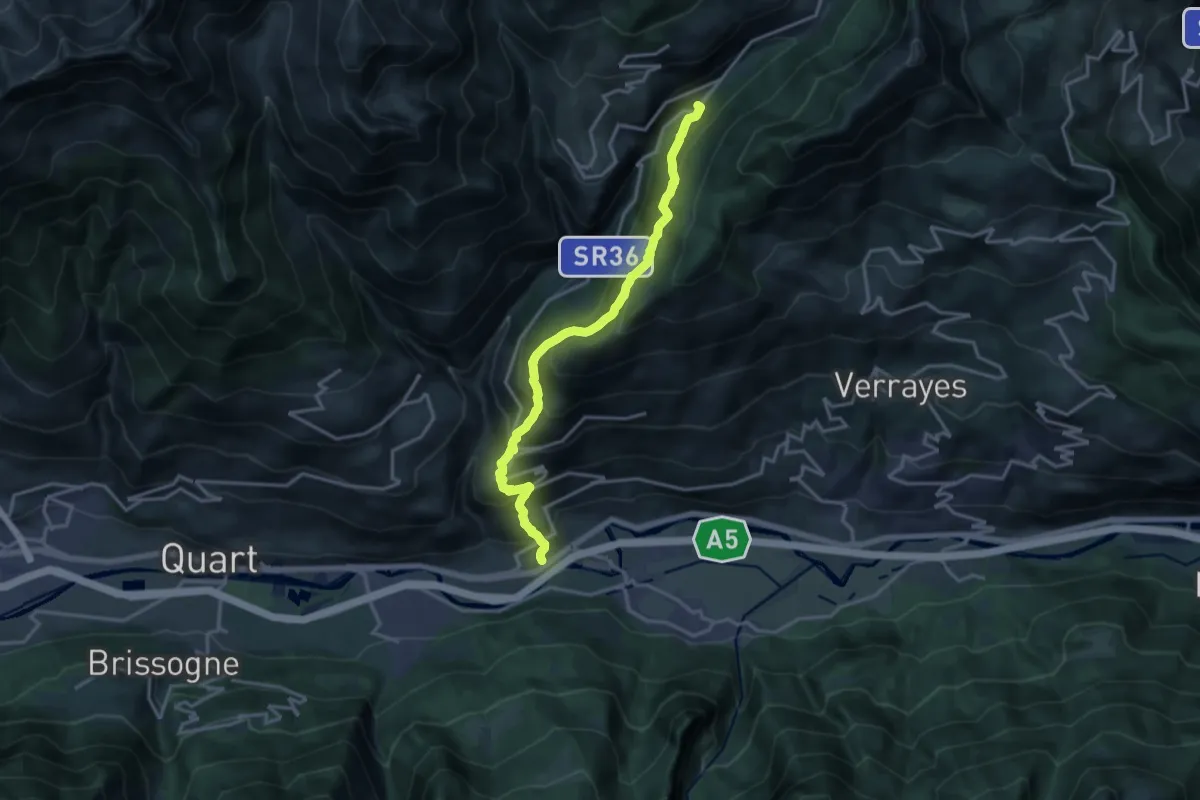
Demanding · Trail
Nus – Issologne
16.3 km · ↑ 1435 m · 6 h 58 min
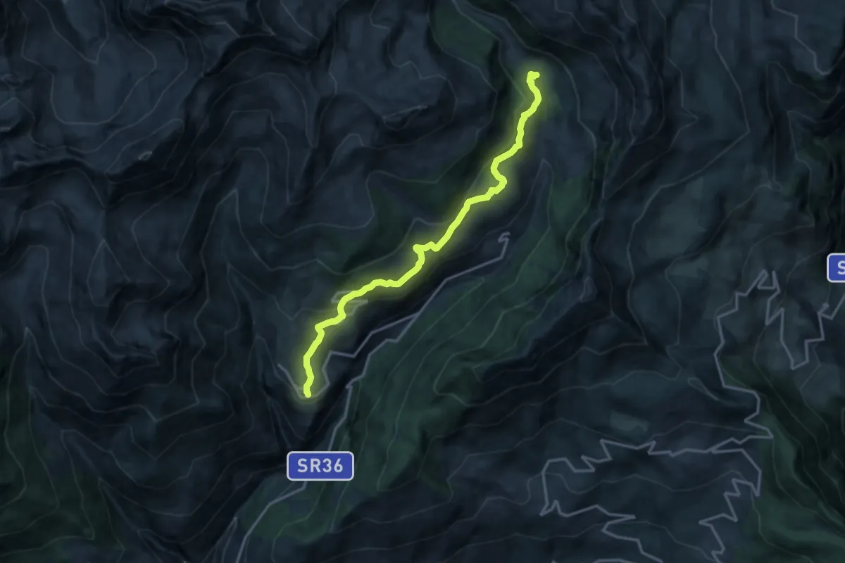
Medium · Trail
Lignan – Champlaisant
15.3 km · ↑ 675 m · 5 h 4 min
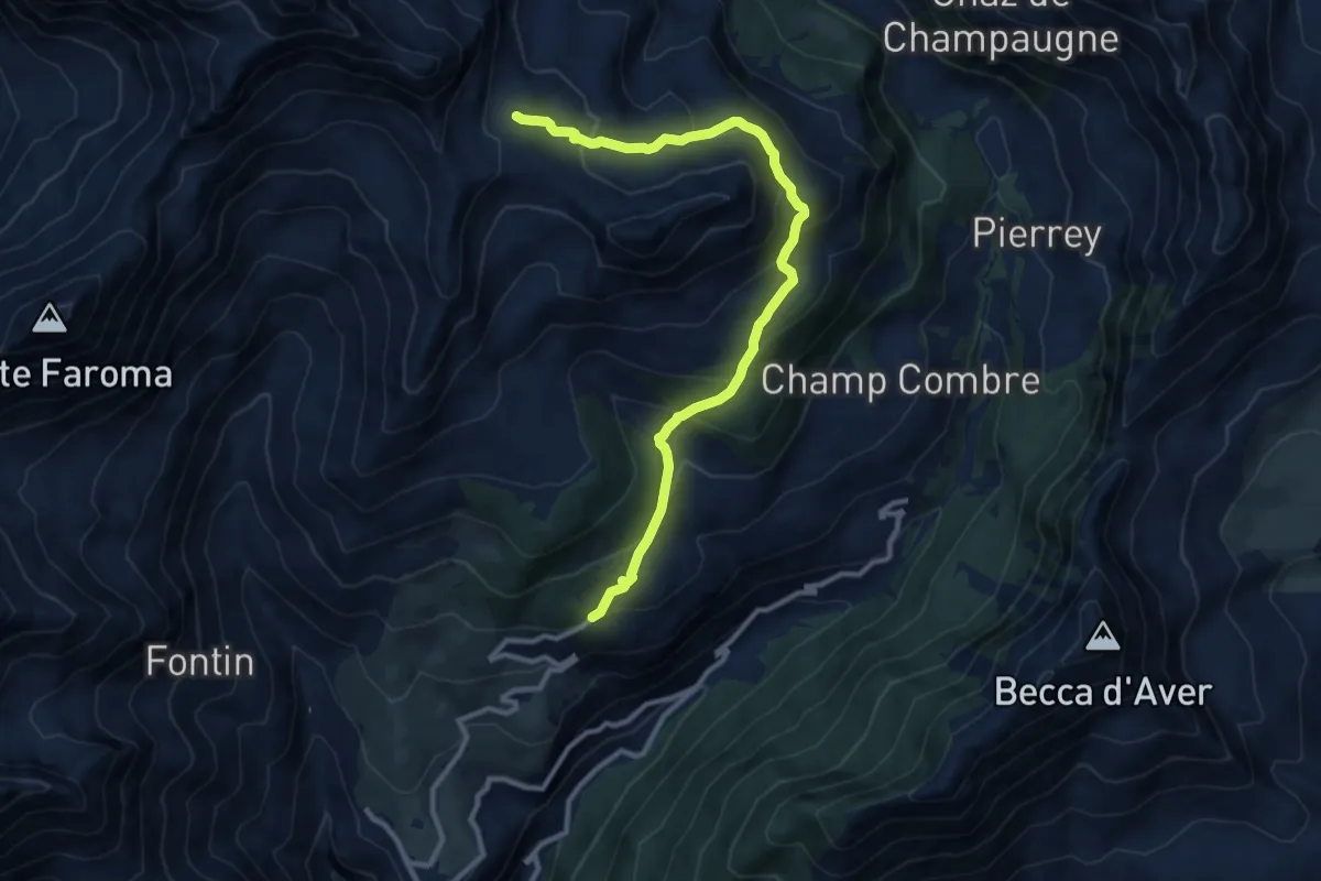
Medium · Trail
Parcheggio Porliod – Innesto AV1
11.4 km · ↑ 716 m · 4 h 15 min
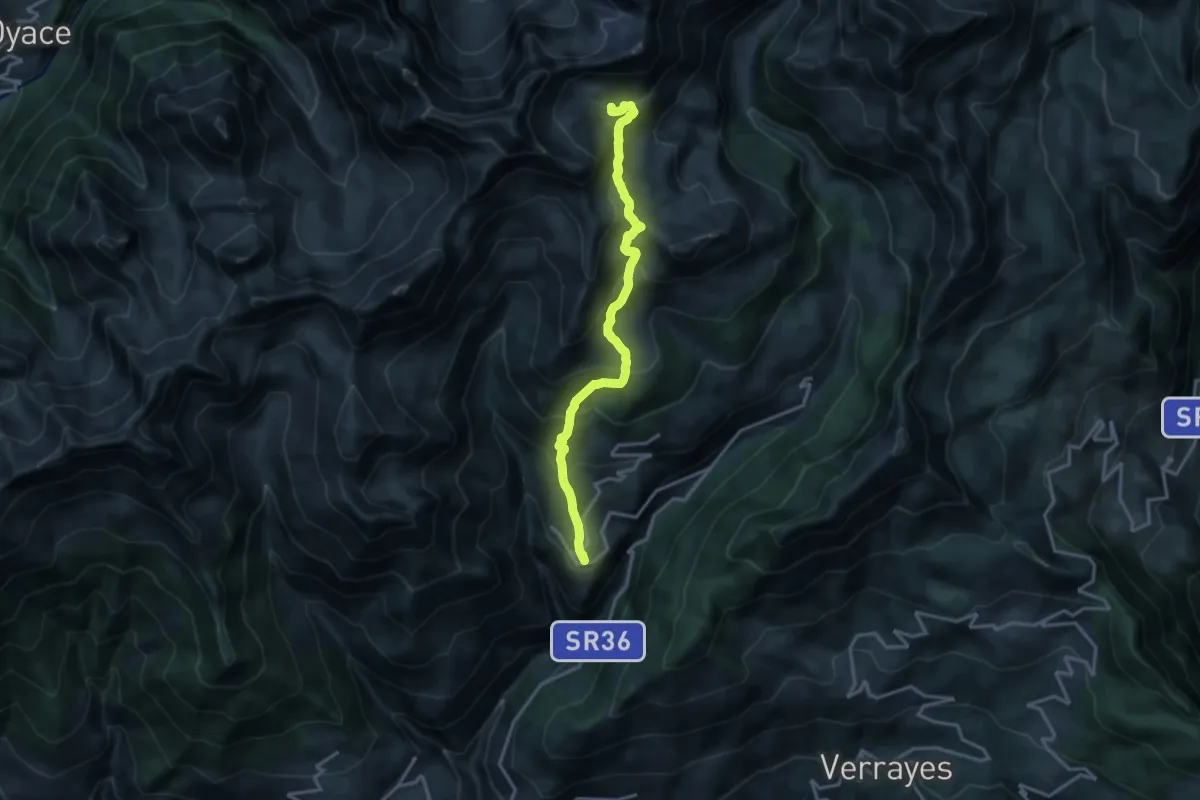
Demanding · Cabin
Lignan – Rifugio Oratorio Cunéy
15.9 km · ↑ 1129 m · 6 h 12 min
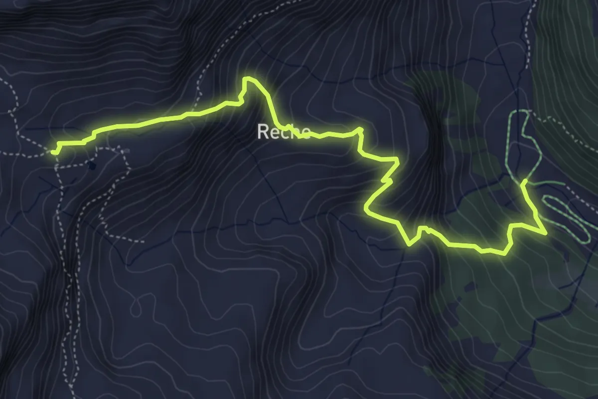
Medium · Cabin
Servaz – Rifugio Oratorio di Cunéy
6.5 km · ↑ 645 m · 2 h 56 min
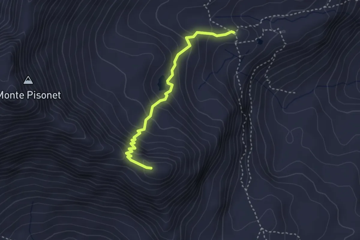
Expert · Summit
Rifugio Oratorio di Cunéy – Becca Fontaney
3.0 km · ↑ 291 m · 1 h 21 min
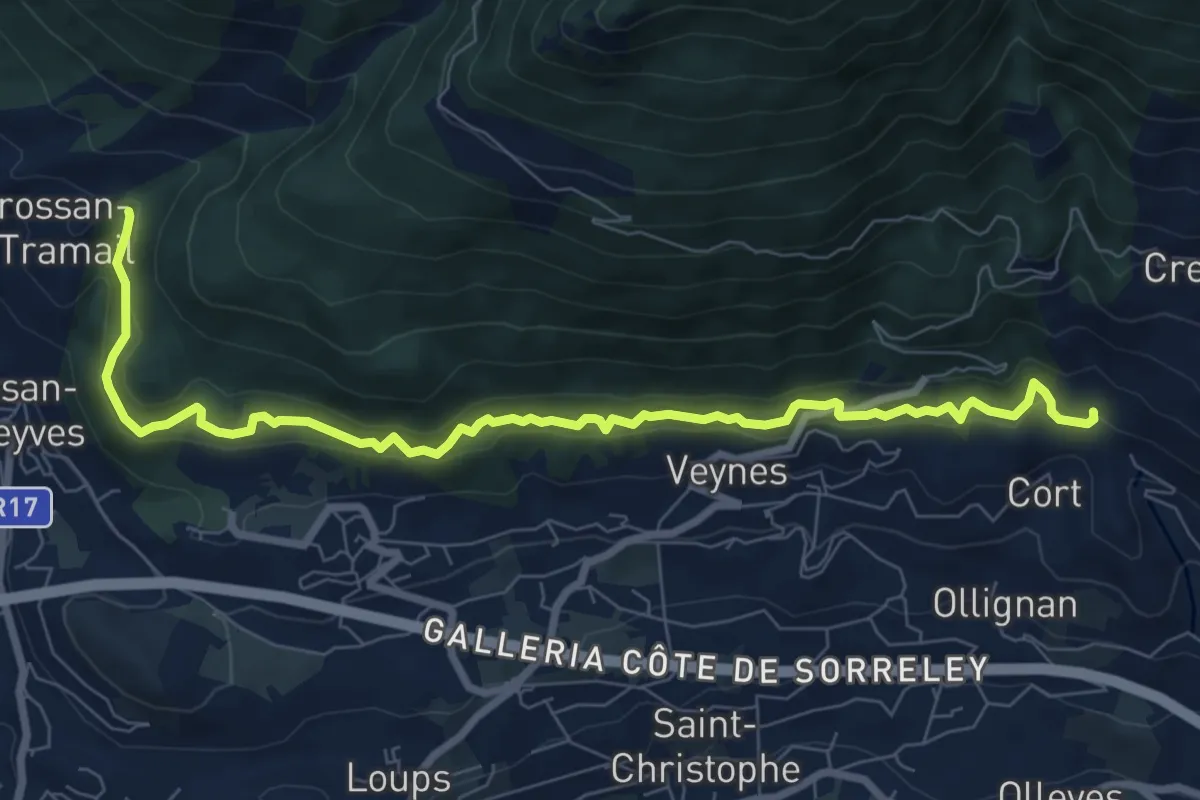
Medium · Trail
Confine comunale Aosta – Confine comunale Quart
9.1 km · ↑ 488 m · 3 h 13 min
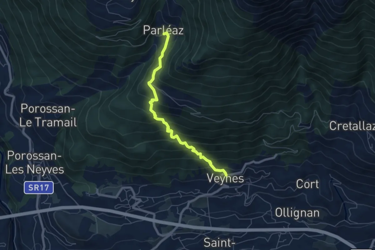
Medium · Trail
Veyves – Parleyaz
5.7 km · ↑ 539 m · 2 h 30 min
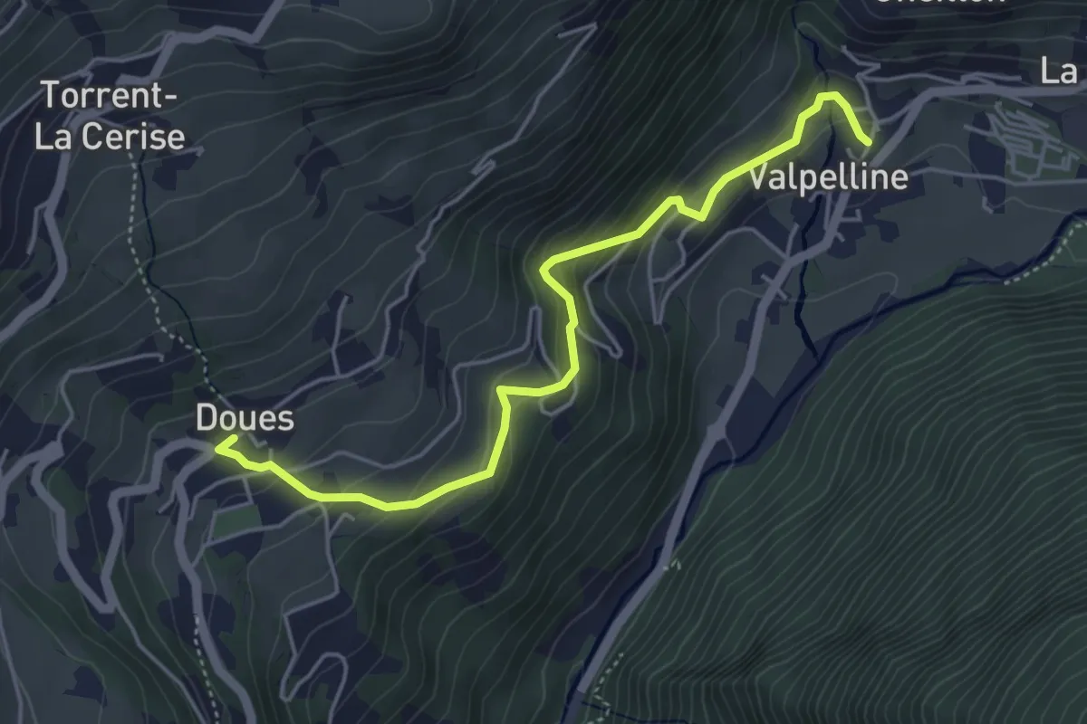
Expert · Trail
Doues – Crête
4.8 km · ↑ 339 m · 1 h 53 min