Trails in Italy
25,219 hiking trails, each with its route, climb, walking time and grade.
All trails, page 417 of 526
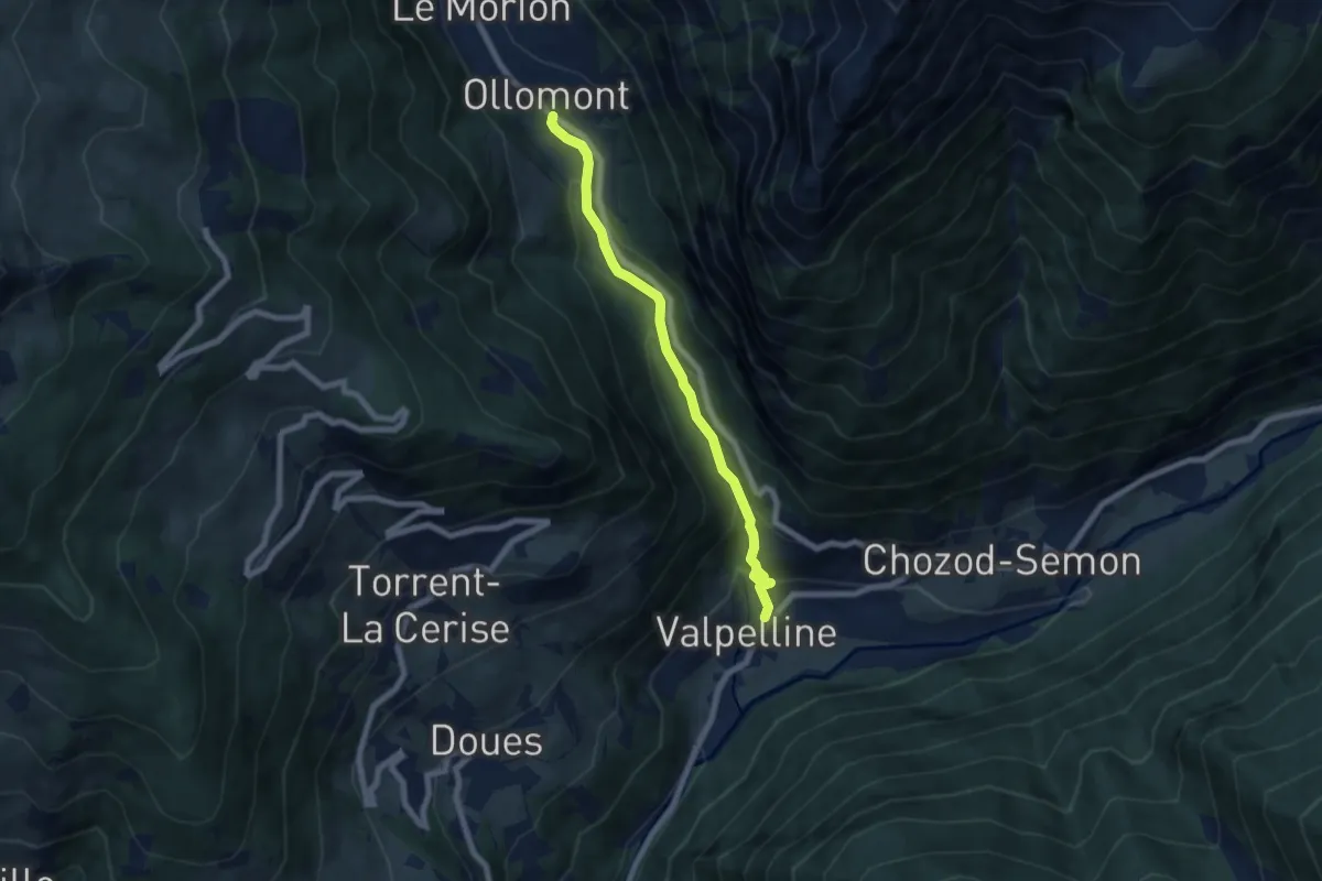
Medium · Trail
Valpelline capoluogo – Ollomont
6.4 km · ↑ 395 m · 2 h 22 min
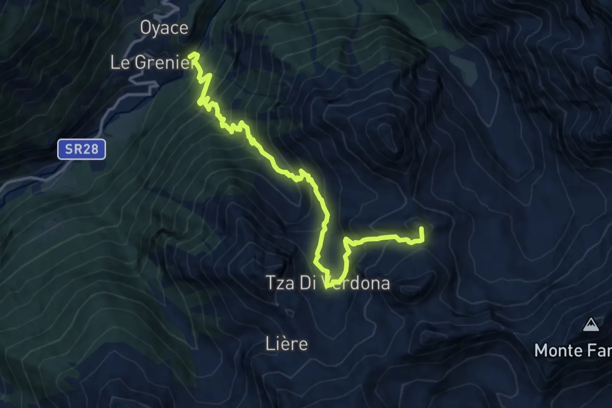
Demanding · Summit
Ponte Vernosse – Col Vamea
13.9 km · ↑ 1464 m · 6 h 27 min
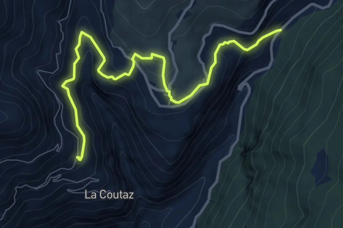
Medium · Trail
Arlod – Les Fabriques
8.5 km · ↑ 648 m · 3 h 25 min
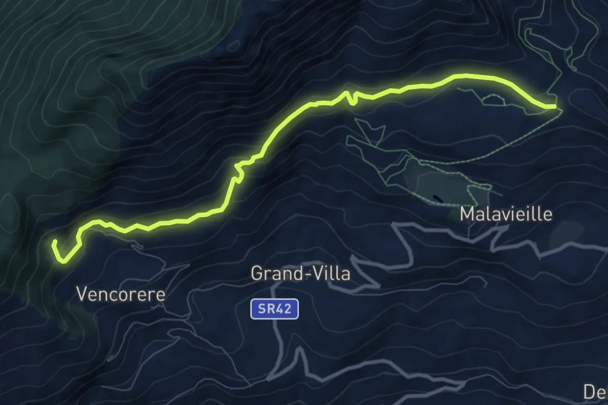
Medium · Trail
Prelaz – Col des Bornes
9.5 km · ↑ 485 m · 3 h 18 min
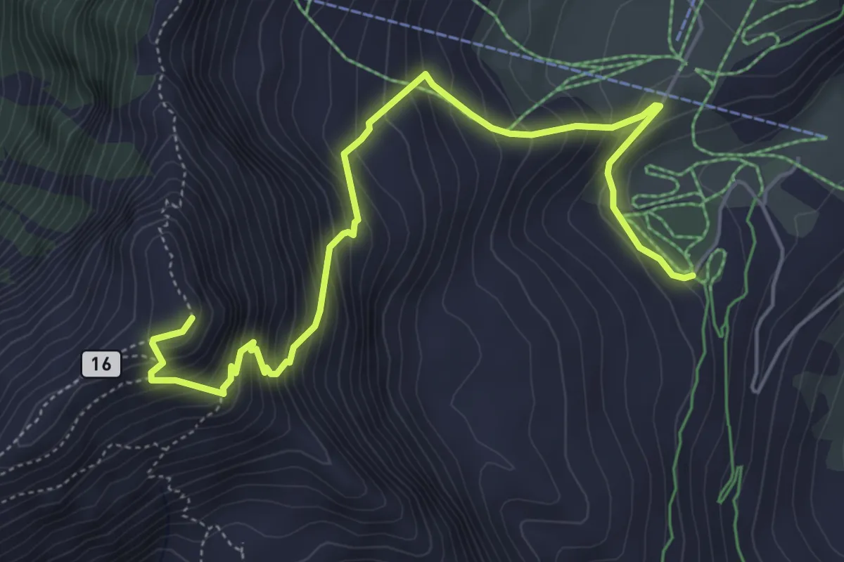
Medium · Summit
Plan Prorion – Becca d'Aver
6.2 km · ↑ 660 m · 2 h 54 min
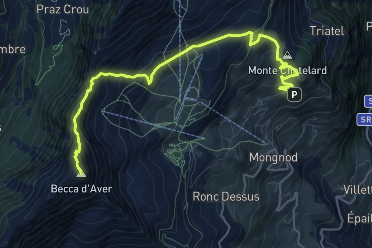
Demanding · Summit
Châté – Becca d'Aver
12.7 km · ↑ 857 m · 4 h 51 min
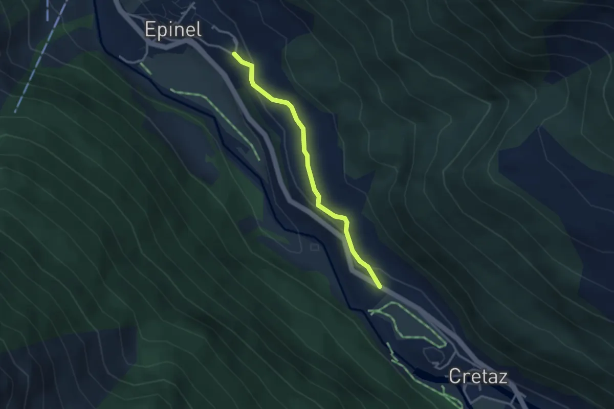
Easy · Trail
Percorso 23 – Strada Regionale per Cogne
2.7 km · ↑ 106 m · 53 min
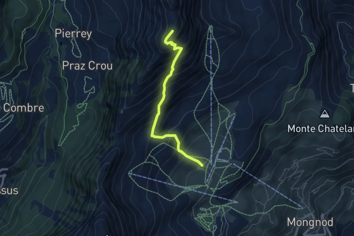
Medium · Summit
Strada Comunale per Chantorné – Antecima Mont Méabé
5.2 km · ↑ 671 m · 2 h 41 min
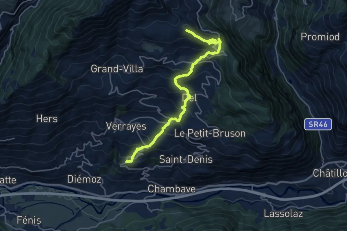
Demanding · Trail
Marseiller – Col des Bornes
15.7 km · ↑ 1078 m · 6 h 3 min
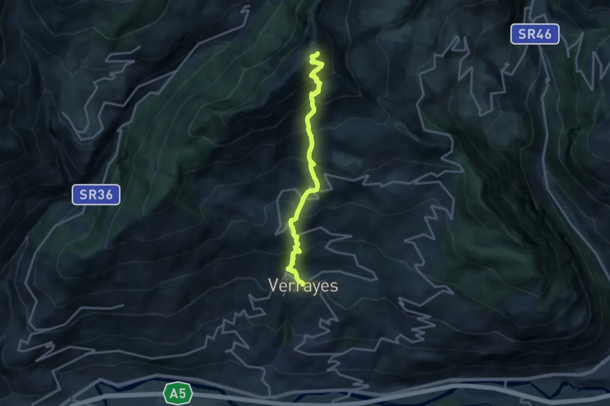
Demanding · Summit
Verrayes – Becca d'Aver
11.8 km · ↑ 1422 m · 5 h 52 min
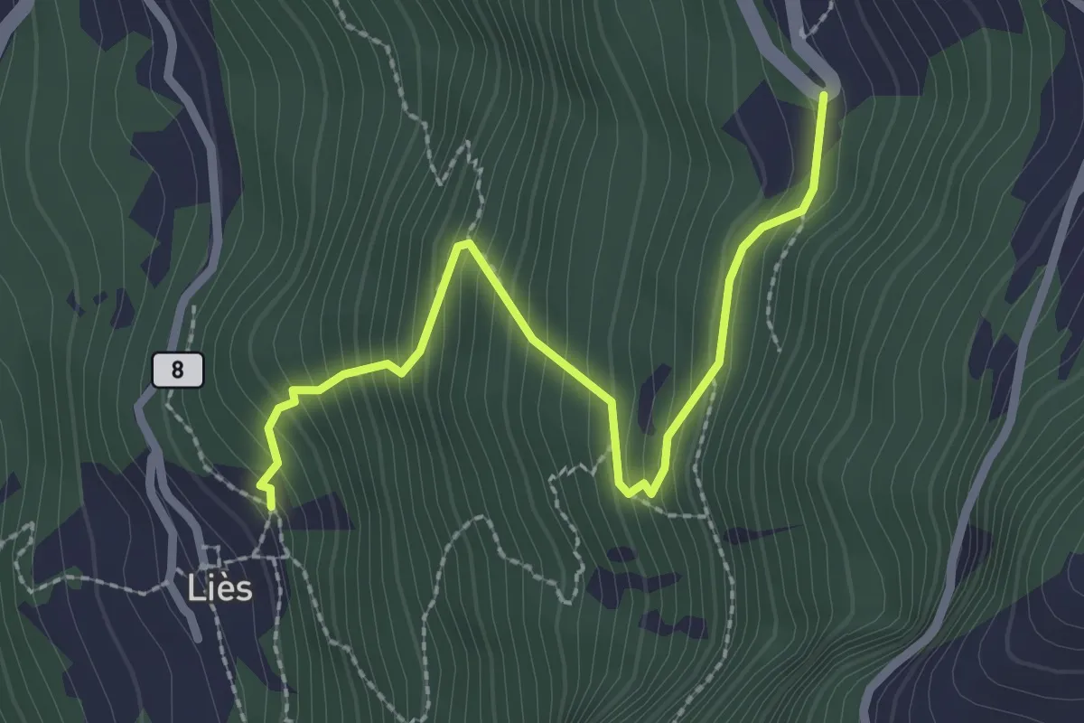
Medium · Trail
Lies – tornante S.R.
2.6 km · ↑ 308 m · 1 h 16 min
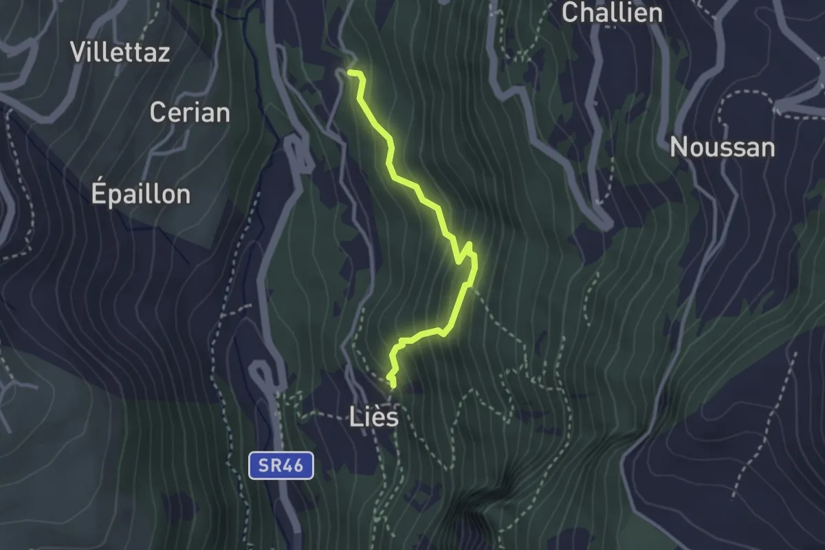
Medium · Trail
Lies – Strada
2.5 km · ↑ 301 m · 1 h 15 min
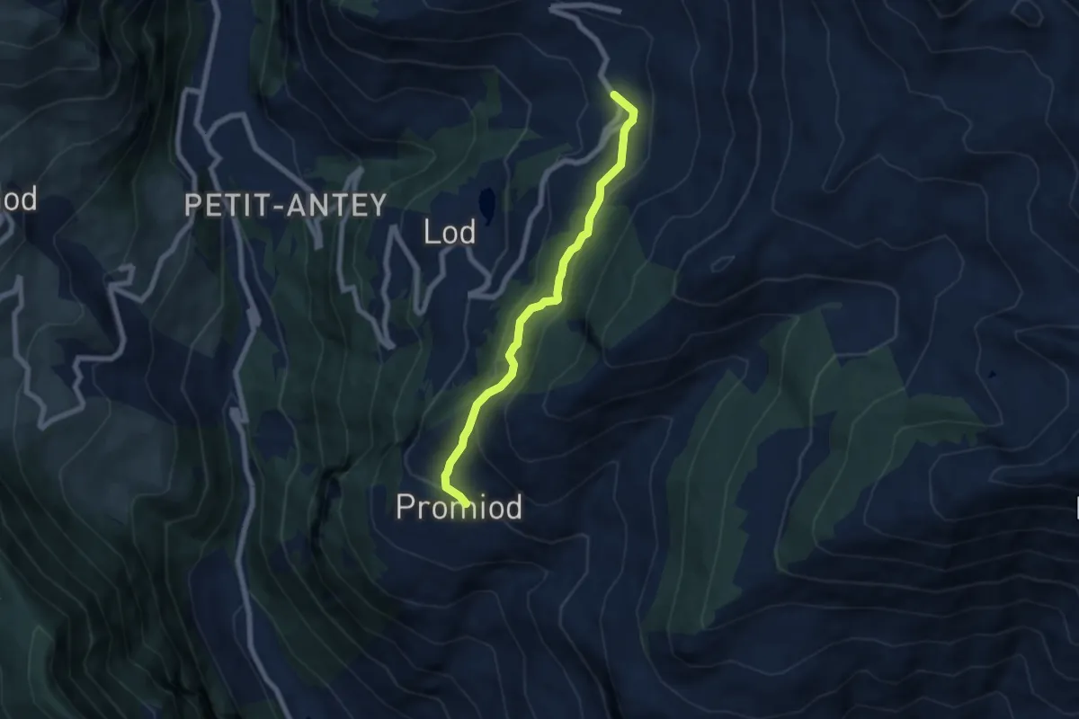
Medium · Trail
Promiod – Brengon
6.2 km · ↑ 316 m · 2 h 8 min
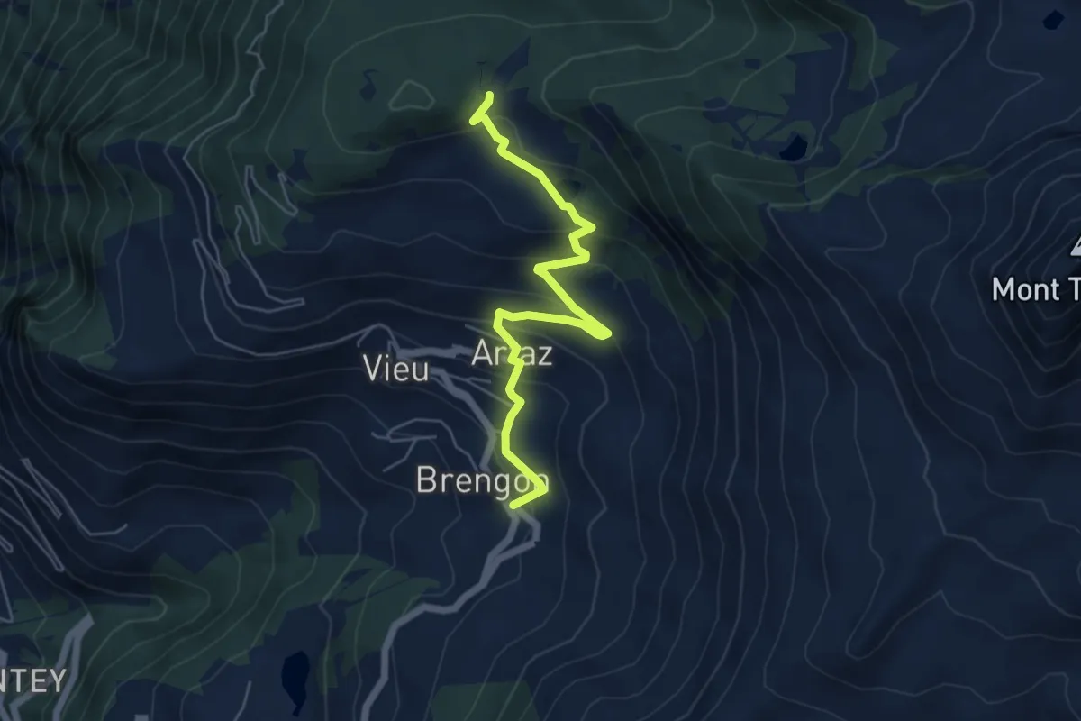
Medium · Trail
Brengon (Cimitero de La Magdeleine) – Col Pilaz
5.7 km · ↑ 346 m · 2 h 6 min
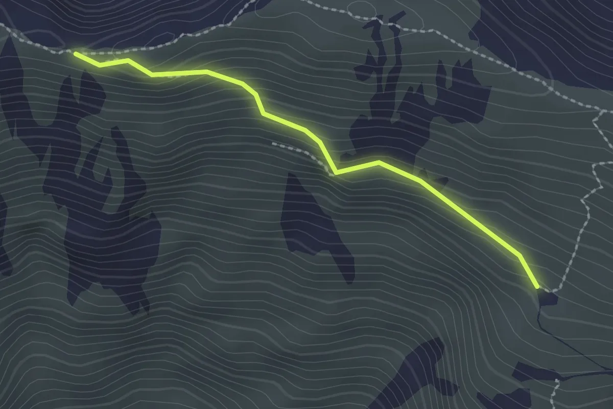
Easy · Trail
Corio, Alpe Soglia, bivio TON416-TON416A – Corio, presso Alpe Turinetto, bivio TON411-TON416A
2.1 km · ↑ 171 m · 52 min
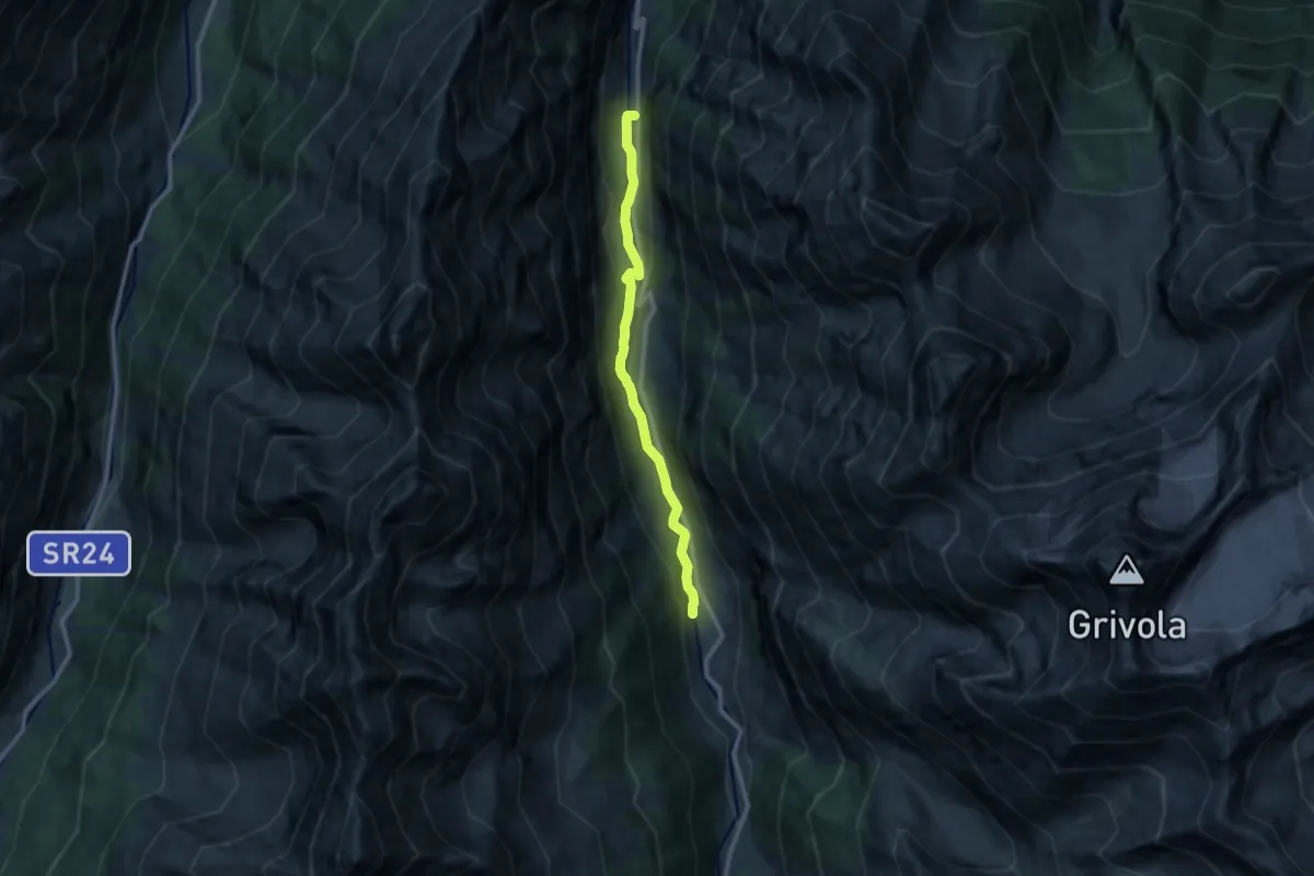
Medium · Trail
Fenille – Dégioz
10.1 km · ↑ 333 m · 3 h 7 min
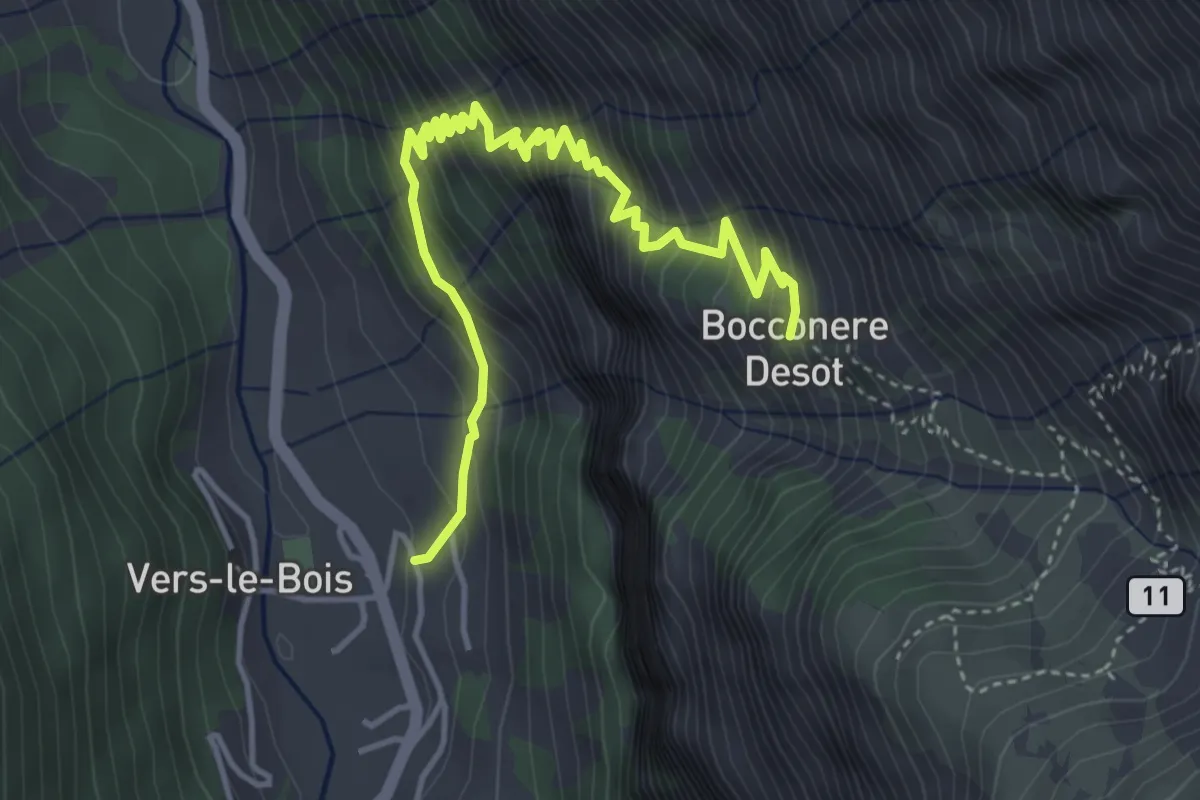
Medium · Trail
Degioz – Bocconère
5.0 km · ↑ 605 m · 2 h 30 min
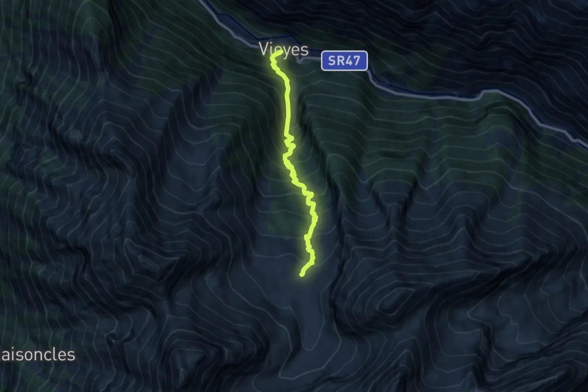
Demanding · Cabin
Vieyes – Bivacco Gontier
8.4 km · ↑ 1161 m · 4 h 30 min
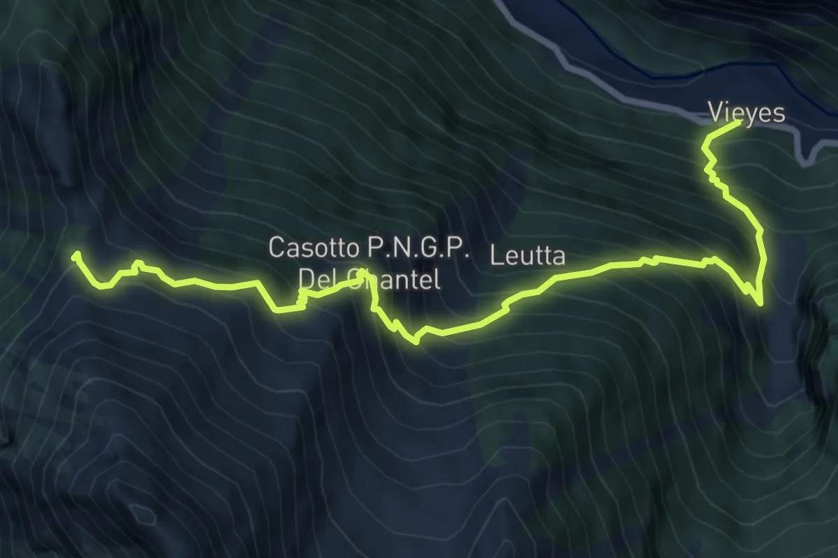
Demanding · Trail
Vieyes – Col de Becca Plana
8.3 km · ↑ 1193 m · 4 h 33 min
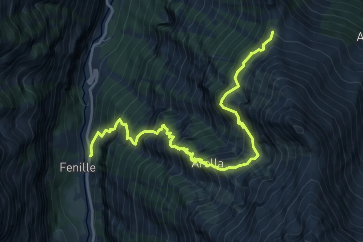
Demanding · Trail
Fenille – Colle - Becca Plana
9.3 km · ↑ 1526 m · 5 h 30 min
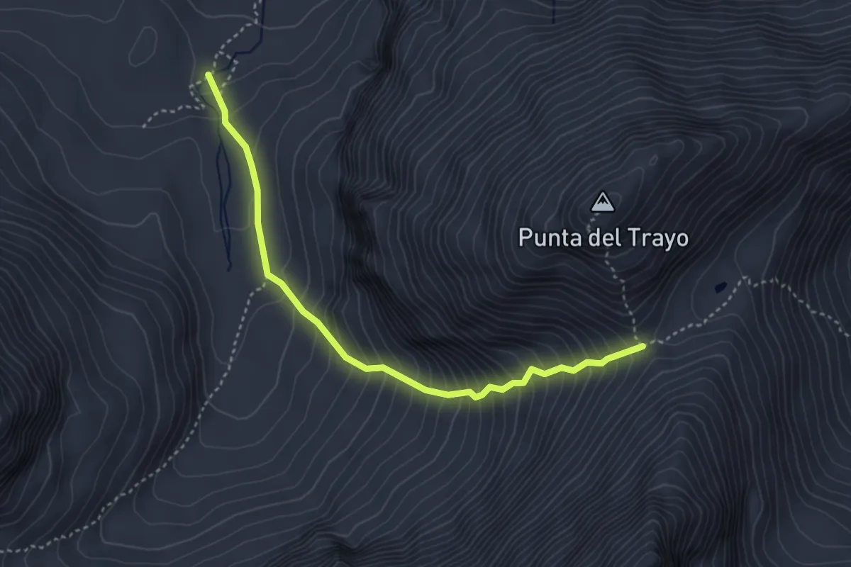
Expert · Cabin
Bivacco Gontier – Col du Tradzo
3.9 km · ↑ 537 m · 2 h 4 min
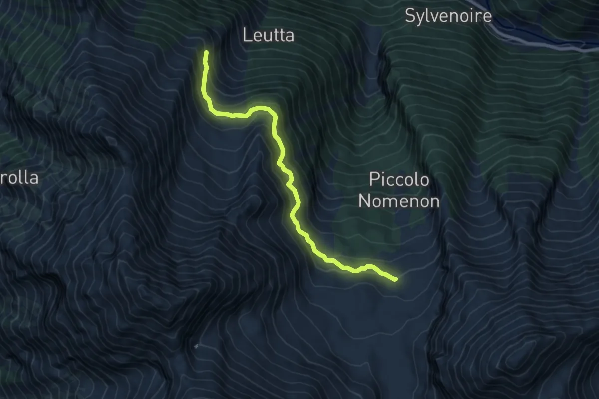
Demanding · Trail
Bivacco Gontier – Arpissonnet (Casotto PNGP)
6.8 km · ↑ 532 m · 2 h 46 min
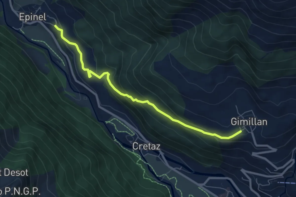
Medium · Trail
Epinel – Gimillan
6.3 km · ↑ 355 m · 2 h 16 min
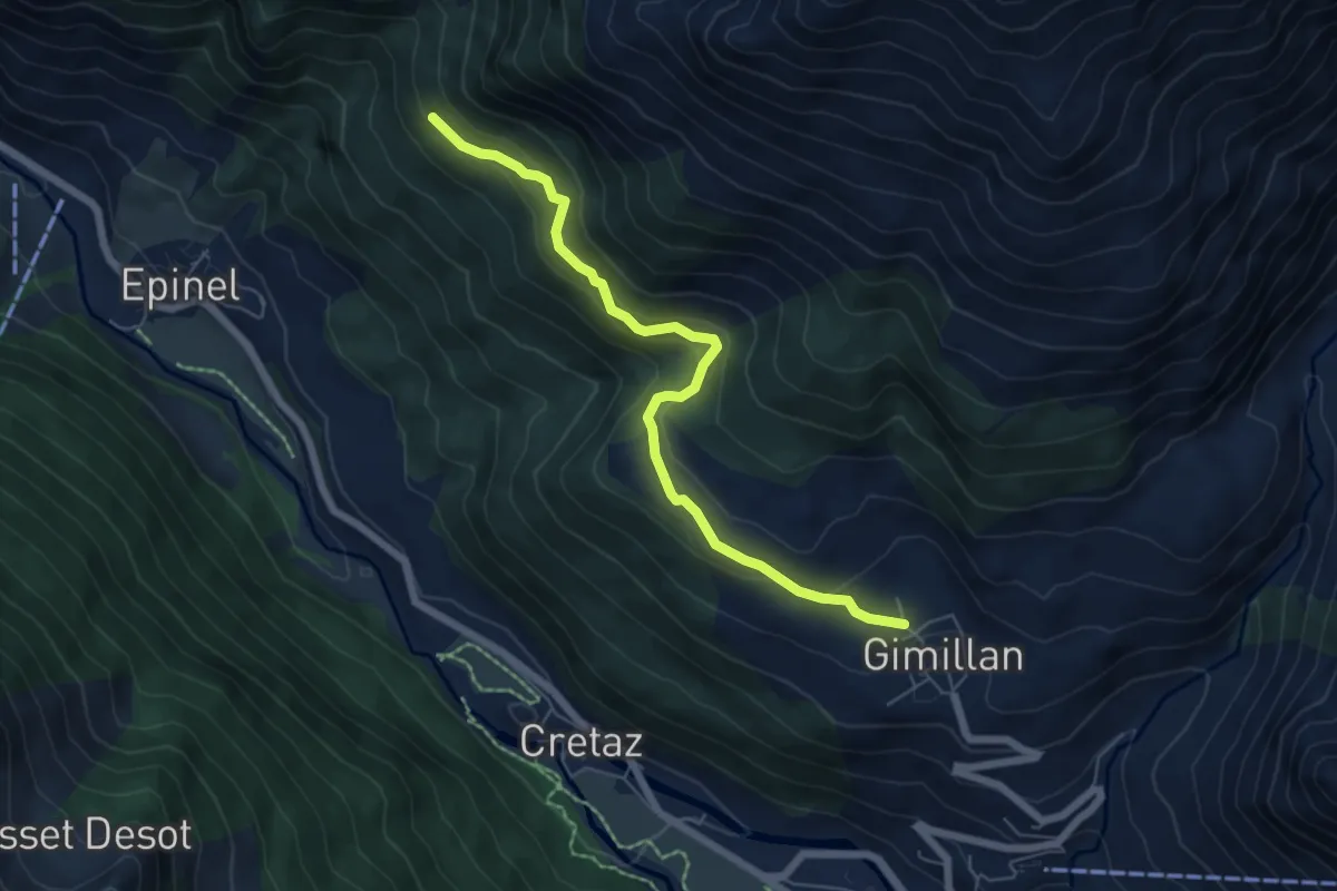
Medium · Trail
Gimillan – Tsavanis
6.2 km · ↑ 383 m · 2 h 17 min
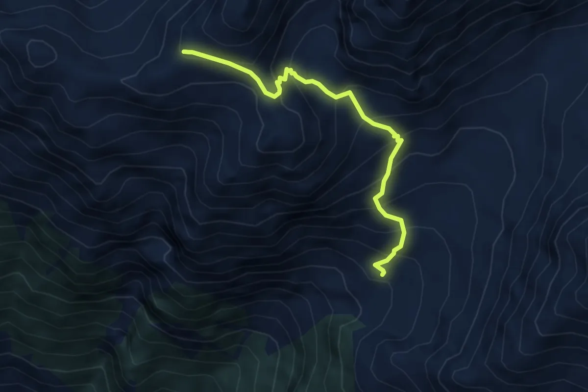
Medium · Trail
Arpisson – Col Chasèche
4.8 km · ↑ 494 m · 2 h 12 min
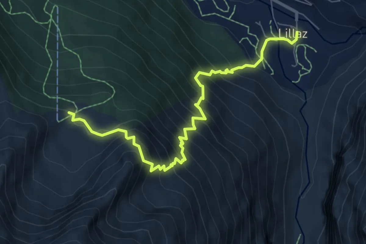
Demanding · Trail
Lillaz – Grand Crot
7.0 km · ↑ 922 m · 3 h 39 min
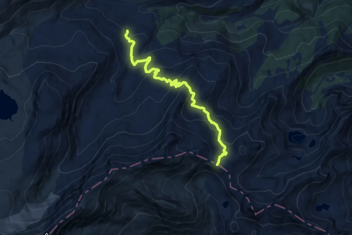
Medium · Cabin
Rifugio Dondena – Col Laris
10.4 km · ↑ 559 m · 3 h 40 min
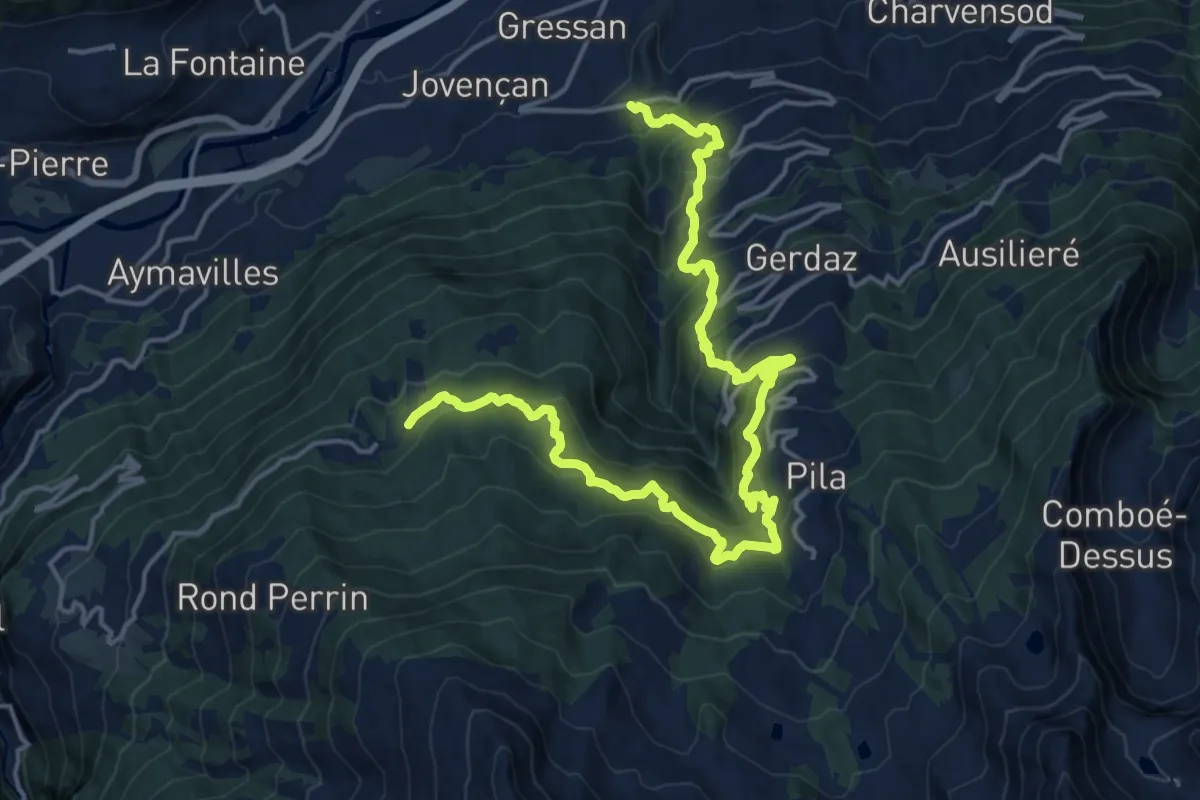
Demanding · Trail
Clapey – Turlin
10.8 km · ↑ 1223 m · 4 h 56 min
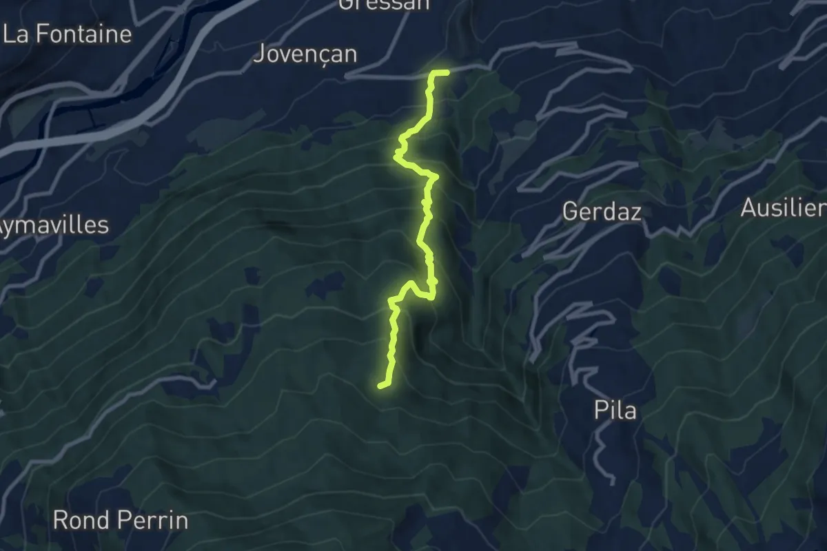
Demanding · Trail
Moline – Brein
8.2 km · ↑ 935 m · 3 h 58 min
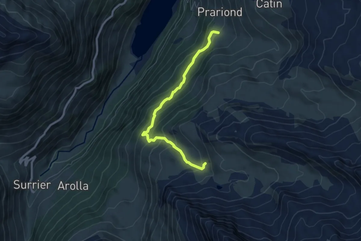
Medium · Cabin
Rocher (inizio divieto) – Rifugio Chalet de l'Epée
6.2 km · ↑ 449 m · 2 h 26 min
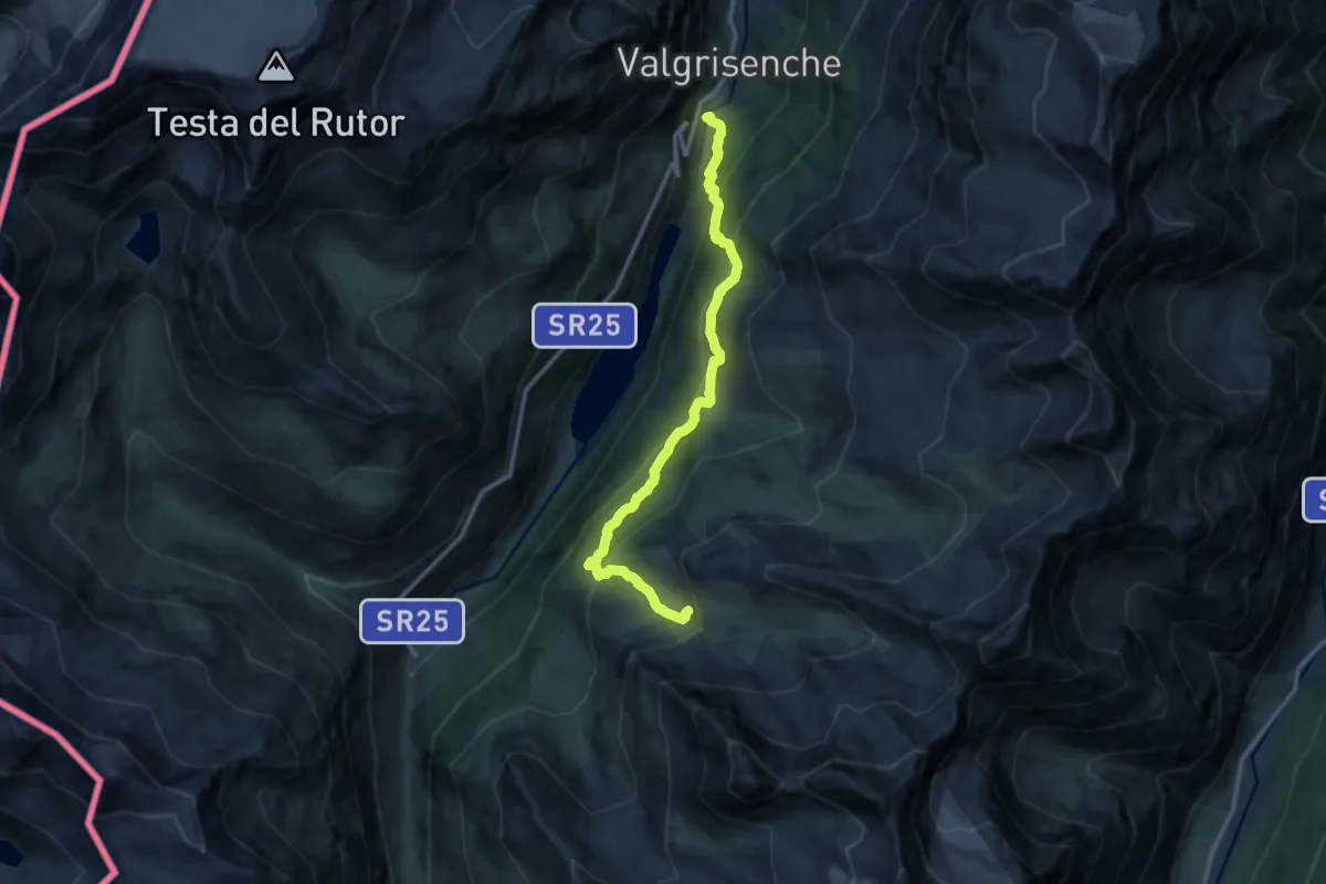
Demanding · Cabin
Mondanges – Rifugio Chalet de l'Epée
12.1 km · ↑ 996 m · 5 h 1 min
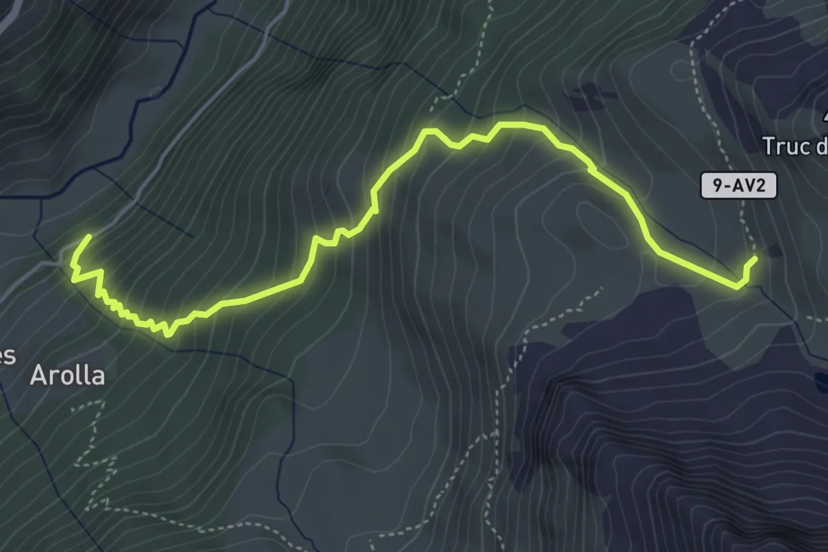
Medium · Cabin
Usellières – Rifugio Chalet de l'Epée
5.4 km · ↑ 595 m · 2 h 34 min
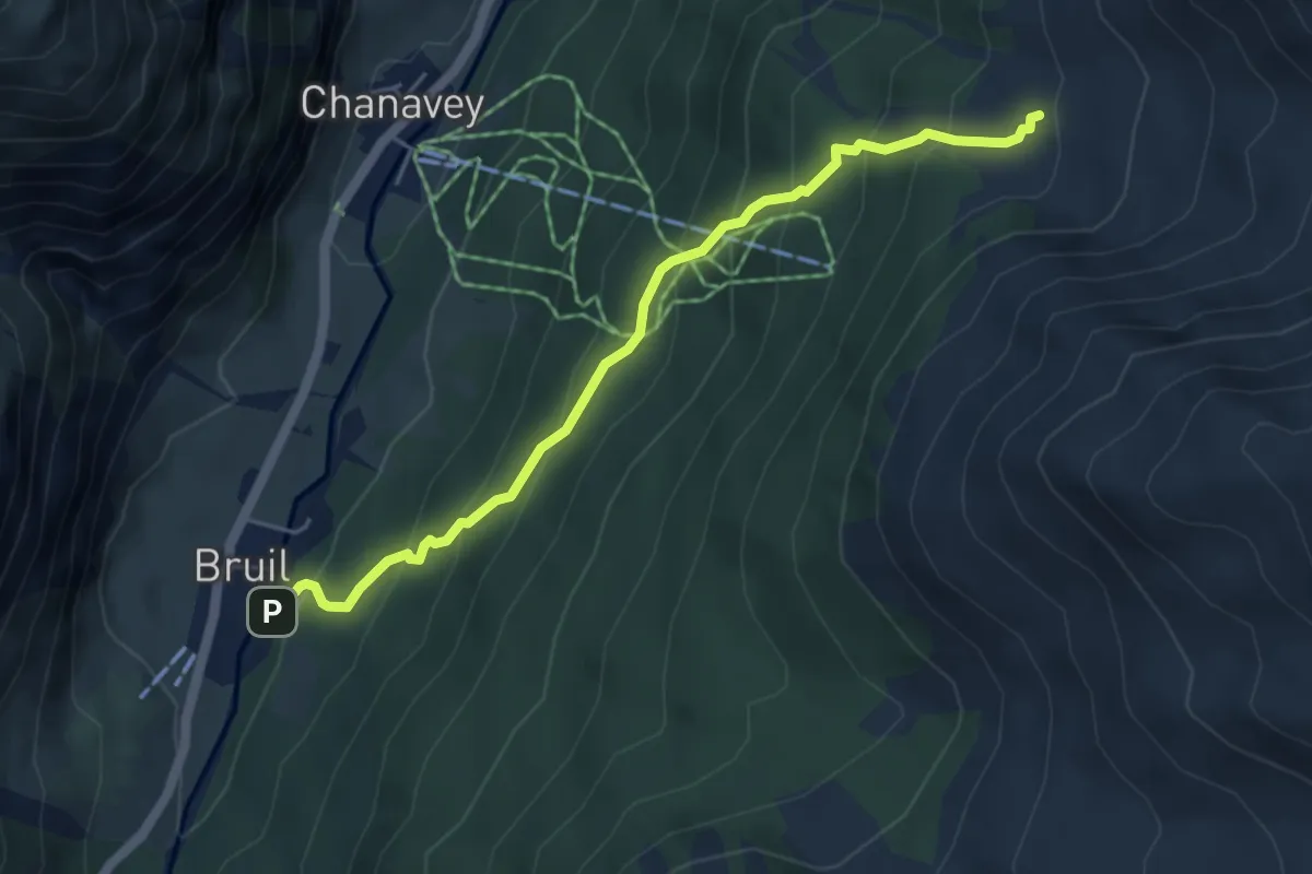
Medium · Trail
Bruil – Chaussettaz
5.1 km · ↑ 448 m · 2 h 11 min
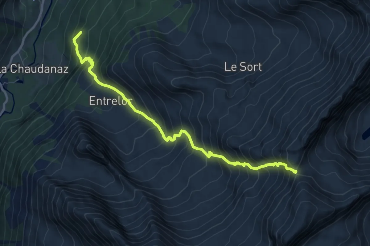
Demanding · Summit
Bruil – Col d'Entrelor
8.9 km · ↑ 1112 m · 4 h 30 min
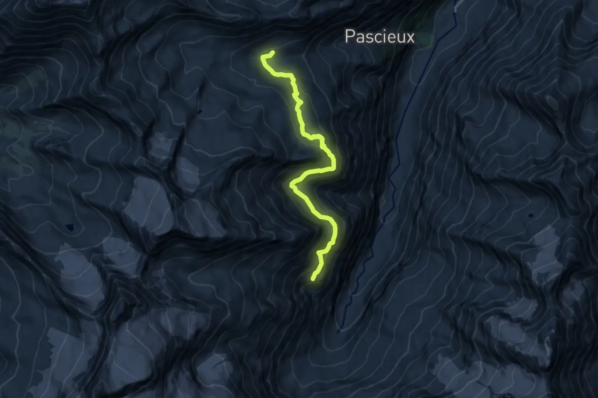
Demanding · Cabin
Casotto PNGP Herbetet – Rifugio Vittorio Sella
11.0 km · ↑ 698 m · 4 h 7 min
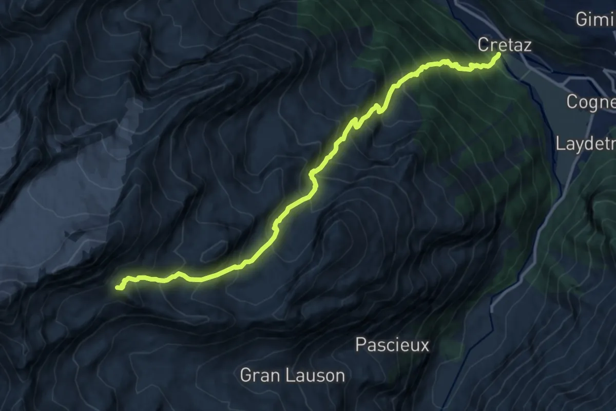
Demanding · Trail
Cretaz – Colle della Rossa
13.5 km · ↑ 1677 m · 6 h 49 min
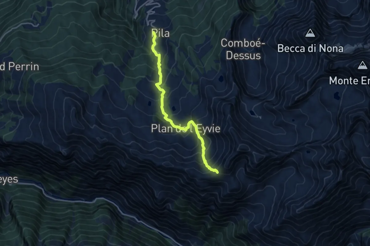
Demanding · Trail
Pila – Col Chasèche
11.7 km · ↑ 1047 m · 5 h 2 min
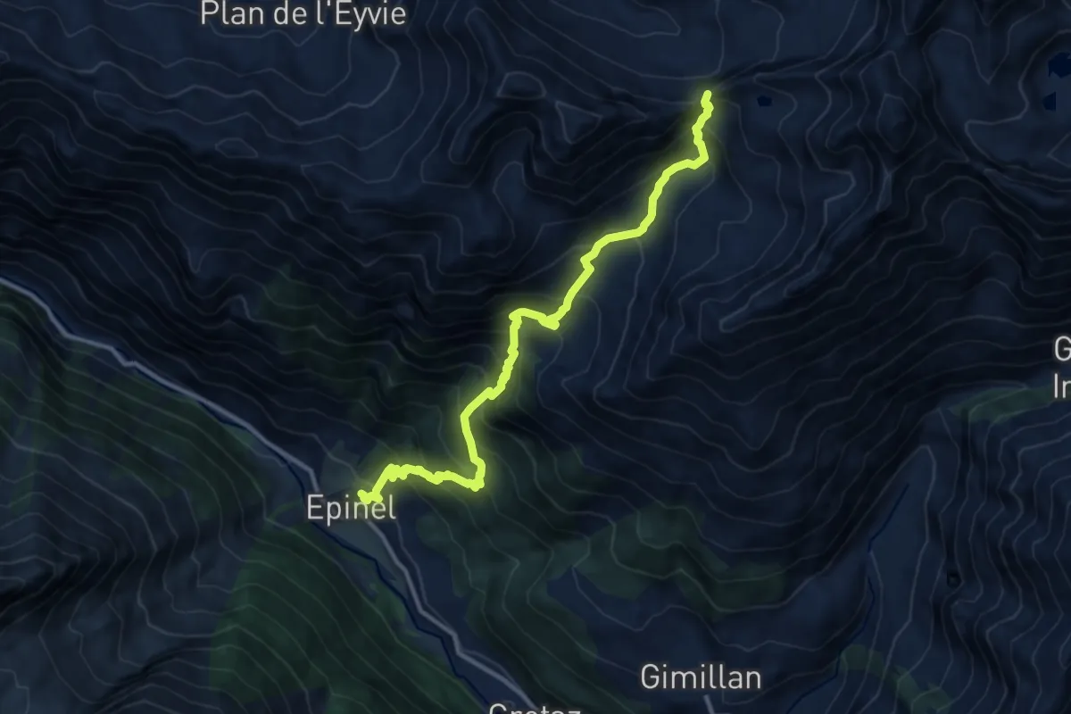
Demanding · Trail
Epinel – Col Garin
12.4 km · ↑ 1354 m · 5 h 52 min
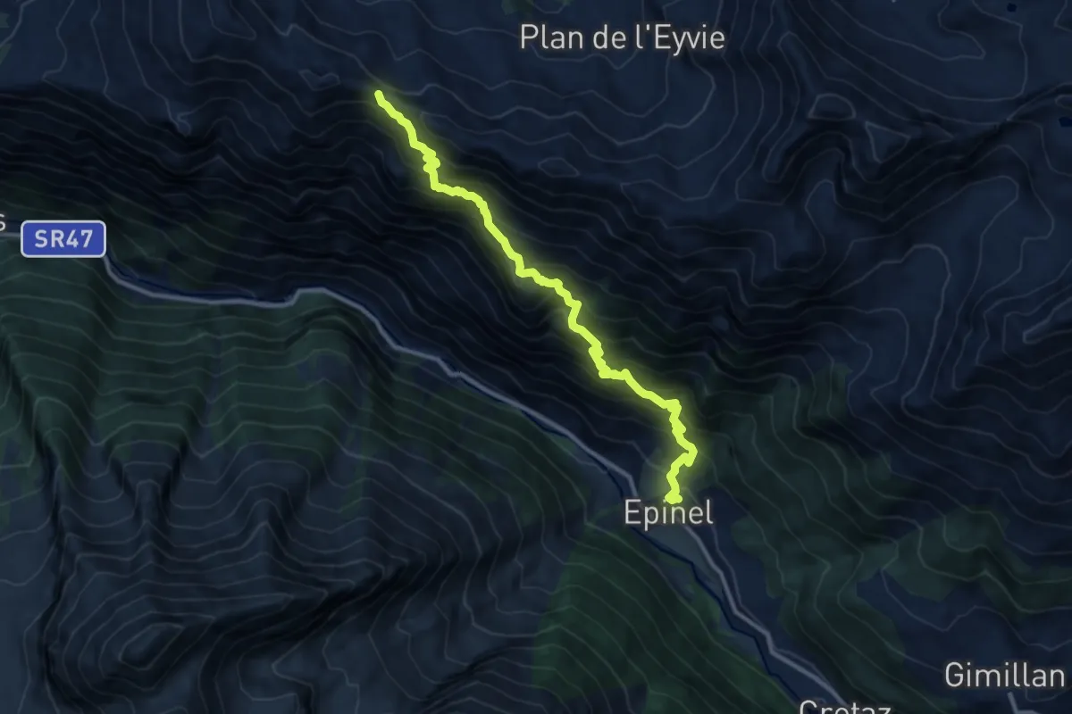
Demanding · Trail
Epinel – Col du Drinc
11.3 km · ↑ 1163 m · 5 h 11 min
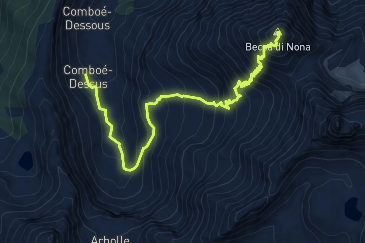
Demanding · Summit
Comboé (Comboué) – Becca di Nona
9.8 km · ↑ 1081 m · 4 h 39 min
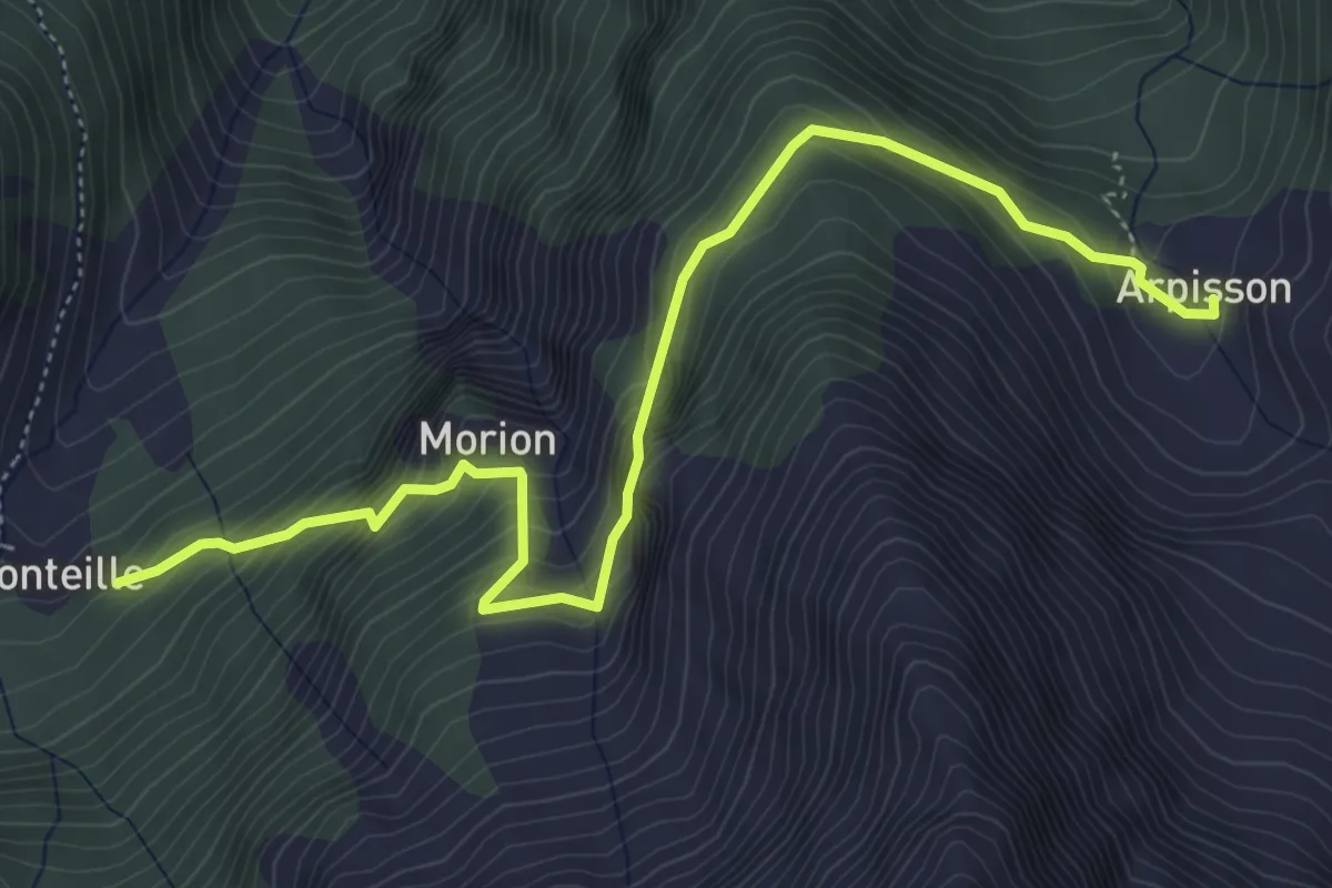
Medium · Trail
Arpisson – Ponteille
5.8 km · ↑ 574 m · 2 h 37 min
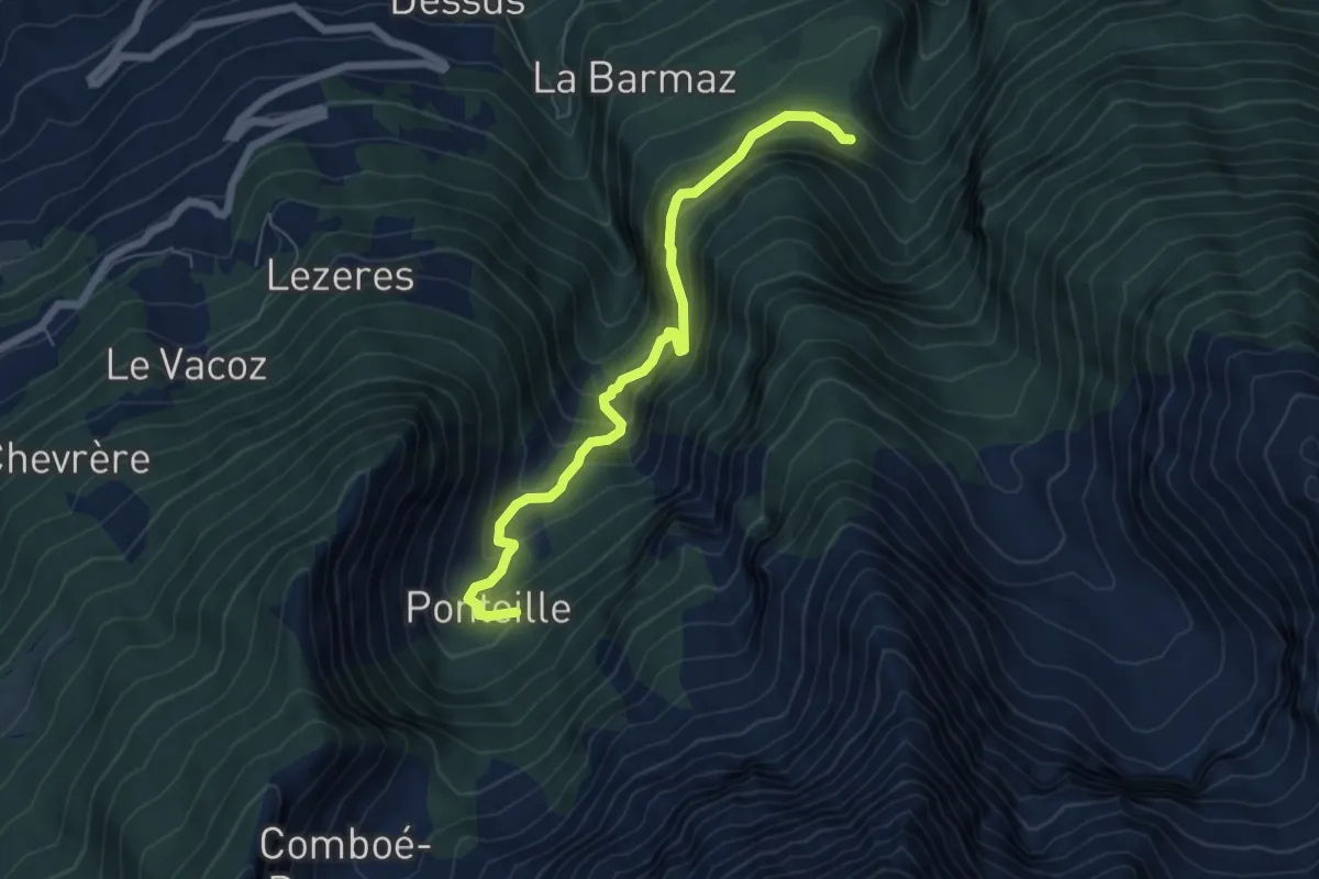
Medium · Trail
Marchaucy – Ponteille
6.2 km · ↑ 601 m · 2 h 46 min
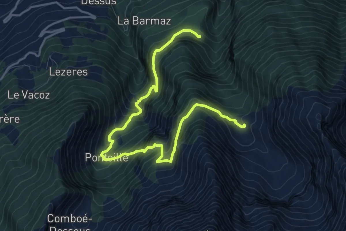
Demanding · Trail
Marchaucy – Arpisson
12.1 km · ↑ 1152 m · 5 h 21 min
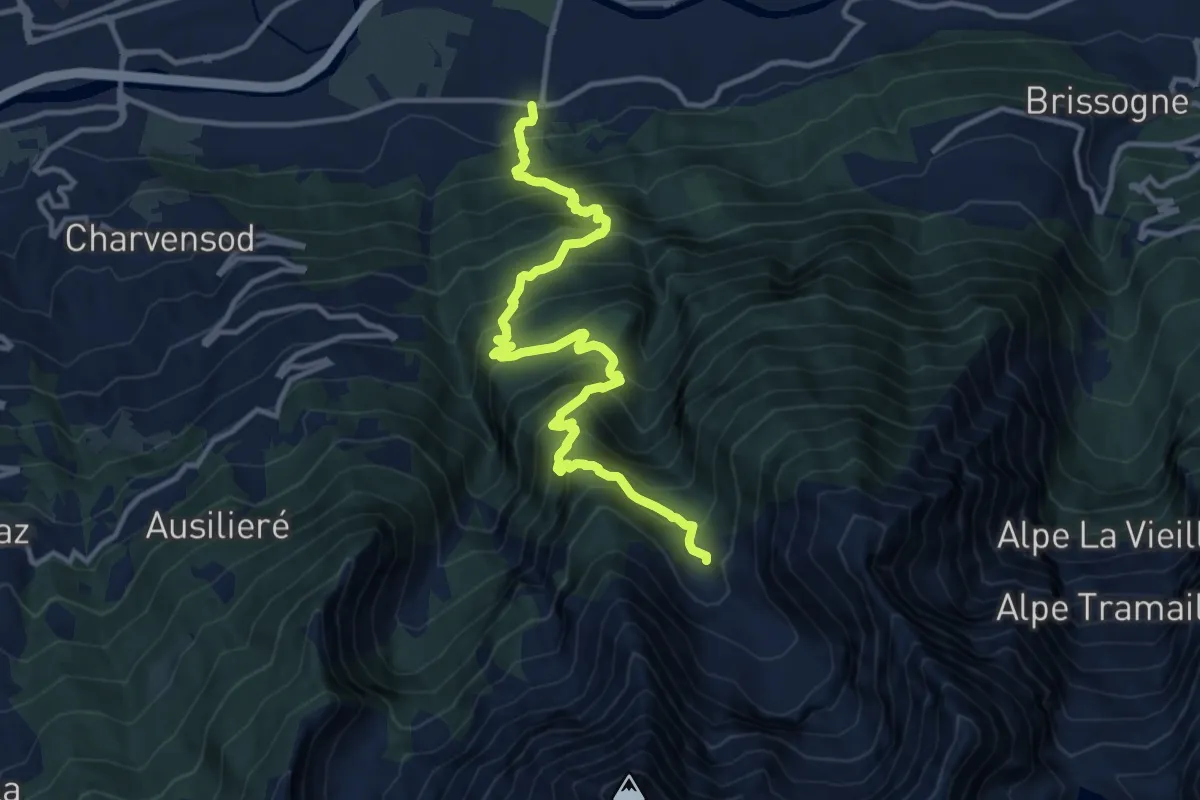
Demanding · Trail
municipio Pollein – Arpisson
13.6 km · ↑ 1521 m · 6 h 30 min
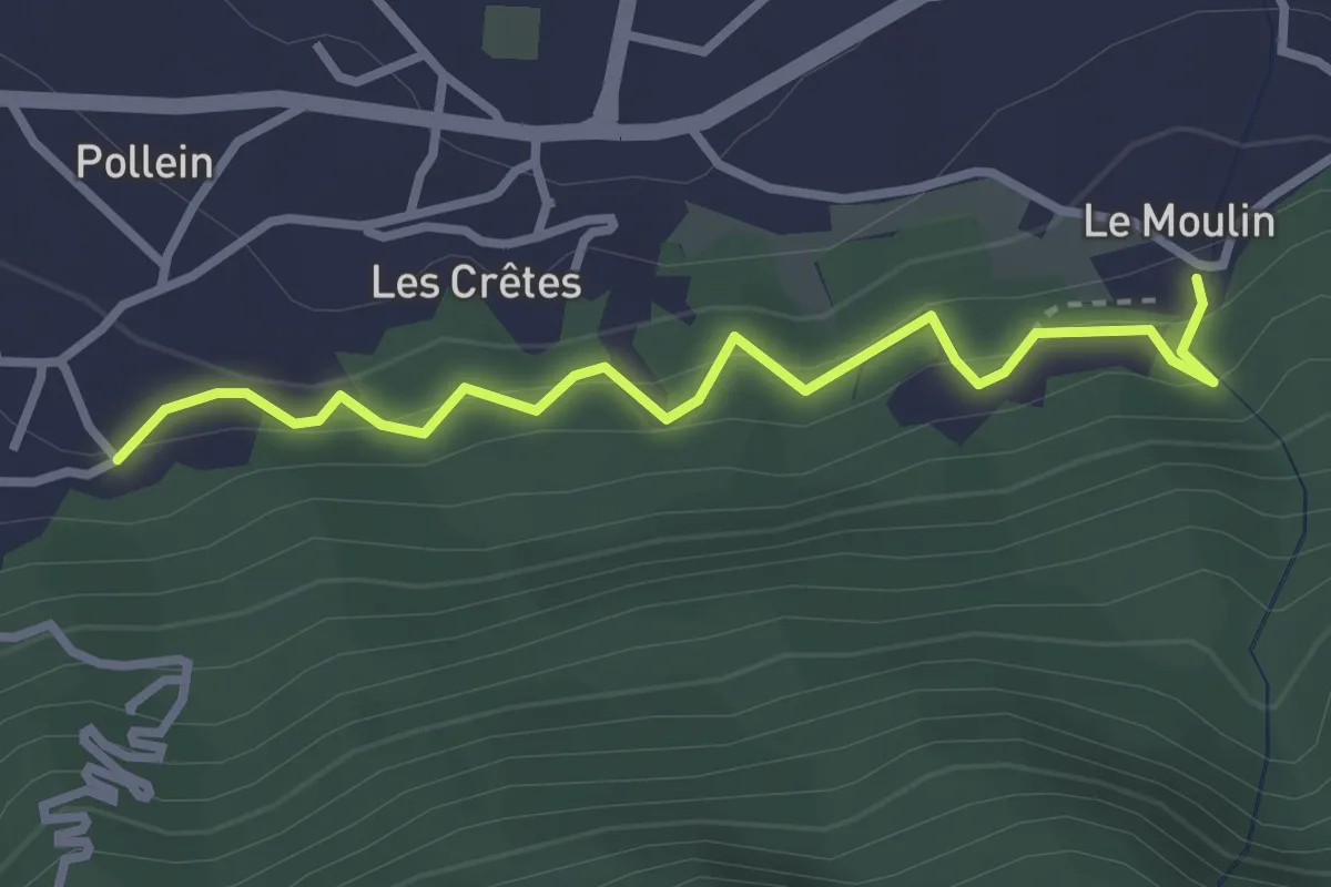
Medium · Trail
Chenière – Moulin
3.0 km · ↑ 274 m · 1 h 19 min
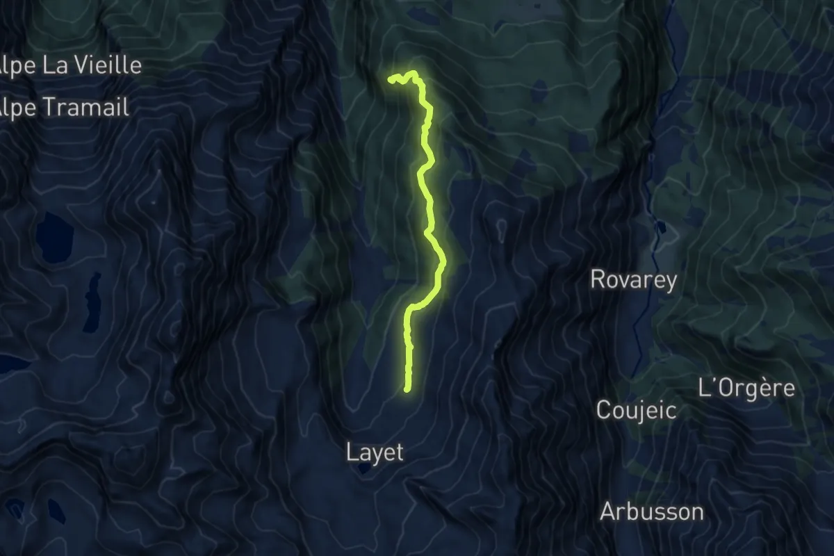
Medium · Trail
Miniere di Servette – Plan Rué
9.1 km · ↑ 622 m · 3 h 30 min
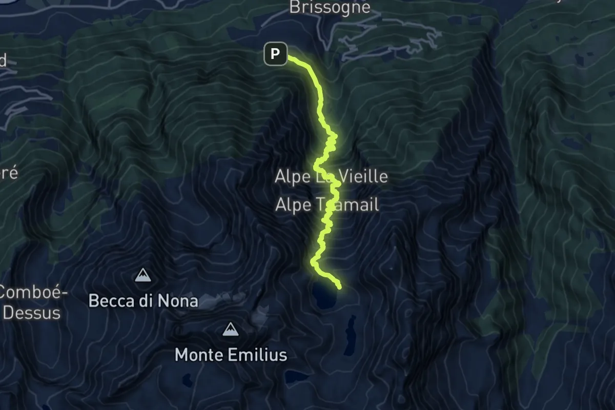
Demanding · Cabin
Grand Brissogne (Divieto di transito) – Bivacco Menabreaz
13.9 km · ↑ 1596 m · 6 h 44 min
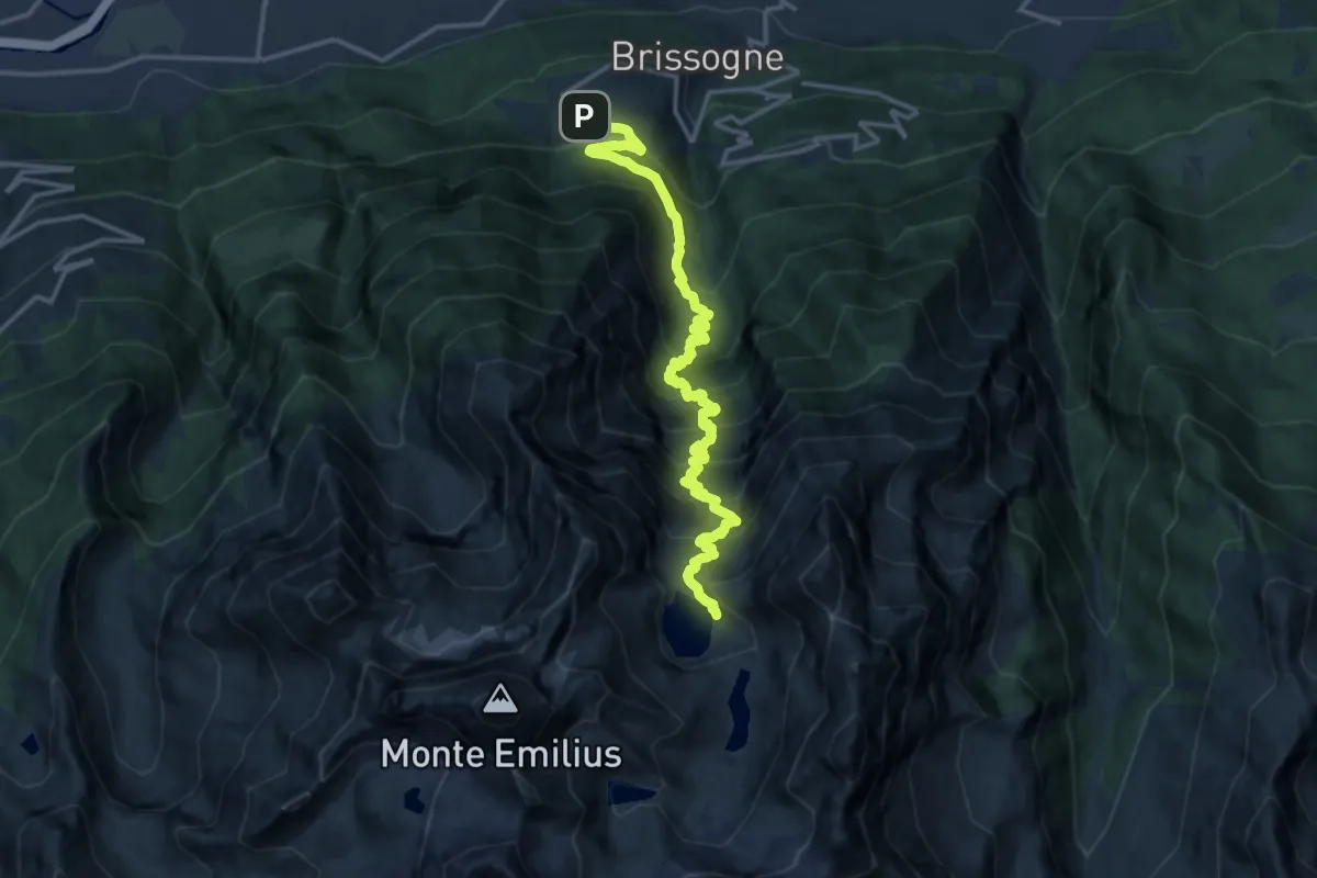
Demanding · Cabin
Grand Brissogne – Bivacco Menabreaz
17.0 km · ↑ 1717 m · 7 h 44 min